The Gallery Loop
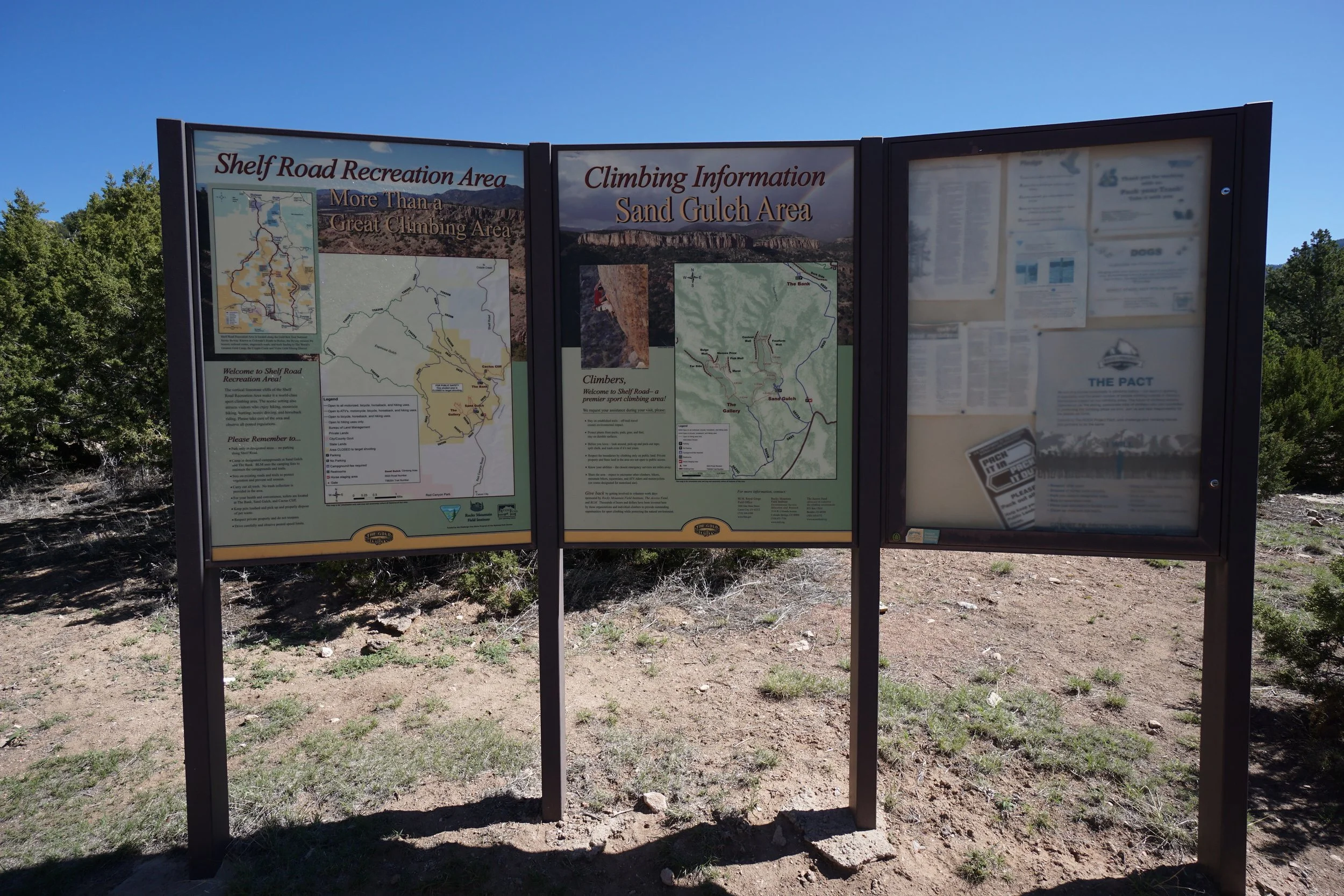
Shelf Road Recreation Area, BLM Public Lands
Date Hiked: May 25, 2019
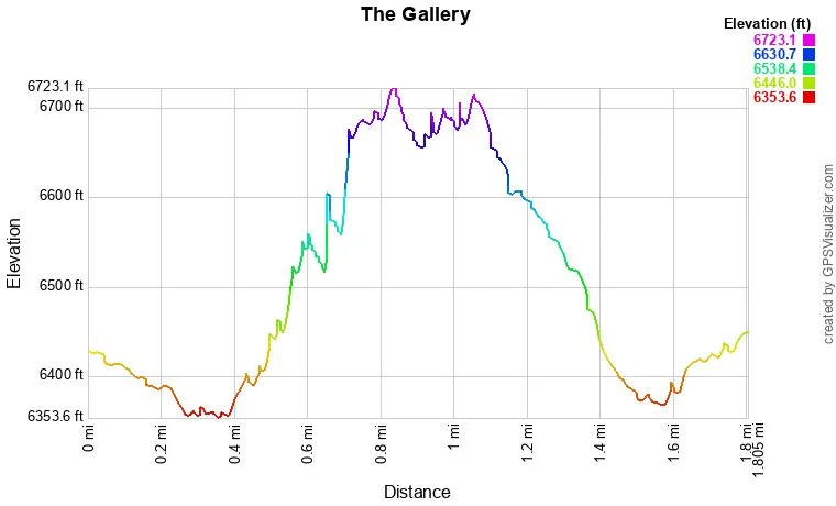
Distance: 1.8 mi (RT)
Elevation Gain: 522 ft
Elevation Min/Max: 6,354 to 6,723 ft
Trailhead Lat/Long: 38º 37' 04" N; 105º 13' 48" W
Managing Agency: Bureau of Land Management
Fee: None
Directions:
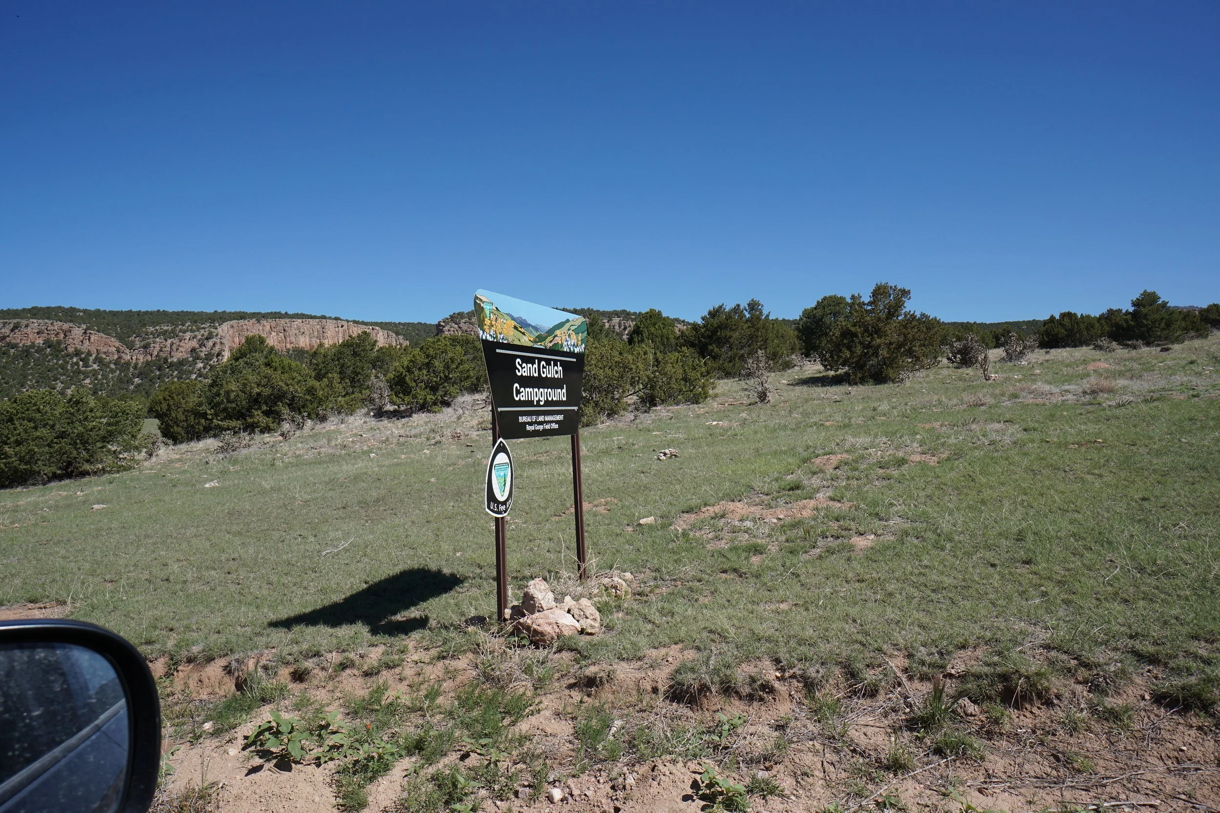
From Hwy 50 in Cañon City, go north on 15th Street, through town, and turn right on South Street, then a quick left on Red Canyon Road. Continue on Red Canyon Road until it becomes County Road 9. Follow CR 9 north and just before Garden Park Road becomes the unpaved Shelf Road, look for the sign for "Sand Gulch." Turn left (west) and drive into the Sand Gulch Campground. Follow the sign for Day Use Parking. You'll have to walk back along the campground road for a few minutes to find the trailhead for The Gallery.
Hike Description:
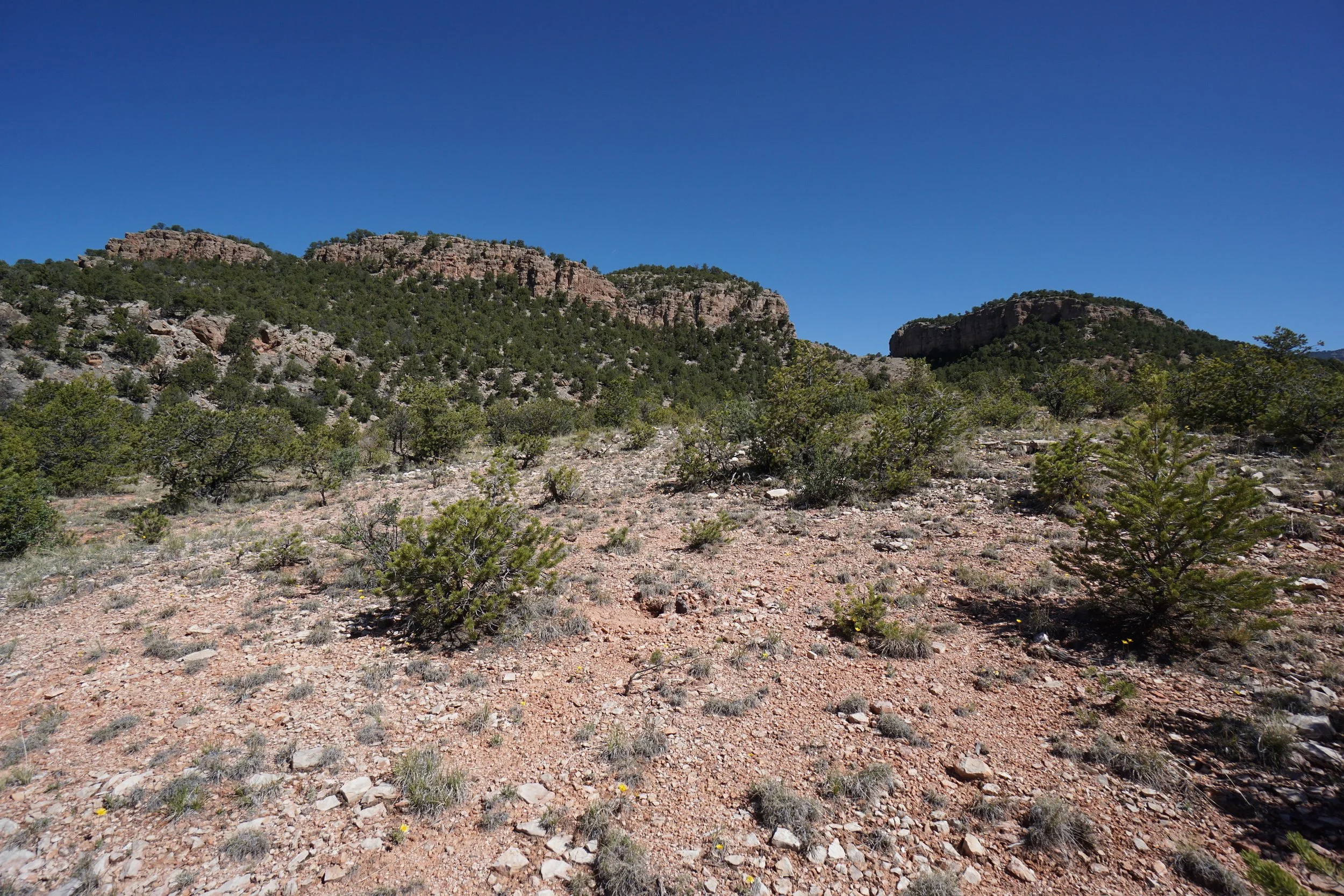
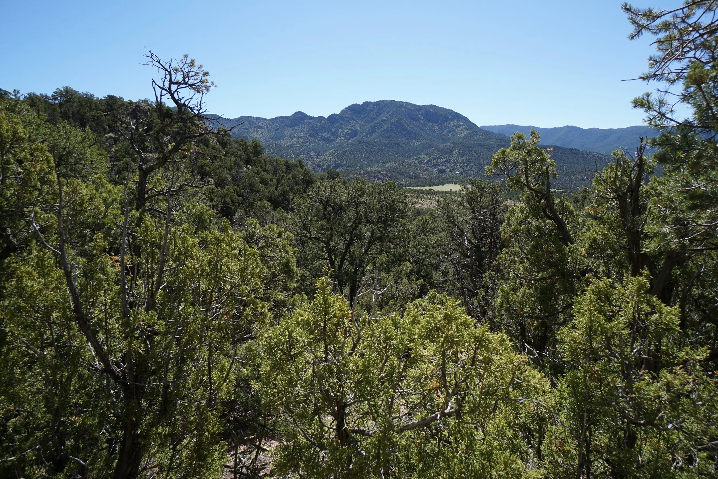
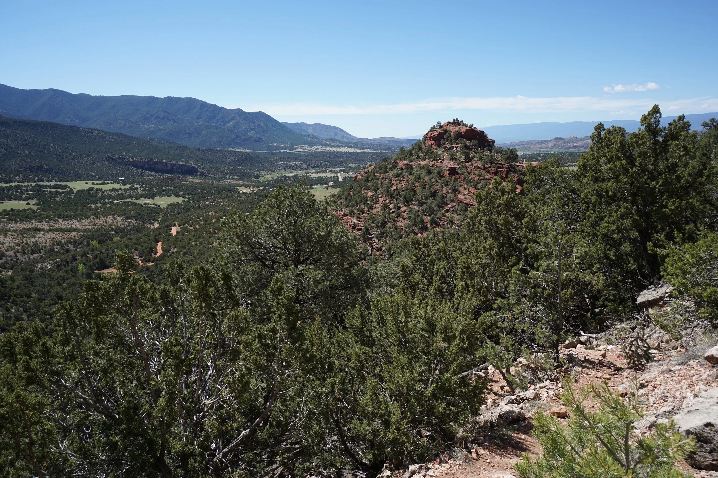
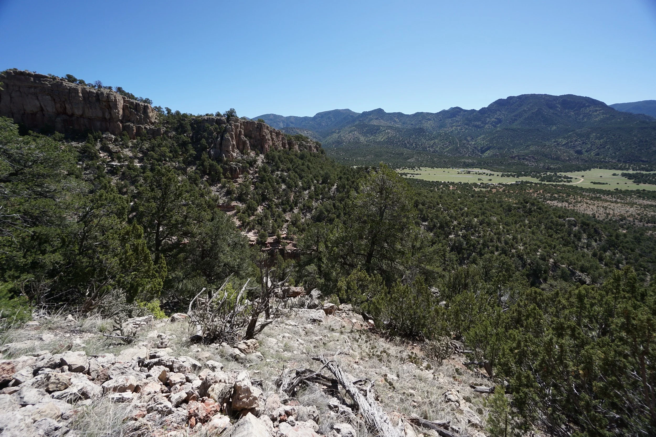
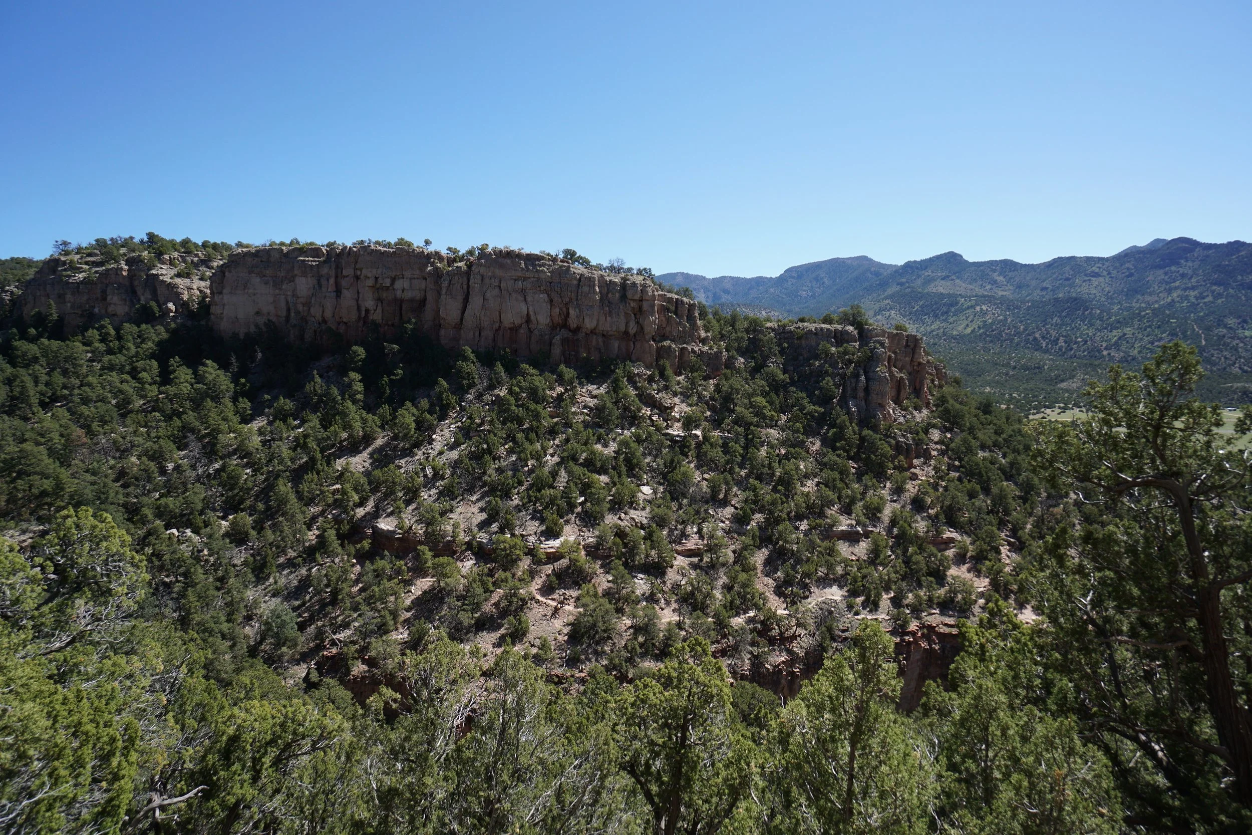
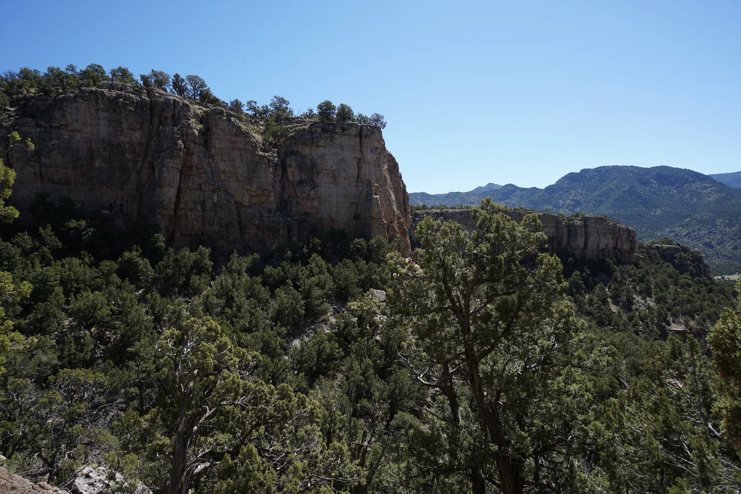
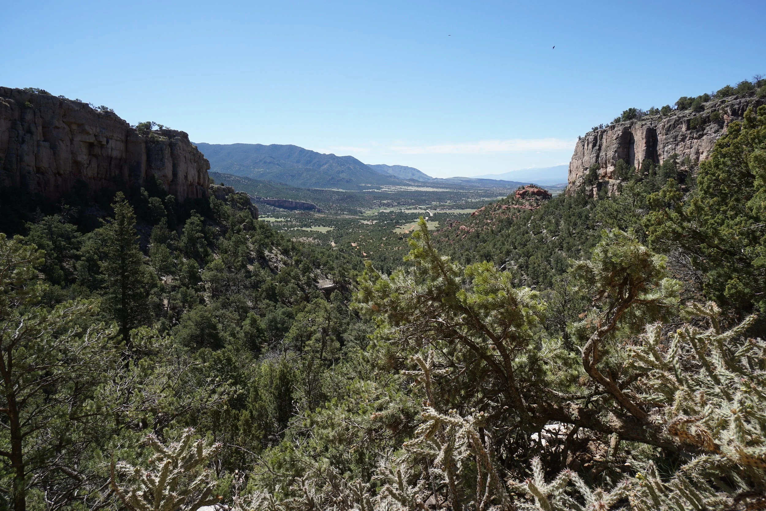
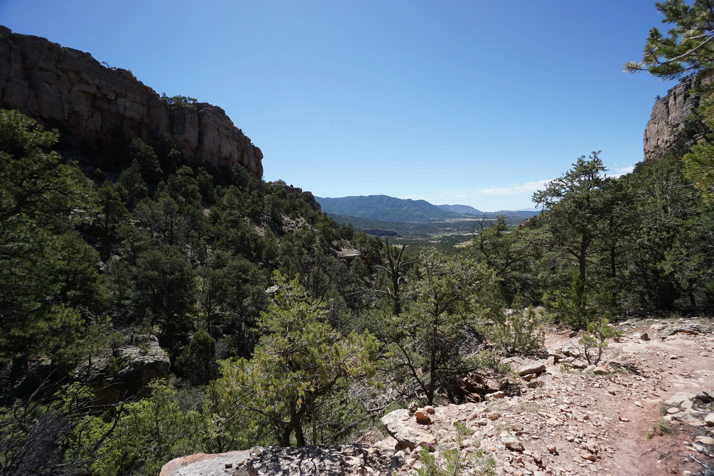
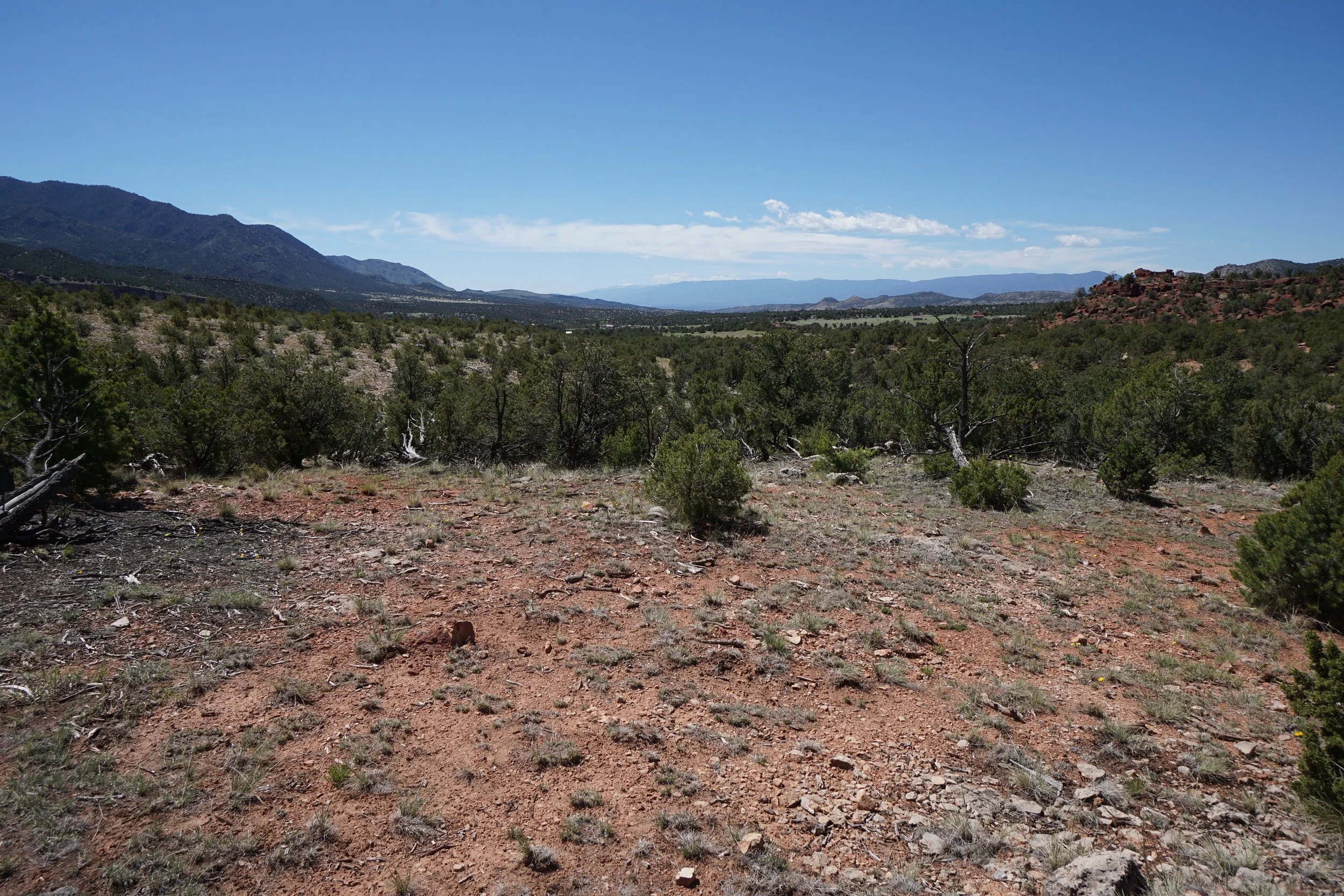
If your ideal hiking destination has tall rocky cliffs, interesting rock formations, and expansive scenic views, then the Shelf Road Recreation Area is for you. The Recreation Area is located at the northern end of the Fourmile Creek Valley and can be reached by heading north from Cañon City or by traversing the scenic Shelf Road south from Cripple Creek. Driving Shelf Road is an adventure in itself and see below for a summary of the drive.
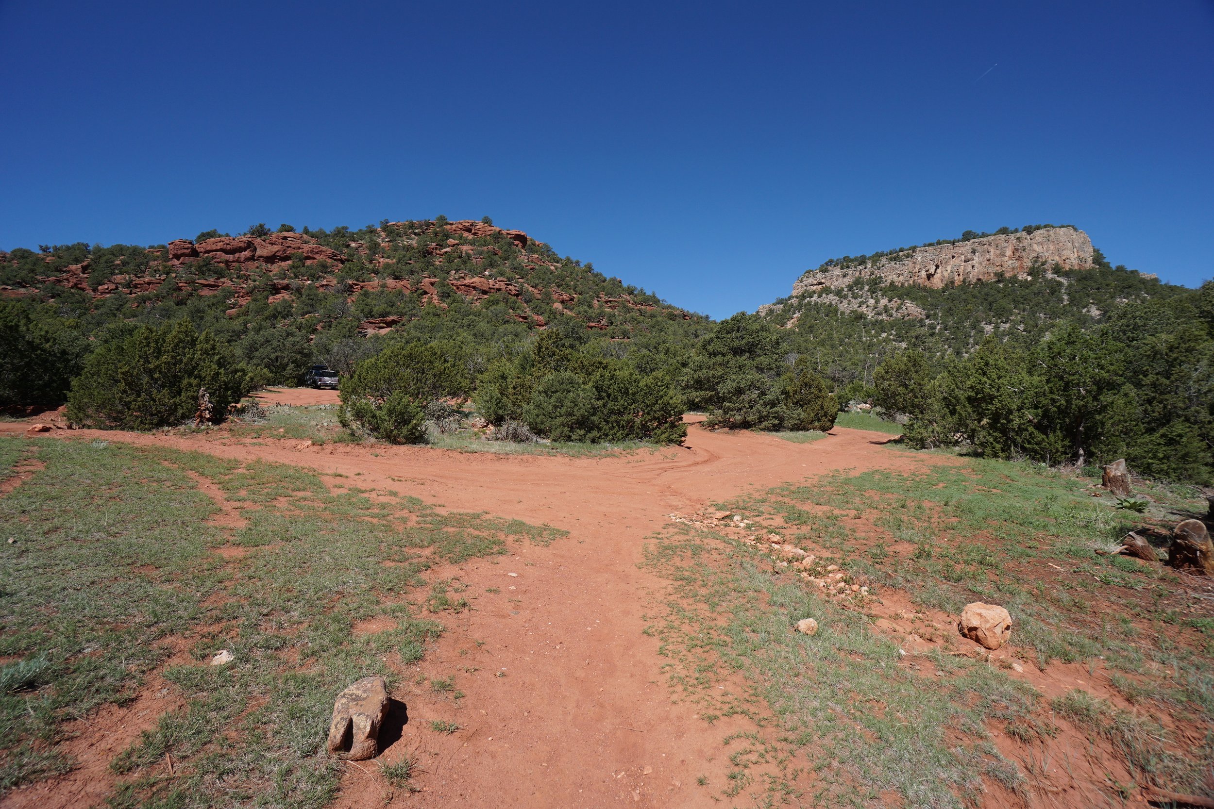
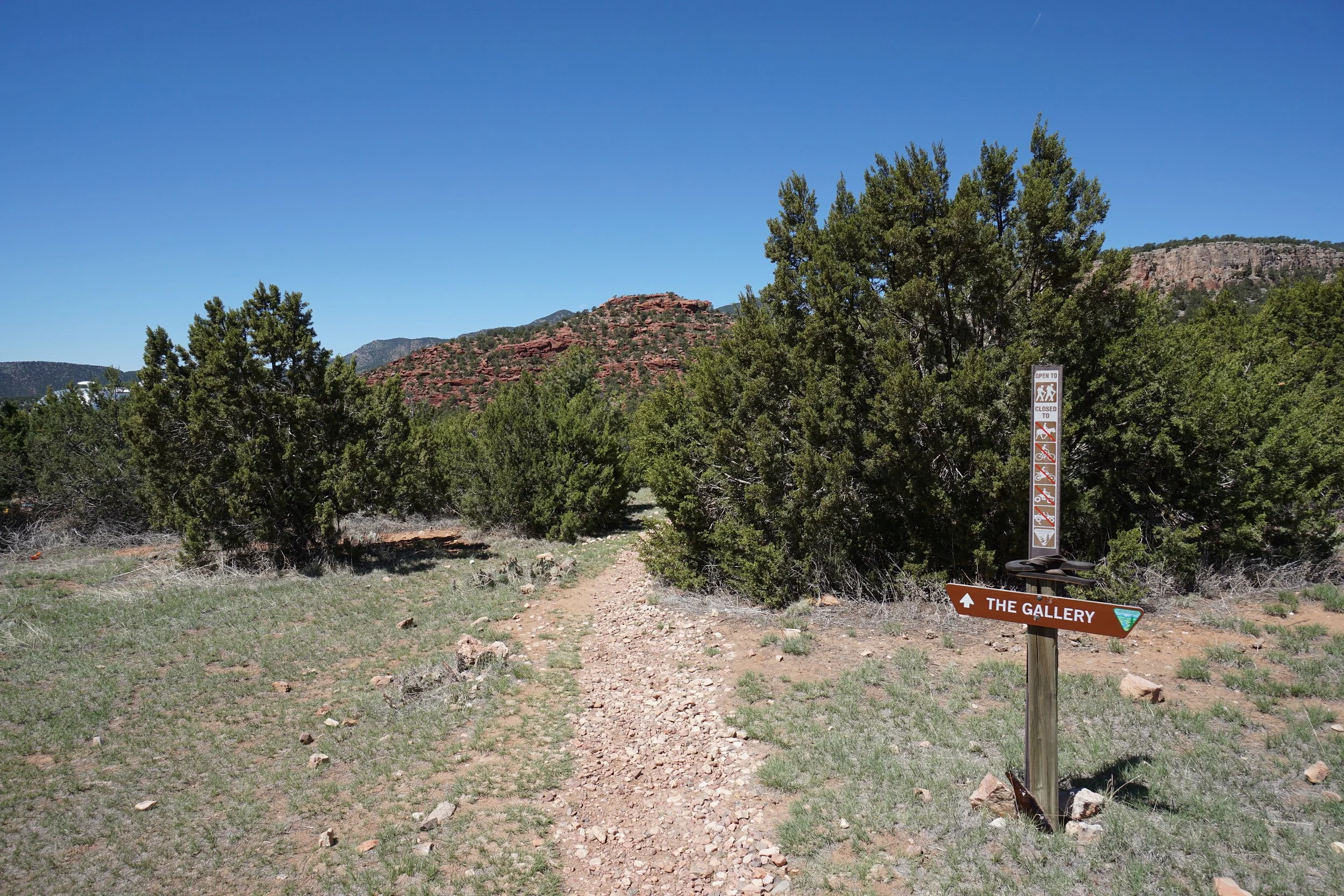
Shelf Road Recreation Area is a haven for rock climbers and most of the people you will meet along the trails and in the campgrounds are climbers. There are two loop trails that provide access to the climbing areas and make great hiking trails as well. The Sand Gulch Loop and The Gallery. From the day use parking area in the Sand Gulch Campground backtrack along the main road for a few minutes to find the trailhead for The Gallery.
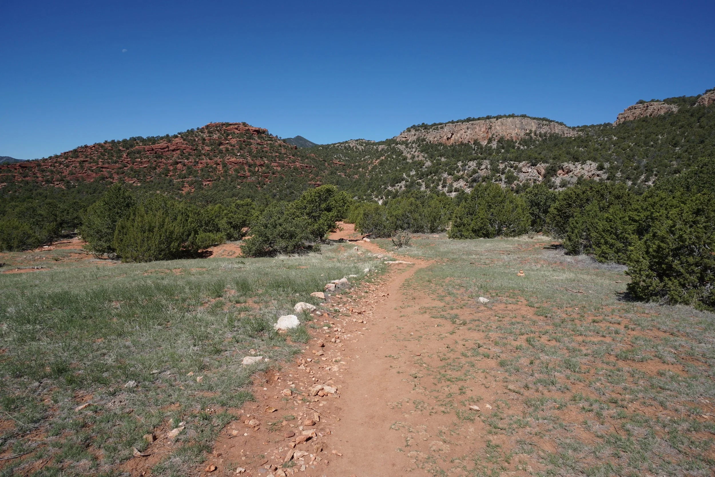
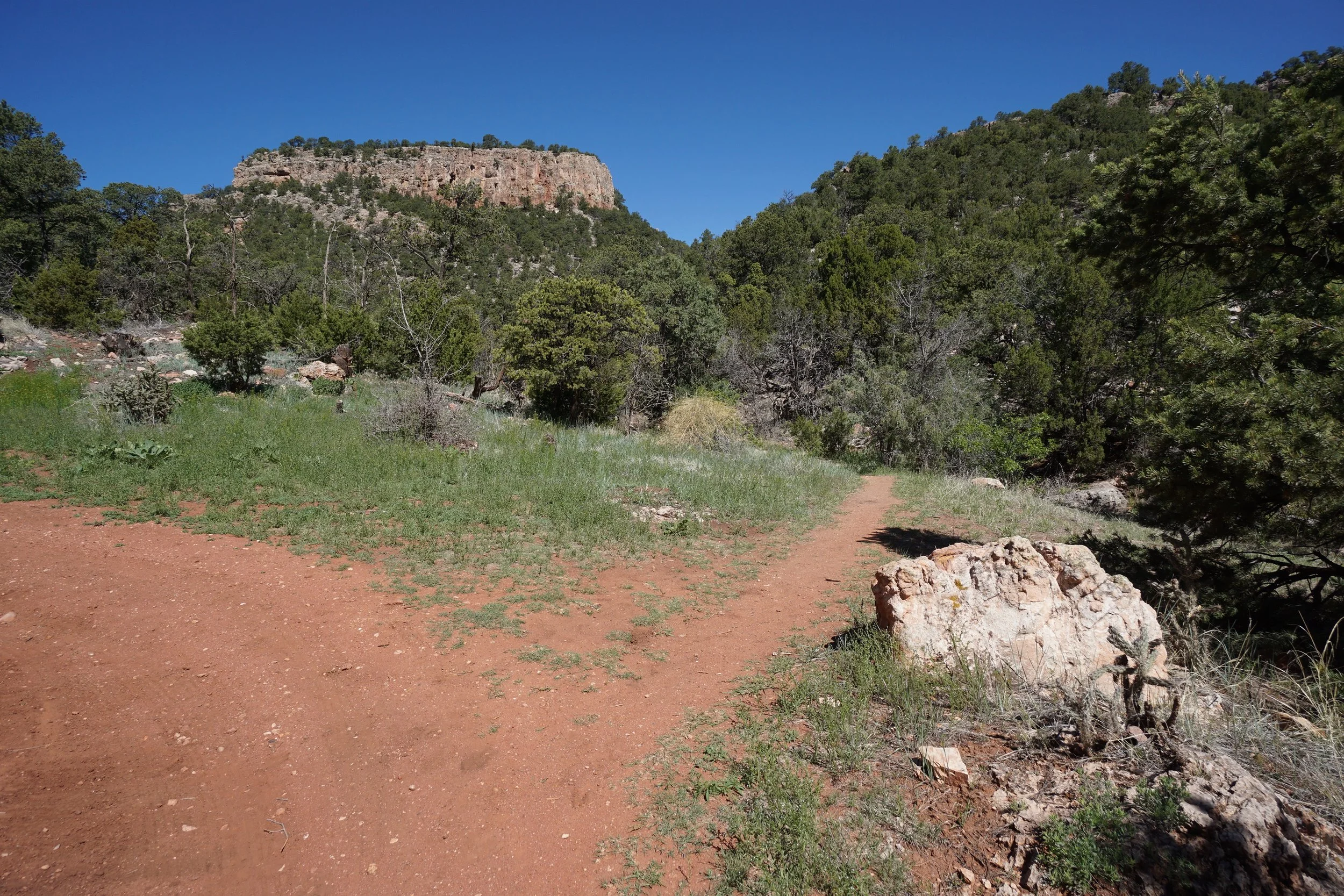
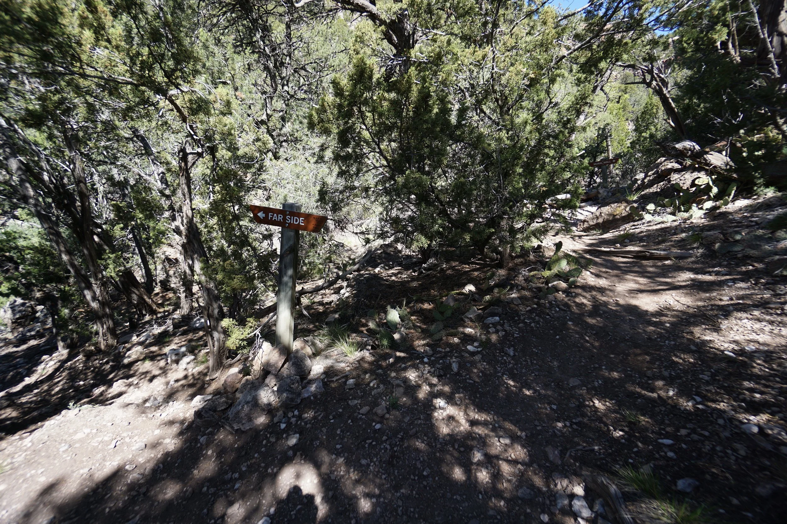
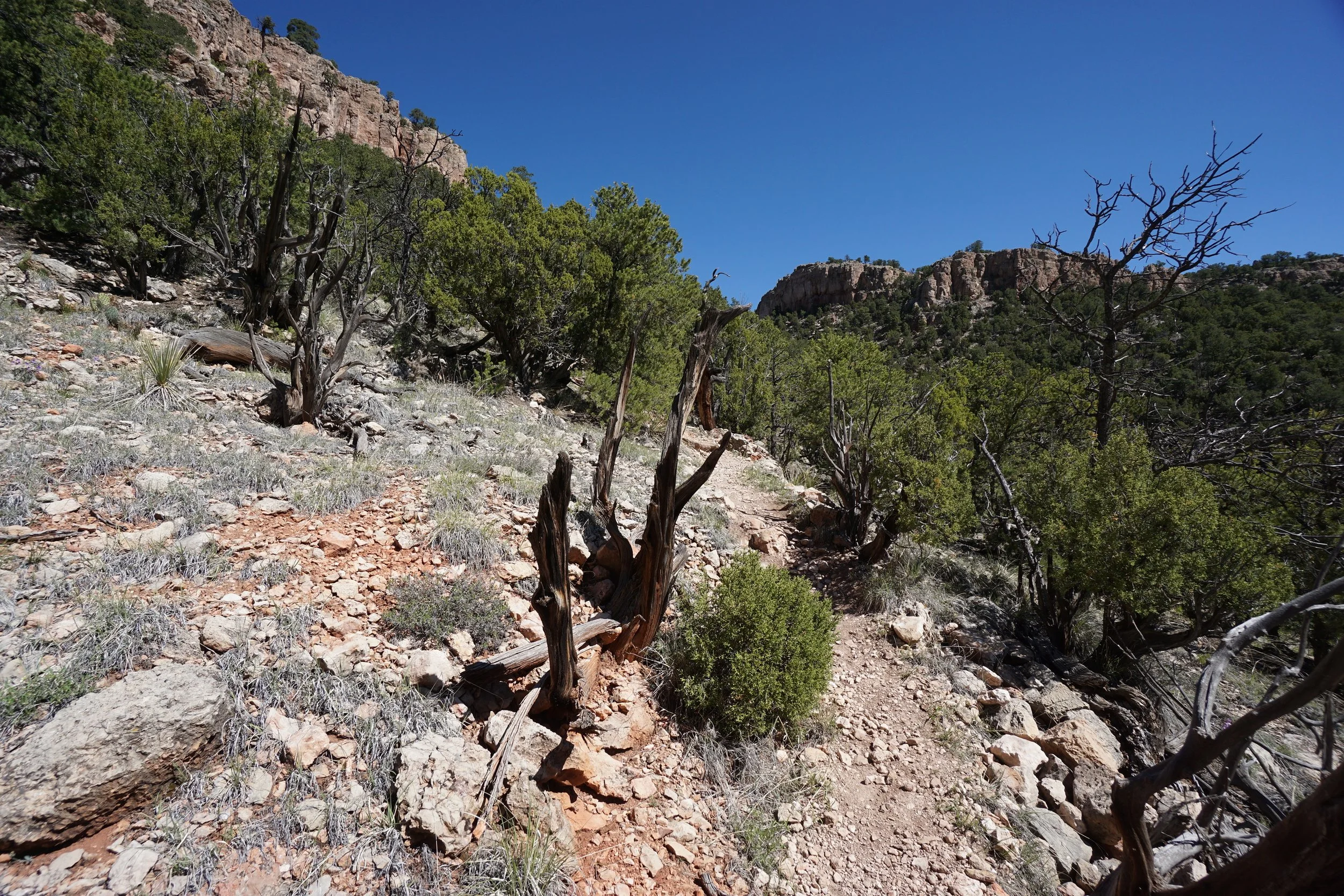
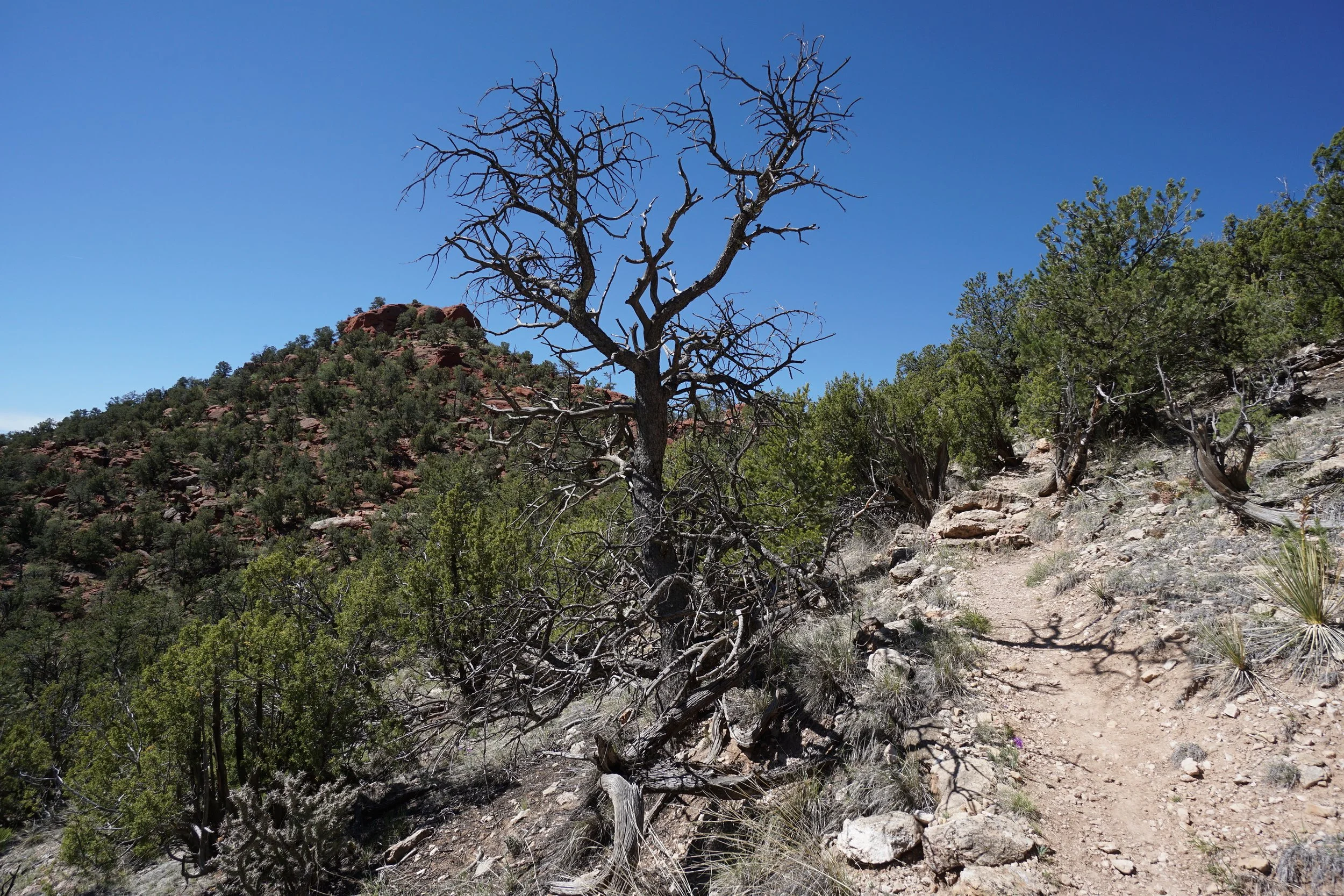
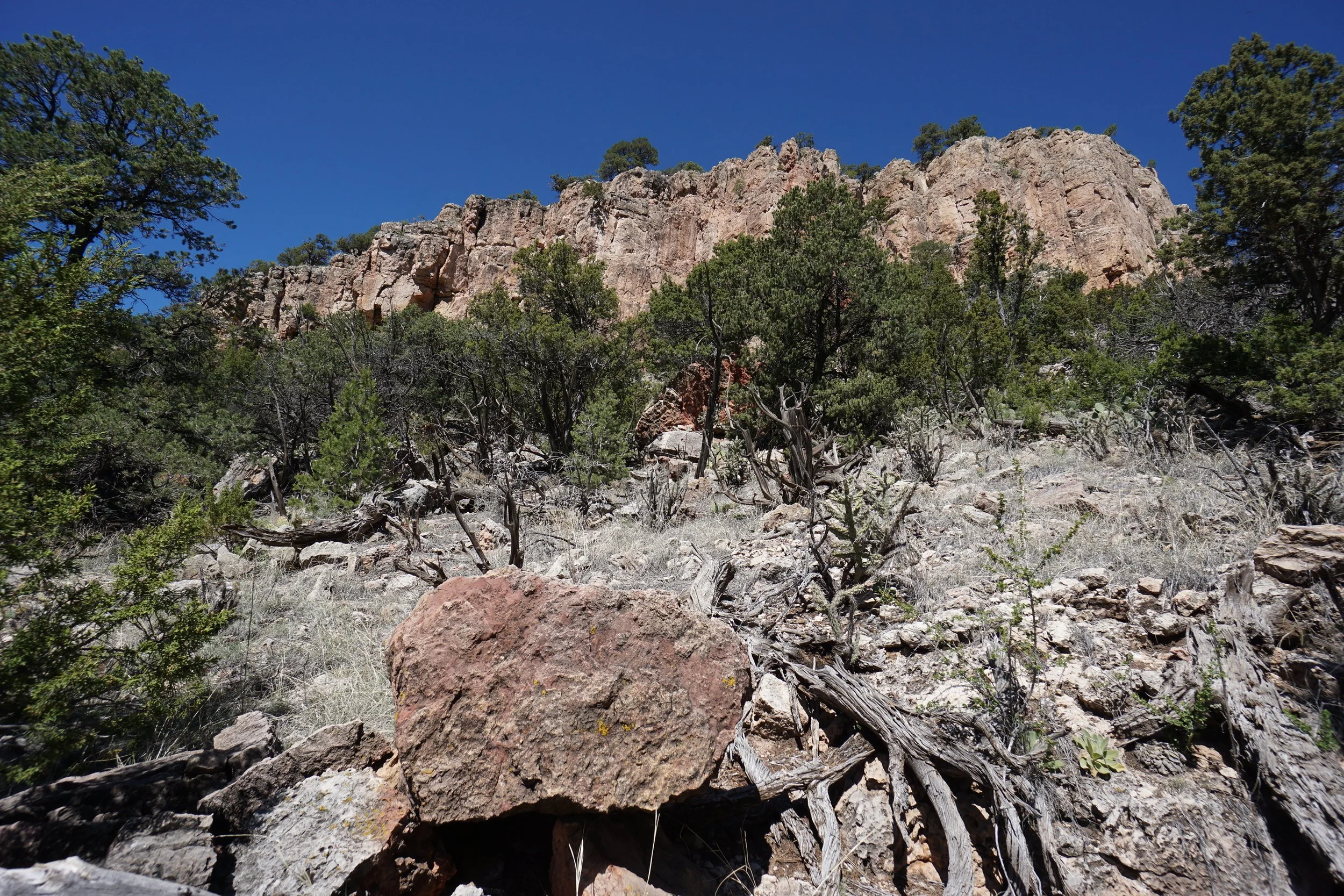
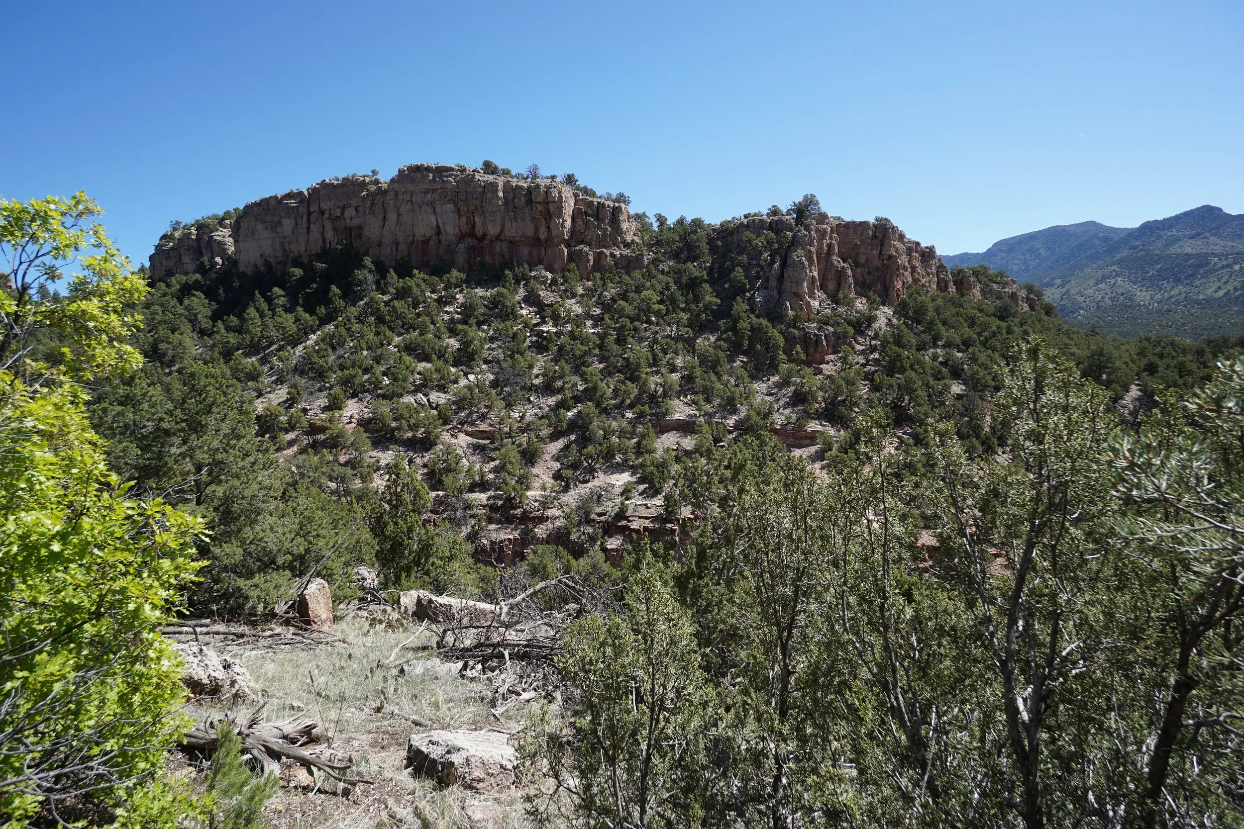
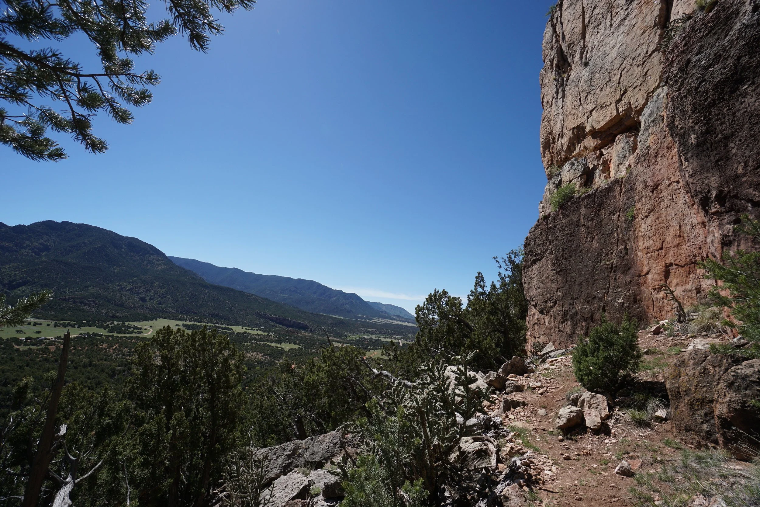
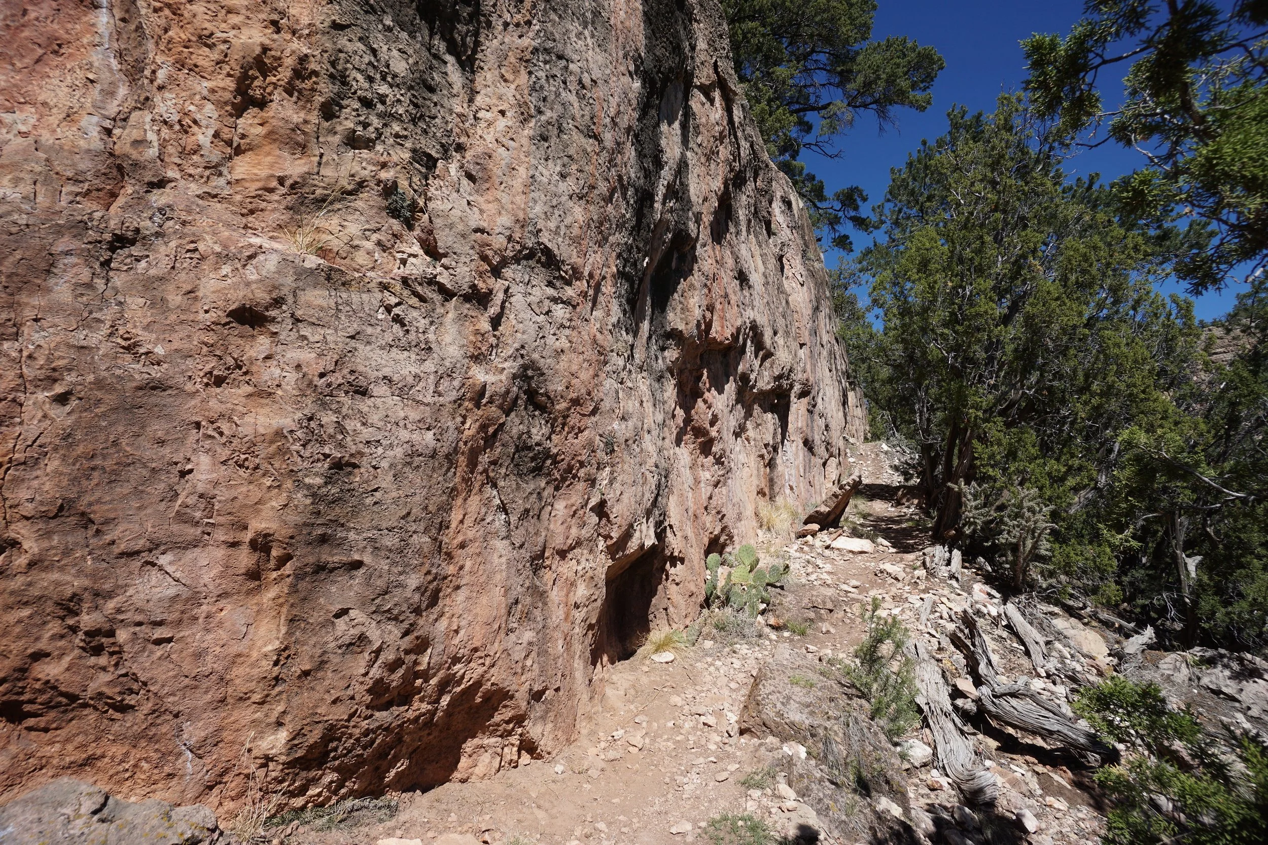
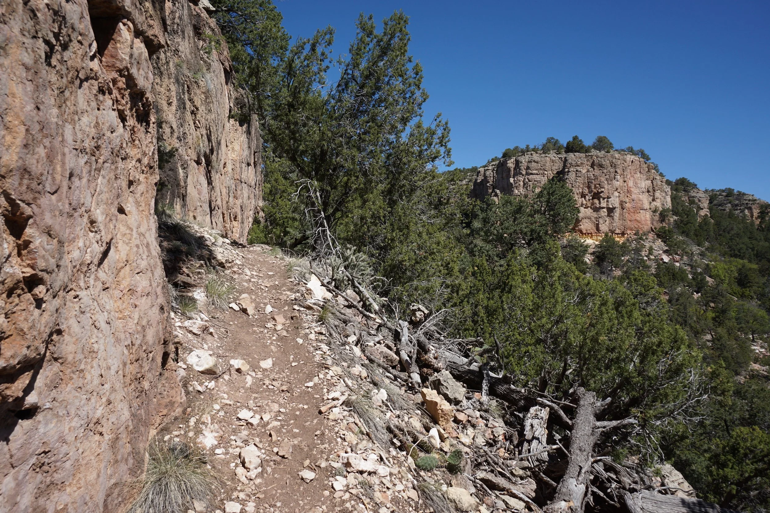
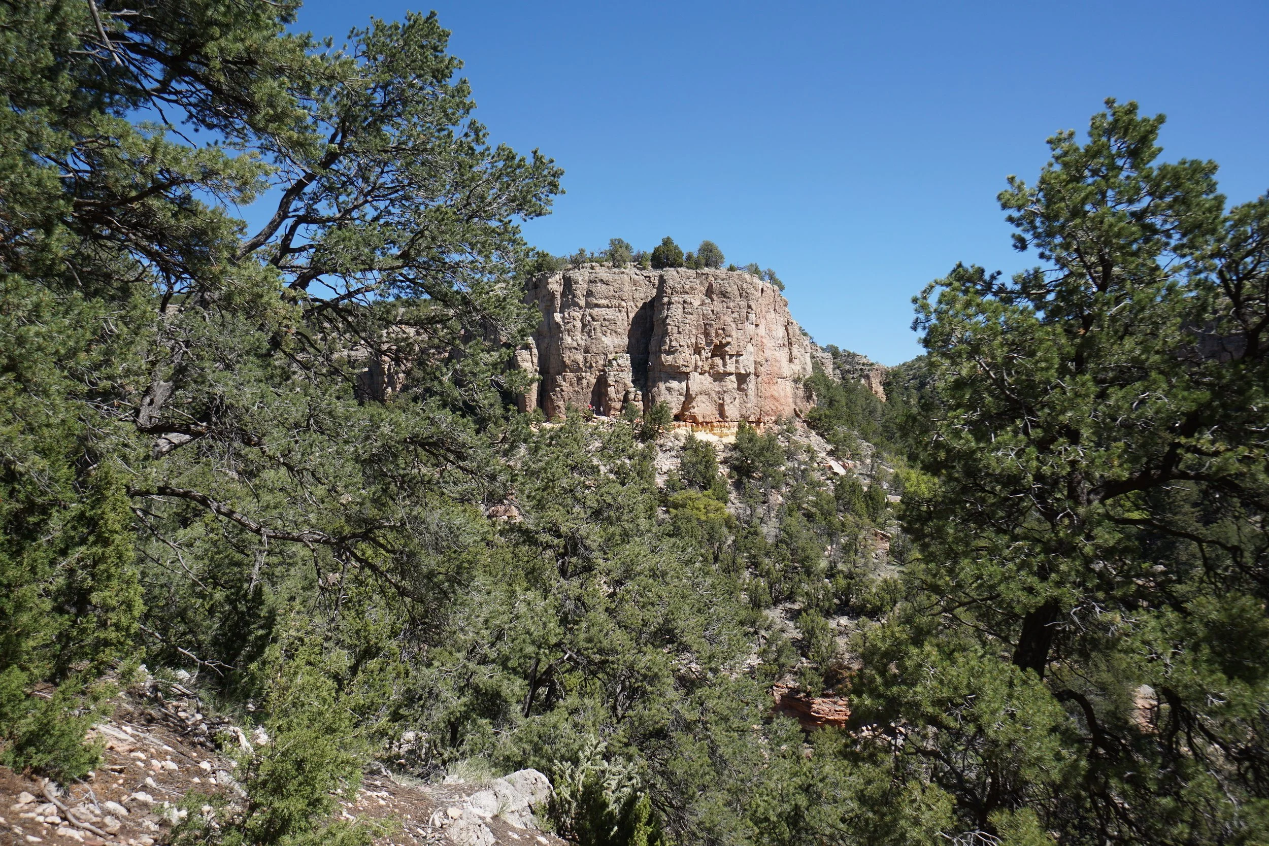
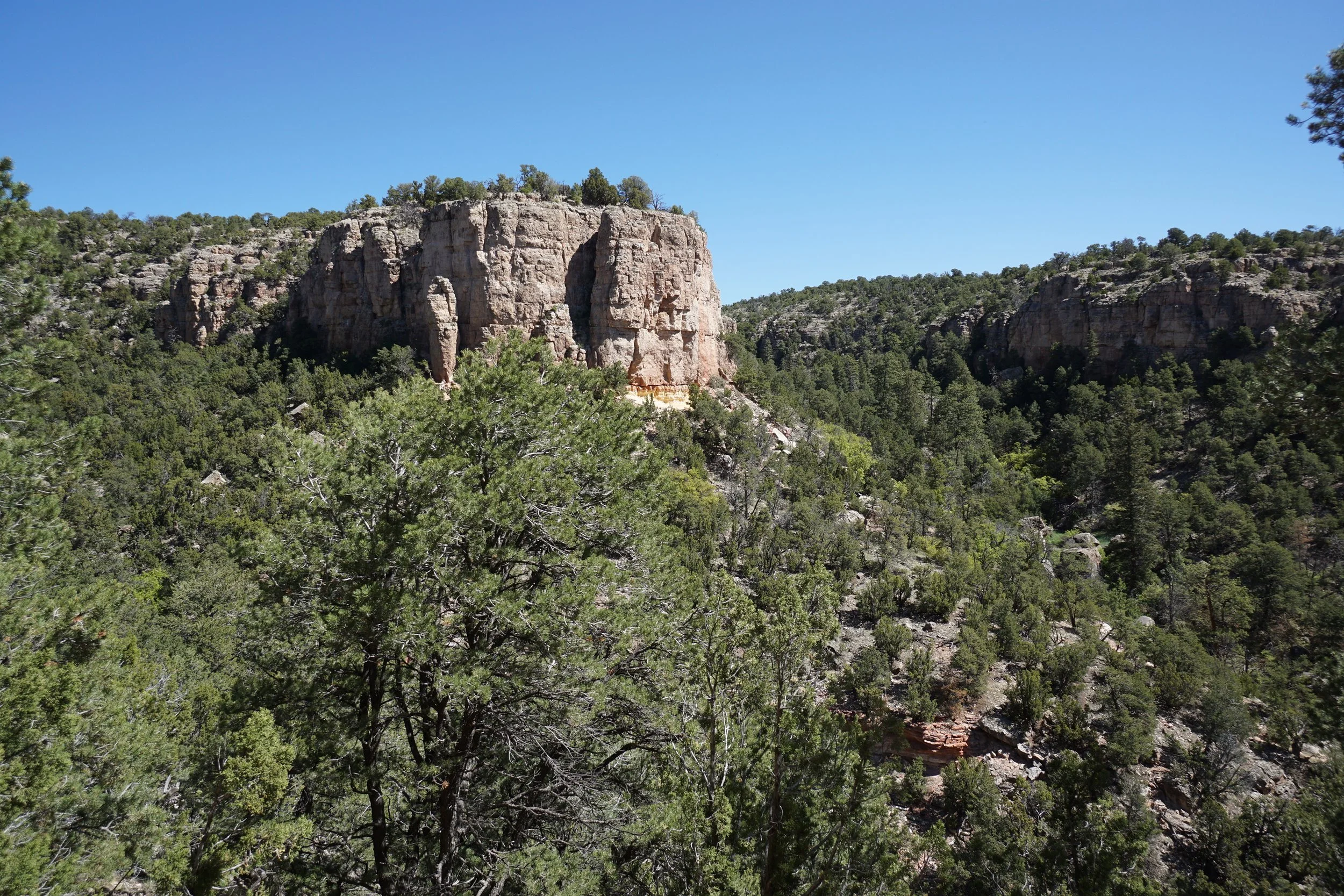
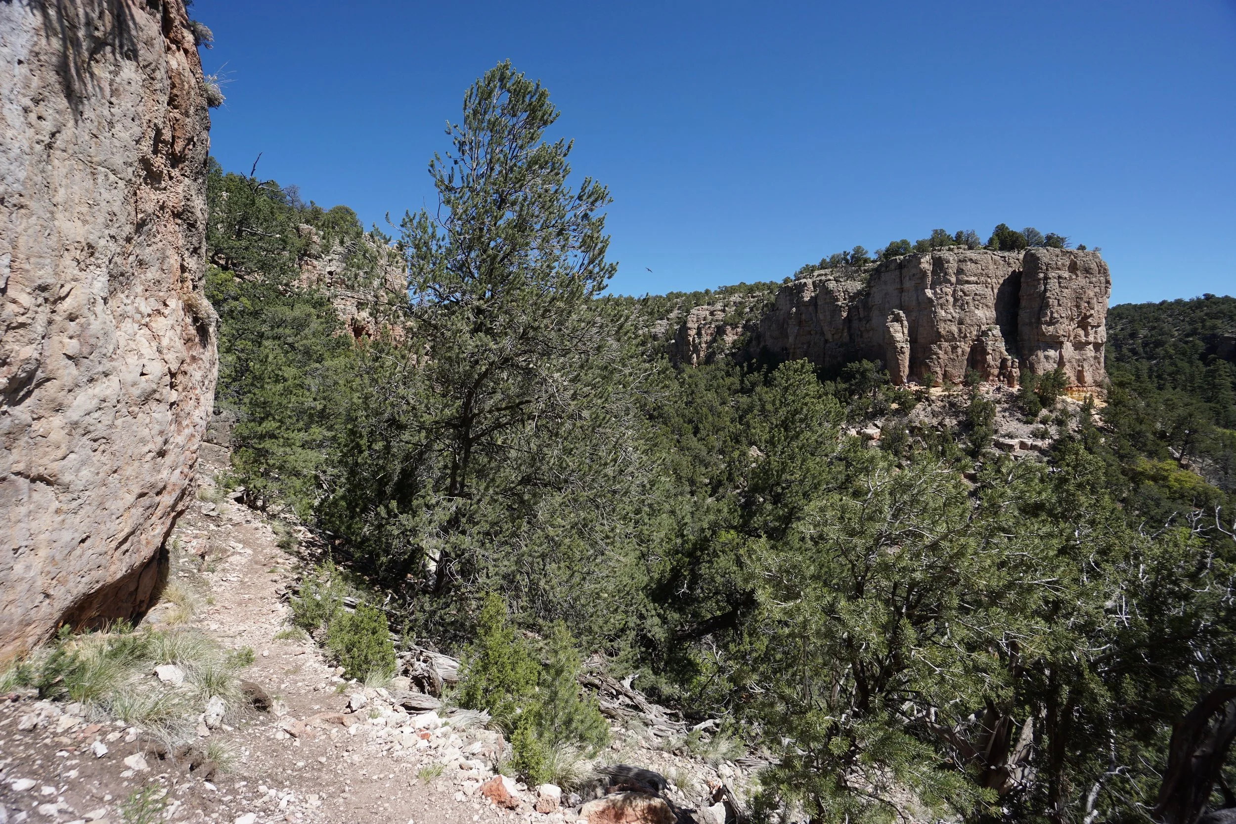
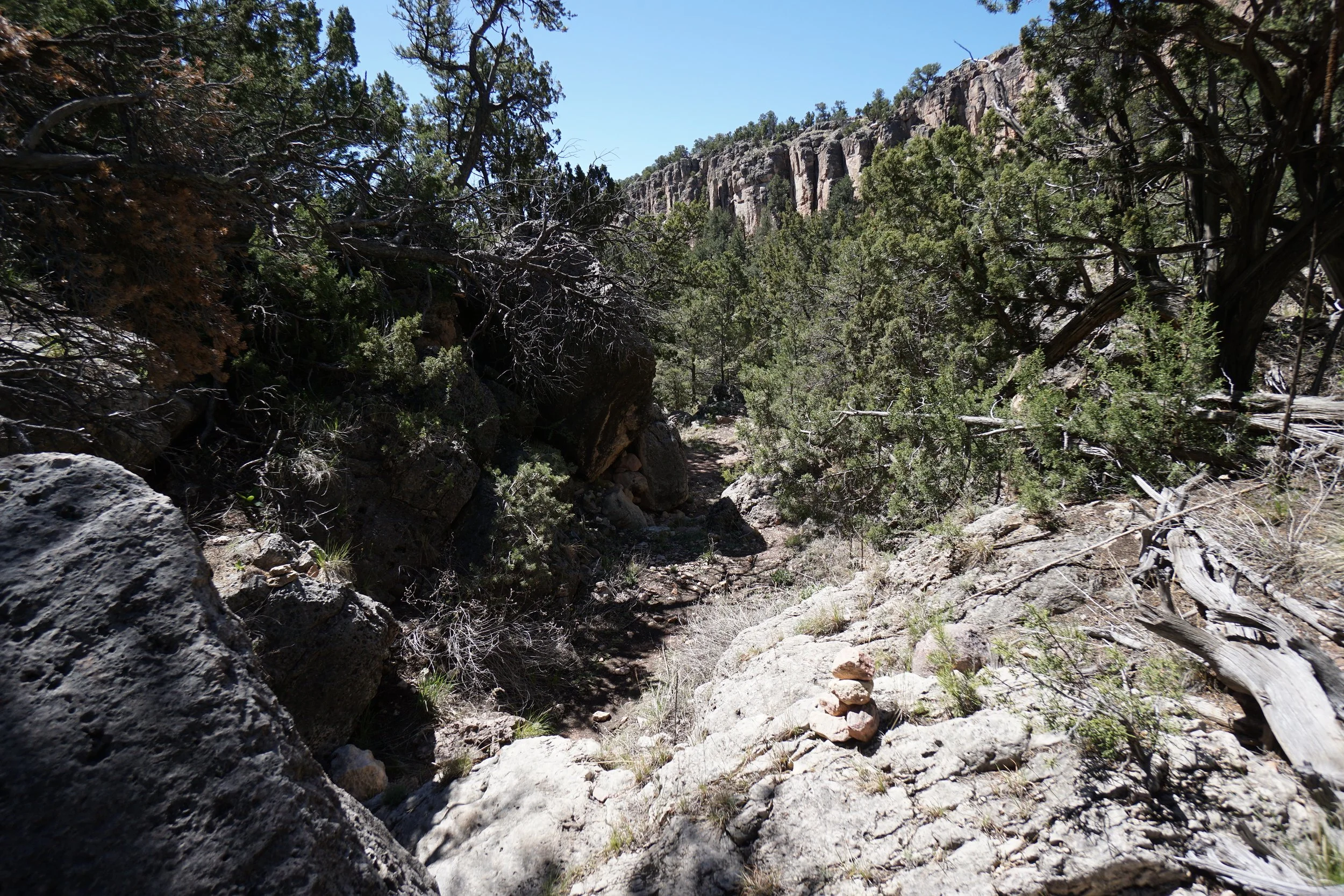
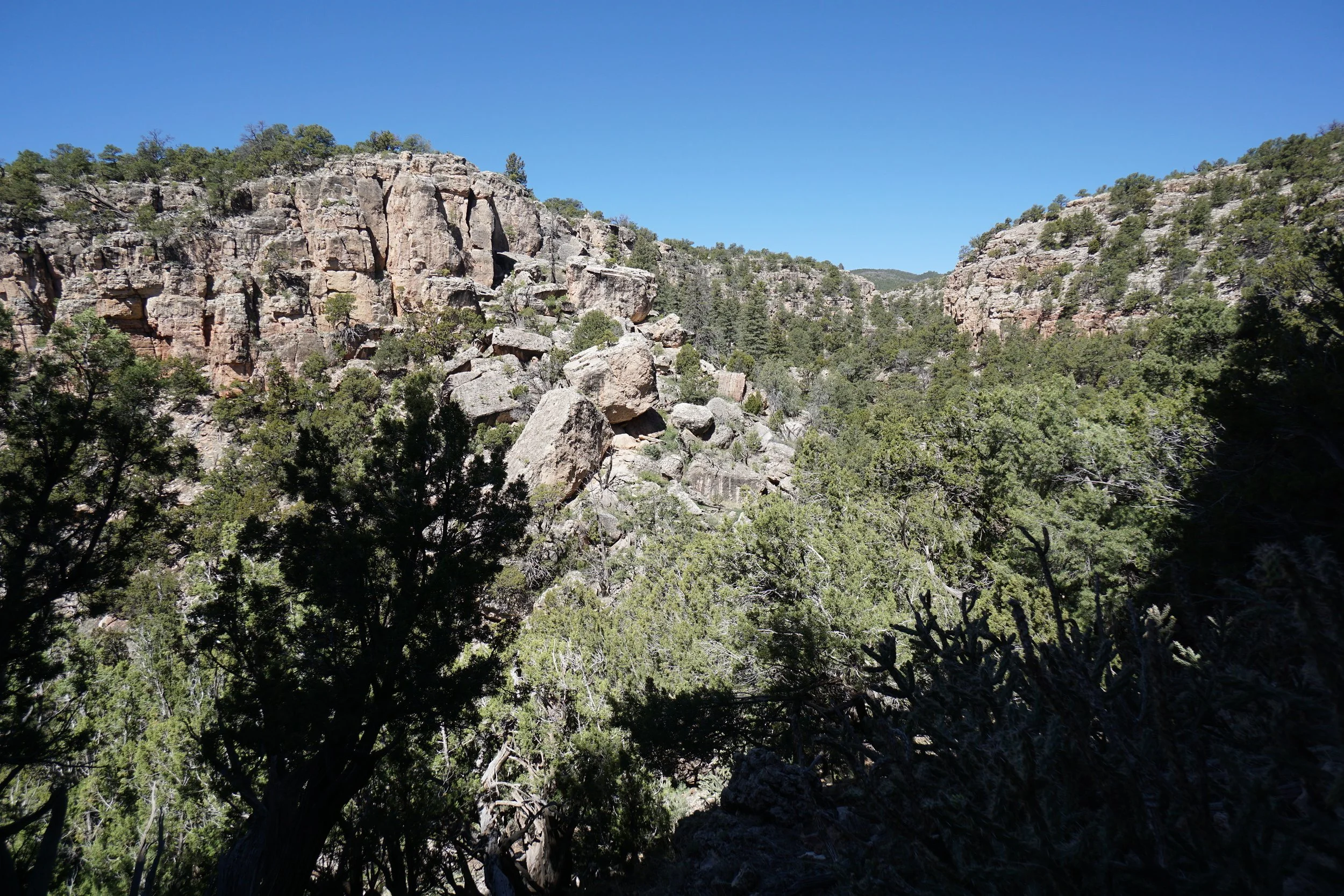
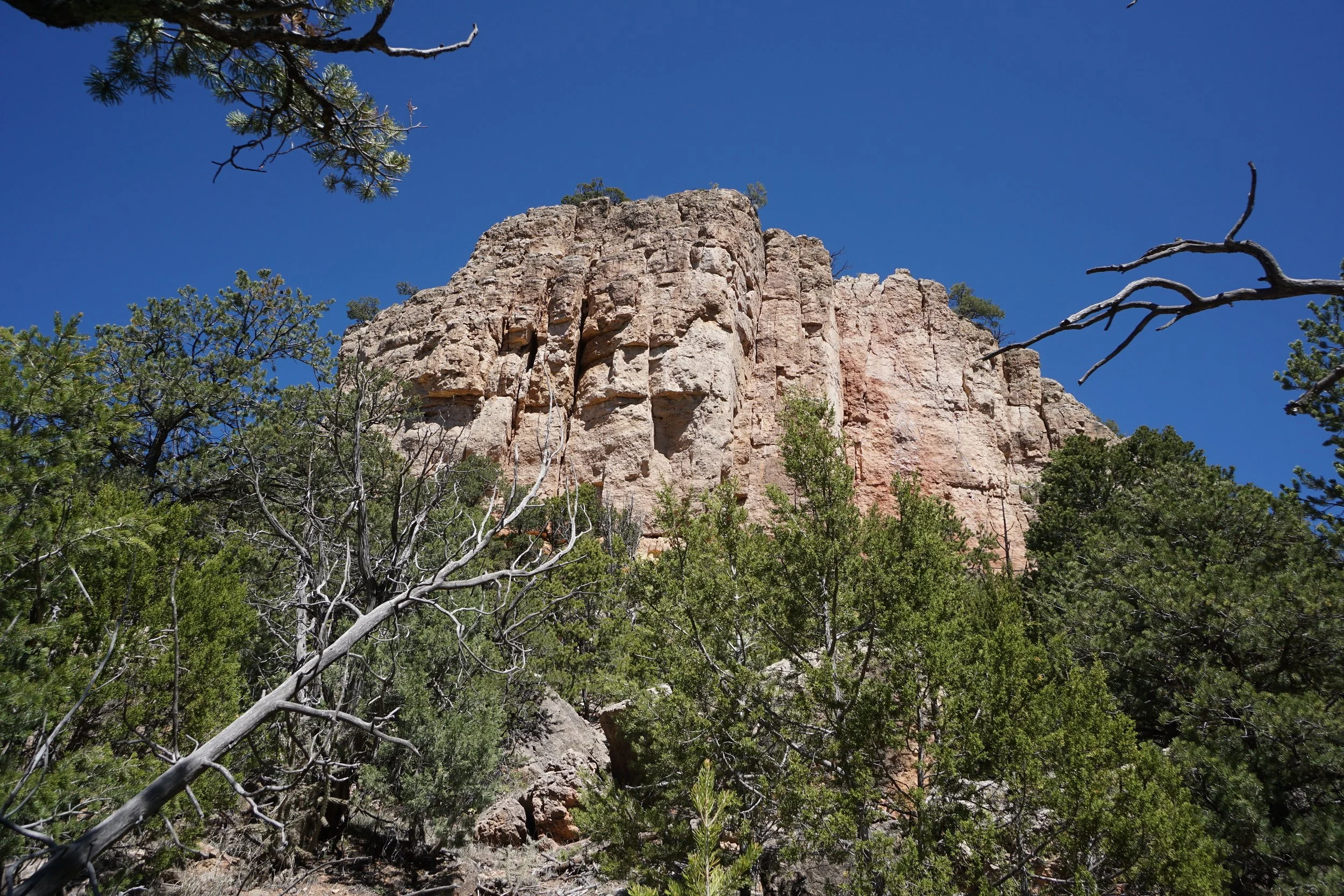
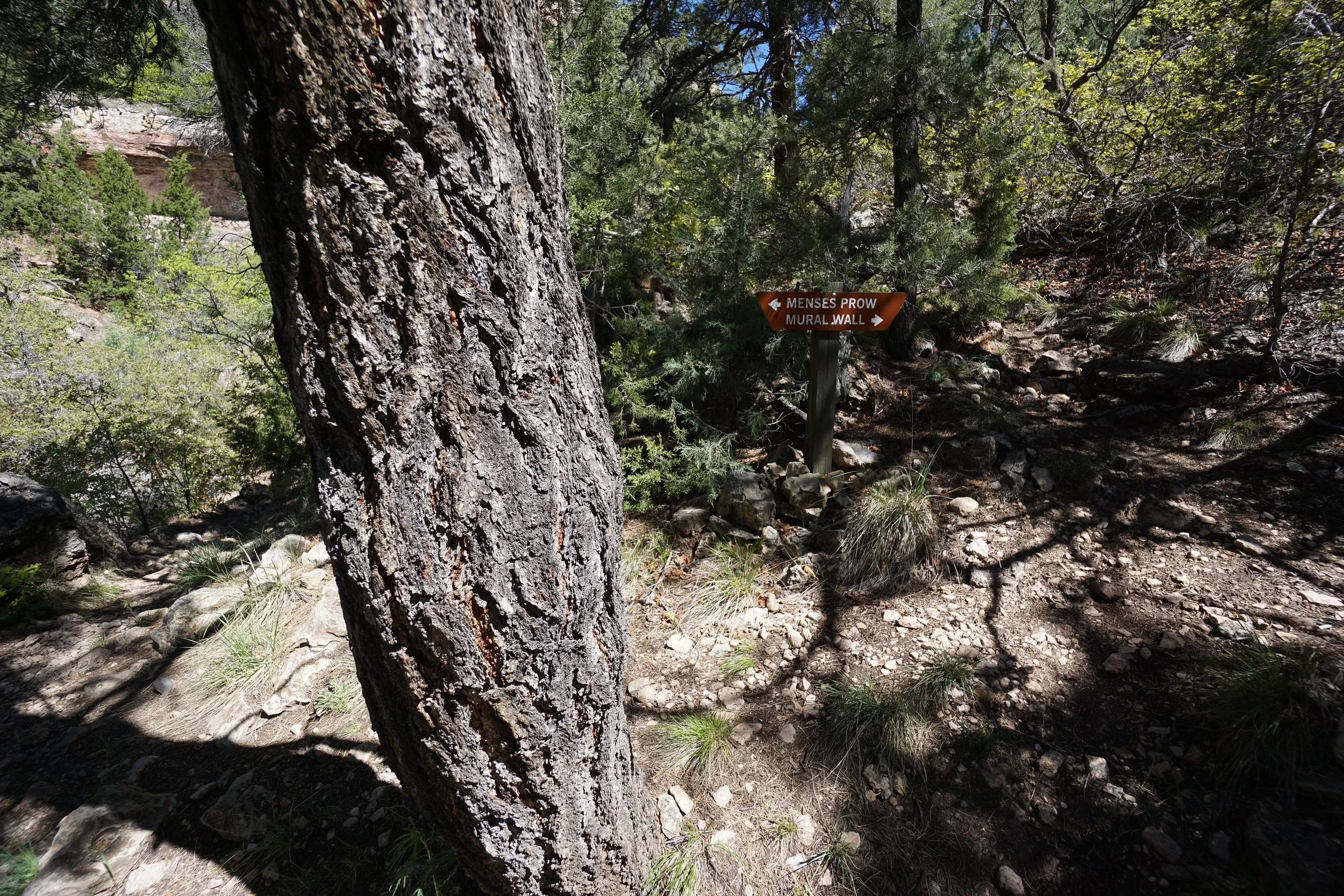
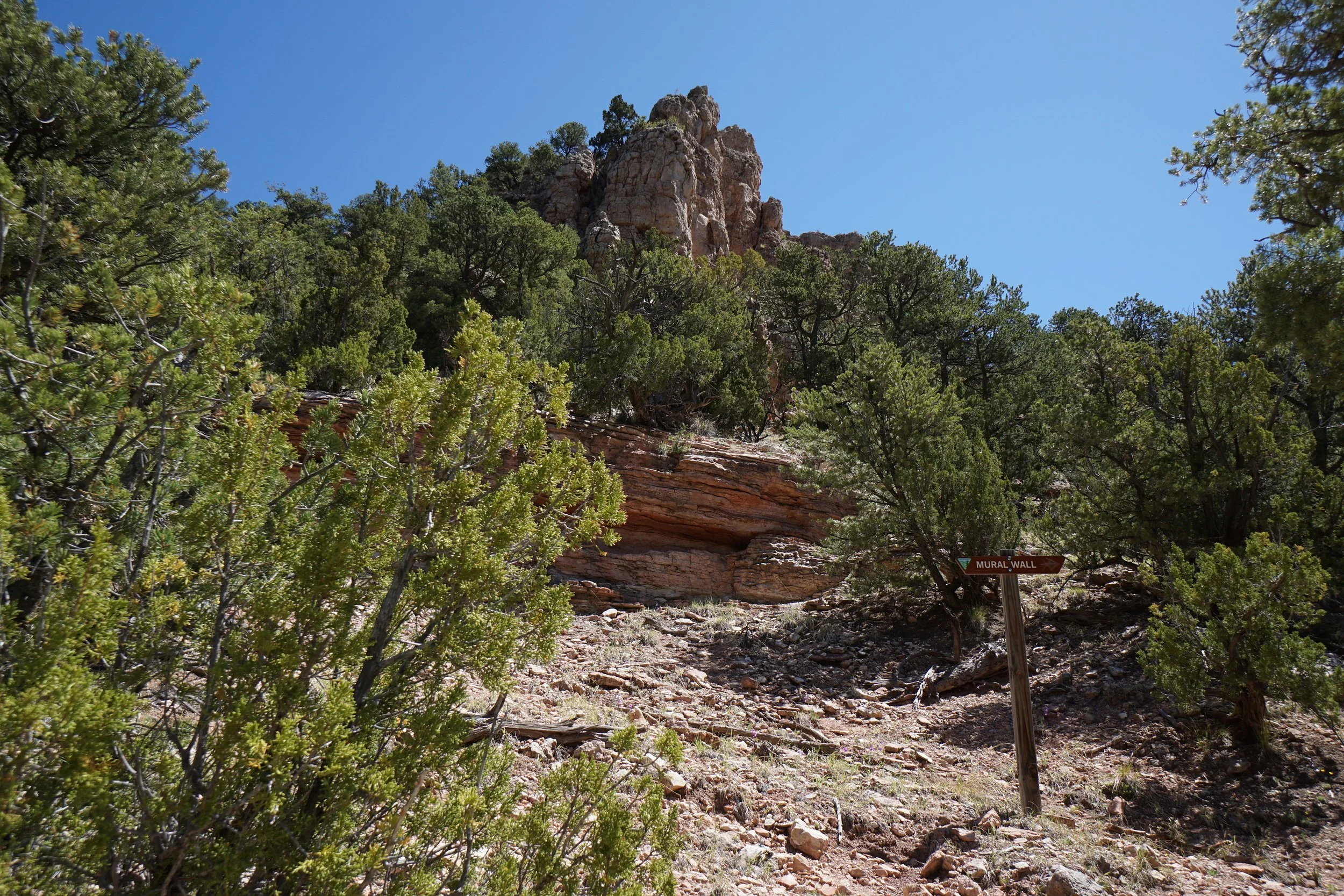
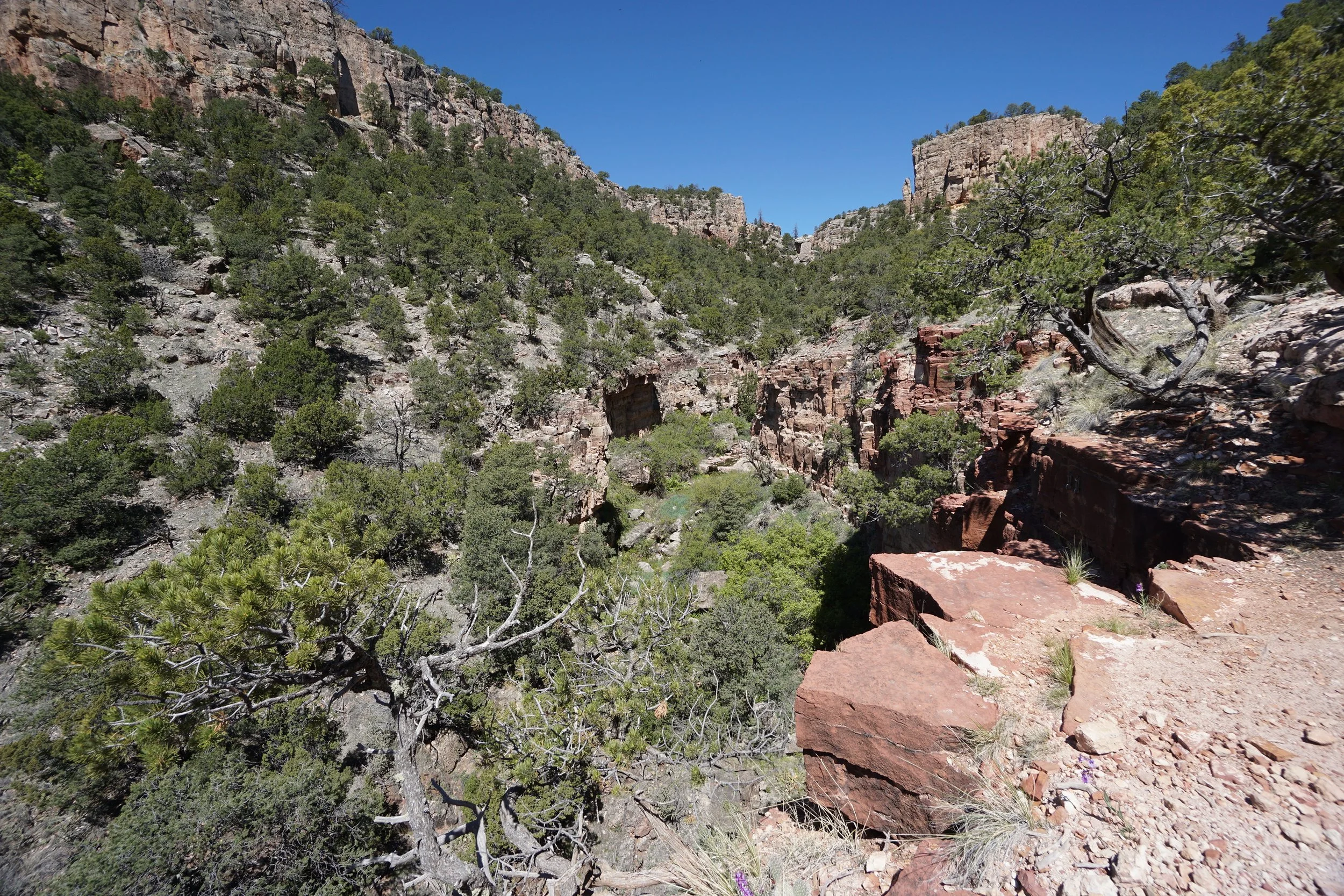
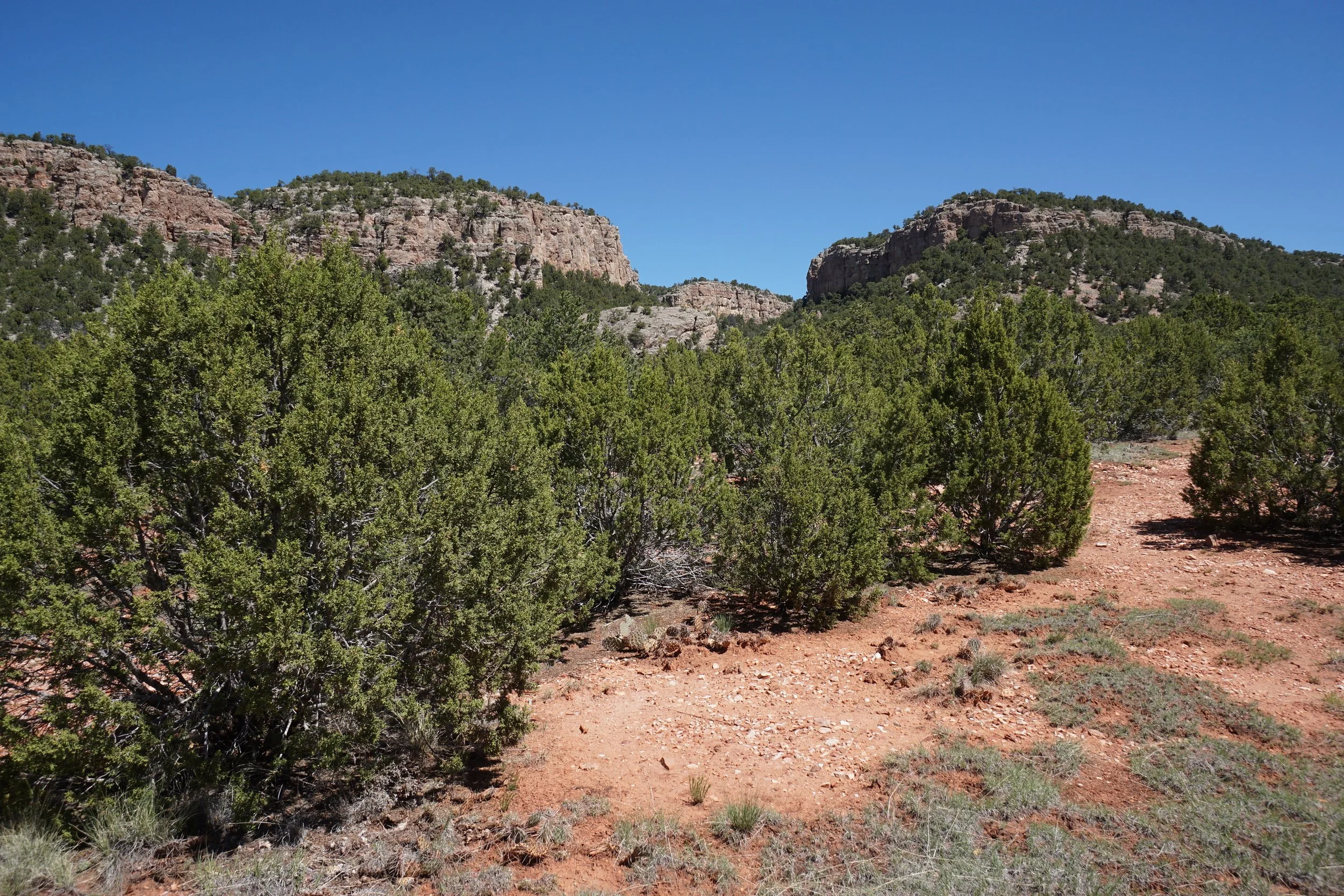
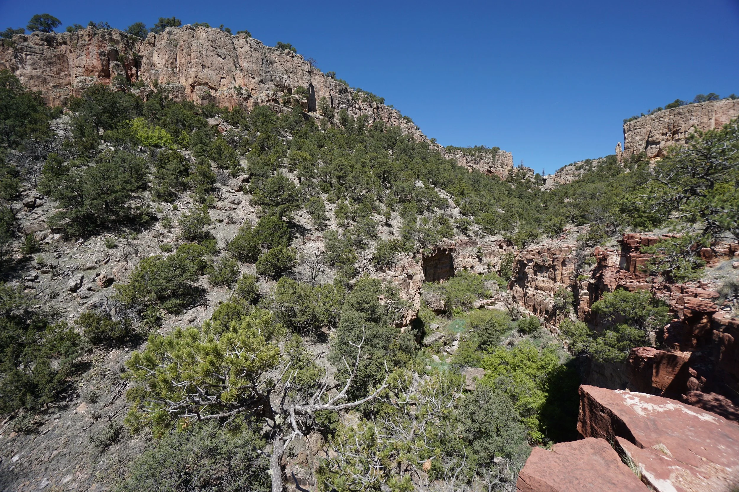
The Gallery is made up of group of climbing routes including Far Side, Mural Wall, and...Menses Prow... The loop trail leads to the bases of these areas trough a rough and rocky canyon. From the trailhead follow the level trail with fantastic views to a campground road. Turn right and head to the northern end of the road where there is a round-about. At the northern end, a trail leads into the brush and soon arrives at the start of the loop. Hike either way you choose, I turned left towards Far Side.
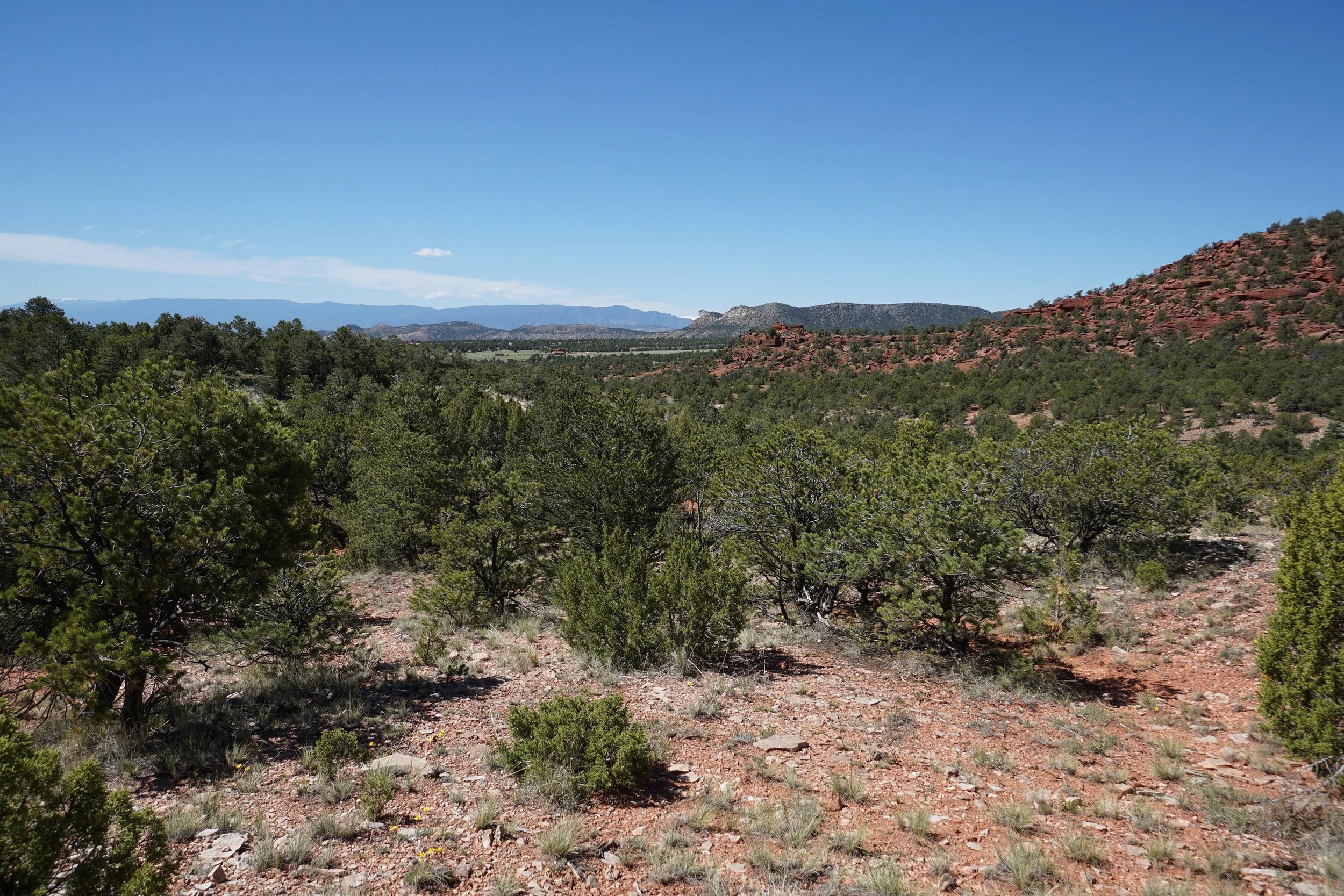
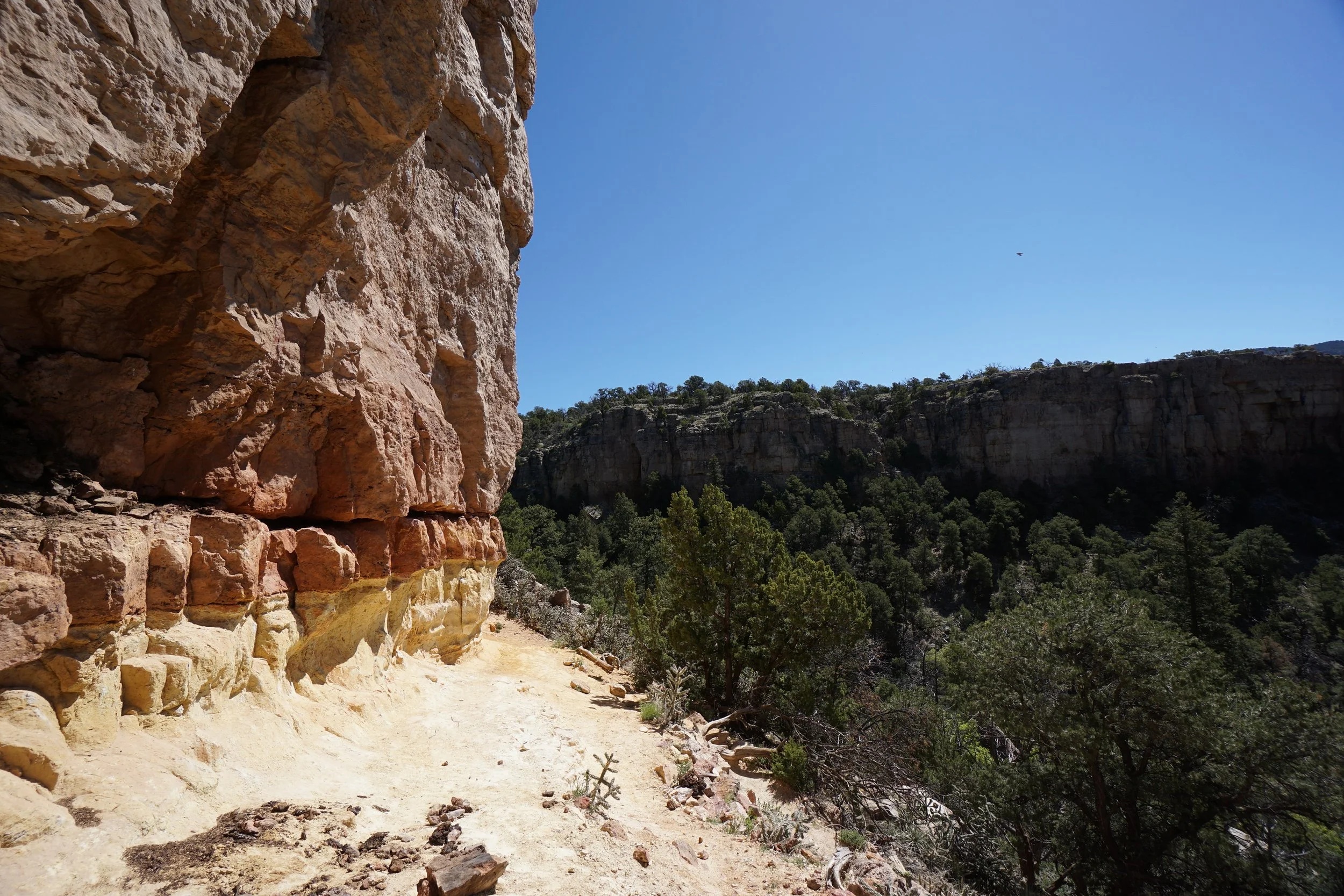
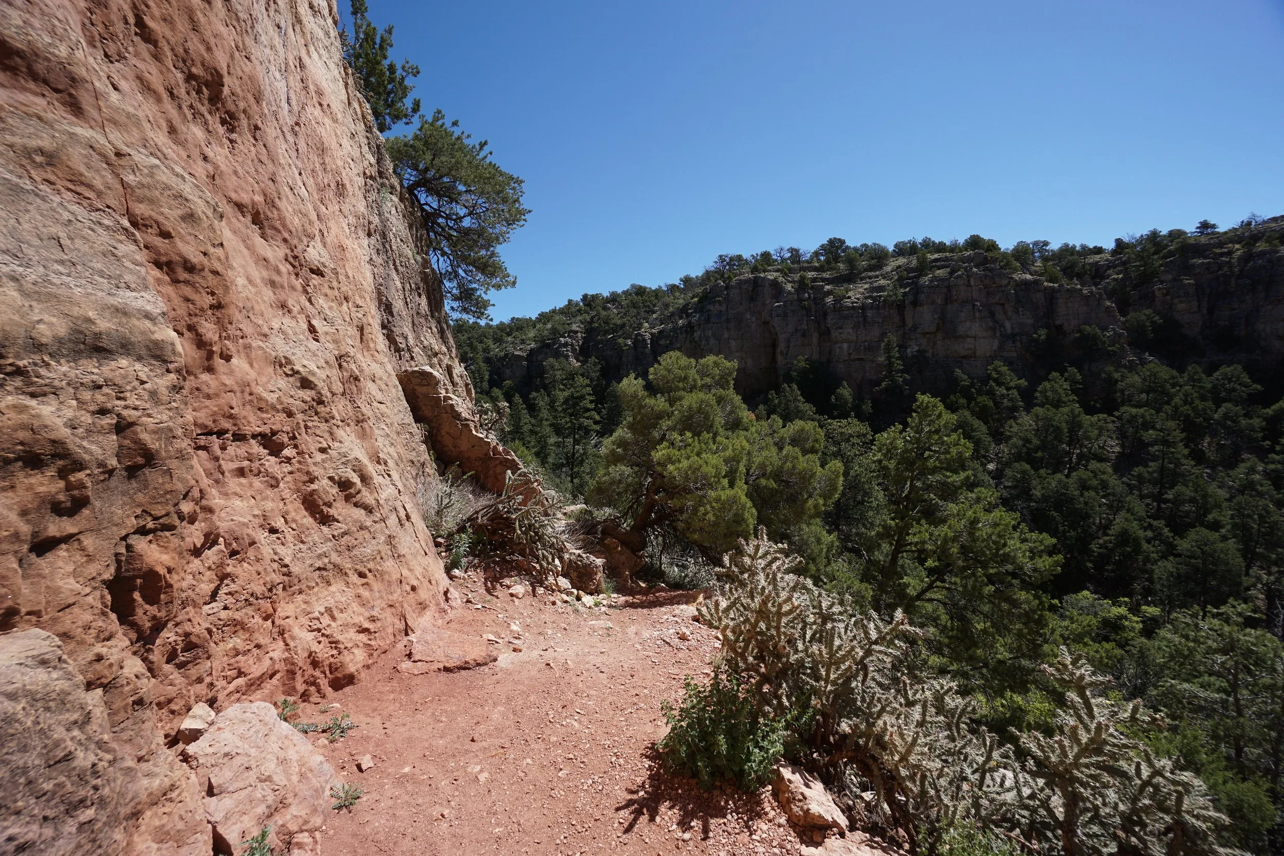
The trail immediately starts a series of steep switchbacks to the base of the Far Side cliffs. From this area you are treated to wonderful views of the surrounding cliffs and formations. The trail continues along the base of the cliffs and drops down to the canyon floor before rising again to the base of Menses Prow. As you round the prow's point, keep an eye out for the trail heading back into the canyon, it is easy to miss. You once again drop to the canyon floor and then quickly regain elevation as you reach the base of Mural Wall. The trail then returns to the start of the loop and back to the trailhead.
This hike is short, but extremely satisfying. This area tends to get crowded on summer weekends but the scenery is amazing and Fourmile Creek Valley is one of the Front Range's hidden treasures.