Deep Creek
BLM Public Lands
Date Hiked: April 28, 2023
Distance: 300 ft
Elevation Gain: Minimal
Elevation: 6,560 ft
Trailhead Lat/Long: 107.097°W 39.678977°N
Managing Agency: Bureau of Land Management (BLM)
Fee: None
Directions:
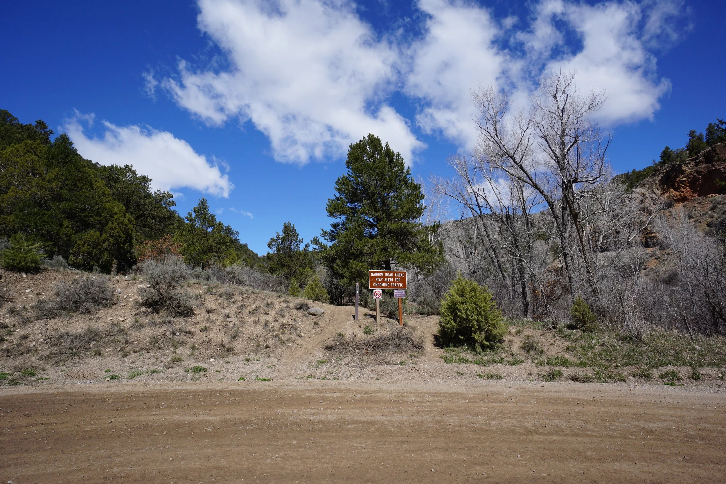
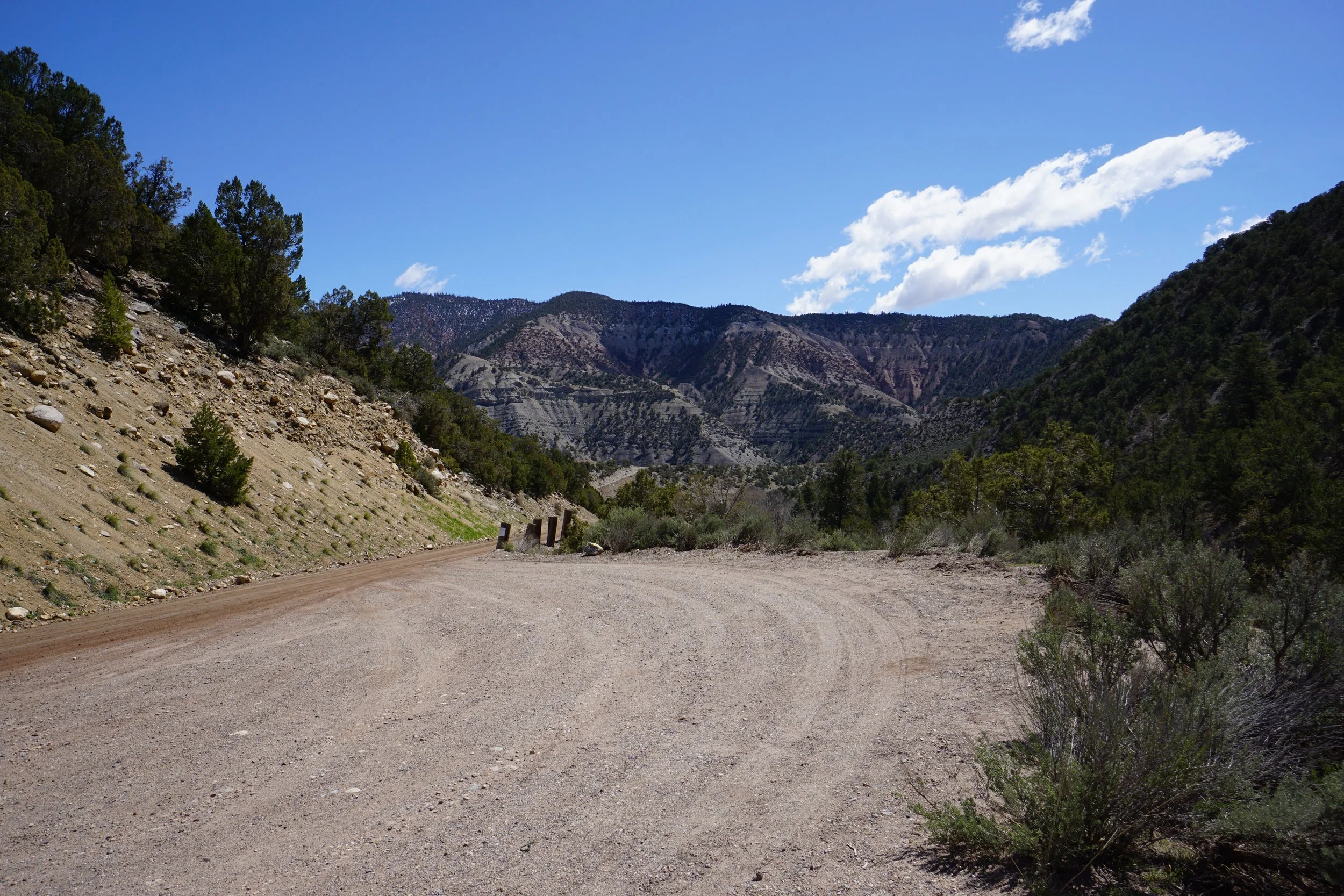
The trailhead is off of Coffee Pot Road, get there from I-70 just before Glenwood Canyon. In Dotsero, head north on Colorado River Road (301) for 1 ¾ of a mile and turn left (west) onto Coffee Pot Road. Follow the good dirt road for 1.8 miles to the hairpin turn and look for the BLM trail marker.
Hike Description:
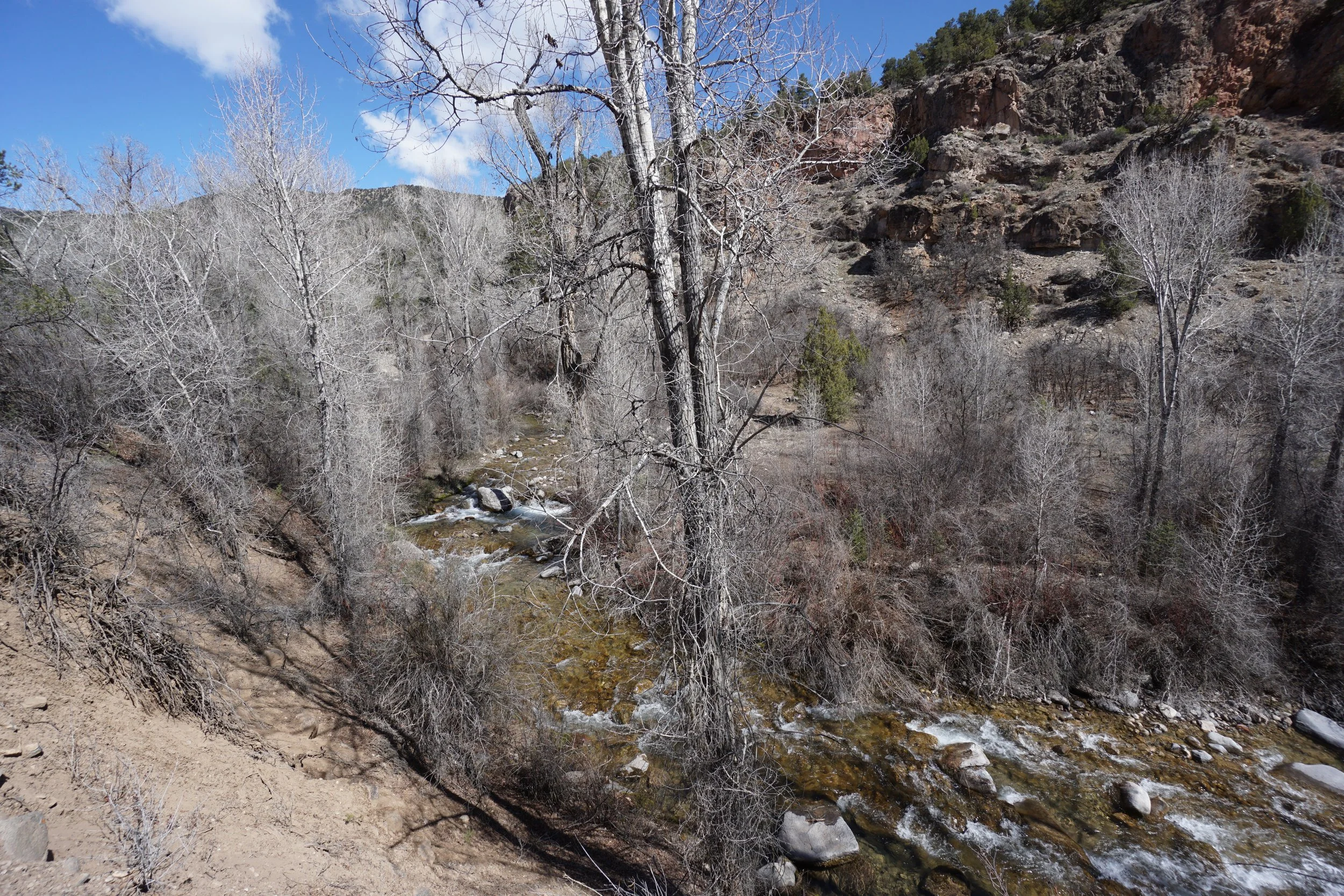
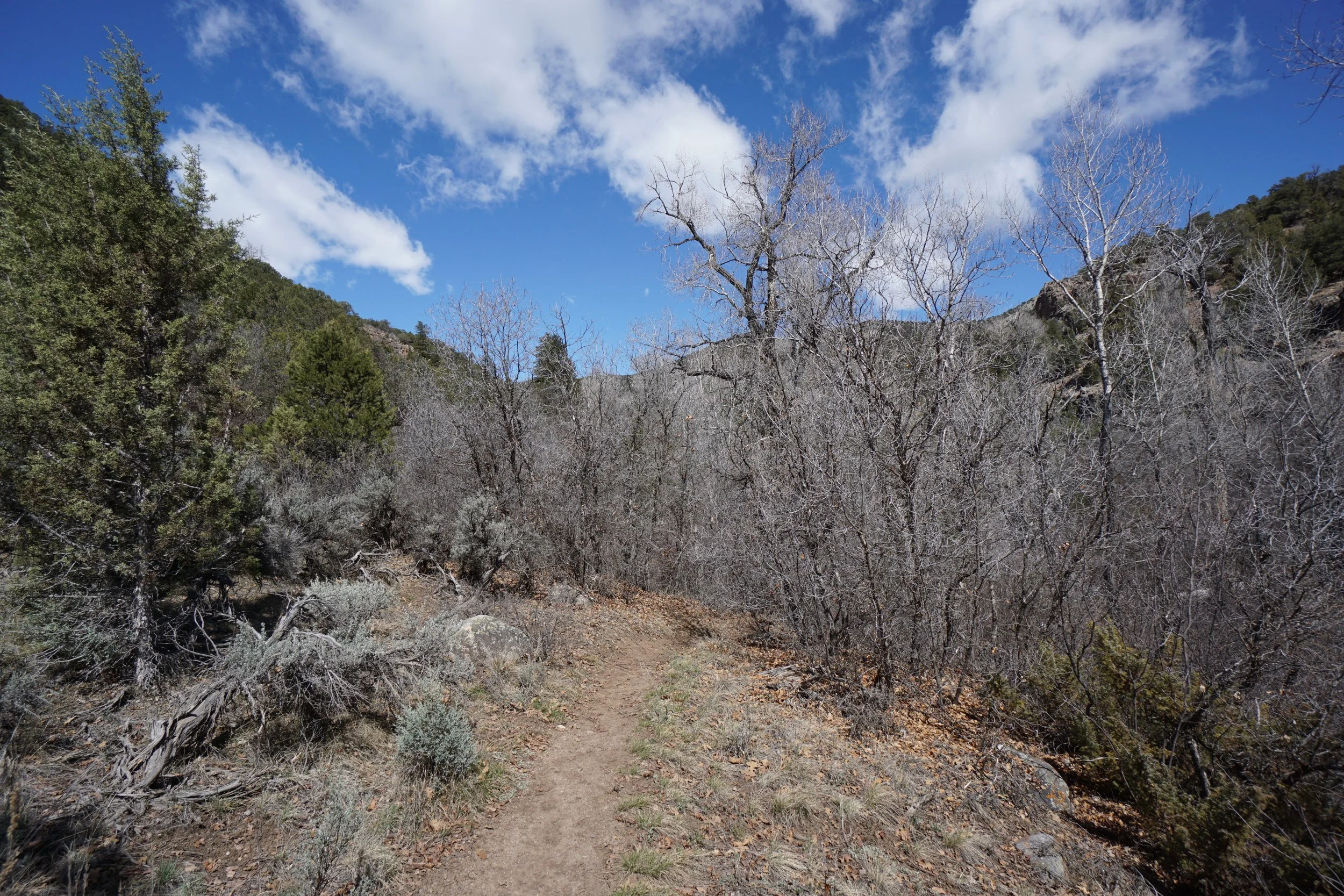
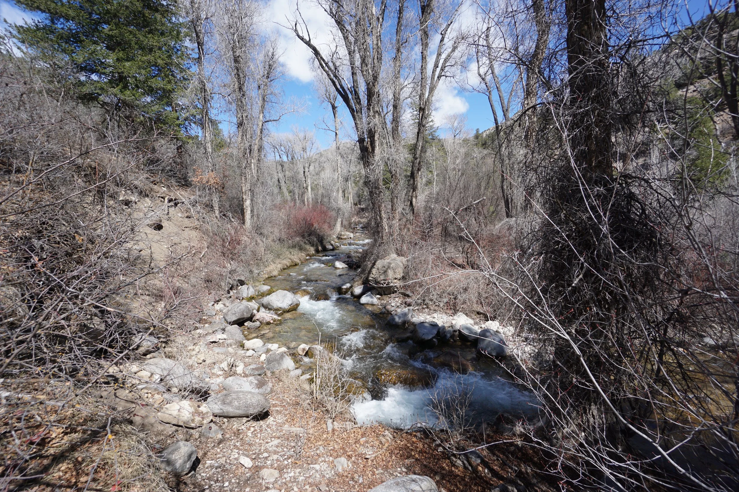
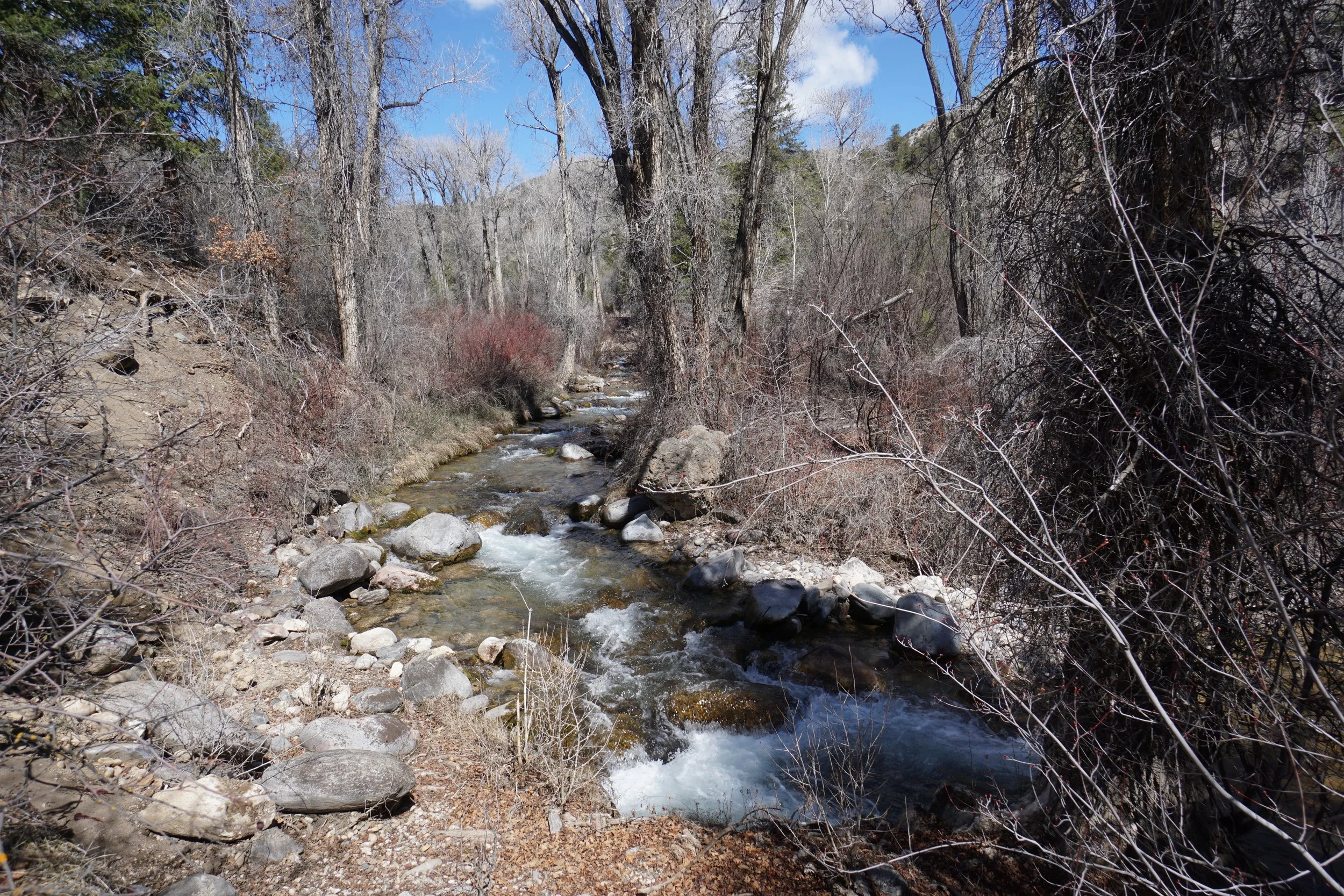
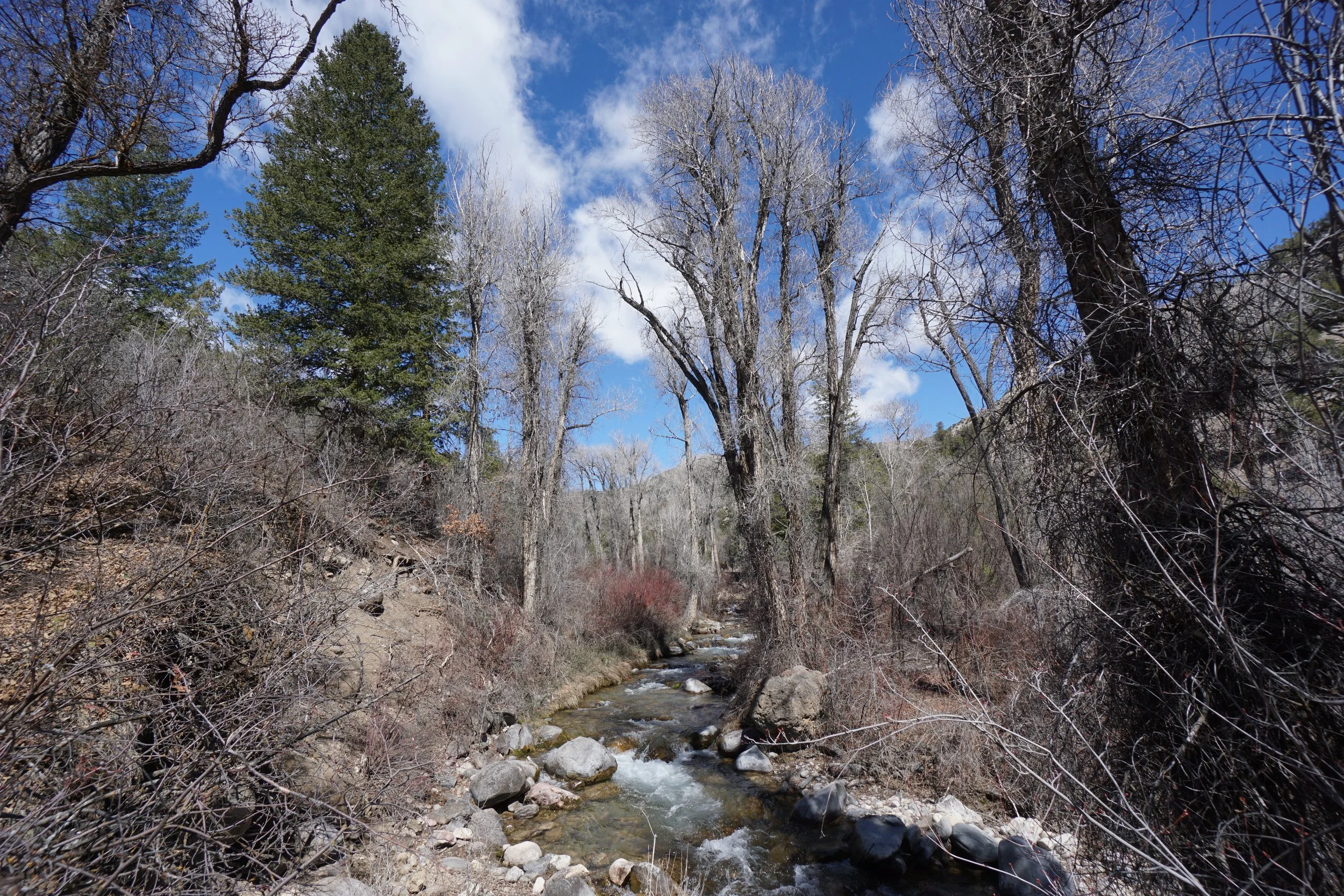
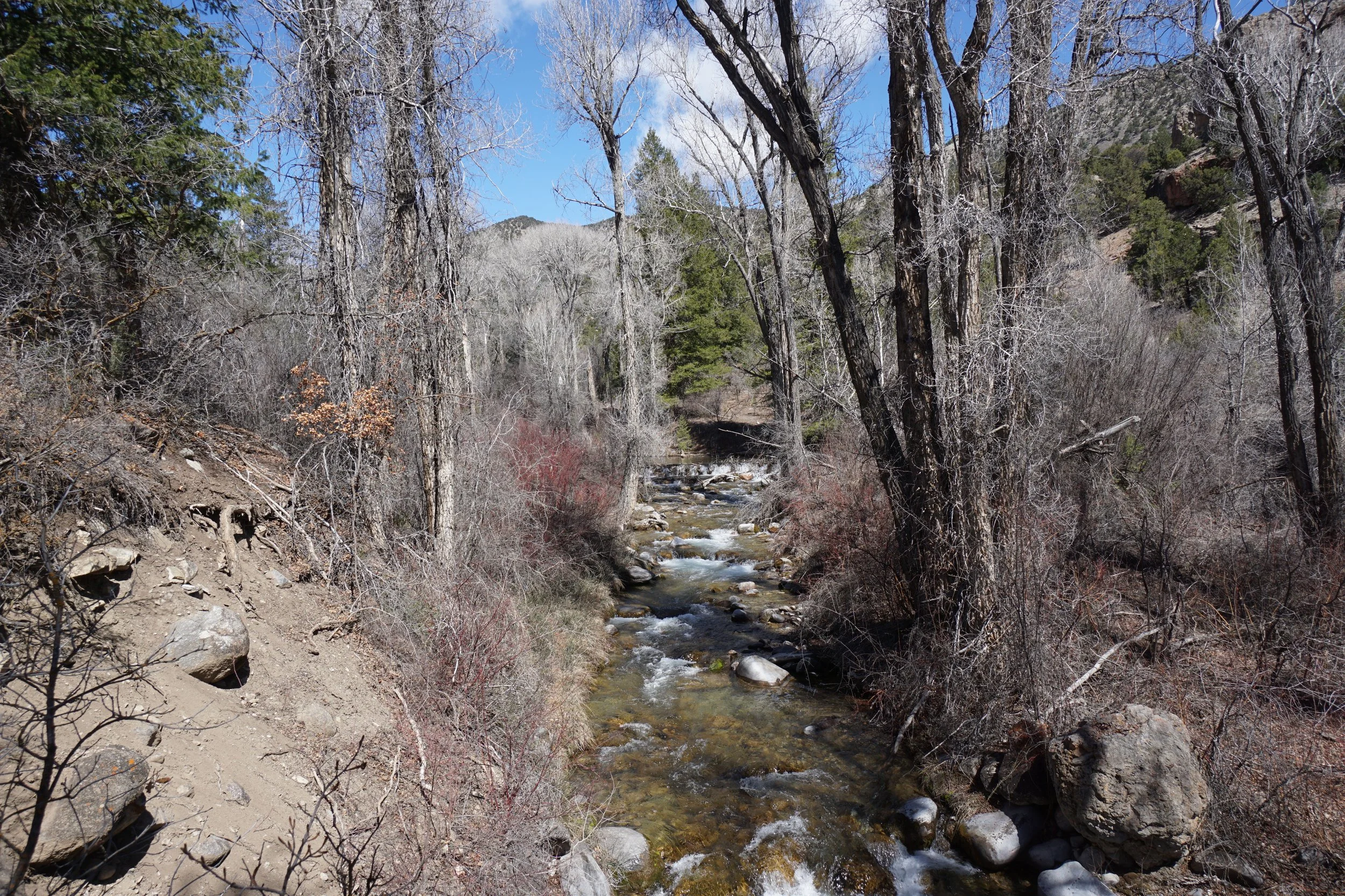
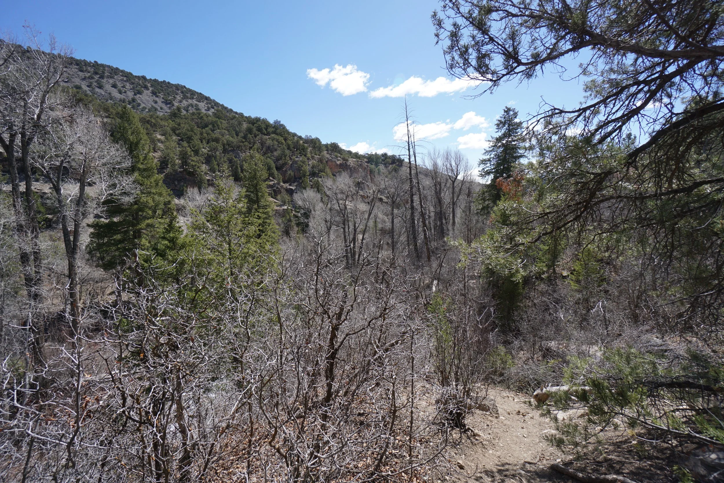
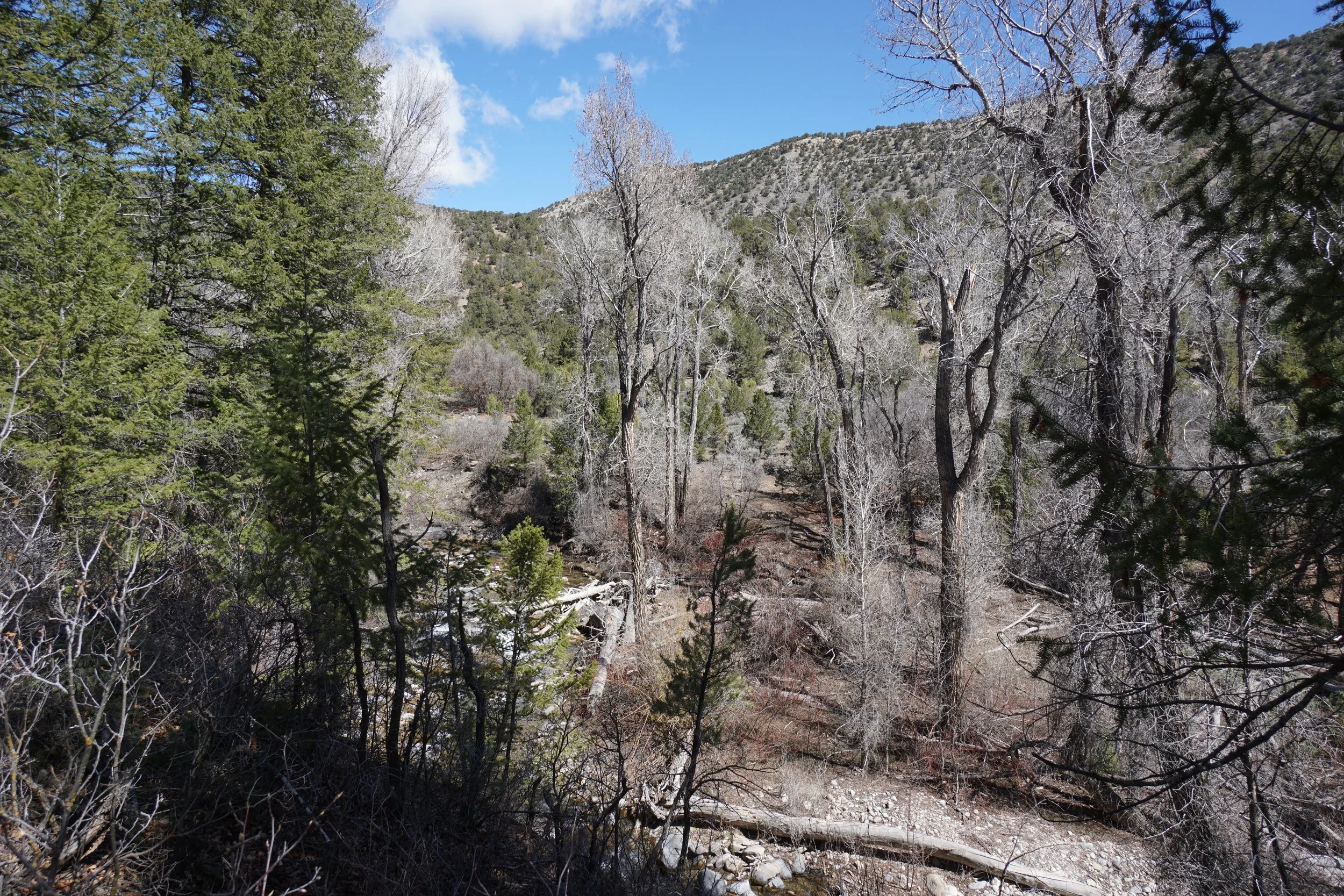
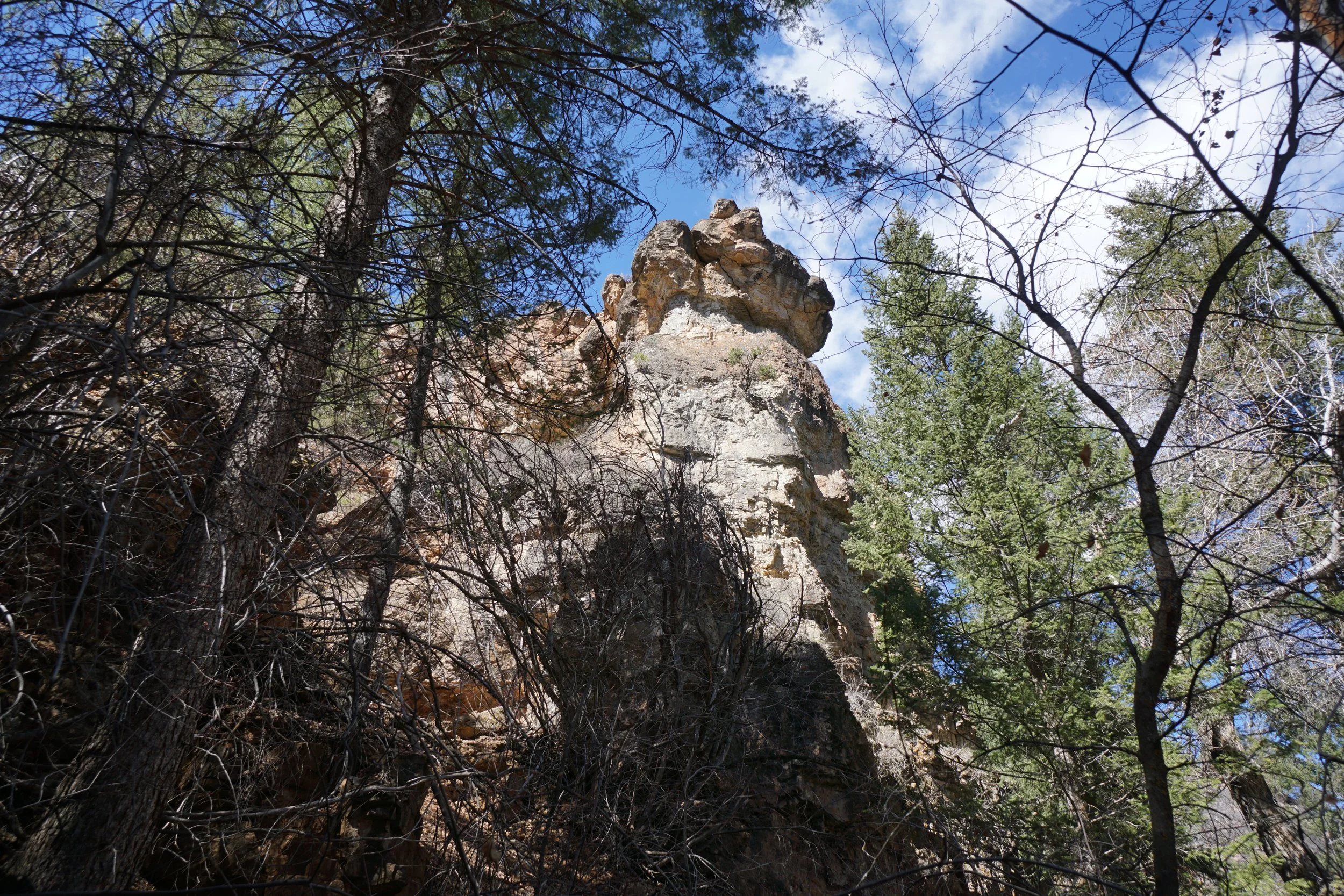
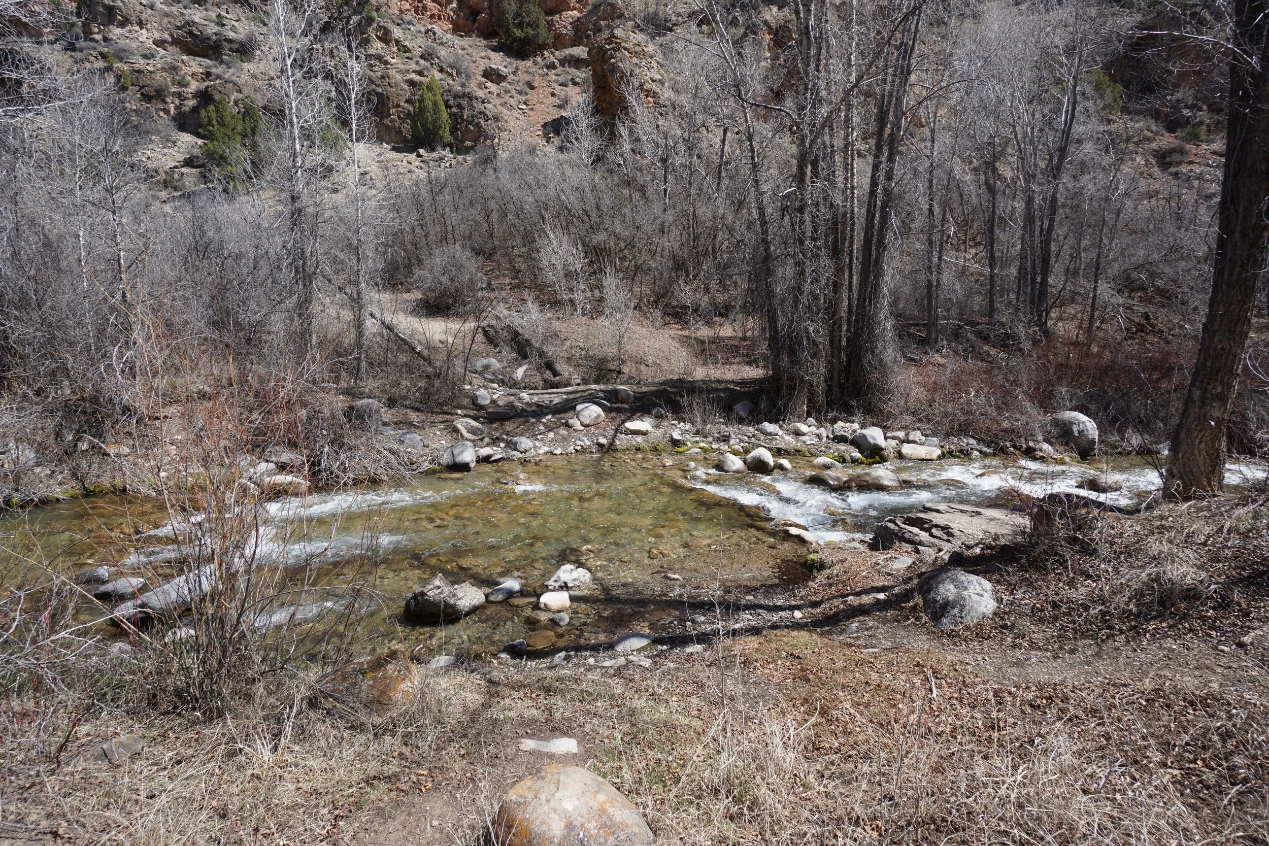
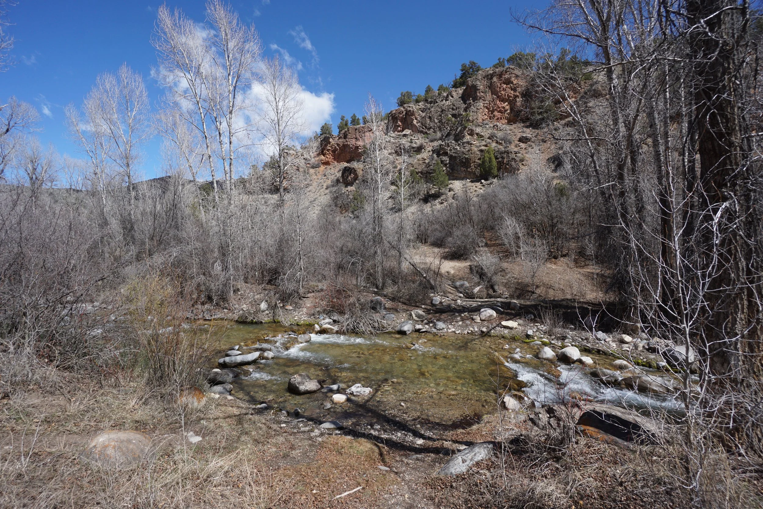
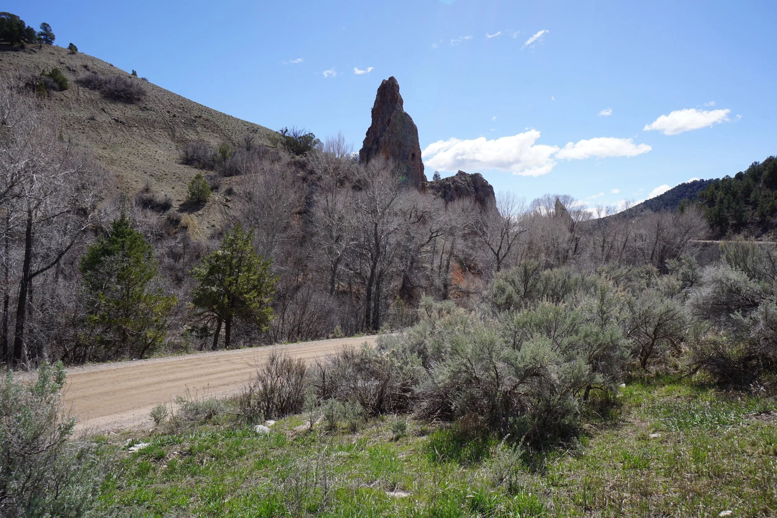
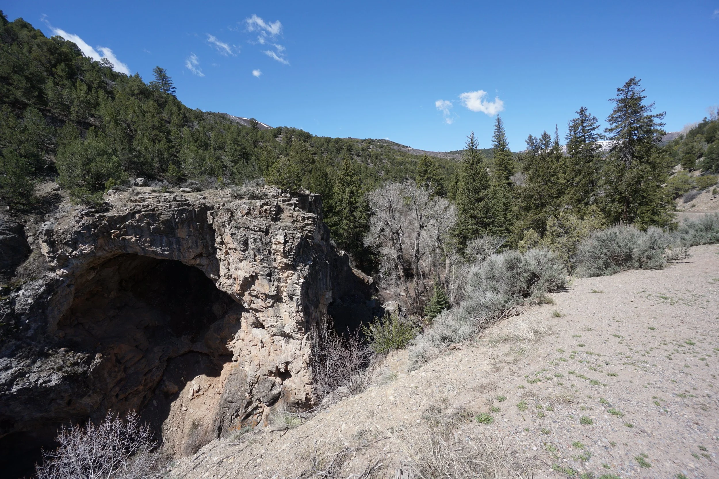
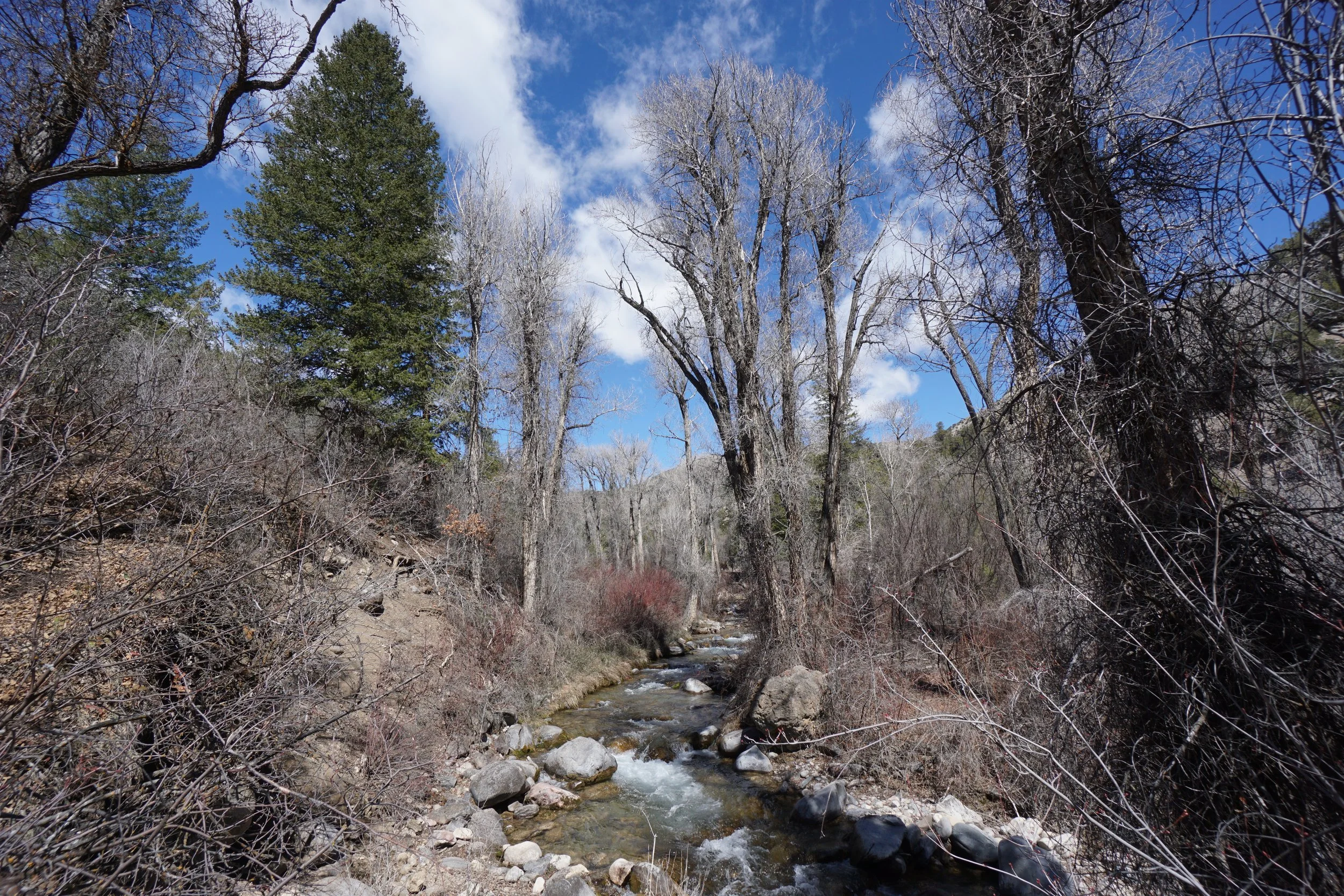
Deep Creek is a bit of a mystery location in the White River Plateau when it comes to access by hiking. Deep Creek refers to a gorge/canyon on the eastern edge of the plateau that is mainly experienced by long hiking trails heading up Onion Ridge on the northern rim of Deep Creek, or by driving to the Deep Creek Overlook on the south rim, which may or may not involve off-road vehicle access. Maps show a hiking trail entering the gorge from the east and extending for about a mile. During a trip to this area, I stopped to check it out and while there was a BLM trail marker at the trailhead depicted on maps, as far as I could tell the trail faded away after about 10 minutes of hiking. There appeared to be a picnic area or campsite on the far side of the creek with a trail extending west but I ran out of time to check it out and see if that is the trail depicted on maps. This is a beautiful area and I will definitely go back and try again. If anyone has intel on this trail, let me know.