Sylvan Lake Trail
Sylvan Lake State Park
Date Hiked: September 26, 2021
Distance: 1.5 mi (RT)
Elevation Gain: Minimal
Elevation: 8,500 ft
Trailhead Lat/Long: 39.48015, -106.73195
Managing Agency: CO Div. of Parks & Wildlife
Fee: Yes
DIRECTIONS:
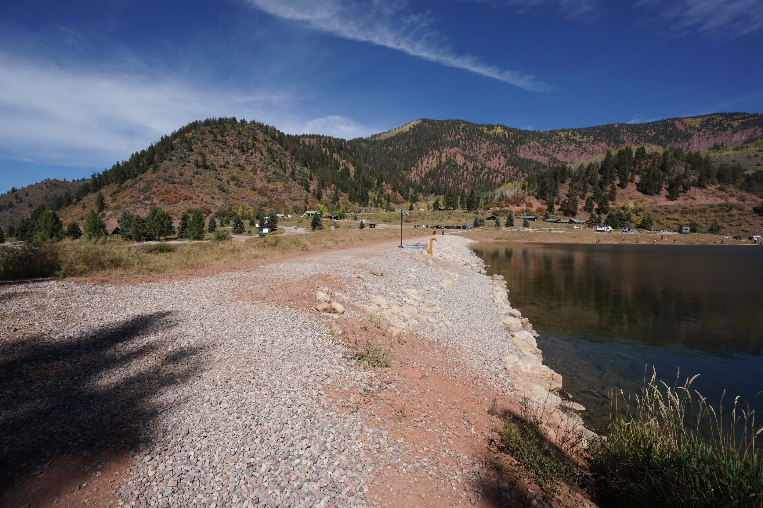
From I-70 exit at the Eagle, CO exit. Follow Eby Creek road south through the town of Eagle and turn right (west) on Grand Ave. Follow Grand Ave for about 1 mile and head south on Sylvan Lake Road. Continue on Sylvan Lake Road and turn right on Brush Creek Road. Follow Brush Creek Road as it enters the White River National Forest and becomes FR 400.2. The road then enters Sylvan Lake State Park. Stay right at the fork heading towards Sylvan Lake and Cripple Creek Pass. When you reach Sylvan Lake turn into the entrance station and park in the day use area (fee).
HIKE DESCRIPTION:
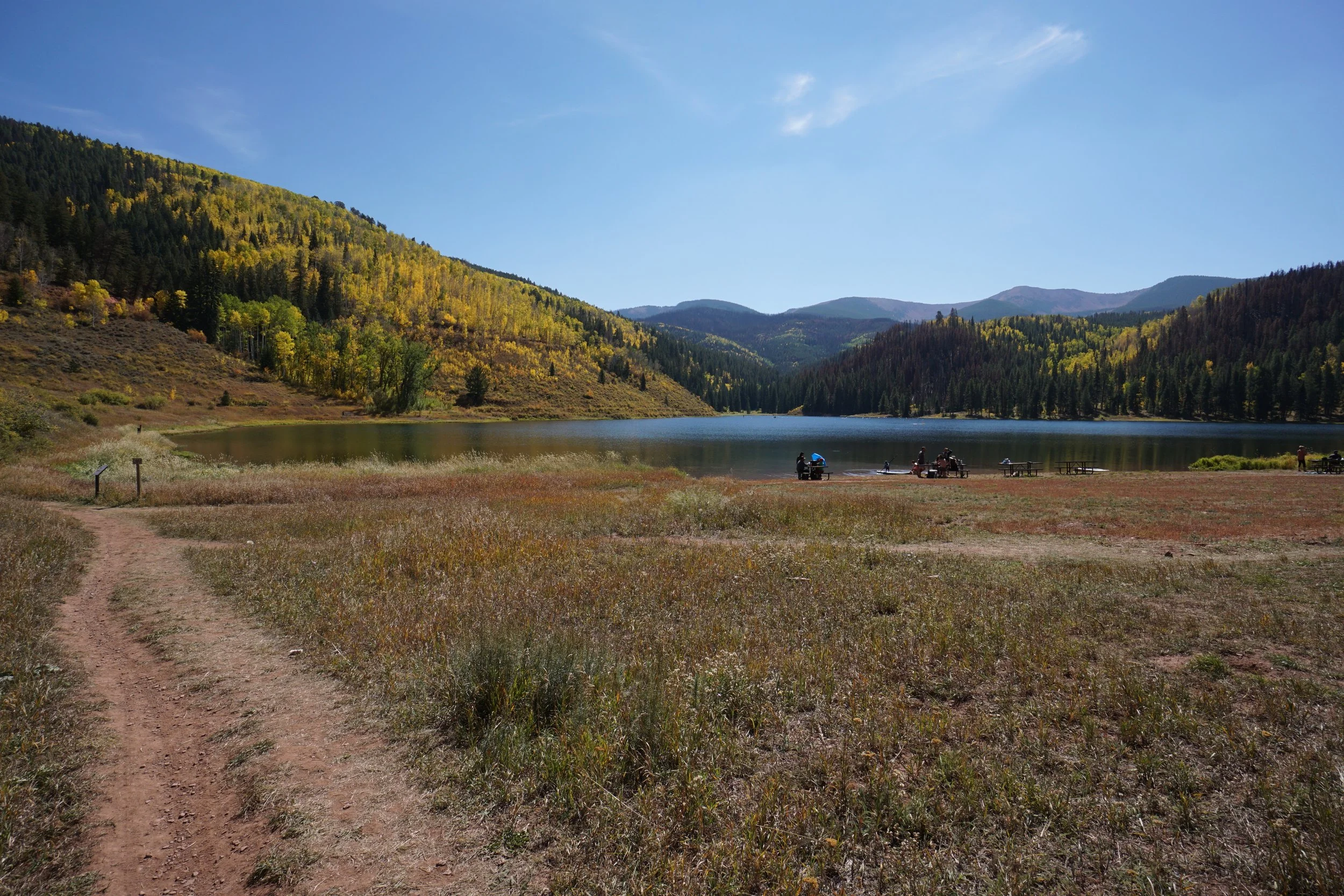
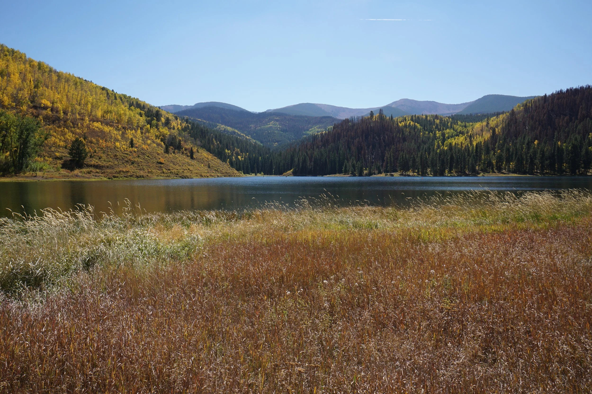
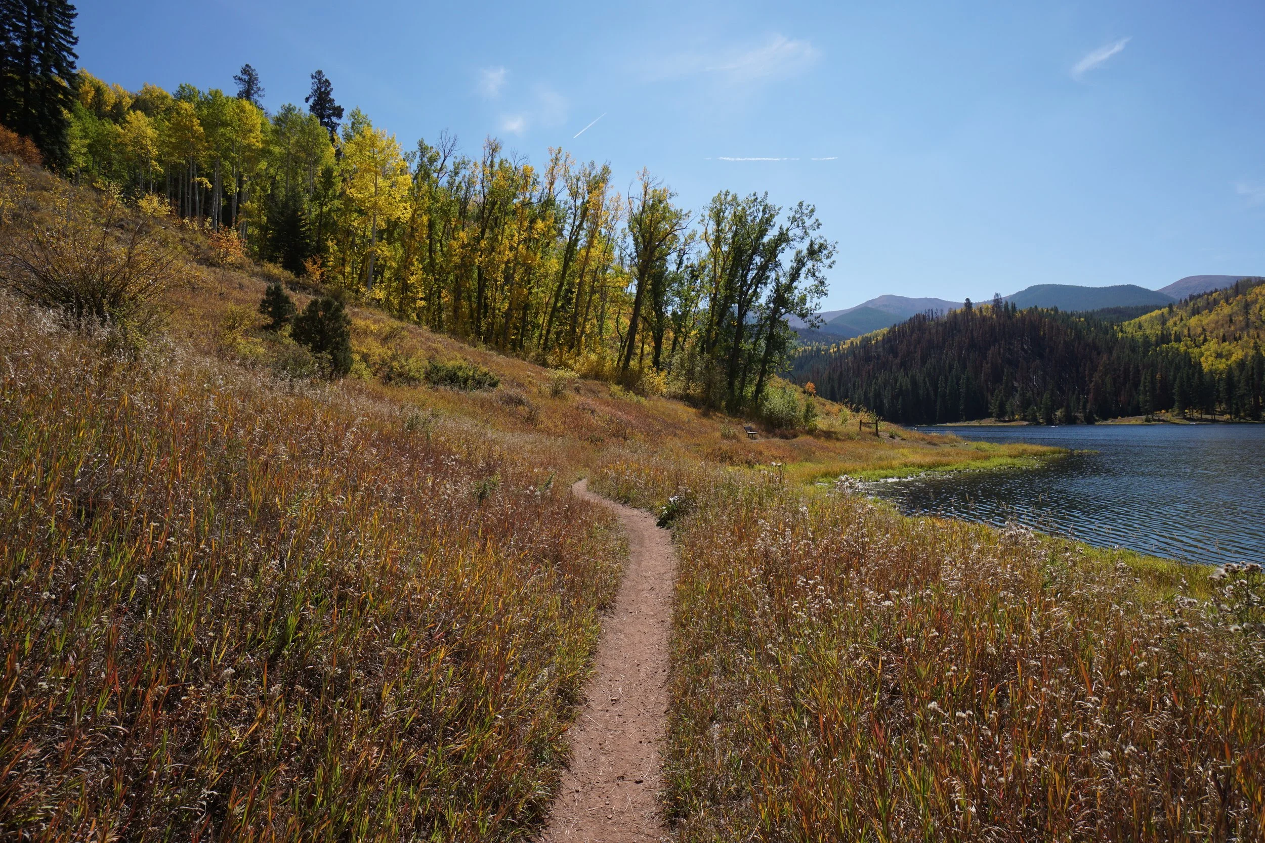
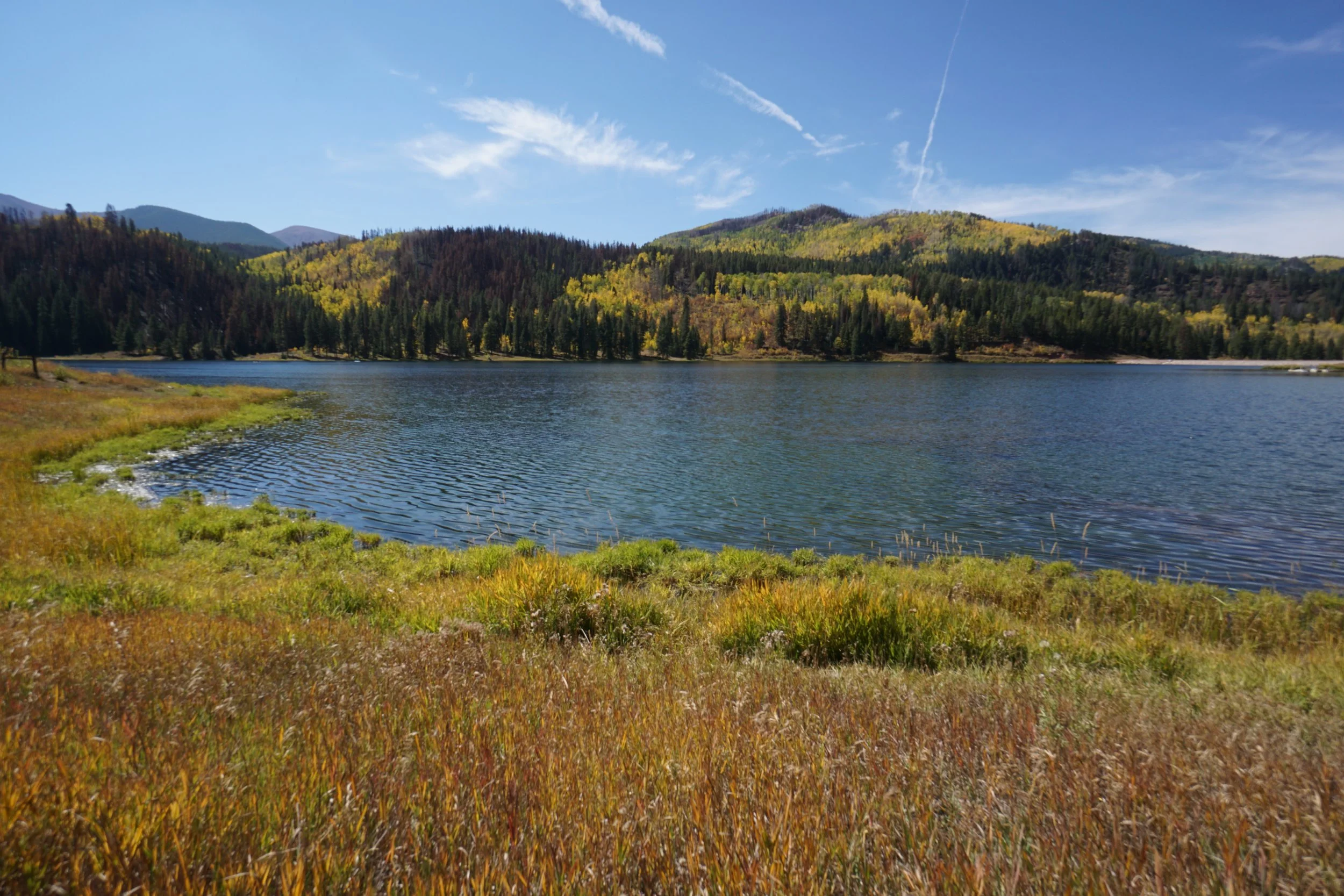
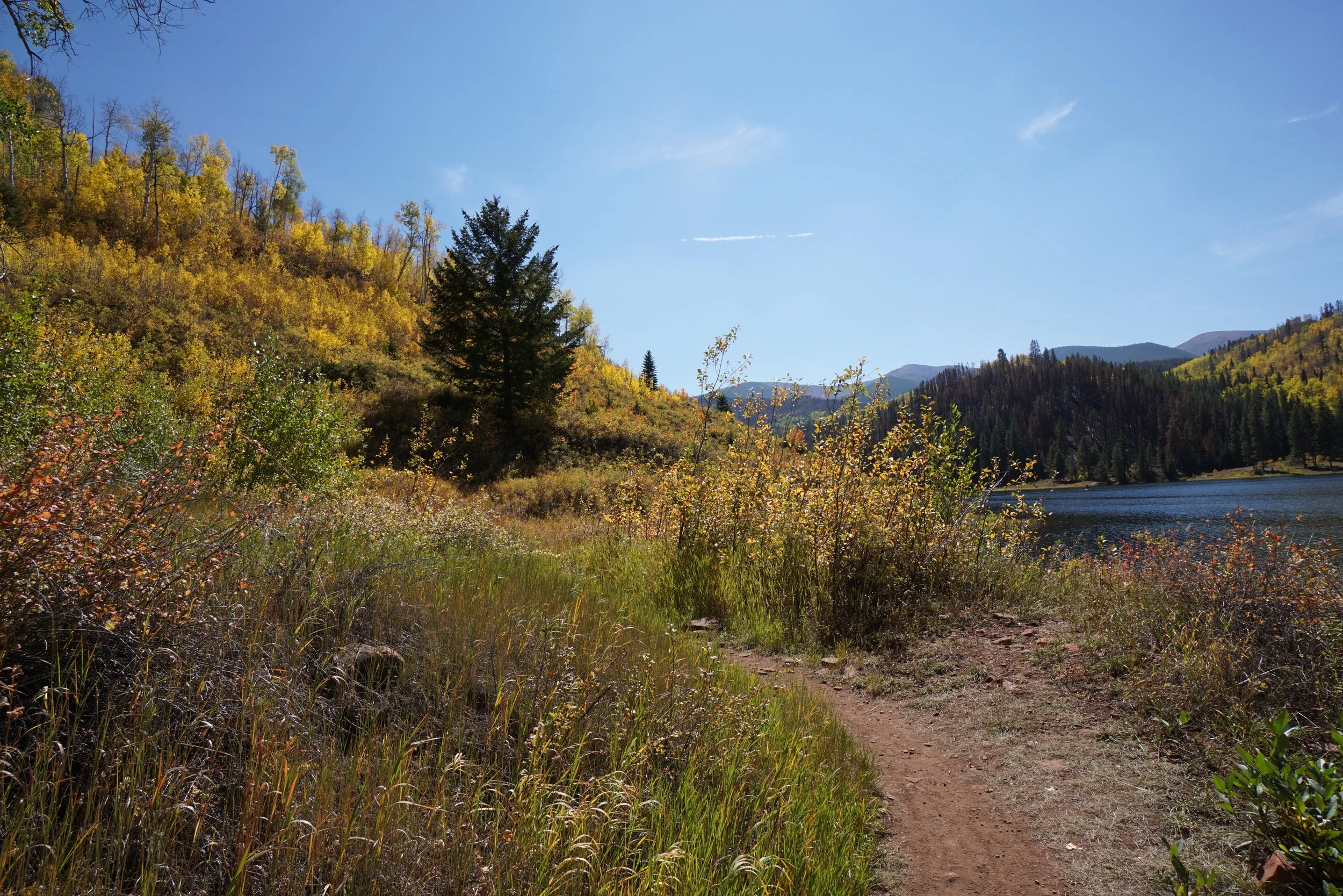
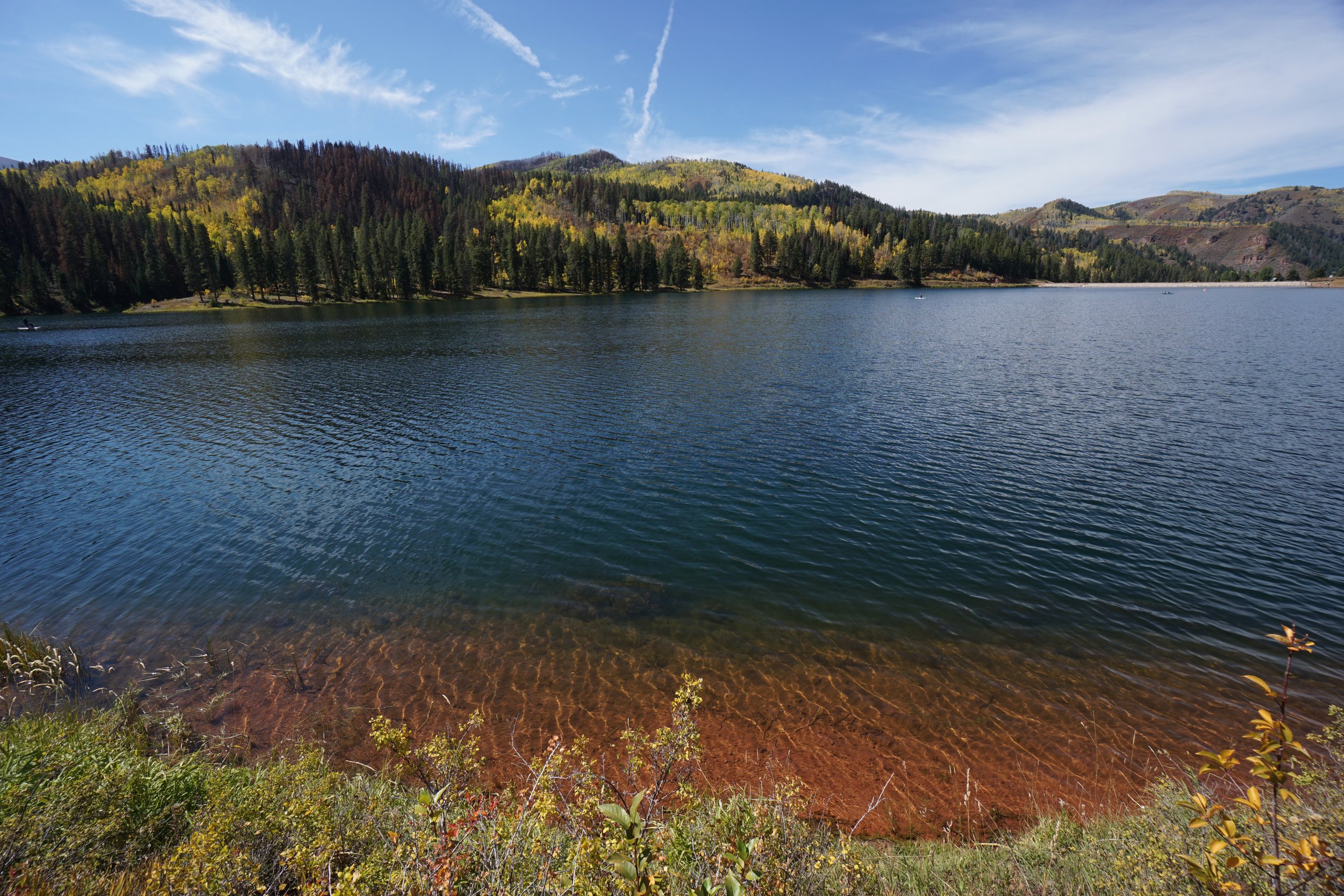
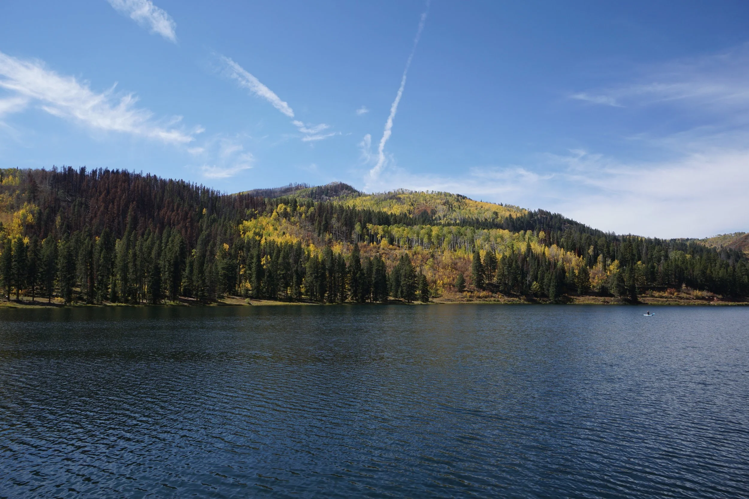
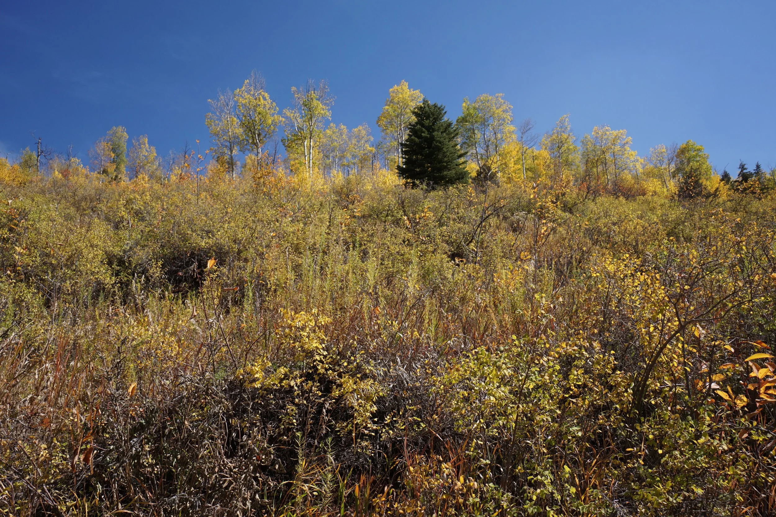
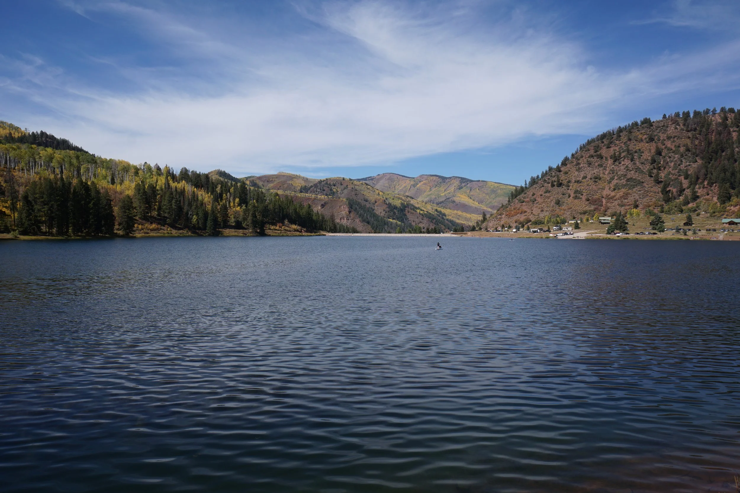
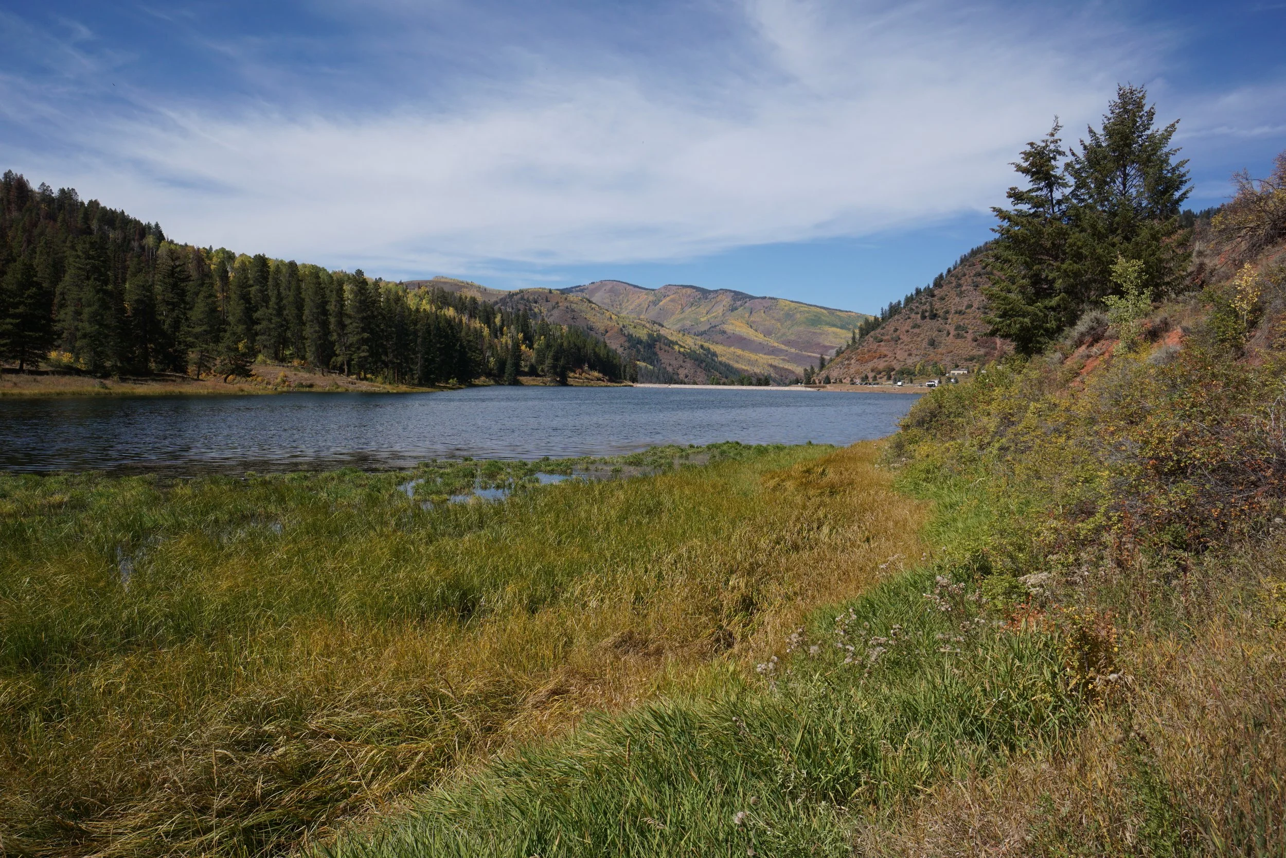
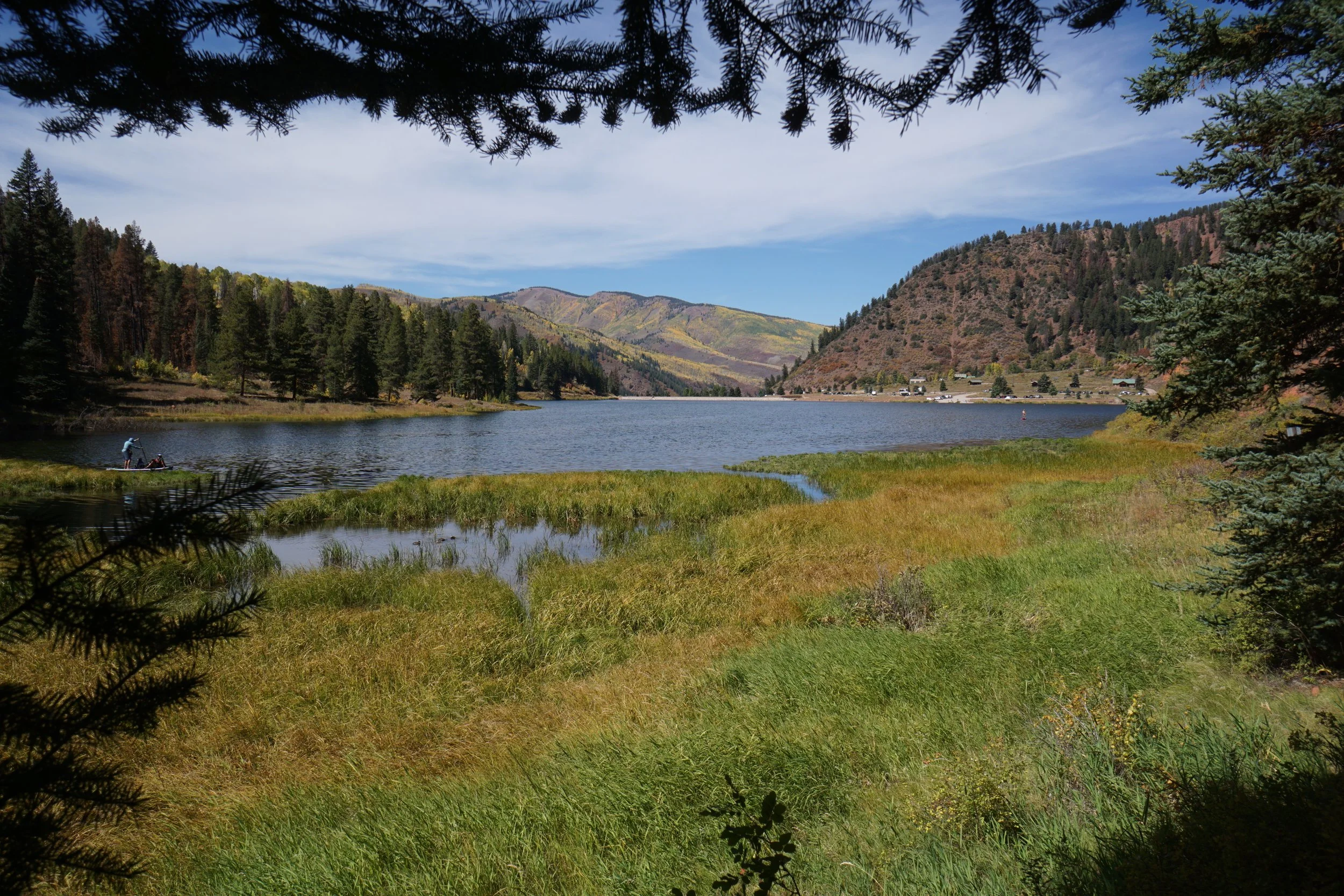
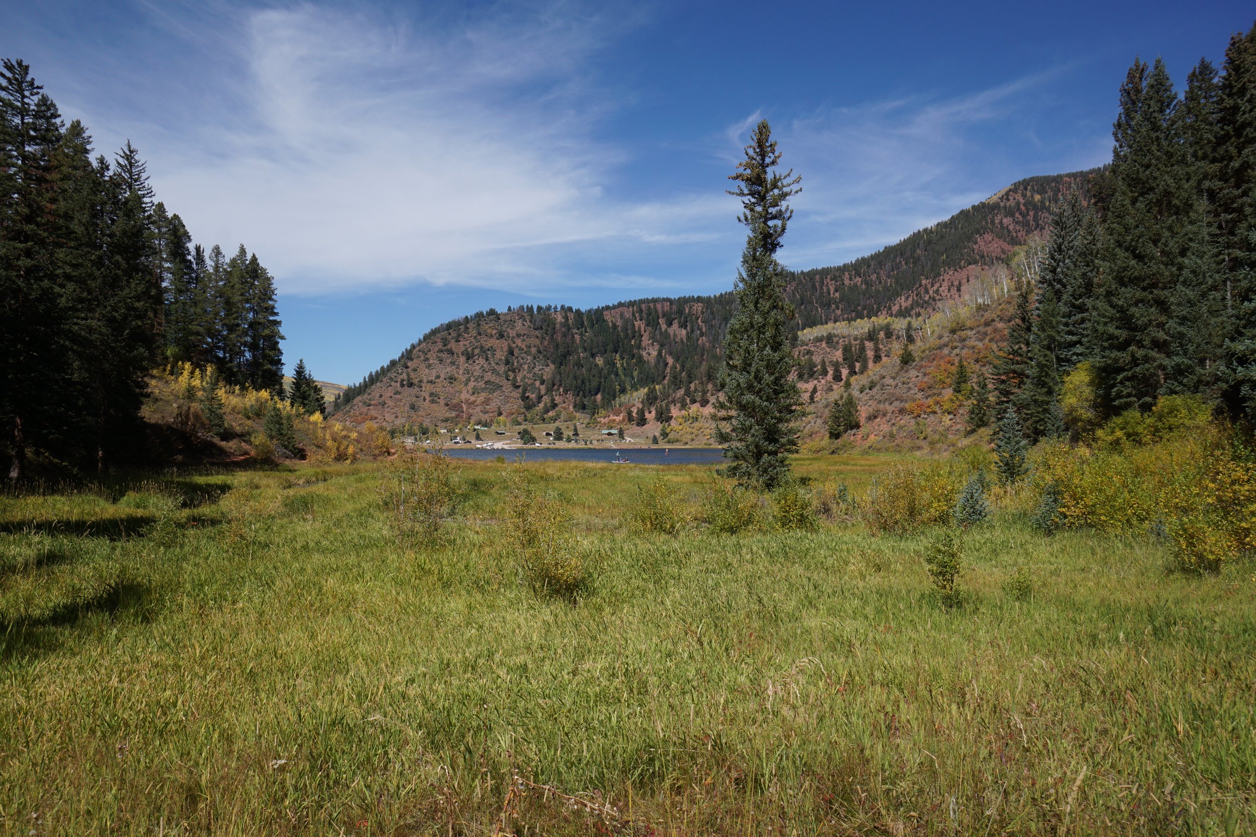
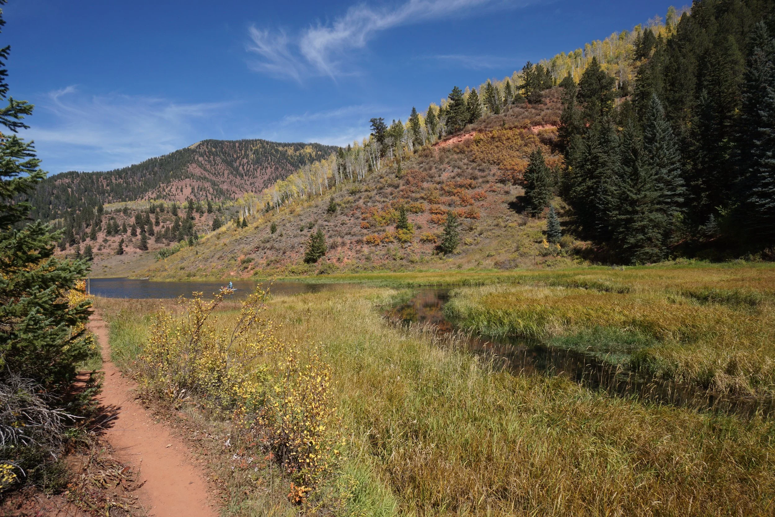
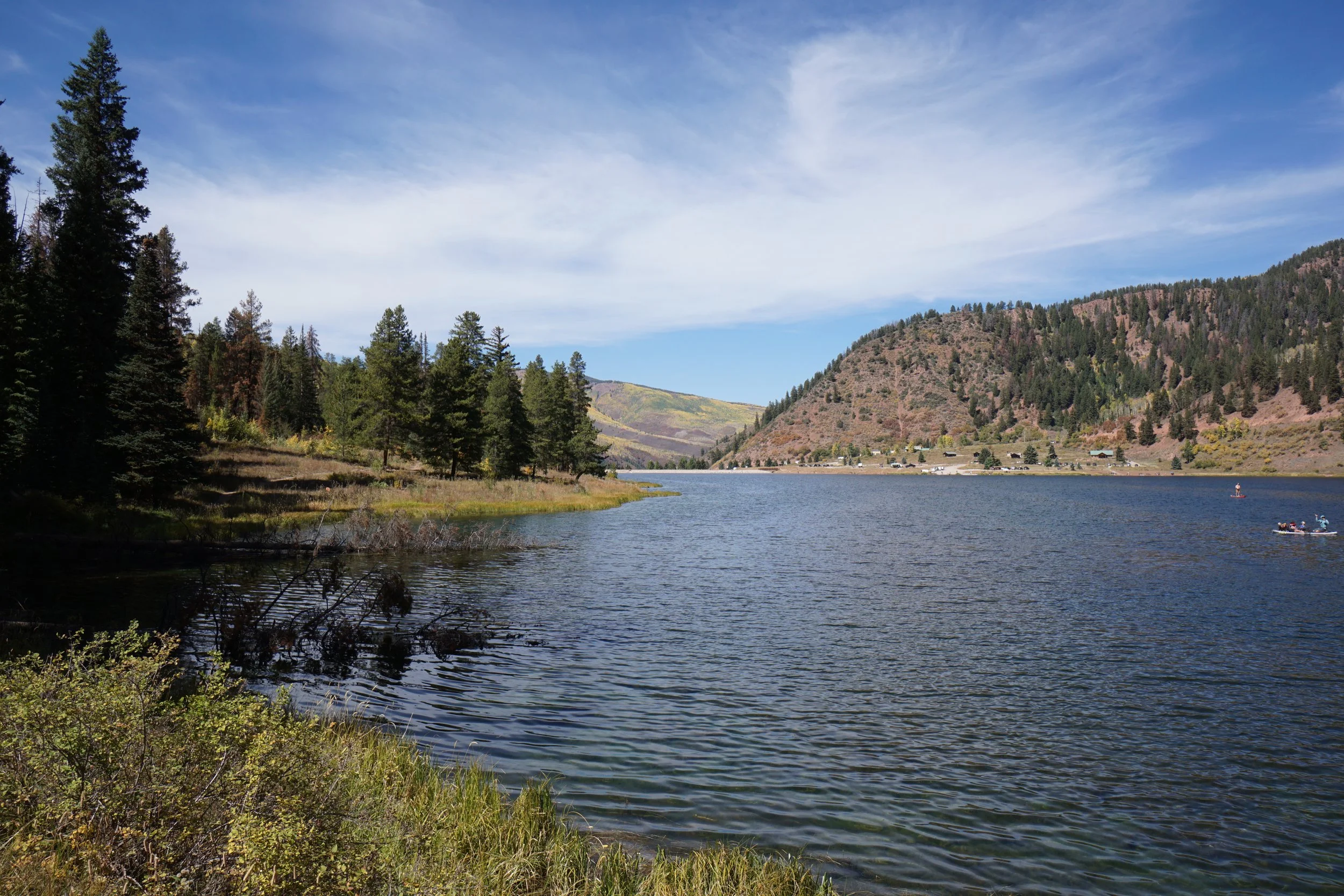
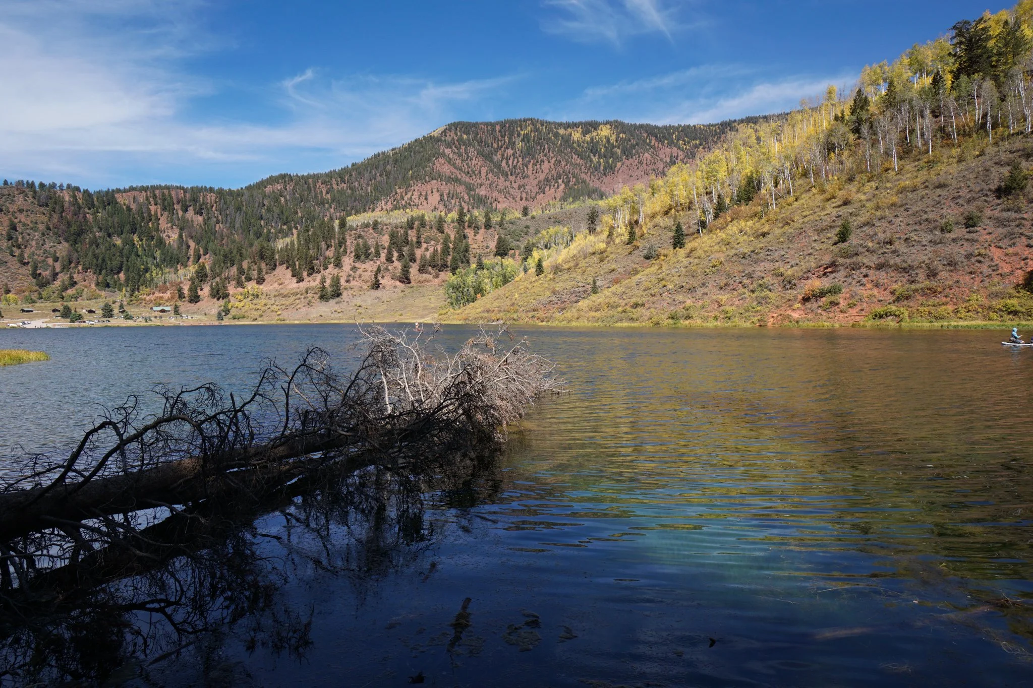
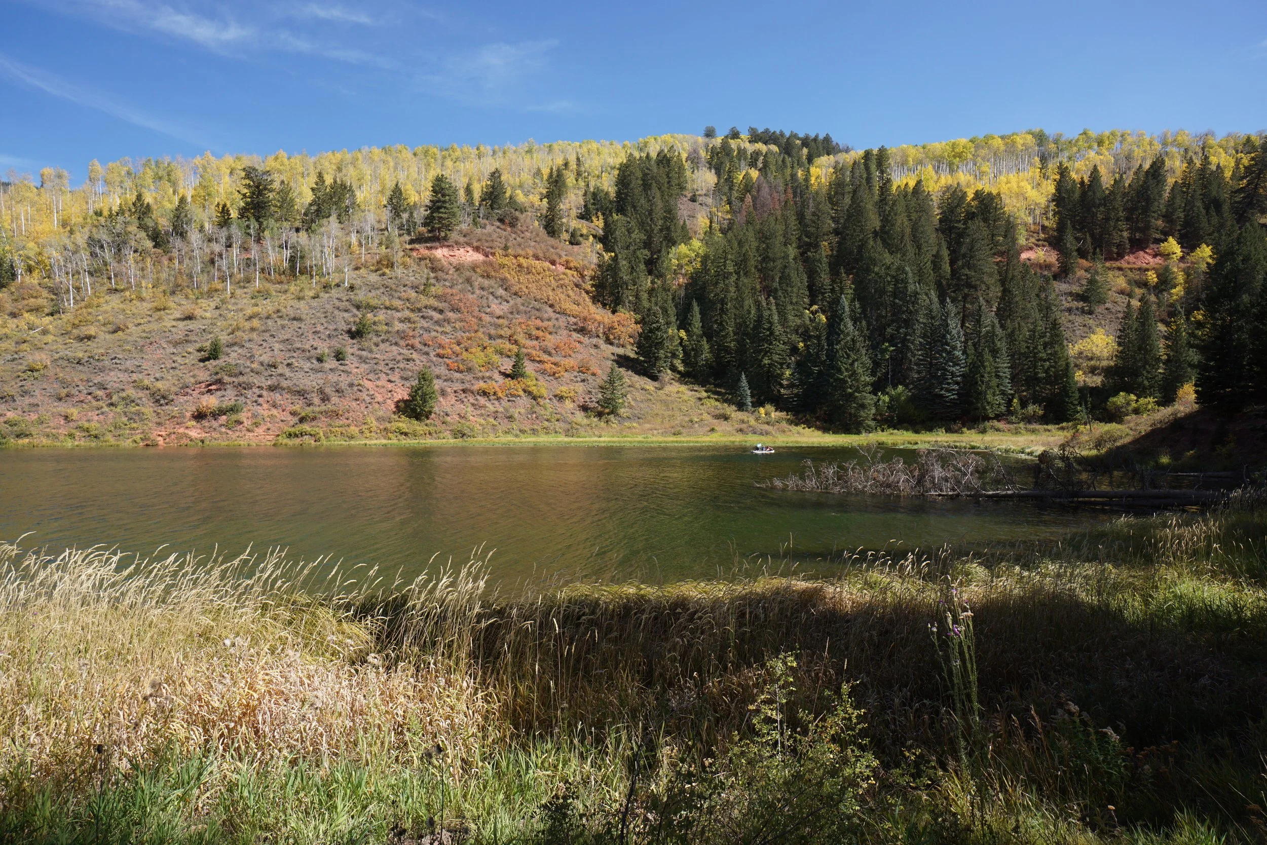
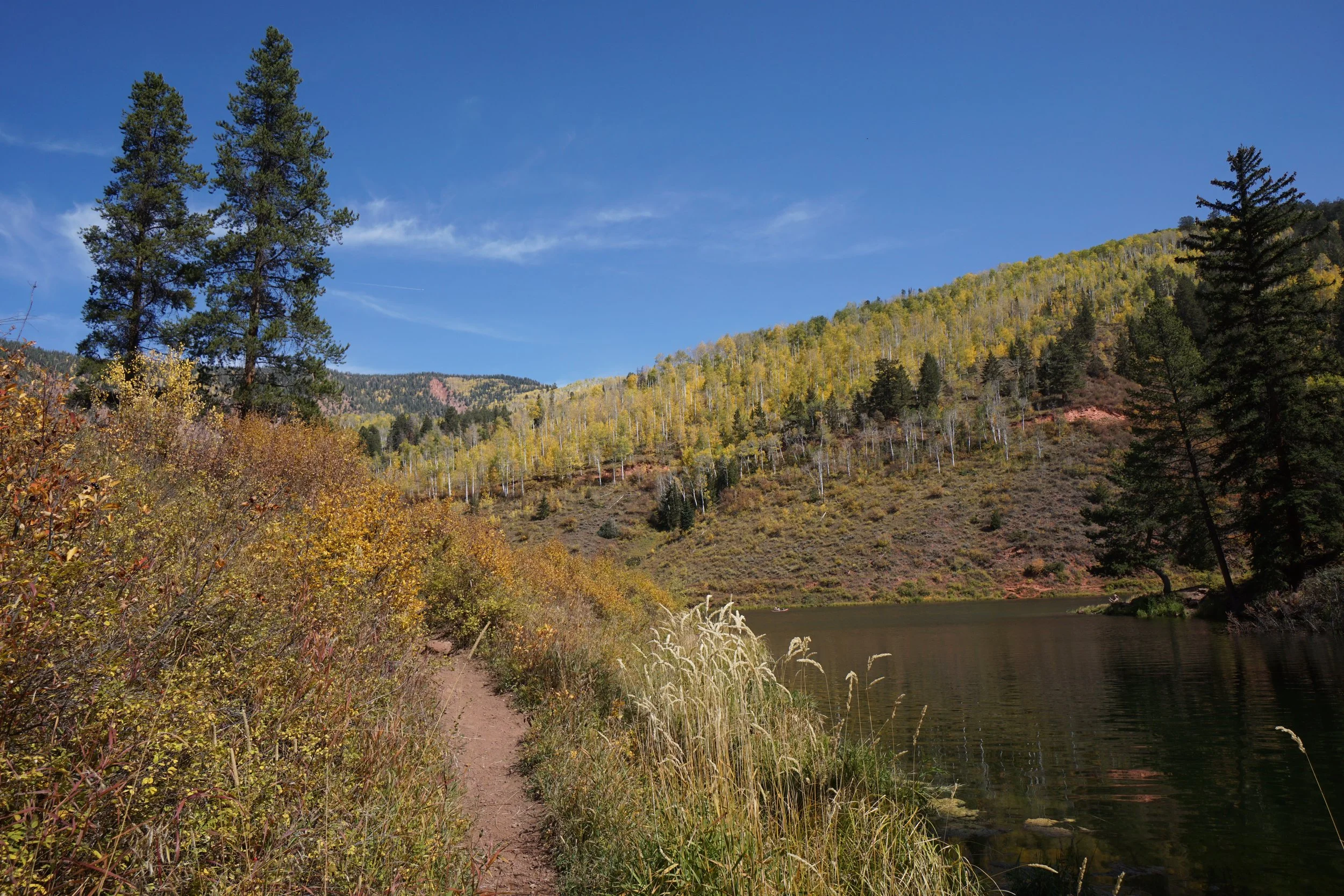
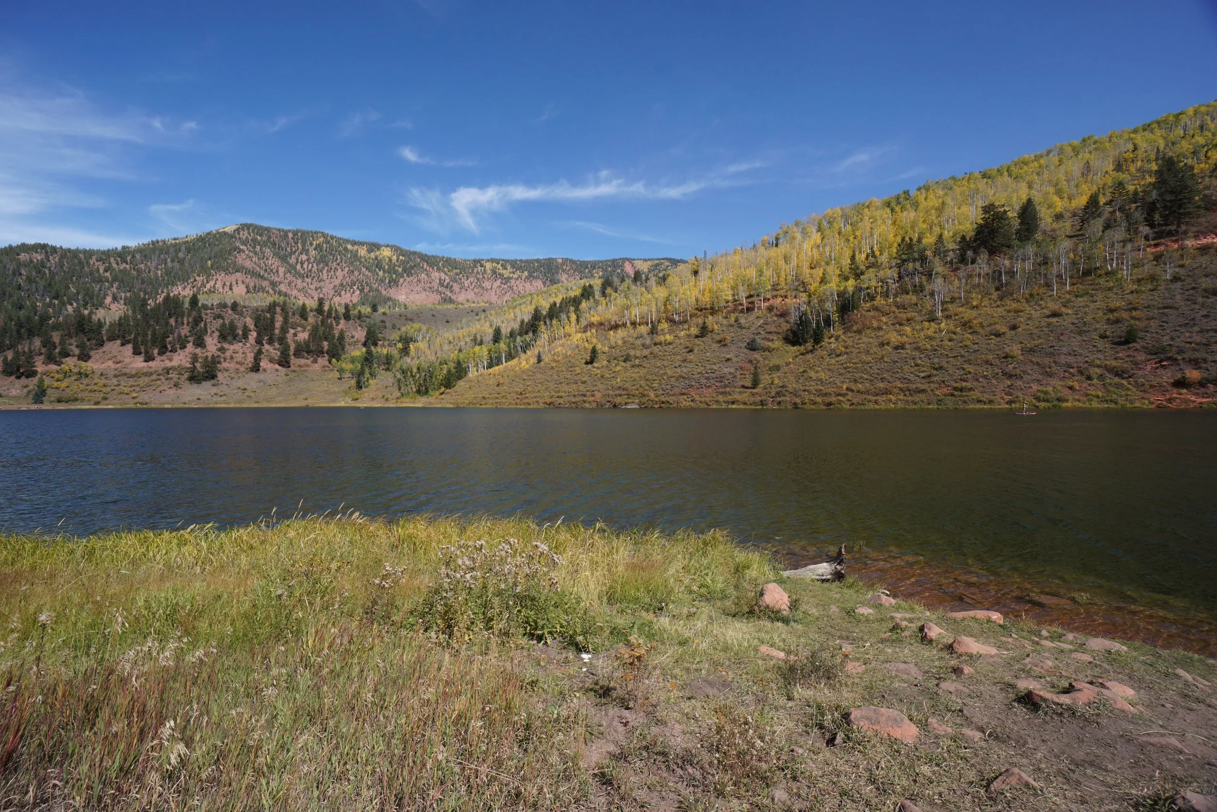
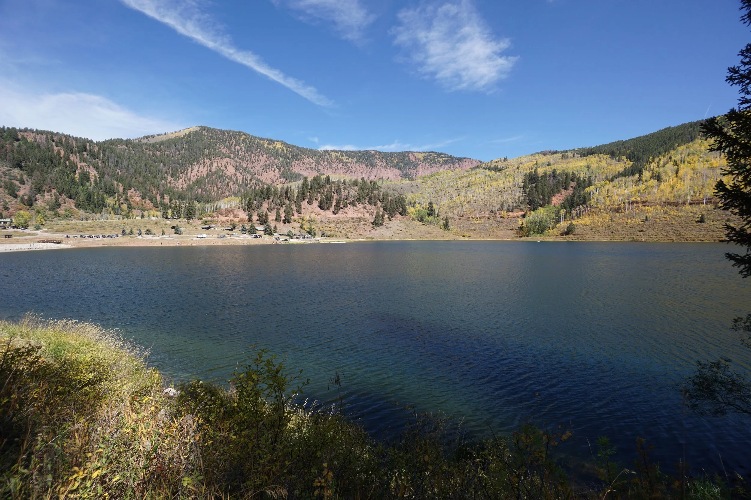
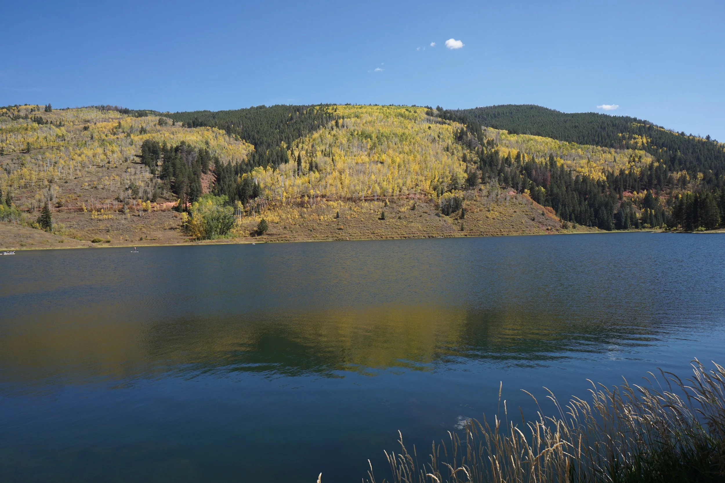
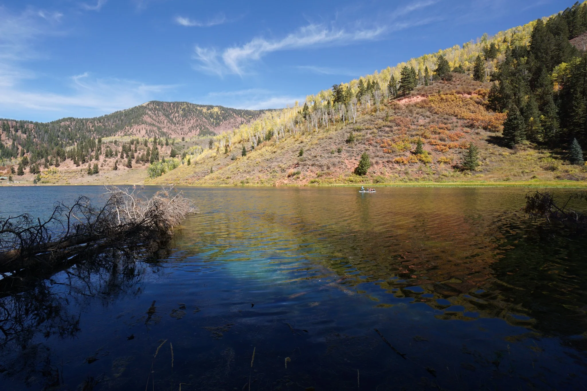
Sylvan Lake State Park is a picturesque park nestled in the foothills of the Sawatch Range. The park has multiple areas but the most popular is Sylvan Lake itself, a small but scenic sub-alpine lake popular with fishers, picnicers, boaters, and hikers. This is a beautiful spot year-round but in the fall, it's particularly impressive. The hillsides in this area are covered in a wonderful mix of aspens and gamble oaks creating some of the nicest and most diverse fall colors in the entire state.
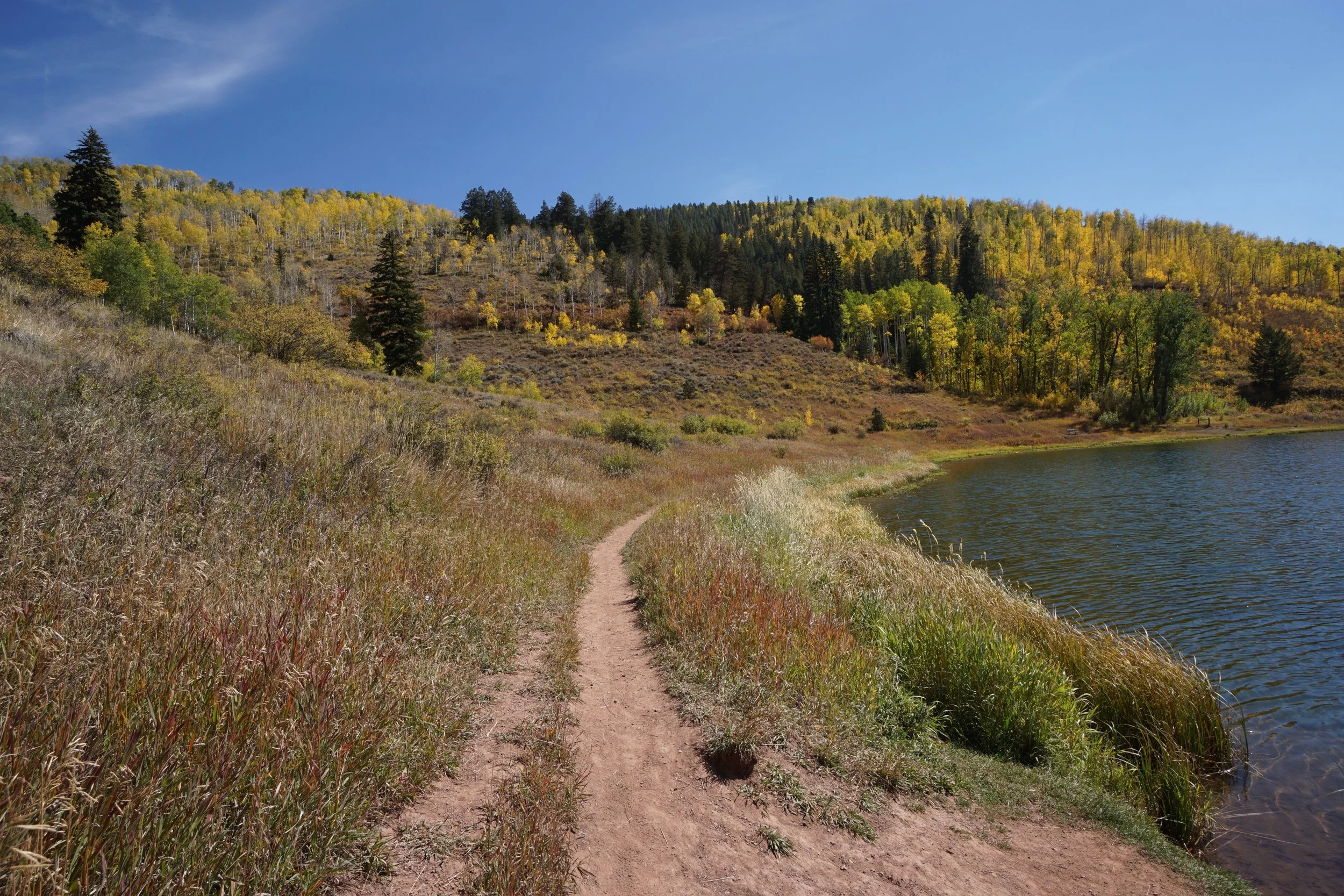
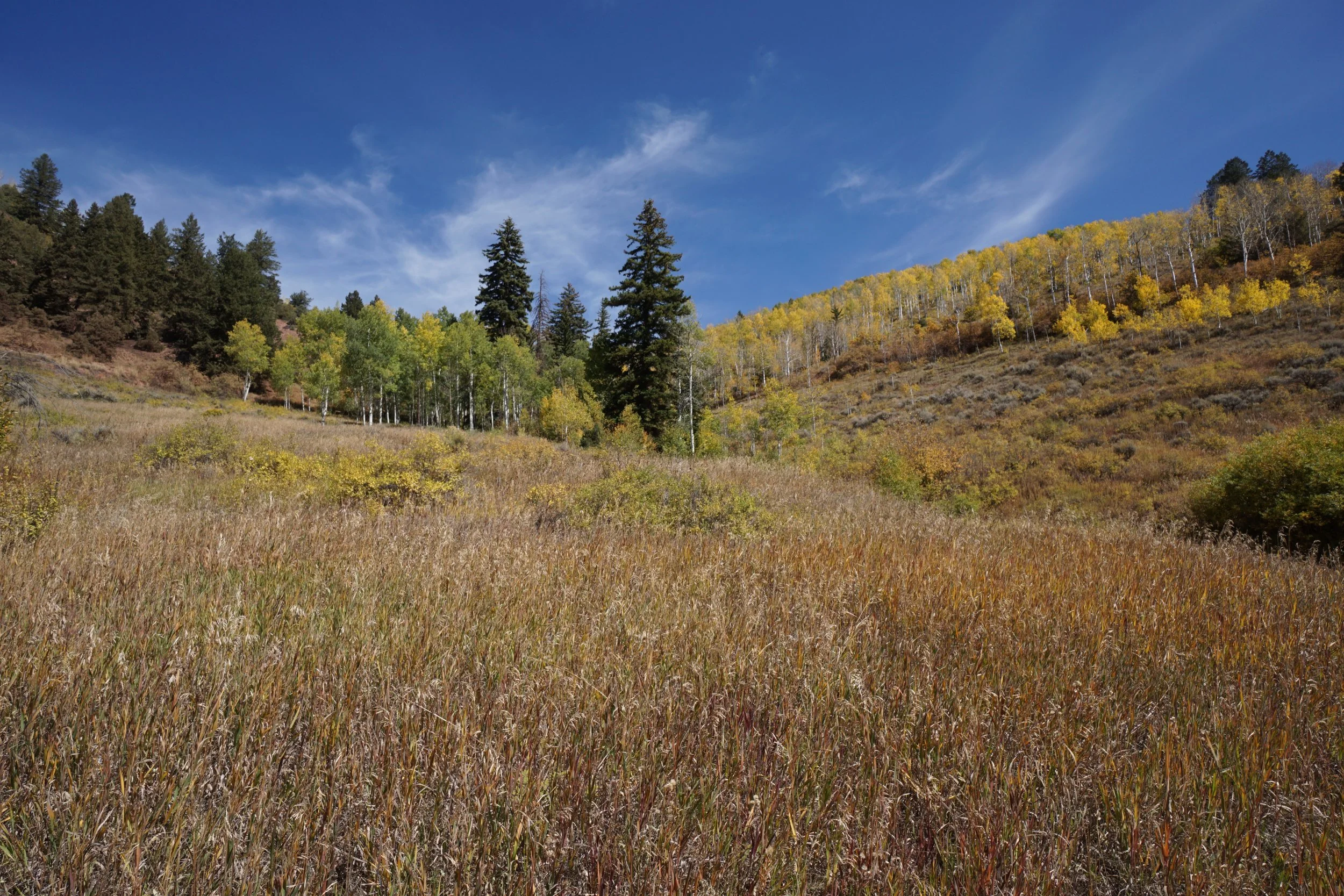
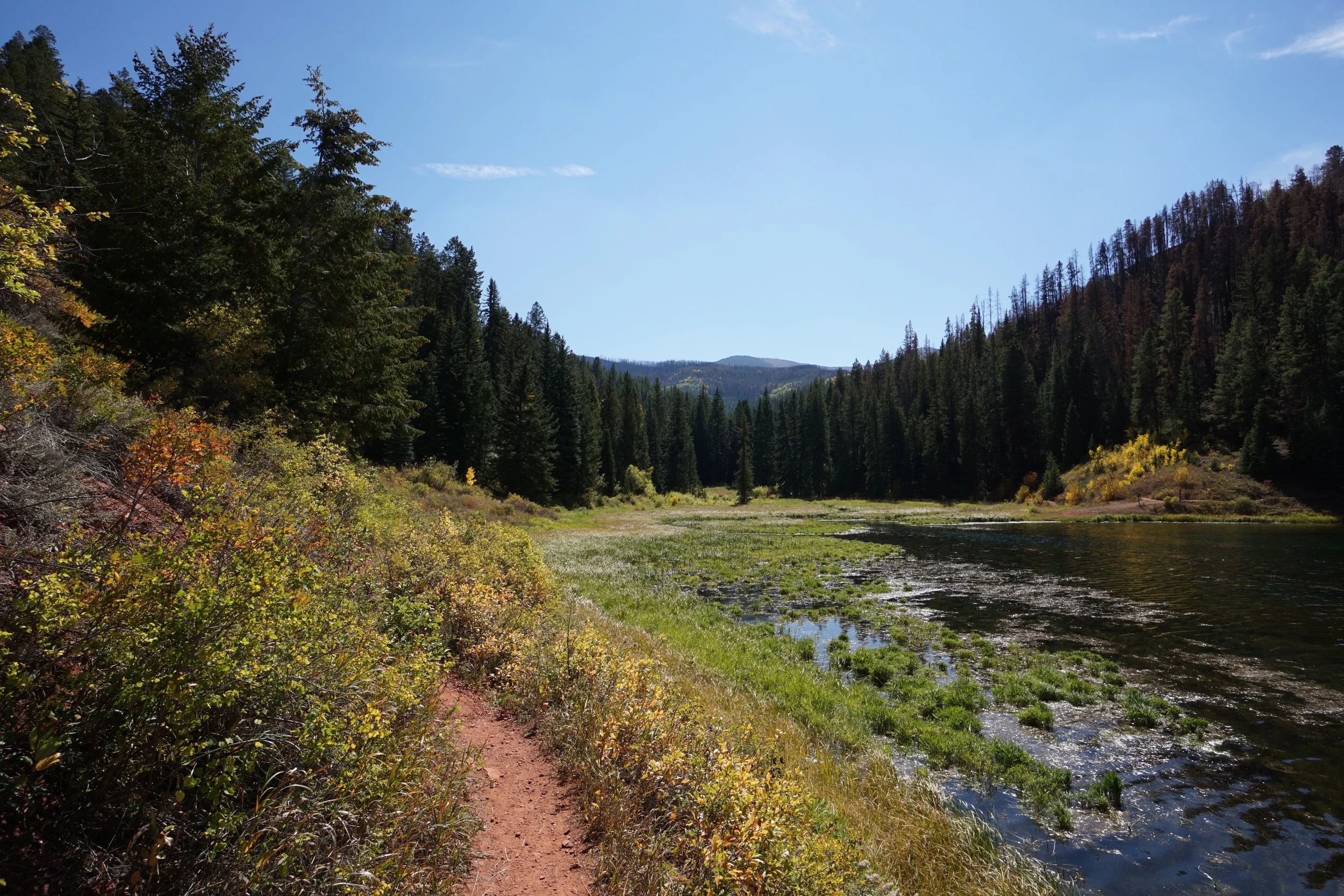
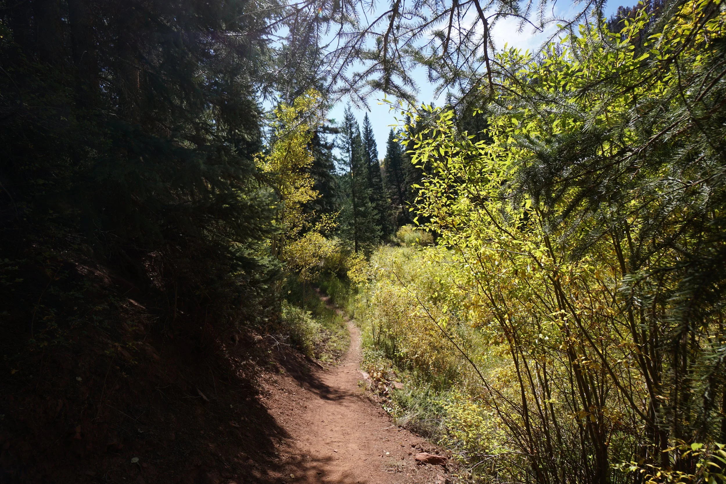
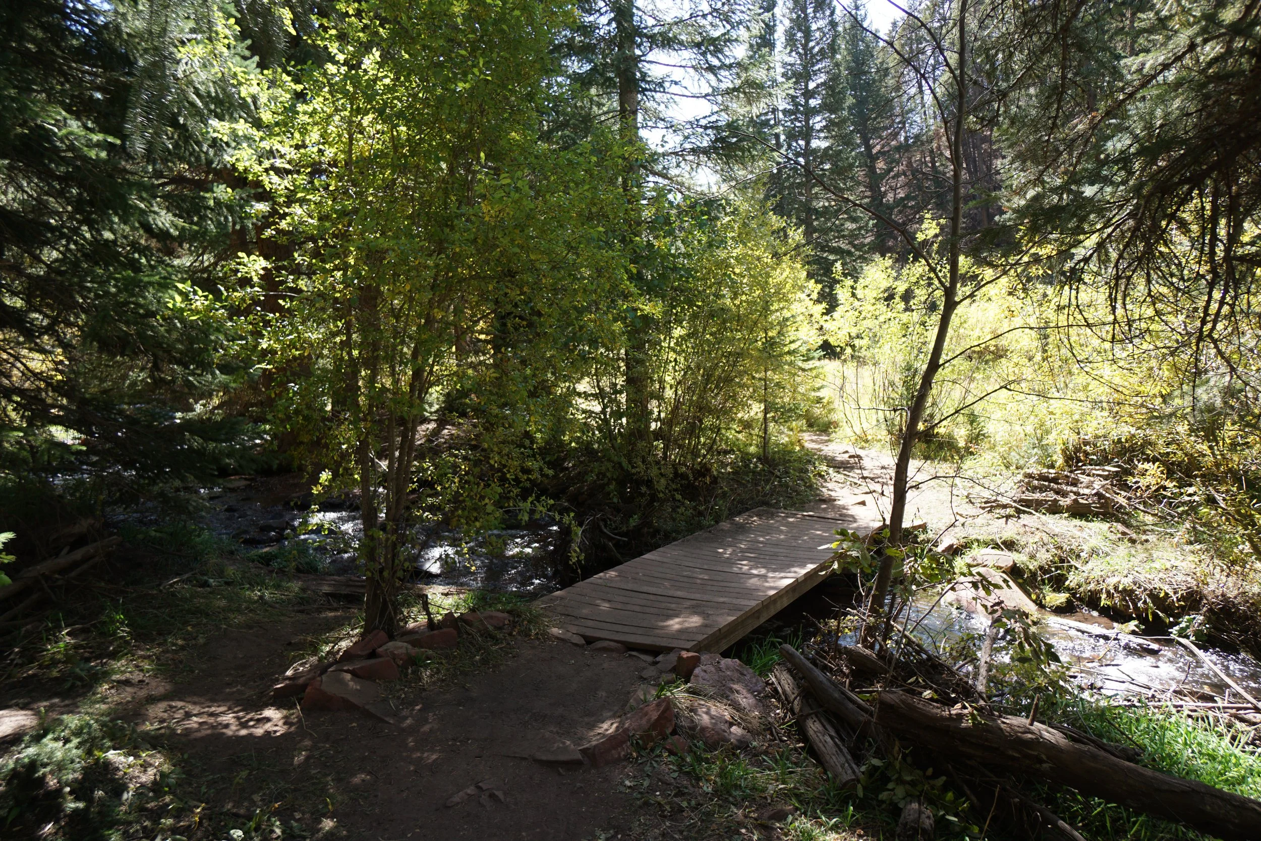
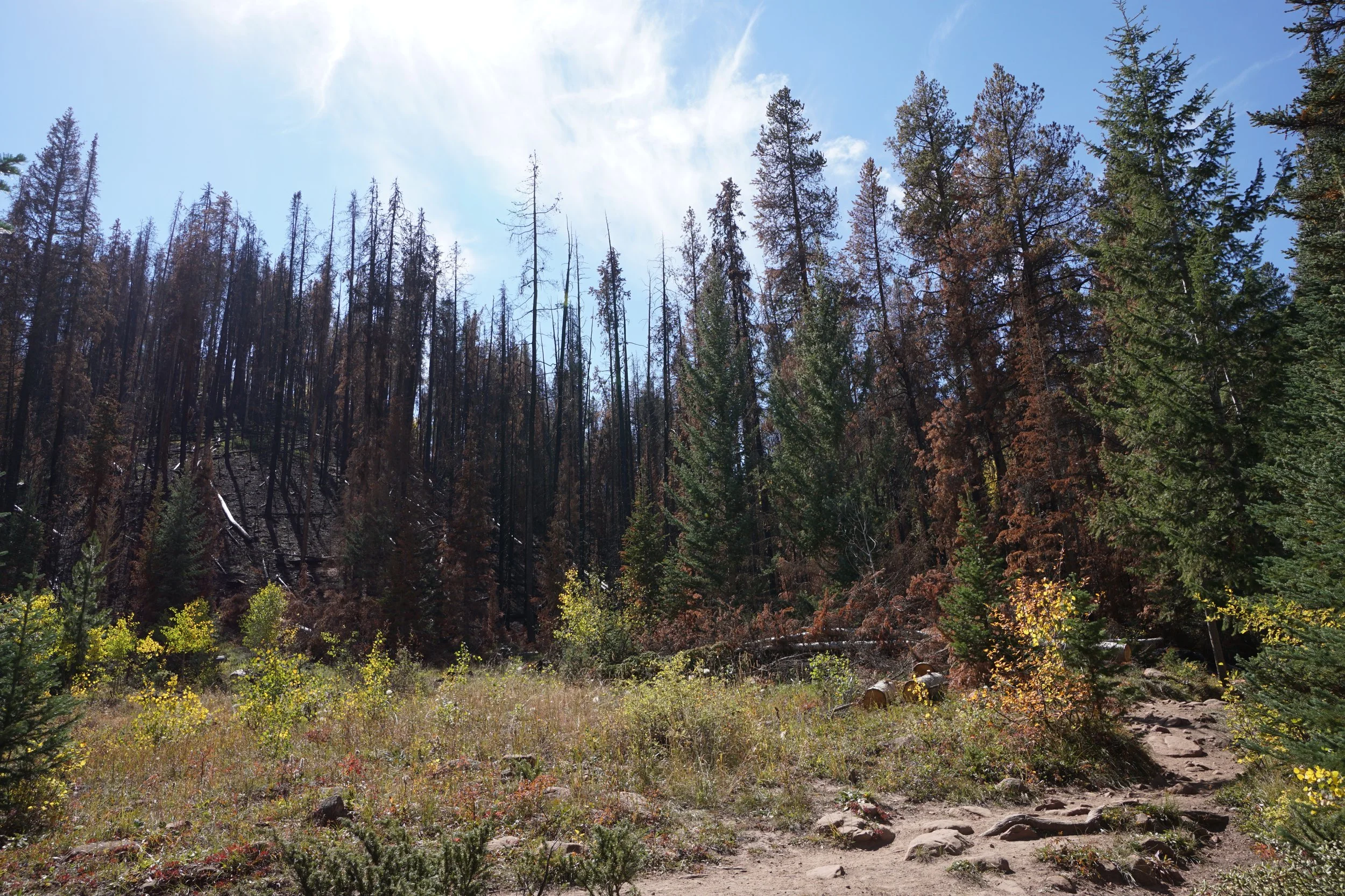
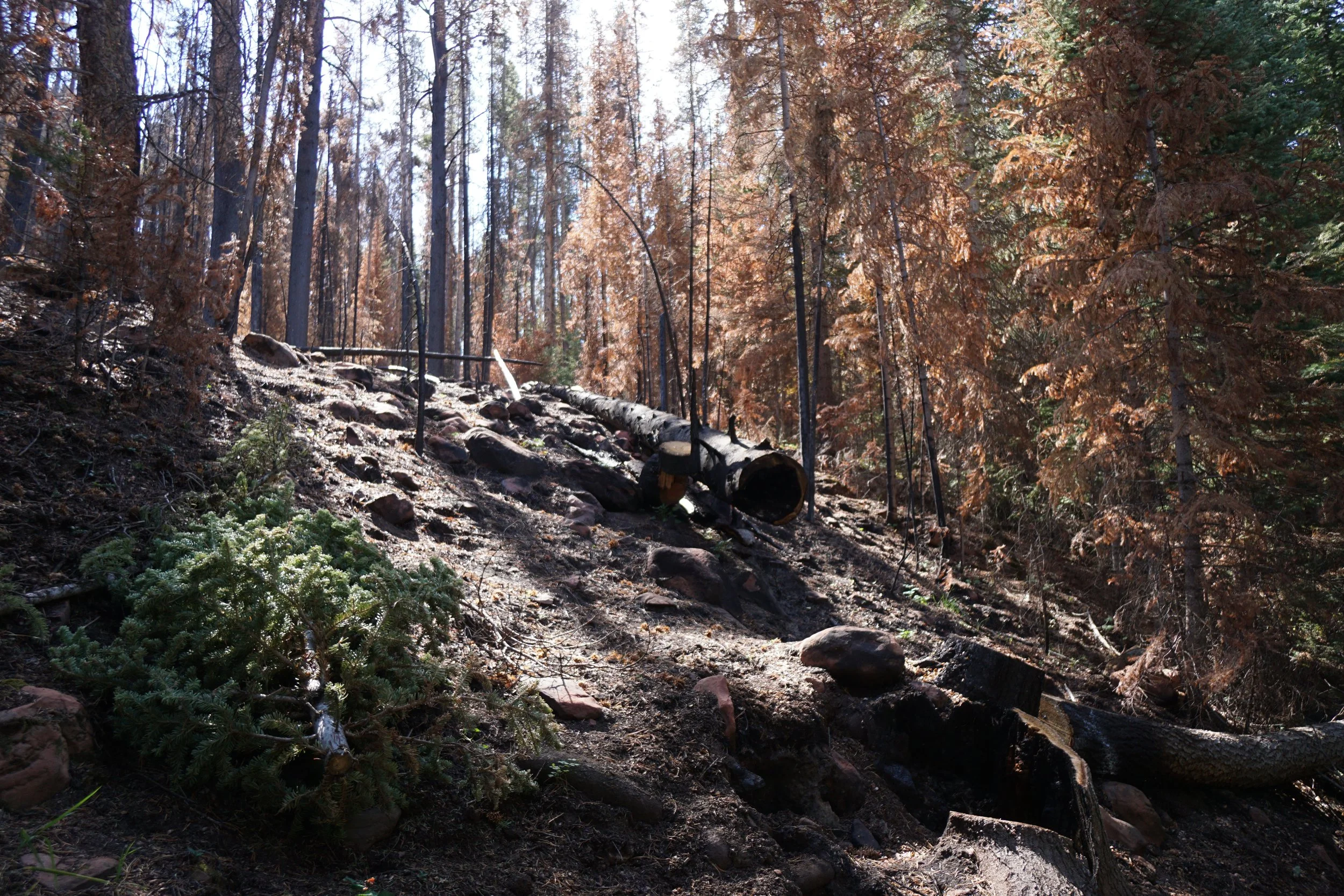
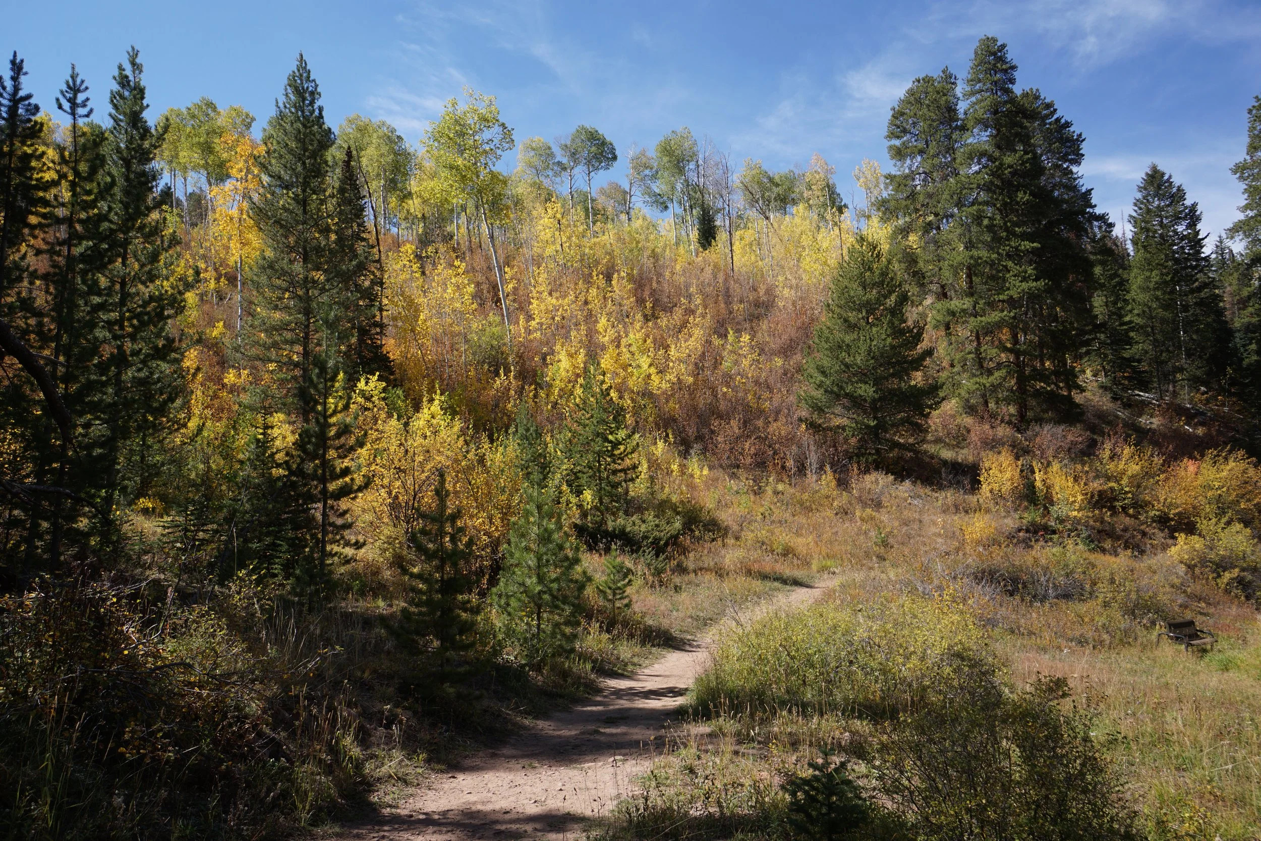
An easy way to experience these colors is to hike the Sylvan Lake Trail. The trail is simple and straightforward...just follow the lake shore. At the south end of the lake is a nice quiet natural area, the western shore passes through a recent burn area, and the views of the surrounding landscape are constant.
The entire hike is only 1.5 miles but there are options in the area to explore further. The West Brush Creek Trail heads north from the lake and traverses the colorful hillsides. Additionally, if you want to get a nice view looking down on the lake, try the Sneve Gulch Trail.