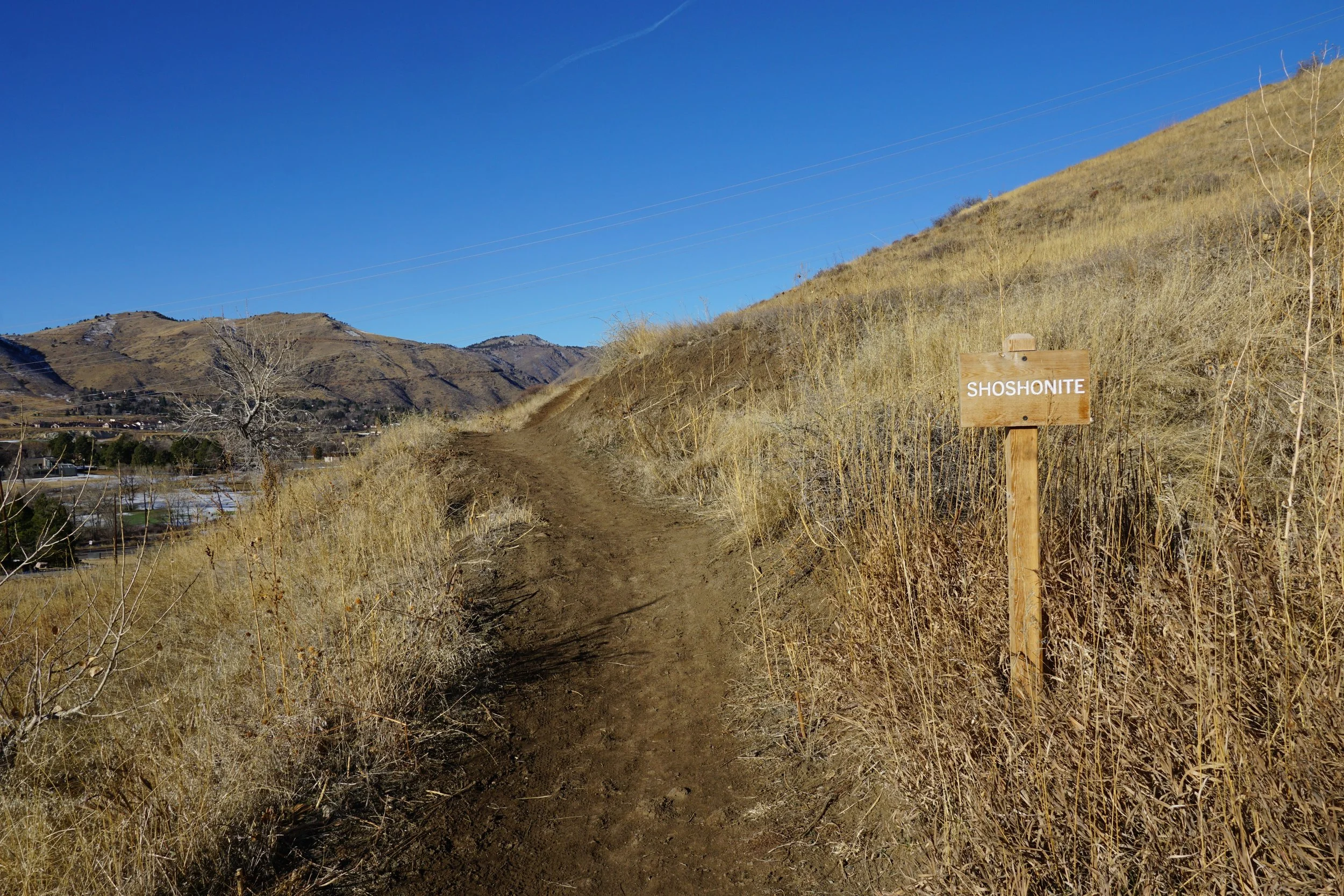
Shoshonite > Dome Flow > Serpentine Trails
South Table Mountain Park
Date Hiked: December 17, 2023
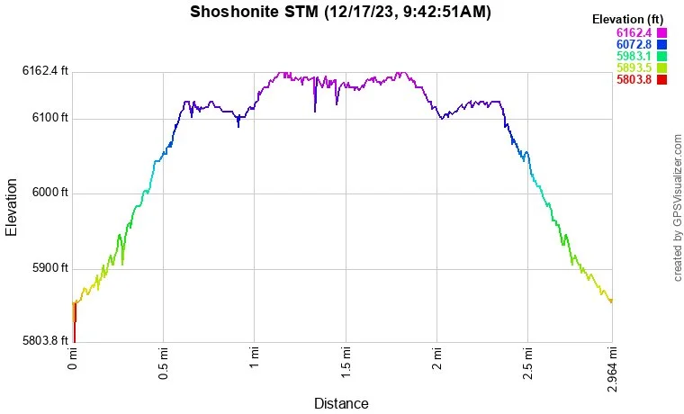
Distance: 2.9 mi (RT)
Elevation Gain: 280 ft
Elevation Min/Max: 5,884 to 6,155 ft
Trailhead Lat/Long: 39.74376, -105.19957
Managing Agency: Jefferson County Open Space
Fee: None
Directions:
The Shoshonite Trailhead is located off of Rimrock Drive which is accessed by South Golden Road. From Downtown Golden, just follow Jackson Street until it becomes South Golden Road, turn left on Rimrock Drive to reach the trailhead.
Hike Description:
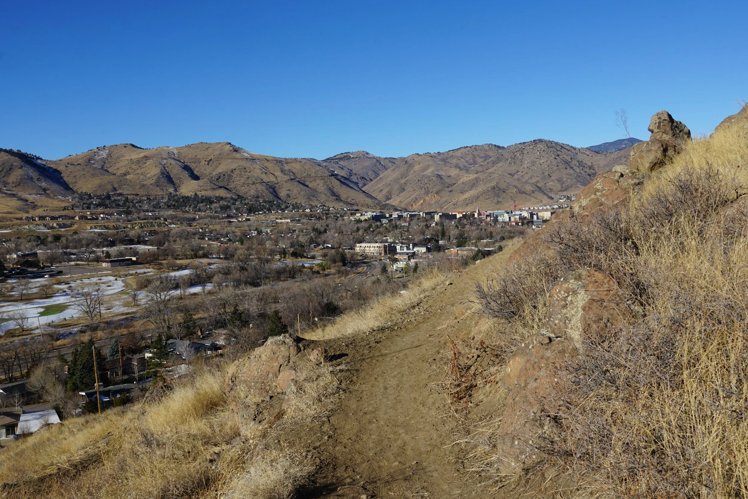
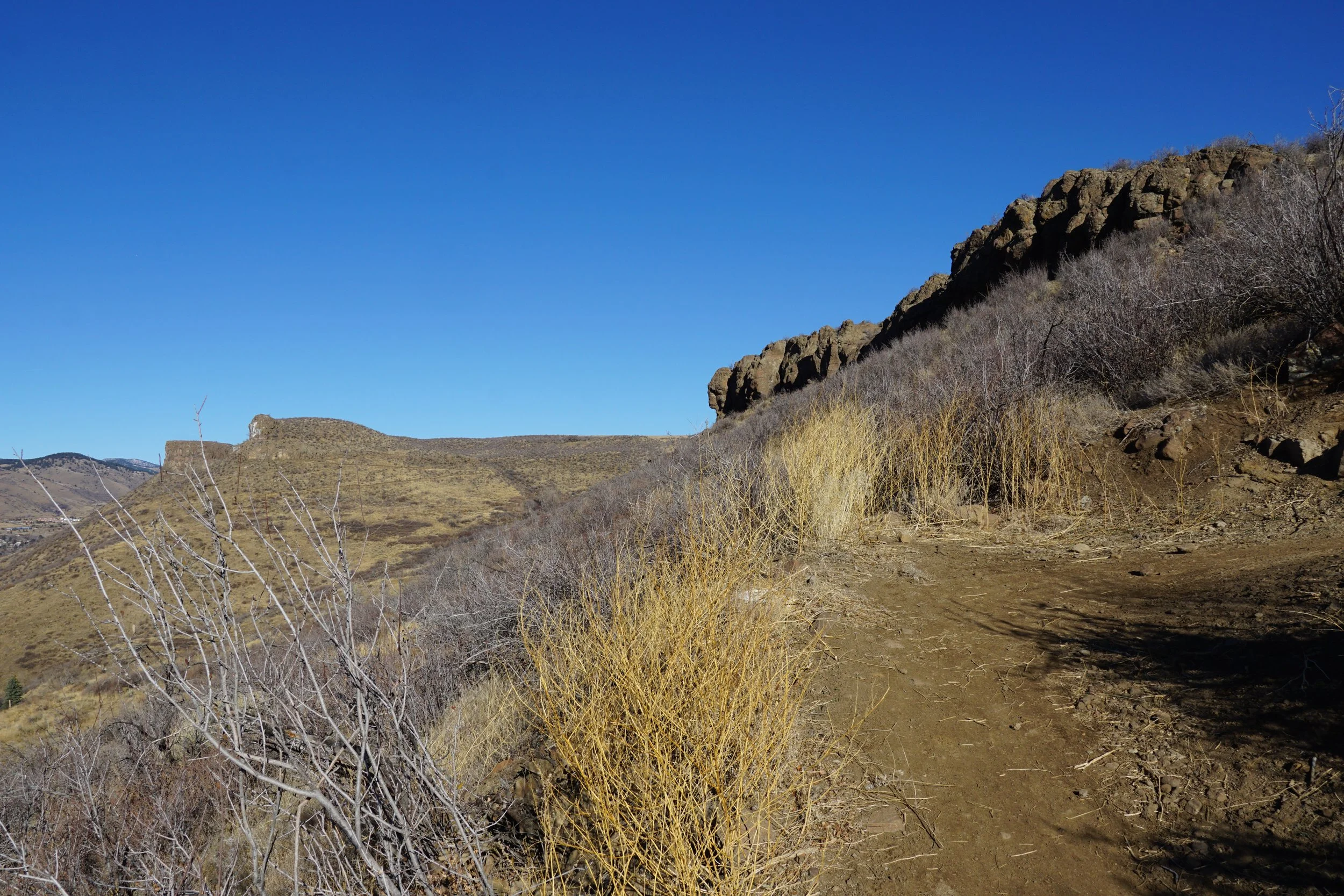
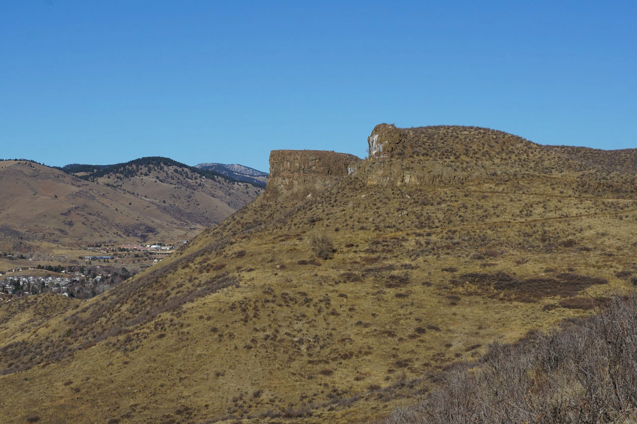
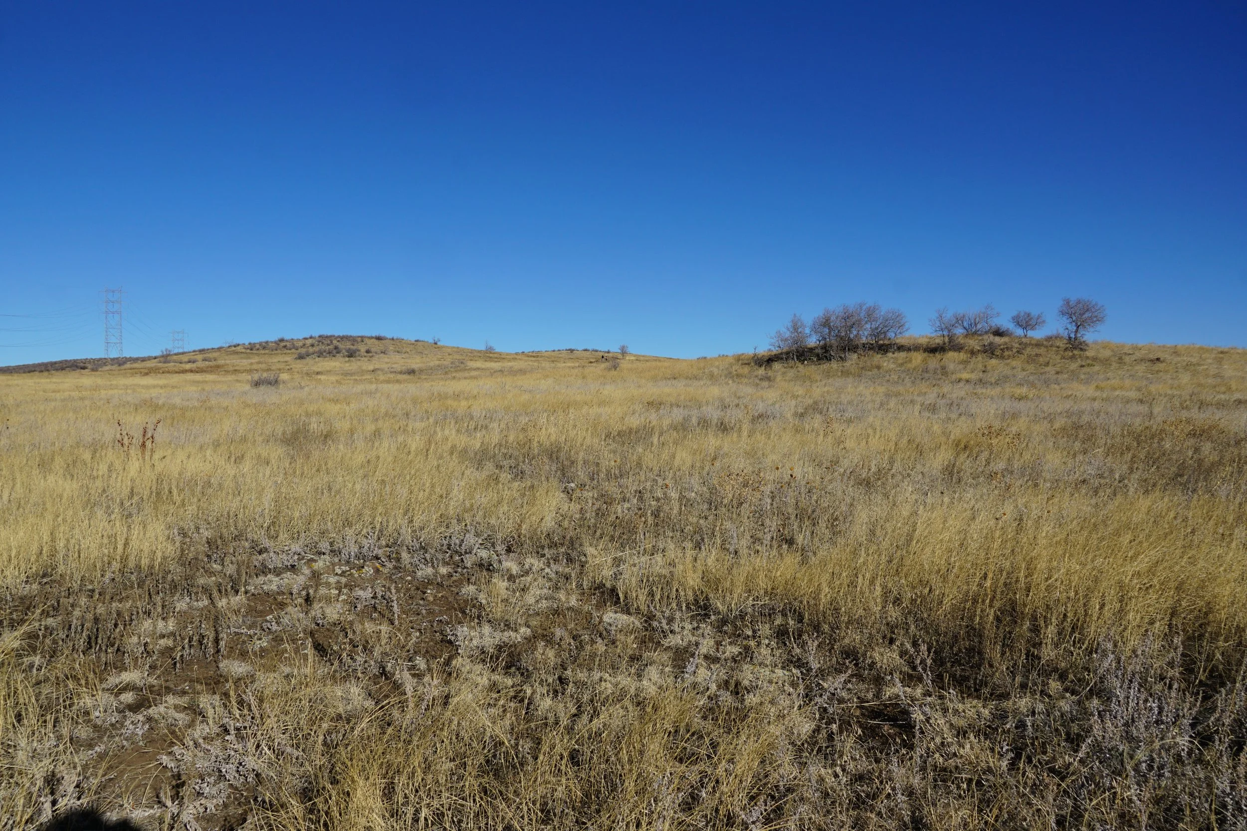
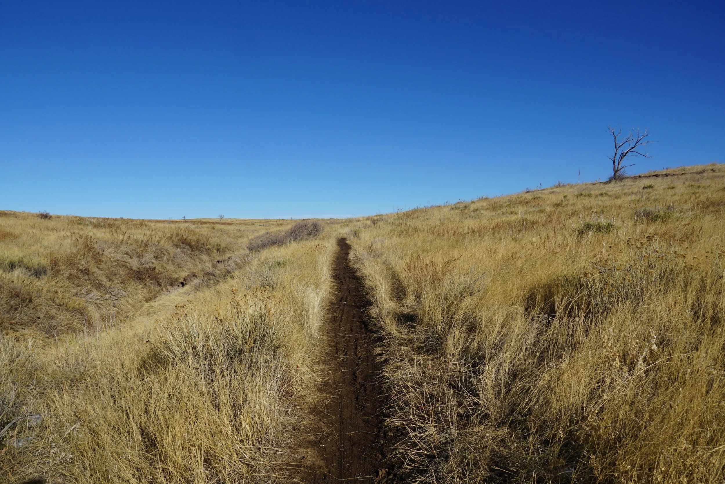
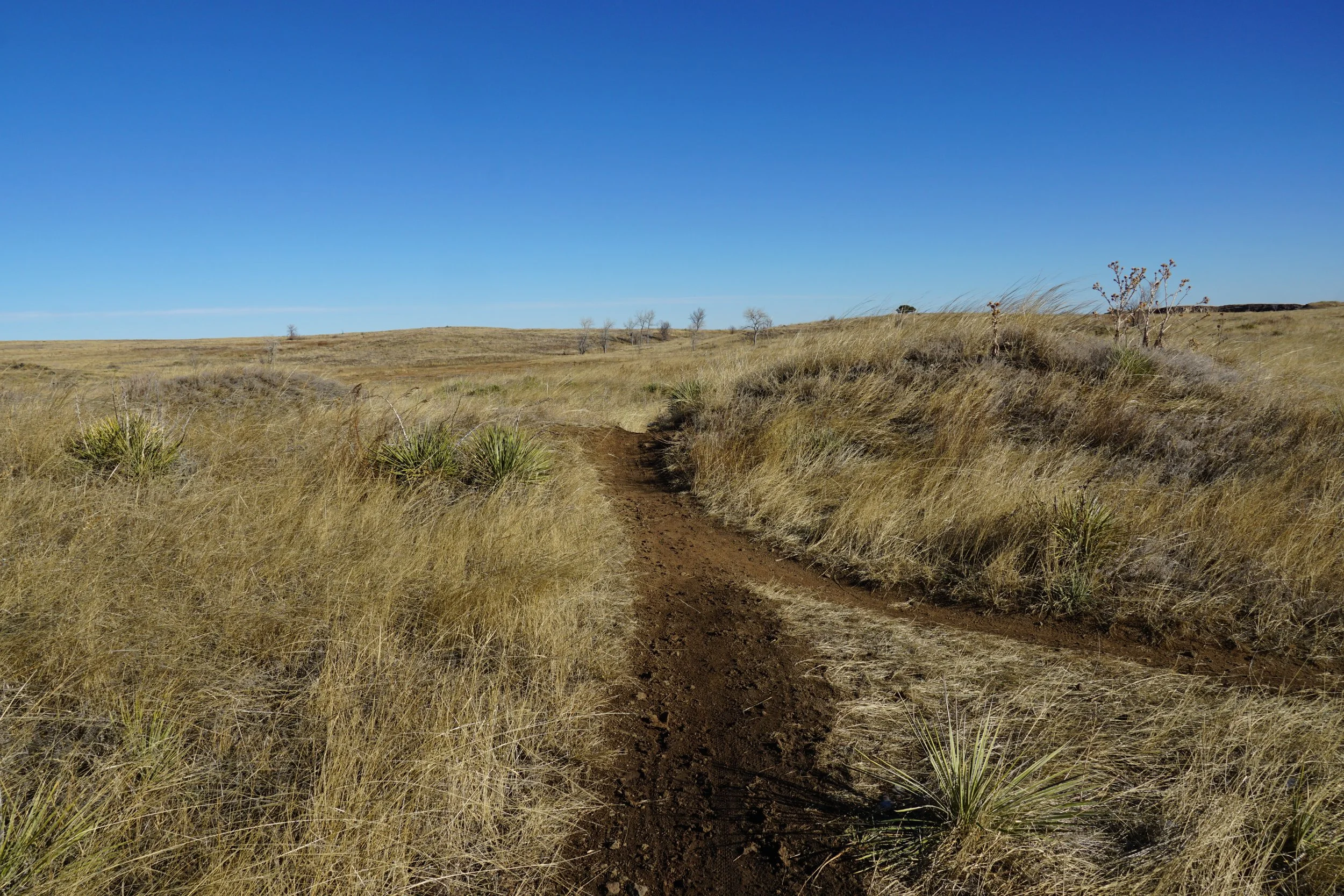
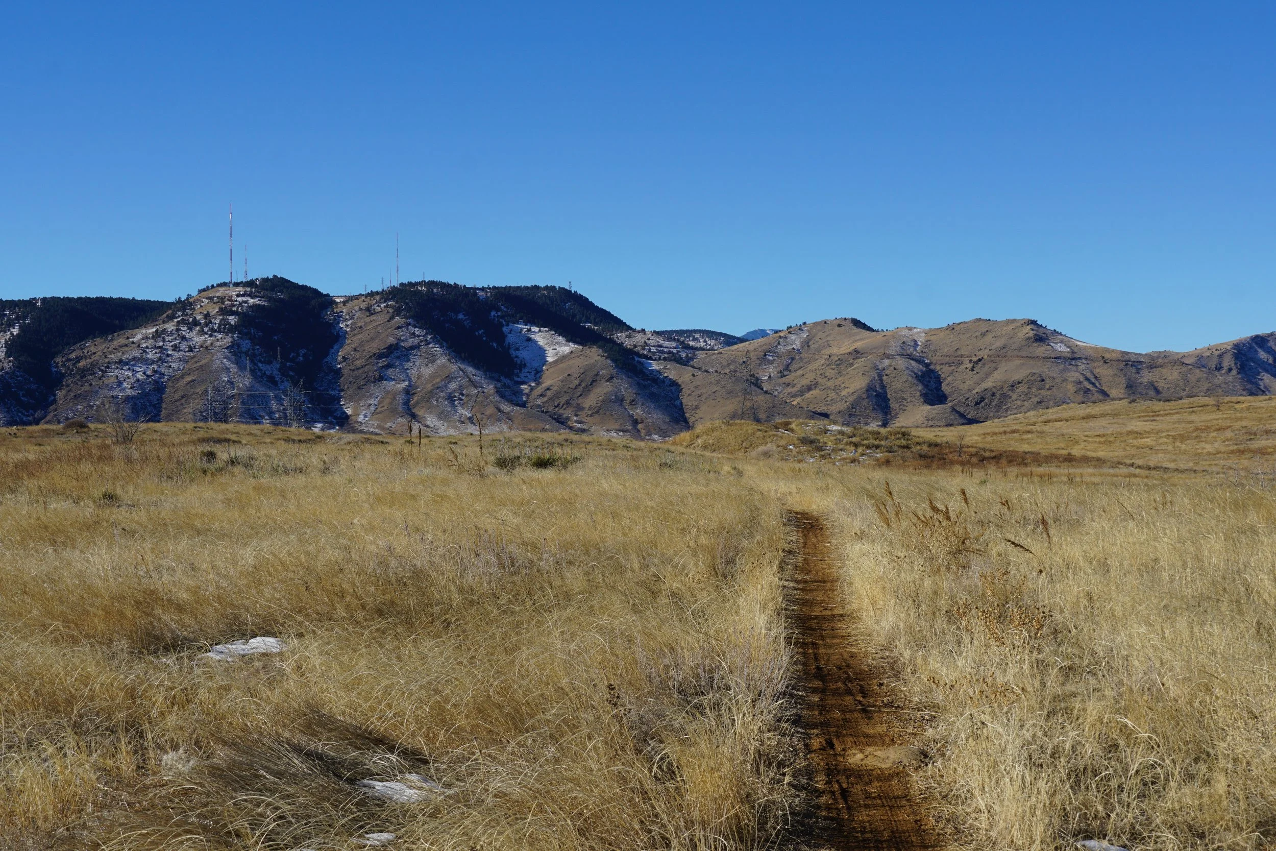
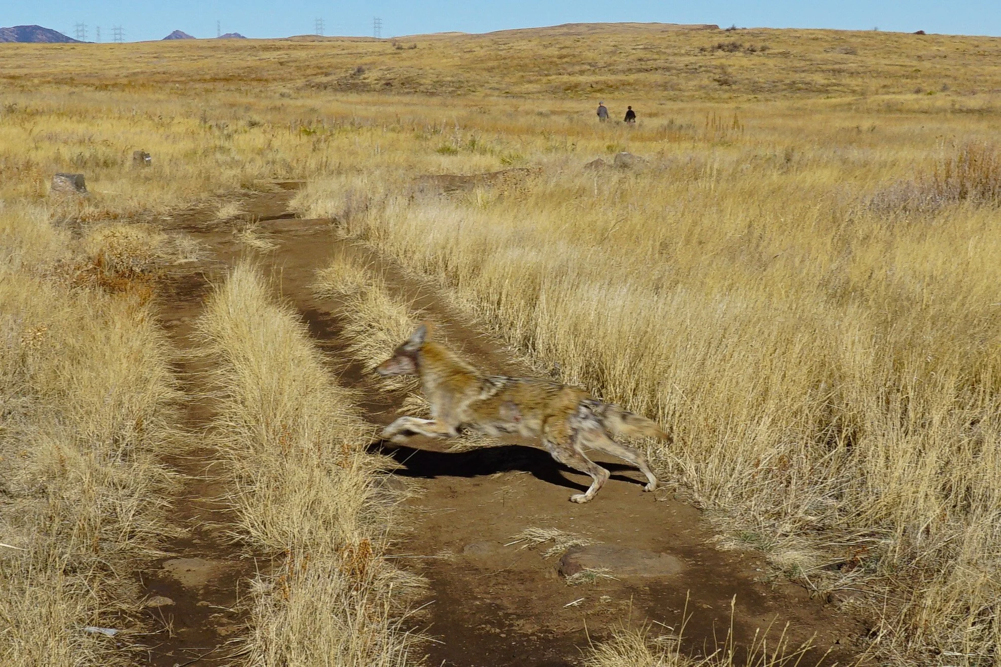
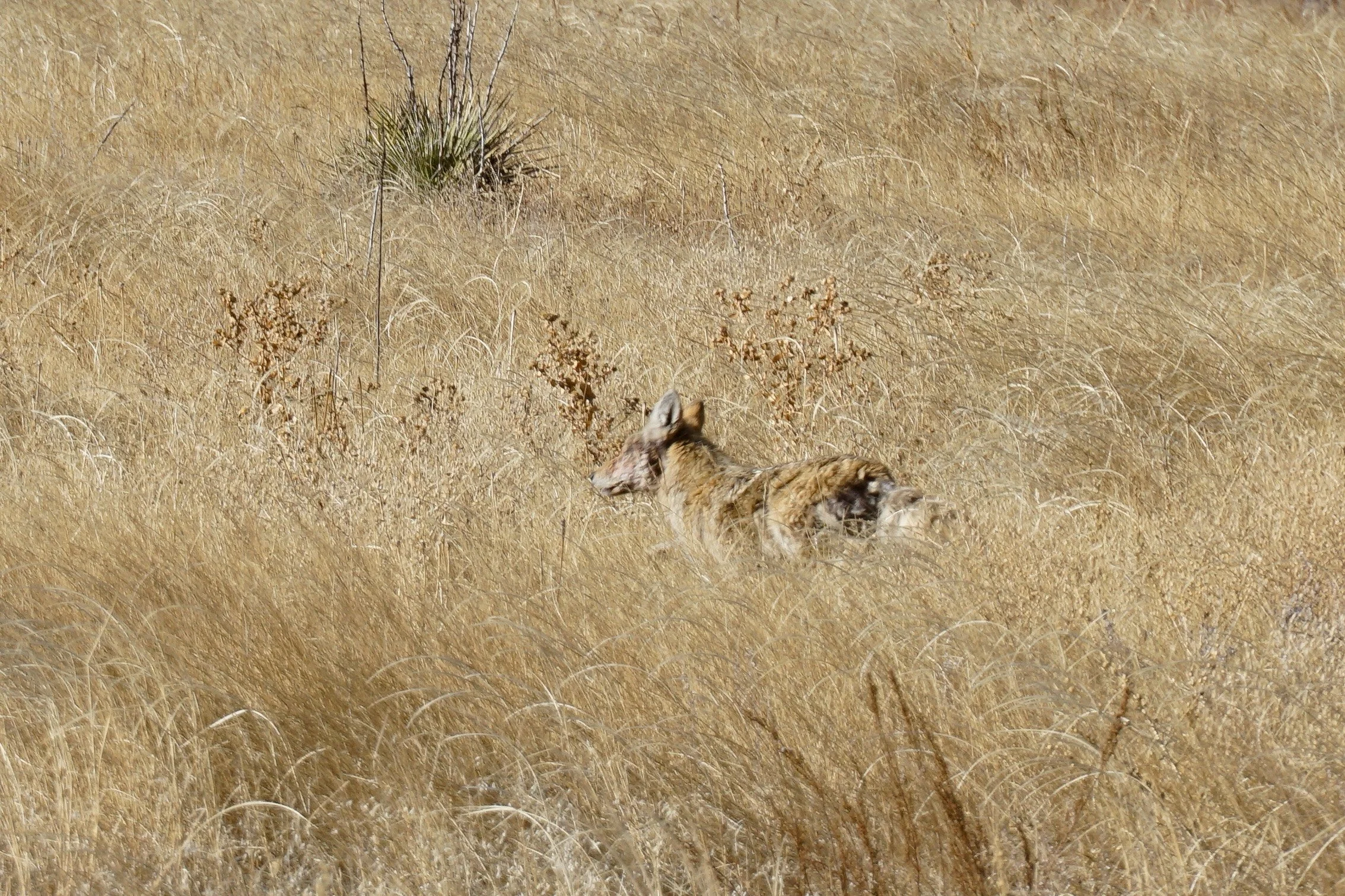
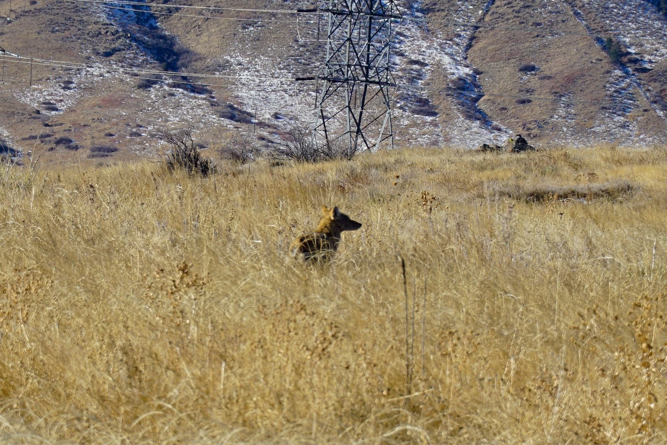
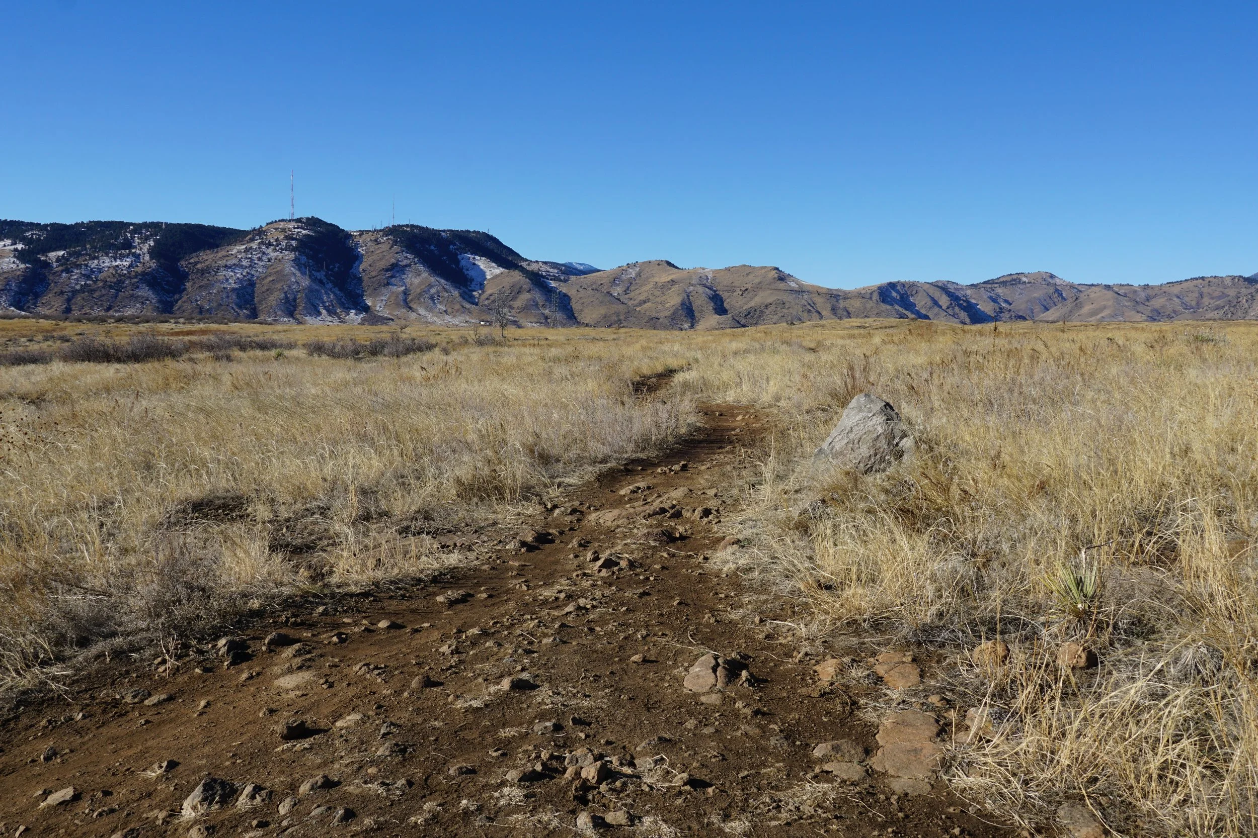
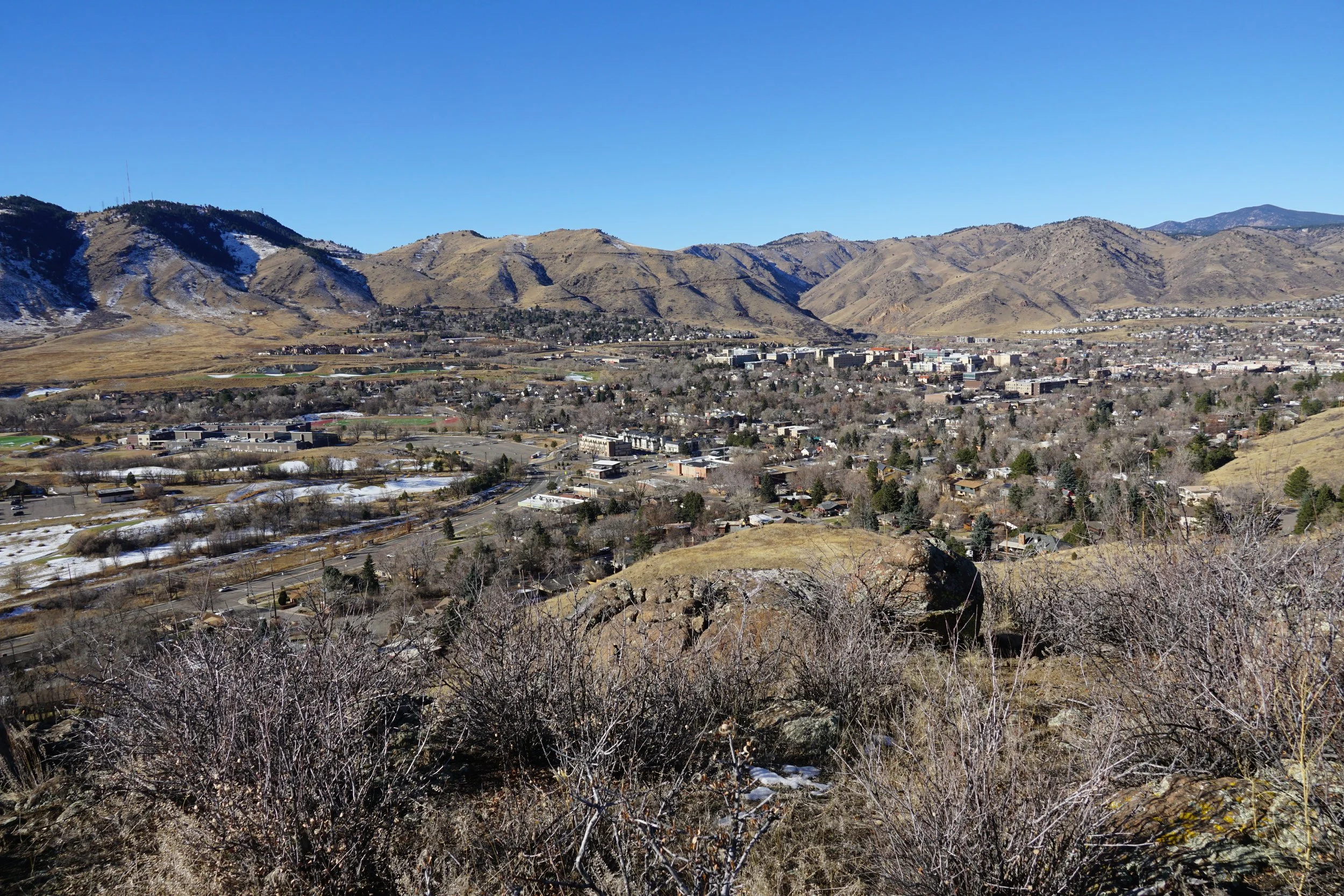
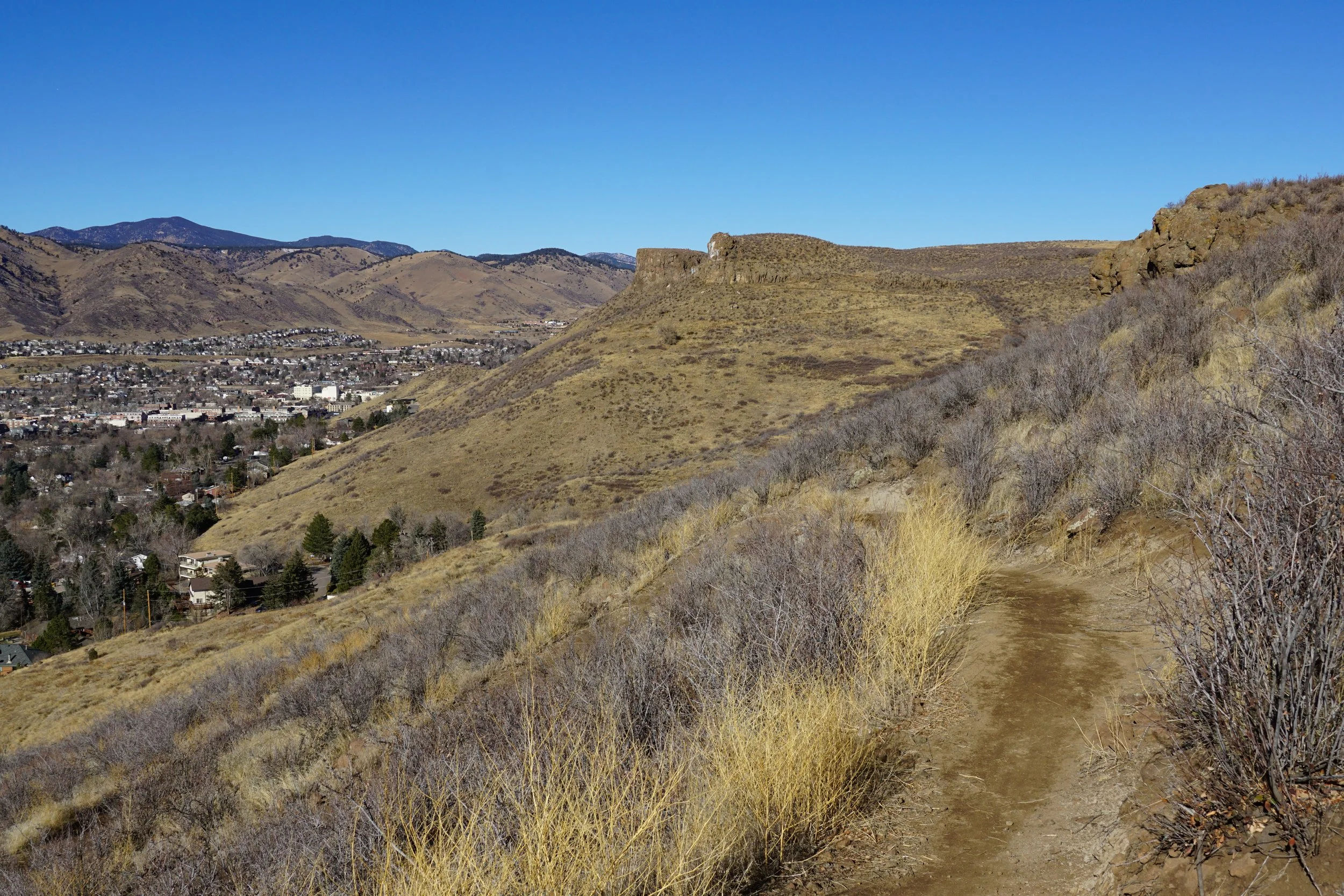
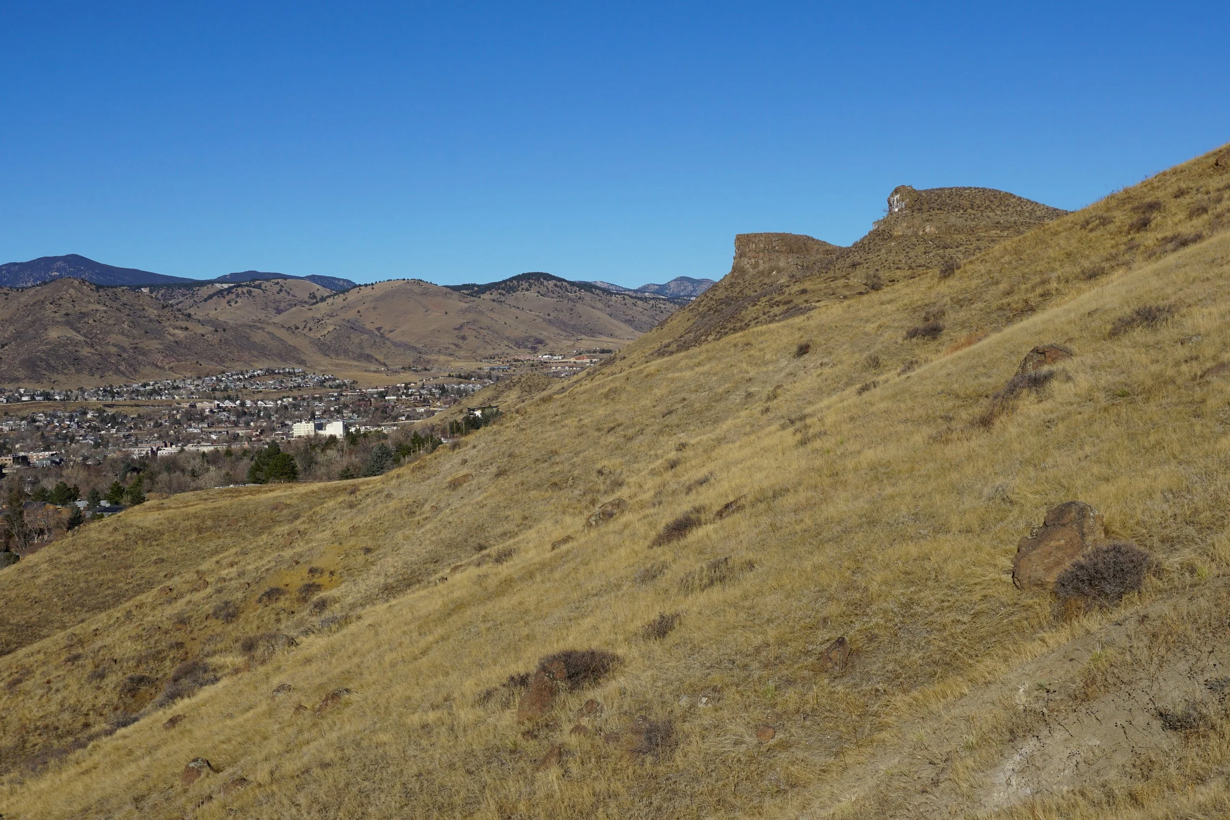
The Shoshonite Trail is a lesser-known trail in the southwestern part of South Table Mountain Park and a highly scenic way to access the mesa top.
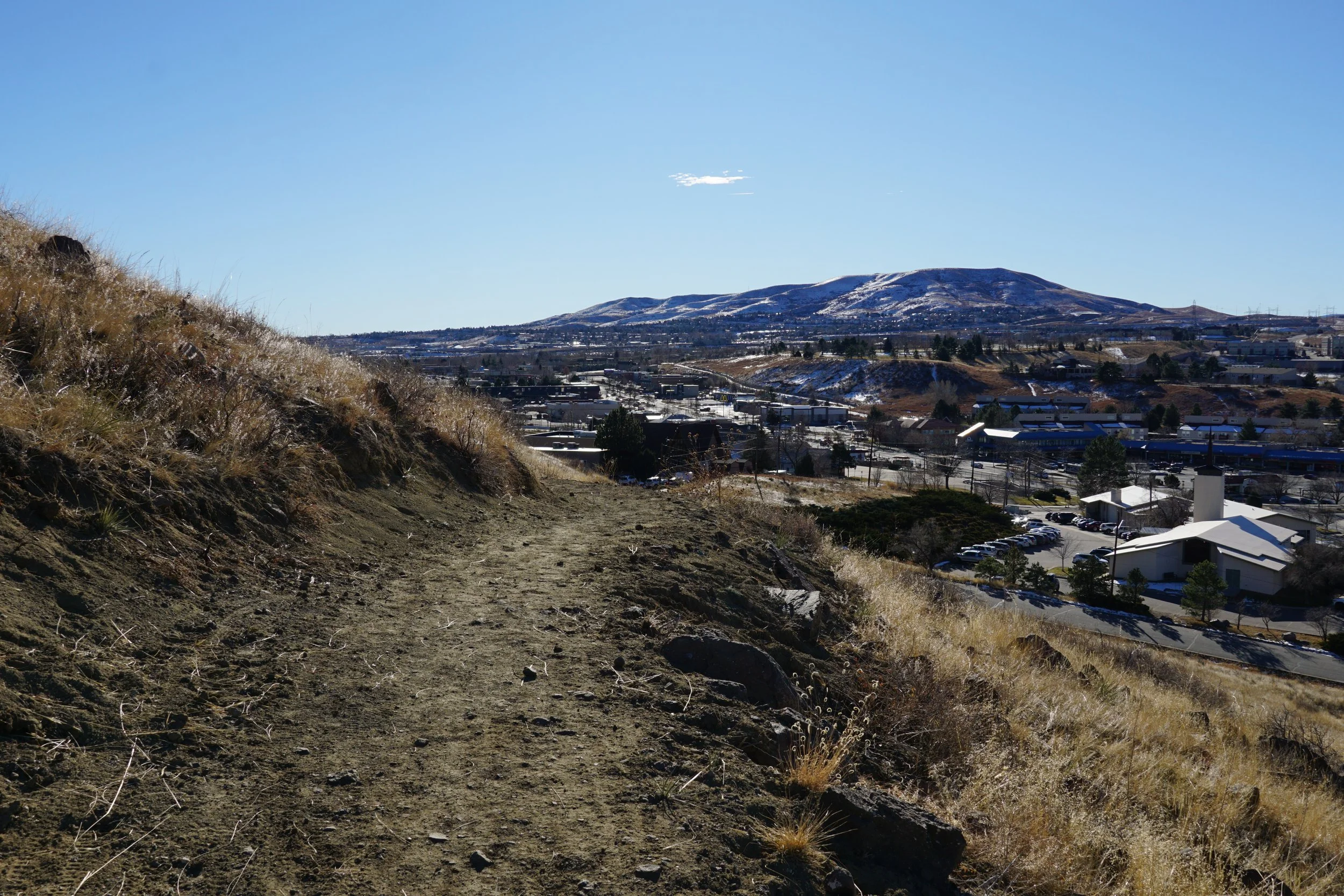
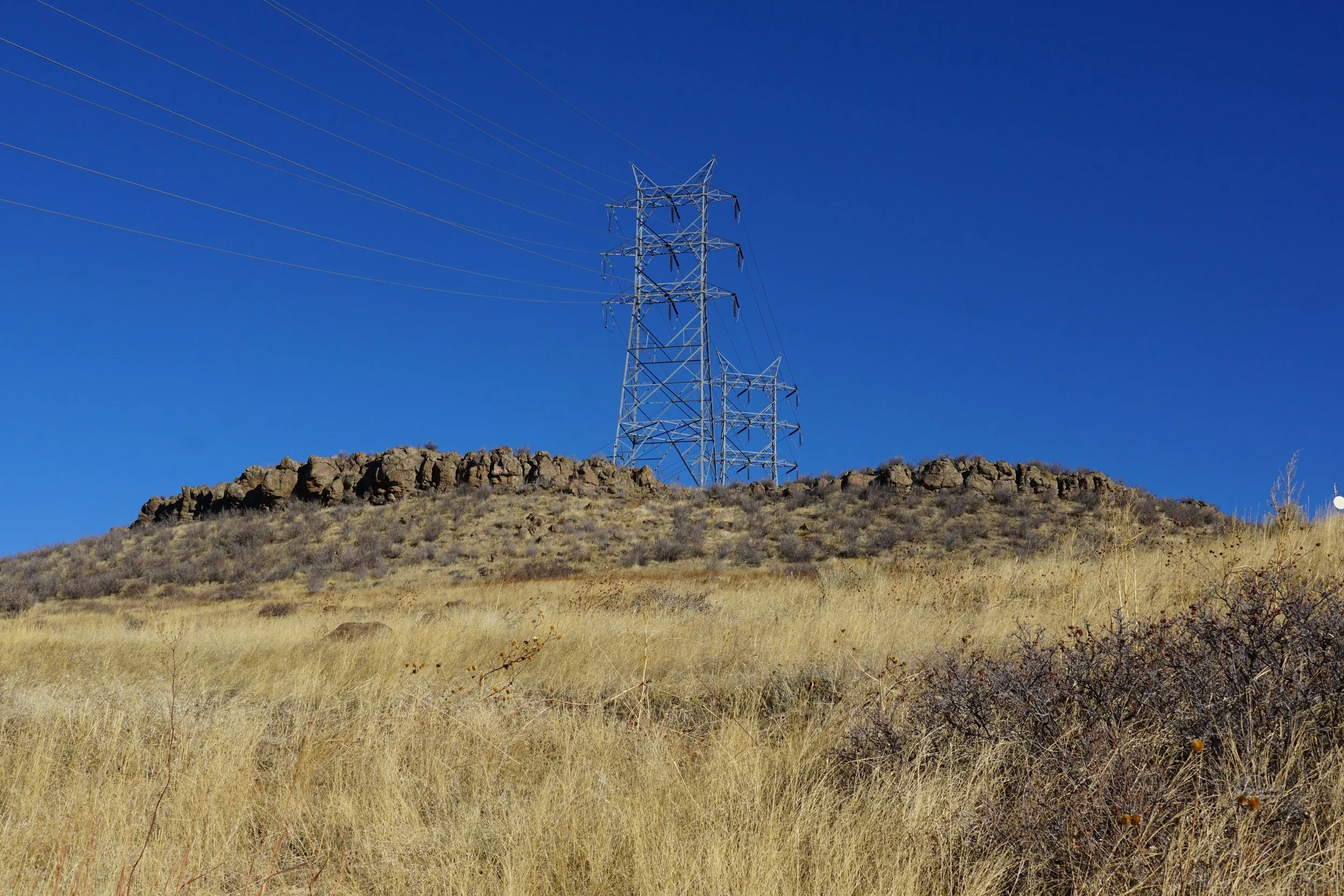
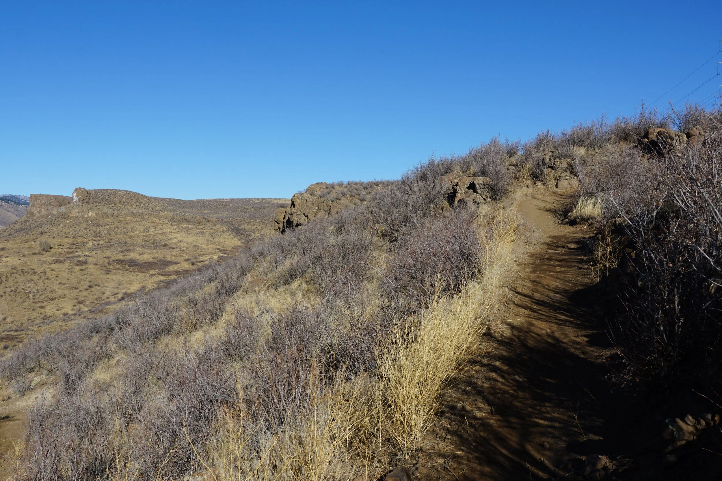
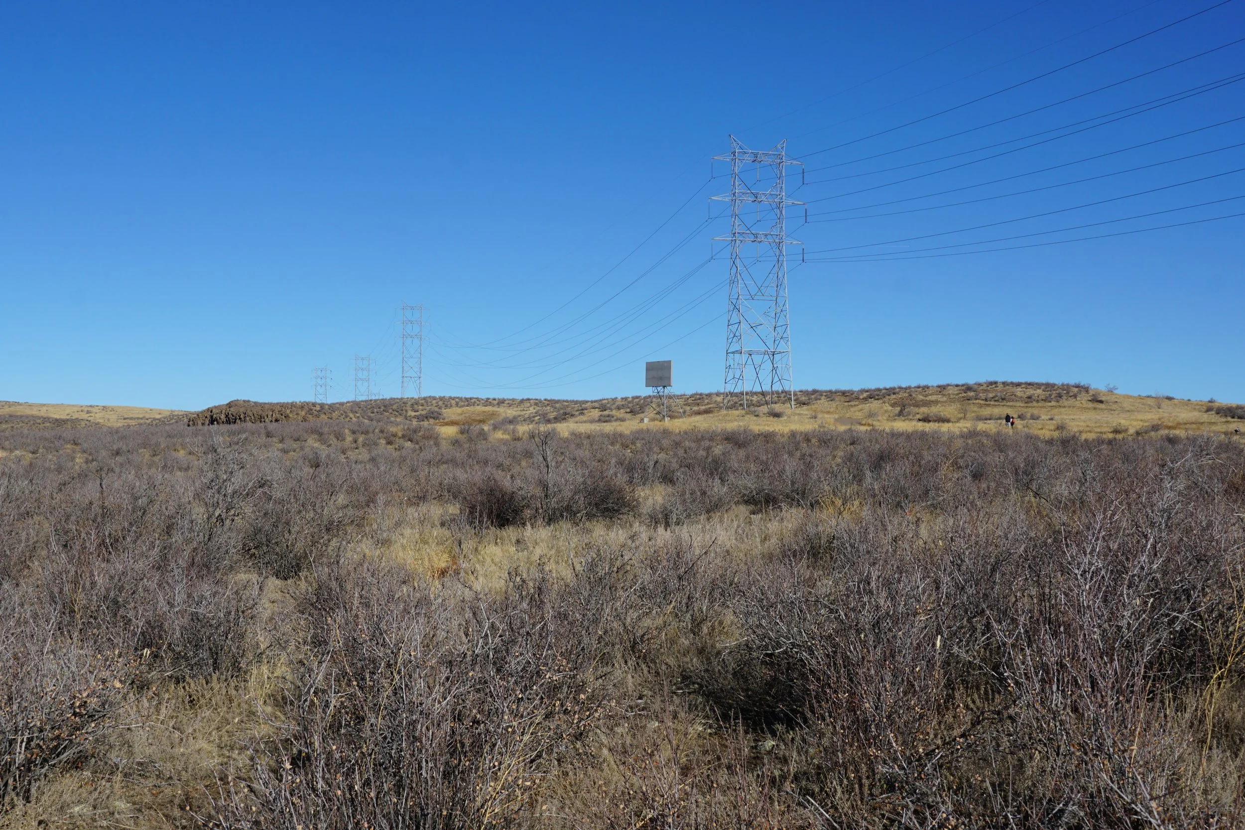
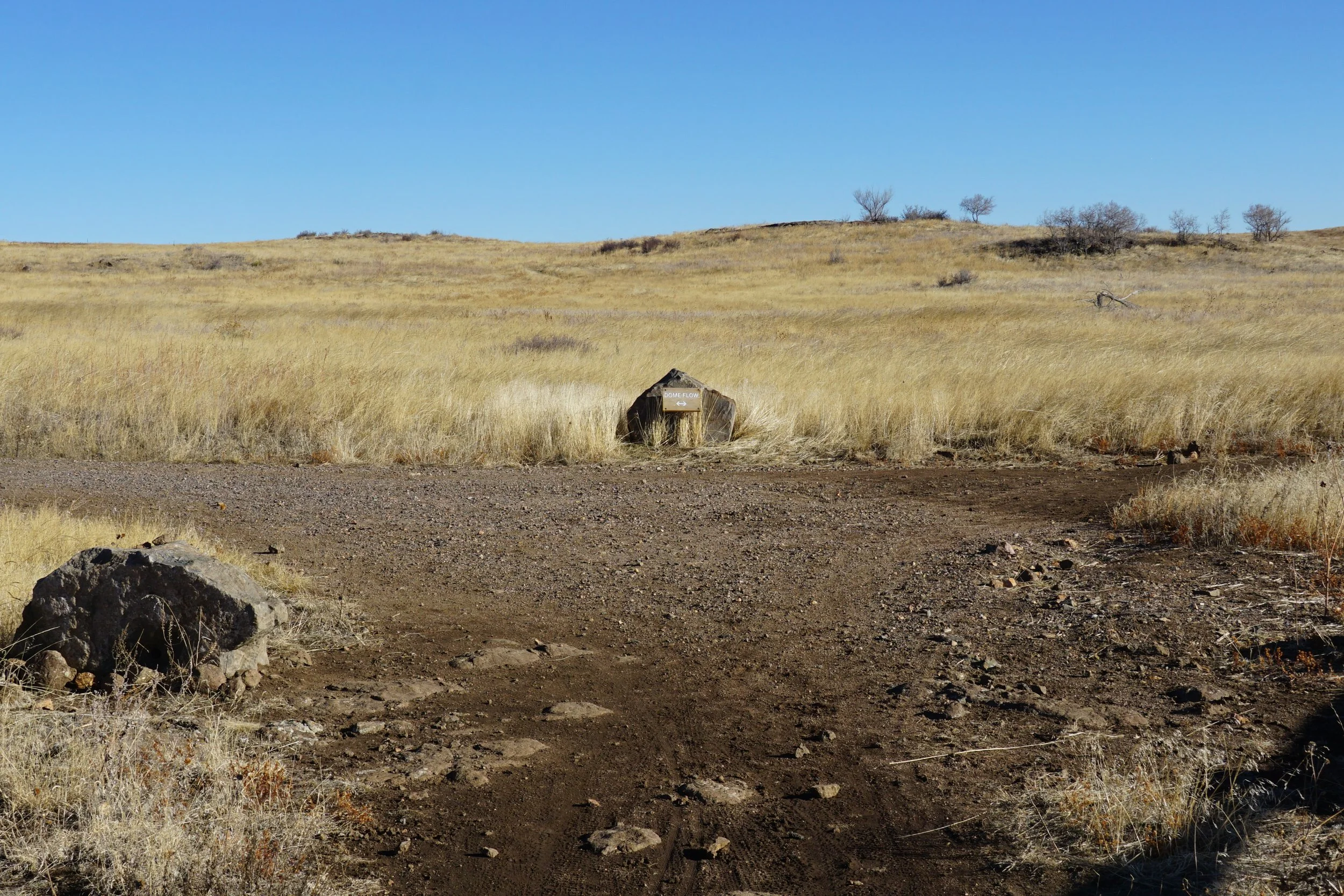
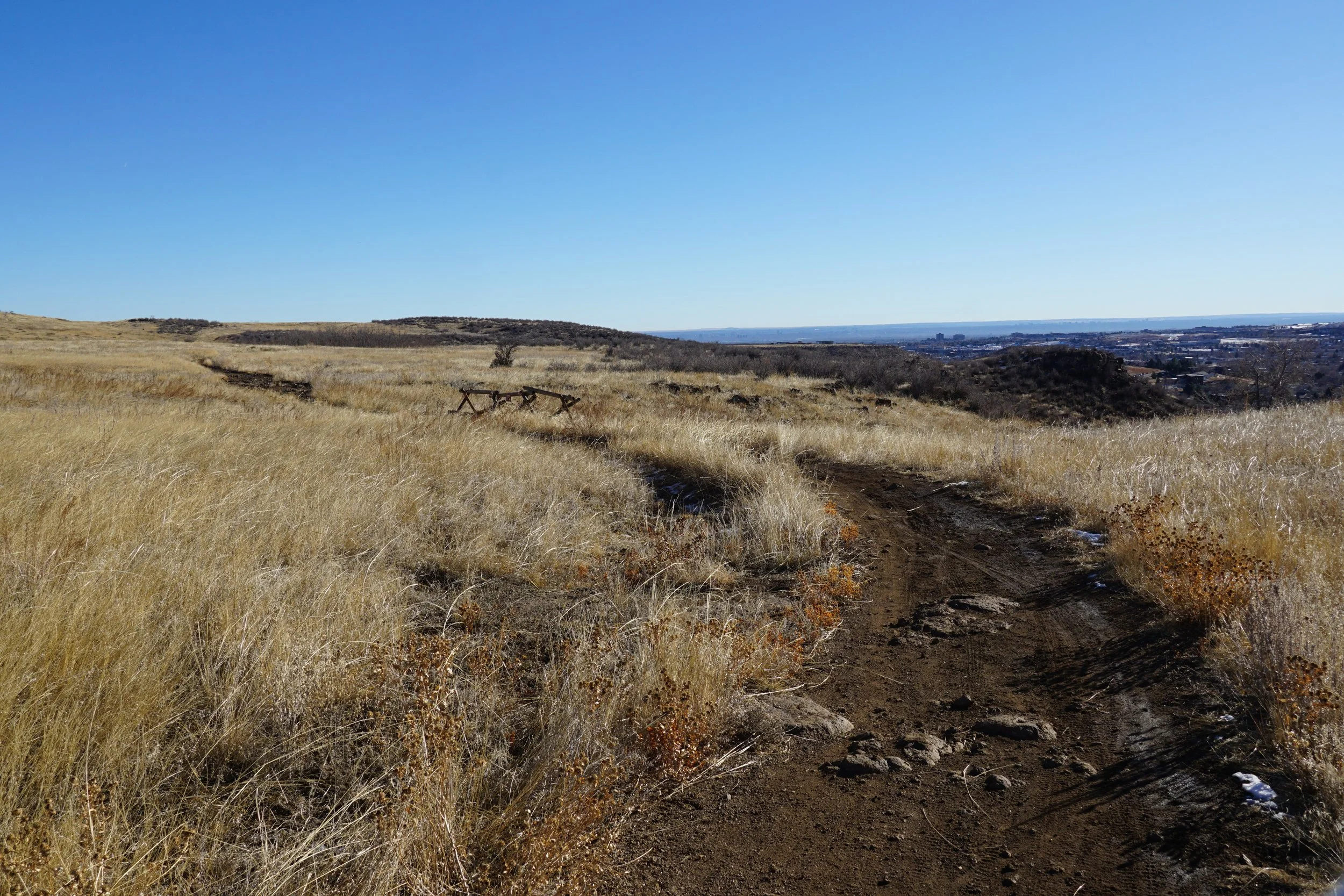
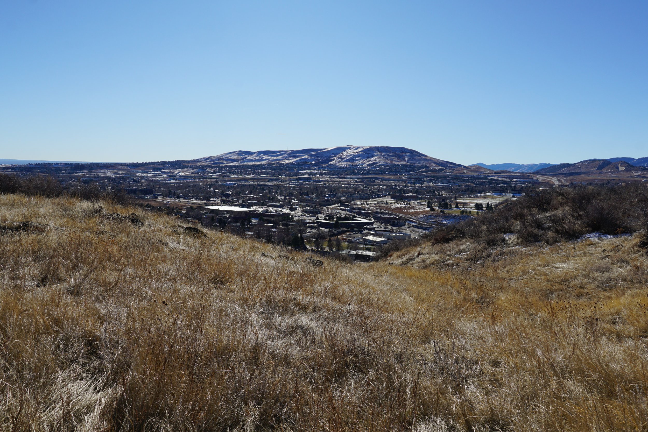
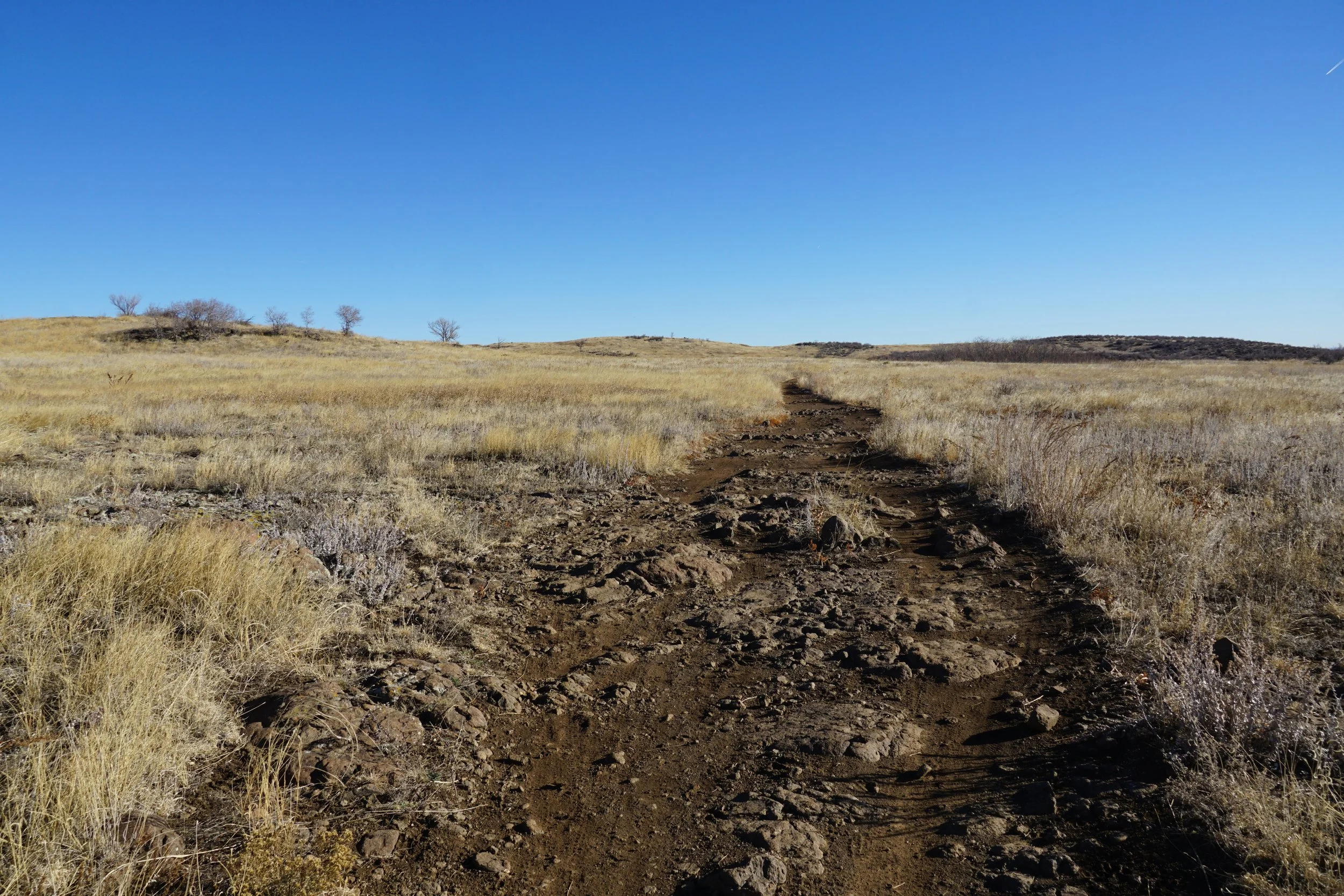
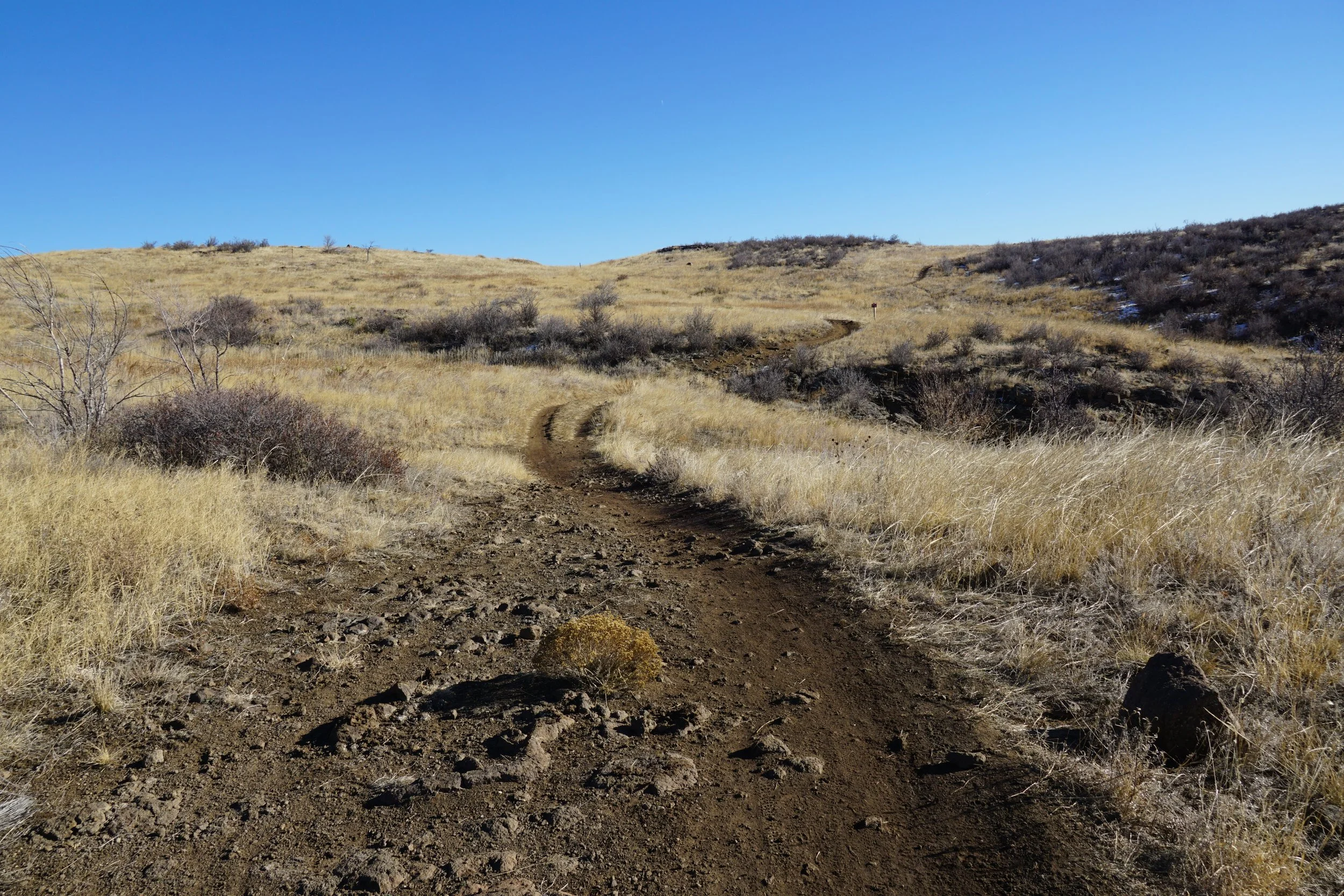
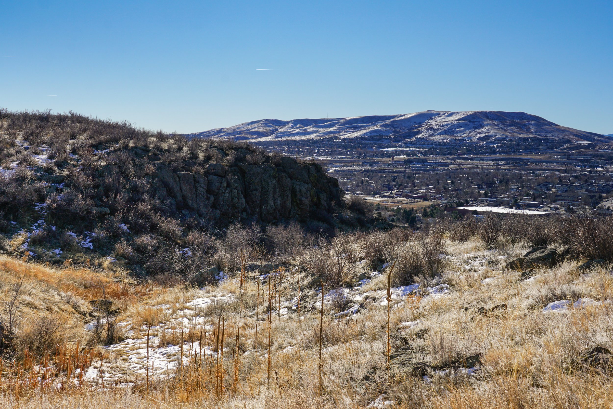
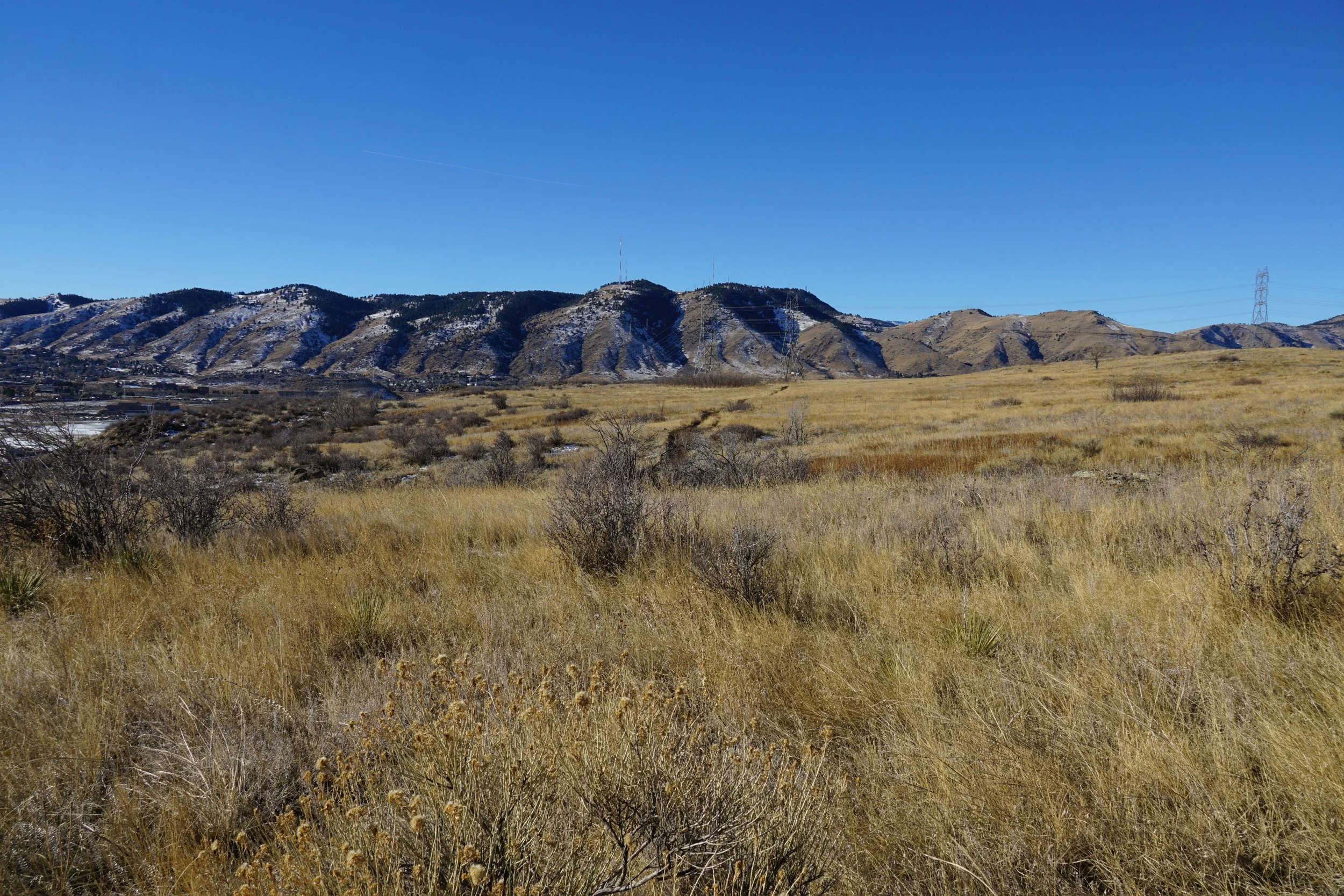
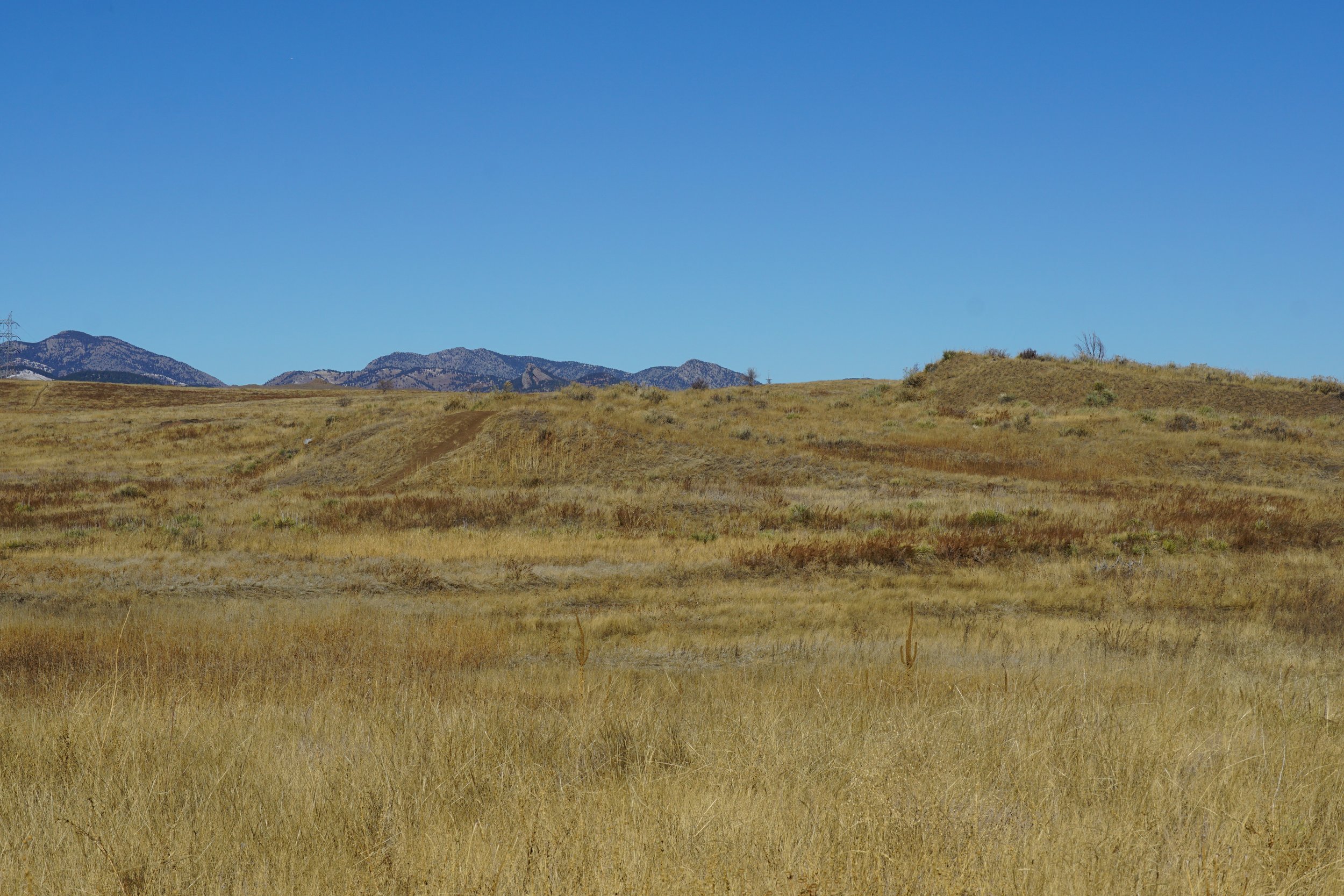
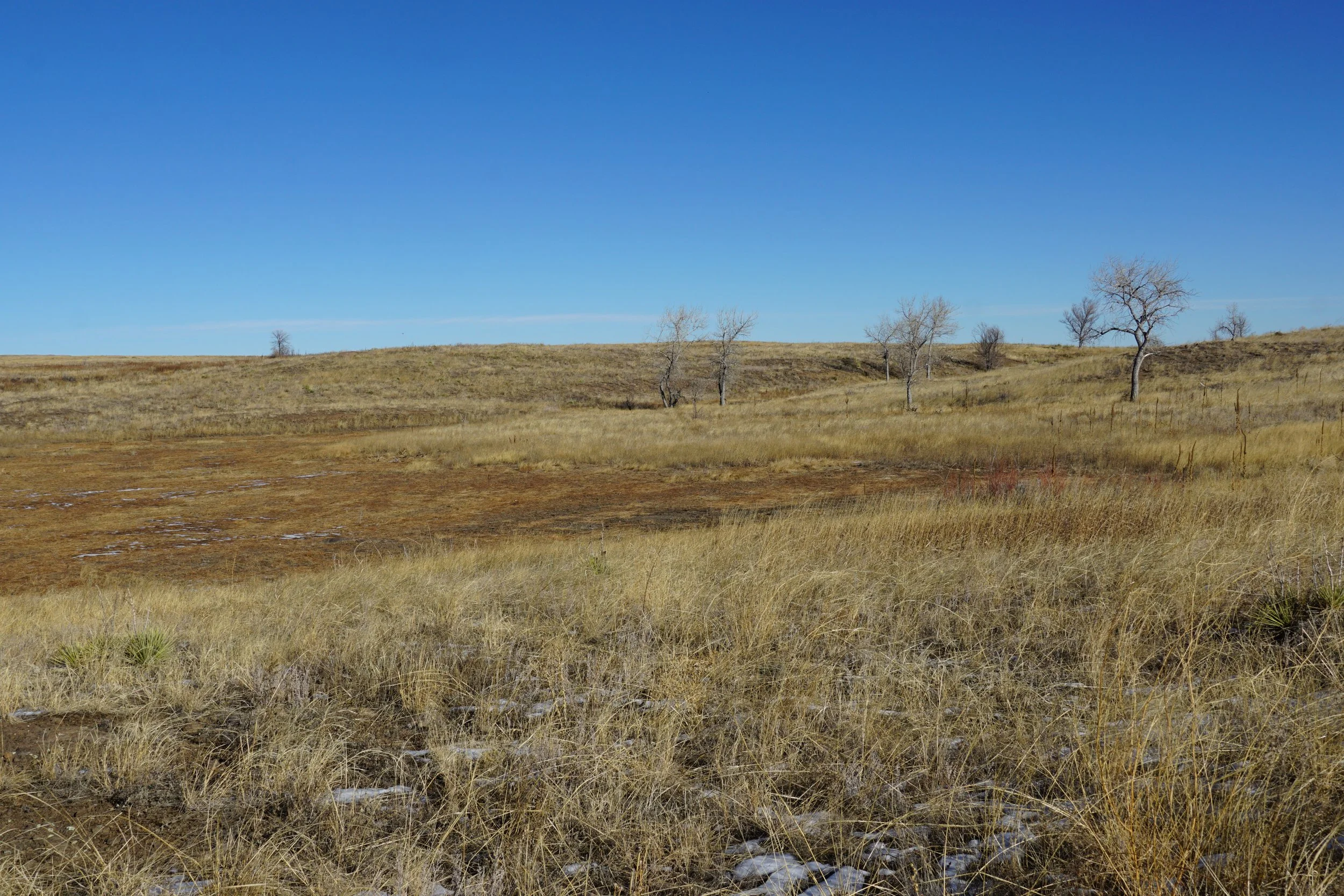
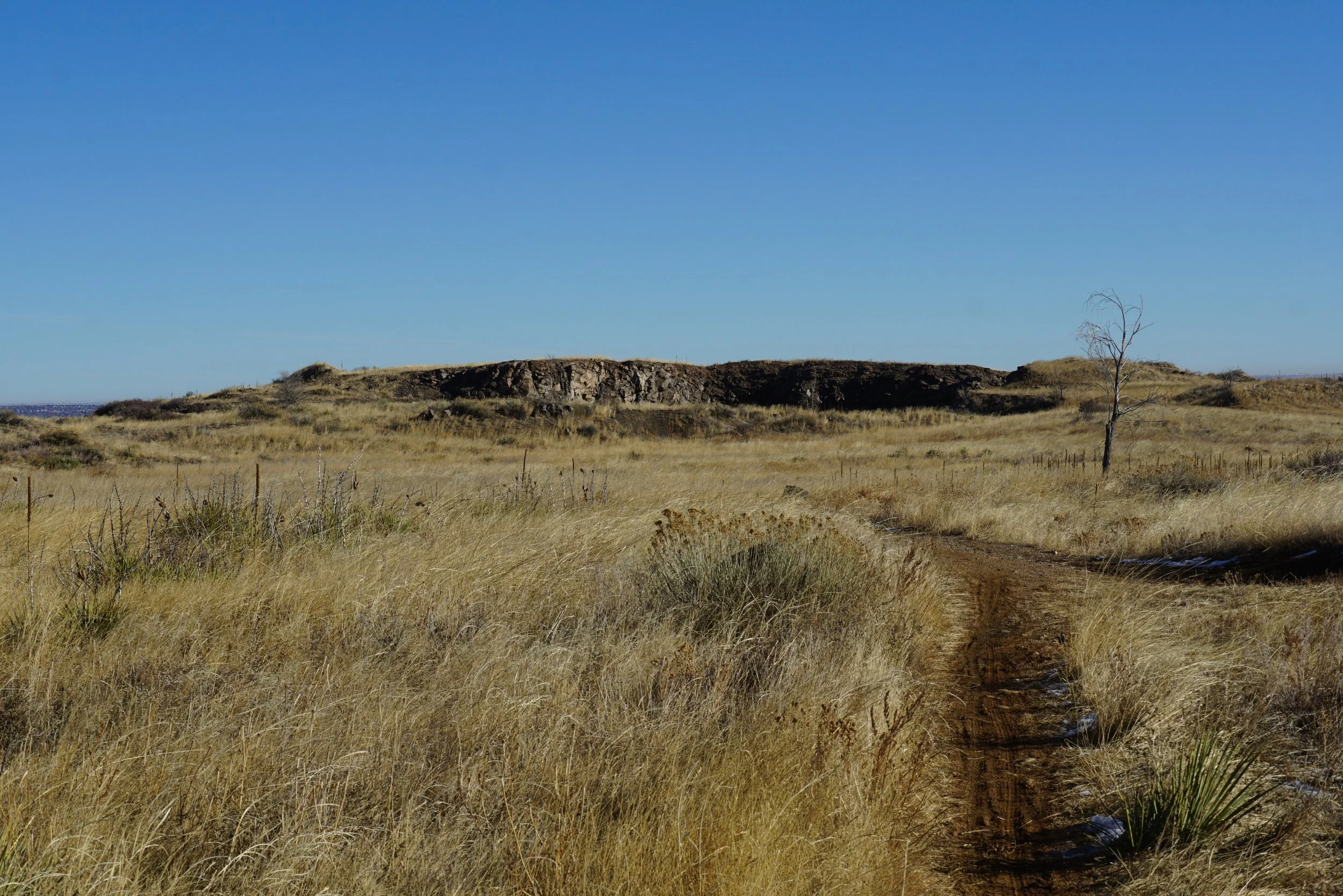
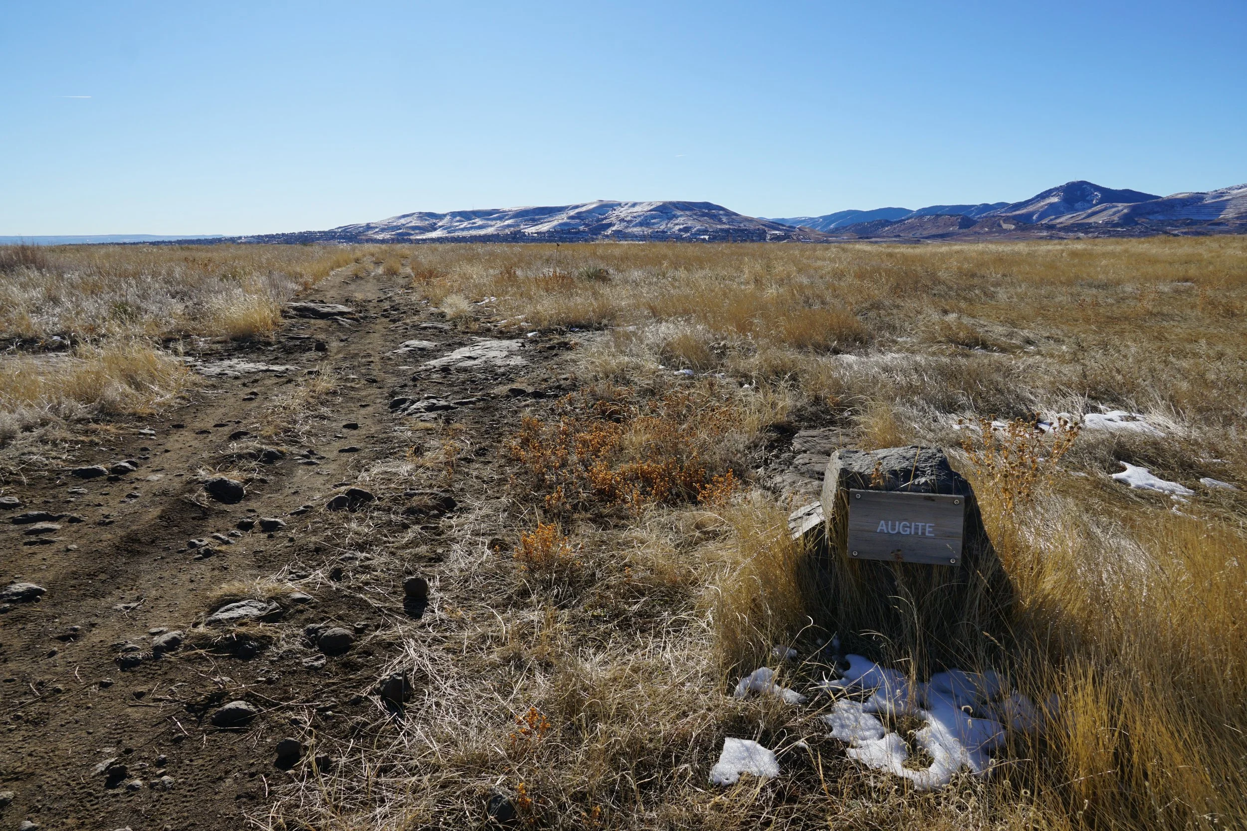
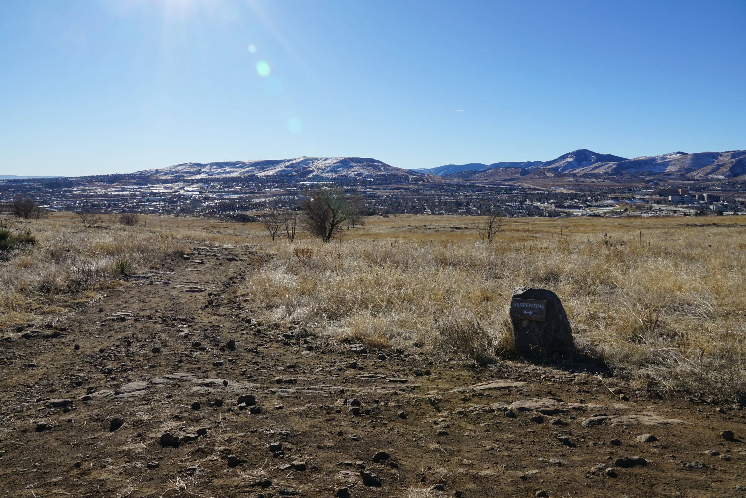
The Serpentine Trailhead starts about halfway up the western slope of the mesa. As the trail climbs up to the mesa top, you are treated to views of the western mesa cliffs and Castle Rock as they rise above Golden. A collection of switchbacks allows the trail to climb gently without it ever getting too steep. After a bit more than half a mile of hiking, you’ll arrive at the mesa top and the junction for the Dome Flow Trail. Turn right and follow the Dome Flow Trail as it cuts across the southern half of the Mesa Top. Hike across the grasslands for another half a mile to the Serpentine Trail Junction. At this point you can bear left to stay on the Dome Flow Trail or stay straight for the Serpentine Trail. Either way, use the Augite Trail to form a small half mile loop. After the loop, follow the same route back to the Trailhead.
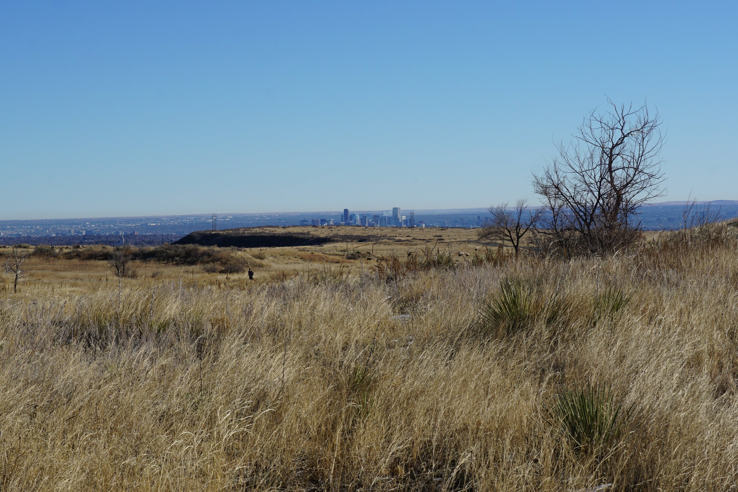
This loop is a great way to explore the mesa south of Golden. The views of Golden, the Denver Area Foothills, and the mesa itself make it a great option for hikers of all skill and conditioning levels.