Scott Lancaster Memorial Trail
Clear Creek County Open Space
Date Hiked: May 29, 2020
Distance: 2 mi (RT);
Elevation Gain: Minimal
Elevation: 7,300 ft
Trailhead Lat/Long: 39.74512, -105.43961
Managing Agency: Clear Creek County Open Space
Fee: None
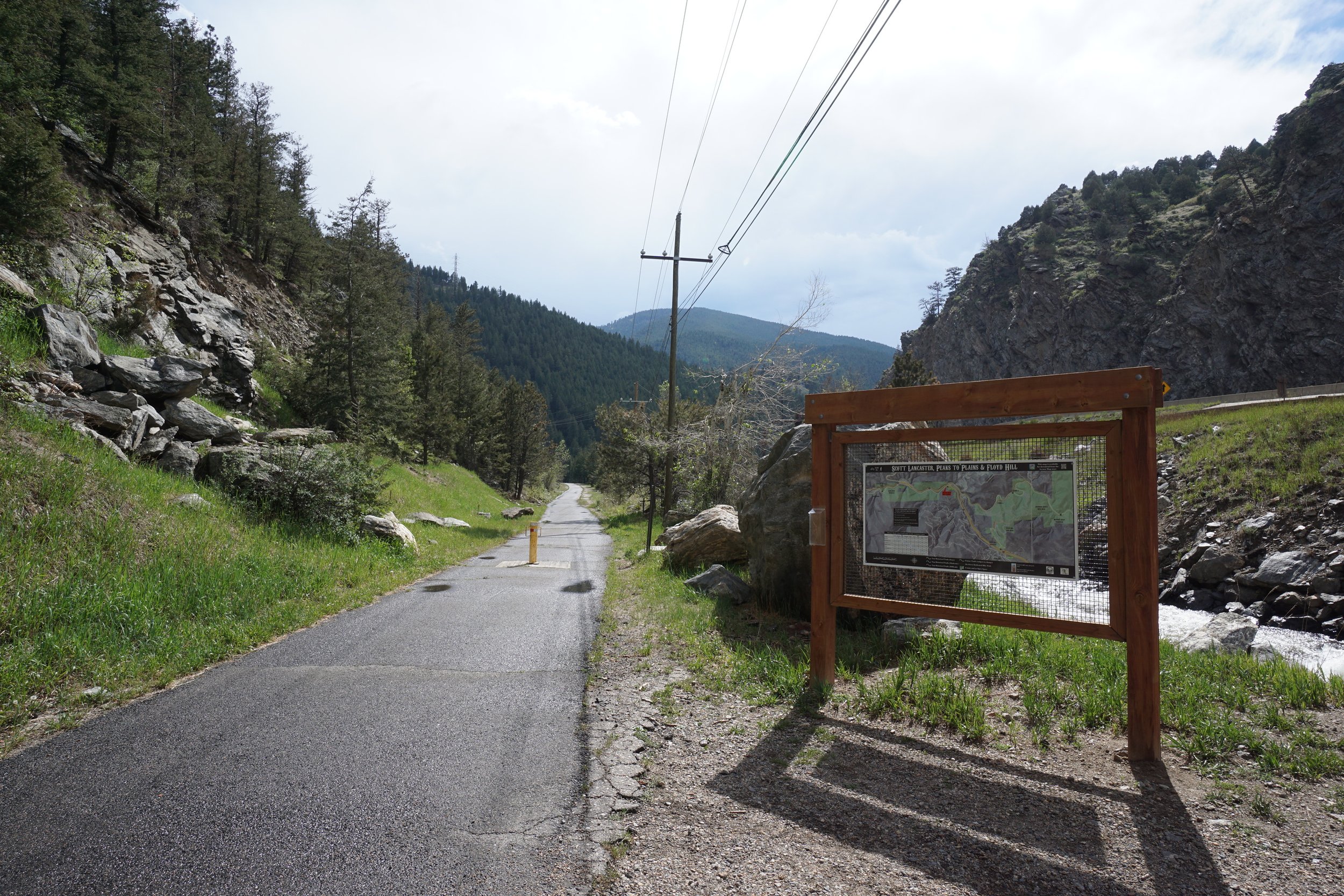
DIRECTIONS:
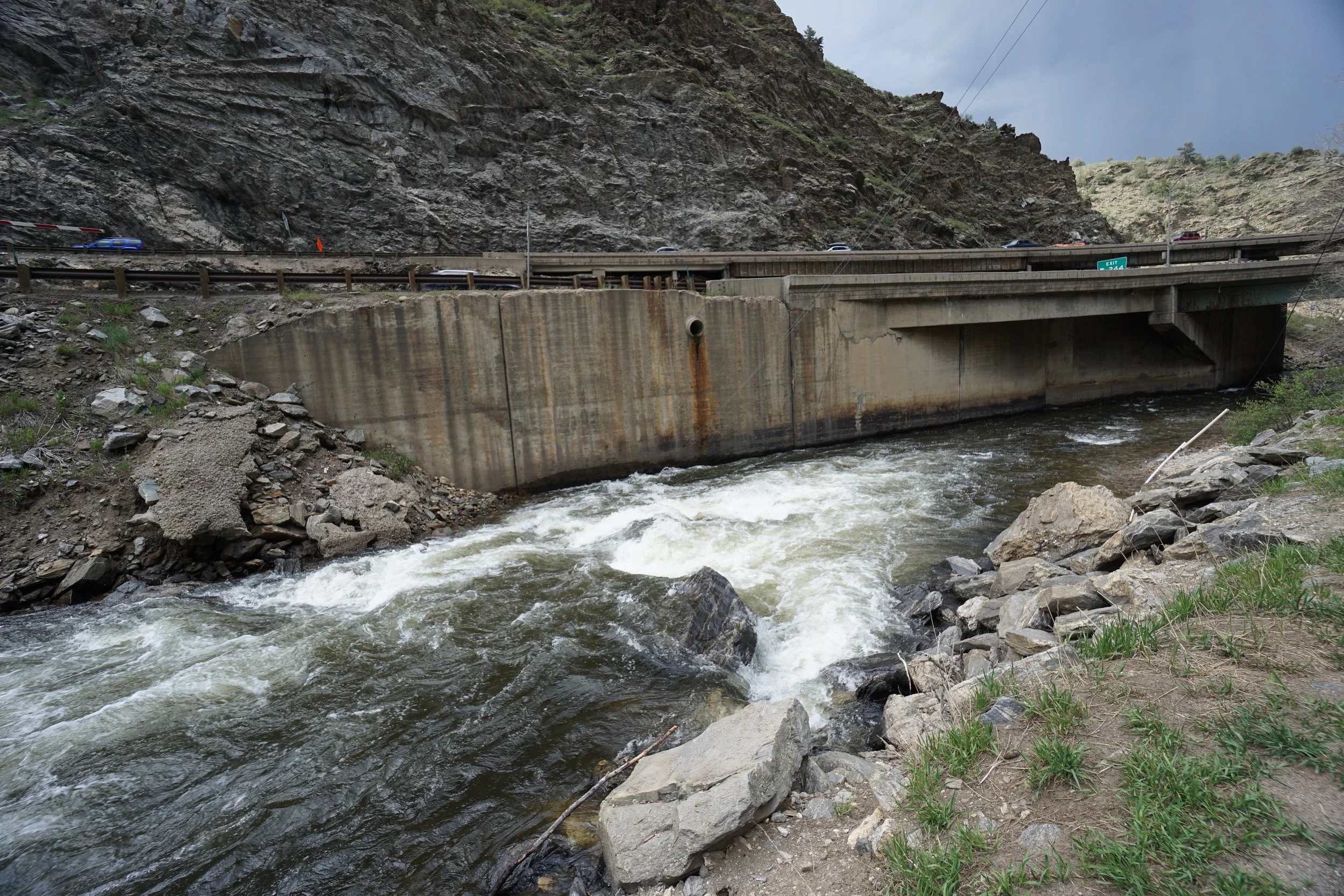
From Denver, take I-70 west into the foothills to the Beaver Brook Exit. Exit I-70 and follow the frontage road (US 40) west parallel to the highway. Descend down Floyd Hill until you reach the intersection with US 6. Turn left (west) on US 6 and after a few minutes, turn left again, crossing Clear Creek. Turn right onto a good dirt road and follow it under the highway to the trailhead. There is parking for a few cars on the side of the road.
HIKE DESCRIPTION:
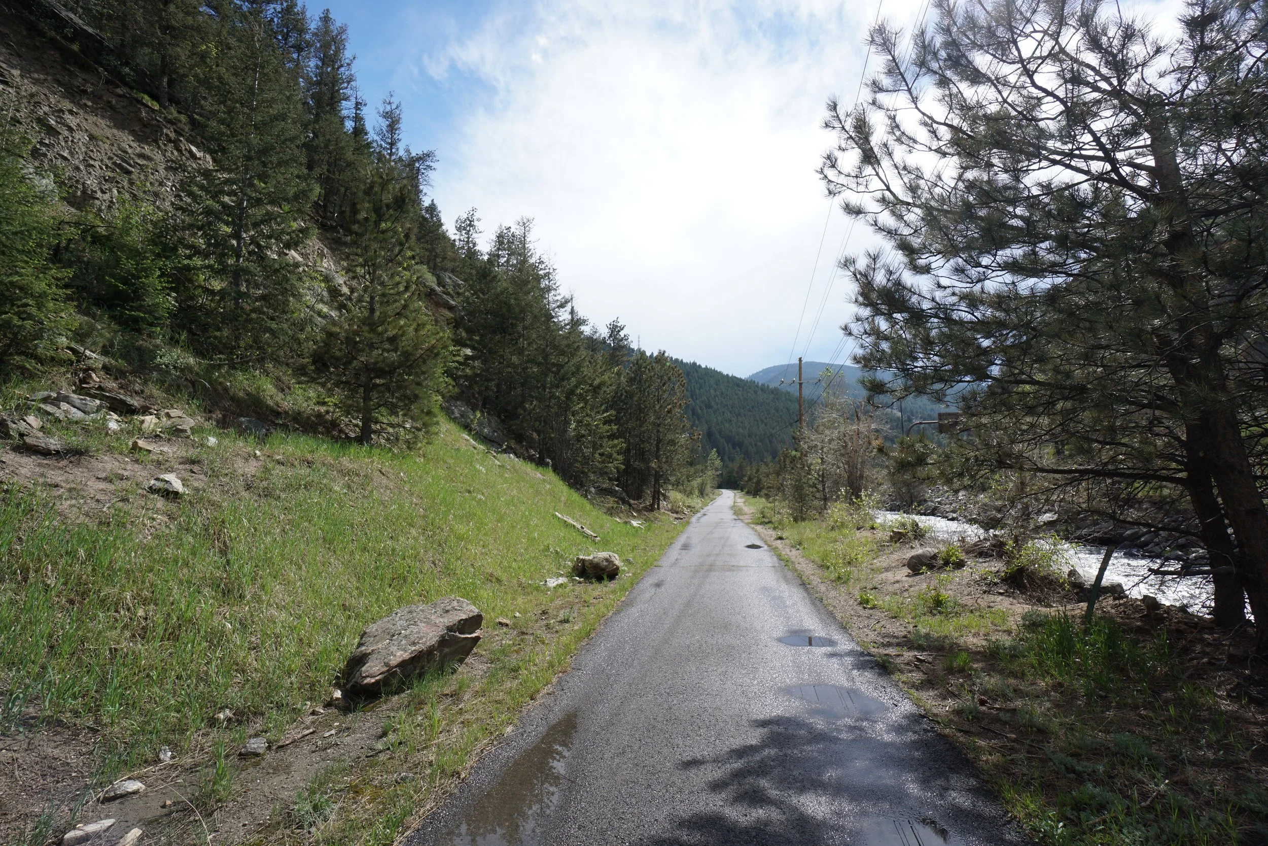
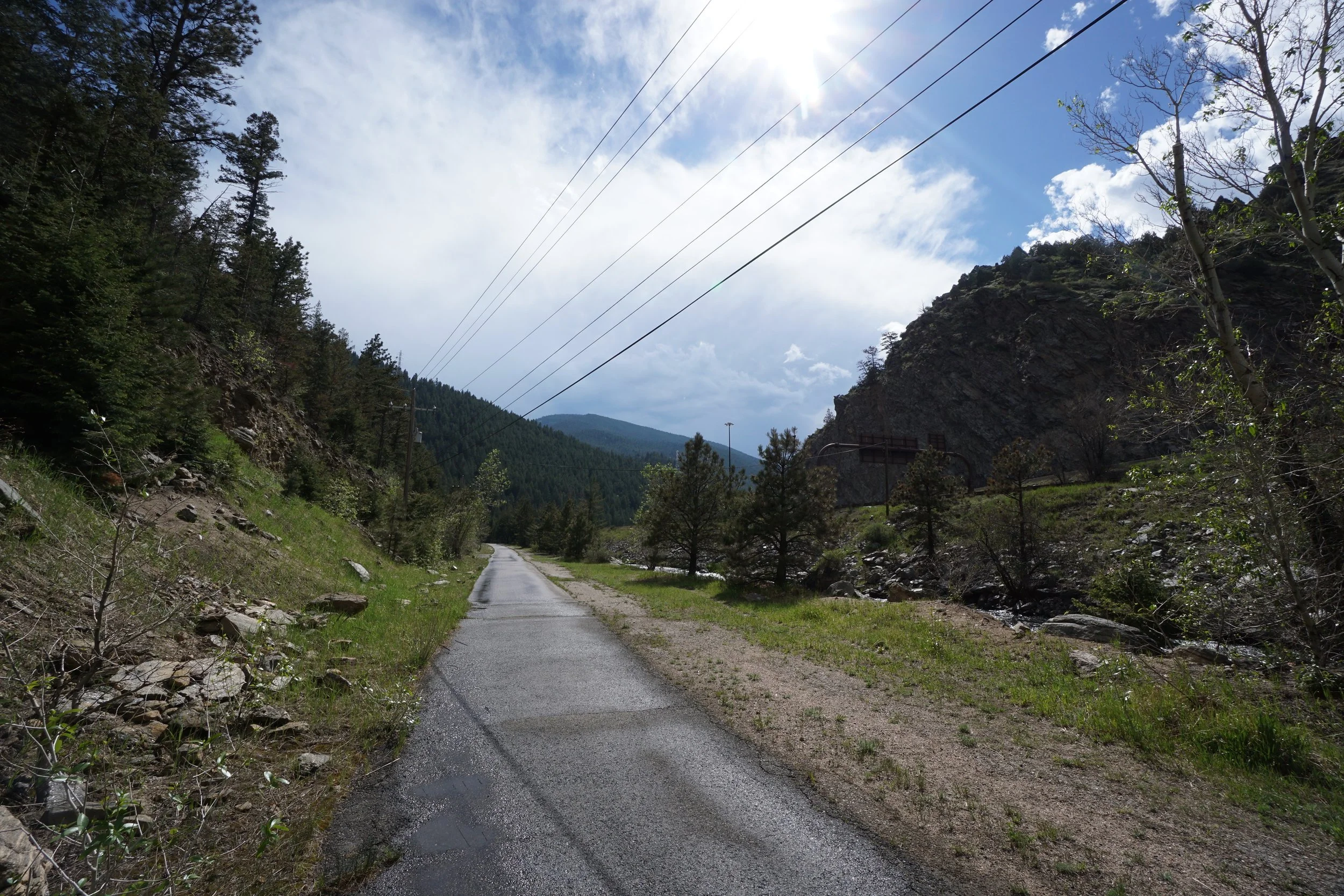
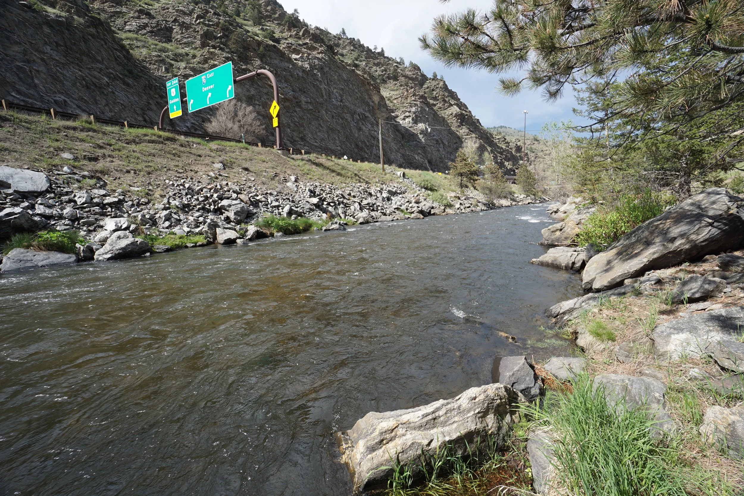
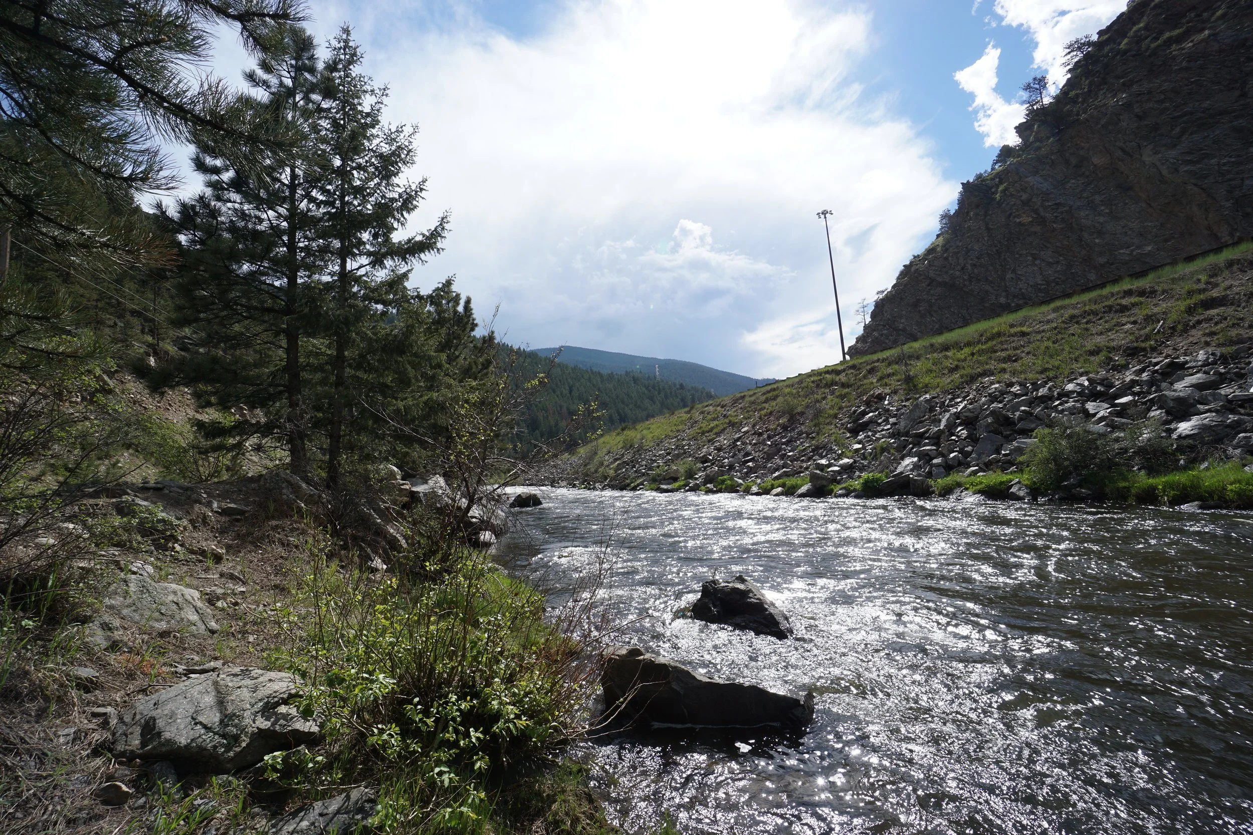
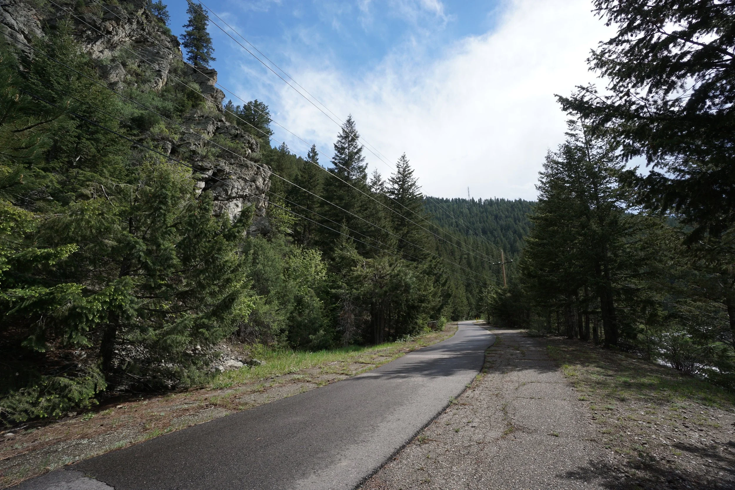
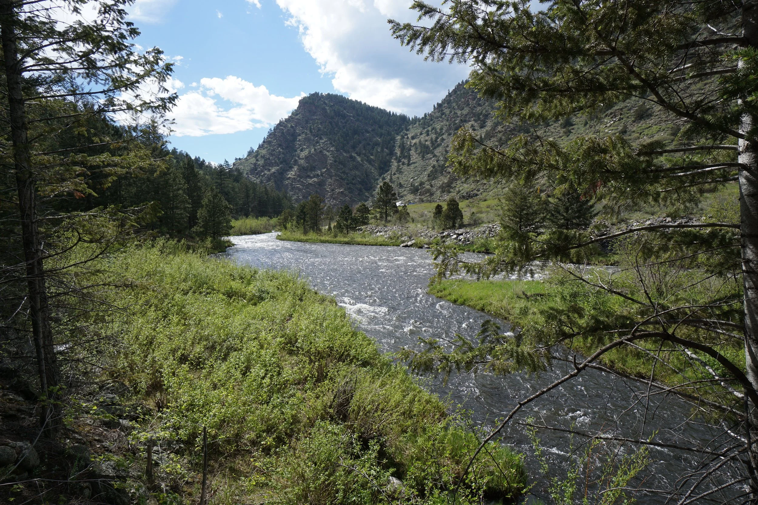
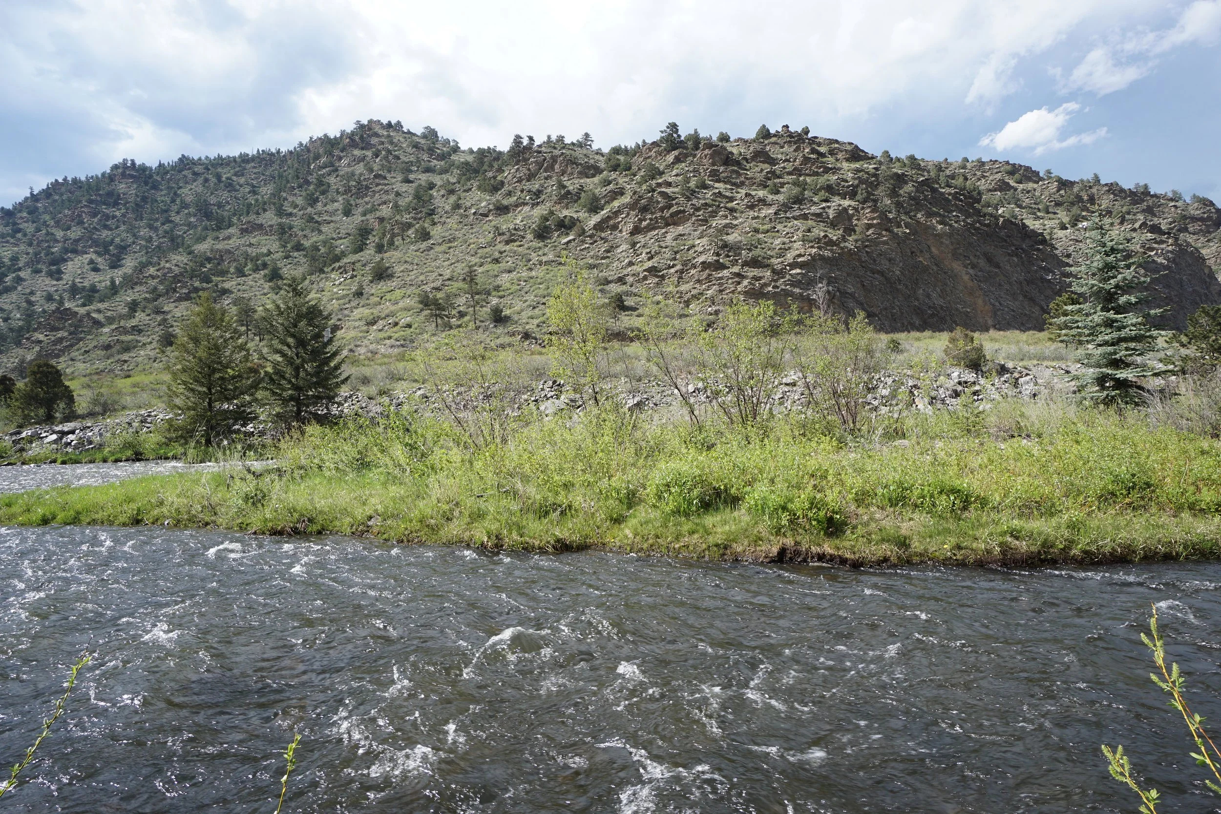
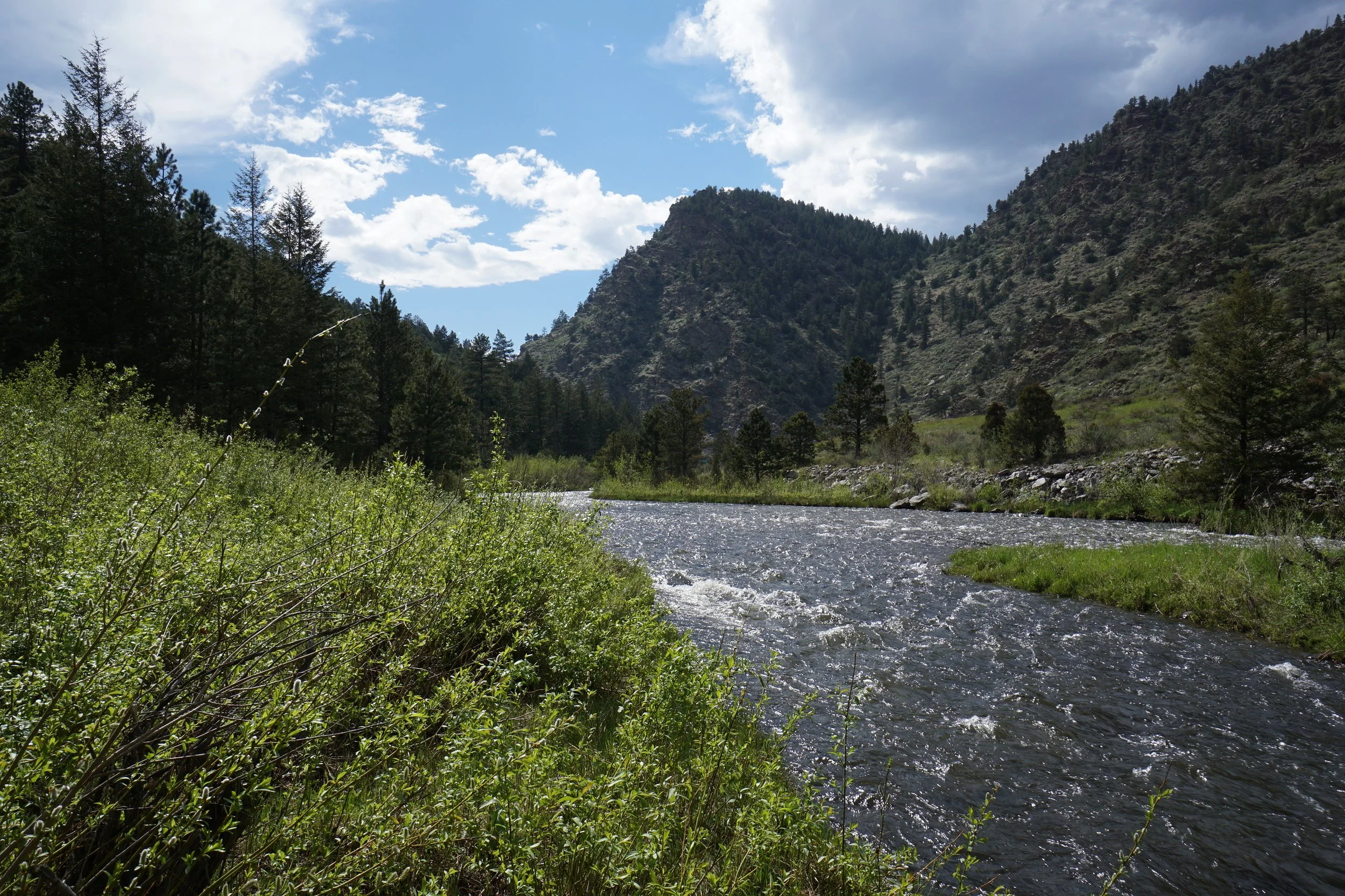
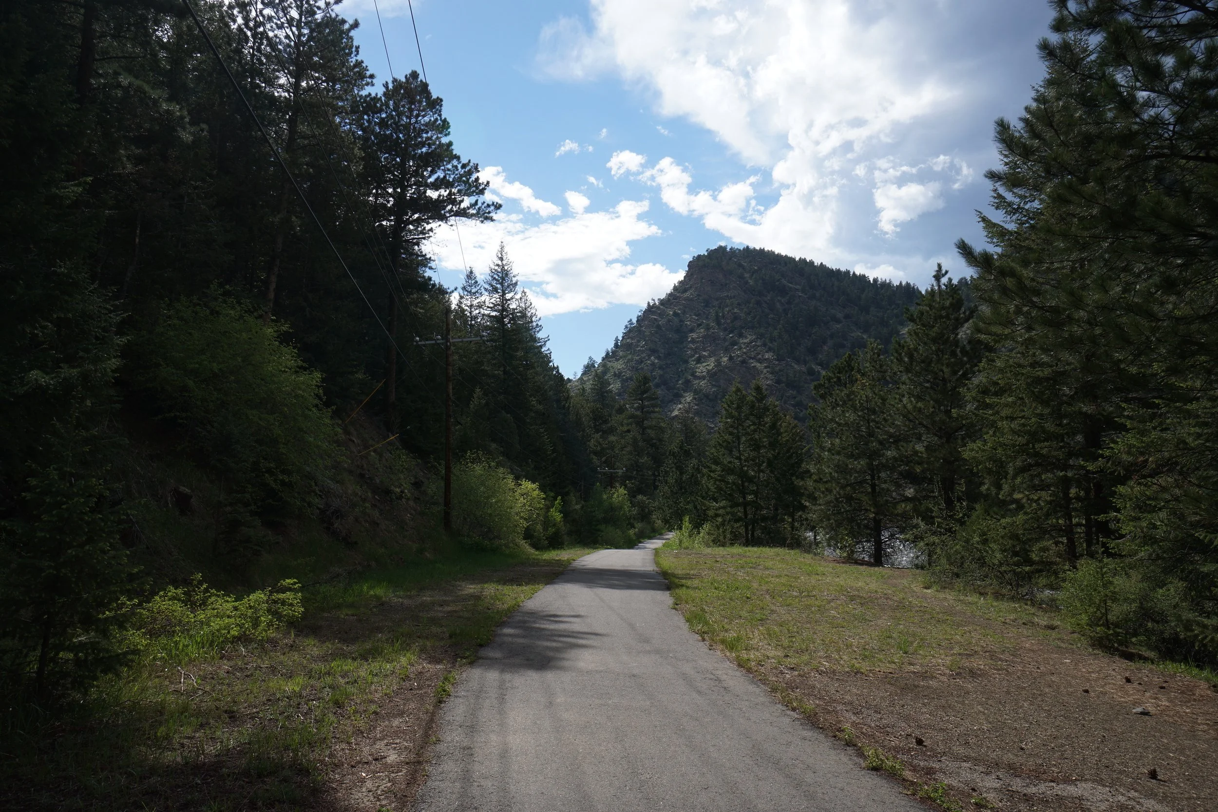
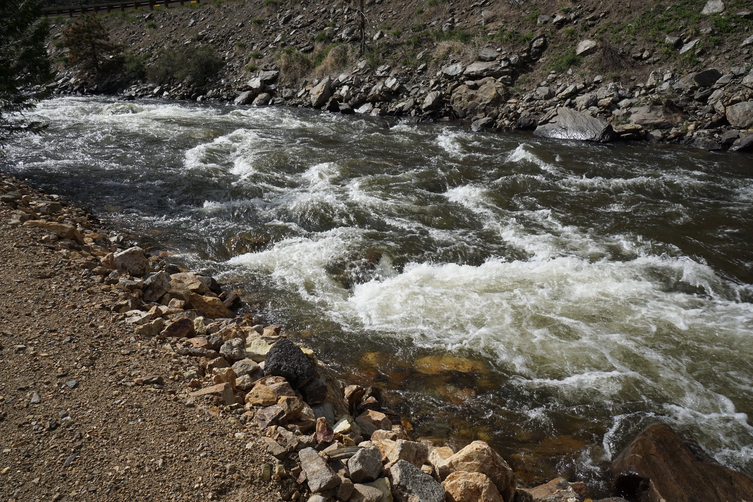
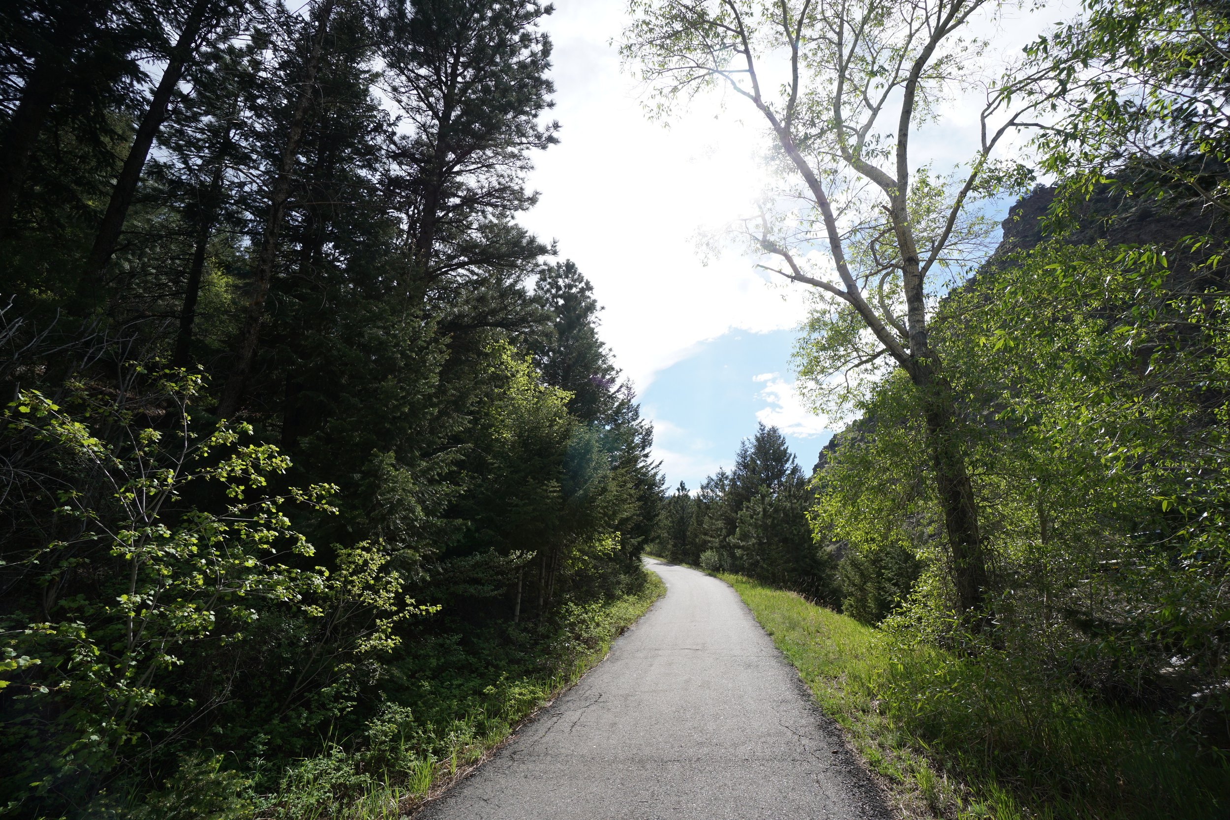
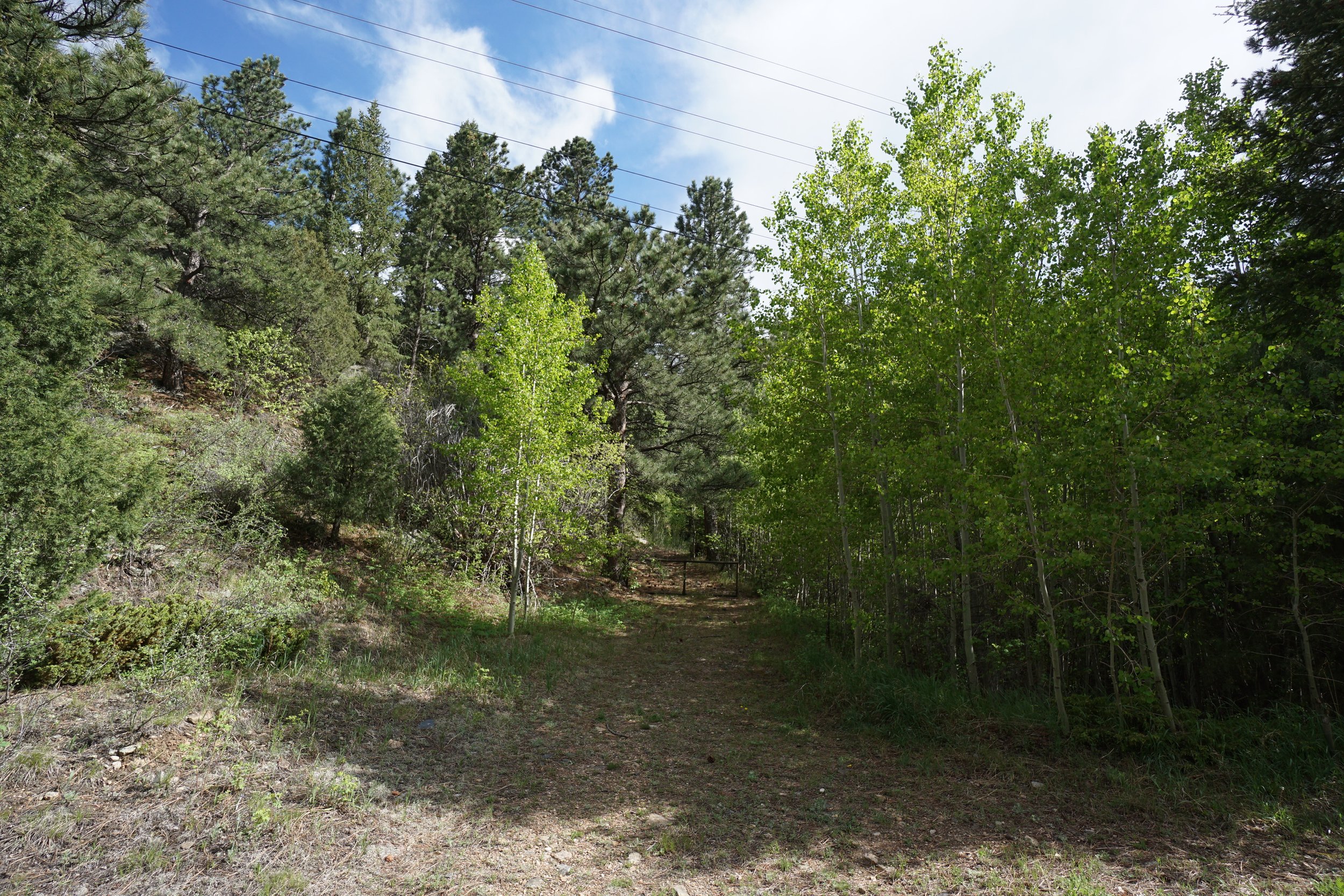
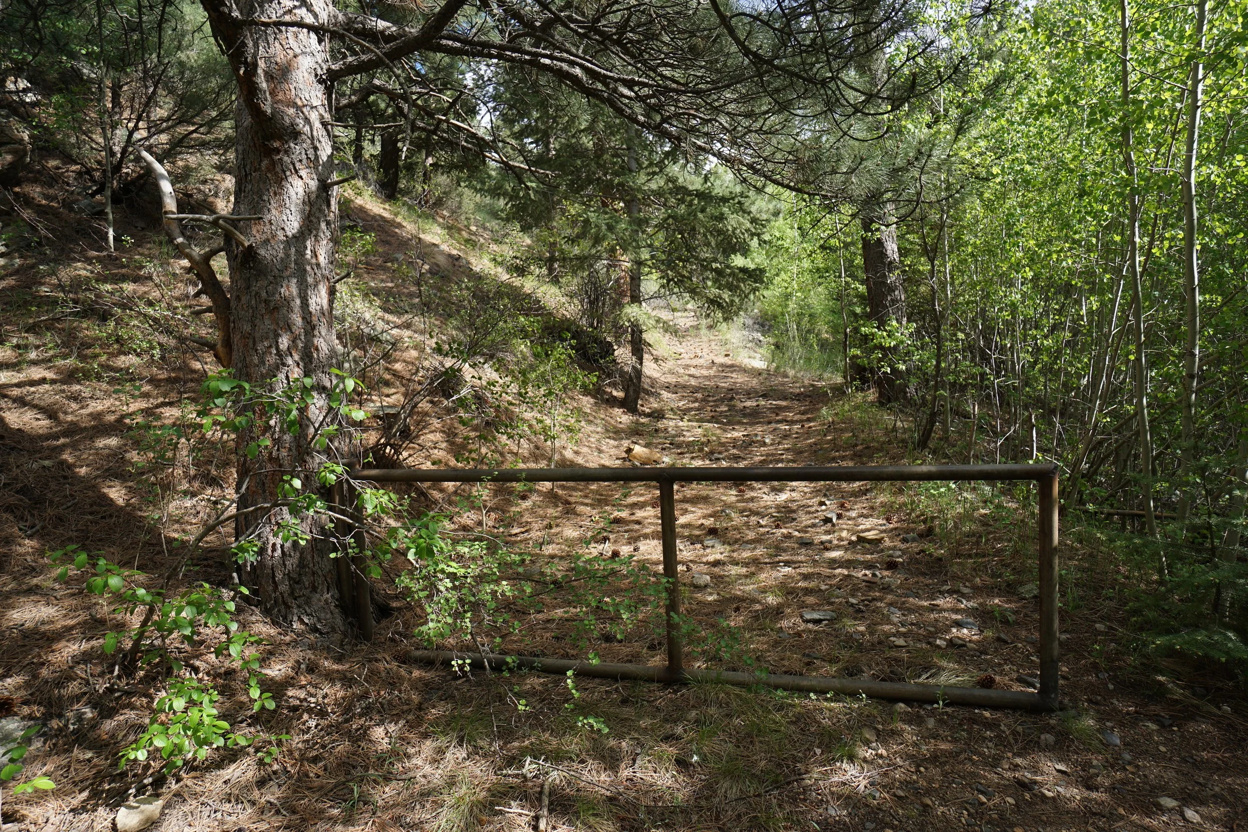
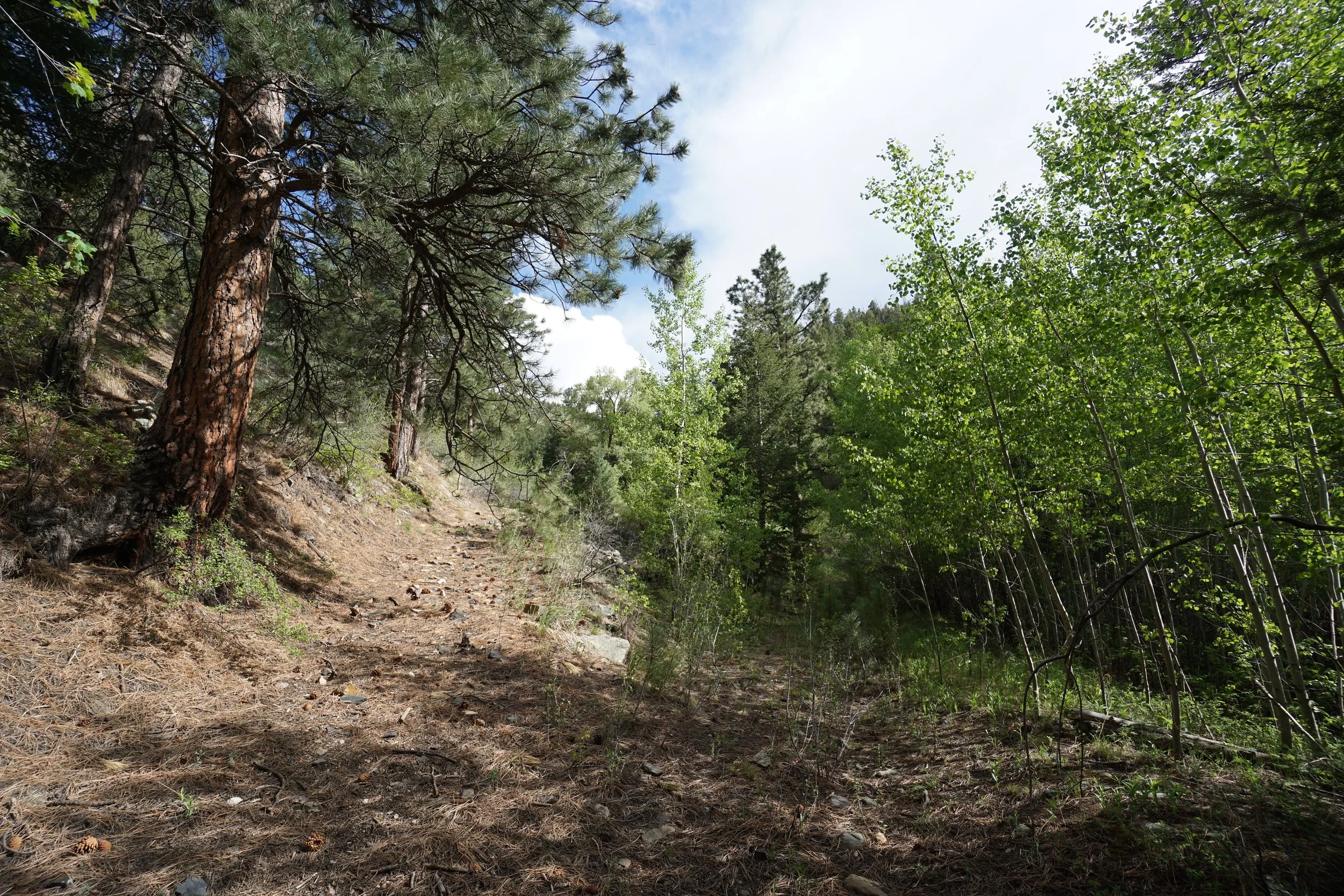
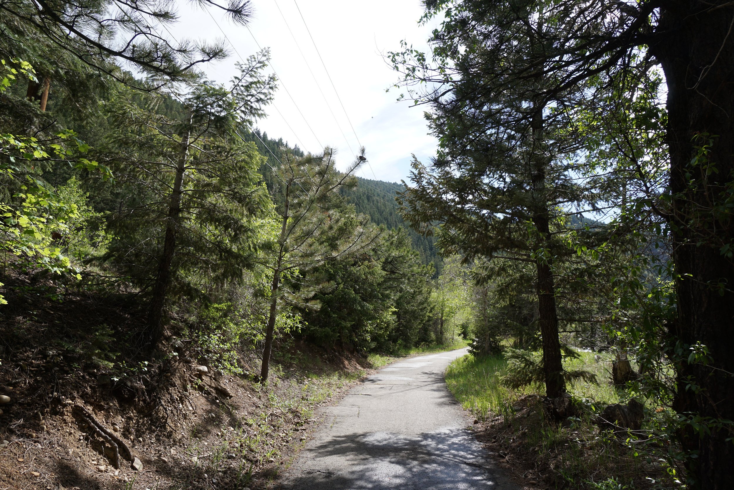
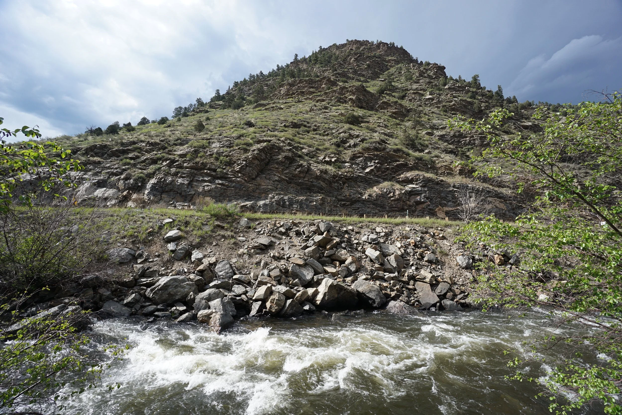
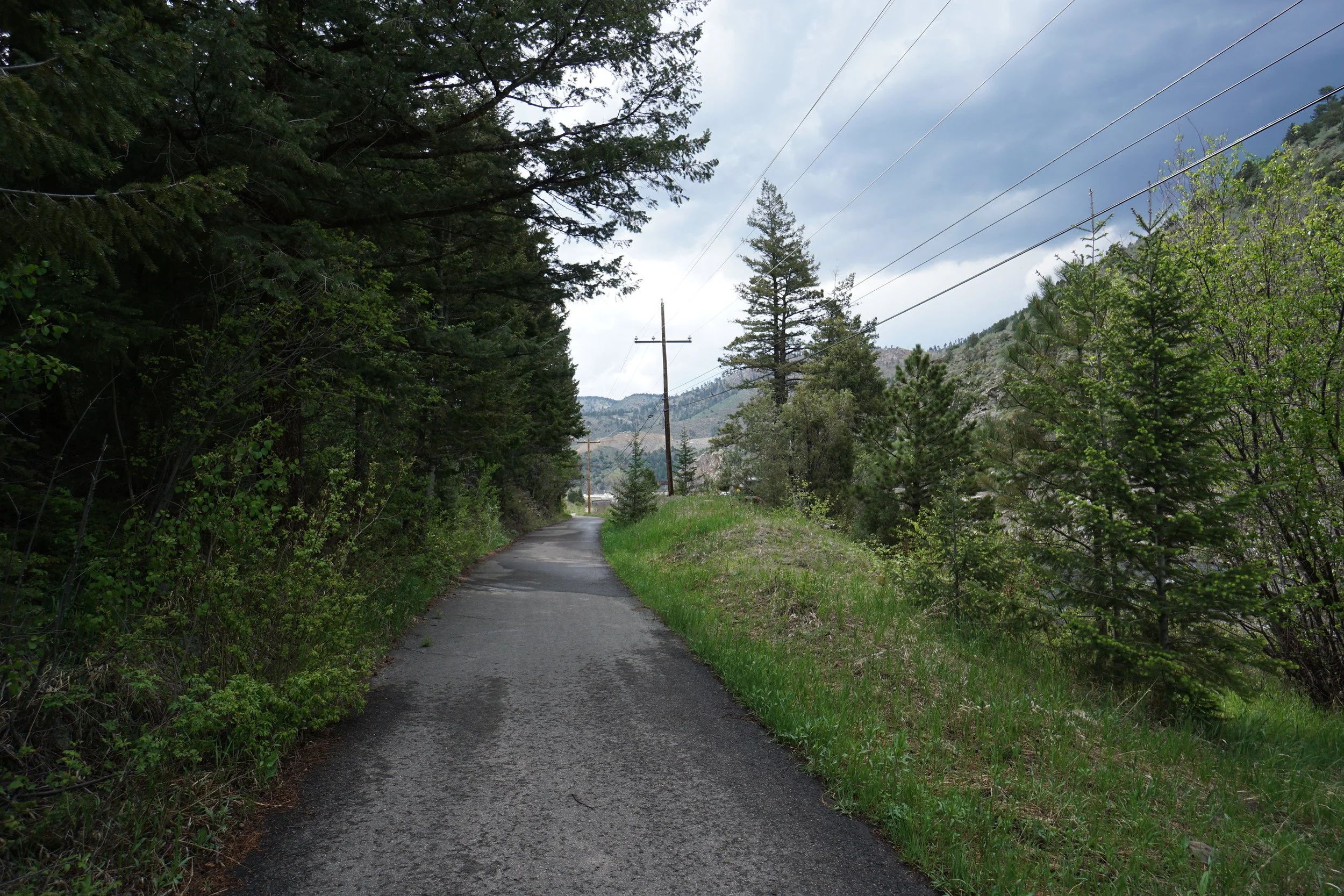
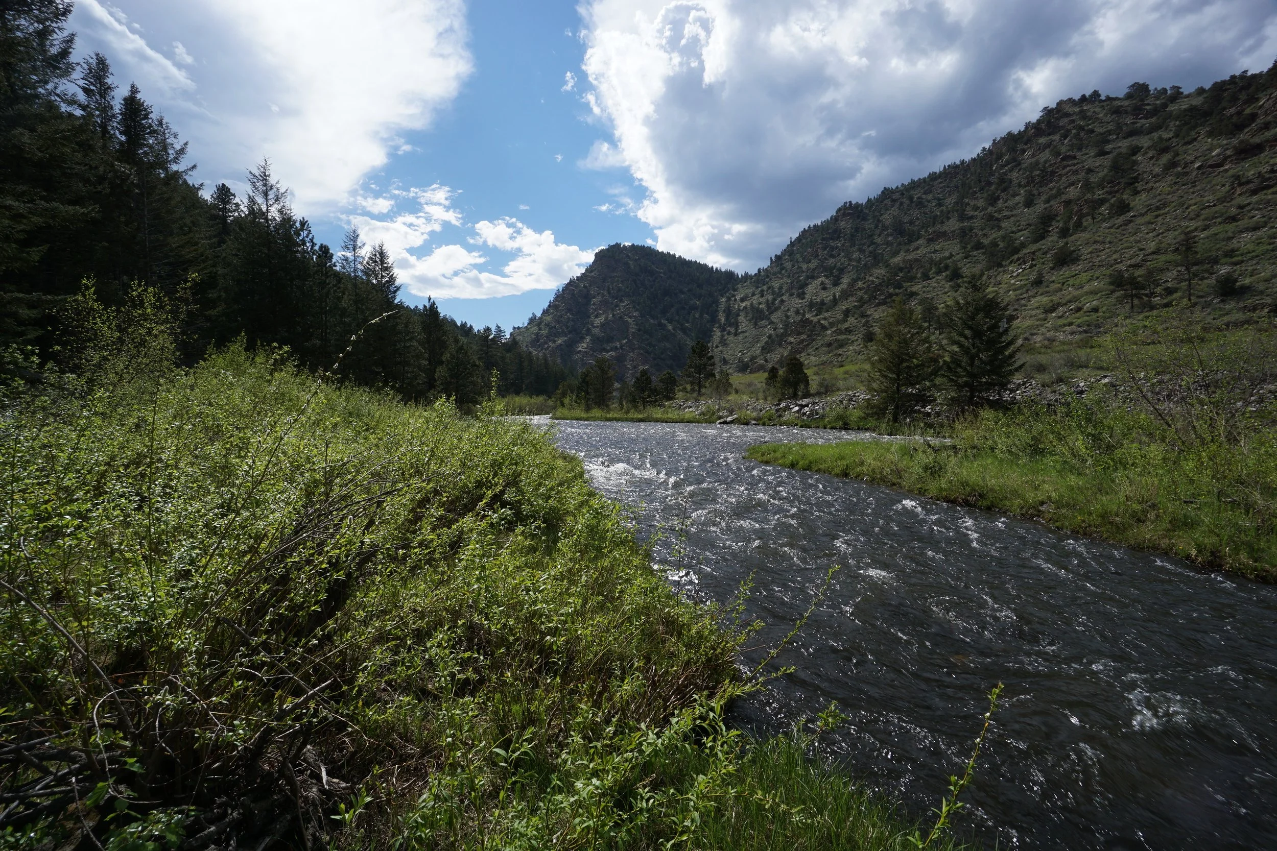
The Scott Lancaster Memorial Trail is a paved biking and walking trail that follows Clear Creek in a section along I-70 from the bottom of Floyd Hill towards Idaho Springs. The trail passes through pine forest and has multiple access points to Clear Creek. The trail also offers nice views of the canyons east of Idaho Springs.
The first portion of the trail is flat with easy access to the creek. An oxbow in the creek provides nice access to a riparian environment with beautiful views up-creek. The trail then climbs and descends a small forested hill before flattening again. After you descend the hill another bend in the river offers a nice spot for relaxing along the creek. This spot is about a mile from the trailhead and serves as a good turnaround point.