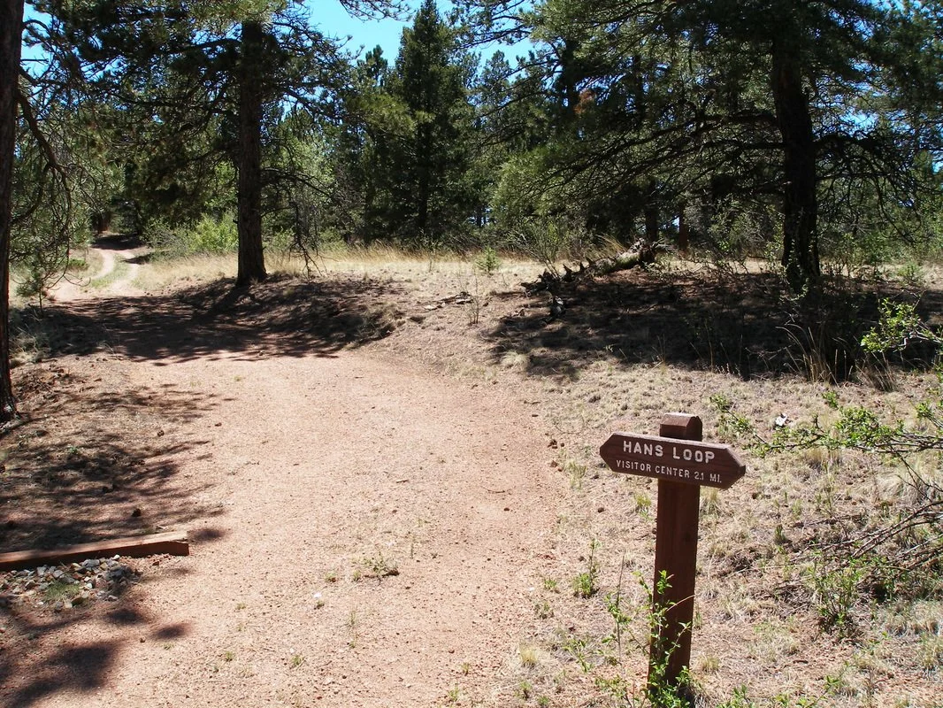
Sawmill > Hans Loop > Boulder Creek Loop
Florissant Fossil Beds National Monument
Date Hiked: June 5, 2008
Distance: 4.8 mi (RT)
Elevation: 8,400ft
Elevation Gain: 500ft
Trailhead Lat/Long: 38 54' 49.75'' N; 105 17' 11.23'' W
Managing Agency: National Park Service
Fee: Yes
Directions (from NPS website):
Visitors traveling north/south on I-25: Exit at US 24 West, travel 35 miles to town of Florissant, then follow signs two miles south to the visitor center on Teller County 1. Visitors traveling east/west on US 24: Exit to the town of Florissant, then follow signs two miles south on Teller County 1 to the visitor center. Visitors traveling from the town of Cripple Creek: Follow Teller County Road 1 north for 16 miles.
Hike Description:
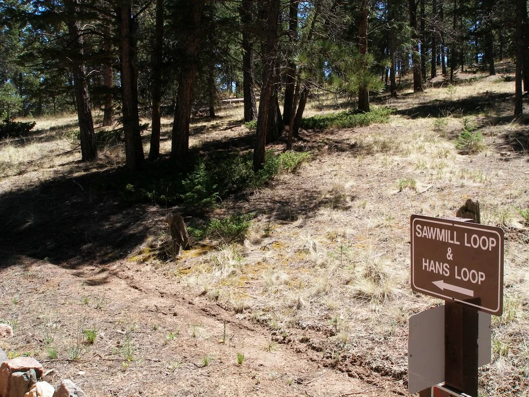
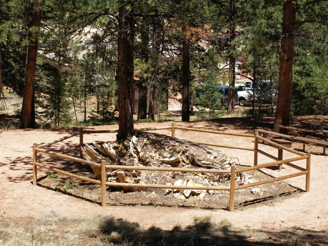
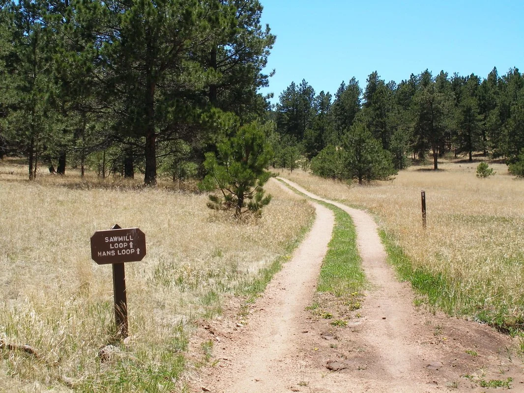
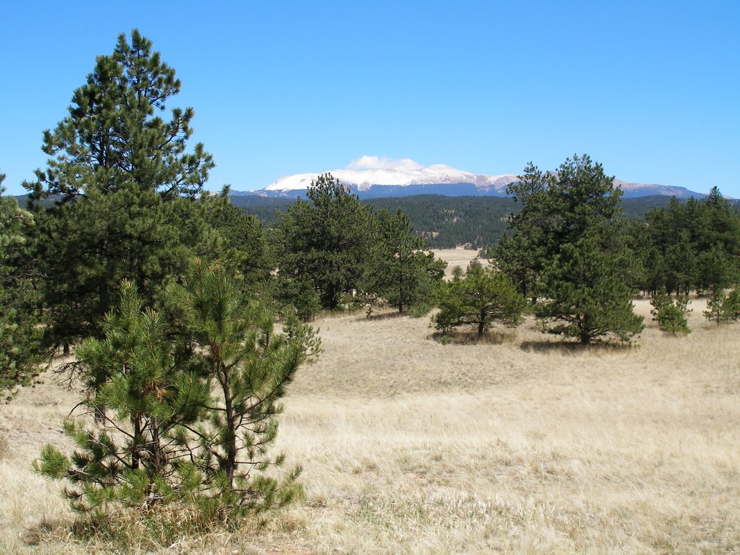
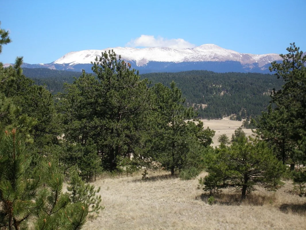
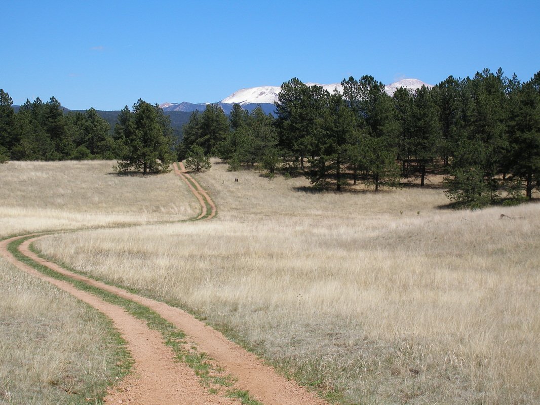
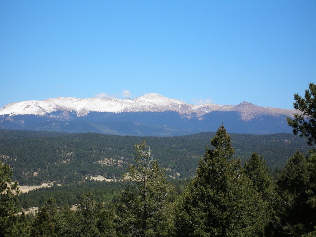
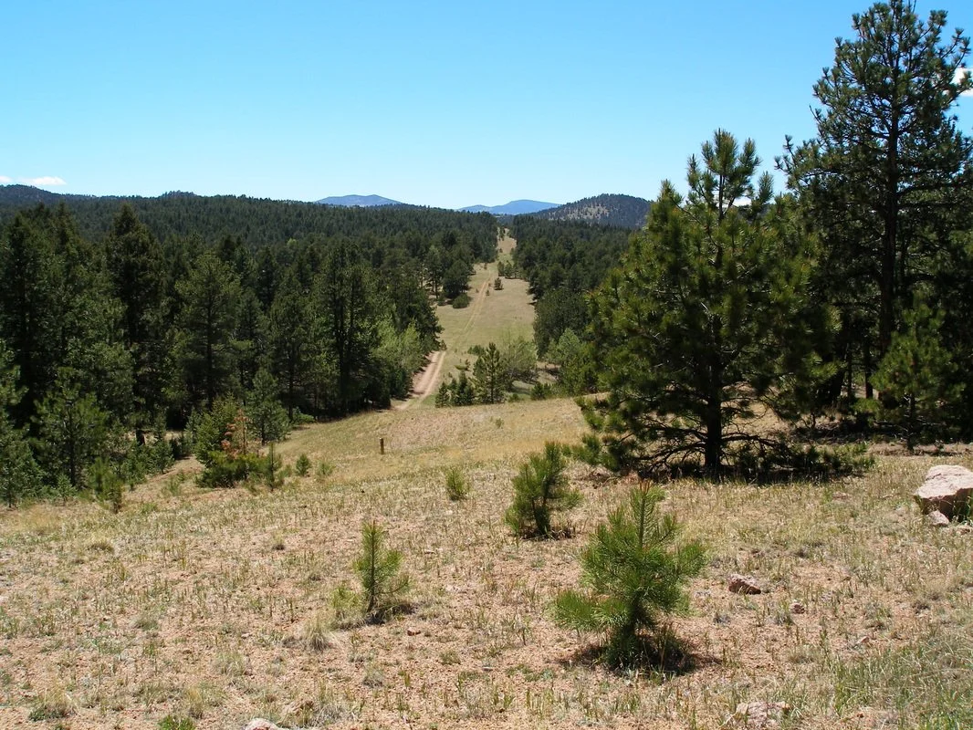
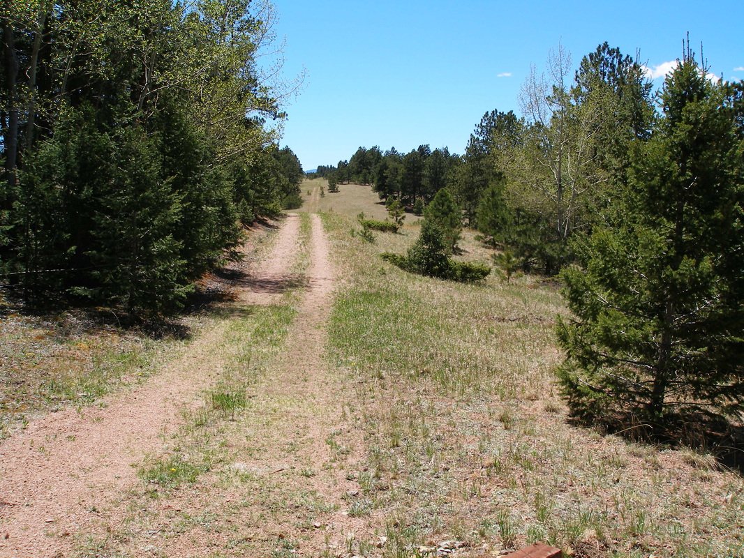
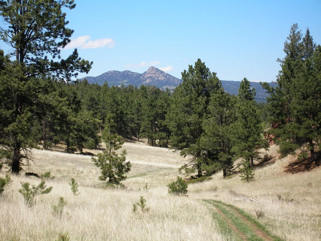
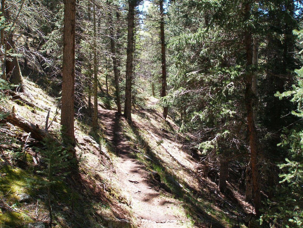
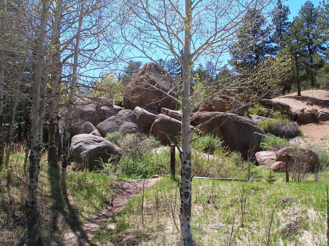
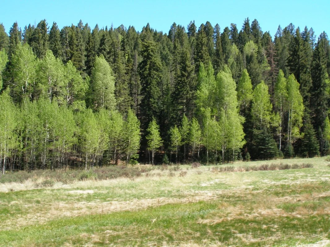
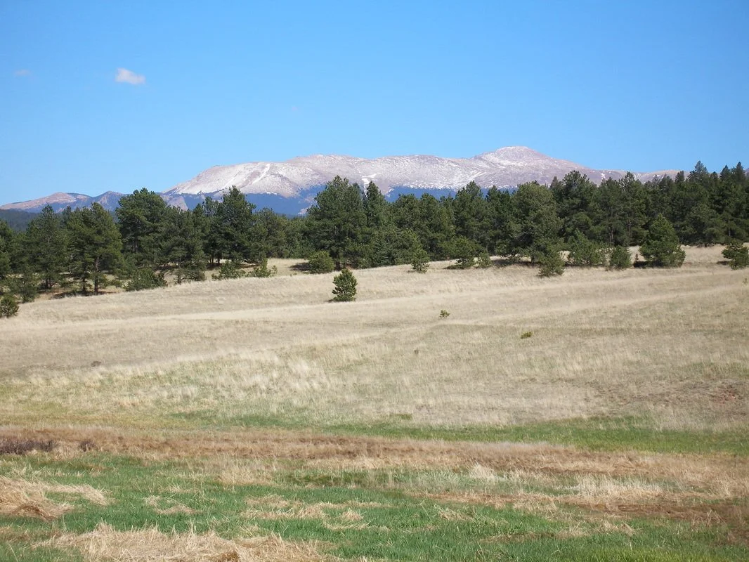
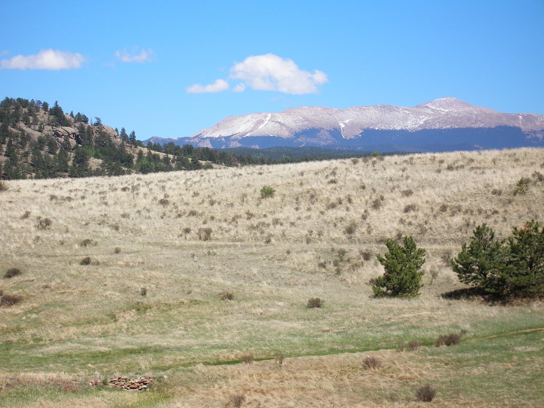
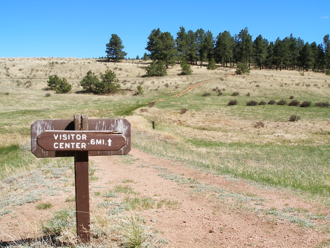
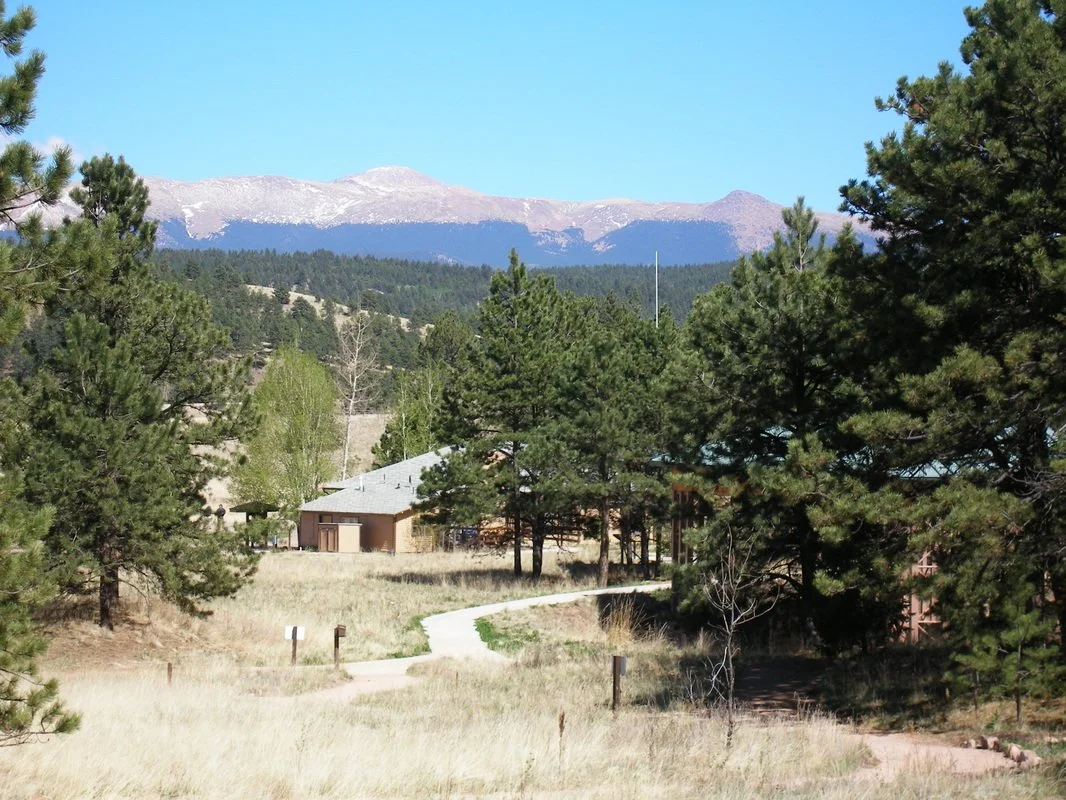
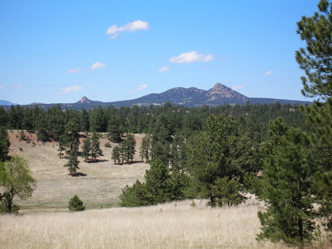
This hike provides a comprehensive tour of the park’s “backcountry.” The hike follows rolling forested hills, gullies, and aspen forests, that make up the western reaches of the park. From the Visitor Center, head south on the Sawmill Trail through Ponderosa Pine, aspen, and spruce forest. After 1.1 miles you’ll reach a T intersection, turn left onto Hans Loop (or turn right to cut .9 miles from the hike). The trail follows and old road and a utility corridor before reaching the Boulder Creek Trail at the 2.6 mi mark. This part of the trail also contains wonderful views of Pike's Peak to the south.
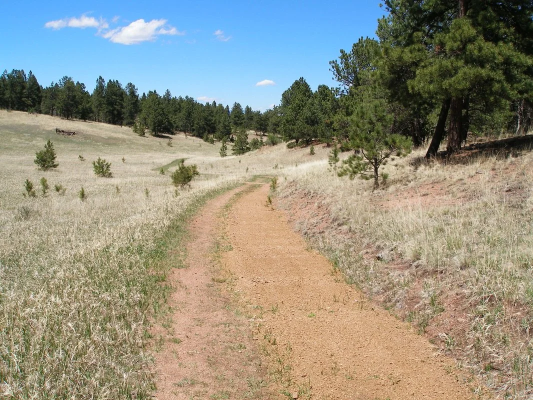
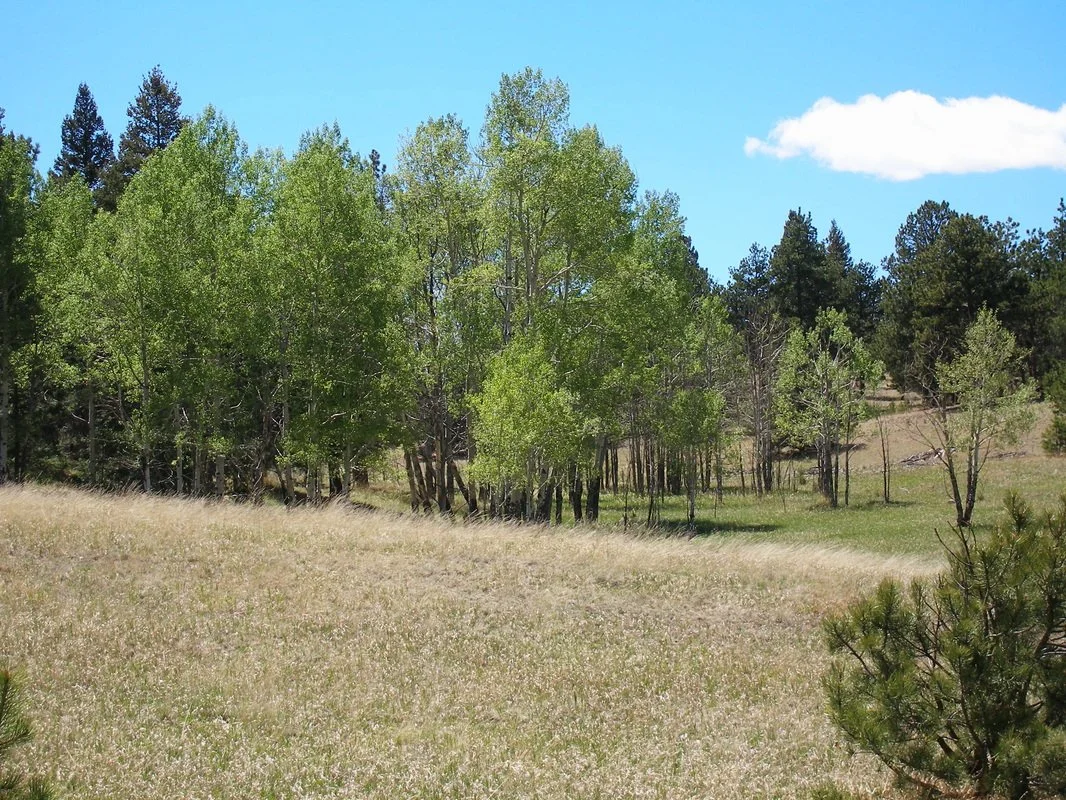
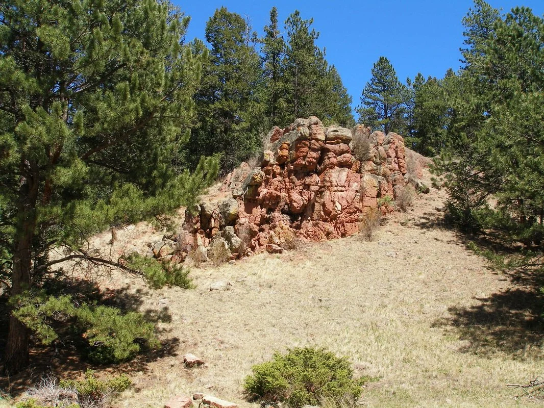
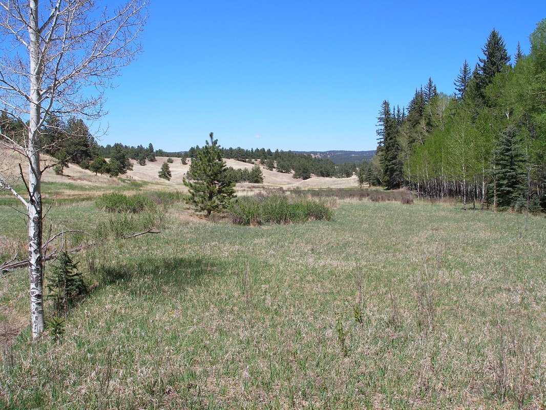
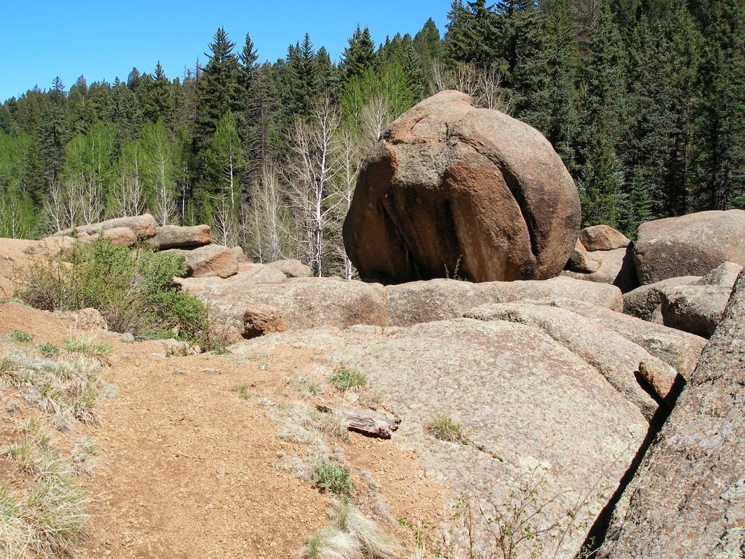
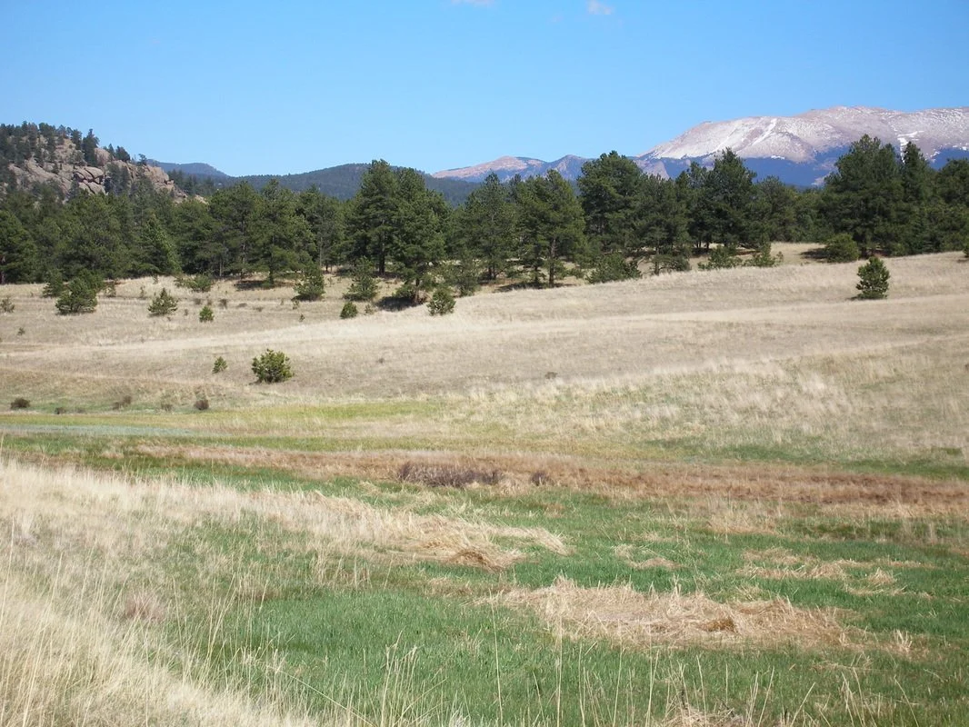
The Boulder Creek Trail gets a bit more exciting with interesting rock outcropping to scramble over and a pleasant mountain valley surrounded by aspen groves. After 1.6 miles on the Boulder Creek Trail turn right (south) and make your way back to the Visitor Center by finishing the Sawmill Trail Loop and enjoying the views of Pike's Peak across the meadow. On your way back, be sure to check out the Ponderosa Loop to get up close and personal with the fossilized Redwood stumps that make this area so unique and fascinating.