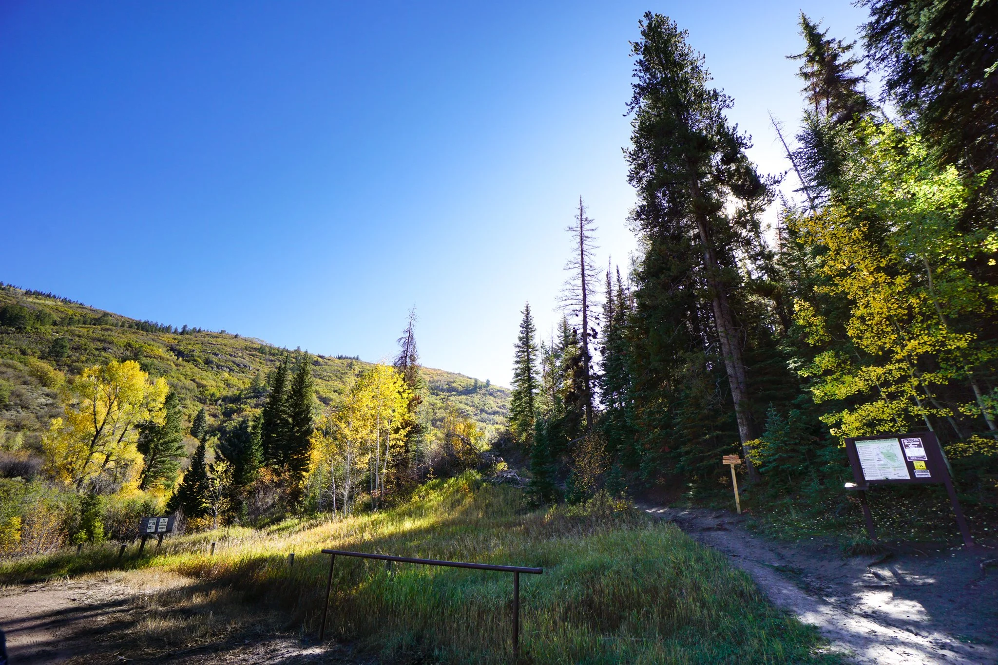
Sarvis Creek Trail
Sarvis Creek Wilderness, Routt National Forest
Date Hiked: October 2, 2026
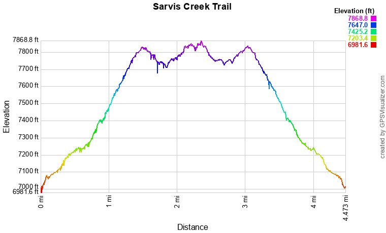
Distance: 4.4 mi (RT)
Elevation Gain: 900 ft
Elevation Min/Max: 7,029 to 7,839 ft
Trailhead Lat/Long: 40.29495, -106.80058
Managing Agency: U.S. Forest Service (USFS)
Fee: None
Directions:
From Steamboat Springs head south out of town on US Hwy 40. Turn right (west) onto CO Hwy 131 towards Stagecoach State Park. 131 curves to the south and after 4 ½ miles, turn left (east) onto Route 18. Head south and past Catamount Reservoir. After 4 ½ miles on 18, you’ll reach the start of the narrow dirt road that, after 2 miles, leads to the trailhead. This road is a bit pot-holed but generally in good shape, although it is very narrow so watch for oncoming traffic. As usual, an SUV is recommended for this stretch but most cars being careful should be able to manage in good conditions.
Hike Description:
There are many wonderful hikes near Steamboat Springs for fall colors but if you are looking for a trail that is a bit out of the way and quieter than the popular fall color hikes, you might want to check out the Sarvis Creek Wilderness south of Steamboat Springs near Stagecoach reservoir. It’s a beautiful and understated hike, and you’ll likely have the trail all to yourself.
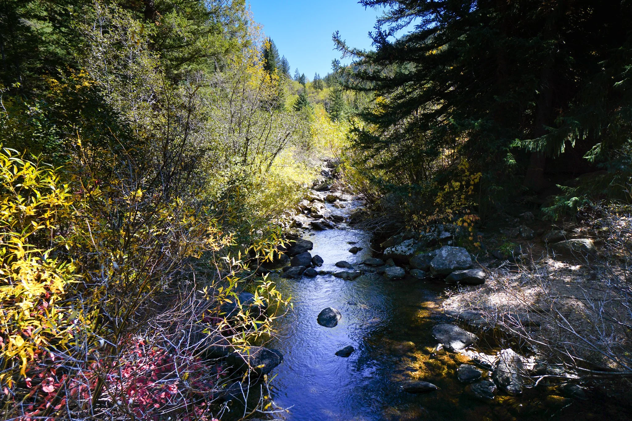
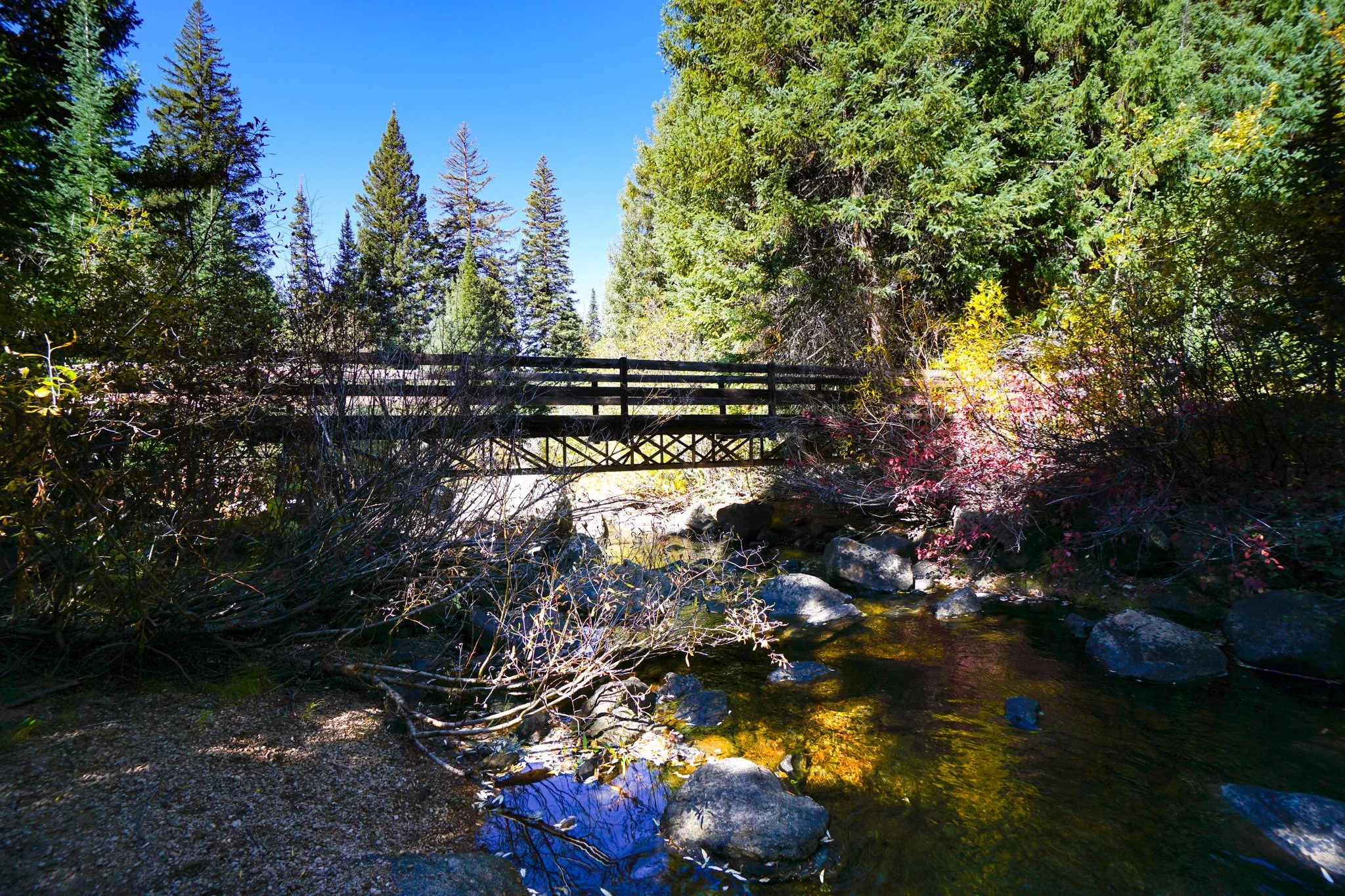
The Sarvis Creek Trail cuts through the Wilderness Area following Sarvis Creek. The entire Sarvis Creek Trail is 12 miles from the western trailhead to the eastern trailhead but this really a go as far as you want type of hike. We hiked the first 2.2 miles and turned around at the bridge crossing Sarvis Creek. With just about 1,000 ft of elevation gain, this makes for the perfect half a day hike.
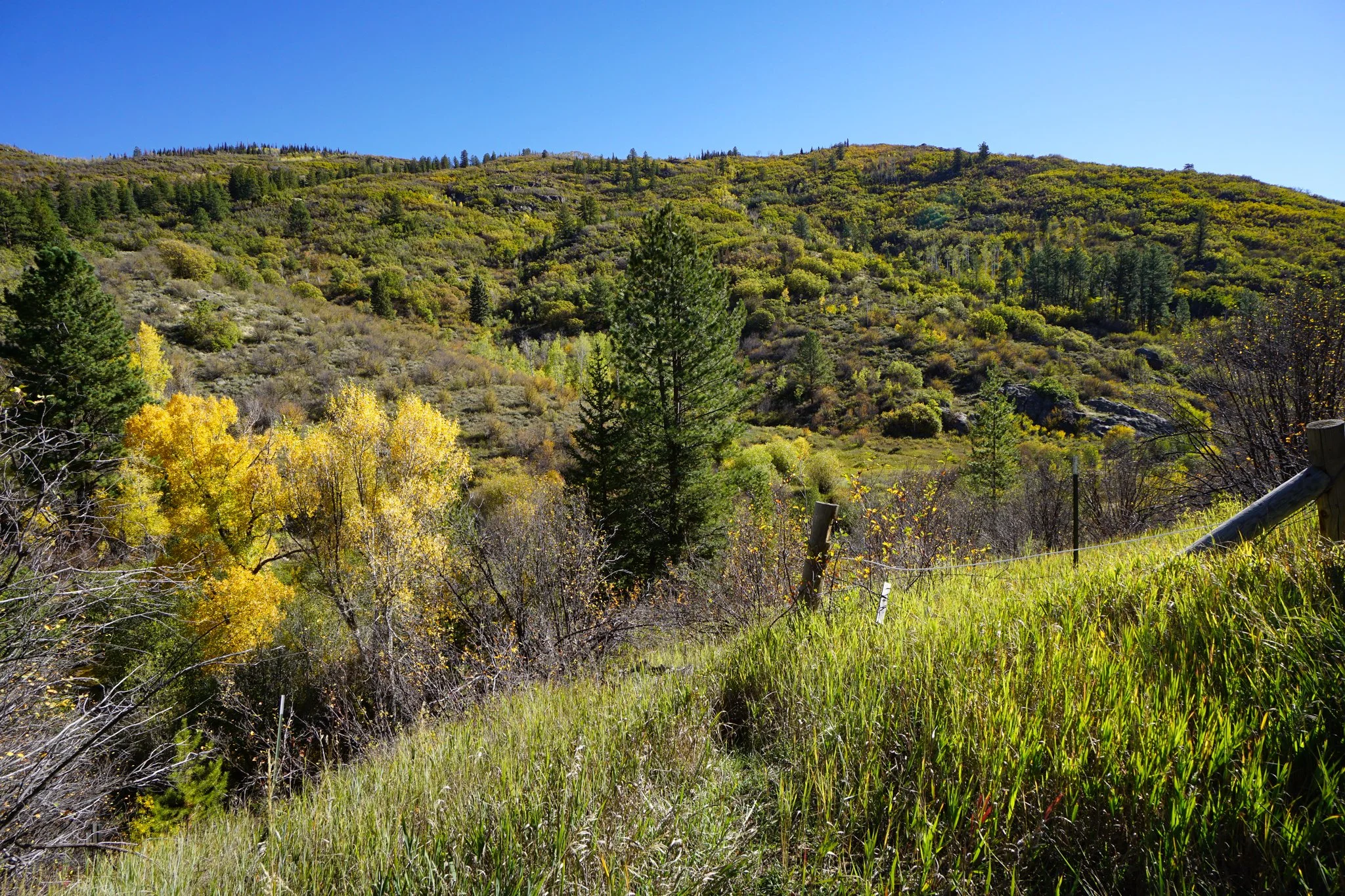
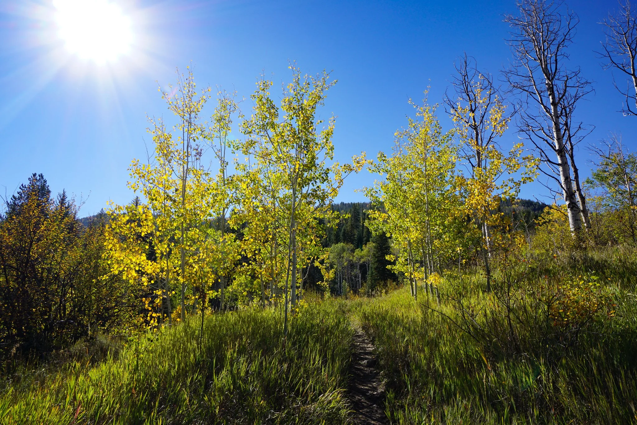
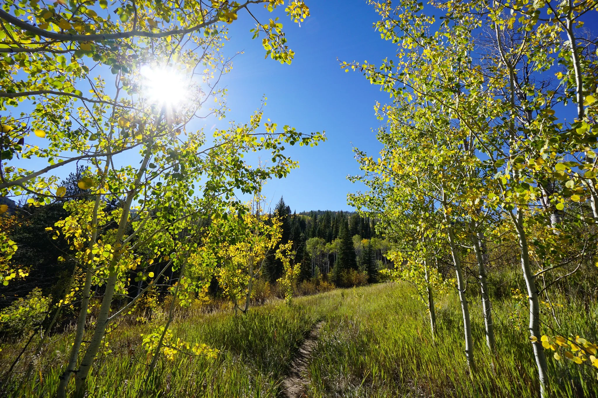
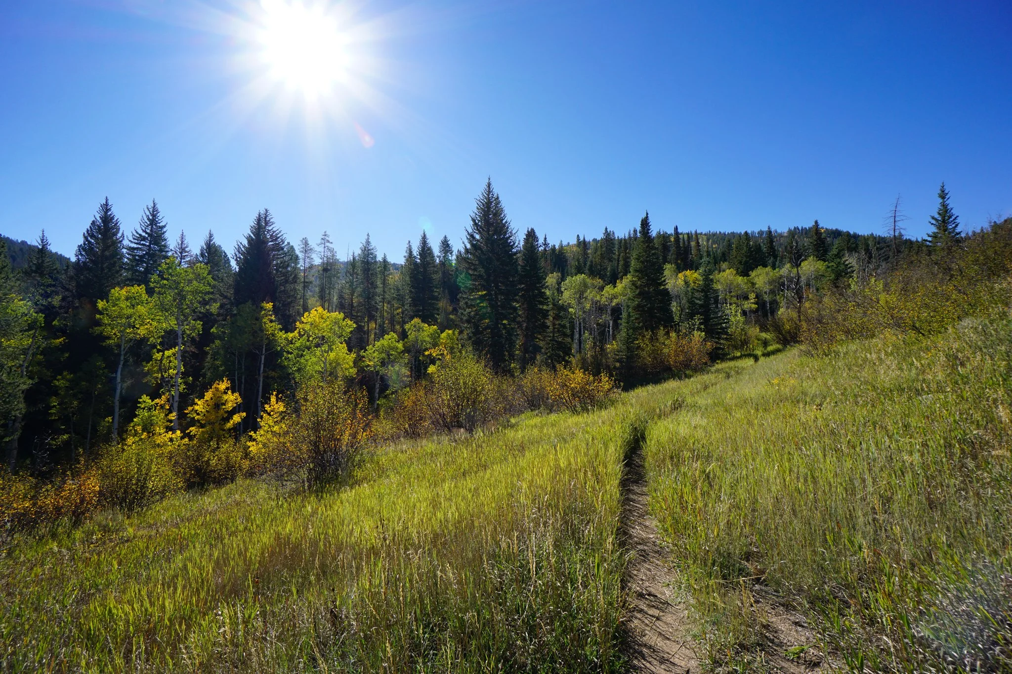
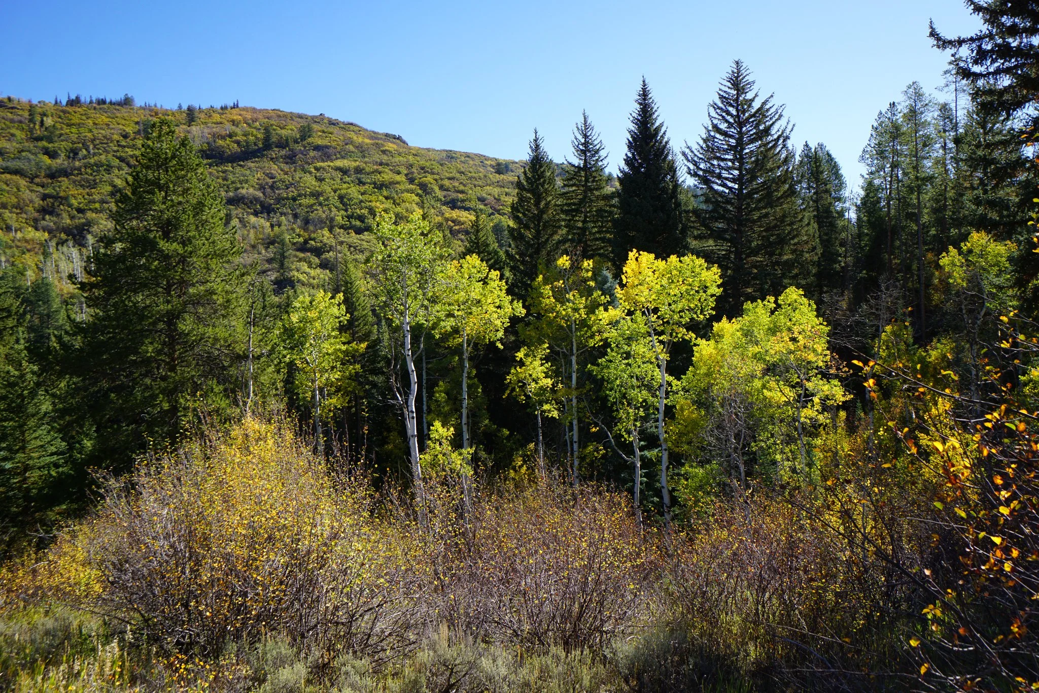
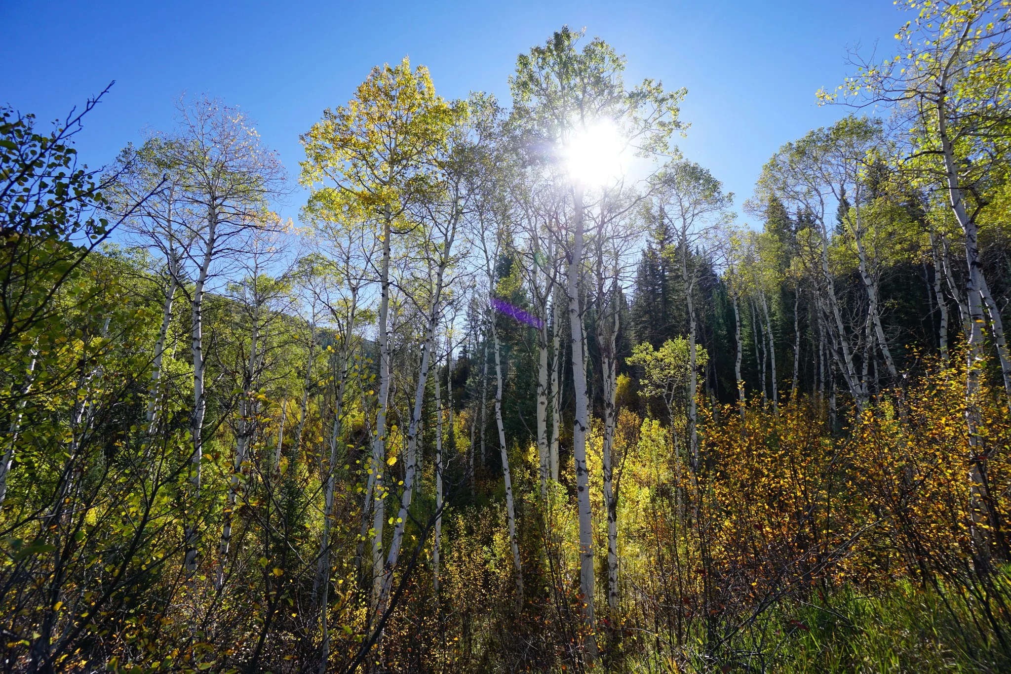
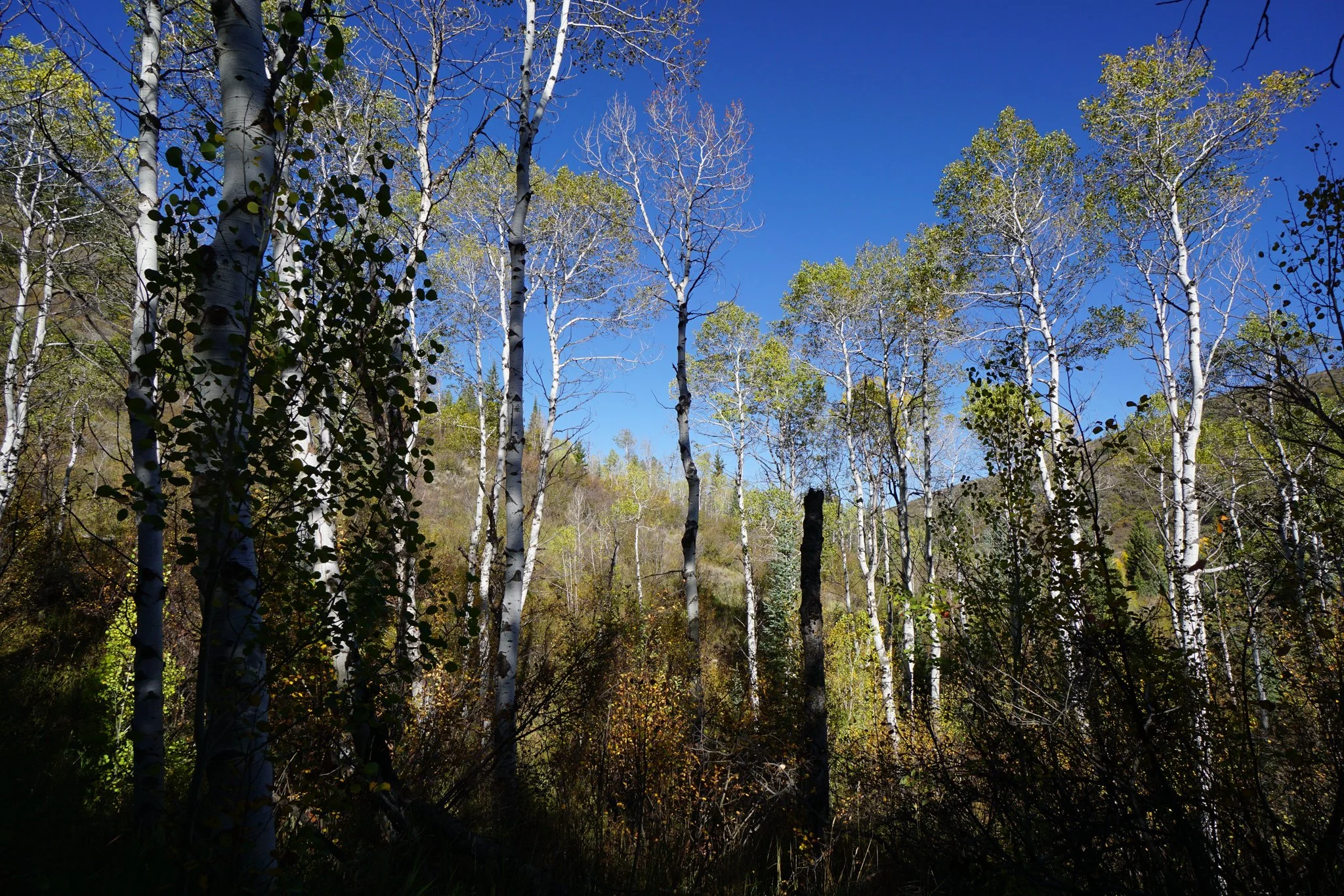
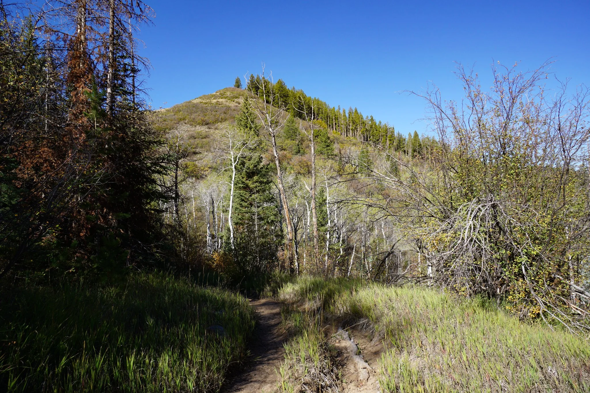
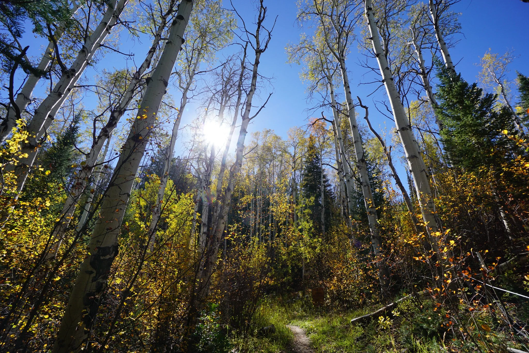
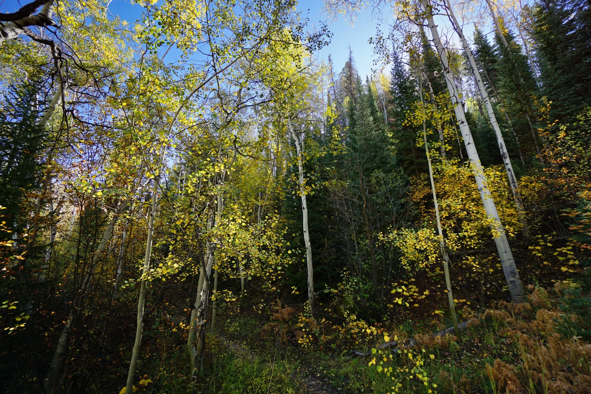
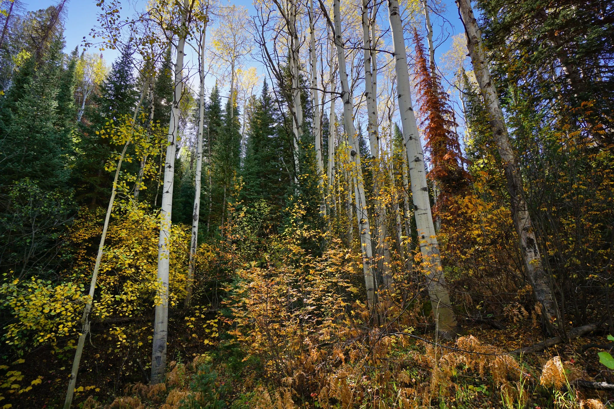
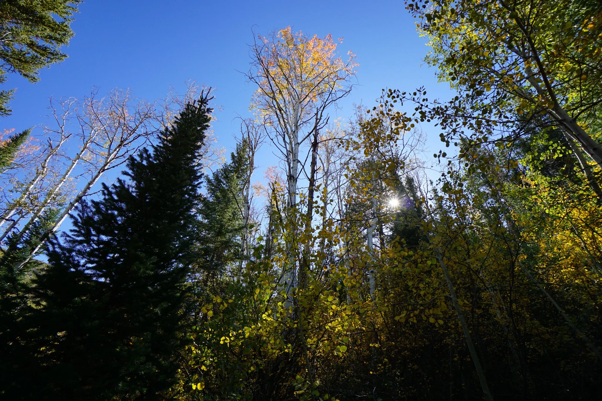
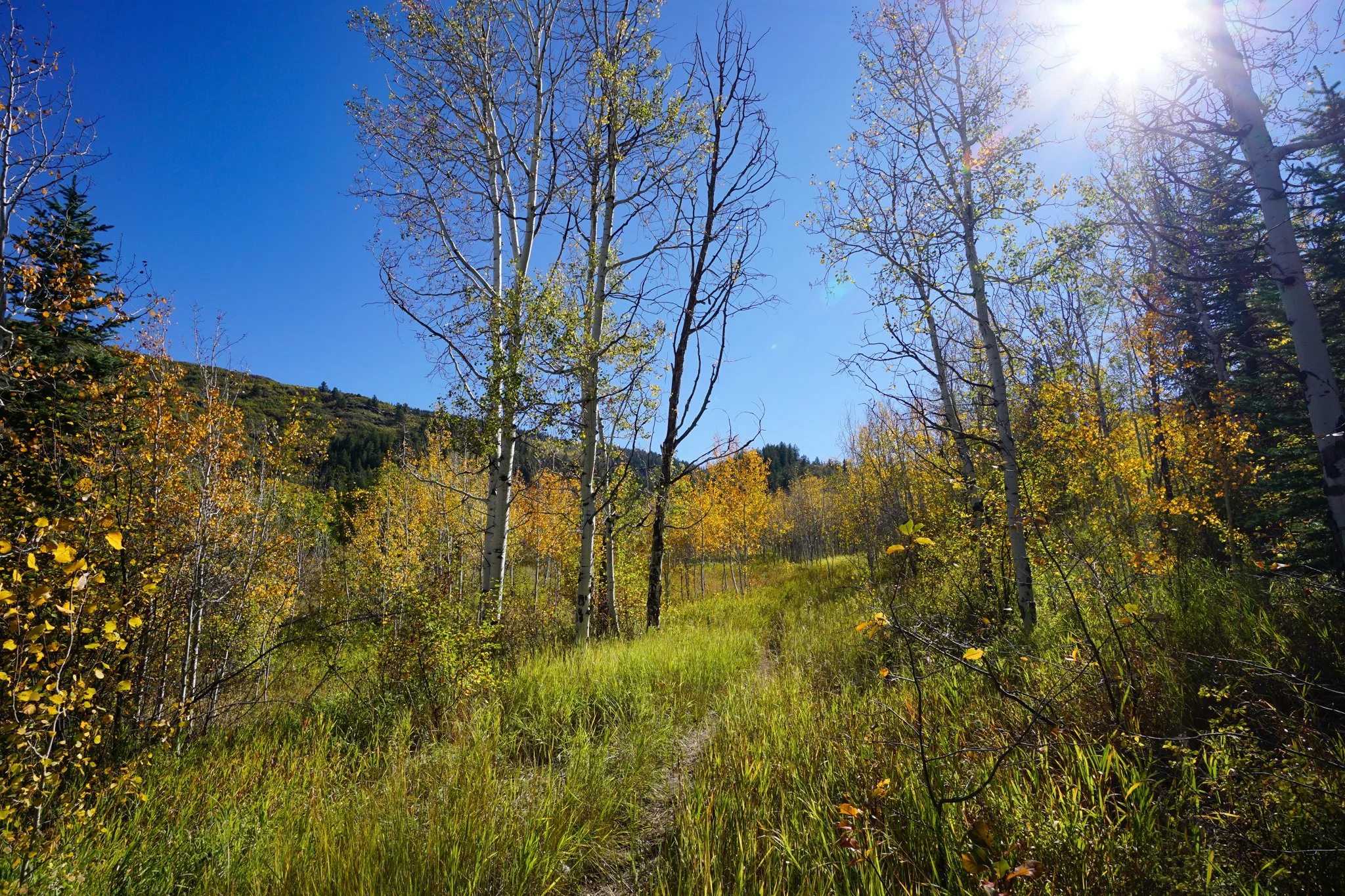
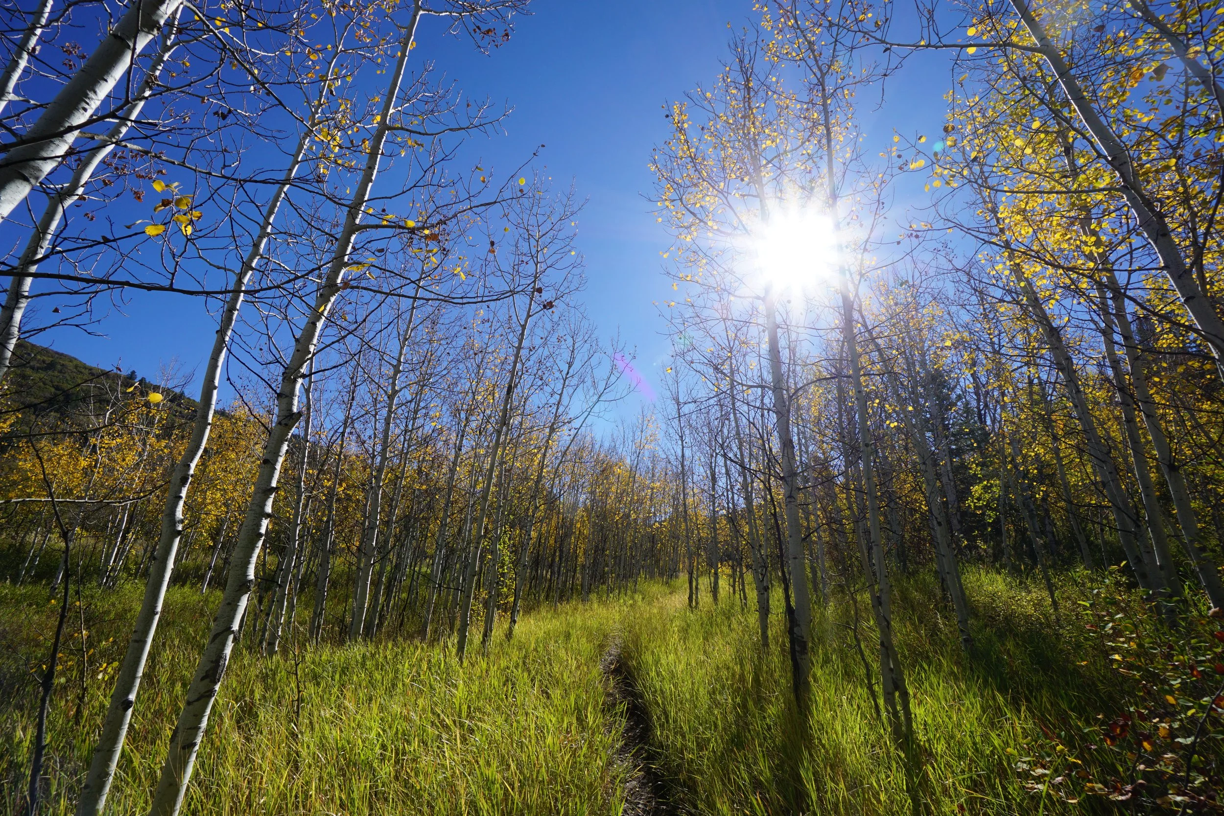
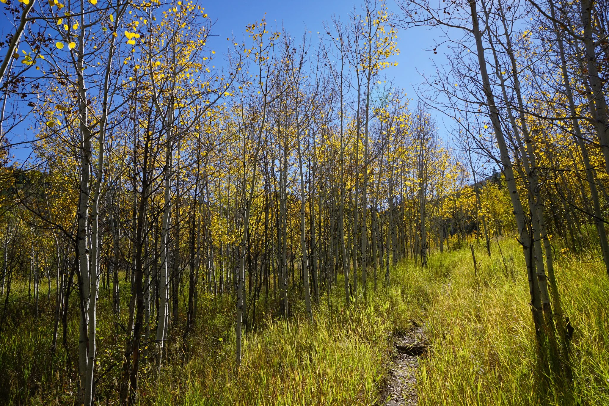
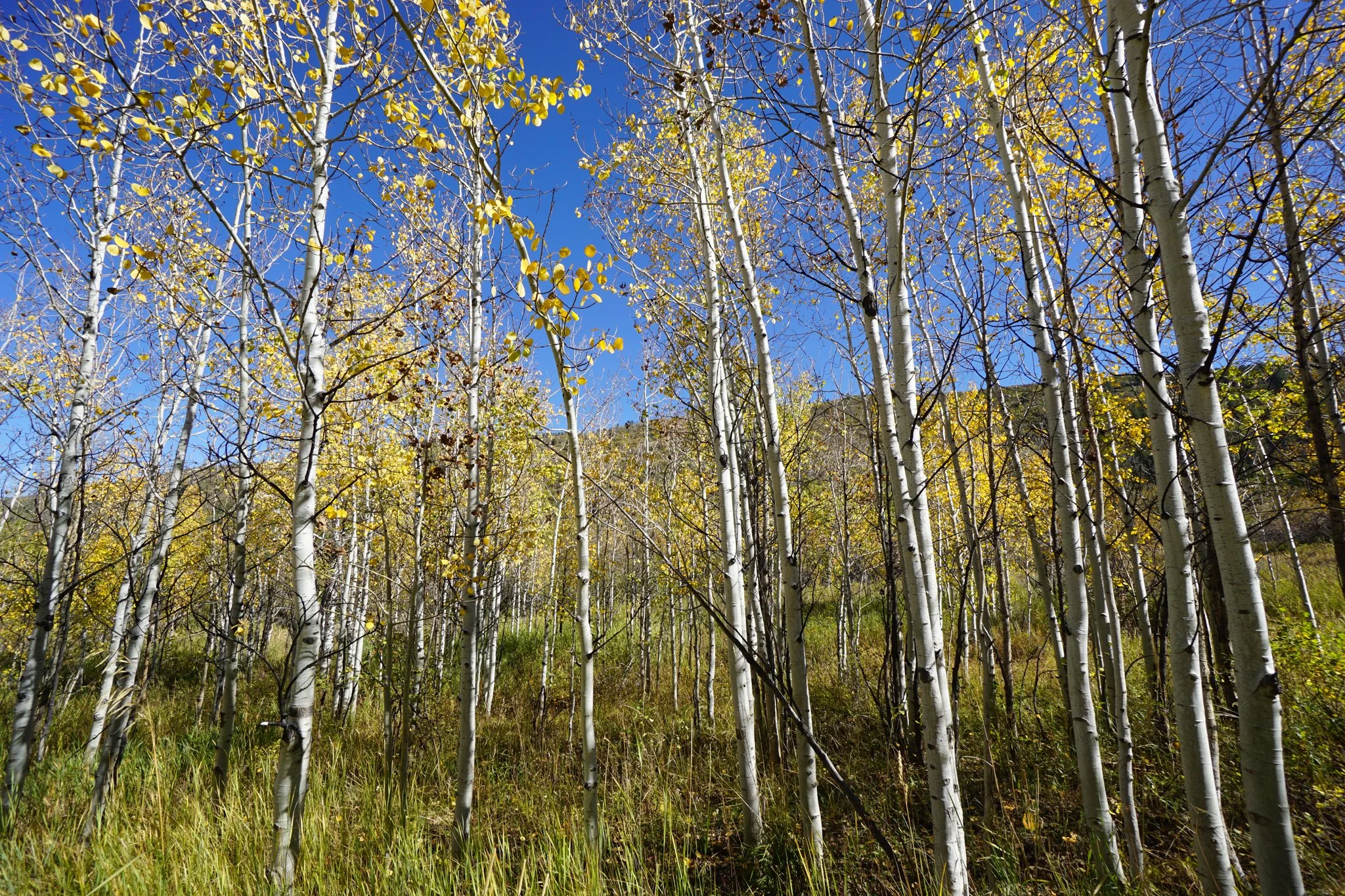
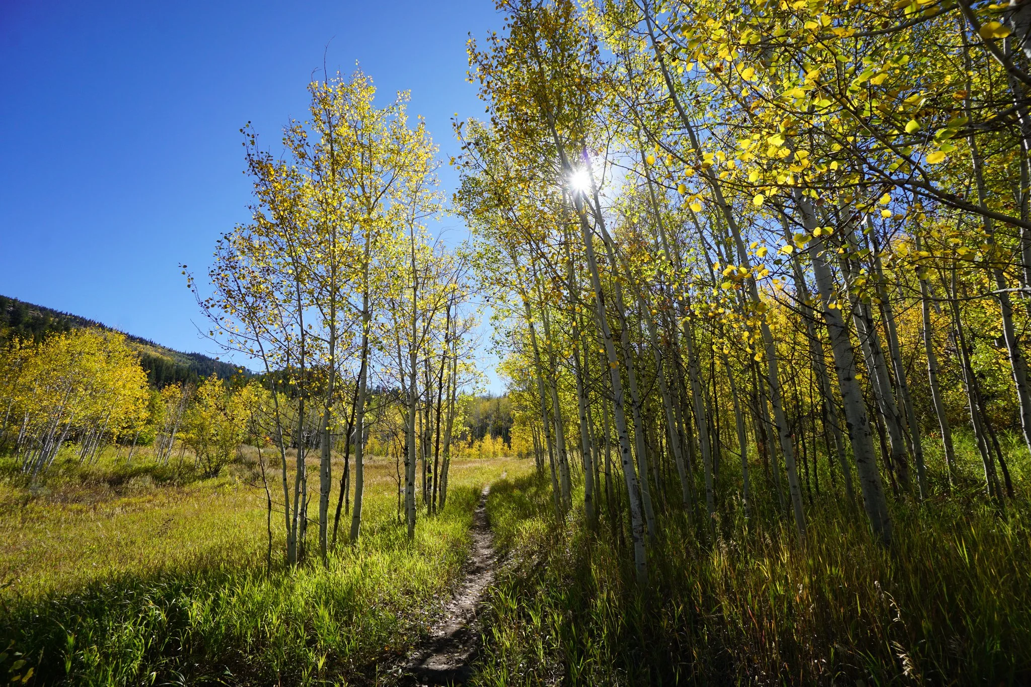
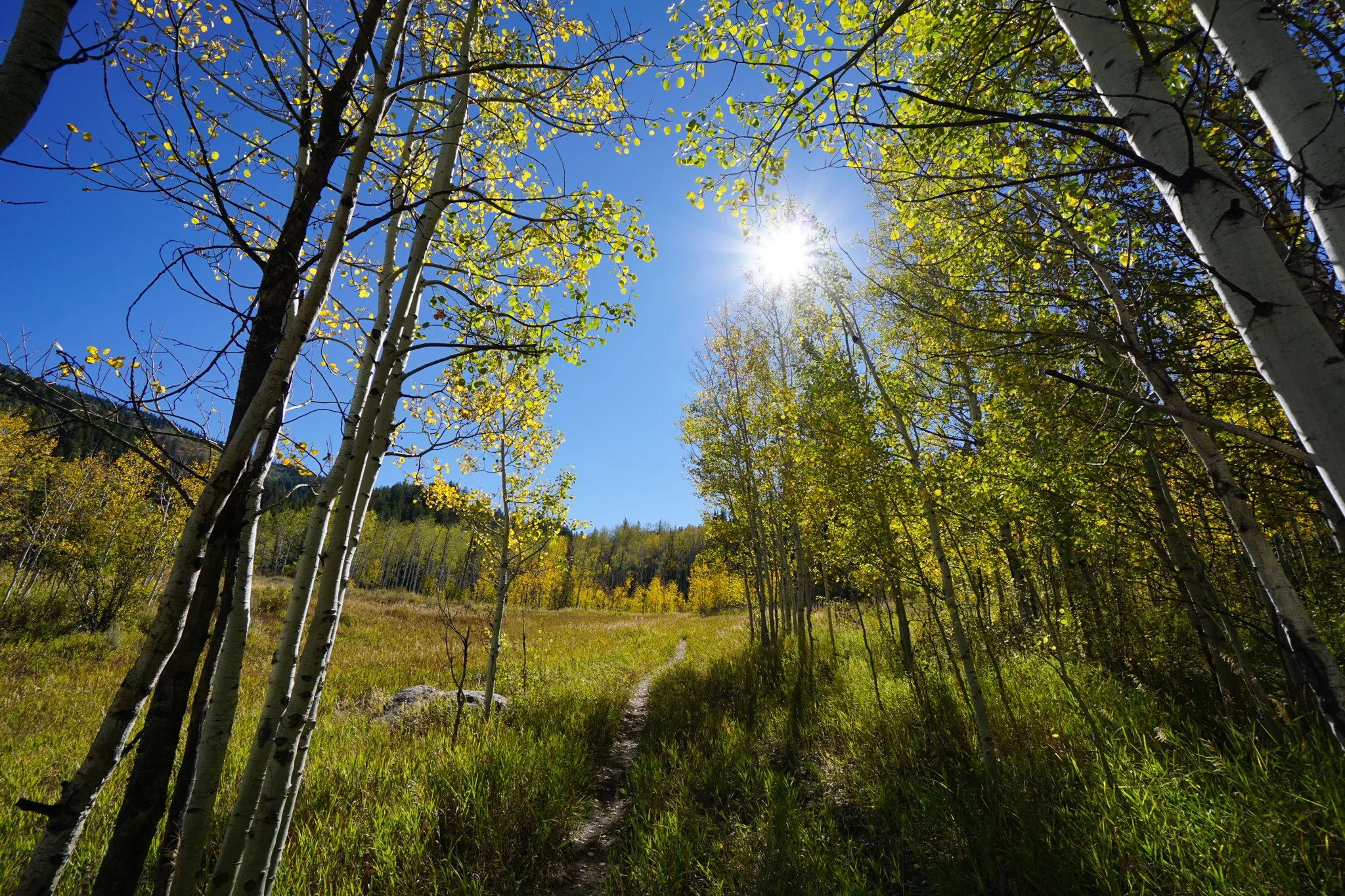
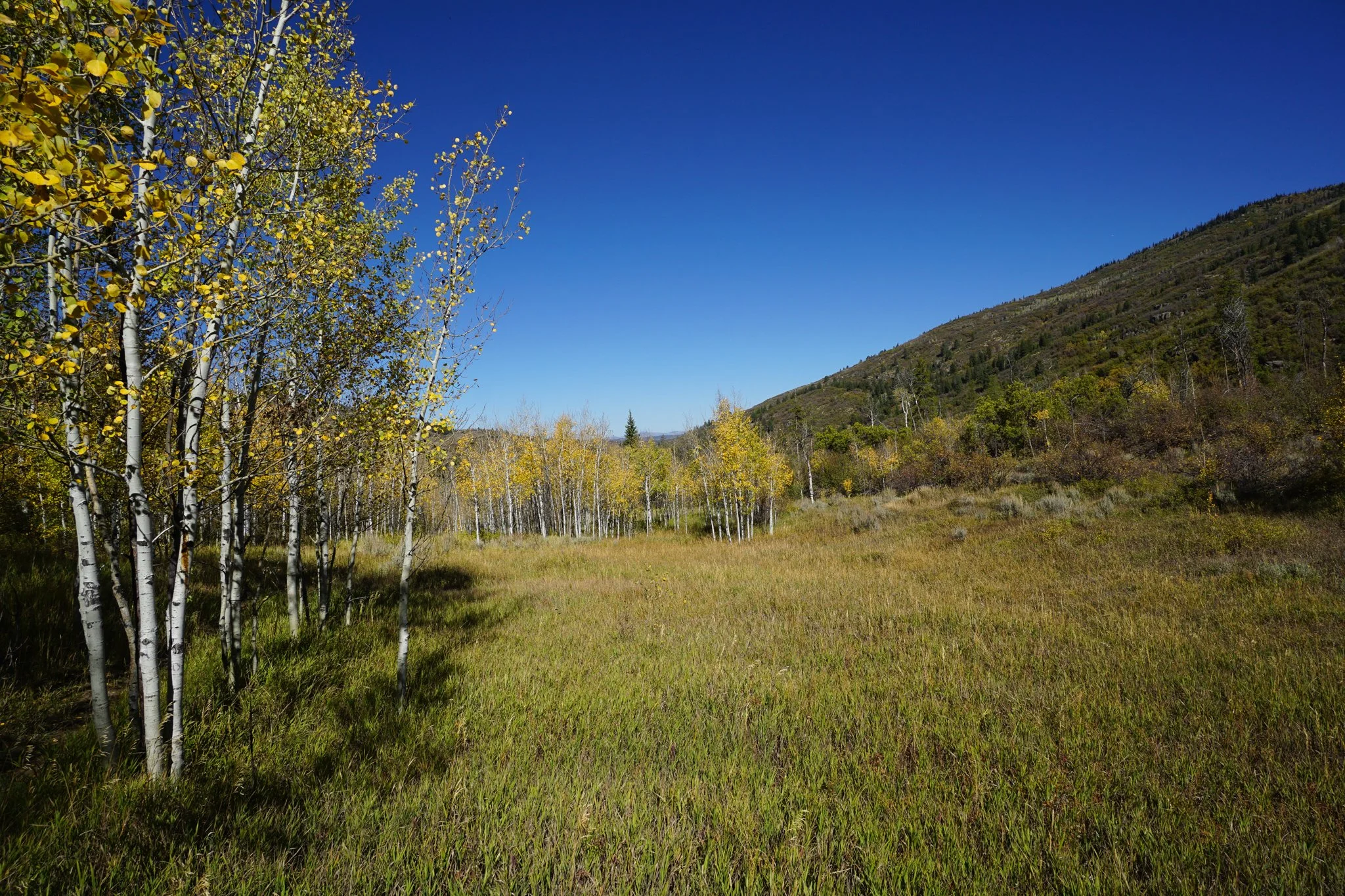
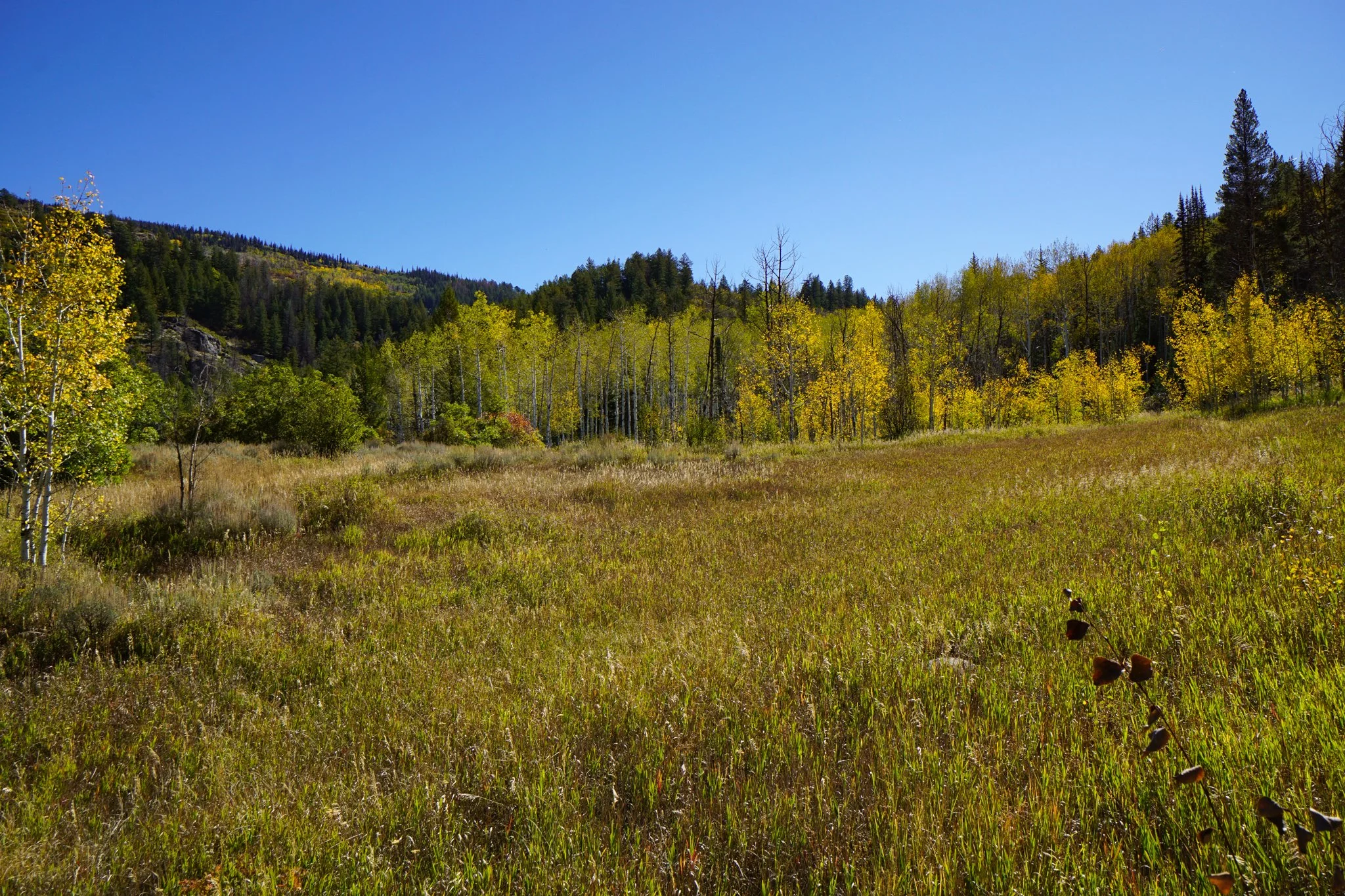
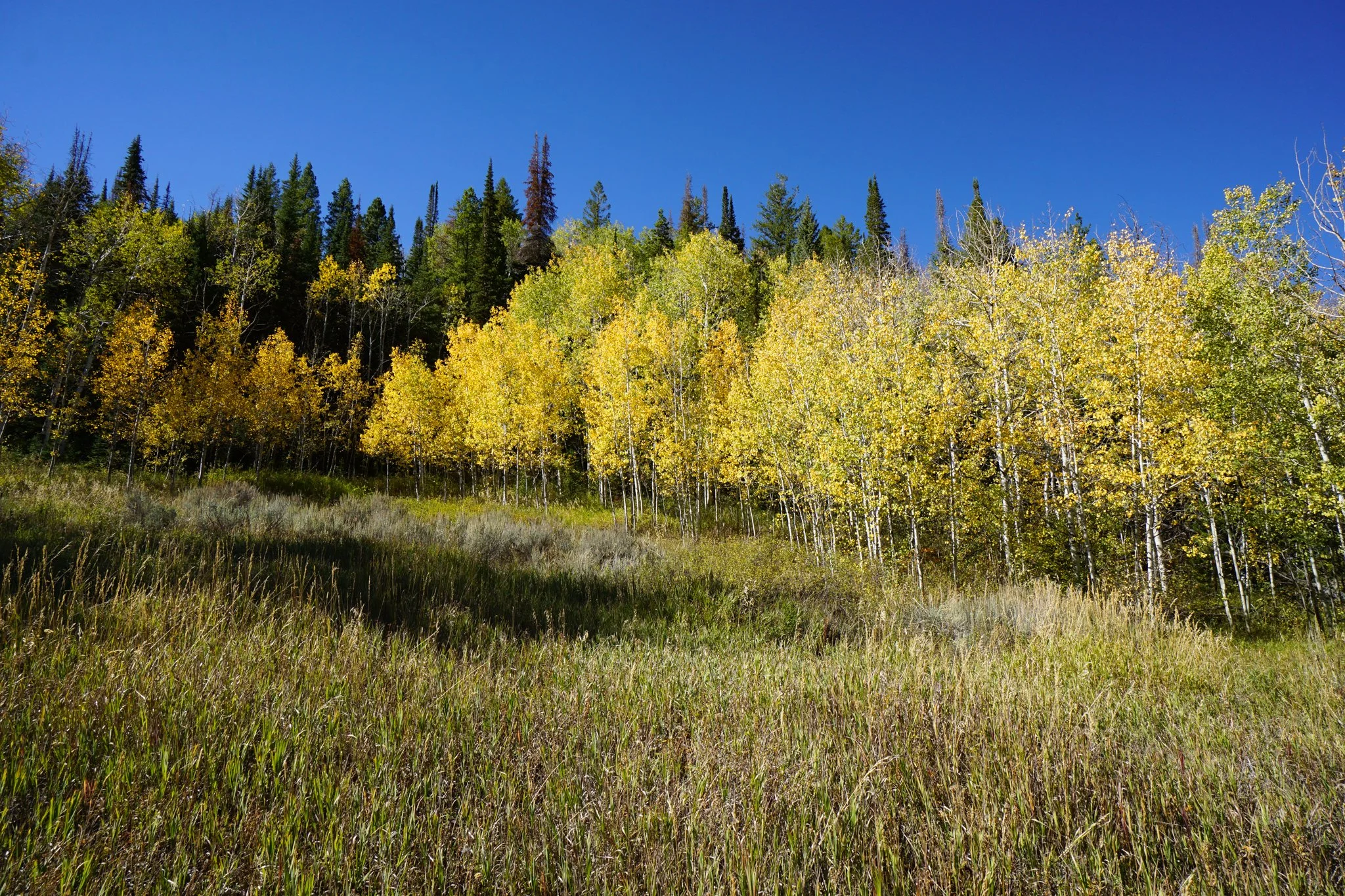
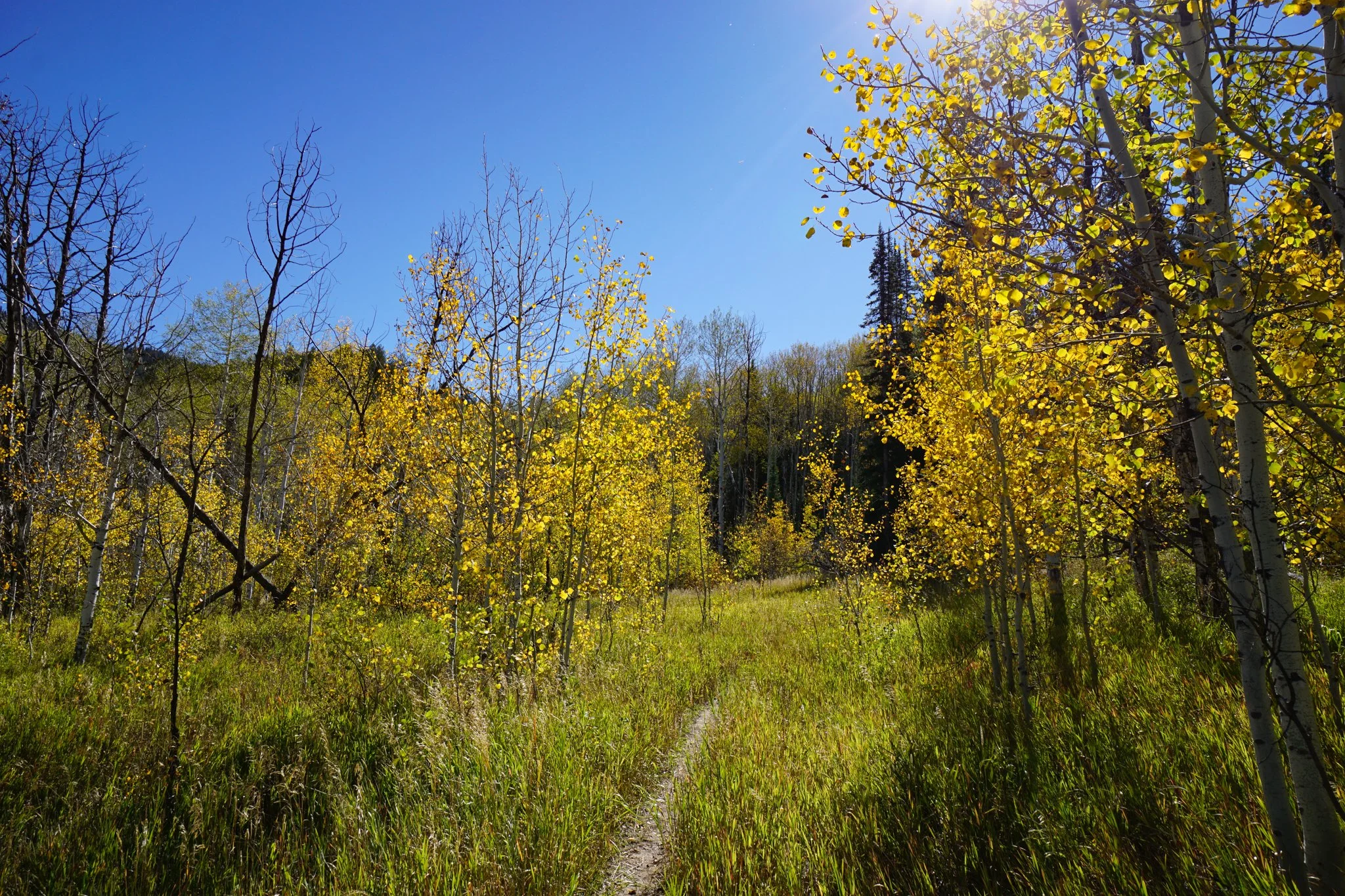
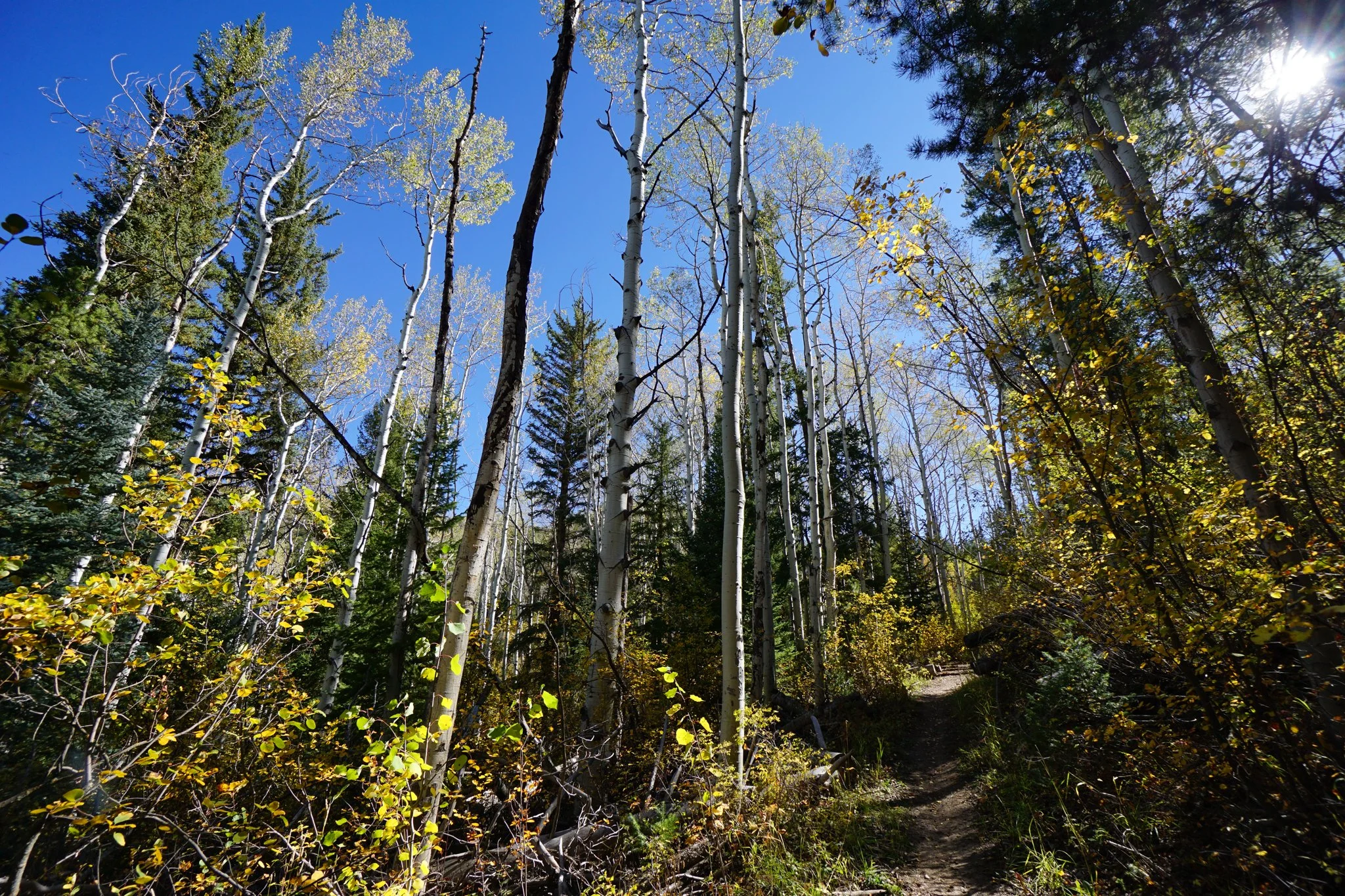
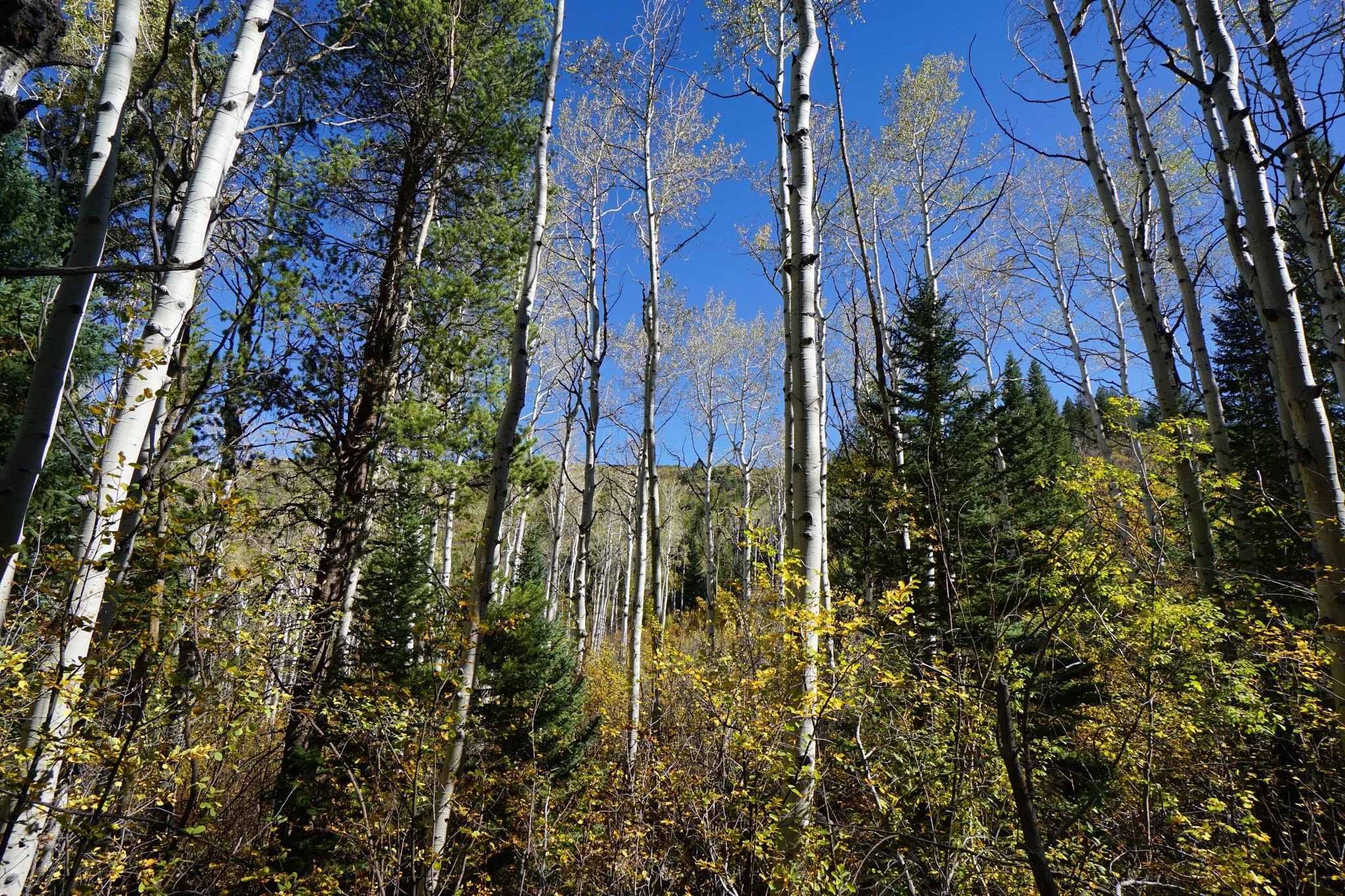
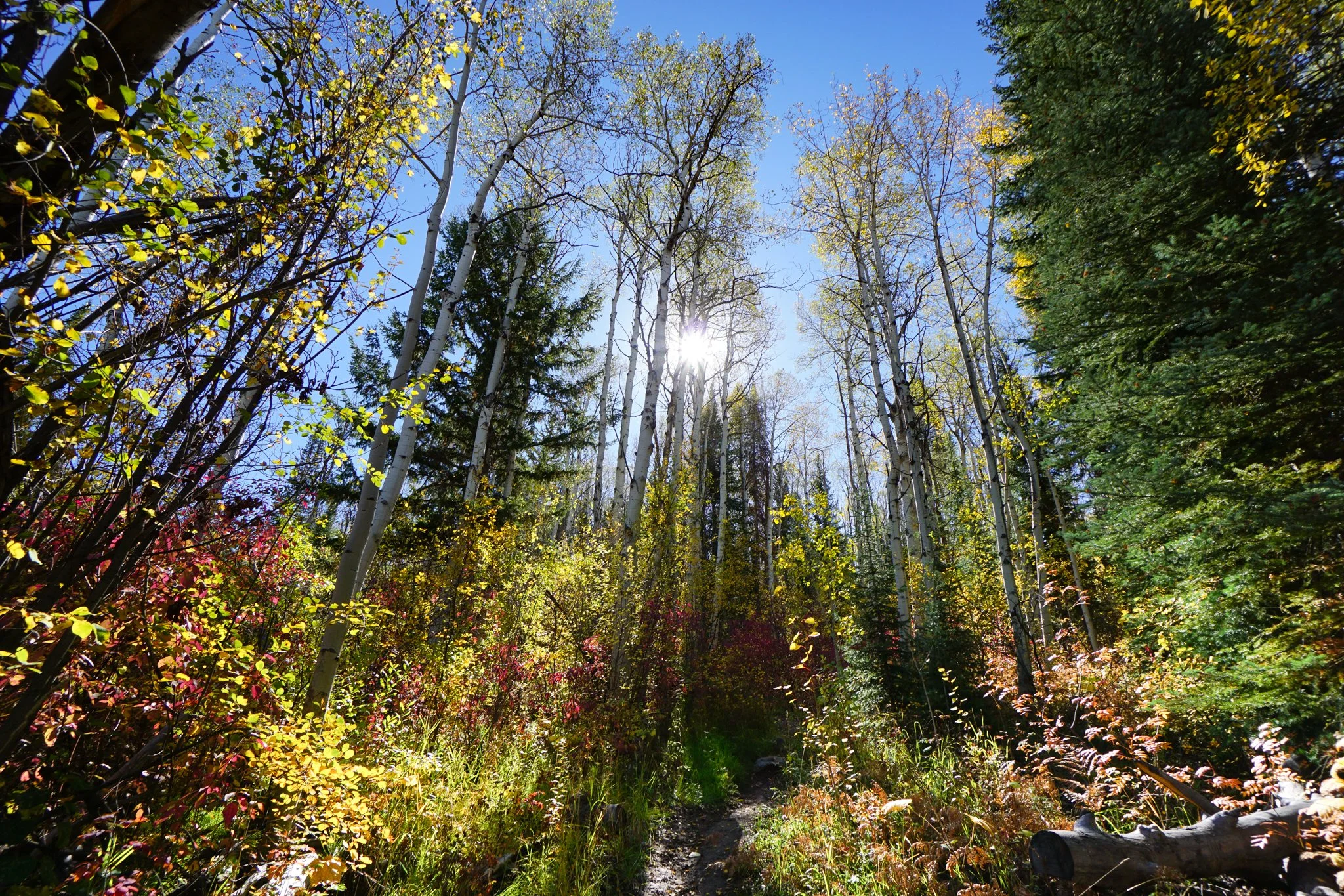
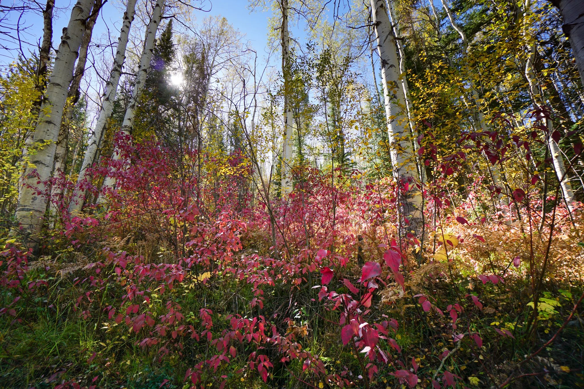
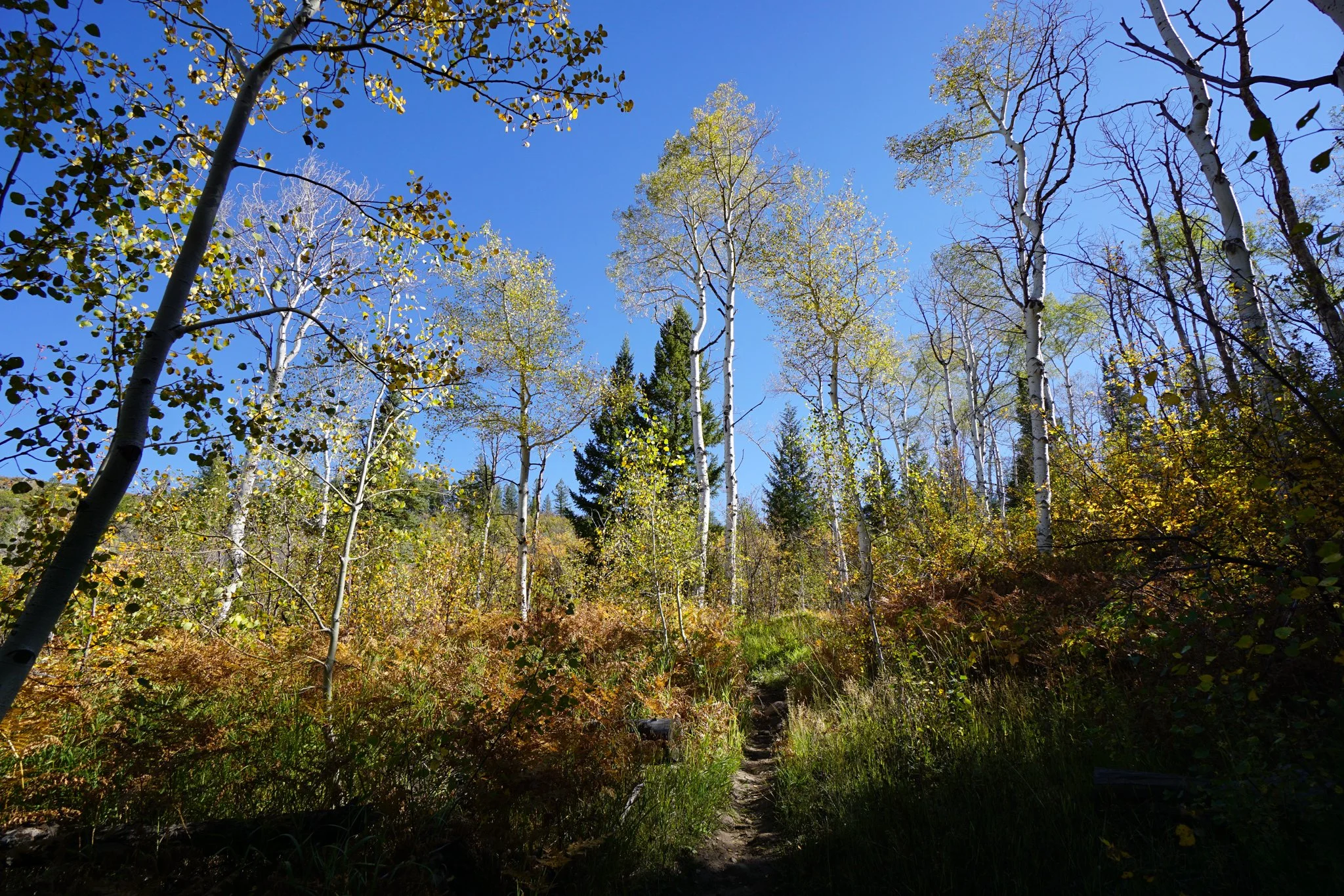
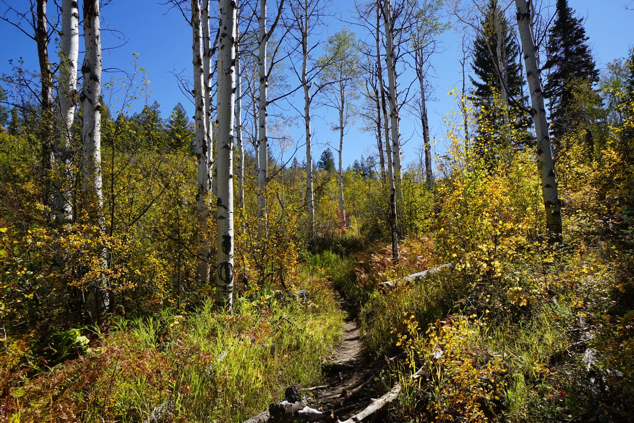
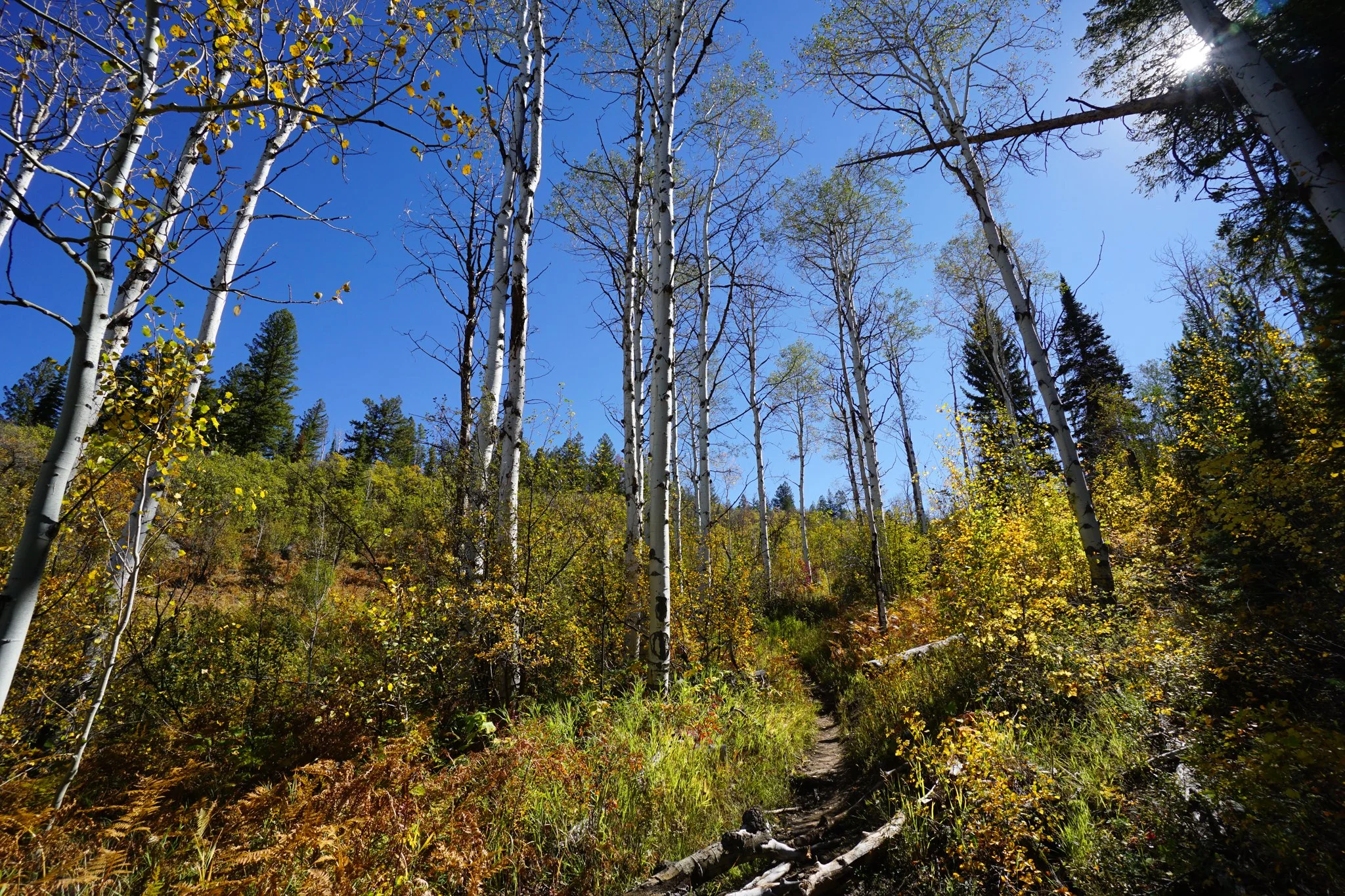
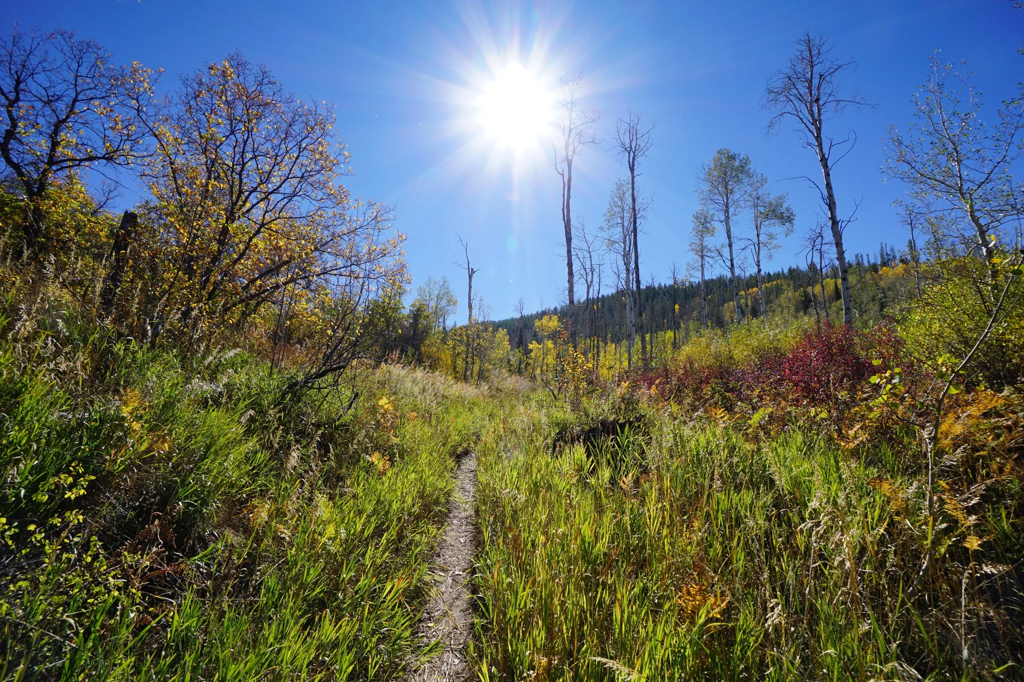
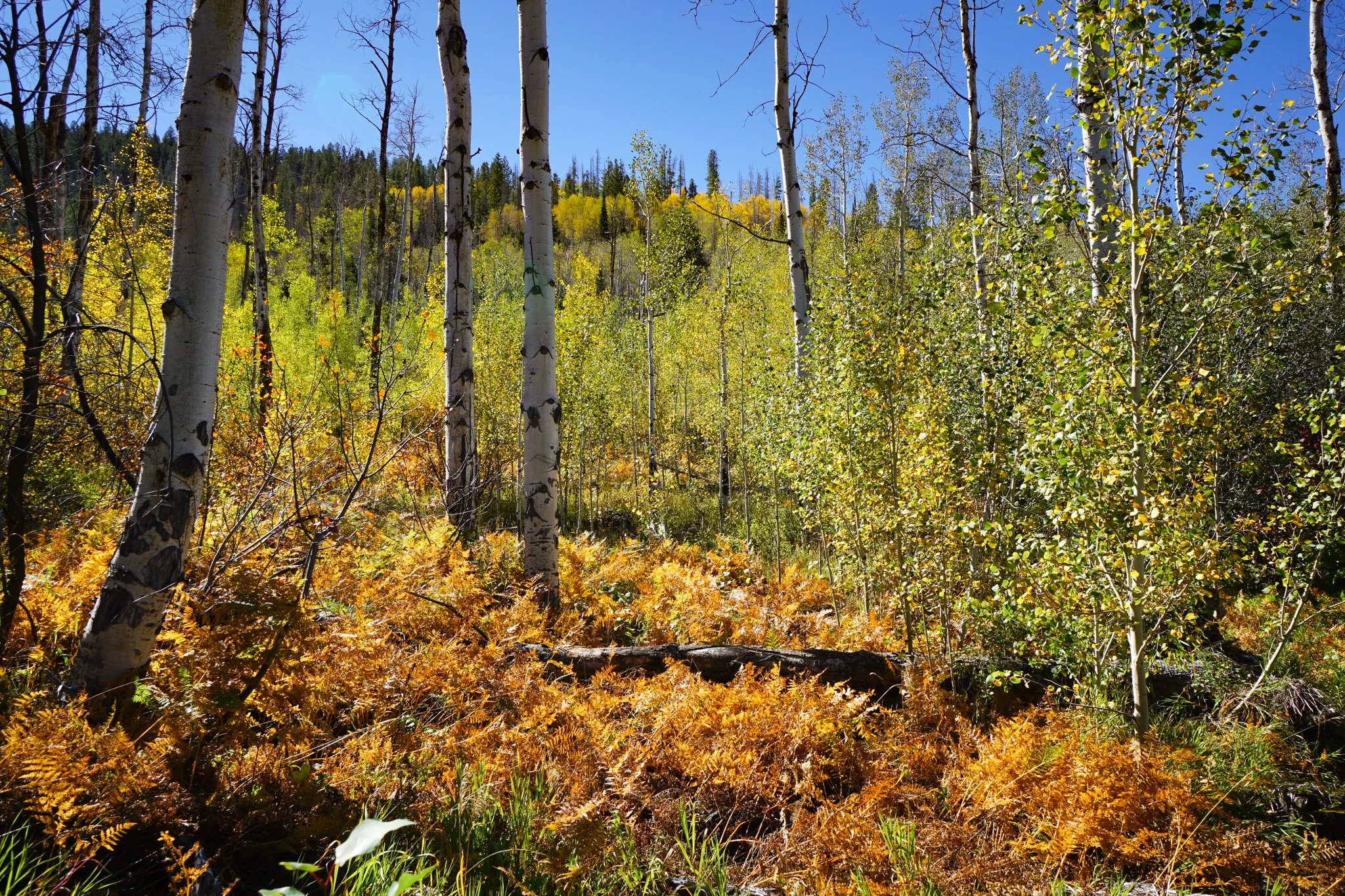
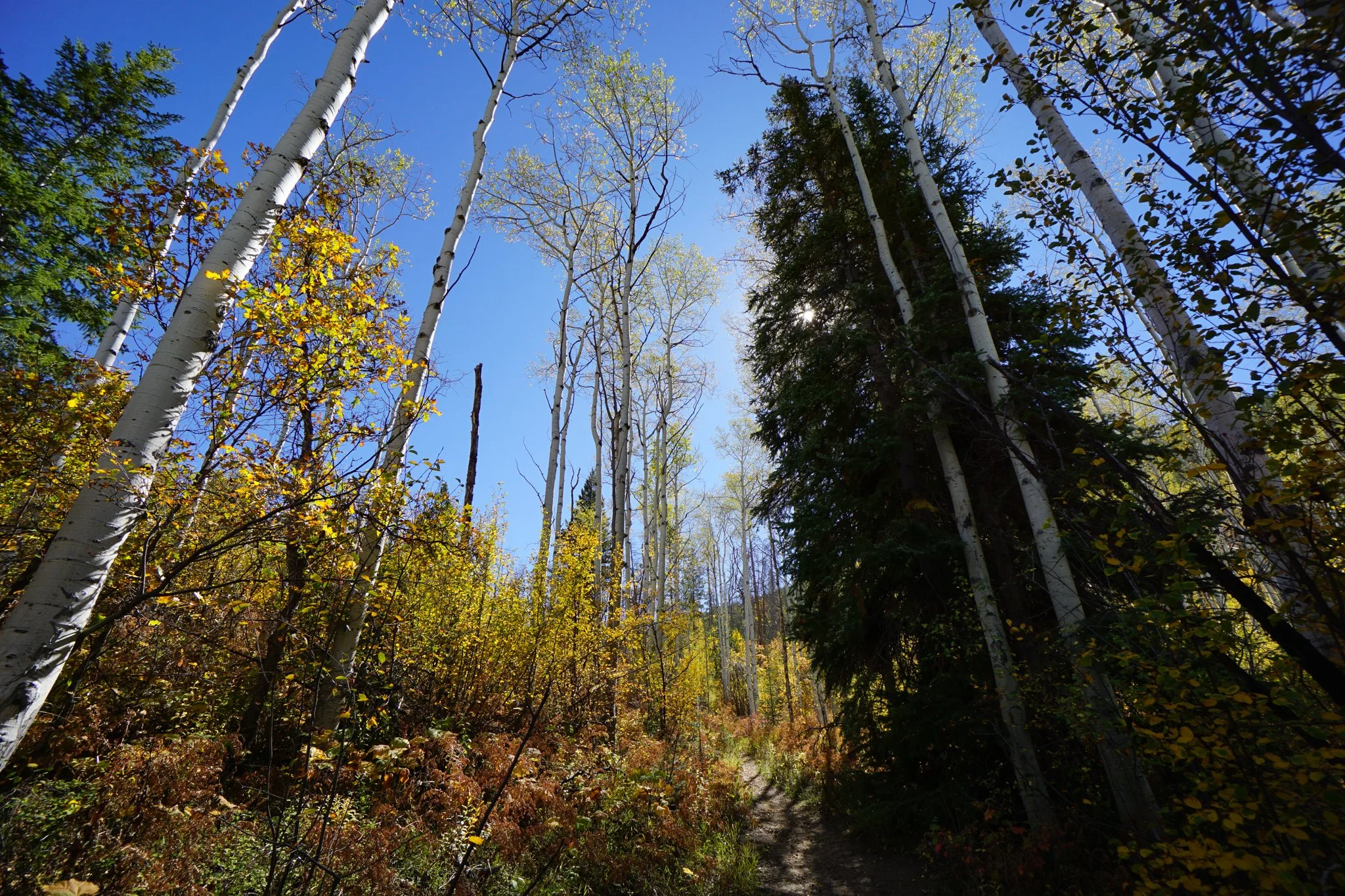
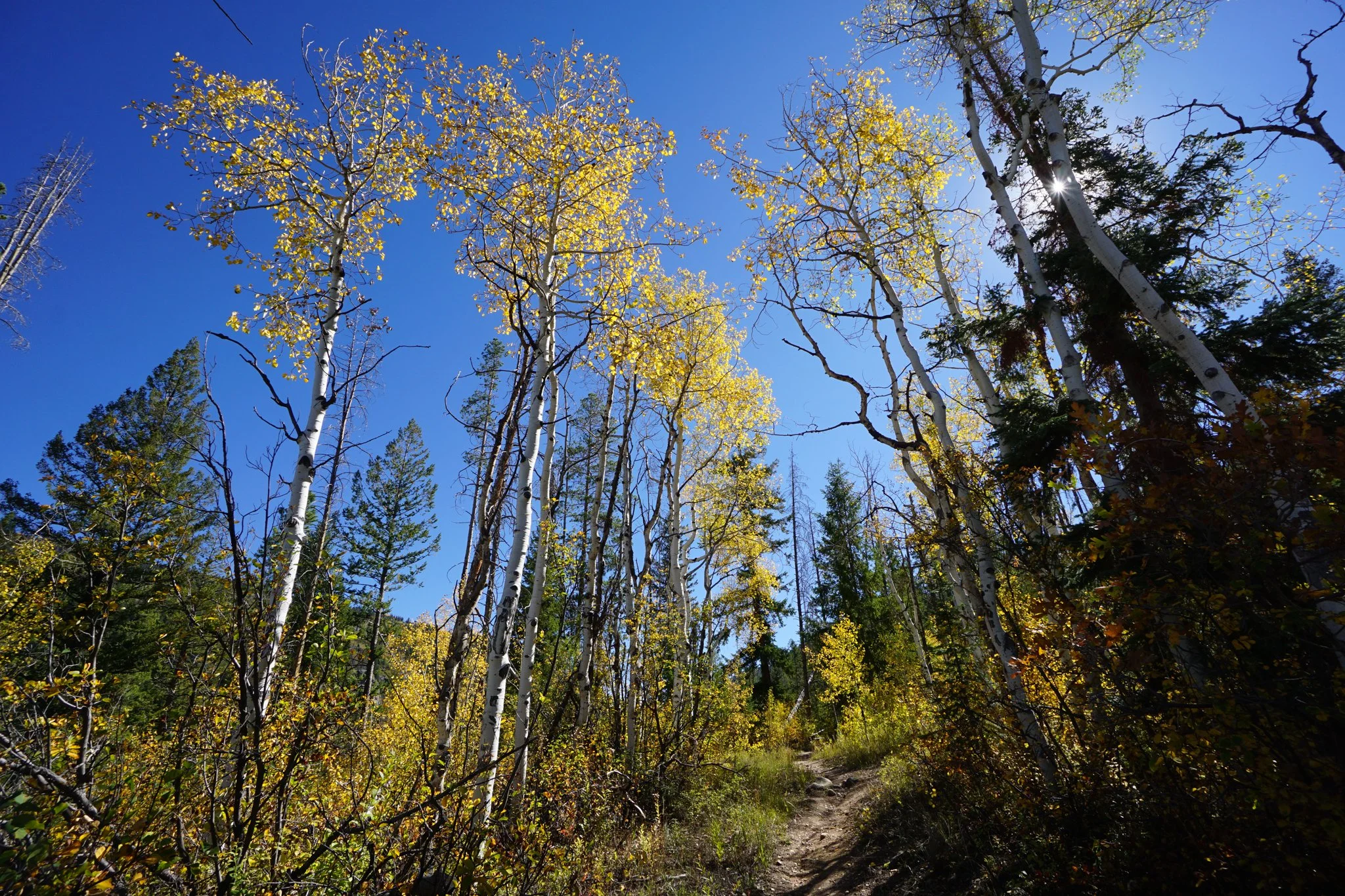
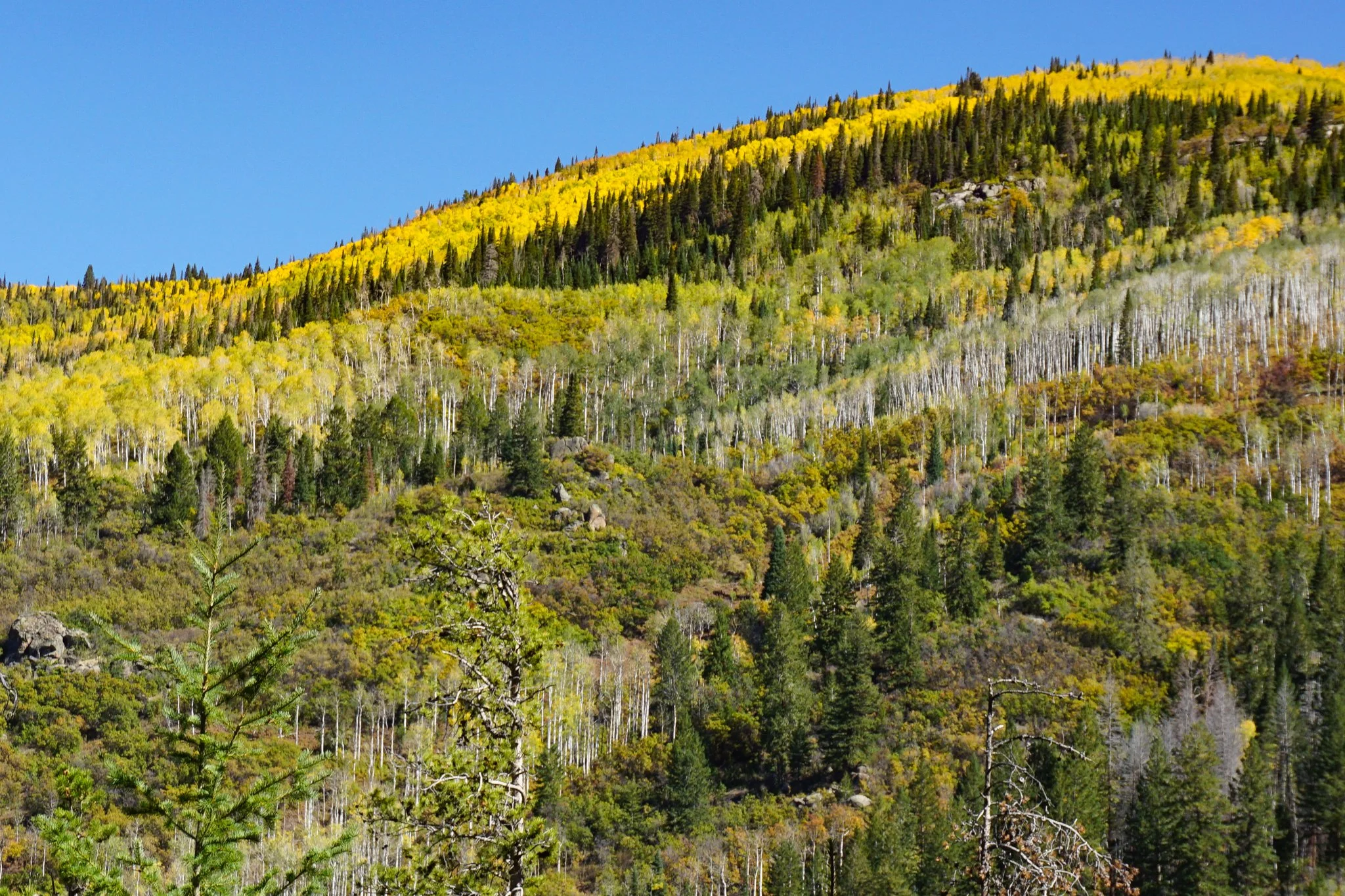
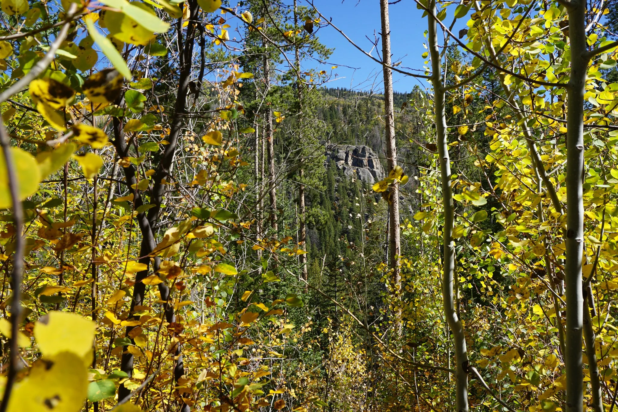
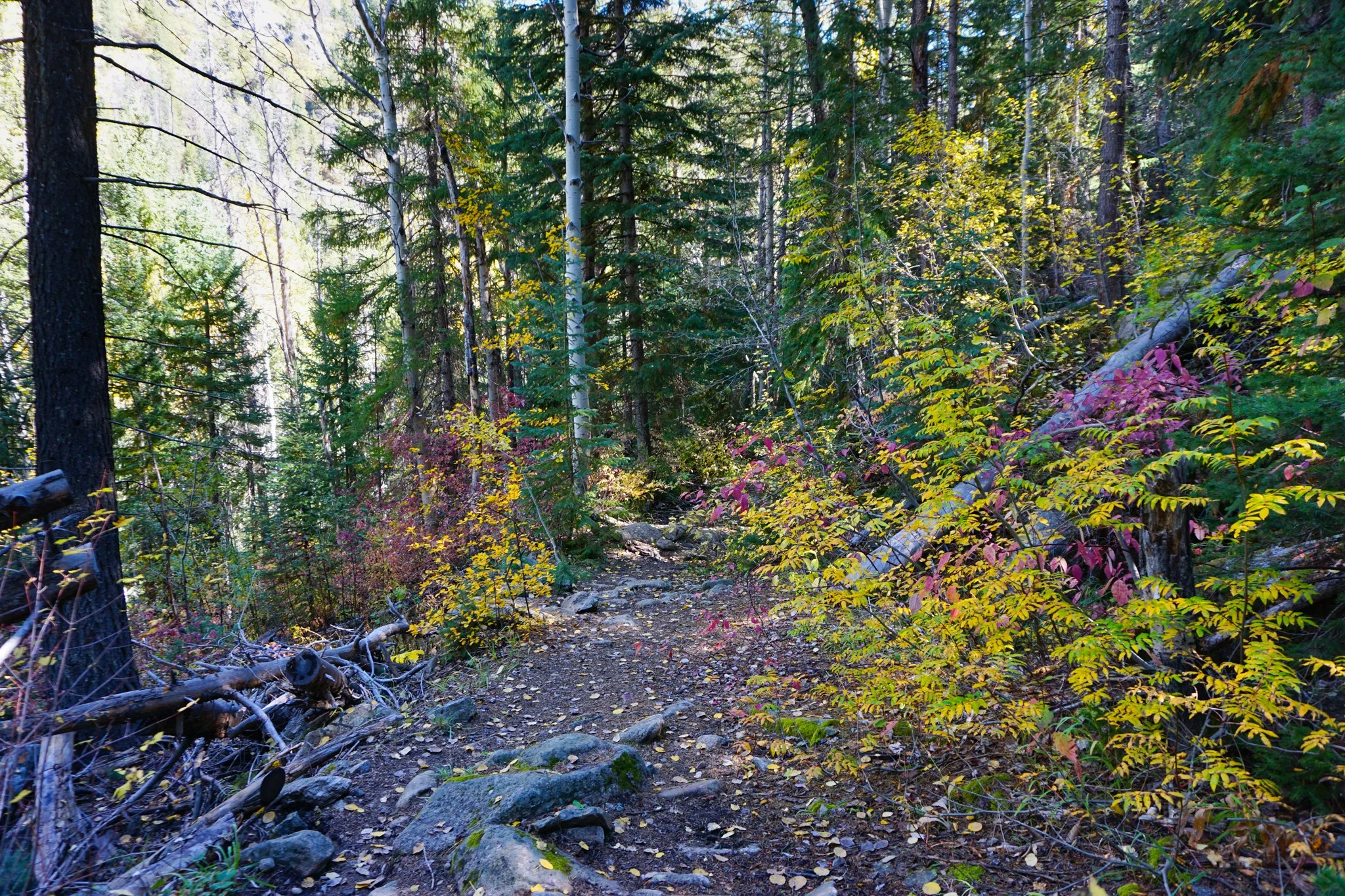
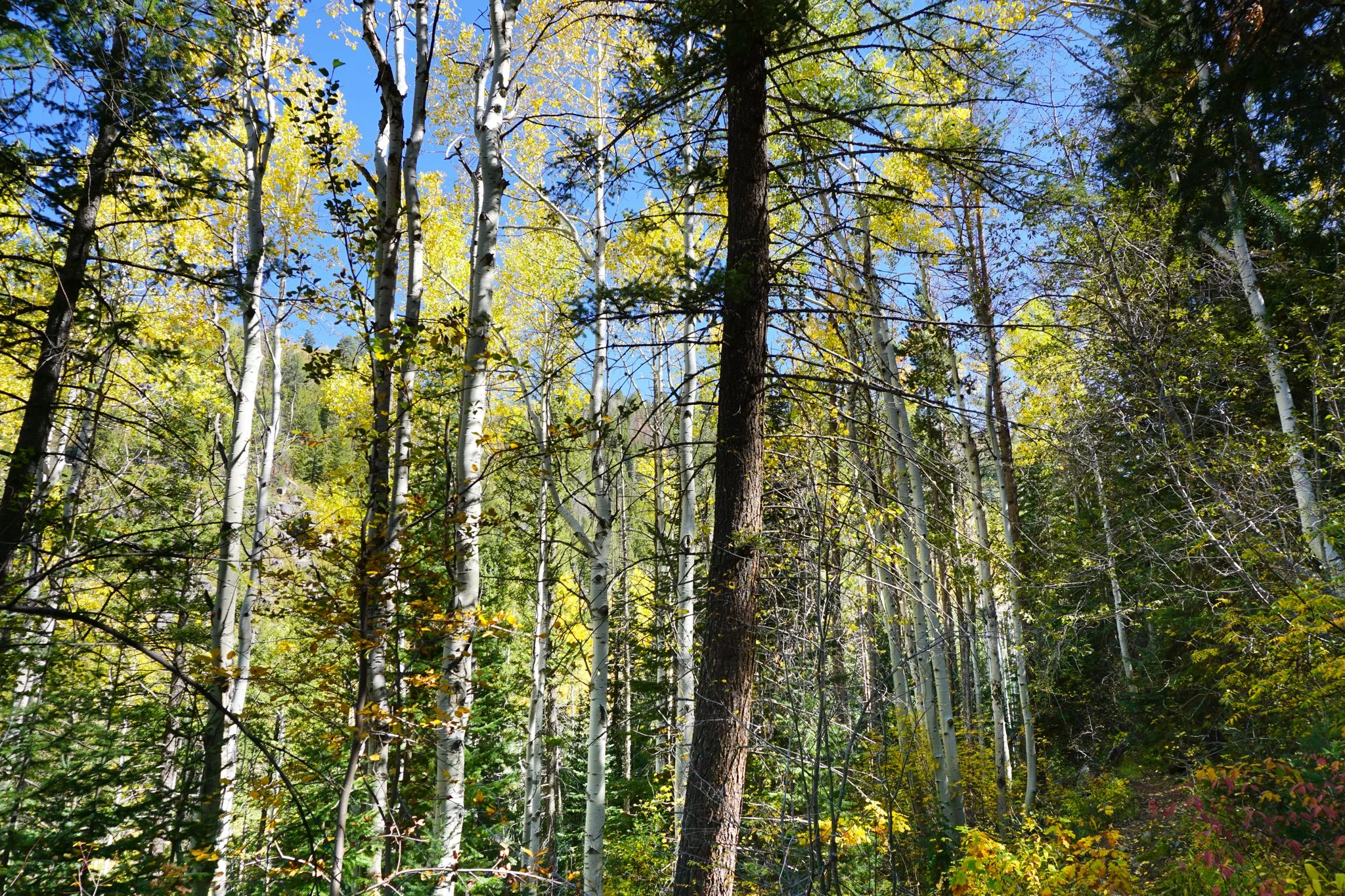
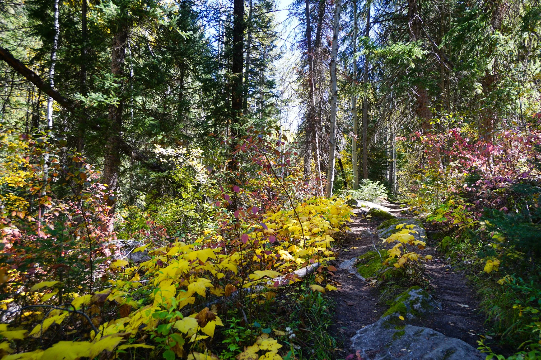
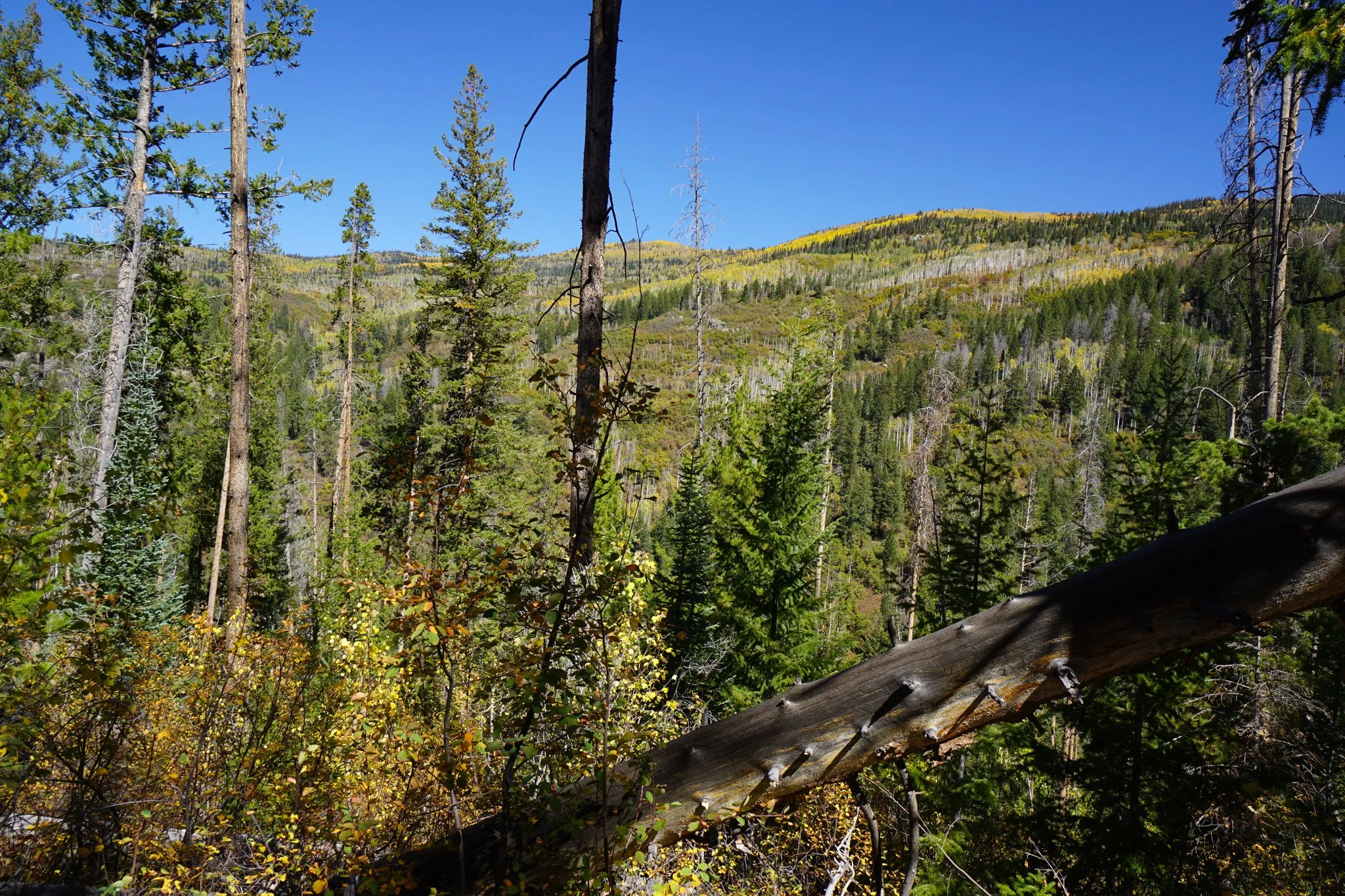
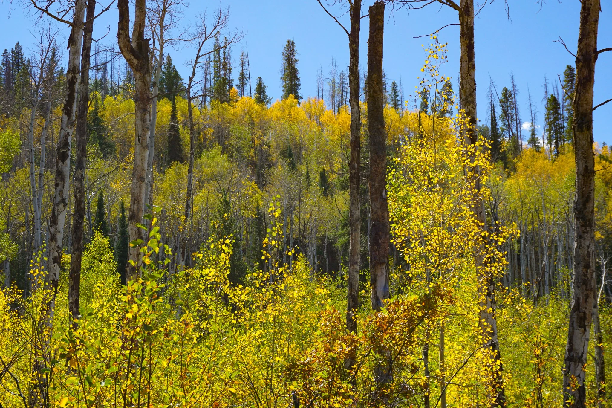
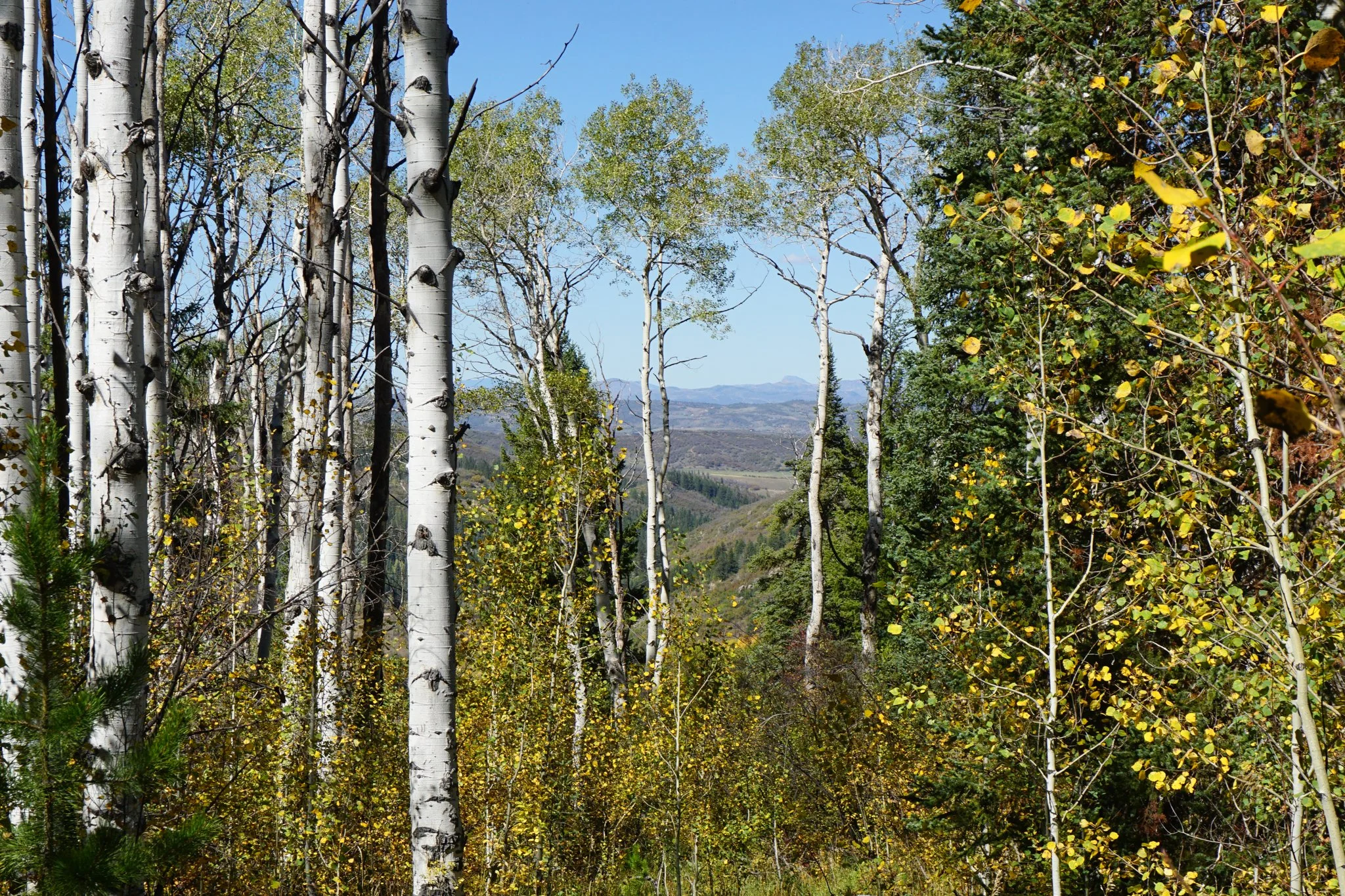
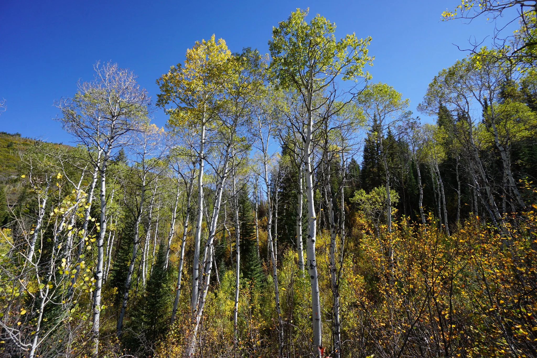
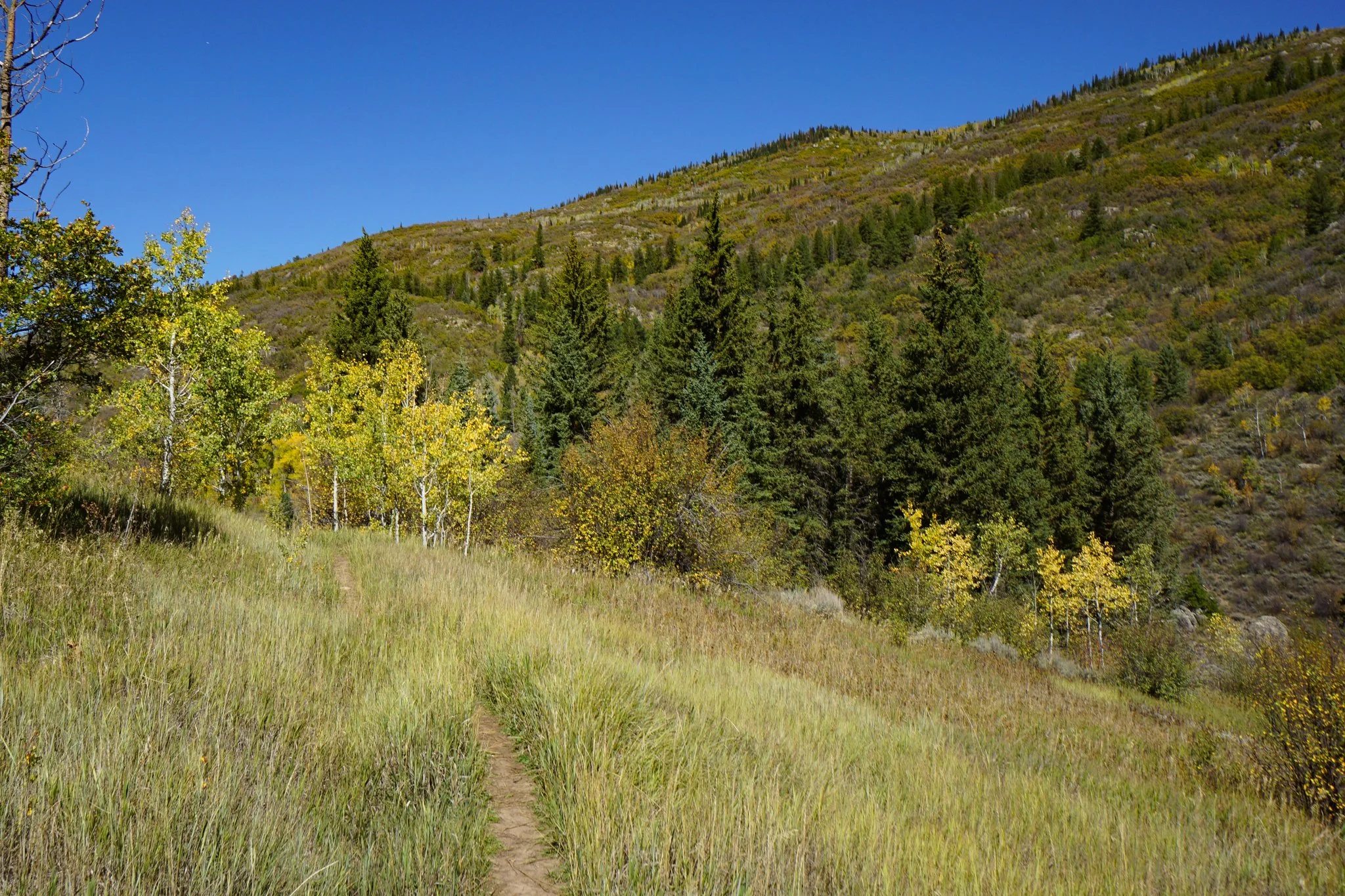
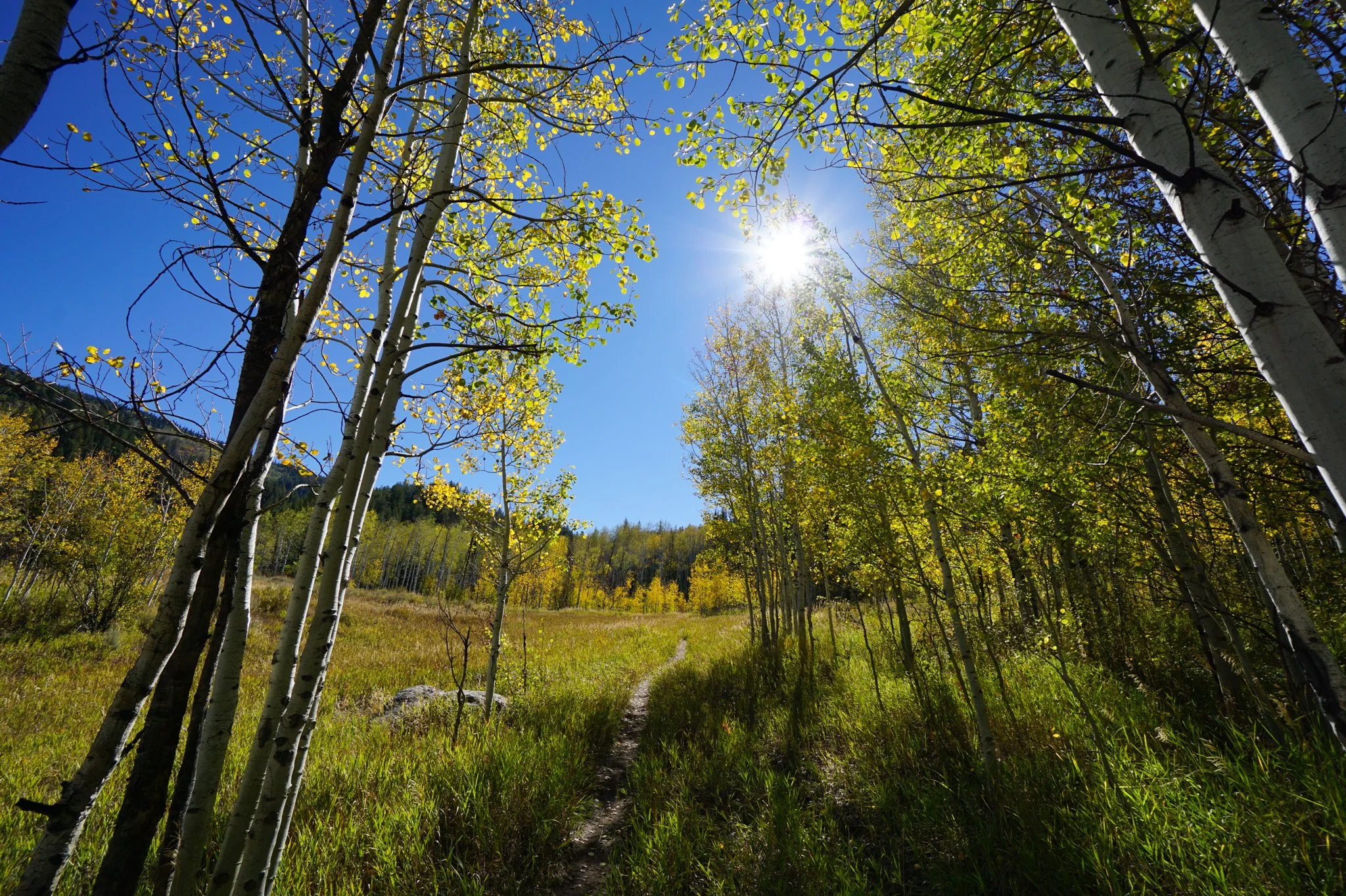
The trail is loaded with fall color. Almost the entirety of the first 2 miles consists of a mix of pine, aspen, and oaks with ferns and underbrush blanketing the forest floor. The varied vegetation provides a mosaic of yellows, oranges, reds, and greens. There are plenty of aspen trees and a few impressive groves of young aspens that you cross through along the way. Open hillsides provide stunning views of the hills across the valley, also chock full of fall color.
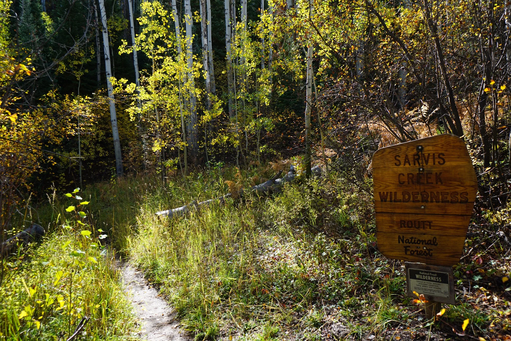
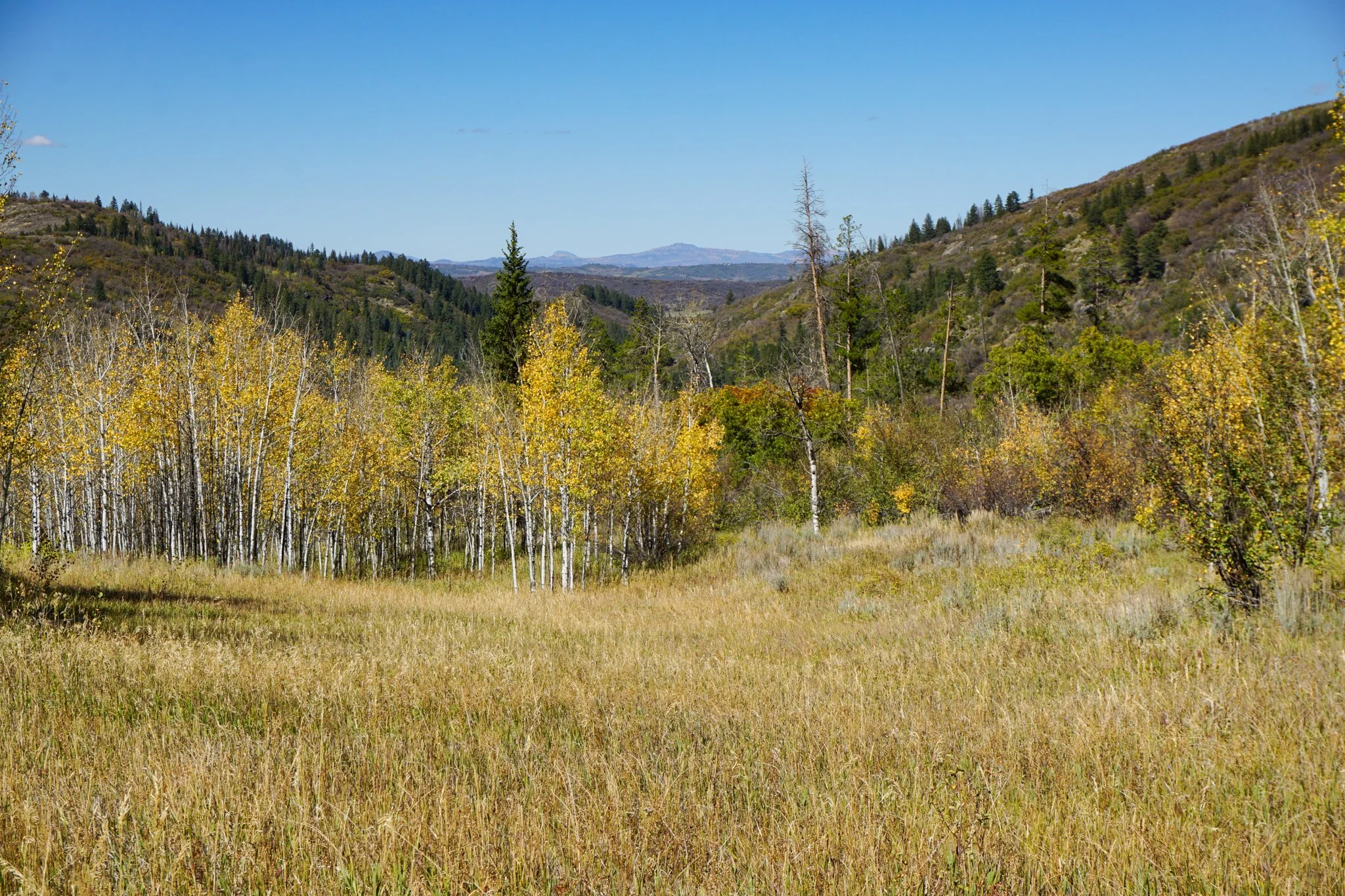
The trail is easy to follow and a straight shot with no turns or junctions. For milestones, you’ll enter the Sarvis Creek Wilderness Area at the quarter mile mark, cross a picturesque meadow full of young aspen trees and down-valley views back to the west at 0.6 miles, and crest the trail at 1.3 miles. You gain all the elevation in the first 1.3 miles of the hike and when you reach the crest of the trail, you’ll start descending gently to meet up with Sarvis Creek. If this is your turnaround point, then you can relax by the creek and head back the way you came.