Santa Fe Mountain
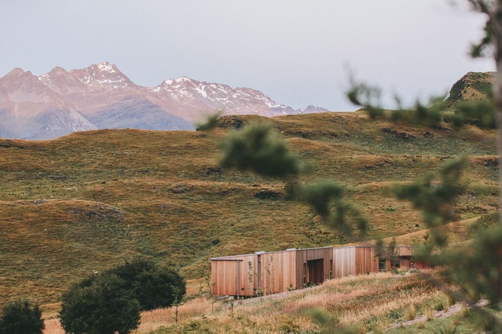
Beaver Brook Watershed Open Space
Date Hiked: April 27, 2025
Distance: 5 mi
Elevation Gain: 2,000 ft
Elevation Min/Max: 8,600 to 10,541 ft
Trailhead Lat/Long: 39.70756, -105.43510
Managing Agency: Clear Creek County Open Space
Fee: None
Santa Fe Mountain is a forested bump in the line of bumps that leads up to the Mount Blue Sky massif. The mountain stands in between Saddleback Mountain and Mestaa’ėhehe Mountain and while the peak itself is non distinct, the hike up is a good workout and a great spring training hike.
The trail to Santa Fe Mountain begins in the Beaver Brook Watershed Open Space in Clear Creek County and follows a natural gas pipeline right-of-way up to a saddle to the south of the actual summit. The last little bit of the hike requires some bushwacking to find the summit rock outcrop so be sure to have your GPS or COTREX app on your phone to follow. Just as for hike further out in the wilderness, I do not recommend going off trail without a gps option to keep you grounded.
From the parking area on Beaver Brook Canyon Road, make your way to the closed gate off of Pat Creek Road. Take the main trail past the meadow and look to the right for the clear pipeline right of way. Although not signed, this is marked as the Santa Fe Mountain Trail on various maps. From this point it’s about 2 miles to the summit of Santa Fe Mountain.
The trail is easy to follow and pretty mellow for the first mile. There are plenty of aspen trees and meadow views along this stretch of trail. If you are not up for a rocky steep ascent, turn back after the first mile. At the 1 mile mark, the trail crosses a creek and enters a thick pine forest and the trail gets much rougher. At times the trail is very steep and can be hard to follow, again your GPS will come in handy. Follow the trail up, up, and up.
About 1.6 miles up the Santa Fe Mountain Trail, keep your eyes out for a large rock outcropping through the trees to the north of the trail (your right). It should be pretty obvious and easy enough to make your way over to. The view to the east from here is phenomenal and far better than the view from the actual summit. The view looks down on the rocky sub-summits and ridges of Santa Fe Mountain and the Beaver Brook Watershed Open Space meadow far below. If you are not one of those people who simply must reach the summit, this would be a good destination and a good place to turn around. If you are like me…you can continue up to the summit from the outcropping by bushwhacking through the sparse forest, almost directly west. As you near the summit, a large dense grove of aspen trees takes over much of the forest. Keep an eye on the gps and look for a large pile of boulders / rock outcropping for the actual summit. Evidence of a summit register exists but no marker that I could see. From the “summit” you get an obstructed view of Mount Blue Sky and the Continental Divide, if you poke around long enough you’ll probably find a better view.
From the summit, you can return the way you came to the rock outcrop viewpoint or head down the summit directly to the south (recommended) to find the “trail” and the pipeline right-of-way. Follow the trail back down to the east, and be careful not to lose your way in a few key spots.
Santa Fe Mountain is easily the most difficult hike in the Beaver Brook Watershed but it also is the only trail that gives you a bird’s eye view of the open space and beyond. The hike gains about 2,000 ft in about 2.5 miles so it’s a steep burner of a hike. The view is worth it, but the hike is definitely a slog, so bring your mental A game for this one…