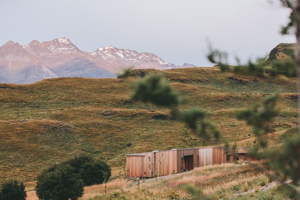
Sand Canyon & Connector Trail
Canyons of the Ancients National Monument
Date Hiked: March 29, 2025
Distance: 2.5 mi (RT)
Elevation Gain: 275 ft
Elevation Min/Max: 5,504 to 5,716 ft
Trailhead Lat/Long: 37.34147, -108.81690
Managing Agency: Bureau of Land Management (BLM)
Fee: None
Directions:
From Cortez, head south on Hwy 160 and turn right (west) on Rd G for 12.5 miles to the Sand Canyon Trailhead.
Hike Description:
The Canyons of the Ancients National Monument, not part of the National Park System, is vast and awesome. The Sand Canyon Trail is the Monument’s main event hike. The trail extends for 6 miles from South to North and has cultural resources, ruins, and cliff dwellings scattered over the course of the hike. However, if you don’t want, or can’t, do the entire hike, there is a shorter version that takes you past ruins of a pueblo and two cliff dwellings over just 2.5 miles.
This 2.5 mile version of Sand Canyon follows Sand Canyon for just a ¼ mile, then branches off to the north and west along a connector trail that leads to two cliff dwellings, then follows the same route back. There is an option to turn this into a 3.5 mi loop, which would be wonderful.
This hike is simply stunning. The desert/red rock formations and canyons are beautiful! The hike traverses slick rock, follows incredible canyons, and provides mountain and canyon views for the entirety of the hike.
From the trailhead, you climb up a slick rock slope, following trail markers to keep you on the right route. At the top of the first slickrock slope, you turn the bend and can explore the first ruins of the hike. A short loop to the right, takes you through the…???...pueblo. The trail gives you a view up into some rock formations with a small enclosure of ancient bricks, and a standing brick structure before returning you to the main trail.
You then climb the second slickrock slope to the junction with the connector trail, turn left. As you enter the connector trail you soon get some incredible views of the canyon wall ahead that turns to the west. If you have eagle eyes, you can spot the cliff dwellings soon after entering the connector. The wall ahead has a series of alcoves and two of them have cliff dwelling ruins. The trail takes you around the canyon wall and leads to the base of those alcoves.
The first alcove, with the more impressive of the two cliff dwellings, has a short spur trail that takes you up to base of the cliff. You get great up-close views but you can’t actually climb up to the ruins themselves, which is good for preservation purposes. The trail continues around a corner under a hoodoo and leads along the base of the cliff wall and under the second cliff dwelling. This dwelling only has one wall remaining and some ancient debris. There is no spur trail here, so just take in the view and enjoy from a distance.
If you want the short hike, turn around here and head back the way you came. If you want a longer hike, you can continue, and head back to the trailhead via a loop of connector trails, see the park’s map at the trailhead and trail junctions for more info.
This hike is not to be missed, regardless of how far you explore.