Rolling Creek Trail
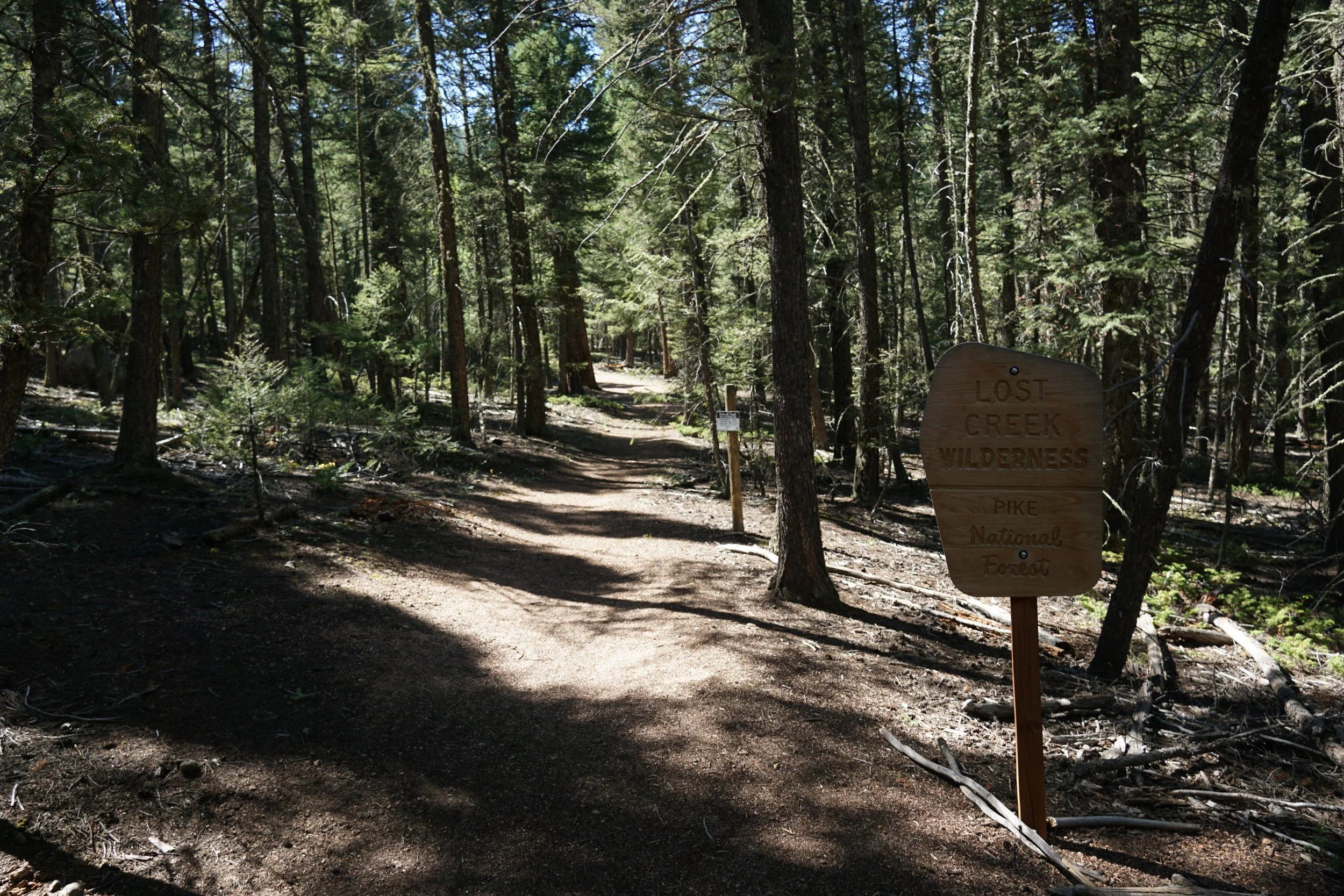
Lost Creek Wilderness, Pike National Forest
Date Hiked: September 19, 2021
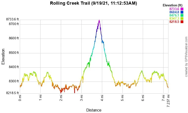
Distance: 7 mi (RT)
Elevation Gain: 750 ft
Elevation Min/Max: 8,237 to 8,707 ft
Trailhead Lat/Long: 39.33825, -105.40137
Managing Agency: US Forest Service
Fee: None
Directions:
From Hwy 285 in Bailey, CO, head south out of town on Wellington Lake Road. Follow Wellington Lake Road for 8 miles to the Rolling Creek Trailhead. There is a small parking lot, right off of Wellington Lake Road but high clearance vehicles can drive another ¼ mile up to the actual trailhead. Wellington Lake Road is a good dirt road and most vehicles should have no problems in good conditions; SUV recommended.
Hike Description:
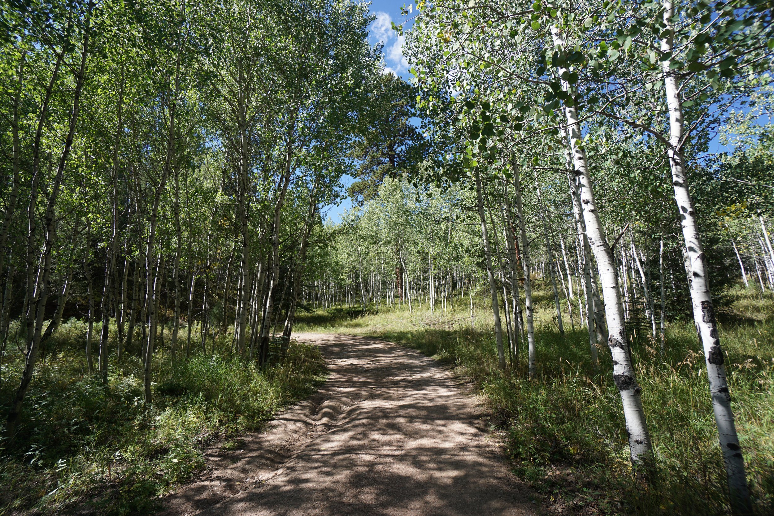
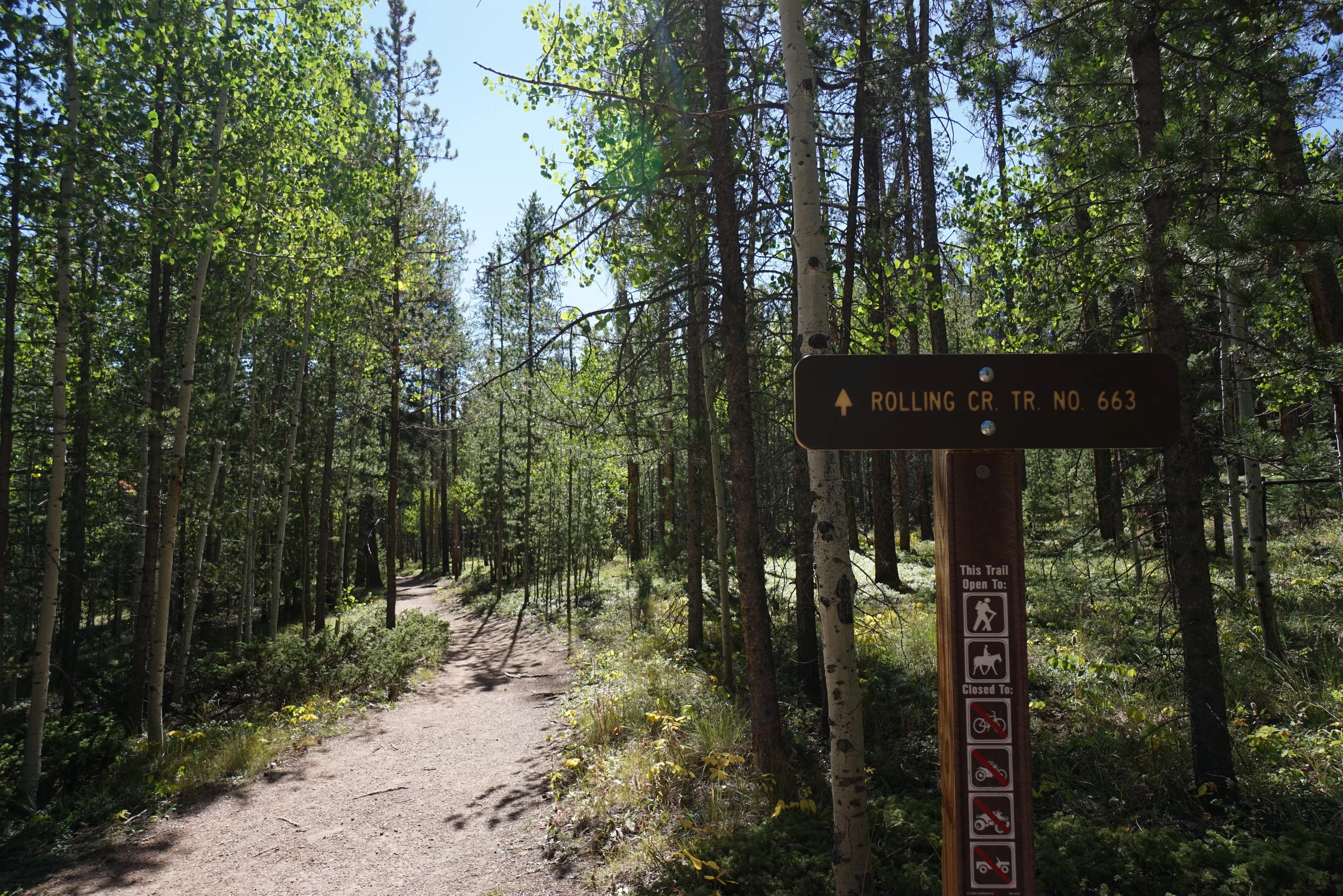
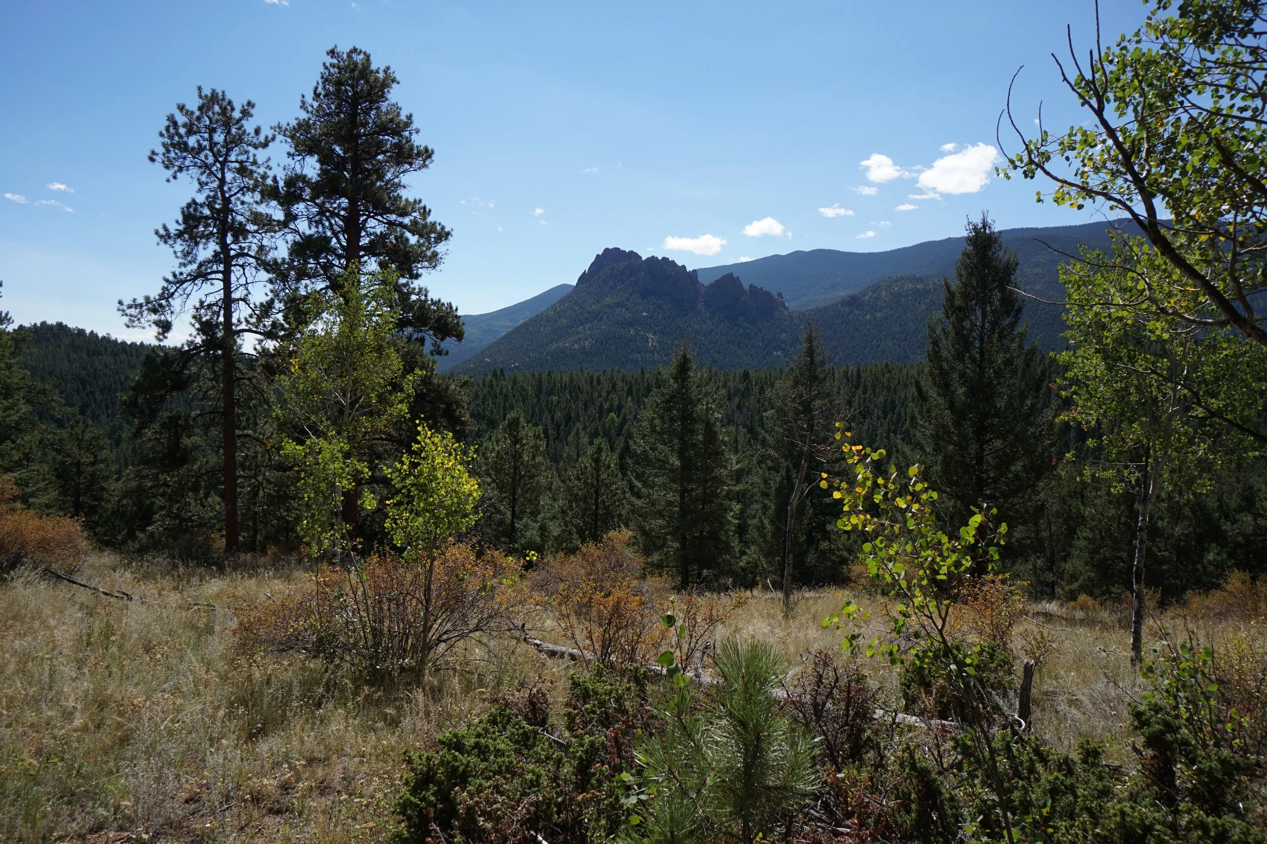
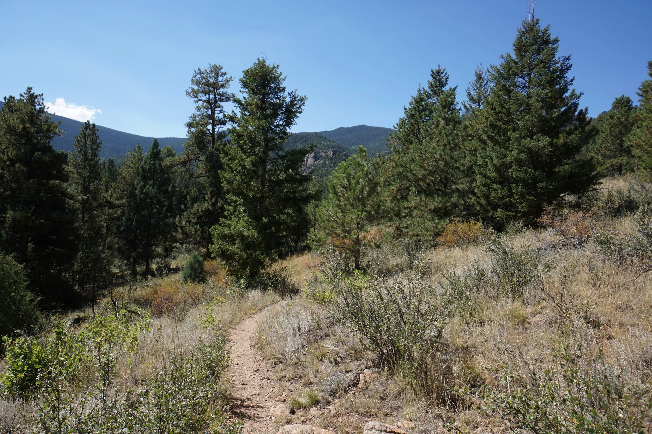
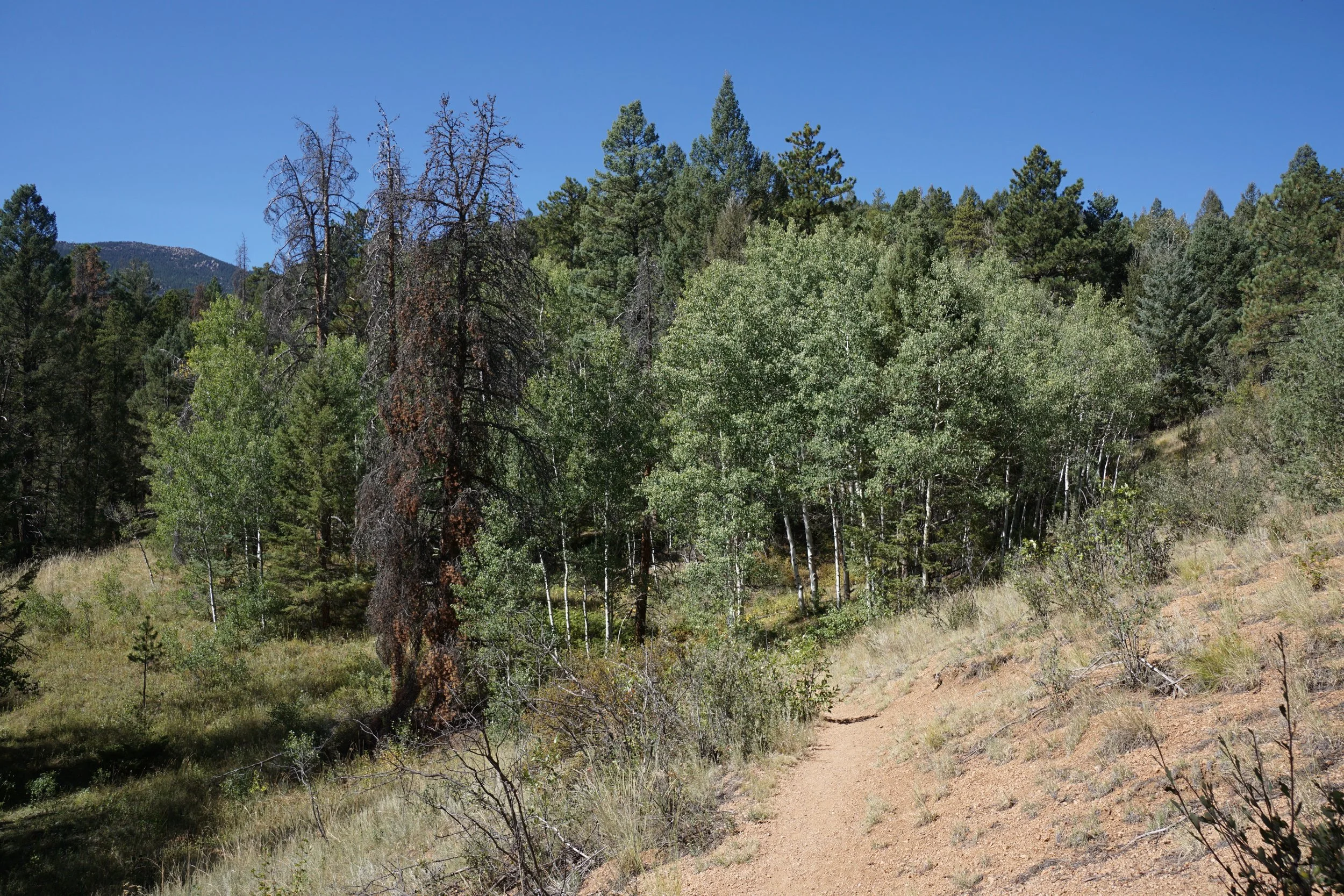
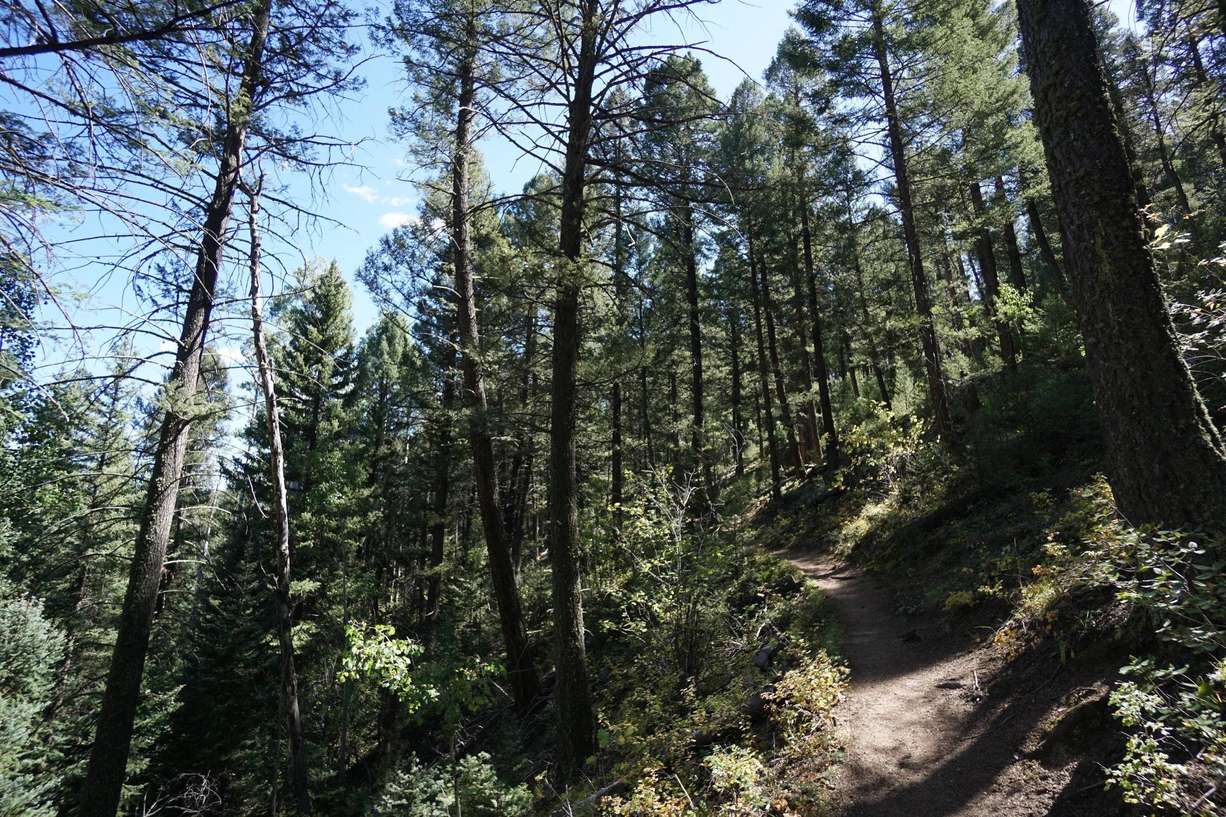
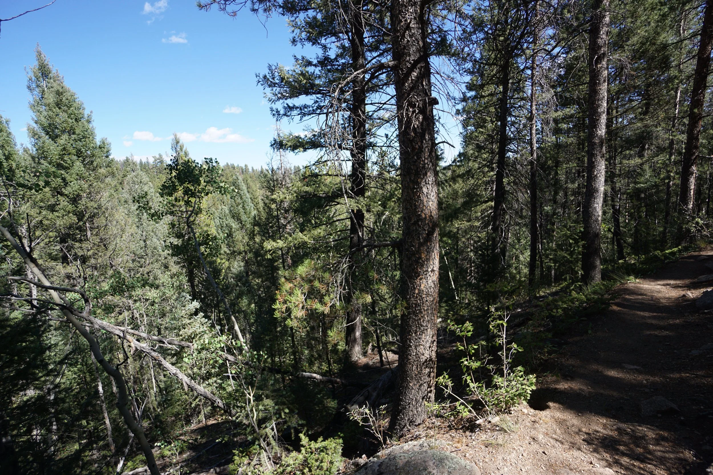
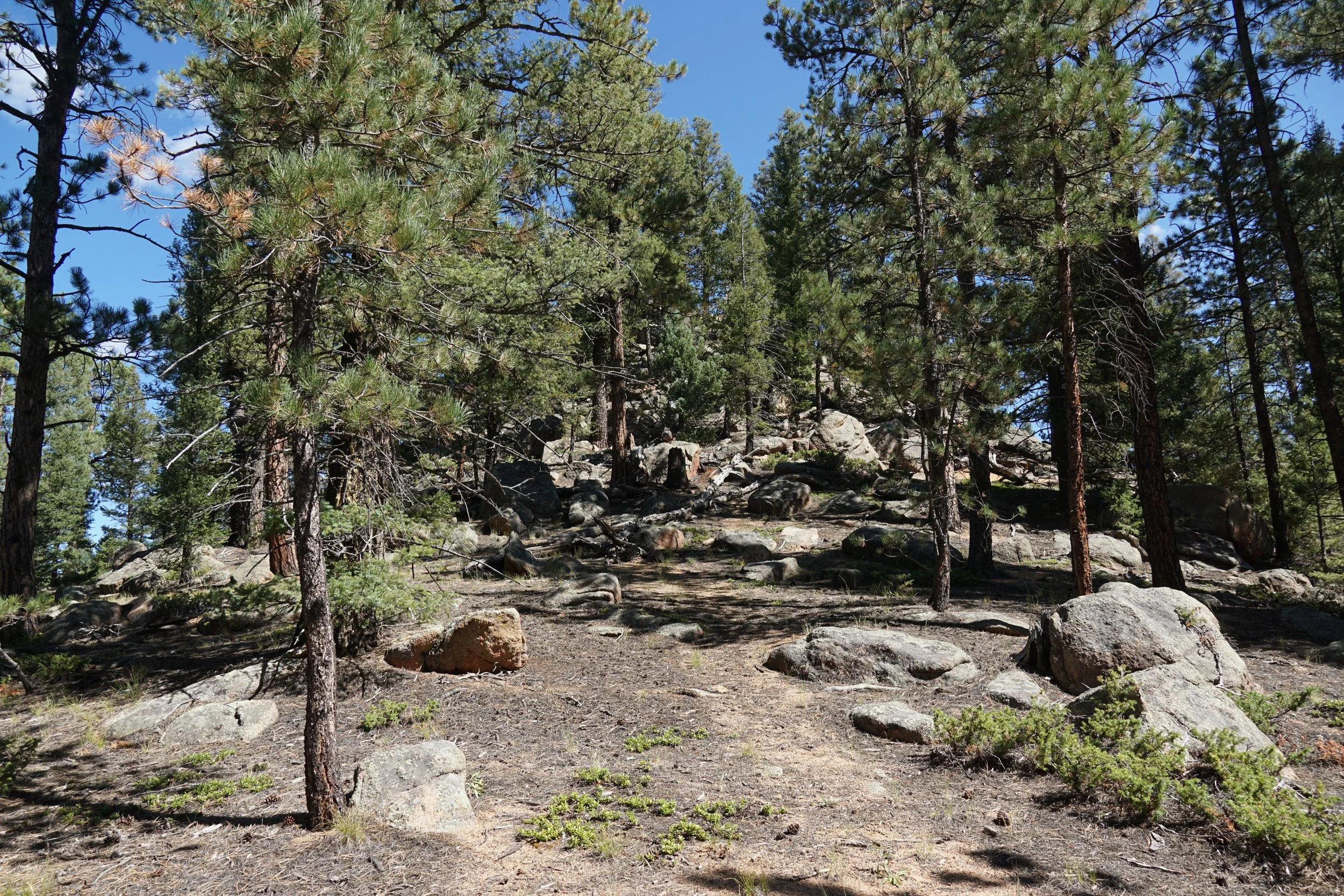
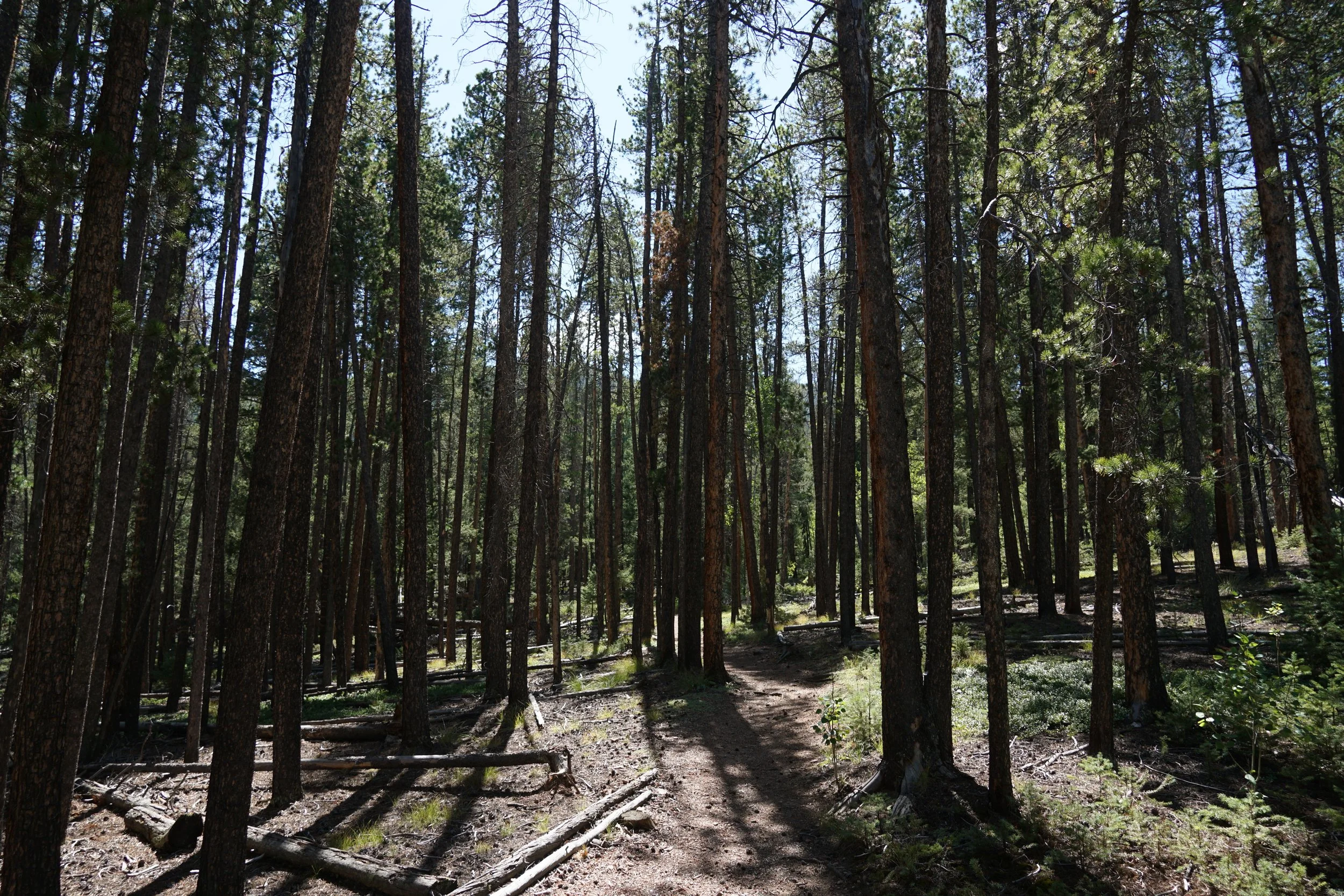
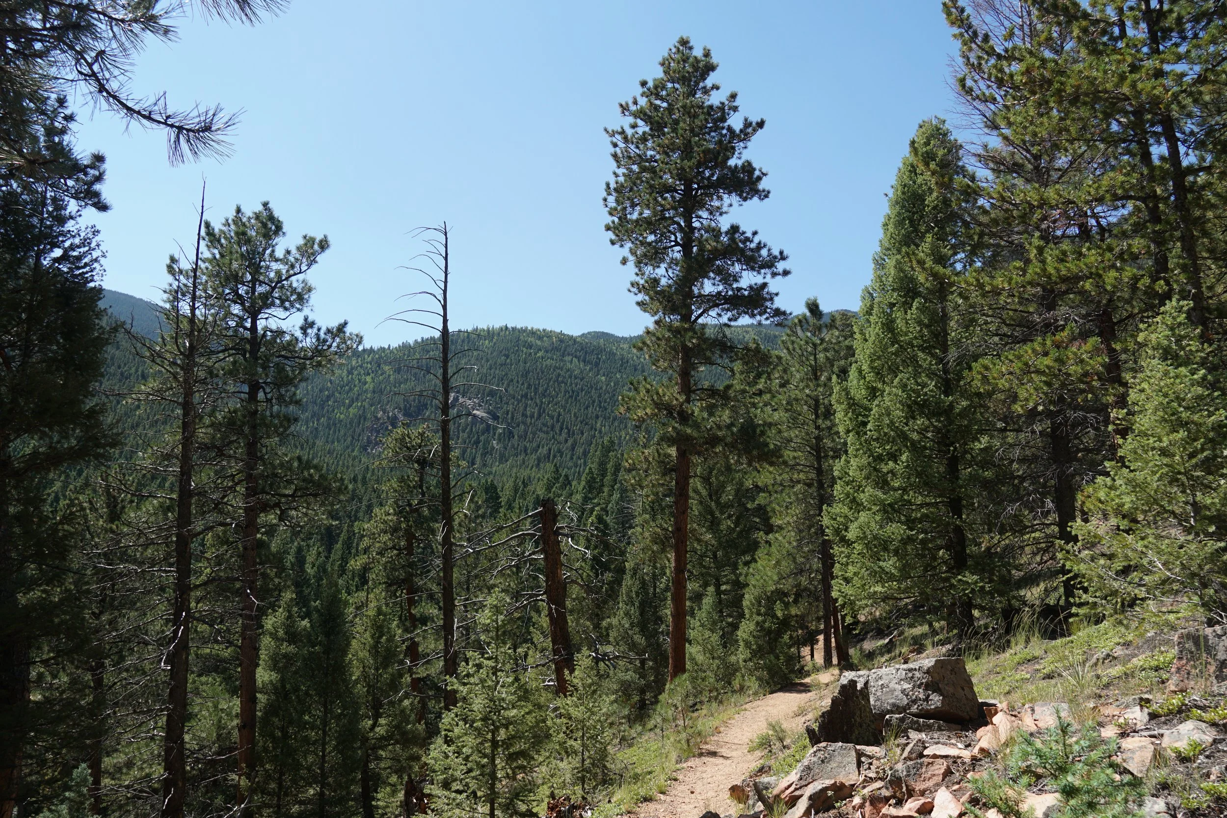
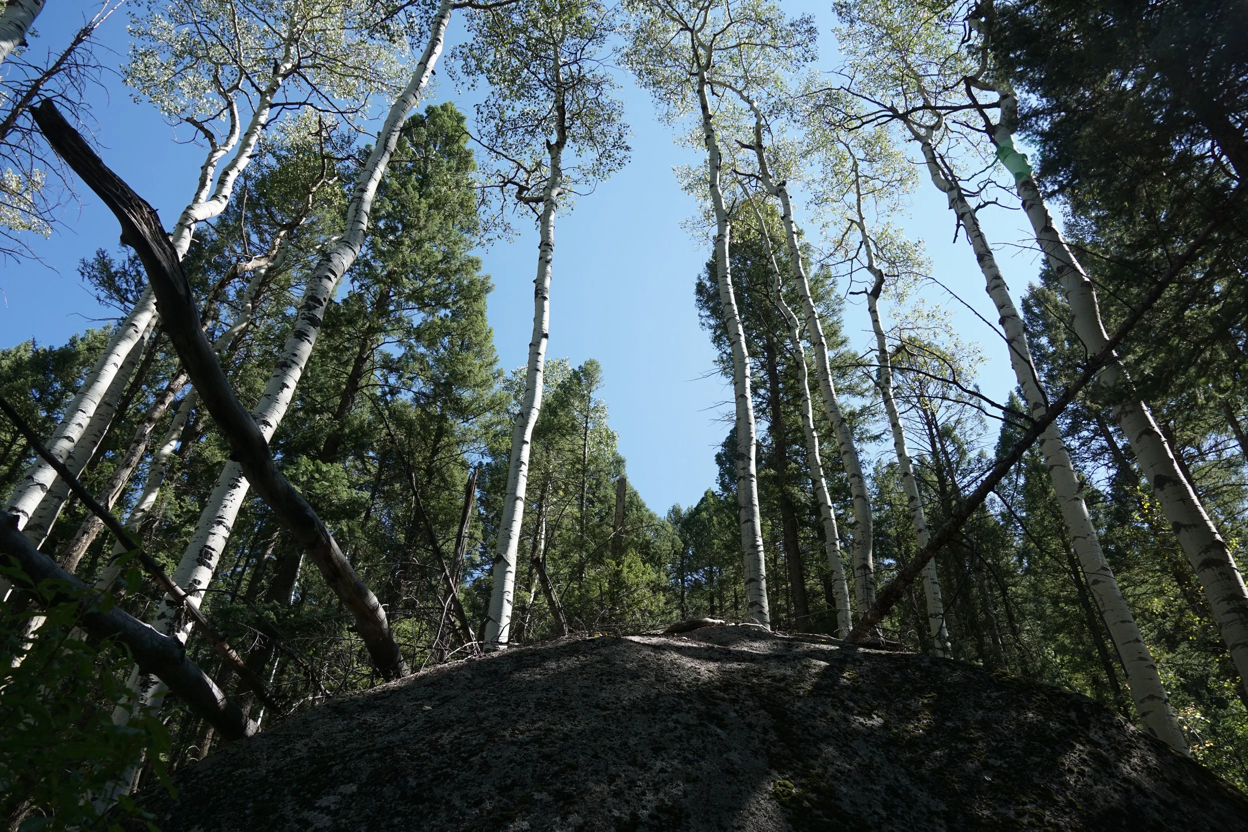
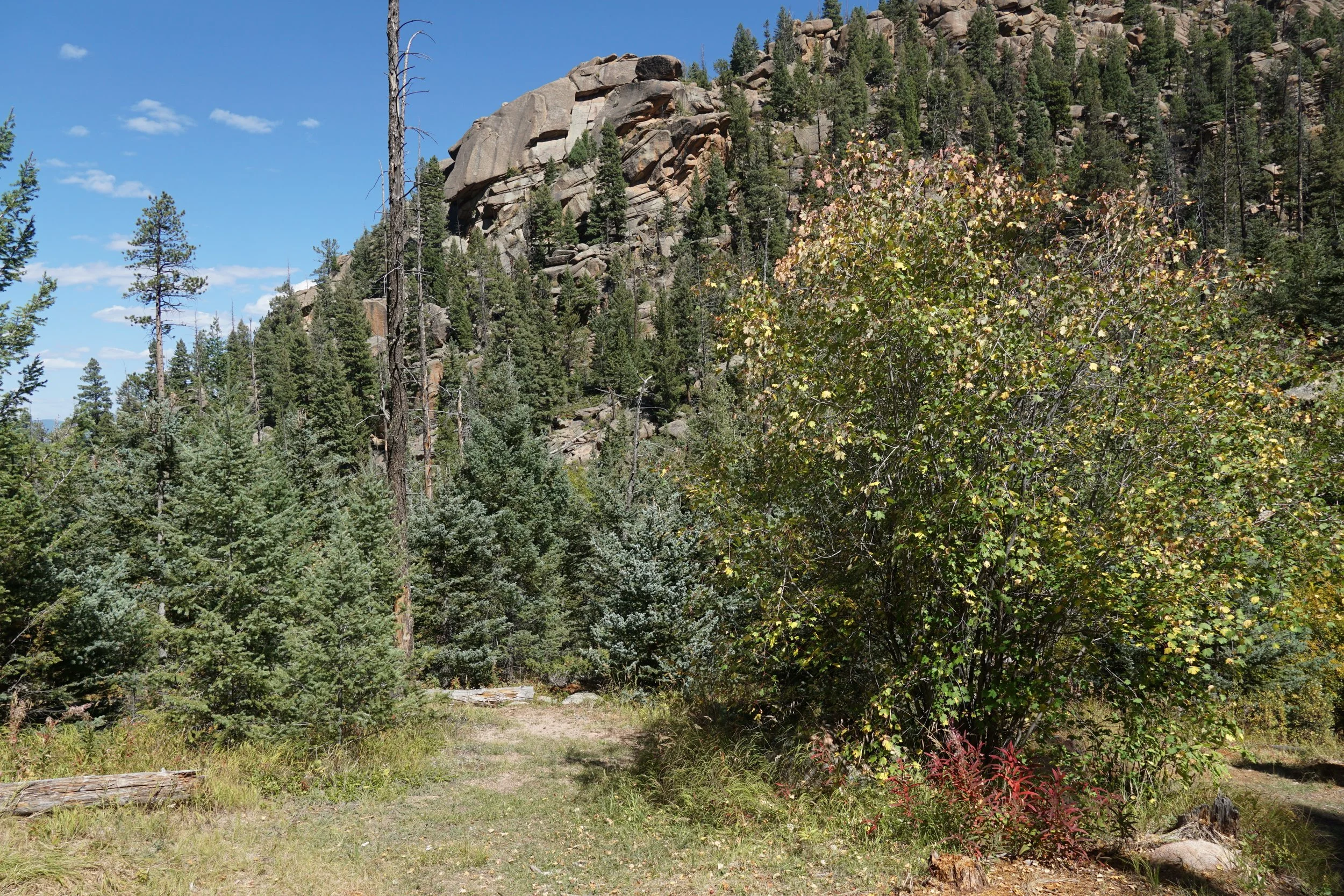
The Rolling Creek Trail starts at the Rolling Creek Trailhead, the same trailhead as the Colorado Trail, and heads south through the Pike National Forest eventually entering the Lost Creek Wilderness. This hike follows a shady forest trail traversing rolling hills and providing good fall colors if you hit it at the right time.
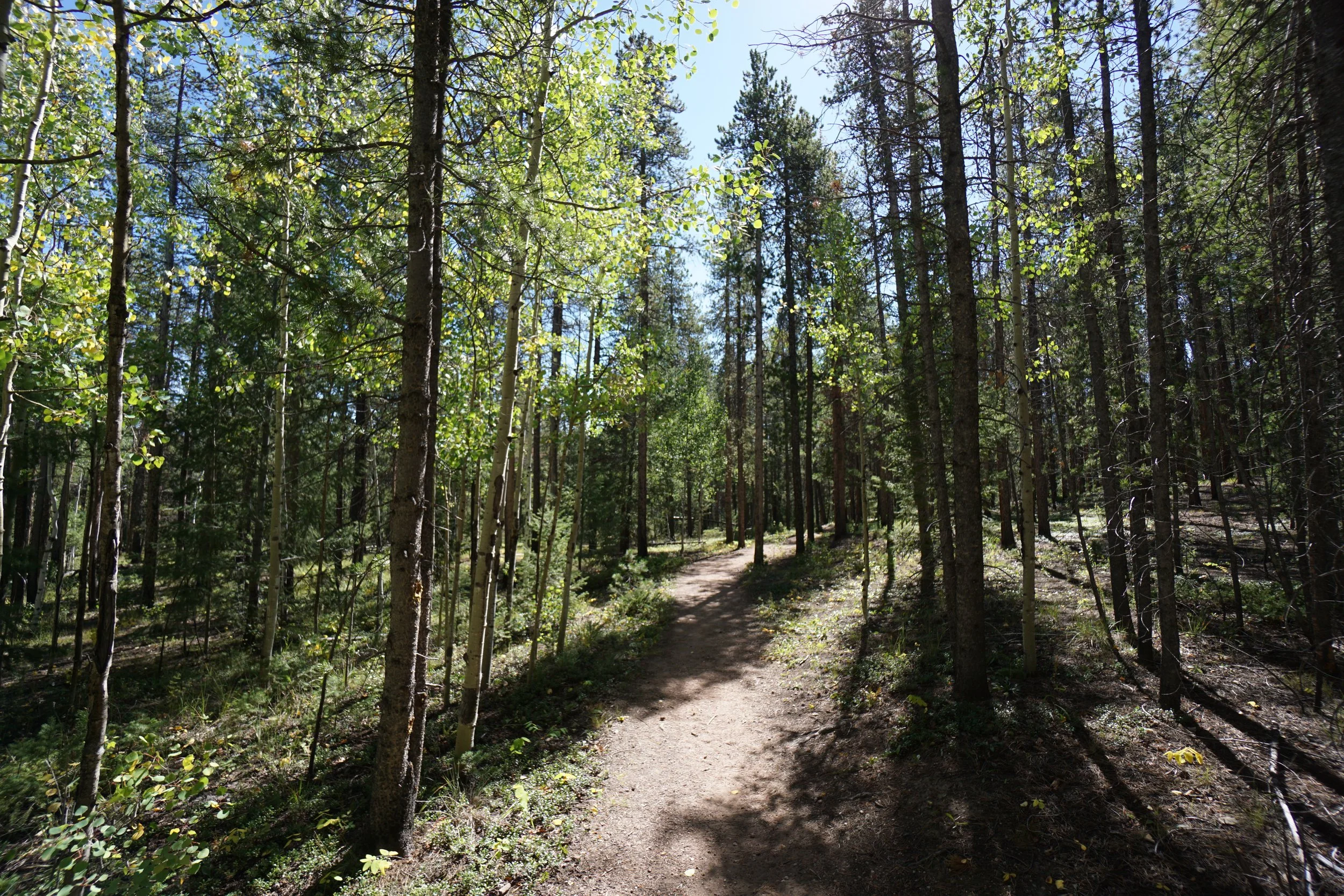
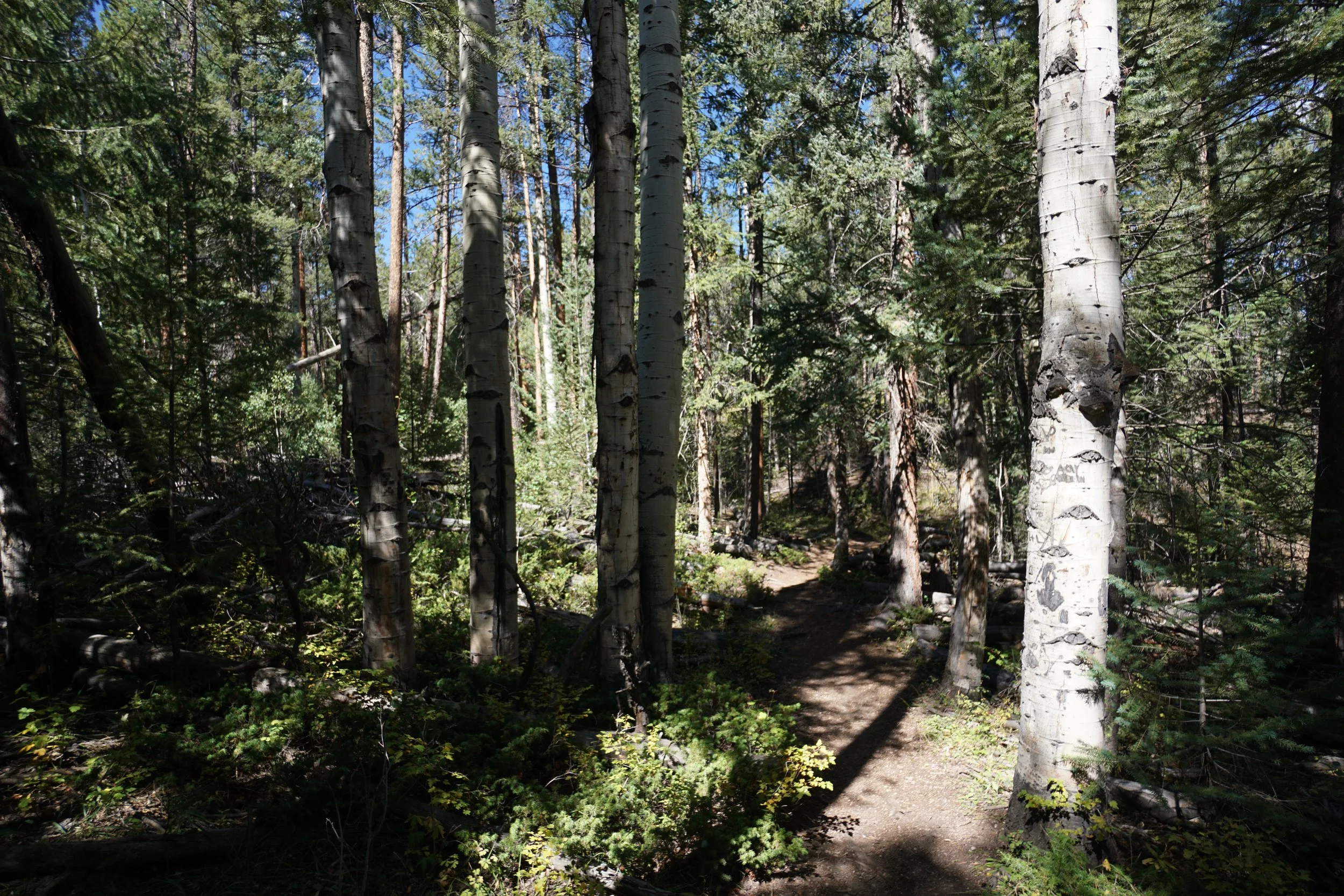
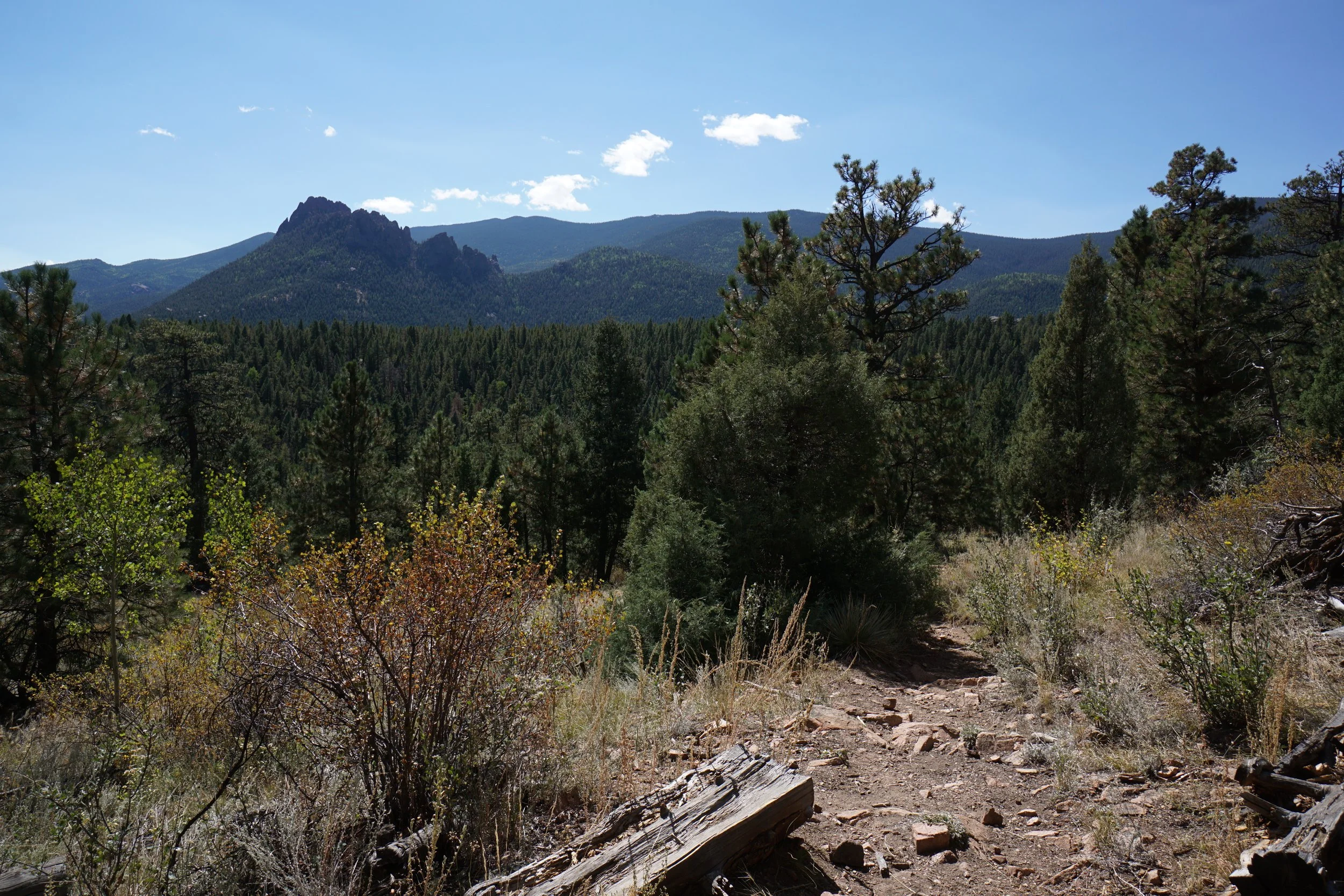
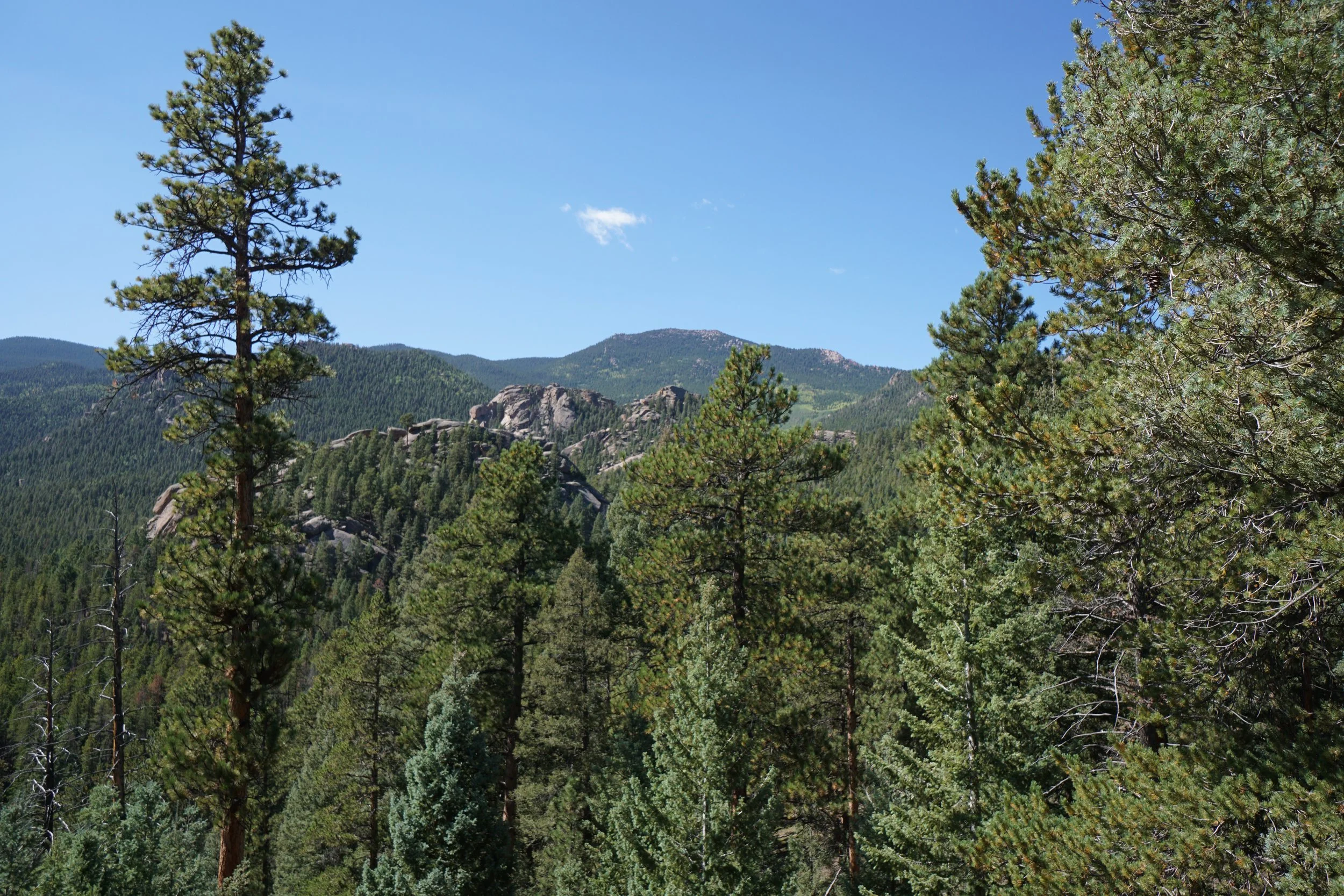
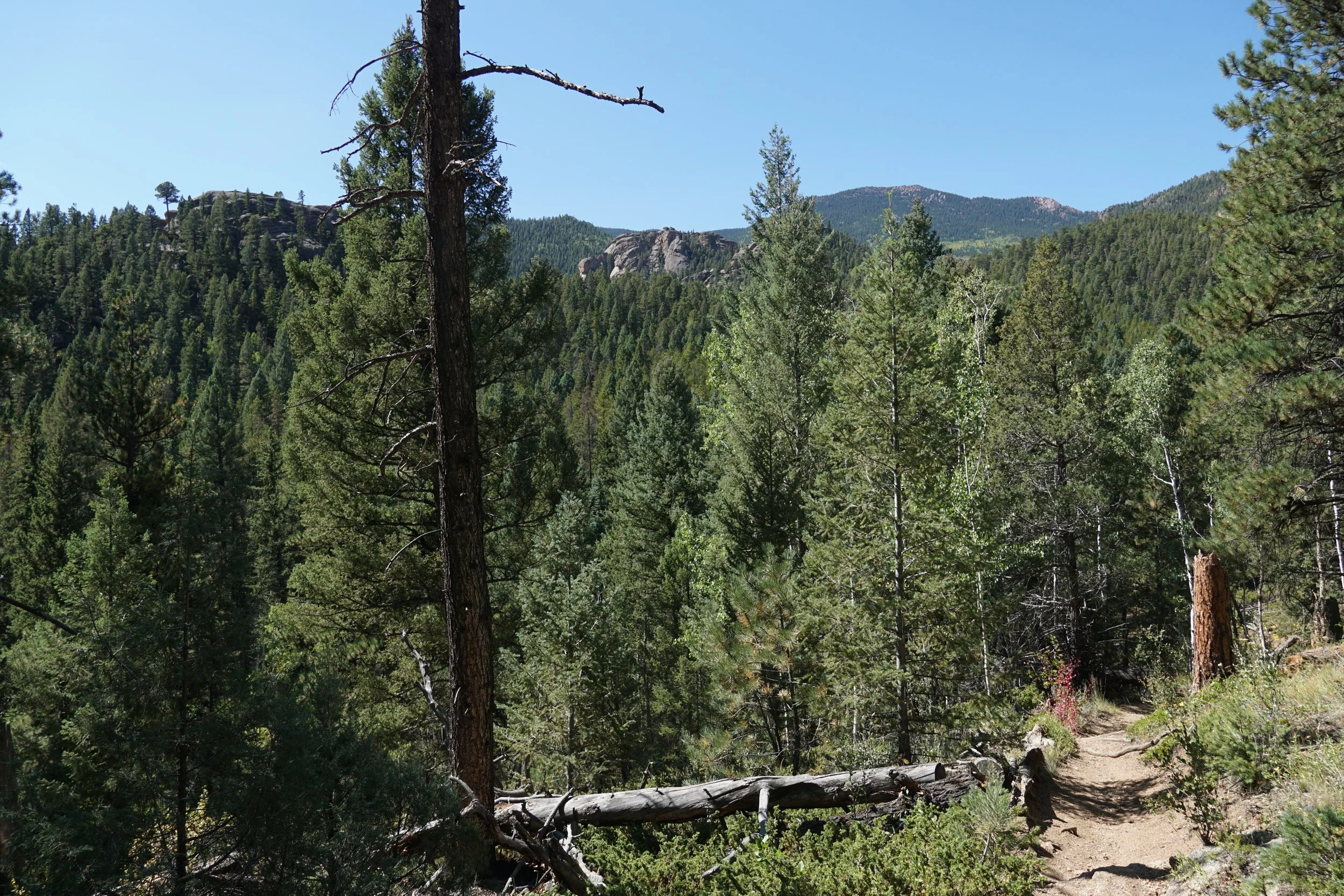
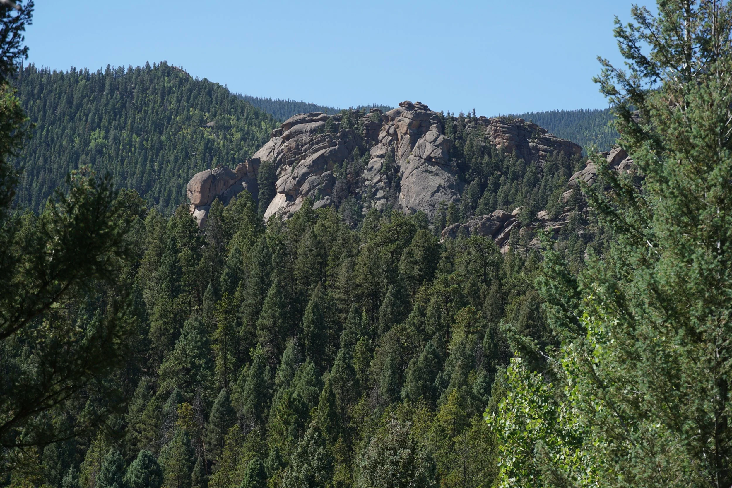
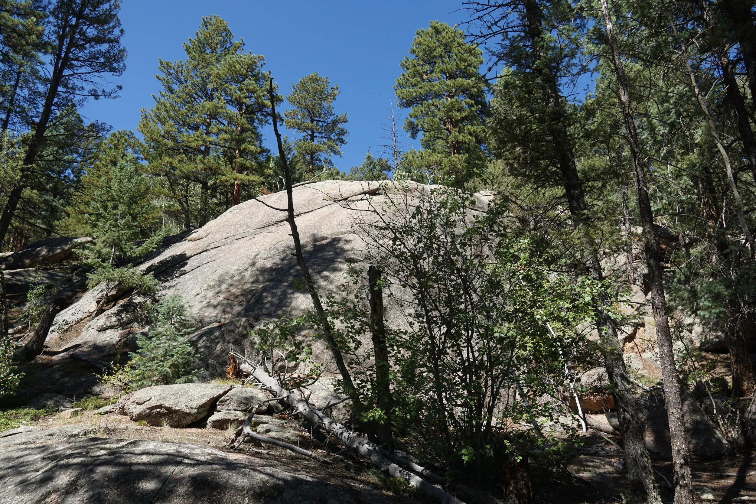
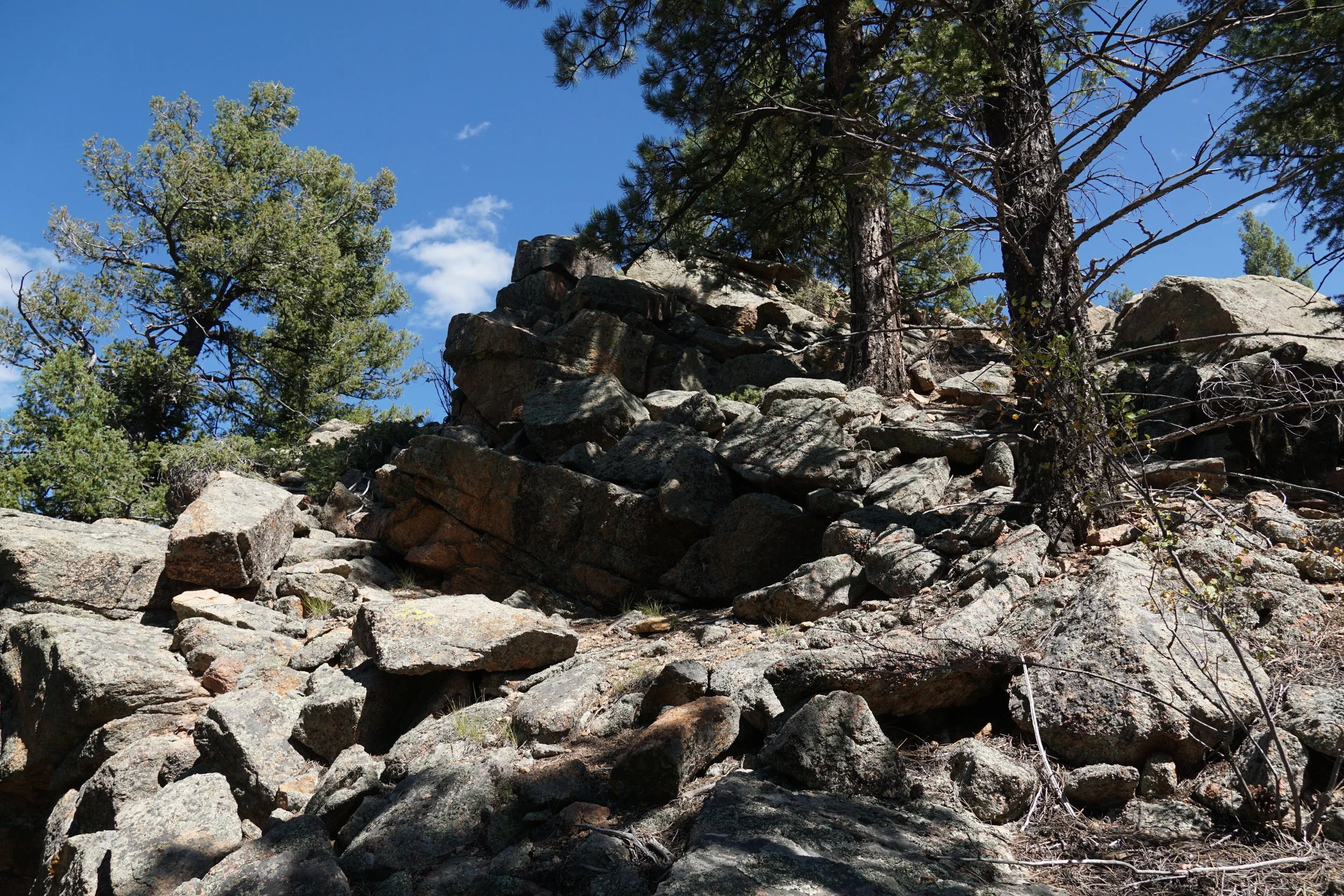
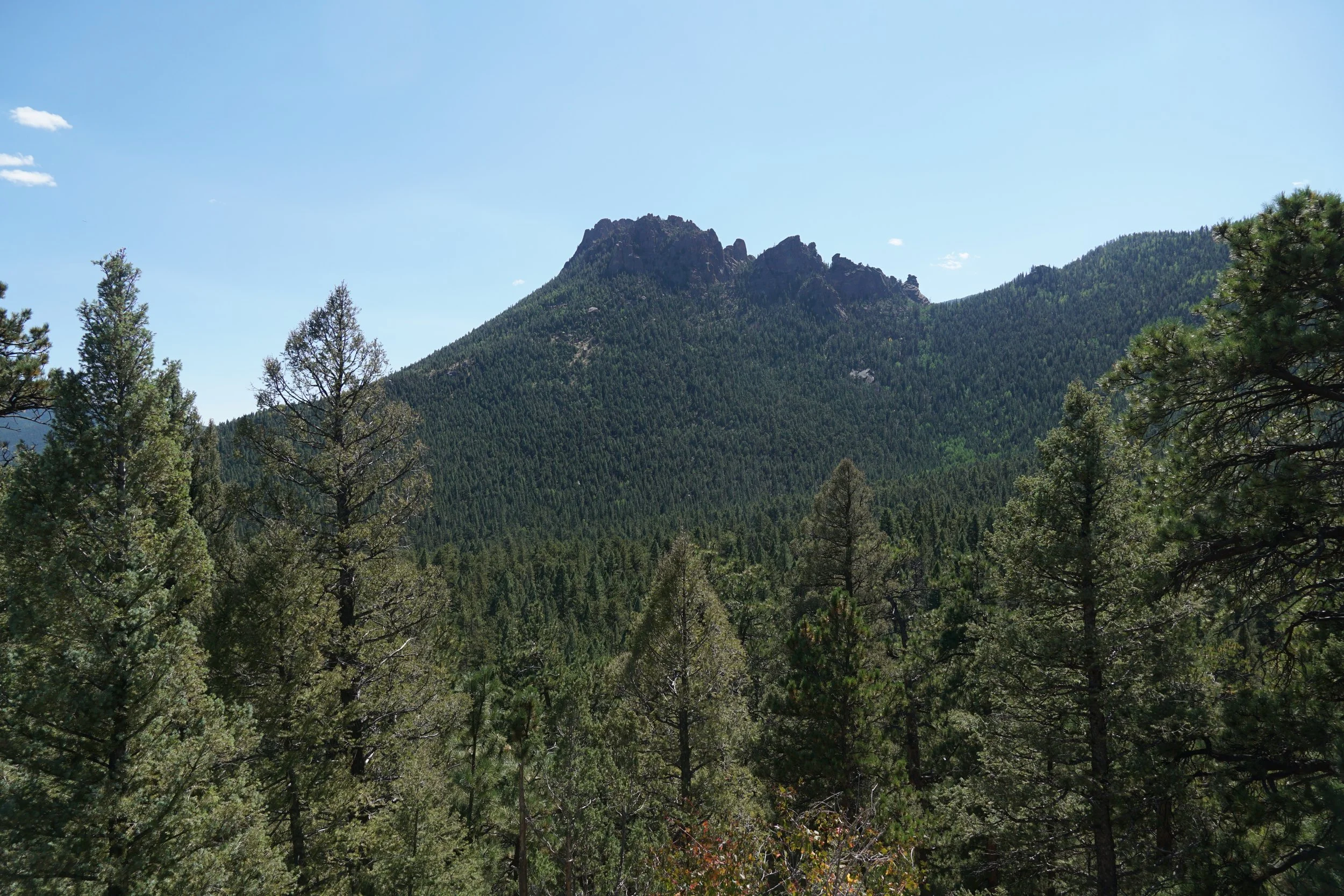
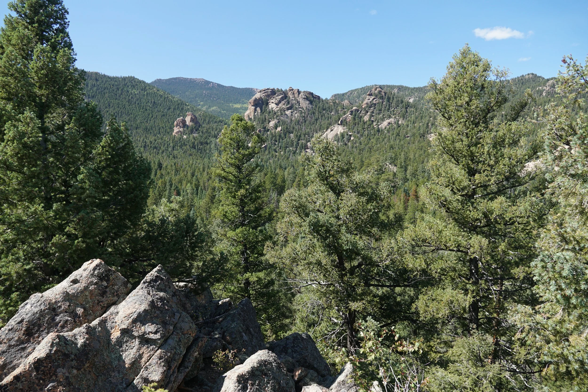
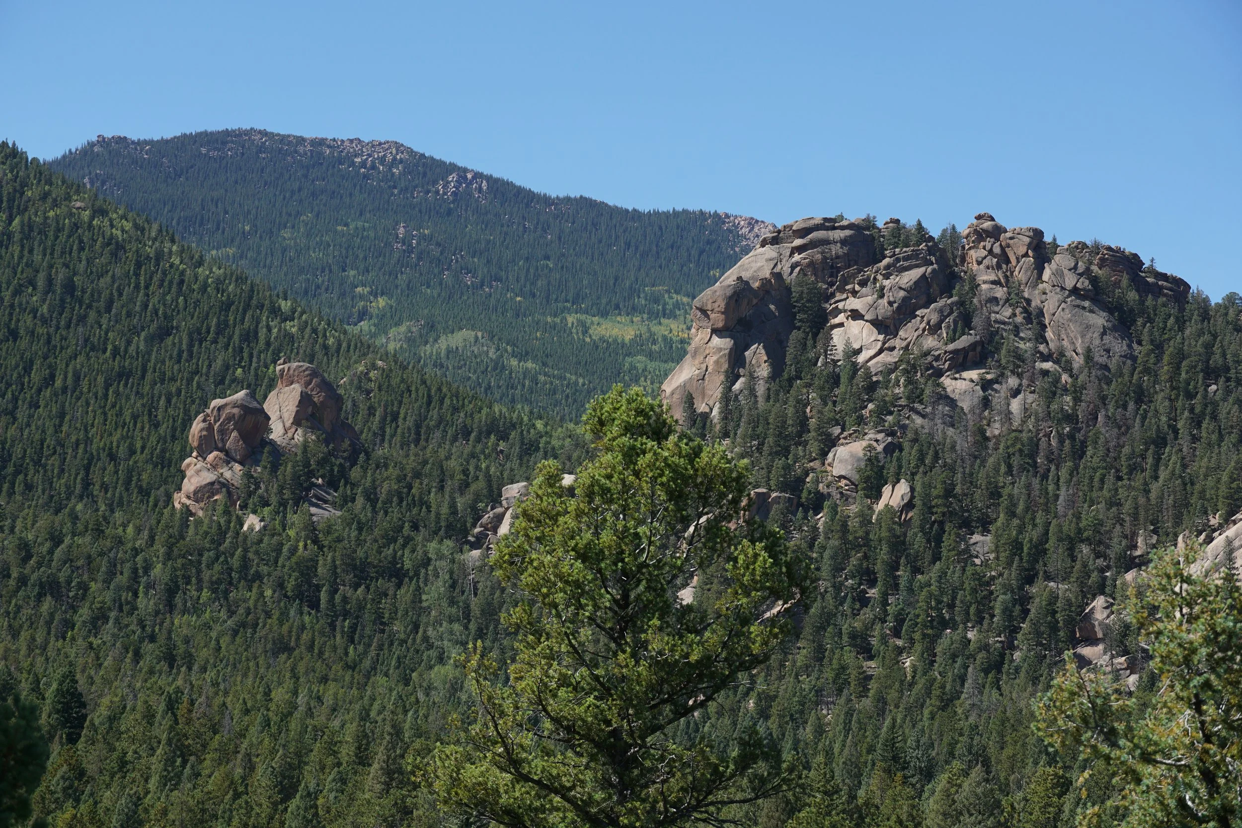
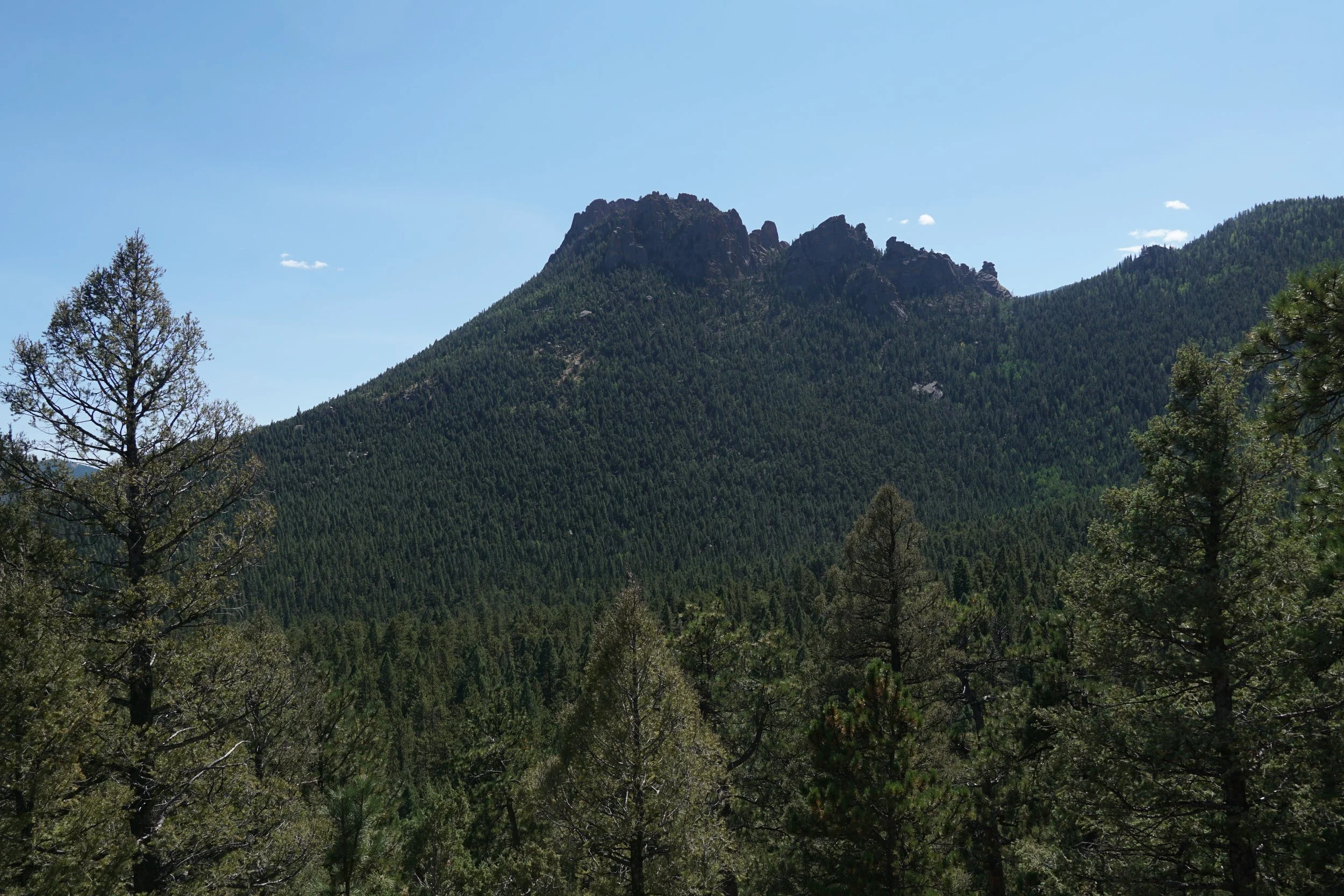
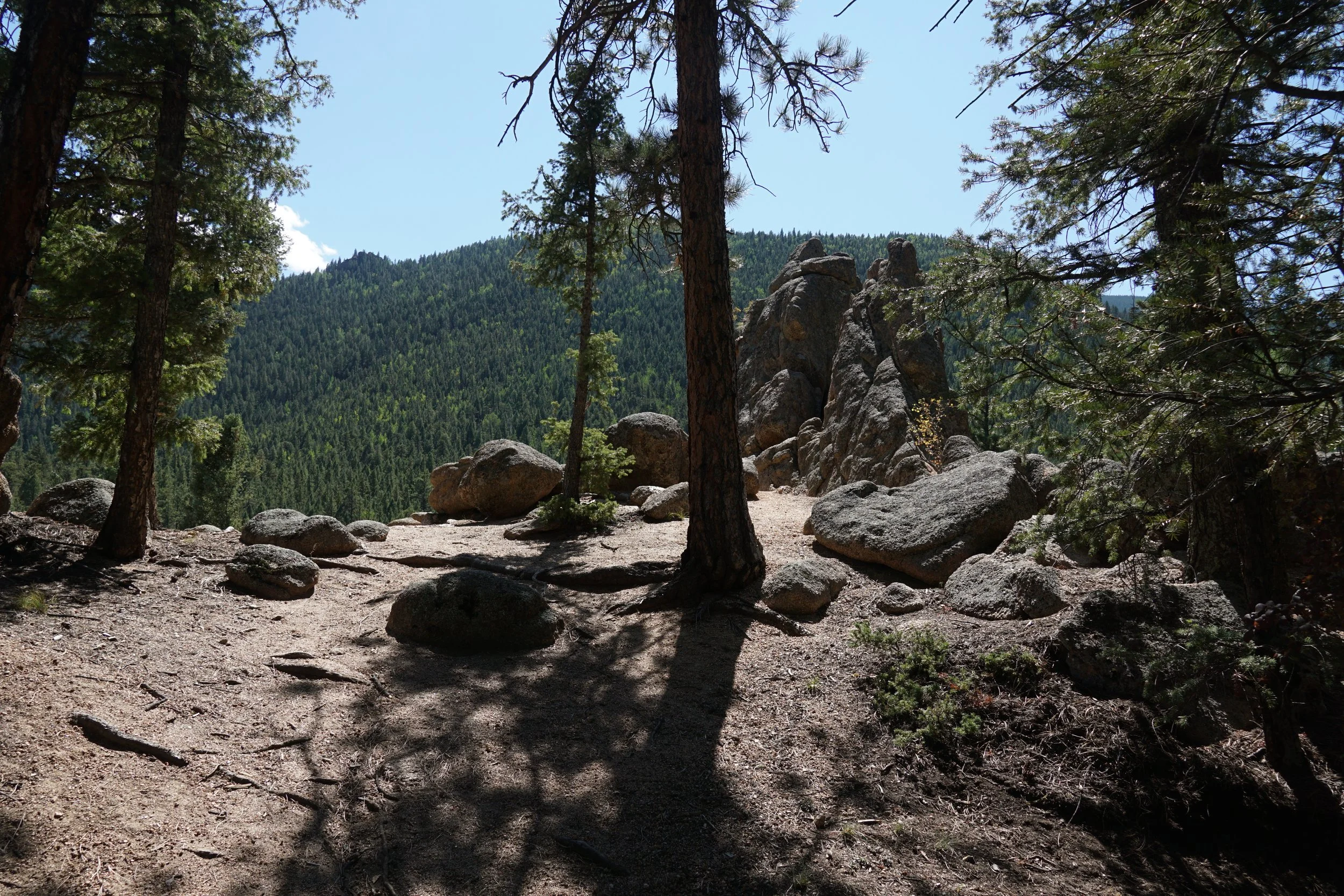
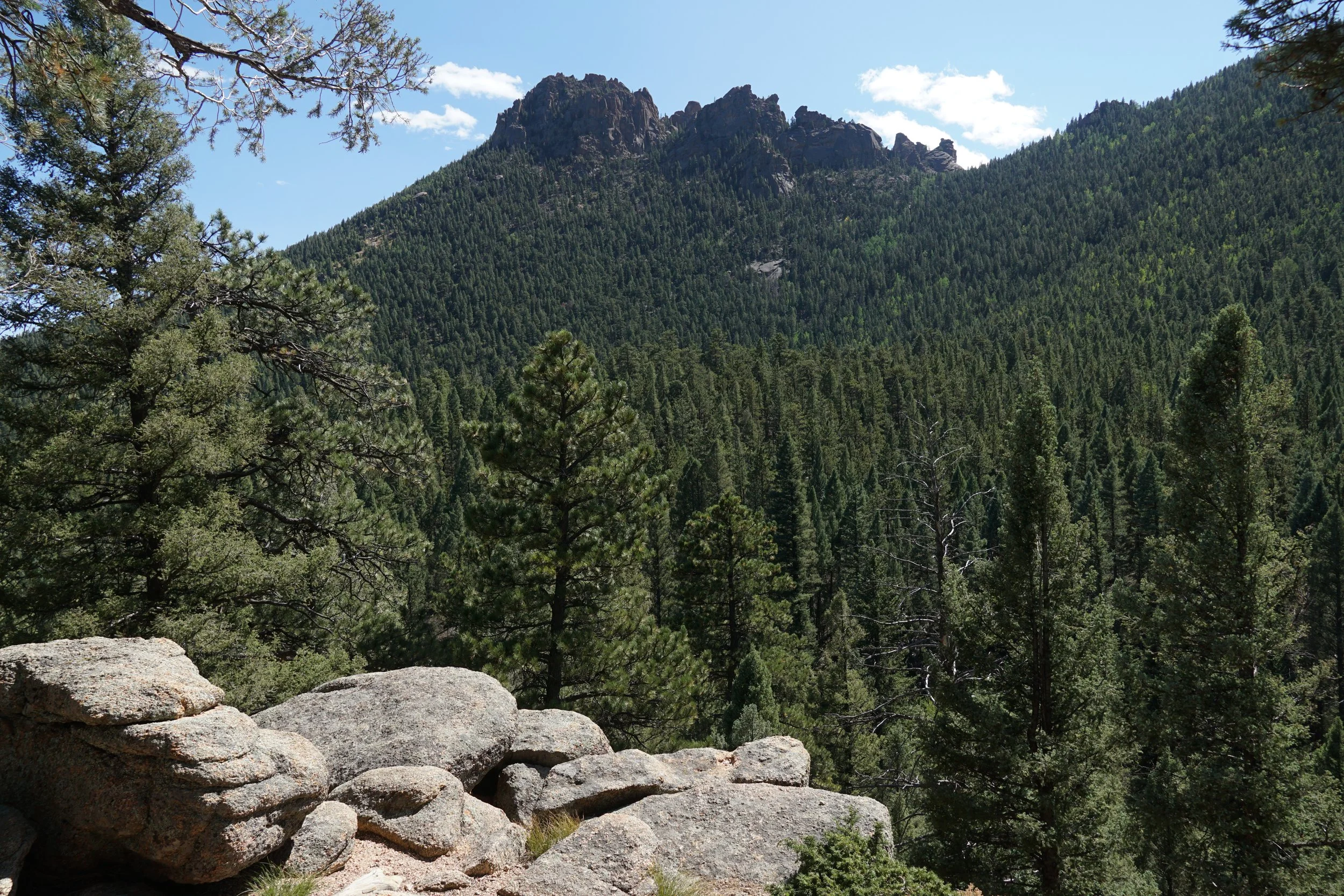
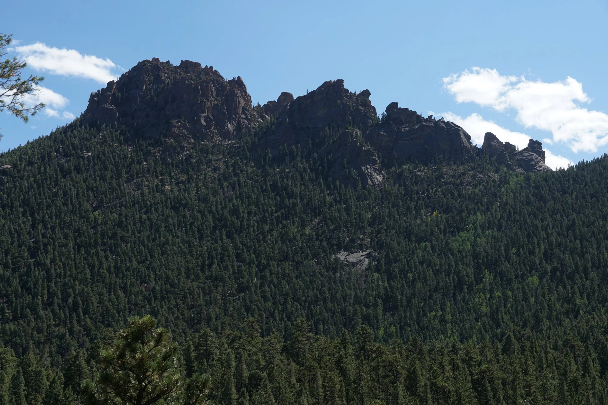
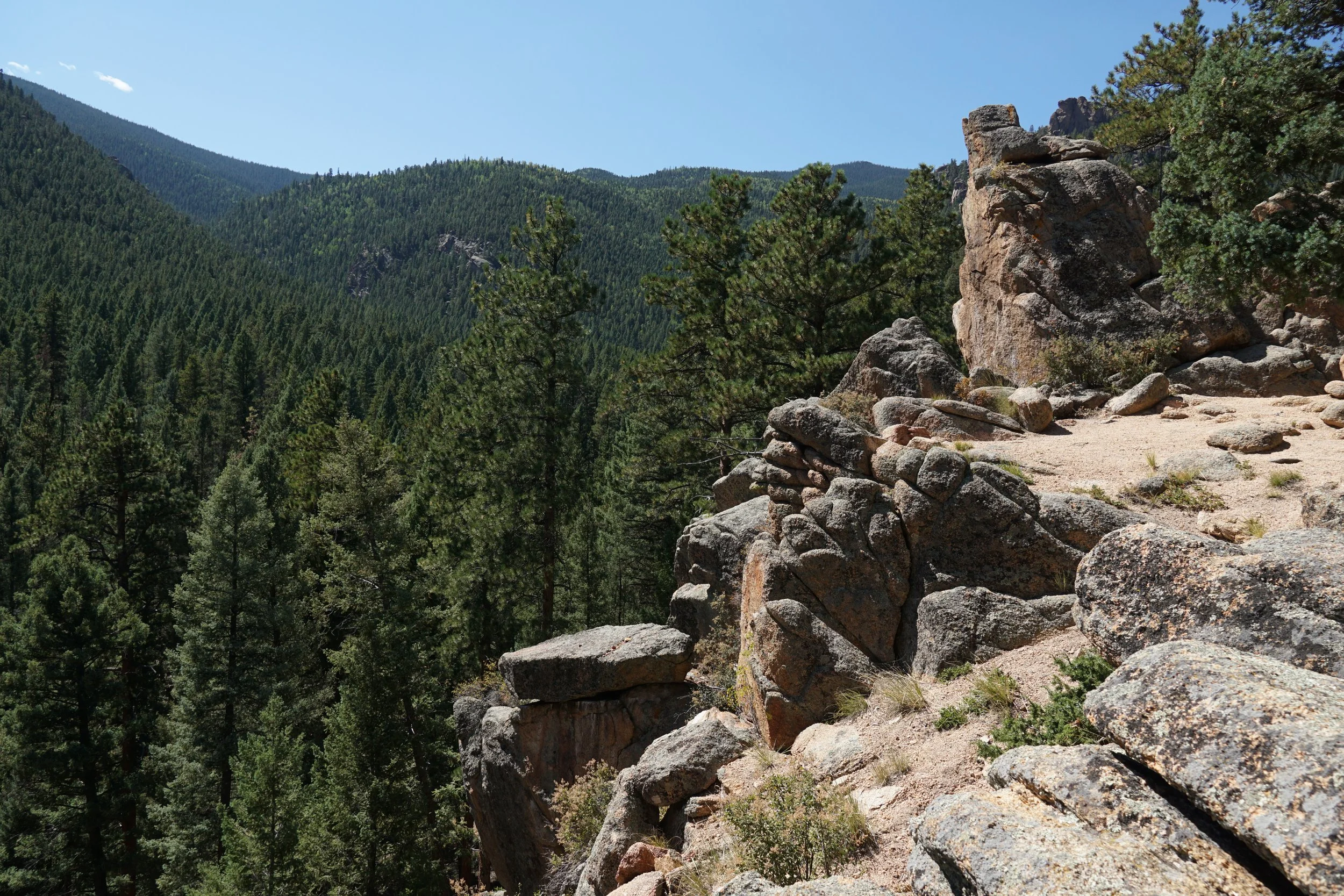
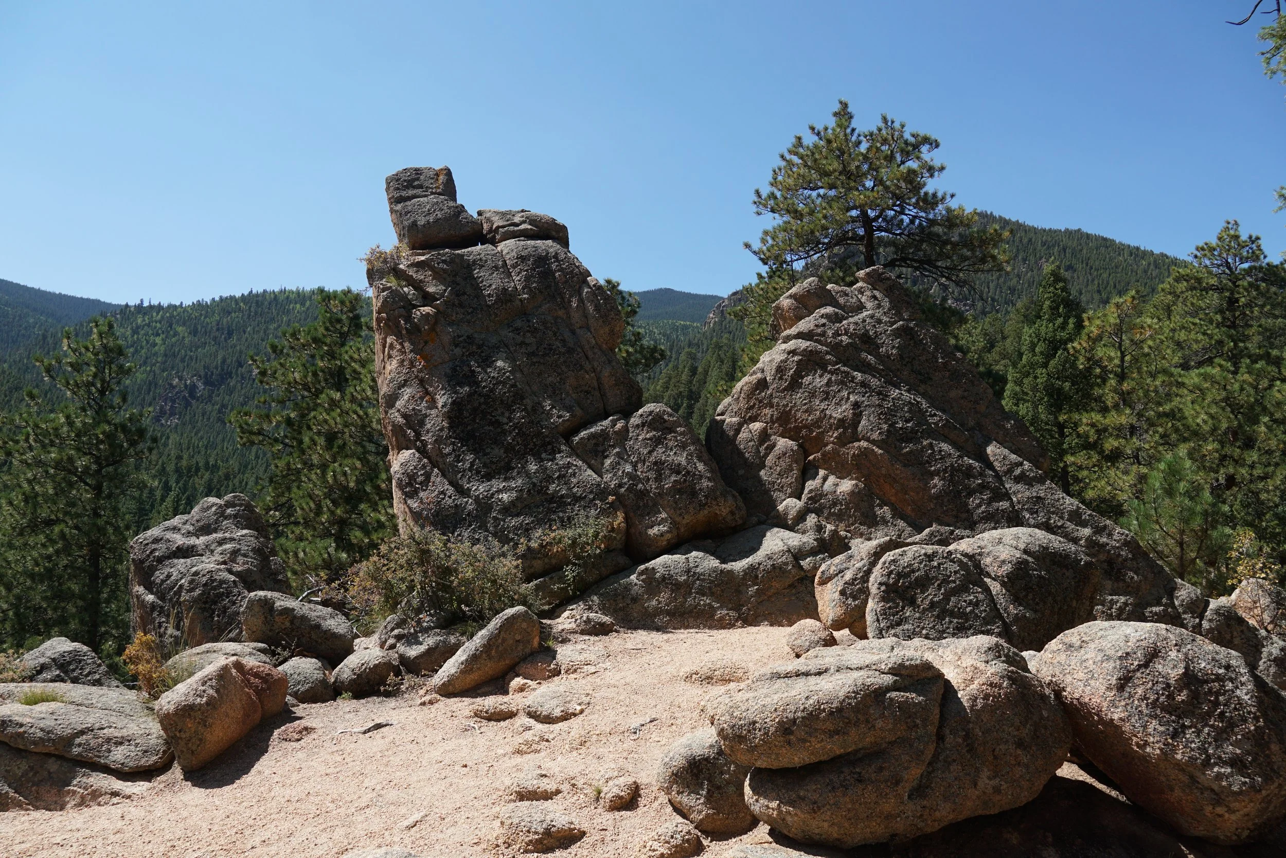
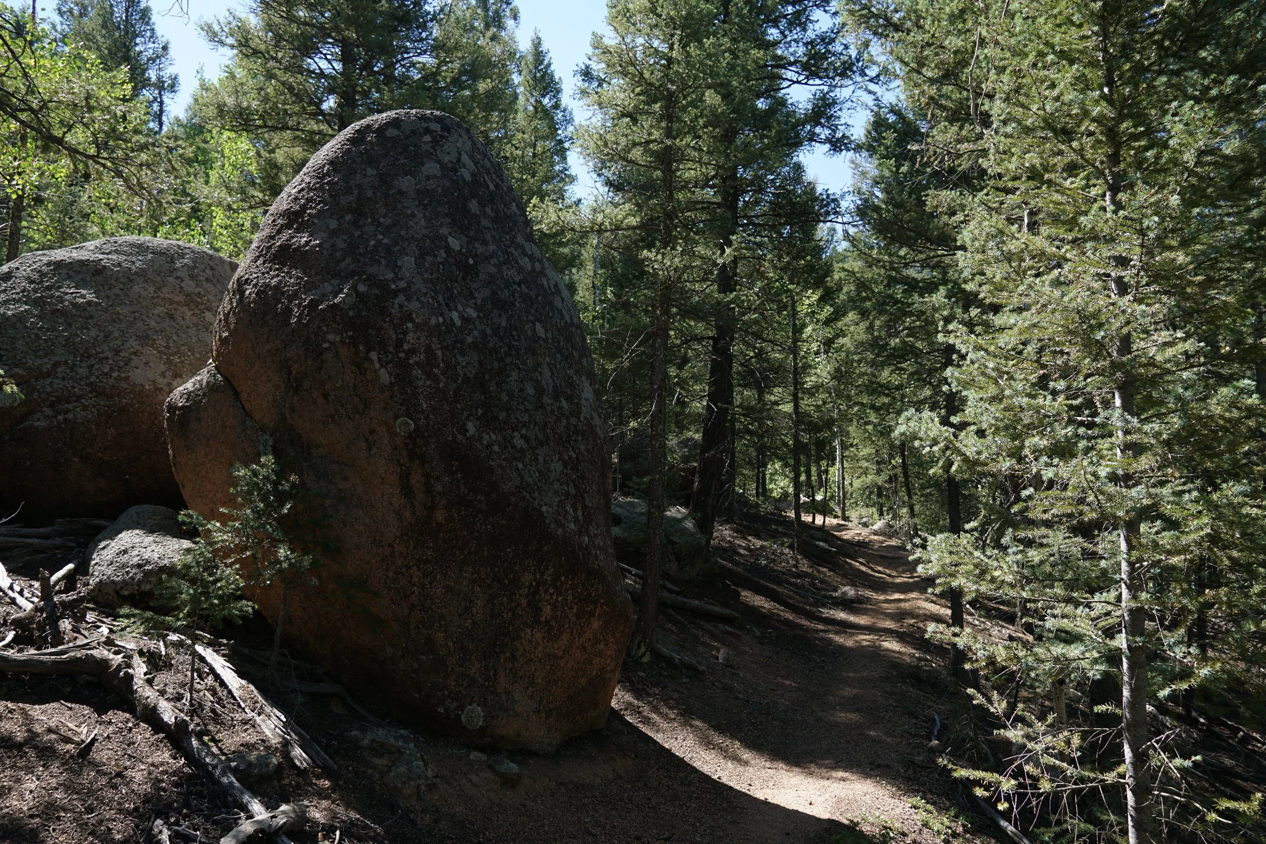
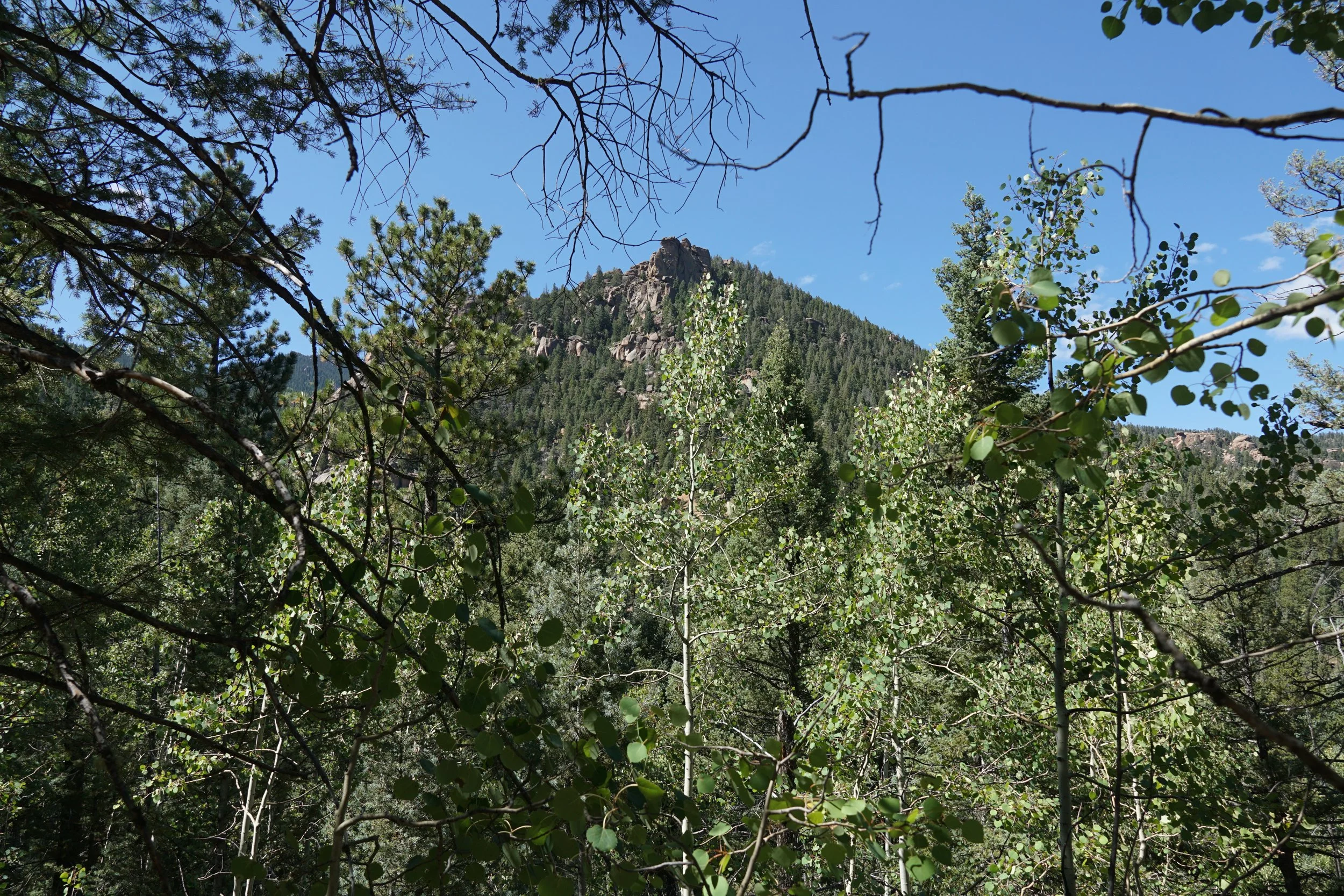
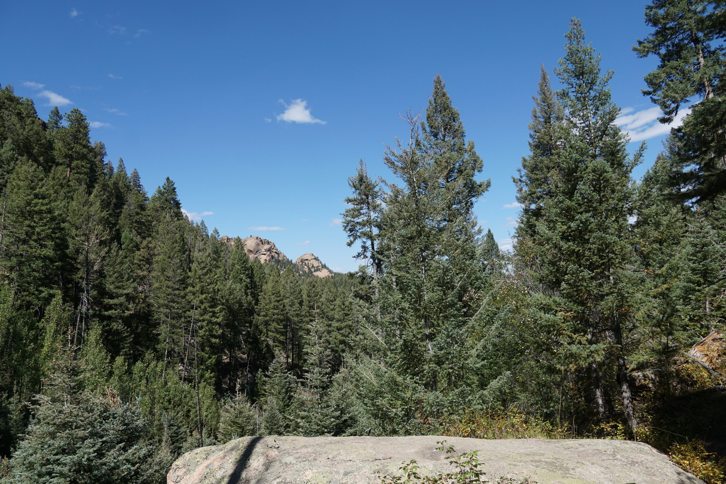
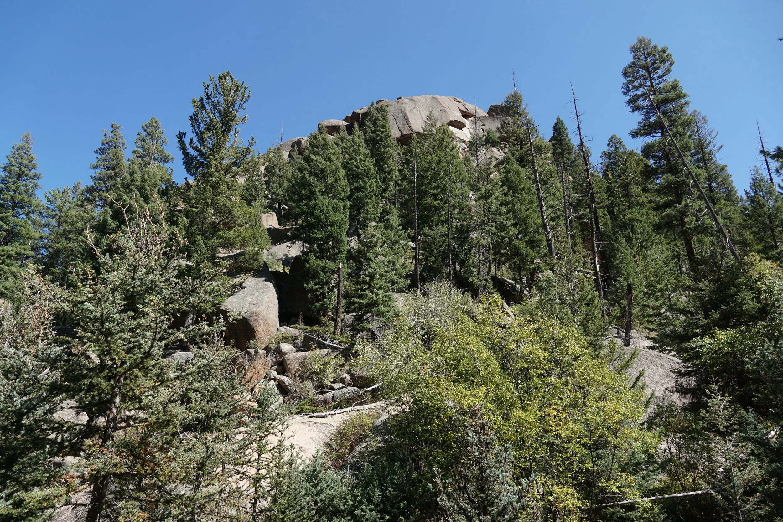
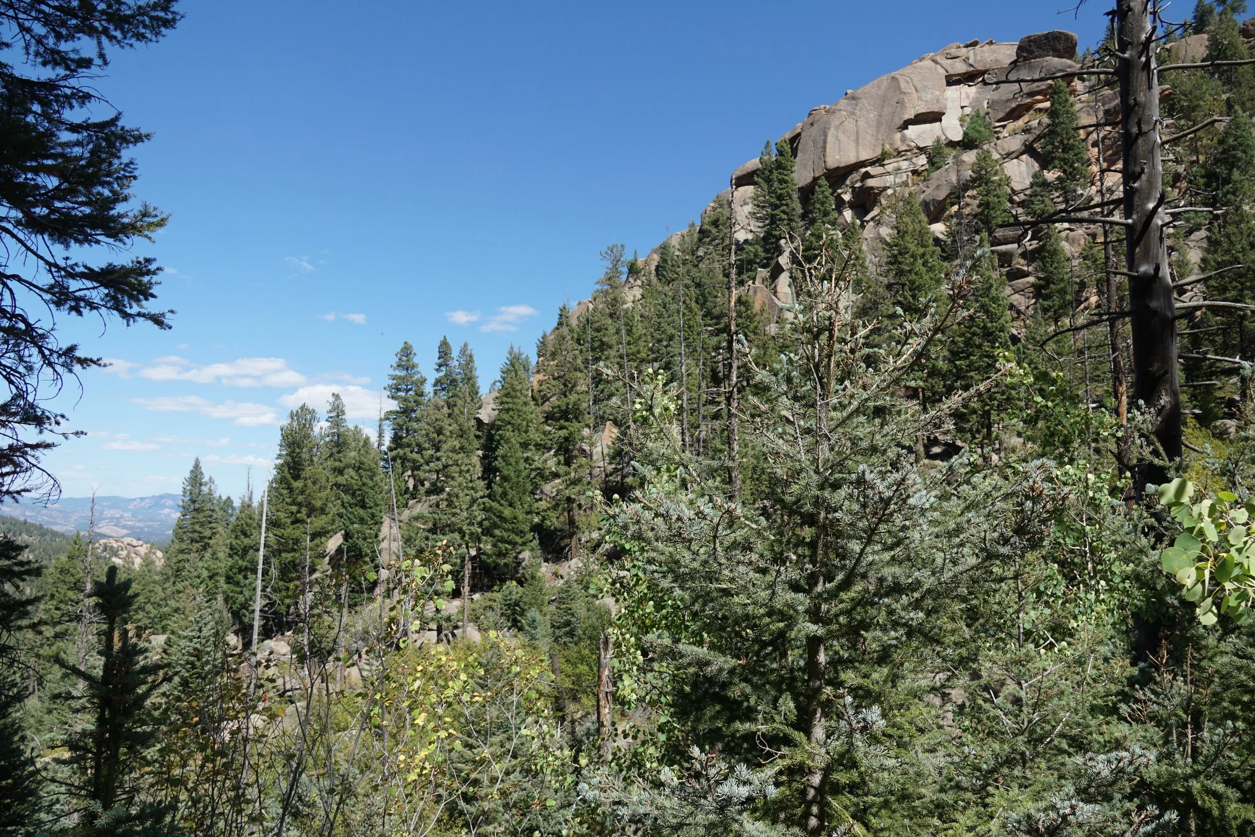
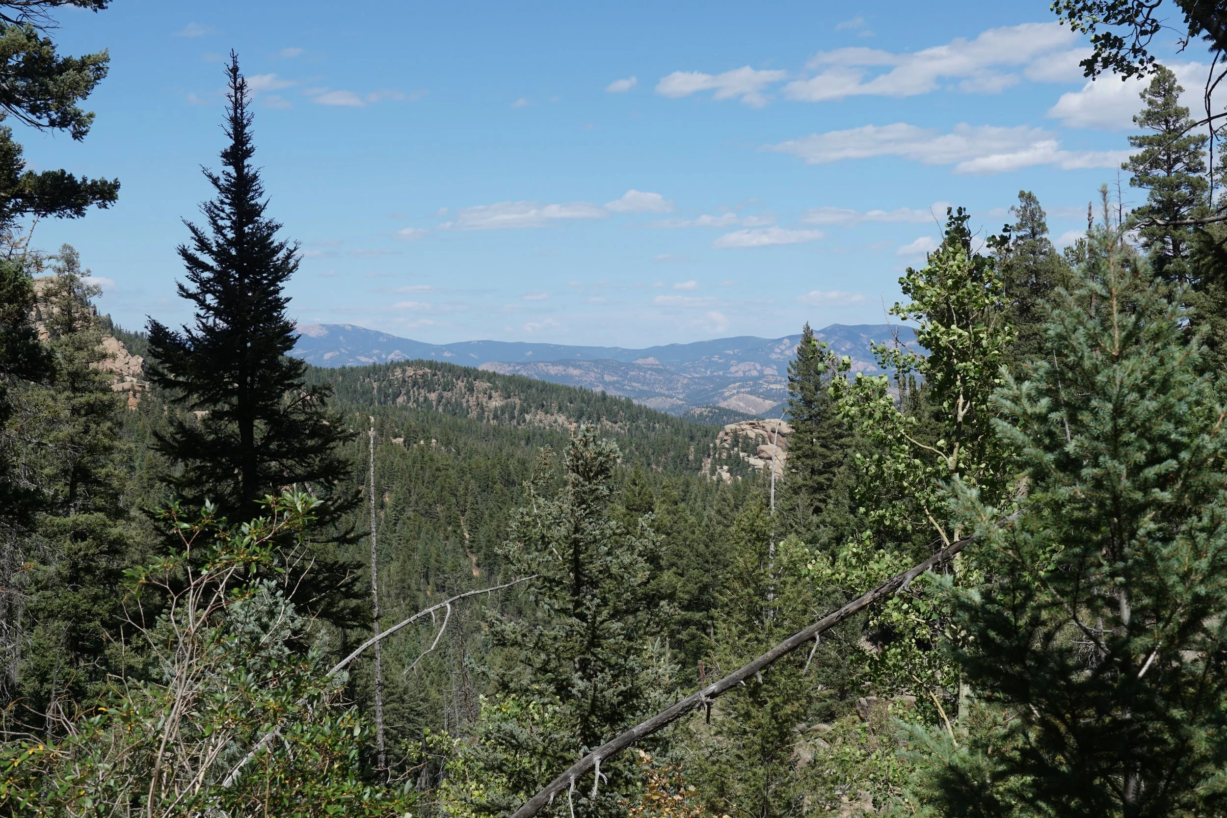
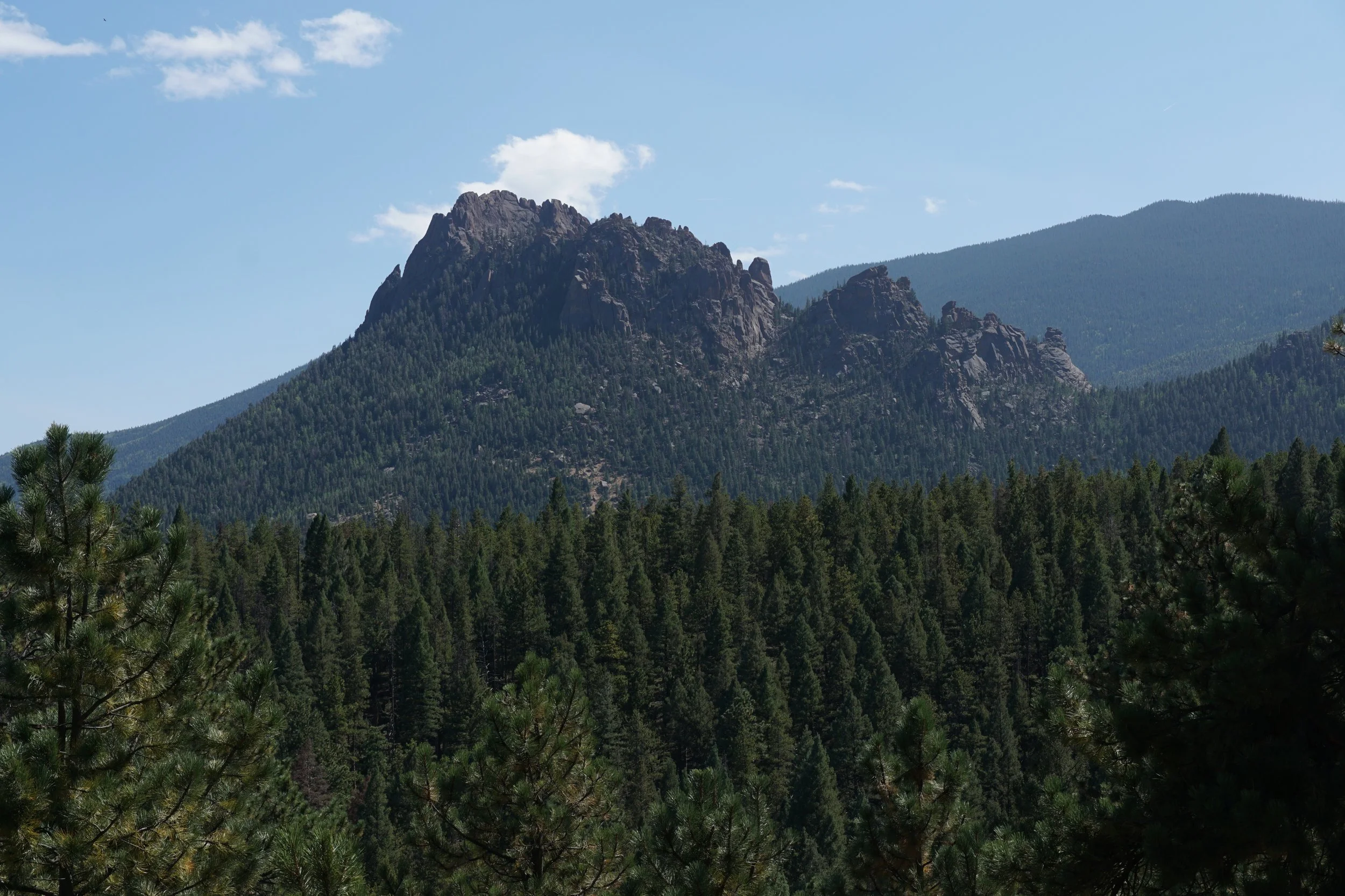
While you are hiking in the Pike National Forest, the trail is pleasant and never too difficult. Every now and then a break in the pine forest reveals some nice views of the rocky terrain that makes this area so appealing for hikers. As you get closer to the boundary of the Lost Creek Wilderness, there are two rocky outcroppings that make for good viewpoints, and turn around spots if you need to cut the hike short. The second viewpoint, a bit further than 2 miles into the hike, is exceptional and a great destination. The views from this spot are some of the best of the entire hike.
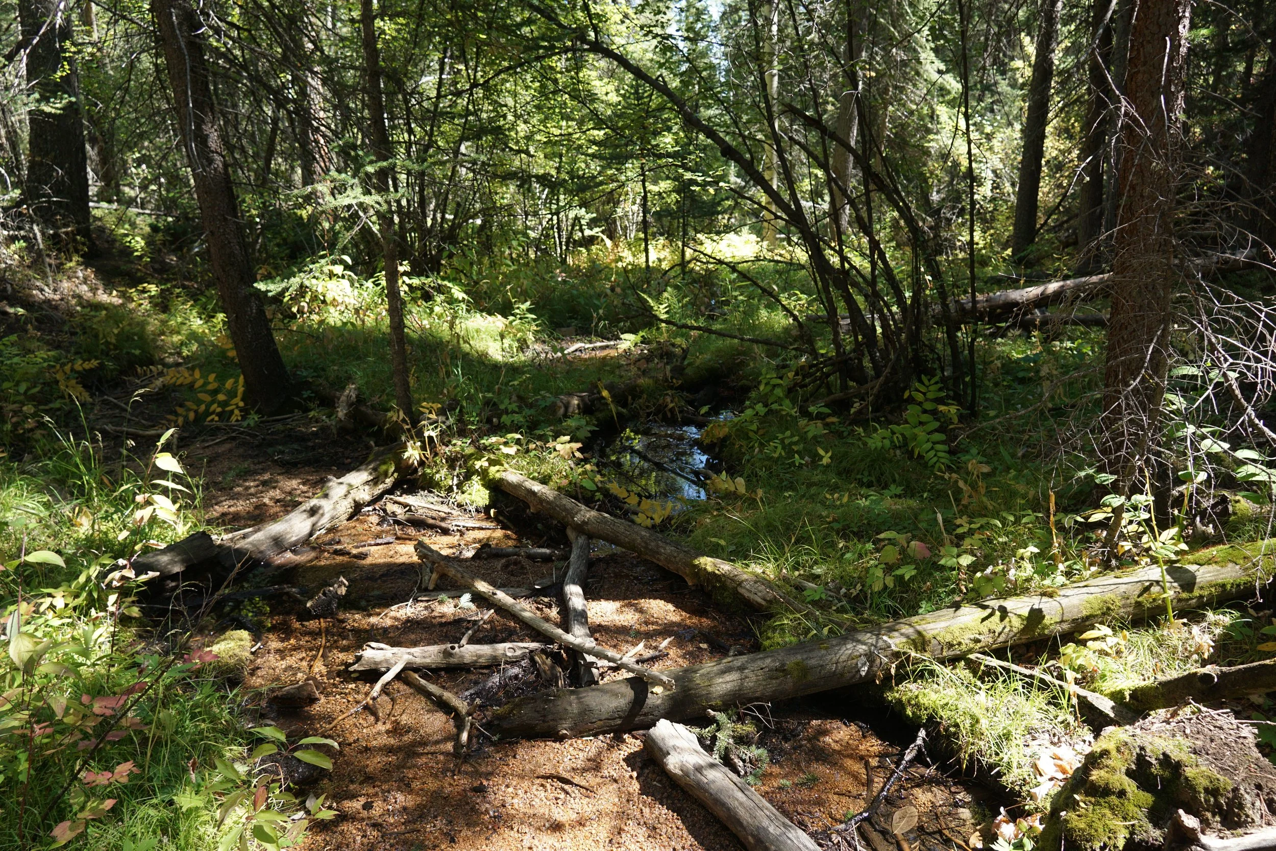
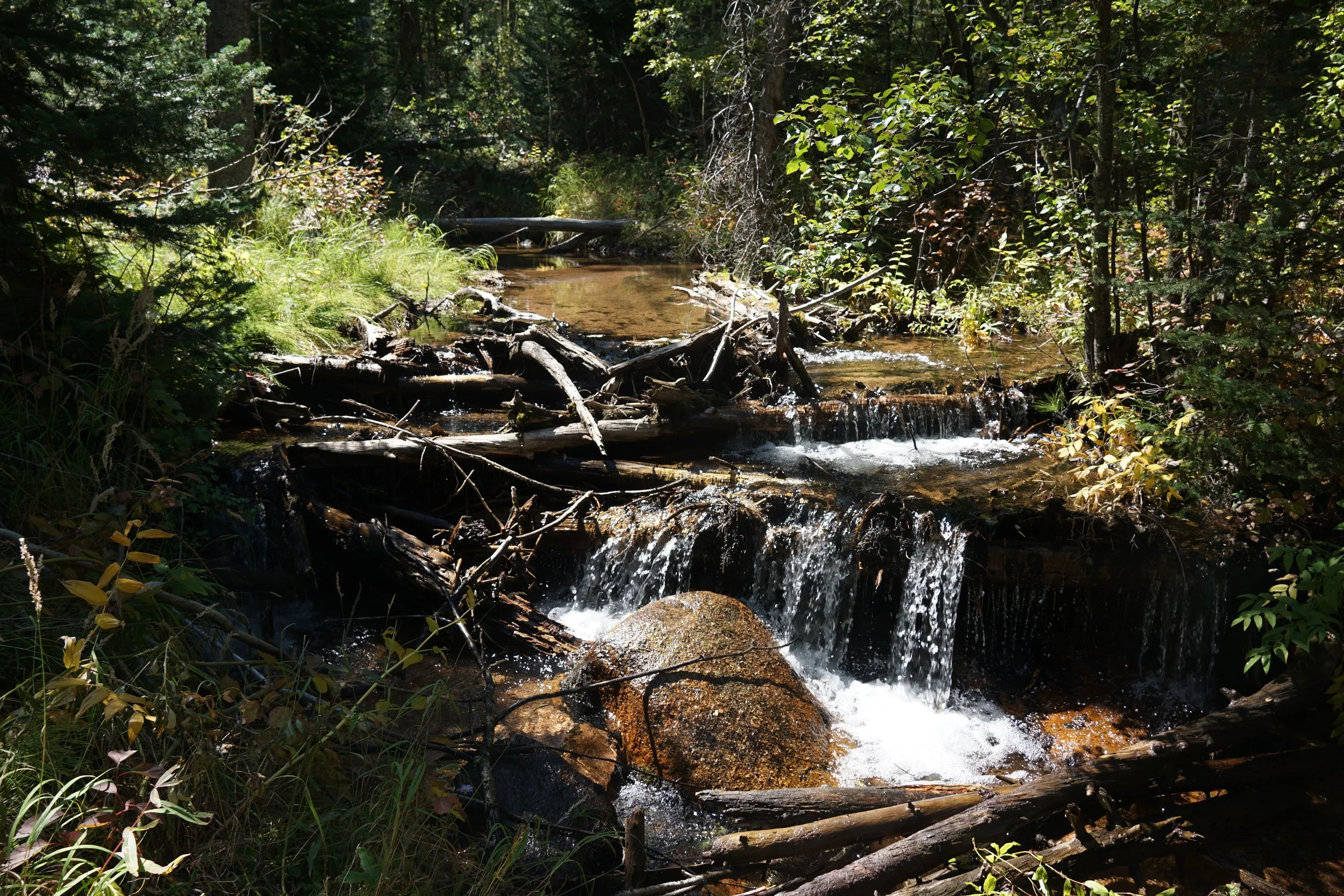
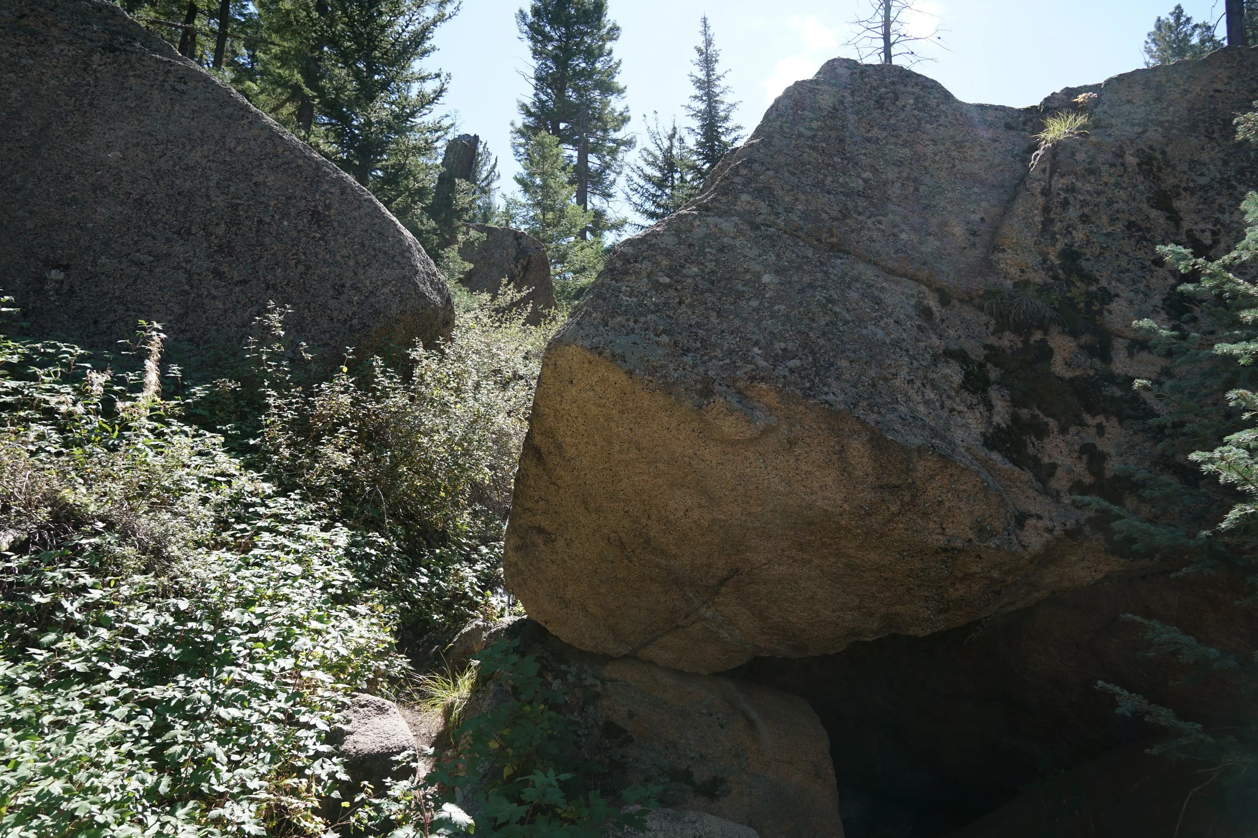
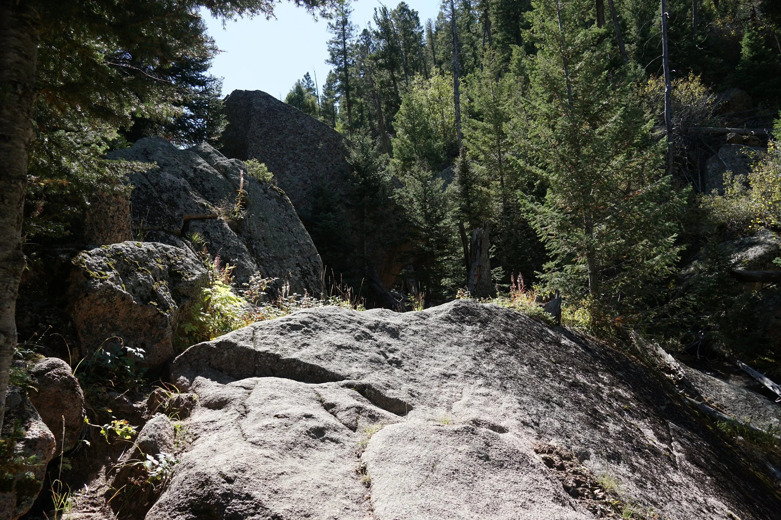
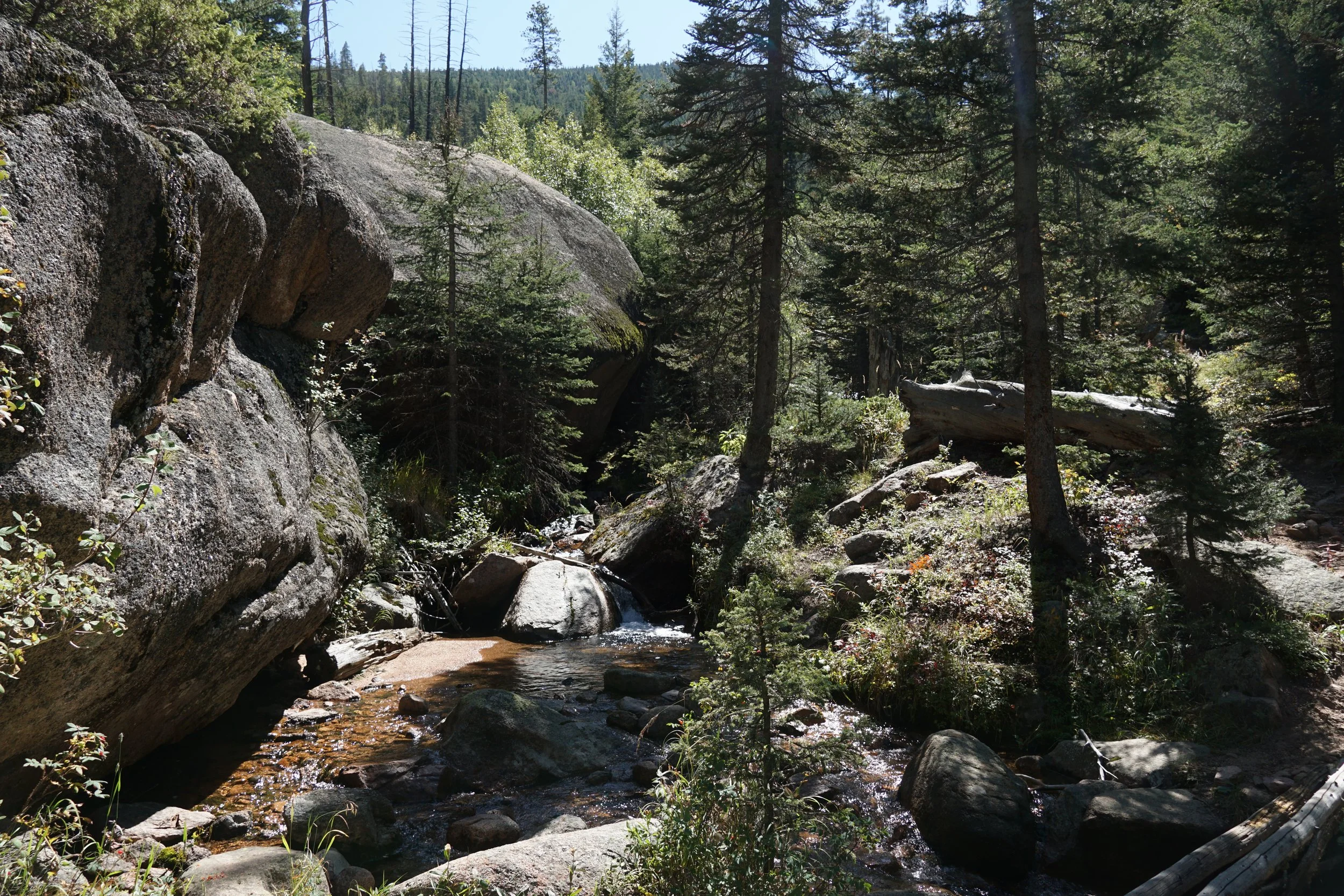
If you want to push further, hike for another ¼ mile to enter the Lost Creek Wilderness. At this point, the trail gets a bit more rugged and starts to climb a steep gulch next to a small cascading creek. As you get higher in the gulch some expansive views start to open up. Continuing past the gulch takes you to a flat spot with towering rock cliffs; a great campsite and a great turn around point. The Rolling Creek Trail continues for another 3.5 miles where it joins up with the Wigwam Trail.The hike back follows the same route.
This is a great hiking option when you want to get some good distance and fitness training. The hike is a great option year round as this area gets less snow in the winter. While spring and summer are great for a shady pine filled walk in the woods, fall is the highlight. Fall colors hit this area a bit later in the season so shoot for the end of September or beginning of October for the best chance at fall colors.