Rim Trail
Uncompahgre National Forest
Date Hiked: May 4, 2024
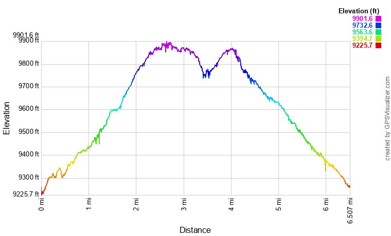
Distance: 6 mi (RT)
Elevation Gain: 700 ft
Elevation Min/Max: 9,295 to 9,885 ft
Trailhead Lat/Long: 38.23602, -108.01024
Managing Agency: U.S. Forest Service
Fee: None
DIRECTIONS:
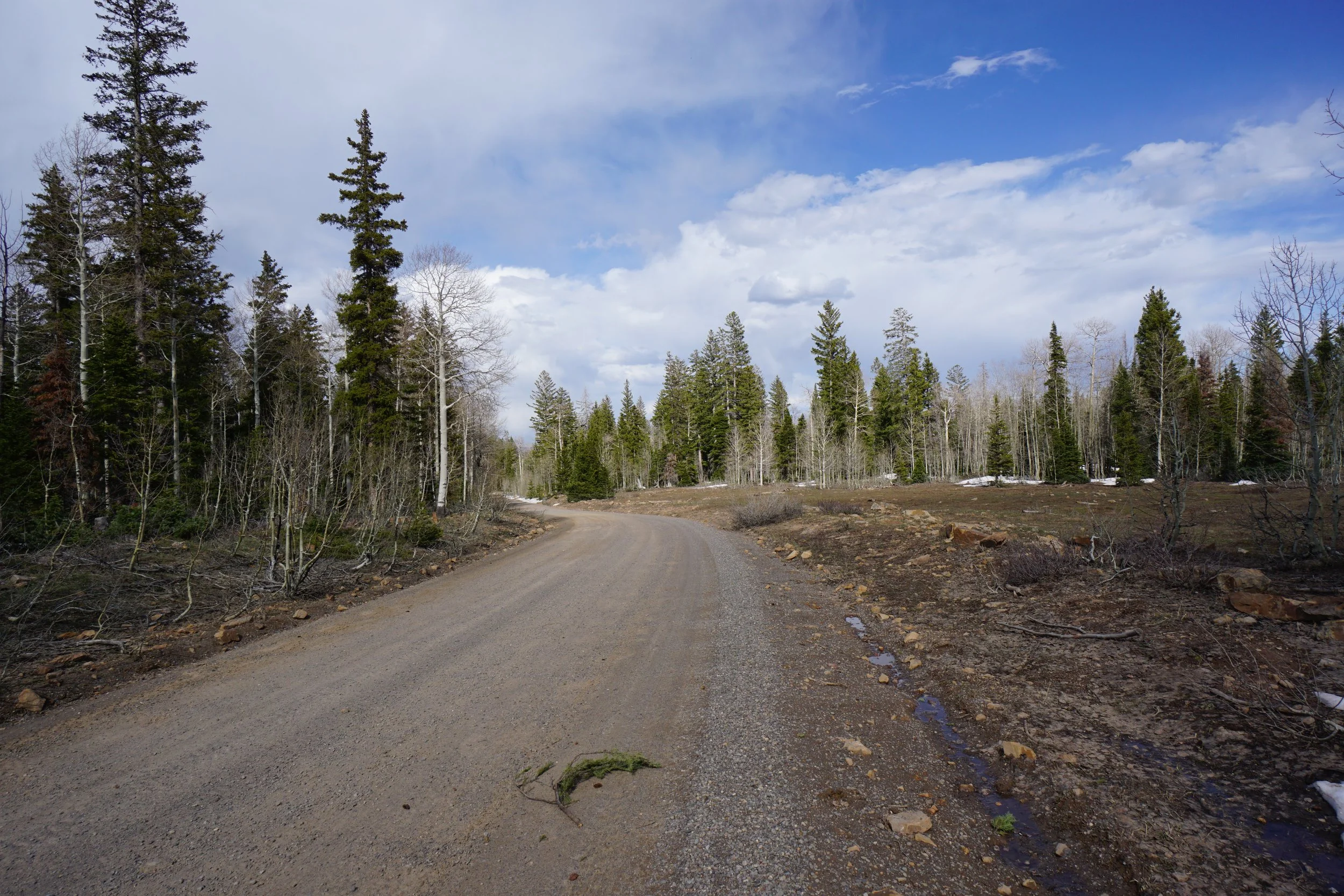
From the intersection of Hwys 550 and 90 in Montrose, head west out of town on Hwy 90. Follow 90 as it turns left, then right. Then turn left (south) onto Dave Wood Road. Follow Dave Wood Road for about 11 miles as you enter Uncompahgre National Forest. Continue along Dave Wood Road for another 6 1/2 miles and turn right onto Divide Road. The trailhead is about 1 1/4 miles down Divide Road. The trailhead is on the left but you can park along the spur road across from the trailhead. Dave Wood Road is a good dirt road and most cars shouldn’t have a problem in good weather. It gets a bit rougher as you go and Divide Road may be tricky for low clearance vehicles. My Toyota Highlander didn’t have any problems.
HIKE DESCRIPTION:
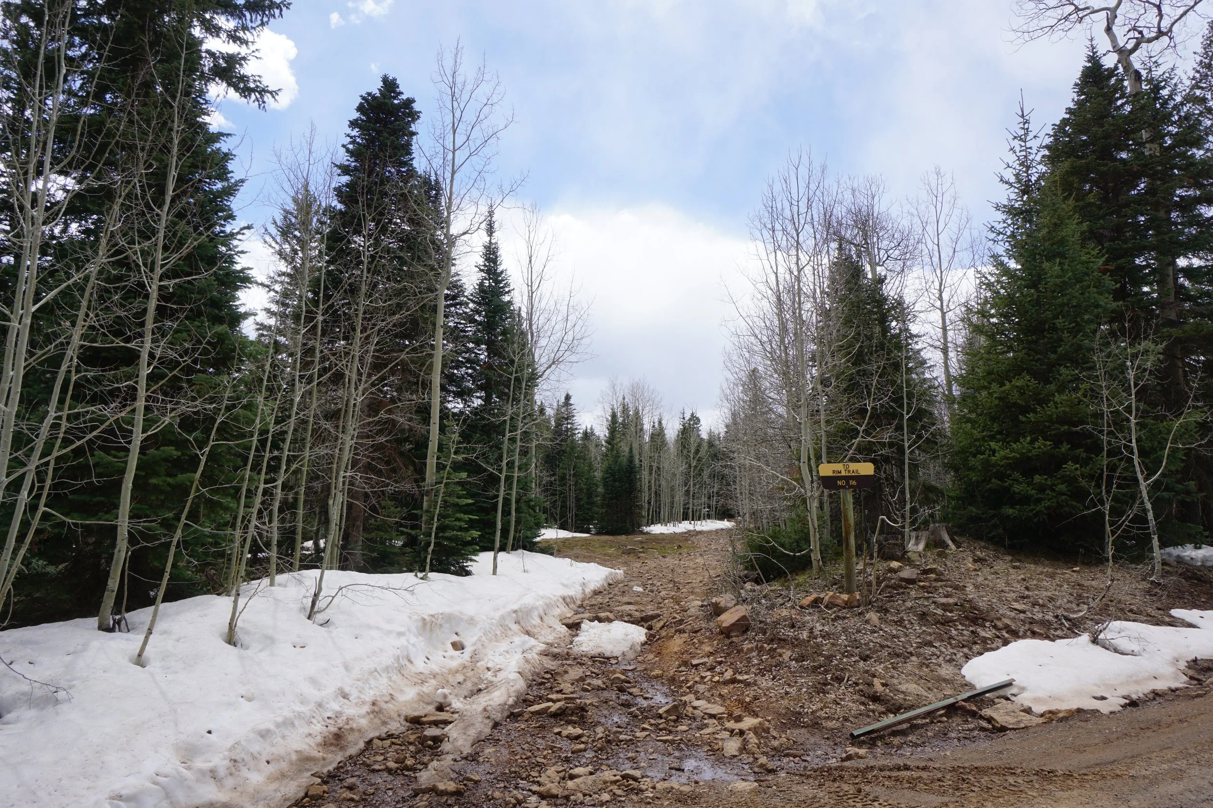
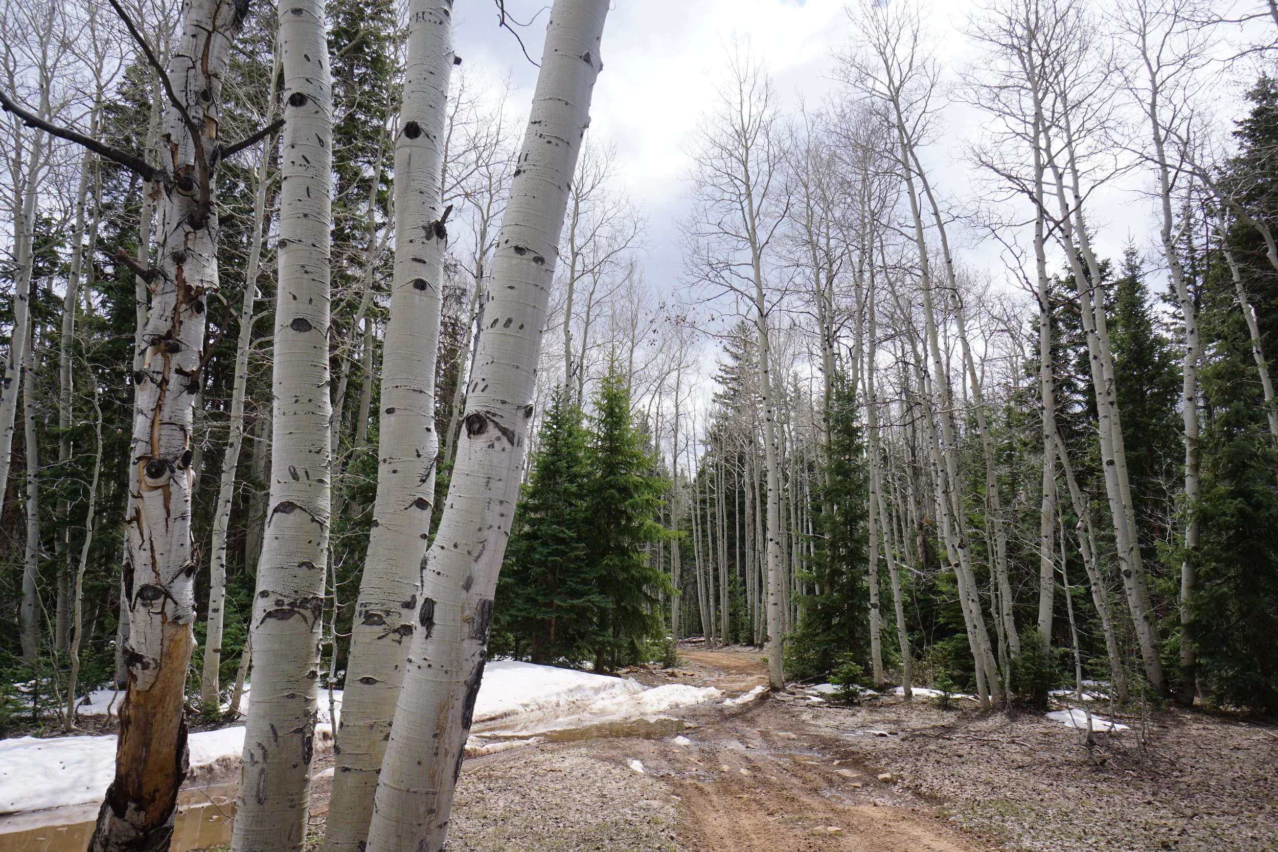
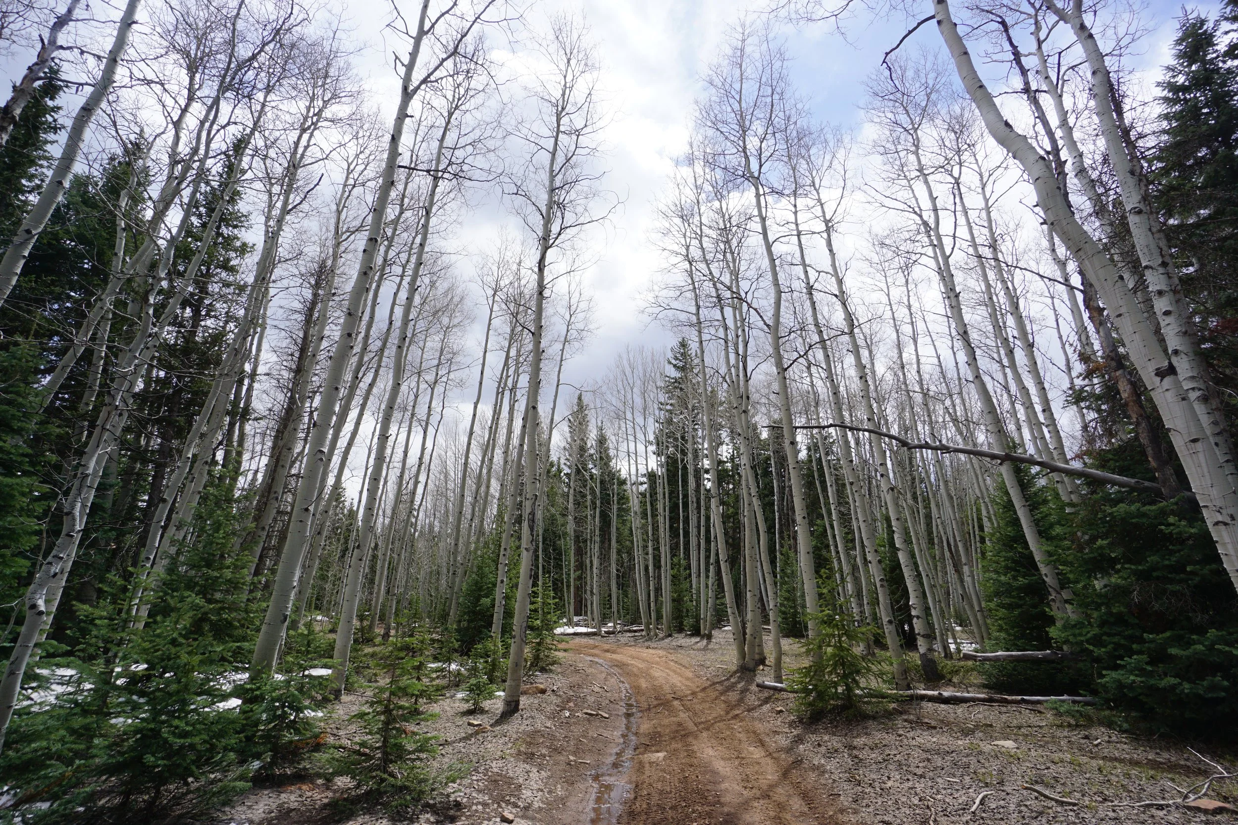
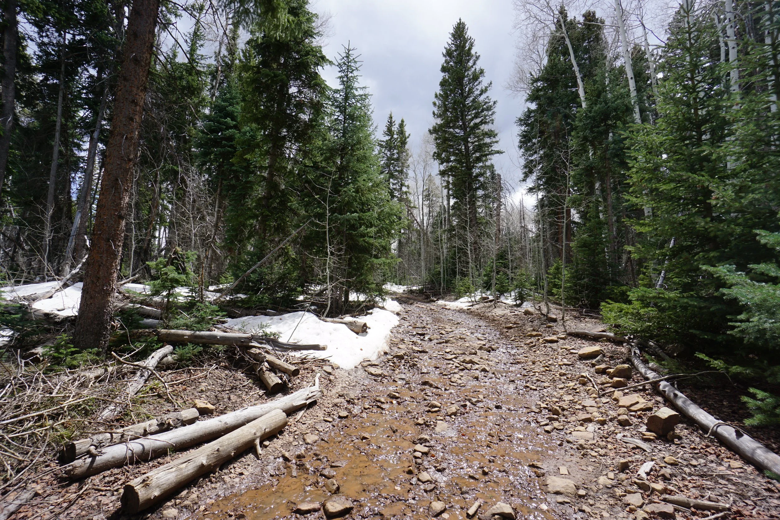
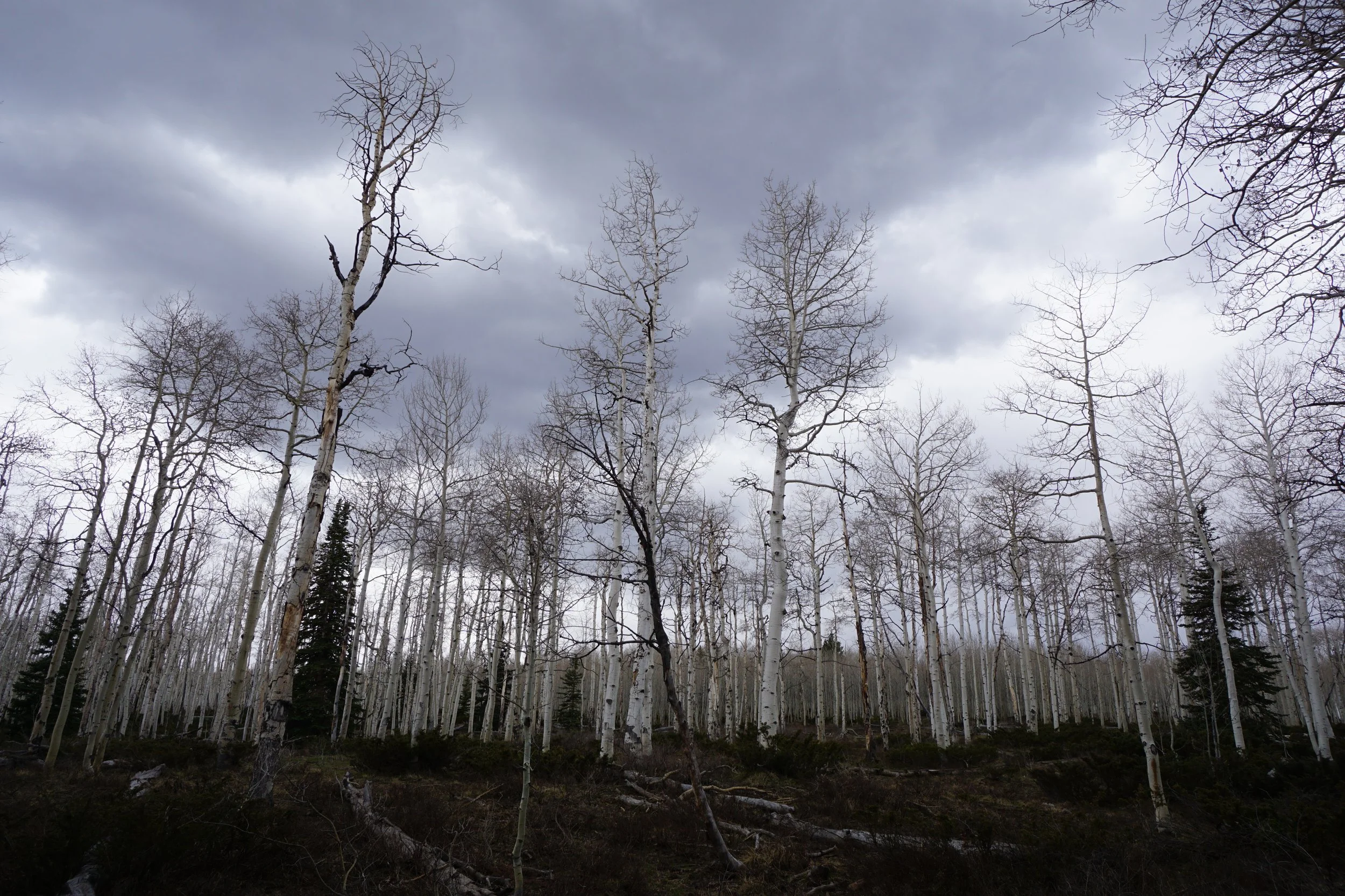
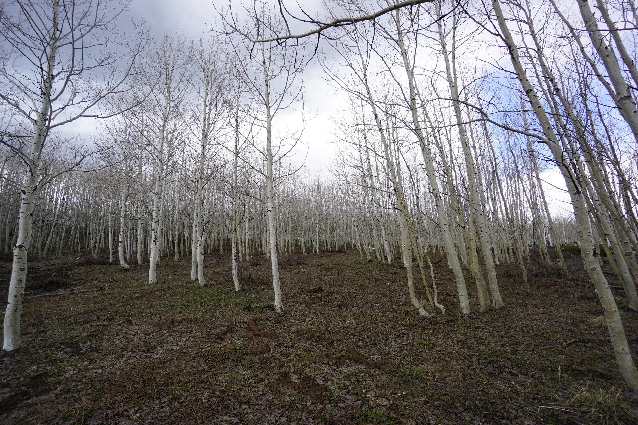
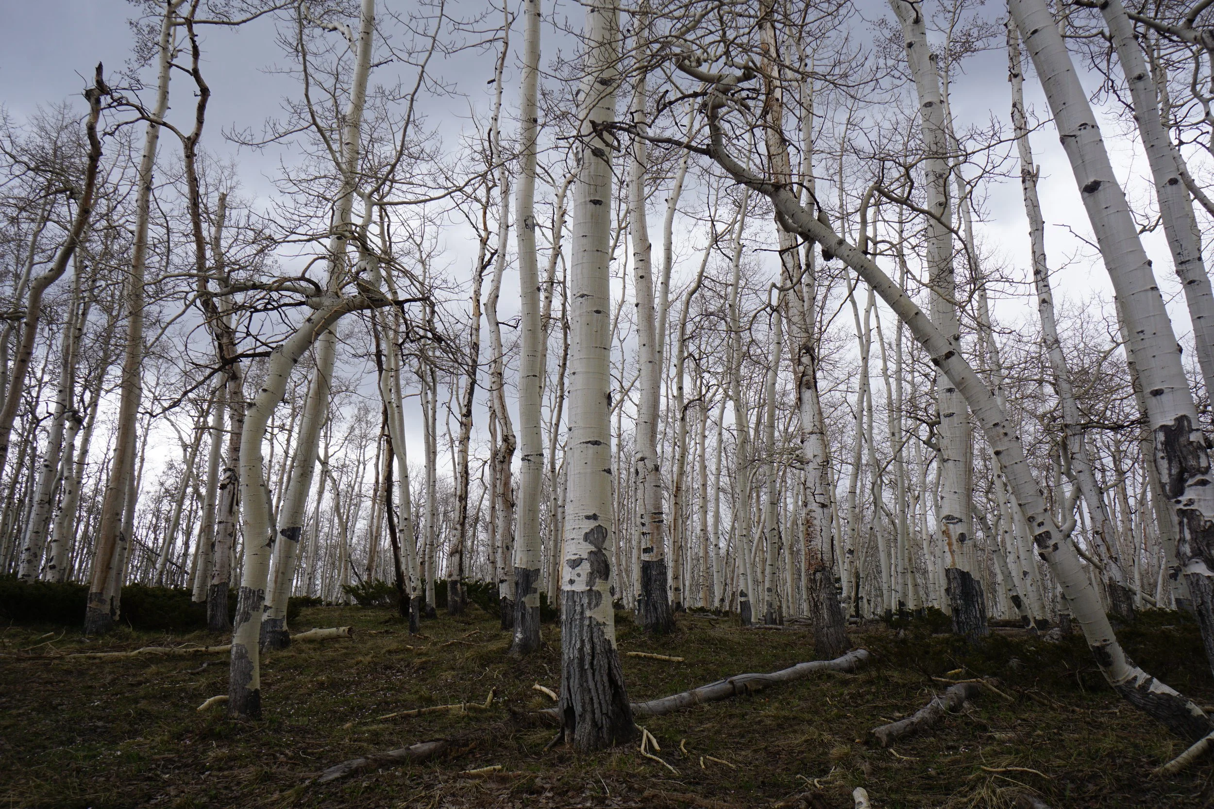
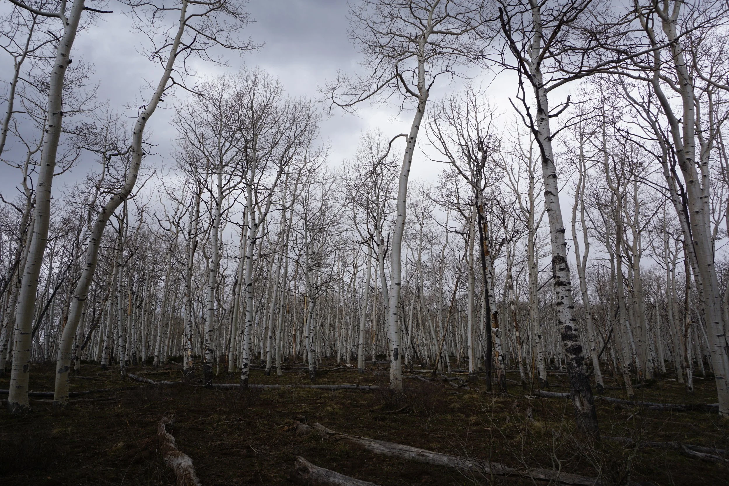
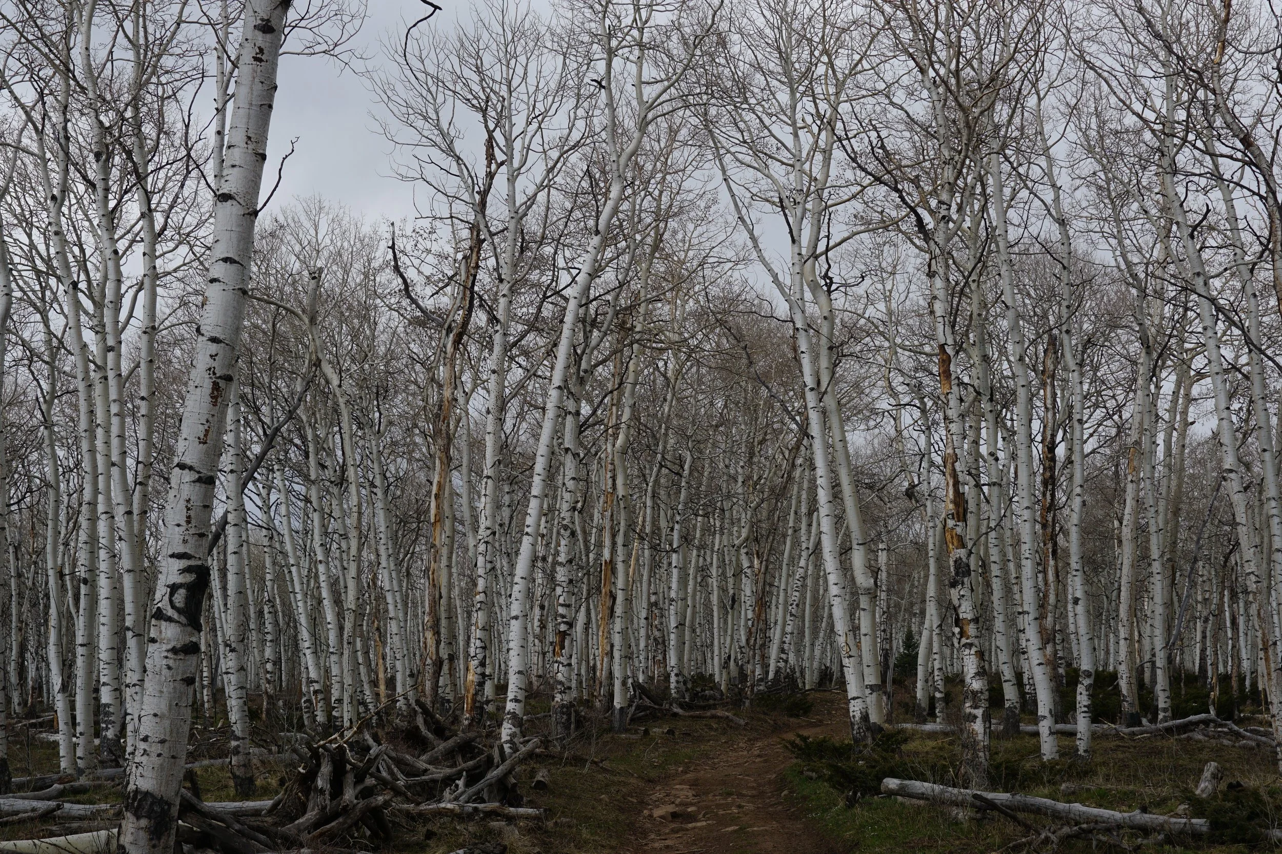
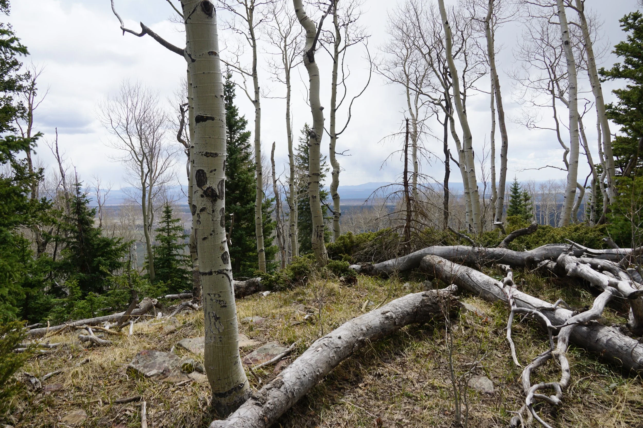
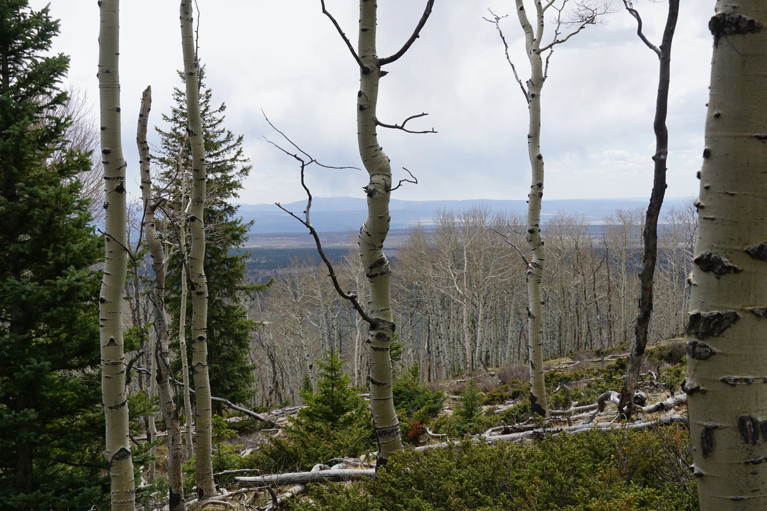
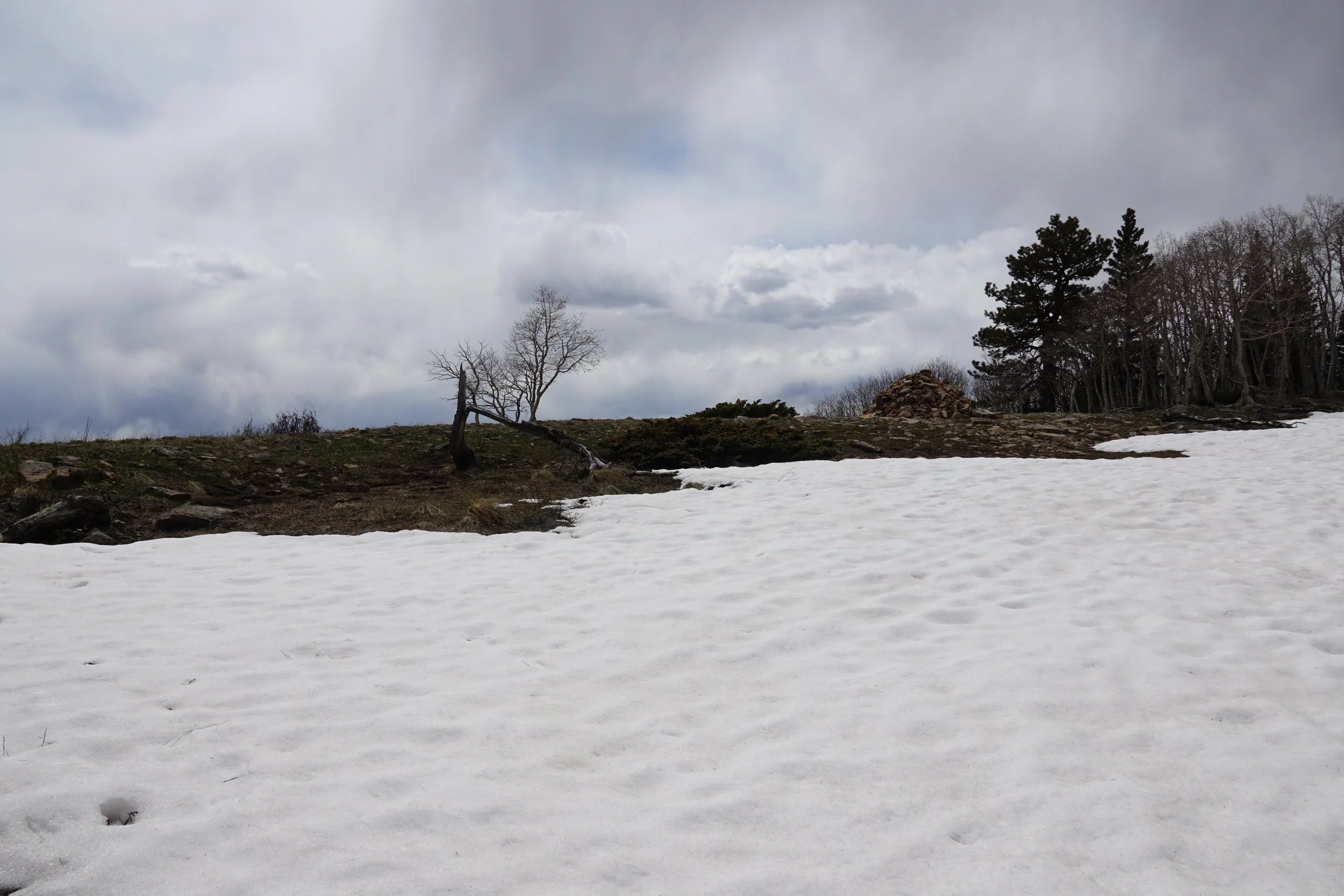
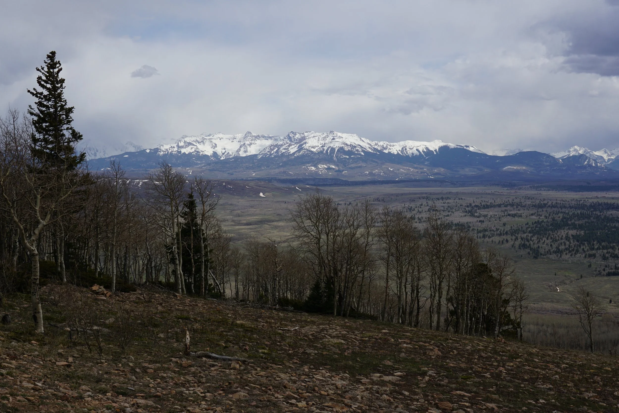
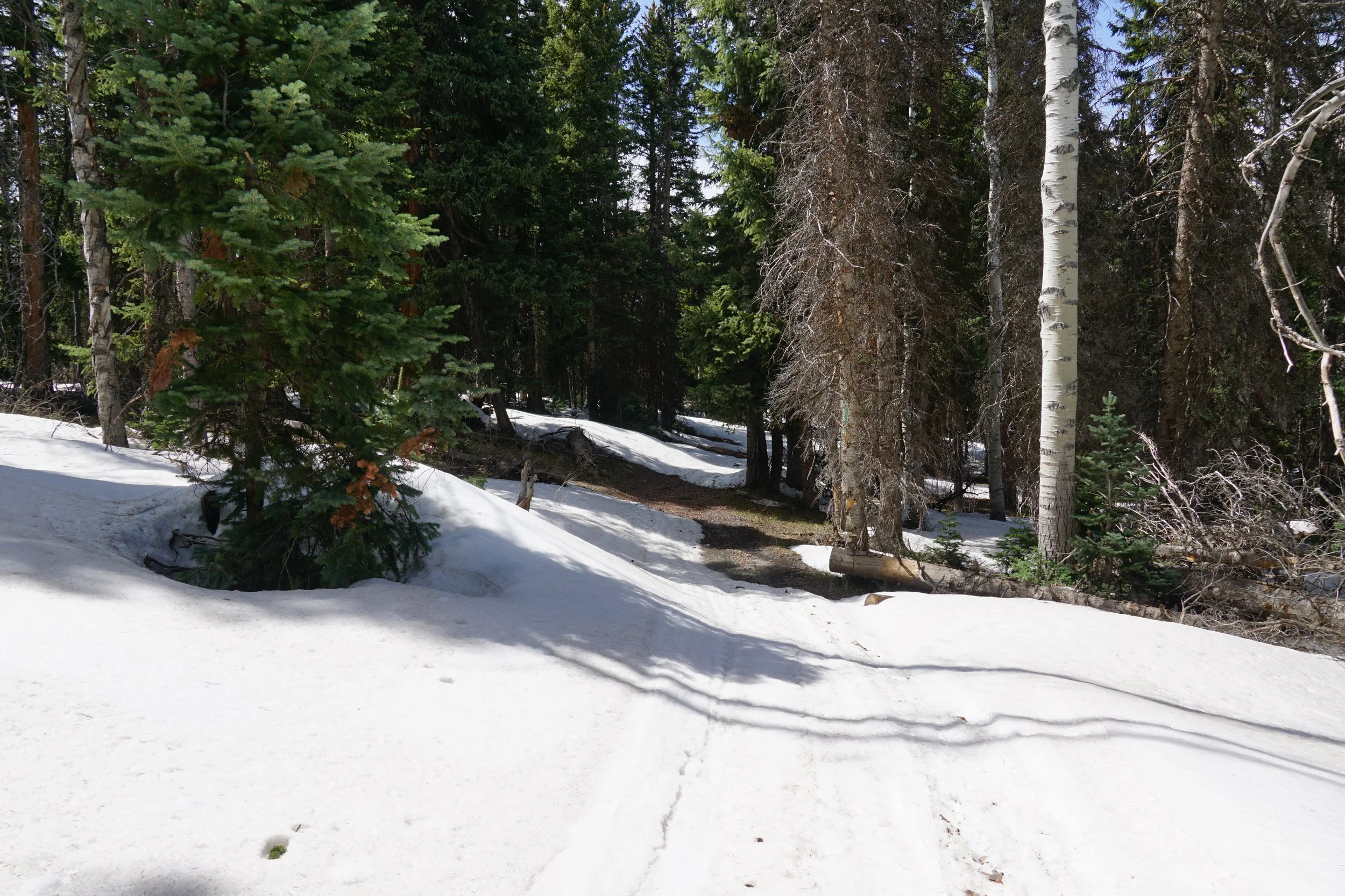
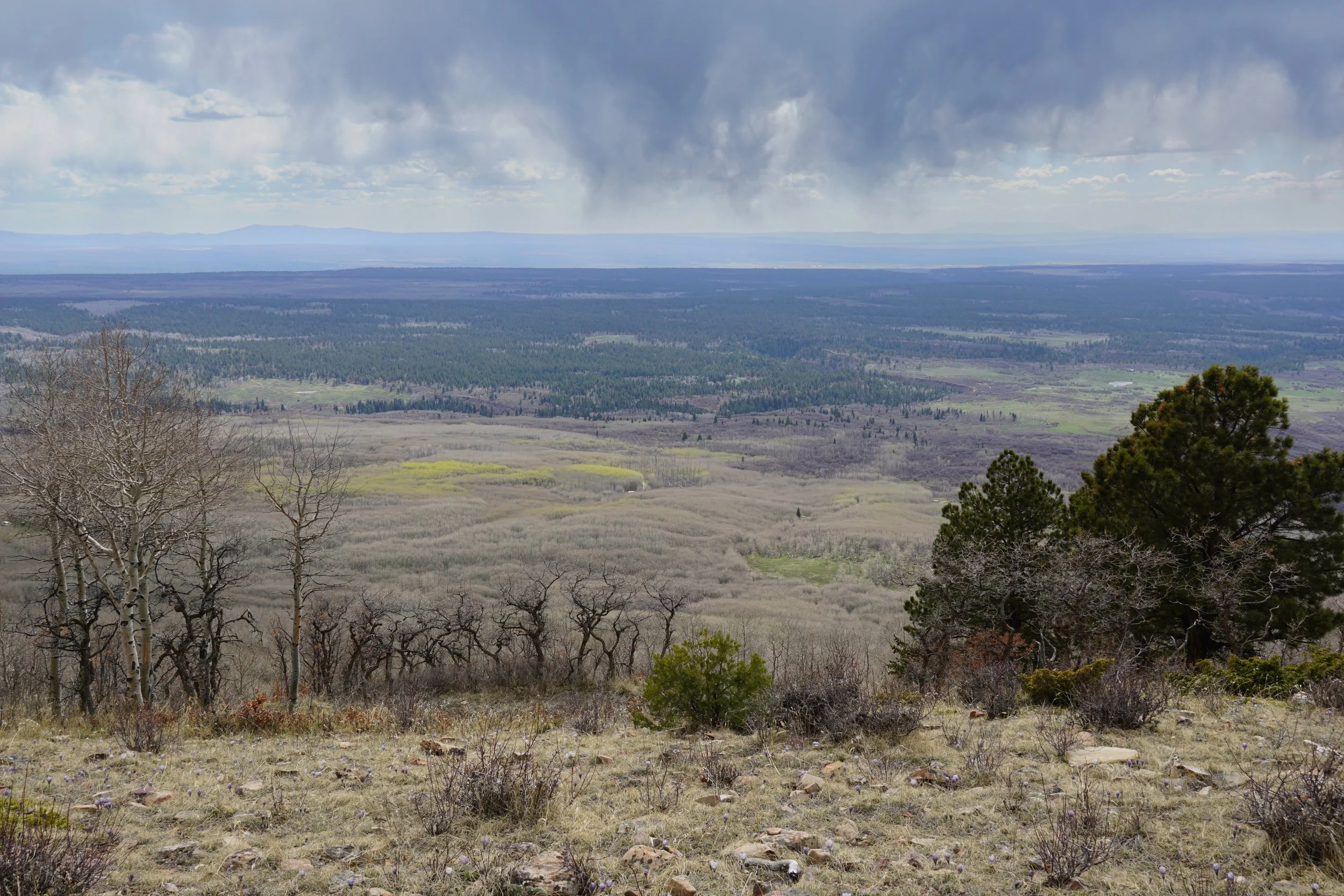
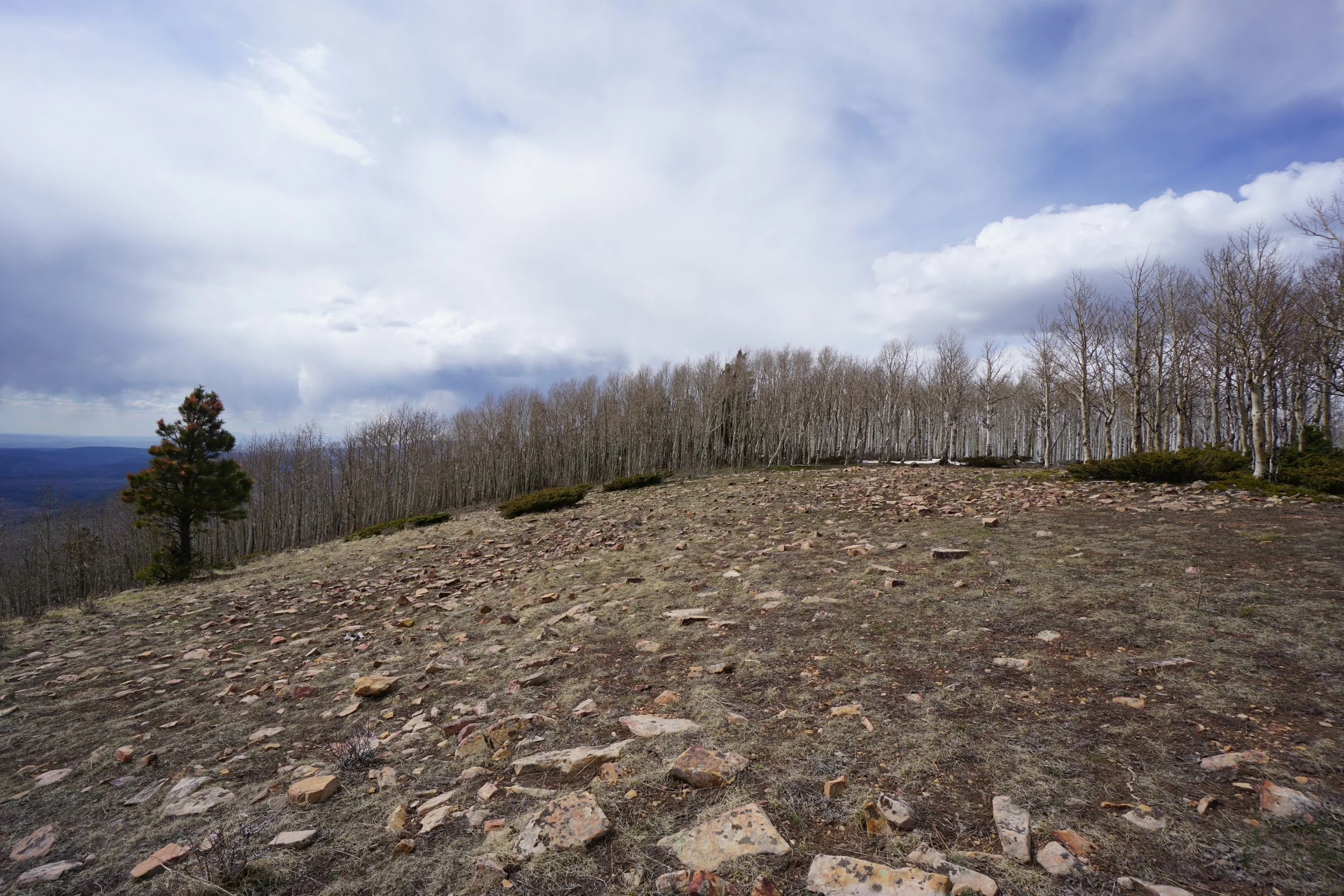
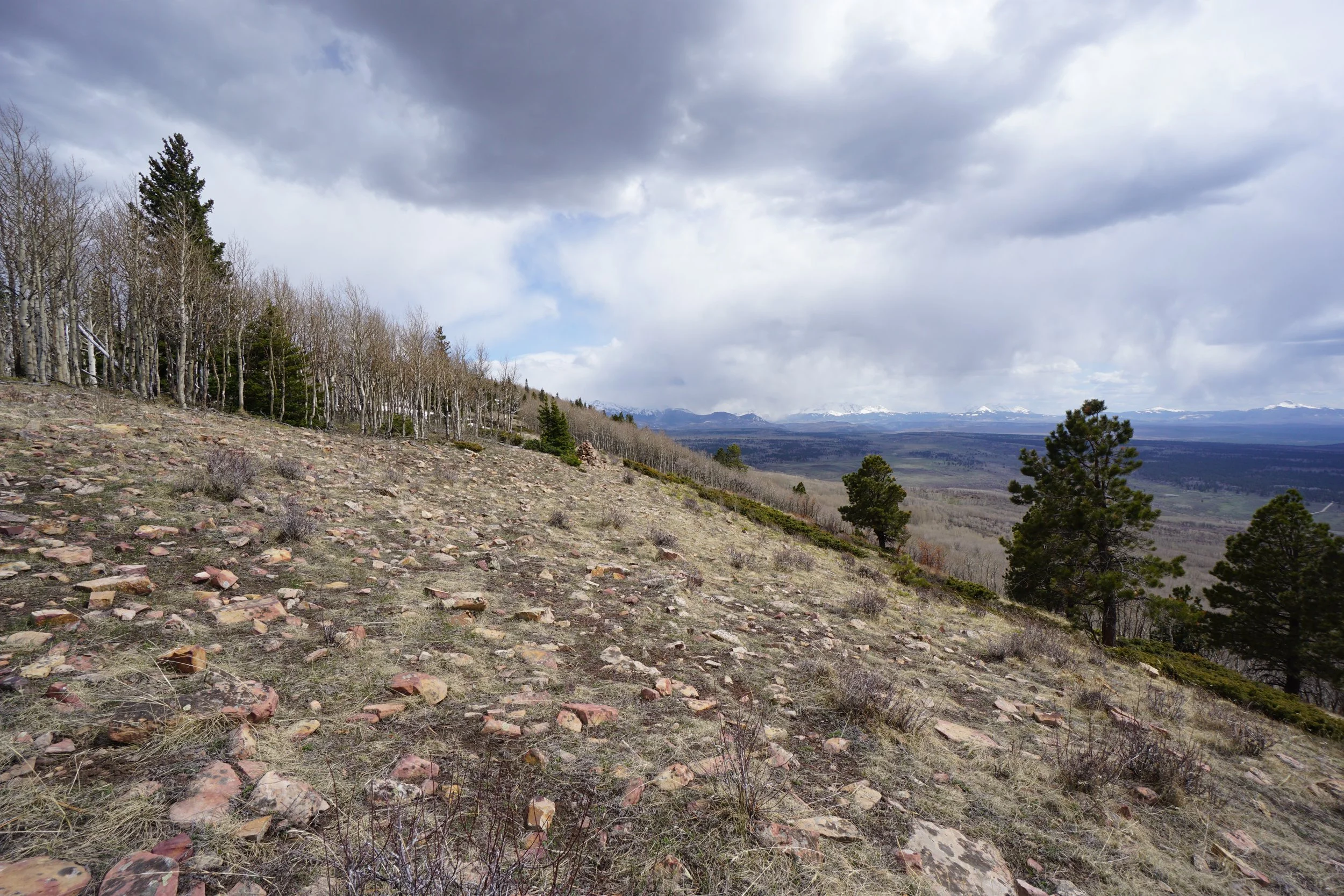
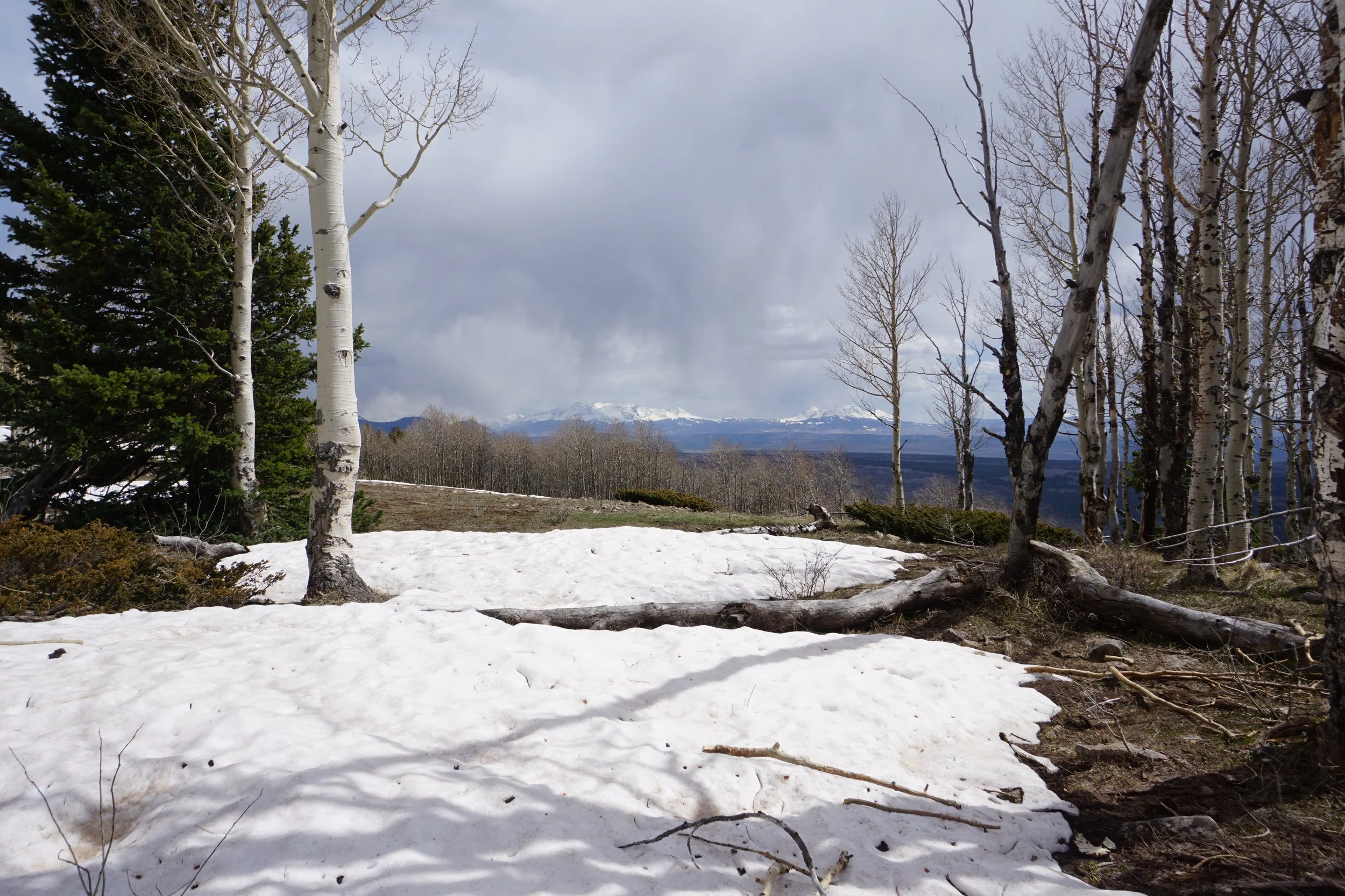
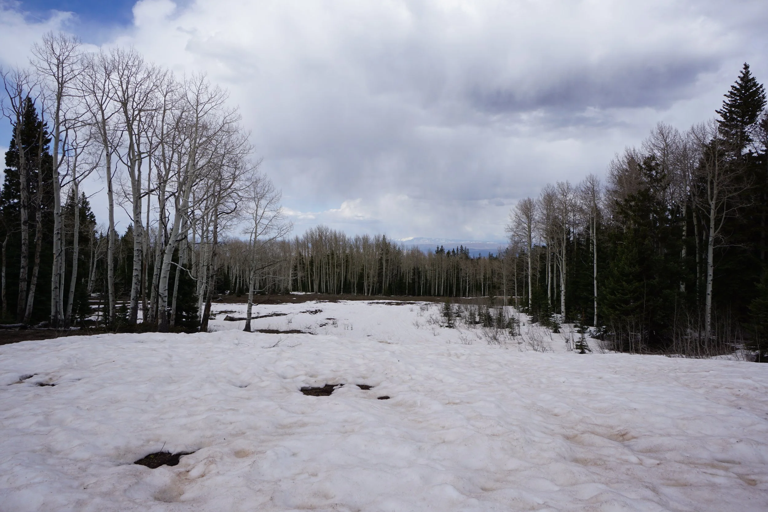
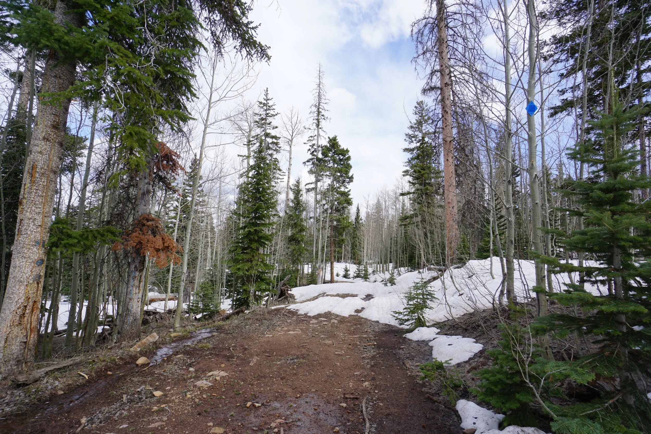
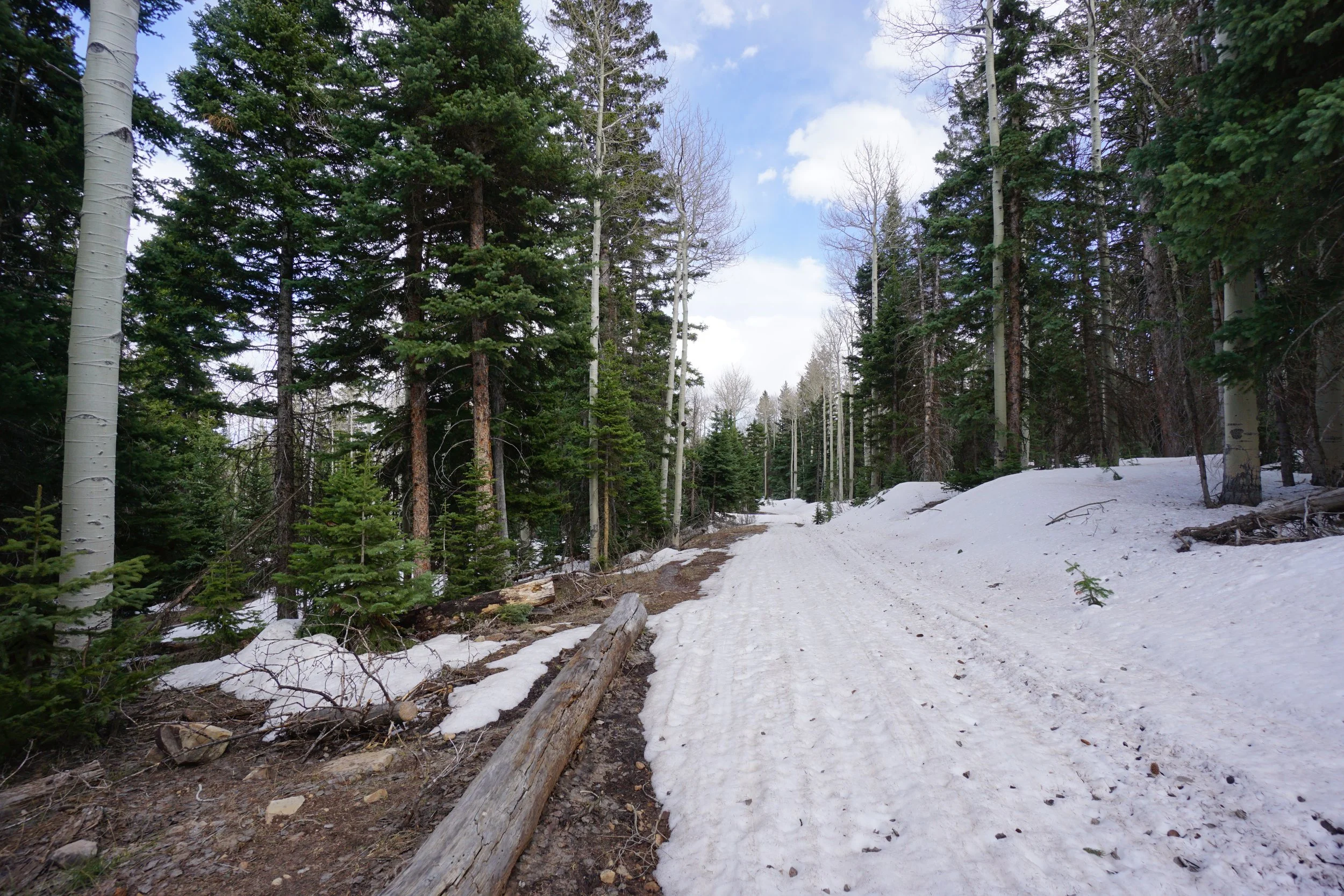
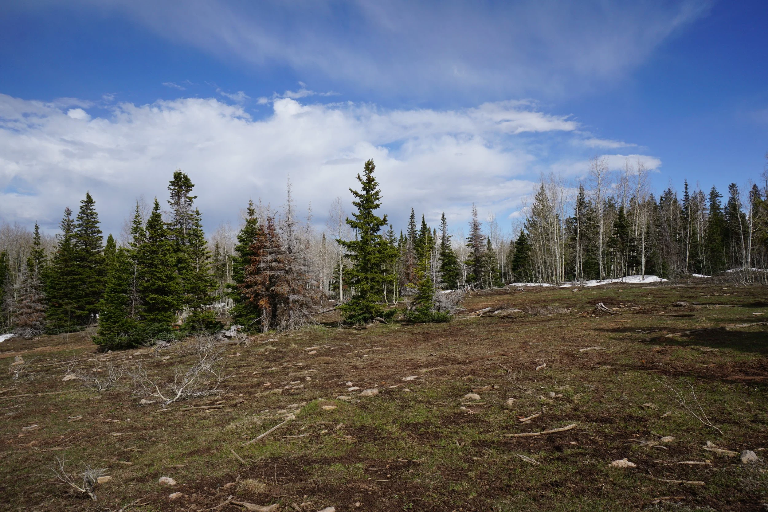
The Rim Trail is a wonderful hike…if the weather and conditions cooperate. The hike itself climbs steadily through pine and incredible aspen forest. This would be amazing in the fall. The destination is two viewpoints and they make the effort worth it. Keep in mind that this trail is also open to motorized vehicle use so you may need to share it with ATVs and Motorcycles. I hiked this trail in early May and it was about a month too early, the snow caused some…difficulties.
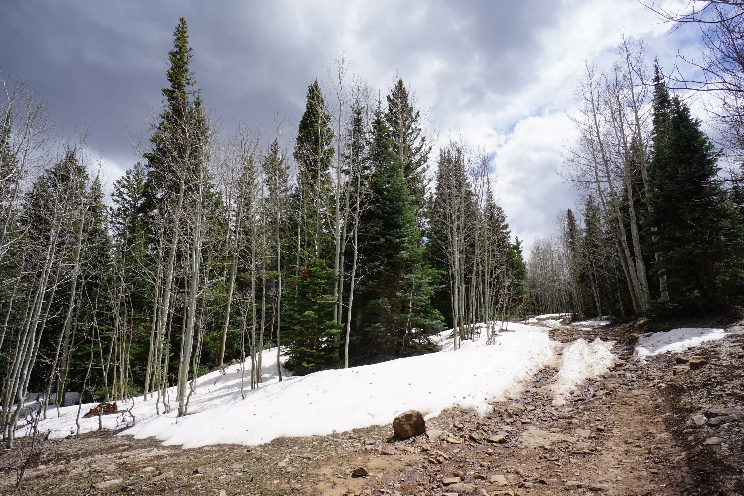
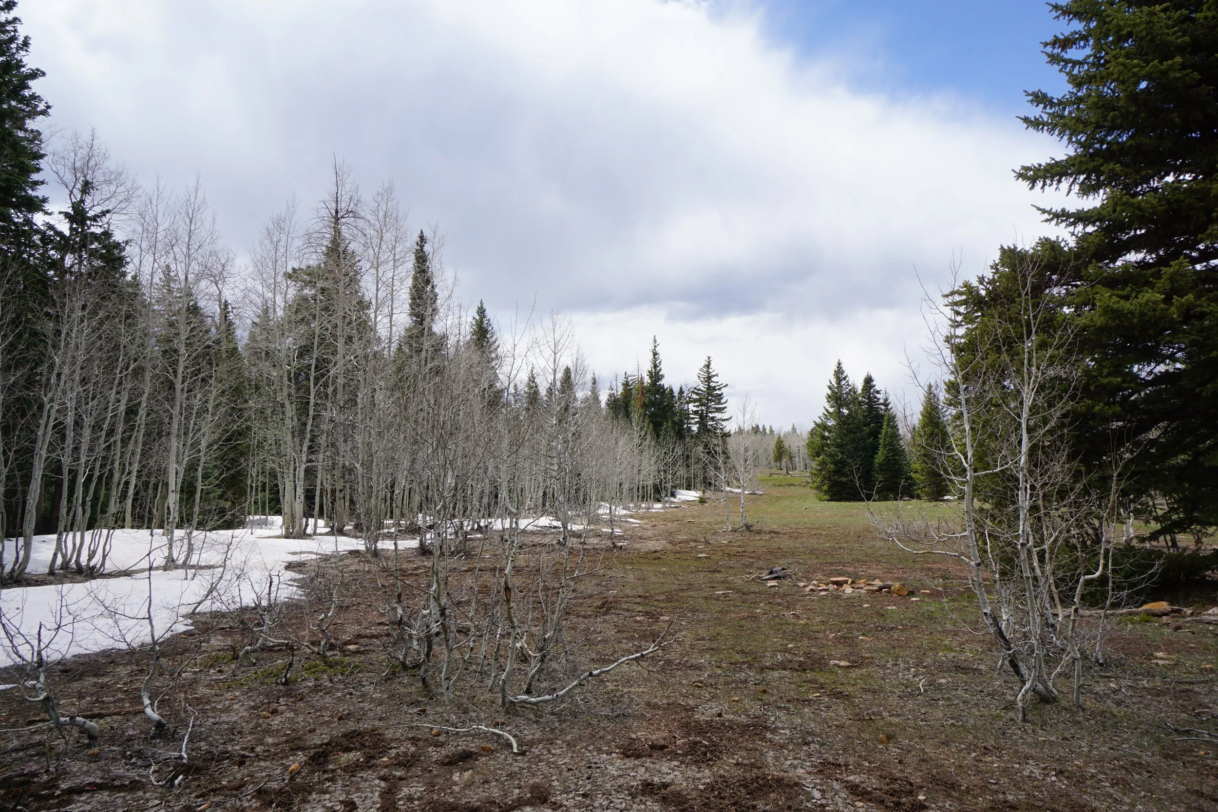
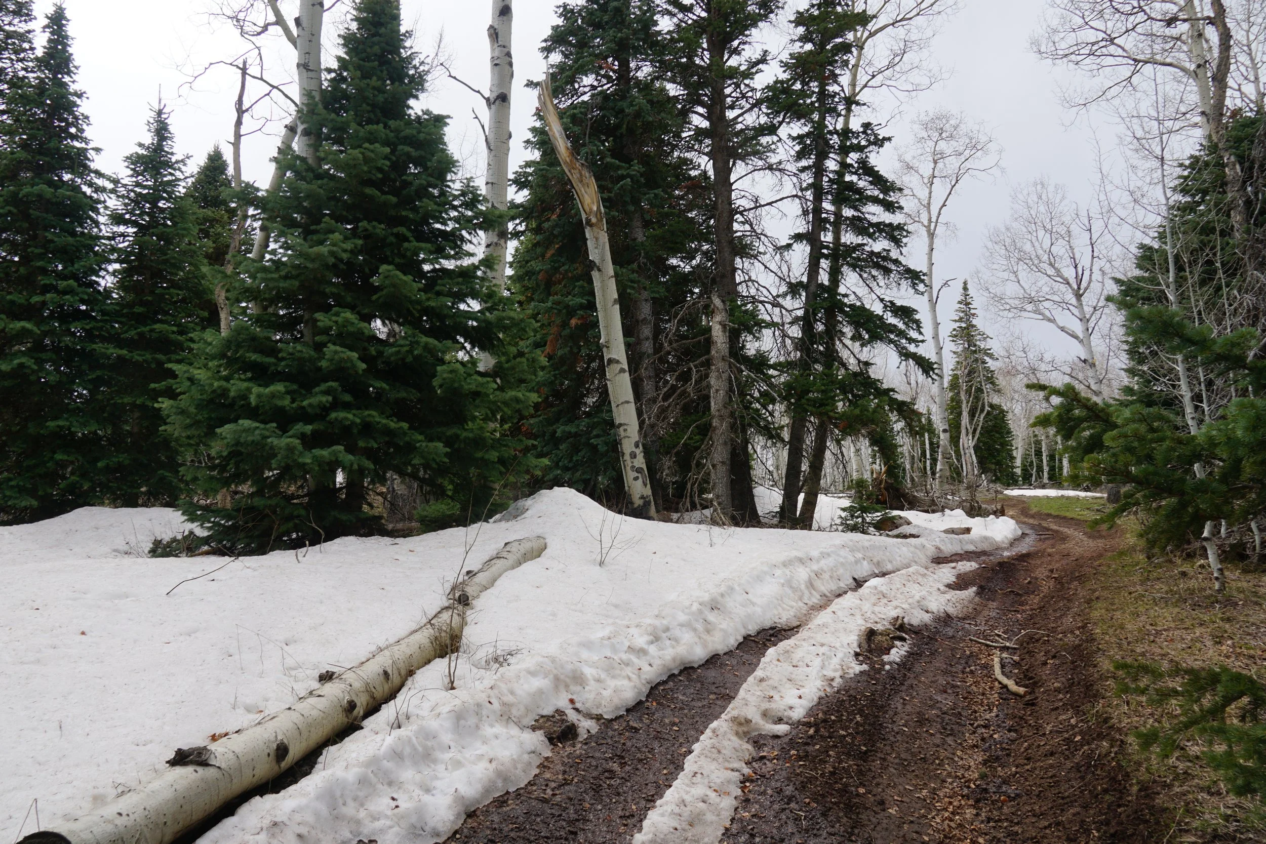
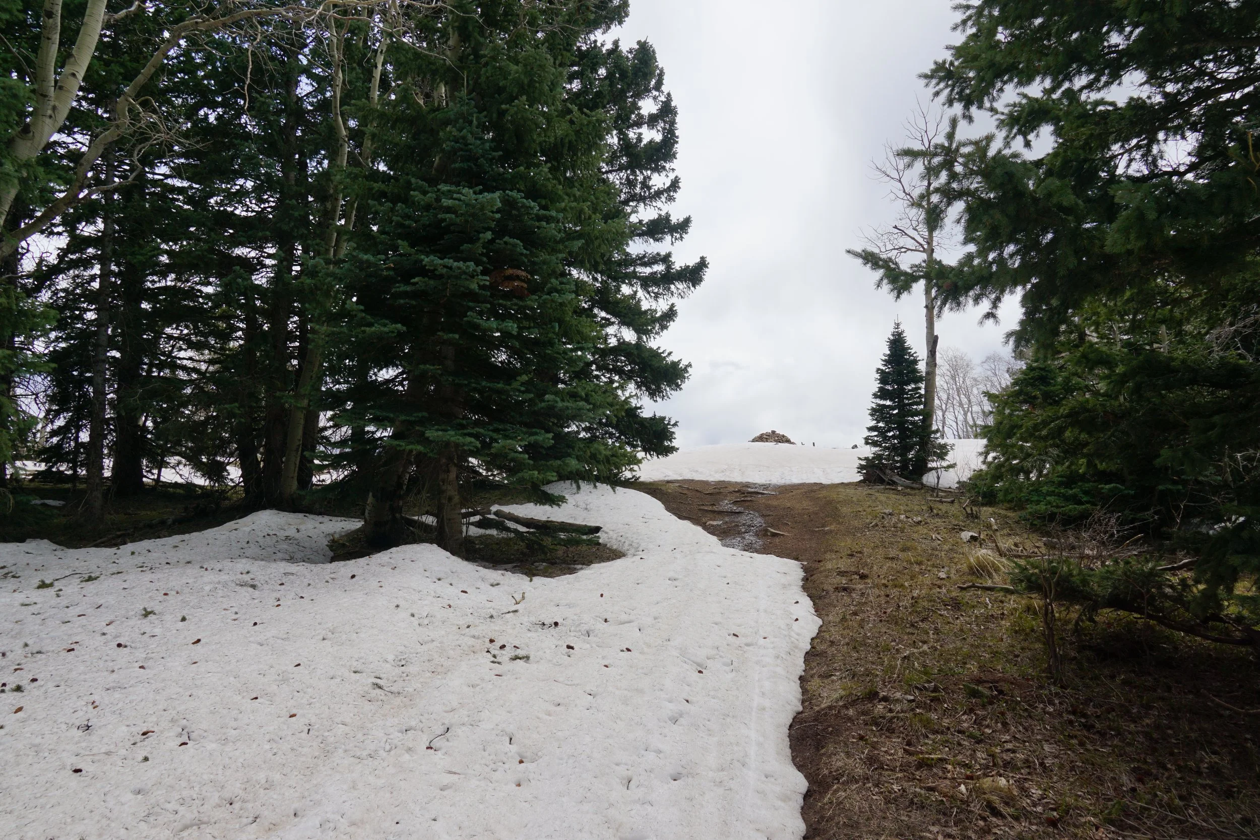
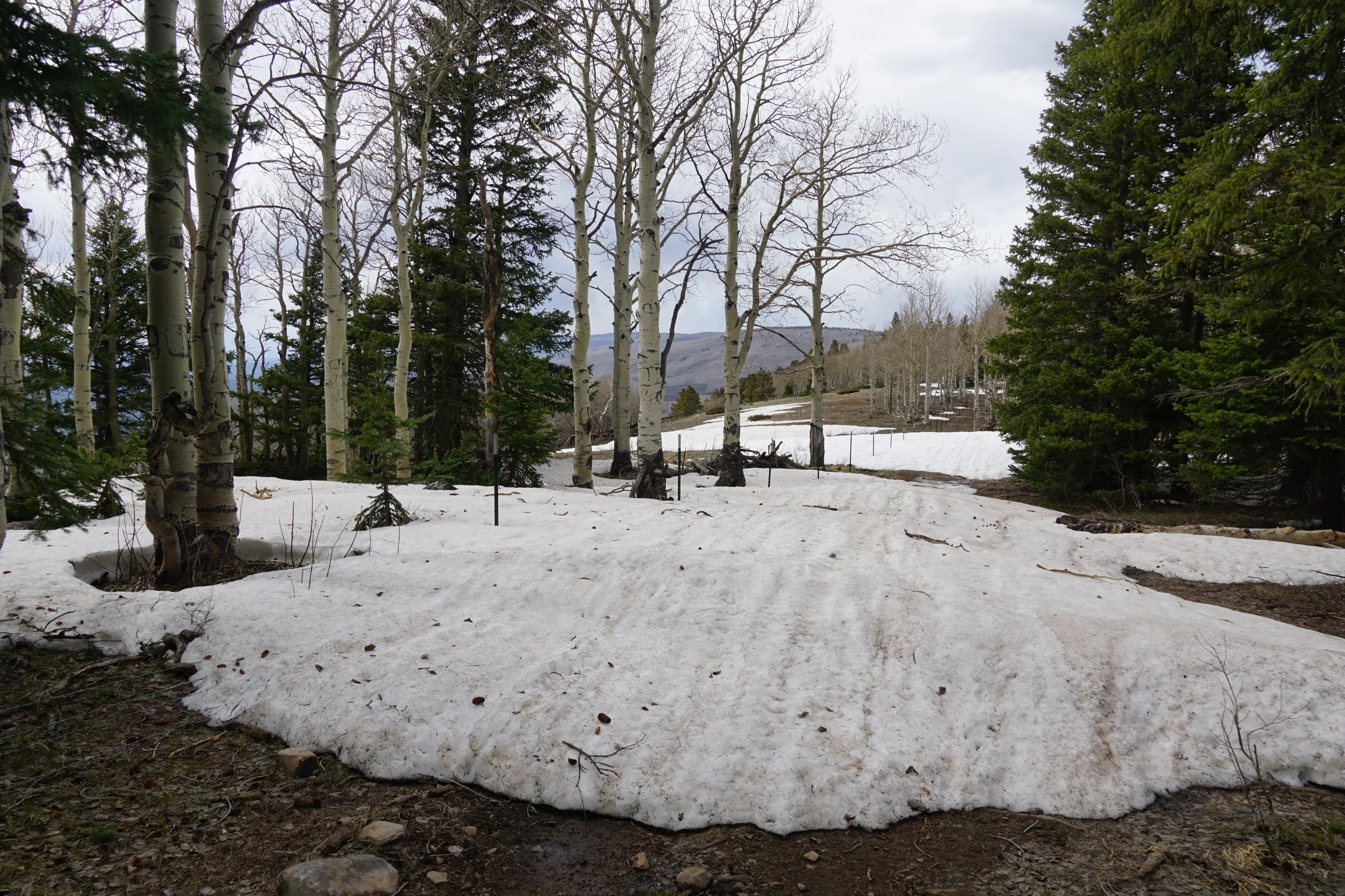
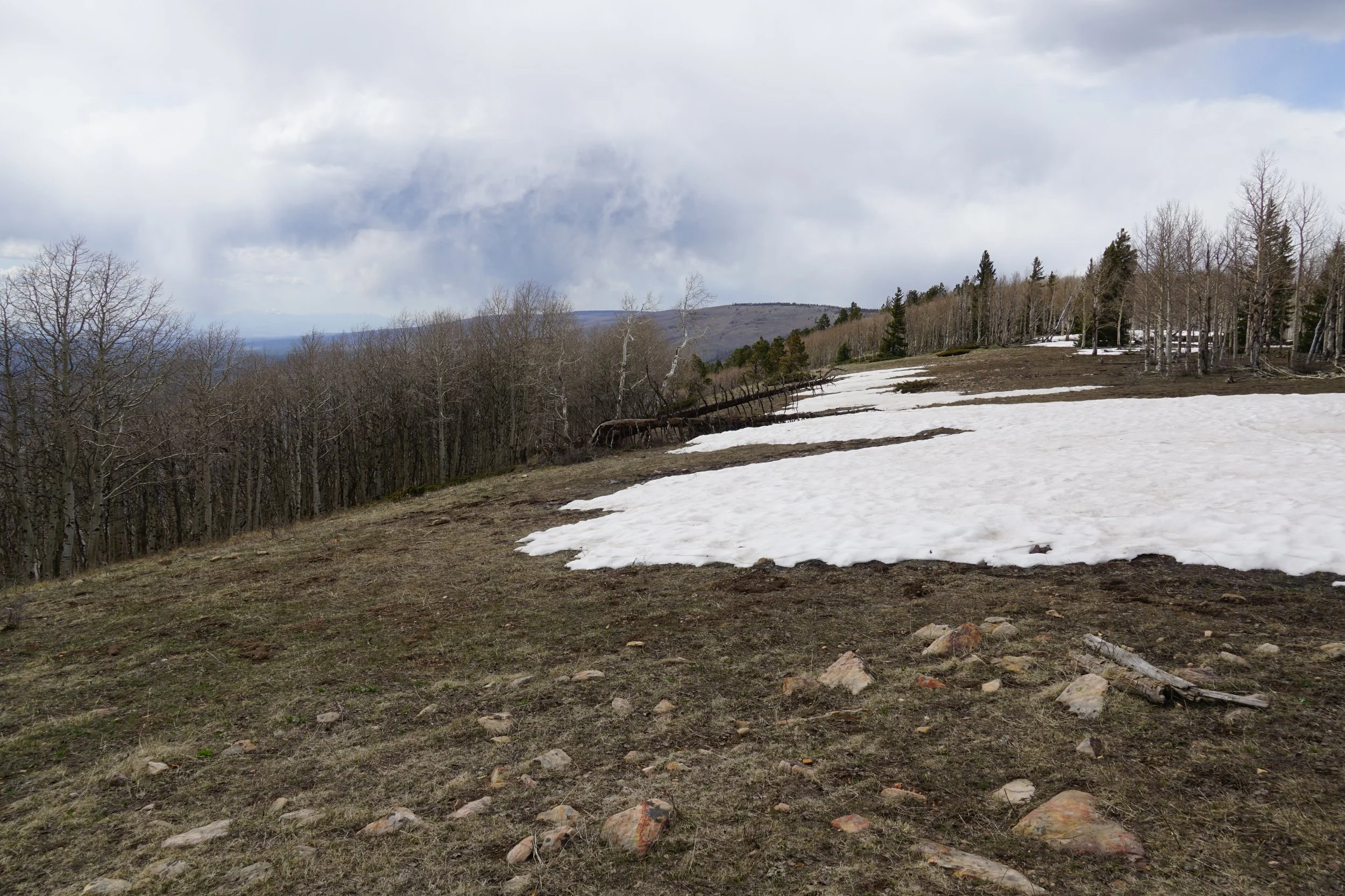
In the spring time, depending on the snow pack, the first part of the trail should be mostly dry but walking through a trickle of water on the trail is probably to be expected. The higher elevations of the trail, as you head west, are likely to still have snow drifts that you need to avoid or tromp through. If you stay on the Rim Trail, this shouldn’t be too much of a problem. However, if you try to take shortcut back, like I did, the snow might make for a miserable experience, but more on that later.
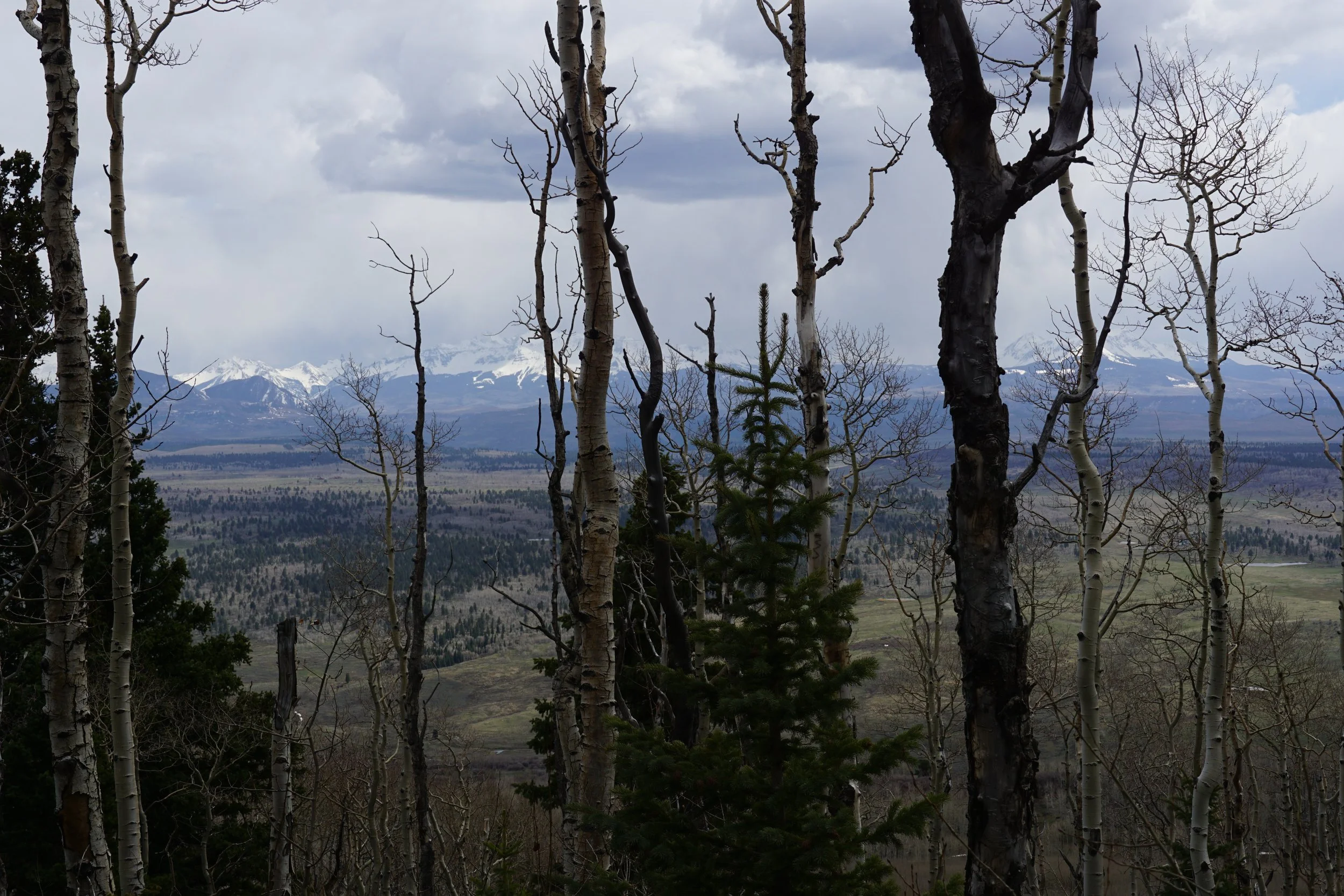
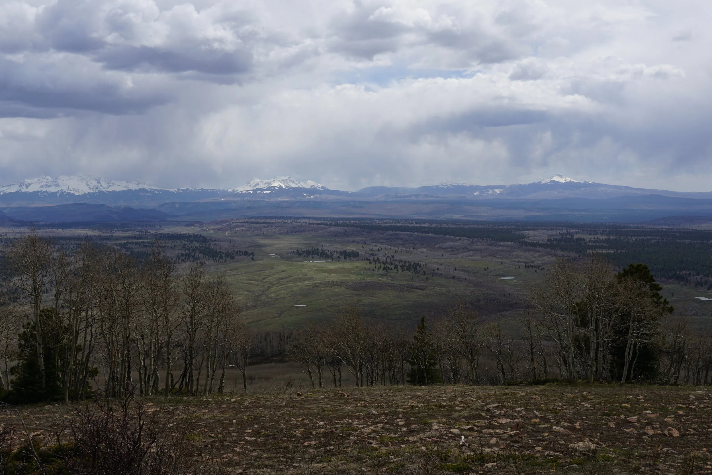
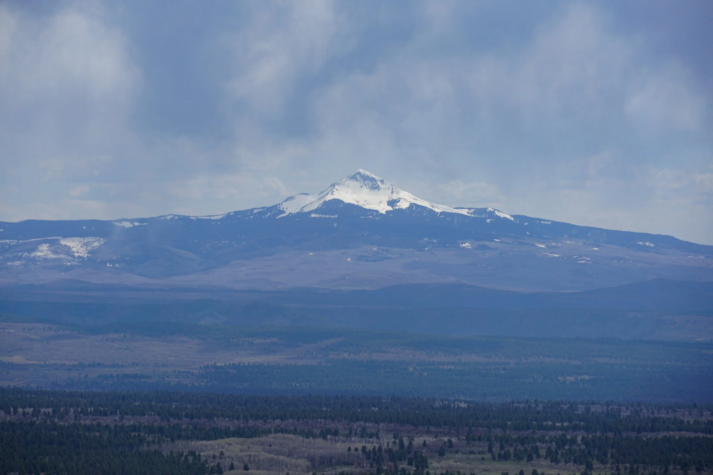
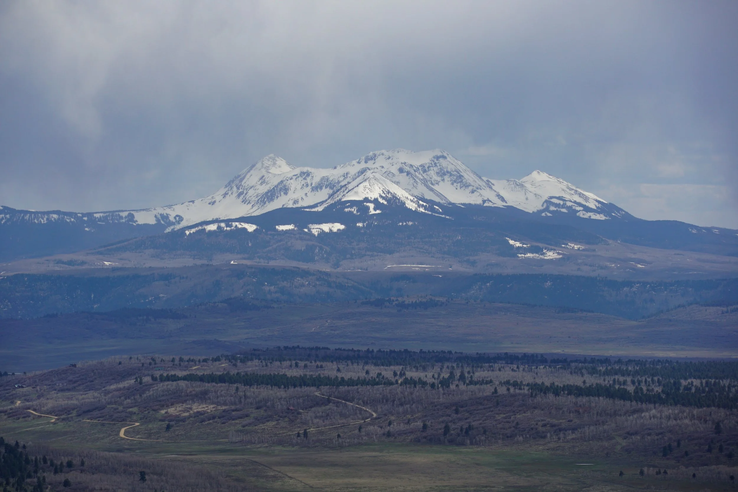
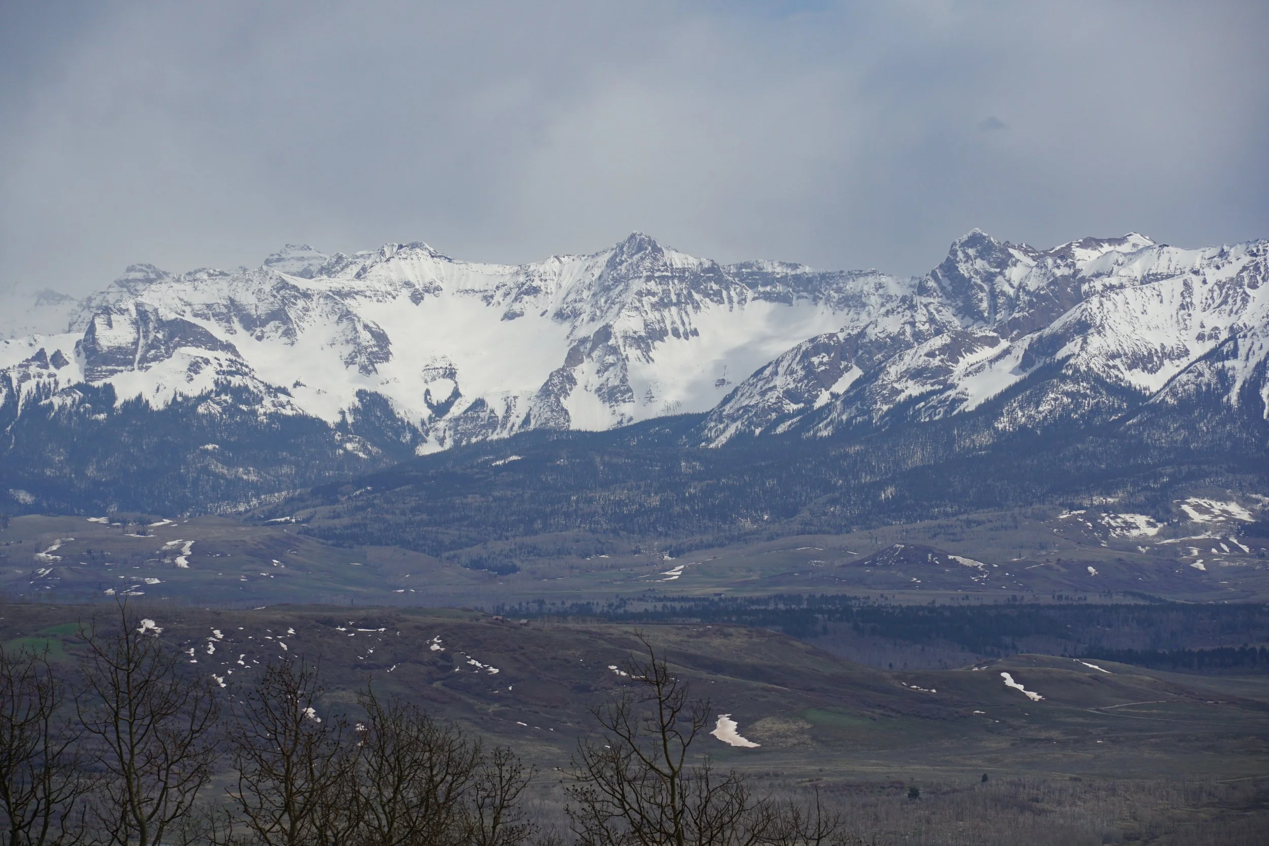
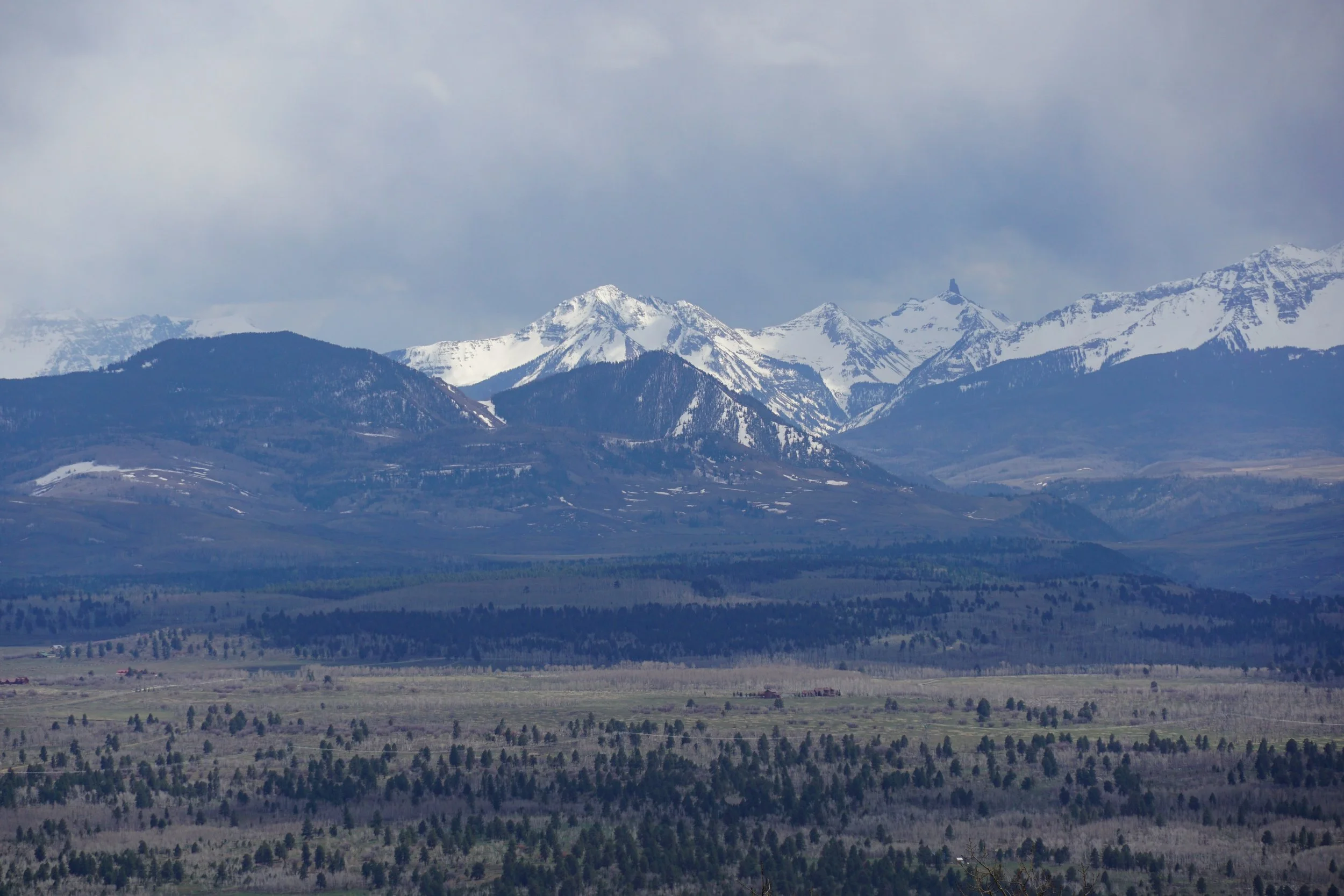
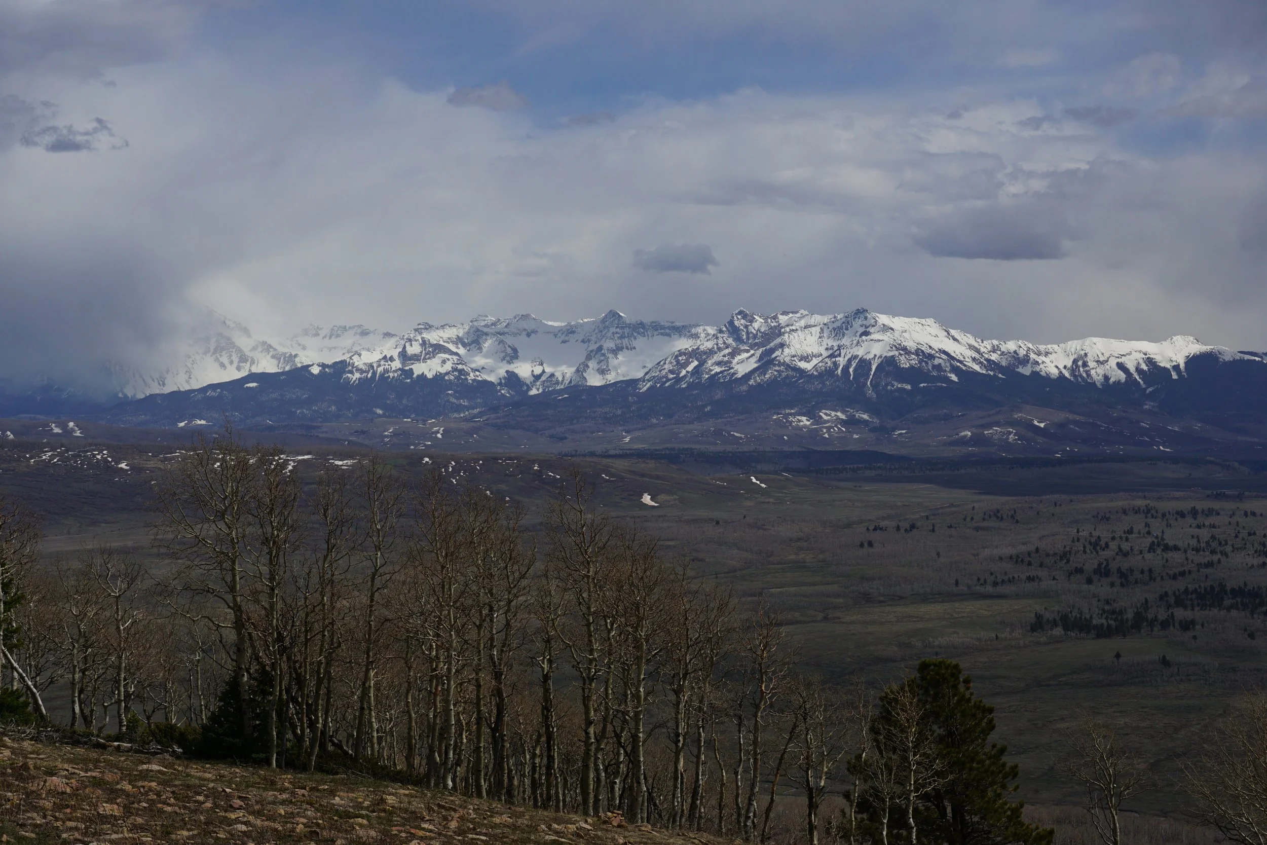
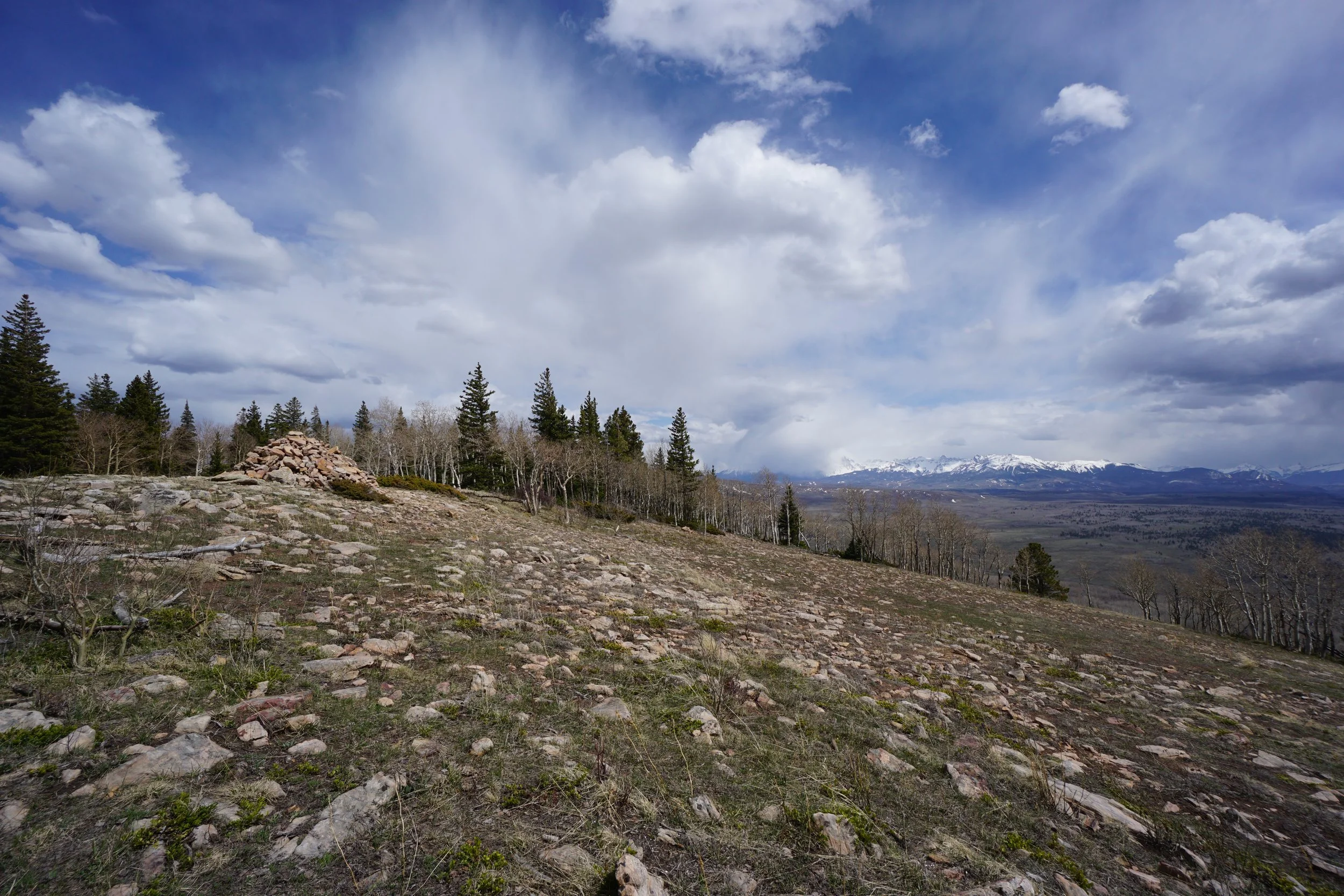
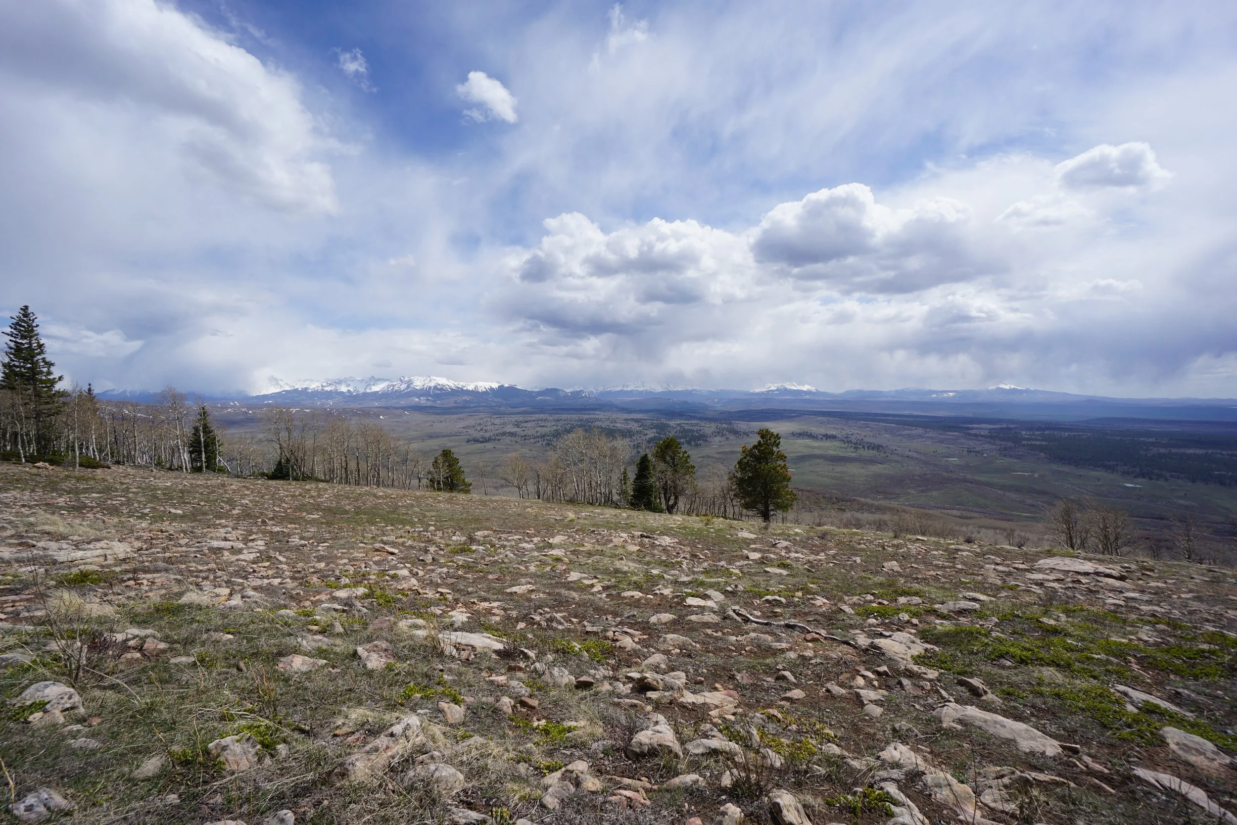
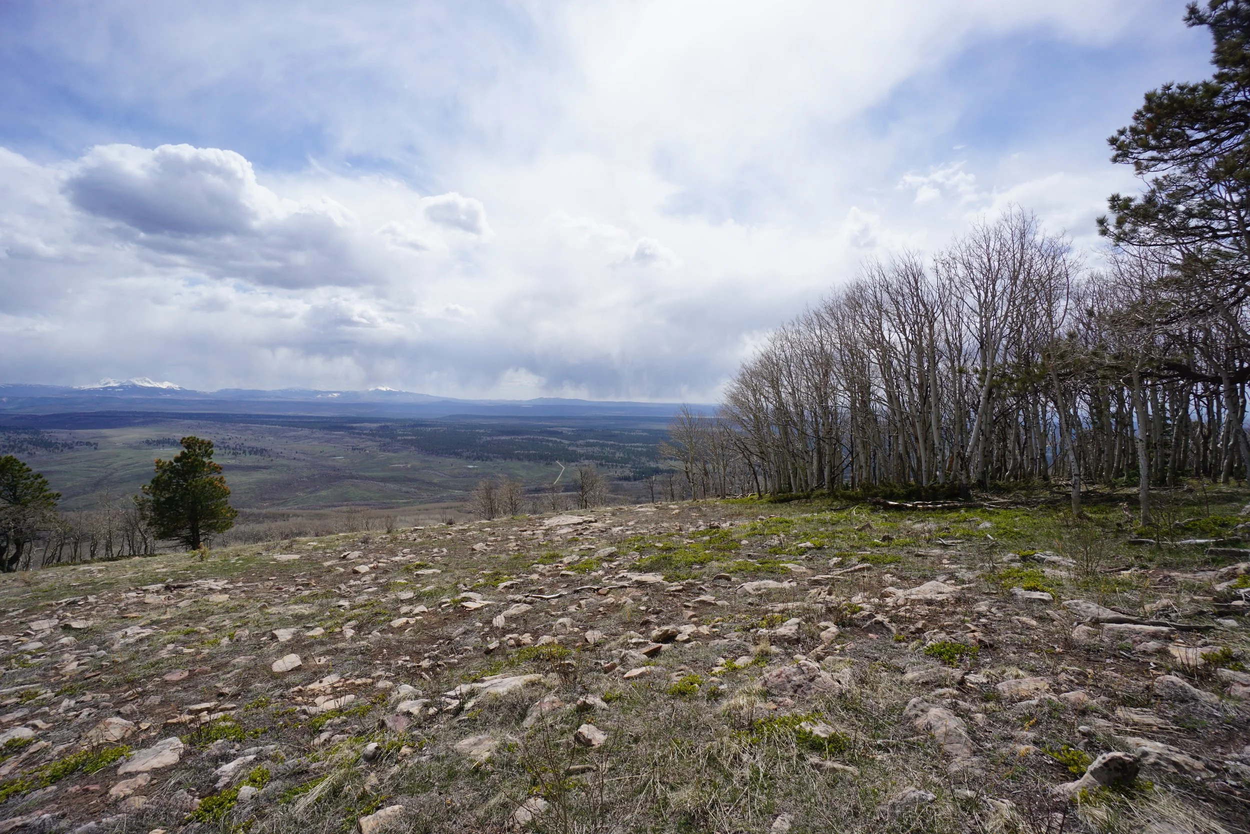
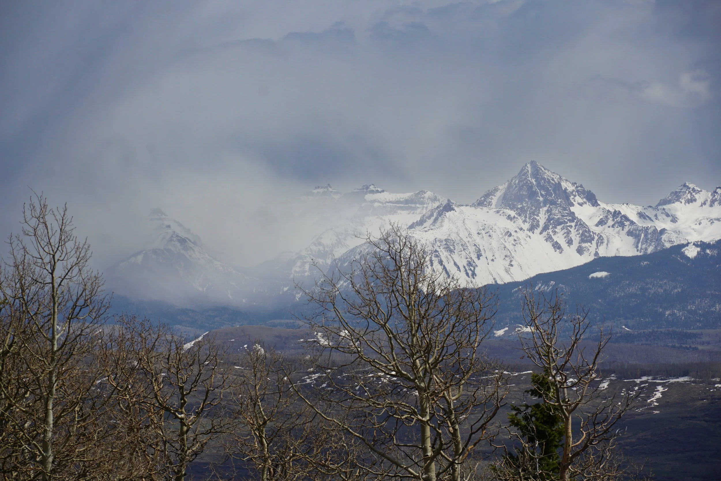
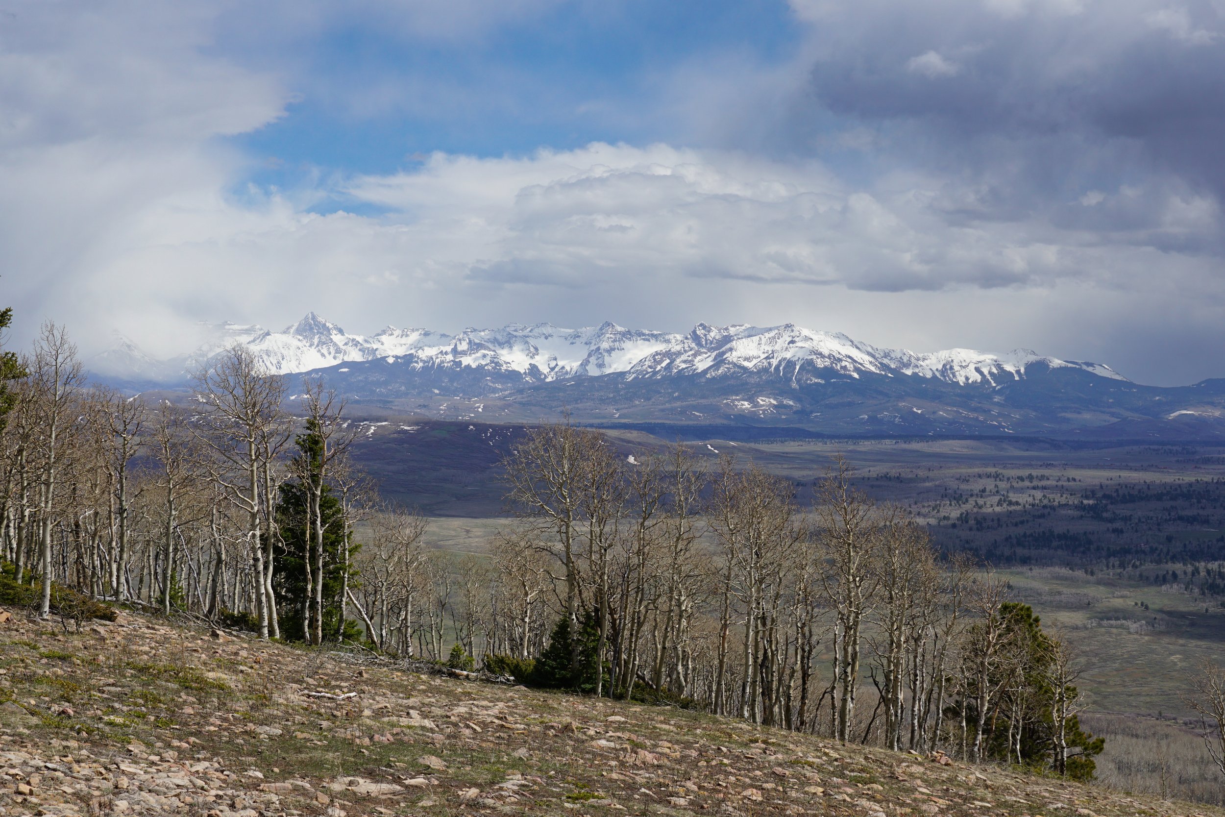
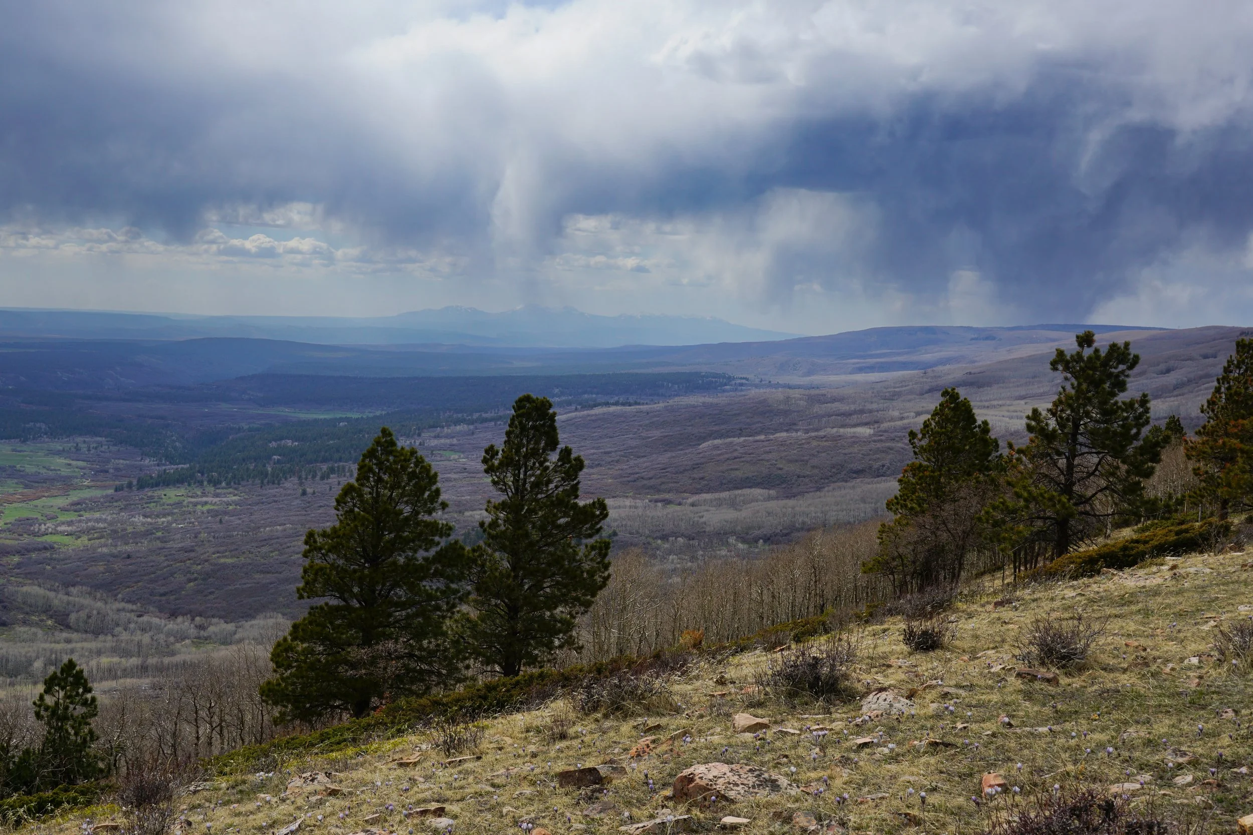
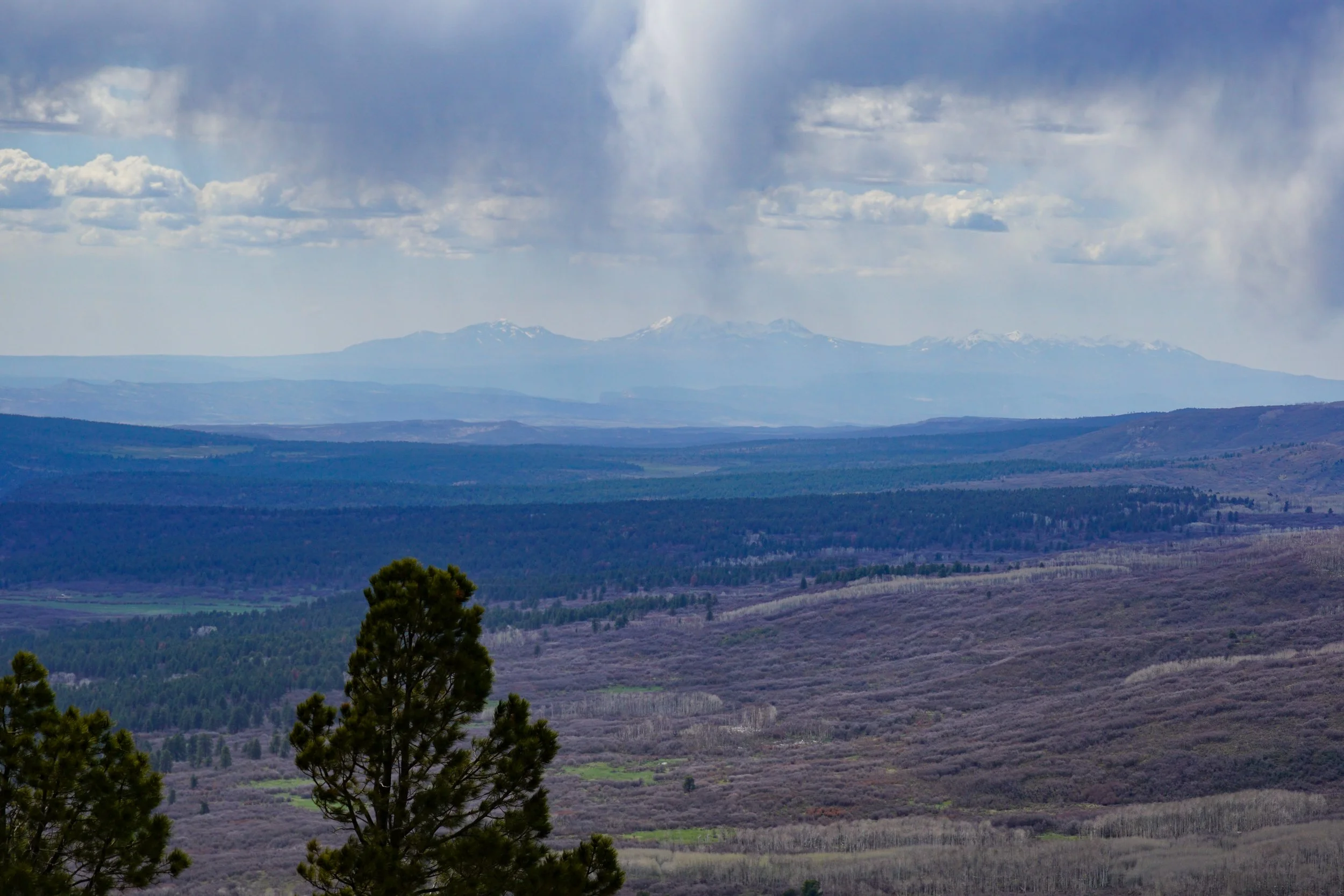
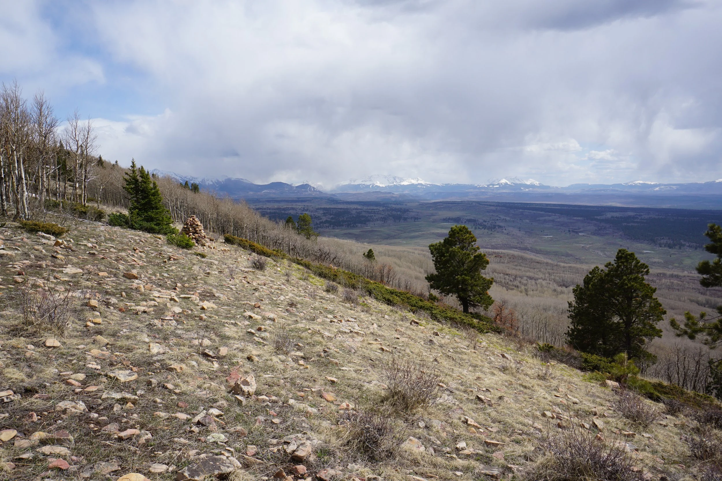
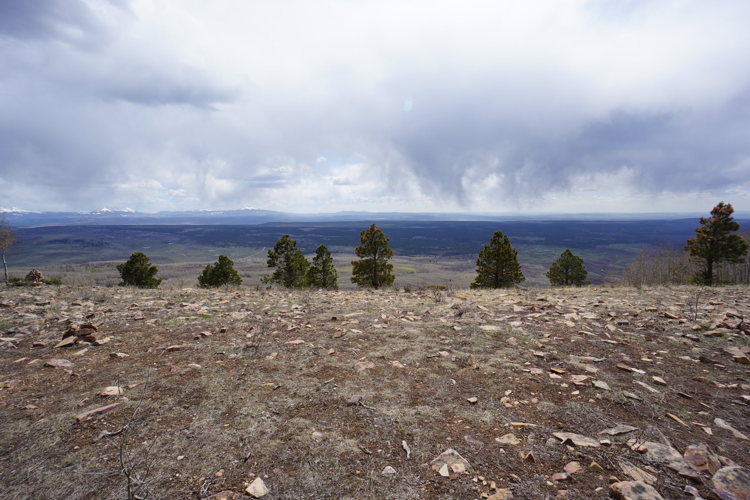
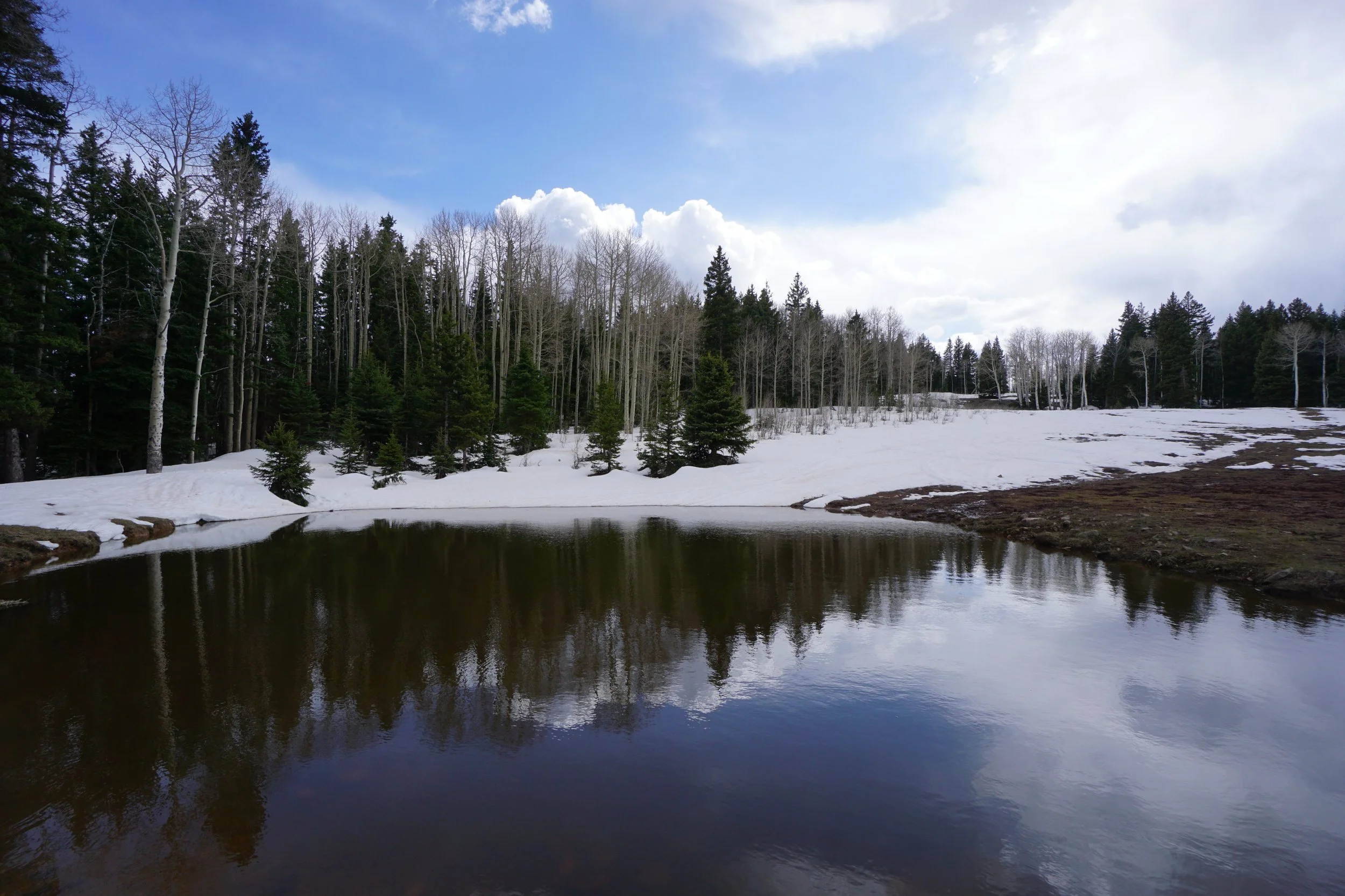
The Rim Trail takes you to two viewpoints on bare hillsides. The viewpoints are marked by large stone cairns and provide wide open views of the San Juan Mountains to the south. The Sneffels Range, the Mt. Wilson Massif, and Lone Cone Peak are on full display. The Second Viewpoint is similar but also gives you nice views to the west all the way to the La Sal Mountains in Utah on a clear day. These are great viewpoints and worthy hiking destinations.
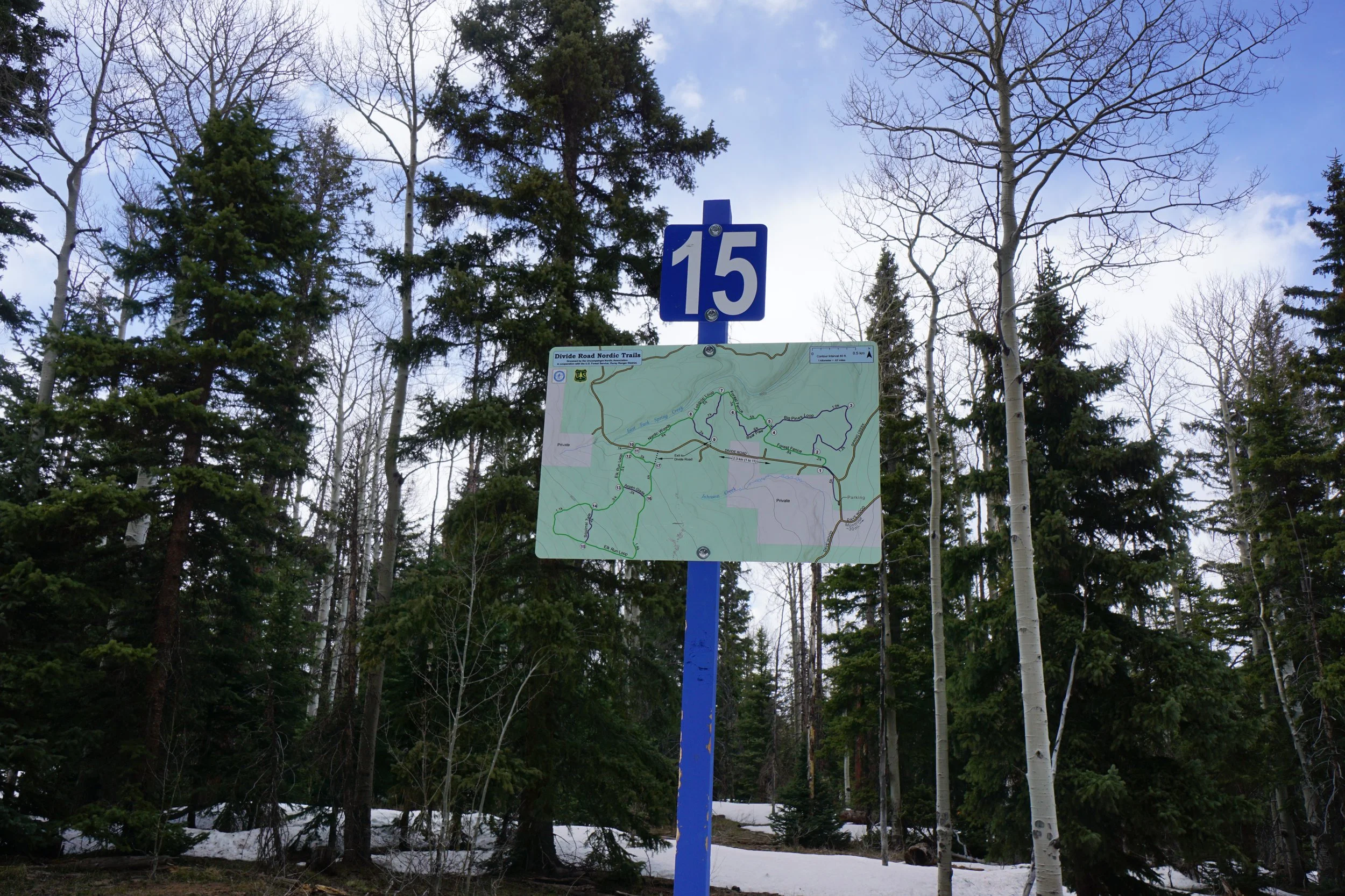
The trick here is how you get back to the Trailhead. In the winter or early spring, I recommend just staying on the Rim Trail and returning to the trailhead making this an out and back hike. Alternatively, you can hike the whole loop and return along Divide Road however that would be an 8 mile hike with 2.5 of it along Divide Road and people drive fast on this road…. There is also a cross country ski trail system in between the Rim Trail and Divide Road. I tried to follow a road on a map back from the 1st viewpoint but it quickly disappeared under snow. I found myself on the ski trail and followed it back to Divide Road close to the trailhead. The postholing here was awful… It all depends on conditions.
Although not ideal, with possible motorized vehicle traffic on the trail, the Rim Trail is a great way to experience the southern edge of the Uncompahgre Plateau. The aspens and views are worth venturing out. I’m not very familiar with this area so there may be better options for the same views but without ATVs. Let me know if anyone has good recommendations.