Potter Creek Trail
Roubideau Canyon, BLM Public Lands
Date Hiked: May 4, 2024
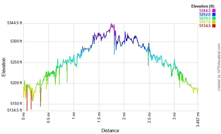
Distance: 3.3 mi (RT)
Elevation Gain: 150 ft
Elevation Min/Max: 5,173 to 5,325 ft
Trailhead Lat/Long: 38.63861, -108.19539
Managing Agency: Bureau of Land Management (BLM)
Fee: None
DIRECTIONS:
From Hwy 50 in Delta, Colorado, take CO State Highway 348 (Bridge Street) over the Uncompahgre River and south for 2 3/4 miles. Turn west (right) on 25 Mesa Road (still CO 348) and stay on 26 Mesa Road heading west for 3 miles to a sharp bend in the road. Turn left onto A 49 Road. Follow A 49 Road for 5.3 miles to the end and the trailhead for this hike. This is a good dirt road and in good conditions is passable by most vehicles, of course, some clearance will help.
HIKE DESCRIPTION:
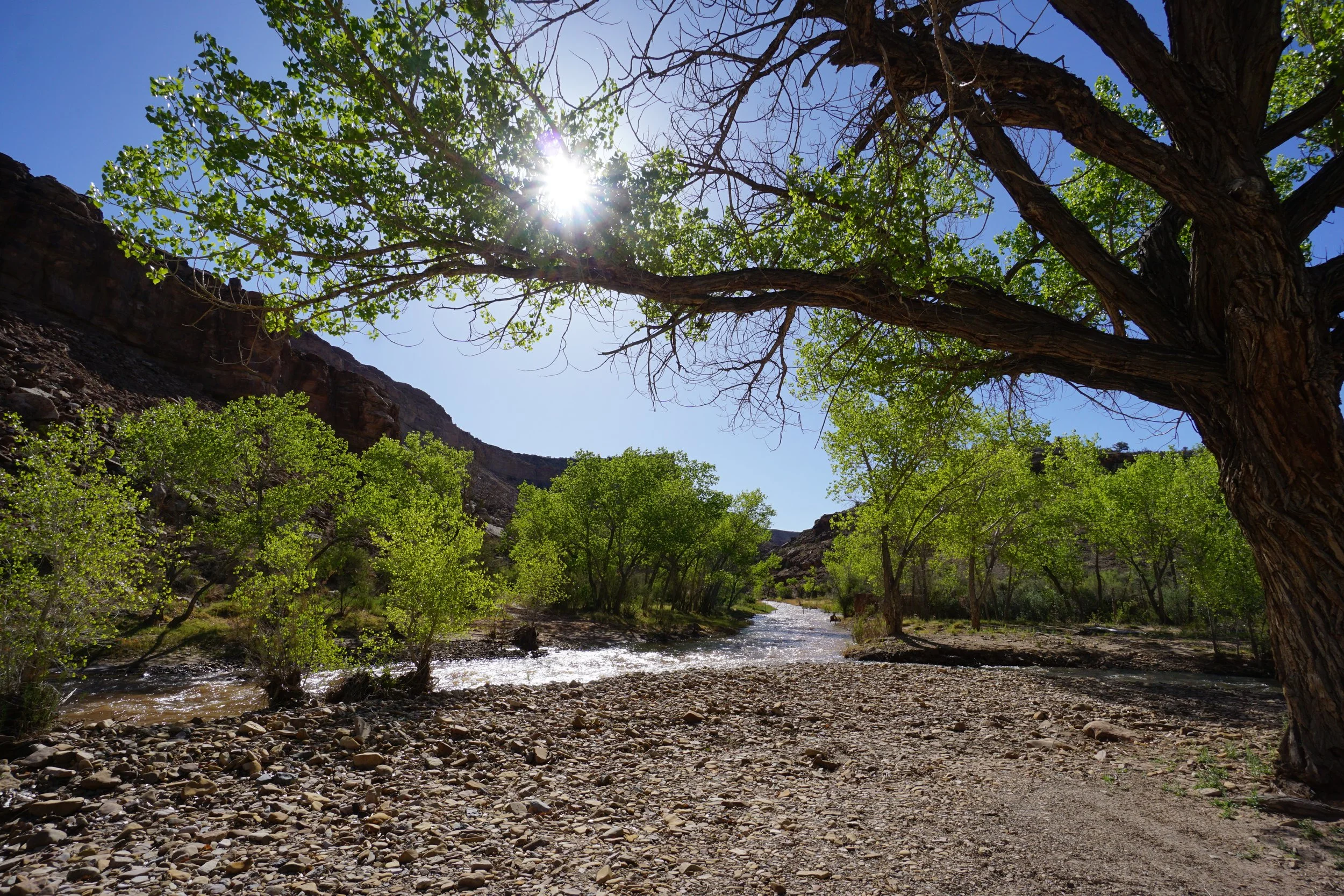
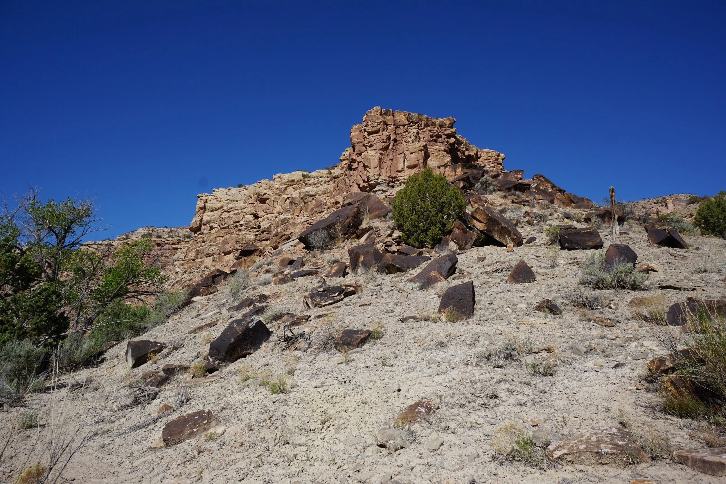
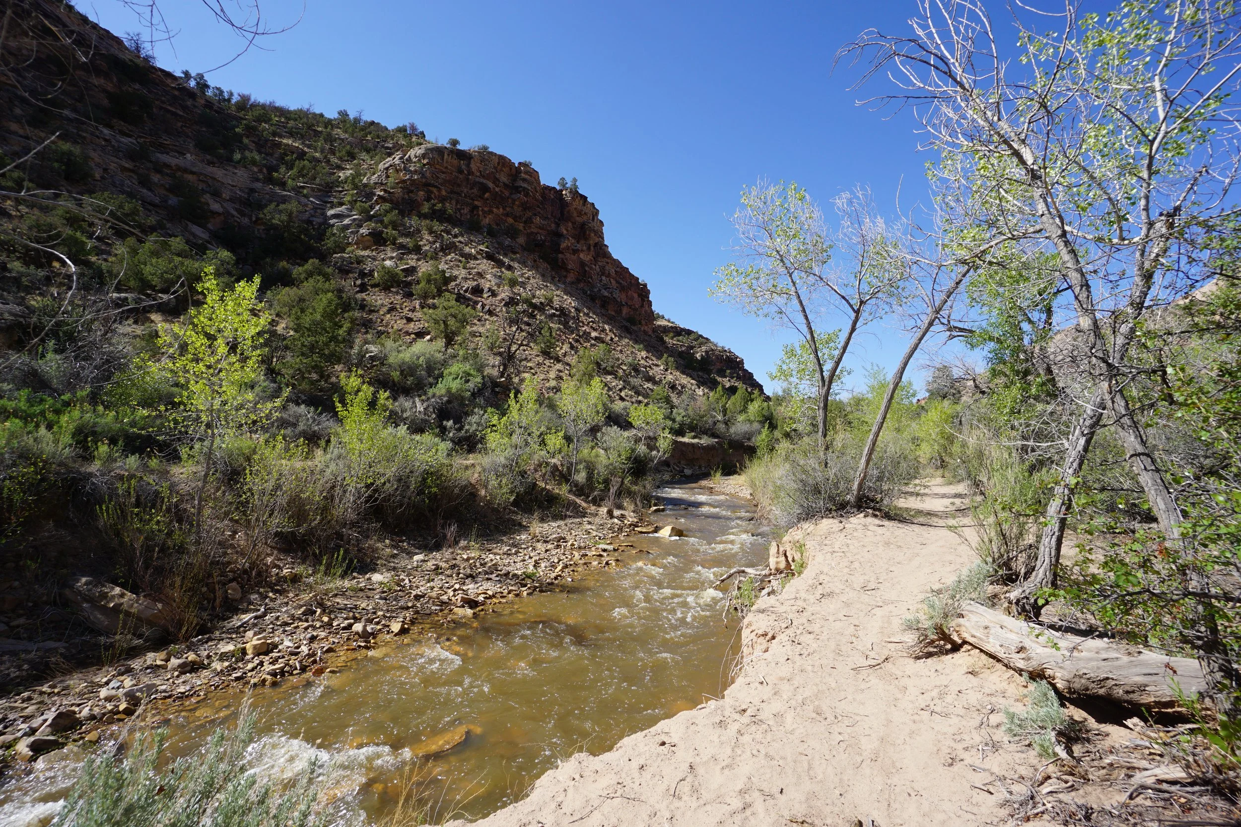
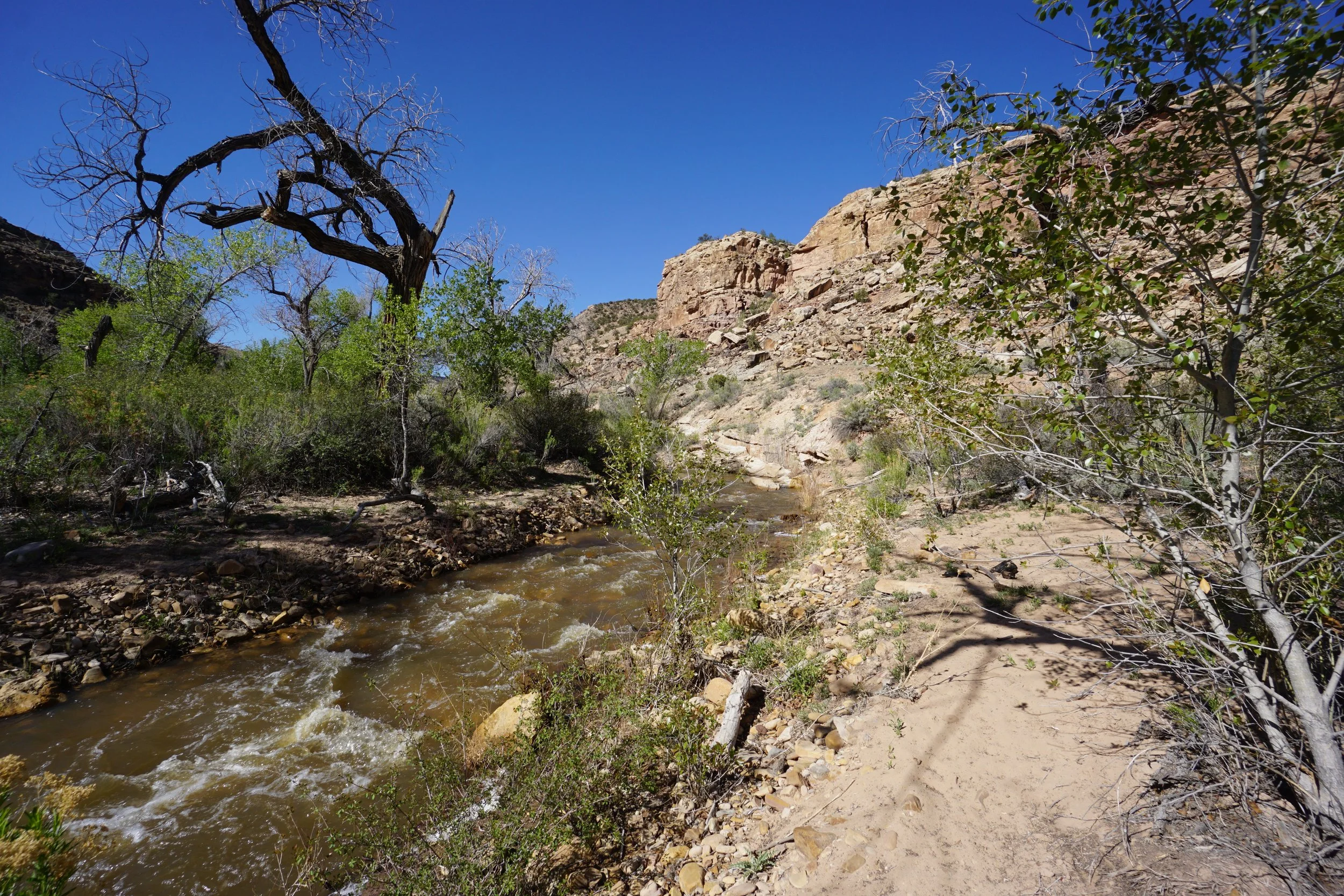
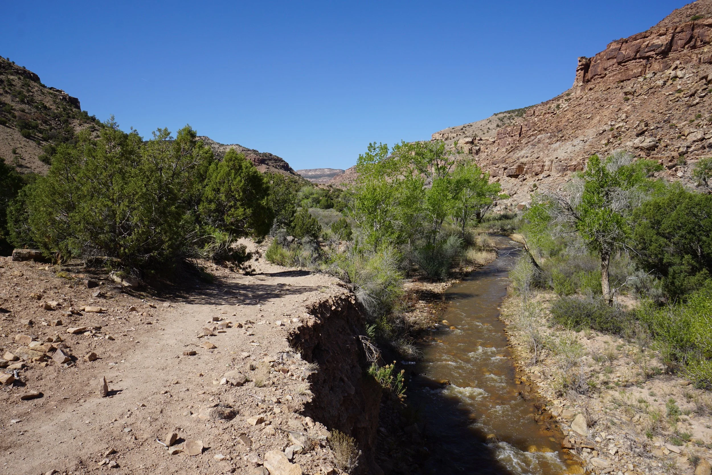
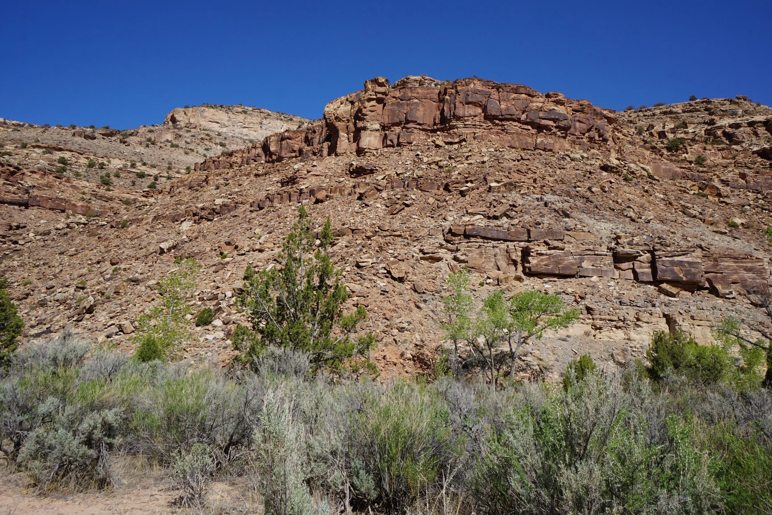
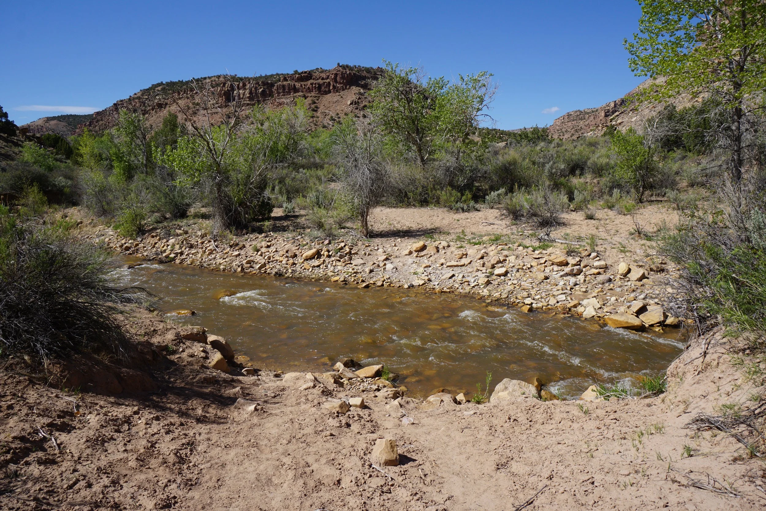
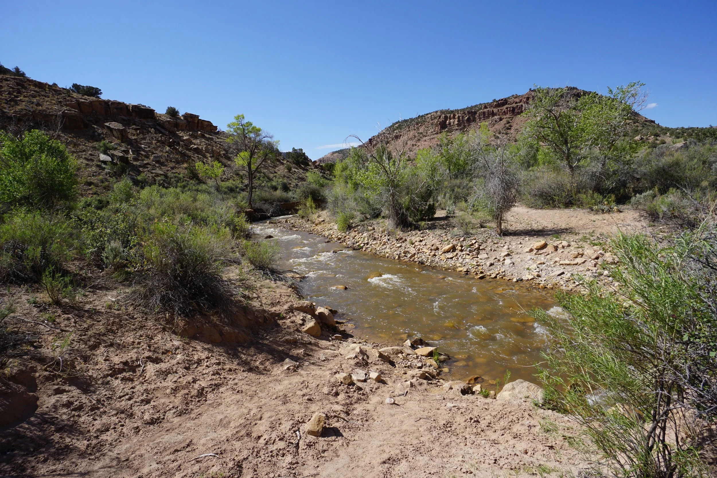
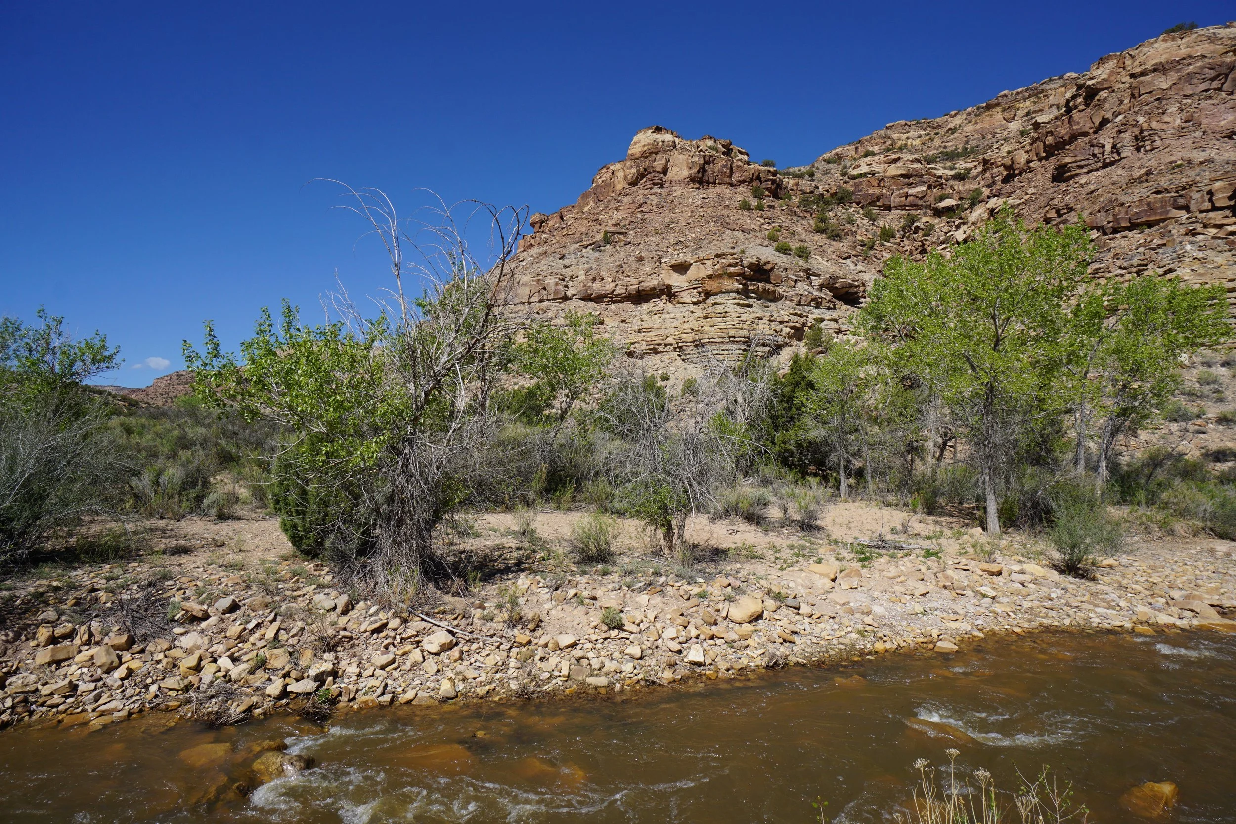
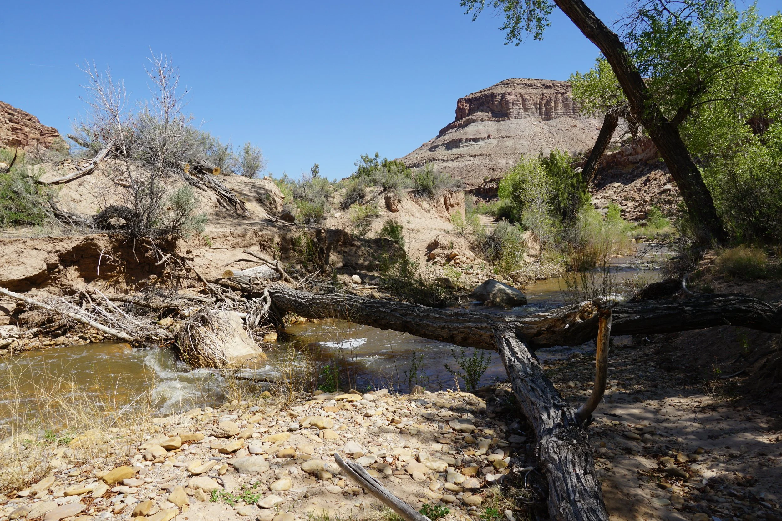
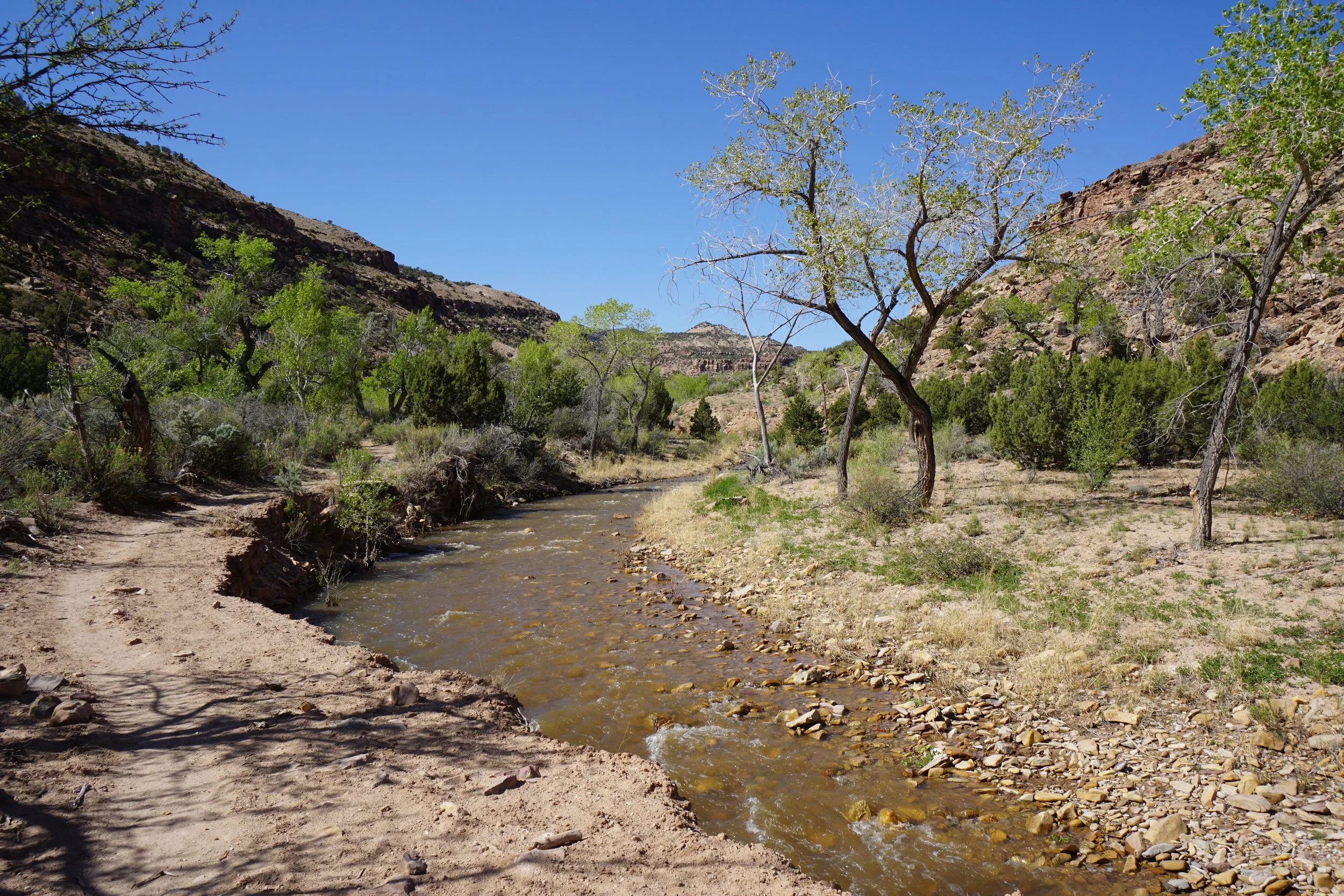
Roubideau Canyon stretches out from the farms west of Delta west to the Uncomphagre Plateau. The area is remote and seldom visited. At the end of A 49 Road, is the confluence of Roubideau Creek and Potter Creek. Multiple hikes leave from this trailhead but depending on the time of year and the water levels, the Potter Creek Trail may be the only accessible hike.
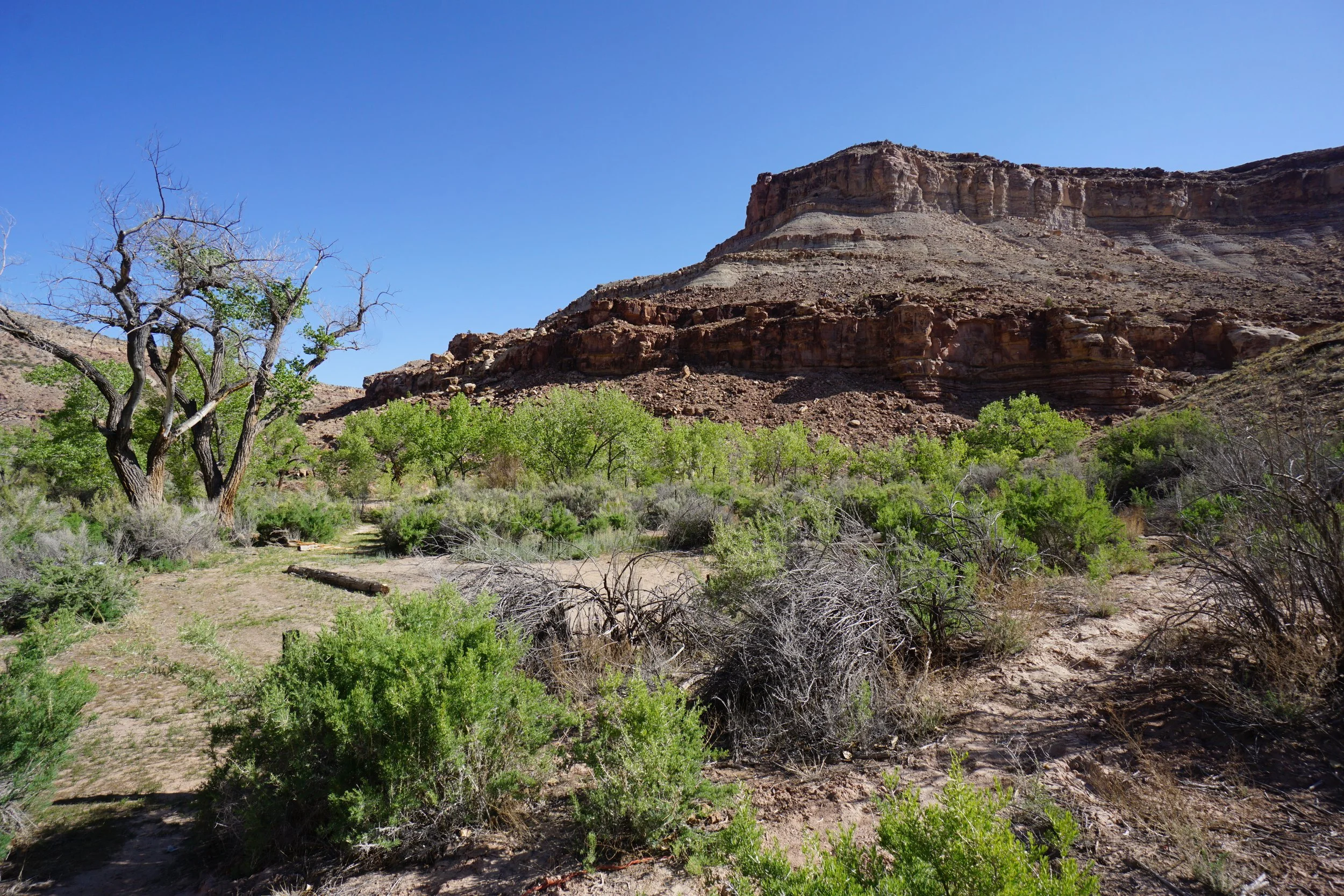
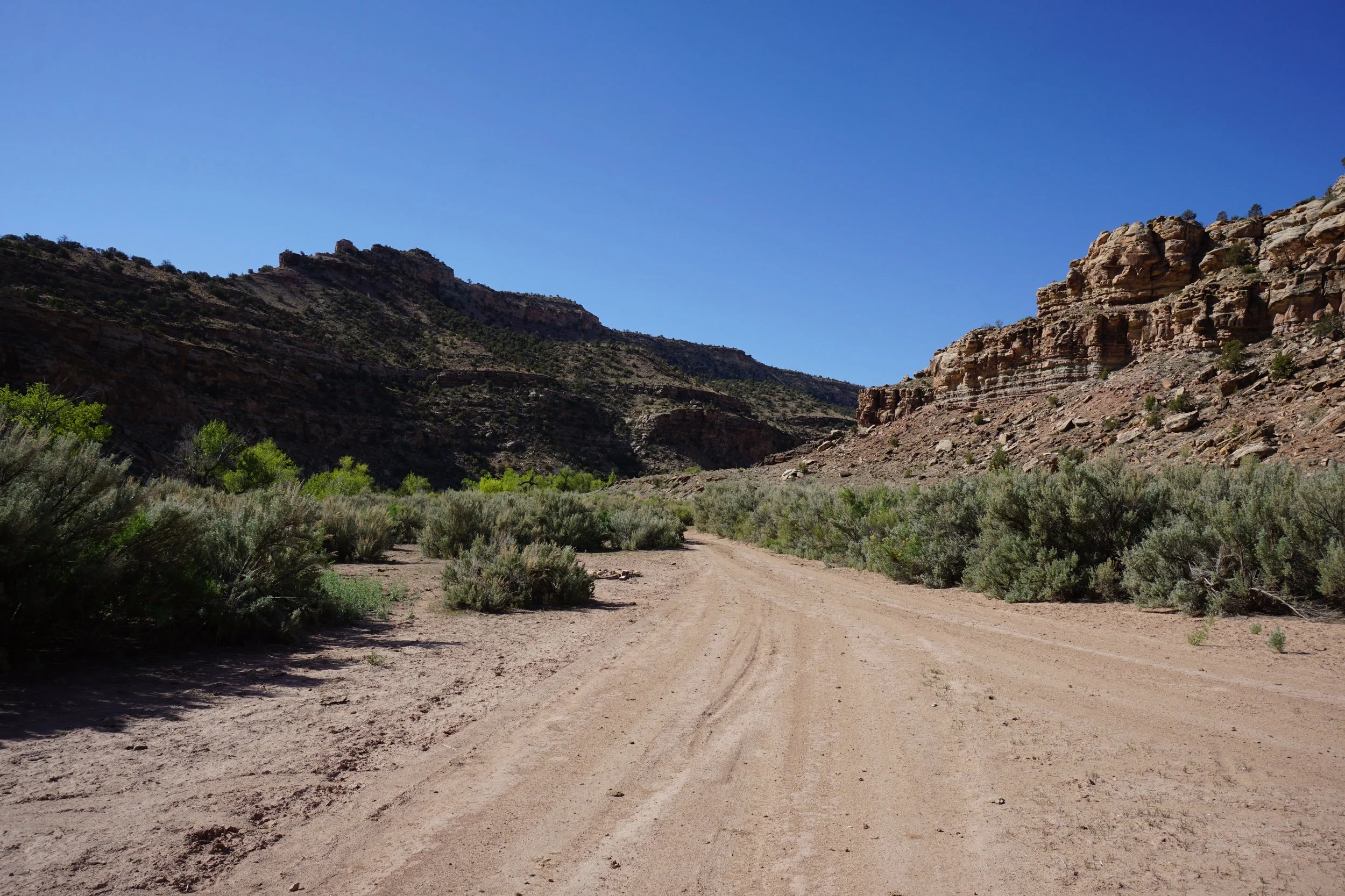
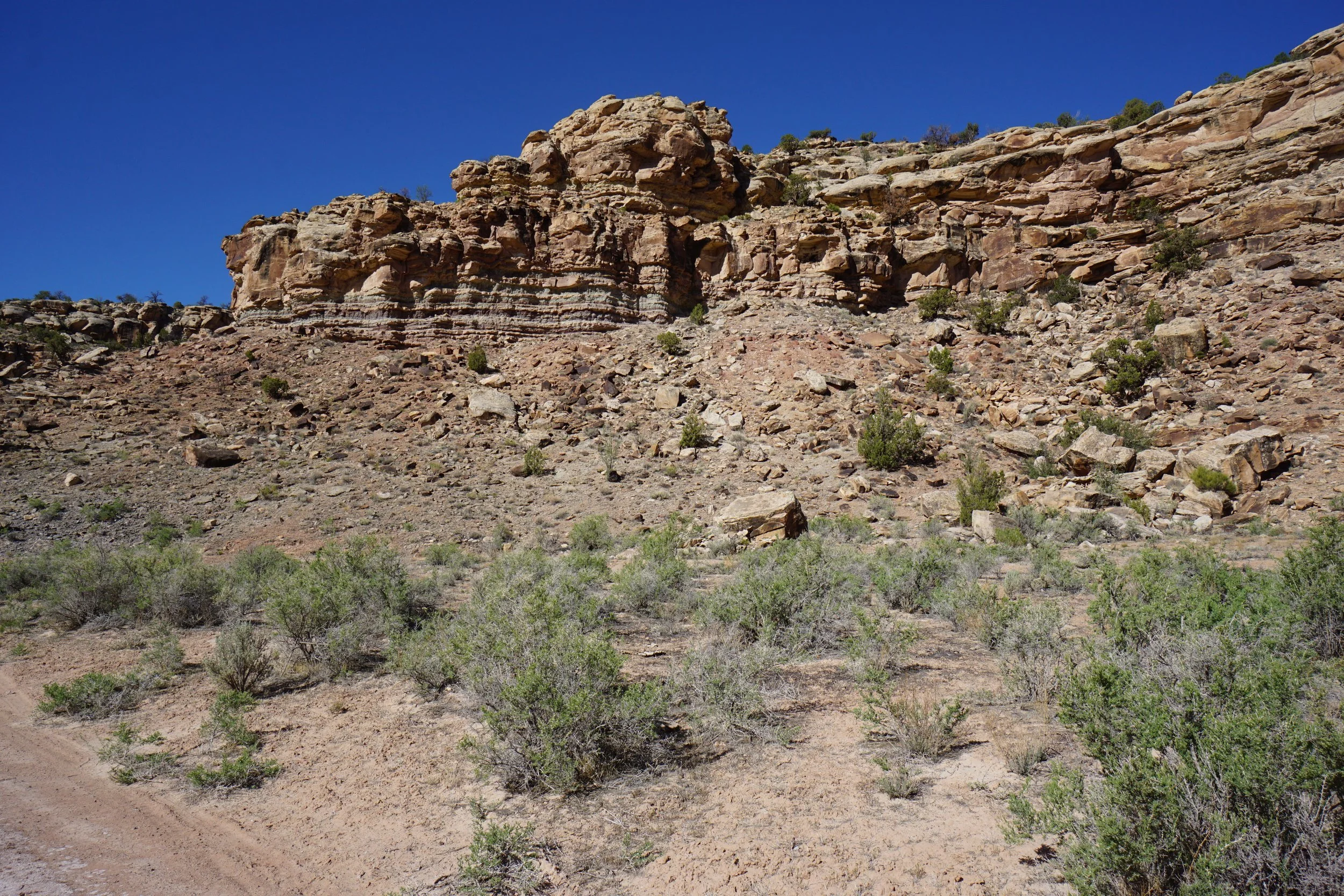
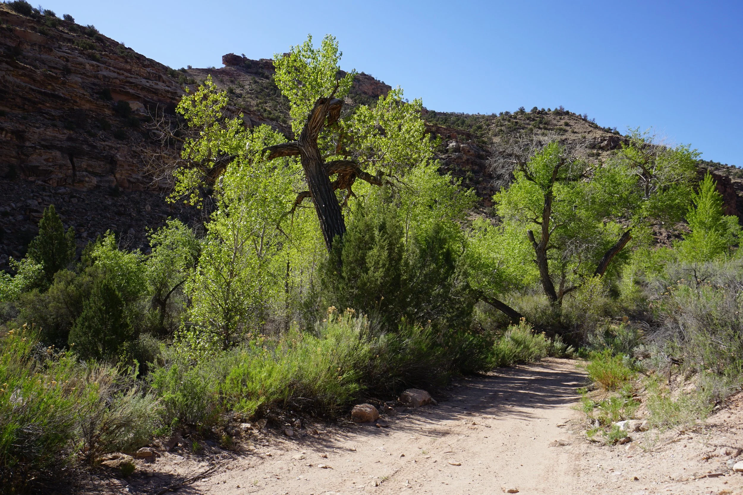
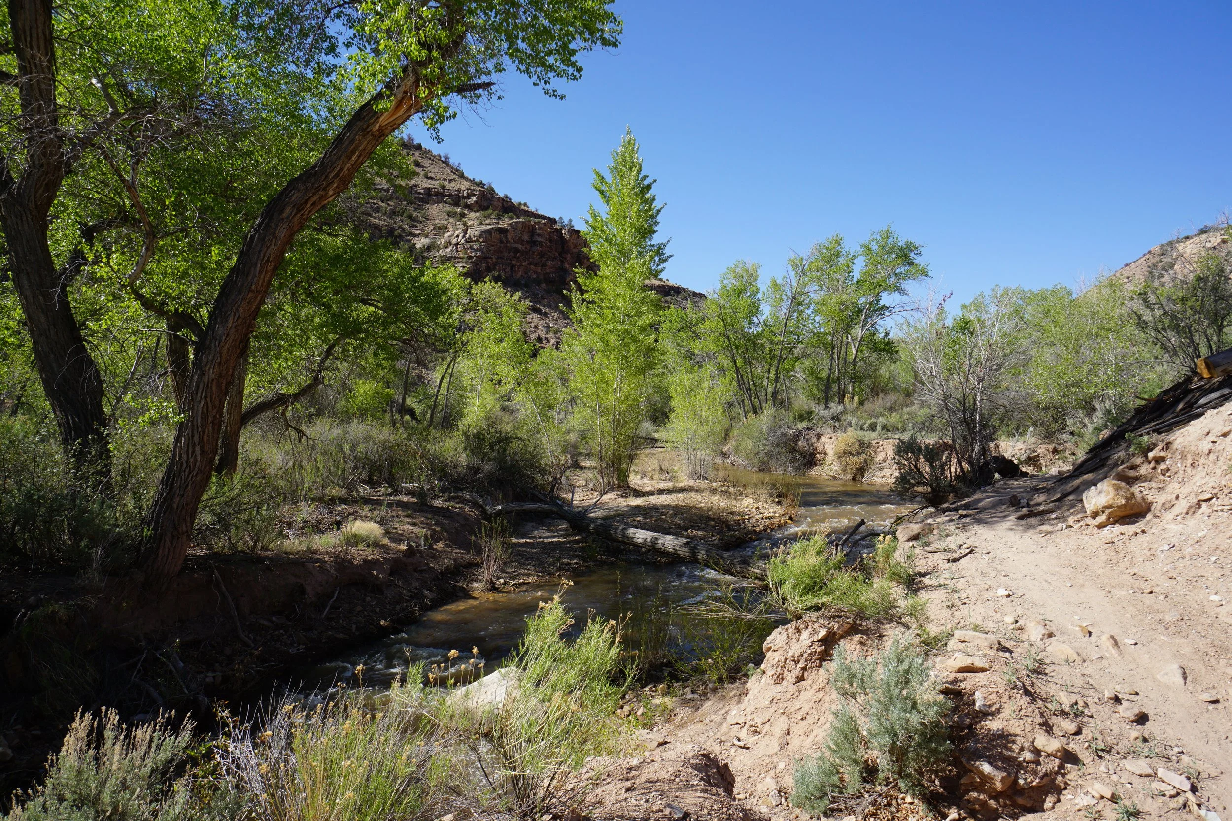
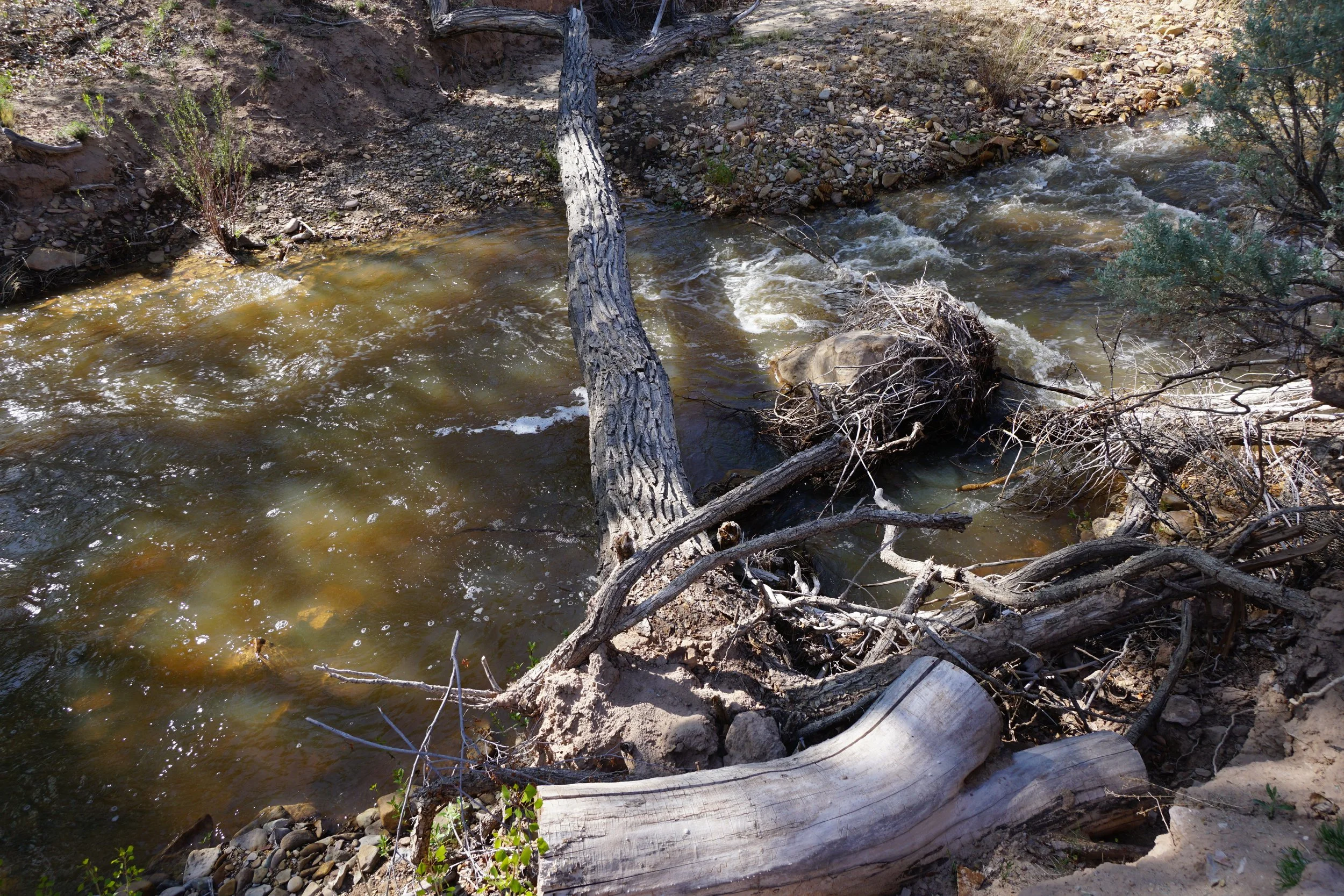
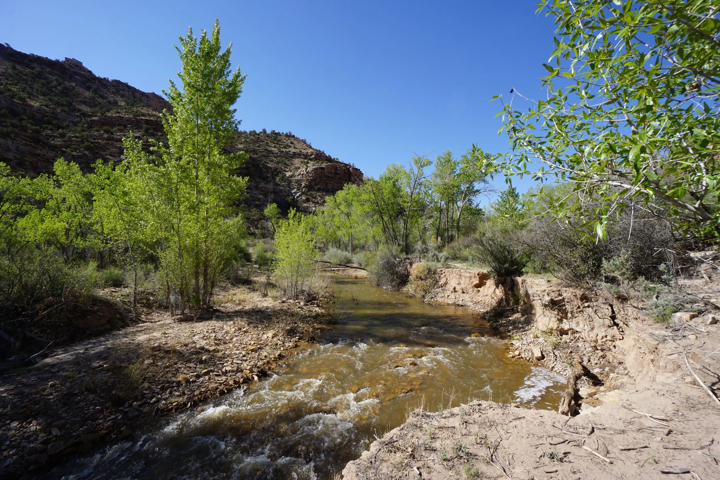
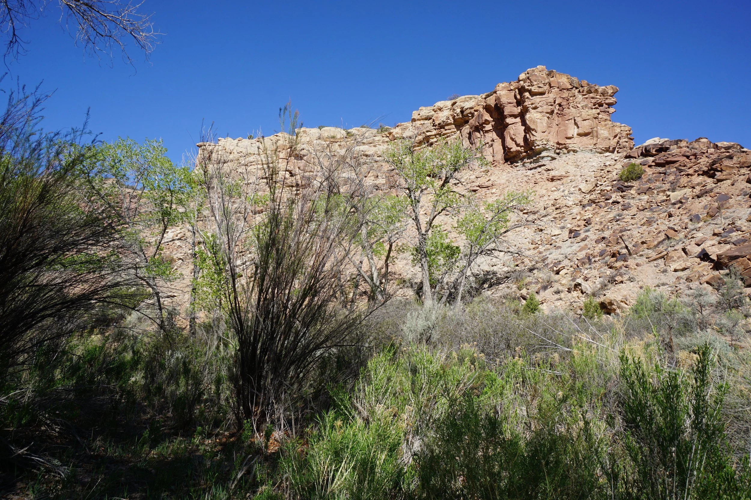
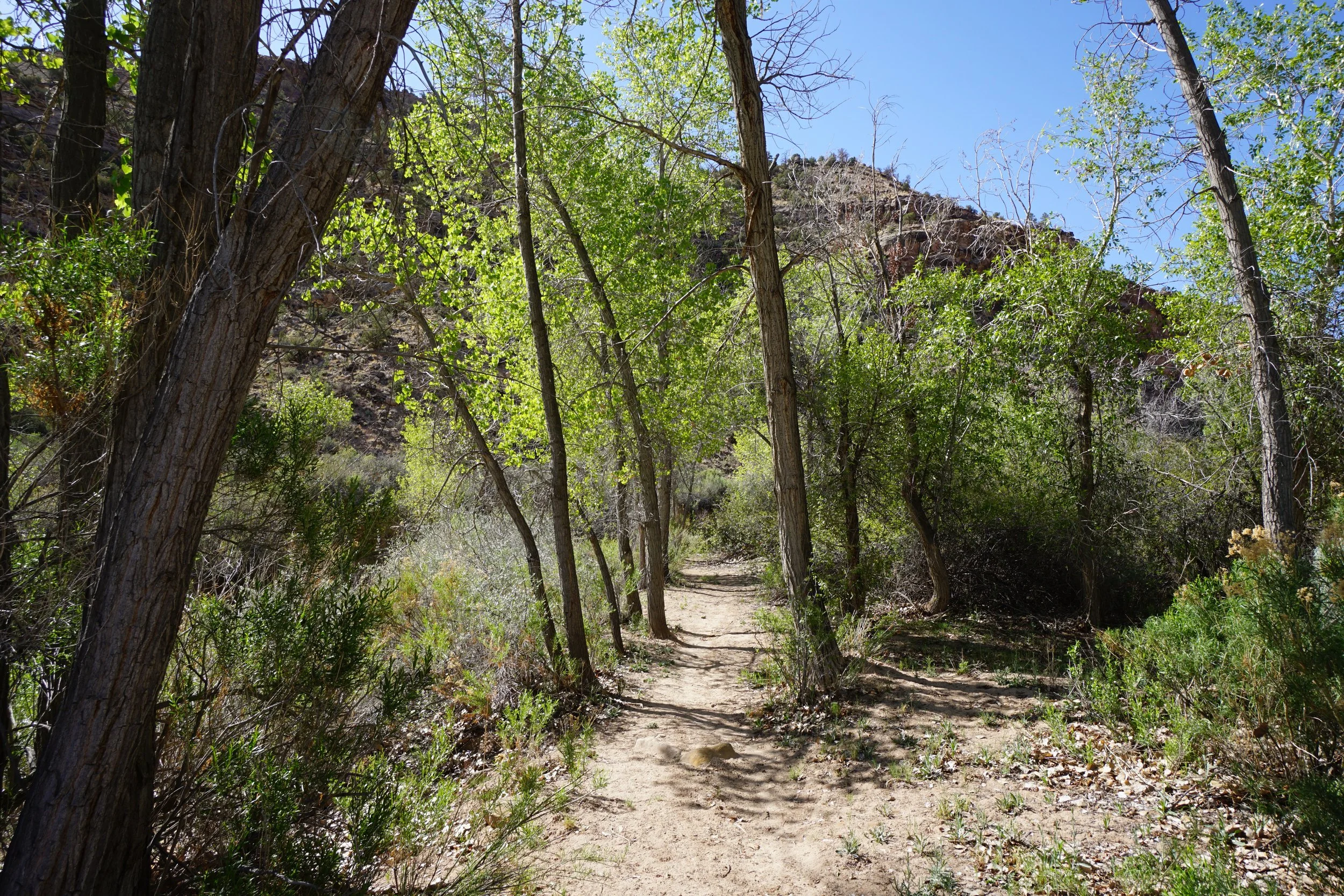
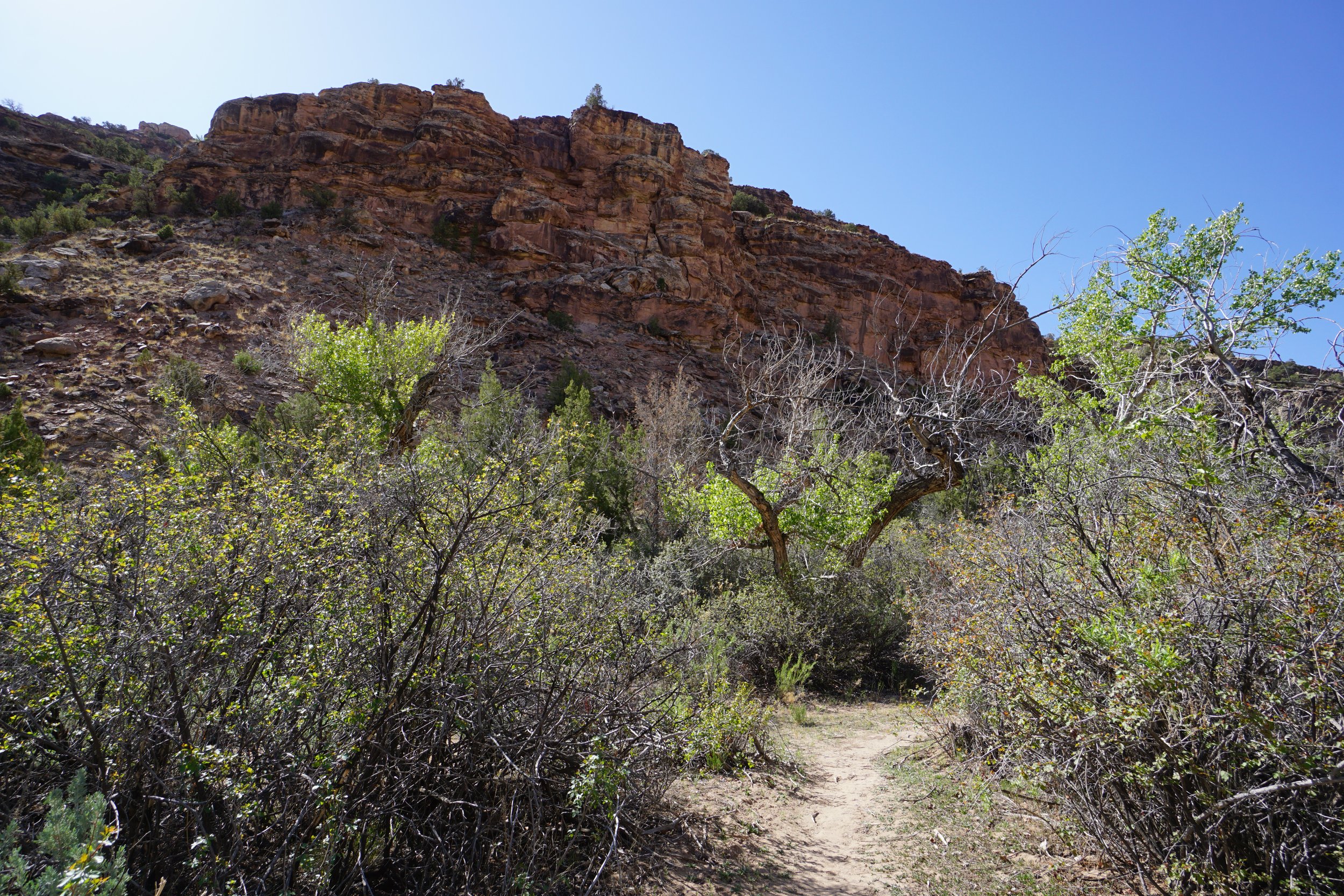
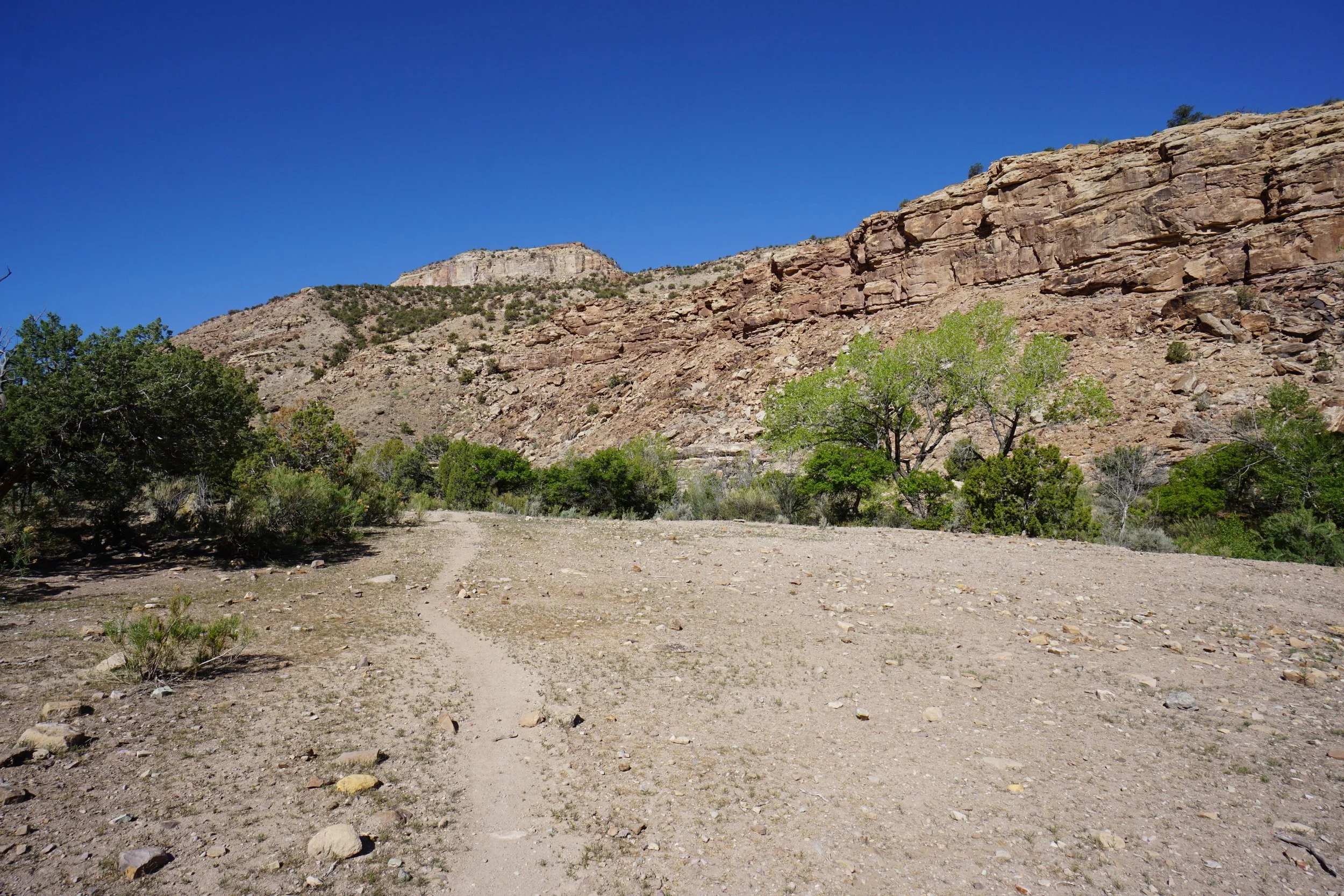
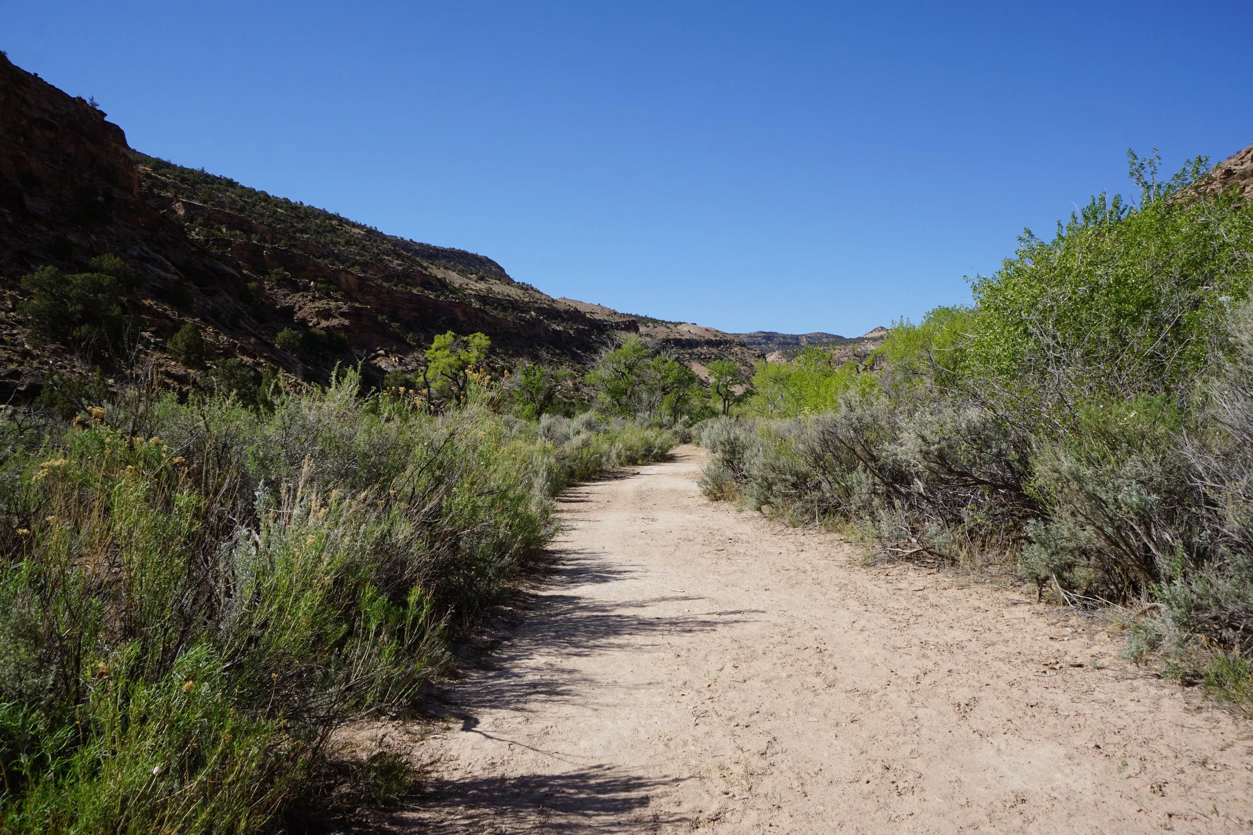
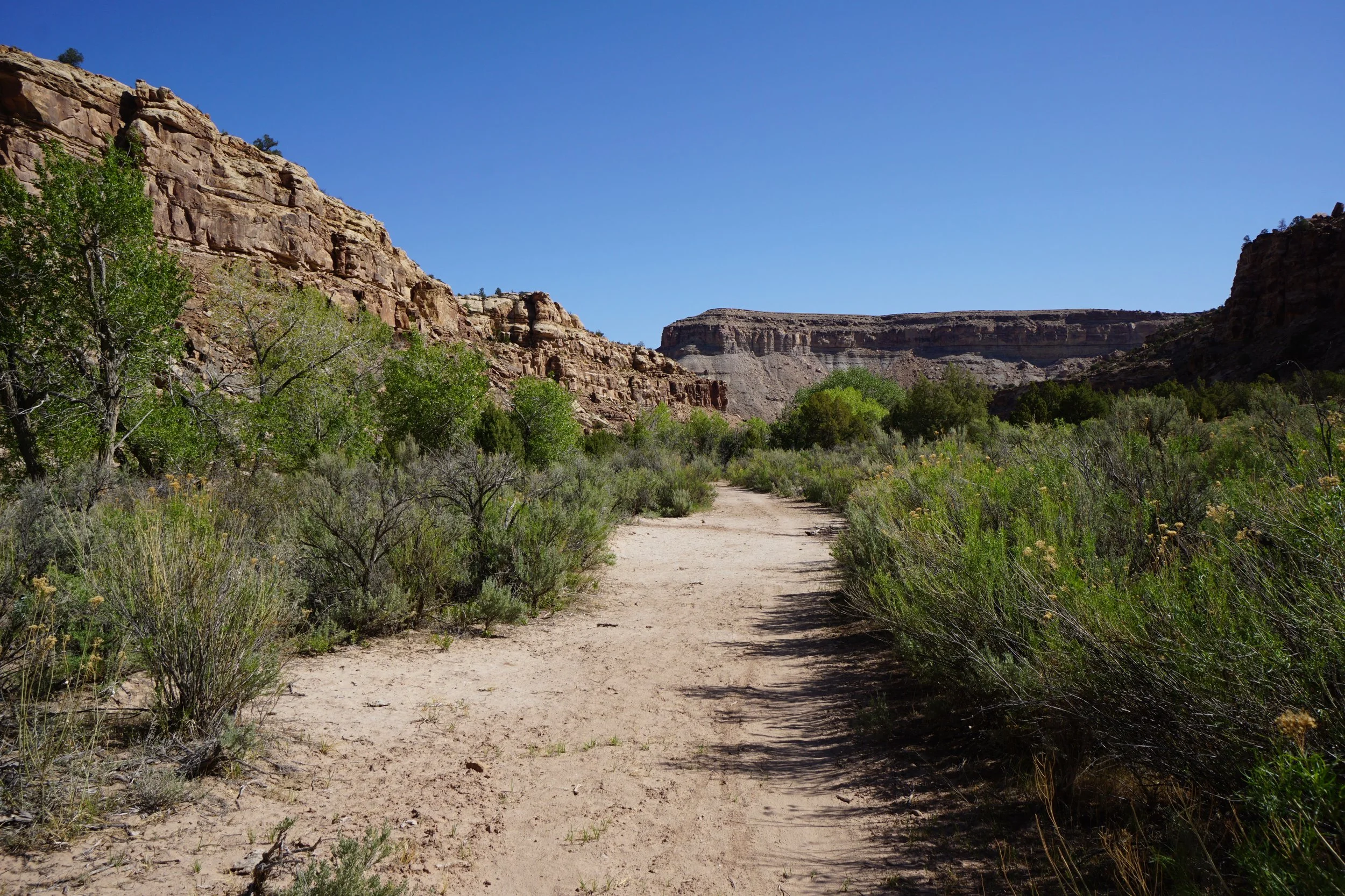
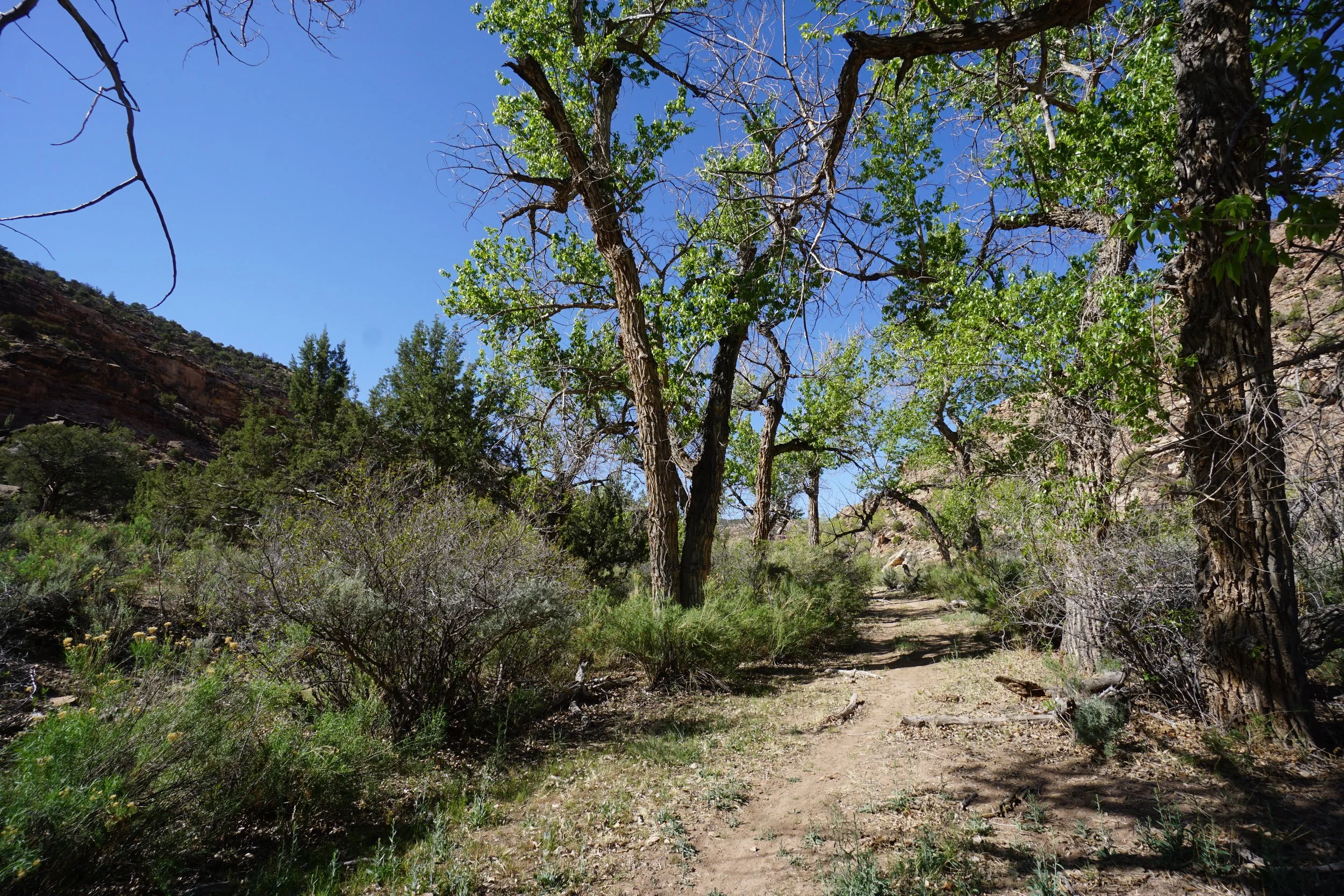
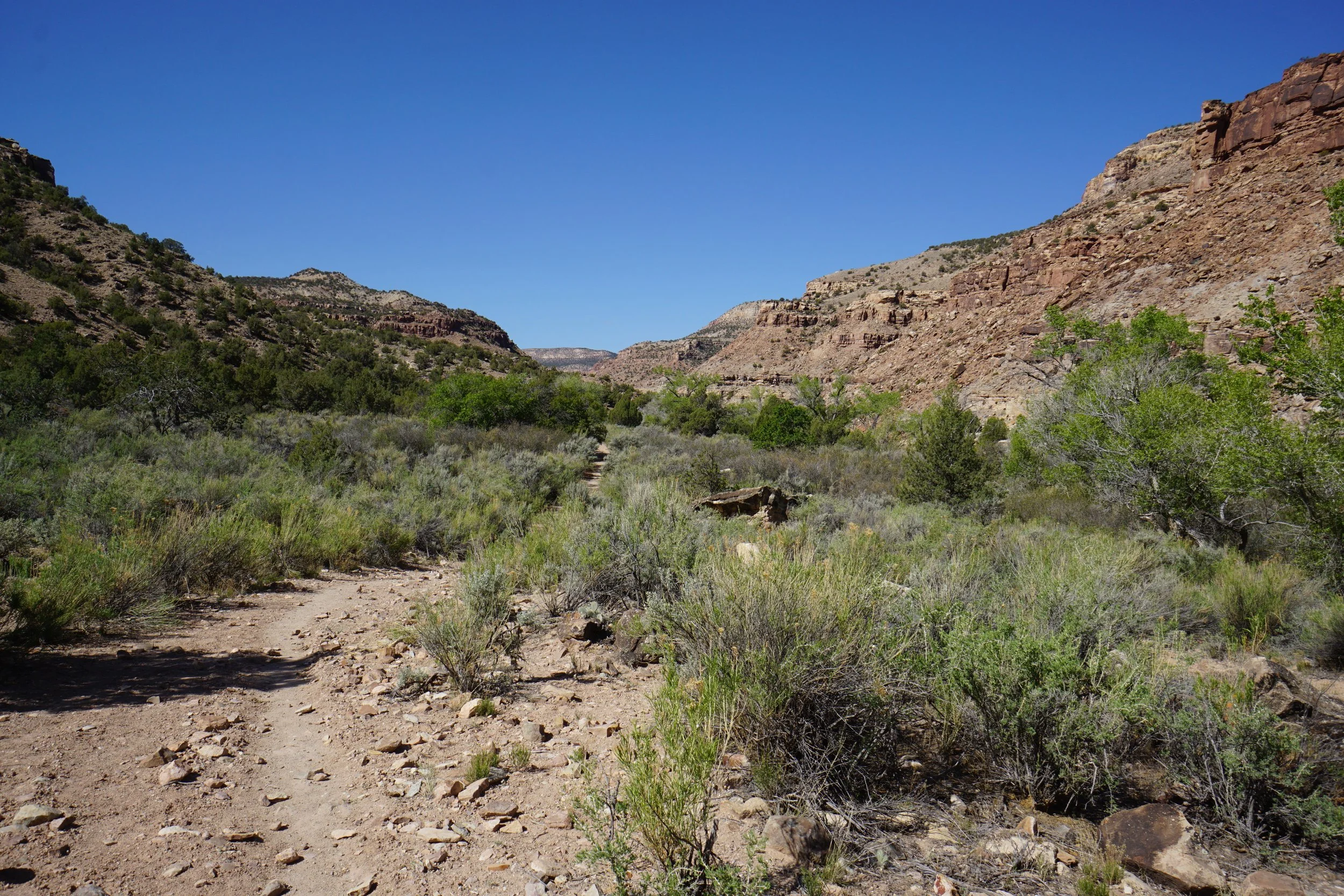
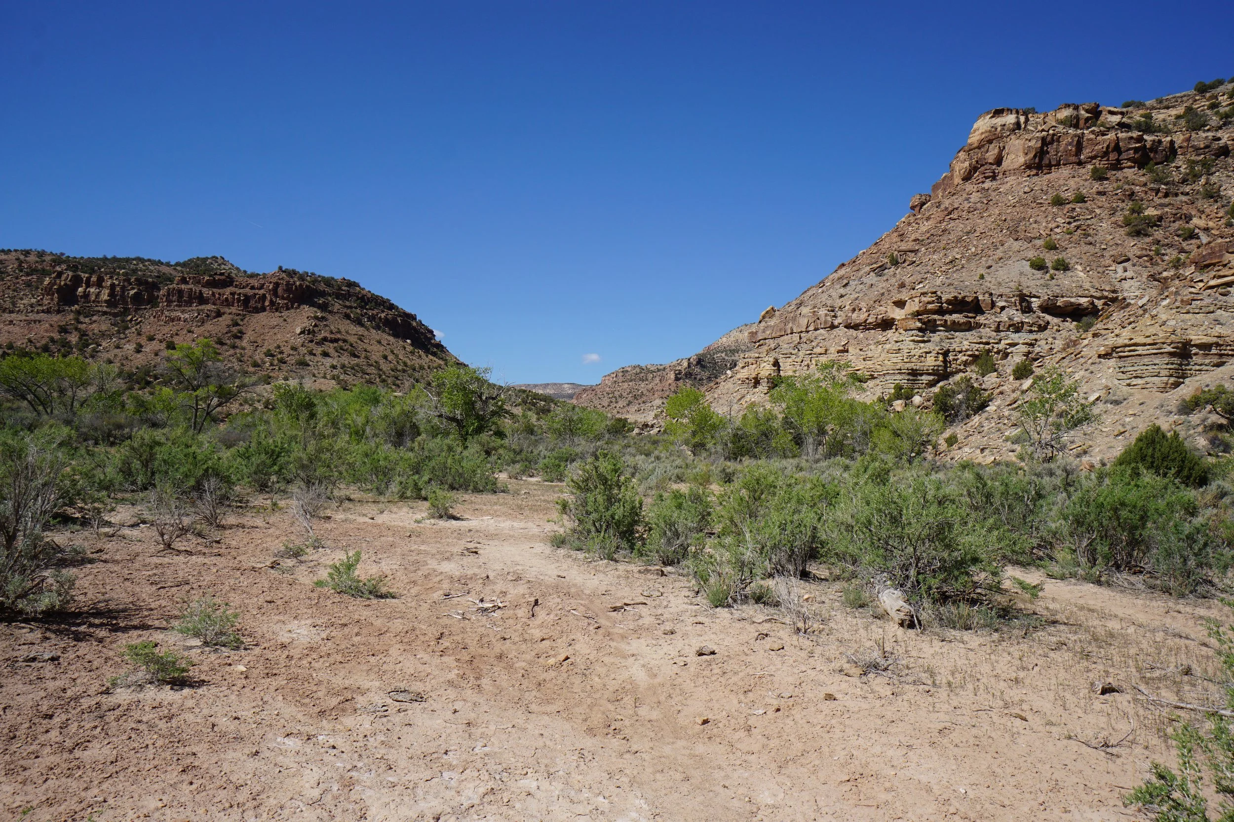
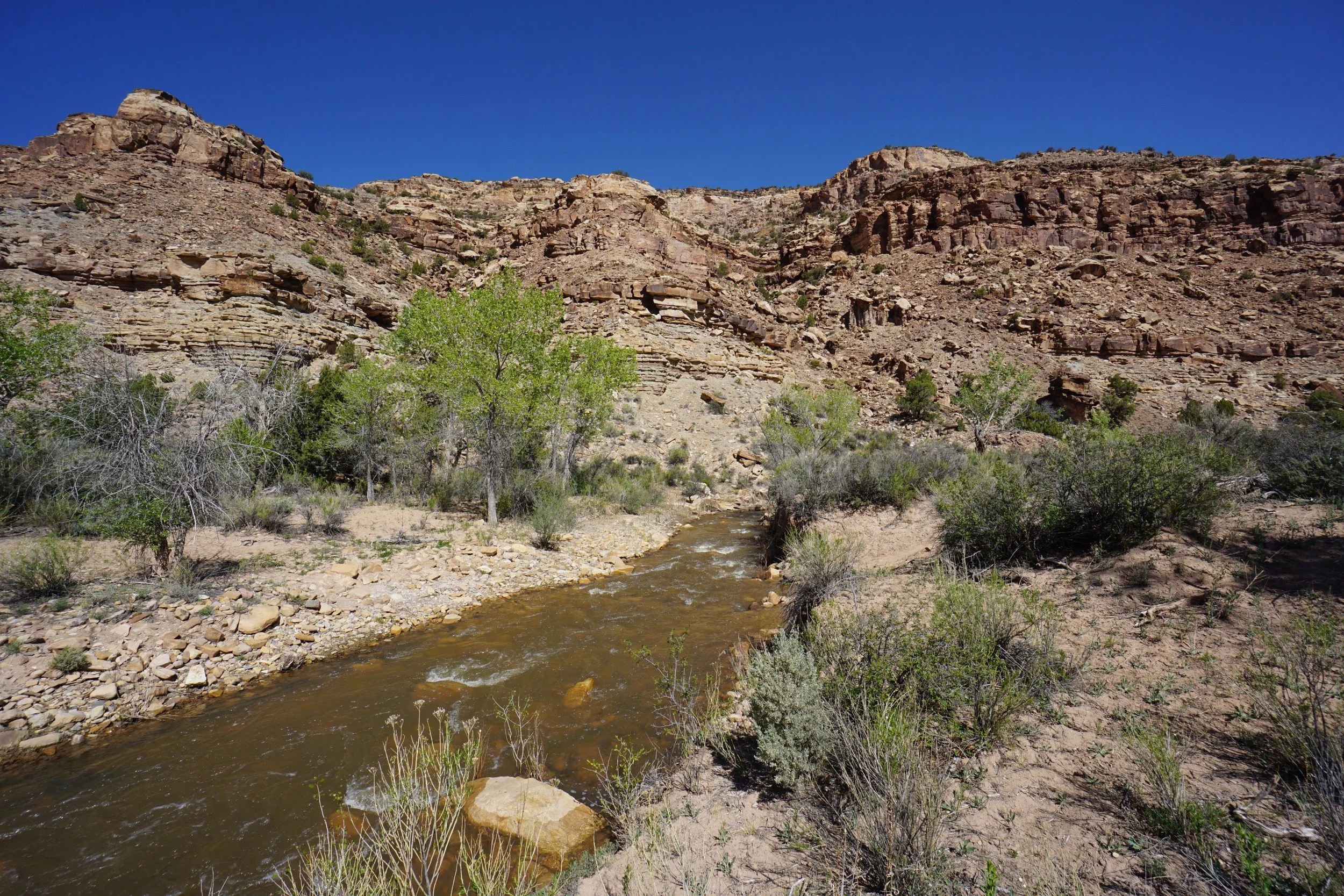
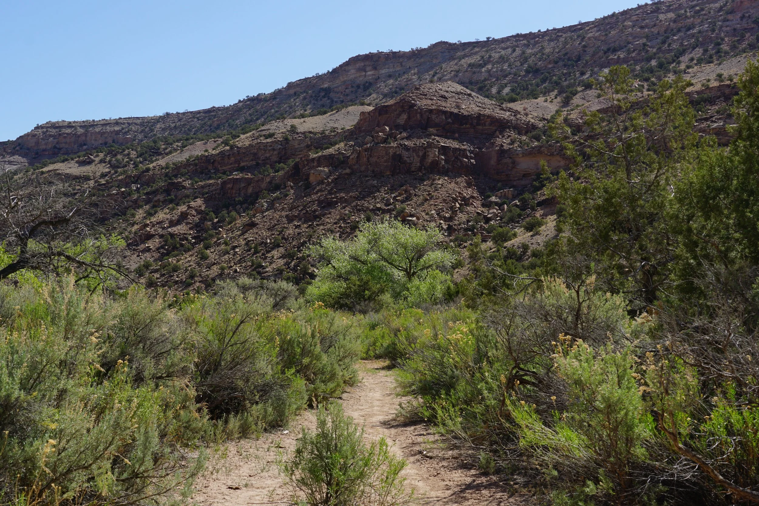
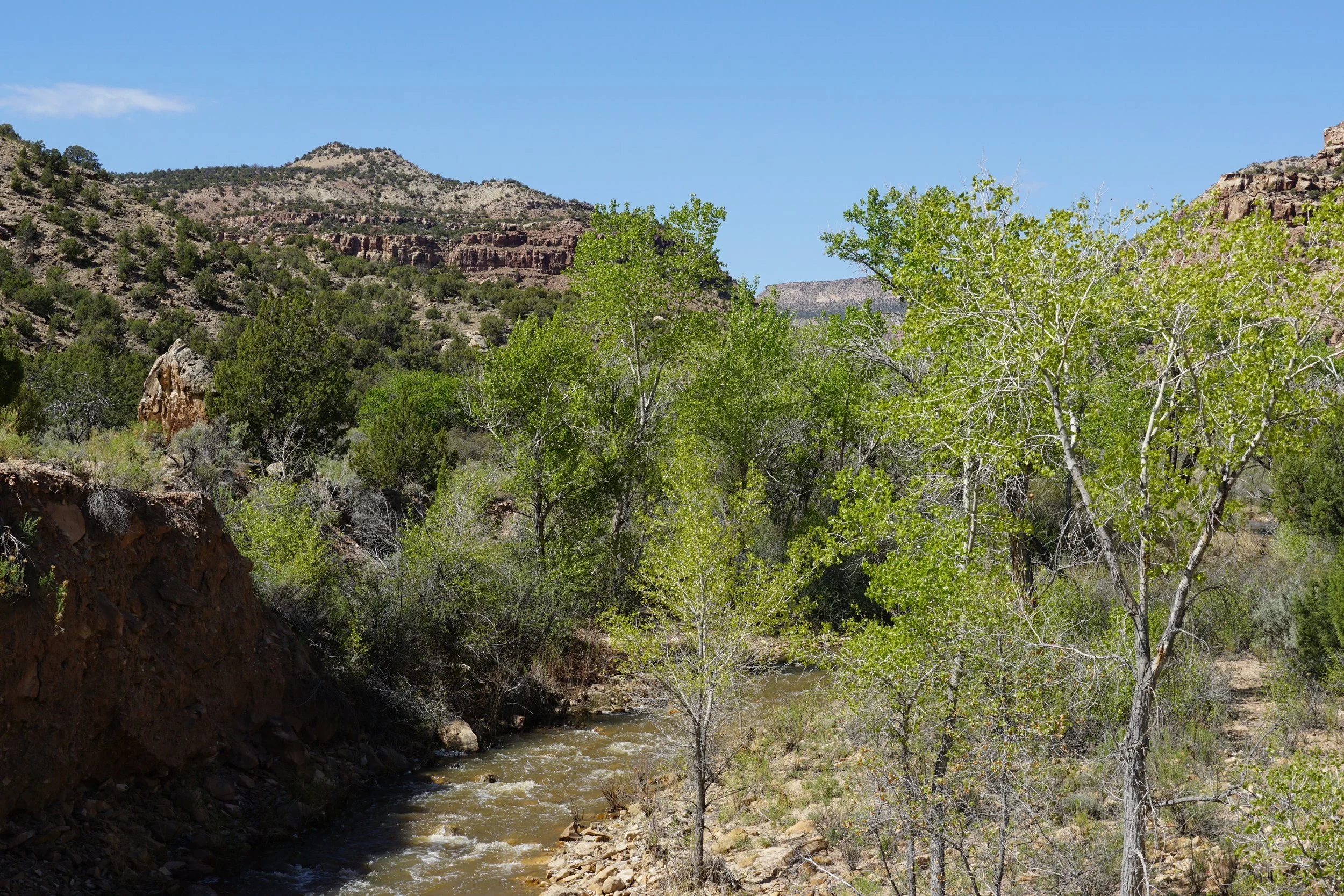
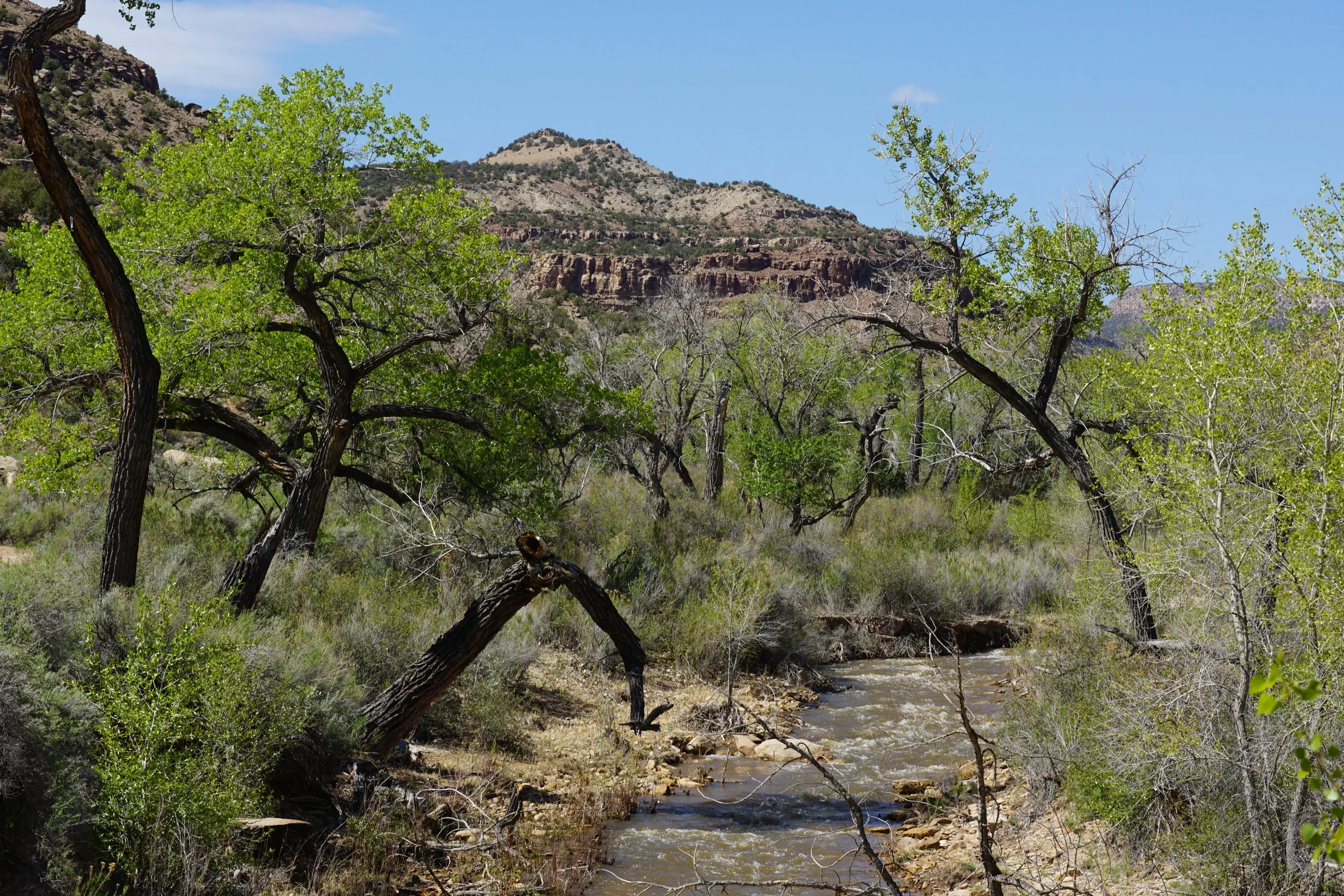
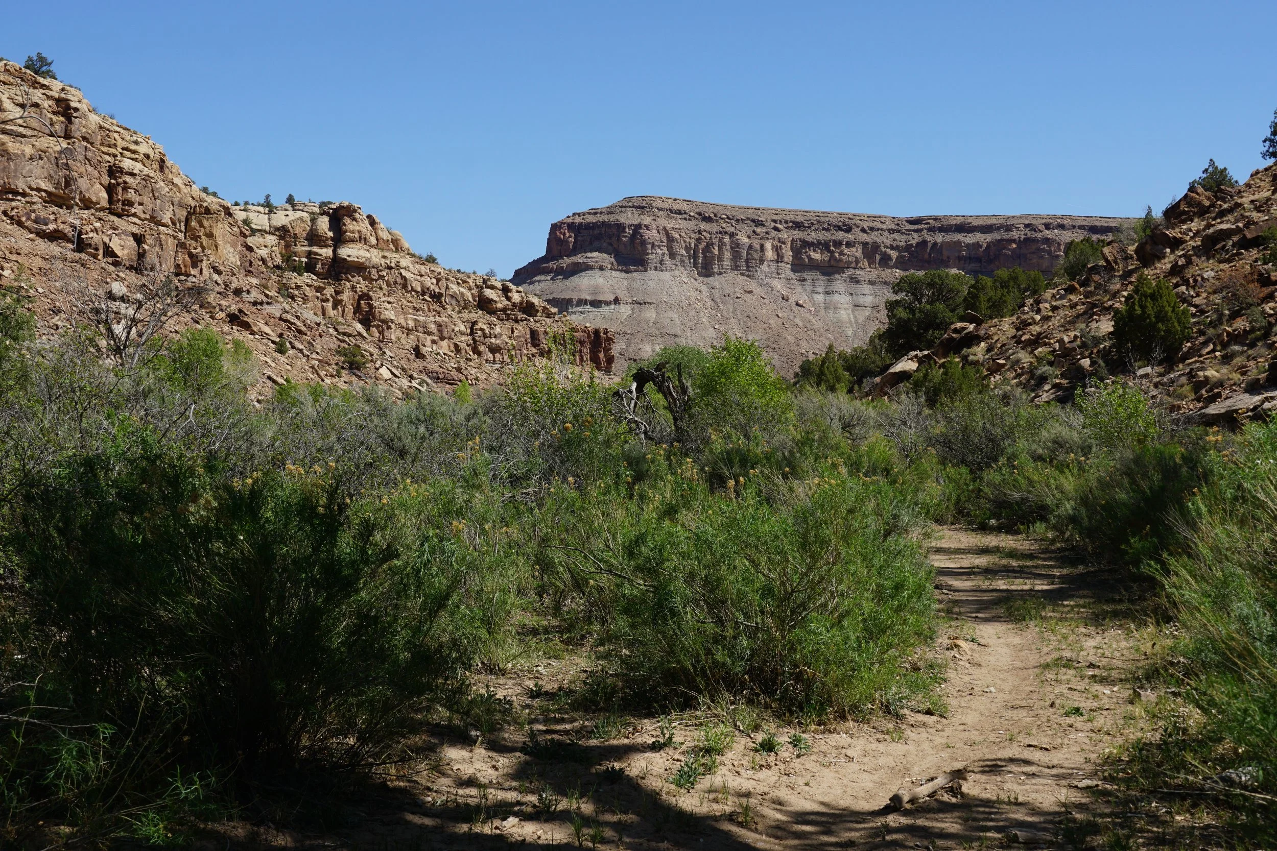
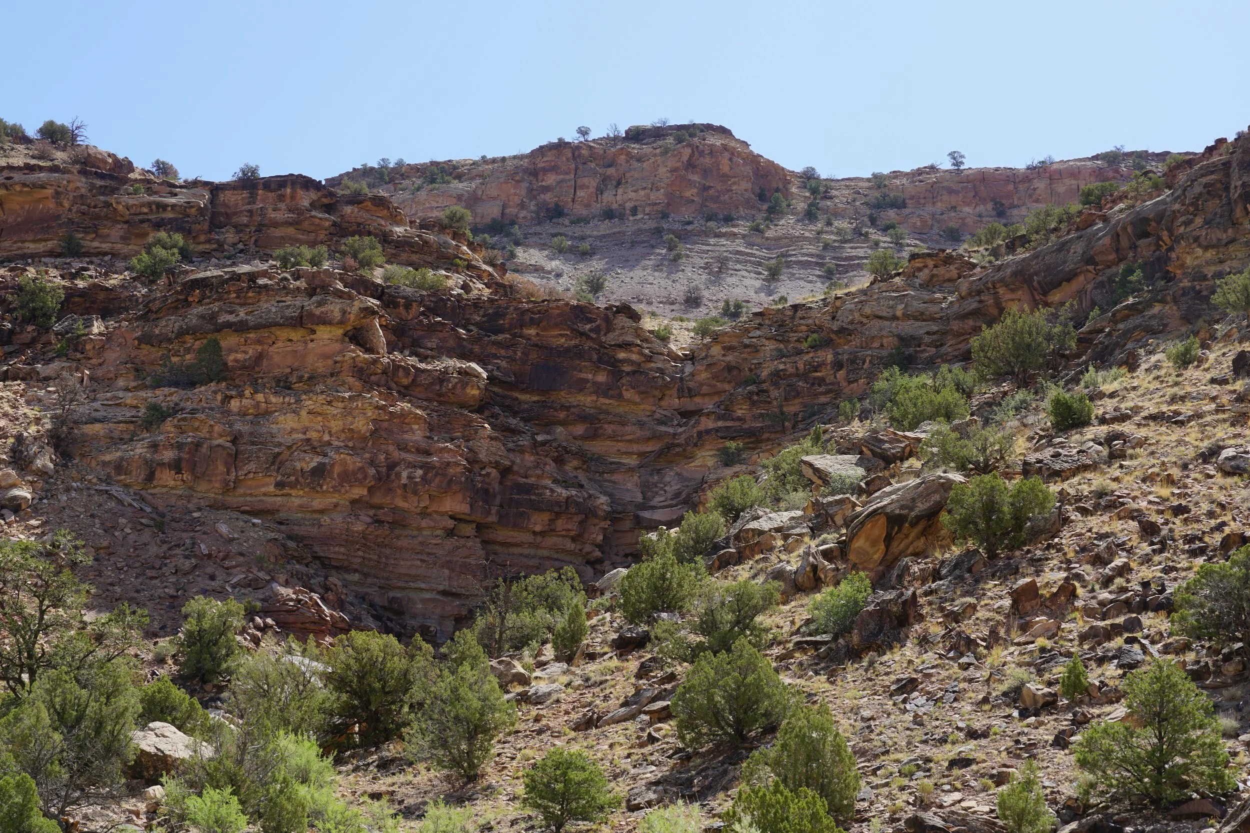
The Potter Creek Trail is mostly a flat and gentle hike through a beautiful canyon along Potter Creek. The trail is easy to follow except for some creek crossings that may be difficult and may require some detours. When I hiked this trail, the crossing of Monitor Creek was too dangerous to attempt so the hike ended at the confluence of Potter Creek and Monitor Creek. But even this abbreviated hike was well worth the time and effort. In the spring, the fresh foliage provides some shade and contrast from the stark desert environment. The canyon views along the way provide a glimpse of an area seldom visited by hikers.
With a relatively easy access road, few people, and stunning scenery, Roubideau Canyon is a hidden gem and perfect for getting off the beaten path and experiencing the beauty of Colorado’s canyon country.