Plum Creek Nature Trail
Chatfield State Park
Date Hiked: June 15, 2023
Distance: 2.4 mi (RT)
Elevation Gain: Minimal
Elevation Min/Max: 5,477 to 5,511 ft
Trailhead Lat/Long: 39.53187, -105.04575
Managing Agency: Colorado Division of Parks & Wildlife
Fee: Yes
Directions:
From the South, enter the park from Roxborough Park Road. Once you pass the entrance station, bear right at the fork and make your first right.
Hike Description:
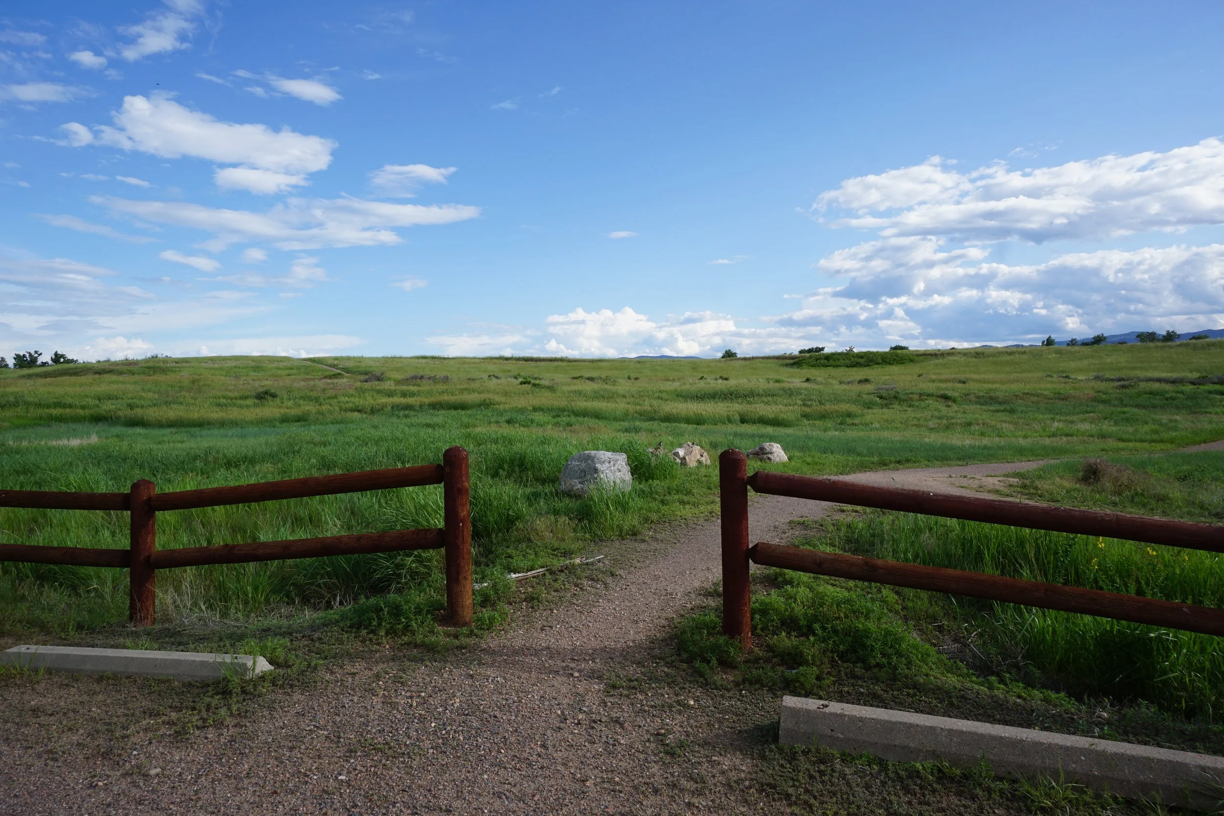
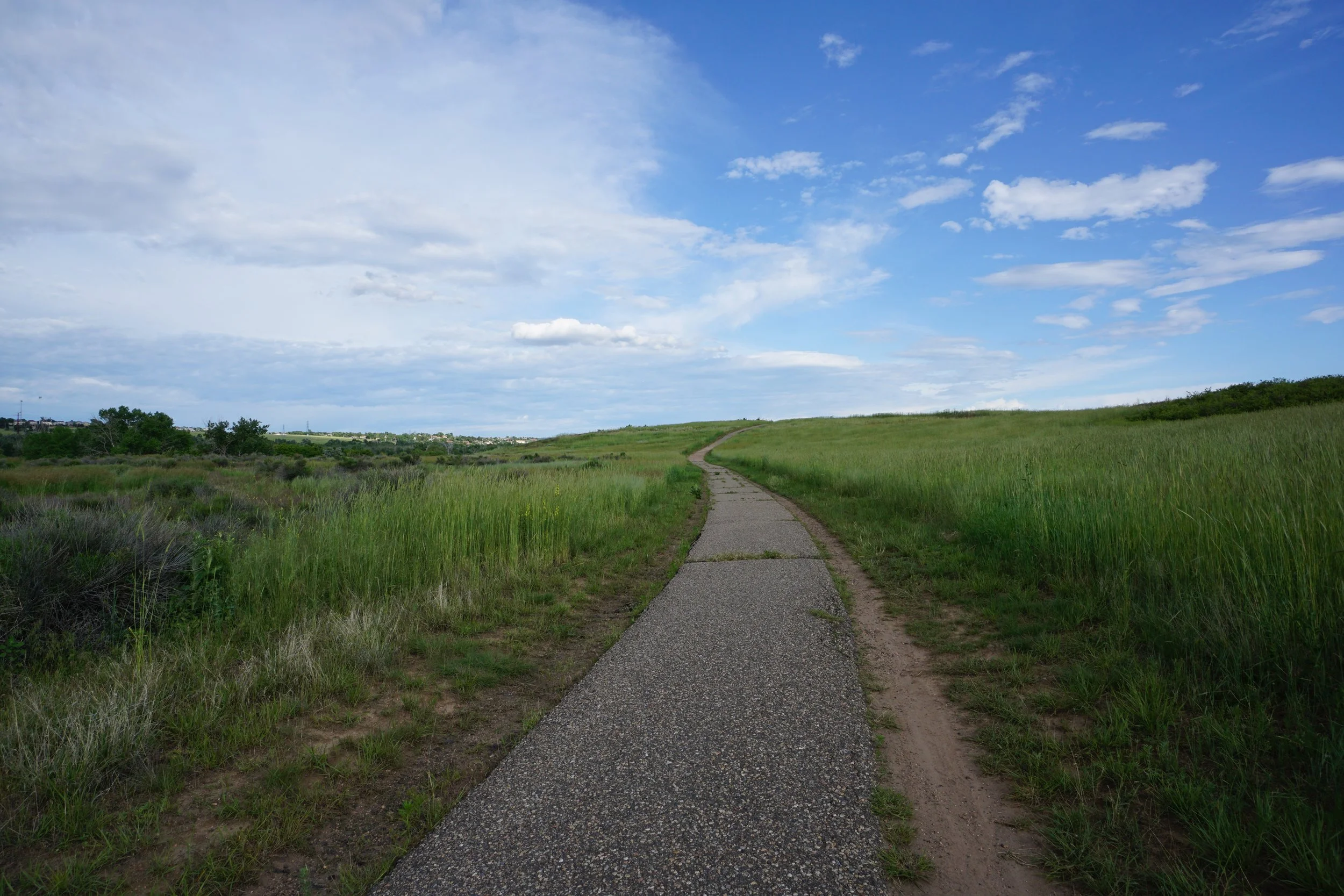
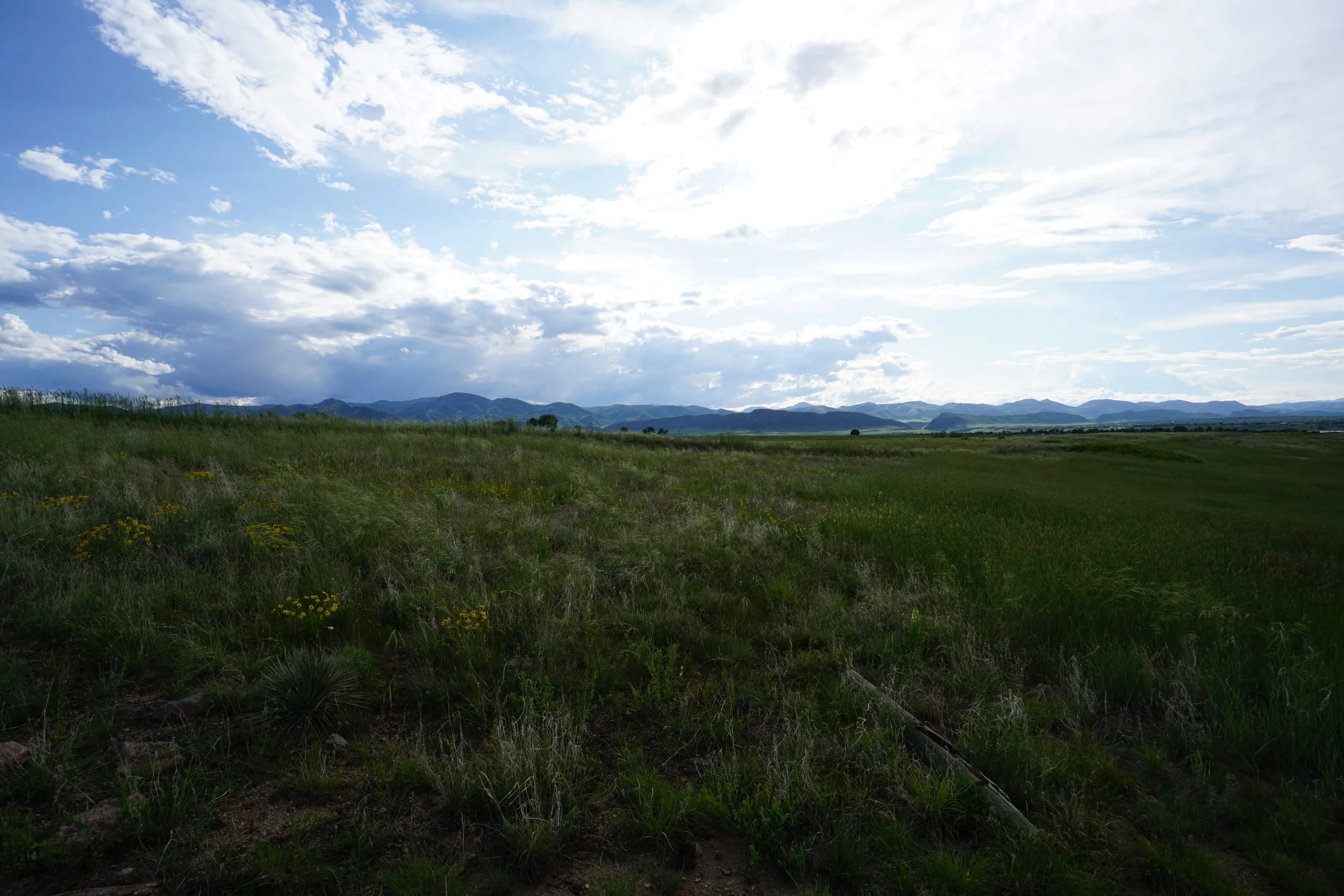
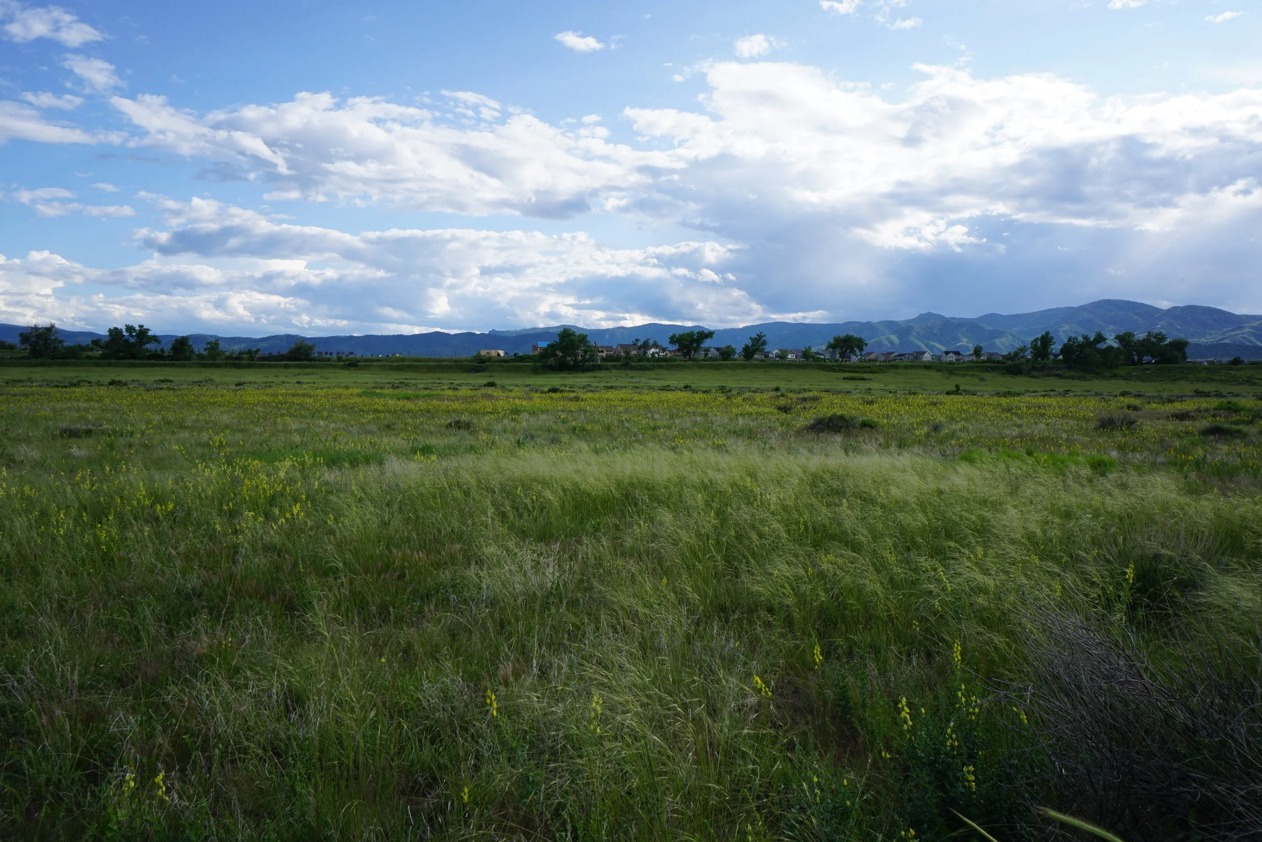
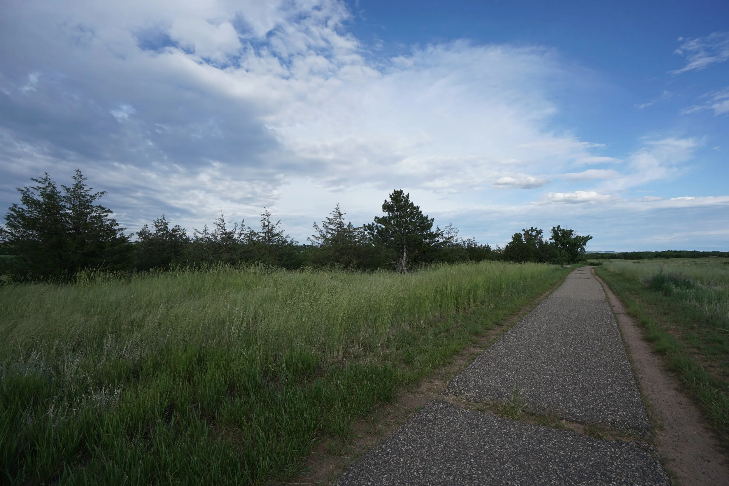
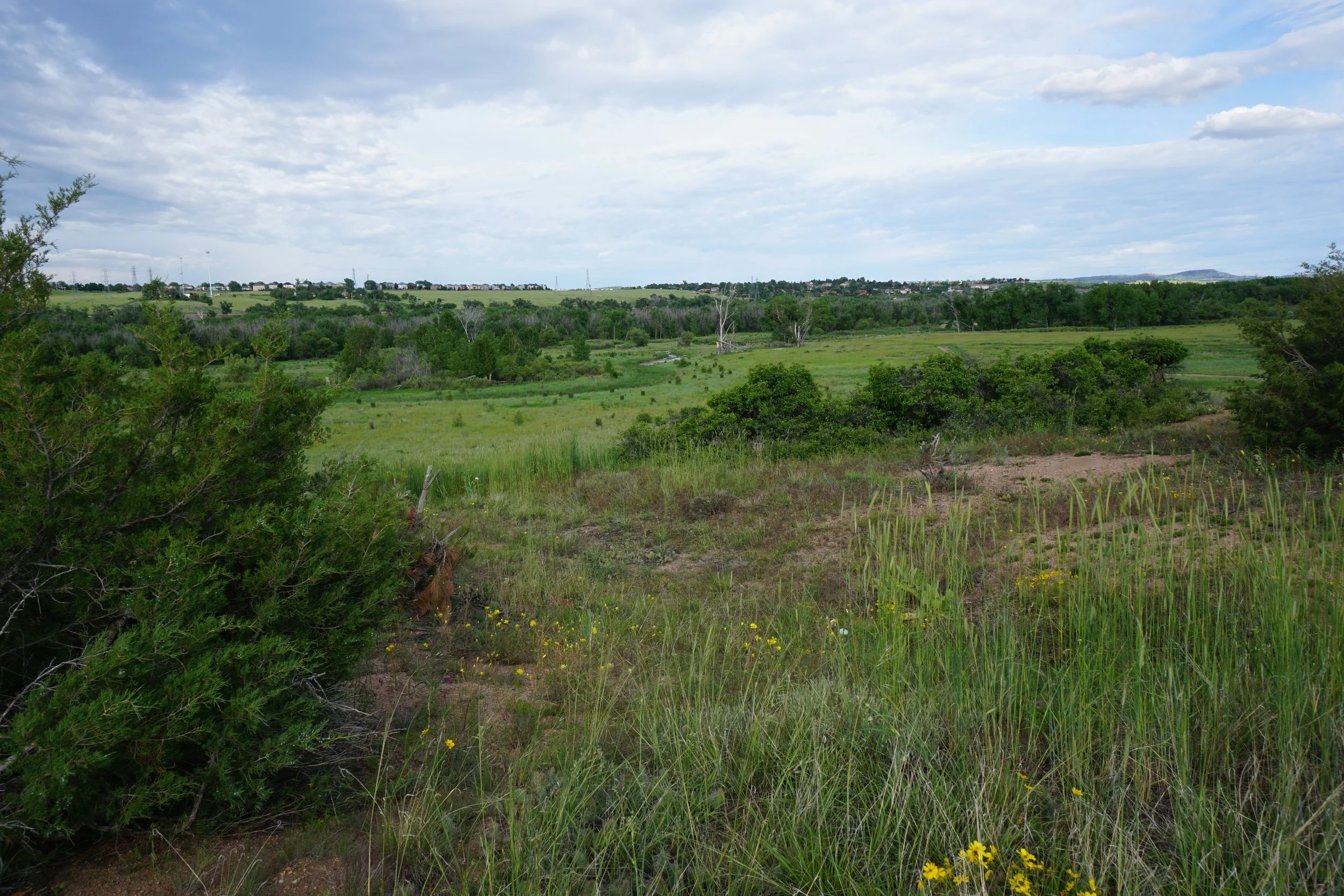
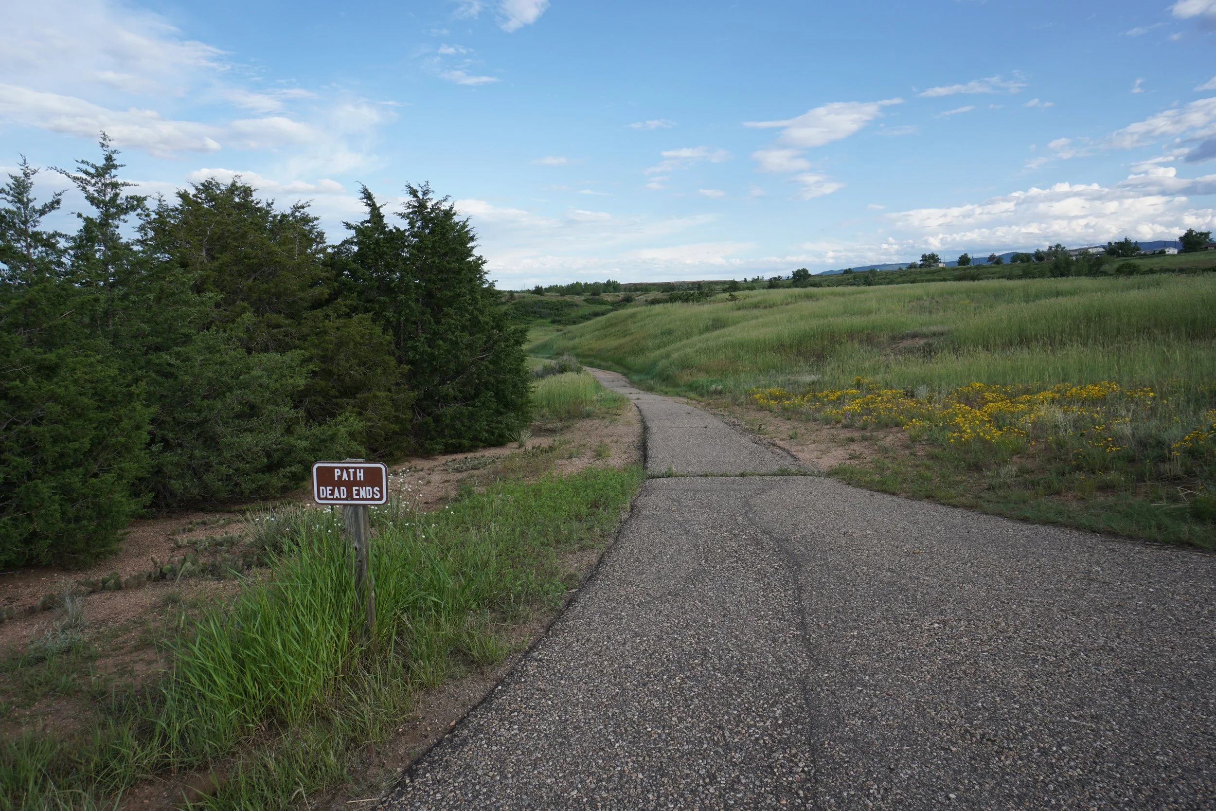
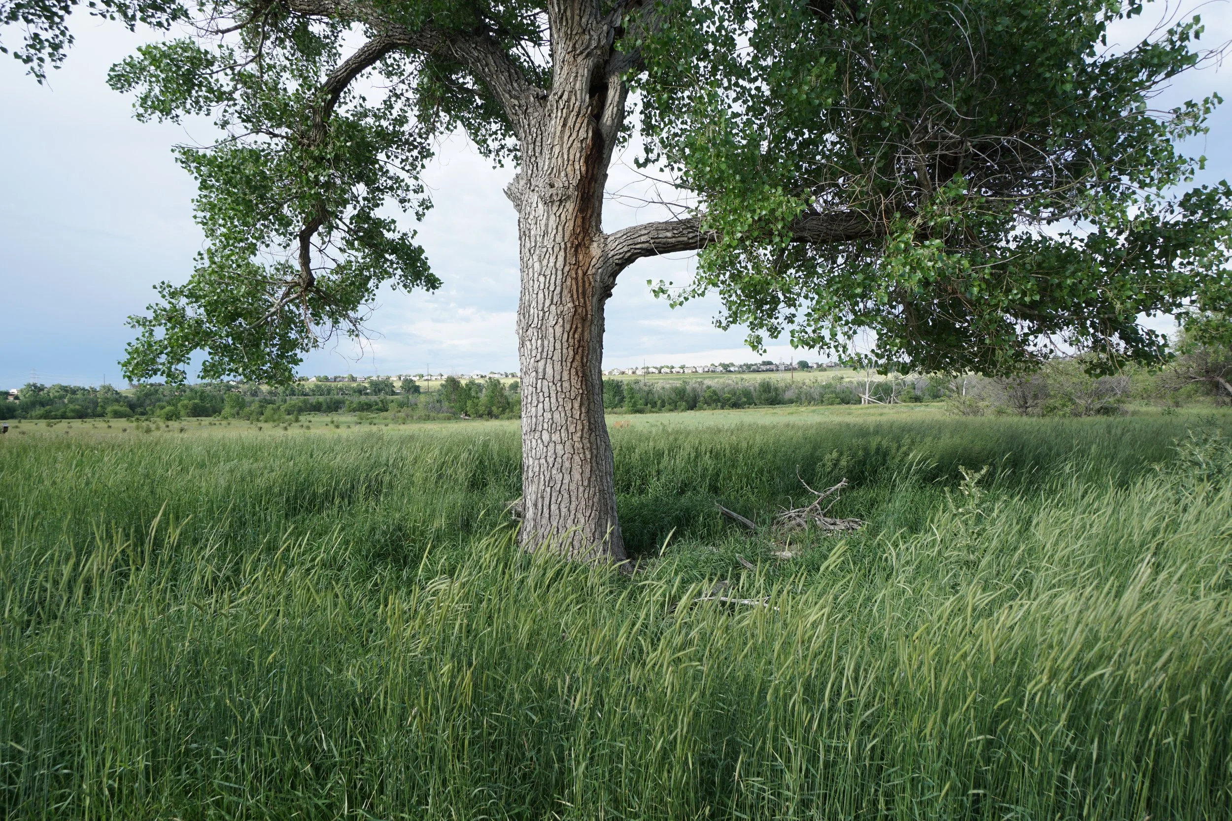
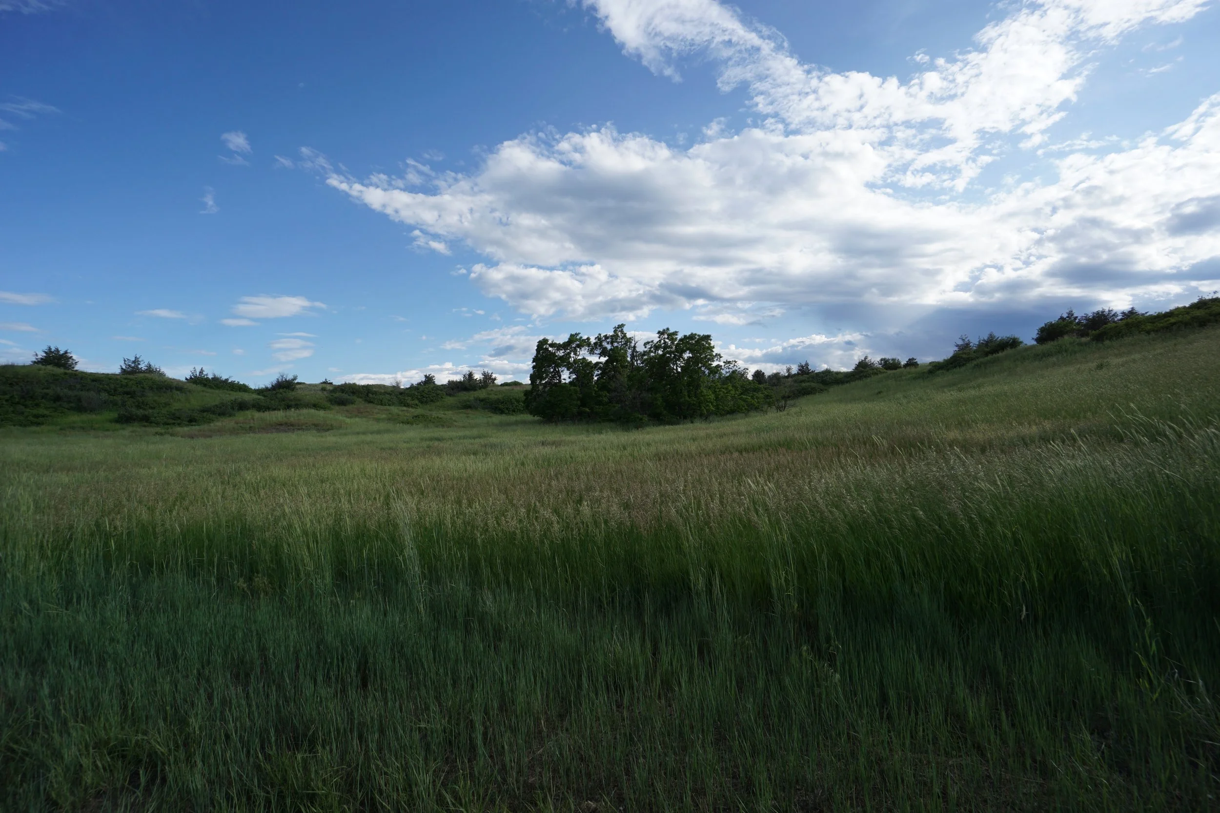
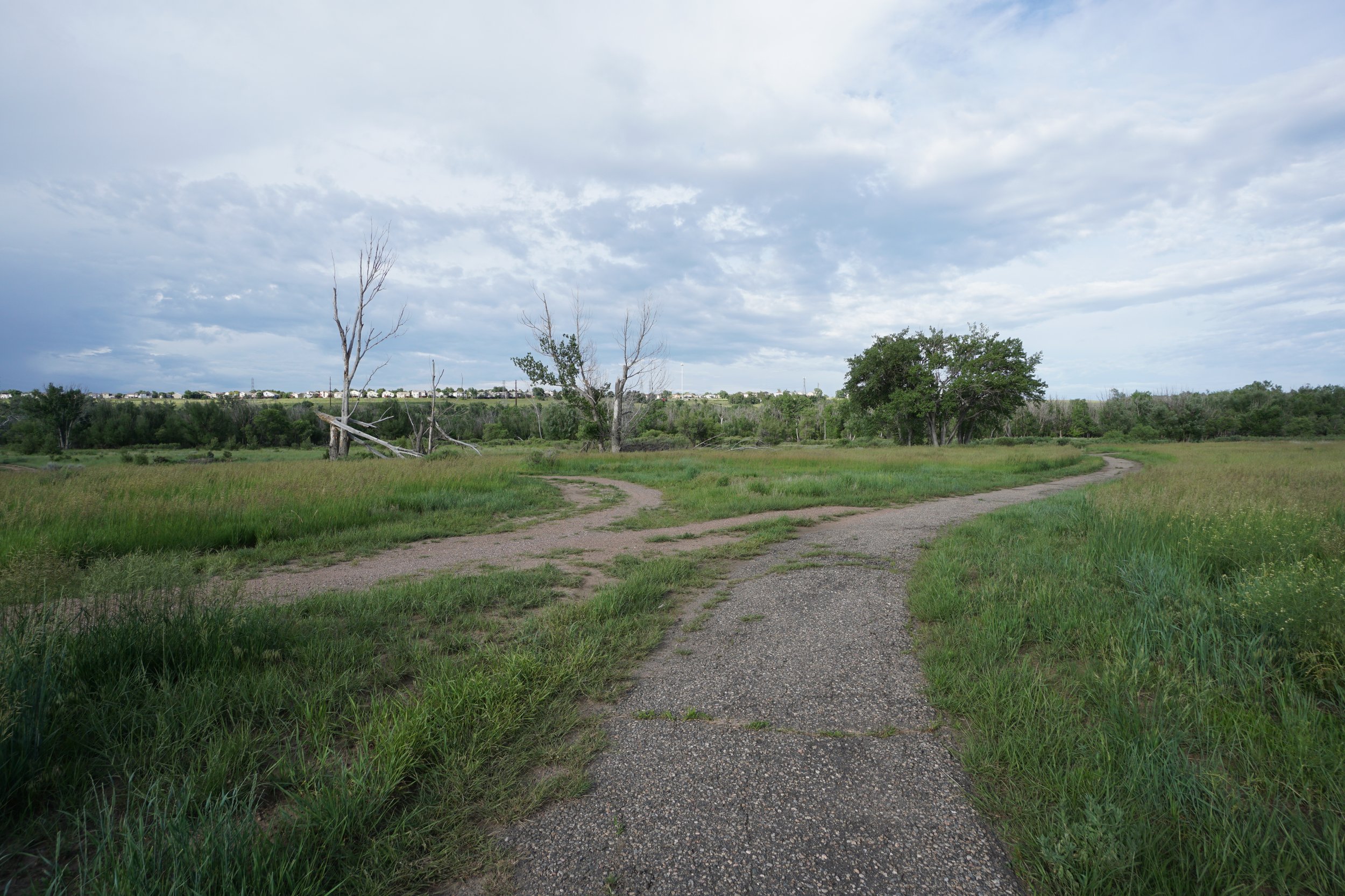
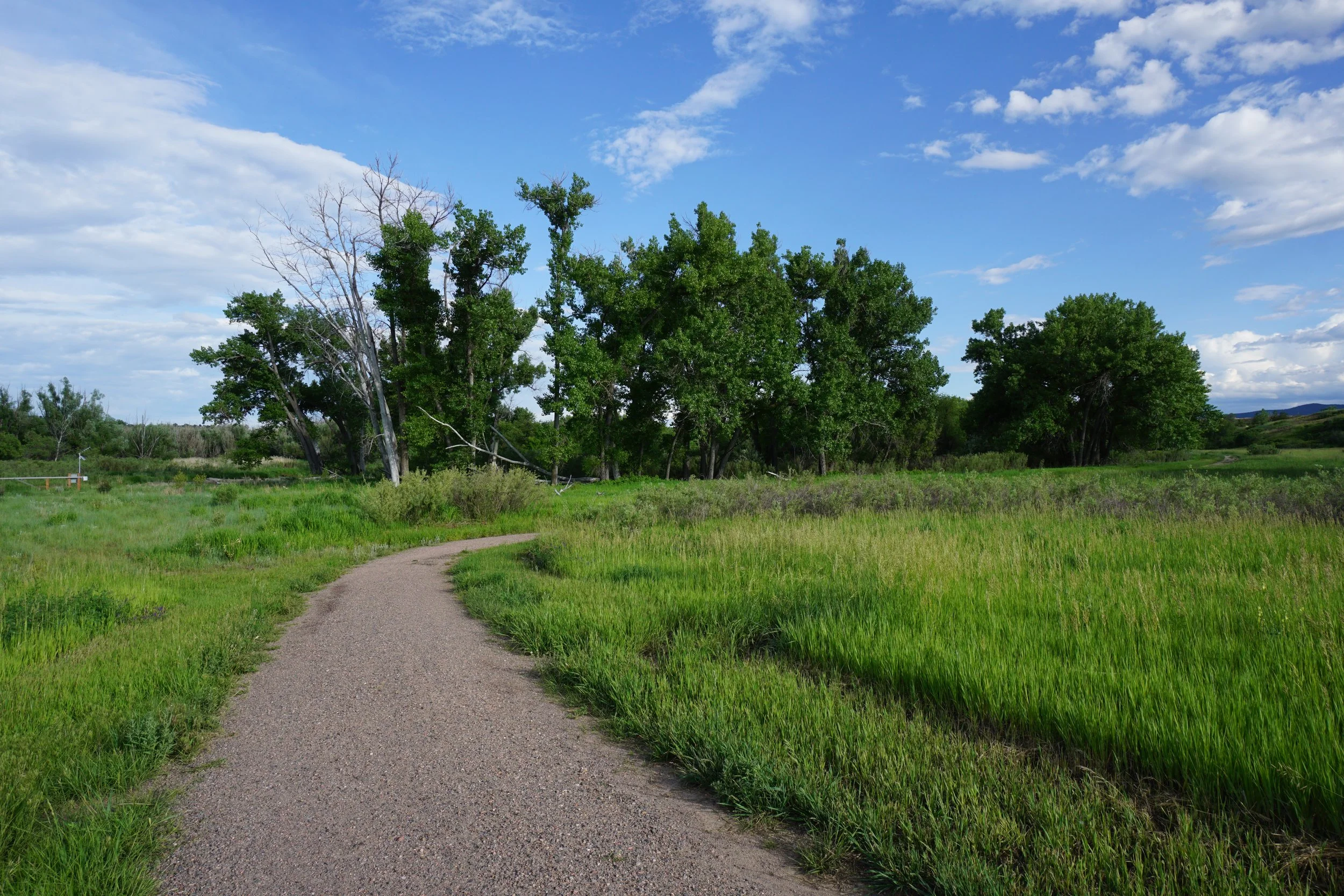
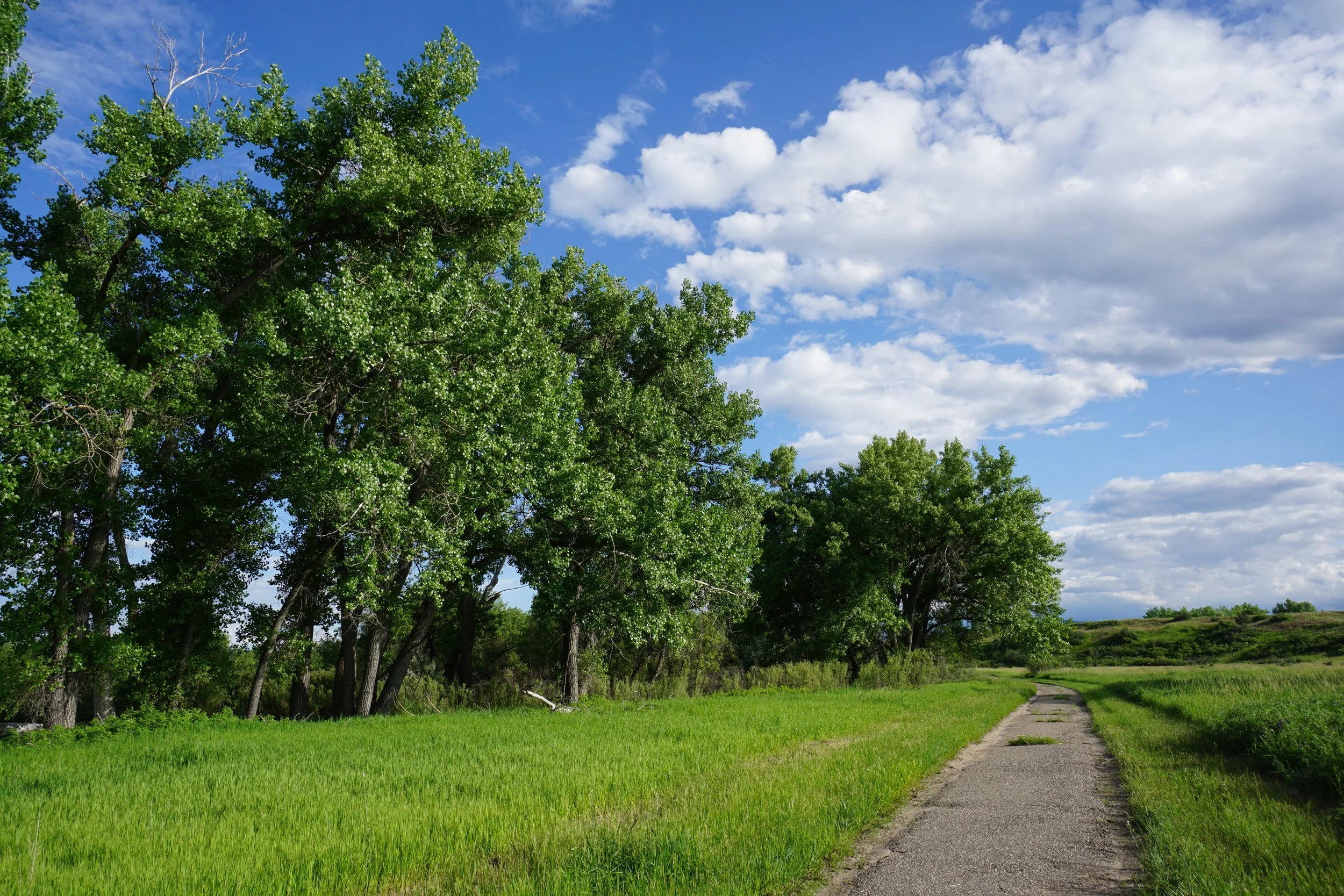
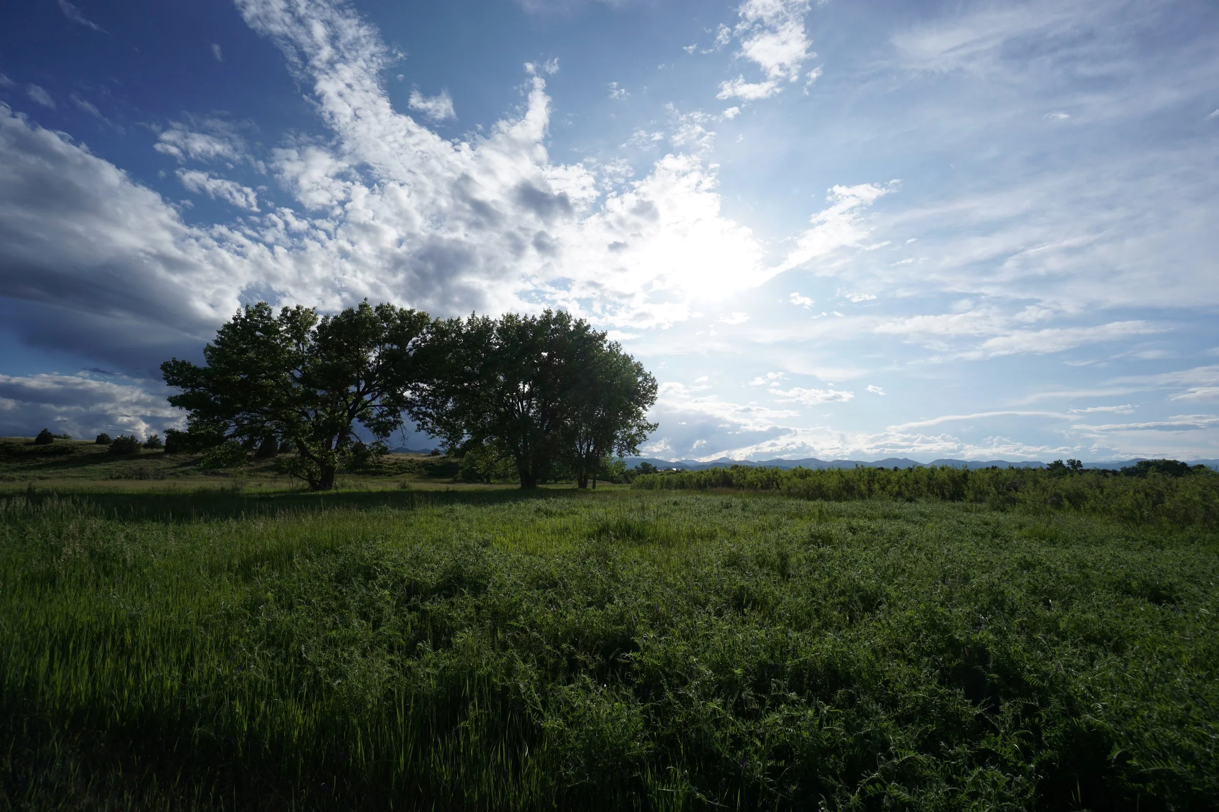
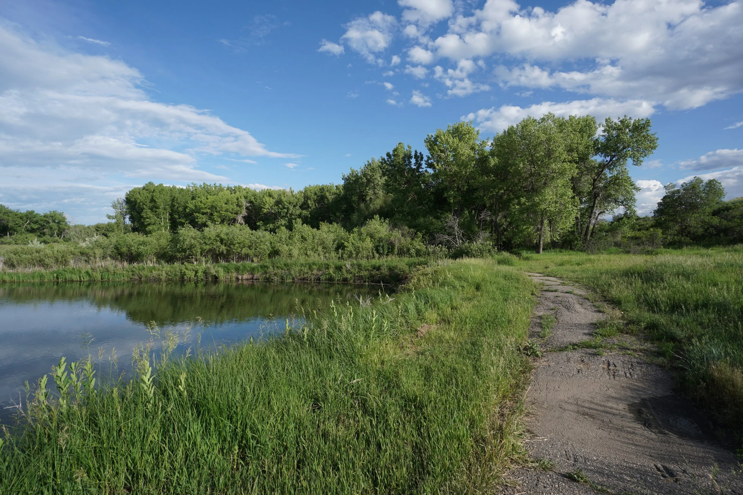
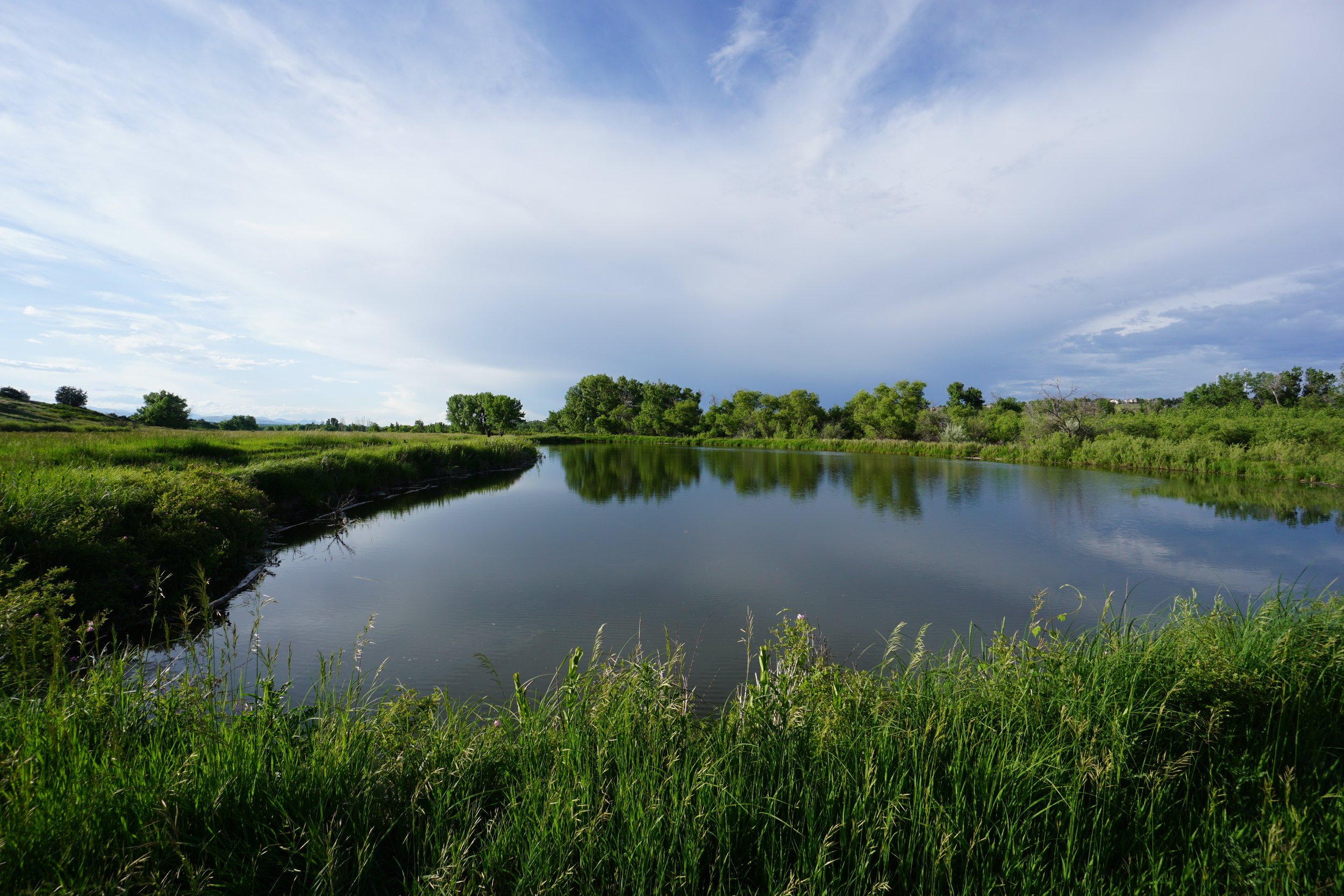
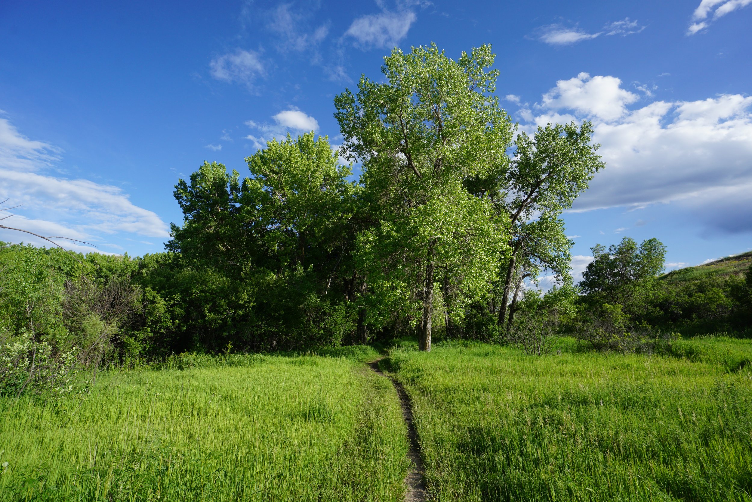
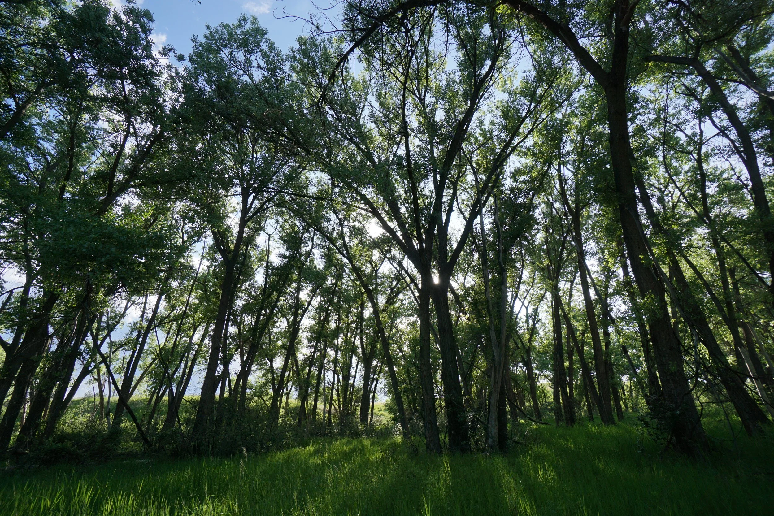
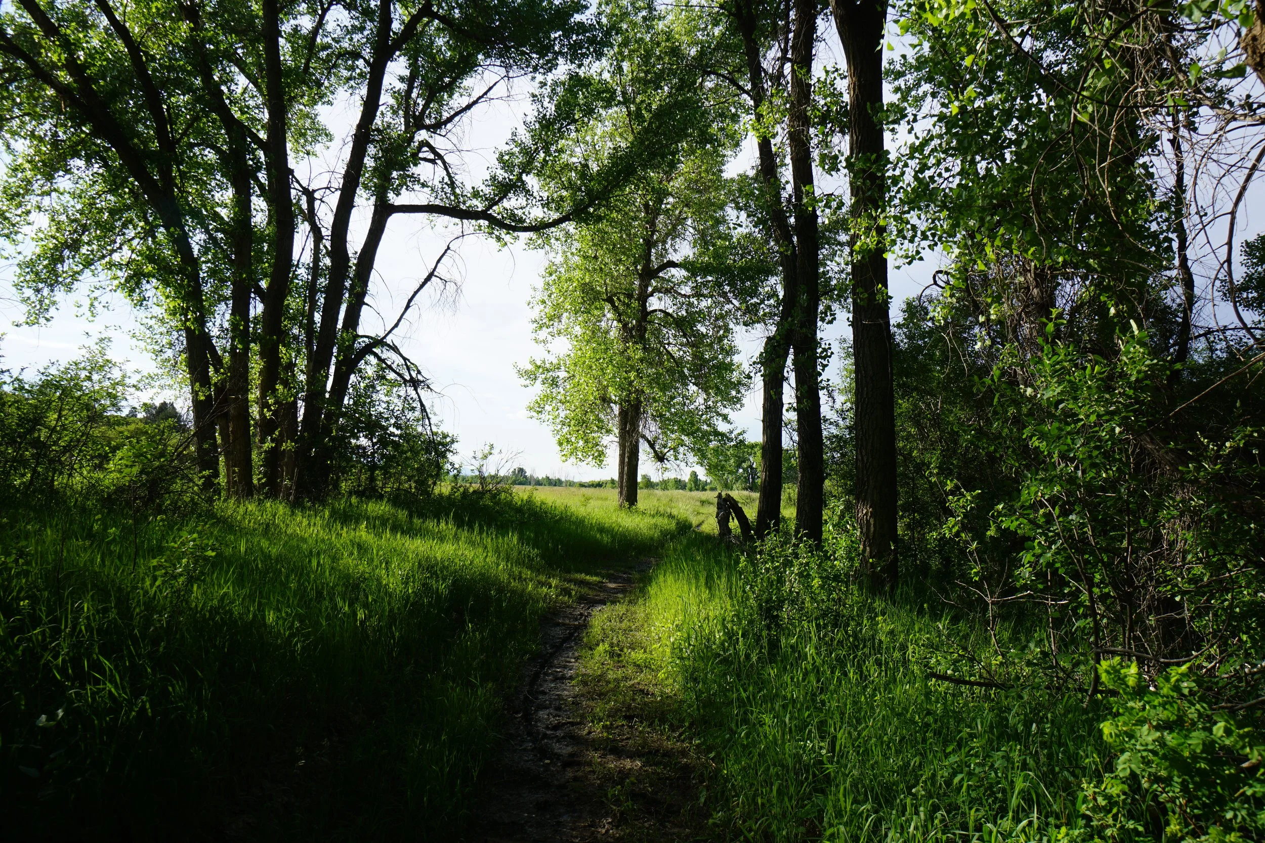
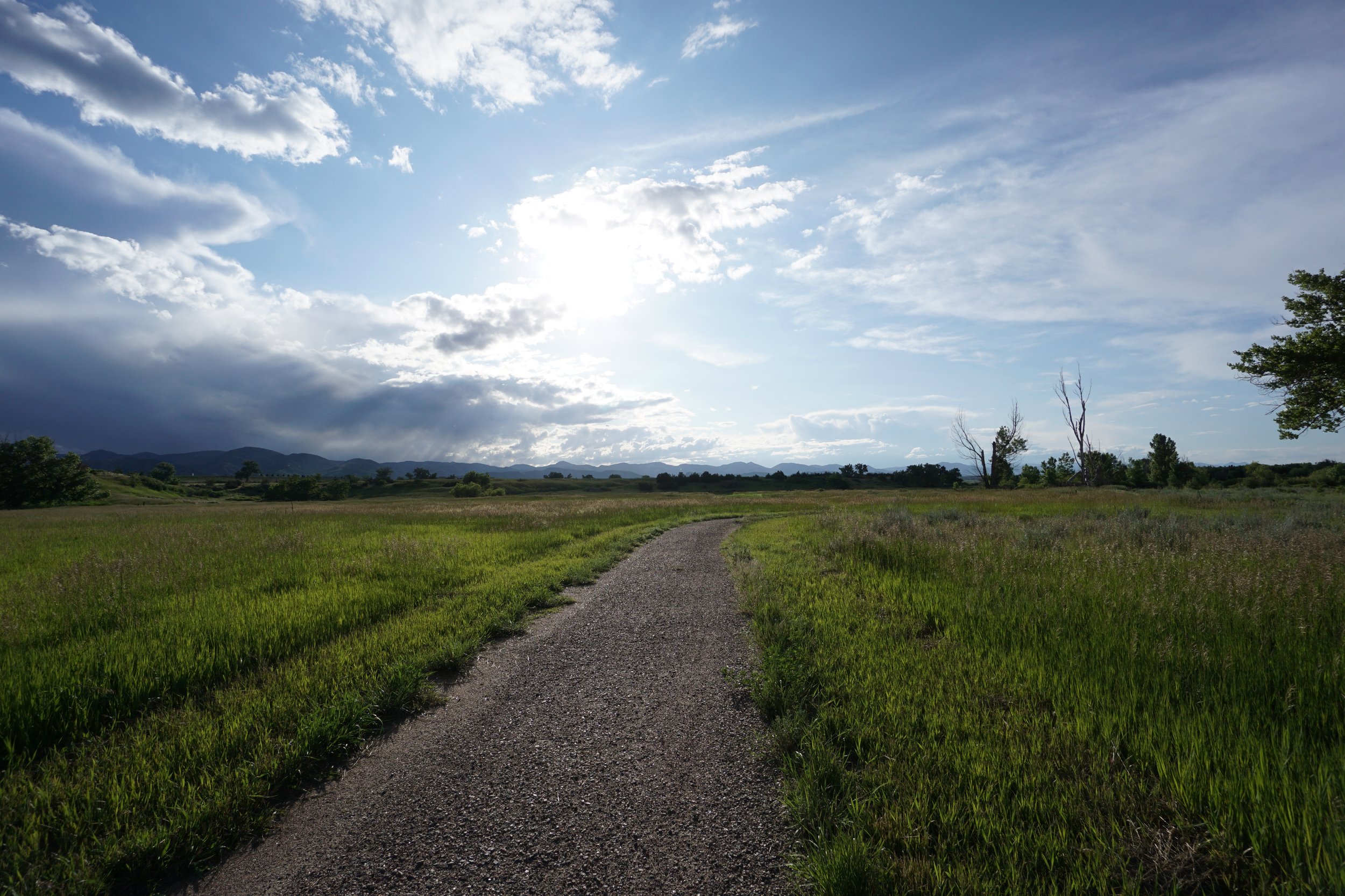
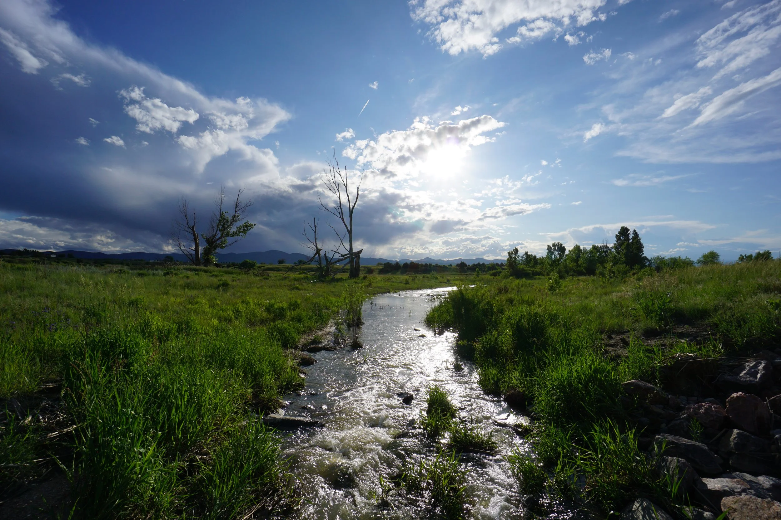
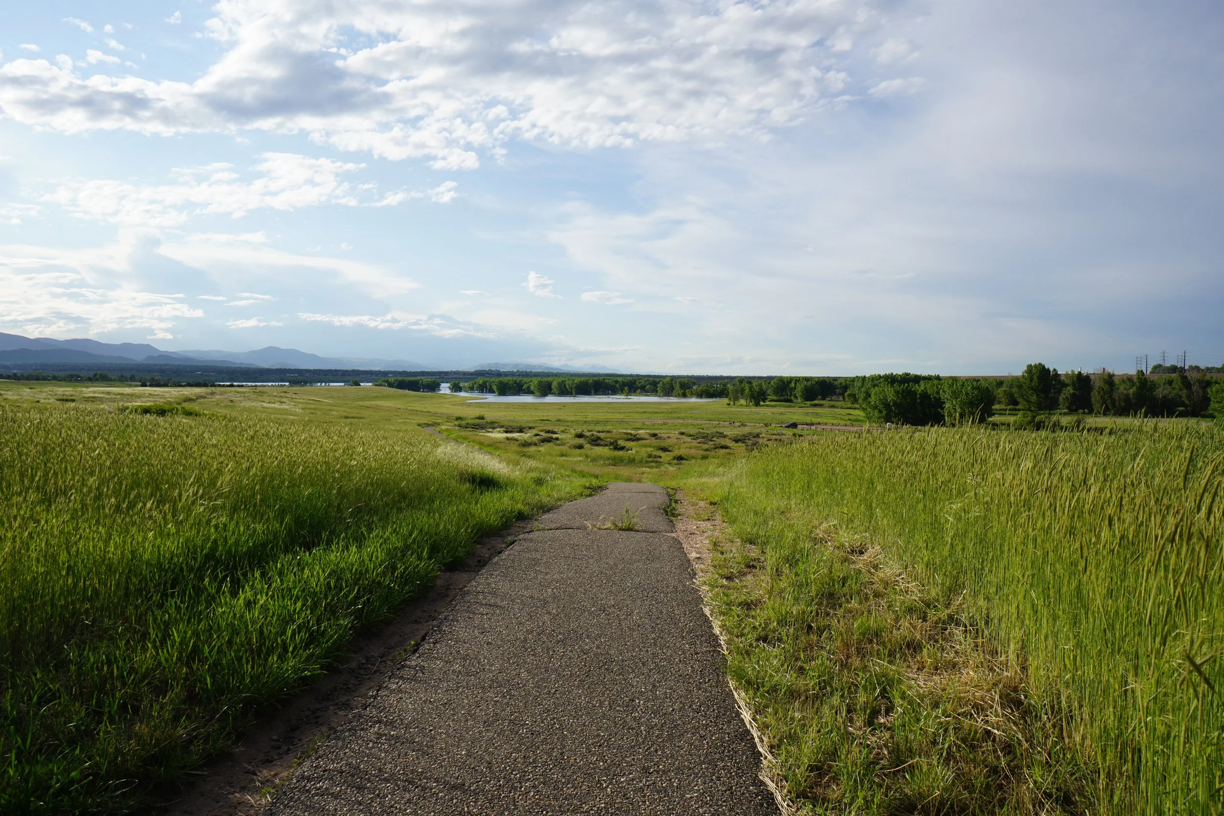
There are two trails in the Plum Creek area of Chatfield State Park; the Plum Creek Nature Trail (described here), and the Plum Creek Nature Loop. The Nature Trail is an out an back hike that follows a paved trail interspersed with portions of easy gravel and natural surface. The trail climbs up a small “hill” providing nice views of the surrounding area and the Denver Foothills to the west. After about 1/2 mile, the trail intersections with another trail and descends down to meet up with the Loop Trail.
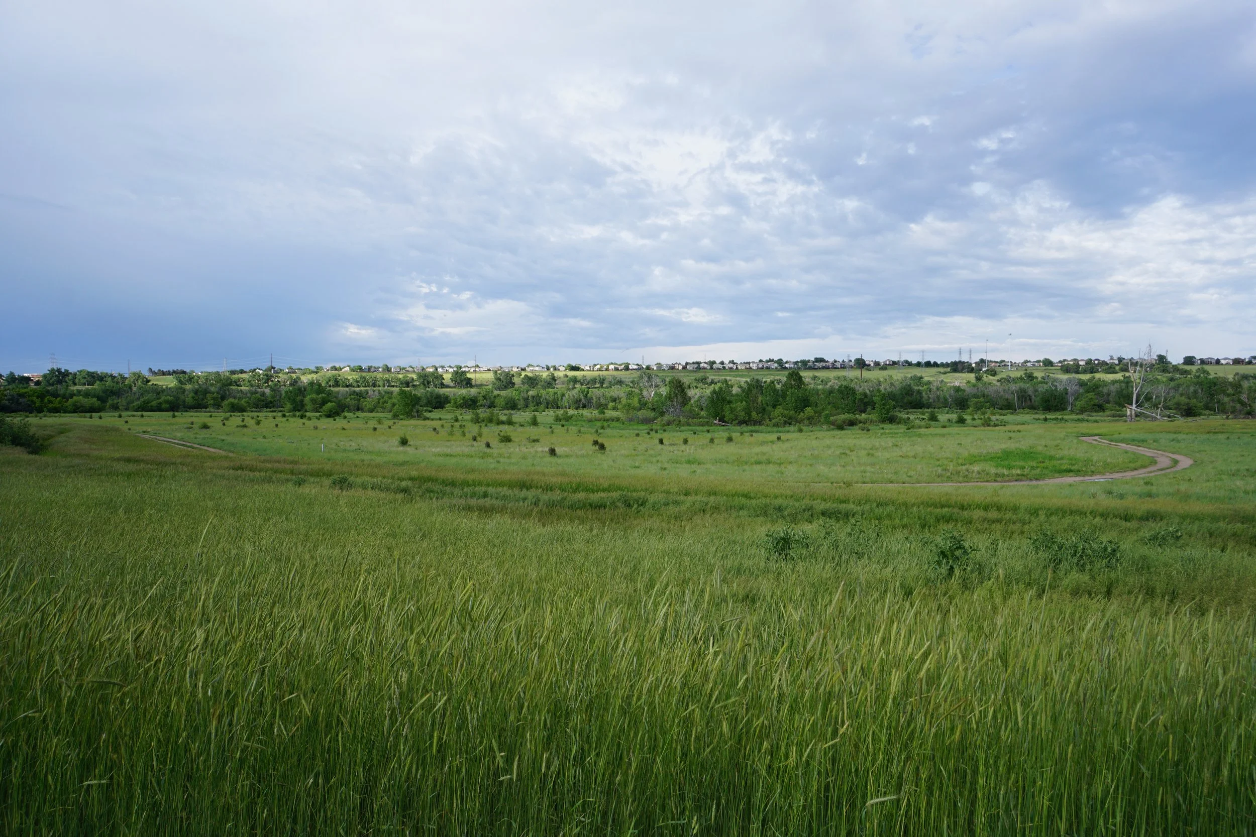
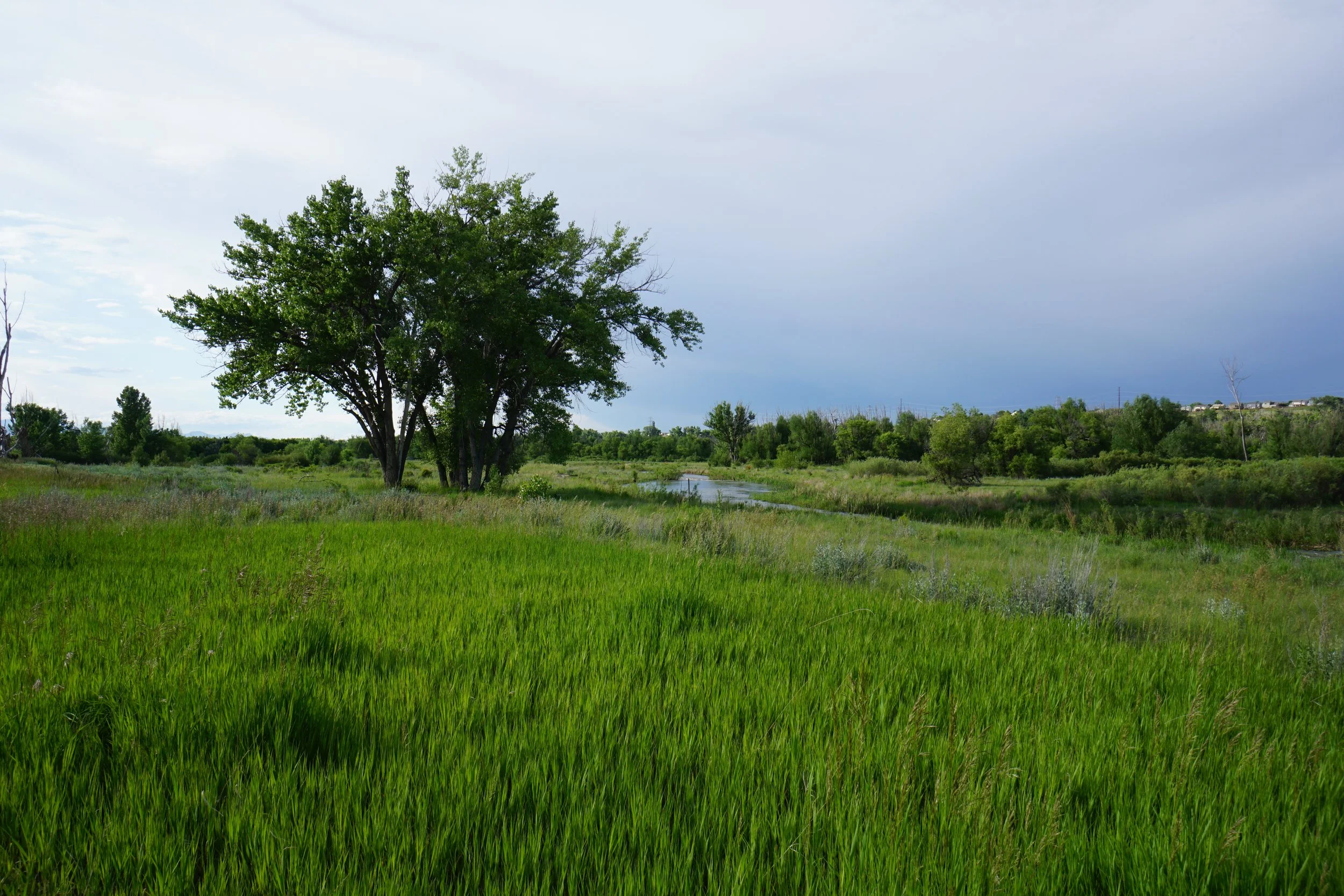
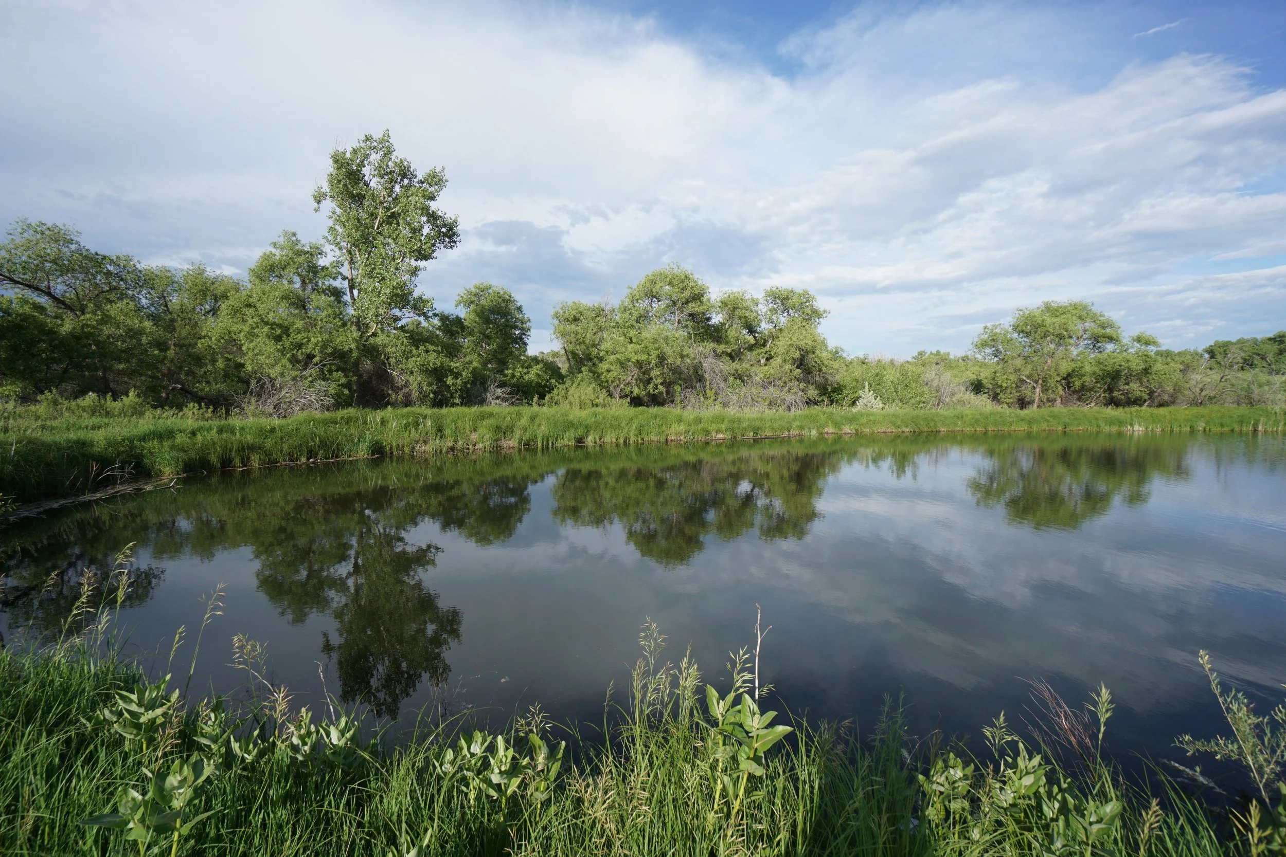
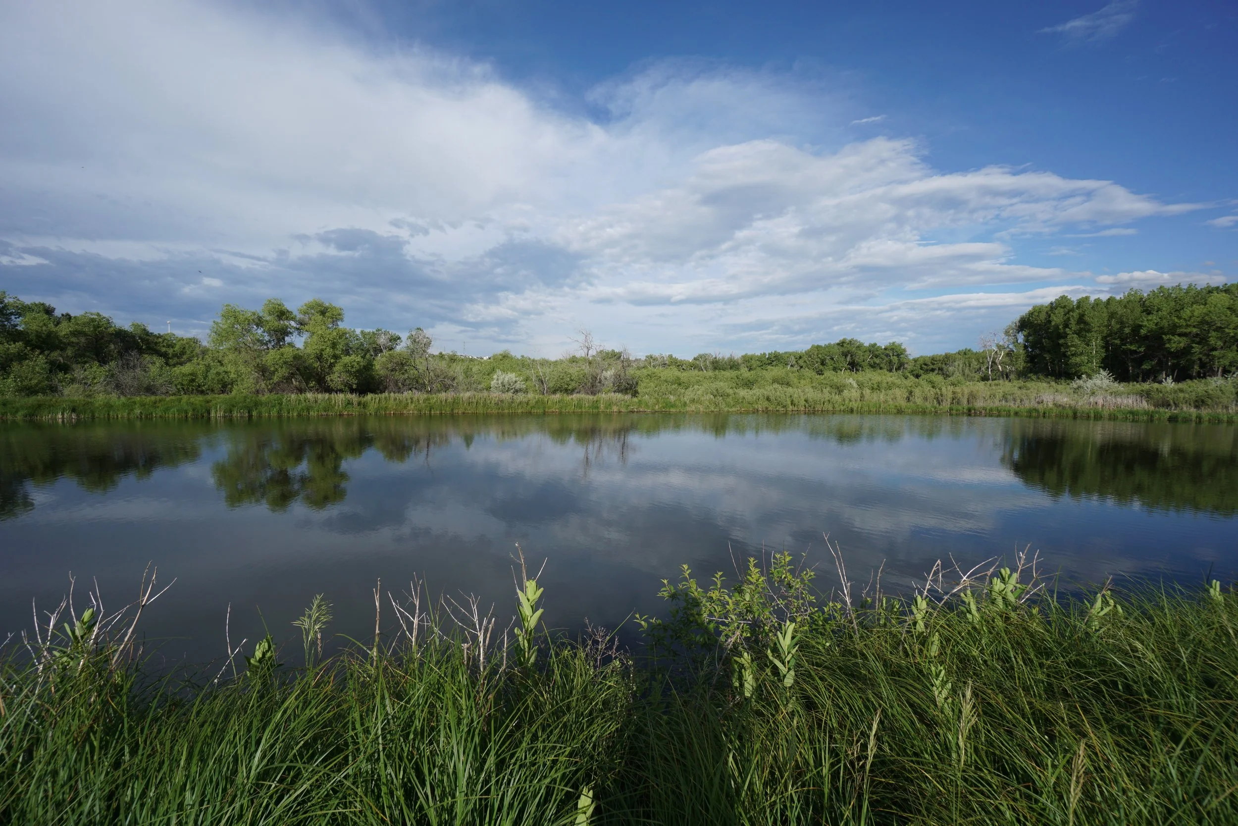
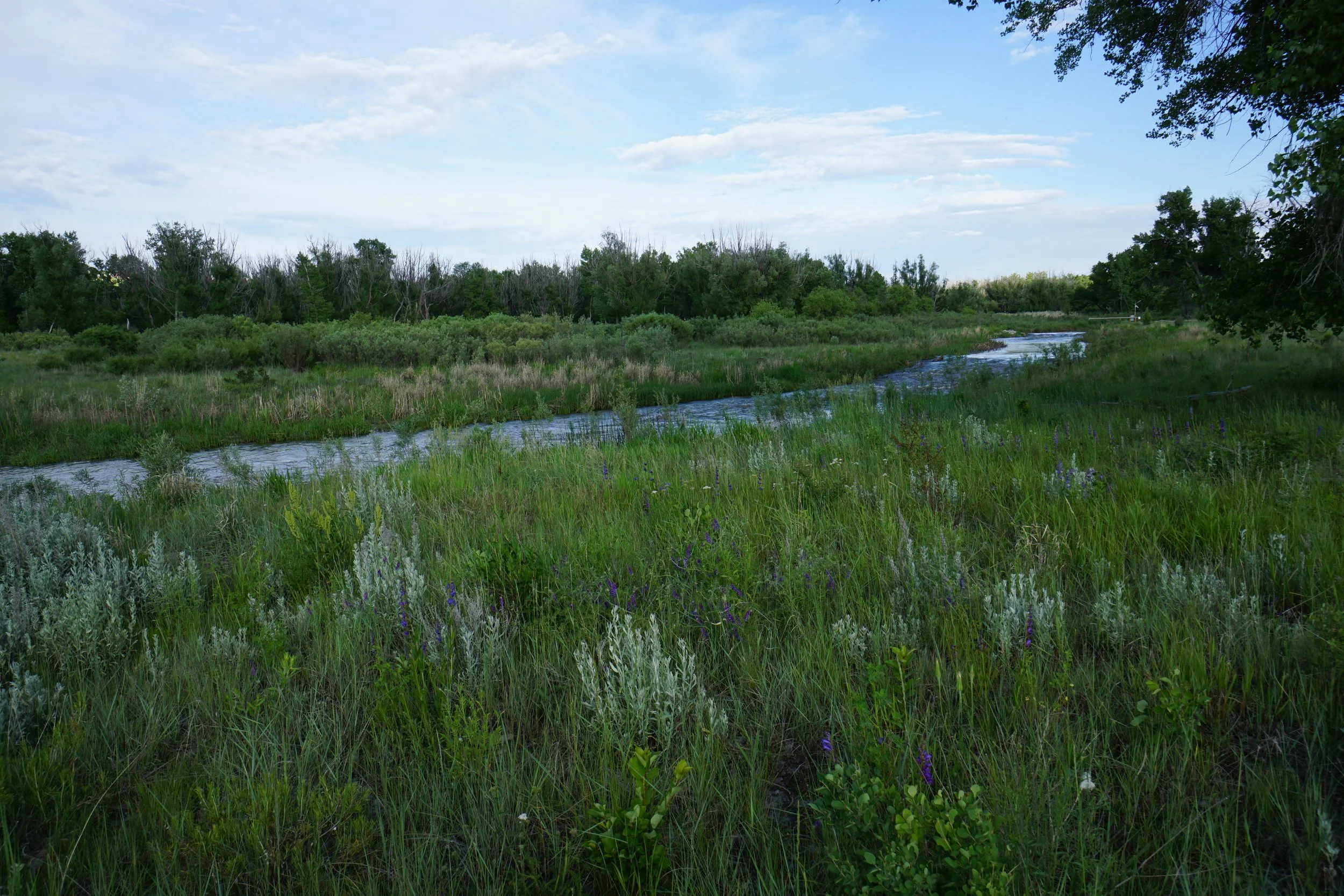
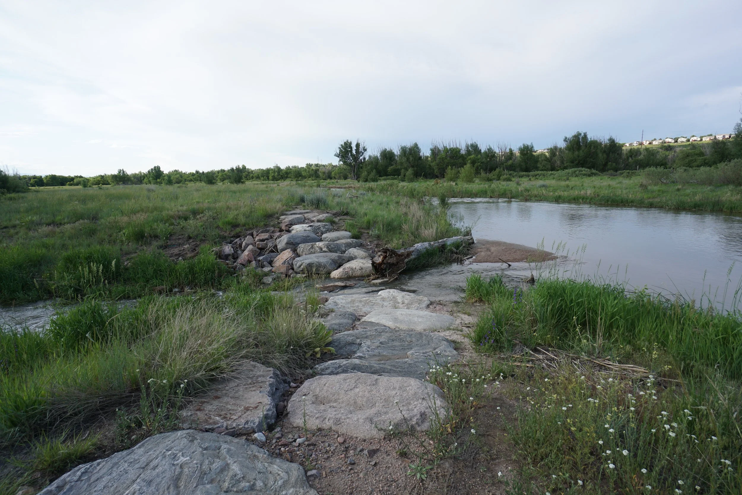
When the trails converge, the Plum Creek Nature Trail continues south to Turtle Pond. Turtle Pond is quiet and scenic. The official trail curves around the south side of the pond and ends. However, an unofficial trail continues south into the woods, you can turn around whenever you see fit.