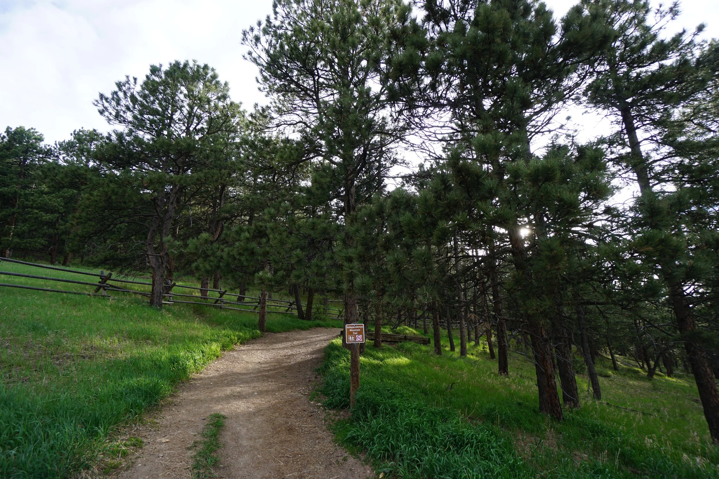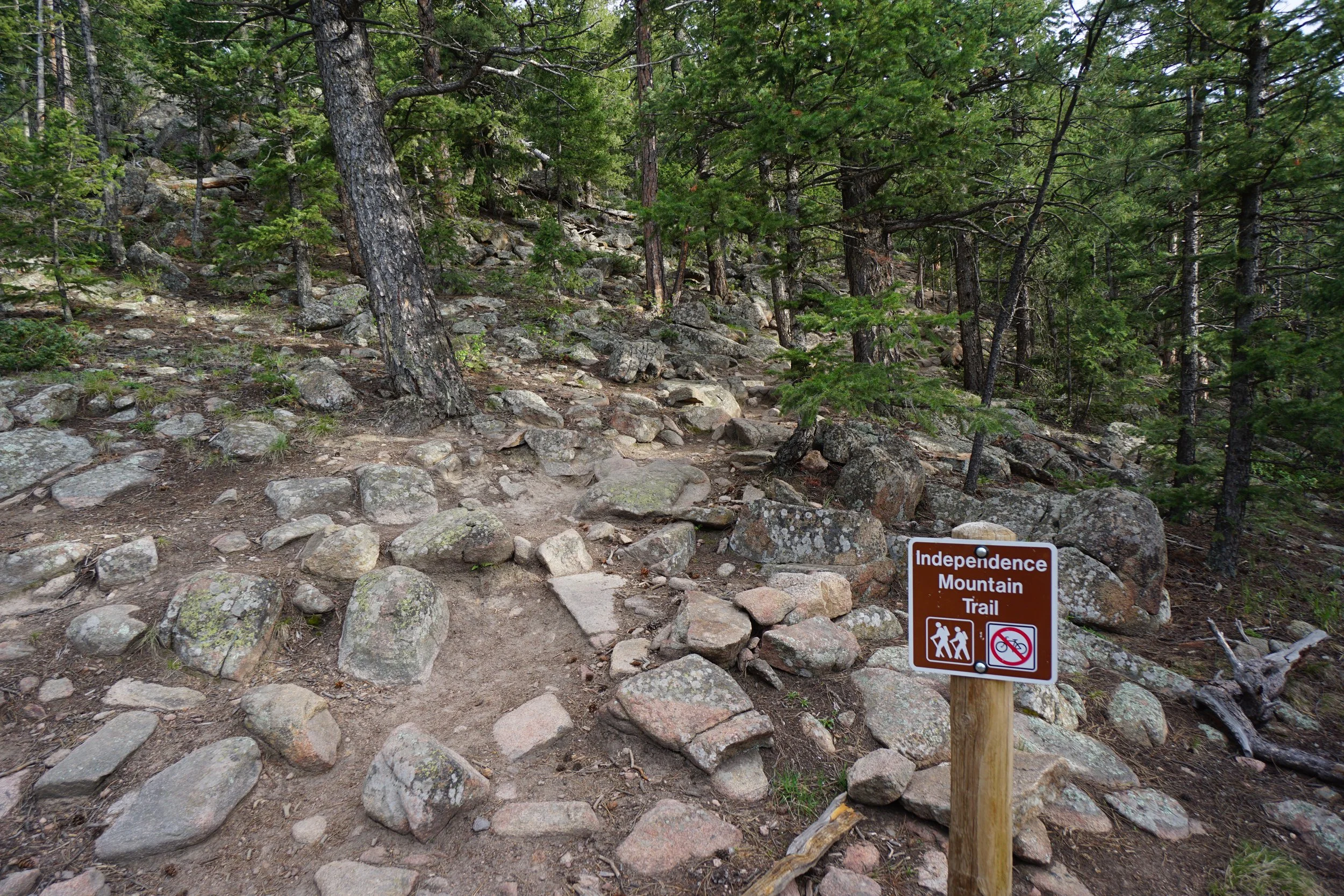
Independence Mountain Trail
Pence Park
Date Hiked: June 6, 2012
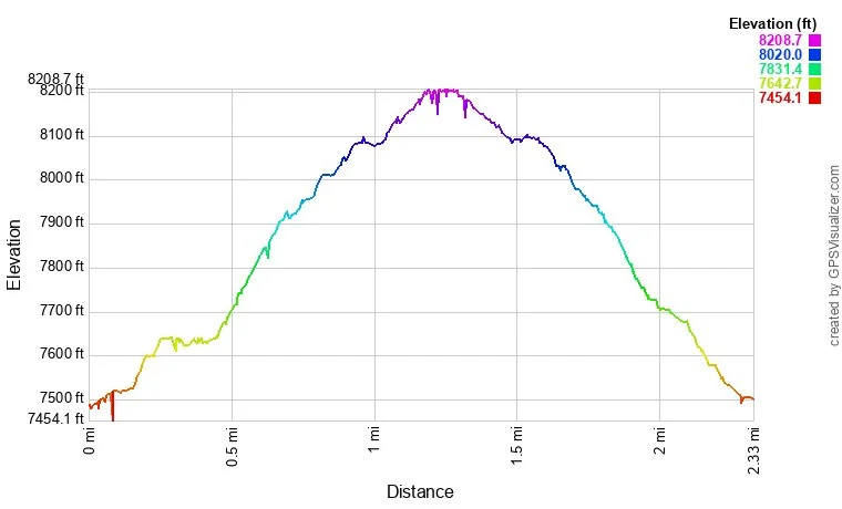
Distance: 2.3 mi (Round Trip)
Elevation Gain: 700 ft
Elevation Min/Max: 7,538 to 8,186 ft
Managing Agency: Denver Mountain Parks
Fee: None
Directions:
Pence Park is a Denver Mountain Park up Bear Creek Canyon near Kittridge. From Morrison take Bear Creek Road (74) west. Pass Corwina Park, and O'Fallon Park and make a left (south) on Meyers Gulch Road. Head up the hill and the trailhead and parking area will be on the right.
Hike Description:
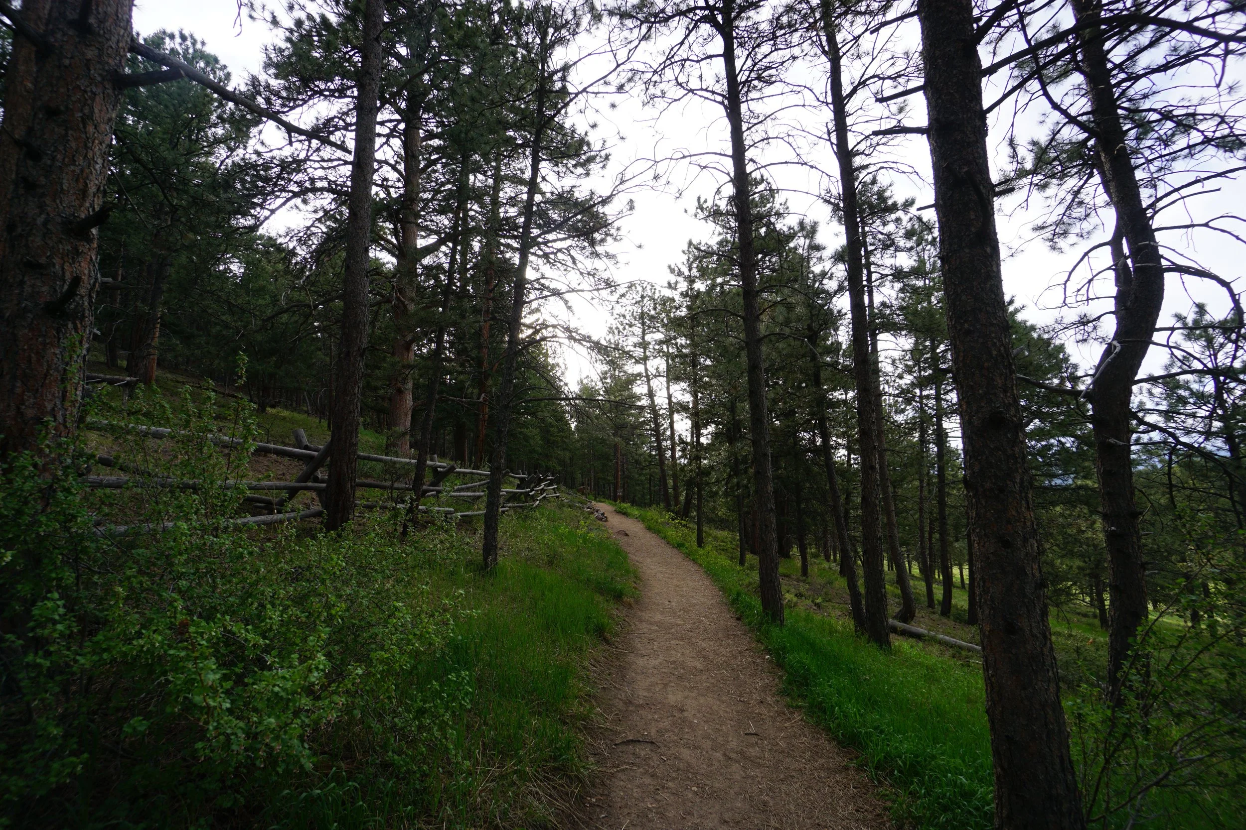
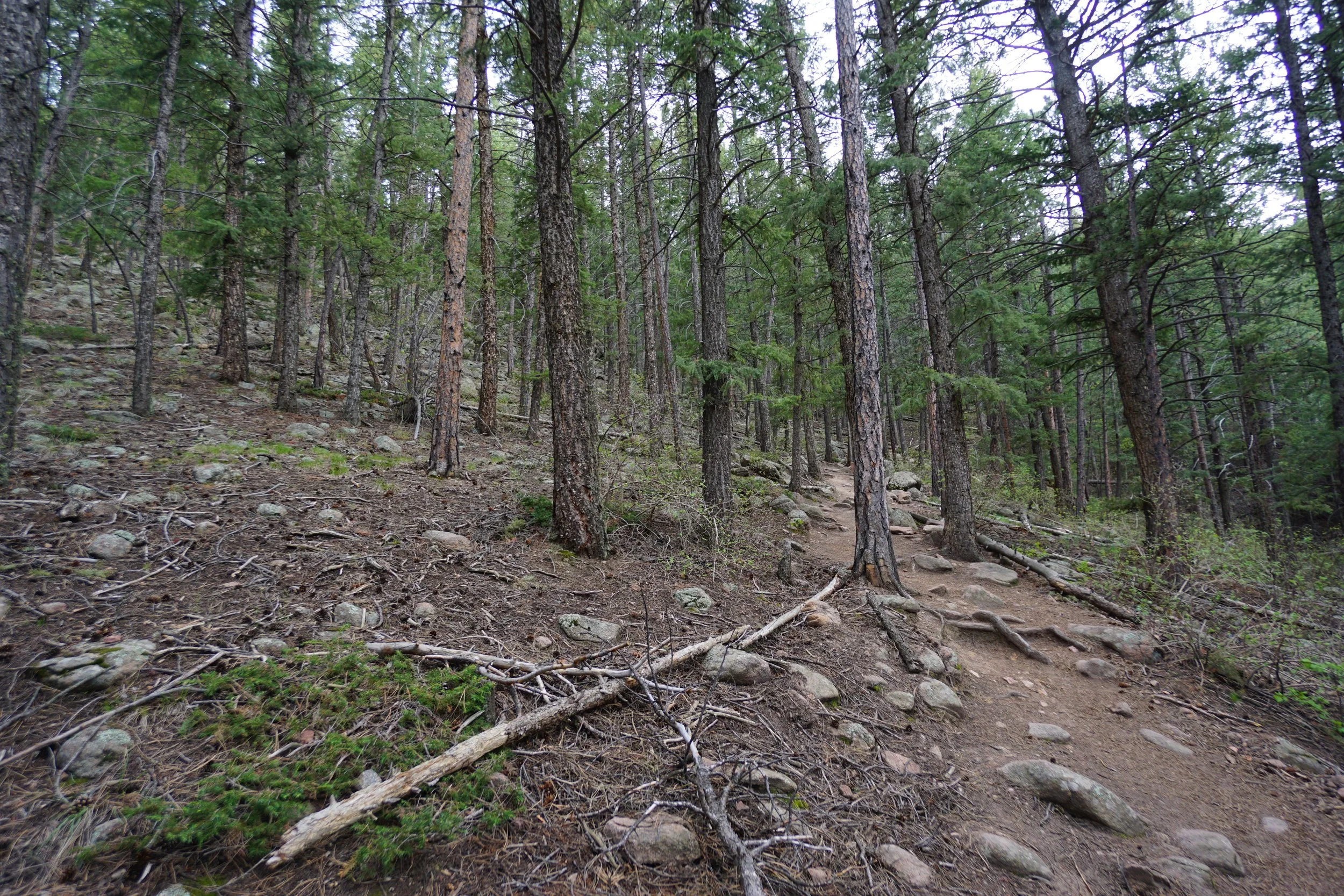
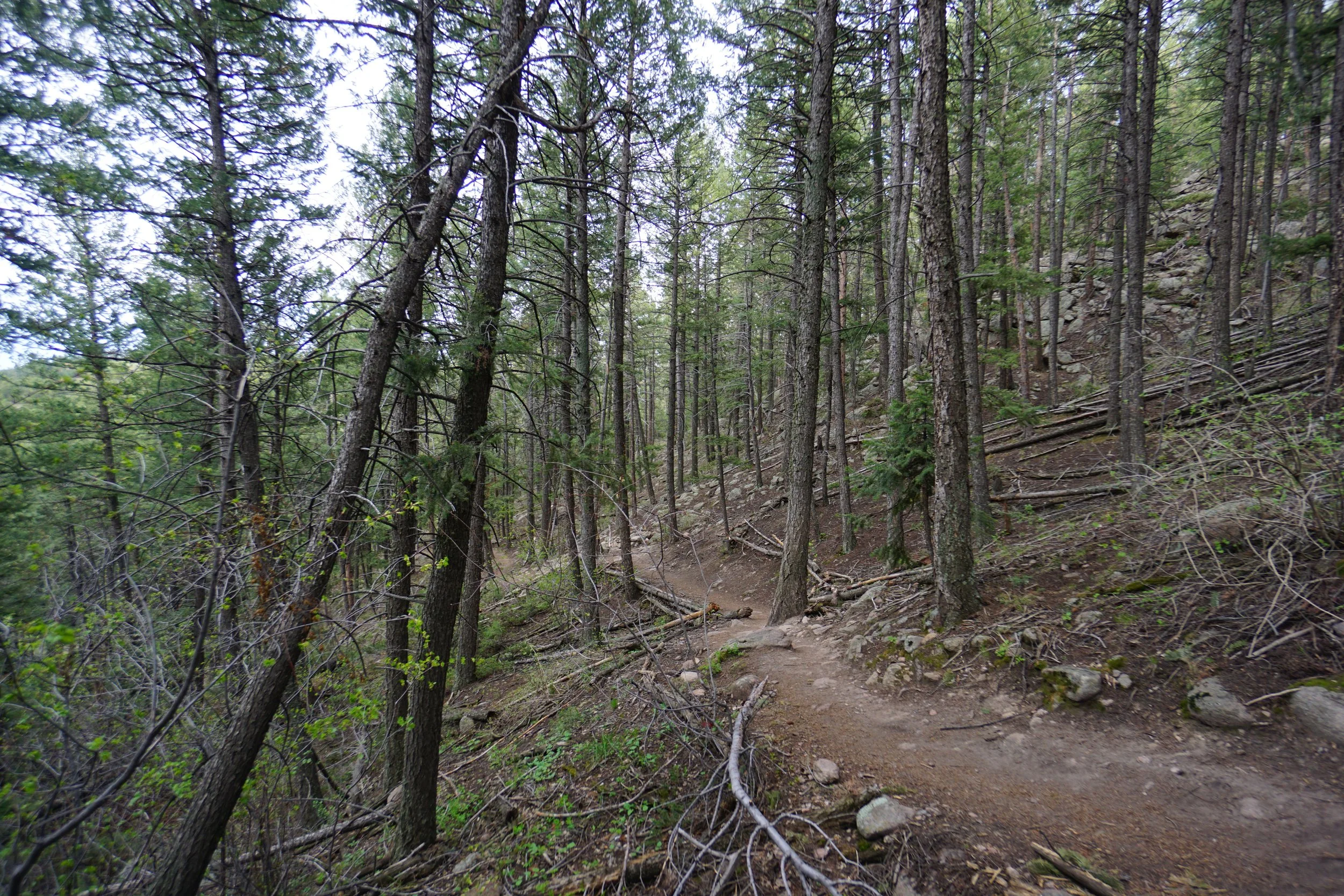
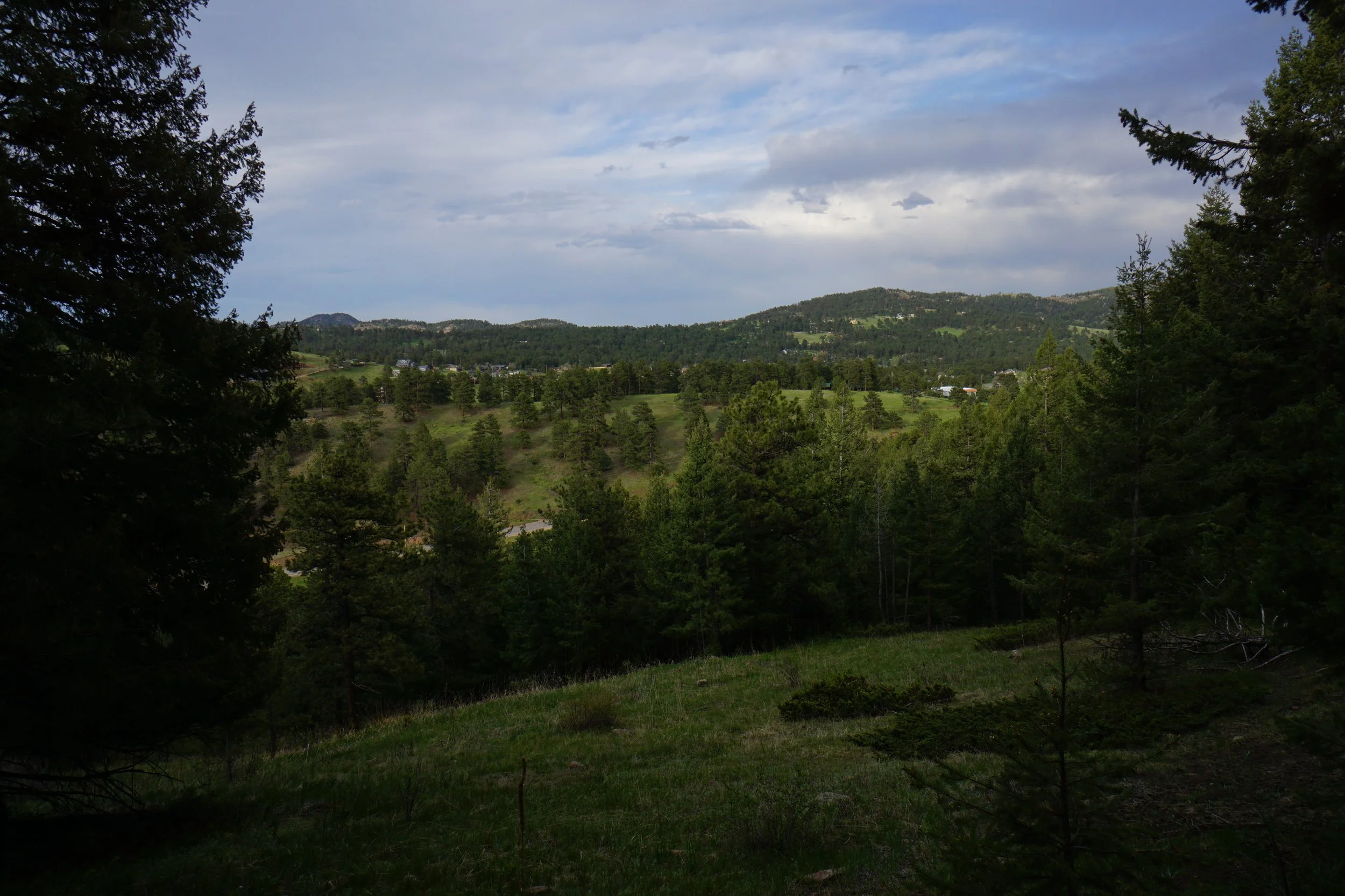
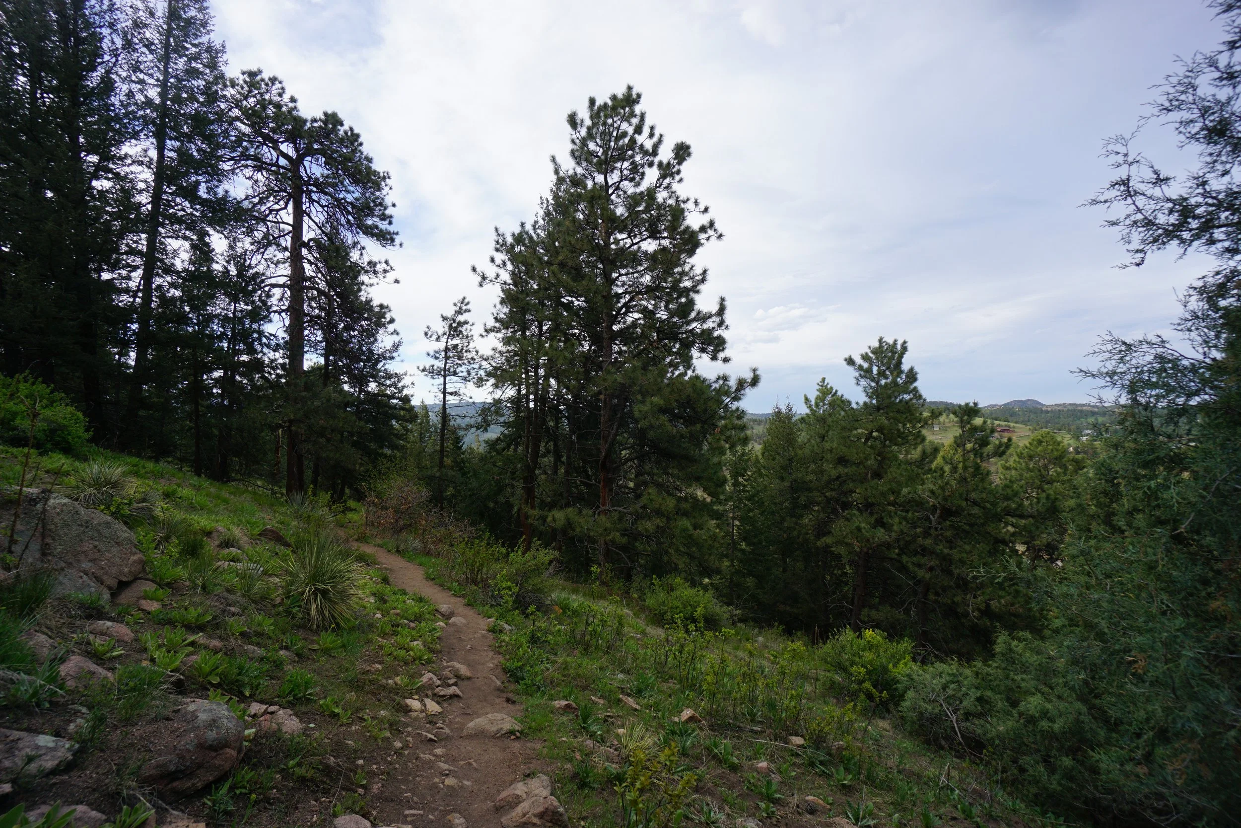
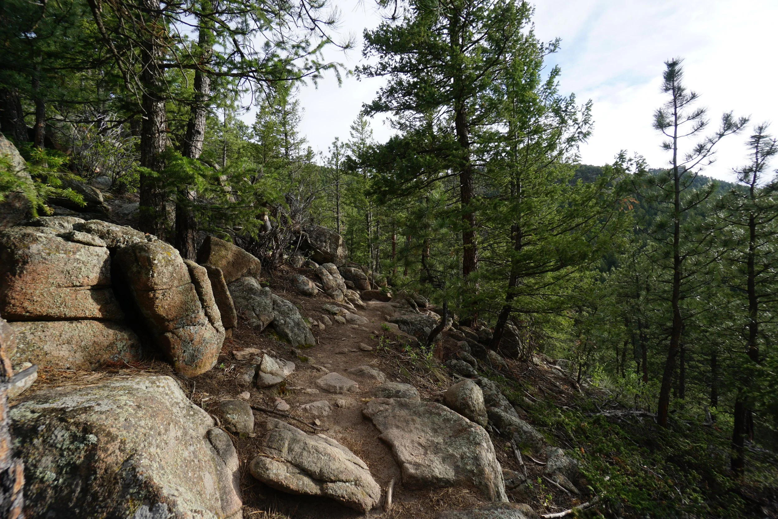
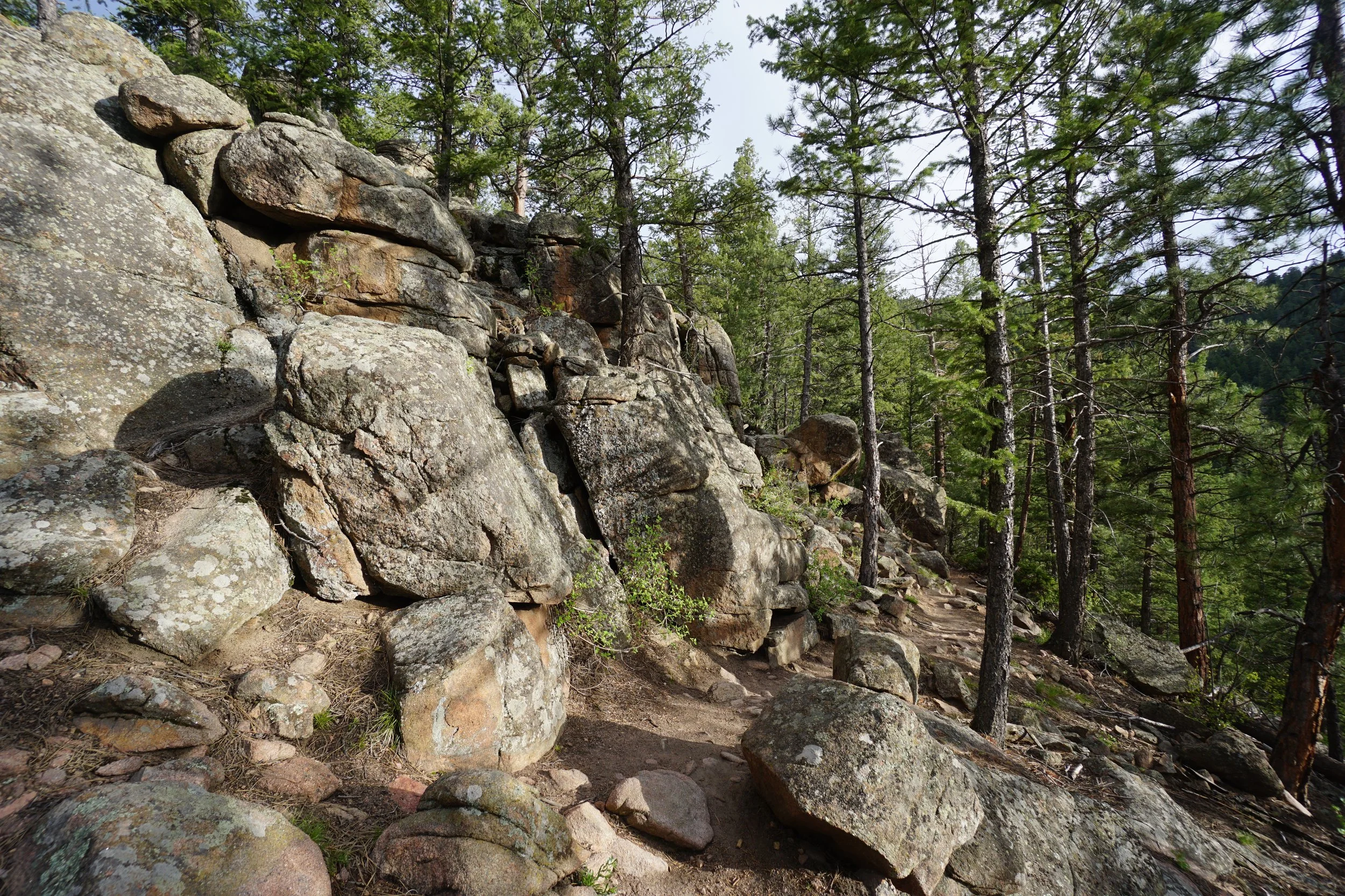
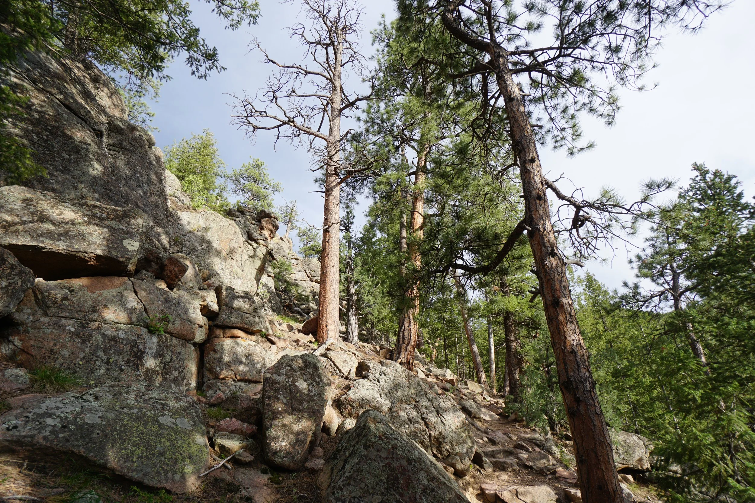
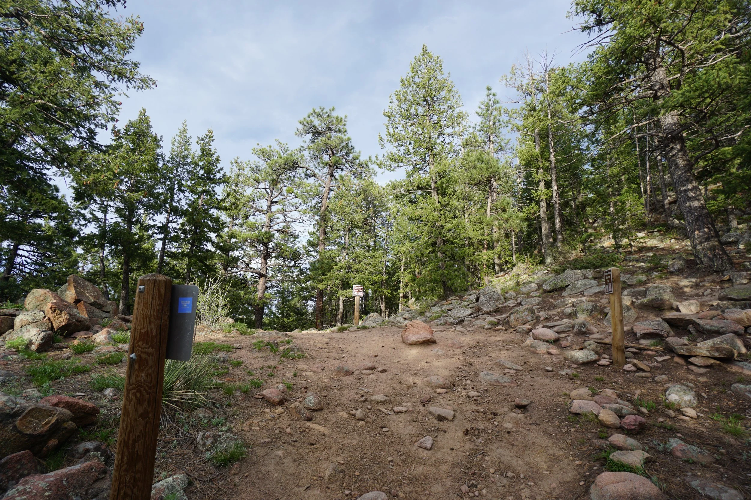
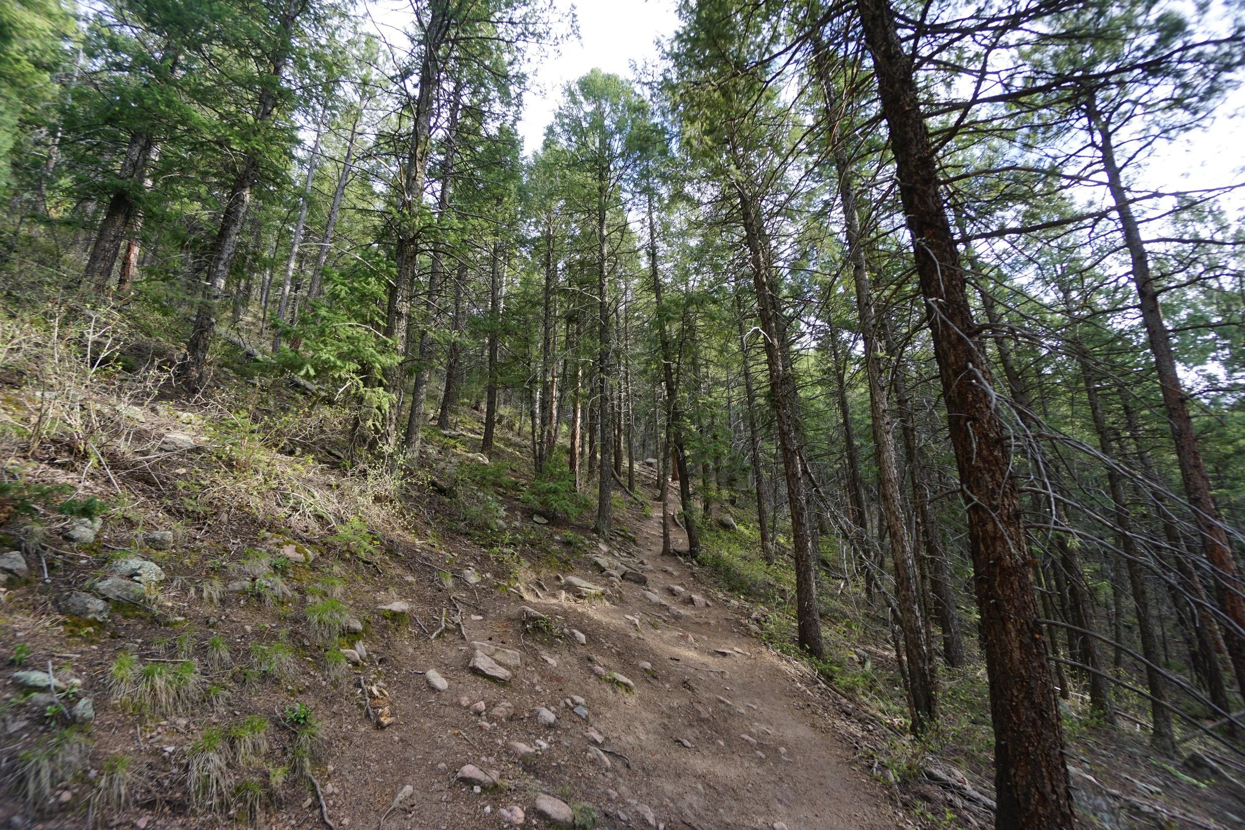
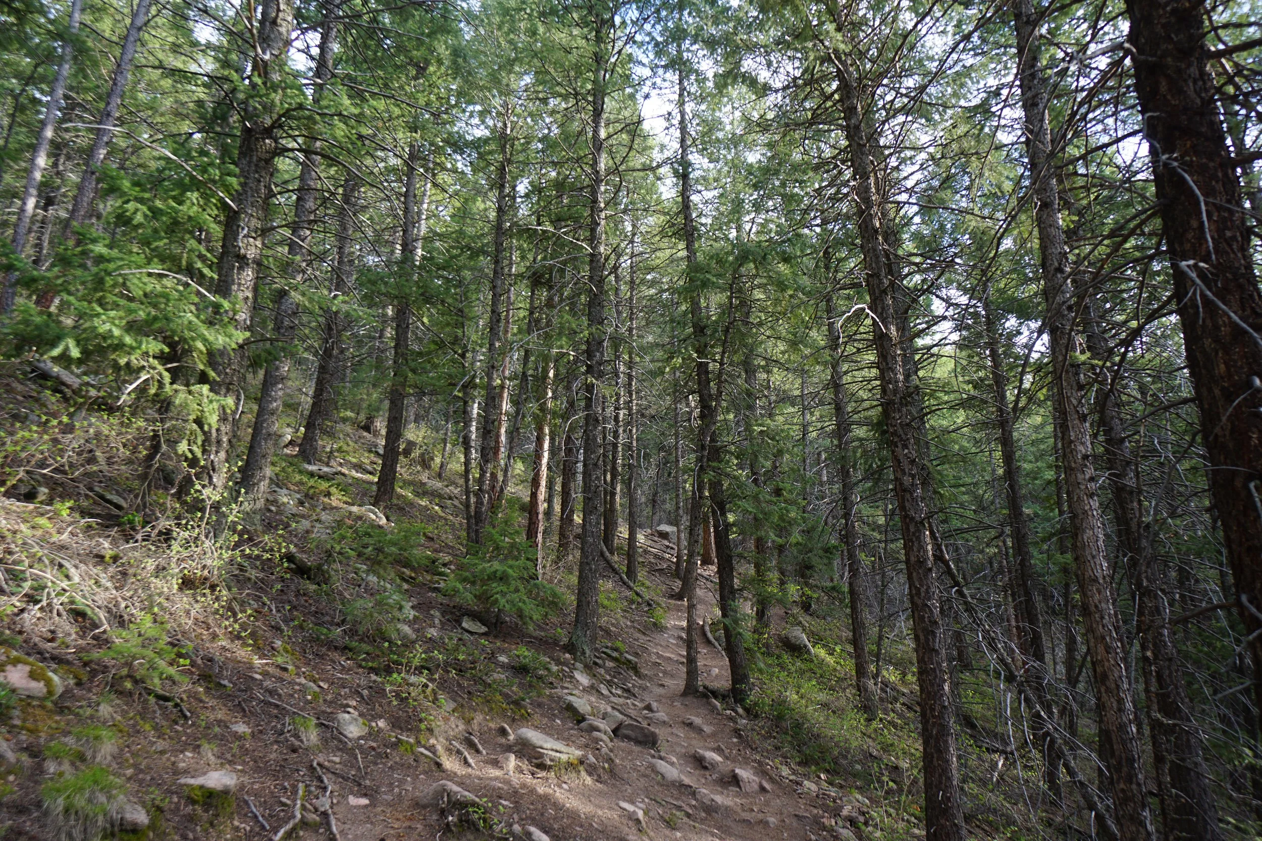
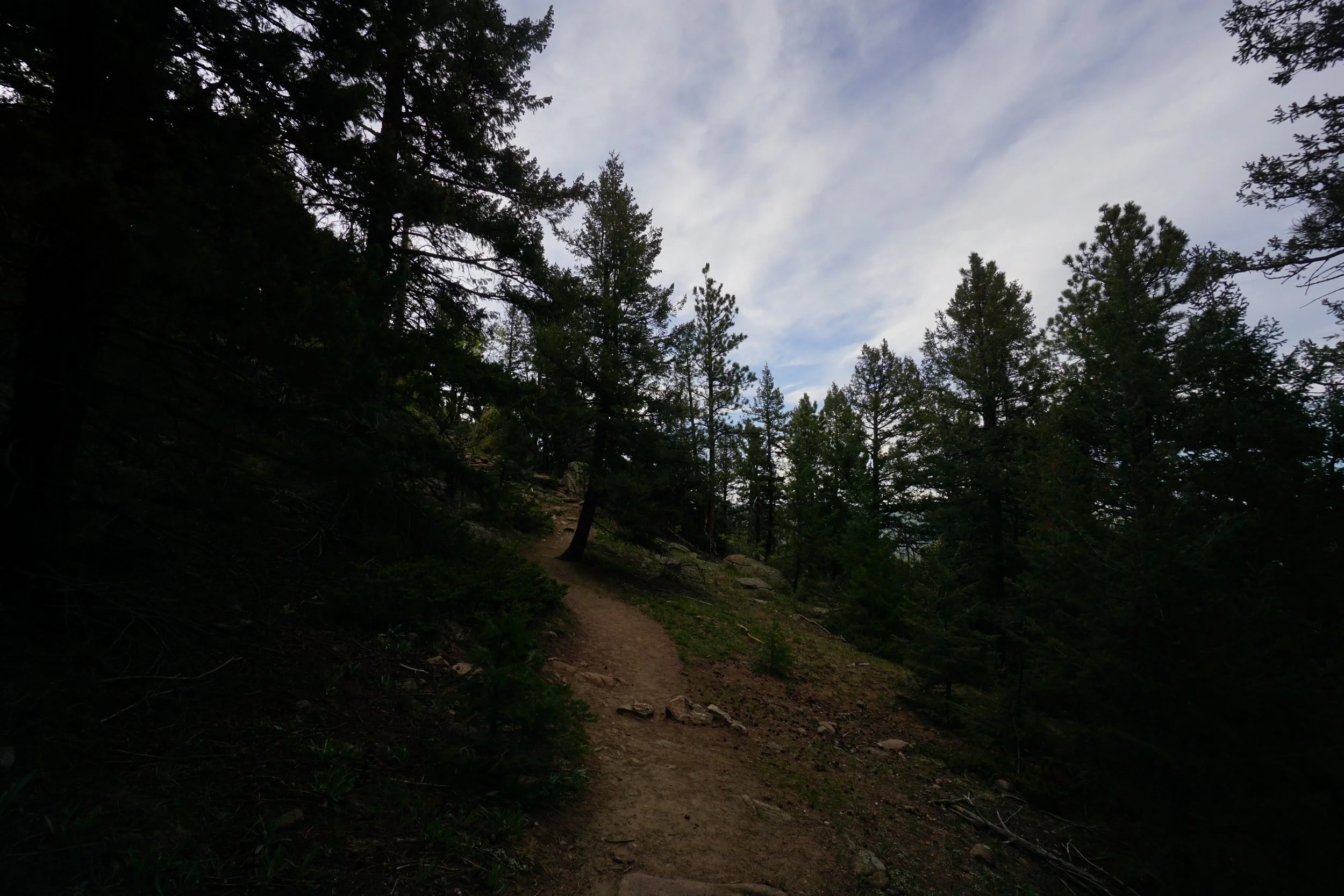
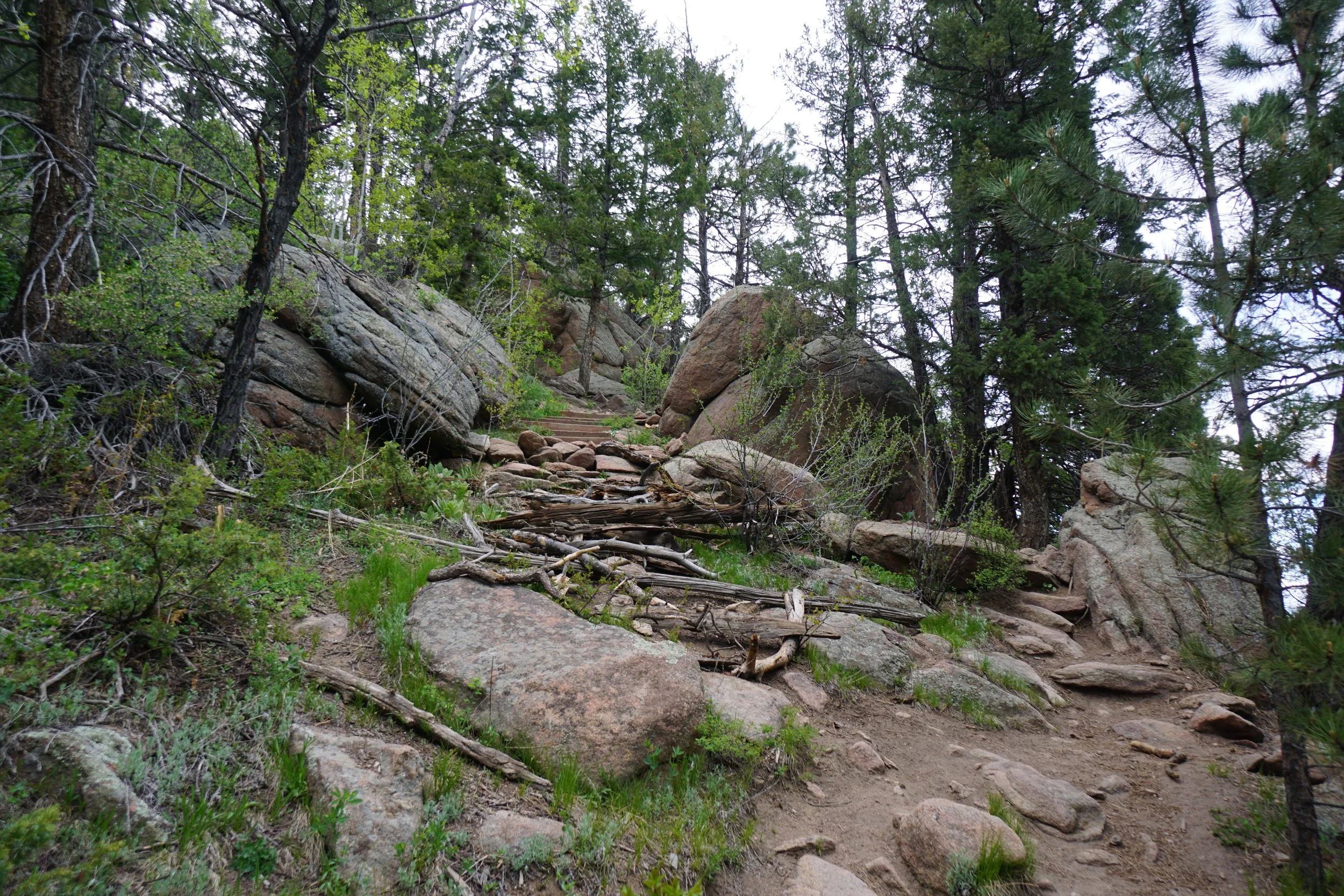
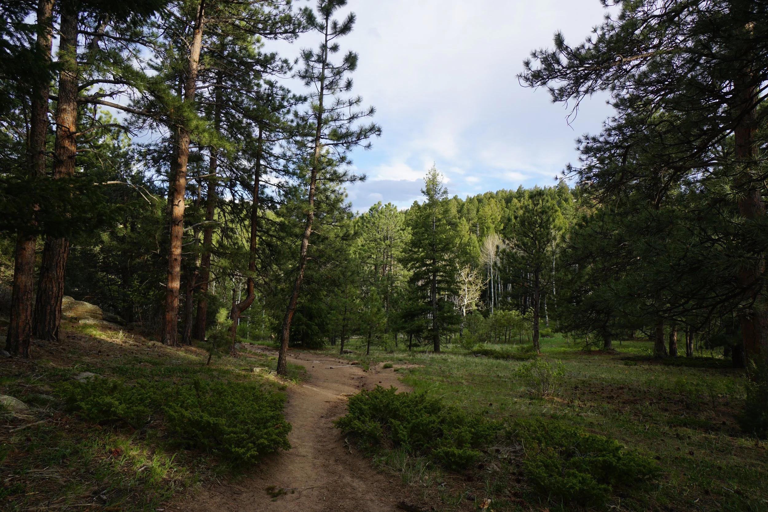
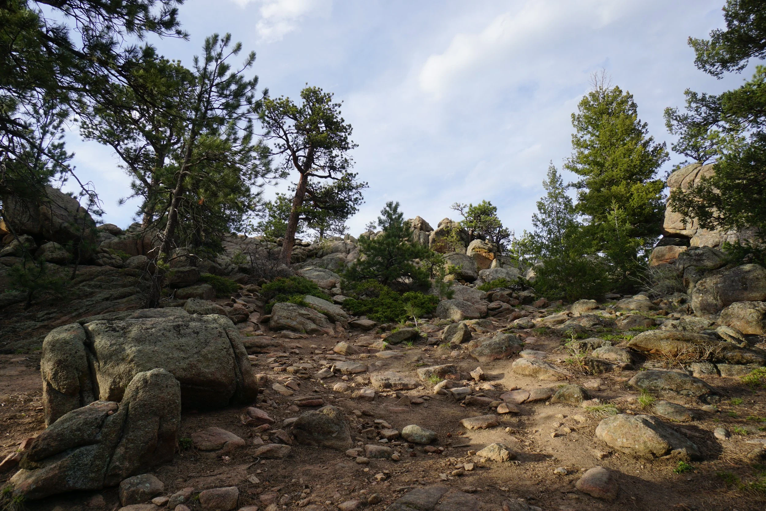
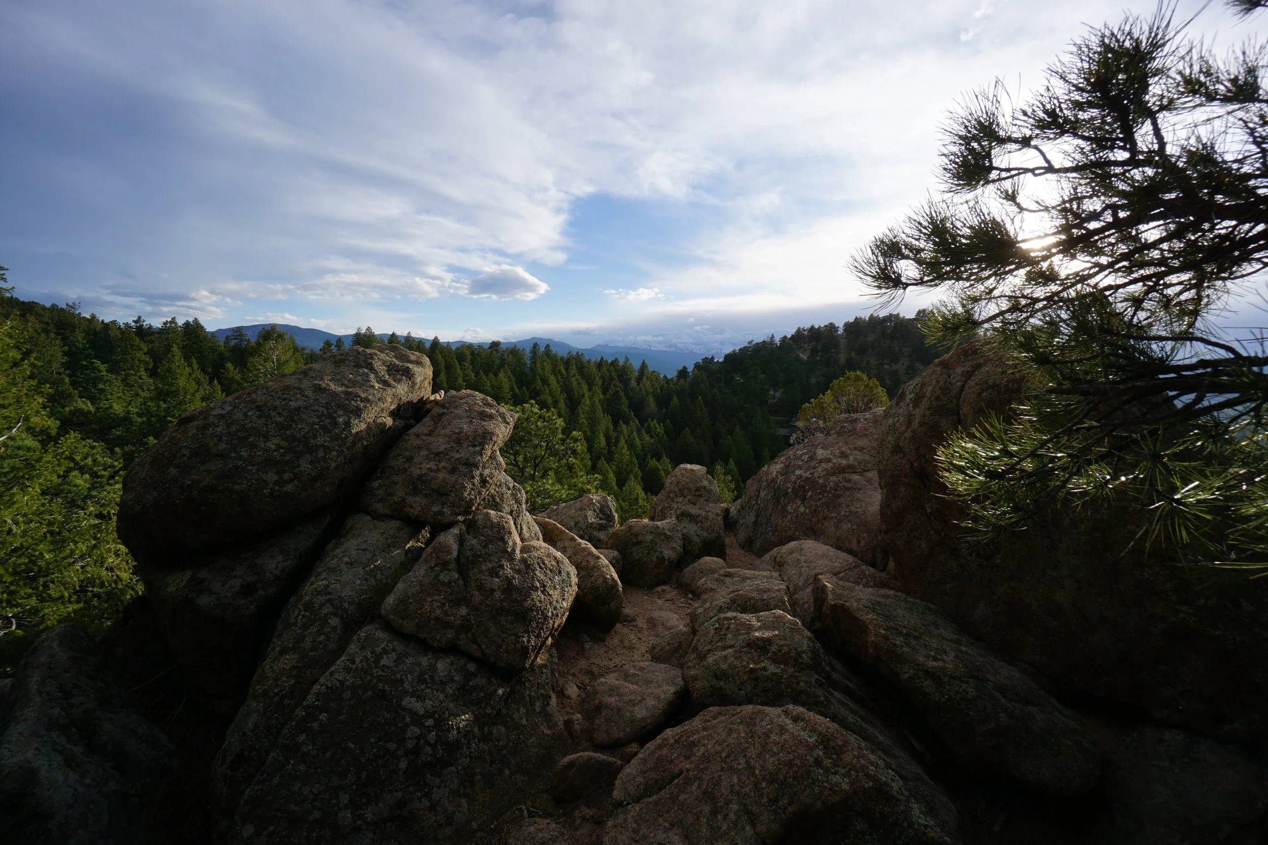
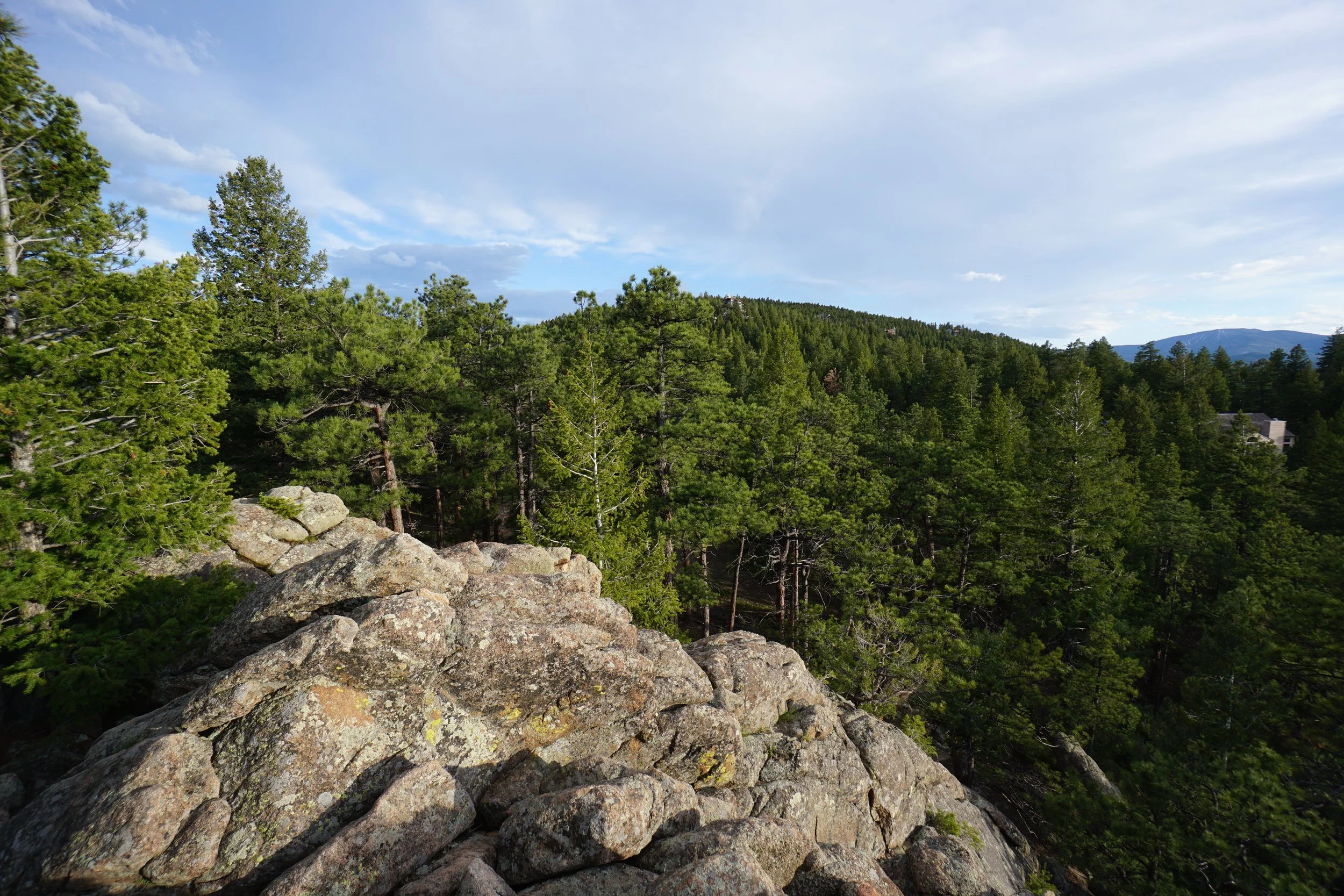
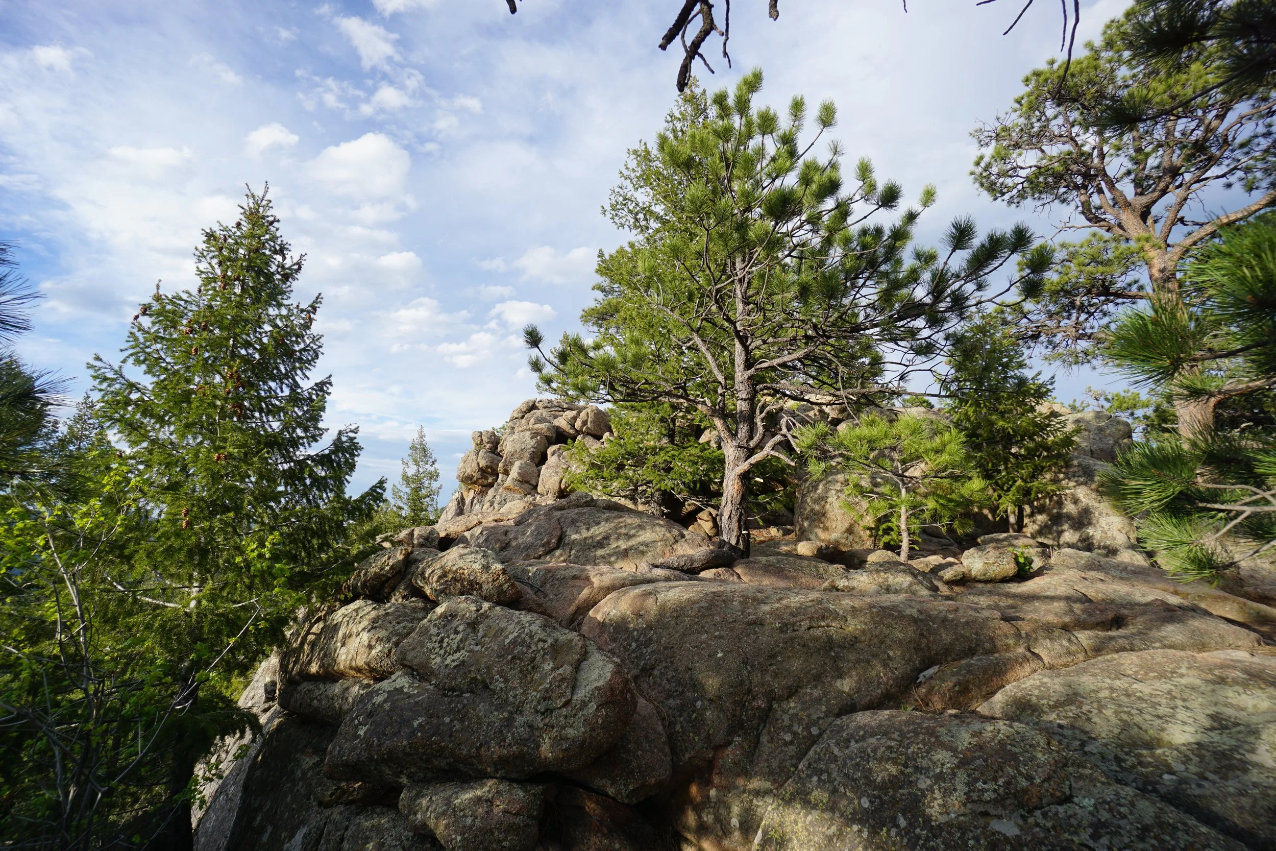
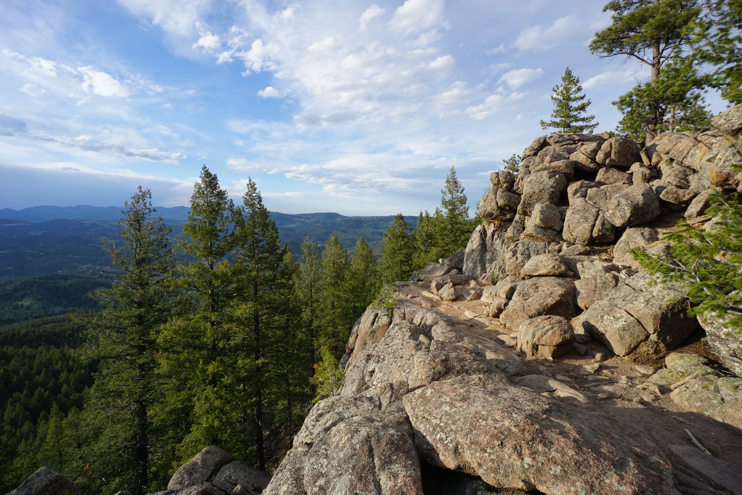
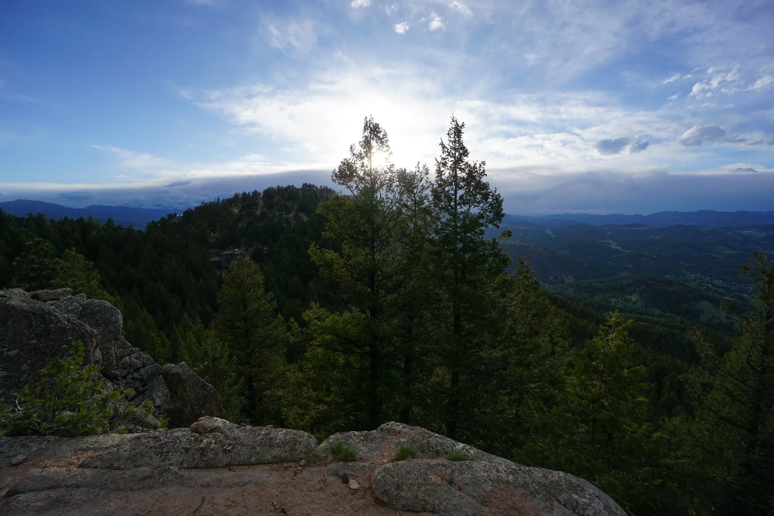
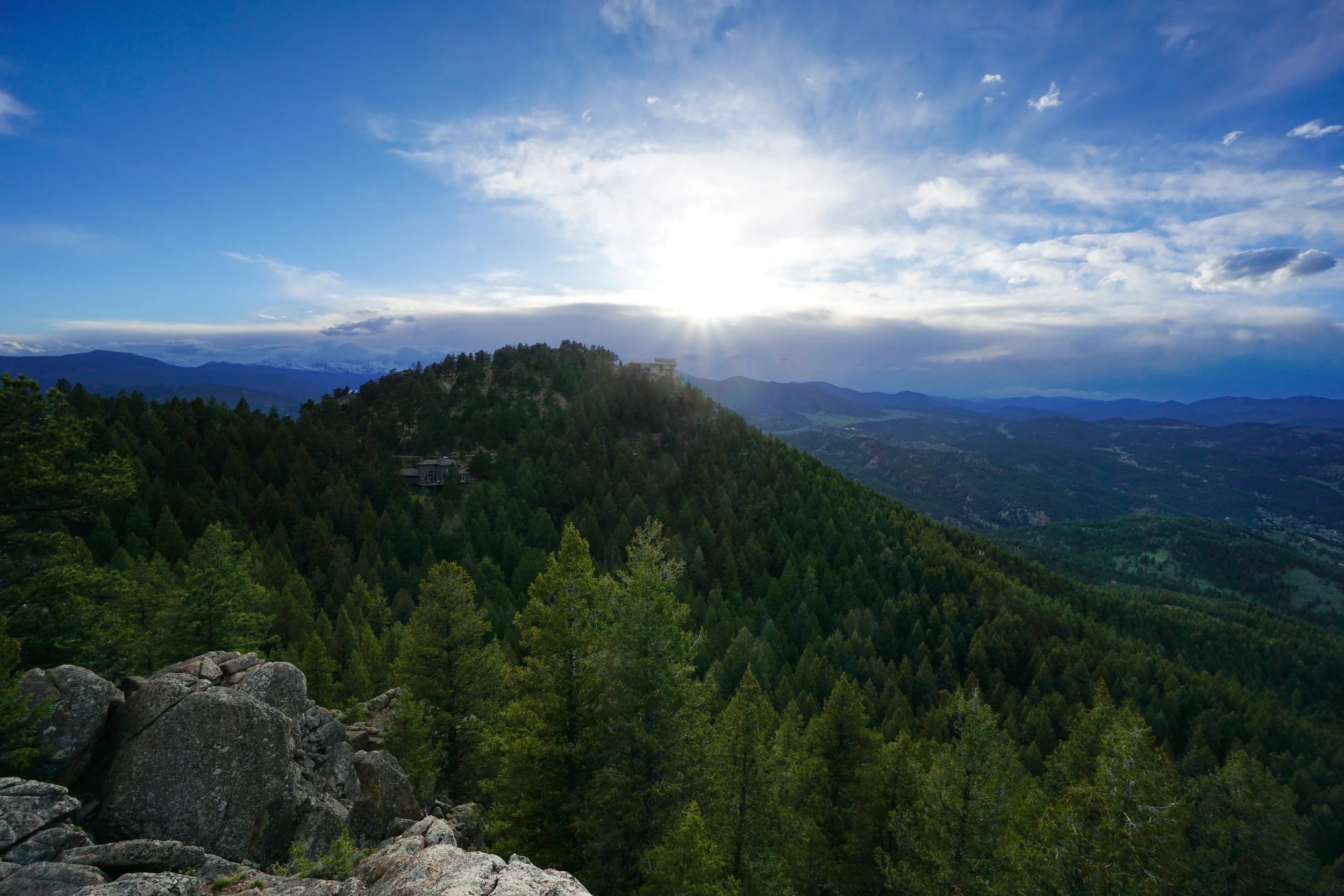
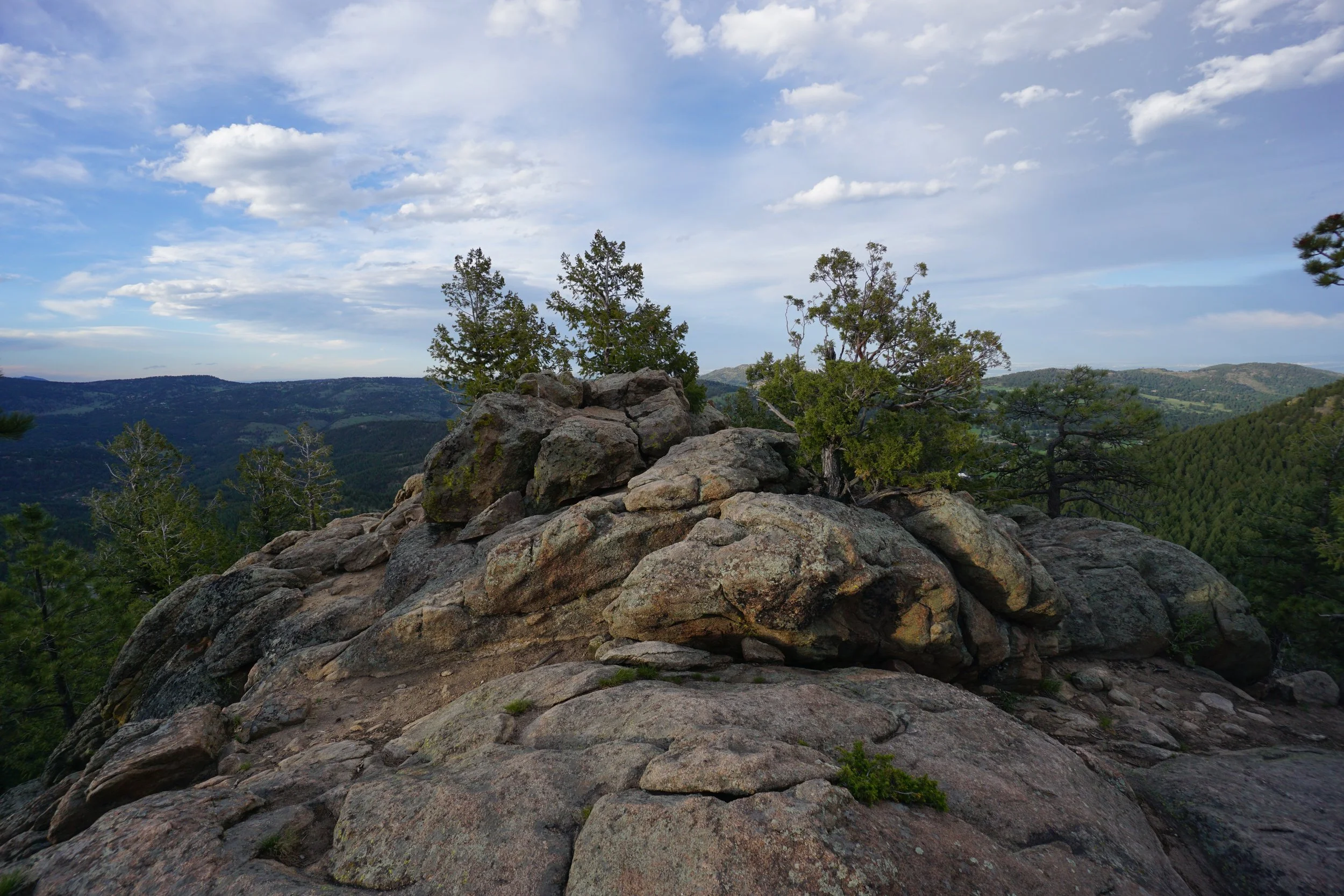
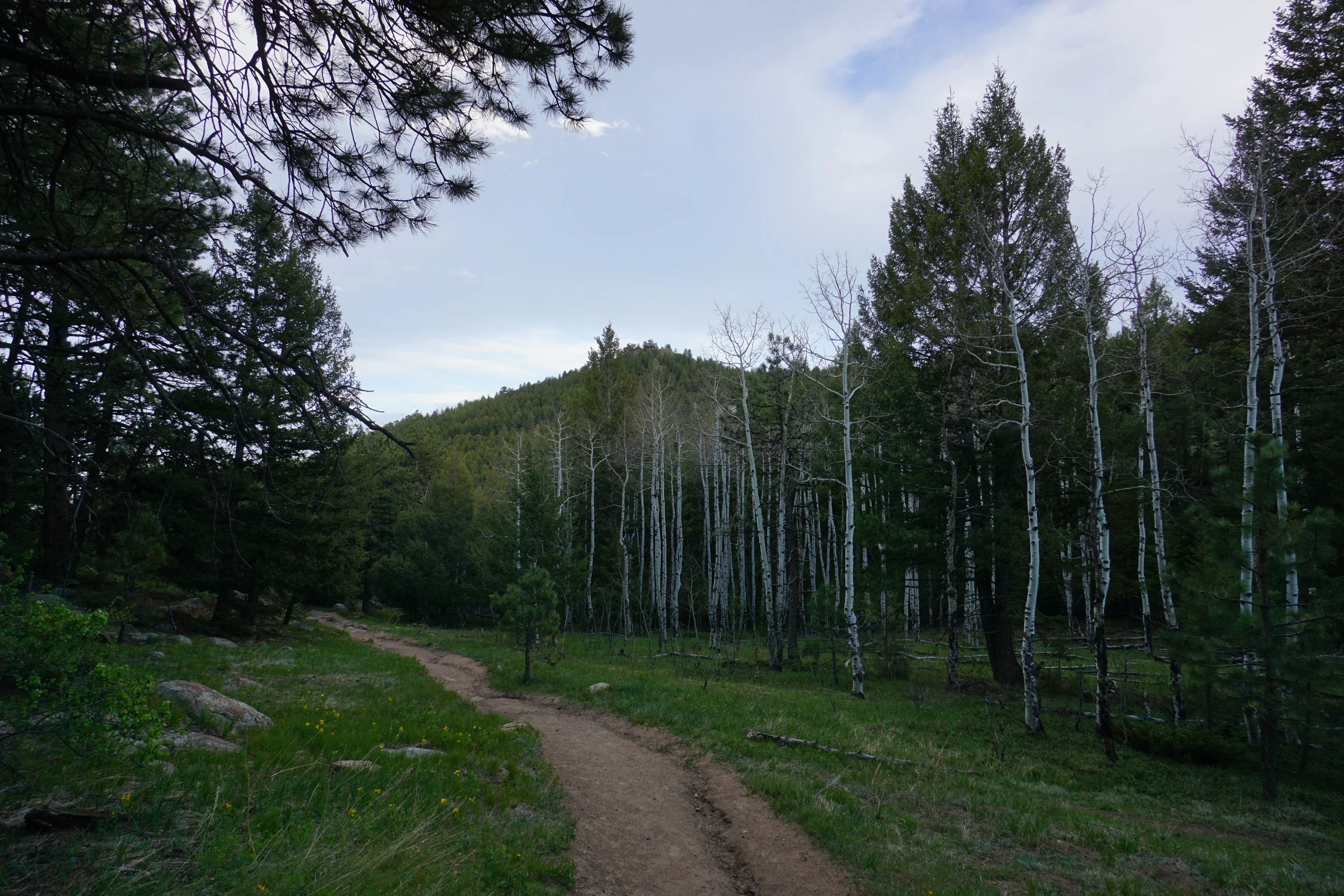
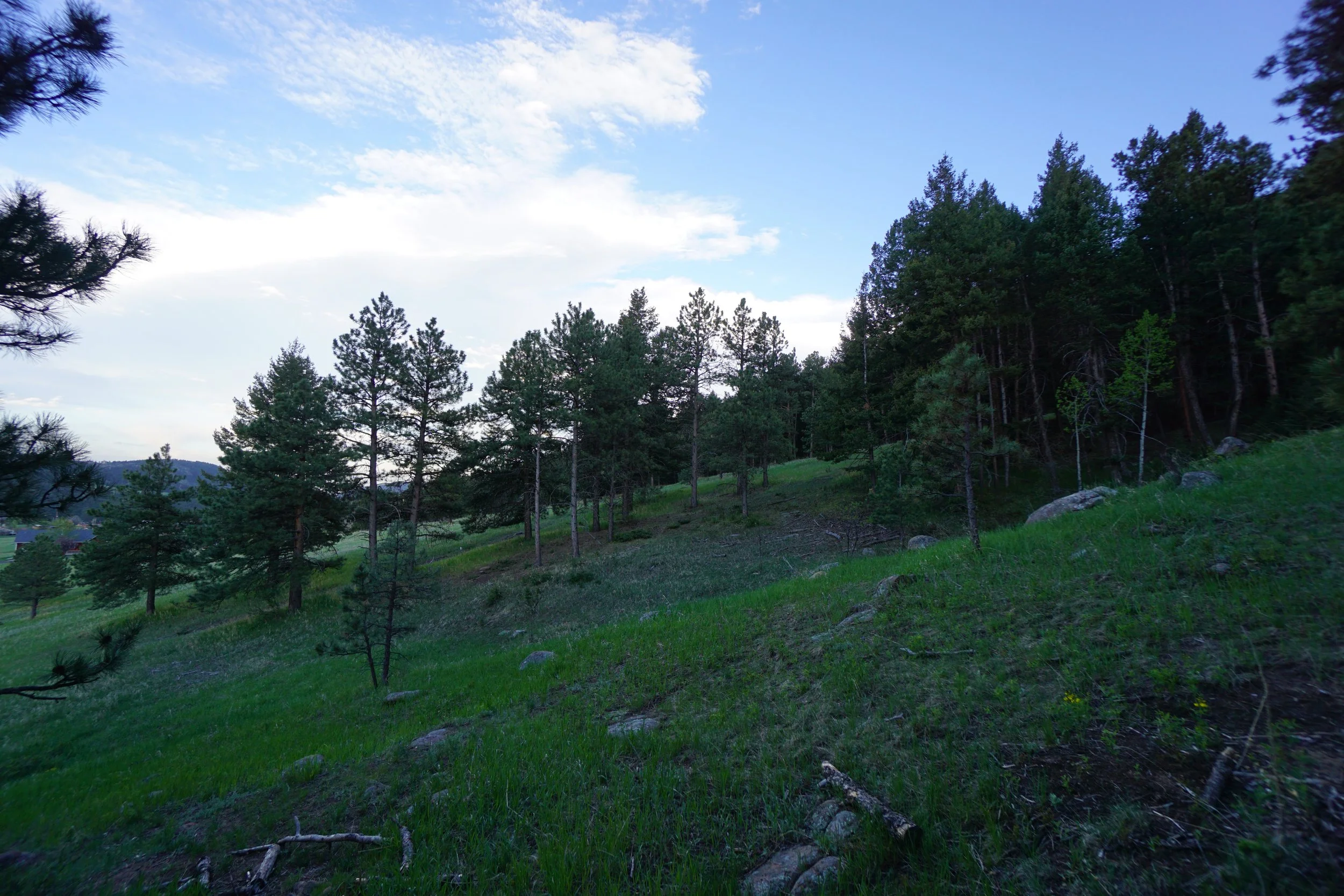
The Independence Mountain Trail is a short but steep trail up to a wonderful 360 degree view on top of a fun, scrambly rock outcropping. From the parking area, the trail switchbacks up the steep, forested hillside. Pass the first trail junction, this is your return on the way back, and continue up the Independence Mountain North Loop. The trail is easy to follow up the switchbacks. There is a fun rocky area after the first batch of switchbacks.
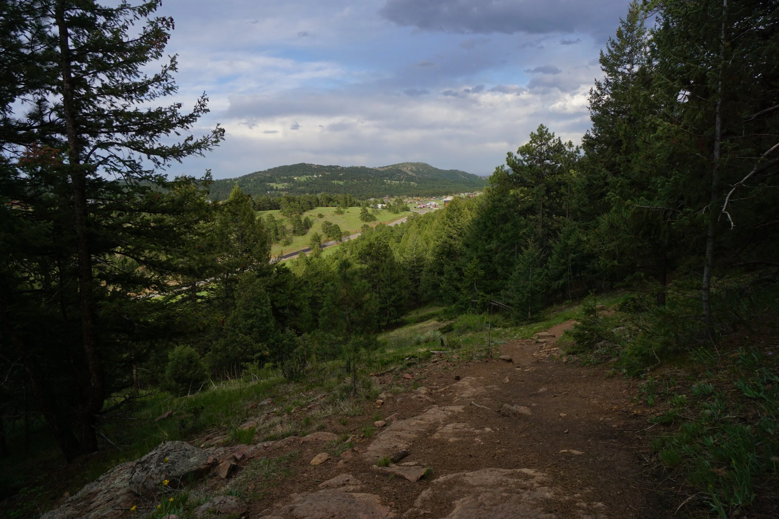
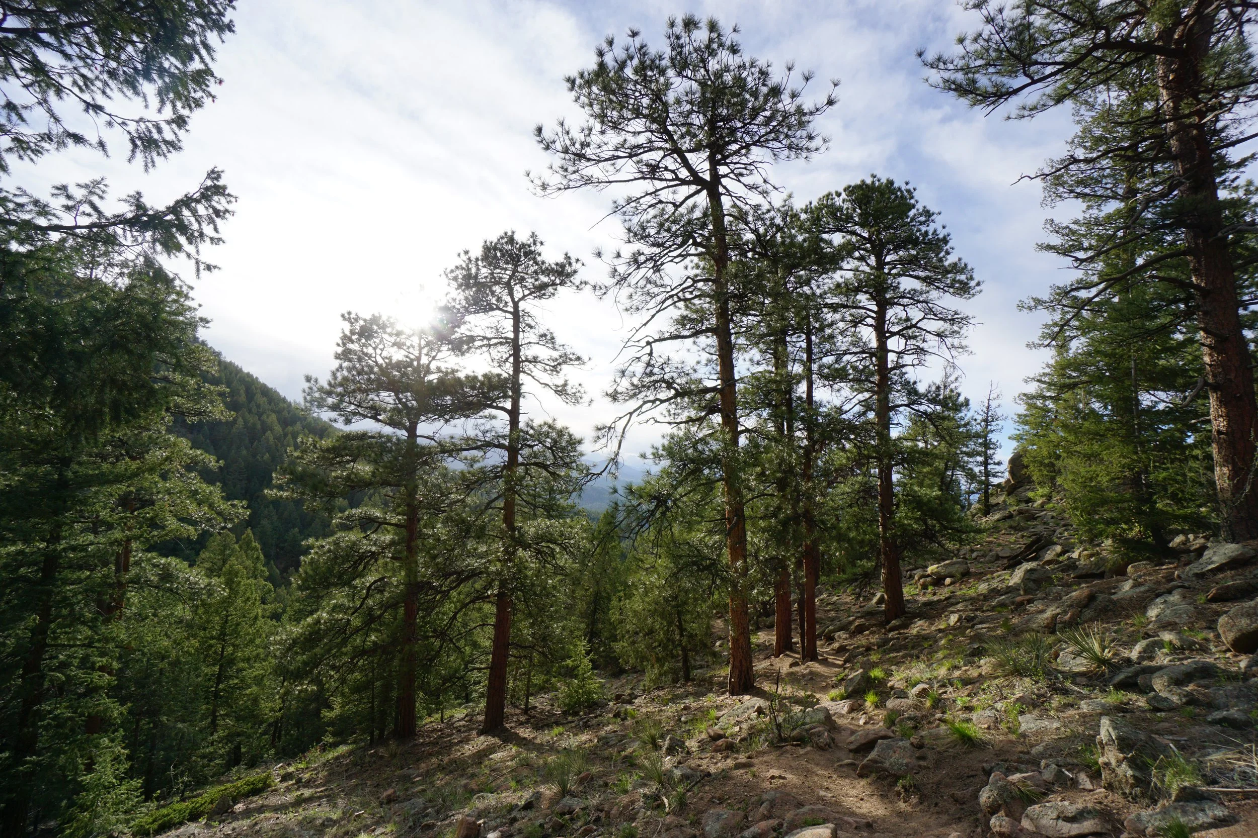
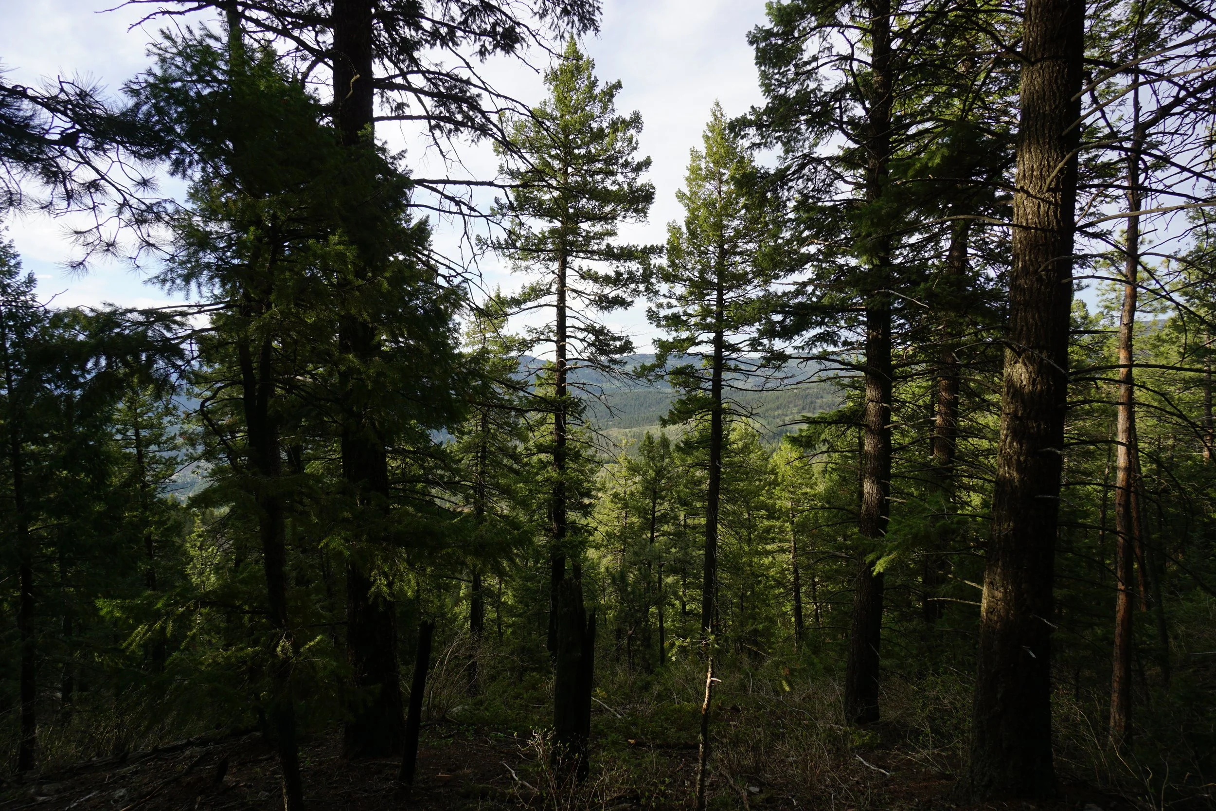
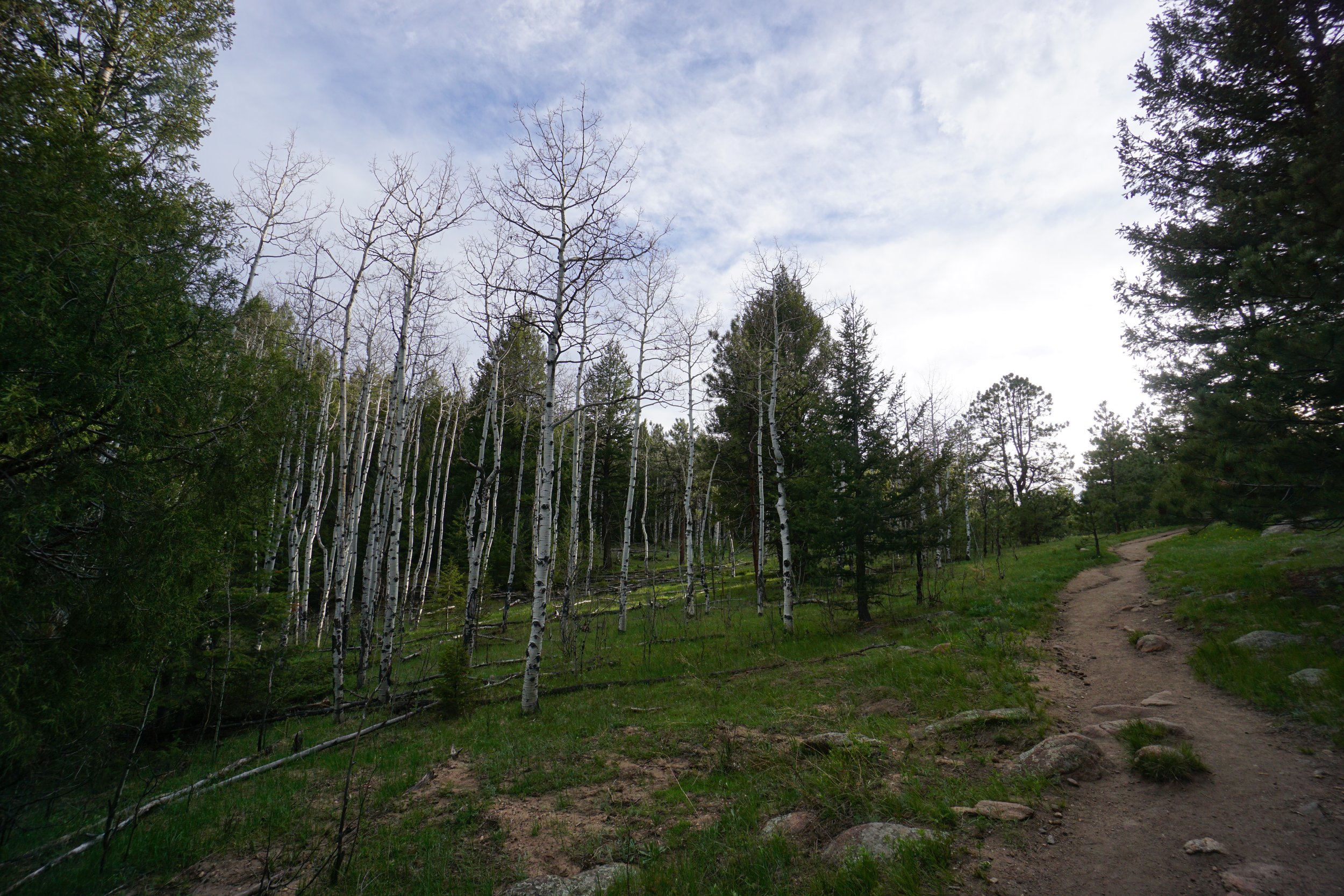
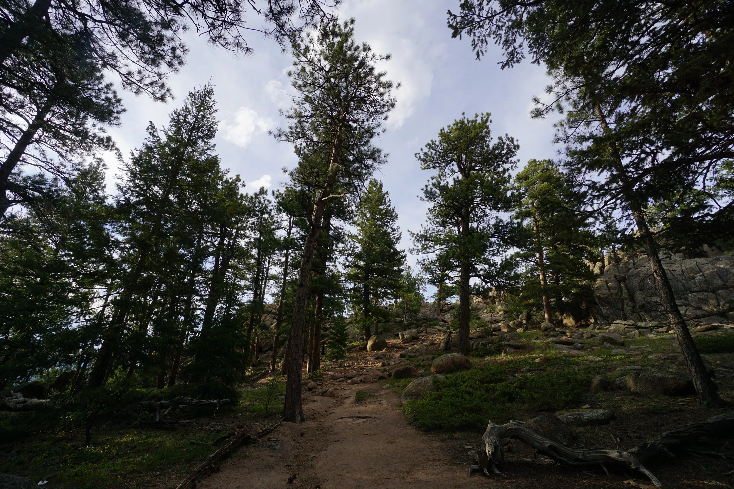
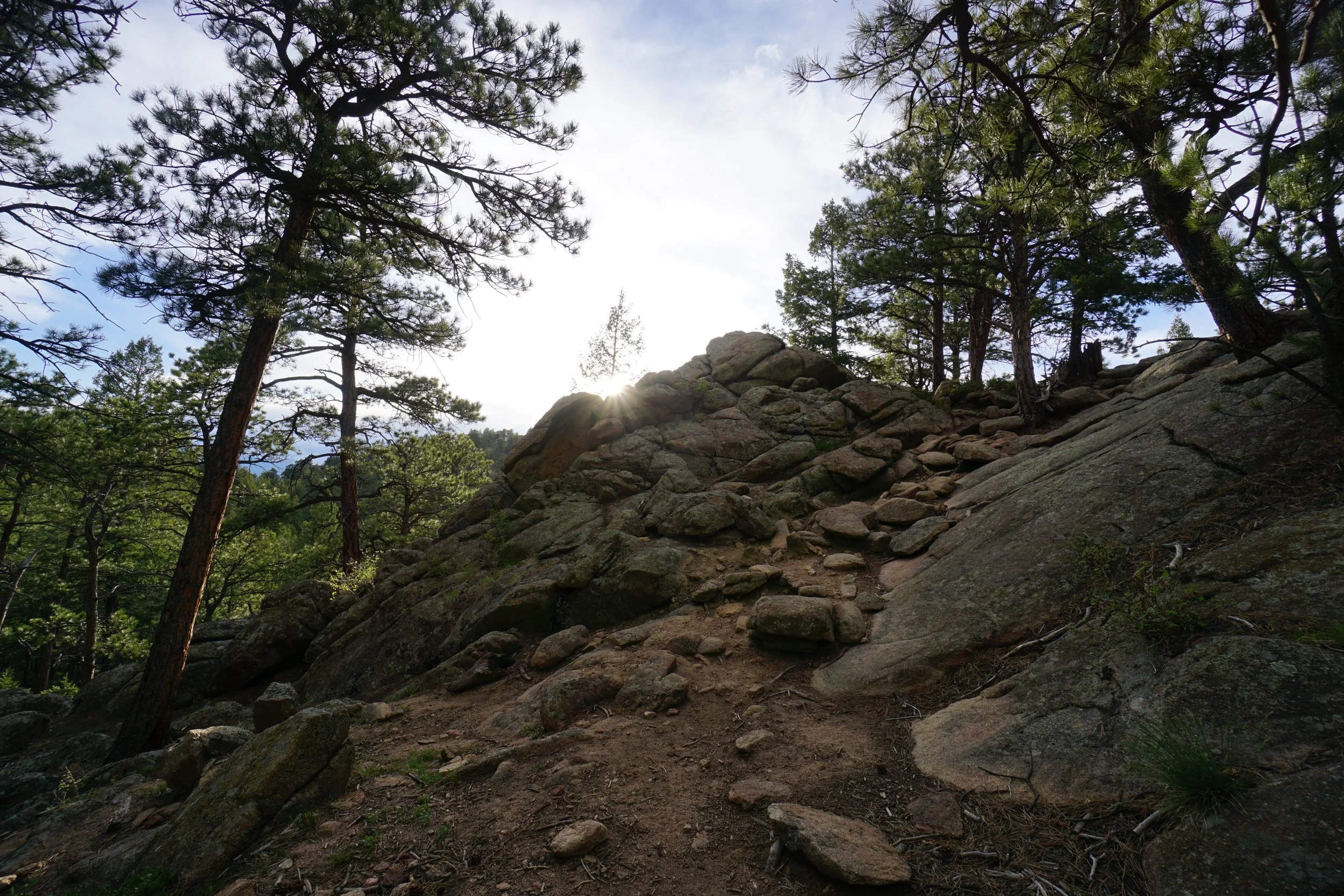
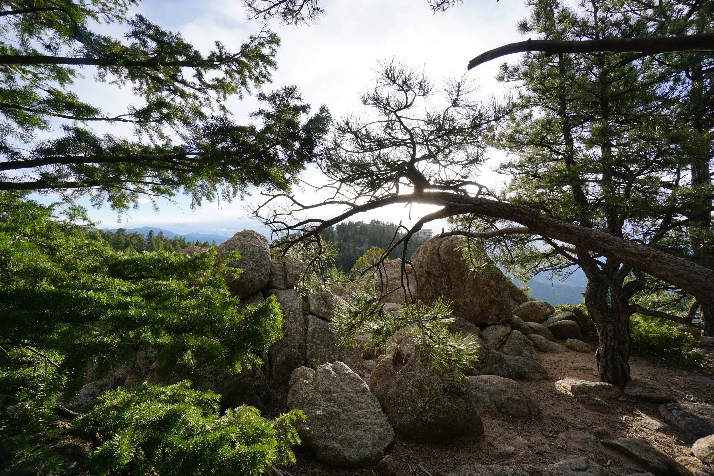
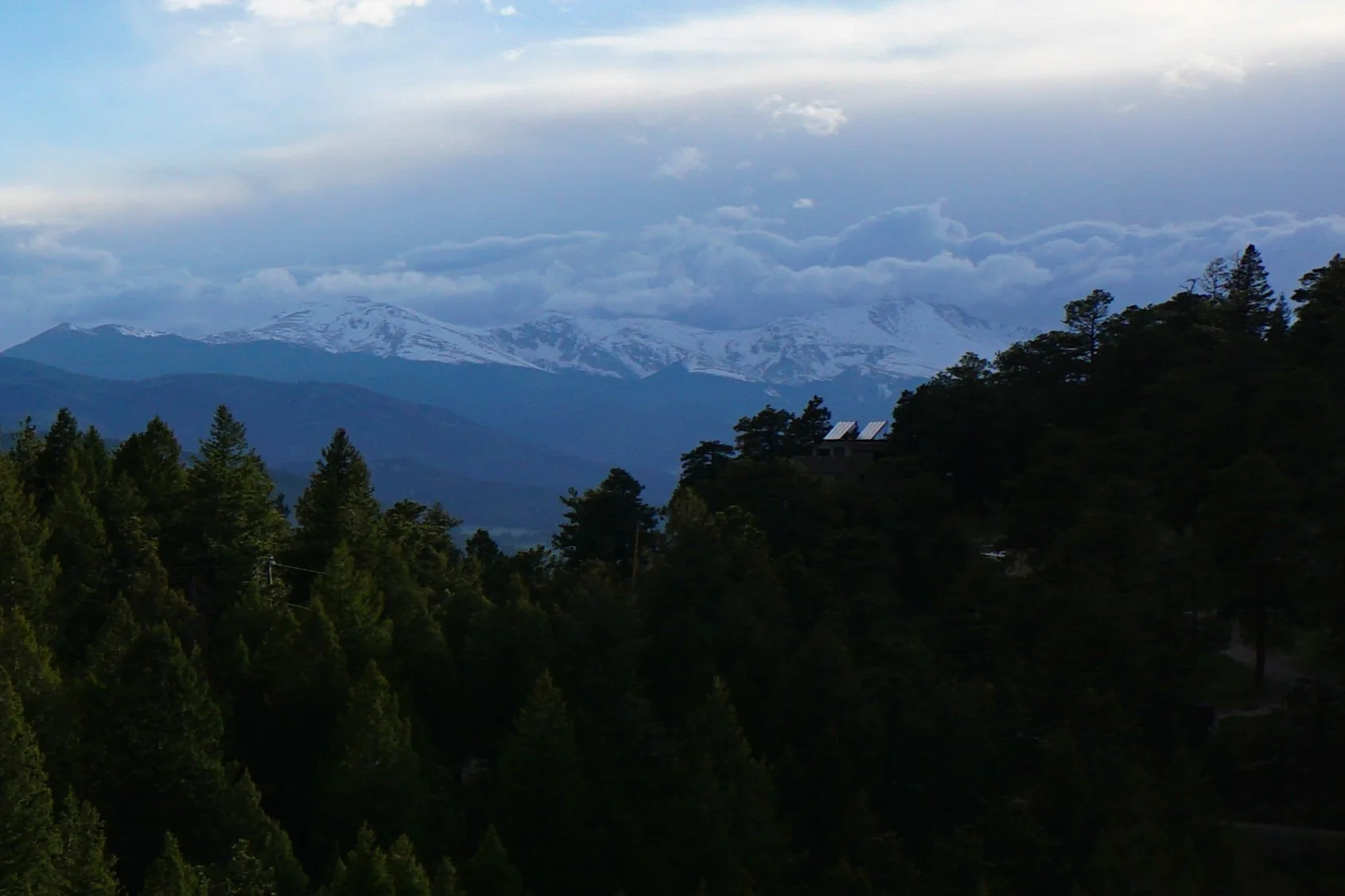
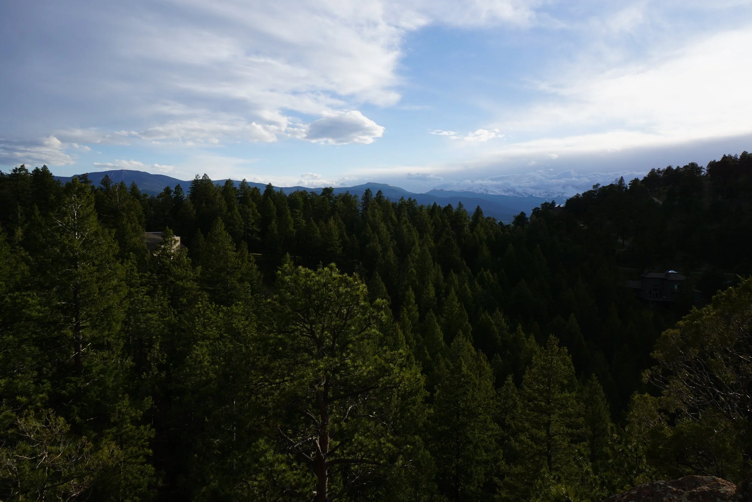
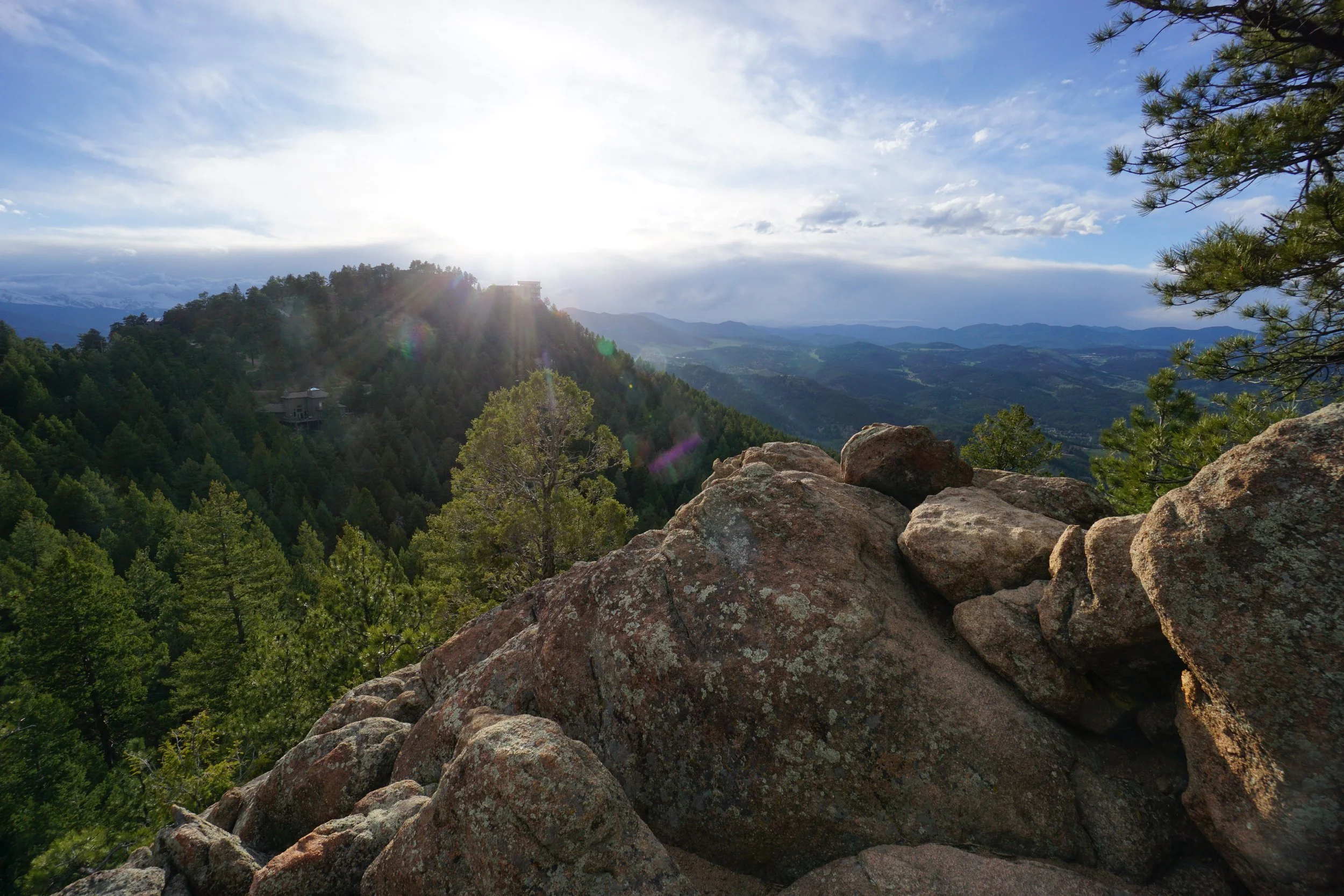
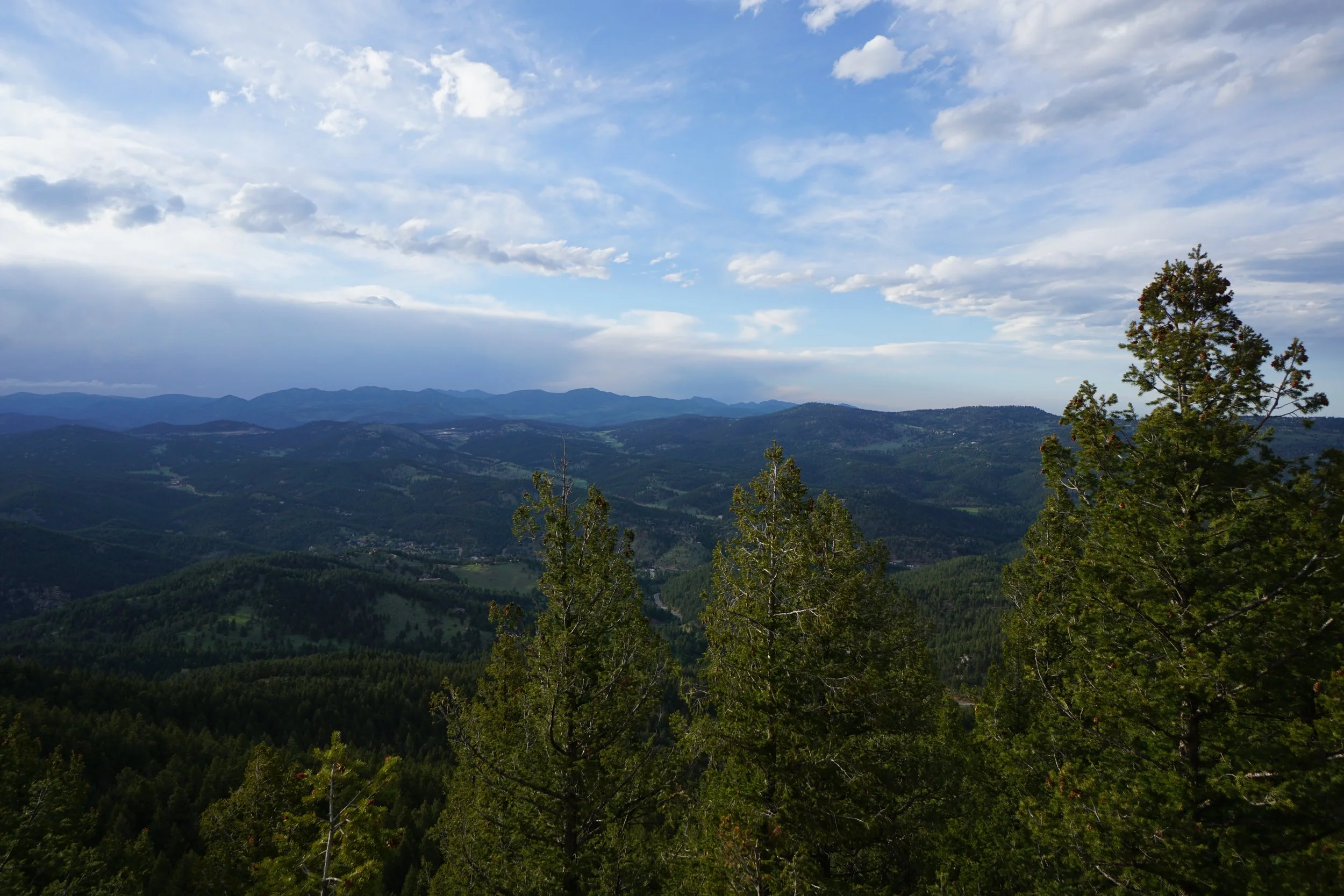
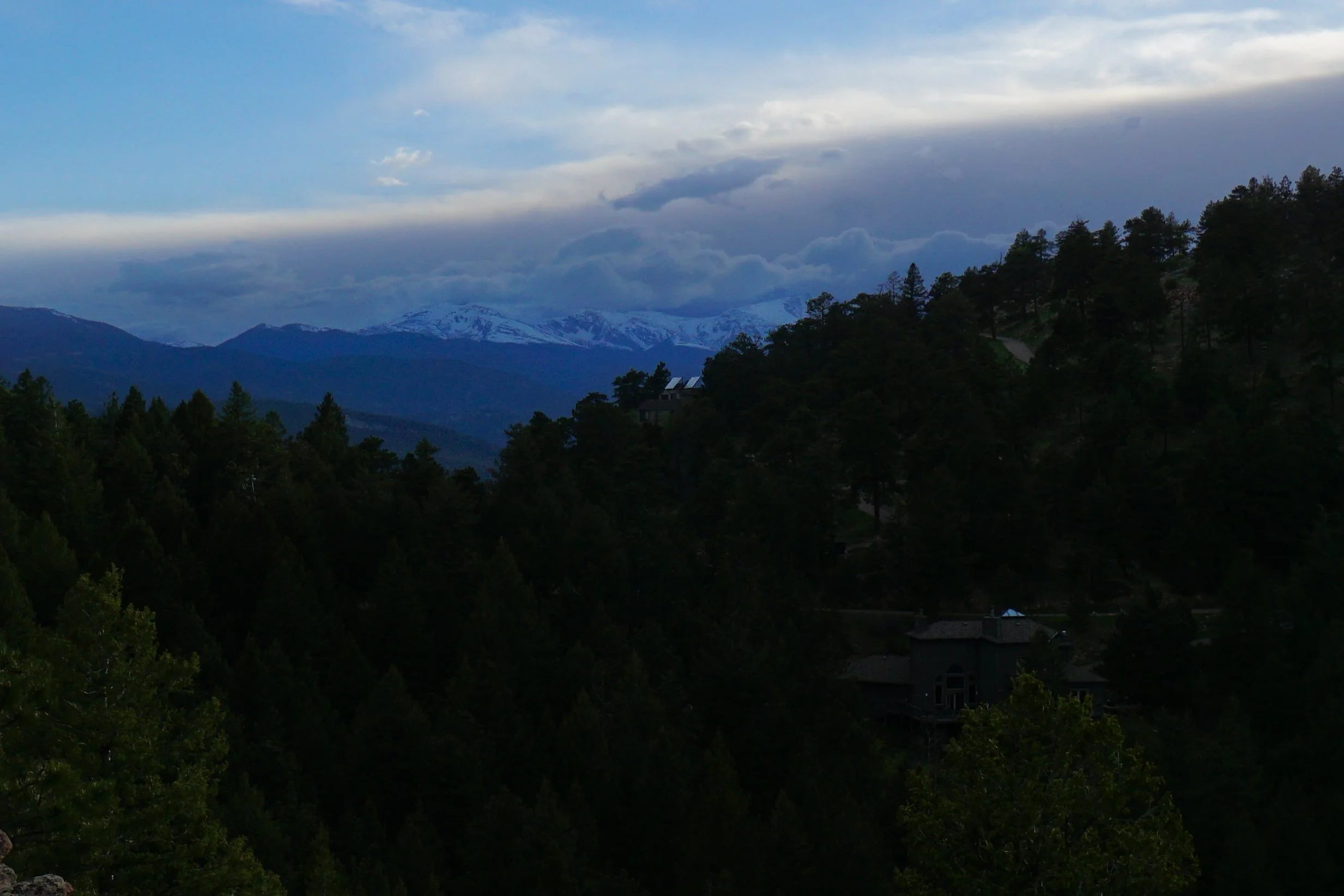
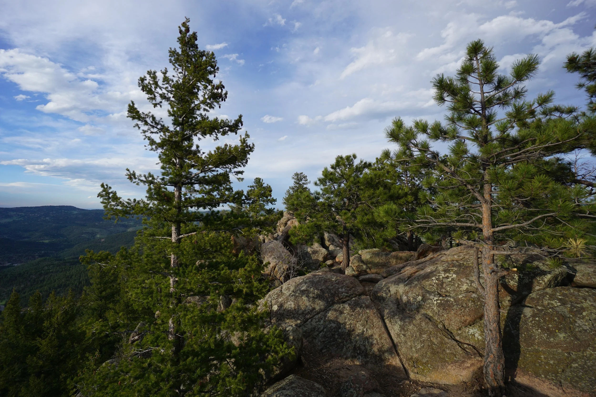
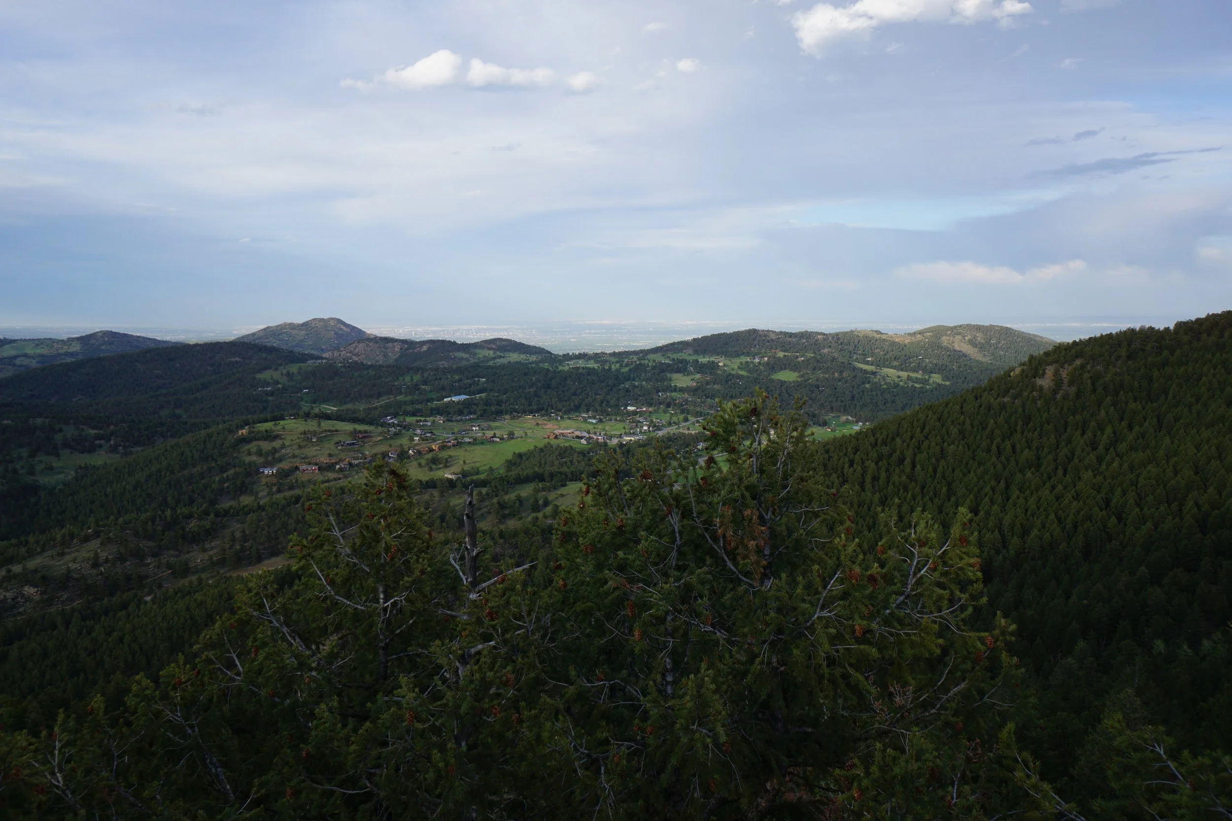
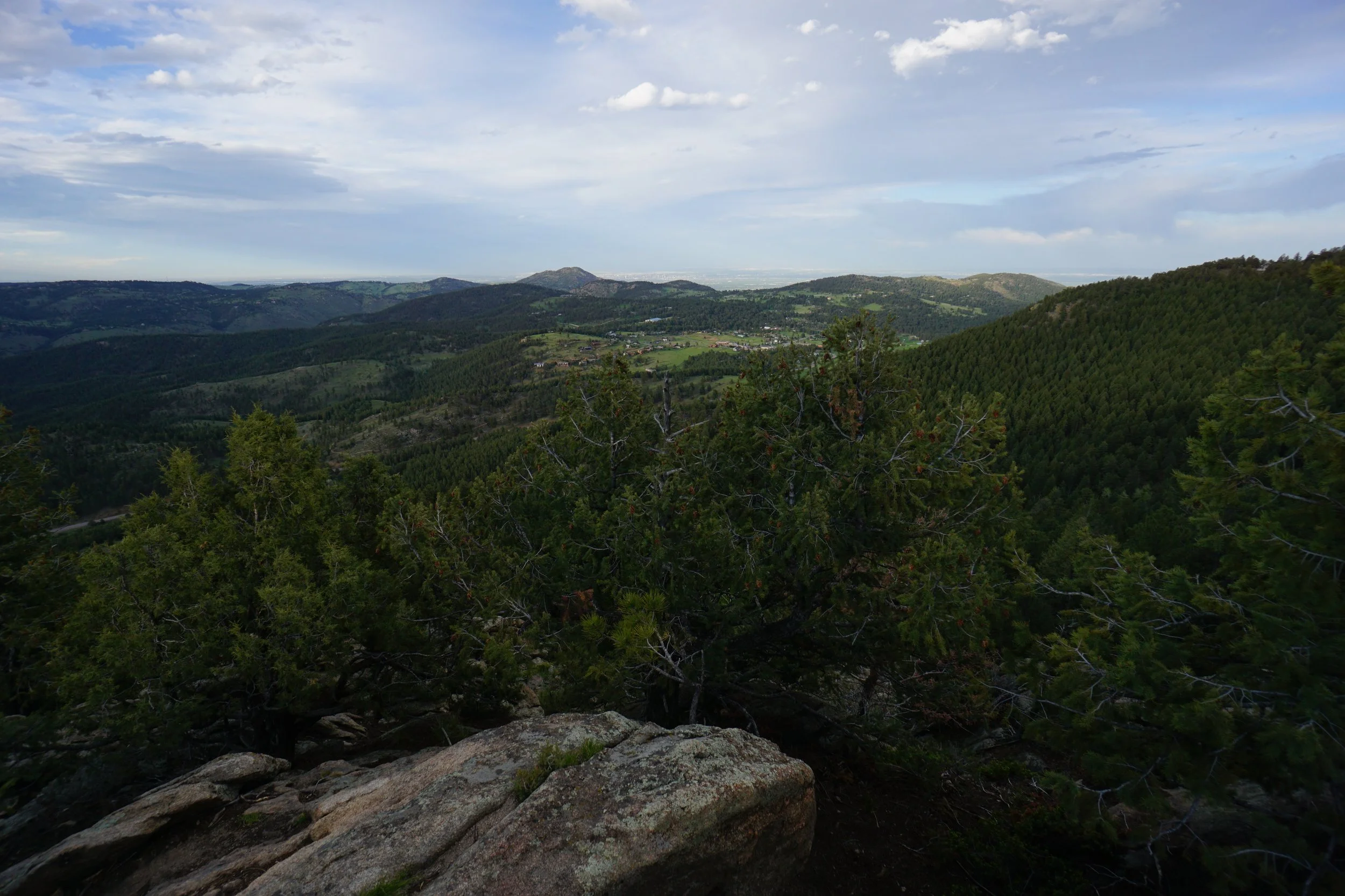
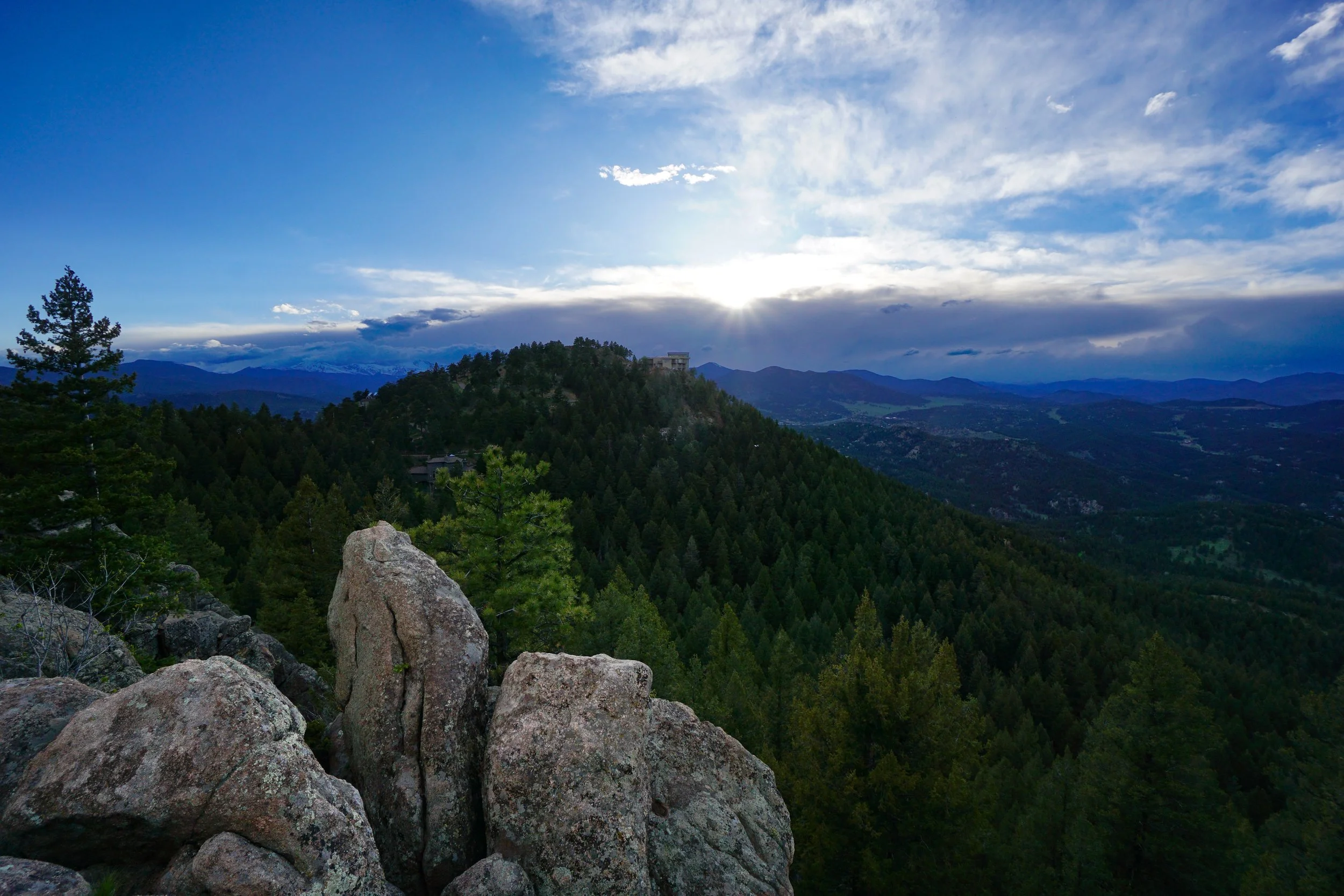
At the intersection with the Independence Mountain Trail, head up through another steep switchback section with ever-increasing views. Not too long after, the trail mellows out in an Aspen grove. The final stretch is a fun scramble up the rock to various views. The “main” view is off to the left. The view is beautiful with Independence Mountain (and it’s fancy homes) front and center. Behind and to the left is the Mount Blue Sky massif and behind and to the right is a sea of wooded peaks with the Continental Divide peaks in the distance of a clear day. You can also scramble across the rock for southern views and eastern views of Evergreen and Denver beyond.
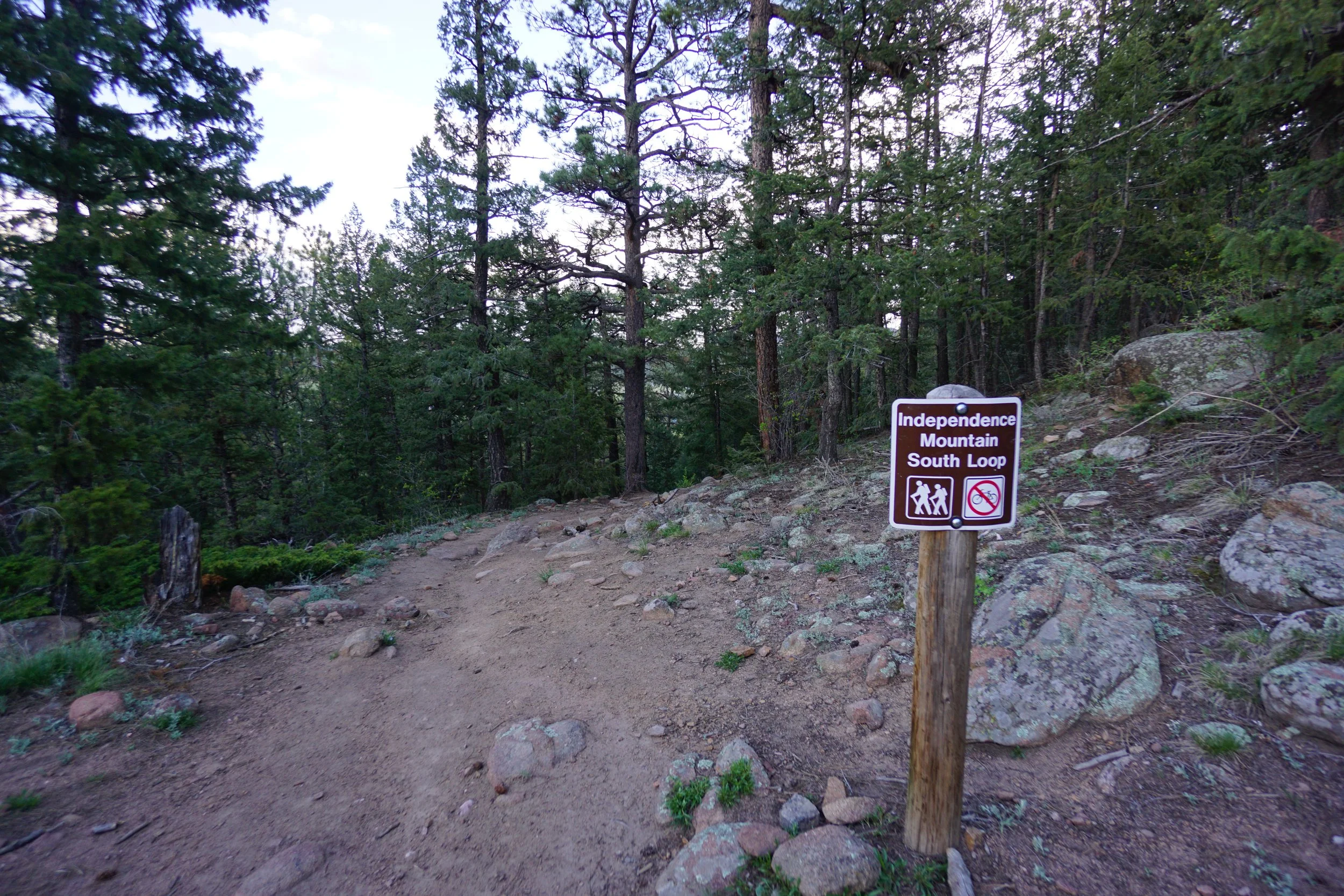
On the way back, take the Independence Mountain South Loop for a shorter hike back to the Trailhead.