Pearl Lake Connector Trail
Pearl Lake State Park
Date Hiked: July 2, 2022
Distance: 1.5 mi (RT)
Elevation Gain: minimal
Elevation Min/Max: 8,055 to 8,090 ft
Trailhead Lat/Long: 40.78562, -106.89207
Managing Agency: CO Div. of Parks & Wildlife
Fee: Yes
DIRECTIONS:
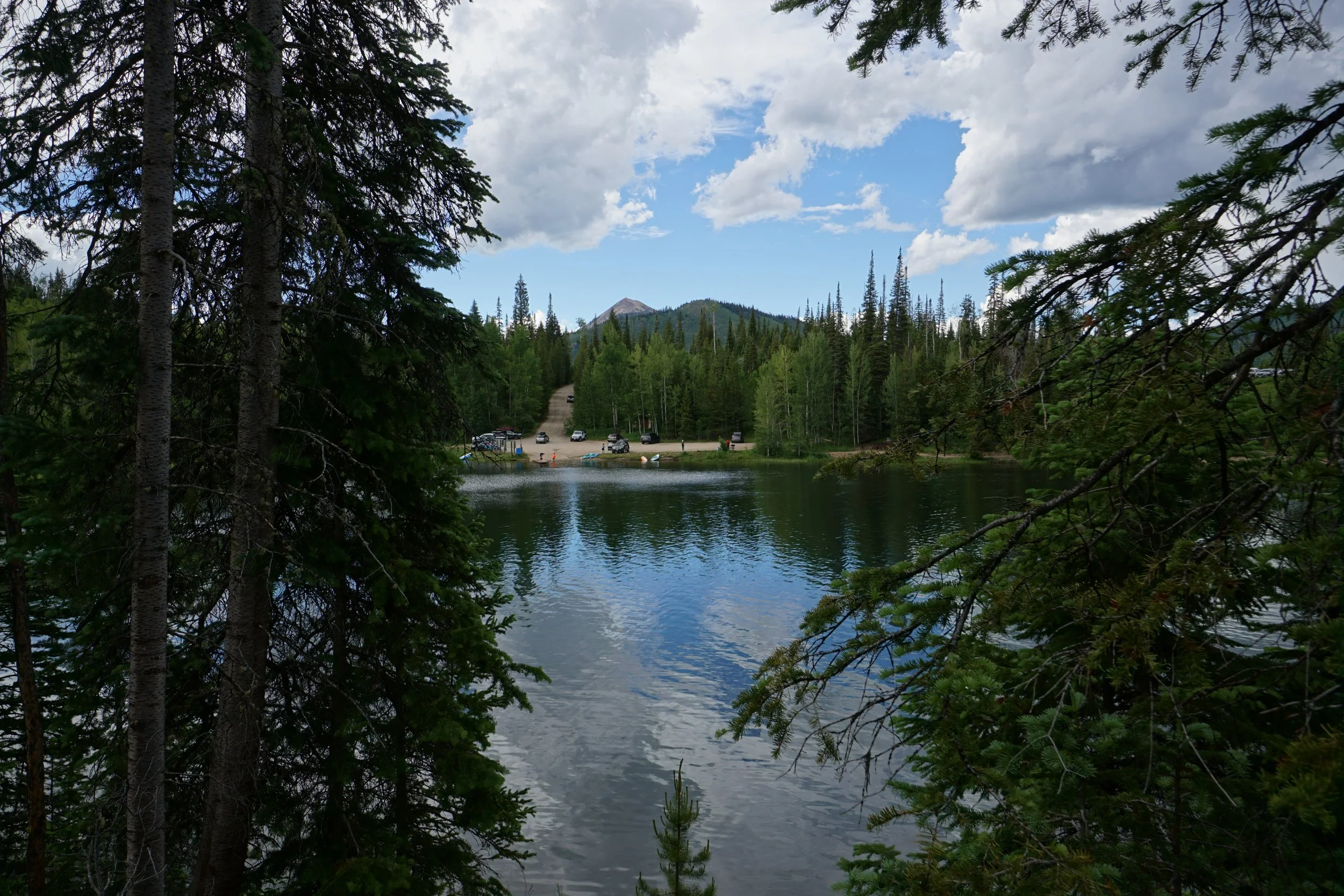
From Steamboat Springs, head west on Hwy 14 and turn right (north) onto County Road 129. Follow CO 129 for 22.5 miles and turn right (east) on Co. Rd 209 following signs for Pearl Lake State Park. Follow signs for “Trailhead” which is also at a small boat launch.
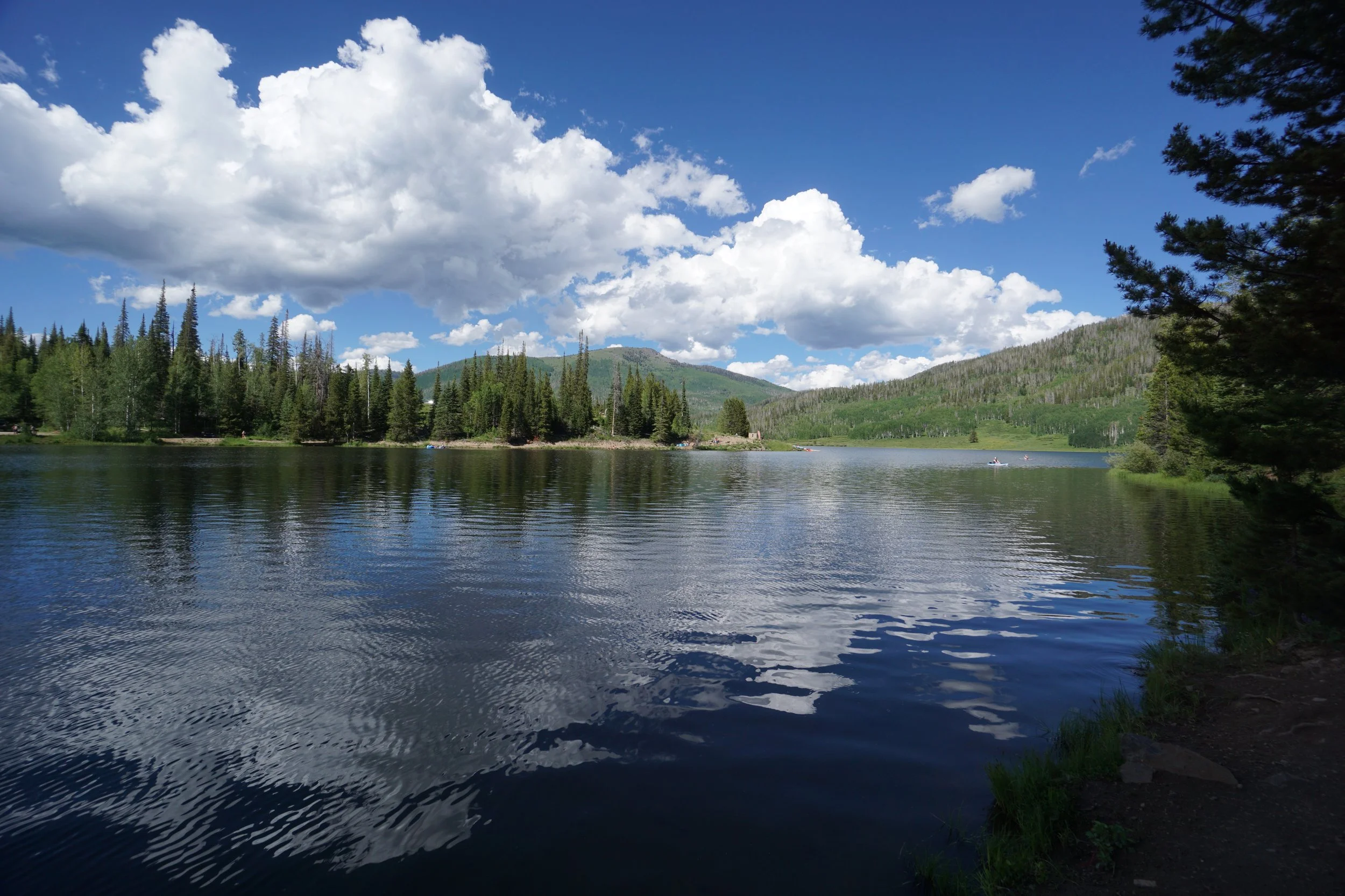
HIKE DESCRIPTION:
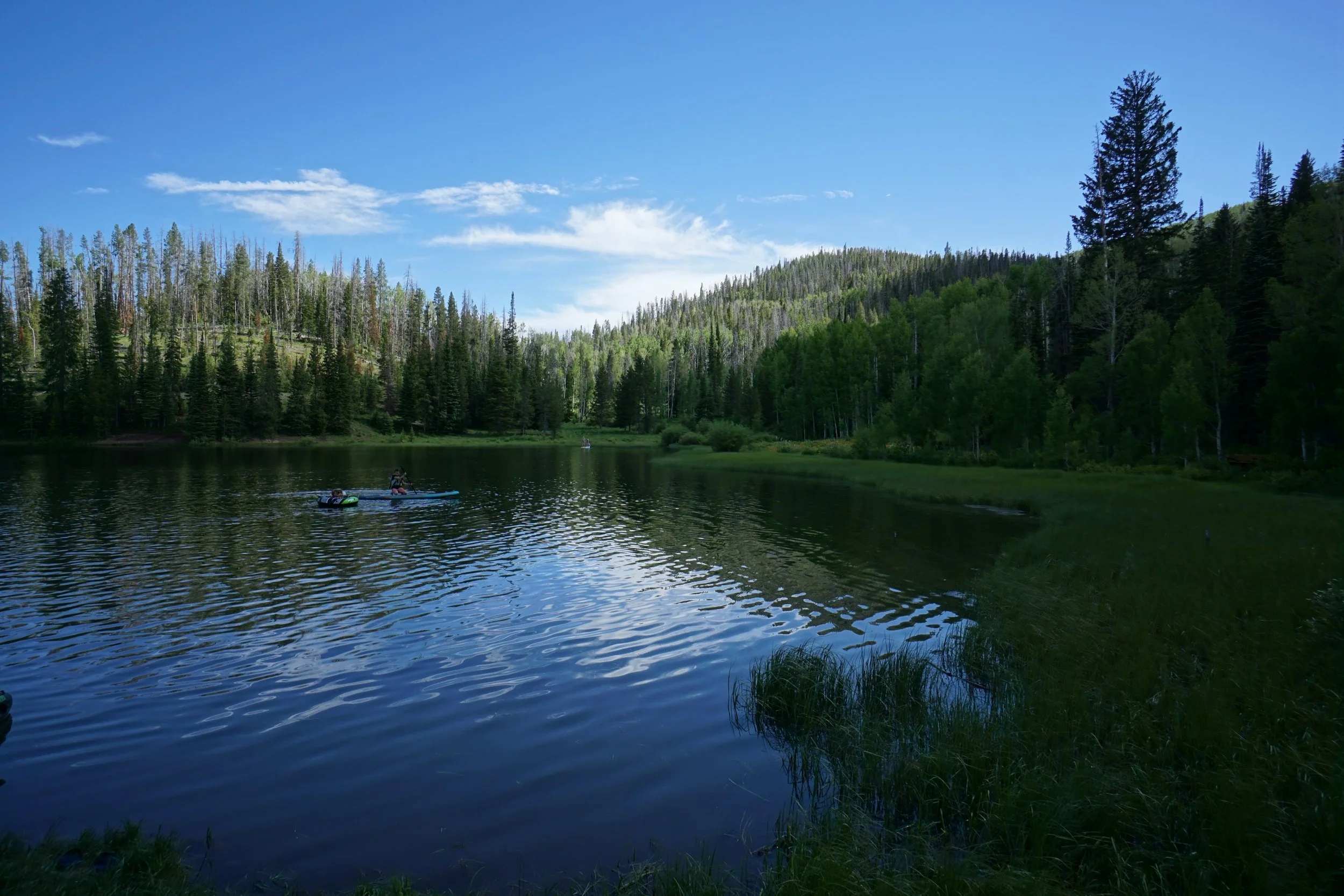
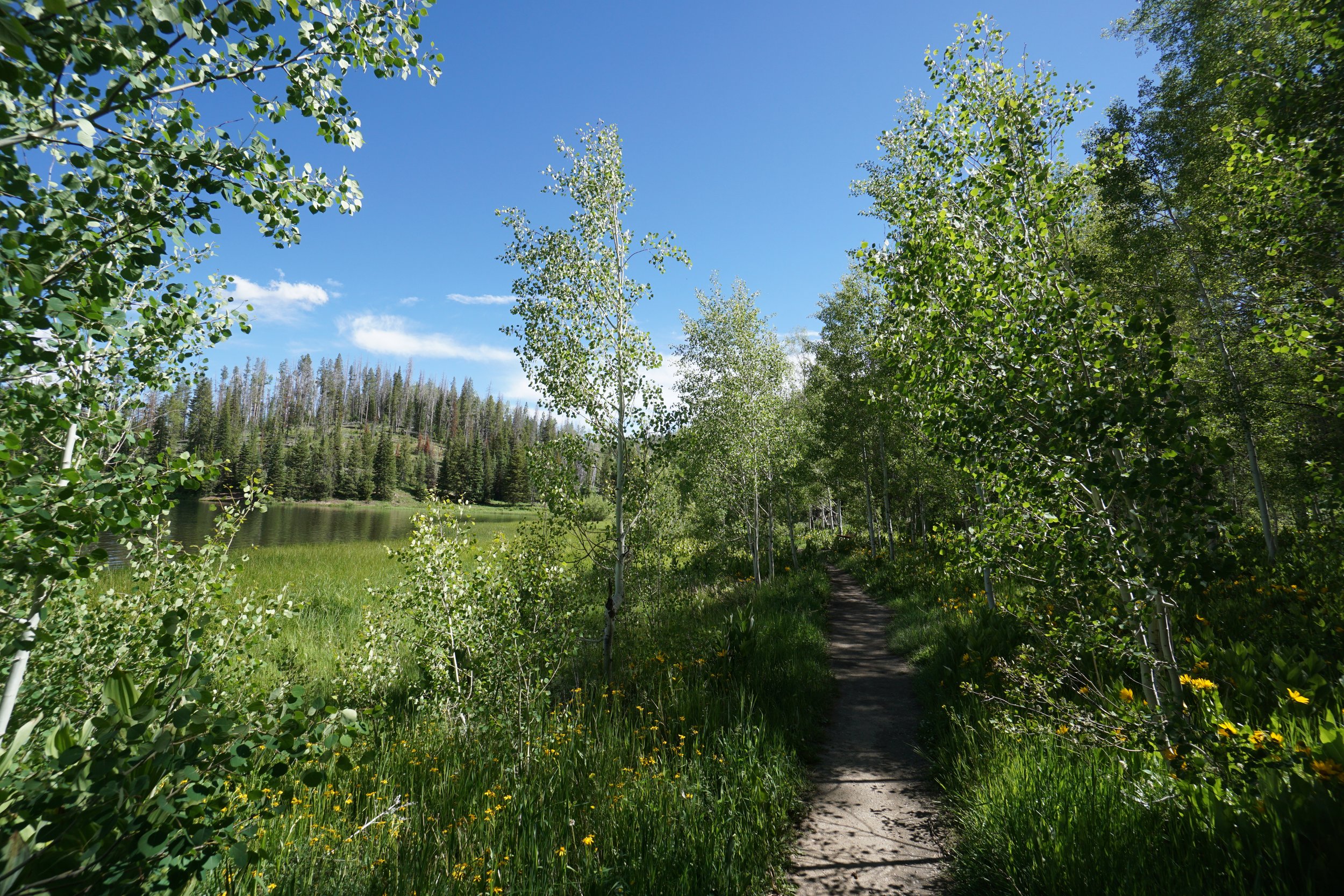
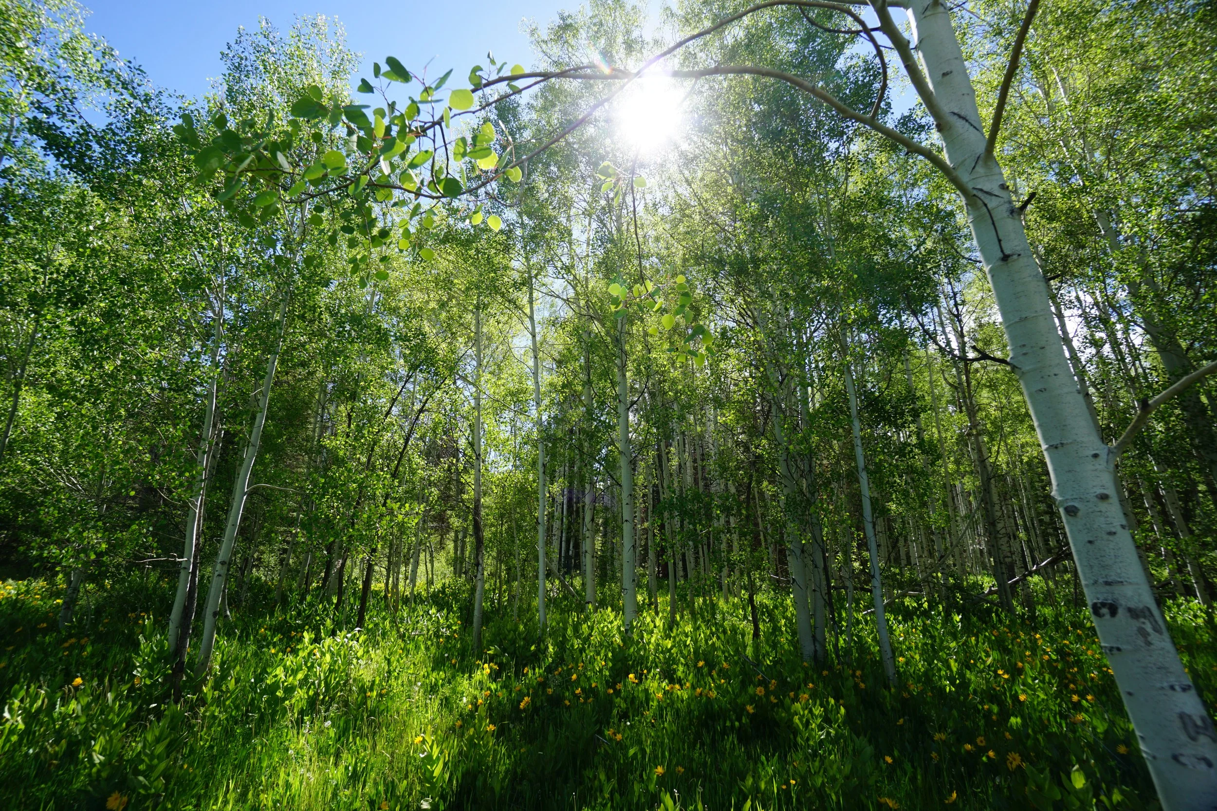
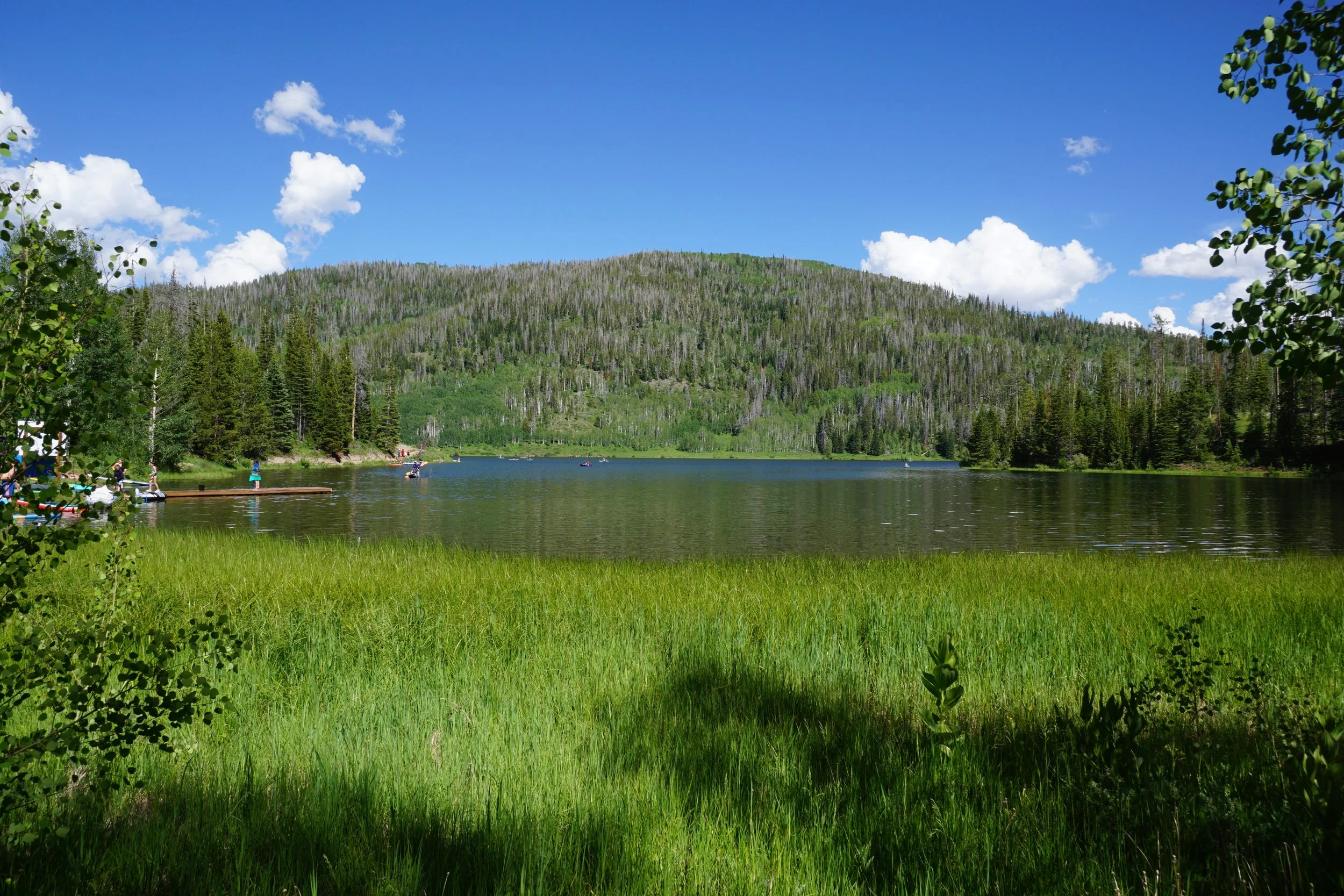
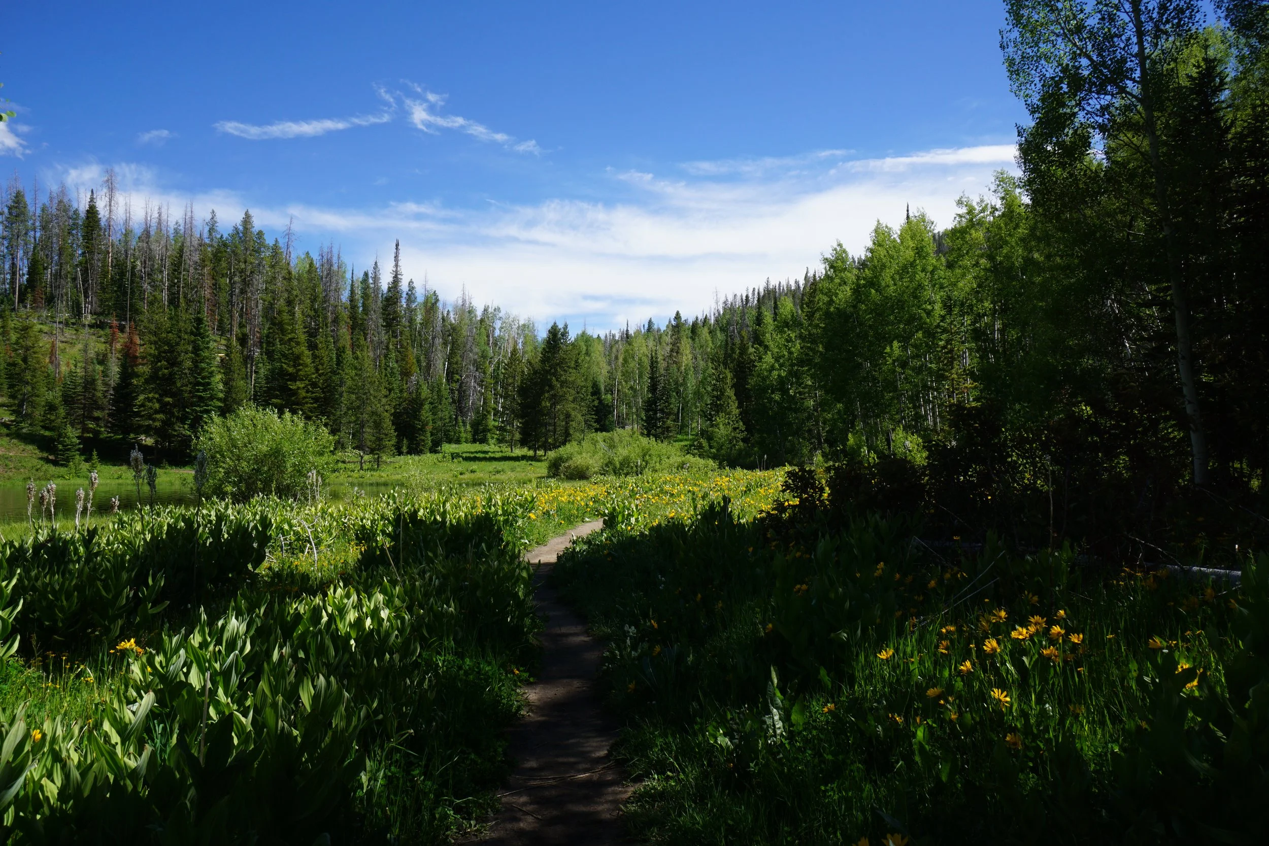
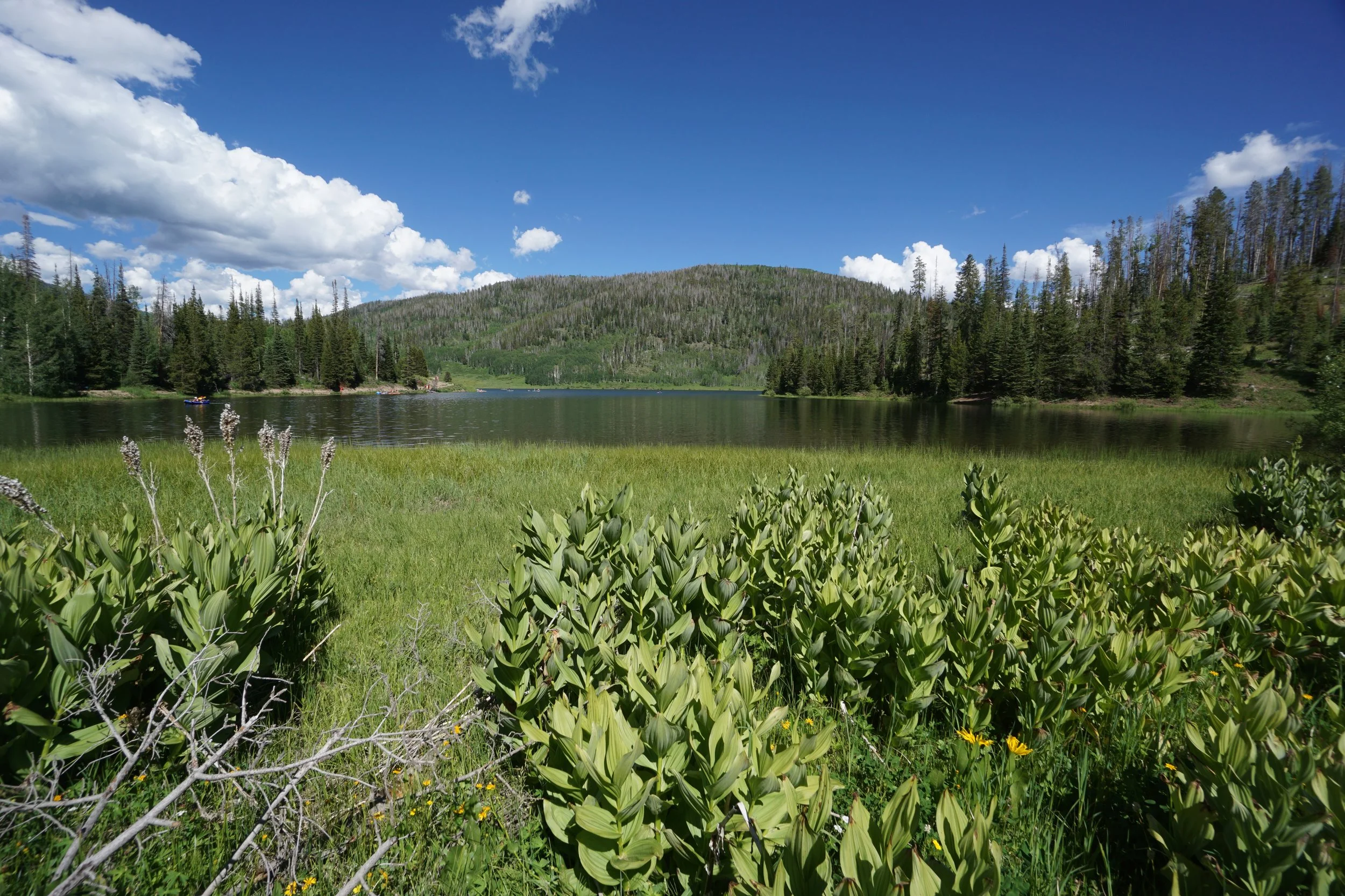
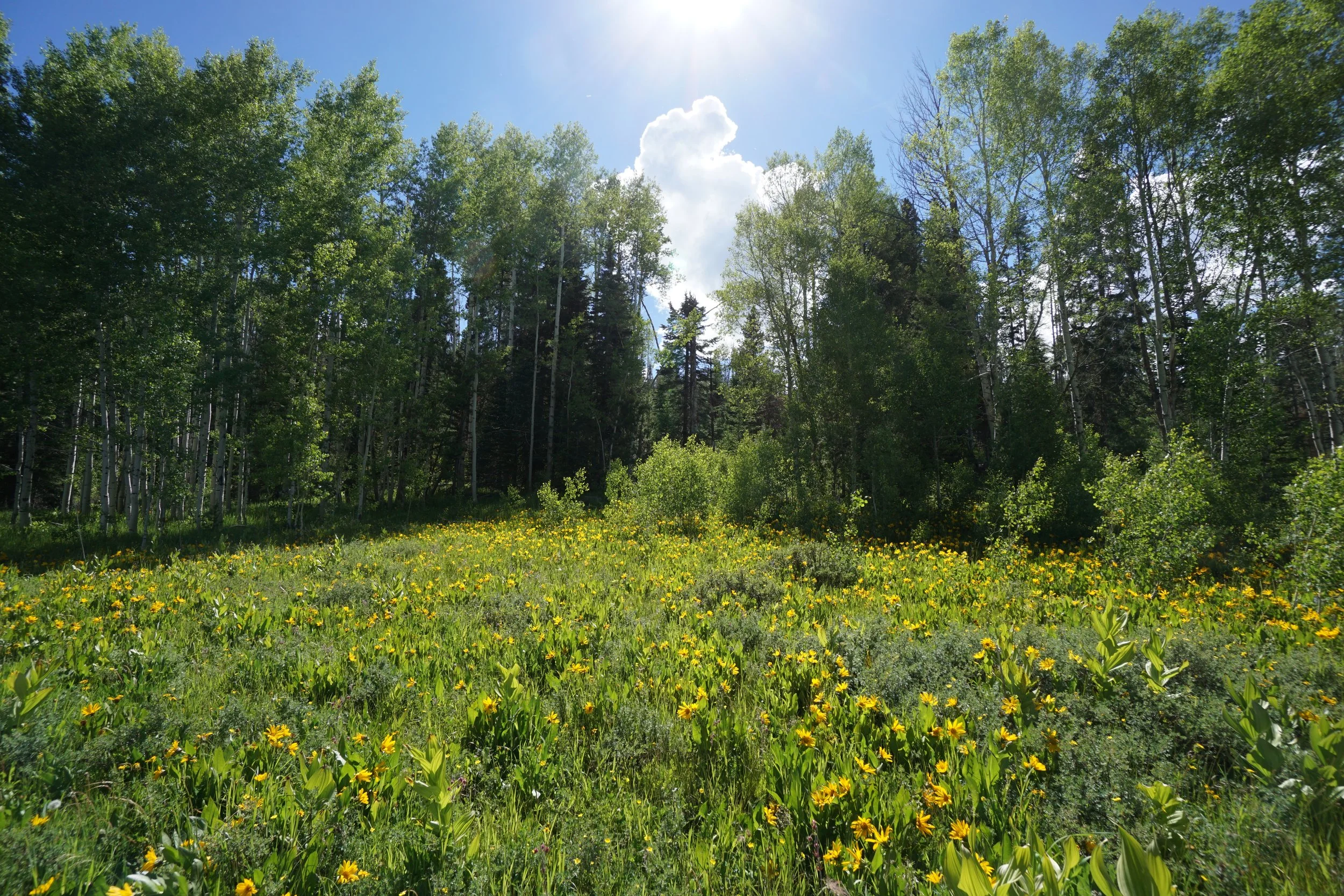
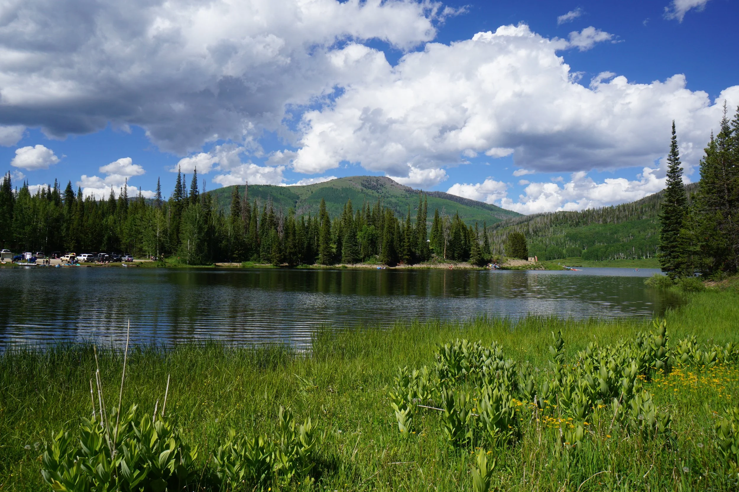
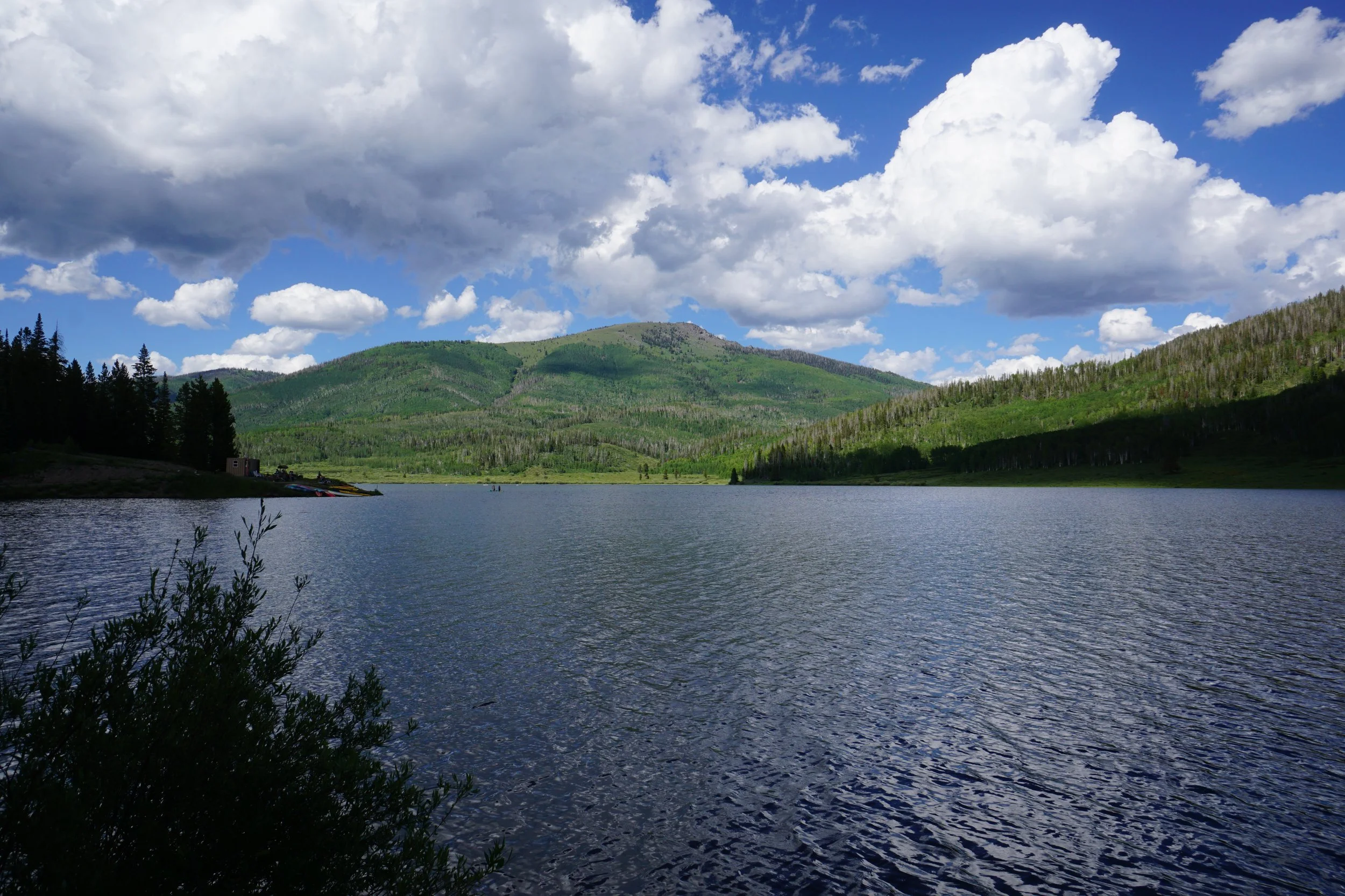
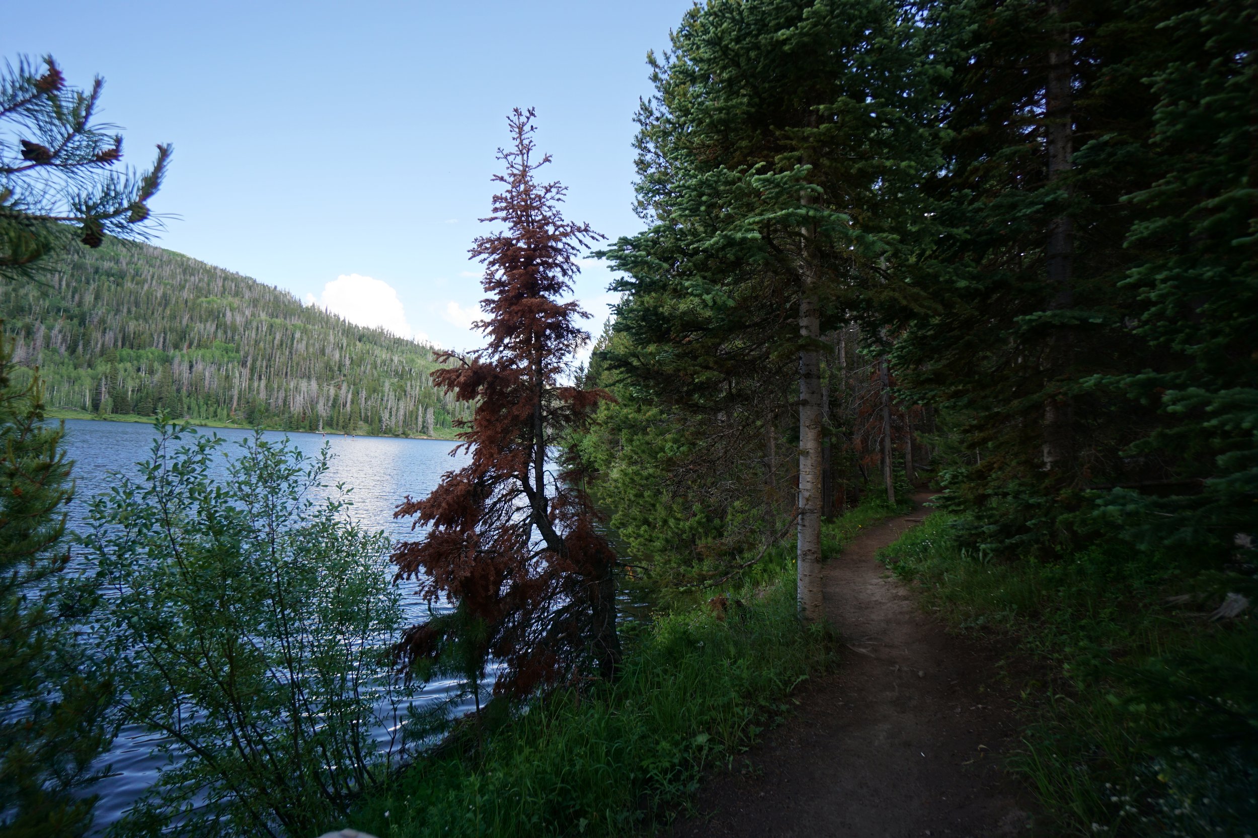
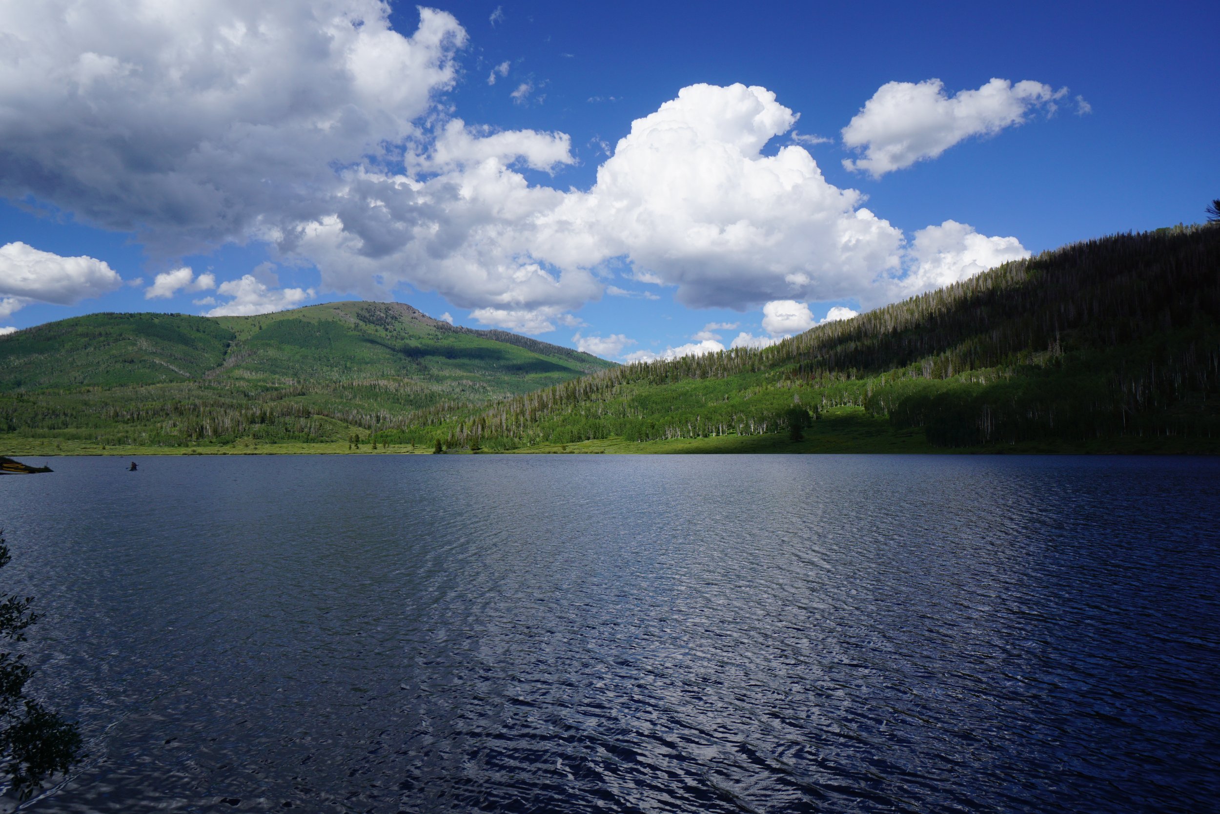
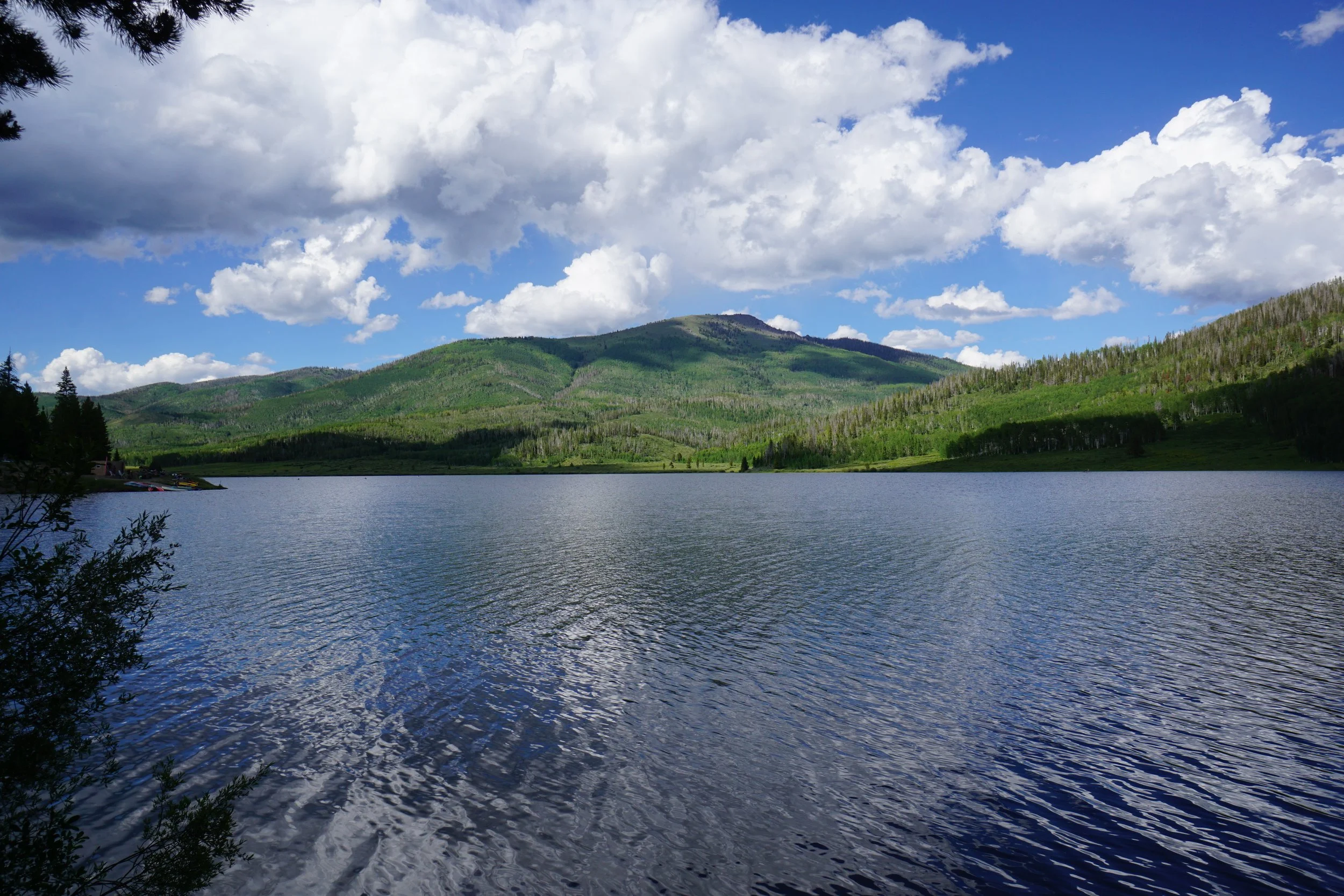
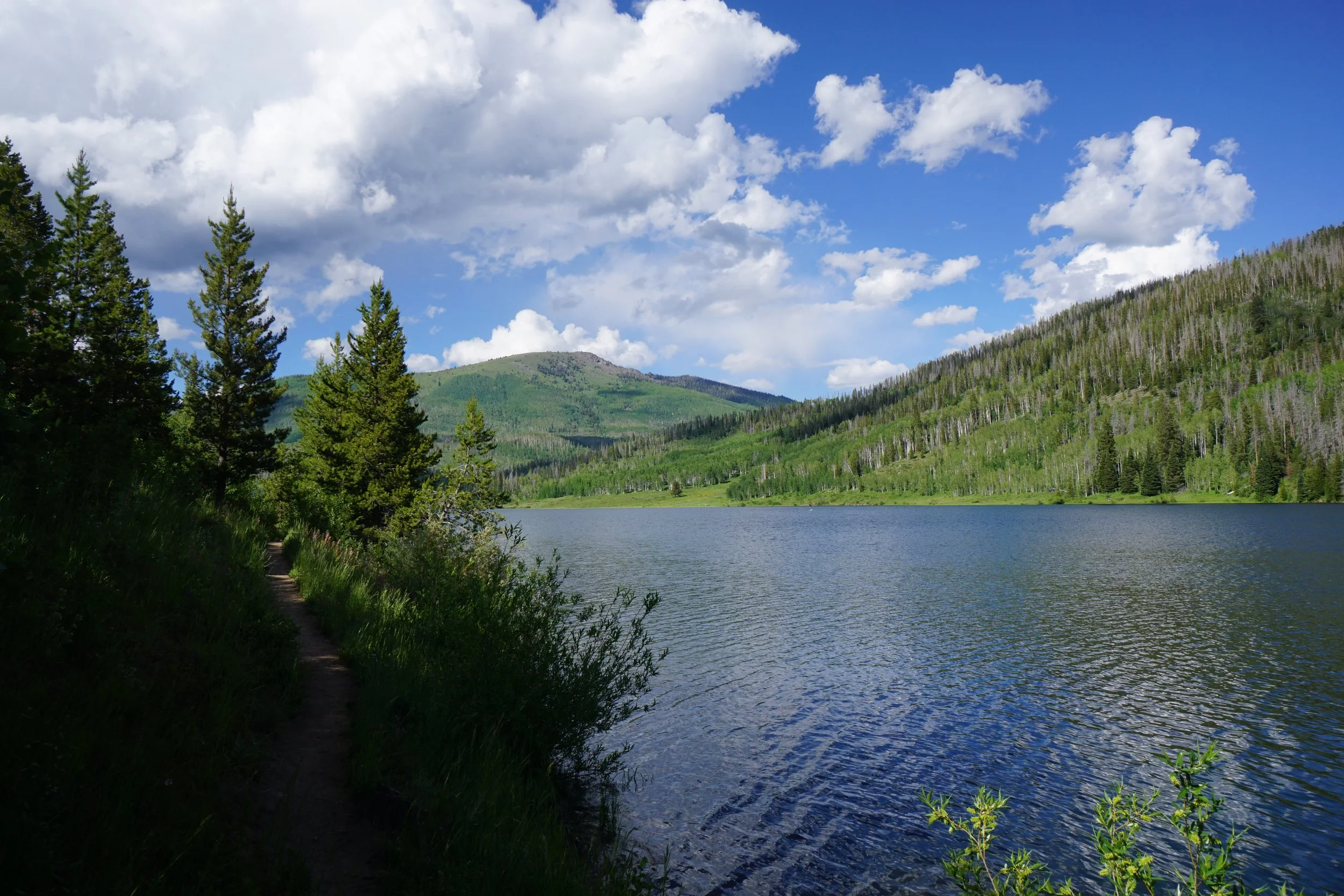
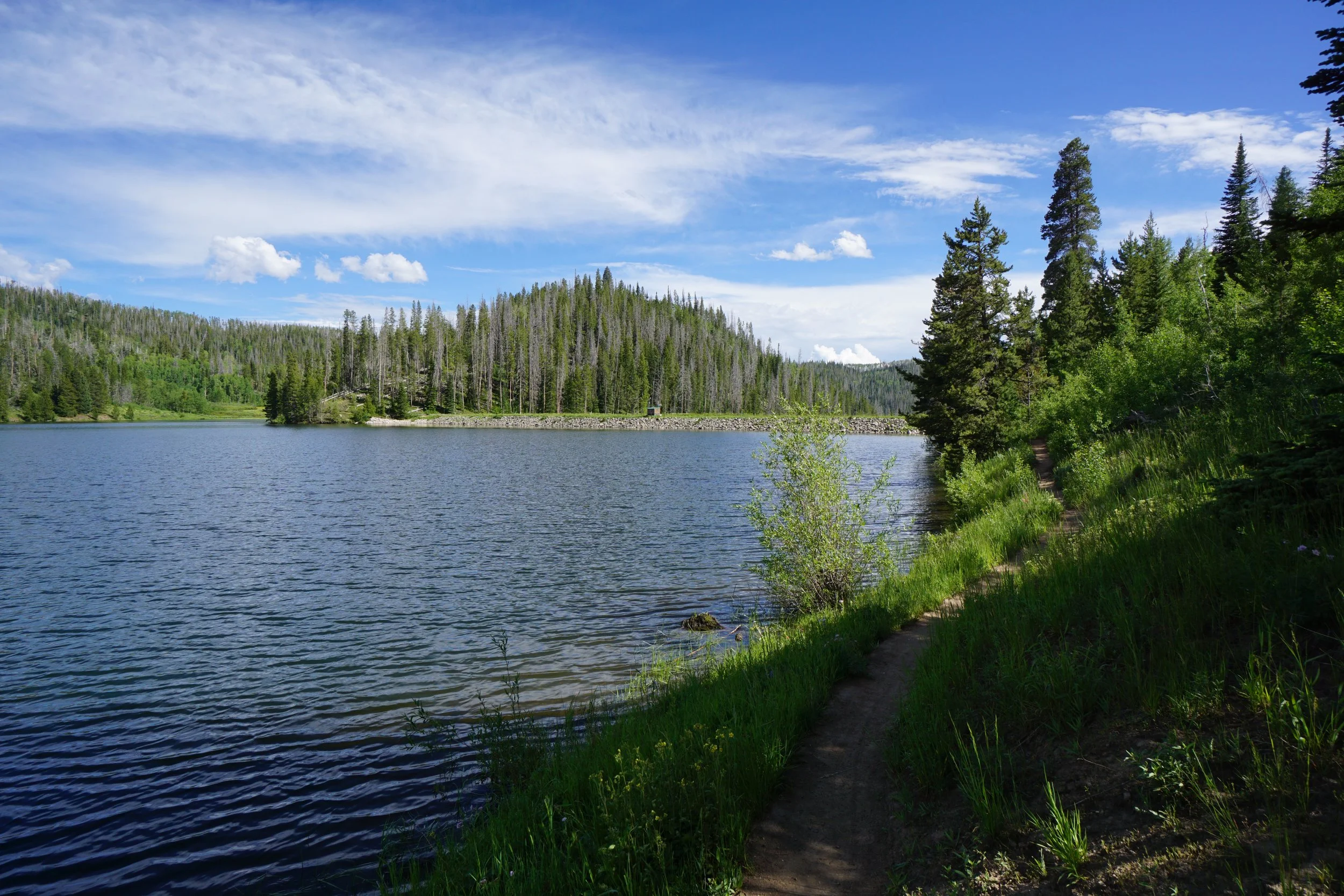
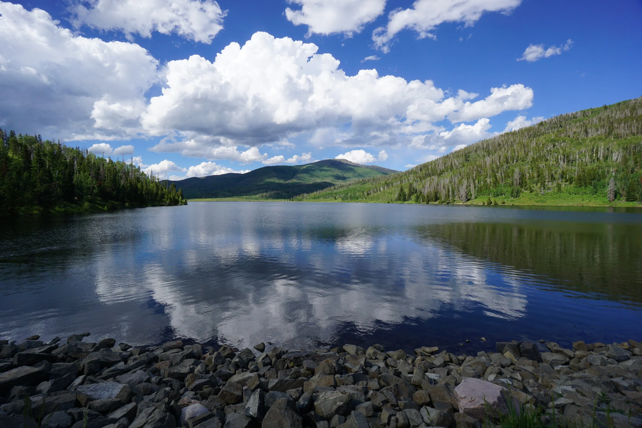
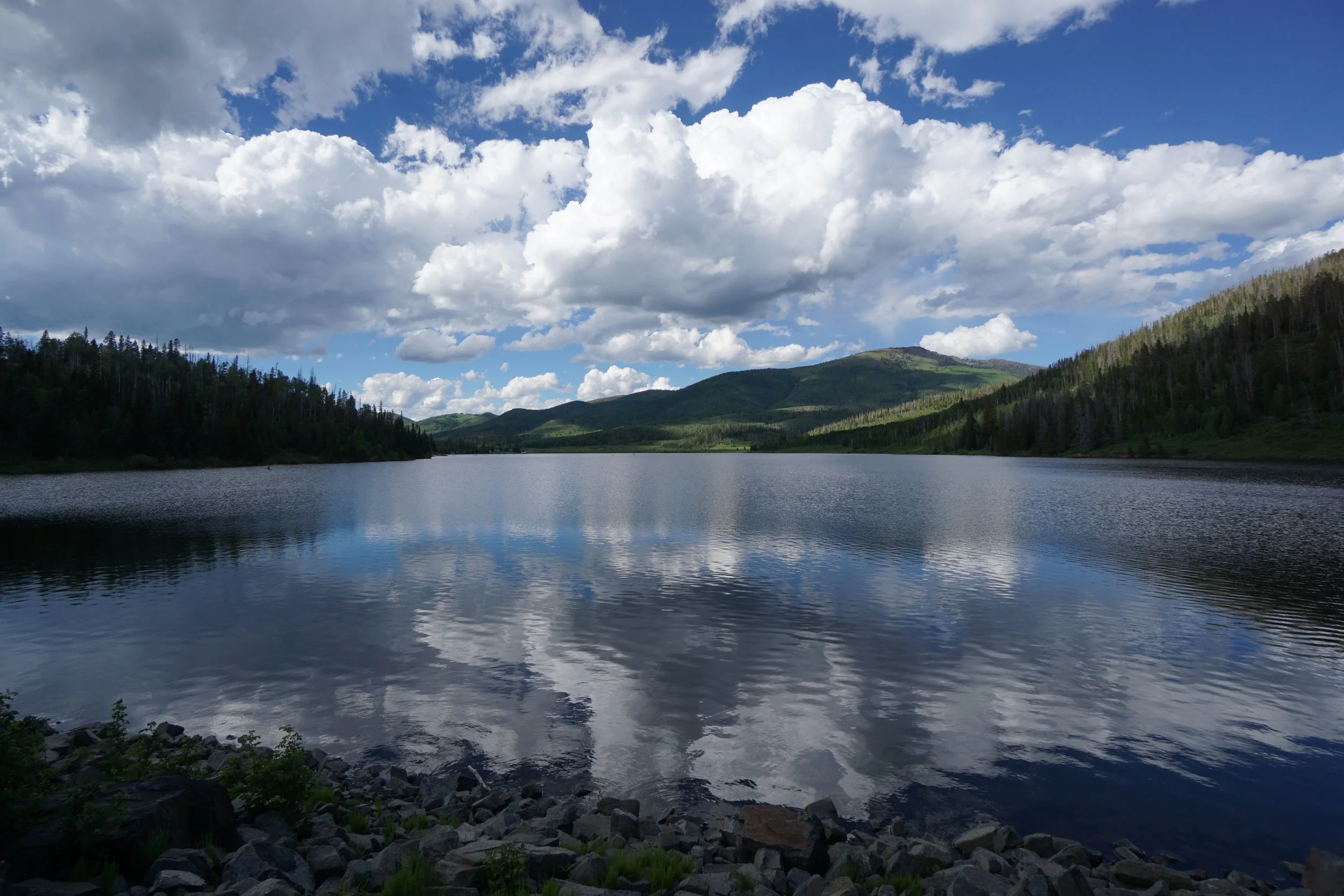
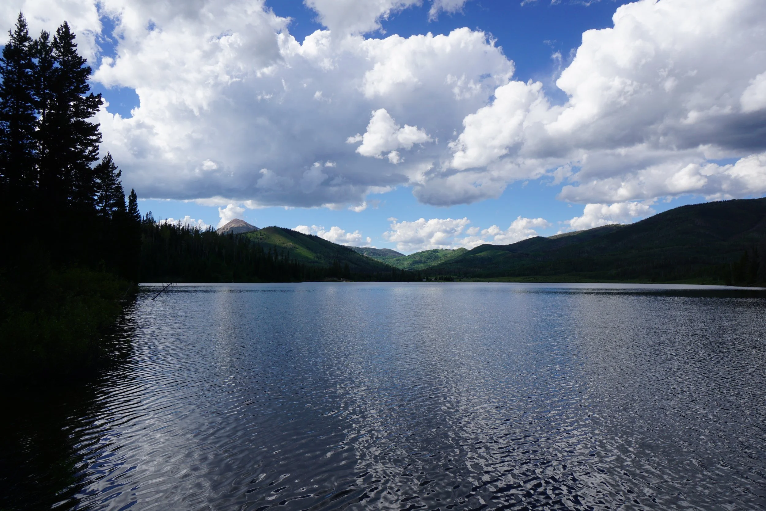
Pearl Lake State Park is a mecca for summertime water-based recreation. Most visitors to the park head into the larger, than it looks, lake on kayaks or paddle boards. However, there is a really nice trail that skirts the western shore of the lake and eventually joins with a Routt National Forest trail. The backdrop is serene with forested mountain slopes stretching off to the distance.
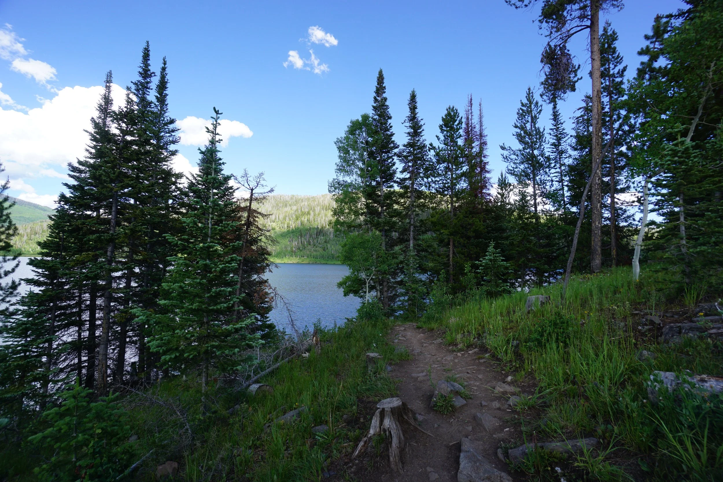
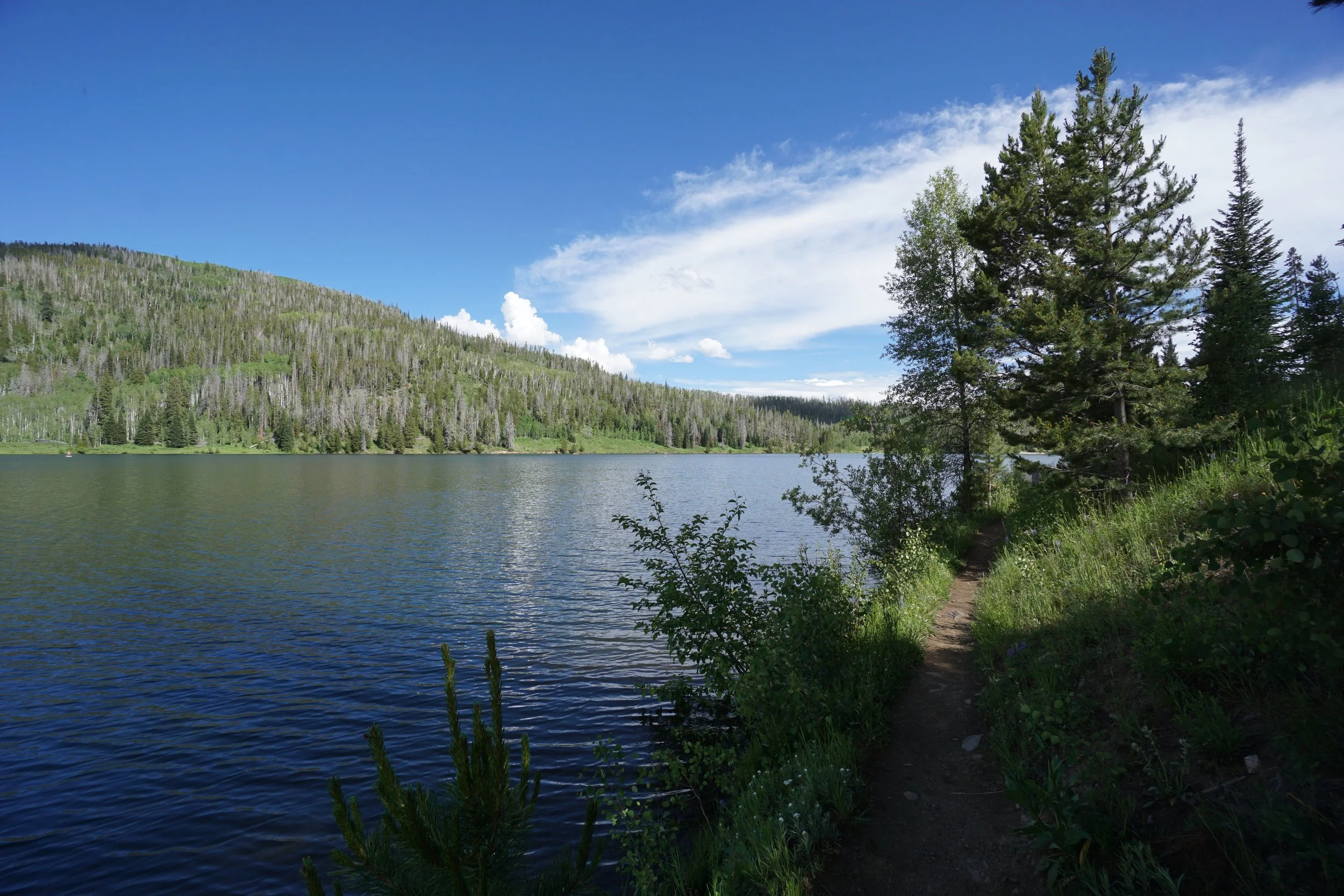
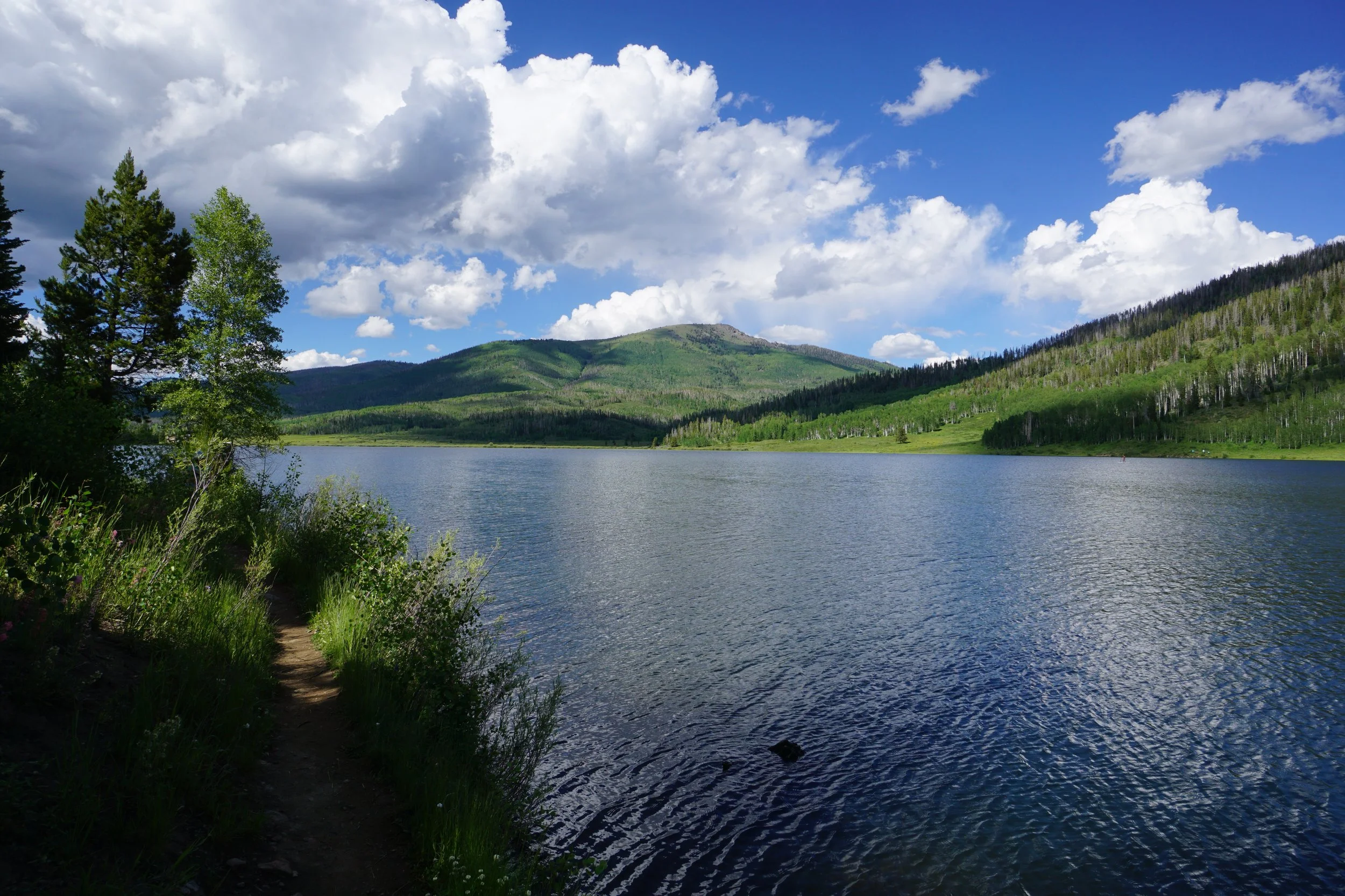
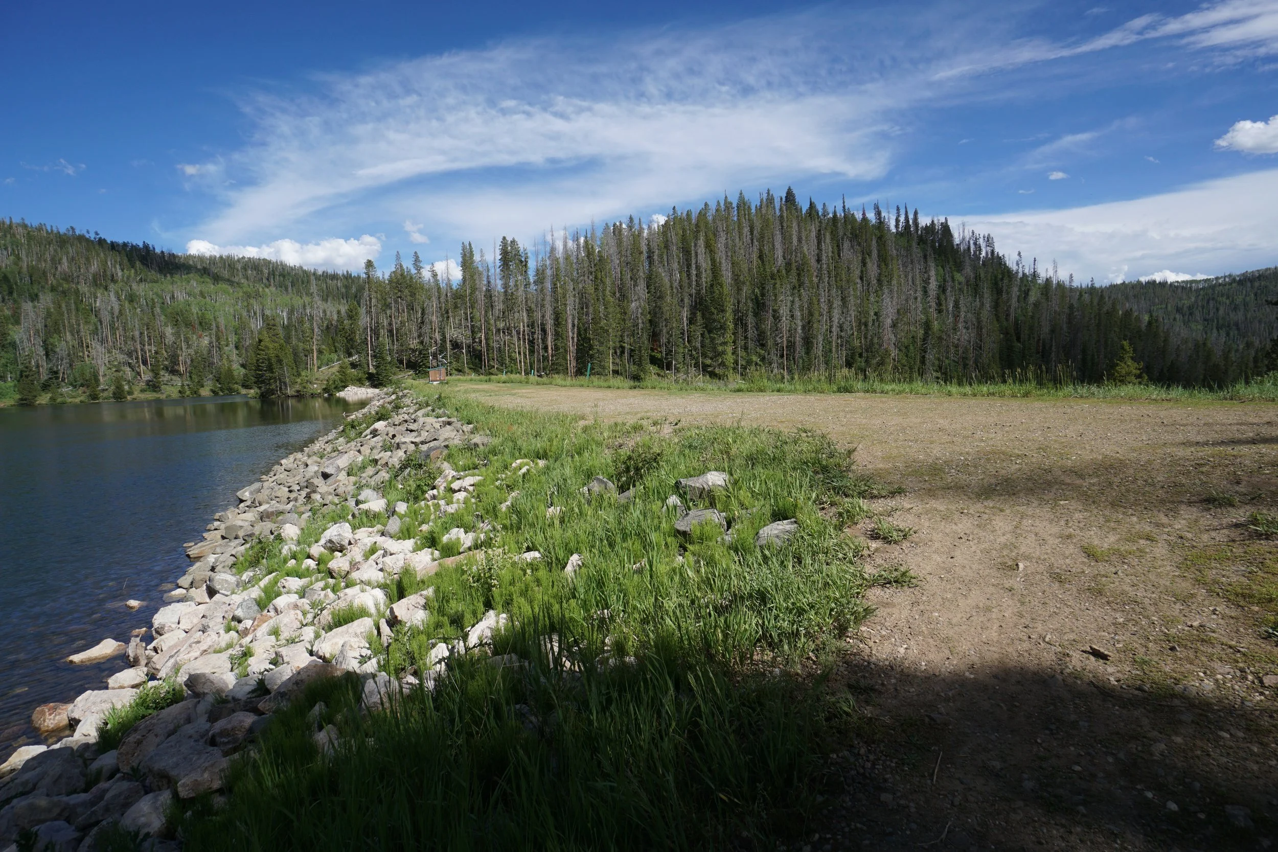
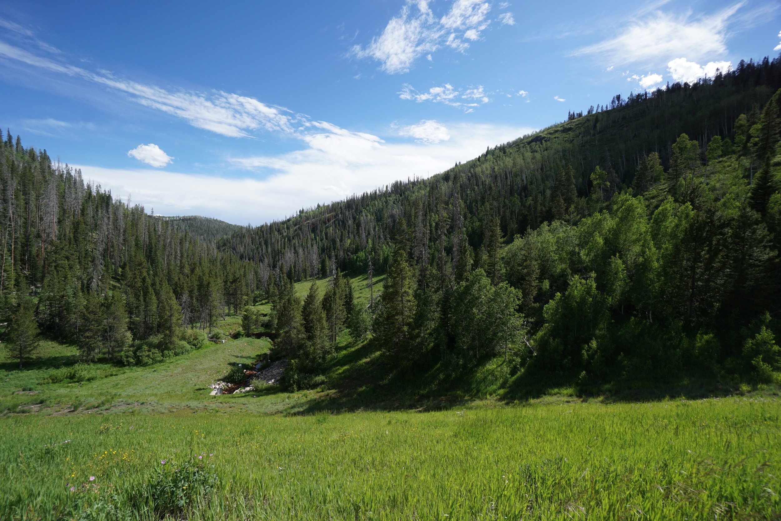
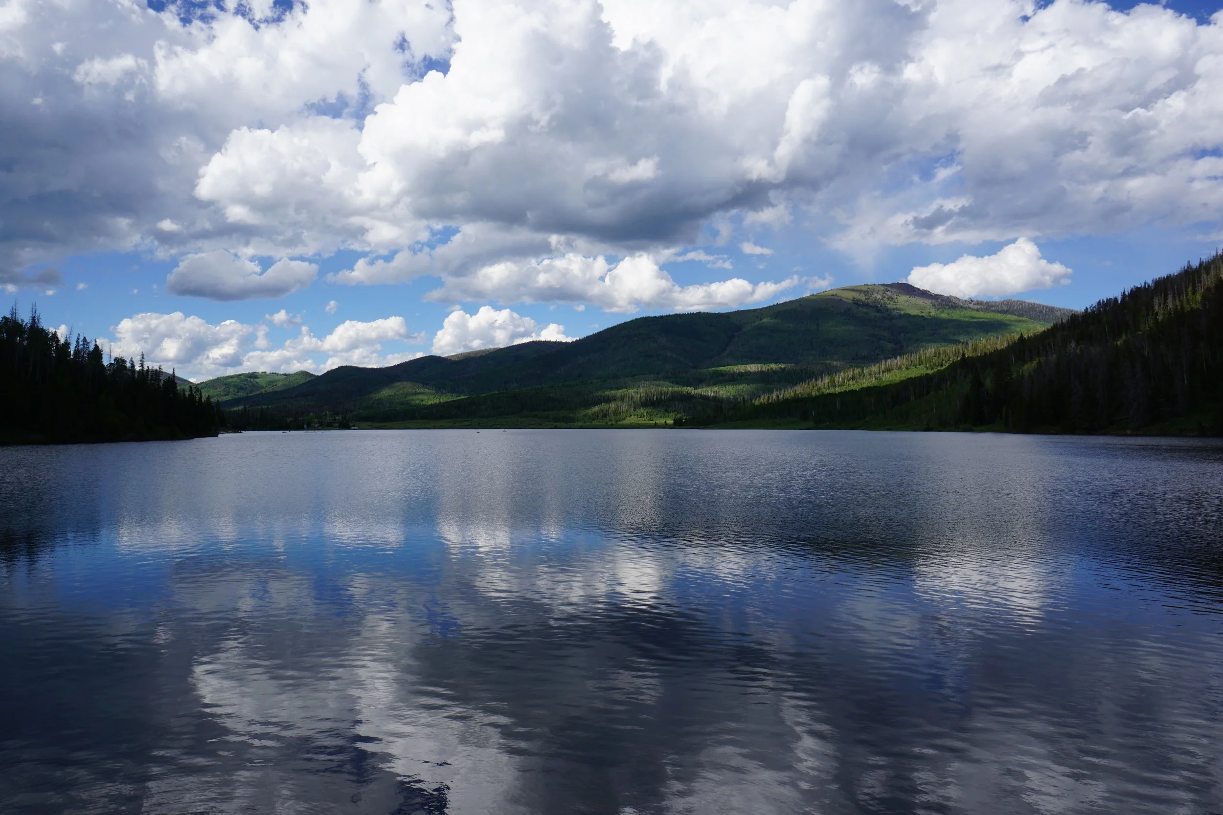
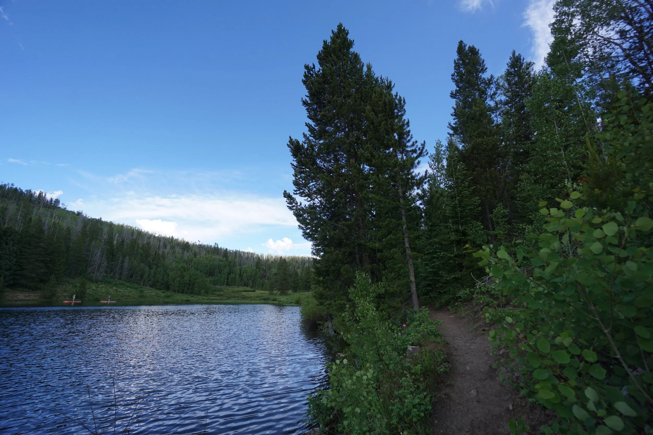
The trail is easy to follow and leads to various little beaches and water access spots. At 3/4ths of a mile, the trail reaches the Dam with nice down stream valley views. The trail continues for a ways past the dam and seemingly continues along the eastern shore of the lake as well, though this trail may not be an official park trail. From the shore south of the dam, you can see the tippy top of Hahn’s Peak rising over the hills. Hike as far as you wish, but if you try to hike along the entire lake, you’ll be in for a long day.