Pagosa Peak (12,640 ft)
Weminuche Wilderness, San Juan National Forest
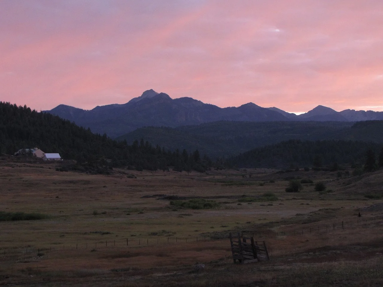
Date Hiked: September 5, 2011
Distance: 4 miles roundtrip
Elevation Gain: 2,000ft
Trailhead Location: Lat - 37 26'11.31"N Long - 107 4'56.08"W
Managing Agency: U.S. Forest Service
Fee: None
Directions:
While the hike itself is not easy, the hardest part is finding the trailhead. From Pagosa Springs head North on Piedra Road to Road #633. After several miles make a right onto Road #634 and not long after a left onto Black Mountain Road #661. This road is bad, beautiful, but bad. It is barely maintained, rocky, potted, rutted, etc... That being said, it is not a jeep road. I made it in my 2010 Subaru Forester with only a few problem areas. The trail is not marked and starts at the end of the switchbacks. If you reach the end of the road, you've gone too far. The coordinates for the trailhead are Lat - 37 26'11.31"N Long - 107 4'56.08"W. The trail starts on the uphill side of the road and look for a wide spot in the road (the road is narrow so the wide spot is noticeable).
Hike Description:
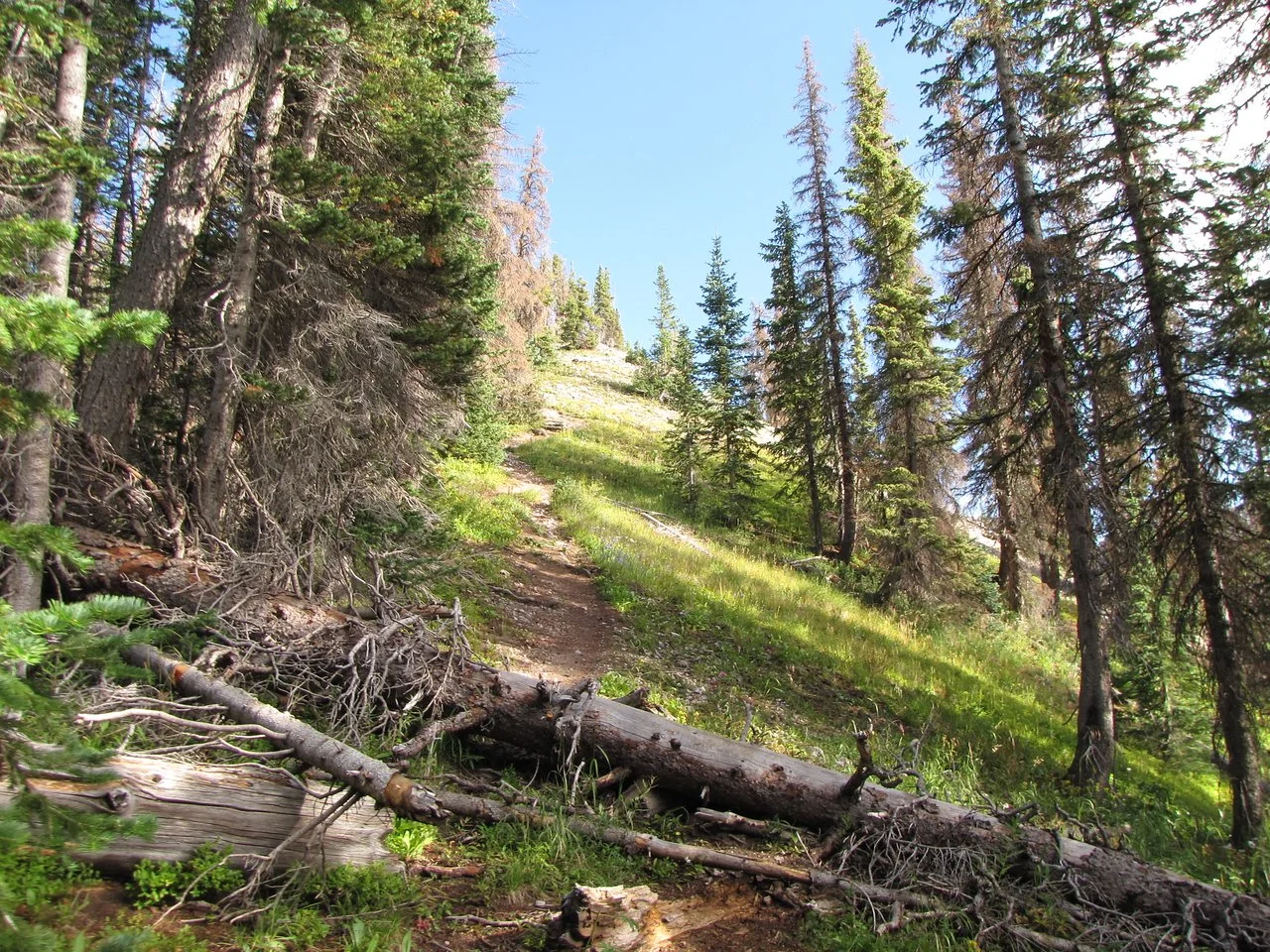
The hike is a quad burner for sure. You gain about 2,000 ft in 2 miles with little relief. However, don’t let that deter you, the hike is a blast!
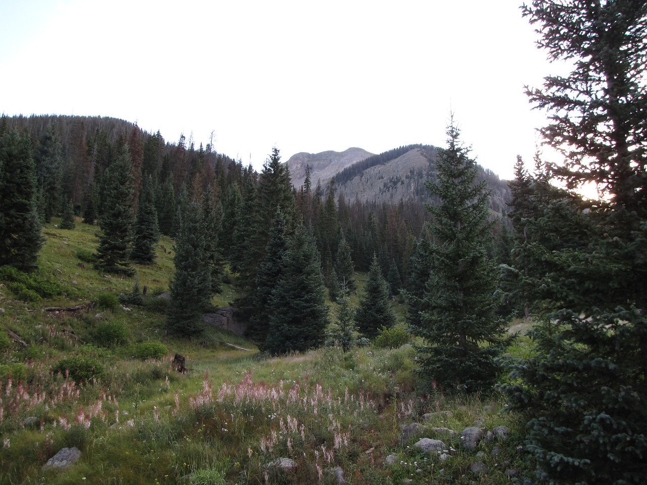
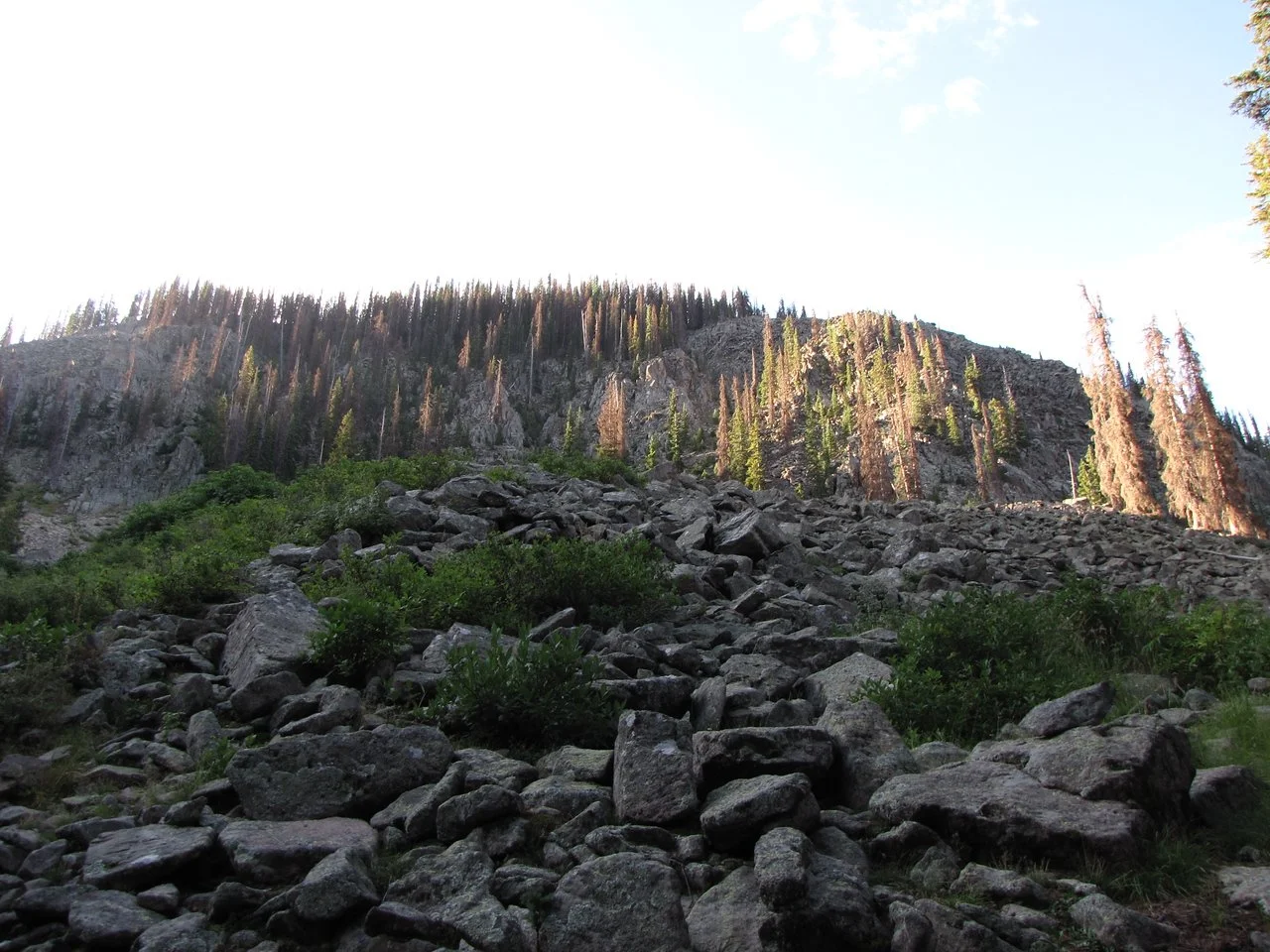
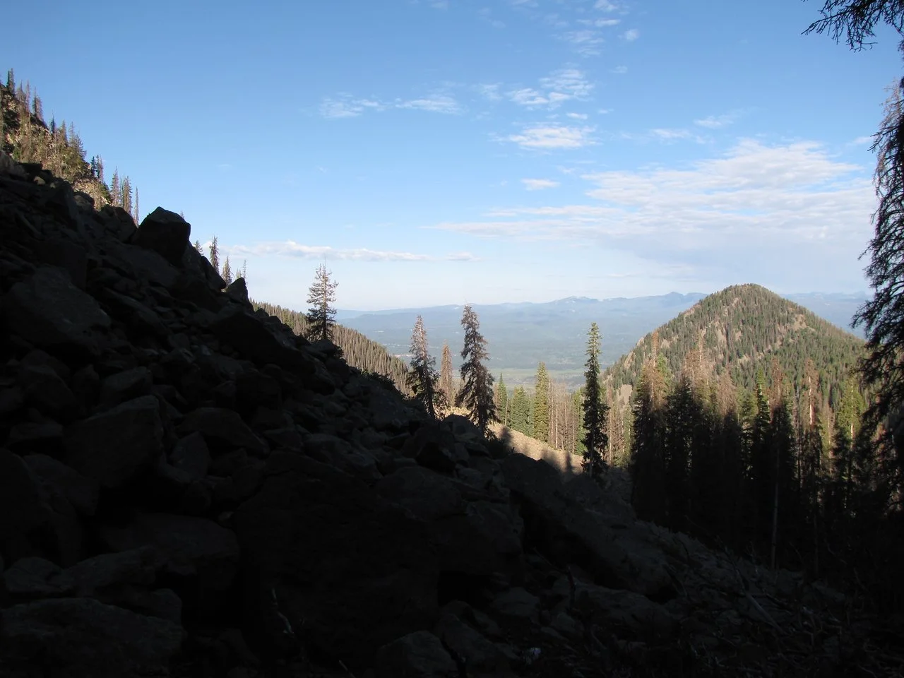
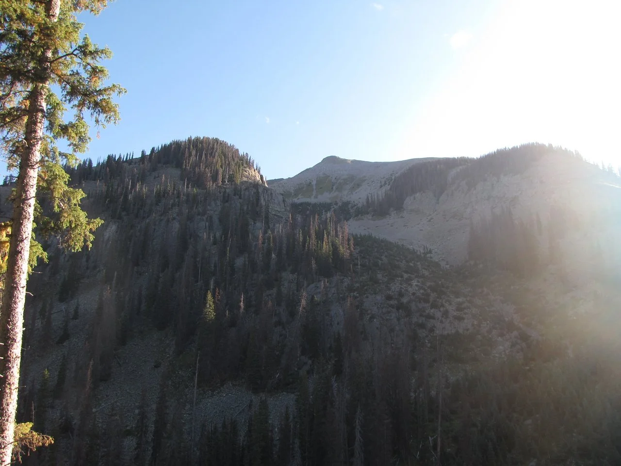
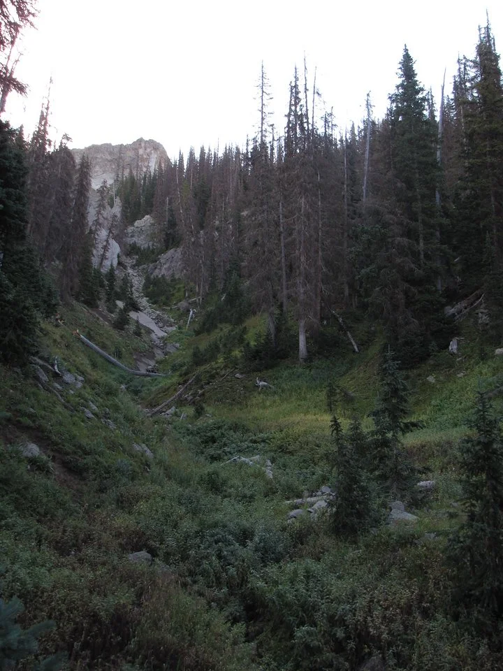
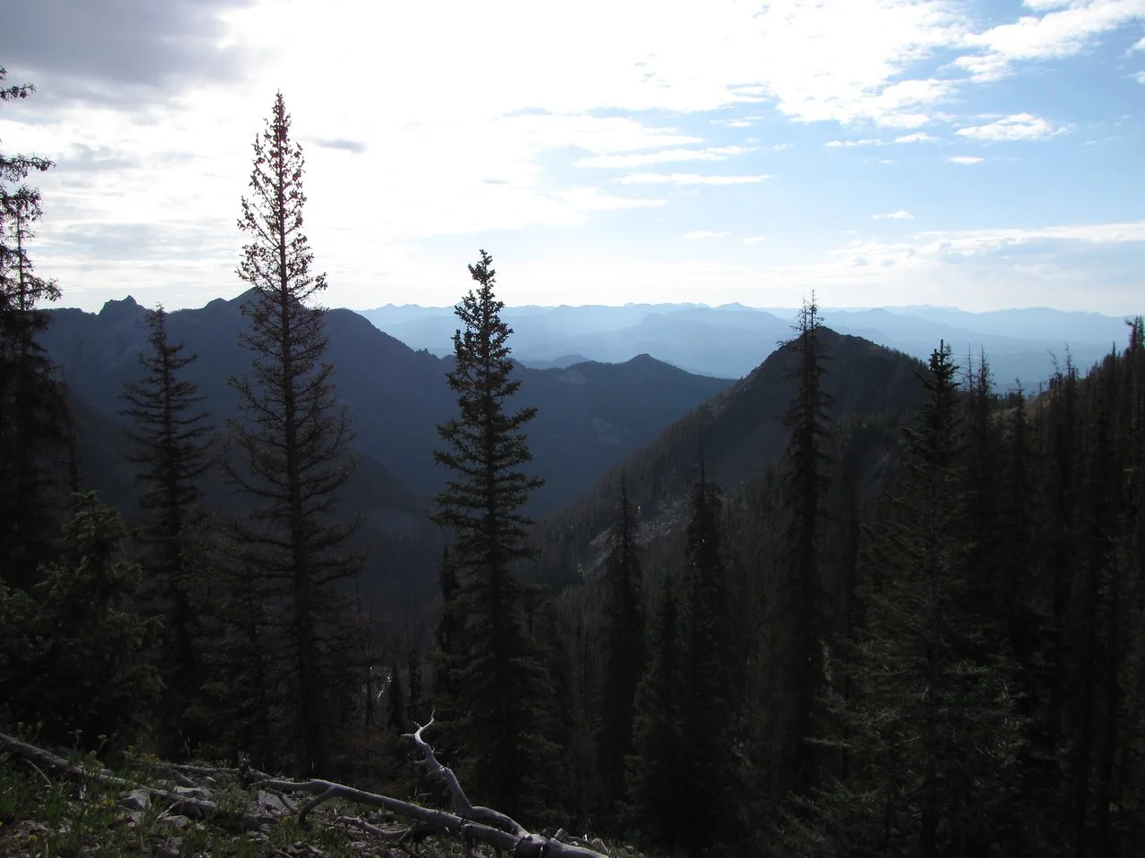
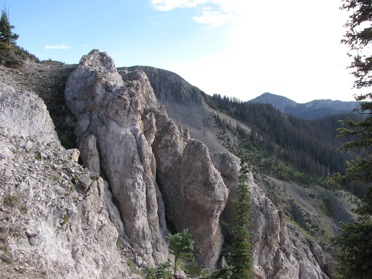
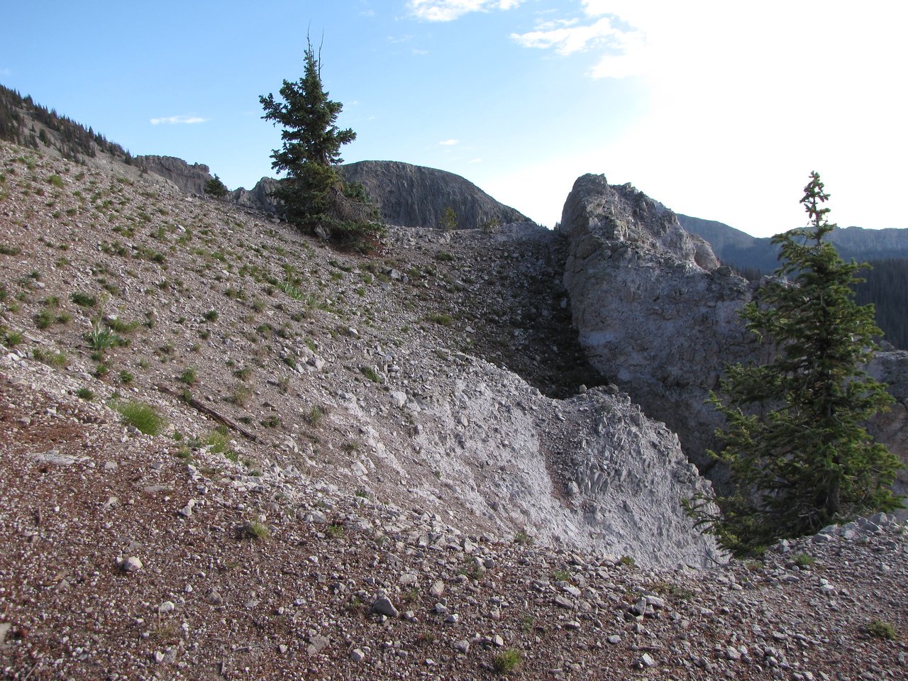
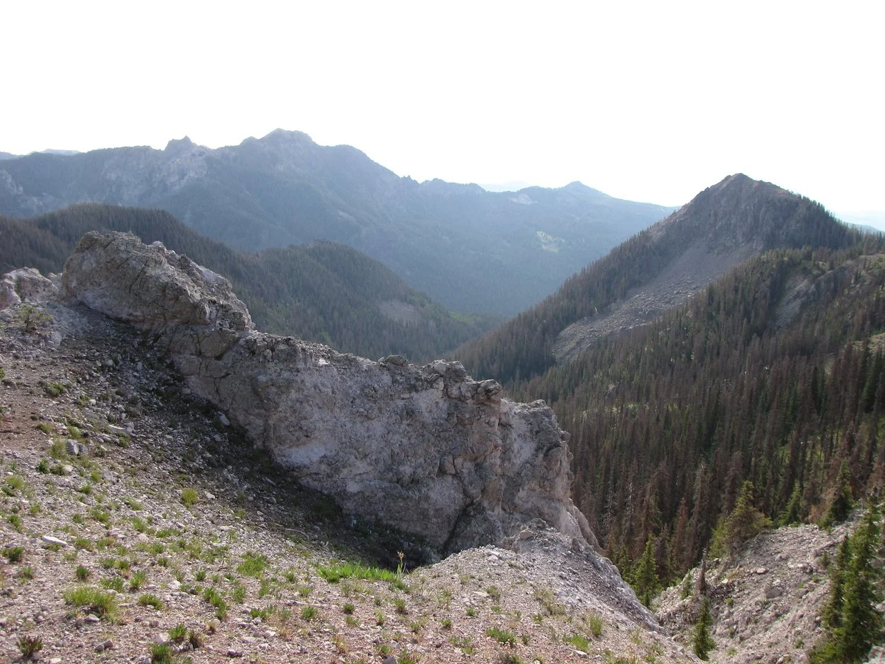
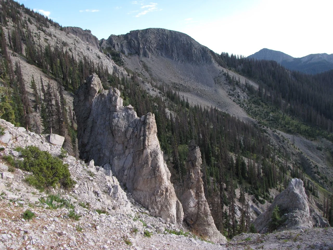
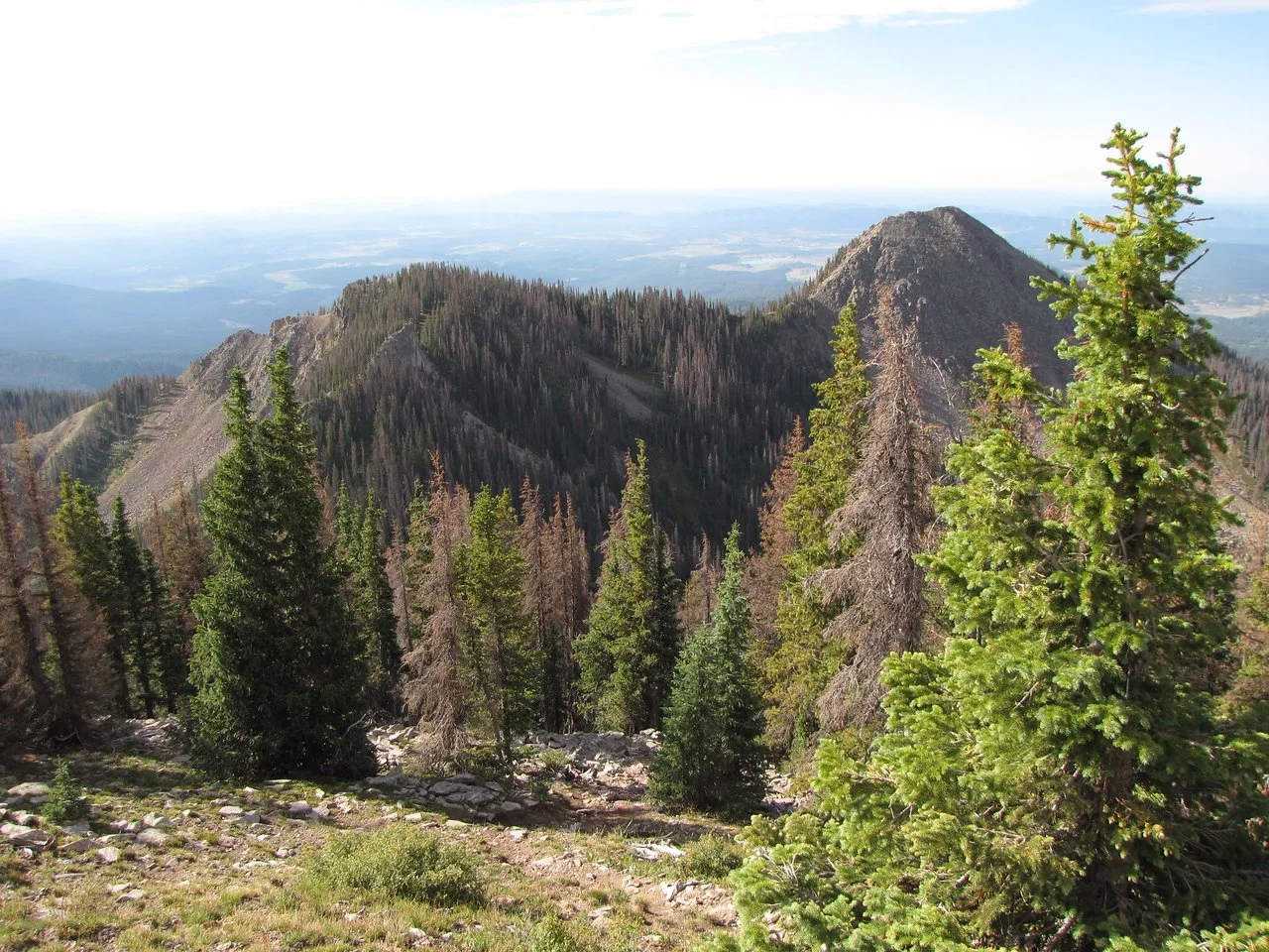
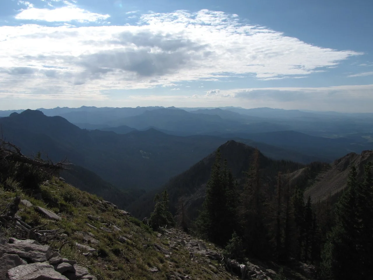
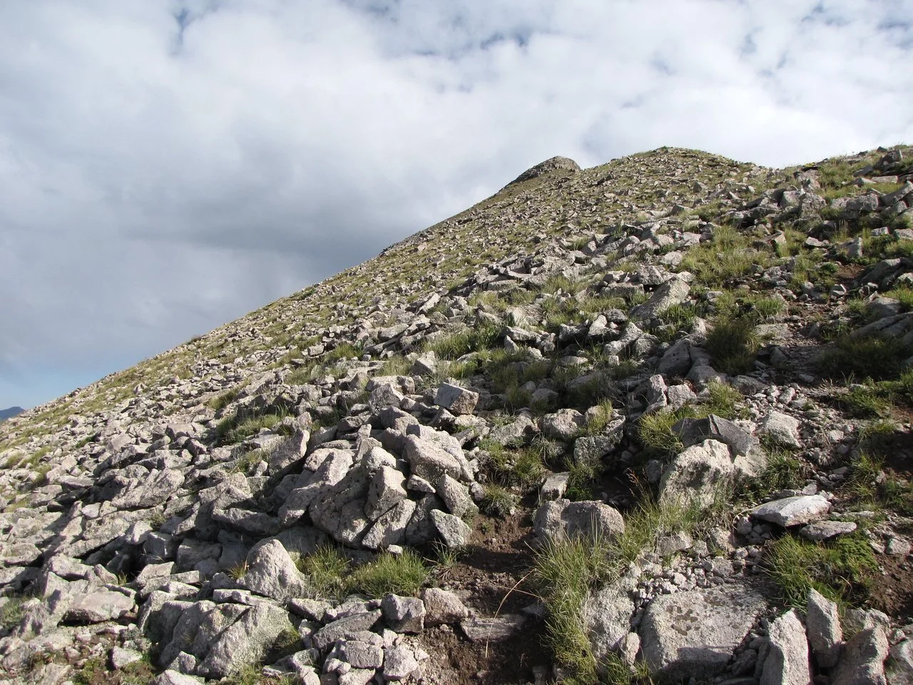
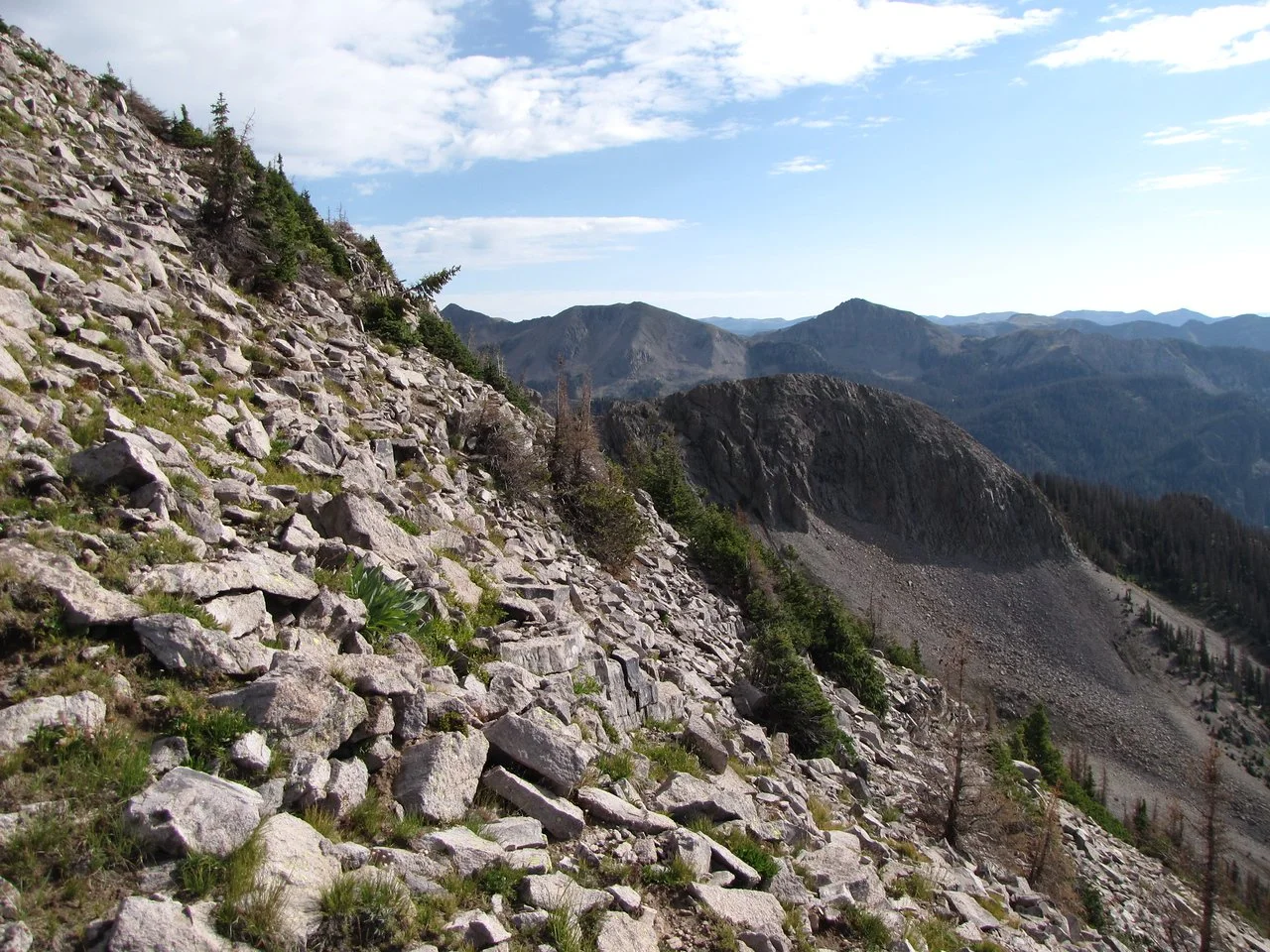
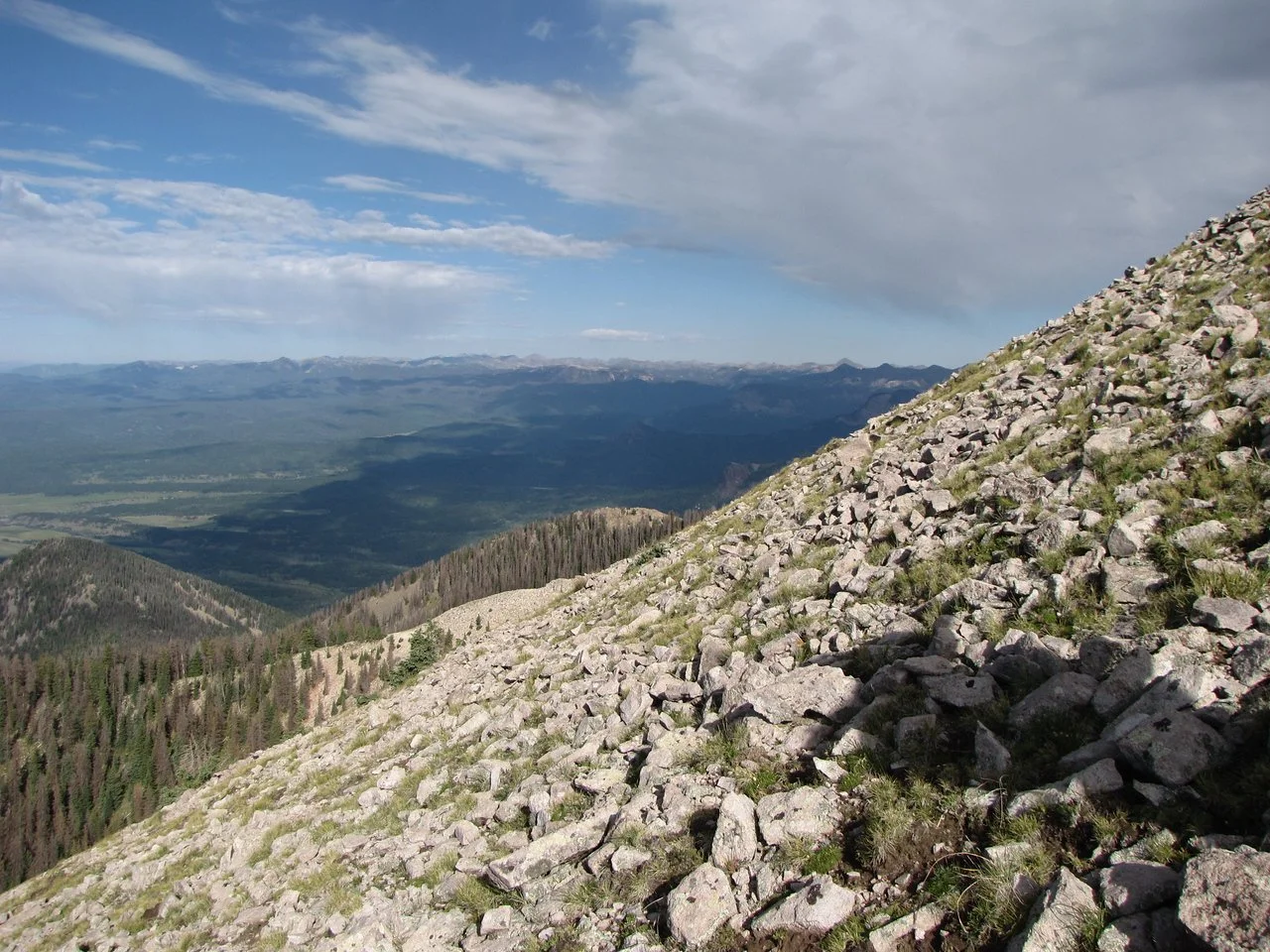
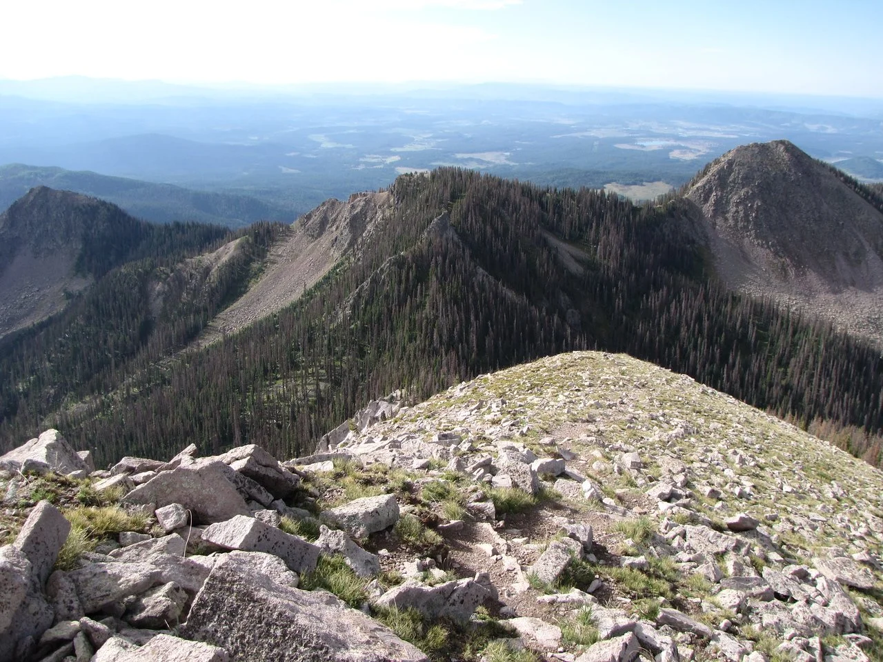
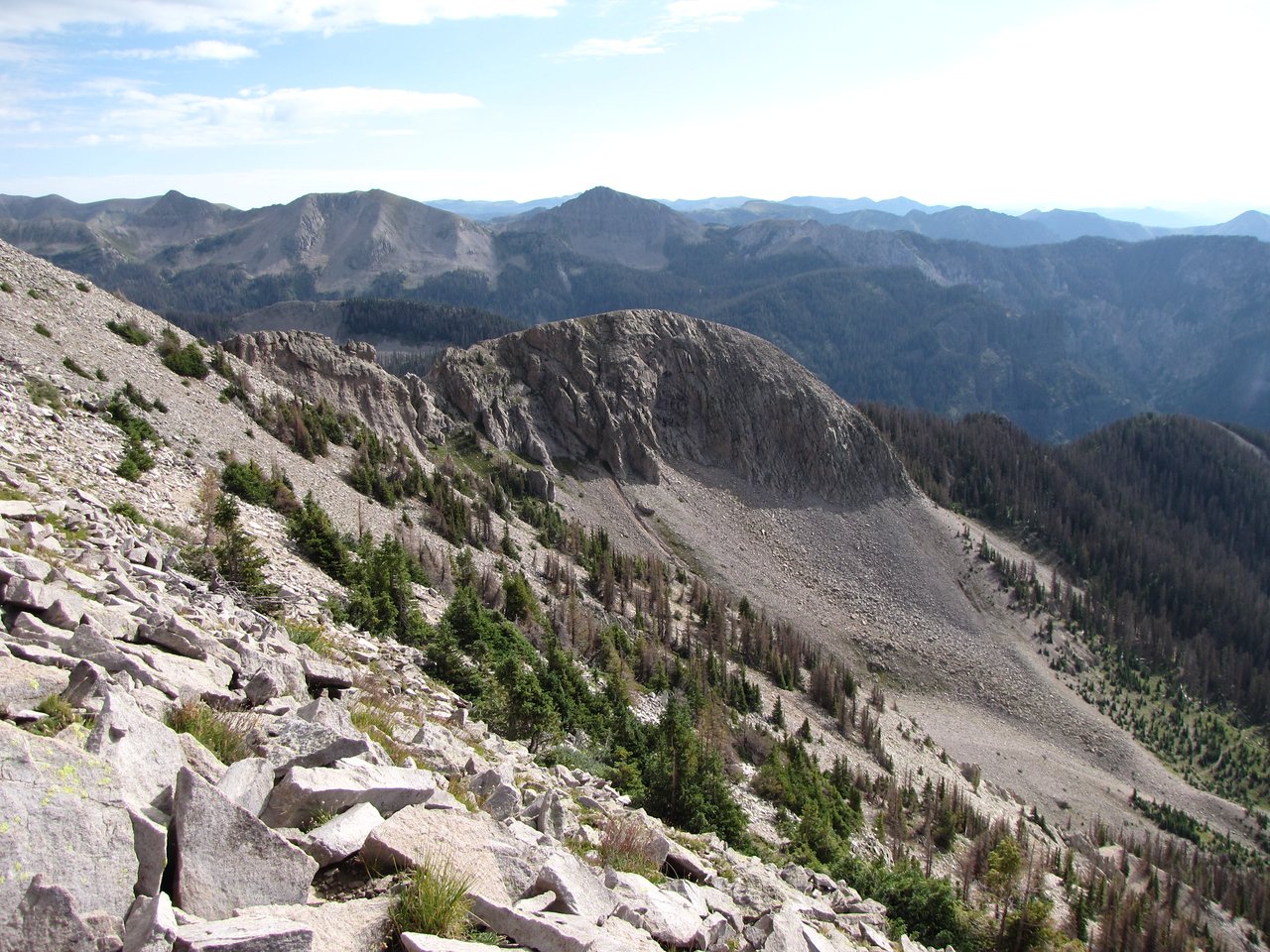
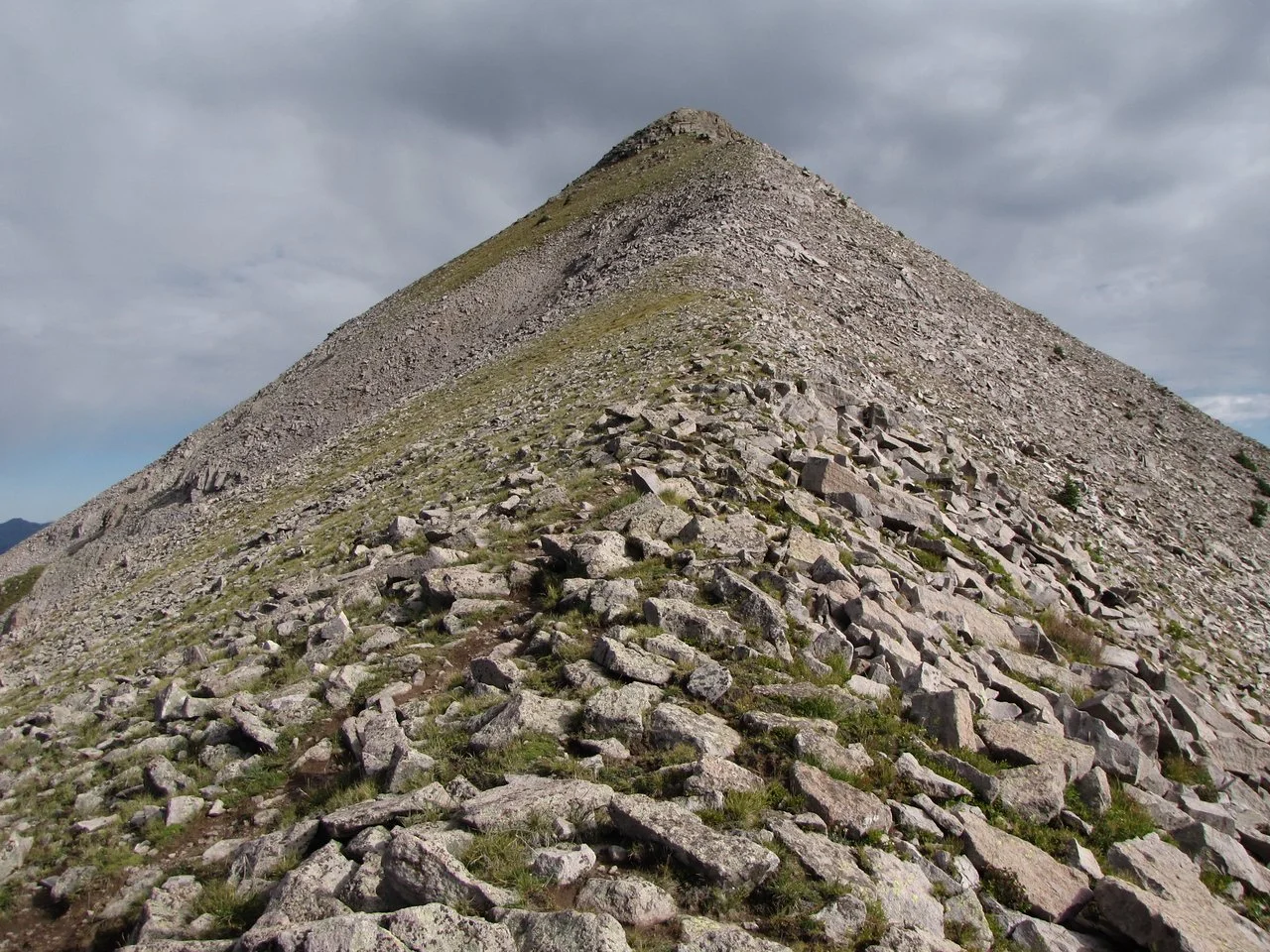
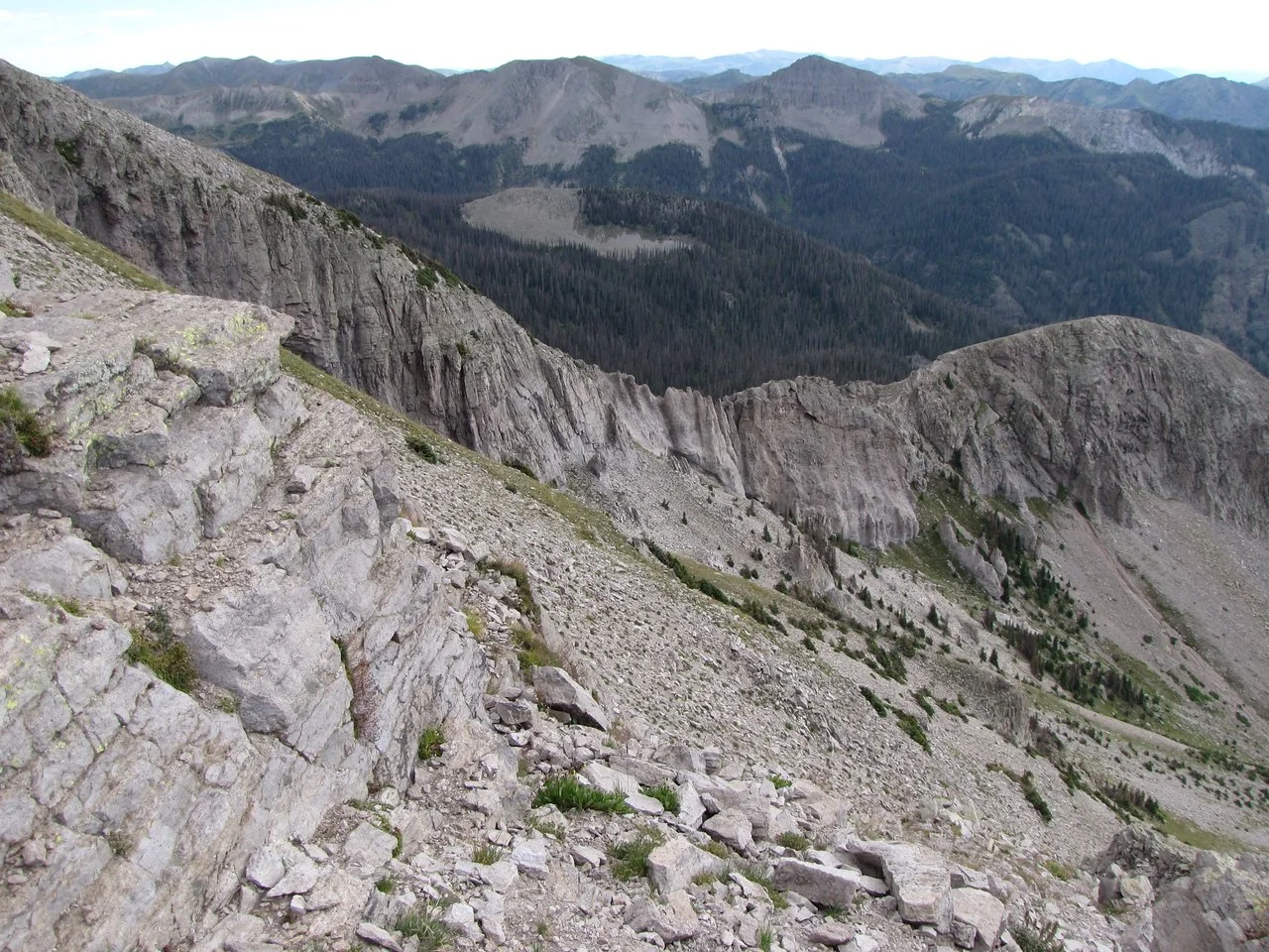
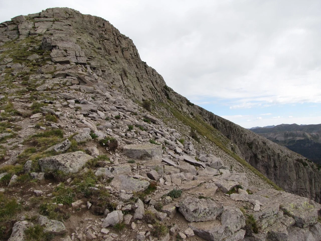
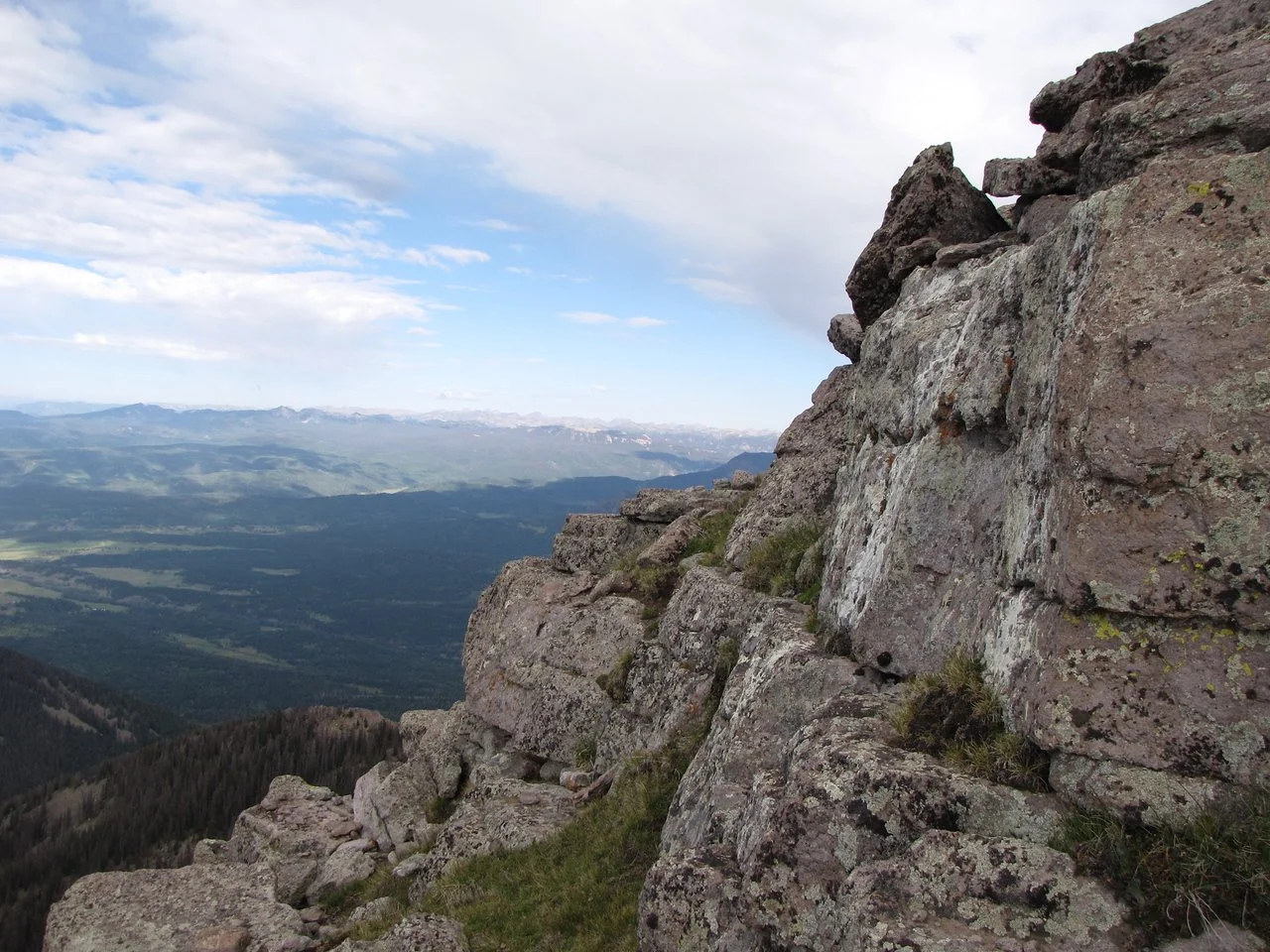
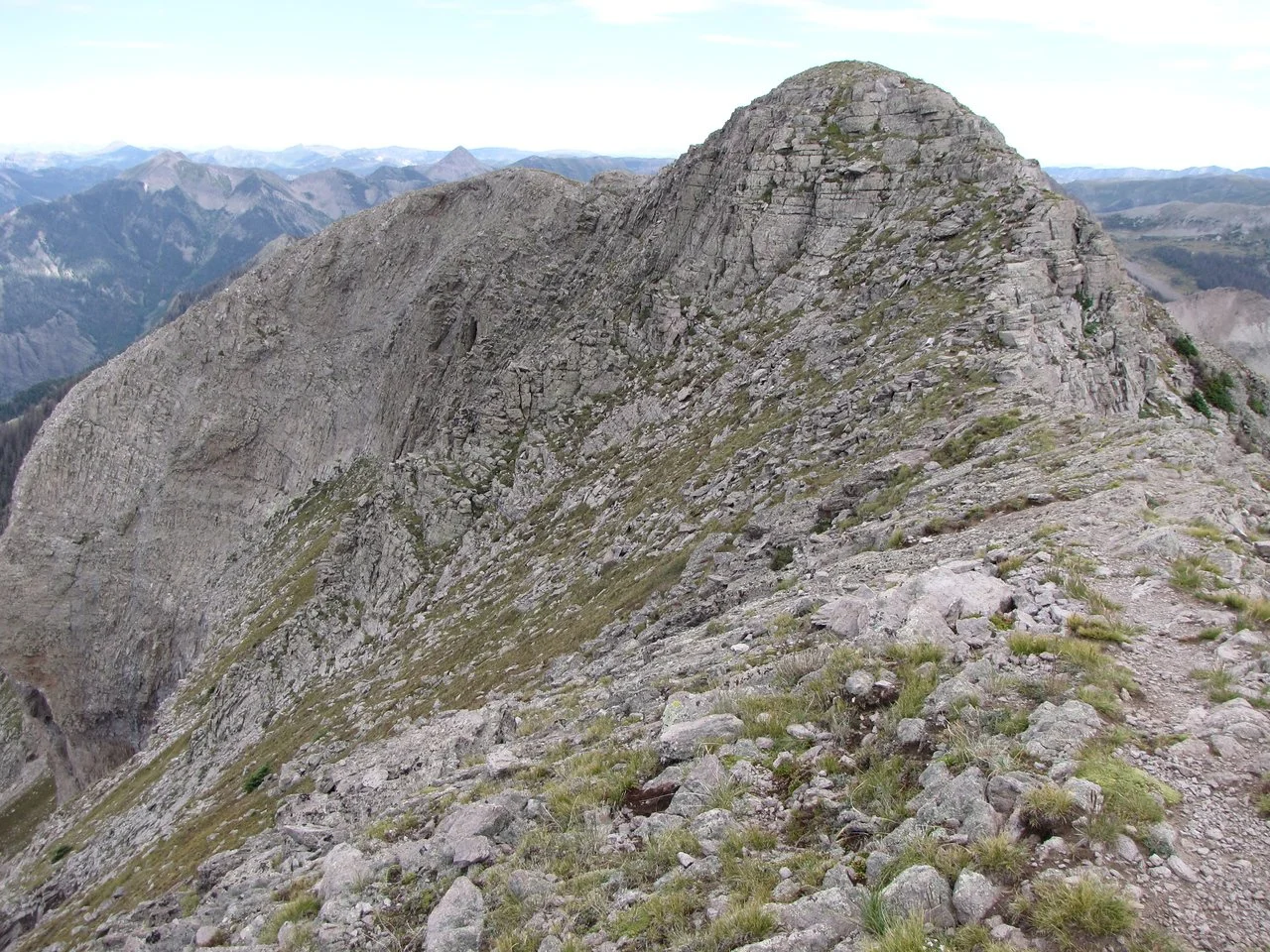
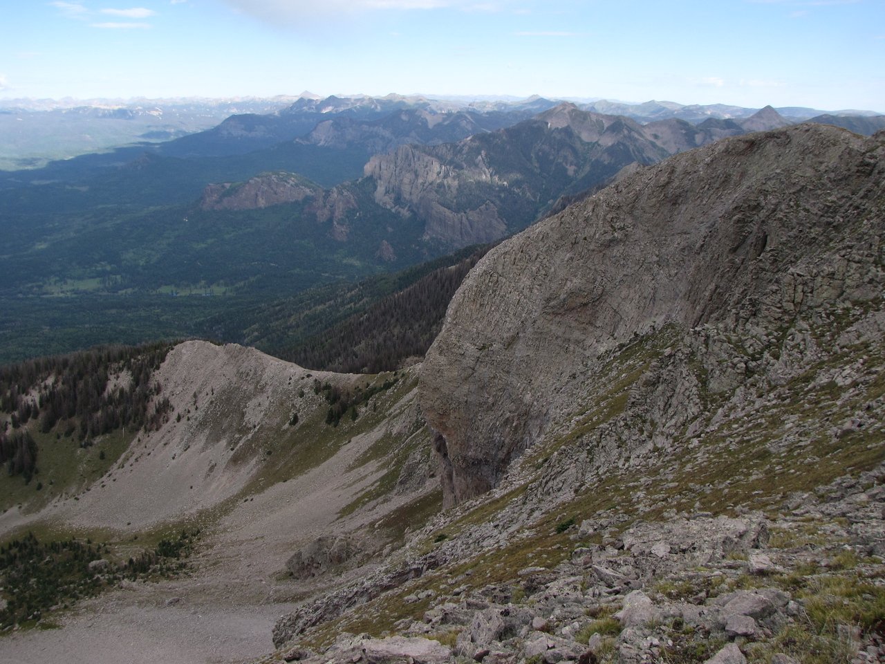
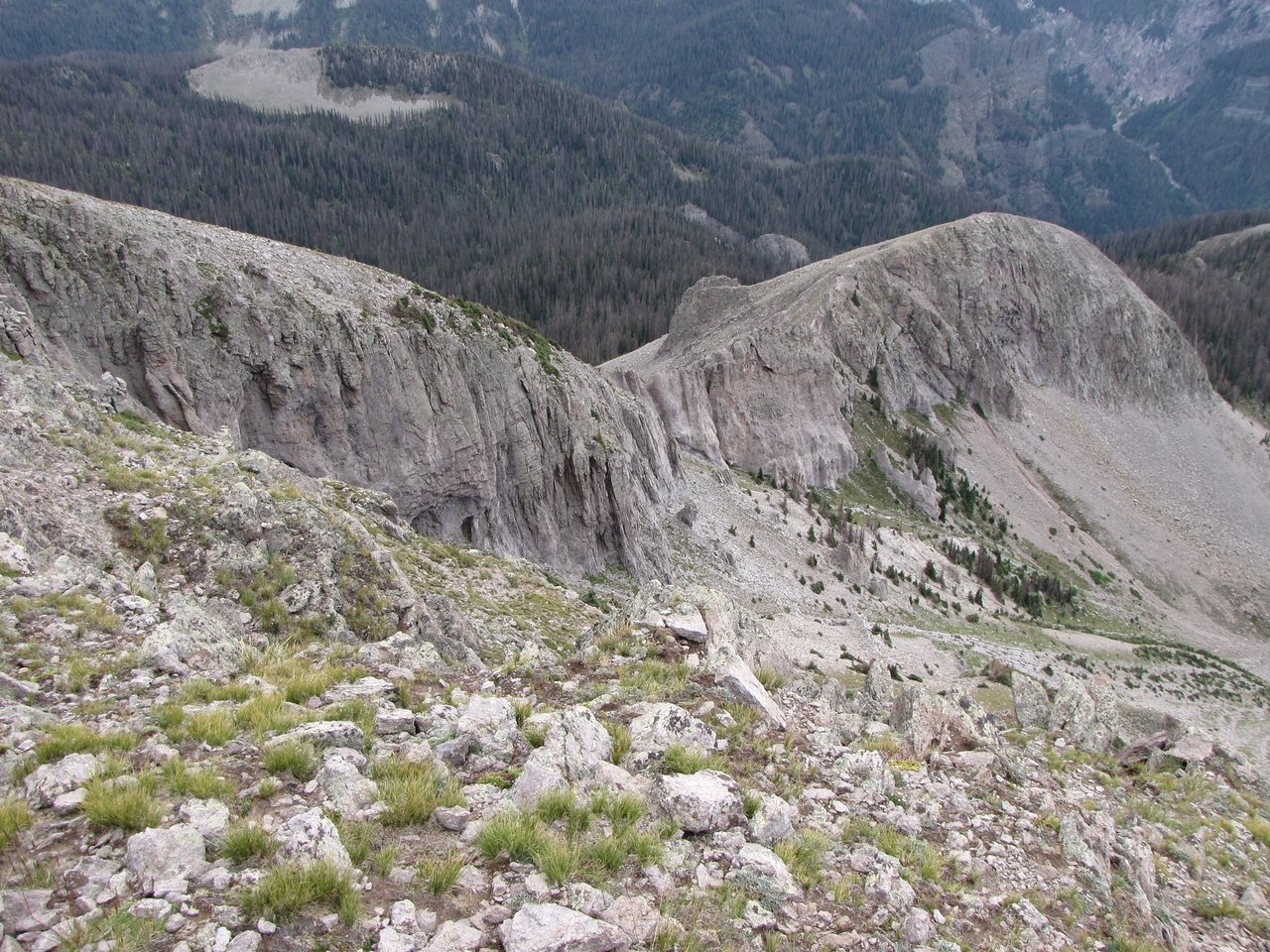
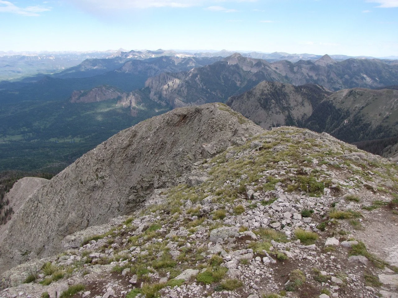
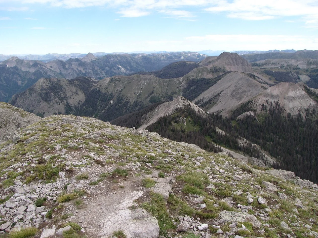
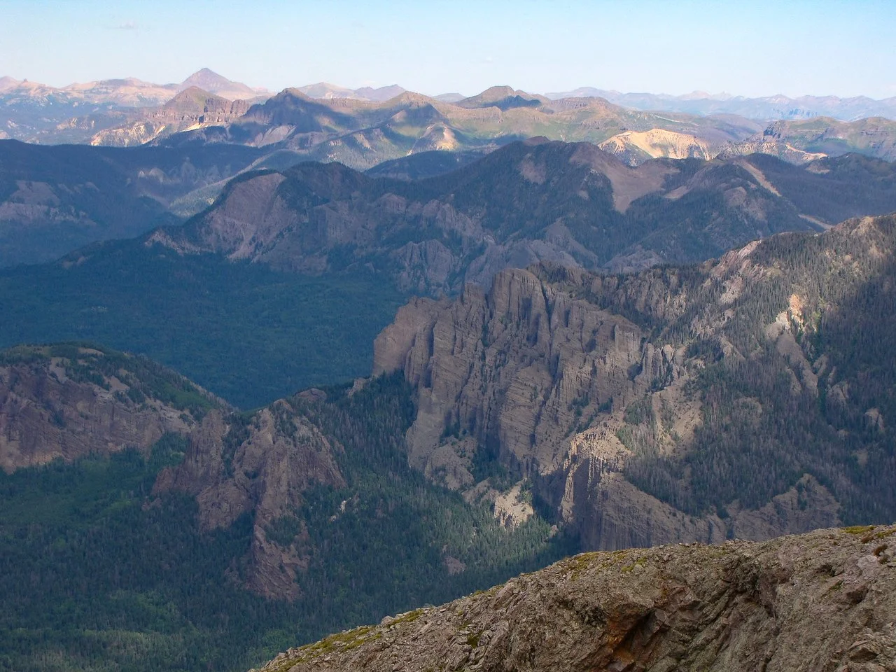
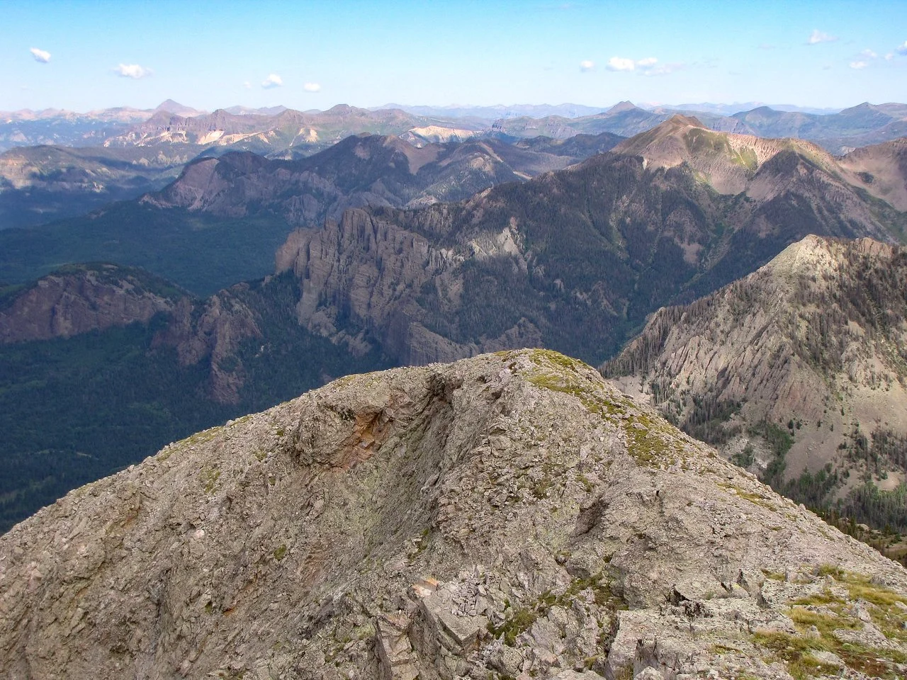
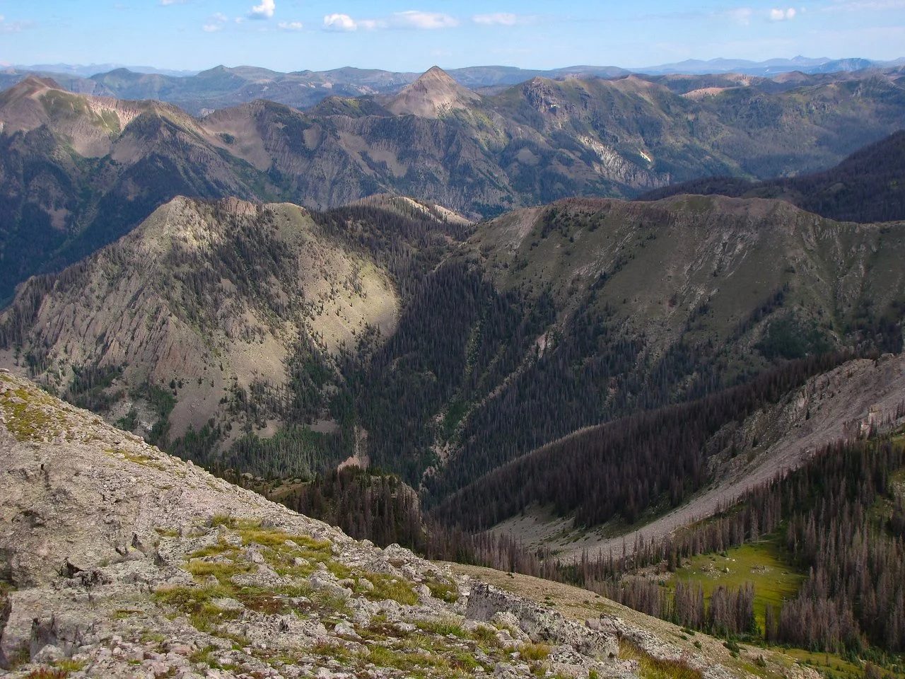
Climb through a dense forest until you break out on the saddle. The views begin here and just keep getting better. From the saddle turn left and follow the rocky ridge all the way to the peak. The path is self evident but watch for the cairns and be wary of the false summit. Once you reach the actual summit (you'll know it) the views are inspiring. The San Juan Mountains are laid out below you, look for Umcompahgre and Wetterhorn Peaks, and you can just make out the Rio Grande Pyramid and the Window if you look hard enough.
This hike is absolutely worth all the trouble it takes to get there...a hidden gem in plain sight!