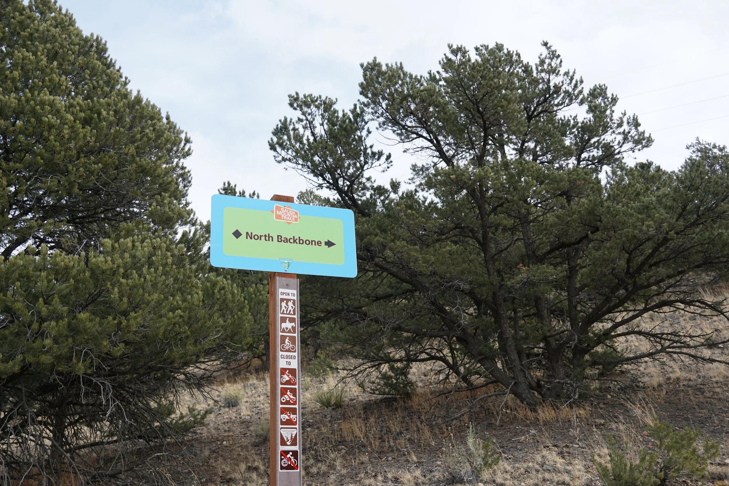
North Backbone > Dude Abides Loop
Salida Mountain Trails
Date Hiked: December 27, 2021
Distance: 6 mi (RT)
Elevation Gain: 565 ft
Elevation Min/Max: 7,571 to 7,852 ft
Trailhead Lat/Long: 38.56844, -105.98301
Managing Agency: Salida Mountain Trails & Bureau of Land Management (BLM)
Fee: None
Directions:
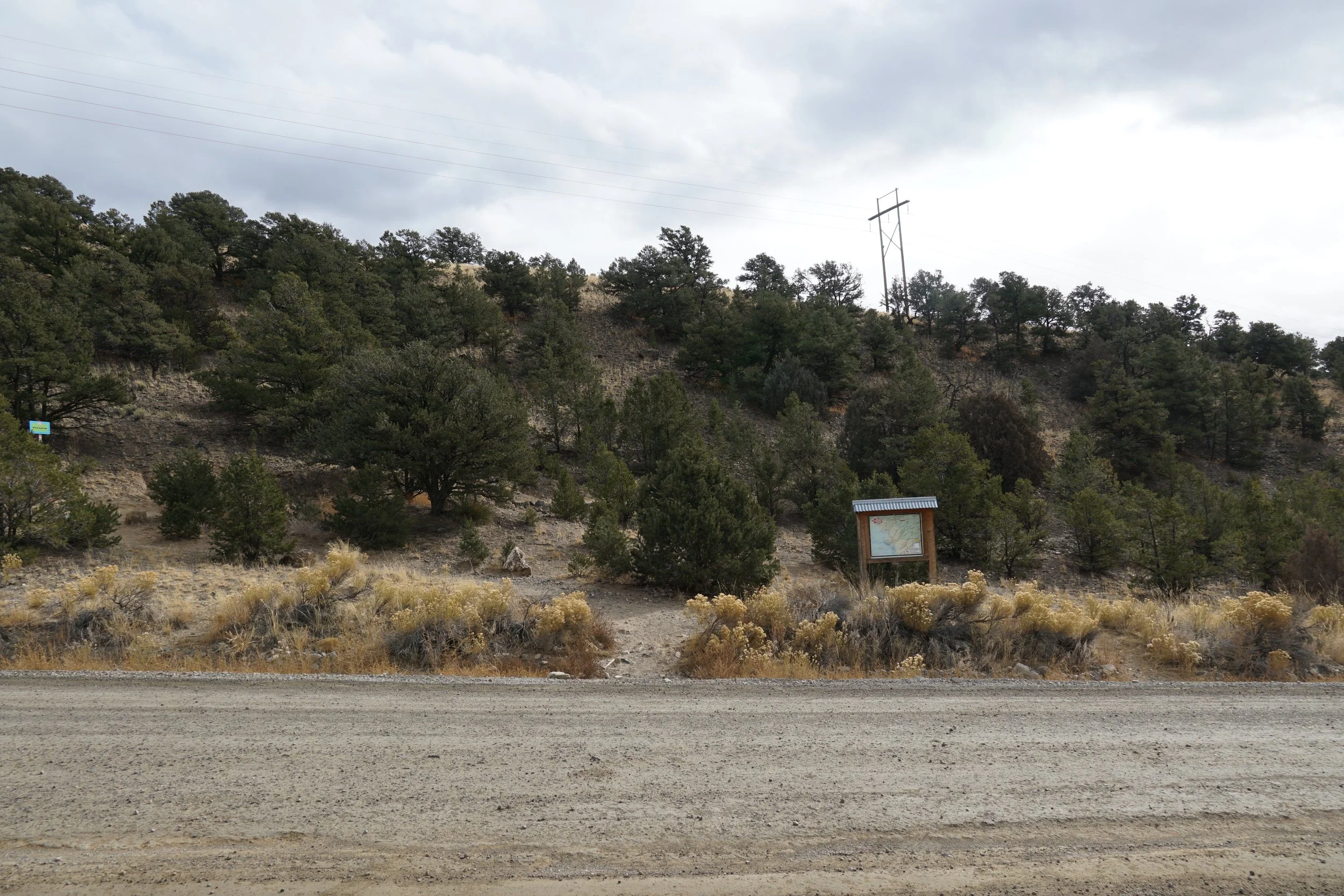
From Colorado 291 just north of downtown Salida, cross over the Arkansas River on Route 175, also called Ute Trail. After the bridge, turn right and then left to stay on Ute Trail. Follow Ute Trail north for 2.5 miles to the North Backbone Trailhead, there is some parking on the side of the road.
Hike Description:
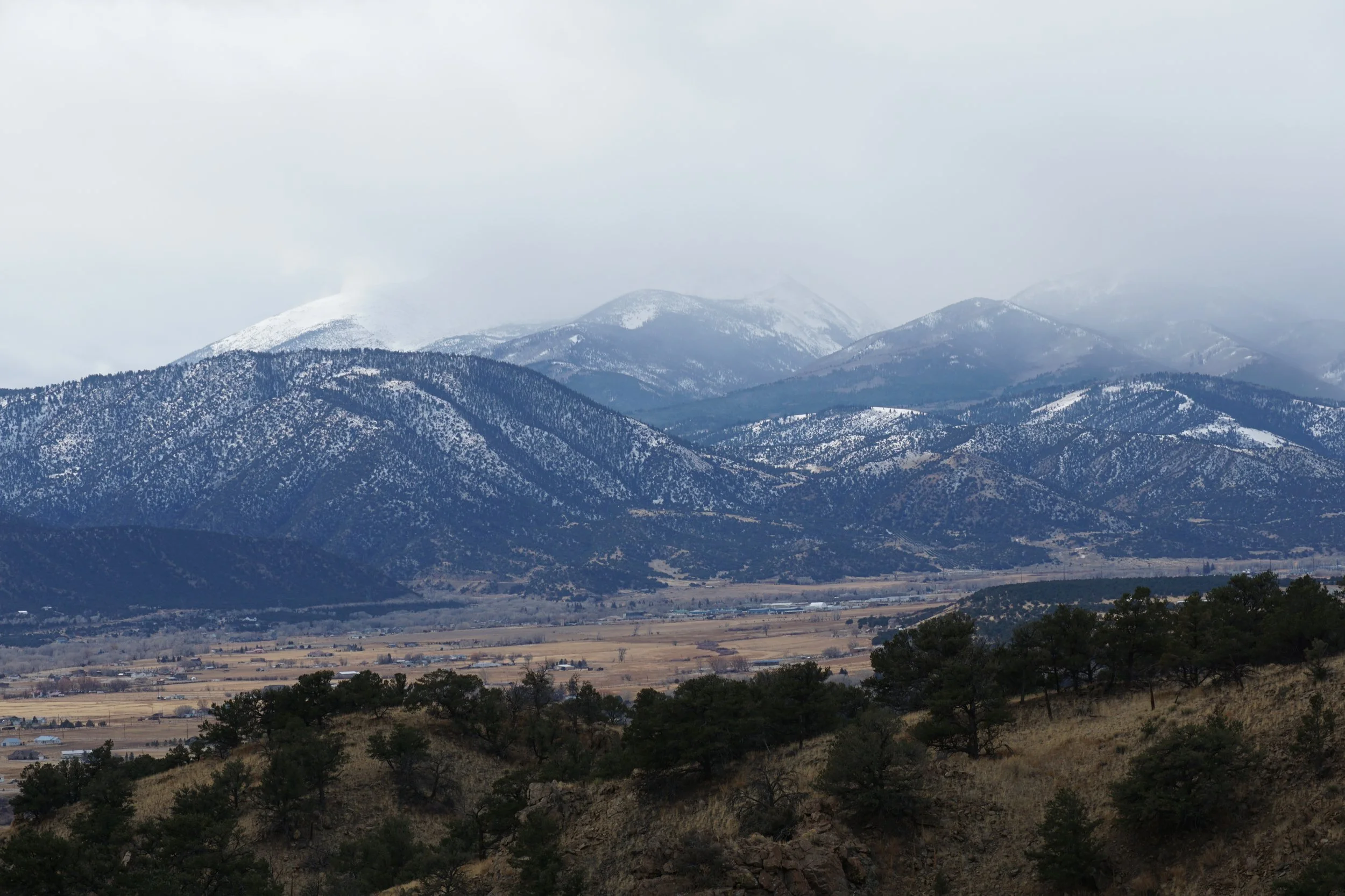
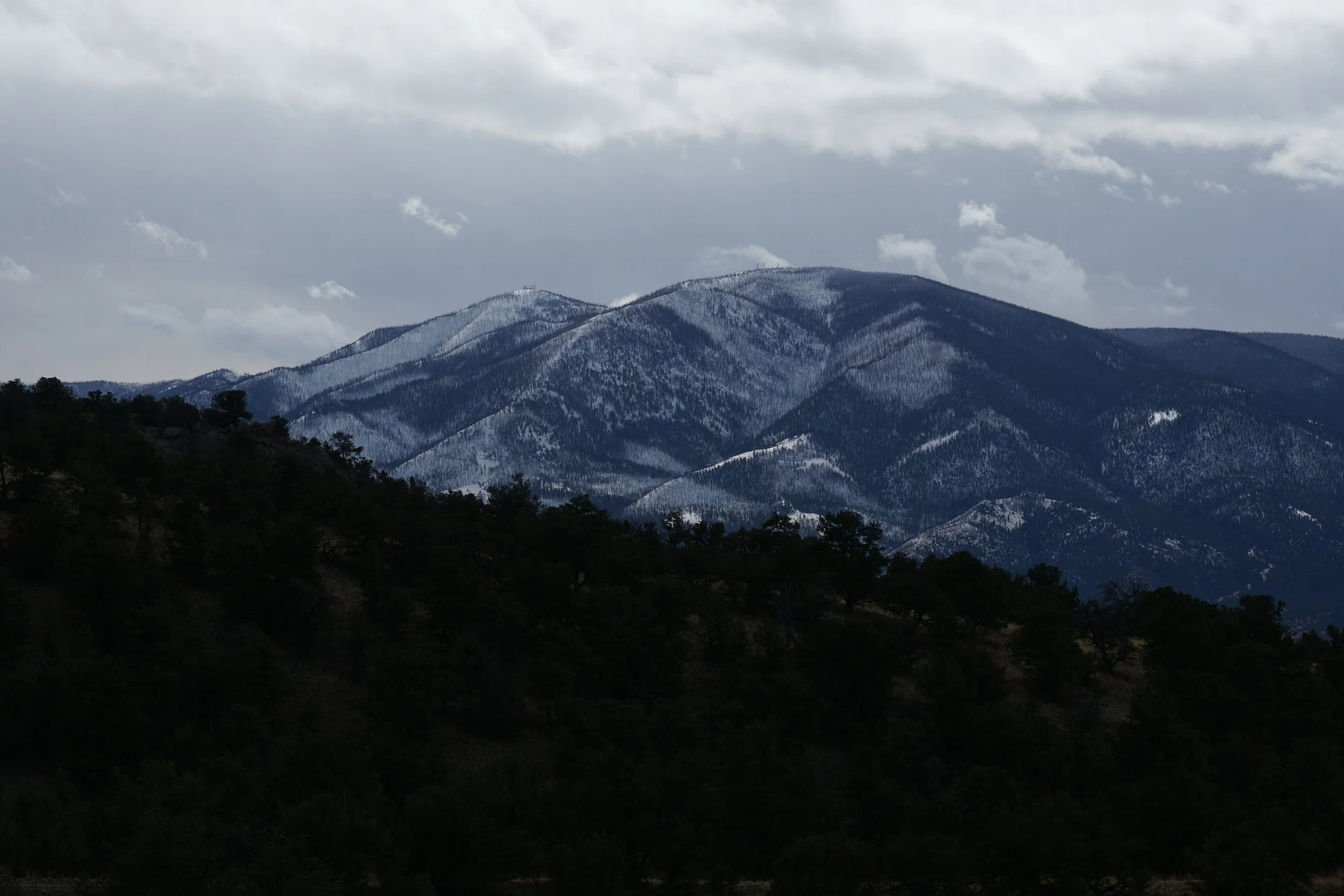
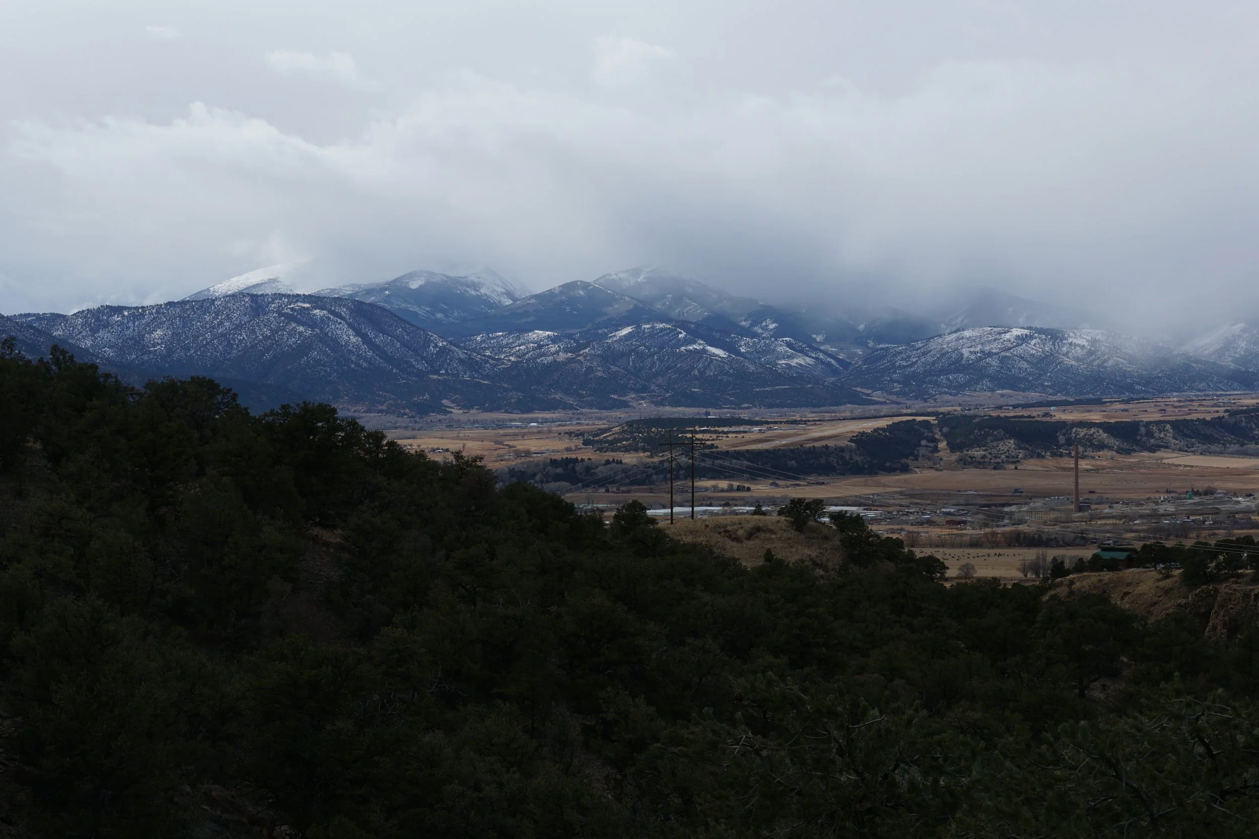
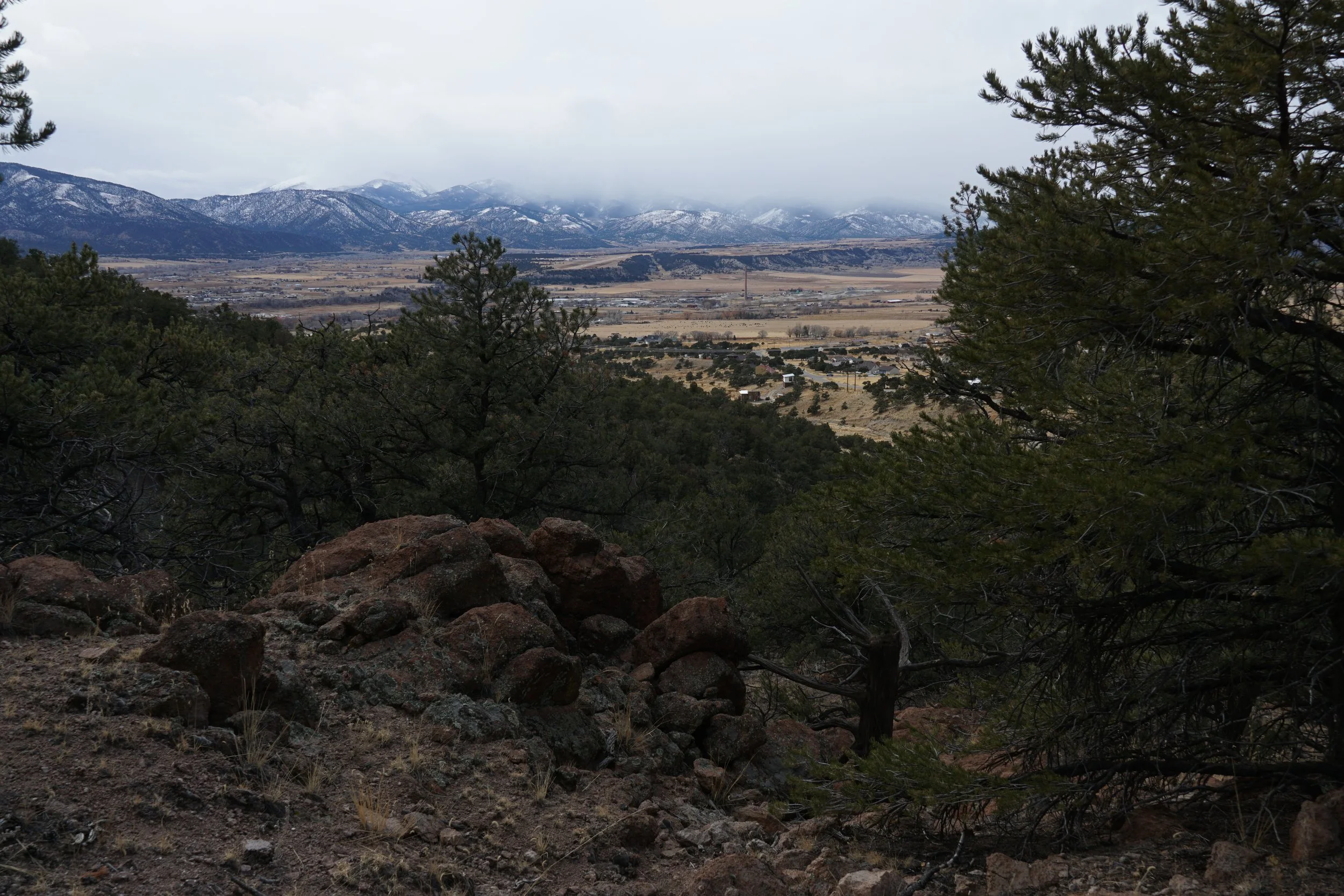
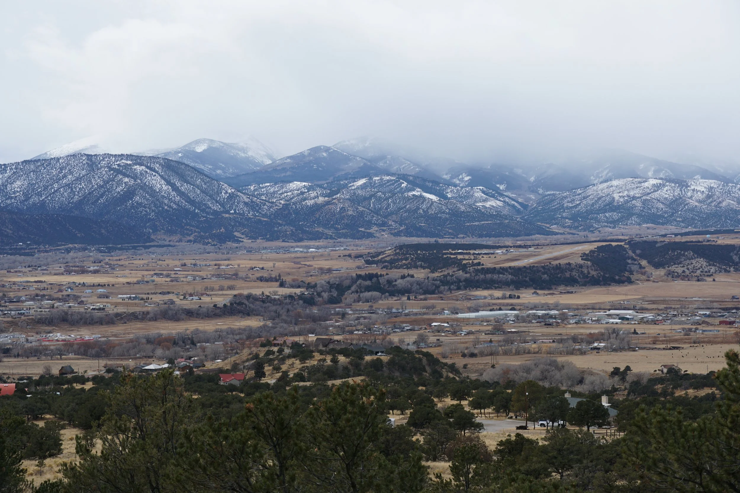
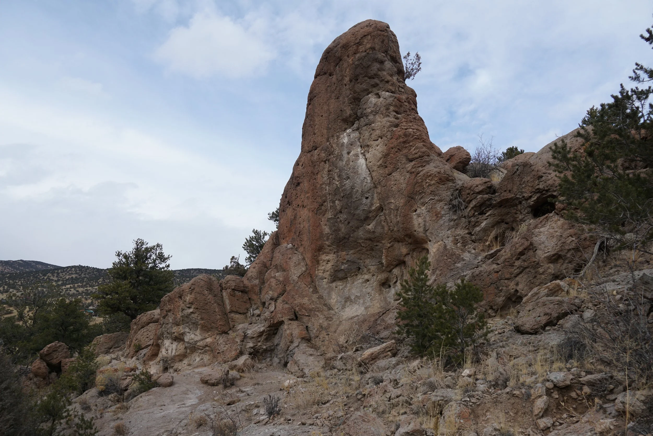
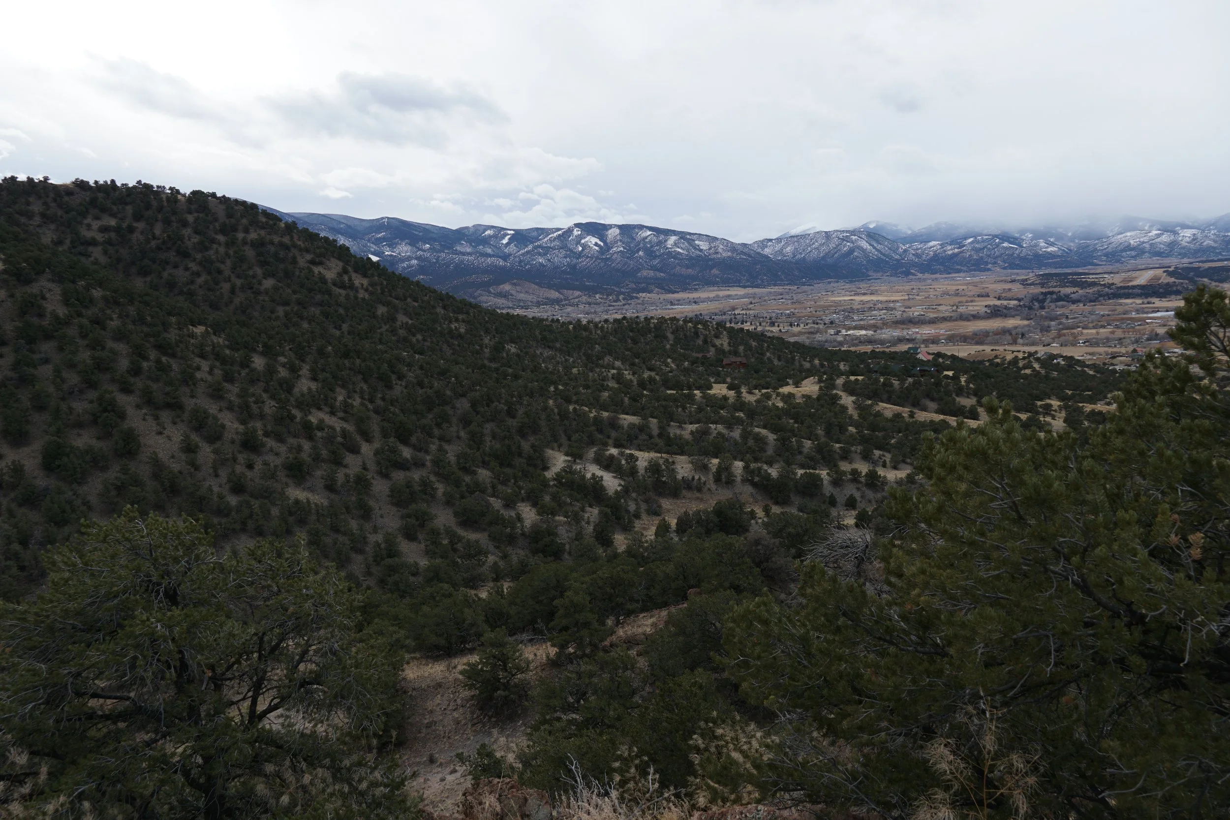
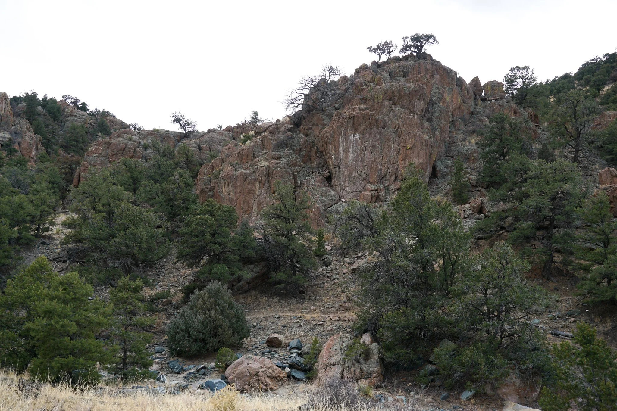
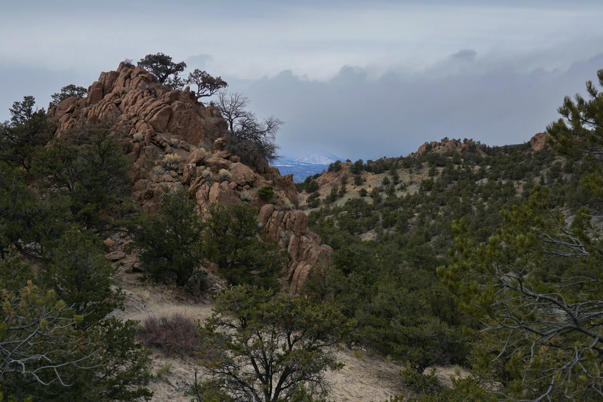
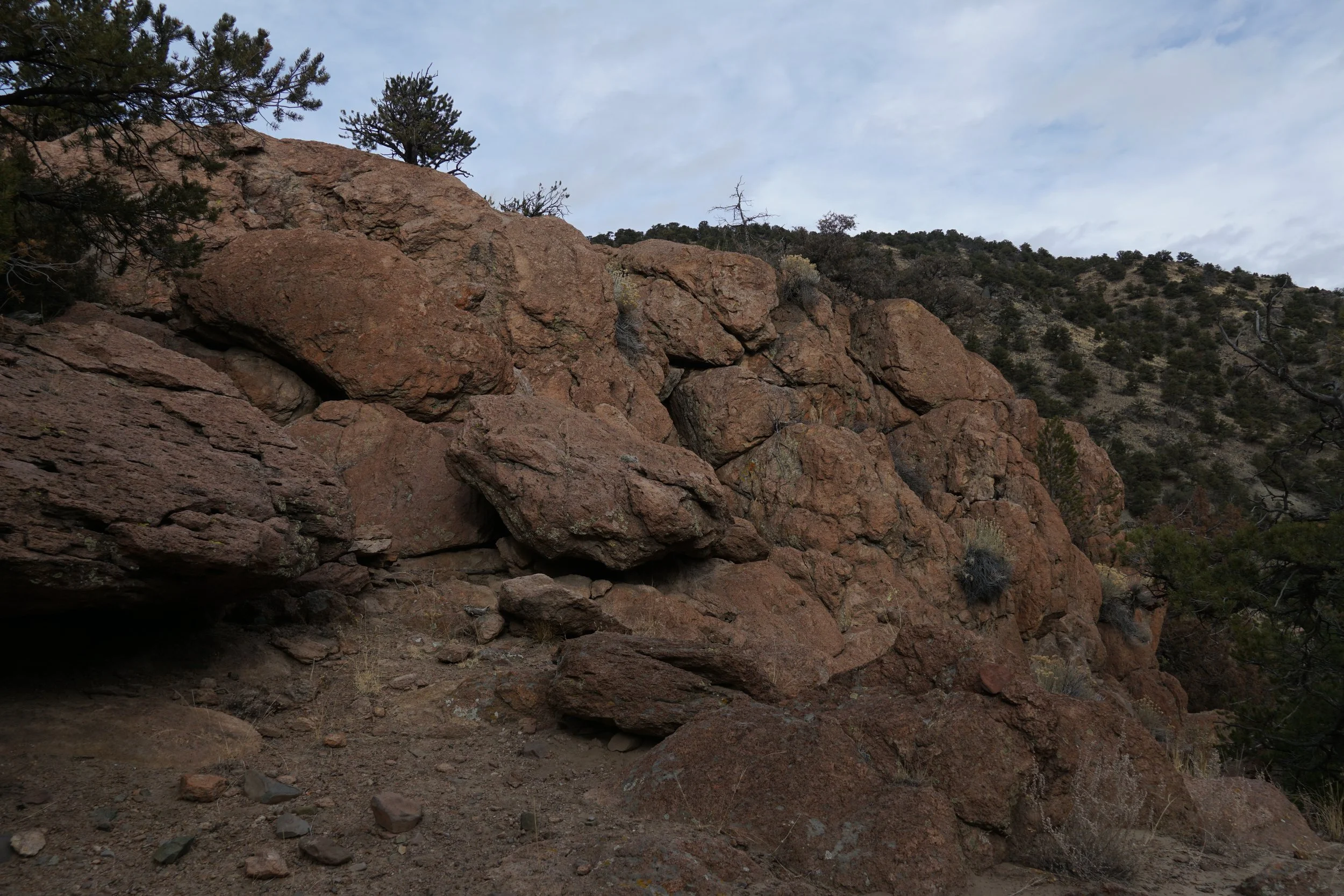
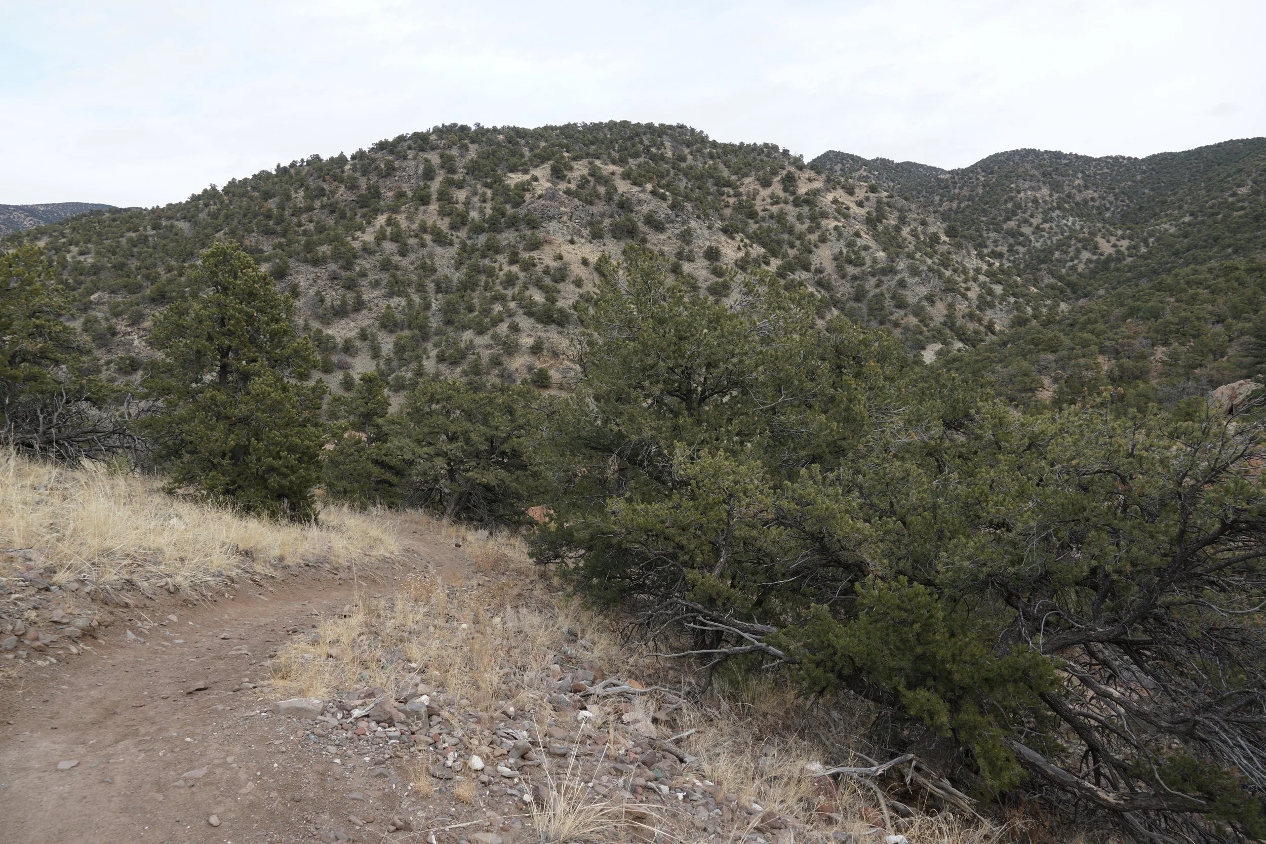
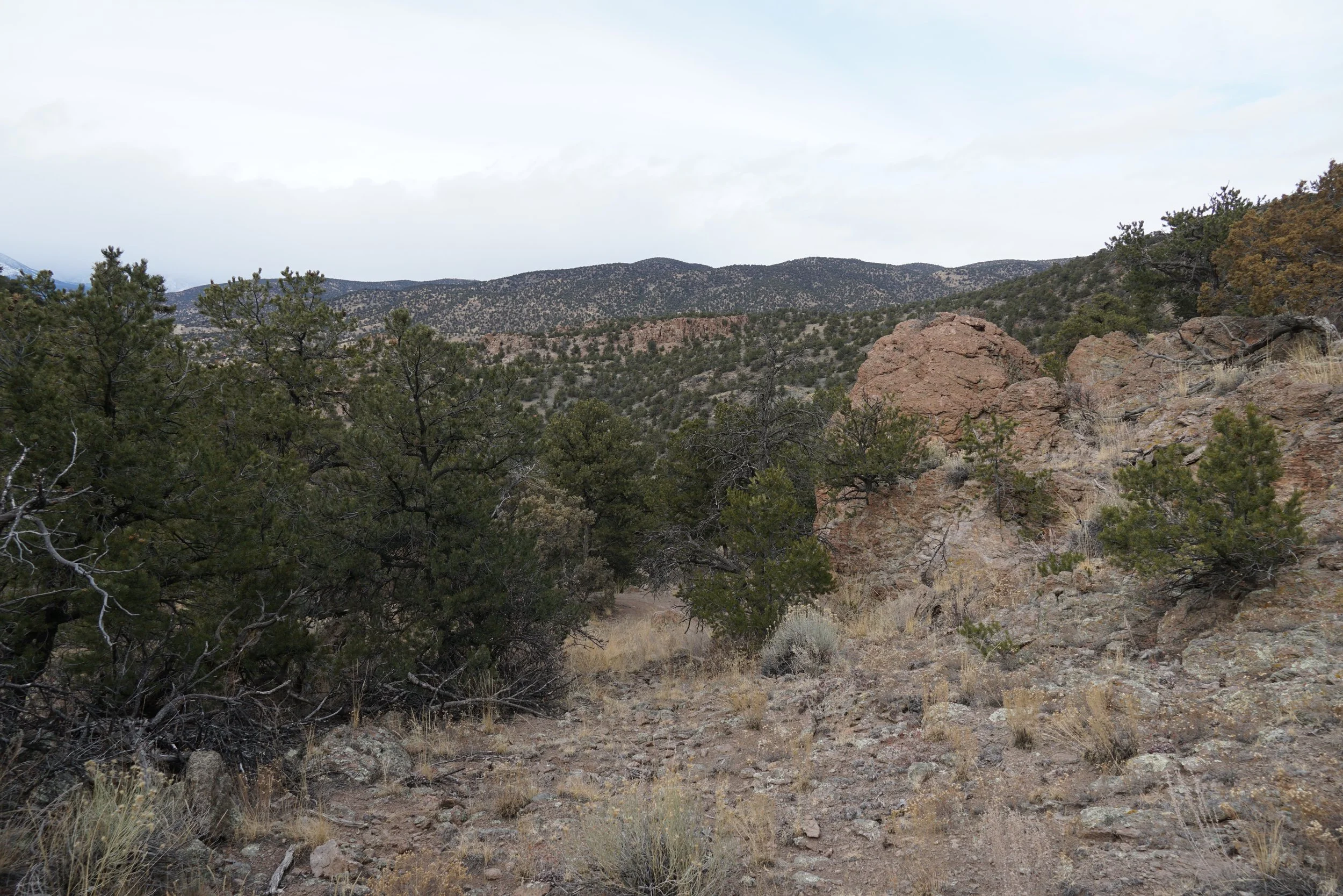
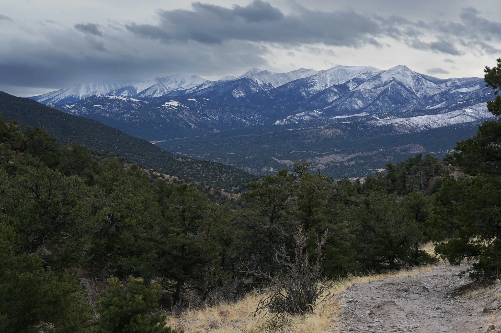
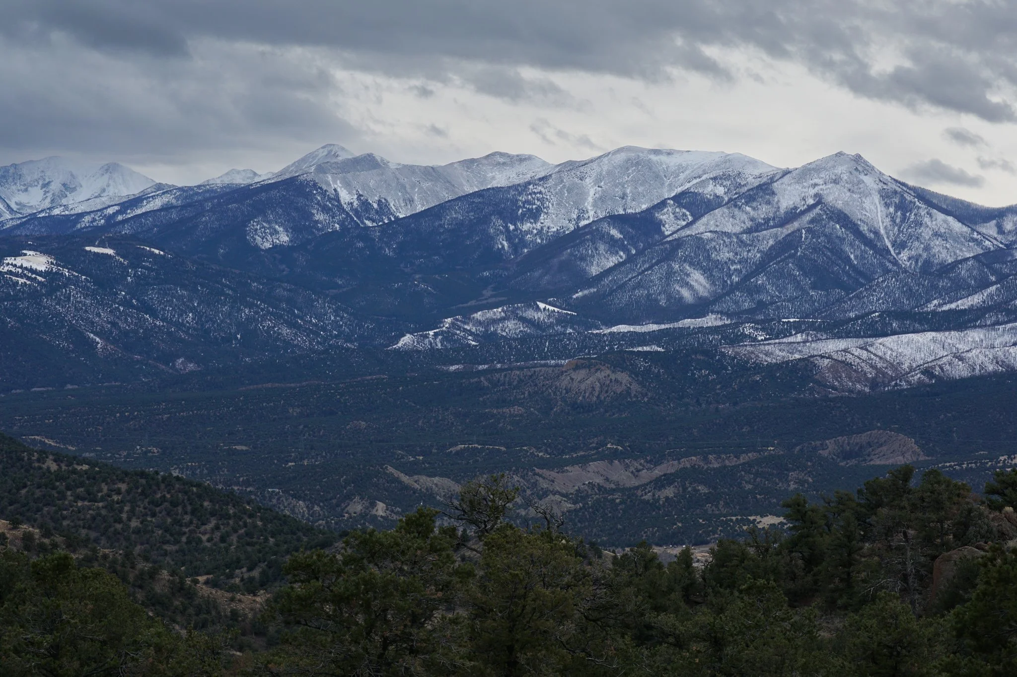
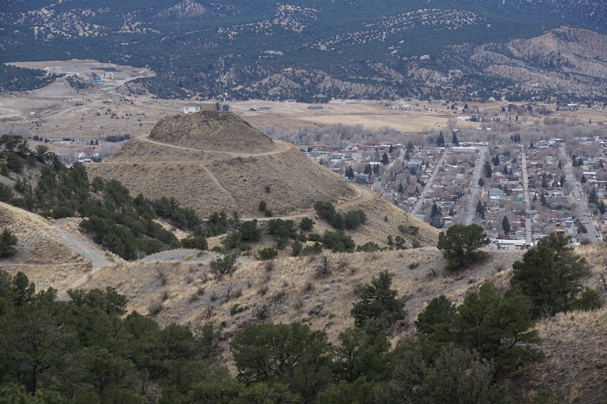
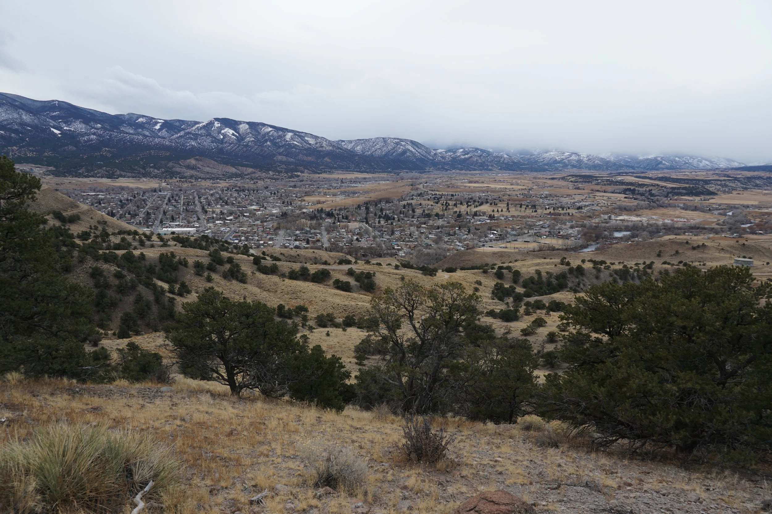
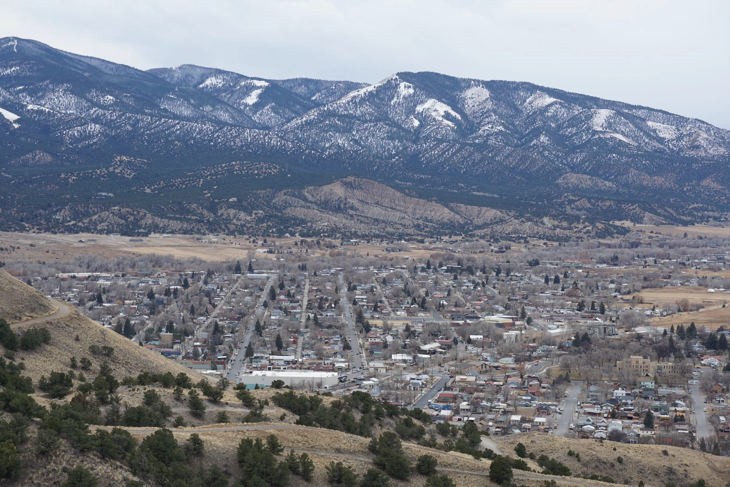
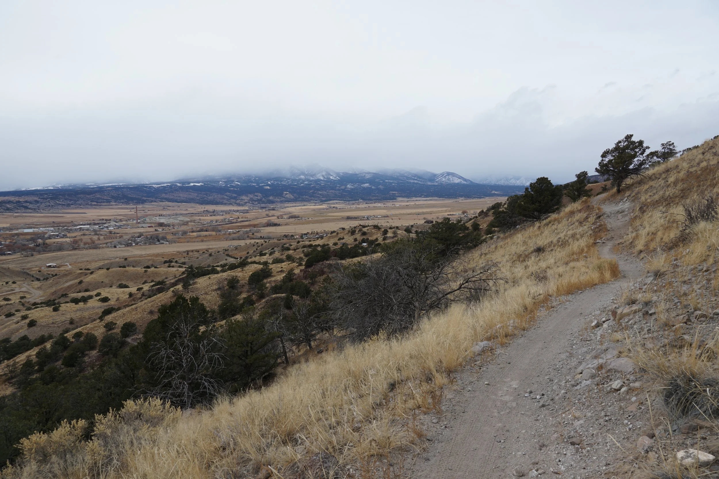
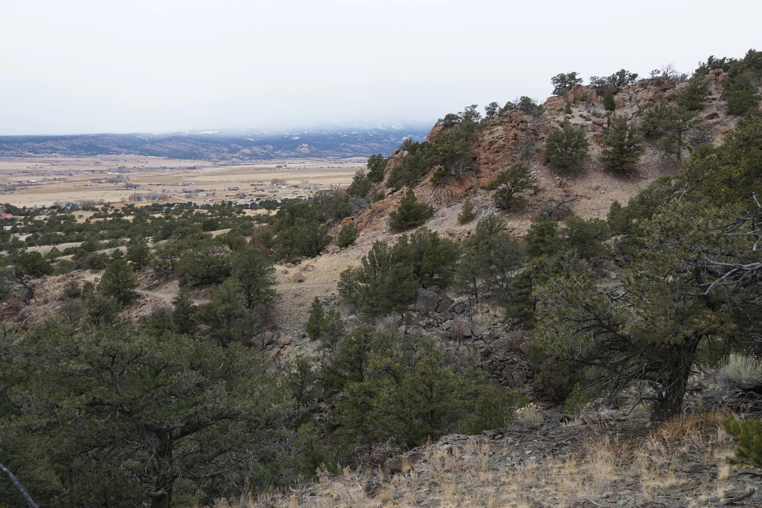
At the southwestern edge of the Front Range Mountains is the City of Salida nestled up against the Arkansas River and wedged between the Front Range, the Sawatch Mountains, and the Sangre De Cristo Range. Salida is a recreational hub and maintains a wonderful system of hiking and biking trails on the edge of the City in collaboration with the Bureau of Land Management (BLM). The North Backbone Trail accesses the heart of the Salida Mountain Trails System with a long and winding trail through the hillside with great views of the southern Collegiate Peaks…at least I think it does…the clouds were completely engulfing the Sawatch Mountains during my cold December visit.
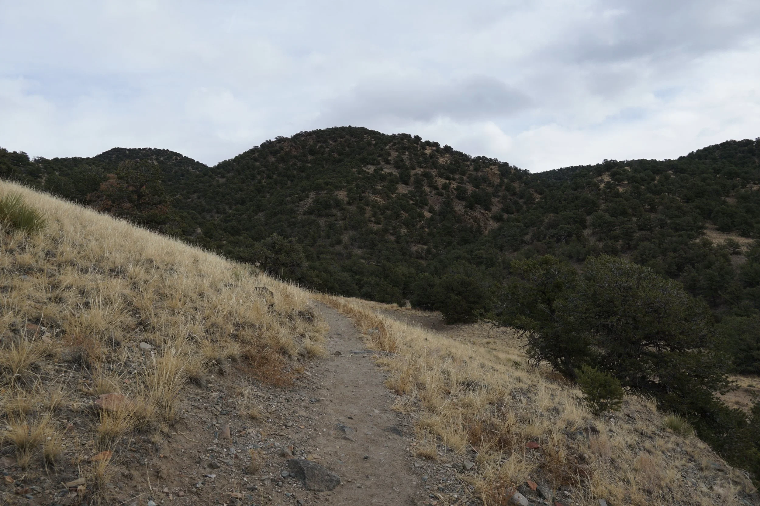
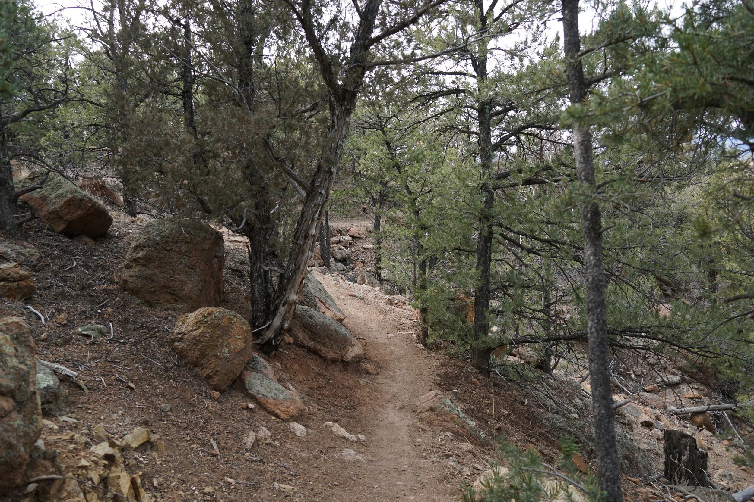
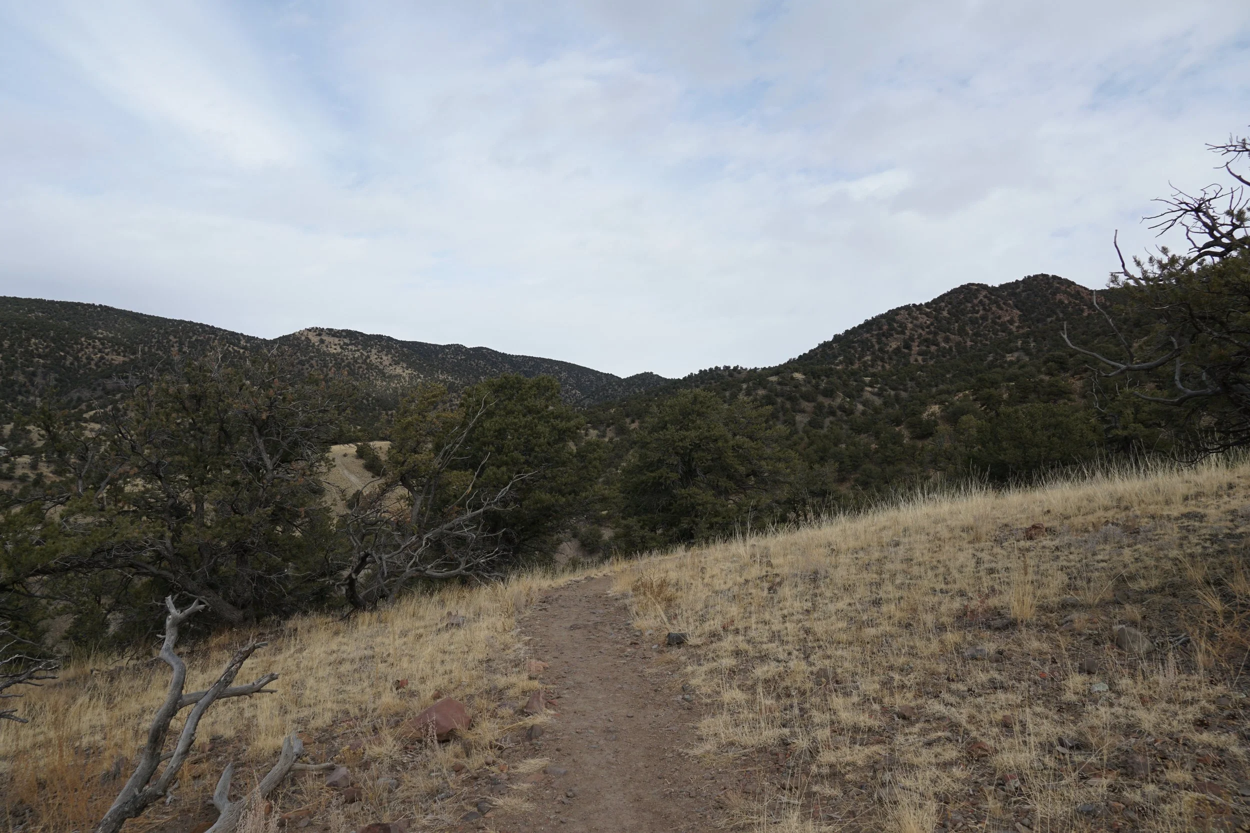
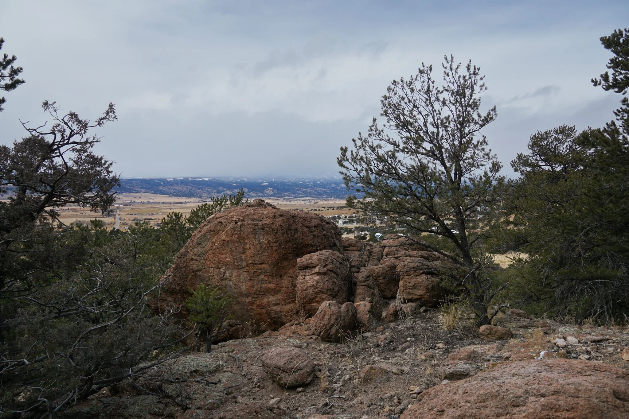
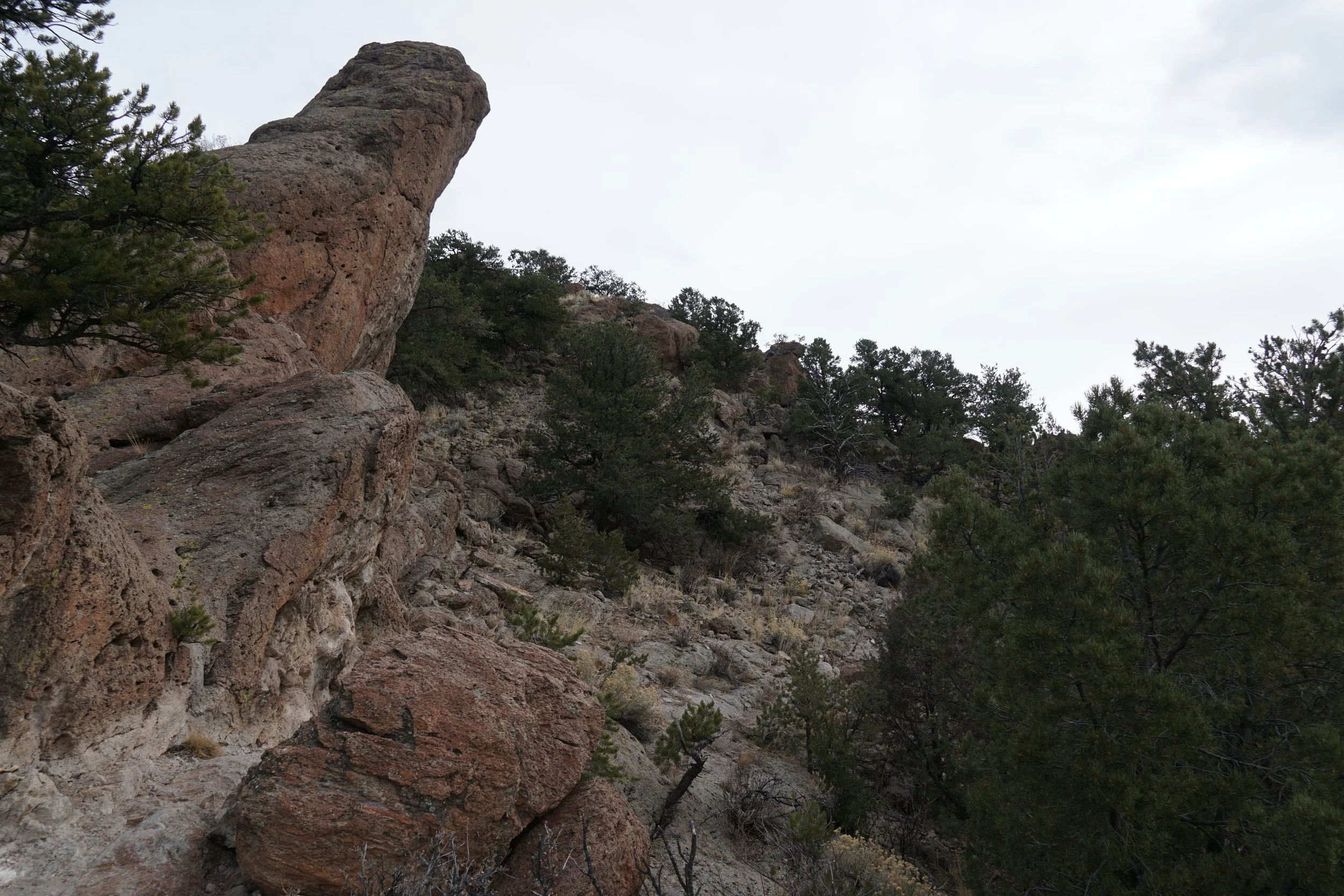
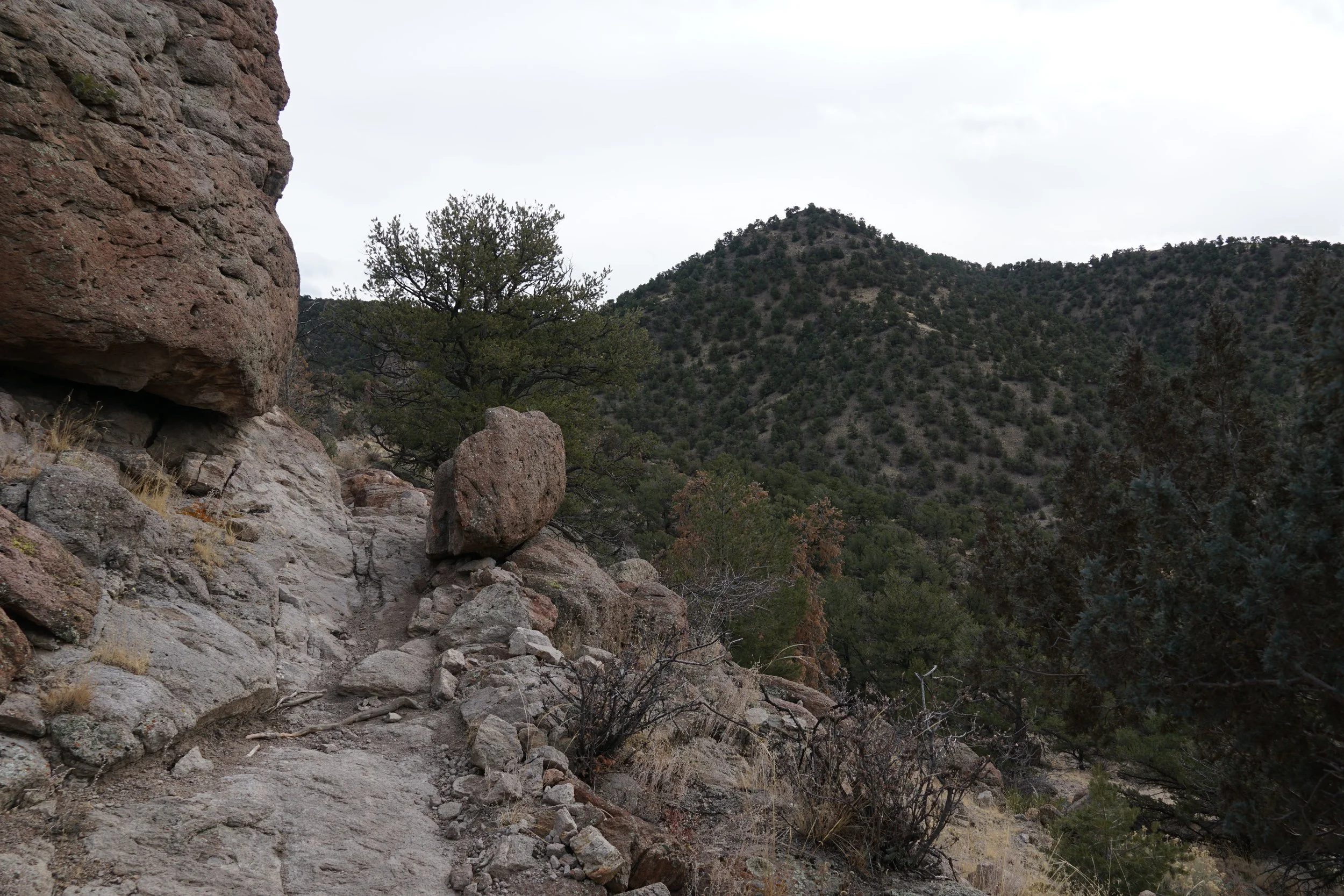
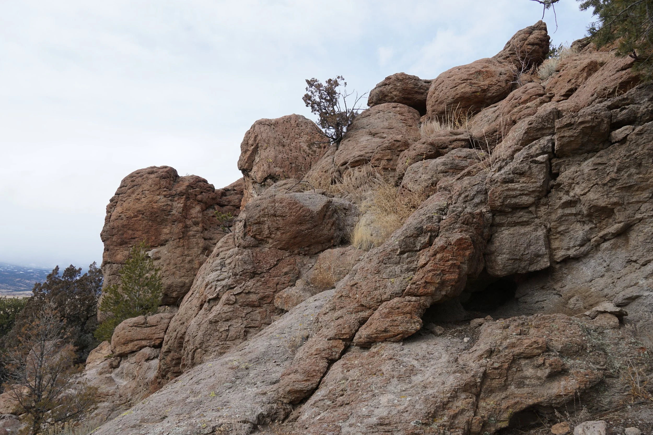
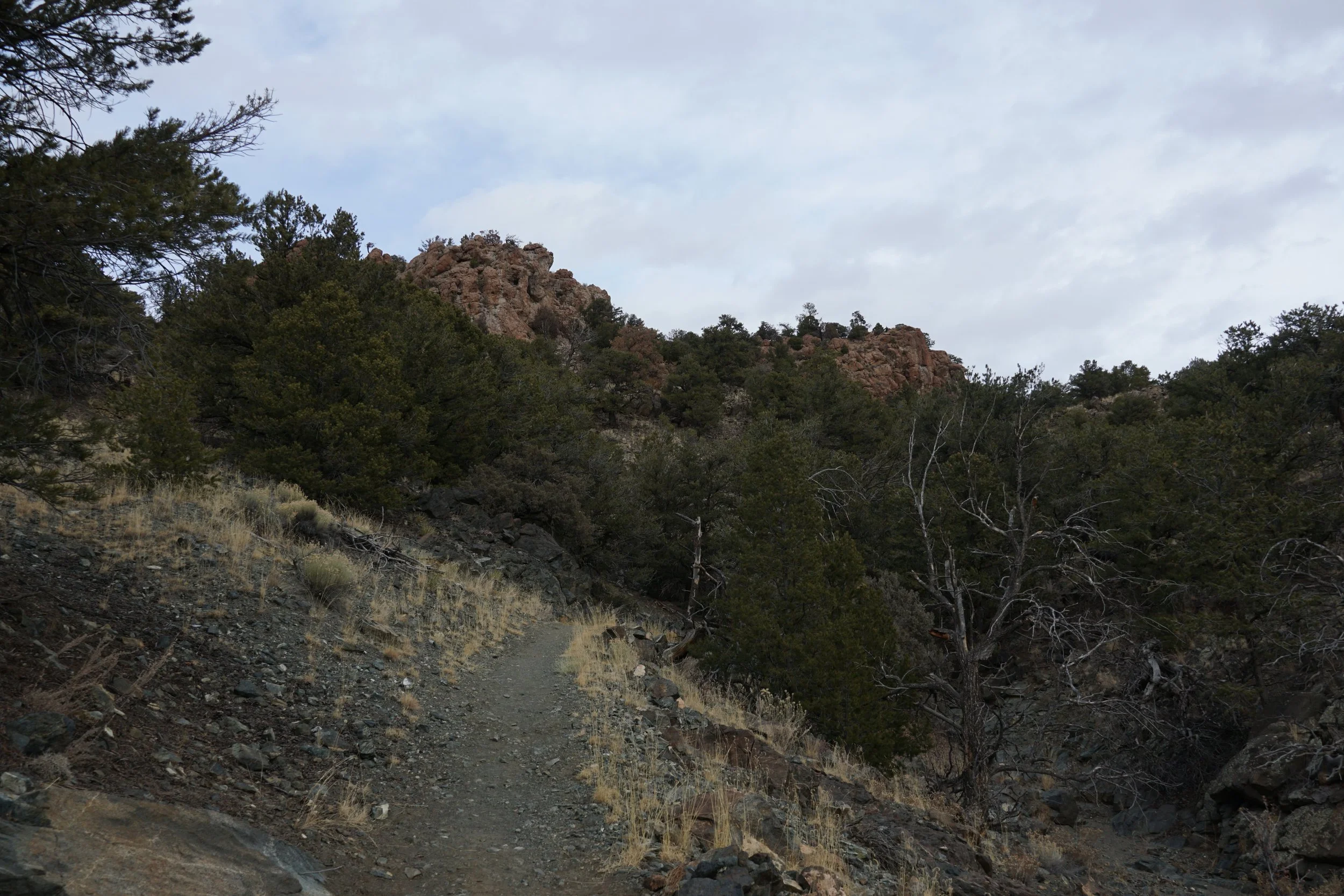
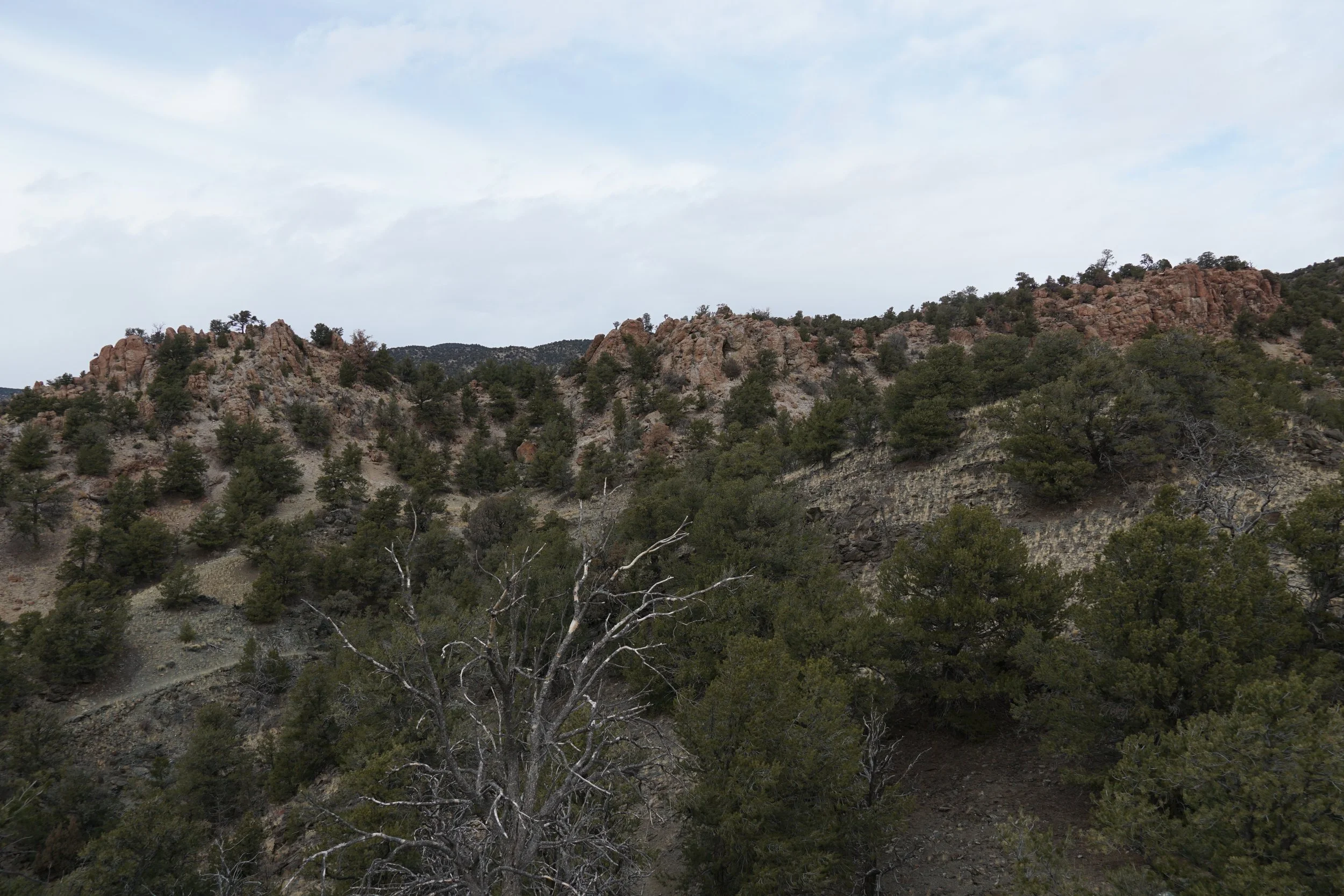
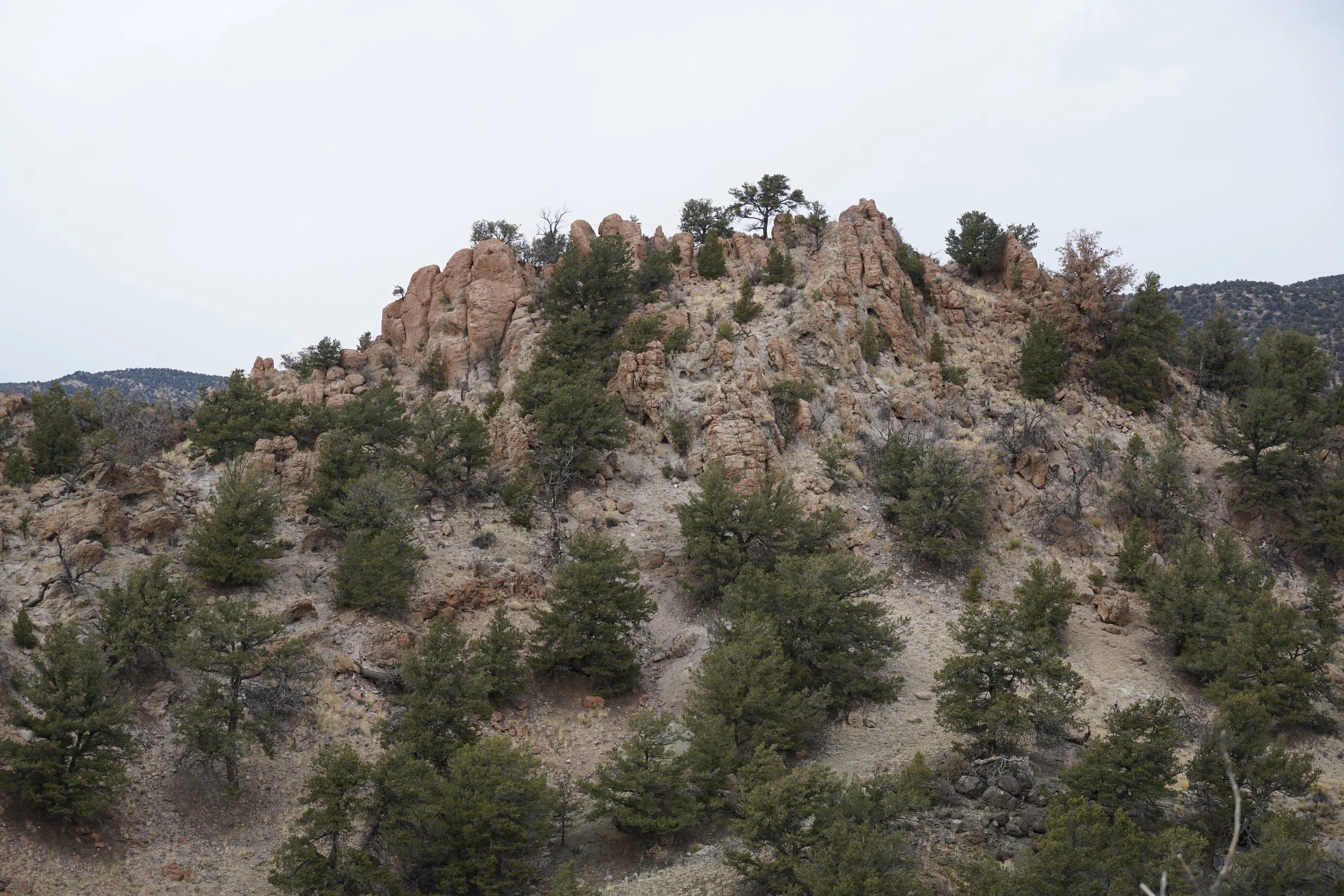
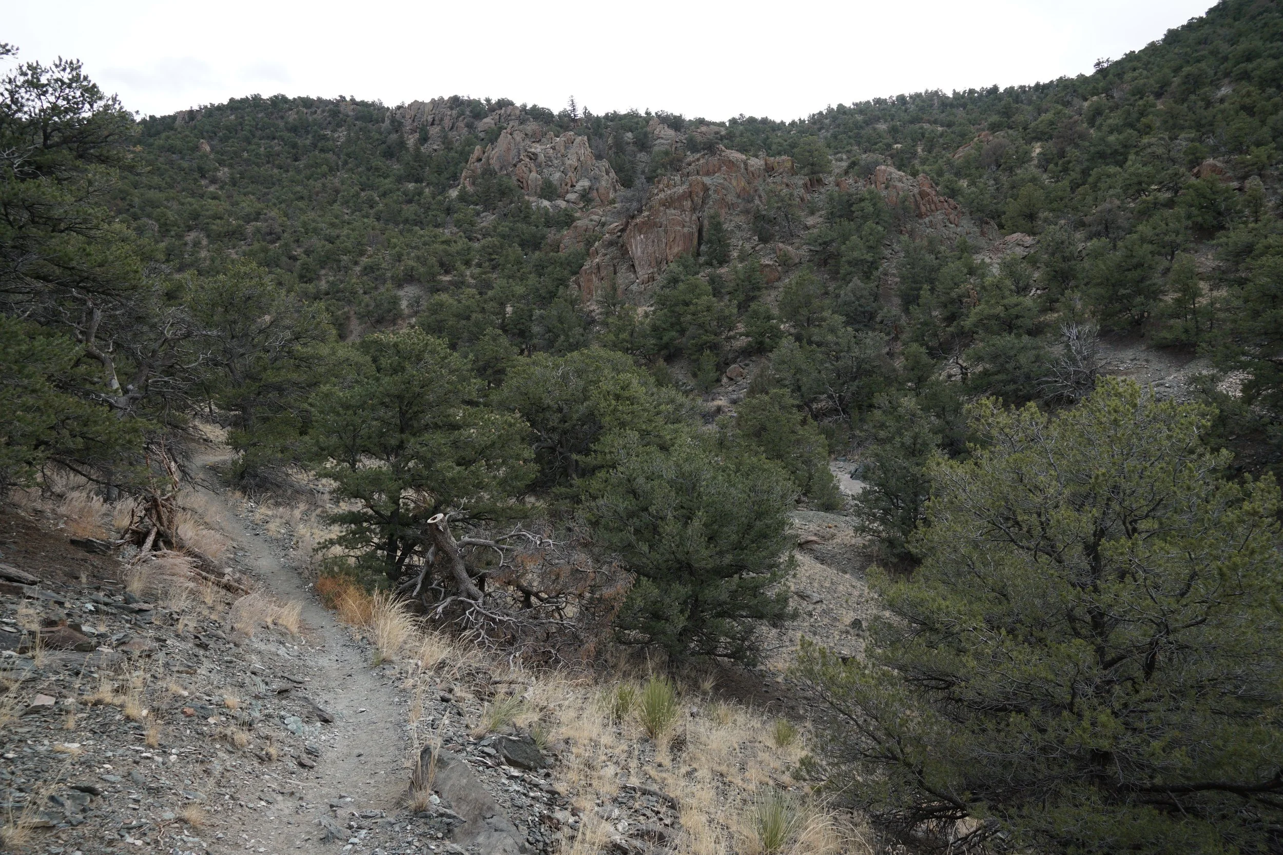
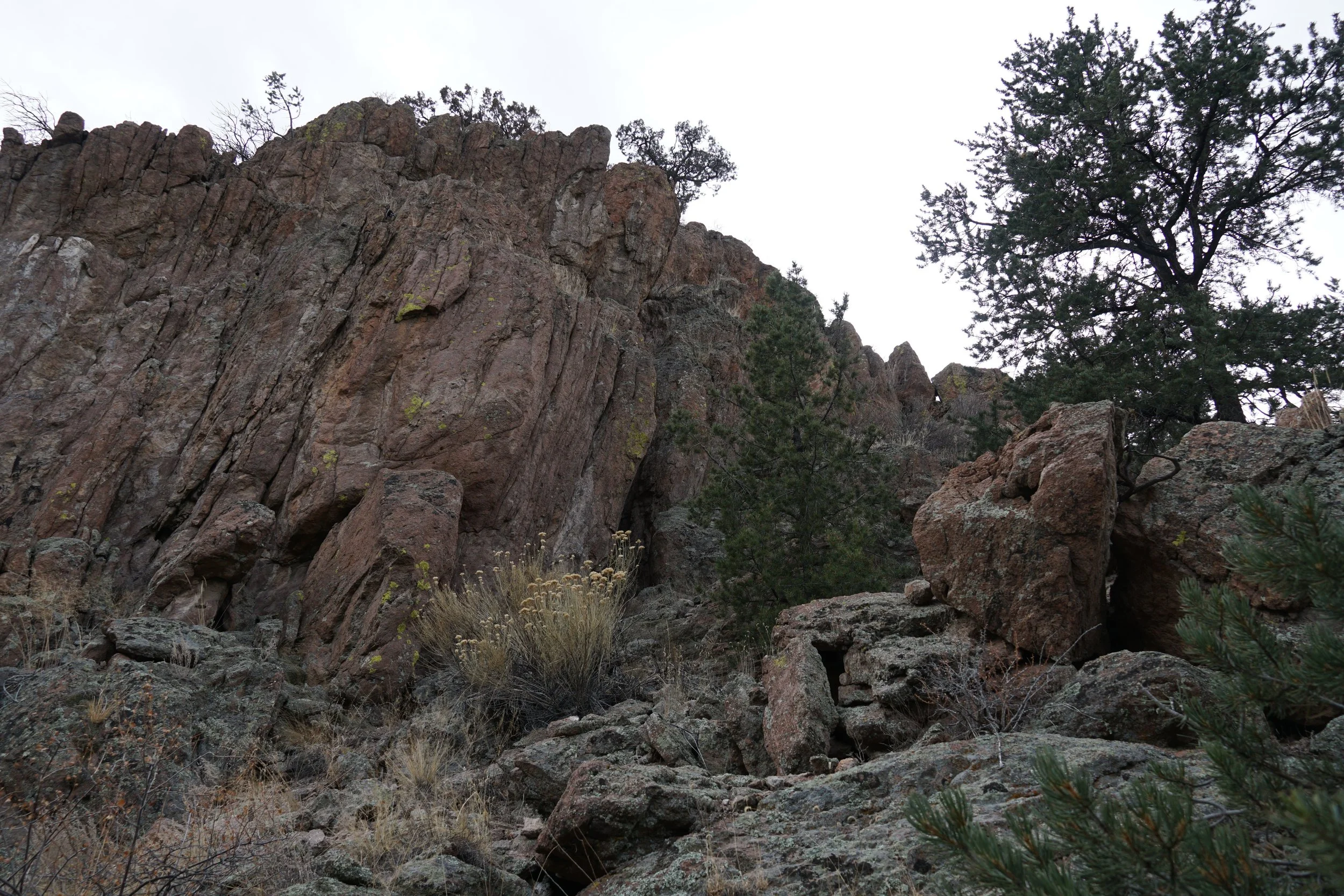
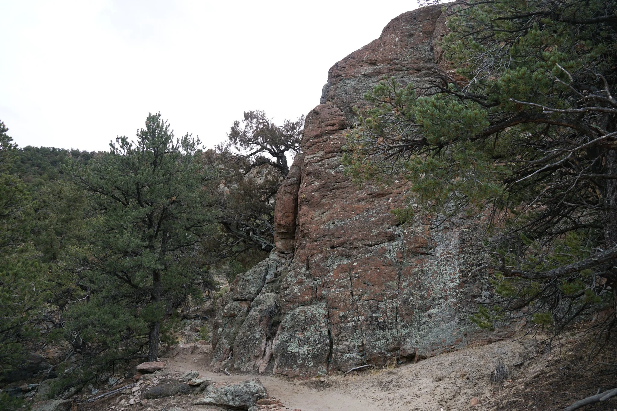
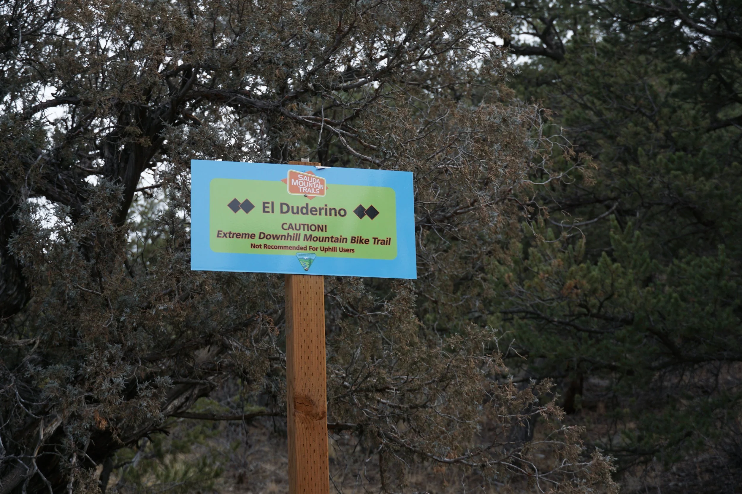
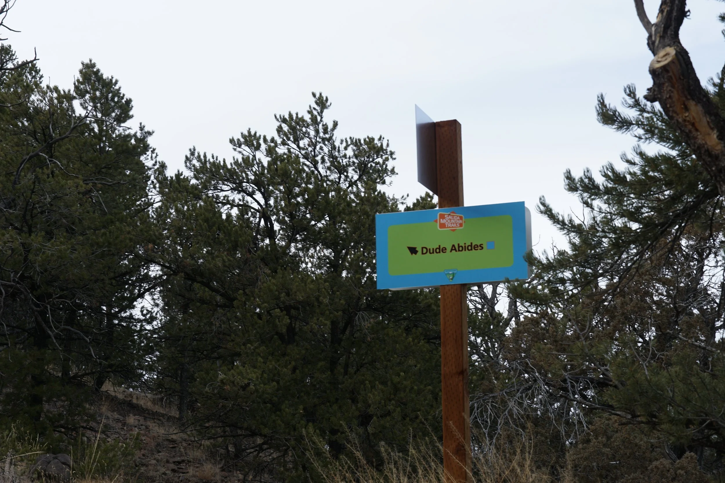
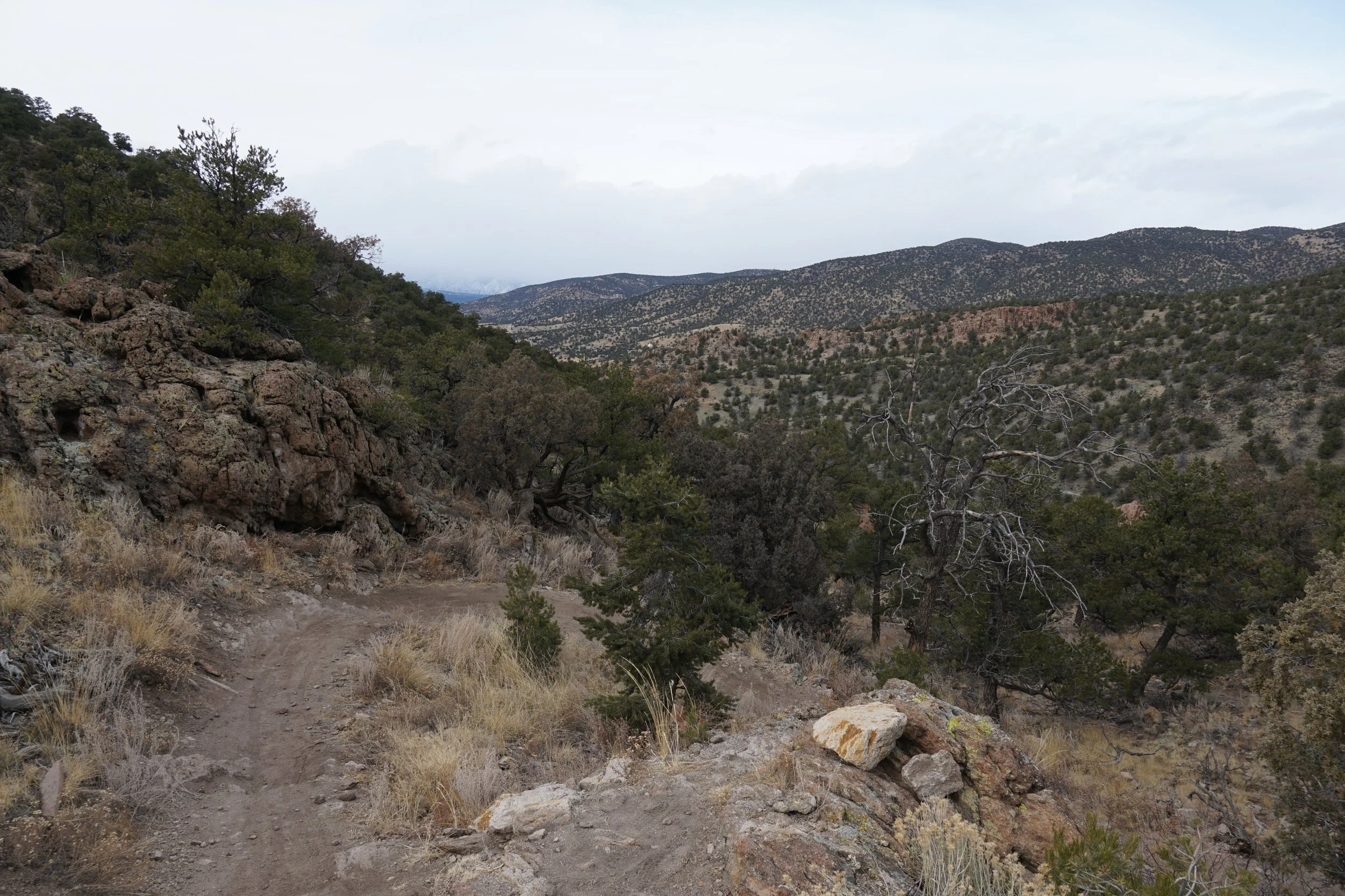
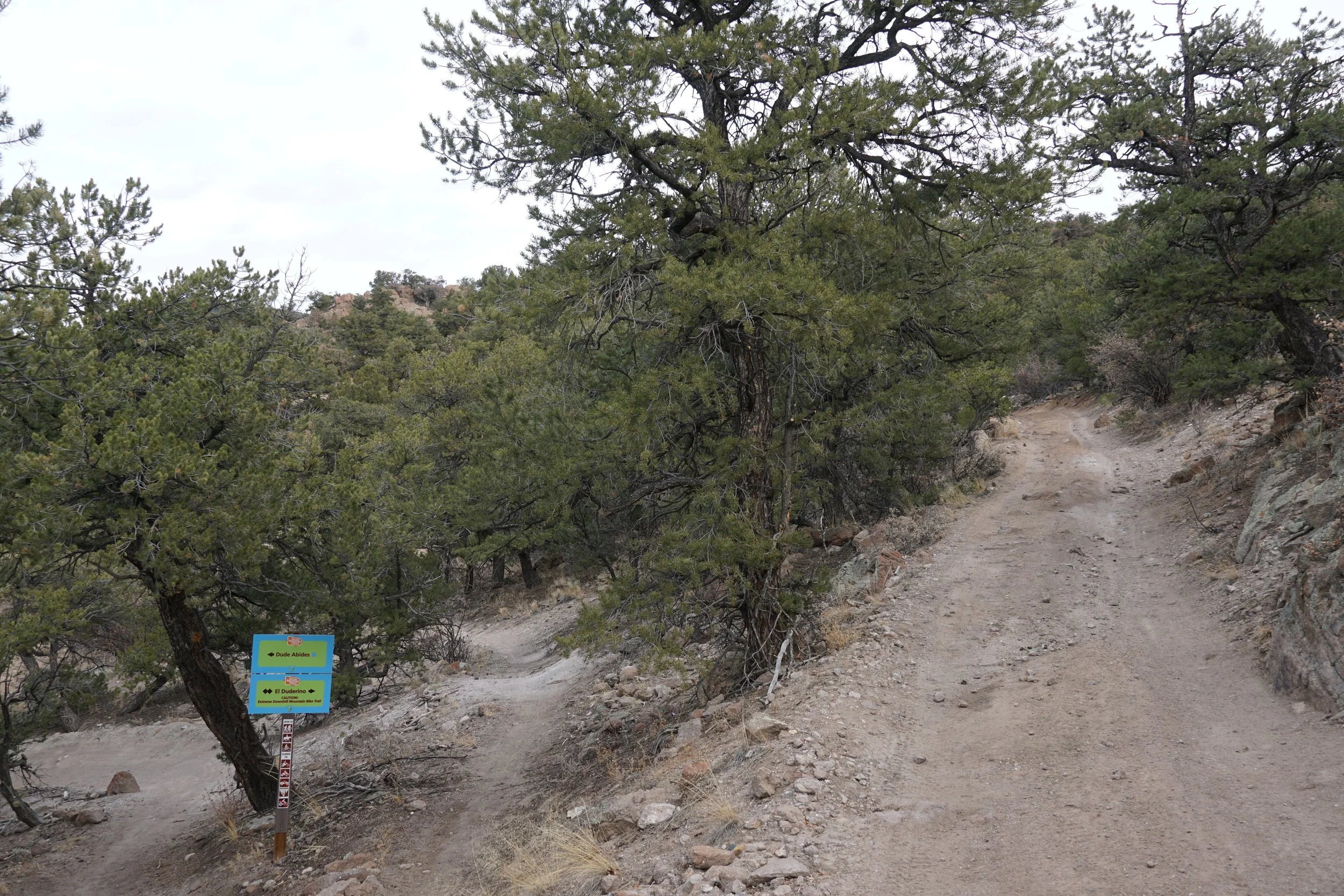
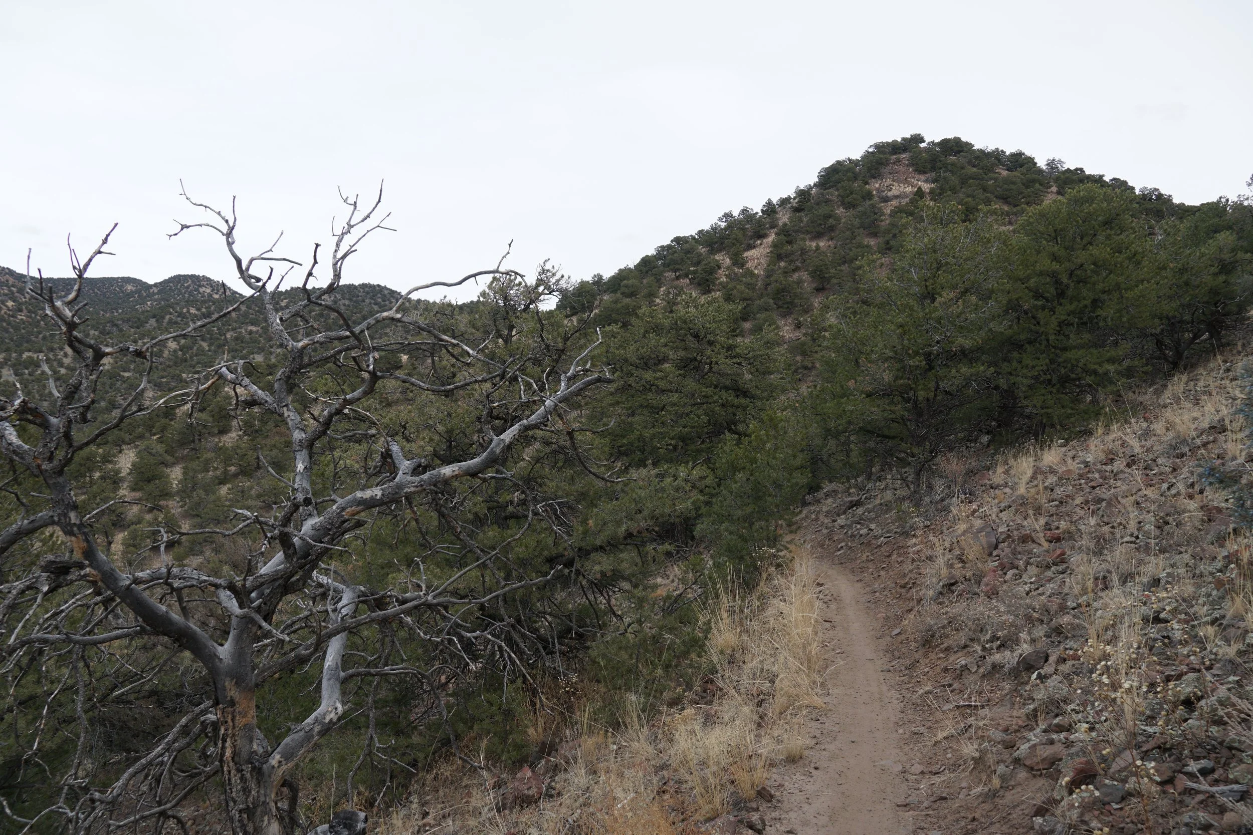
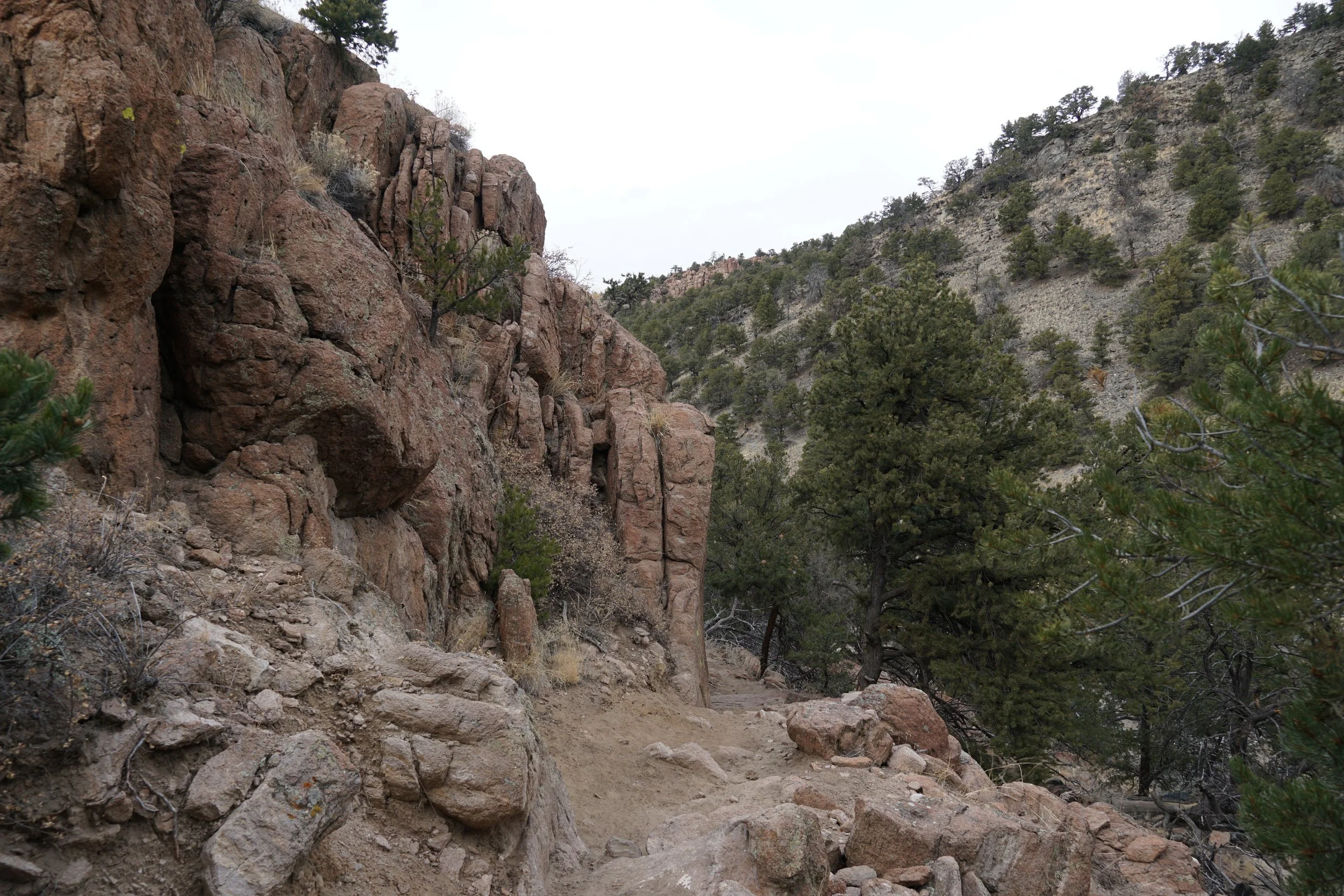
The North Backbone Trailhead is located off of Ute Trail, about 2 ½ miles north of Salida. The first two miles of this hike follows the North Backbone Trail as it bobs and weaves along the scrubby pinyon and juniper landscape. Look to the west for the great views along this segment. At the 2 mile mark you’ll reach the junction with El Duderino Trail. If you want to follow the route that I took, then continue past this junction and hike 450 ft further to the Dude Abides Trail, the trails in this area are named after the Big Lebowski movie…
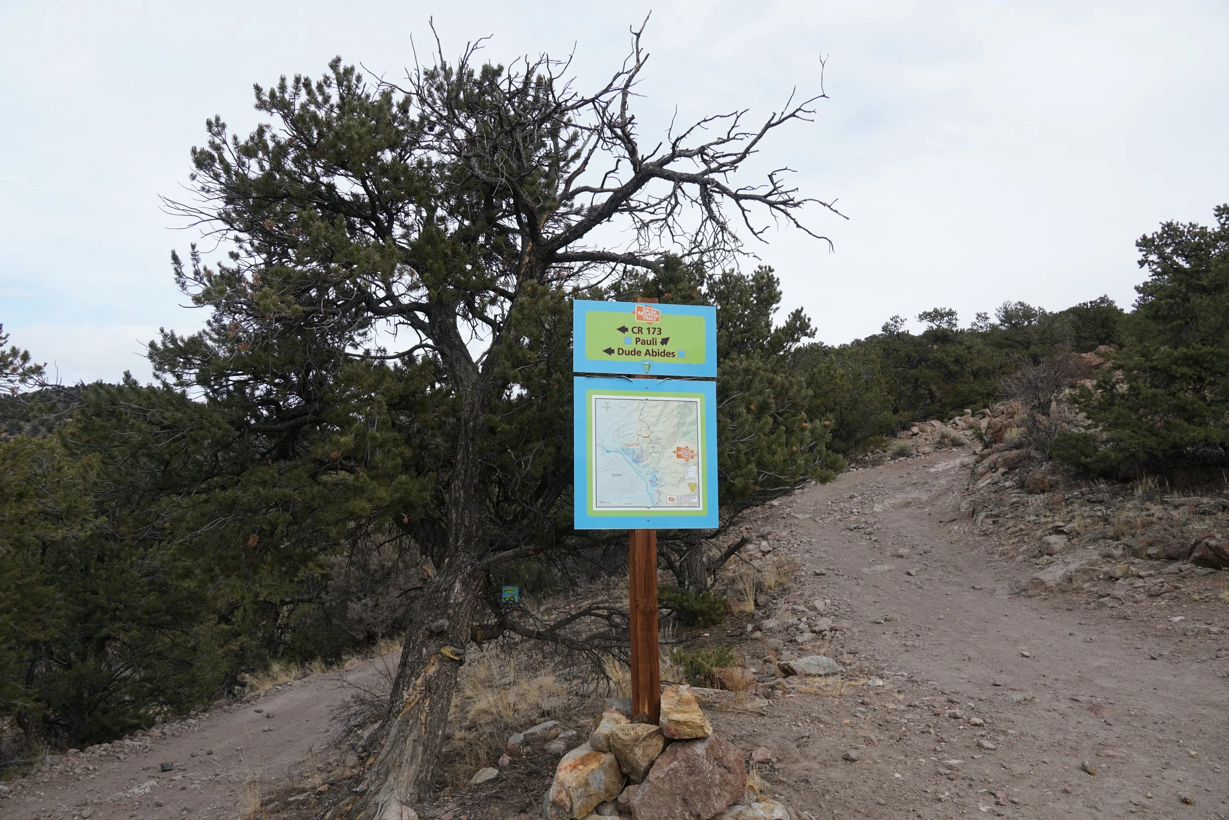
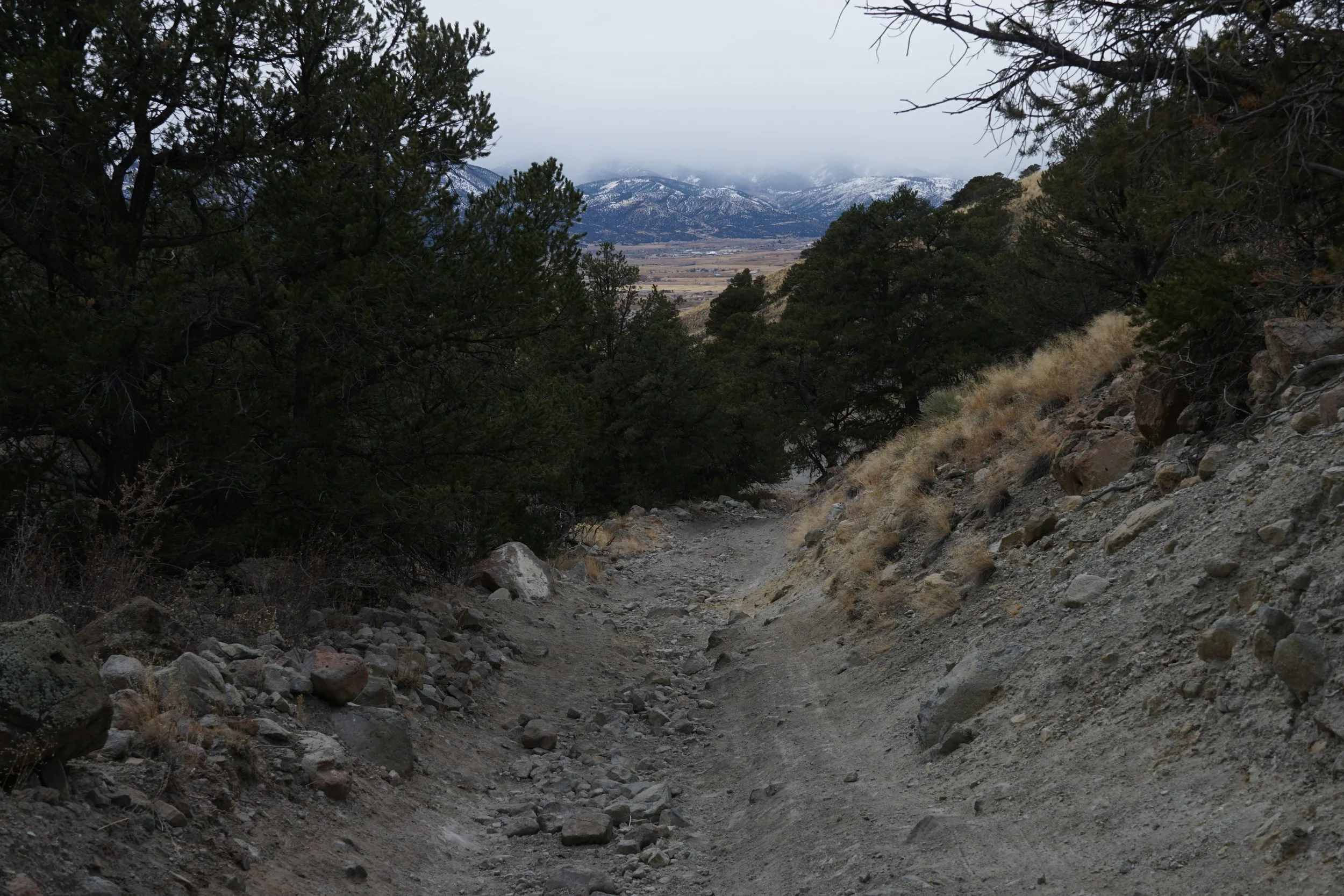
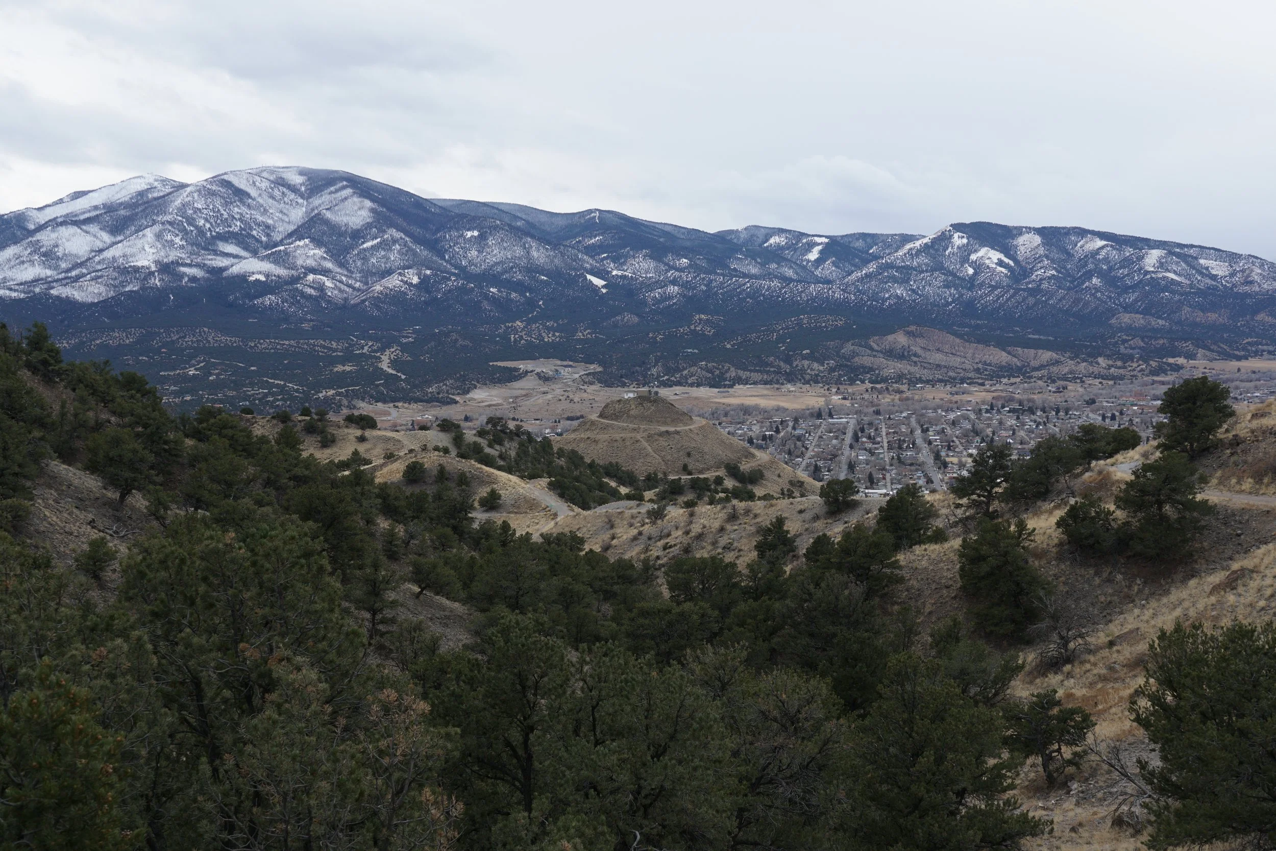
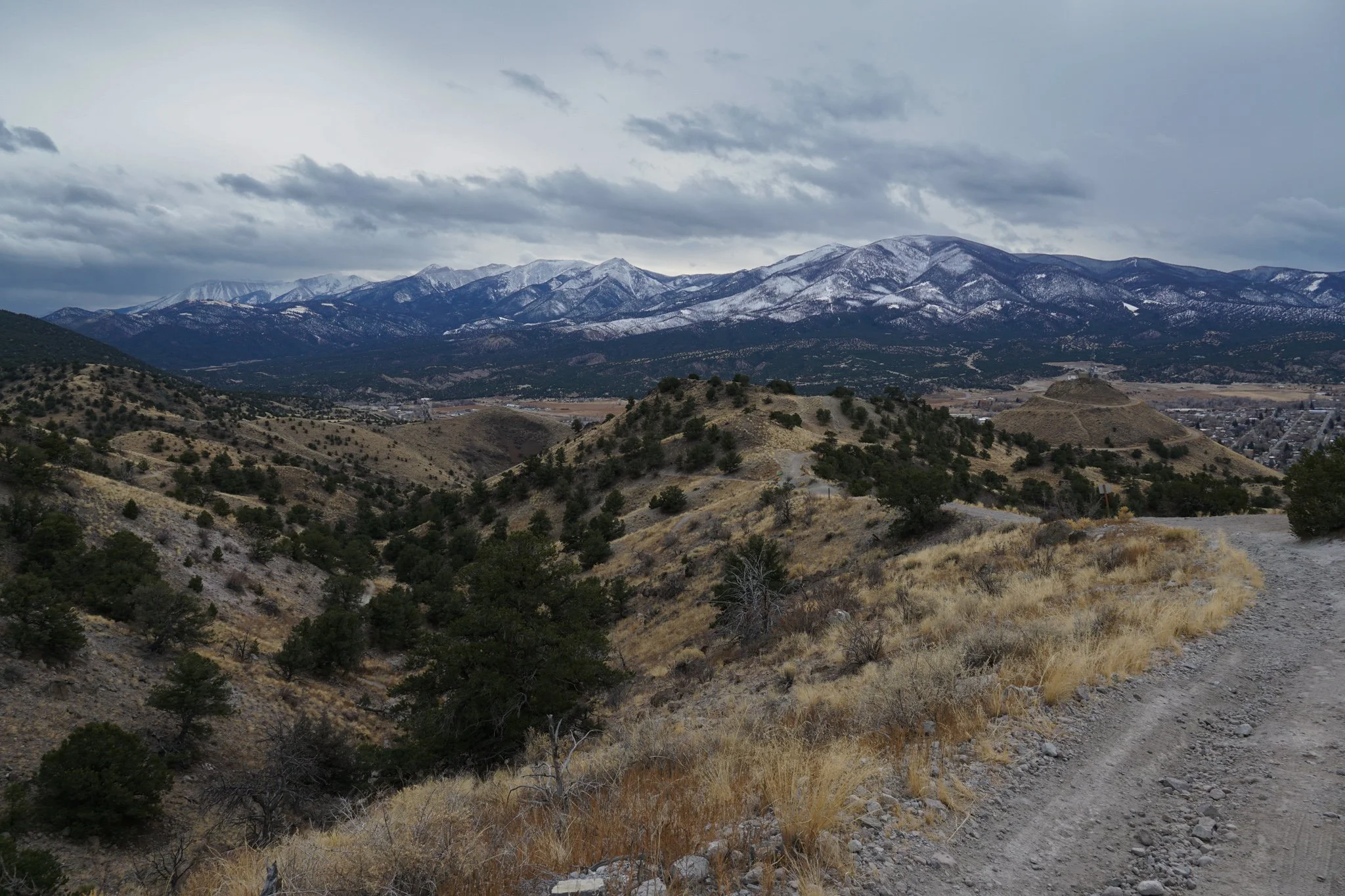
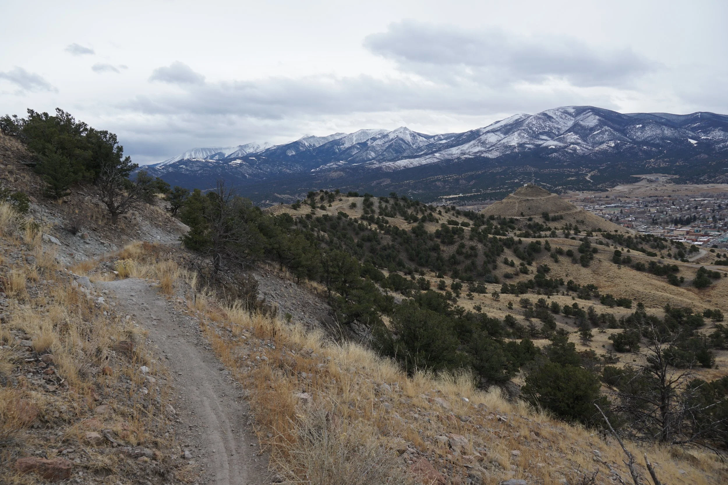
The Dude Abides Trail heads uphill for about 0.3 miles and takes you to the high pouint of this hike connecting to CR 173. When you reach this junction you’ll get your first southern views of Salida and the Sangre De Cristo Mountains. This view continues as you follow CR 173 down the mountain for ½ mile before rejoining with the North Backbone Trail. Along the way there are some other trails that spur off in varying directions, lots of options here. When you reach the North Backbone Trail, turn right, this will eventually take you all the way back to the trailhead.
The hike back to the trailhead from the junction is about 3 miles on the North Backbone Trail, the terrain is similar and you get those theoretically wonderful westerly views of the Sawatch Range for much of the hike back.
This is a great spot for some long winter hiking. This area is far drier than other spots along the Front Range, and while they definitely get snow in the winter, your chances of cold dry trails are pretty good…if only the clouds would get out of the way…