Neota Creek Trail
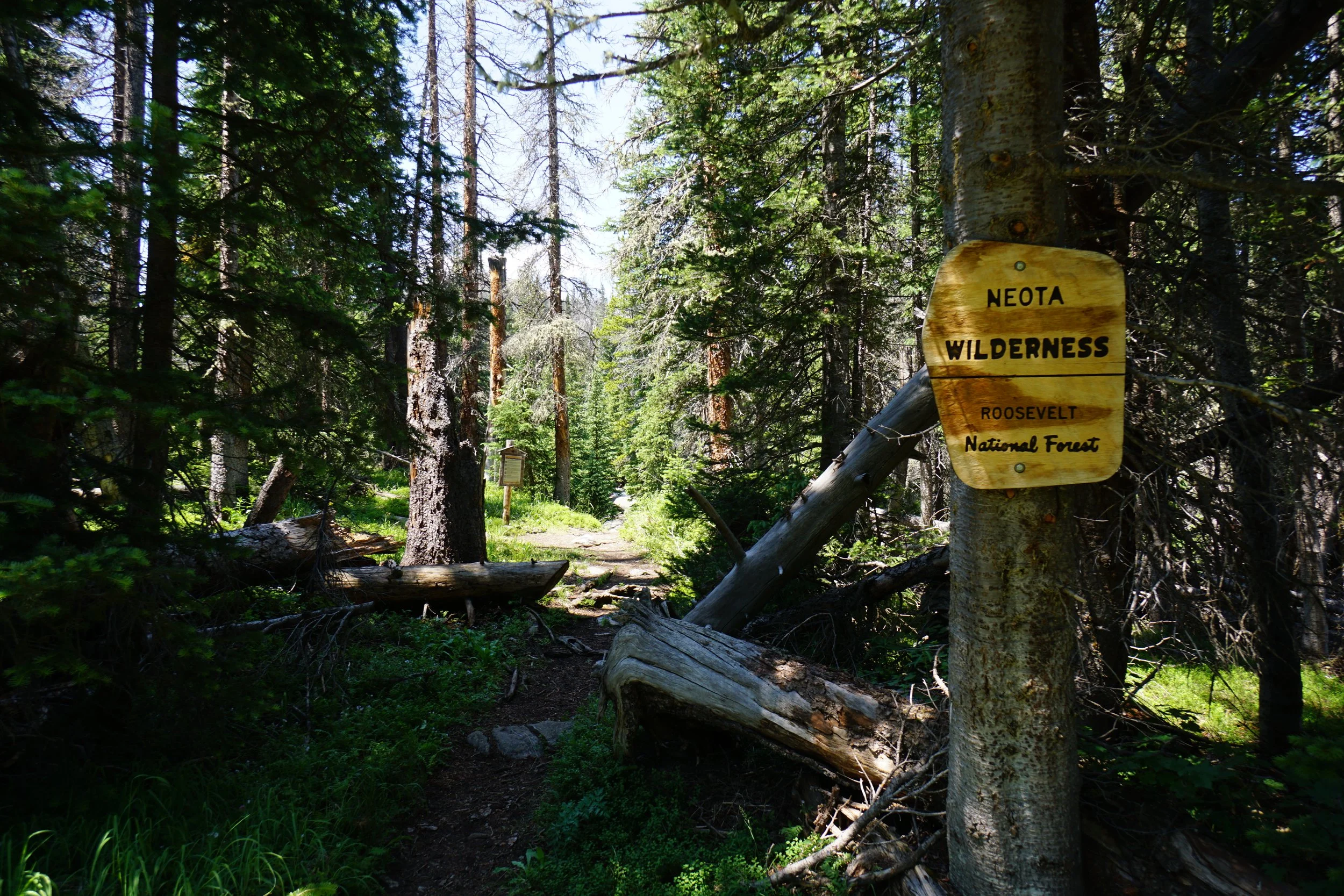
Neota Wilderness, Roosevelt National Forest
Date Hiked: July 21, 2023
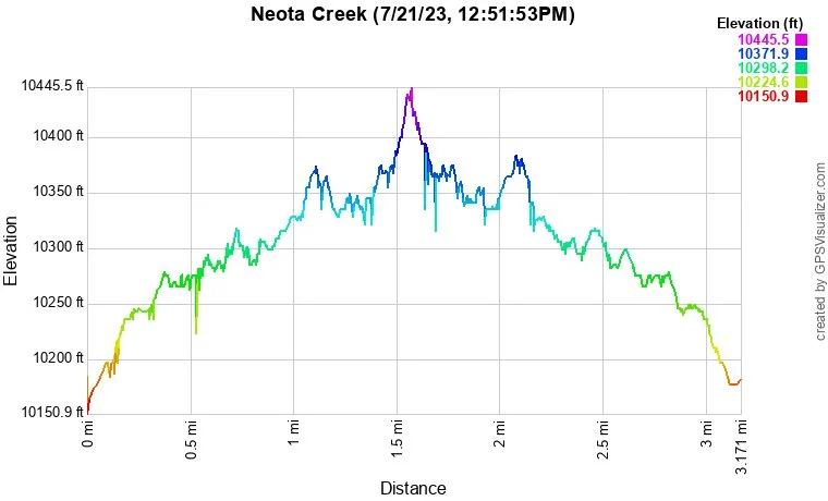
Distance: 3 mi (RT)
Elevation Gain: 250 ft
Elevation Min/Max: 10,217 to 10,411 ft
Trailhead Lat/Long: 40.48131, -105.82102
Managing Agency: U.S. Forest Service
Fee: None
Description:
From Fort Collins, head out of town on CO Hwy 14, into Poudre Canyon. Head west on 14 all the way to just before Cameron Pass. Turn south on Long Draw Road (Road 156), a good dirt road for 13 miles, past Long Draw Reservoir to the Neota Creek Trailhead. A small trail sign marks the trail just before you reach the end of the road and the La Poudre Pass entrance to Rocky Mountain National Park.
Hike Description:
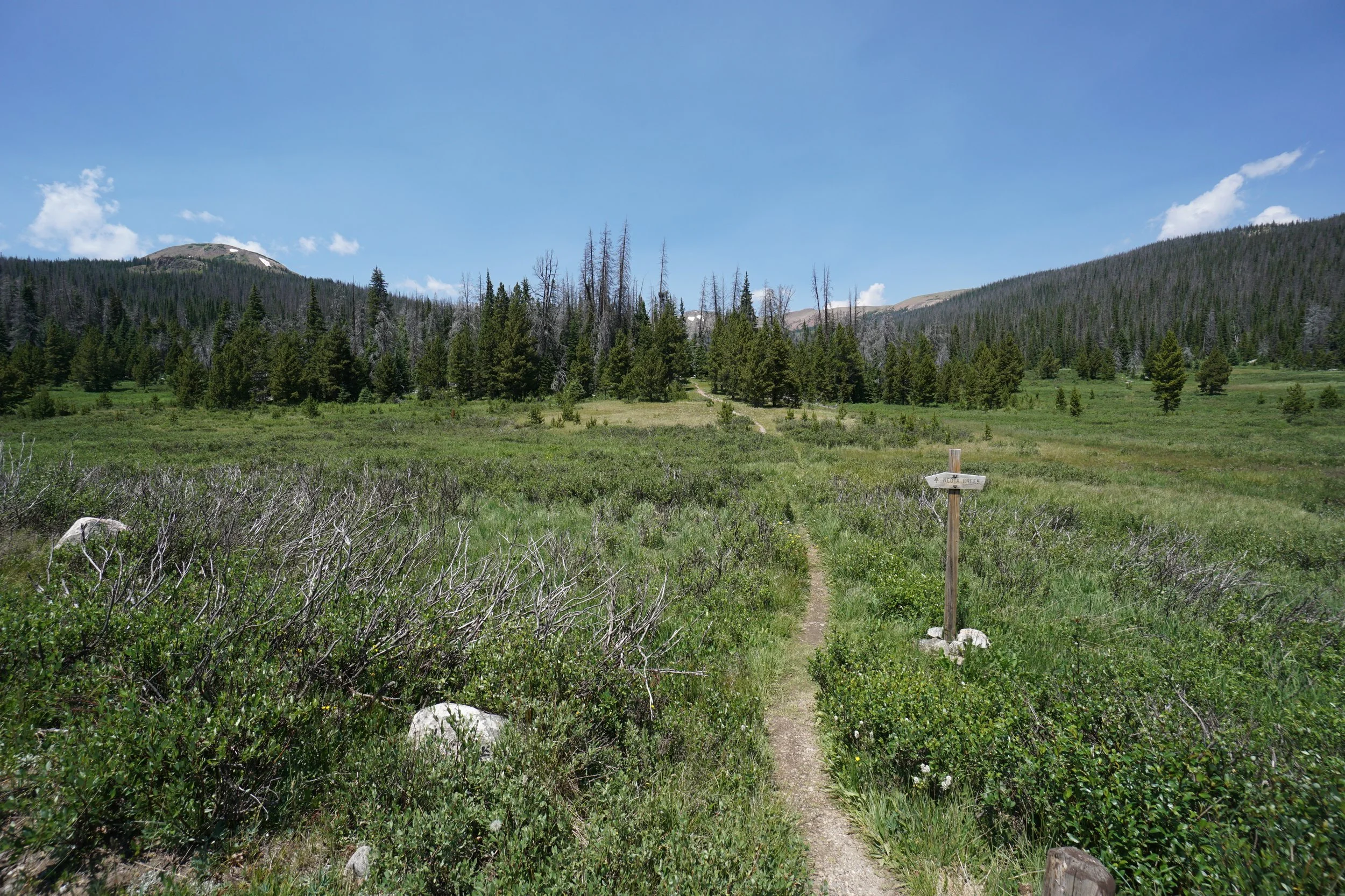
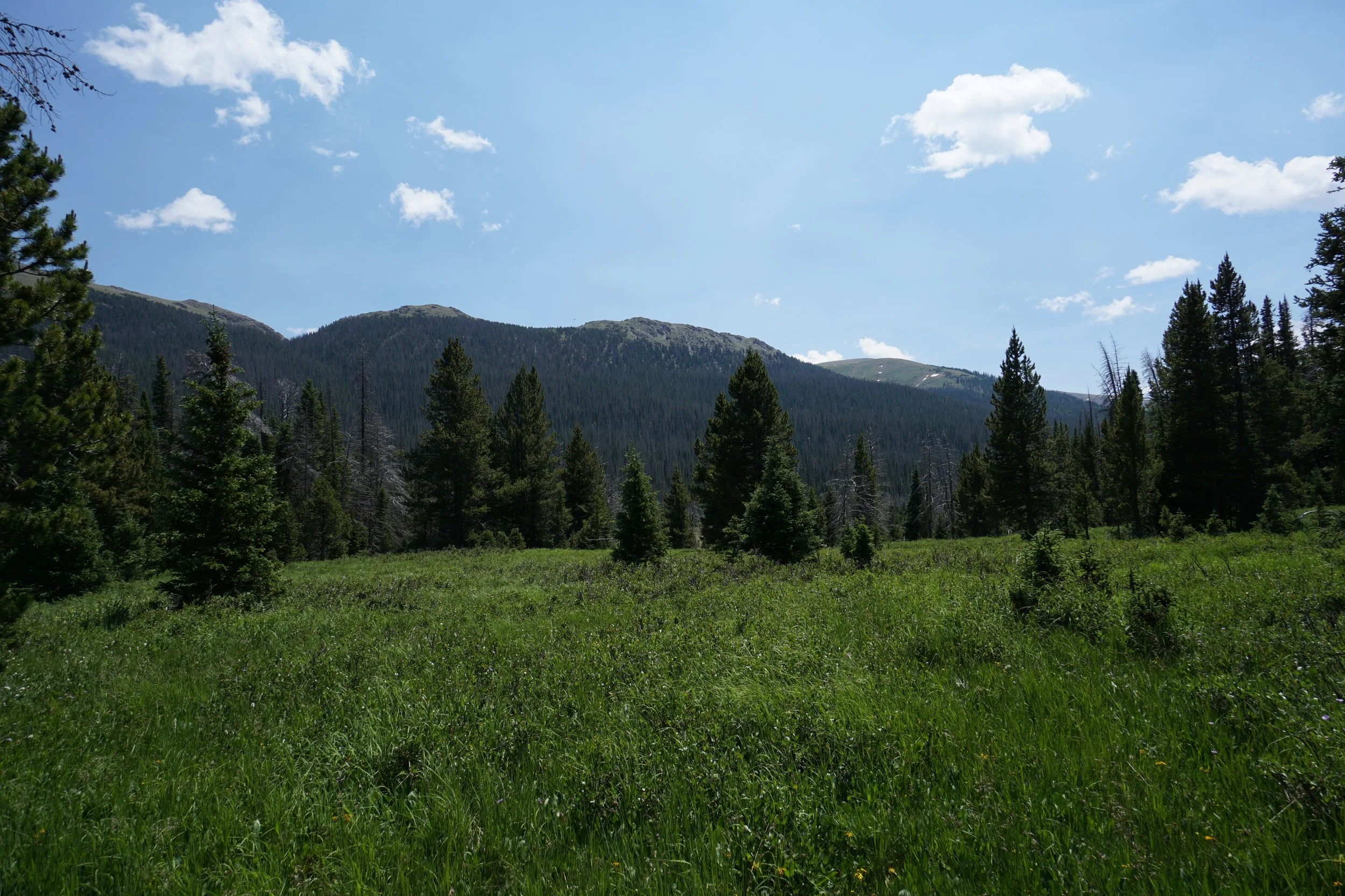
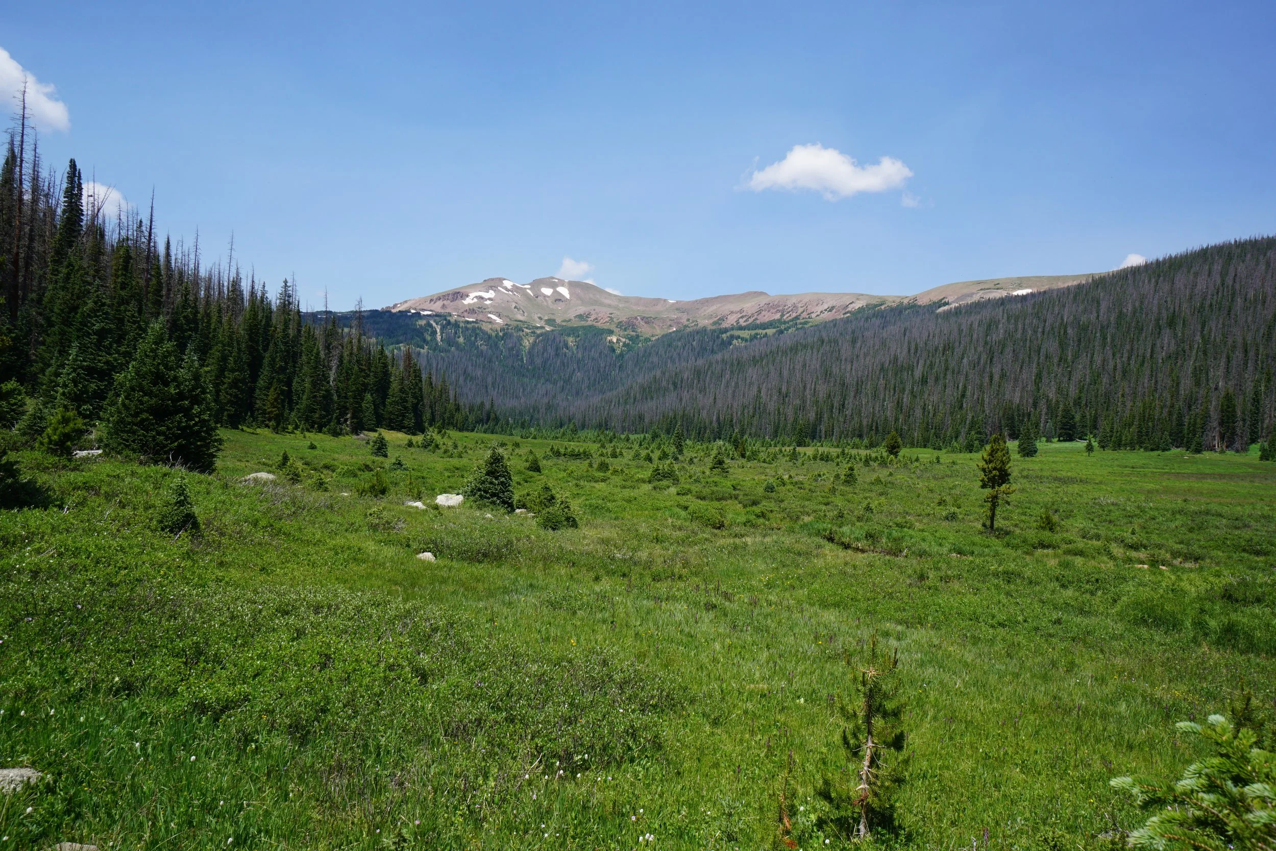
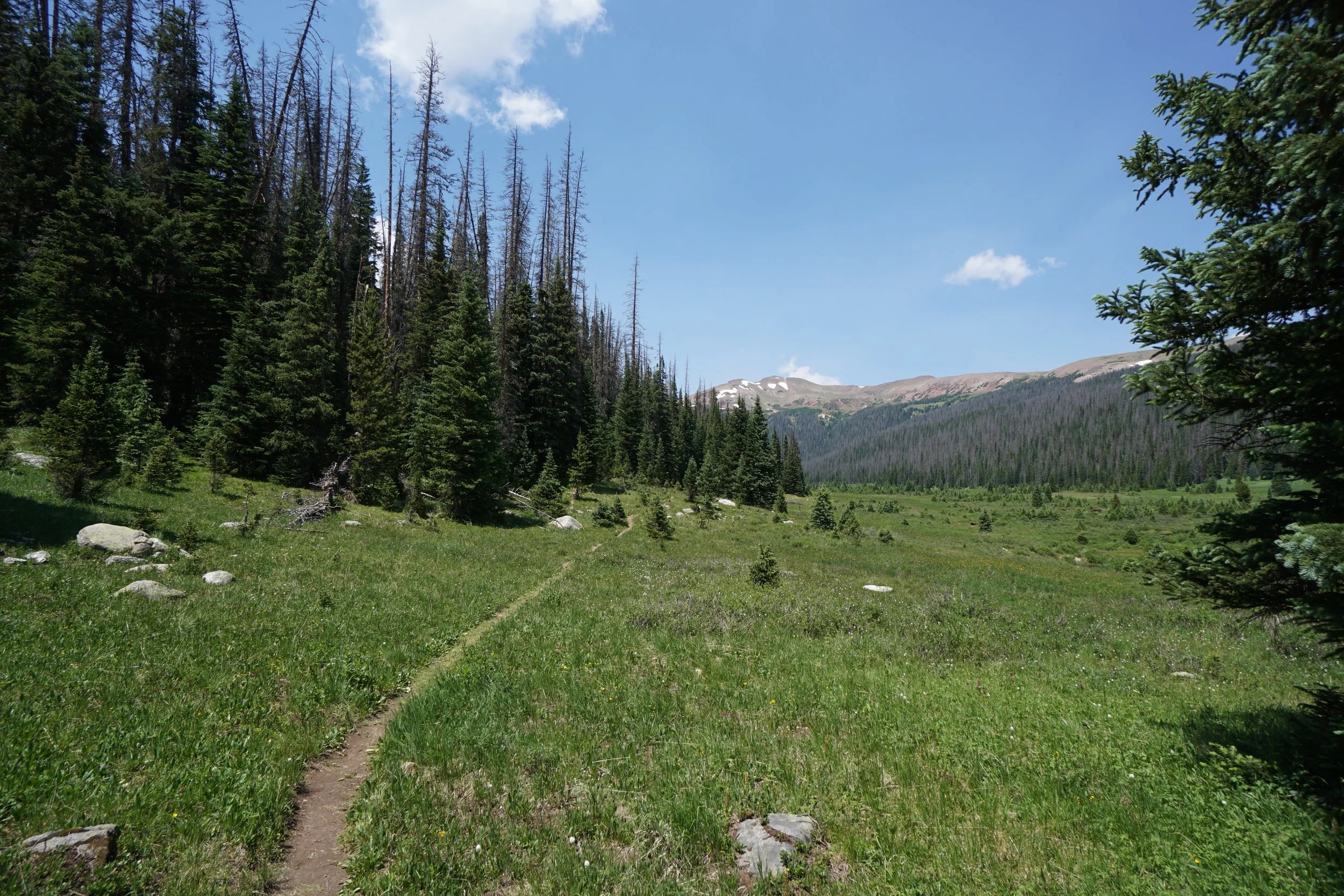
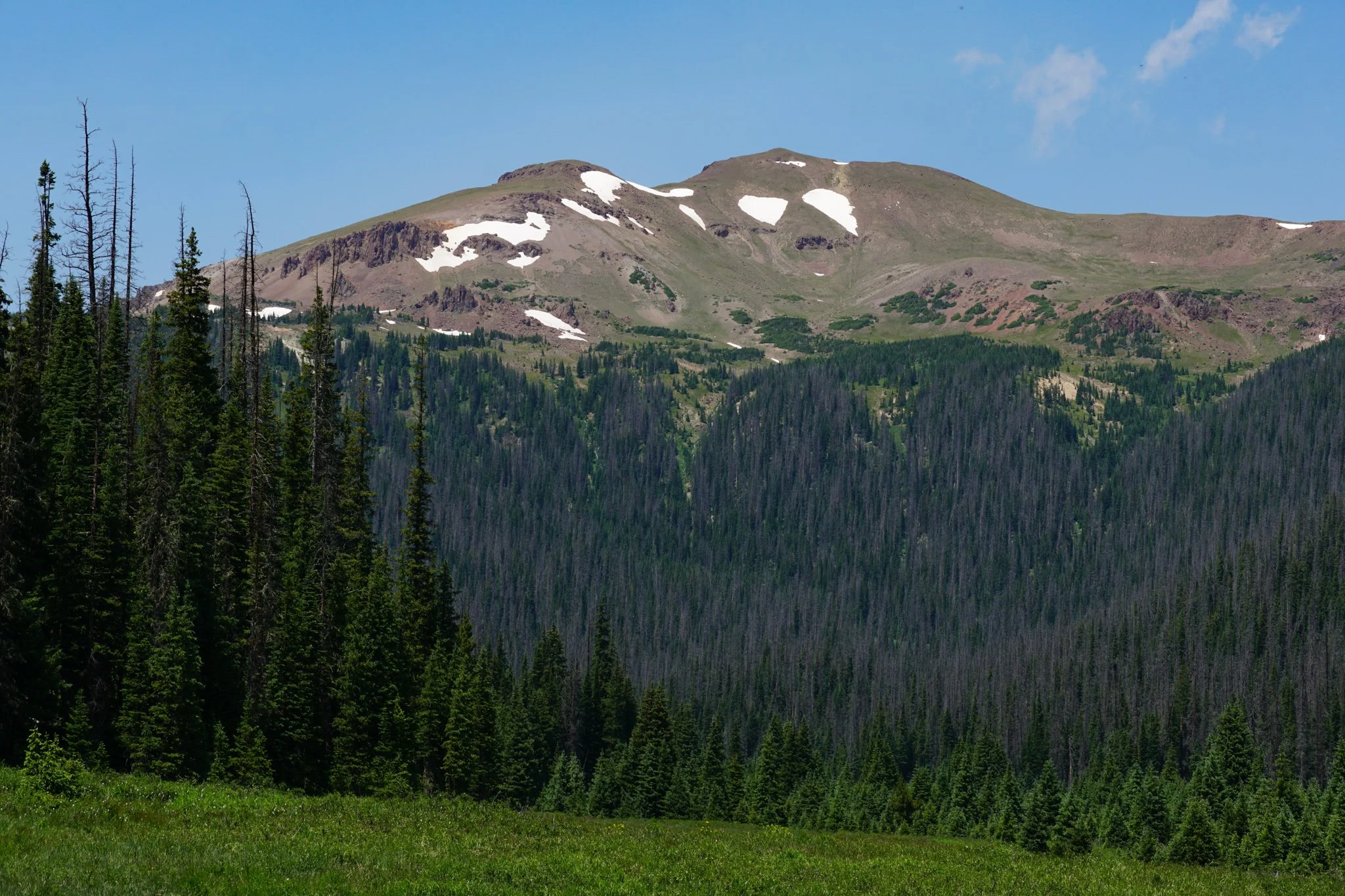
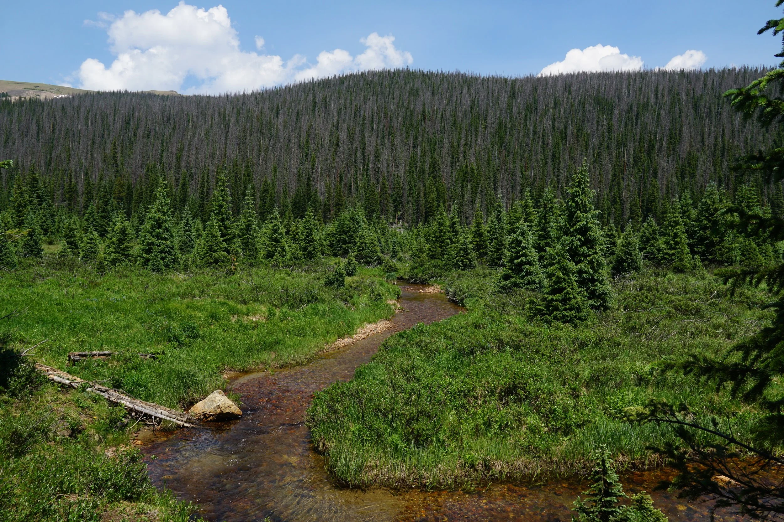
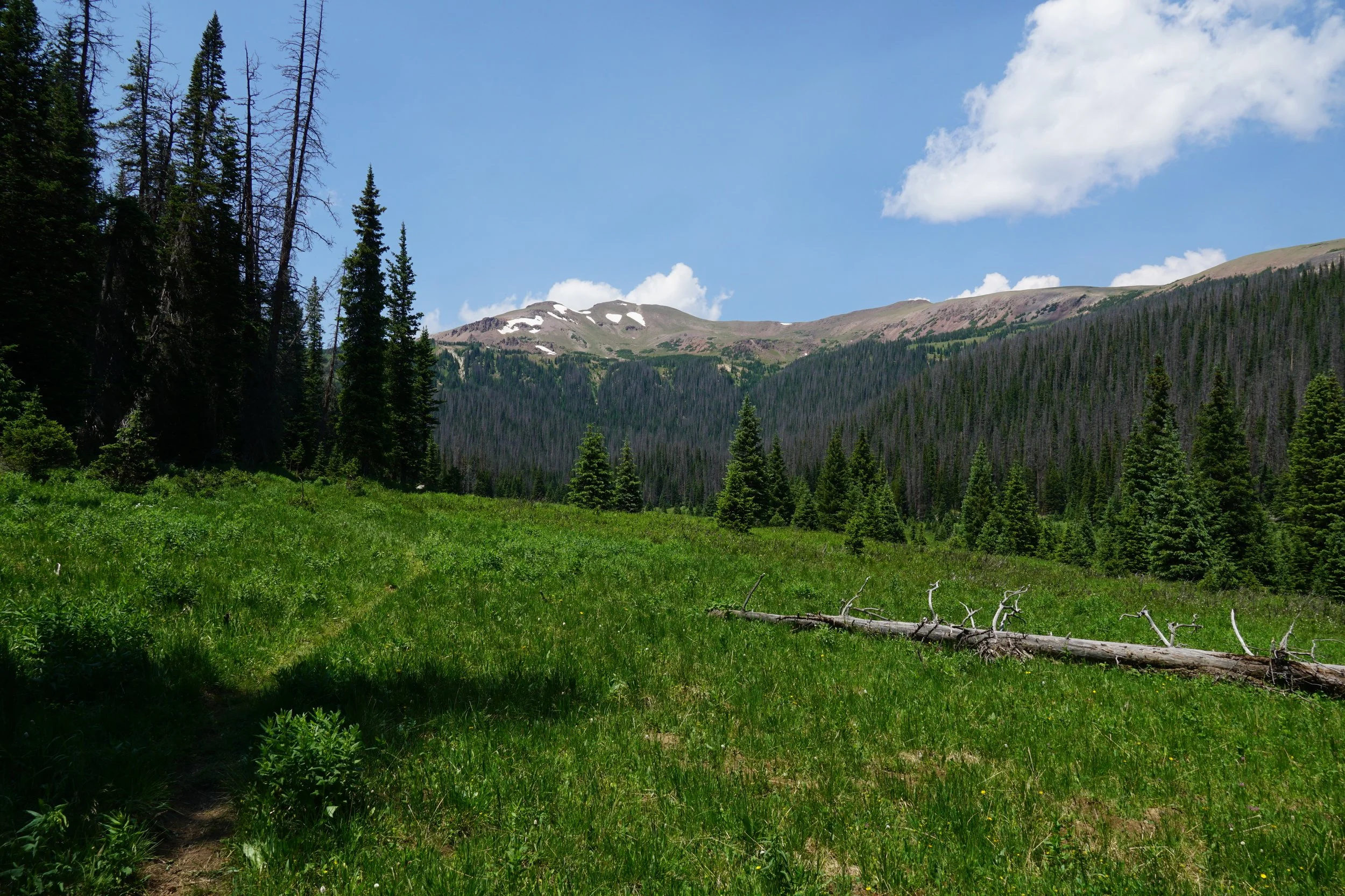
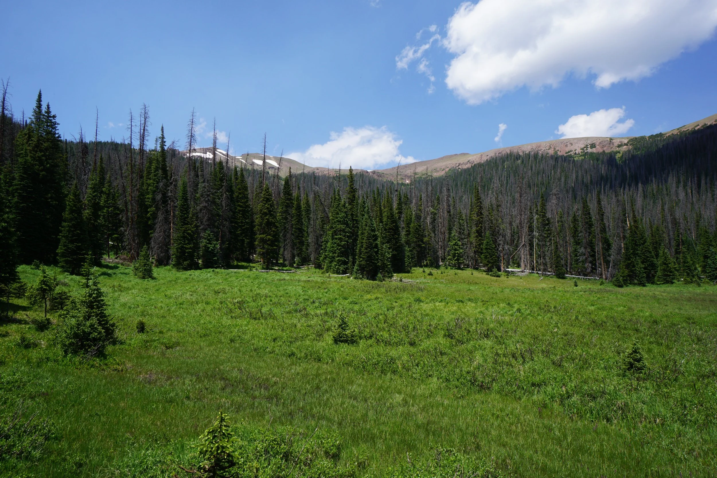
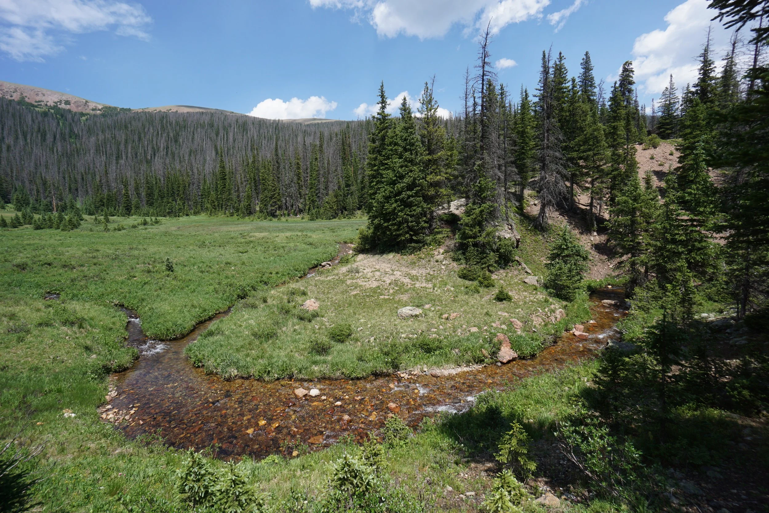
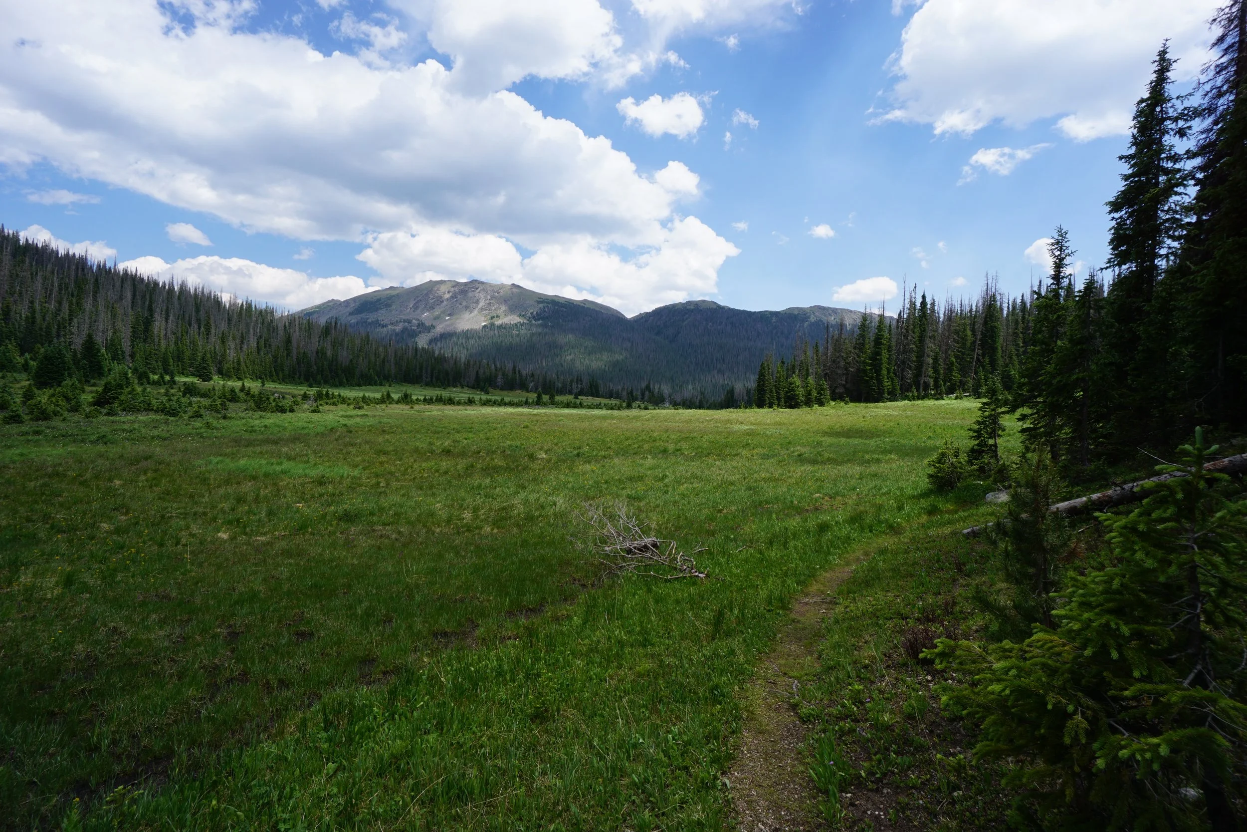
The Neota Wilderness is one of the Front Range’s lesser known and smallest Wilderness Areas. It sits nestled against the Continental Divide at Cameron Pass sharing a boundary with State Forest State Park and Rocky Mountain National Park. This is a beautiful area and the Neota Creek Trail is the only official trail in the Wilderness Area. The hike is easy and the scenery is serene.
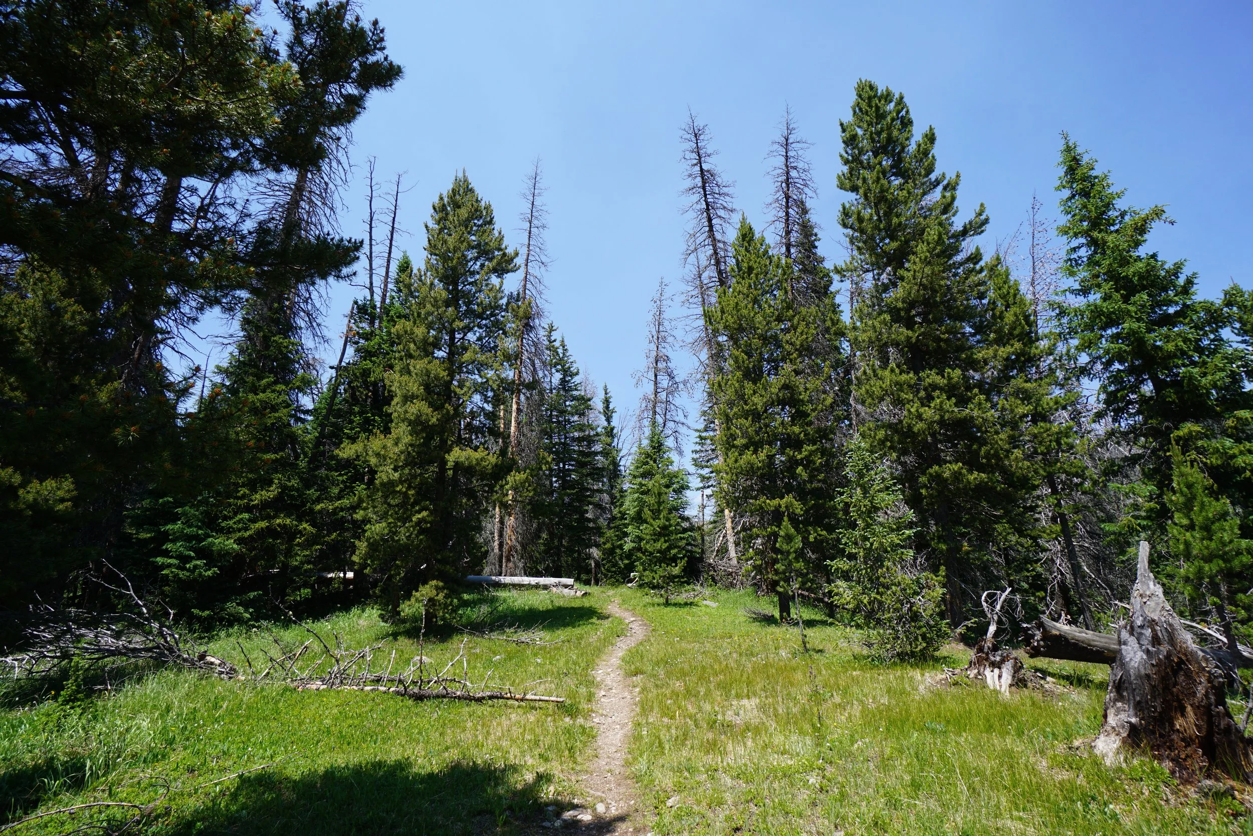
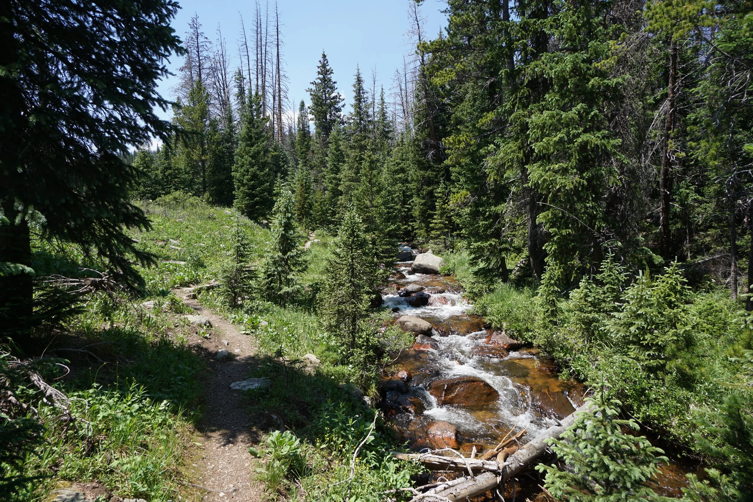
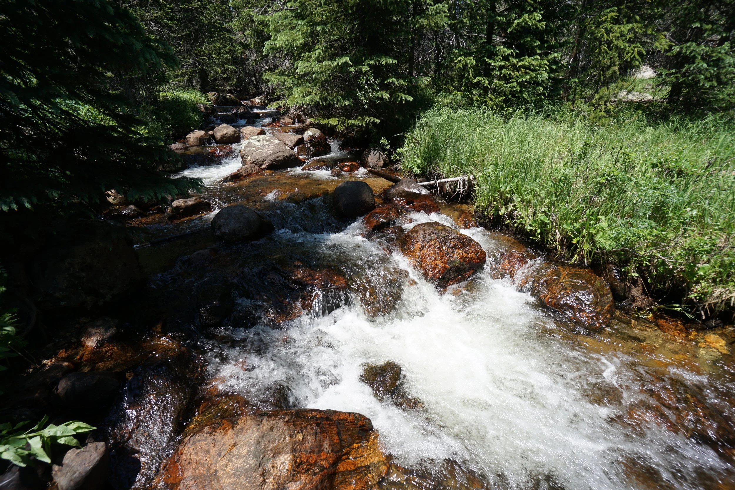
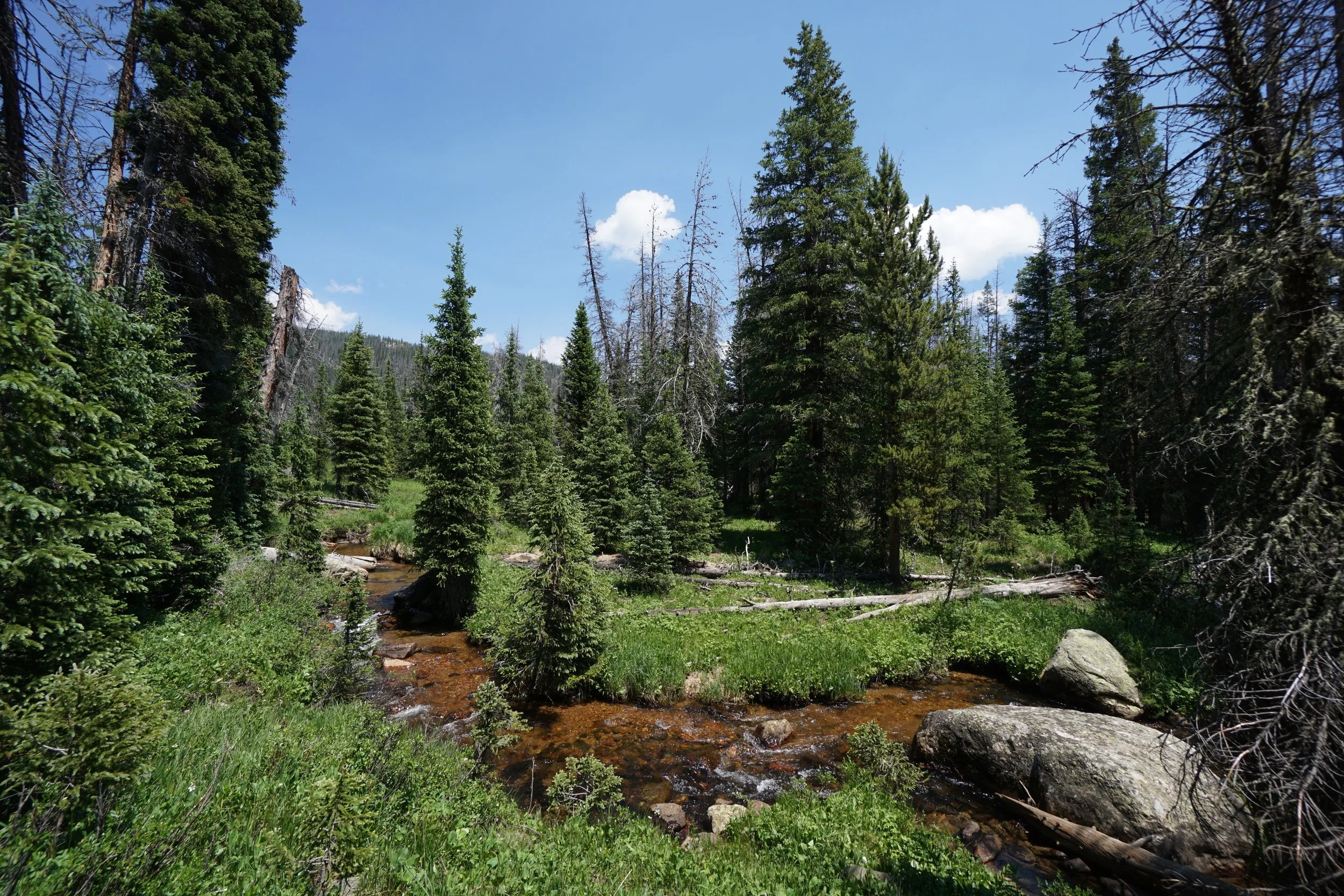
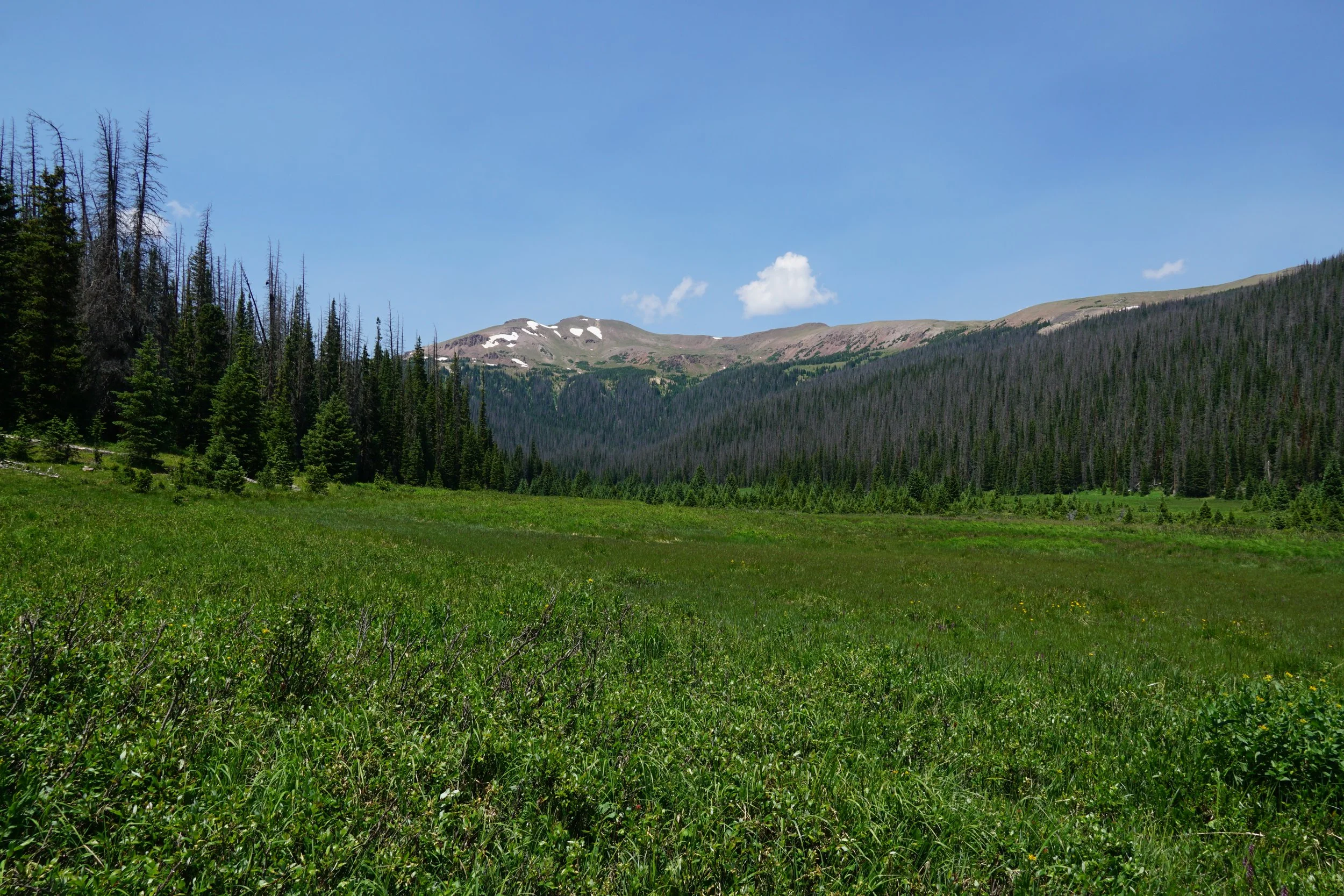
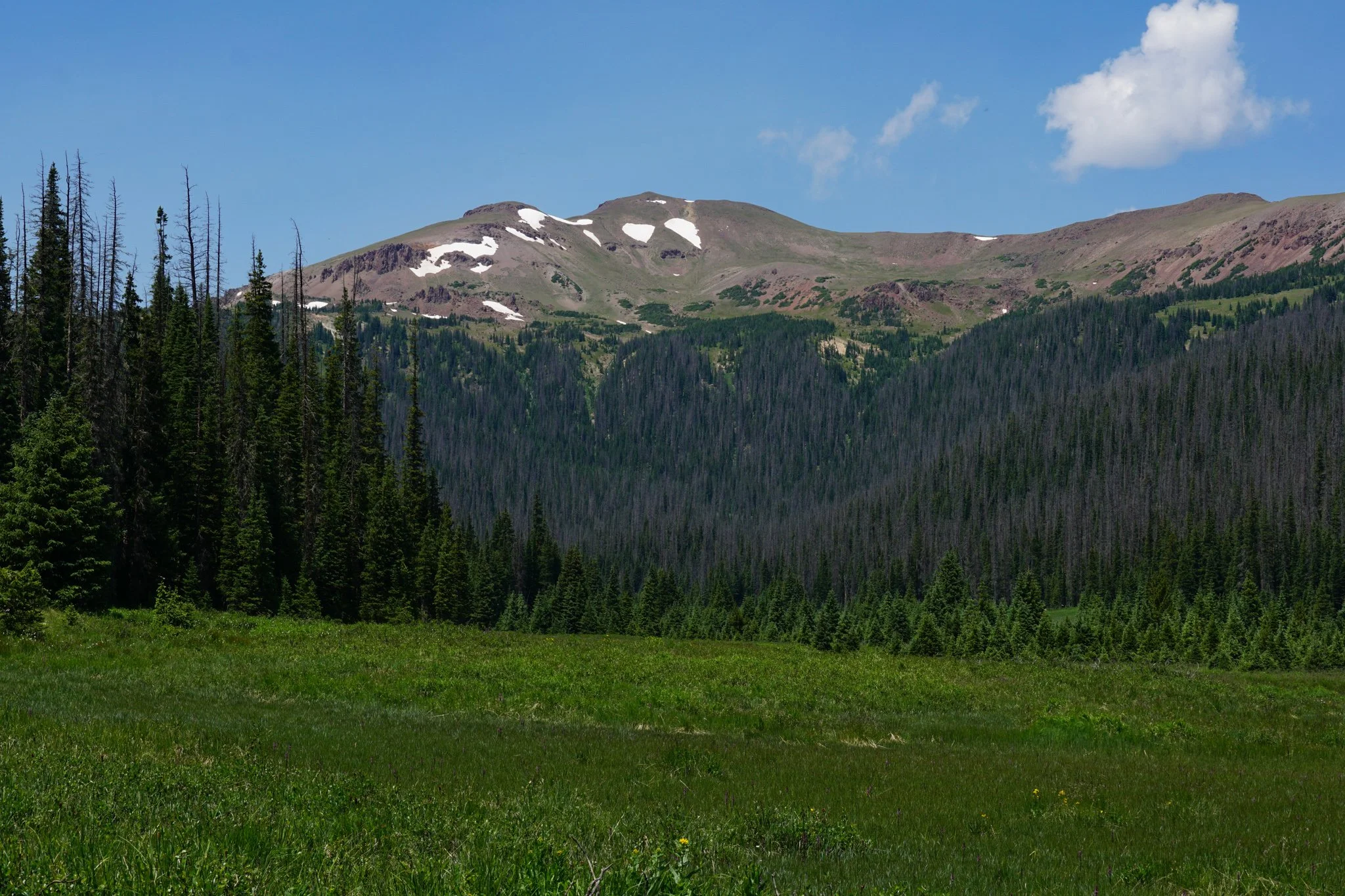
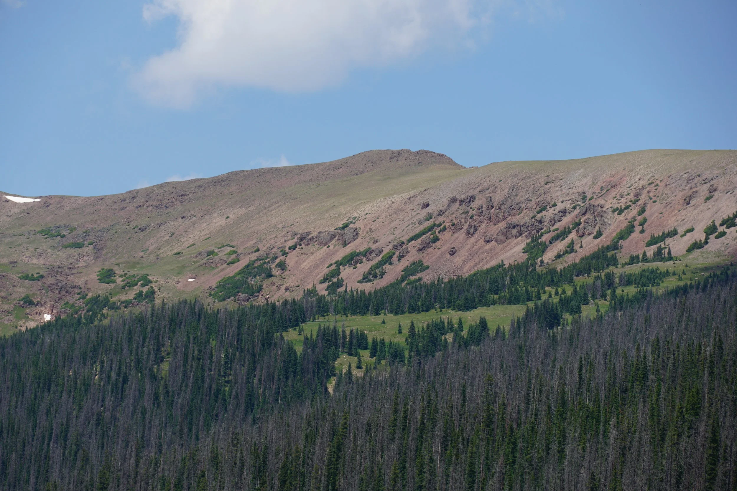
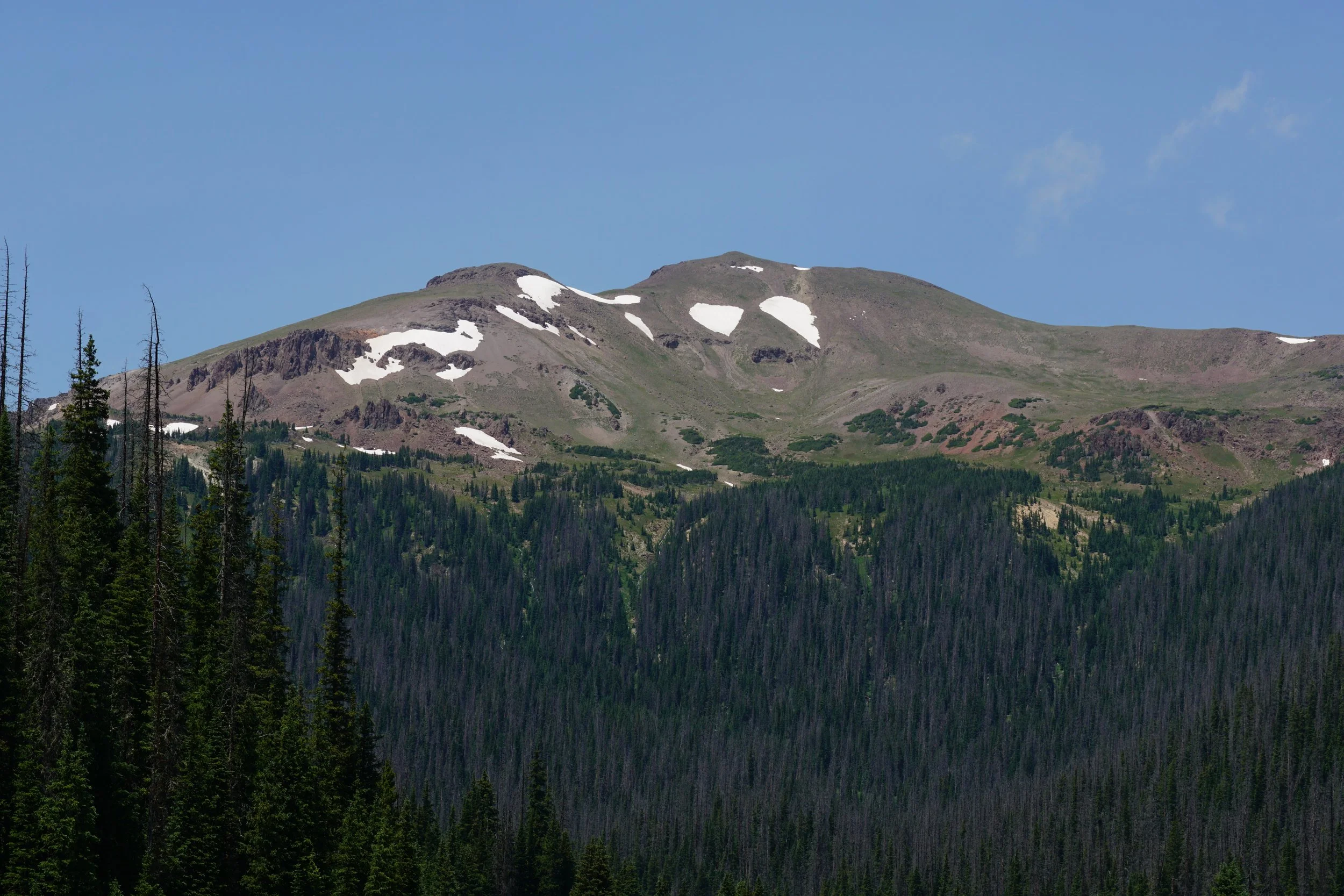
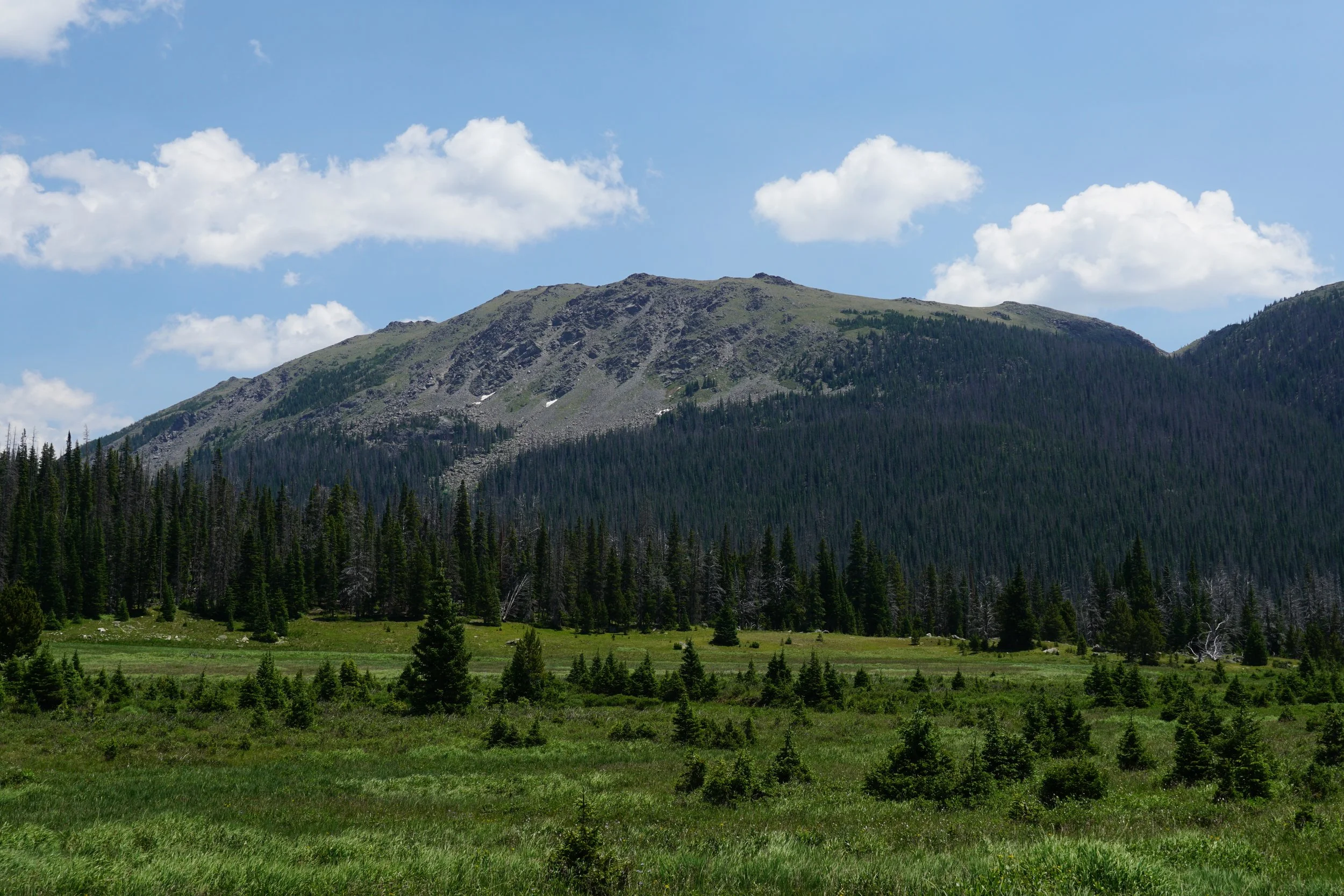
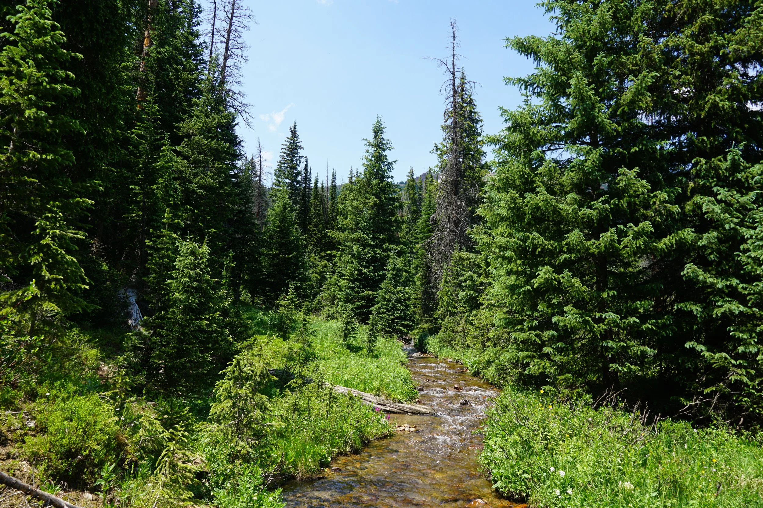
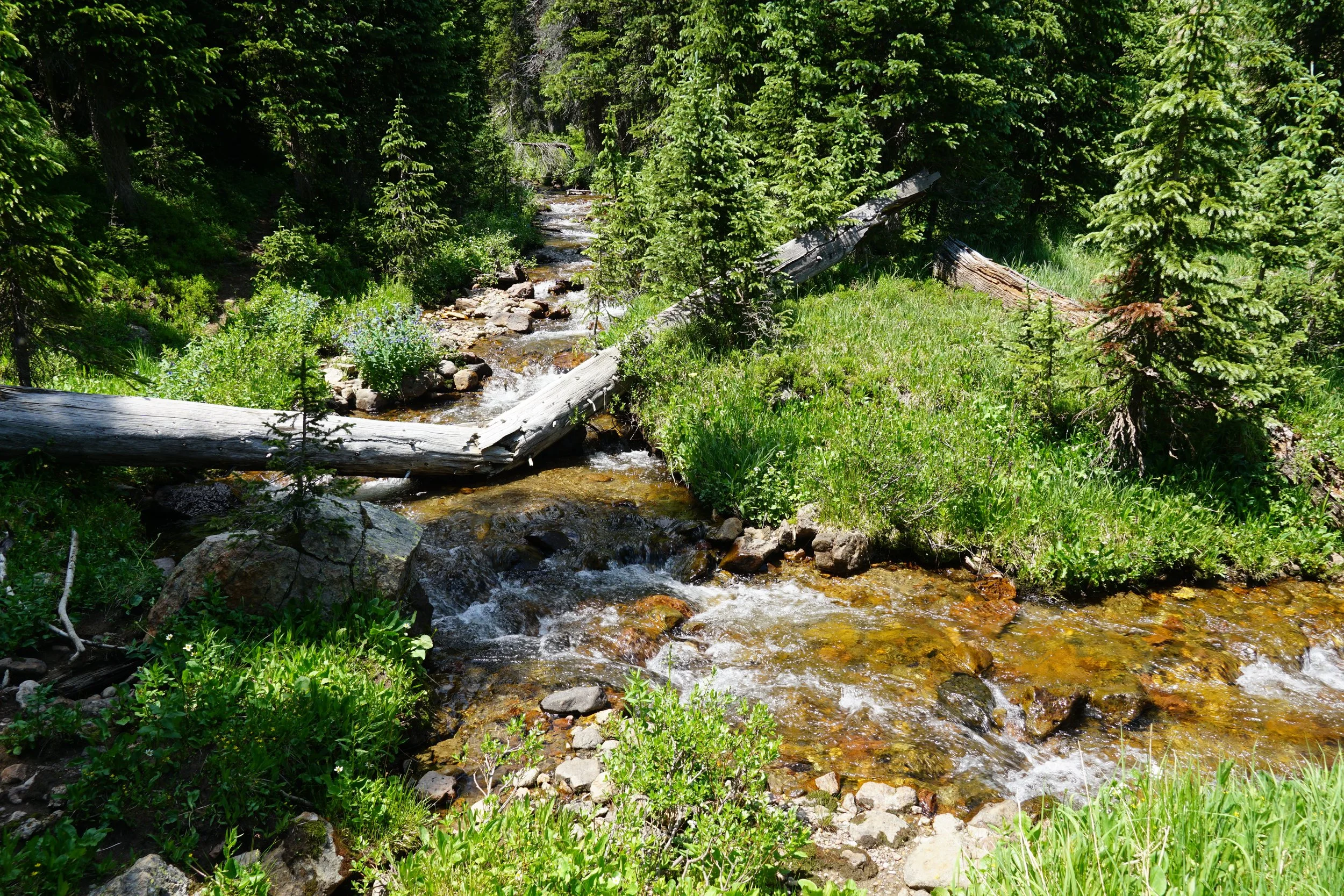
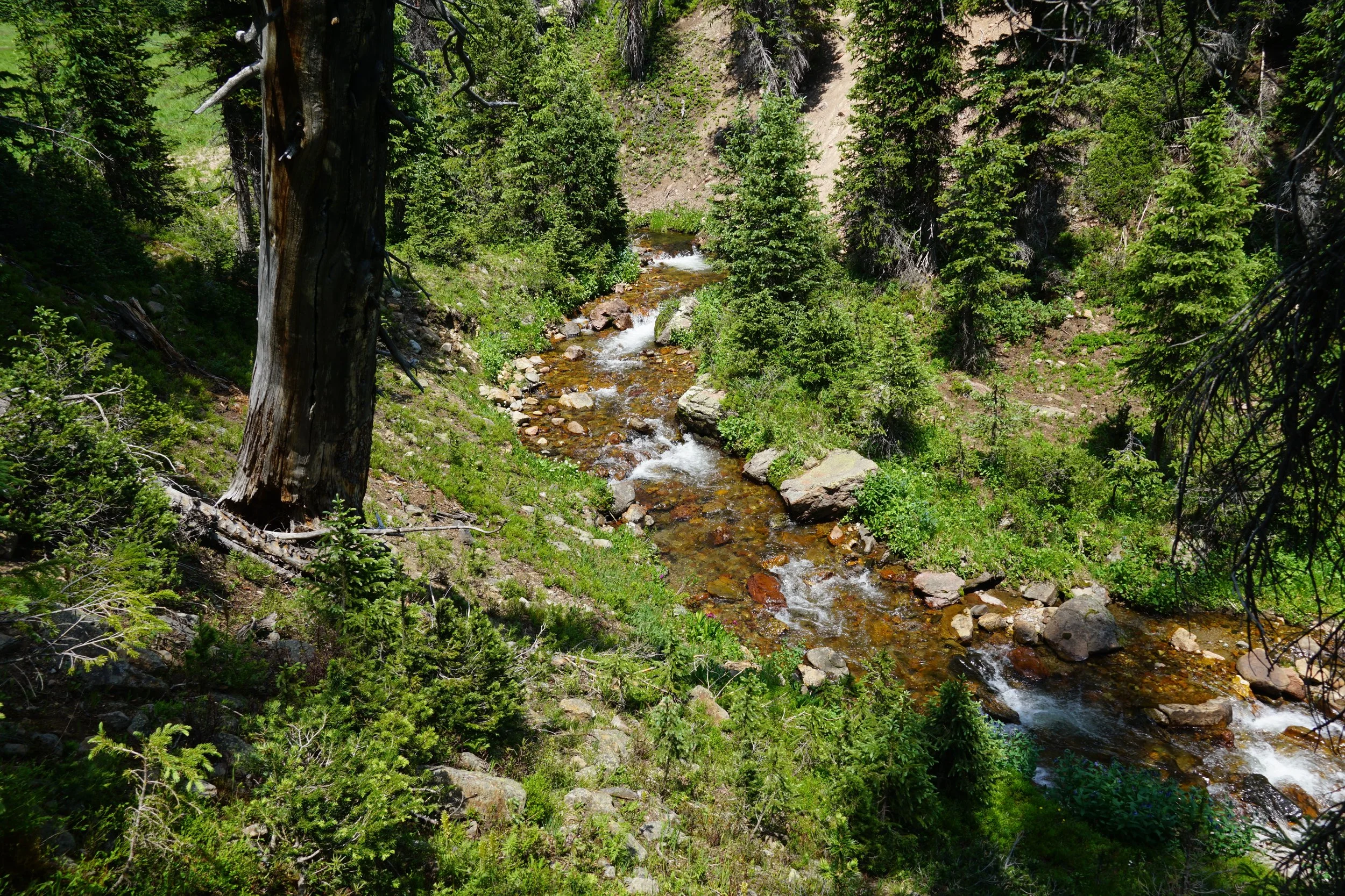
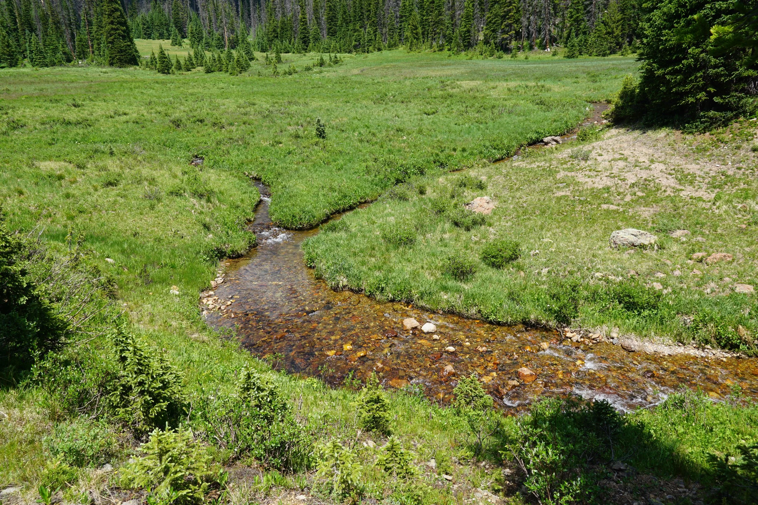
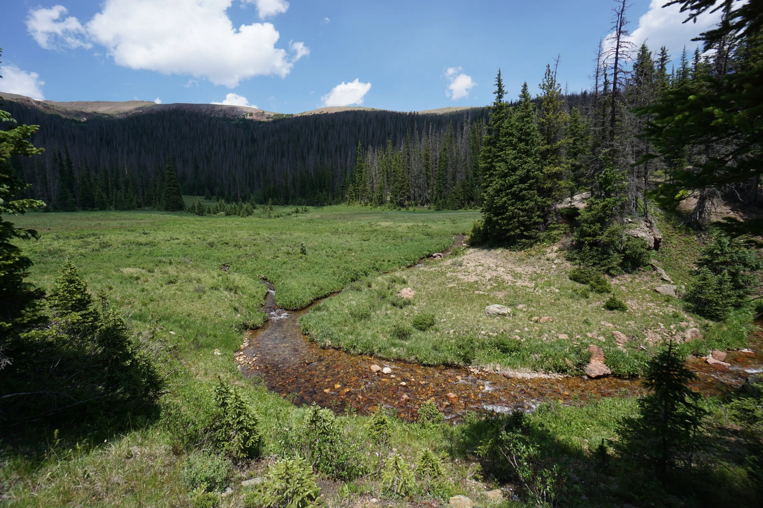
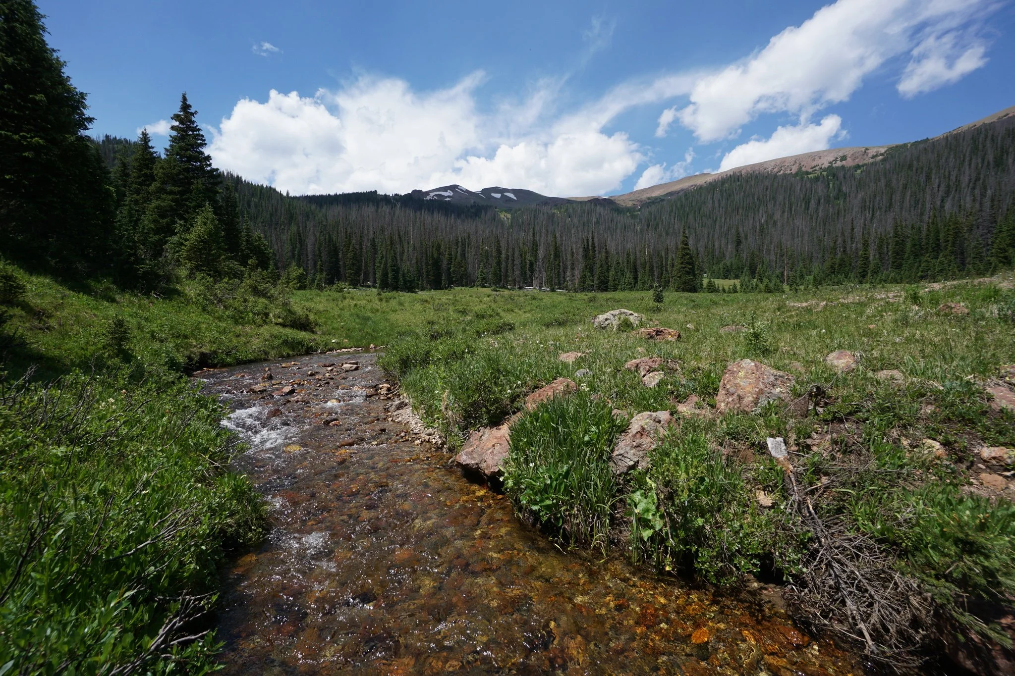
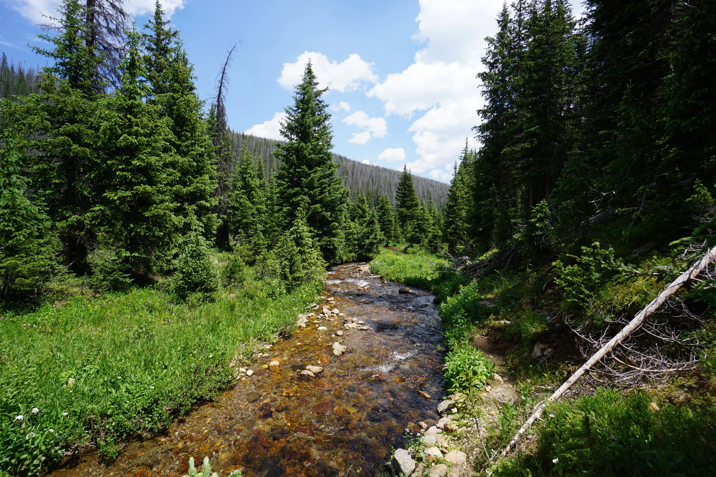
There is not much description needed for this hike, it’s about 1.4 miles, straight and follows Neota Creek up towards the basin flanked by Neota Peak, Thunder Mountain, and Iron Mountain, all 12,000+ ft peaks. This trail sees far fewer visitors than neighboring trails so be prepared for some overgrown parts. The trail weaves through pine forest along the creek but mainly skirts the large alpine meadow, wildflowers anyone? Views of Iron Mountain are with you for pretty much the entire hike.
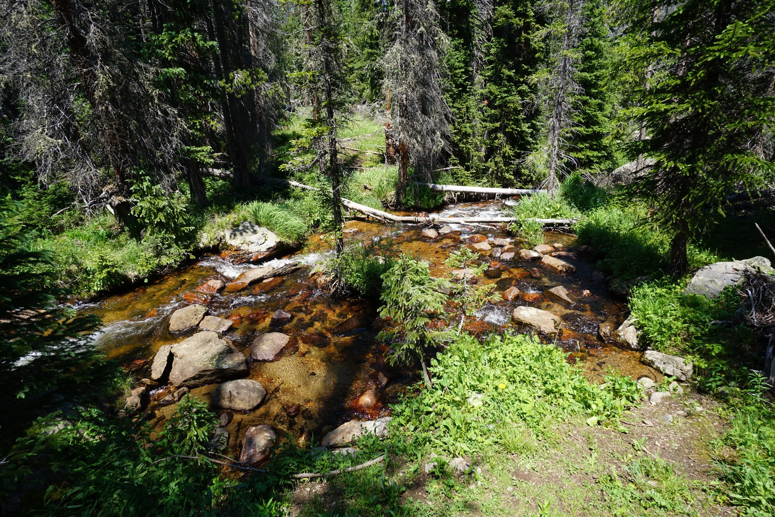
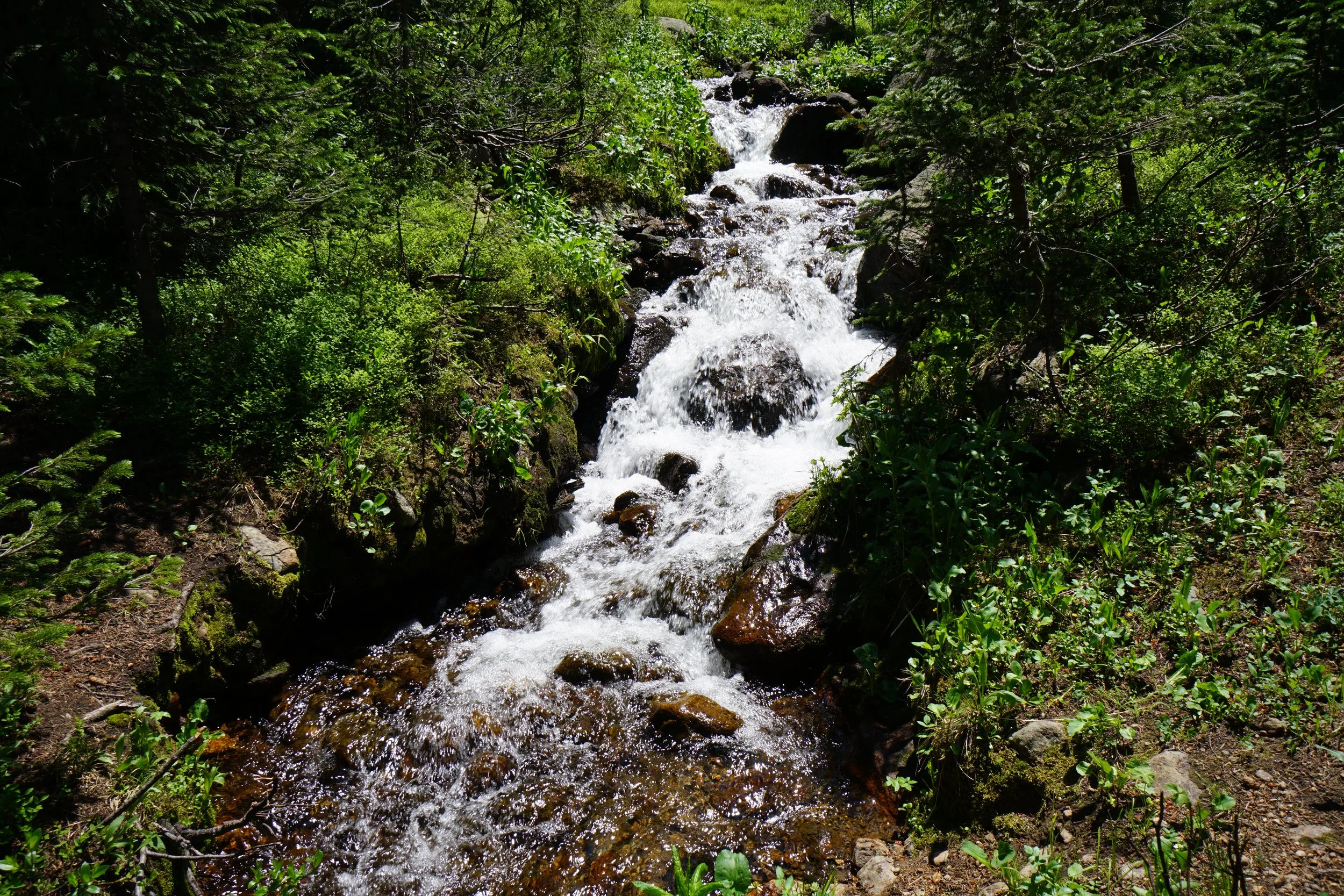
The trail peters out shortly after a small cascading waterfall and the junction of three creeks consolidating into Neota Creek. Plenty of nice relaxing spots to take in the environment before heading back to the trailhead.
This hike is relaxing, understated, and quiet. Don’t expect to see a lot of people, but watch out for moose…plenty of them in this area.