Mourning Dove Trail
Crow Valley Recreation Area, Pawnee National Grasslands
Date Hiked: May 28, 2022
Distance:1.0 mi (RT)
Elevation Gain: Minimal
Elevation: 4,819 ft
Trailhead Lat/Long: 40.64572, -104.34295
Managing Agency: U.S. Forest Service
Fee: None
DIRECTIONS:
From Greely, head north on Hwy 85. Turn right (east) on Hwy 392/68 to the town of Briggsdale and CO Hwy 14. Cross Hwy 14 onto County Road 77. Follow the signs into the Crow Valley Recreation Area.
HIKE DESCRIPTION:
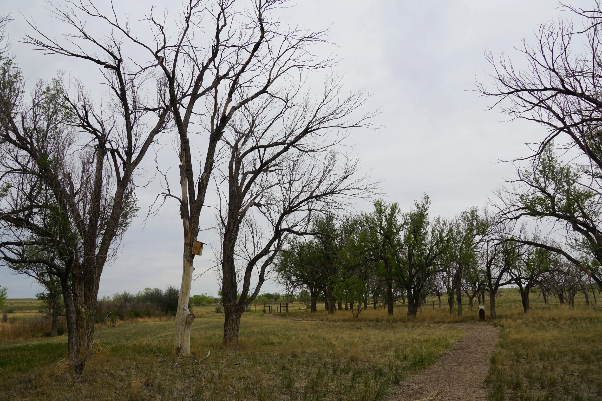
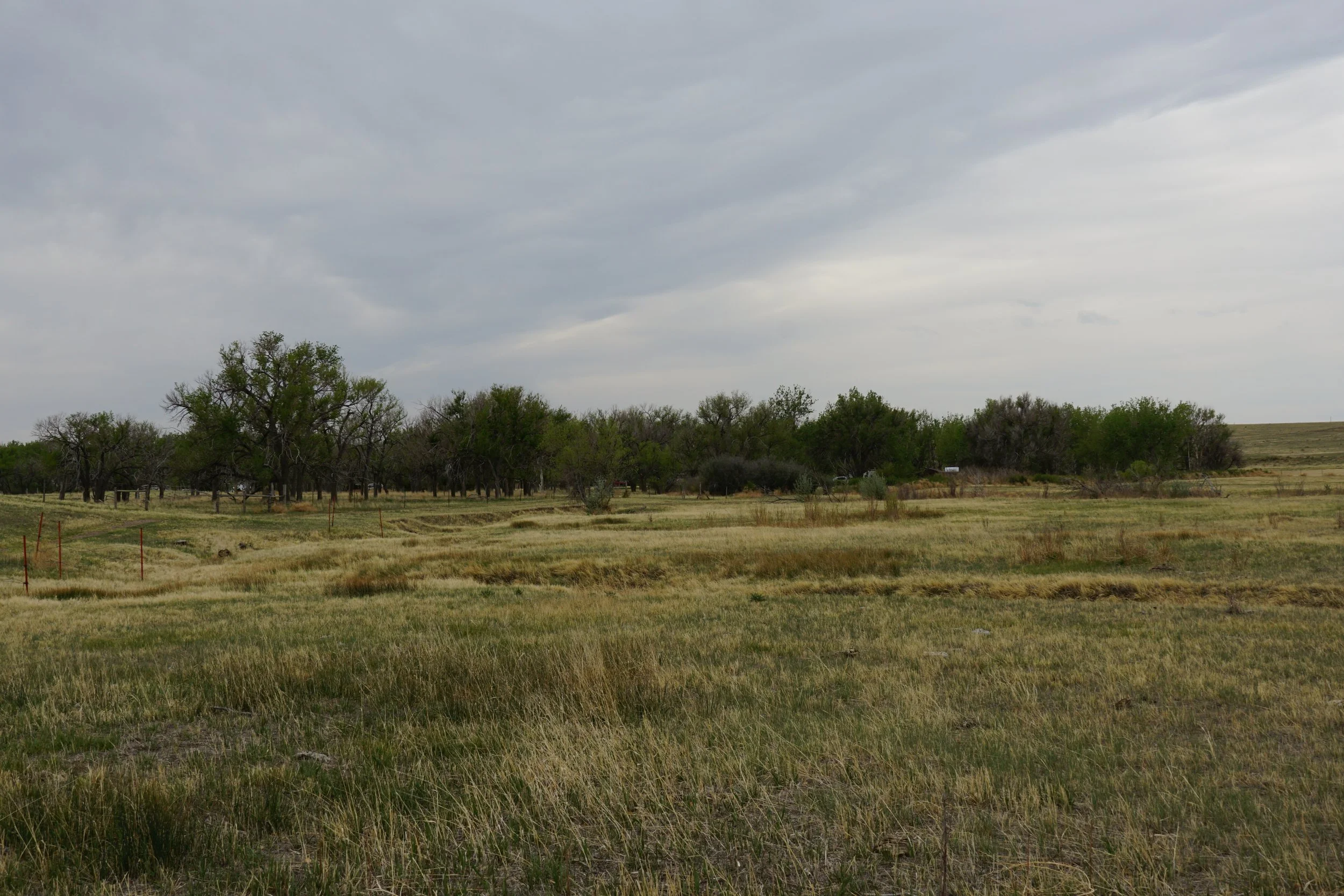
Like Birds? Want to explore Colorado’s plains and prairies? The Crow Valley Recreation Area in the Pawnee National Grassland is relatively close to the Front Range cities and gives you a nice taste of Eastern Colorado. This area is made for campers and birders with easy trails and educational signs explaining the birds in the area. The Mourning Dove Trail is one of two trails in the area and explores the northern section of Crow Valley.
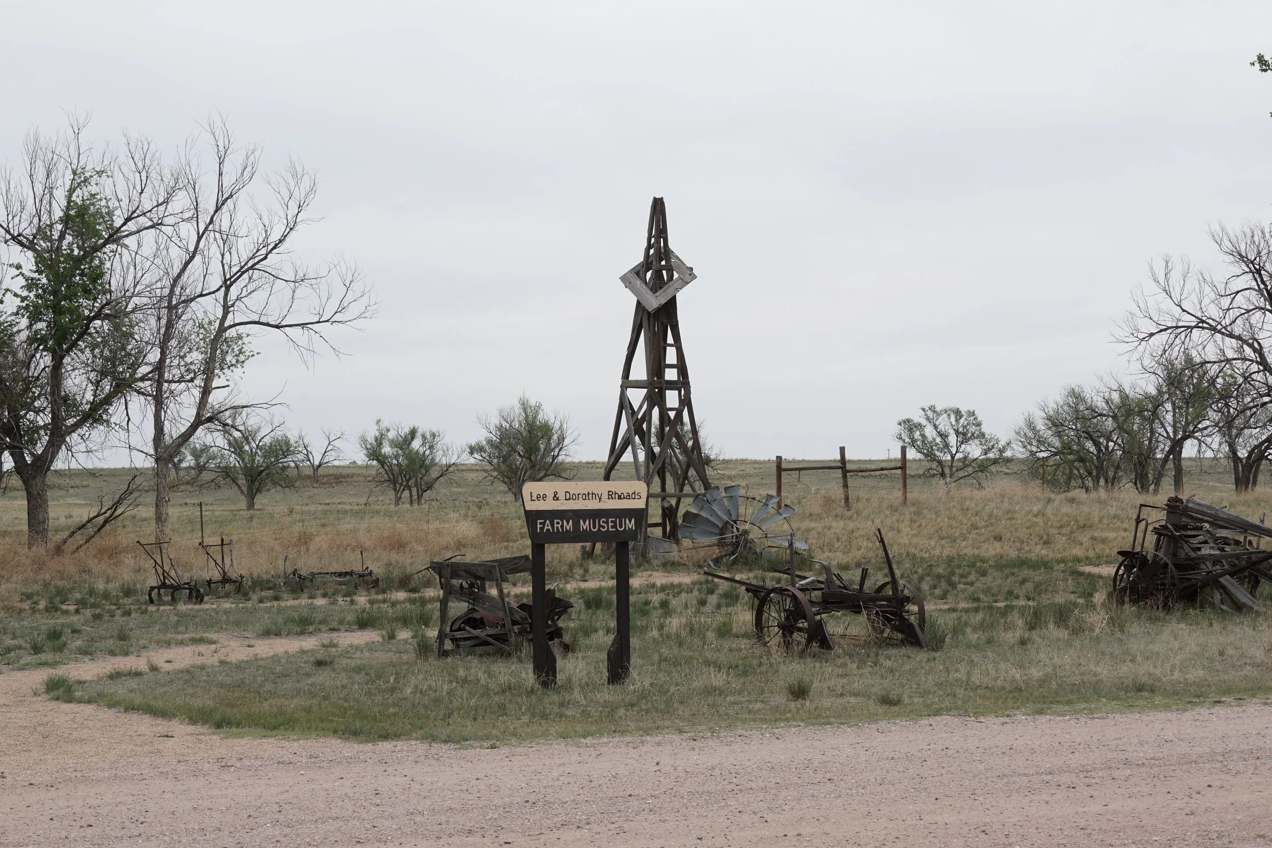
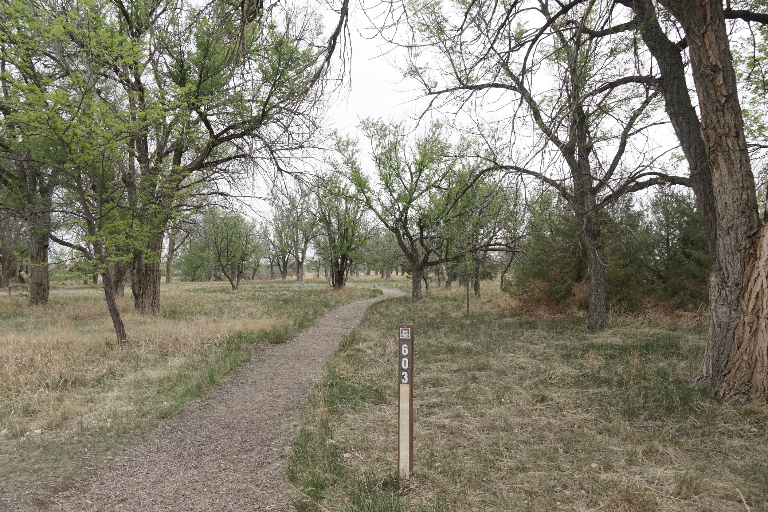
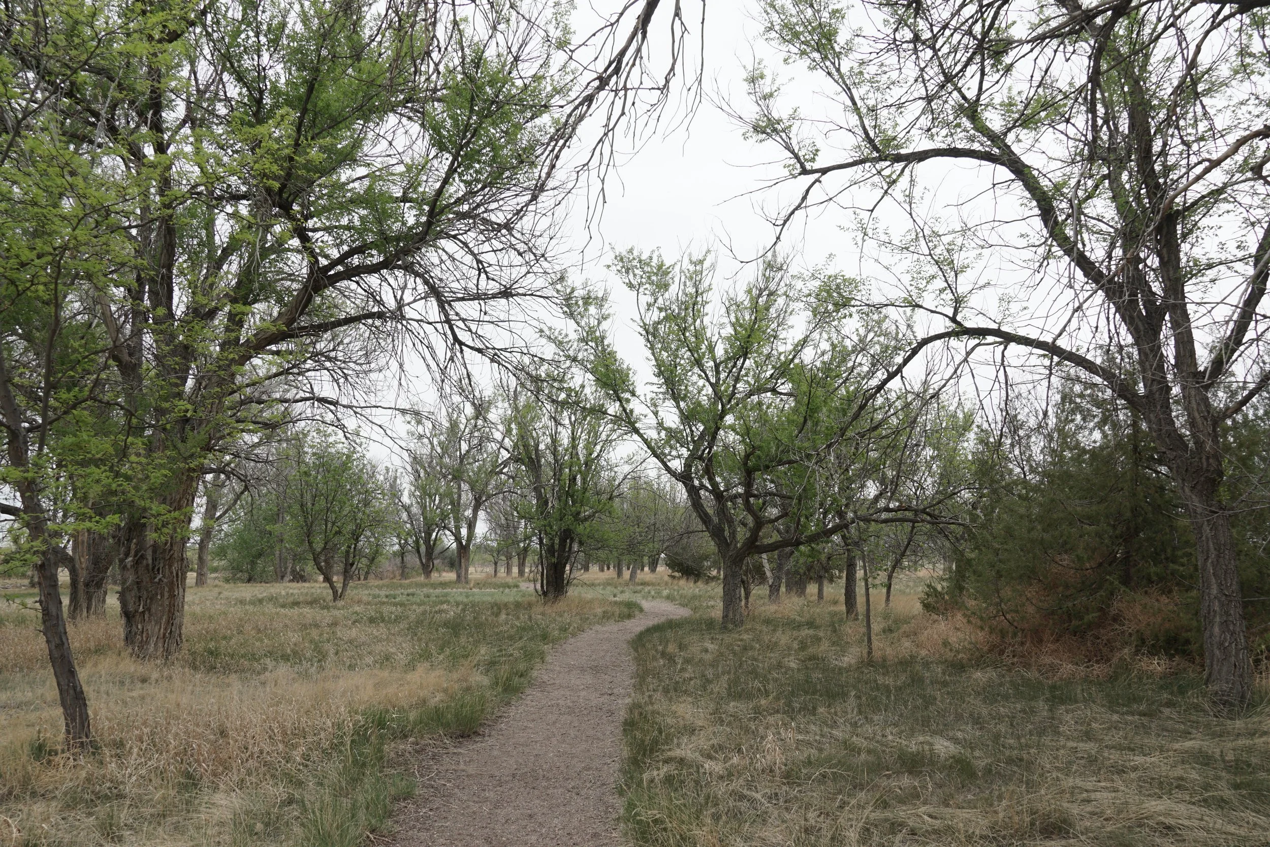
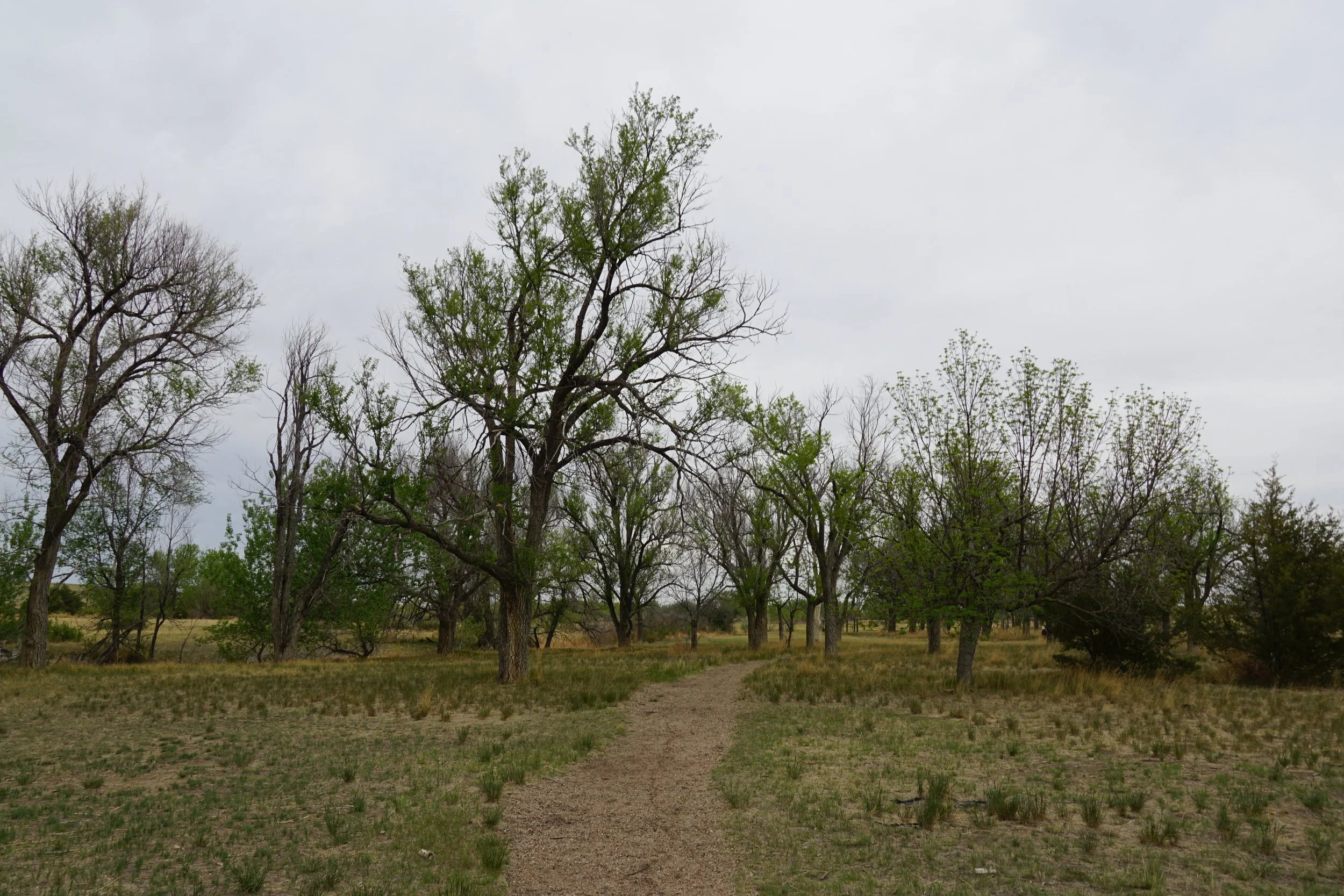
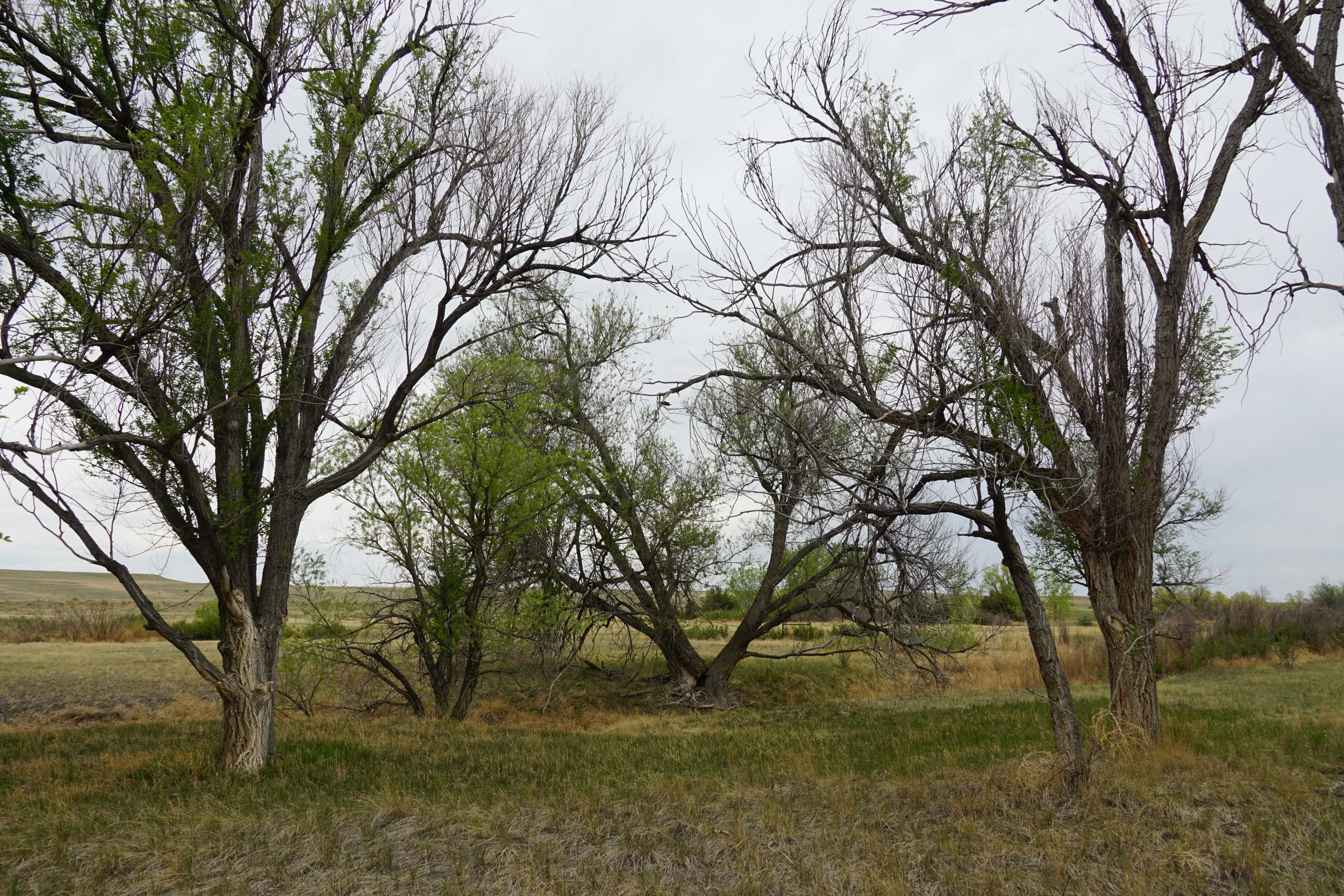
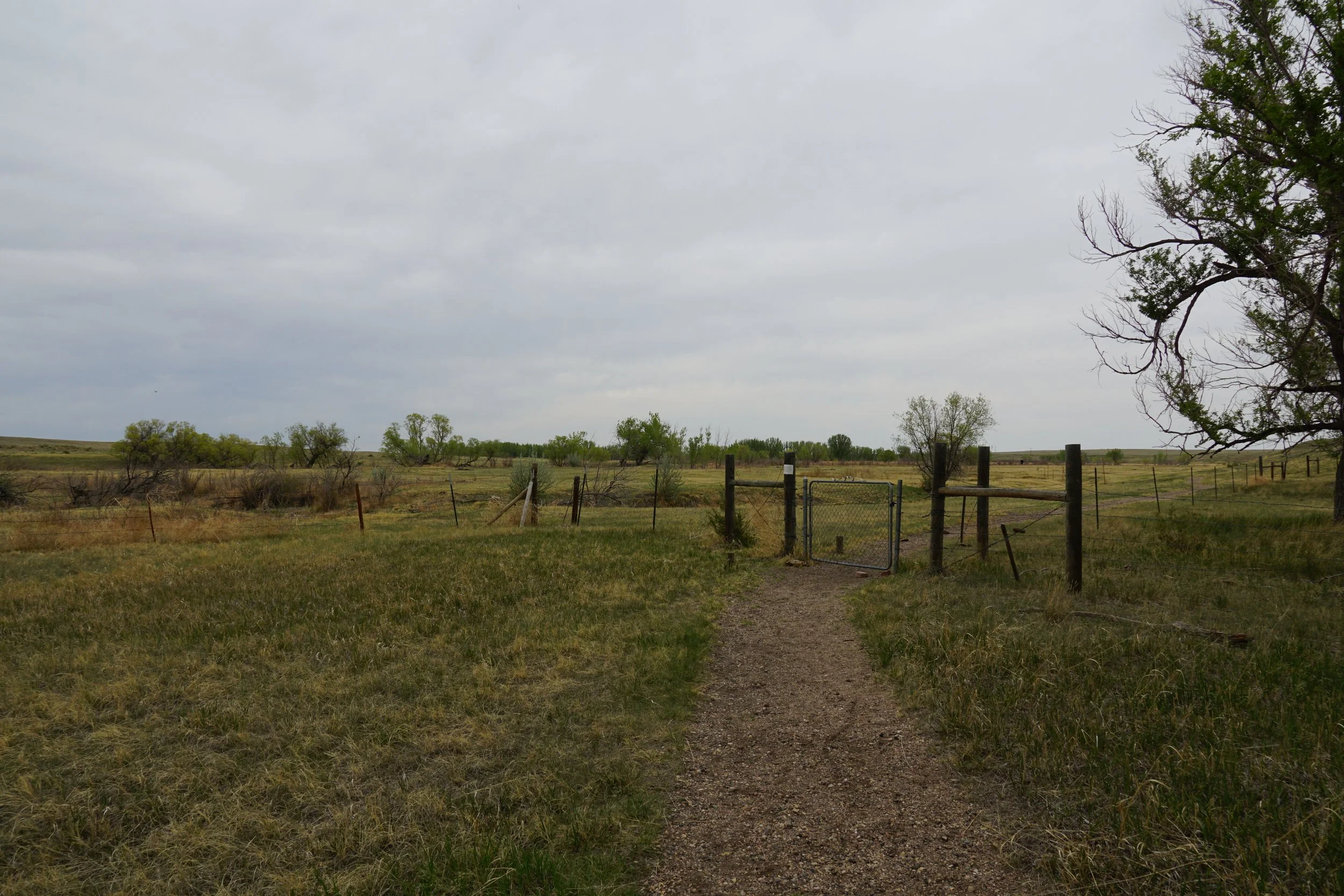
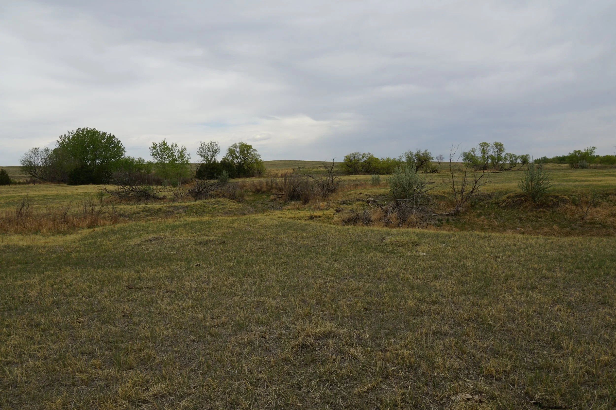
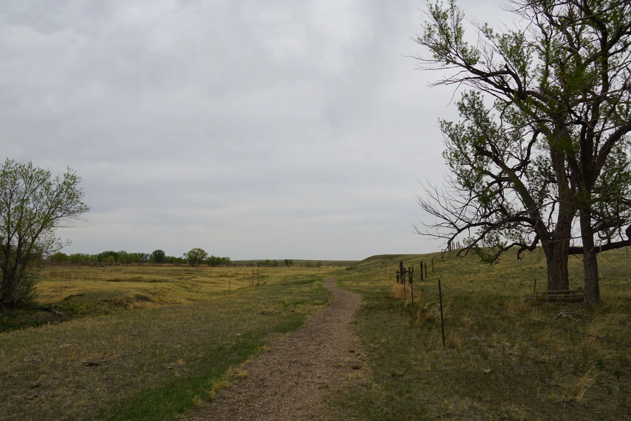
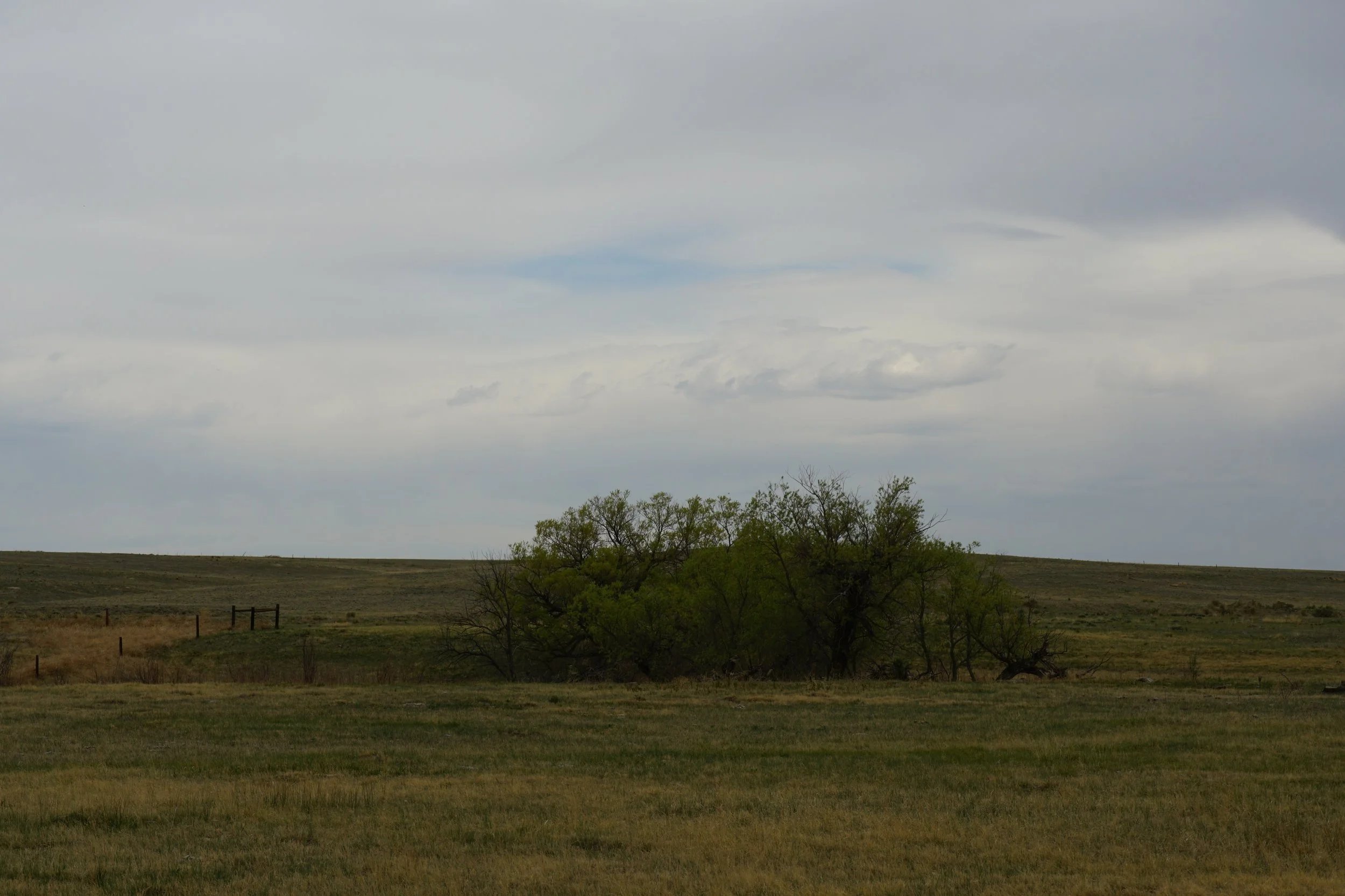
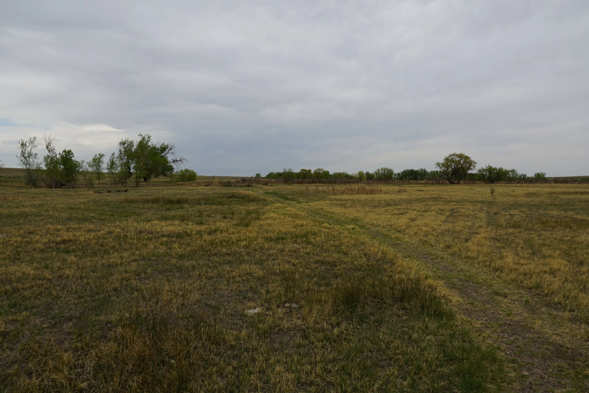
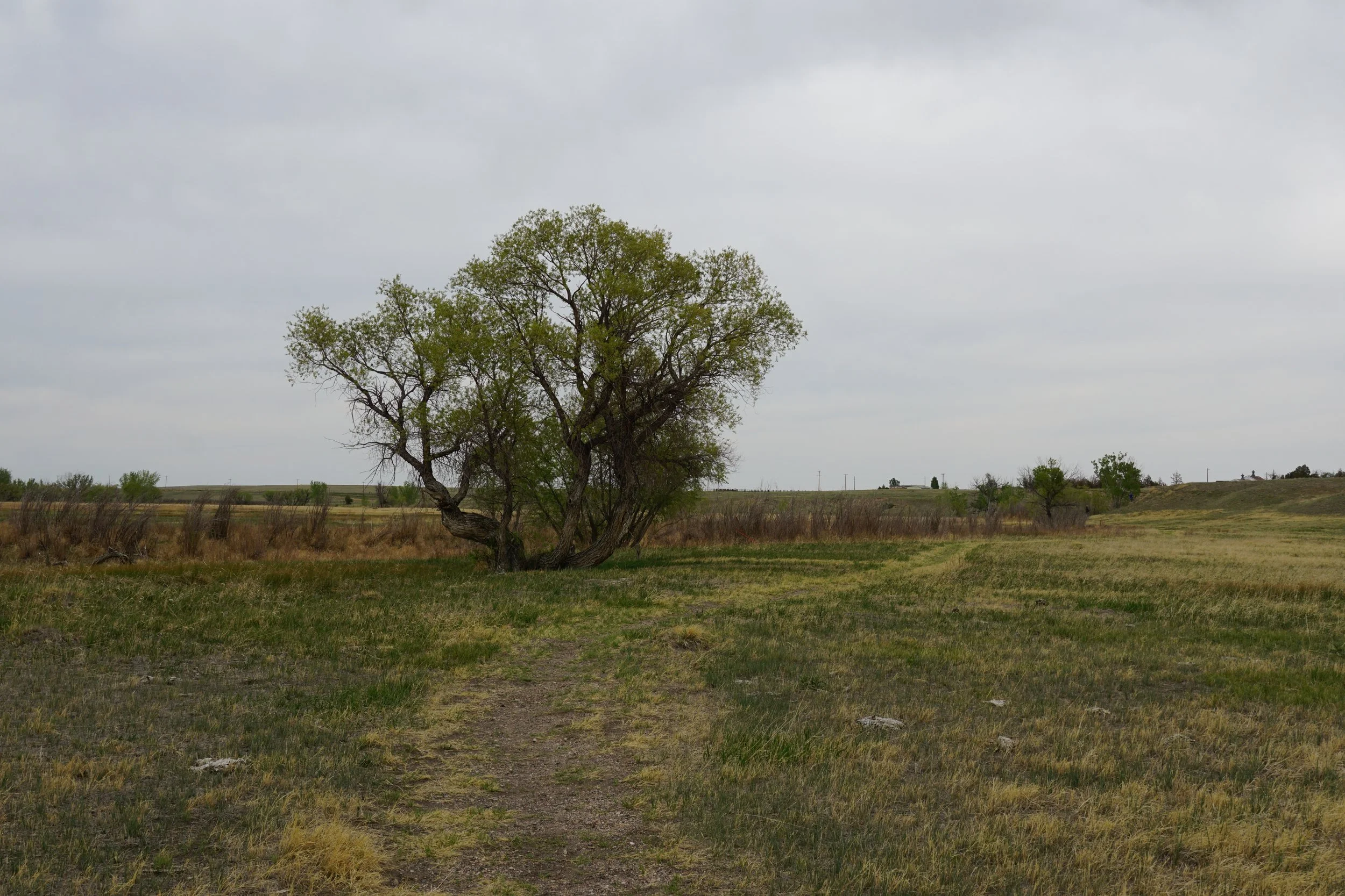
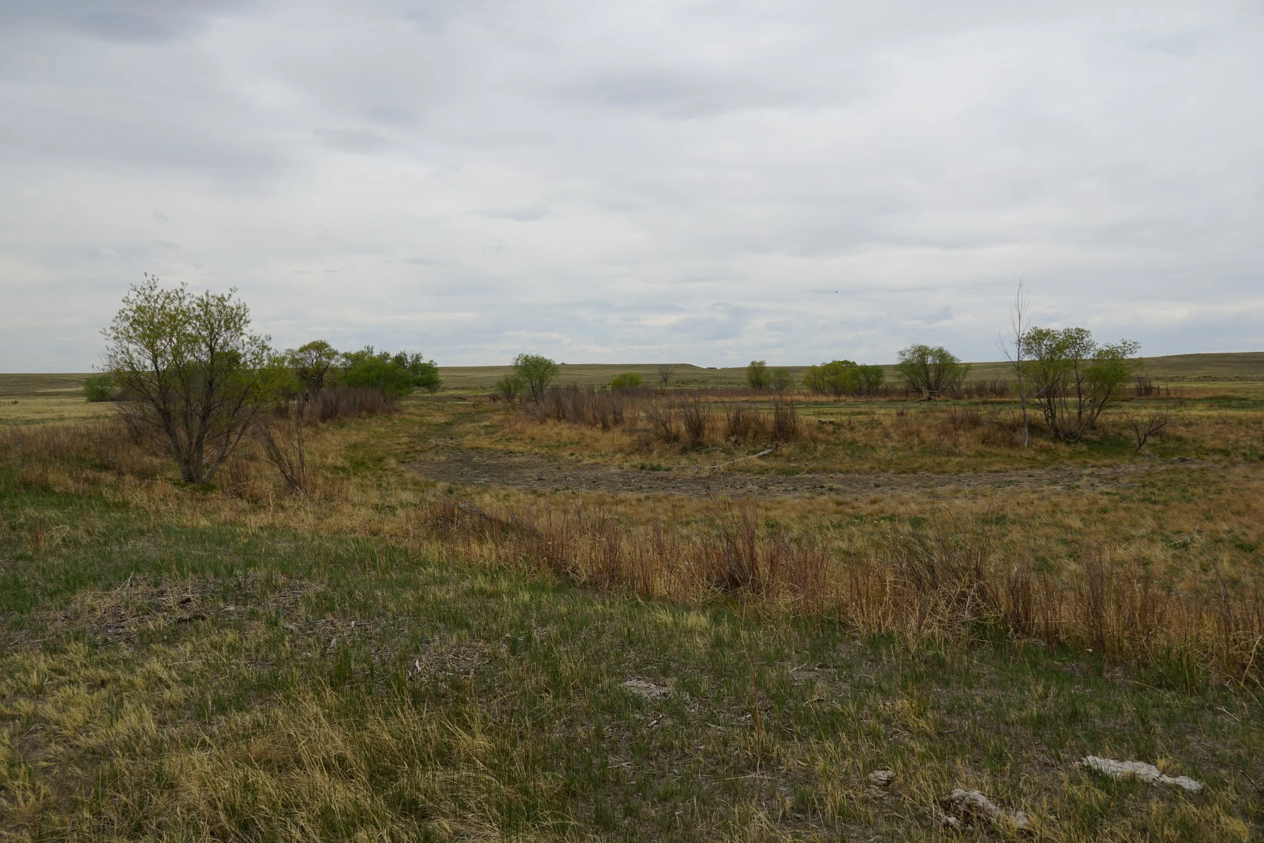
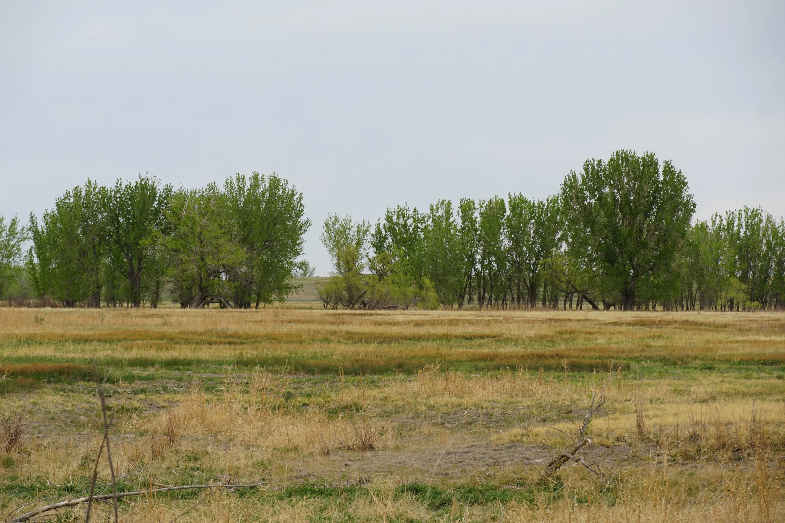
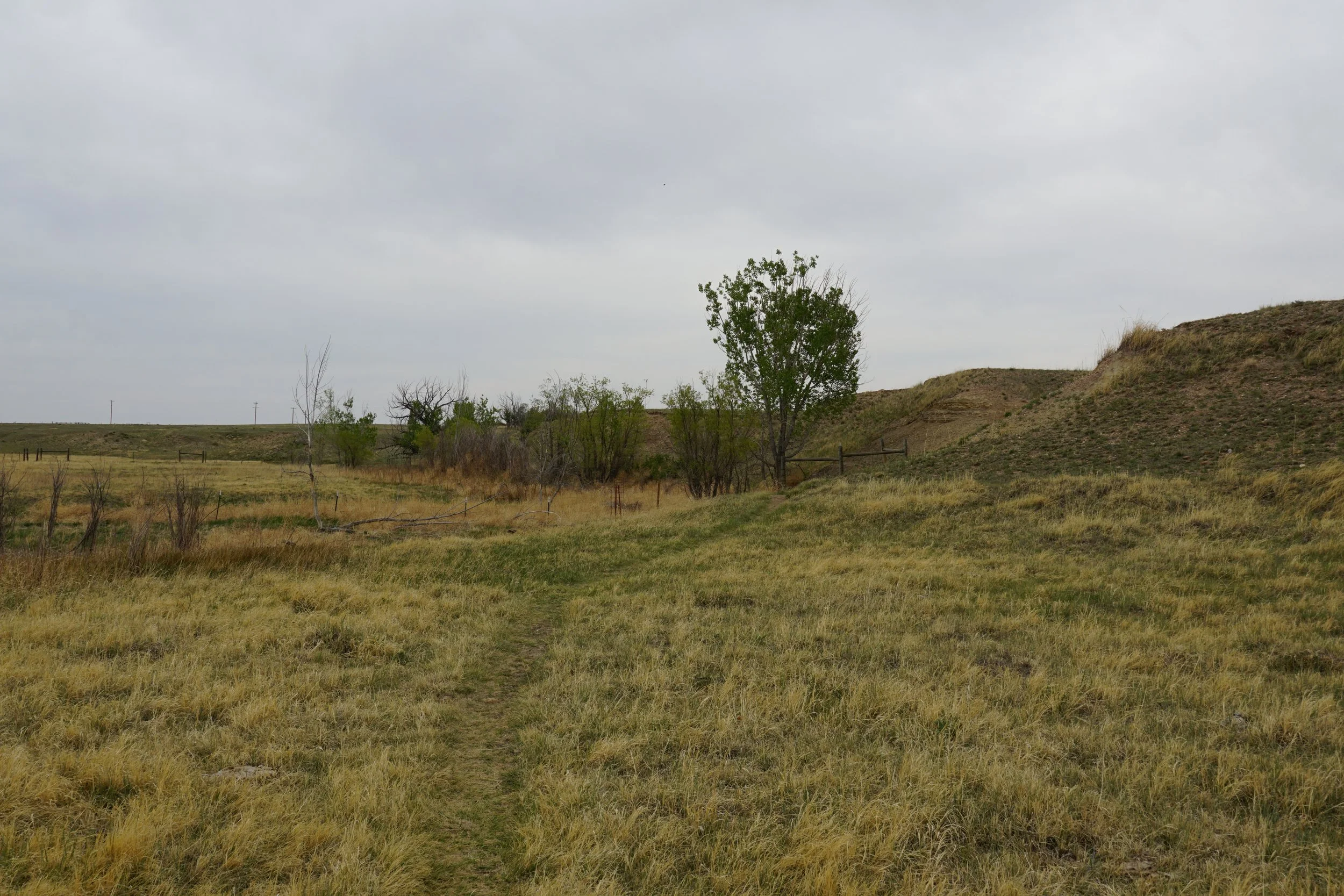
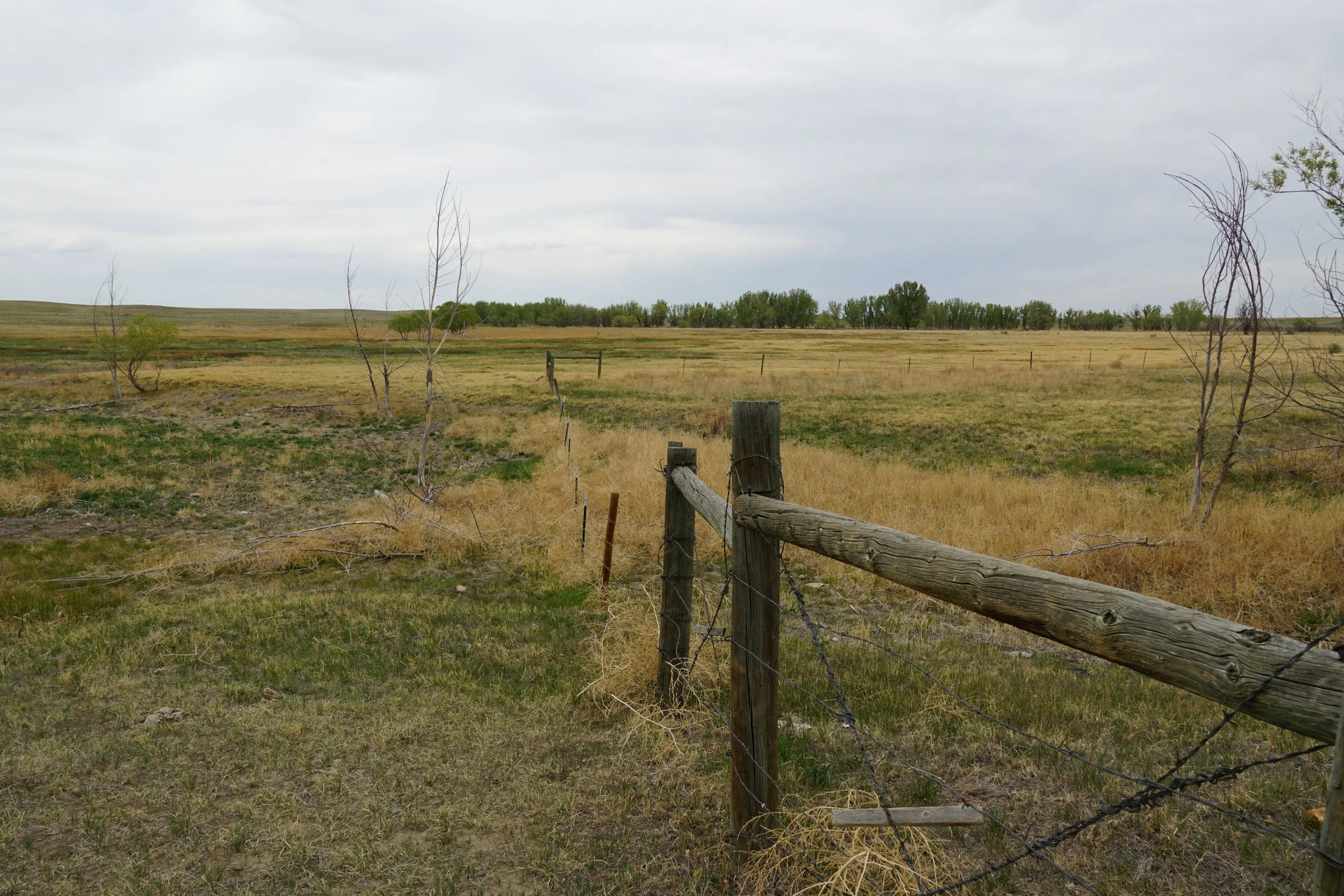
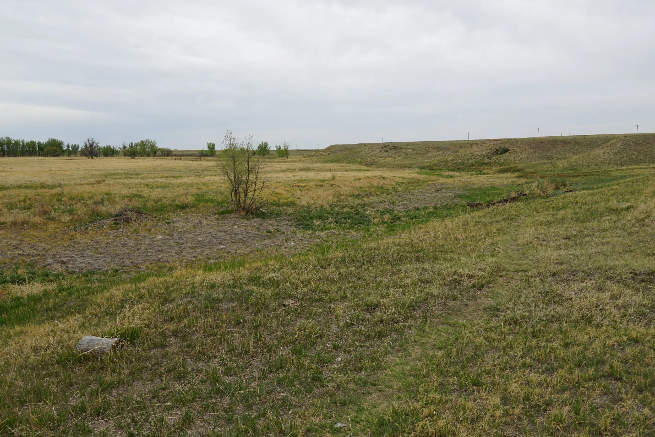
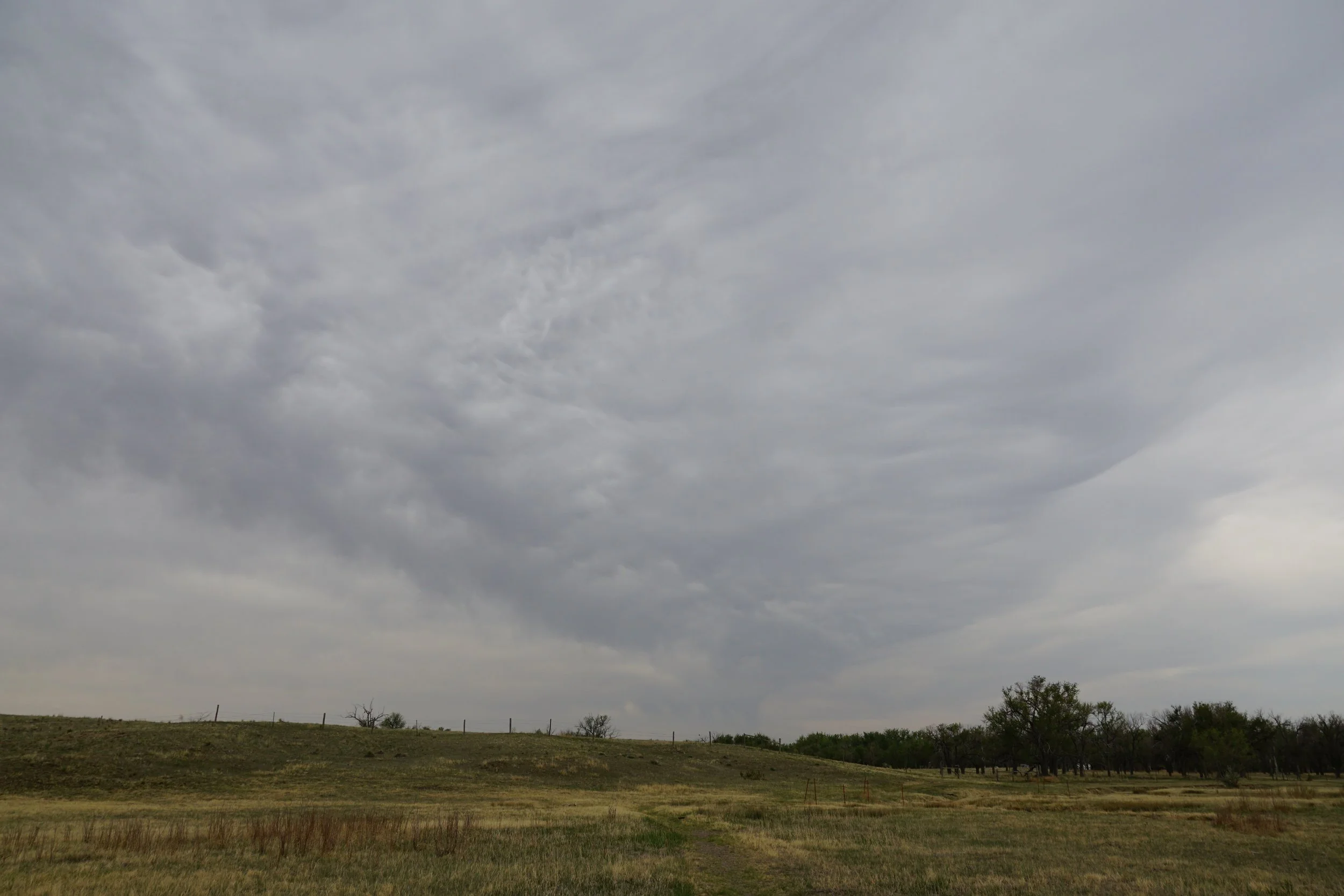
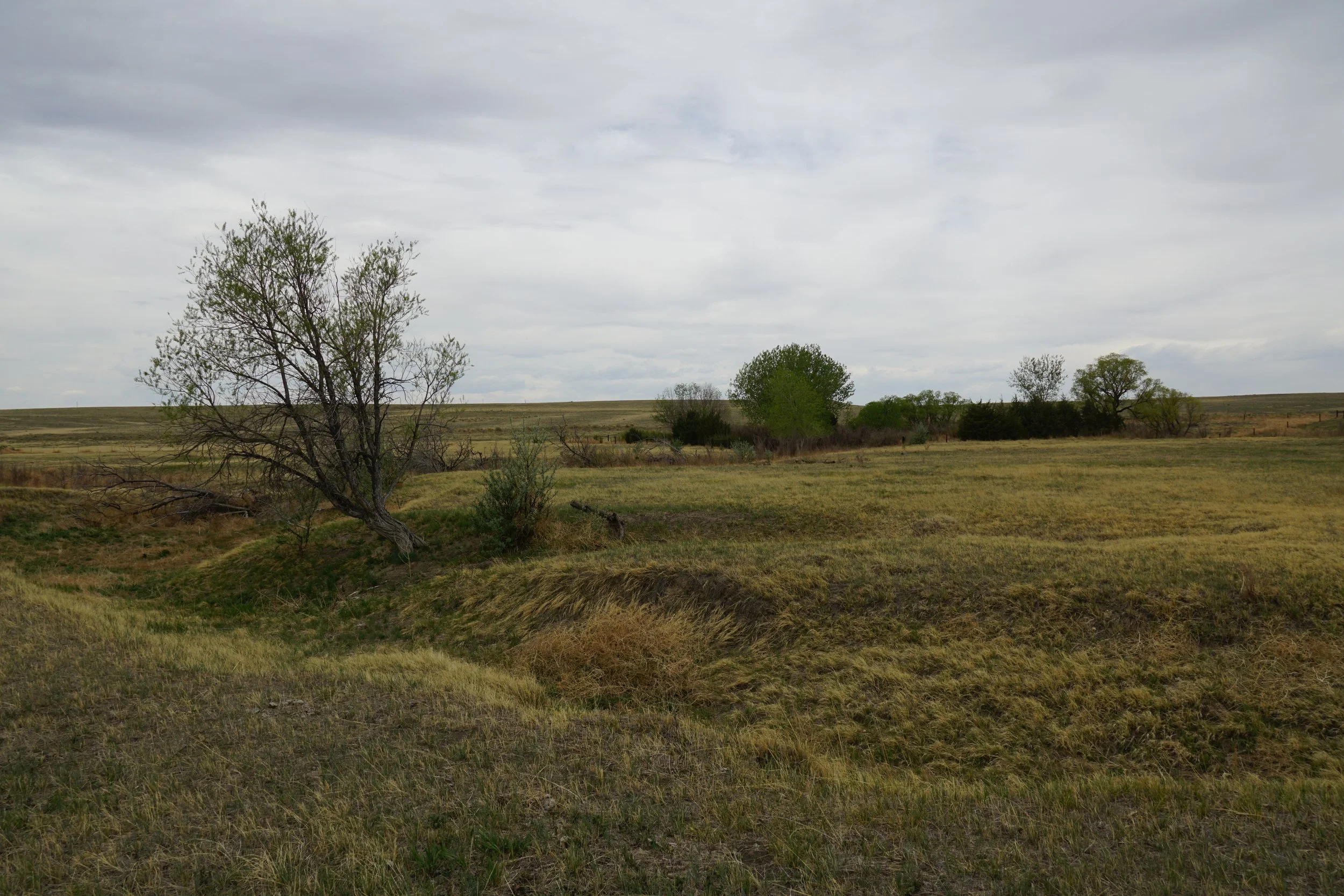
The trailhead is located just west of the small but charming farm museum. At first the trail weaves through a beautiful grove of cottonwood trees. Once you reach the gate, you are leaving Forest Service land and entering a private ranch that allows access on the trail. The trail rolls over the plains providing nice views to the north. Before too long you’ll reach a fenced in area, the trail continues around the right side of the fence but ends soon after the other side of the fence.
This is a quick and easy hike atop the plains and I recommend hiking the Crow Valley Birdwalk as well while you are there.
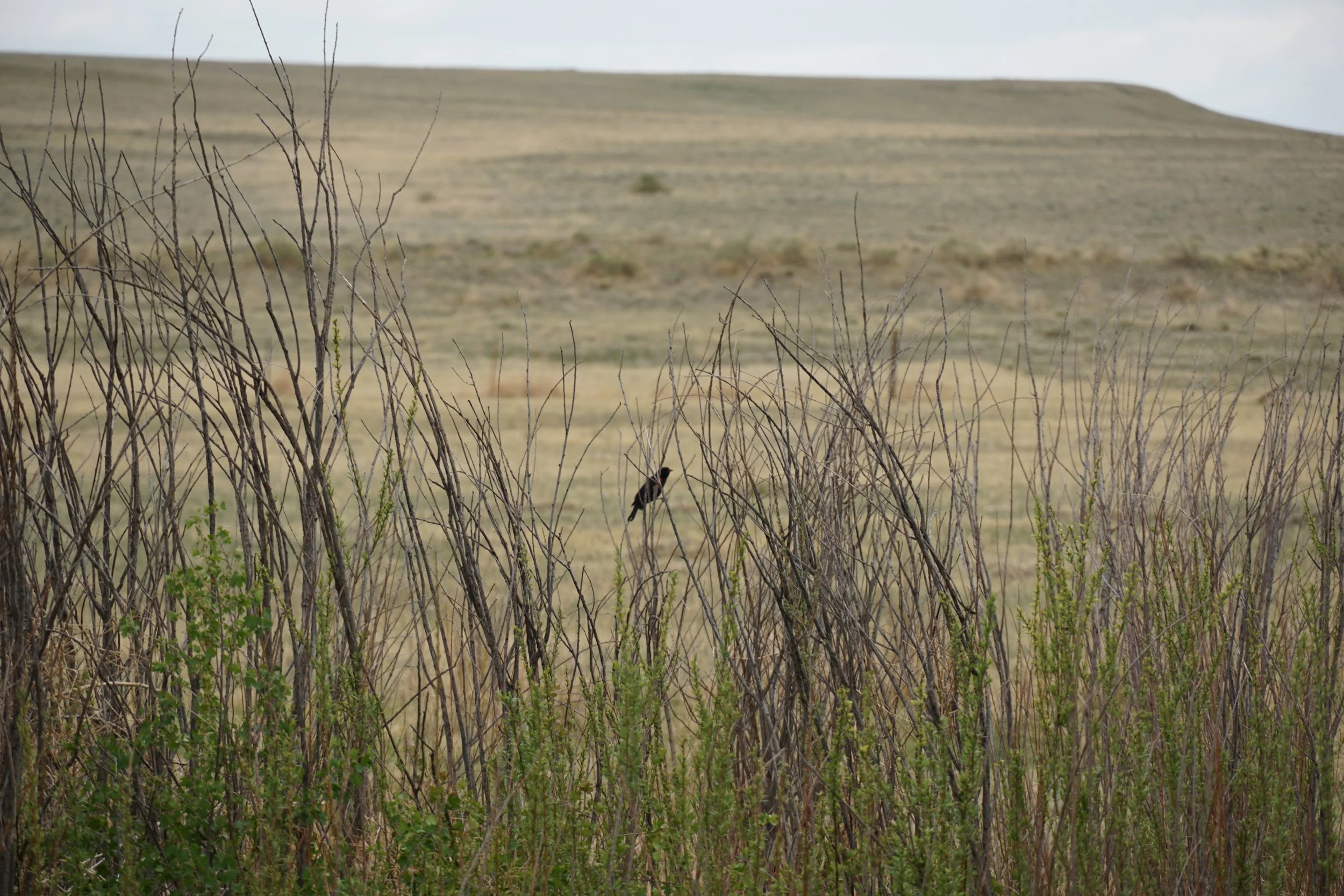
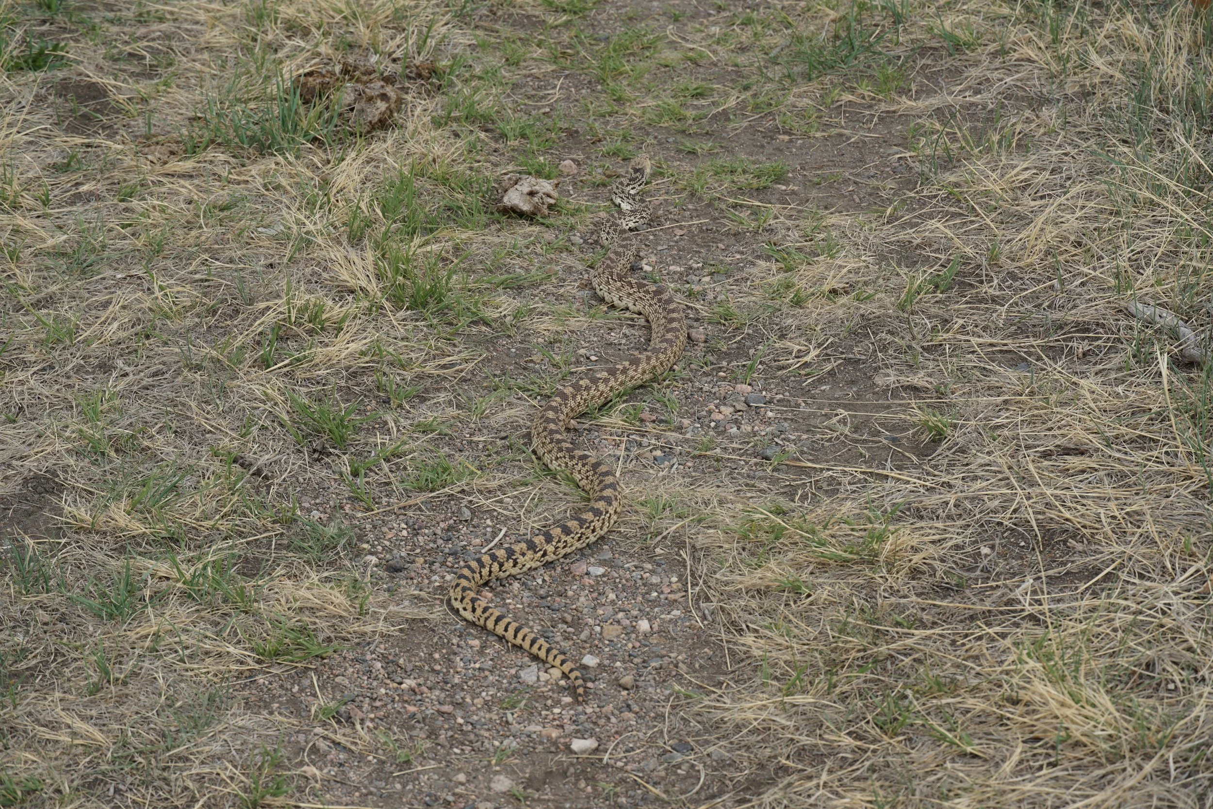
For all you birders out there…this trail provides quite a few opportunities to spot interesting bird species. There are…white birds, black birds, birds with color, other birds…sorry, I don’t know anything about birds….