Historic Arapaho Springs
Arapaho National Forest
Date Hikes: October 10, 2021
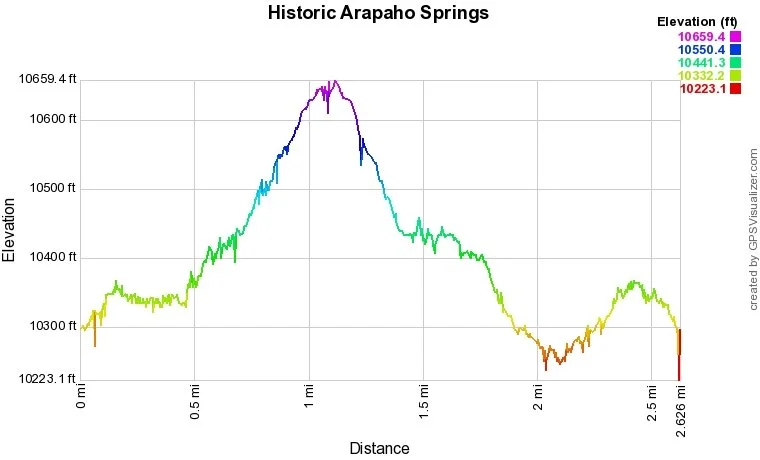
Distance: 2.4 mi (RT)
Elevation Gain: 425 ft
Elevation Min/Max: 10,255 to 10,639 ft
Trailhead Lat/Long: 39.69228, -105.50038
Managing Agency: U.S. Forest Service
Fee: None
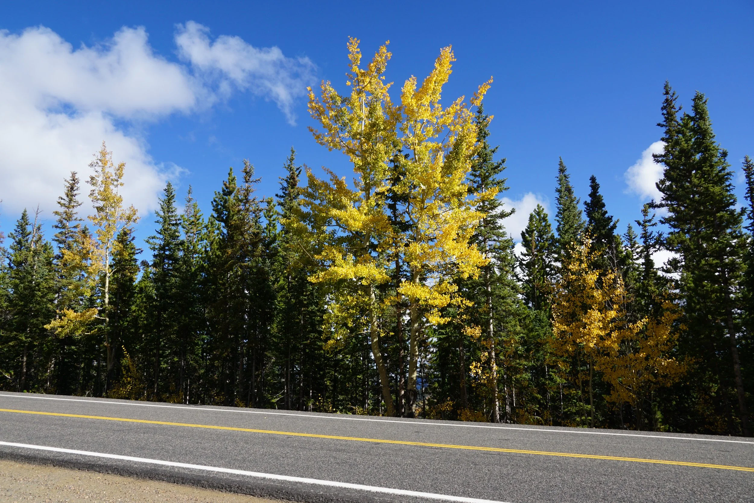
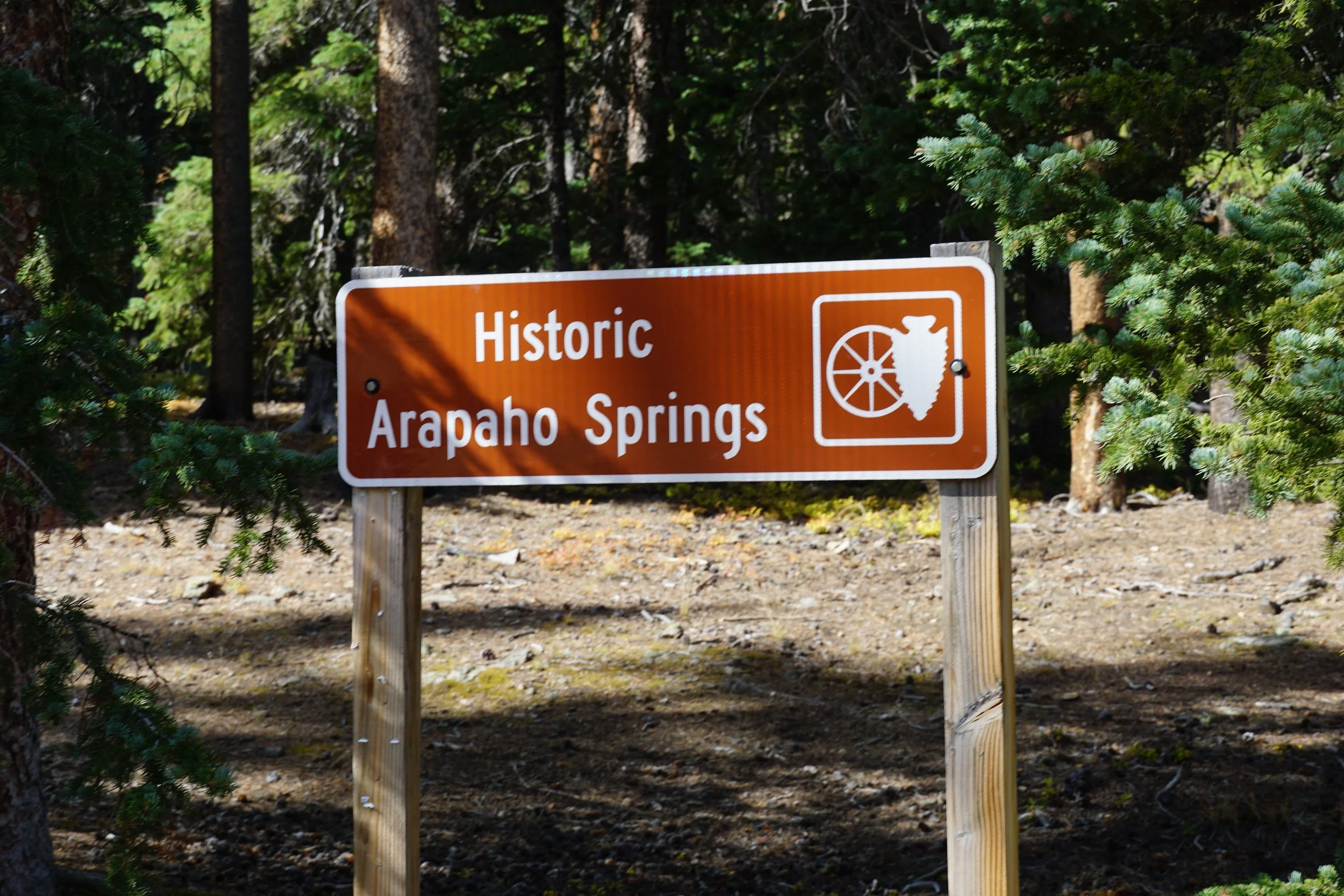
Directions: From Idaho Springs, take CO 103 (Chicago Creek Road) south to Echo Lake, continue past Echo Lake on Squaw Pass Road east for about 7 miles. Look to the south side of the road for the brown “Historic Arapaho Springs” sign. From Hwy 74 in Bergen Park, the sign is 10.5 miles west on Squaw Pass Road.
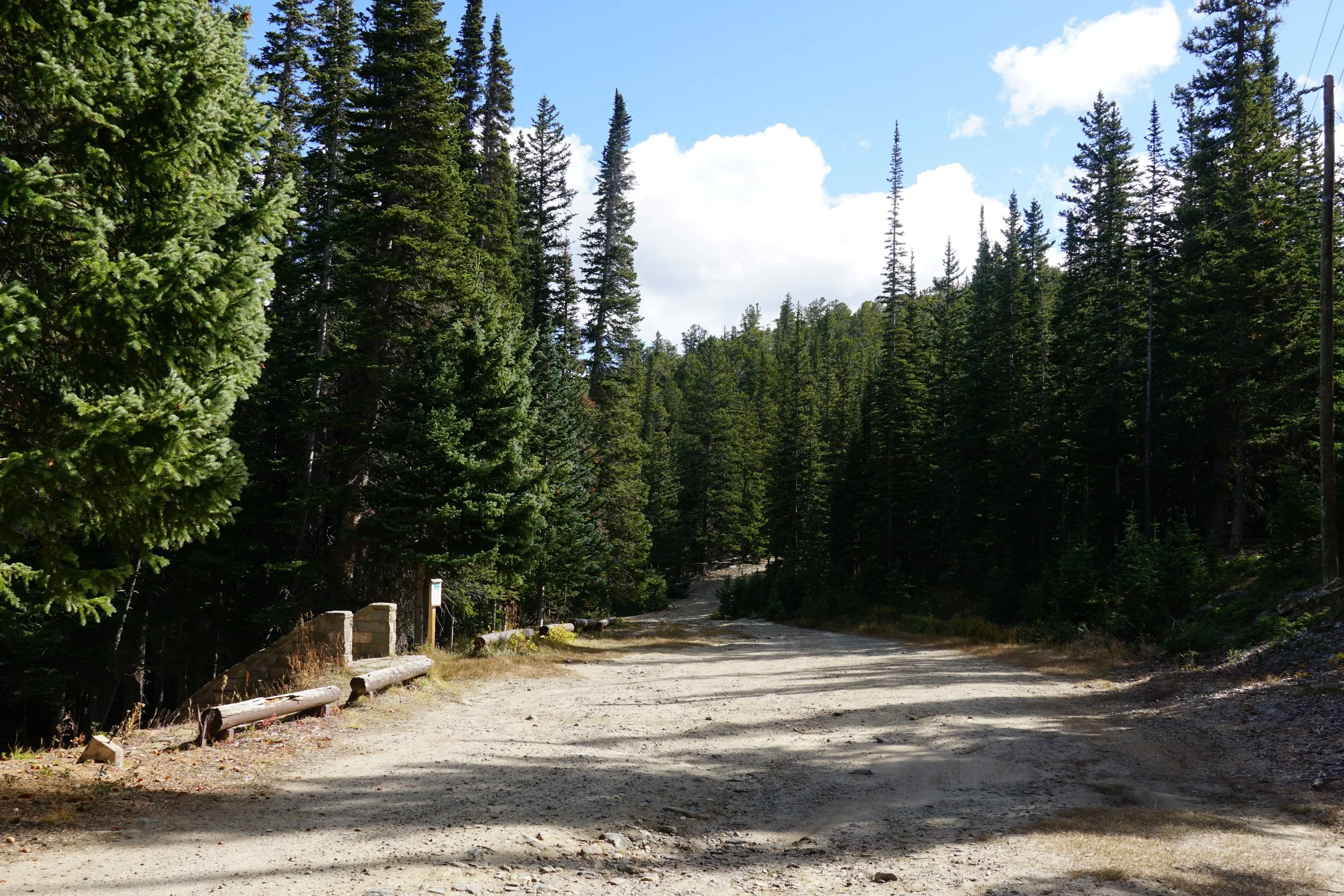
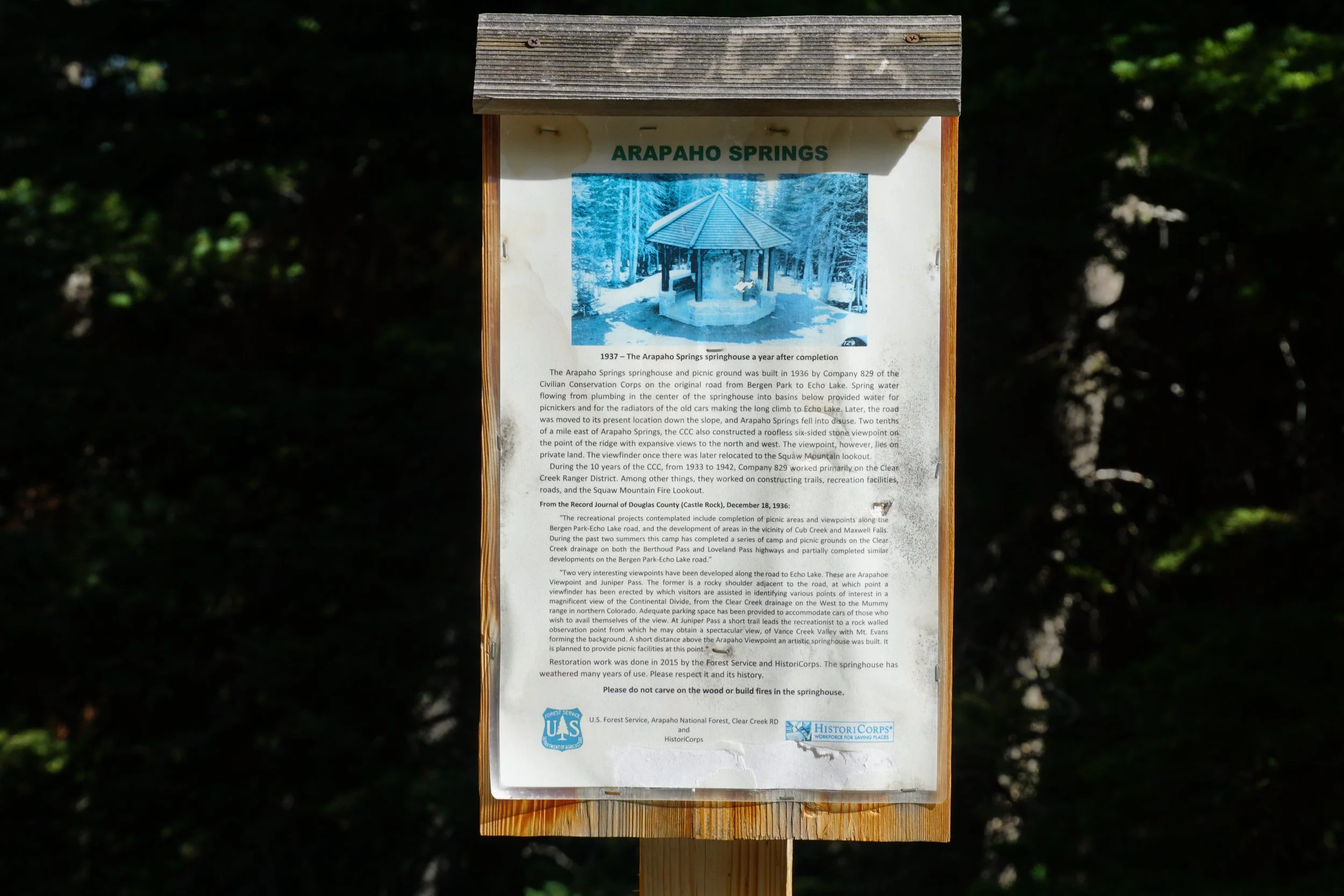
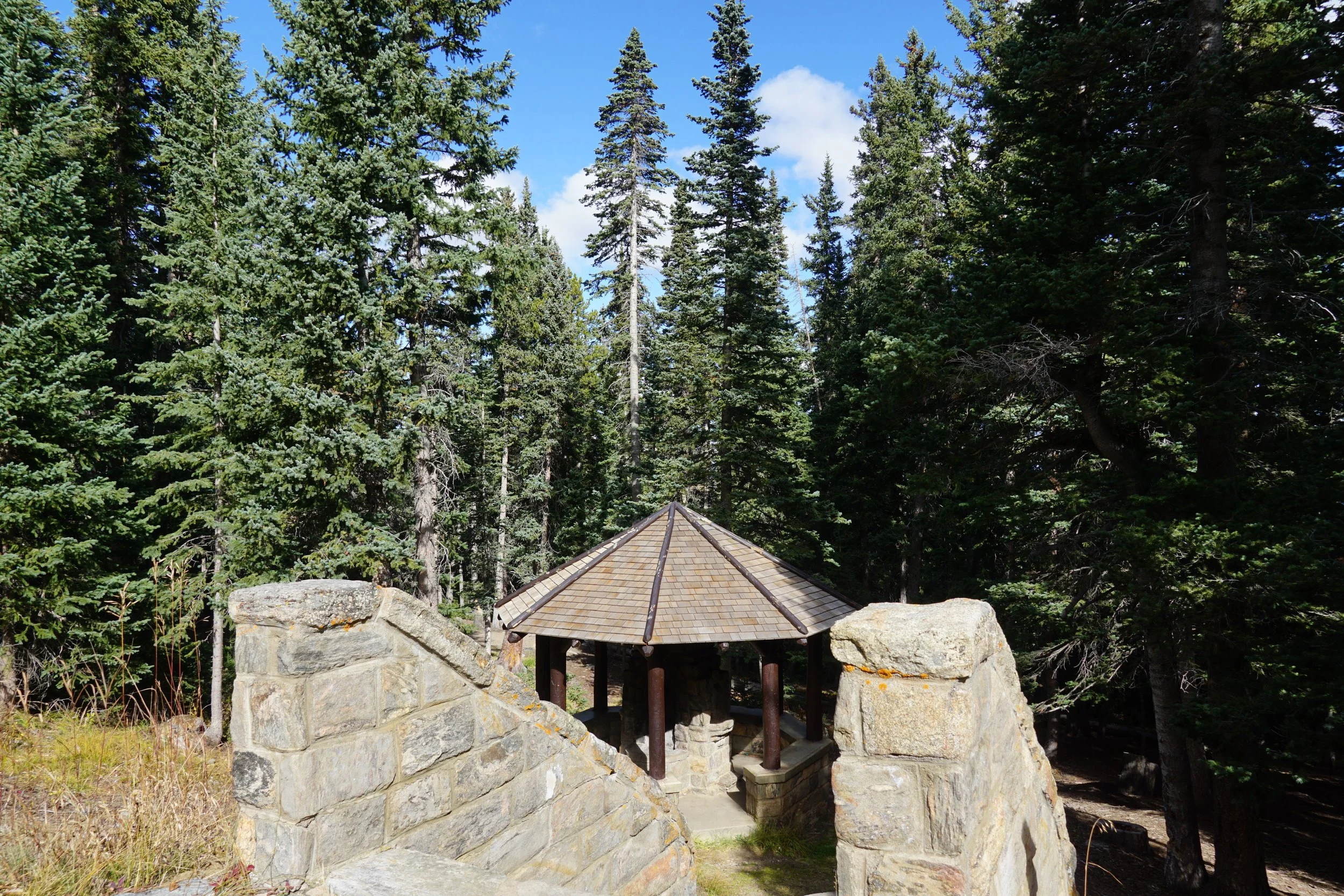
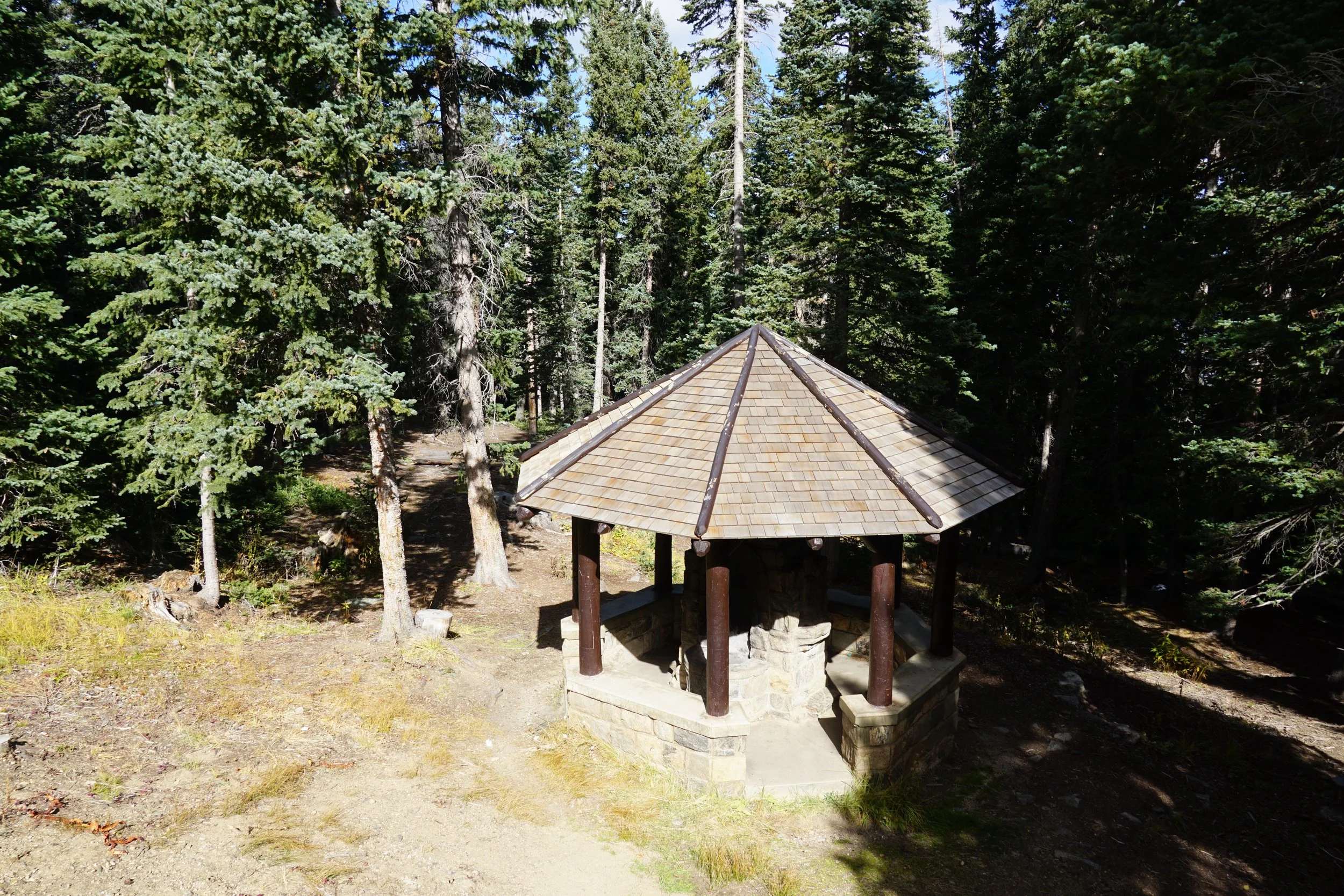
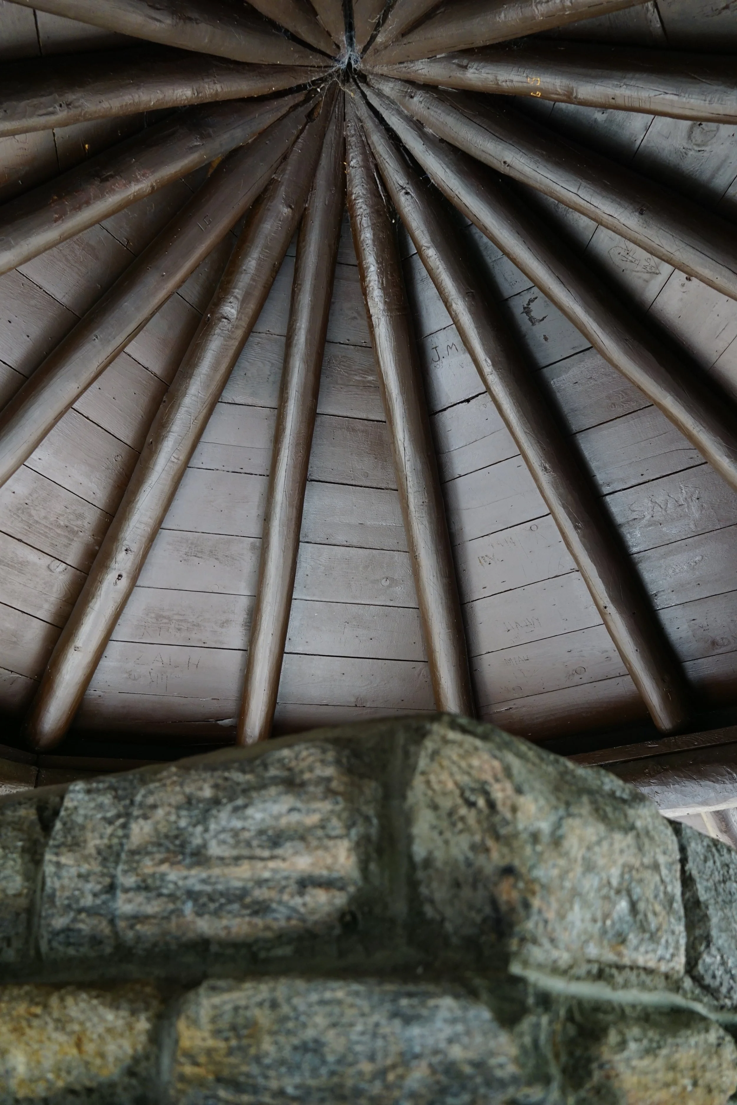
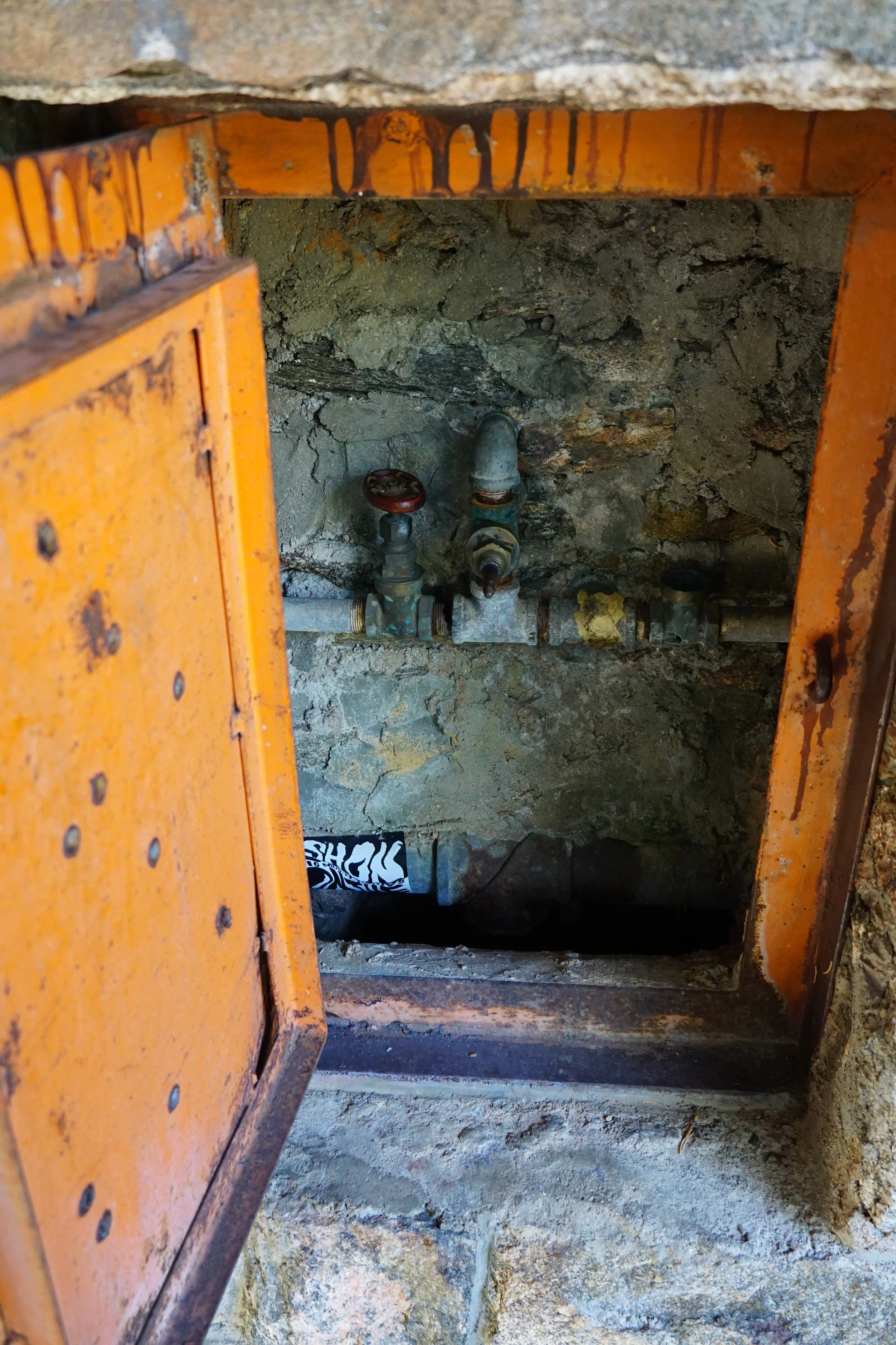
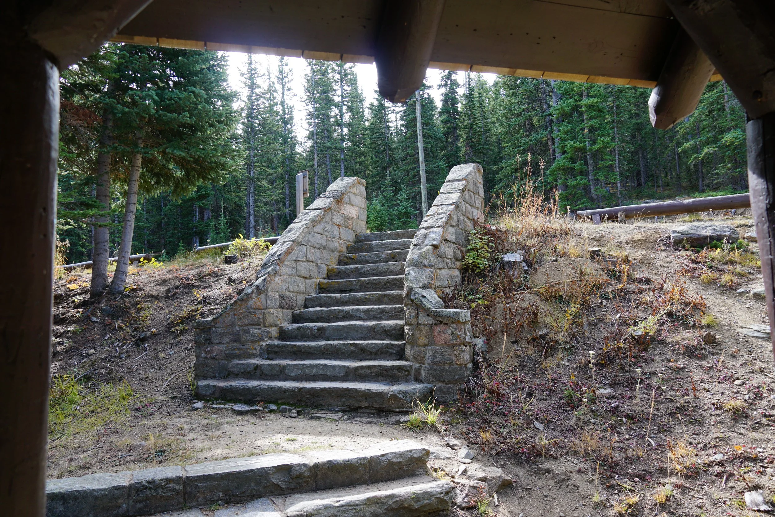
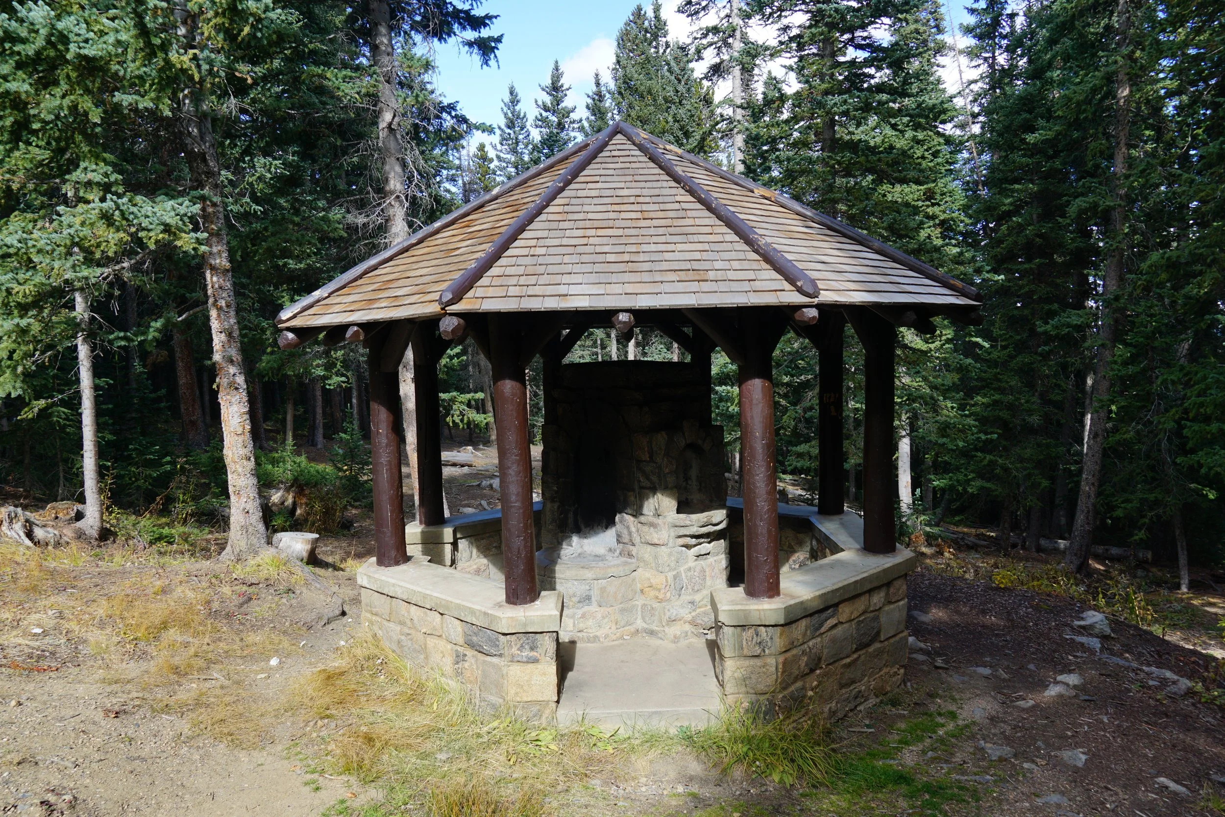
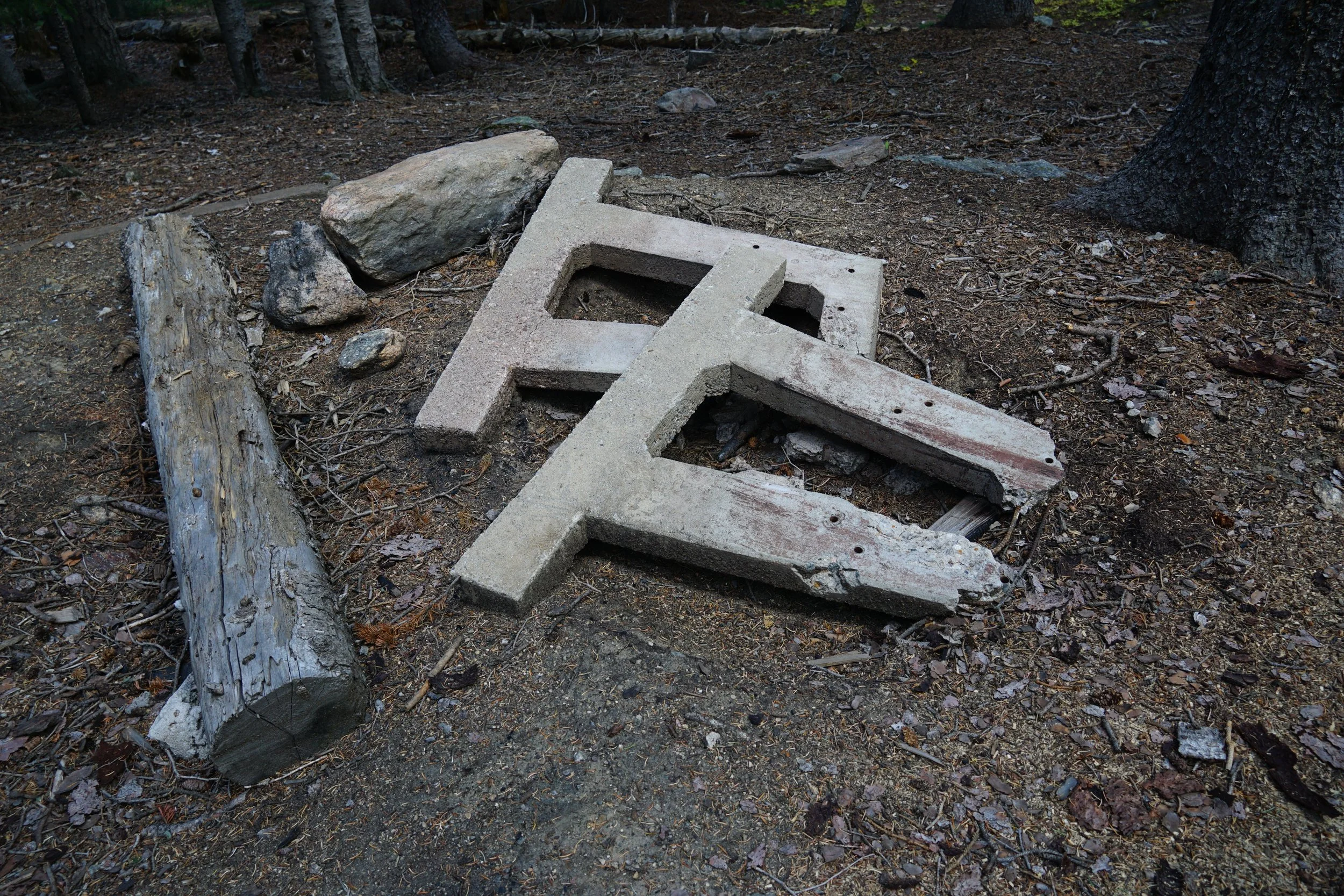
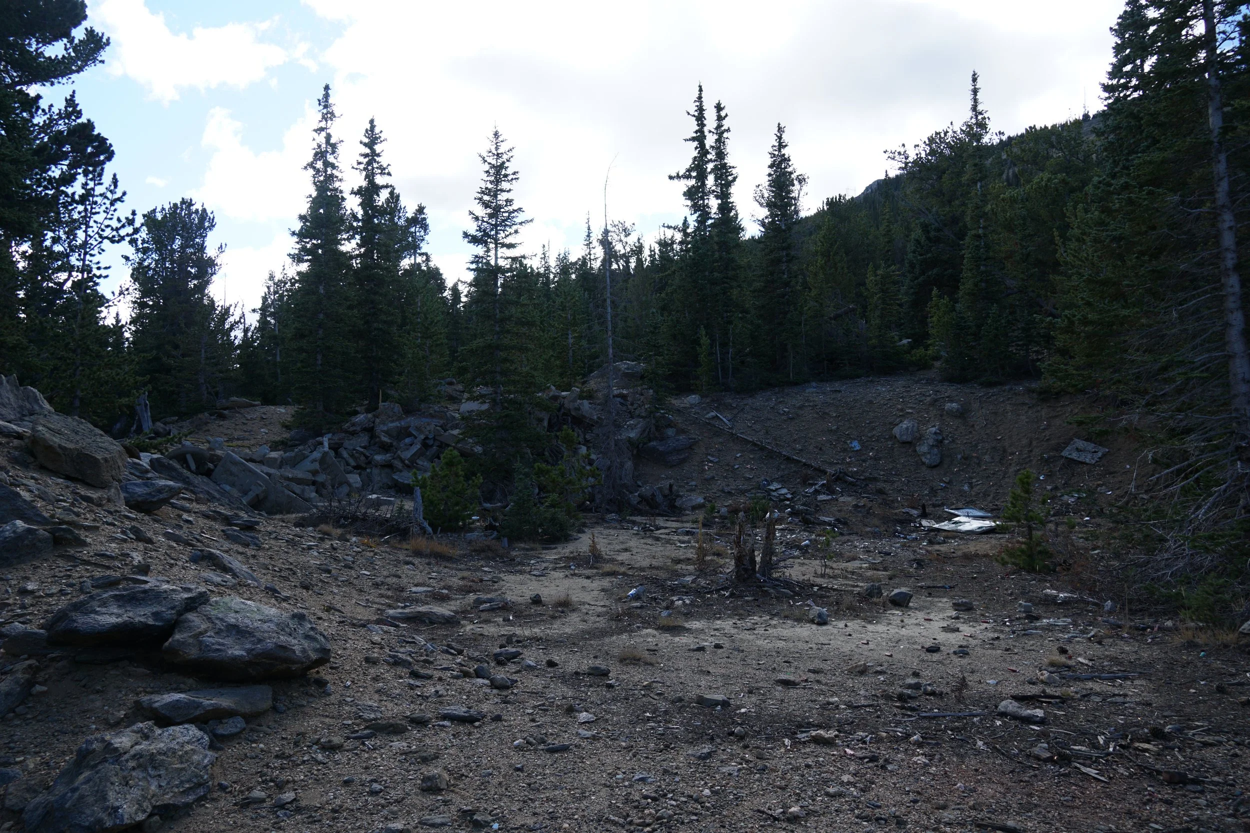
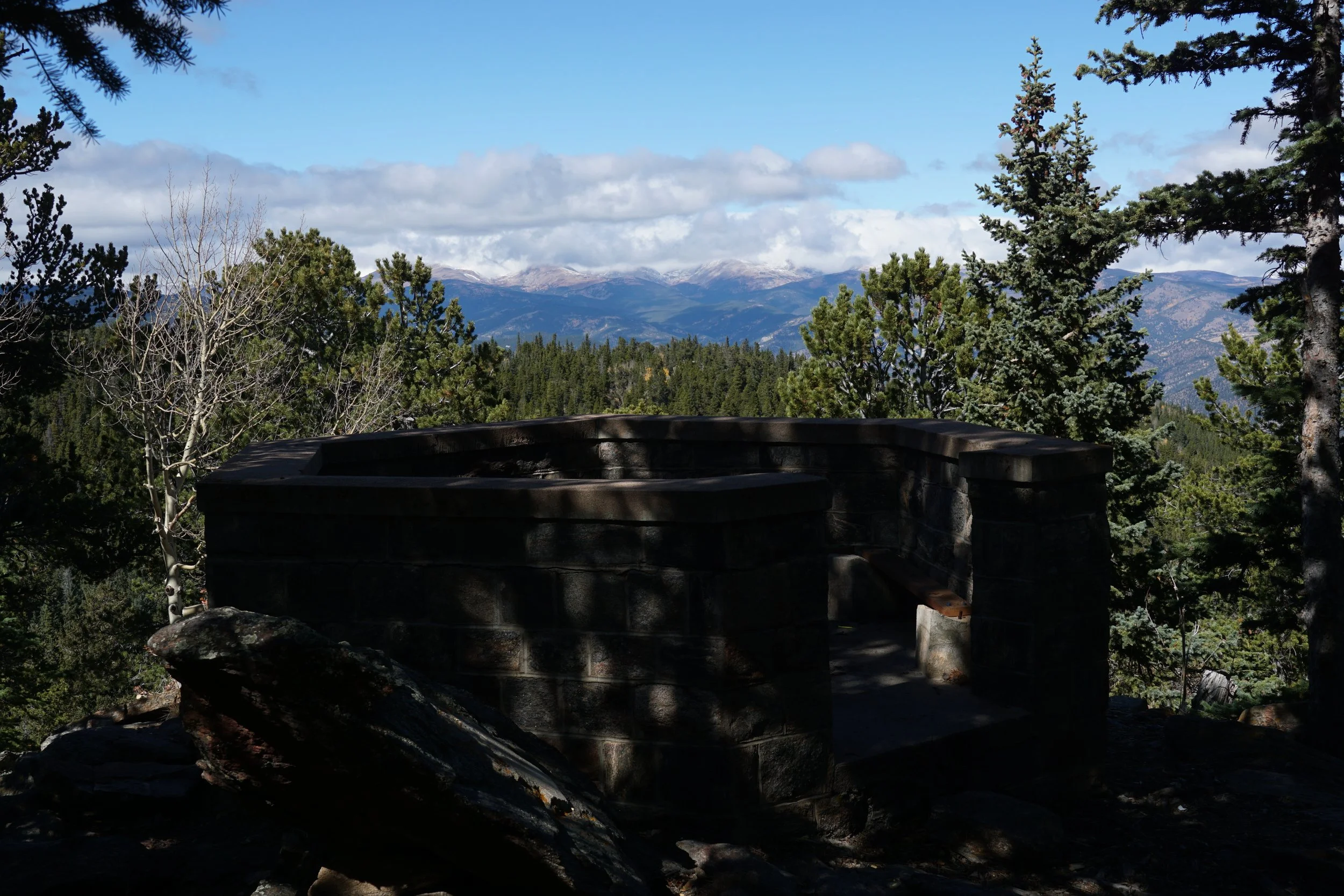
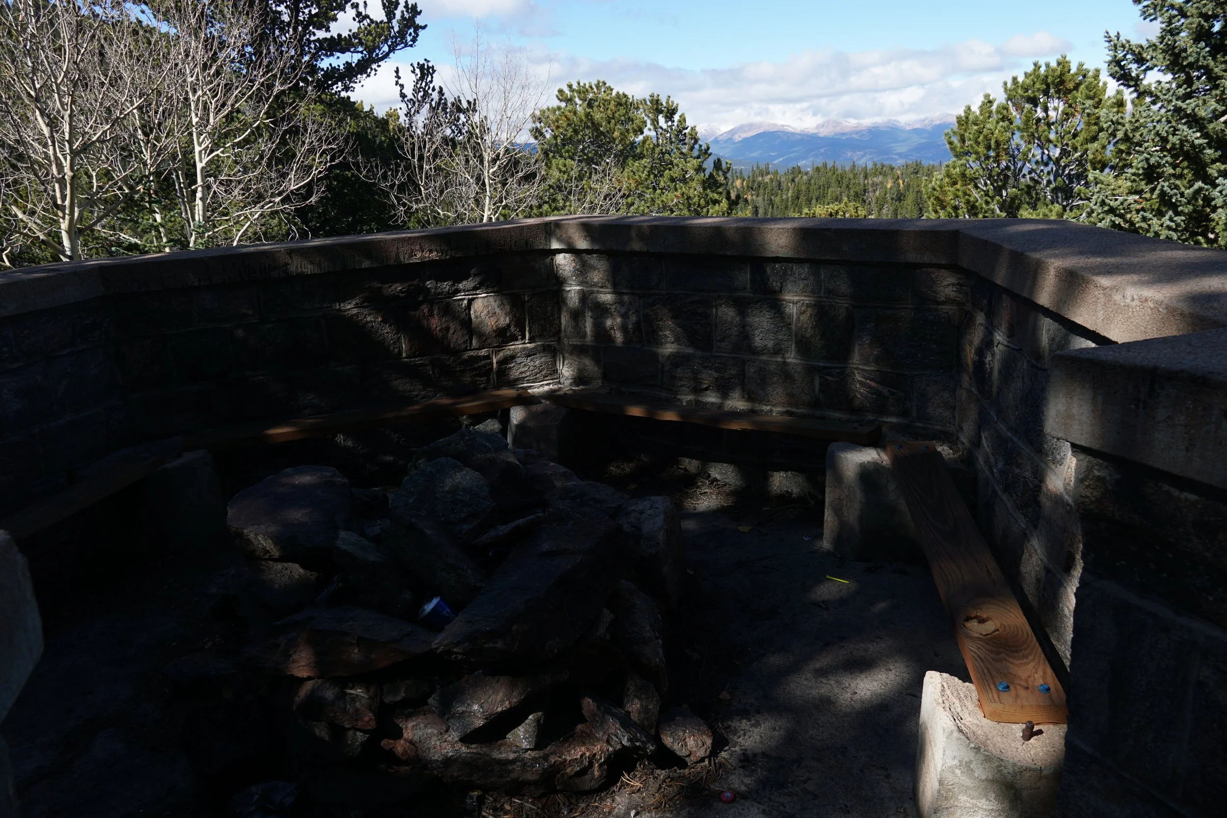
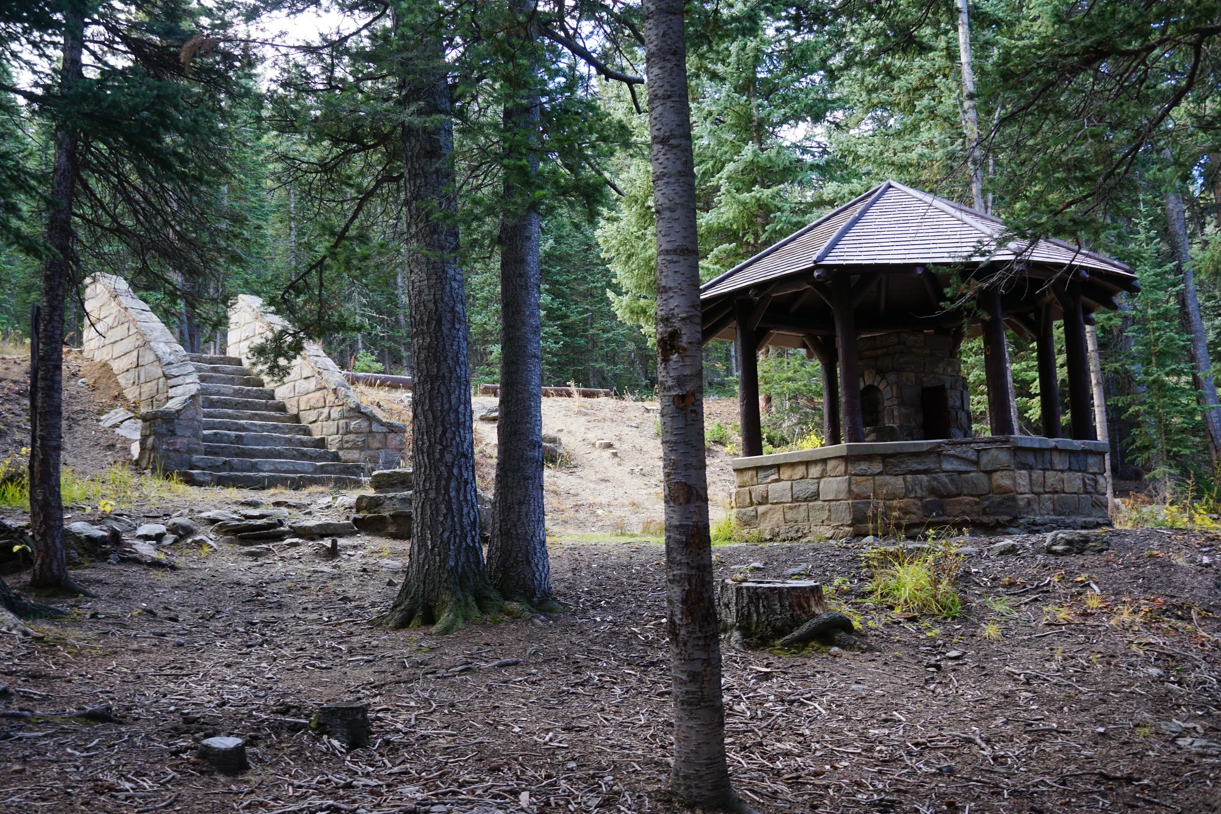
Historic Arapaho Springs was a Civilian Conservation Corps encampment from the 1930s when the CCC was tasked with building a road from Morrison to Mt. Evans and back to Golden. The CCC built the shelter and the overlook as a campsite for hikers. The area is not longer (officially) used for camping but the shelter, overlook, and some materials still remain.
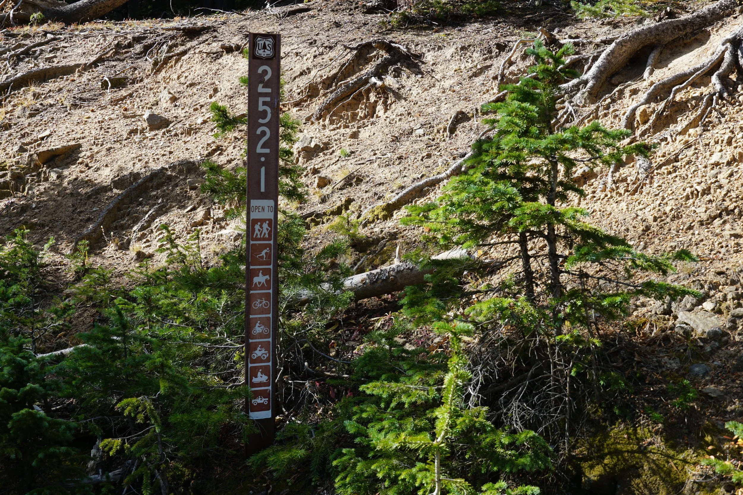
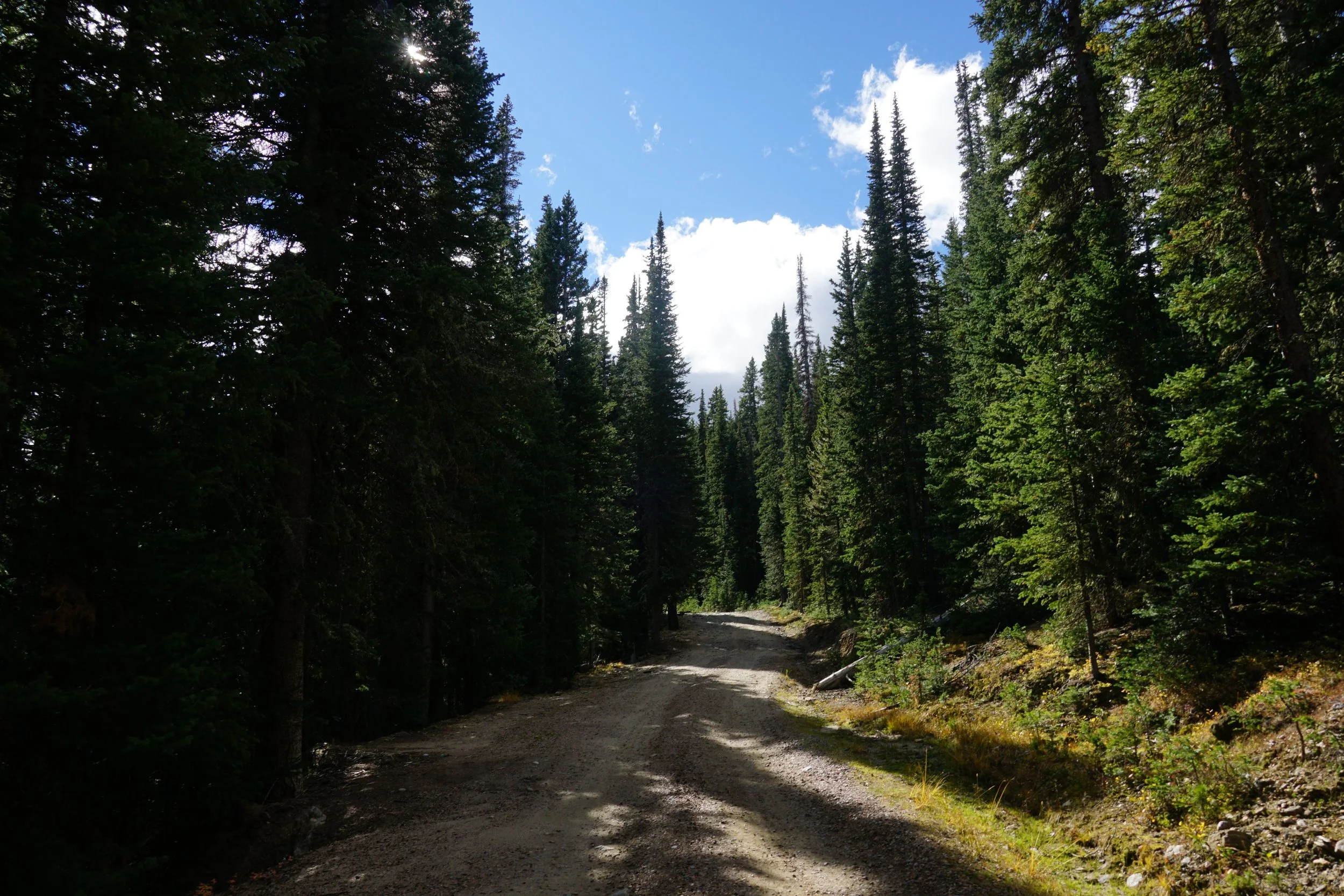
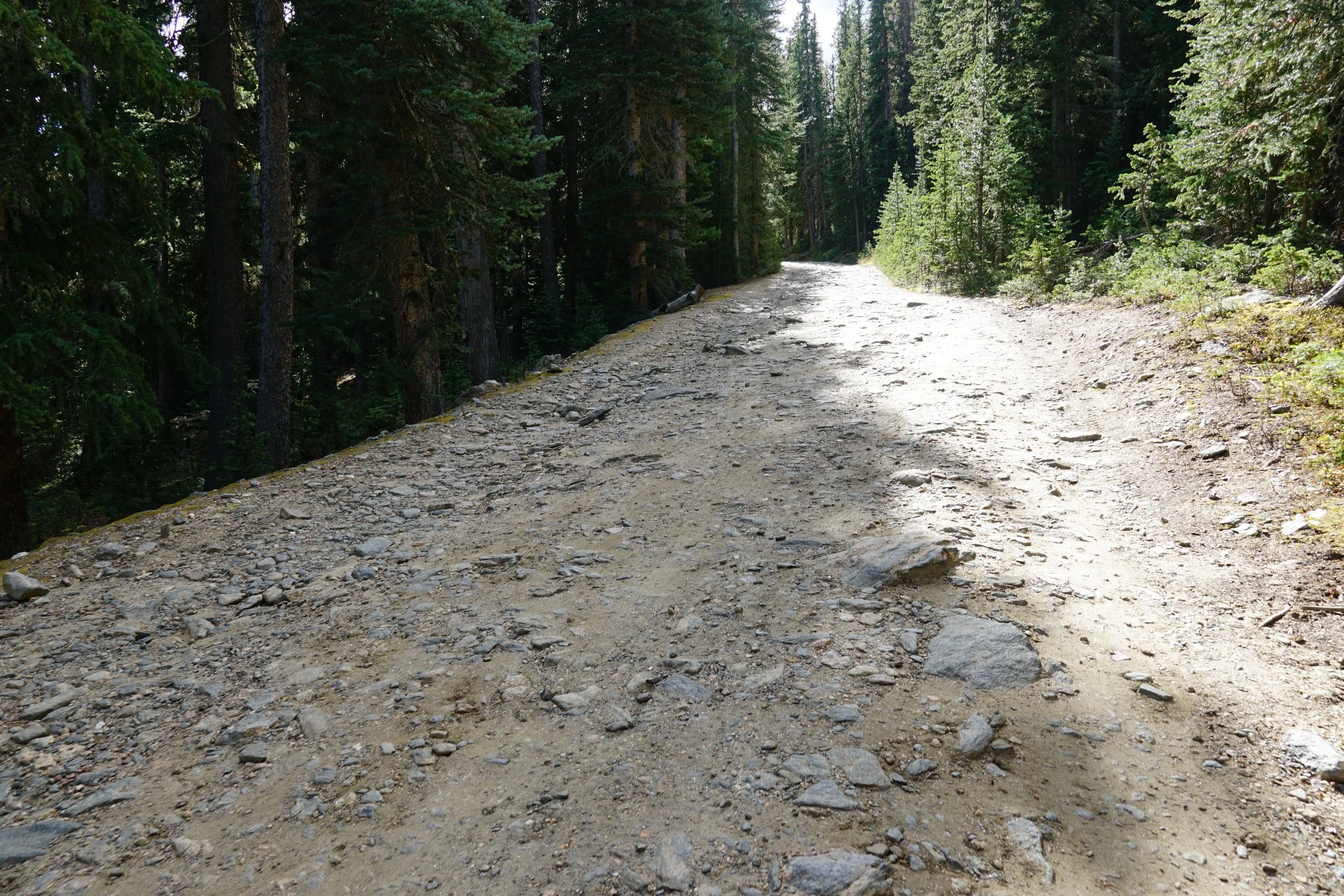
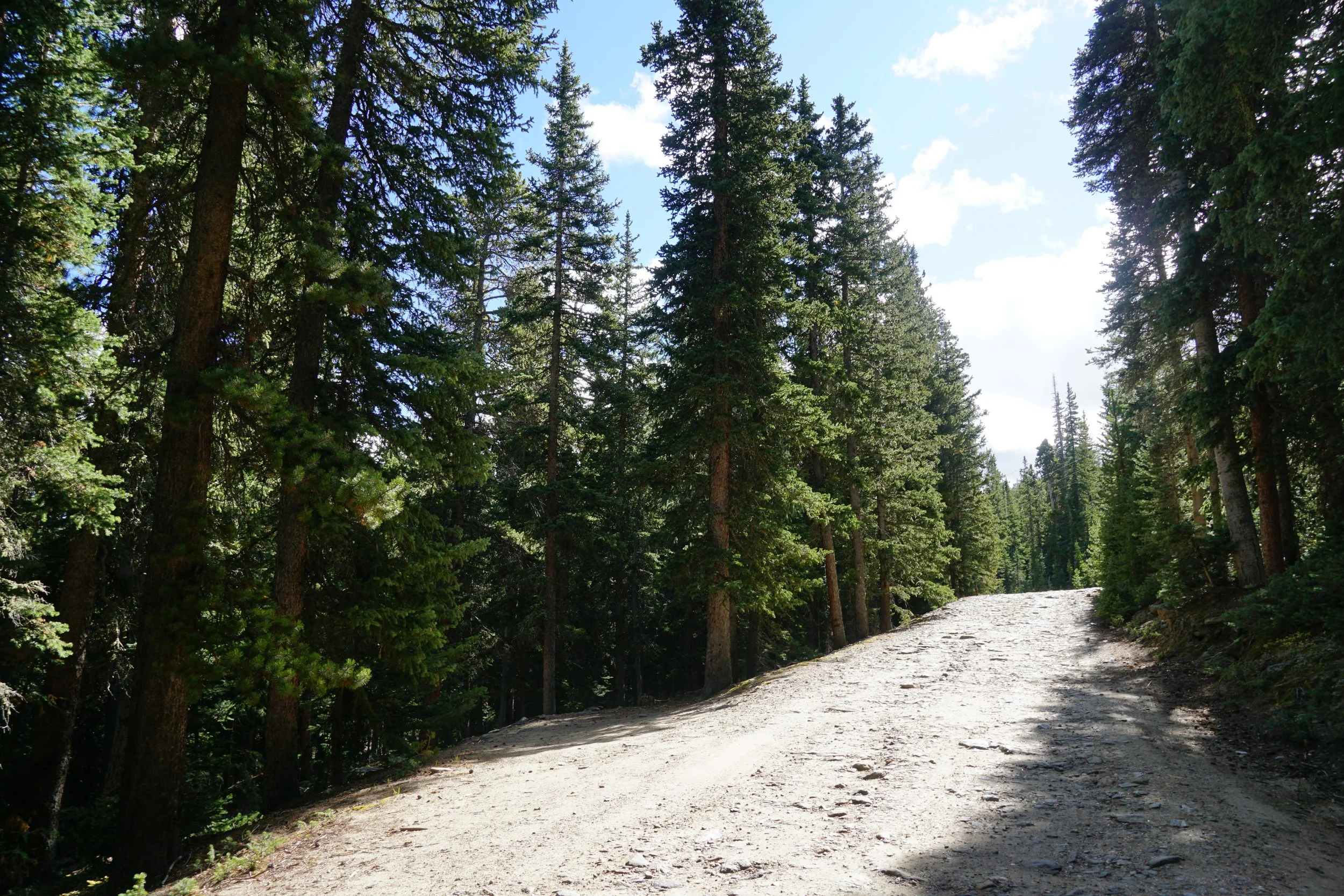
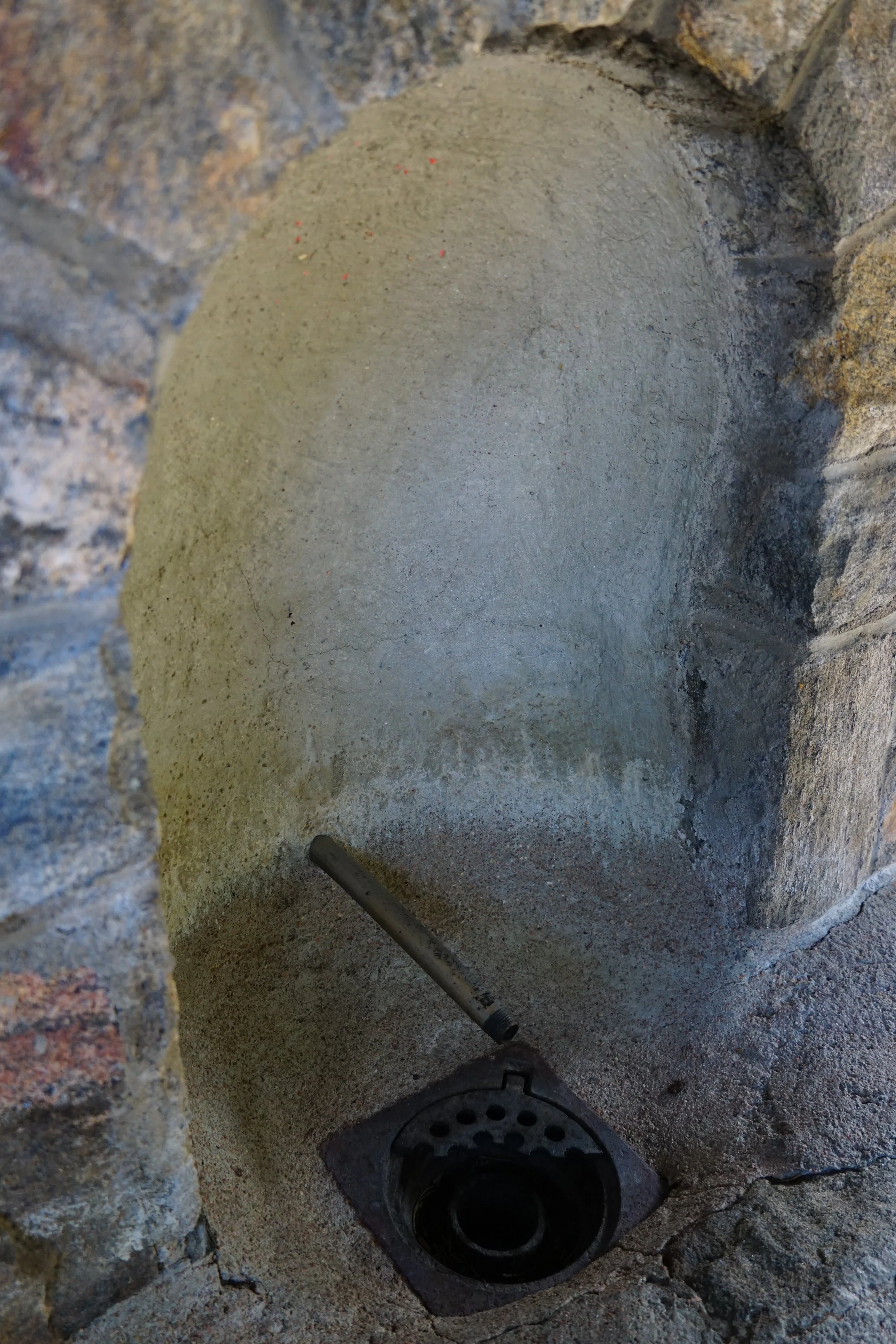
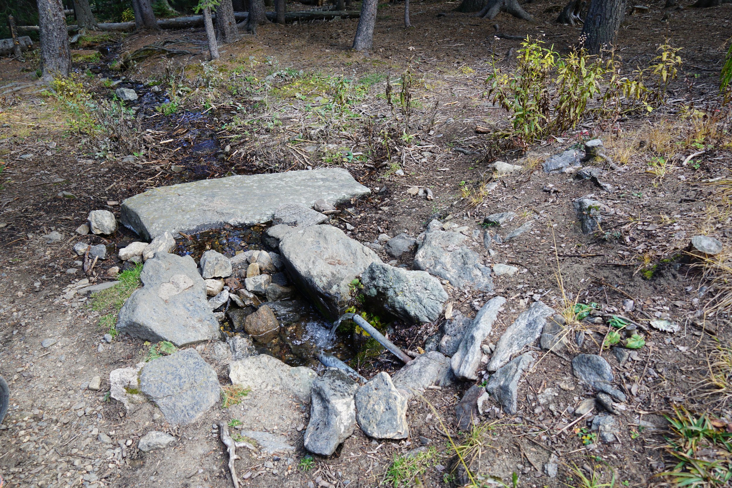
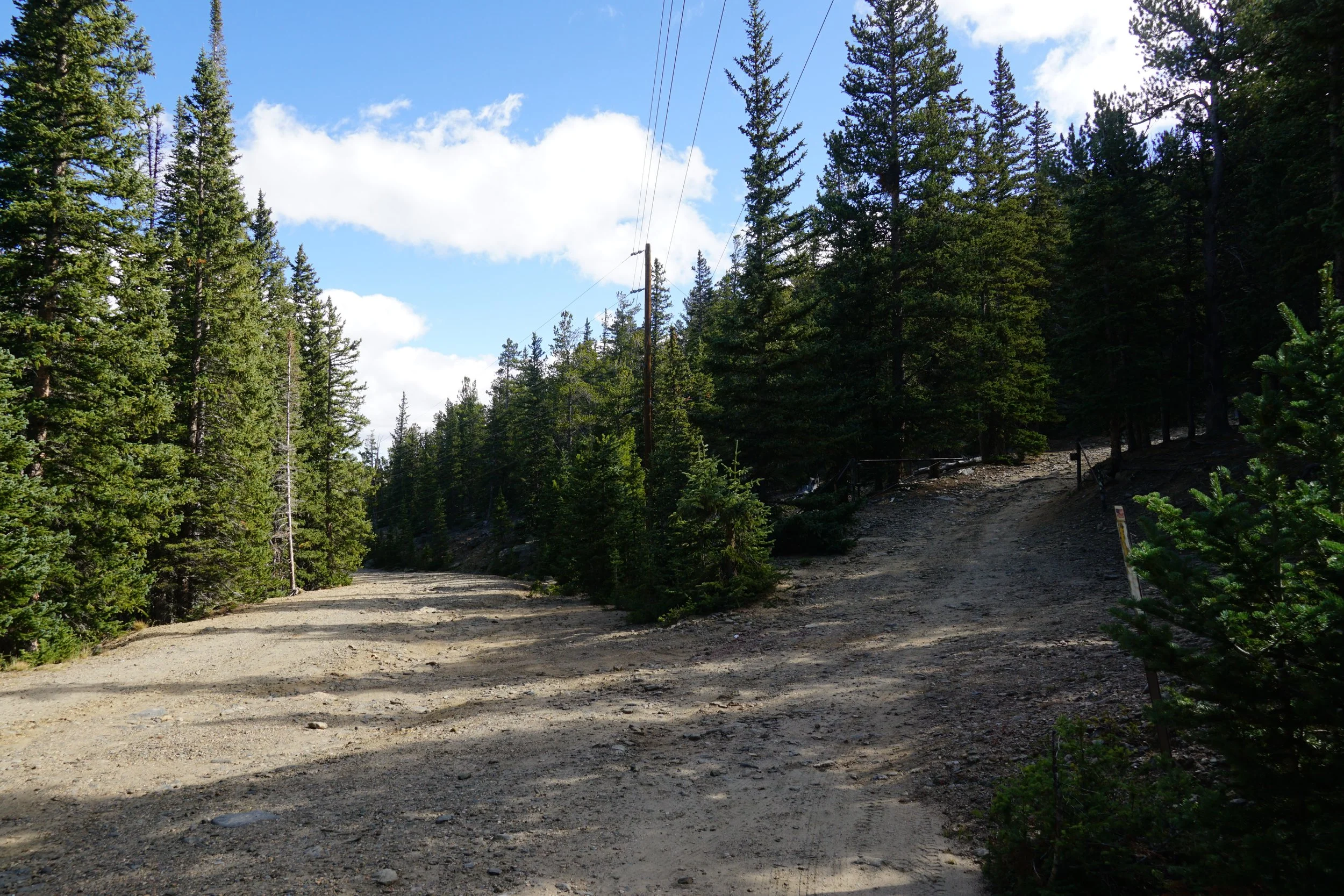
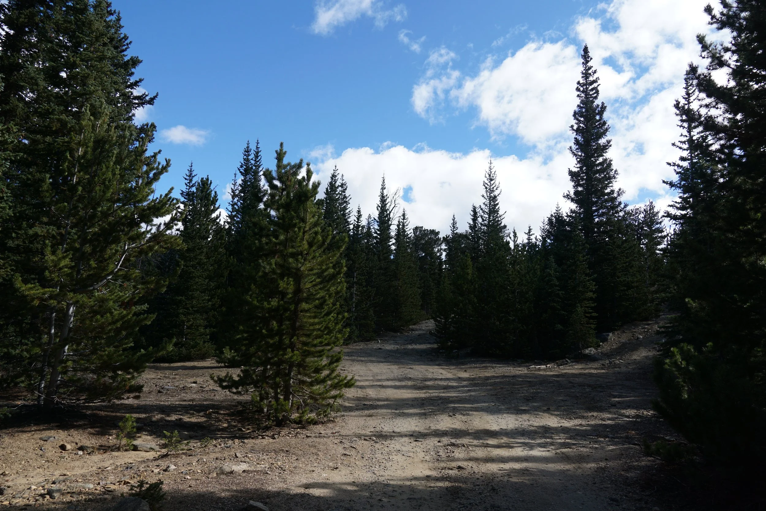
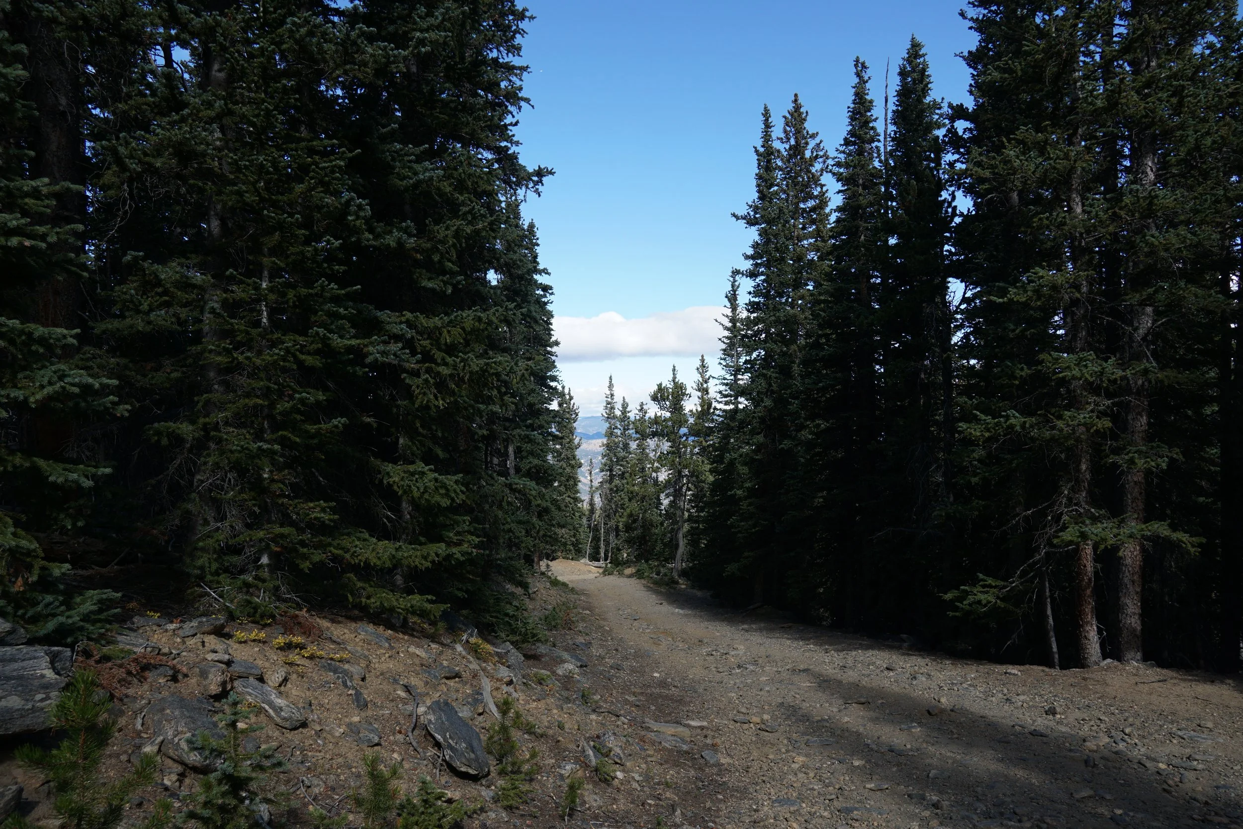
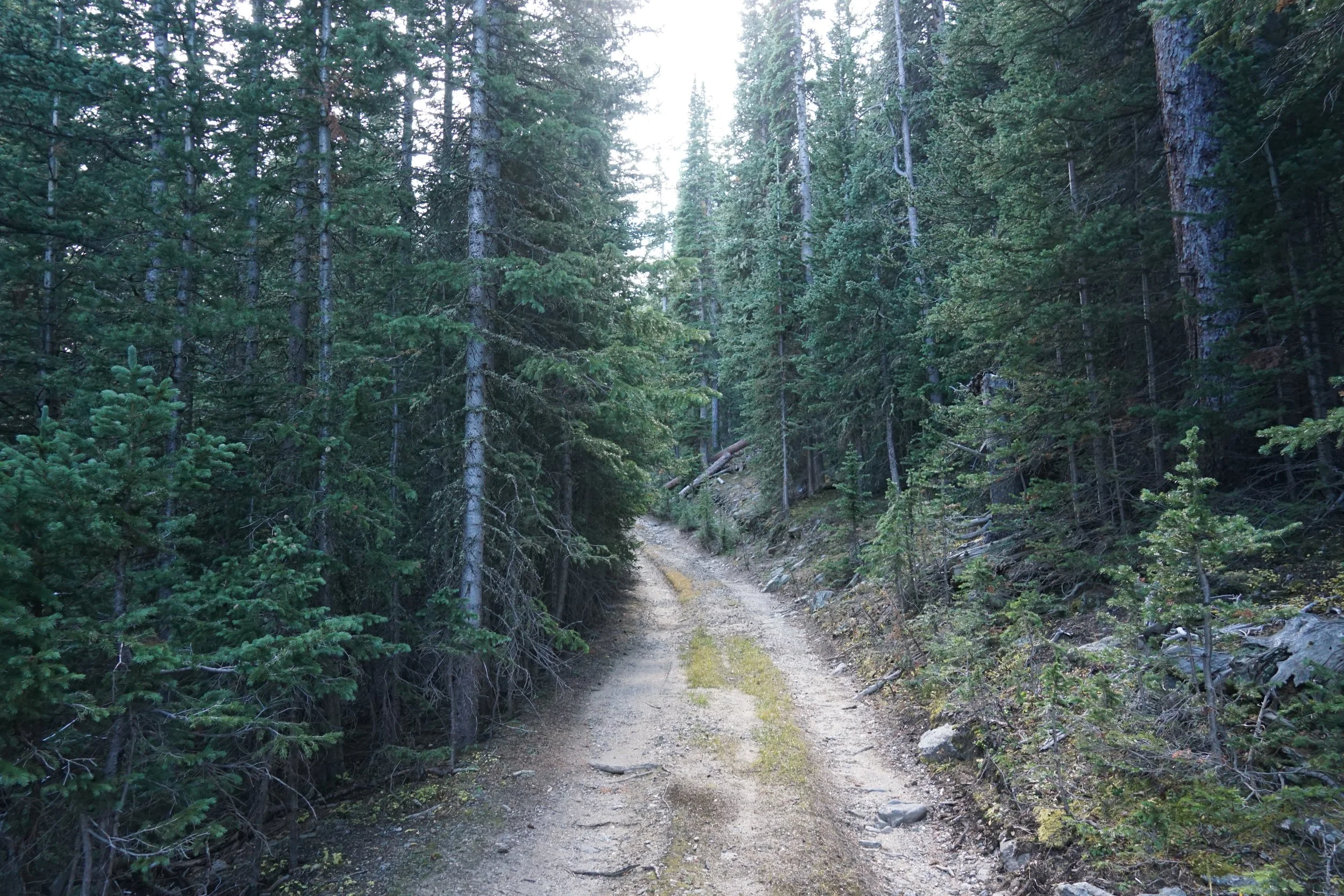
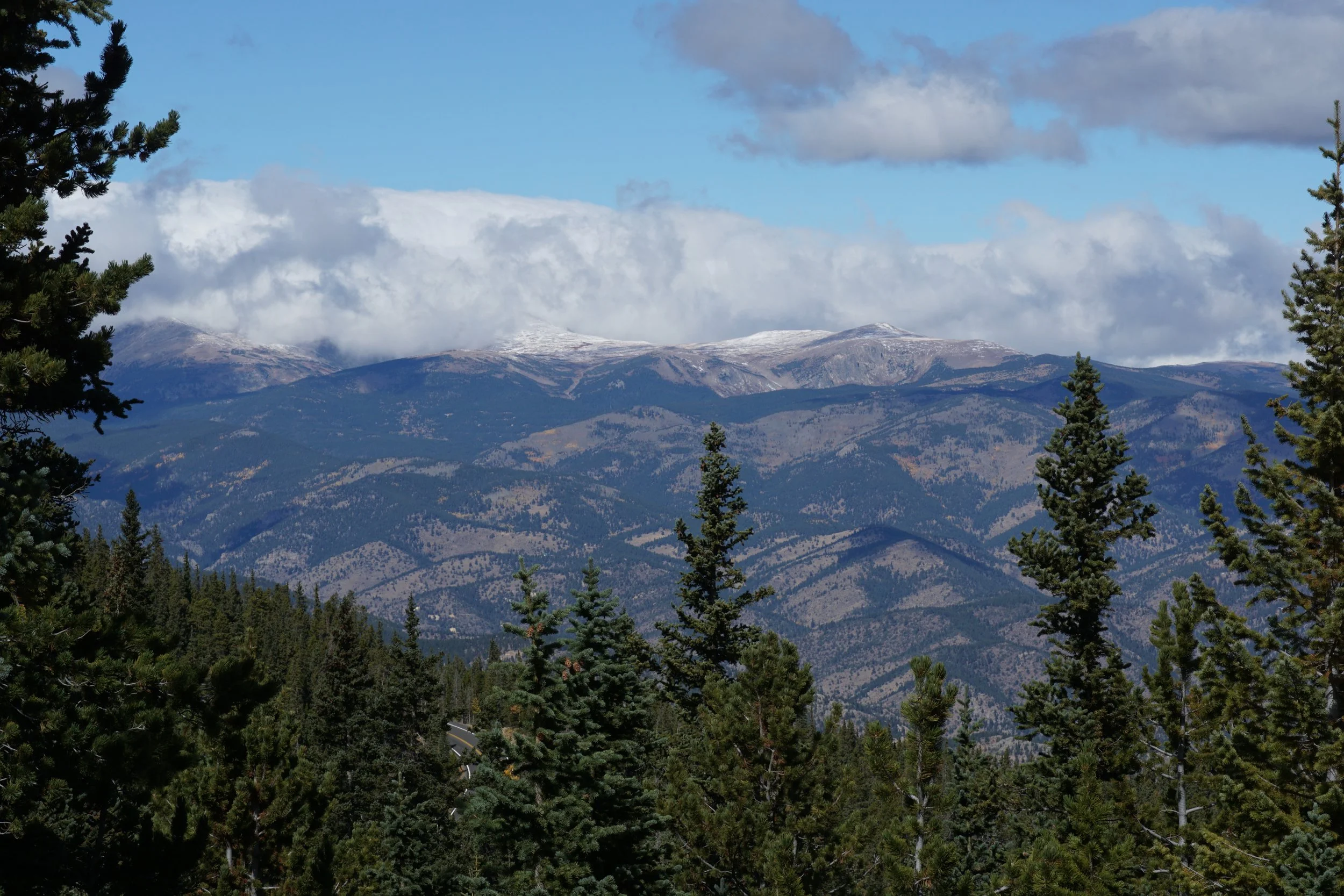
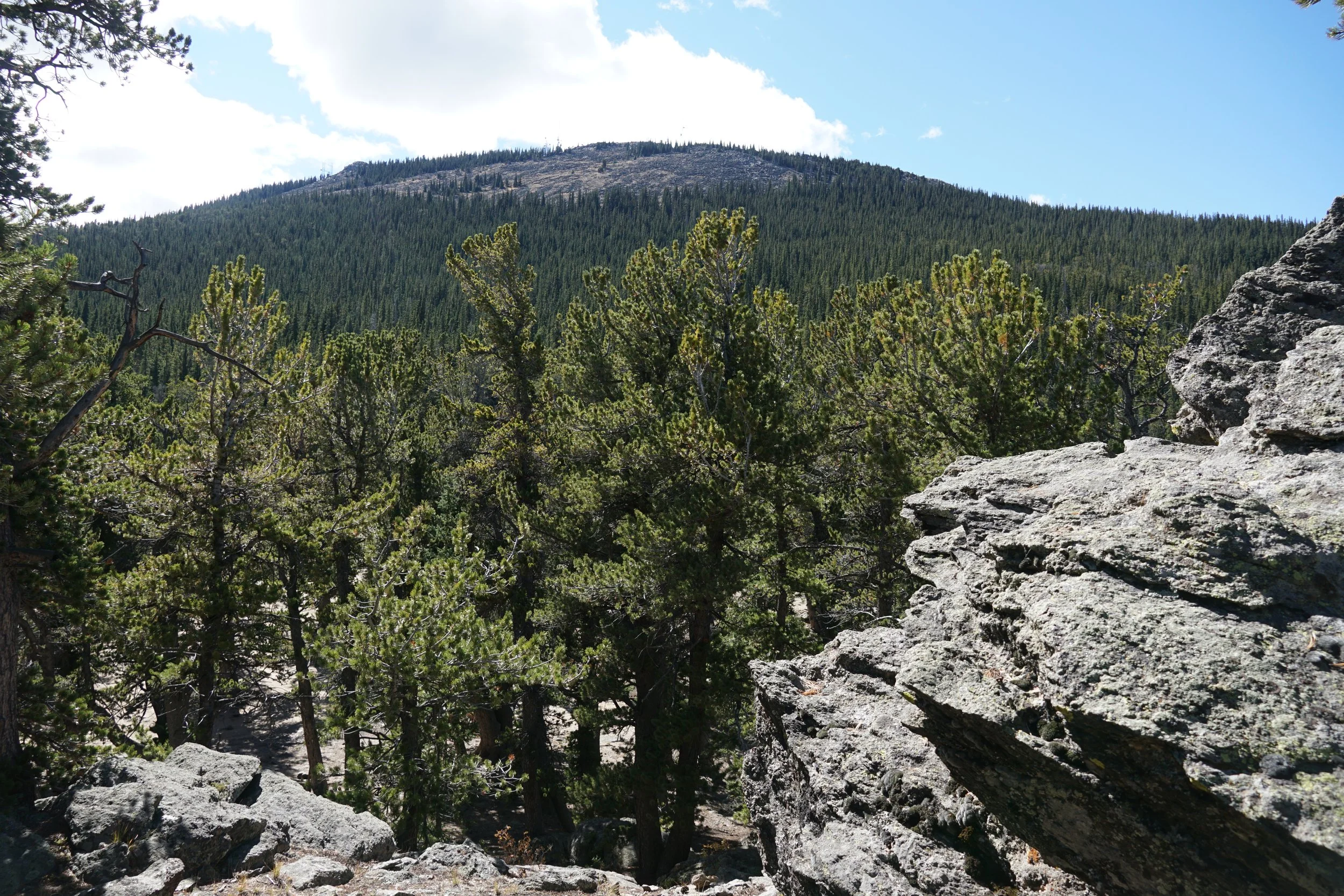
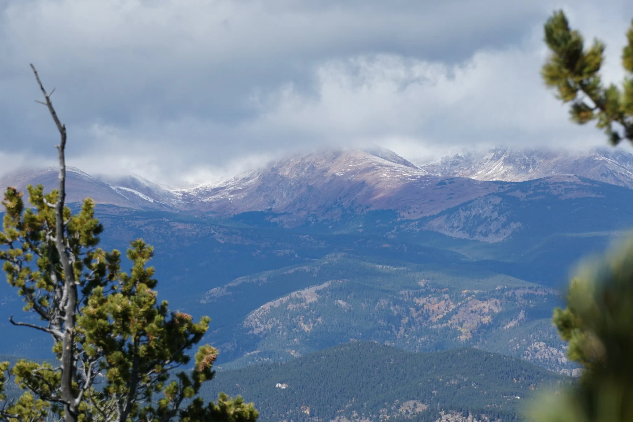
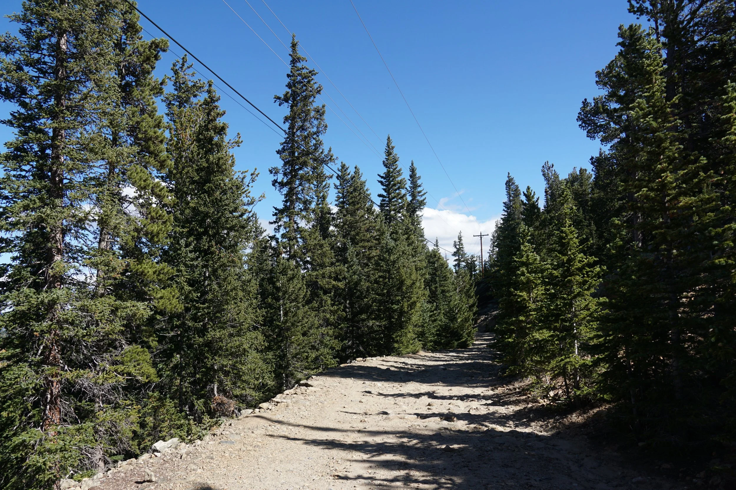
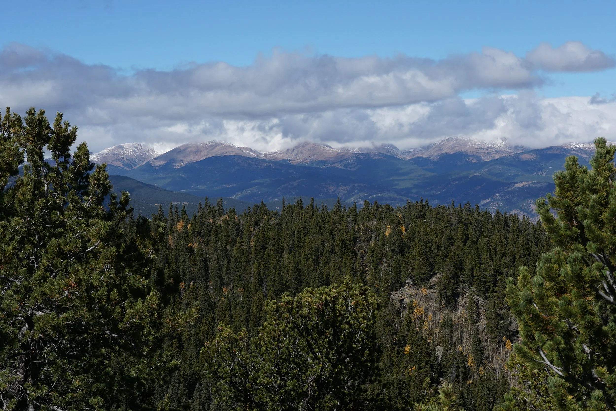
The area is accessed by high clearance vehicle or, as described here, as a short easy hike. If you want to hike in, park off of Squaw Pass Road and walk up the wide dirt road for about 1,000 ft. The shelter, staircase, and a small sign will be on your right. This area is fun to explore as there are still some relics of the work the CCC did almost a century ago. Continue along Old Squaw Pass Road (the dirt road) to the east for another 1,000 ft to find the overlook at a bend in to the road. This small stone overlook has a fire pit (not sure if it’s legal…) and a nice view over the Continental Divide.
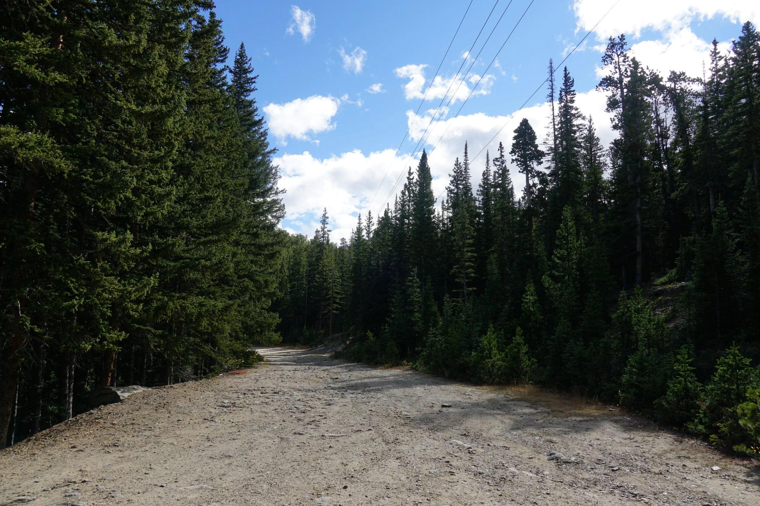
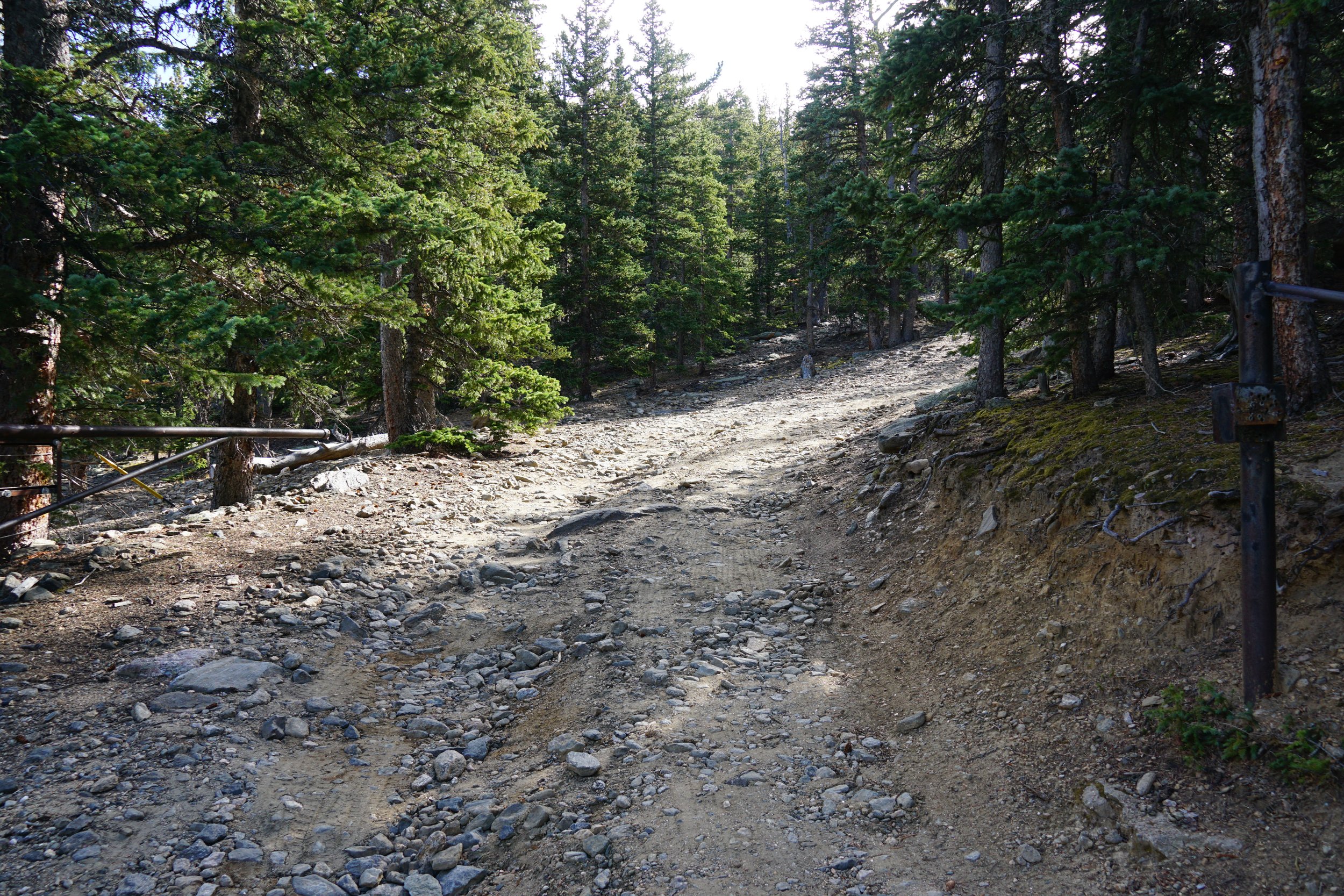
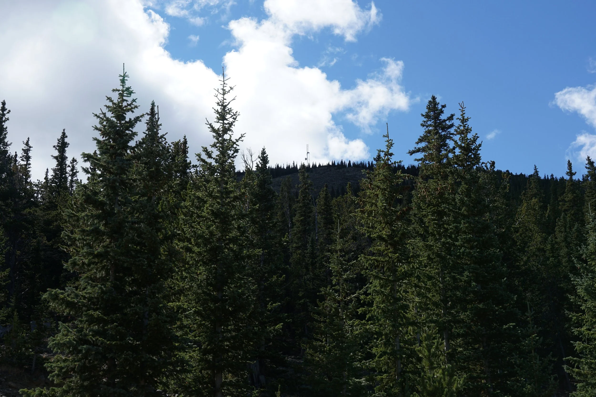
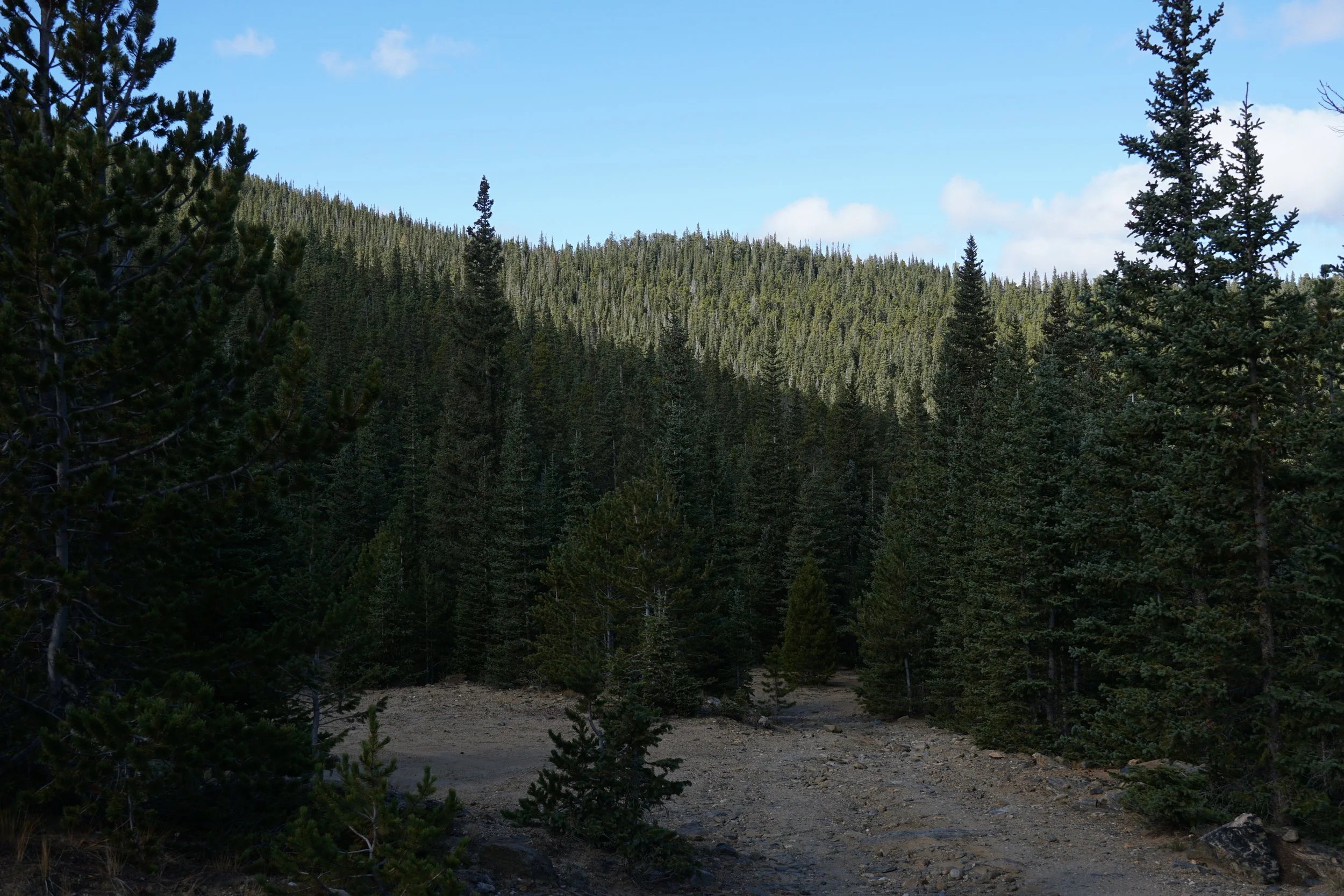
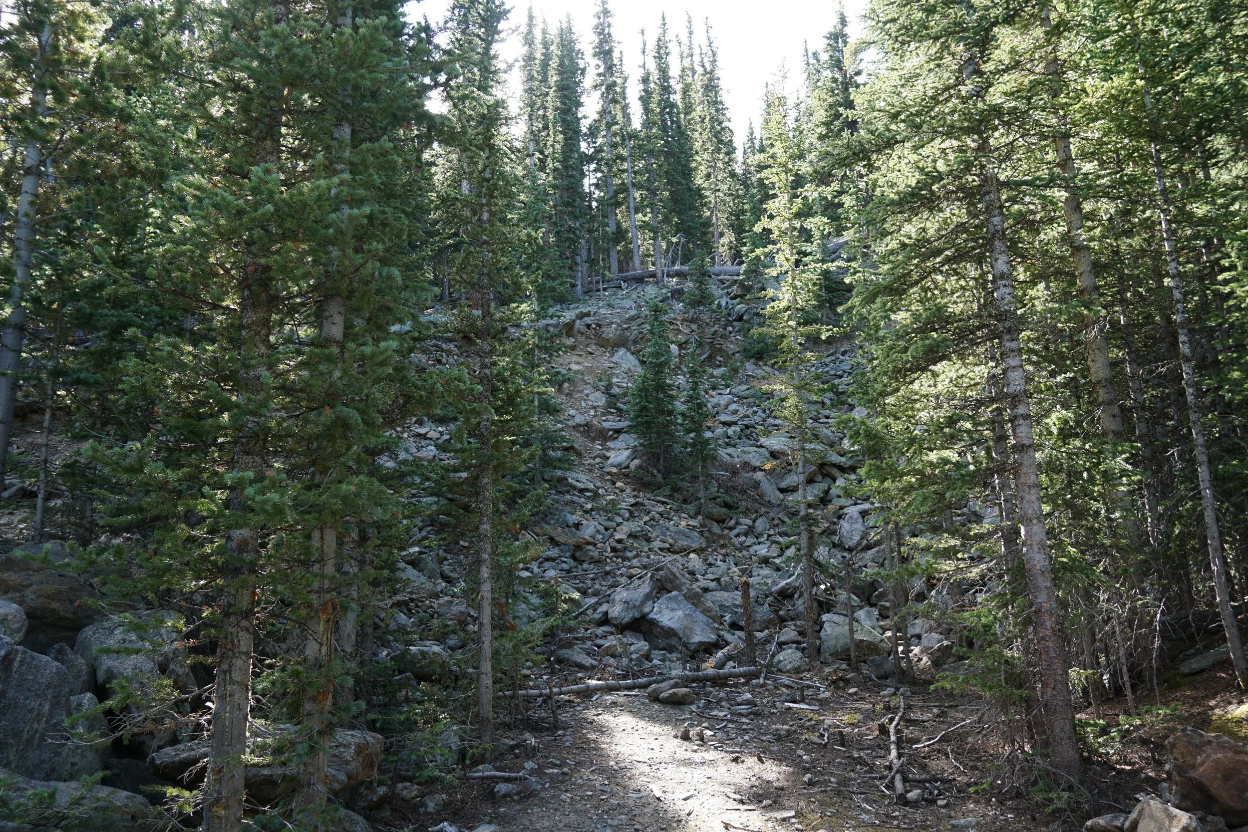
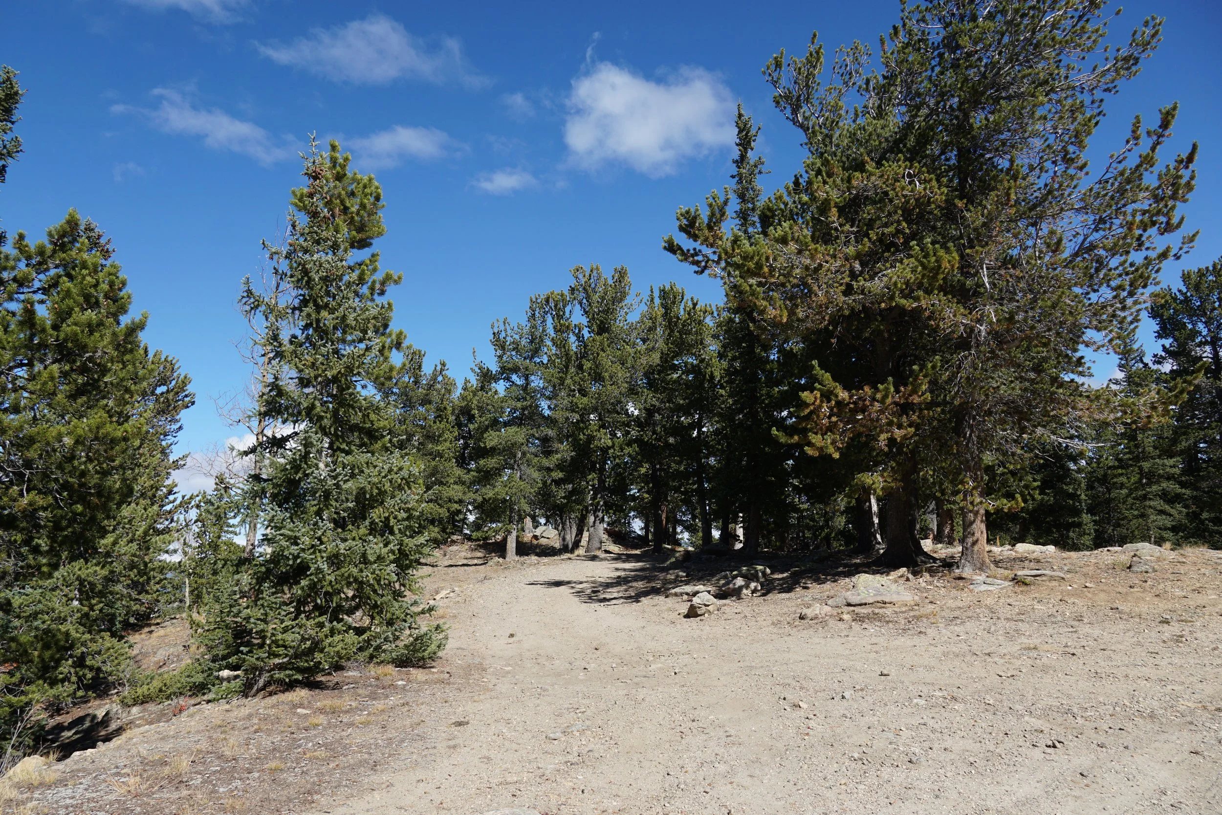
If you want to explore this area further, you can walk up the dirt road just south of the shelter. There is an old open gate and the road winds up through the forest and past some old mining areas. The road ends about .6 mile and 300 ft higher elevation. There is a rock tower that is easy to scramble up for some nice views, but otherwise this is just a walk through the woods.