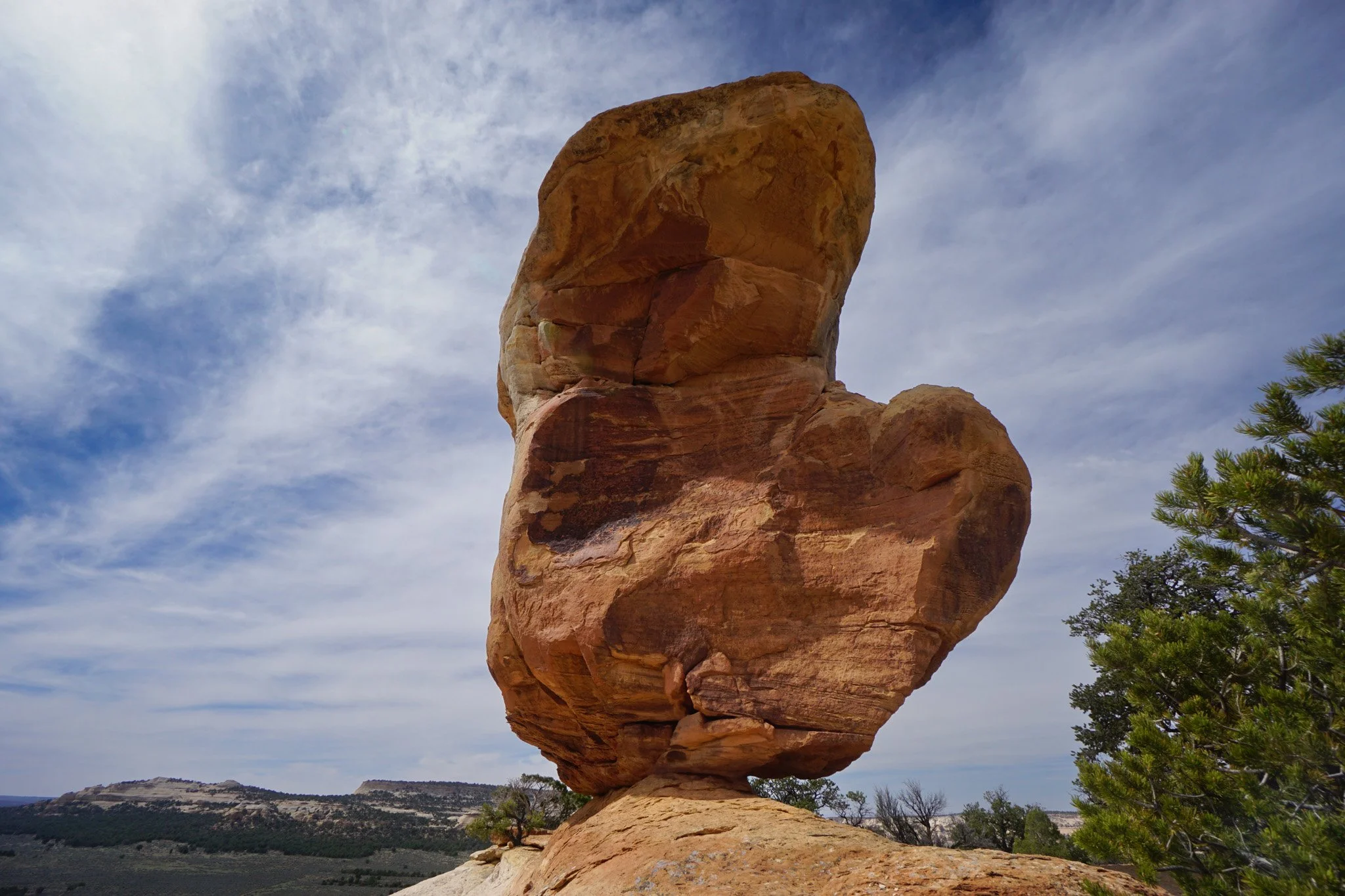
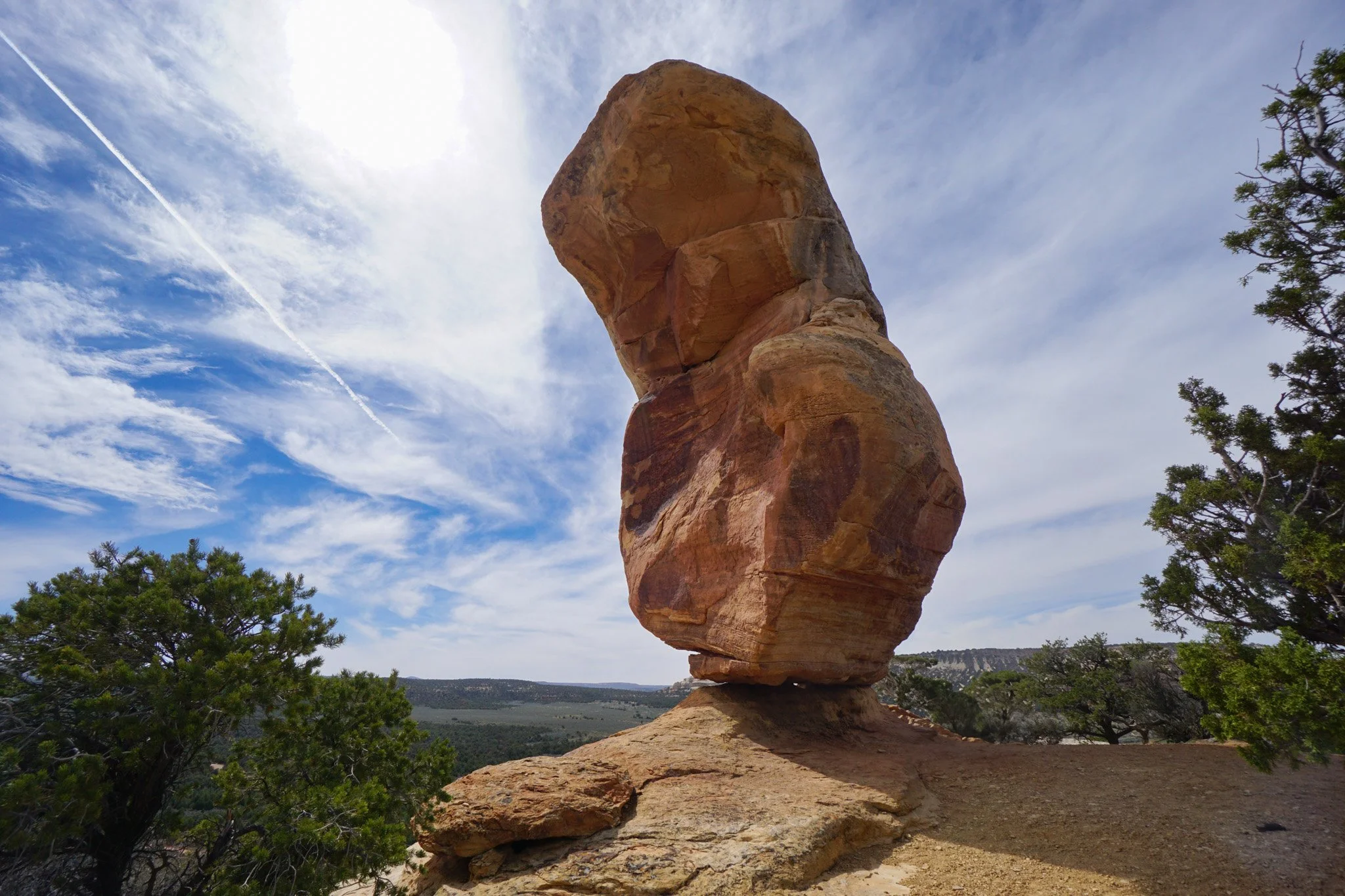
Miracle Rock
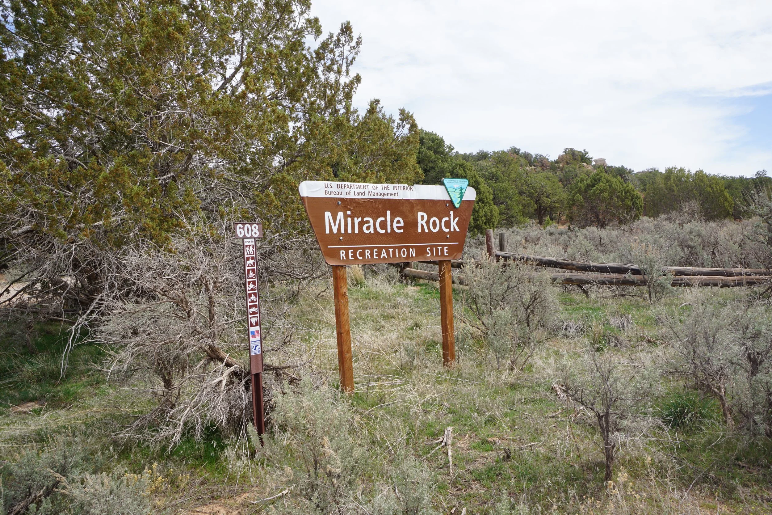
Miracle Rock Recreation Site, BLM Public Lands
Date Hiked: March 28, 2026
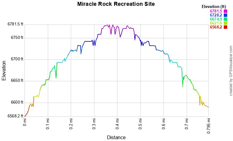
Distance: 0.75 mi (RT)
Elevation Gain: 120 ft
Elevation Min/Max: 6,640 to 6,765 ft
Trailhead Lat/Long: 38.98070, -108.87132
Managing Agency: Bureau of Land Management (BLM)
Fee: None
Directions:
From Grand Junction, take Broadway (340) over the Colorado River and turn left (south) onto Monument Road. At this point you have two options. Option 1 enters Colorado National Monument which requires an entry fee. Option 2 skirts around the south of the Monument. Both options are just about the same distance and time.
For Option 1 continue on Monument Road (also known as Glade Park Road) into Colorado National Monument. Follow Monument Road up into the Monument and through the tunnel. Turn left onto D S Road at the junction for Glade Park, this is where Monument Road becomes Rim Rock Road. Now on D S Road, leave the Monument and follow D S Road for a long time to 9 8/10 Road, turn left (south) and after a few minutes turn left into the Miracle Rock Recreation Site.
For Option 2, just after turning onto Monument Road from Broadway, make a quick left (south) onto D Road and a right onto Rosevale Road. Turn right onto Little Park Road and head through the BLM Bangs Canyon area. Keep following Little Park Road to the south and west until it reaches D S Road, turn left. From here the directions are the same as for Option 1; D S Road to 9 8/10 Road, turn left (south) and after a few minutes turn left into the Miracle Rock Recreation Site.
Hike Description:
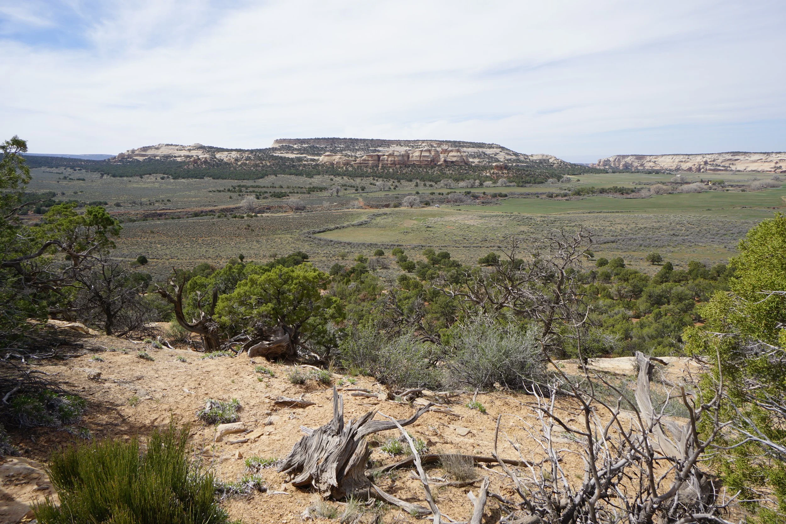
Glade Park to the west of Colorado National Monument is a beautiful part of the Colorado Plateau. Many of the hikes in this area are within the McInnis Canyons National Conservation Area but south of that protected area are a few hikes on public lands that provide short but satisfying adventures. Miracle Rock is one of those hikes.
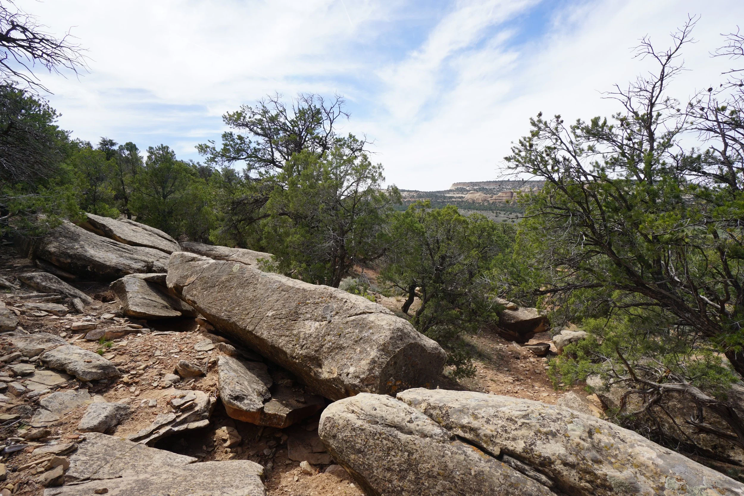
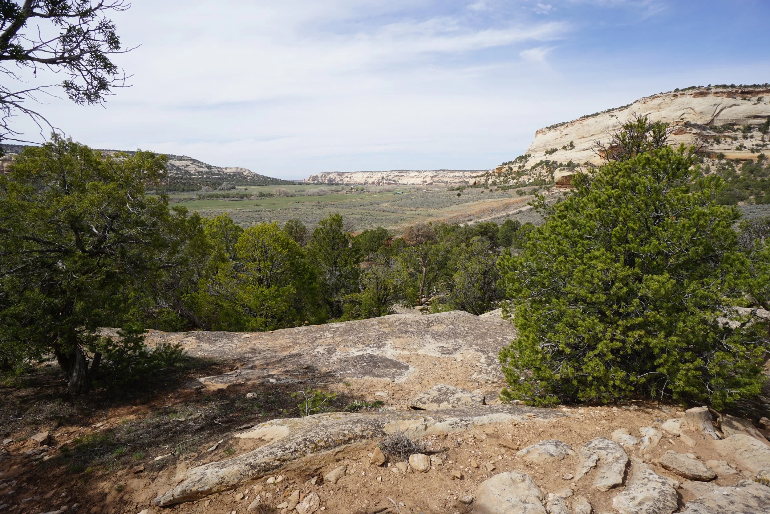
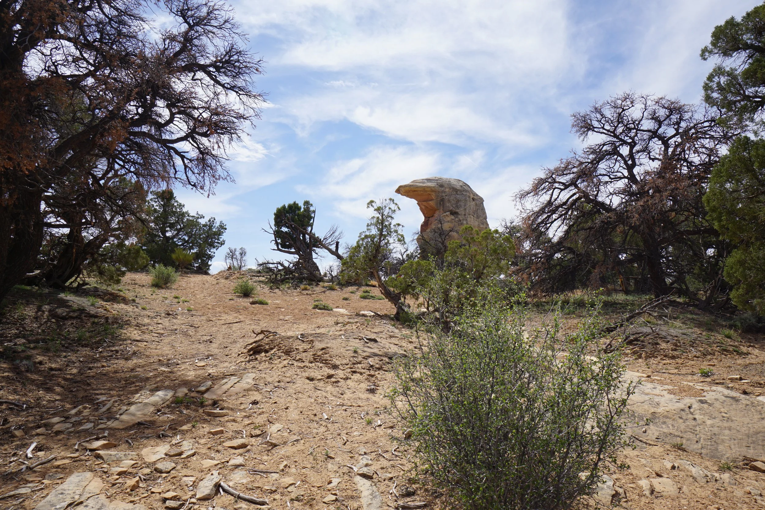
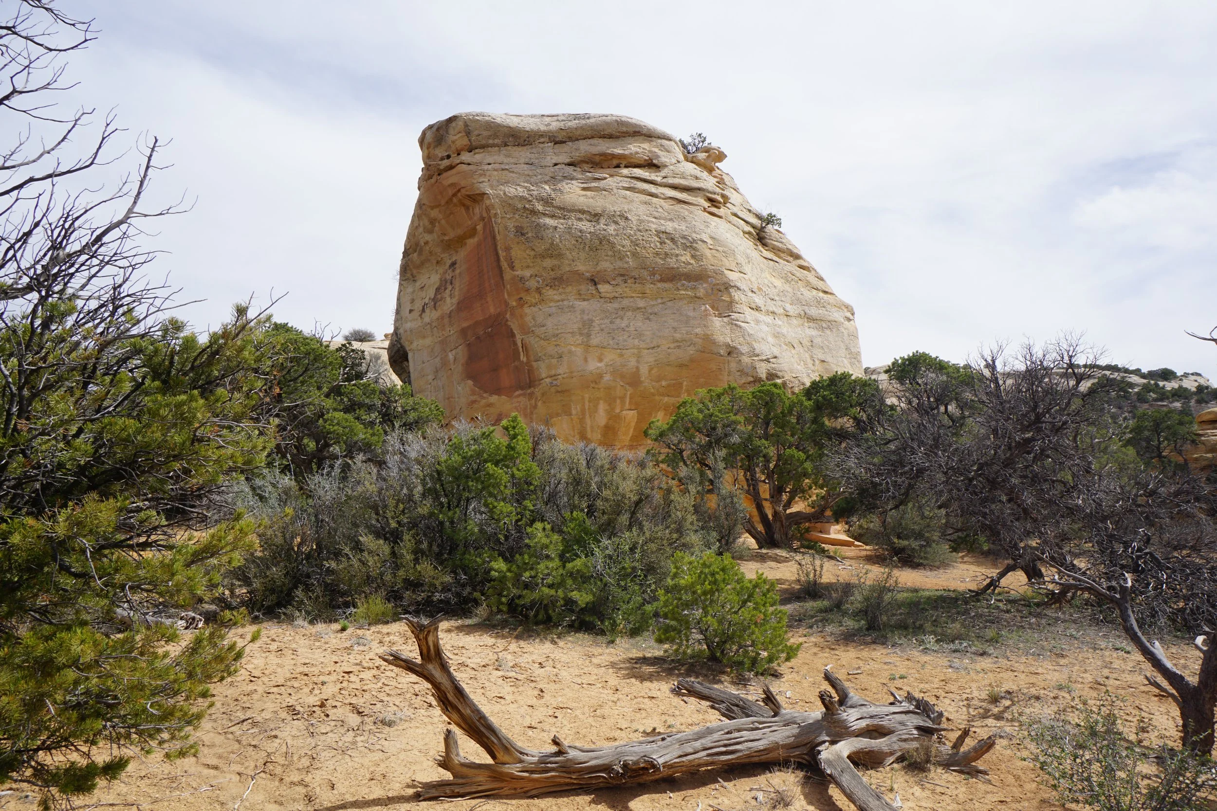
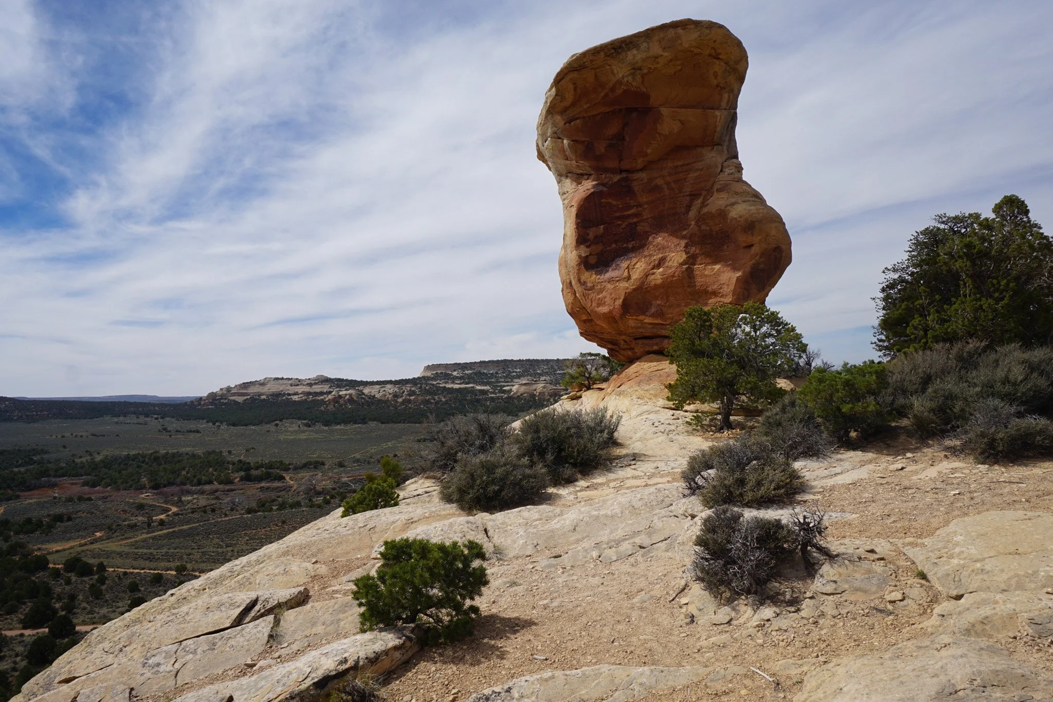
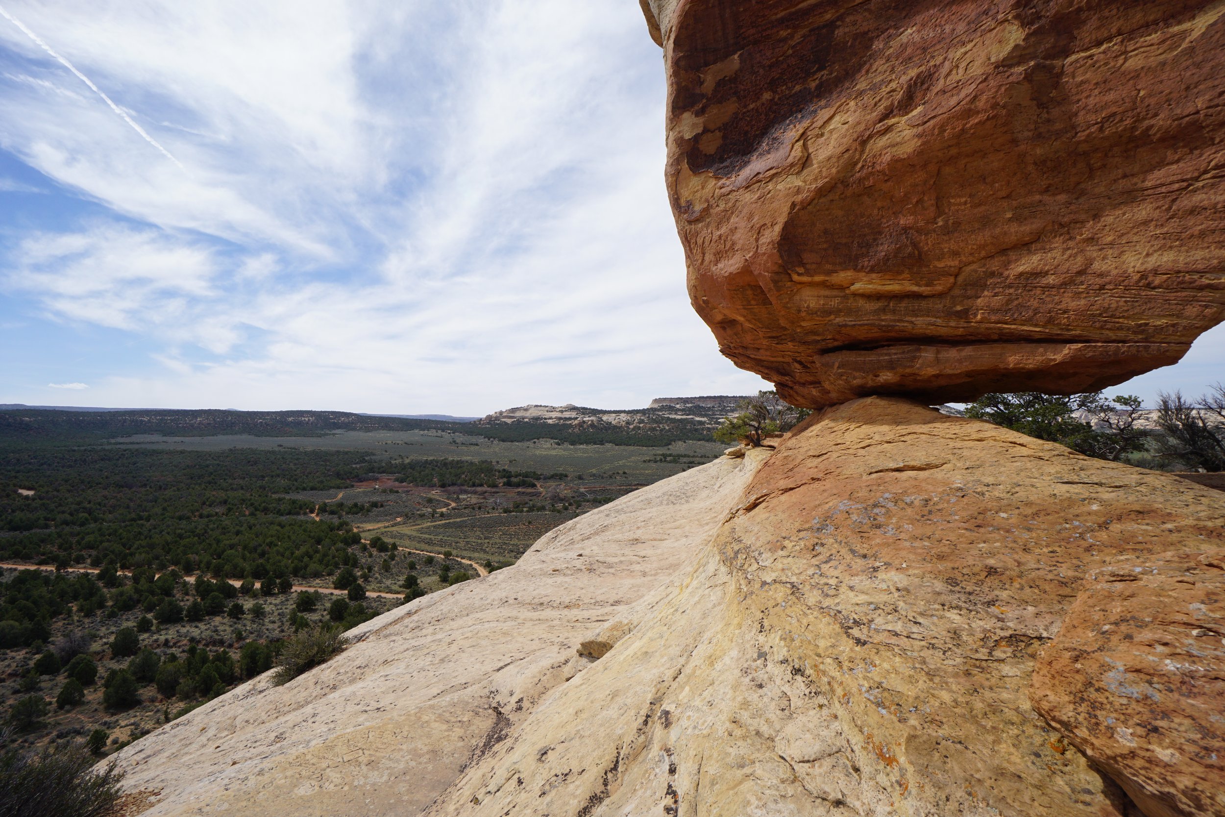
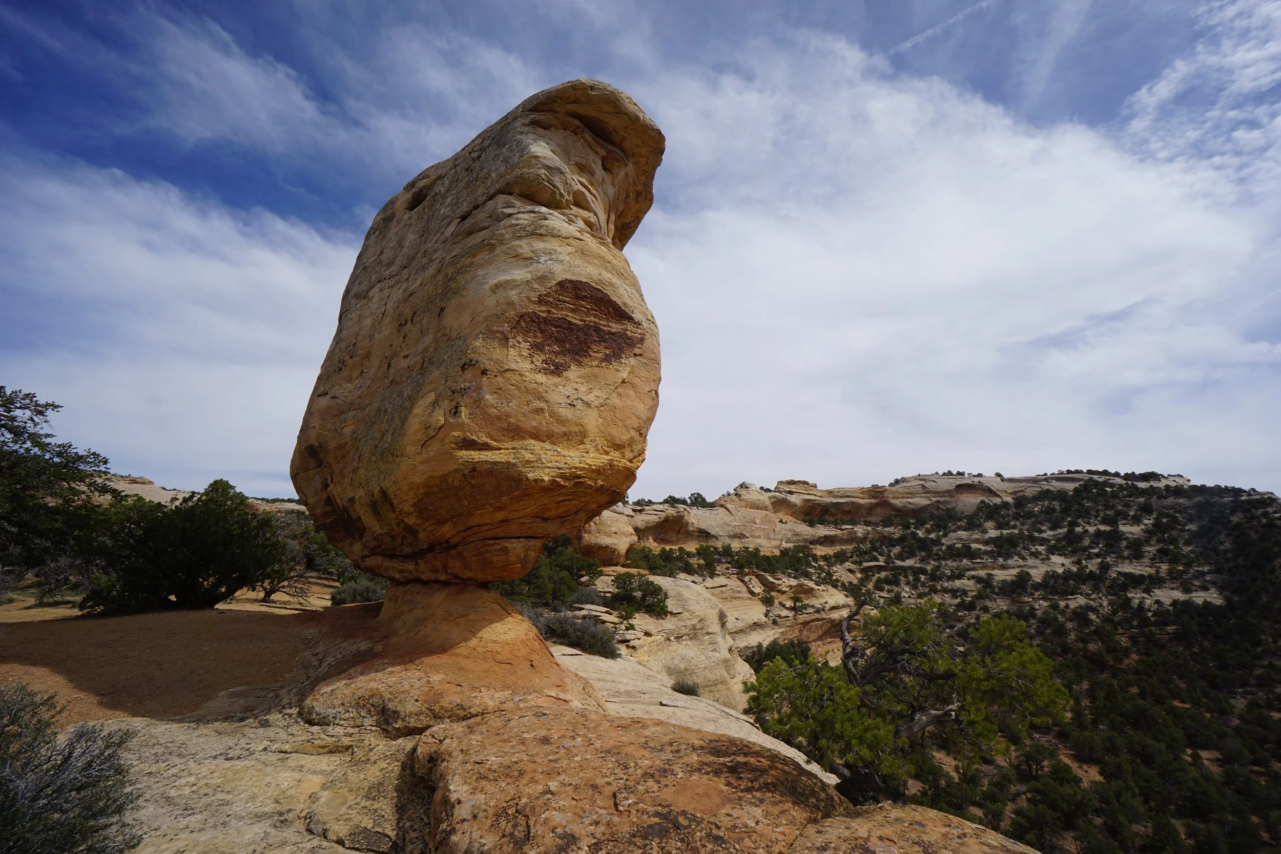
Miracle Rock is a huge boulder that sits precariously on a rock pedestal on the edge of a cliff. The hike to get to the rock is easy but has a bit of elevation gain so it still feels like a hike. There is also a natural arch in this area but getting to it involves some scrambling and route finding. I was dragging my kids on this hike so further exploration was simply not an option.
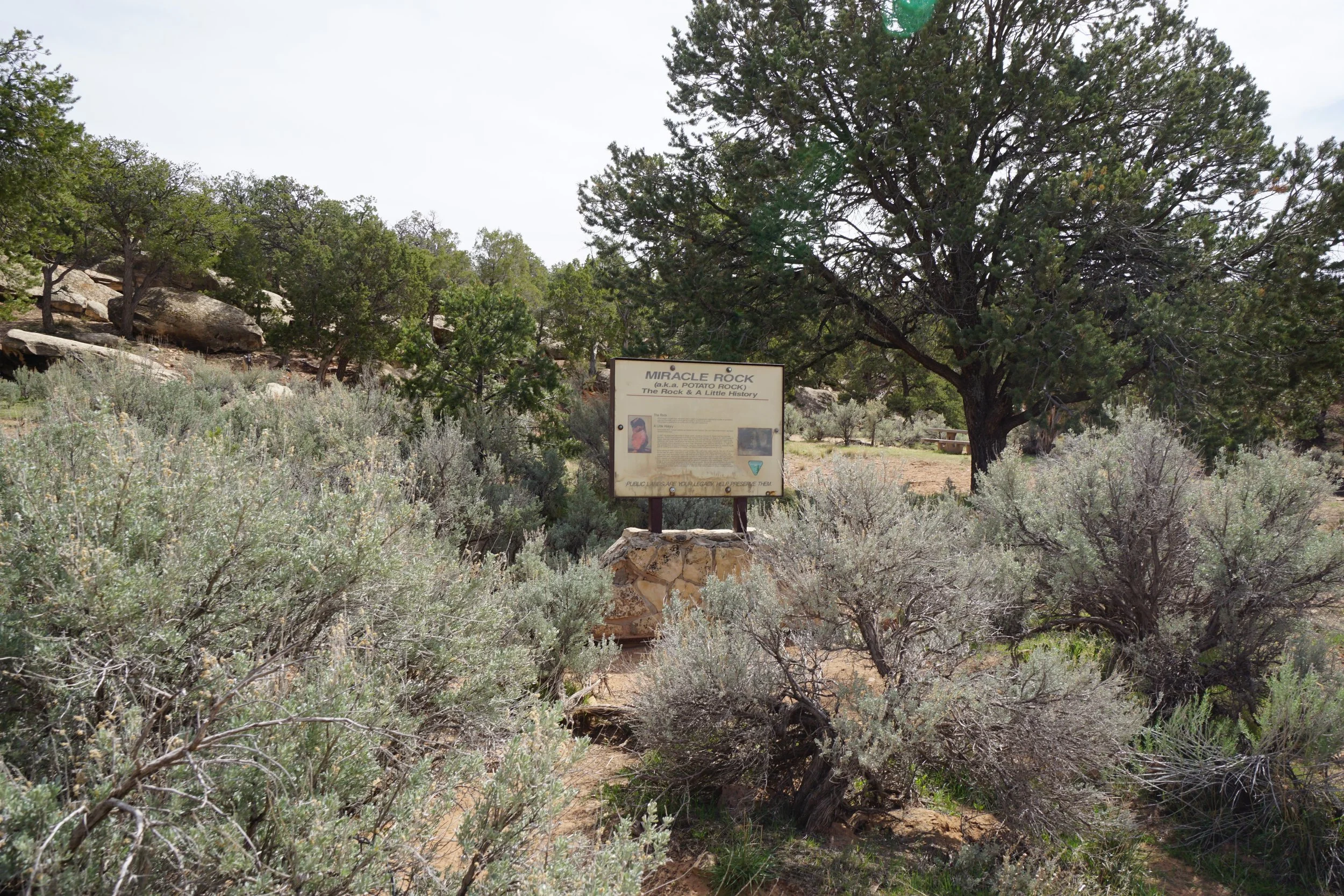
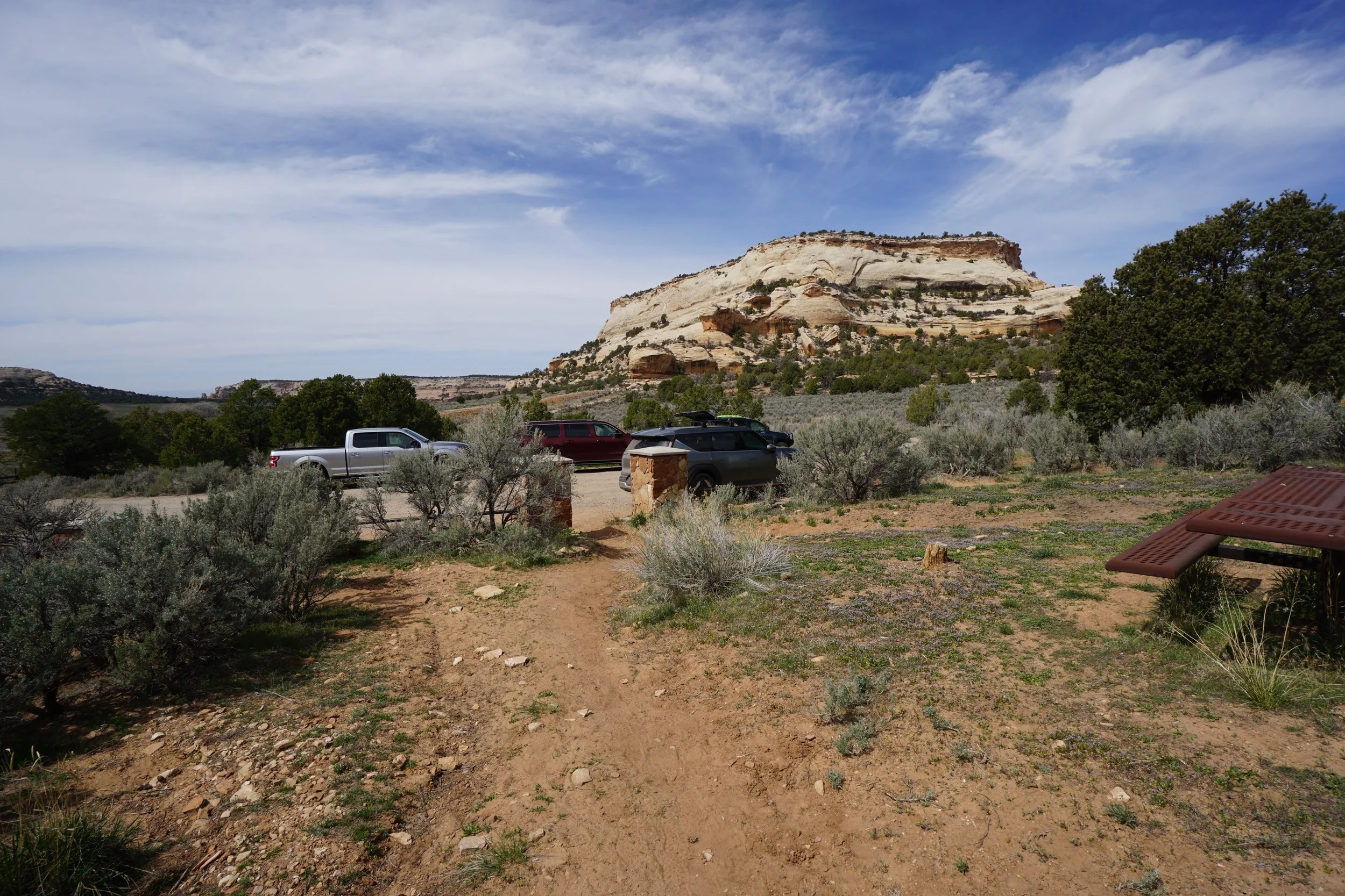
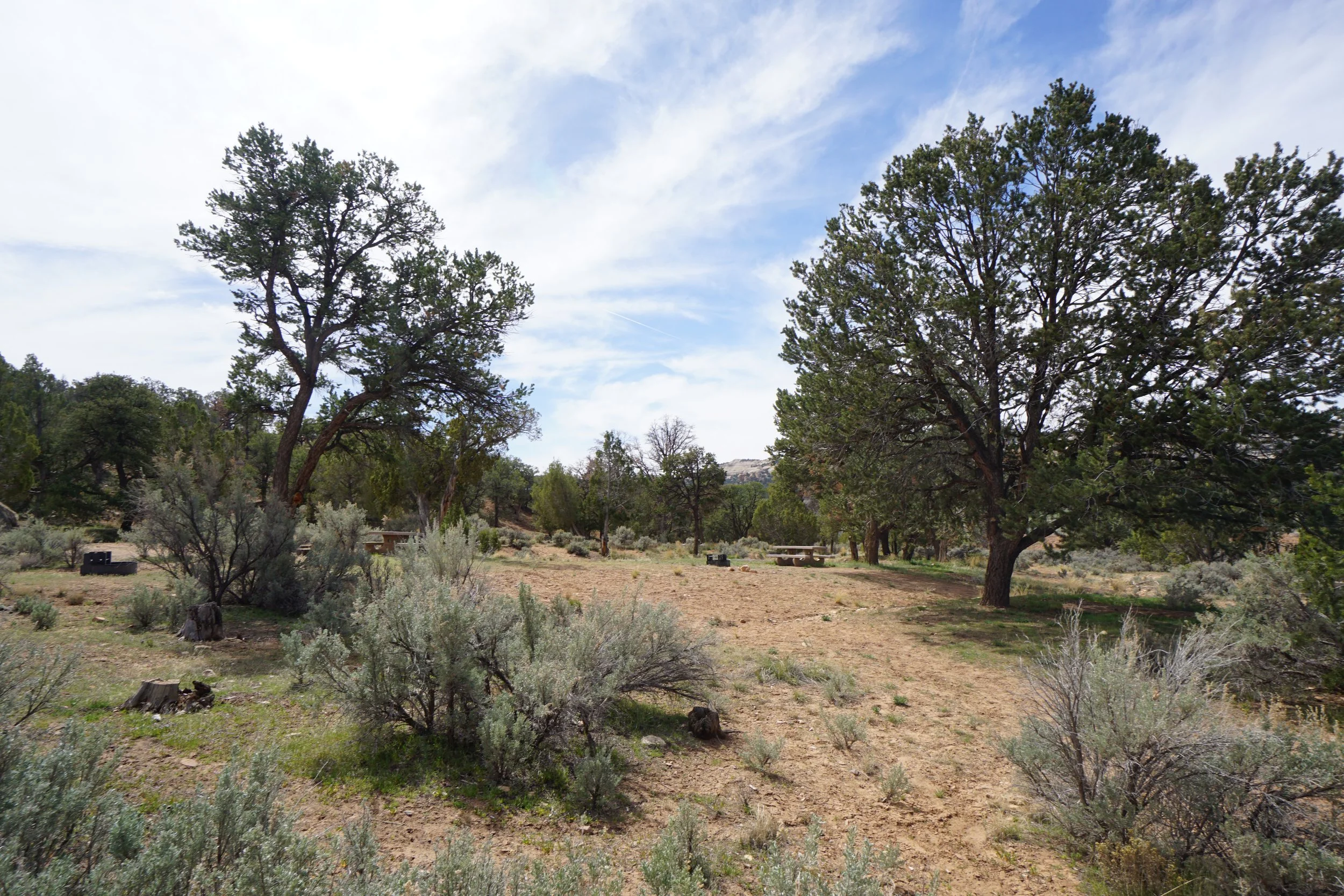
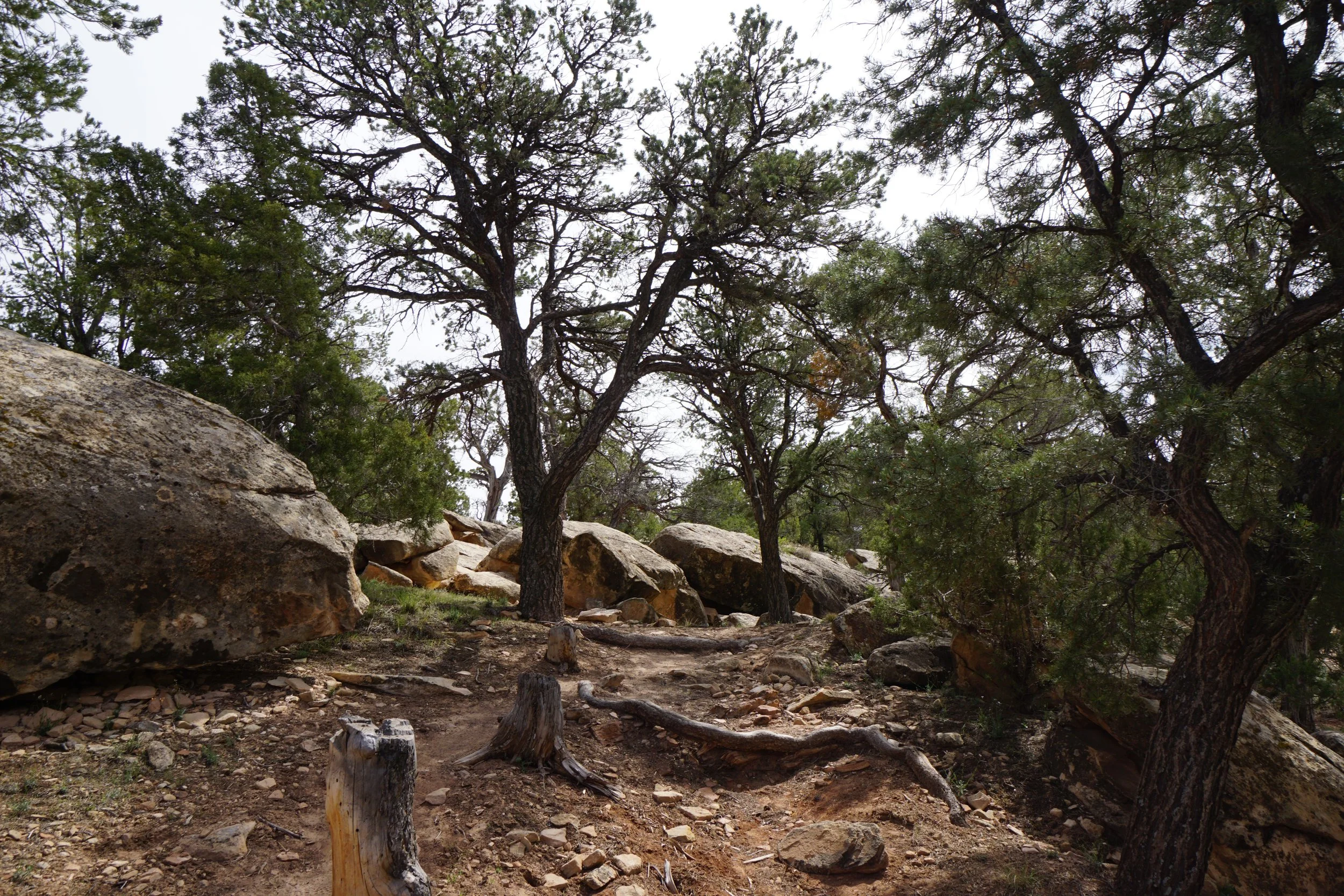
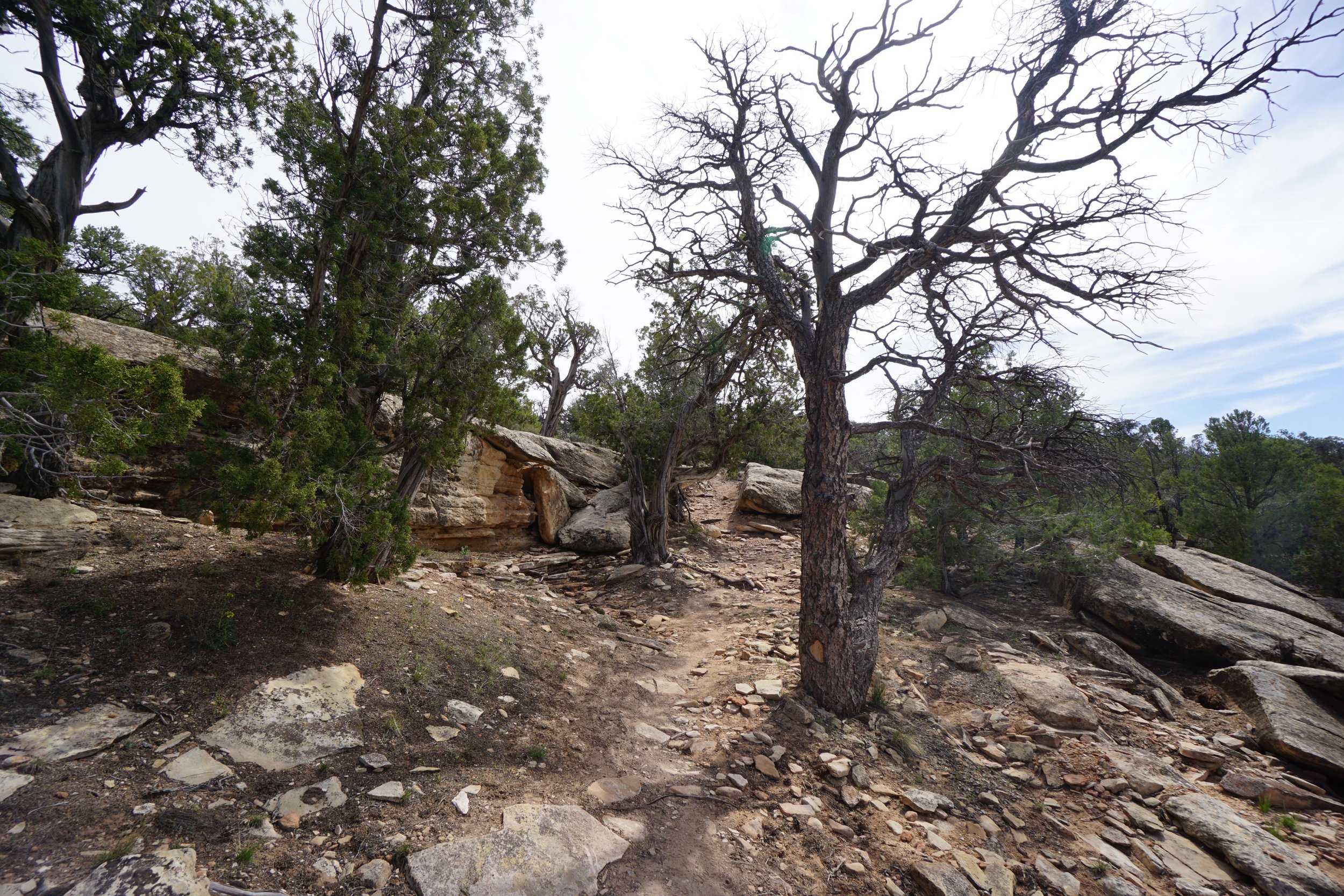
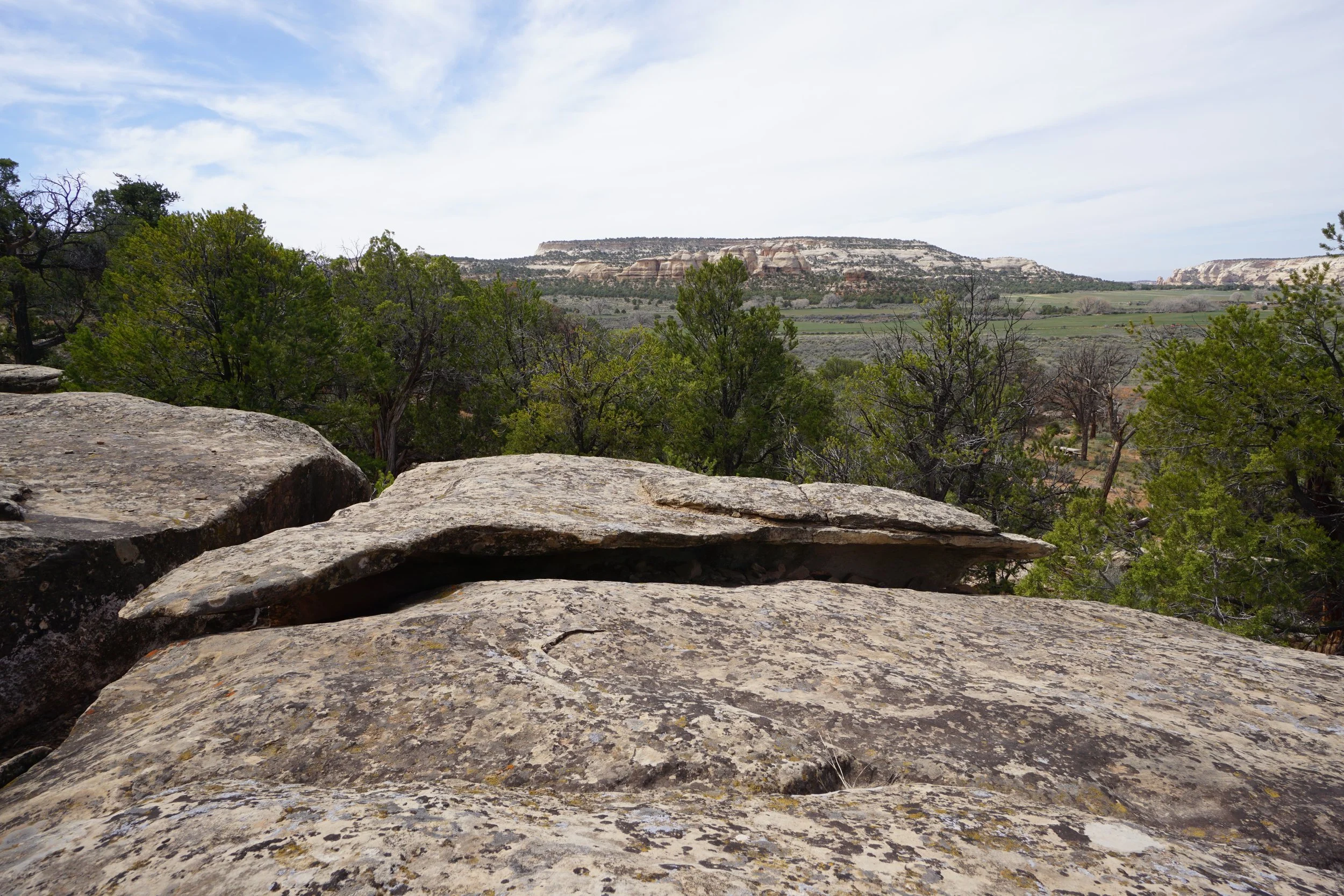
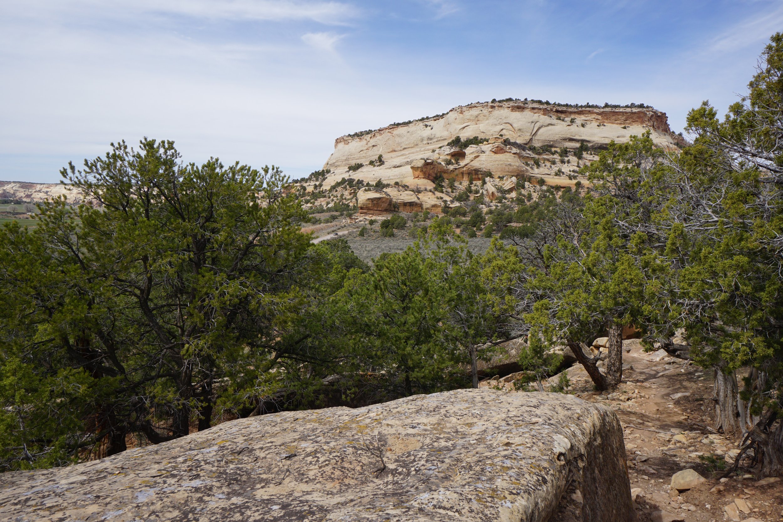
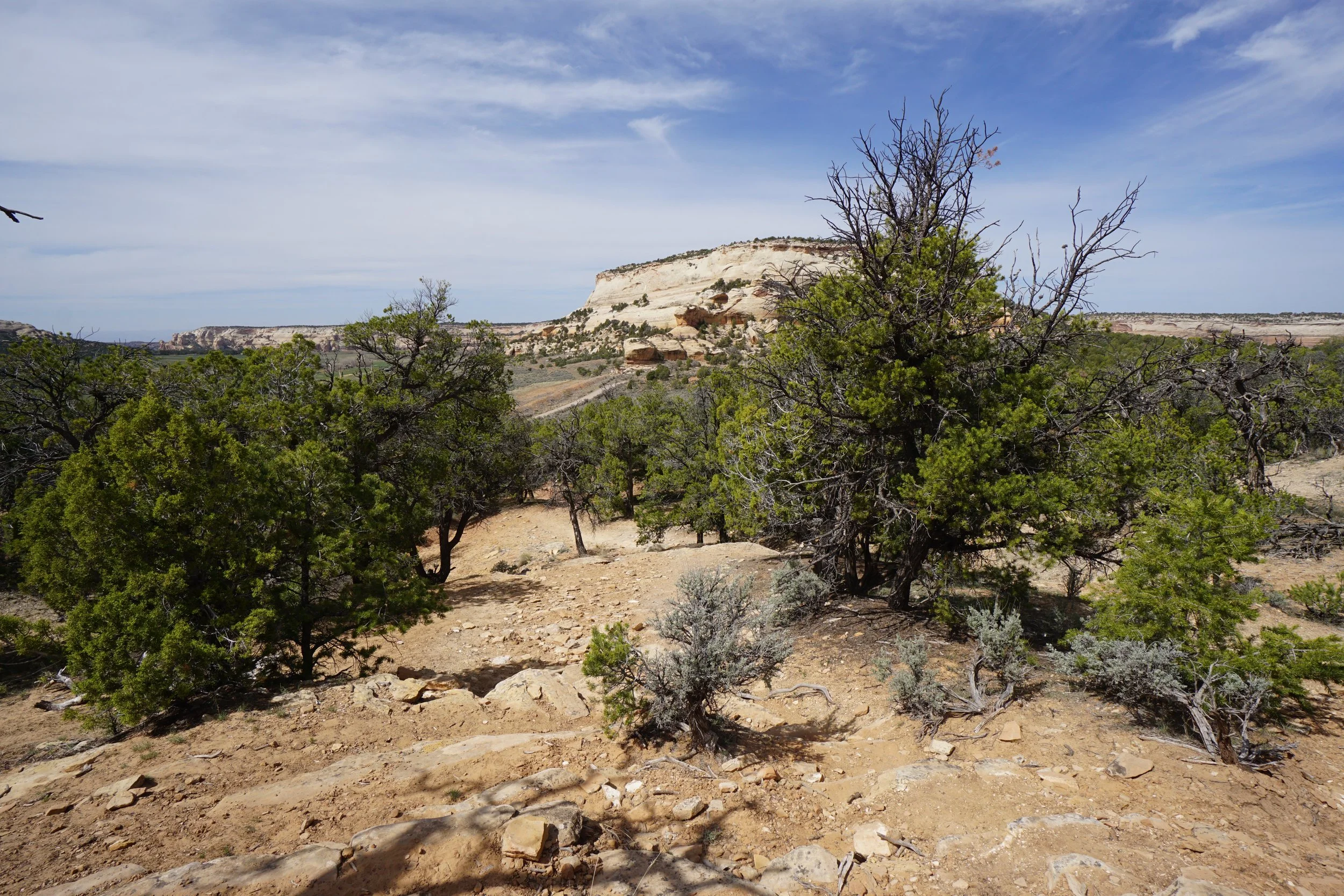
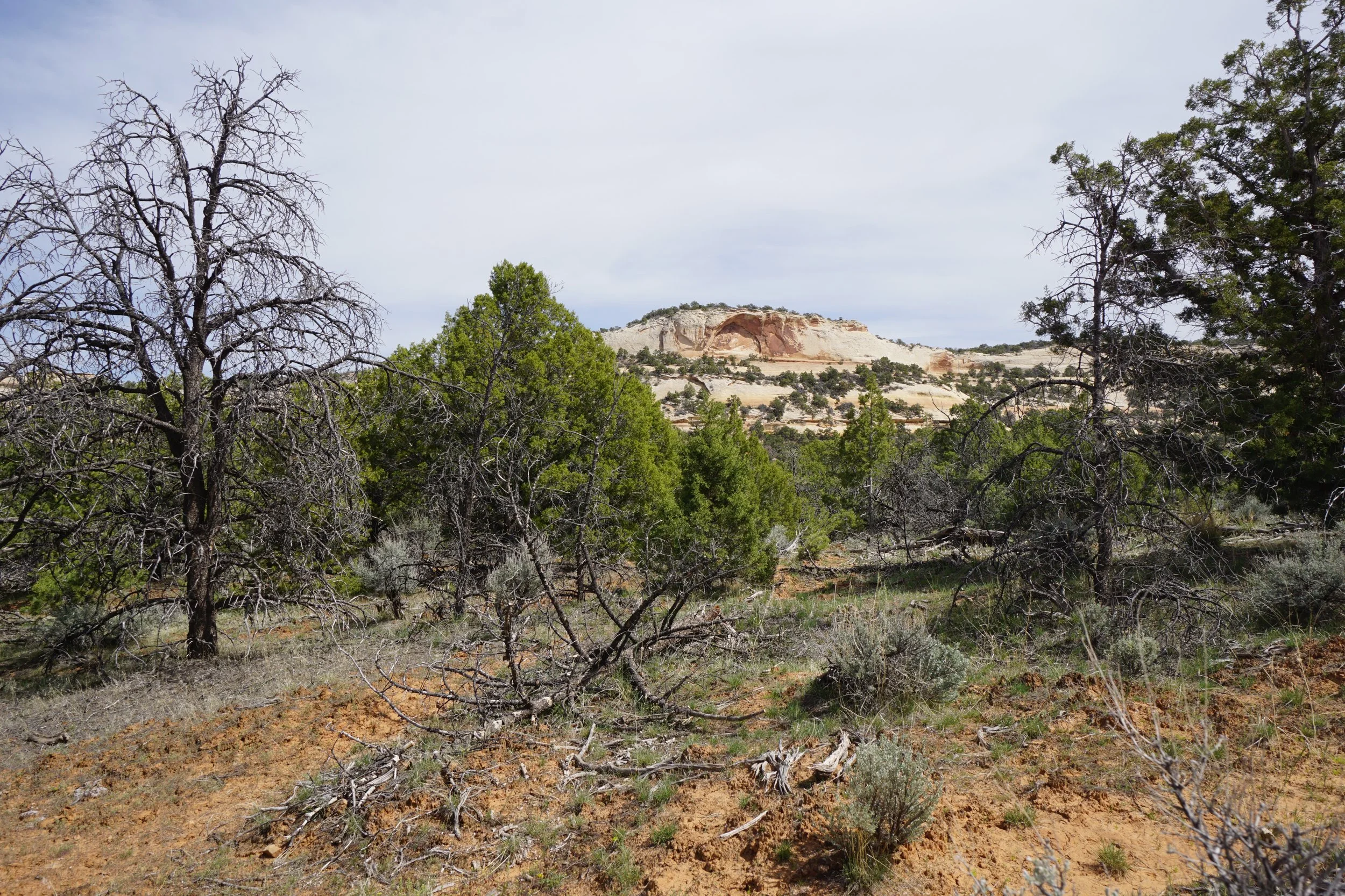
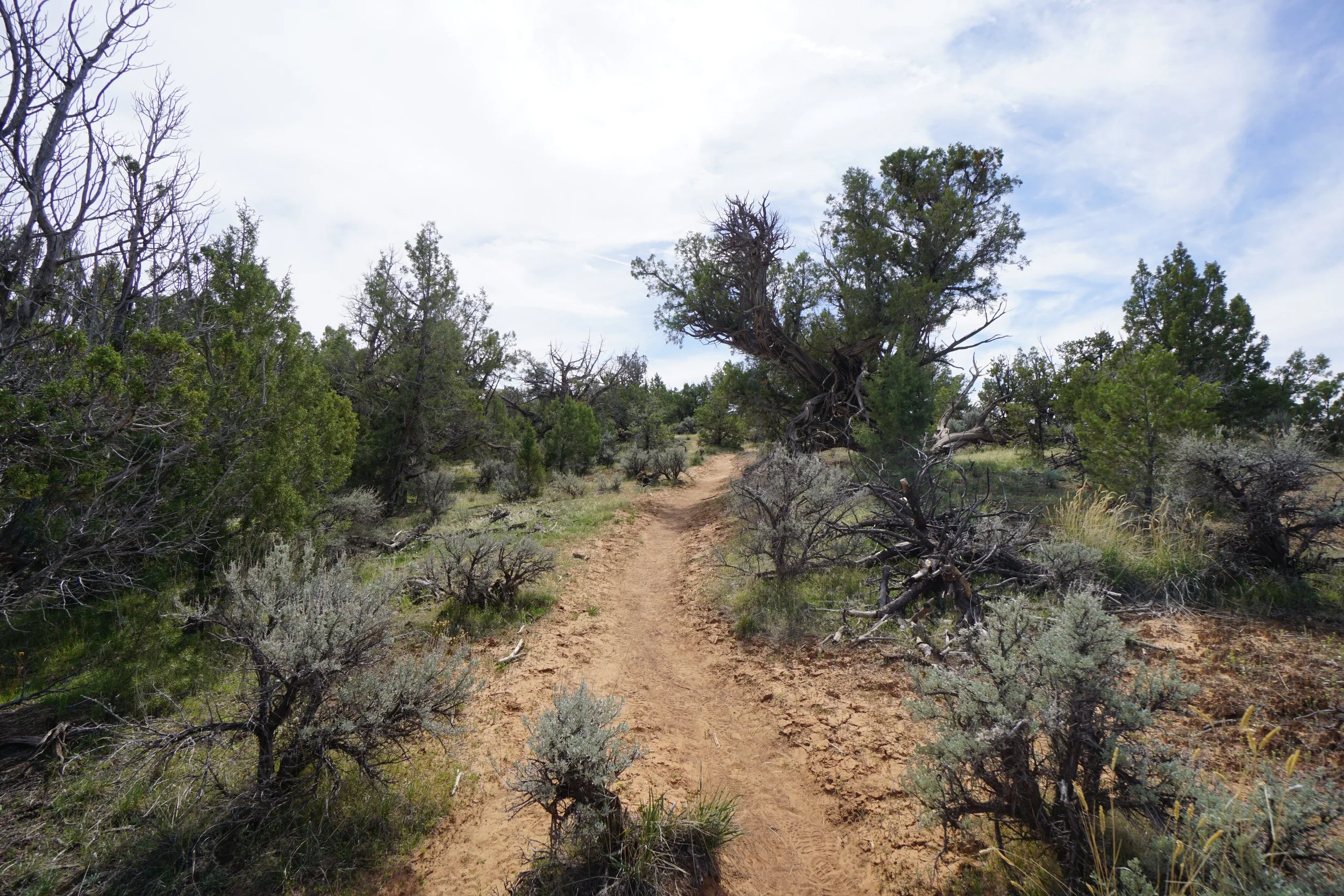
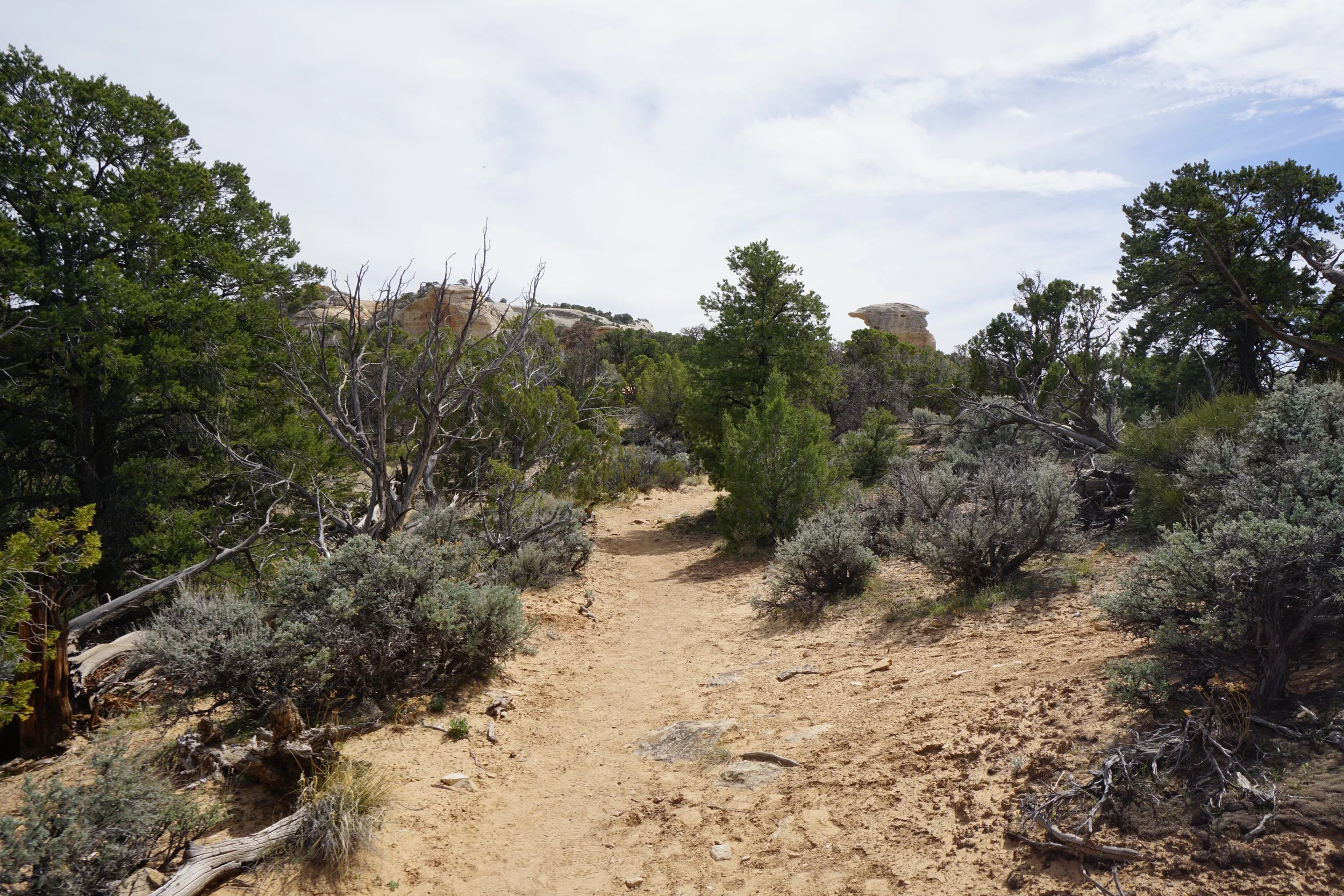
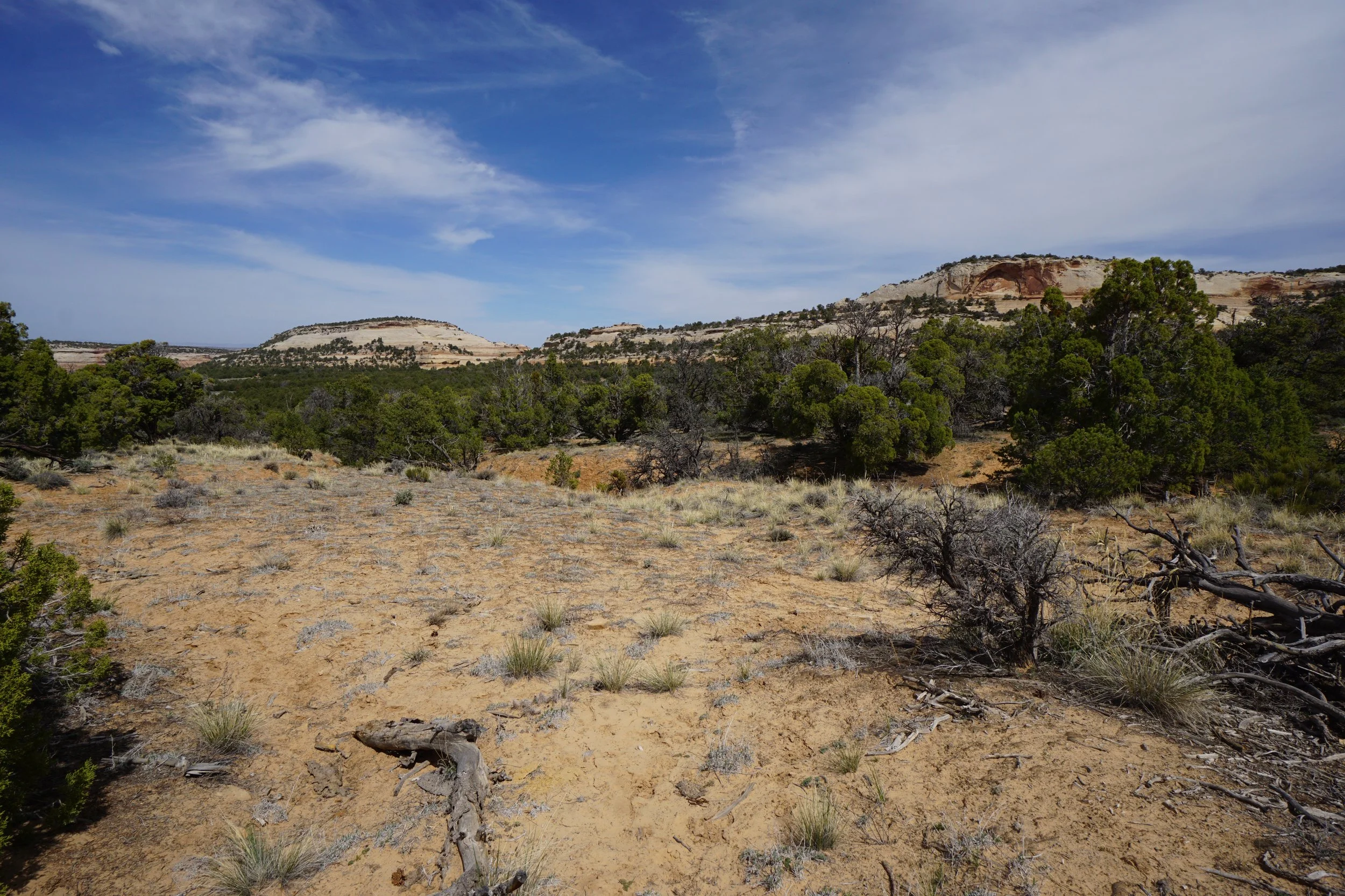
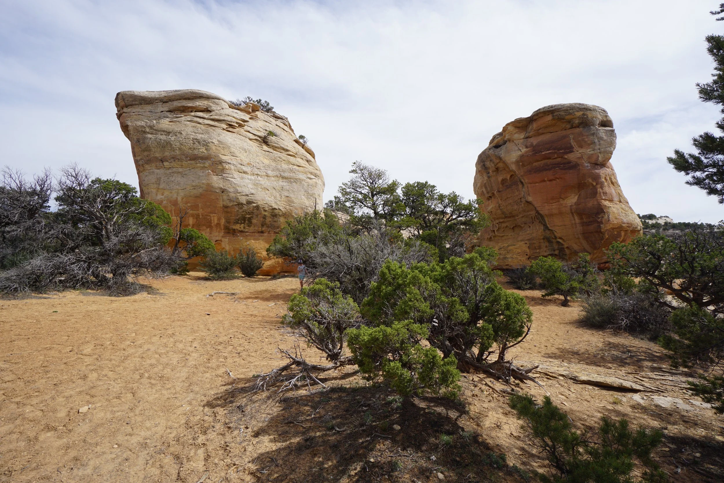
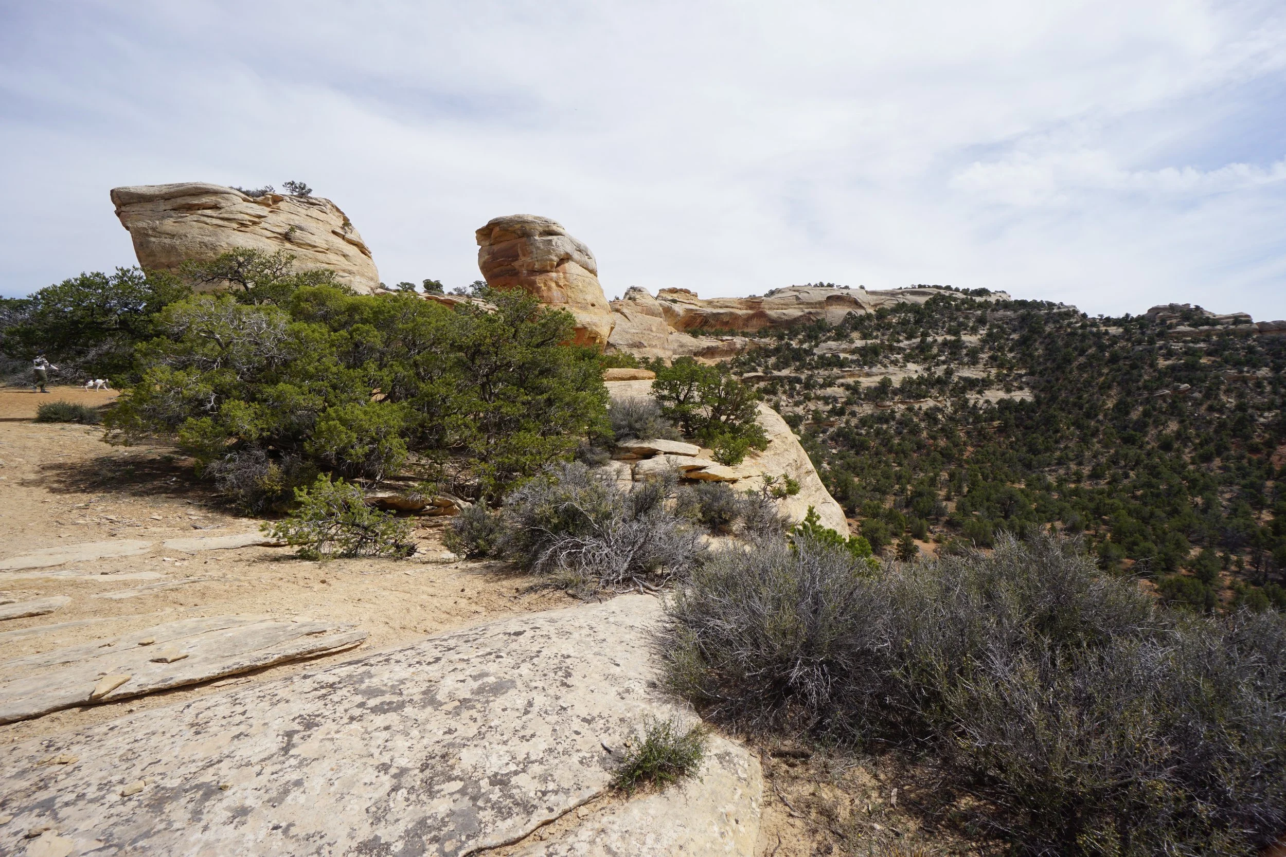
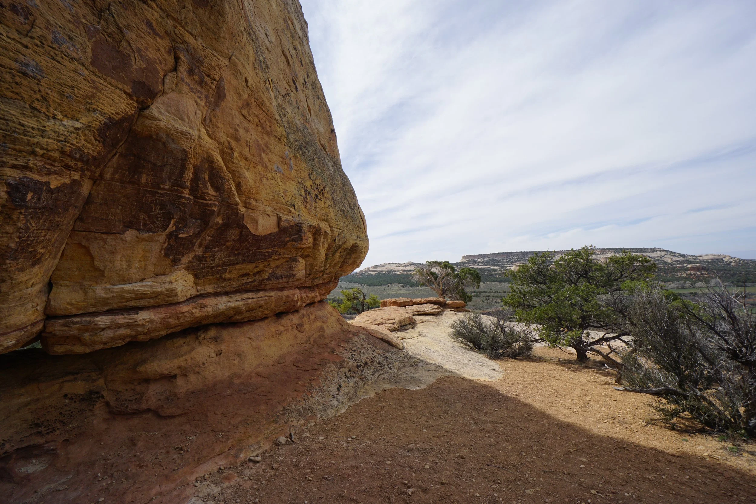
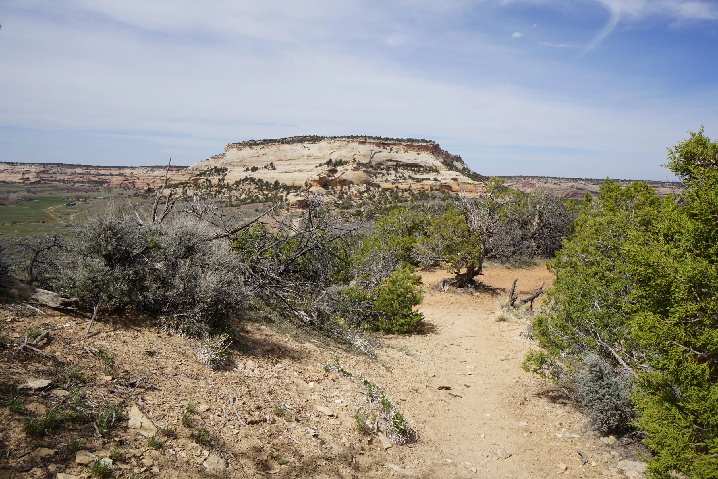
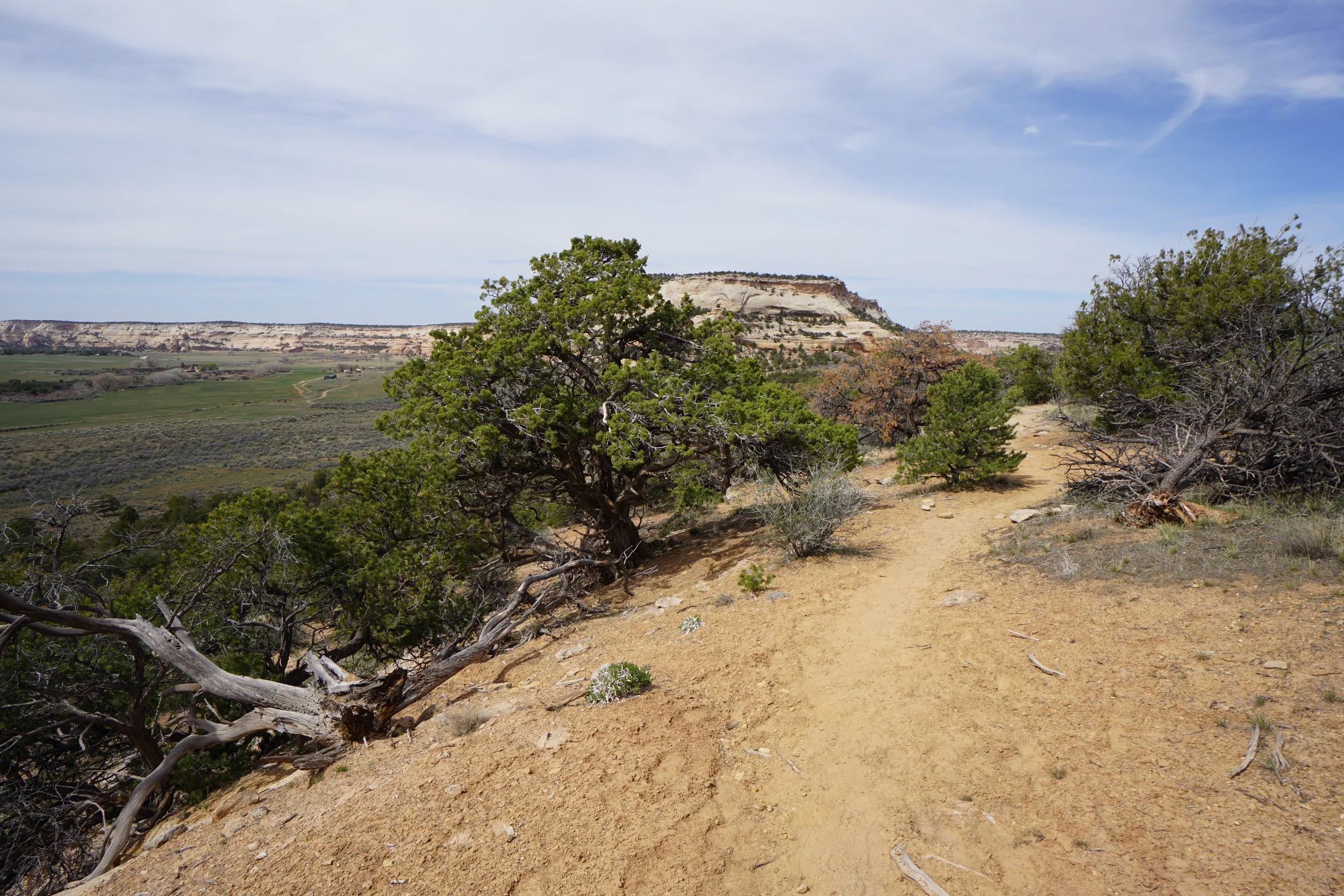
The trailhead is located in a nice picnic spot at the Miracle Rock Recreation Site. The trail starts climbing up through rocky terrain into the pinyon and juniper forest. Views of the surrounding area, including some very impressive buttes, start almost immediately. The views of Glade Park are the best from the rock, but the hike up also has its fair share. After a few minutes of hiking, the trail will split, go either way, these trails meet up a little further up the trail.
When you reach the top of the hill you’ll see Miracle Rock off to the right and some impressive stone cliffs in front of you. This is a very cool spot and a great place to spend some time exploring. You can get right up to Miracle Rock but watch out for the cliffs on the western side of the rock. Take a few photos and have a snack, then it’s an easy half mile back down to the trailhead.