Mineral Belt Trail - California Gulch/Oro Town Site
City of Leadville
Date Hiked: December 27, 2023
Distance: 1.6 mi (RT)
Elevation Gain: Minimal
Elevation Min/Max: 10,555 to 10,604 ft
Trailhead Lat/Long: 39.23556, -106.25646
Managing Agency: City of Leadville
Fee: None
Directions:
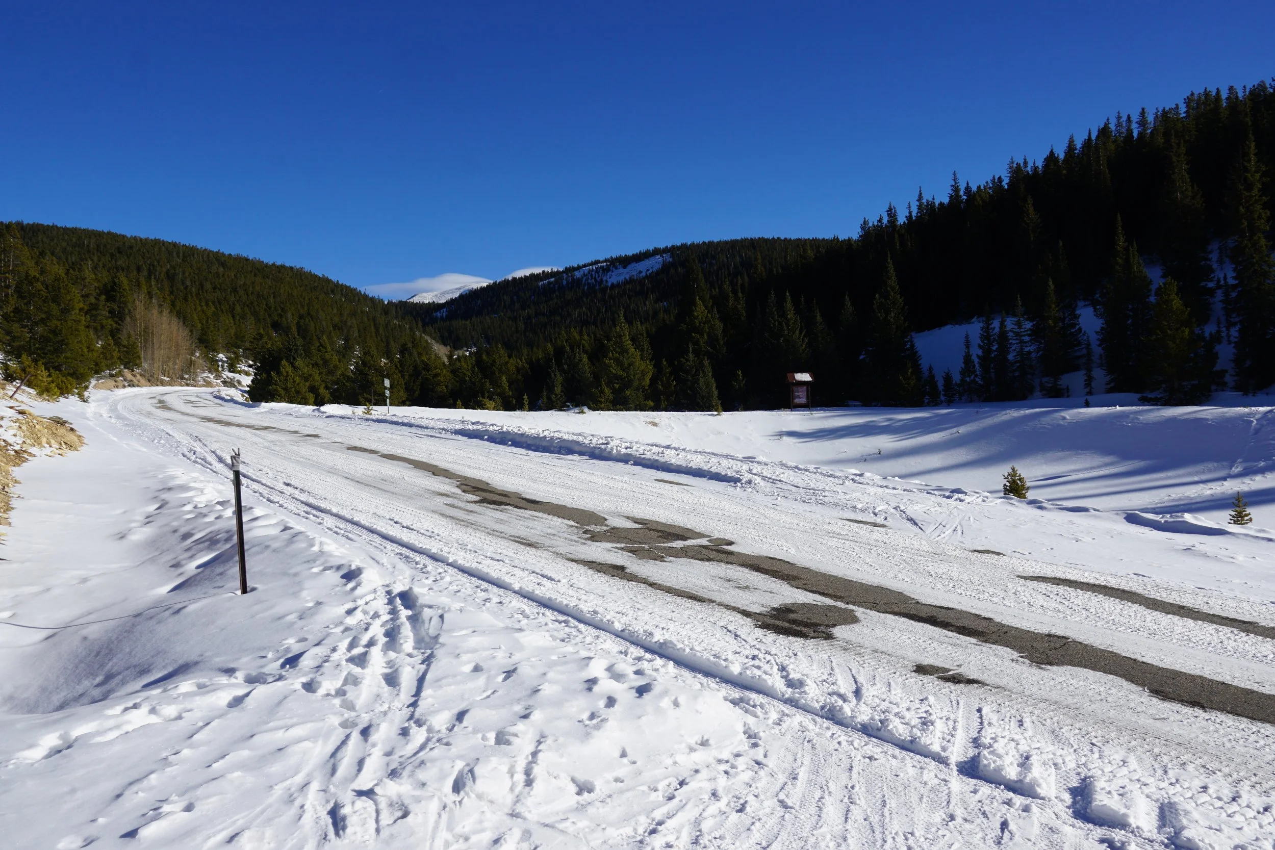
From Leadville on Hwy 24, just south of Harrison Ave (the main street), turn off of Hwy 24 onto Monroe Street and make your second right onto South Toledo Street. Follow South Toledo Street for about 2.1 miles to the point where the Mineral Belt Trail crosses Toledo Street, there is room for a car or two on the side of the road.
Hike Description:
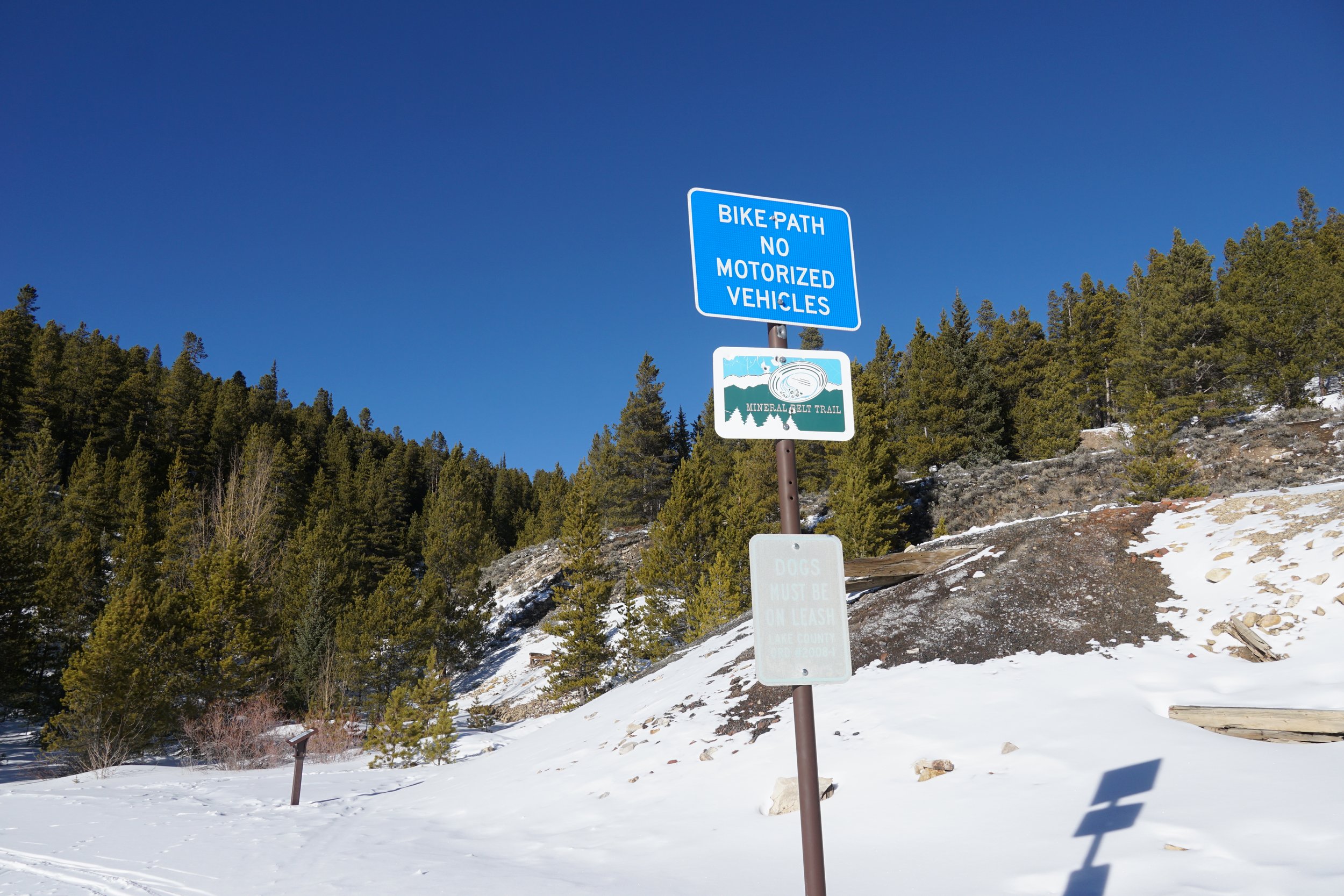
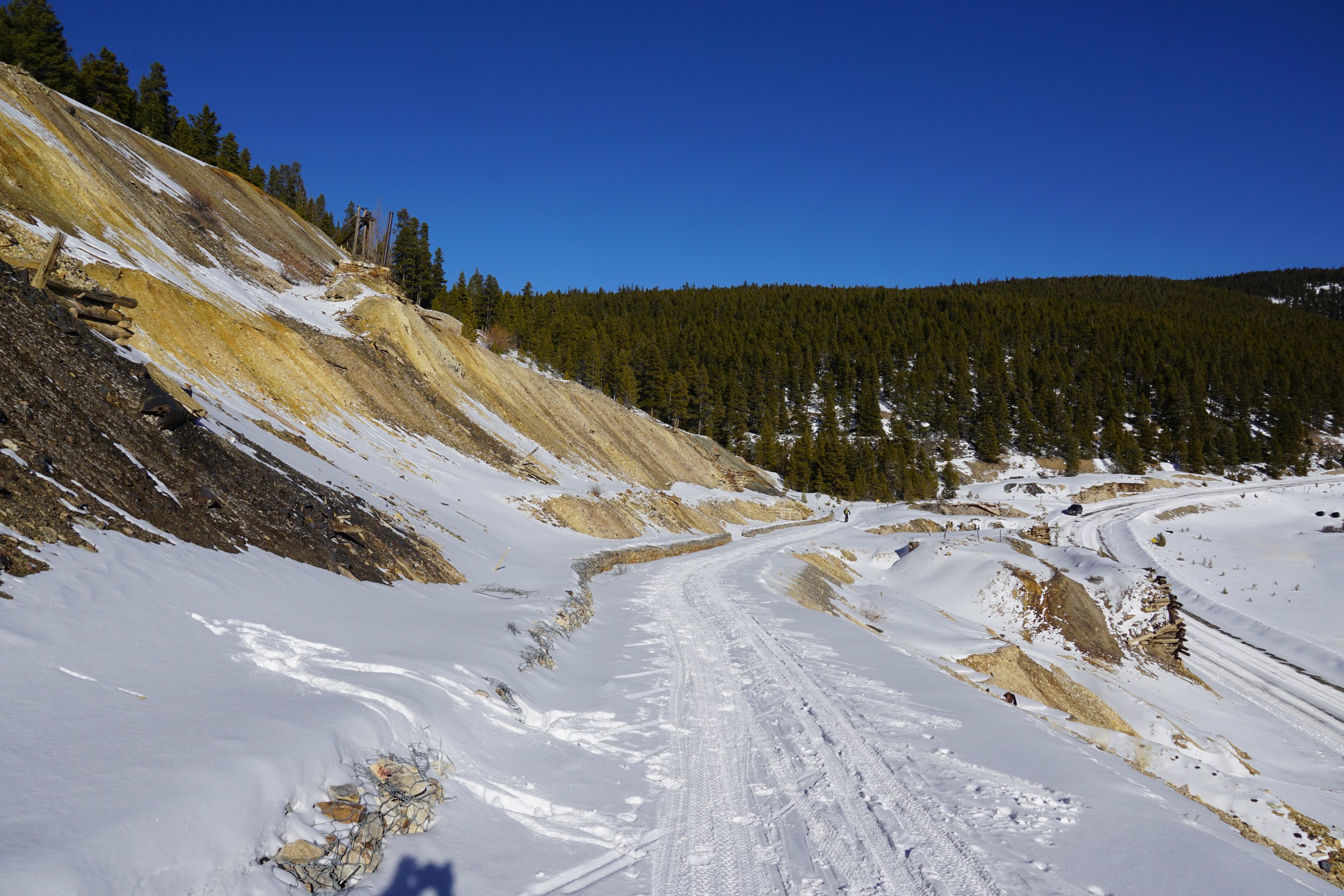
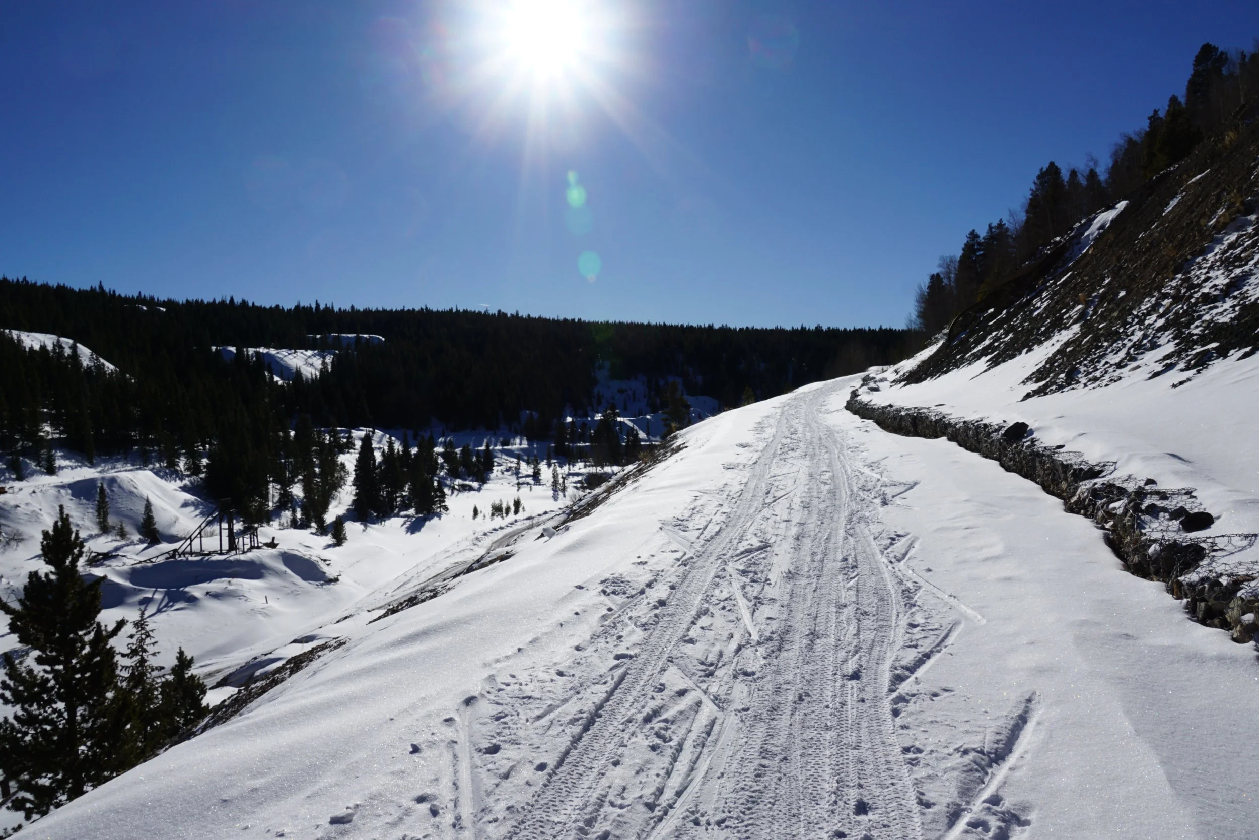
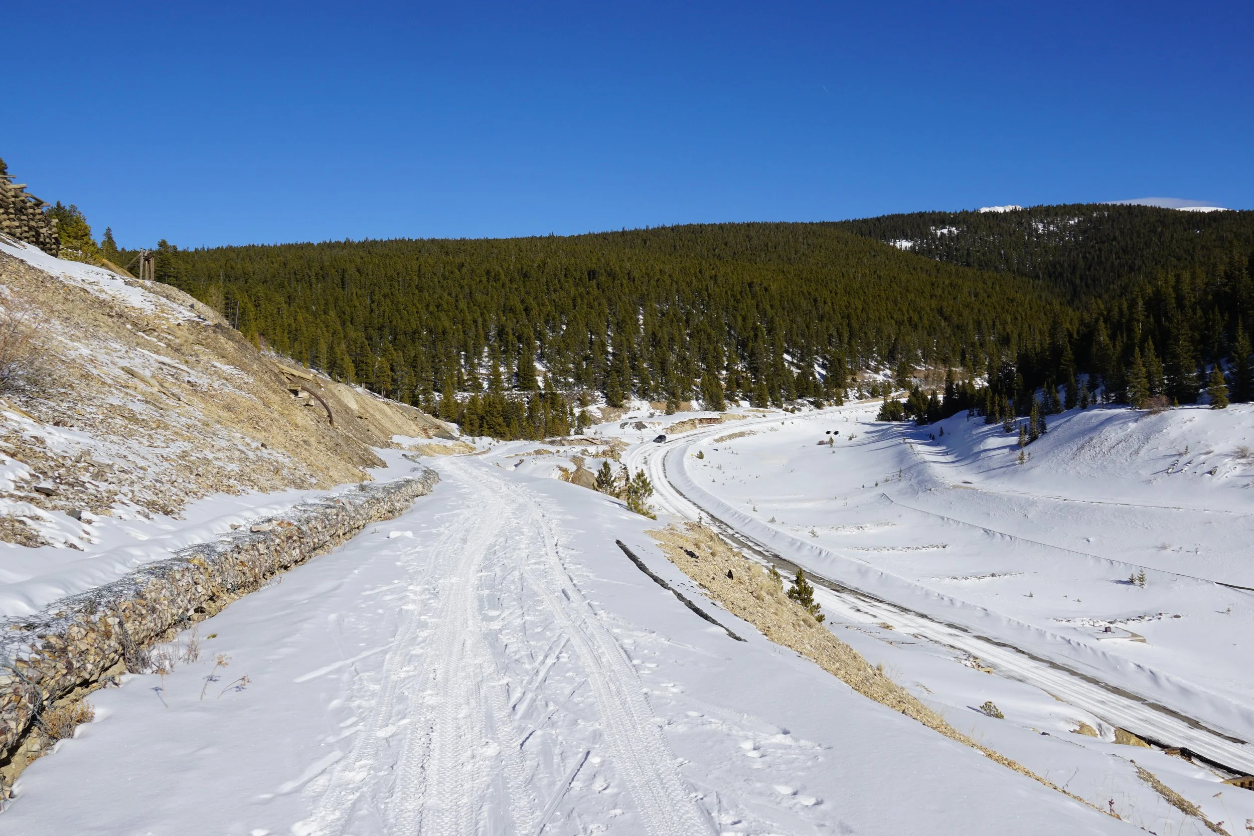
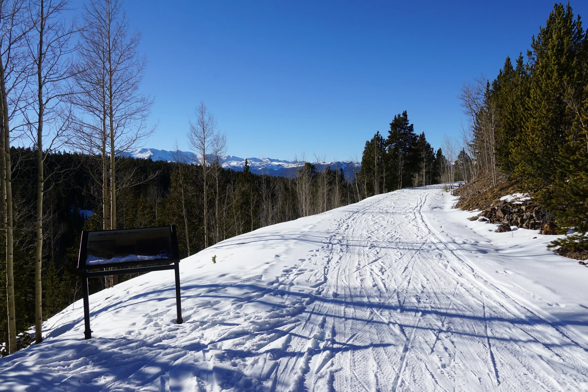
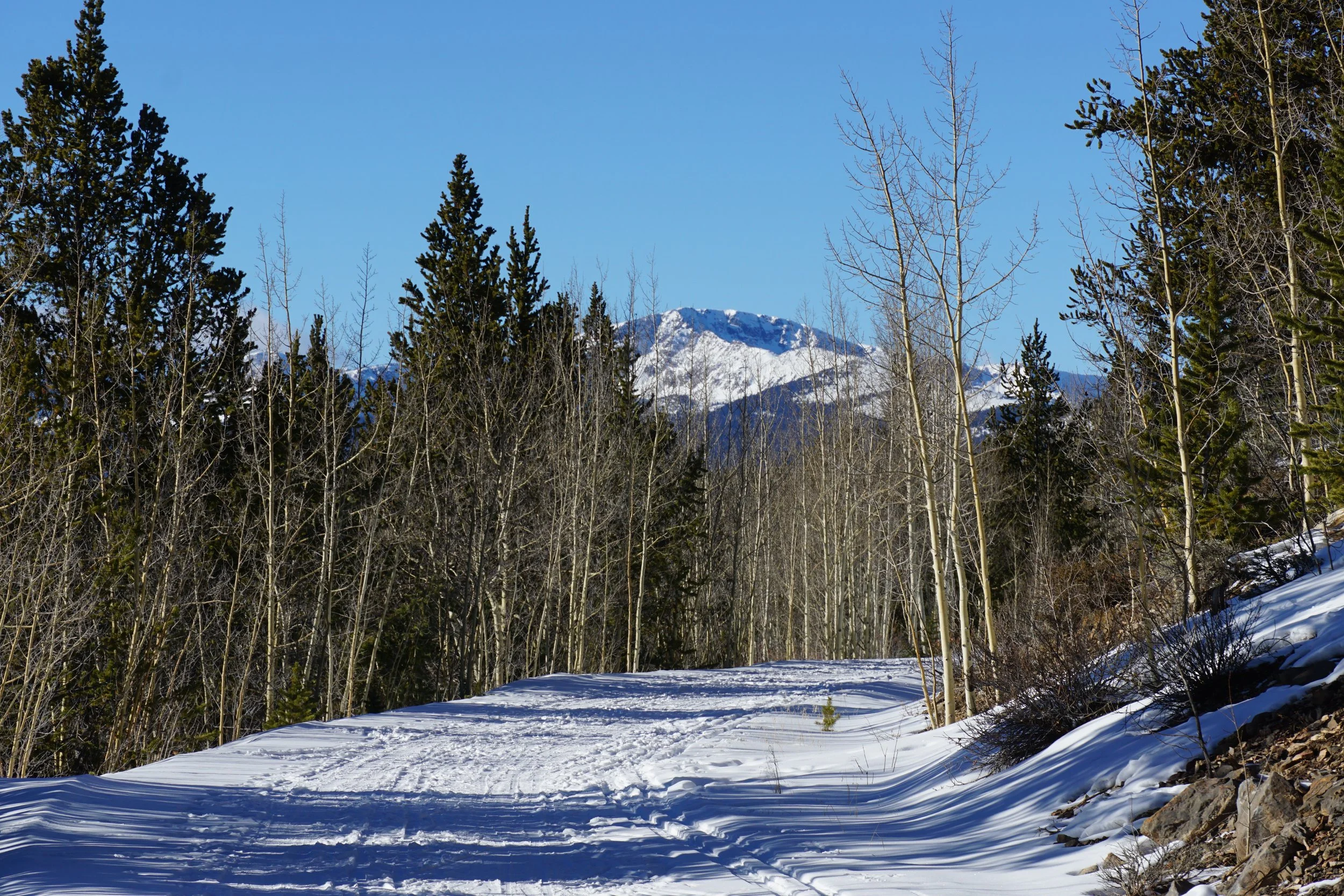
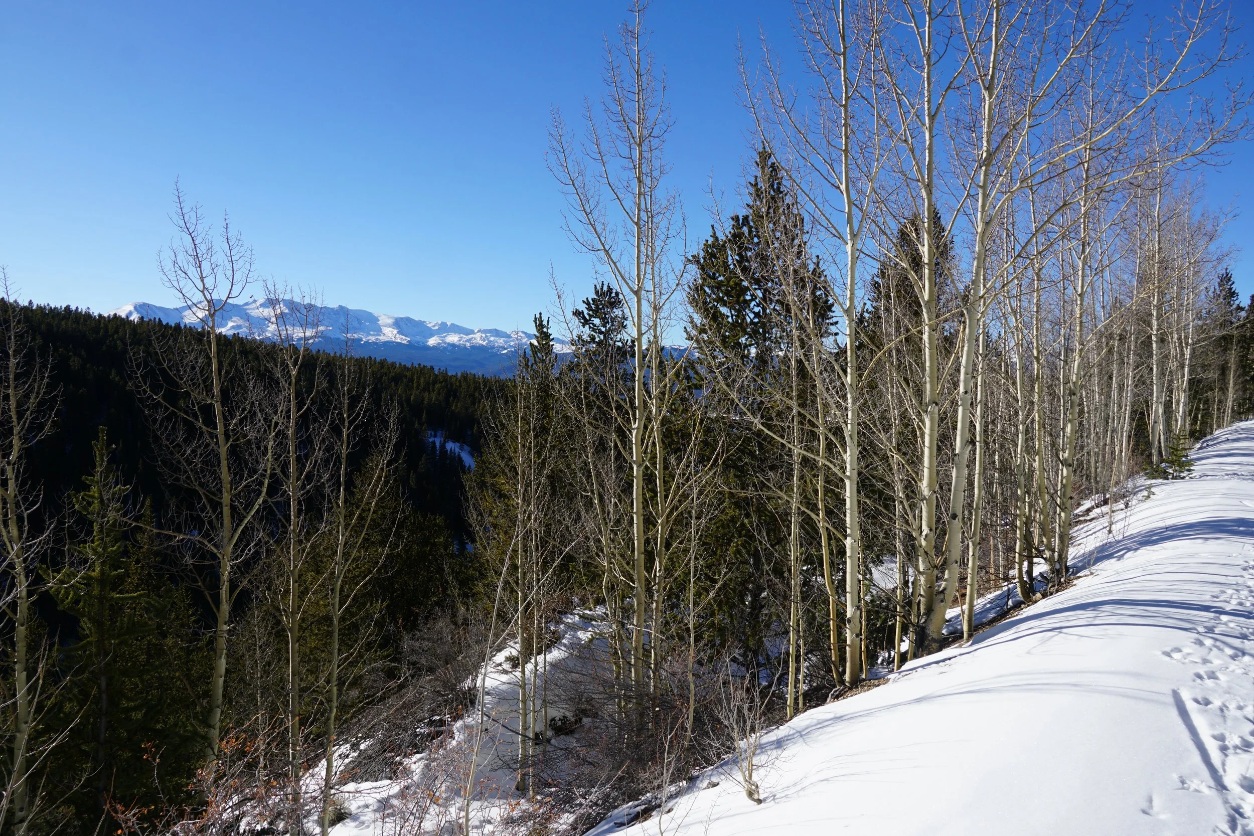
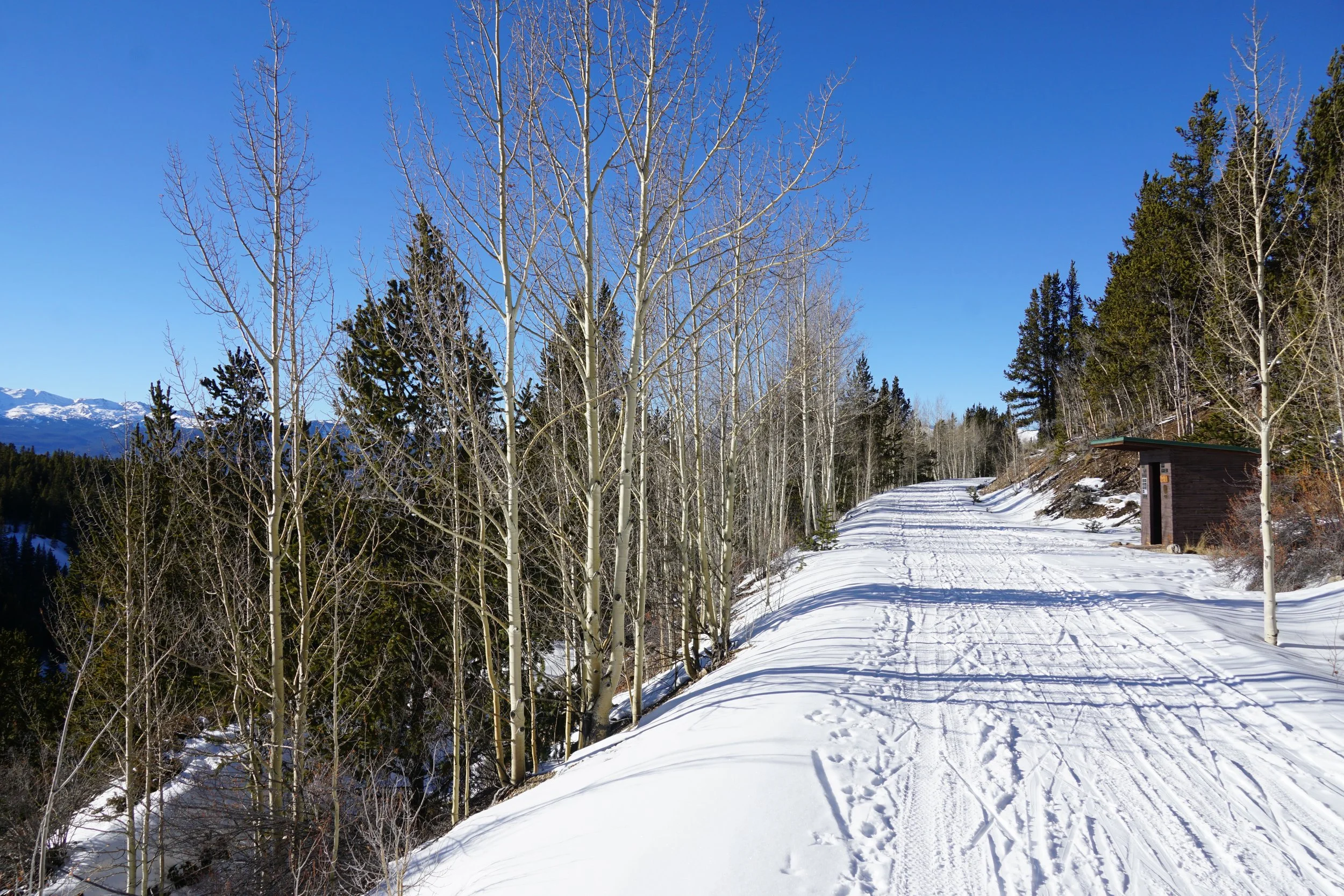
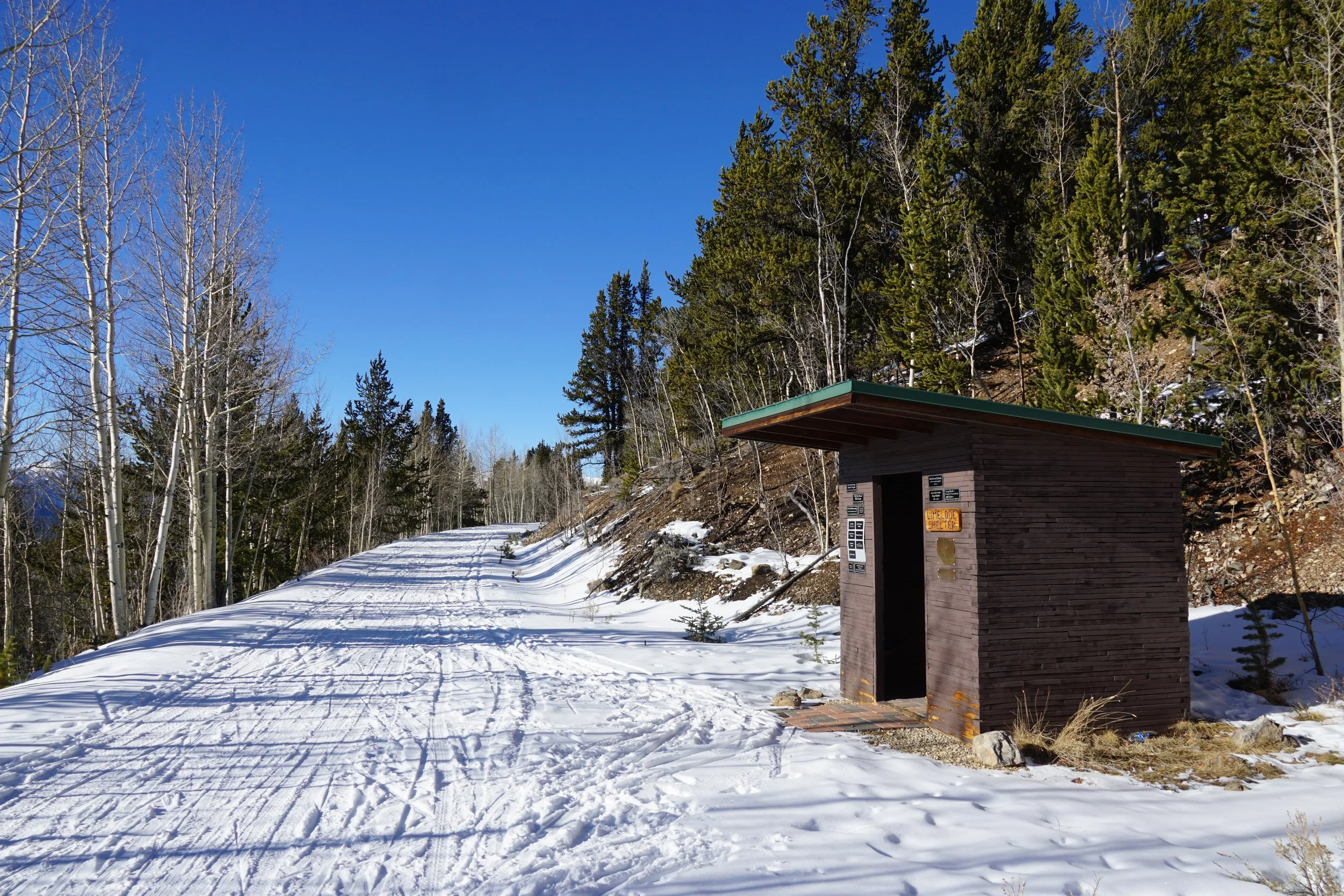
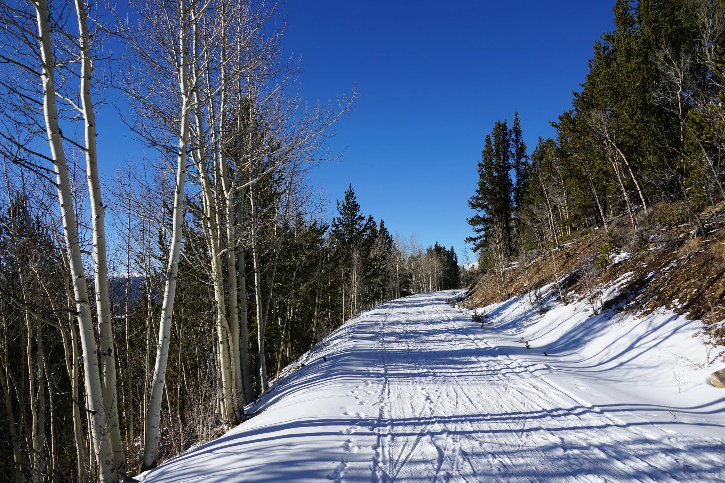
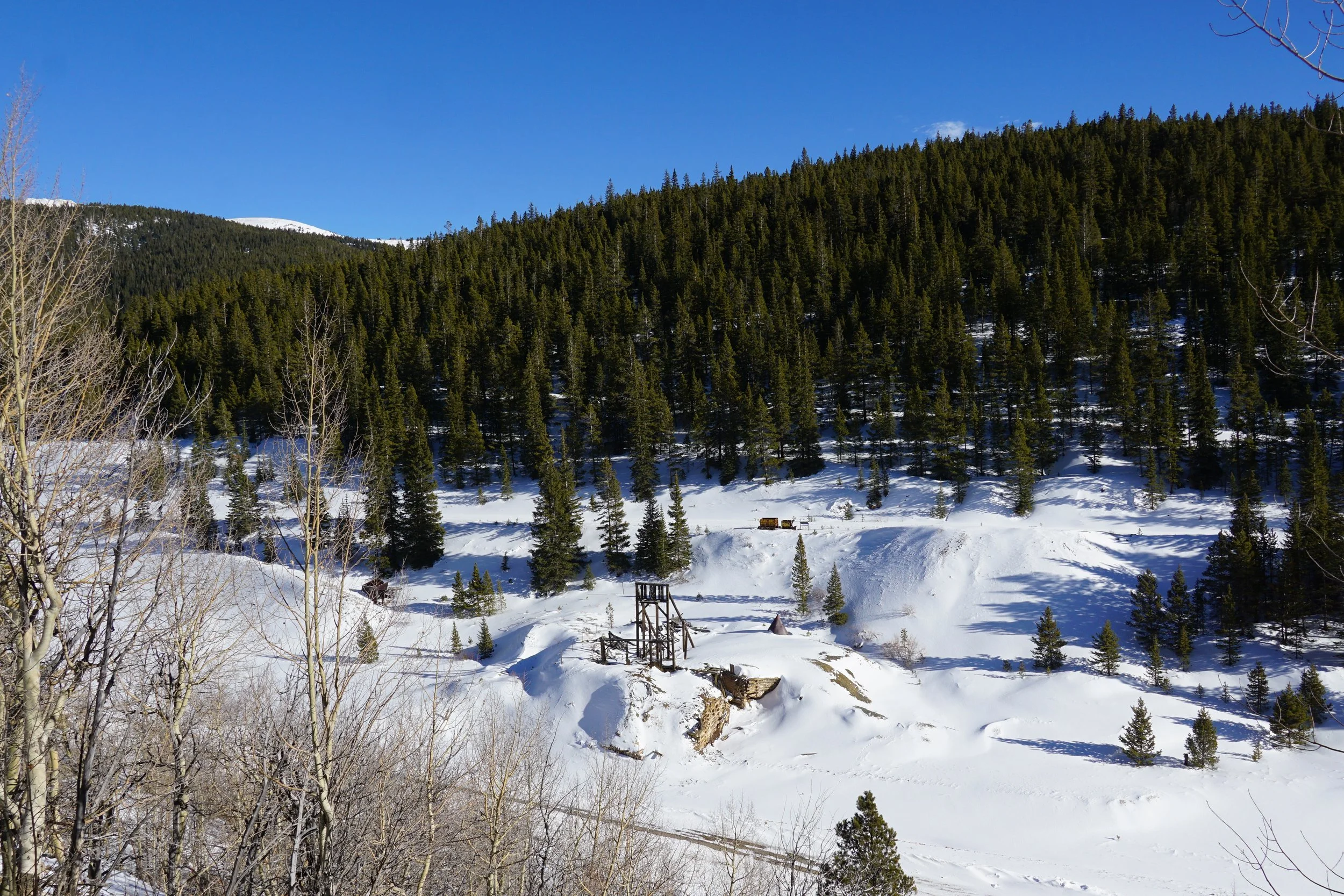
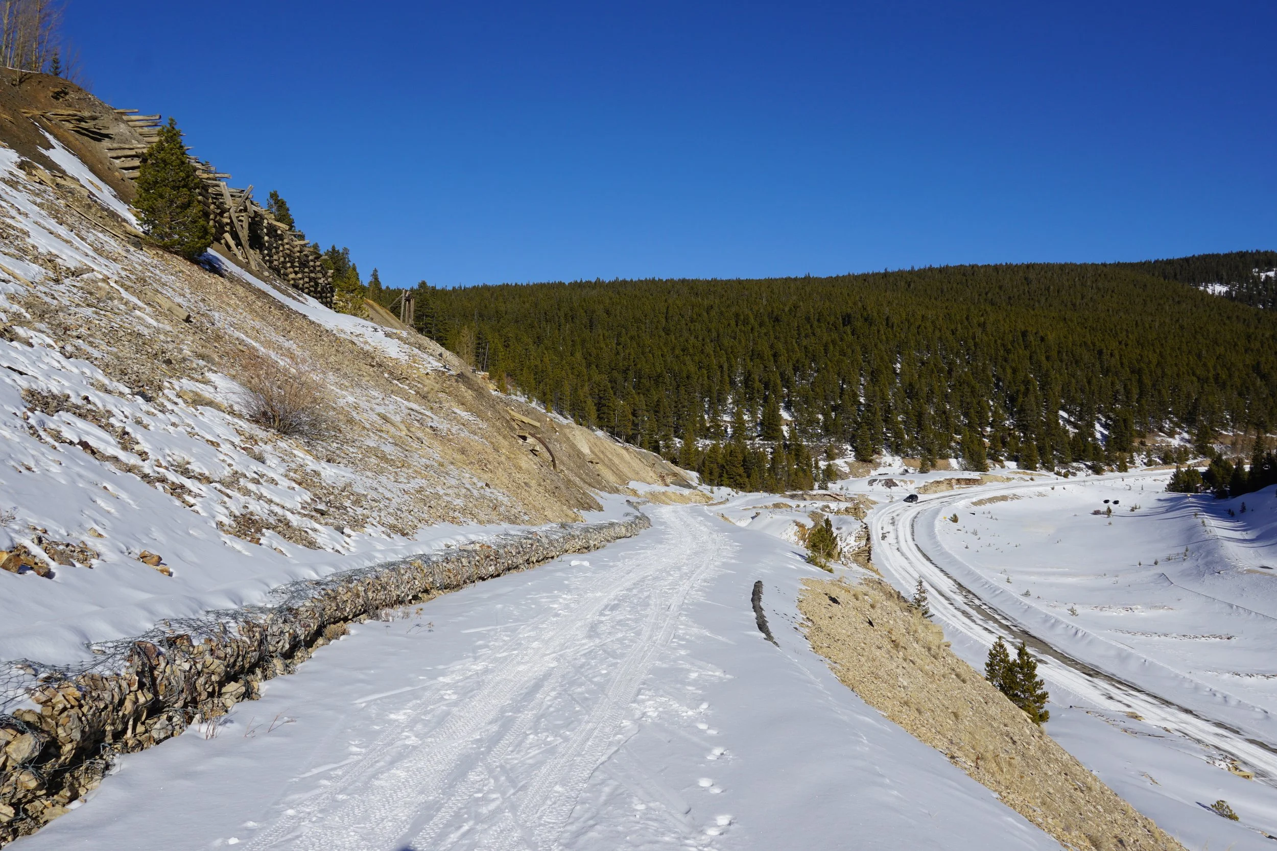
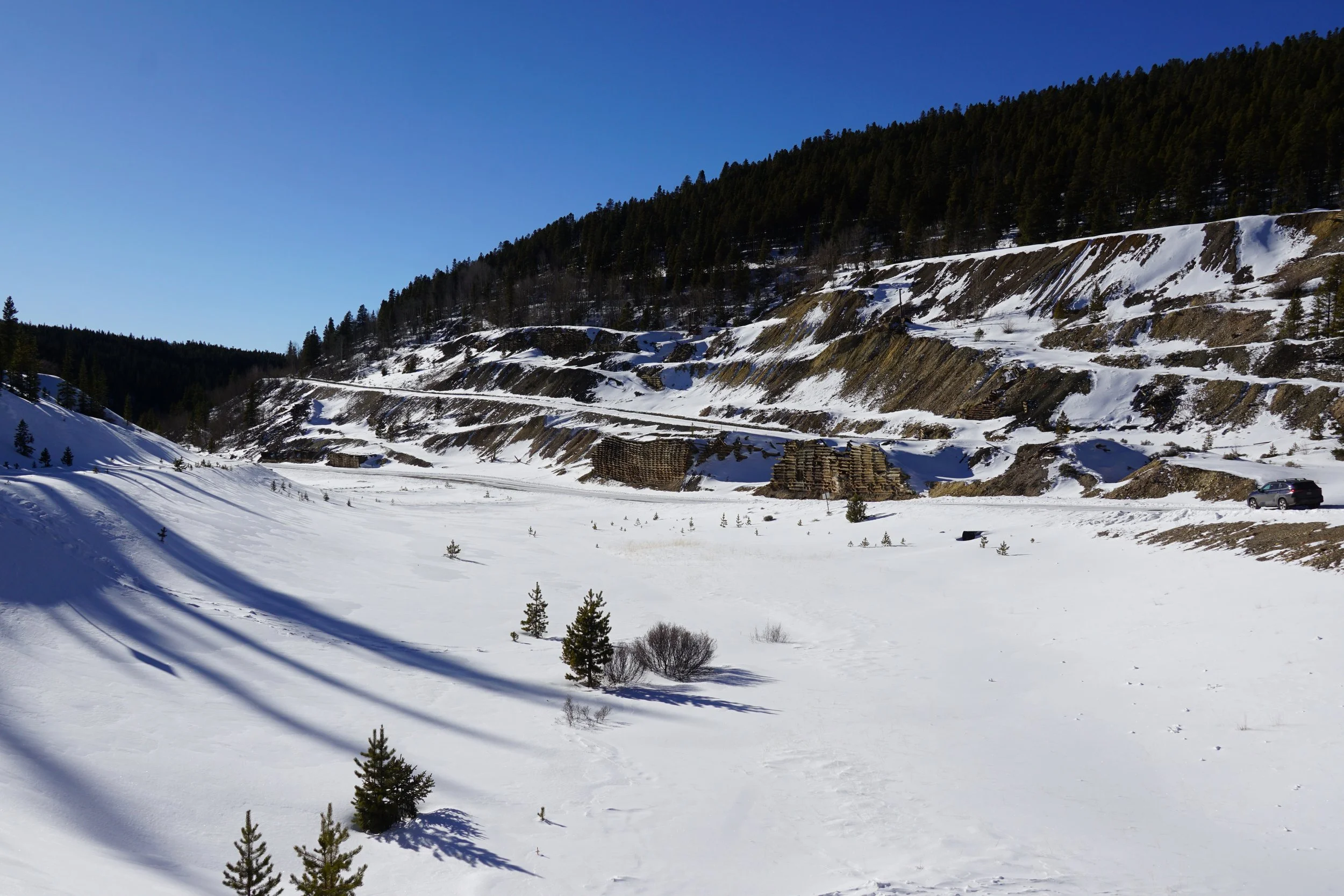
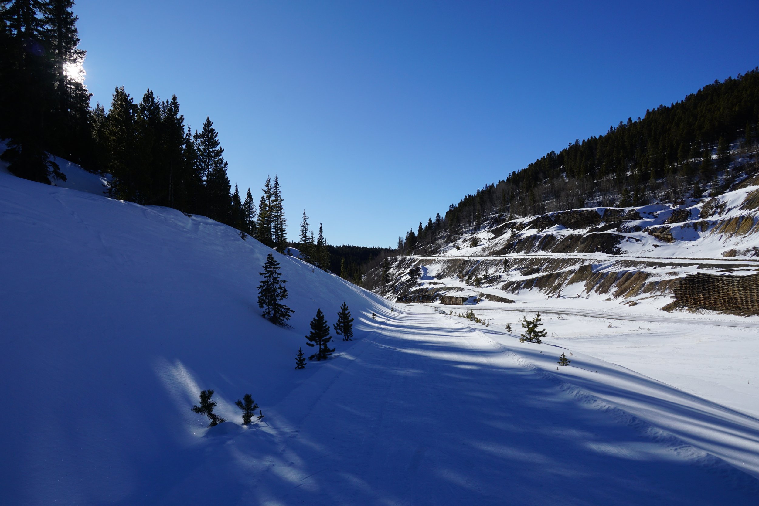
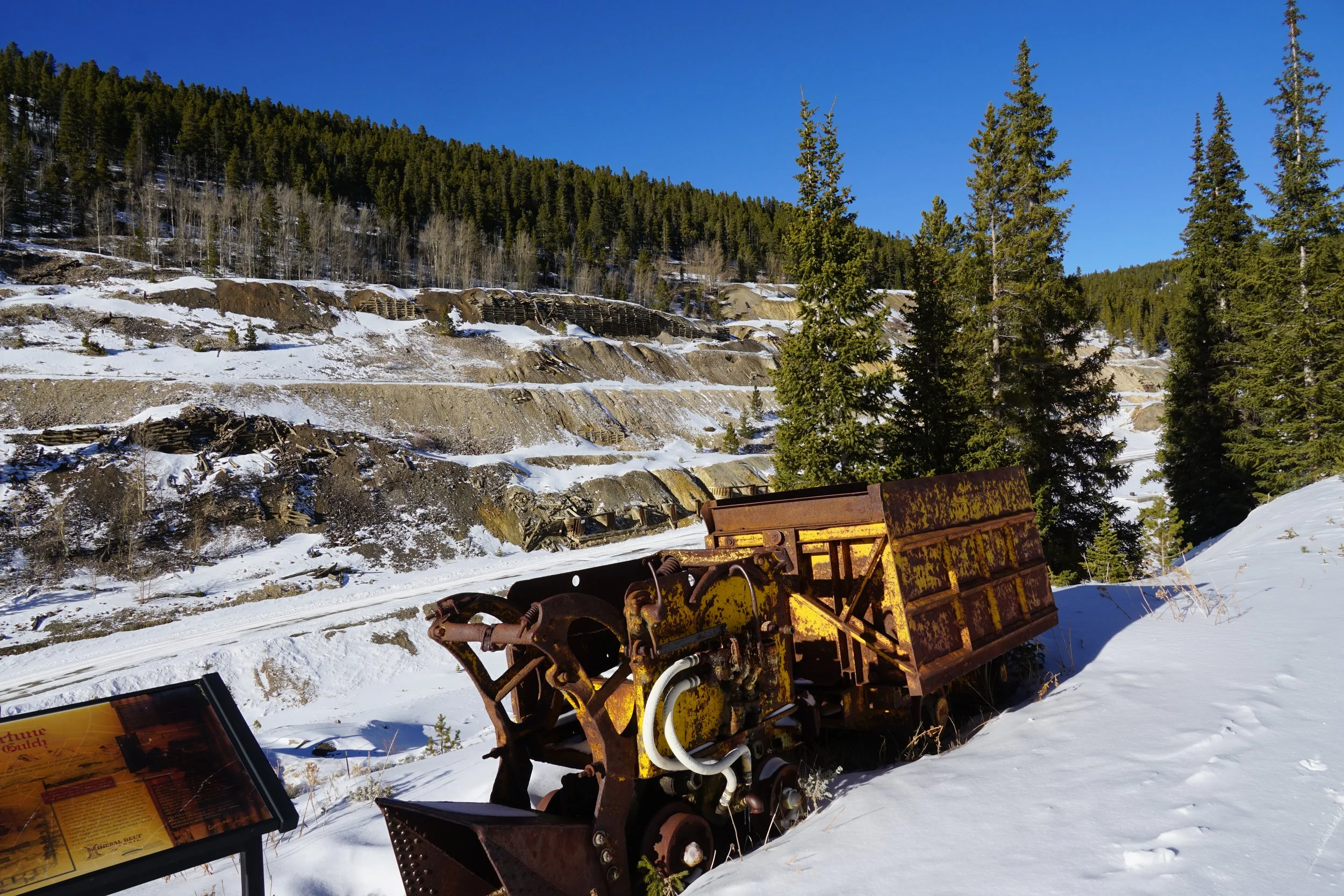
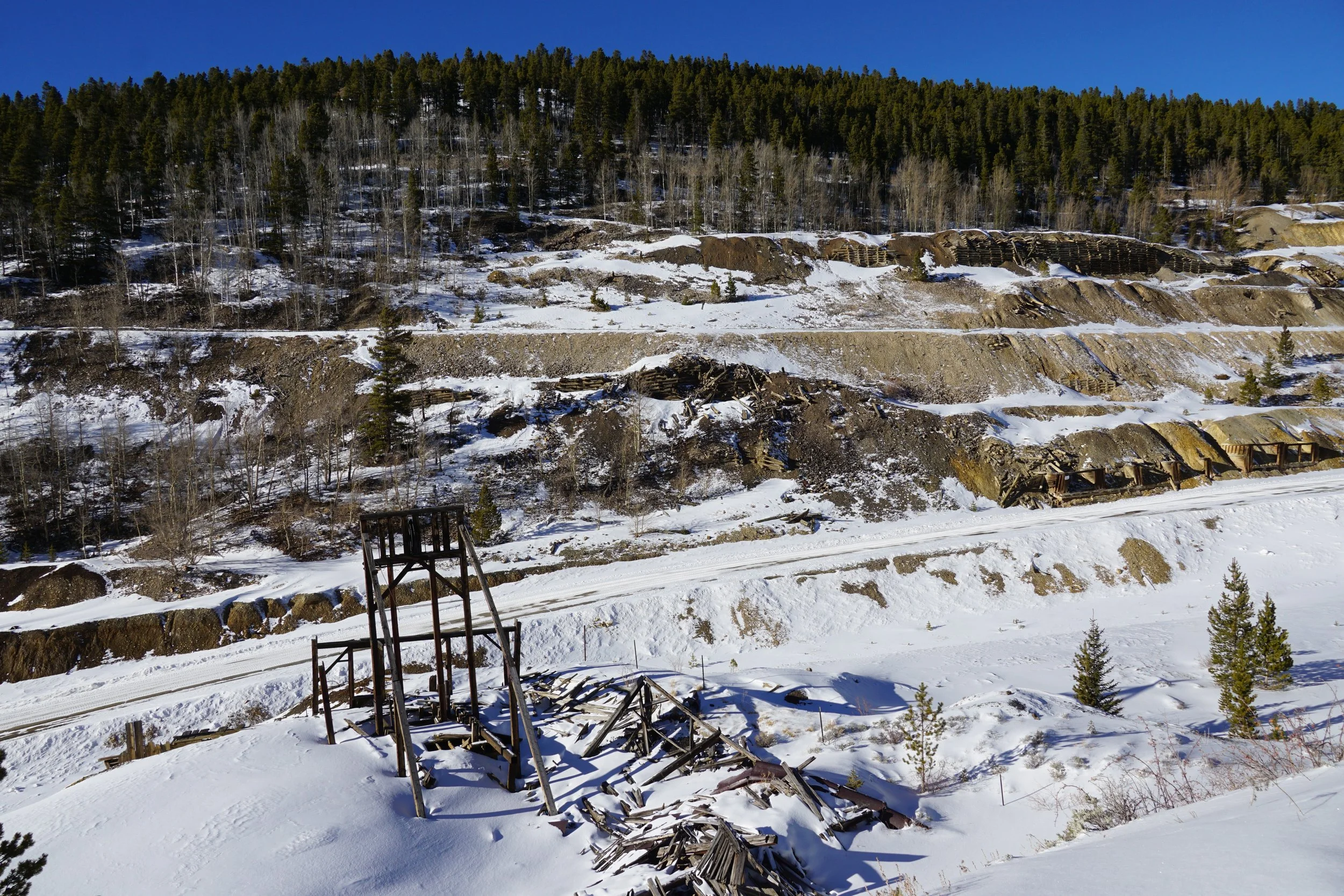
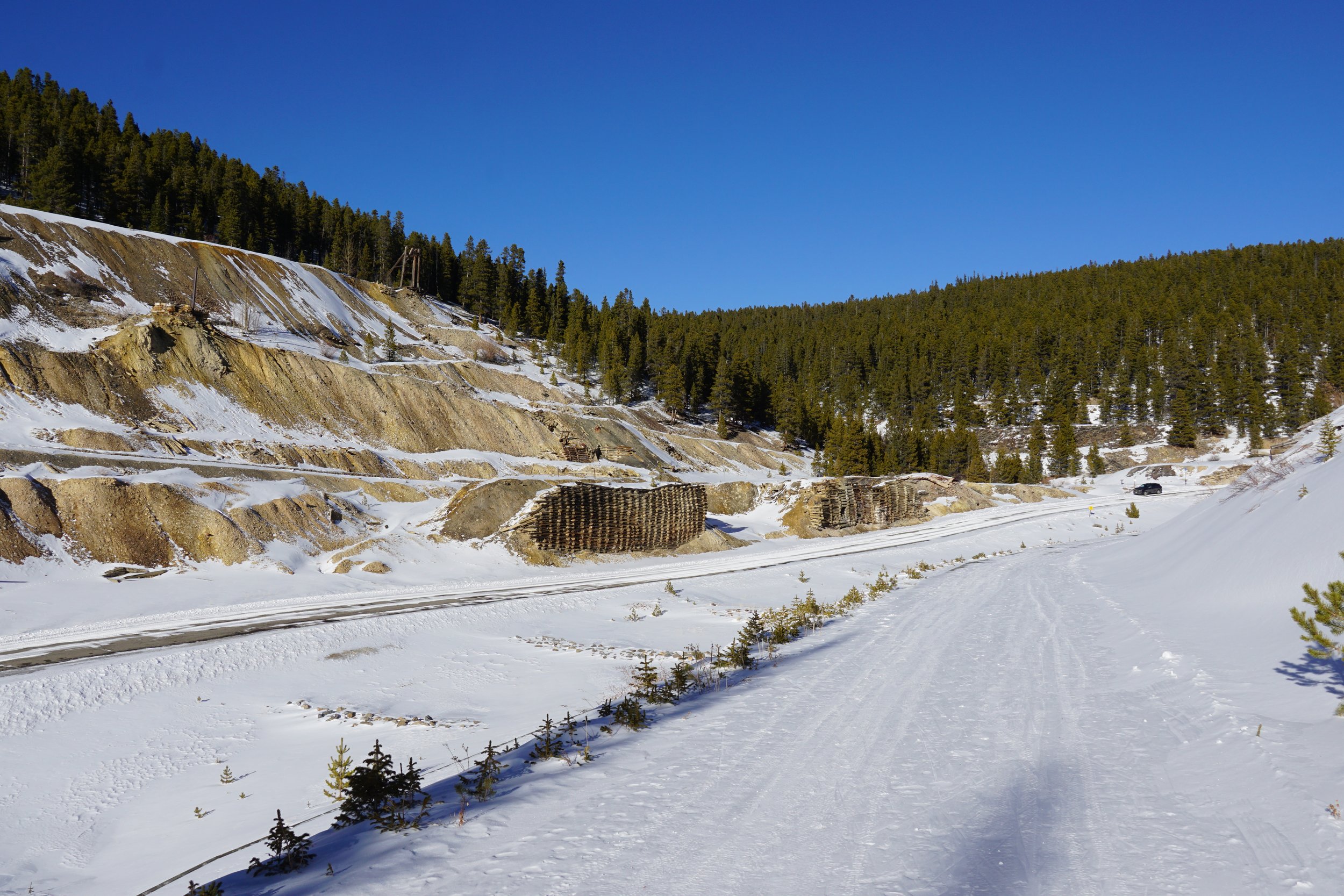
Leadville’s Mineral Belt Trail is a multiple use trail that connects and showcases’s Leadville’s mining history and heritage. The trail is paved and groomed for cross country skiing in the winter. The access that this trail provides is a great way to explore the Leadville area, take in the incredible scenery, and learn a little bit of Colorado history along the way.
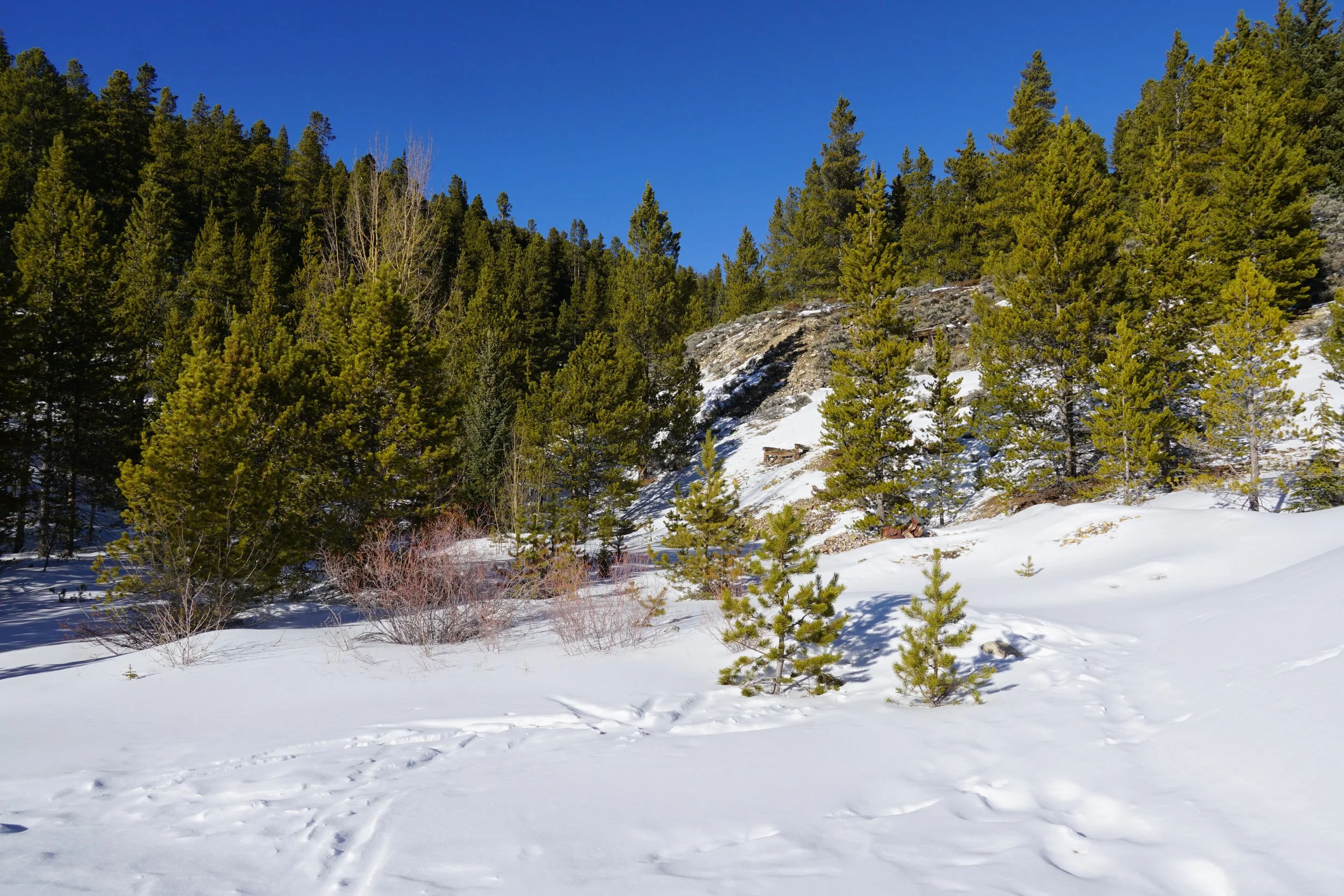
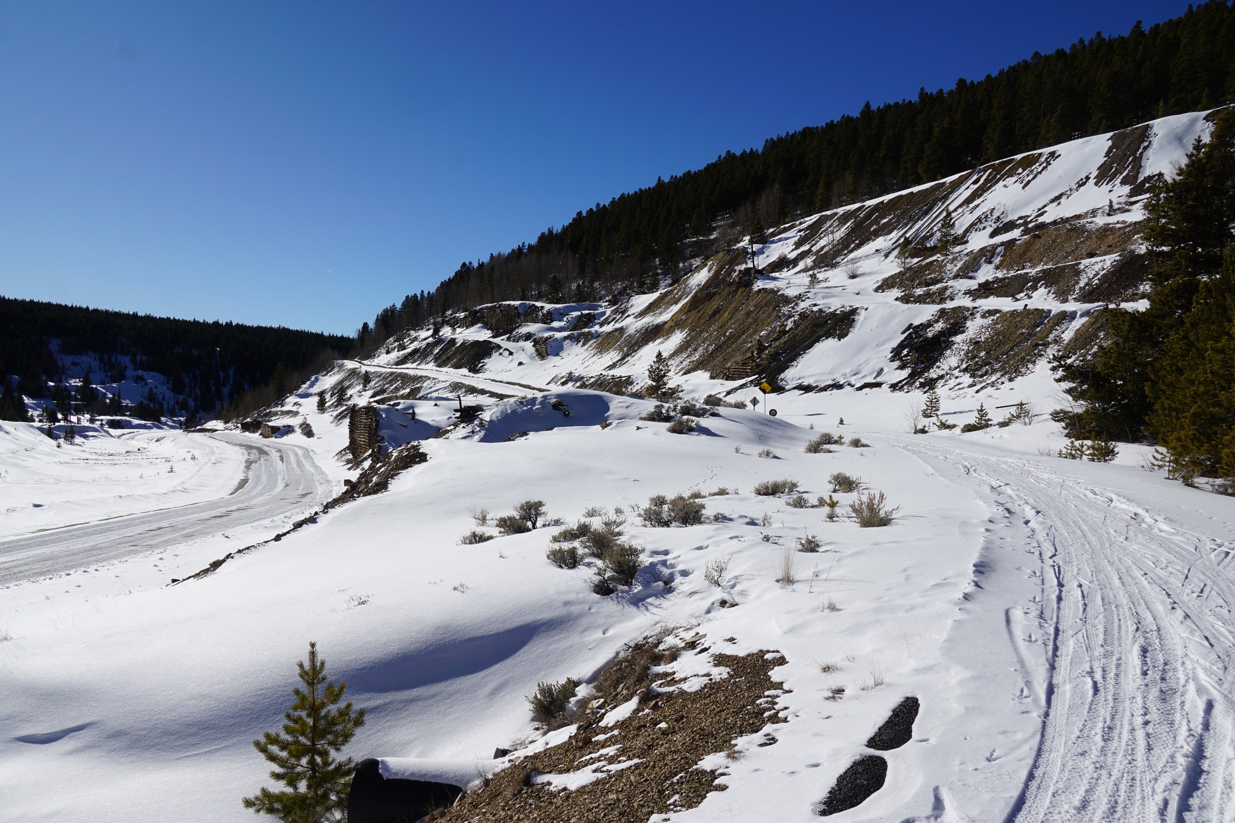
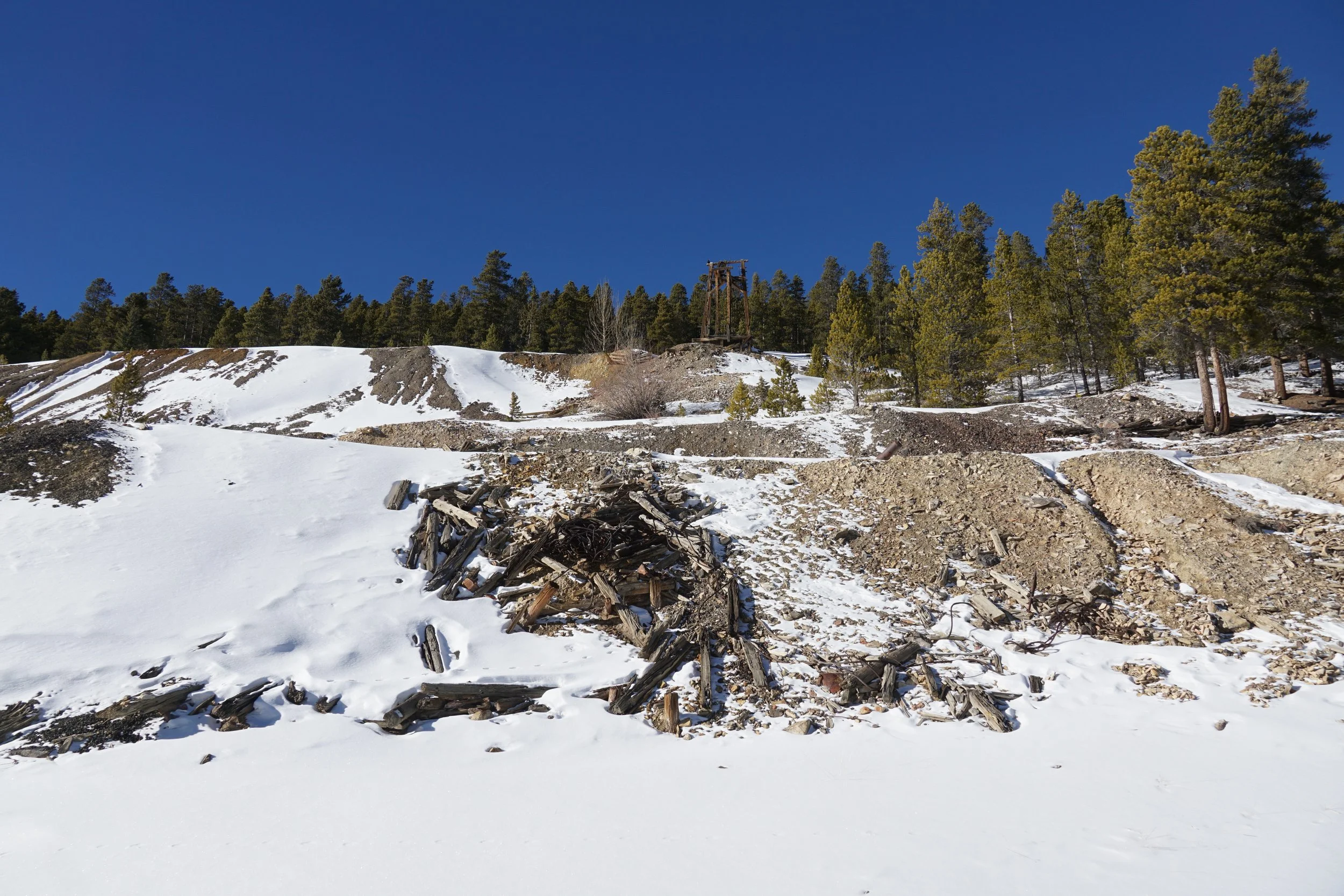
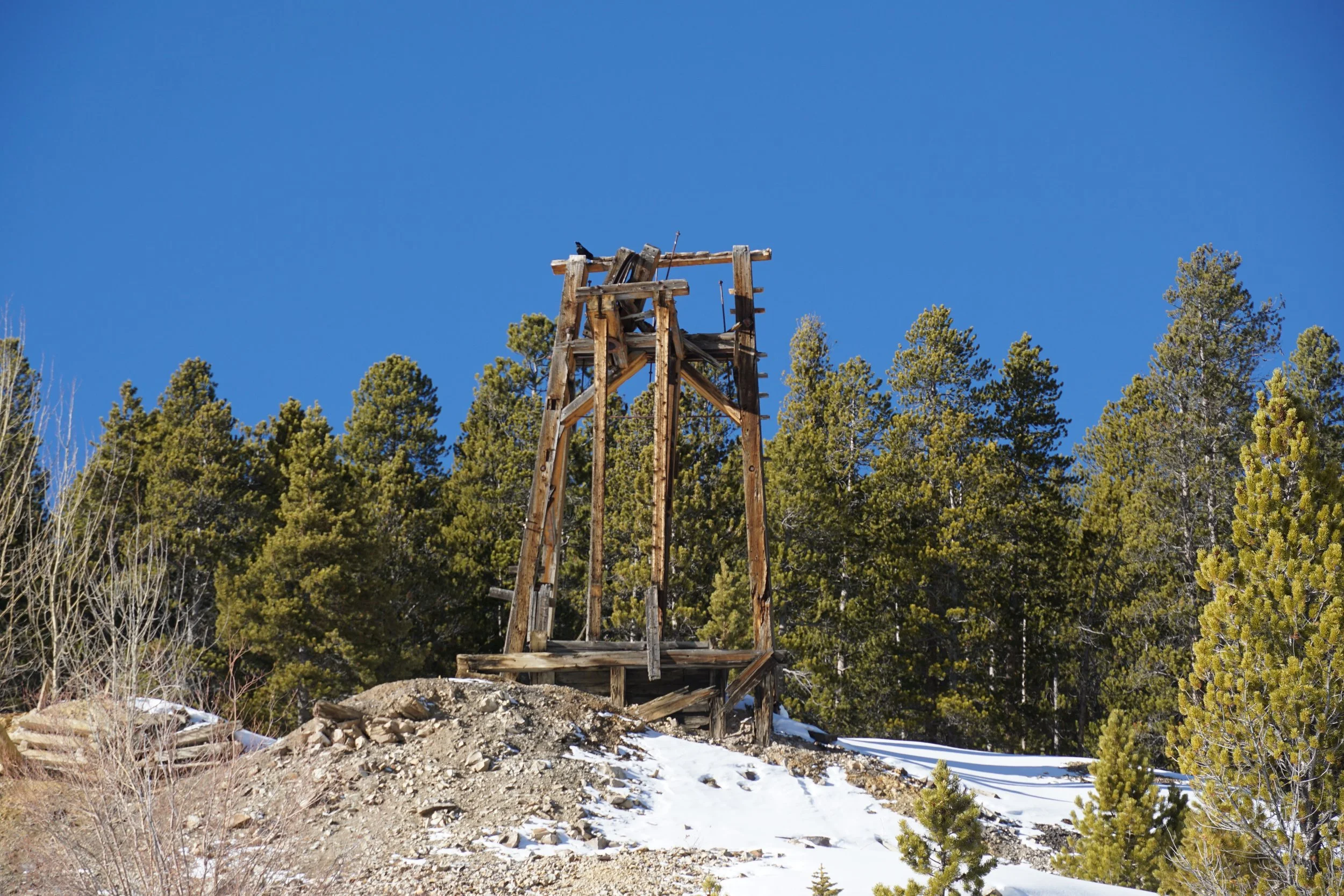
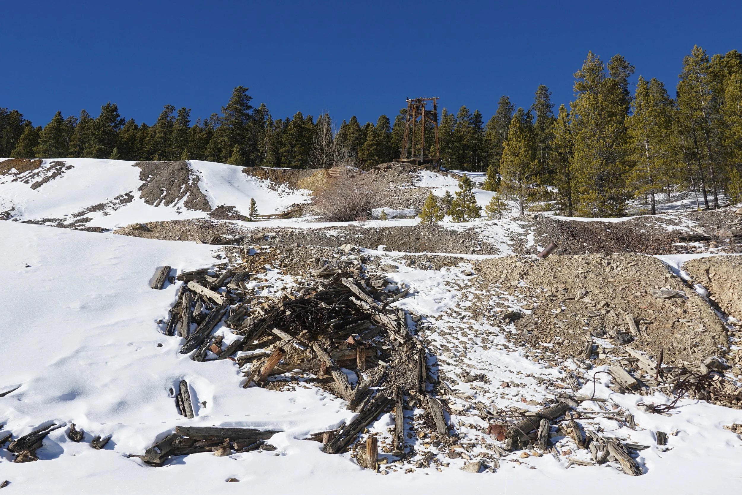
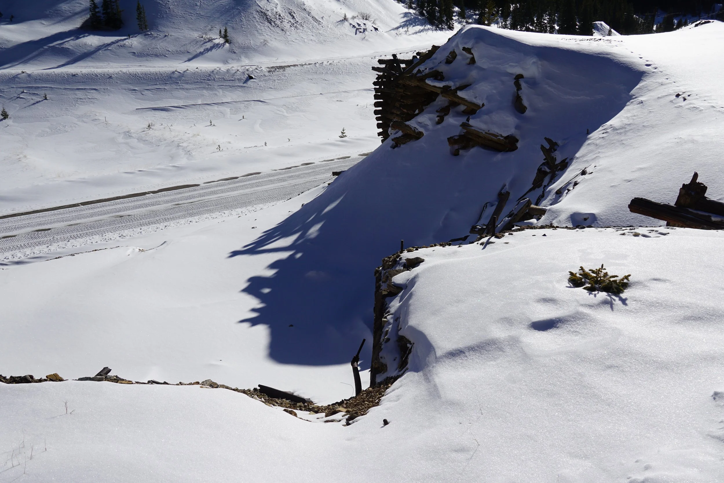
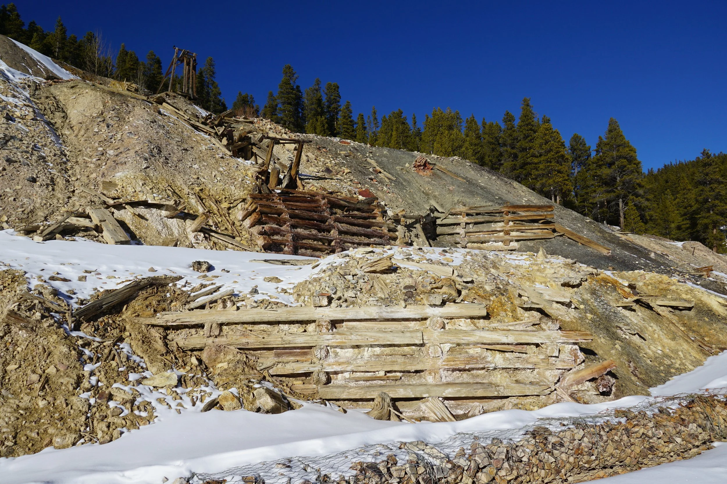
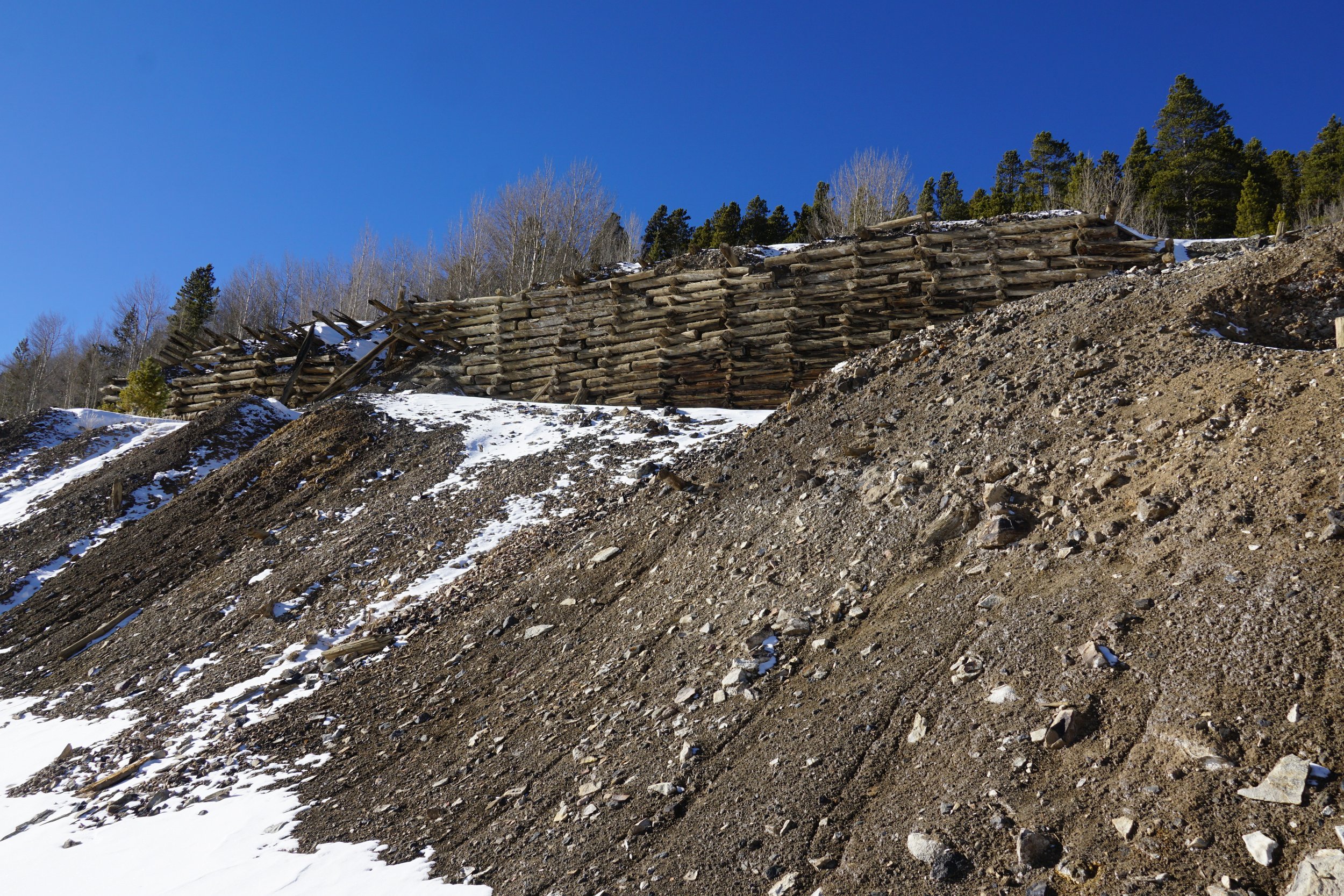
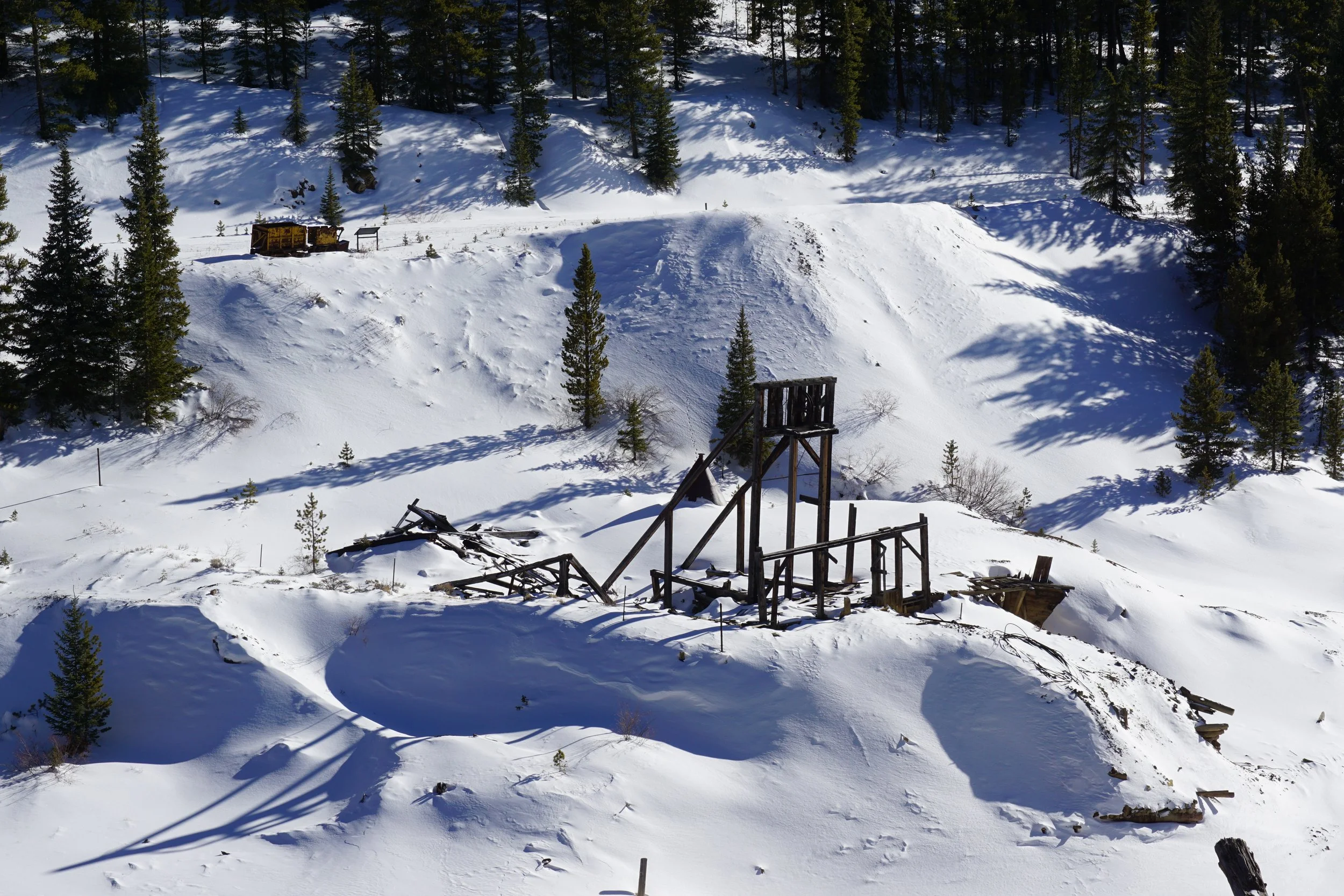
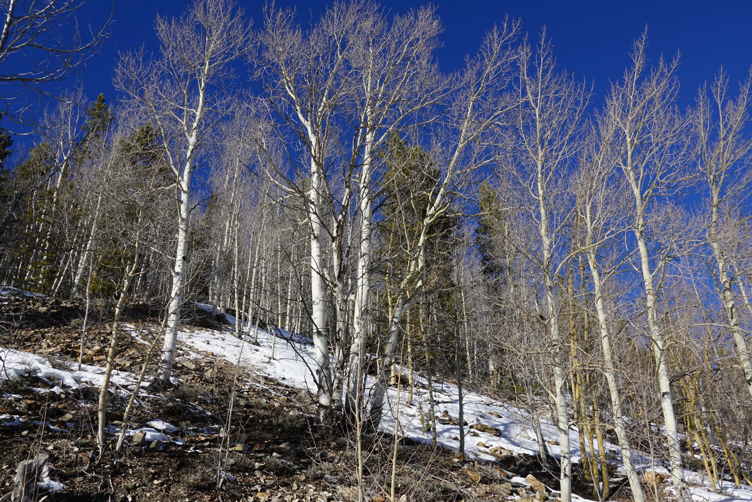
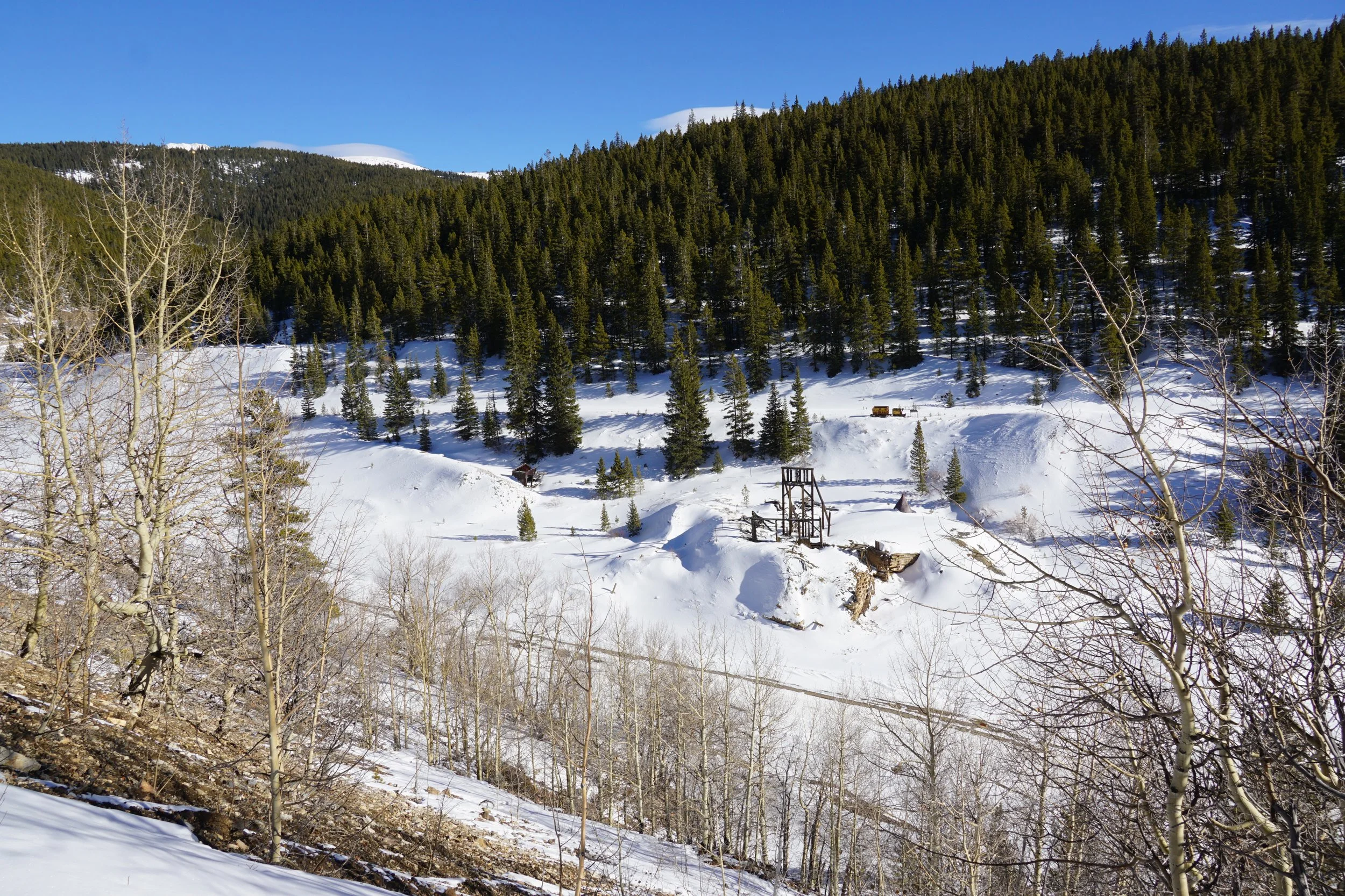
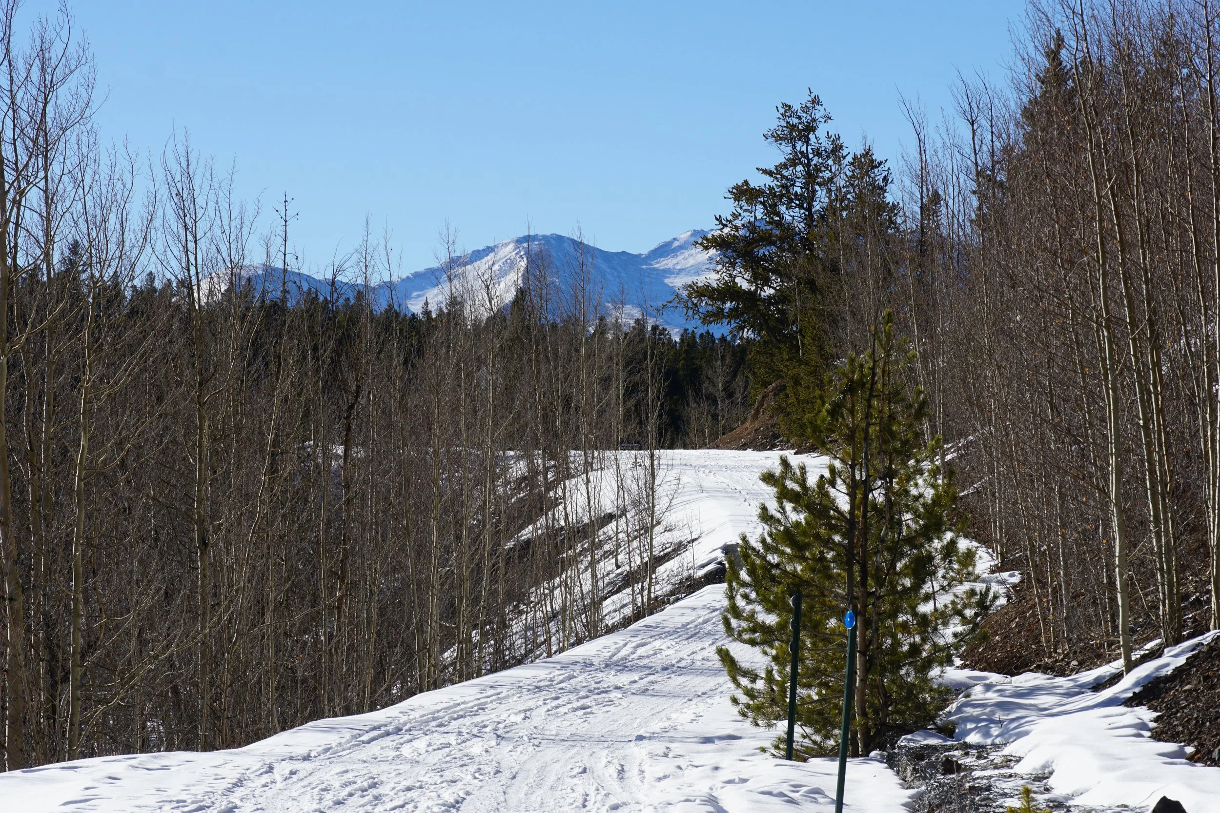
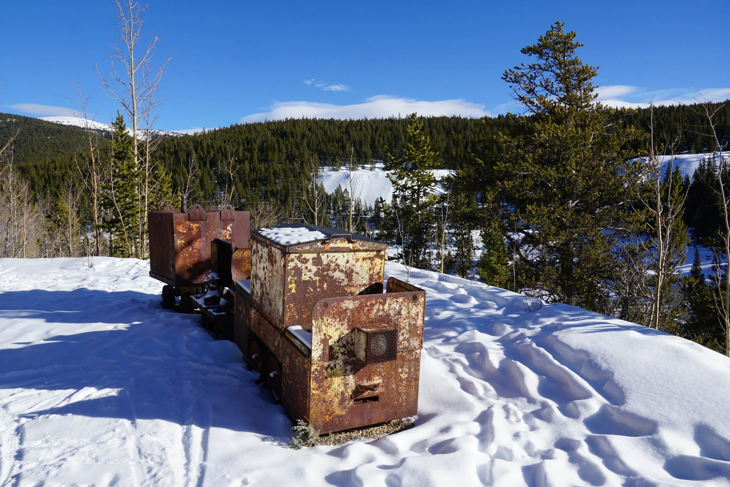
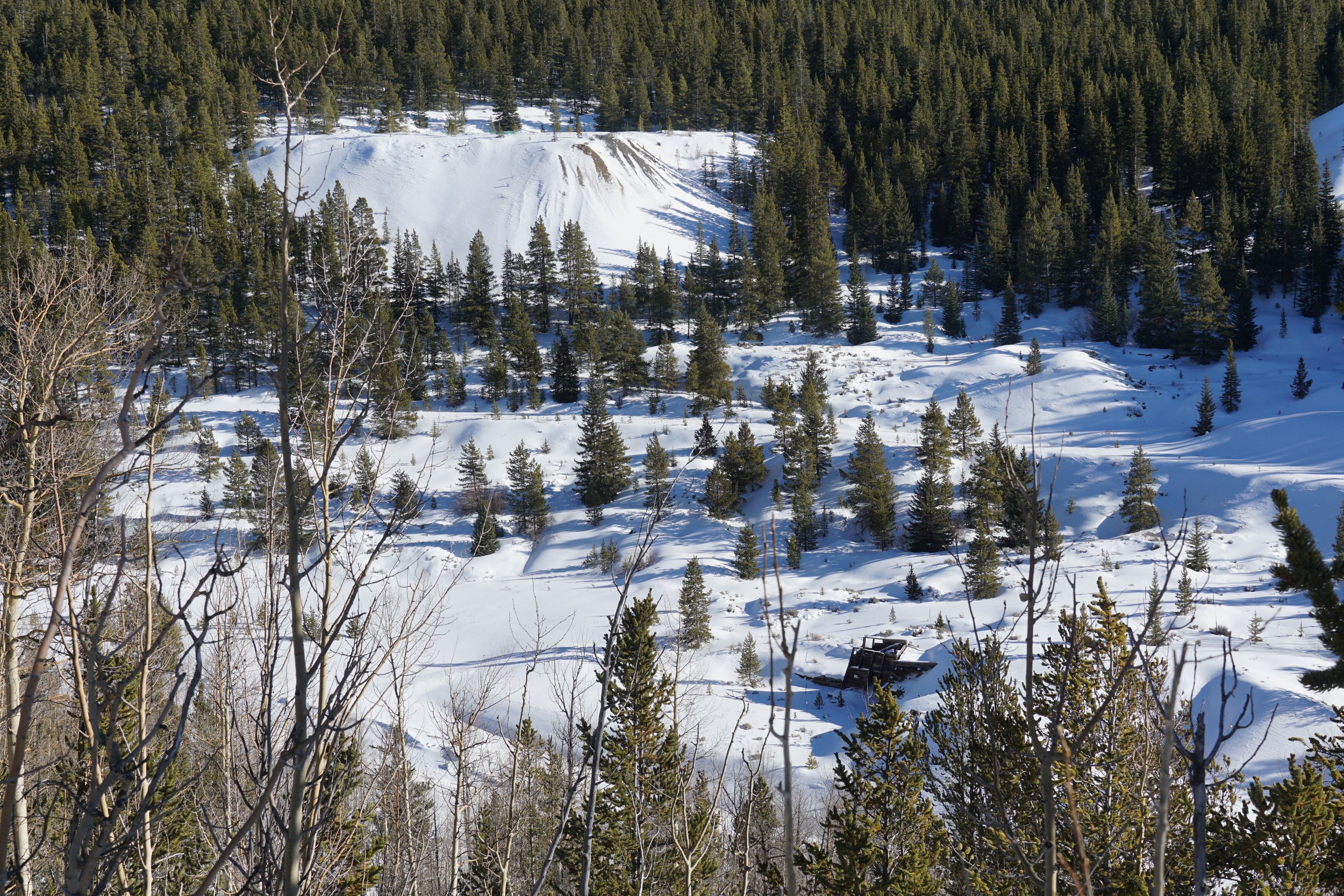
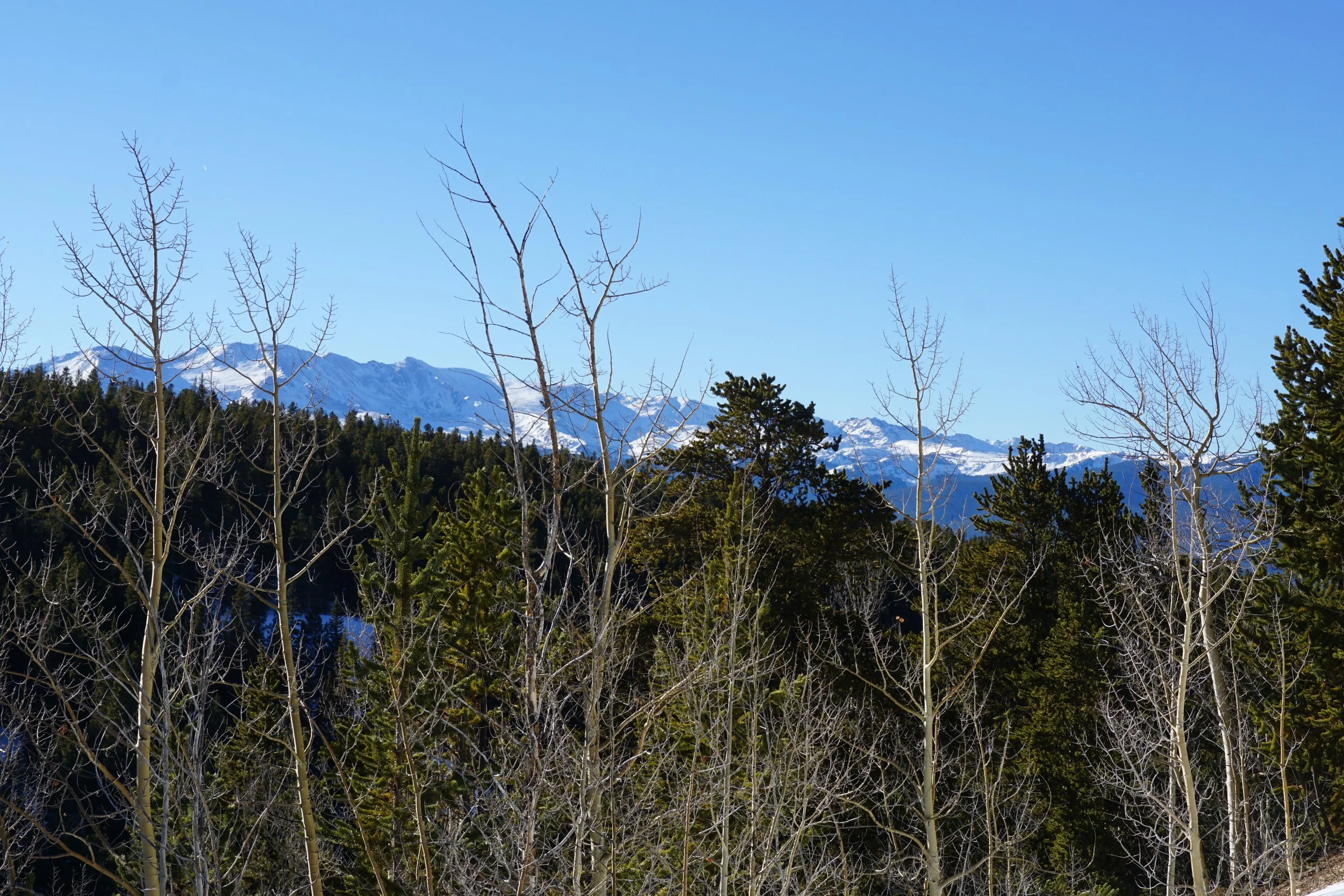
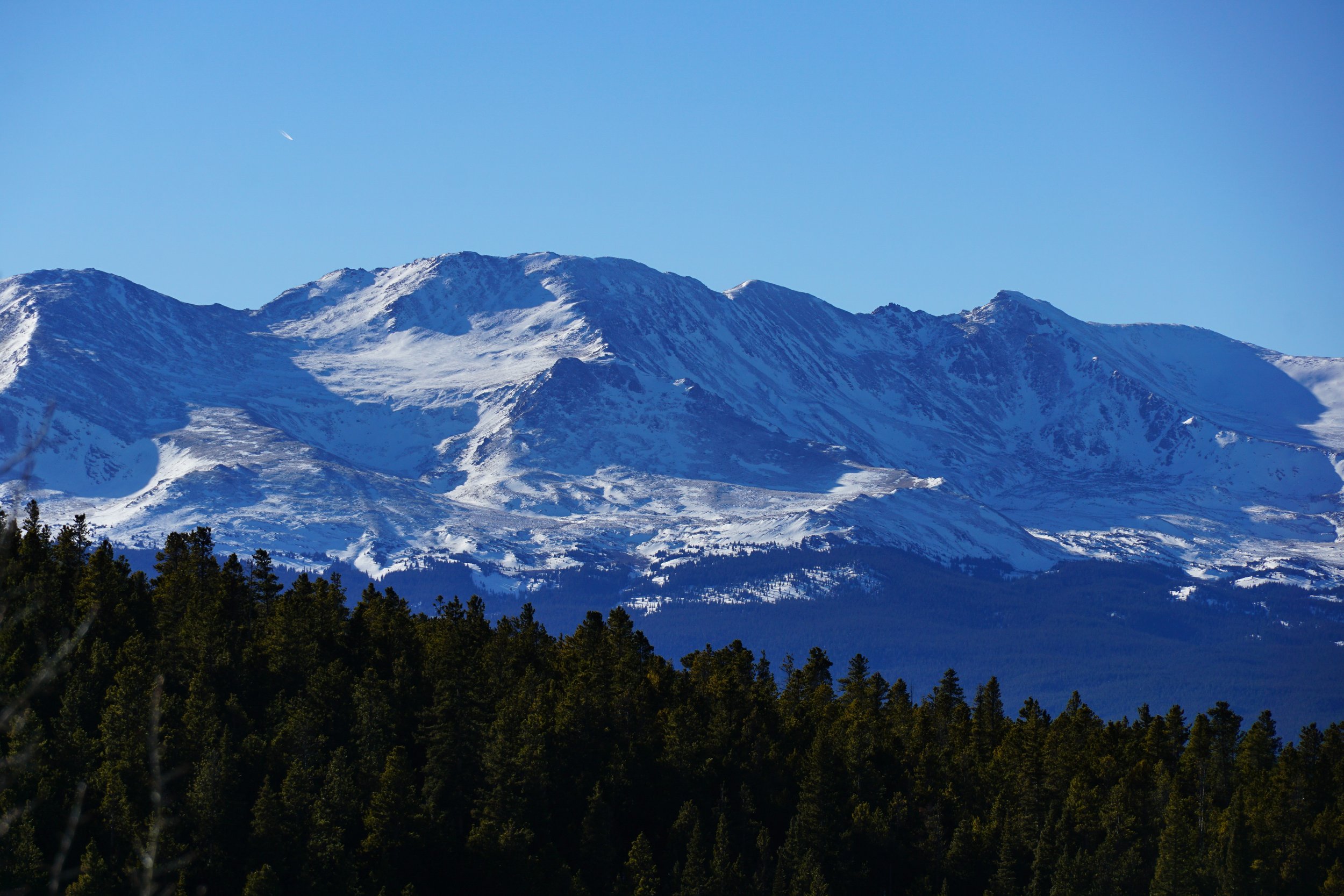
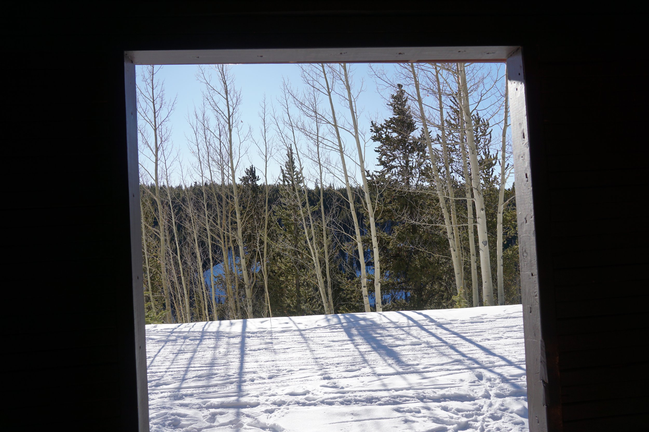
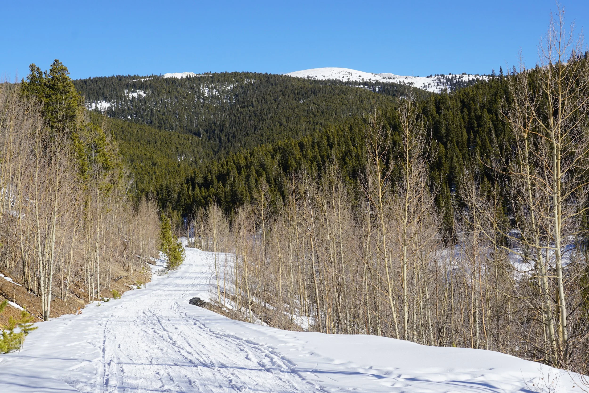
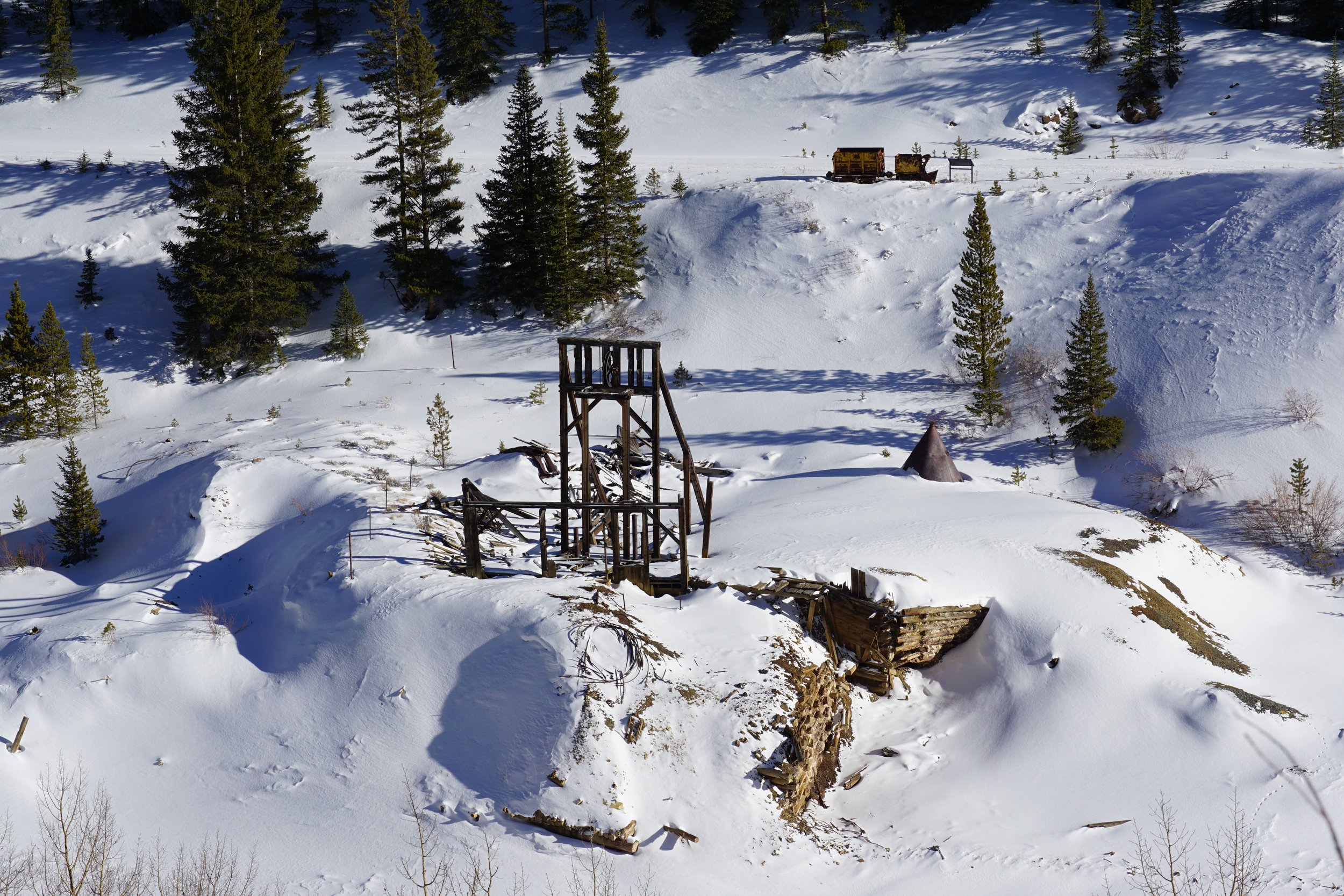
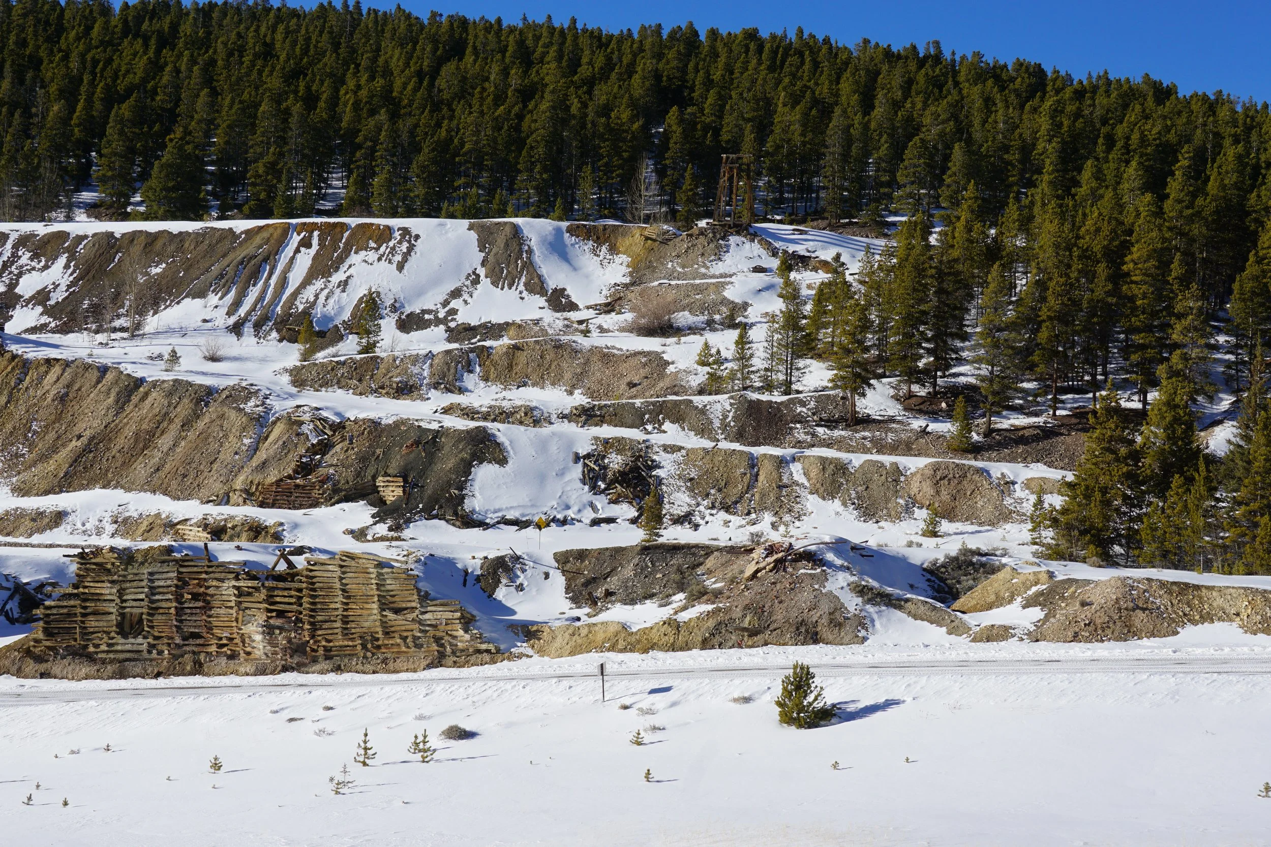
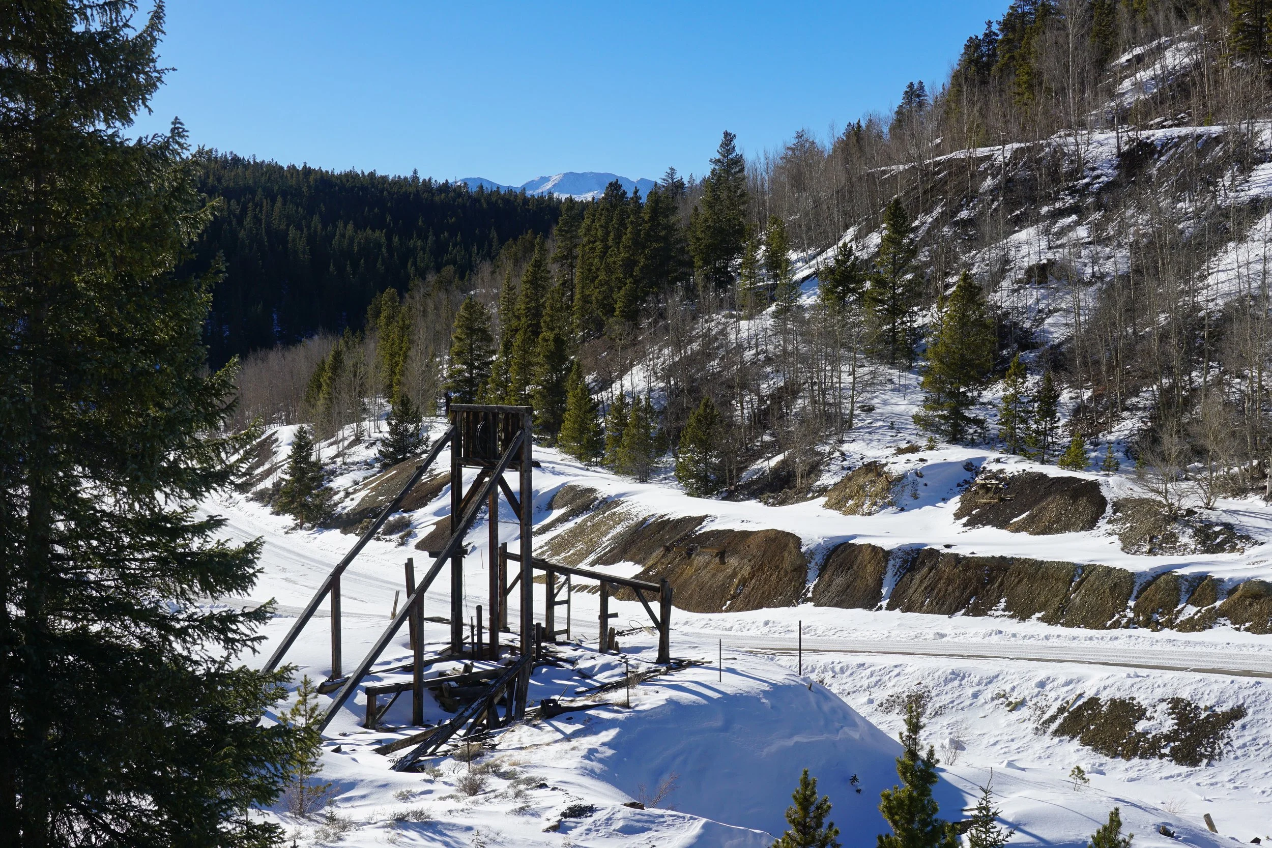
The entire trail is about 11 miles long, but you can break it up and explore segments for shorter hikes, such as the California Gulch portion. This short piece of the trail explores the remains of the Oro Townsite nestled into scenic California Gulch. Along this segment you are treated to natural resources, such as aspen groves and views of the Mosquito Range mountains; as well as historical resources such as mining ruins left over from the time that Oro City was an operating gold mining town.
Park where the Mineral Belt Trail crosses South Toledo Street (additional parking can be found further up S. Toledo). You can explore on the northside of California Gulch, for scenic views of the mountains and views of the mining ruins, and explore on the southside of the gulch for a more up close look at the ruins for about a mile and a half of easy hiking. Of course, you can hike further if you'd like, but this is a good, quick introduction to the Mineral Belt Trail.