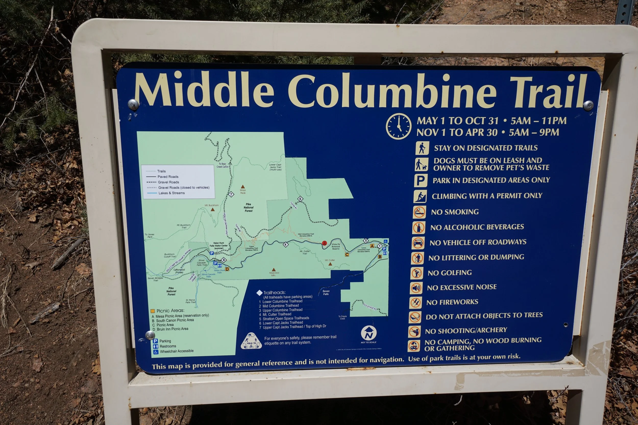
Middle Columbine Trail
North Cheyenne Cañon Park
Date Hiked: March 19, 2023
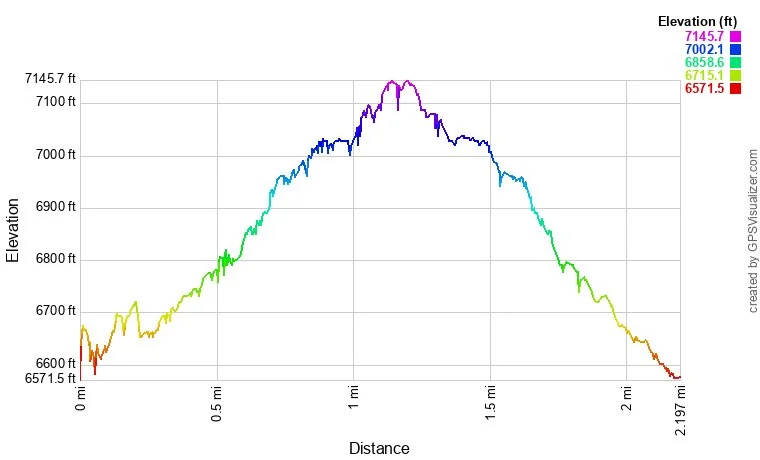
Distance: 2 mi (RT)
Elevation Gain: 500 ft
Elevation Min/Max: 6,619 ft to 7,129 ft
Trailhead Lat/Long: 38.79171, -104.87964
Managing Agency: CO Springs Parks & Recreation
Fee: None
Description:
From I-25 in Colorado Springs, take the South Tejon Street exit and head south on Tejon. Tejon soon becomes Cheyenne Blvd which leads you into North Cheyenne Cañon Park.
Hike Description:
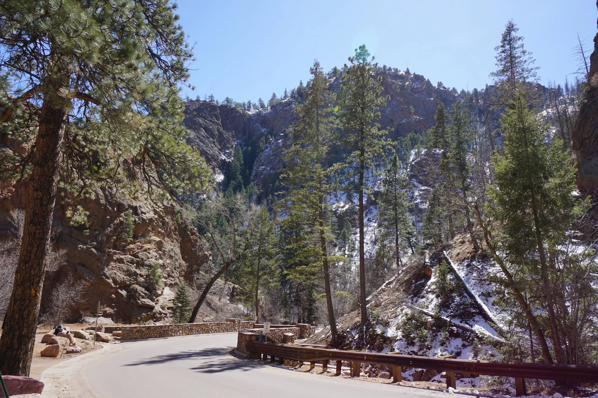
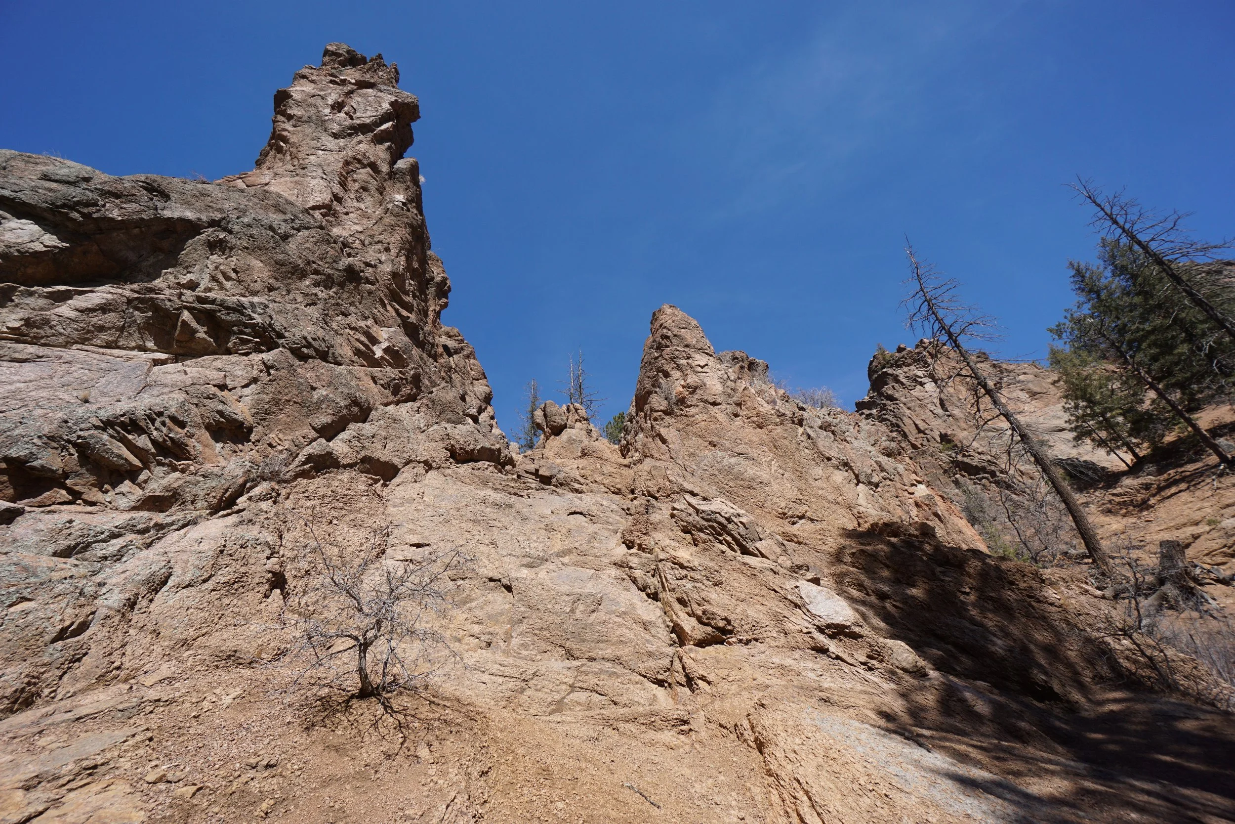
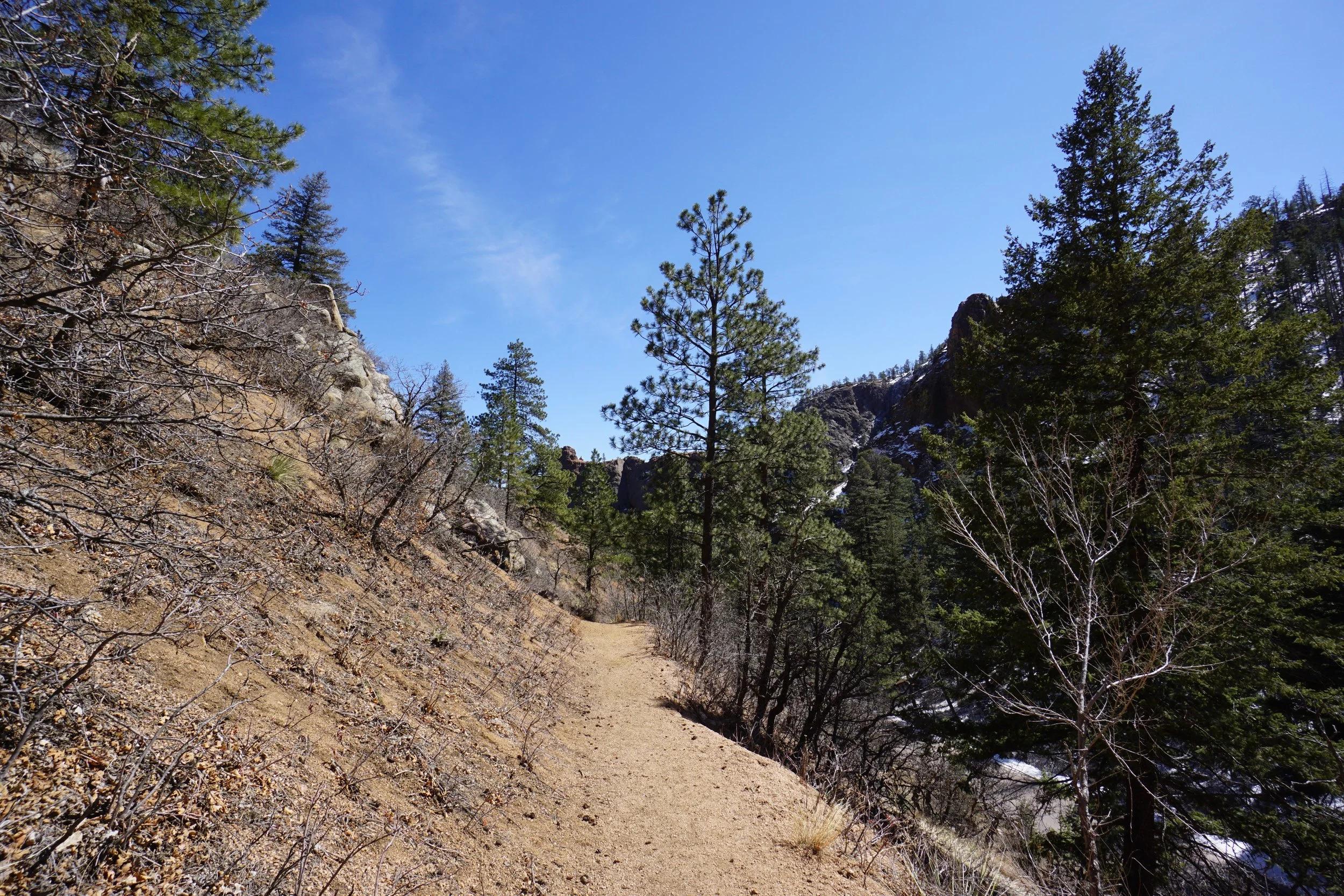
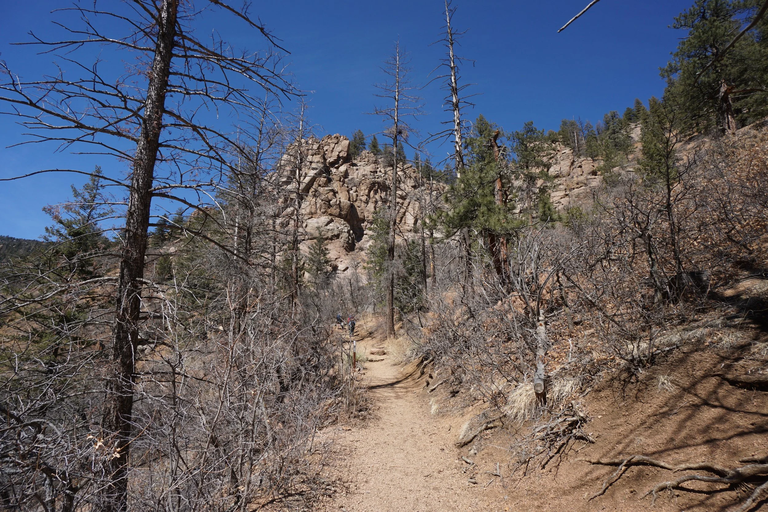
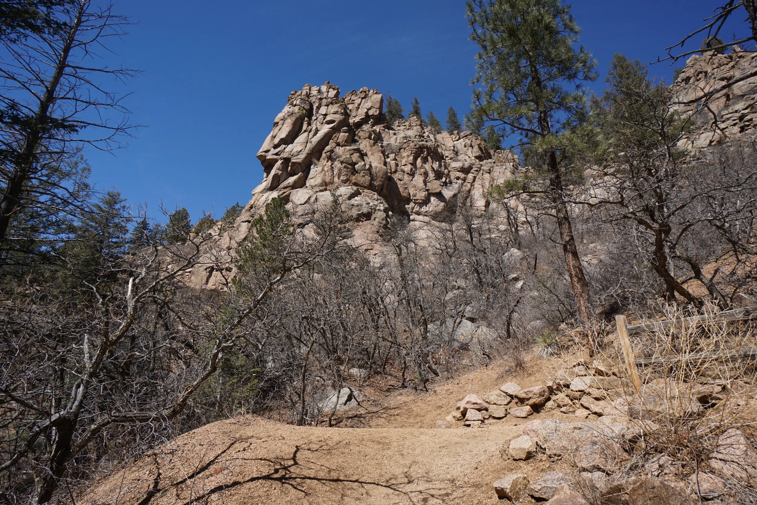
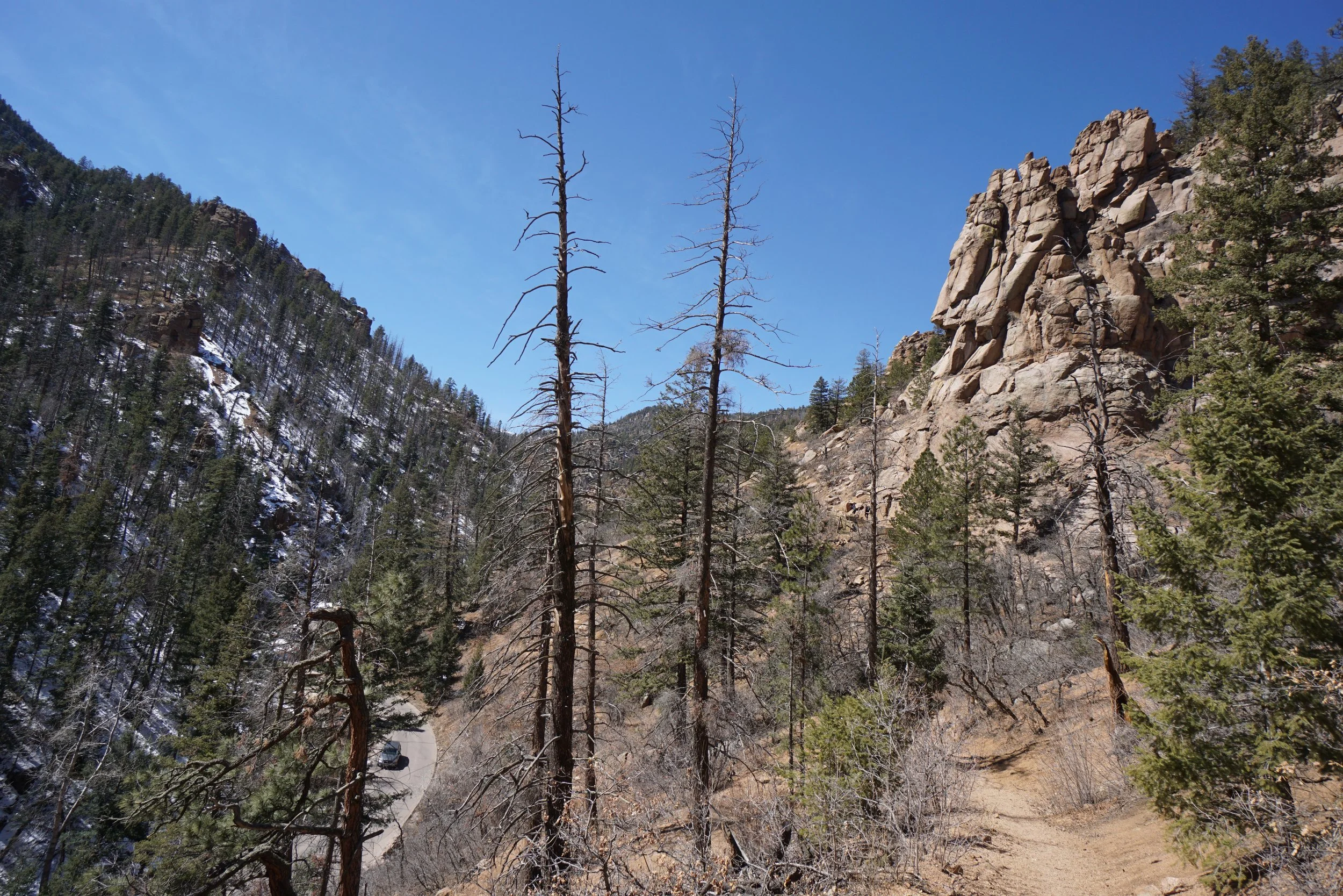
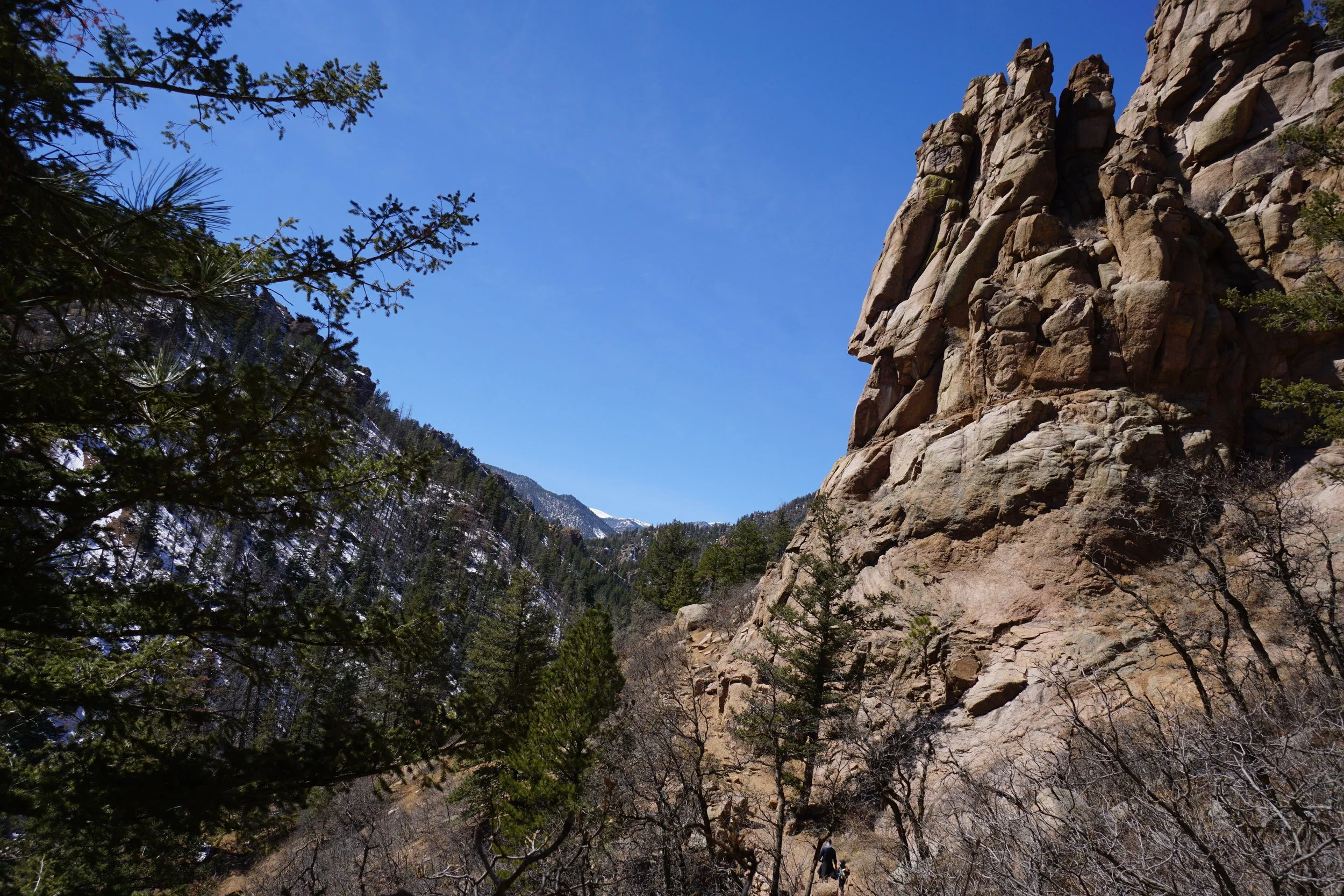
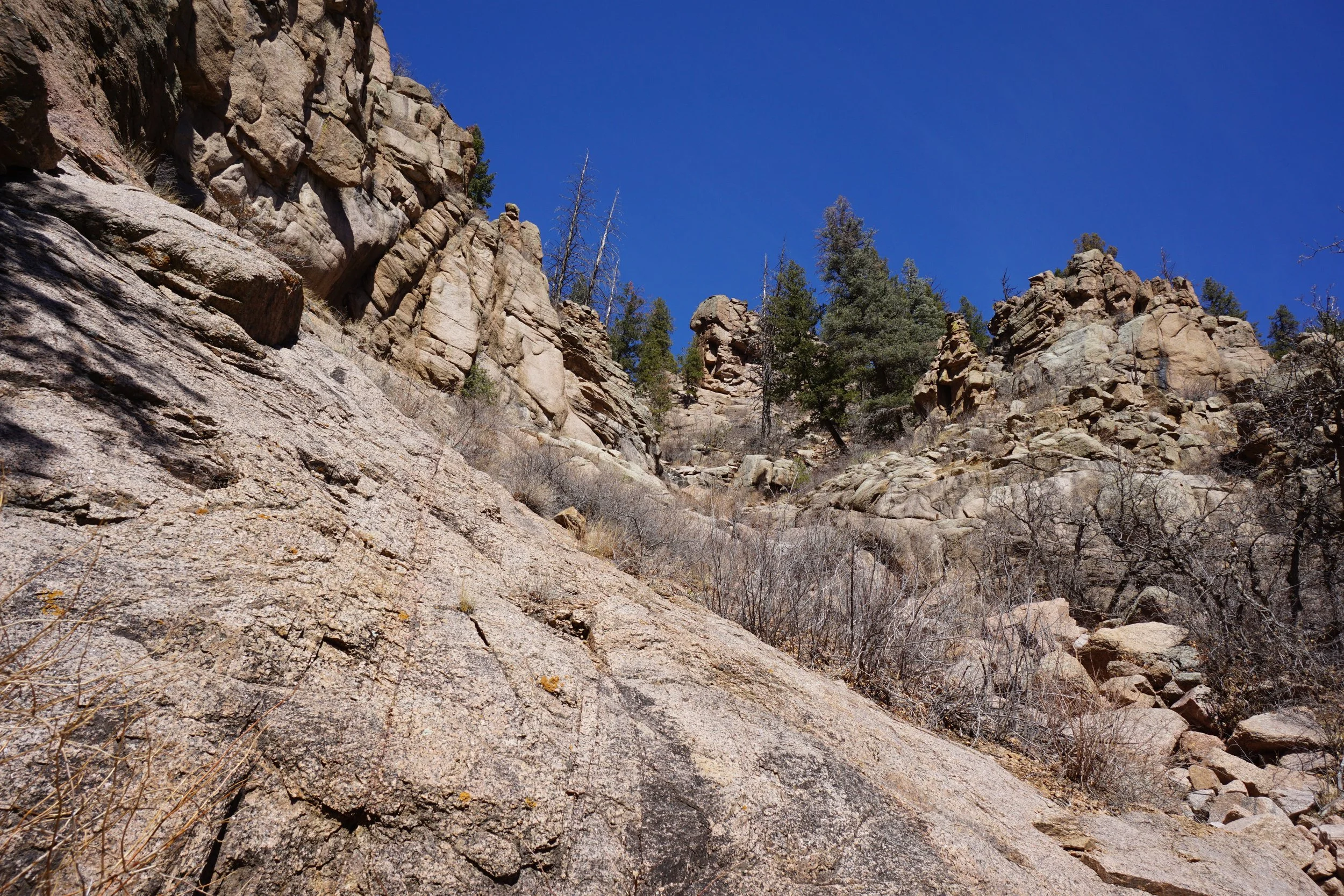
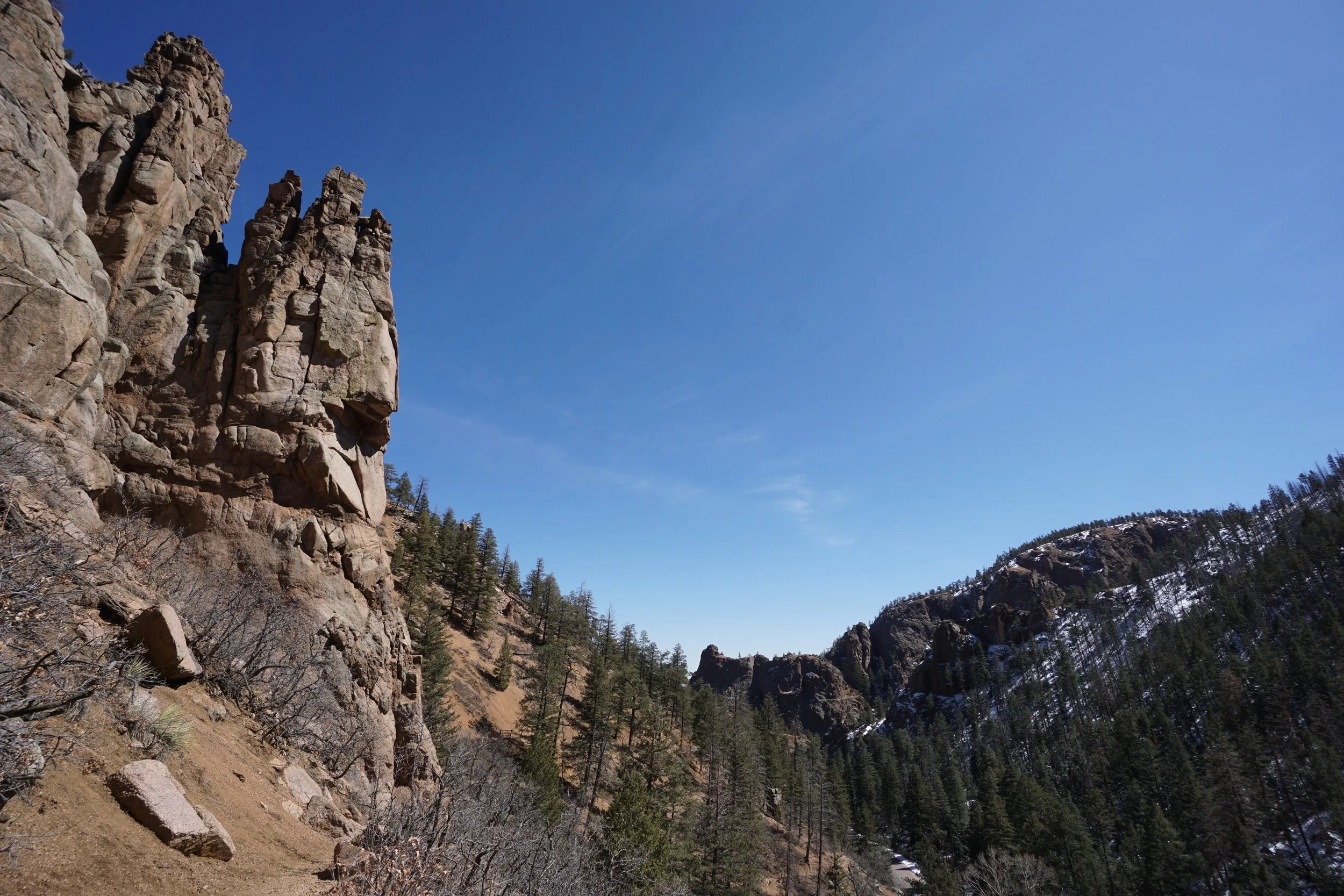
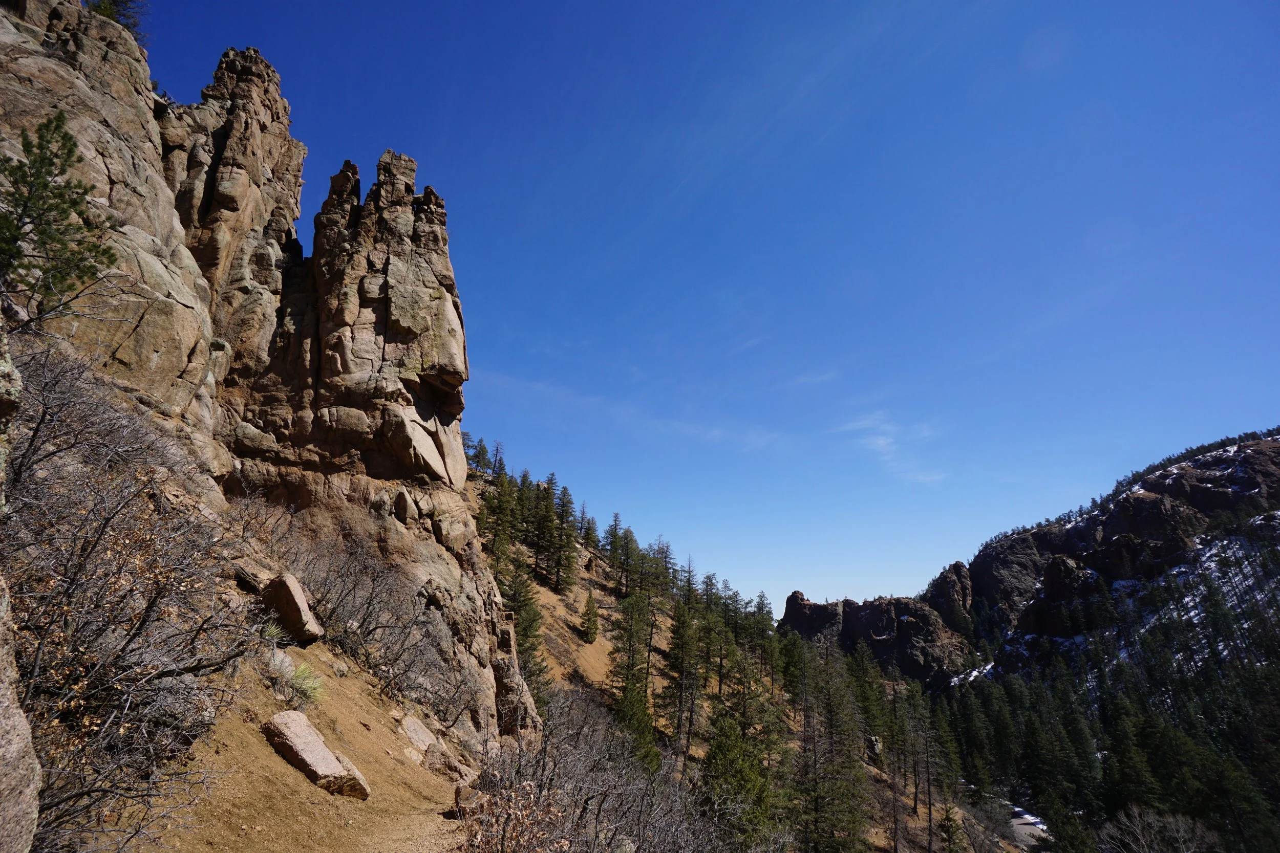
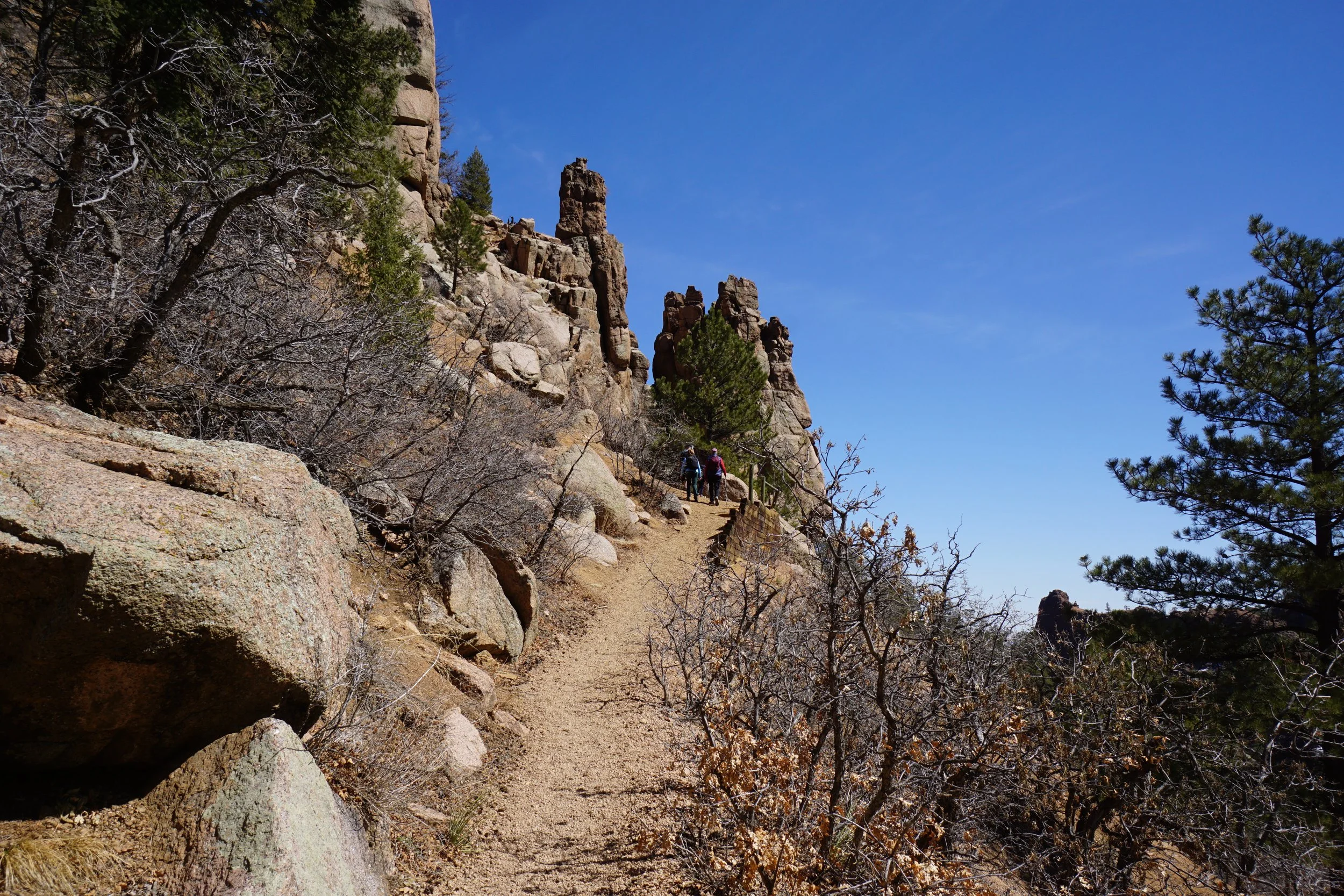
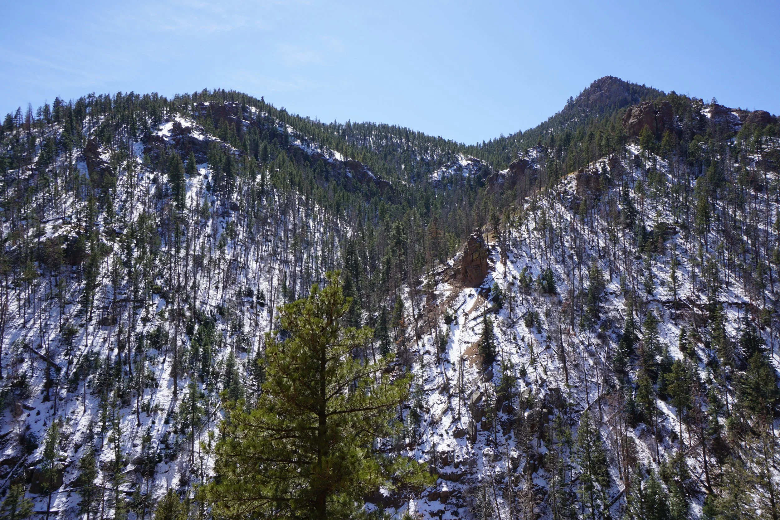
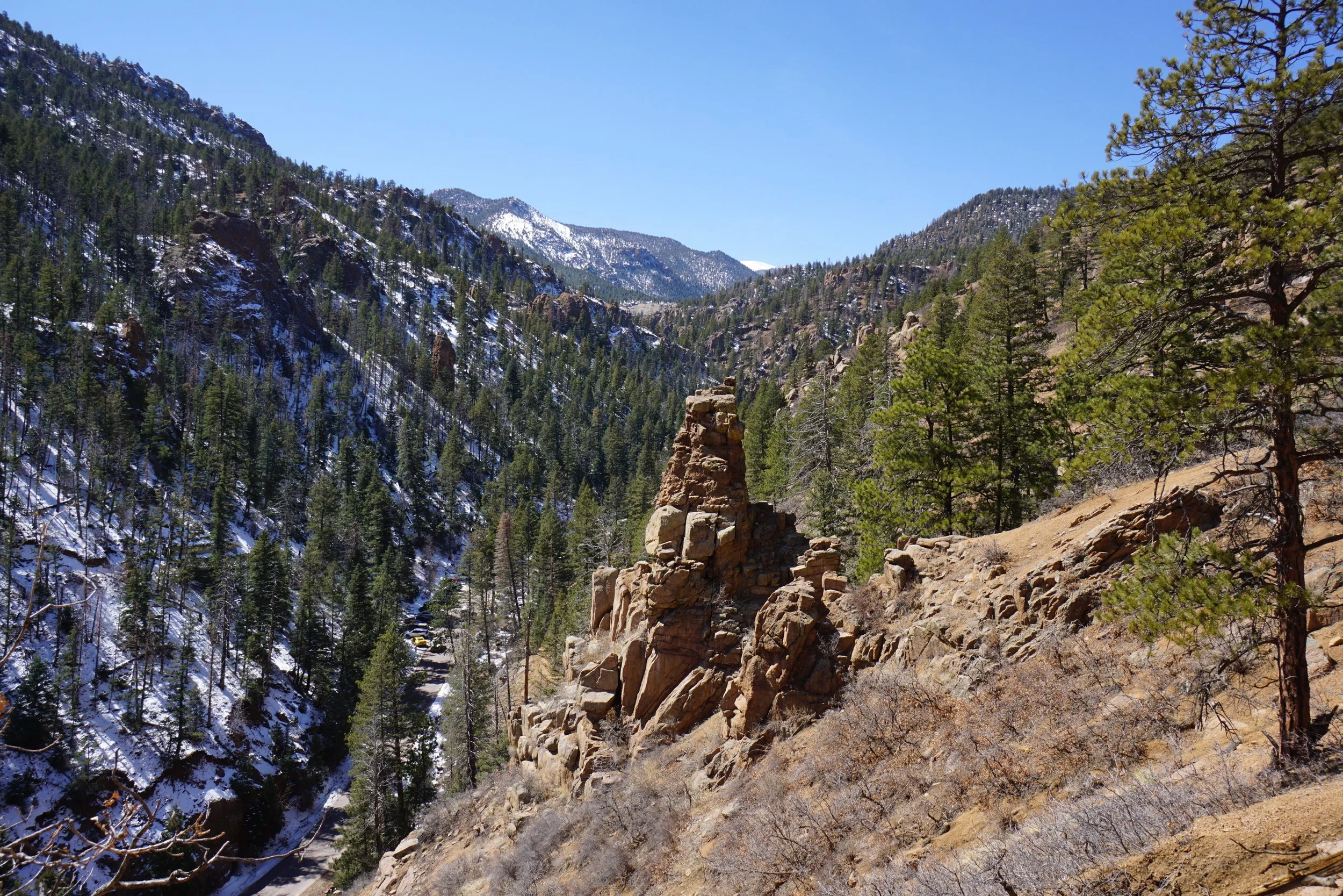
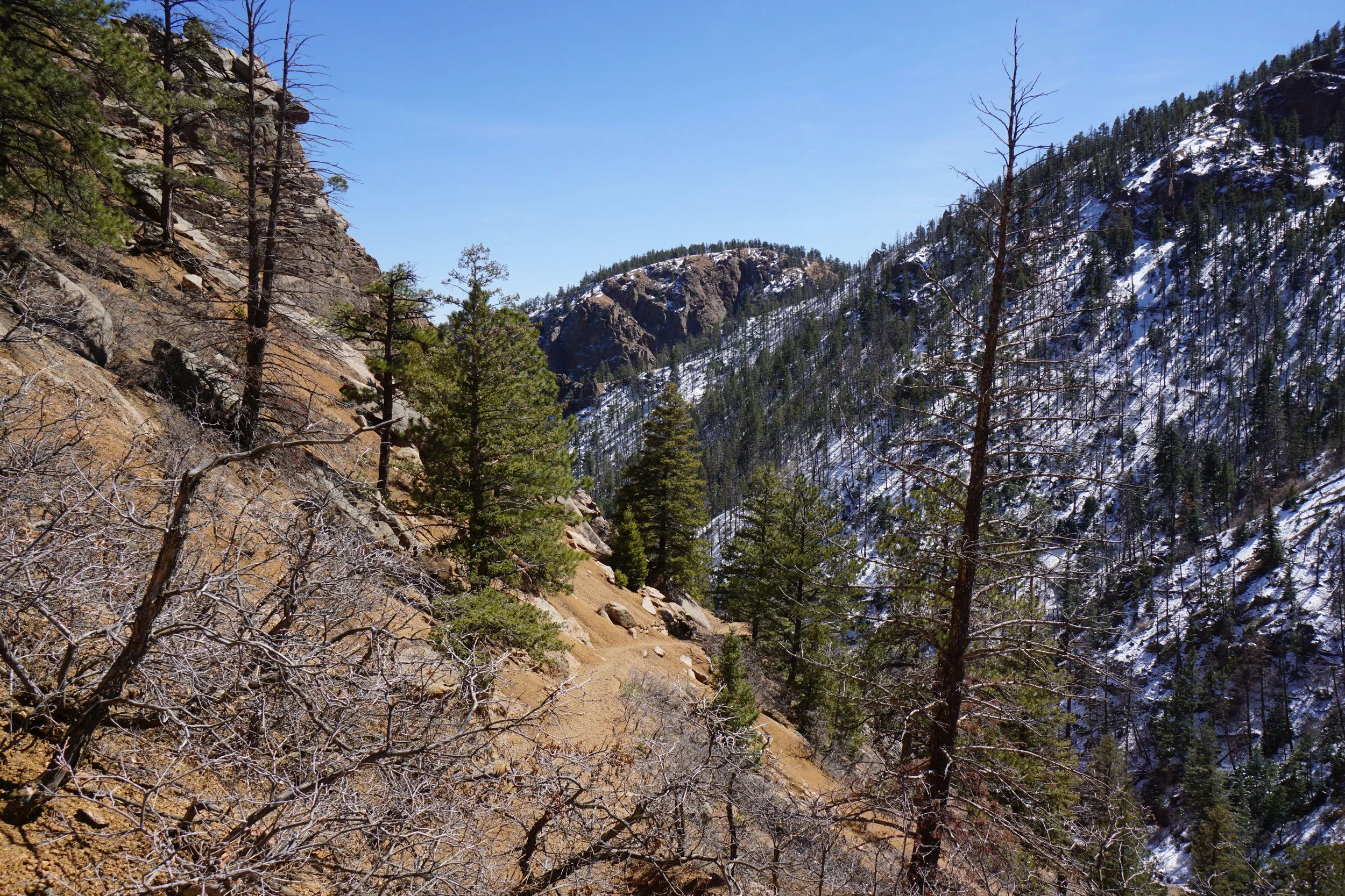
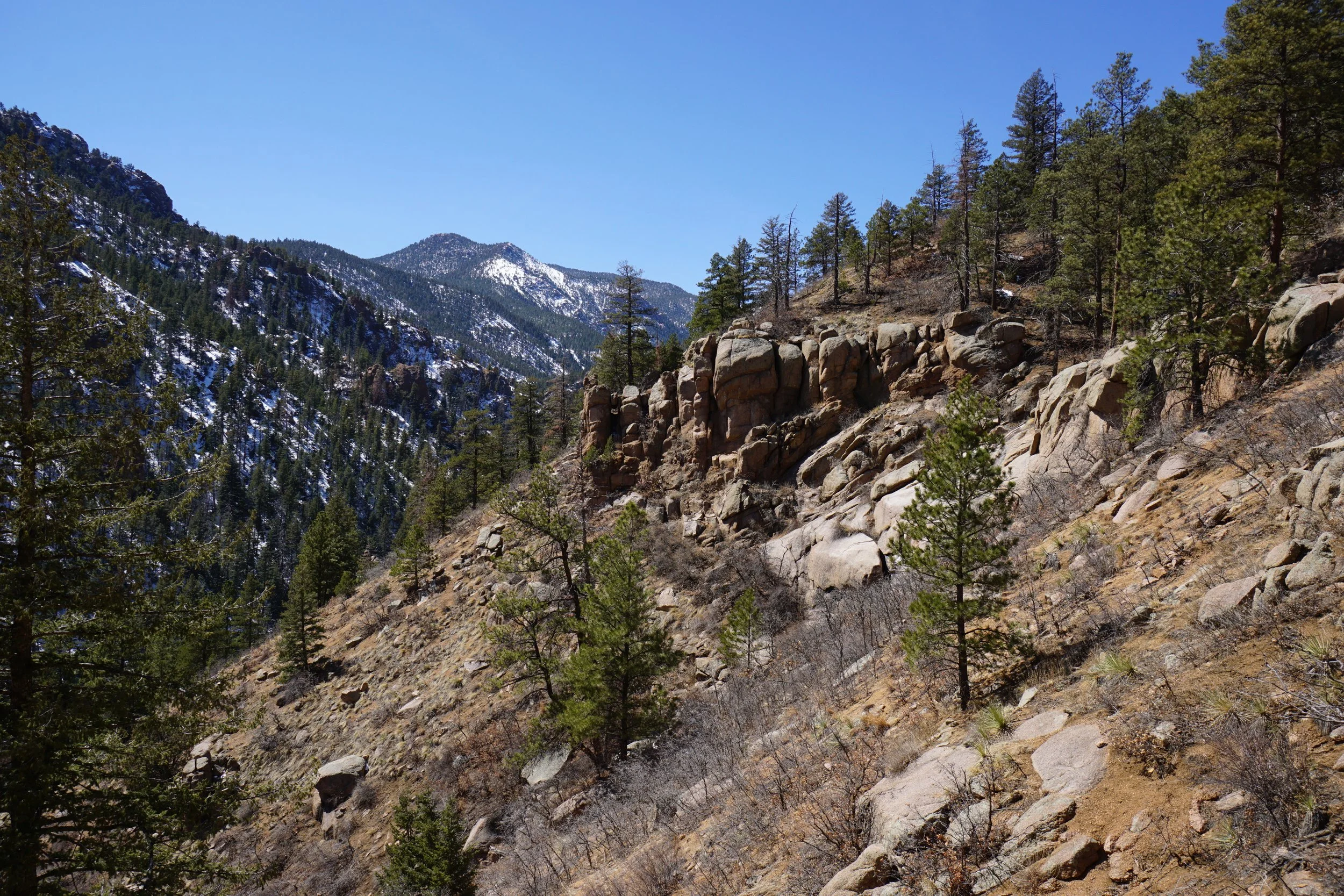
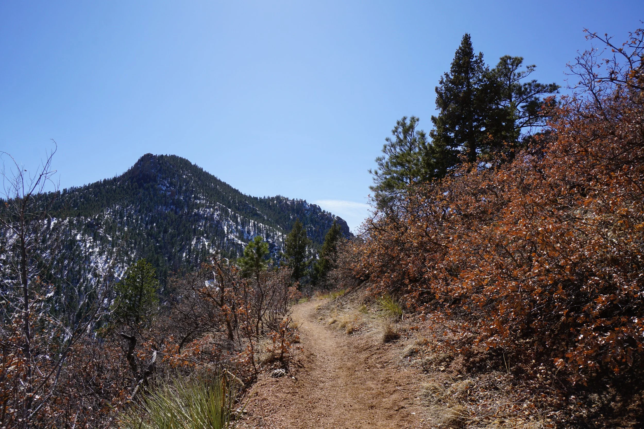
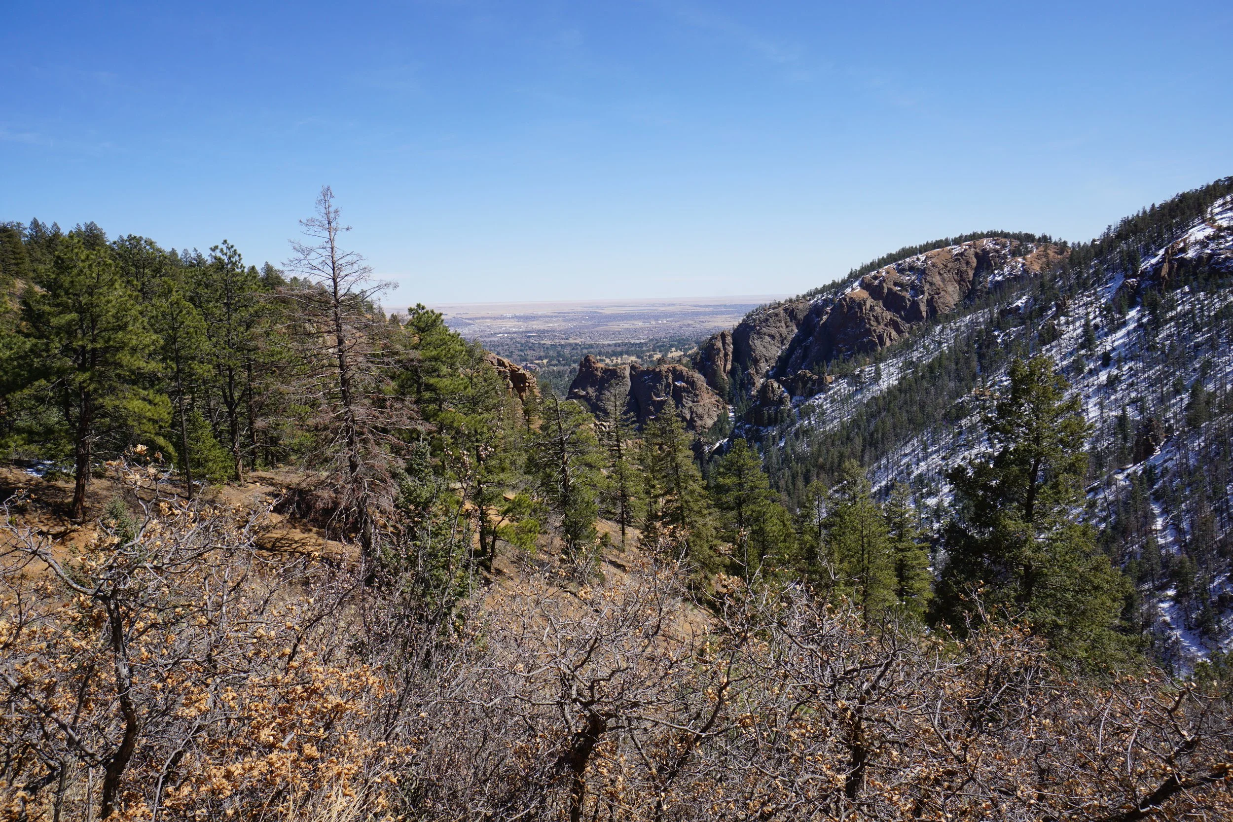
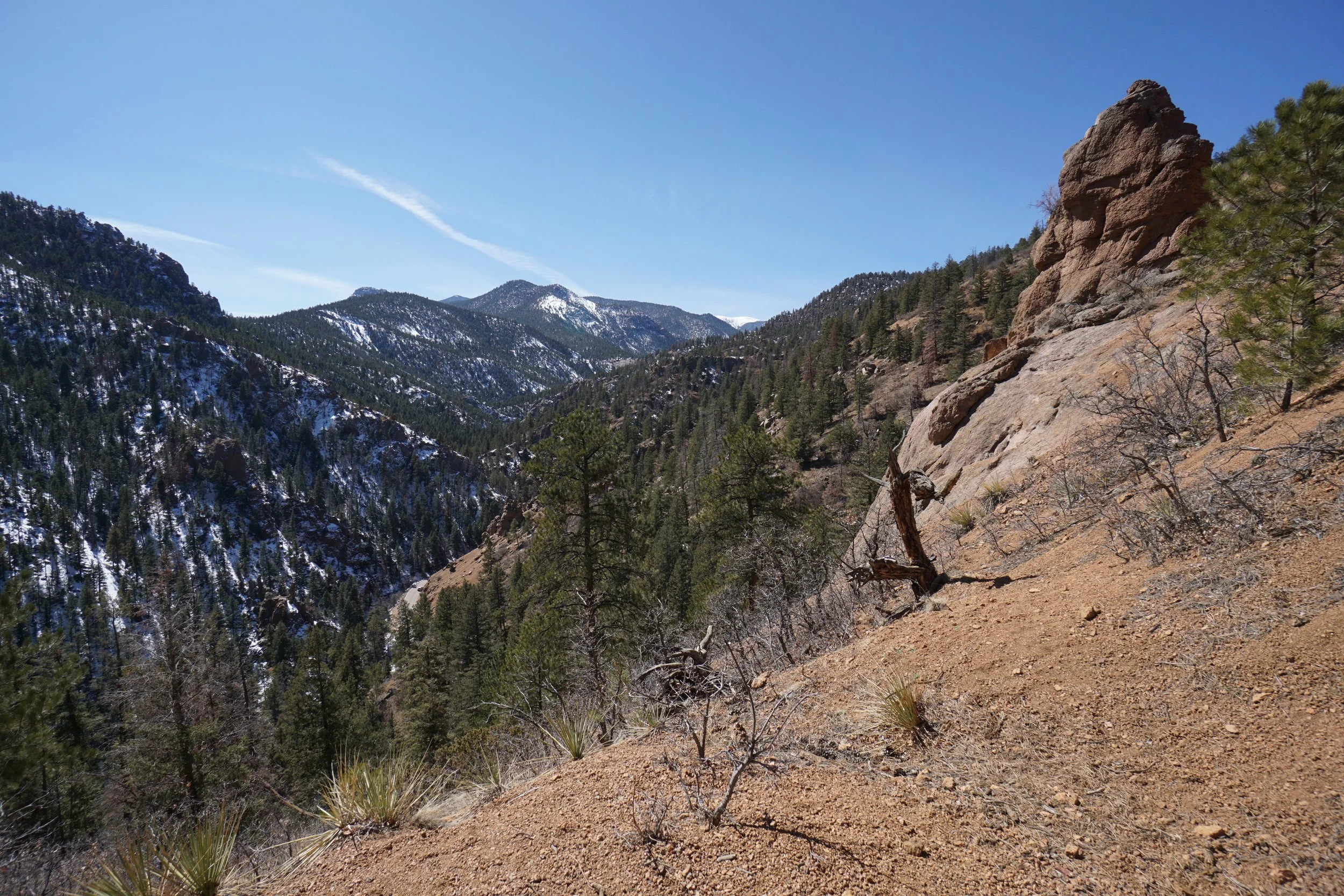
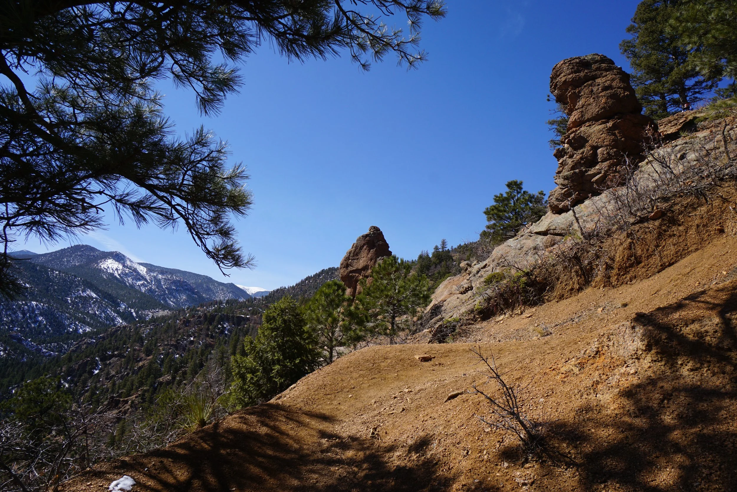
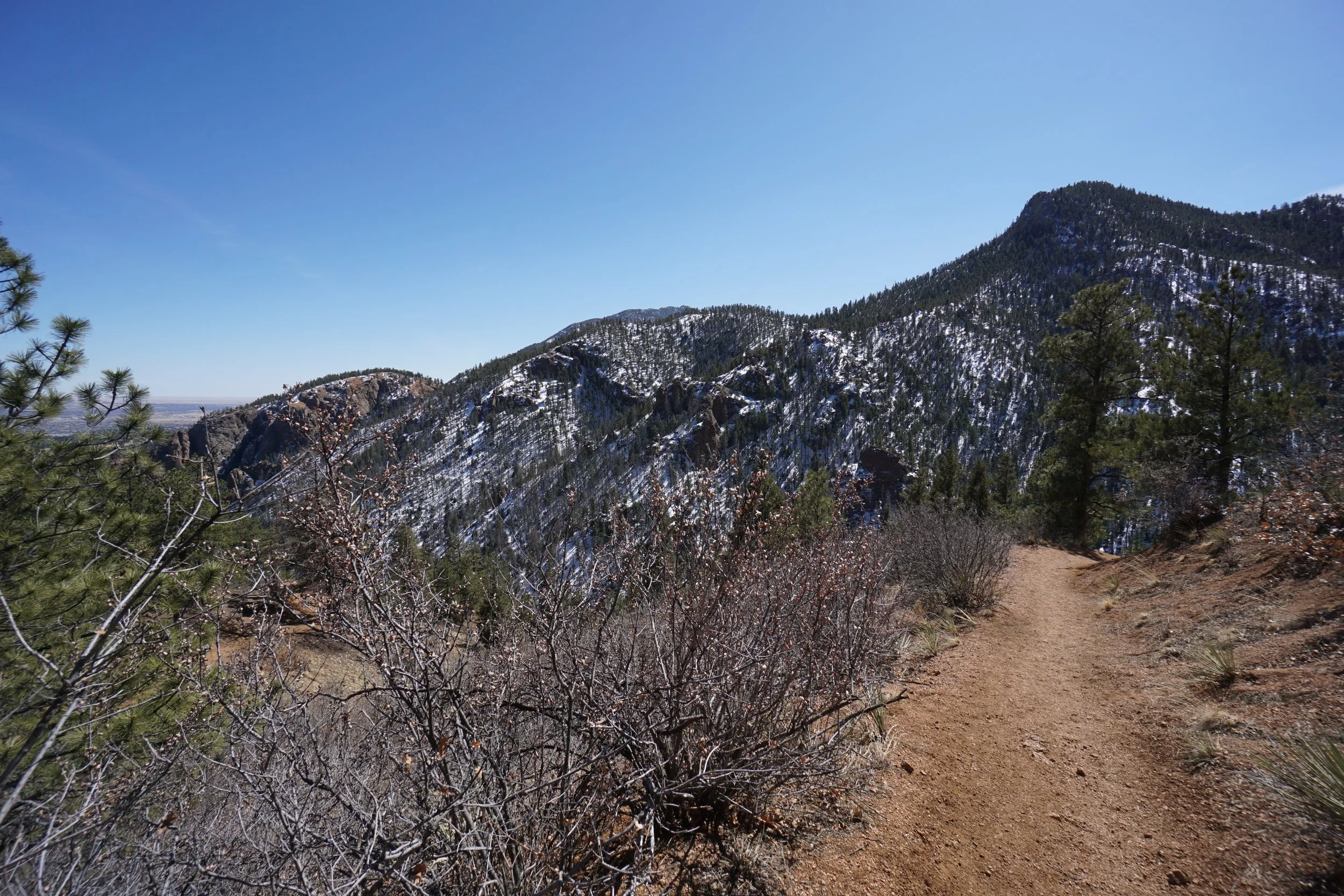
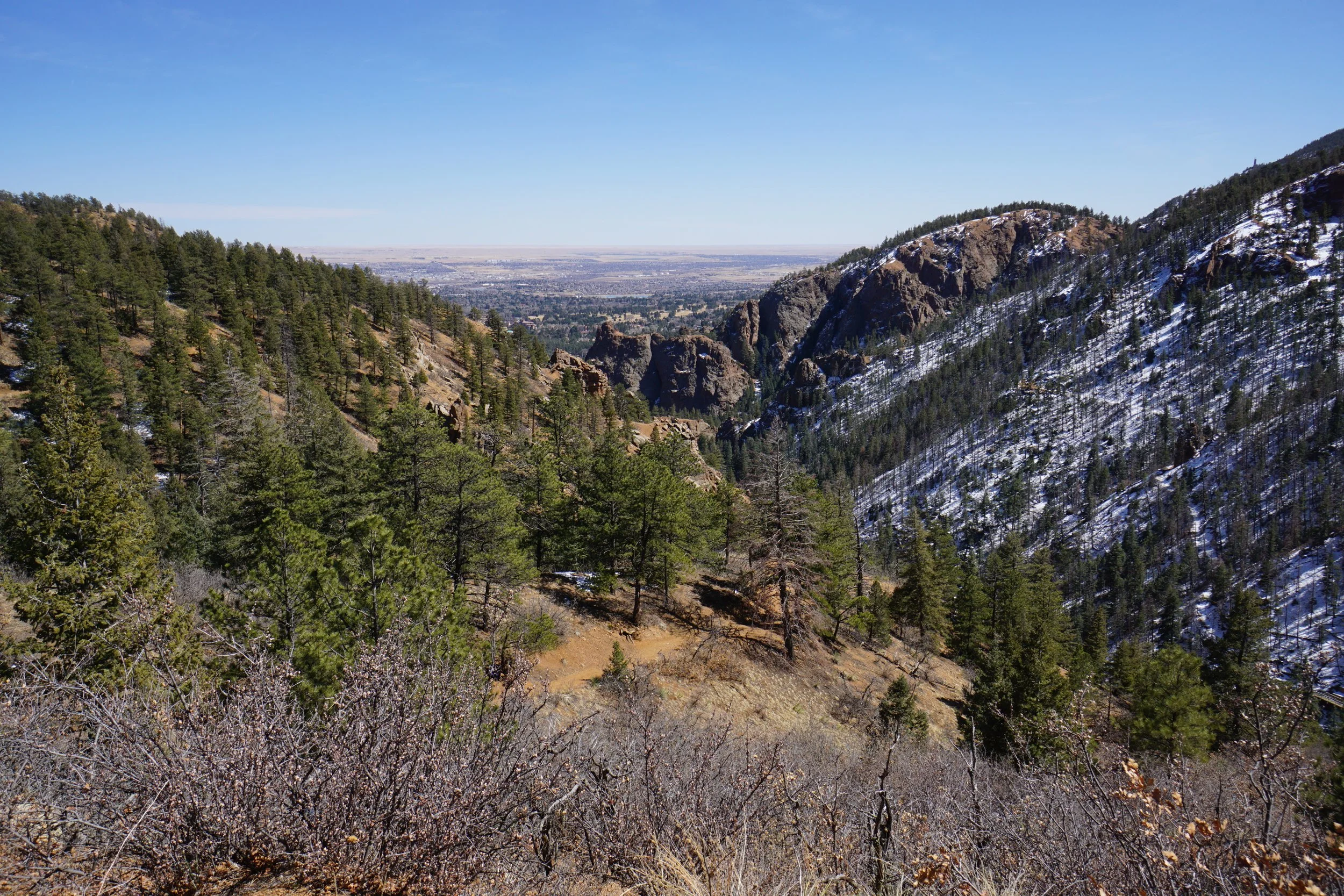
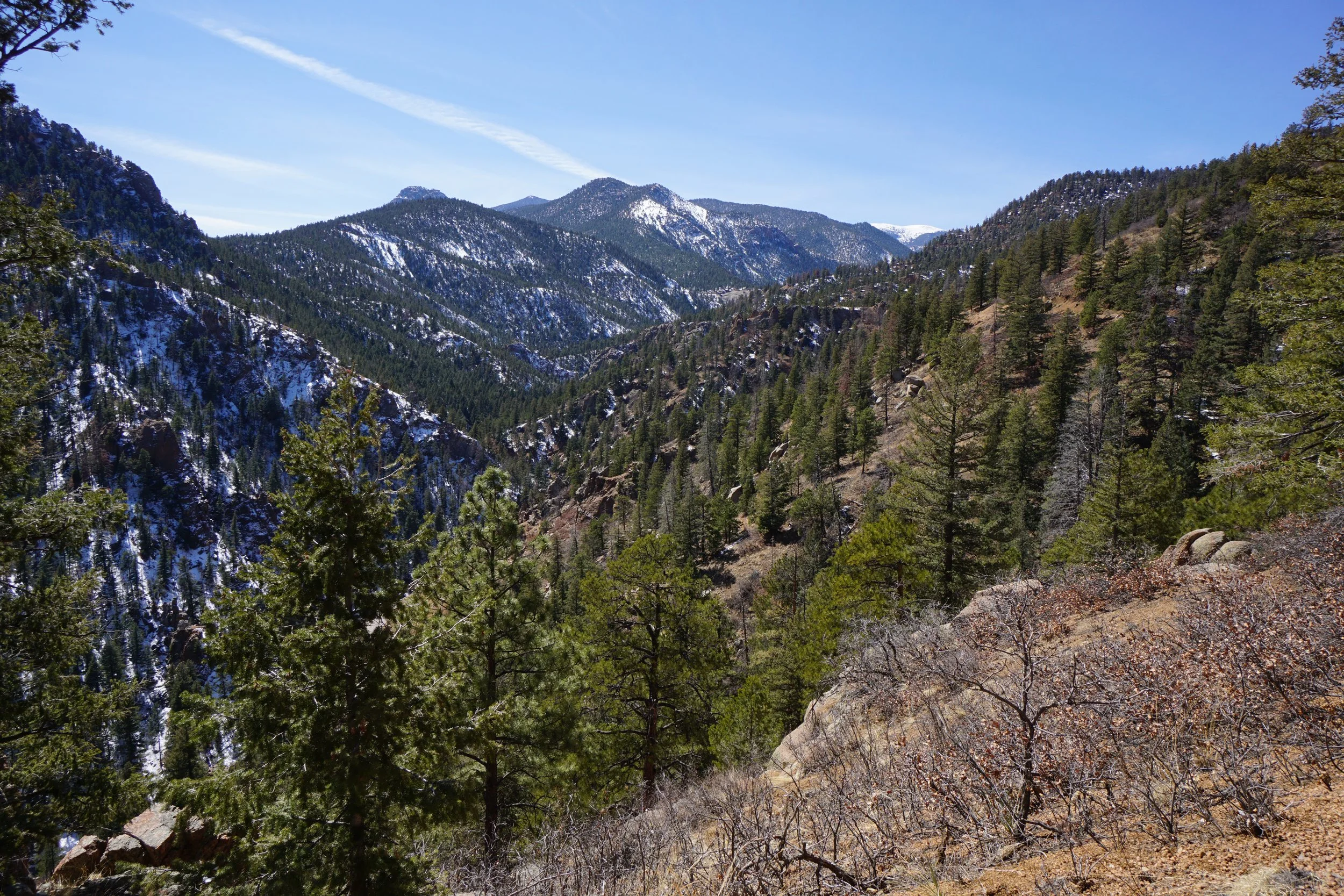
Middle Columbine Trail is one of many wonderful hiking trails located in Colorado Spring’s North Cheyenne Cañon Park. The hike starts at the Middle Columbine Trailhead and the trail follows the edge of the canyon floor for almost a mile. At the junction with the Creekside Trail, the Middle Columbine Trail starts to switchback up the north wall of the canyon. As you switchback up the canyon you are treated to wonderful east/west views of the canyon as it carves its way from Colorado Springs up to the higher elevations of the Southern Front Range. The trail continues for many miles working its way up the slopes but you can stop and turn around whenever you are satisfied with the enormous views.
This segment of the trail provides relatively easy hiking with marvelous rock formations and canyon views. North Cheyenne Cañon Park is an invaluable part of Colorado Spring’s open space and trail system.