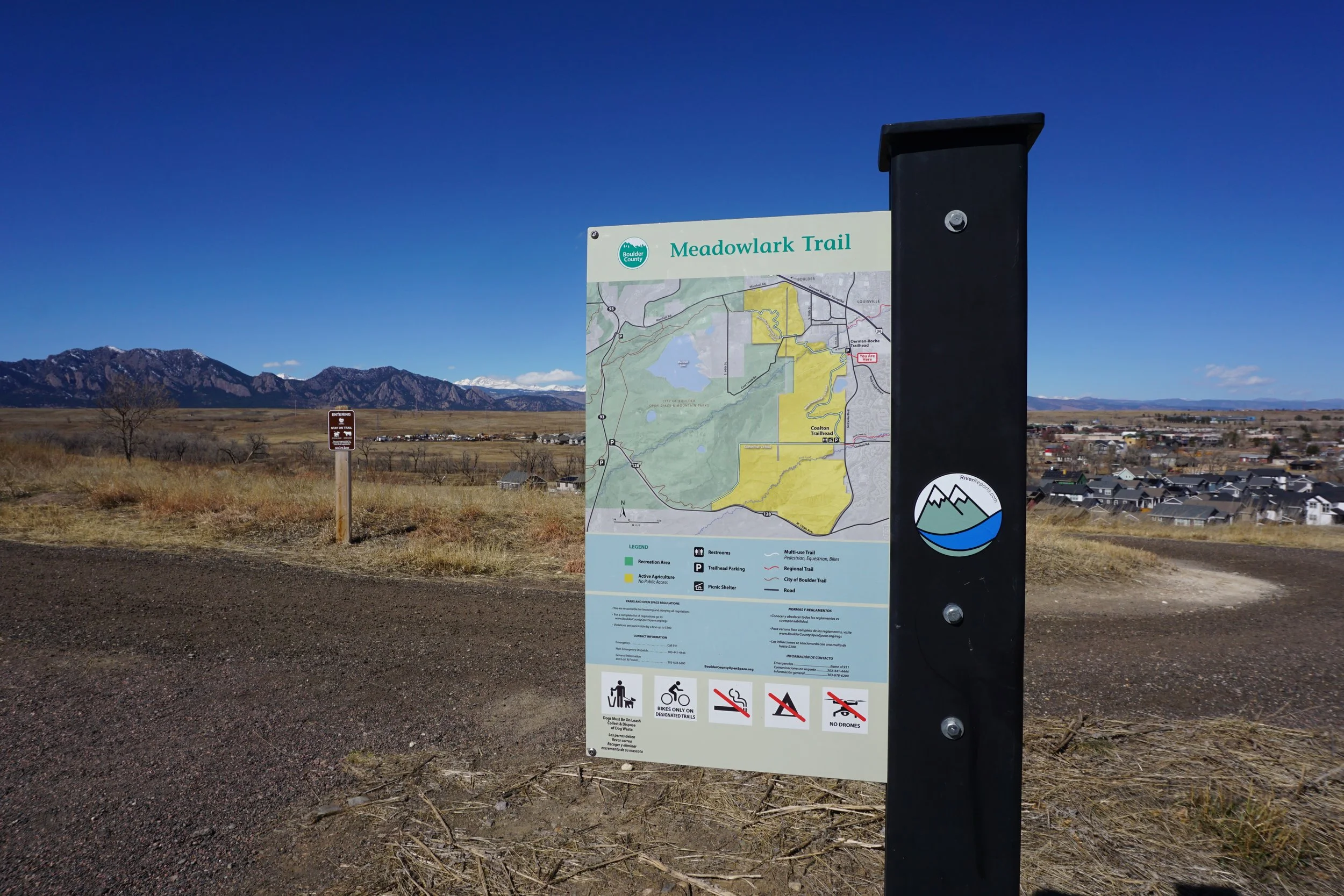
Meadowlark Trail
Boulder County Open Space
Date Hiked: March 1, 2024
Distance: 3.4 mi (RT)
Elevation Gain: 150 ft
Elevation Min/Max: 5,606 to 5,739 ft
Trailhead Lat/Long: 39.94789, -105.16567
Managing Agency: Boulder County Open Space
Fee: None
DIRECTIONS:
From Hwy 36 in Superior, exit onto McCaslin Blvd and head south for about half a mile, the trailhead is west of McCaslin Blvd.
HIKE DESCRIPTION:
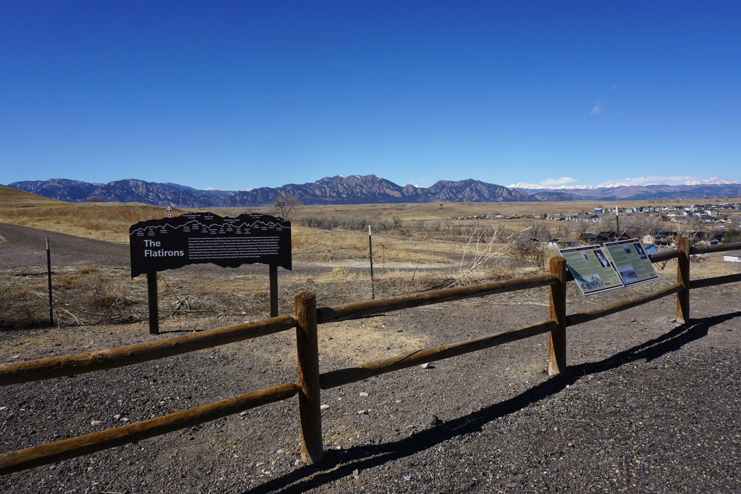
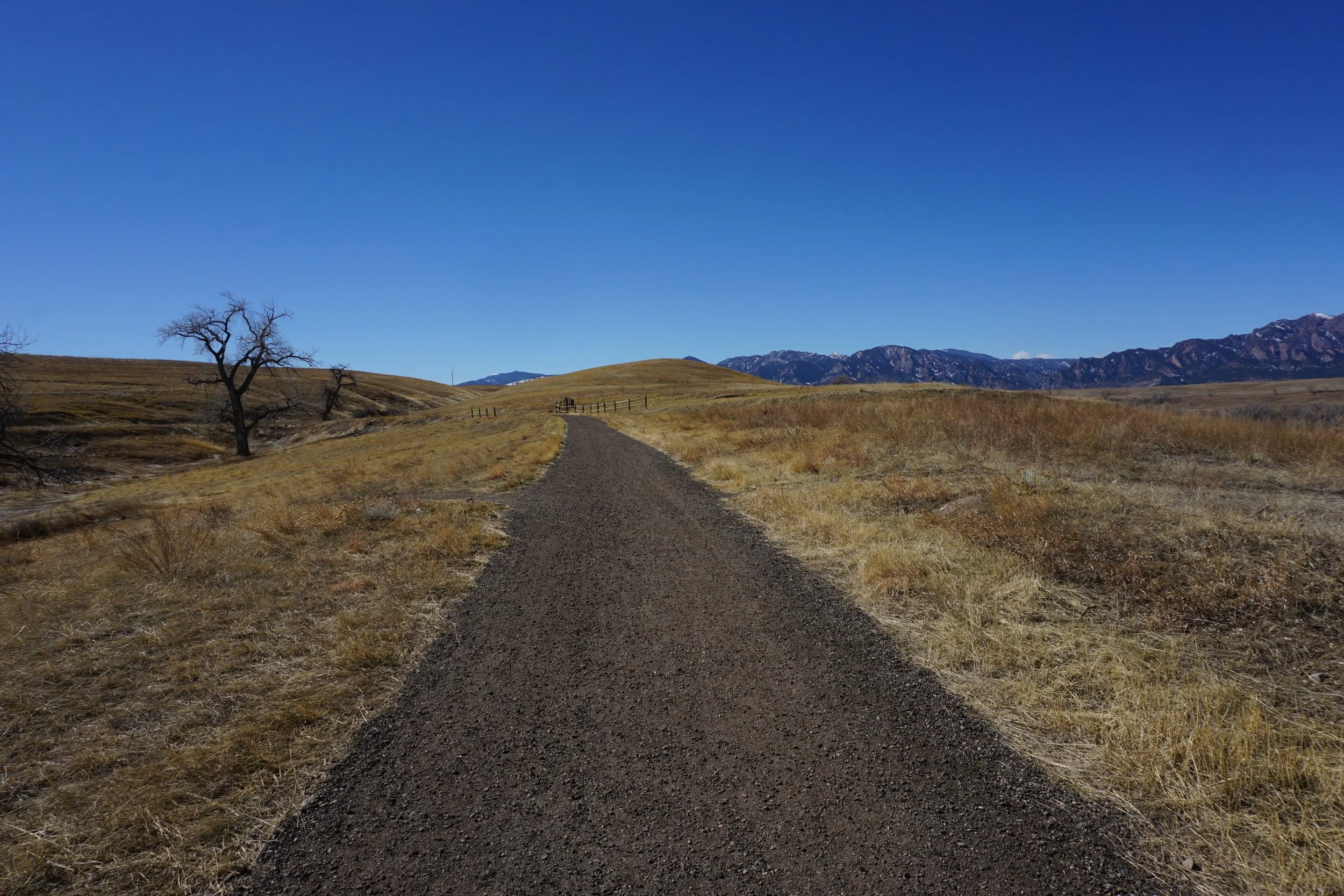
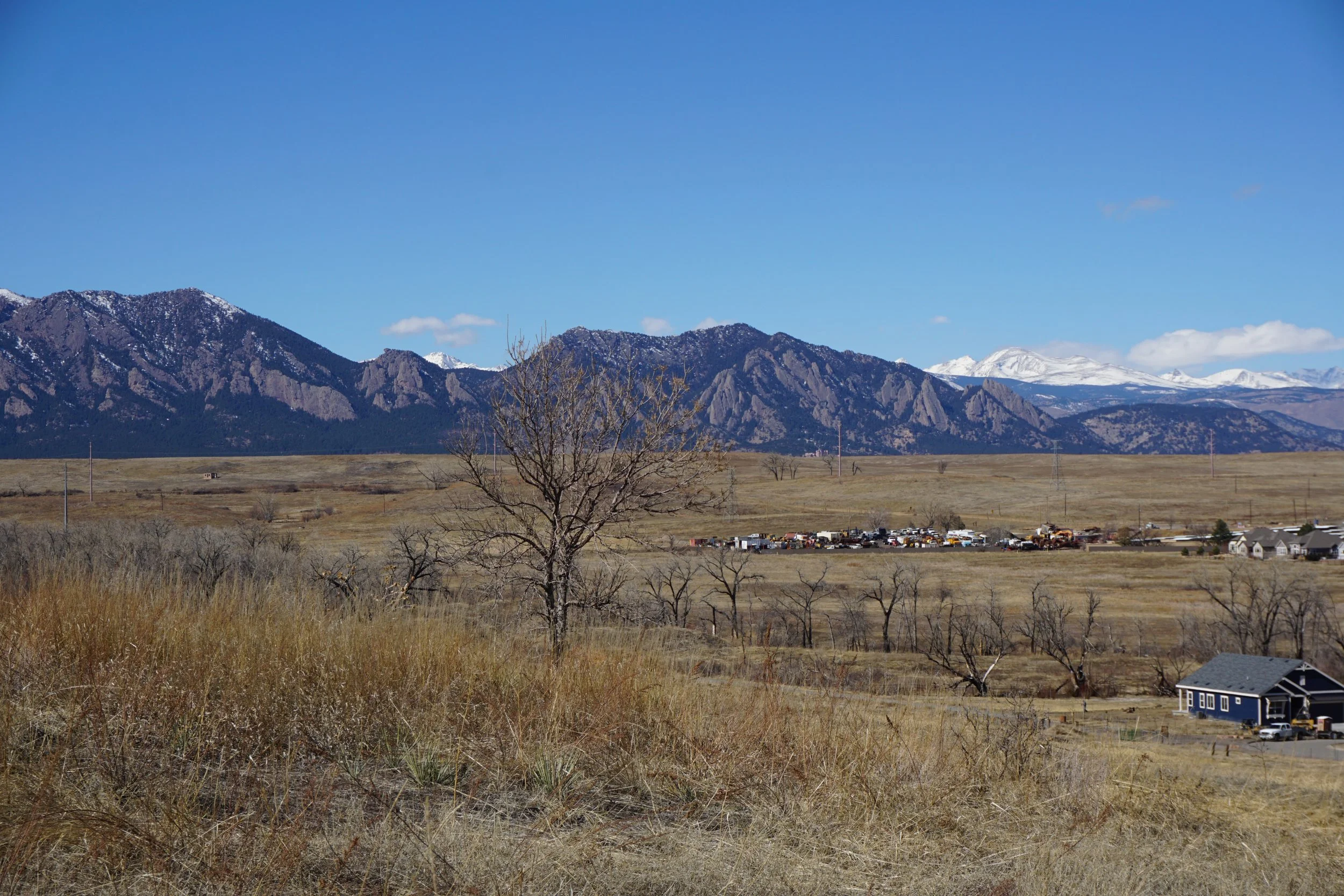
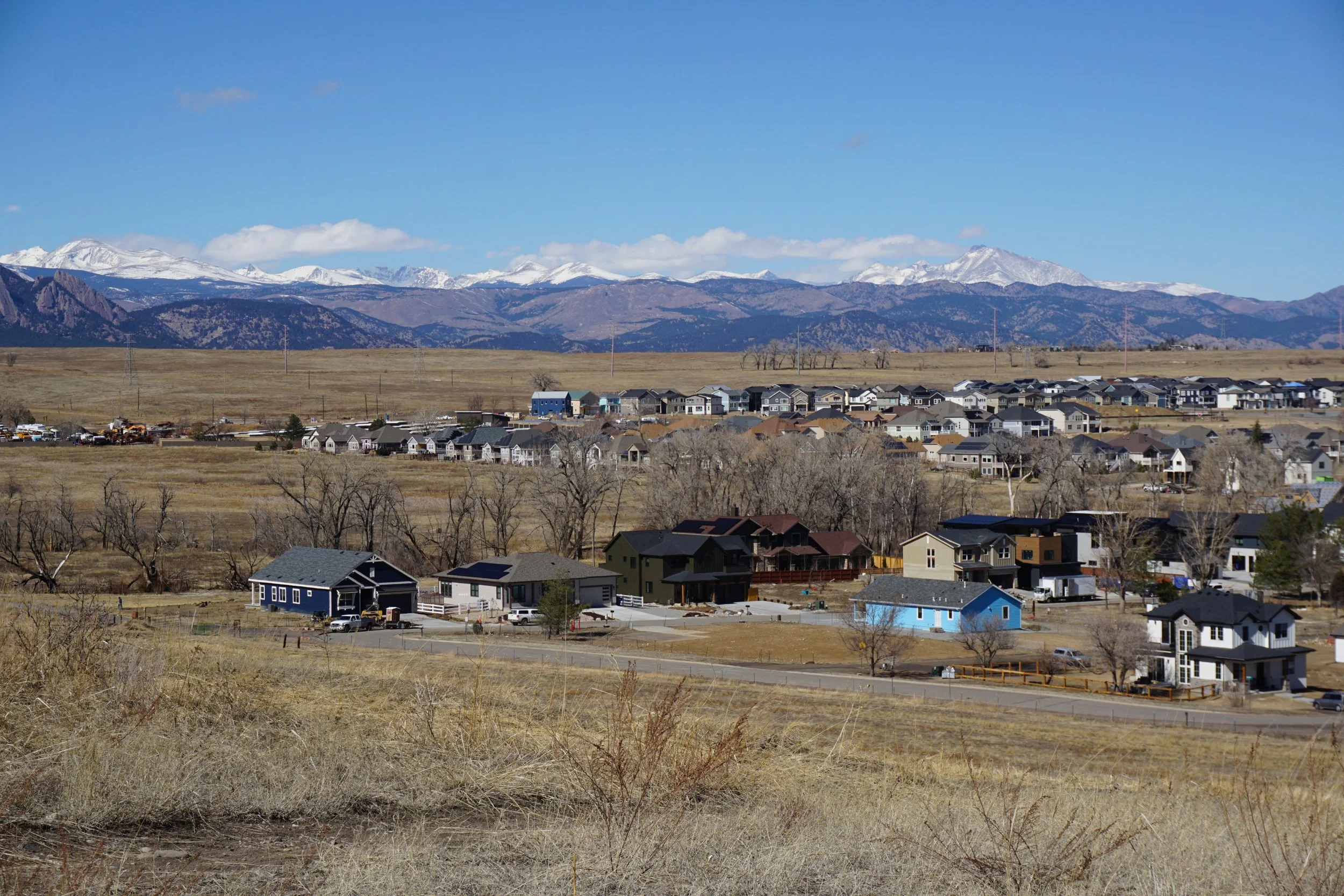
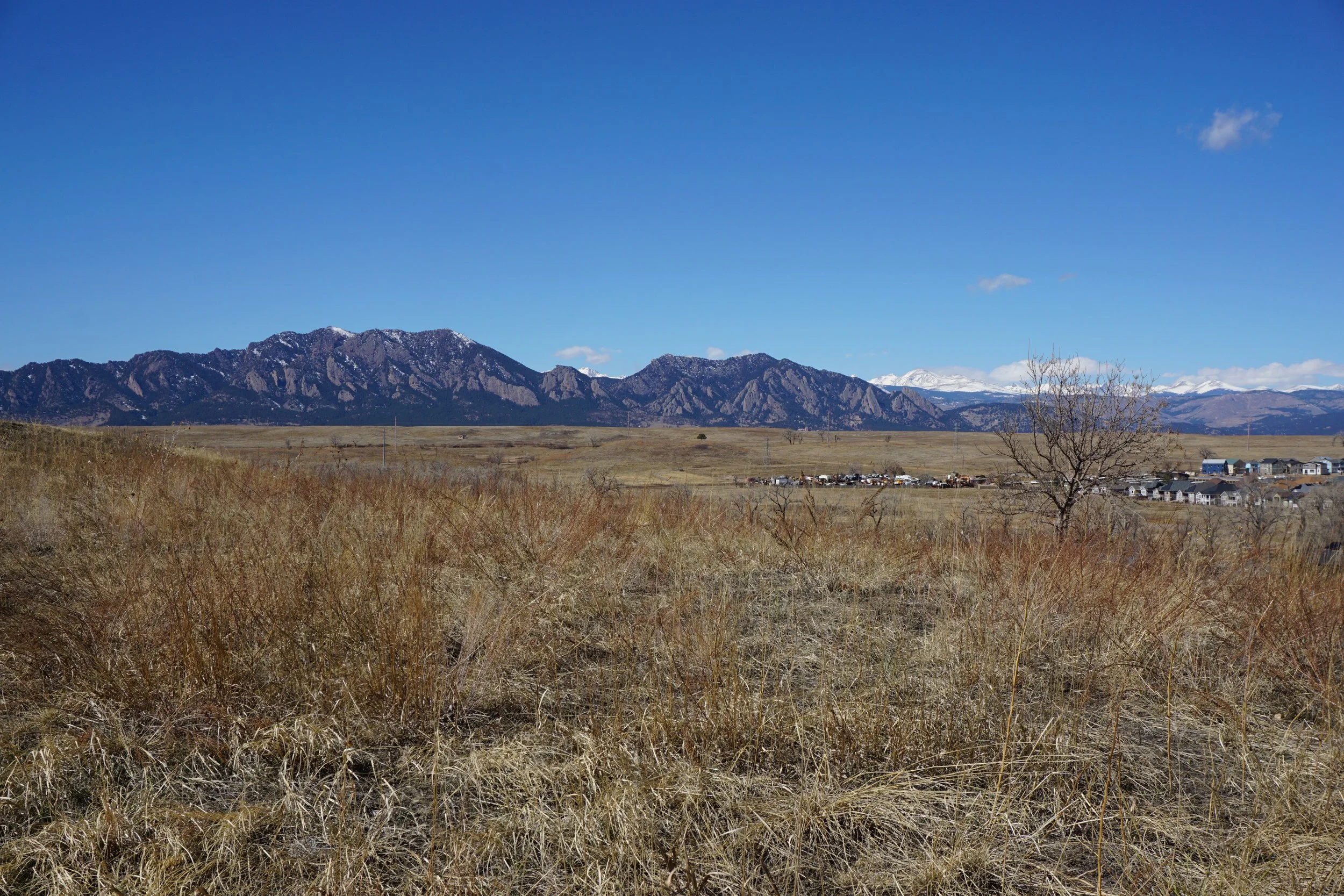
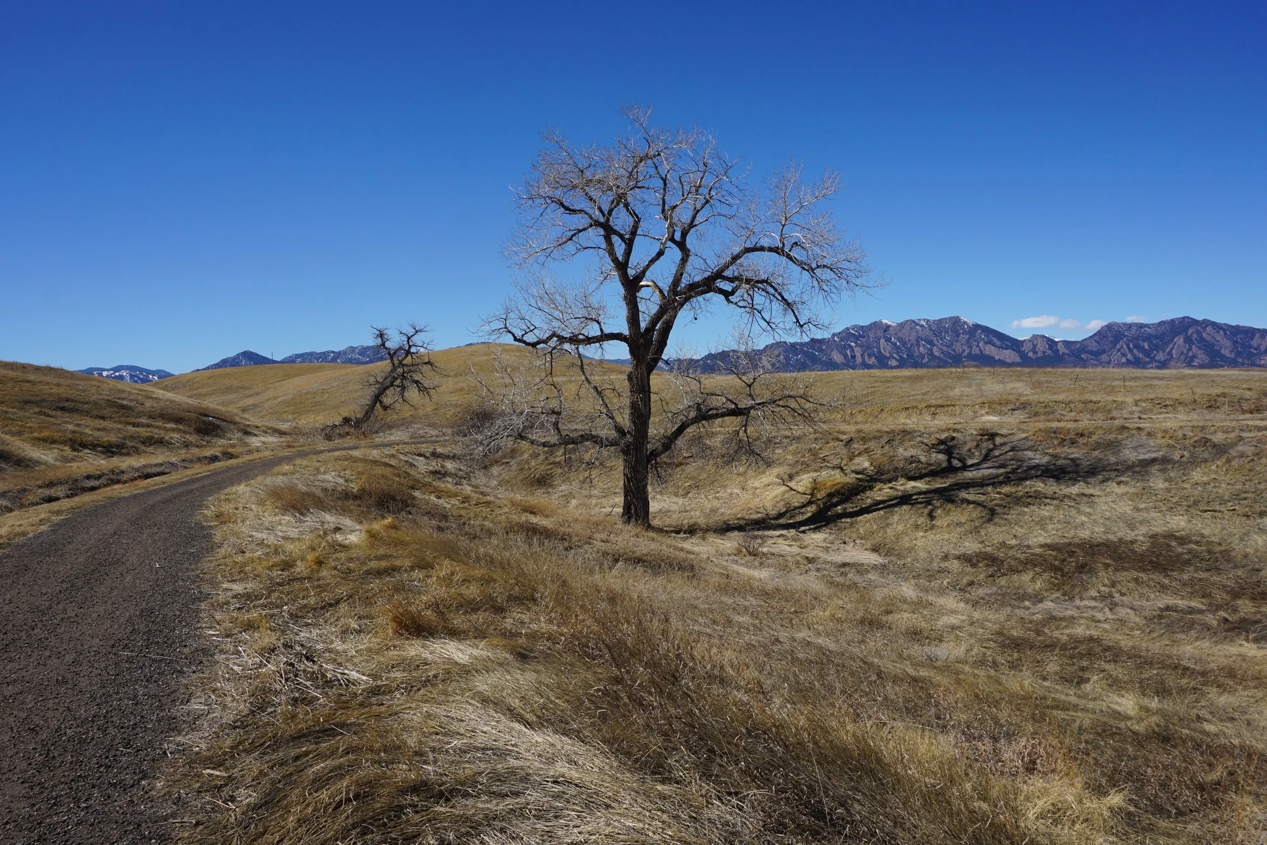
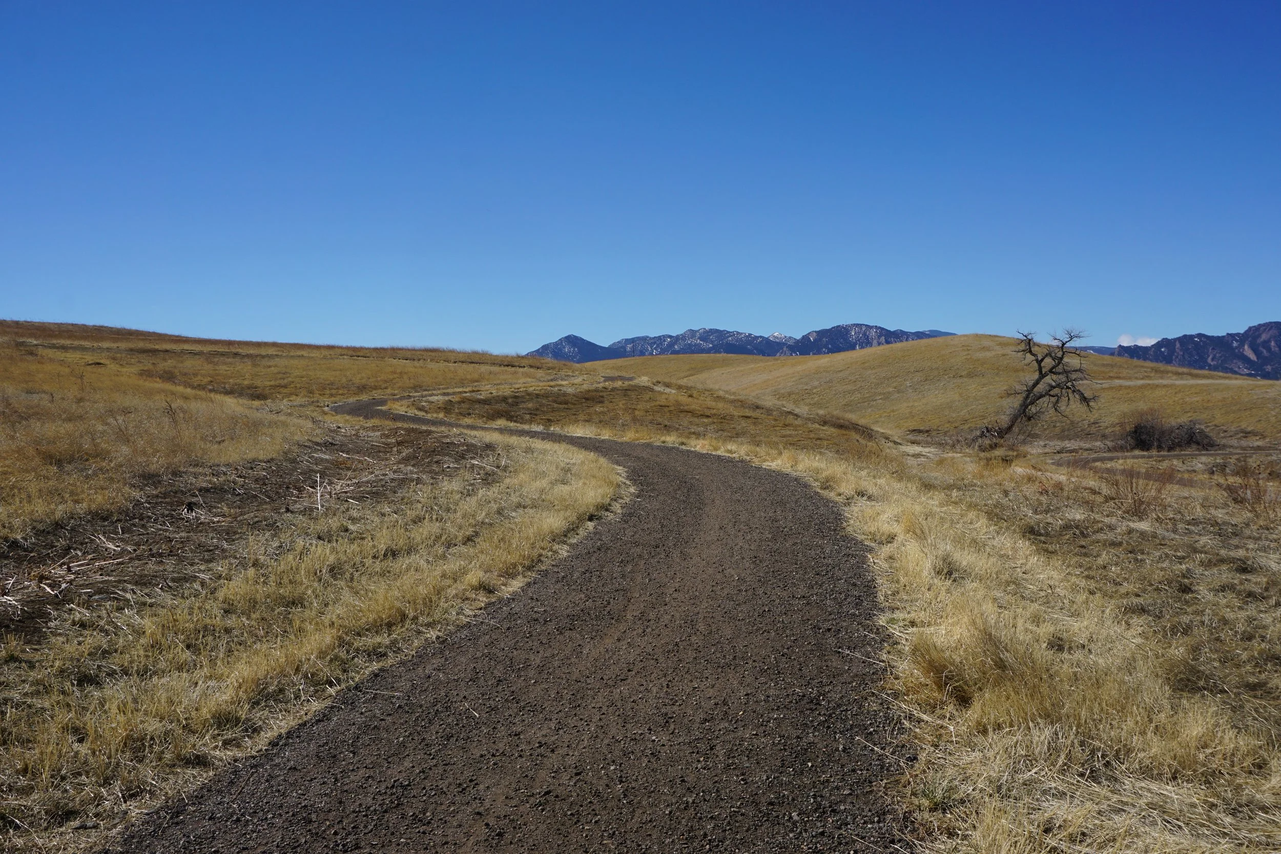
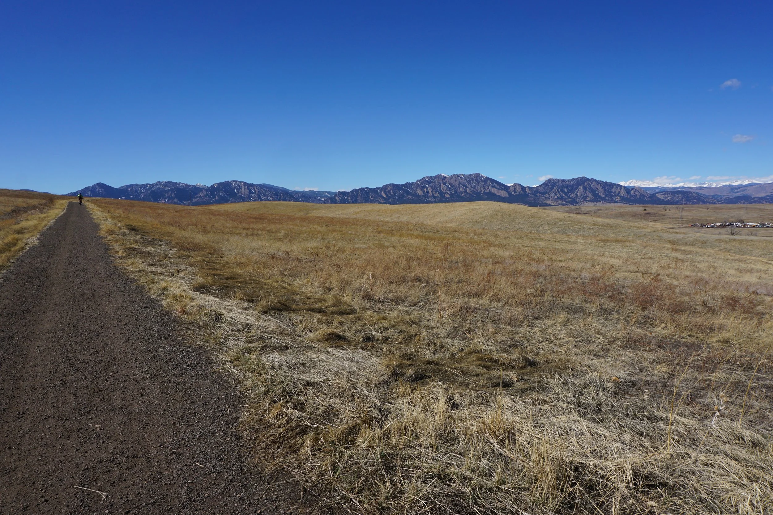
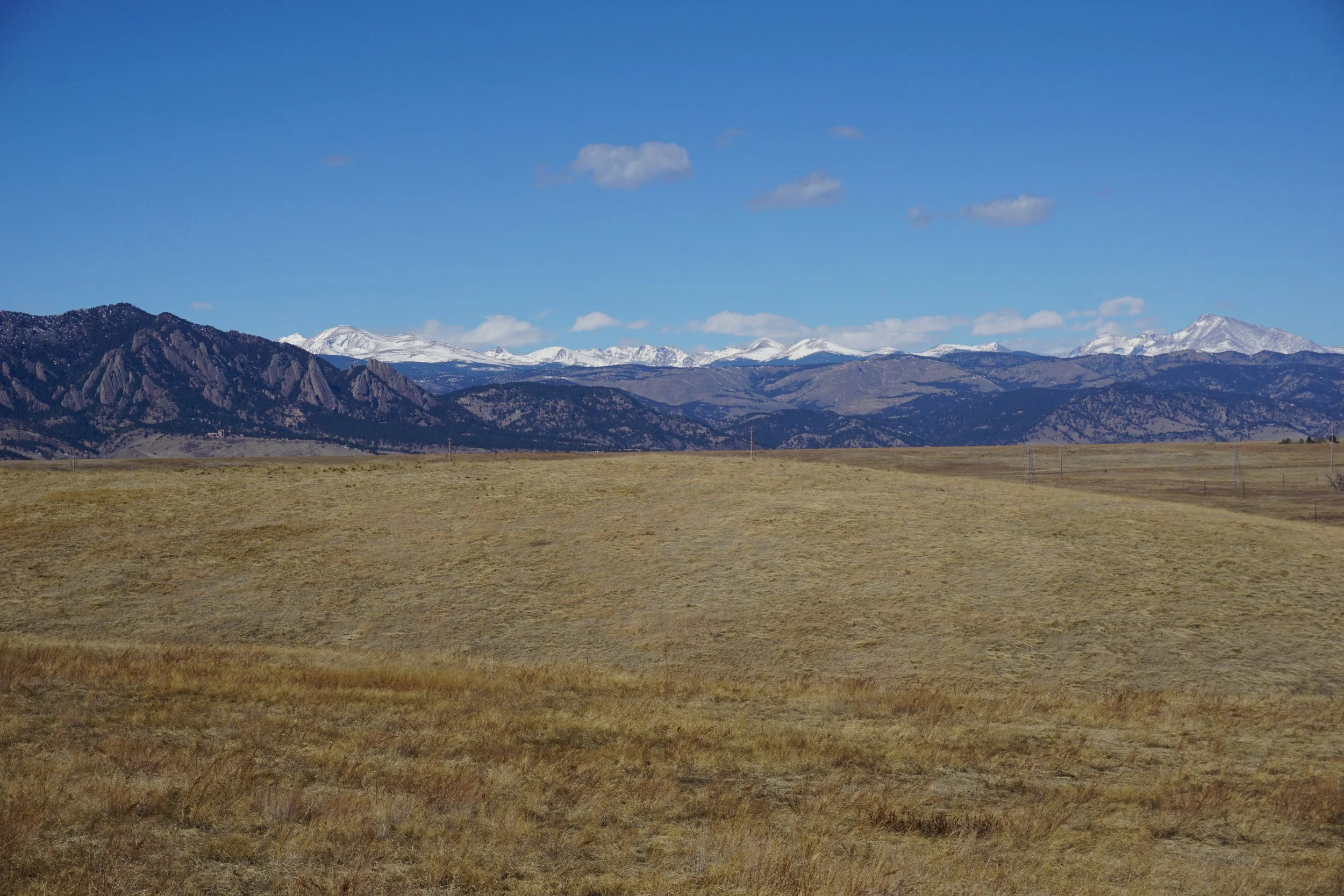
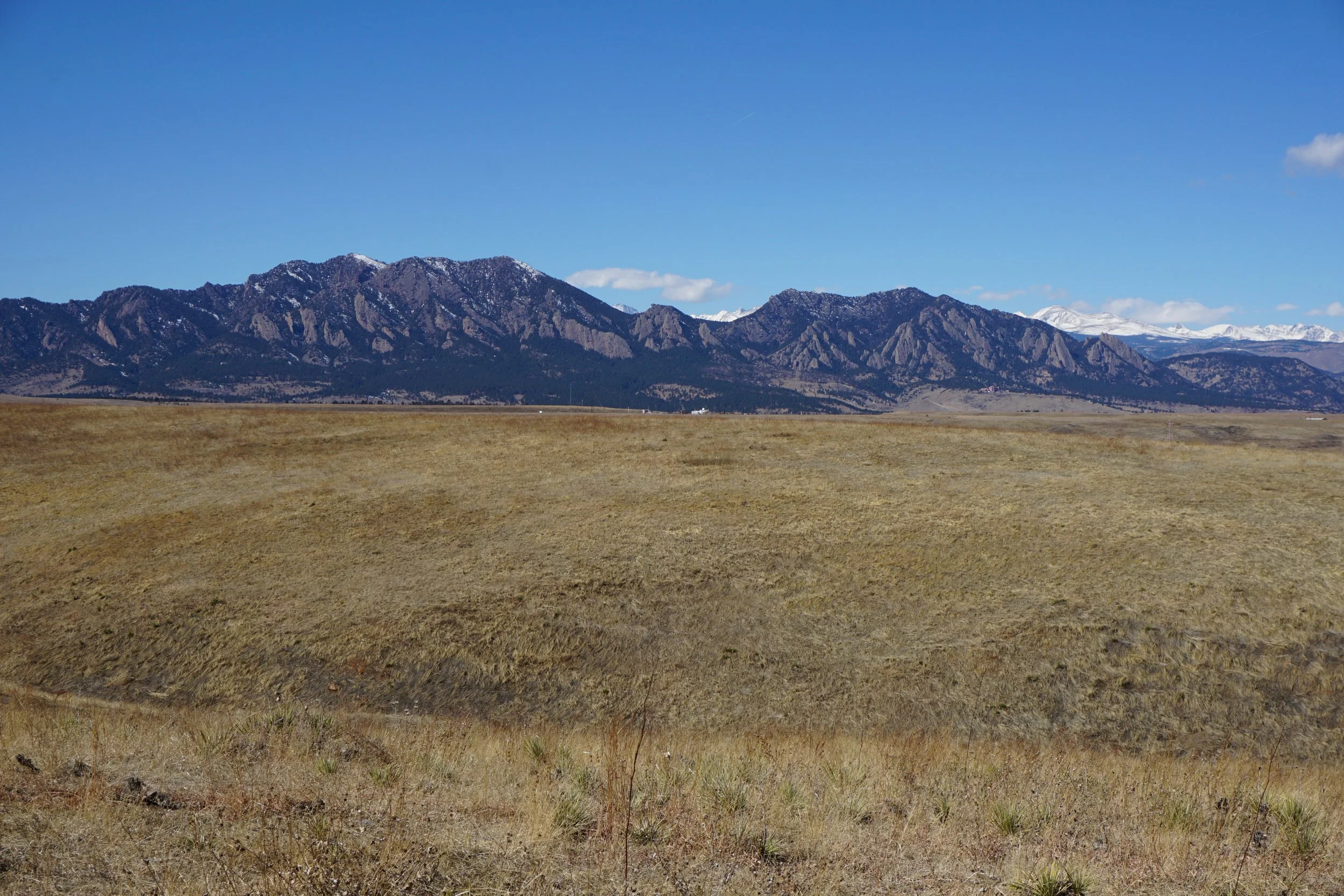
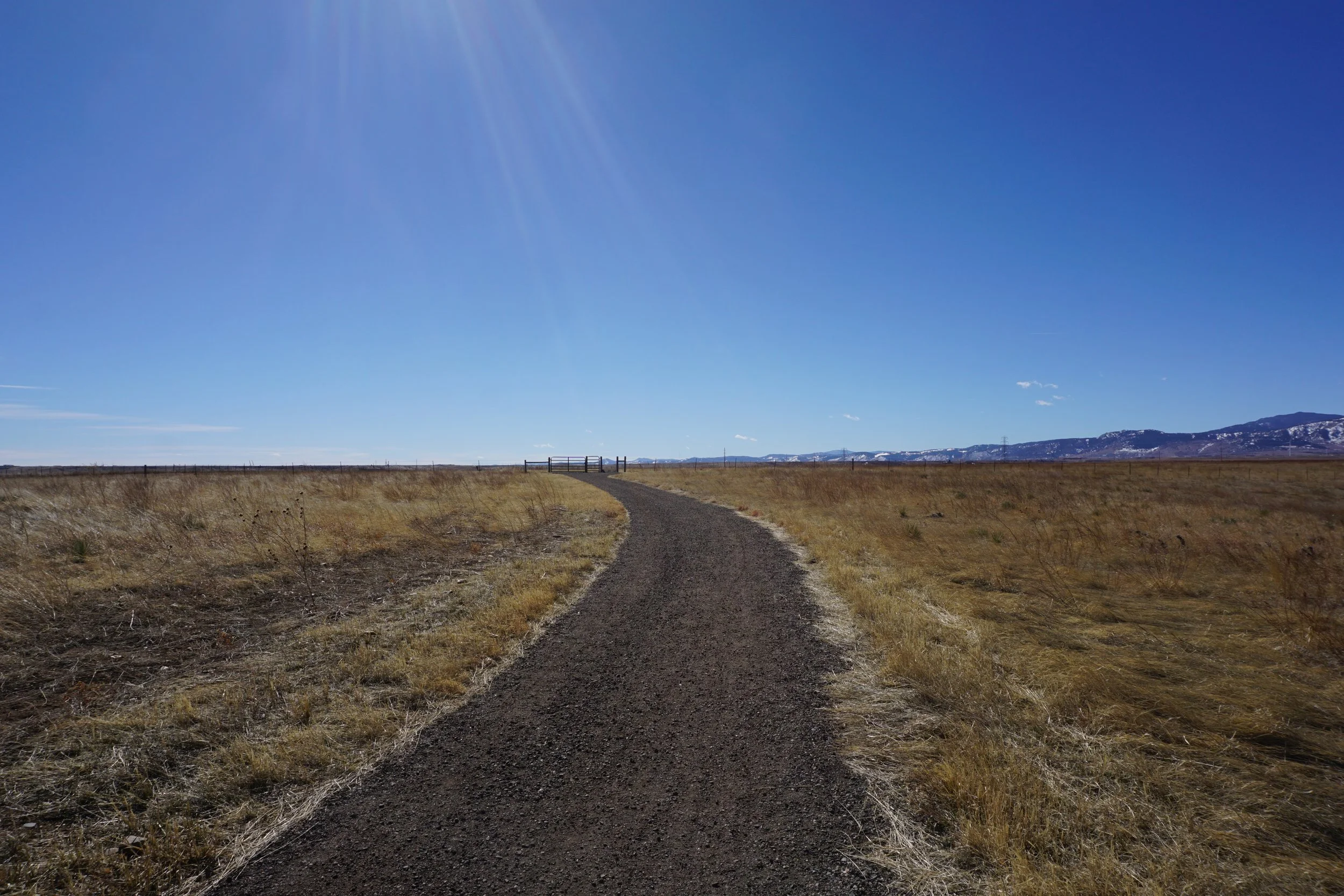
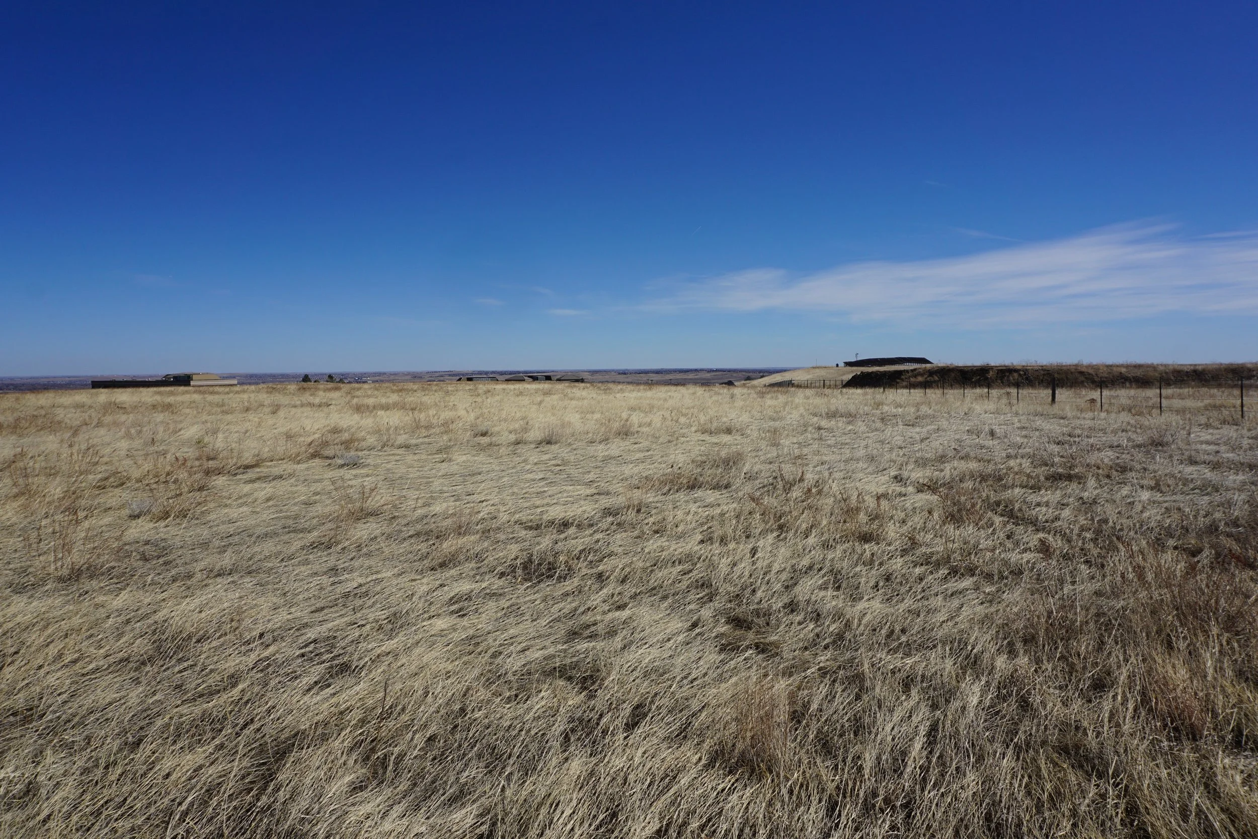
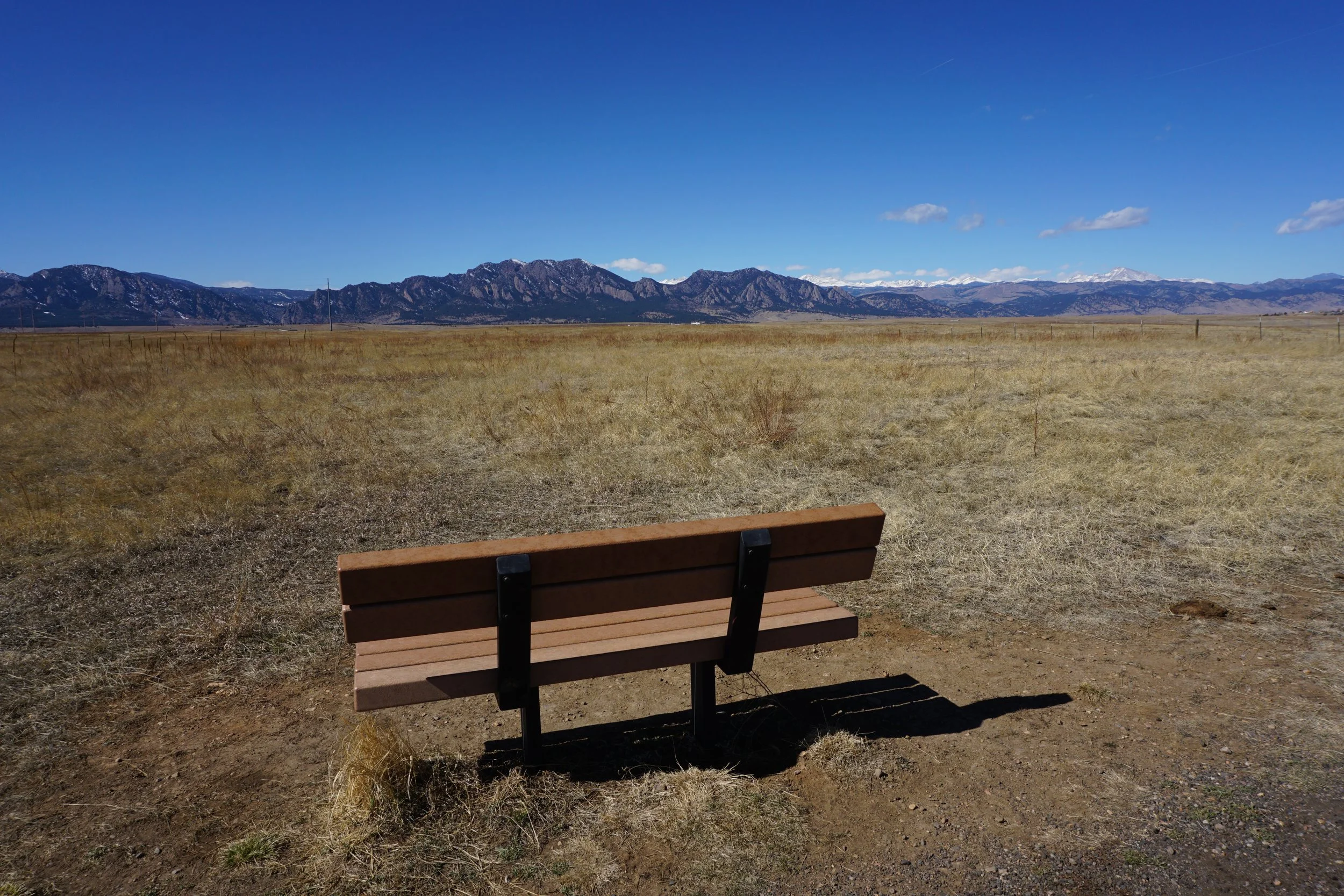
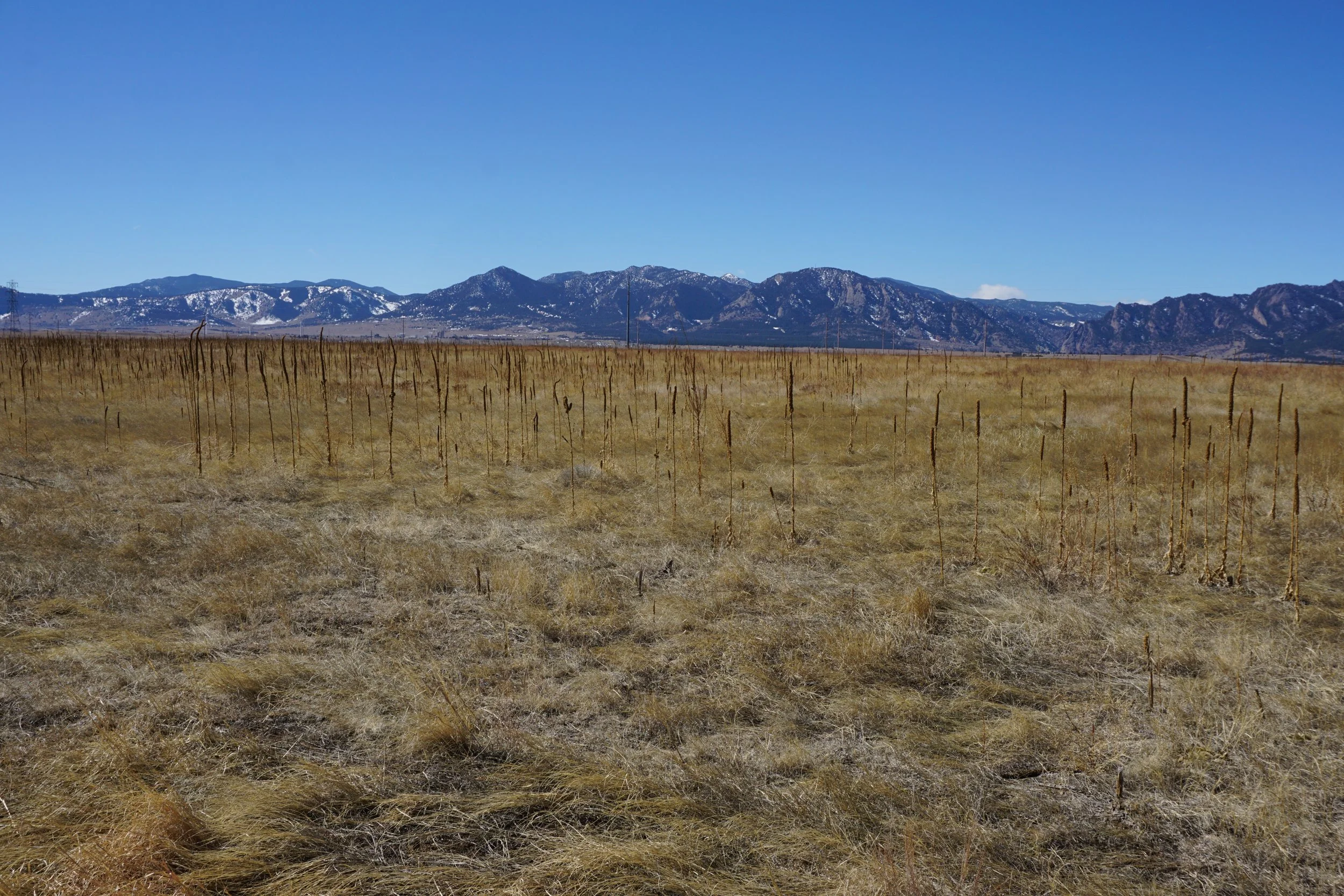
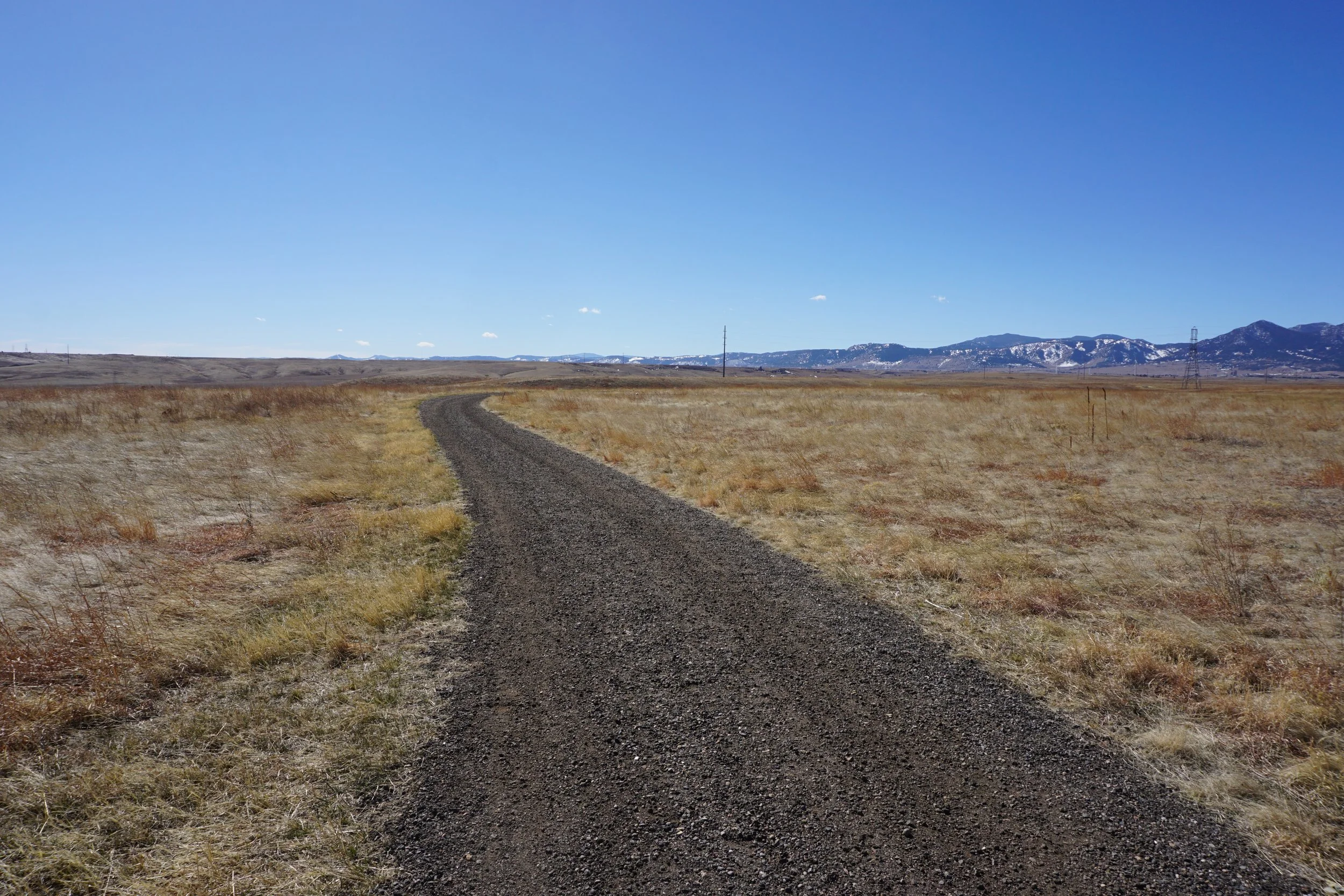
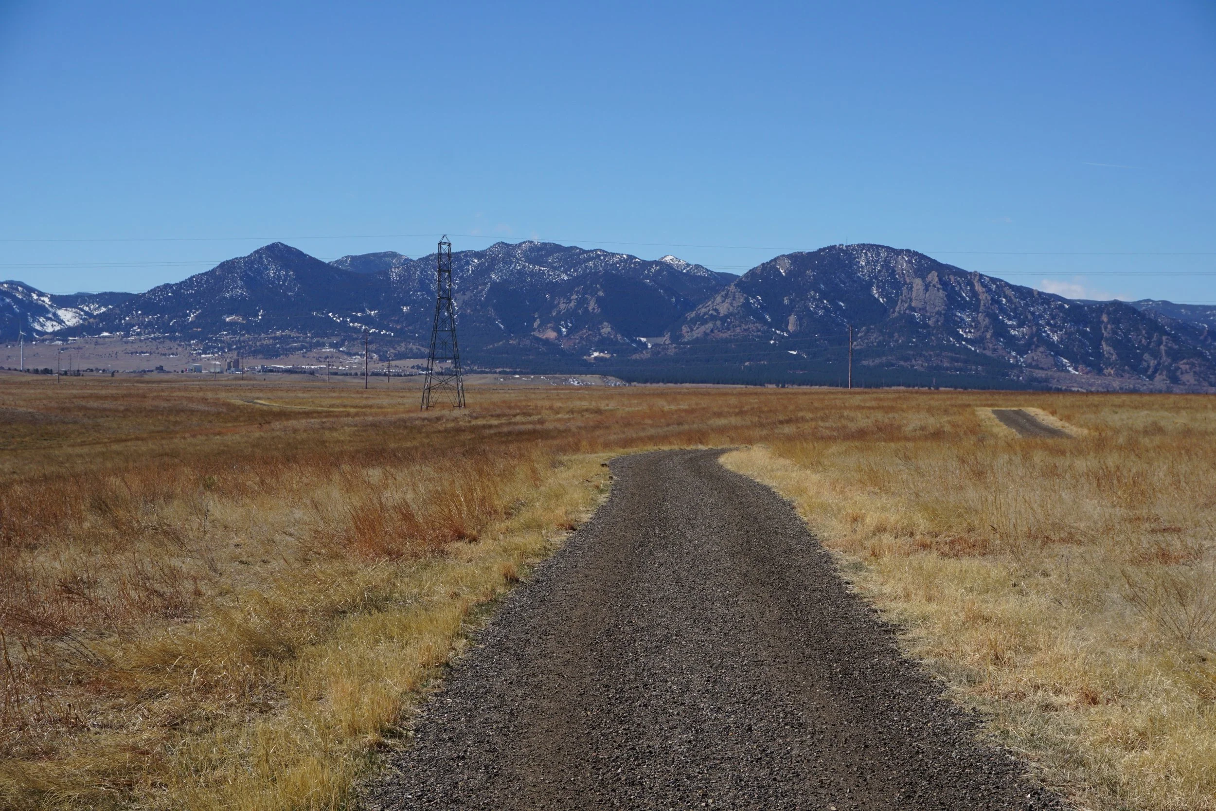
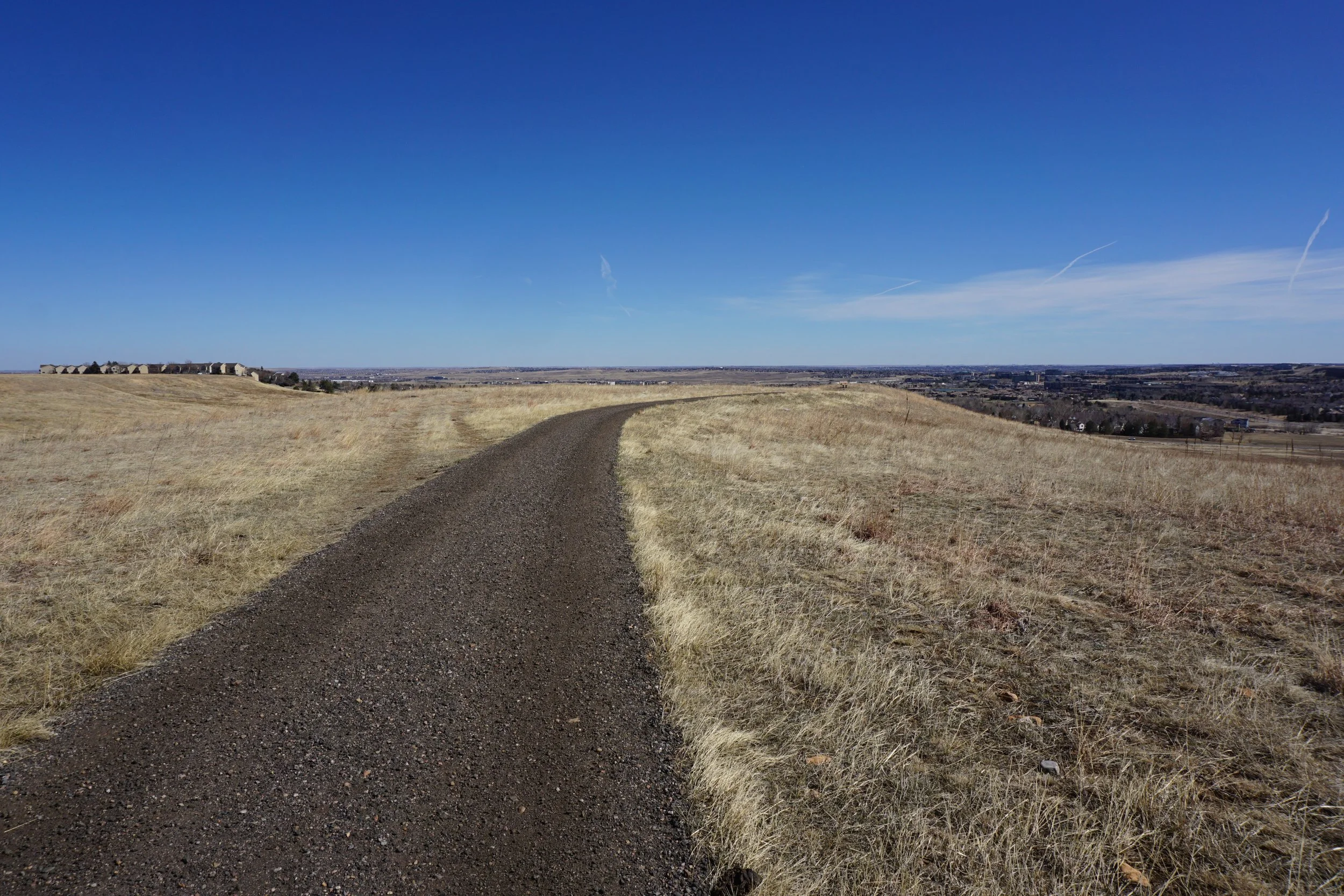
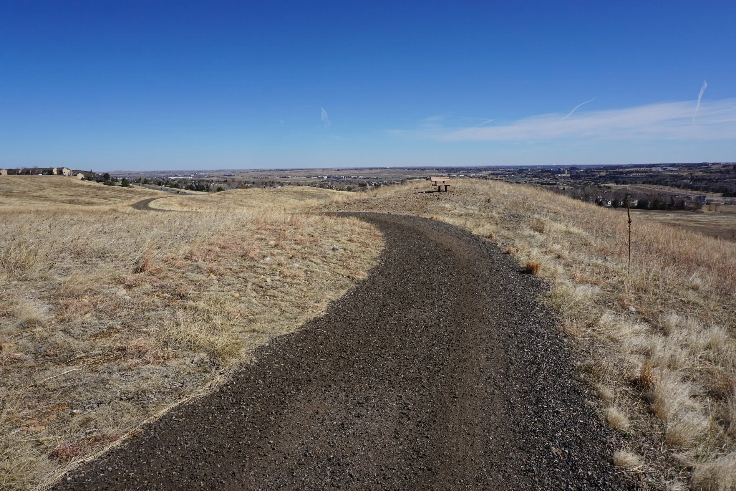
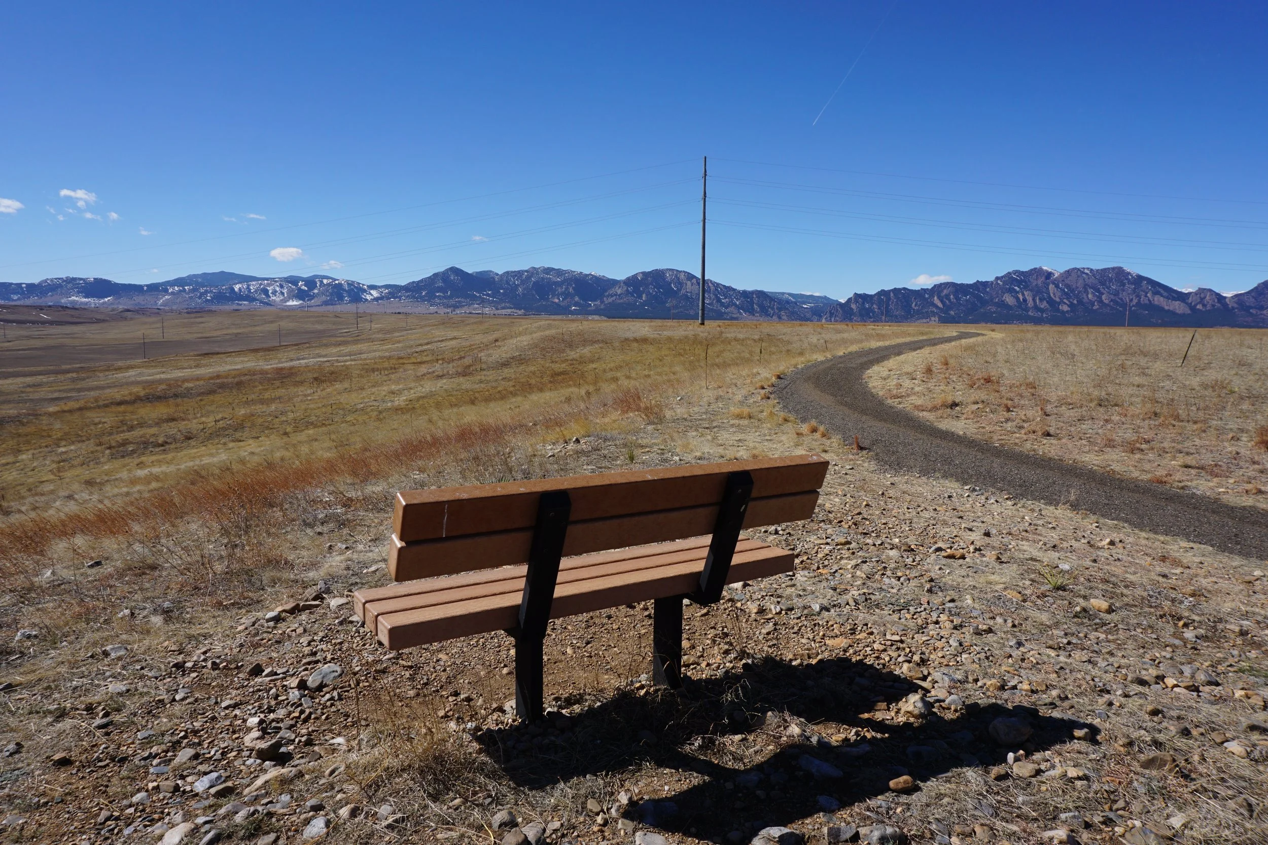
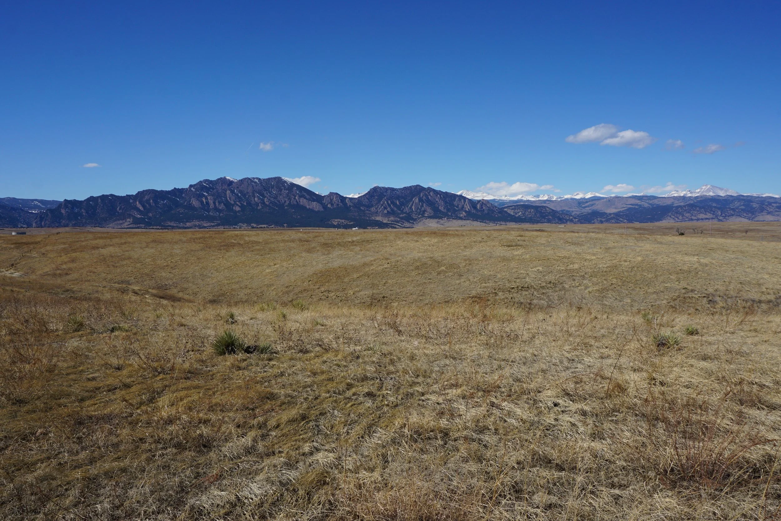
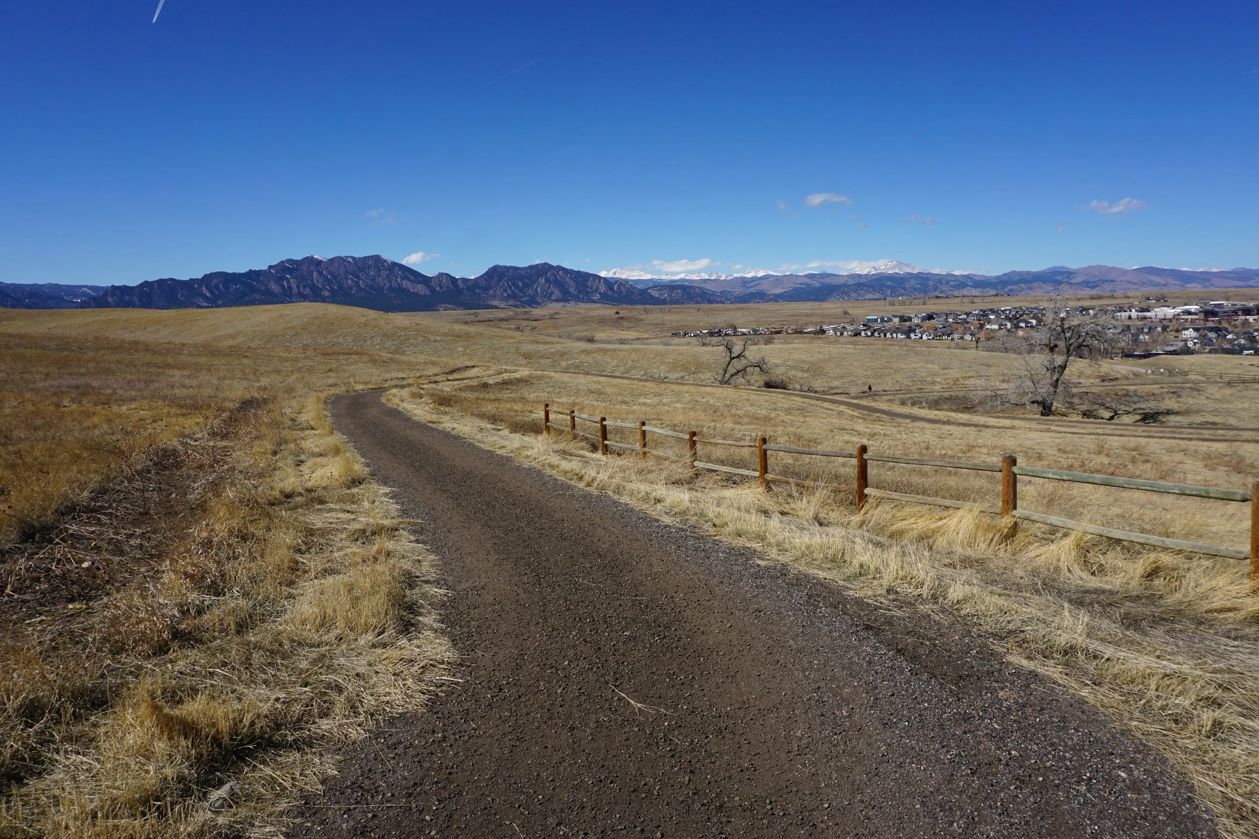
The Meadowlark Trail is the eastern portion of a giant loop through Boulder County Open Space lands that encircles the Southern Grasslands Habitat Conservation Area and Marshall Reservoir. The trail is a gravel multiple use trail for hikers, bikers, and runners. The entire trail provides good views of the Boulder Mountains including the Flatirons; Bear Peak, South Boulder Peak, Eldorado Mountain, Eldorado Canyon, and more…
The trail is exposed and hot in the summer but also dry in the winter making this a great way to stretch your legs when the surrounding hikes are snowy, icy, or muddy. The Oerman-Roche trailhead in Superior is a good place to start and you have the option of hiking south on the Meadowlark Trail or north on the Mayhoffer Singletree Trail.