Little Yellowstone Canyon
Rocky Mountain National Park
Date Hiked: July 21, 2023
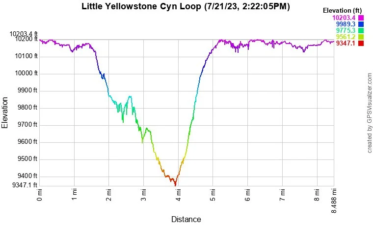
Distance: 8.3 mi (RT)
Elevation Gain: 1,000 ft
Elevation Min/Max: 9,360 to 10,199 ft
Trailhead Lat/Long:
Managing Agency: National Park Service
Fee: None
Directions:
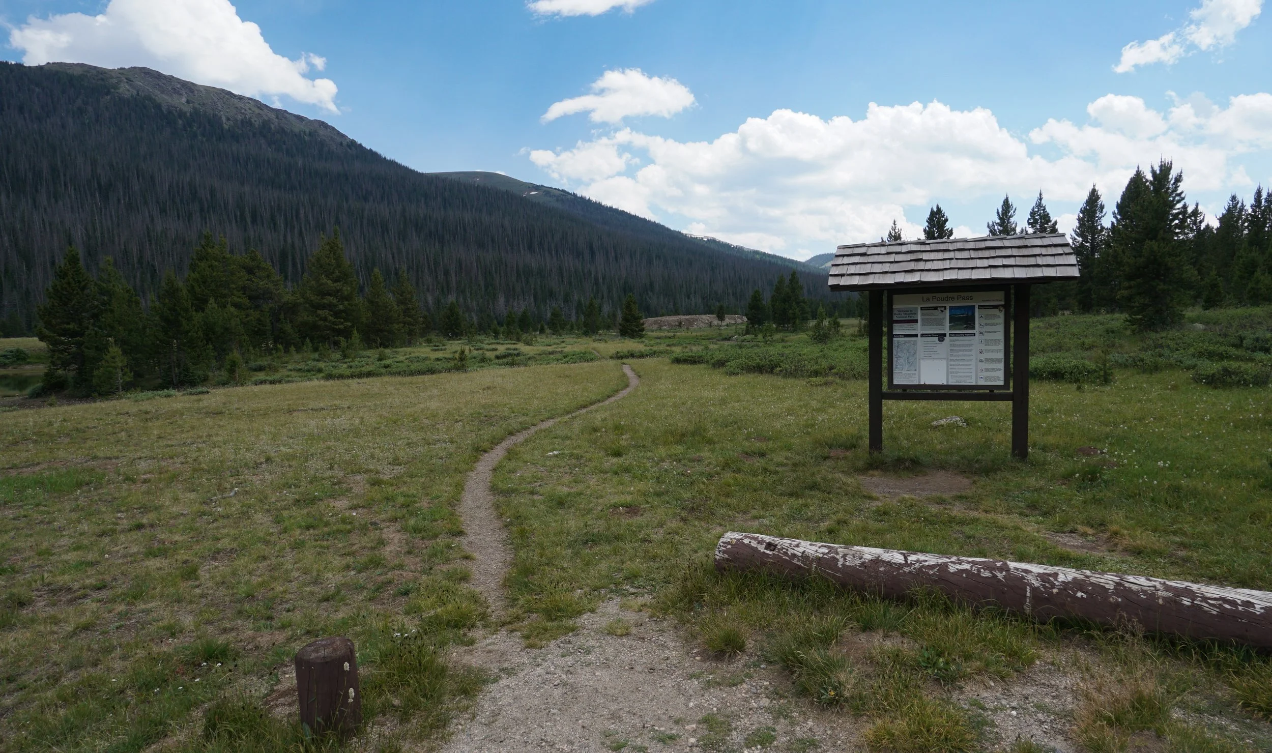
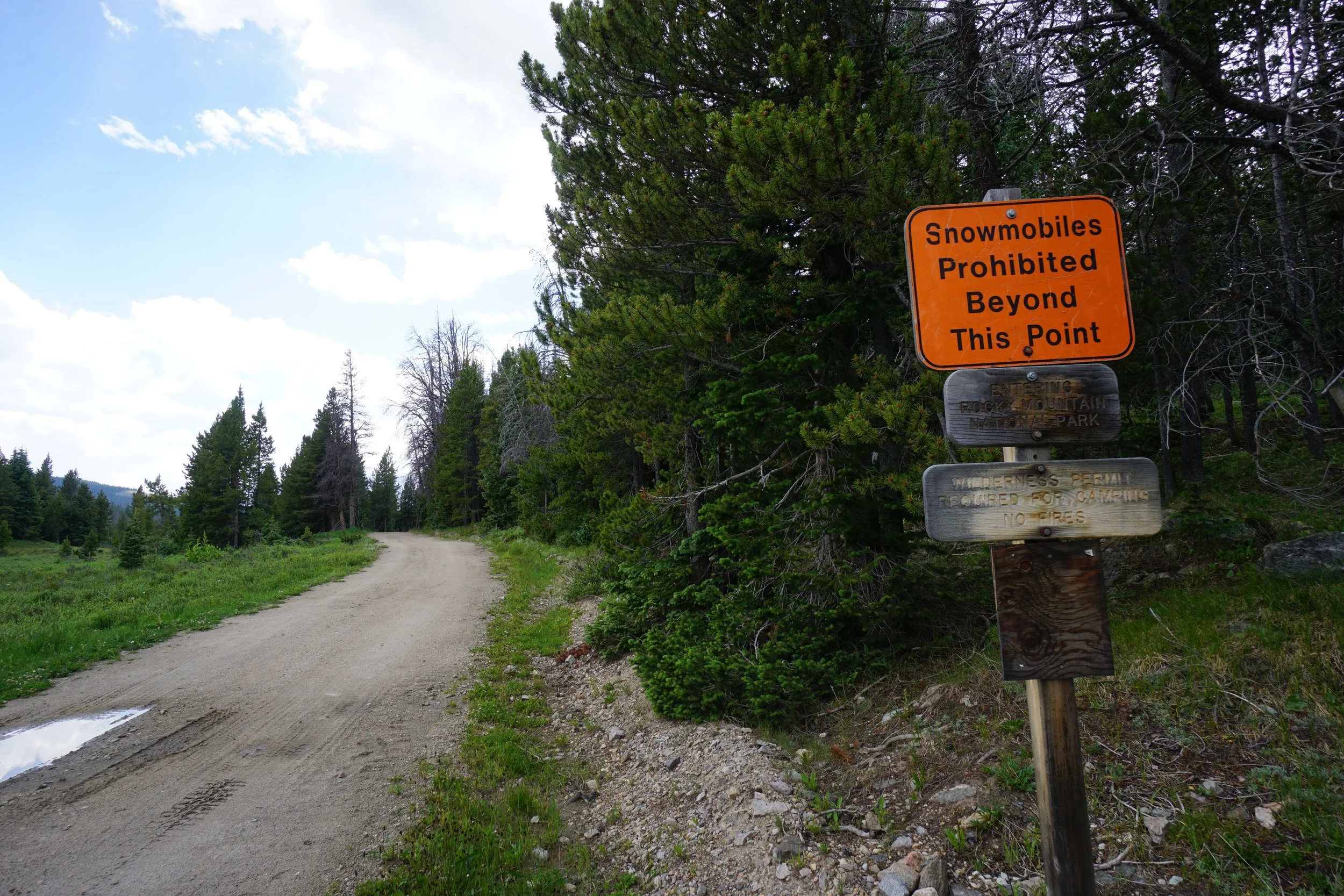
From Hwy 14 cutting through Poudre Canyon, about 4 ½ miles east of Cameron Pass, turn south onto Long Draw Road, a good dirt road, and follow it until it ends, 13 miles, at the La Poudre Pass Trailhead just outside the Rocky Mountain National Park boundary.
Hike Description:
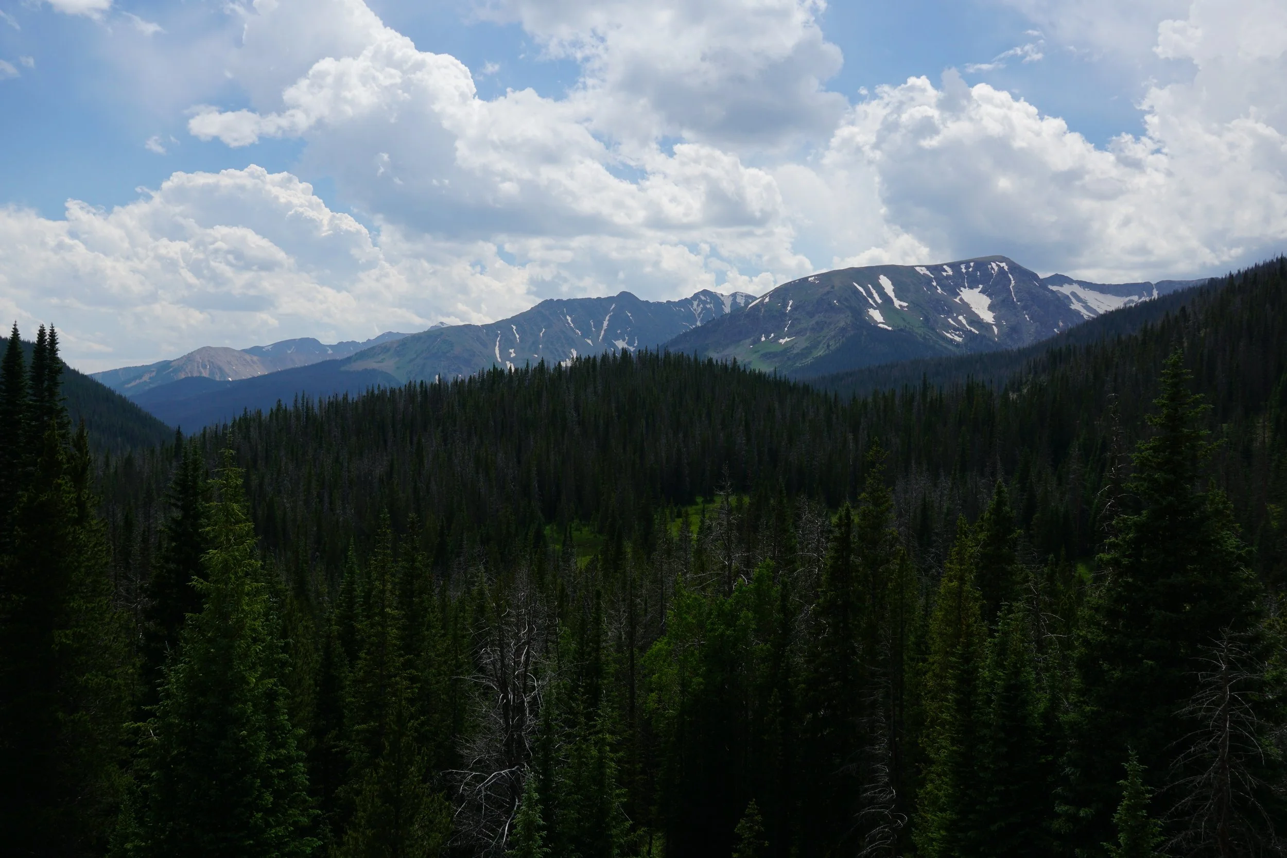
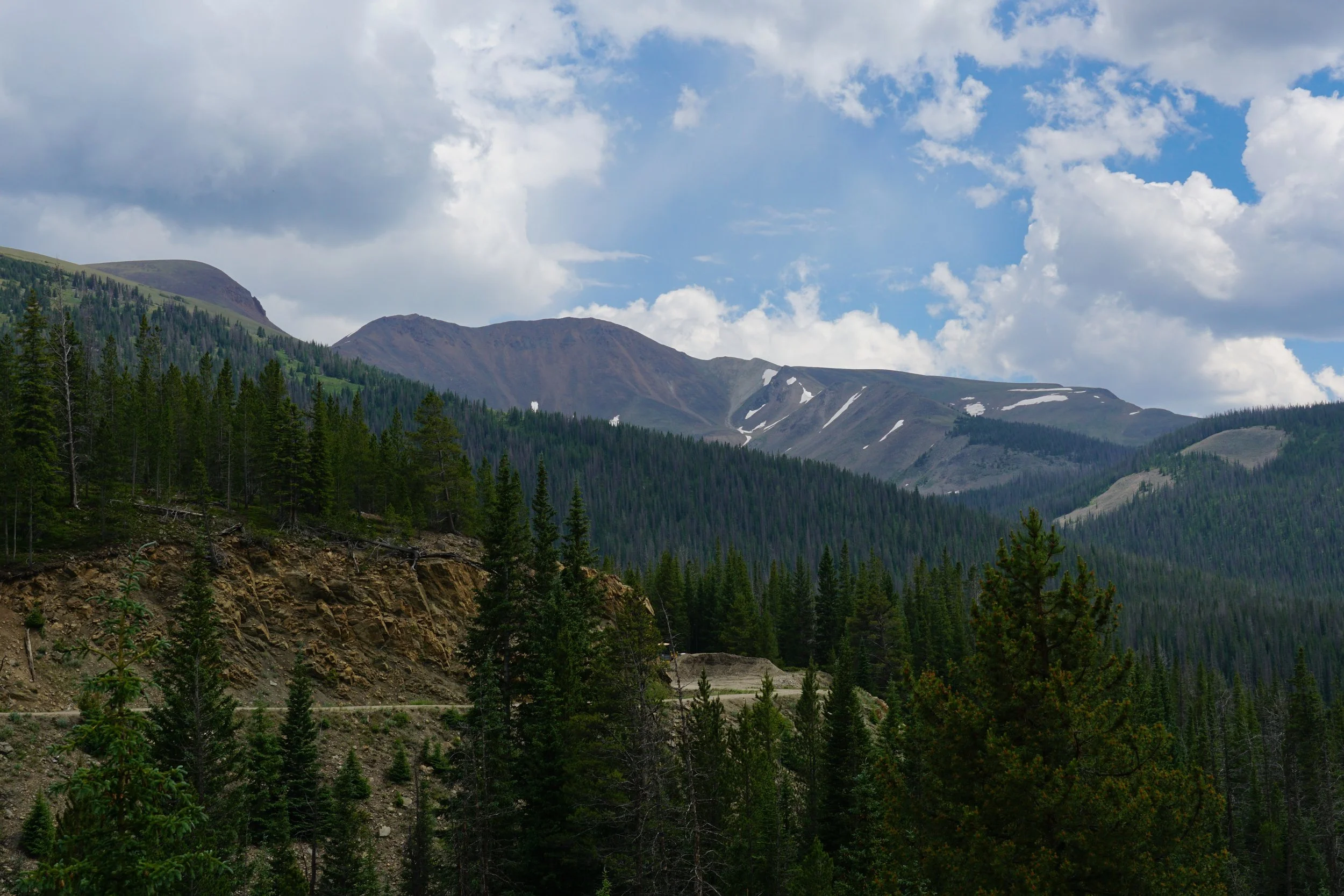
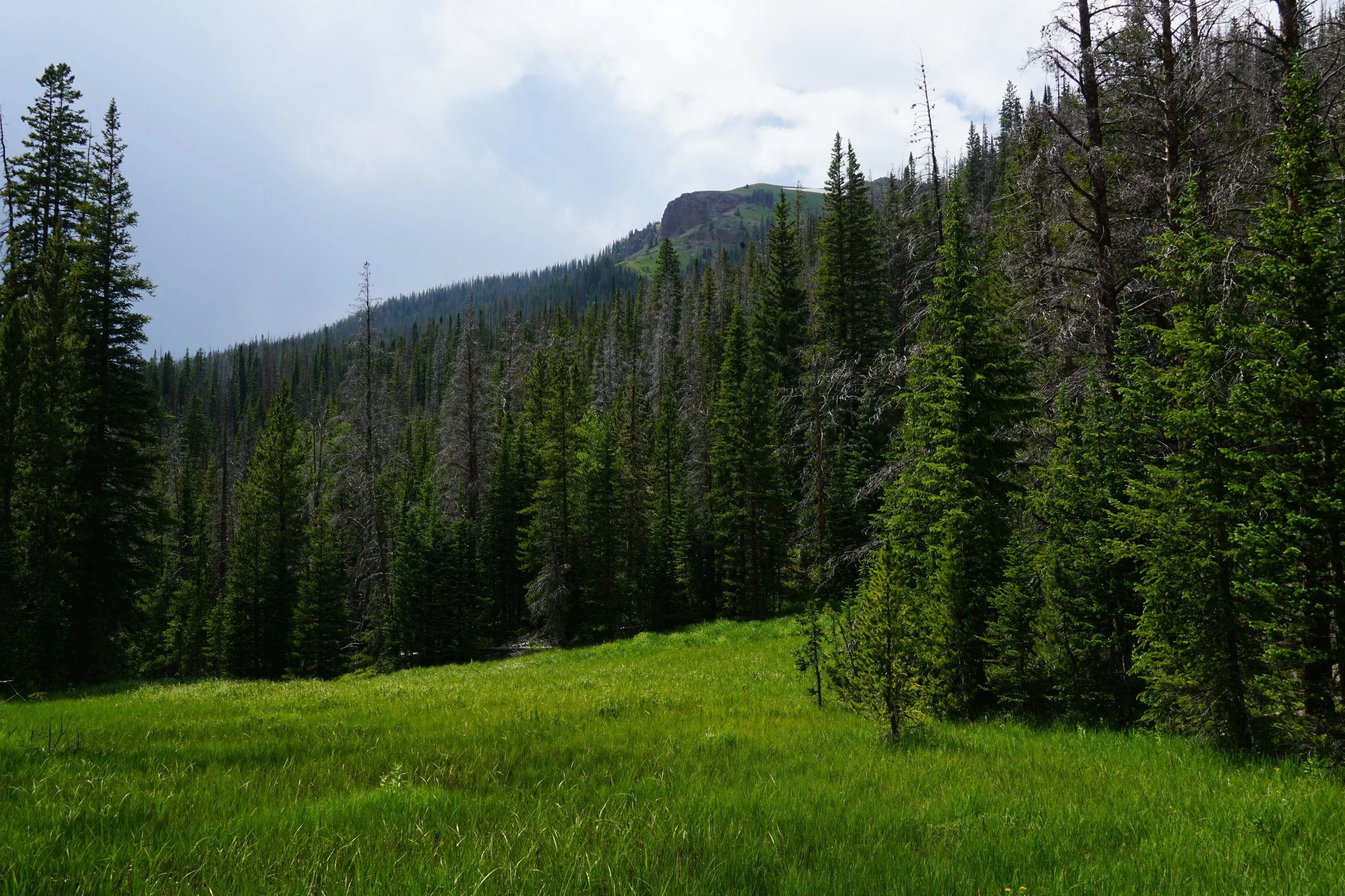
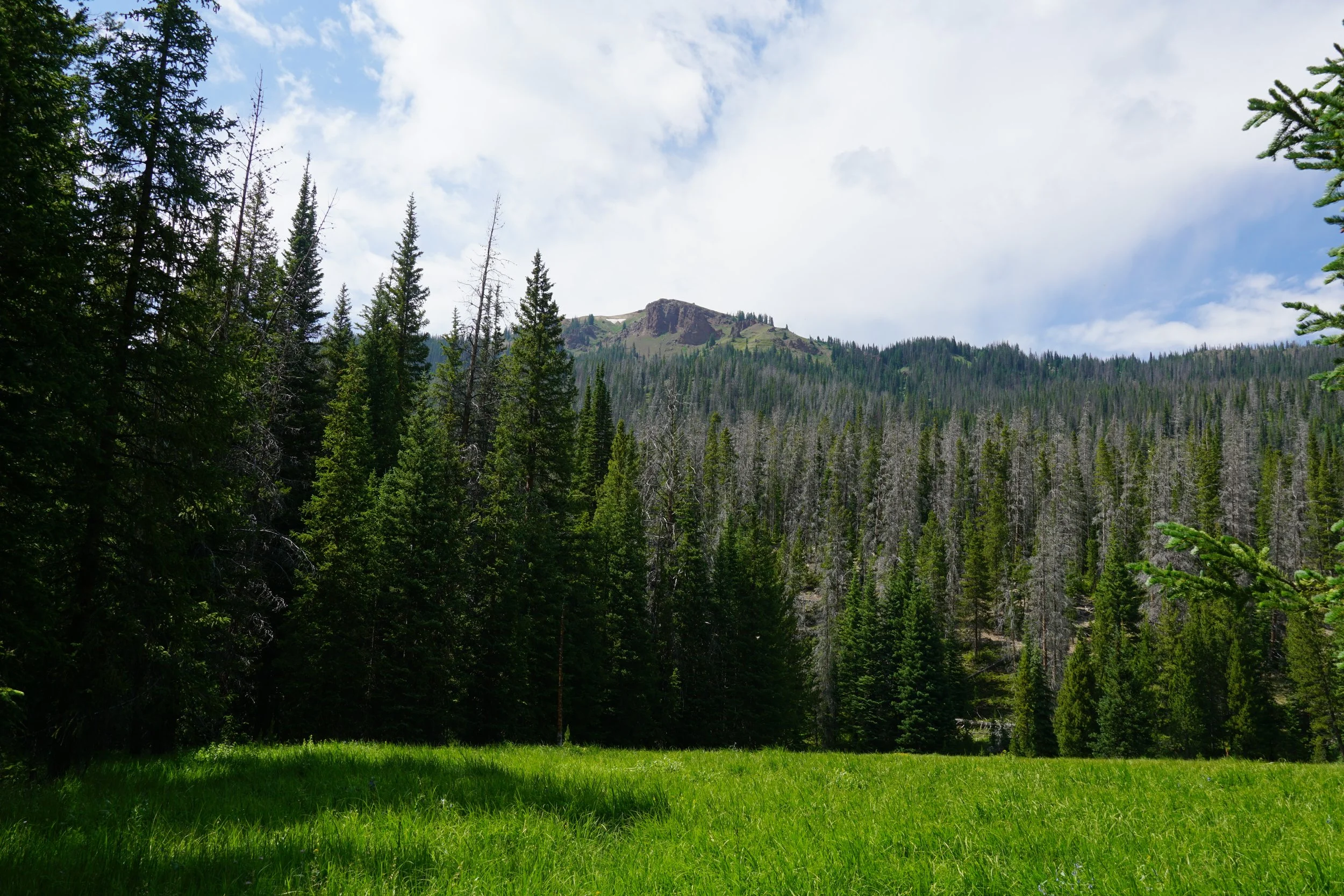
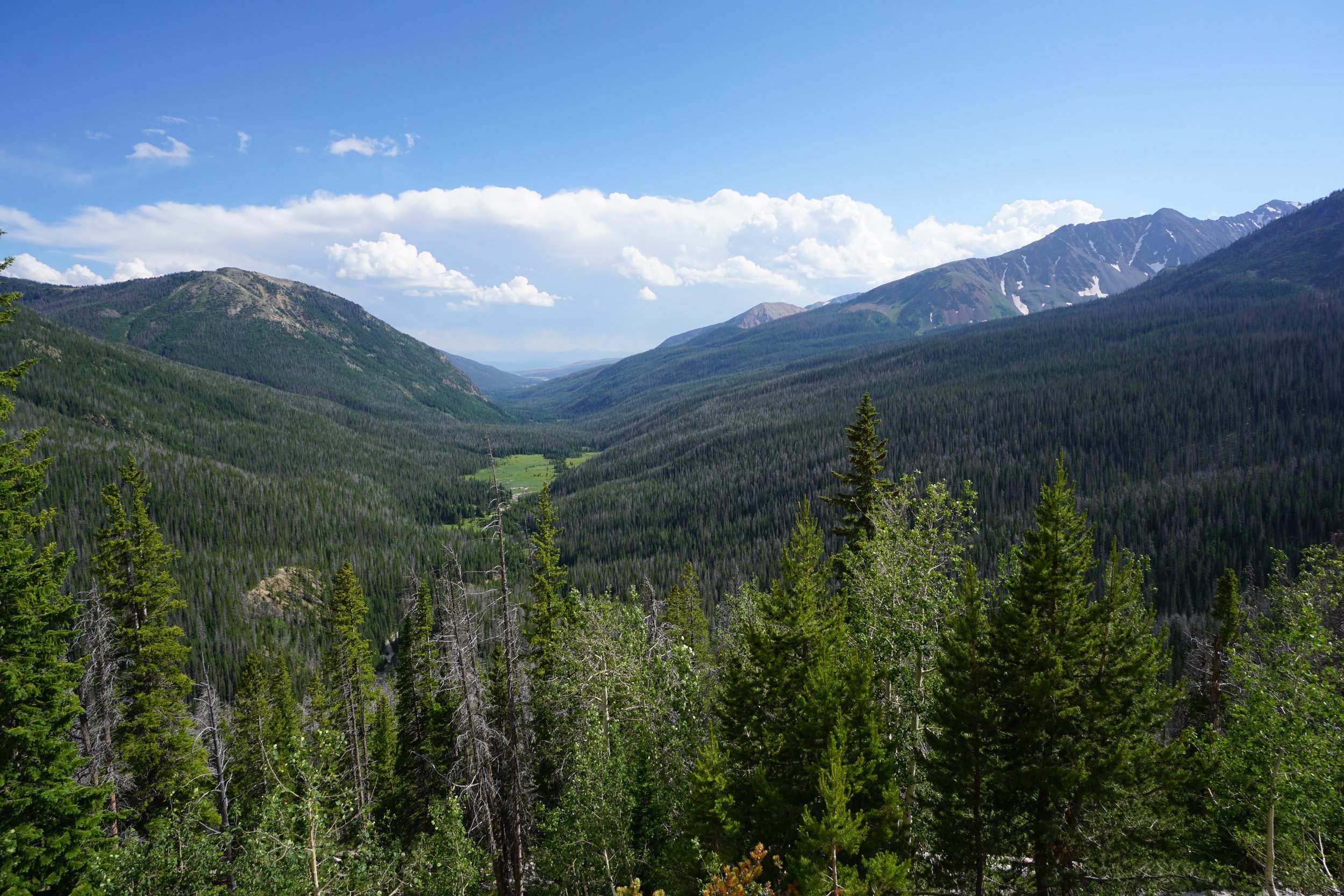
The northwest corner of Rocky Mountain National Park just south of Cameron Pass is a hidden gem. Not a lot of people visit this area, especially not tourists. The scenery is amazing but you do have to work for it. There are no roads in this section of the park, you walk in and keep walking. That being said, the Never Summer Mountains that straddle this area are magnificent. This is a great part of the park to do some backpacking but here are two trails that you can combine to form a great day hike.
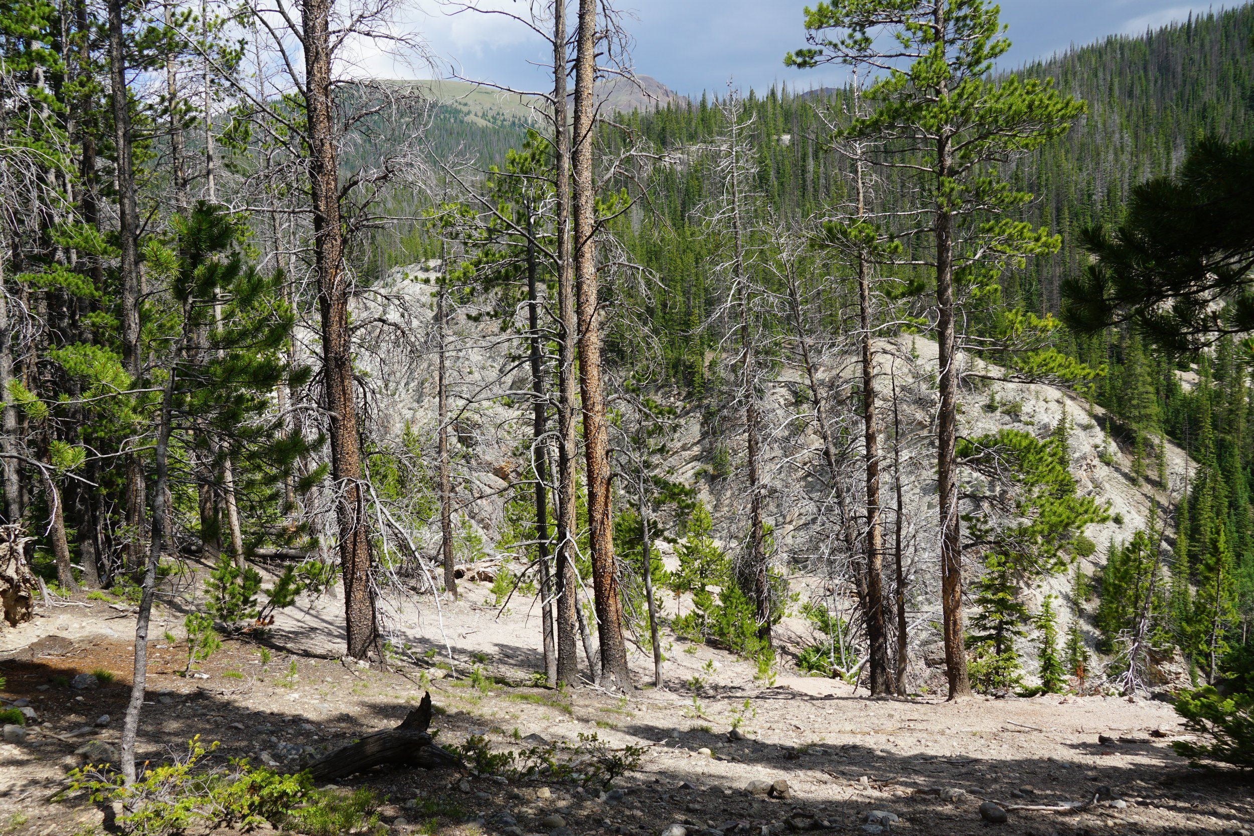
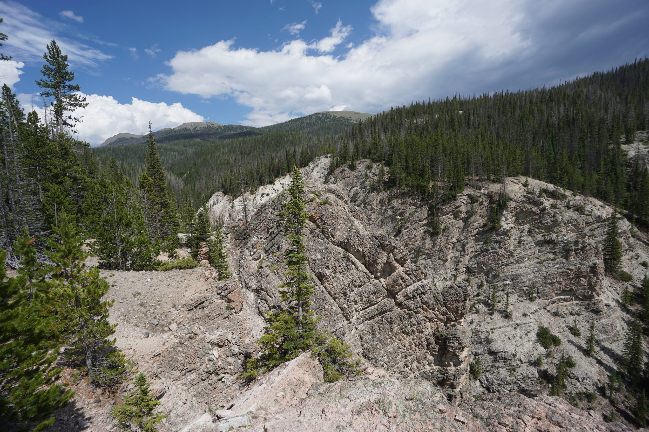
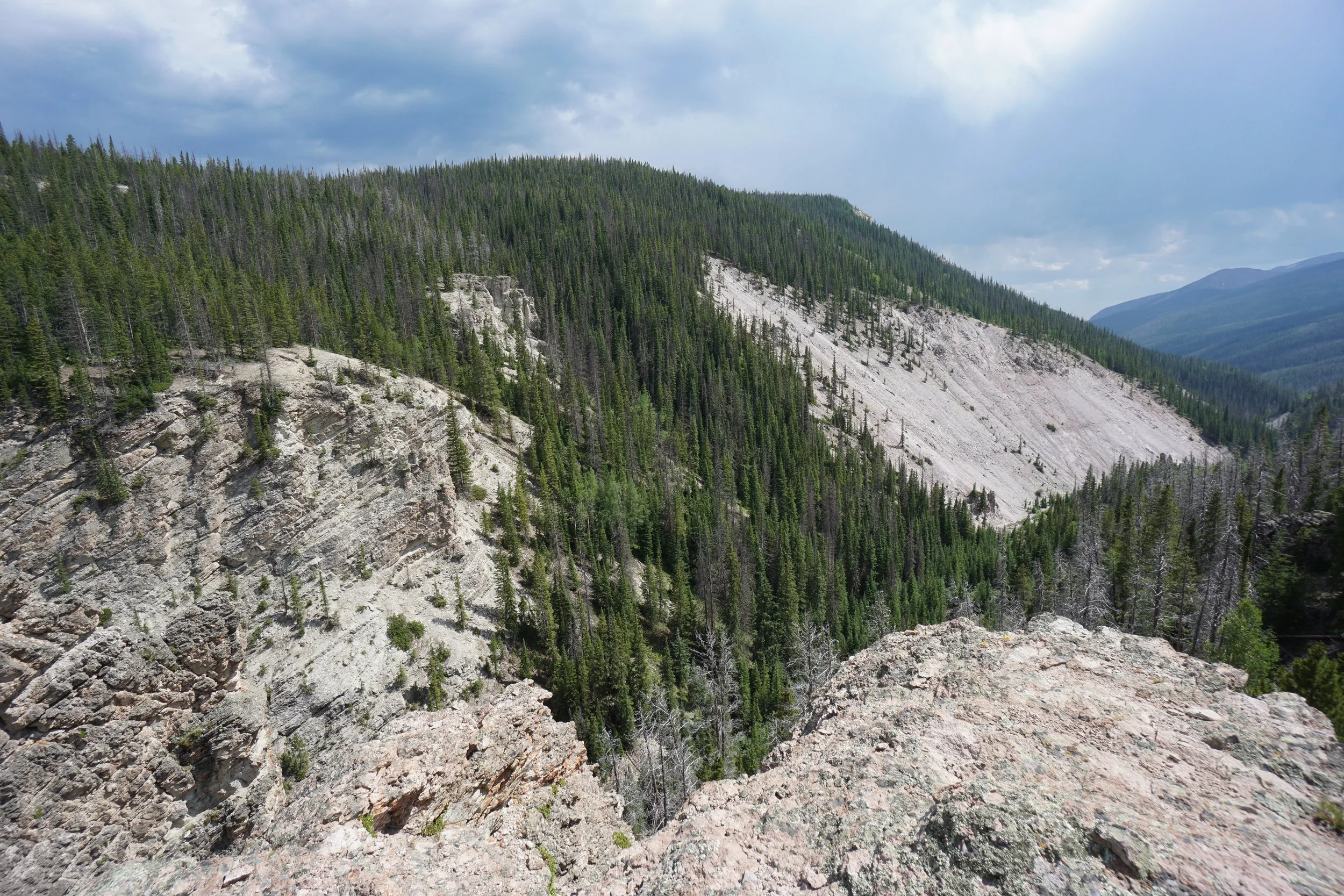
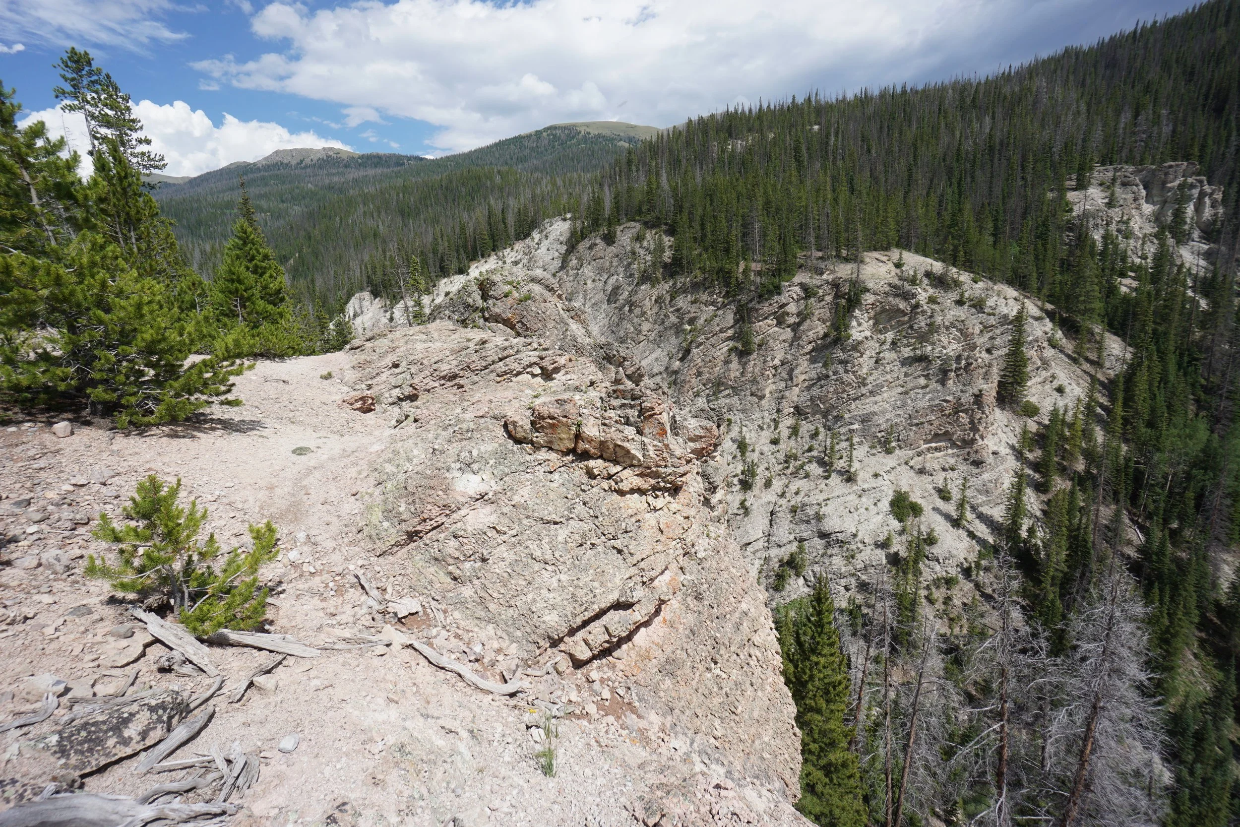
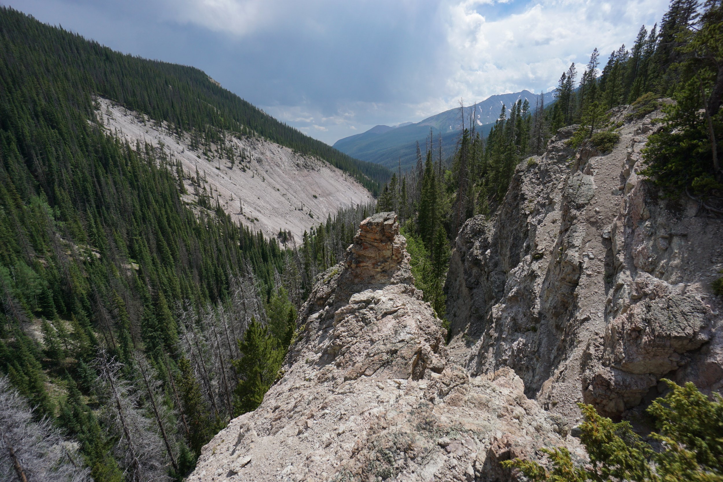
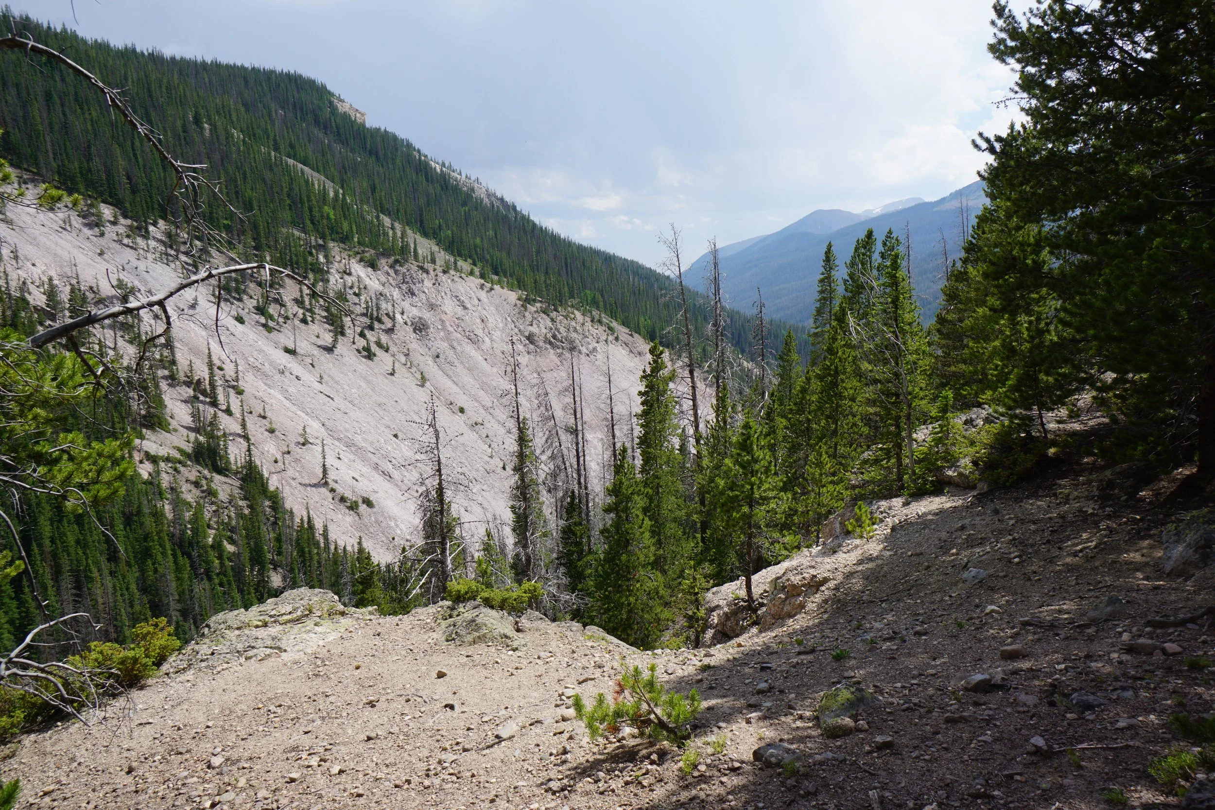
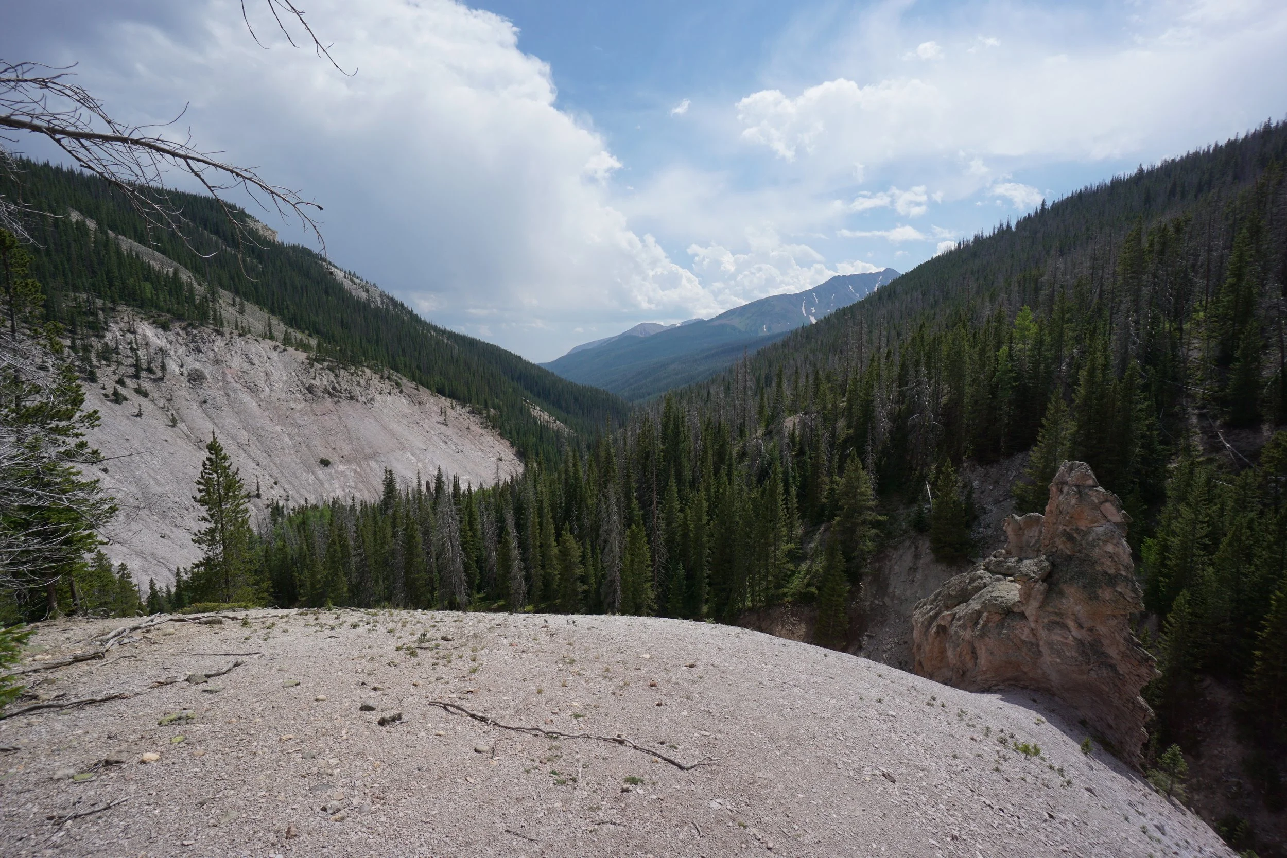
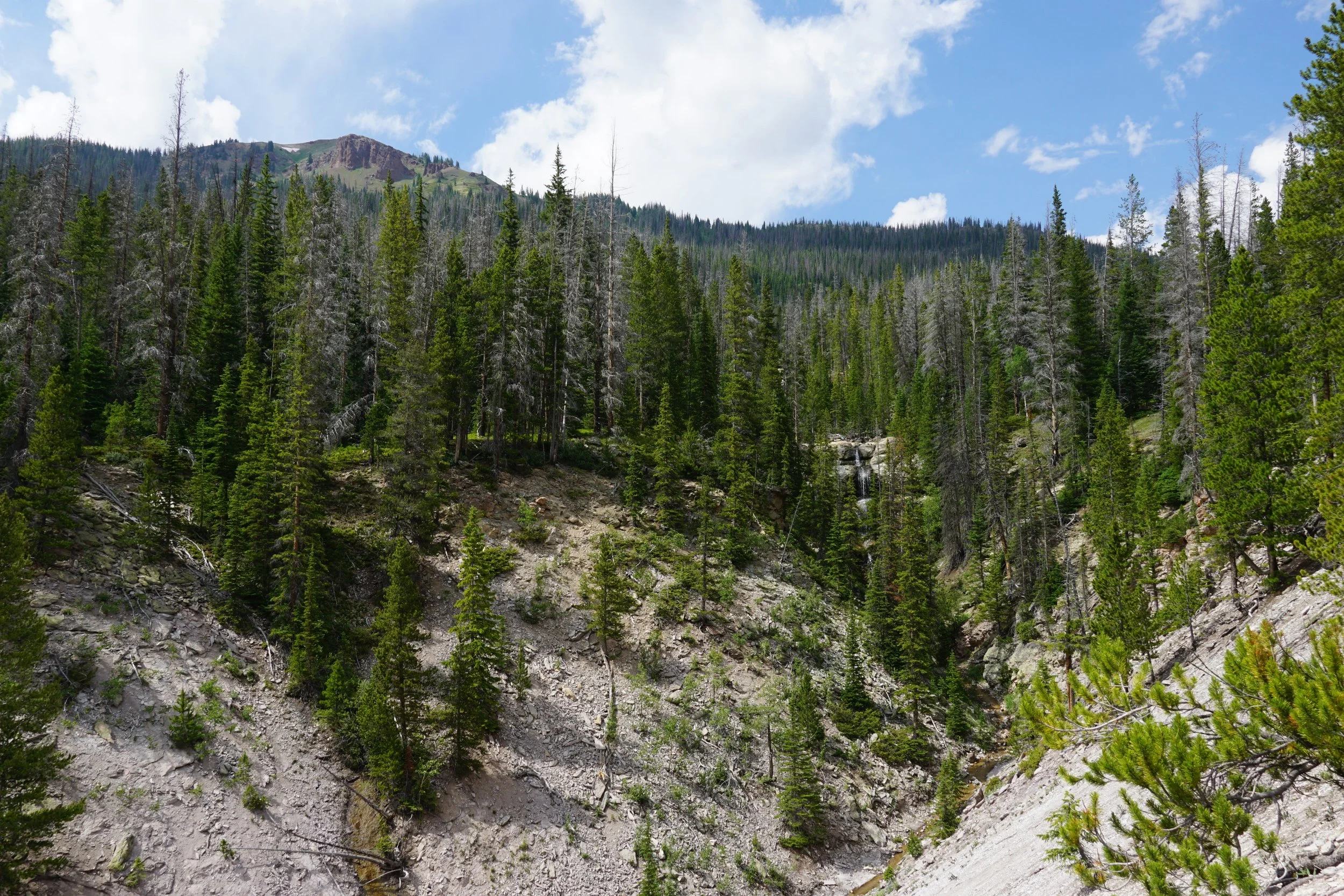
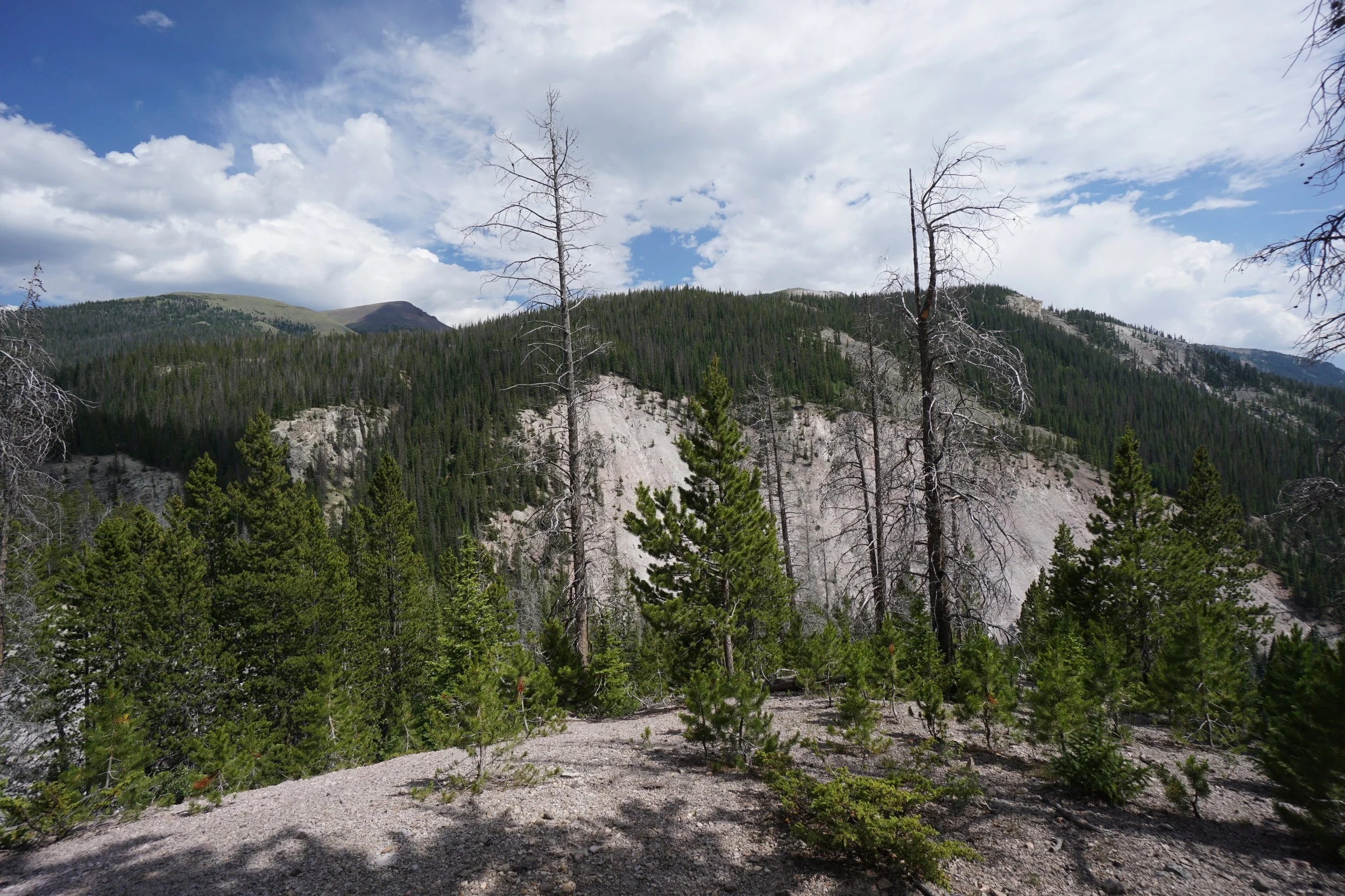
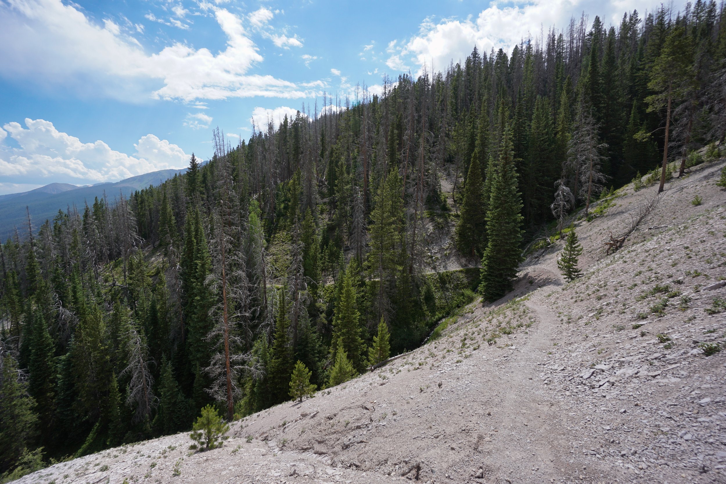
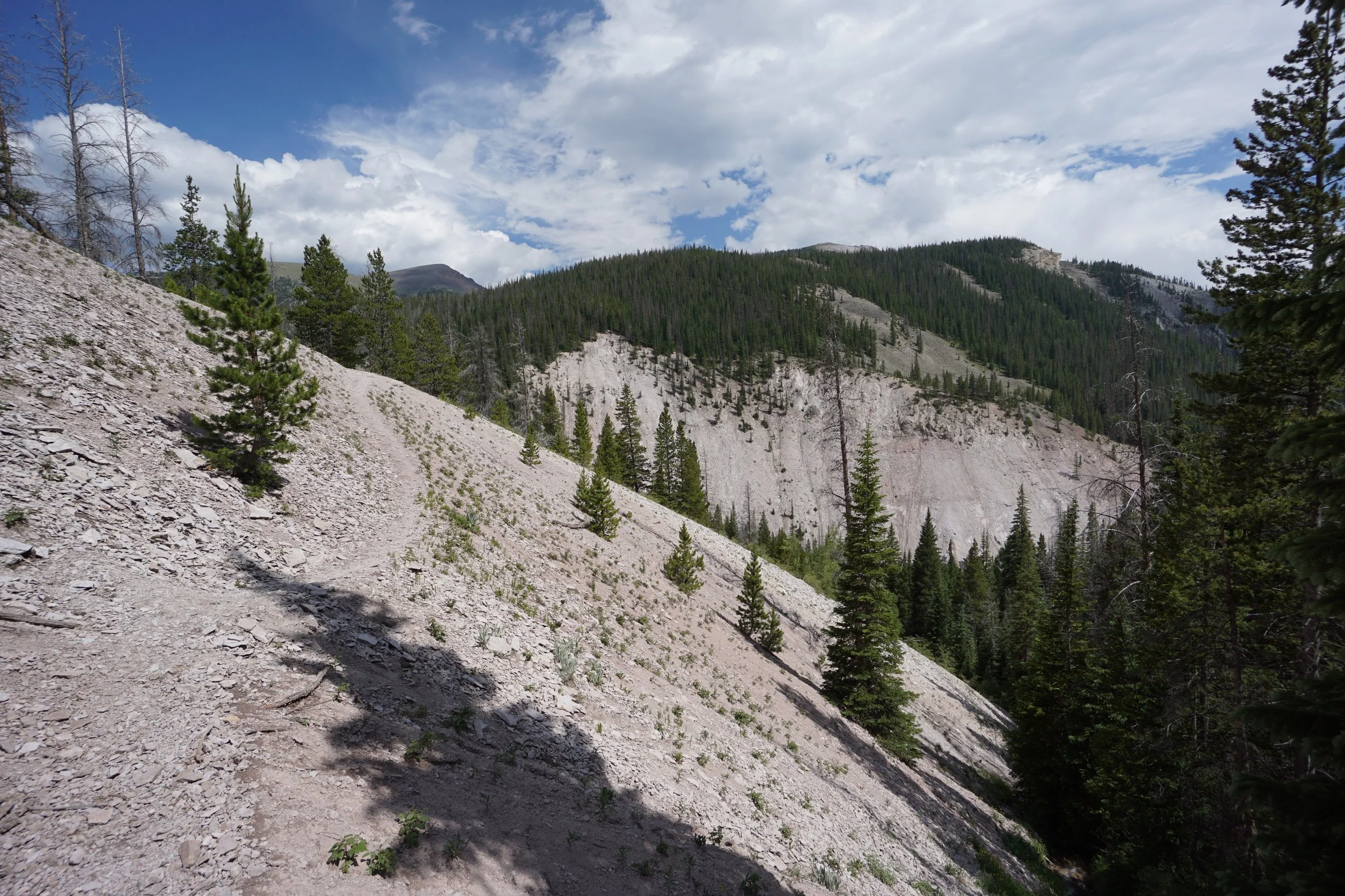
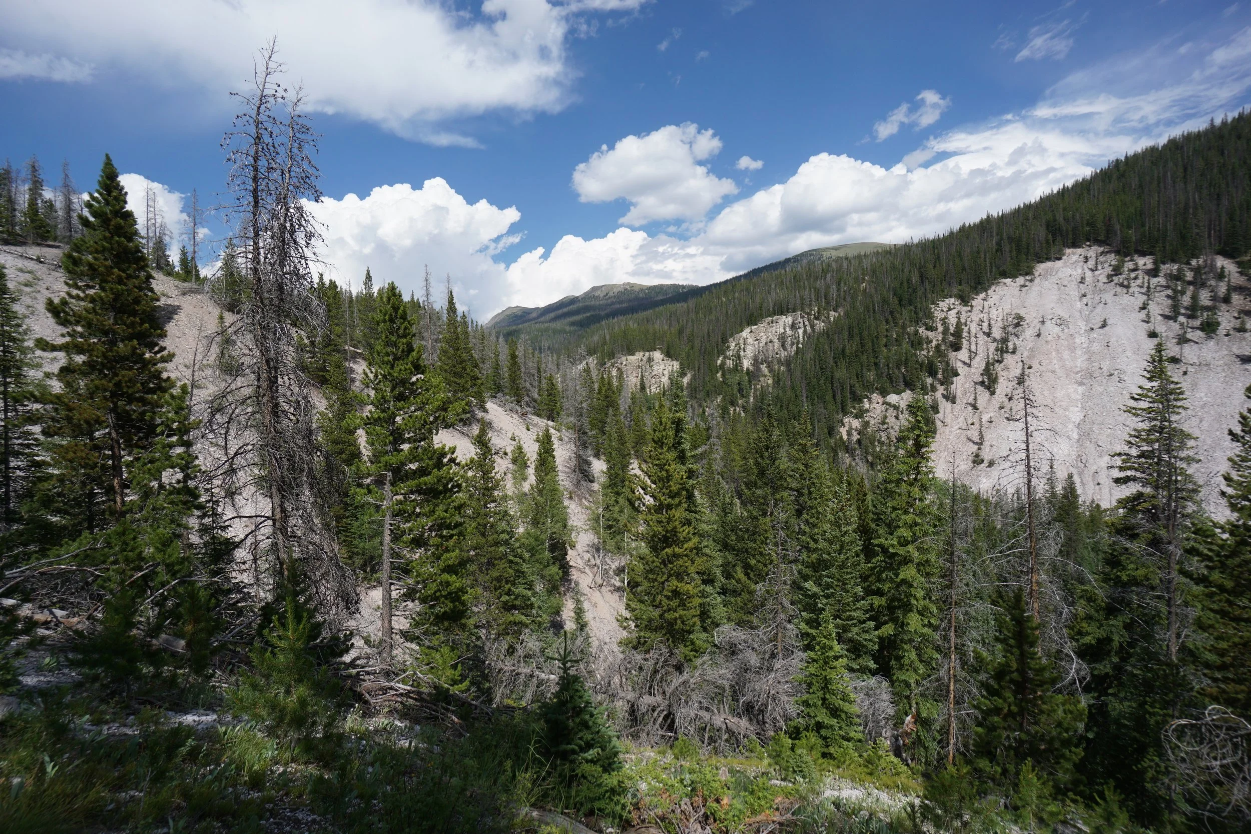
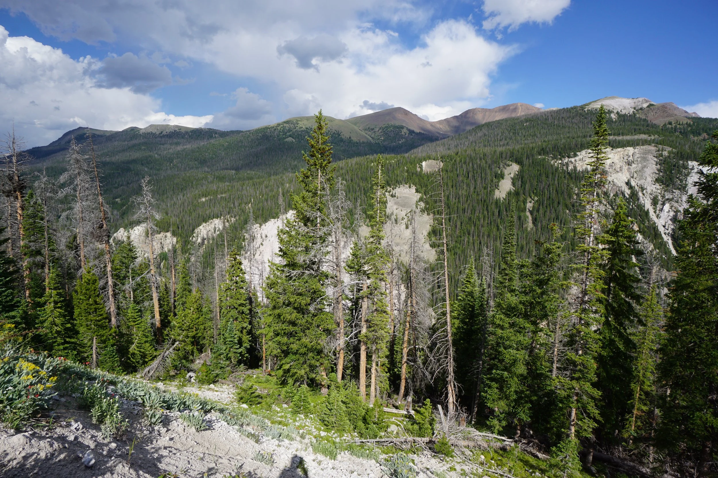
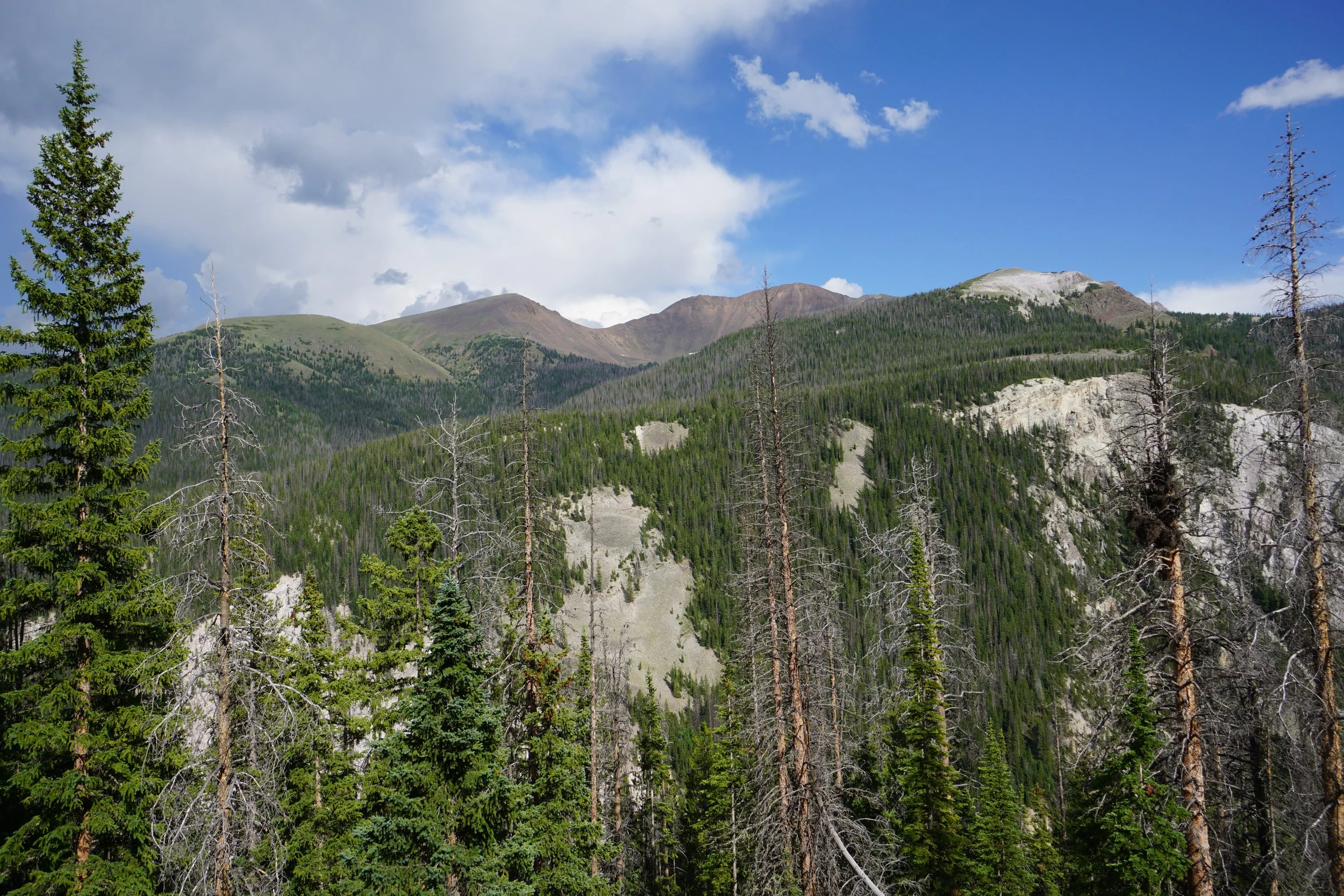
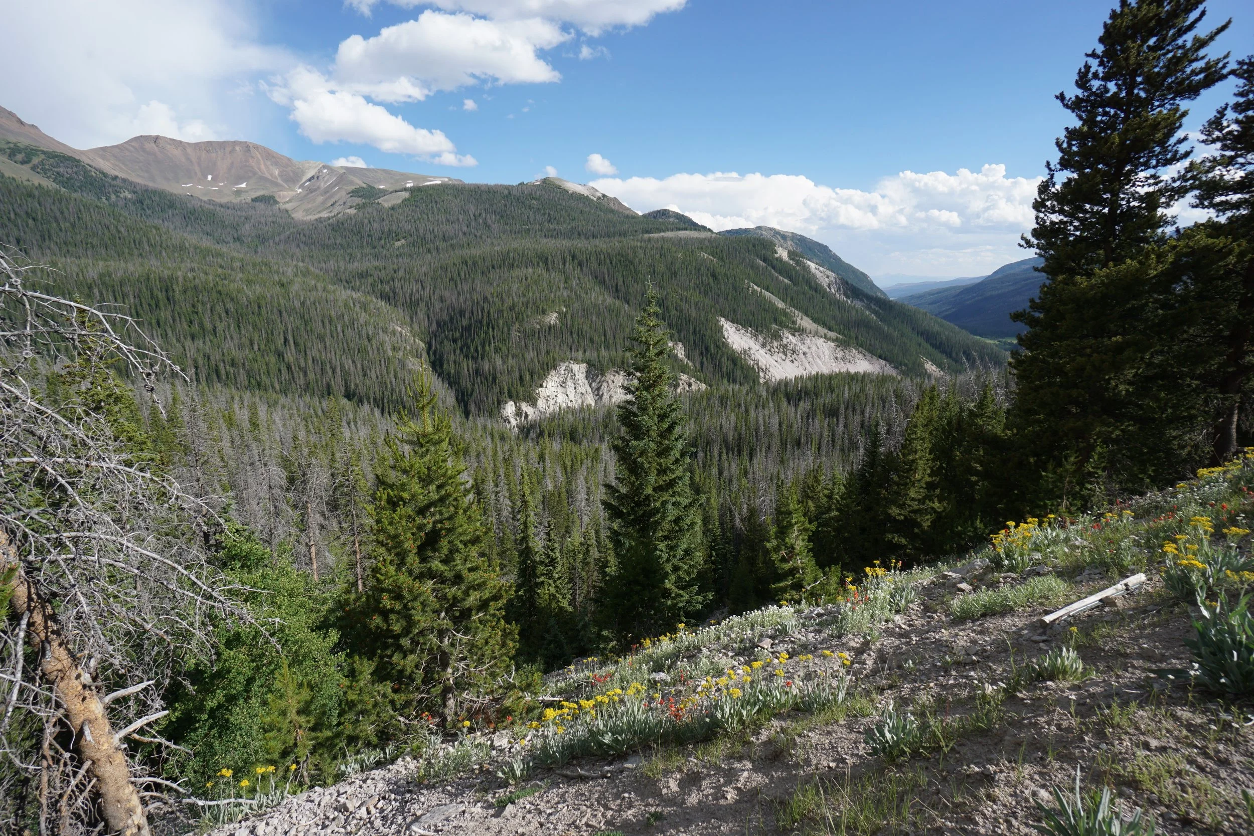
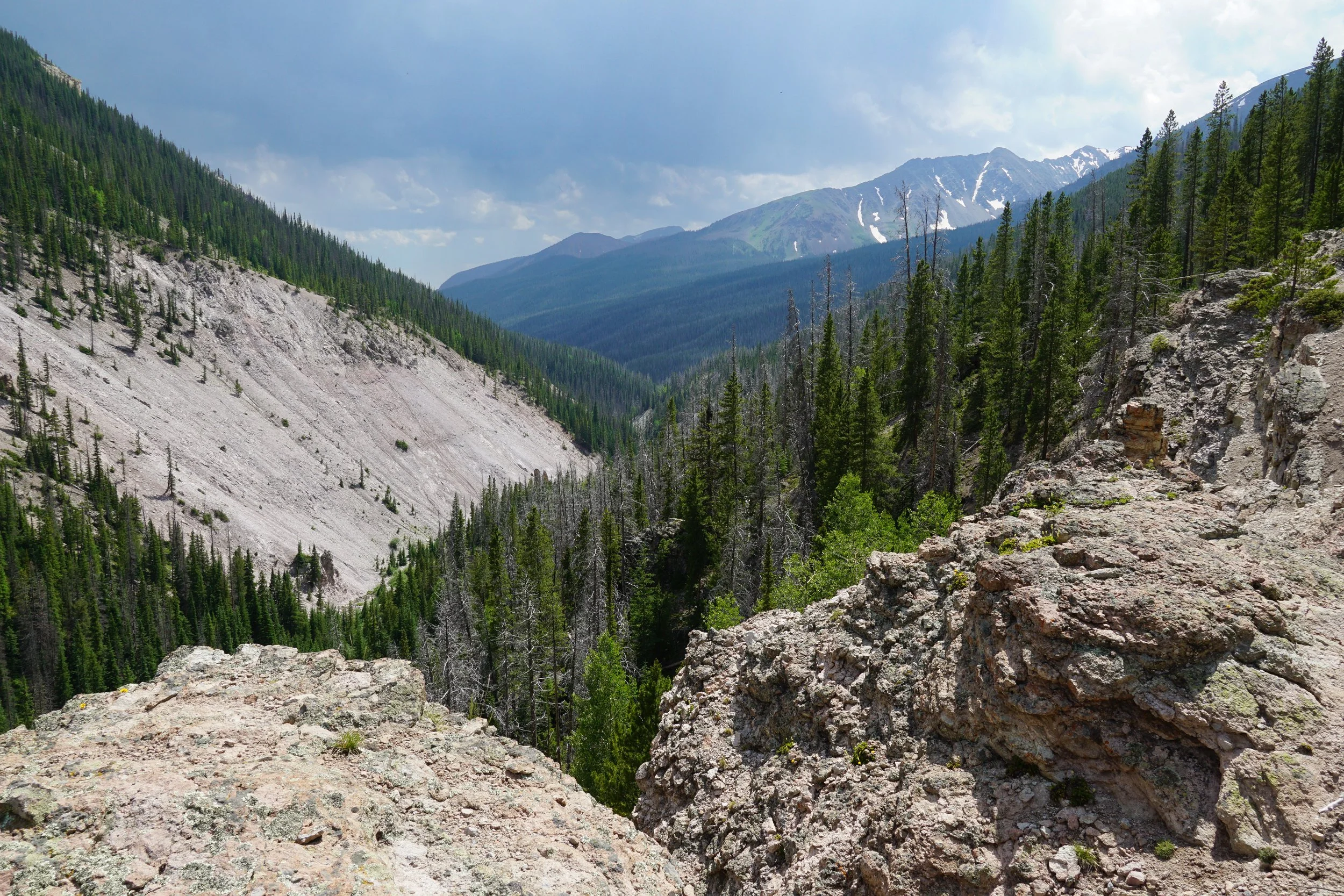
Tucked into a forested canyon under La Poudre Pass along Rocky Mountain National Park’s northern boundary is a unique geologic formation known as “Little Yellowstone Canyon.” Little Yellowstone Canyon is like a miniature version of Yellowstone Canyon in Yellowstone National Park. It doesn’t last long, but it is definitely worth a visit. Additionally, Little Yellowstone Canyon is about ¼ mile downstream of the headwaters of the Colorado River…
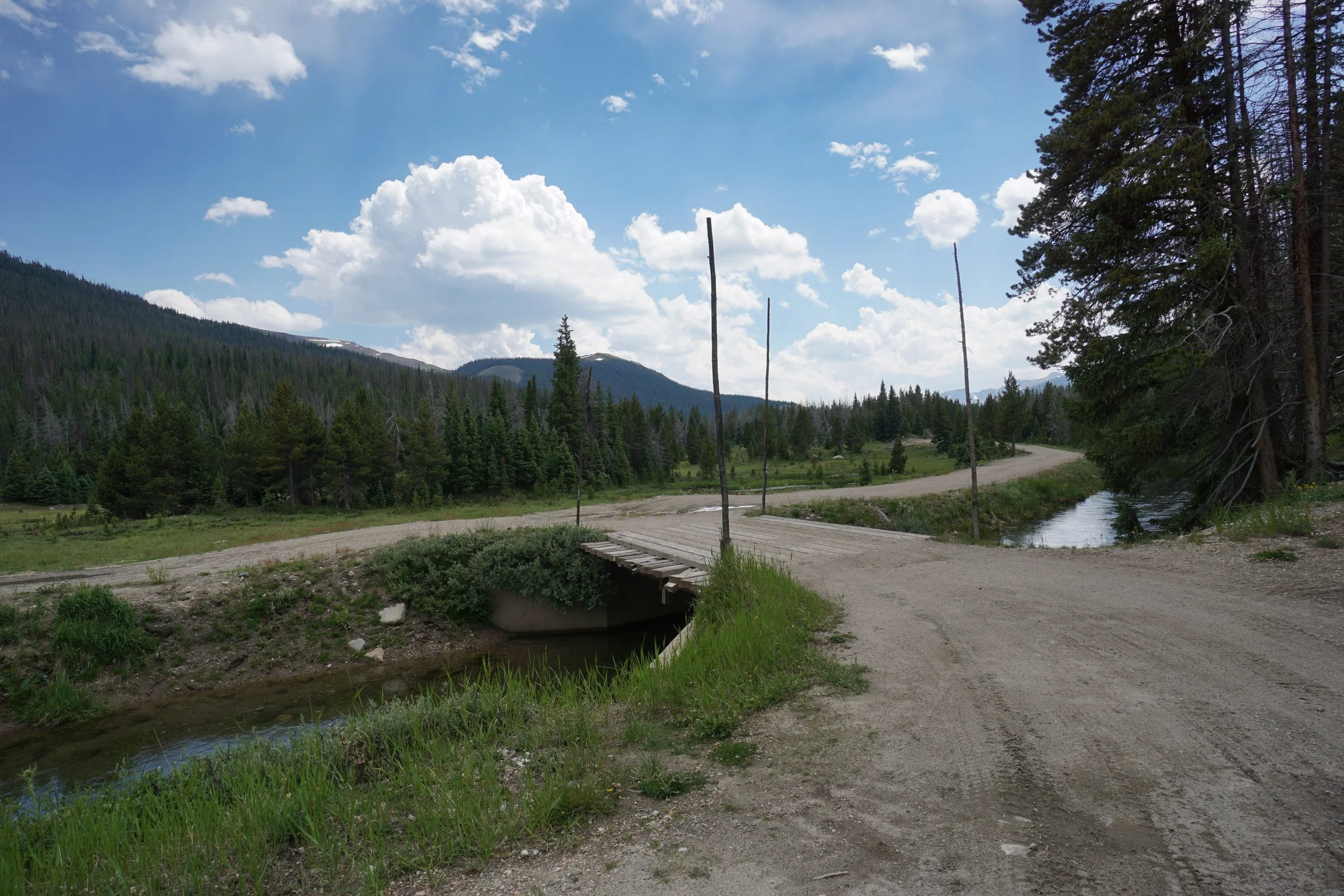
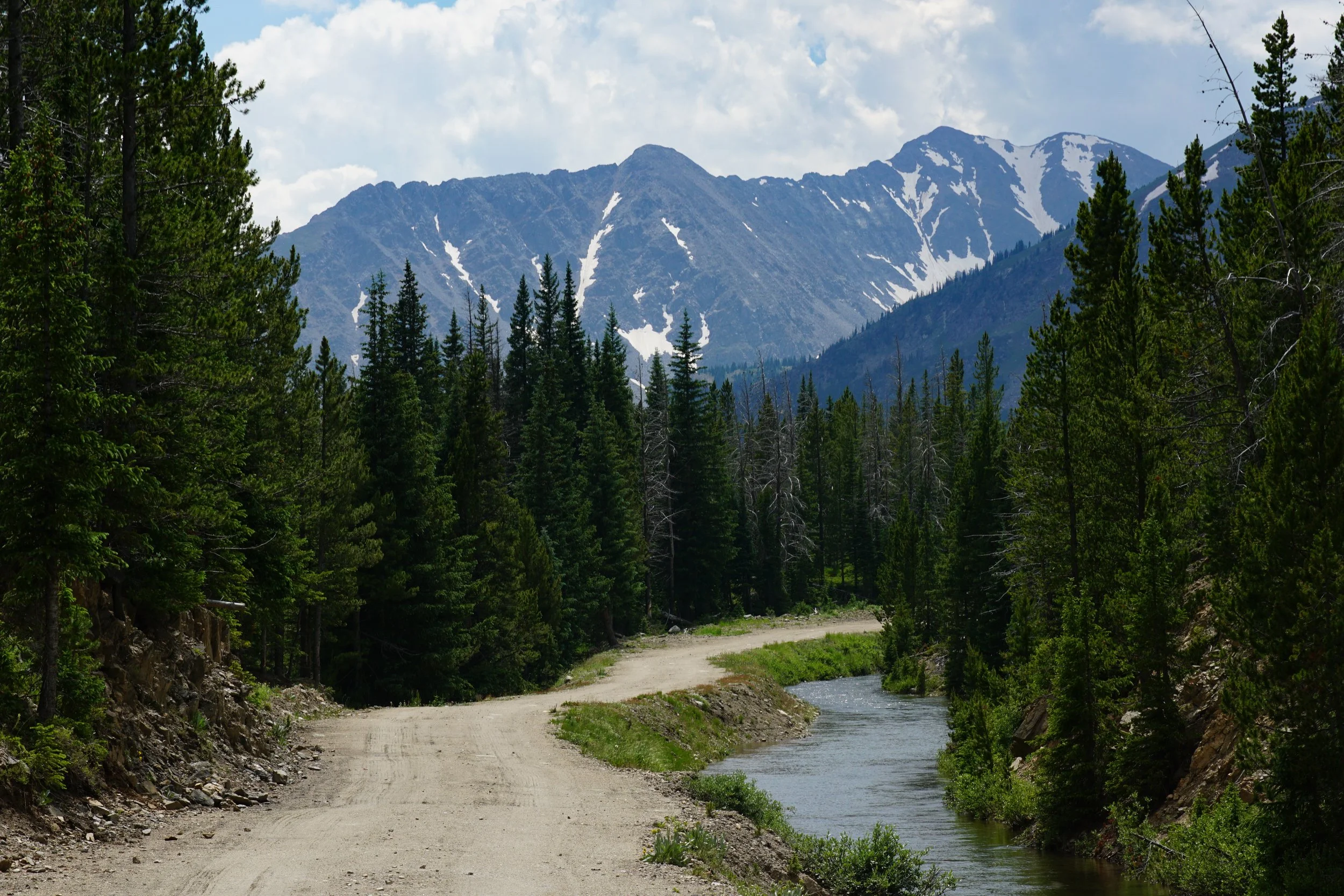
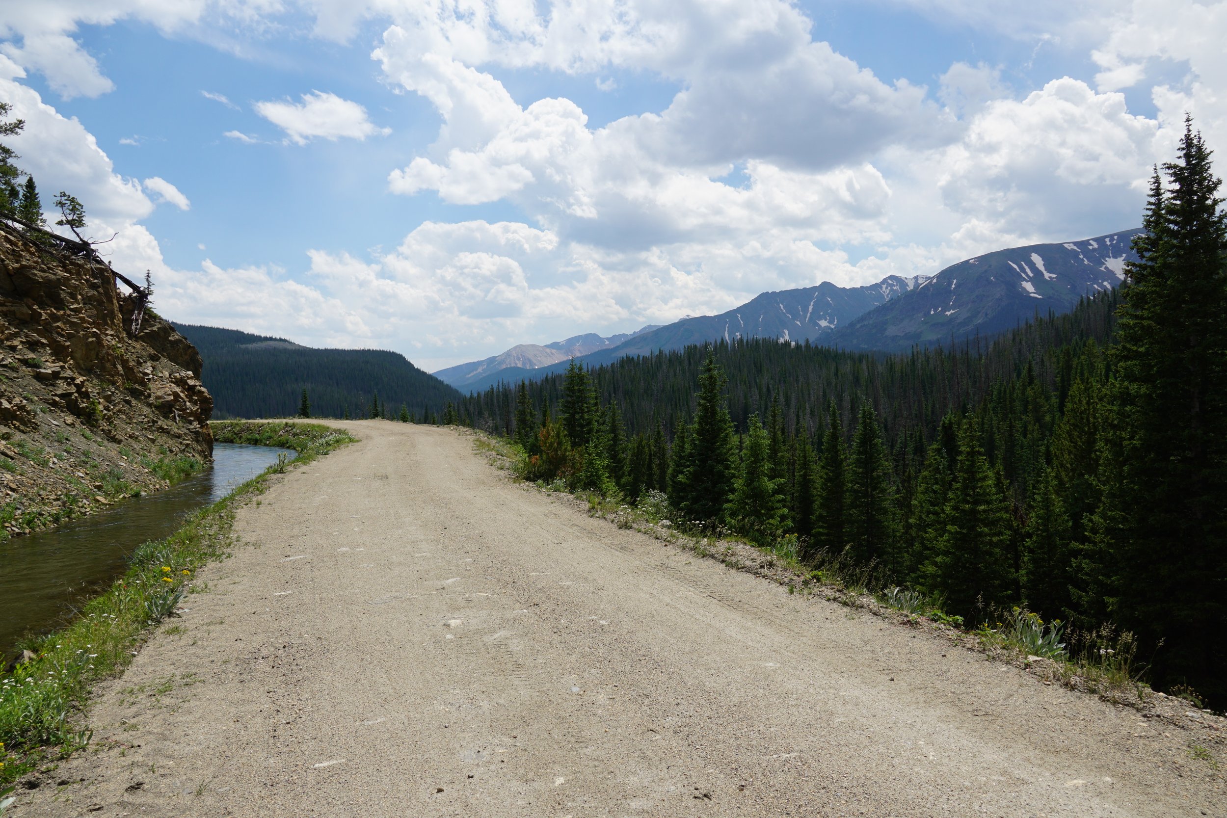
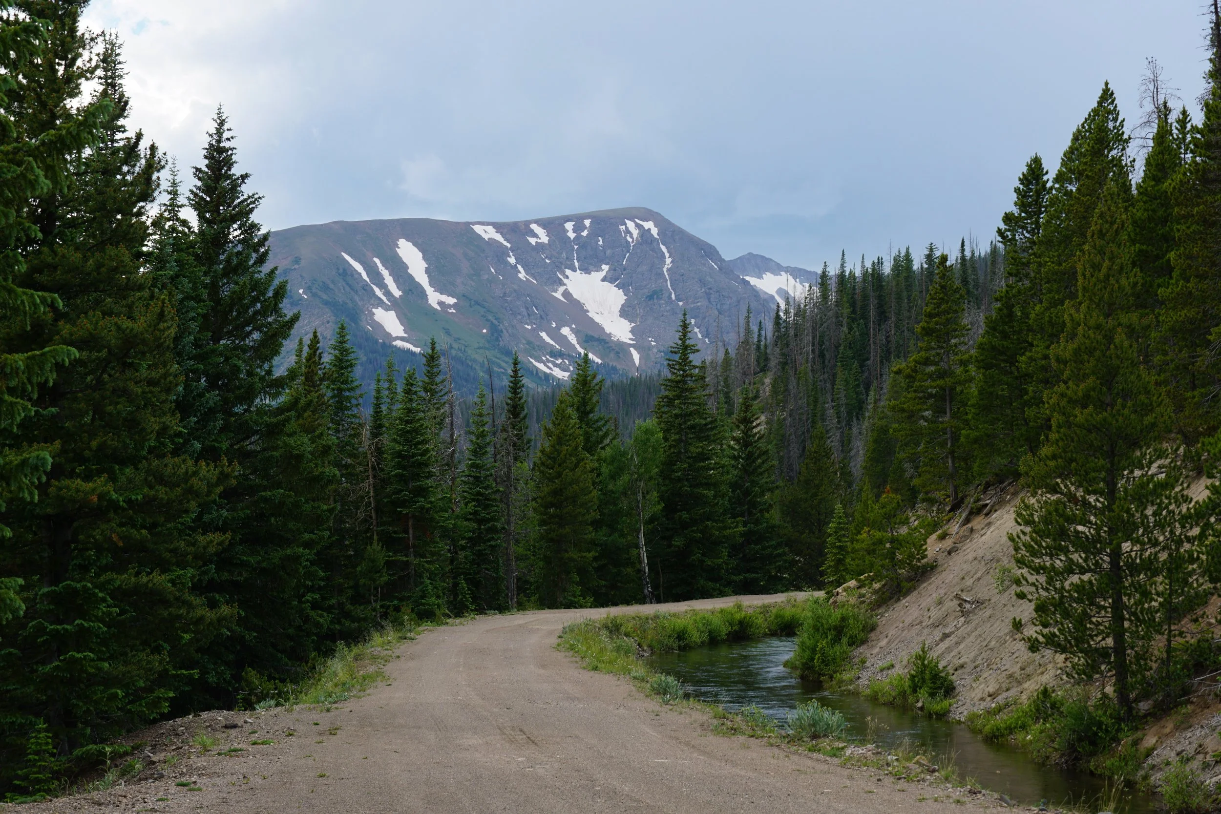
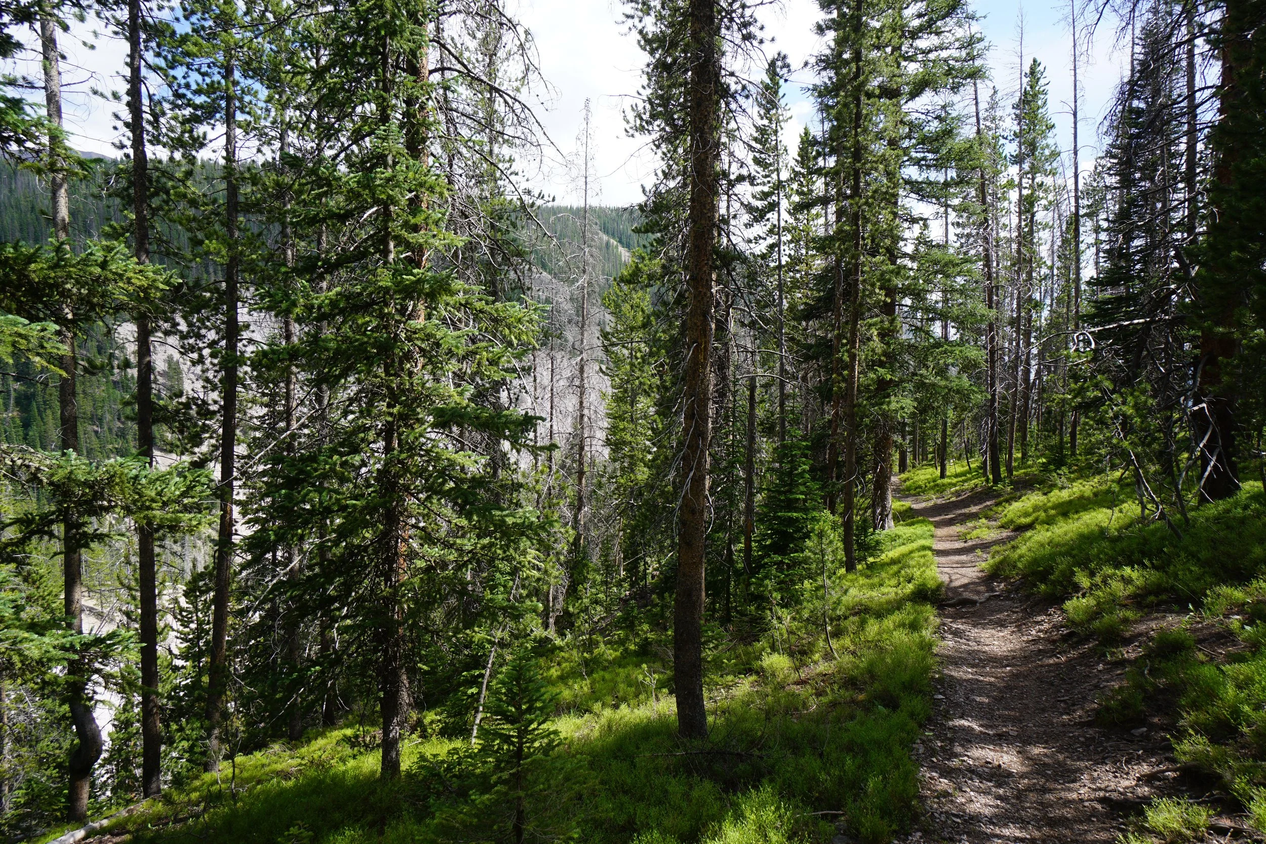
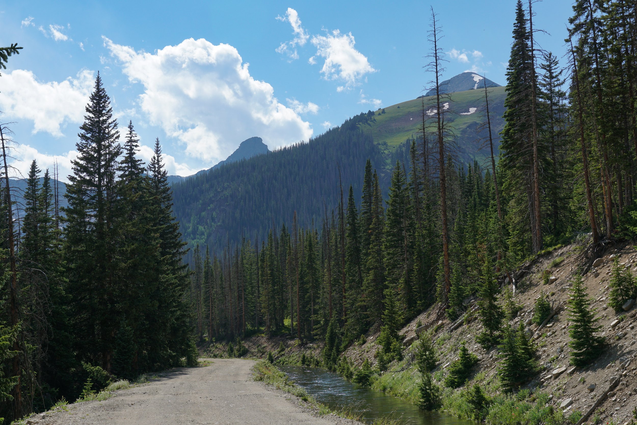
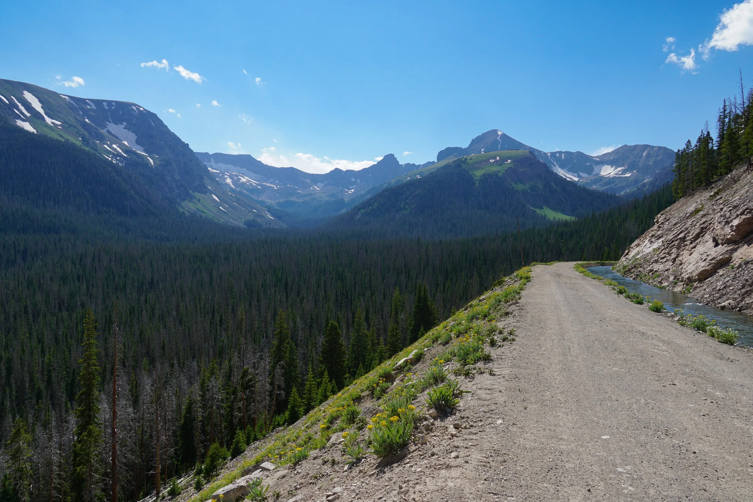
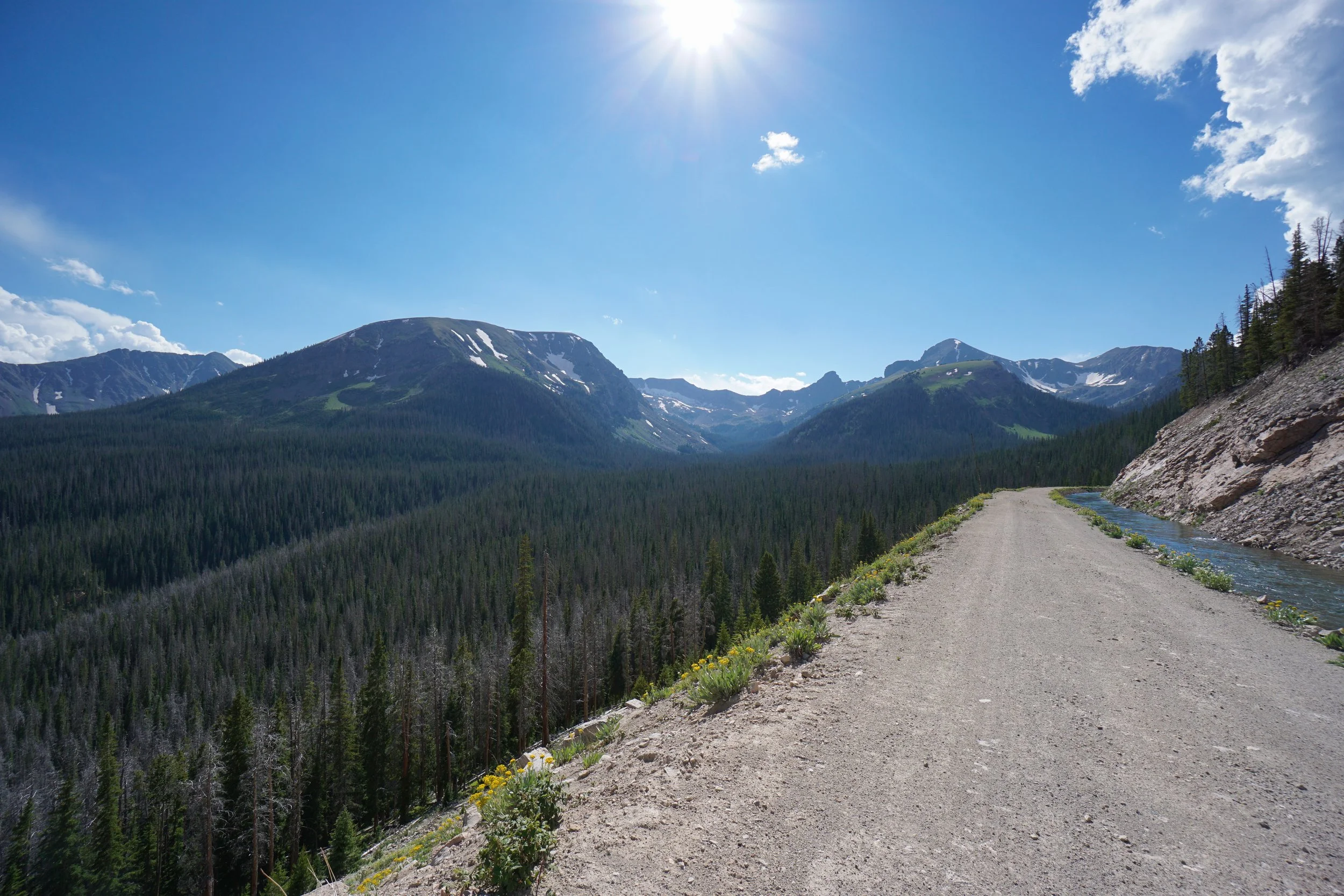
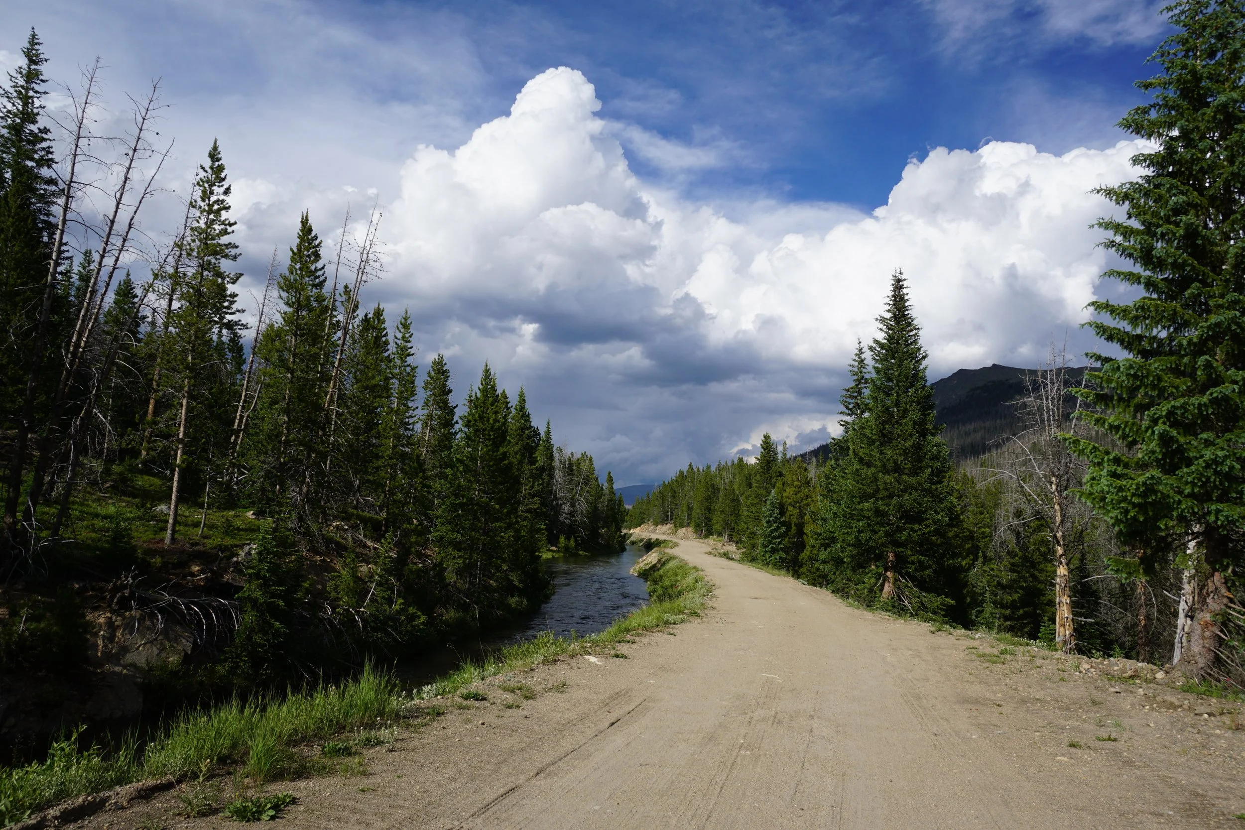
To witness this unique feature for yourself; park at the La Poudre Pass Trailhead and start hiking into the park on the Grand Ditch Trail. The Grand Ditch Trail is a dirt road, closed to the public, that follows the Grand Ditch, an irrigation ditch (built in 1934) that still brings water to farmers on the northern Colorado plains. The Grand Ditch now provides a hiking highway to access the east side of the Never Summer Mountains in the park.
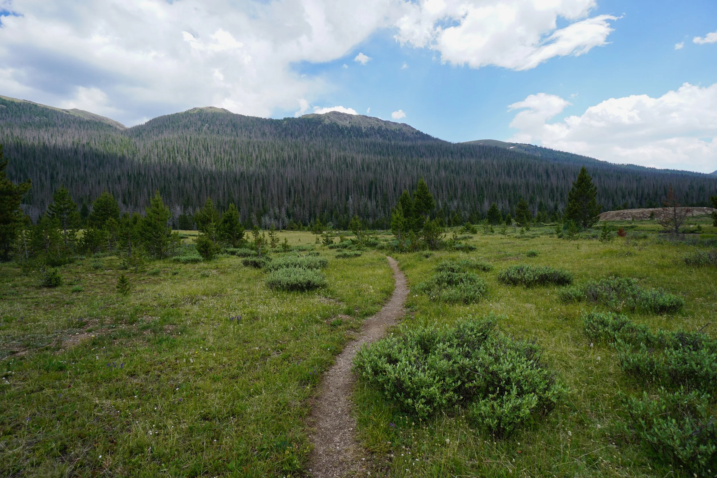
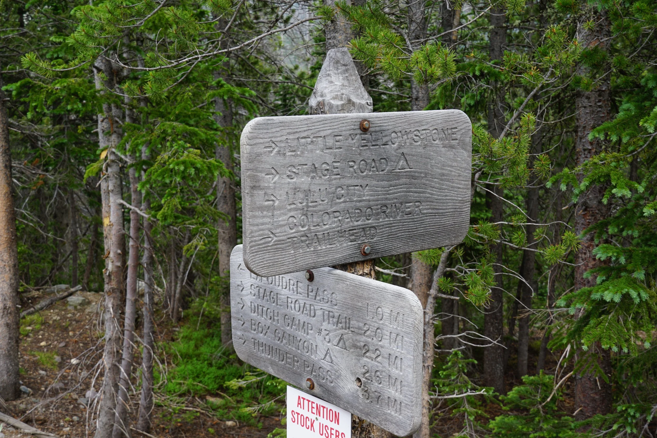
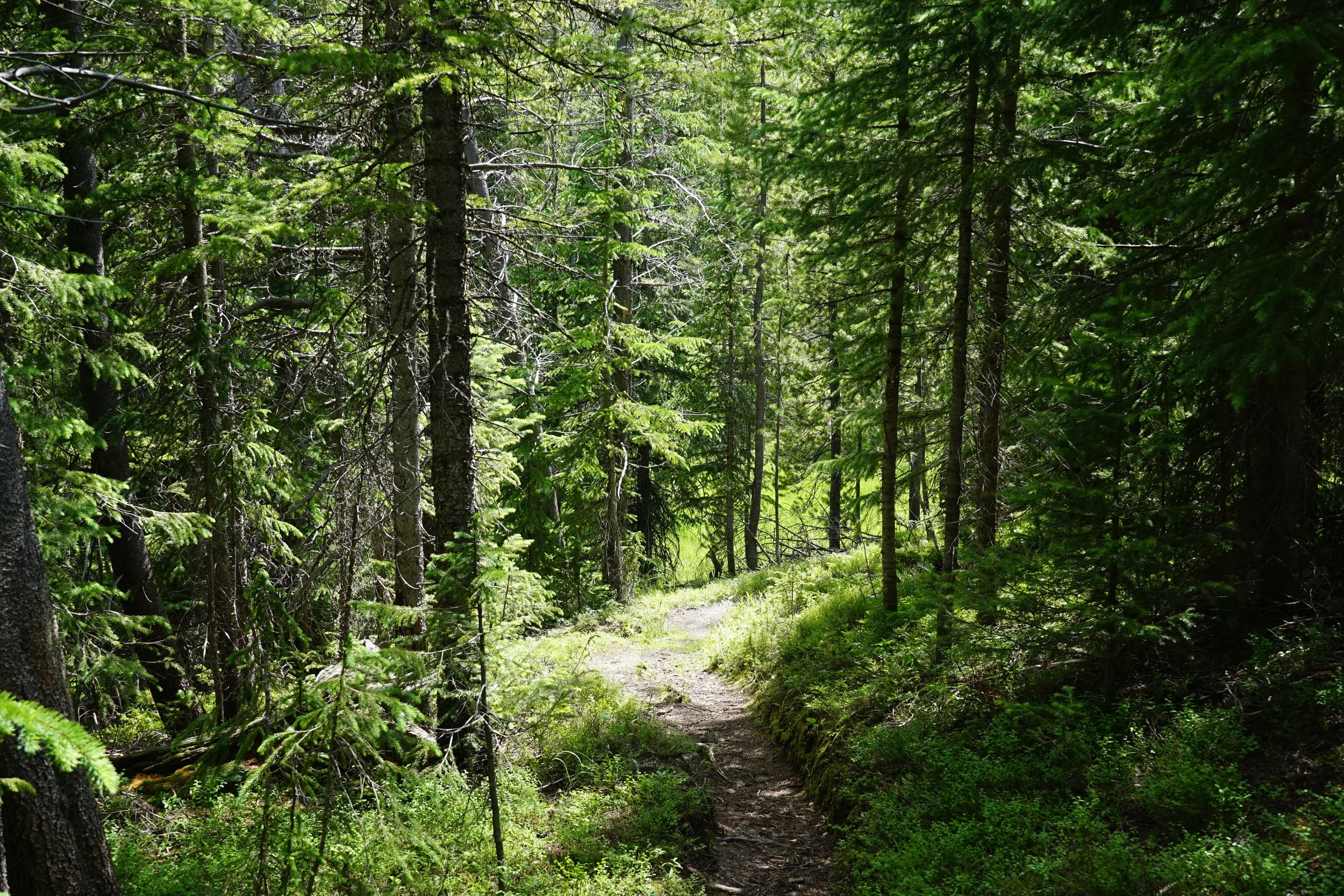
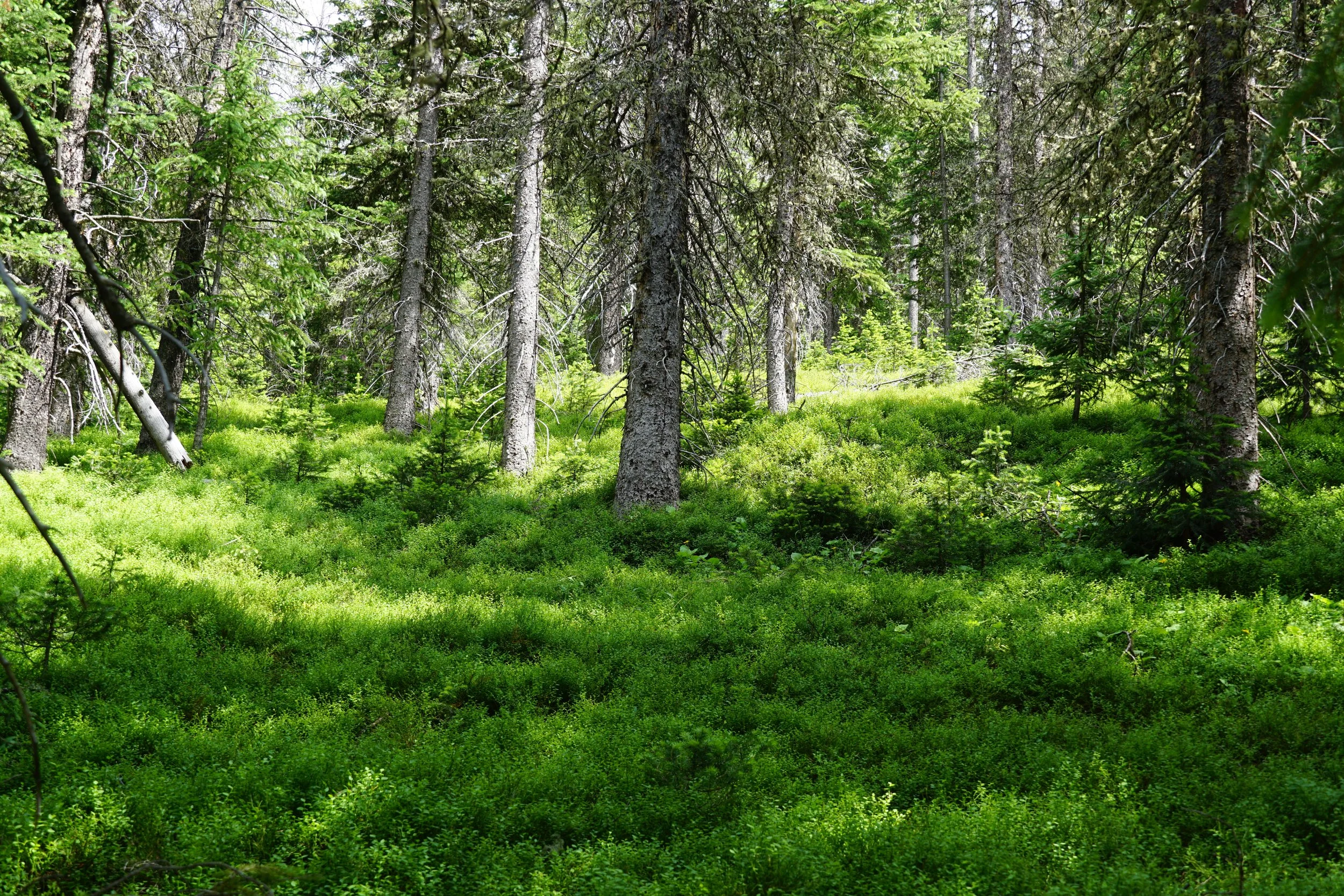
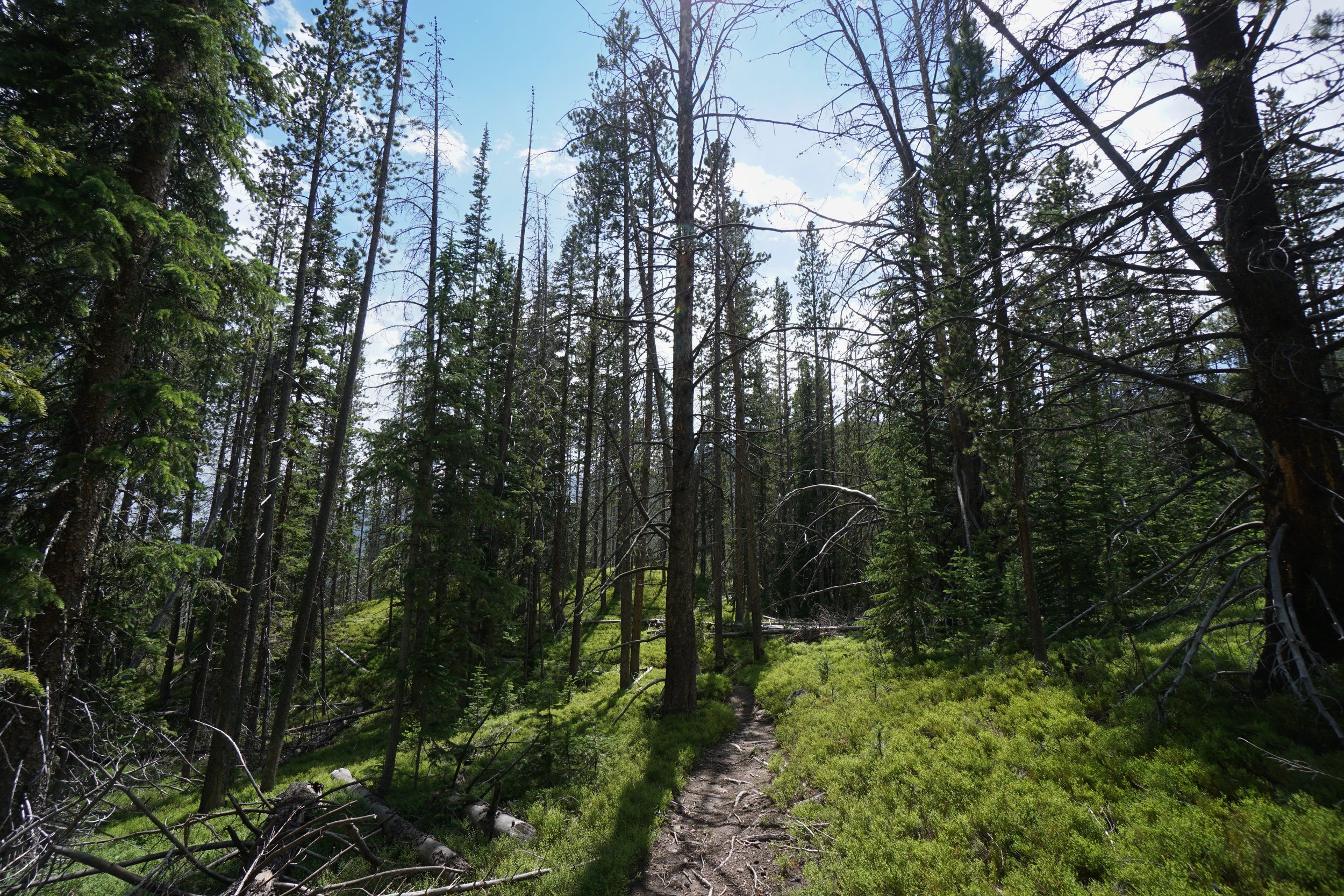
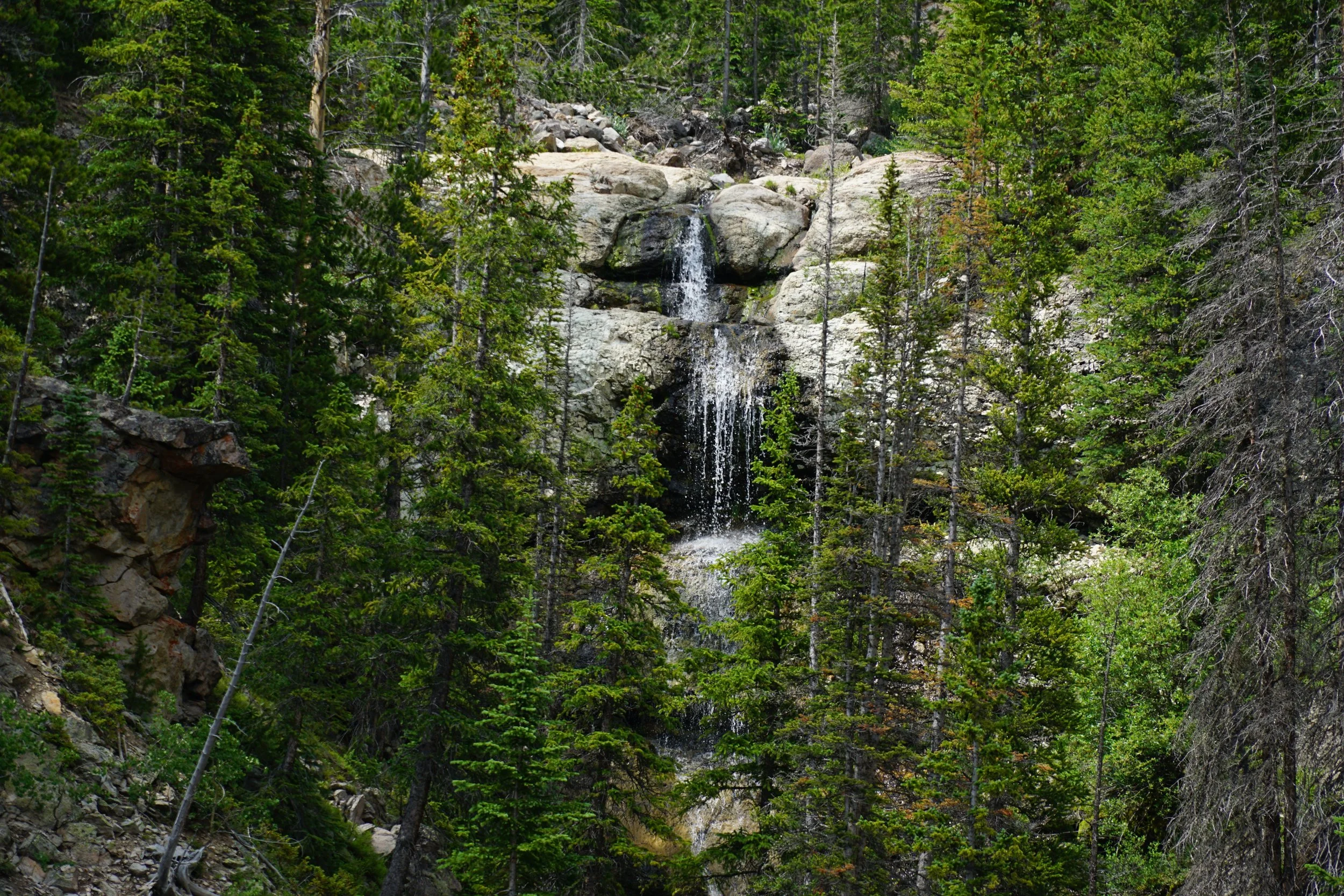
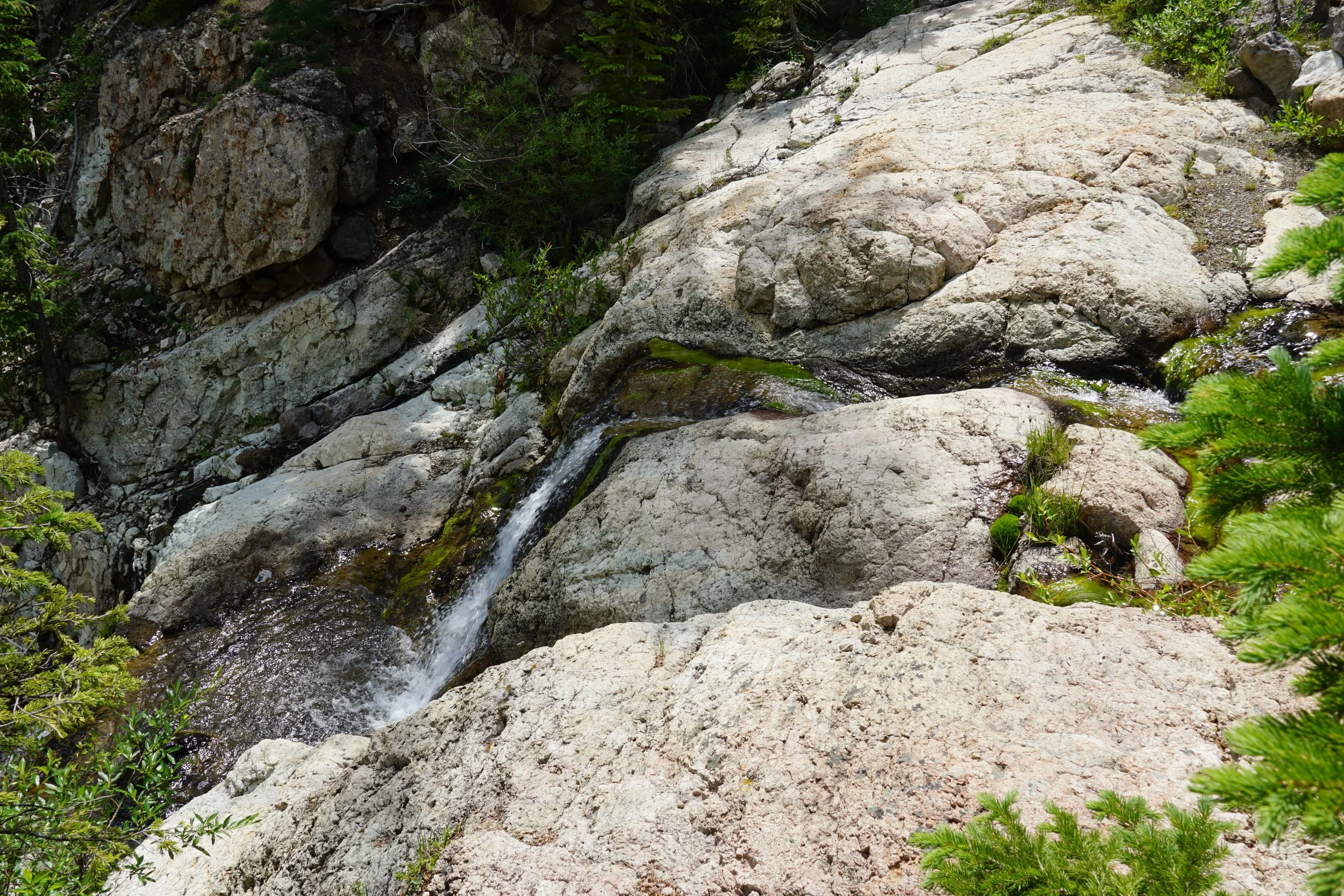
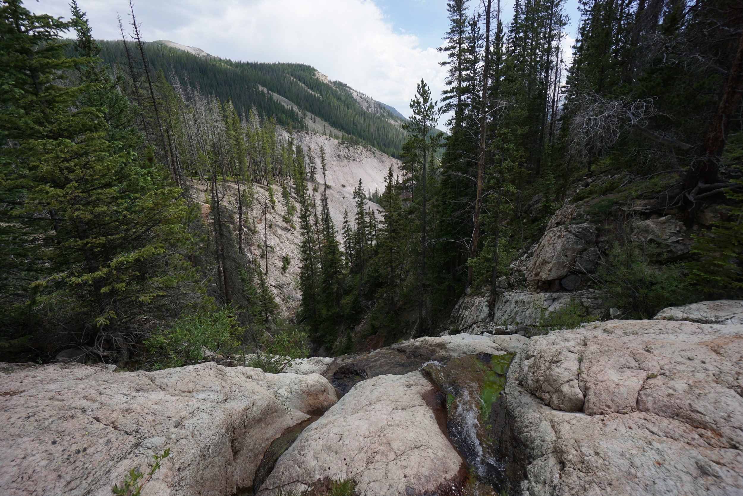
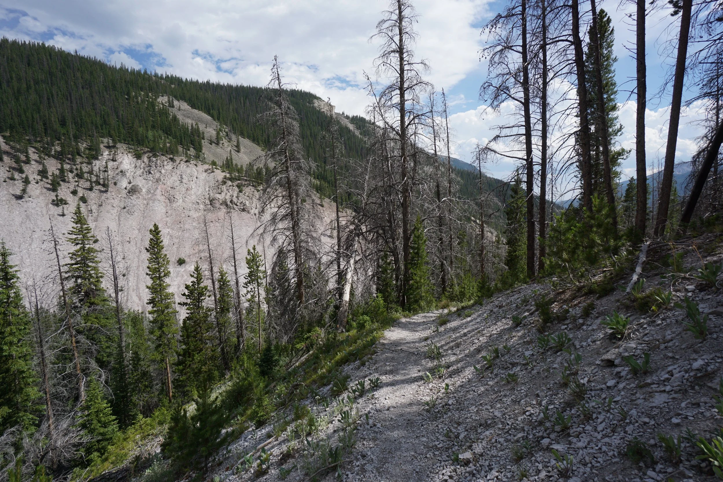
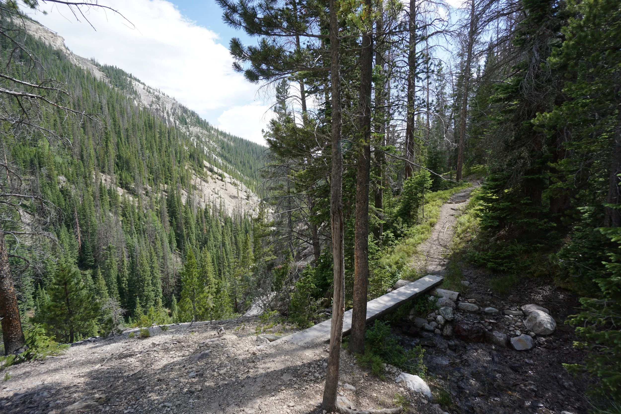
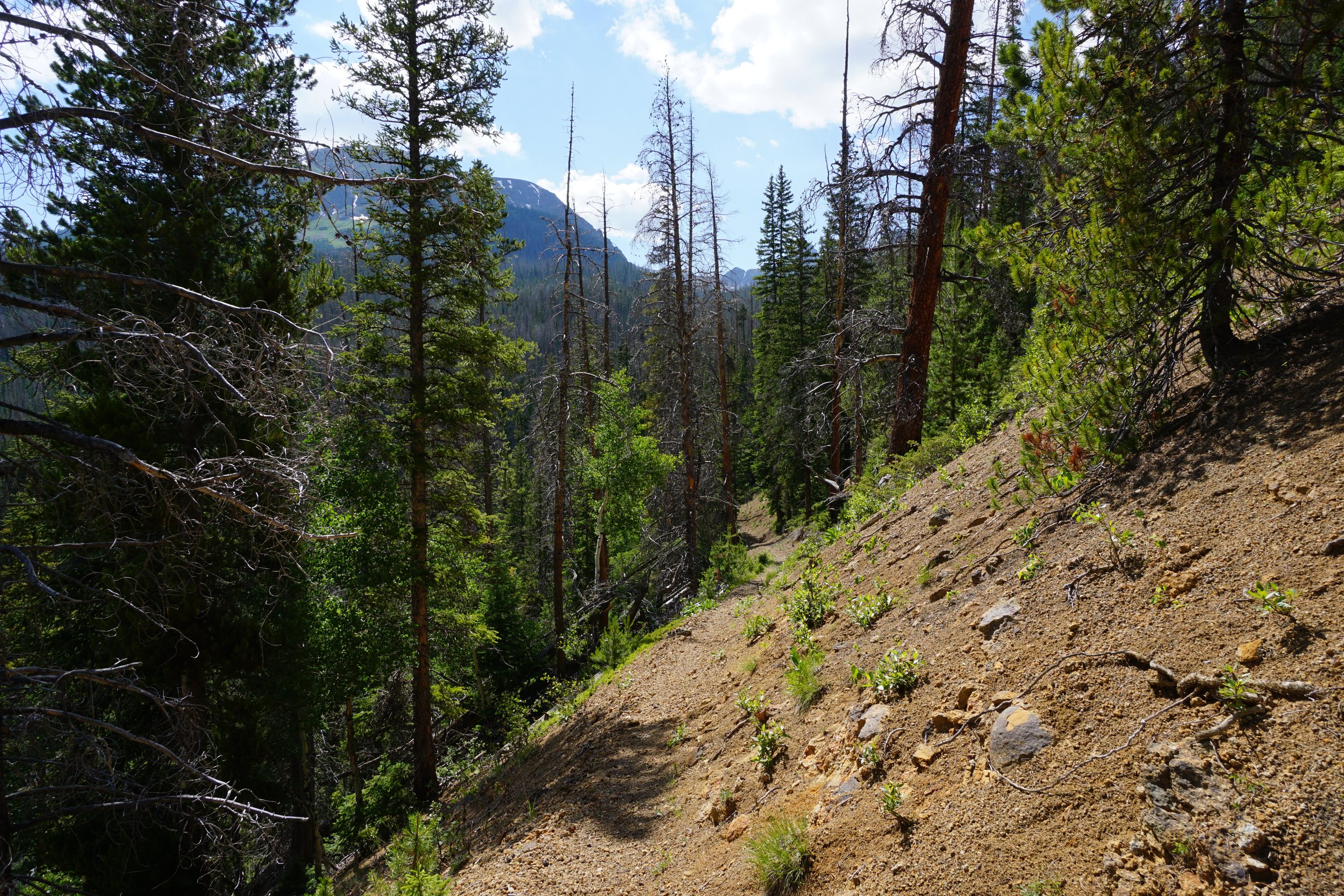
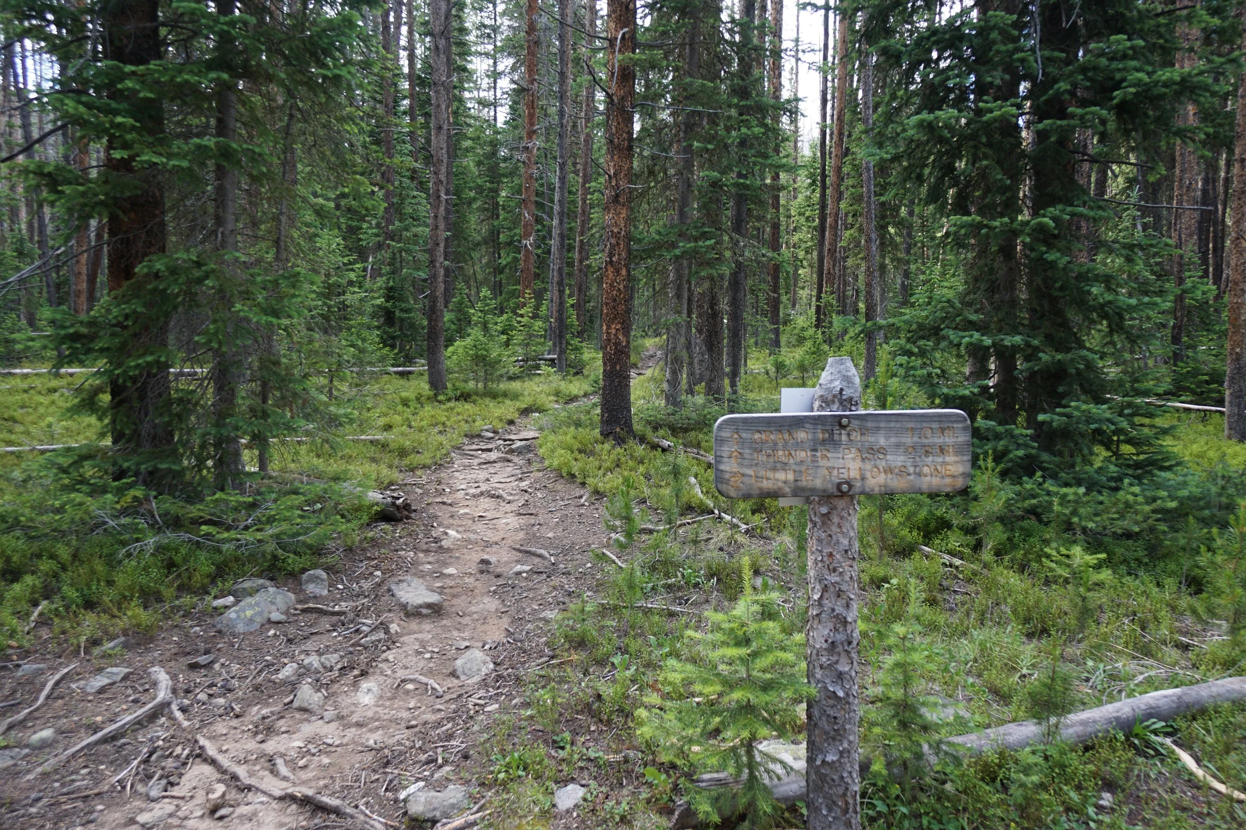
The Little Yellowstone Trail branches off the Grand Ditch 1 ½ miles from the La Poudre Pass Trailhead. The trail cuts through the forest and descends to the rim of the Little Yellowstone Canyon. It’s hard to describe this canyon with words so go to the gallery and take a look at the photos, although the photos don’t really do this canyon justice, better just go and check it out in person… The sandstone canyon walls create formations, cliffs, and waterfalls, all scooped out of the forested hillside. The bare rocky canyon also provides great views looking down the canyon. To shorten the hike, you can turn around near the bottom of the canyon and hike back up the way you came for about a 5 ½ mile hike. The other option is a loop with Grand Ditch Trail which comes in at about 8 miles.
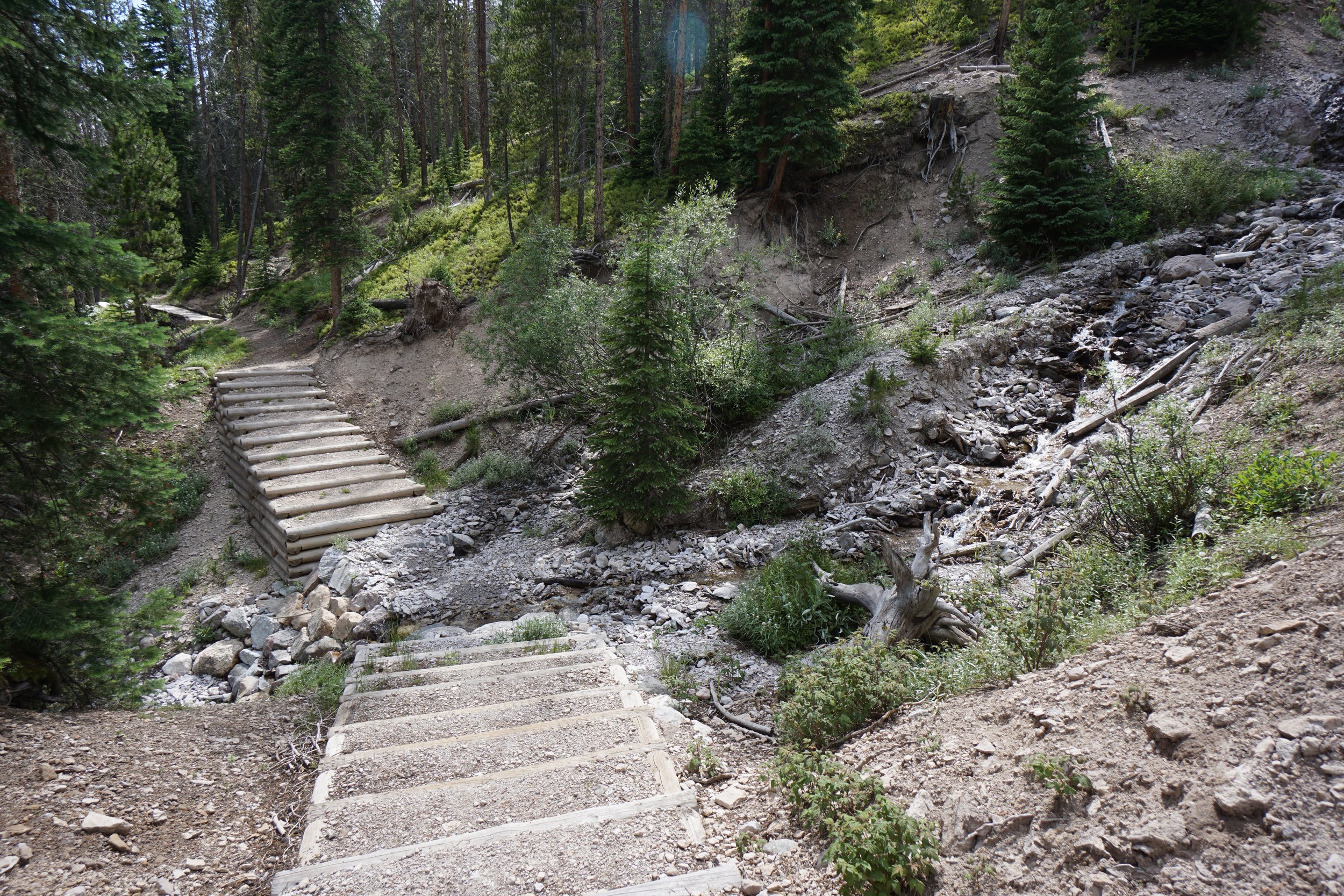
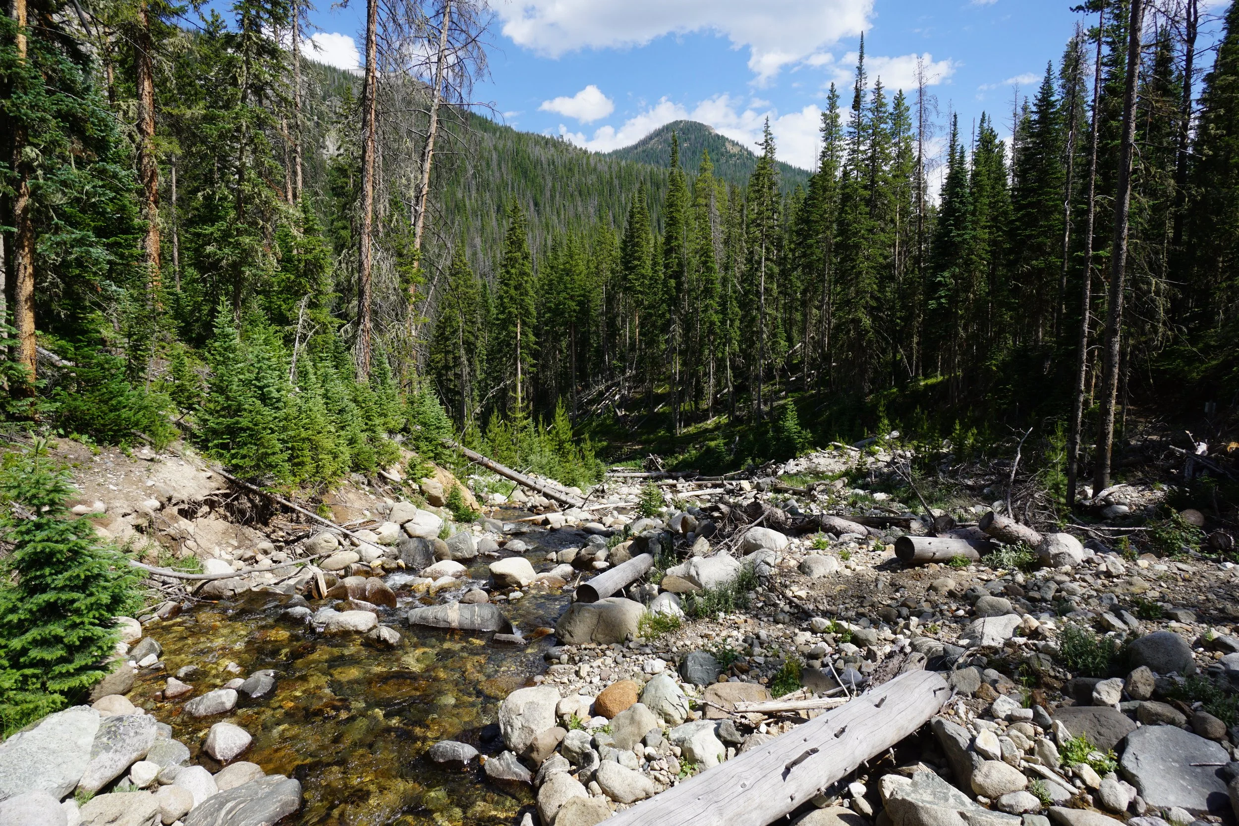
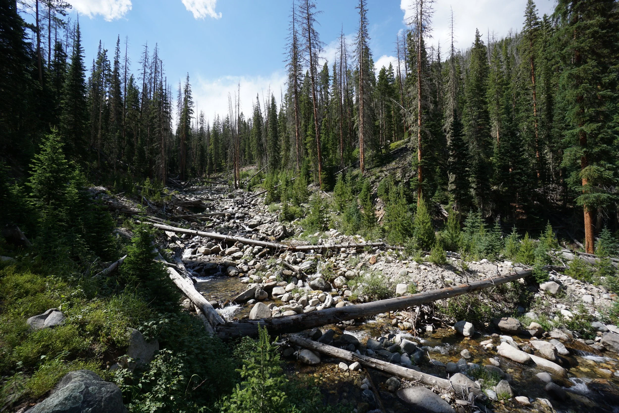
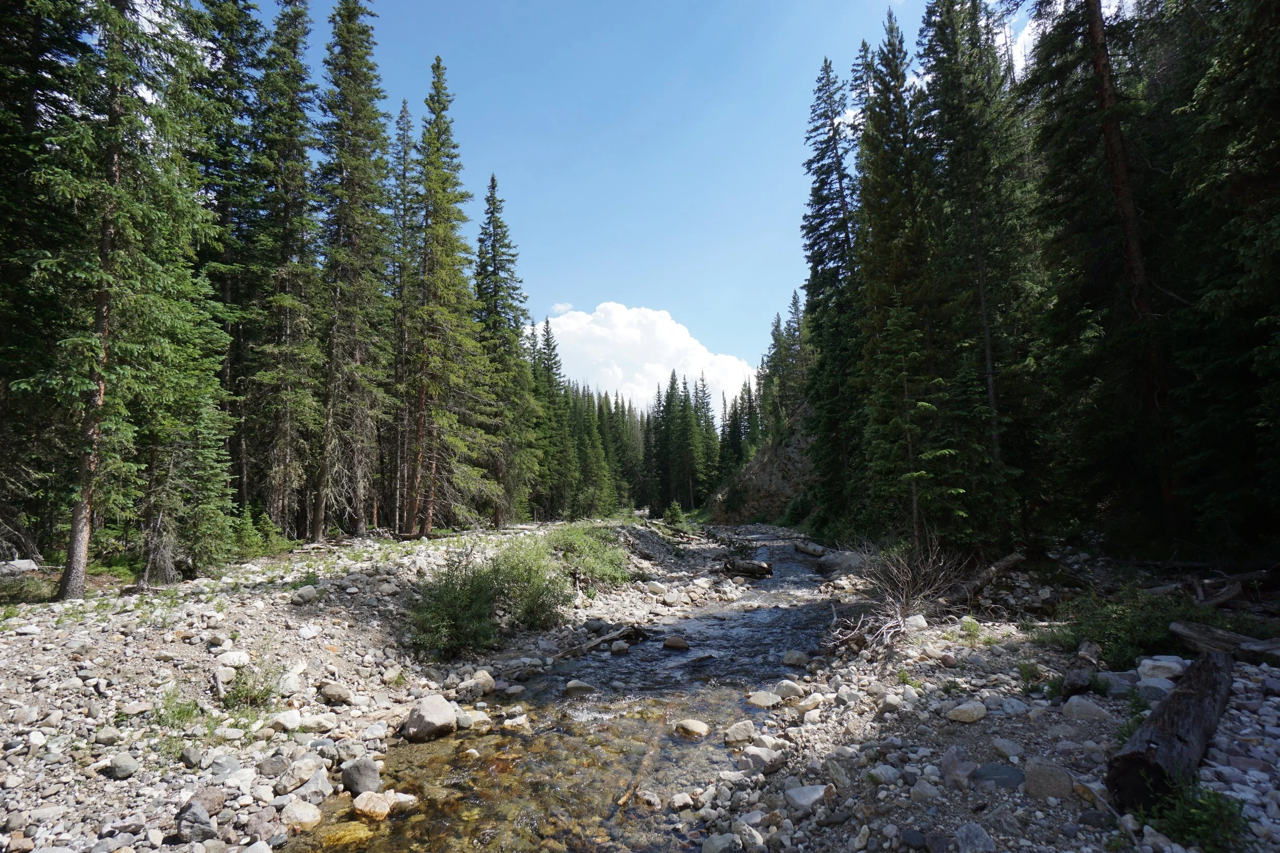
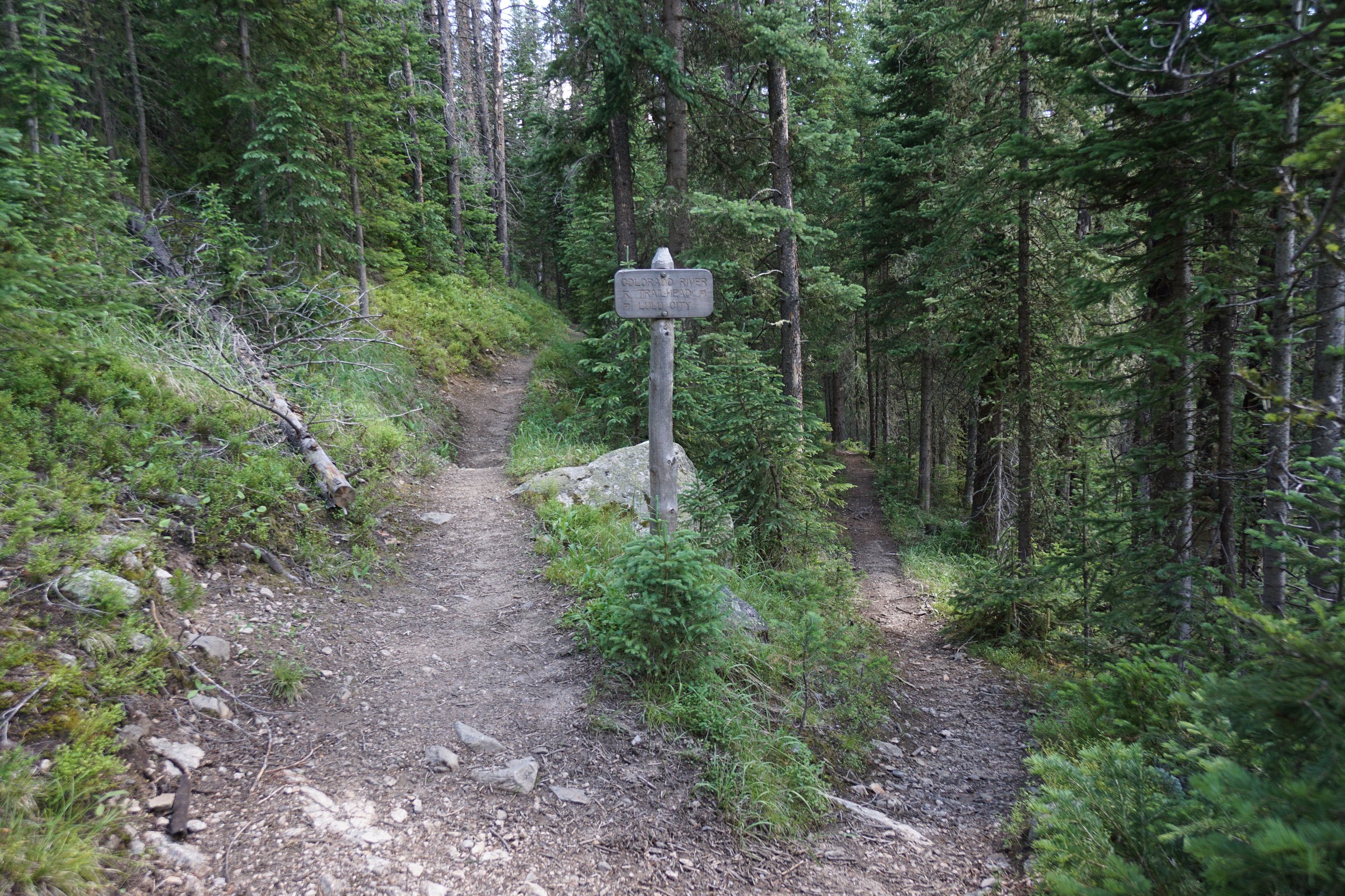
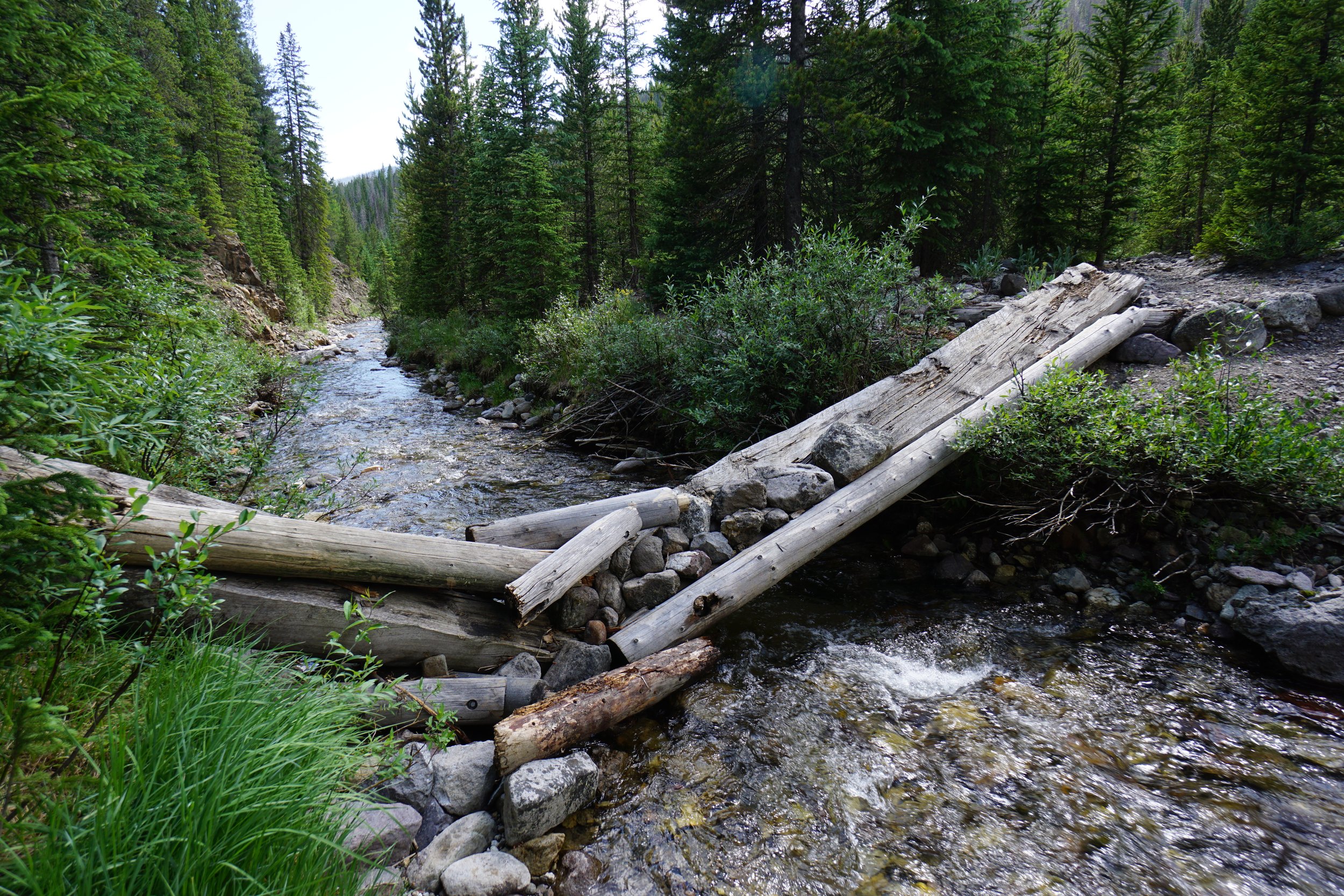
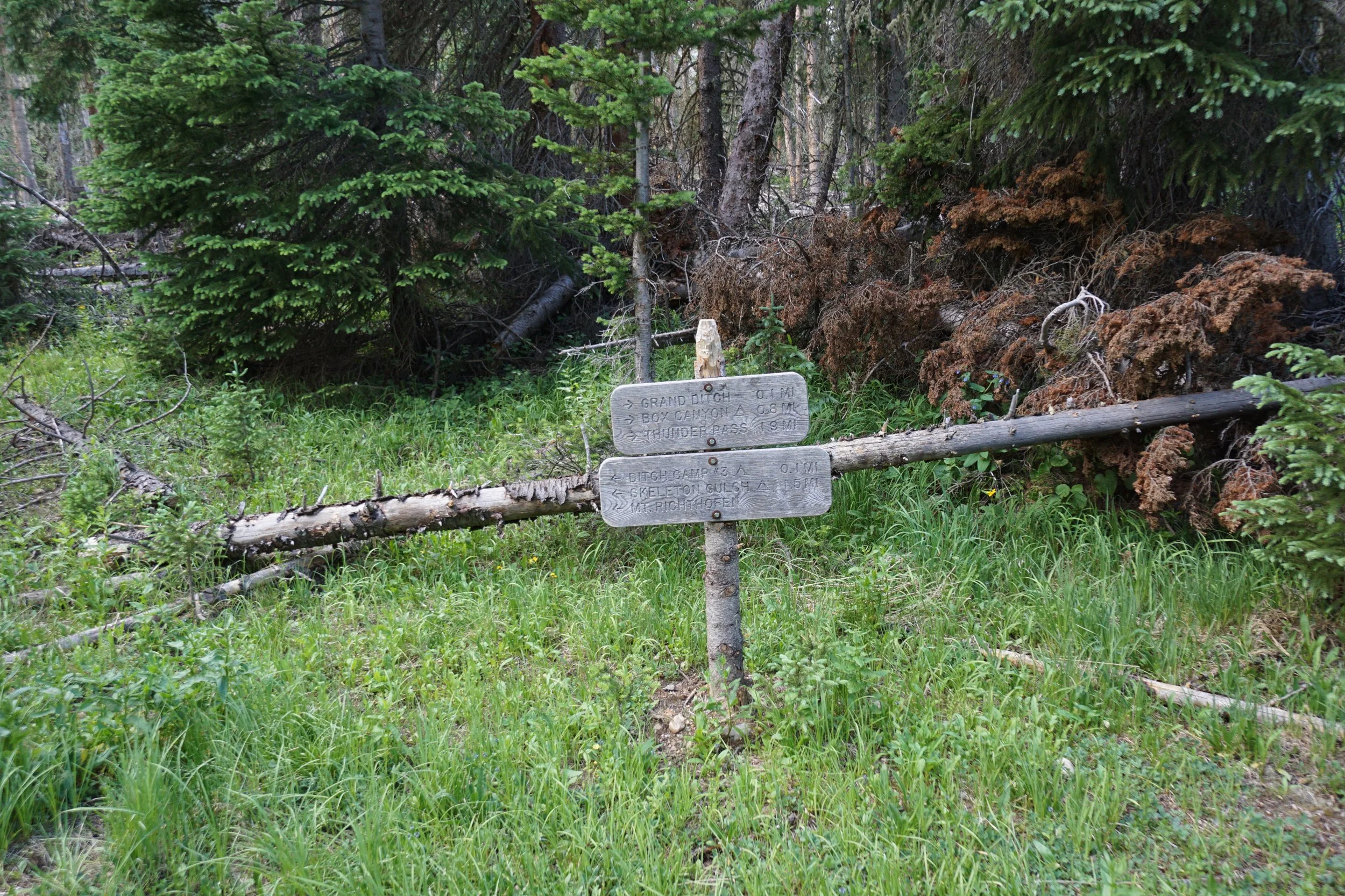
As you near the bottom of the canyon, the trail re-enters the thick forest and meets up with the Lulu City Trail Network. If you go straight for 200 ft you’ll hit the Thunder Pass Trail which takes you back up to the Grand Ditch. However, you first might want to visit the Colorado River, just to say you did. Turn right at the Lulu City Trail Network and you can complete a short, less than a mile, loop that takes you over the Colorado River and back to the Thunder Pass Trail.
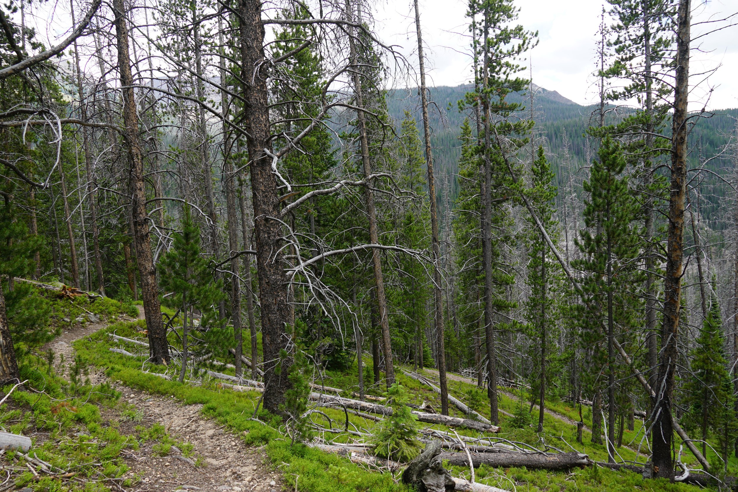
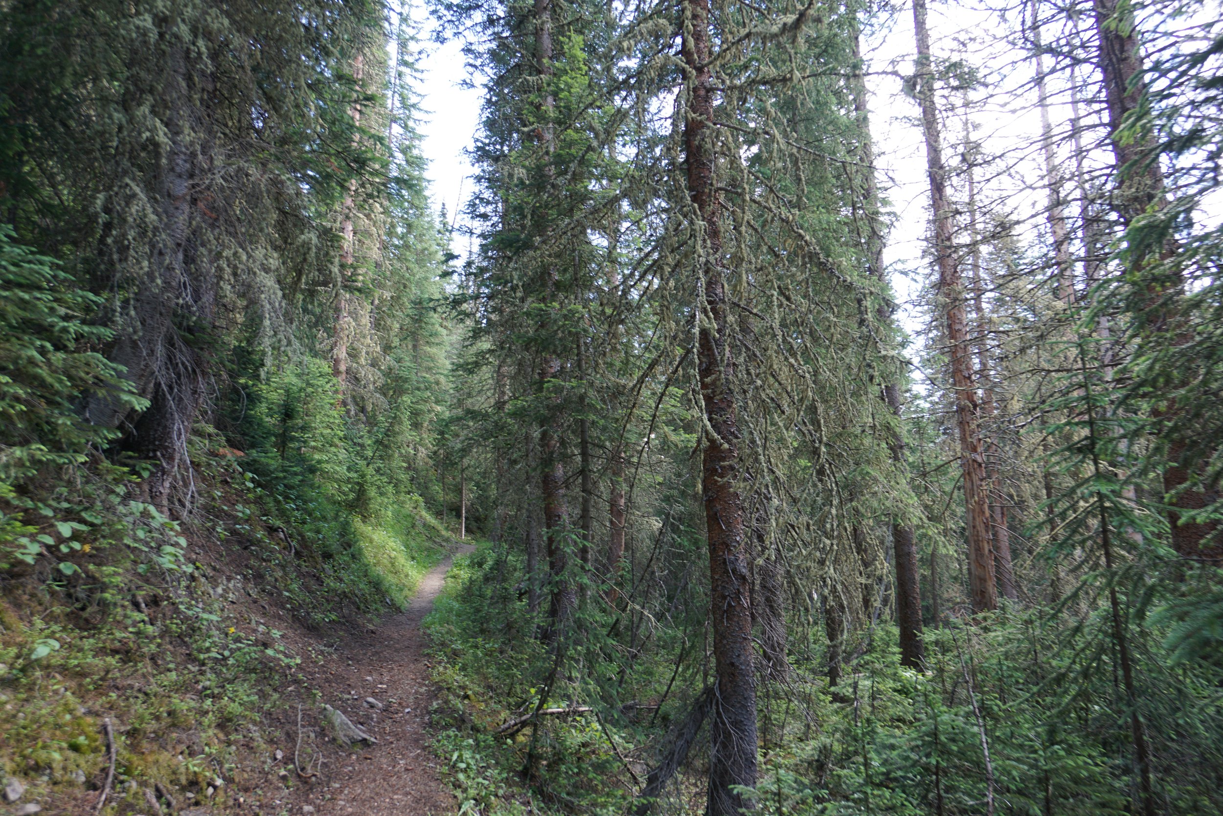
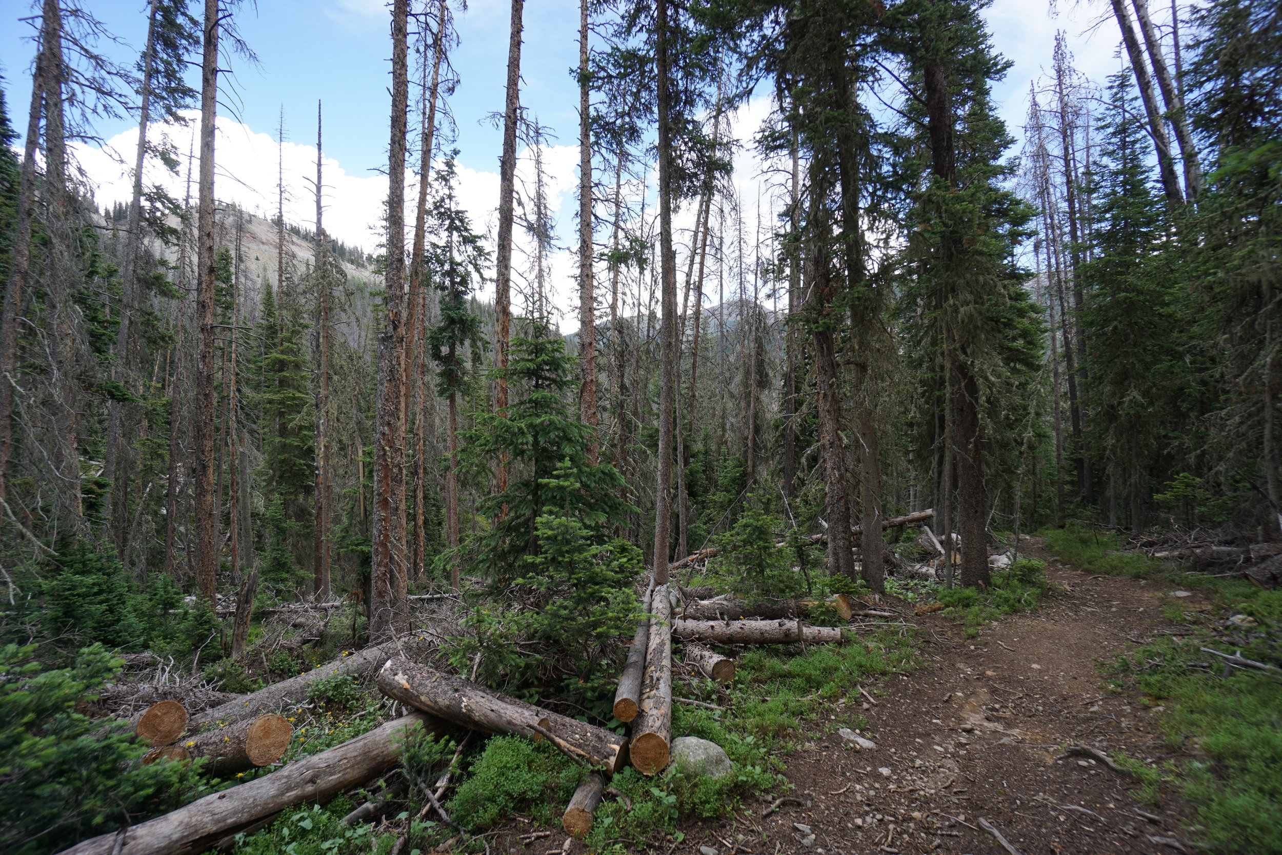
The Thunder Pass trail is a bit of a slog, it's a mile long and gains about 650 ft of elevation through thick forest with no views. Just put your head down and hike. Almost to the top of the trail, turn right to get back to the Grand Ditch.
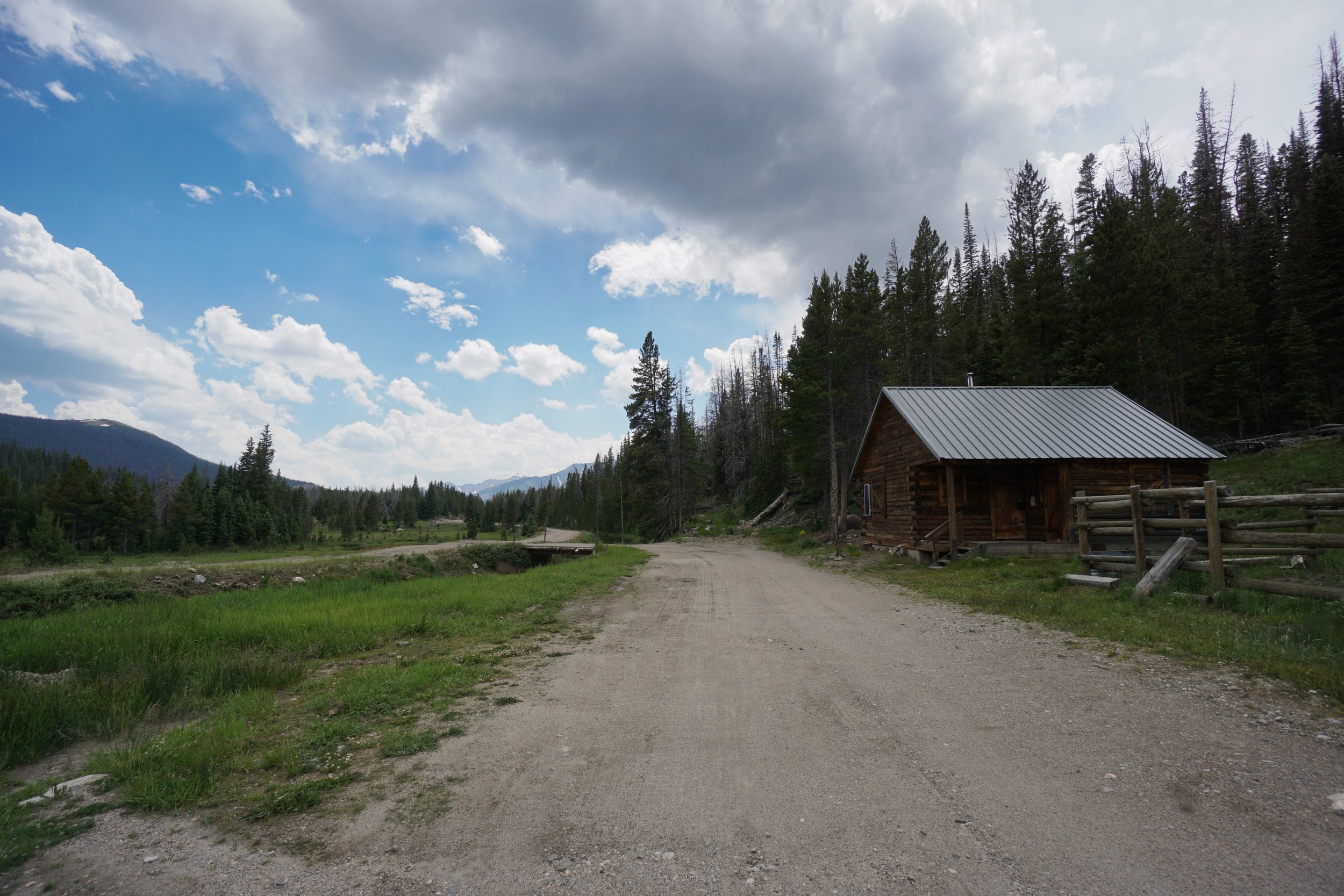
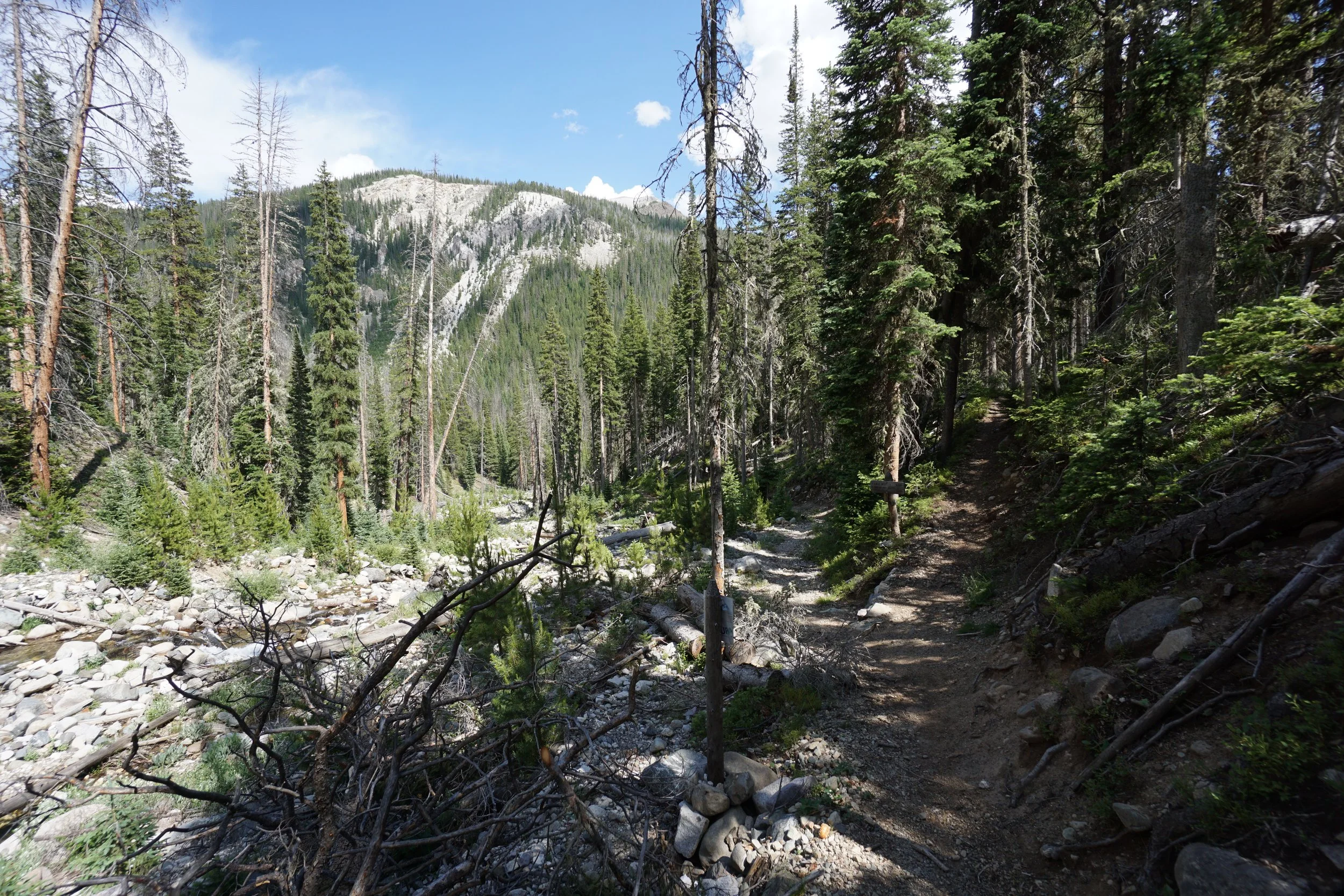
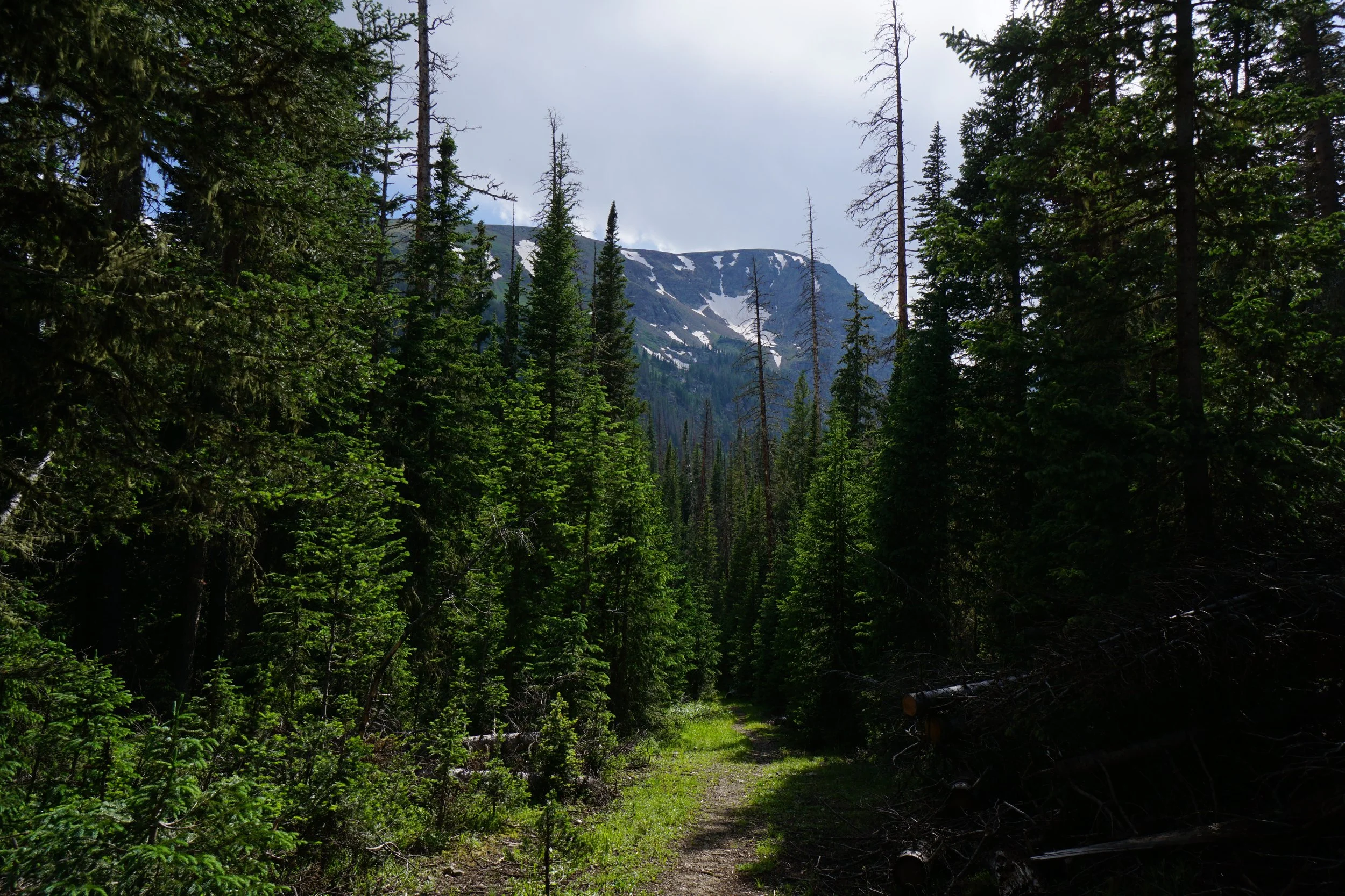
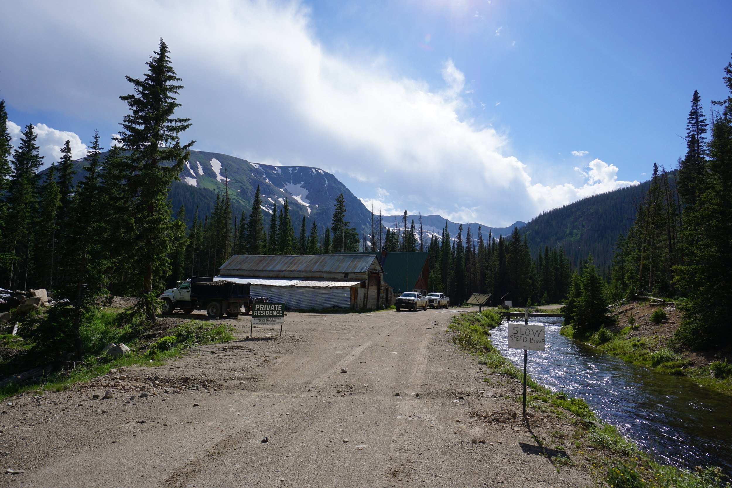
Once you pop up onto the Grand Ditch Trail, you are just shy of a private residence and buildings (I assume used by the Grand Ditch water company). Turn right to start the long but mostly flat walk back to the trailhead. Be sure to look up every now and then, and look behind you as you hike because there are some absolutely stunning views of Mount Richtofen rising behind you. It’s more than 3 miles on the Grand Ditch back to the trailhead, but they are a beautiful 3 miles, enjoy the views and enjoy the flat hike back to La Poudre Pass.