Leyden Creek Trail
Leyden Lake Open Space
Date Hiked: November 11, 2020
Distance: 2 mi (RT)
Elevation Gain: 100 ft
Elevation: 5,600 ft
Trailhead Lat/Long: 105.182°W 39.844284°N
Managing Agency: City of Arvada Parks & Open Space
Fee: None
Directions:
The Leyden Creek Trailhead is located off of W. 82nd Ave, about a mile west of Indiana St. (CO 72). You can also get there from CO 93 by turning east on 82nd Ave.
Hike Description:
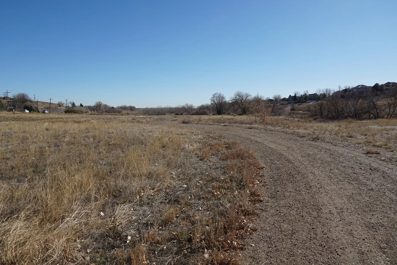
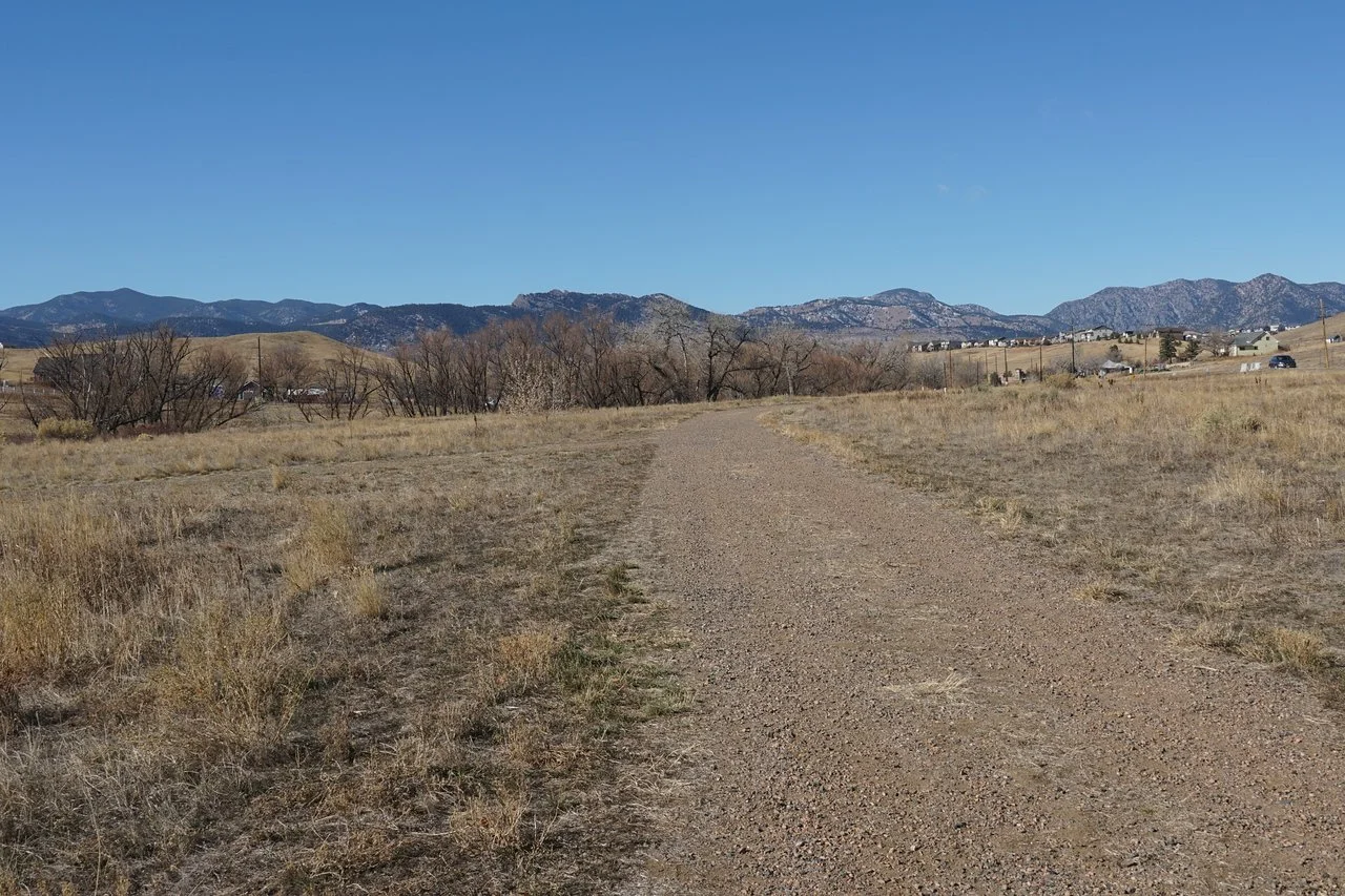
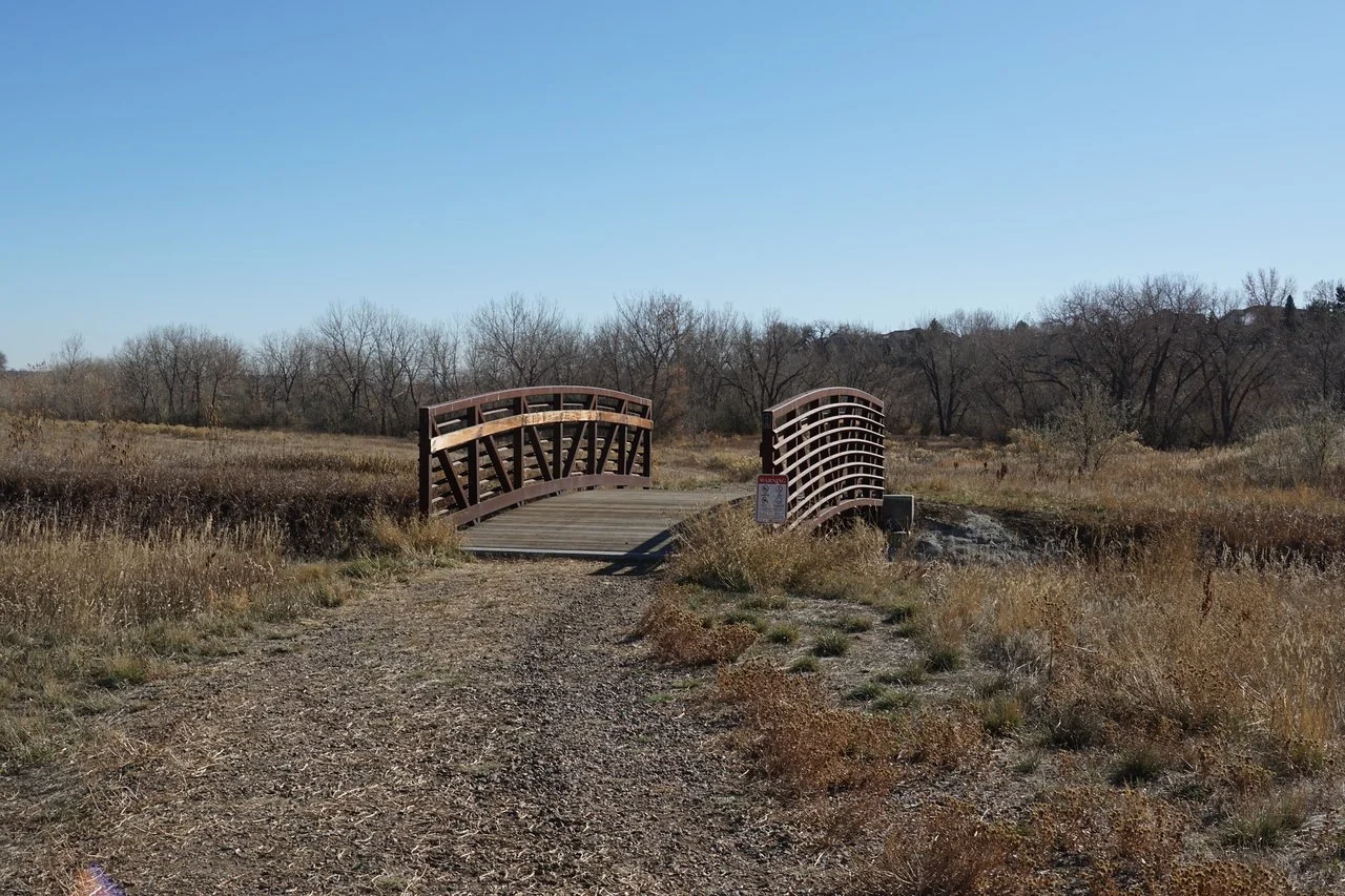
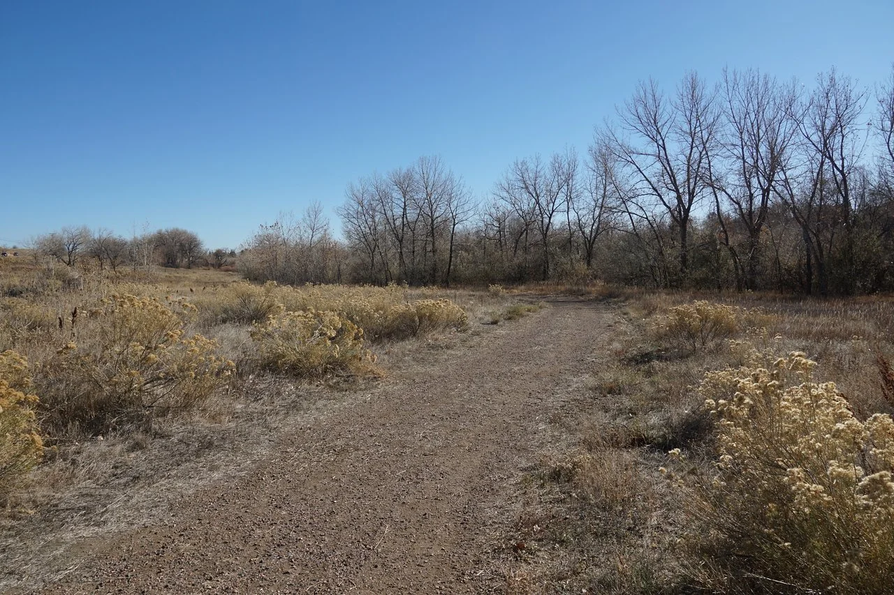
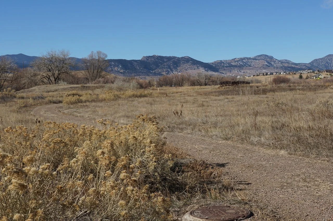
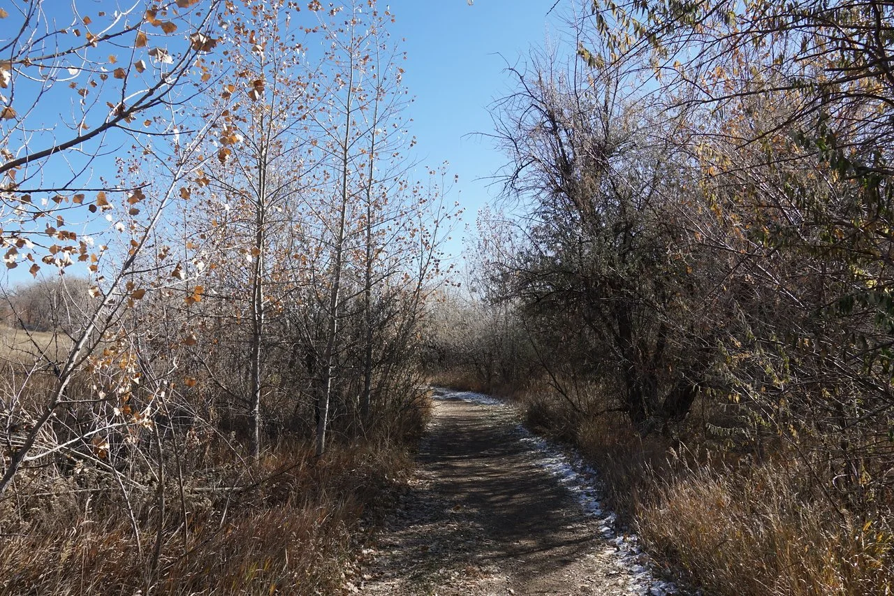
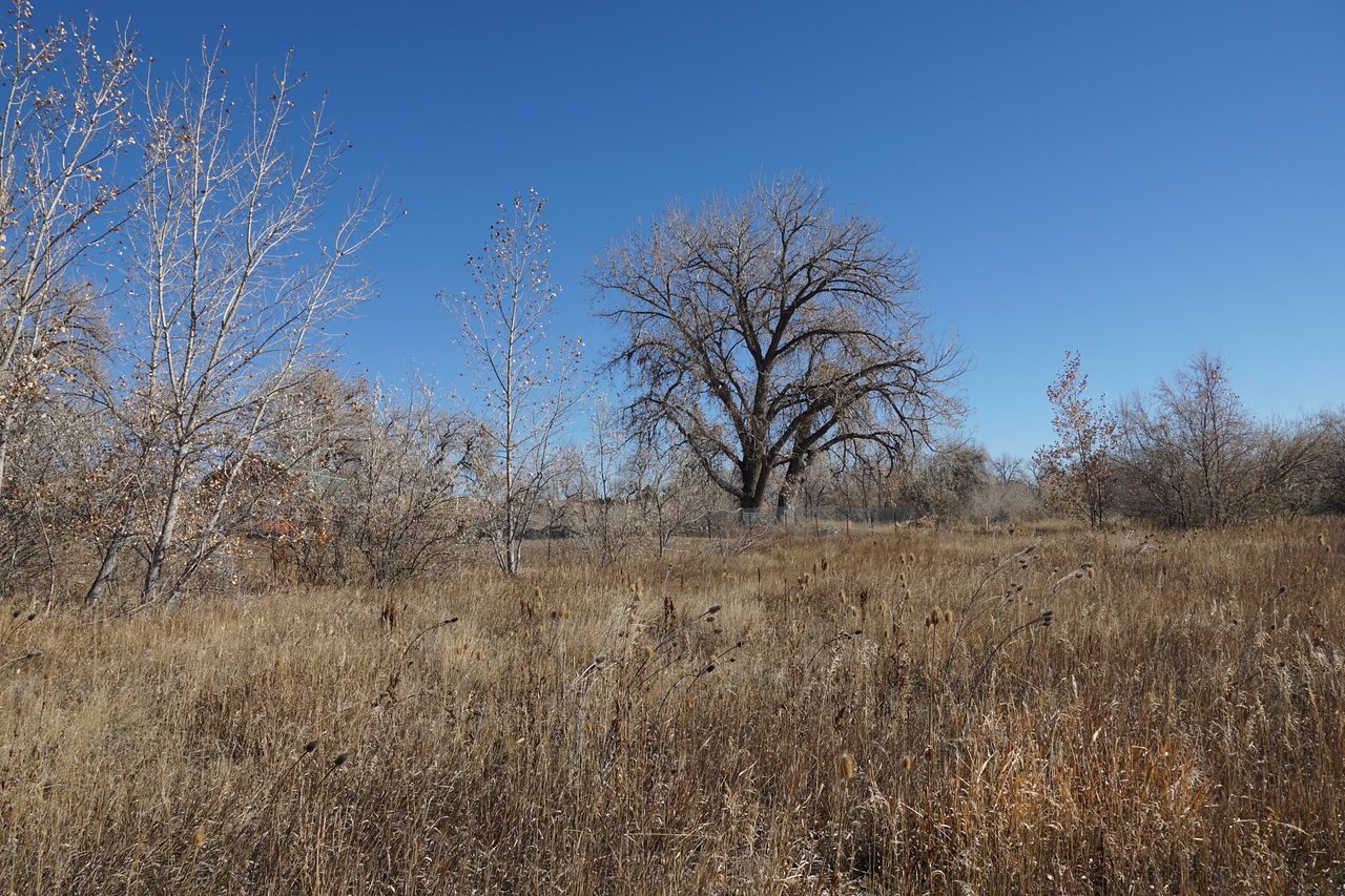
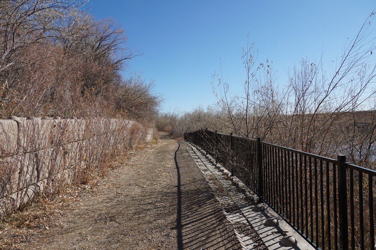
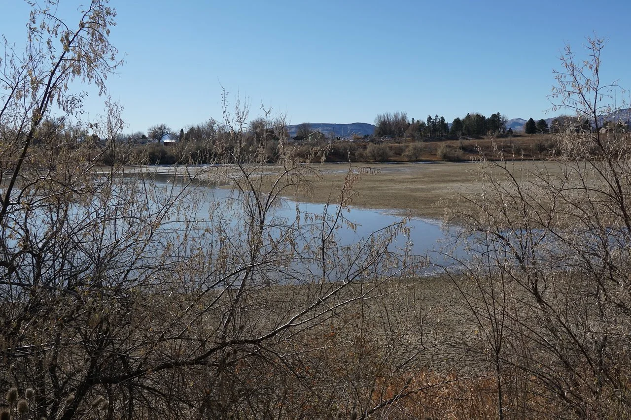
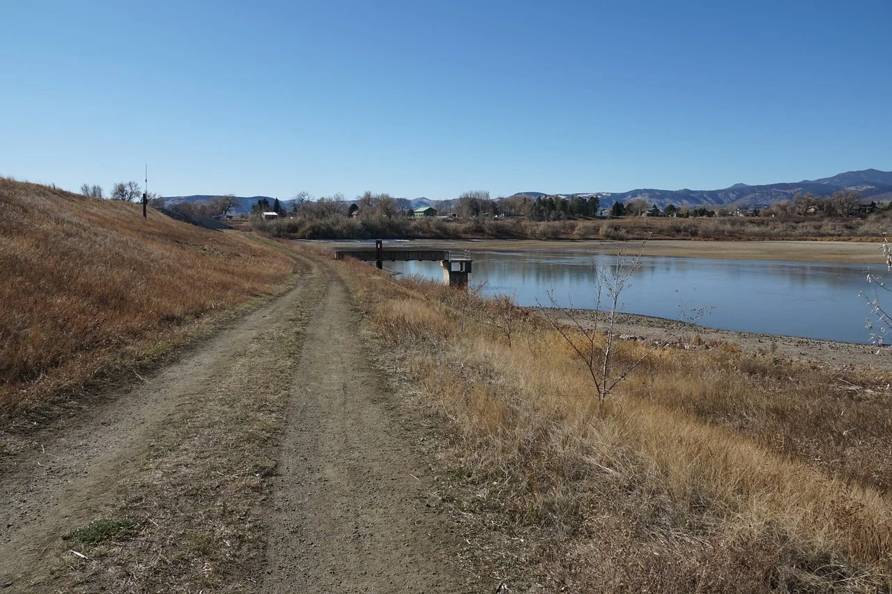
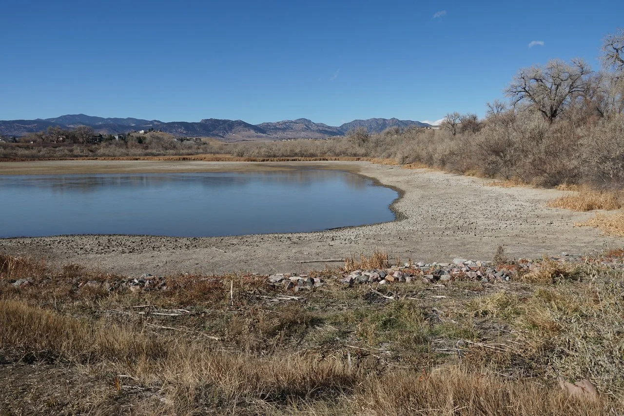
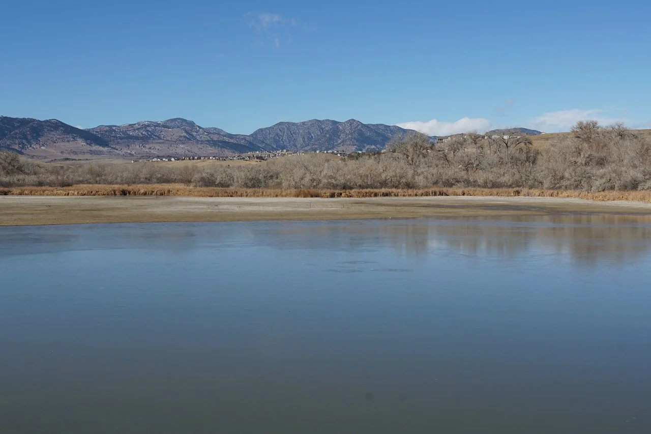
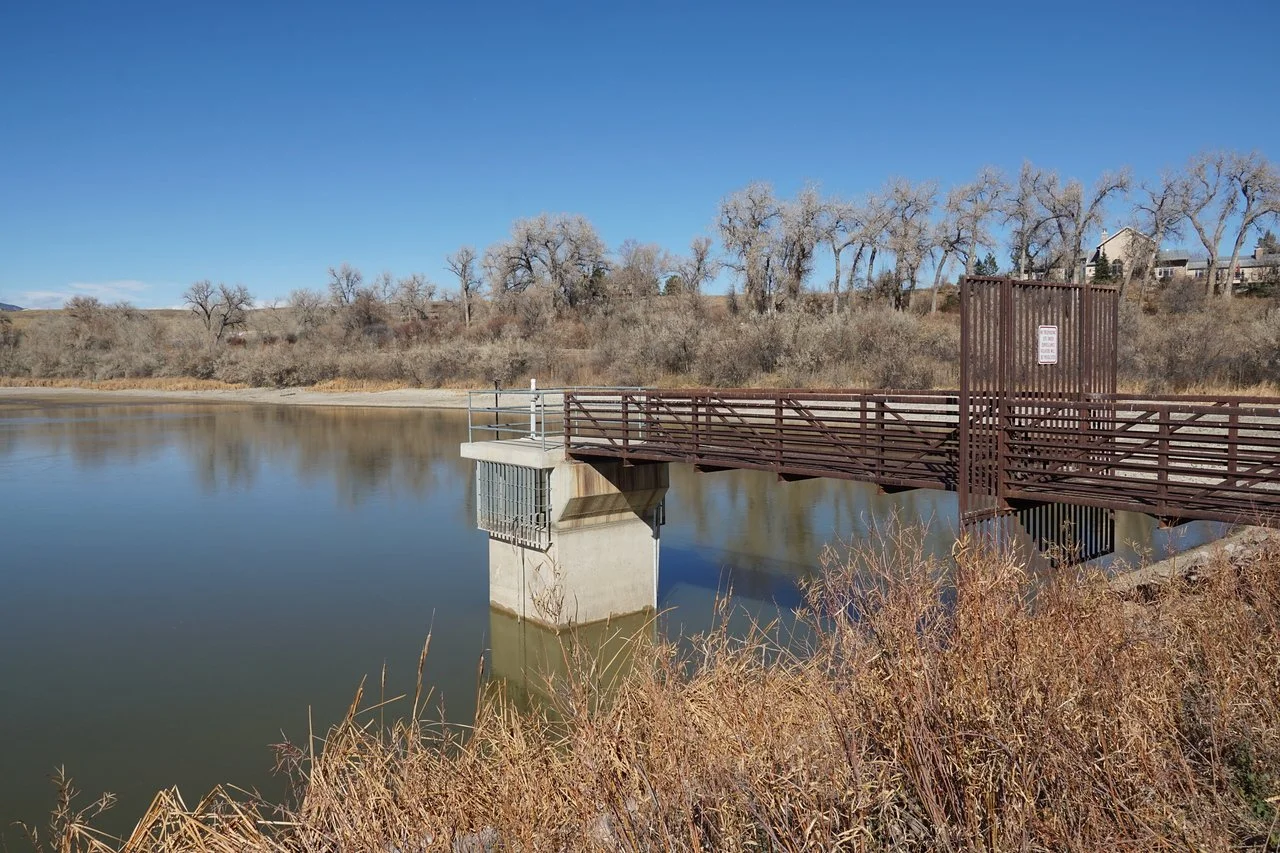
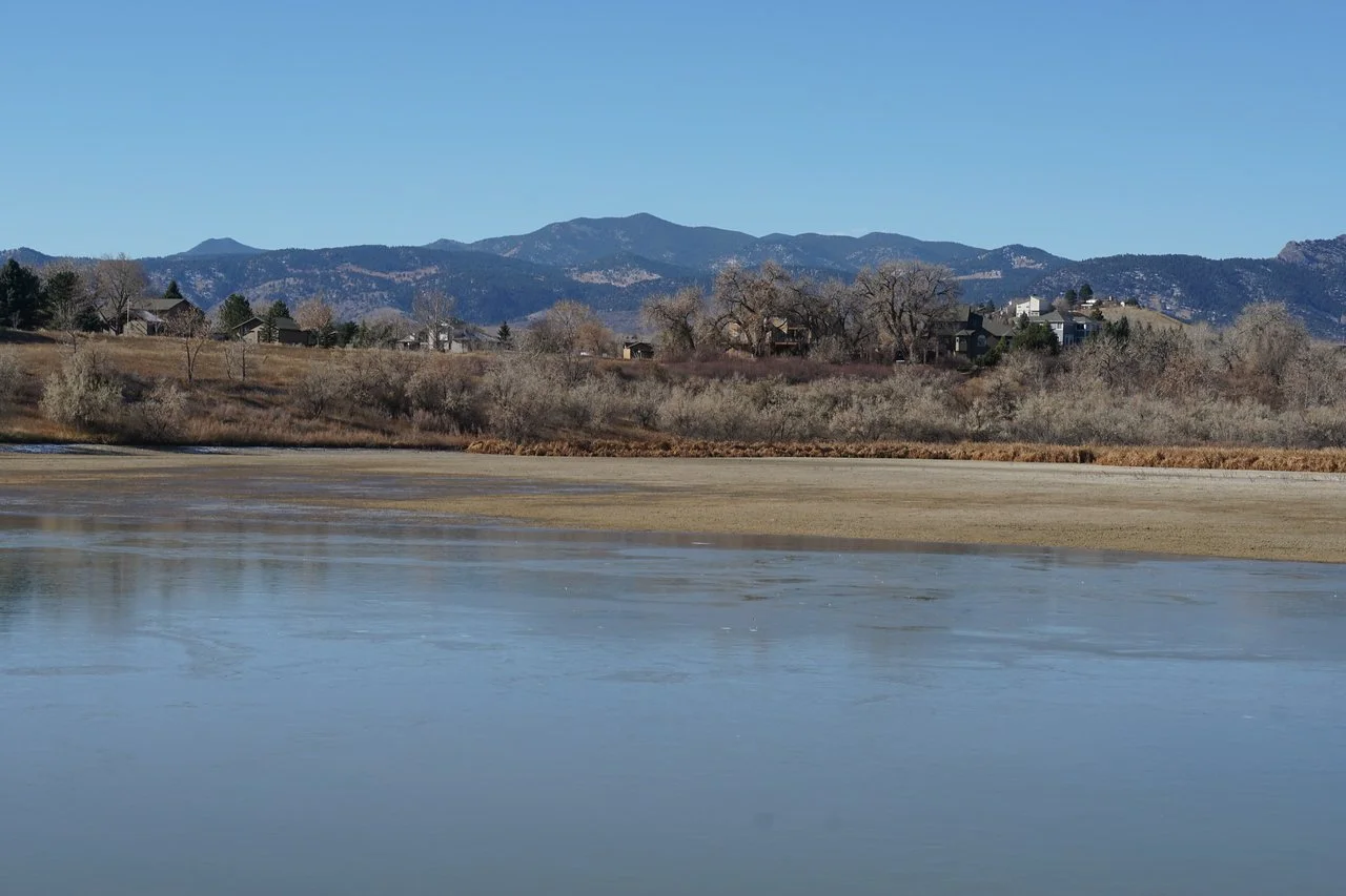
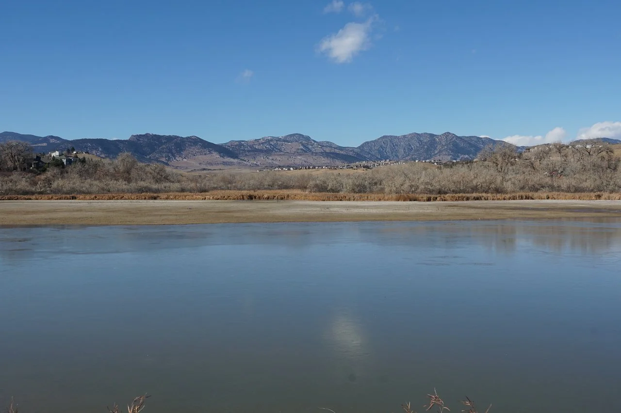
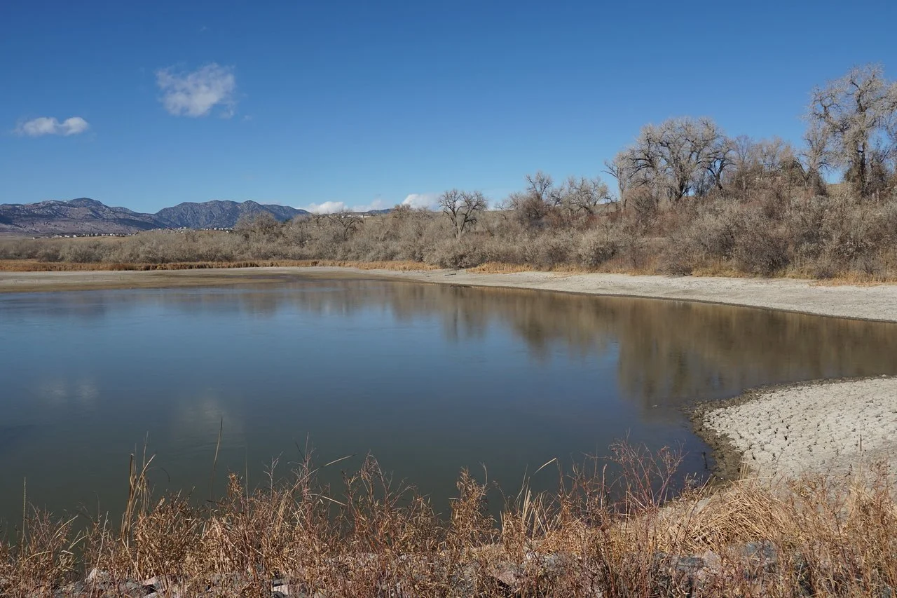
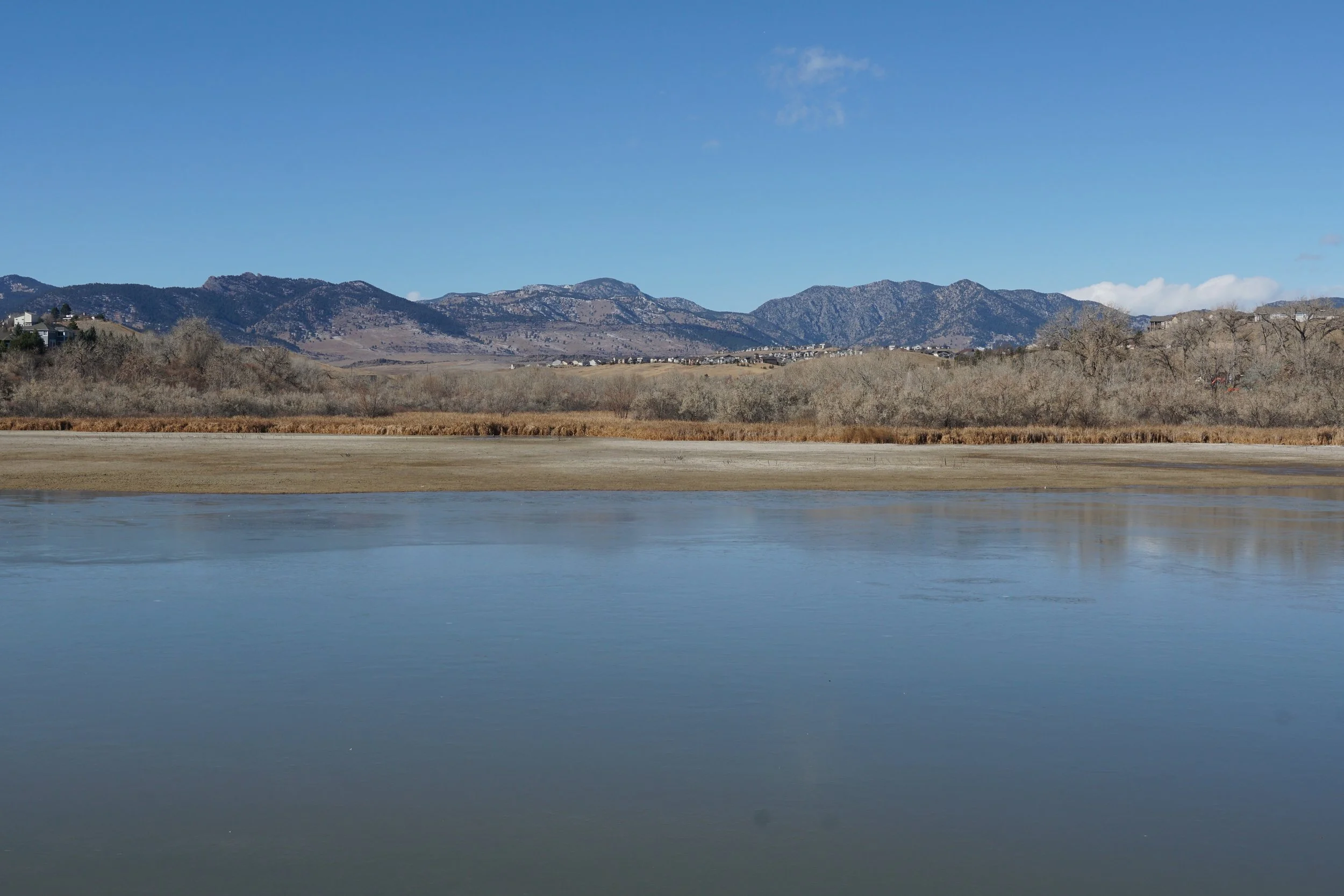
The Leyden Creek Trail is an easy and scenic hike at the western edge of the Denver Metro Area. The trail follows Leyden Creek for about a mile before reaching Leyden Lake. The trail then skirts over the dam and provides nice westerly views of the Front Range foothills. This hike is great for a quick outing in the transition area from plains to foothills.
Unfortunately, this section of the Leyden Creek Trail does not link up to the Leyden Creek Trail that runs through Pattridge Open Space so there are not many opportunities for making a longer hike here, at least not without walking along the side of the busy 82nd Ave for ¼ mile.