Jim Creek Falls
James Peak Protection Area, Arapaho National Forest
Date Hiked: August 20, 2026
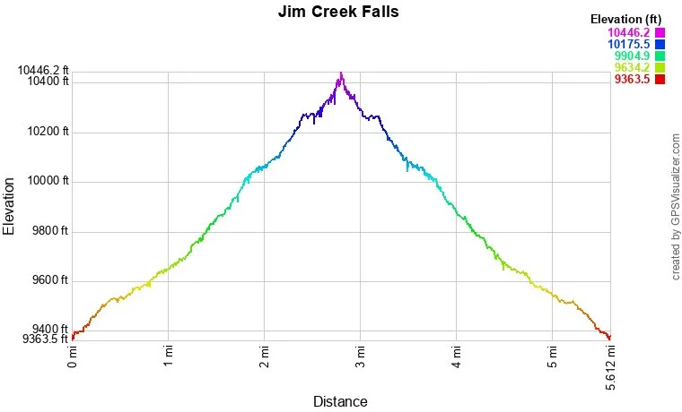
Distance: 5.5 mi (RT)
Elevation Gain: 990 ft
Elevation Min/Max: 9,399 to 10,390 ft
Trailhead Lat/Long: 39.88062, -105.74164
Managing Agency: U.S. Forest Service
Fee: None
DIRECTIONS:
From Hwy 40 at Berthoud Pass head down the north slope towards Winter Park. 2.5 miles past the Robbers Roost Campground, turn right onto Road 128 (Denver Water Board Road). This is a good dirt road (with some dispersed camp sites) and shouldn’t be a problem for most cars in good weather conditions. Follow the road for 1.6 miles to the Jim Creek Trailhead. Alternatively, you can also park at the Bonfils-Stanton Trailhead, just off of Hwy 40, but this adds 1.5 mi (RT) to your hike.
HIKE DESCRIPTION:
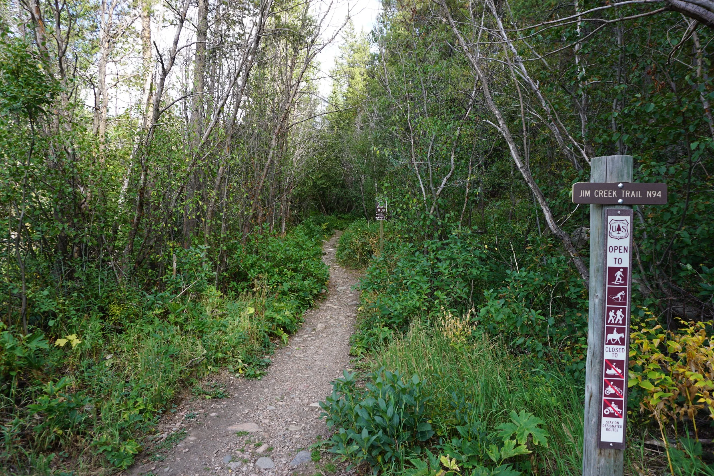
I’ve known that the Jim Creek Trail existed for a long time but for some reason I’ve never had a huge desire to hike this trail. Well, the time was finally right and to my surprise, this is a stellar hike!
With my life getting busier as the kids get older, it’s been tougher and tougher to find time for hiking. Every once in a while the stars align and I’m able to get out for an after-work hike. I really enjoy hiking in the late afternoon/early evening (after storms have moved on) as the trails are far less busy and the temperatures start to drop off. Jim Creek was a great option as I was able to get out of work a bit early on this particular day. After a quick drive over Berthoud Pass, I was at the Jim Creek Trailhead at about 5:30.
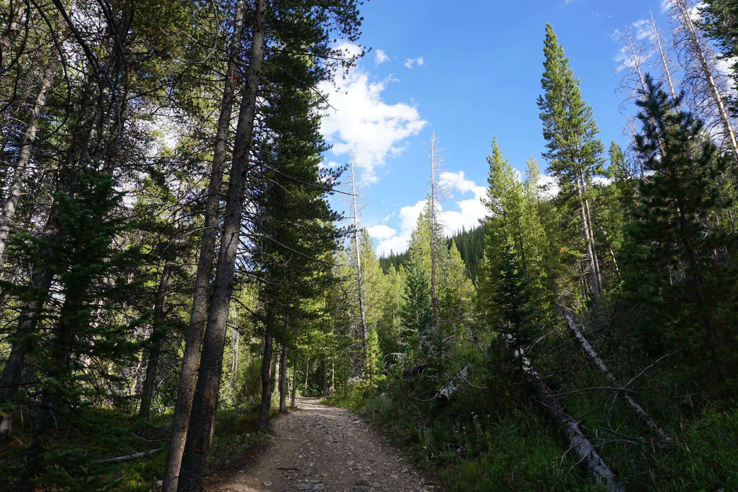
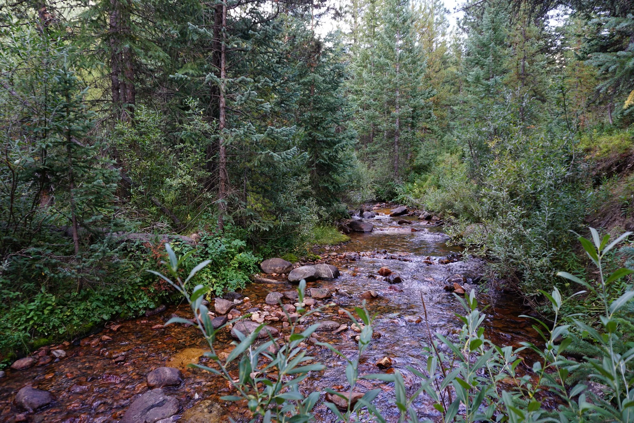
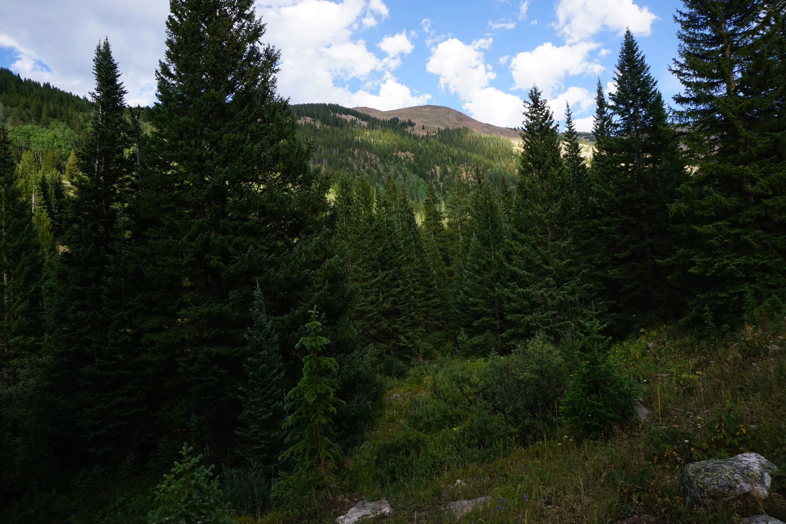
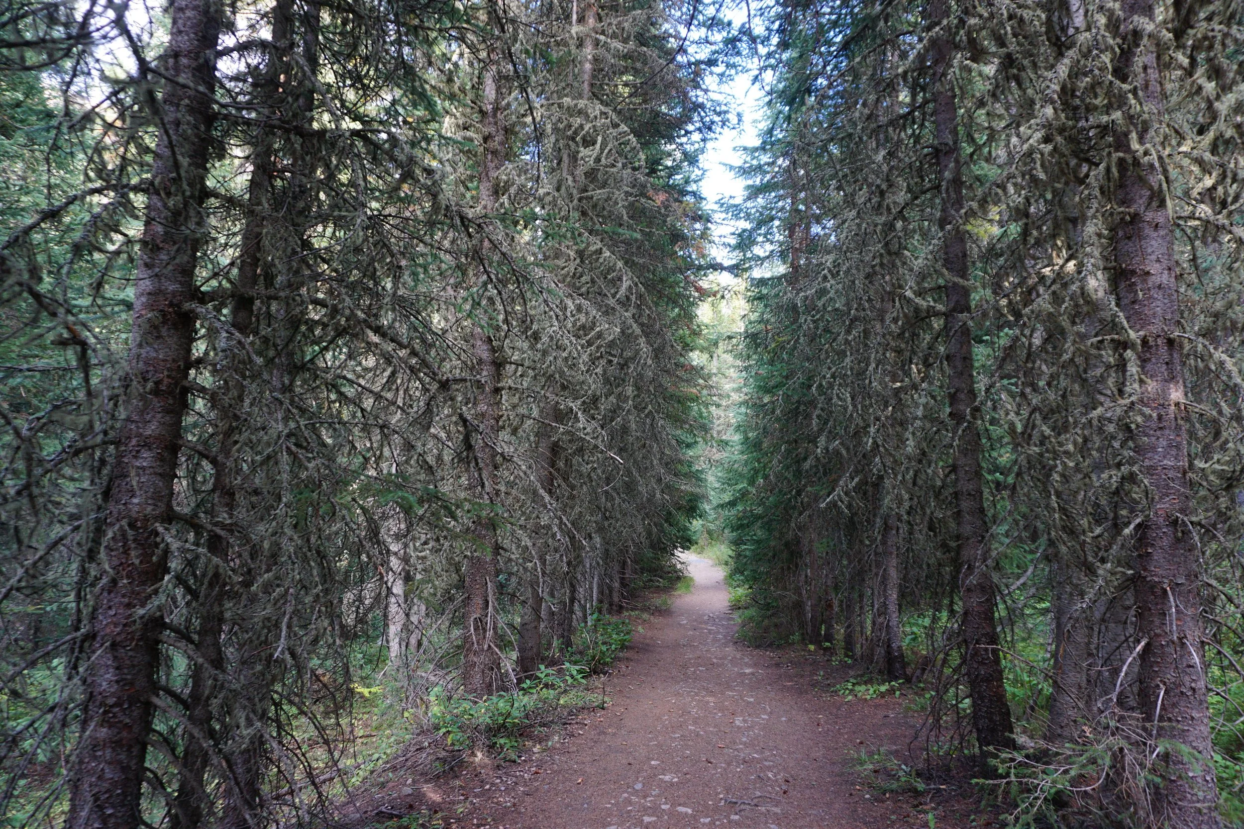
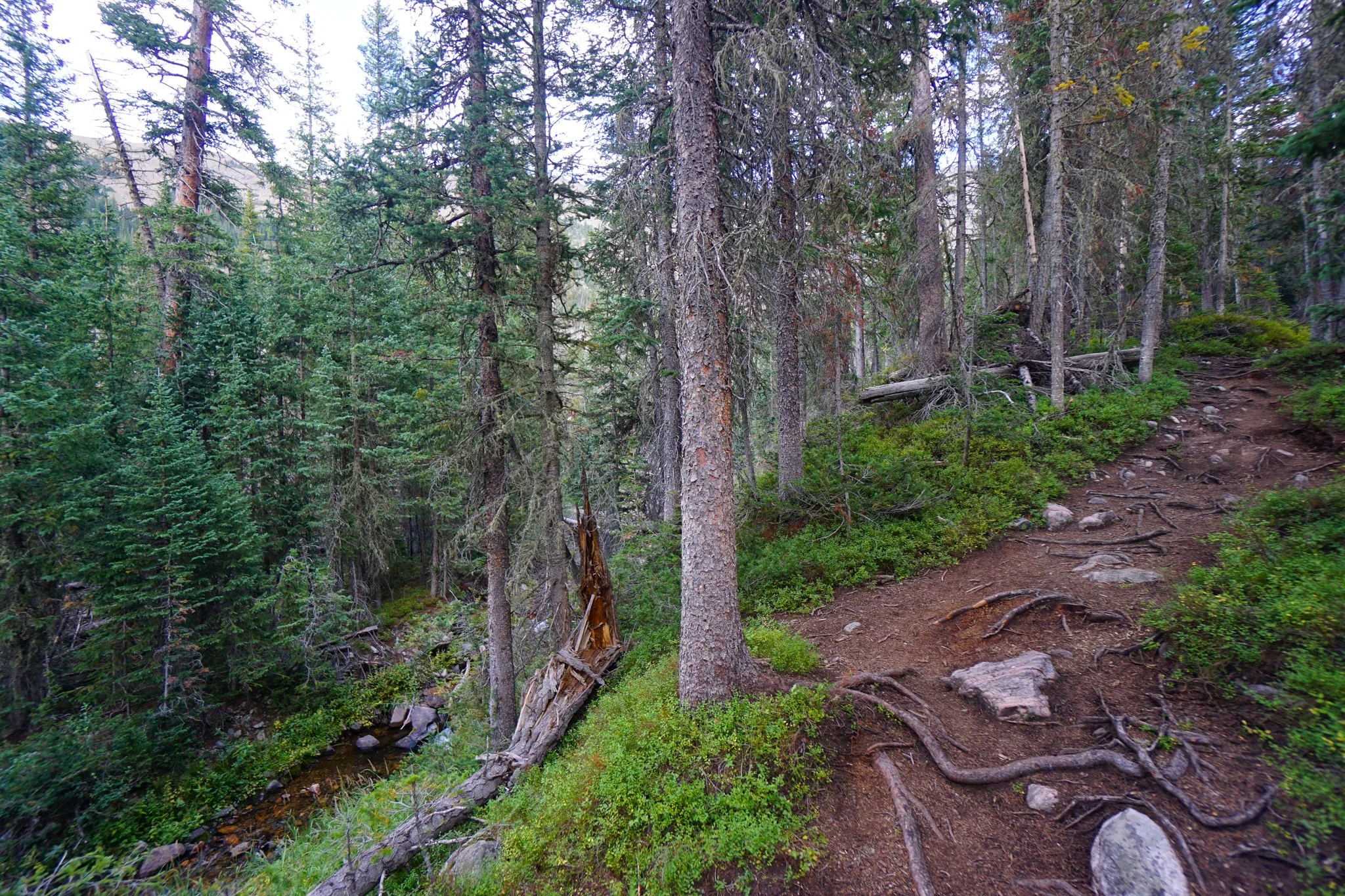
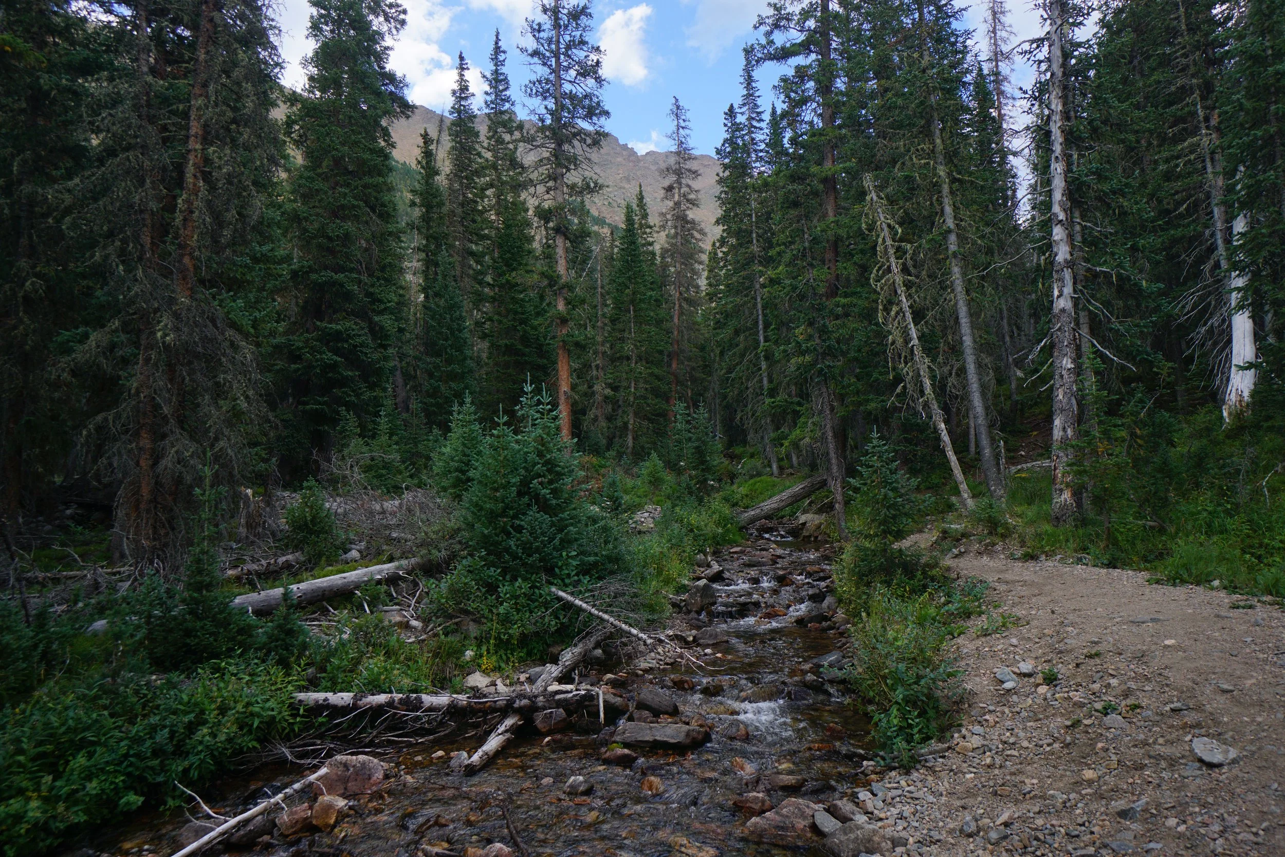
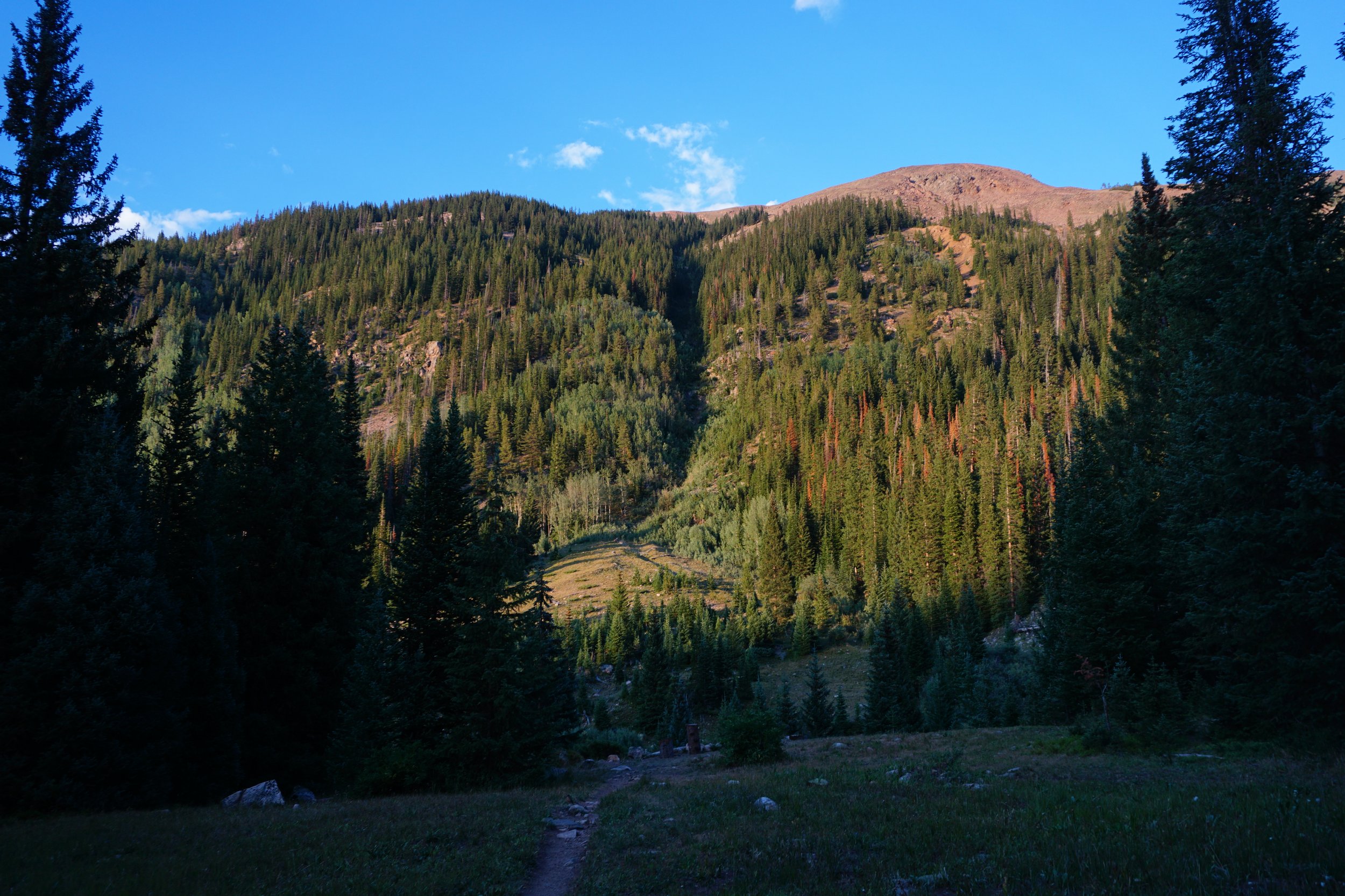
The trail follows Jim Creek for a little under 3 miles up a beautiful drainage to the Jim Creek Falls. The first mile and a half is a very pleasant hike through pine forest with more views than I thought there would be. The drainage walls on the other side of Jim Creek have lots of aspen groves so this trail would be a nice hike for fall colors, even though there are no aspens on the Jim Creek Trail itself. The forested drainage gives way to the rocky ridge of the Continental Divide leading up to Rogers Pass and James Peak.
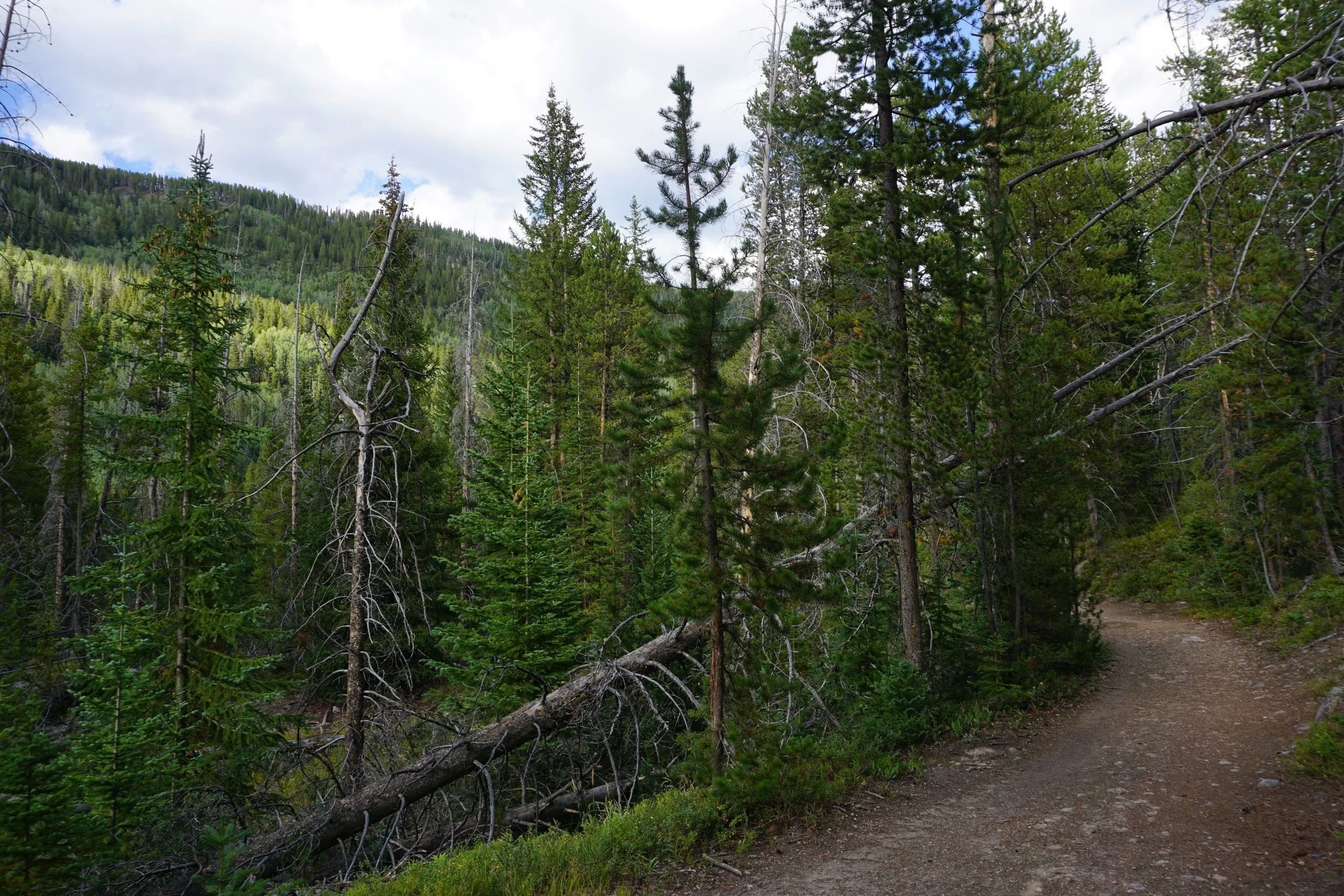
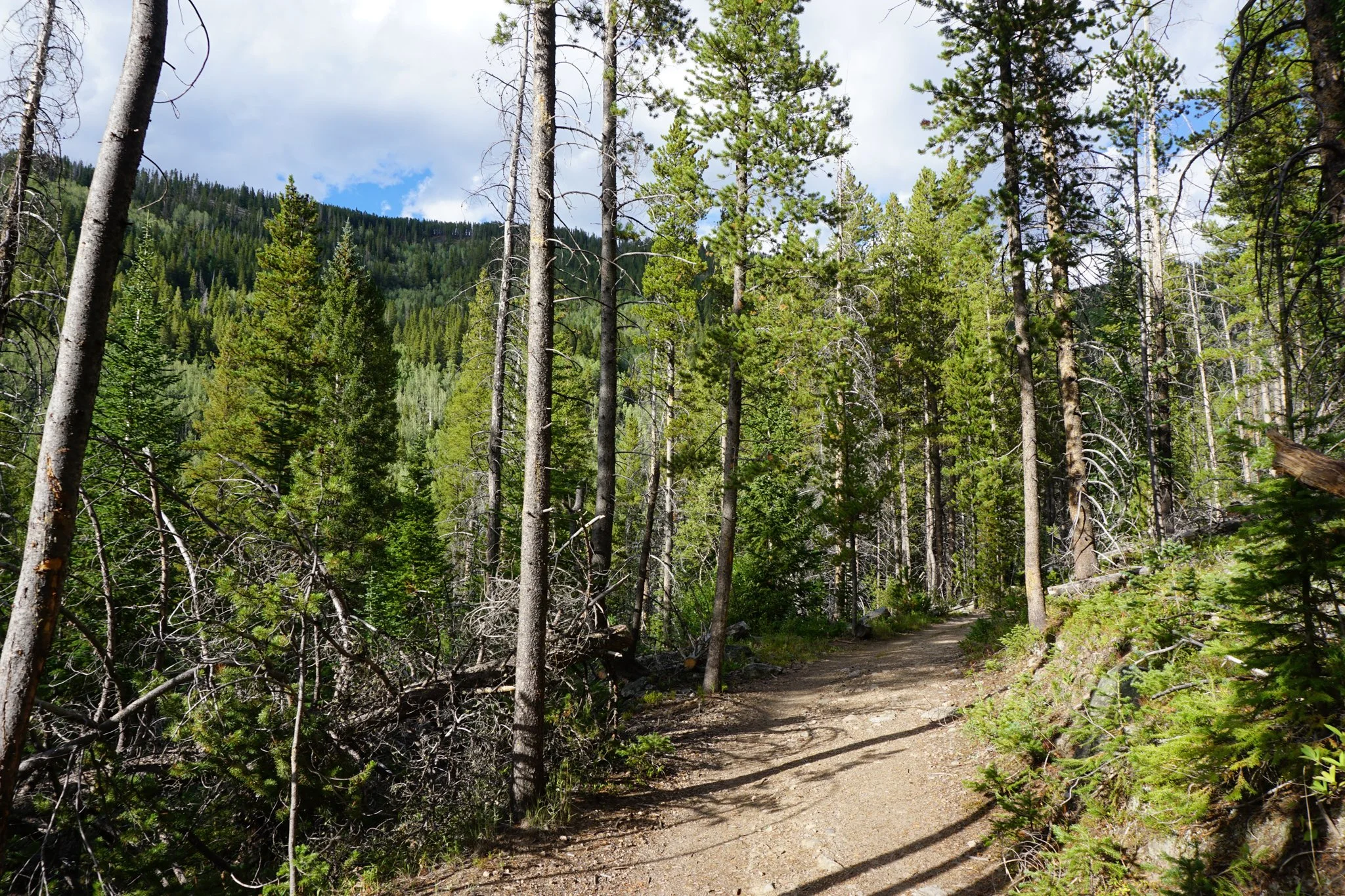
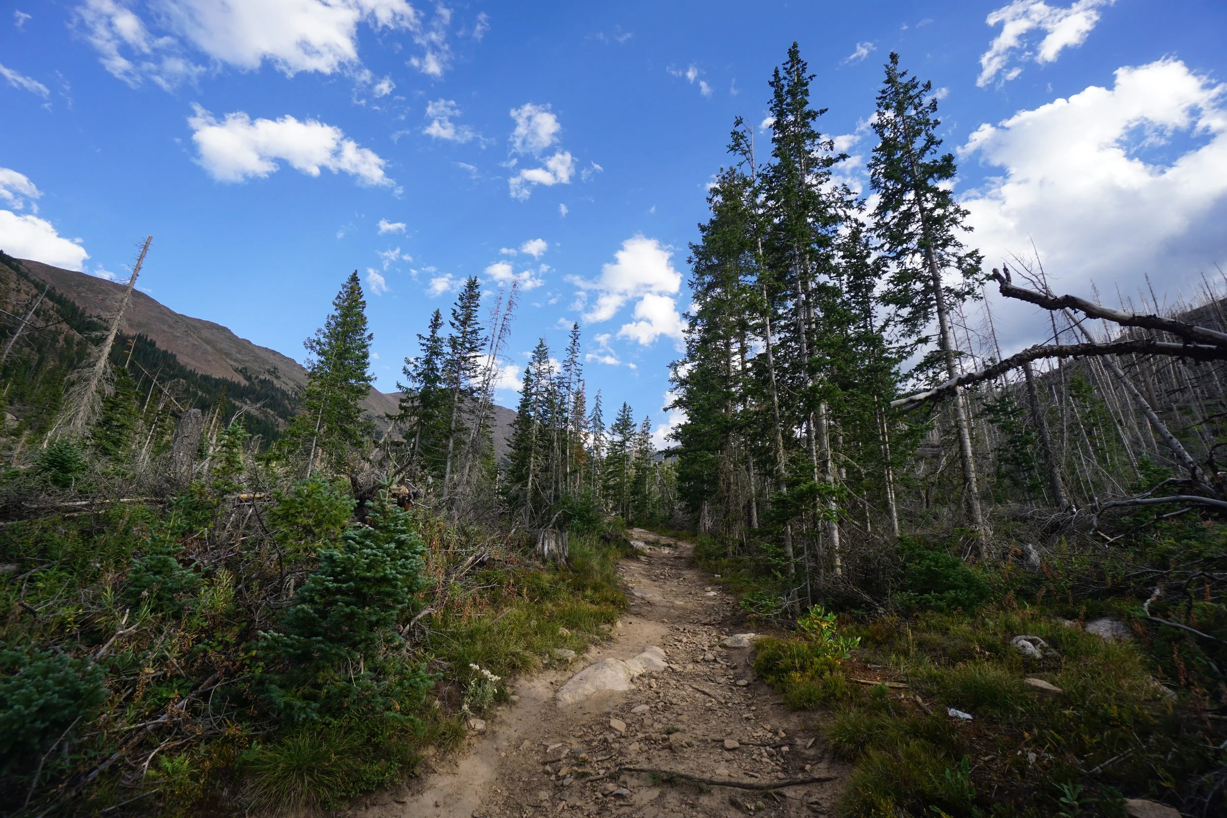
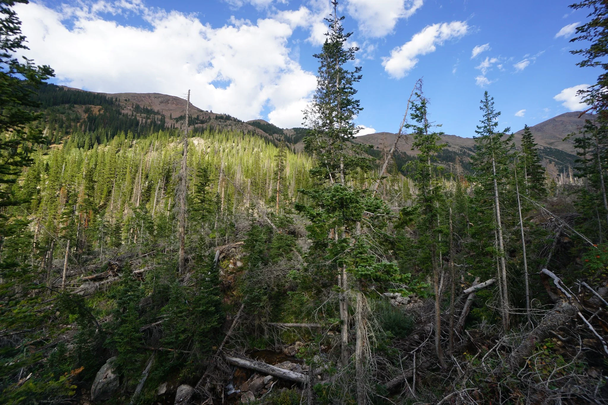
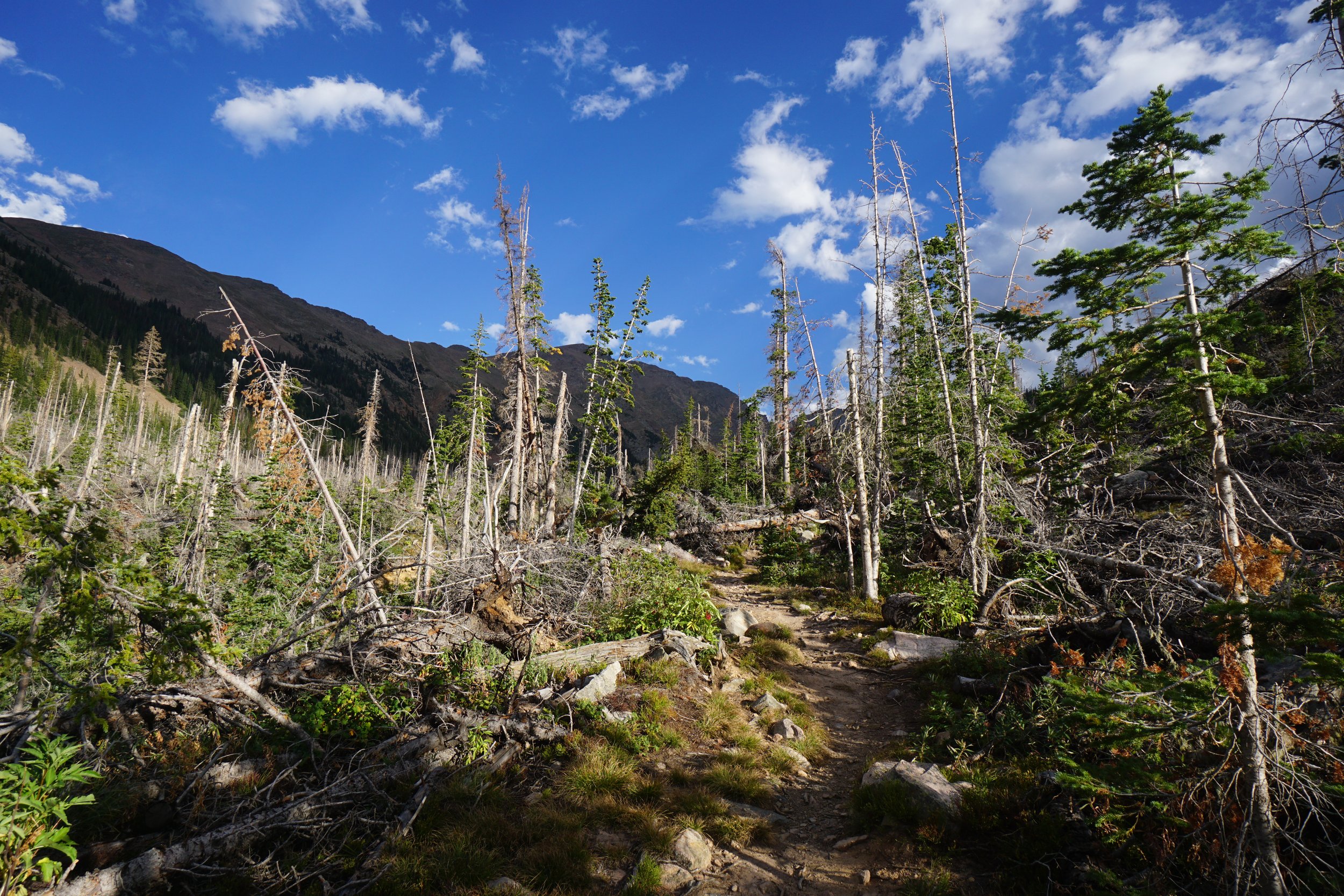
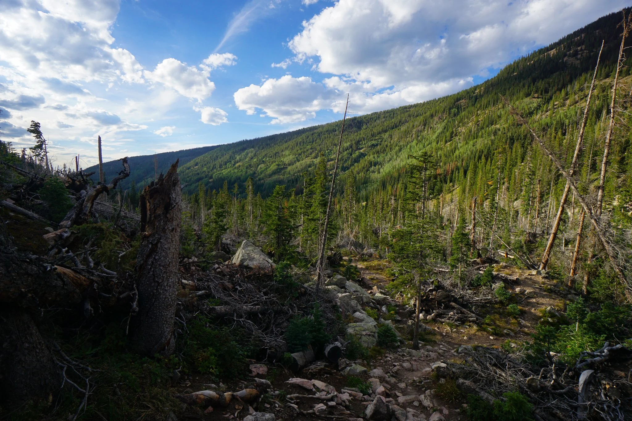
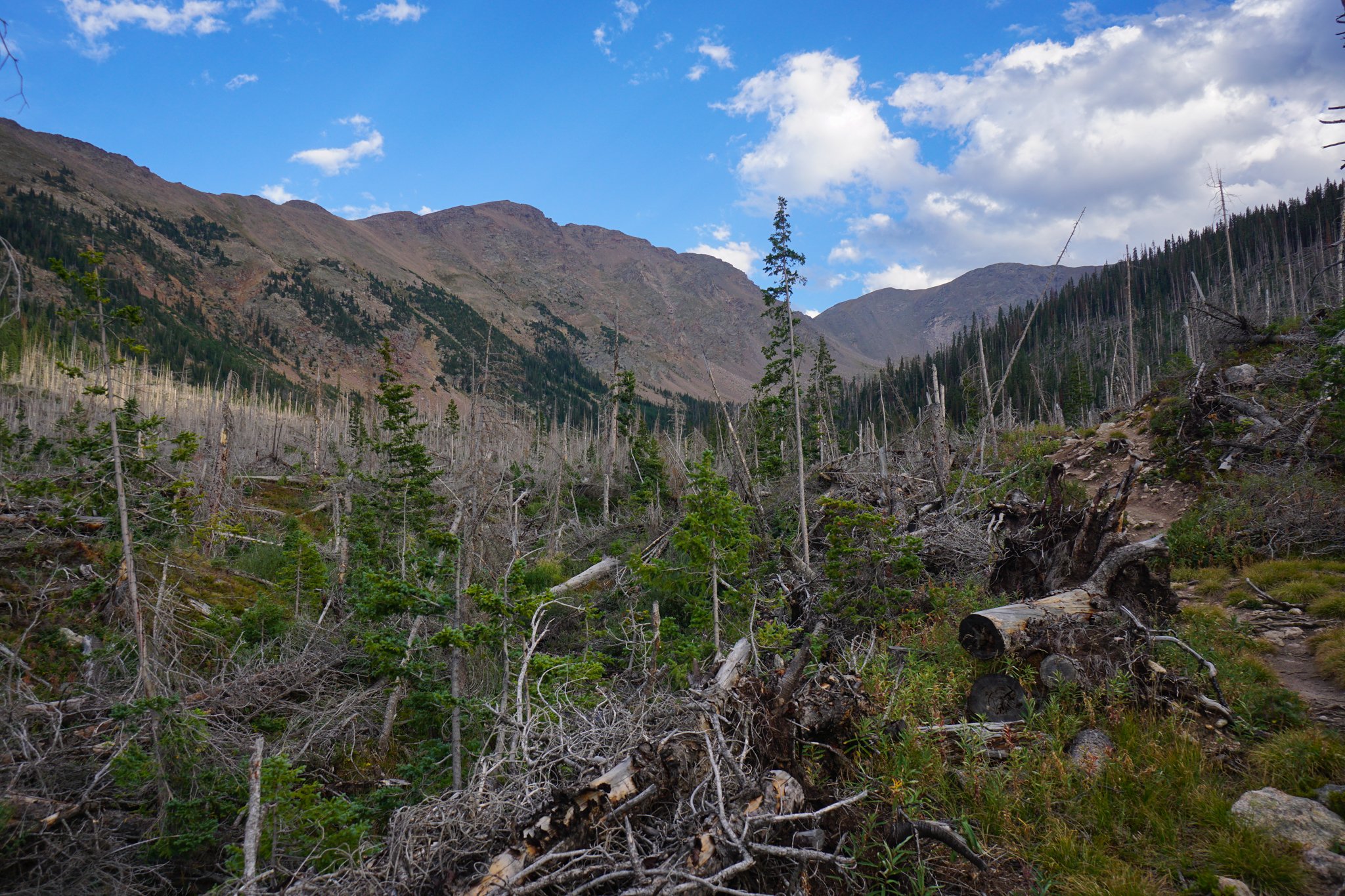
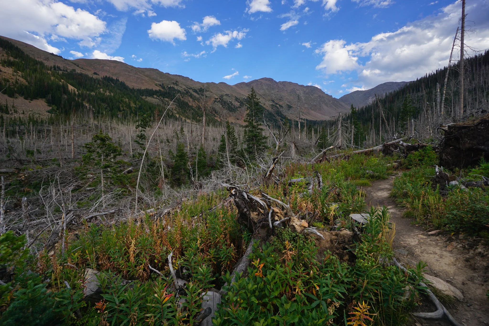
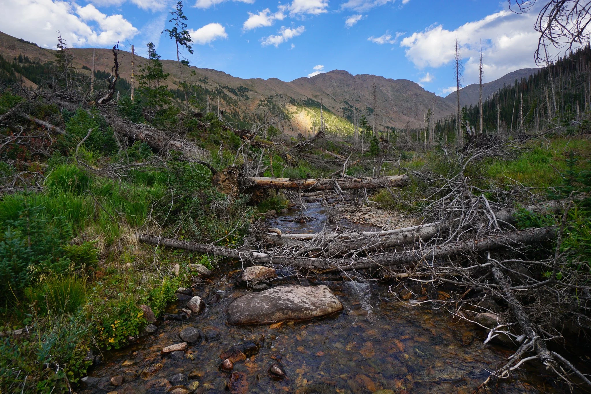
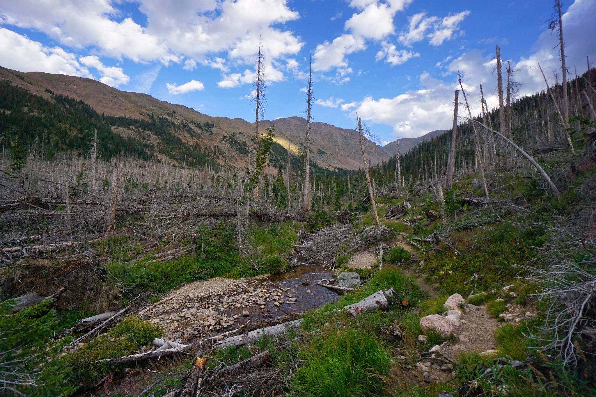
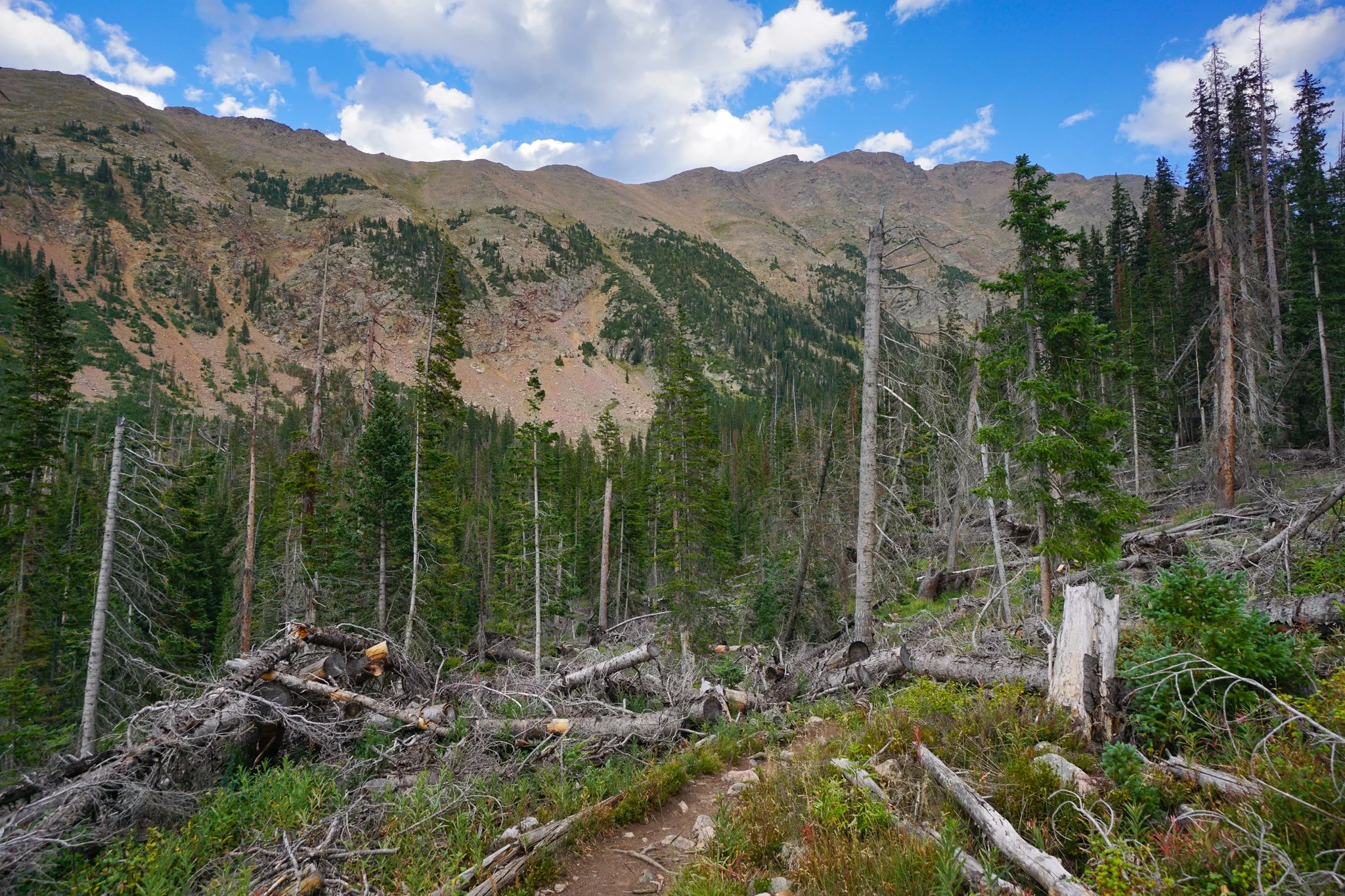
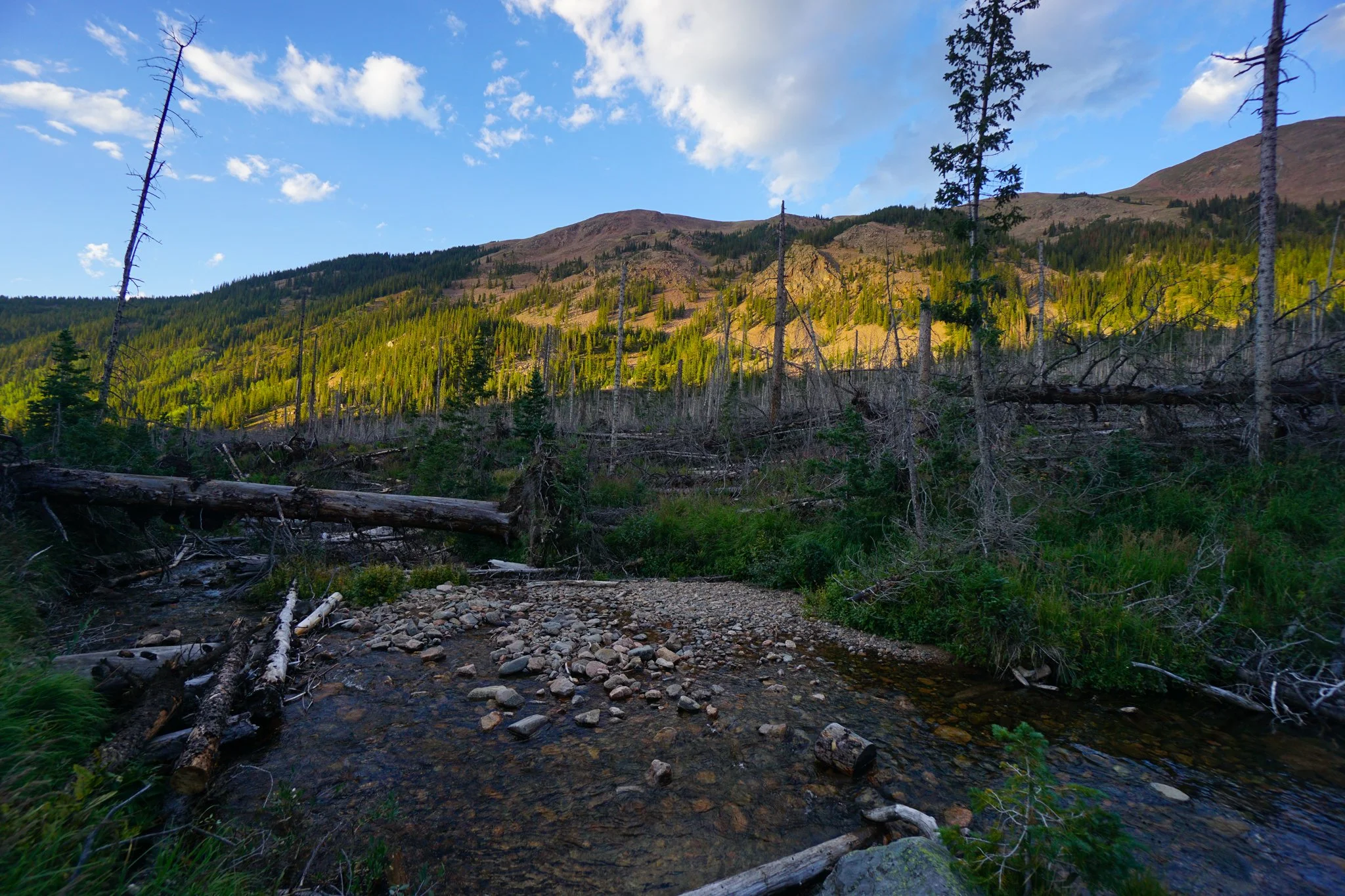
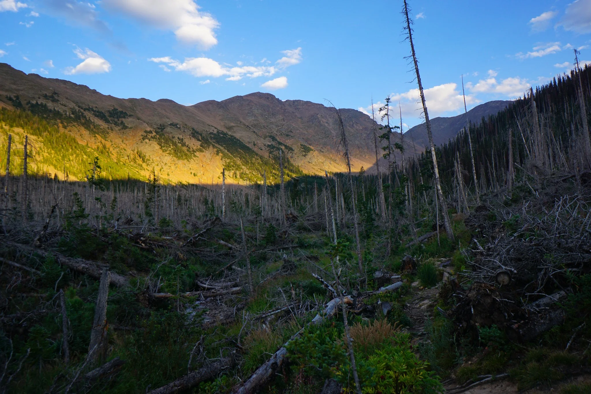
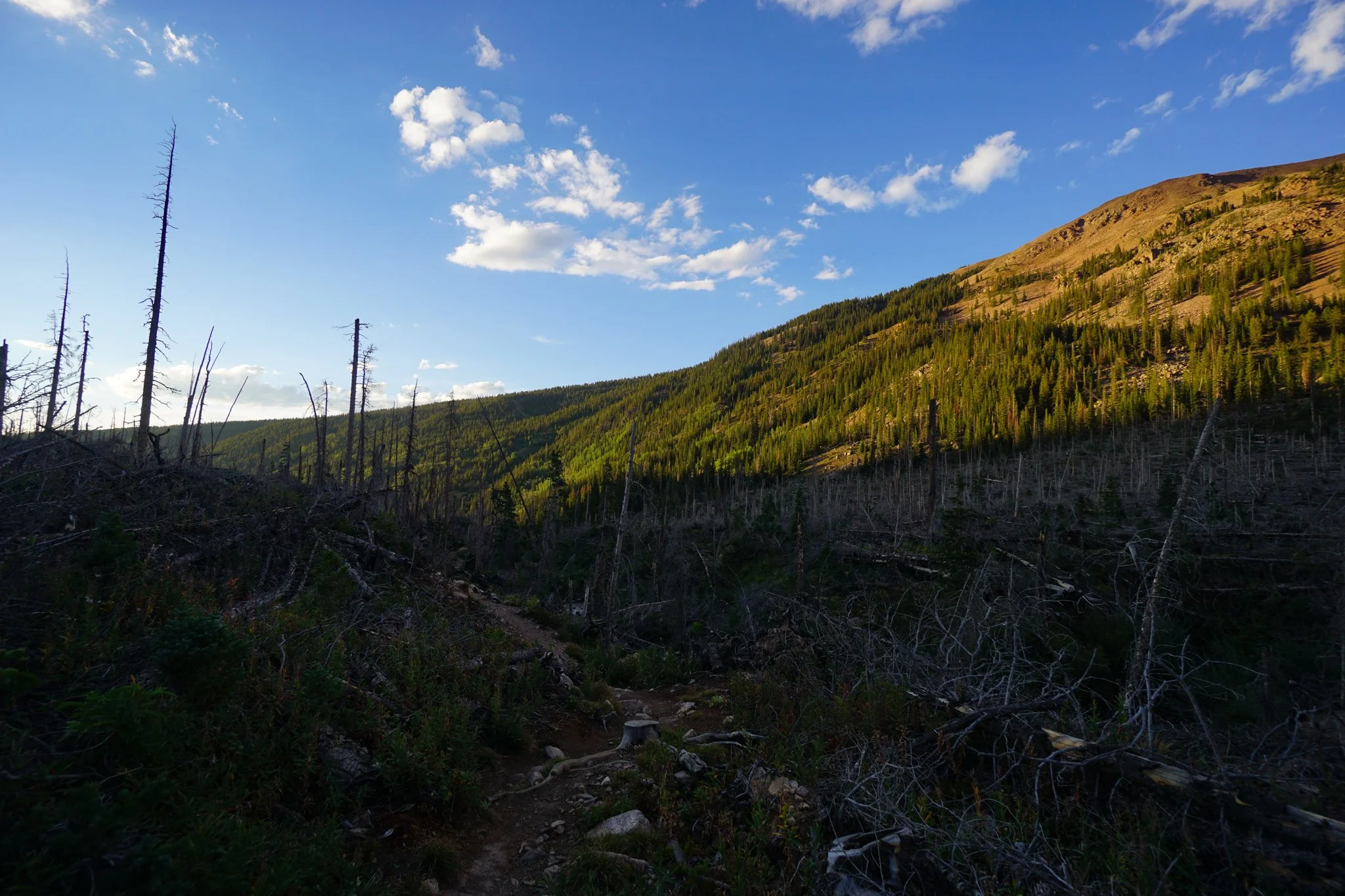
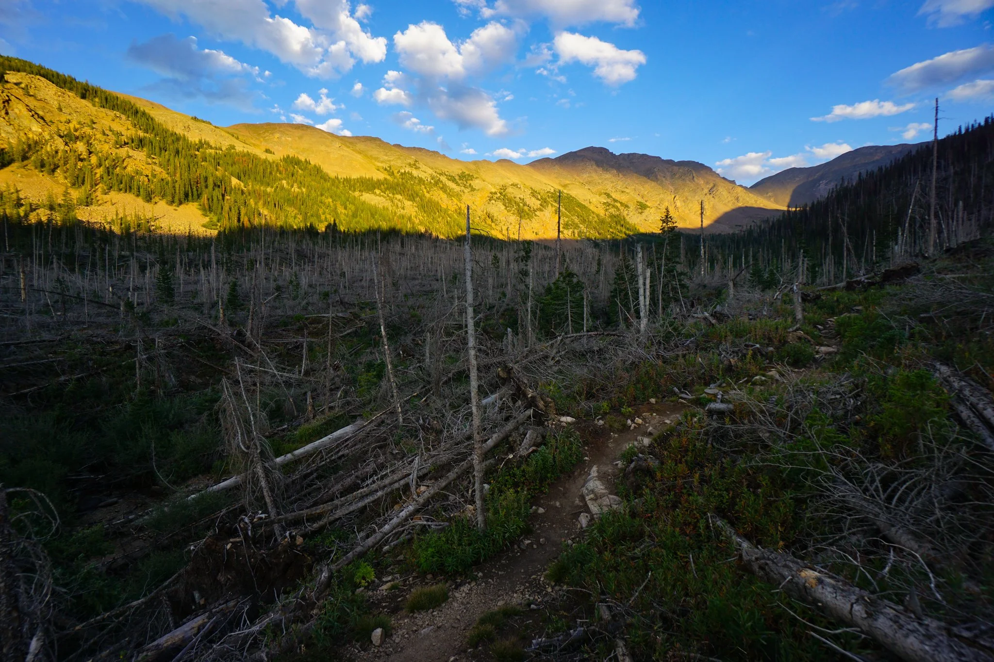
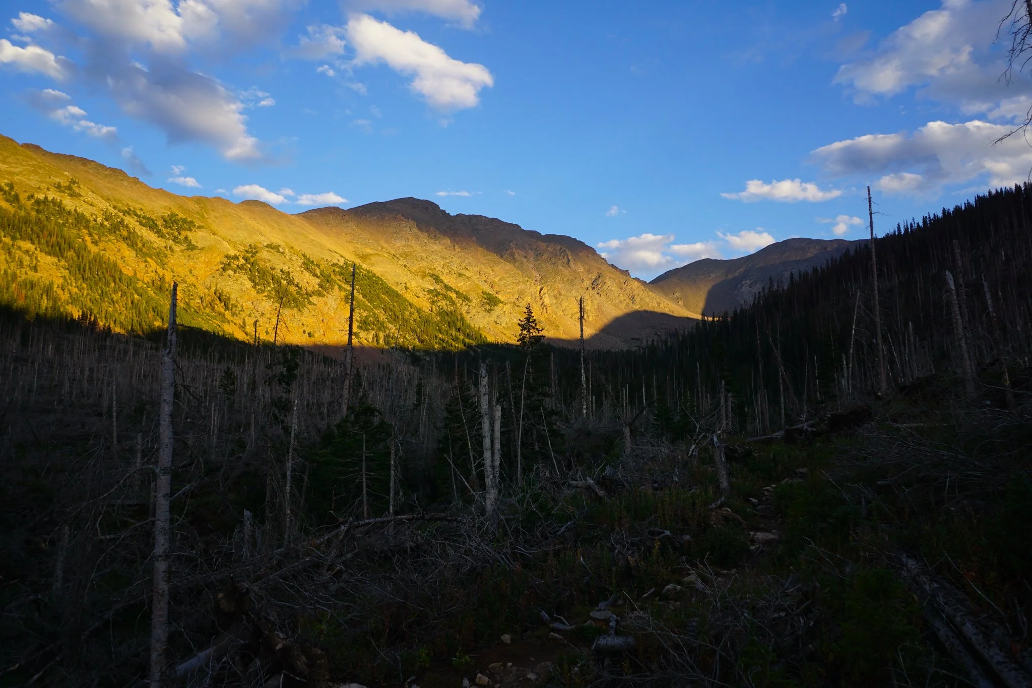
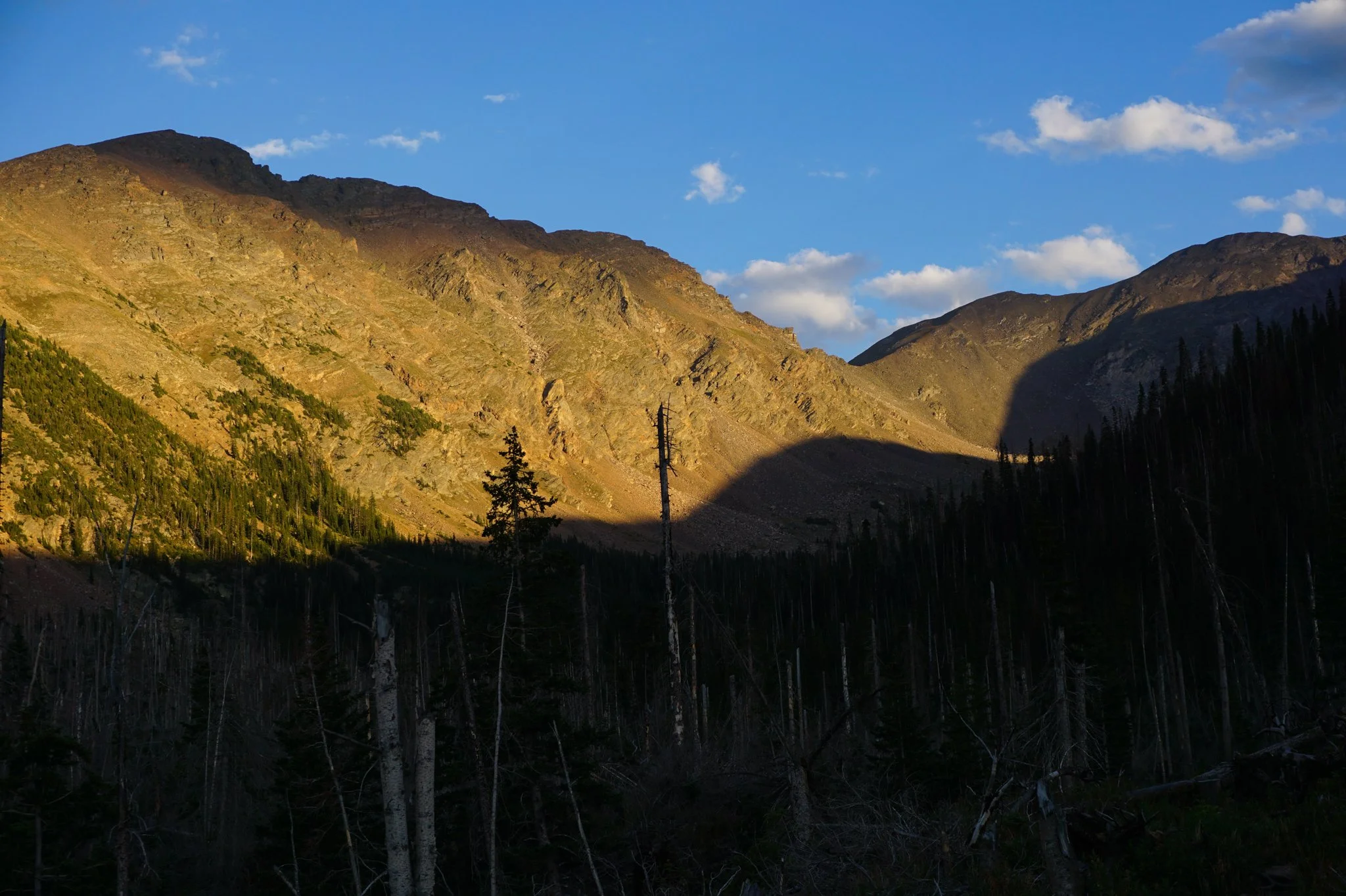
At about the 1.75 mile mark, the trail gets a bit rougher with rocks, tree roots, and the occasional steep incline as you enter an area of extreme tree blow-down. I don’t know what happened here but it looks like a bomb or avalanche hit this area. The decimated forest does however, provide some fantastic views of the surrounding peaks, including James Peak and Mt. Bancroft at the head of the basin. I didn’t think there would be views like this along the trail so this was a pleasant surprise. The alpenglow on the way down the trail was intense.
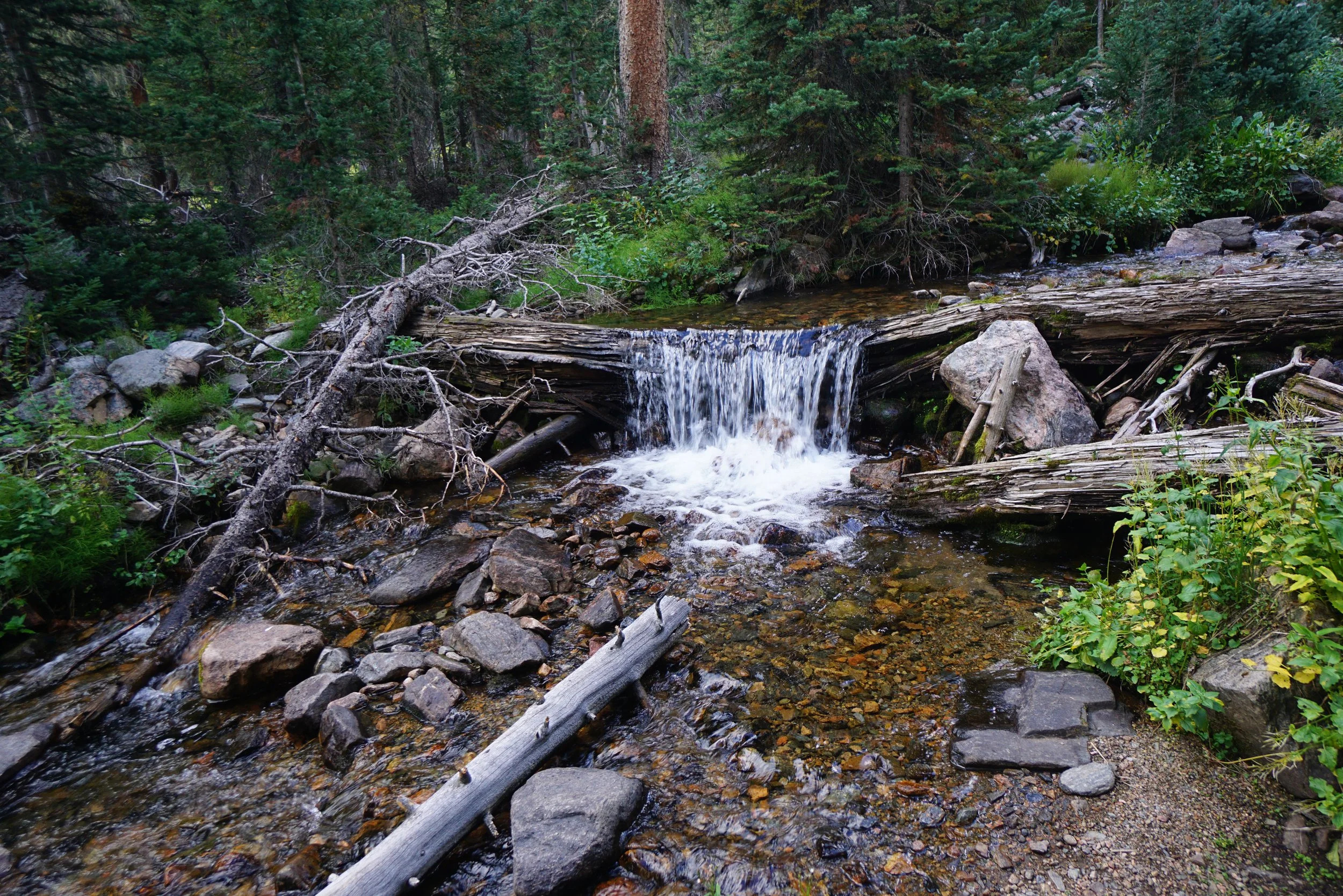
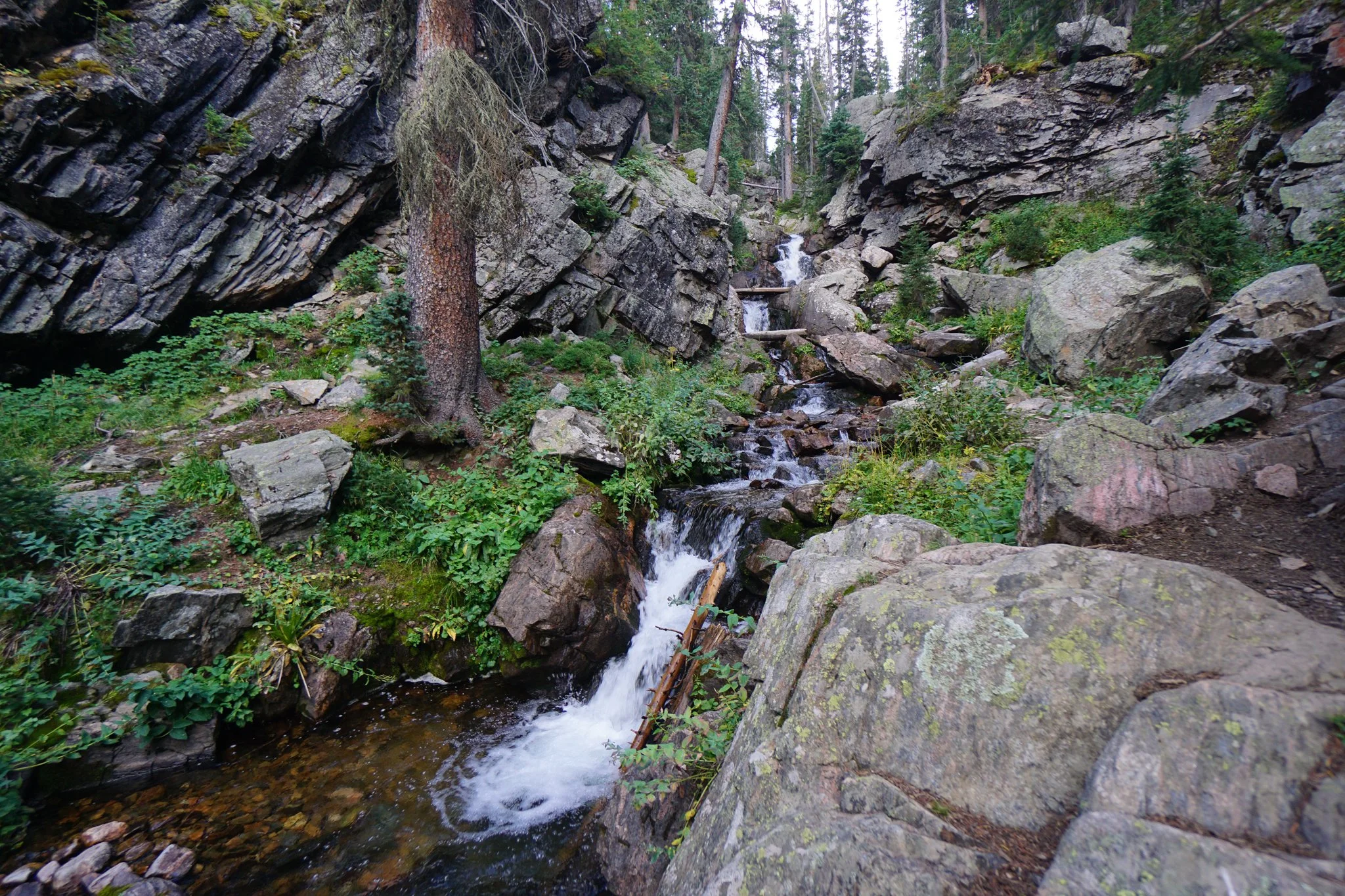
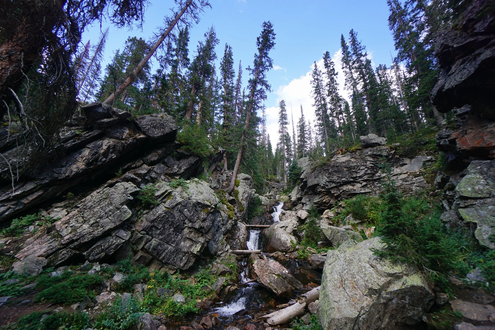
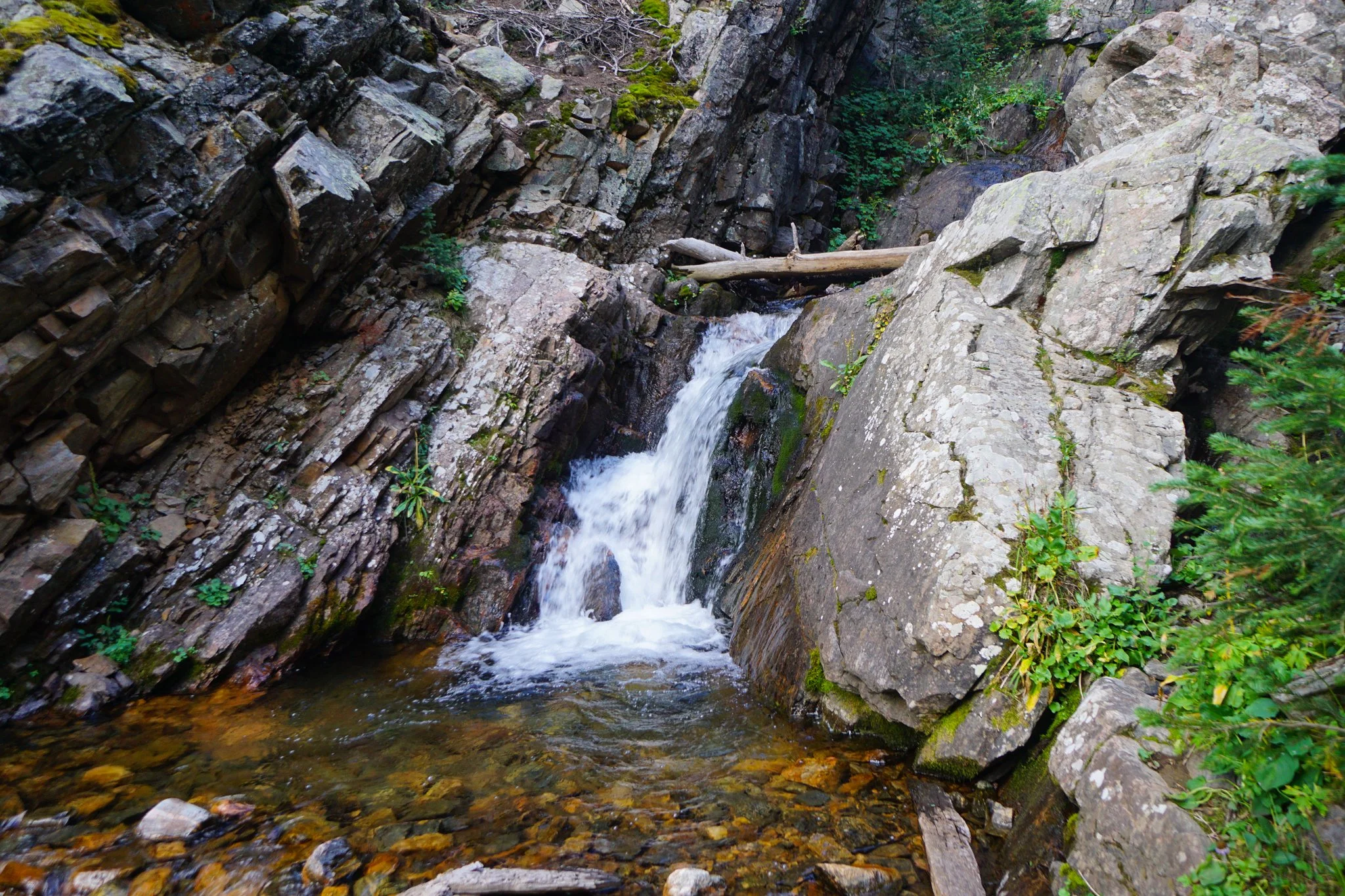
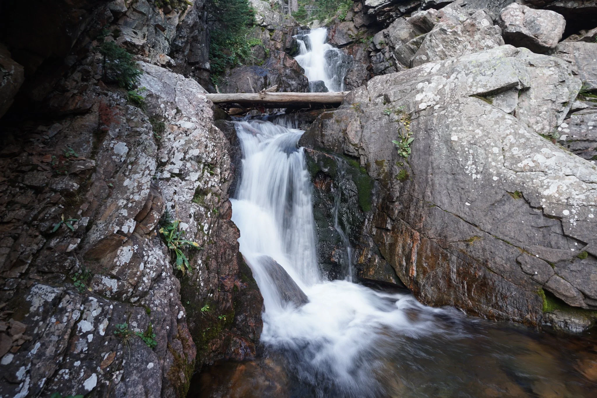
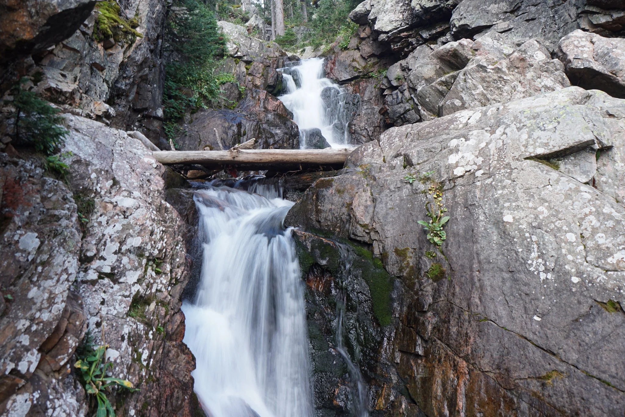
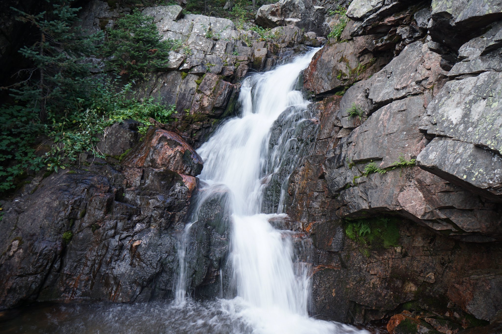
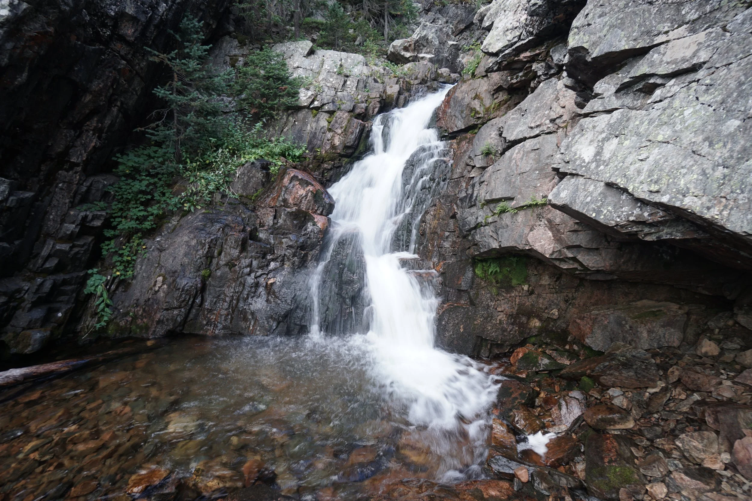
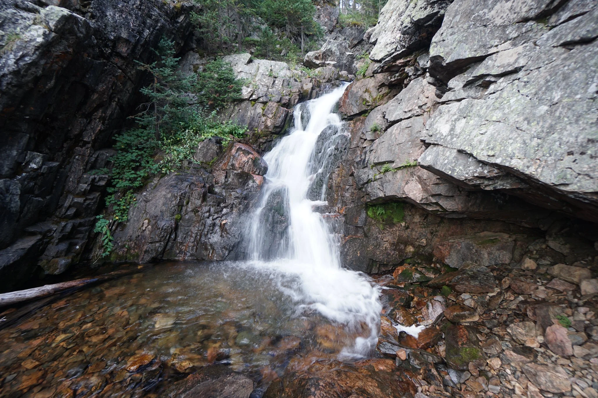
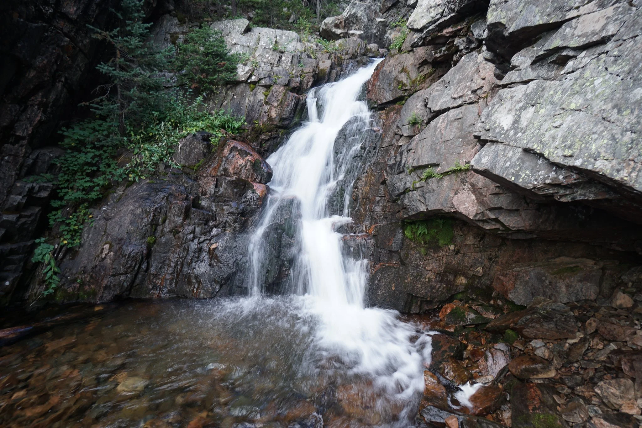
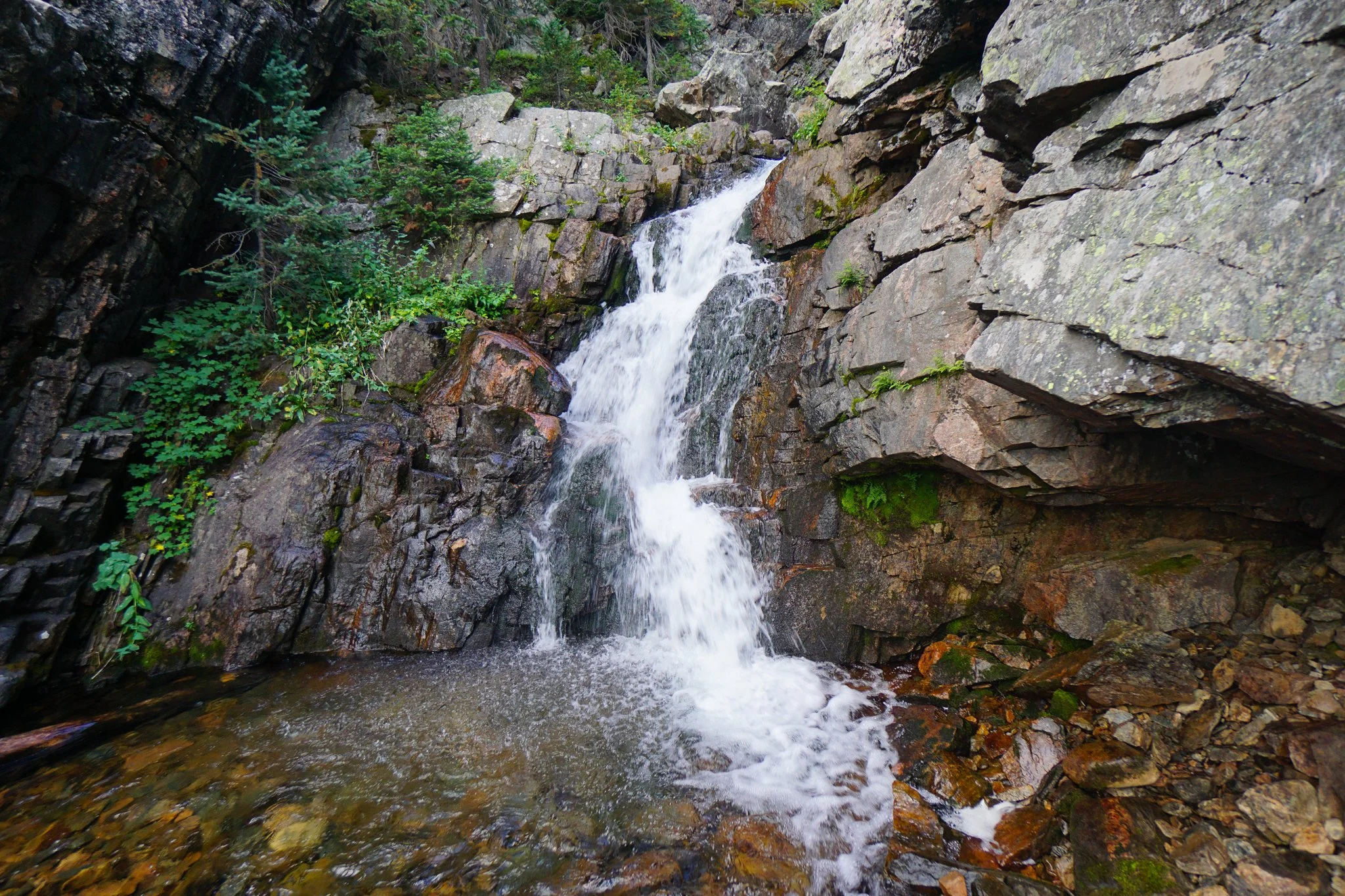
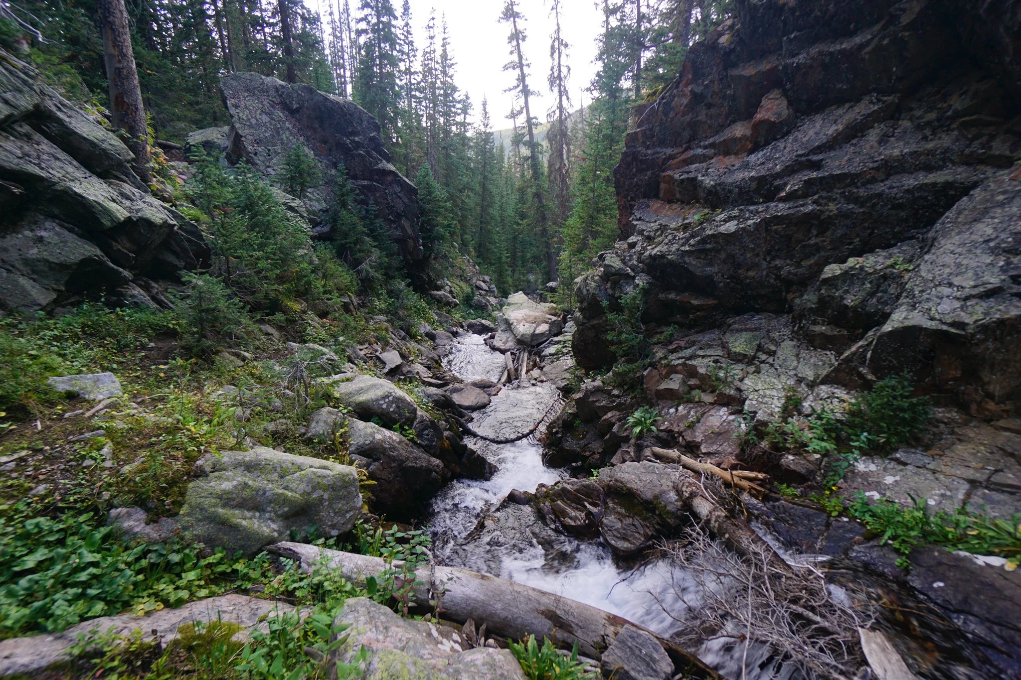
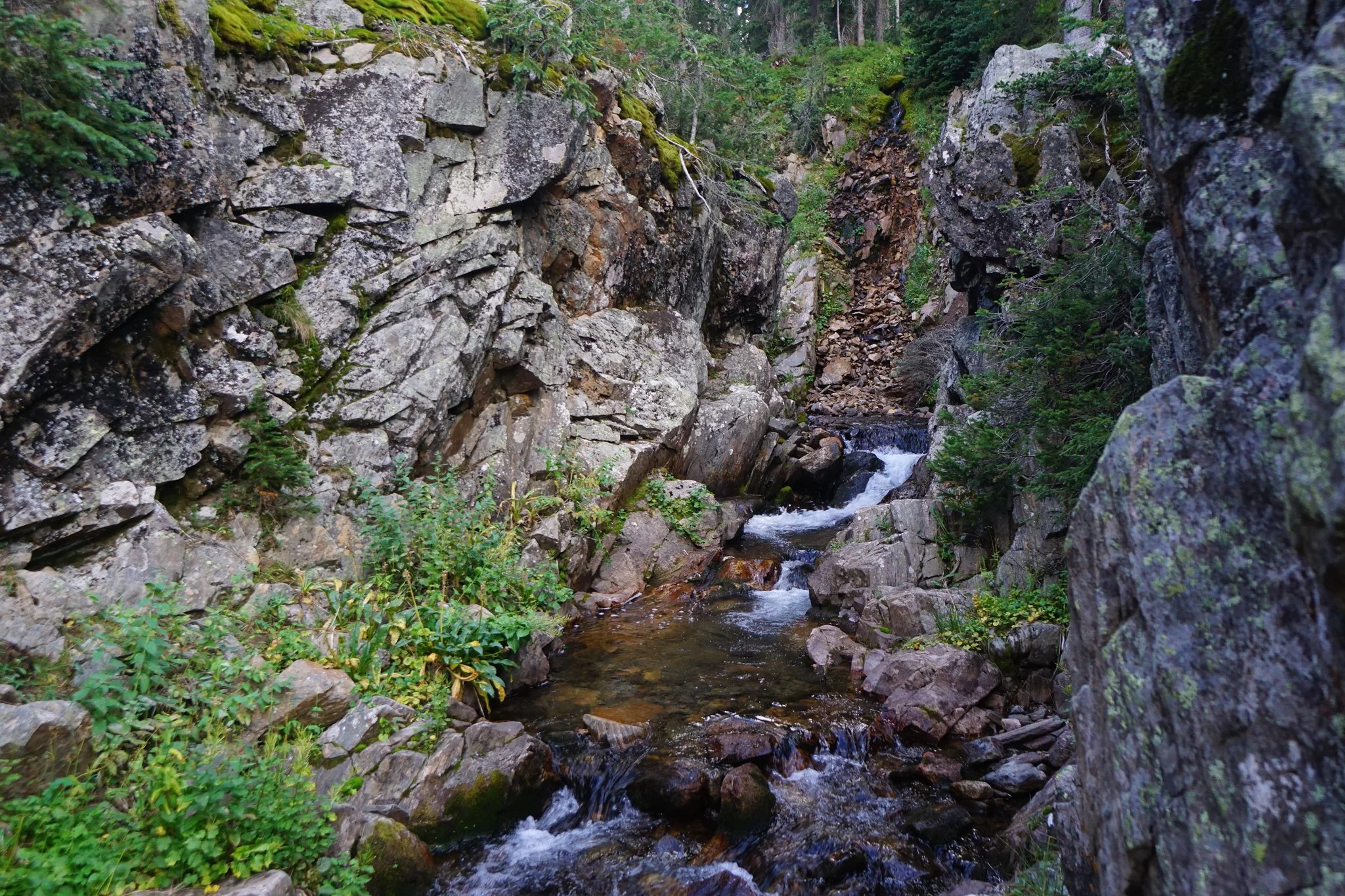
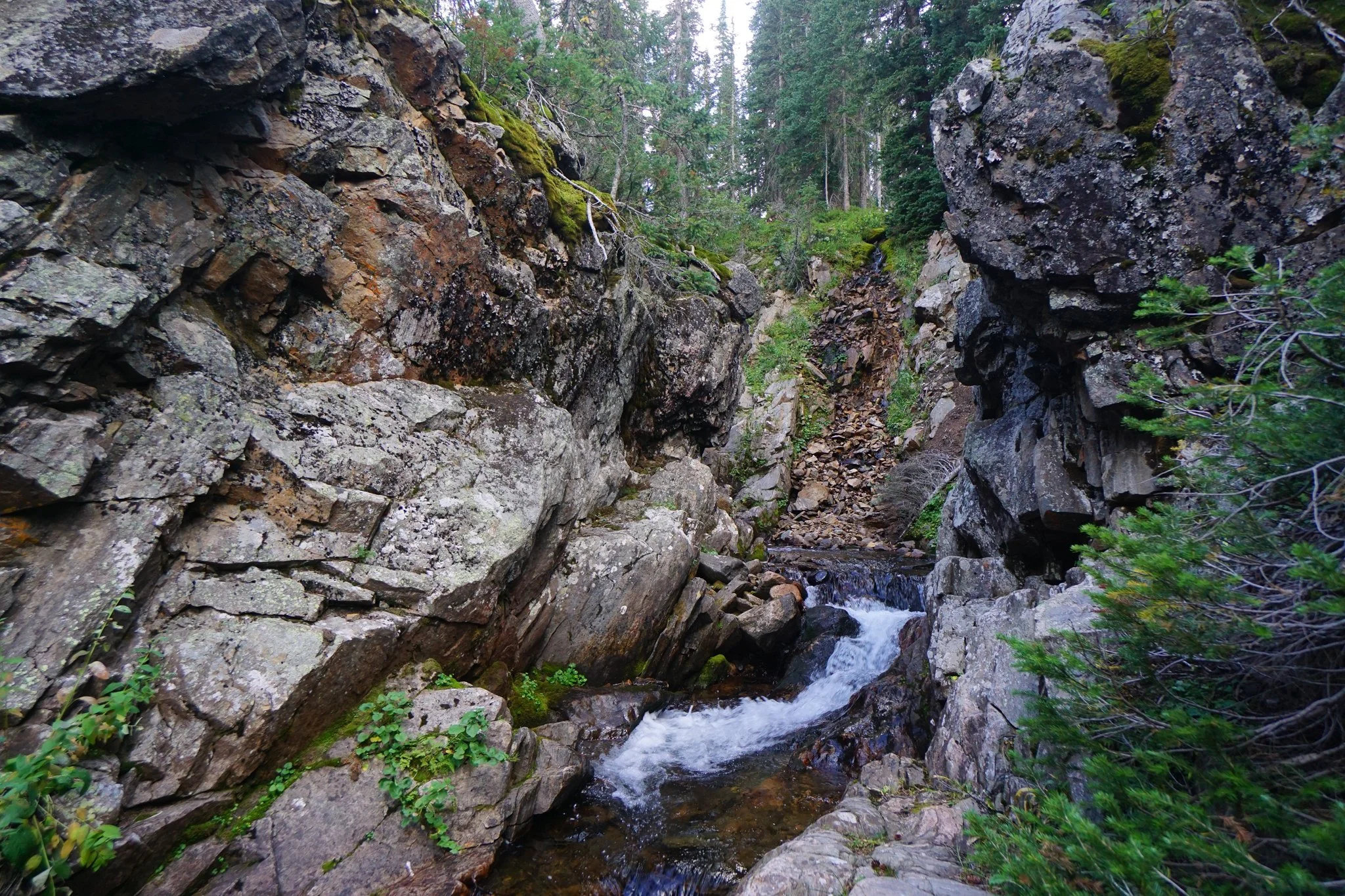
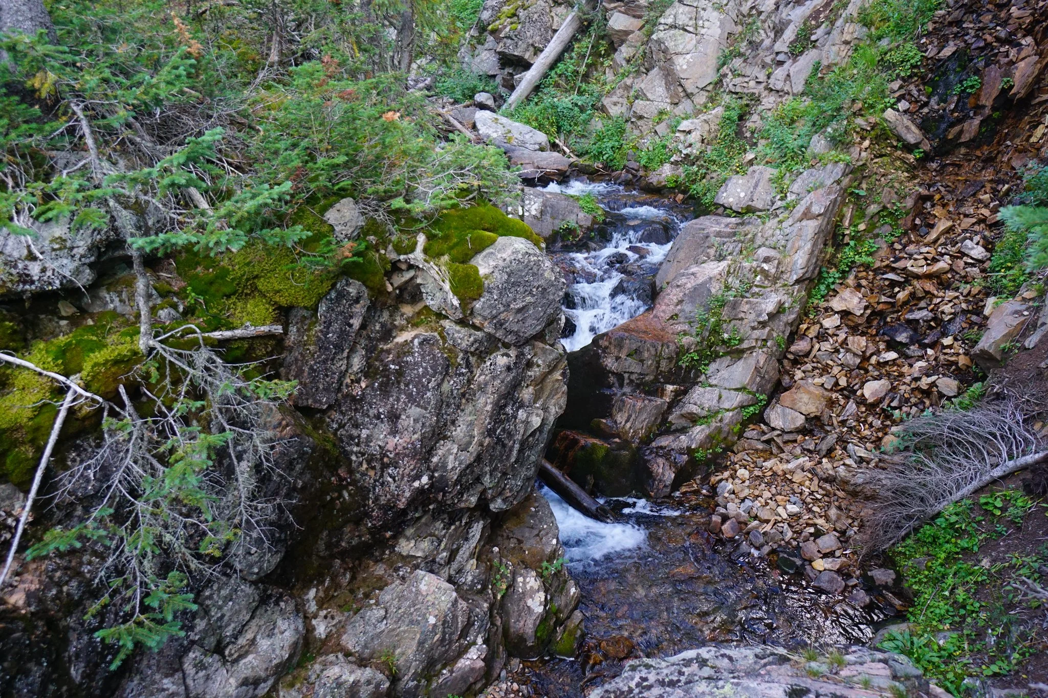
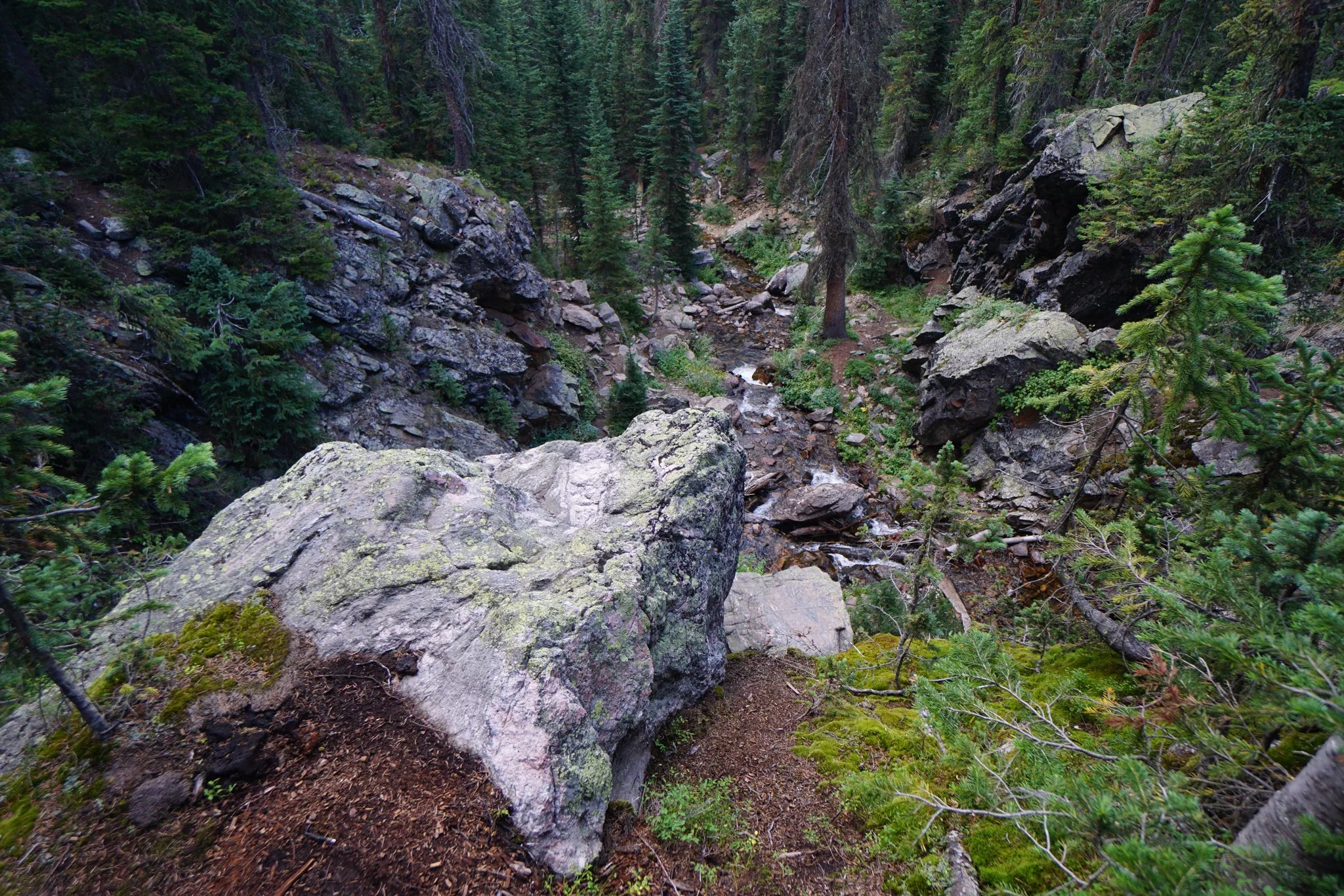
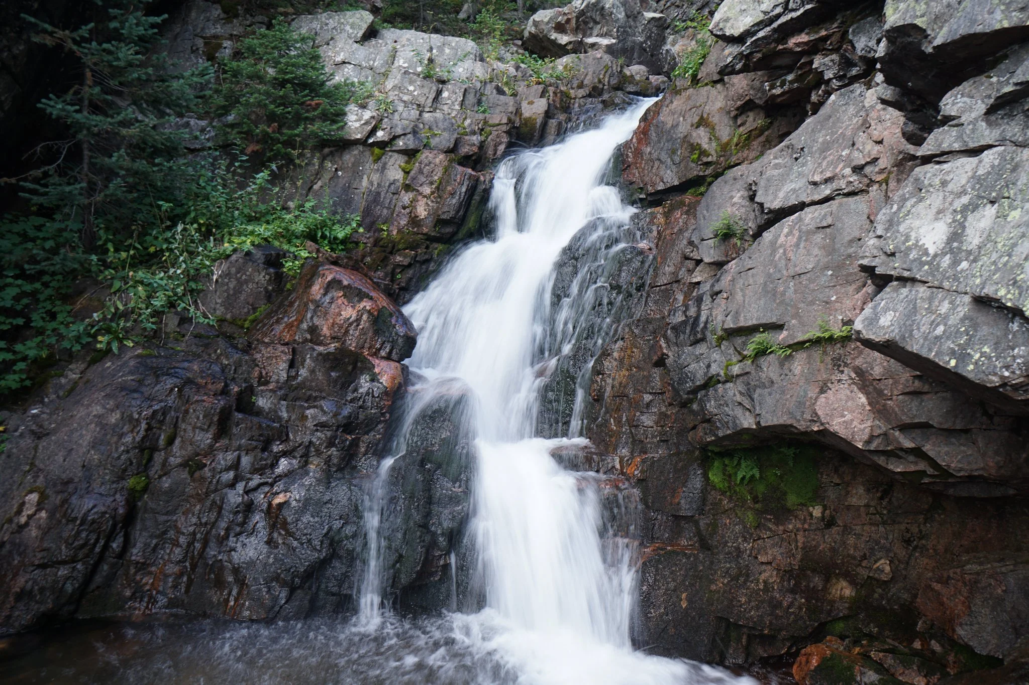
After the blow-down area, the trail reenters the forest for a while, then crosses another open area, before finally leading up to the narrow gorge containing Jim Creek Falls. I always worry in Colorado that waterfalls are going to be dry or underwhelming, but Jim Creek Falls is anything but.
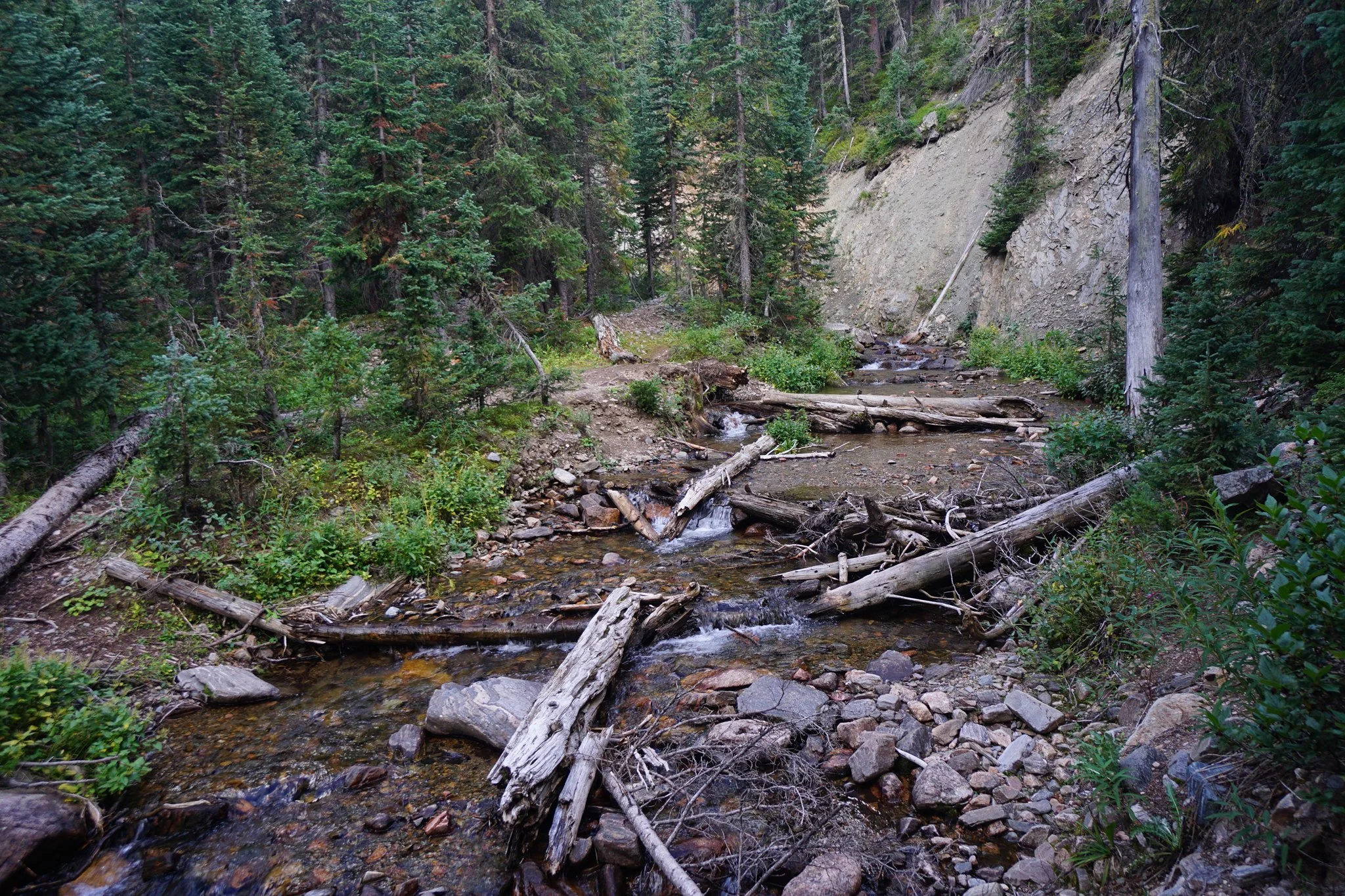
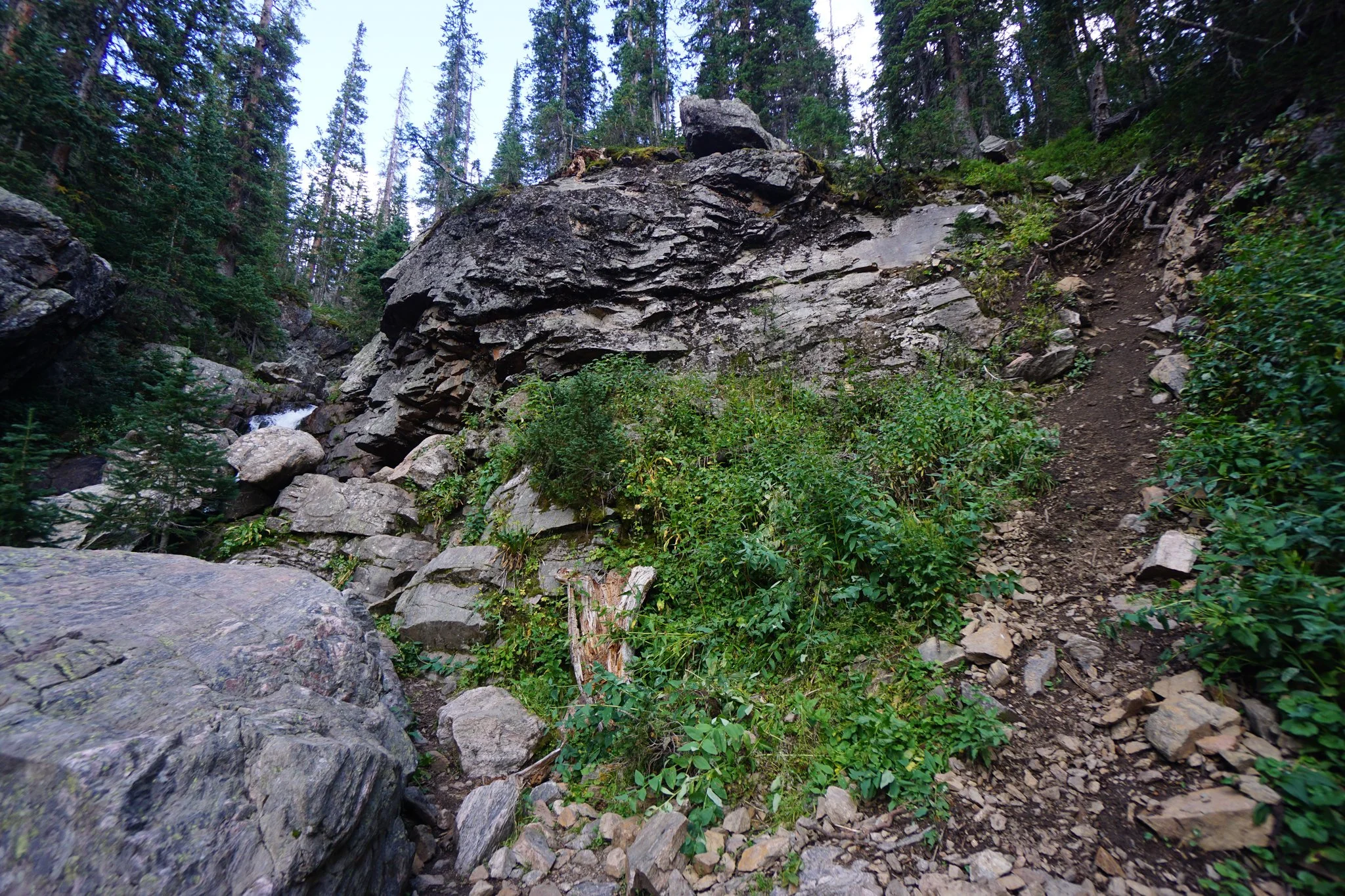
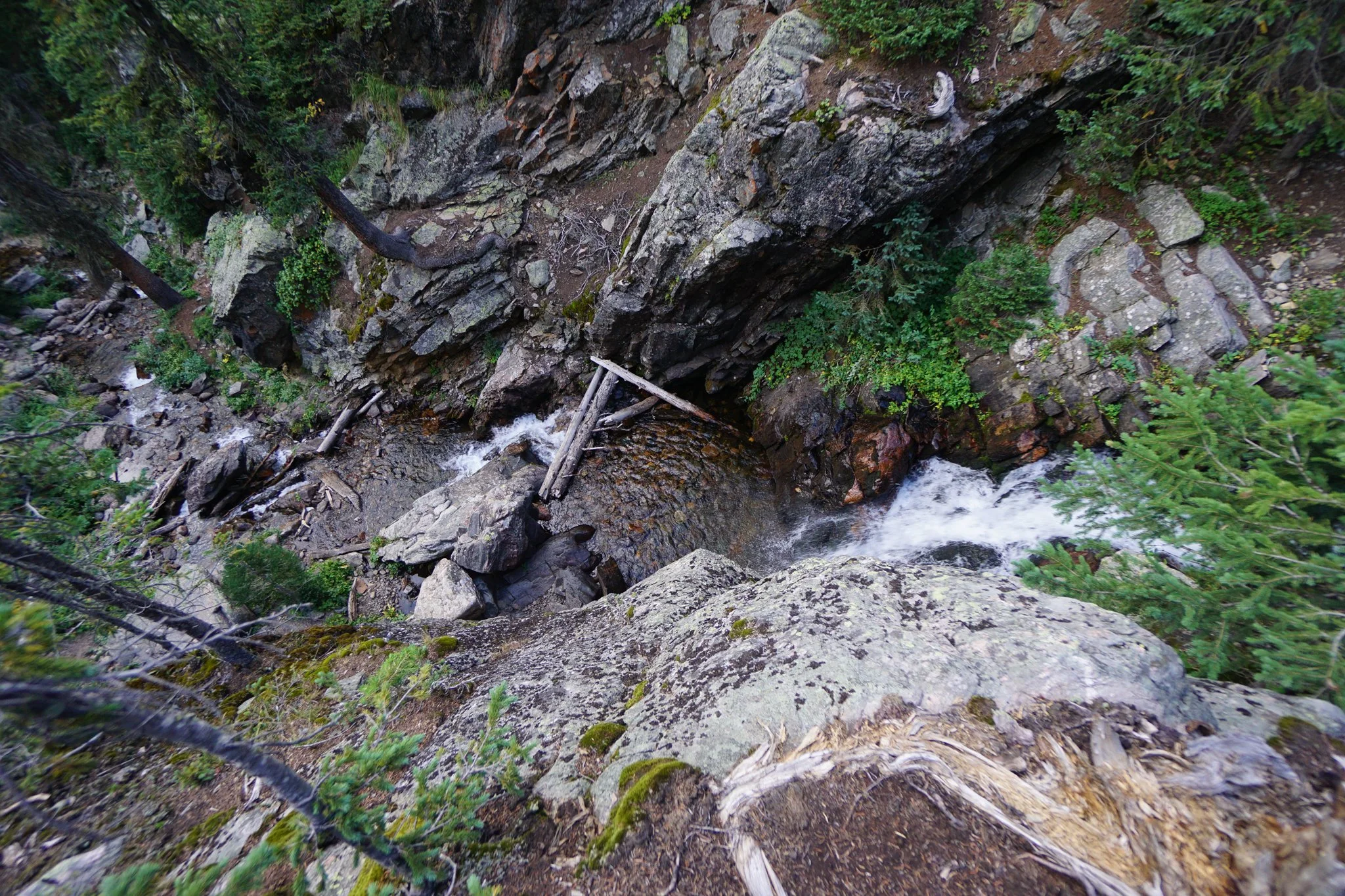
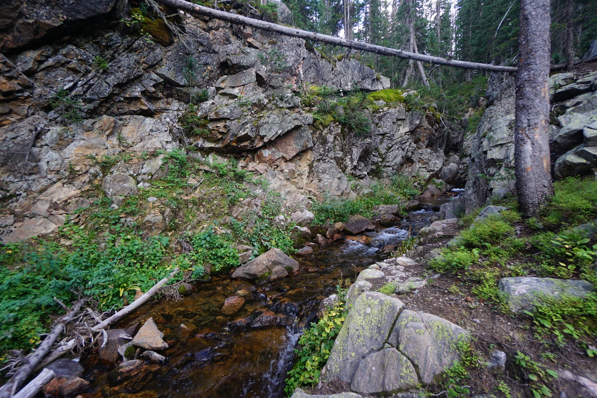
The Jim Creek Falls are a series of 3 or 4 medium sized waterfalls tumbling down a narrow rock gorge. Whether you can see all the falls will largely depend on the water levels and your desire/ability to scramble along the rock walls to make your way up the gorge. The initial waterfalls are easily accessed by the trail, but the upper falls get a bit tricky. At the base of the largest of the waterfalls, the trail branches off to the right up a very steep slope. If you climb this trail you can scramble along the cliff wall to trace the waterfall to its beginning. According to the maps, the trail continues for another quarter mile or so but it was getting late so I stopped at the falls and began my descent to get back to the trailhead before dark.
Don’t sleep on this trail. The Jim Creek Trail is well worth your time, a moderate hike, only about an hour from Denver, with some great views and a rare waterfall for the Front Range. I believe this trail gets busy in the summer so plan accordingly. Starting the hike at 5:30 PM on a Thursday meant a quiet hike with barely any other hikers.