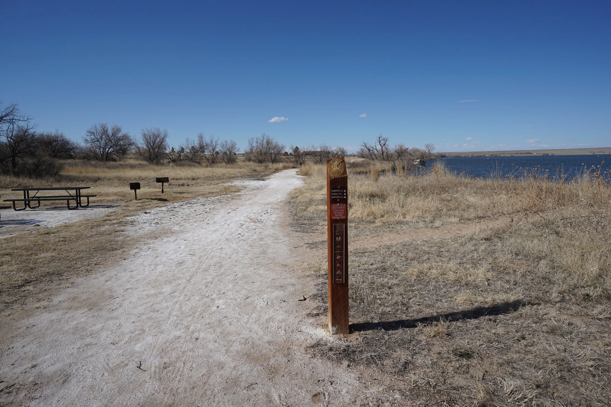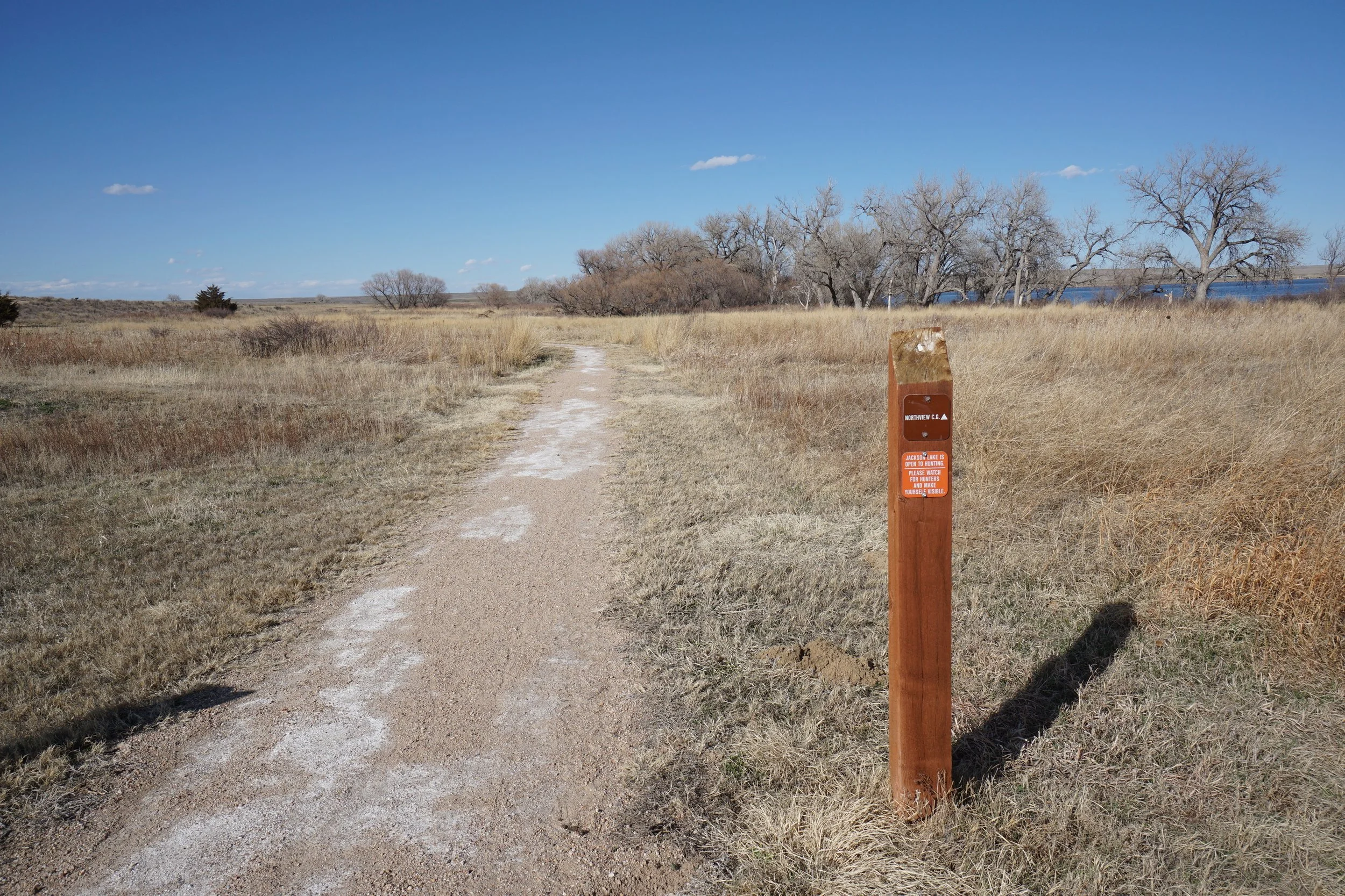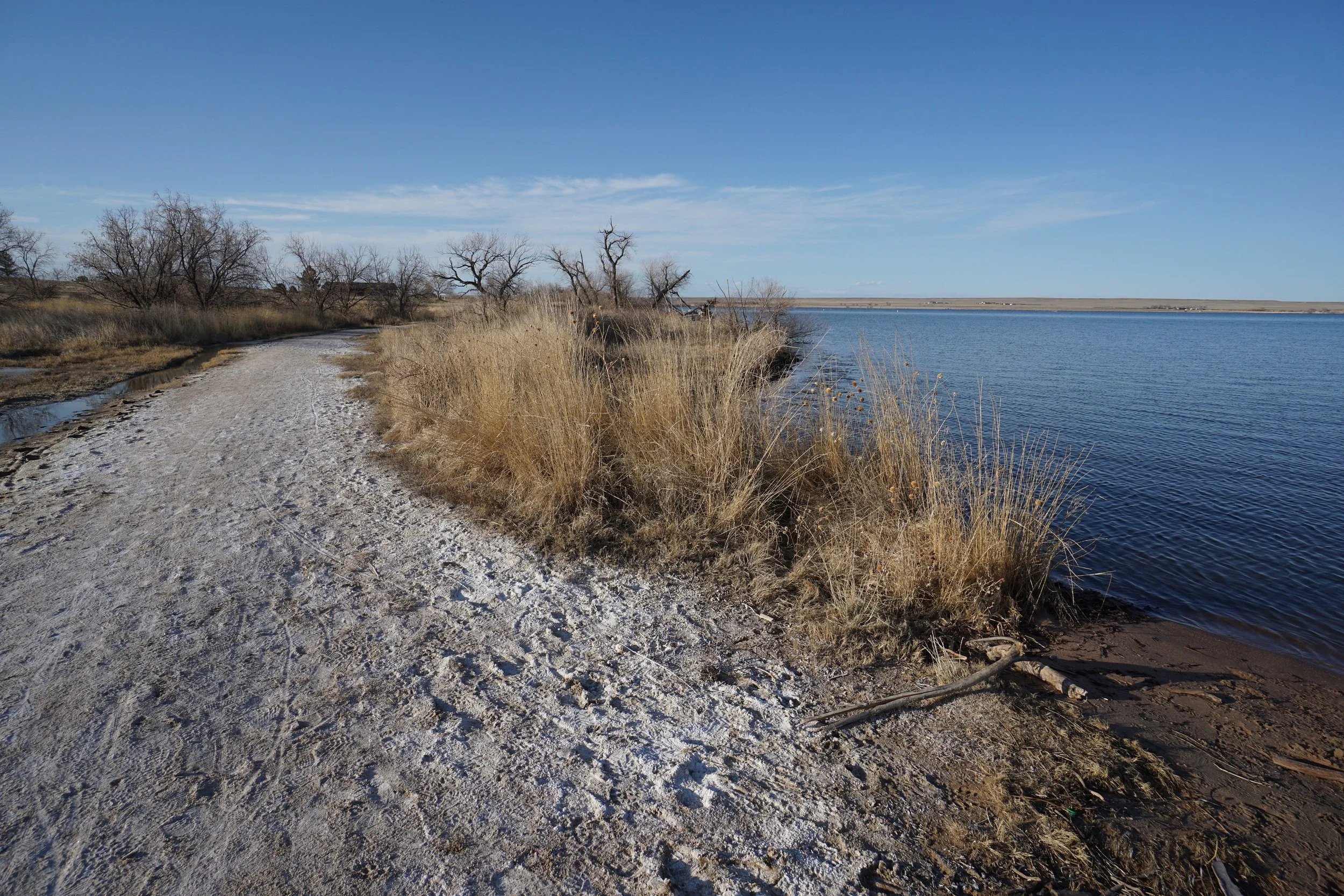
North Foot Path
Jackson Lake State Park
Date Hiked: April 4, 2020
Distance: 2.4 mi (RT)
Elevation Gain: Minimal
Elevation: 4,400 ft
Trailhead Lat/Long: 40.39246, -104.09341
Managing Agency: CO Division of Parks & Wildlife
Fee: Yes
DIRECTIONS (From CO State Park Website):
From Denver: Head east on I-76. Take the second Wiggins exit (exit 66). Turn left (north) on CO 39/CO 52. Drive approximately nine miles. Continue half a mile past Goodrich. Turn left onto County Road Y.5 and stay on County Road Y.5. It will turn north after a couple of miles. This will take you past the park’s south side and into the main park area on the west side.
HIKE DESCRIPTION:
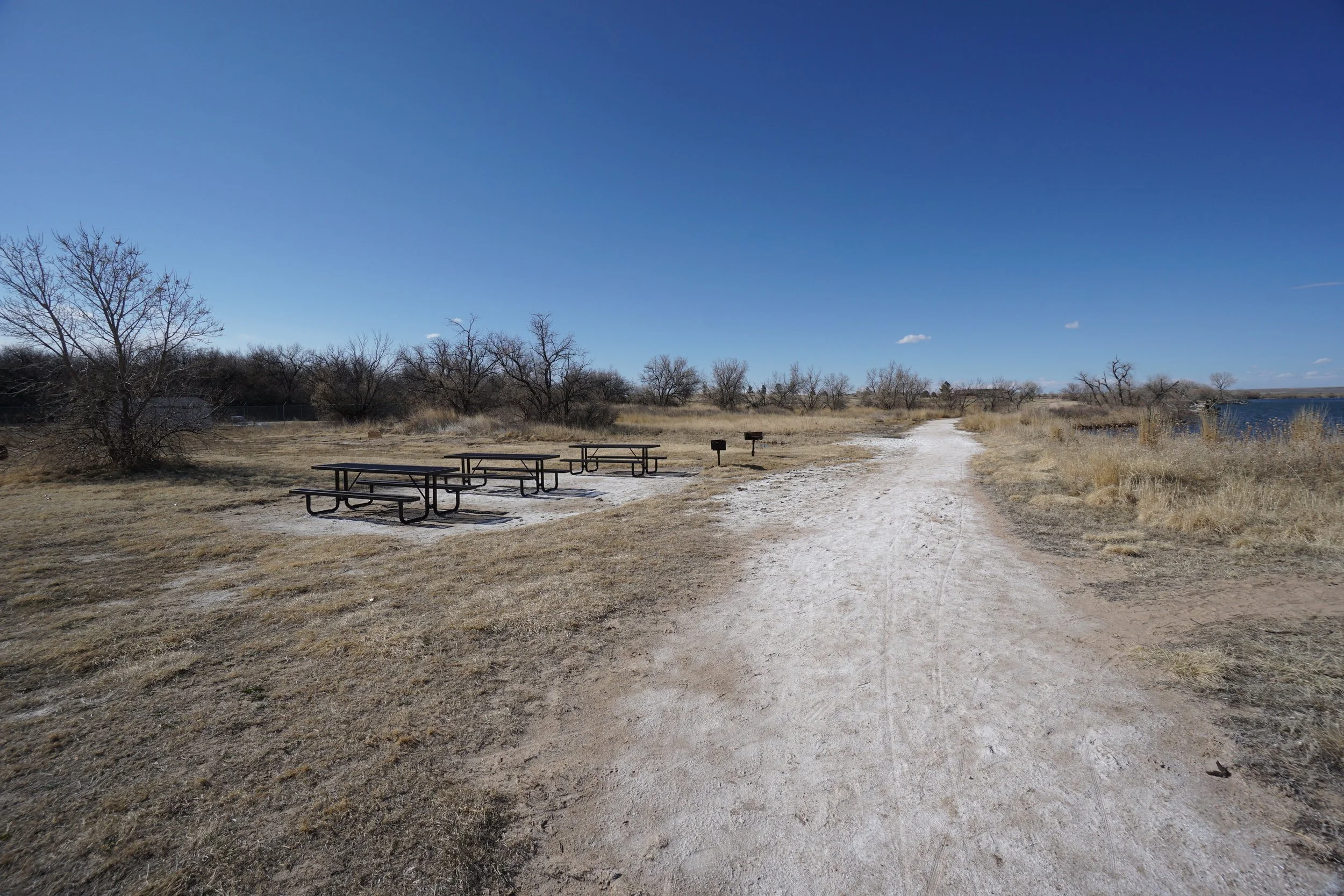
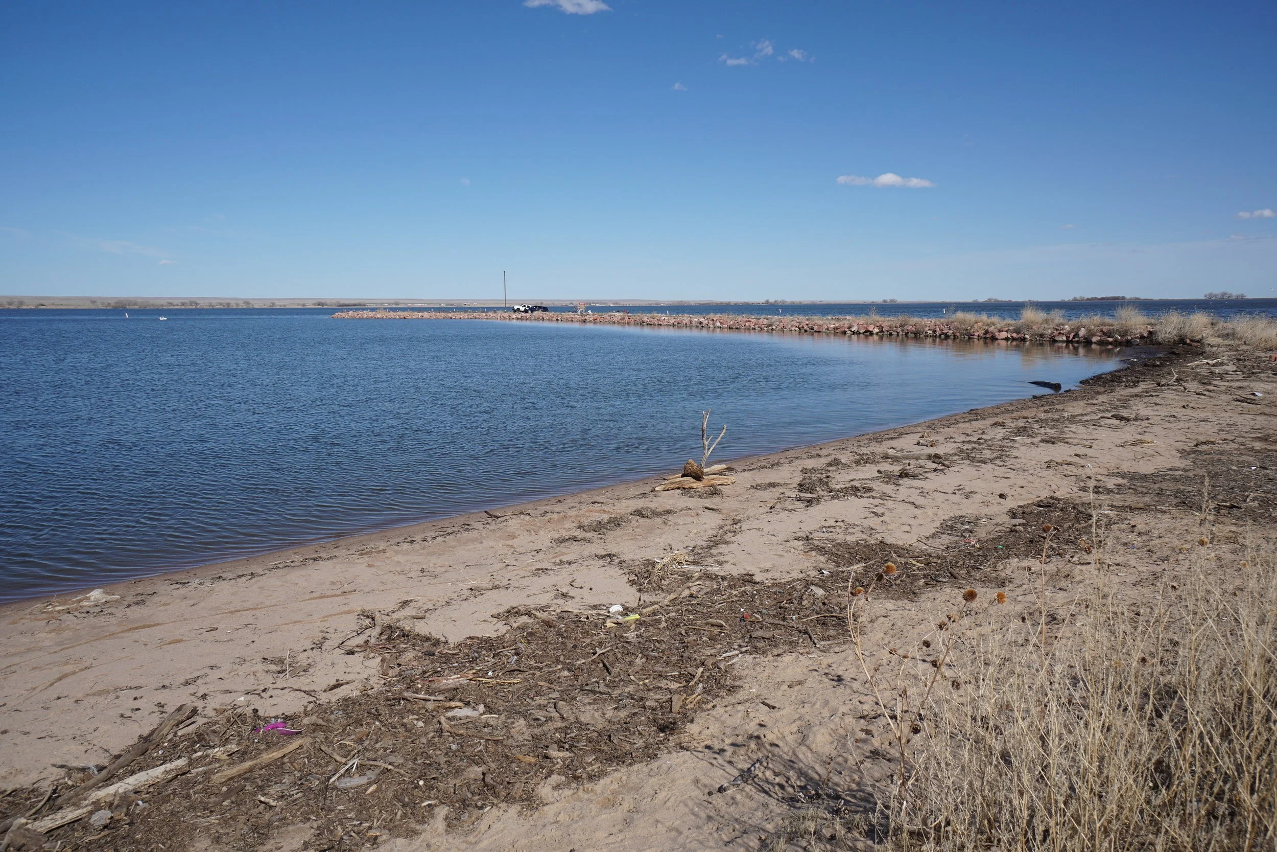
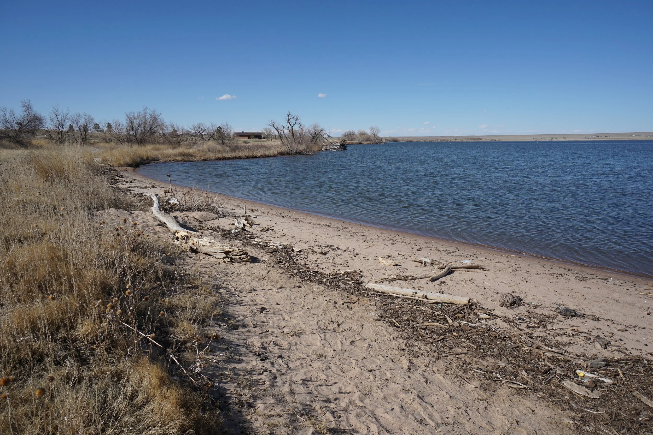
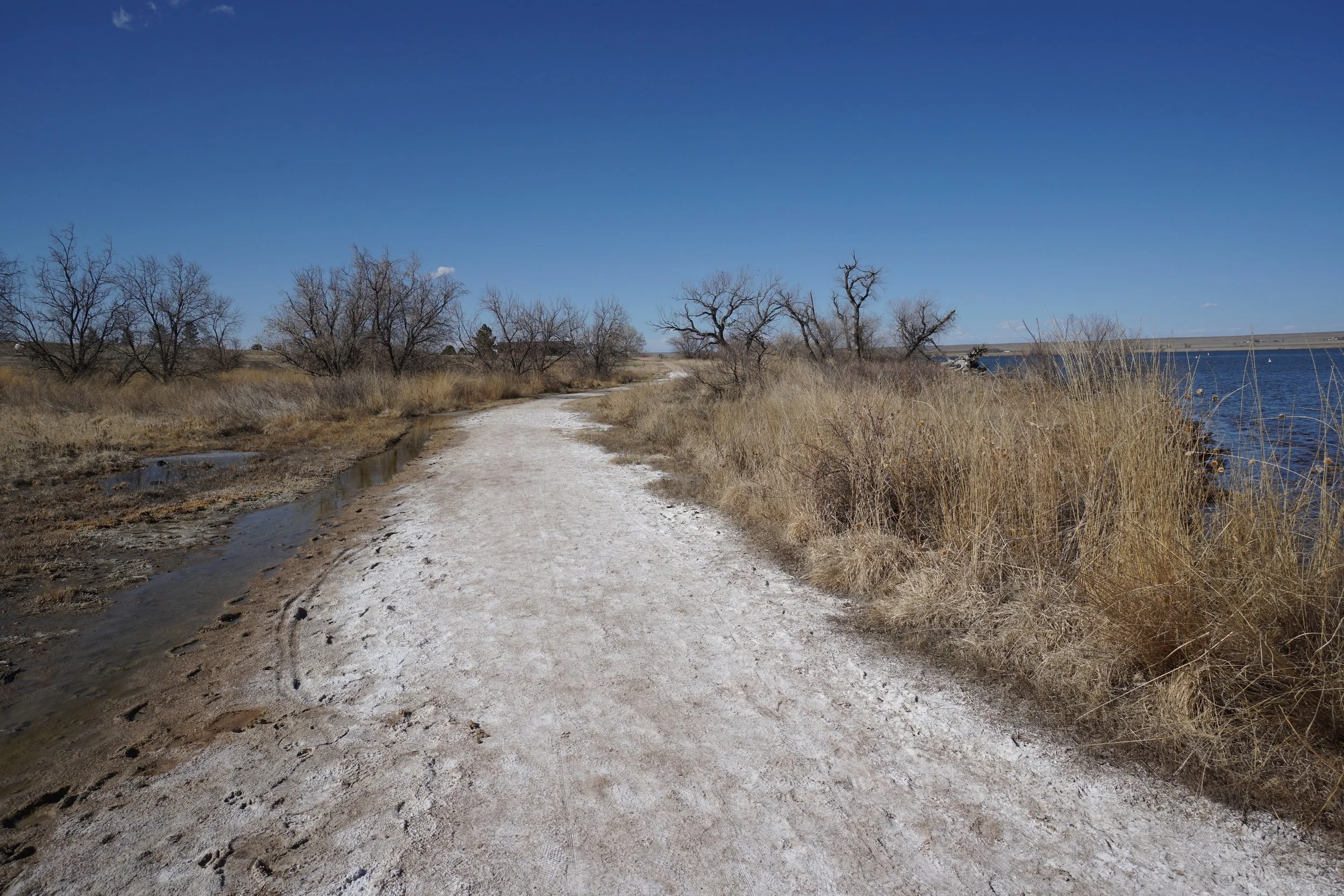
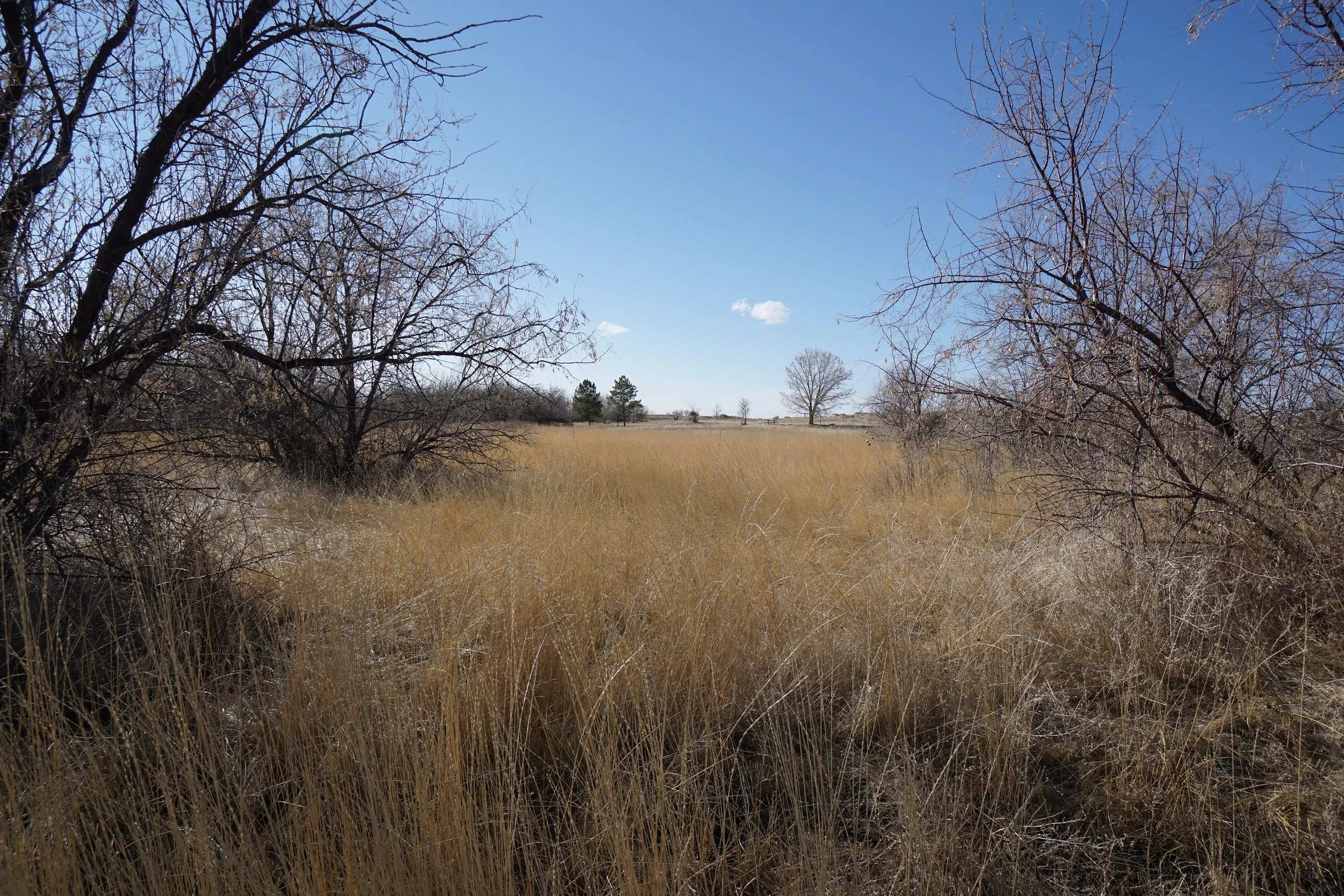
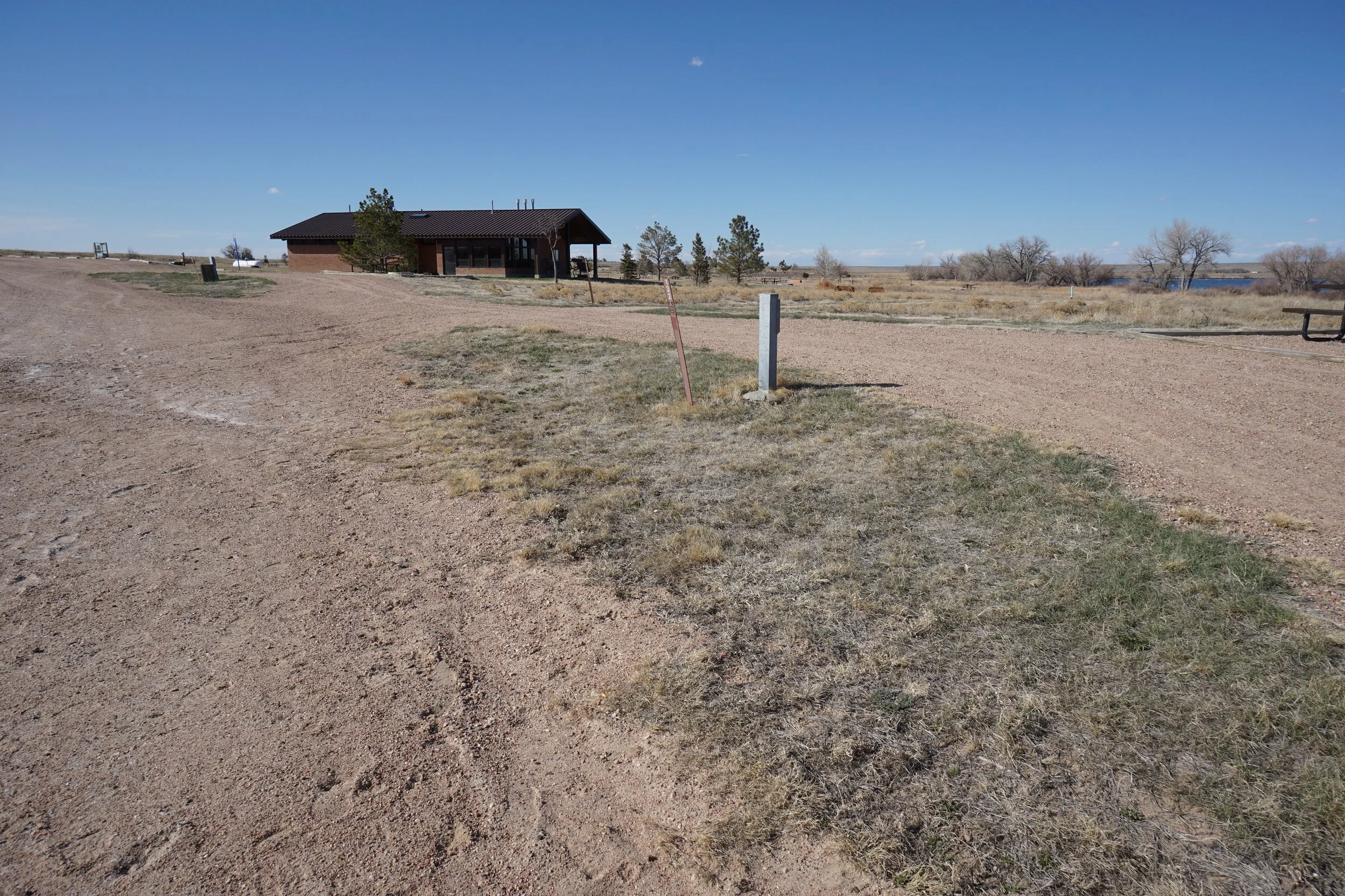
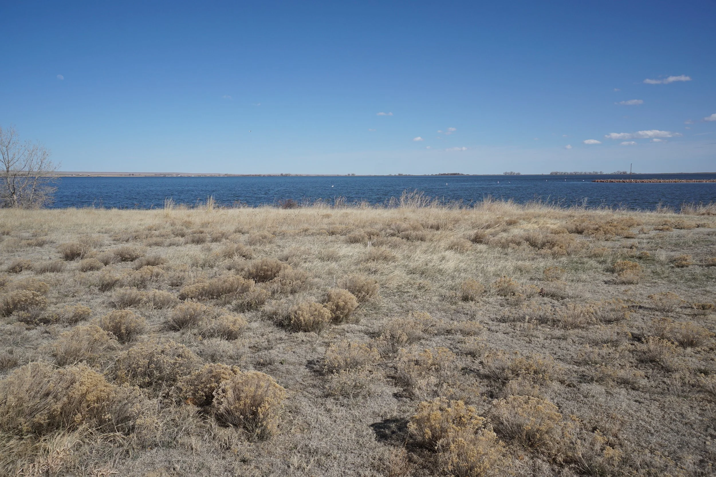
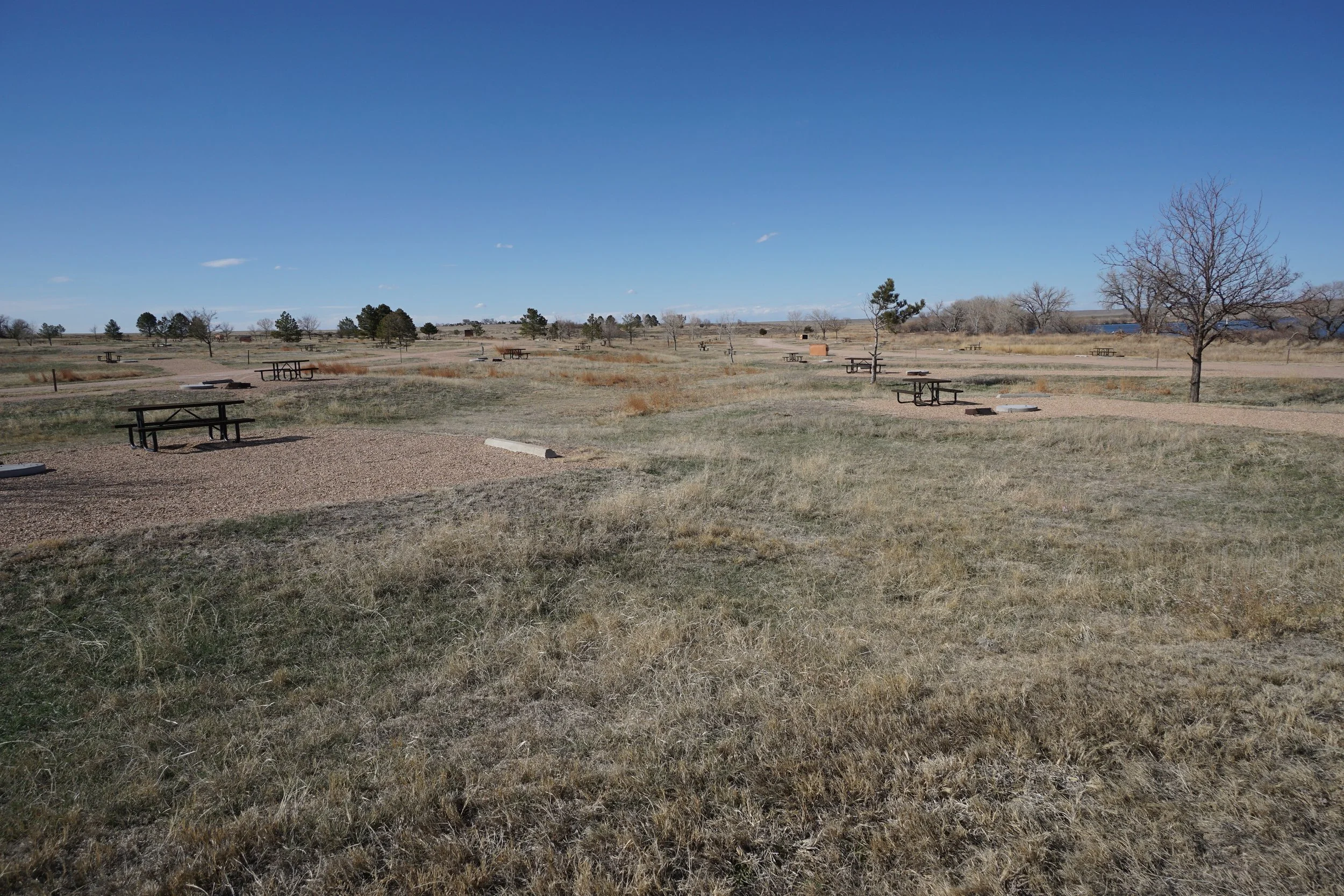
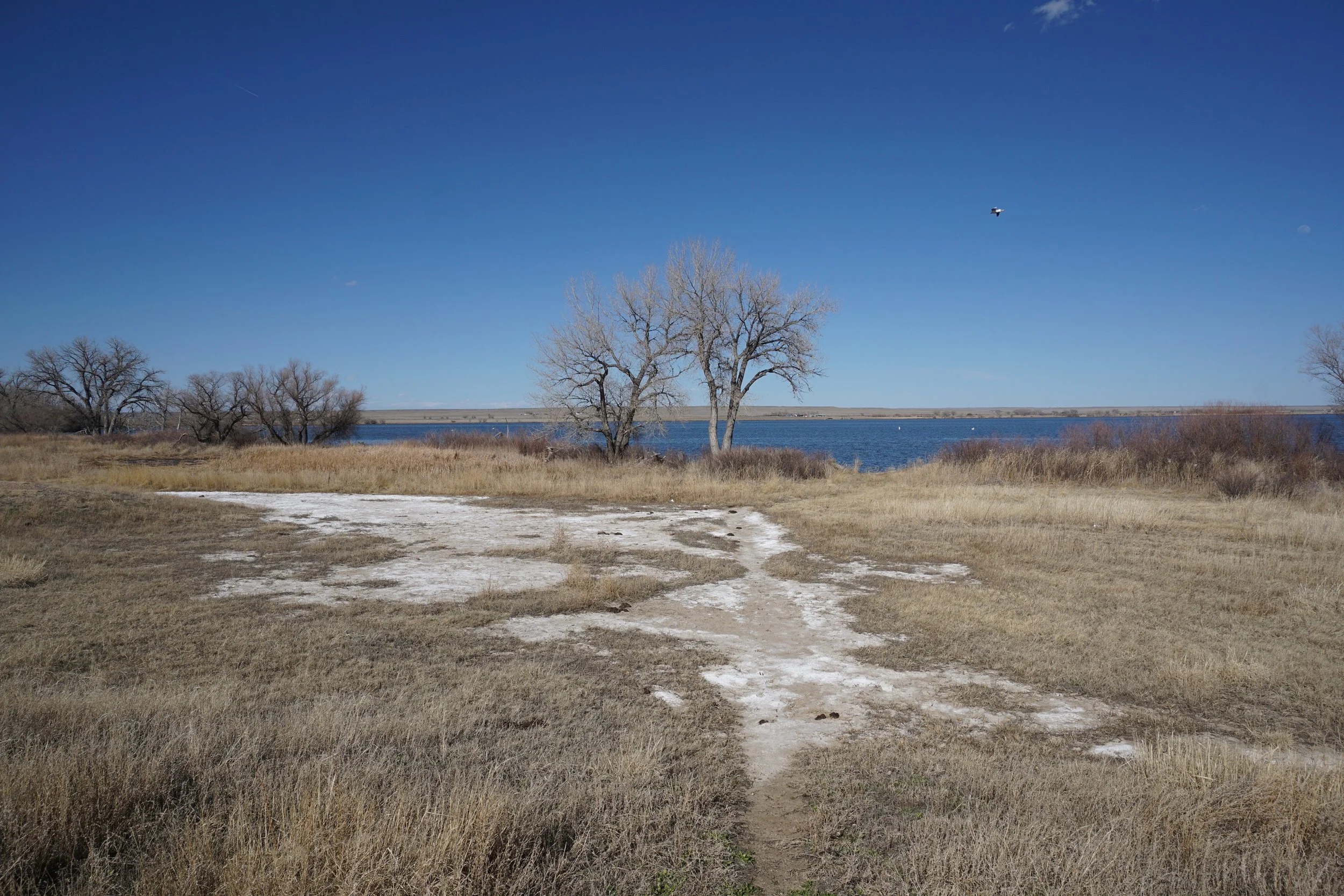
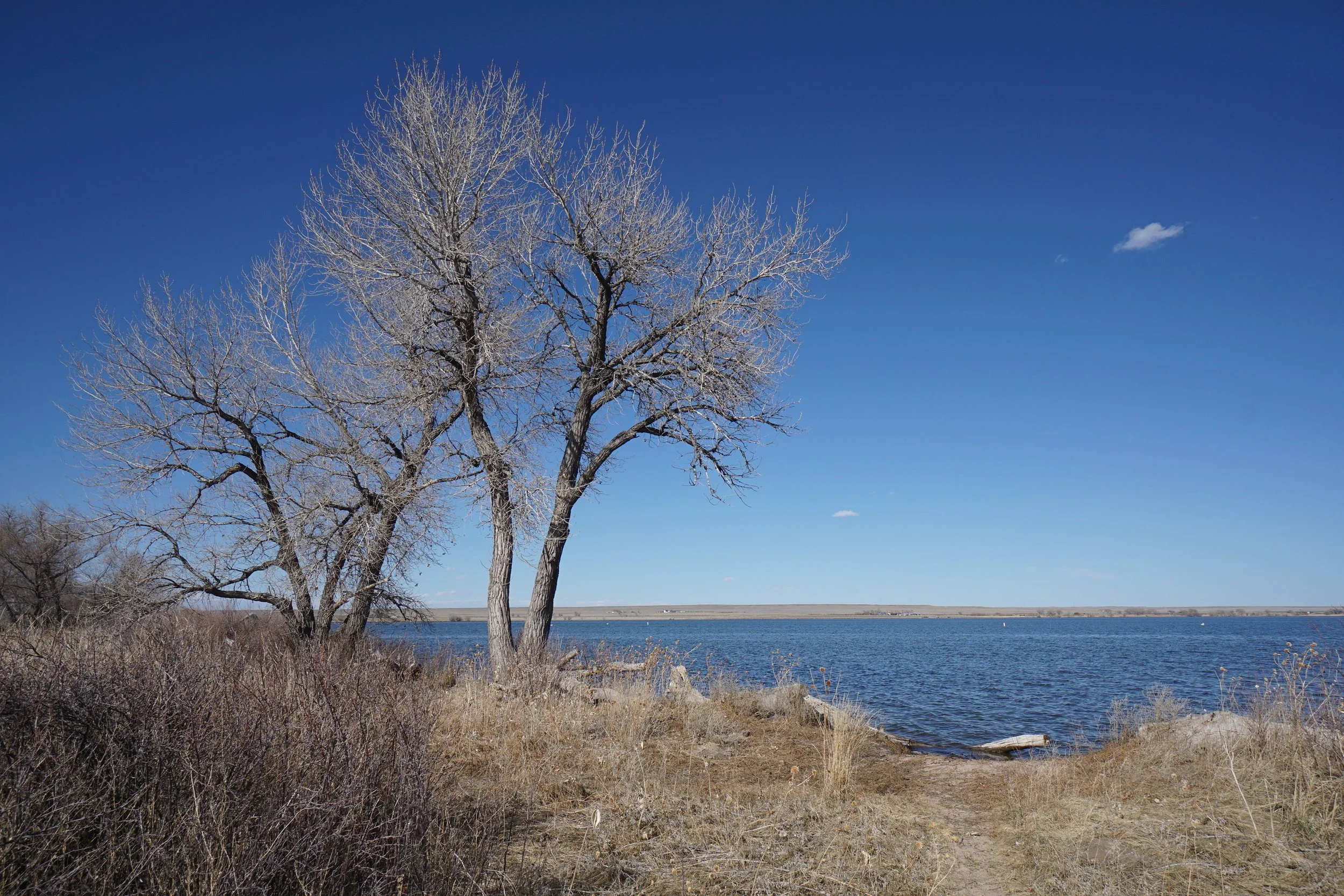
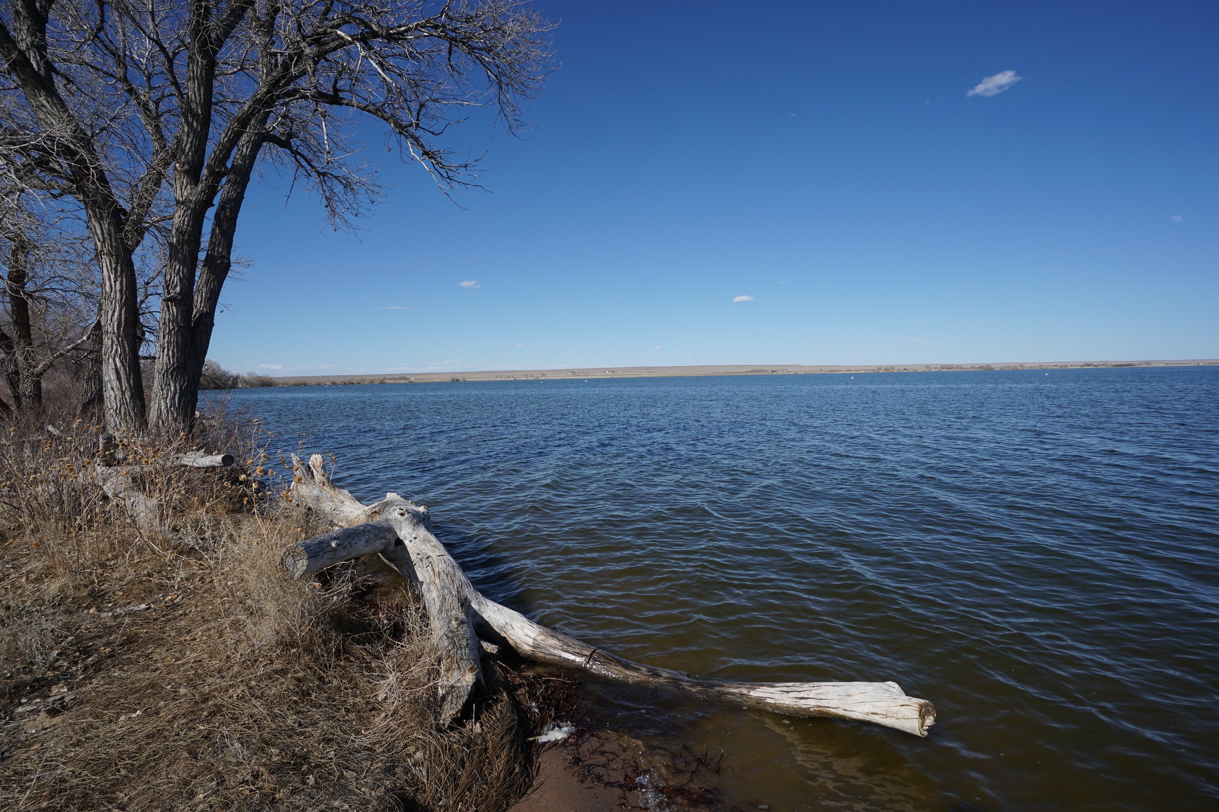
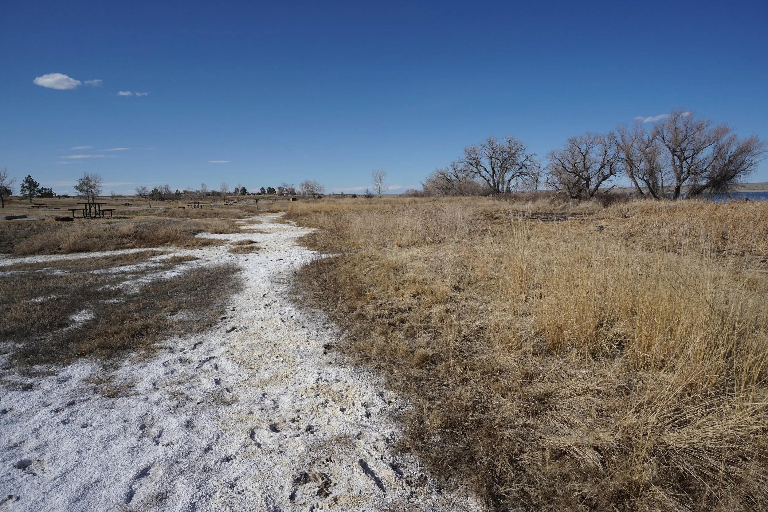
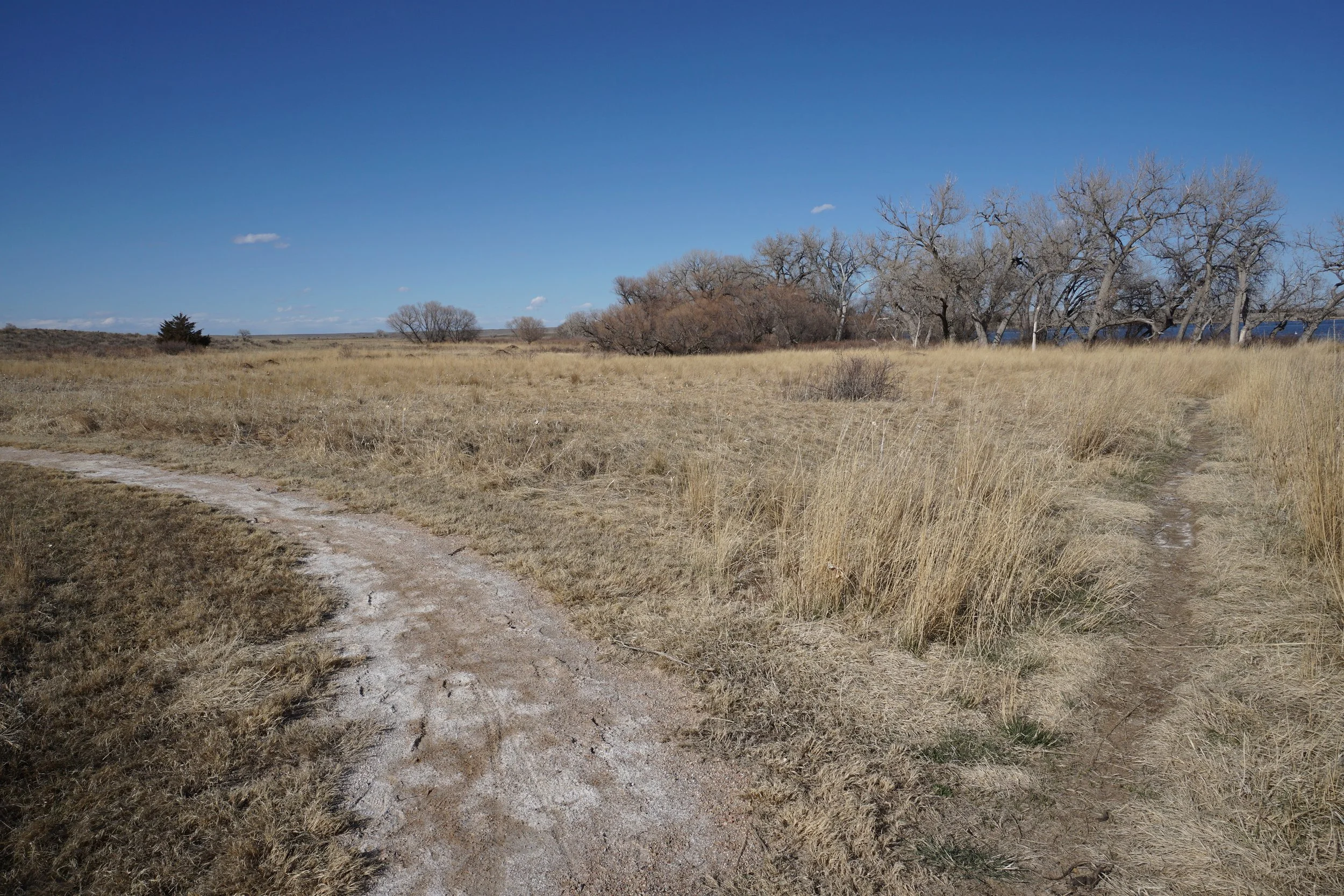
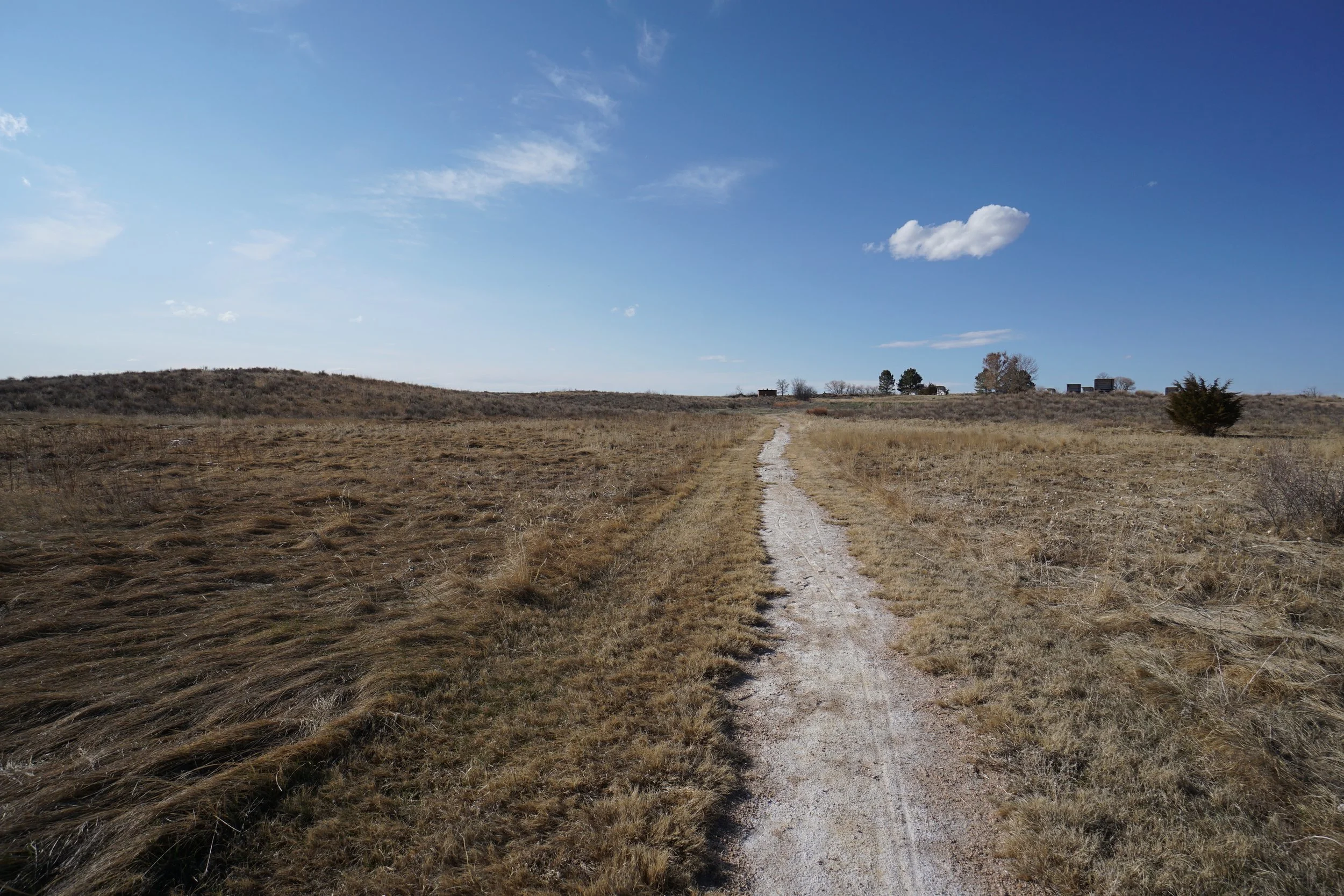
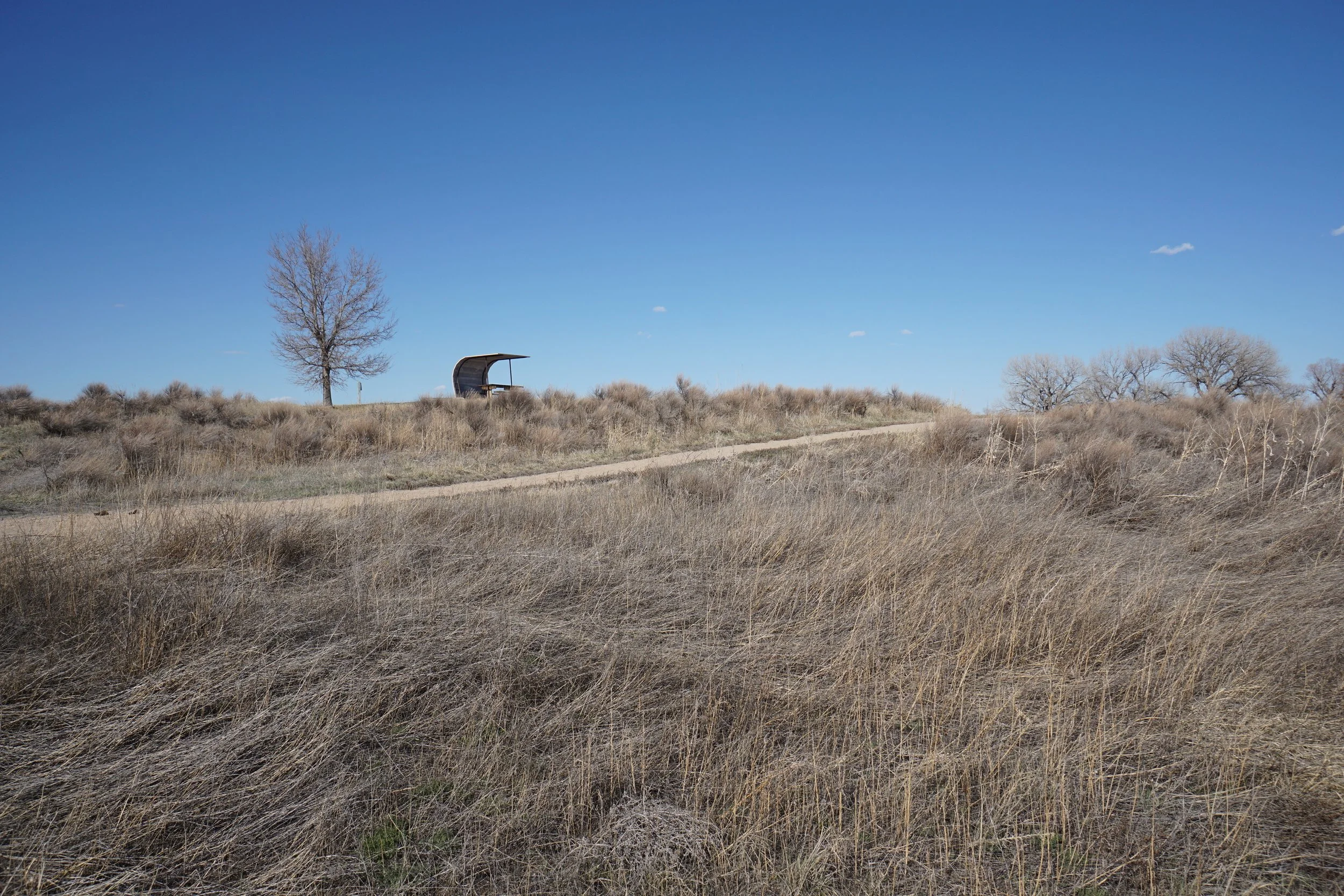
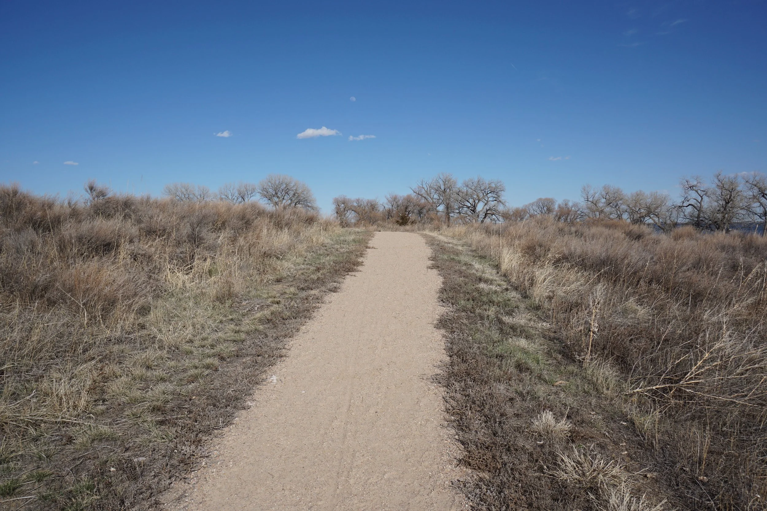
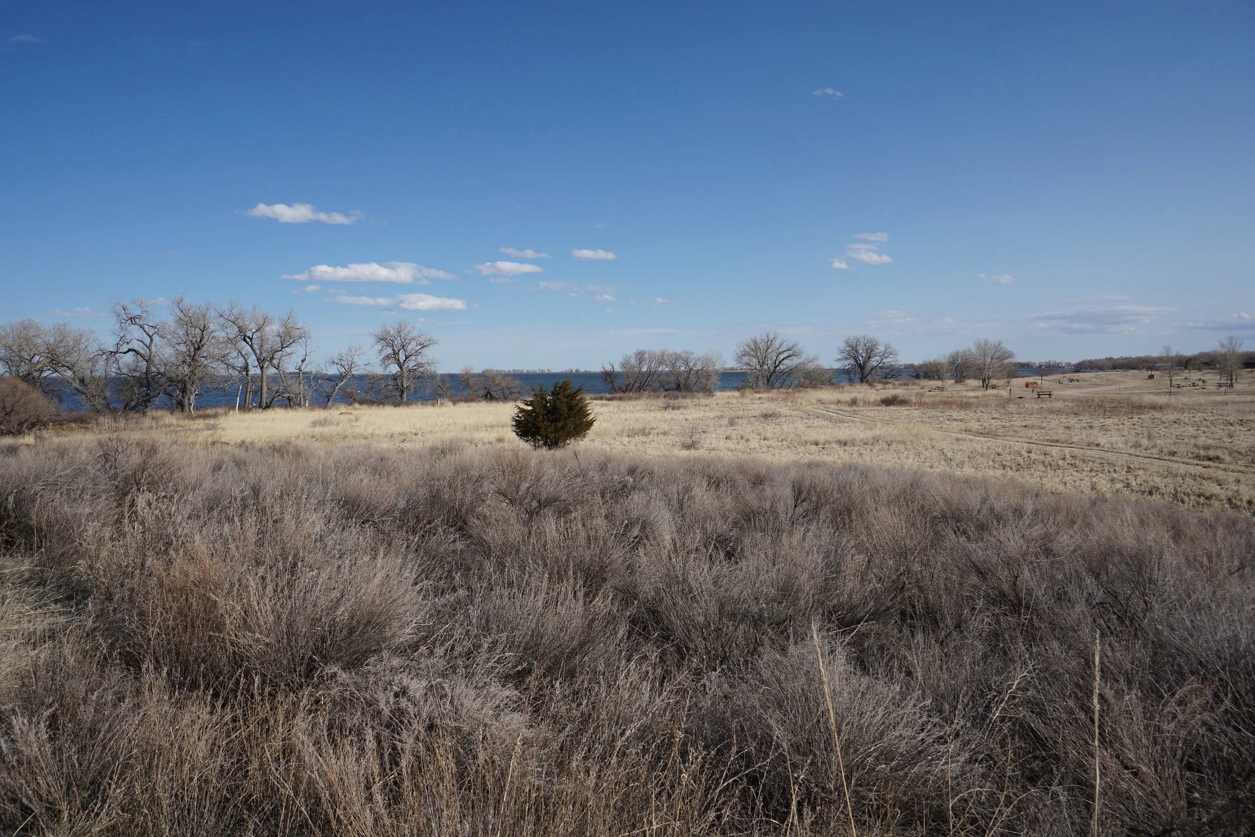
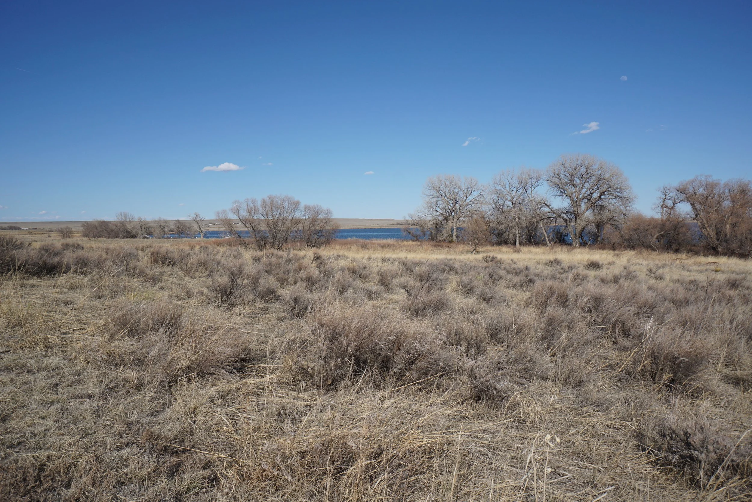
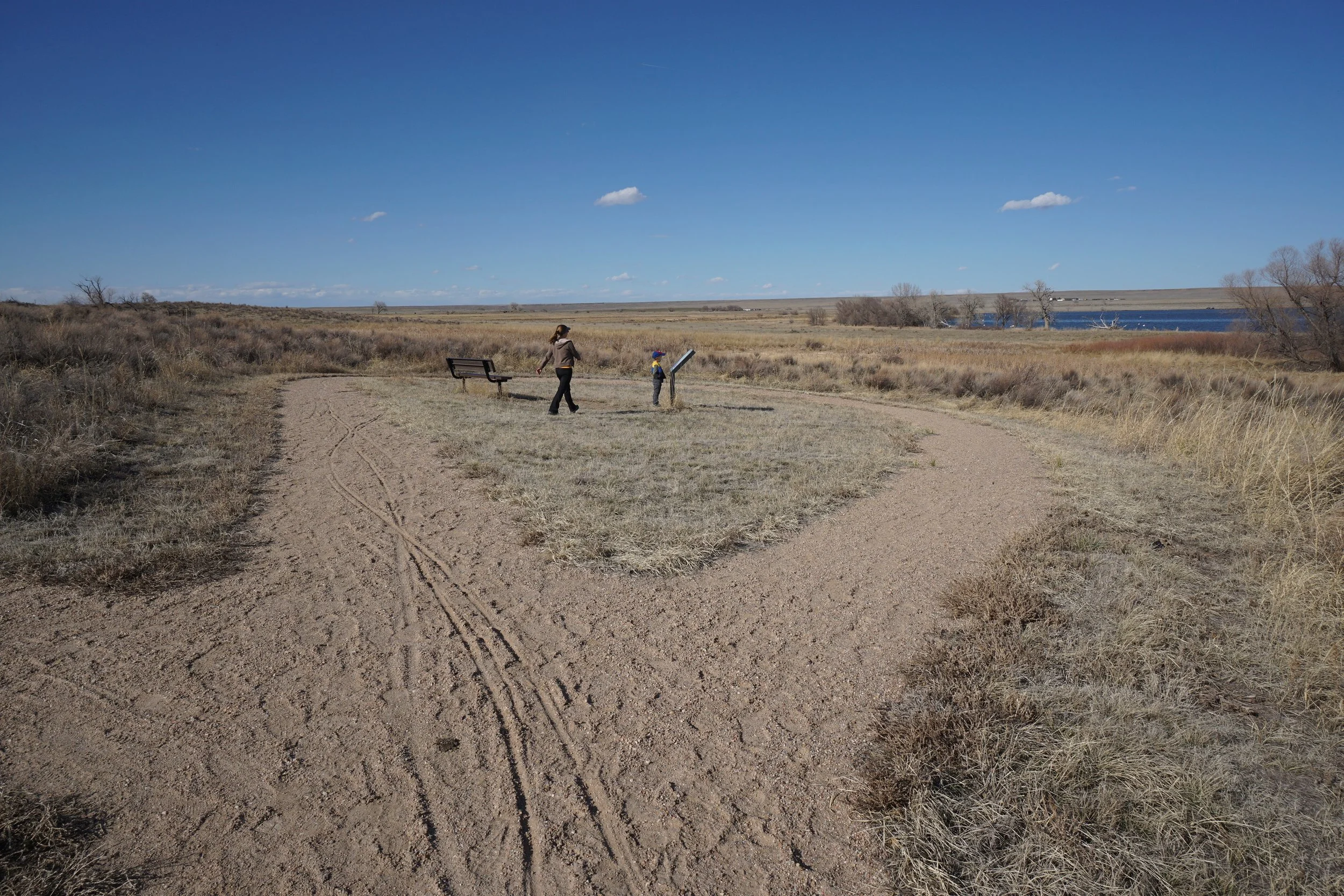
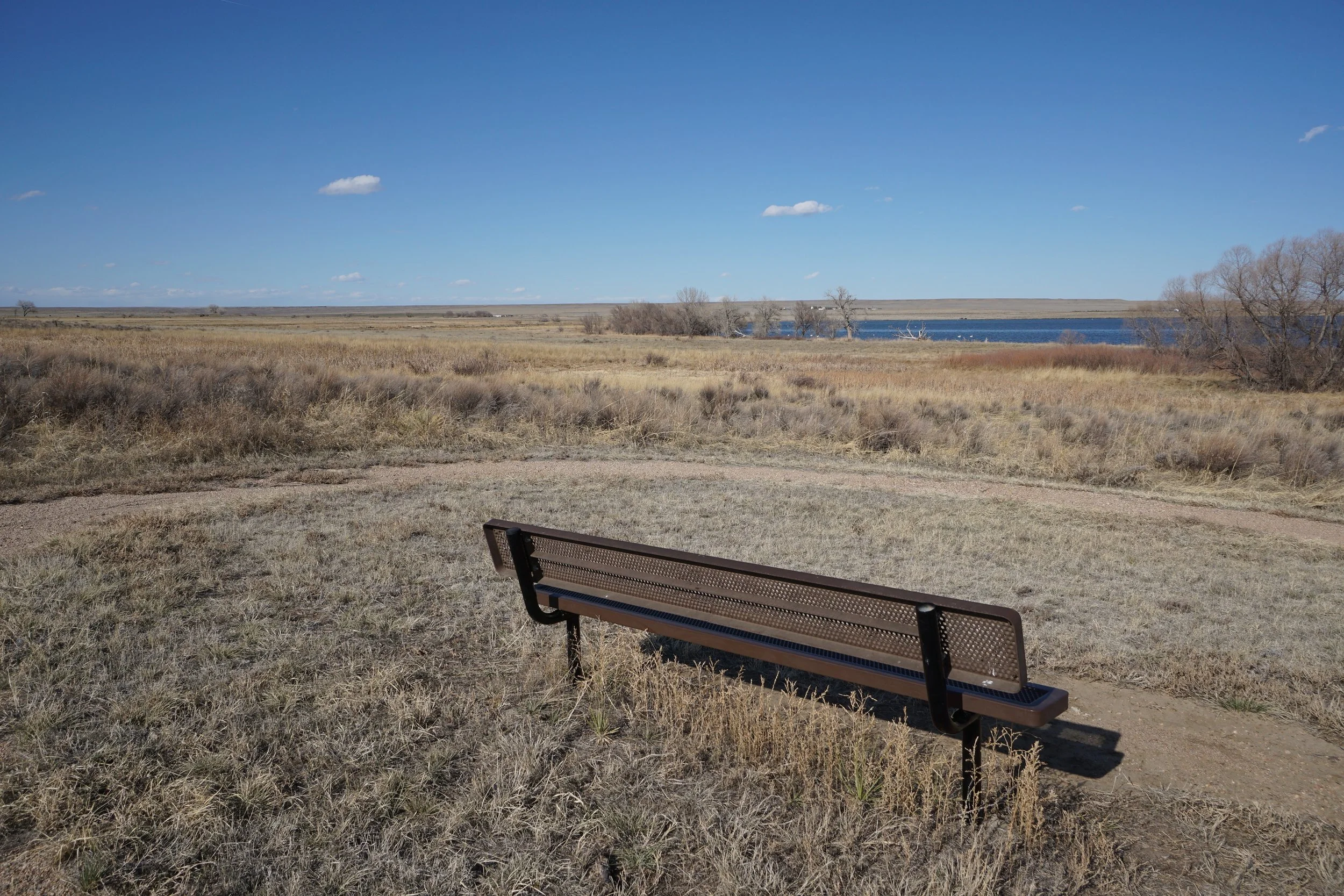
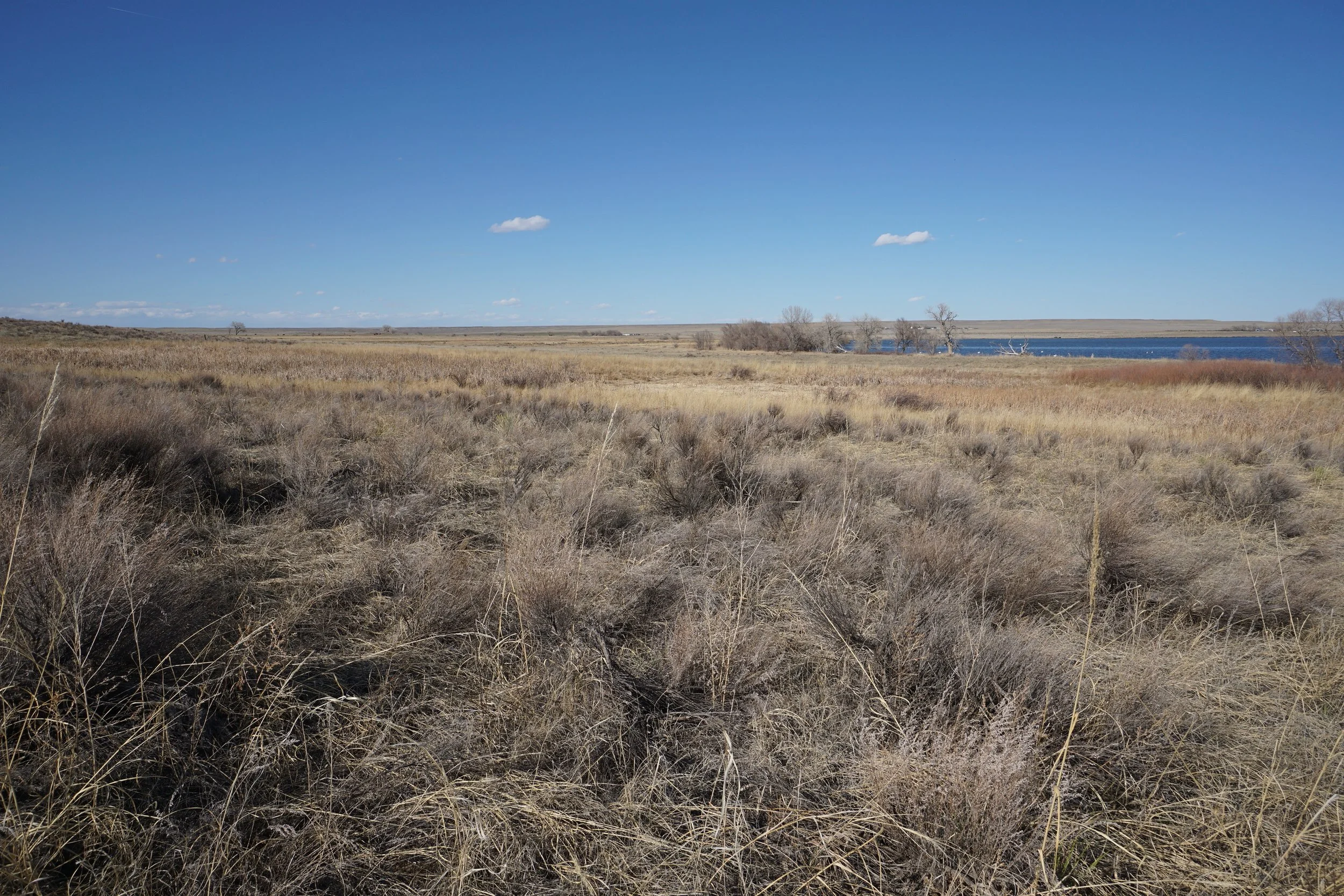
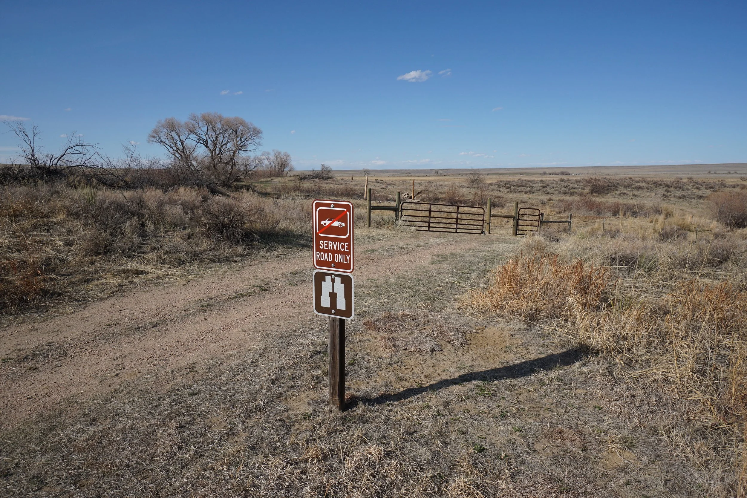
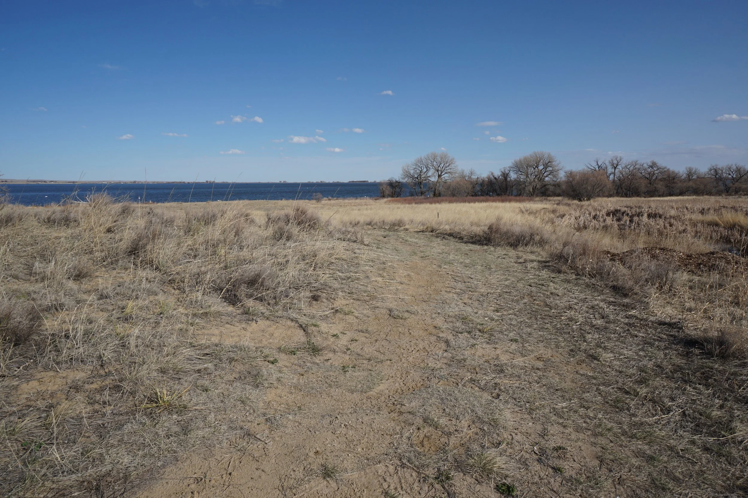
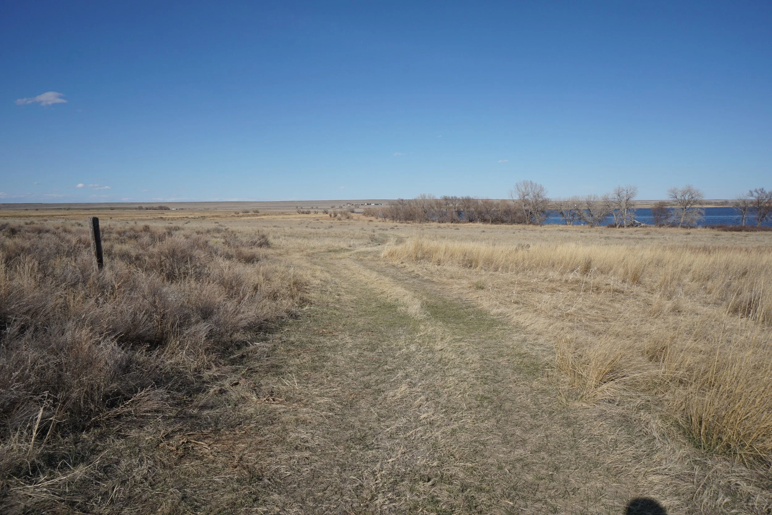
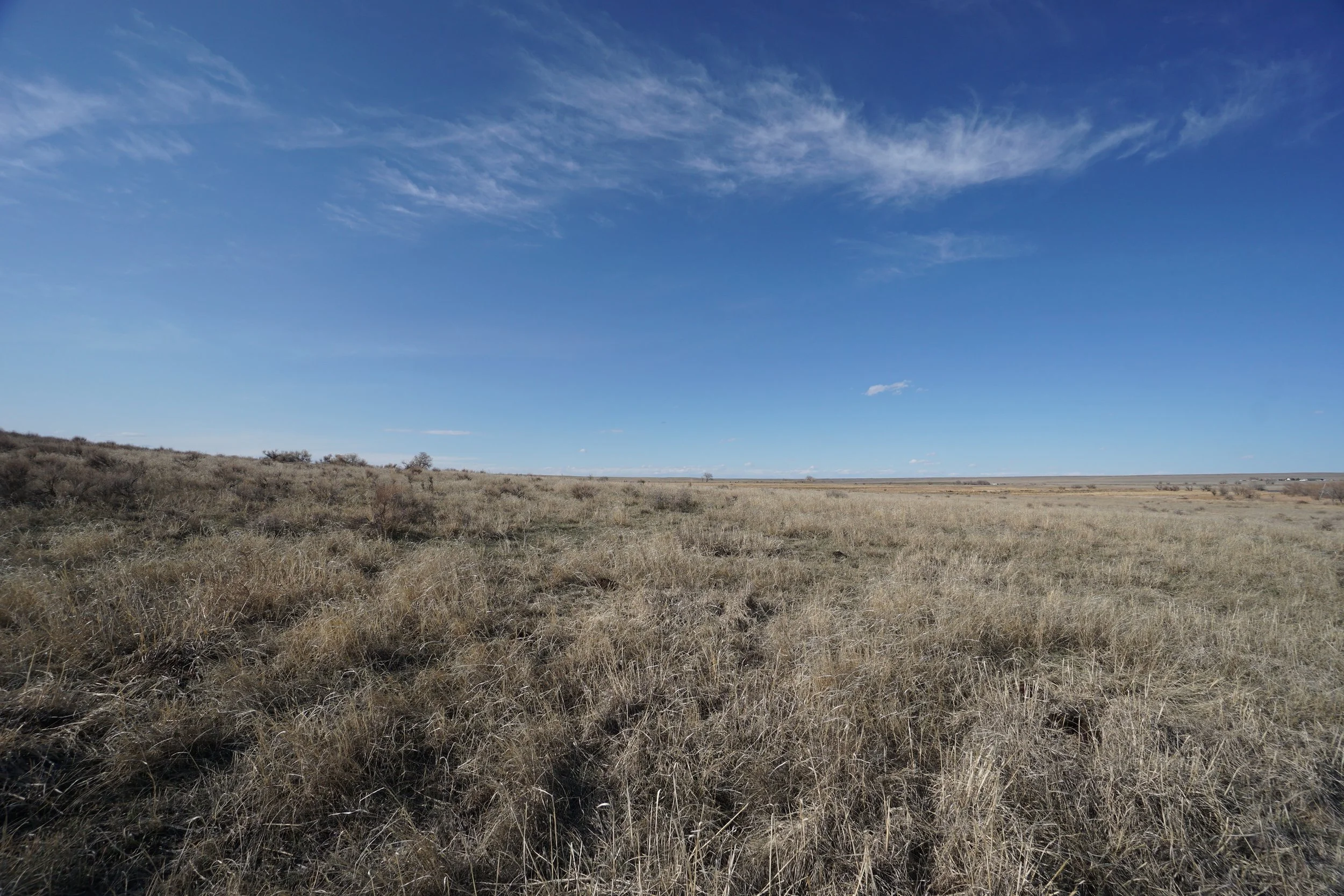
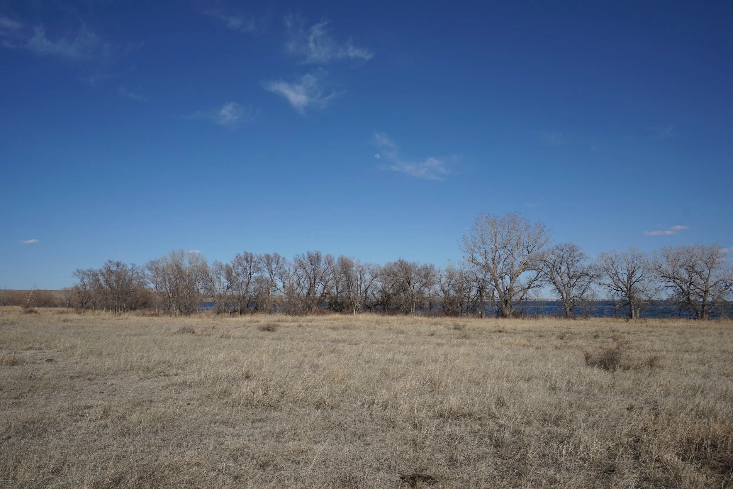
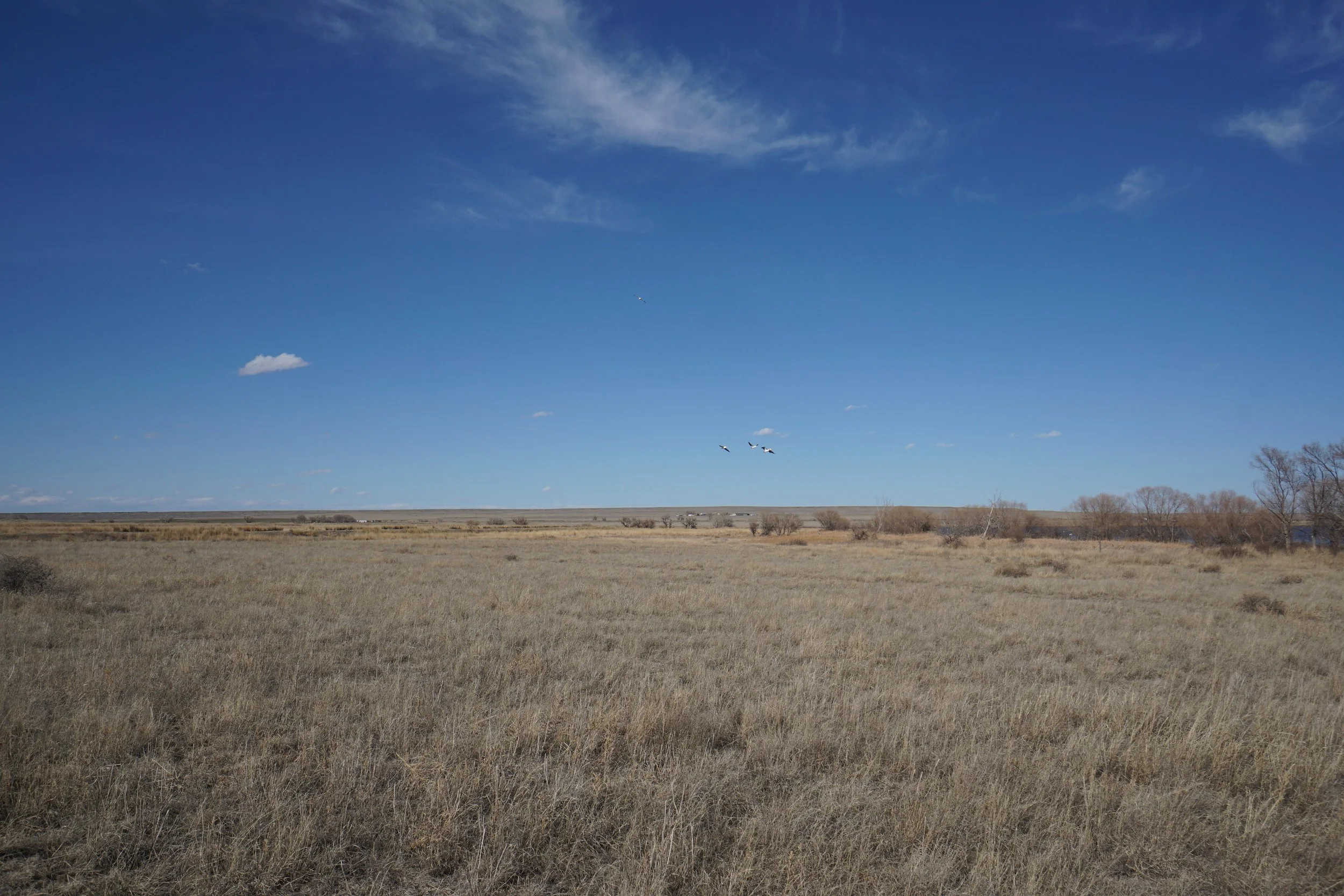
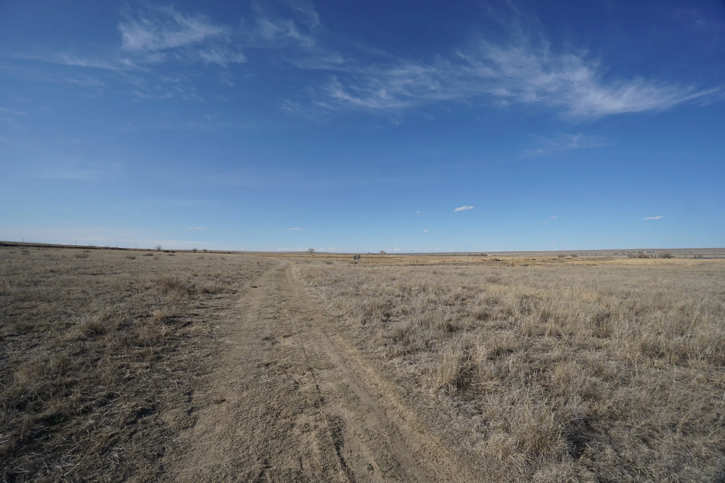
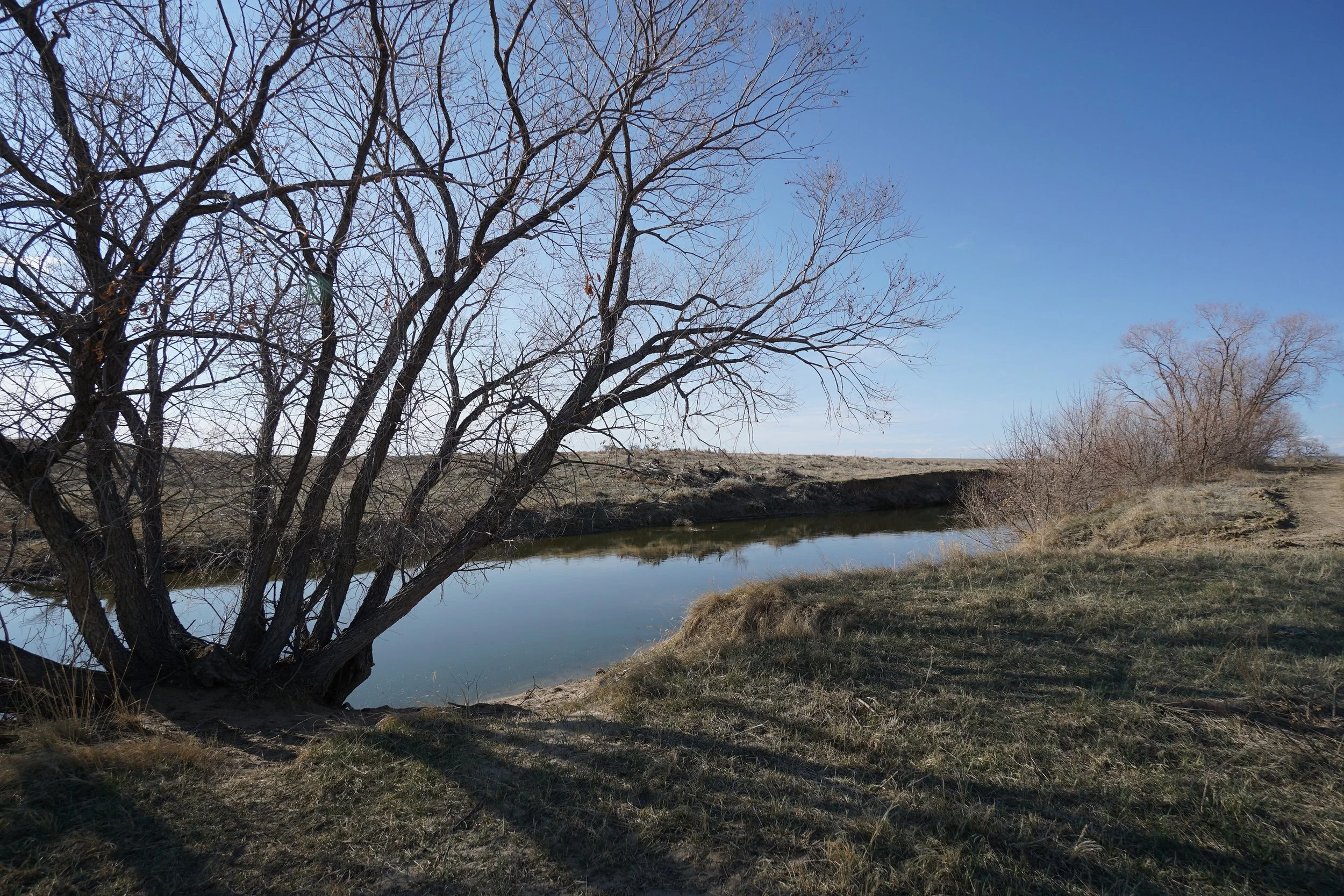
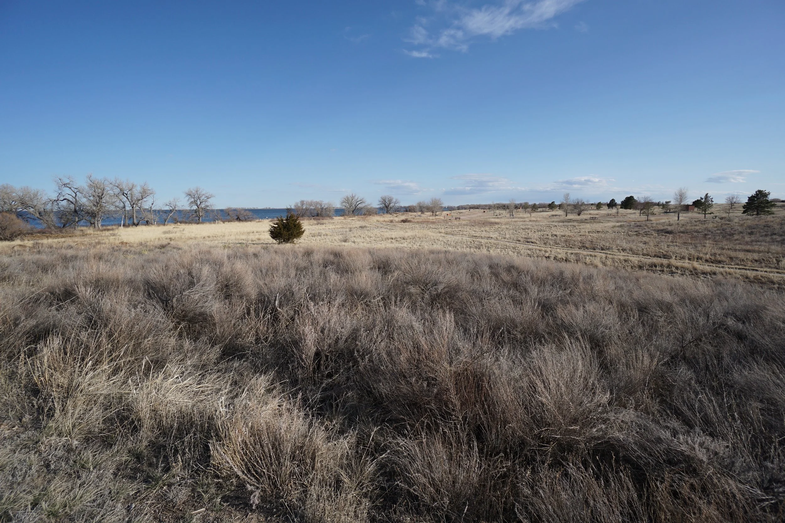
Jackson Lake State Park is not well renowned for it’s hiking trails, but in Colorado’s Eastern Plains, you take what you can get. The North Footpath along the western shore of Jackson Lake is very pretty and when the wind is not howling…makes for a very pleasant hike. The Trail follows the shoreline providing lake access for fishing and other recreational activities. As you head north, the trail enter and cuts through the campground. North of the campground, the trail gains a small hill with a nice viewpoint. If you continue pushing north, you can pass through a gate for a “service road” and enter a more natural open space area. The trail/road travels through a nice grassland and connects to a road that runs along an irrigation ditch, but does not ultimately loop around so you need to return the way you came.
Lake views, grasslands, birding, sparsely wooded areas…Jackson Lake offers a rare hiking opportunity through classic Colorado Prairie. Well worth the trip!