Green Mountain via West Ridge Trail
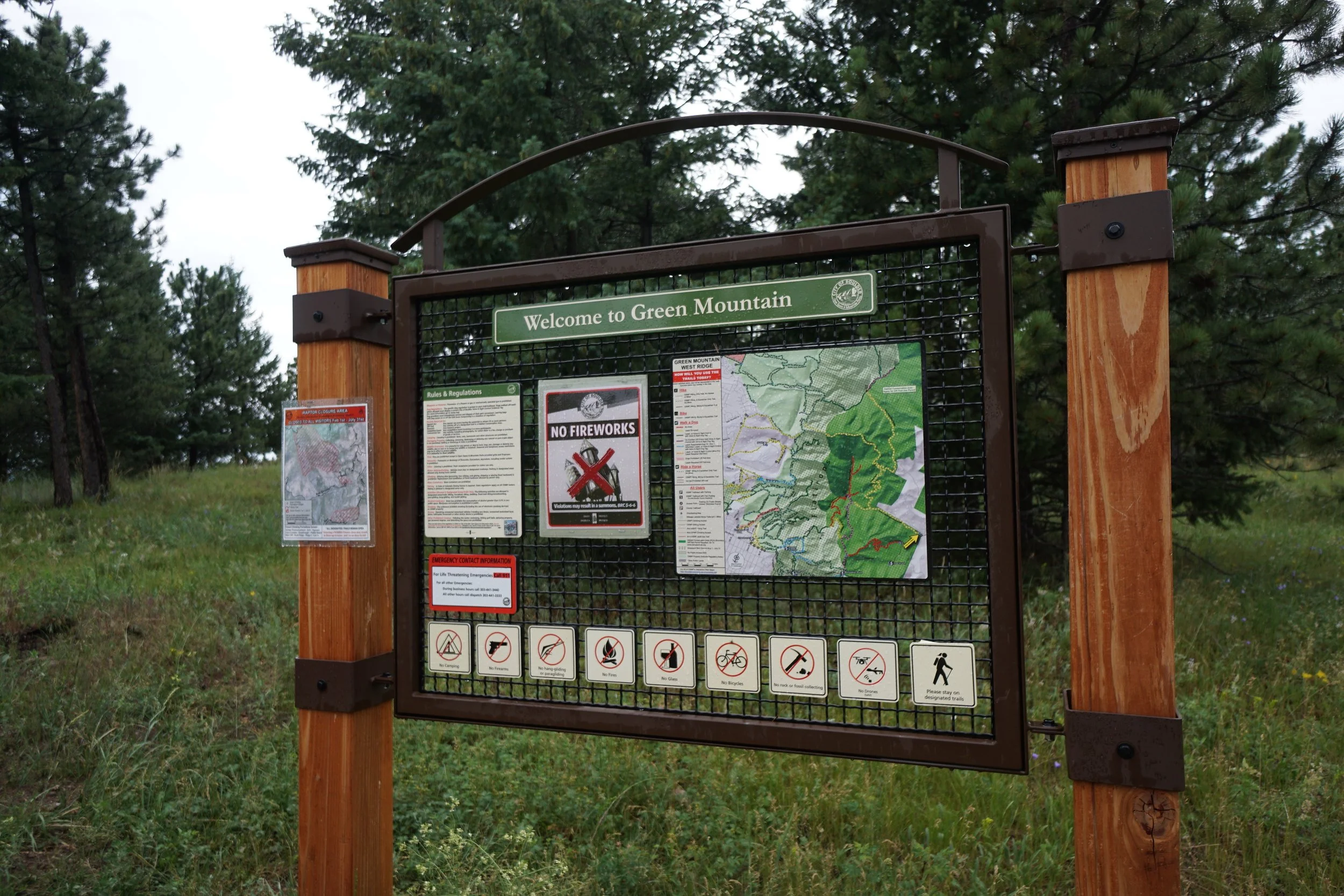
Boulder Open Space & Mountain Parks
Date Hiked: July 13, 2021
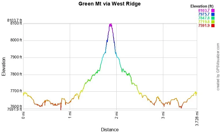
Distance: 3.6 mi (RT)
Elevation Gain: 500 ft
Elevation Min/Max: 7,619 to 8,045 ft
Trailhead Lat/Long: 39.98350, -105.32332
Managing Agency: Boulder OSMP
Fee: None
DIRECTIONS:
The West Ridge Trailhead sits at the westernmost edge of Boulder Mountain Park. To get there from Boulder, take Flagstaff Road up through the Mountain Park, past Realization Point and Past Lost Gulch. You are looking for the sign that says “Leaving City of Boulder Open Space and Mountain Parks” on your left. The trailhead is just up the trail from this sign. There is room on the side of the road for parking.
HIKE DESCRIPTION:
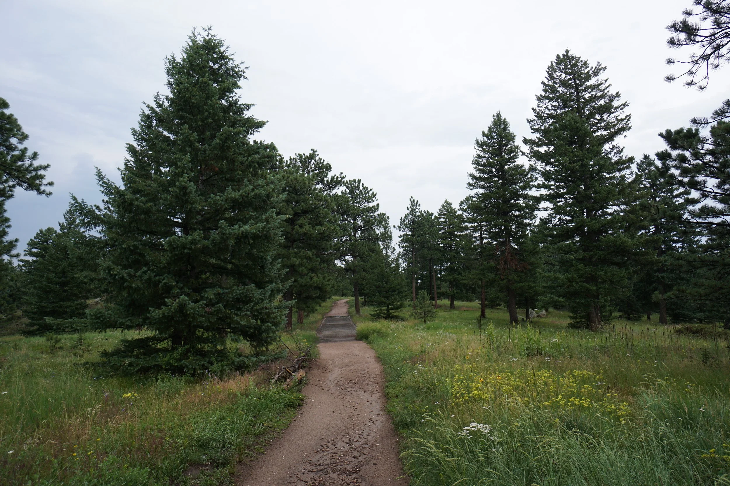
If you are looking for a mellower and quieter route to hike Green Mountain, then try the West Ridge Trail, although, I hiked it moments after a summer rain storm so the area was extra quiet. This route gains only about 500 feet of elevation gain as opposed to 1,500 ft from Realization Point or 2,500 ft from Gregory Canyon.
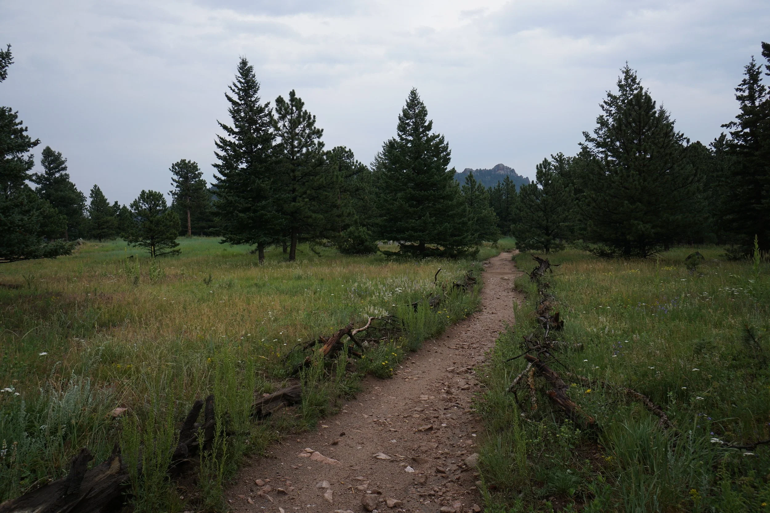
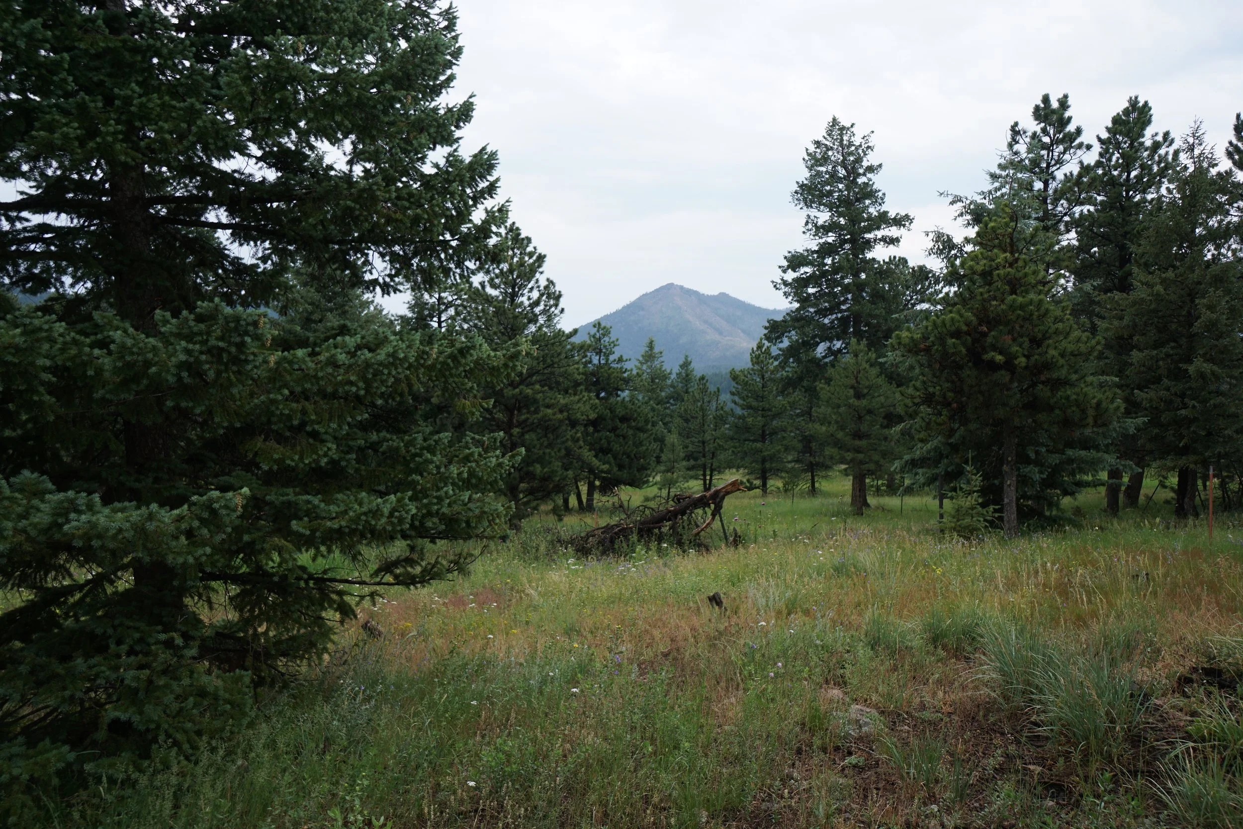
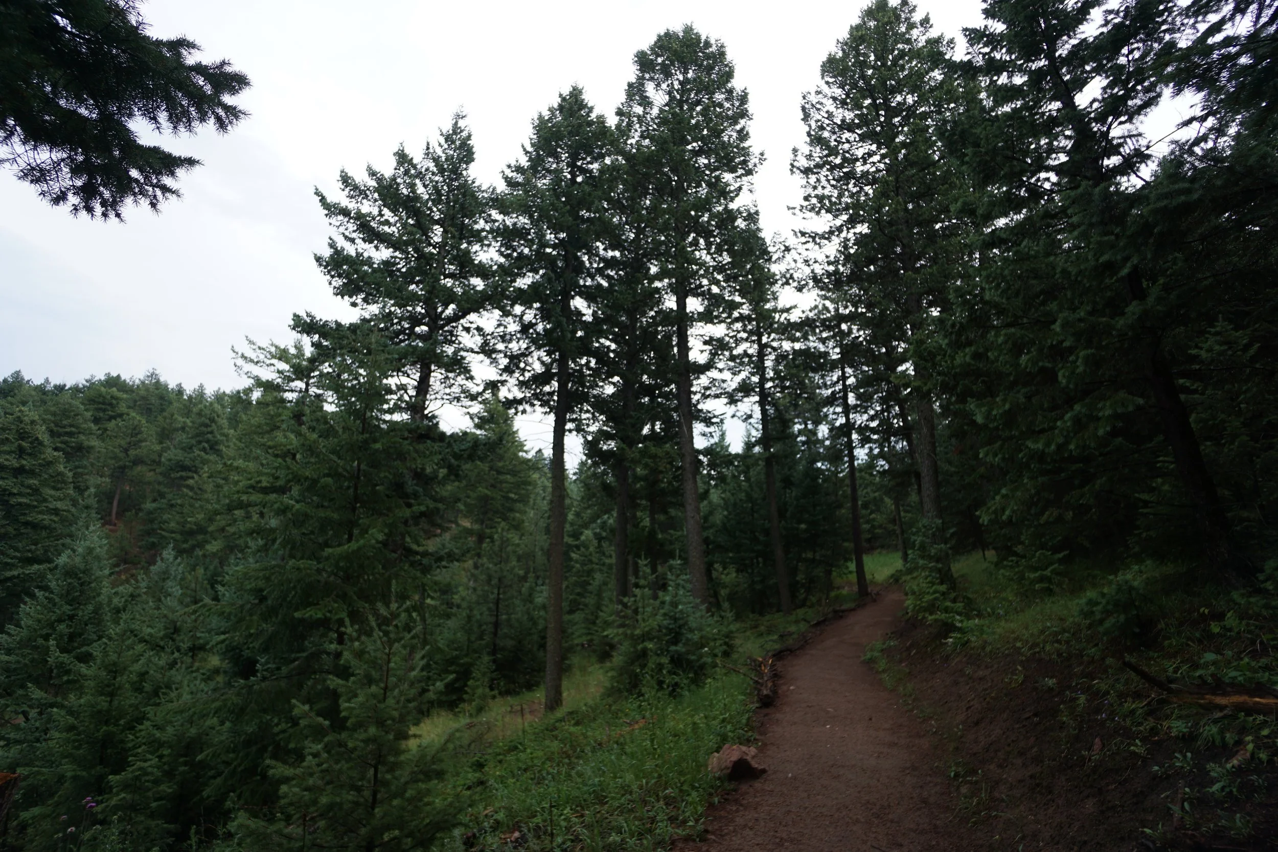
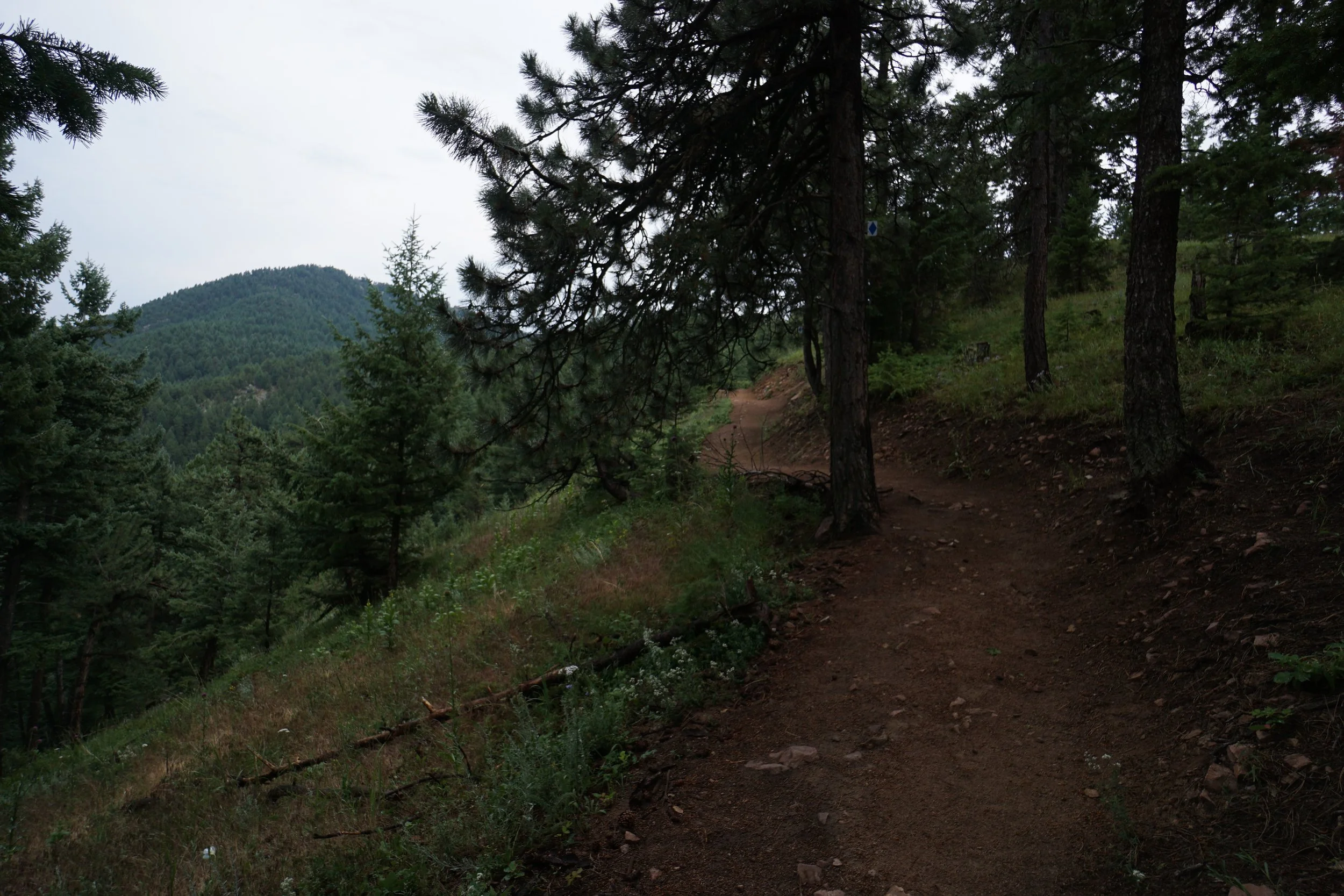
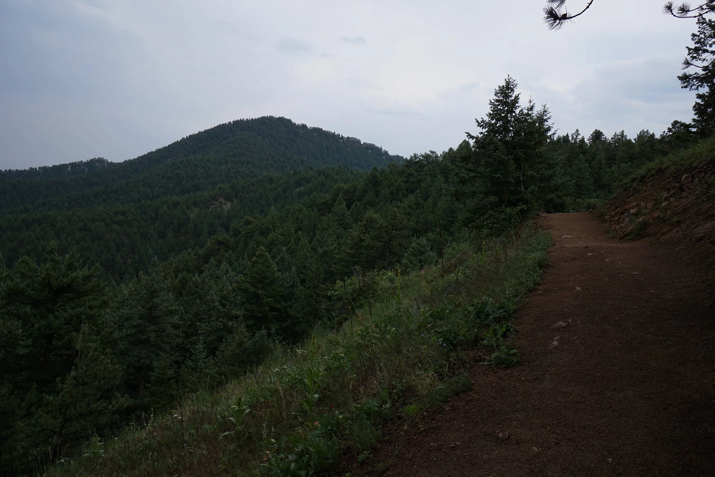
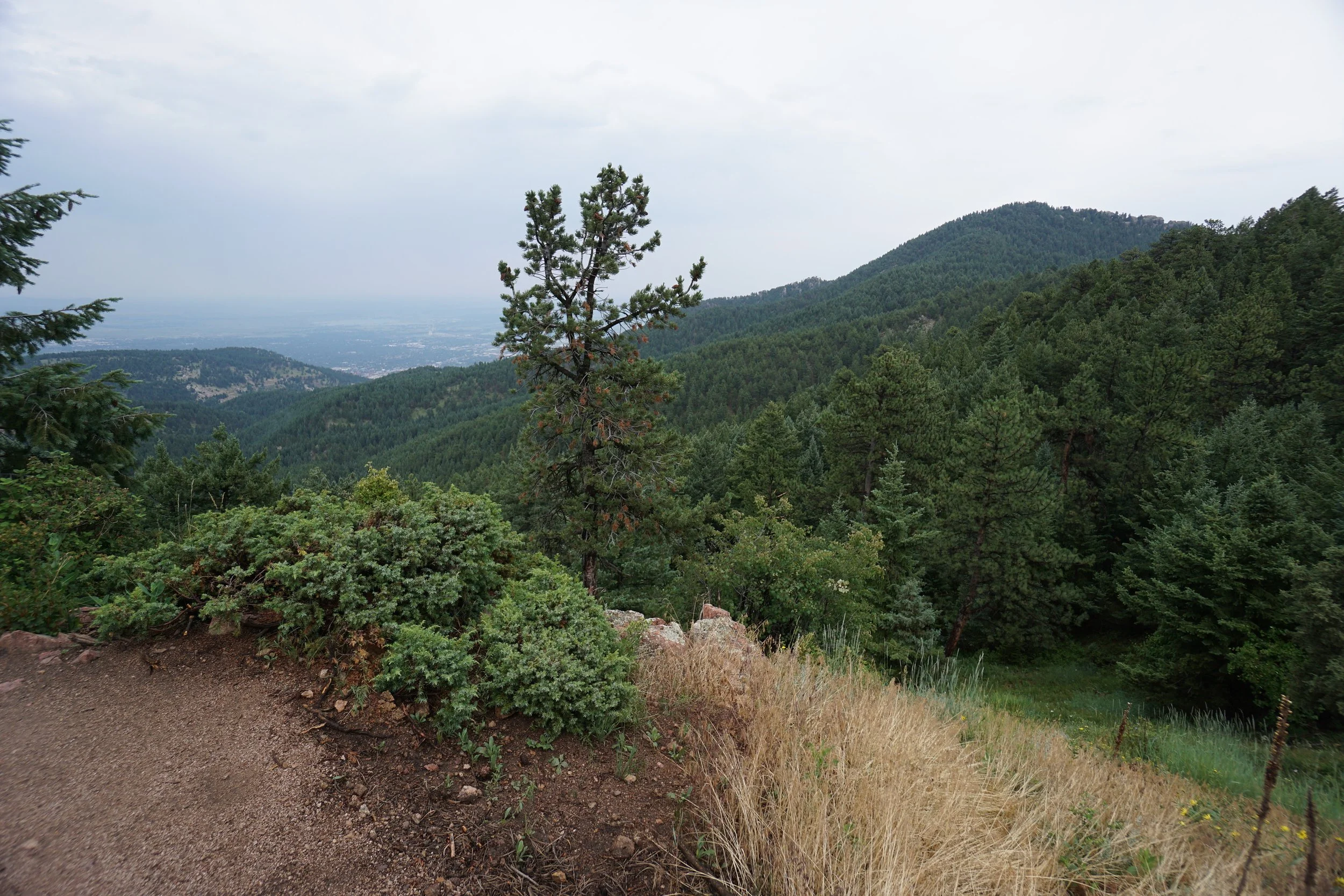
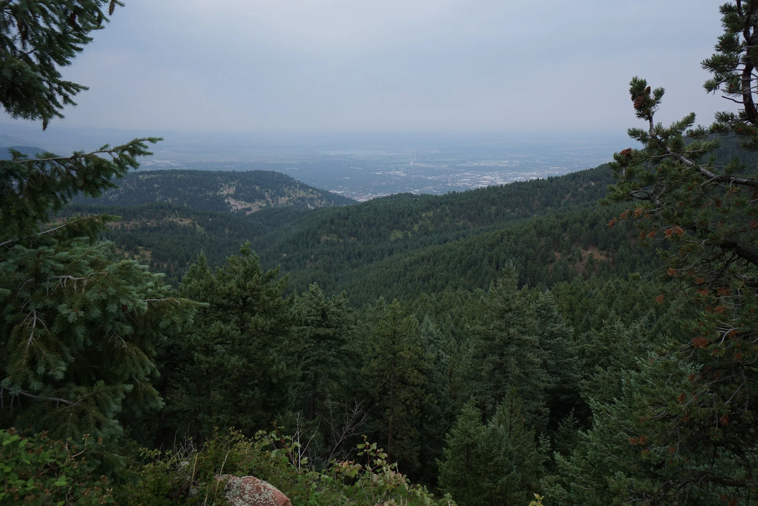
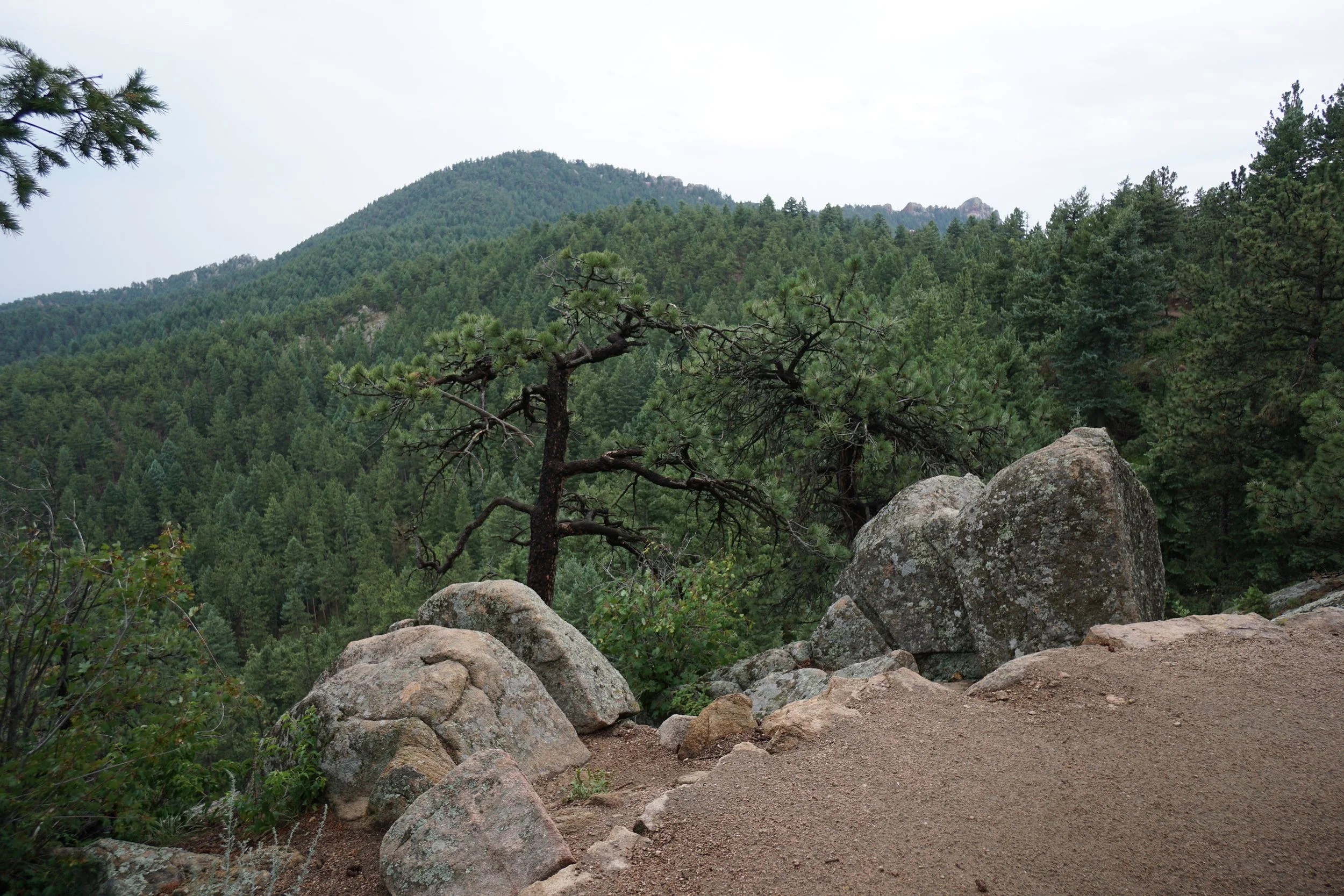
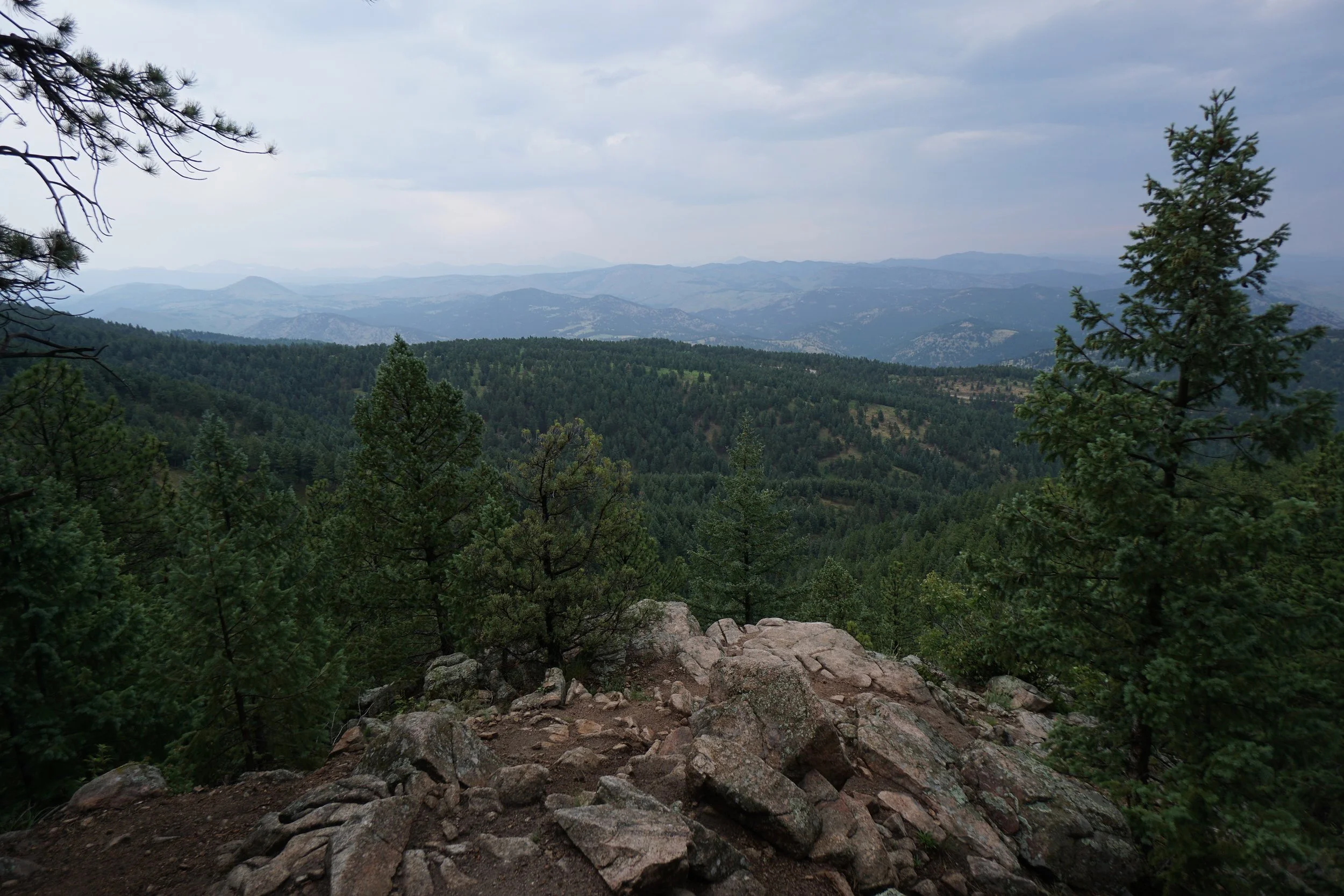
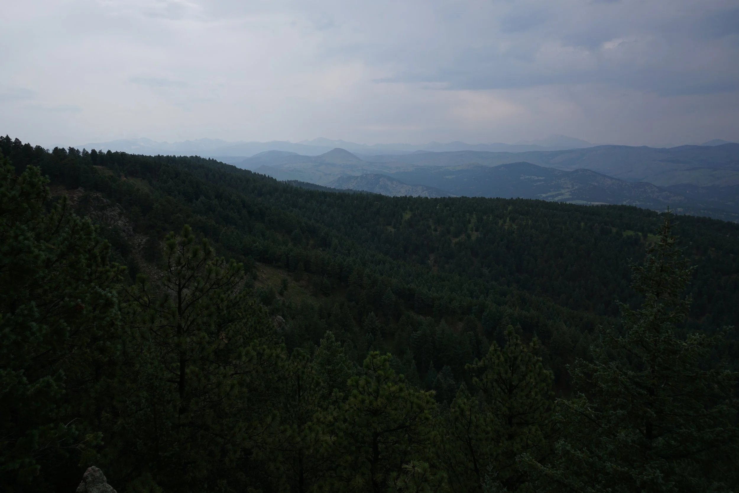
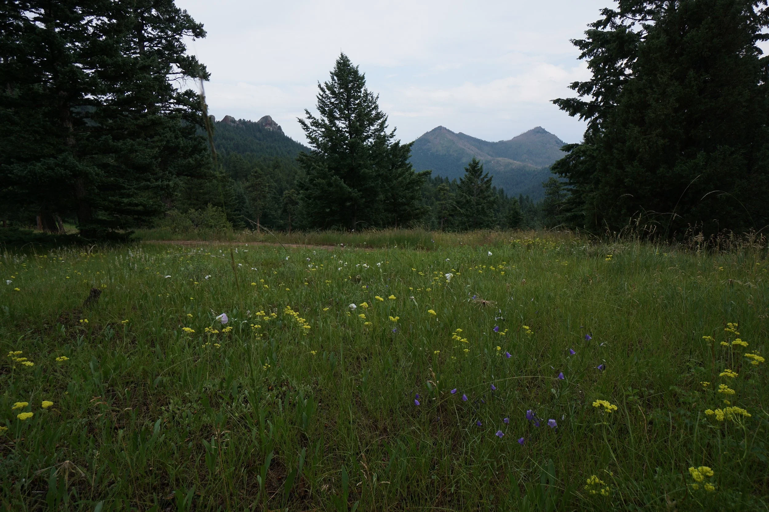
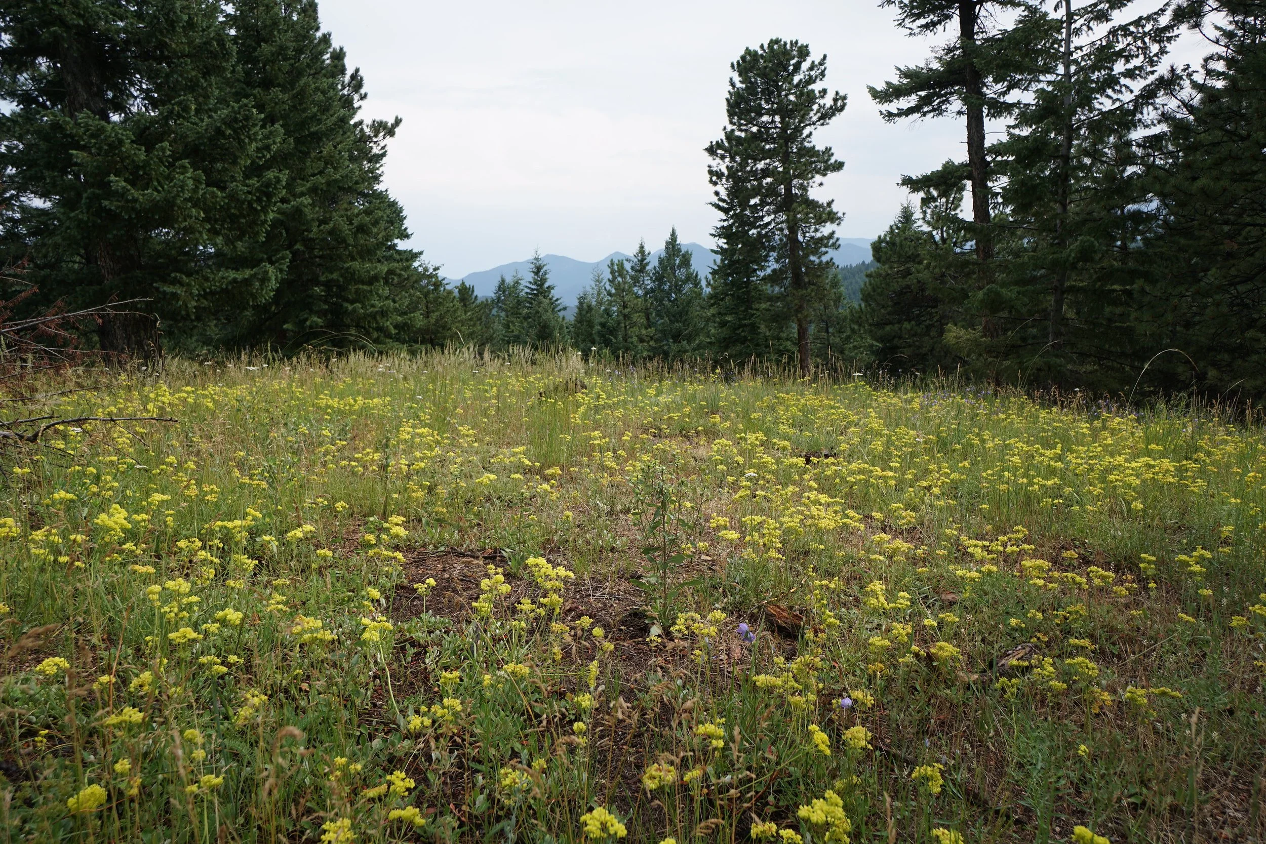
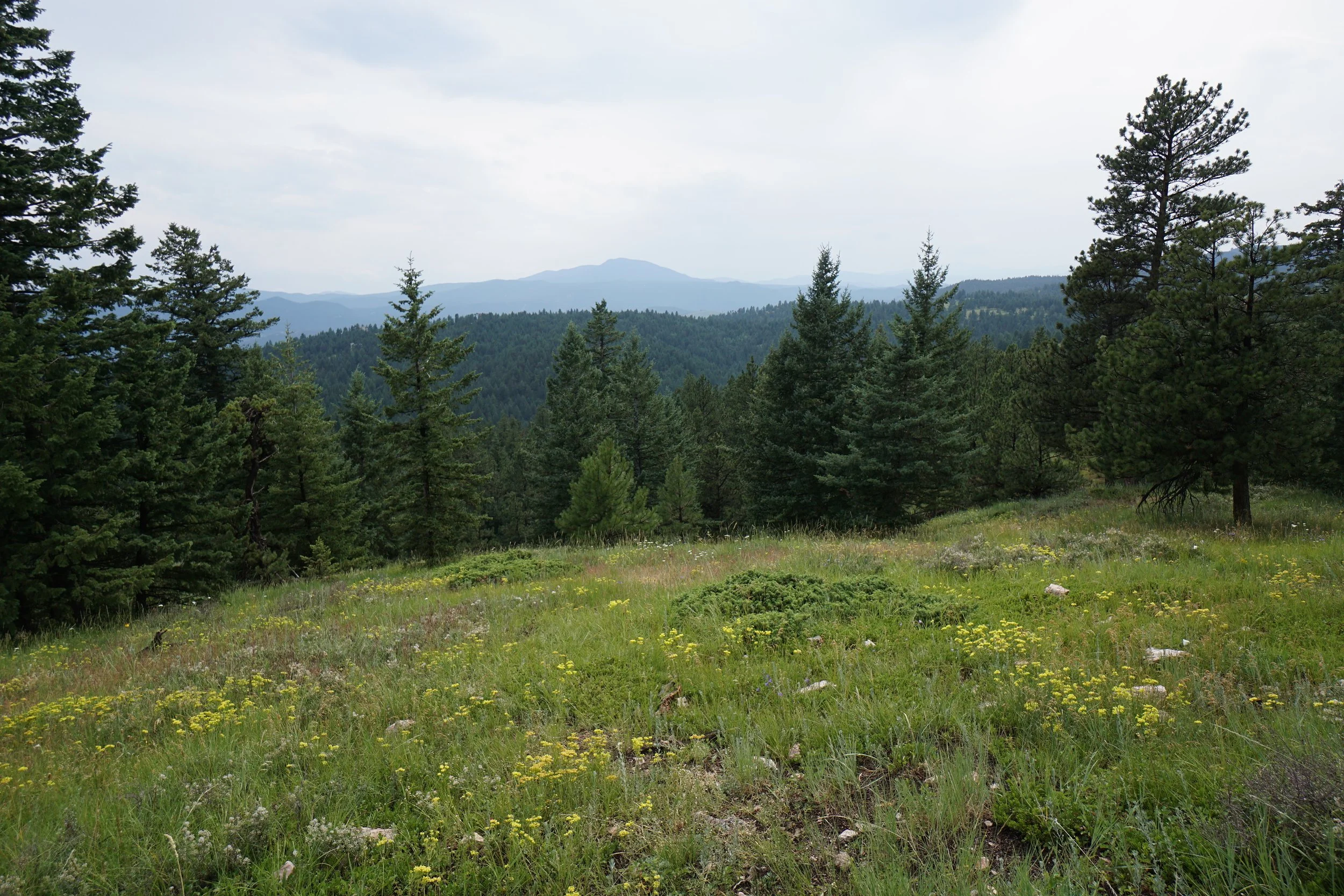
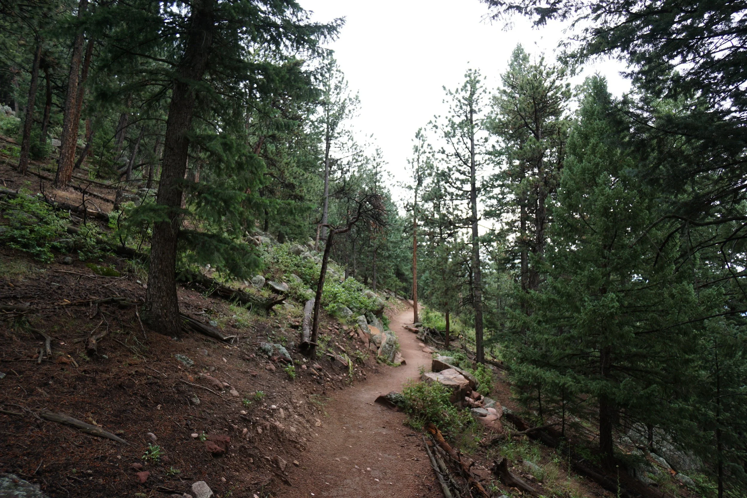
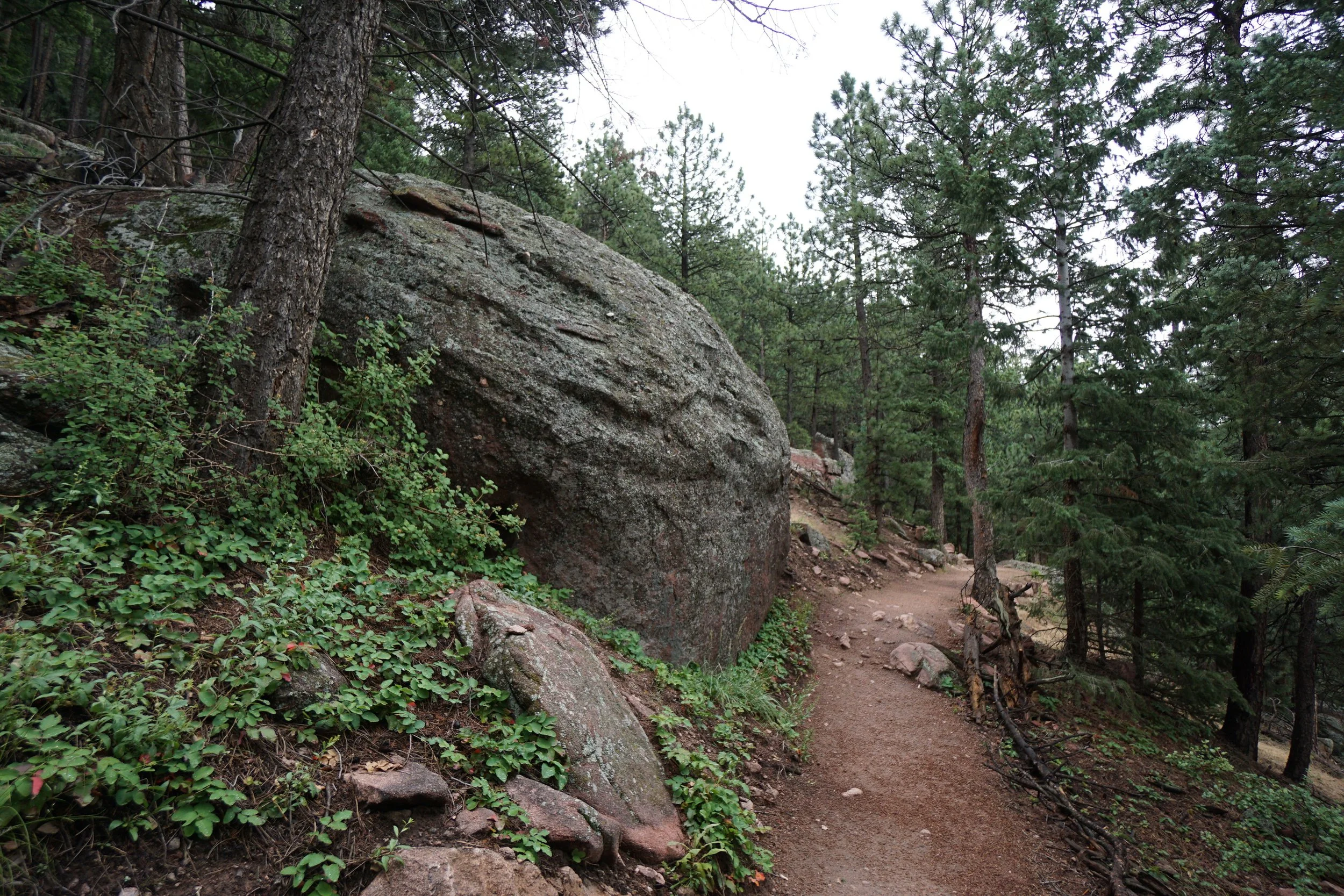
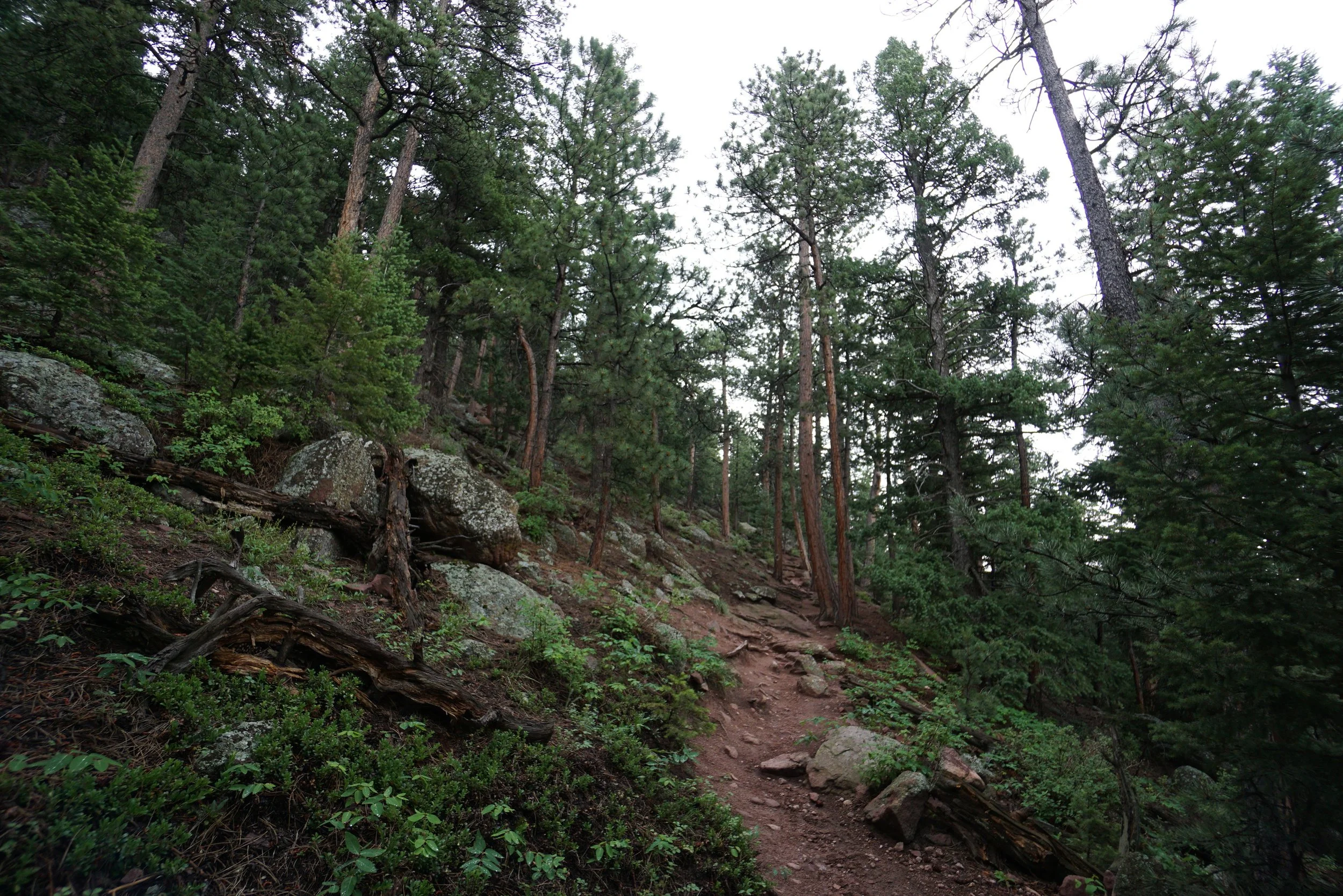
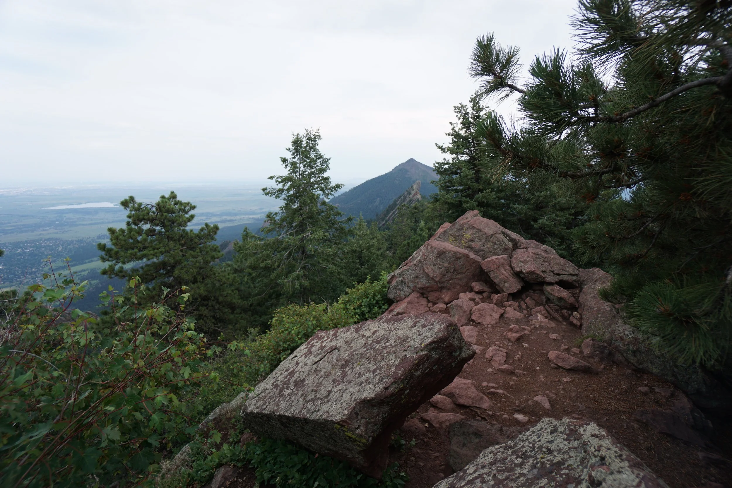
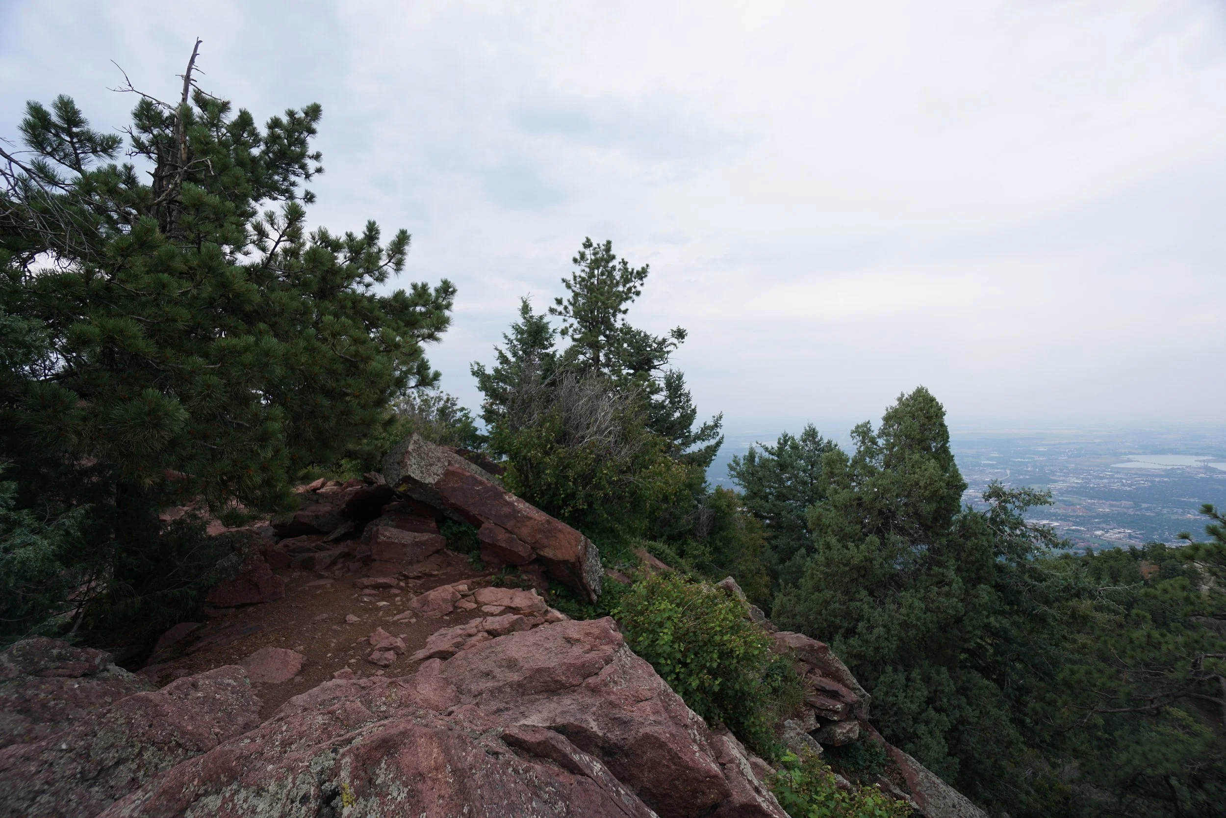
The hike itself is very pleasant as it rambles through pine forest and across wildflower filled meadows. Along the way there are plenty of expansive views from the trail of the backside of Green Mountain and the mountains stretching out to the west. Just before reaching the summit, the trail joins with the Ranger Trail and climbs the familiar stone steps up the steep incline to the rocky summit of Green Mountain. The summit views is wonderful as it looks down on Boulder and north along the ridge to Bear Peak and South Boulder Peaks.
The only way back to the trailhead is the way you came, with no other options for a loop hike. Hope you enjoy your quick and easy climb to Boulder’s third highest peak.