Sandpiper & Cattail Flats Trails
Fossil Creek Reservoir Natural Area
Date Hiked: May 24, 2022
Distance:2.8 mi (RT)
Elevation Gain: Minimal
Elevation Min/Max: 4,871to 4,892 ft
Trailhead Lat/Long: 40.48357, -105.01572
Managing Agency: City of Fort Collins
Fee: None
DIRECTIONS:
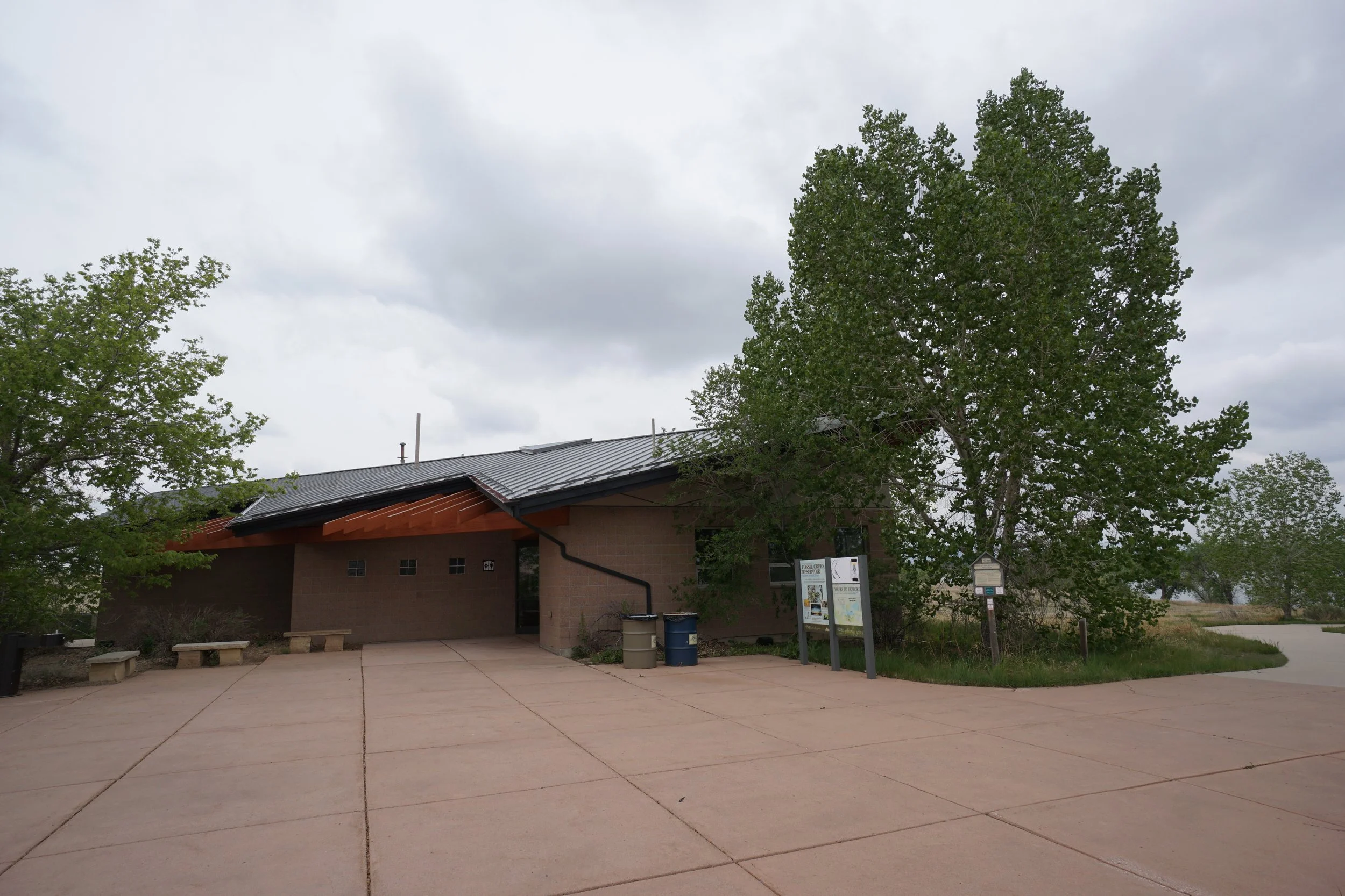
From I-25 between Fort Collins and Loveland, exit onto Carpenter Road CO HWY 392. Head west for 3/4ths of a mile and turn right into the Fossil Creek Natural Area. Follow the road to the parking lot and visitor center.
HIKE DESCRIPTION:
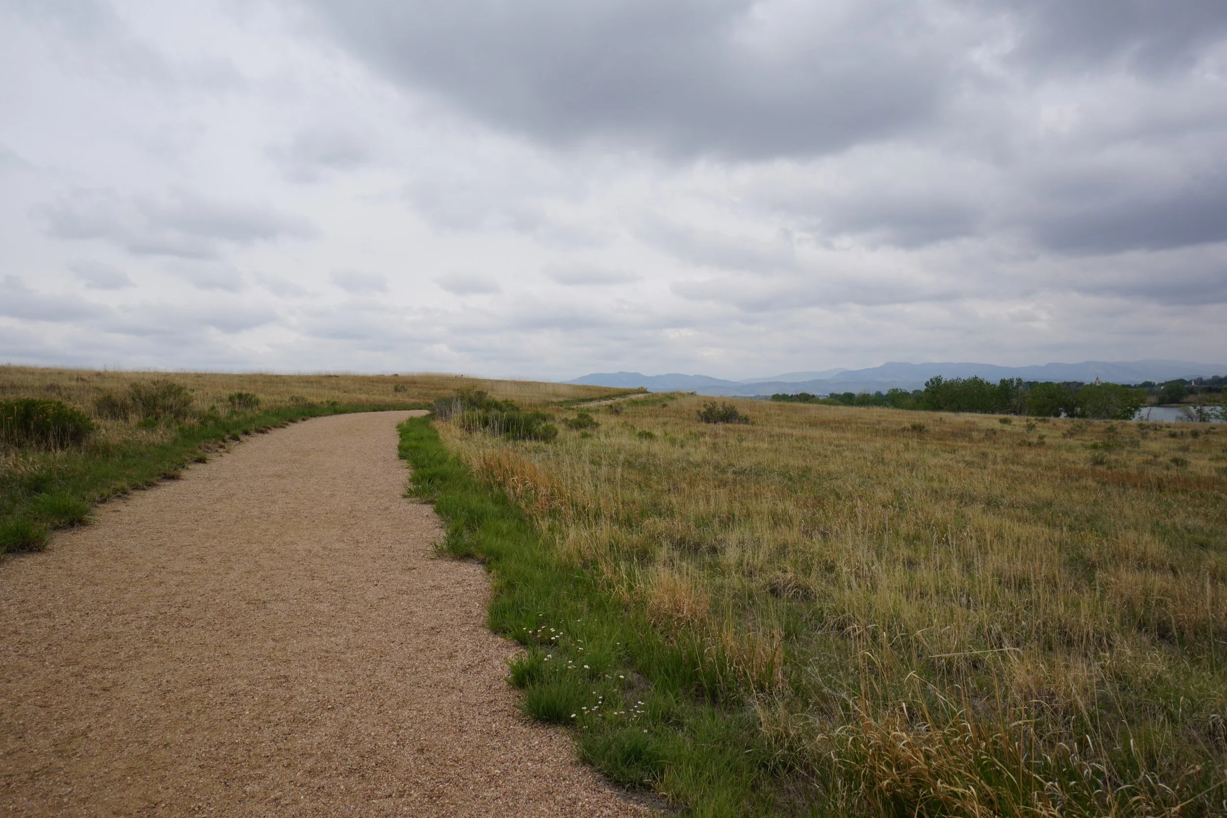
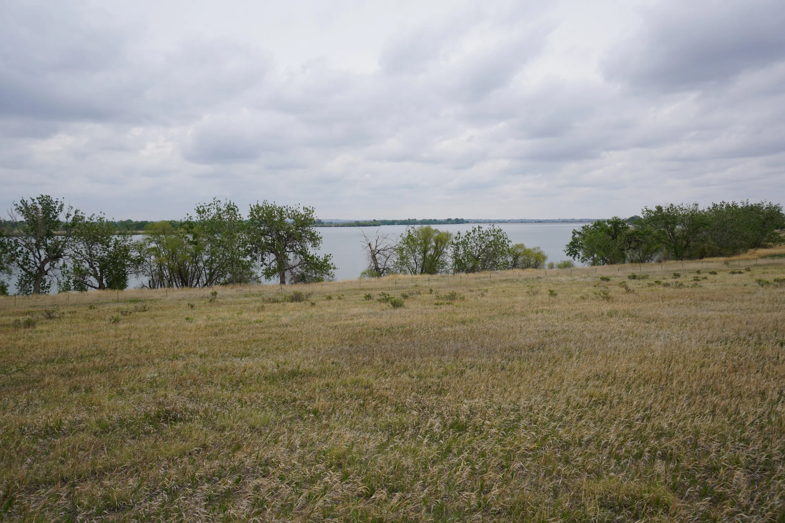
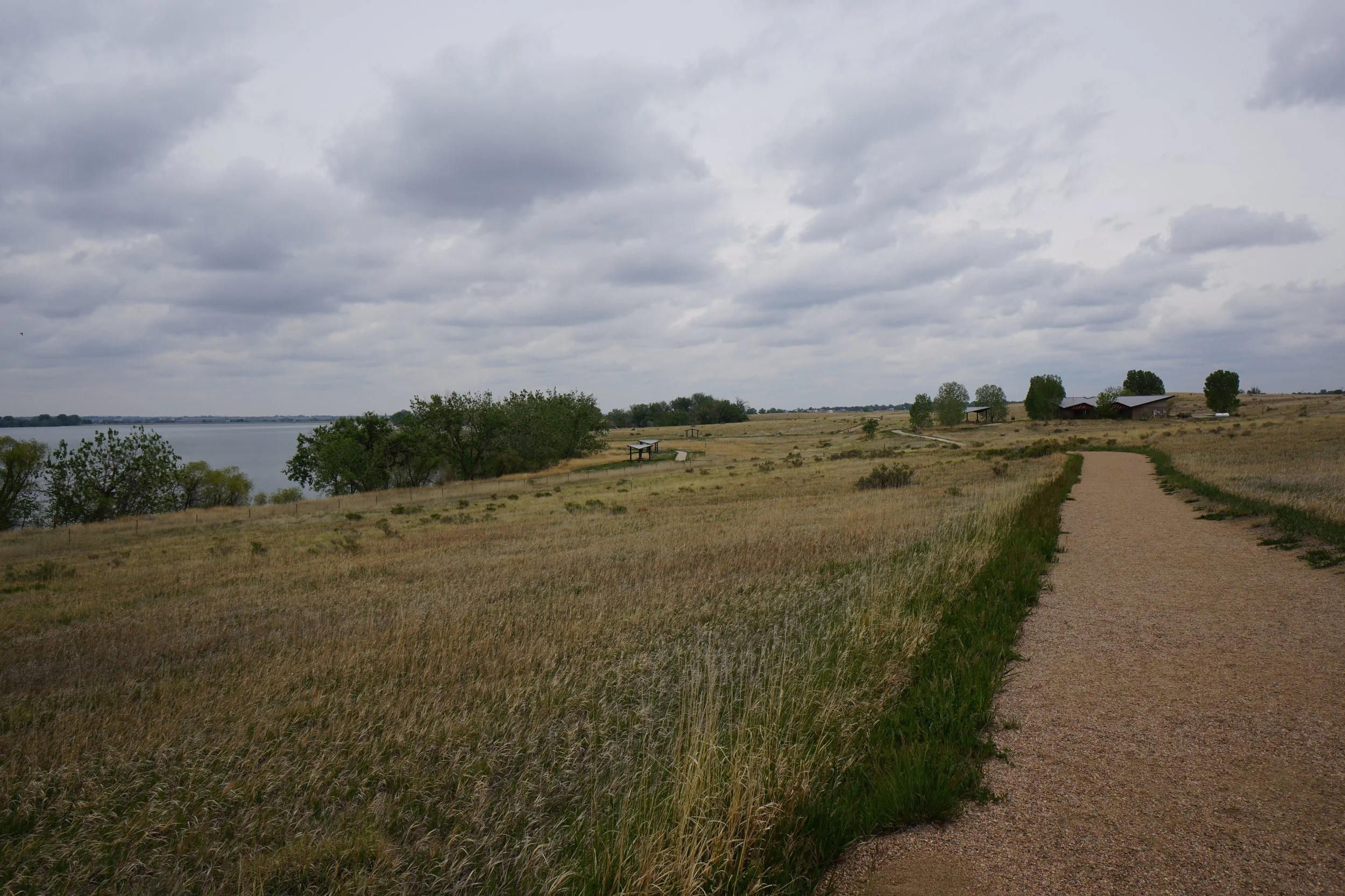
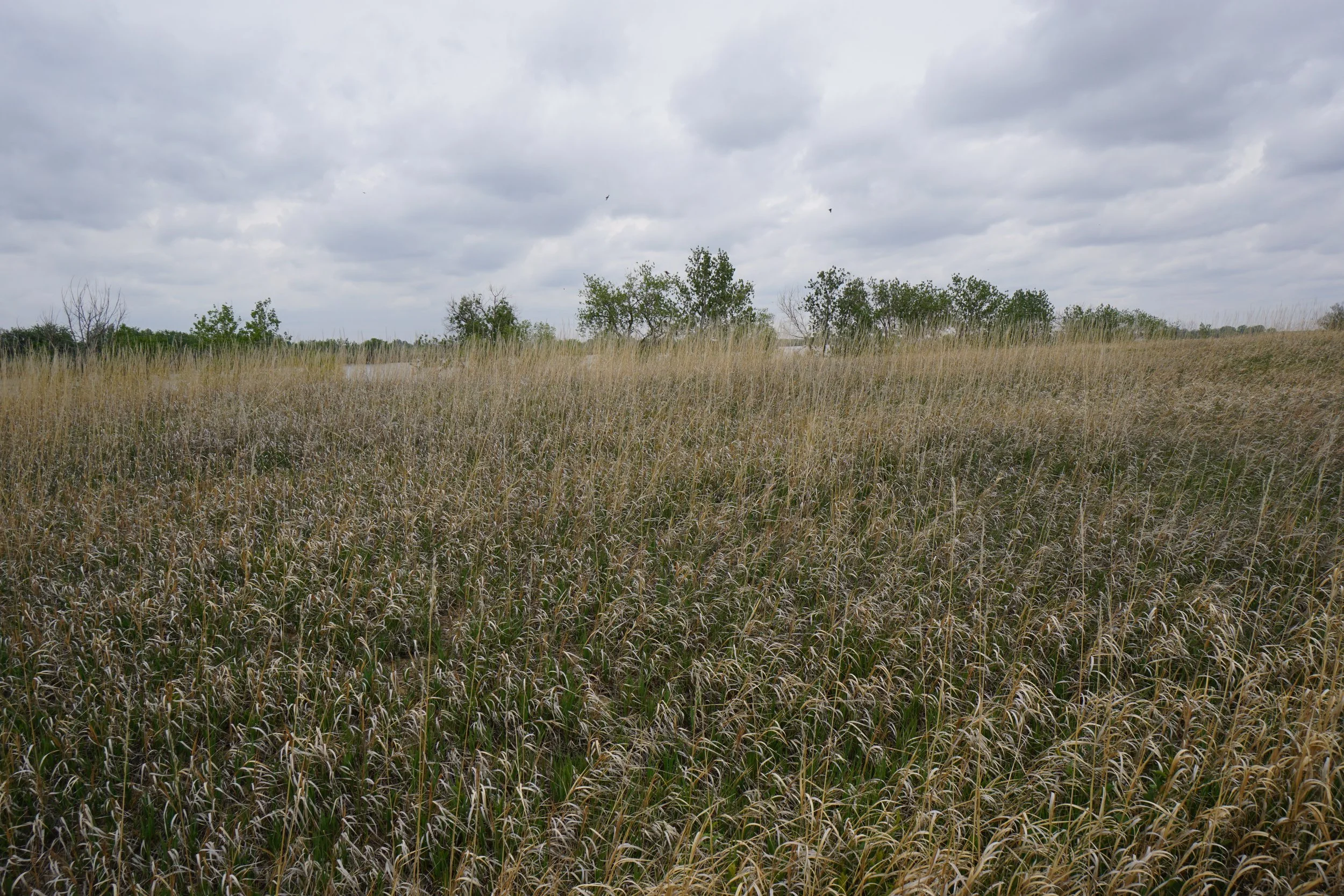
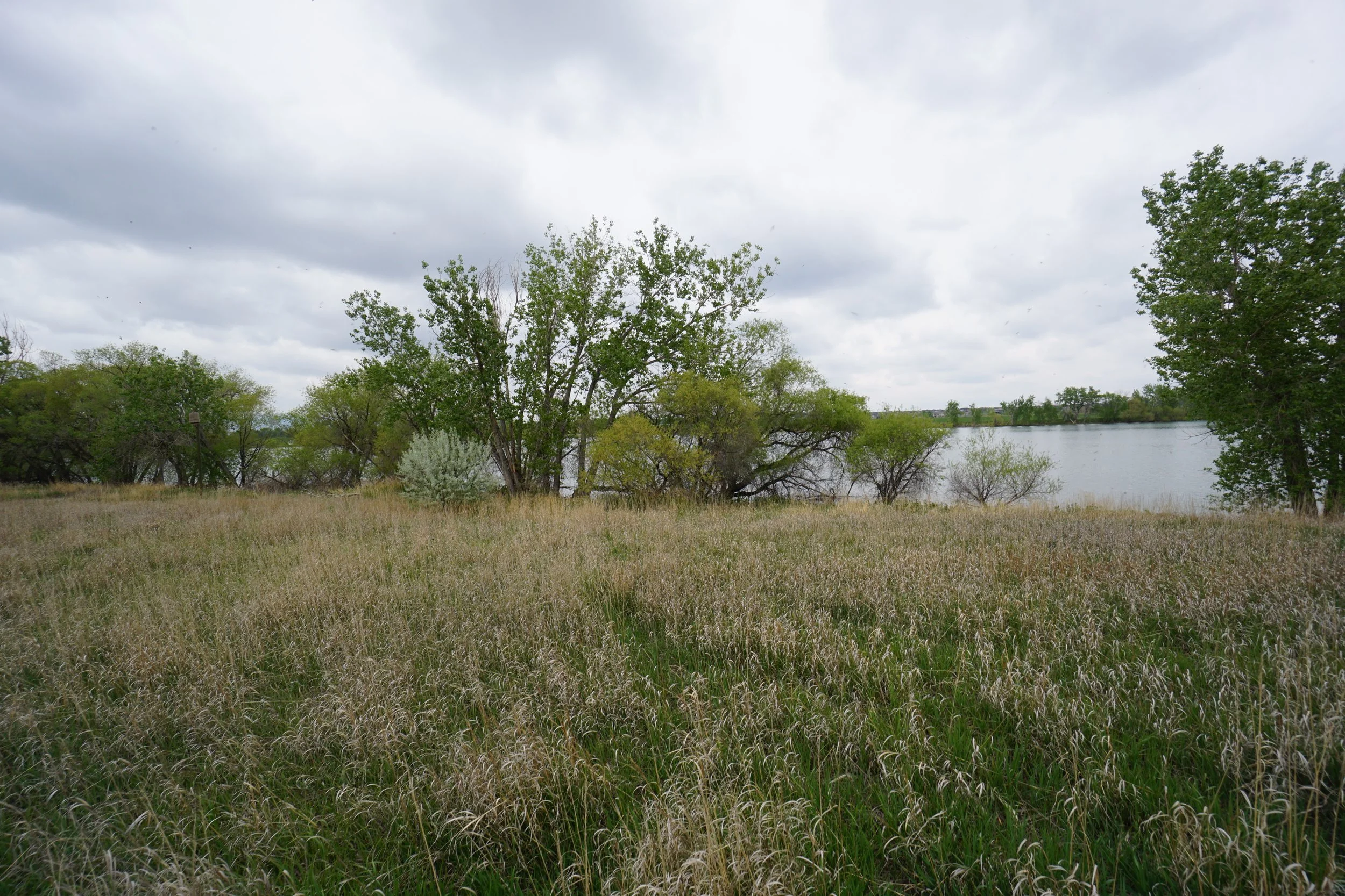
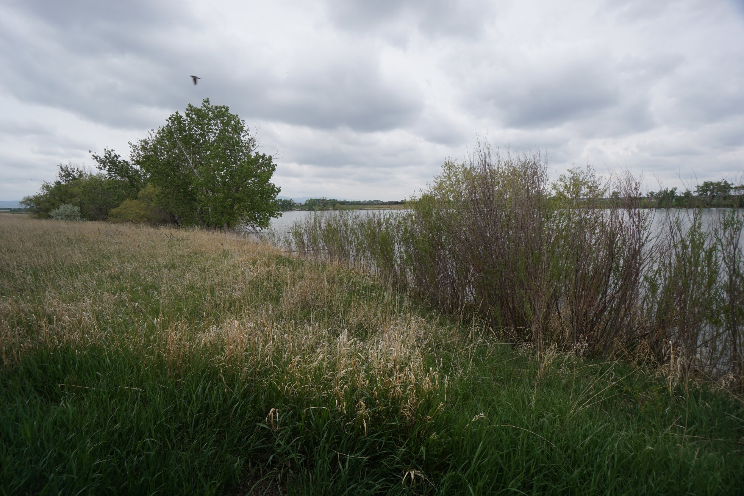
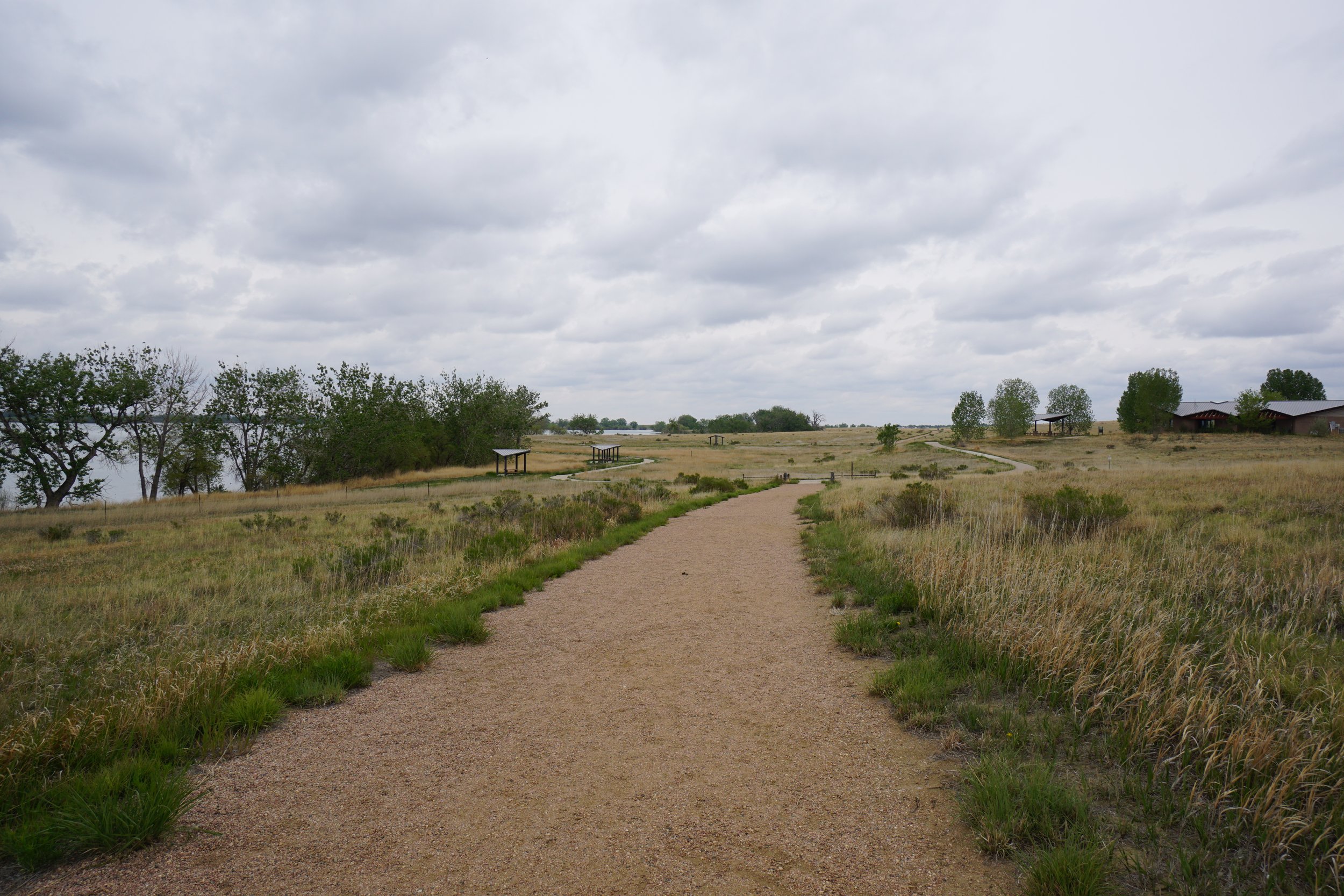
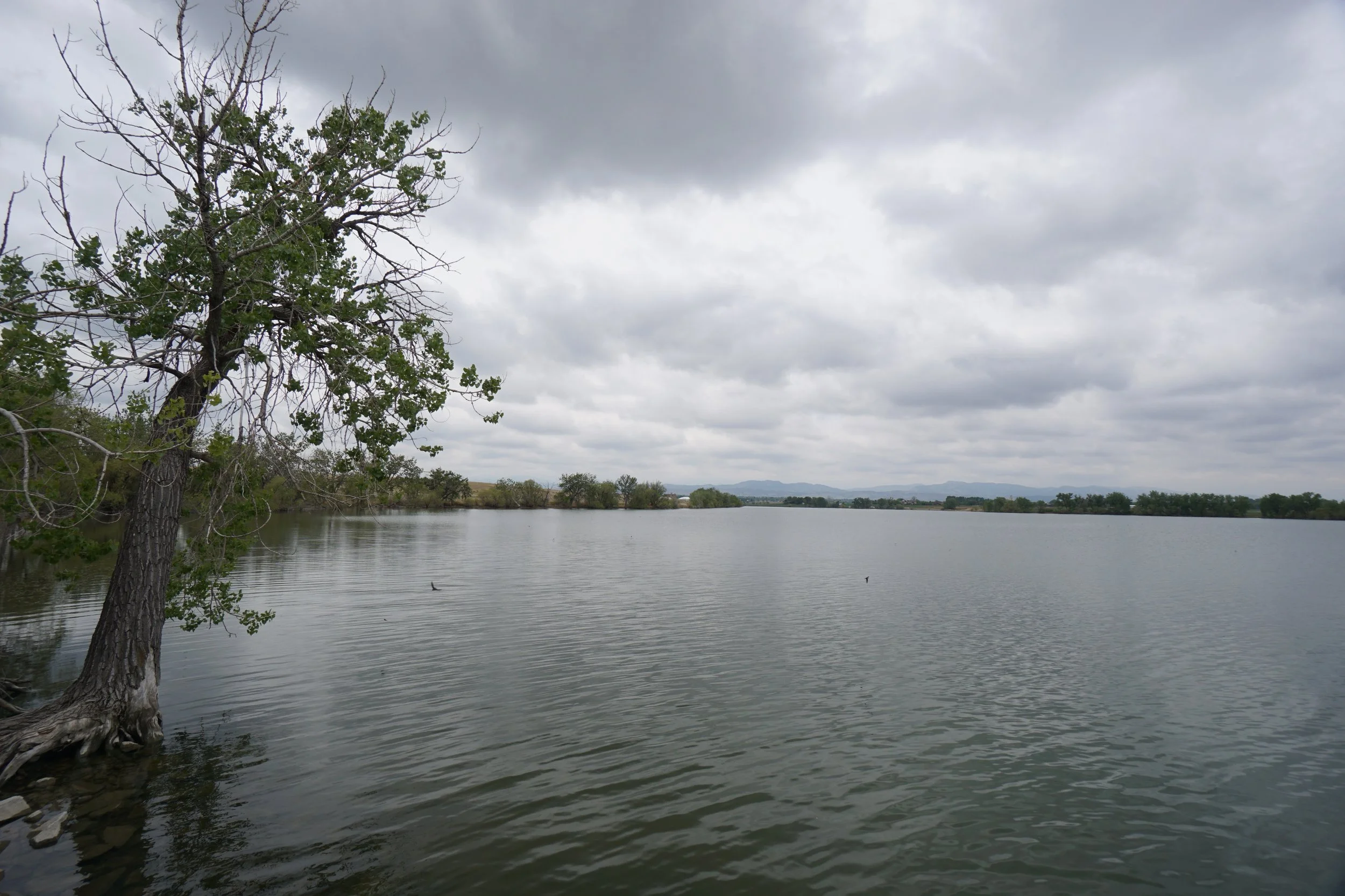
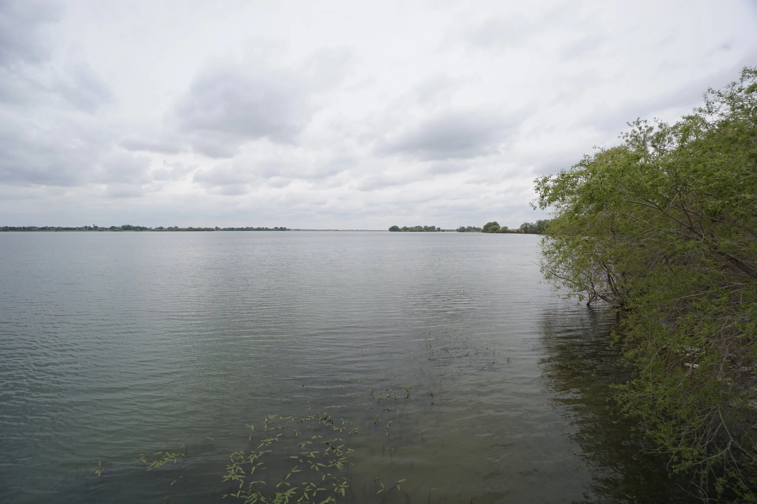
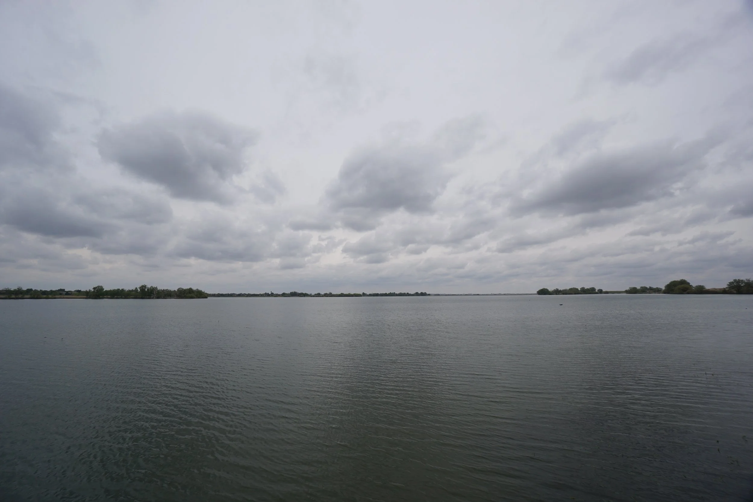
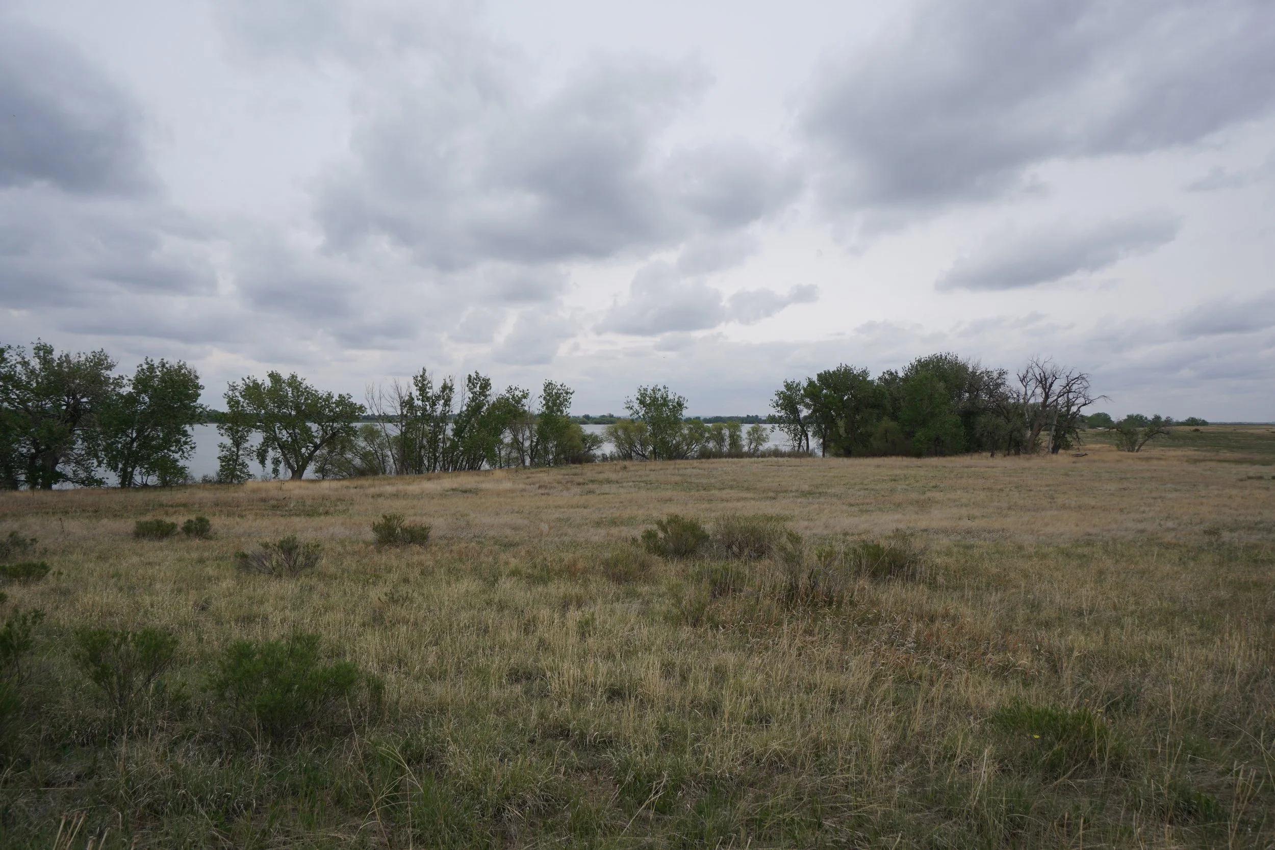
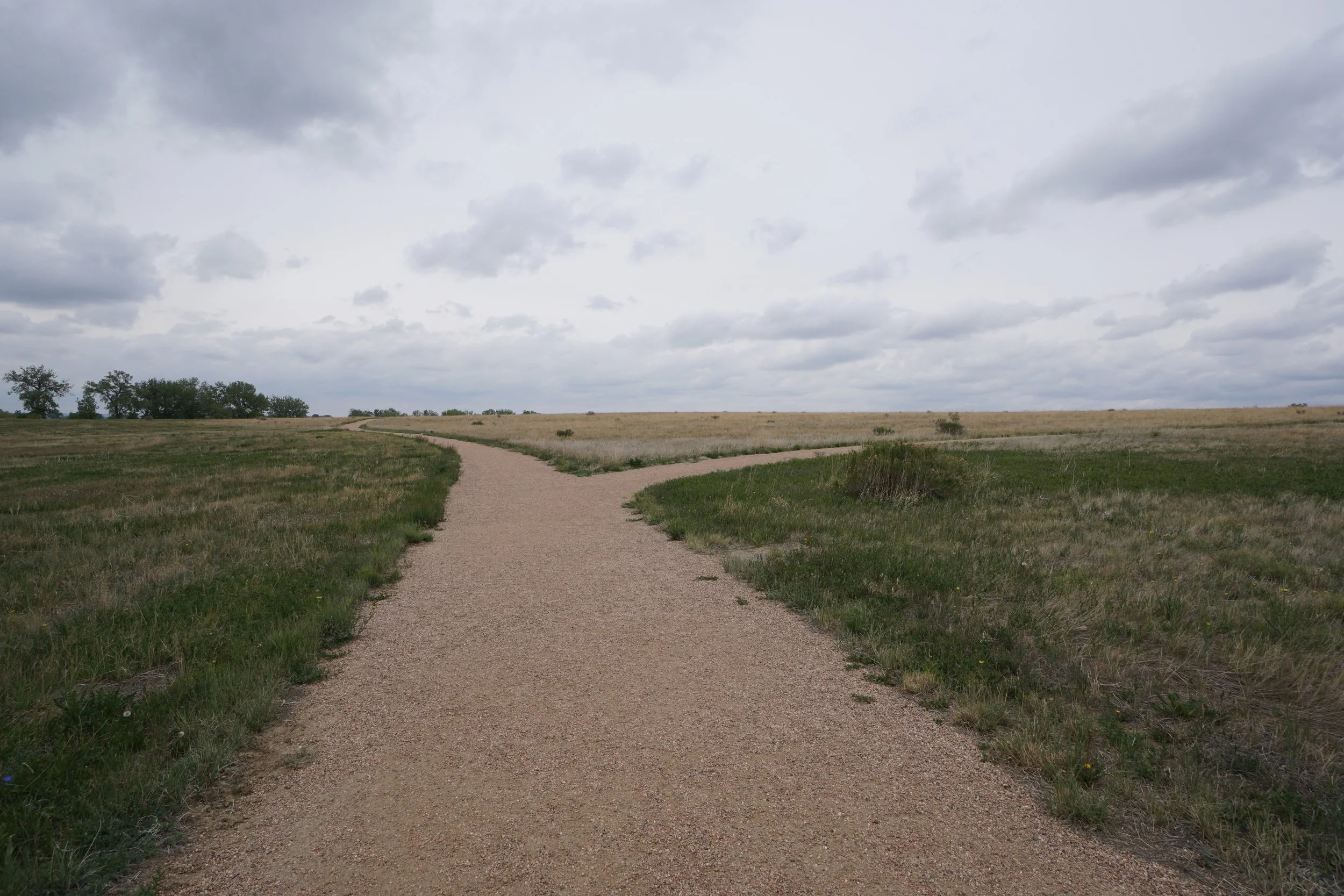
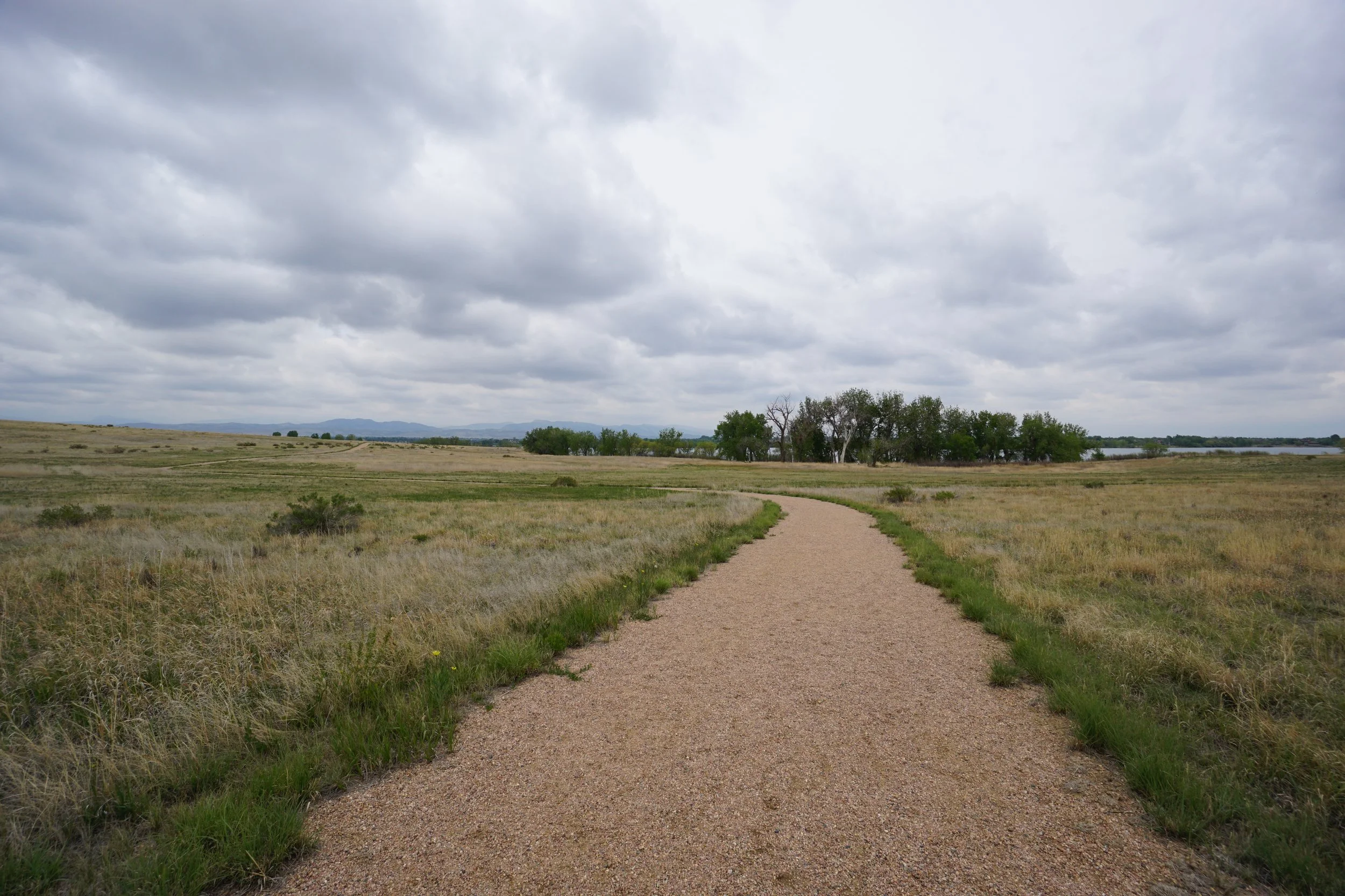
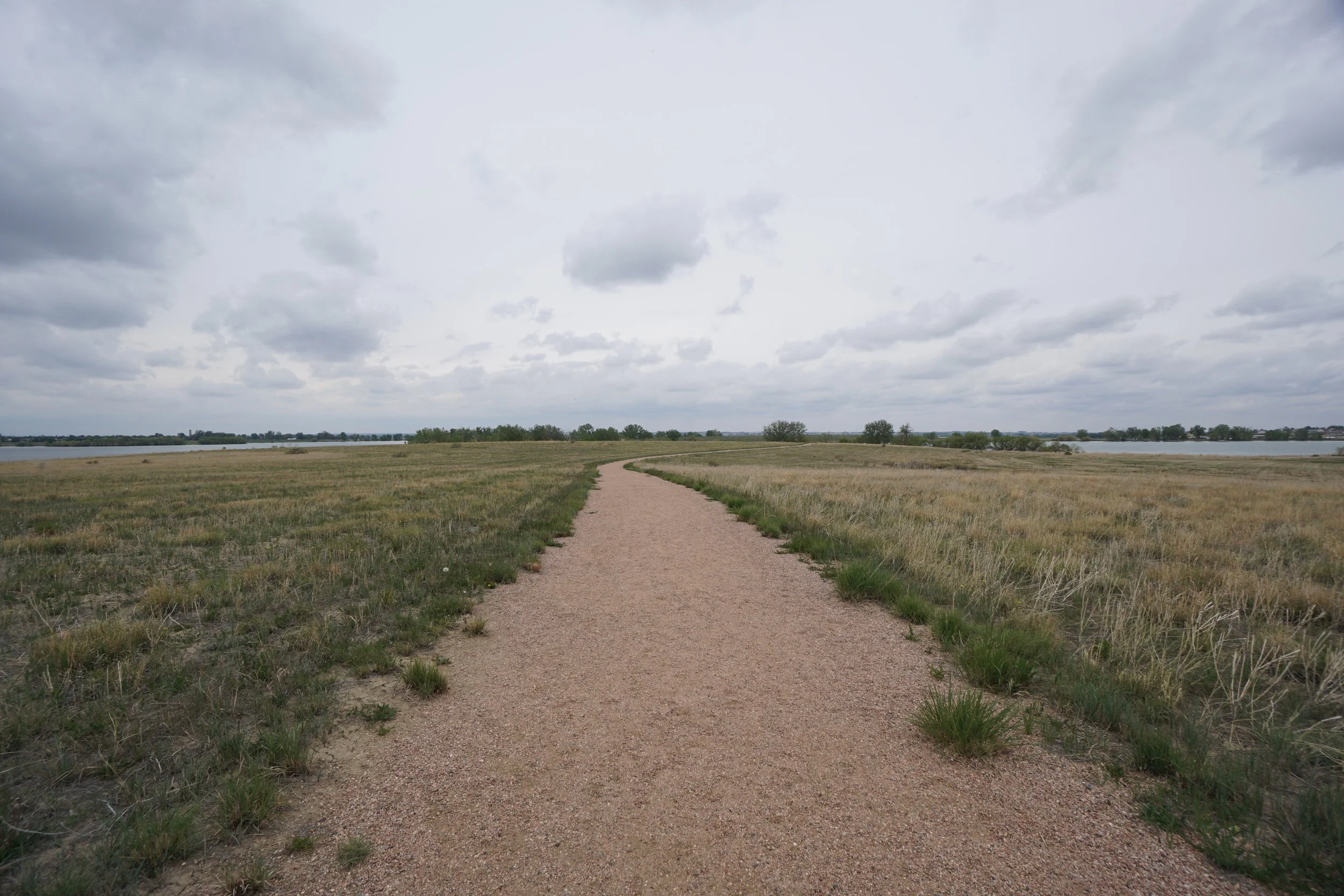
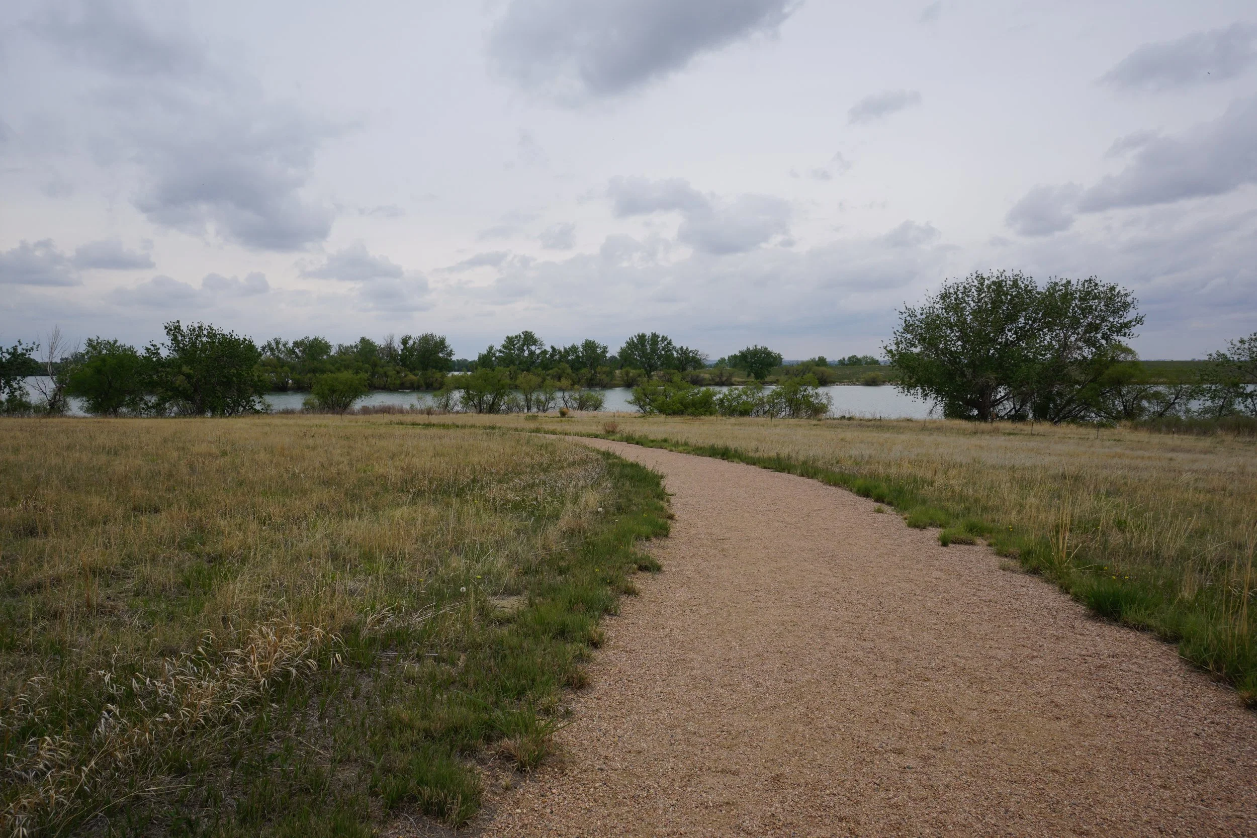
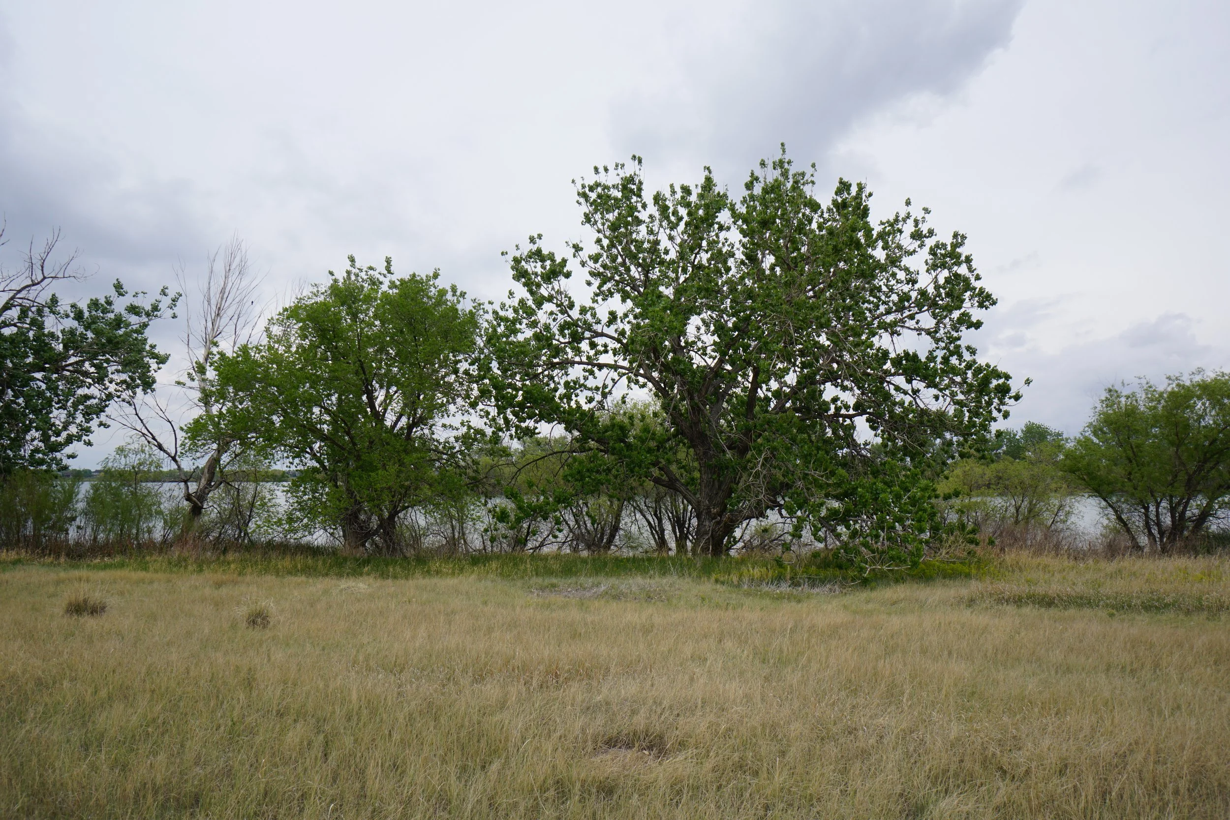
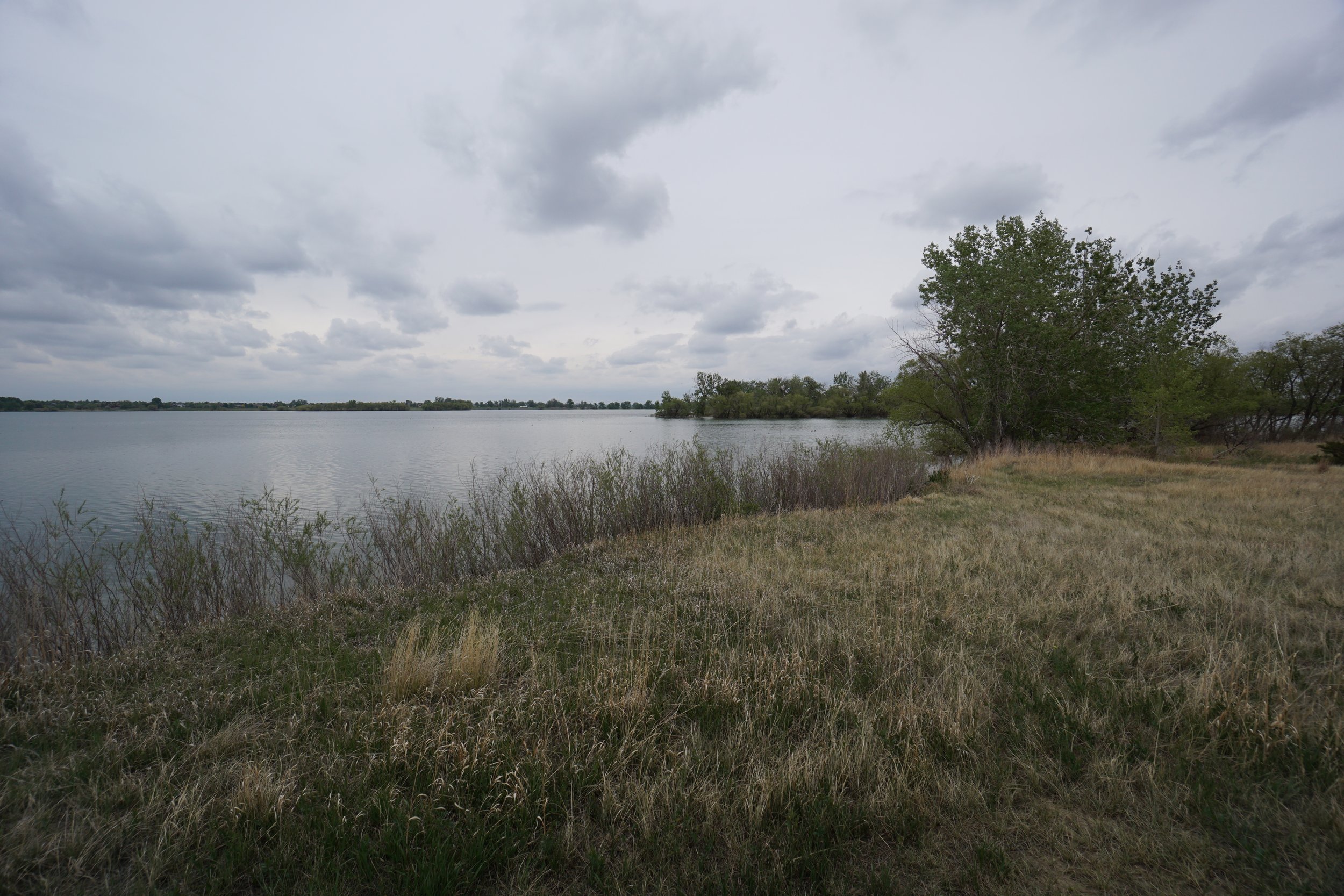
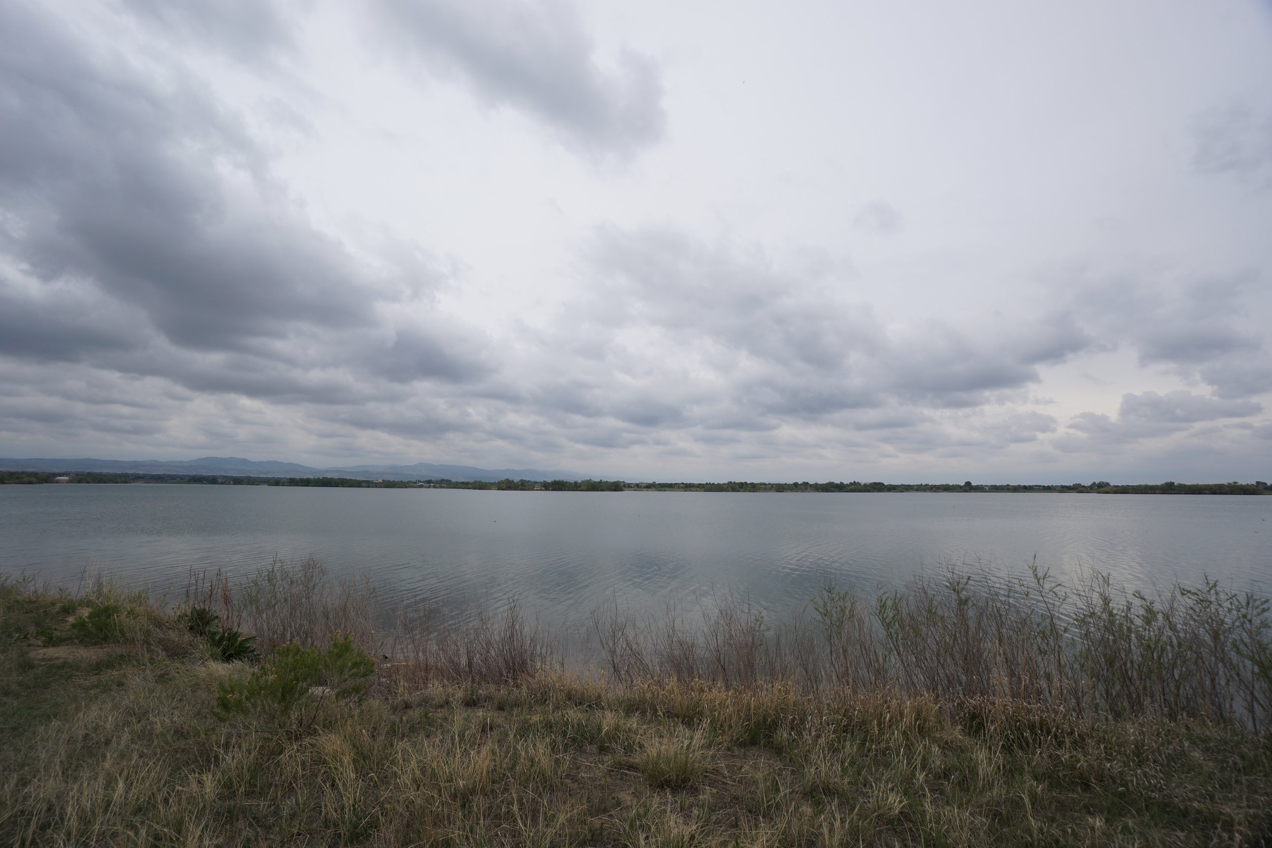
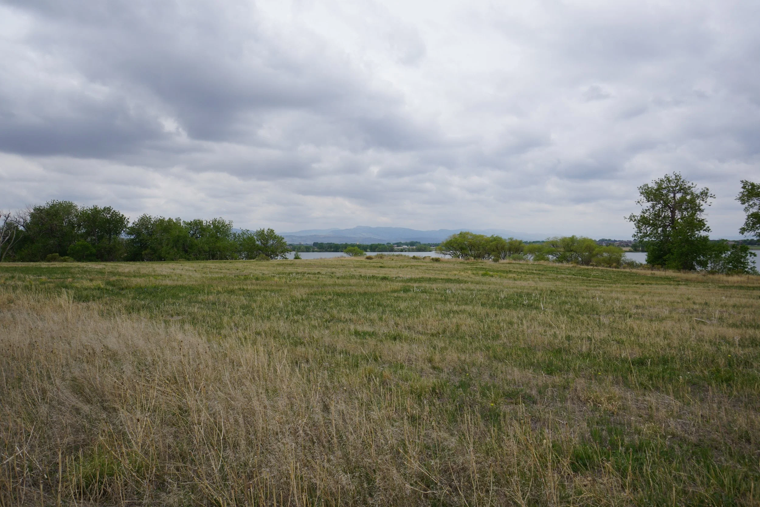
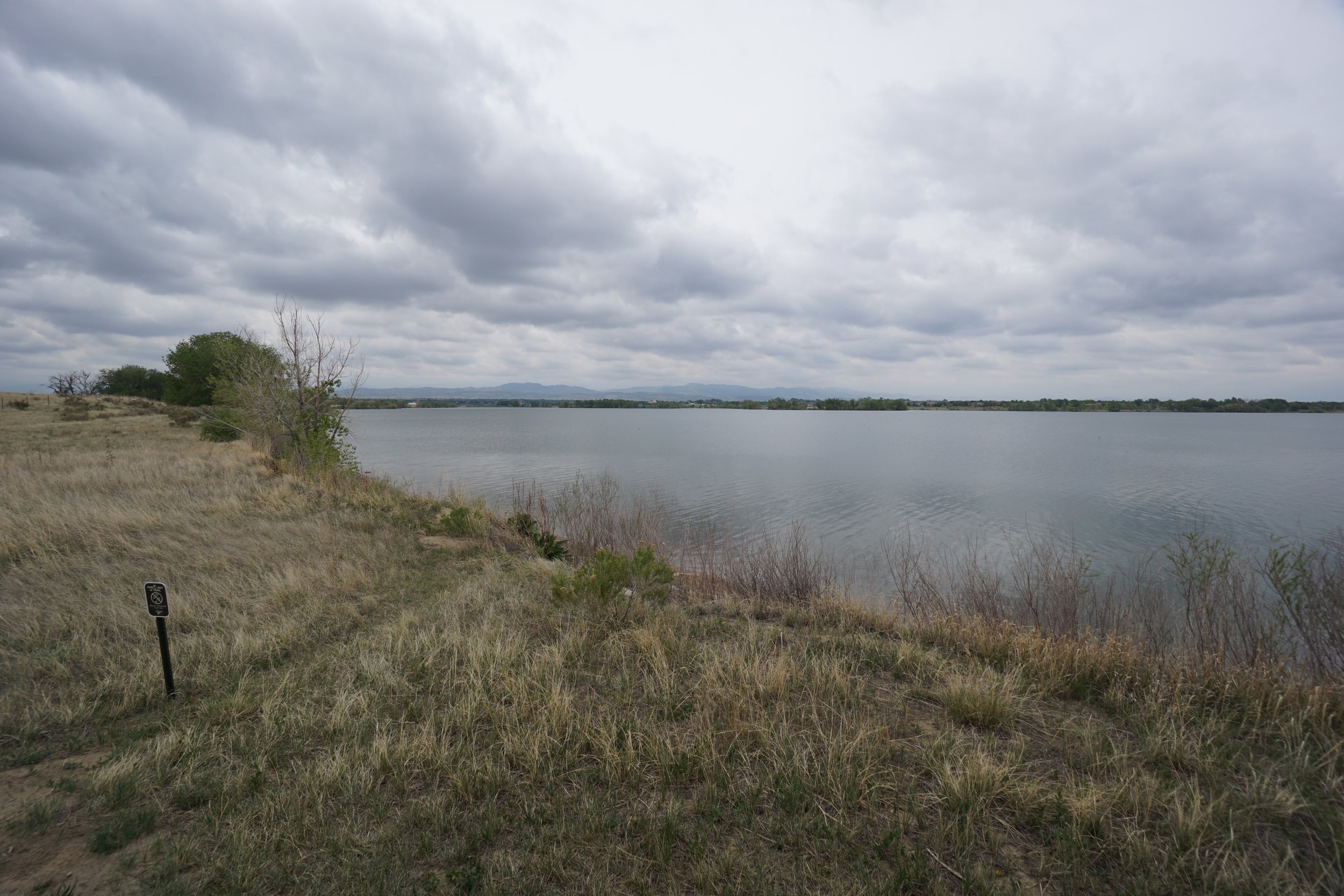
The City of Fort Collins manages many wonderful natural areas all over the Fort Collins metro area and Fossil Creek Reservoir Natural Area of one them. The area encompasses the southern shore of the massive Fossil Creek Reservoir. There are two trails head east and west of the main parking area and visitors center. The two trail can be combined for a loop of almost 3 miles. Don’t be deceived, this is not the most beautiful hike that you can do along the Front Range. However, this is a peaceful spot and provides ample opportunities for hiking and other recreational activities.
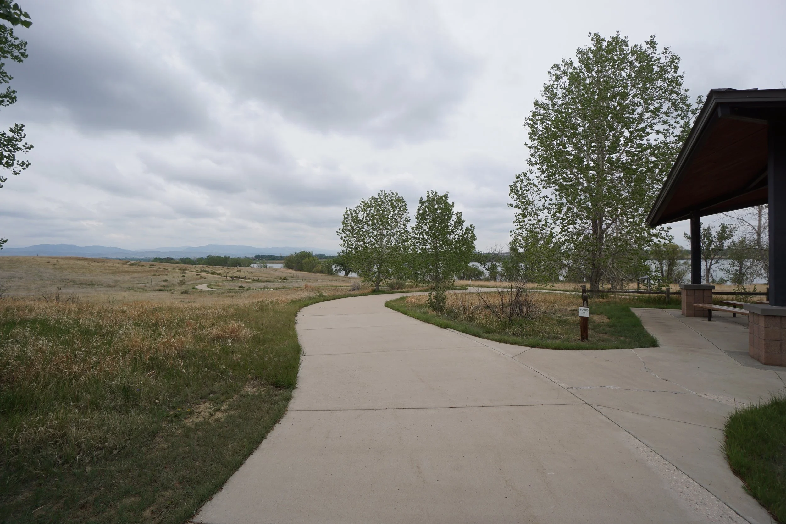
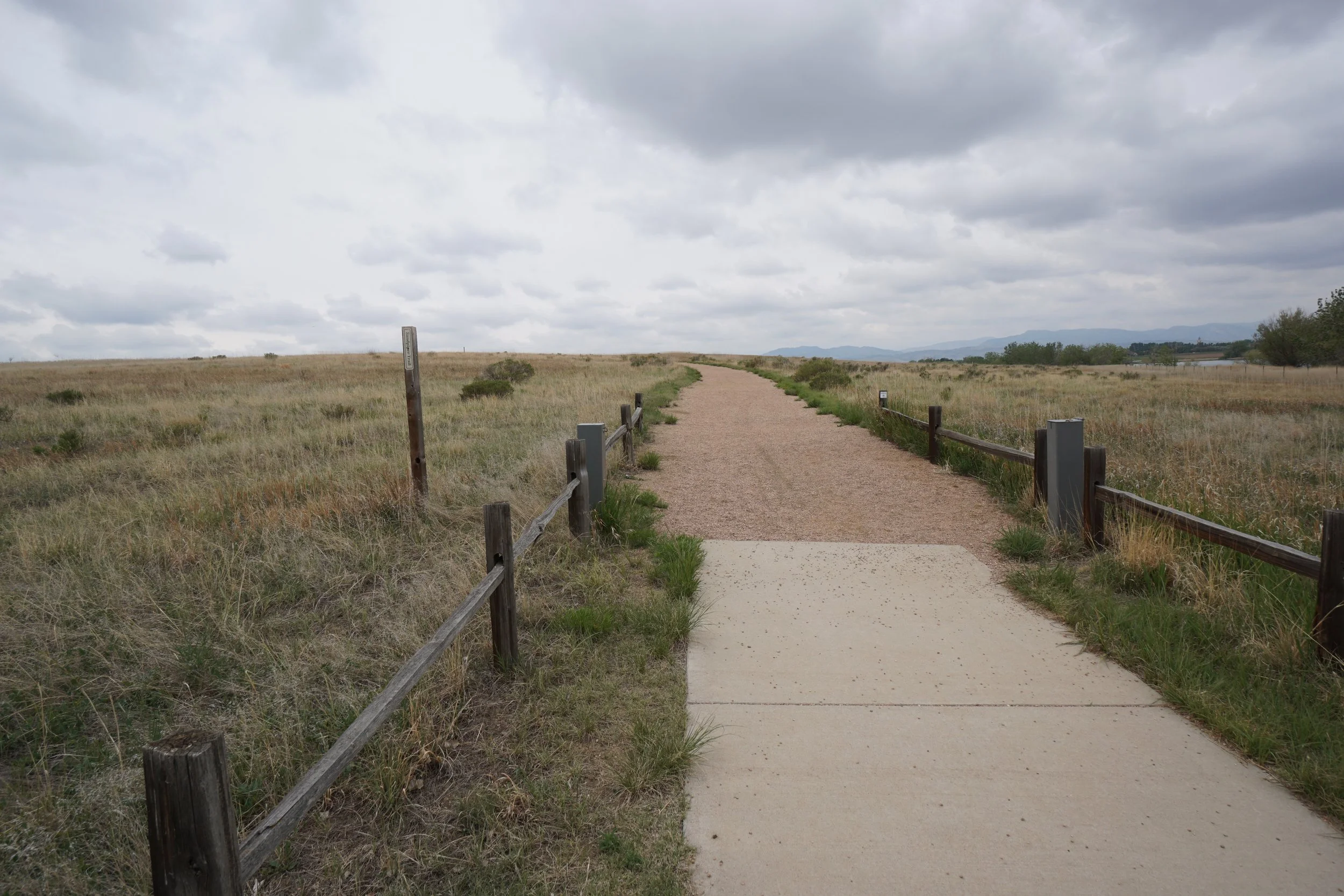
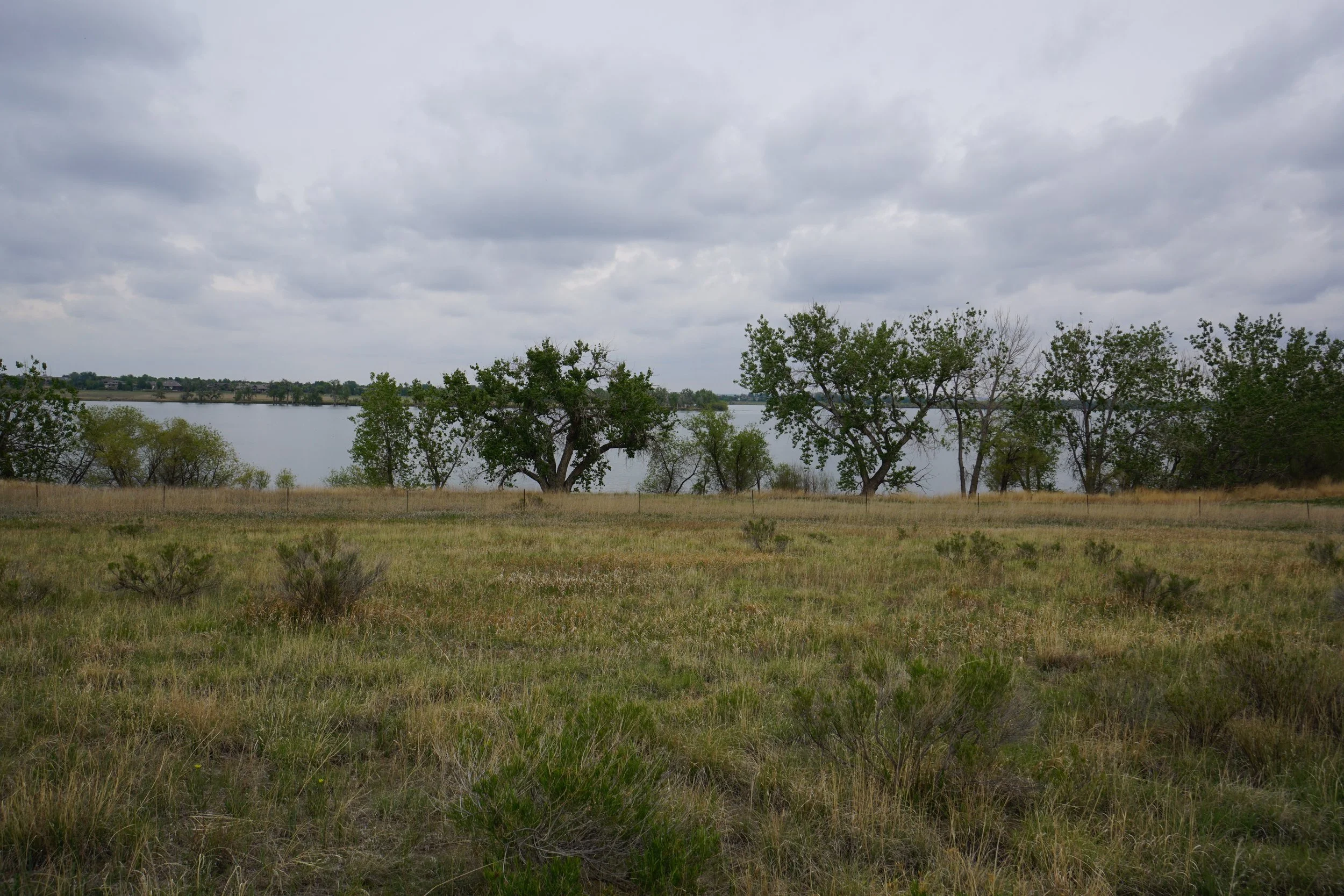
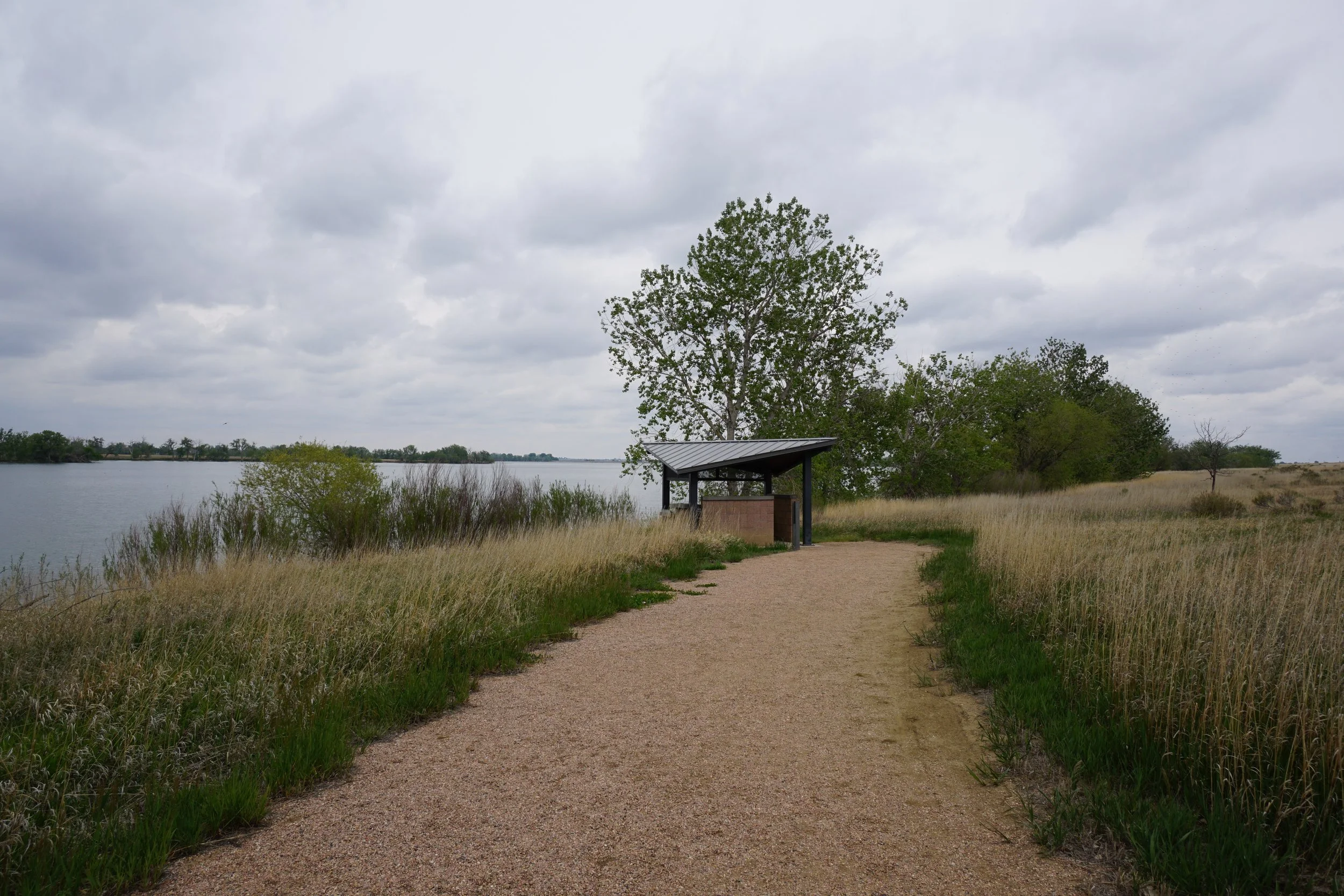
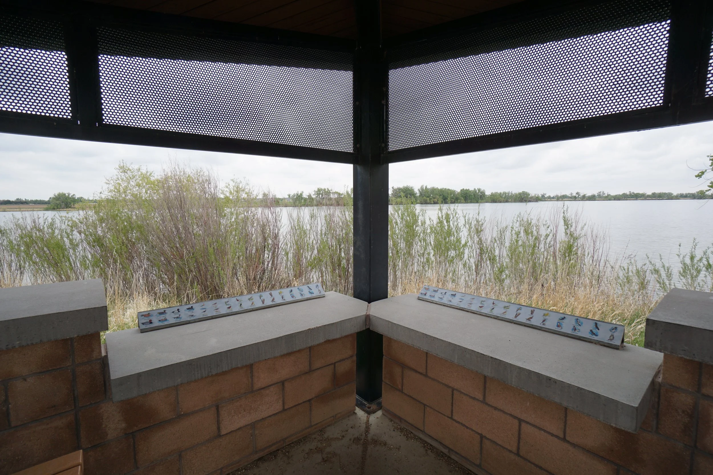
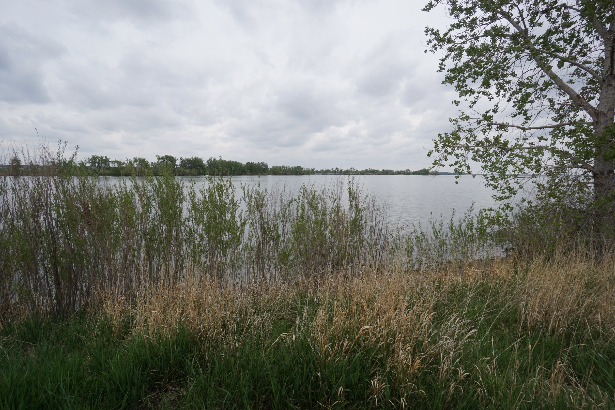
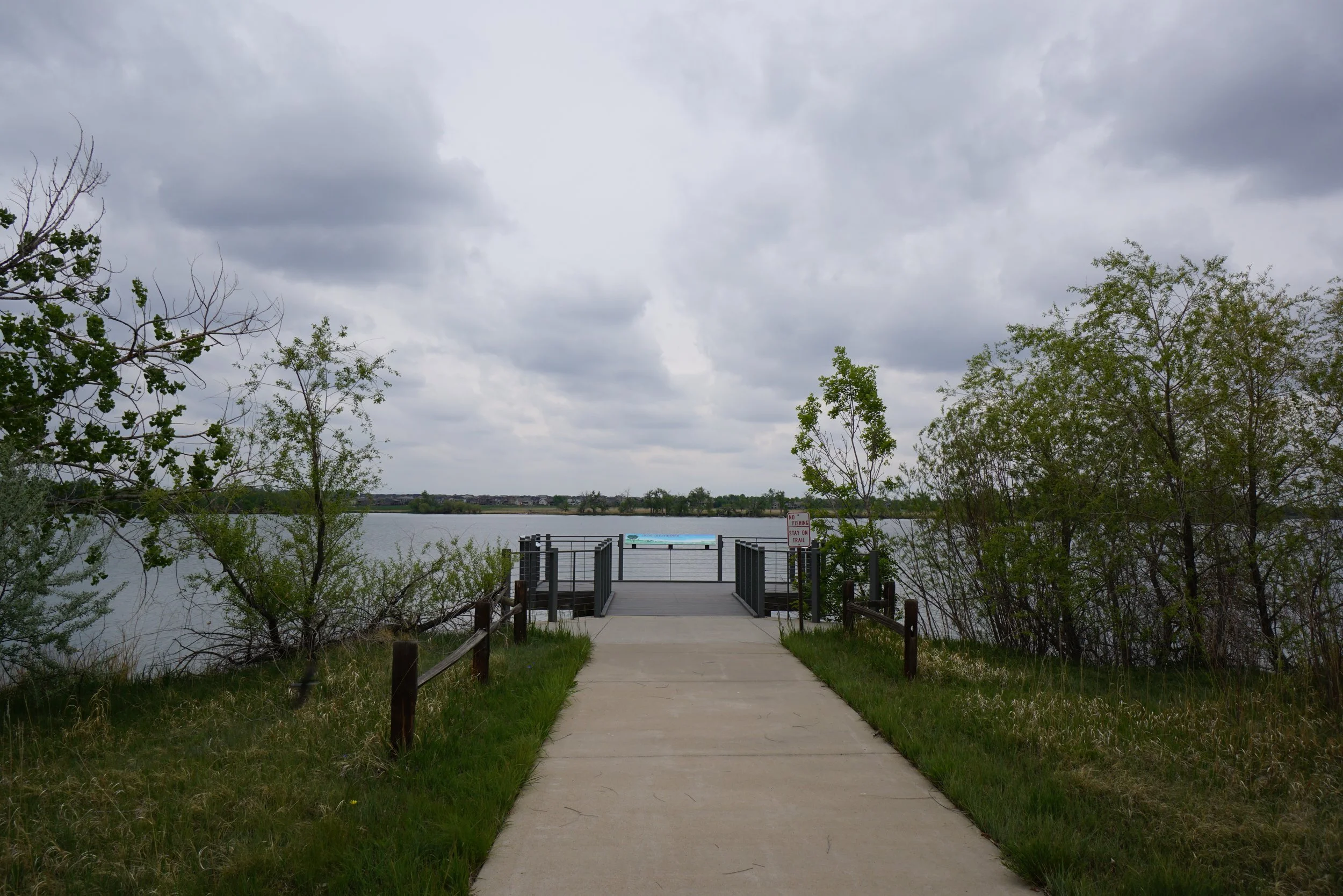
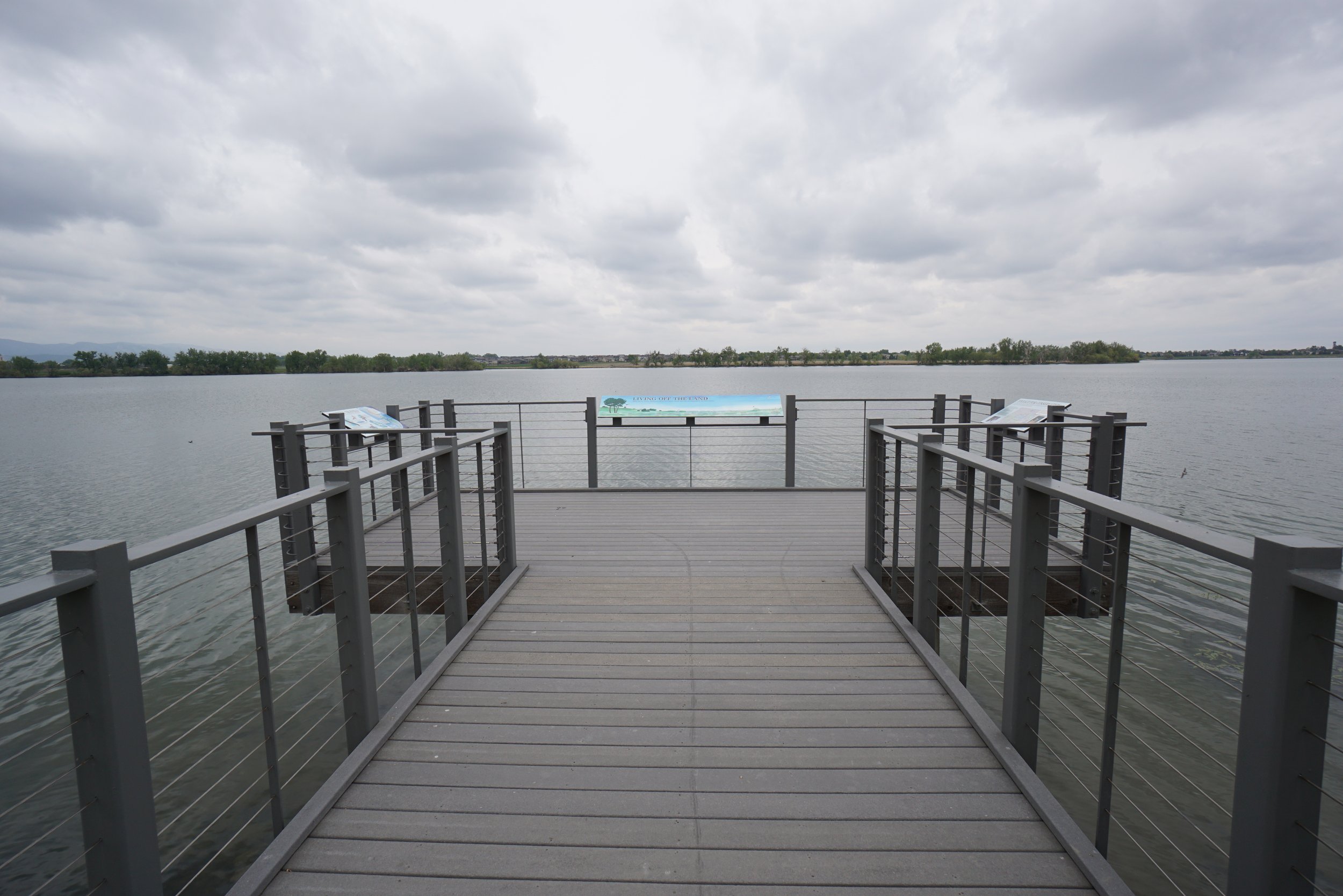
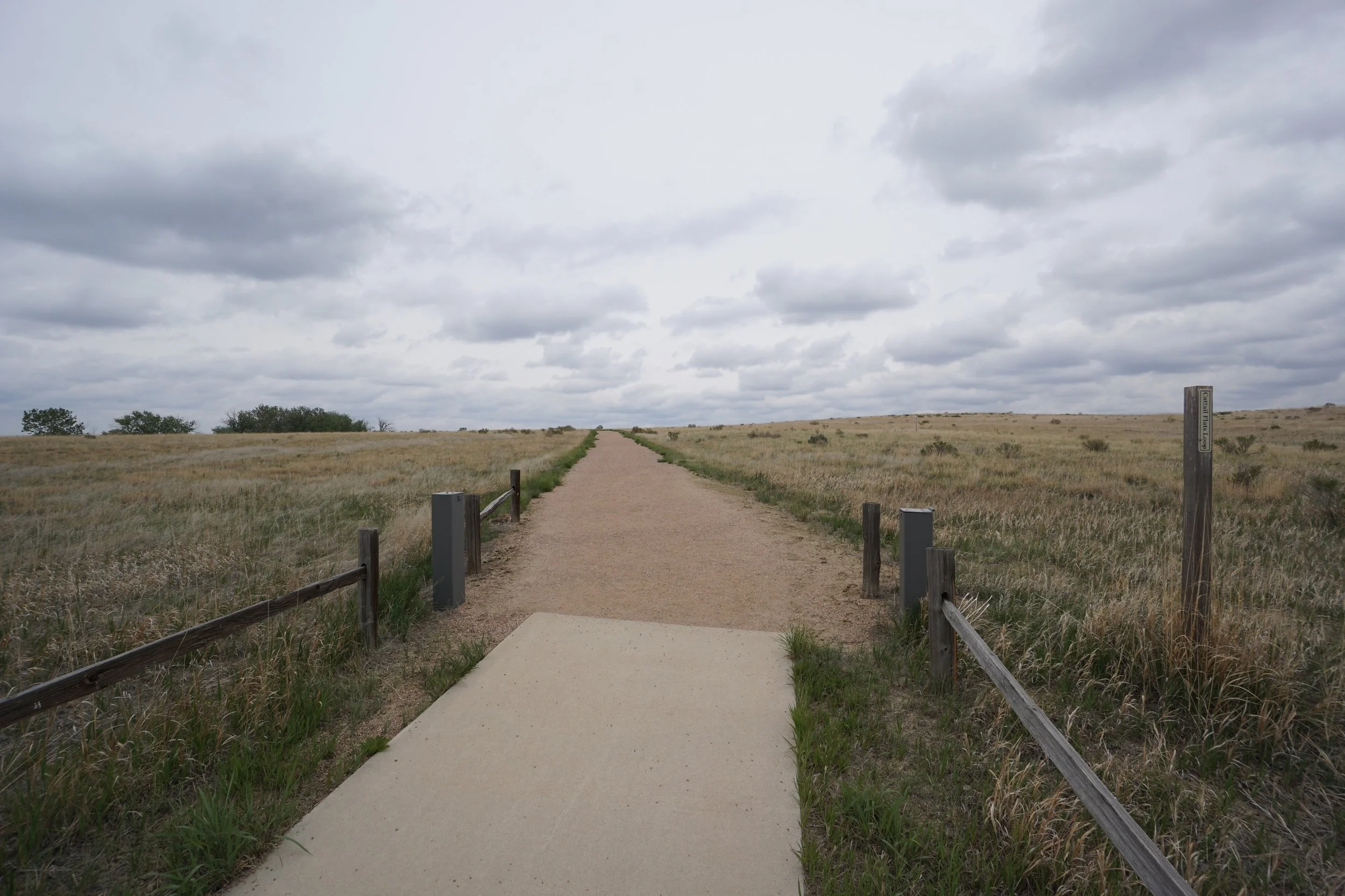
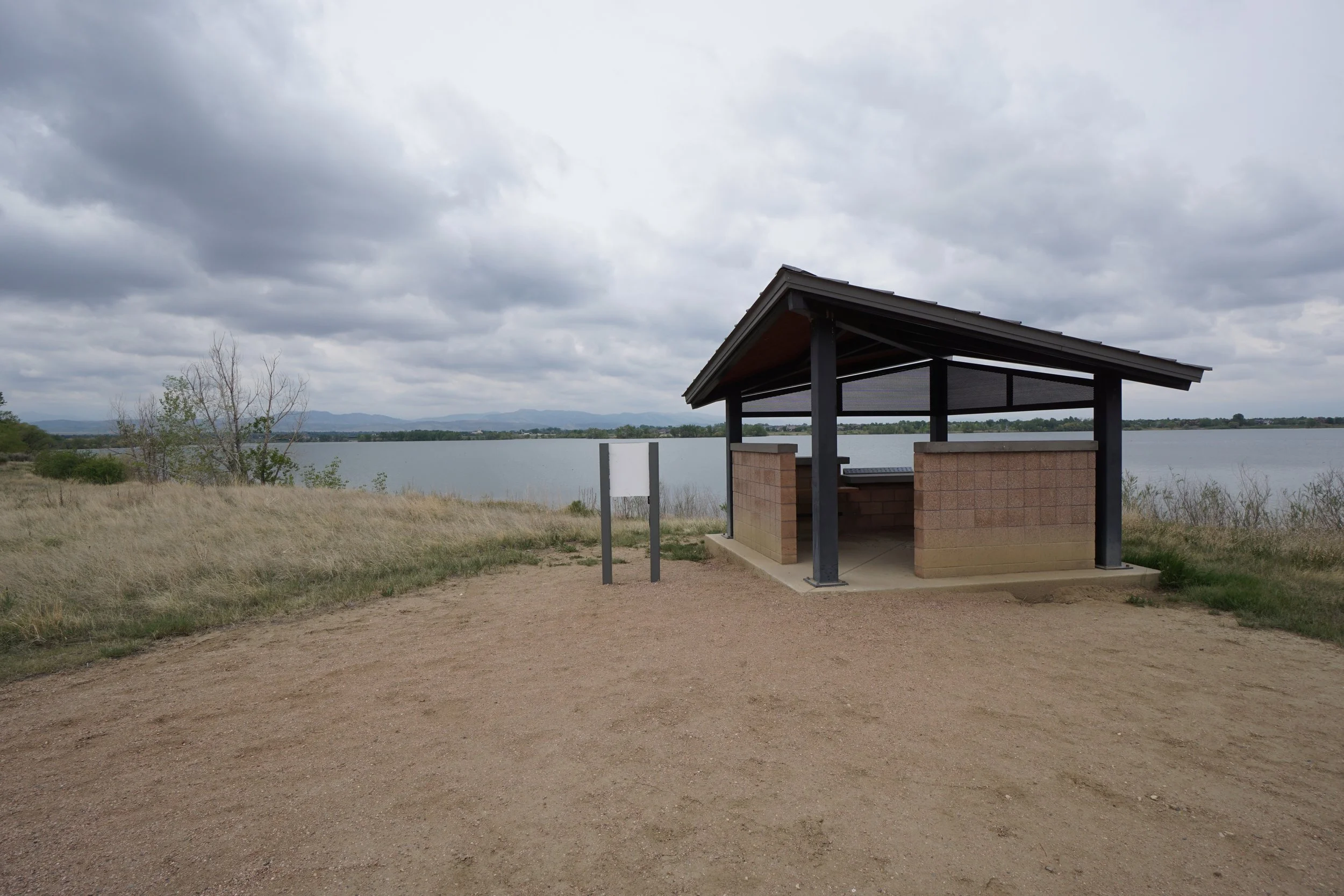
The Sandpiper Trail is an out and back trail that explores the western portion of the park and ends at a wildlife blind with educational posters detailing the various bird species that can be found in the area. The Cattail Flats Trail is a loop that cuts across the grasslands of the eastern end of the park. This trail also leads to a wildlife blind and provides some nice views across the reservoir with the foothills and mountains in the background. In between these trails is a paved loop with picnic tables, wildlife binds, and a small pier for fishing.
This hike is good for young children, birdwatching, or just a quick hike in the Fort Collins area.