Flagstaff Trail to Plains Overlook Trail
Boulder Mountain Park
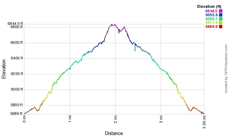
Flagstaff Trail Profile
Date Hiked: March 6, 2022
Distance: 3.8 mi (RT)
Elevation Gain:1,100 ft
Elevation Min/Max: 5,726 to 6,811 ft
Trailhead Lat/Long: 39.99987, -105.28684
Managing Agency: Boulder Open Space & Mountain Parks
Fee: Yes, for parking
DIRECTIONS:
In Boulder, exit Hwy 36 onto Baseline Road. Take Baseline west to Chautauqua Park. Continue to the base of Flagstaff Road and the junction with Gregory Canyon Road. There is a small parking area here or you can park along Baseline Road or the Gregory Canyon parking area.
HIKE DESCRIPTION:
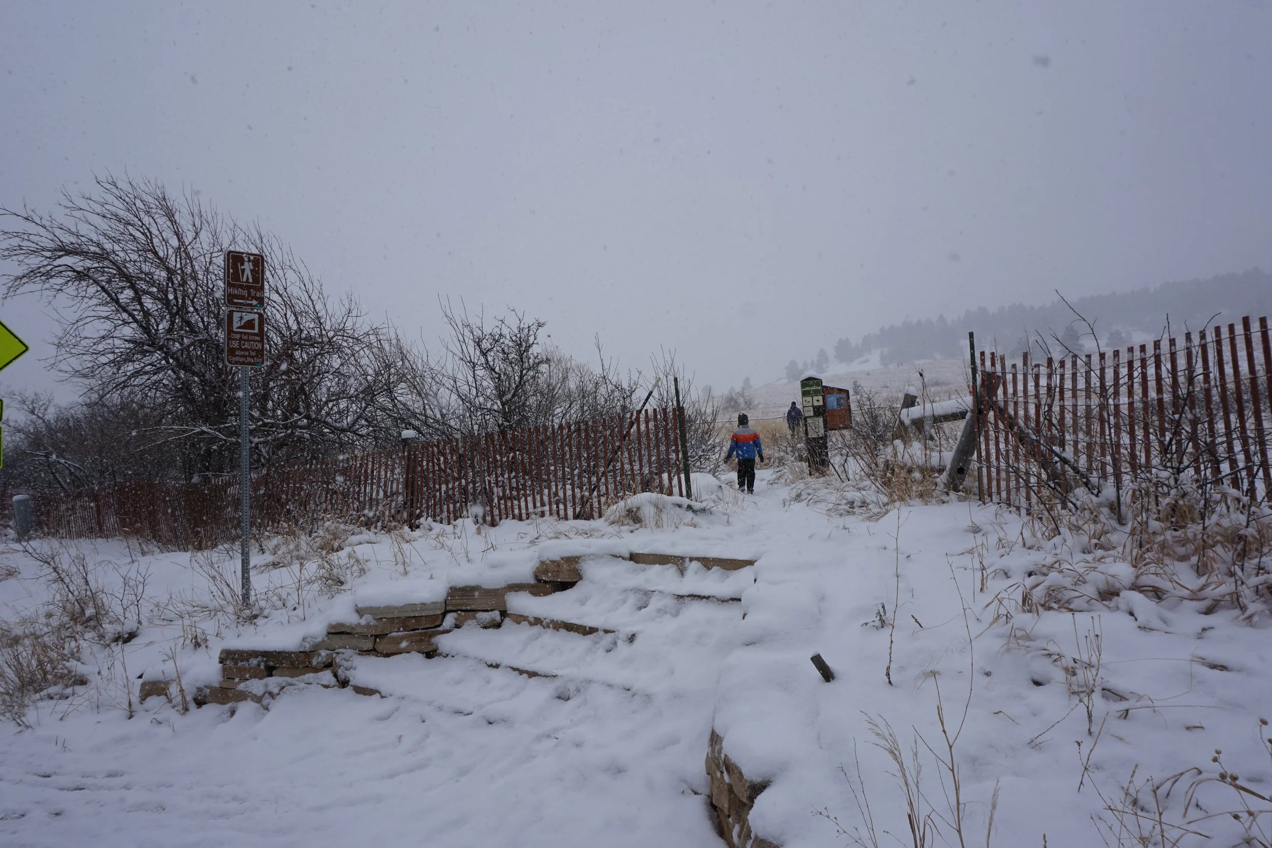
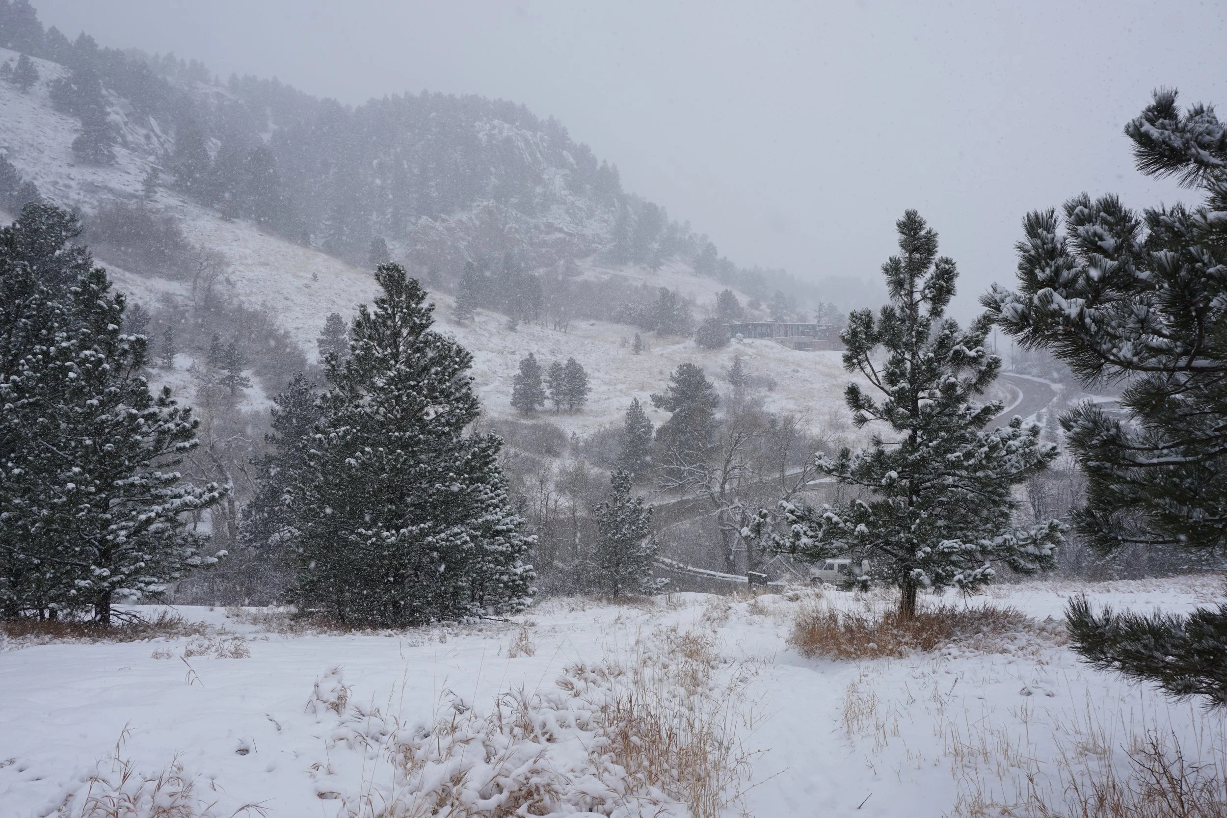
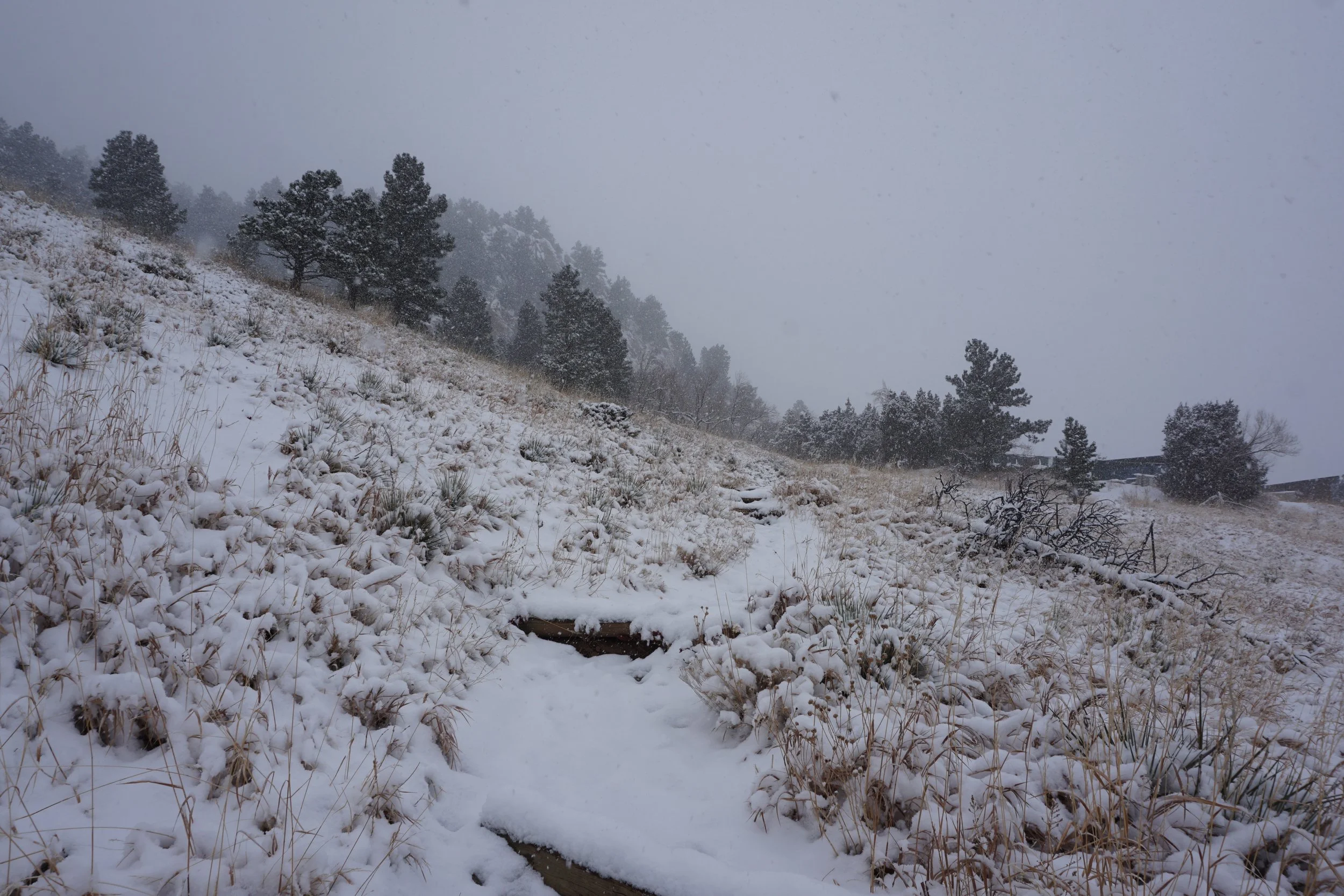
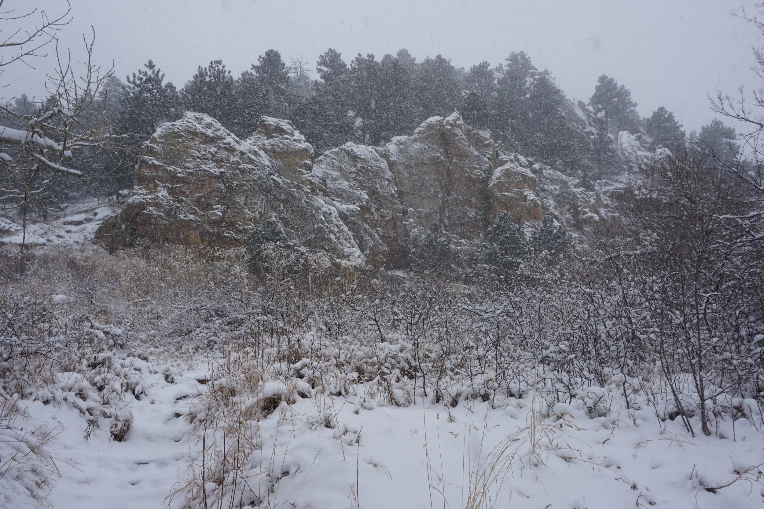
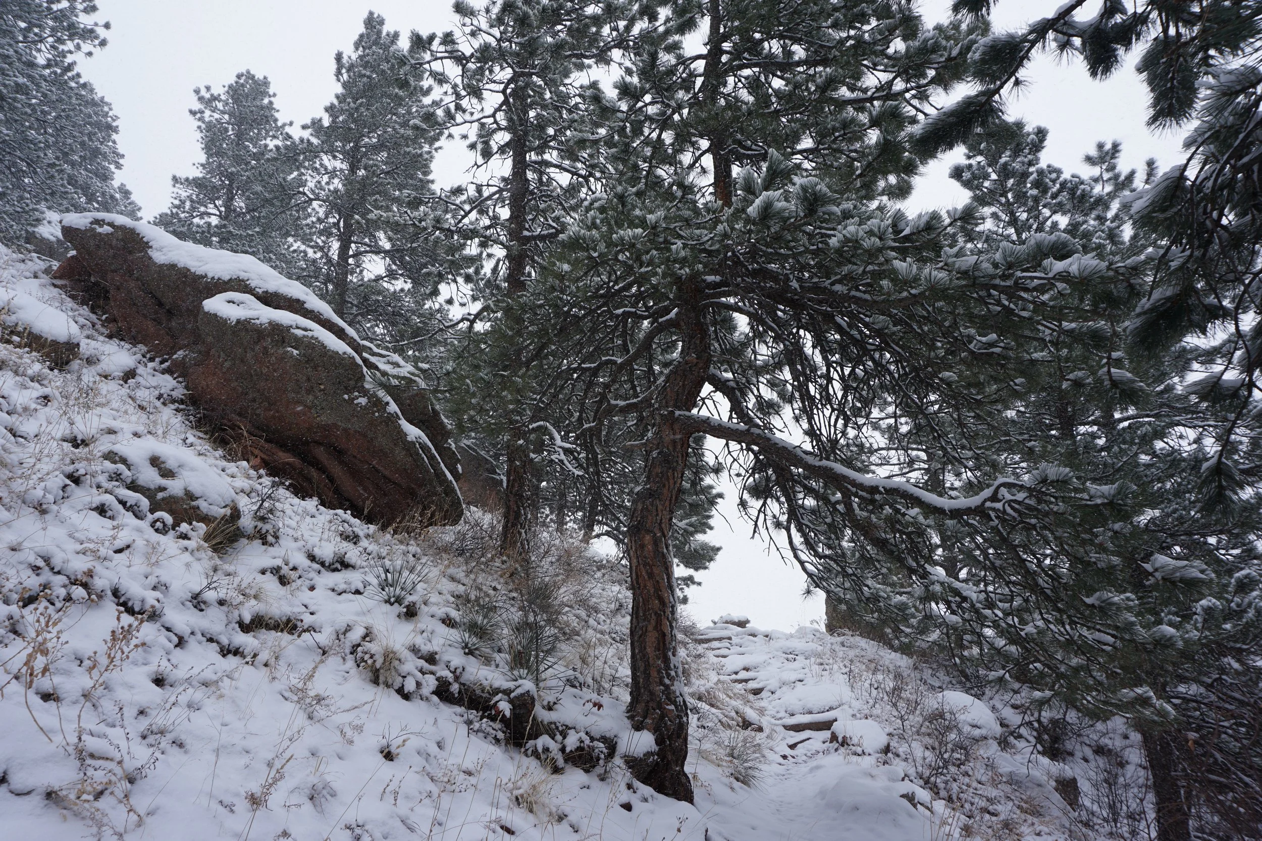
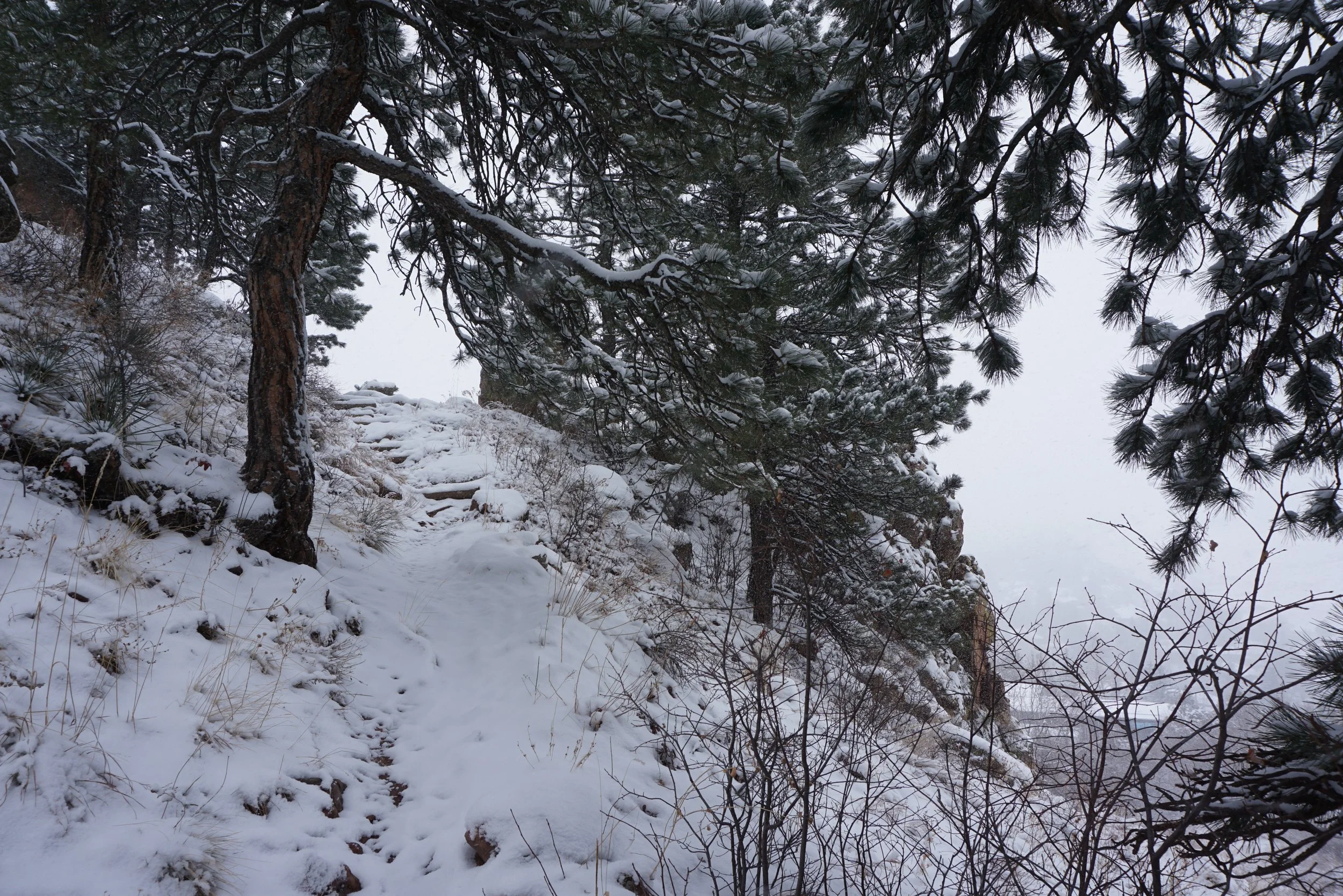
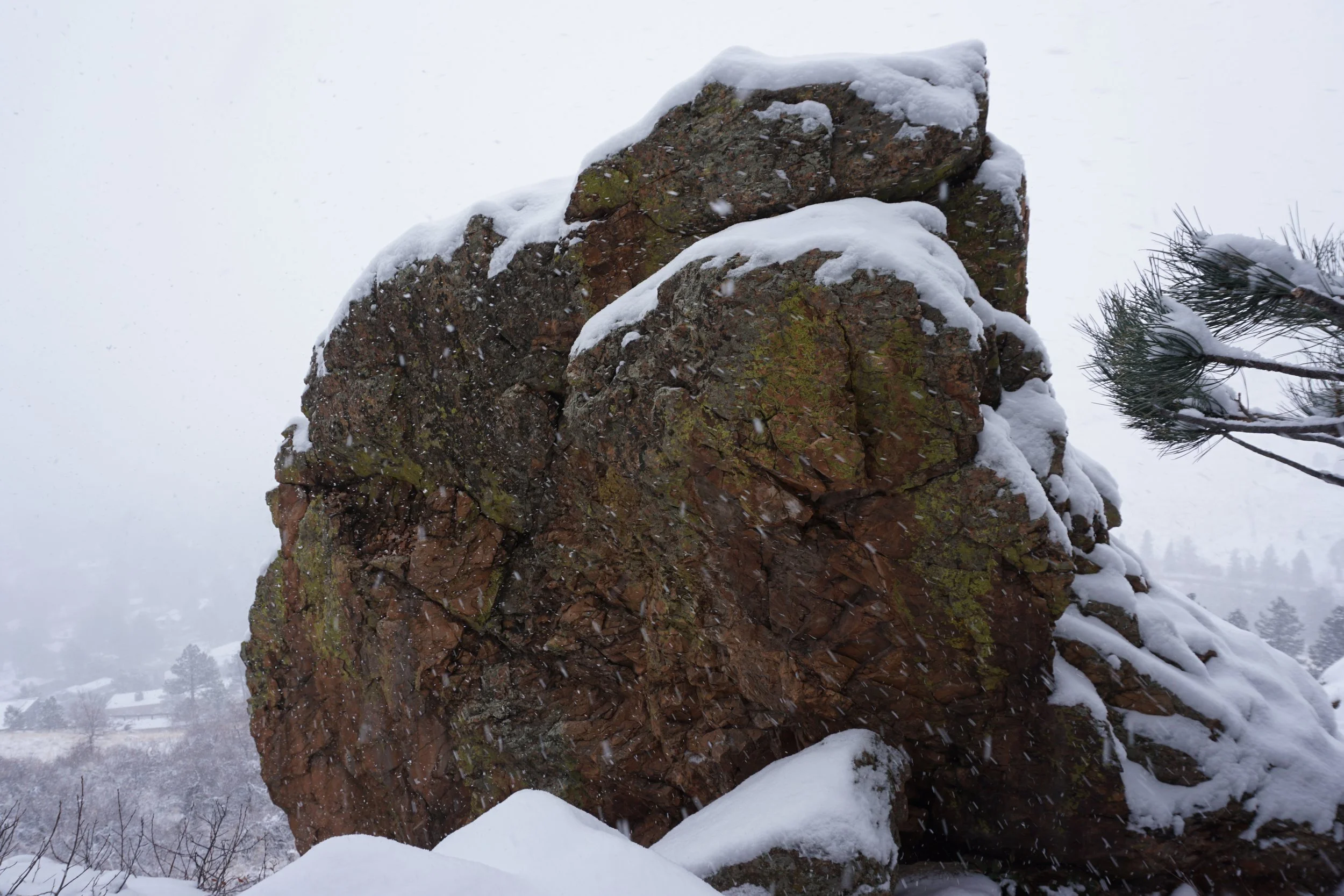
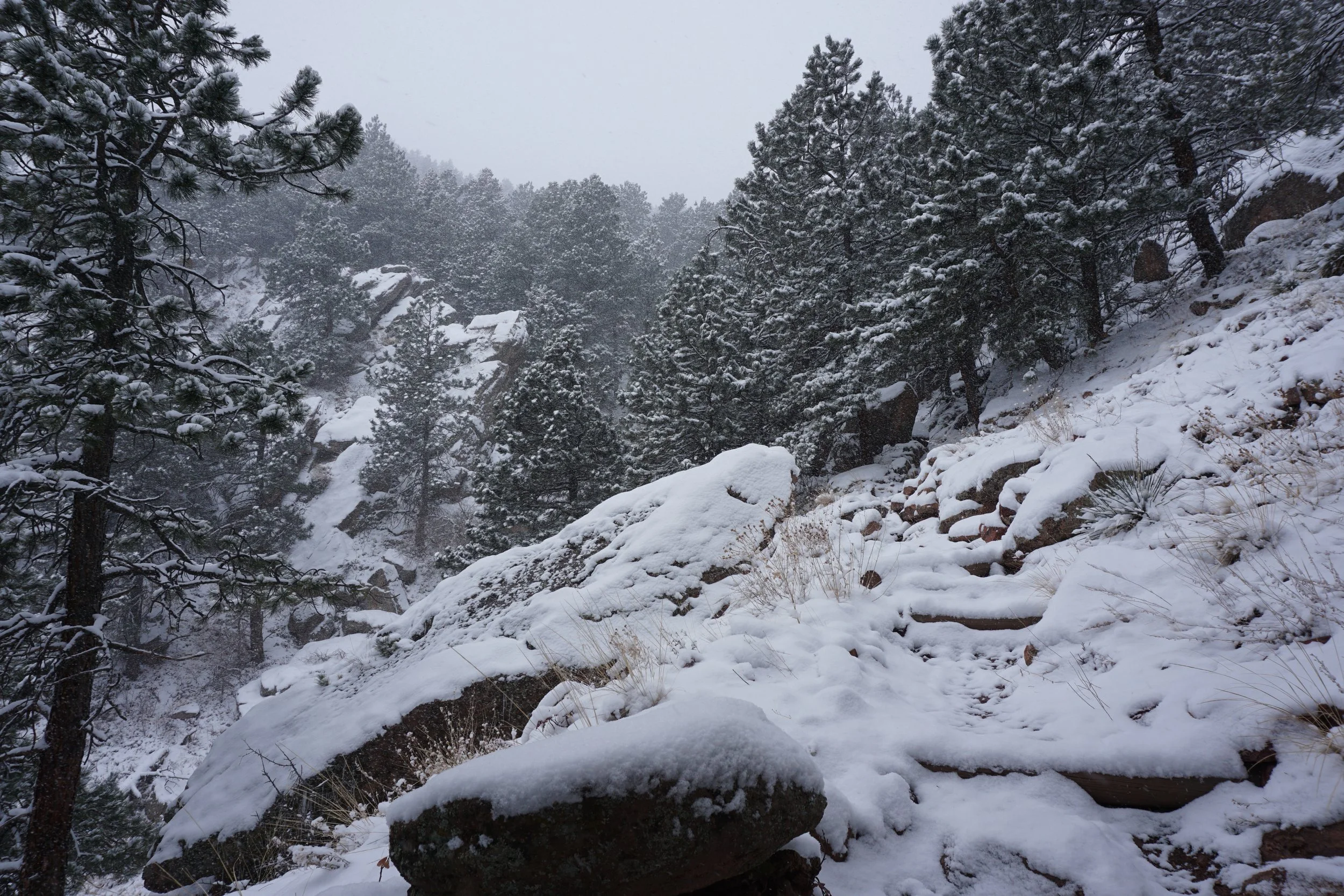
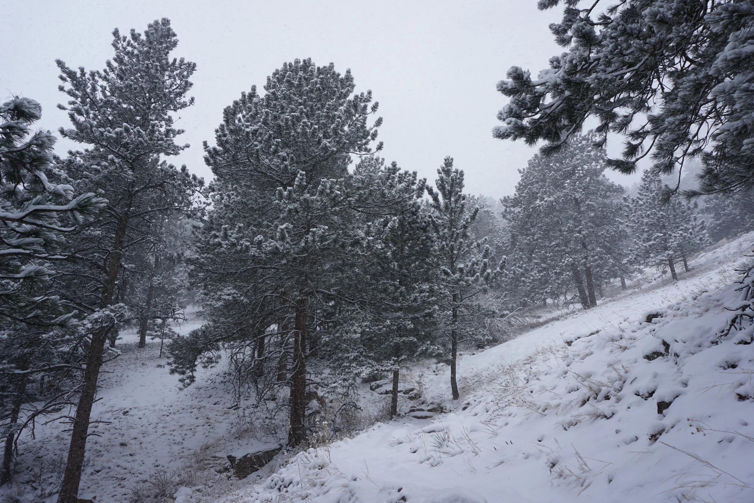
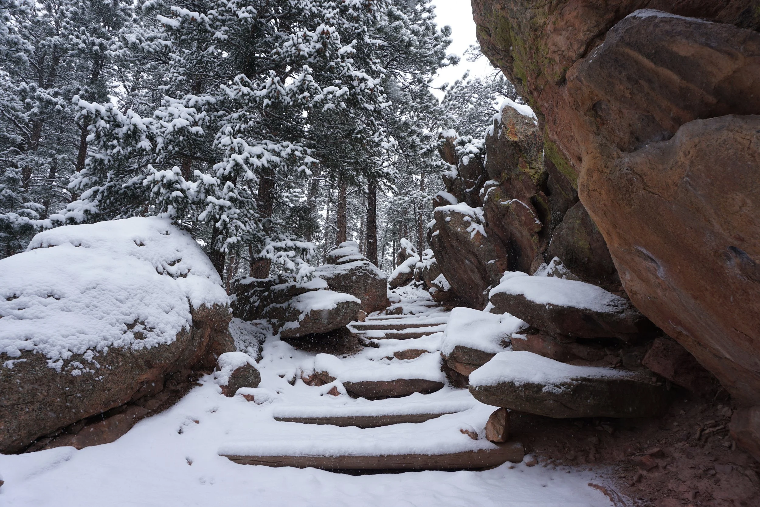
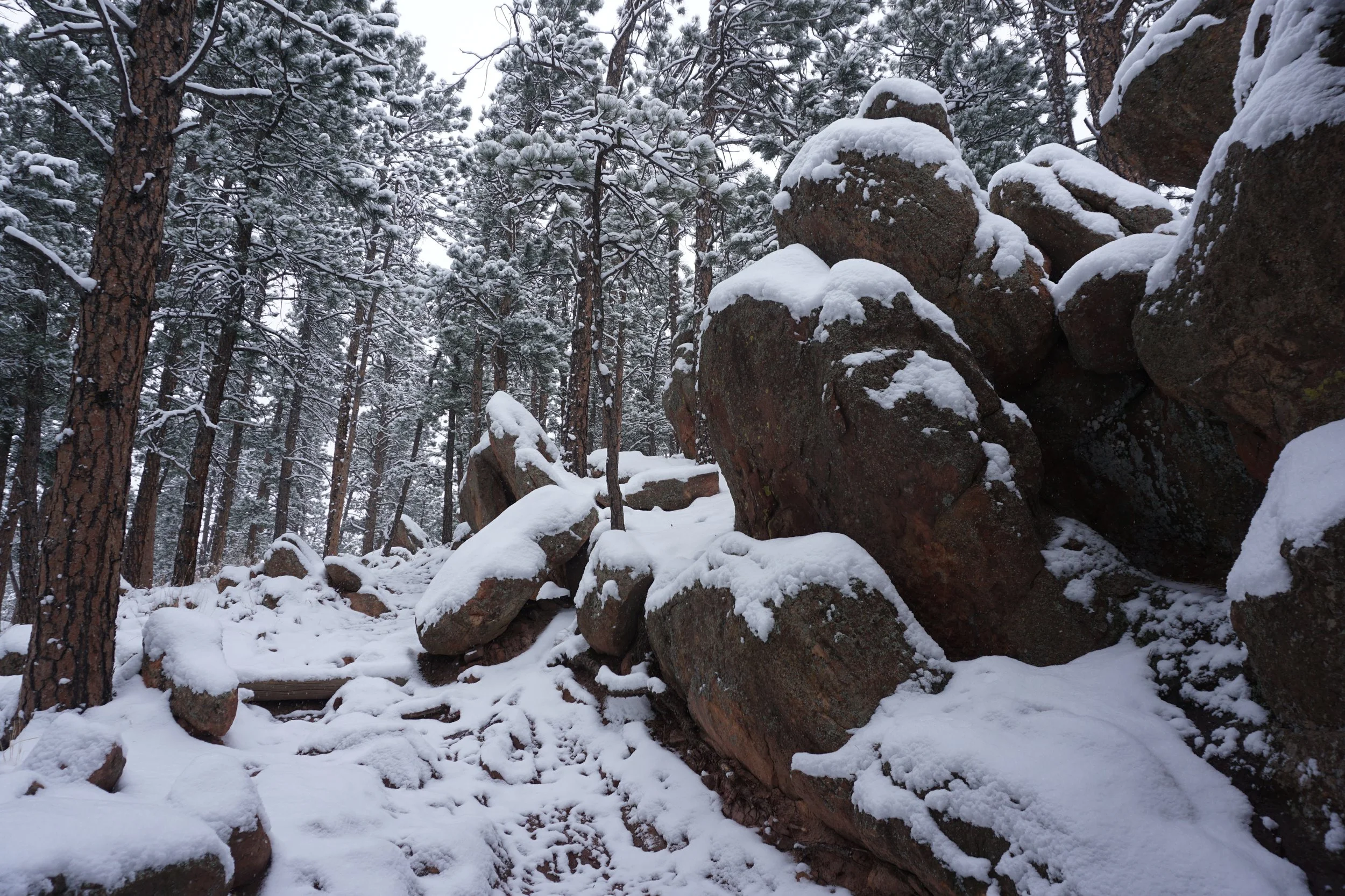
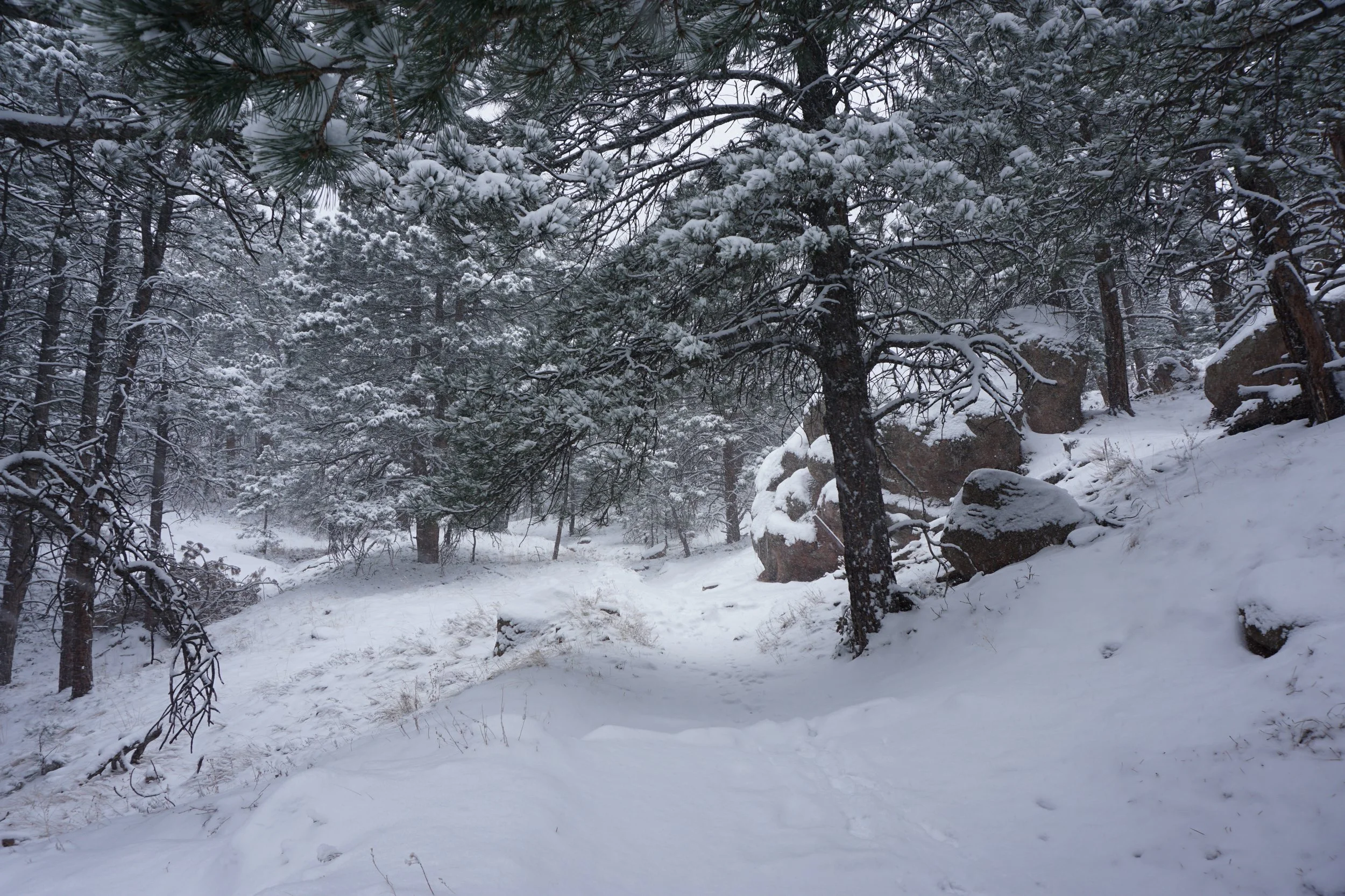
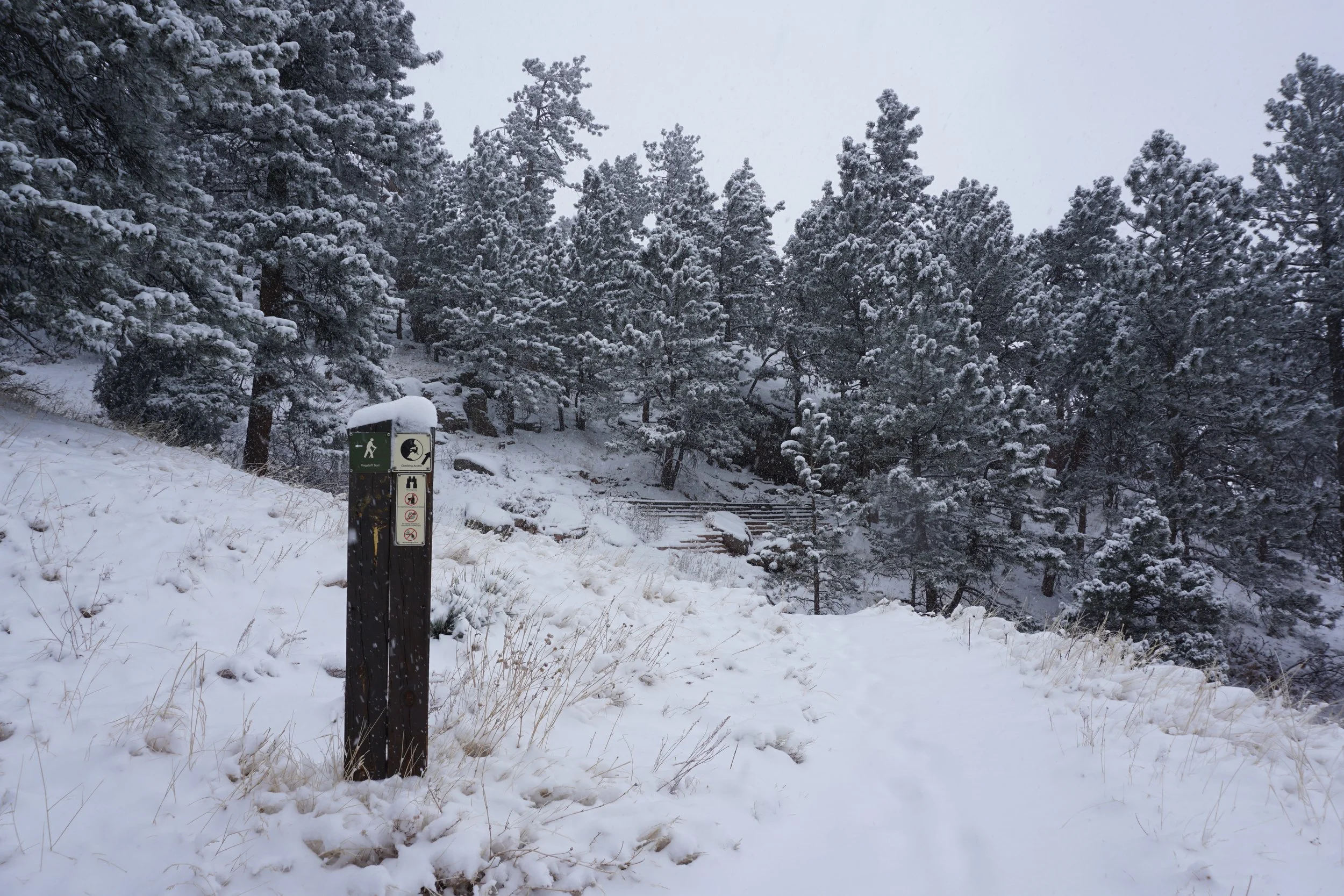
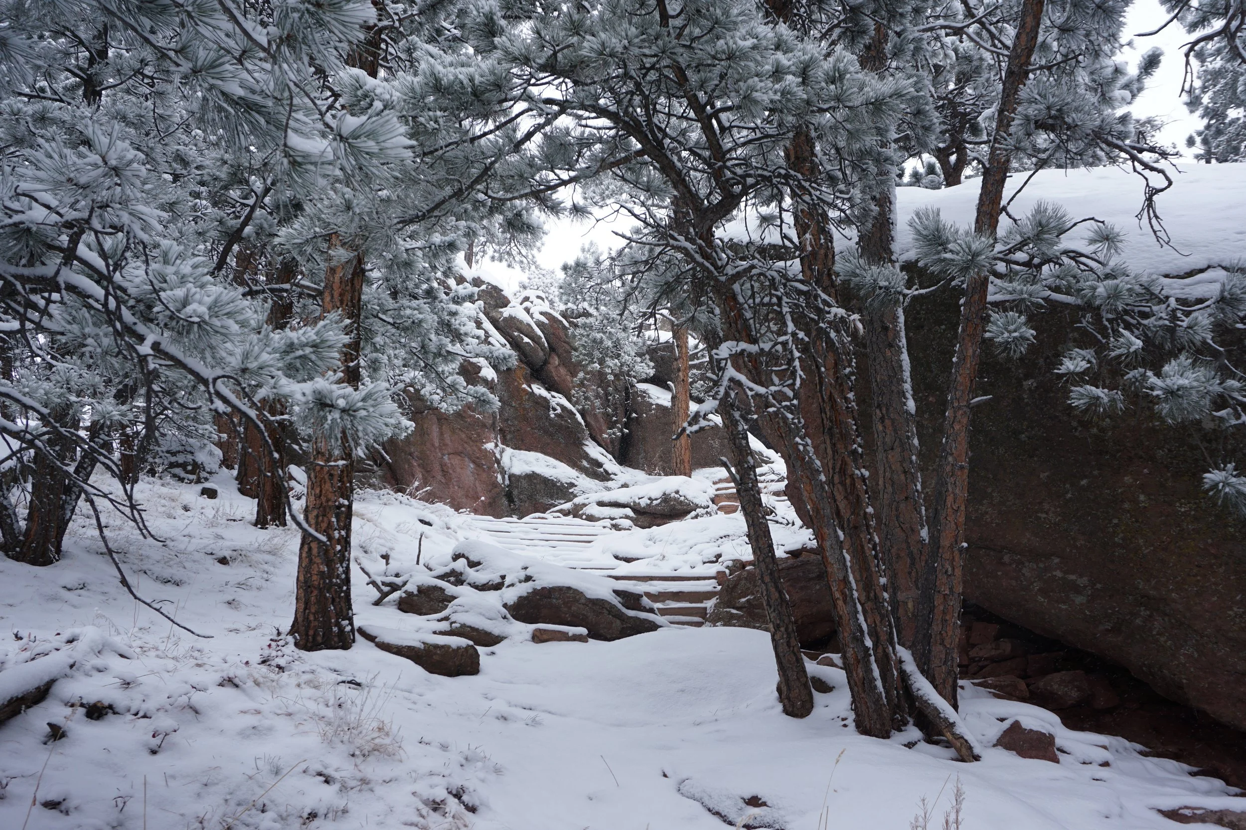
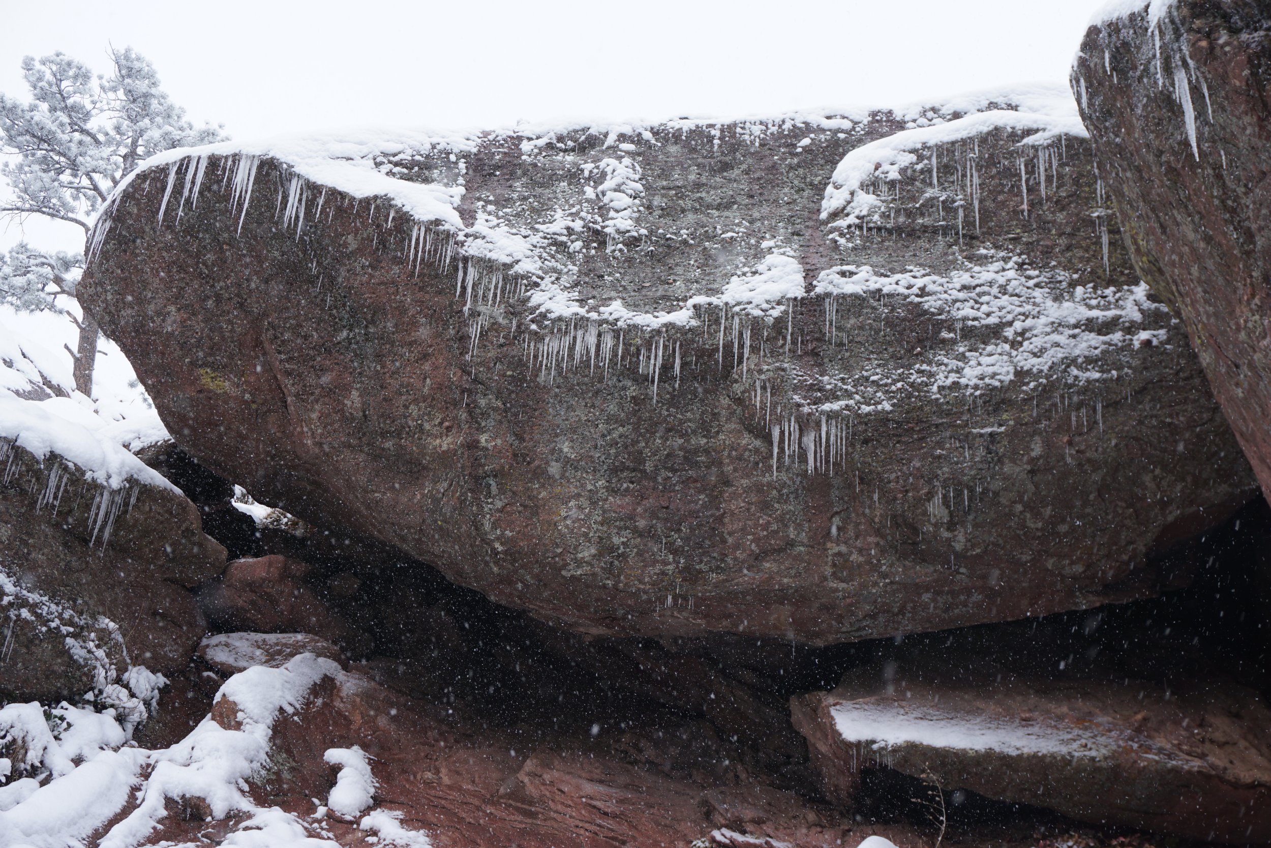
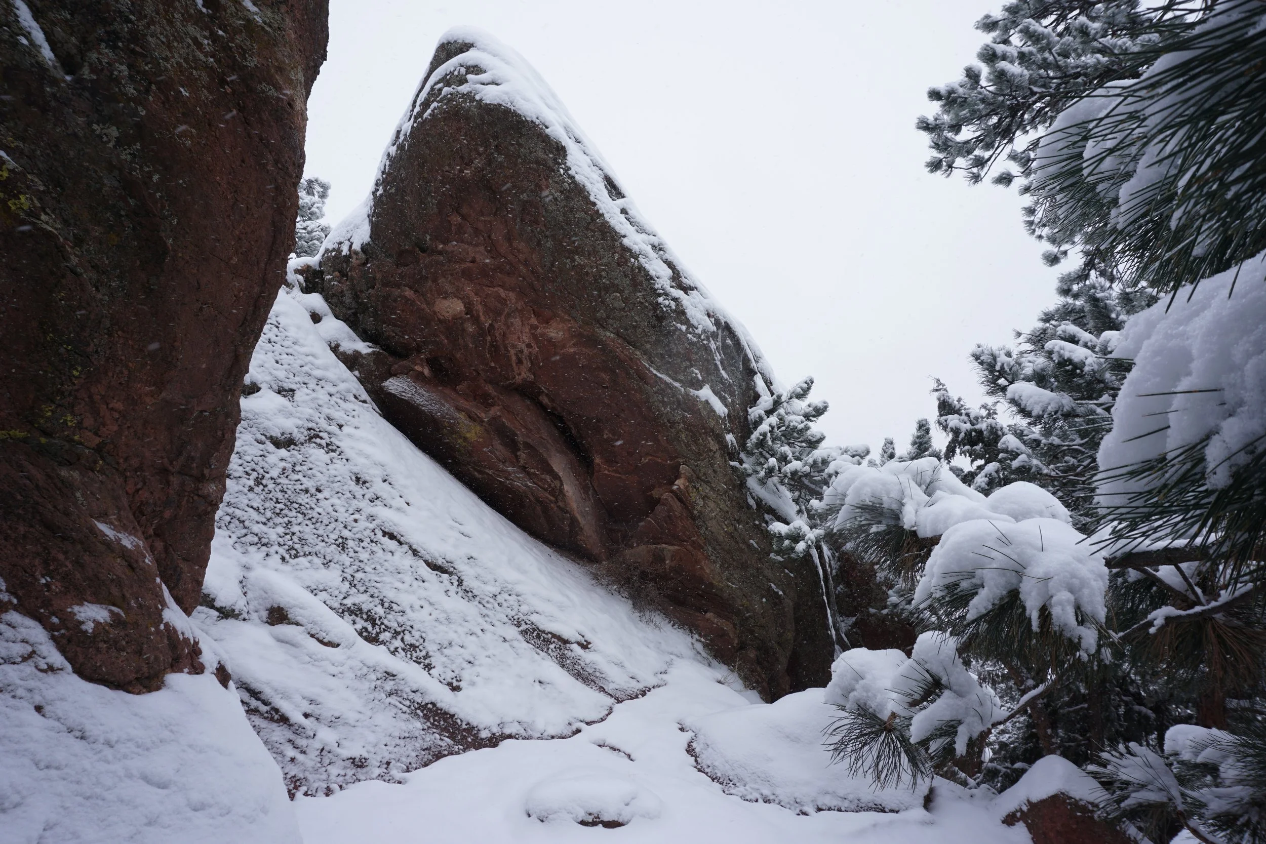
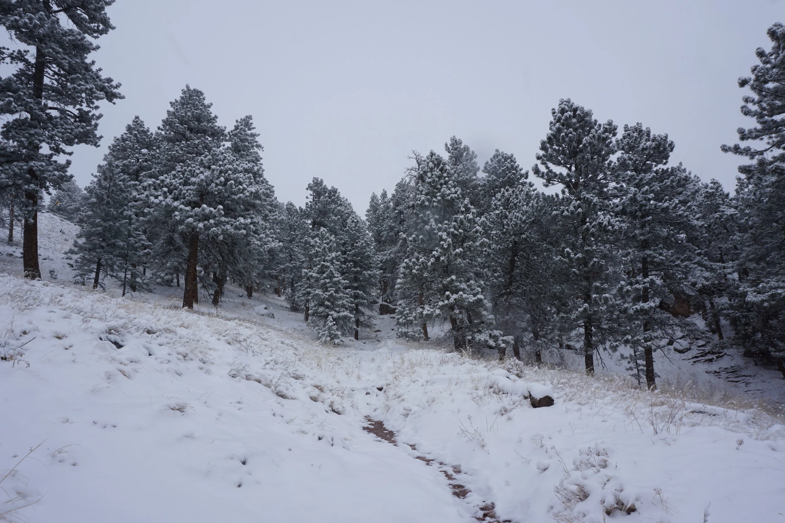
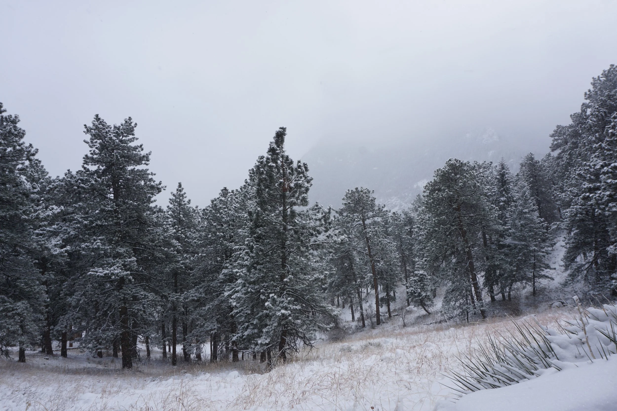
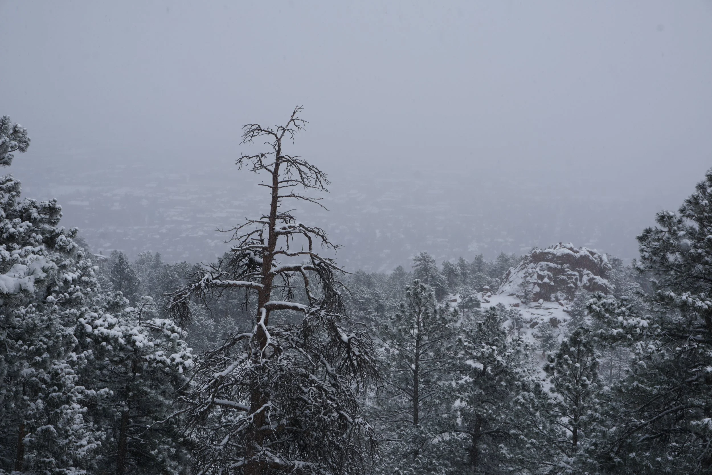
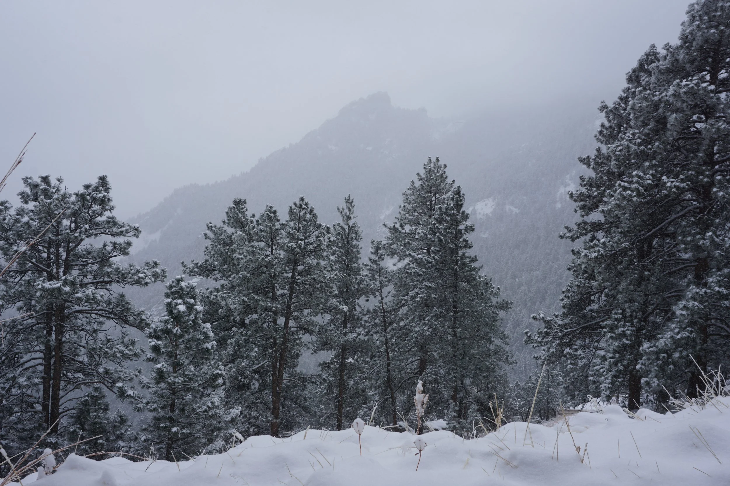
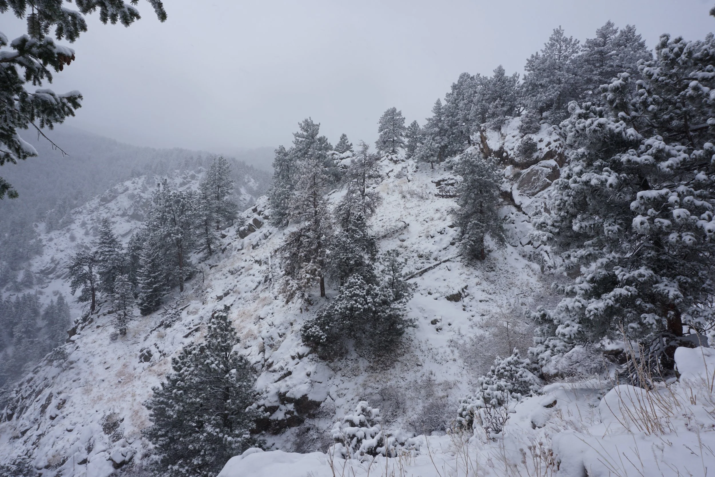
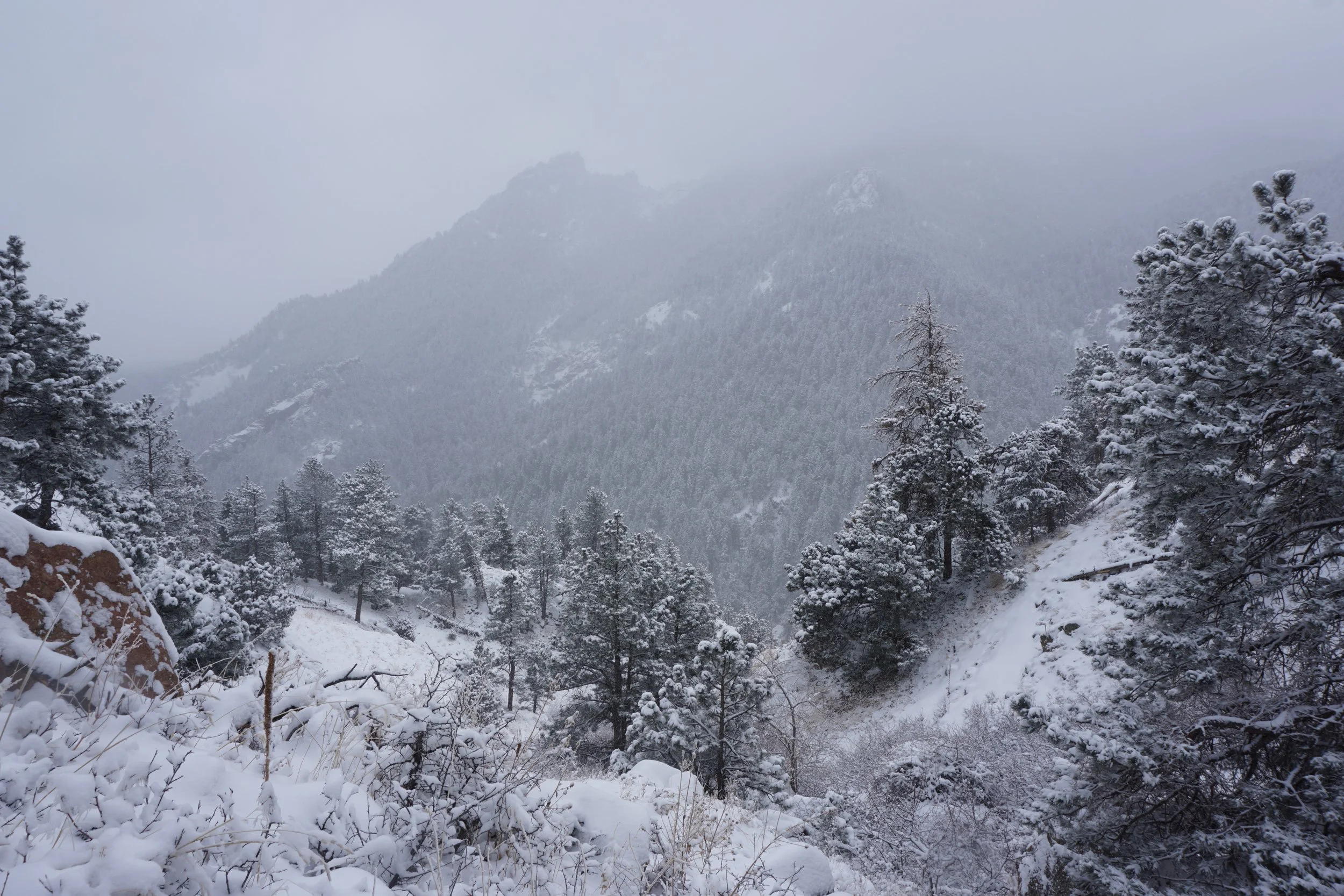
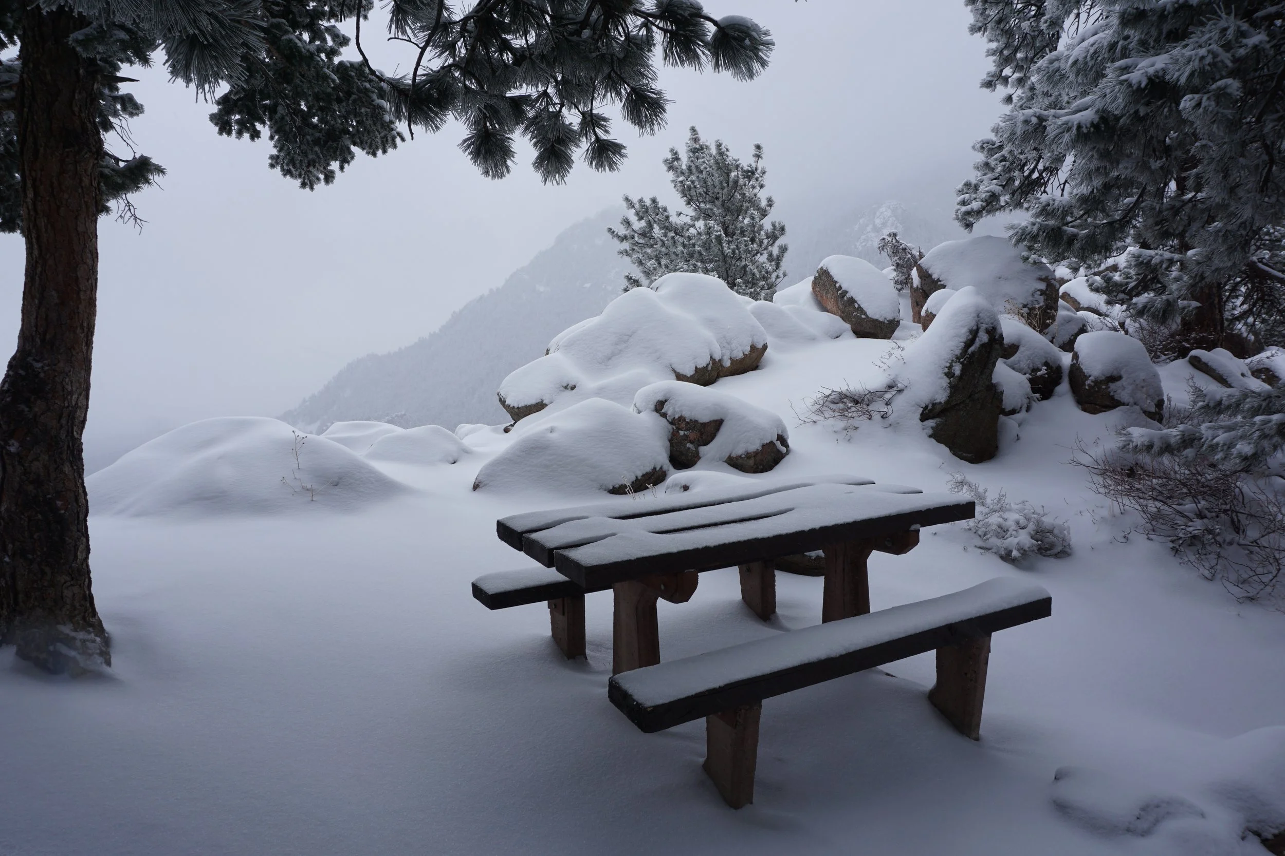
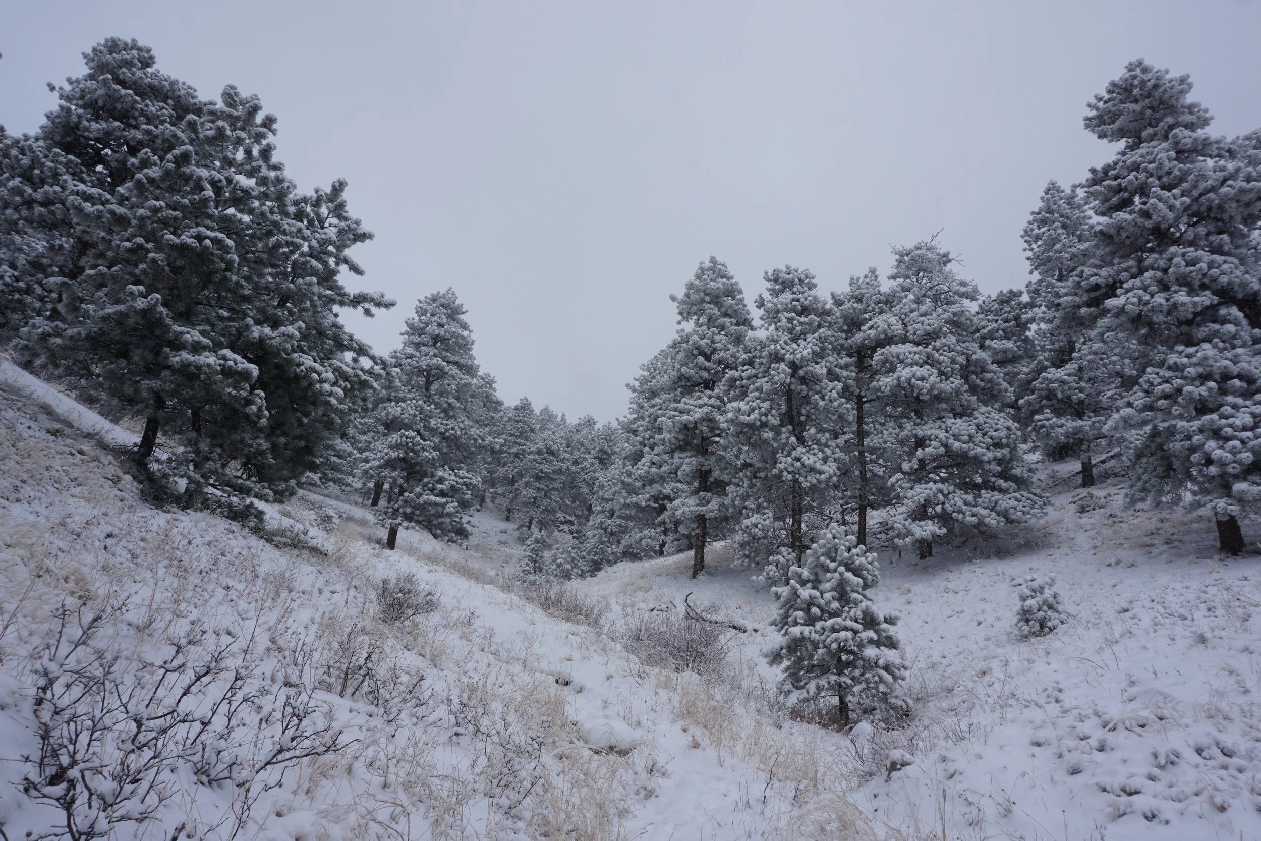
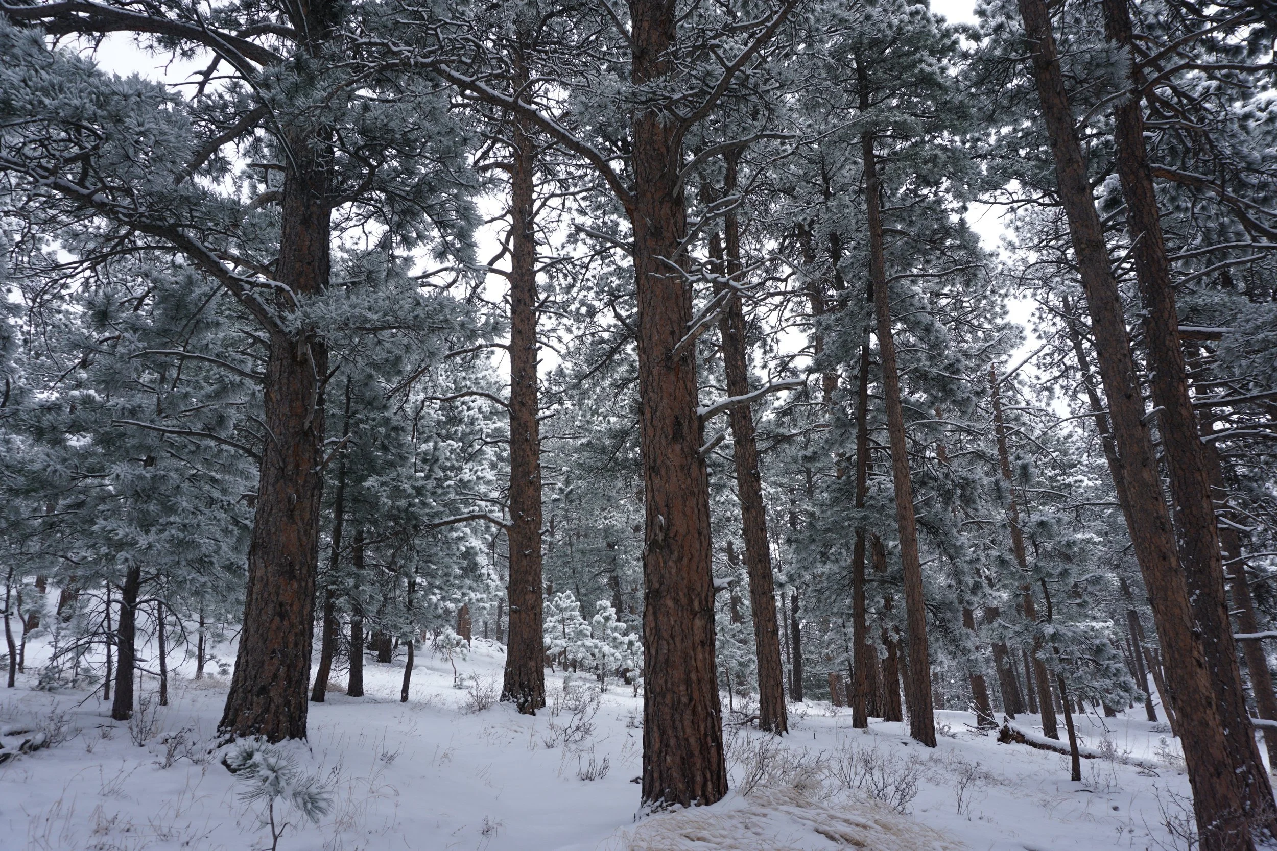
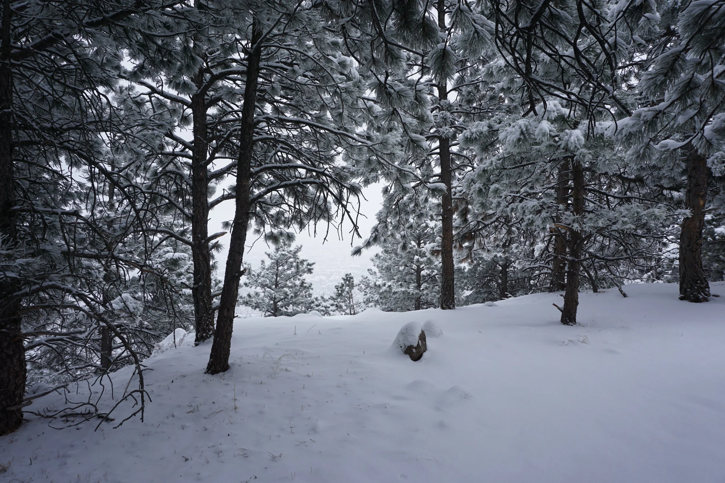
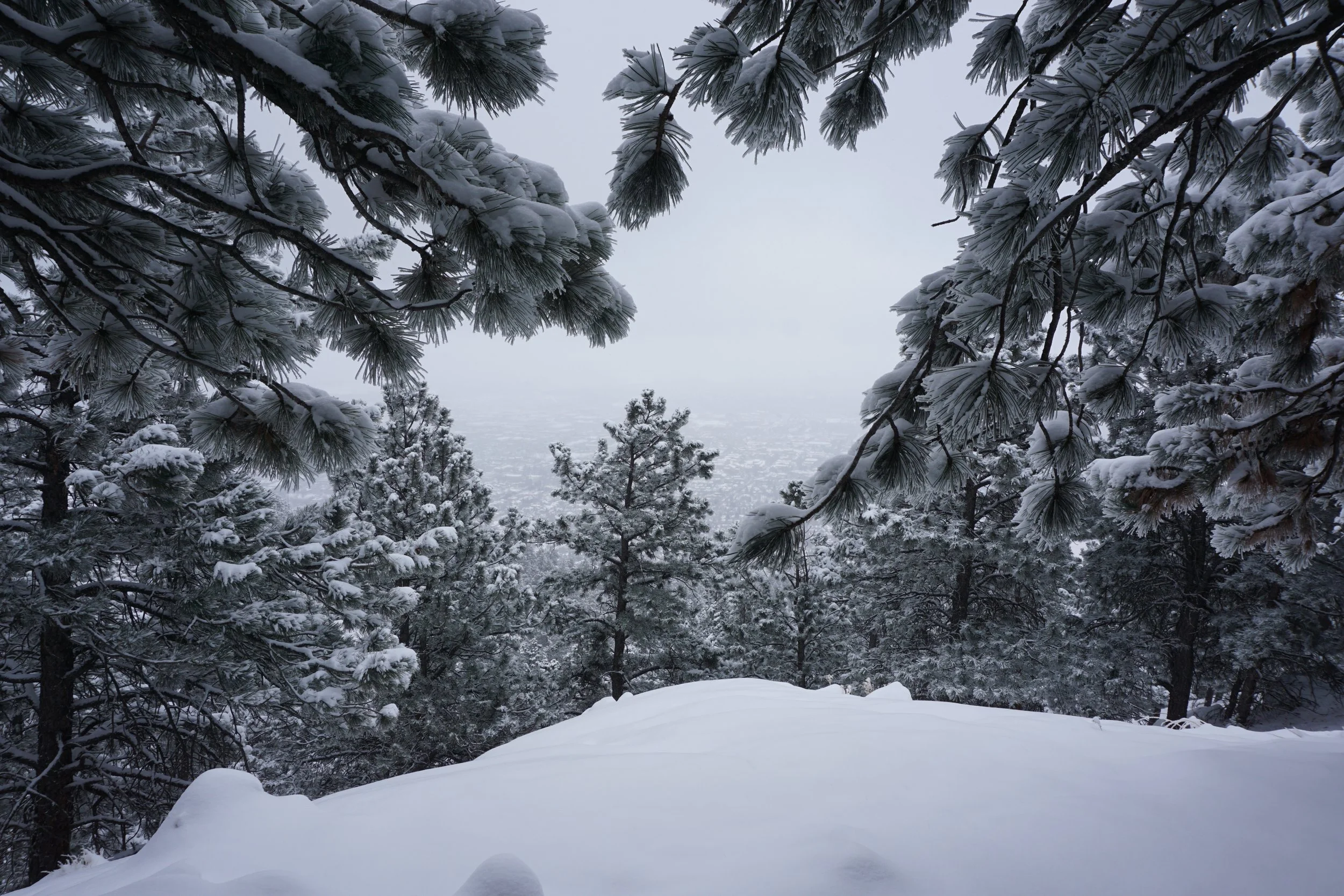
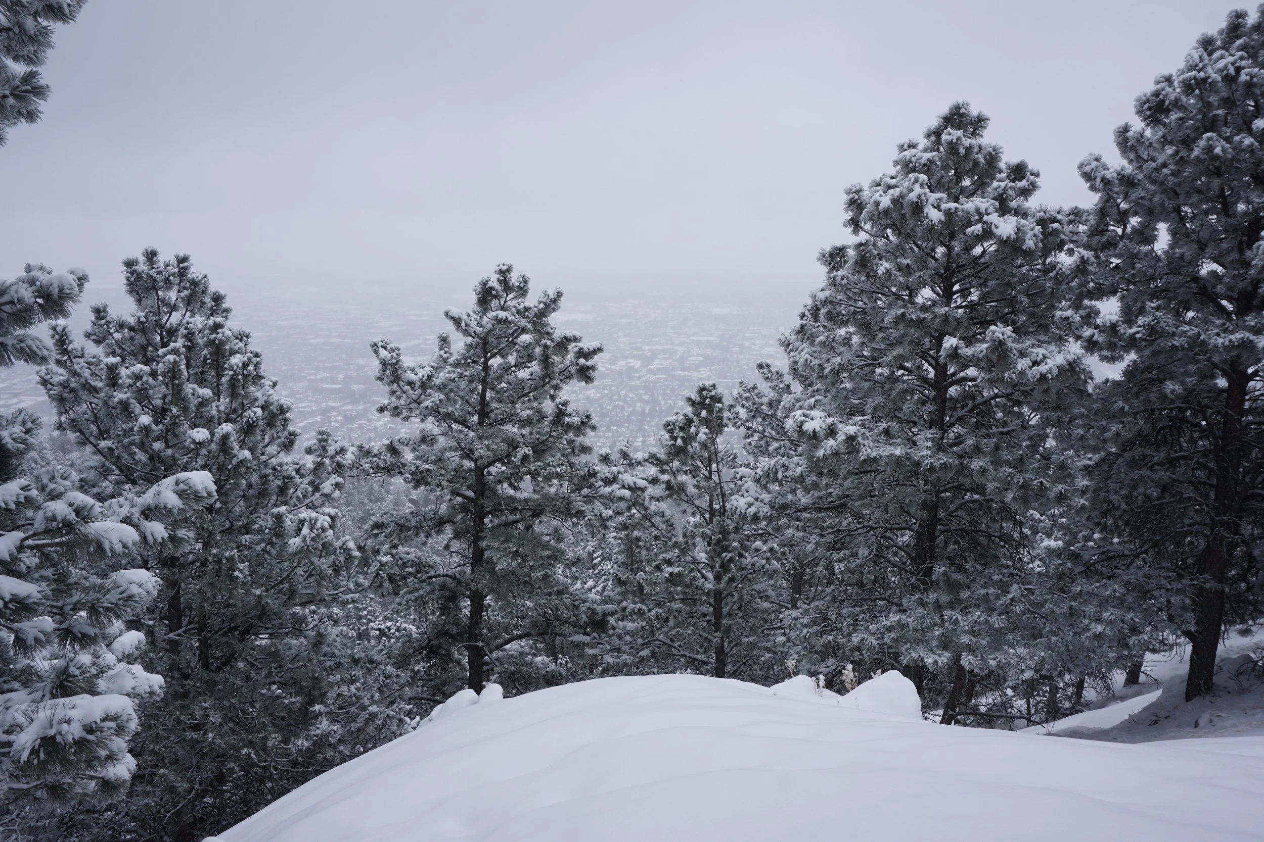
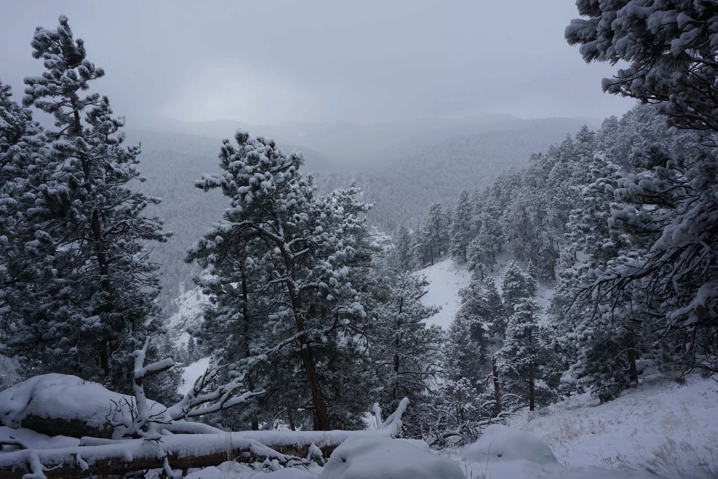
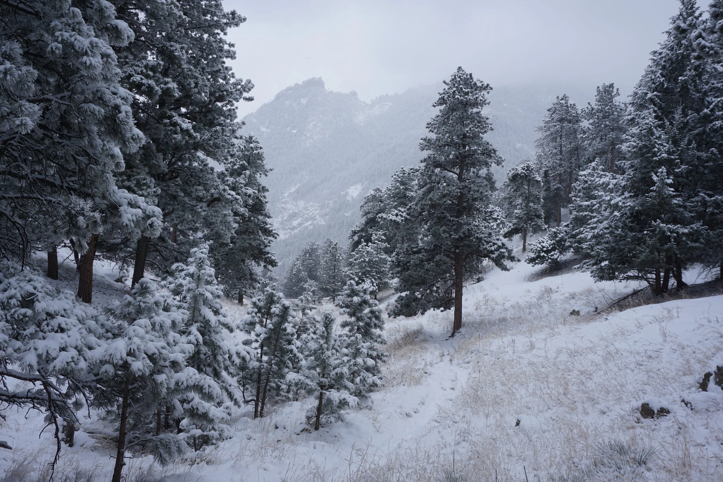
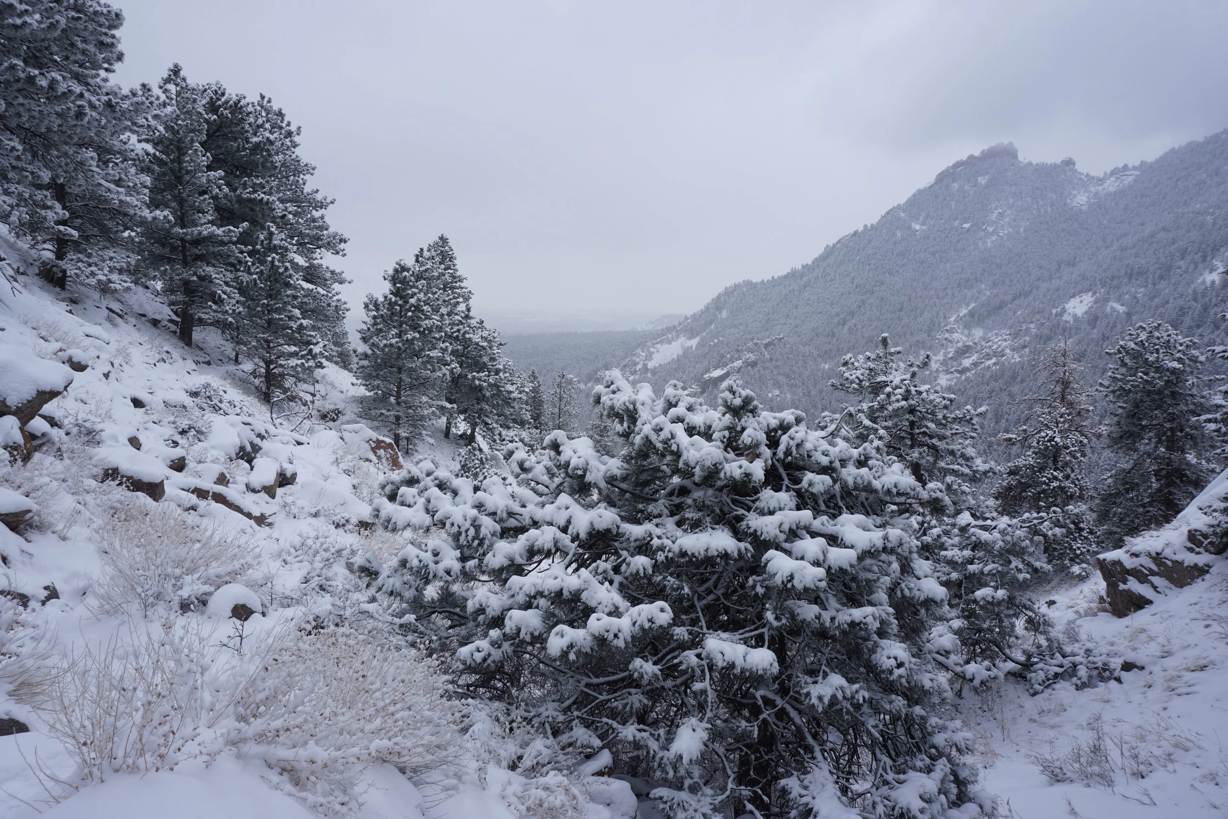
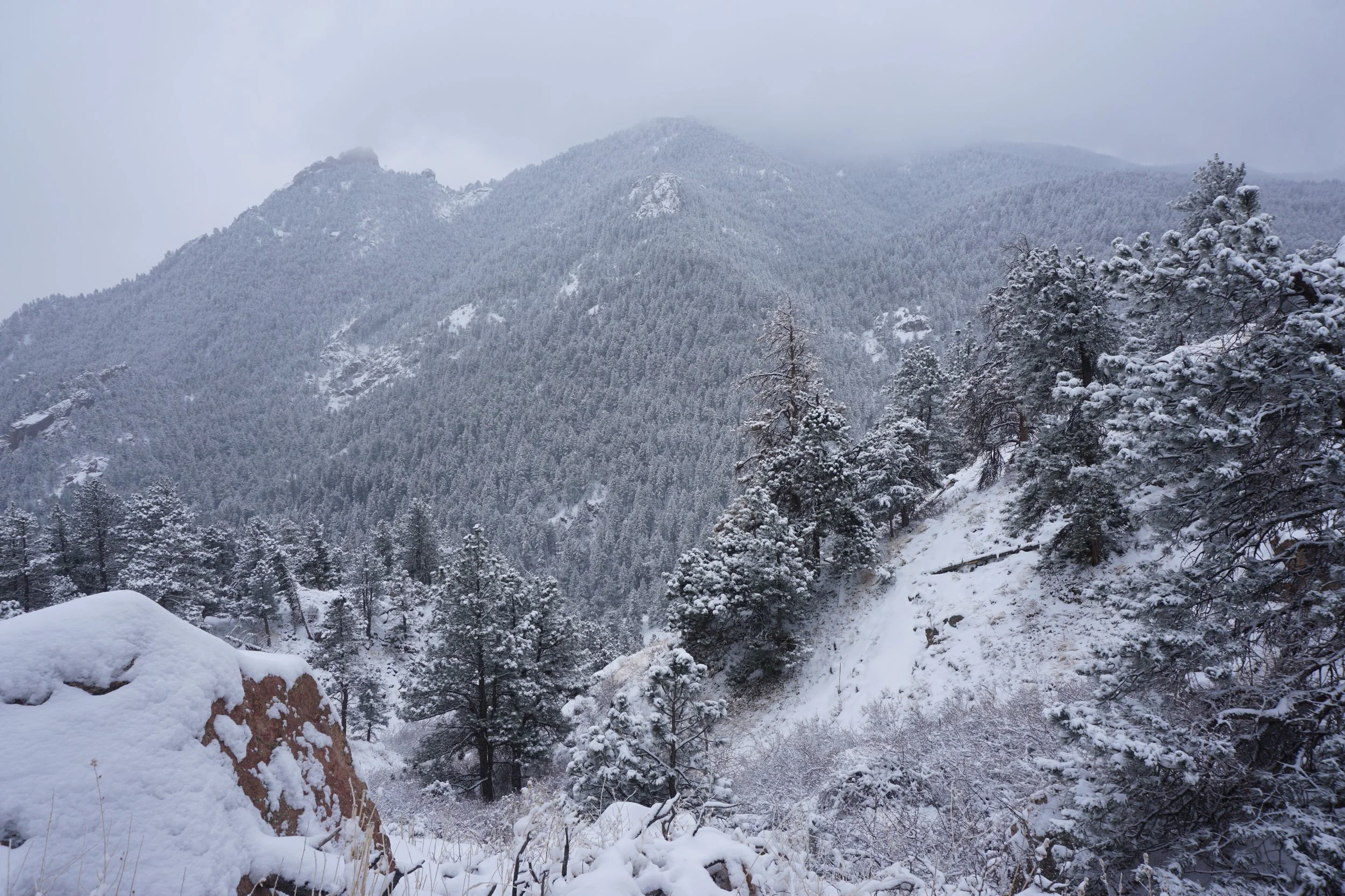
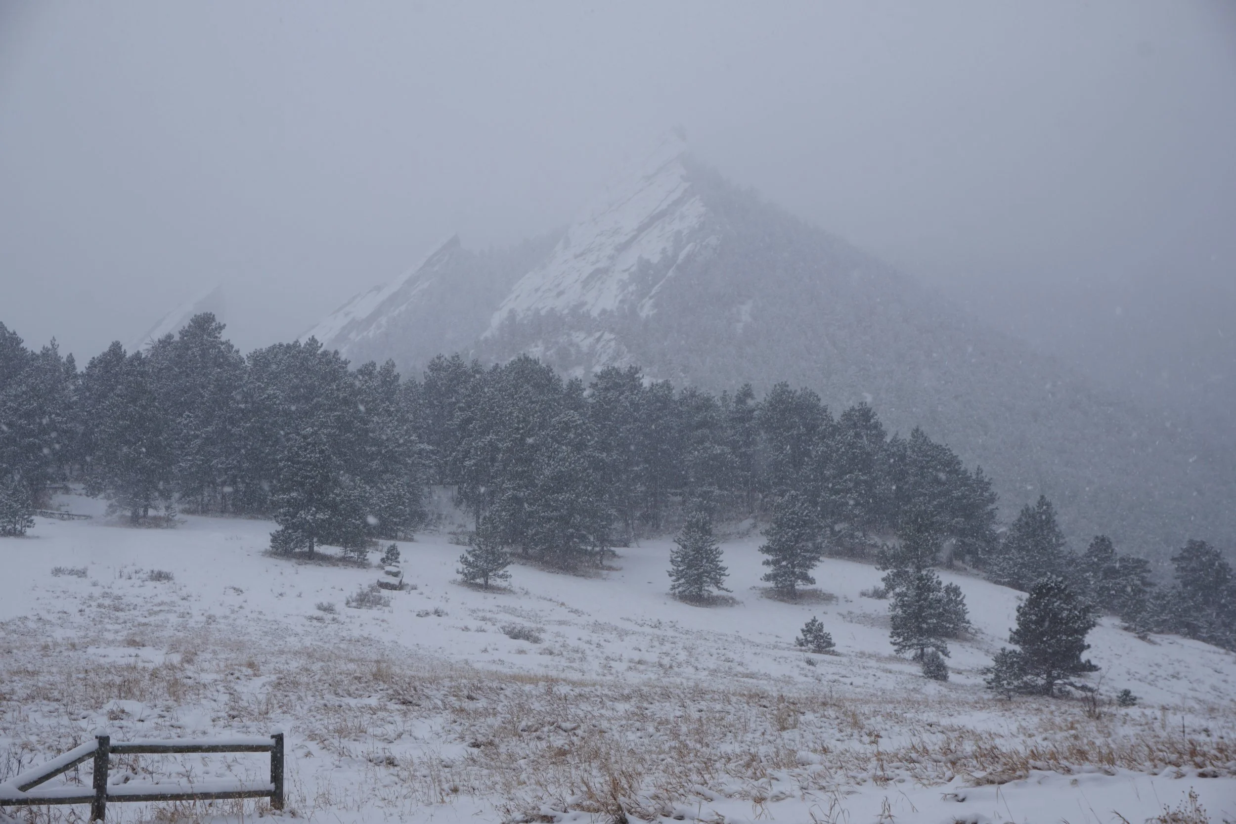
The Boulder Mountain Park is one of my favorite places to go hiking. That being said, I tend to avoid it in the spring and summer due to the crowds. My favorite time to hike here is in the winter during or right after a heavy snow storm. There is something about the way that the snow coats the rock formations that gets me every time. There are fewer hikers, snowshoes are almost never needed, and the area takes on the feeling that you are hiking in a remote wilderness. The Flagstaff Trail is maybe the perfect trail in these conditions.
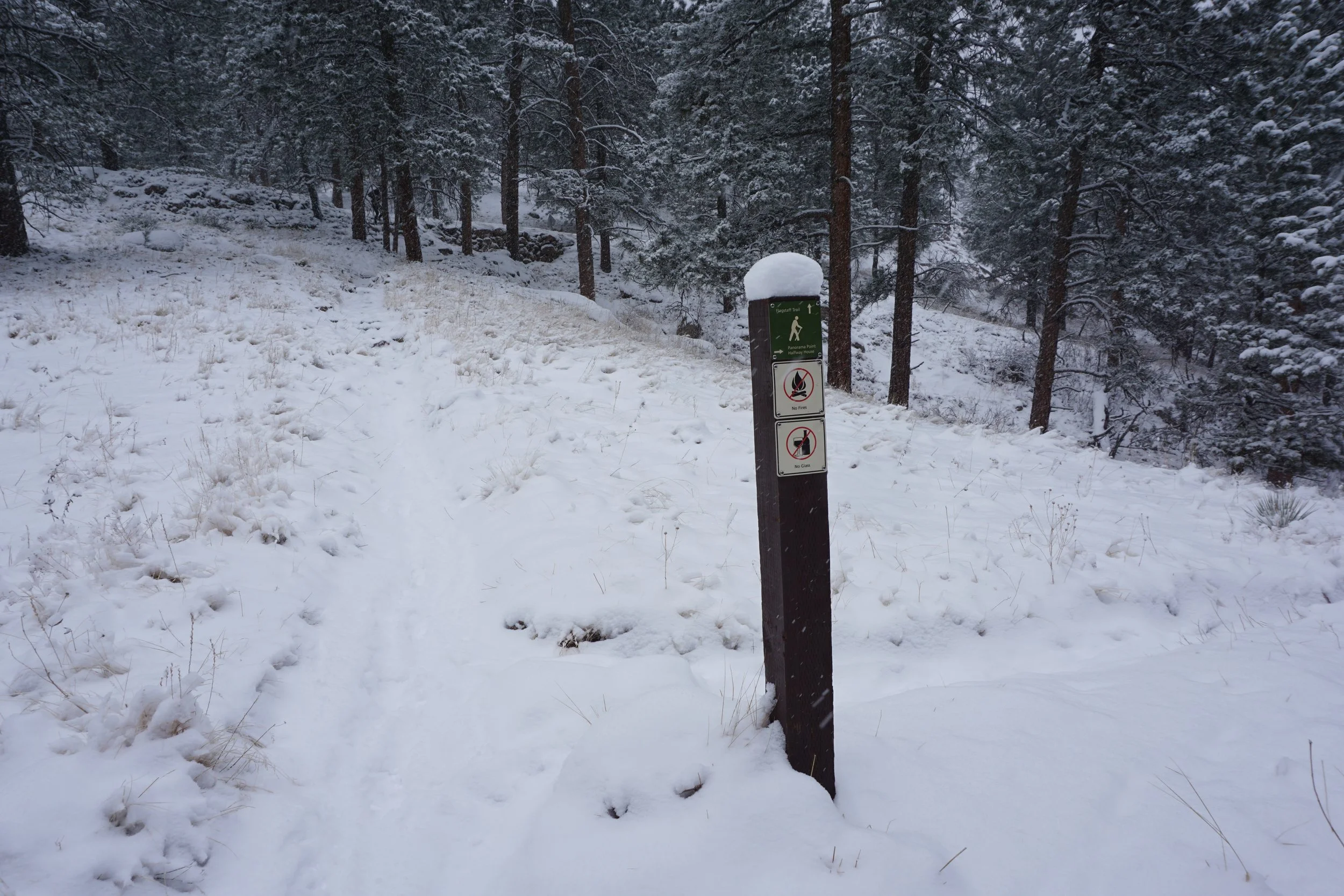
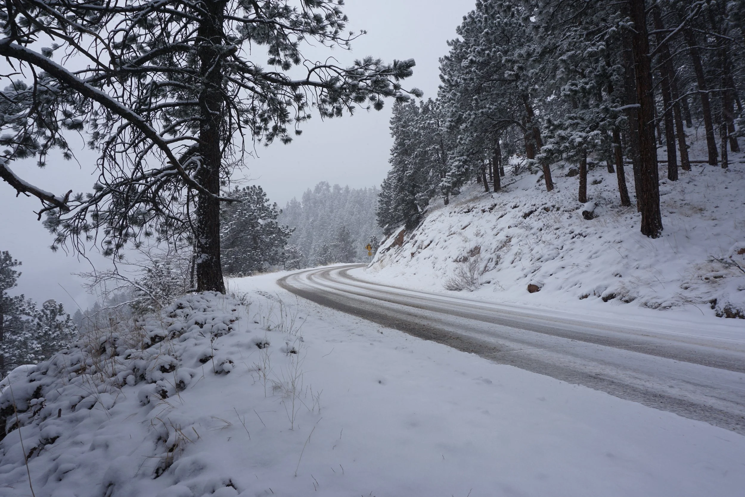
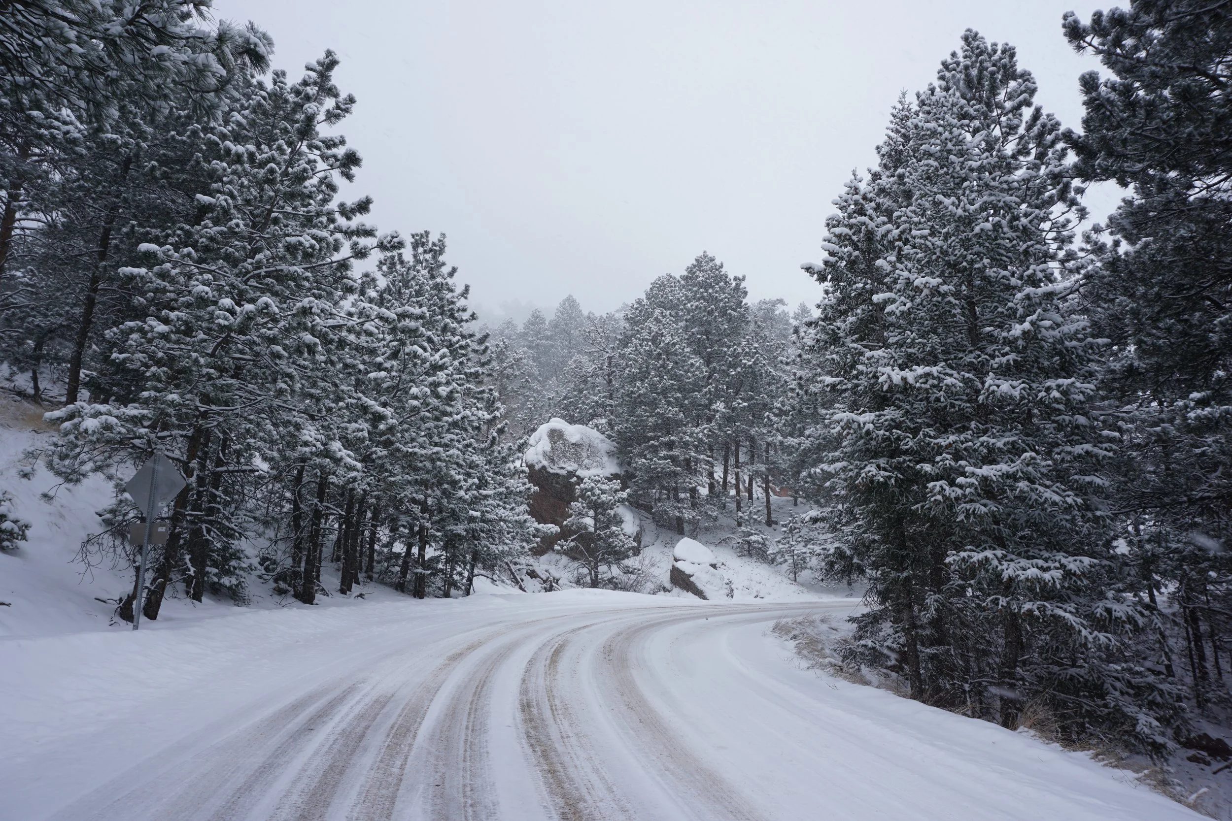
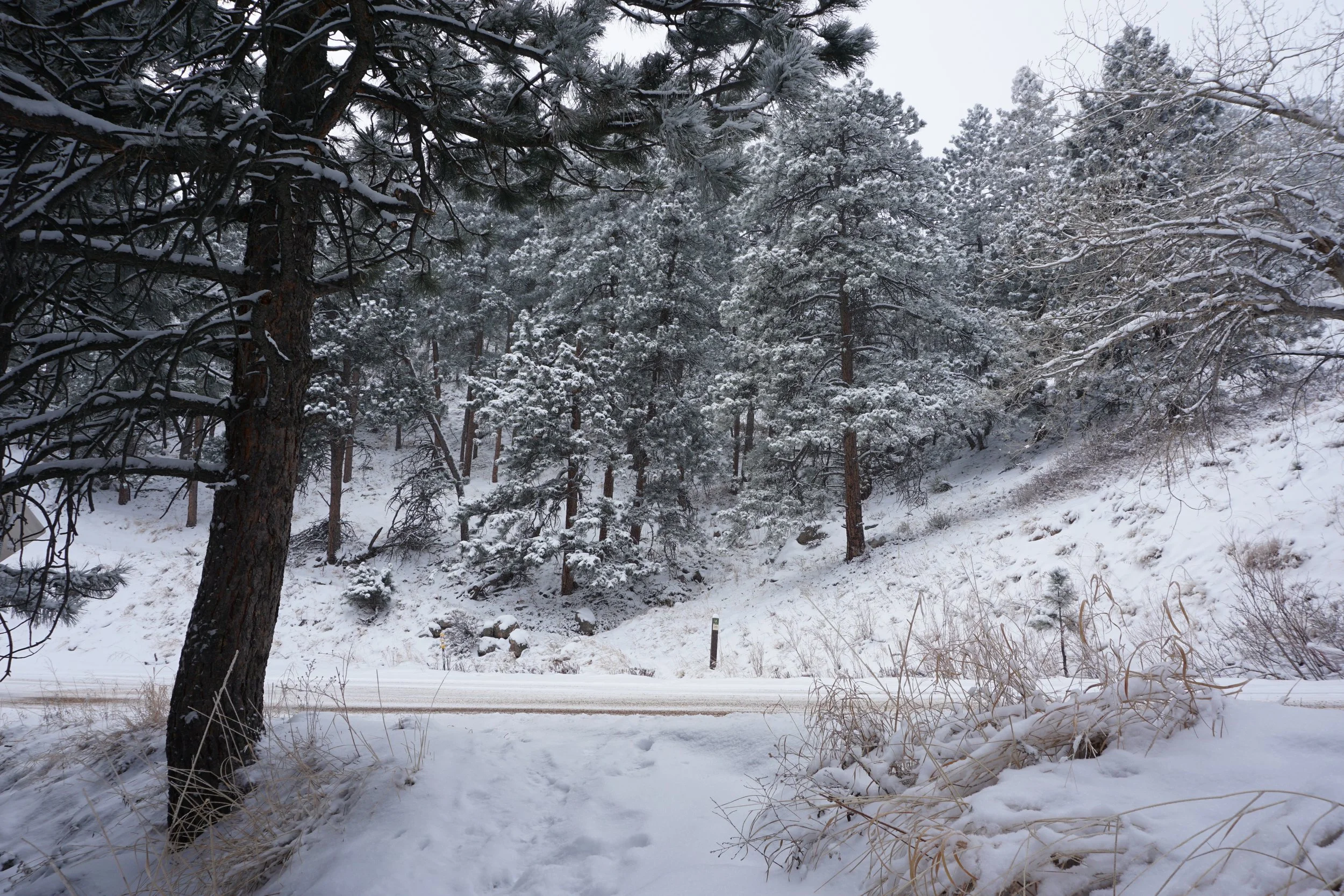
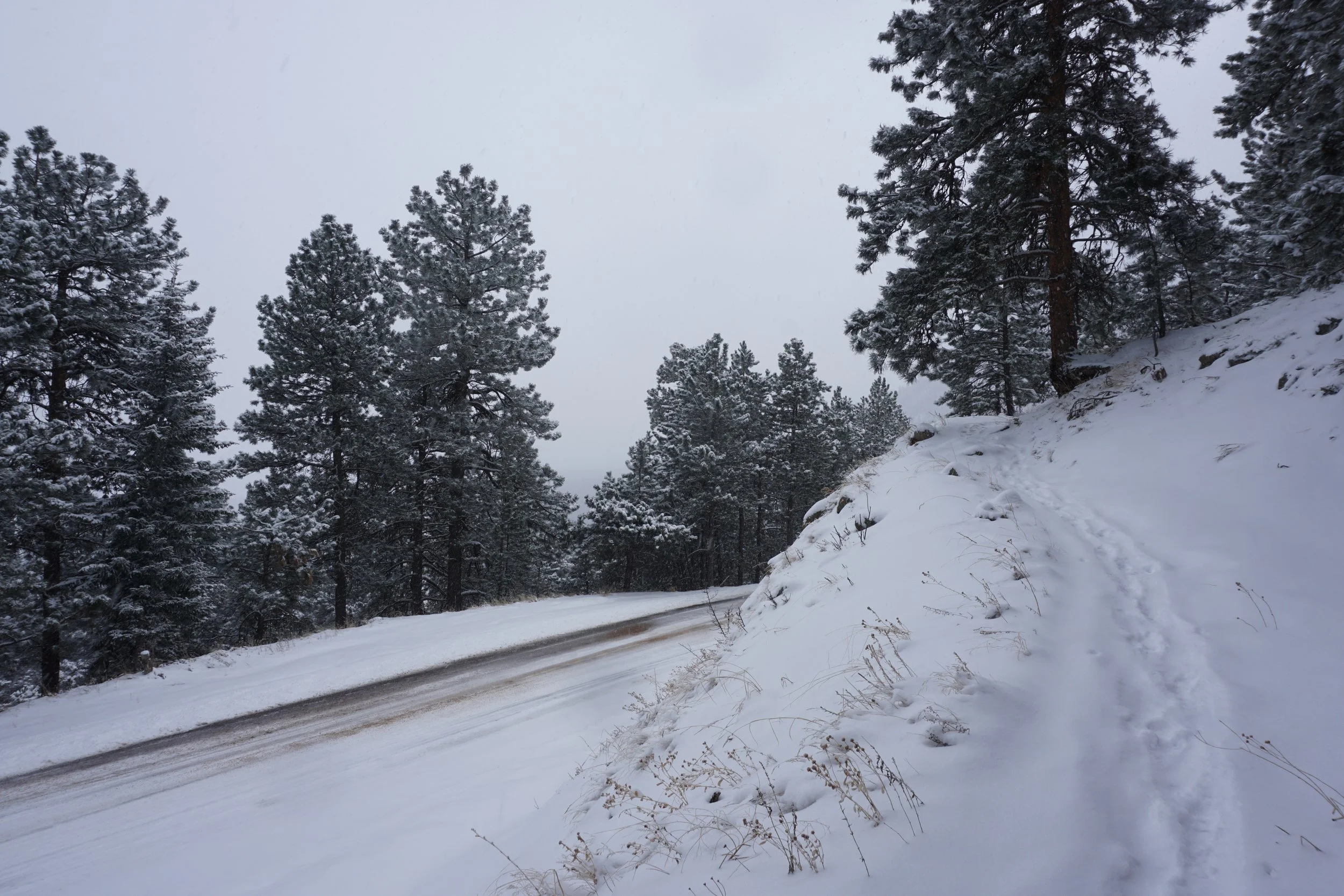
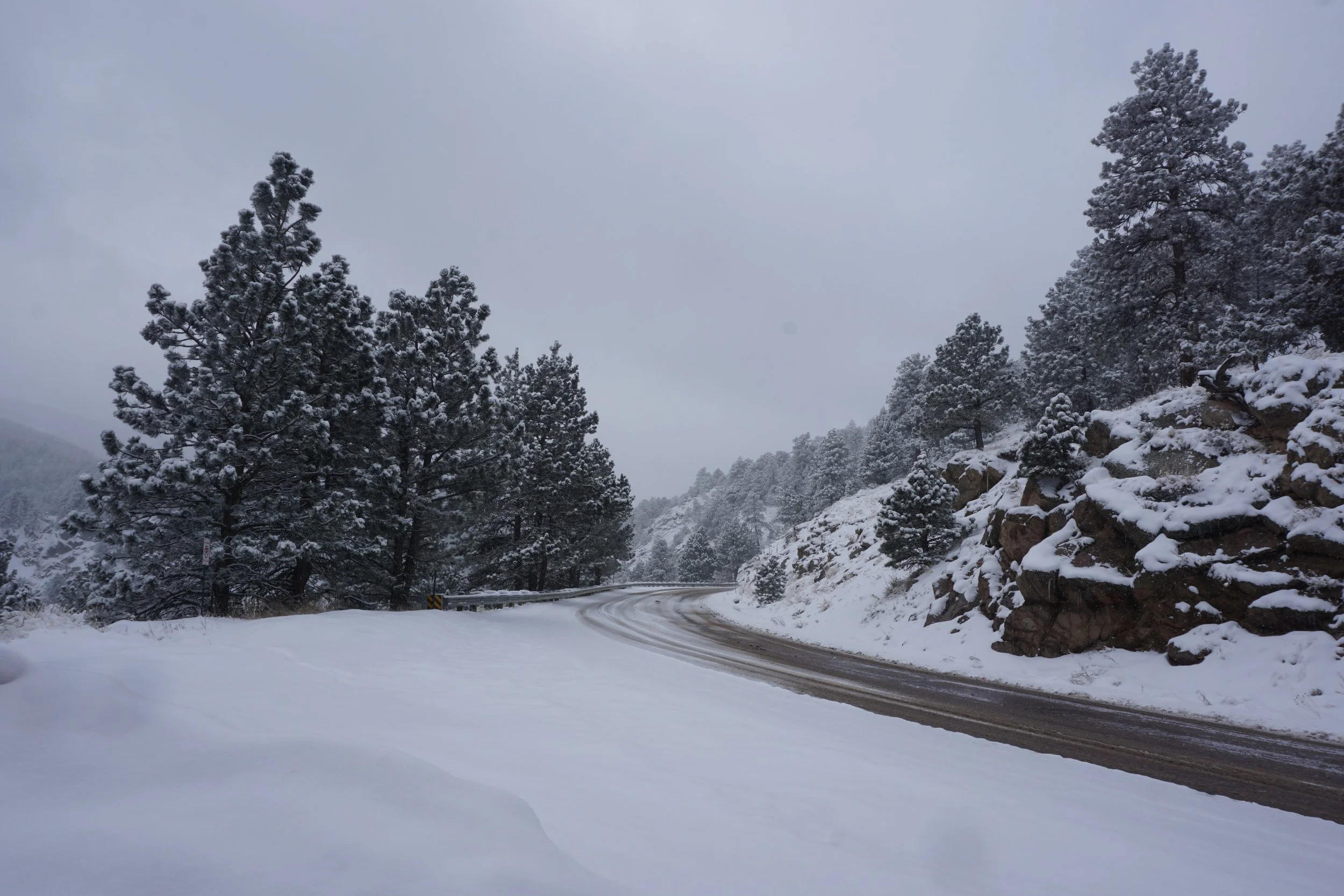
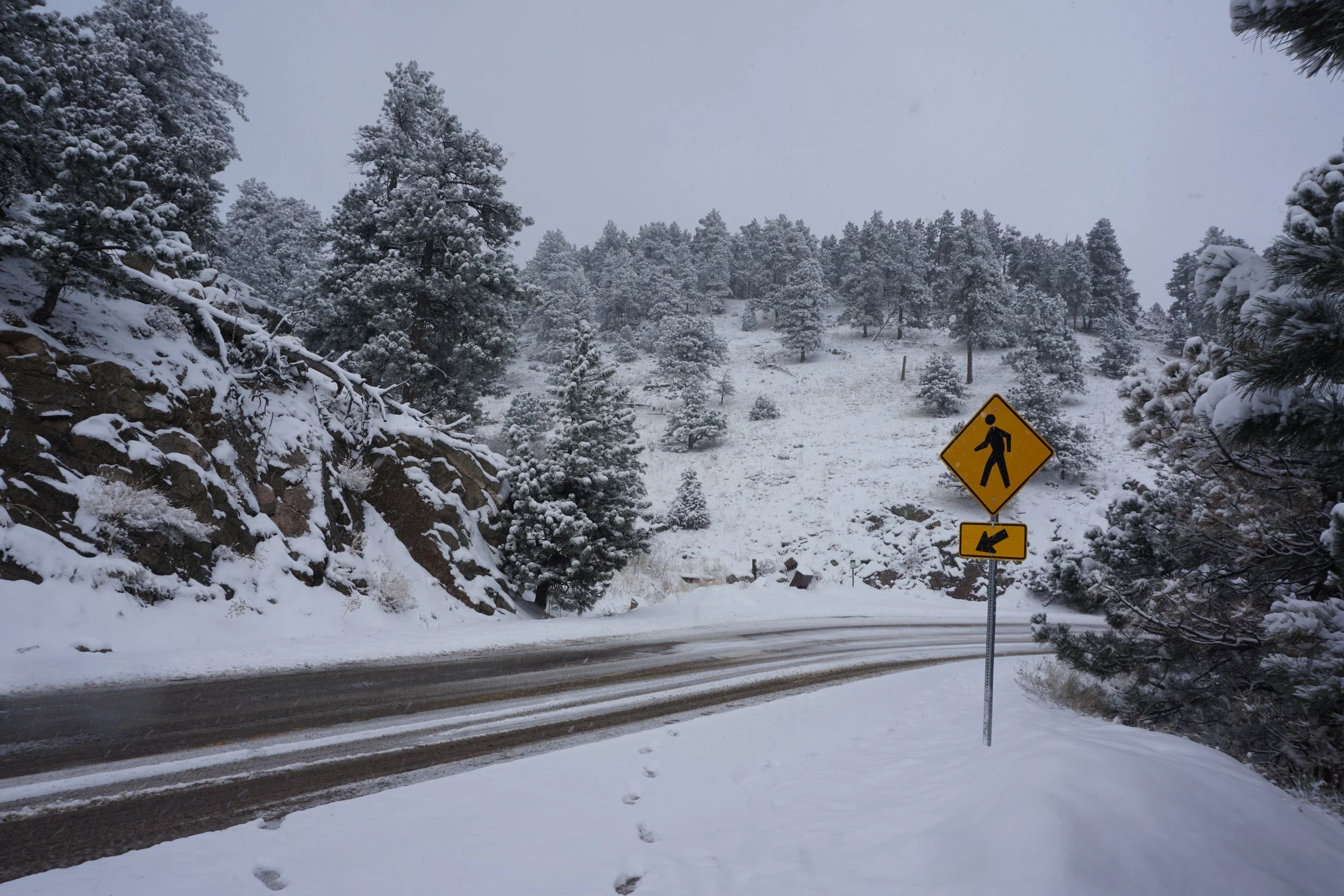
If you’ve ever driven up the Flagstaff Road then you’ve seen the Flagstaff Trail. This is the trail that intersects the road half a dozen times. In winter storm conditions, there are barely and cars on the road so the crossings are safer. The trail visits many interesting spots and viewpoints along the way and you can combine it with either the Plains Overlook Trail (as described here) or the various Flagstaff Summit trails for a longer hike. Either of these options adds a “summit loop” to your climb.
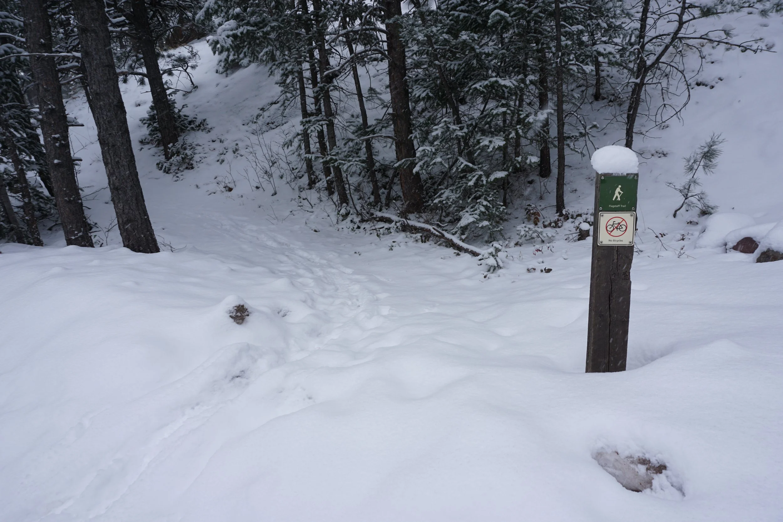
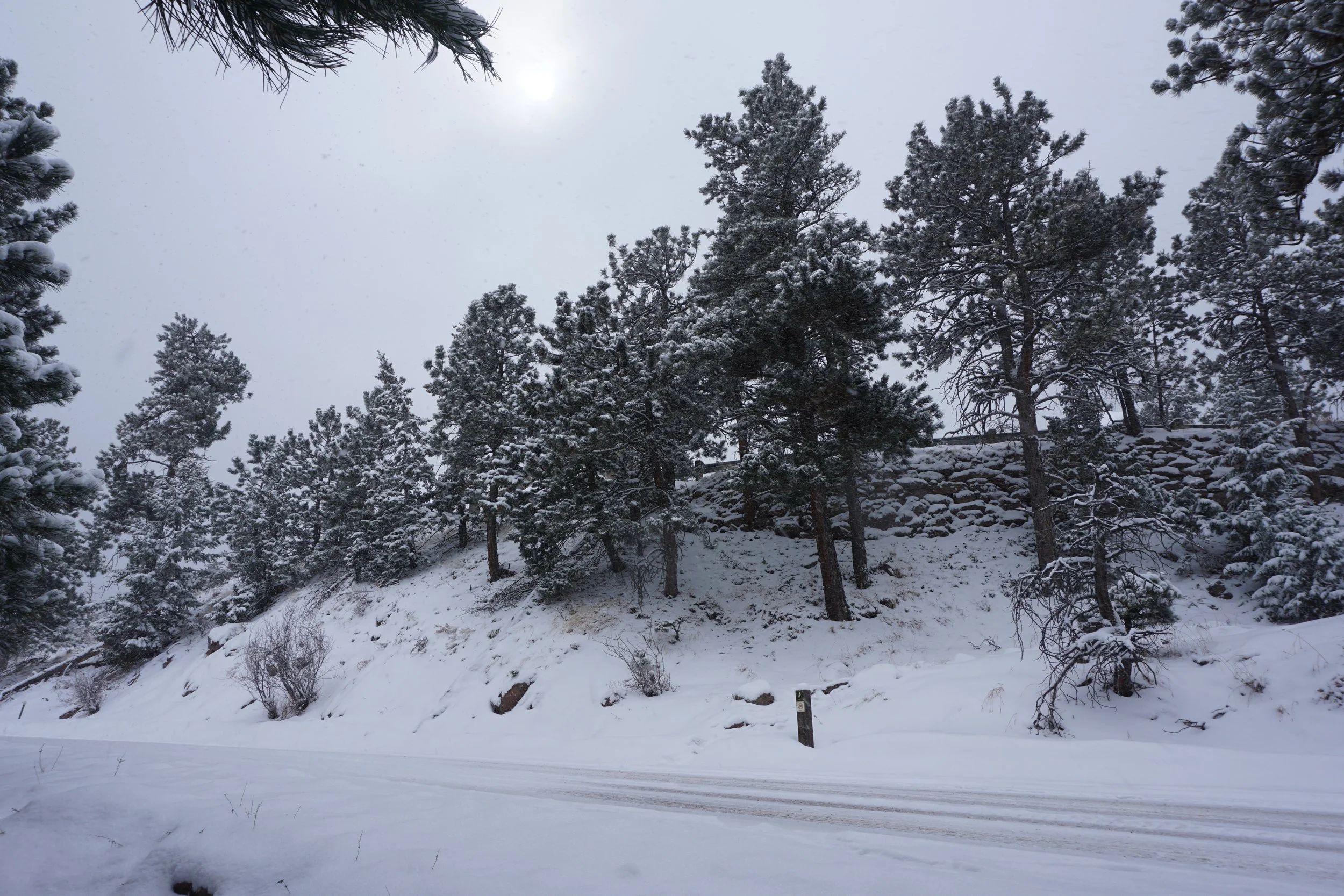
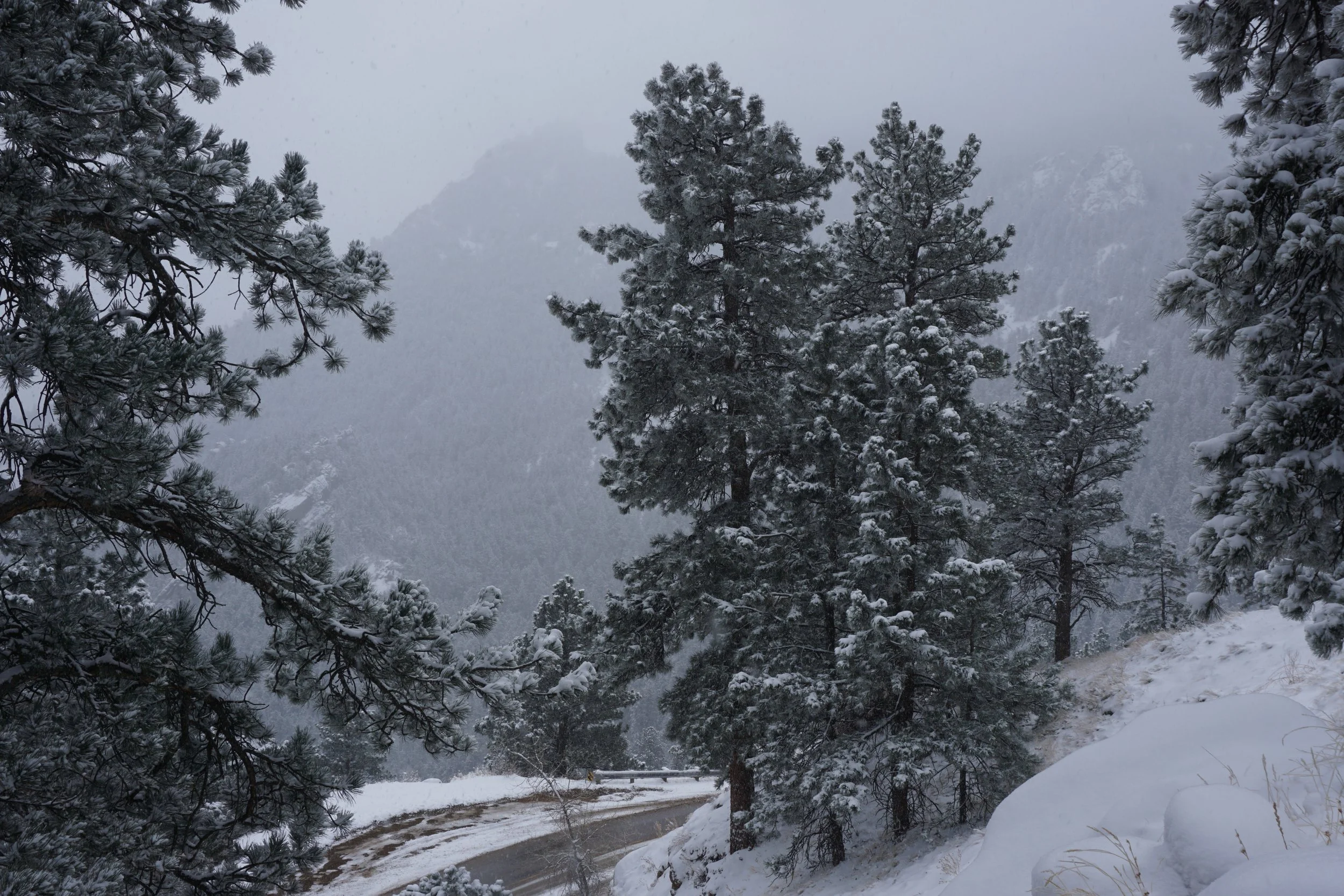
Ideally, this hike starts at the Flagstaff Trailhead which is located at the intersection of Flagstaff Road and Gregory Canyon Road. However, the parking here is minimal so you’ll probably park along Baseline Road (pay the parking fee) and hike the Baseline Trail to the Flagstaff Trailhead. Once on the Flagstaff Trail you’ll start to work your way up the eastern face of Flagstaff Mountain. Before you reach the first road crossing you’ll visit some large boulders and ridges with nice first views over Boulder. Cross the road and hike a small forested segment to the 2nd road crossing and another short segment to the 3rd road crossing.
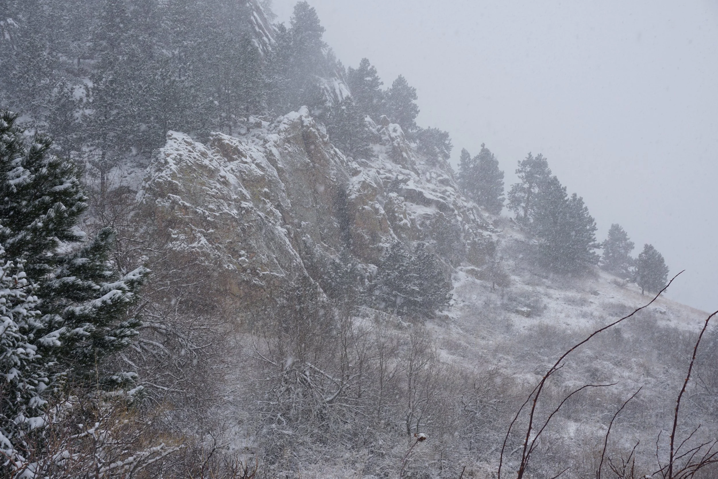
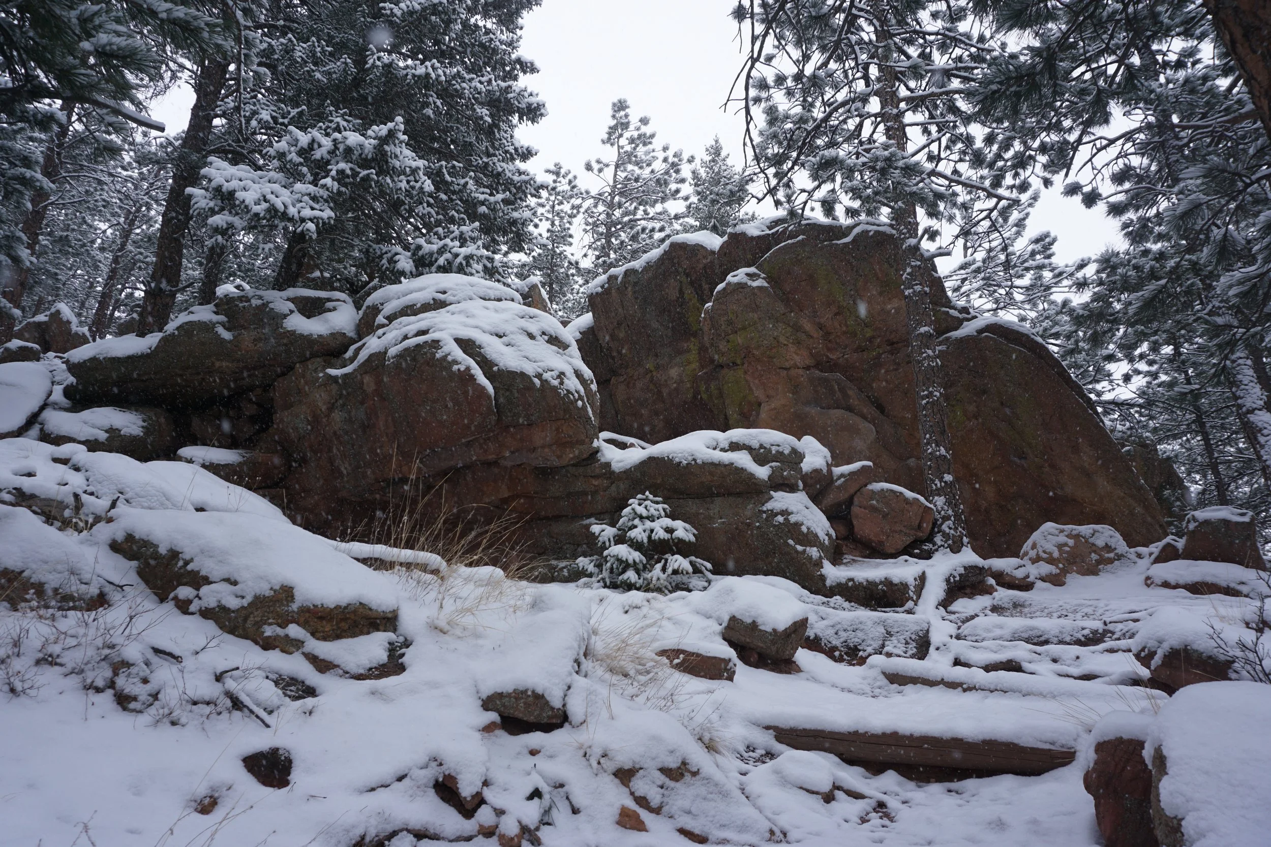
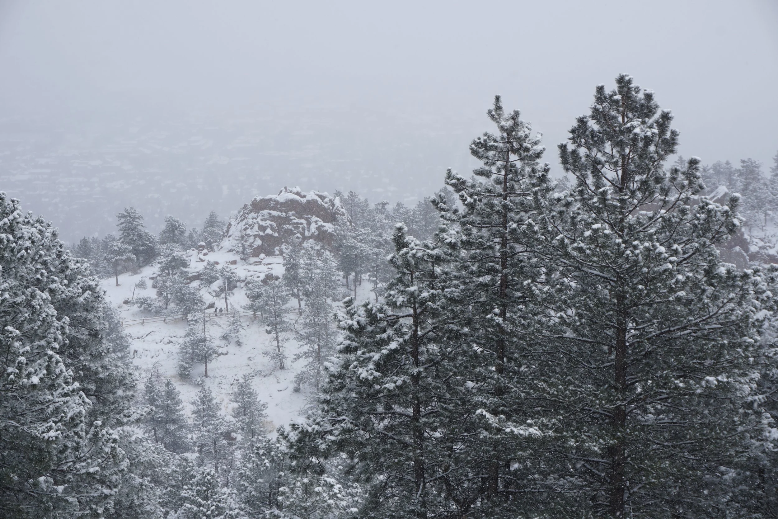
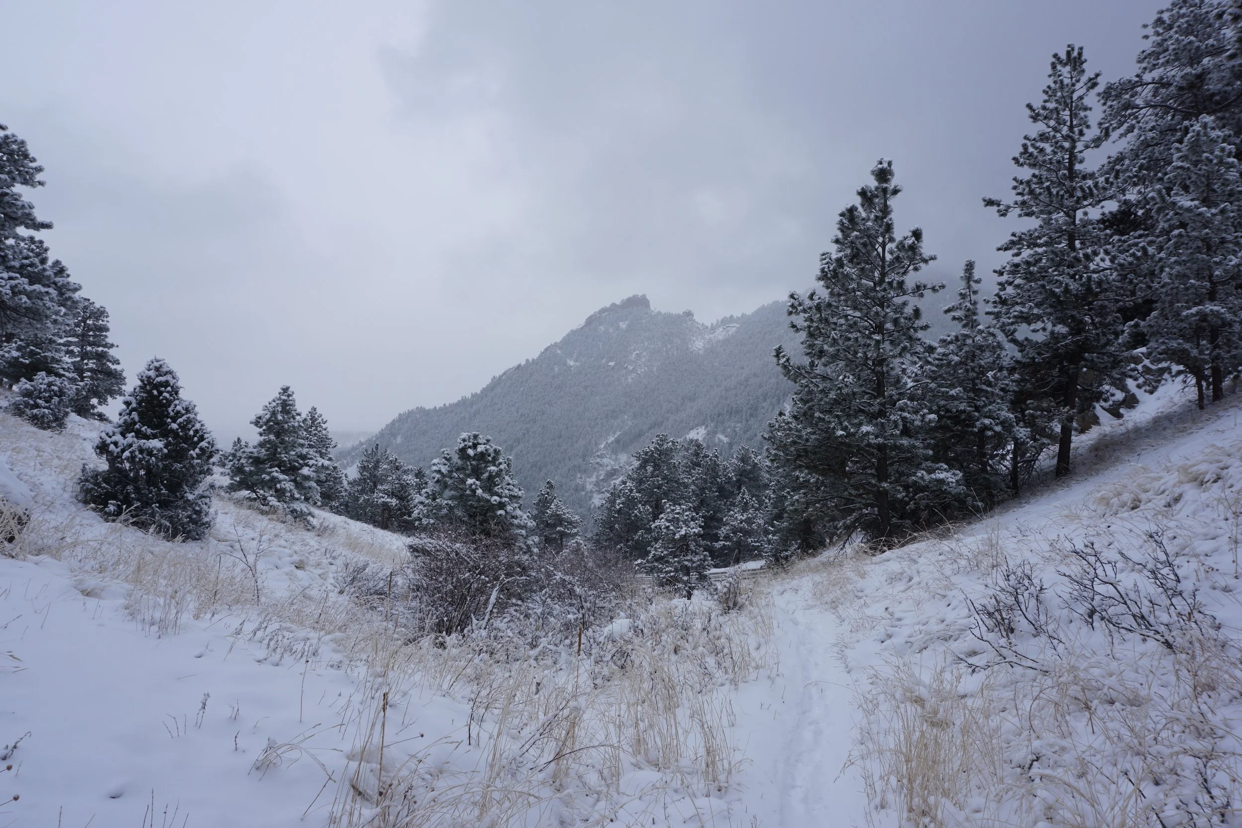
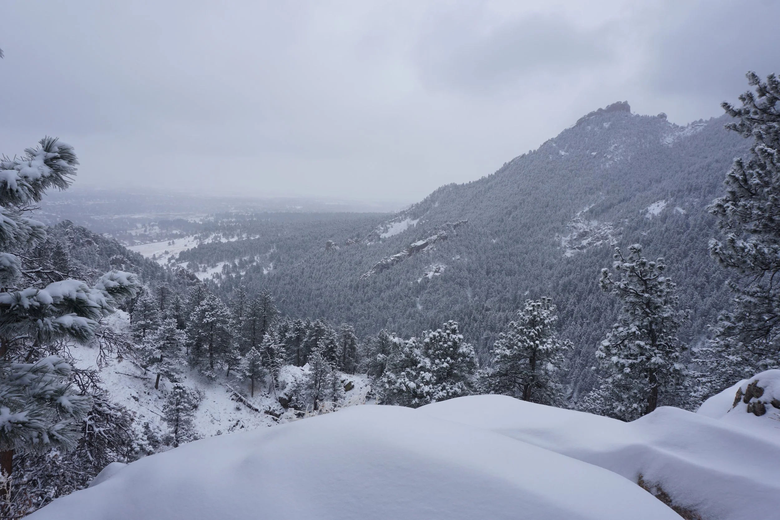
Just after the 3rd crossing, you’ll see the trailhead for Crown Rock where there is a small trail loop and some rocks to climb on, though maybe not in the winter… Continue up and you’ll reach a climbers access area. This is the perfect time to explore the boulders and rock formations without having to disturb the climbers. Return to the trail and cross the road a fourth time. This next section of trail is very pretty with great views of Green Mountain. Just before the fifth and final road crossing is the Baseline Viewpoint which is not to be missed.
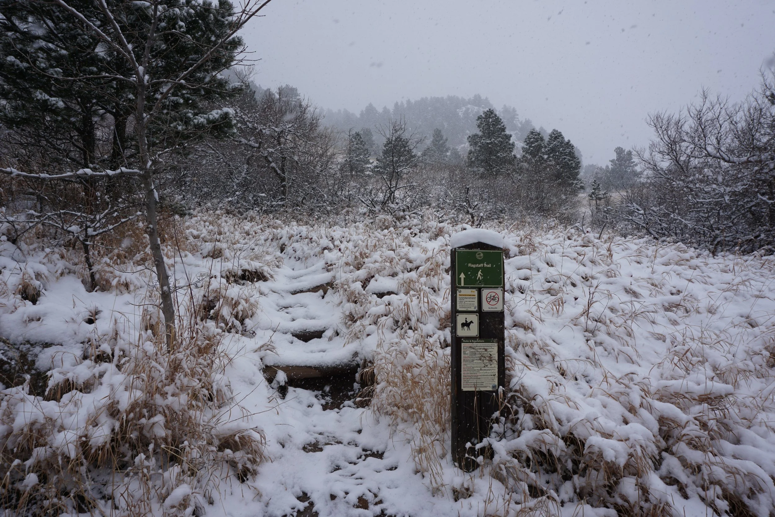
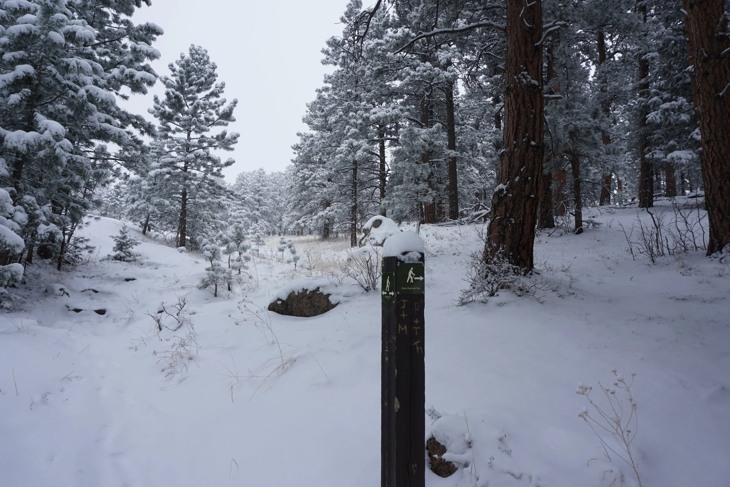
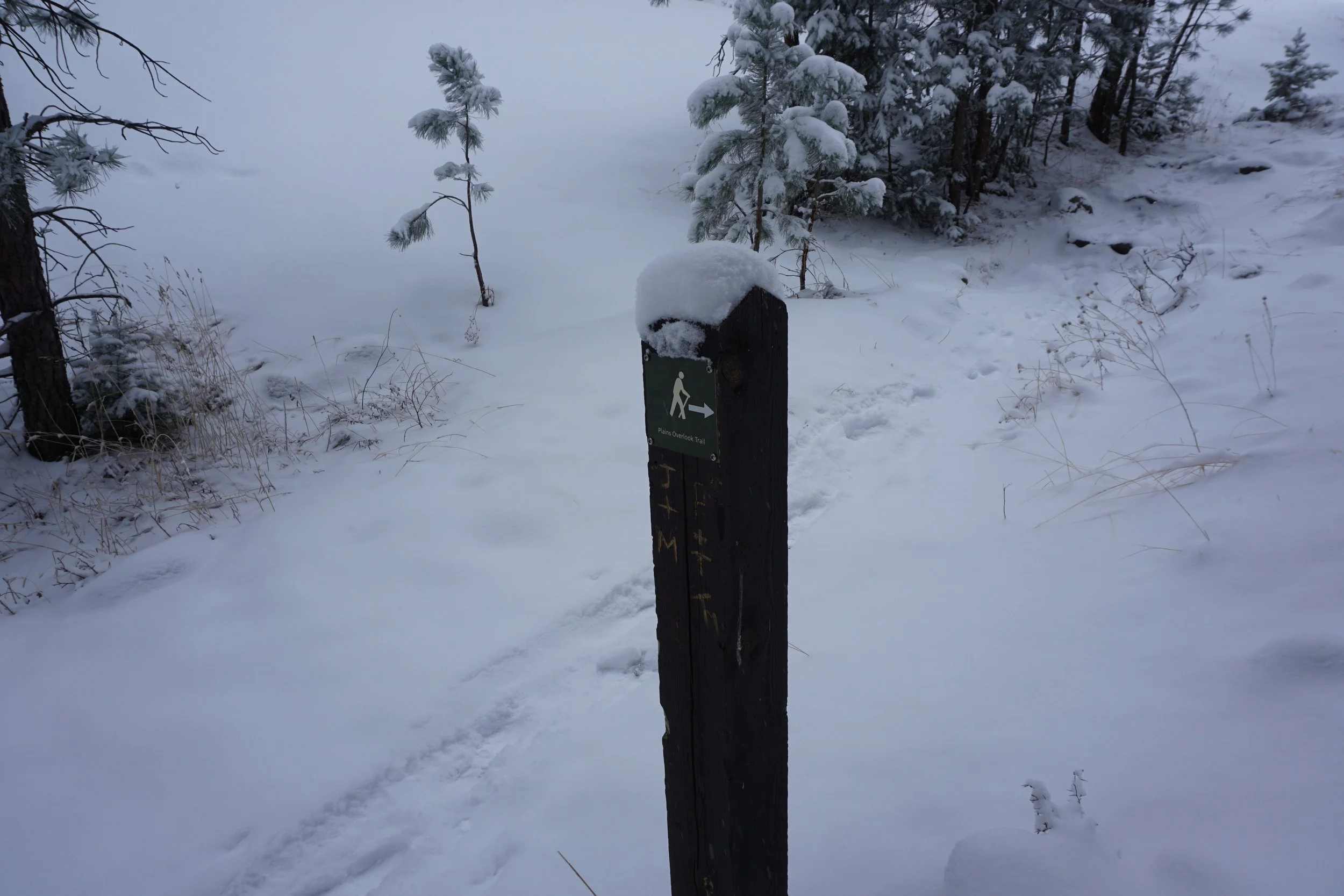
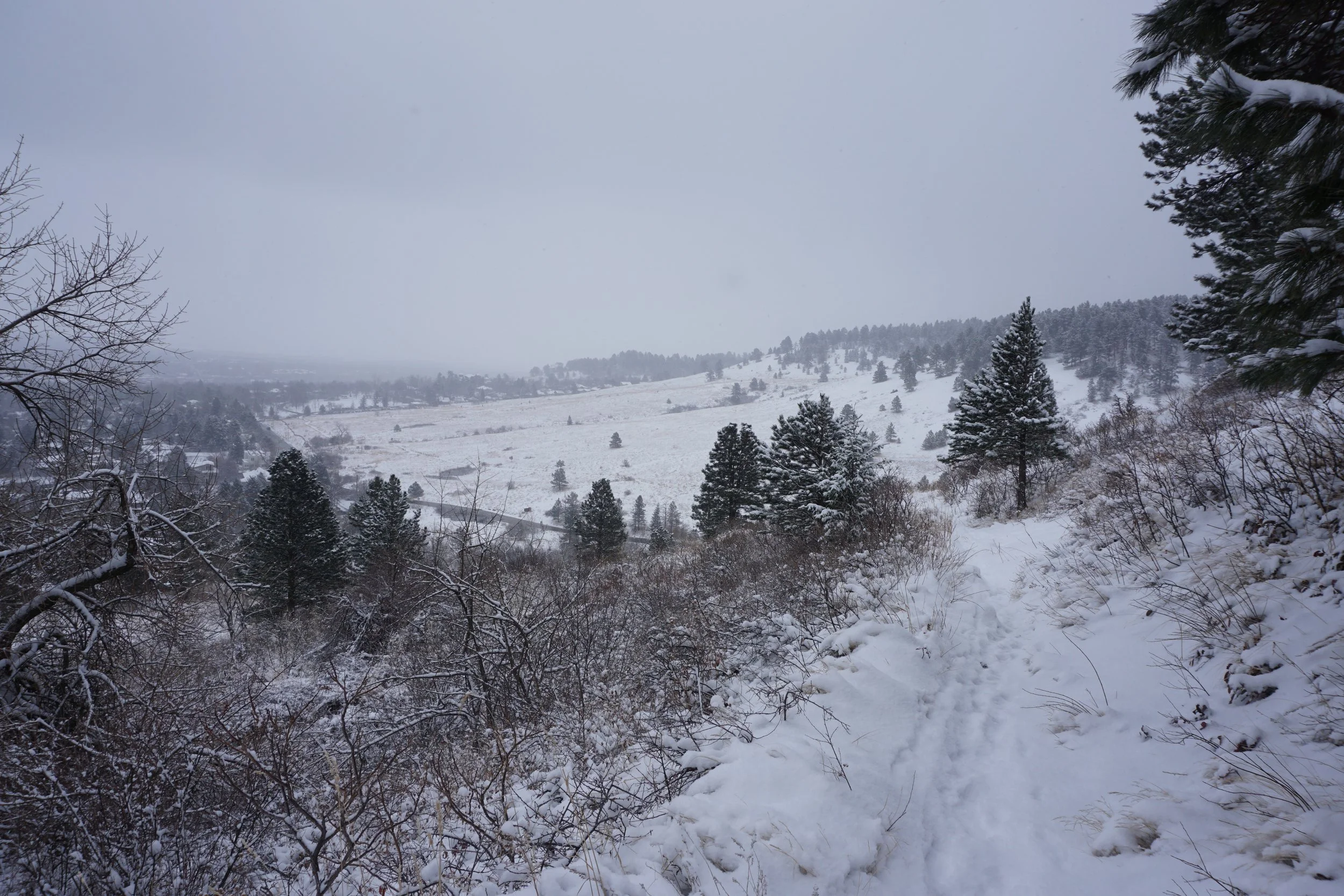
Cross the road and head up a gulch towards the Flagstaff Summit area. Before you reach the Flagstaff Summit Road, keep an eye to the left for the Plains Overlook Trail loop. I recommend passing the first trail marker and turning at the second one. The trail heads off into the woods and reaches a nice viewpoint of the plains north and east of Boulder before looping back to the Flagstaff Trail. You’ve just completed your “summit loop” and can head back down the way you came.
This route gives you just about a 3.8 mi (RT) hike with 1,100 ft of elevation gain, not too bad in the winter when the hiking is more difficult that normally. If you want a longer option hike to either Artists Point or Mays Point for another mile to a mile and a half respectively.
Enjoy the cold, enjoy the snow, enjoy the solitude…