Fall River Reservoir
Arapaho National Forest
Date Hiked: November 3, 2025
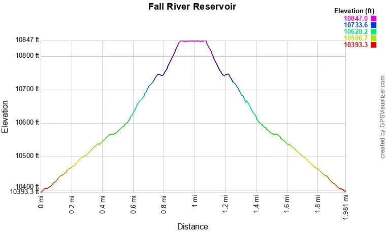
Distance: 2 mi (RT)
Elevation Gain: 450 ft
Elevation Min/Max: 10,393 to 10,847 ft
Trailhead Lat/Long: 105.679°W 39.816482°N
Managing Agency: U.S. Forest Service
Fee: None
DIRECTIONS:
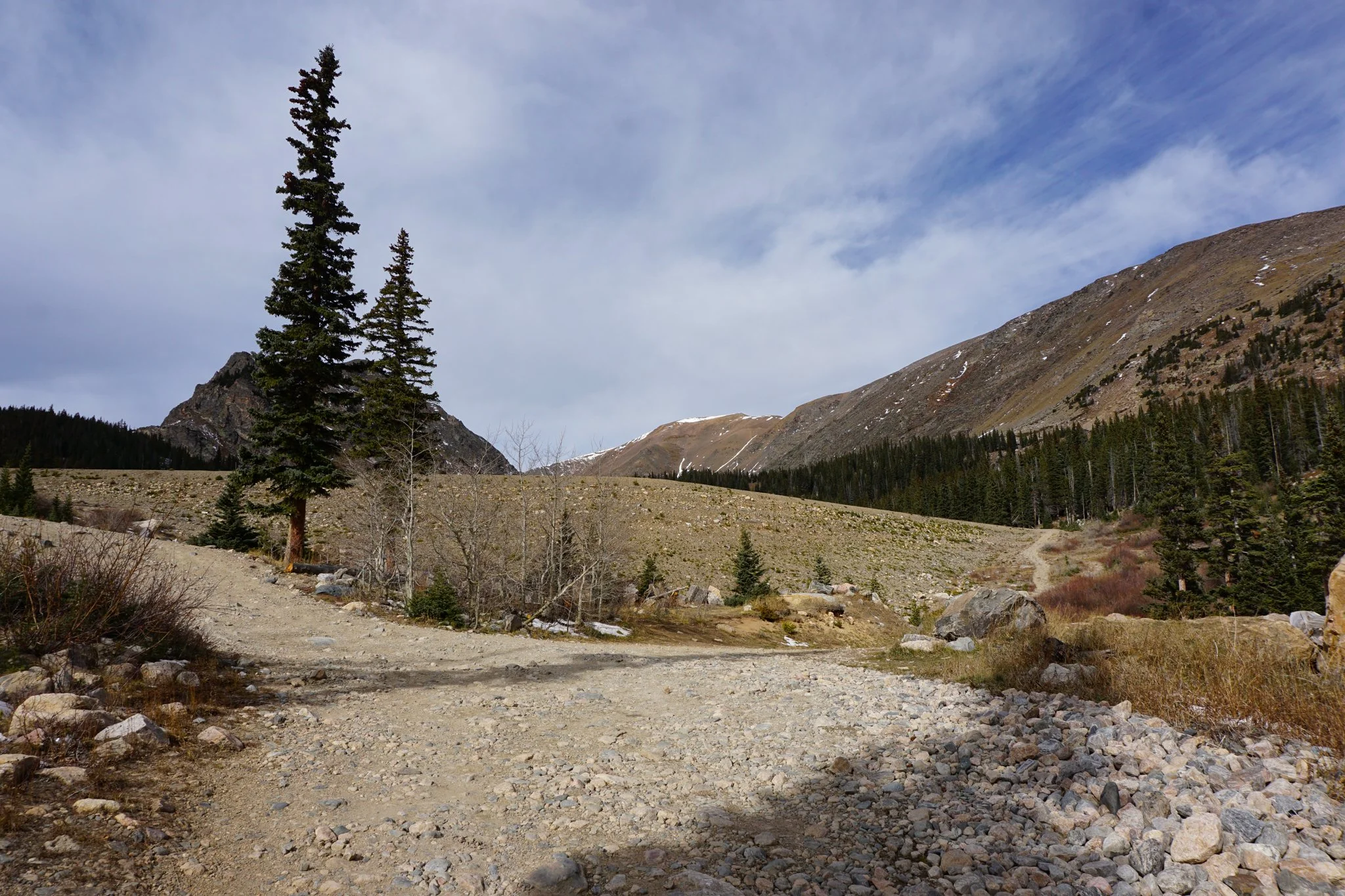
From I-70 just west of Idaho Springs, take the Fall River Road exit towards St. Marys/Alice. Take Fall River Road for 6.6 miles to a hairpin turn. At the turn, there is a narrow dirt road that heads west towards to the mountains, this is where things get interesting. This road is narrow but generally in pretty good shape. You will certainly need an SUV for this road and the higher clearance the better. In winter this road is packed snow for the first few miles. The road passes through private property and nice mountain houses. For the first 2.3 miles along the road there is no parking, and there are some rough spots. After 2.3 miles, you’ll reach a fork in the road. The left fork leads to Chinn’s Lake, the right fork leads to Fall River Reservoir. This is where you should try to find a pull out to park but be sure not to block the road. The road from here to the reservoir has some dicey sections so SUV’s should park here and hike in.
HIKE DESCRIPTION:
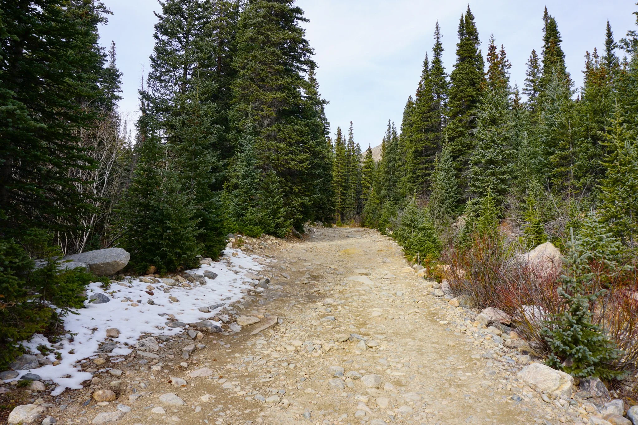
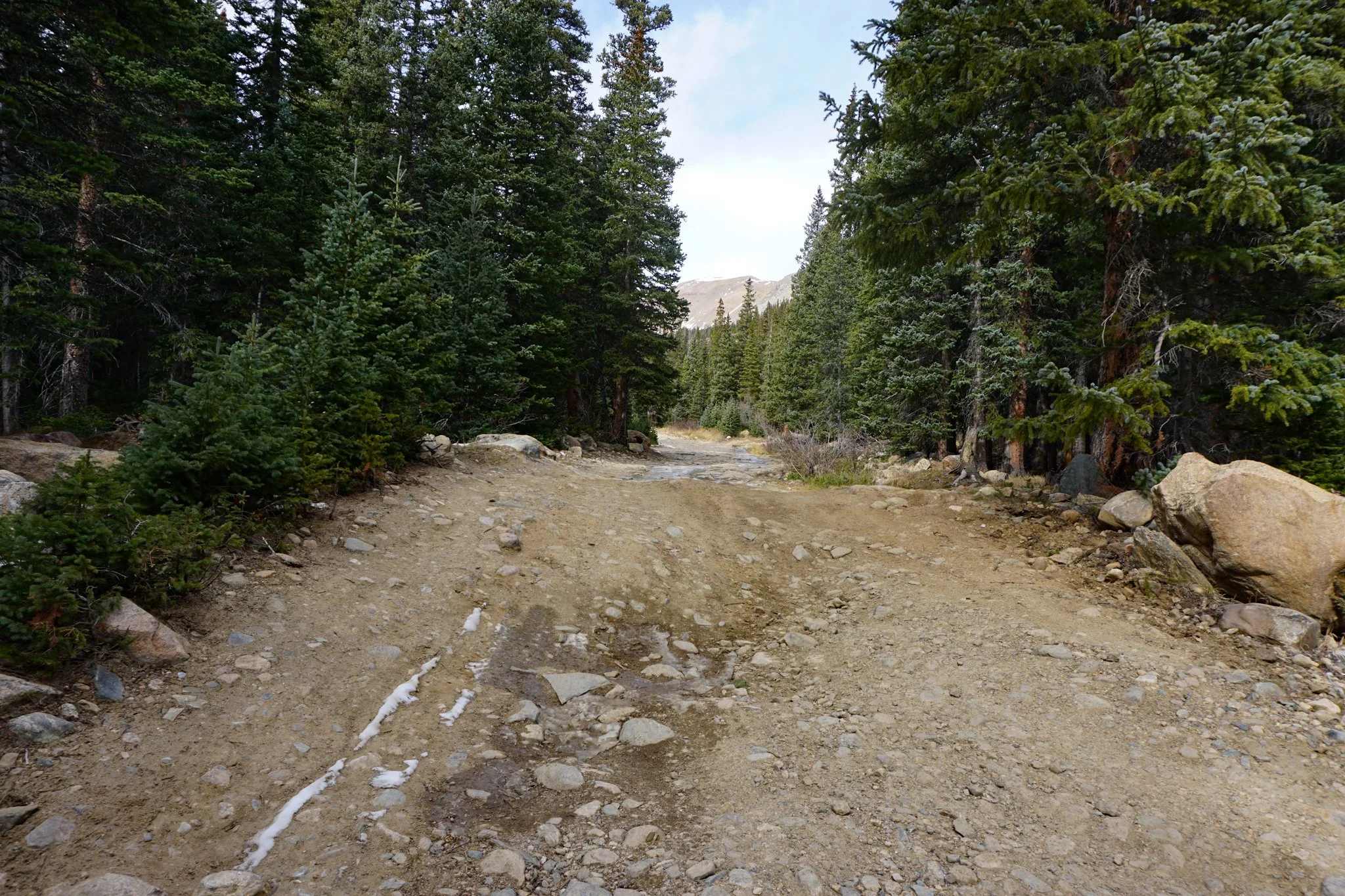
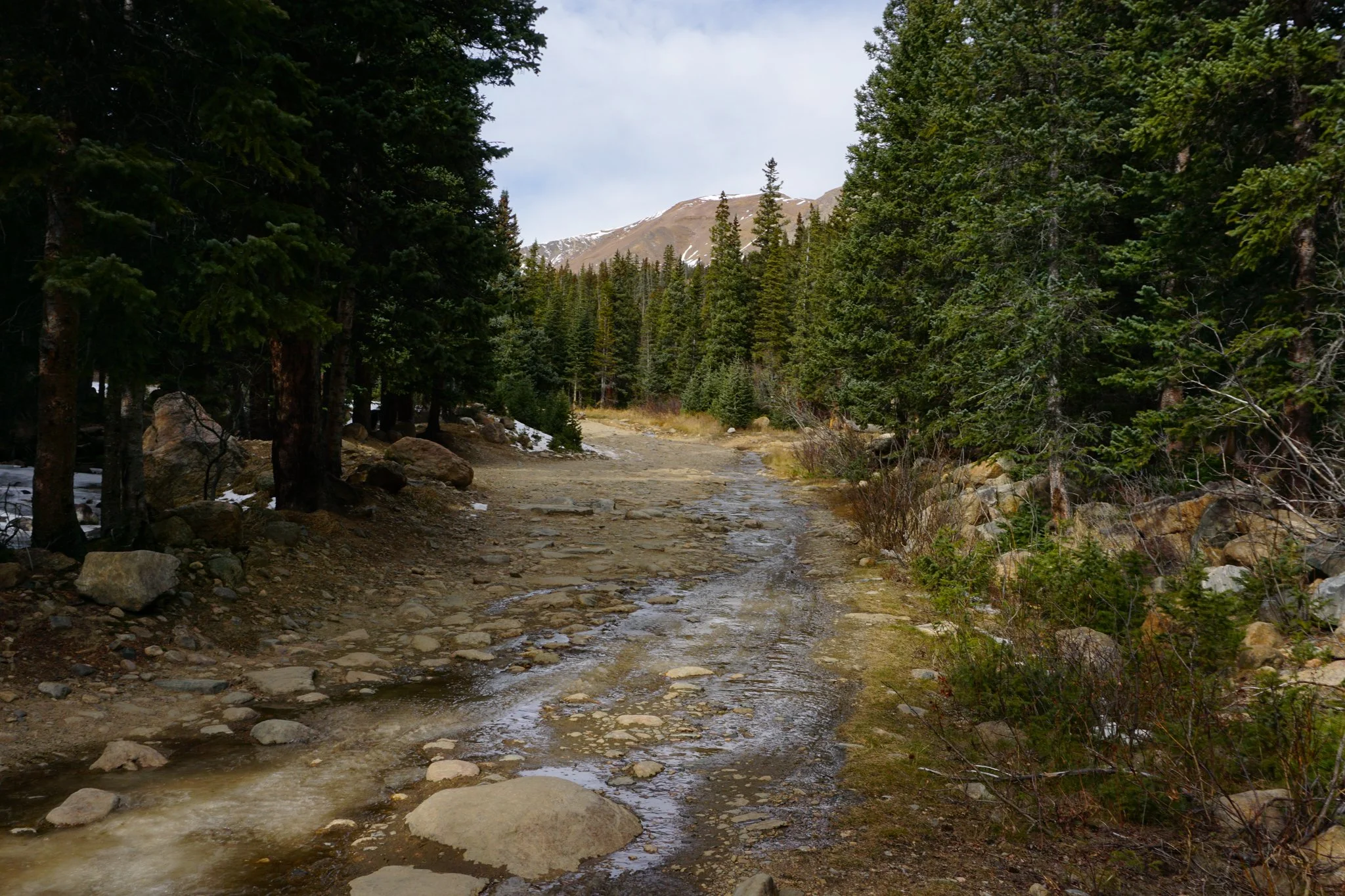
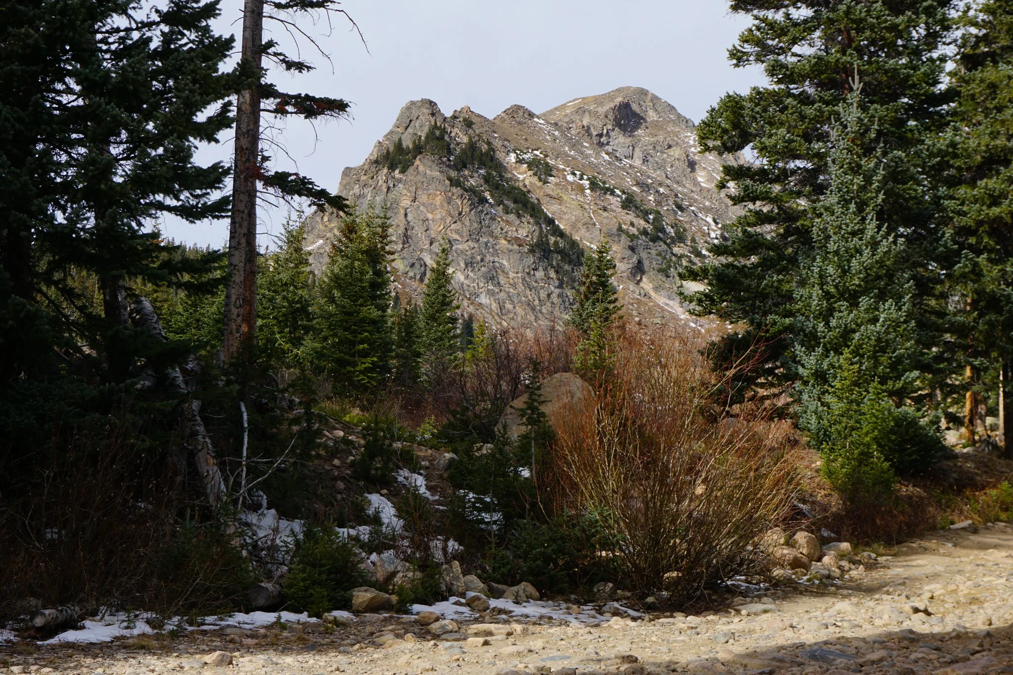
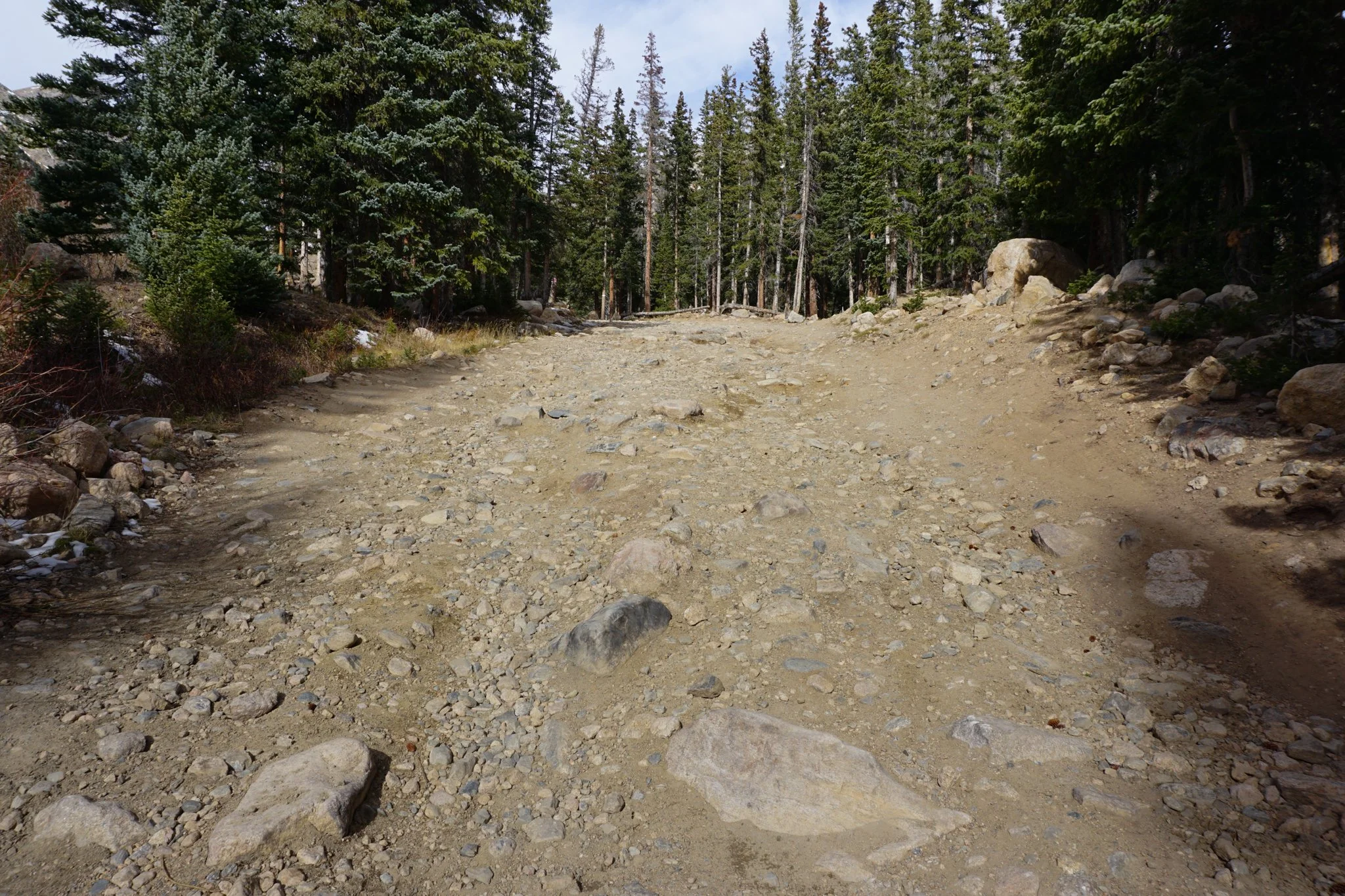
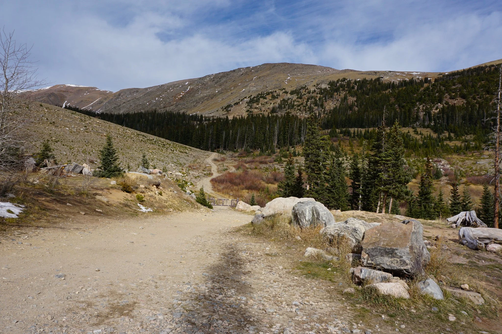
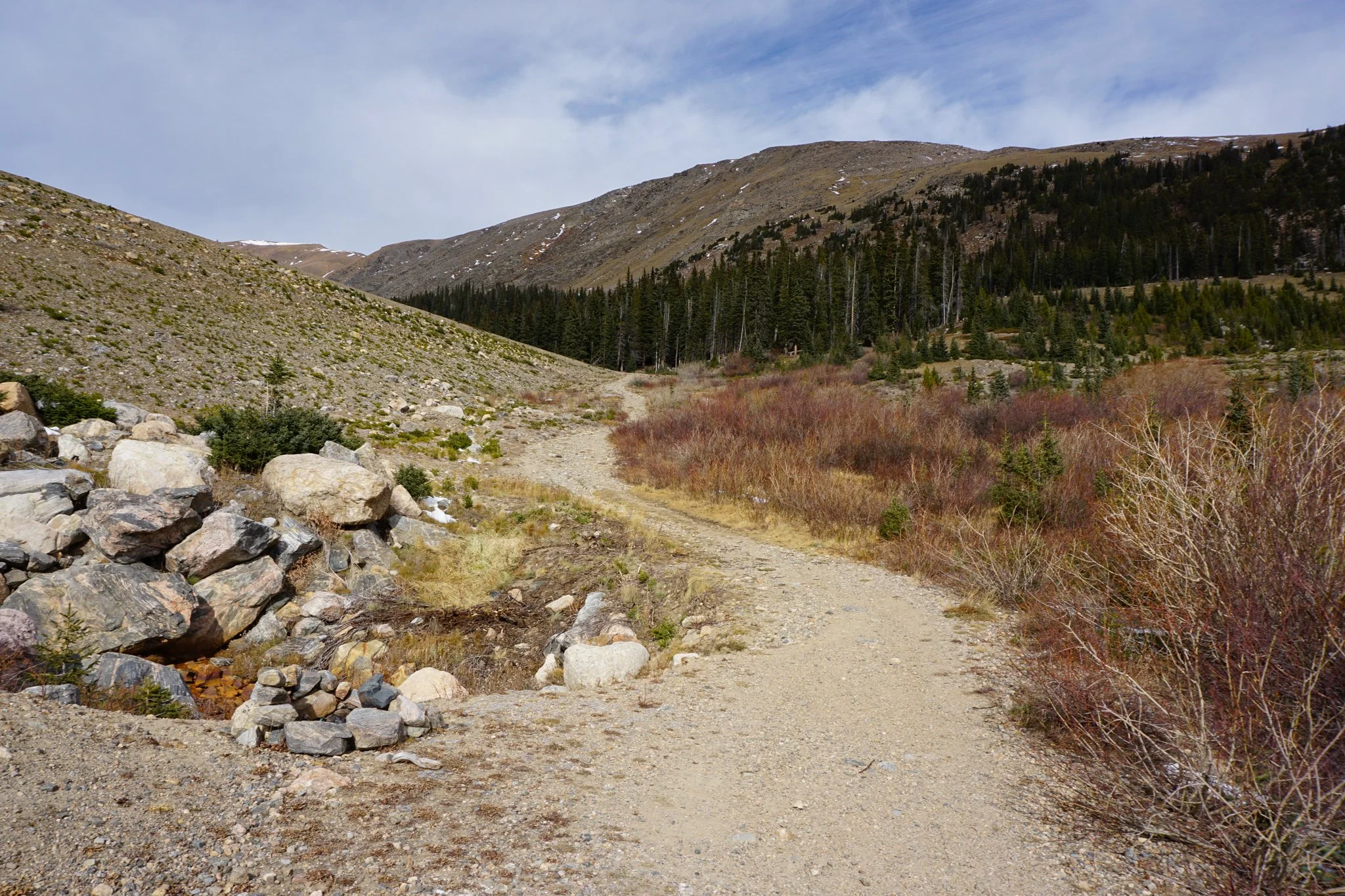
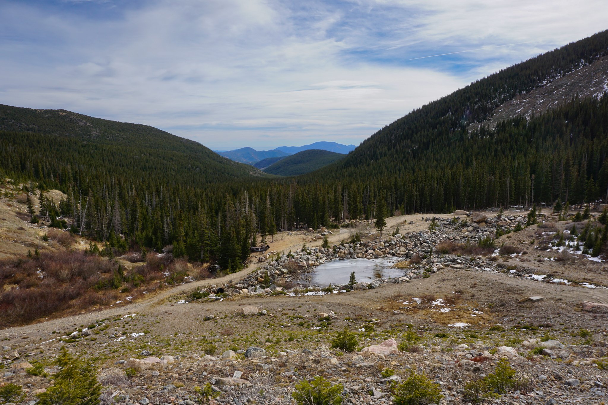
Fall River Reservoir is one in a series of lakes perched up against the 13ers of the James Peak Wilderness, along with Loch Lomond and St. Mary’s Lake. Getting to Fall River Reservoir can be a hike, but it also can also be driven to, depending on the seasonal conditions and the ability of your vehicle. The hike follows a narrow, rocky, dirt road - high clearance 4x4s, Jeeps, ATVs, and side-by-sides will have no problem driving to the lake in the summer. The rest of the year, and for those of us with SUVs, cars, and feet…it’s a nice hike.
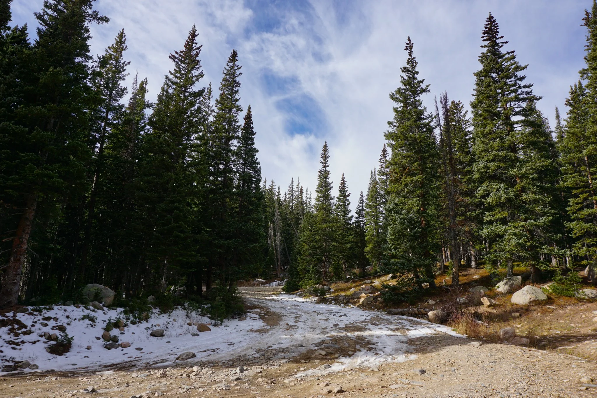
The trail description starts from the fork in the road, left heading to Chinn’s Lake, right leading to Fall River Reservoir. Getting to this fork is tricky in and of itself. You need a decent SUV to get there, Subaru’s should be fine. But there is also not much in the way of parking, some spots along the side of the road, but not much. You can’t park at the start of the dirt road either due to private property. A few things need to align in order for you to hike this trail. I tried in the winter once and the road getting to the fork was ok, but the snow at the Fork was too deep, we temporarily got stuck, and turned around.
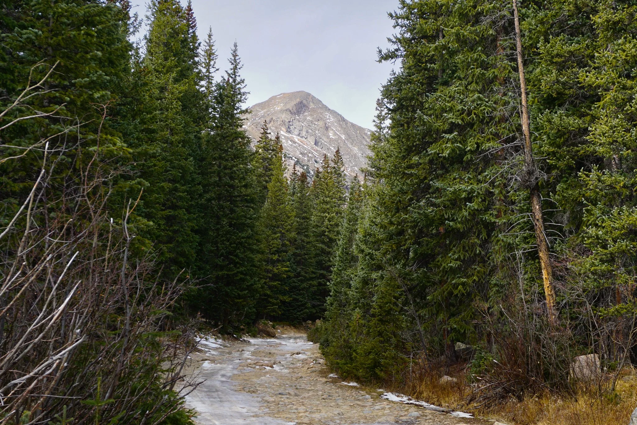
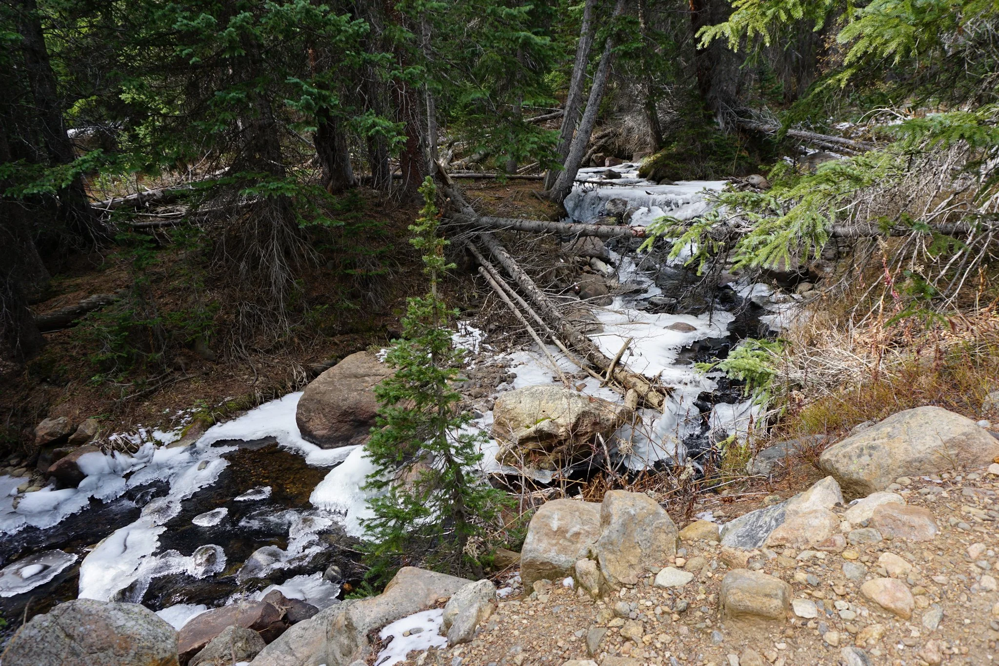
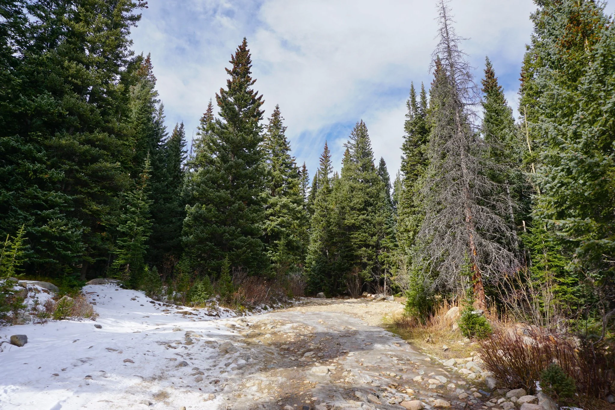
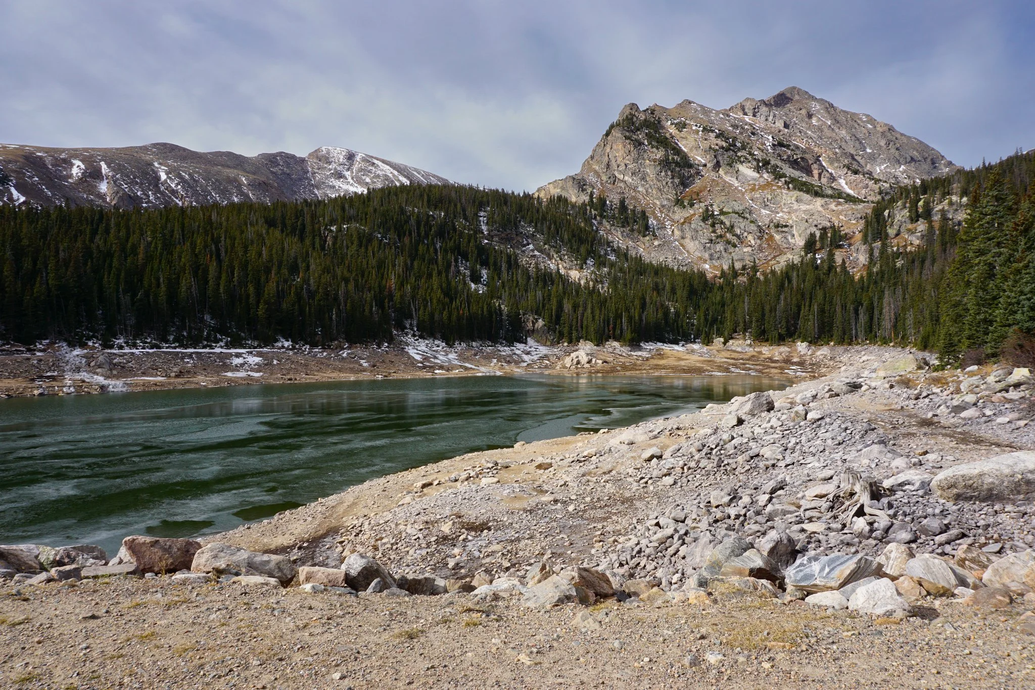
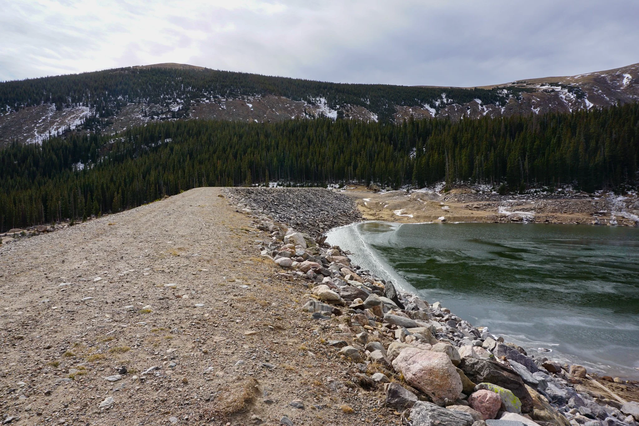
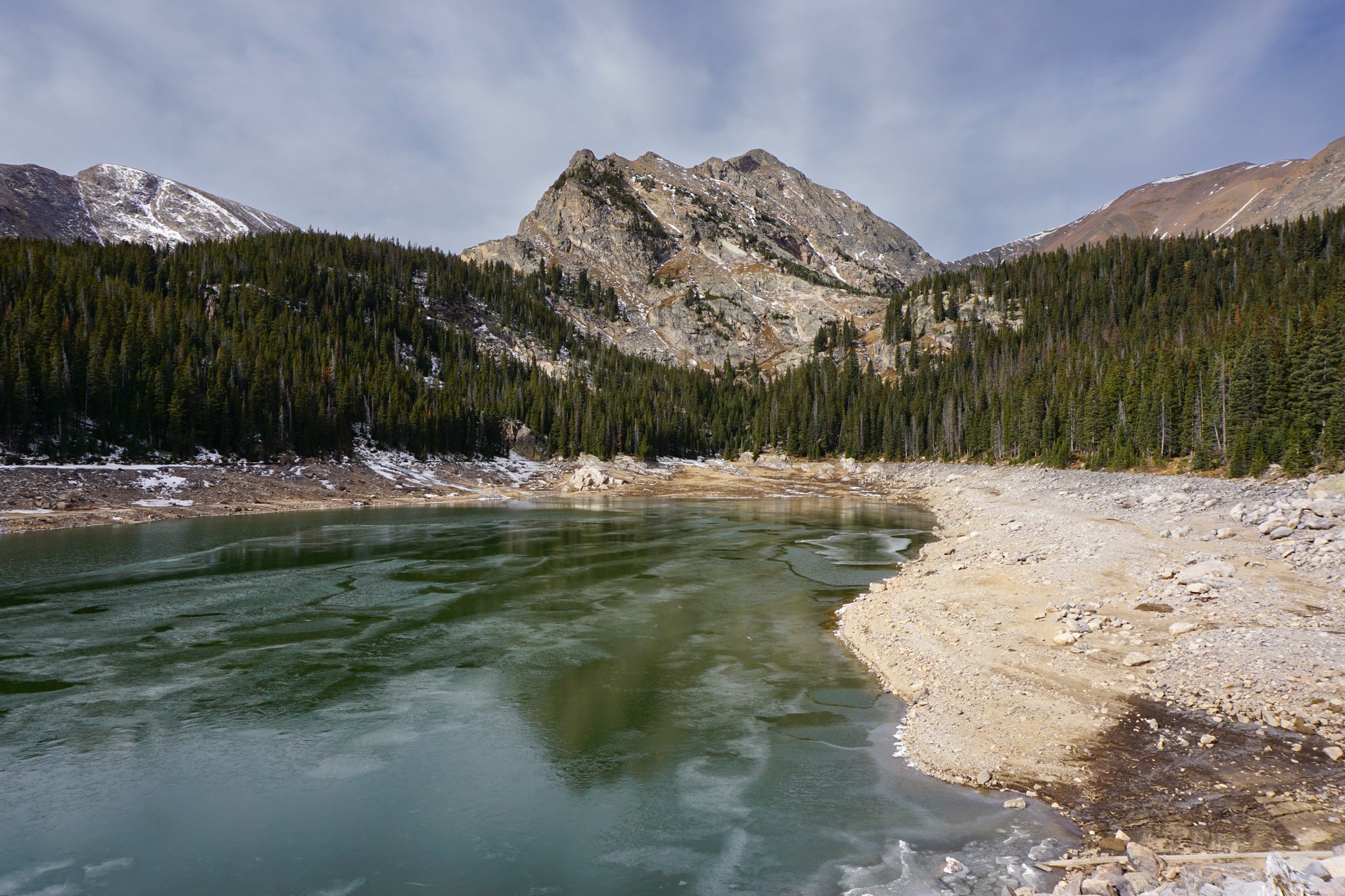
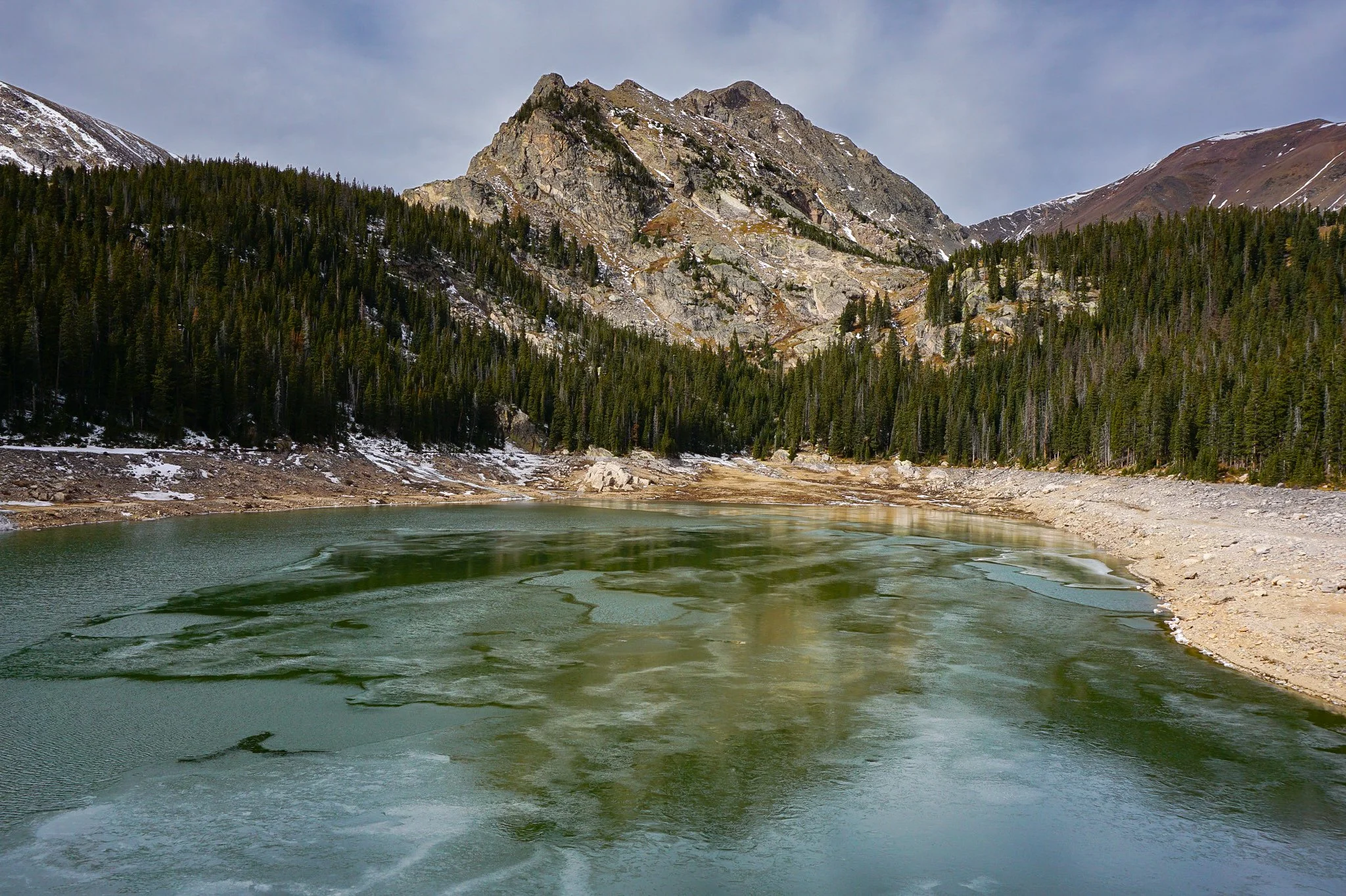
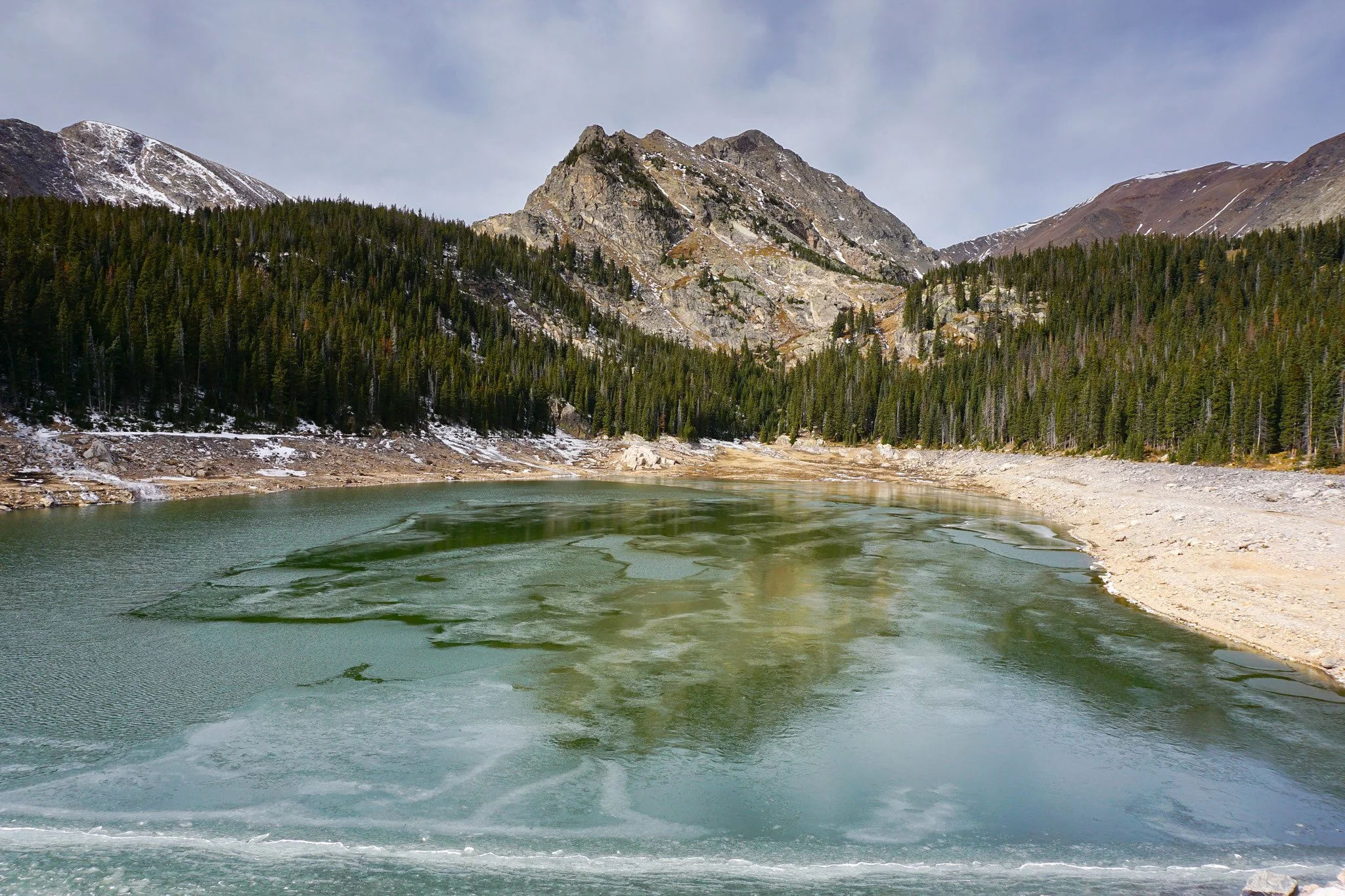
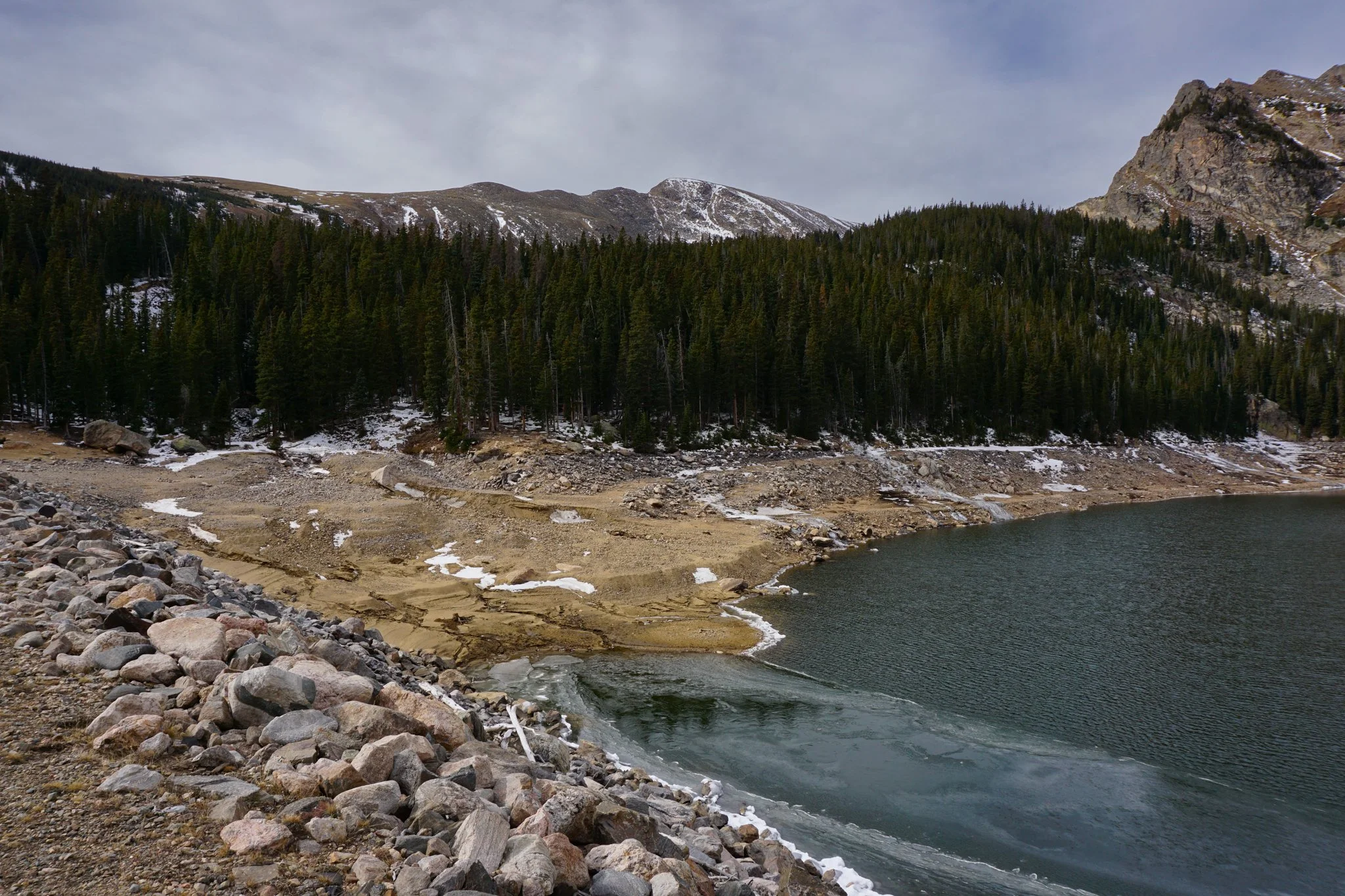
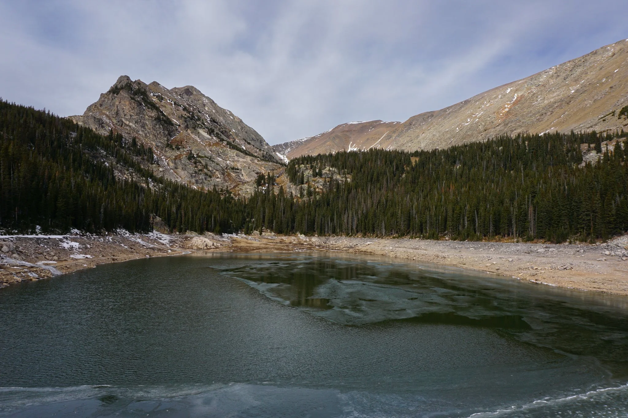
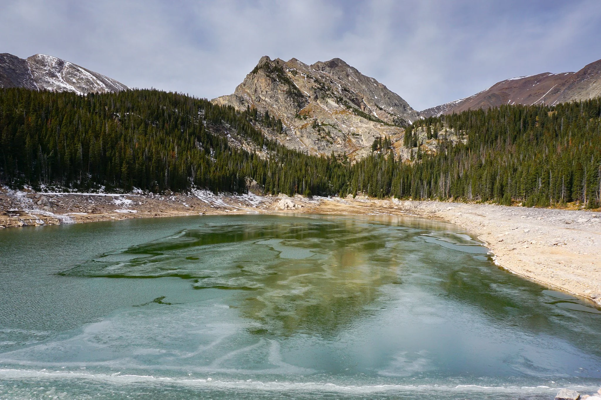
If you make it to the fork, and find a place to park…follow the trail for 1 mile to the reservoir, not much to it. The road is completely in the pine forest until you reach the reservoir. At the reservoir, climb a short but steep slope to the northeast corner of the reservoir. You can walk along the reservoir dam for some nice views or find a rock to relax on. Given the logistical difficulties of this trail, it hardly seems worth the effort…but…the reservoir is stunning. Mount Eva (13,130 ft) towers in the background and is an impressive sight. Parry Peak, Mount Bancroft, and Witter Peak (all within the James Peak Wilderness) also dominate the landscape and make for a dramatic scene.
If you can make it to the fork in the road, or find somewhere else to park and access the road, this hike can be a relatively short and easy approach to a beautiful and satisfying alpine reservoir. It might take you a few tries to get there, but it’s worth it once you do.