Emerald Meadows > Lupine Loop
Emerald Mountain Park
Date Hiked: October 3, 2026
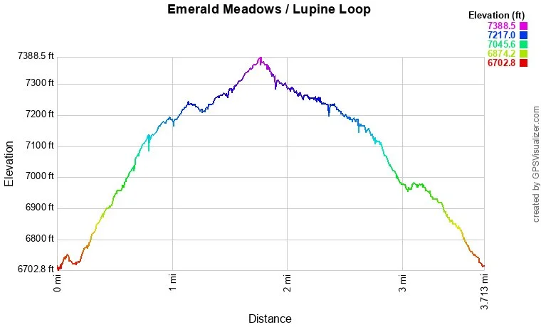
Distance: 3.6 mi (RT)
Elevation Gain: 637 ft
Elevation Min/Max: 6,725 to 7,367 ft
Trailhead Lat/Long: 40.48176, -106.83316
Managing Agency: City of Steamboat Springs
Fee: Parking Fee
Directions:
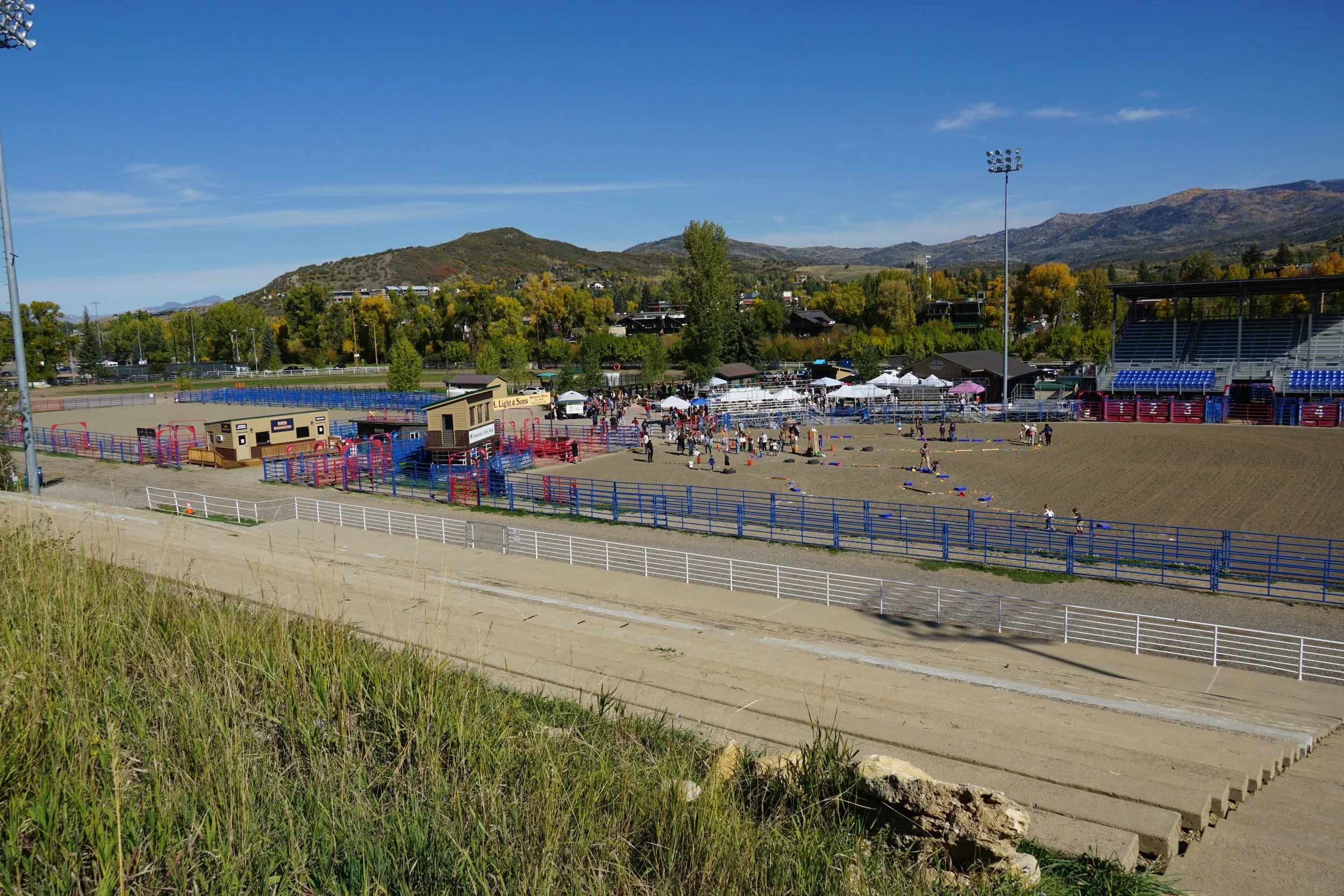
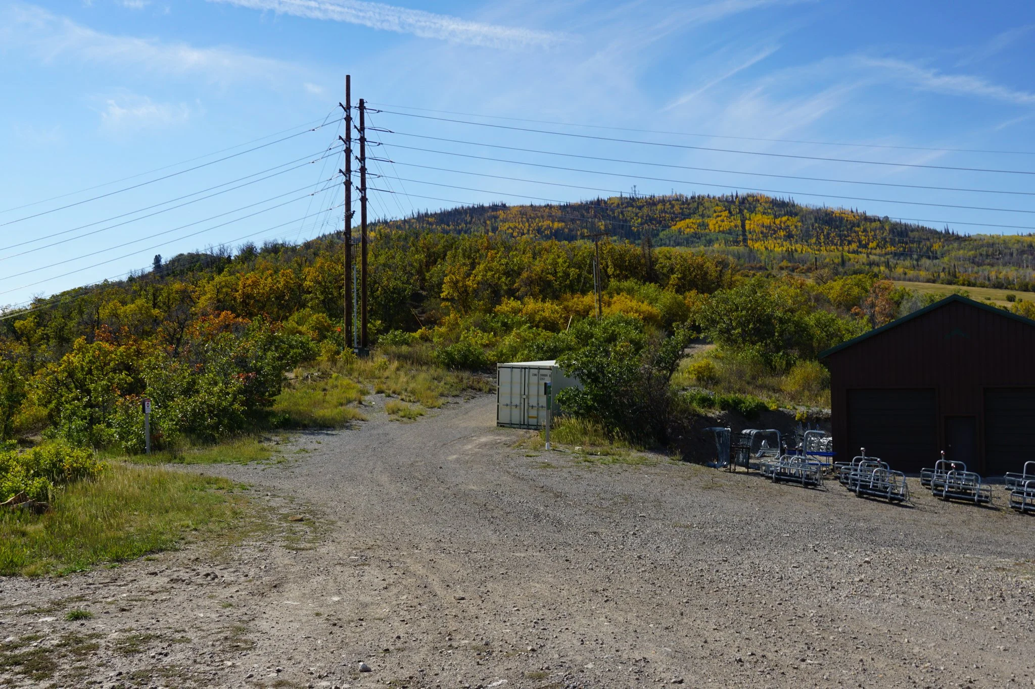
From Highway 40 in Steamboat Springs, turn south on 5th Street. Cross the Yampa River and enter Emerald Mountain Park. There is a large parking lot. The Trailhead is behind and to the right of the stables and rodeo grounds.
Hike Description:
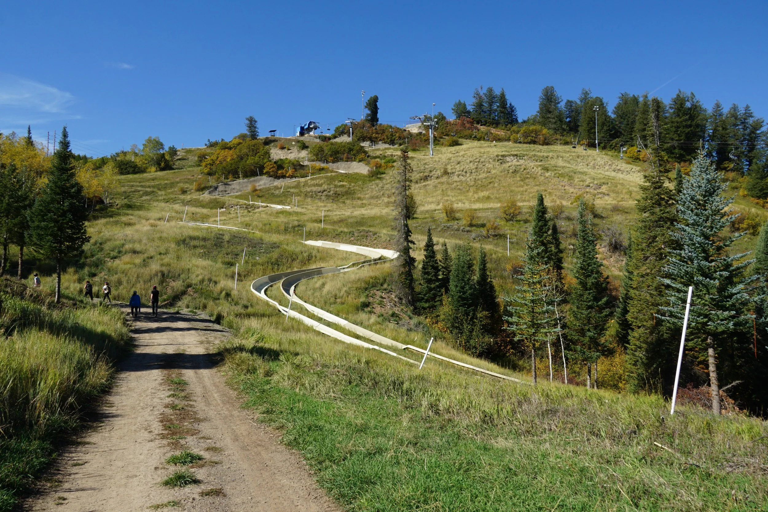
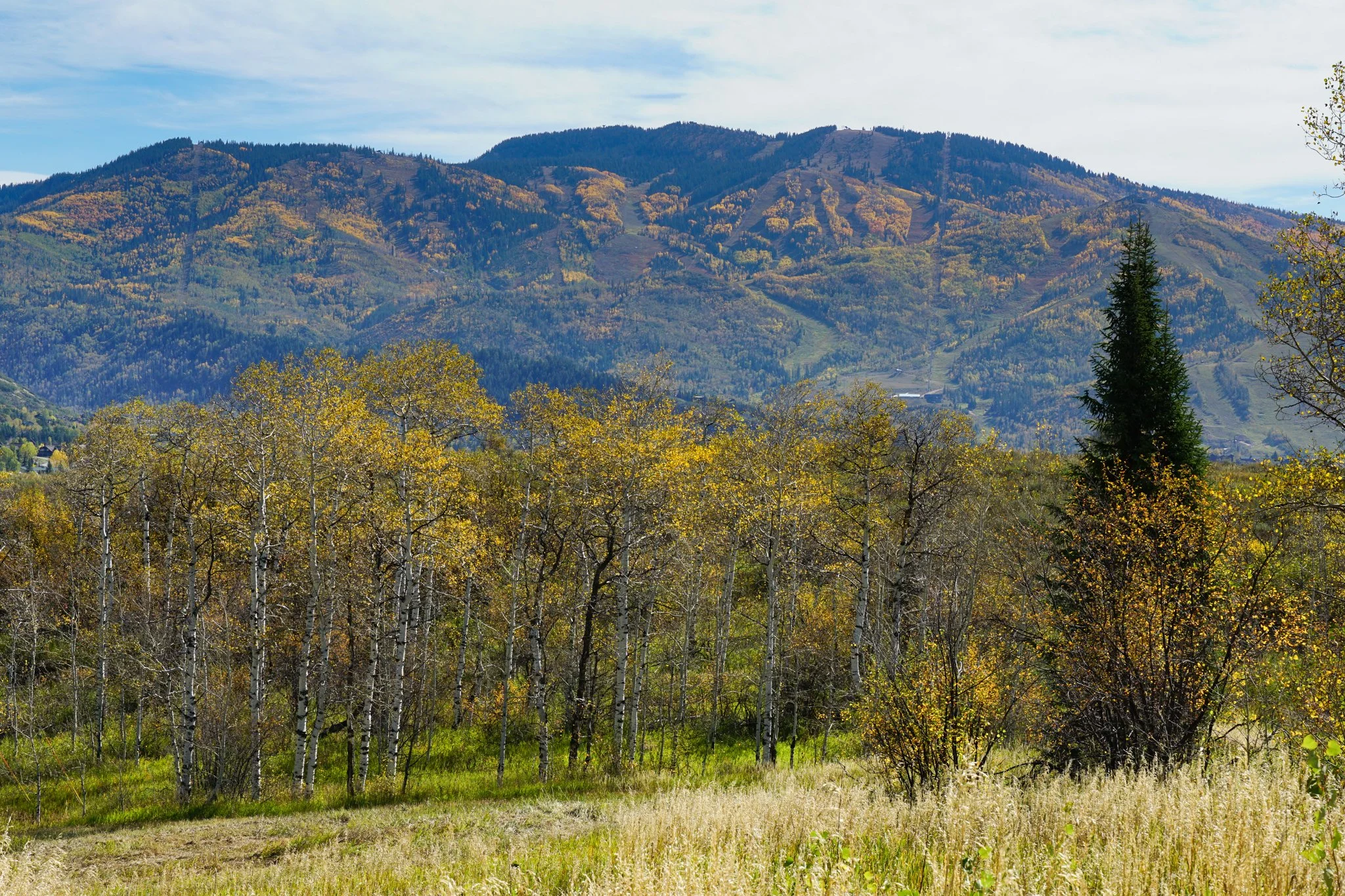
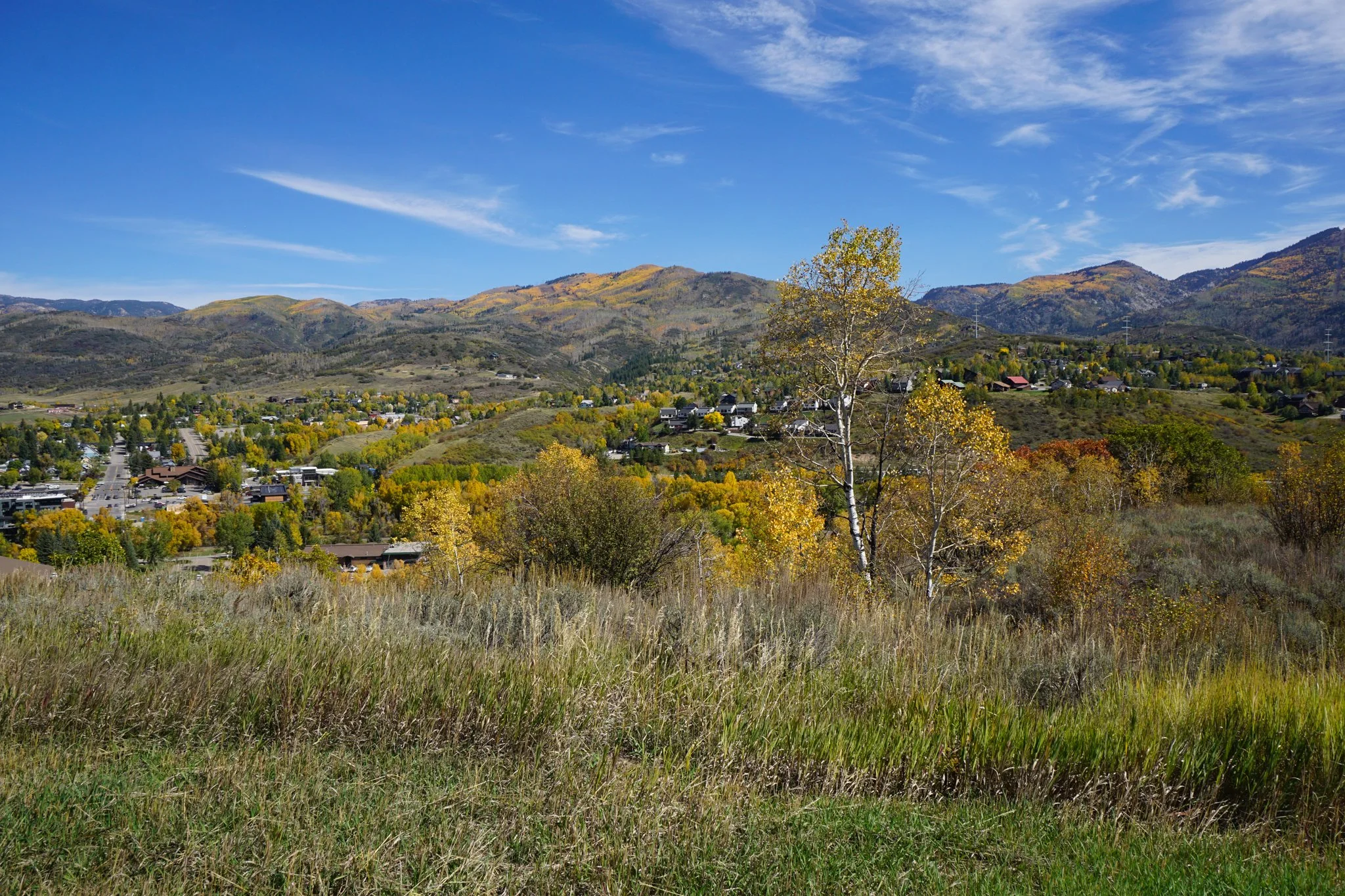
Emerald Mountain Park is a haven for outdoor recreation in Steamboat Springs. It’s the city’s all-purpose mountain: ski runs, snowshoeing, rodeo, festivals, alpine slides, mountain biking, hiking, and in October, leaf peeping as well. The mountain is easily accessible from Downtown Steamboat Springs and is on just about every list of good hiking spots for fall colors. There are many options for hiking here, but you do need to be aware of bikes as some trails are designed for fast mountain biking and potentially dangerous for hikers. Stick to this description and you’ll be fine, otherwise, do a bit of research before you go out.
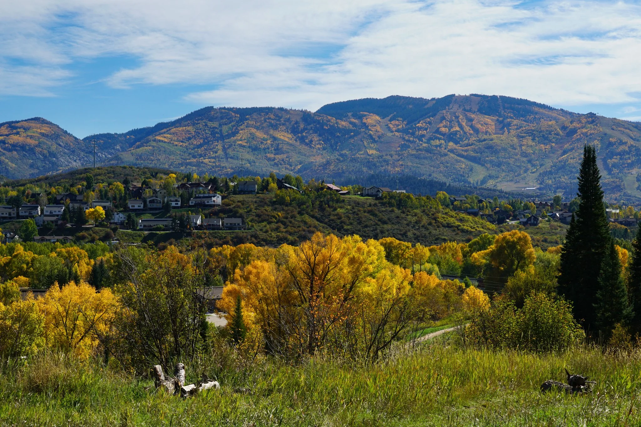
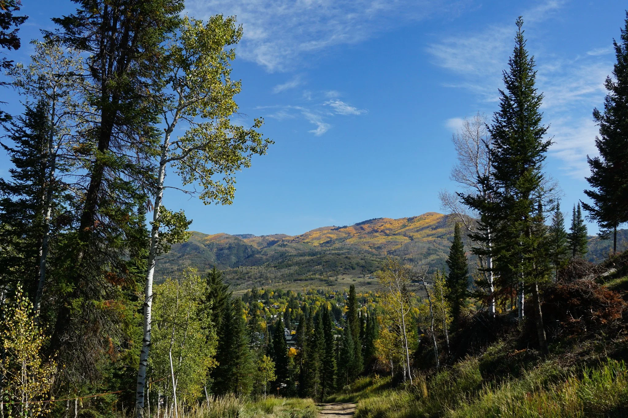
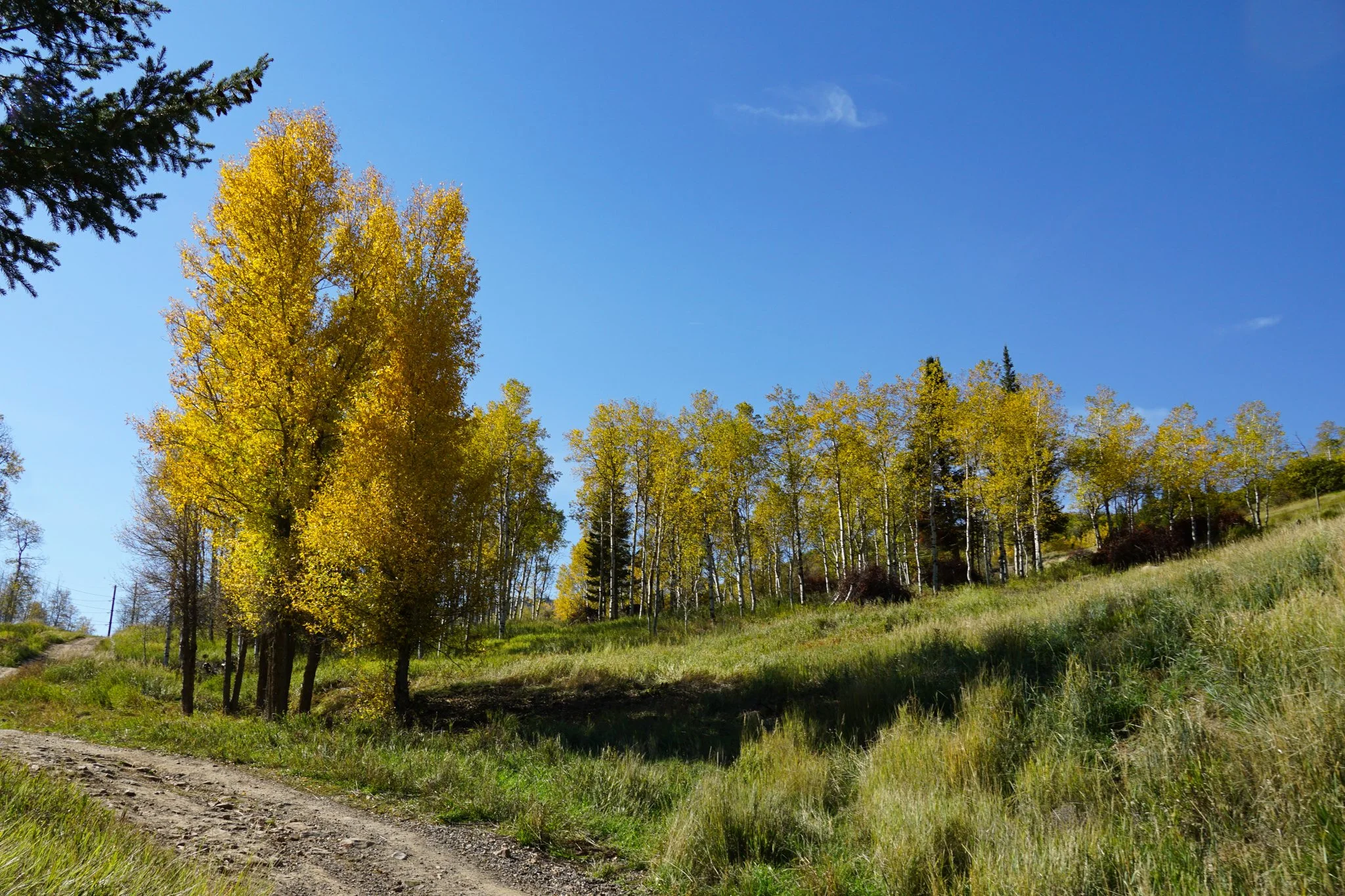
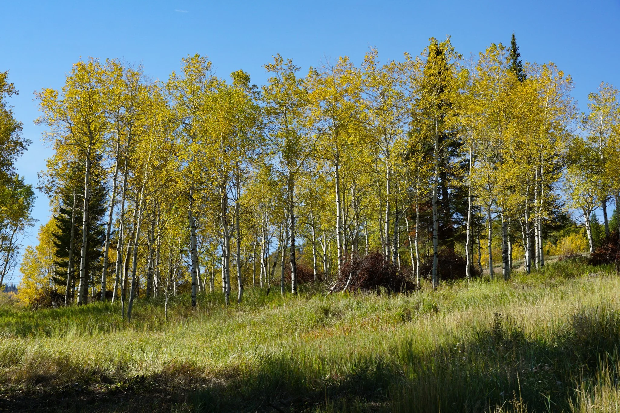
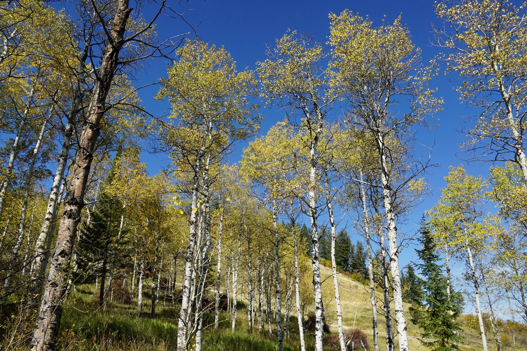
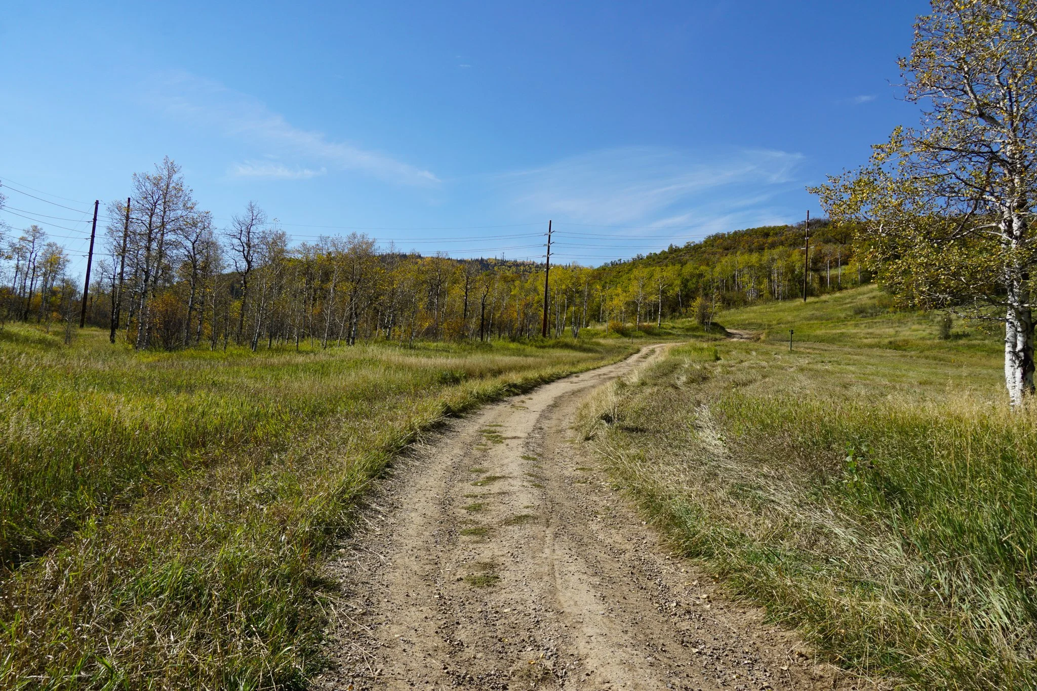
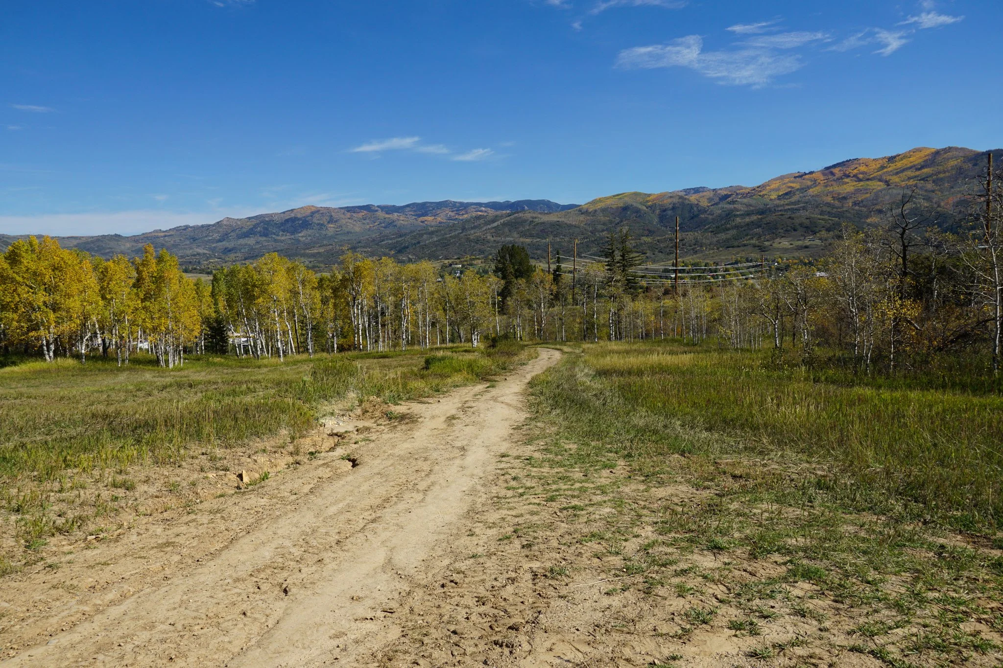
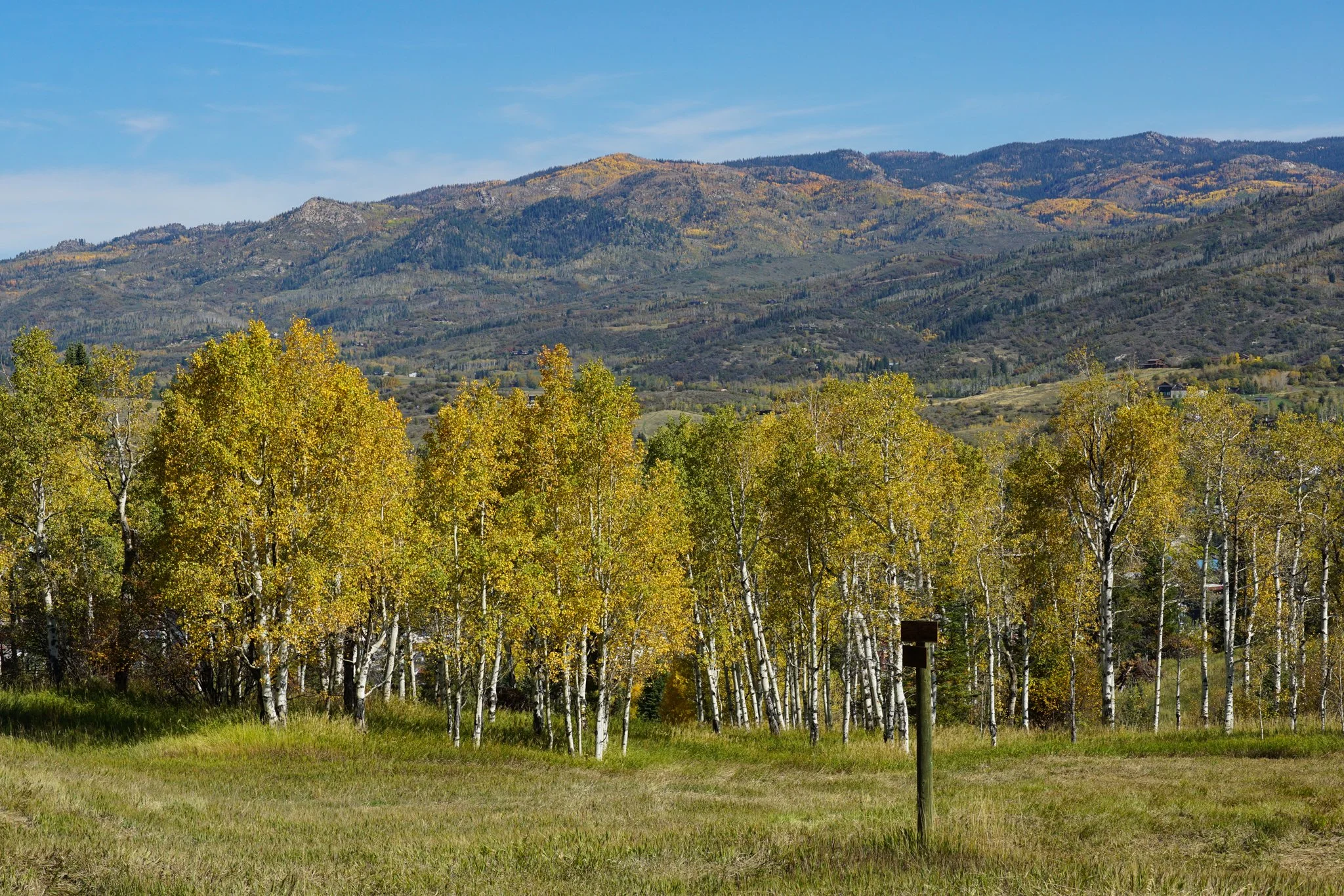
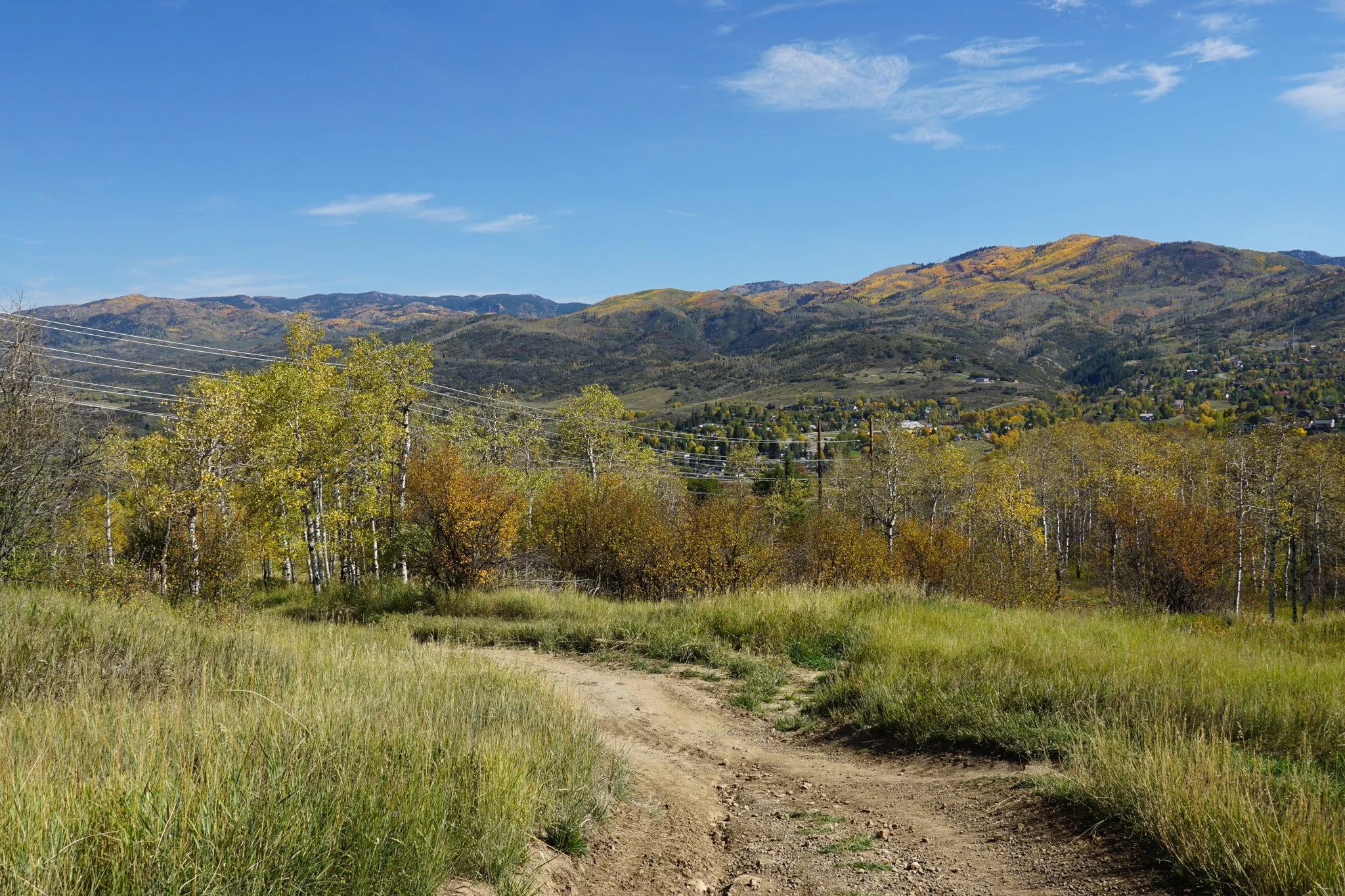
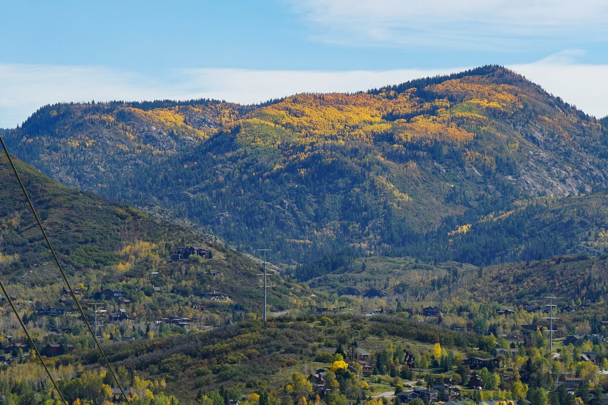
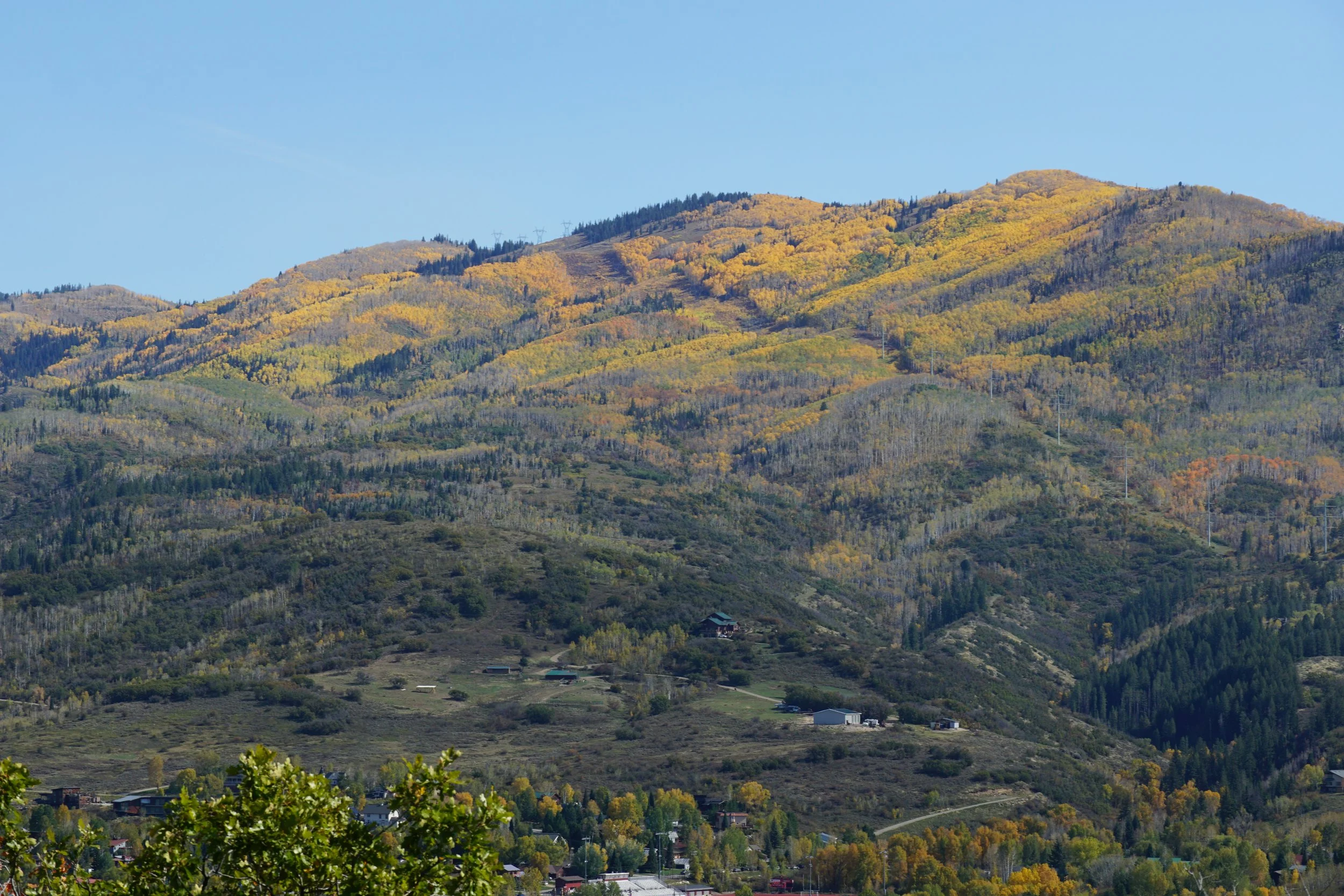
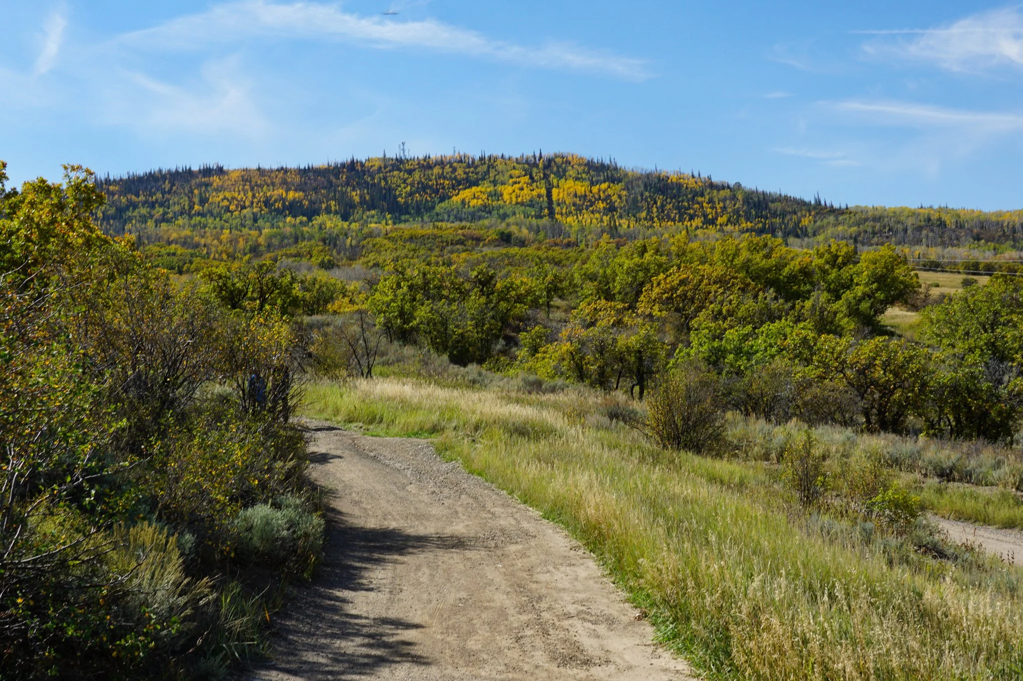
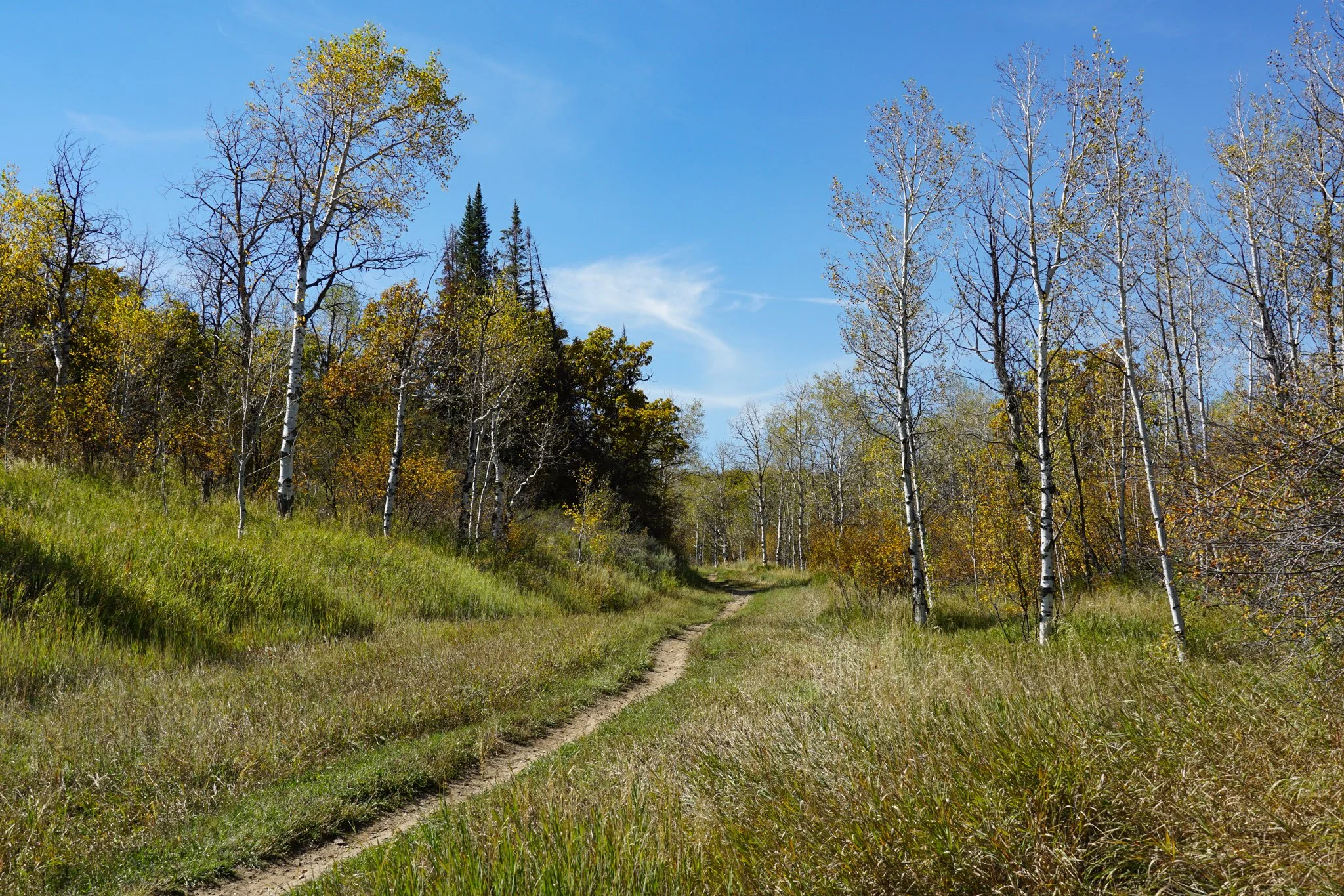
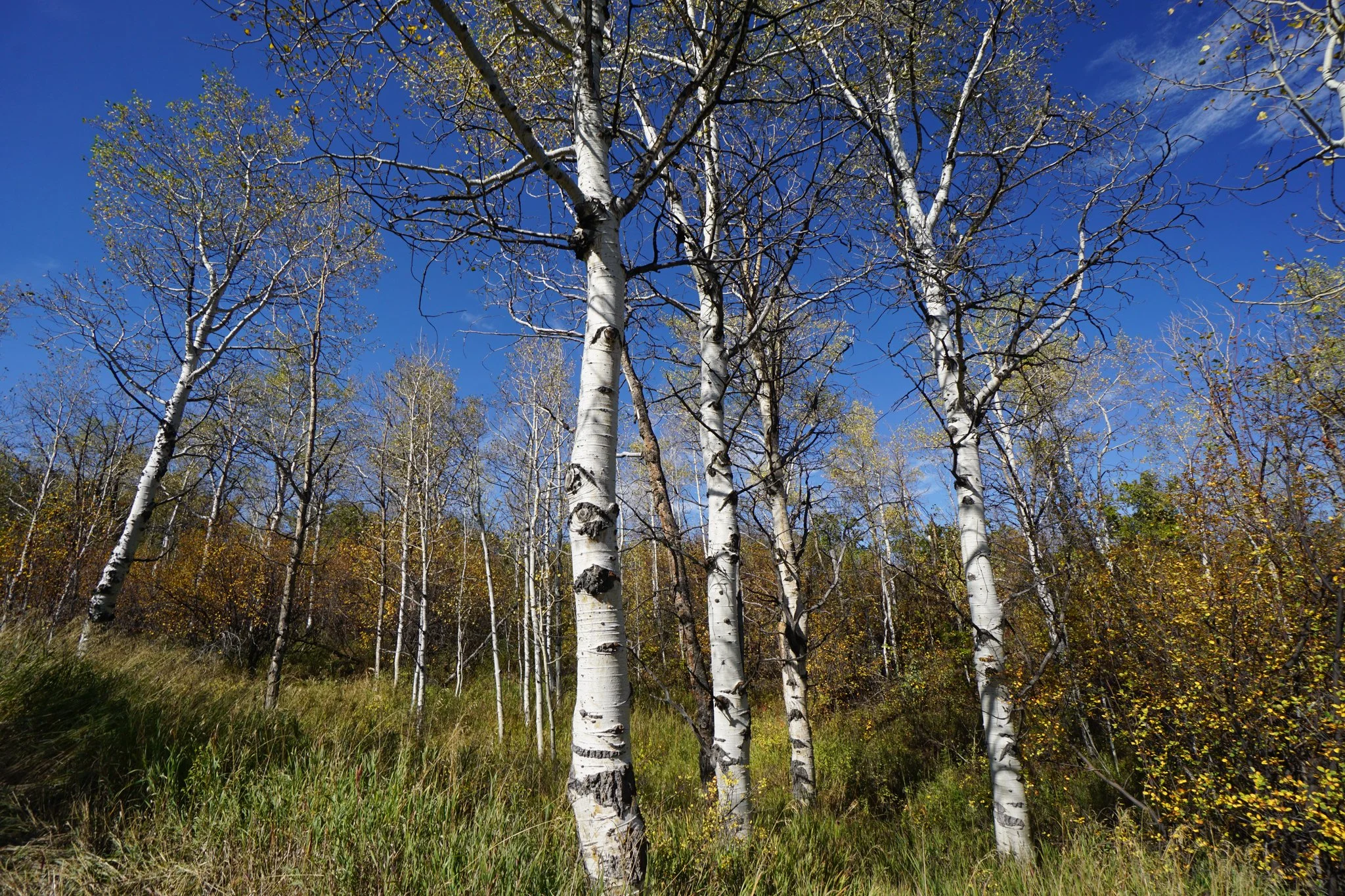
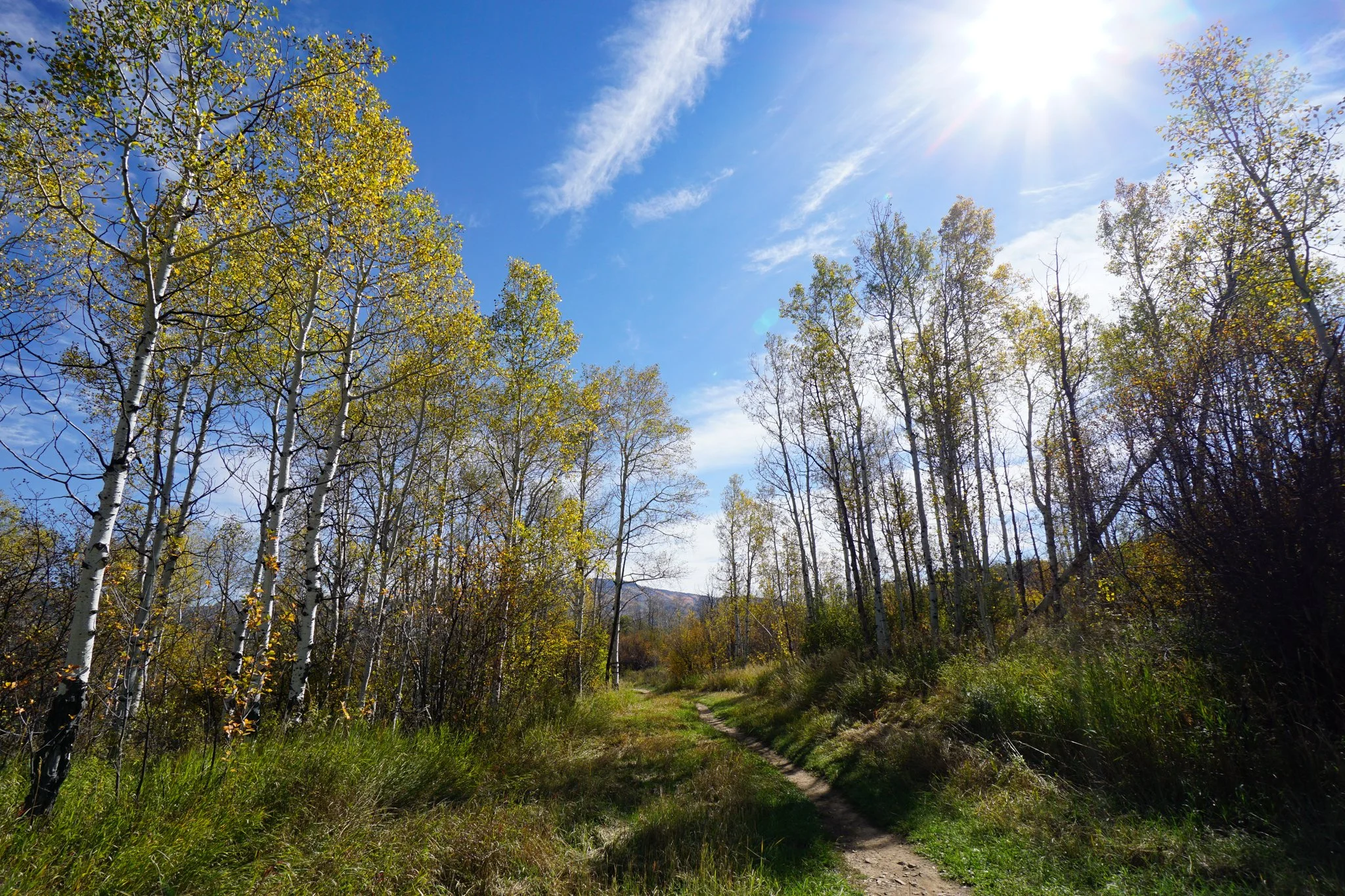
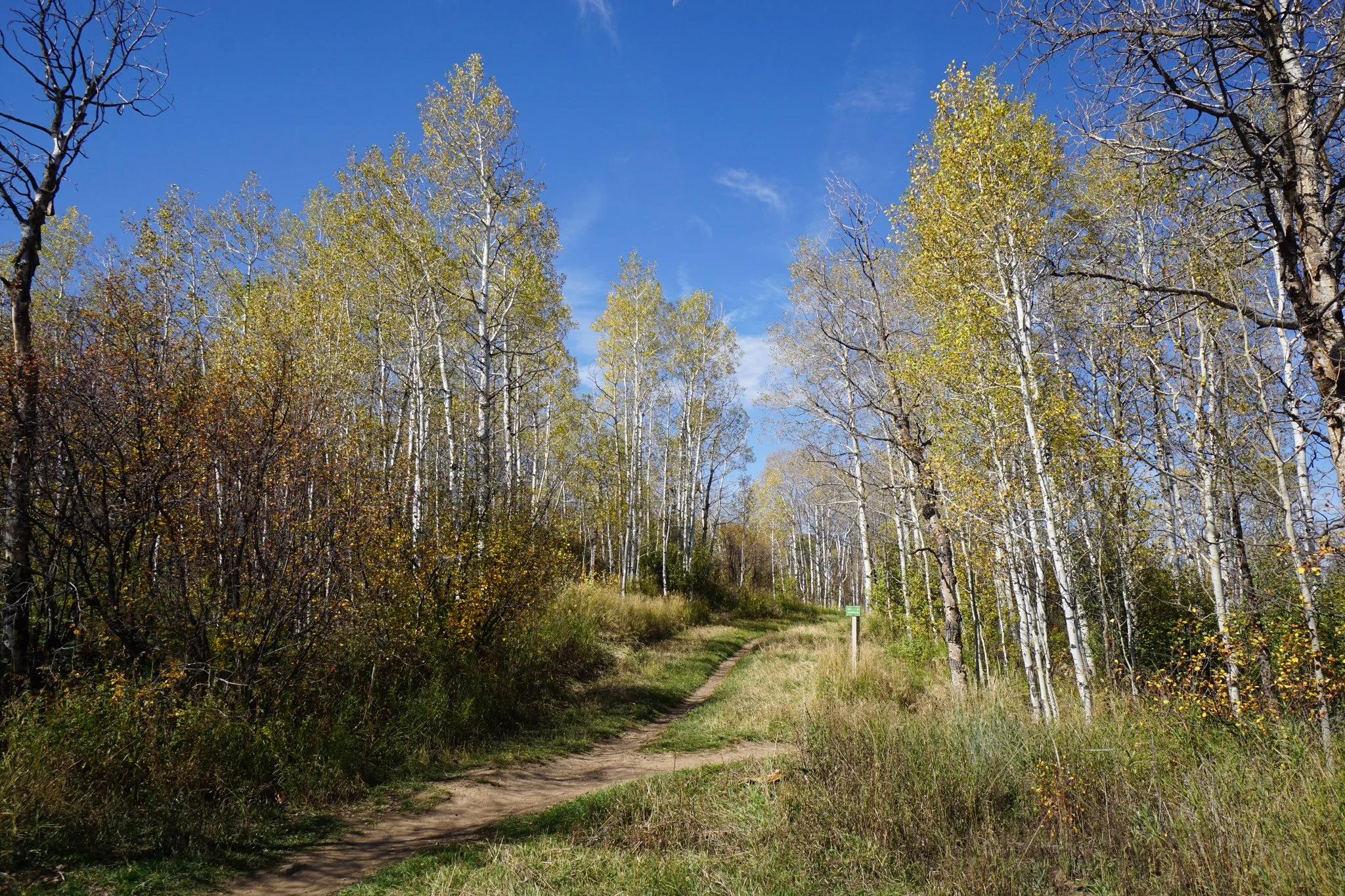
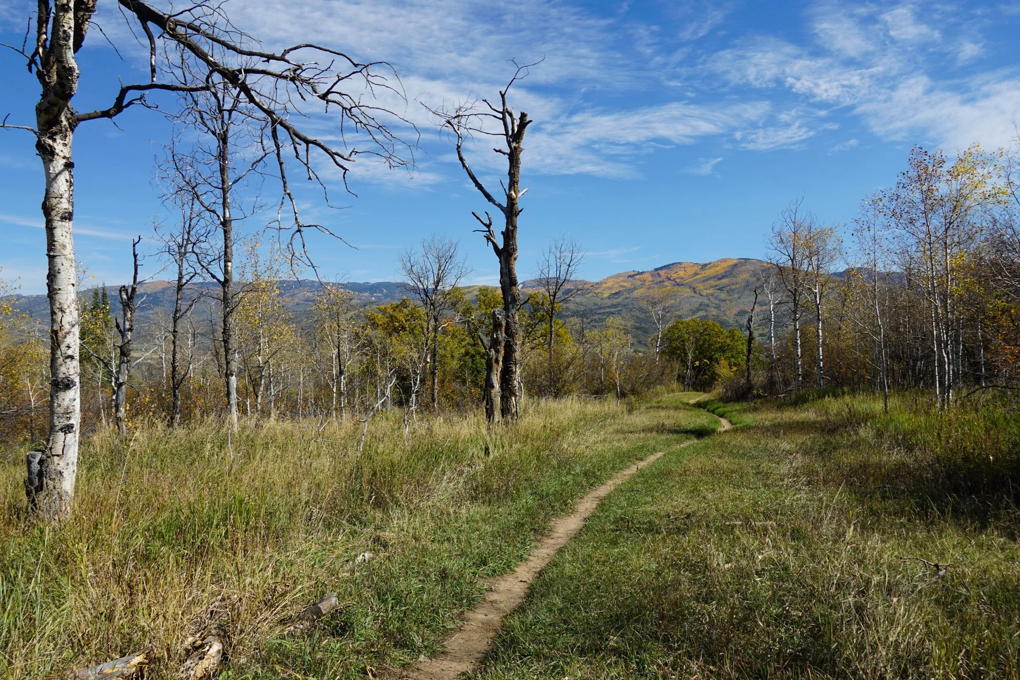
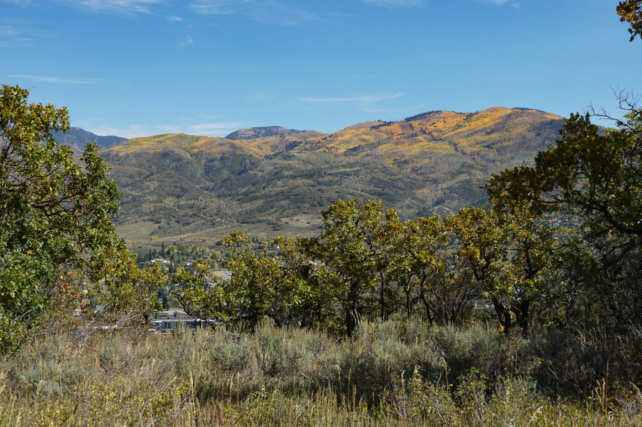
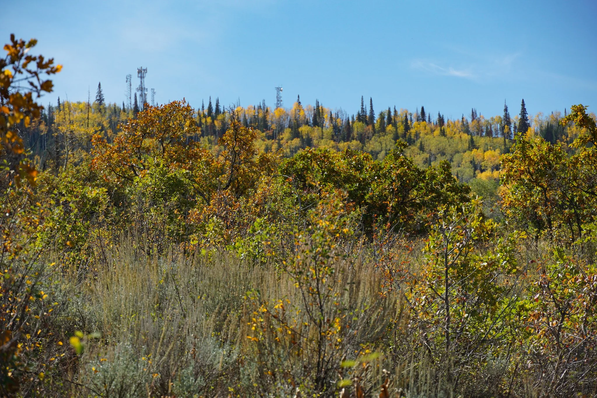
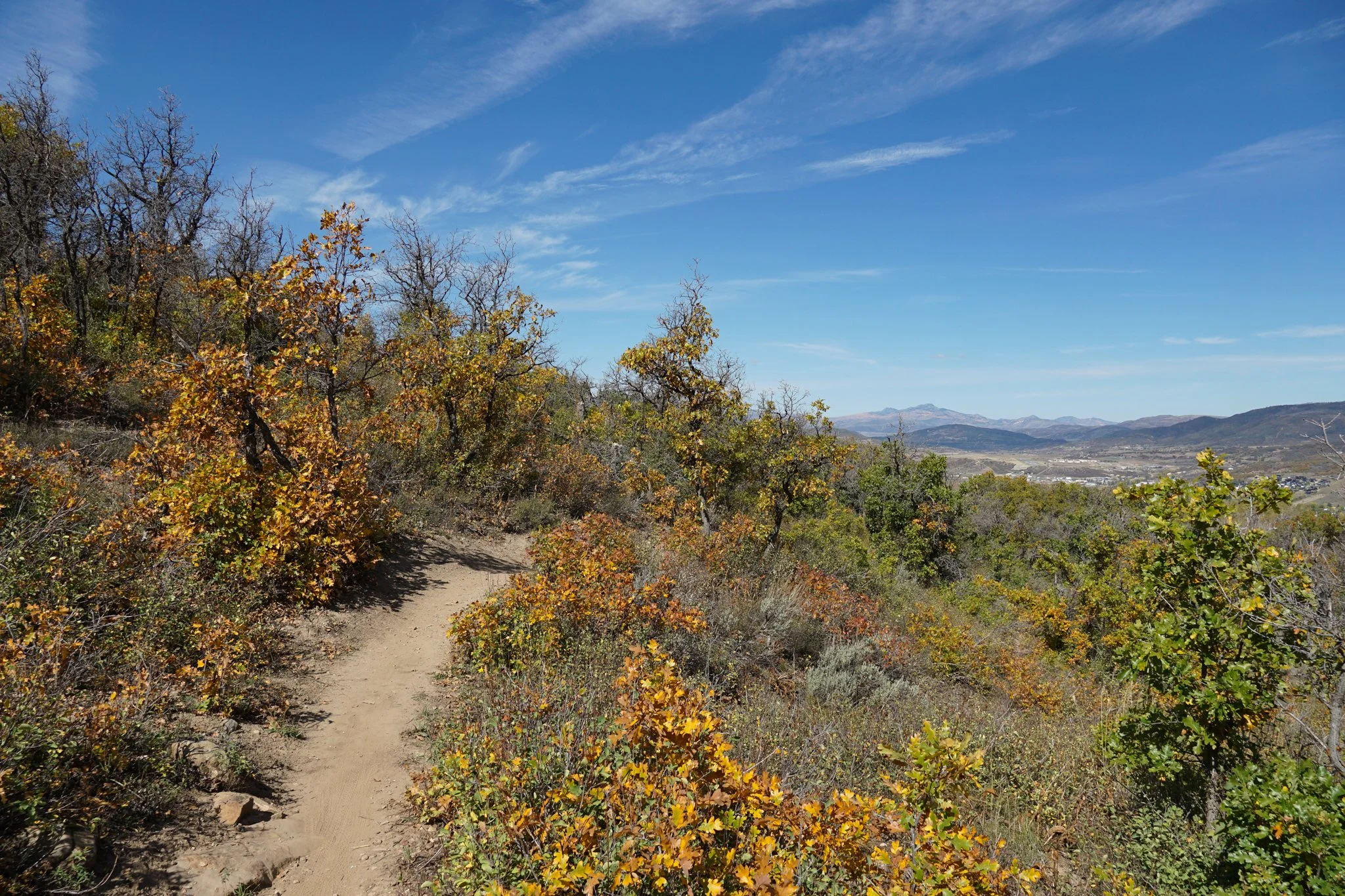
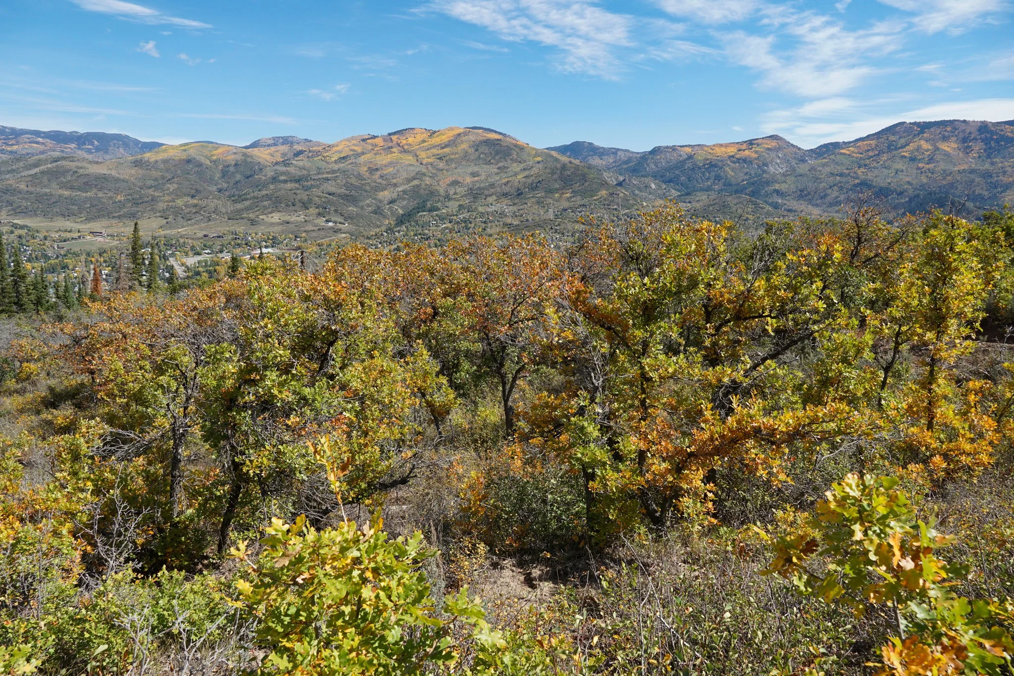
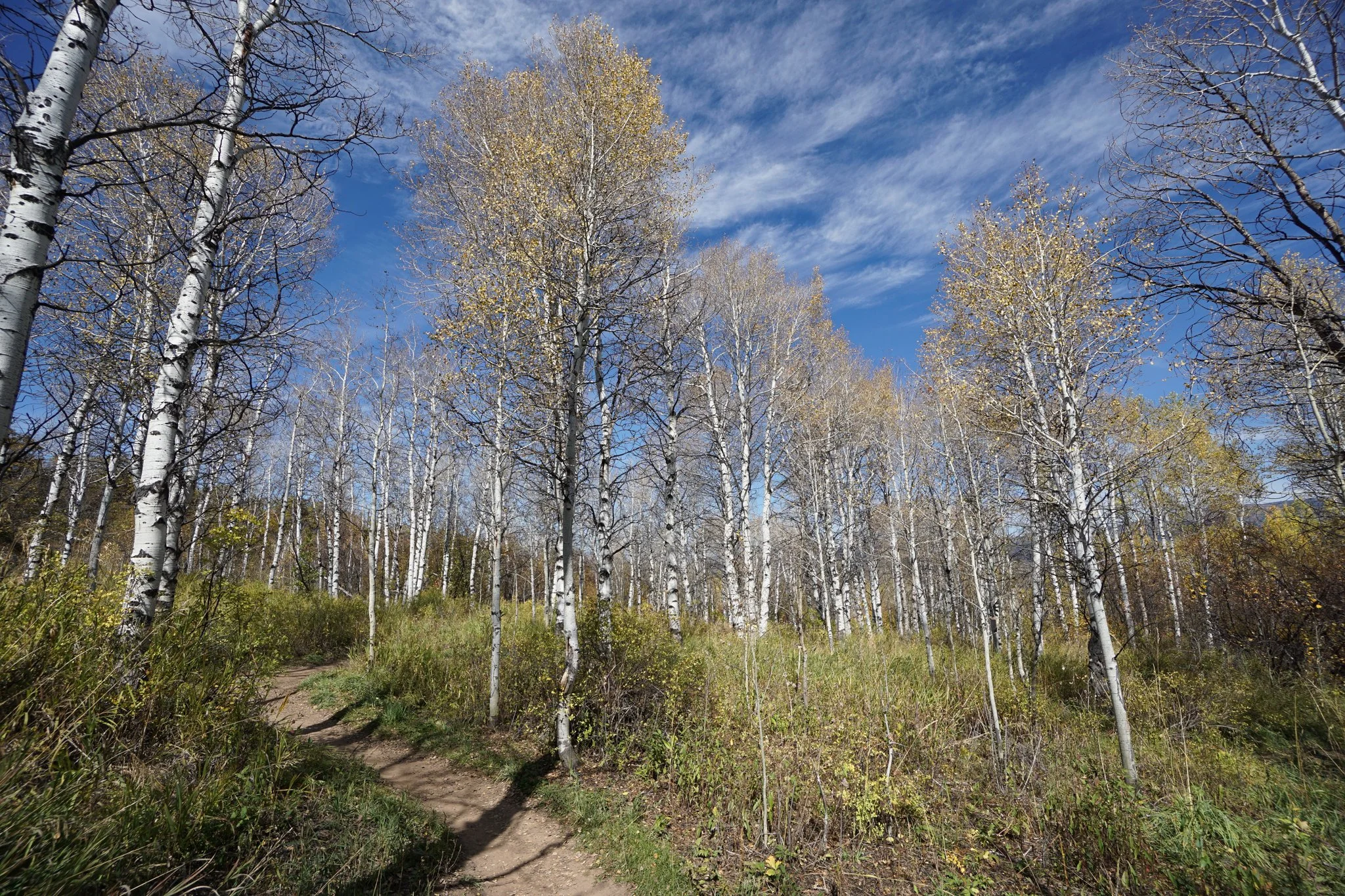
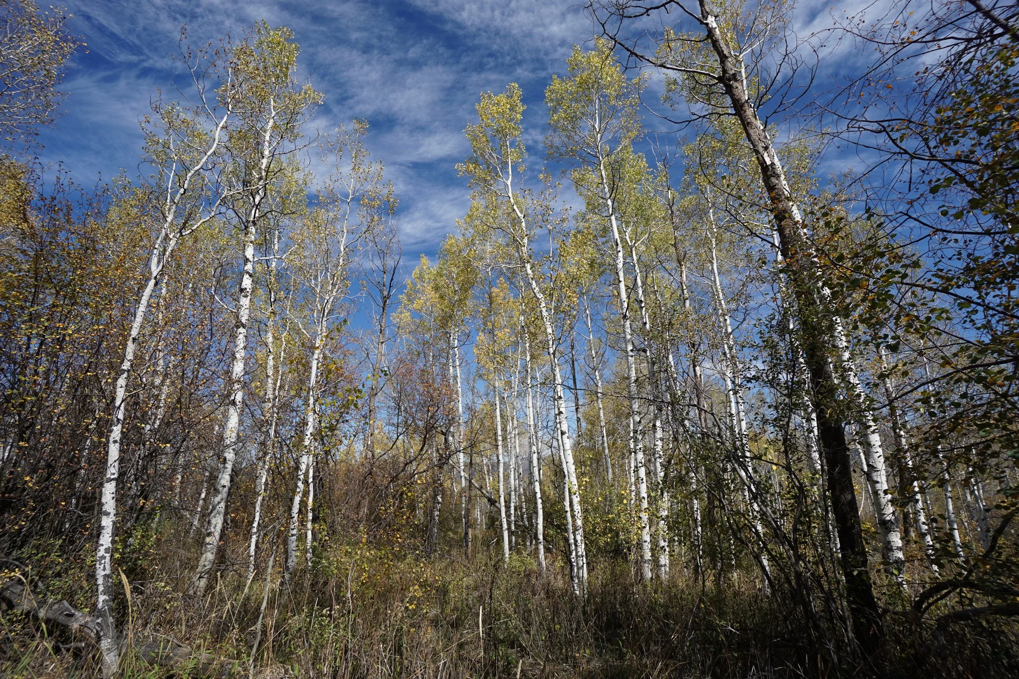
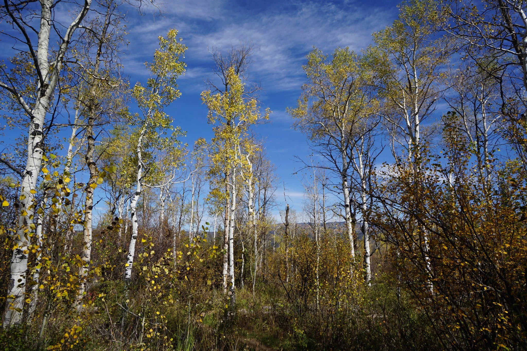
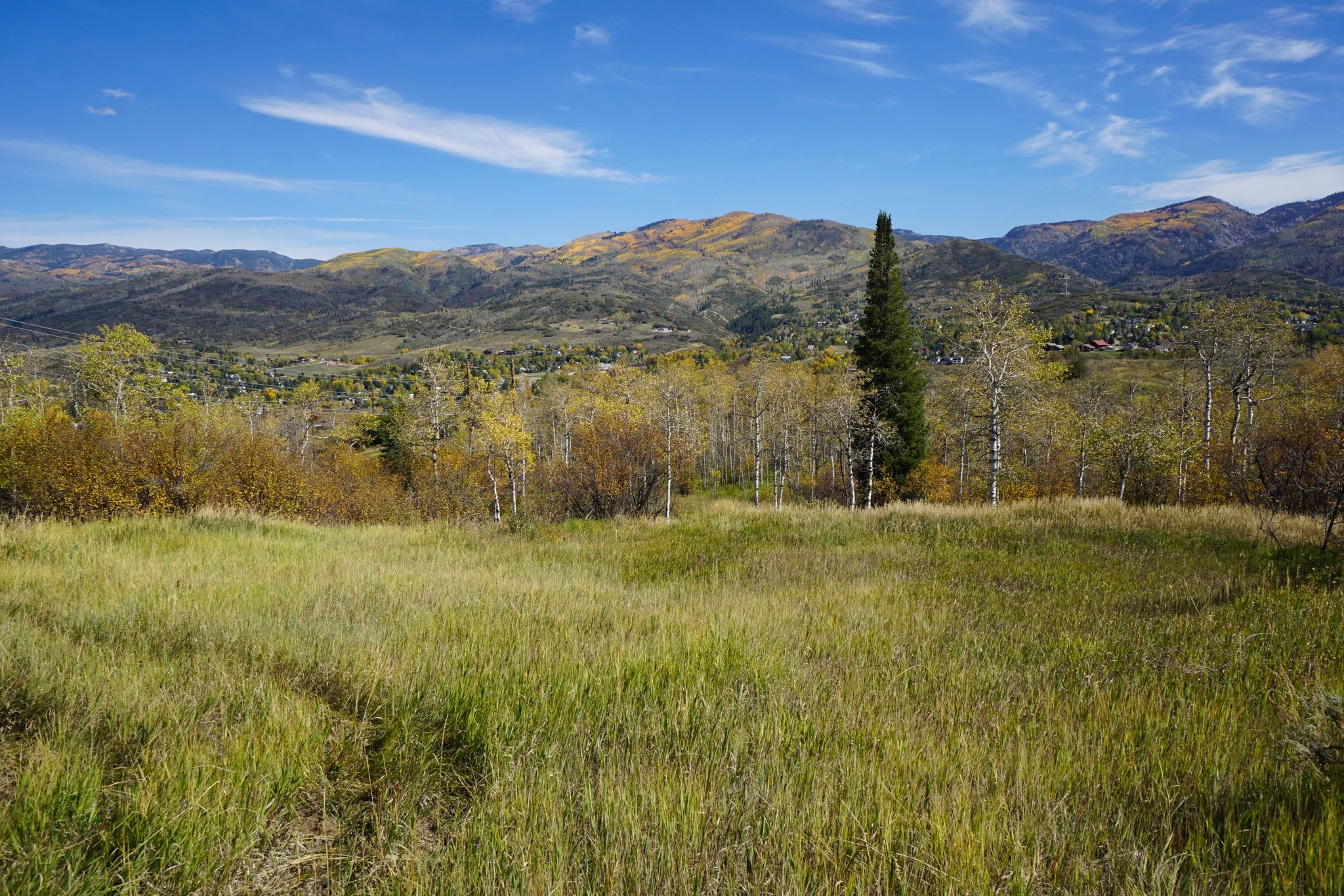
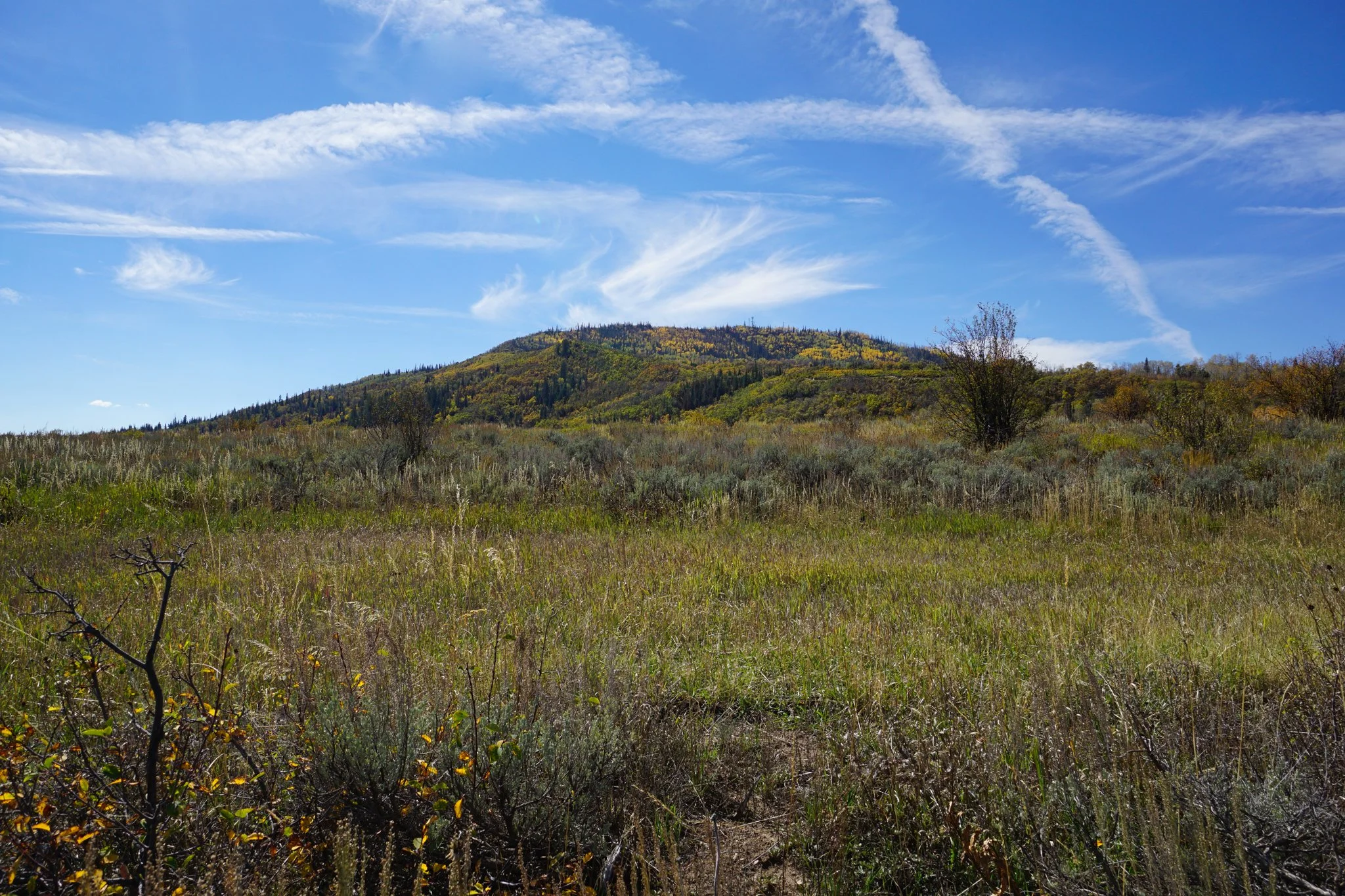
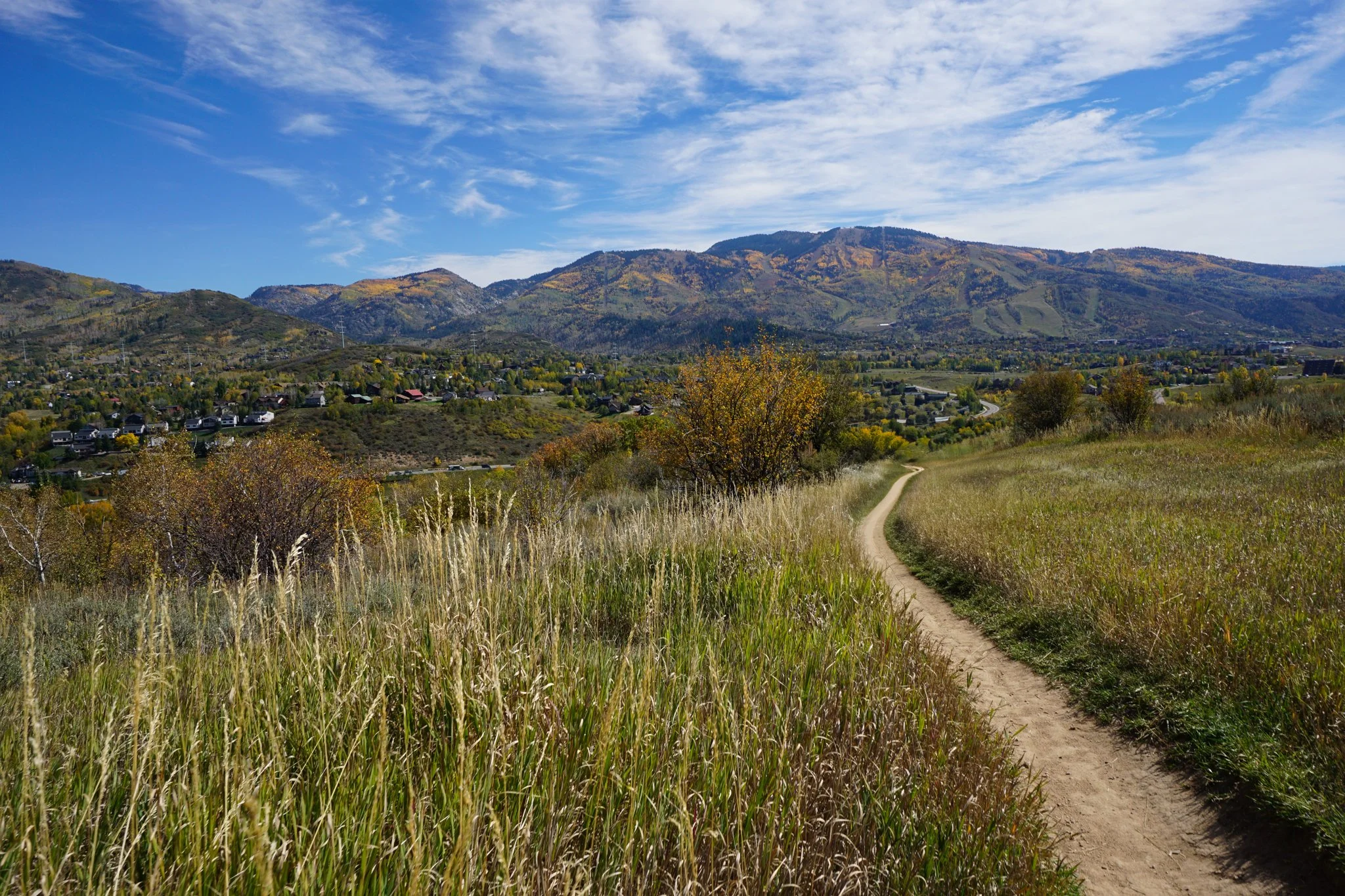
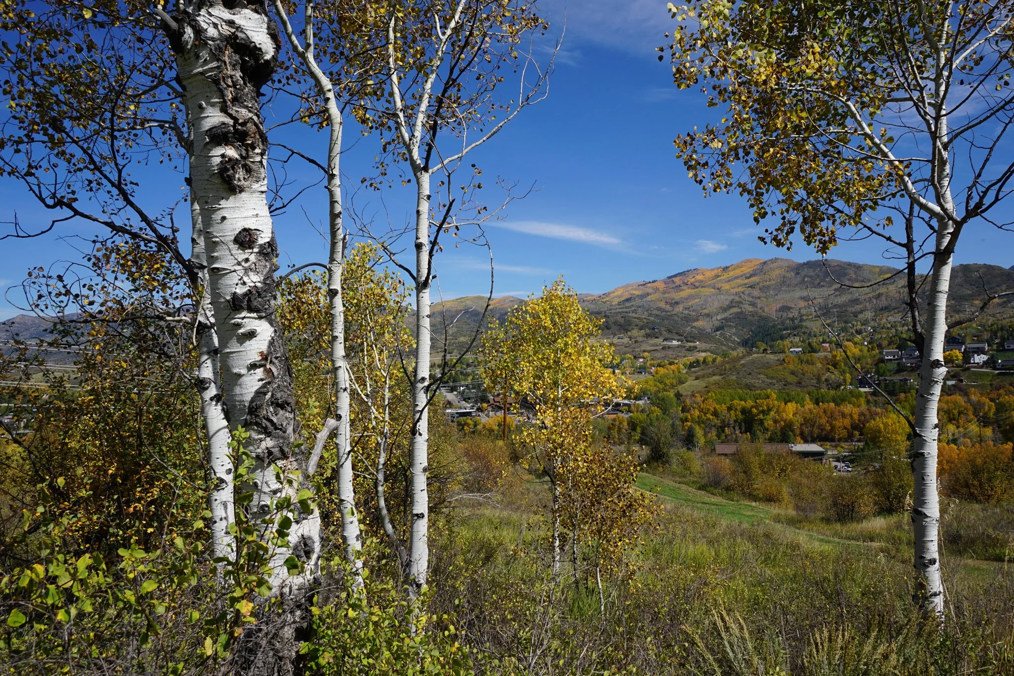
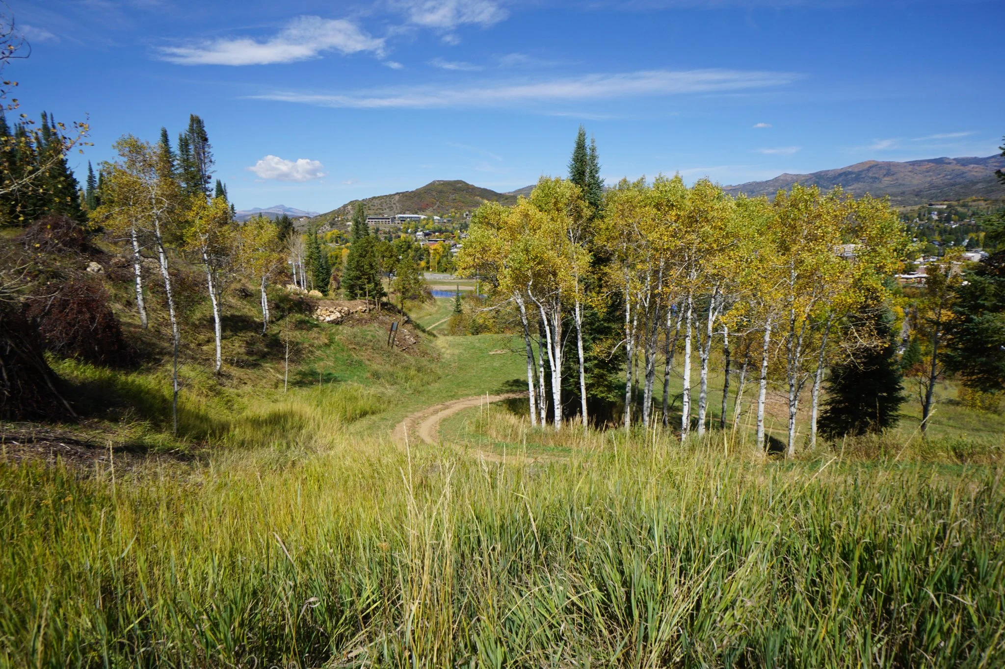
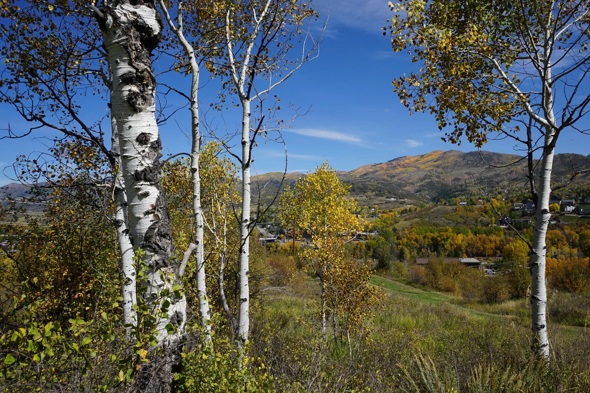
The Emerald Meadows Trail is one of the main hiking routes in the park. The trail weaves it’s way up eastern lower hillsides and while it’s a steady incline, it’s never too steep. The trail crosses open meadows and through aspen groves so you get the wonderful views of Steamboat Springs and the surrounding mountains as well as the immersive fall color experience that makes this season so special.
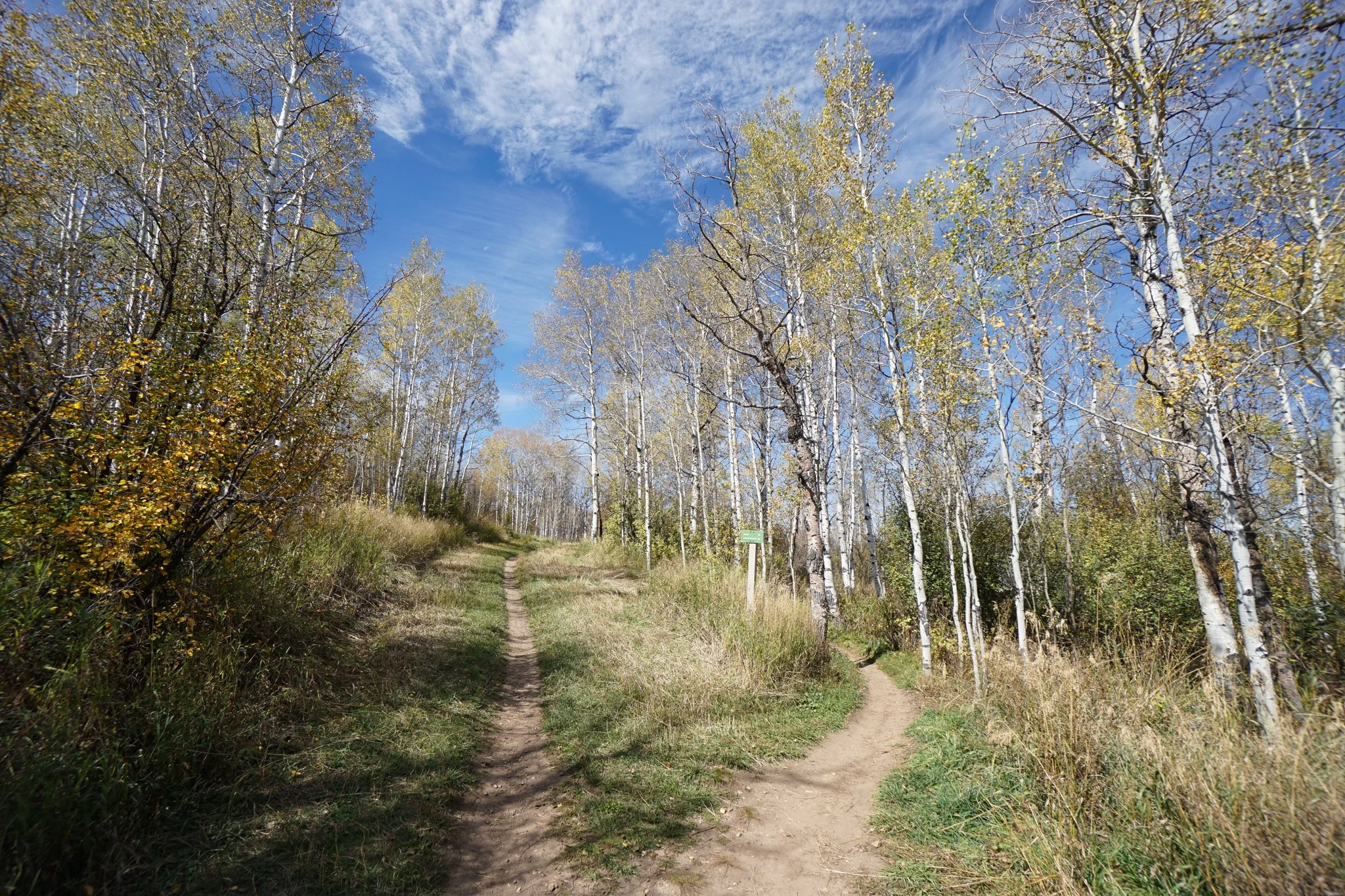
The Trail starts from behind the stables/rodeo area and begins climbing immediately. At about half a mile, you’ll intersect with the Lupine Trail, this is going to be your return trail so keep on heading up the hill on Emerald Meadows. From this point on, there are various trails that branch off and intersect so you can make this hike shorter or longer depending on what you are looking for. Avoid the NPR Trail which is a downhill biking only trail. At 0.8 miles, you’ll reach the Blackmere Trail which is another of the park’s main trails. If you want to cut the hike short and head back down, Blackmere is a good option for a shorter loop, otherwise, continue up on the Emerald Meadows Trail.
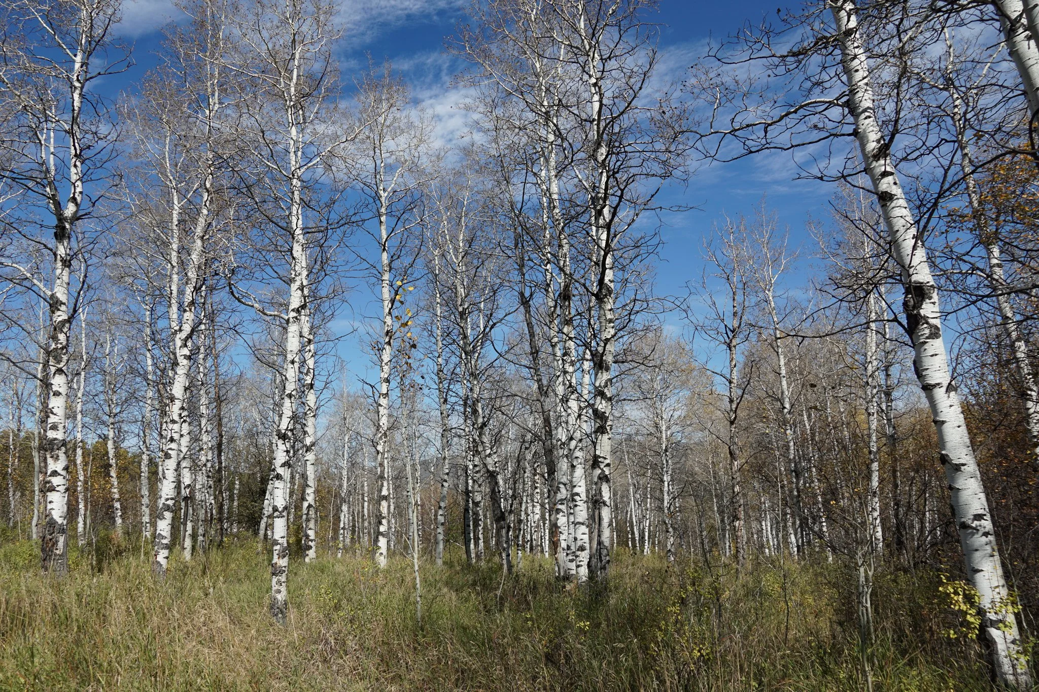
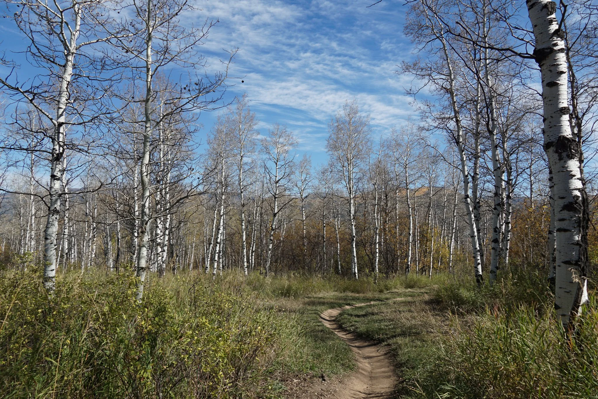
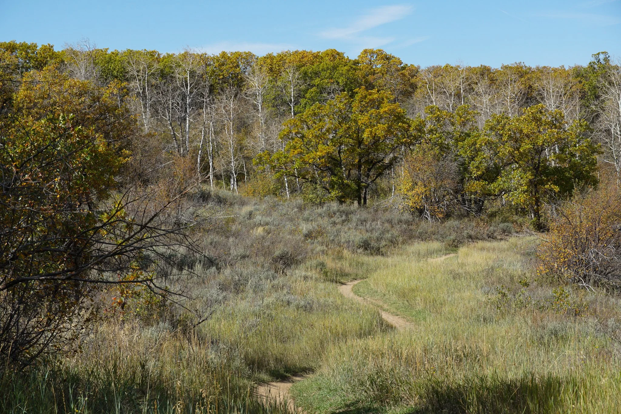
The next half mile of the Emerald Meadows Trail weaves through aspen groves and intersects with the Lupine Trail a few times. At some points the Lupine and Emerald Meadow Trails join up for a few minutes. The Emerald Meadows Trail ends at the 1.5 mile mark, after about 600ft of elevation gain, and joins up with the Blackmere Trail. Turn left and follow the Blackmere Trail for about 0.2 of a mile. Look to your left for an unsigned connector trail that puts you onto the Lupine Trail. It is easy at this point to get onto the Highway to Hell Trail but avoid it, it has mountain biking ramps and jumps and could be dangerous. Stay on the Lupine Trail for a nice descent with even more aspen groves and views. As you near the bottom of the mountain and re-join the Emerald Meadows Trail, turn right to follow the Lupine Trail back to the stables and the parking area. This adds a few minutes of hiking but it’s highly scenic.
Emerald Mountain is the perfect place to spend some hiking time in Steamboat Springs. This route does not get up to the top portion of the mountain and judging by the views, the top portion leading up to Quarry Mountain looks even more amazing. It’s a much longer hike but at some point I want to get up there. I see many return visits in my future.