Little Mammoth Trail
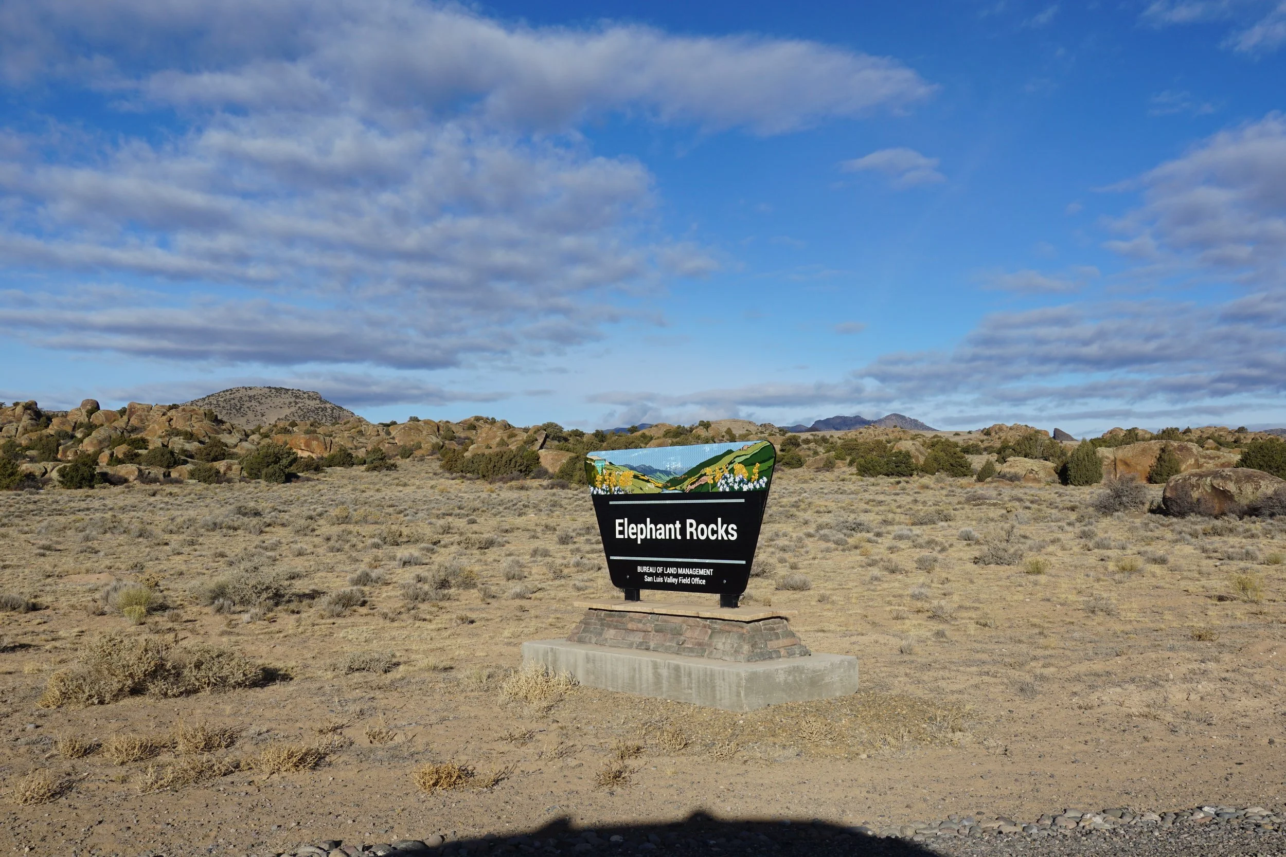
Elephant Rocks Recreation Area, BLM Public Lands
Date Hiked: December 30, 2022
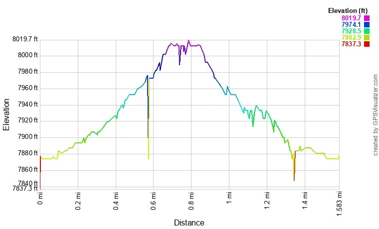
Distance: 1.6 mi (RT)
Elevation Gain: 130 ft
Elevation Min/Max: 7,879 to 8,009 ft
Trailhead Lat/Long: 37.72856, -106.31049
Managing Agency: Bureau of Land Management (BLM)
Fee: None
Directions:
From Del Norte, head north on State Hwy 112 and turn left onto Grand Ave for 1 1/4 miles to the Elephant Rocks South sign and road to the campground.
Hike Description:
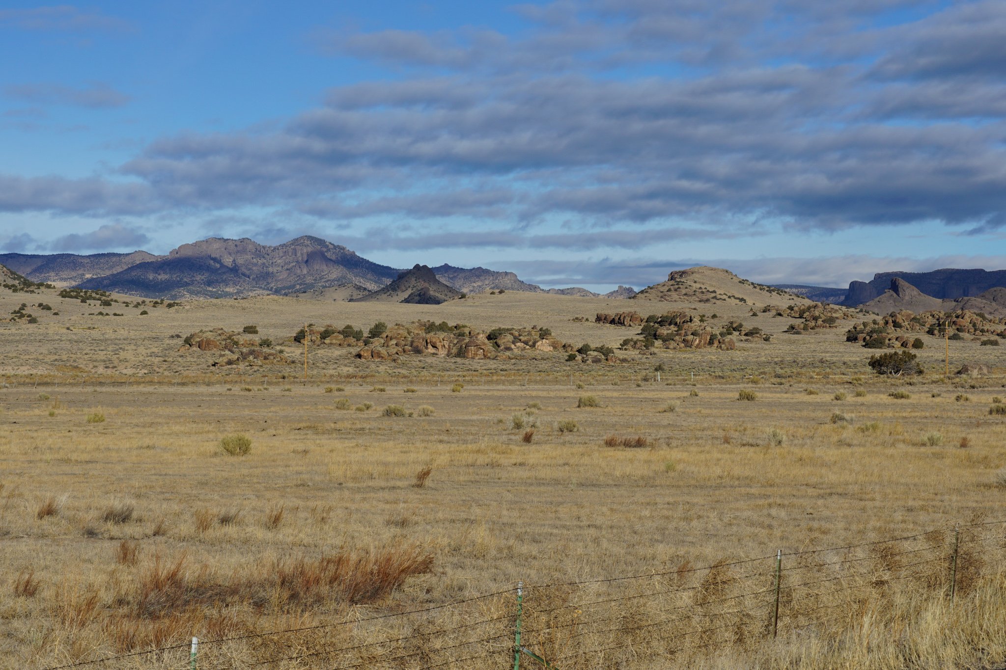
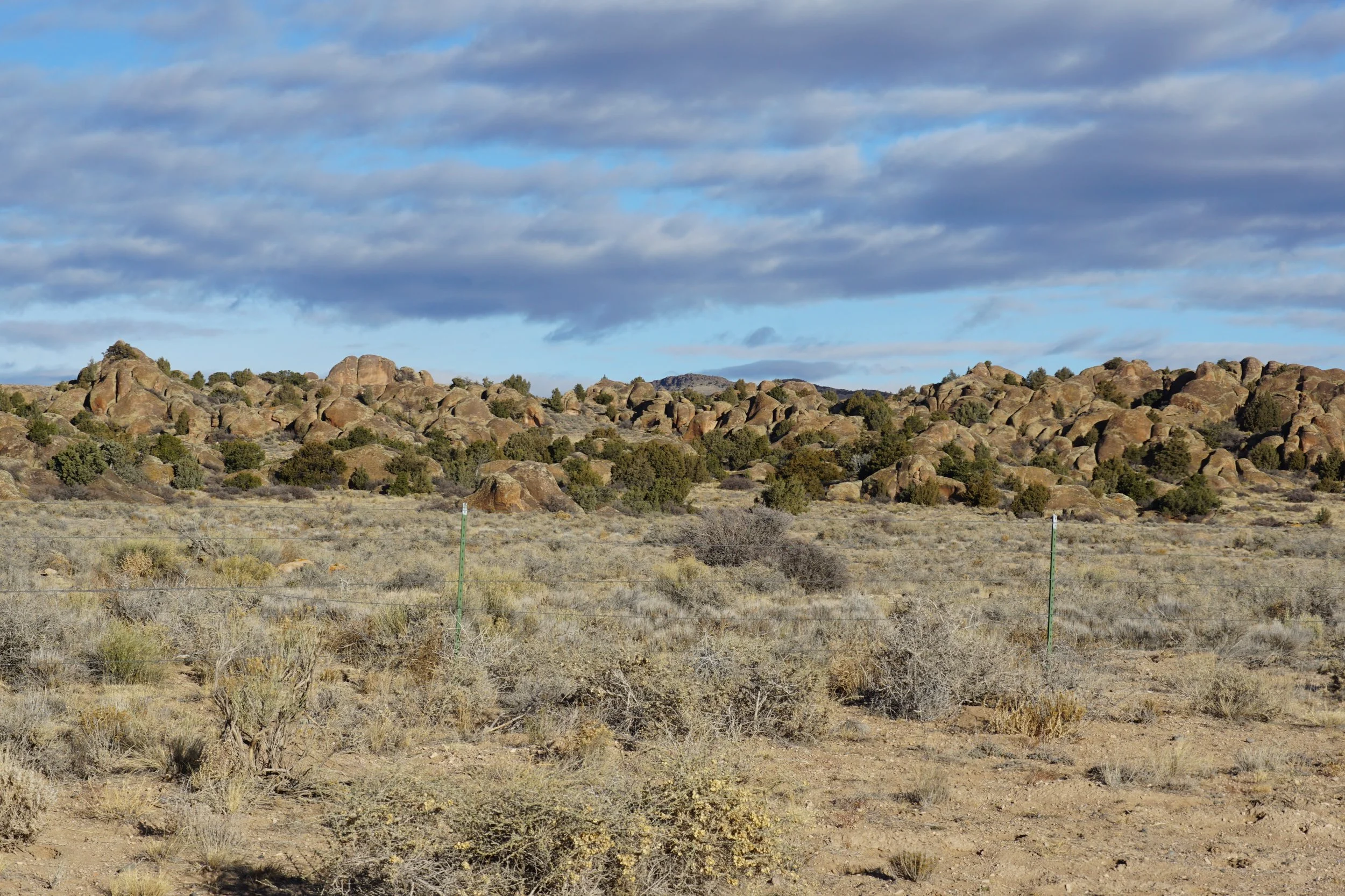
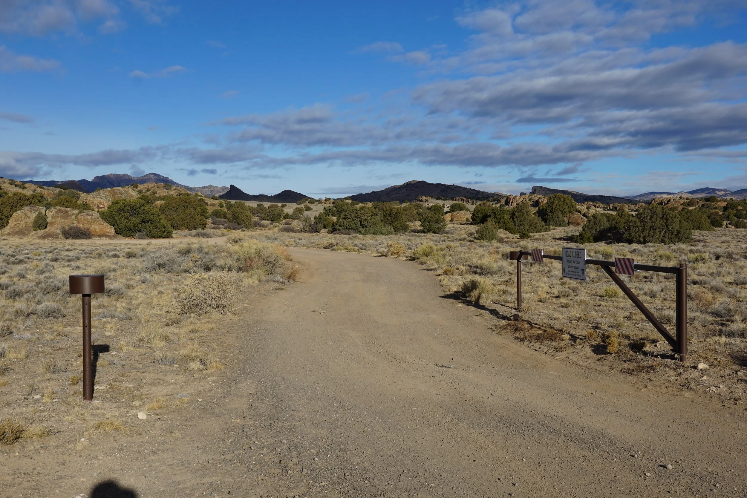
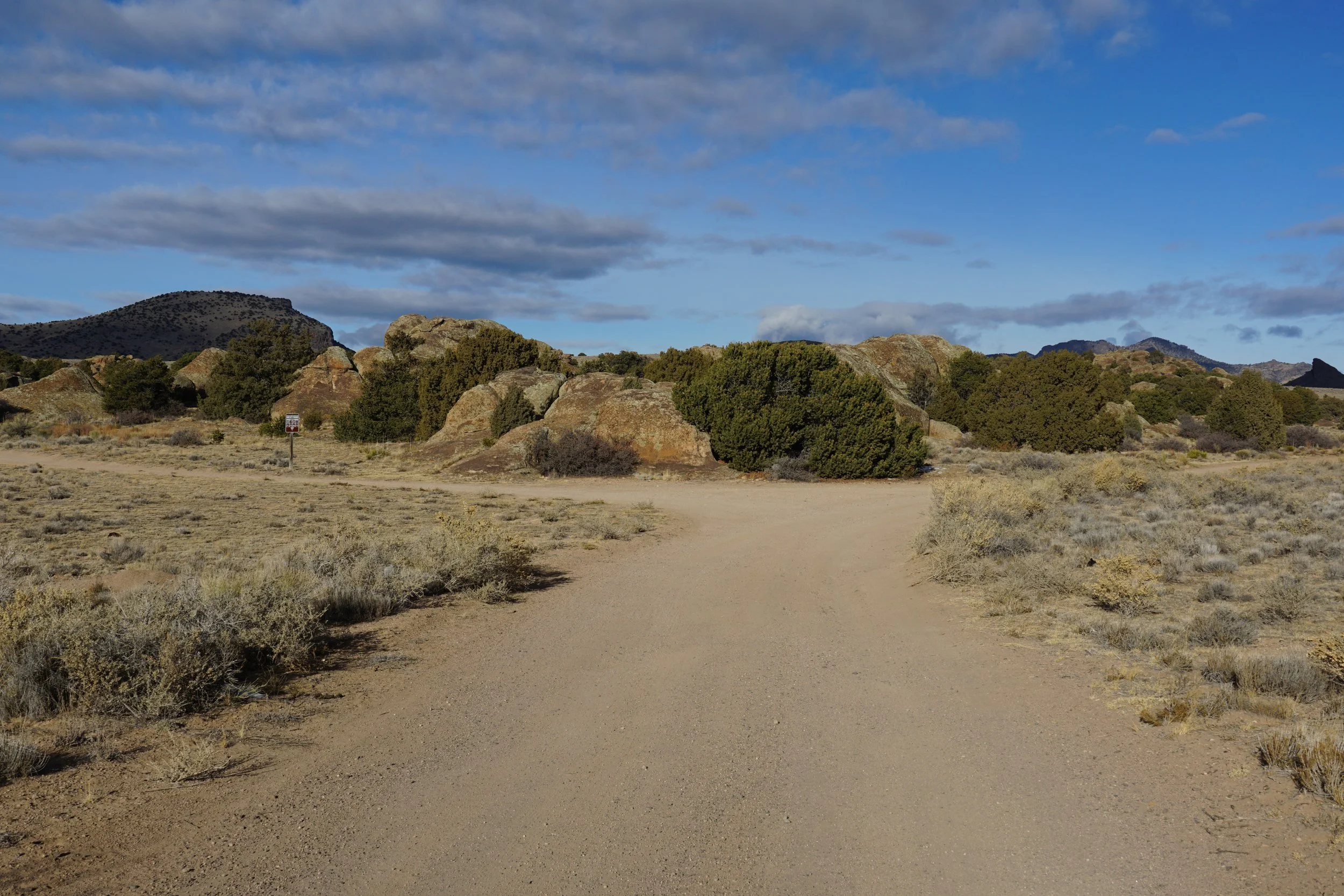
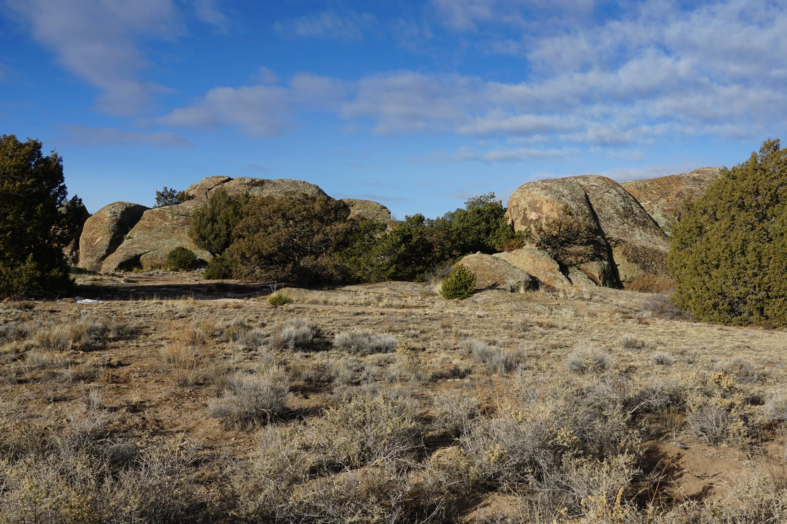
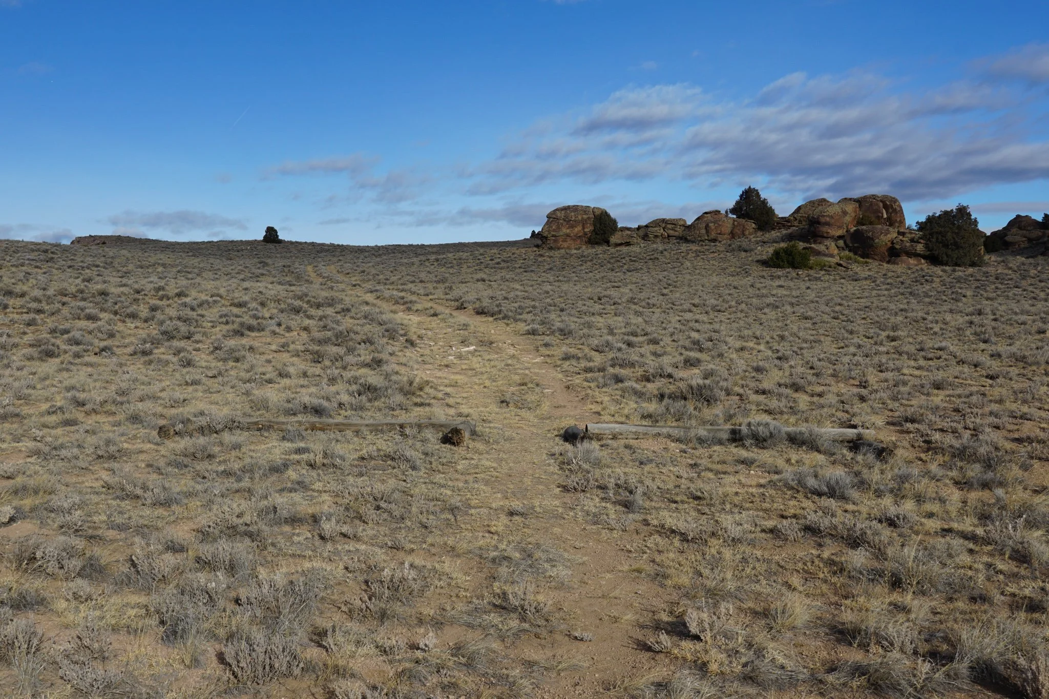
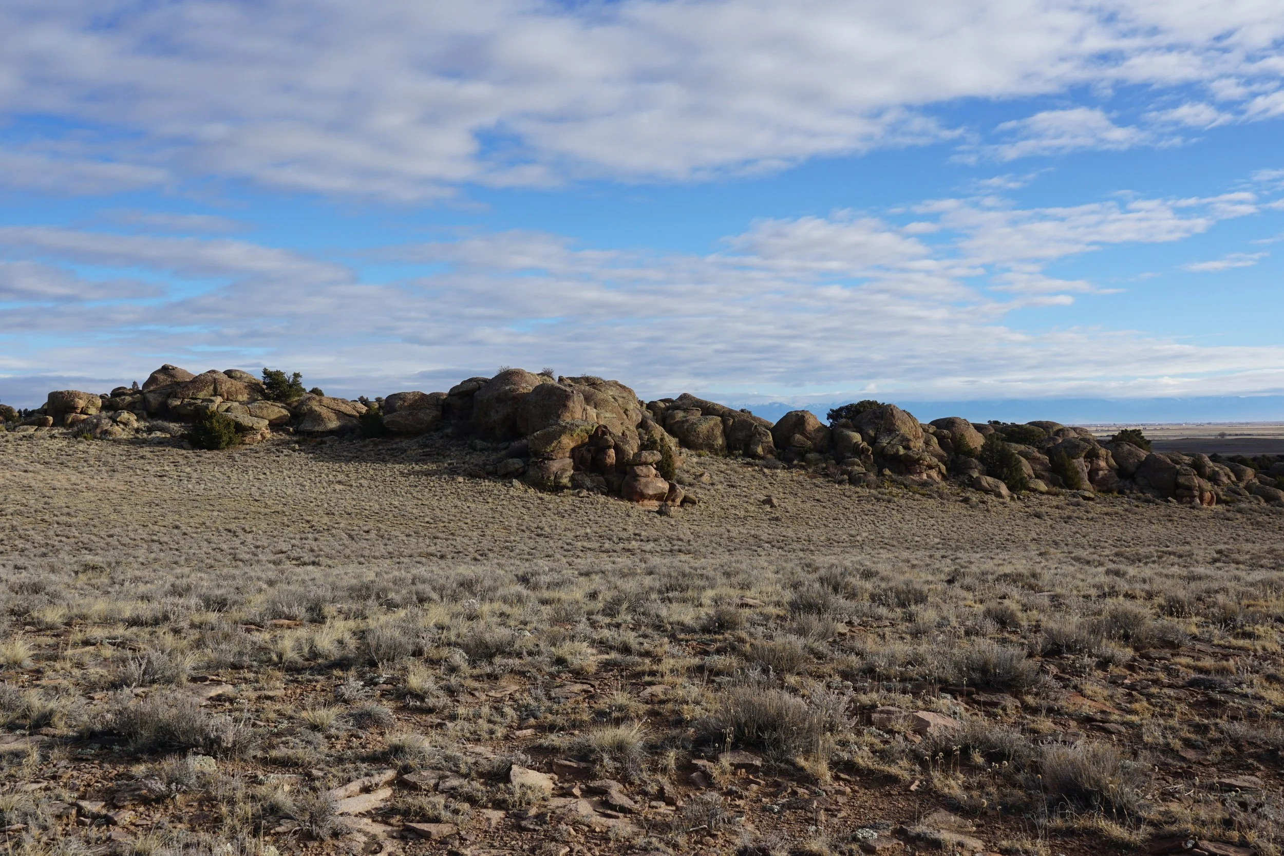
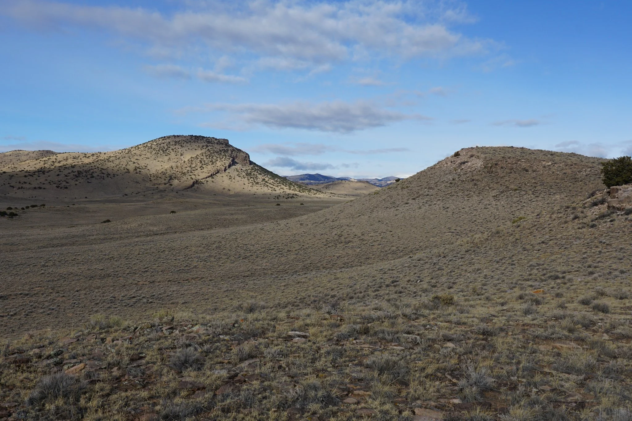
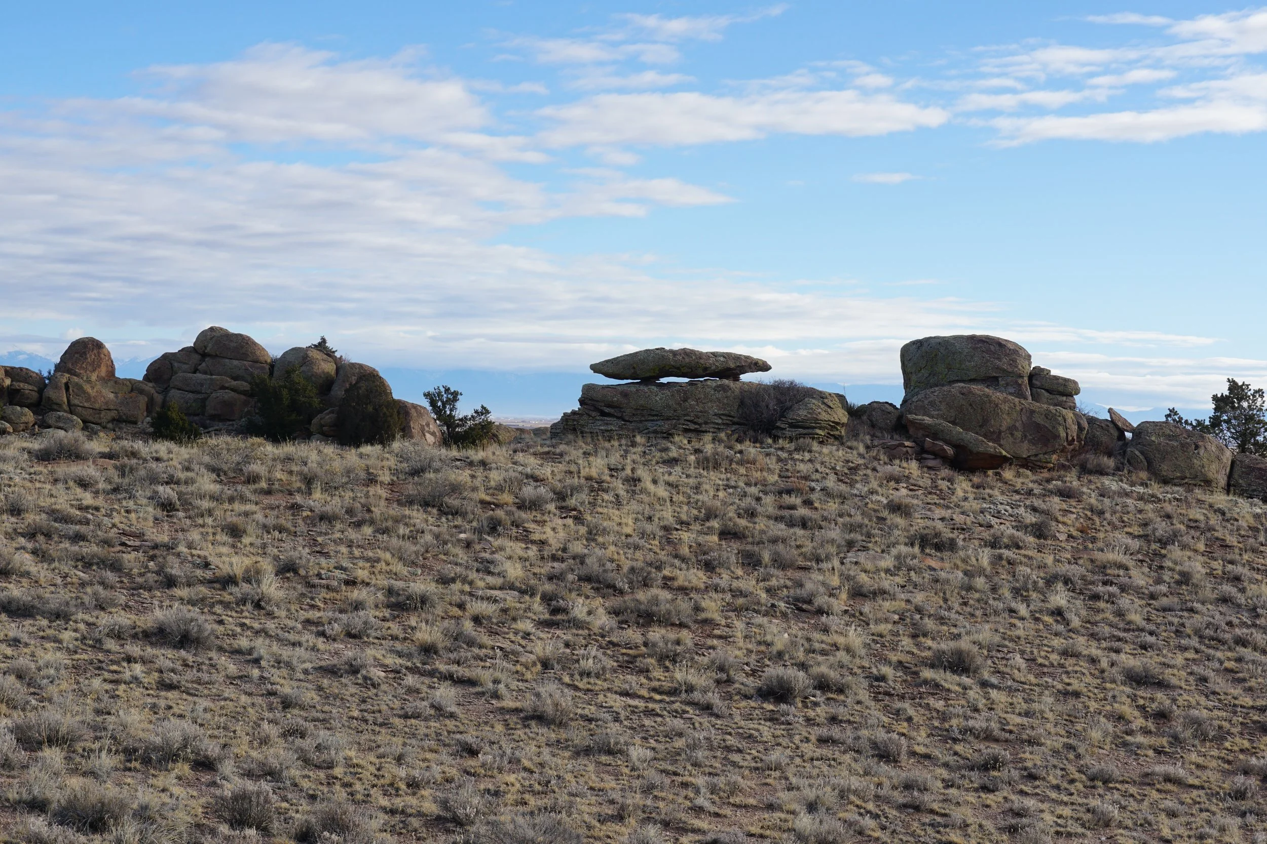
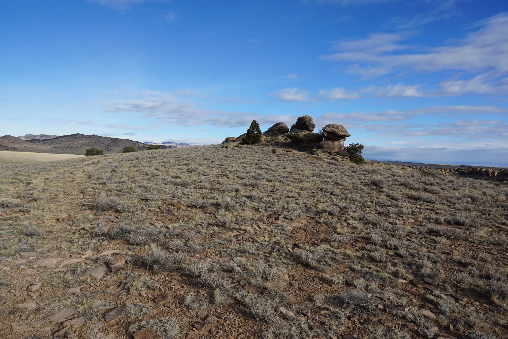
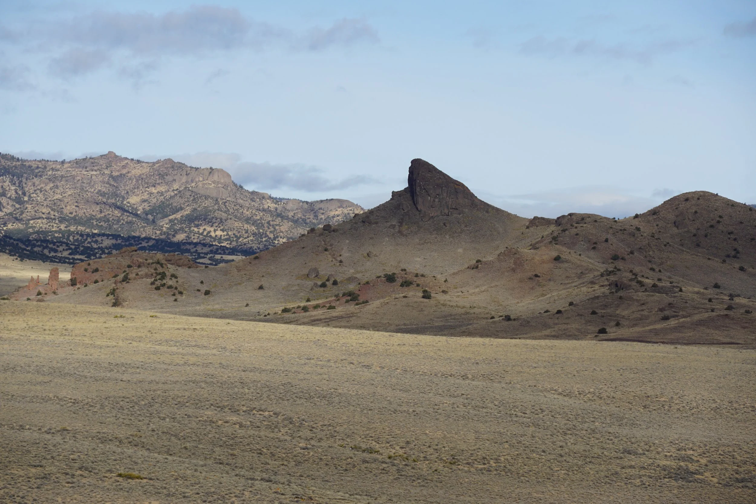
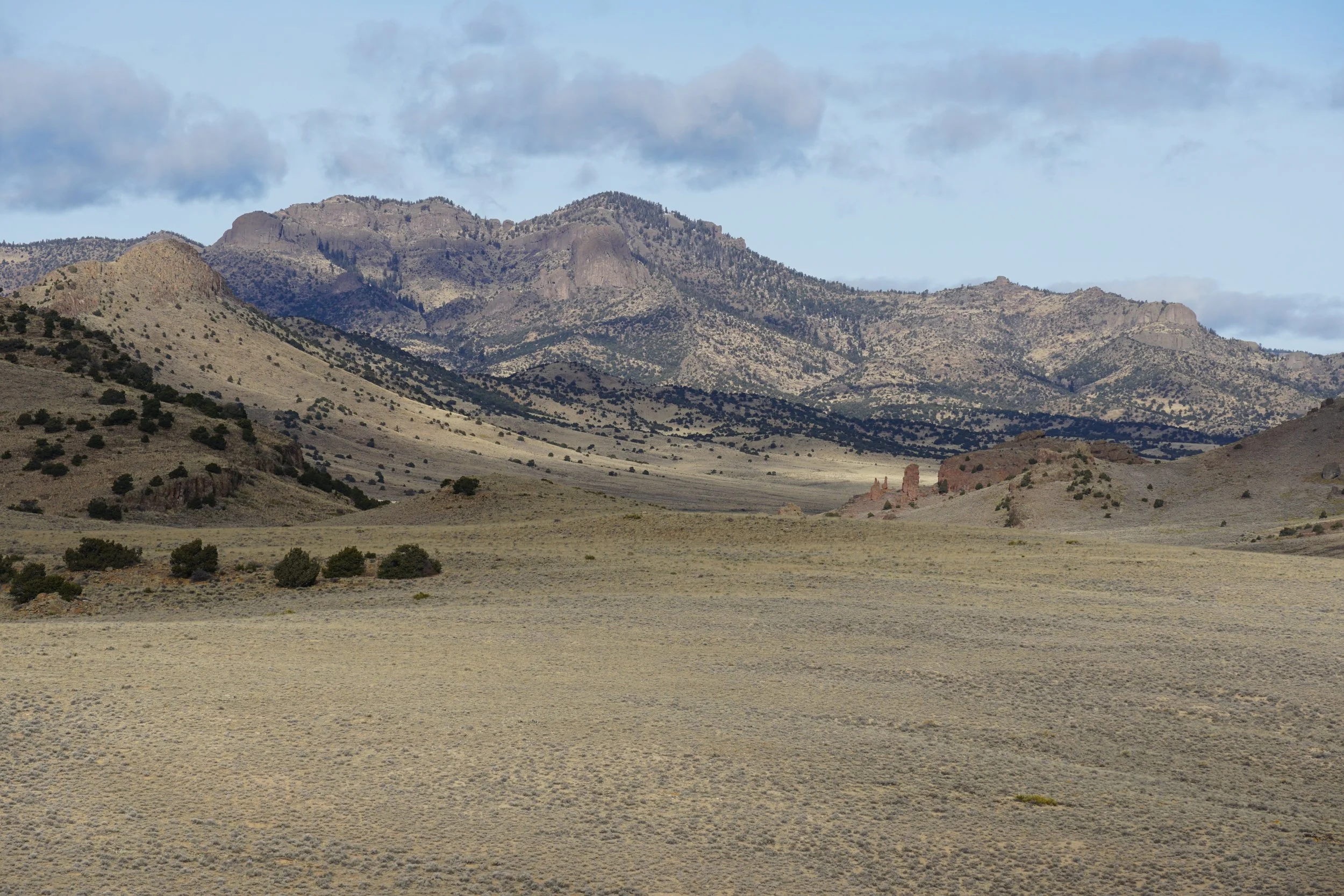
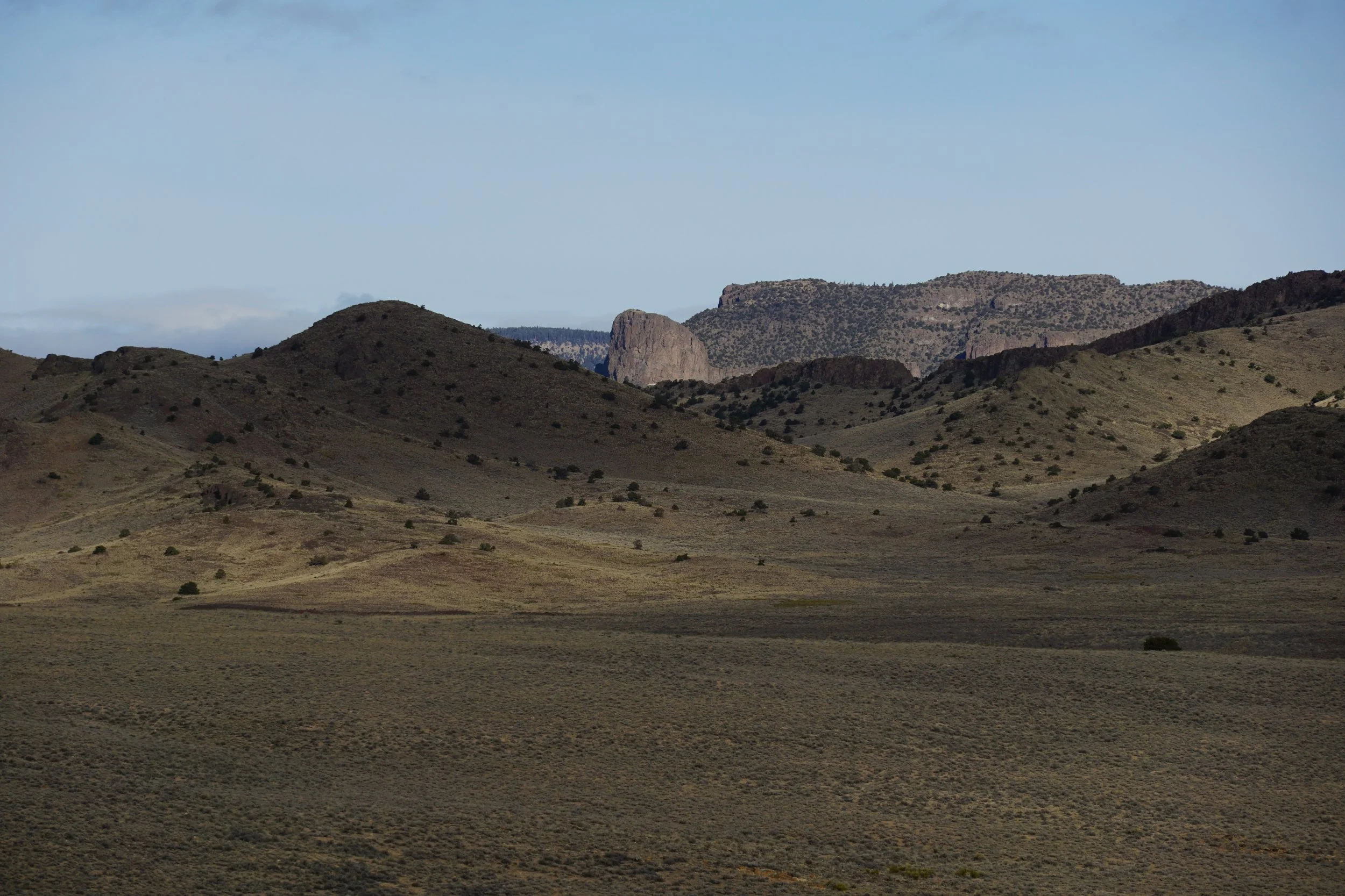
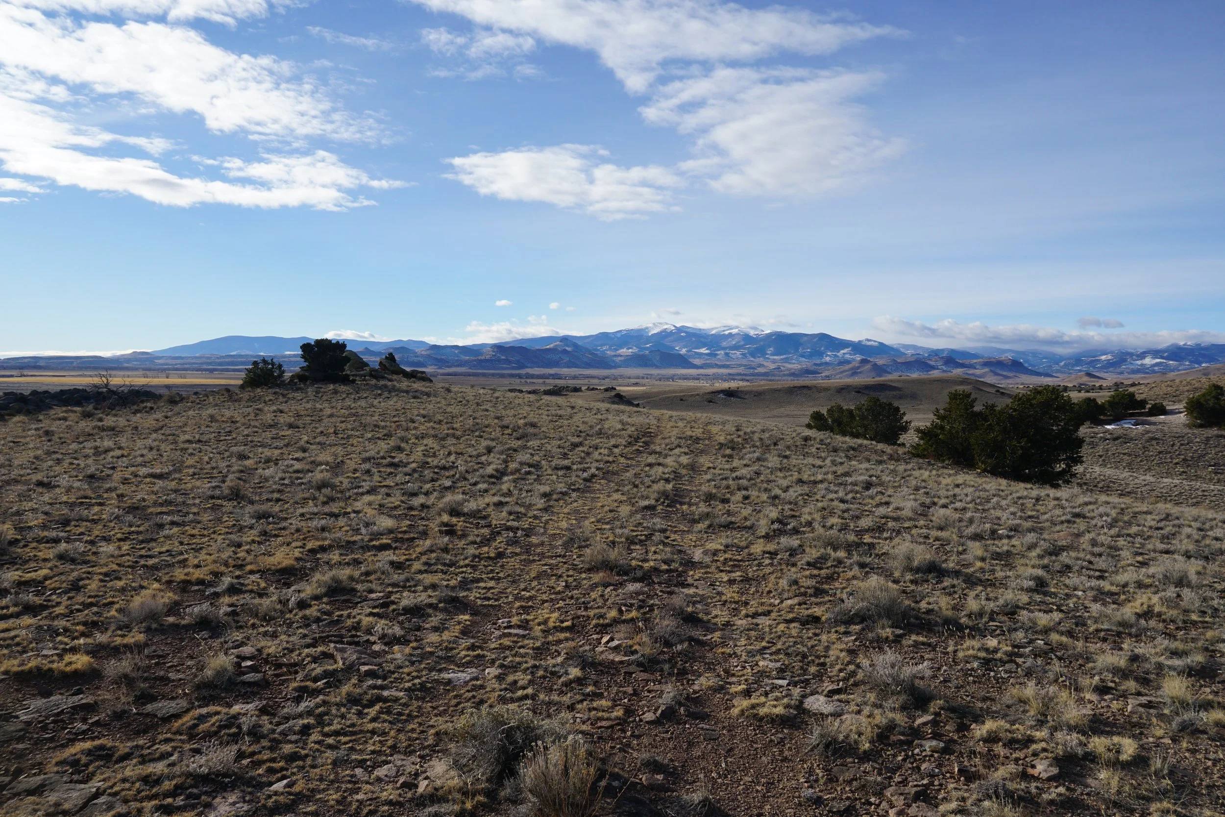
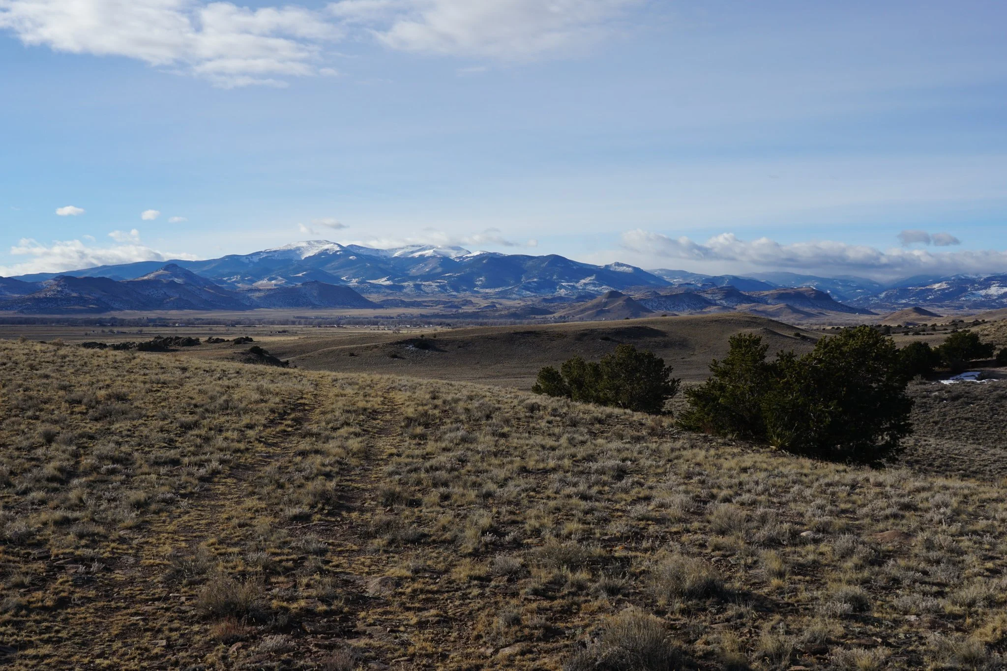
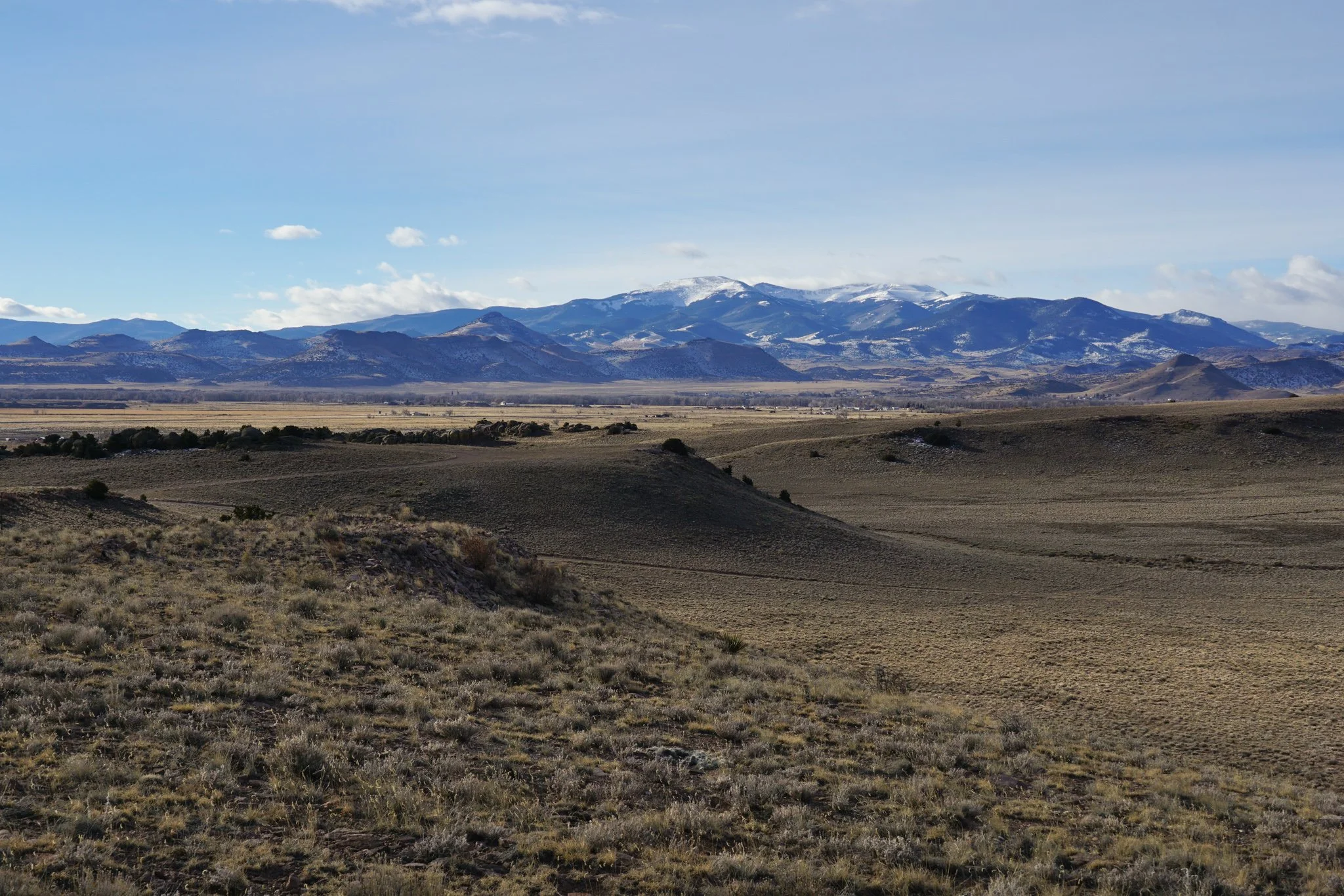
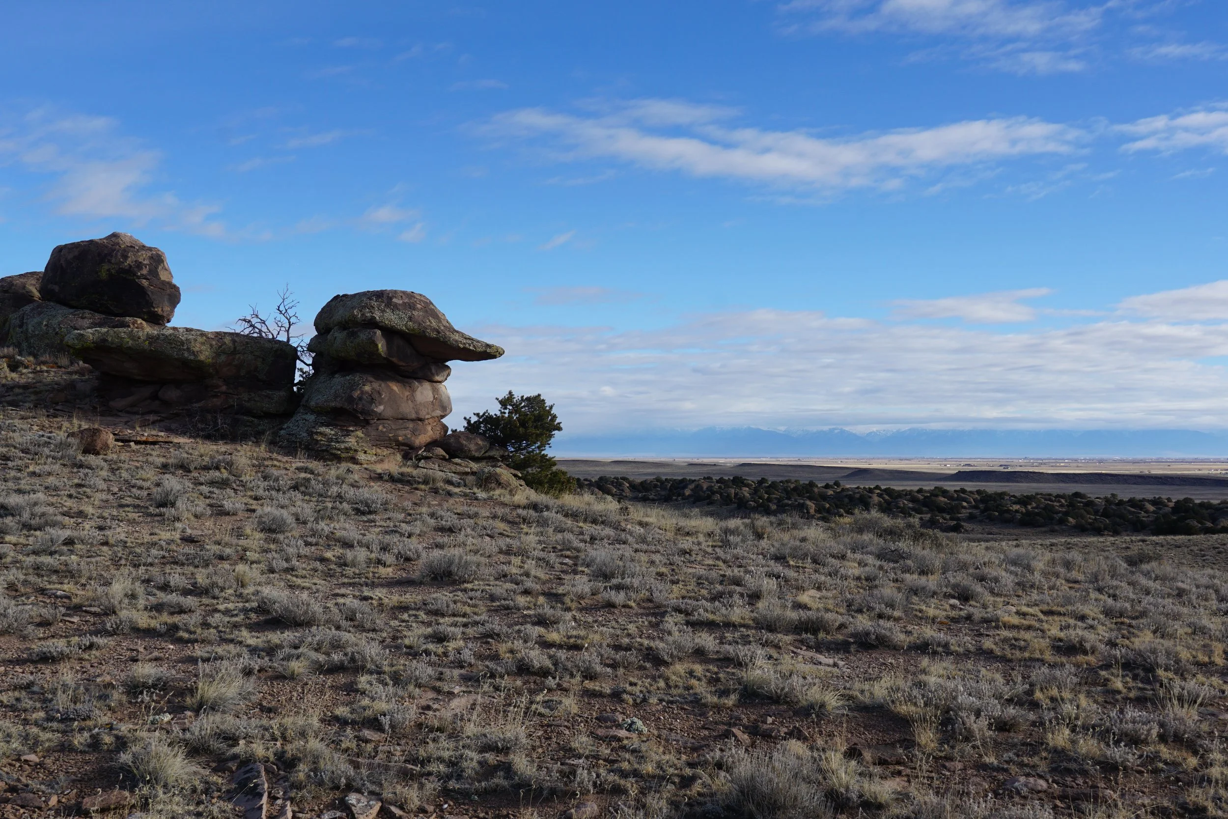
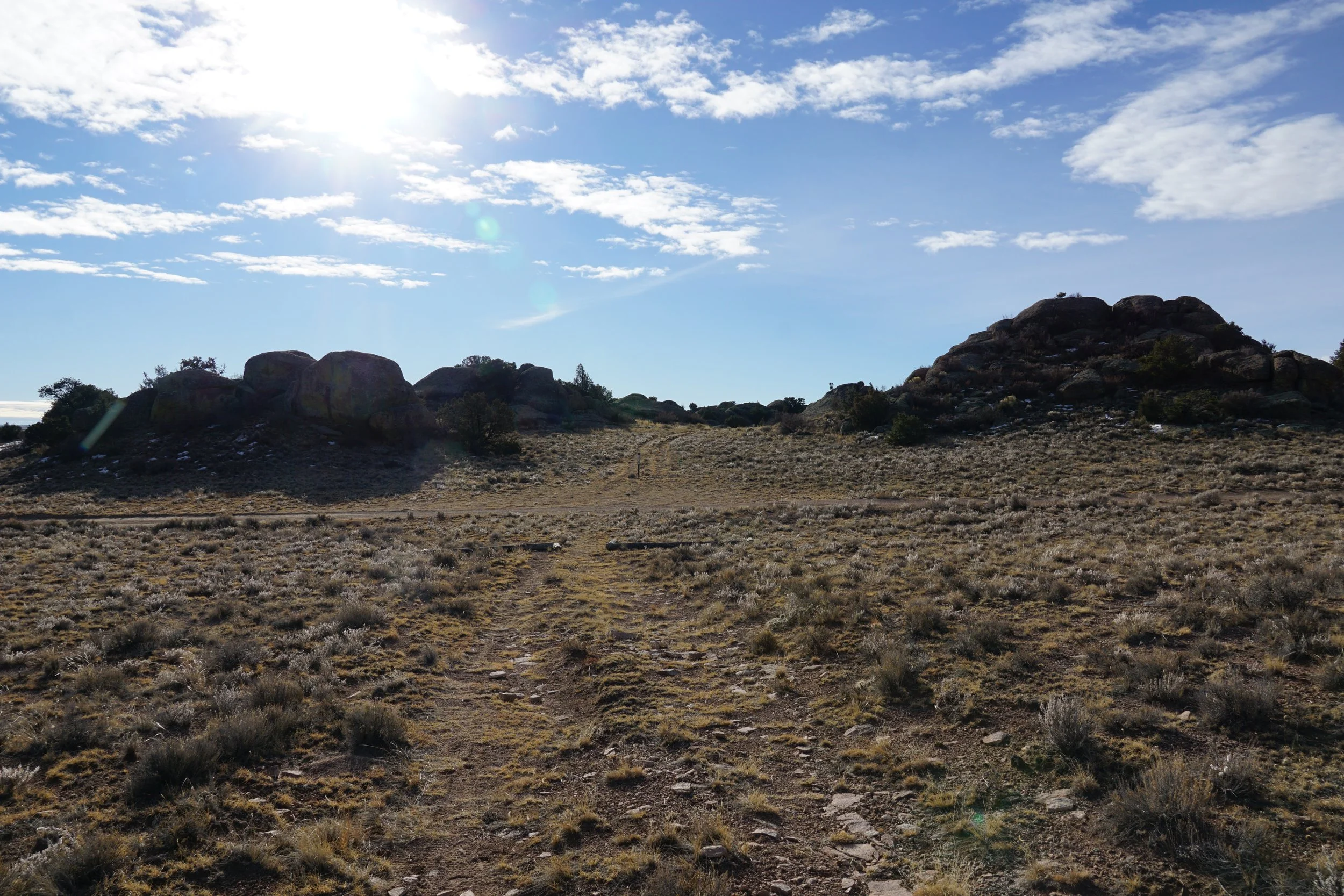
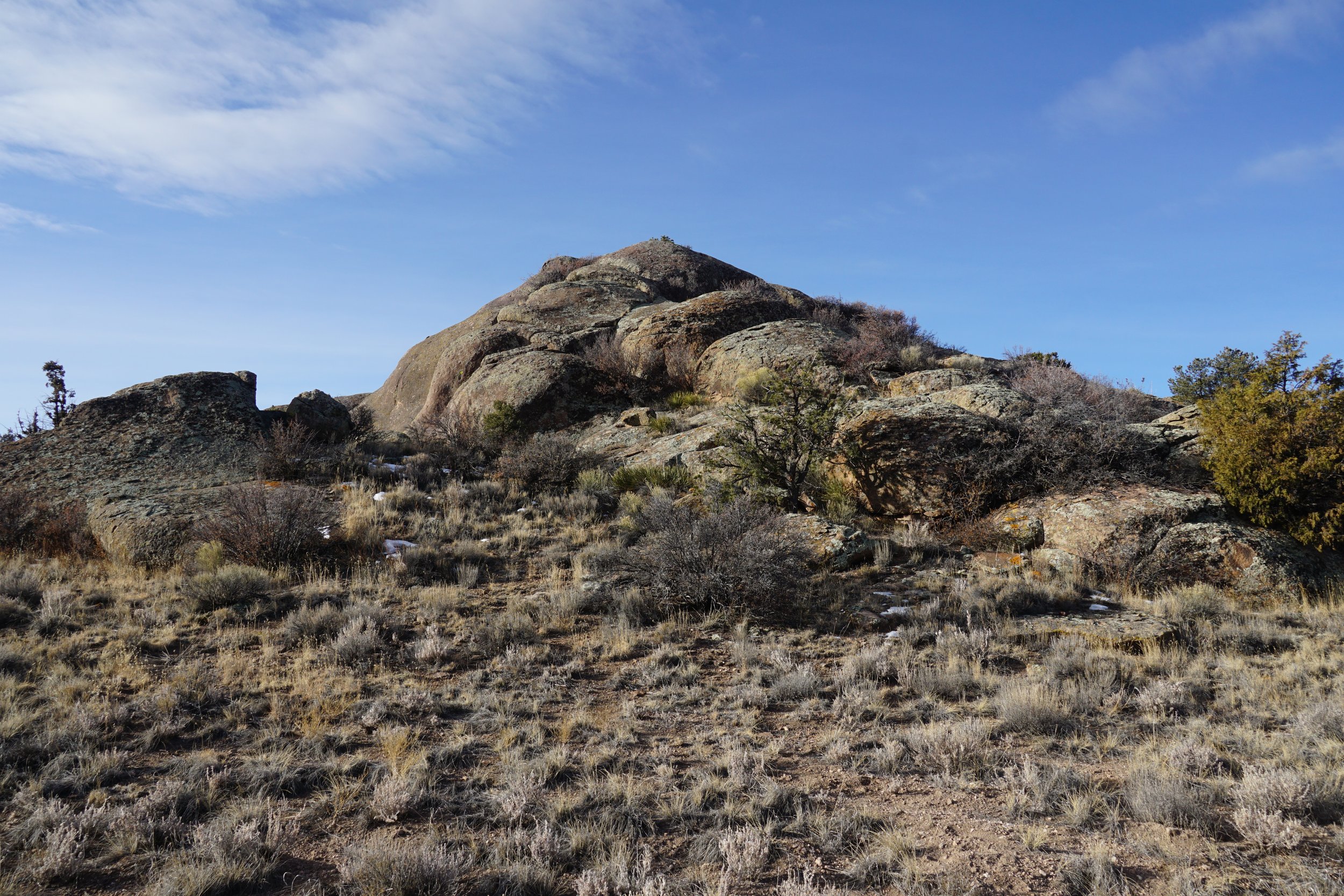
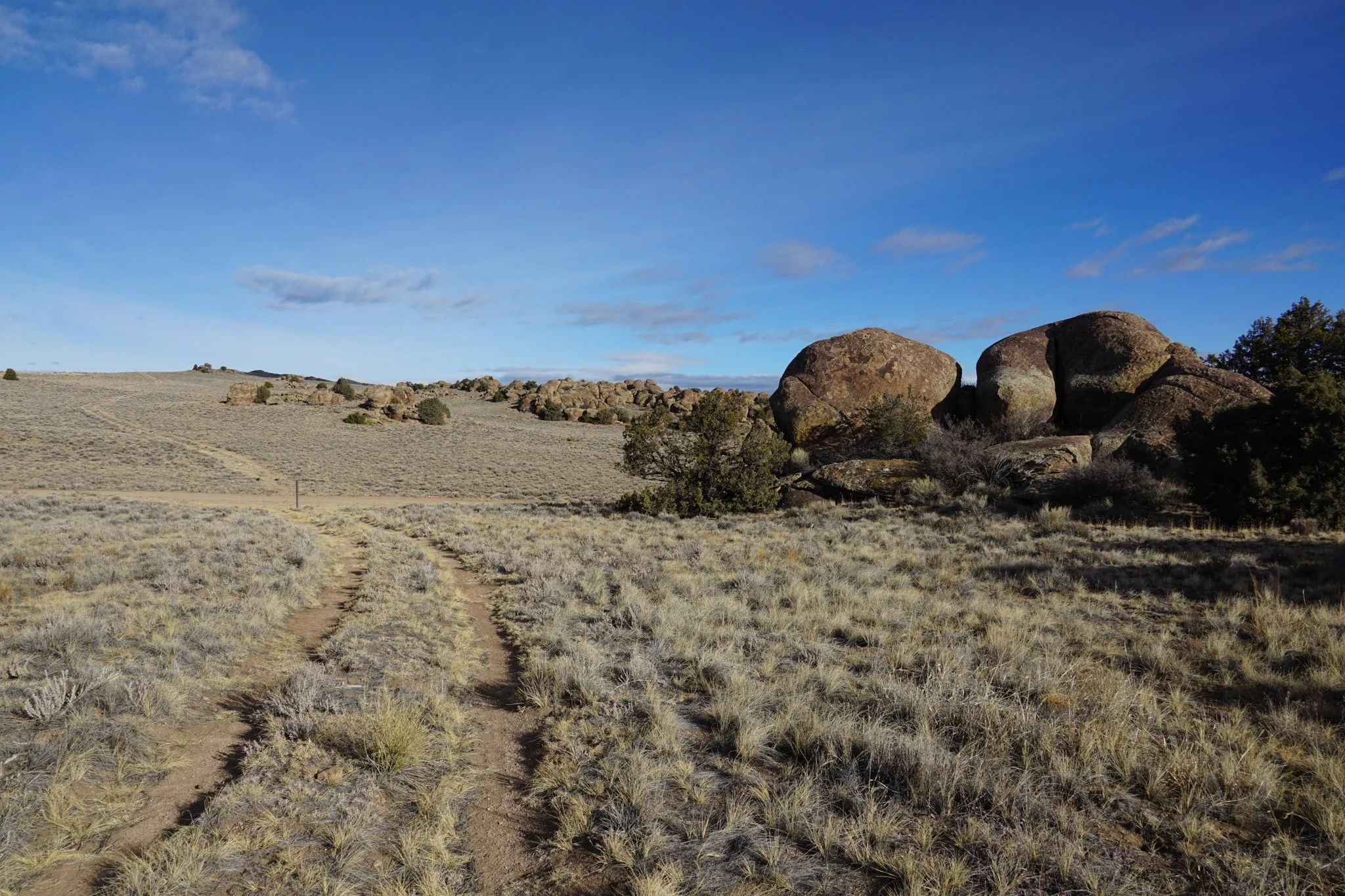
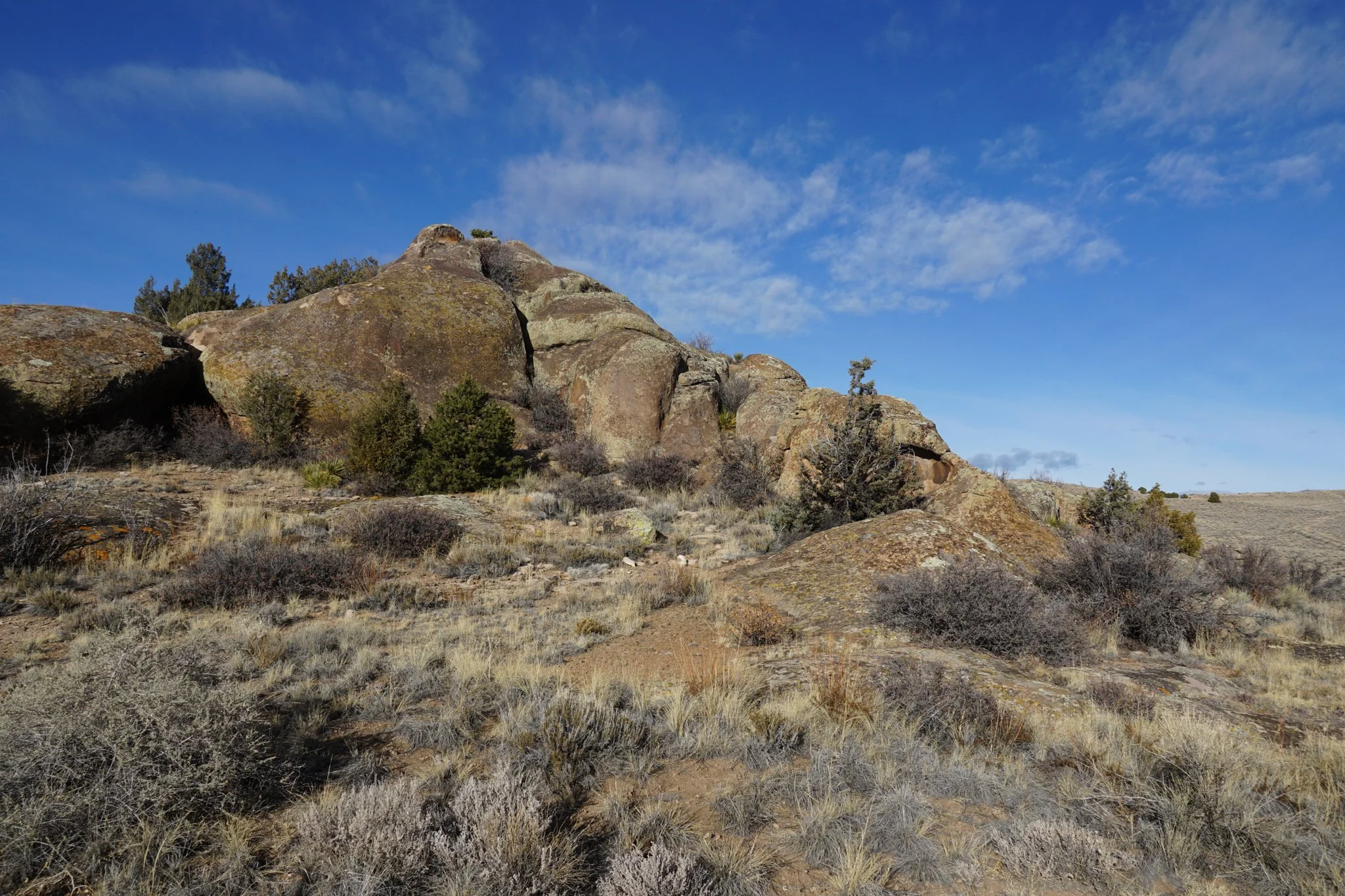
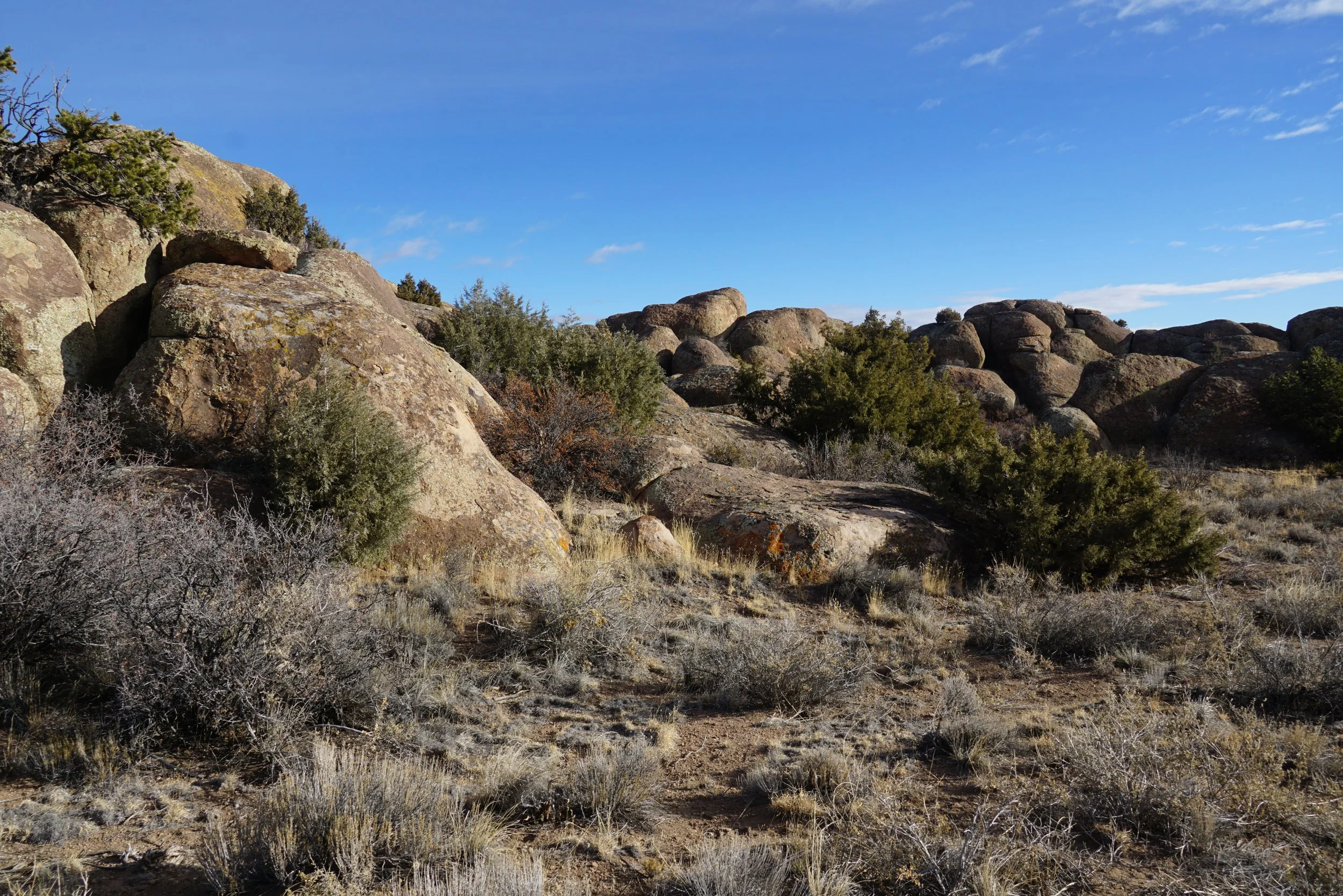
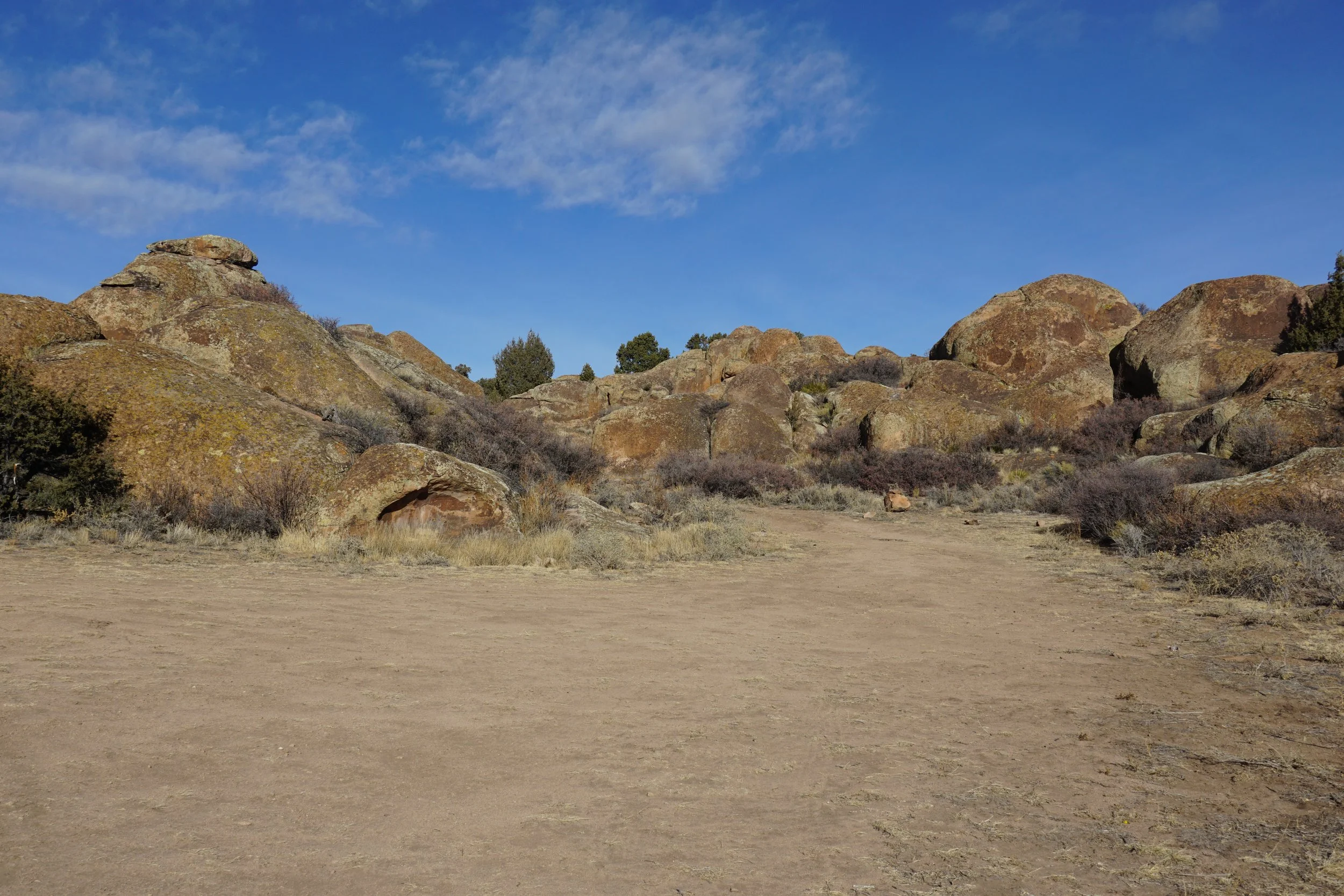
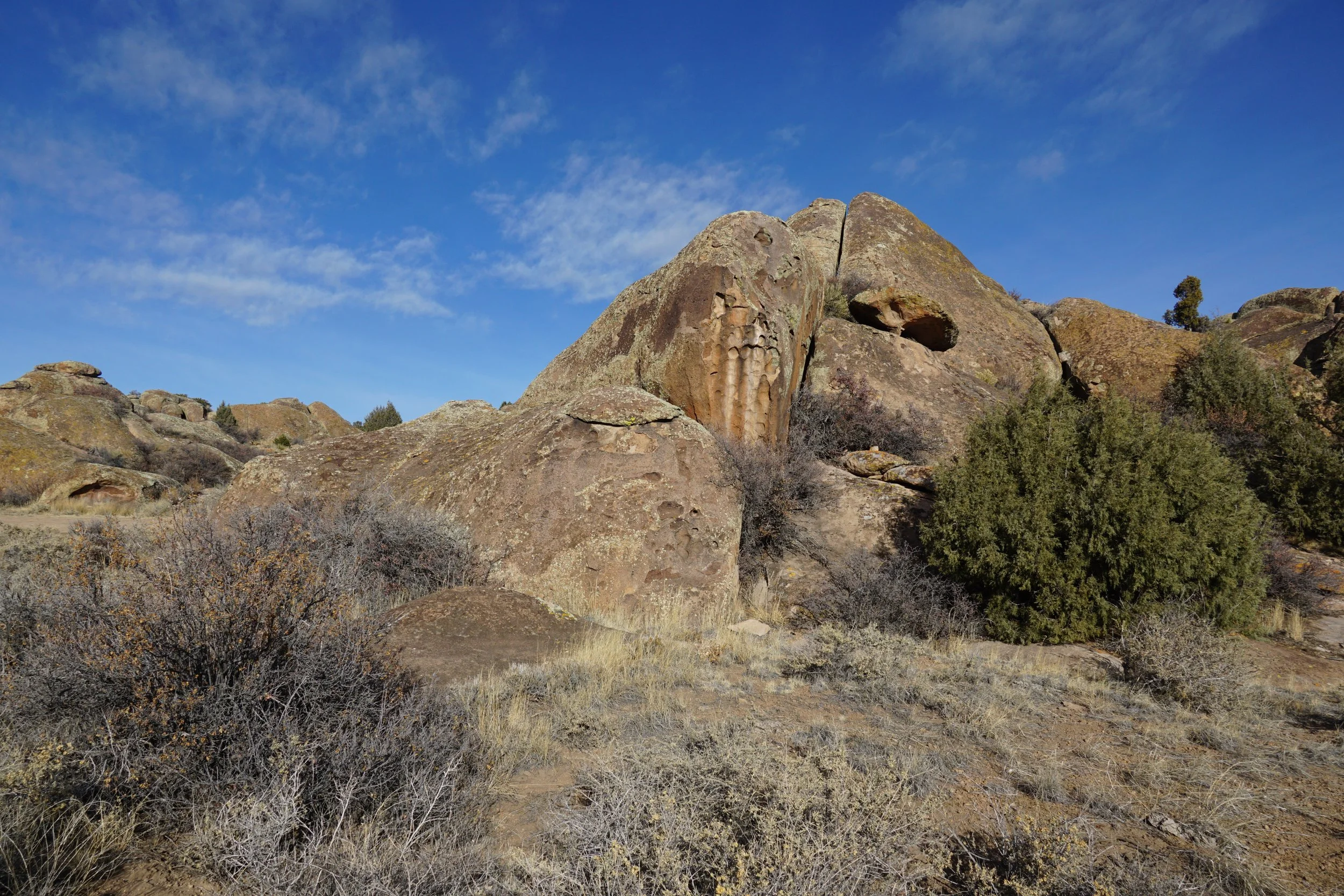
The Elephant Rocks Recreation Area, managed by the Bureau of Land Management (BLM) is a wide expanse of elephant sized boulders creating a maze of interesting rock formations on the western edge of the San Luis Valley. There are a handful of small hikes in this area leading up to the Rio Grande National Forest. The Little Mammoth Trail is a short spur that juts out from the Elephant Rocks South camping area.
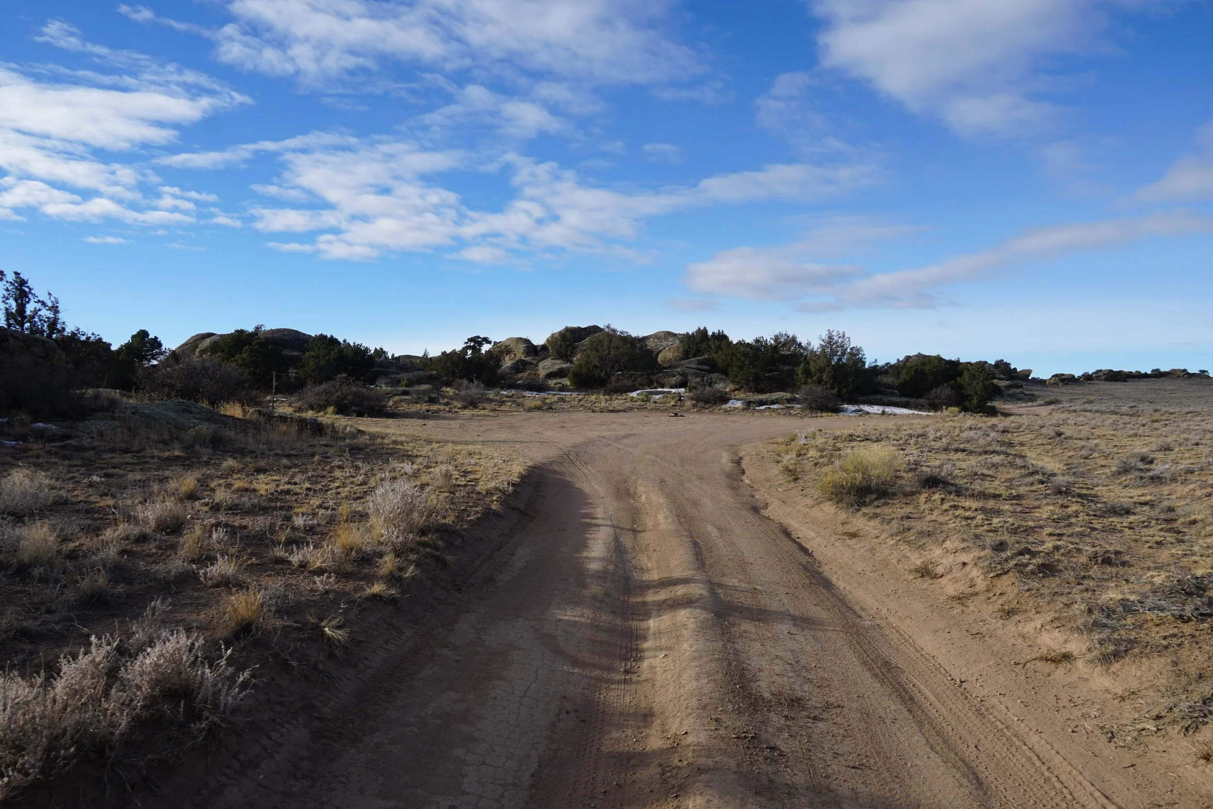
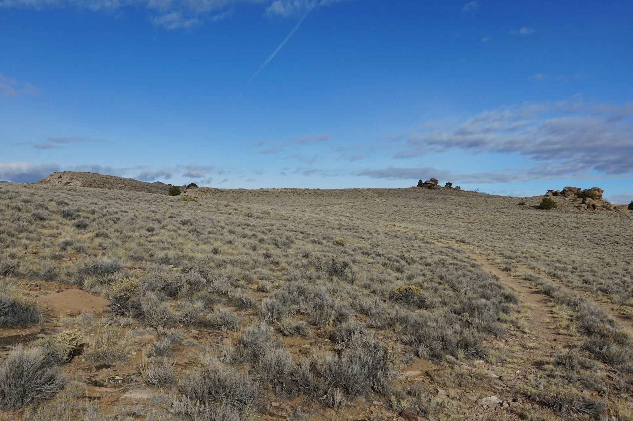
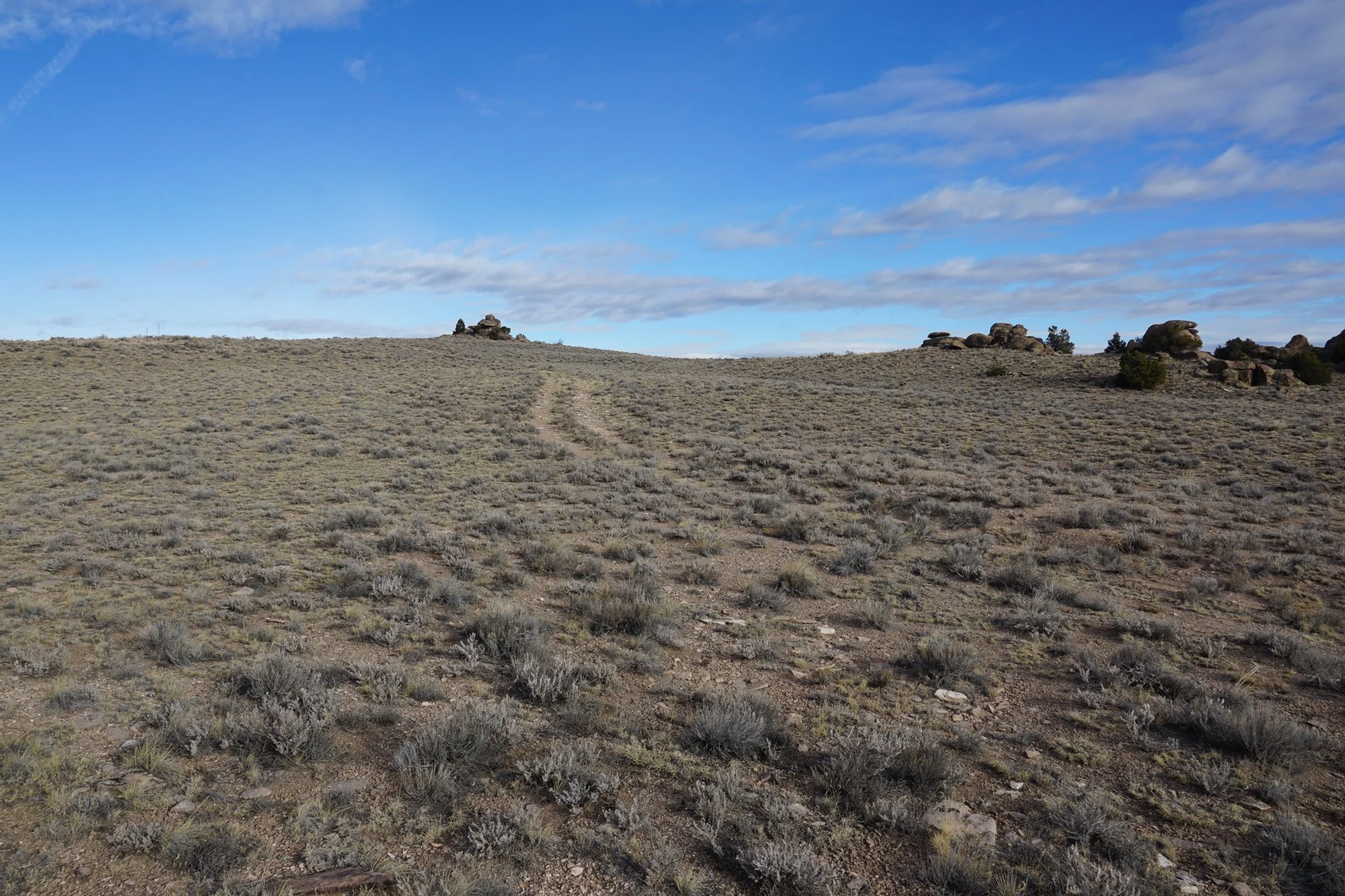
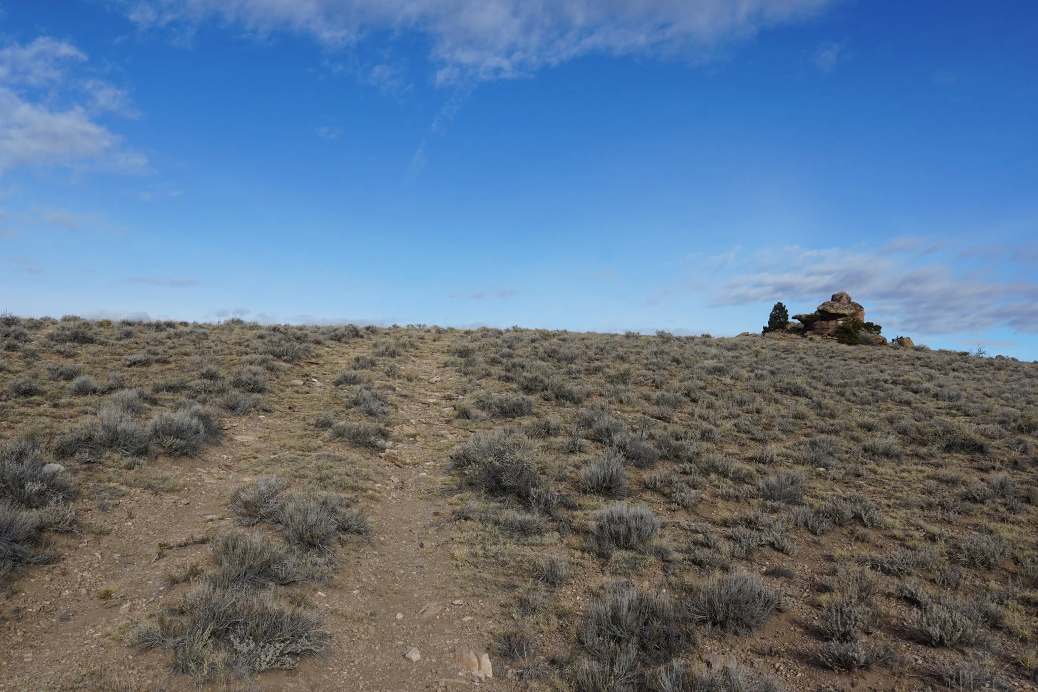
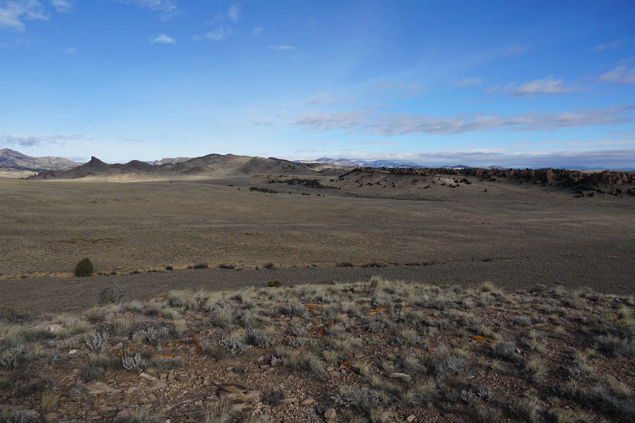
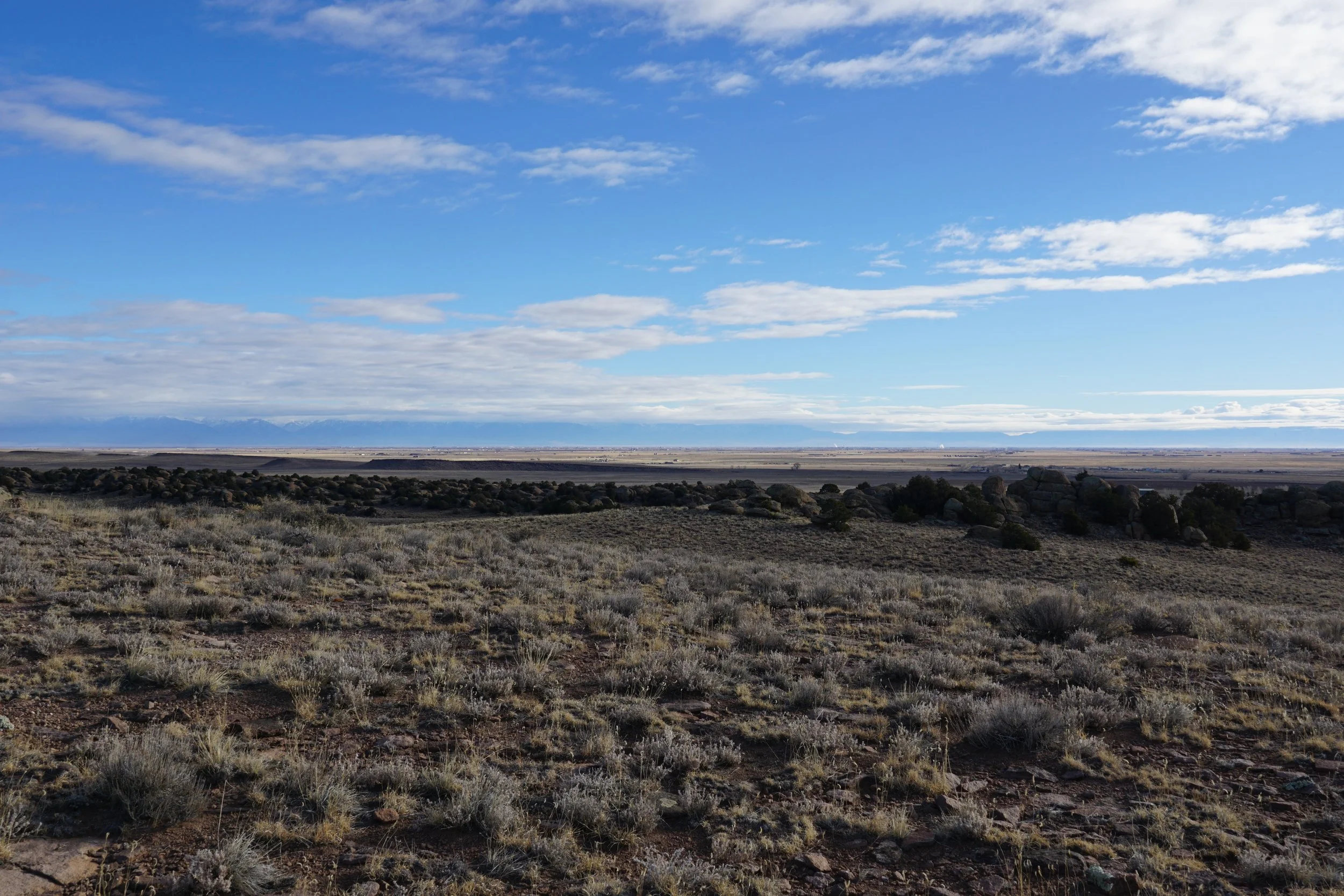
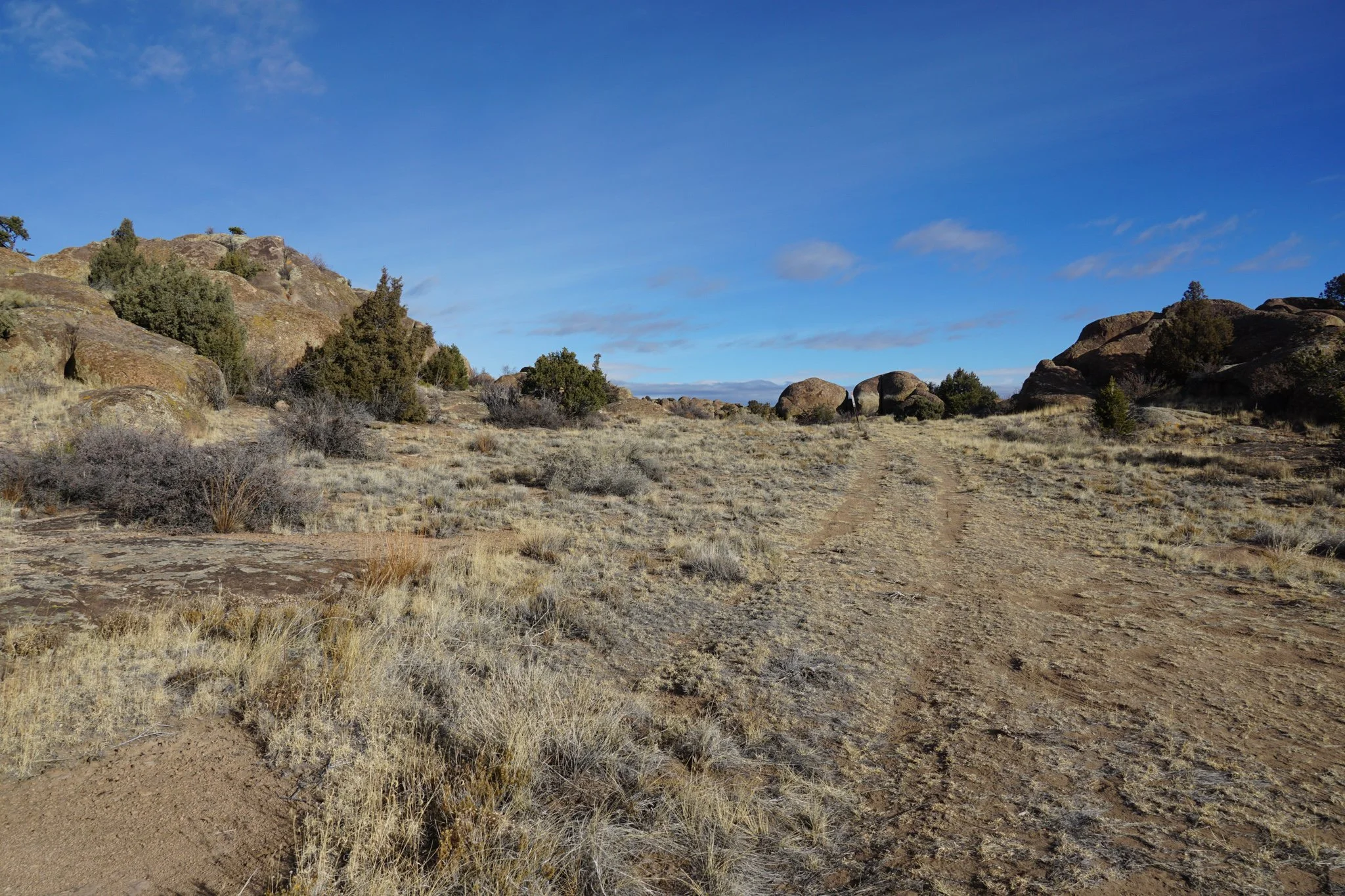
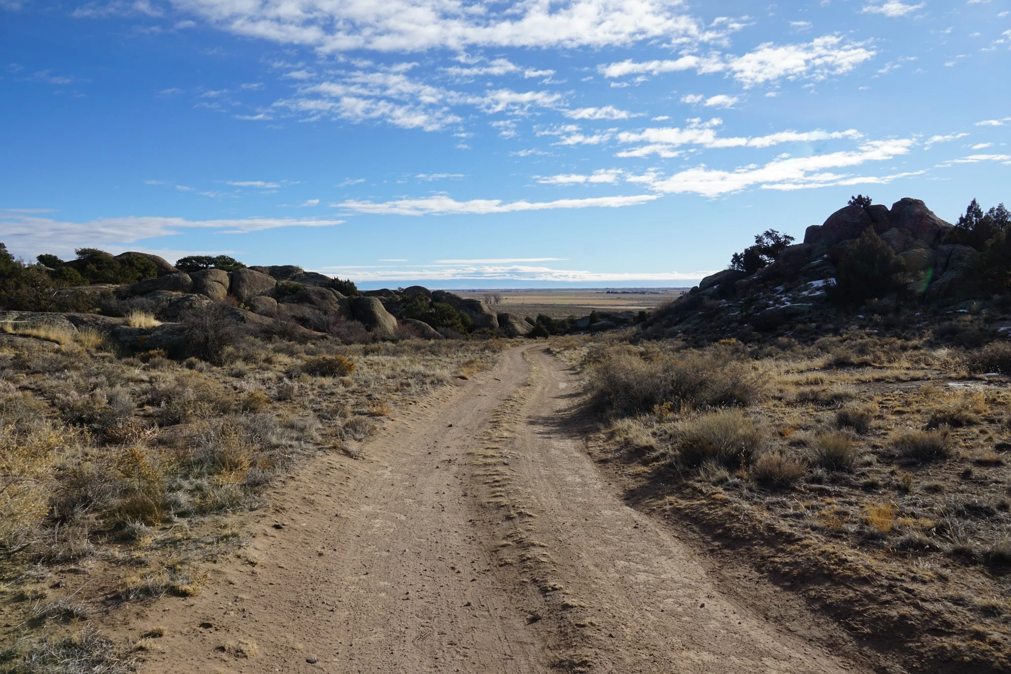
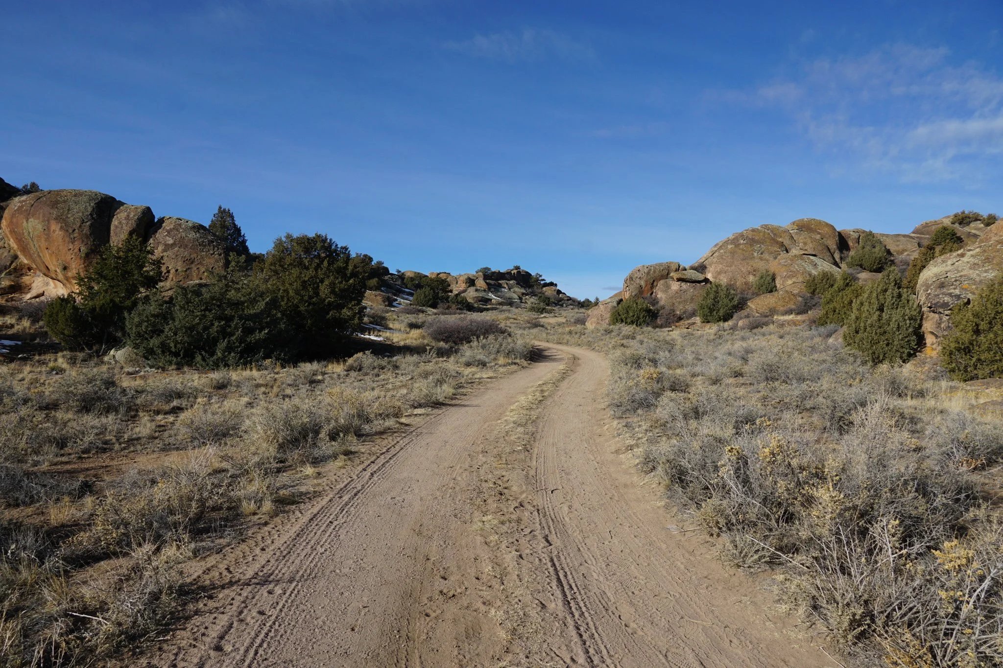
The trail starts from the northern part of the campground loop road and rises gently to the edge of the hill for some nice views across the area and into the National Forest. The trail is only 0.3 mi long each way so if you want a slightly longer hike, park at the entrance to the road and hike the dirt road that forms the campground loop.
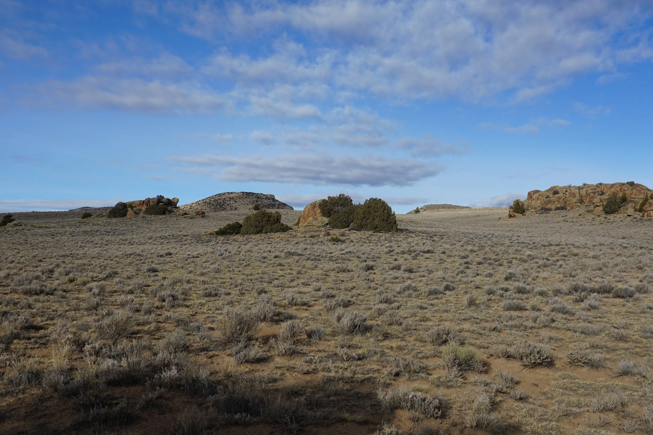
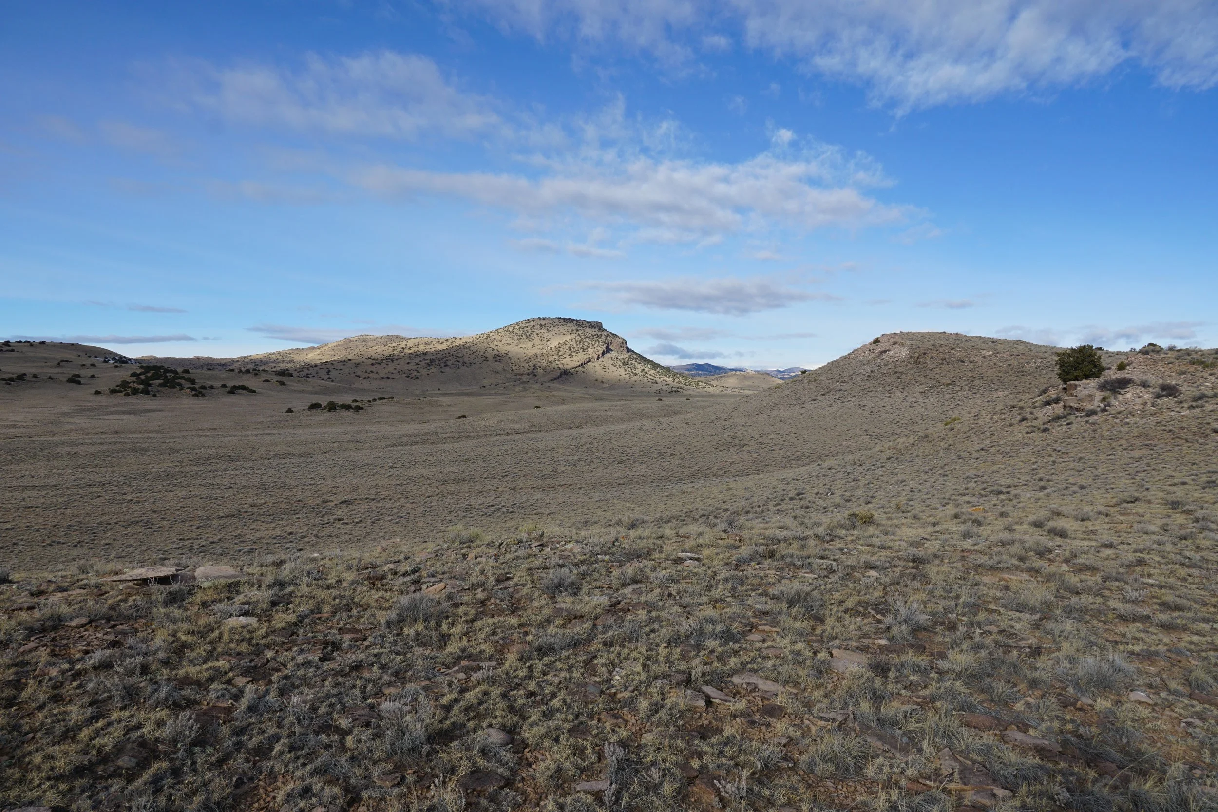
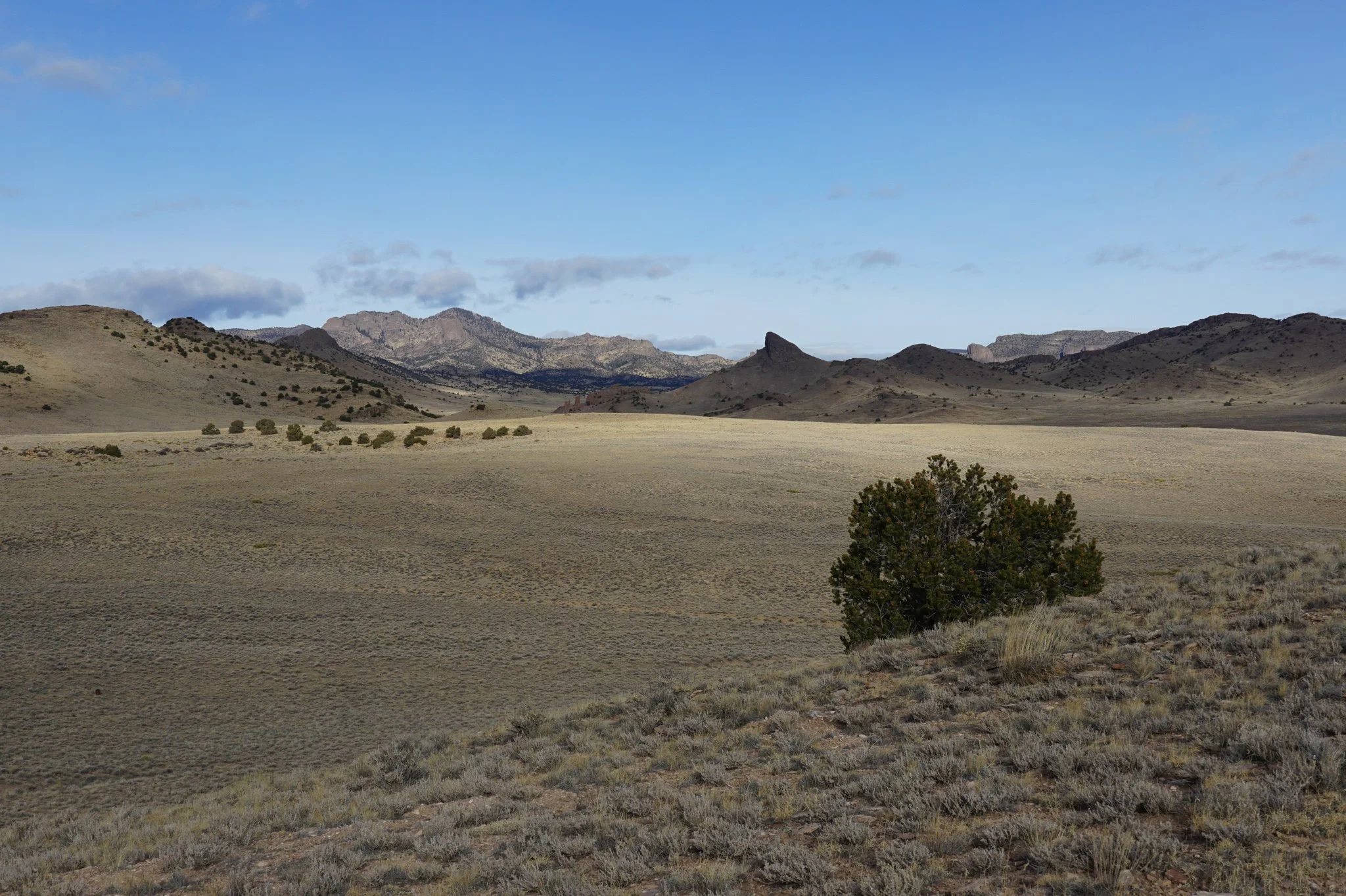
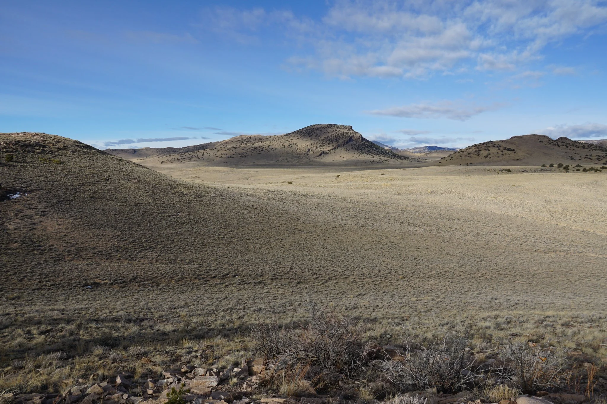
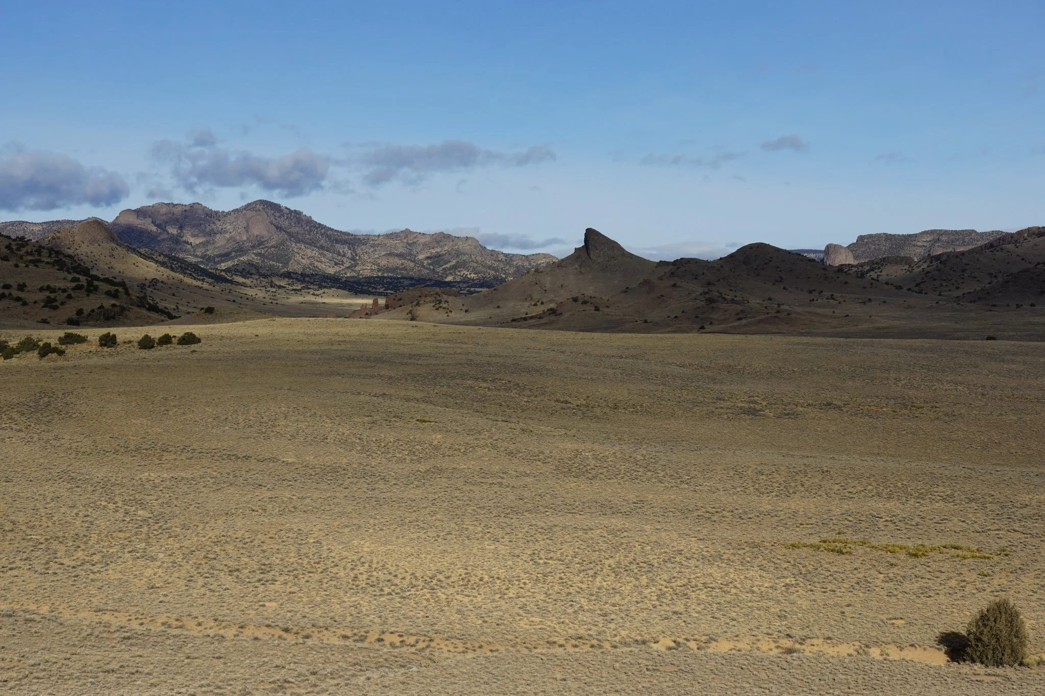
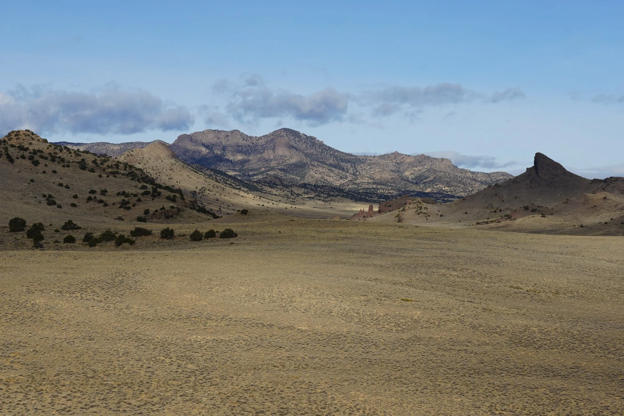
The view stretches out across a very interesting landscape of rock formations and peaks that has some ORV roads but little to no official hiking trails. Eventually, this landscape becomes the La Garita Mountains to the northwest. This is an overlooked part of the state and this trail provides one of the few hikeable viewpoints.