Elephant Rocks “Loop”
Elephant Rocks Recreation Area
Date Hiked: December 30, 2022
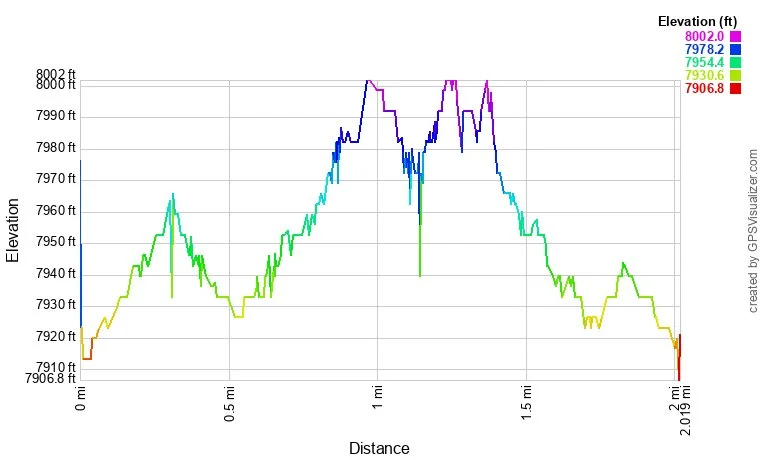
Distance: 2 mi (RT)
Elevation Gain: 65 ft
Elevation: 7,993 ft
Trailhead Lat/Long: 37.75300, -106.30870
Managing Agency: Bureau of Land Management (BLM)
Fee: None
Directions:
From Del Norte, head north on State Hwy 112 and turn left onto Grand Ave. Pass the Elephant Rocks South and area and continue north on 112 to the Loop area about 1.5 mi further. Turn left onto English Valley Road, a good dirt road, to the parking and trailhead.
Hike Description:
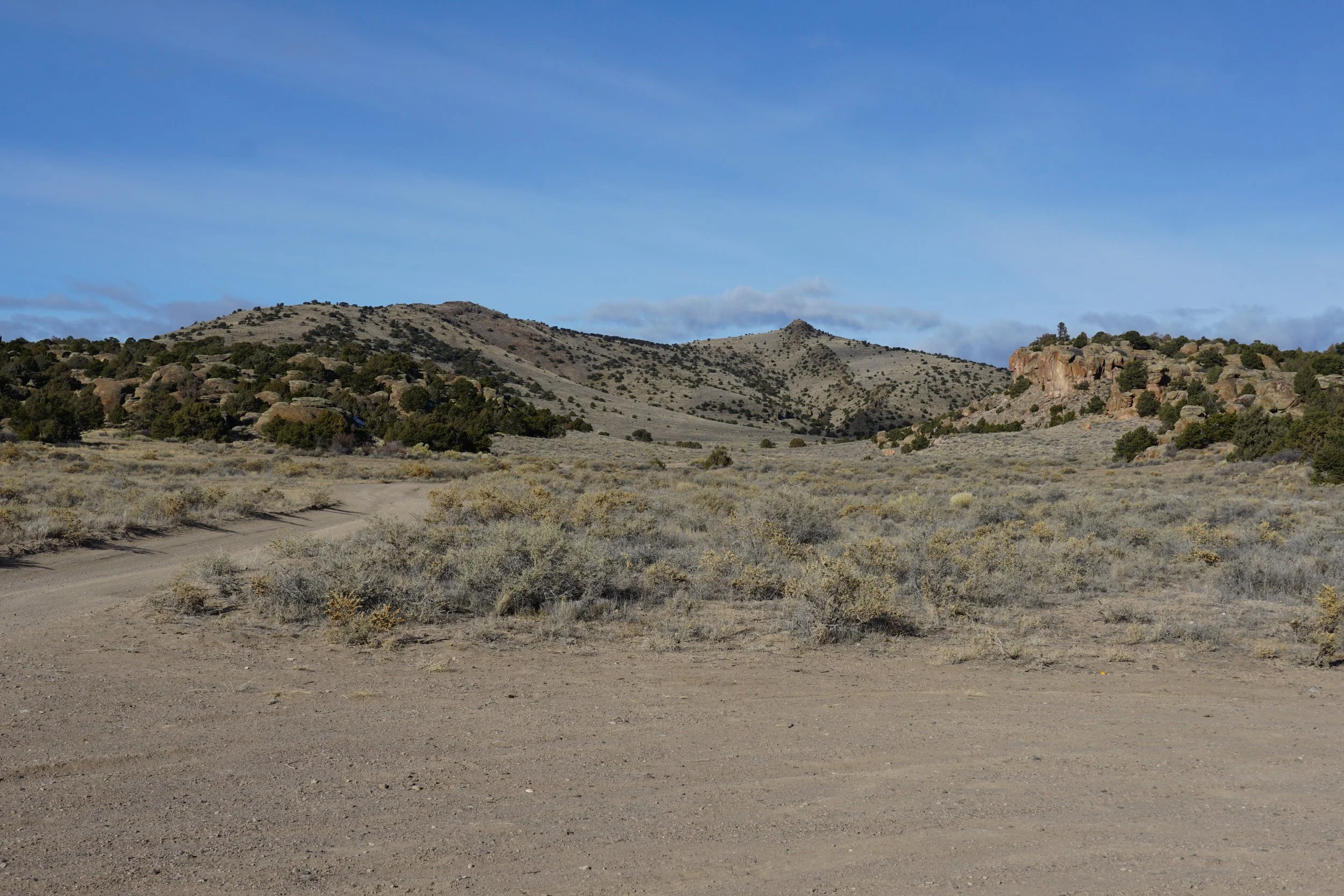
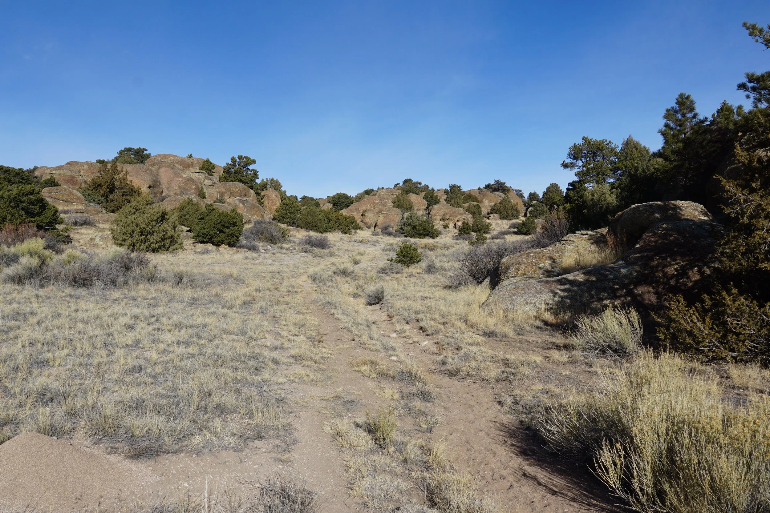
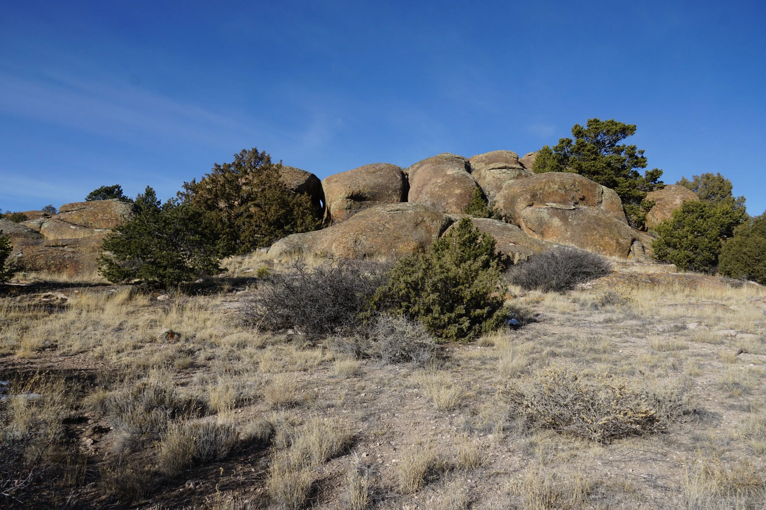
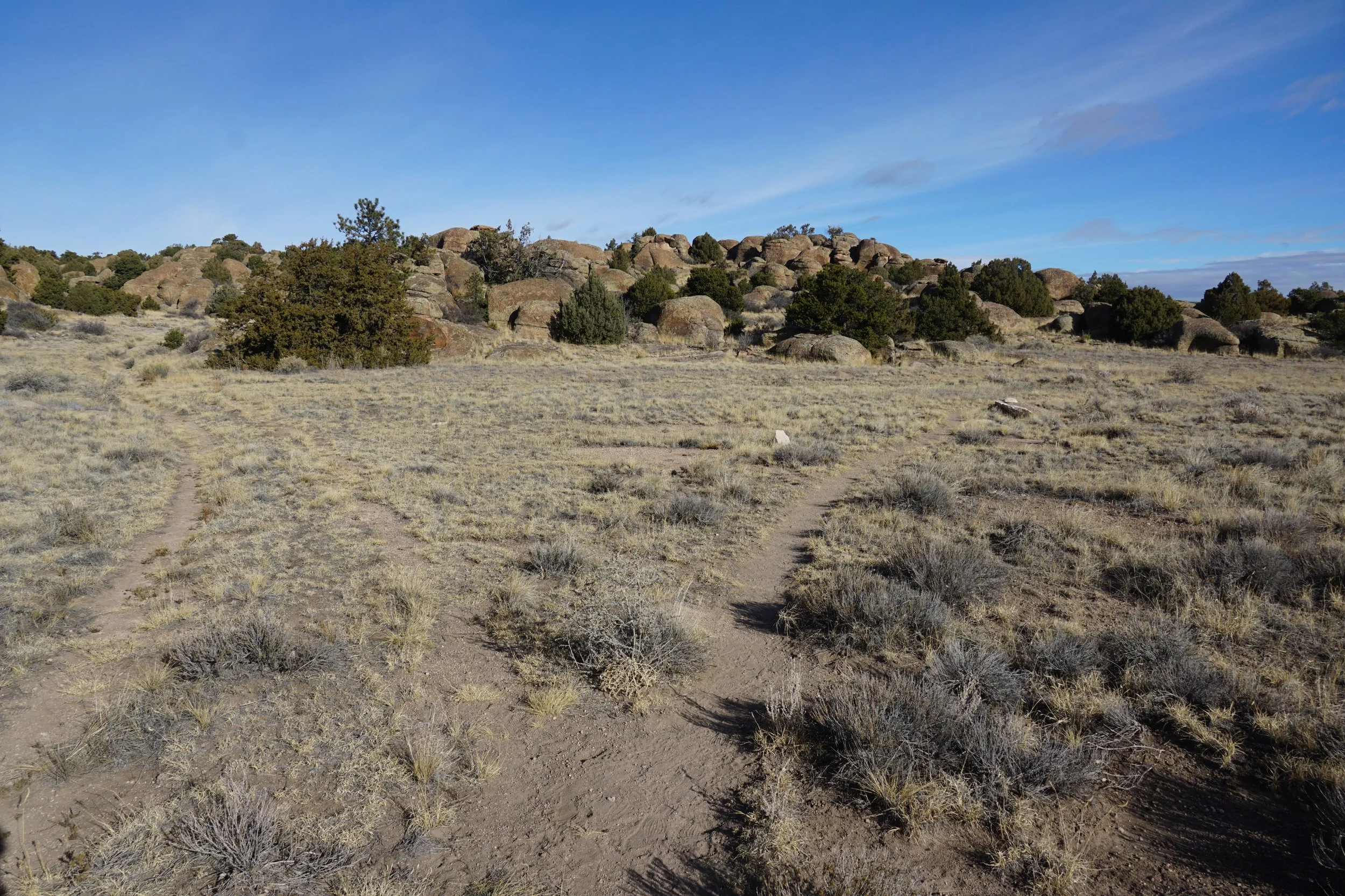
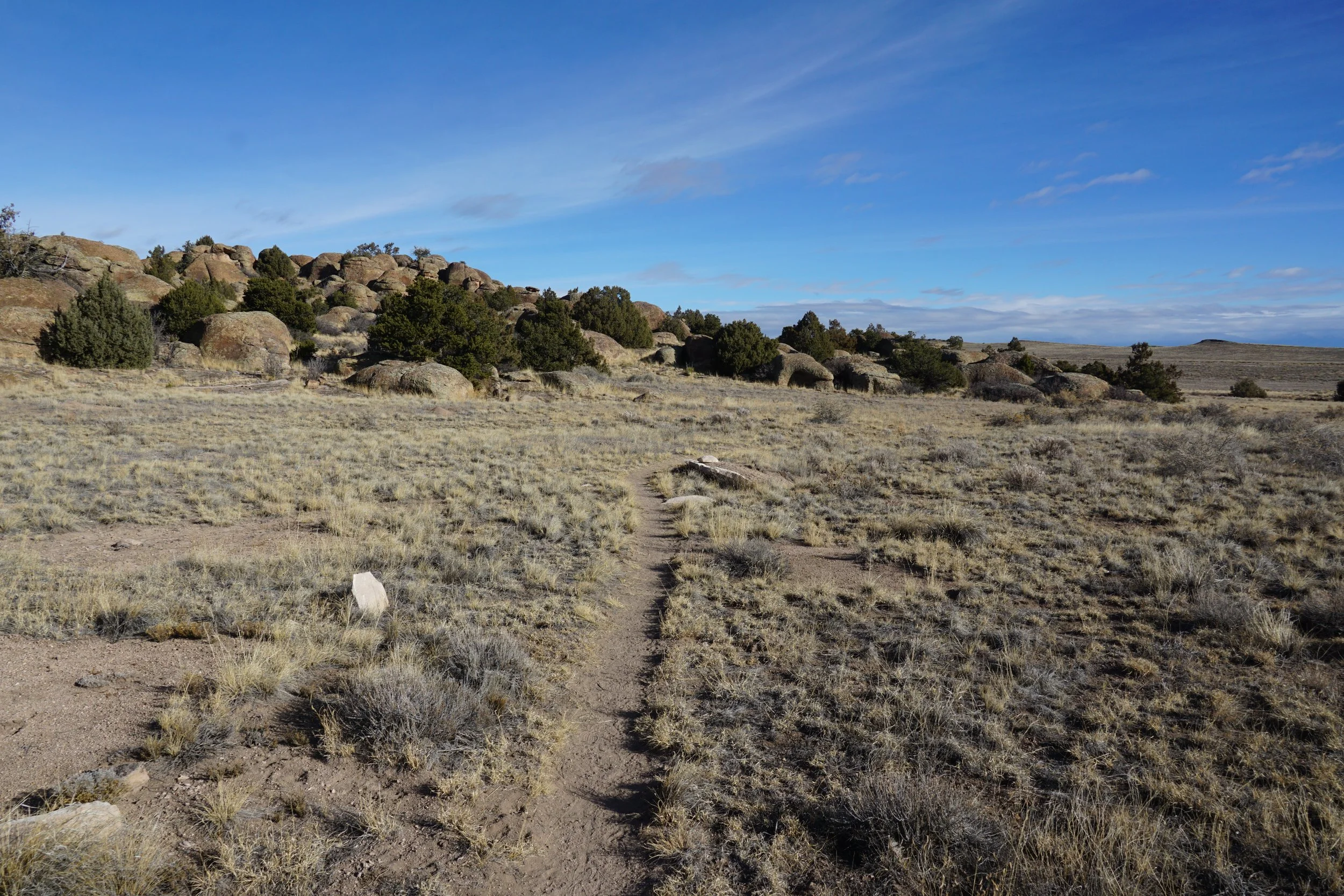
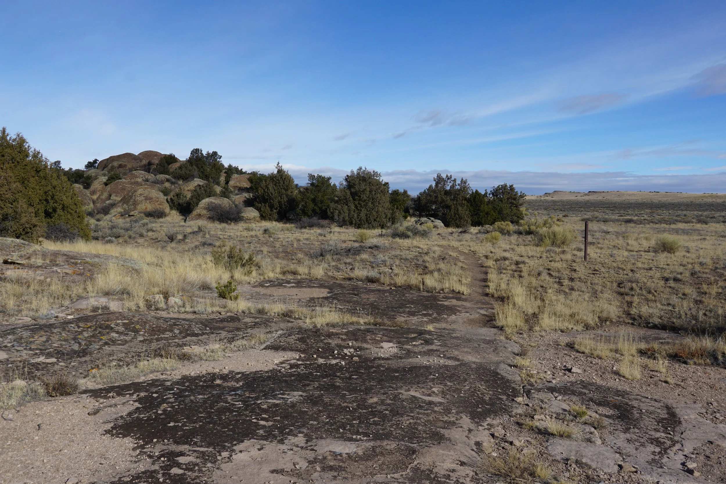
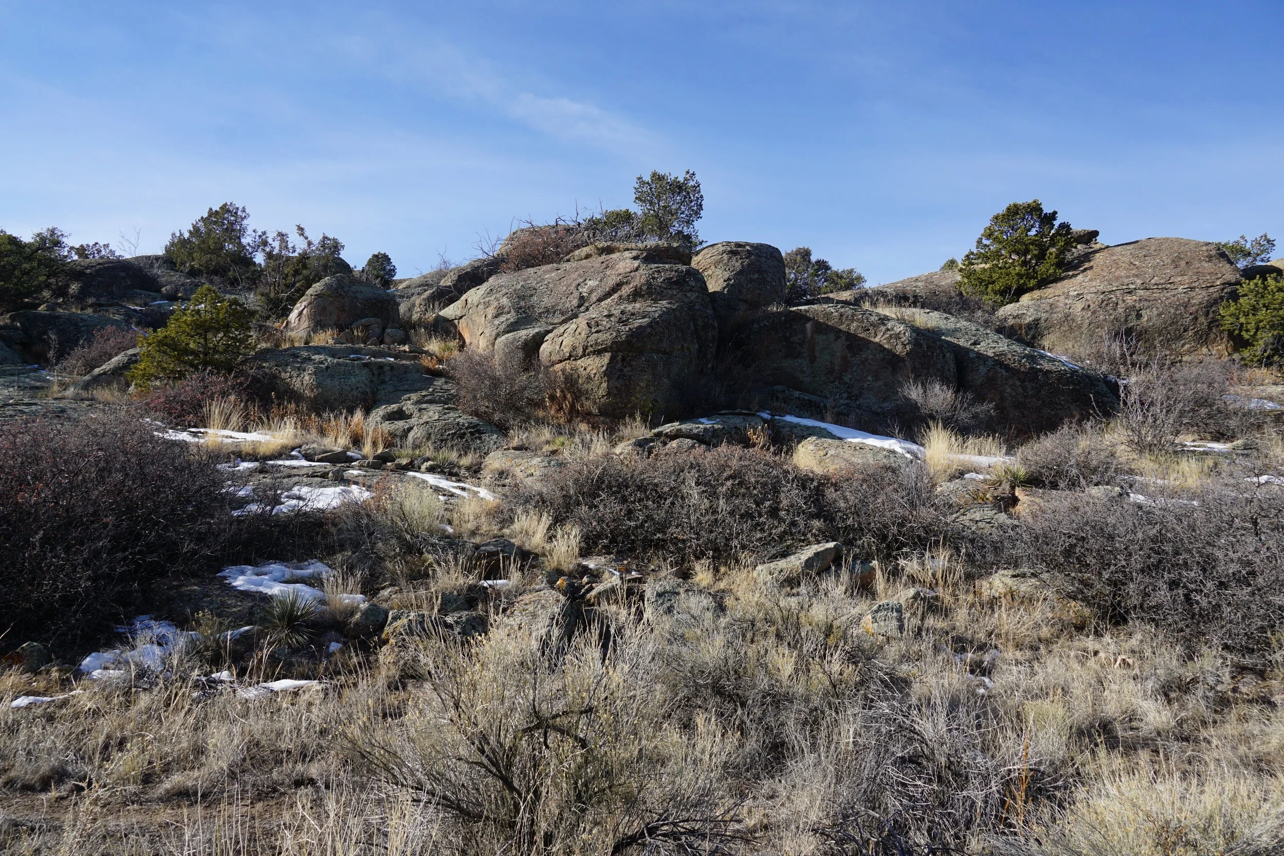
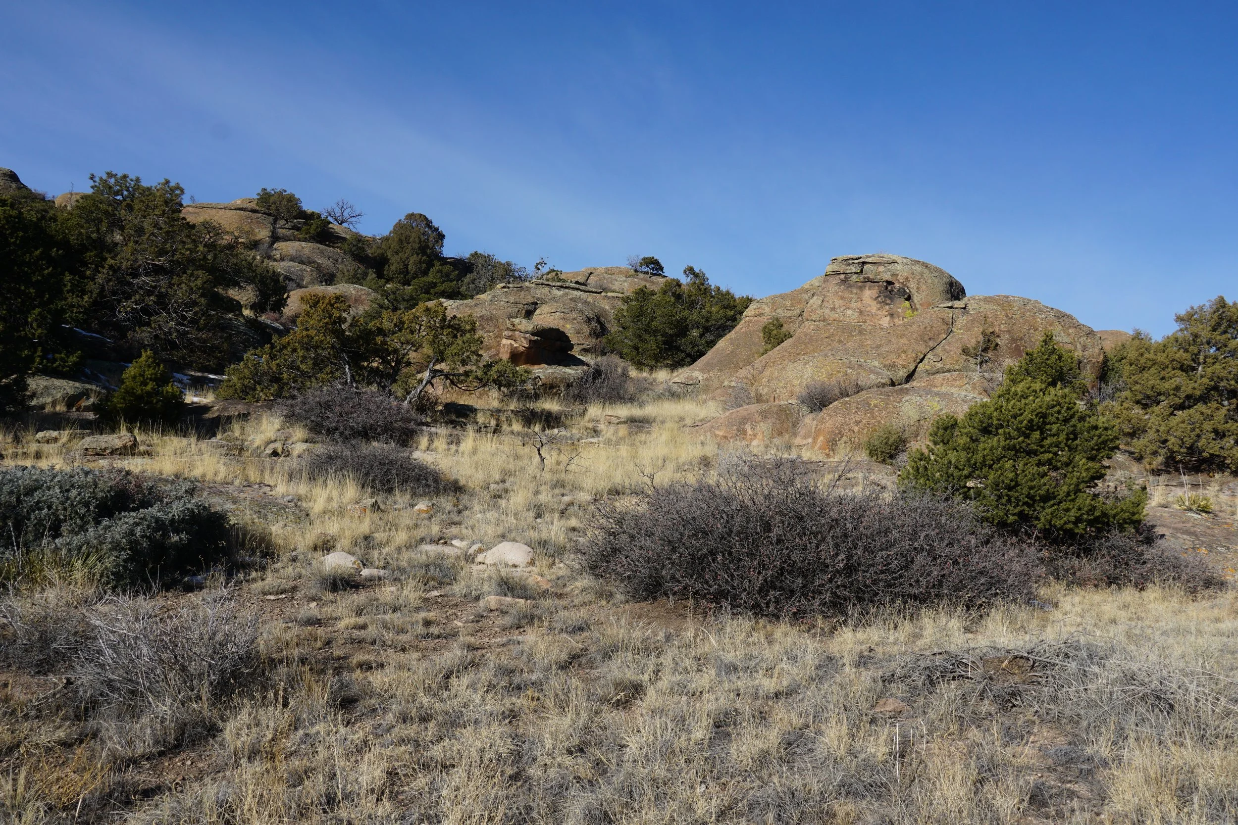
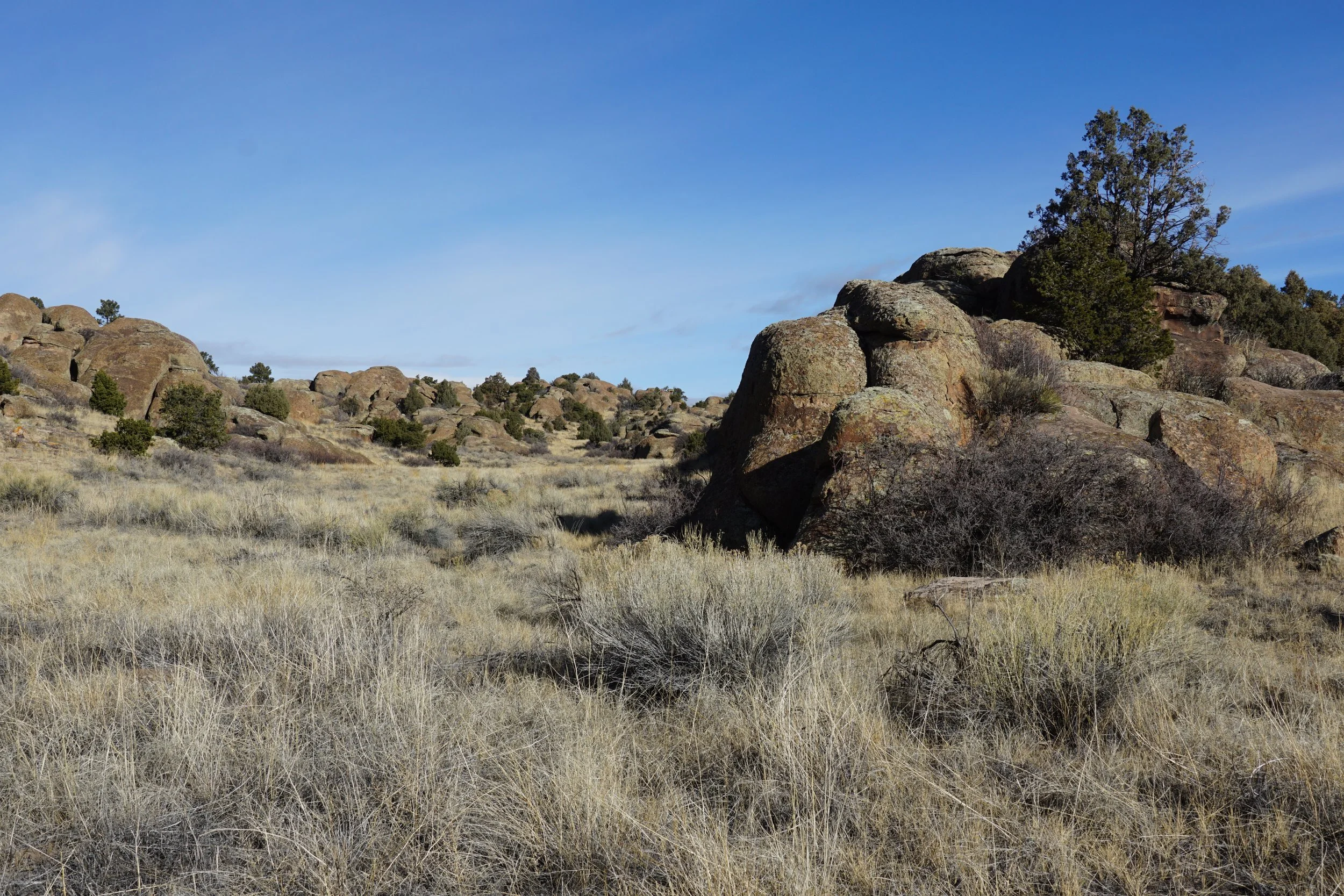
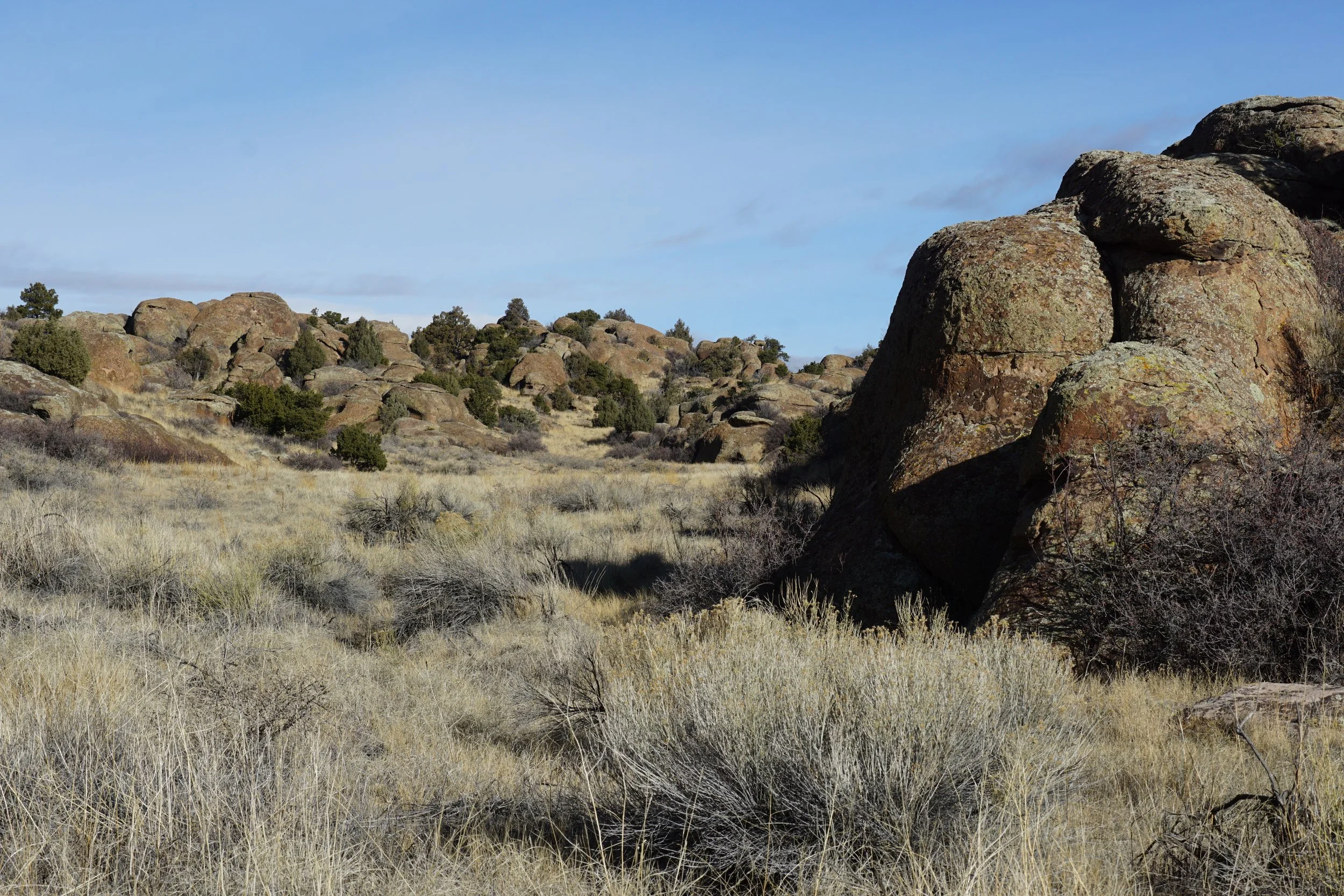
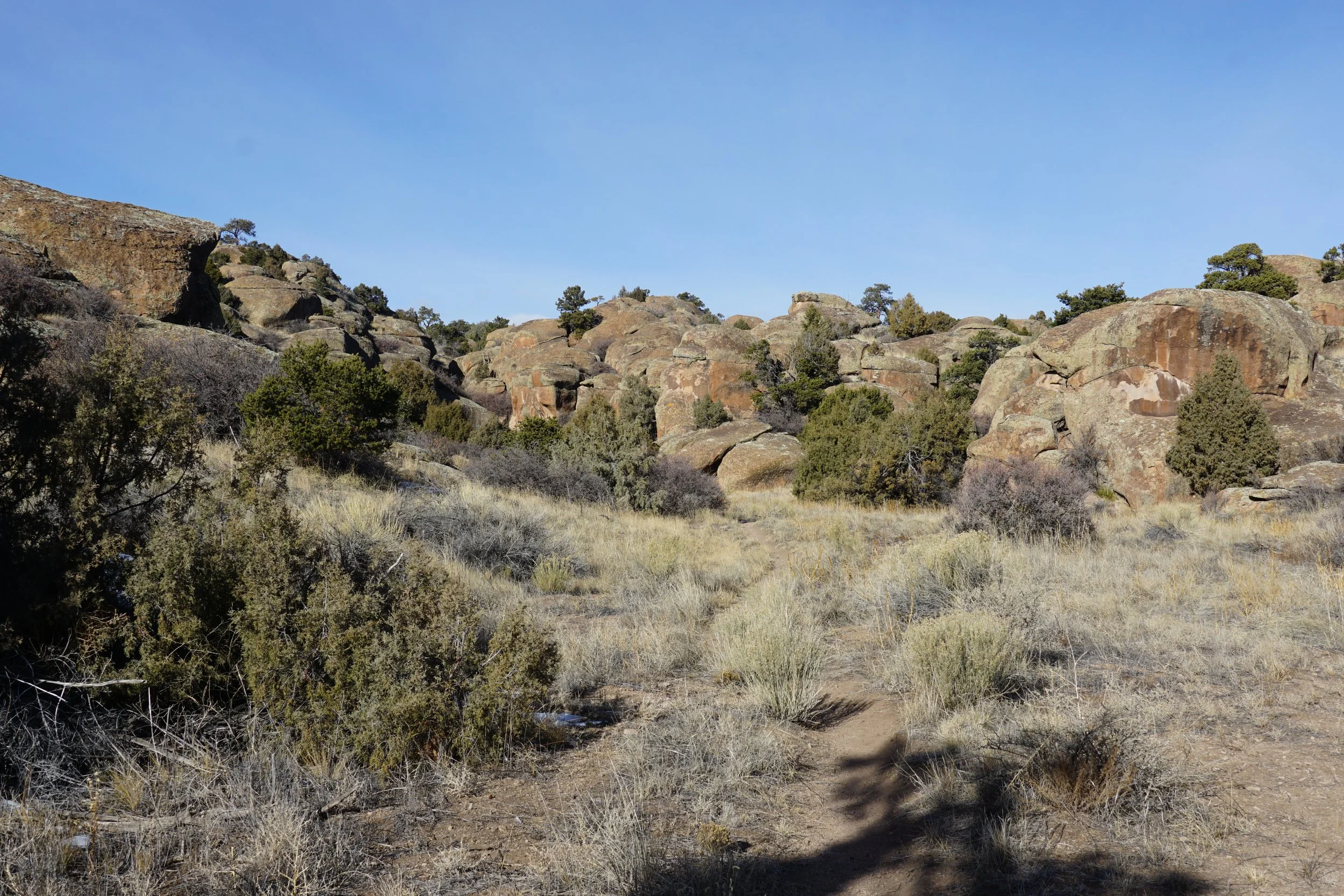
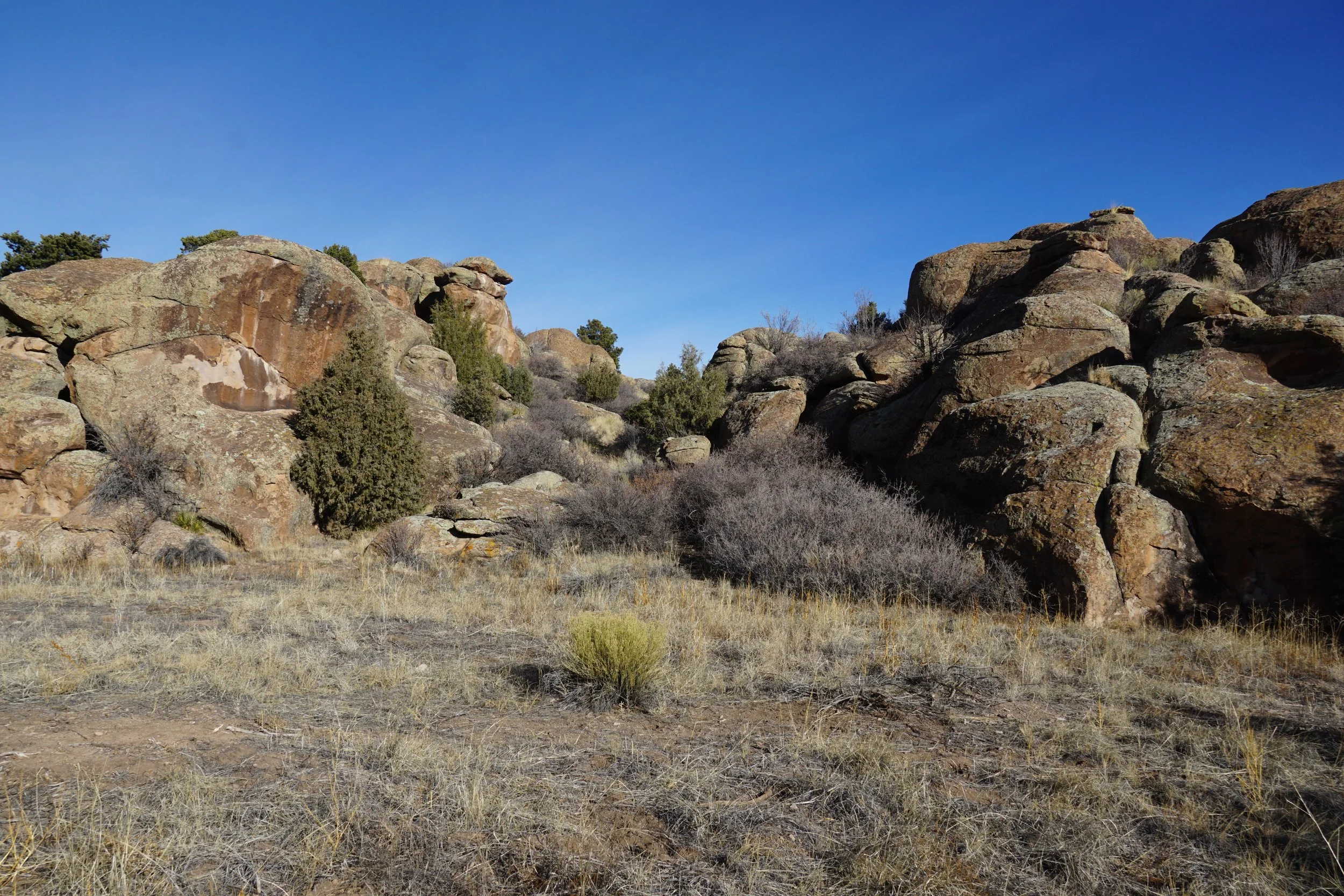
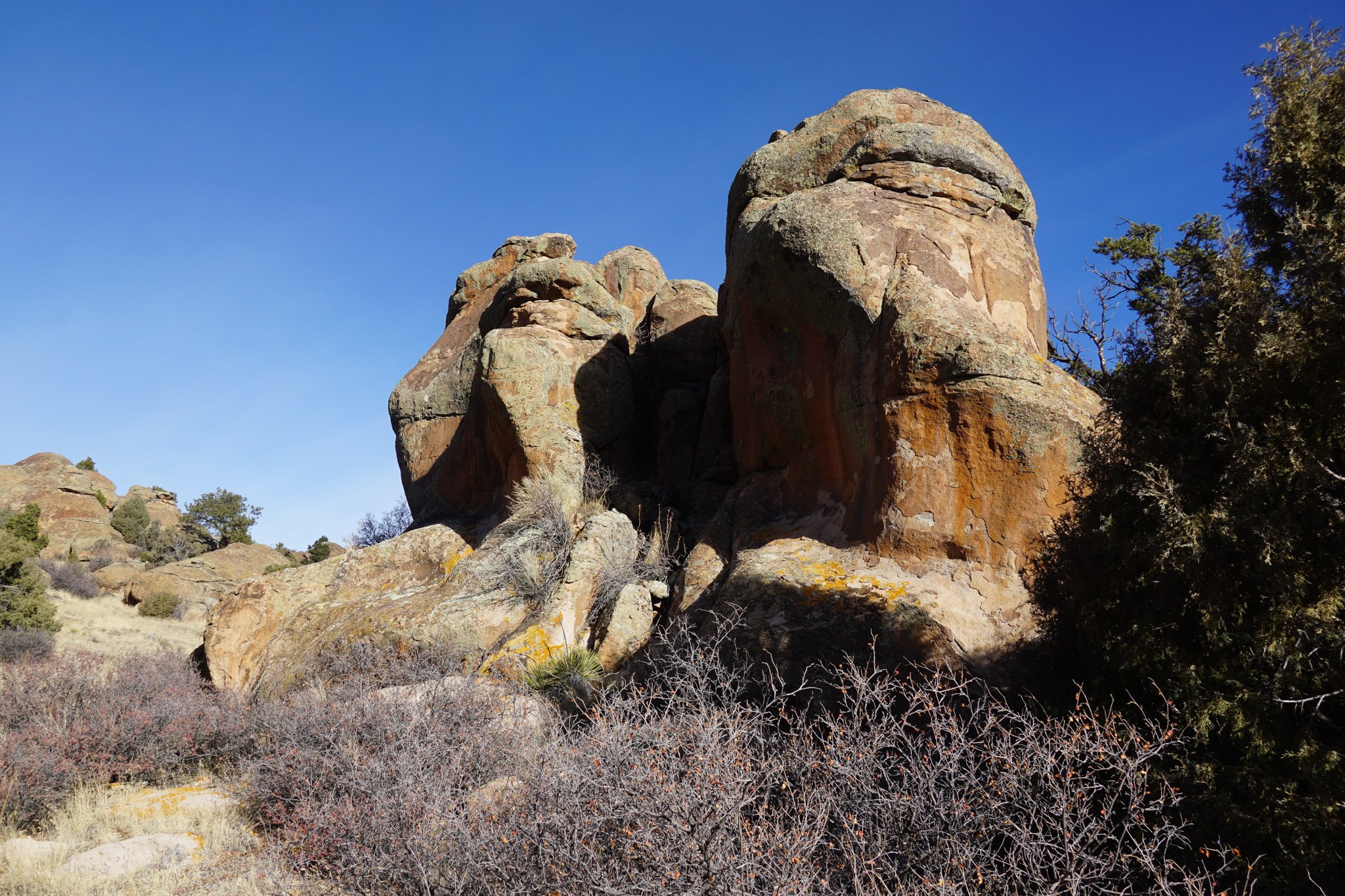
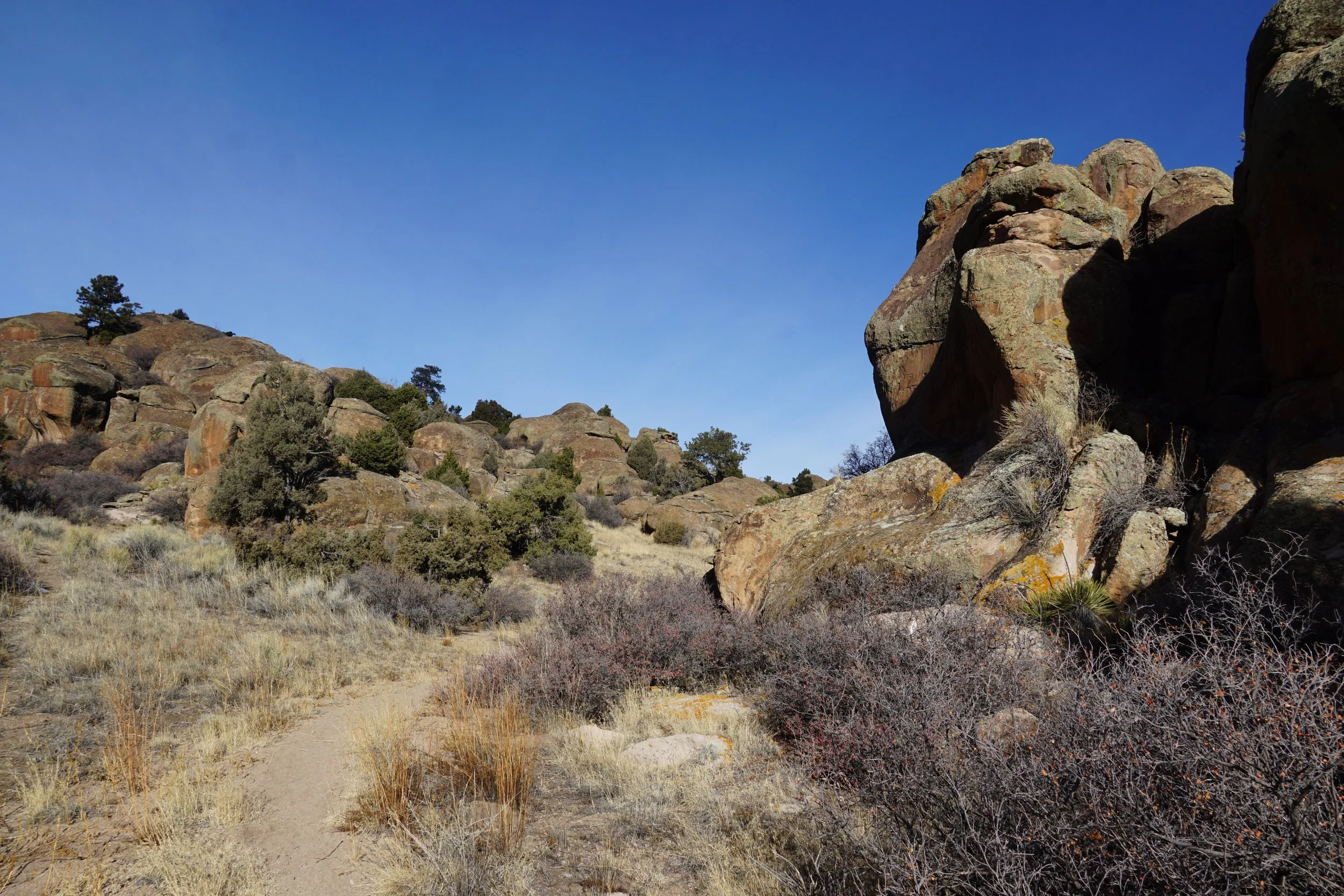
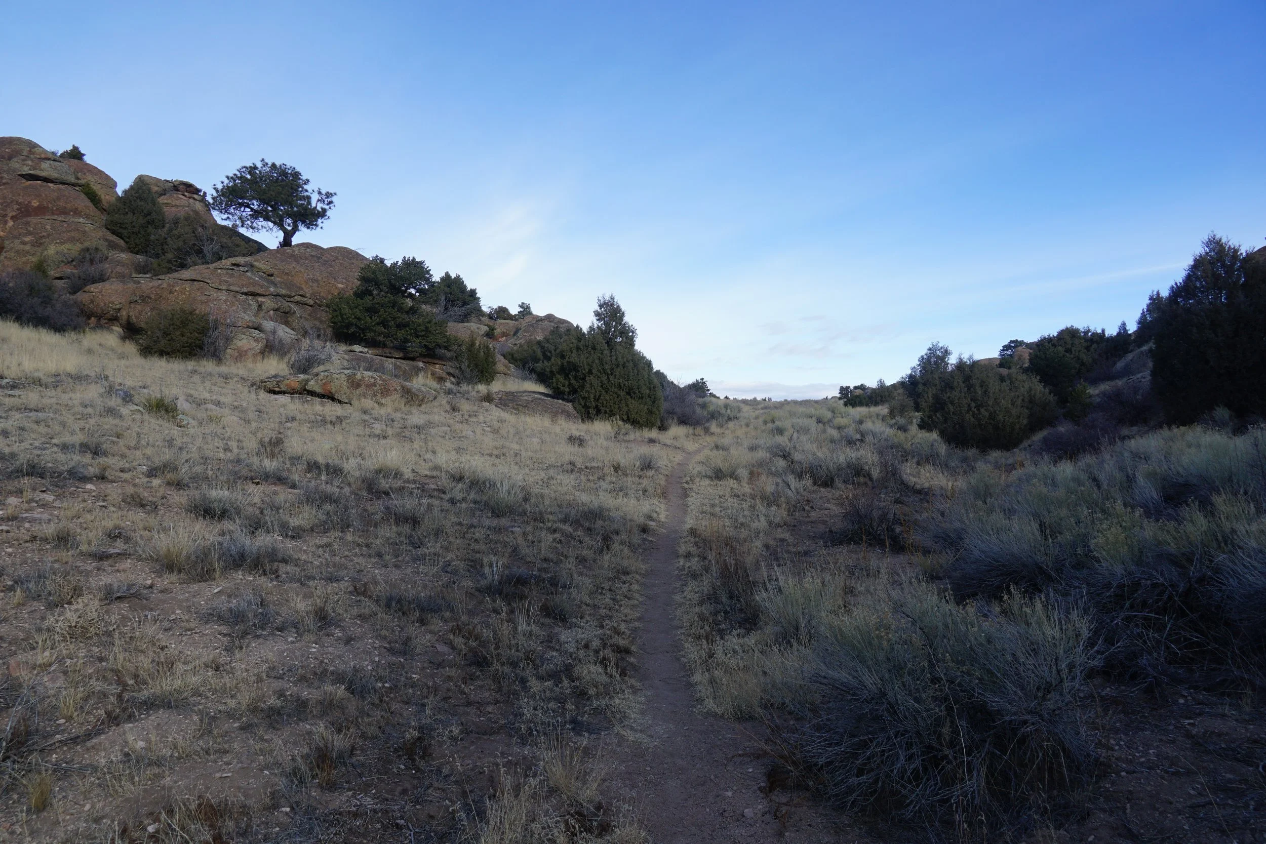
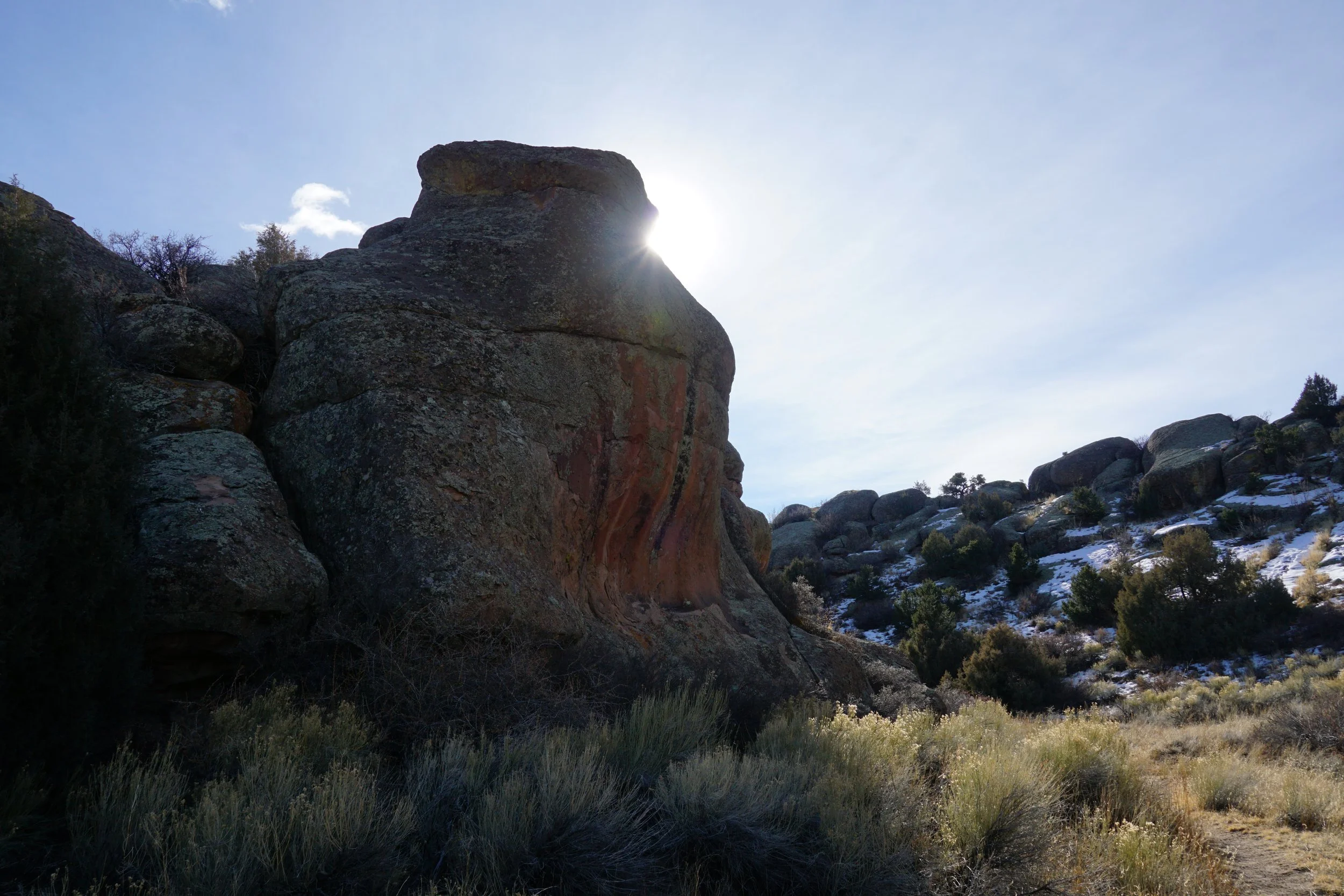
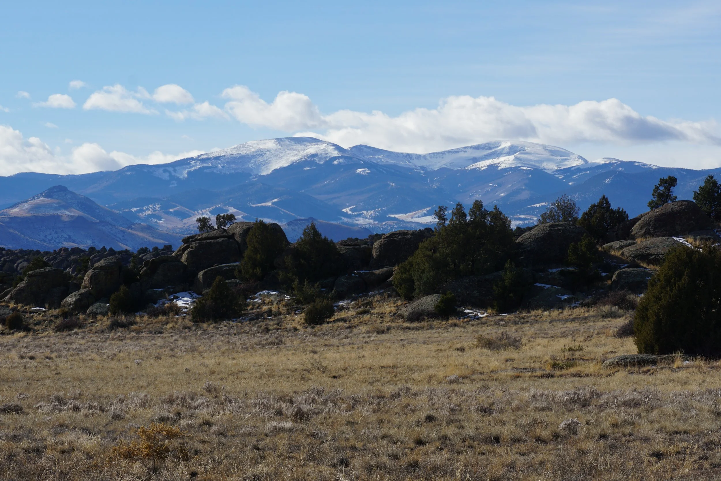
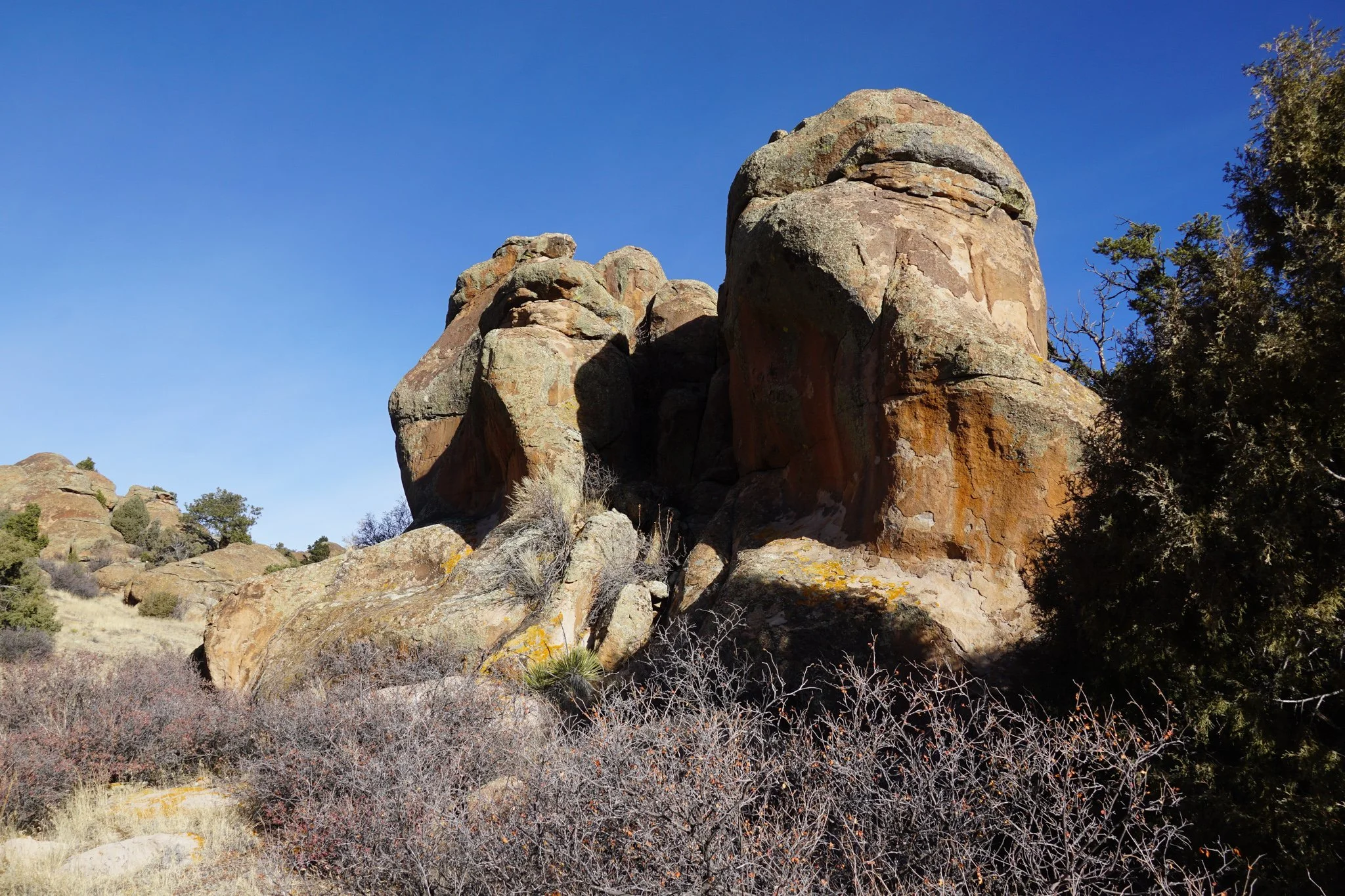
The Elephant Rocks “Loop,” more on the quotes later, is probably the main trail in the Elephant Rocks Recreation Area. This area is an overlooked gem and a great hiking spot on the western edge of the San Luis Valley. Wide open views, towering rock formations, and mild weather make this great hike to add to your exploration of the San Luis Valley or a great place to stretch your legs if you are just passing through.
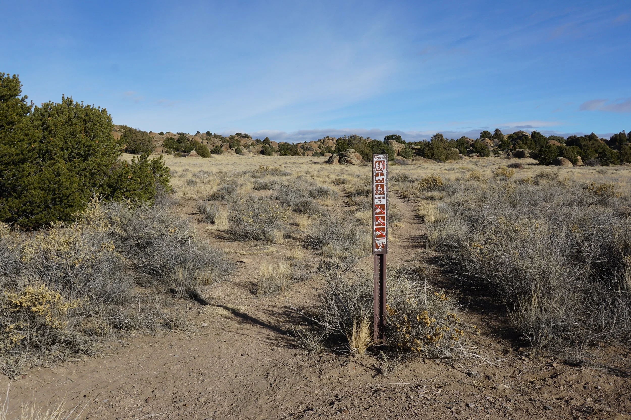
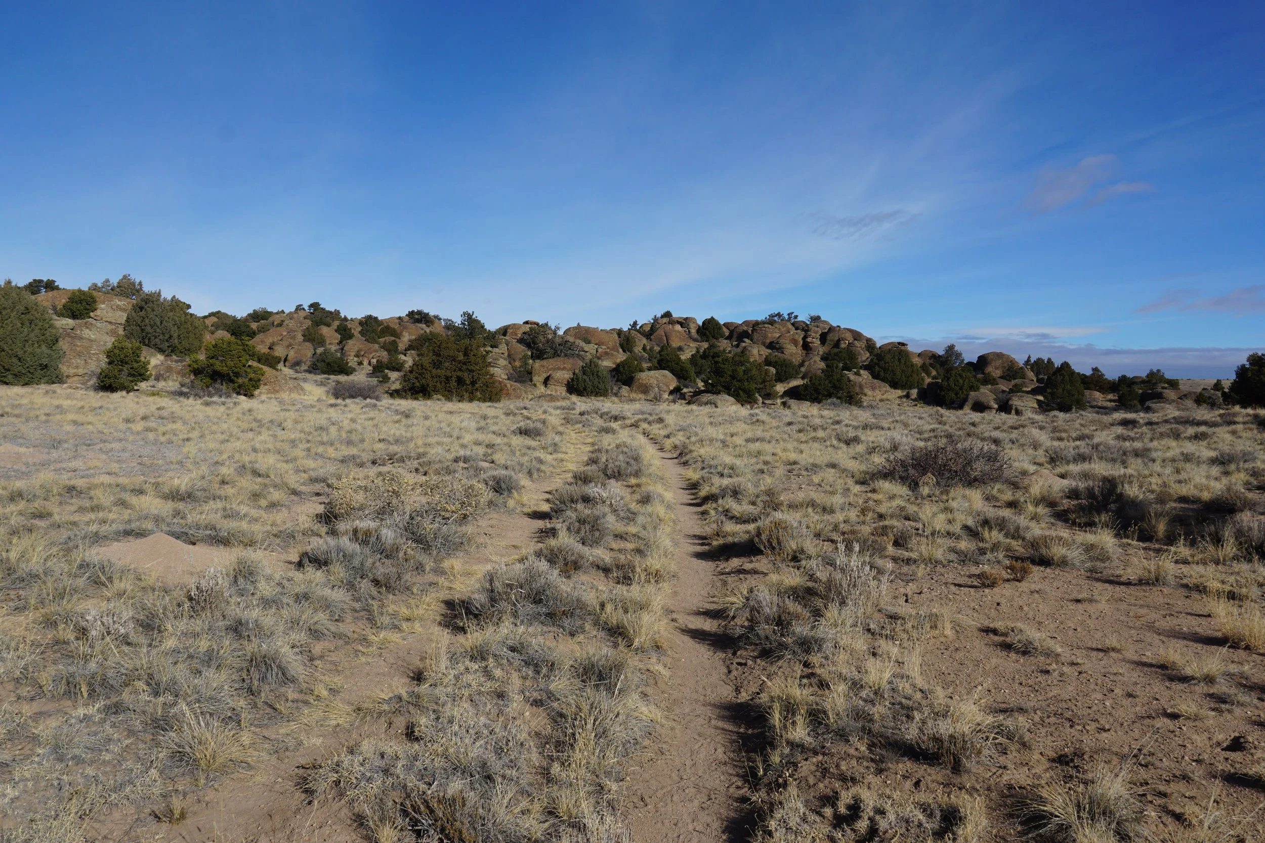
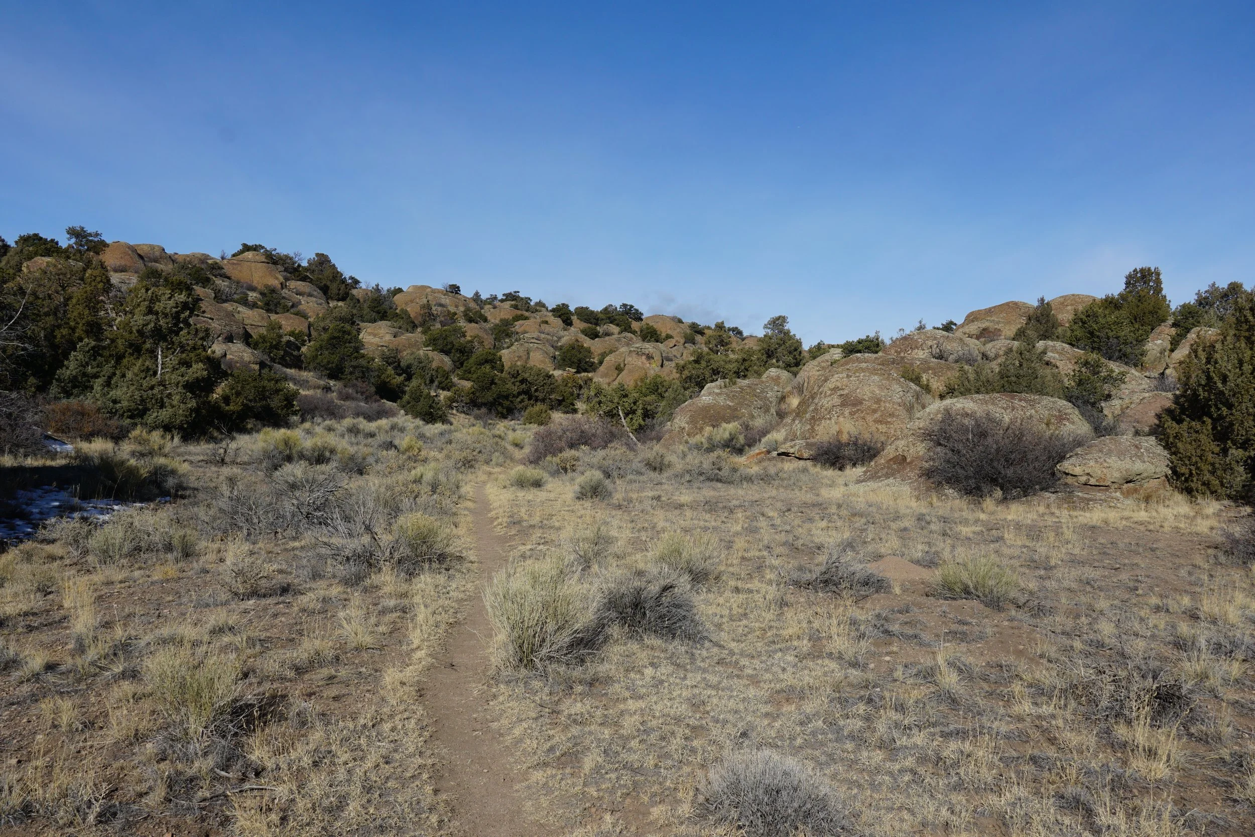
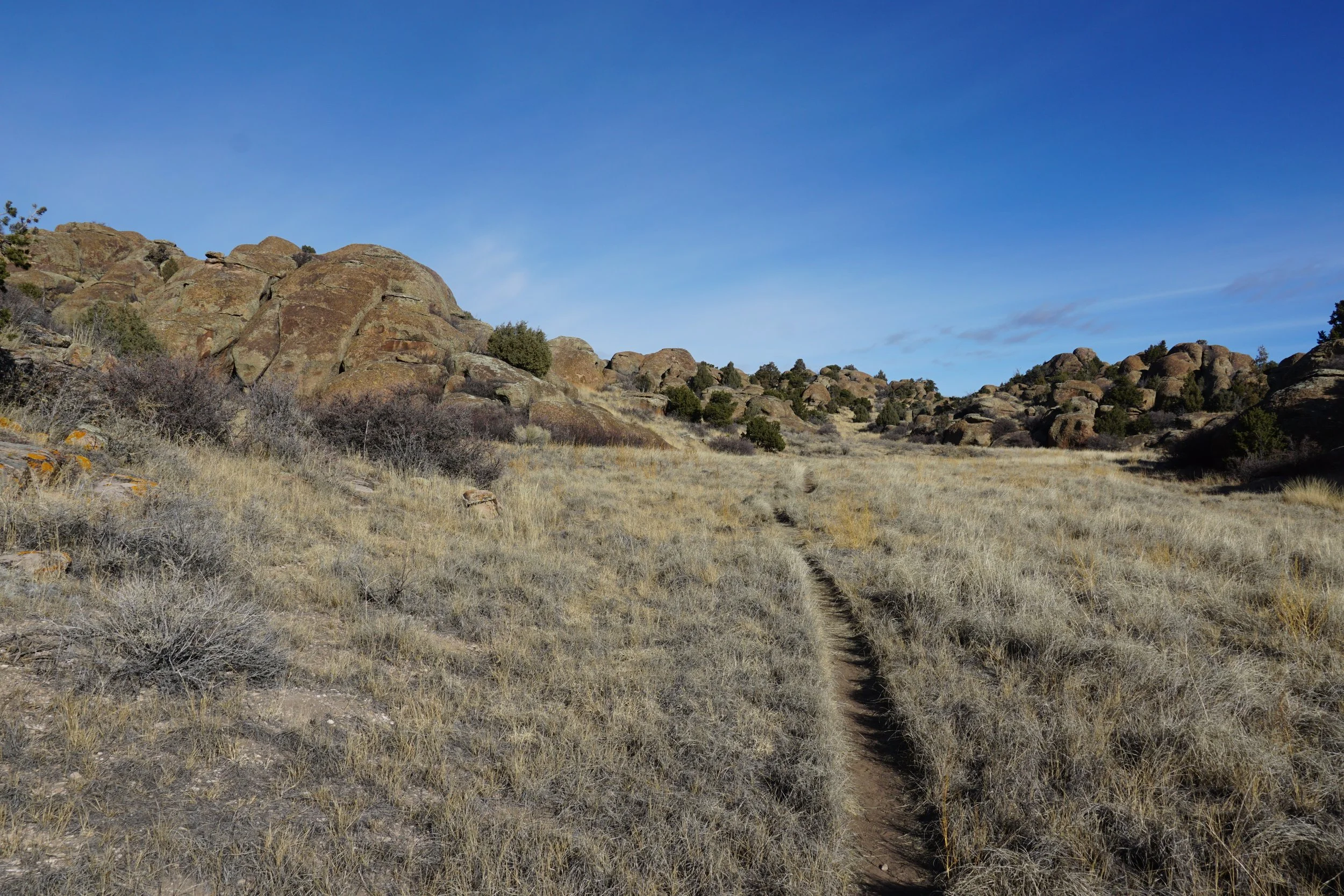
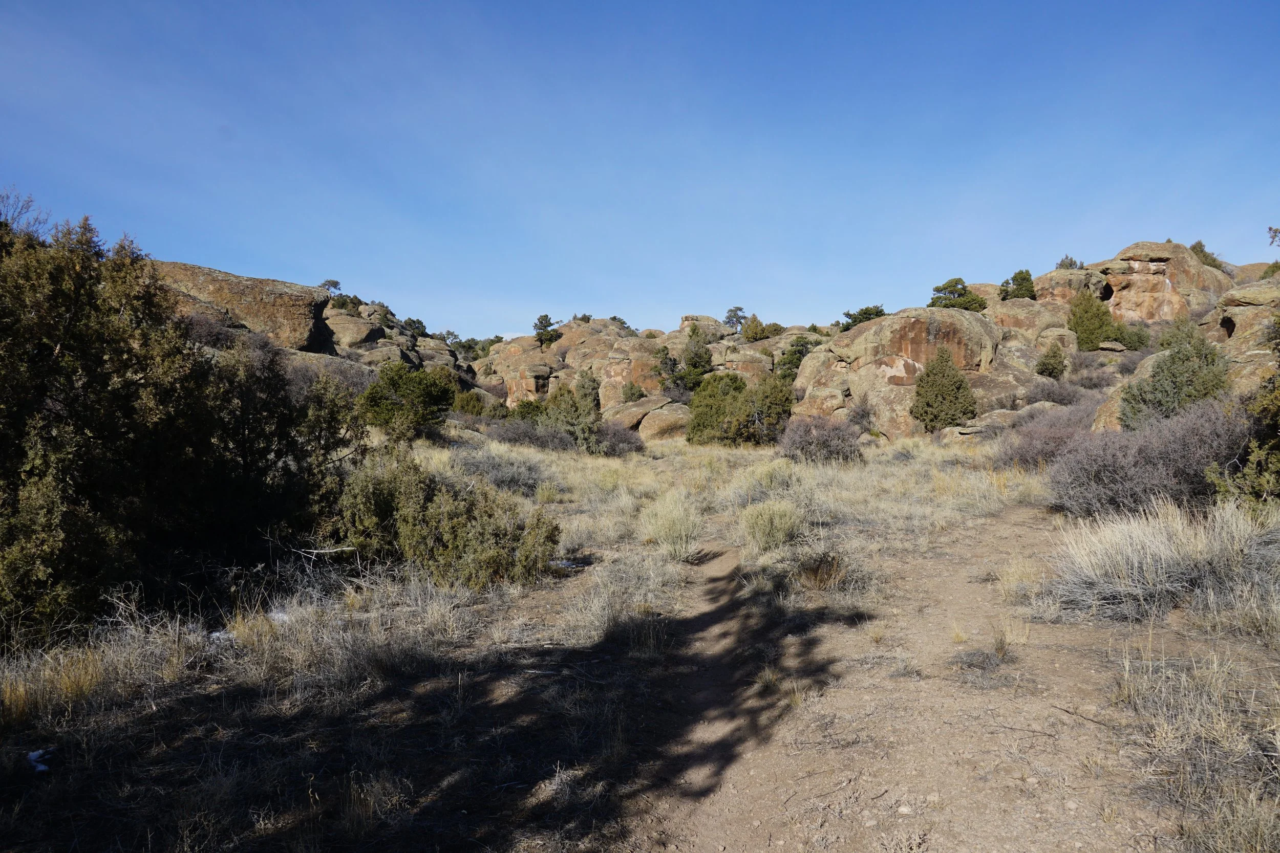
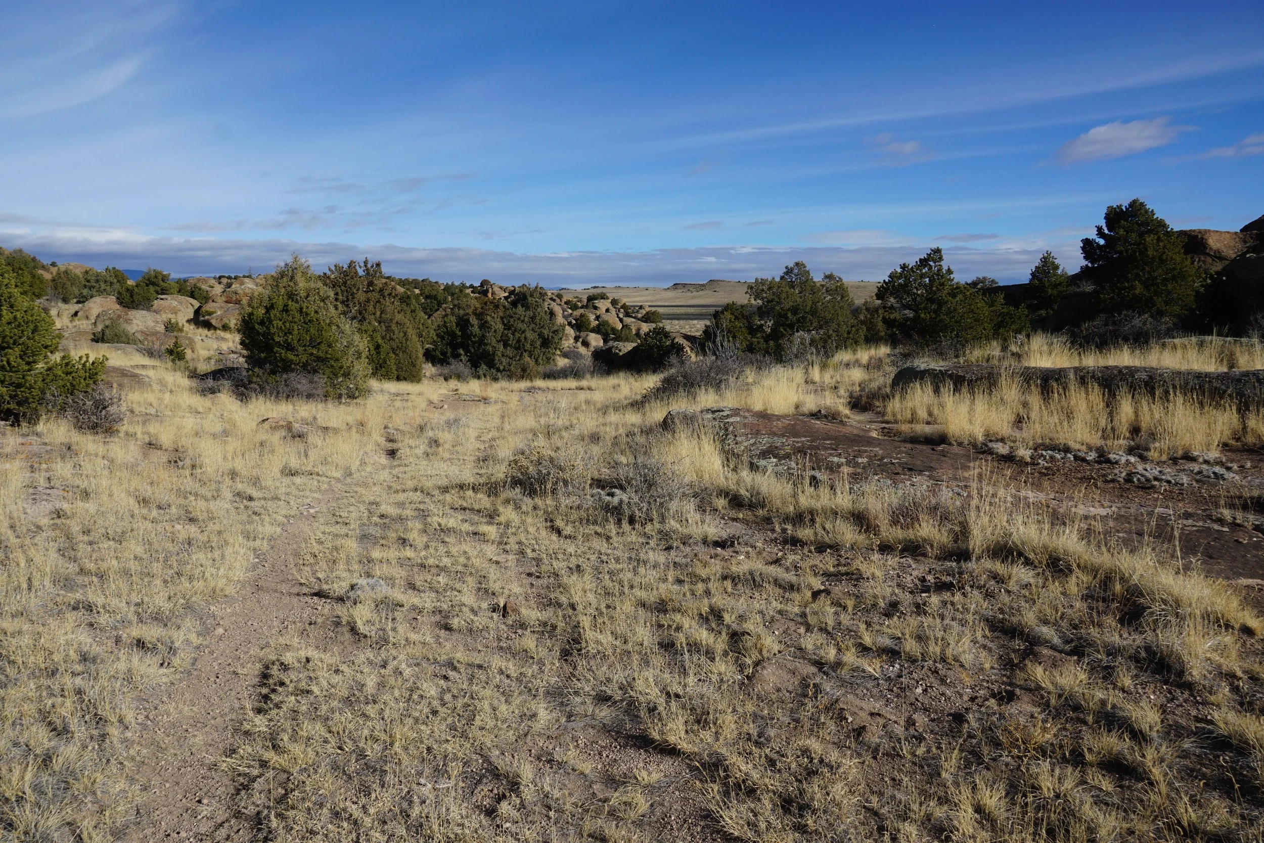
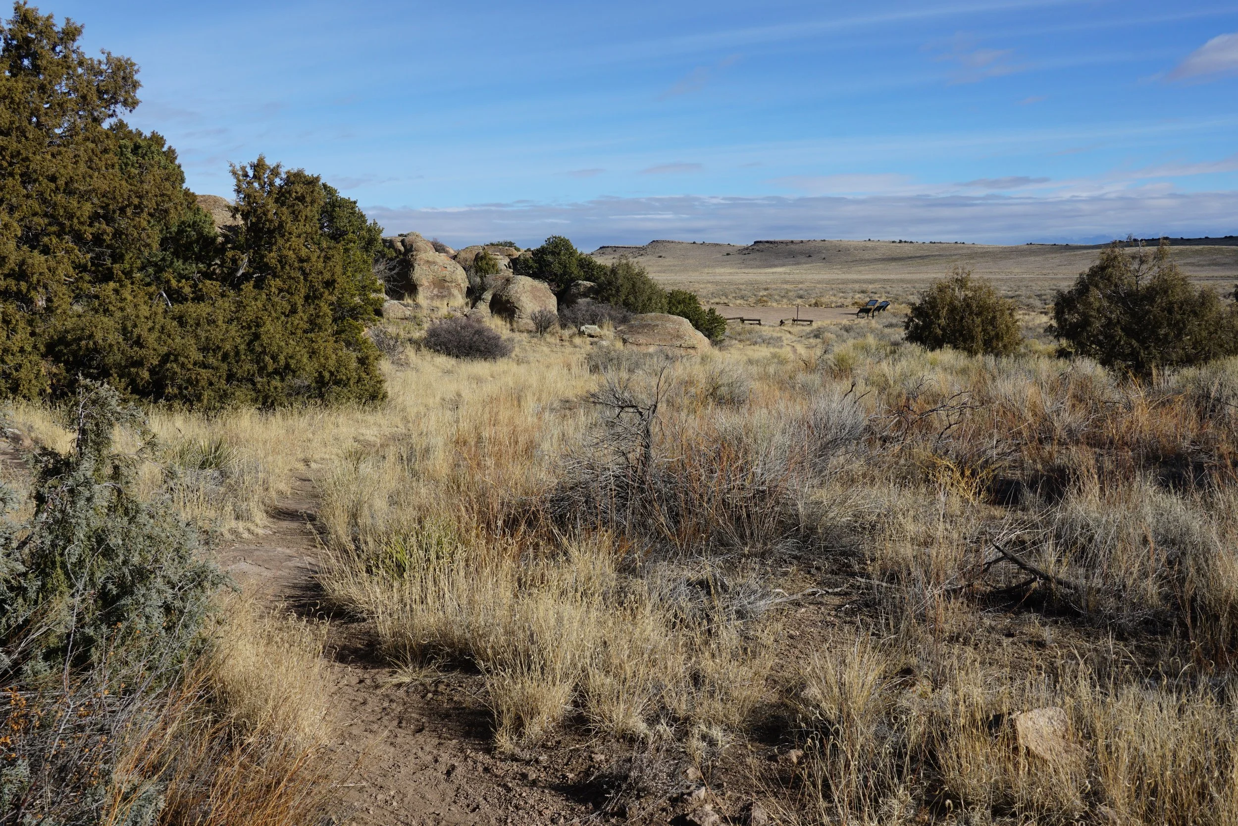
There is some confusion to be had on this trail, so I’ll try to give you some pointers. Head out on the marked trail into the valley of rock formations. I somehow wound up on a spur trail rather than the main trail. WHen the main trail veers to the right (1,277 ft from the trailhead), there may be a spur trail heading to the left. This is a dead end trail, though it hikes along some very beautiful rock formations. I recommend taking the spur to explore the area further. Return to the main trail and continue for 625 ft to the start of the “loop.” The west end of the loop trail is well established and easy to follow. It follows a valley between the Elephant Rocks and eventually leads to the northern trailhead at a dirt road. At the northern end of the trail there is a series of interpretive signs providing a natural history lesson about Lake Alamosa and the Columbian Mammoths that called this area home.
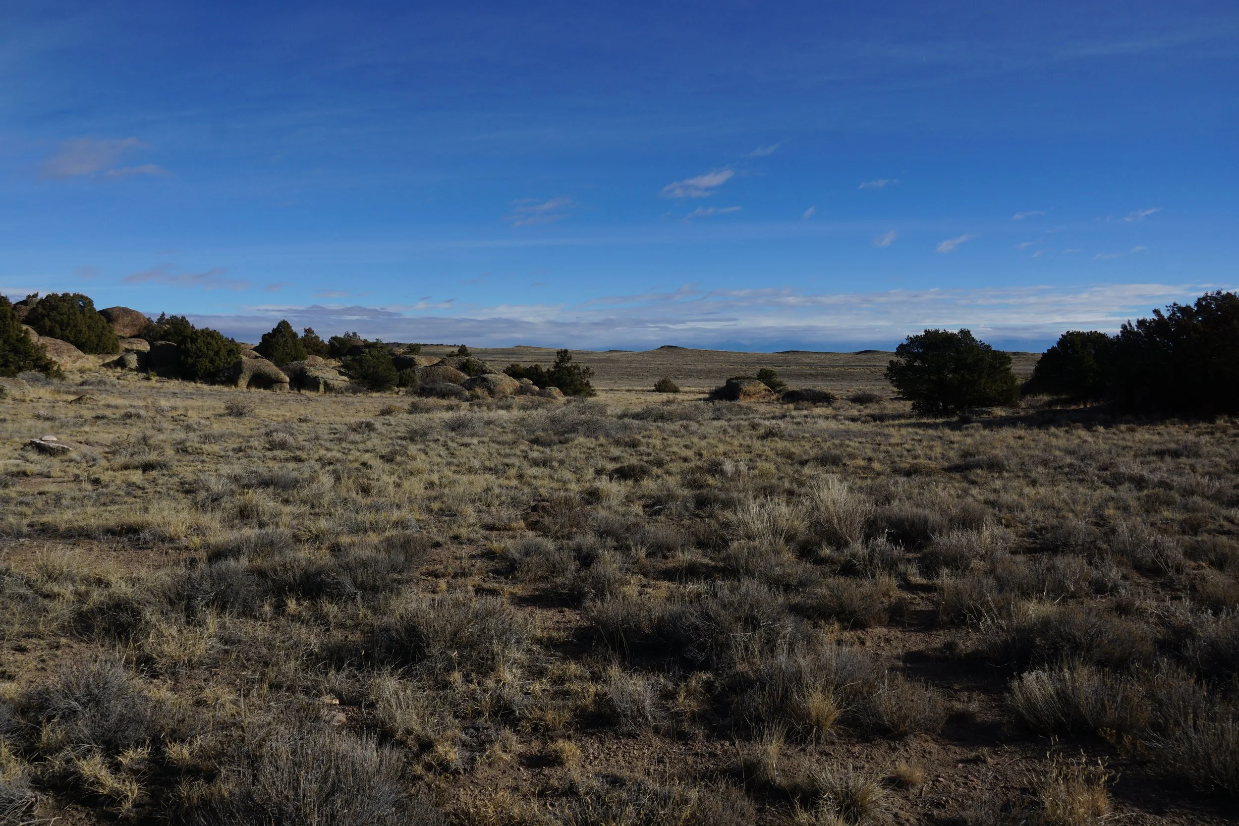
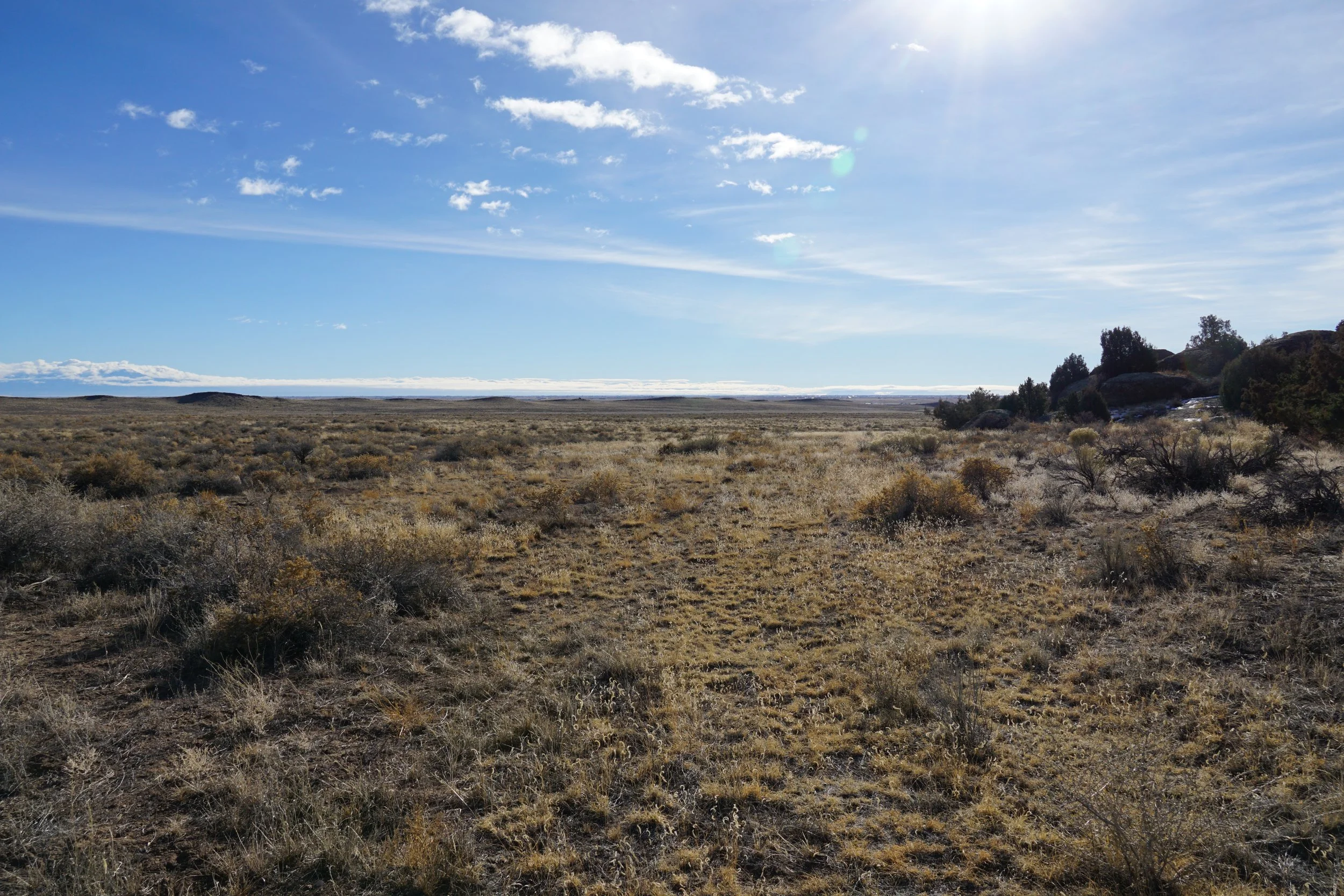
Now the second confusing factor, at the interpretive signs, where, on the map, the eastern part of the loop trail should be, there is nothing…not even a faint trail. On the way back, where the trail is supposed to meet up with the other part of the loop, there are two trail markers that only say “No motor vehicles,” Is there an incredibly faint trail here? I looked but couldn’t find it. I guess this is a loop trail in name only.