East Arkansas Basin aka FS Road 135 aka Trail Road
San Isabel National Forest
Date Hiked: December 27, 2023
Distance: 4.3 mi (RT)
Elevation Gain: 567 ft
Elevation Min/Max: 11,083 to 11,661 ft
Trailhead Lat/Long: 39.35992, -106.18055
Managing Agency: U.S. Forest Service
Fee: None
Directions:
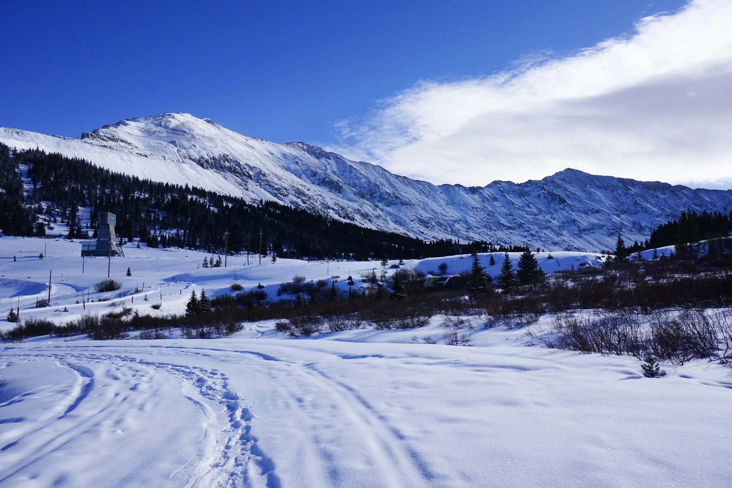
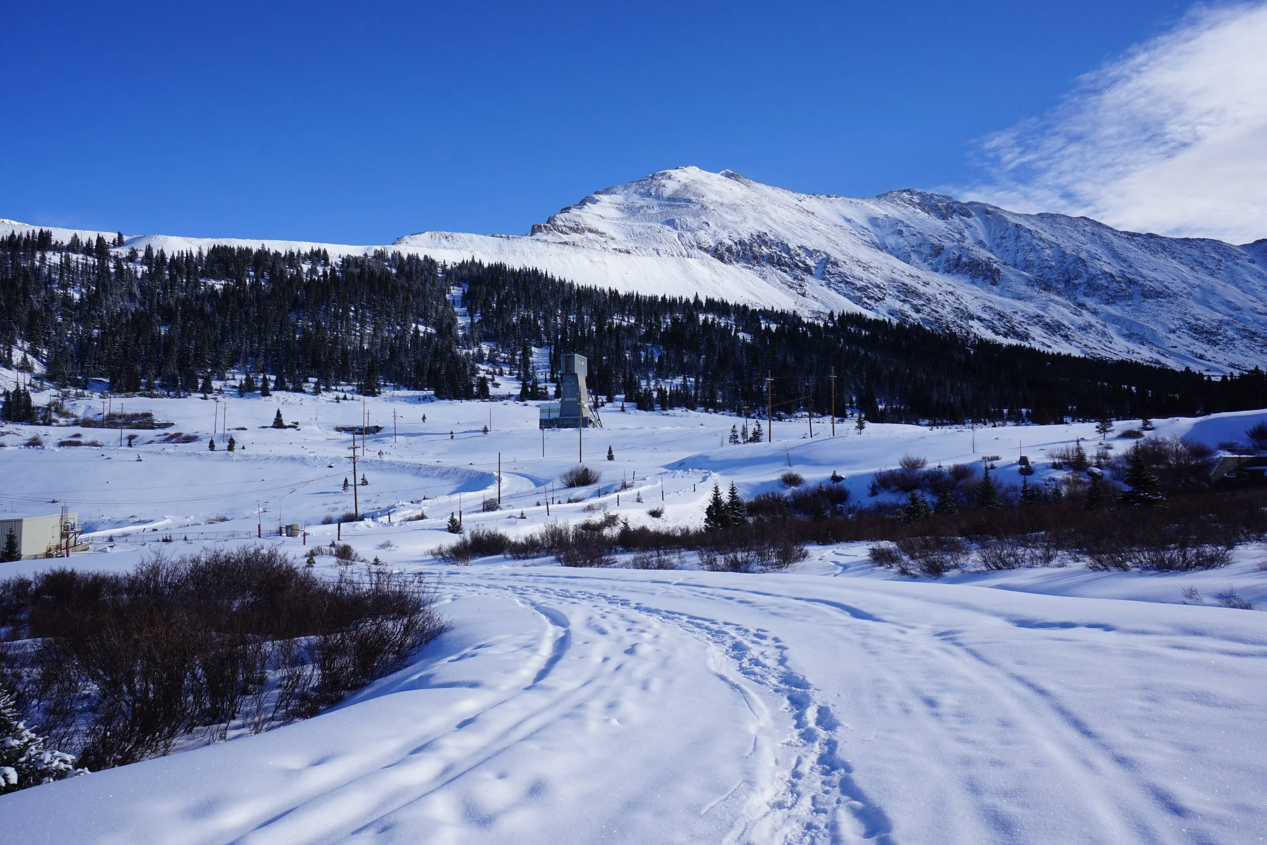
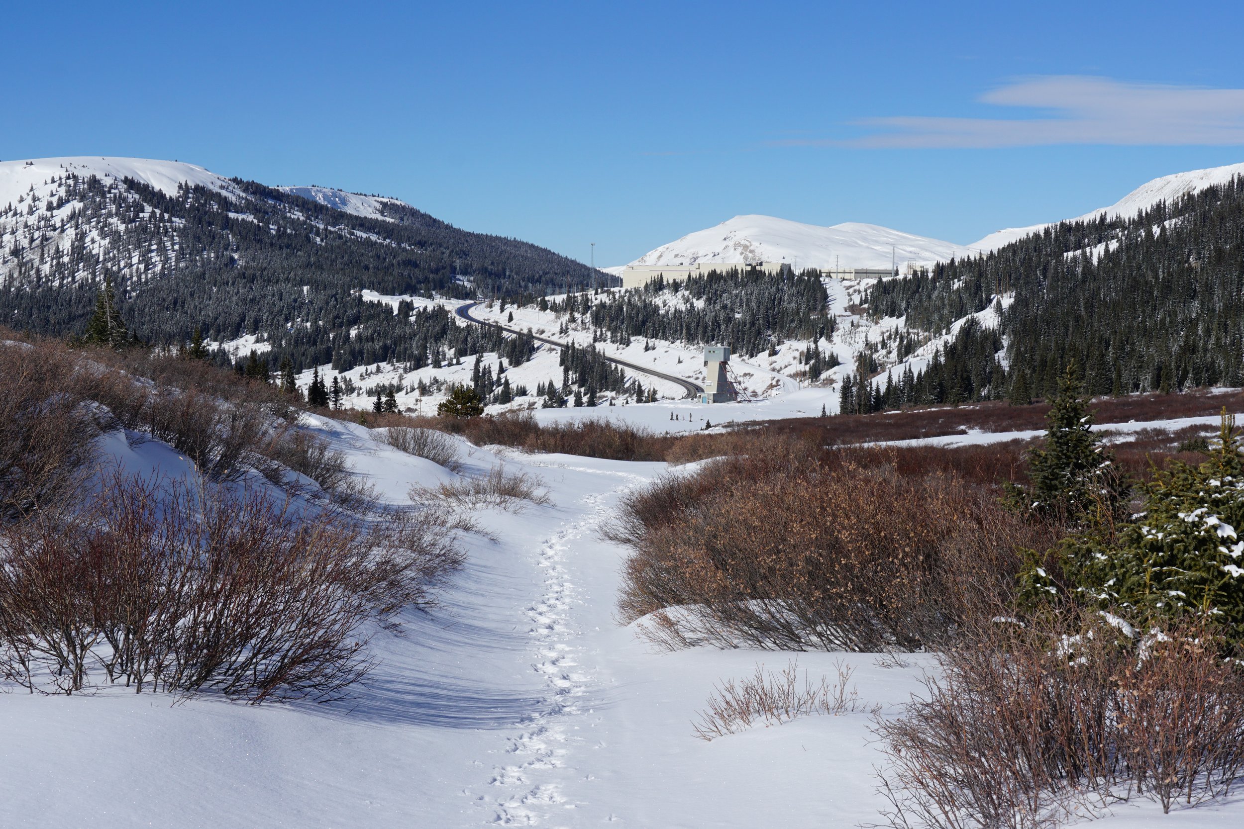
From I 70 at Copper Mountain Ski Resort, head south on Highway 91 towards Leadville. Cross over Fremont Pass and as you head down the other side keep an eye out for the Climax Mine Complex. Just past the mine is a dirt road/plowed pull off with some interpretive signs on the east side of the road. Turn here and park before the signs.
Hike Description:
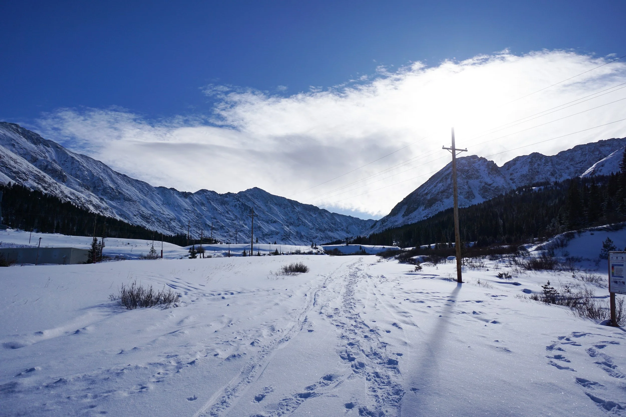
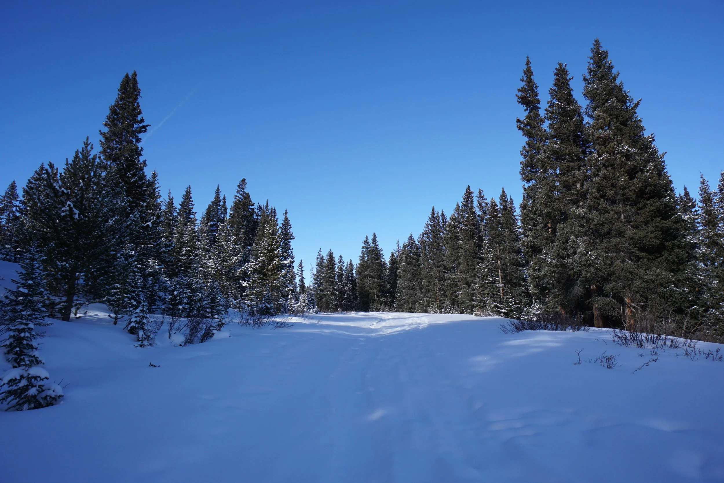
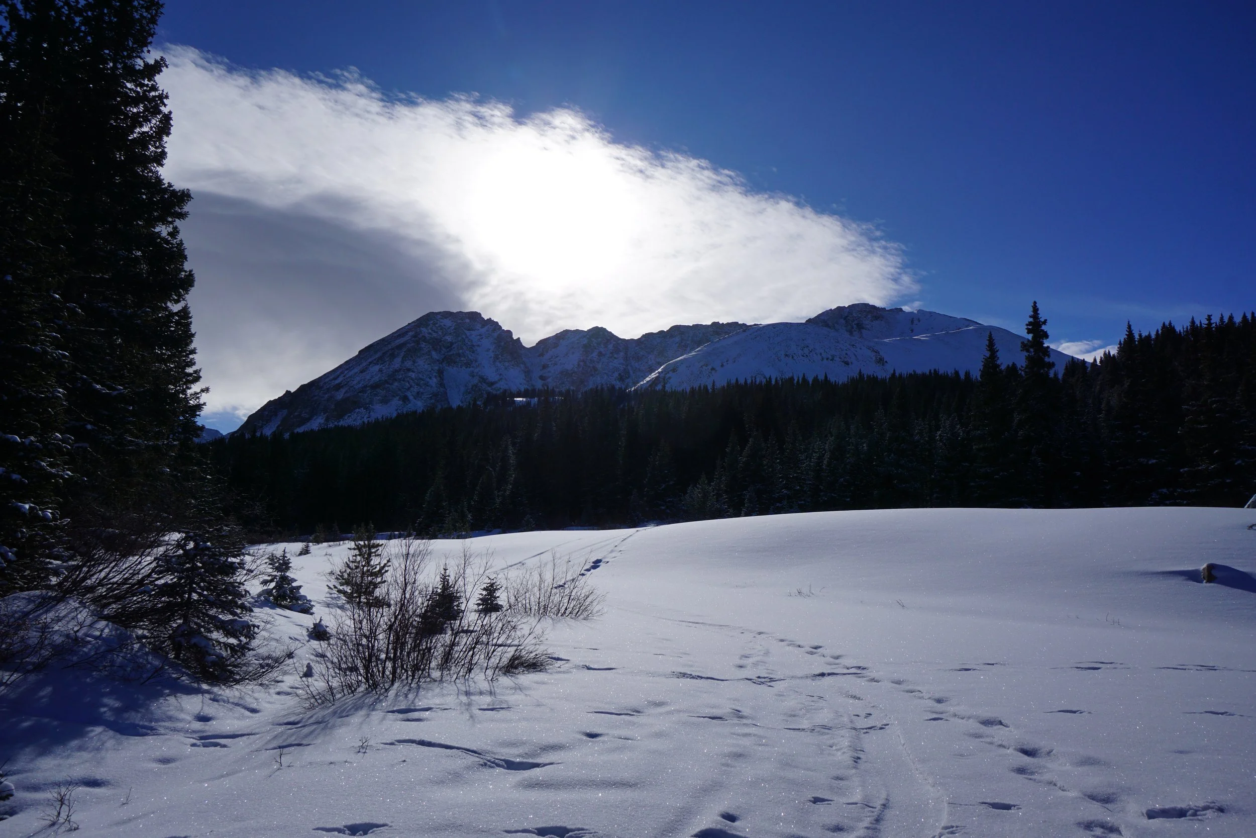
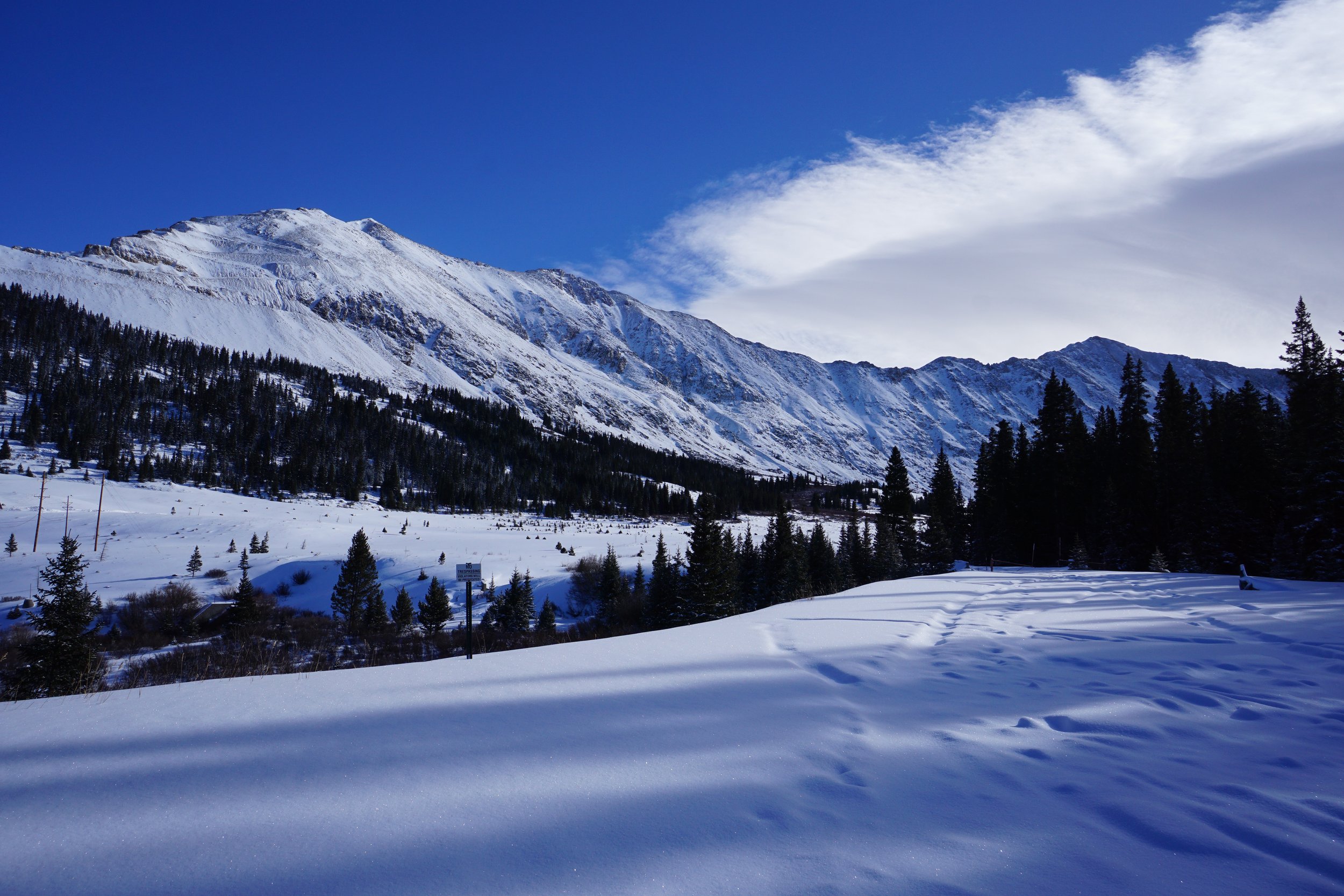
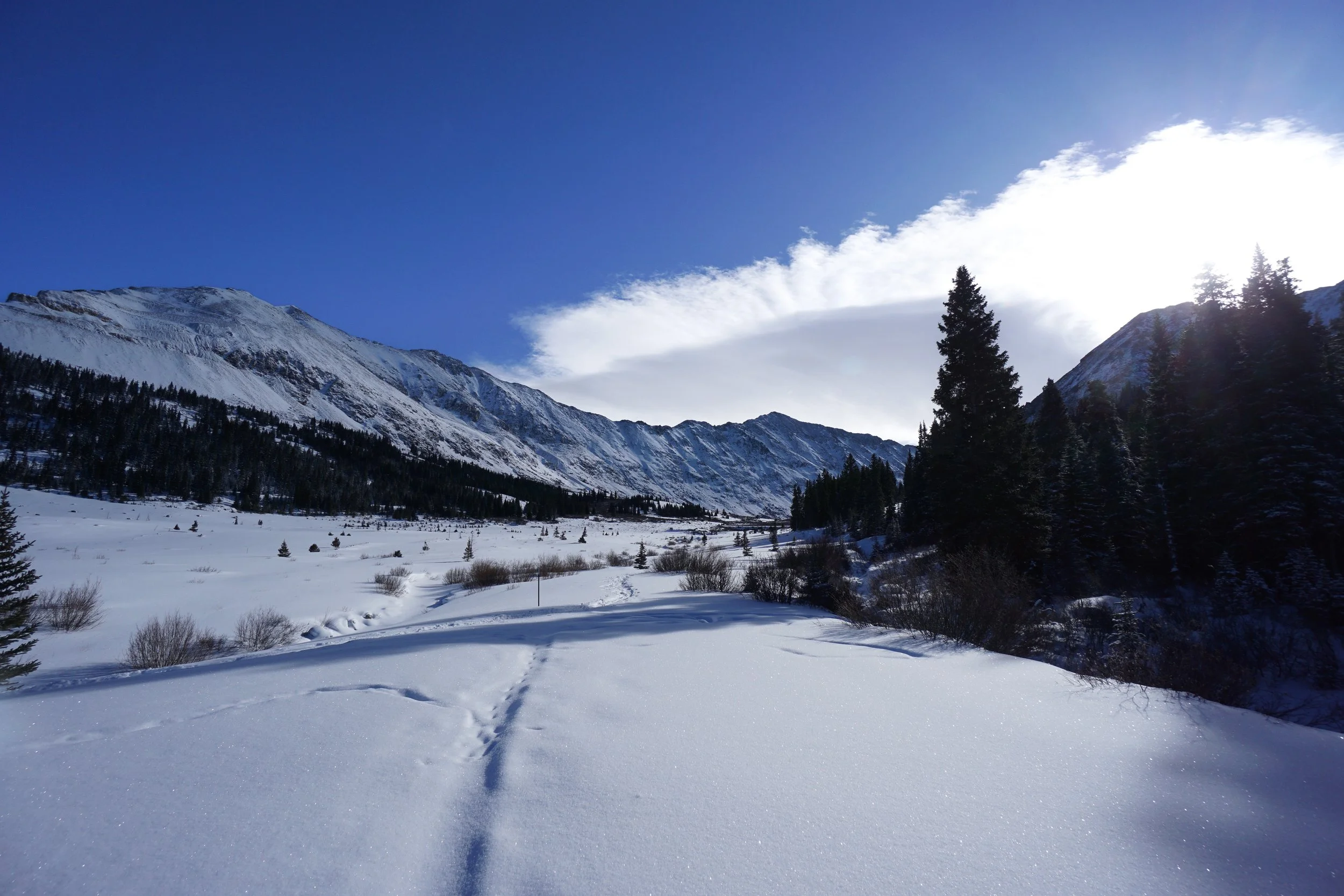
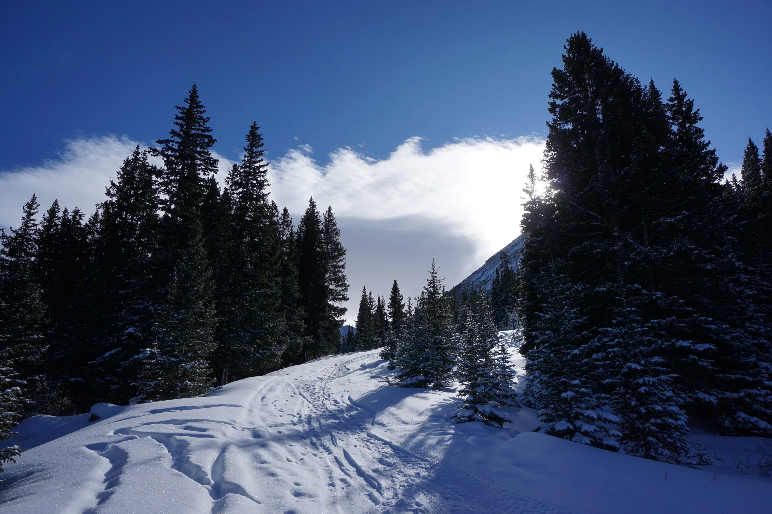
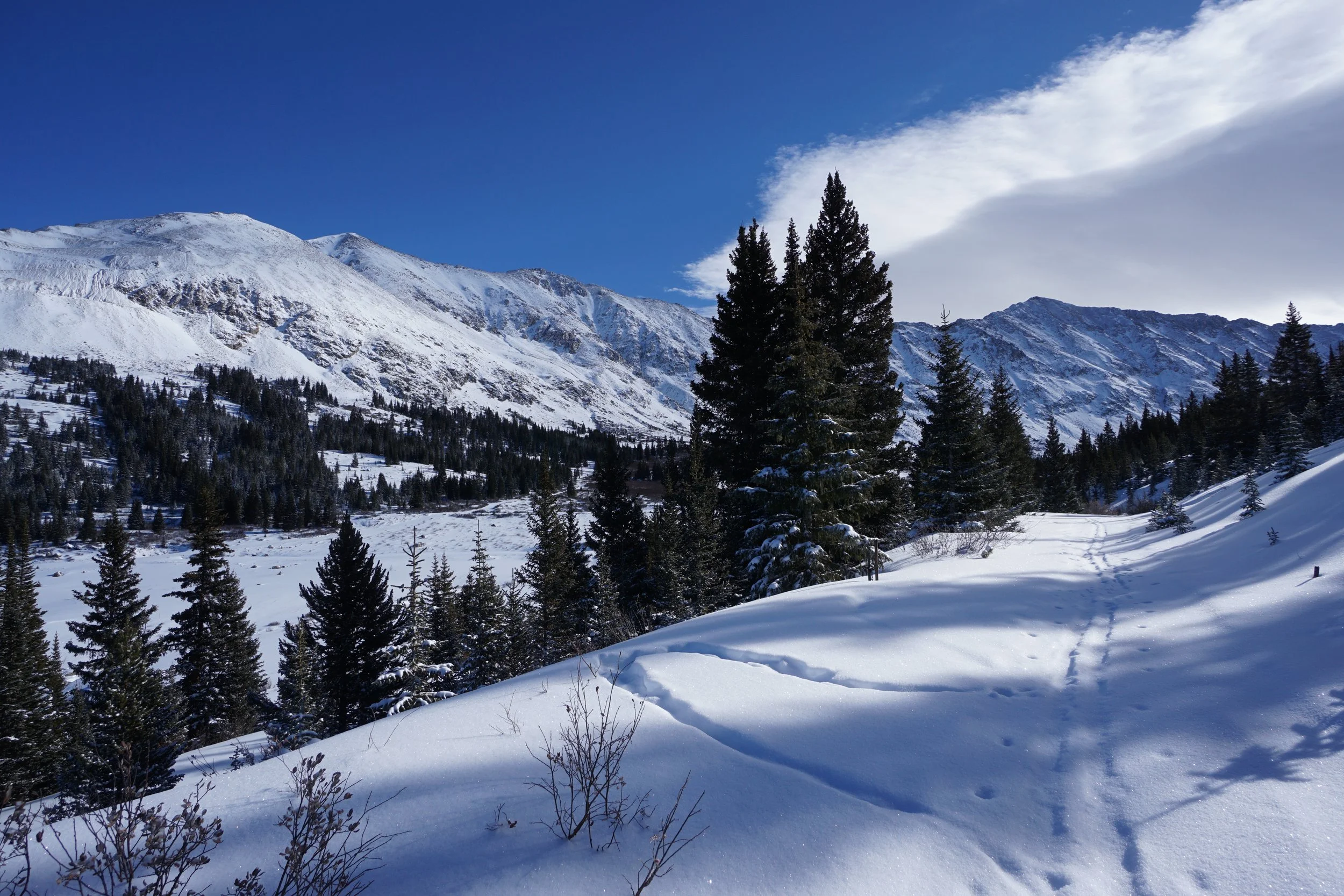
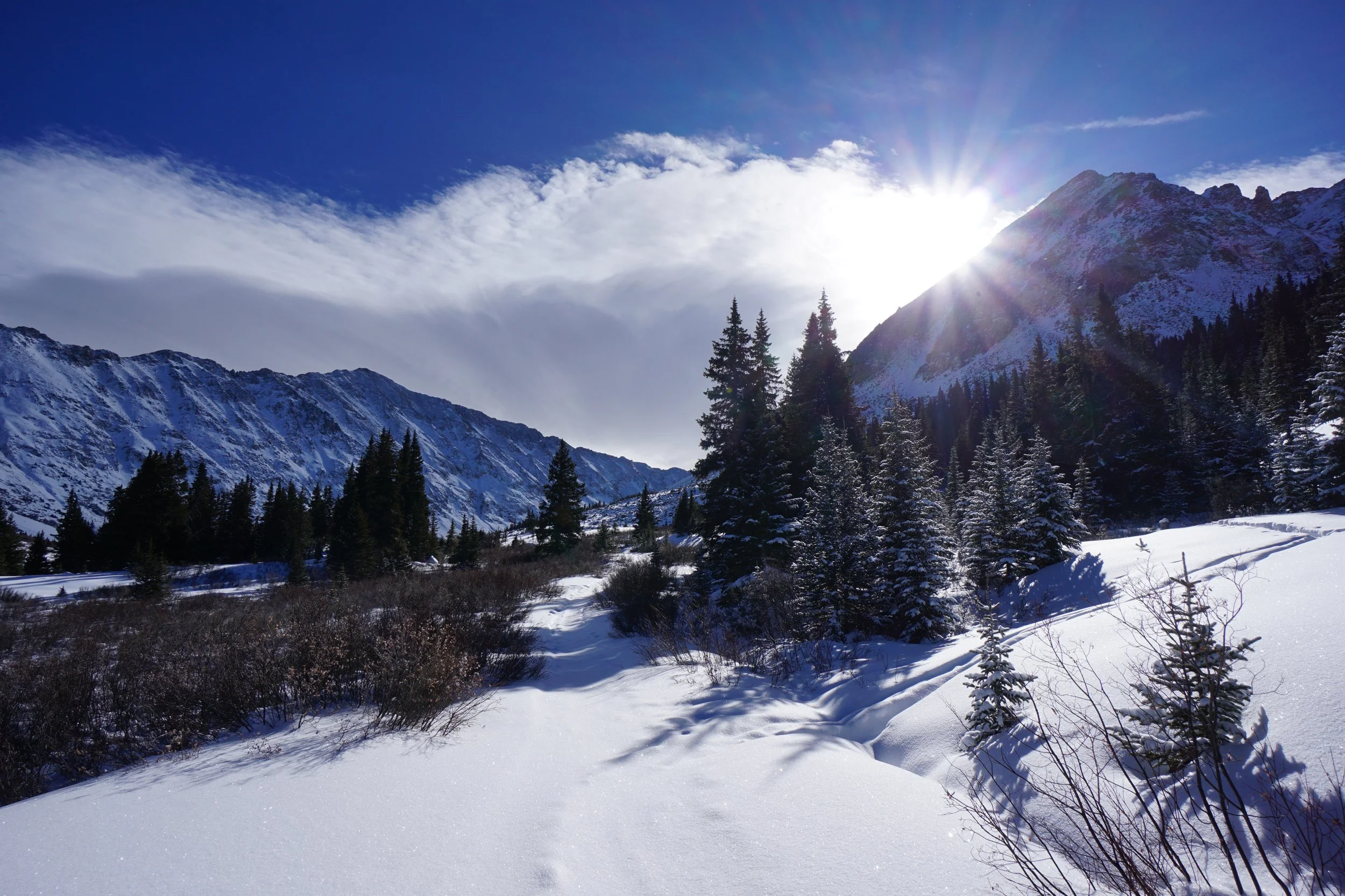
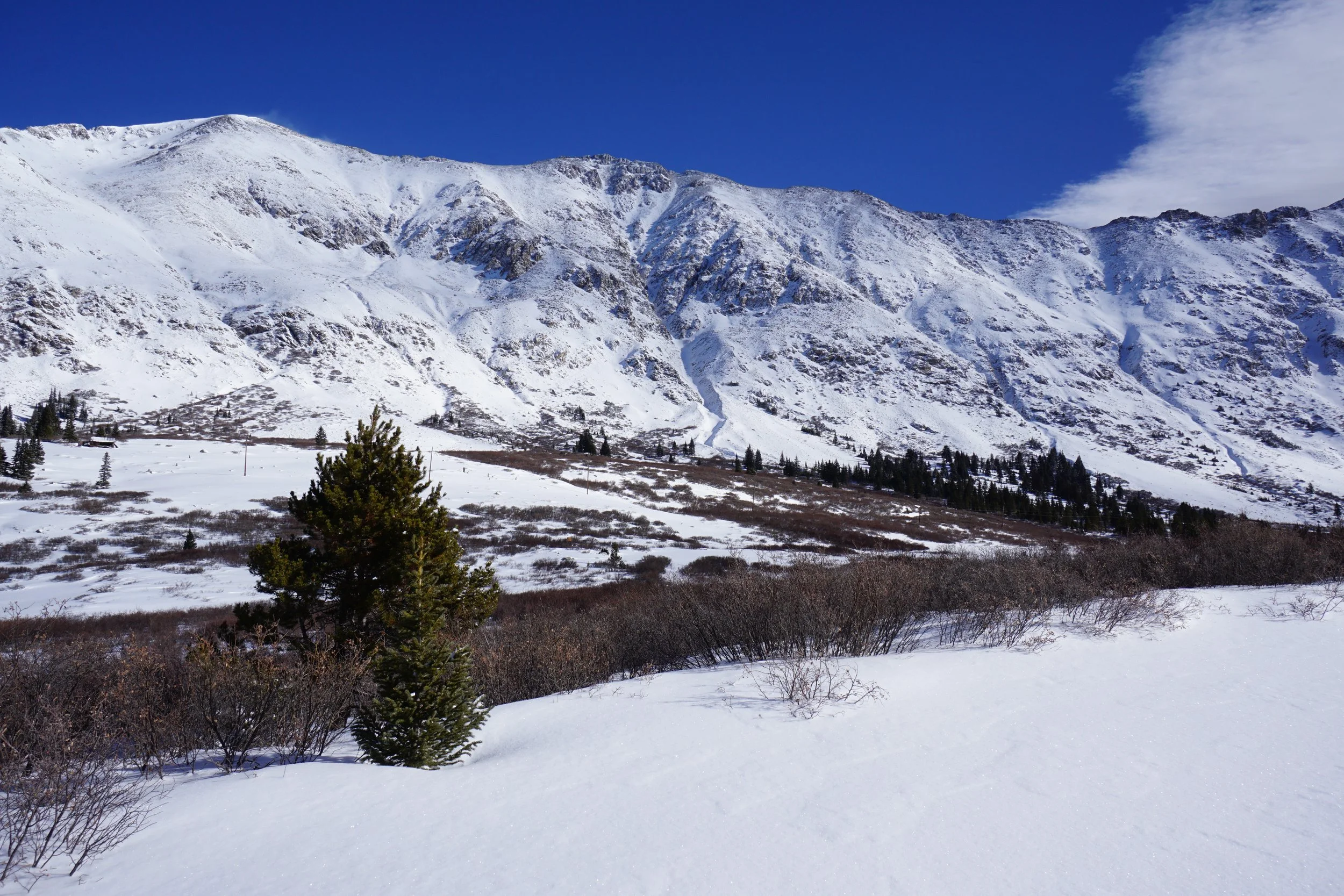
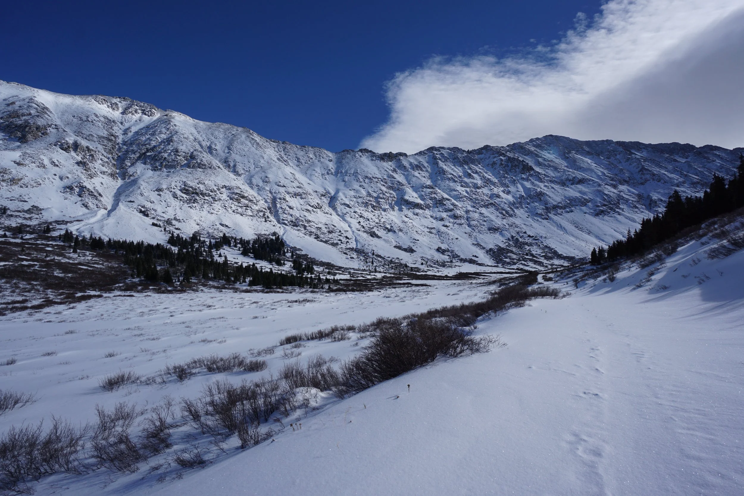
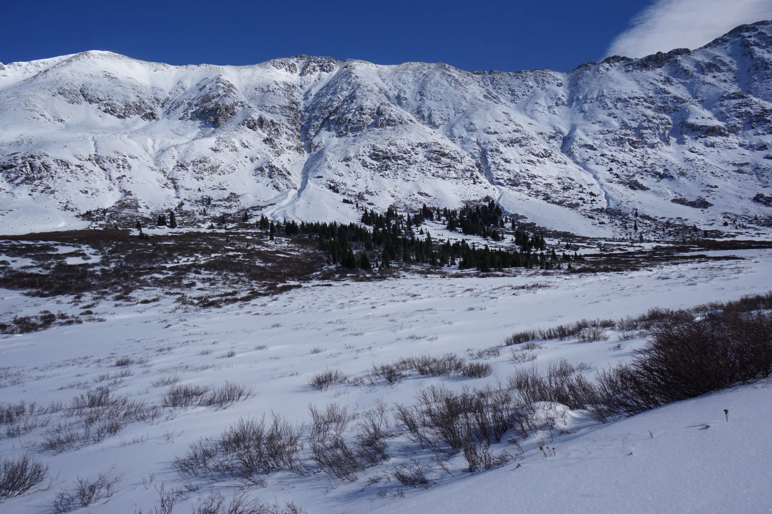
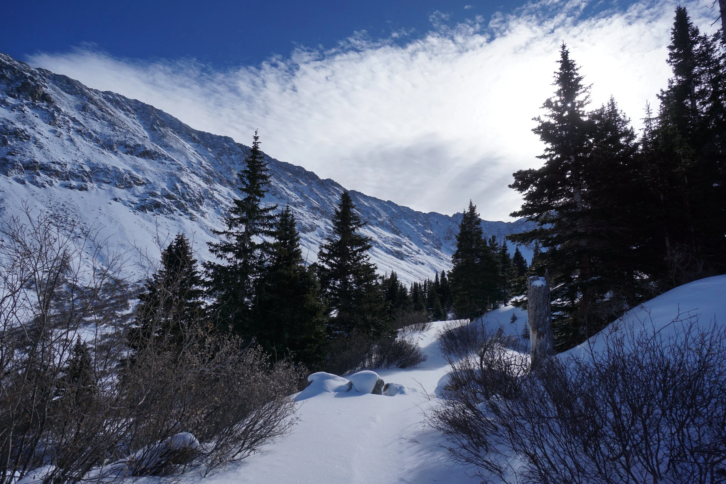
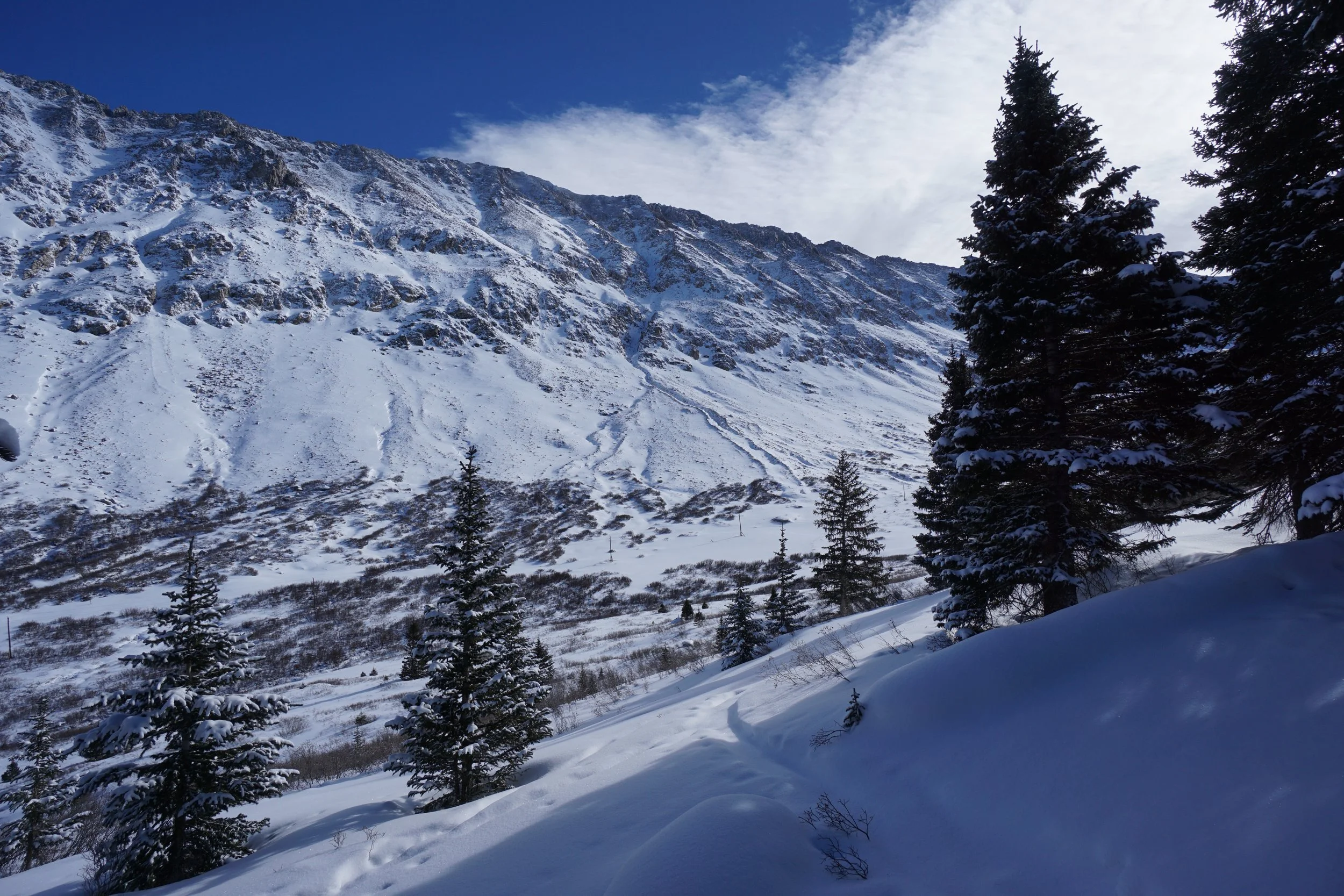
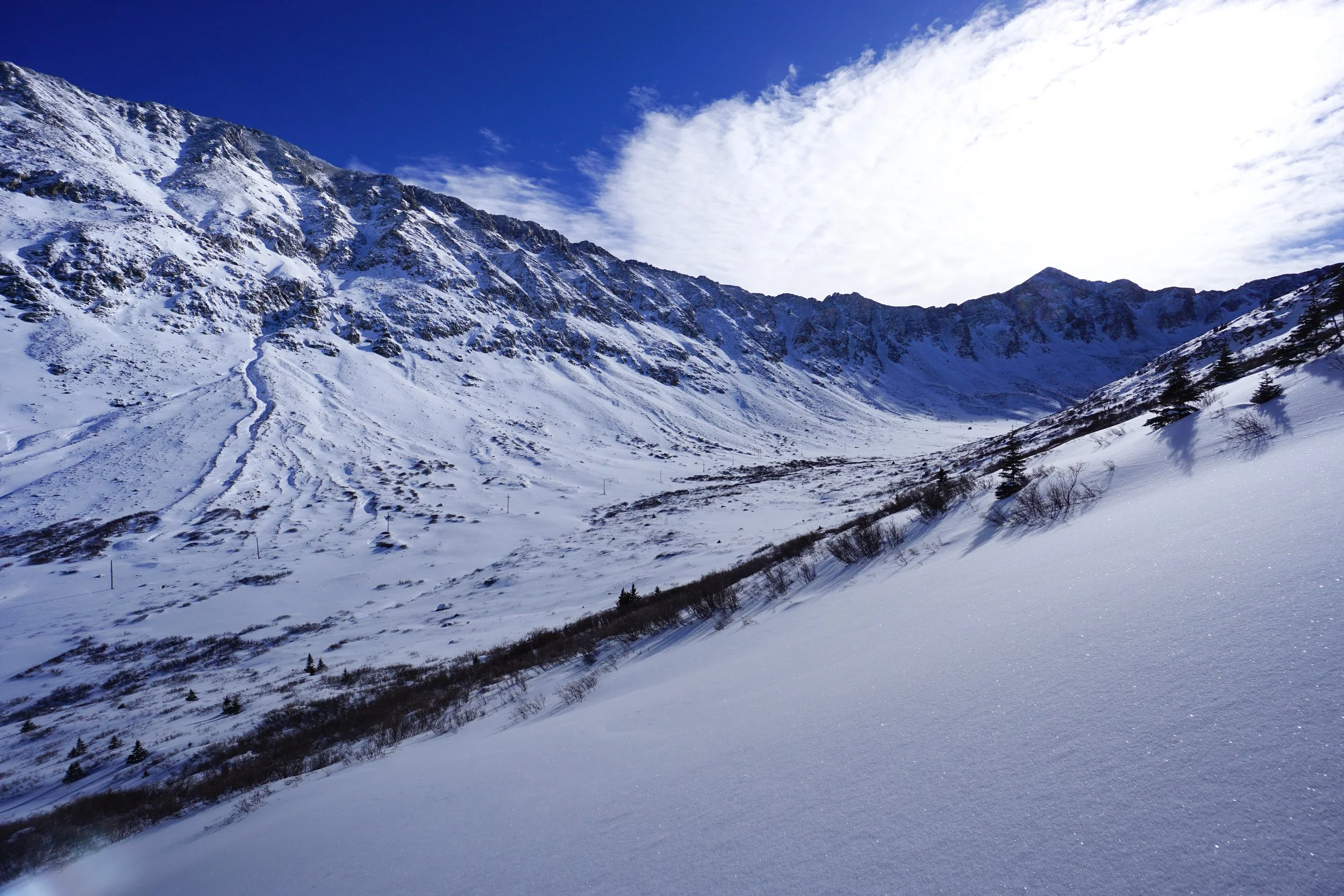
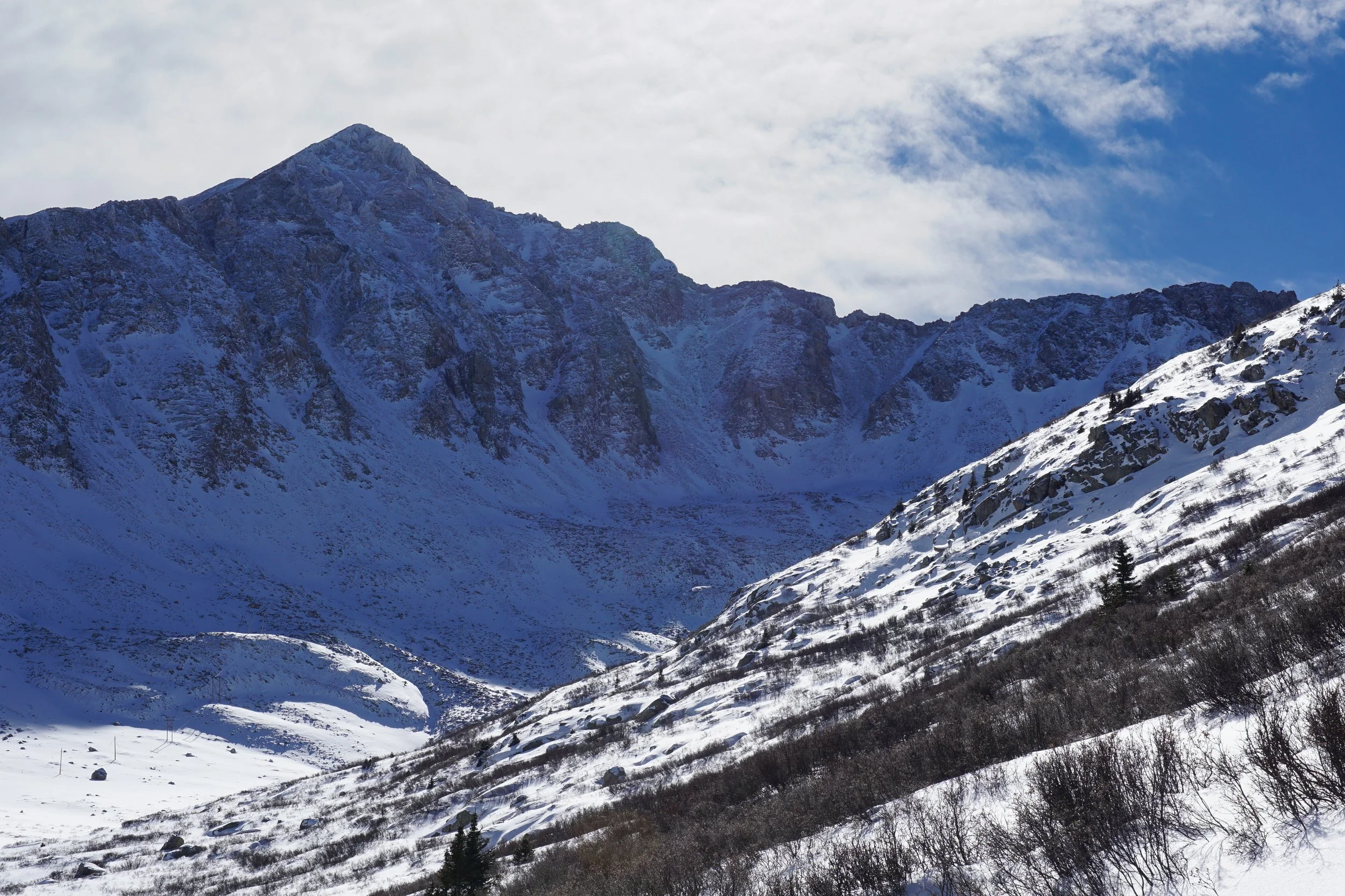
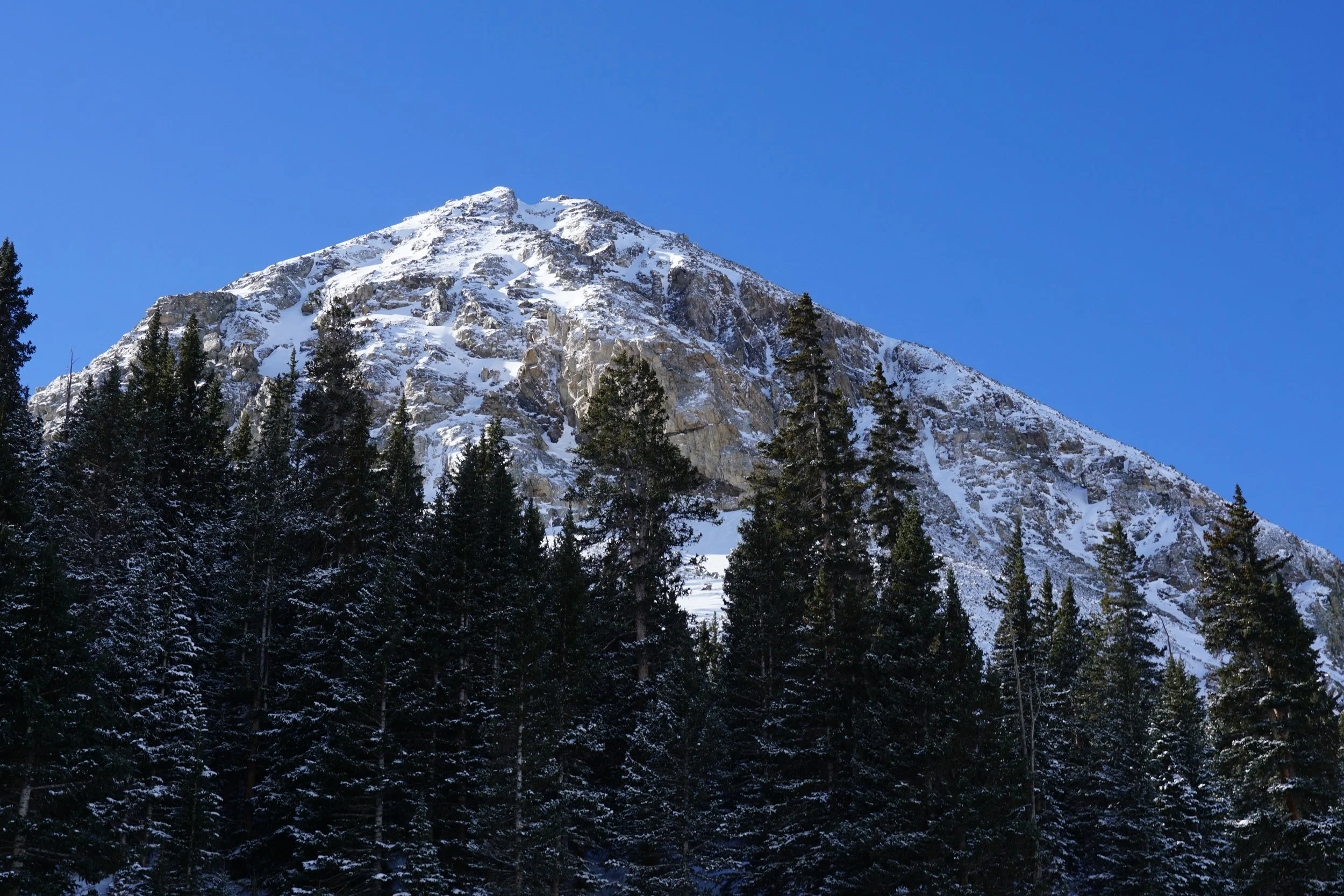
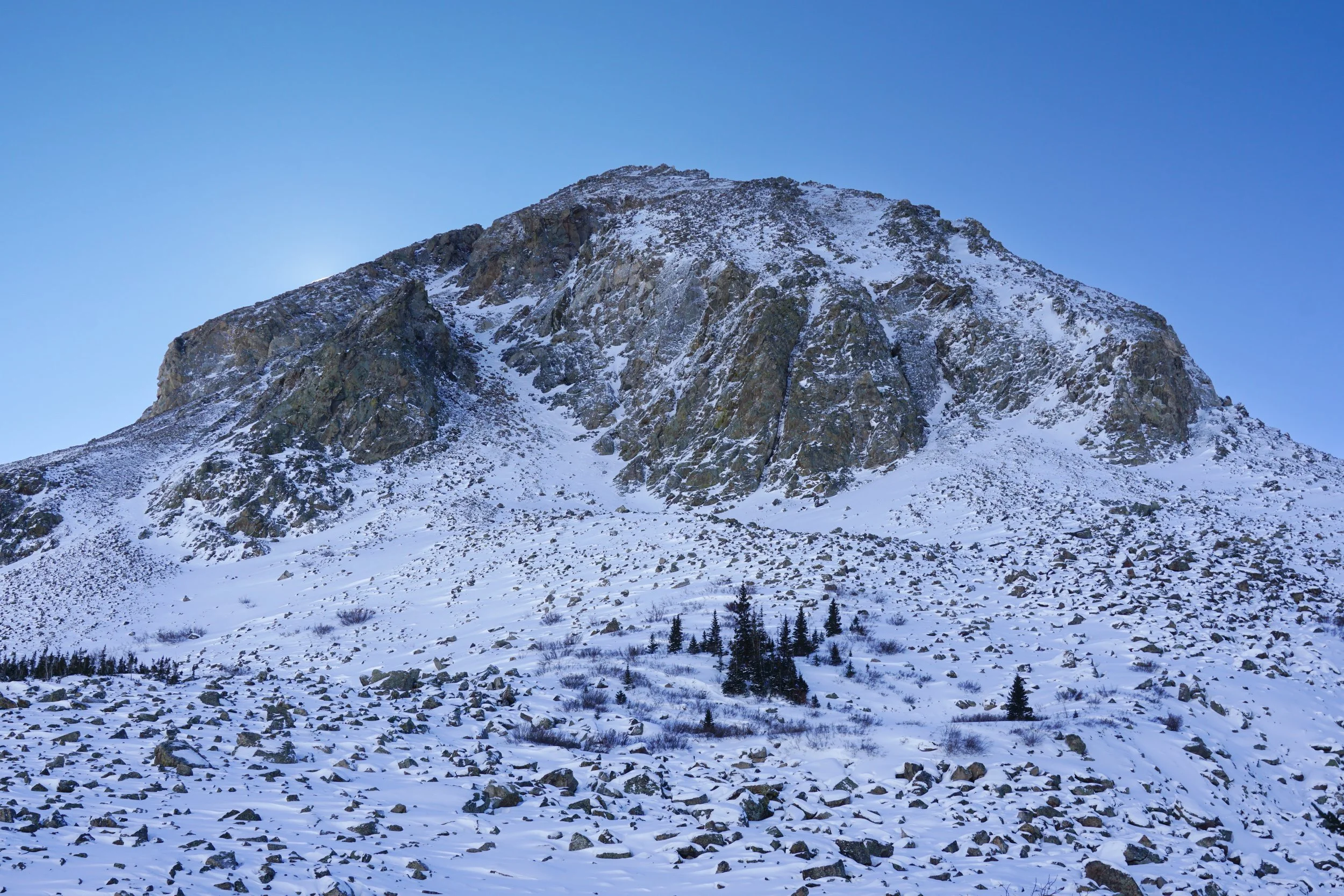
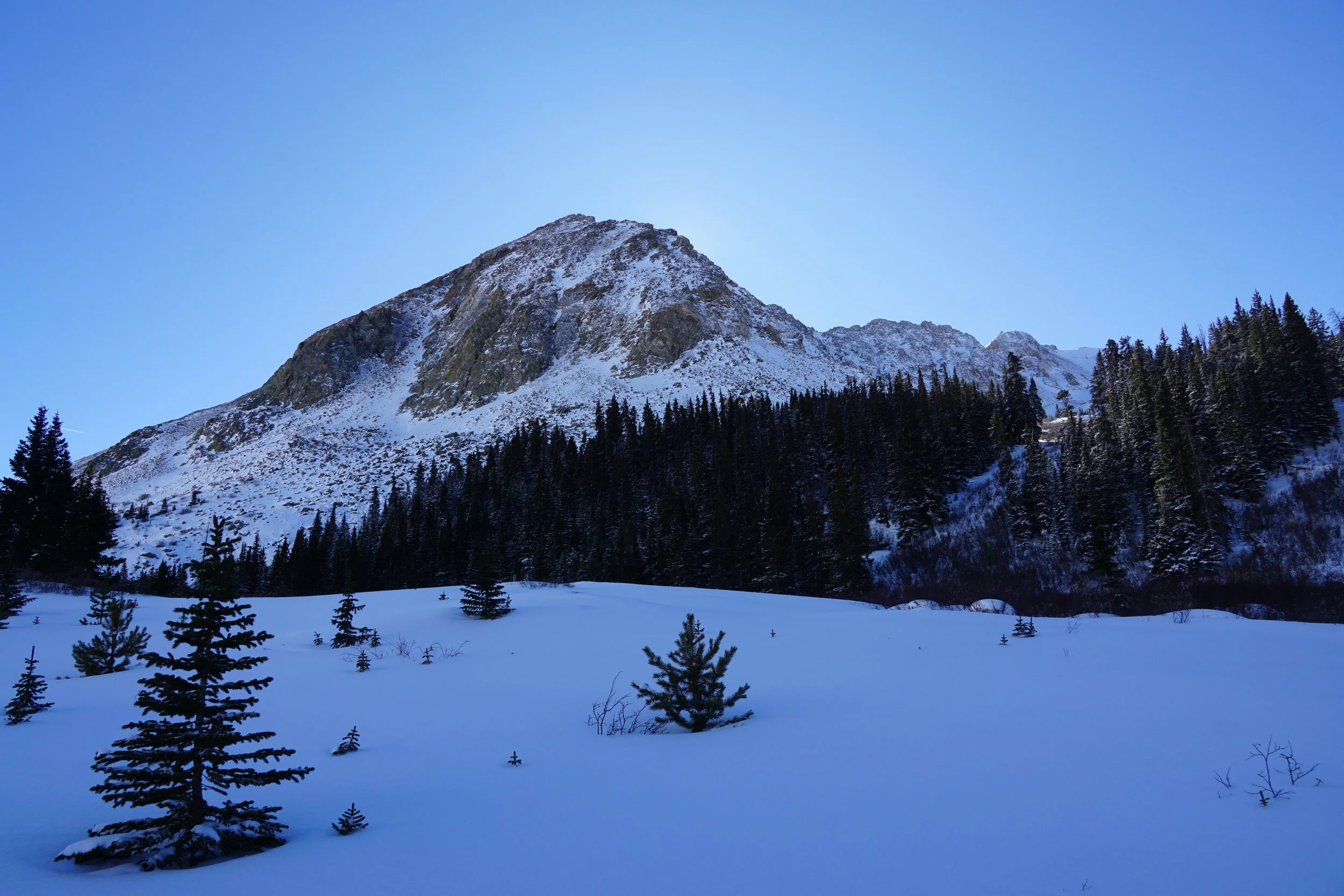
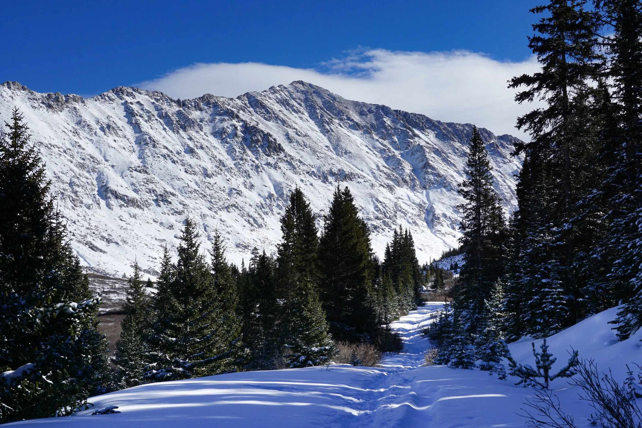
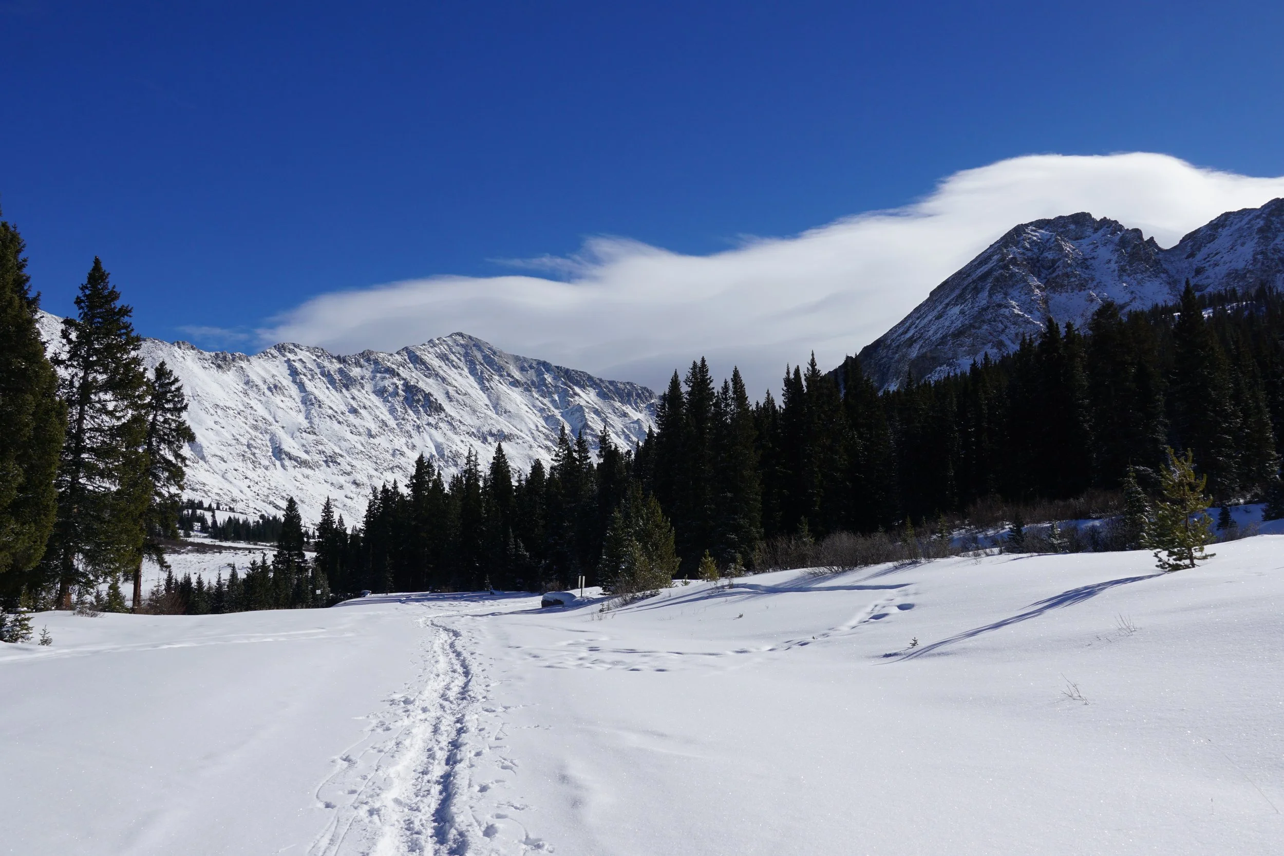
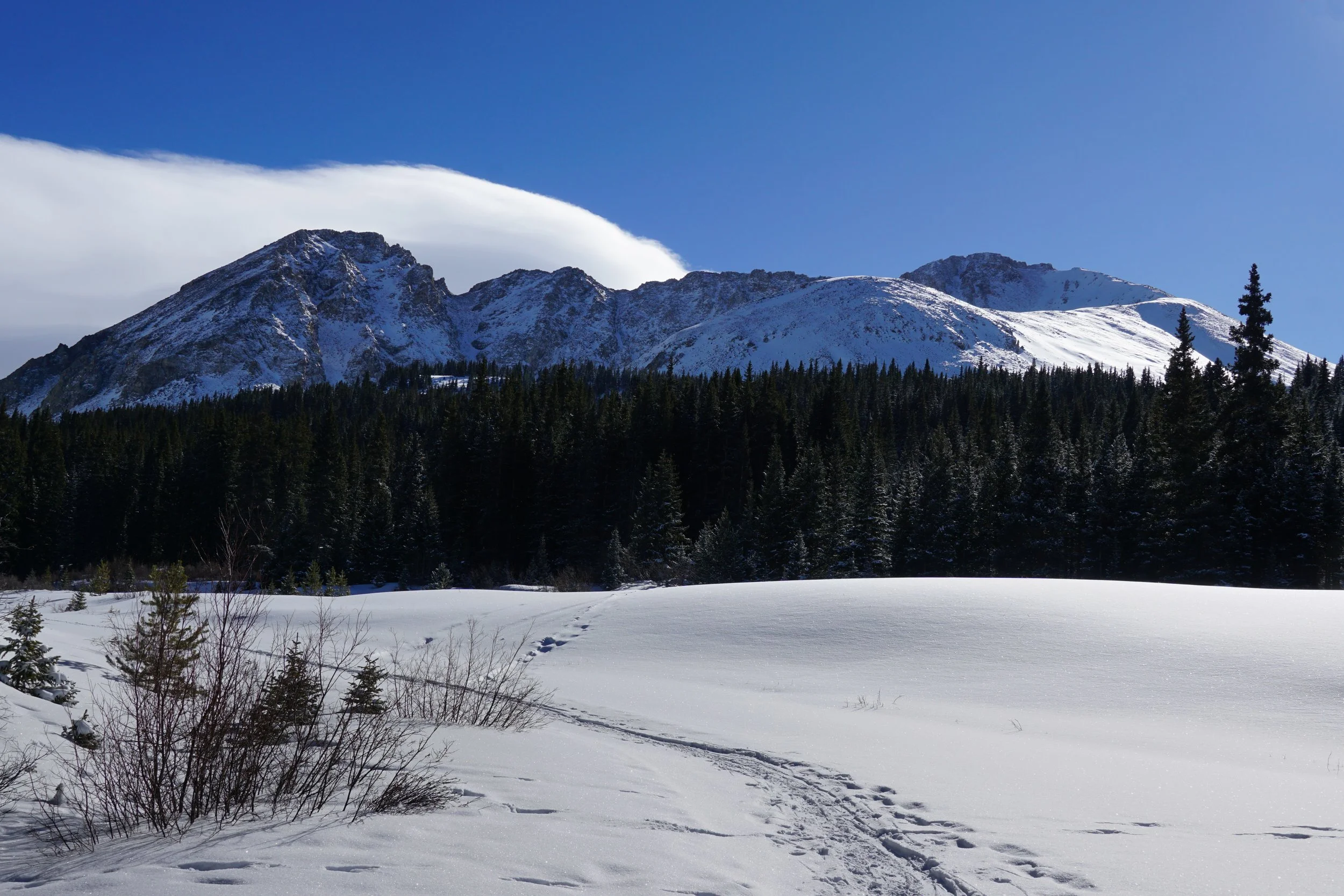
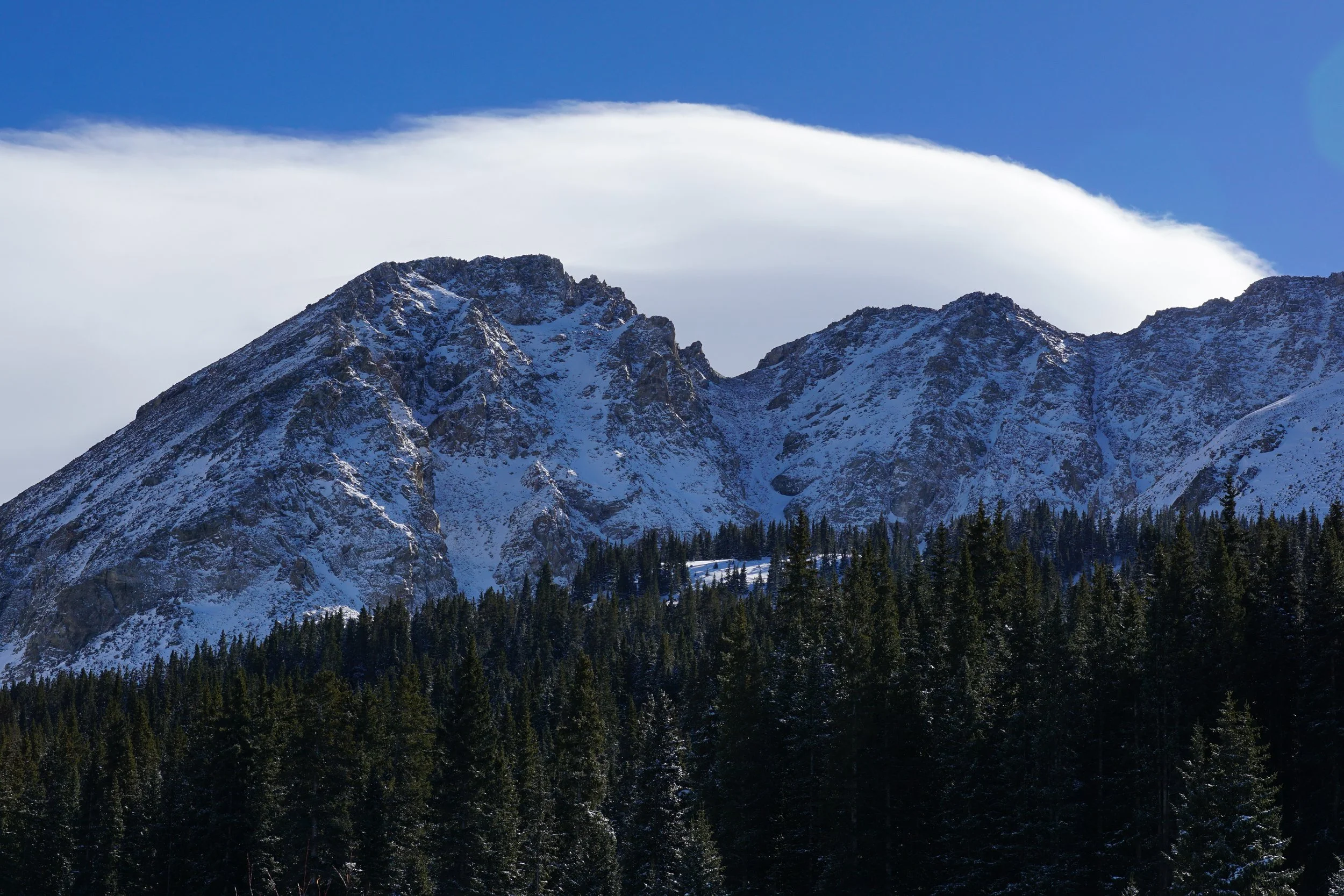
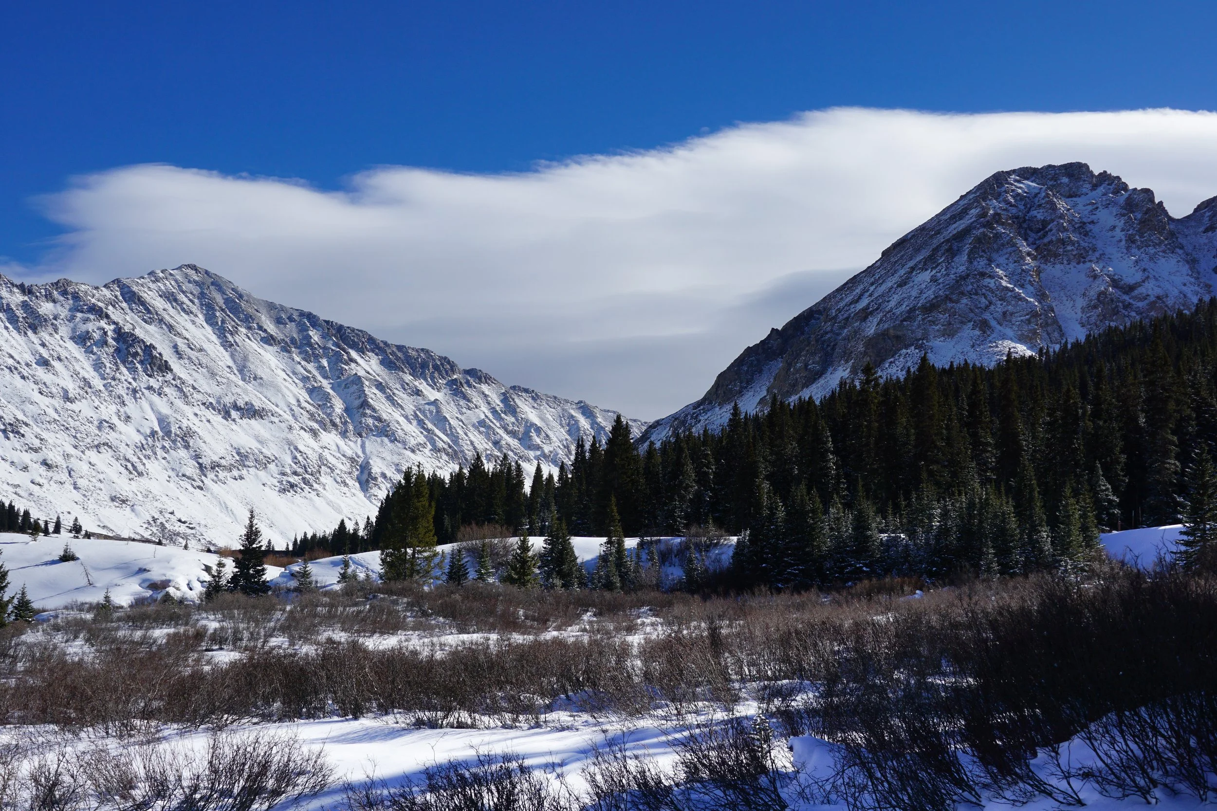
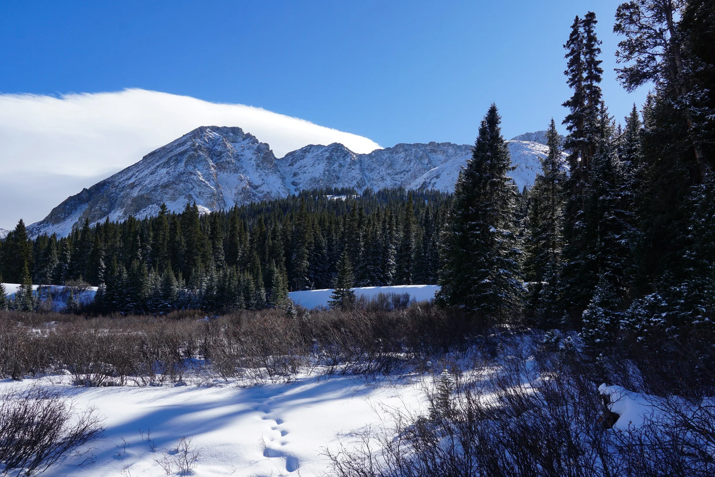
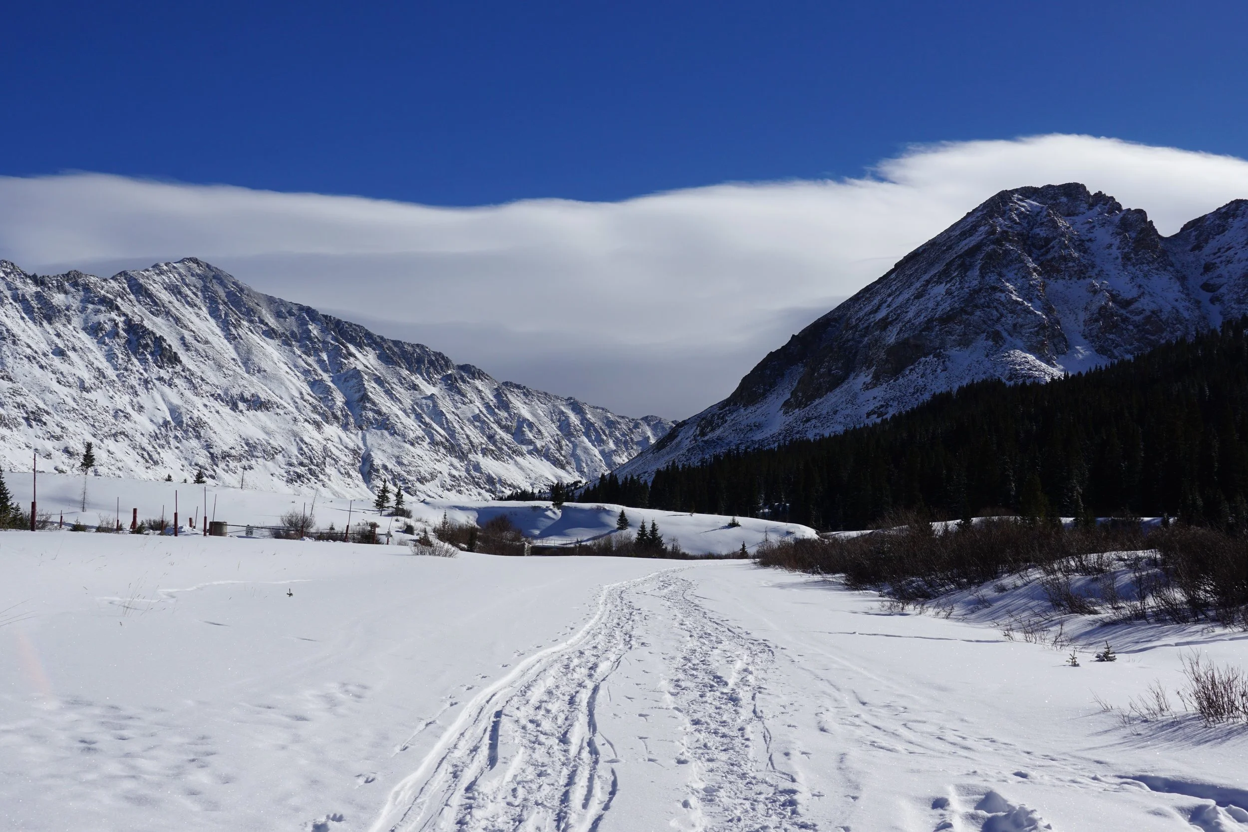
I had my eye on this route for a few years before getting a chance to finally explore it. There is an official trail but there is very little information on this area to be found on-line. I’ve seen some maps that label the trail as Forrest Service Road 135, while others call it Trail Road. Seeing as how the basin forms the headwaters of the East Fork of the Arkansas River, I like to call this area the “East Arkansas Basin.” The basin consists of a steep walled gulch with towering peaks surrounding all sides, including 13ers Mt. Arkansas, Mt. Tweto, Mt. Buckskin, Traver Peak, and 14er Mt. Democrat. There is a Forest Service Road that leads into the basin from Hwy 91 and in the summer this area is used by off highway vehicles. In the winter however, the road turns into a ski and snowshoe trail. You get a huge bang for the buck on this route as the incredible views are immediate.
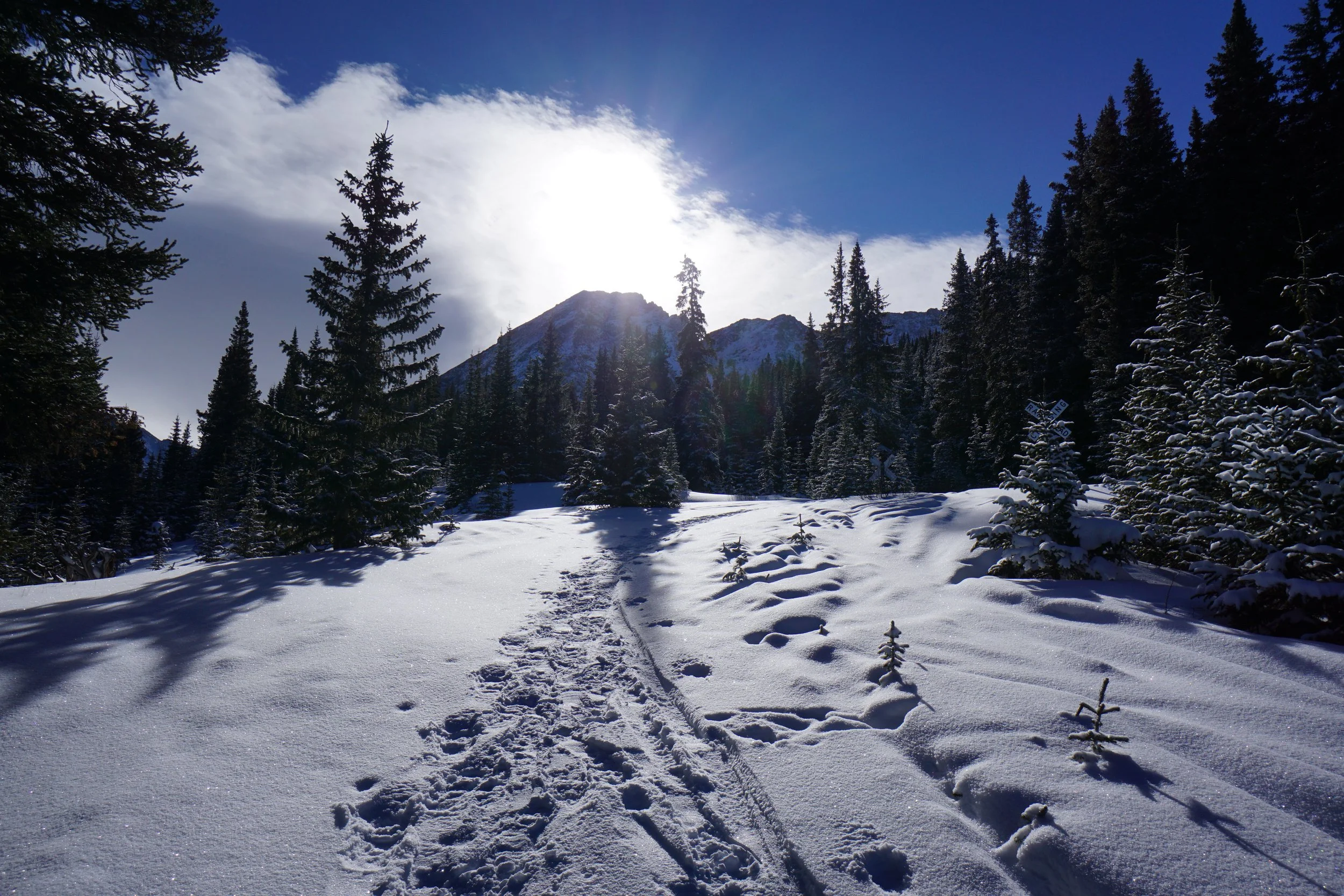
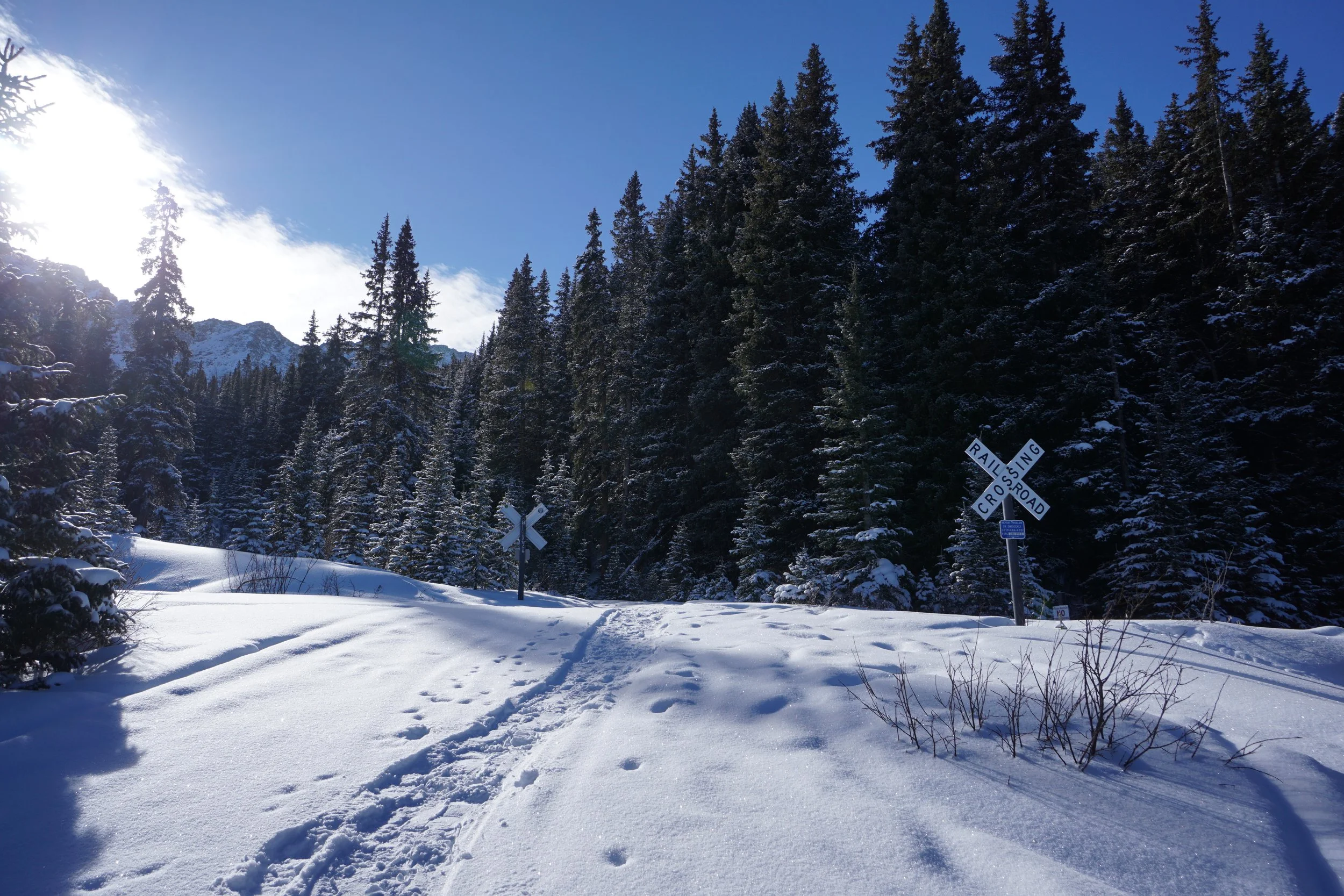
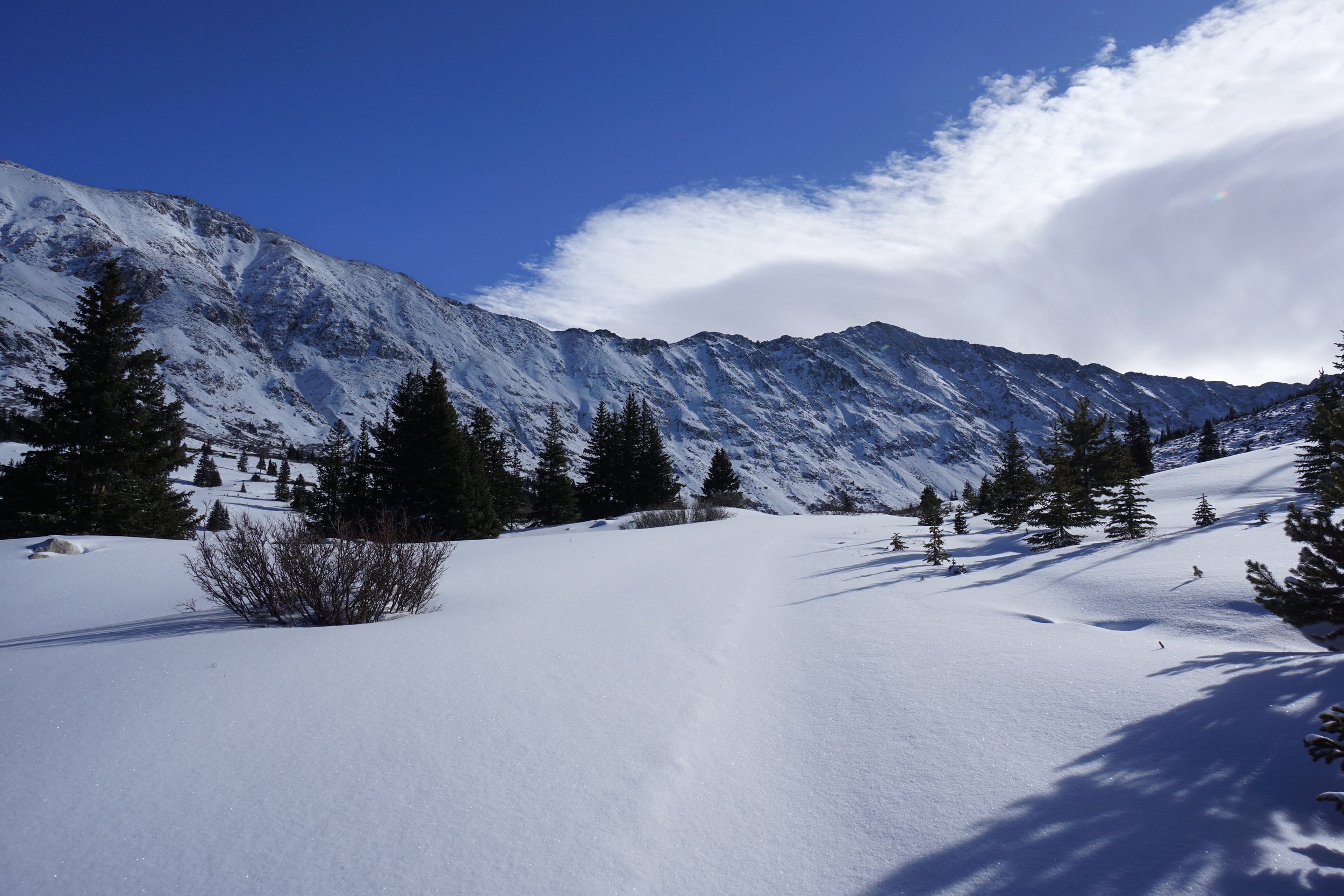
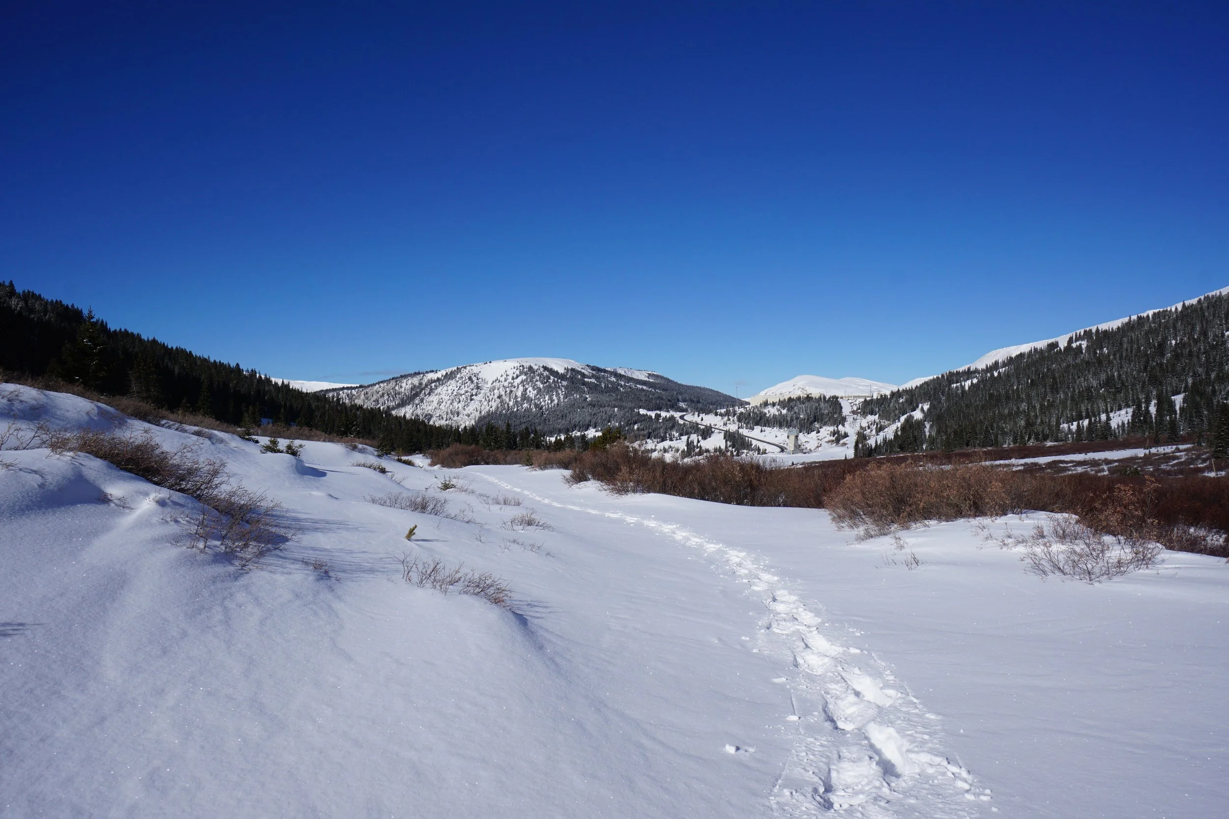
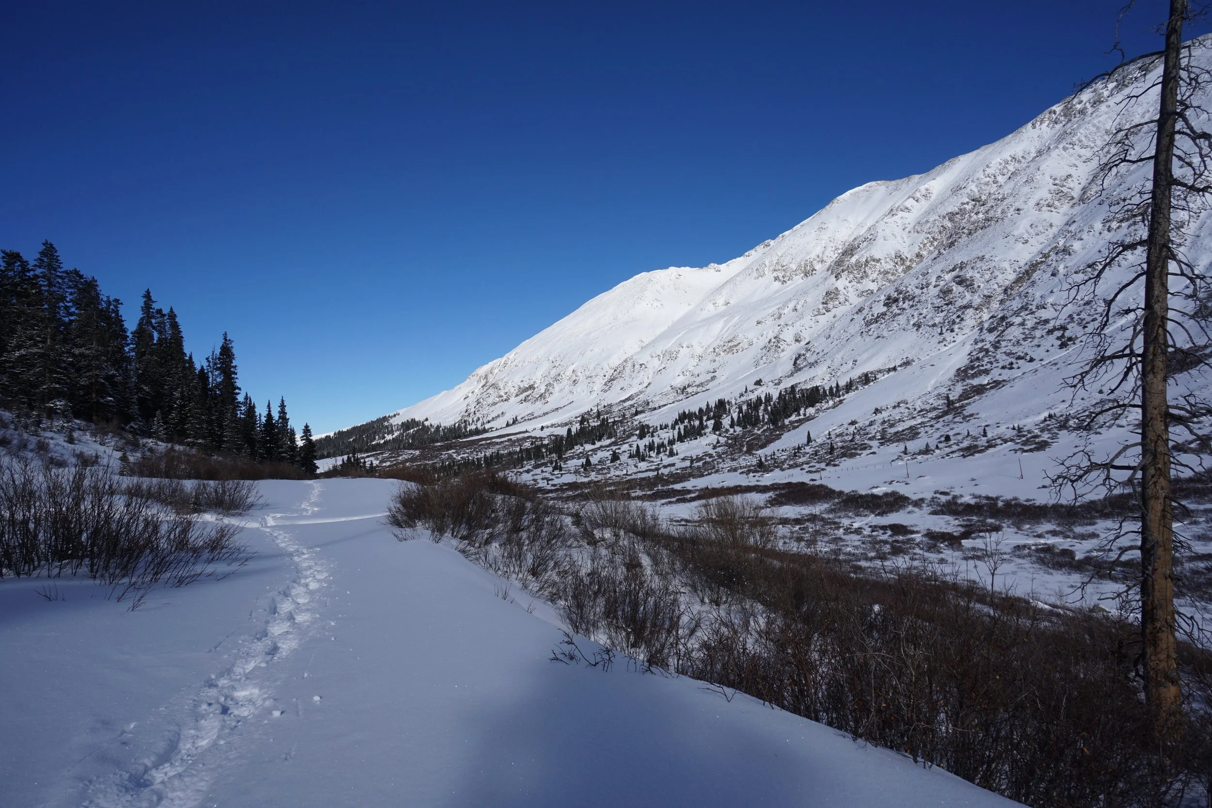
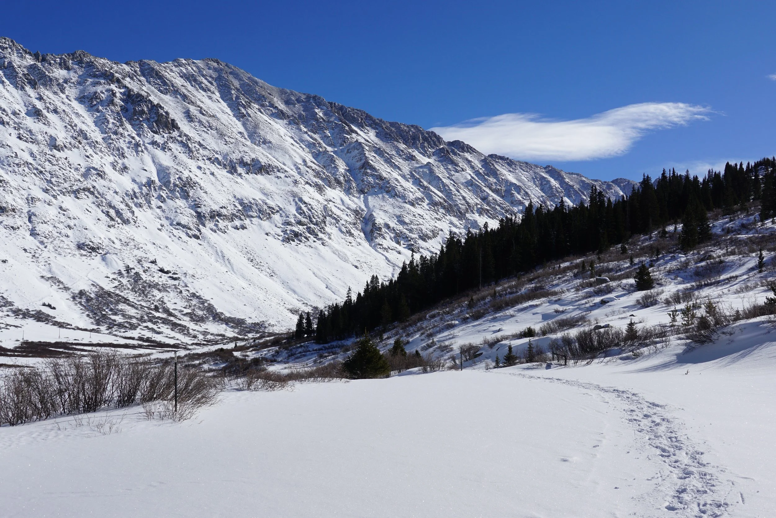
The basin lies just south of Fremont Pass and just south of the Climax Mining Complex. Even with the mine and the highway, the gulch is surprisingly quiet and serene in the winter. The road crossed privately owned land for the first mile so be sure to stay on the road. The road switchbacks to the right at the start and leads to a private railroad crossing at the 1/2 mile mark. Shortly after the railroad is a locked gate blocking all but foot traffic. Continue on following the road into the basin.
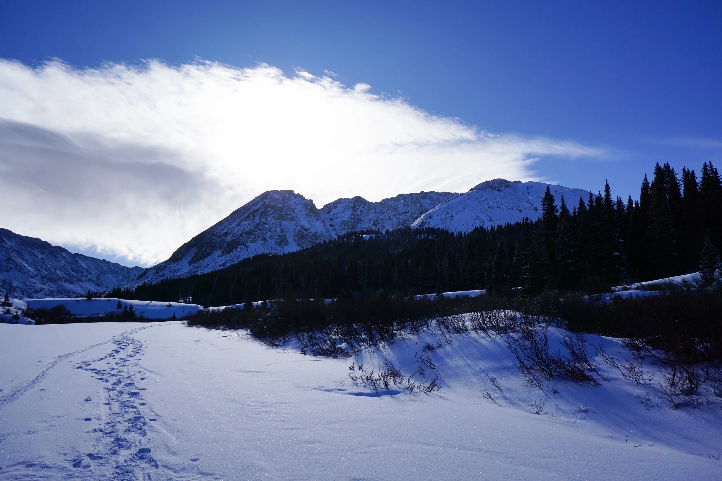
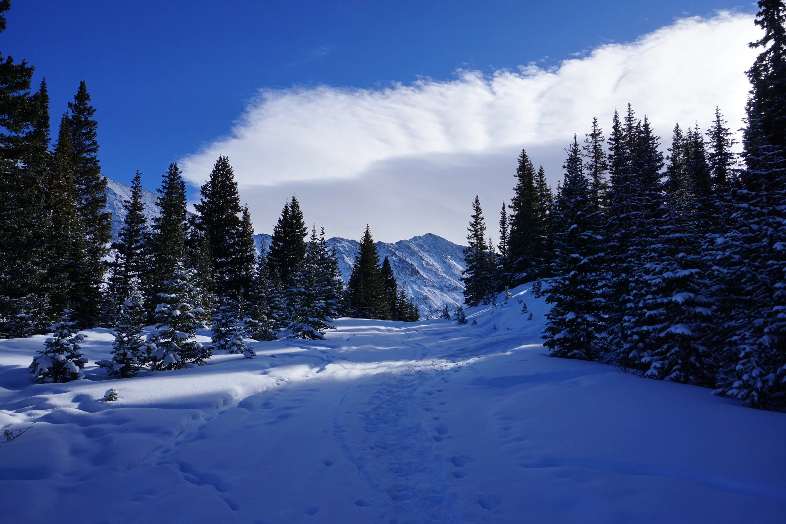
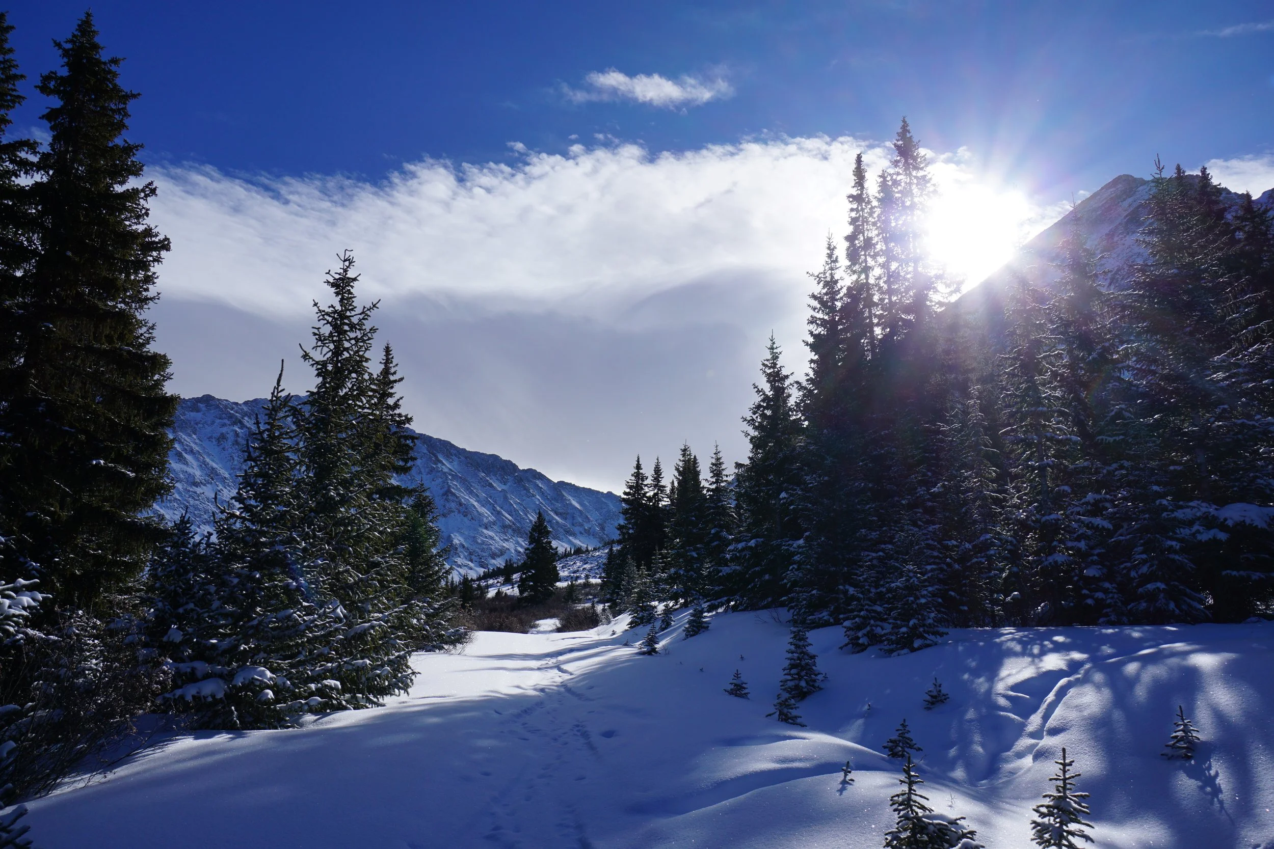
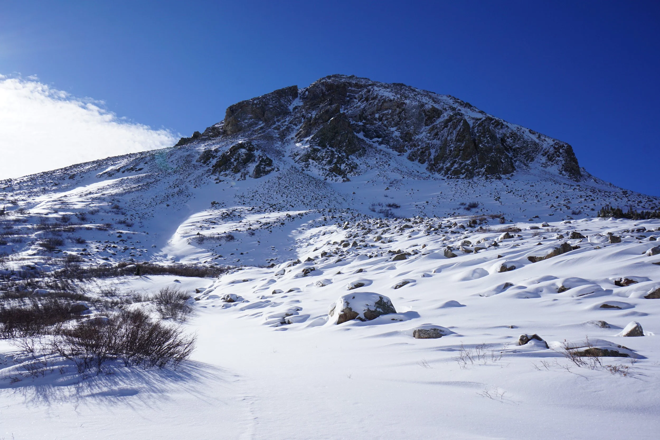
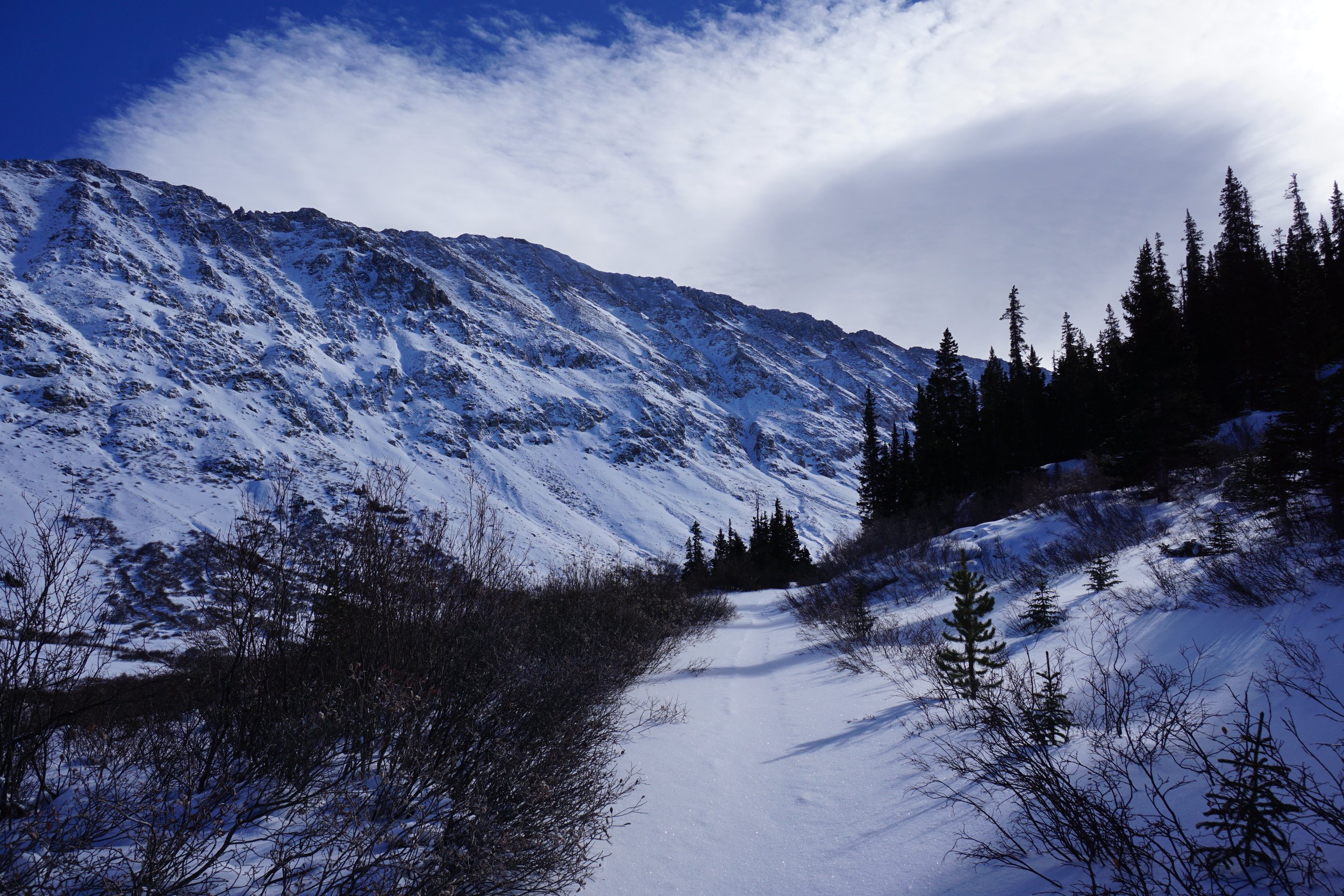
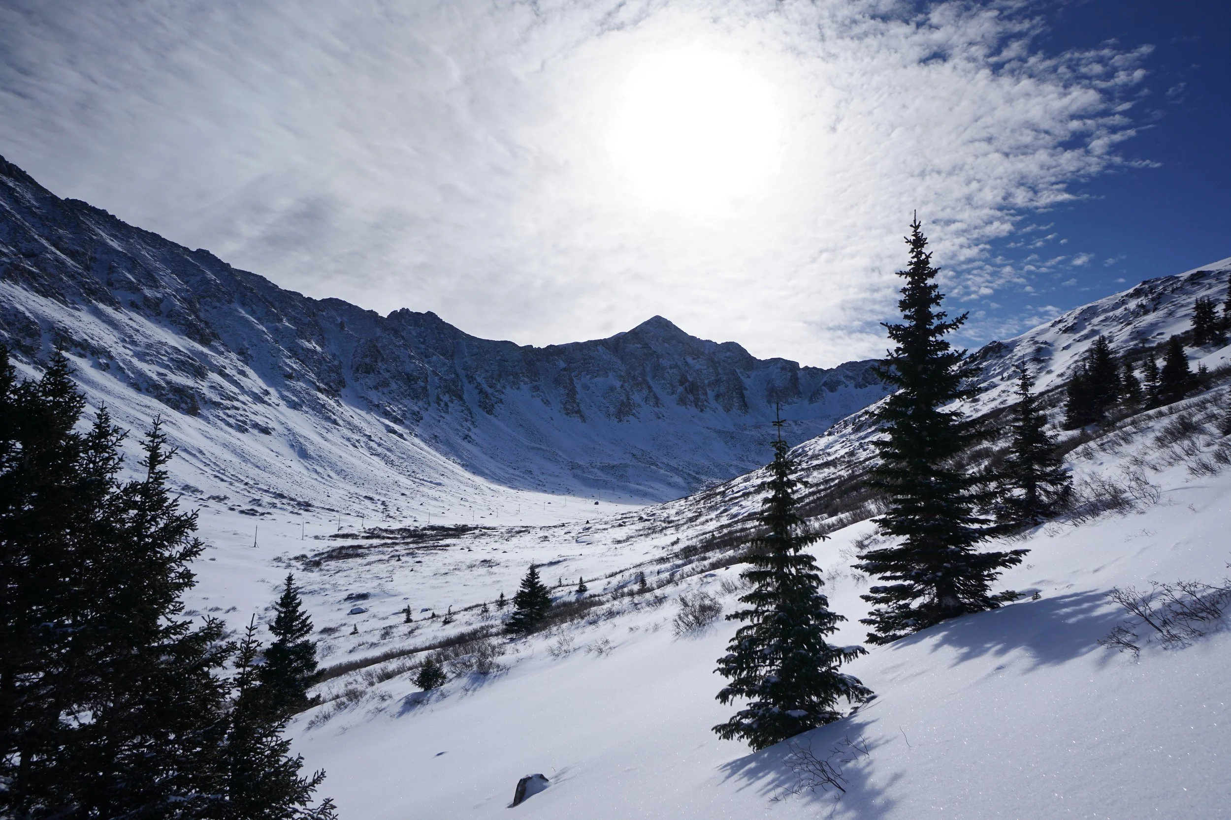
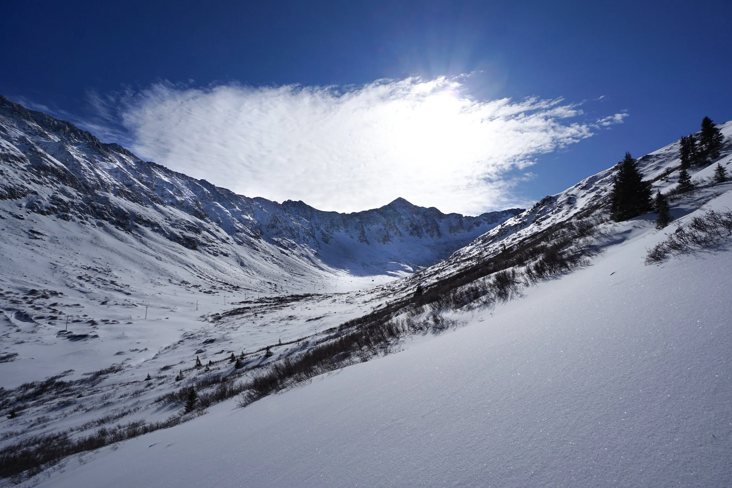
Even though the trail steadily rises, it feels as if you are dropping down into the basin, really you are just meeting the rising basin floor. At just about the 2 mile mark, the trail enters some trees and turns slightly to the south where the prominent sub peak of Bucksin Mountain comes into view. As you clear the tress, the trail all but disappears. At this point you can continue as far as you like but the travel becomes far more difficult. I tried to climb to the top of a ridge to get a view on Mt. Tweto but the snow was just a bit too deep (even with snowshoes) and the slope was too steep for my comfort level.
No matter how far you go the hike is a must do for winter adventure. The walls of the basin are incredible, Mt. Arkansas is an amazing mountain to get close too, and the avalance danger is typically low on the road. Since you start this hike from 11,000 feet, the fun starts from the trailhead and only gets better the deeper in you explore.
Please note that this description is only a winter description…I have no idea what the trail is like when it is not covered by feet of snow. Depending on how much ORV traffic is present, I would love to come back and explore this area in the summer.