Dike Trail
San Isabel National Forest
Date Hiked: July 23, 2025
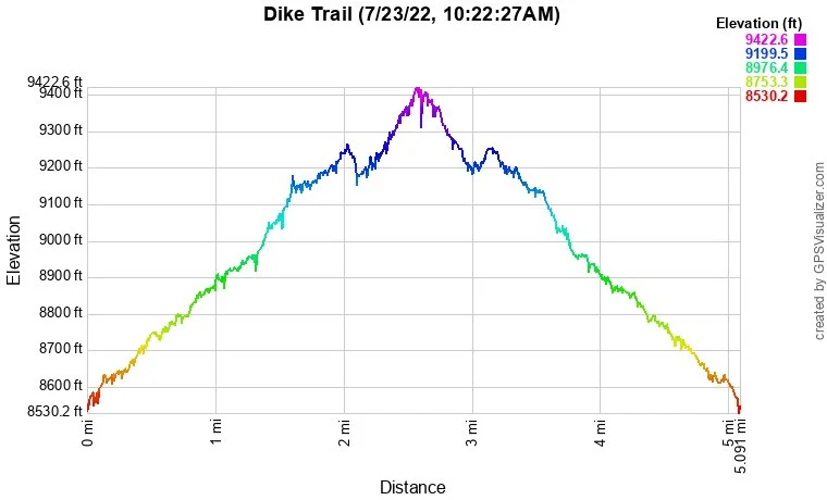
Distance: 4.8 mi (RT)
Elevation Gain: 900 ft
Elevation Min/Max: 8,607 to 9,404 ft
Trailhead Lat/Long: 37.37572, -105.10092
Managing Agency: U.S. Forest Service
Fee: None
Directions:
From Walsenburg, head west on Hwy 160 and turn left (south) on CO 12 through La Veta and south to Cuchara. Turn east on Oak Street which becomes Hill Road to the trailhead. There is only a small parking area.
Hike Description:
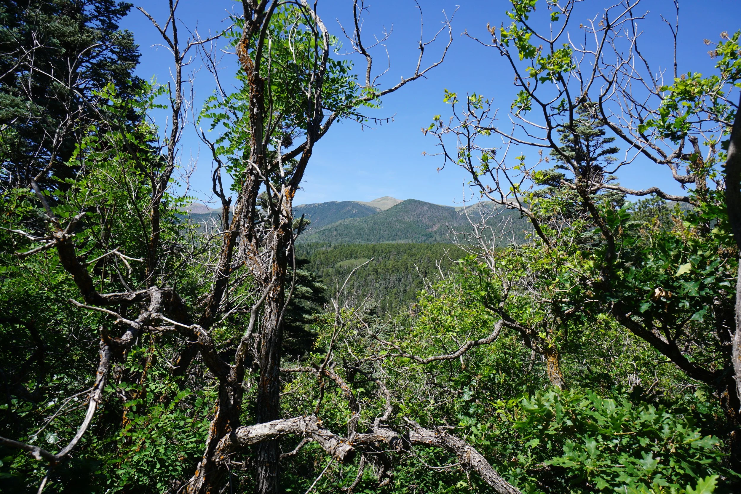
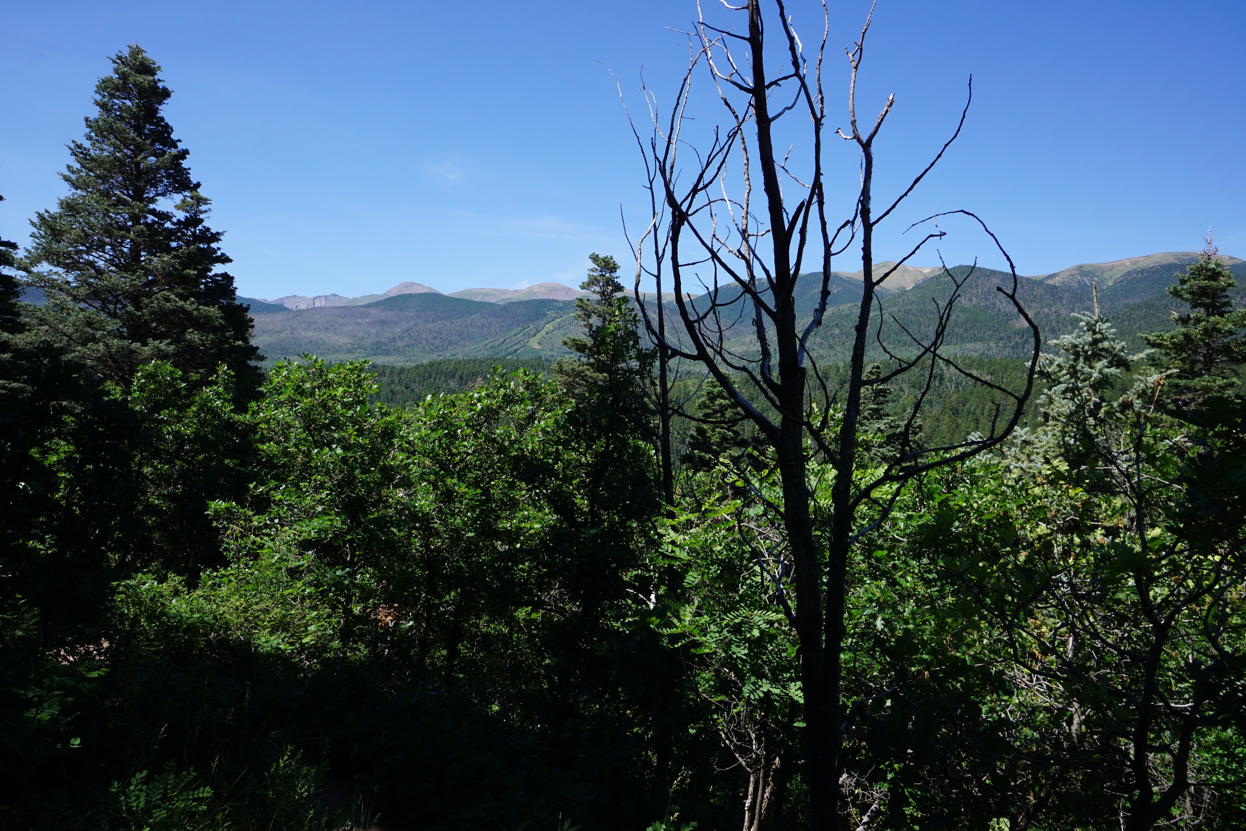
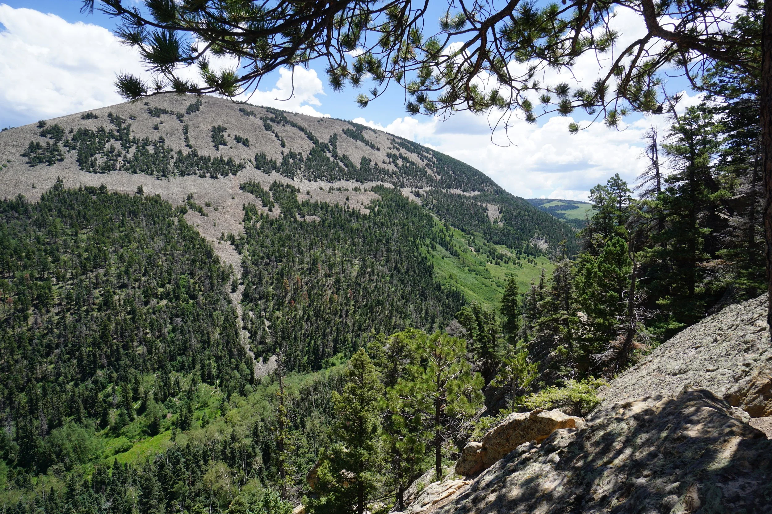
The Culebra Mountain Range in southern Colorado is a sub-range of the Sangre De Cristo Mountains. There are not a whole lot of hiking options in this range as much of it is under private ownership, in fact Culebra Peak is the only 14er that is privately owned and requires a fee and reservation for access. The Dikes Trail is a good hiking option just east of the main range. Expansive views of many of the peaks in the Culebra Range make this hike a great way to experience the range without summiting a 13er or 14er.
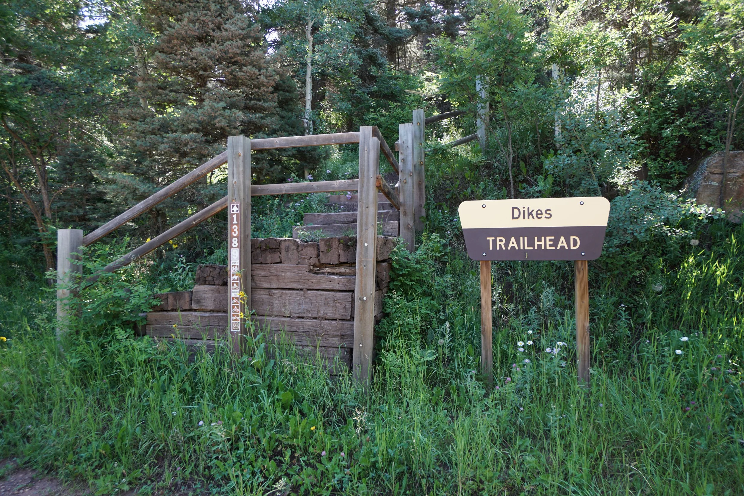
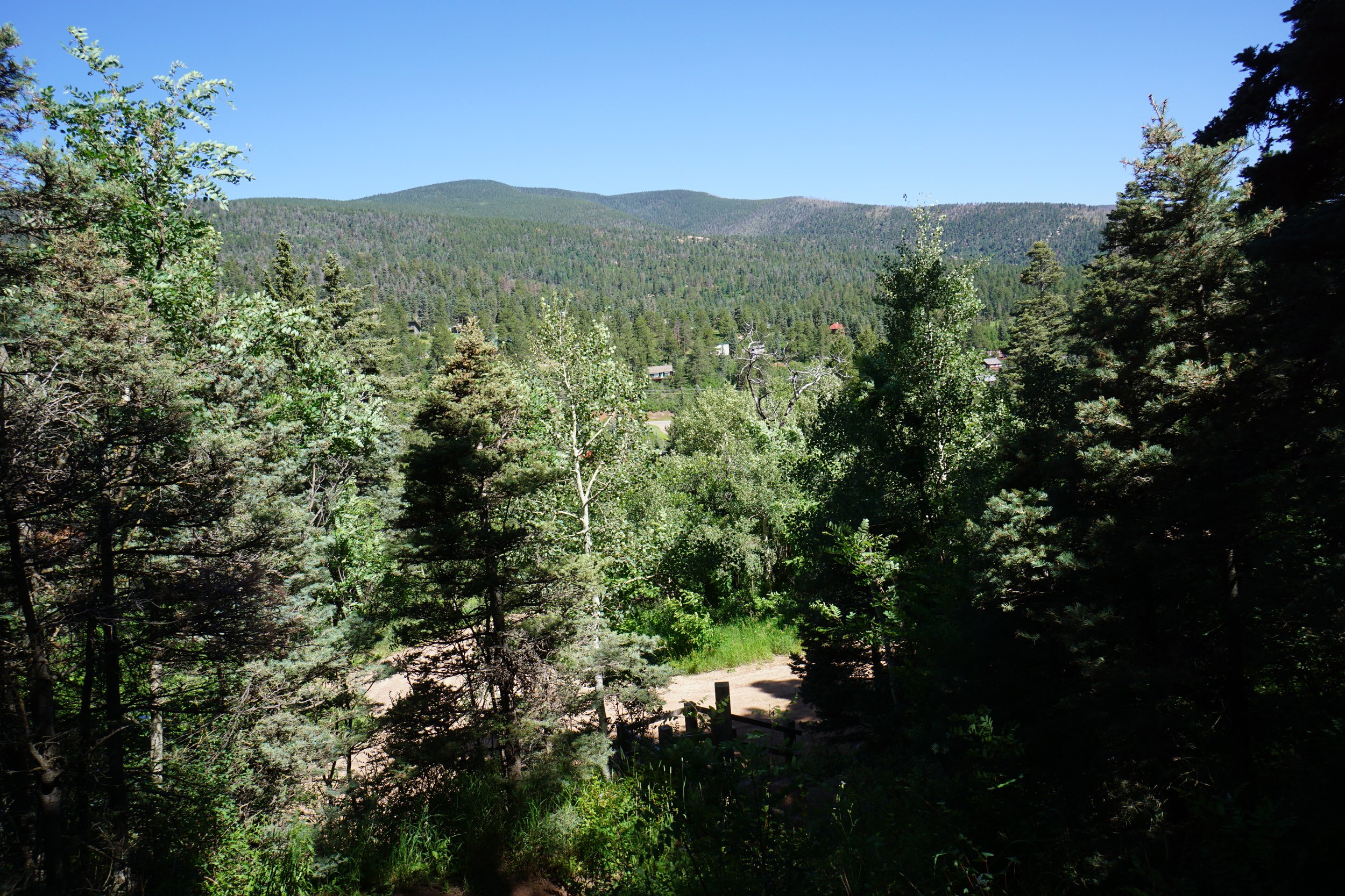
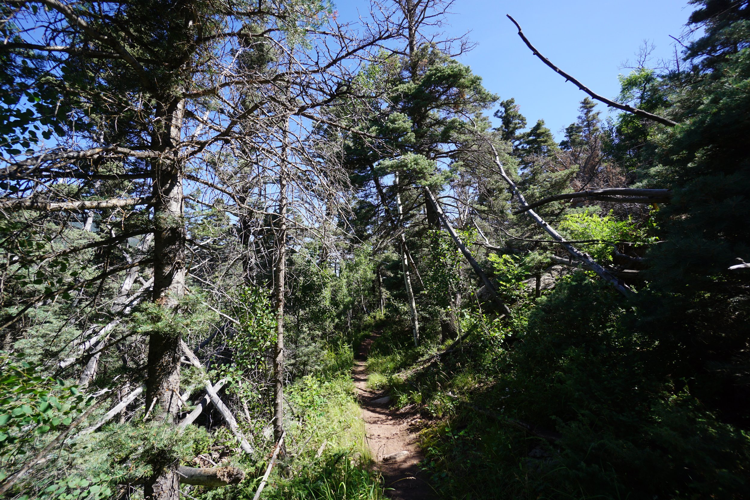
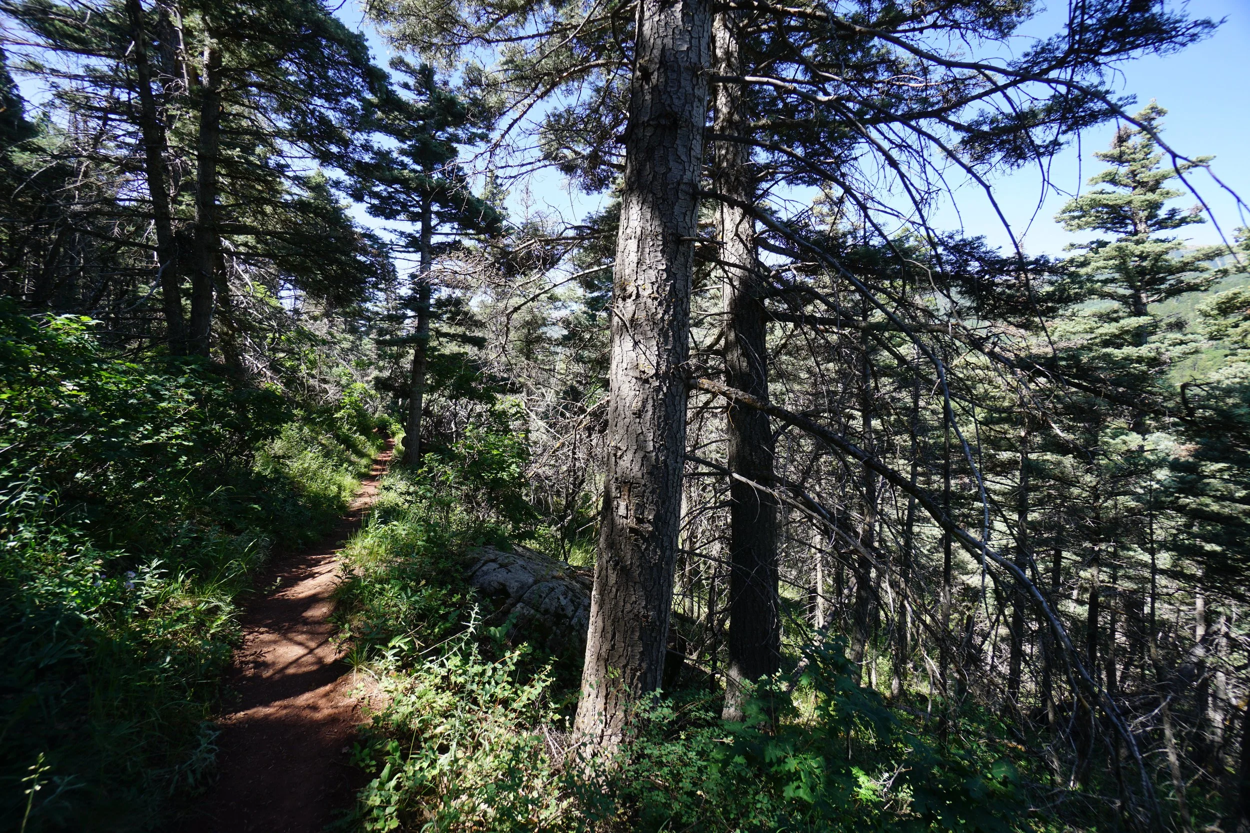
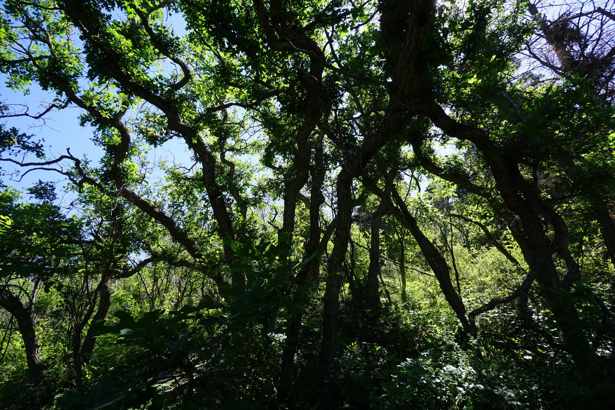
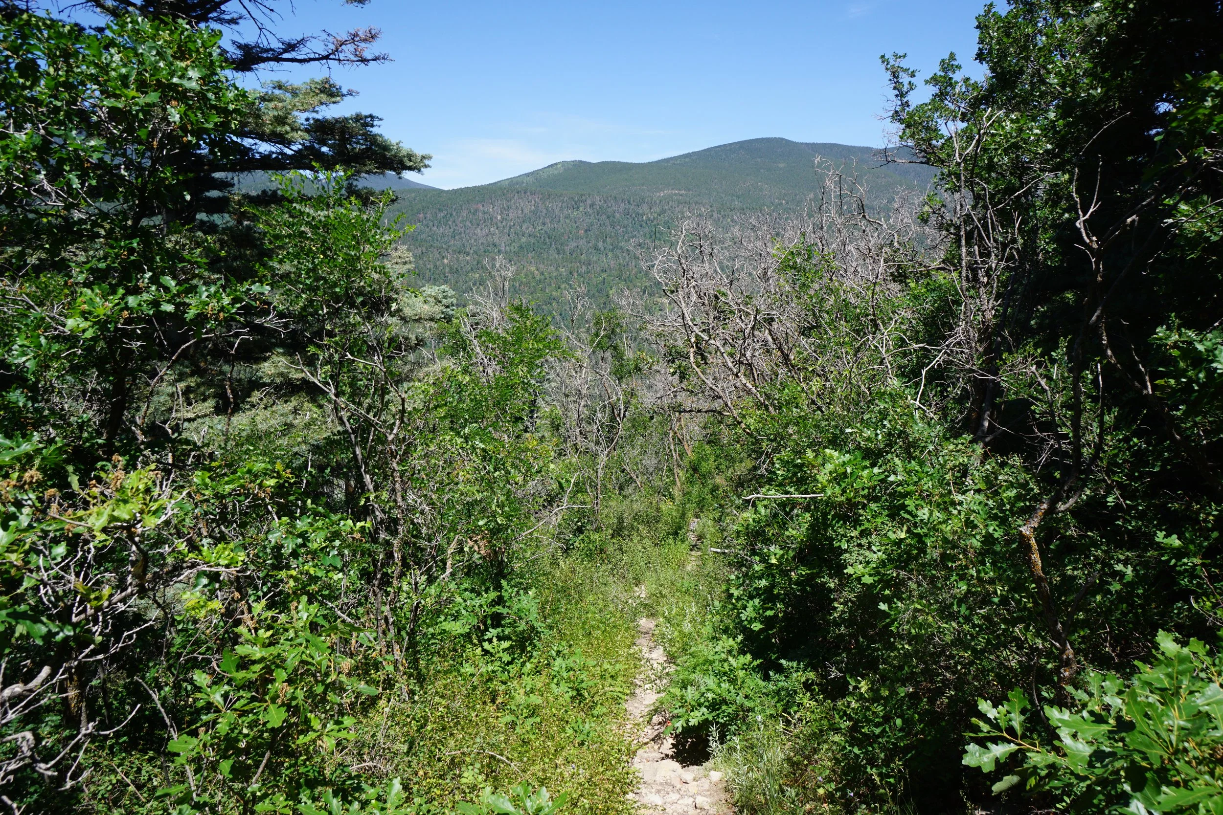
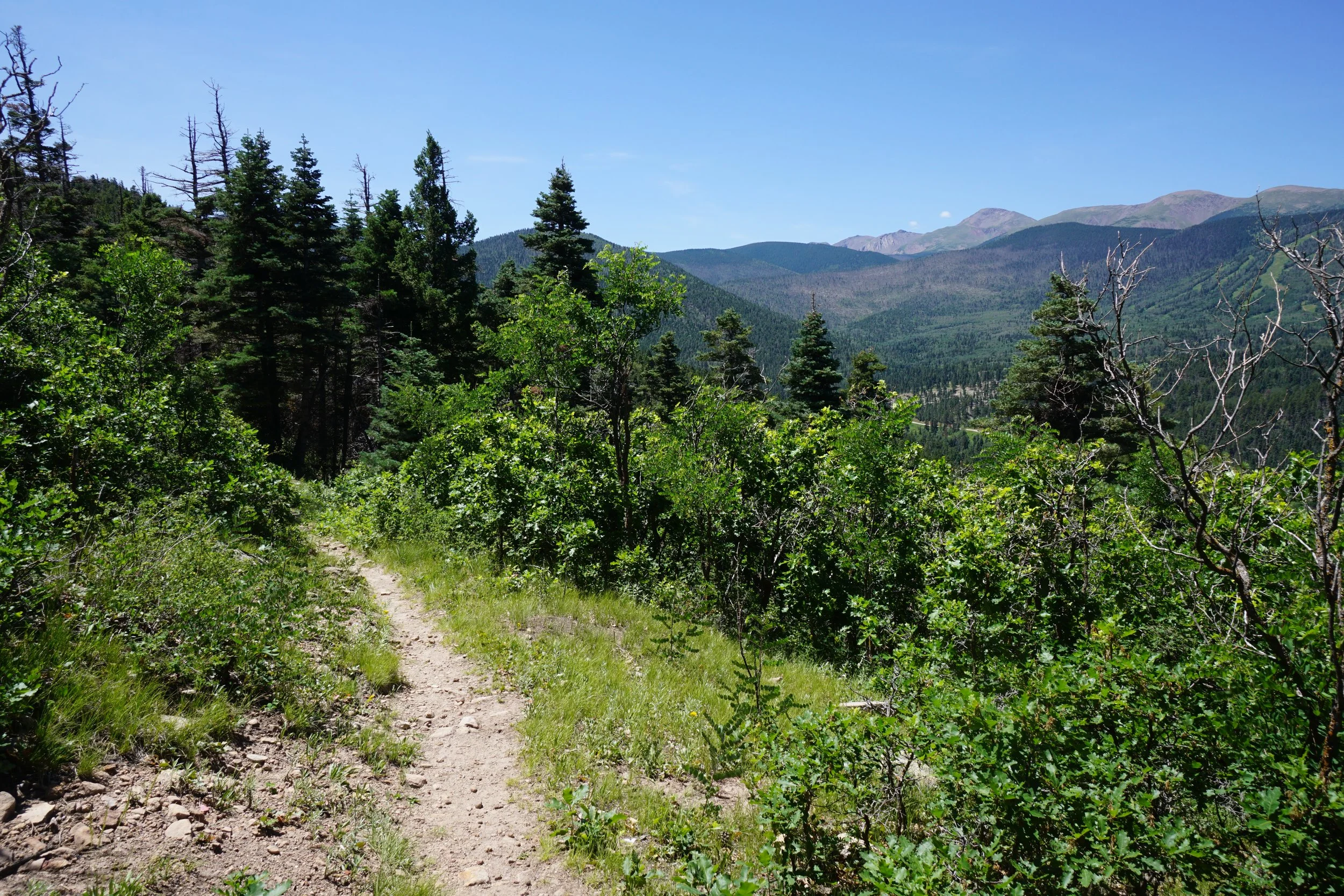
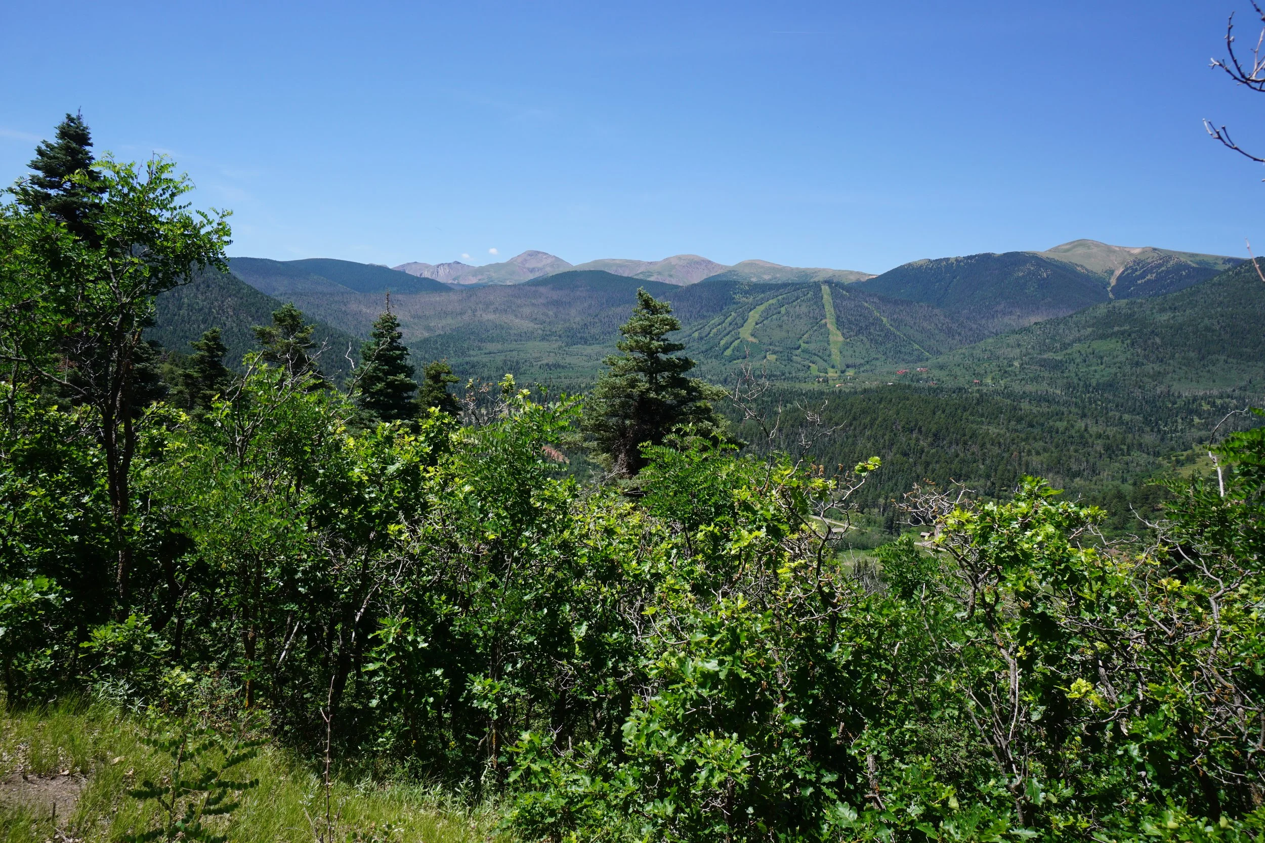
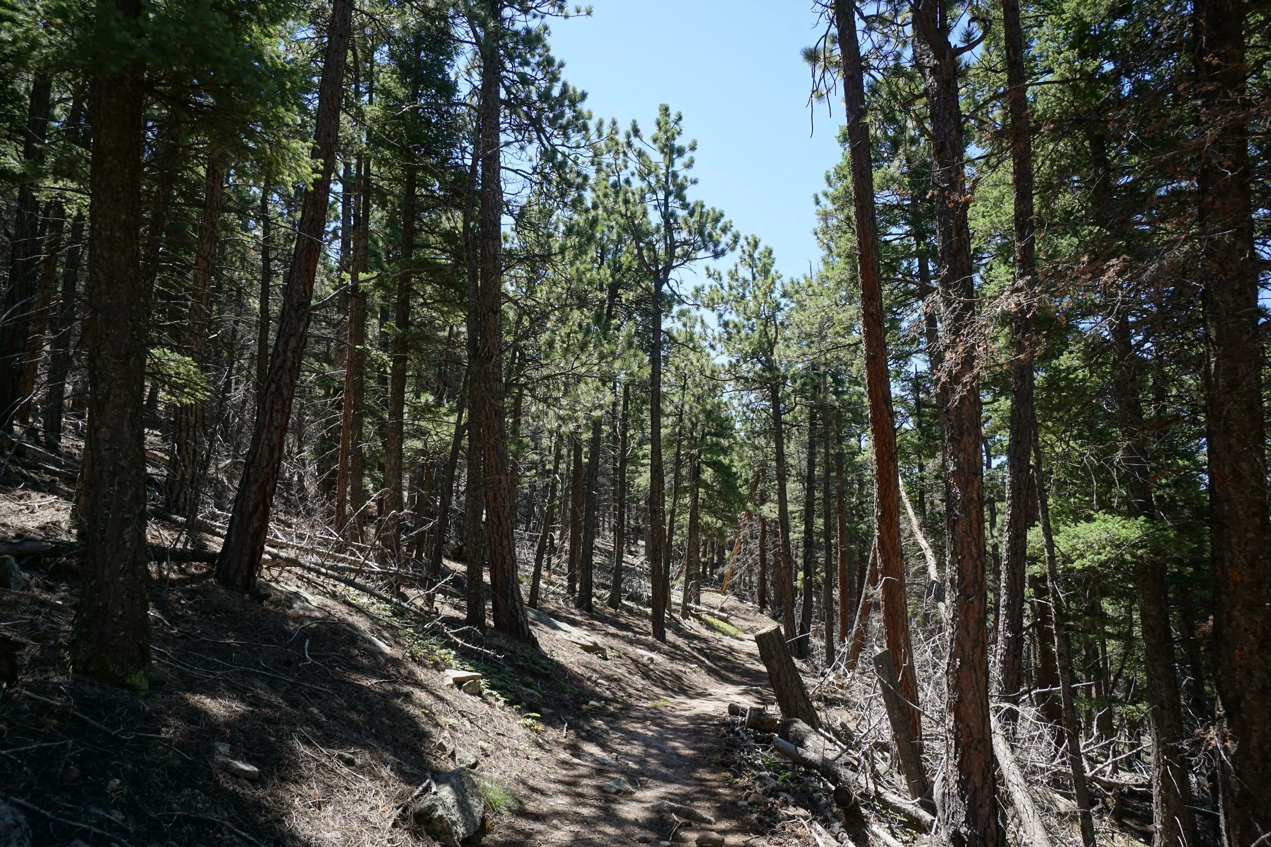
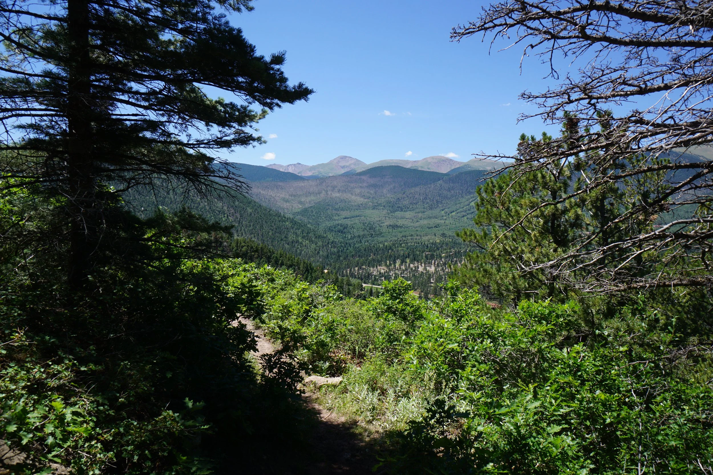
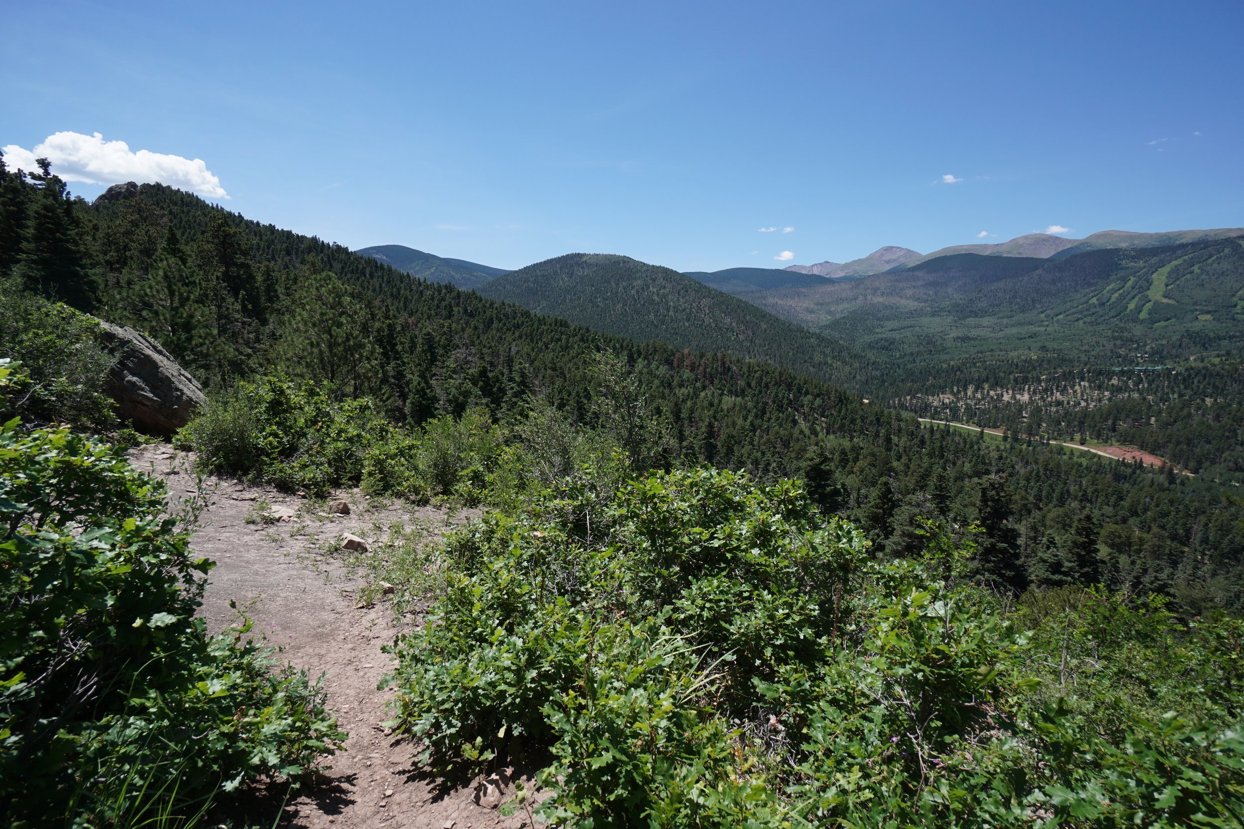
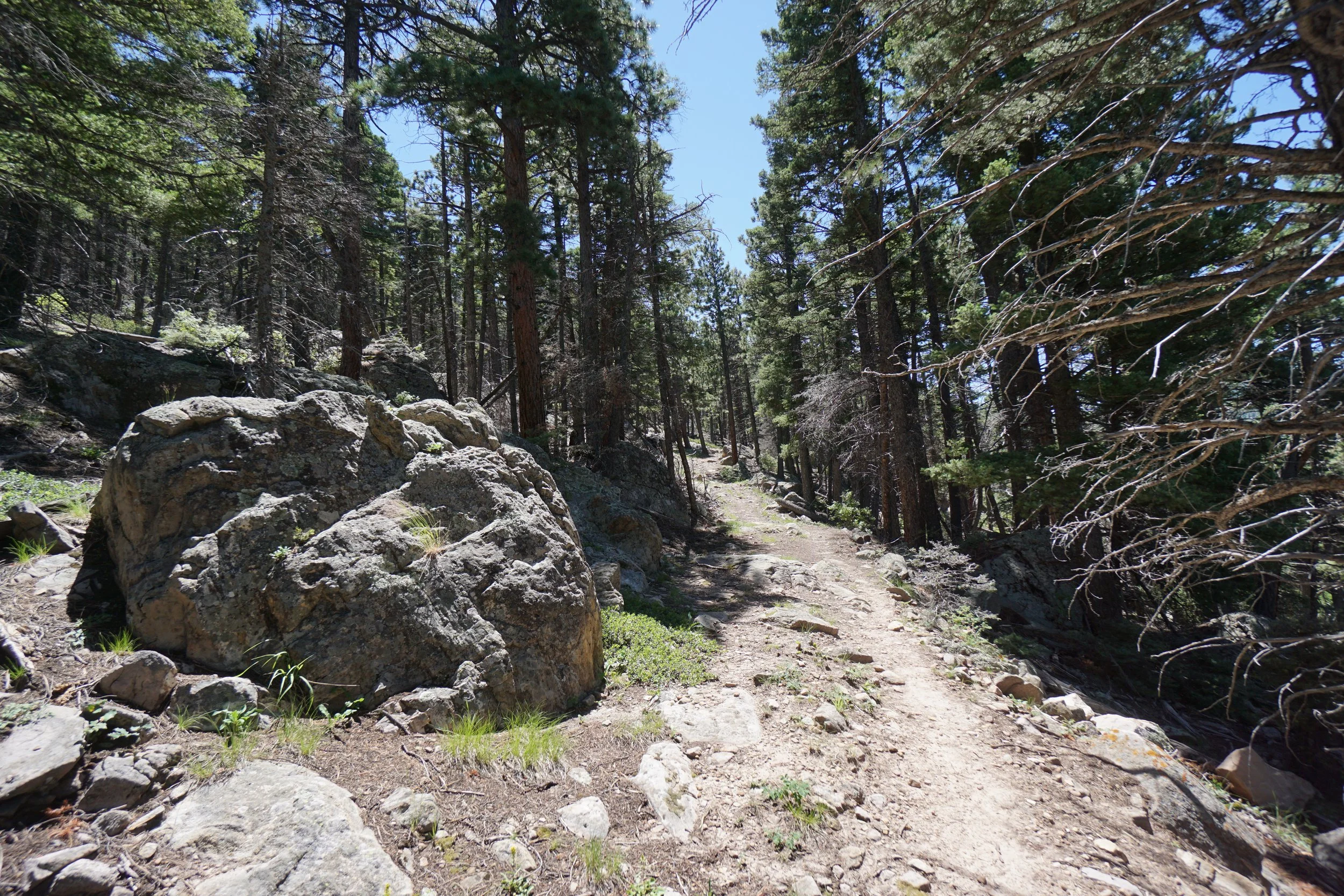
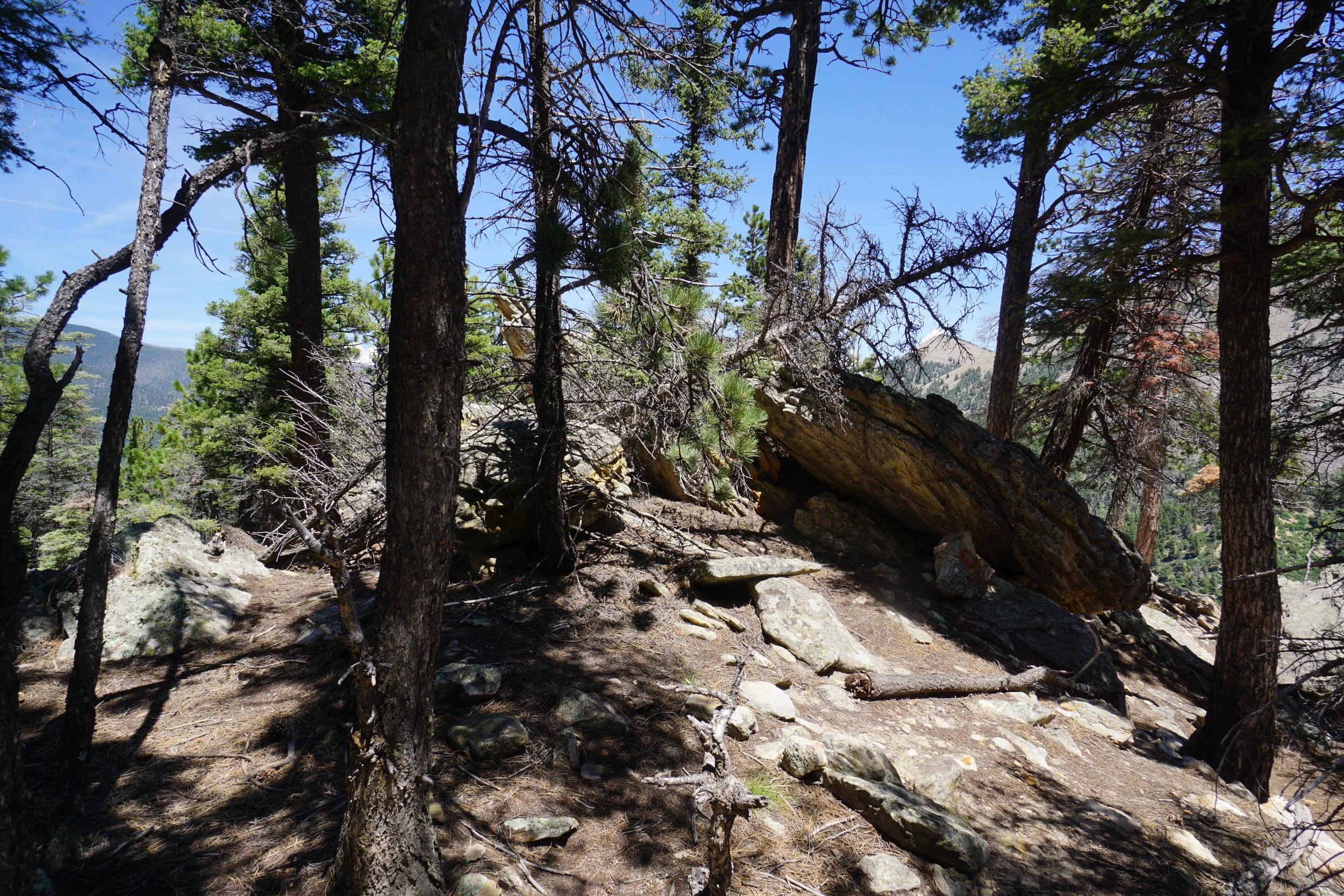
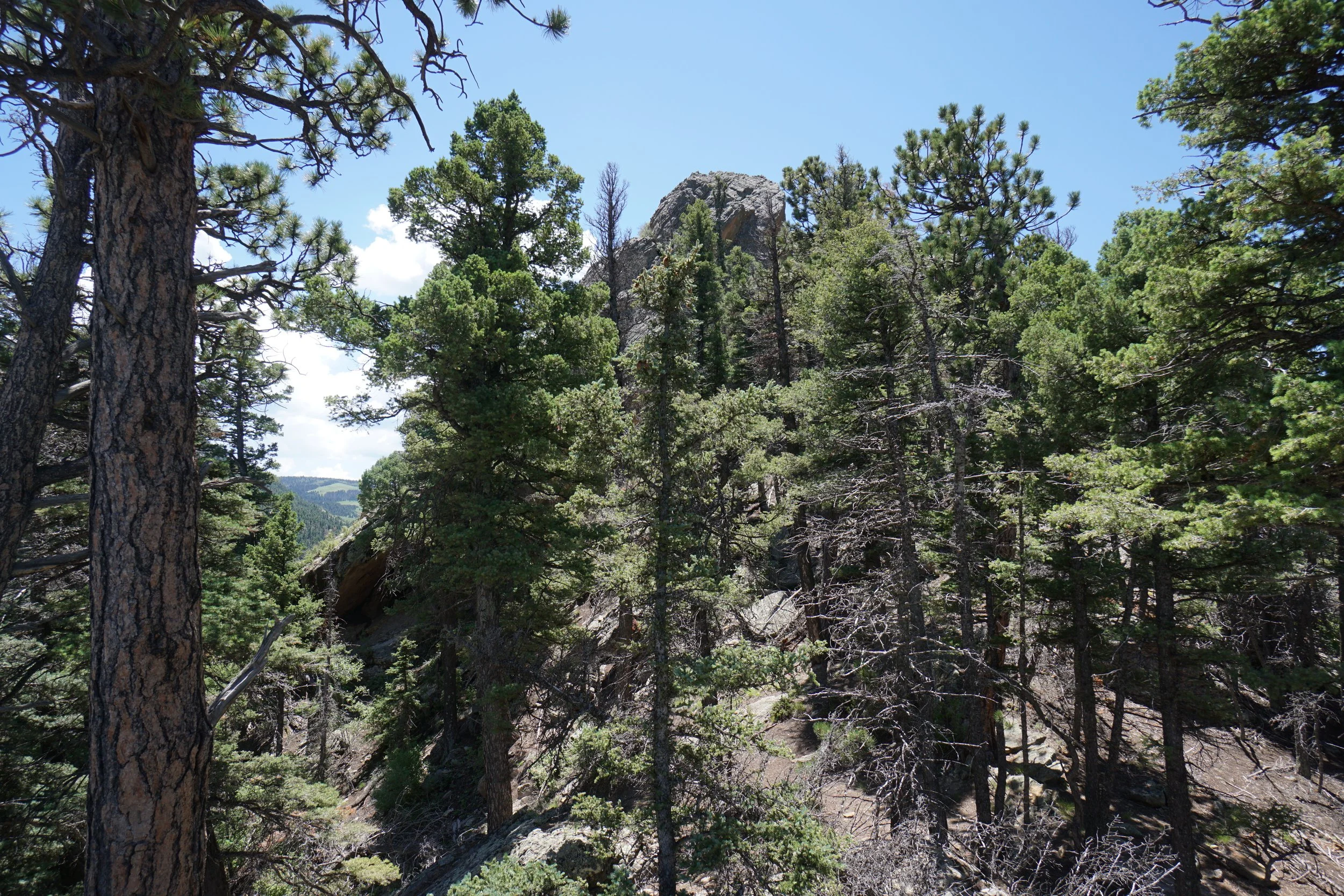
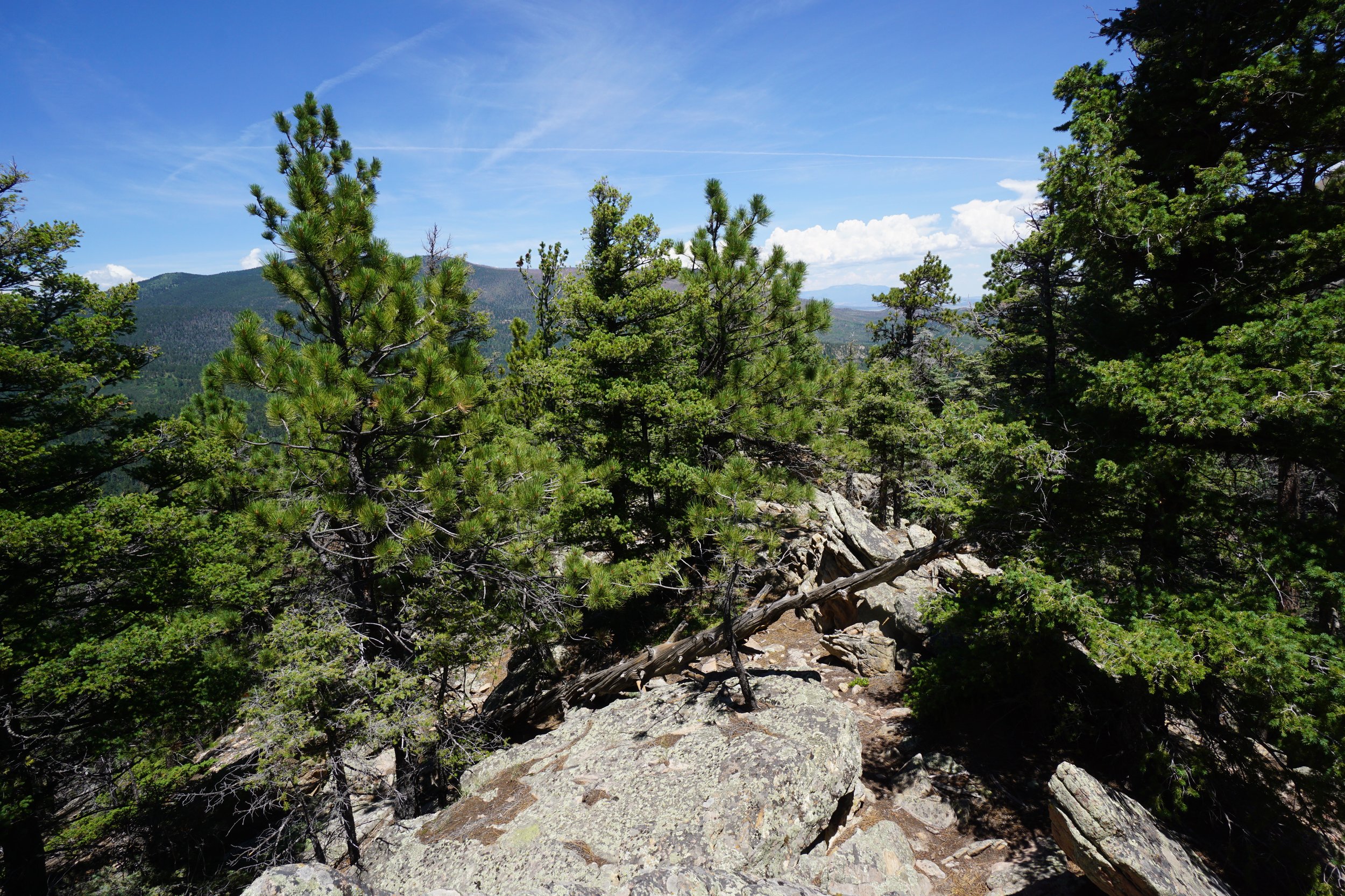
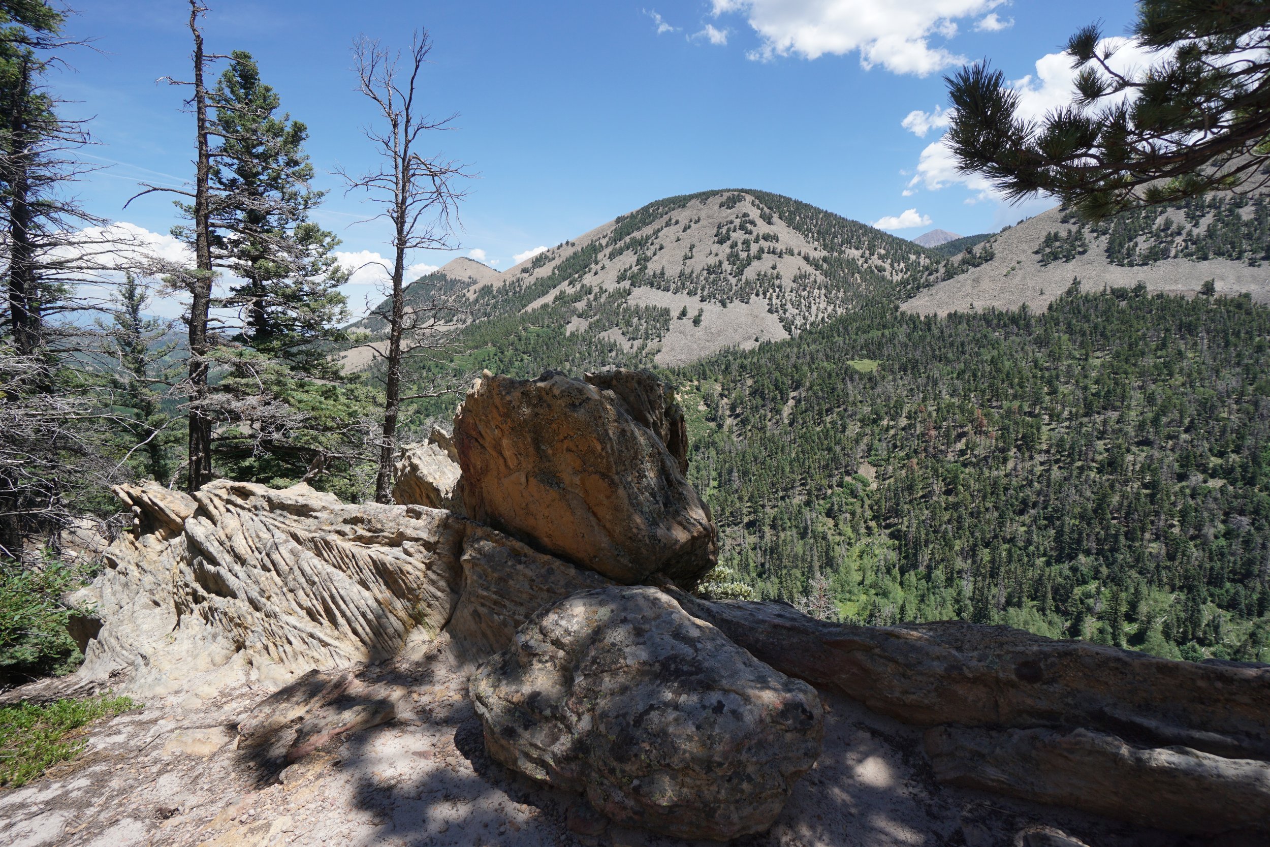
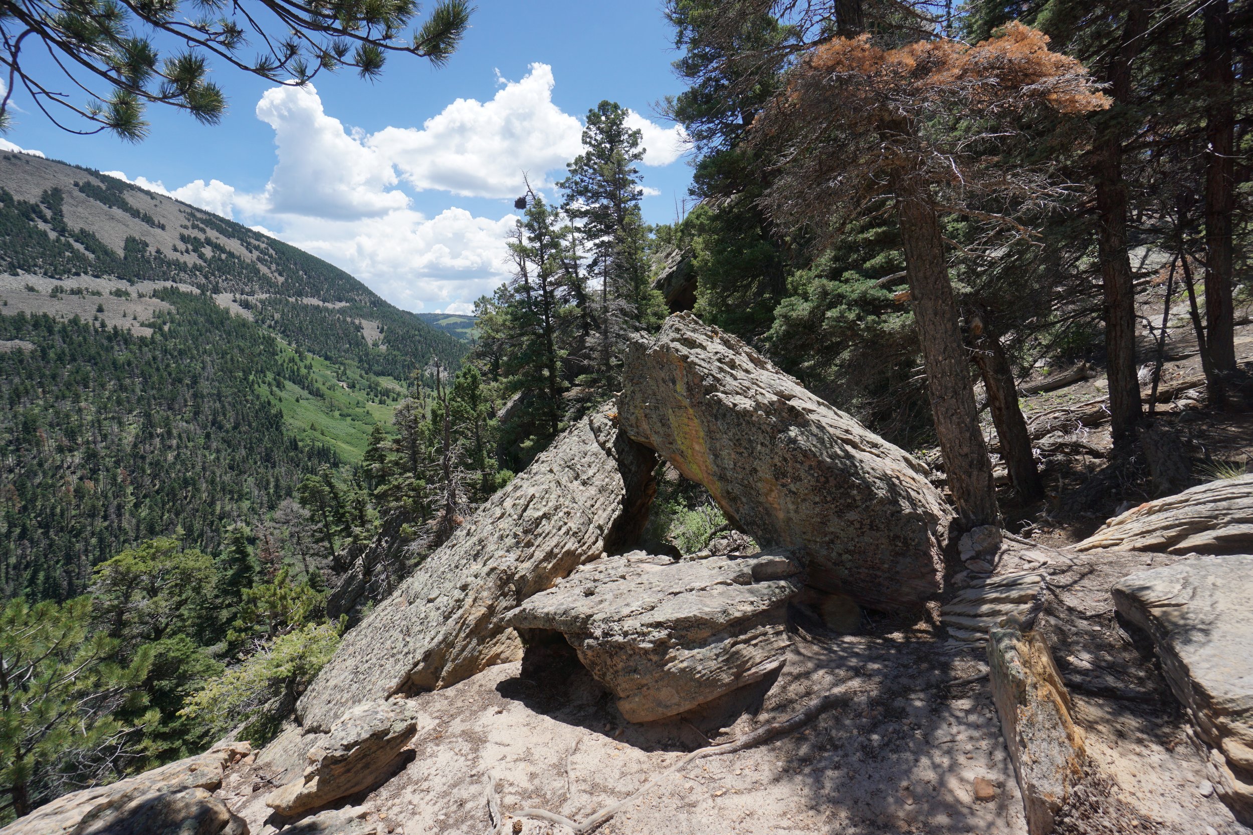
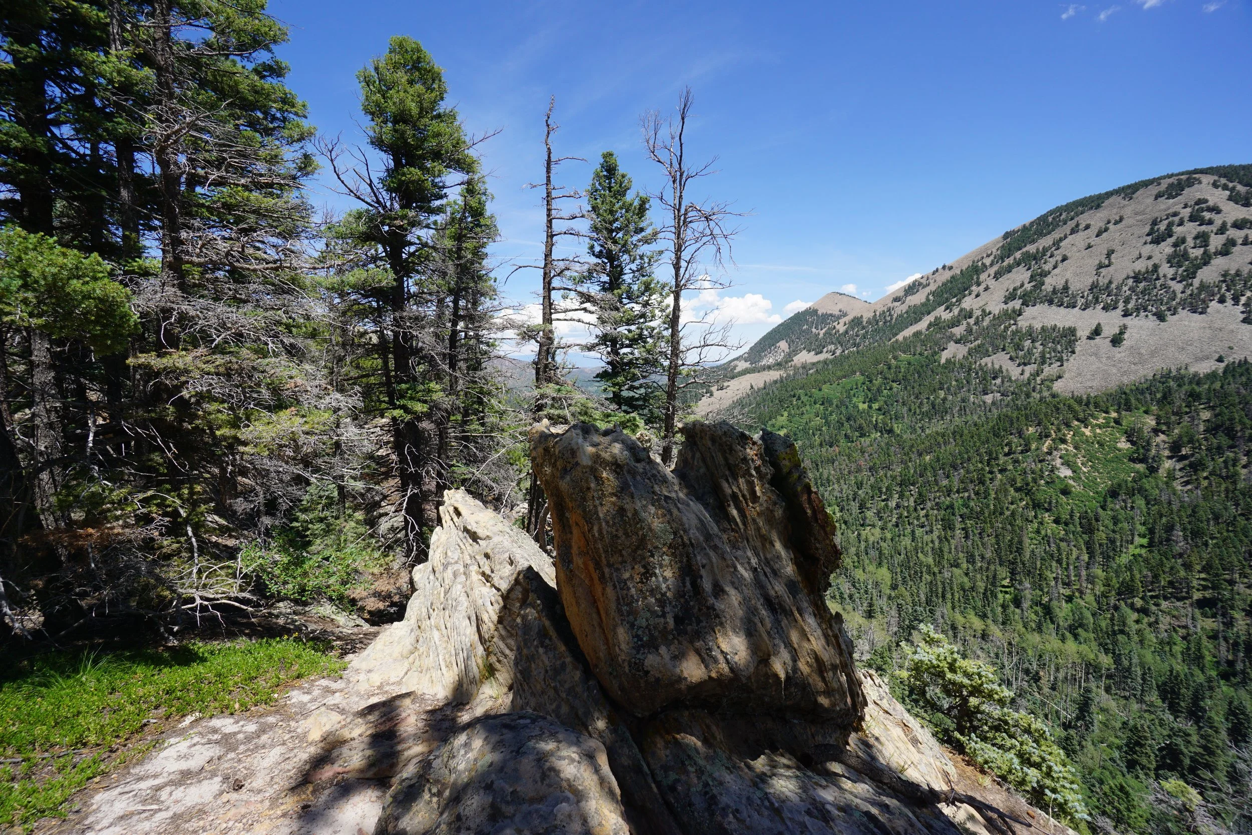
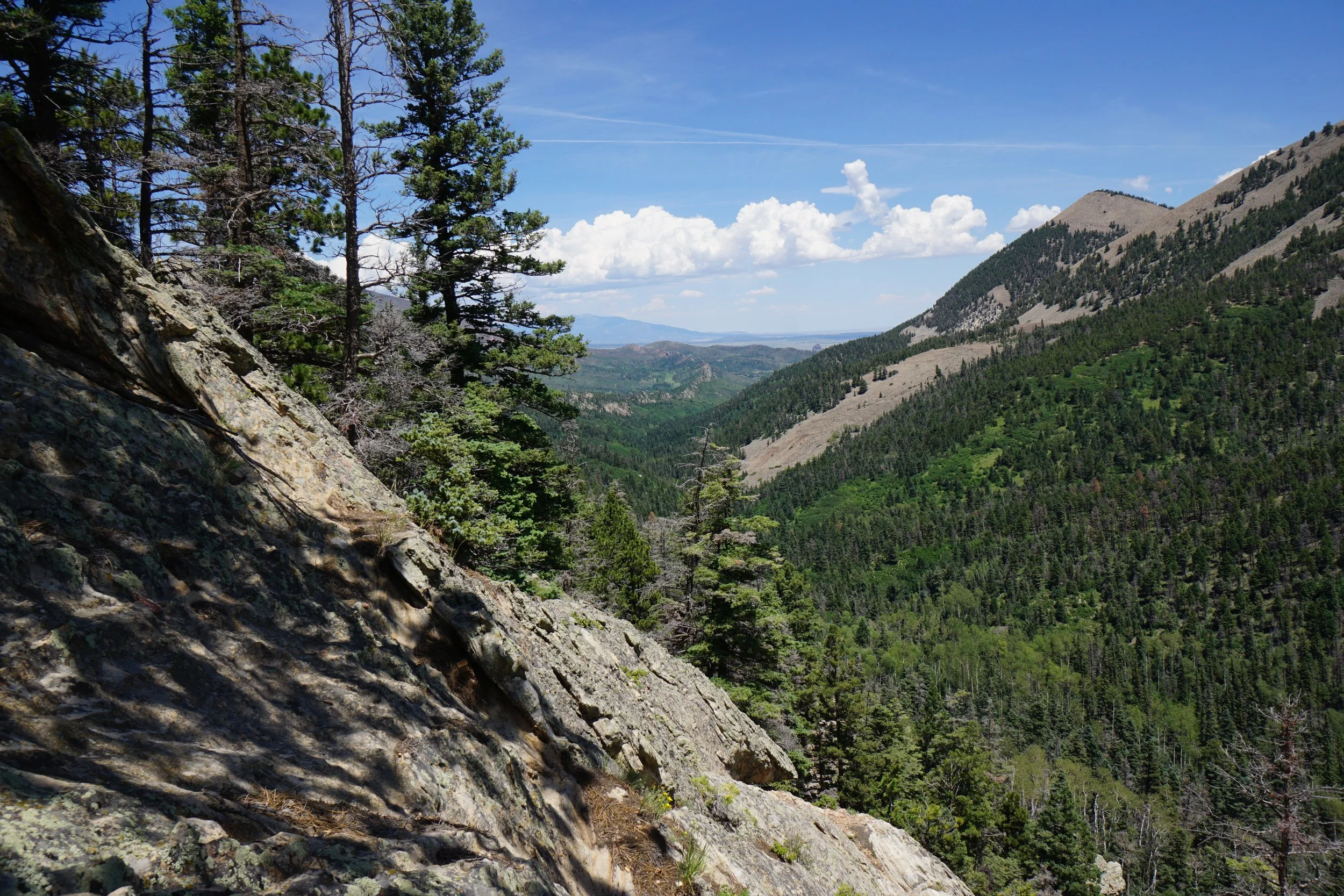
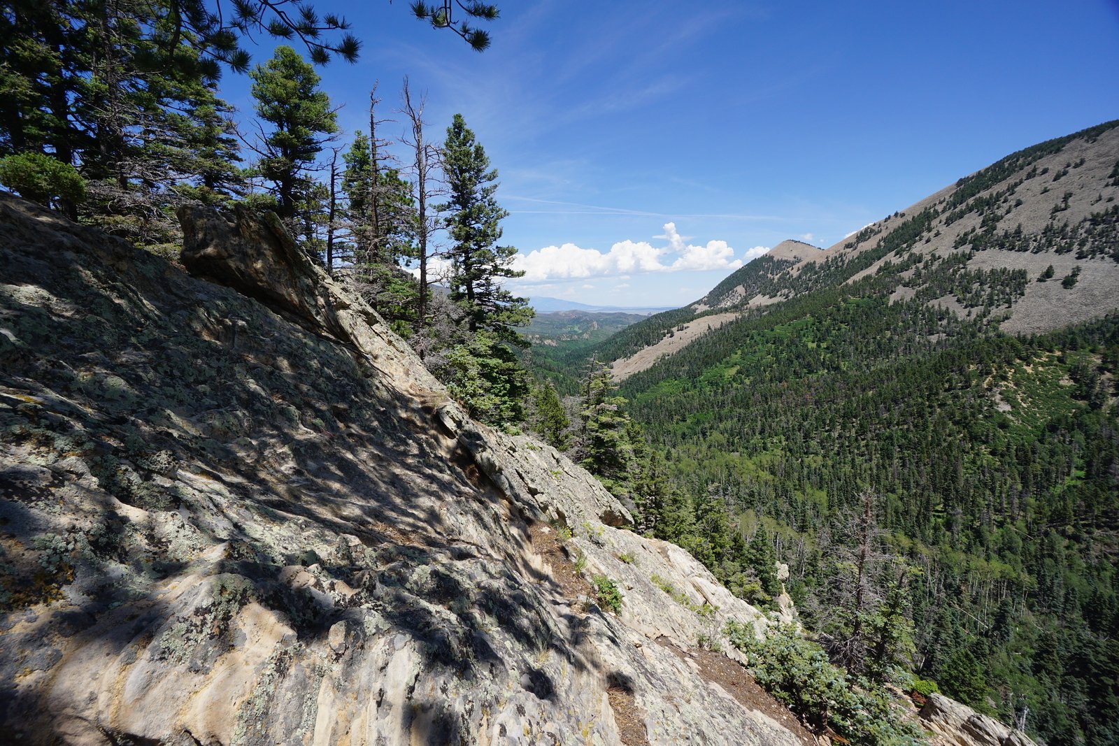
The hike begins at the Dikes Trailhead, south of the town of Cuchara. After climbing some steps, the trail enters dense forest and starts a gentle climb that doesn’t really stop for the next 2 ¼ miles. The trail cuts across the western face of a the dike and eventually tops out at a gap on the ridge before descending to the southern trailhead. As you get a bit higher on the ridge, the trees get a bit more sparse and there are gaps every now and then that provide Culebra views.
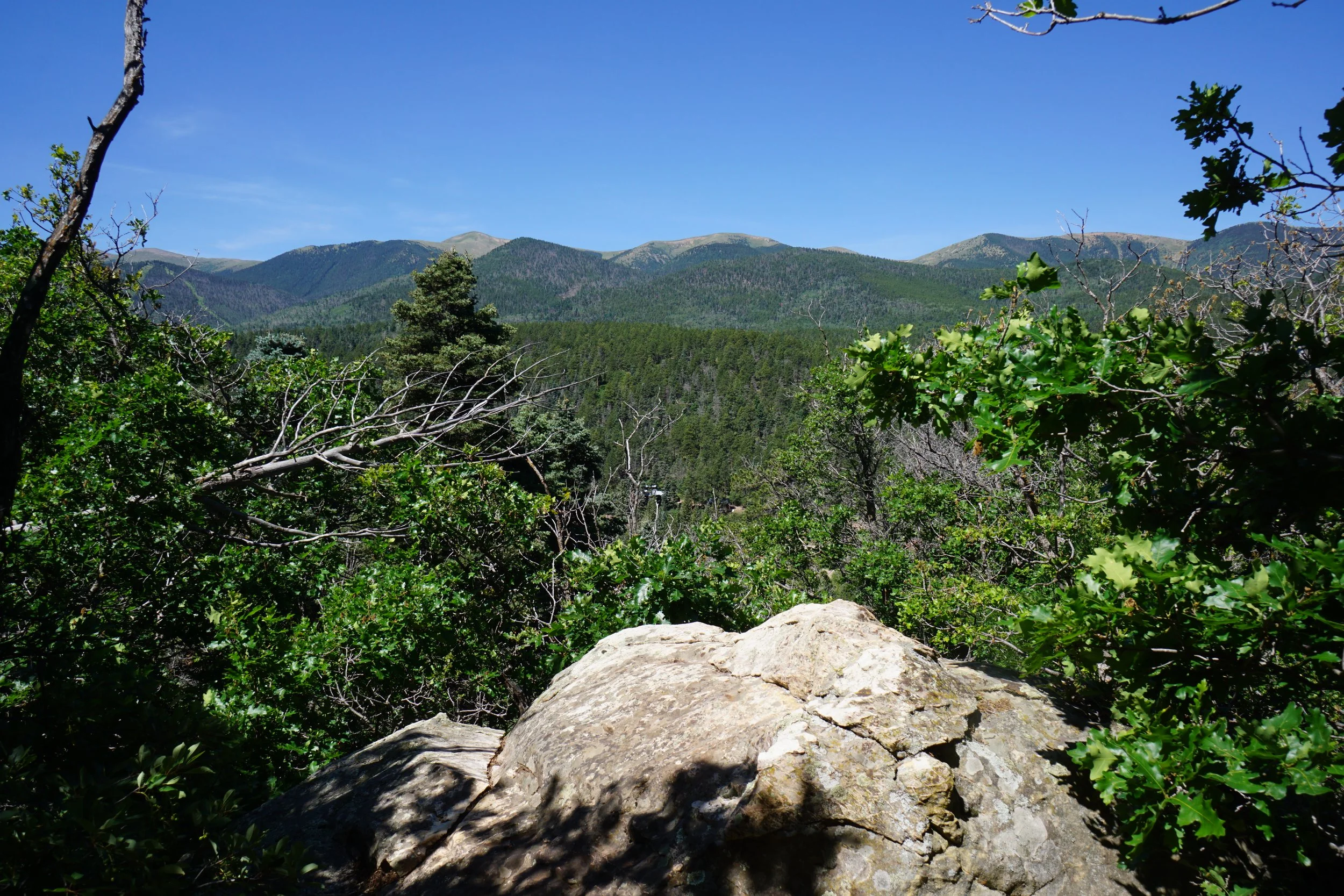
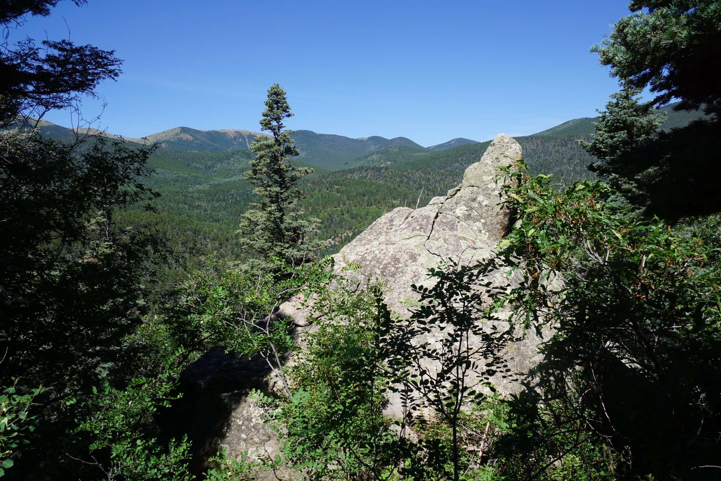
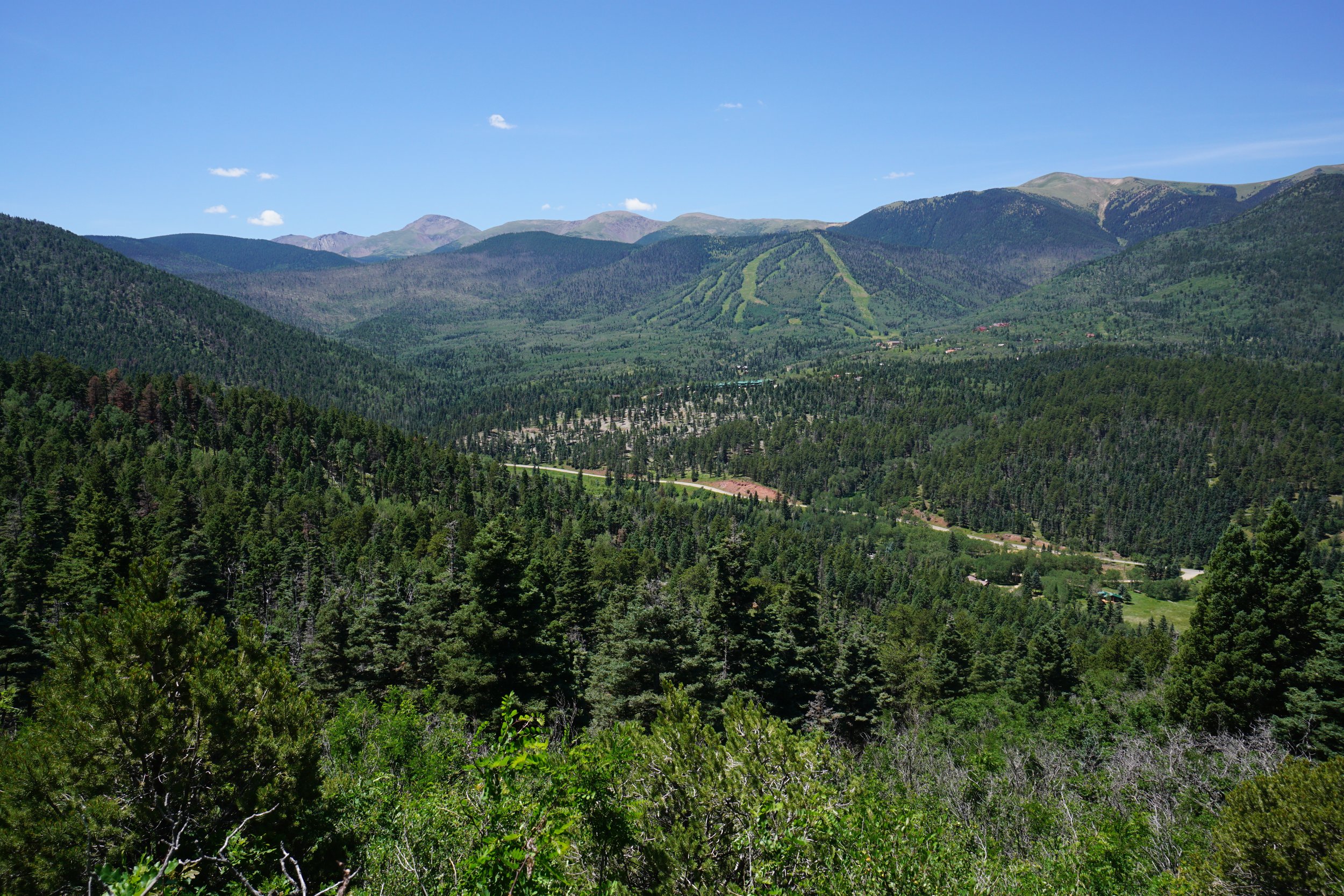
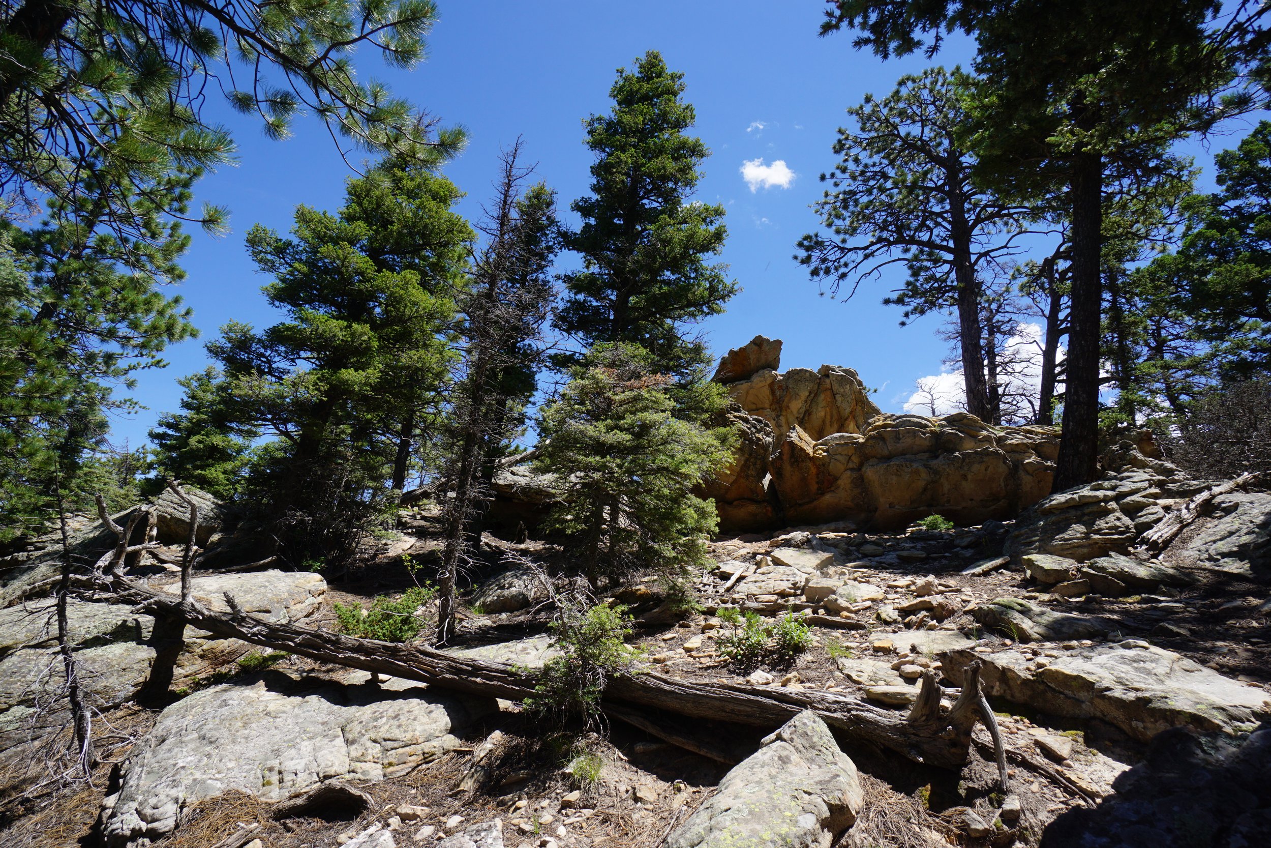
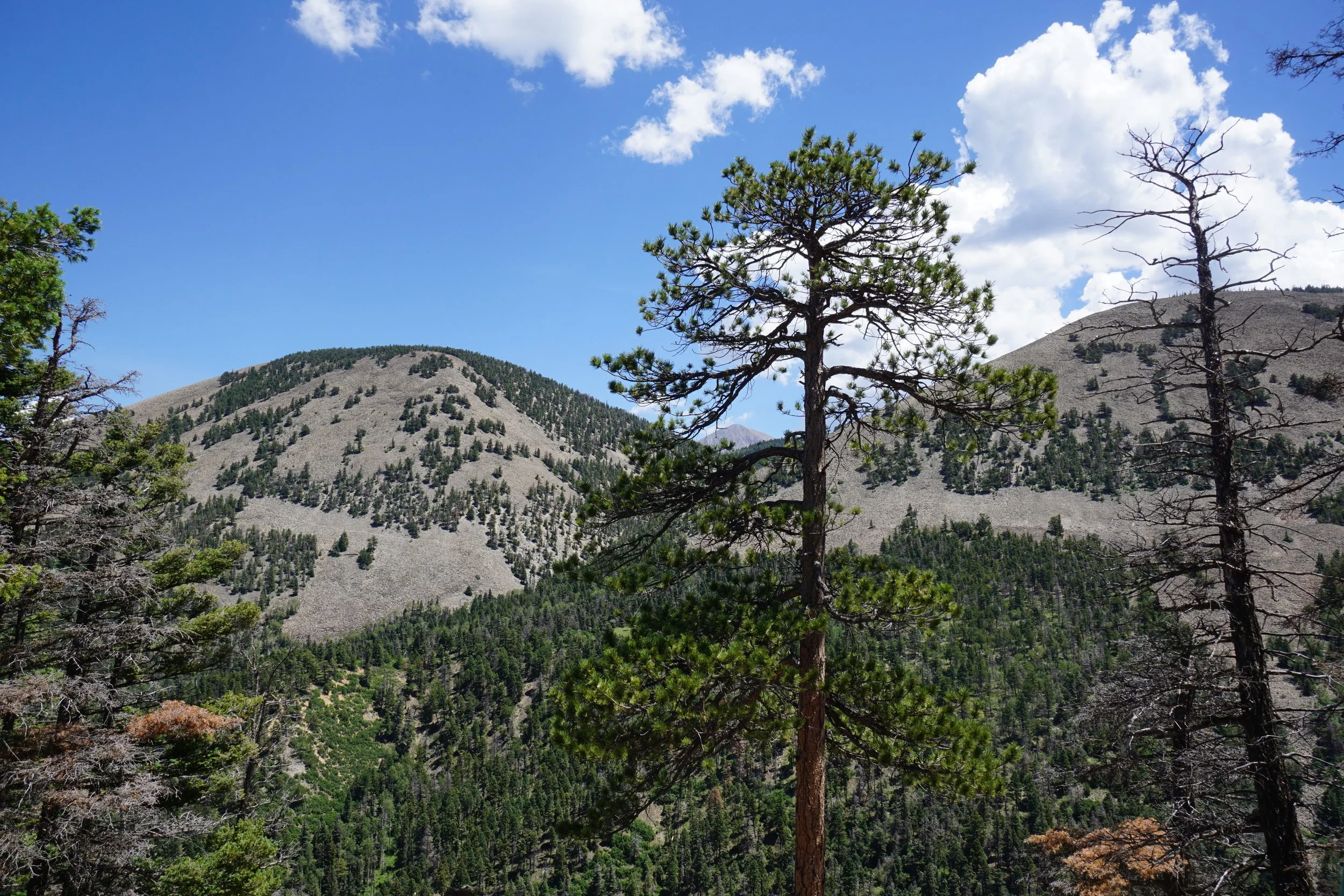
Keep hiking through the forest and when the terrain gets noticeably rockier, you are nearing the gap in the dike. At the gap, you punch through to the east side of the ridge and get some cool views across a deep valley to the White Mountains, which stand at a bit over 10,000 feet. If you look very carefully in between the three humps of the White Mountains, you just might make out West Spanish Peak popping up its 13,538 ft summit. The northern view down the valley shows off the length of the dike that you are currently sitting on.
If you have left a car at the southern trailhead, you can hike down the switchbacks to the southern trailhead, however, if, like us, you left your one car at the Dikes Trailhead, then head back down the 2 ¼ mile trail the way you came. Interesting enough, our kids did great on the uphill hike out but seriously melted down on the gentle descent back to the car. Nothing some sugary candy couldn’t fix…