Dawson Butte Ranch Trail
Dawson Butte Ranch Open Space
Date Hiked: April 21, 2013
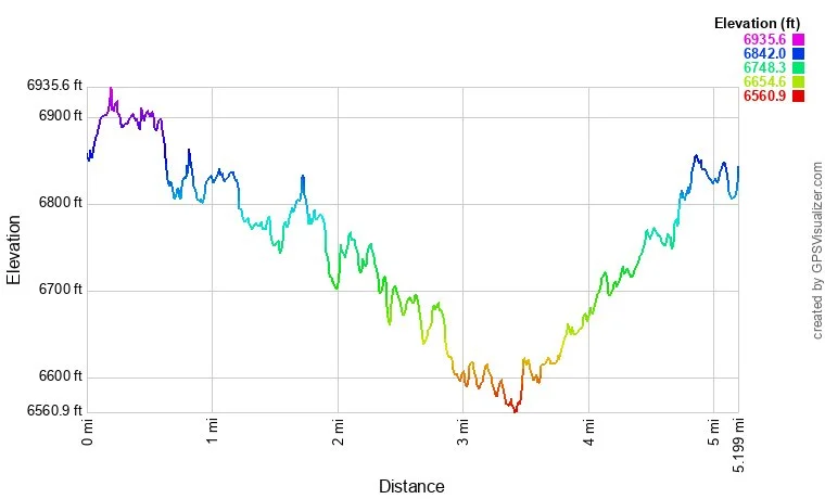
Distance: 5.2 mi (RT)
Elevation Gain: 740ft
Elevation Min/Max: 6,561 > 6,936ft
Managing Agency: Douglas County Open Space
Fee: None
Directions:
From Castle Rock head South on I-25 to the Plum Creek Exit. Follow the Frontage road to the west of 25 south for about 5 miles. Turn right onto Tomah Road. The trailhead and parking area is about 1.5 miles down on Tomah Road.
Hike Description:
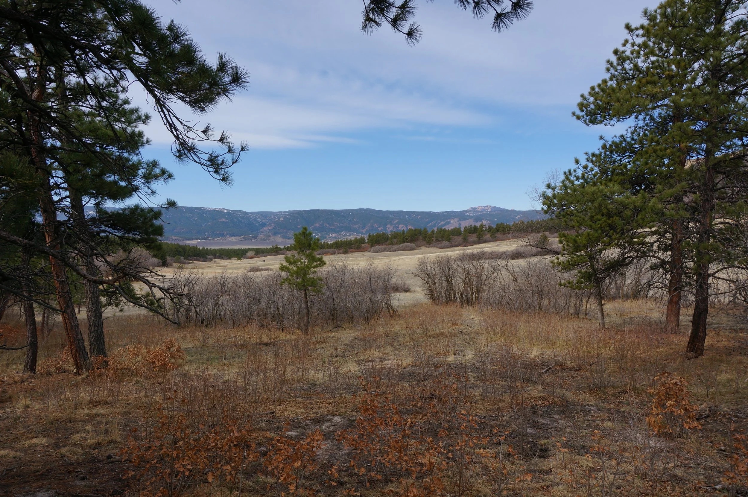
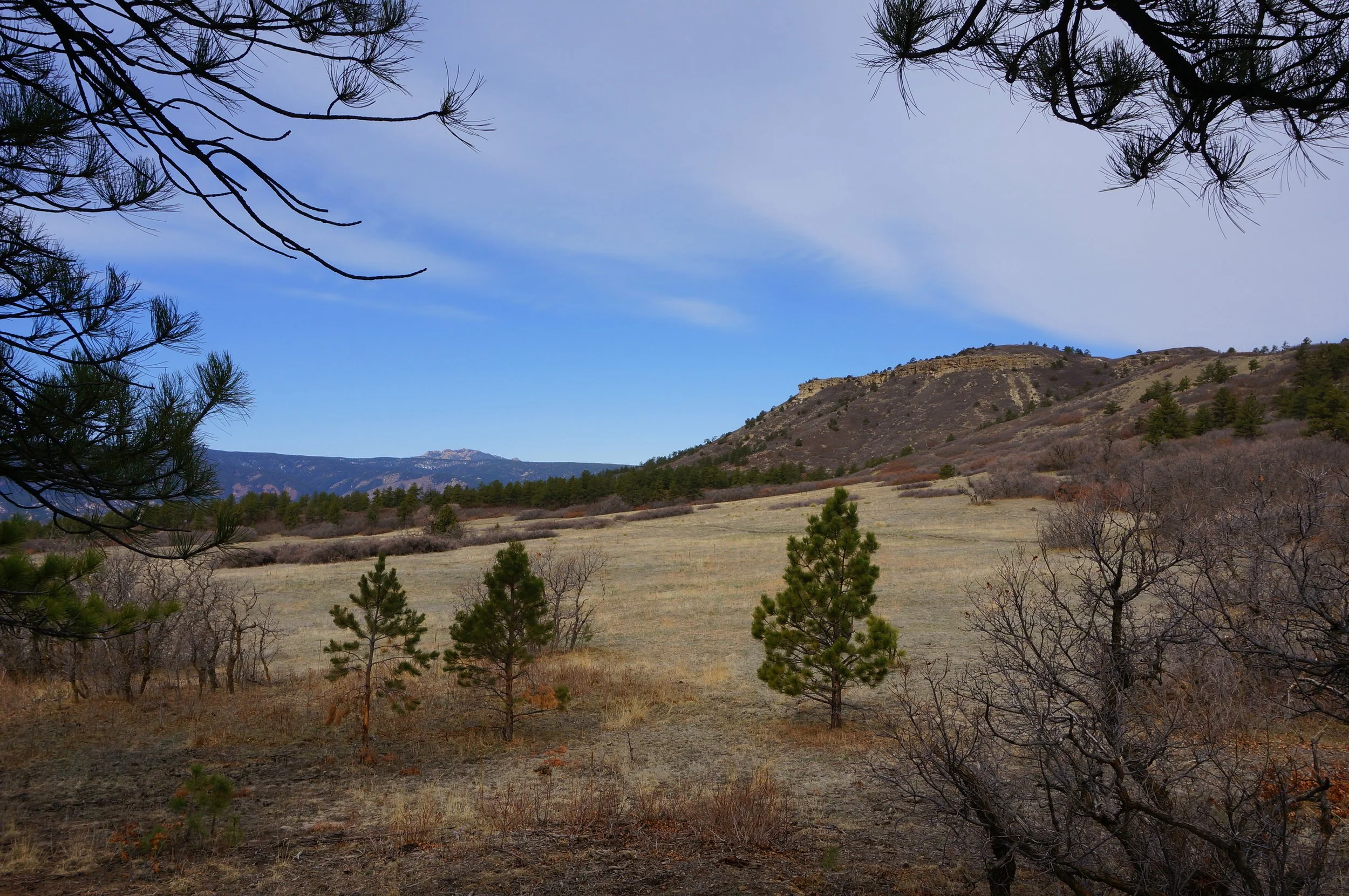
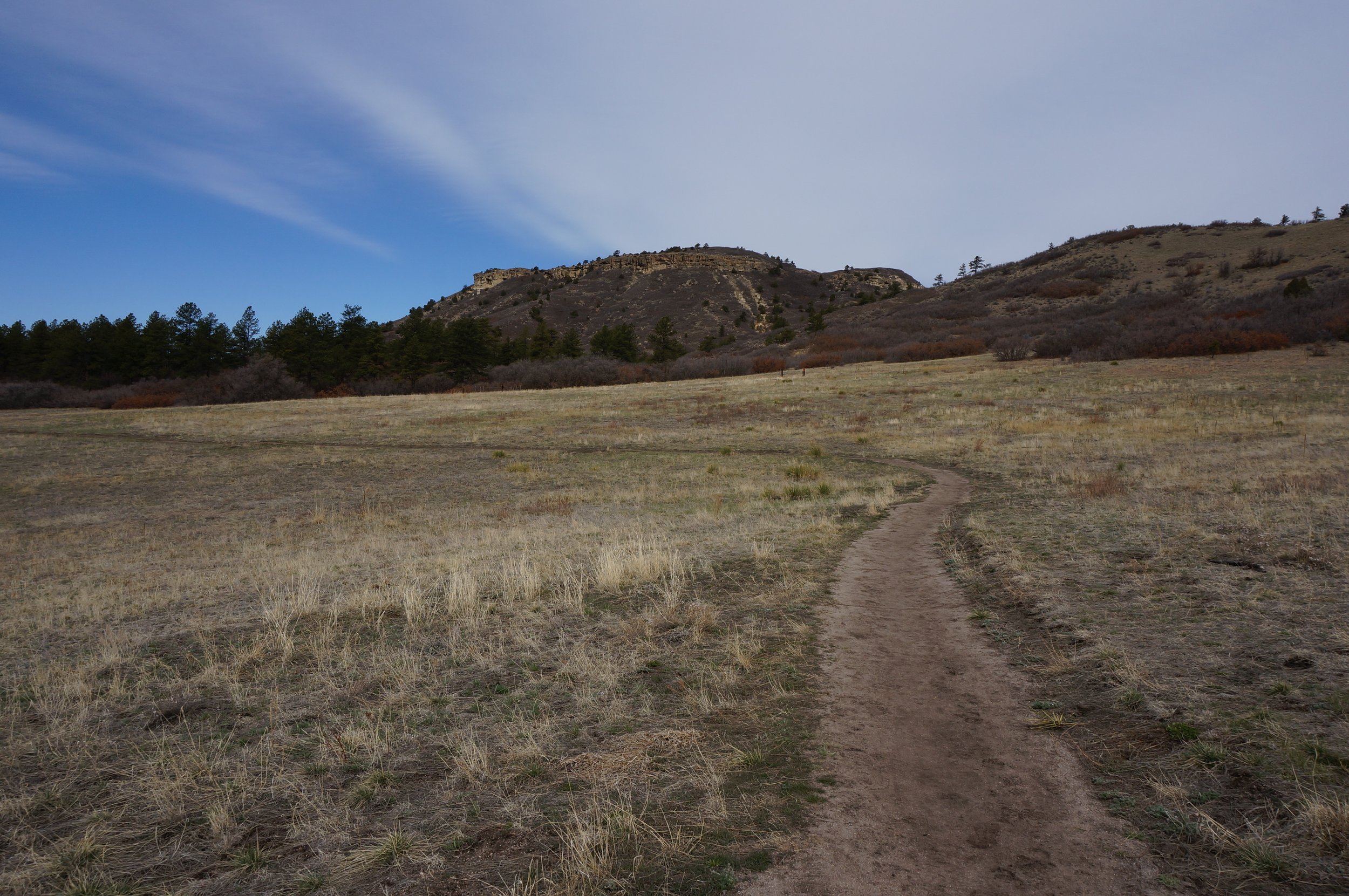
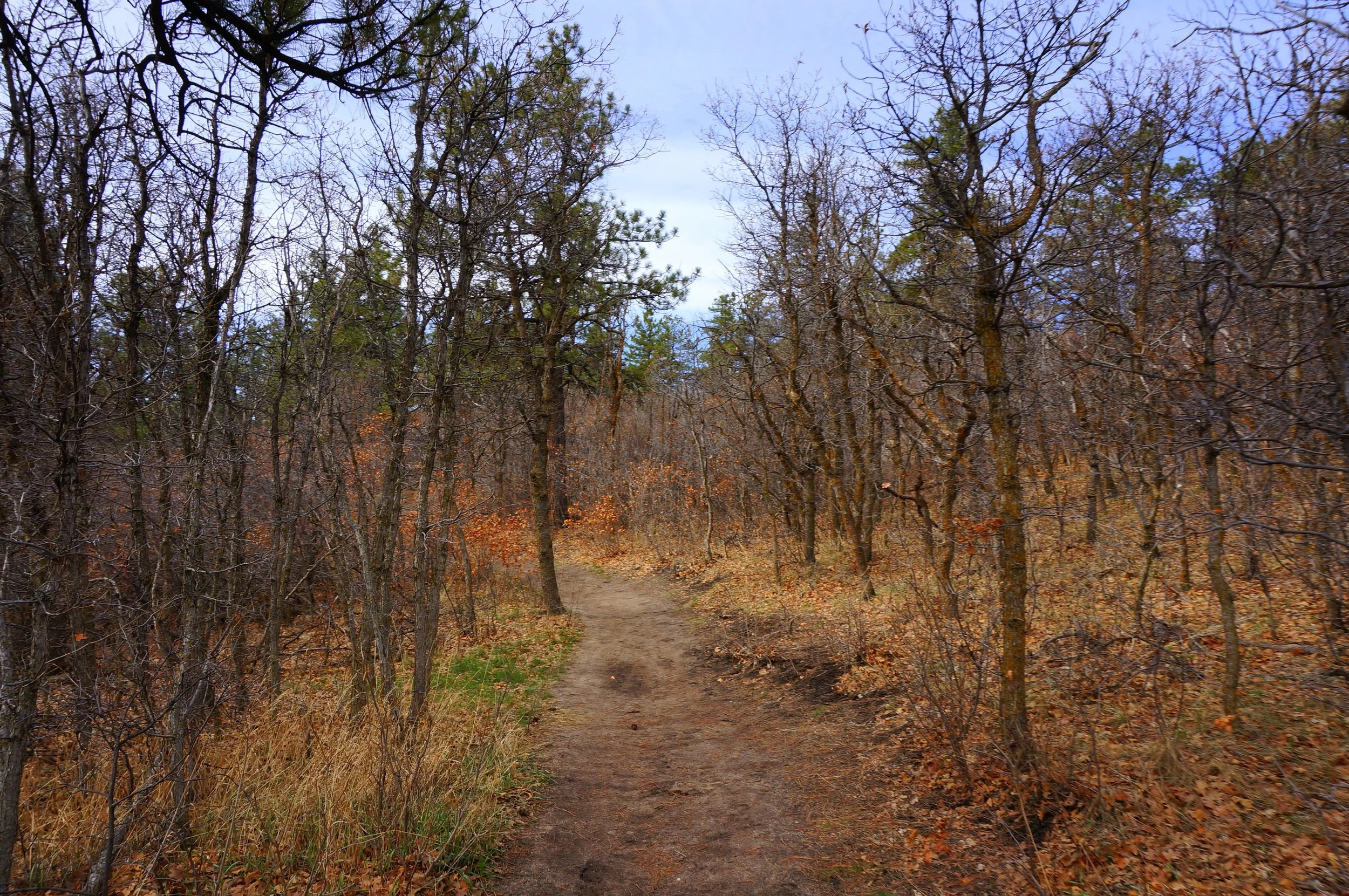
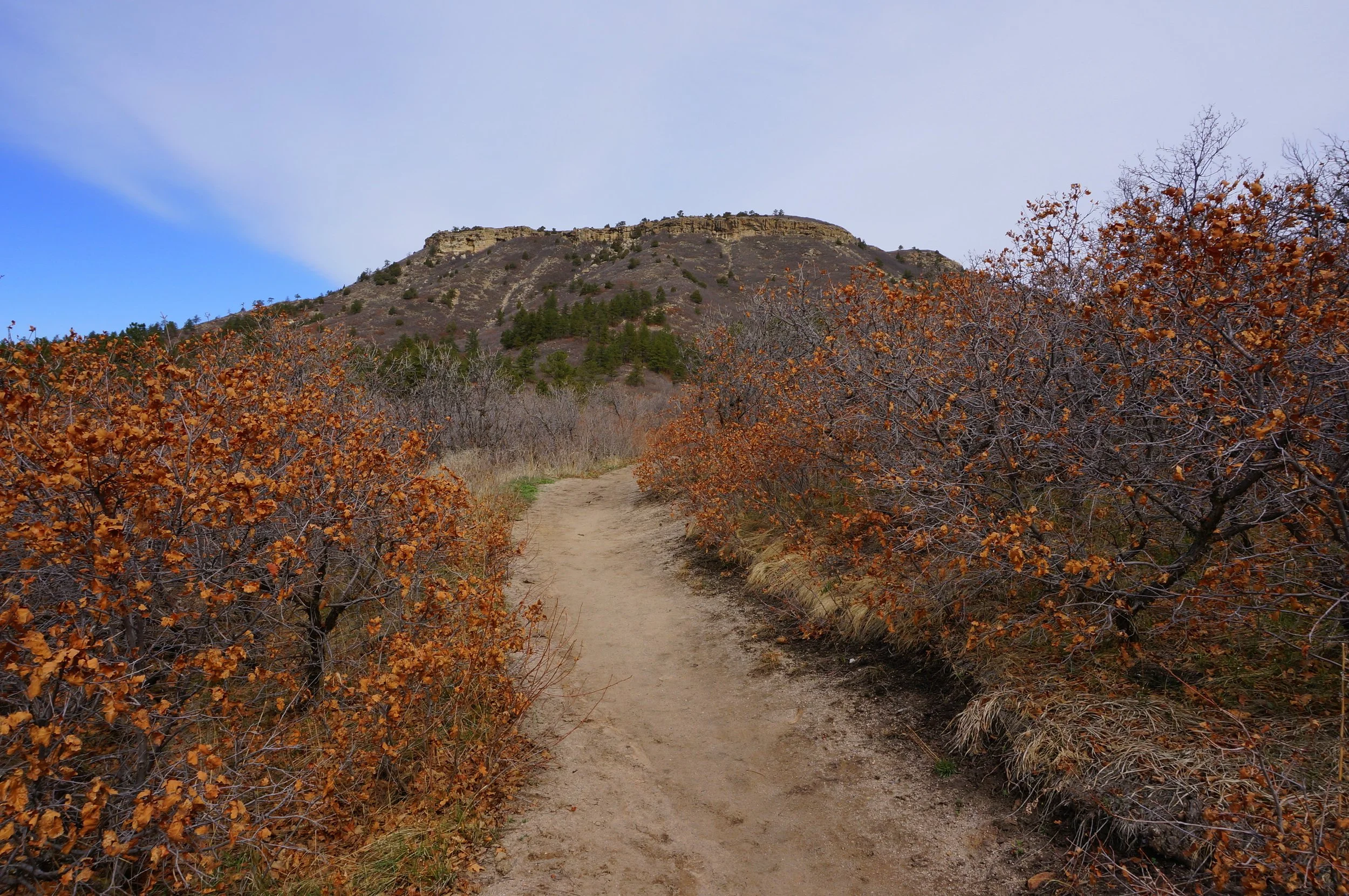
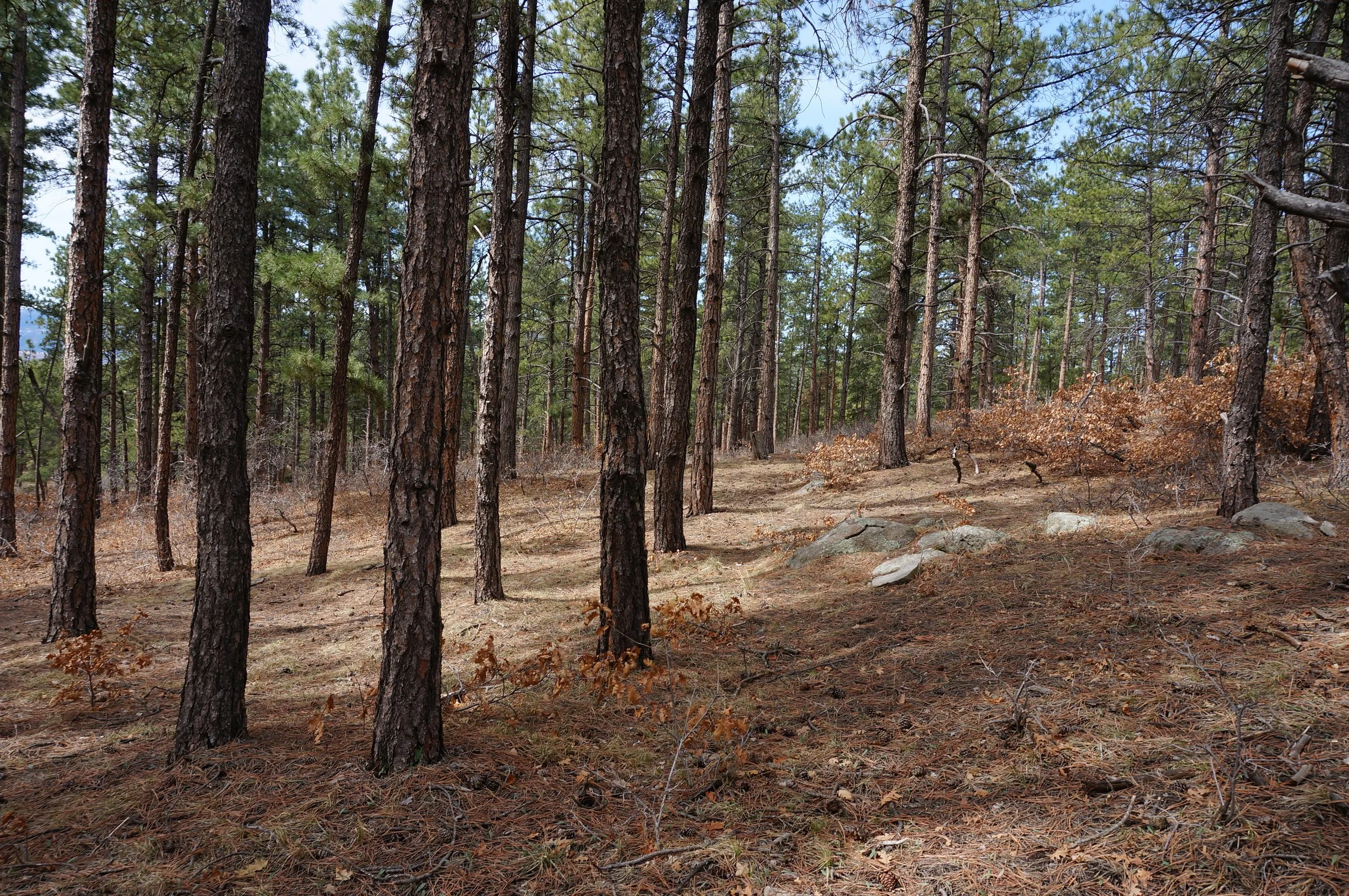
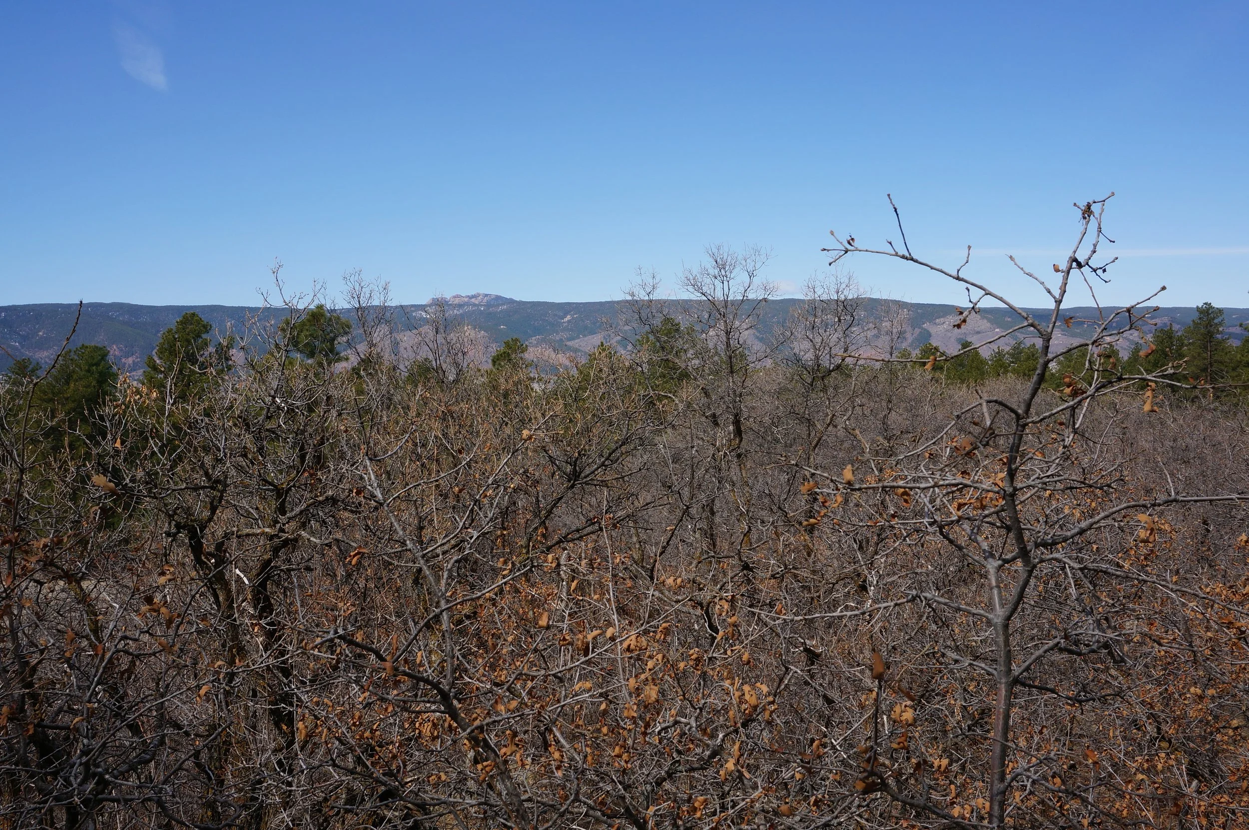
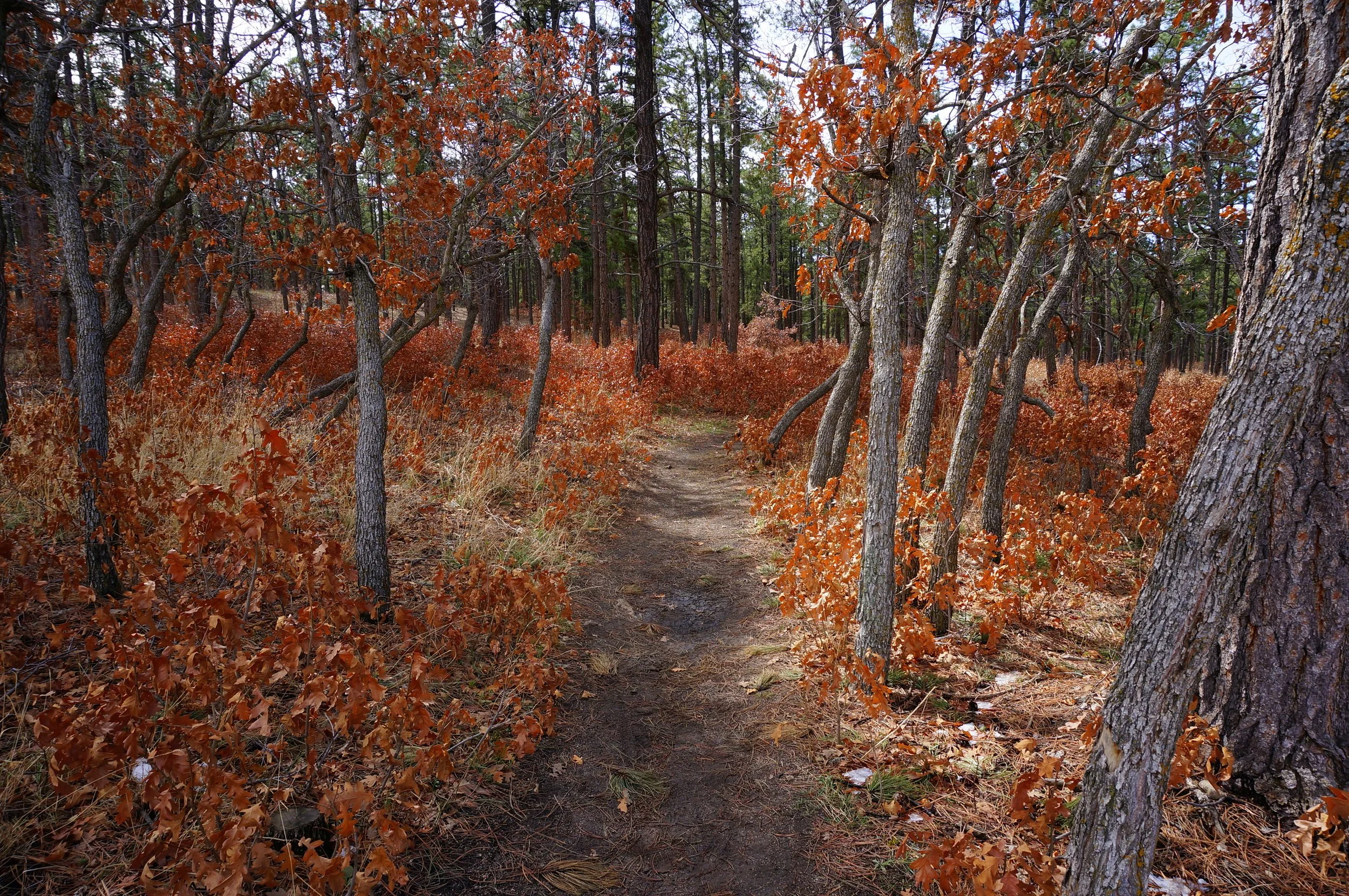
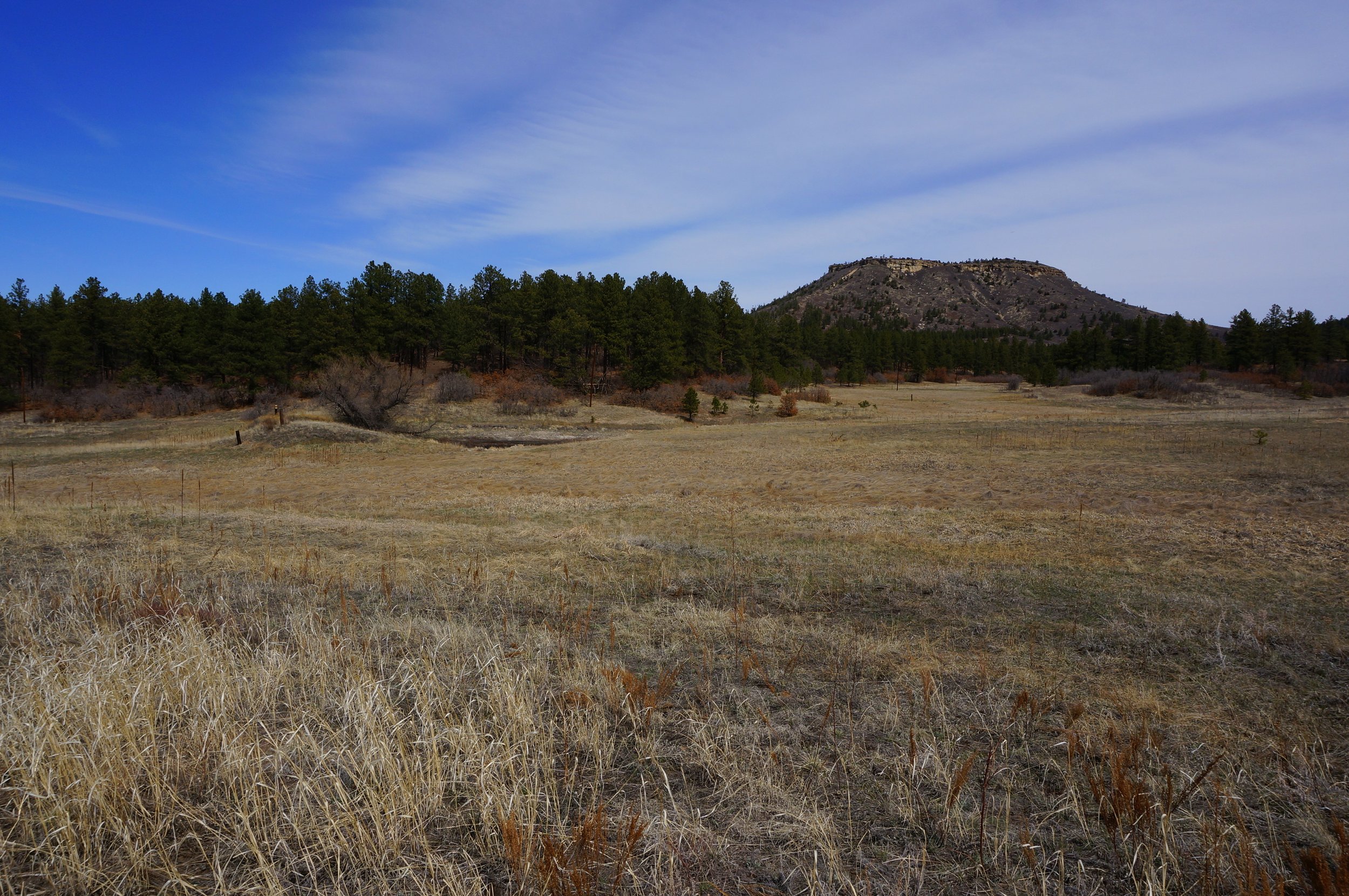
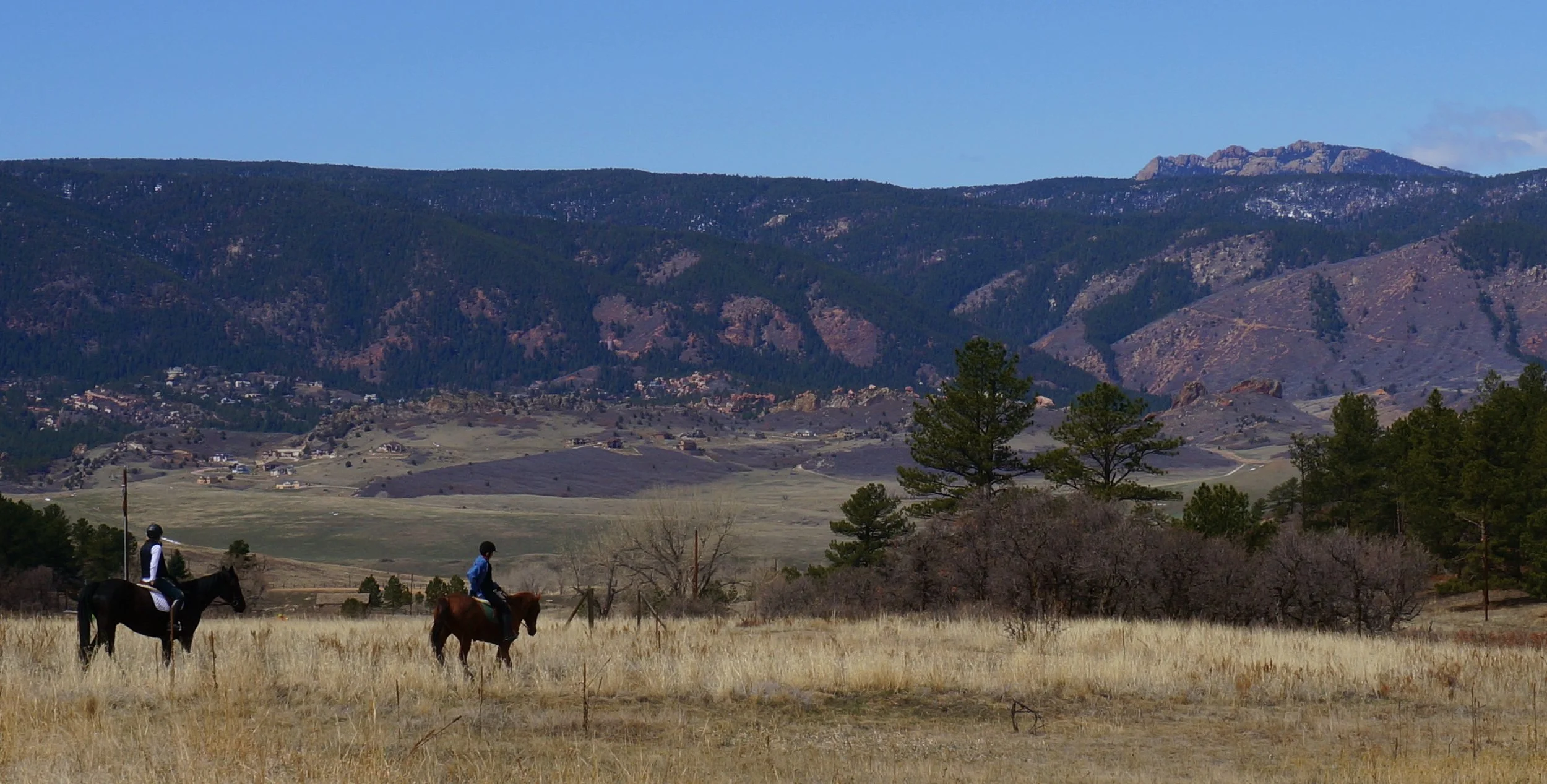
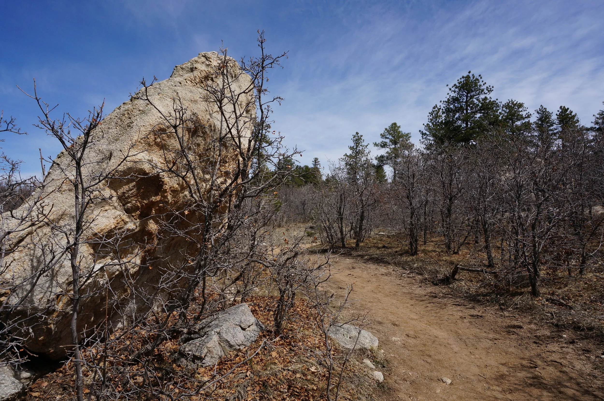
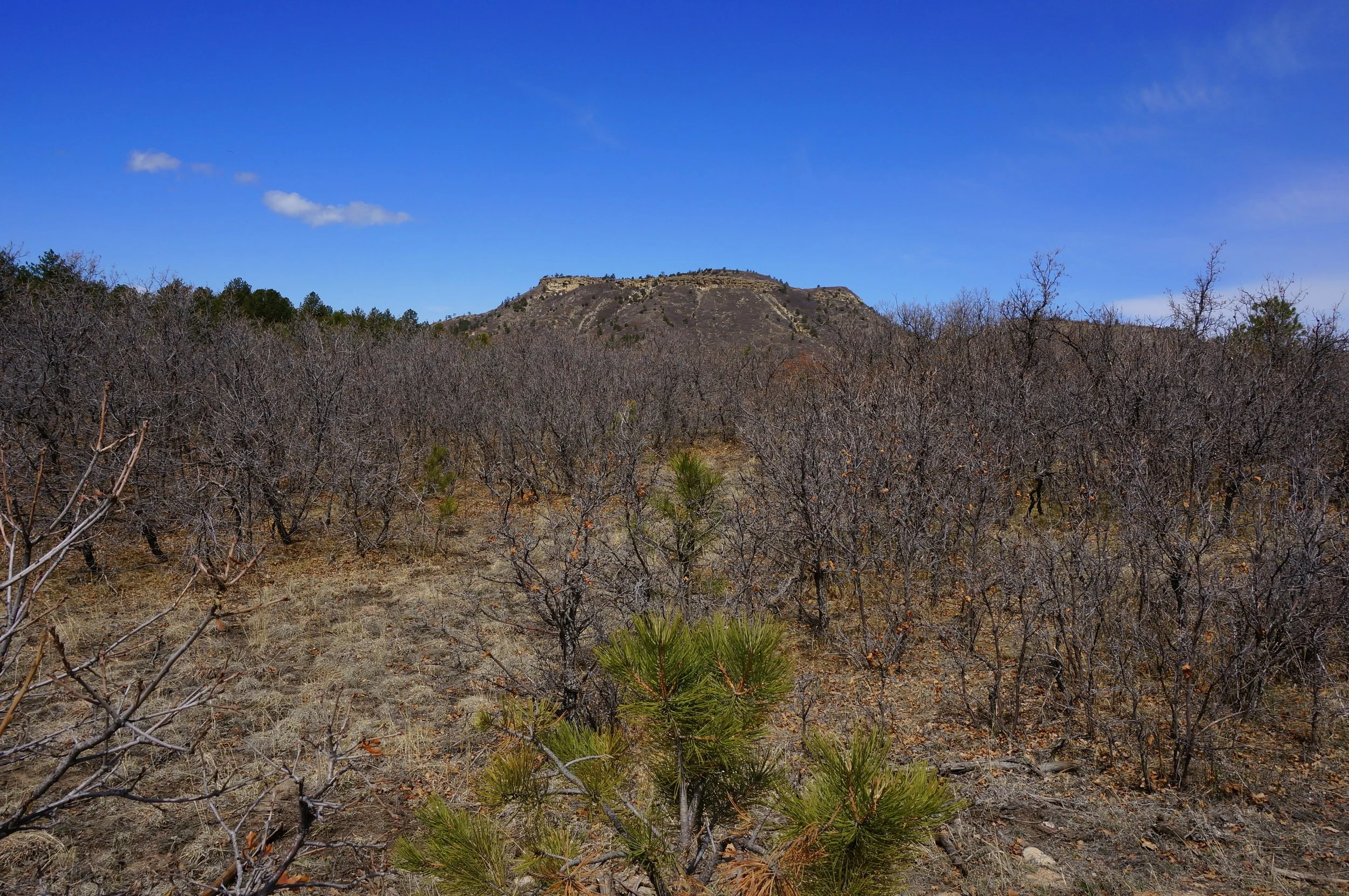
While popular with Mountain Bikers and Horses, Dawson Butte makes for a great 5 miler through forest and scrub. There are good views of the Front Range foothills and Devil's Head. This makes for a great hike in the shoulder seasons when the foothills are muddy or icy but you still want to get some distance in your hike. The trail is easy to follow and generally even, so this makes for a good trail run as well.