Coot Lake
Boulder Open Space & Mountain Parks
Date Hiked: December 24, 2020
Distance: 1.3 mi (RT)
Elevation Gain: Minimal
Elevation: 5,200 ft
Trailhead Lat/Long: 40.08593, -105.20644
Managing Agency City of Boulder Open Space & Mt. Parks
Fee: None
DIRECTIONS:
From Highway 36 entering boulder, exit and head north on Foothills Highway 157. Drive north and turn right onto the Diagonal Highway, 119. Turn left on 63rd Street and drive north for a few minutes. You'll see the small parking lot for Coot Lake on the right. If these spots are taken...and they probably will be...you can park just across the street in Tom Watson Park and walk across the crosswalk to Coot Lake.
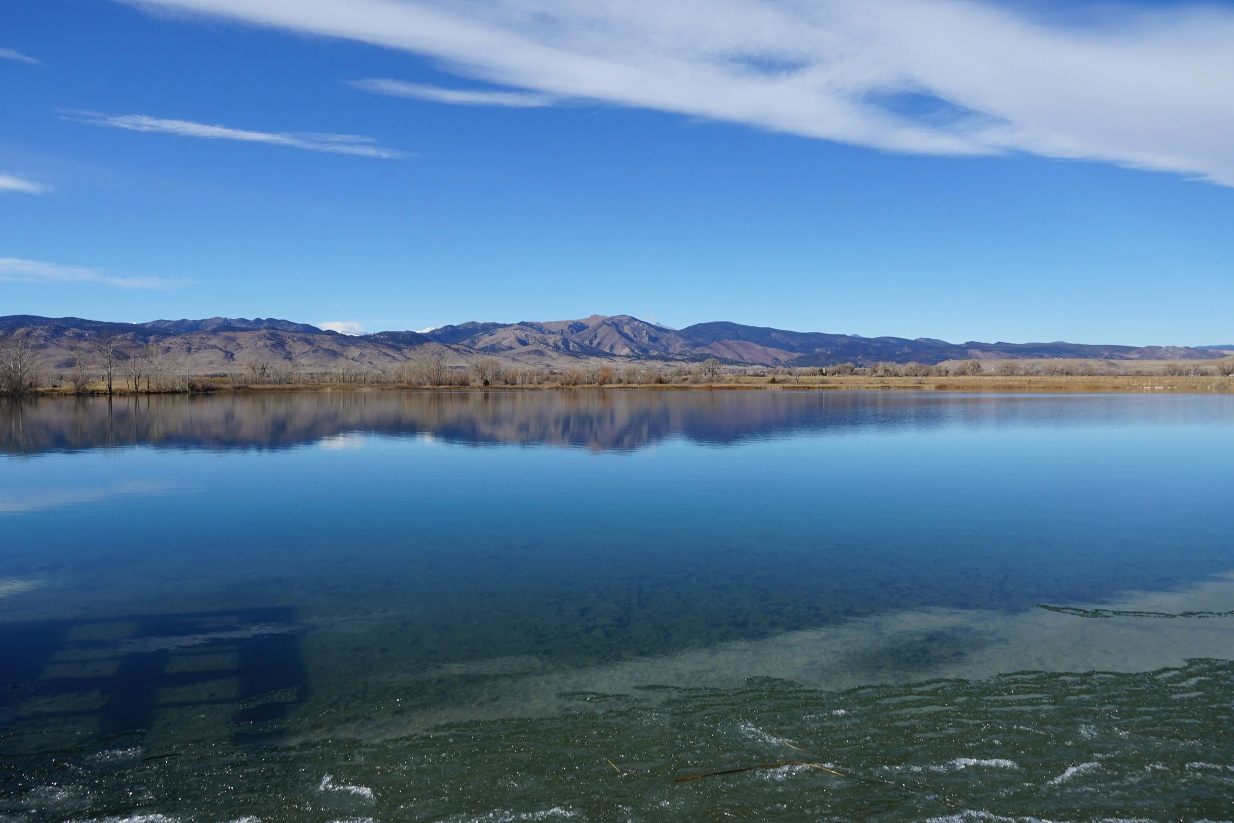
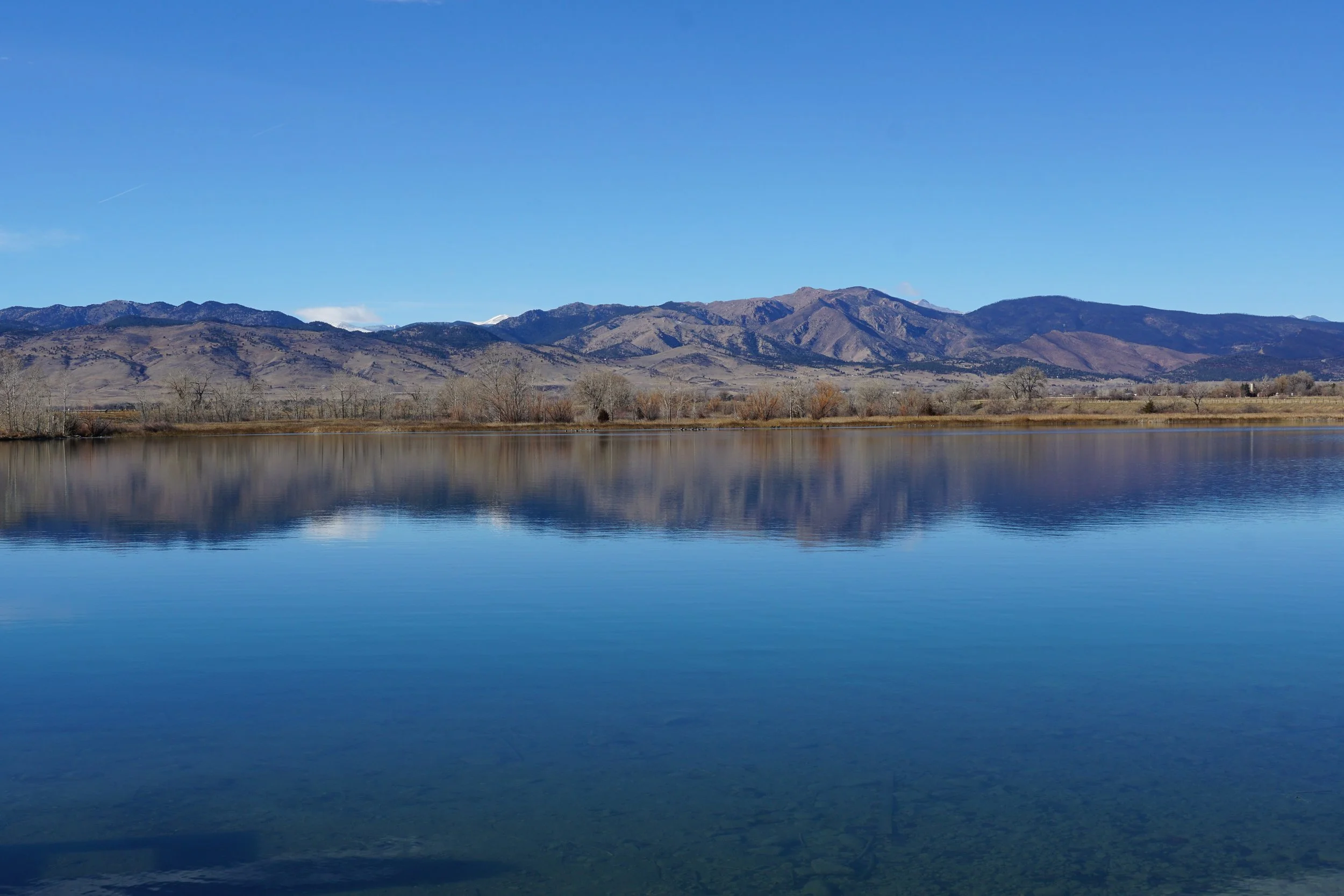
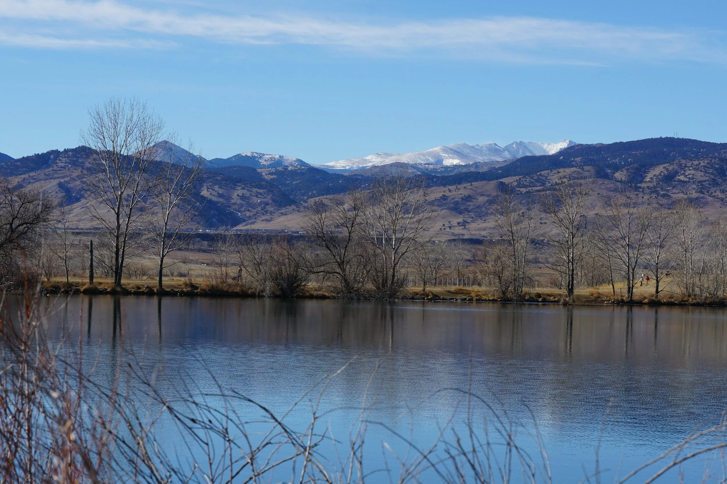
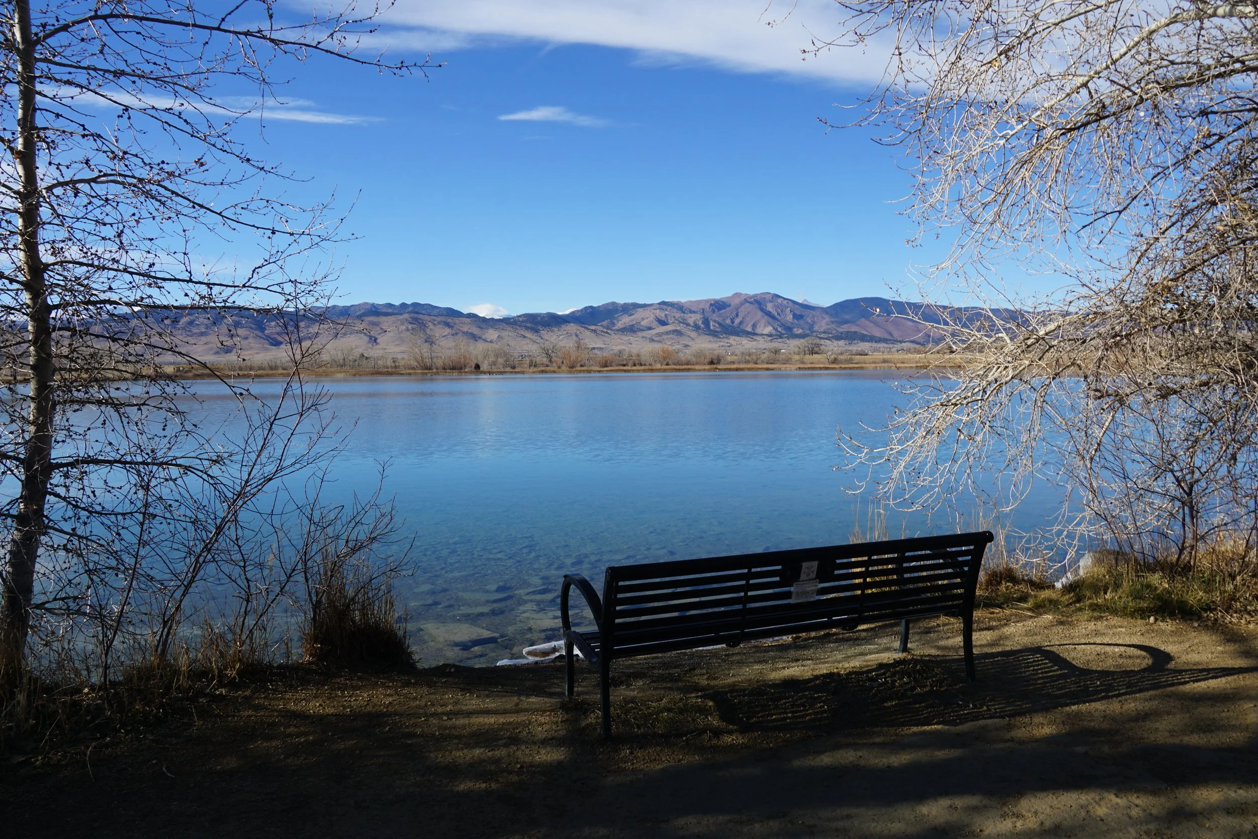
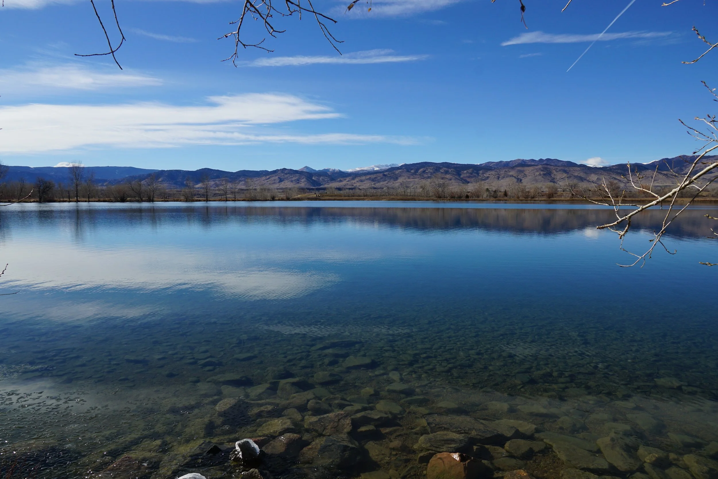
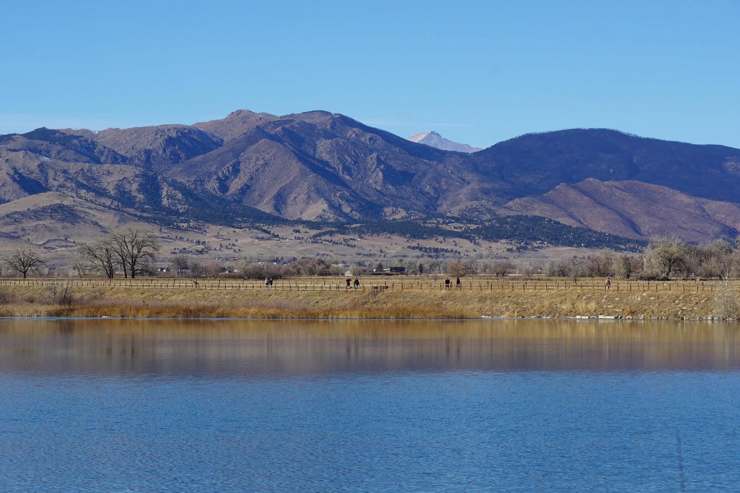
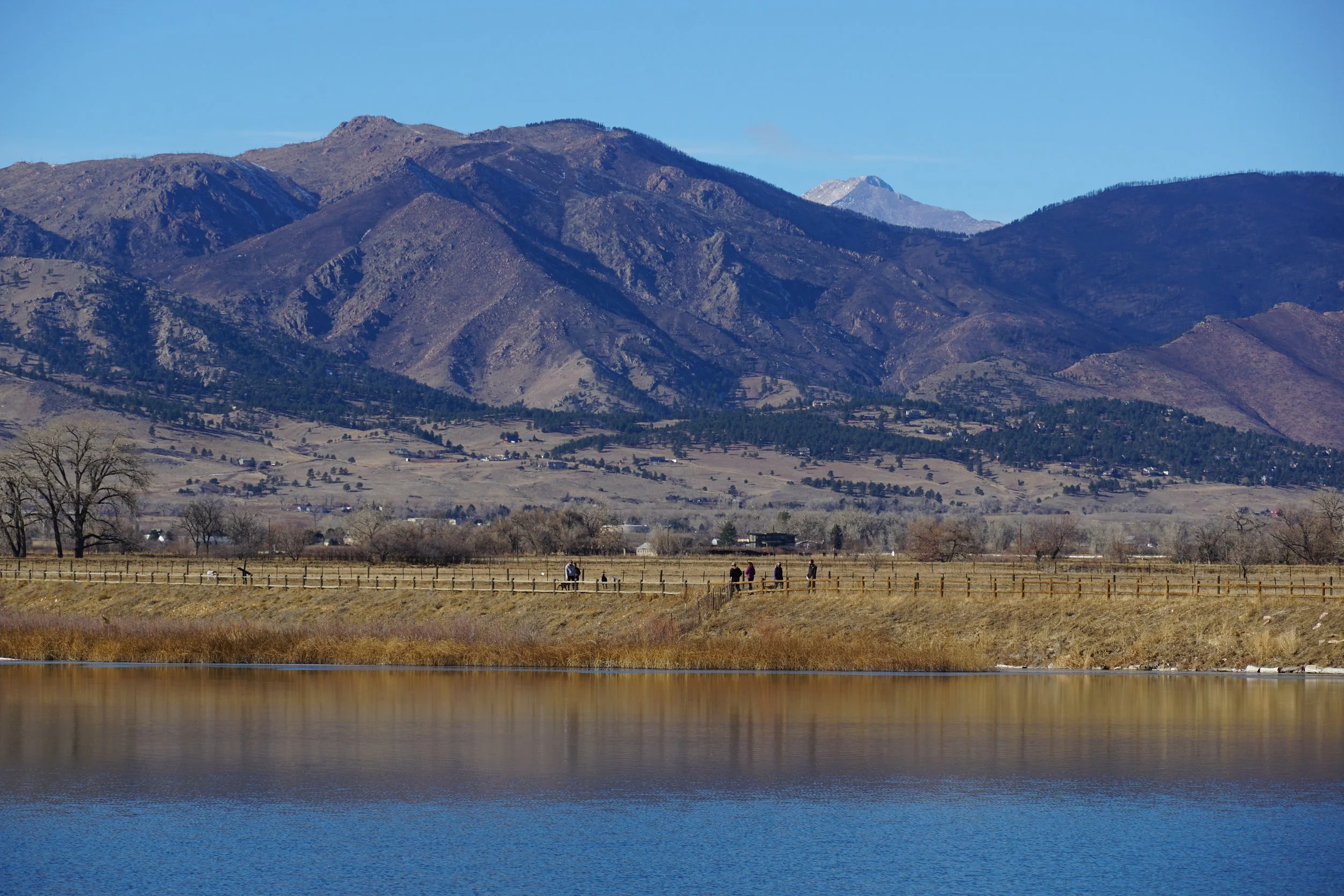
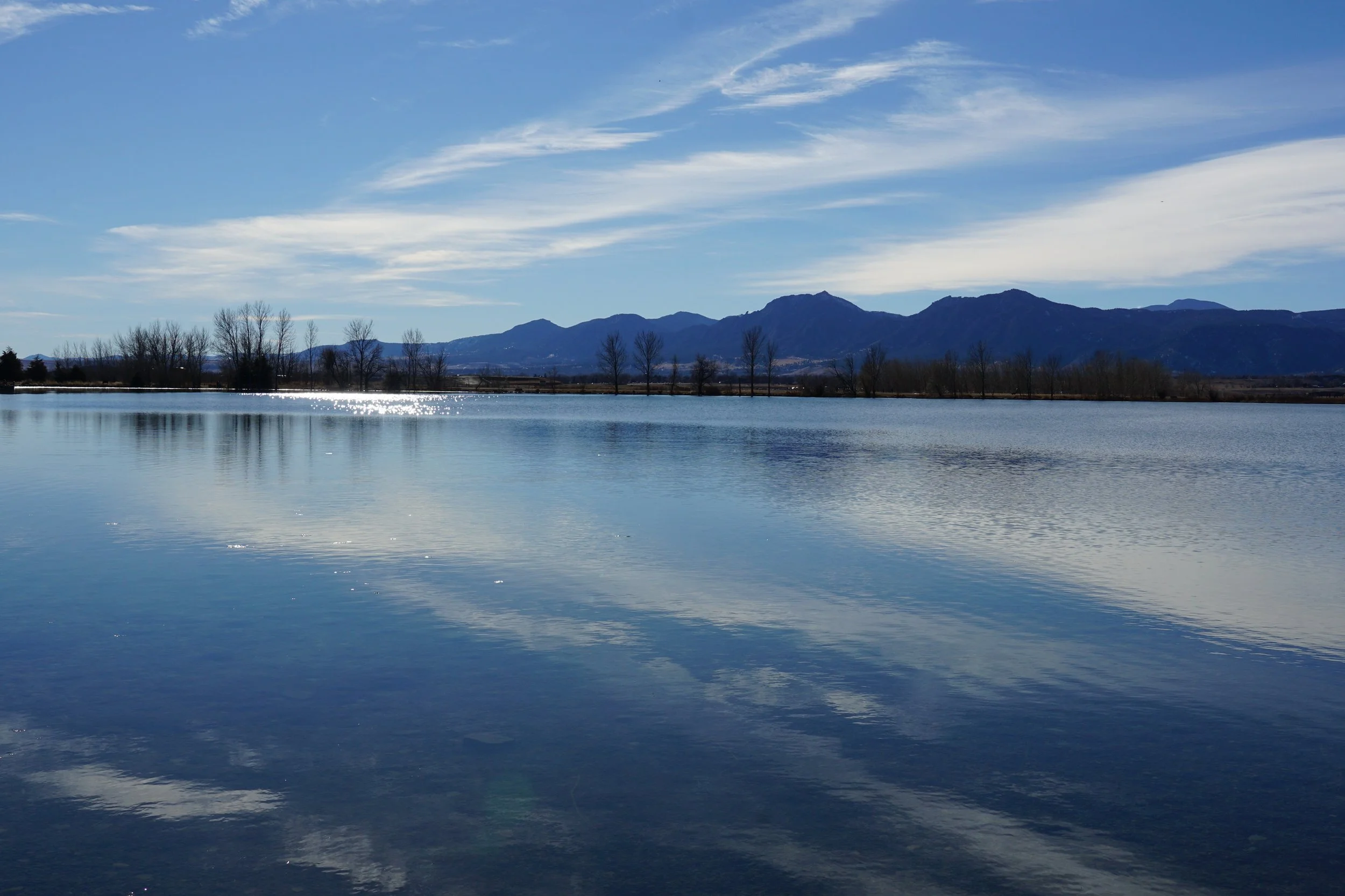
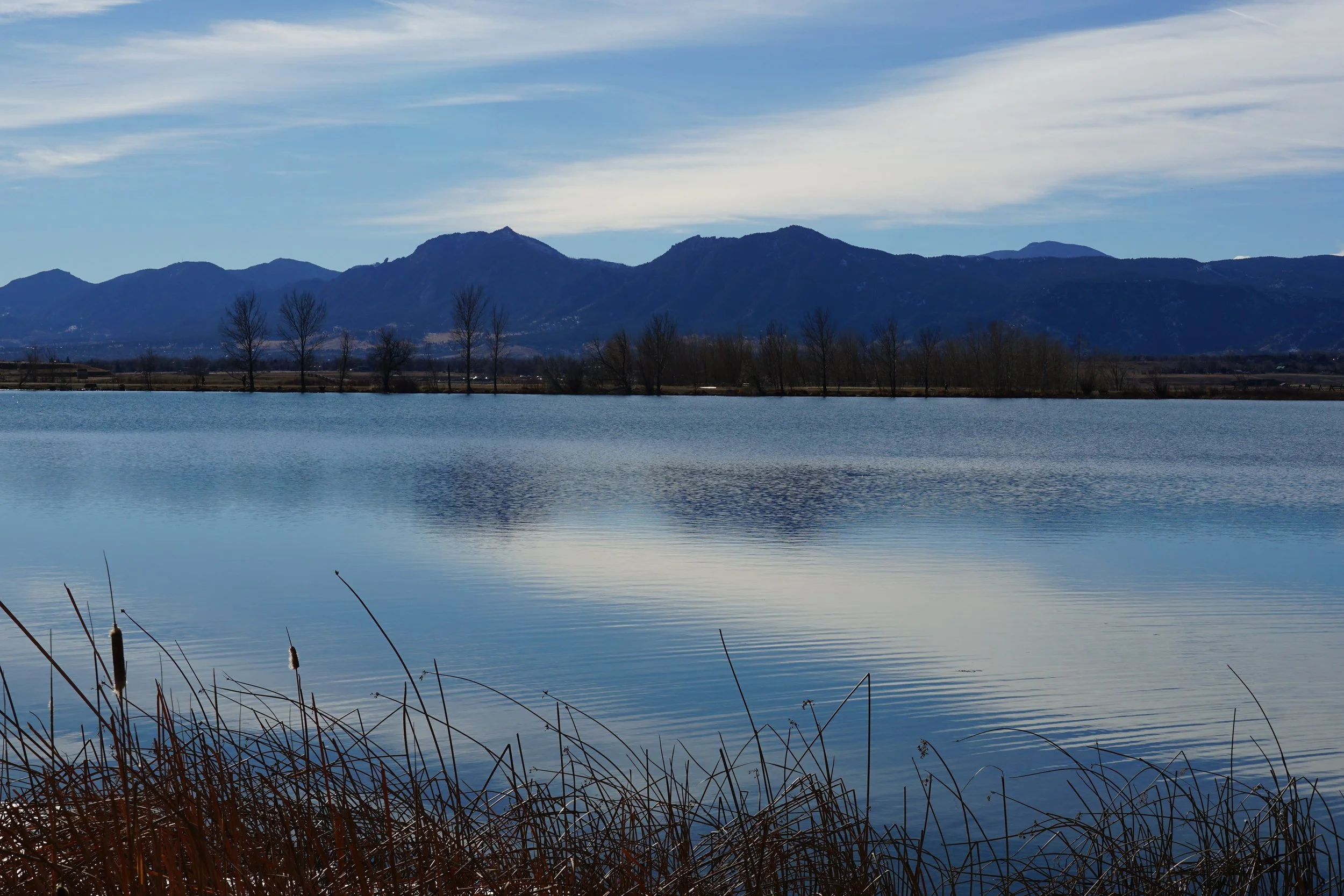
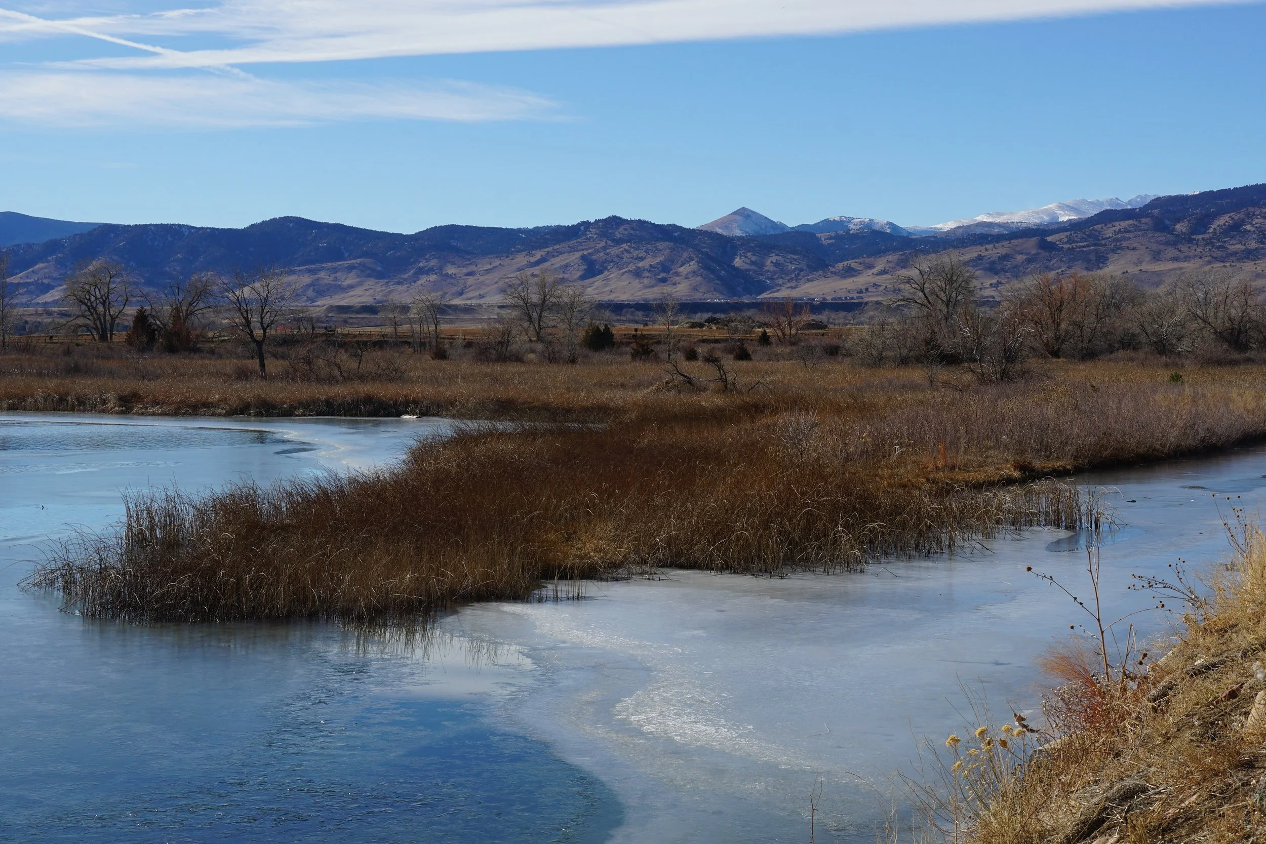
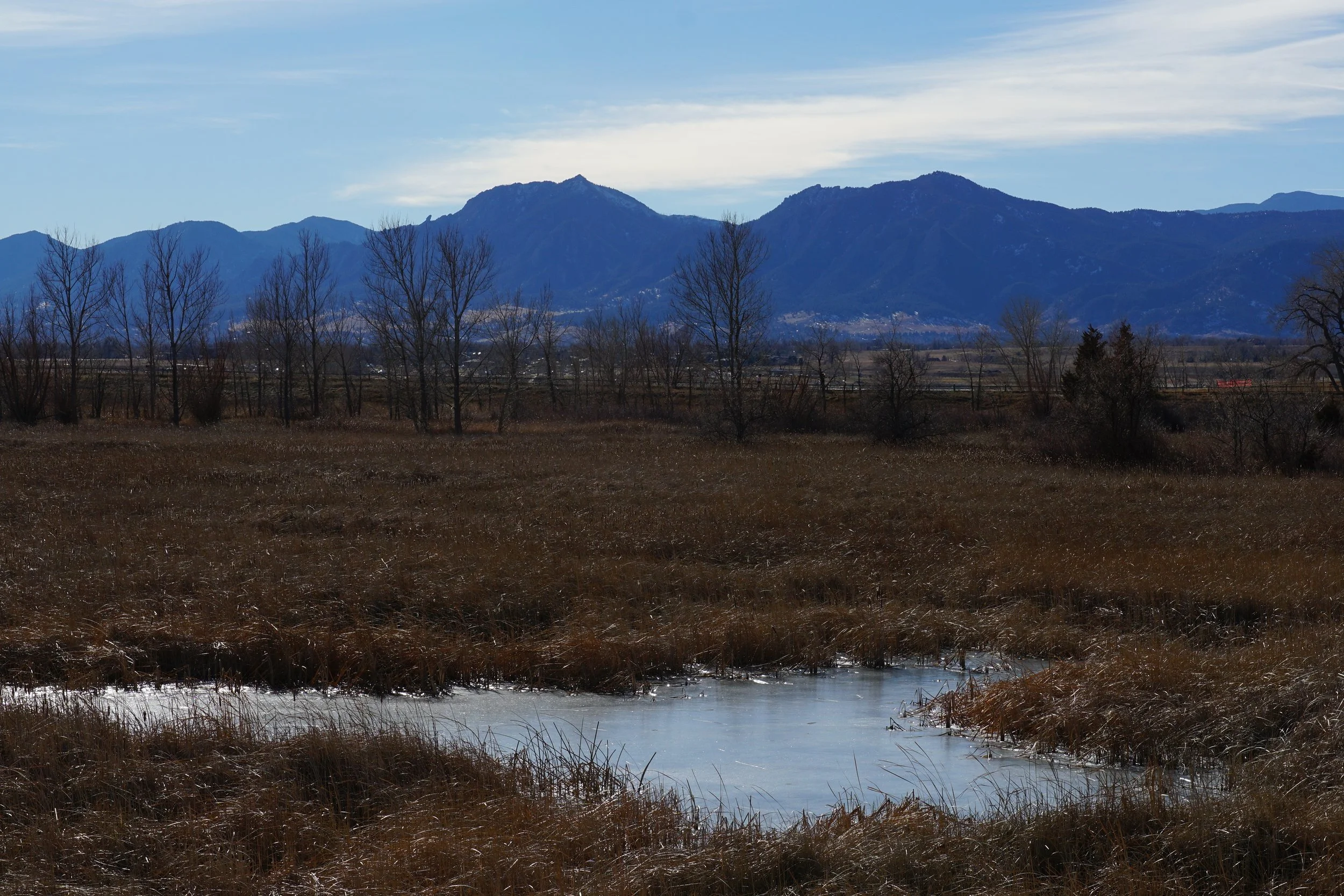
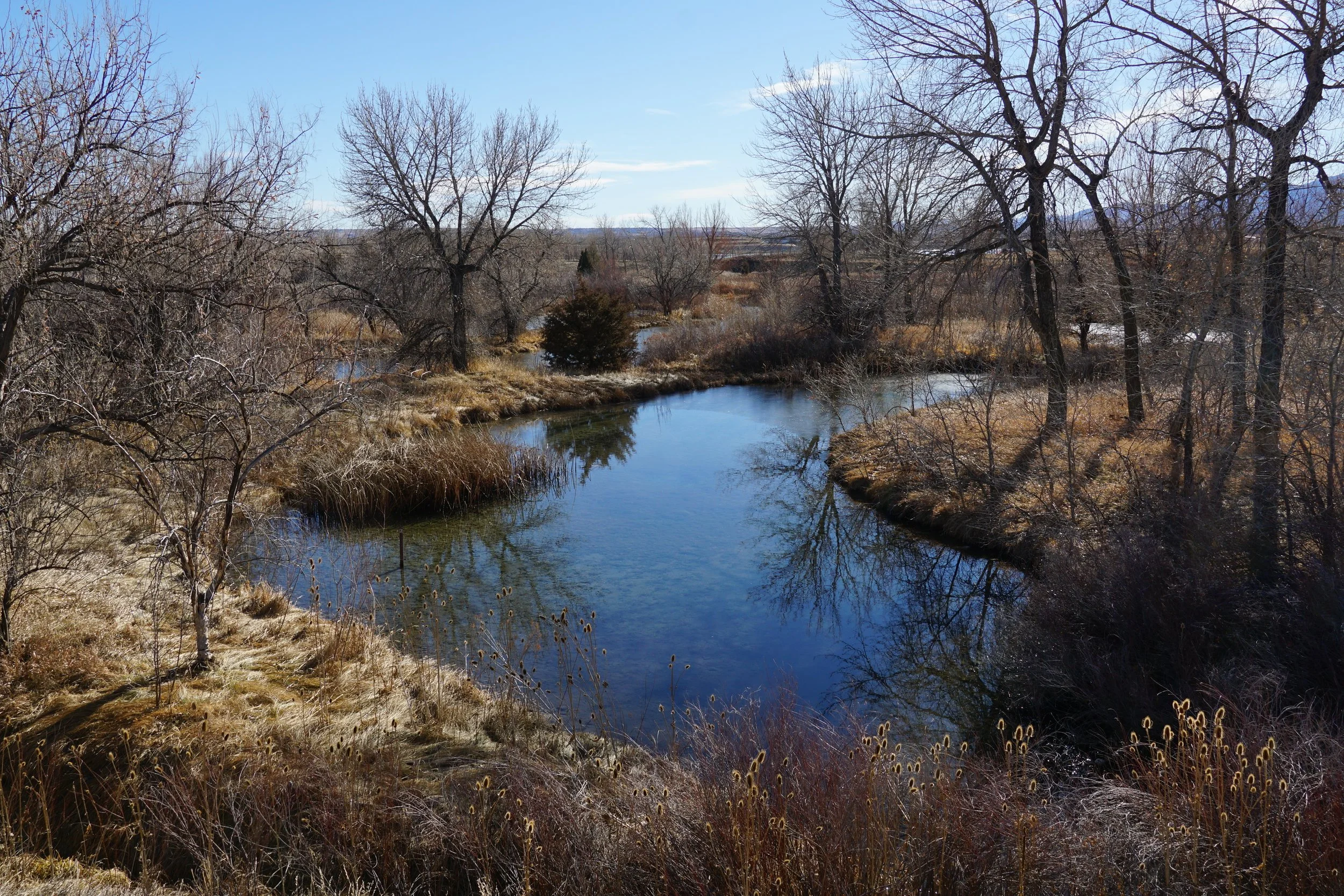
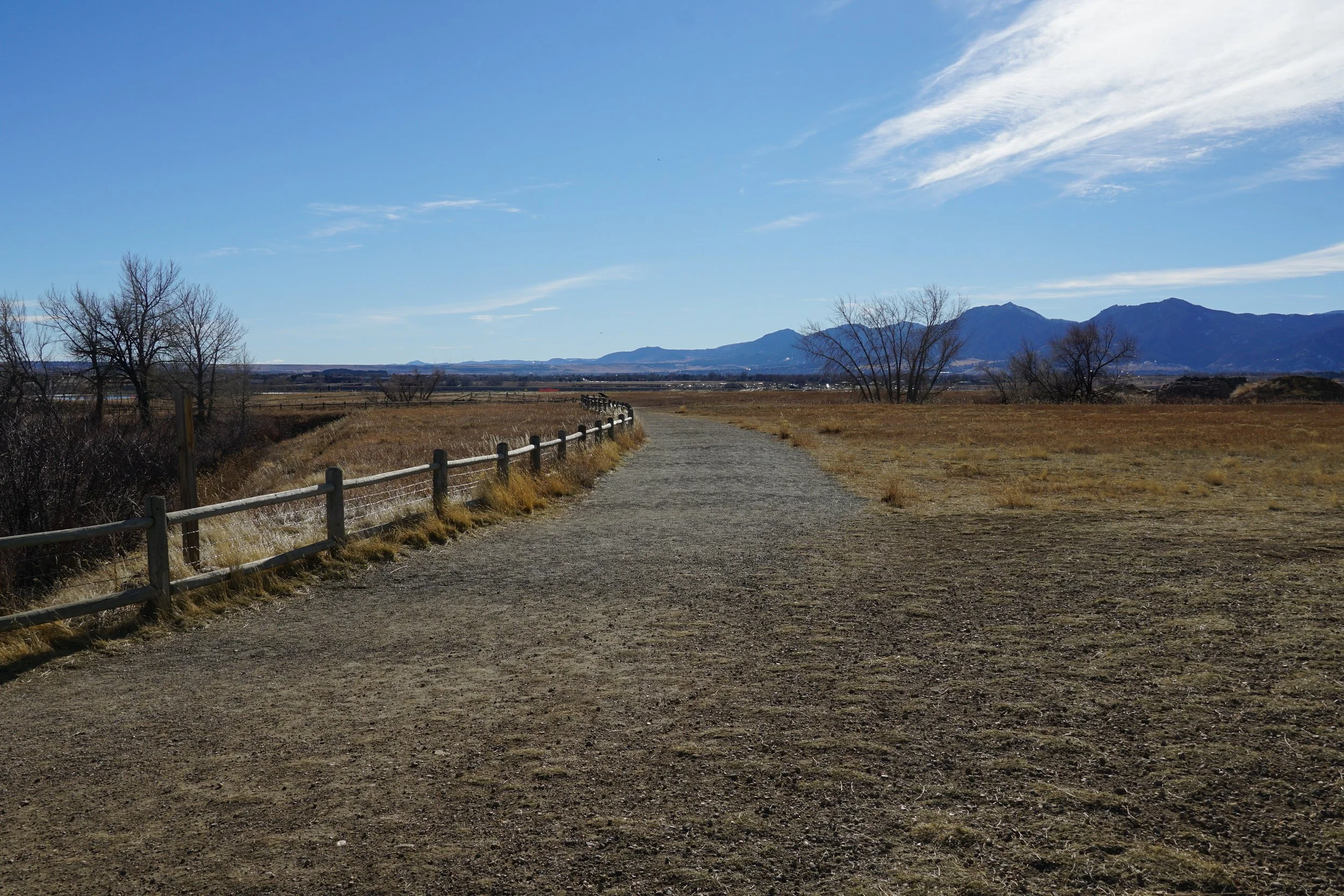
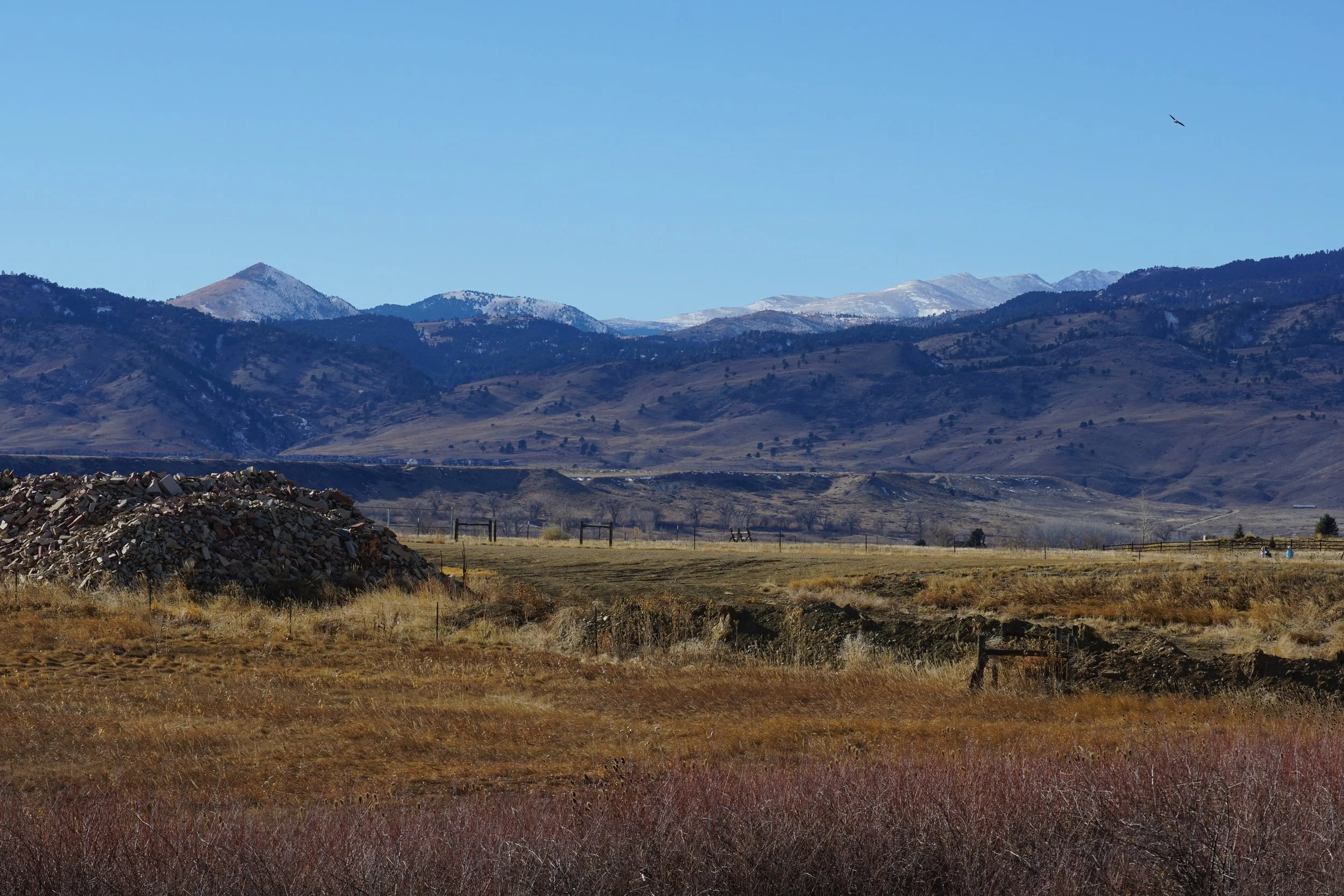
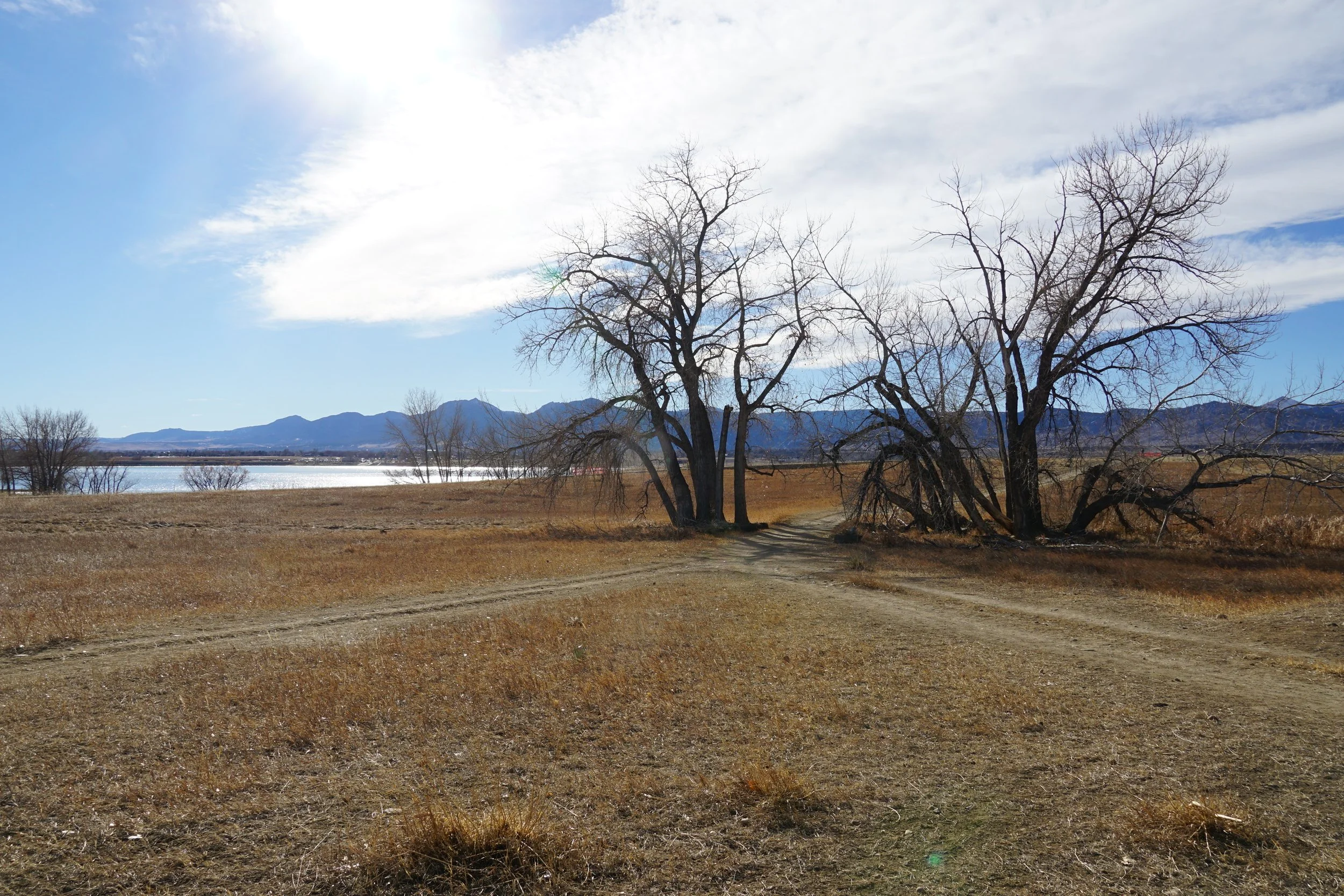
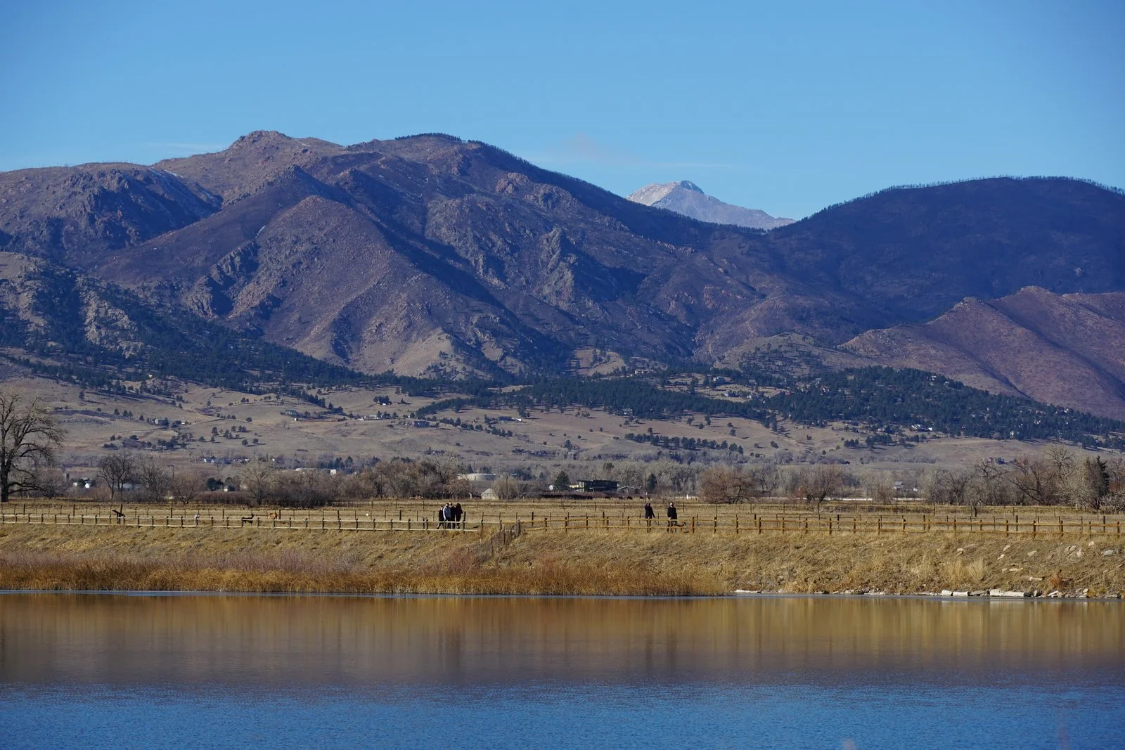
Coot Lake is a very popular spot just northeast of Boulder. The 1.3 mile nature trail that circles the lake and wetlands has stunning views of the Boulder foothills and is perfect for hikers of all ages and skill levels. While busy, there is plenty of space for hikers to spread out and enjoy the scenery.
HIKE DESCRIPTION:
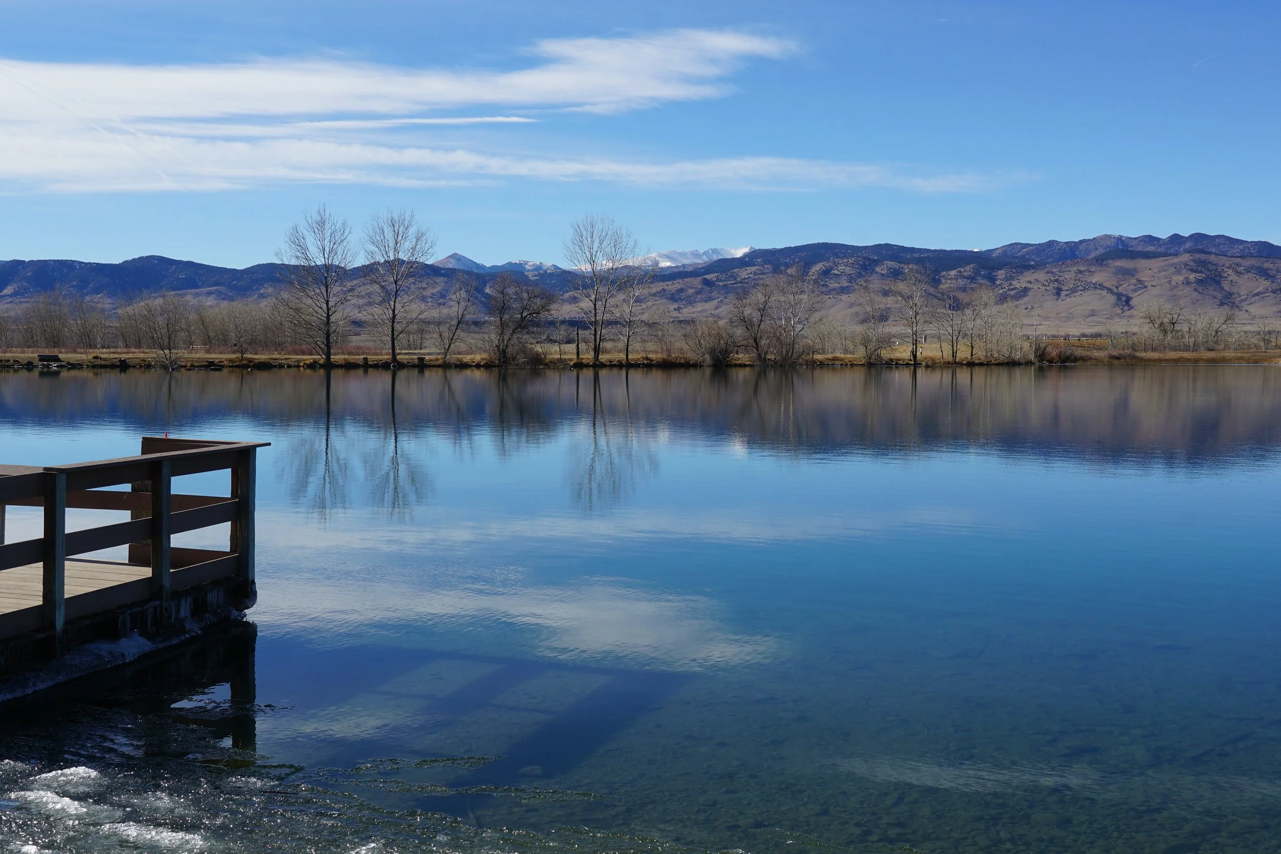
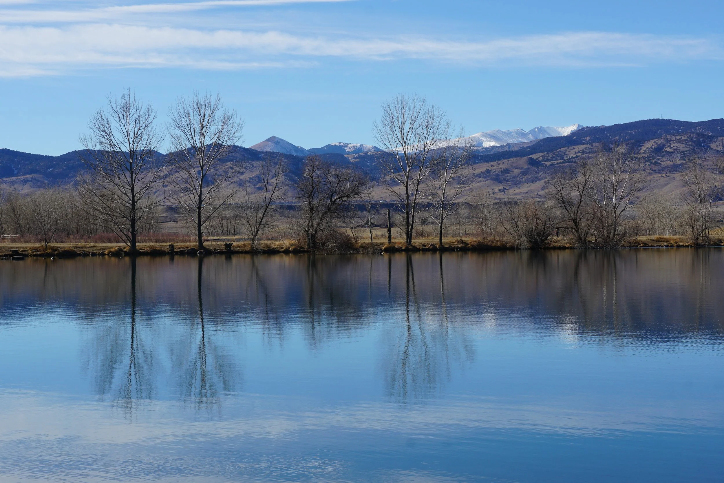
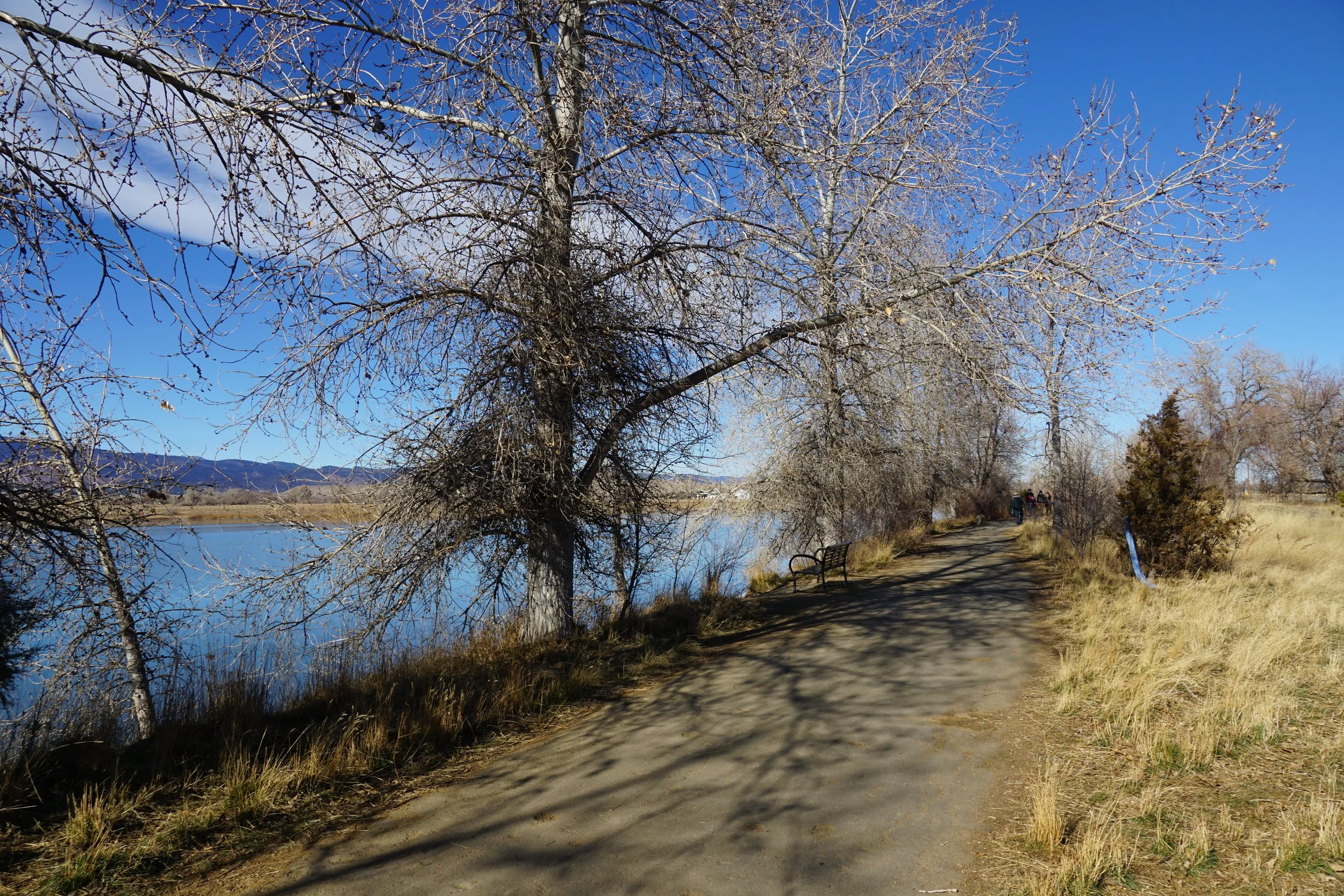
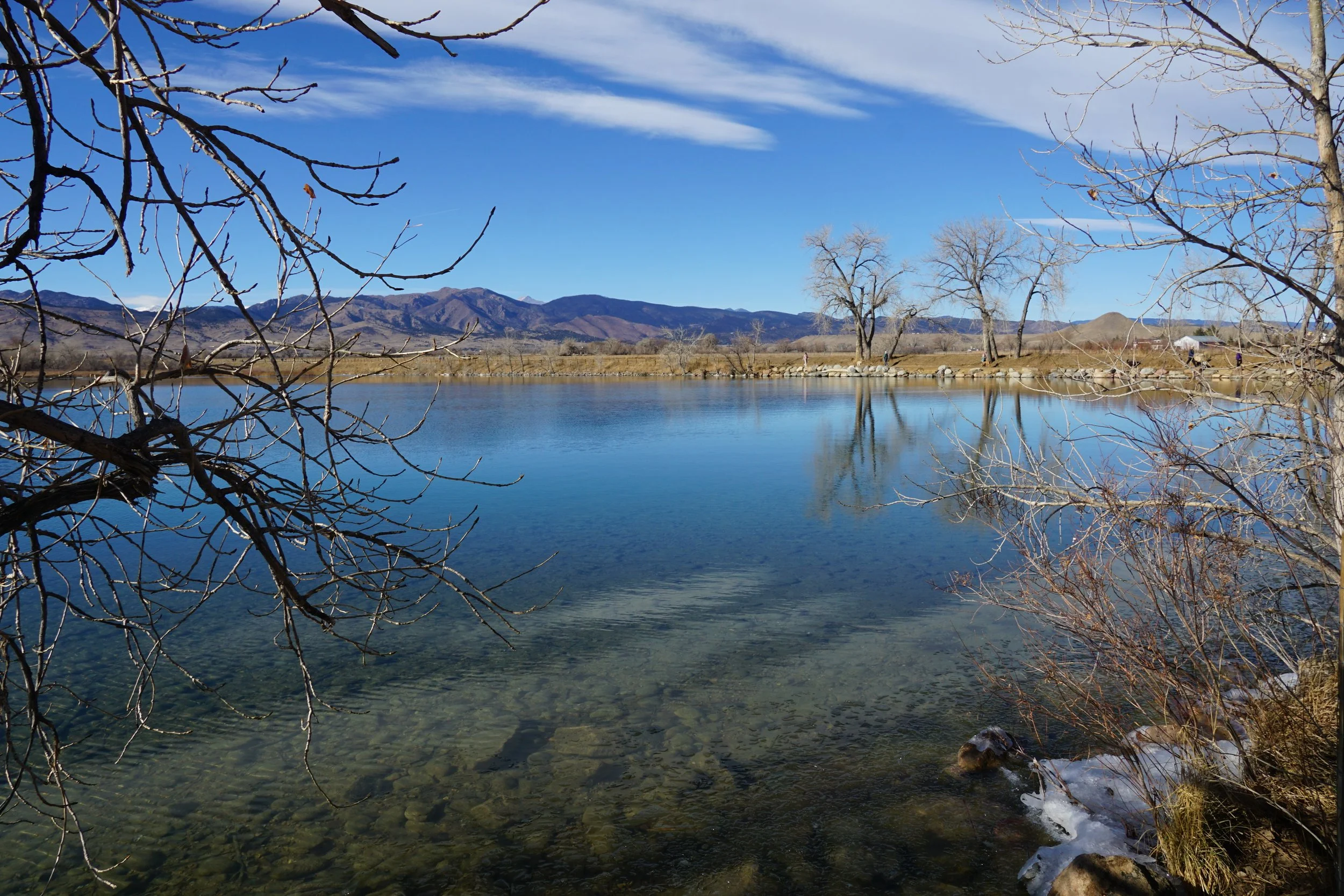
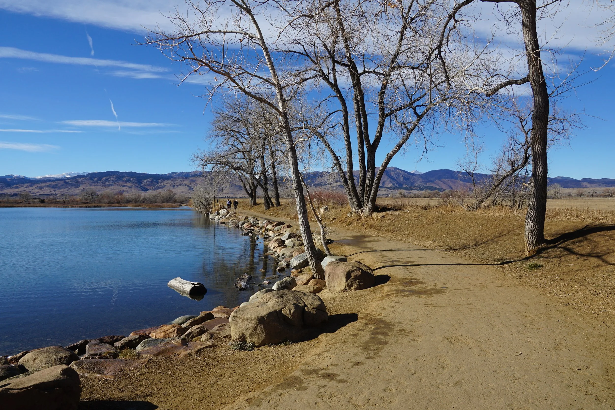
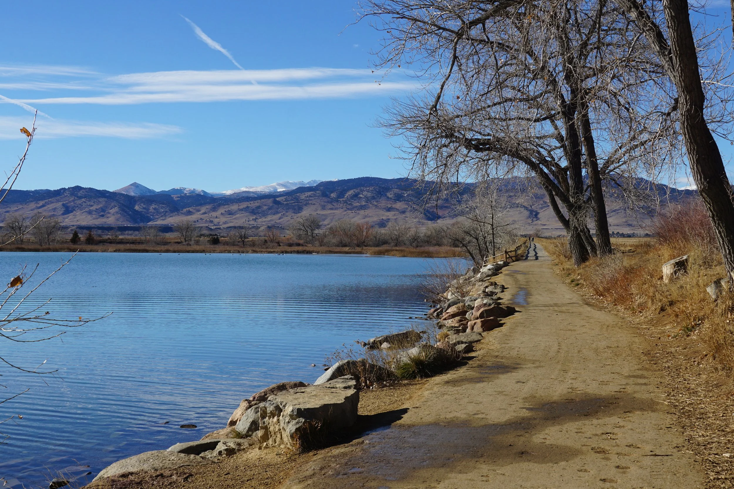
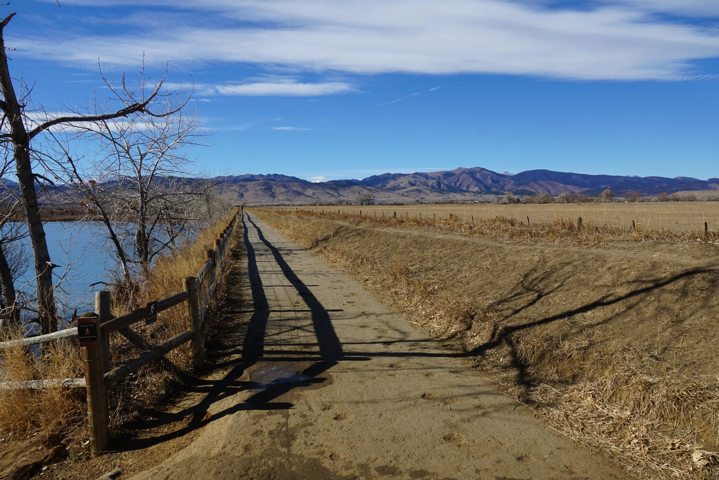
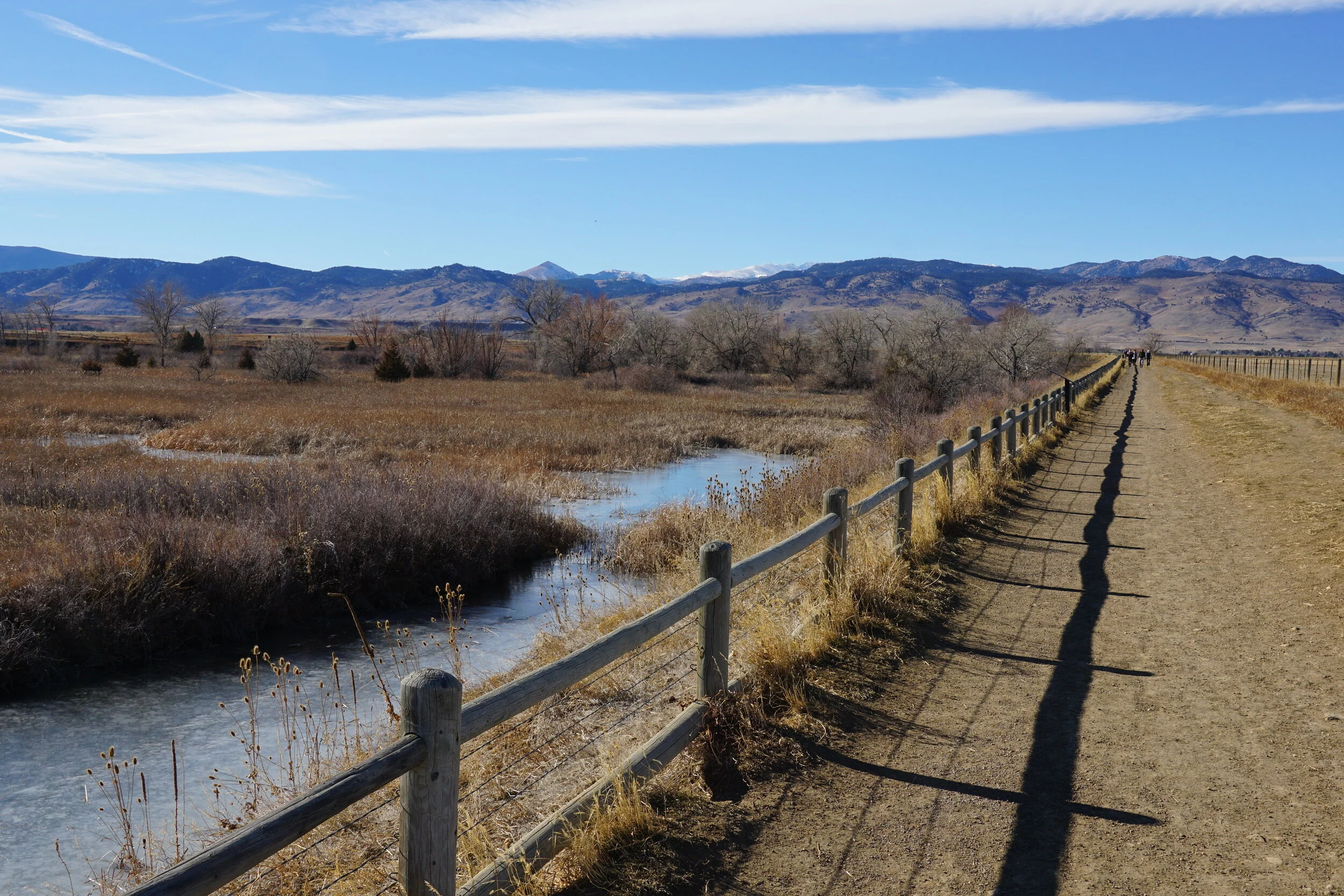
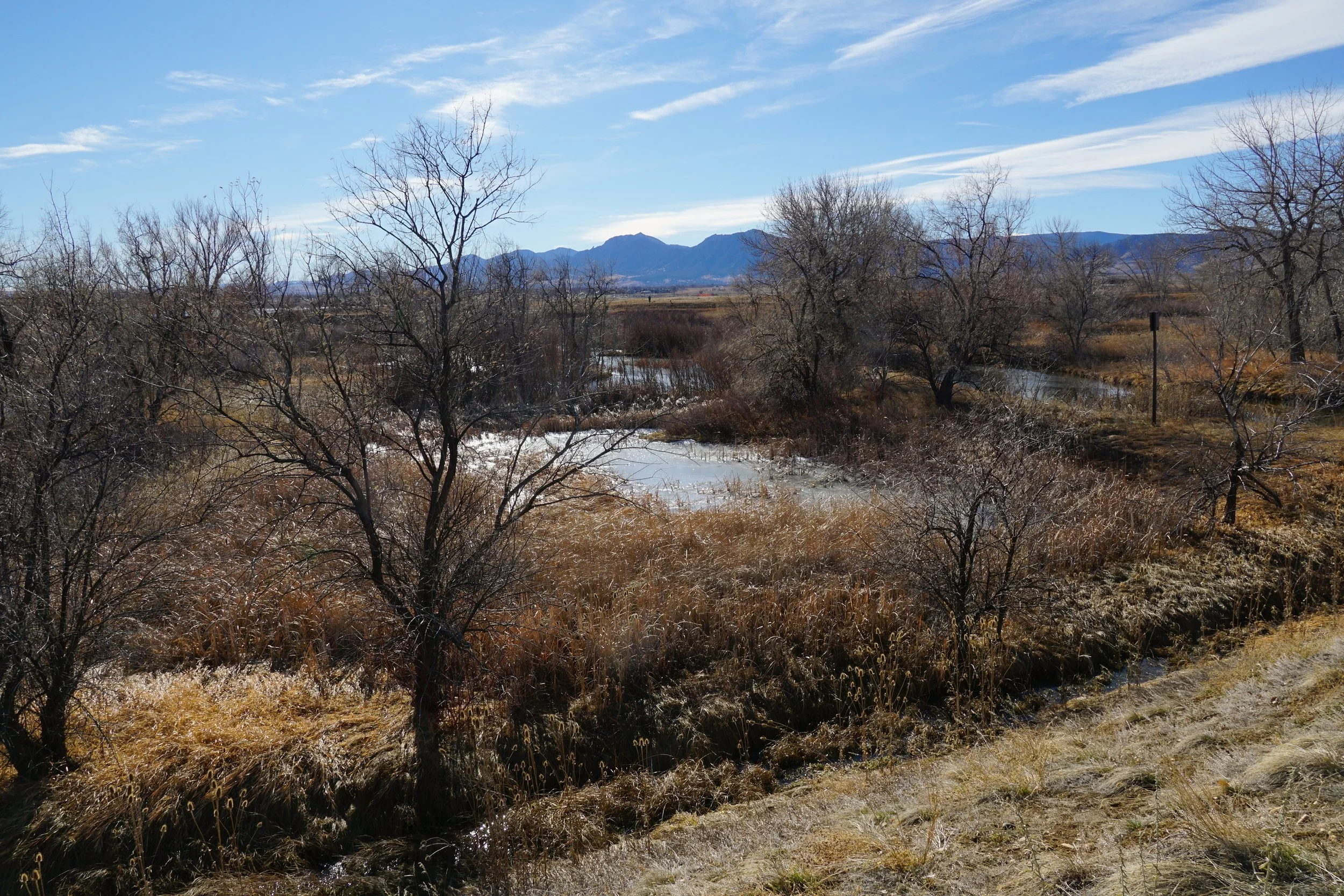
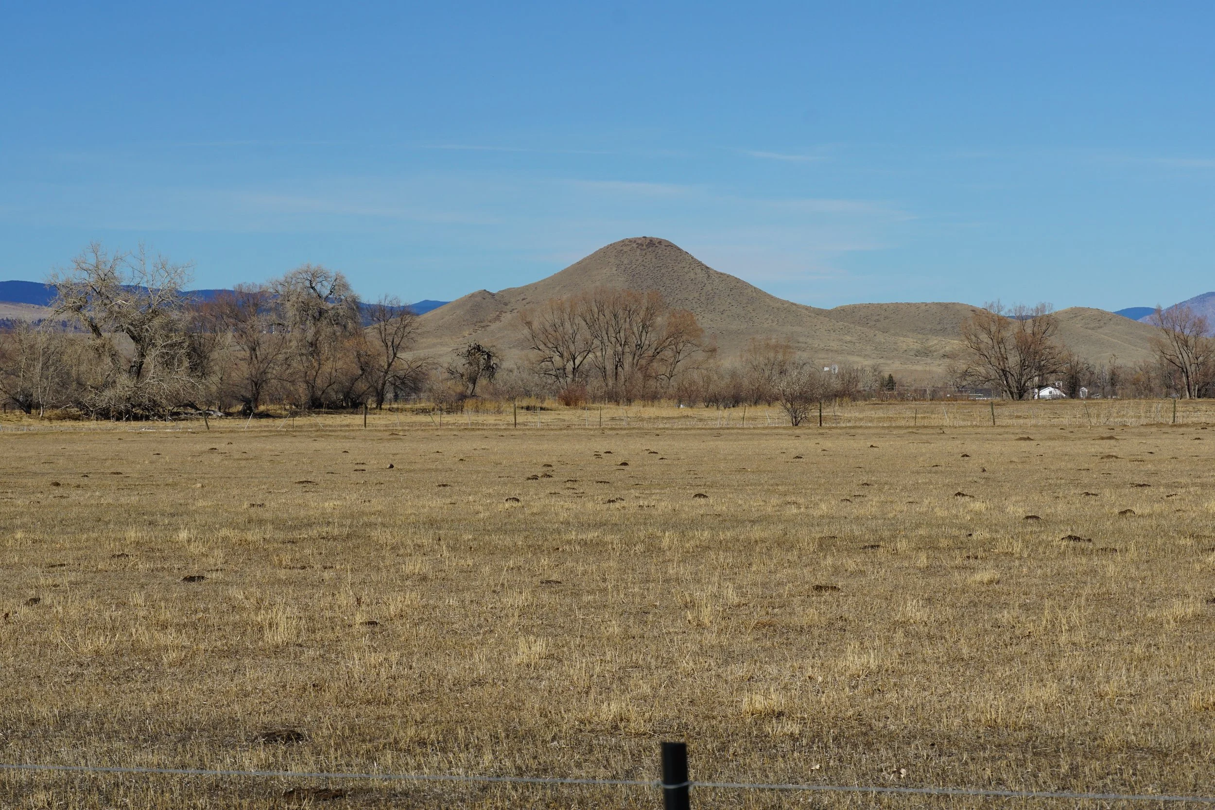
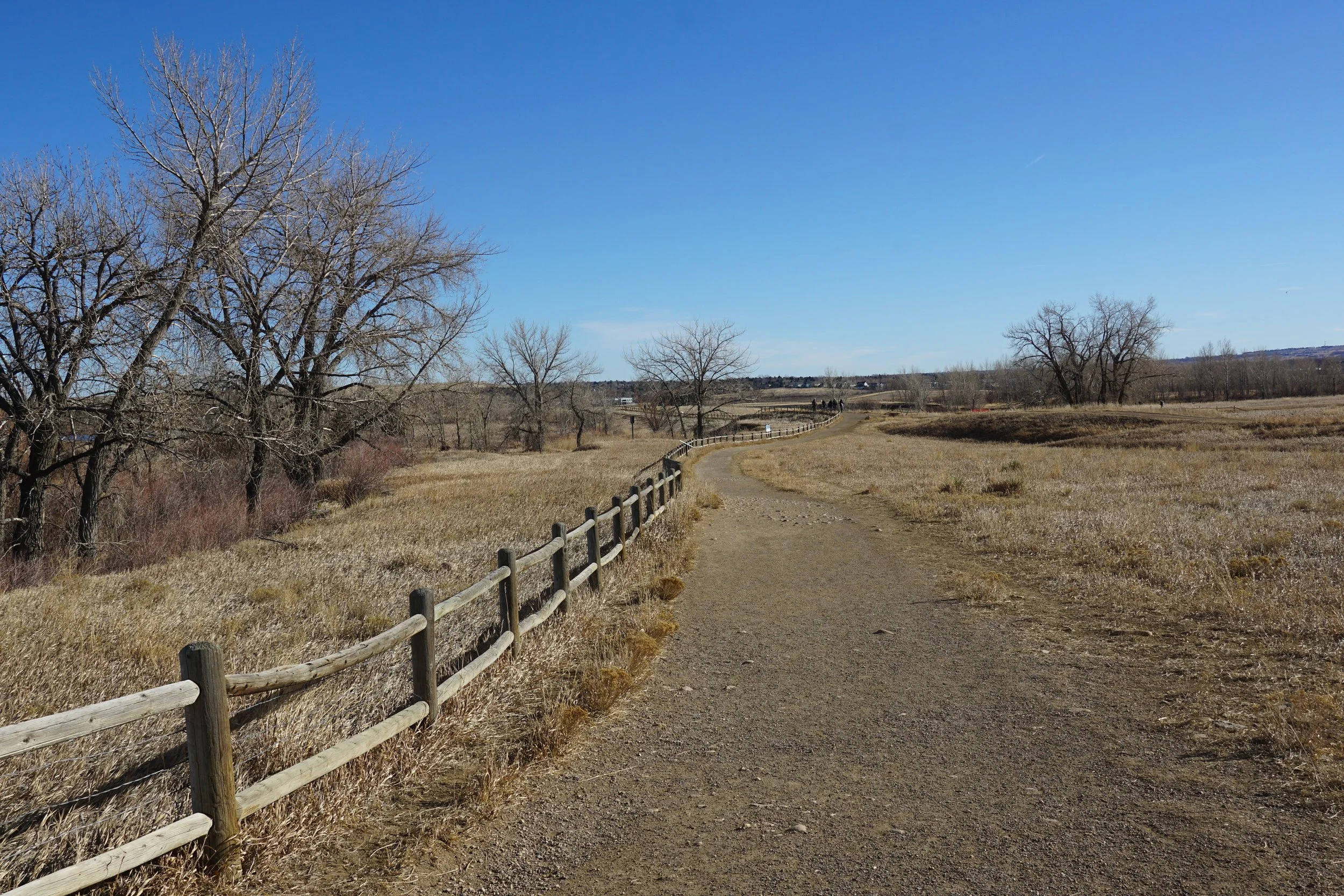
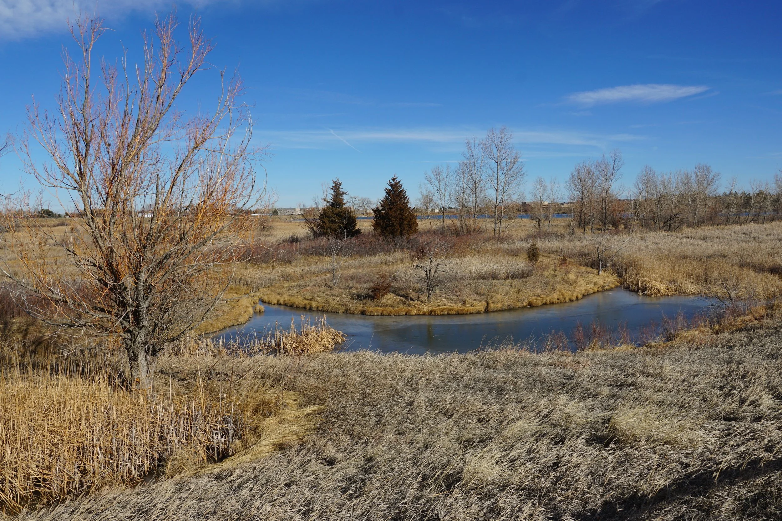
There is not much instruction needed for this hike. Trails connect to the Boulder Reservoir trail for a longer outing but otherwise the trail is easy to follow. There are picnic benches along the way, interpretive signs, and artwork to keep you entertained. That being said the views across the lake, primarily from the eastern shores should be enough to make you happy. Be sure to look for the flat summit of Longs Peak just peaking out over the foothills. The western shore of the lake contains beautiful wetlands providing habitat for fish, birds, and wildlife.
Interestingly, the trail is popular among dog owners participating in the Voice and Sight Control Tag Program so expect plenty of off-leash dogs along the trail.