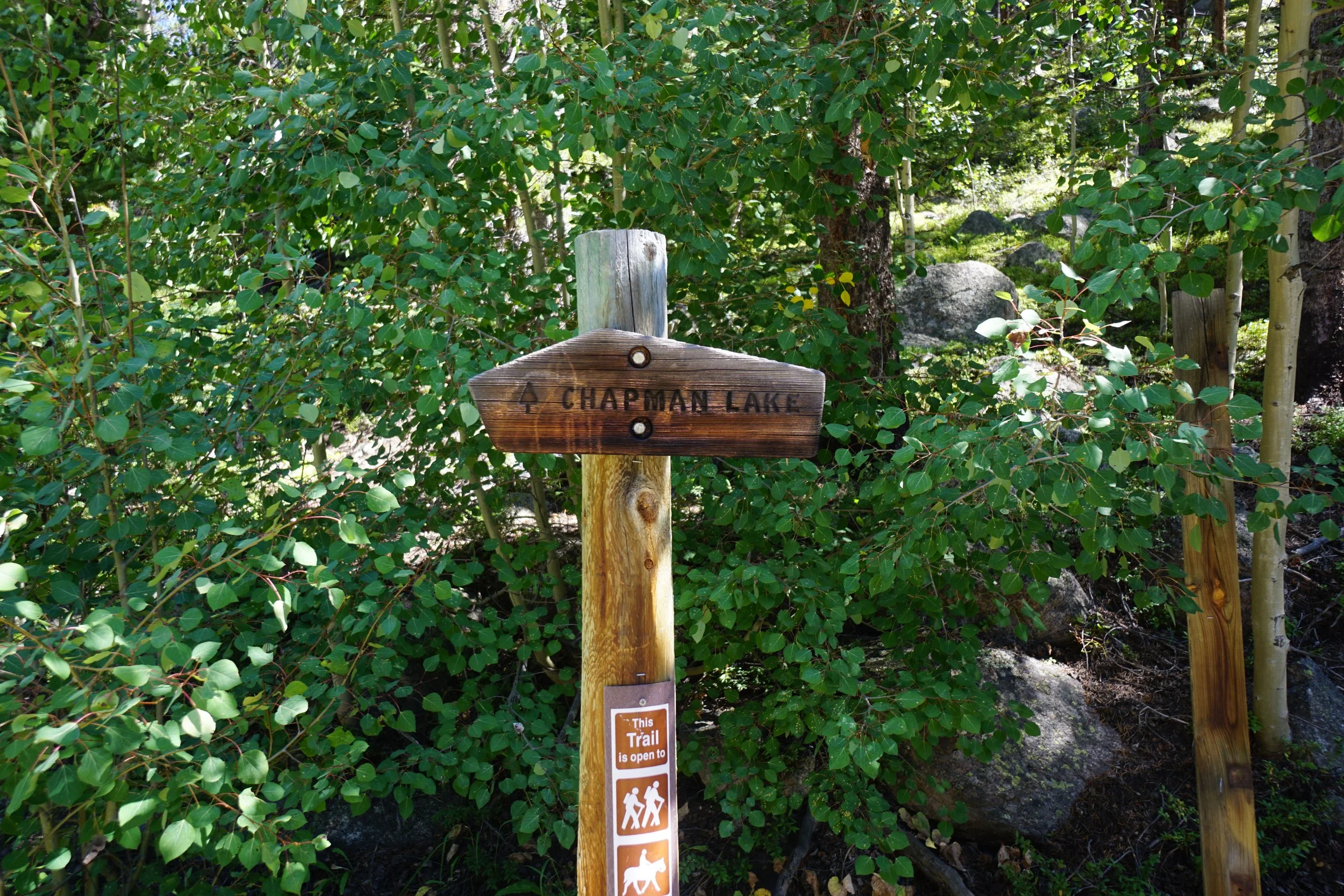
Chapman Lake
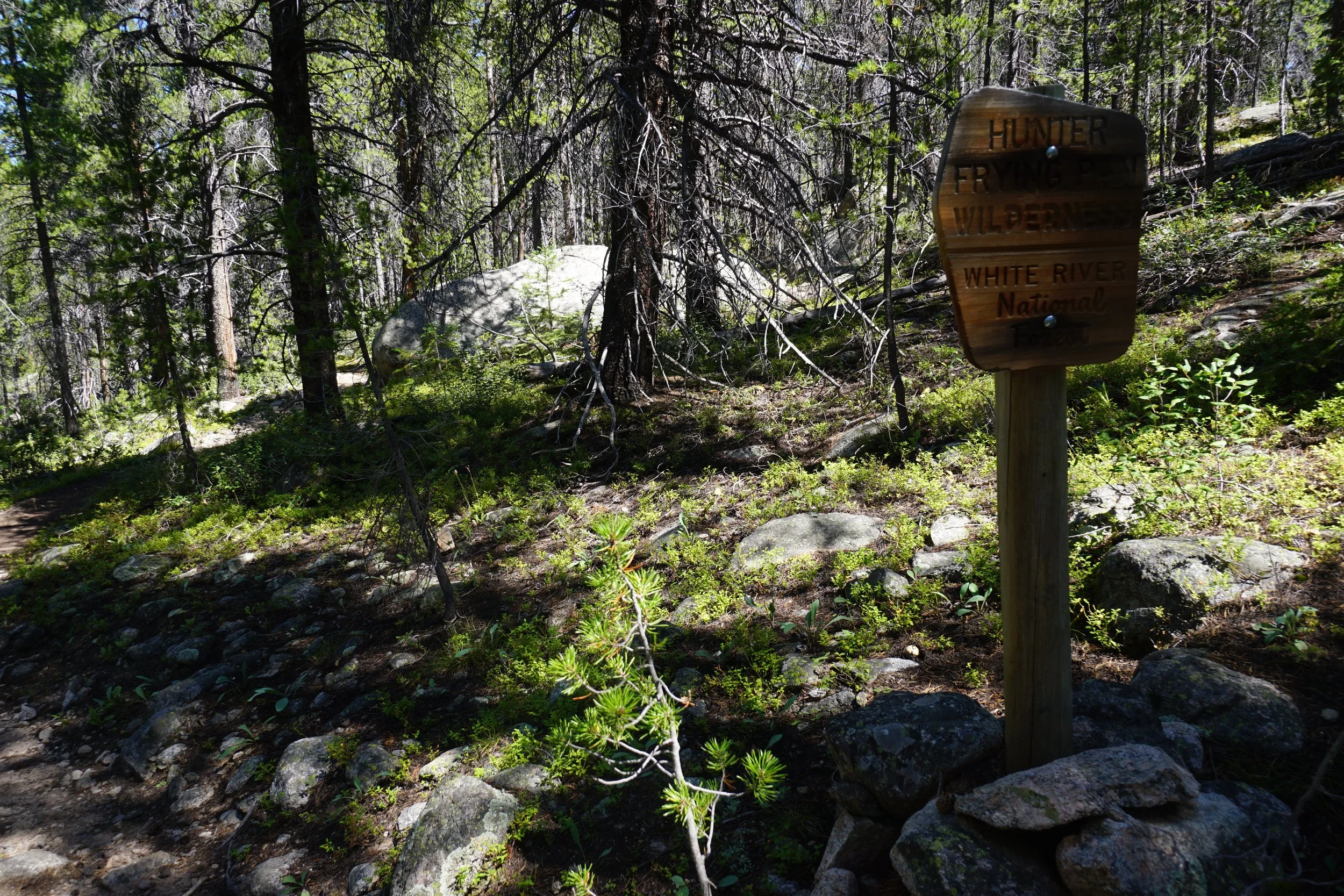
Hunter-Fryingpan Wilderness, White River National Forest
Date Hiked: September 4, 2022
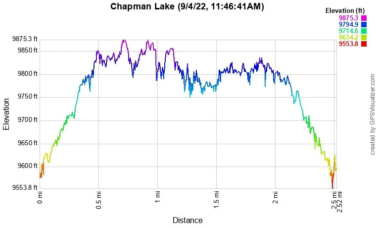
Distance: 2.3 mi (RT)
Elevation Gain: 230 ft
Elevation Min/Max: 9,606 to 9,851 ft
Trailhead Lat/Long: 39.28622, -106.63576
Managing Agency: U.S. Forest Service
Fee: None
Directions:
From Basalt and CO 82, head east on Route 4, or Frying Pan Road, to Ruedi Reservoir. Pass by the campgrounds and continue along the northern shore of the reservoir. At the eastern terminus of Ruedi Reservoir, and the turnoff for the Deerhammer Campground, continue on Fryingpan road for 4.3 miles. Bear right to stay on Frying Pan Road (4) and continue for 1.1 miles on the good dirt road. At the Aspen Norrie turnoff, turn right on 504.1 for 4.3 miles. Turn right (south) on Chapman Creek Road (504.1E), a bit rougher, but still accessible for any vehicle with a little clearance. The trailhead is 0.7 miles down the road.
Hike Description:
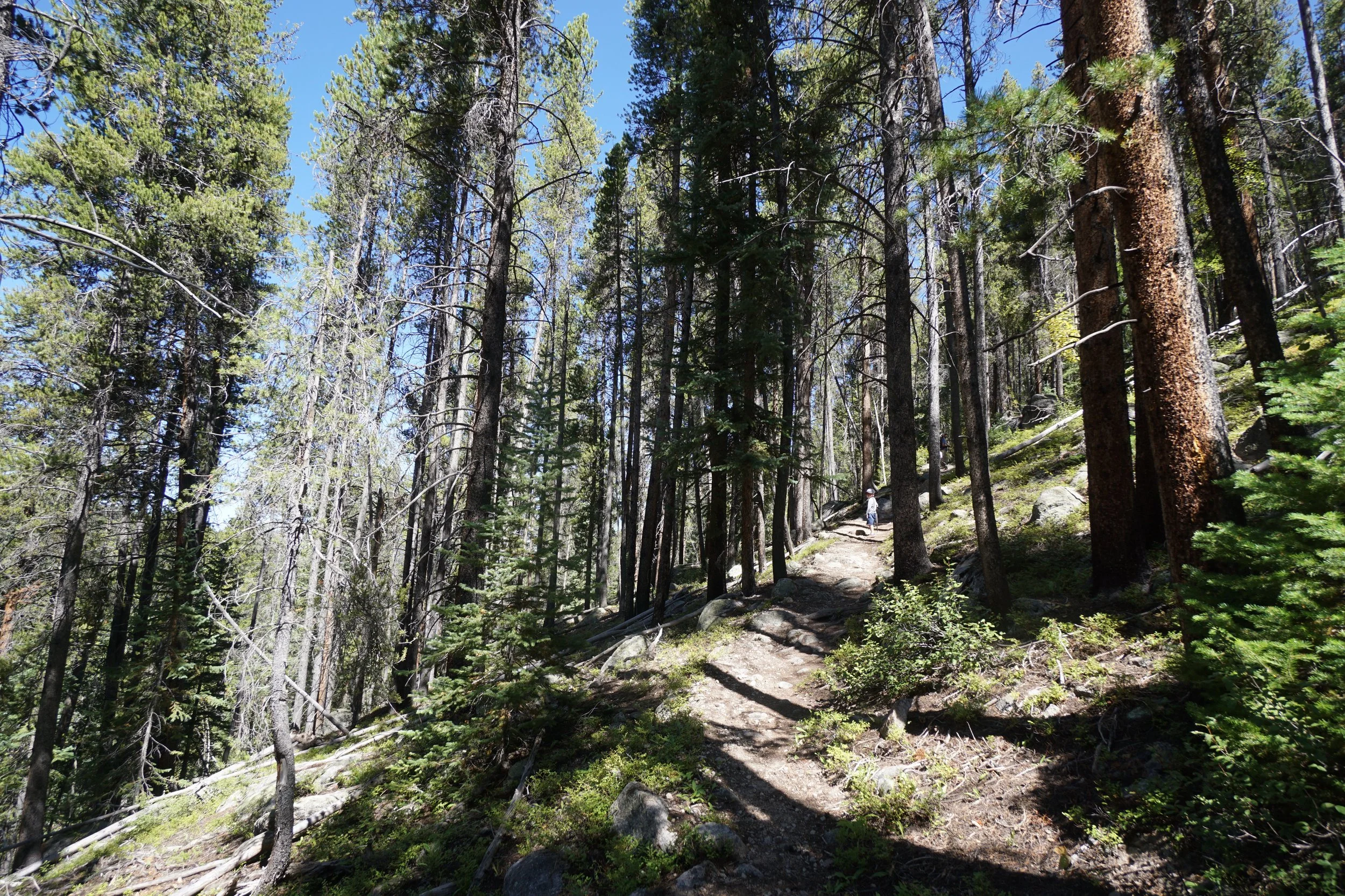
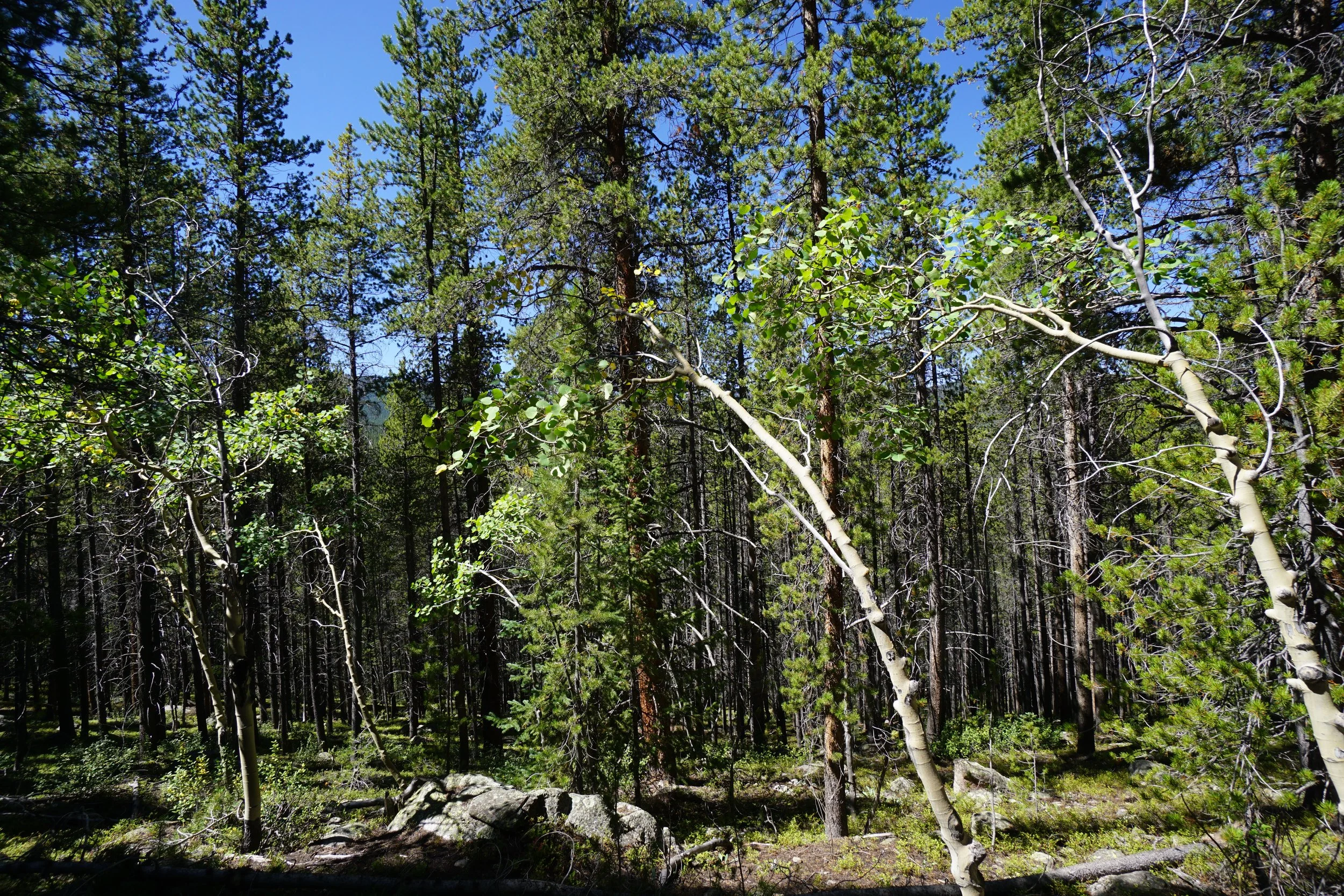
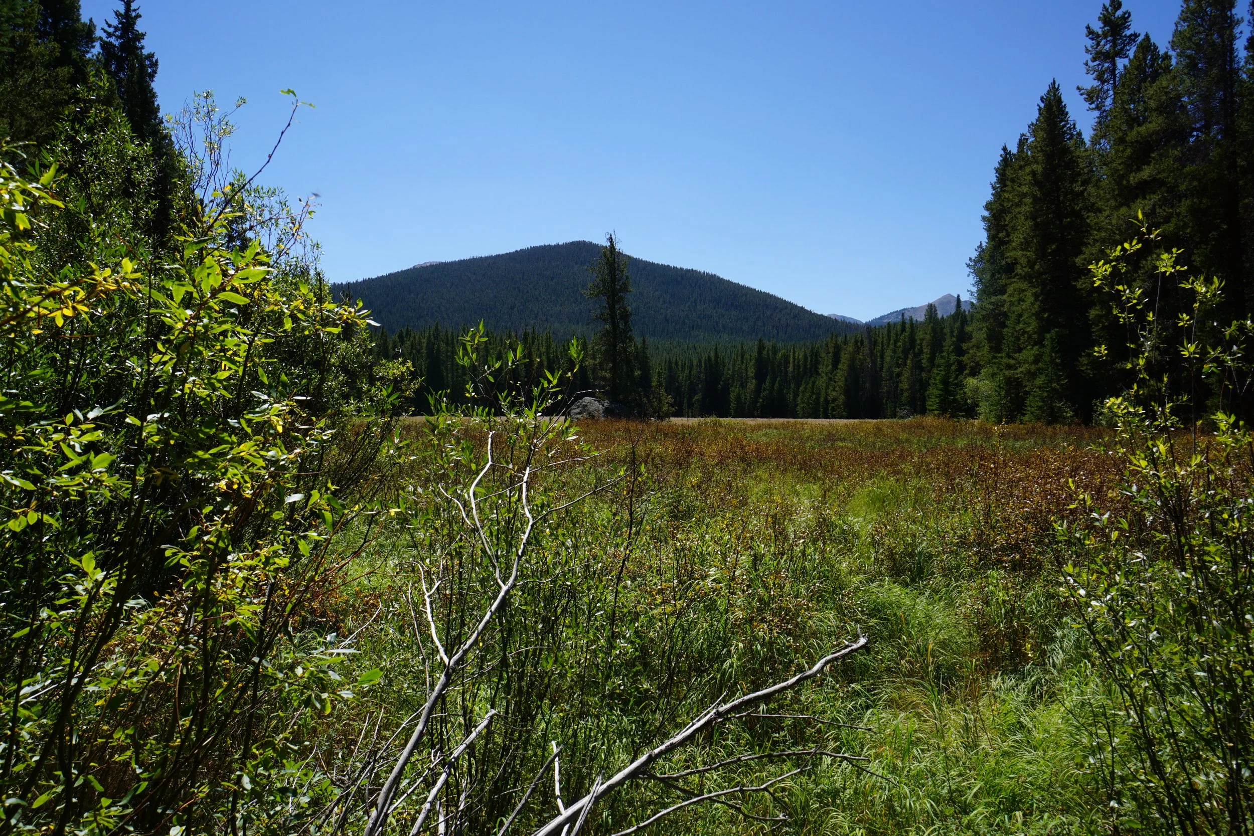
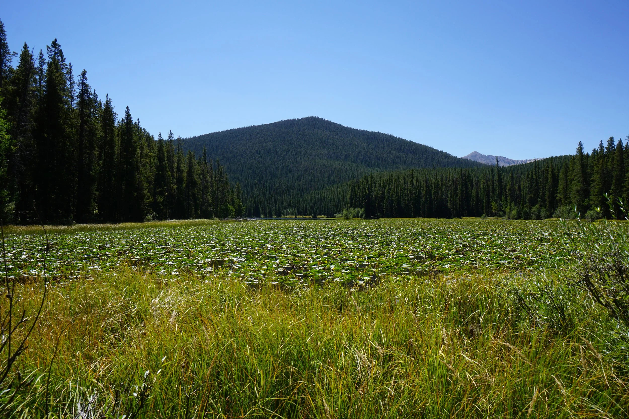
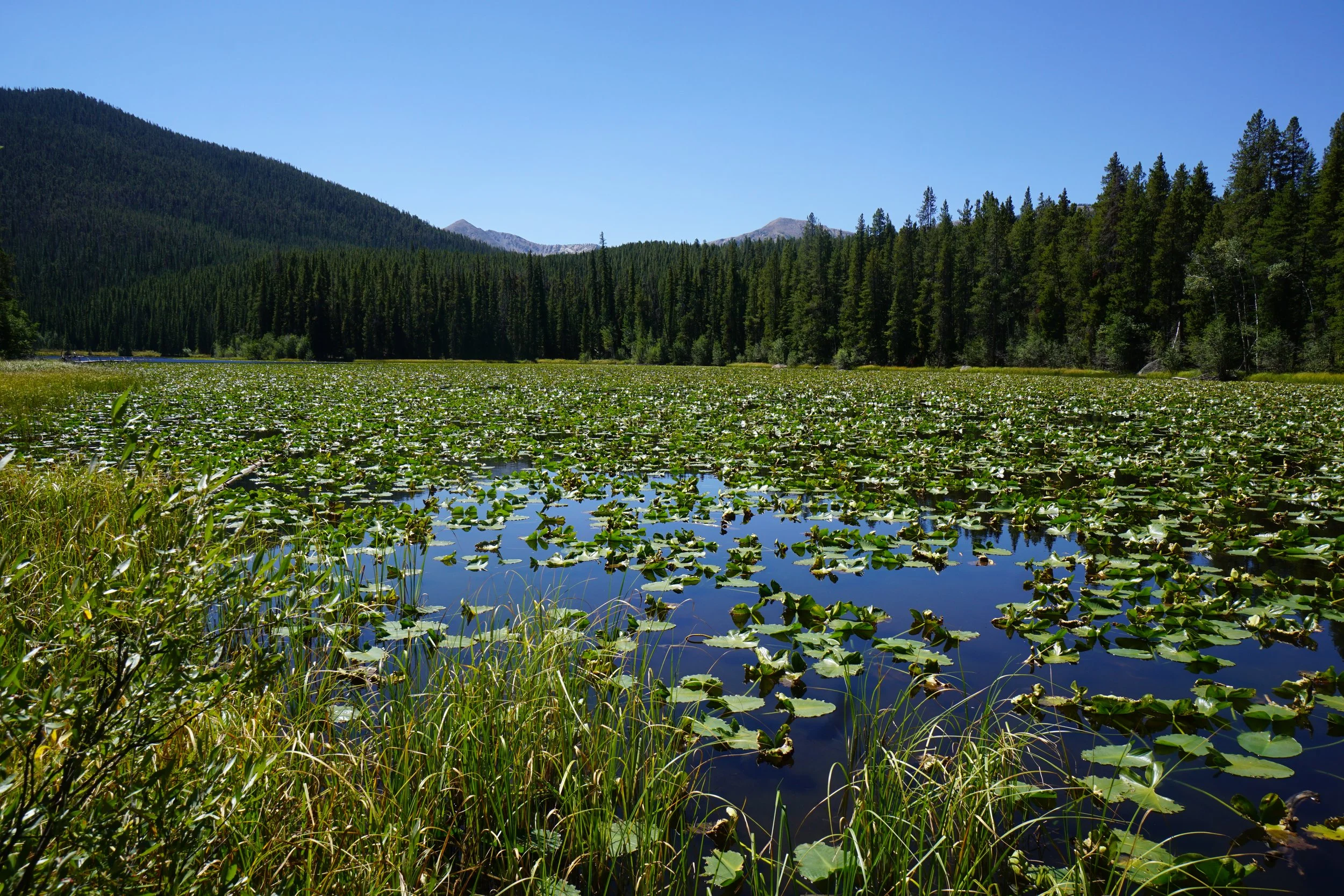
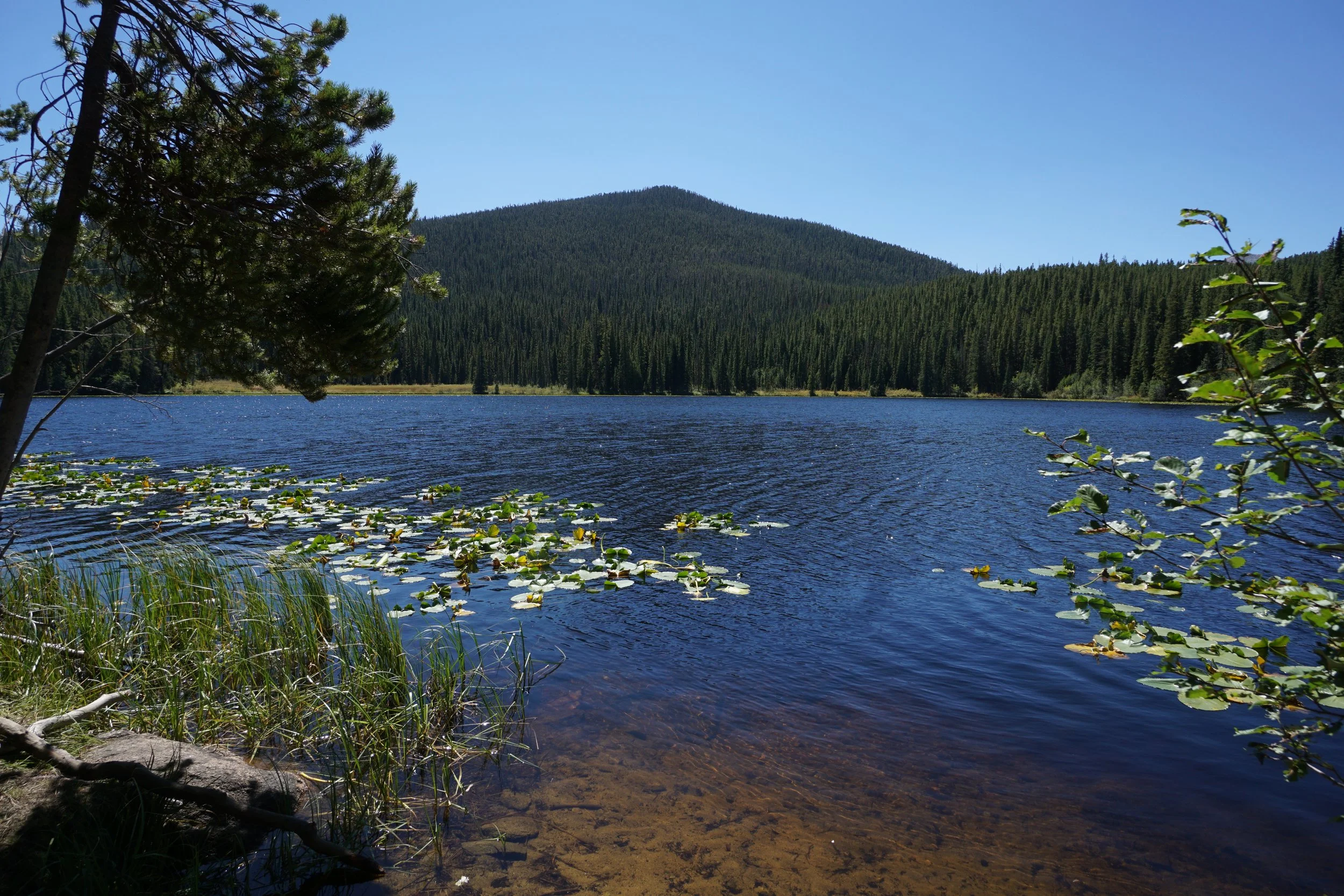
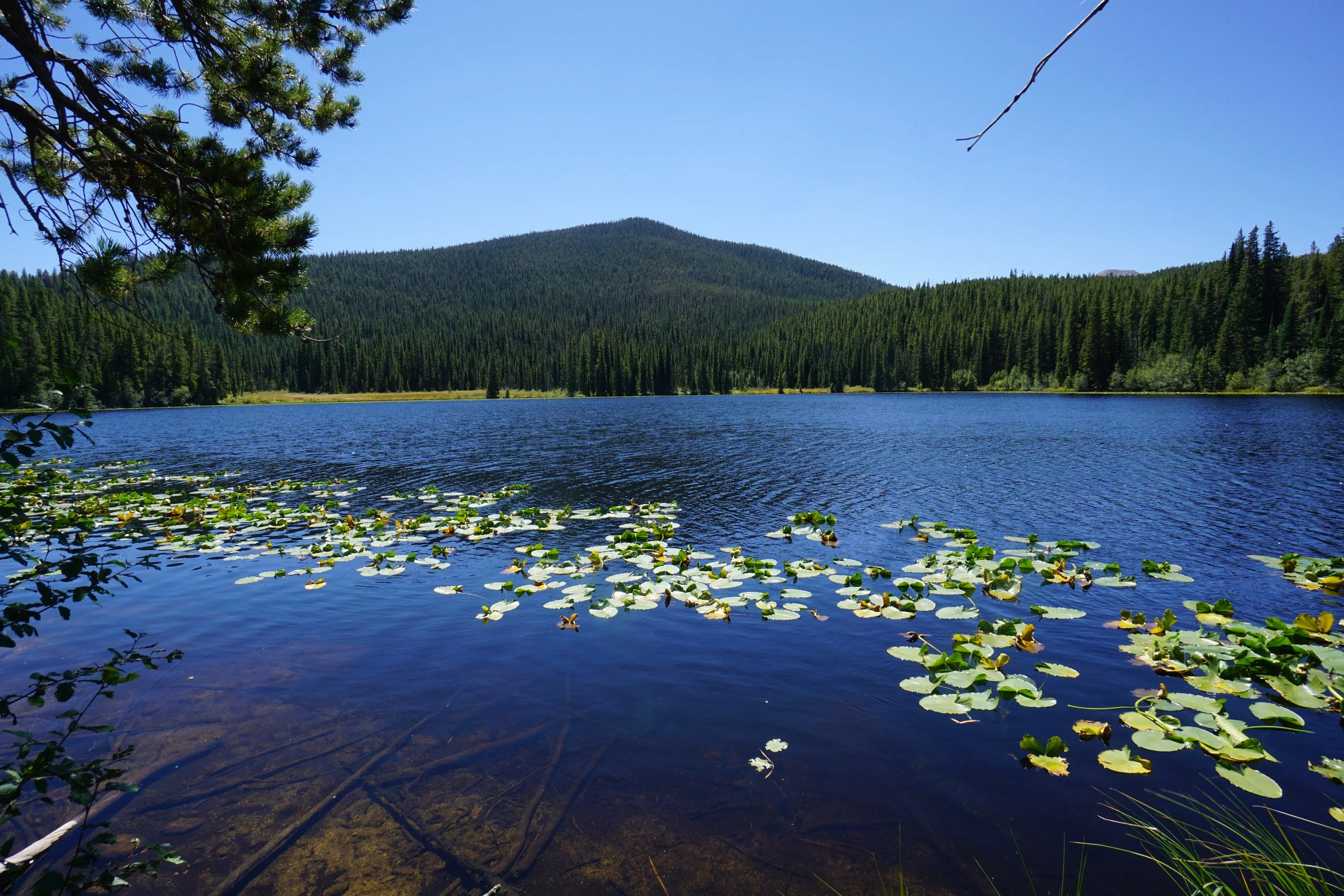
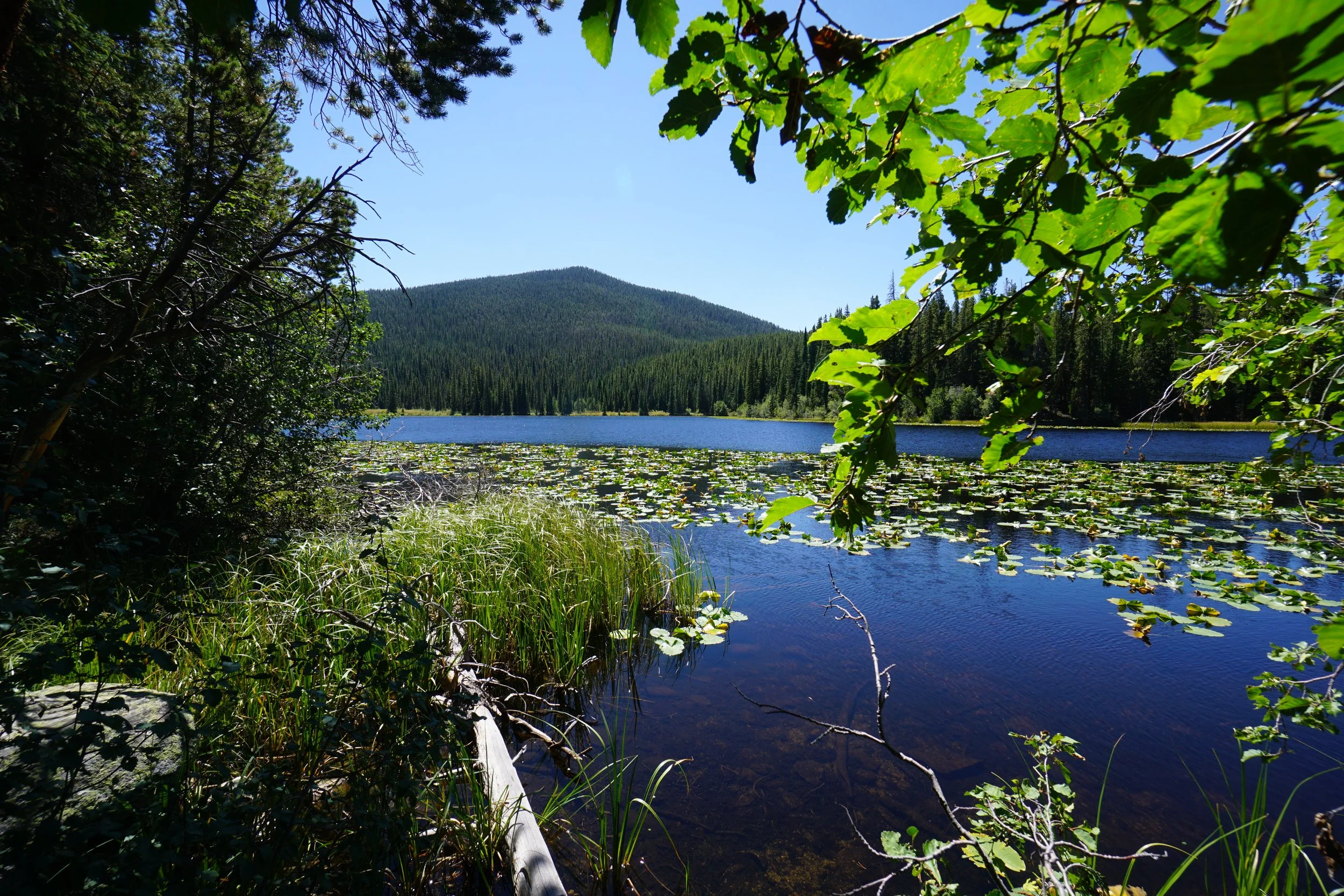
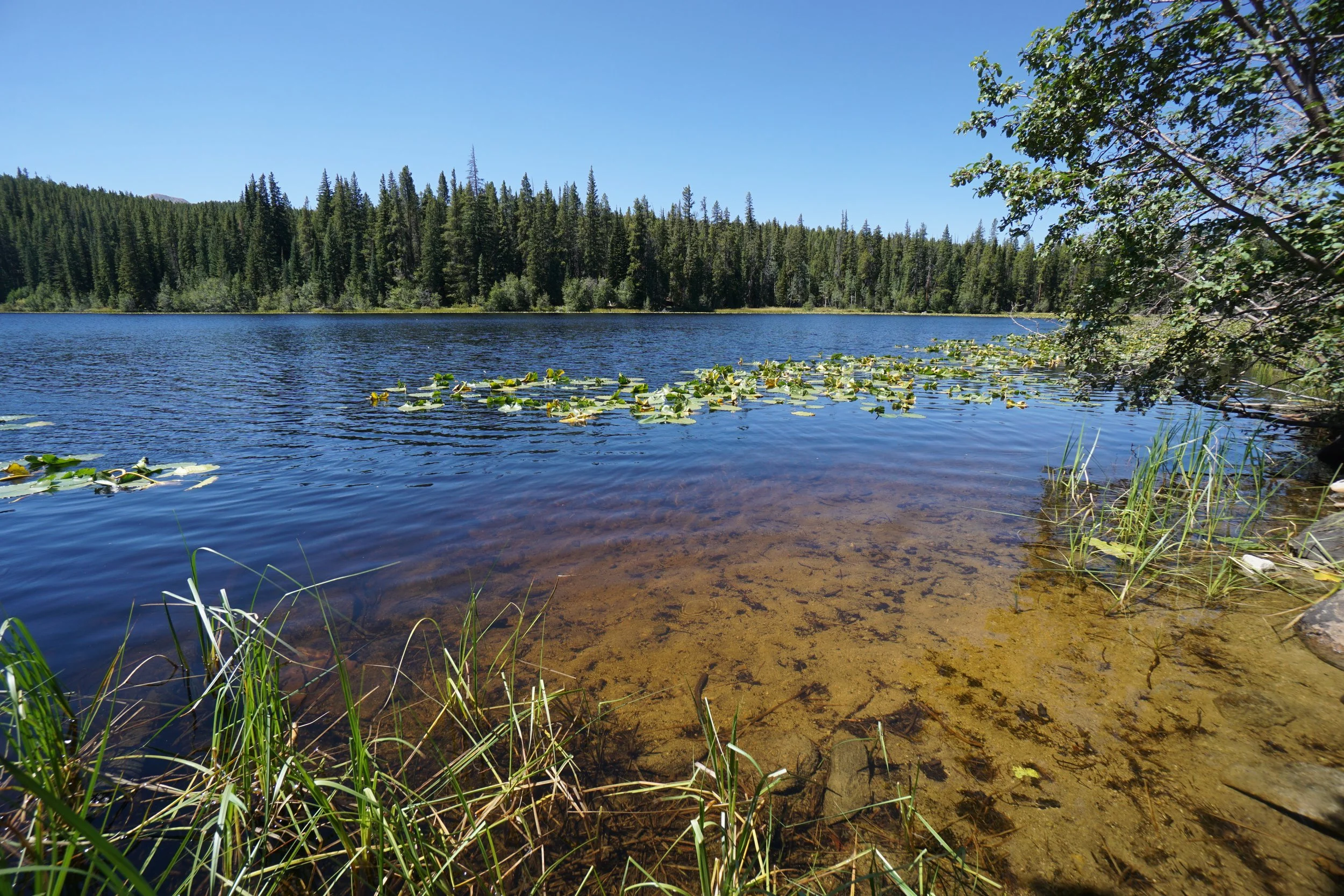
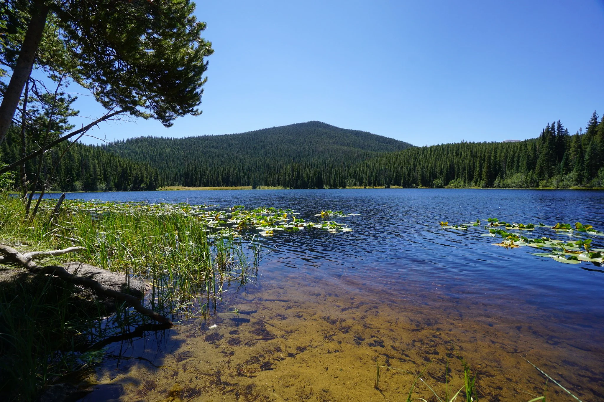
Chapman Lake is a serene and picturesque sub-alpine lake just within the boundaries of the Hunter-Fryingpan Wilderness Area. The hike is simple and straightforward. From the trailhead head north on a gentle ascent through pine forest for ½ mile at which point you enter the Wilderness Area and turn to the east. The trail curves back to the south and arrives at the lake at the 1 mile mark.
While Chapman Lake is surely peaceful and relaxing, it lacks the alpine splendor of many lakes in the area. There are no dramatic peaks on the horizon nor rocky cliffs for climbing and hanging out. There are plenty of nice spots along the lake to rest and relax but this lake is understated in its beauty. Lilly pads and wildlife, shade and quietude, this lake is meant for a quick stop in the wilderness or an easy overnight backpacking destination.
Considering the ease of access and effort, Chapman Lake is a worthy half-day’s adventure and a pleasant hike to soak up the pine forest and water.