Canyon and Benjamin Loops
Betasso Preserve
Date Hiked: April 14, 2013
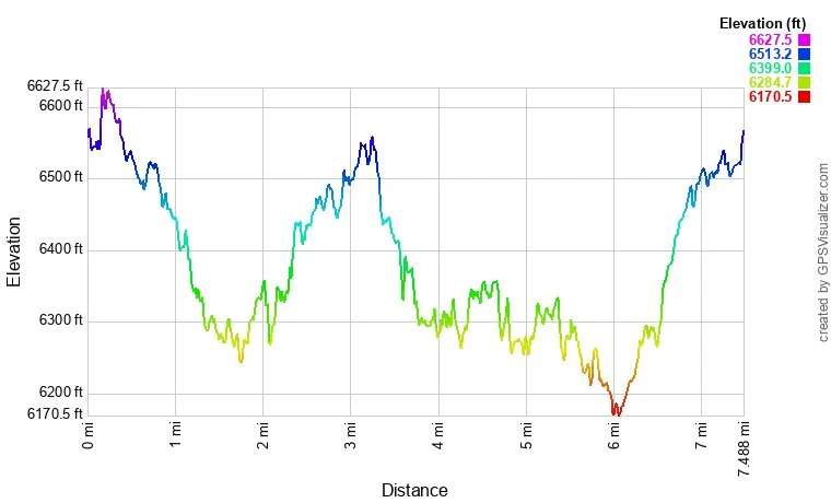
Distance: 7.5 mi (RT)
Elevation Gain: 1,208ft
Elevation Min/Max: 6,170 to 6,627ft
Managing Agency: Boulder County Open Space
Fee: None
Directions:
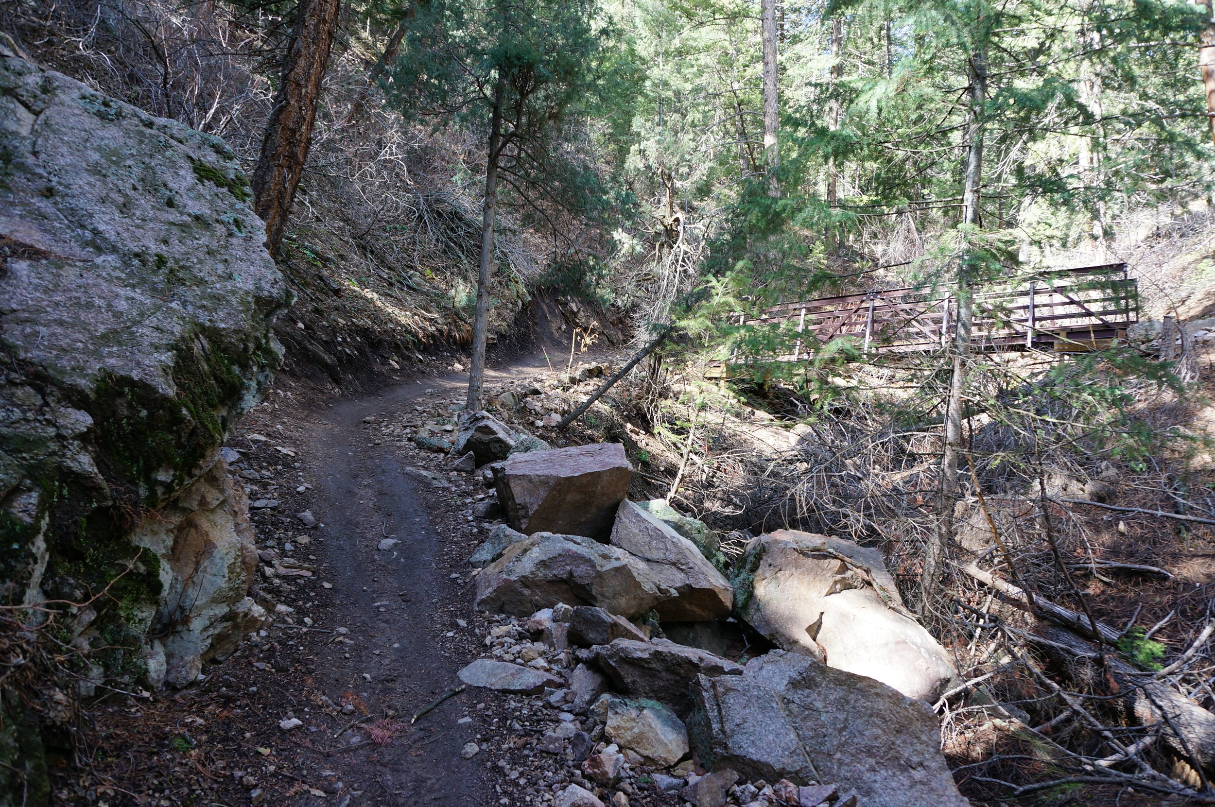
From Boulder, head west on 119, Boulder Canyon Drive. Turn right (north) onto Sugarloaf Rd and head north. Make a right onto Betasso Road and follow signs into the park. The trailhead is located at the main parking area to the north. Access to the park was hindered by the 2013 floods so check the park's website before you head out.
Hike Description:
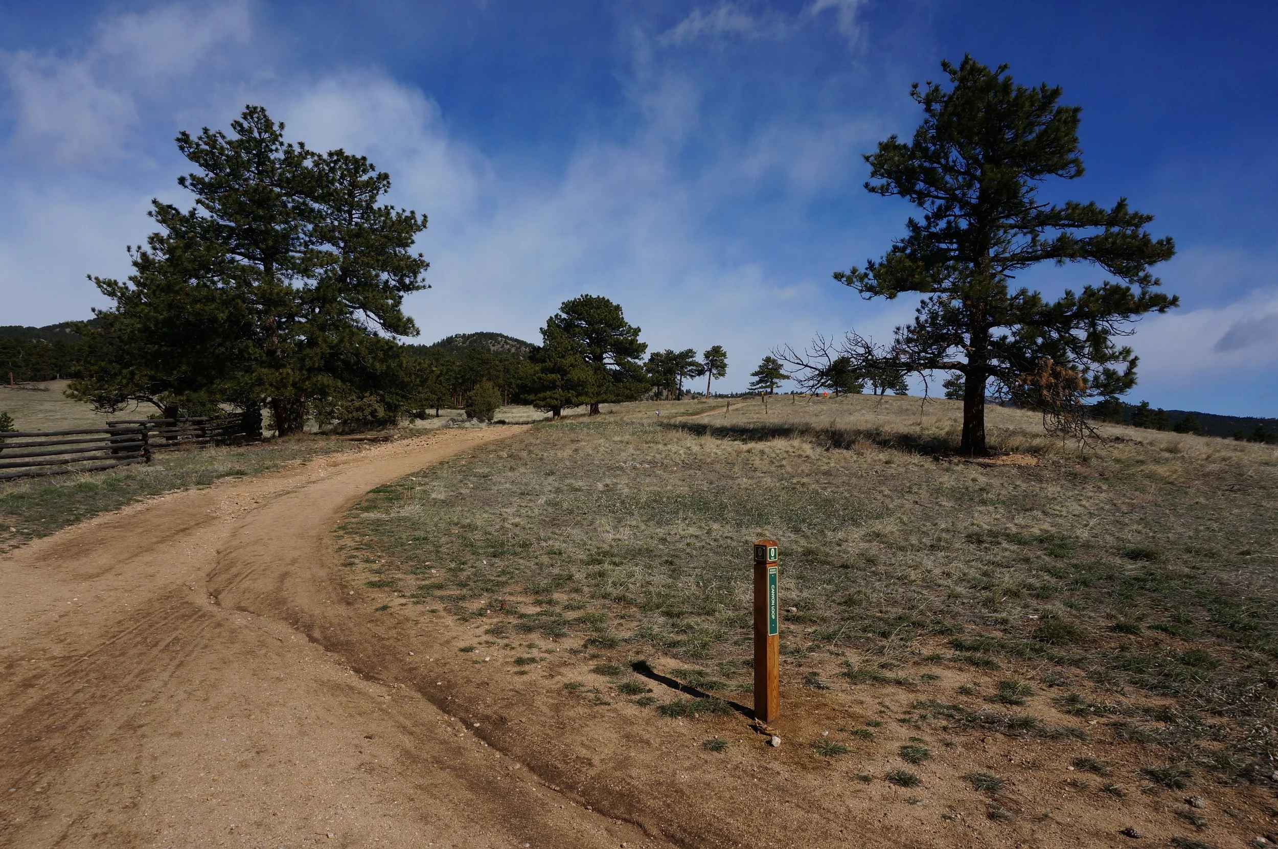
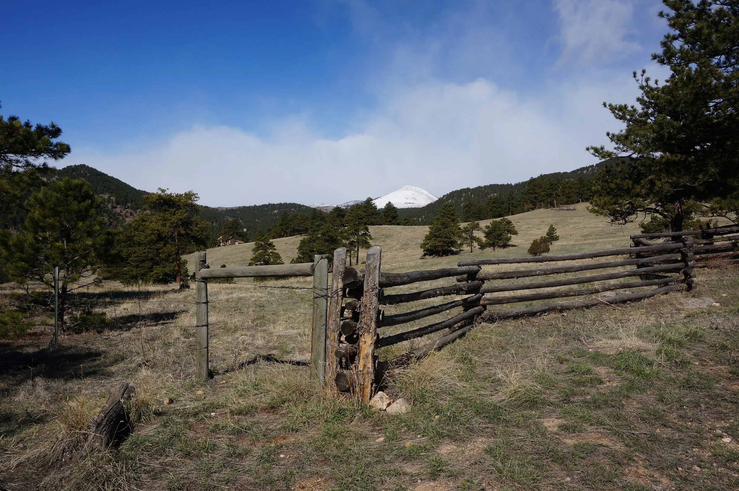
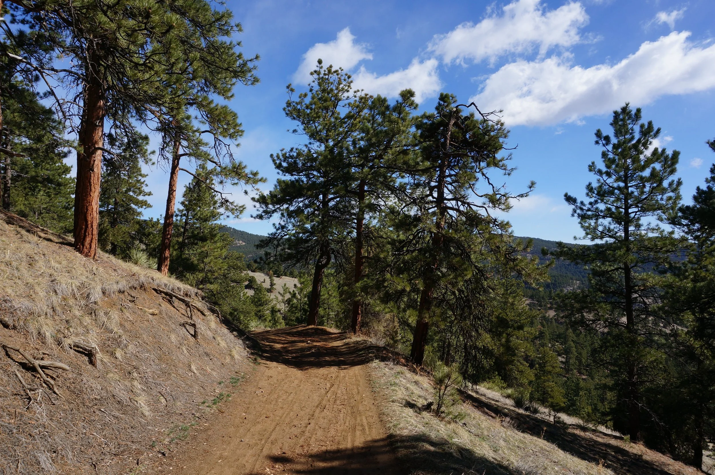
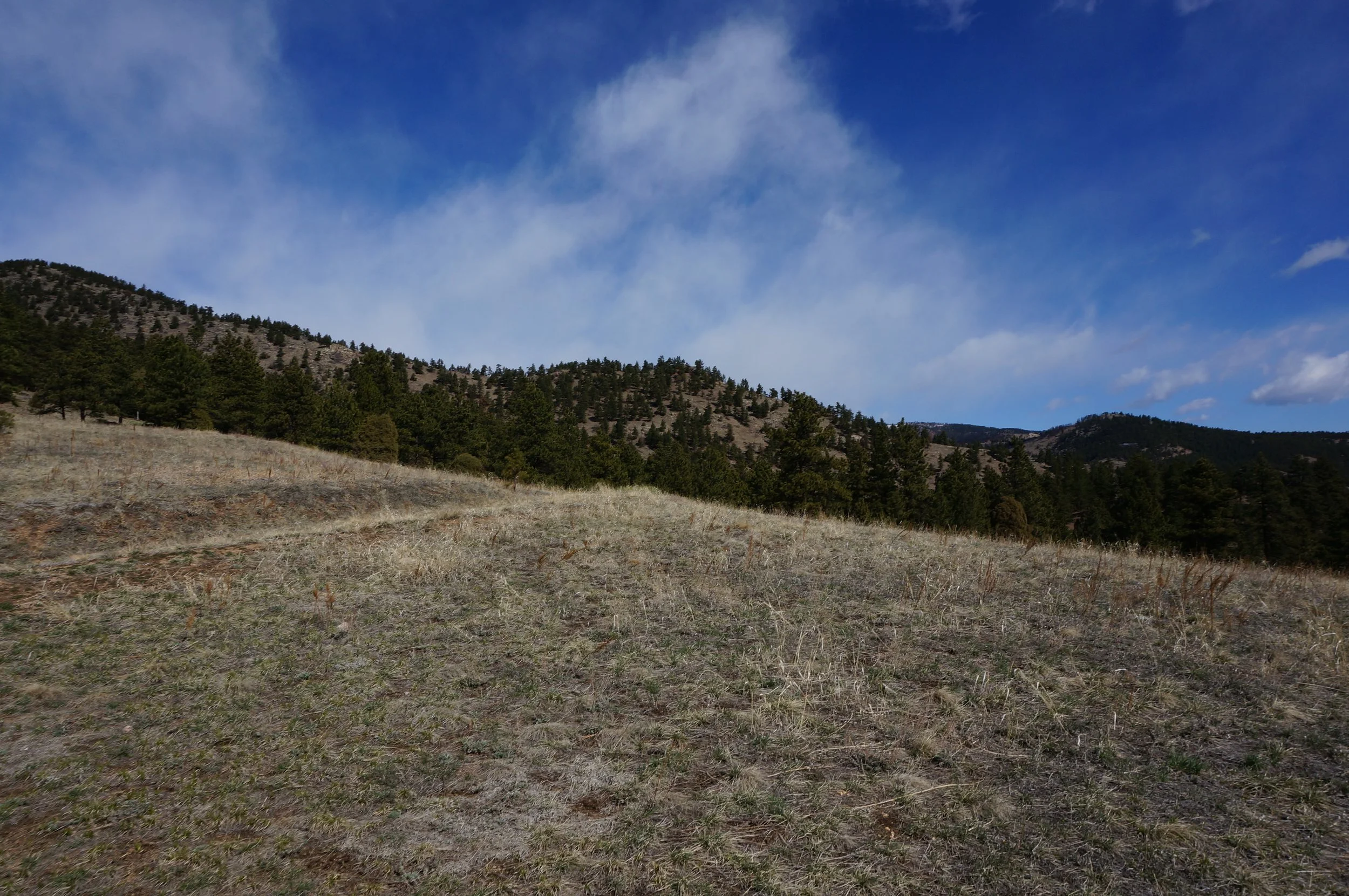
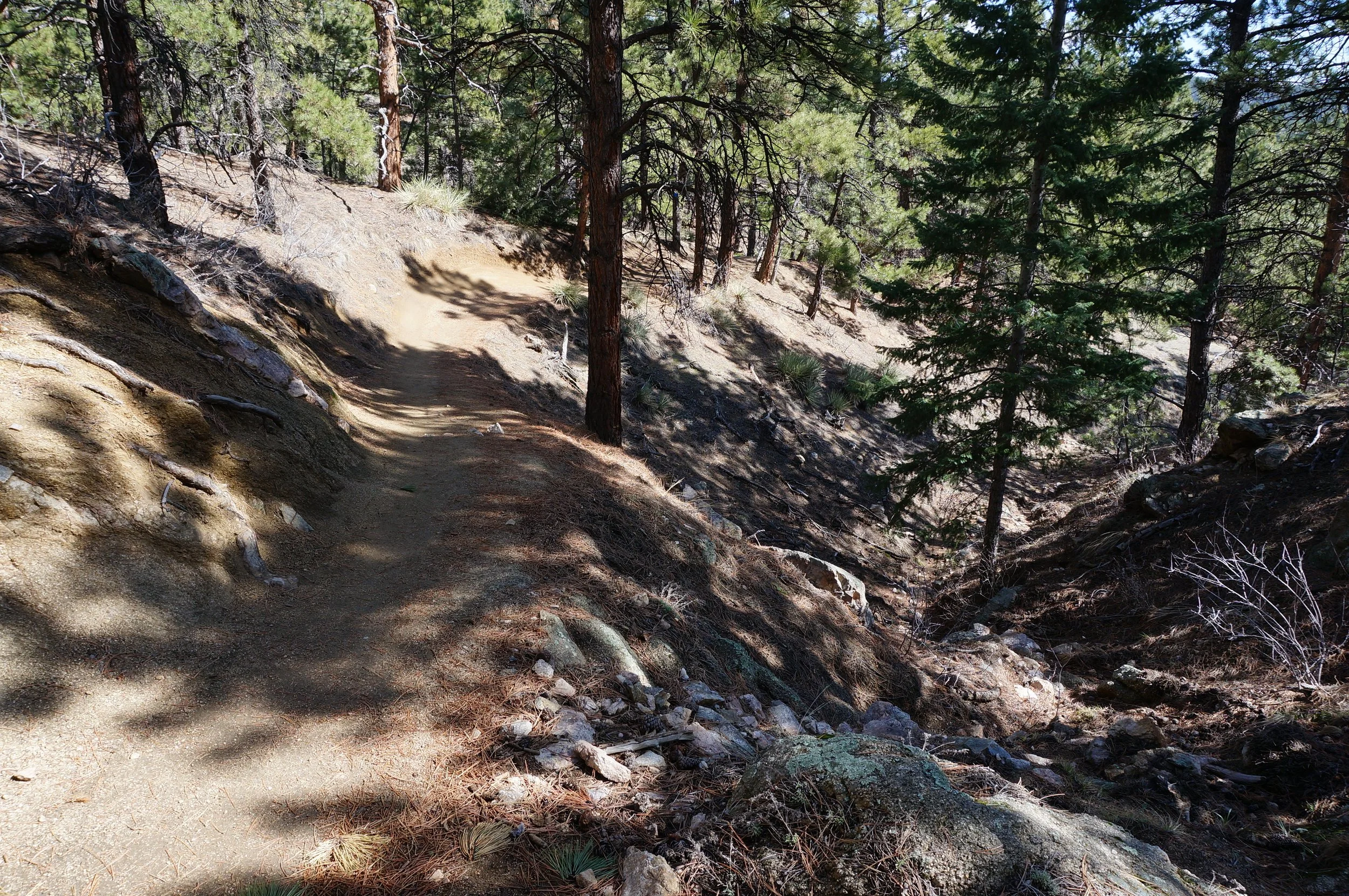
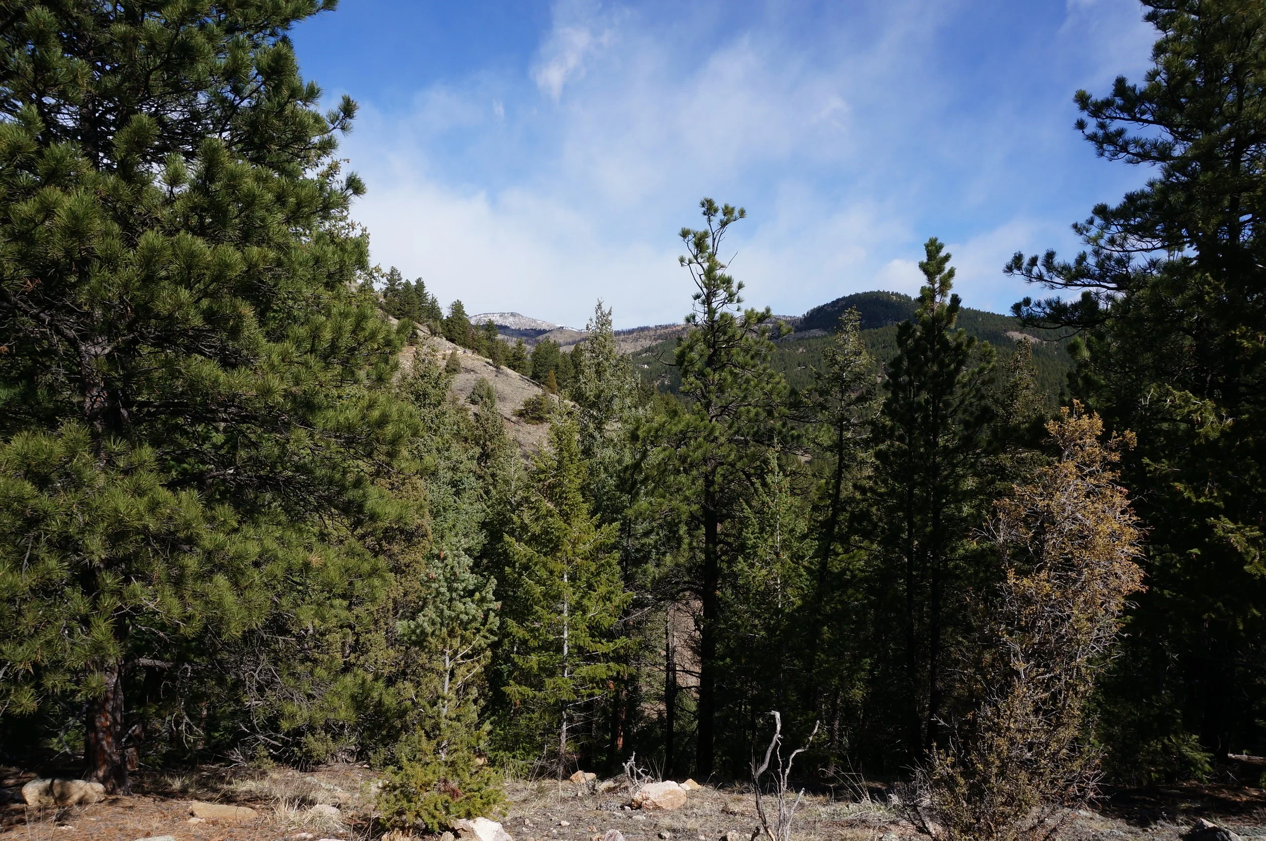
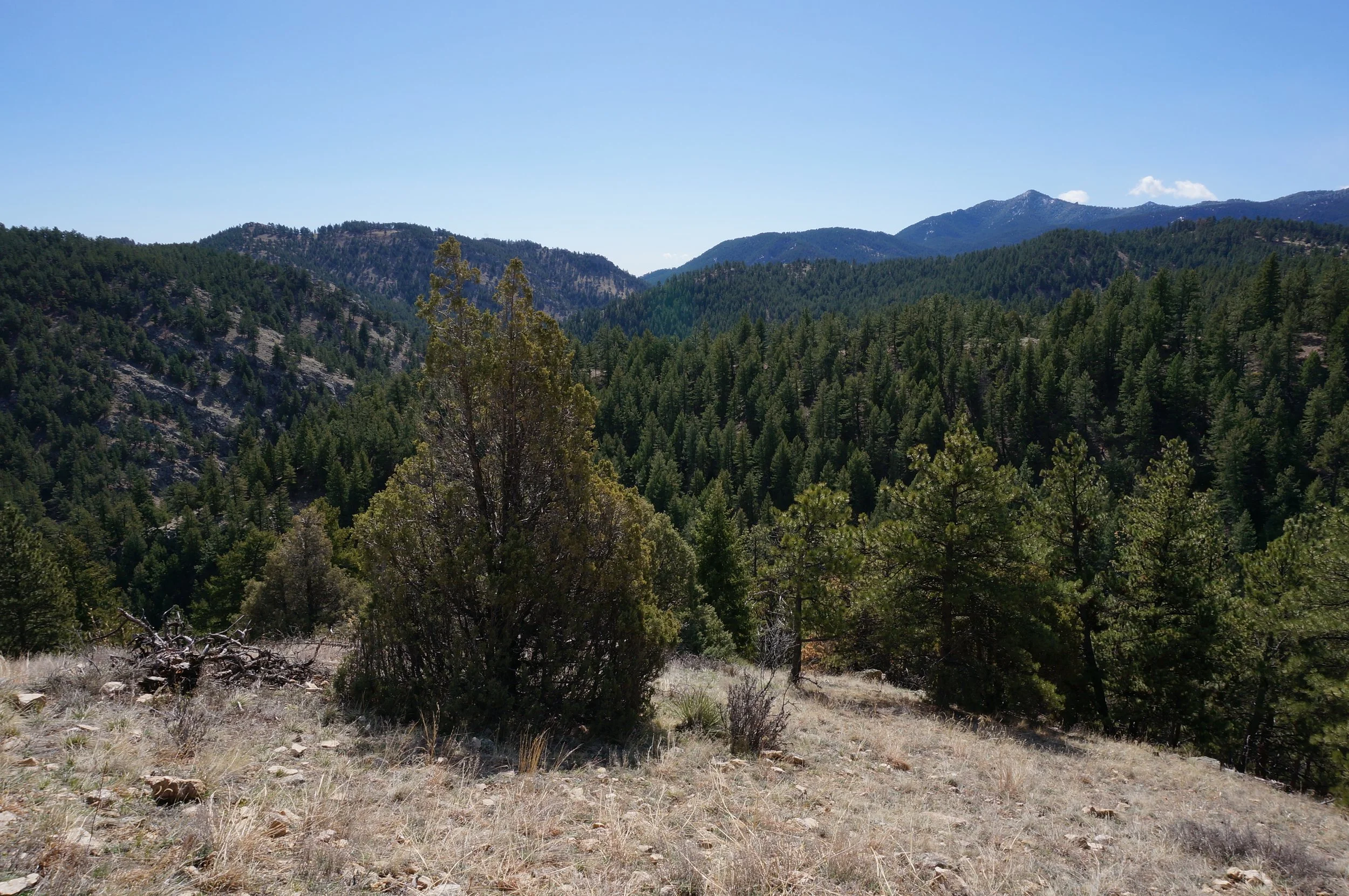
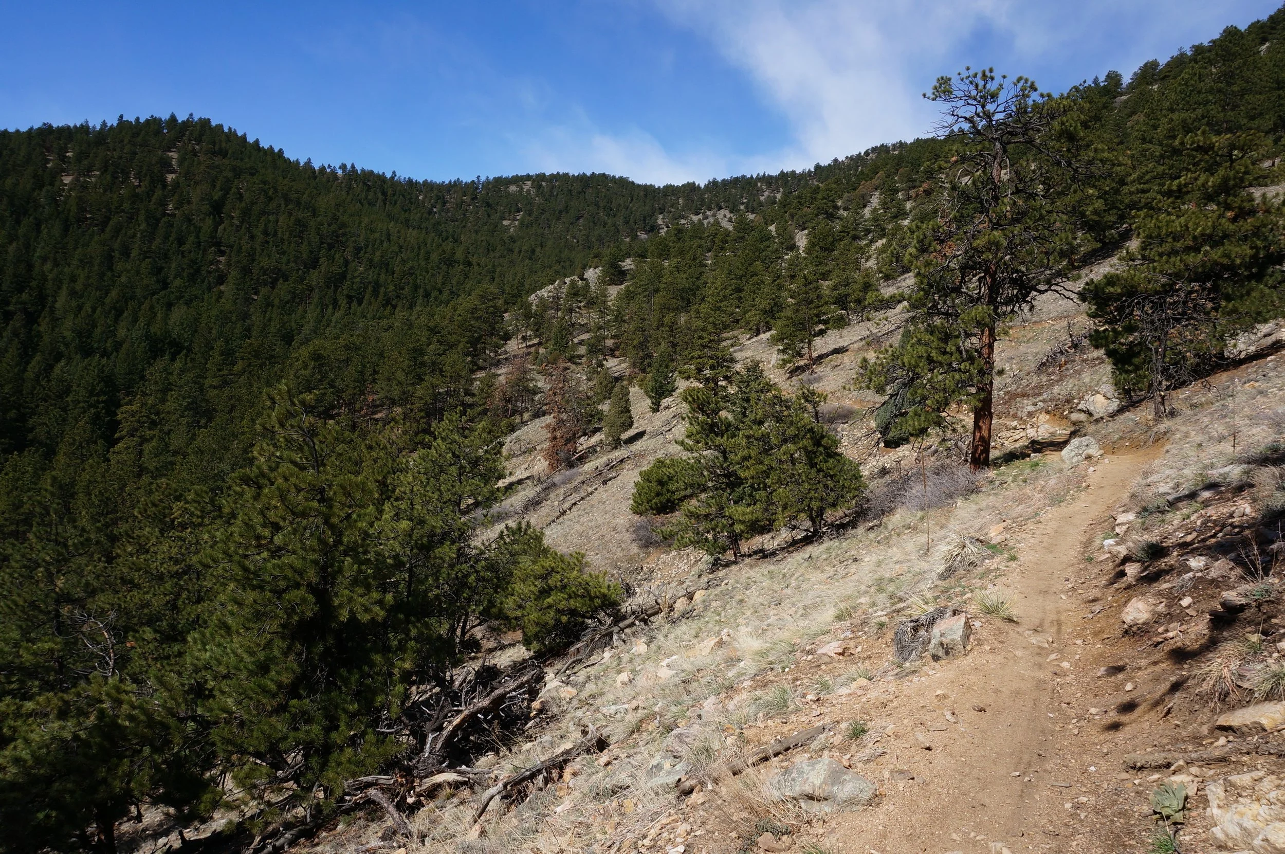
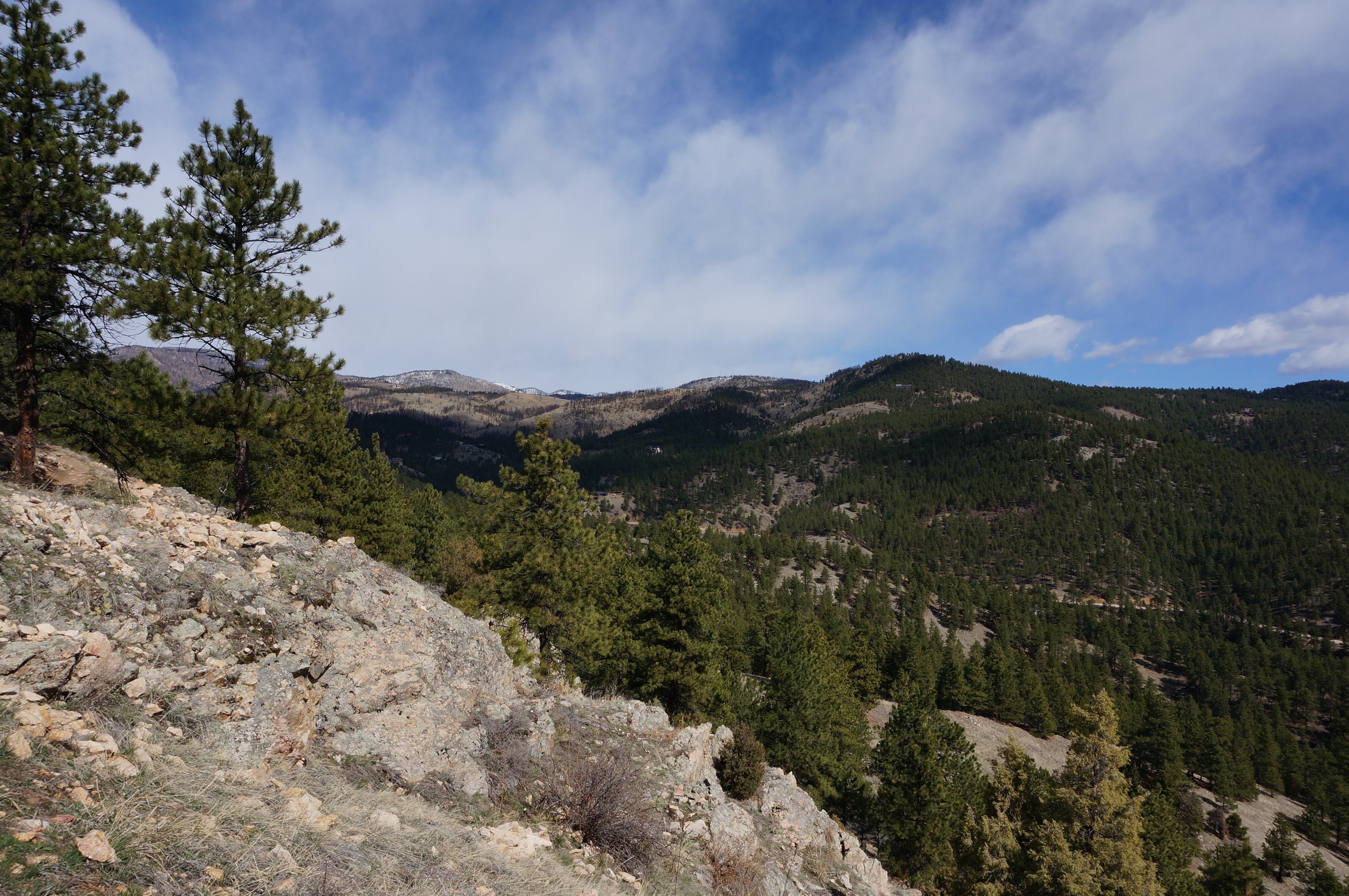
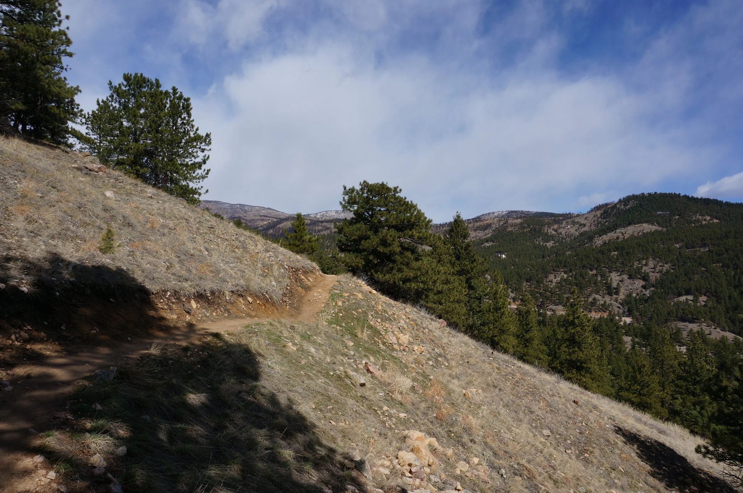
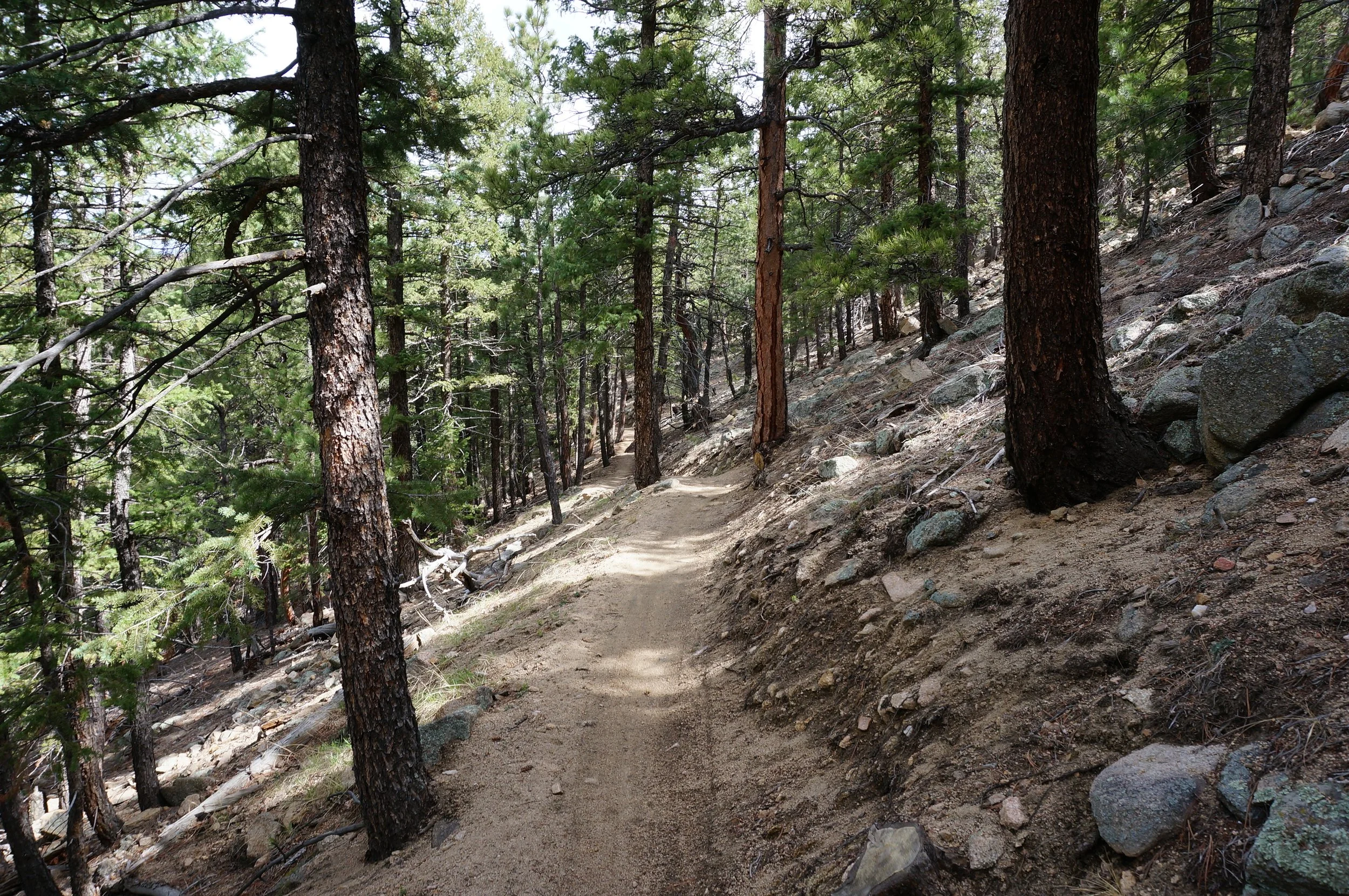
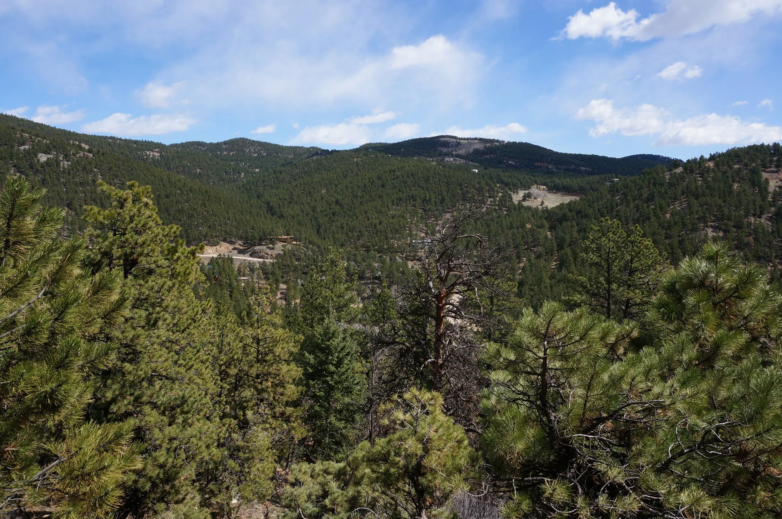
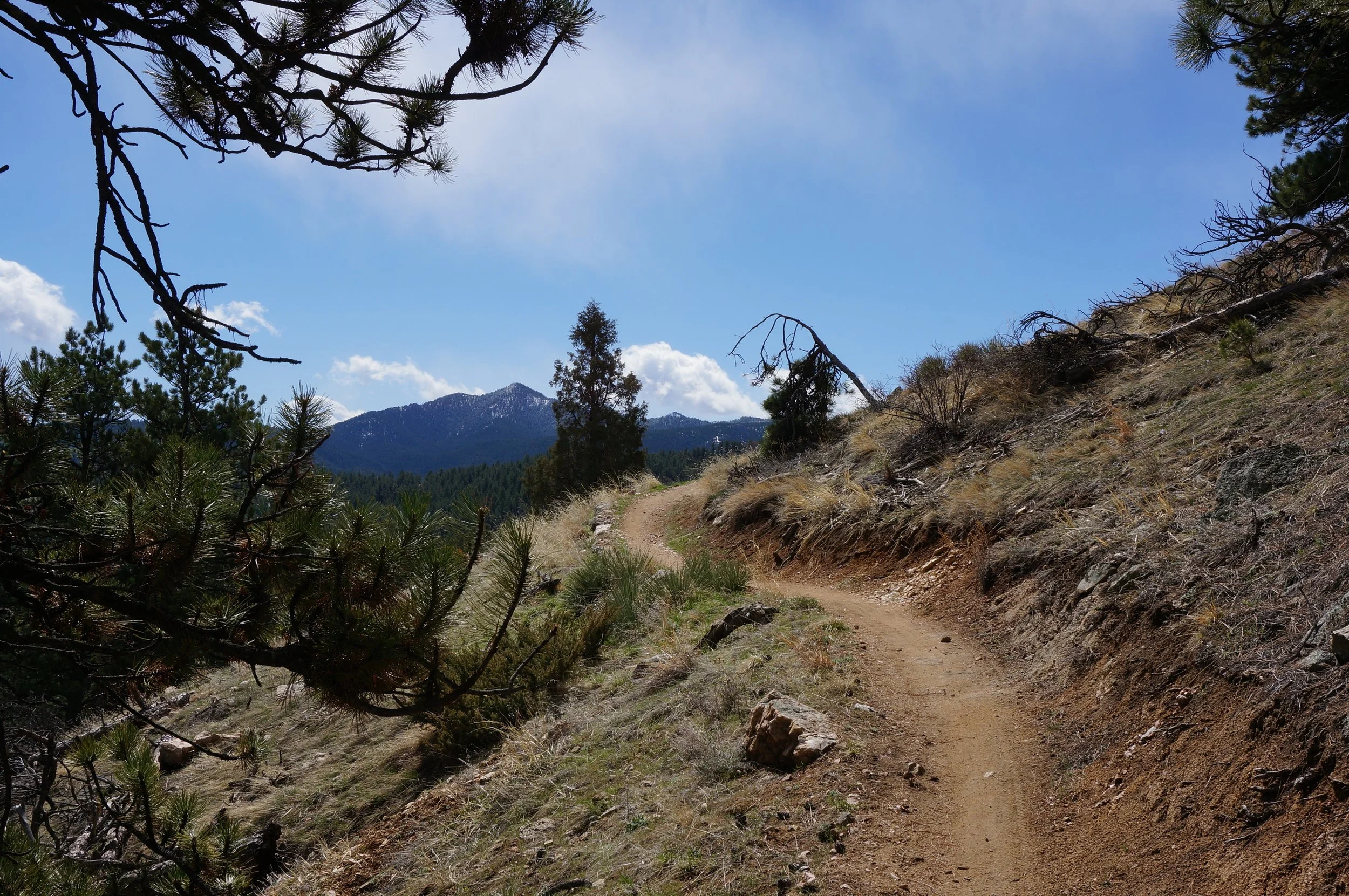
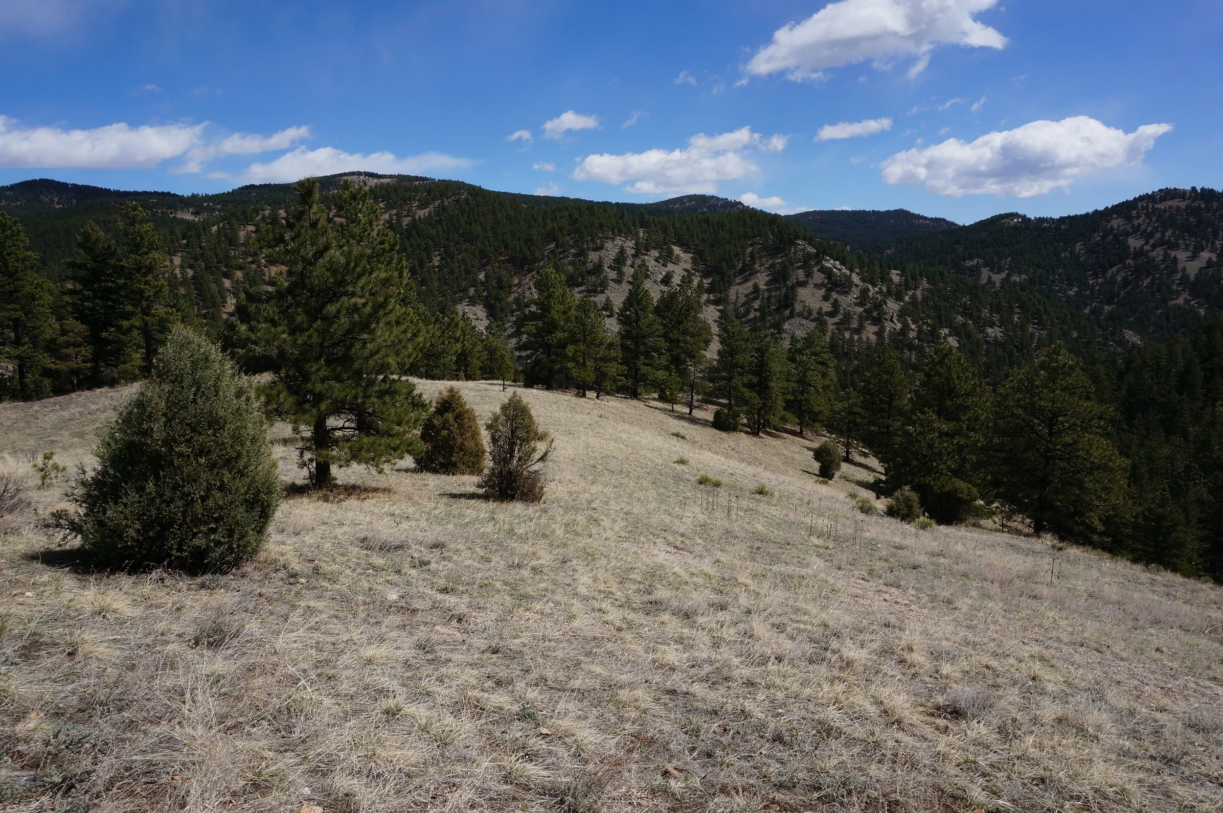
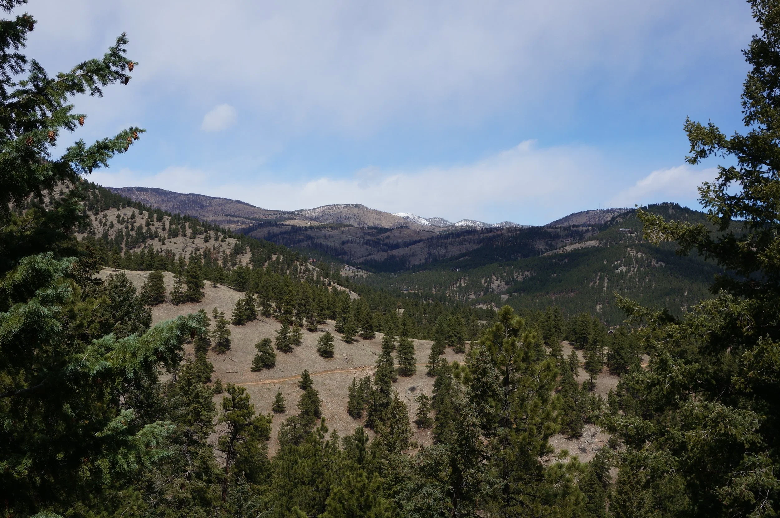
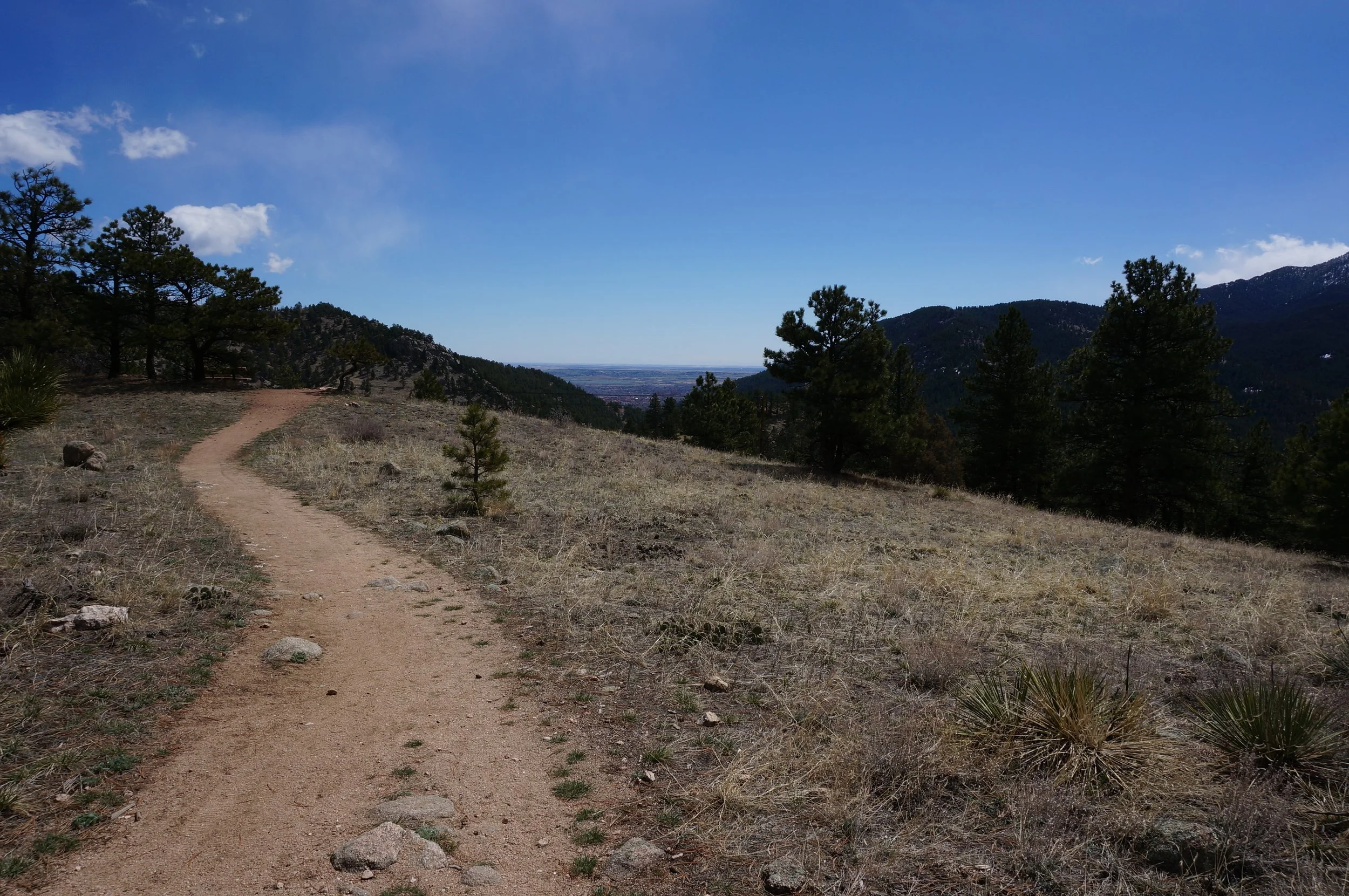
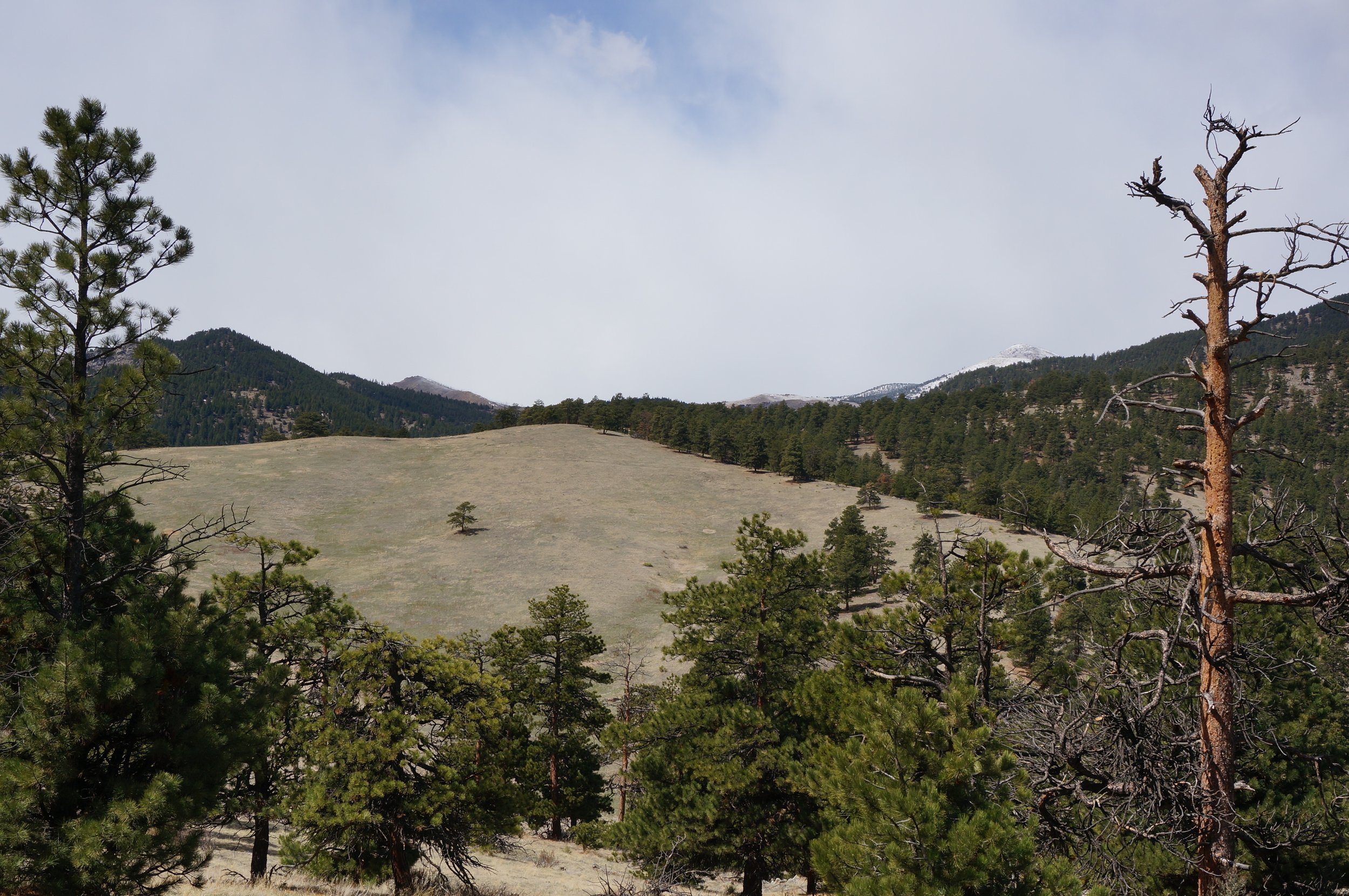
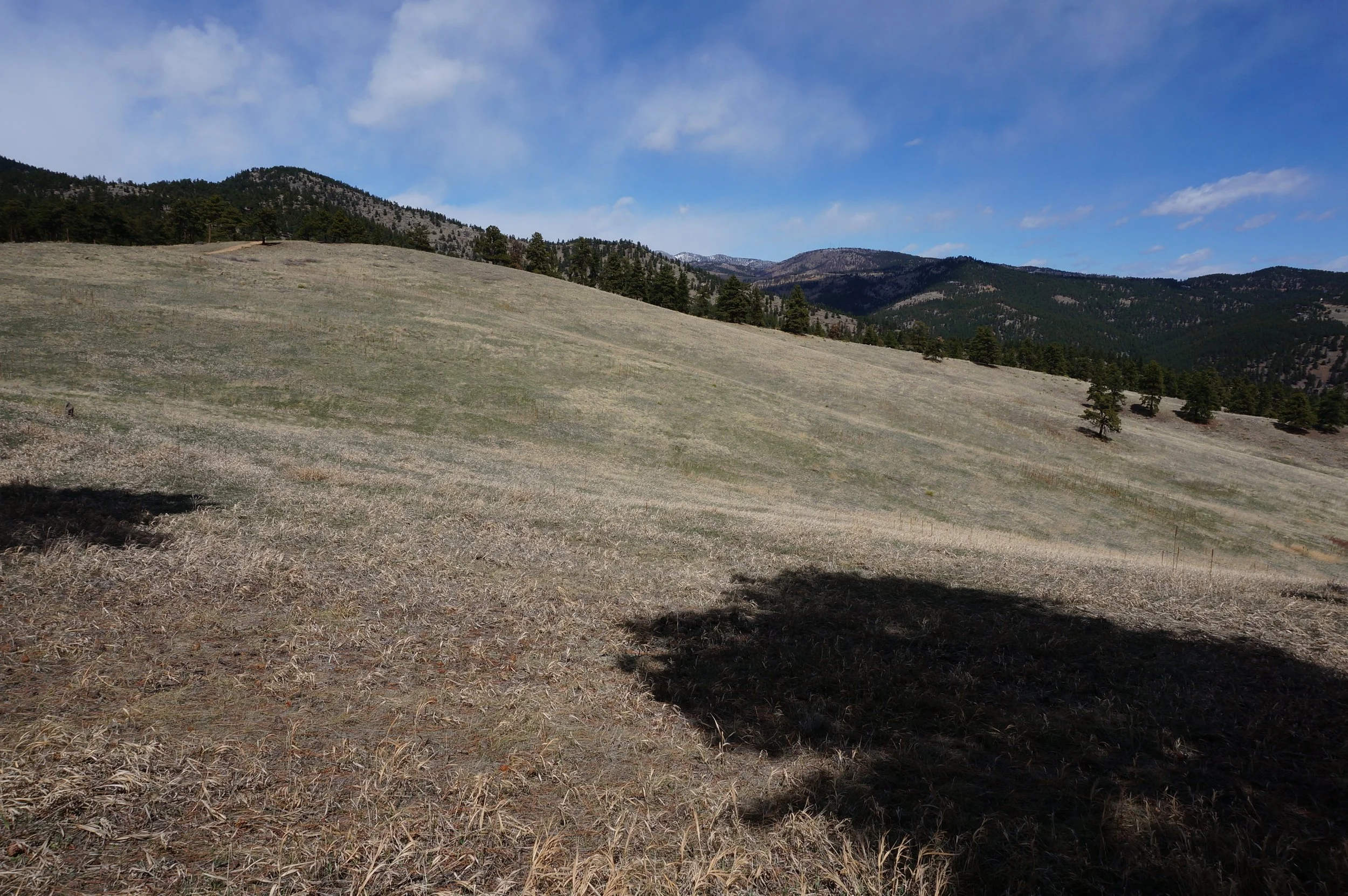
Betasso Preserve is basically made up of two loop hikes, one accessed from the south, the other from the north, and linked by a short connector trail. While either one of these loops makes for a wonderful day hike, you can combine them for a moderately strenuous tour of the entire park. The two loops alternate hiking through open meadows and evergreen forest with nice views of the surrounding foothills and the backside of Green Mountain in Boulder. You also get some nice views of Sugarloaf Mountain to the west.
The hike rolls up and down over the foothills which, with the 7.5 mi distance, makes for a good workout. The park is a wonderful place to experience the Boulder Foothills and only about a 15 min drive from Downtown Boulder, plenty of time to make it back to the Boulder Theater by showtime.