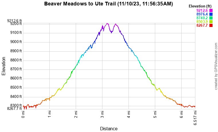
Beaver Meadows to Ute Trail
Rocky Mountain National Park
Date Hiked: November 10, 2023
Distance: 6.3 mi (RT)
Elevation Gain: 900 ft
Elevation Min/Max: 8,200 to 9,200 ft
Trailhead Lat/Long:
Managing Agency: National Park Service
Fee: Yes
Directions:
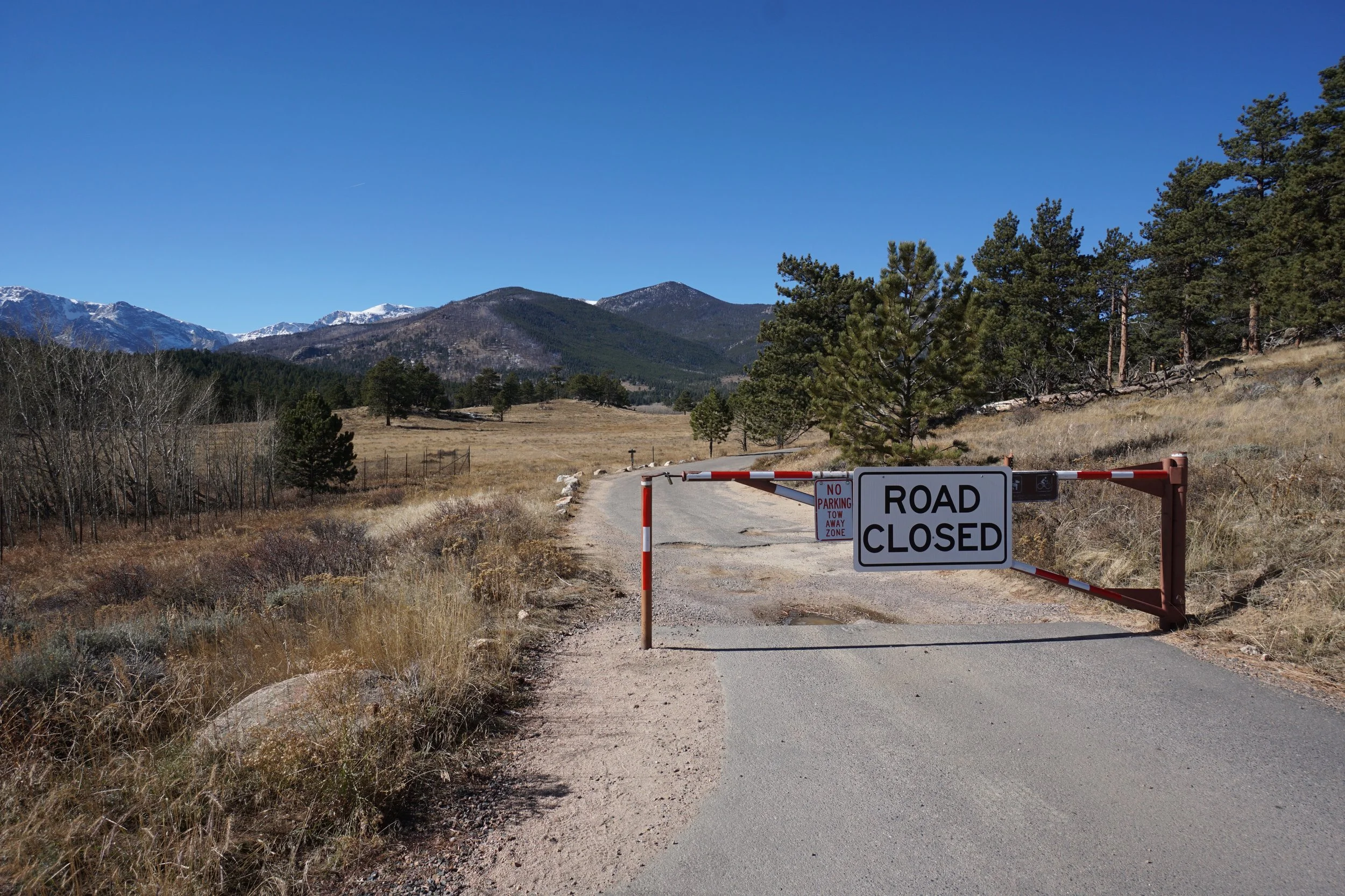
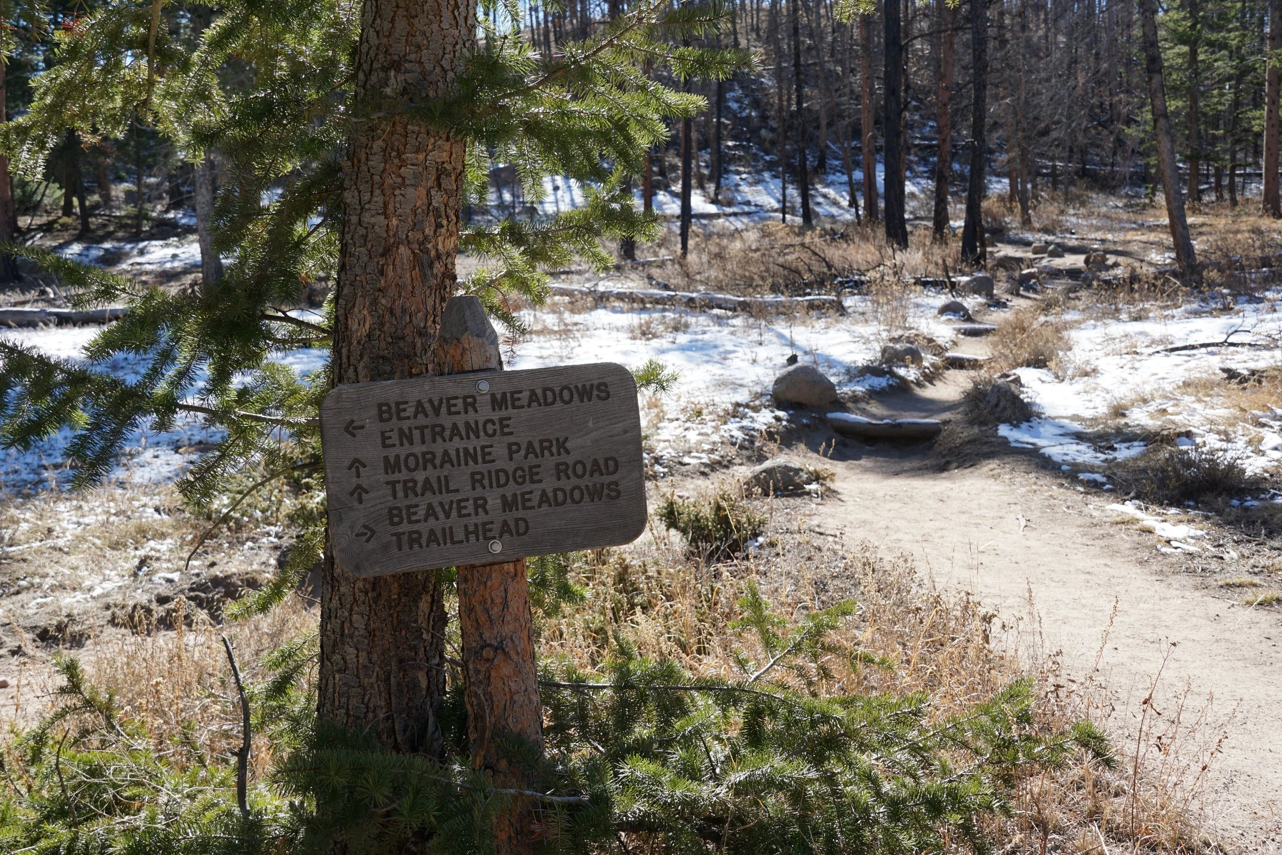
From the Beaver Meadows Entrance, follow the road past the turn off for Bear Creek Road. At the first bend in the road, on the right, you’ll see the Upper Beaver Meadows Road. This road is closed in the winter. A small turnoff is a good parking spot for this hike. The trail starts just to the left of the road closure.
Hike Description:
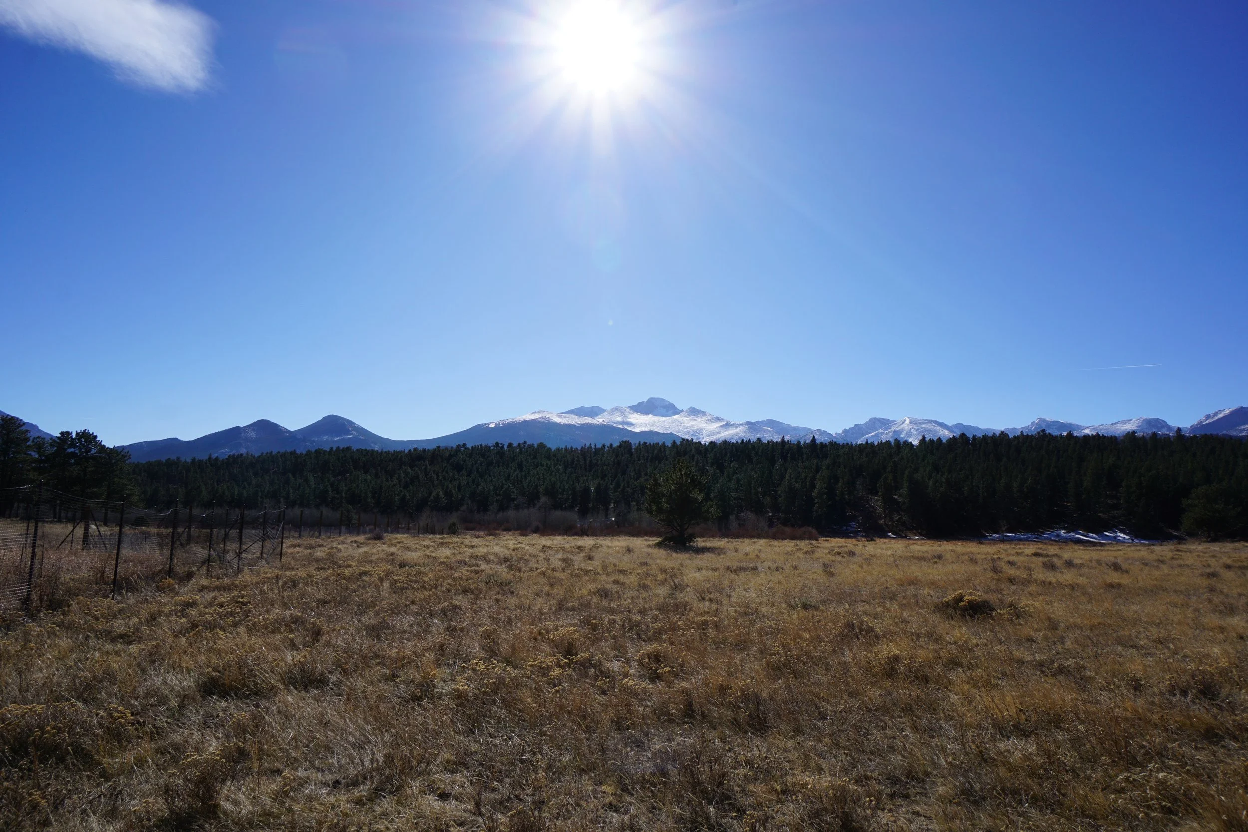
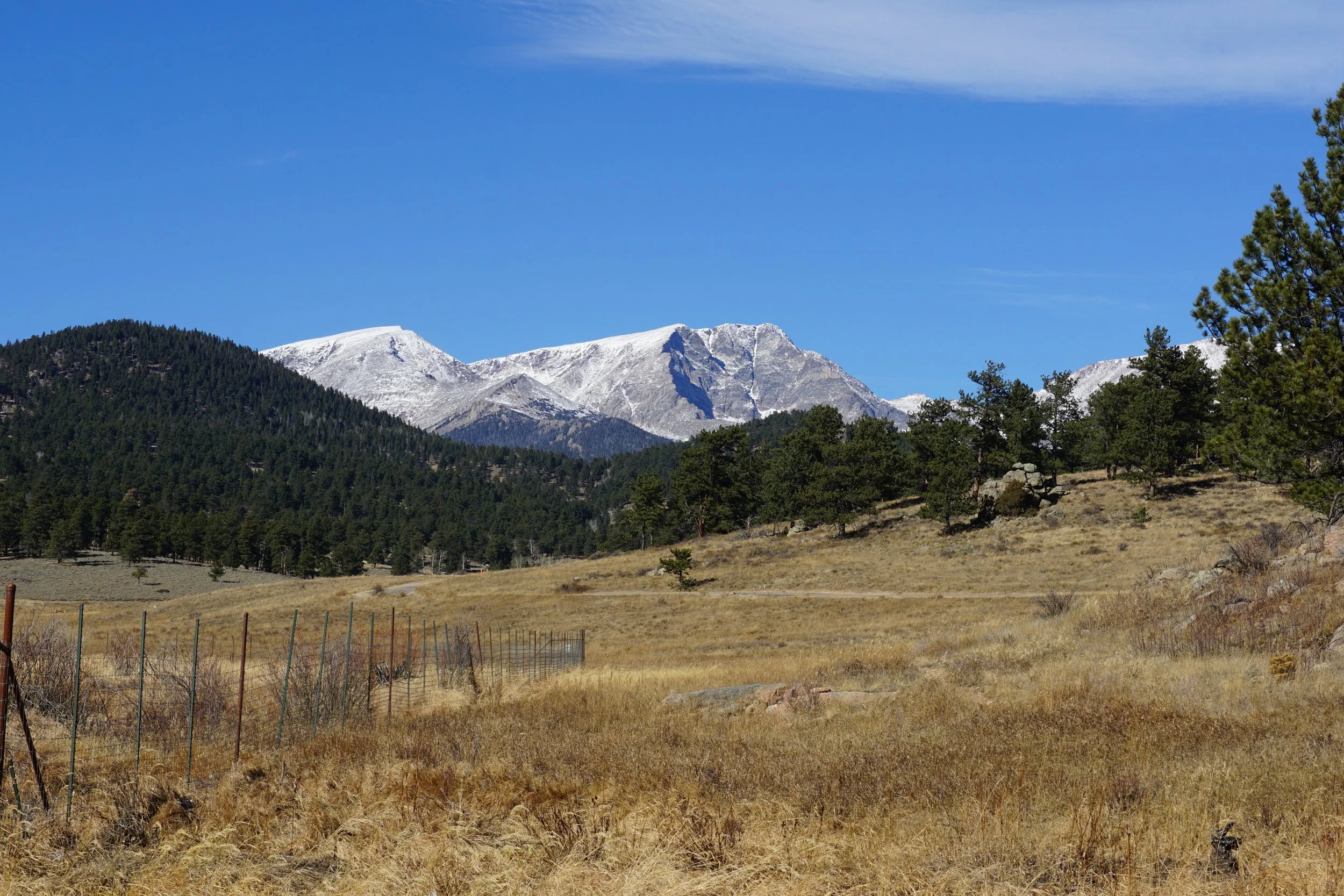
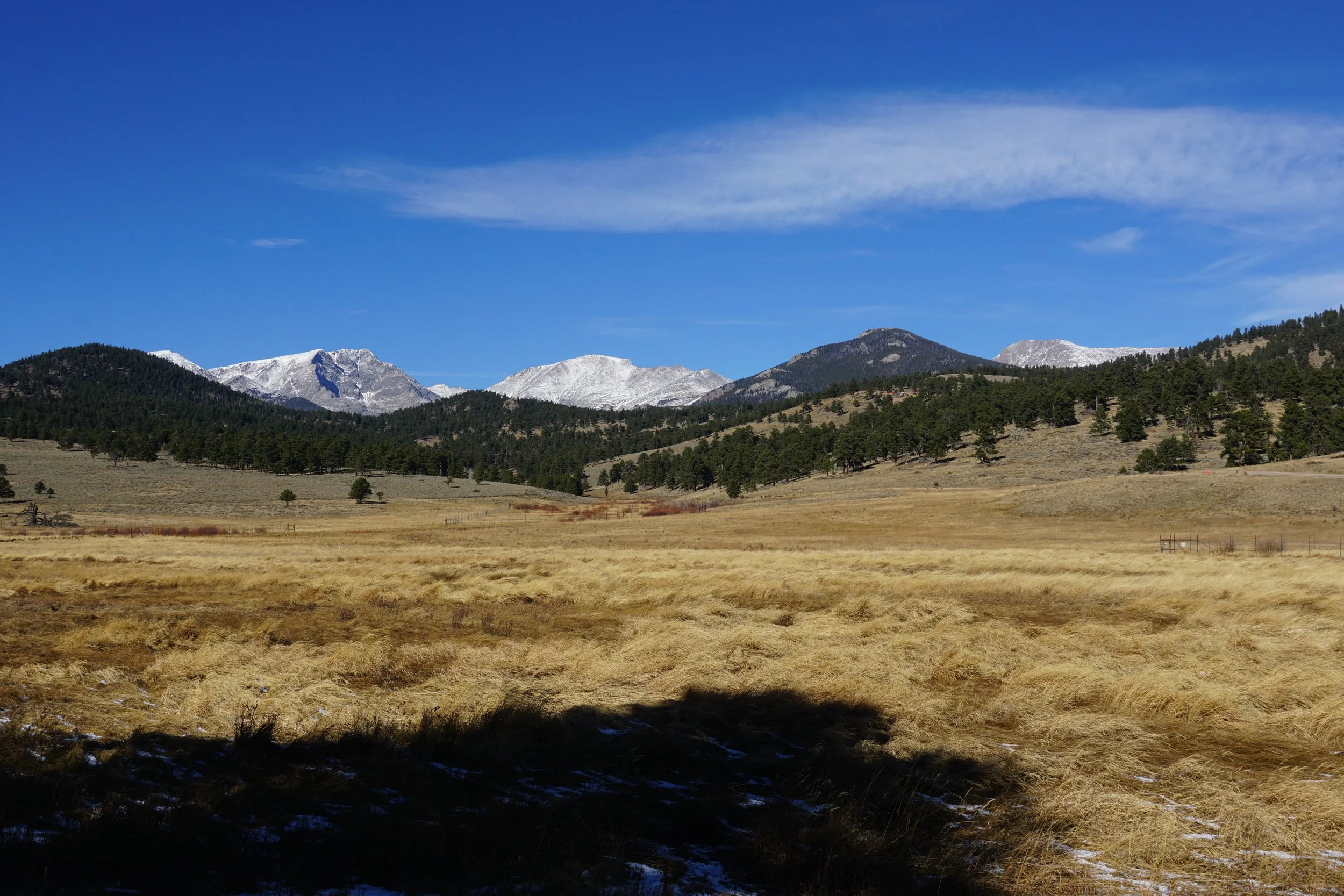
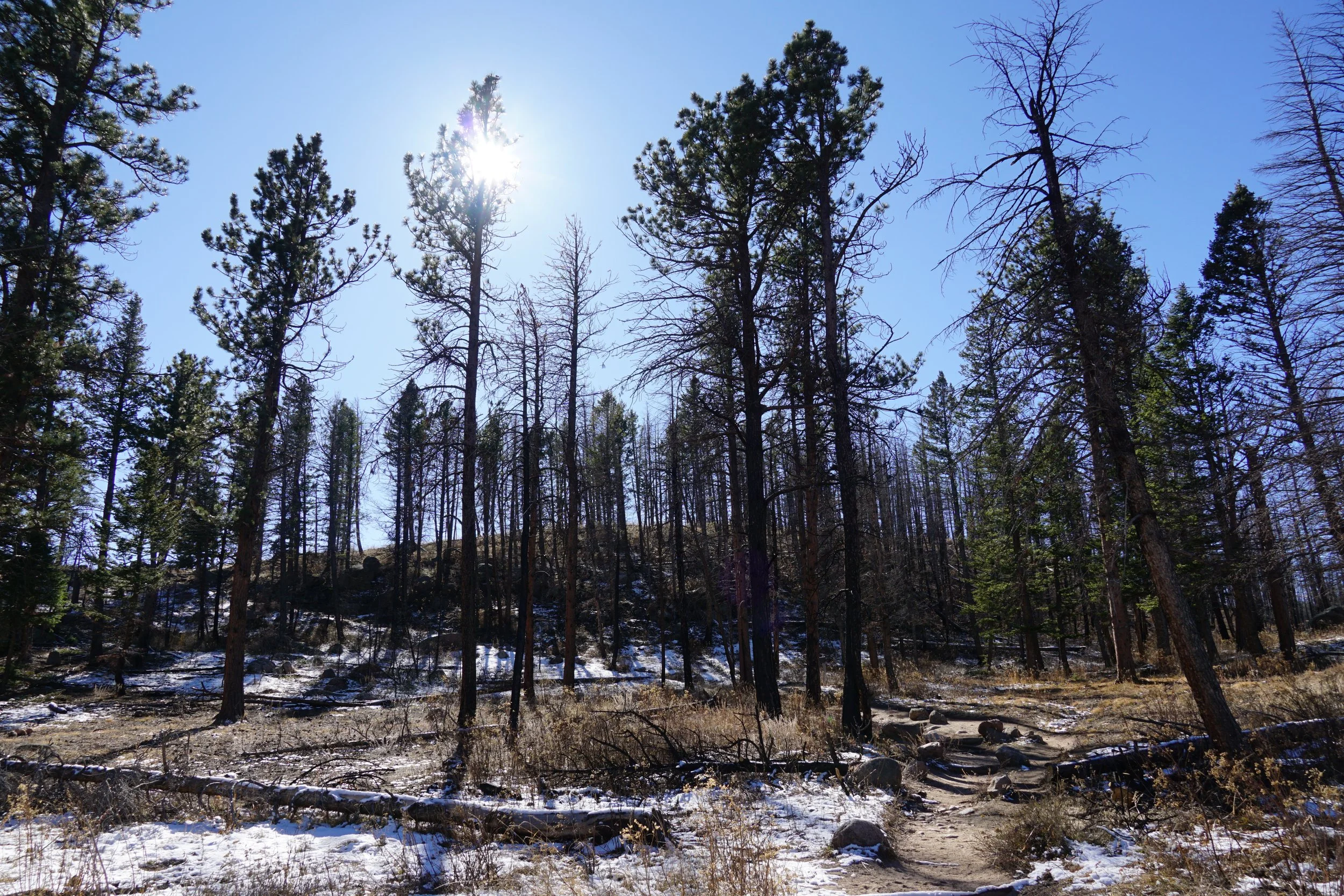
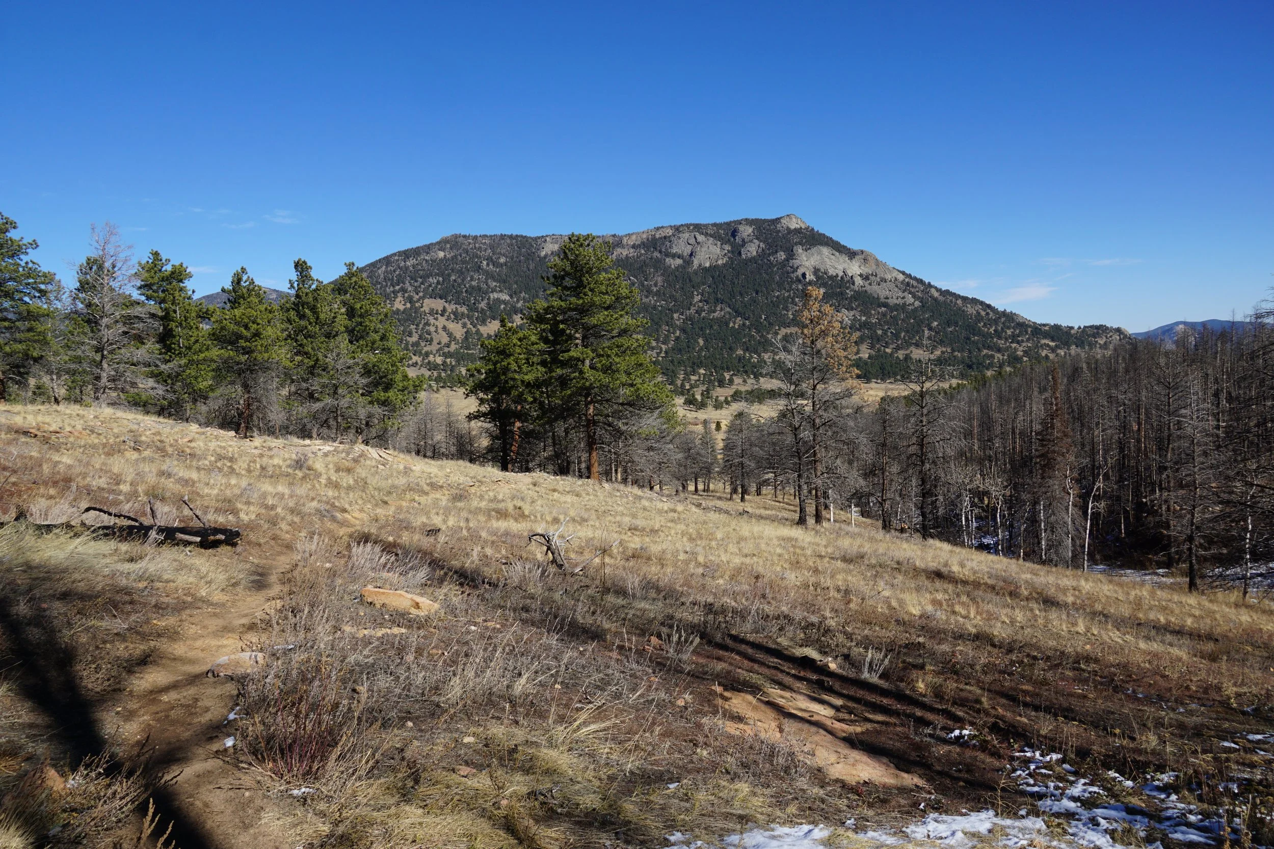
Beaver Meadows is one of the park’s most well-known and visited areas. It’s easily accessed on the main park road on the way up to Trail Ridge Road. A system of easy trails crisscross the meadows and this is a prime spot to get the little ones out of the car, explore, and spot some elk. This is also a great spot to start a longer hike in the late fall/early winter when the higher elevation trails start to fill up with snow. Not a whole lot of people venture beyond Beaver Meadows and the Ute Trail can take you all the way to Trail Ridge Road if you so desire.
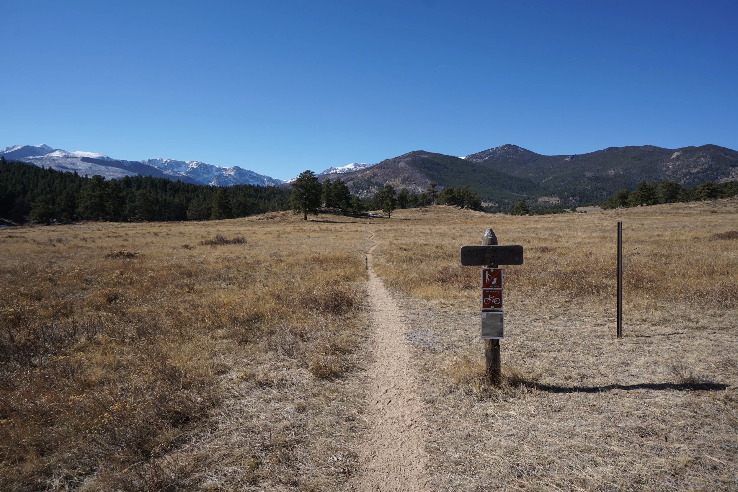
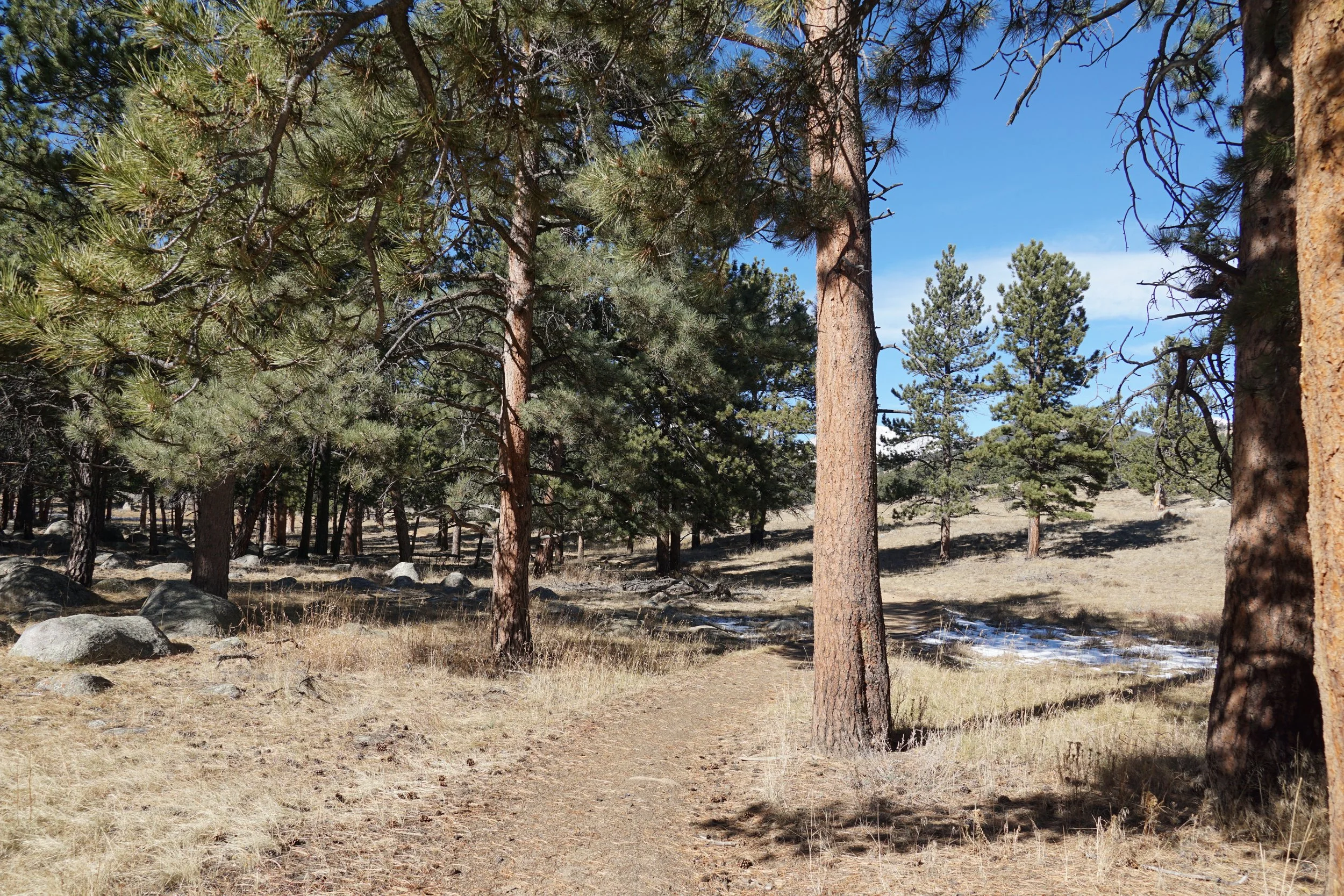
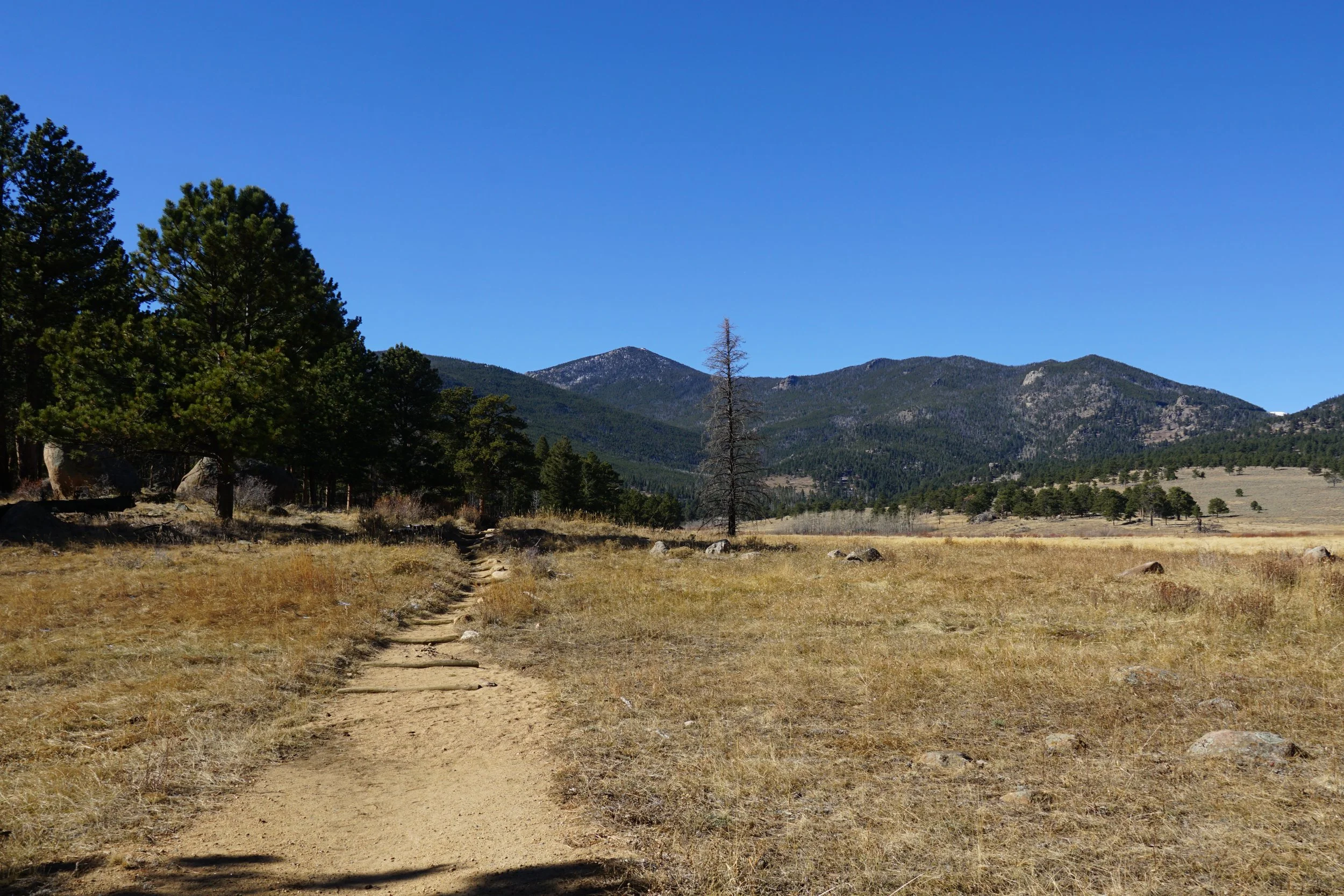
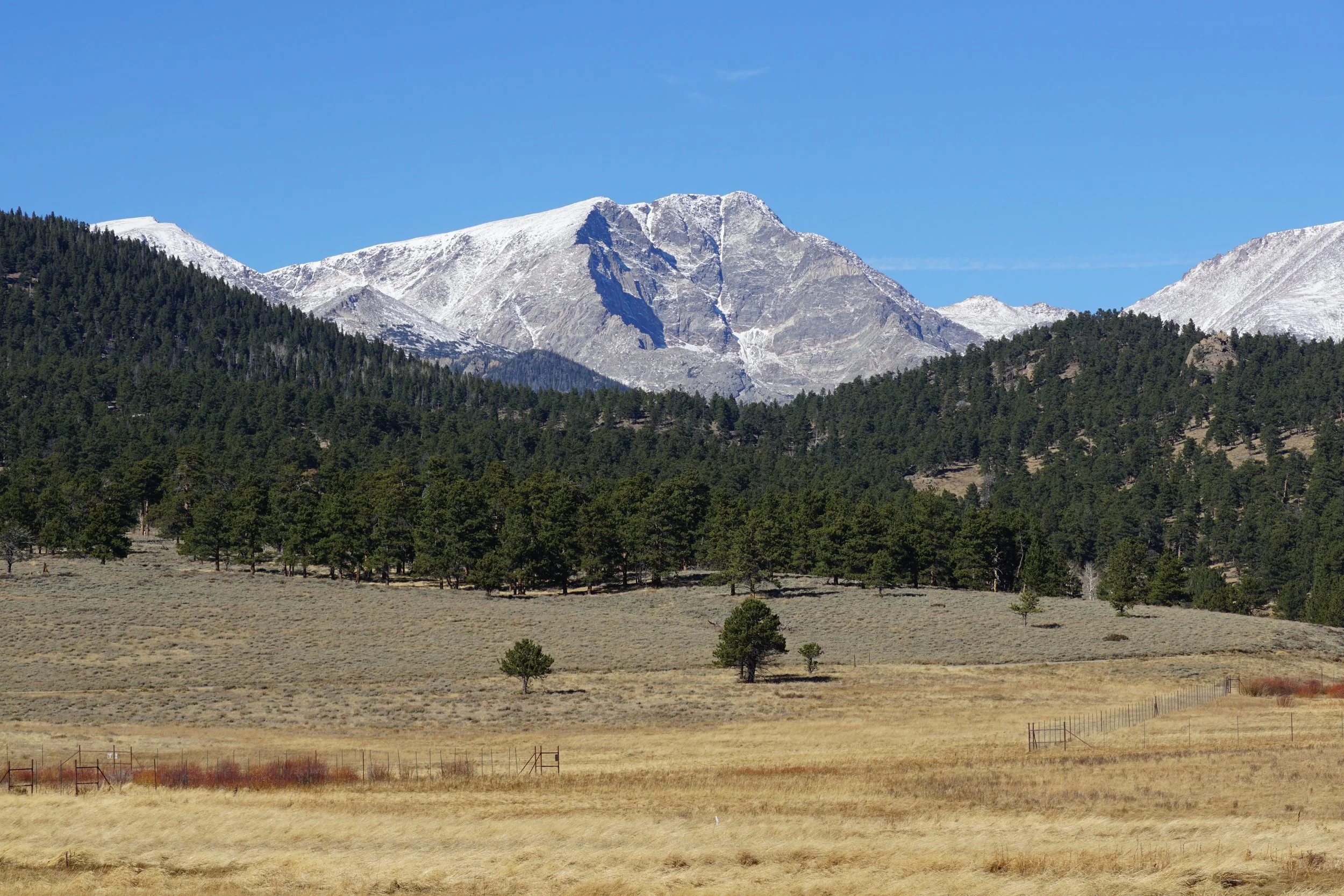
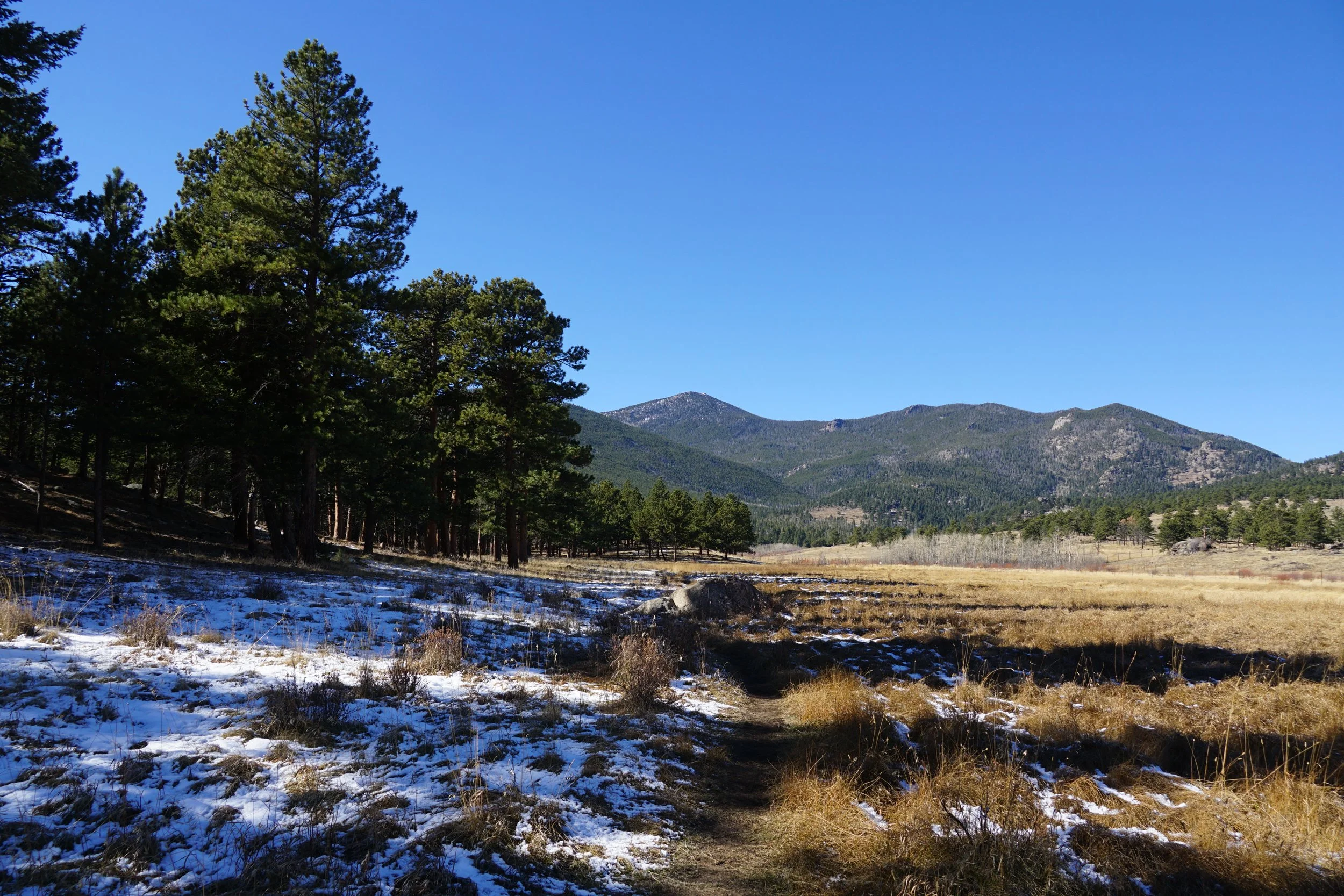
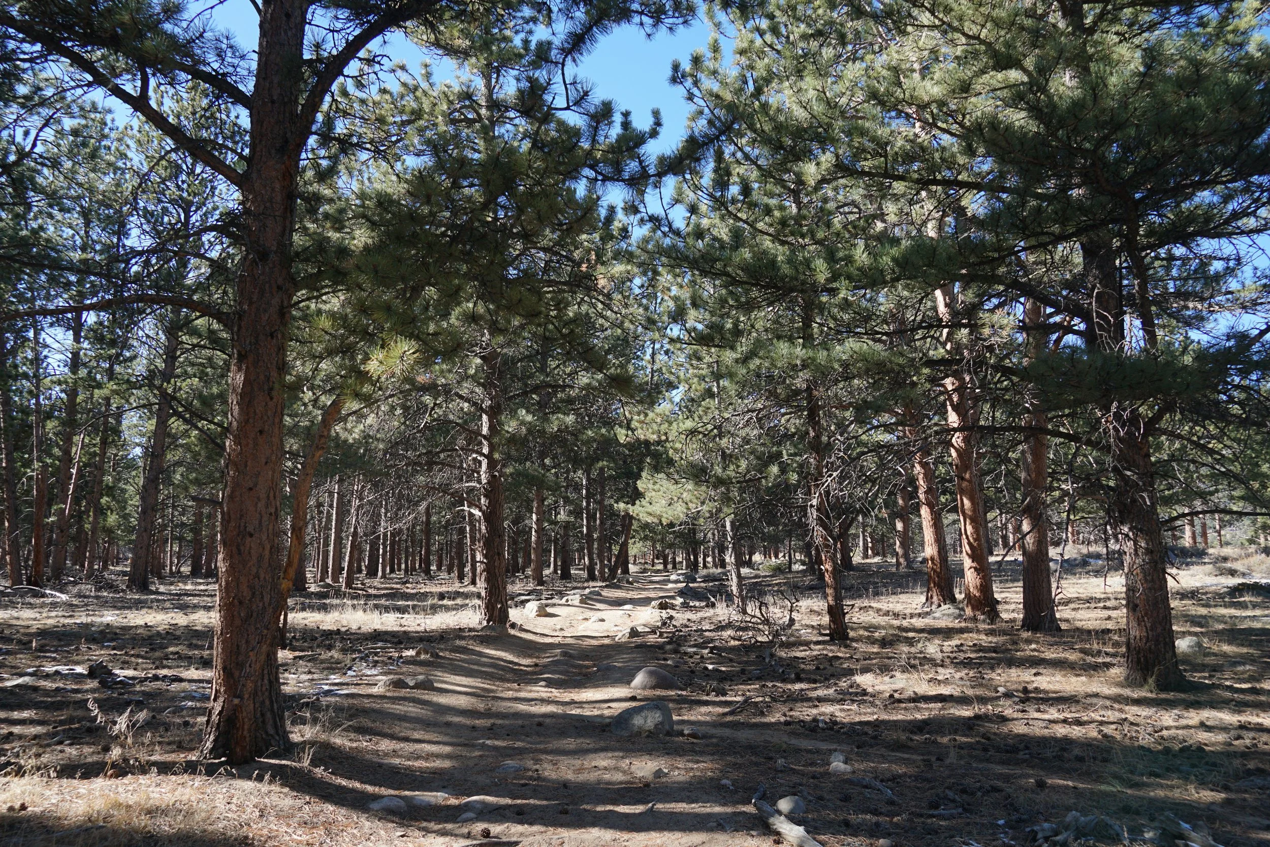
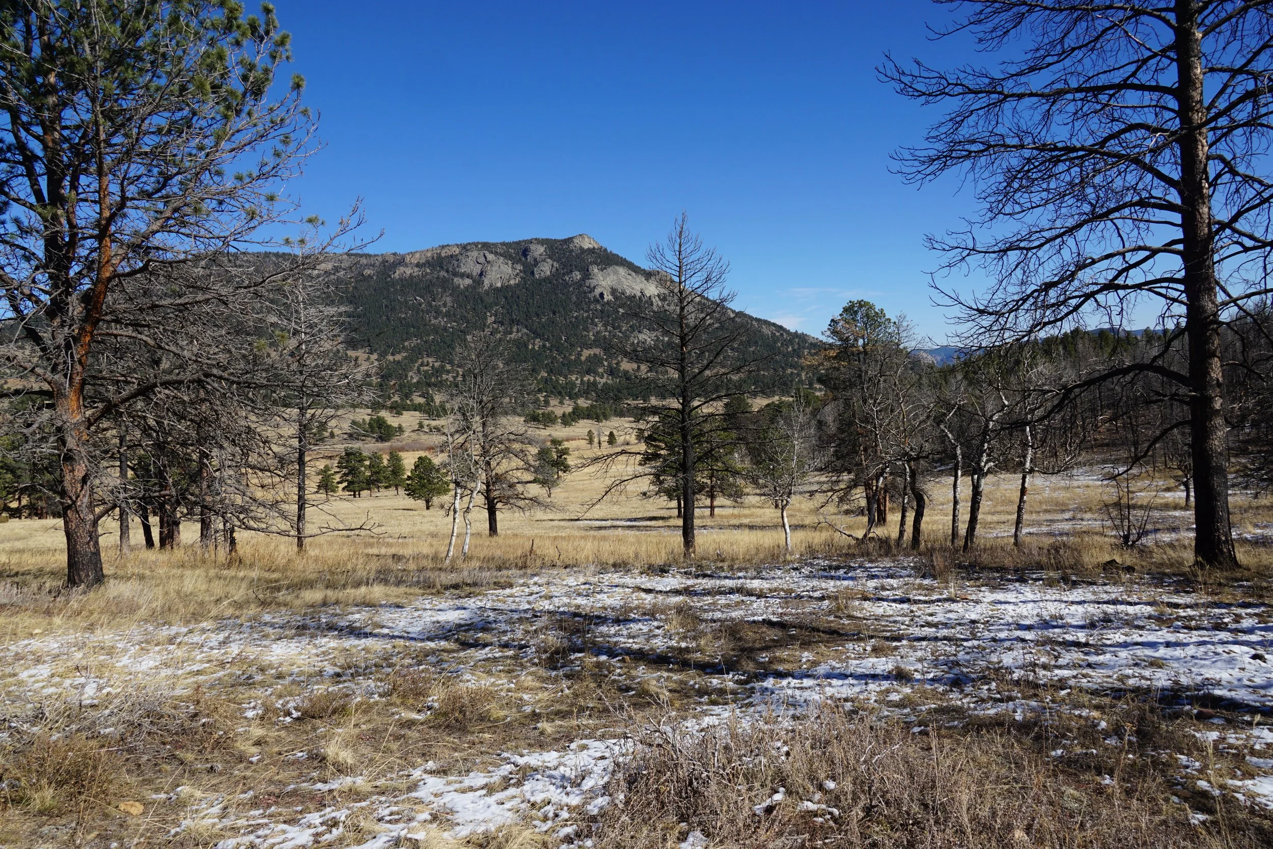
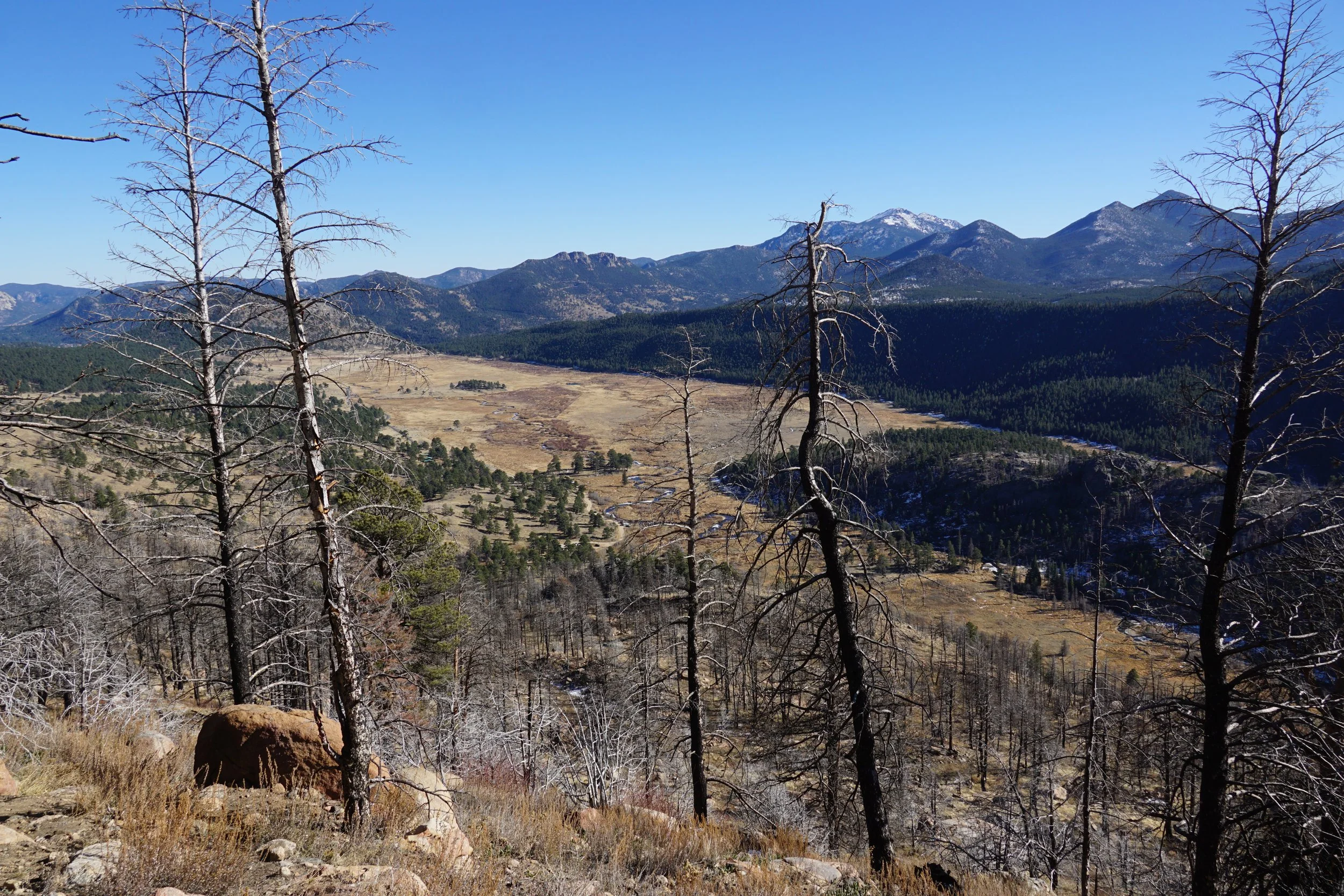
The road leading to the Upper Beaver Meadows Trailhead is often closed in the winter, so plan on parking near the road closure and hiking from there. Start out by following the Beaver Meadows trails from the road as they cross the meadows with great views of Ypsilon Mountain in the distance. Take the trail over a small footbridge to the edge of the pine forest. When you reach the next trail in the Beaver Meadows / Moraine Park Complex, turn right and head towards the mountains.
A mile up the trail you’ll reach two junctions with trails that head to the Upper Beaver Meadows Trailhead, stay straight at both junctions. After these junctions you’ll officially be on the Ute Trail. In another mile, you reach another junction, turning right eventually takes you to the Upper Beaver Meadows Trails, stay straight yet again.
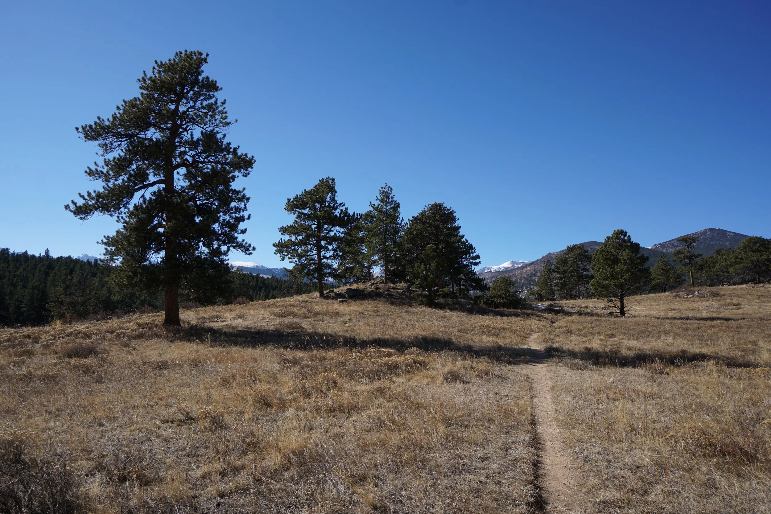
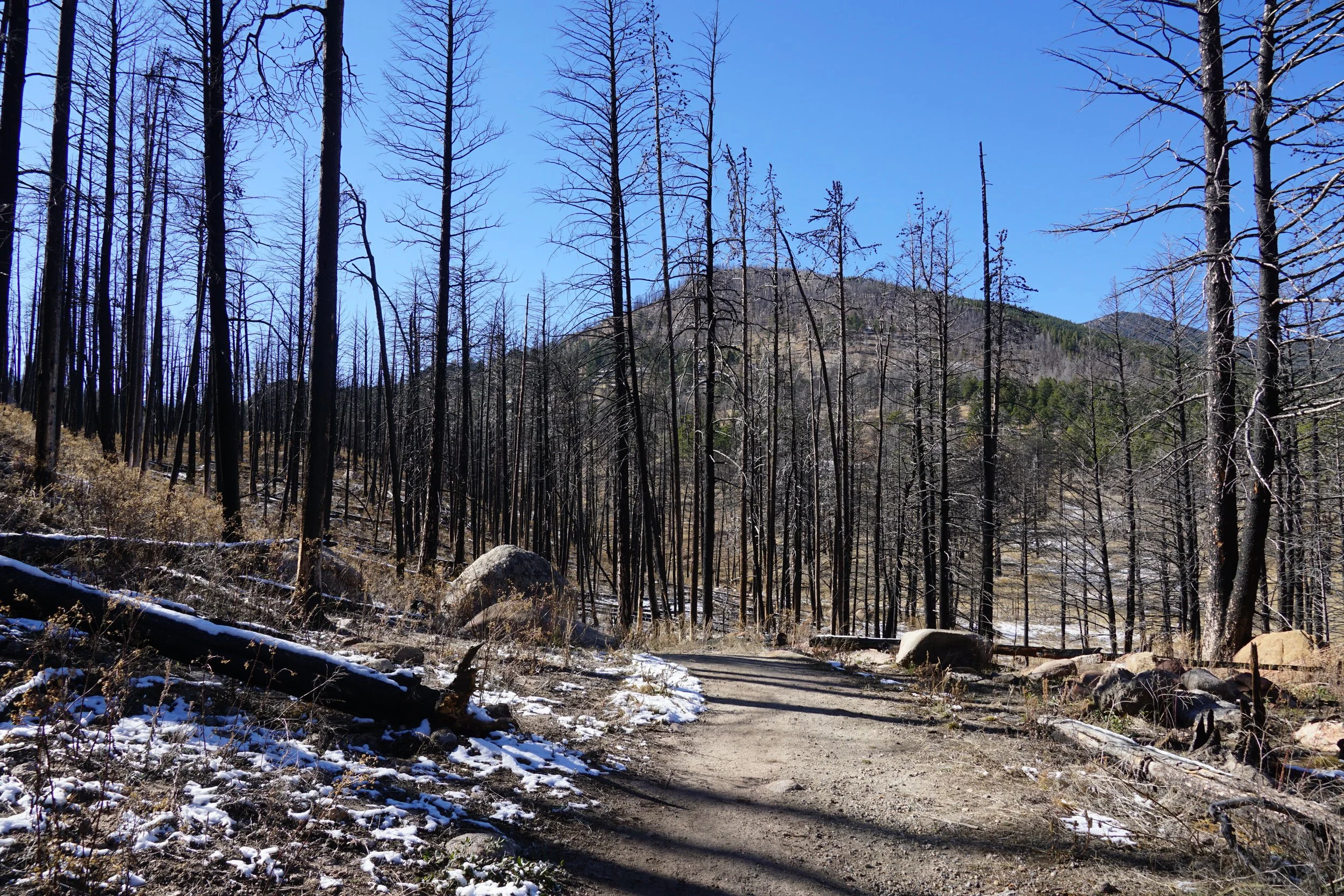
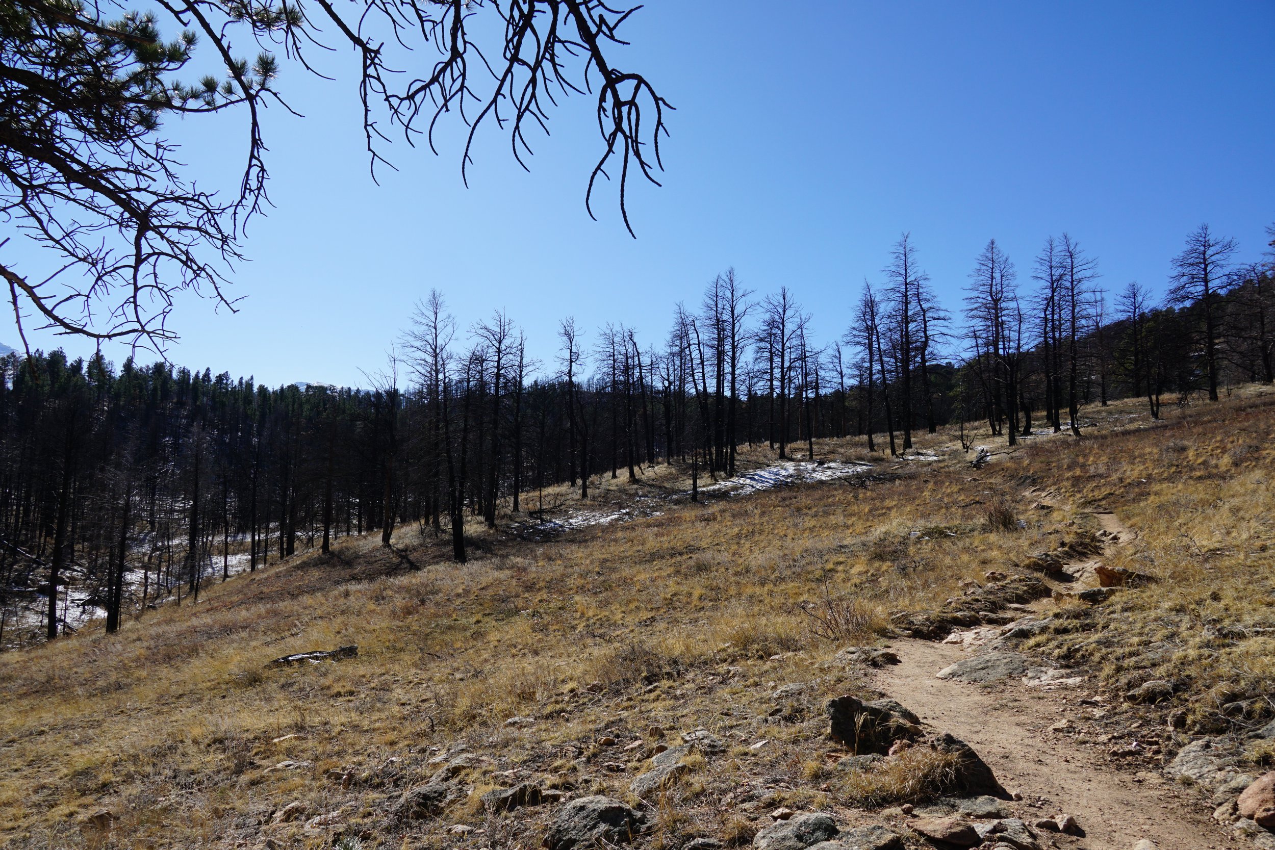
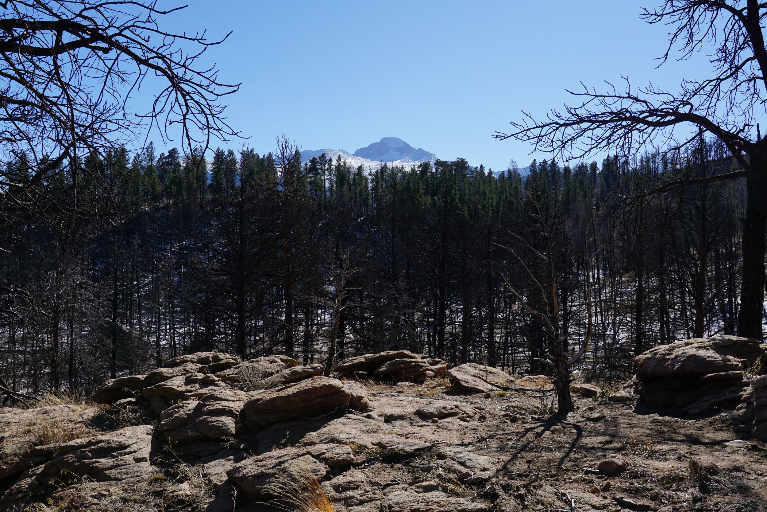
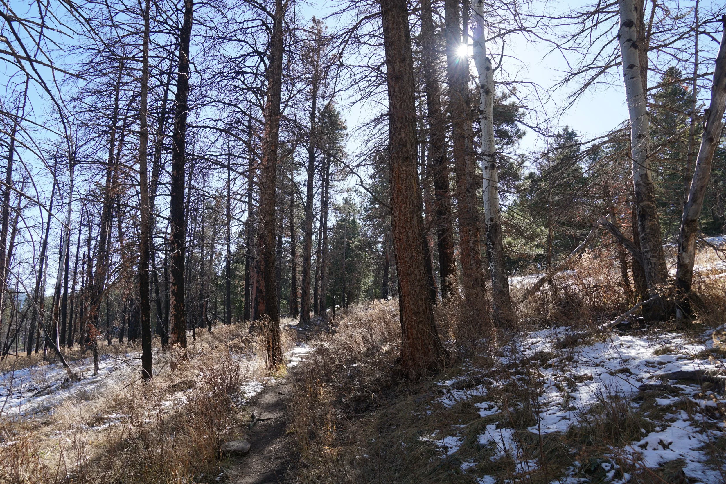
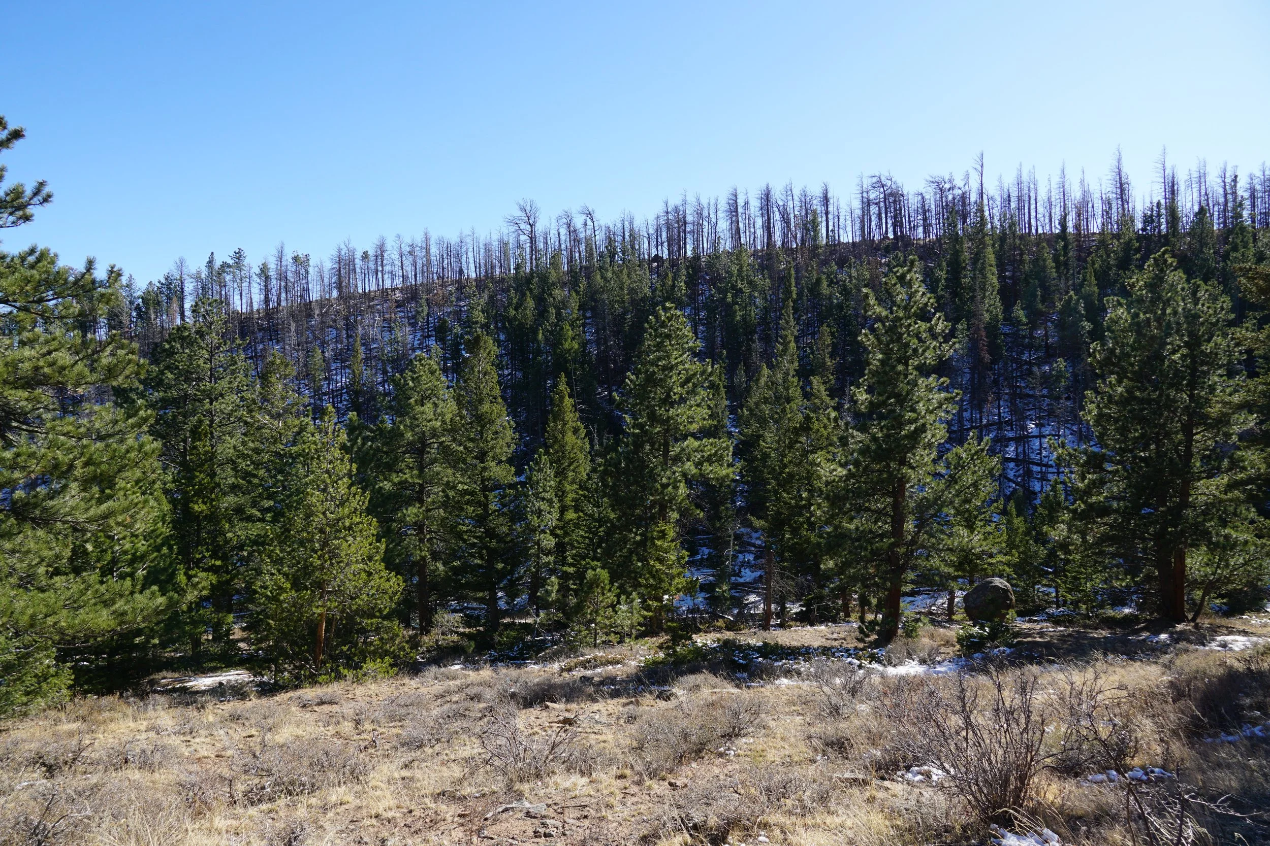
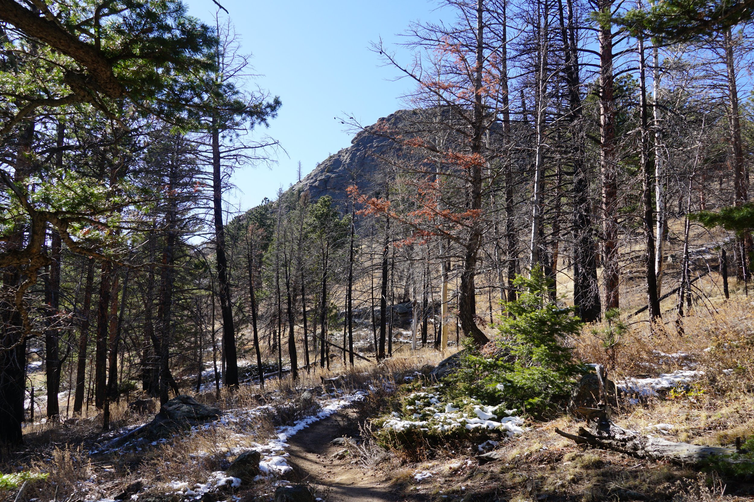
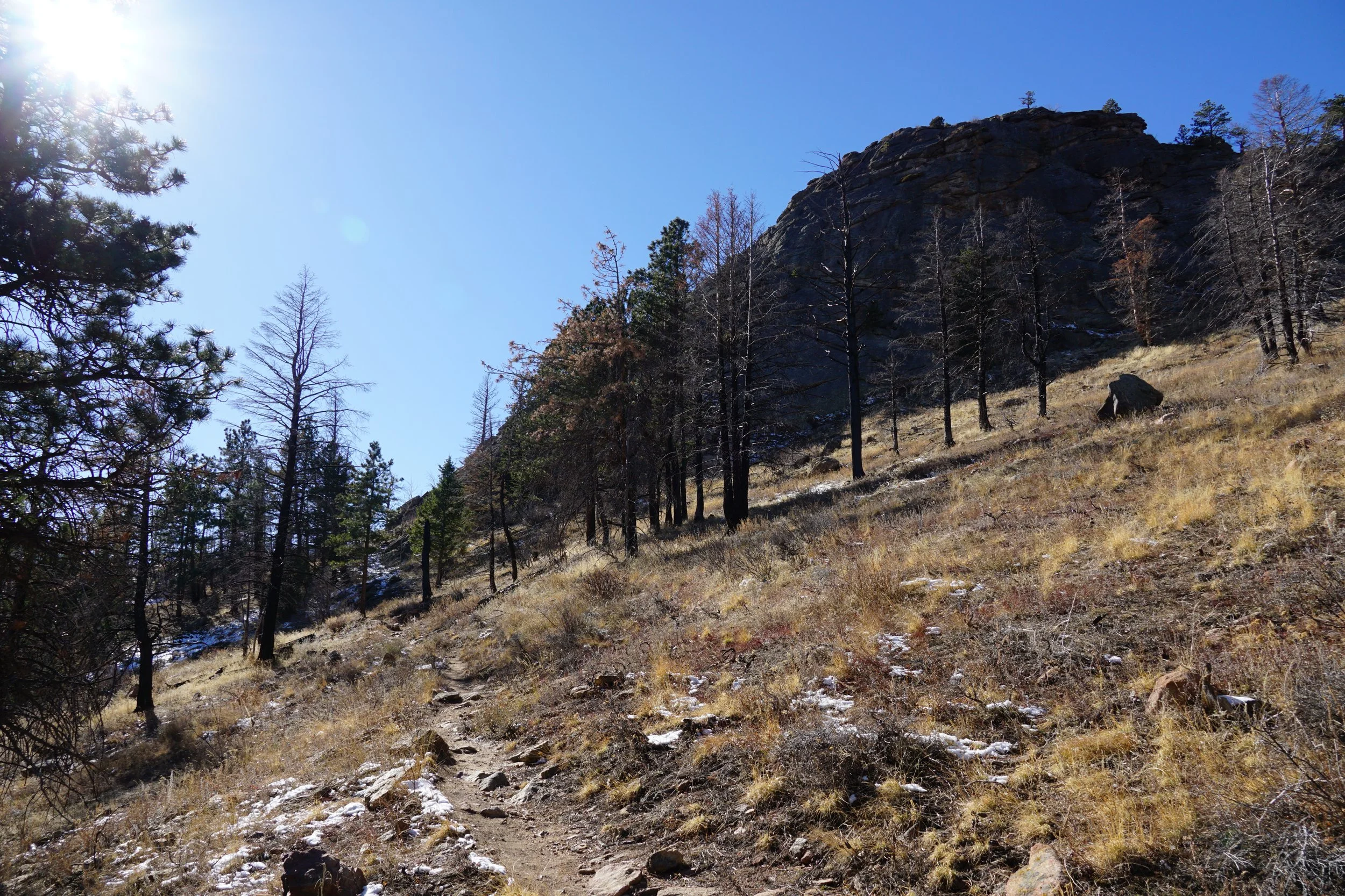
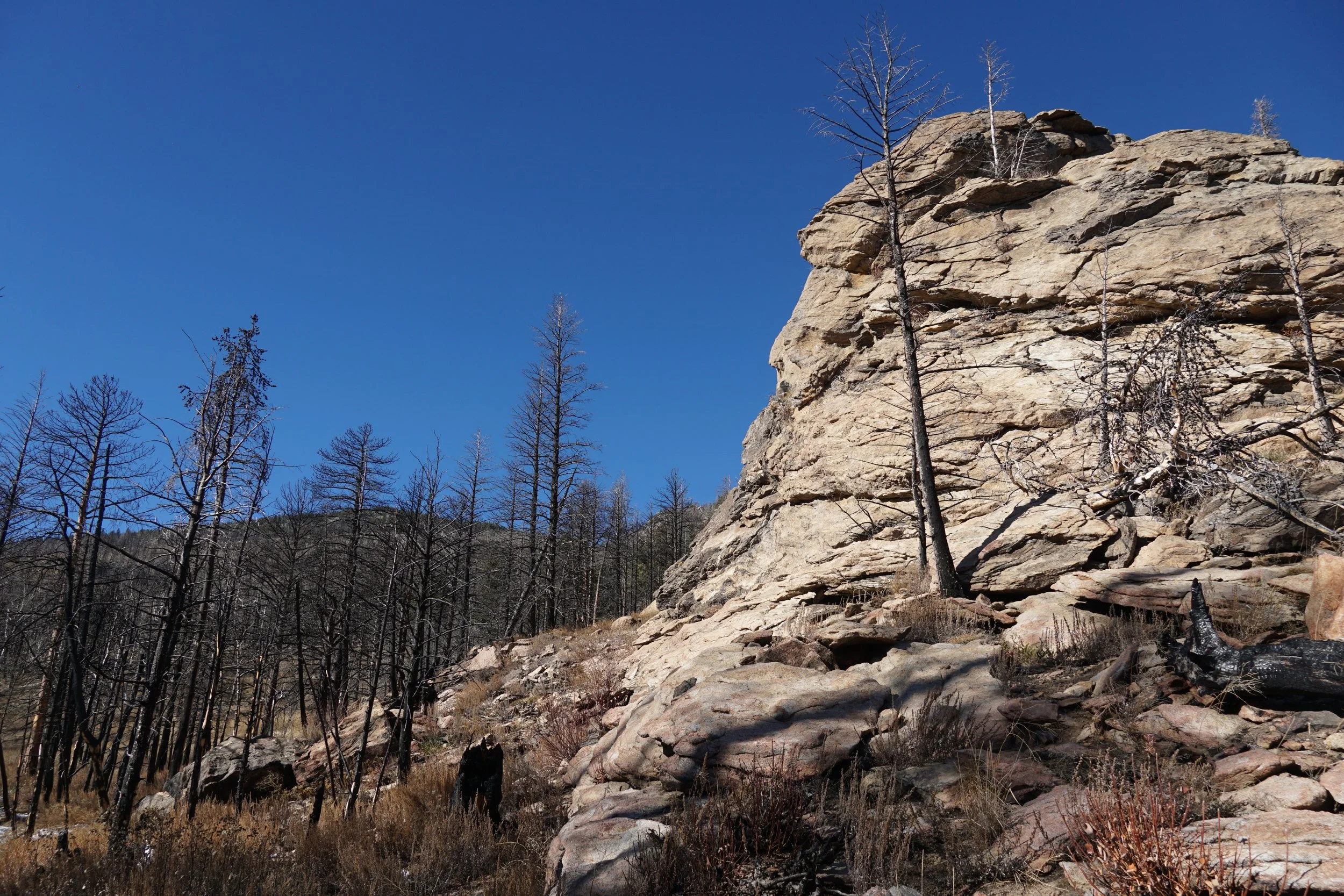
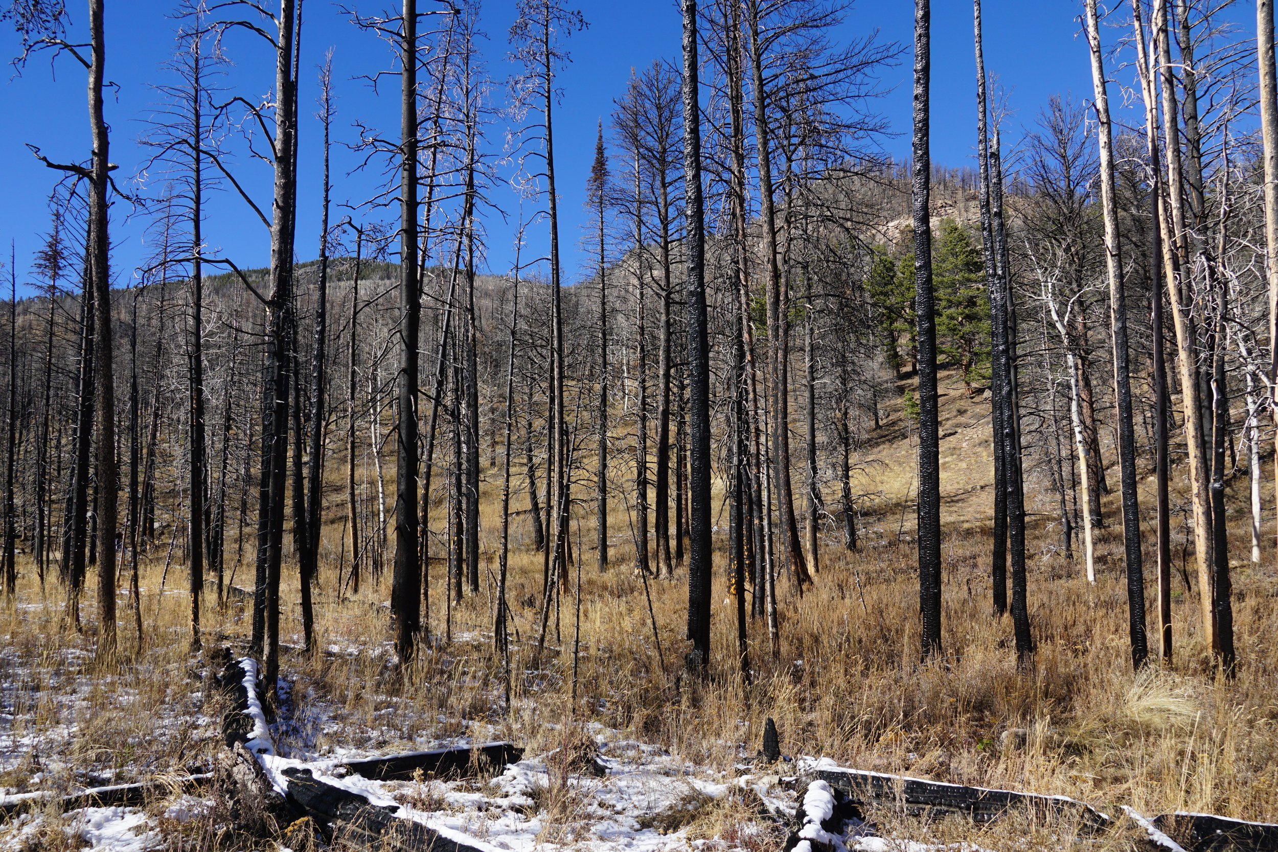
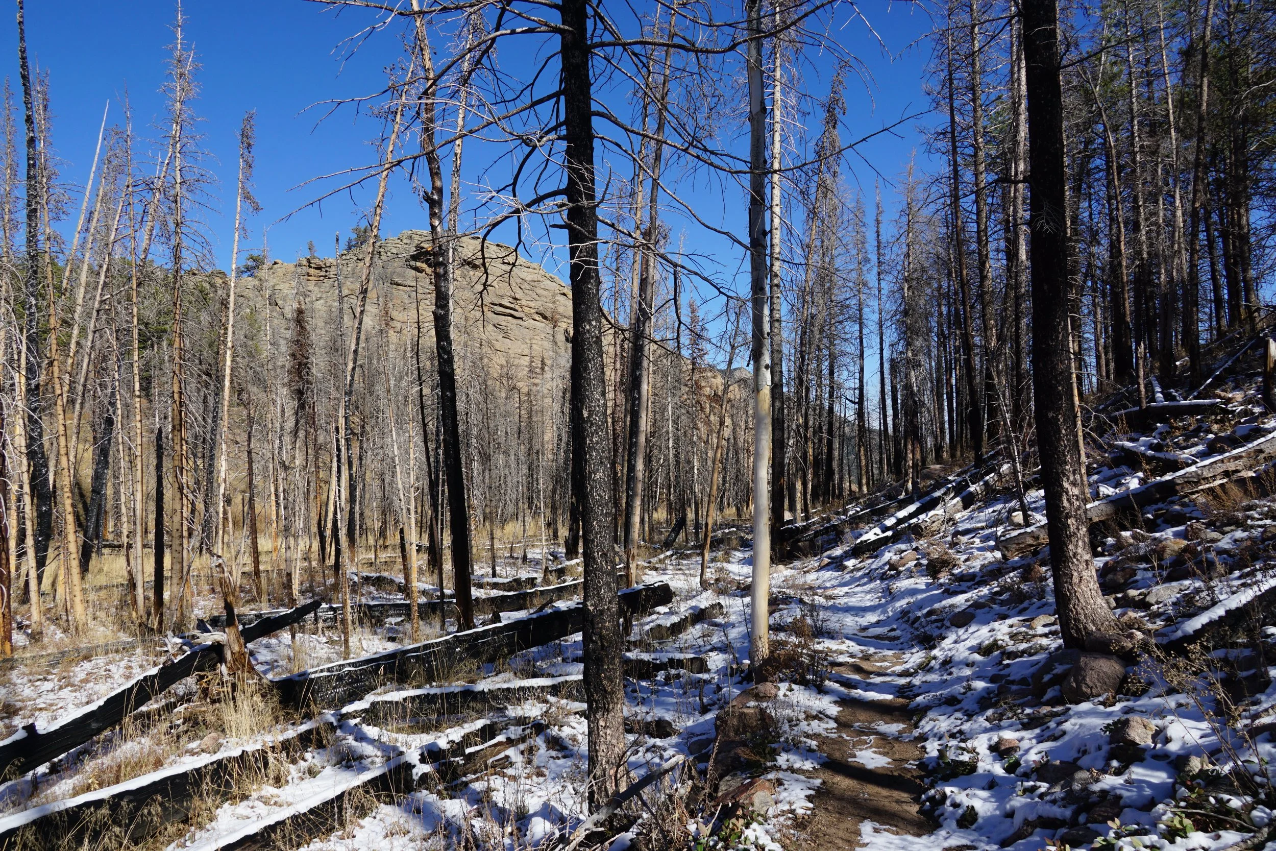
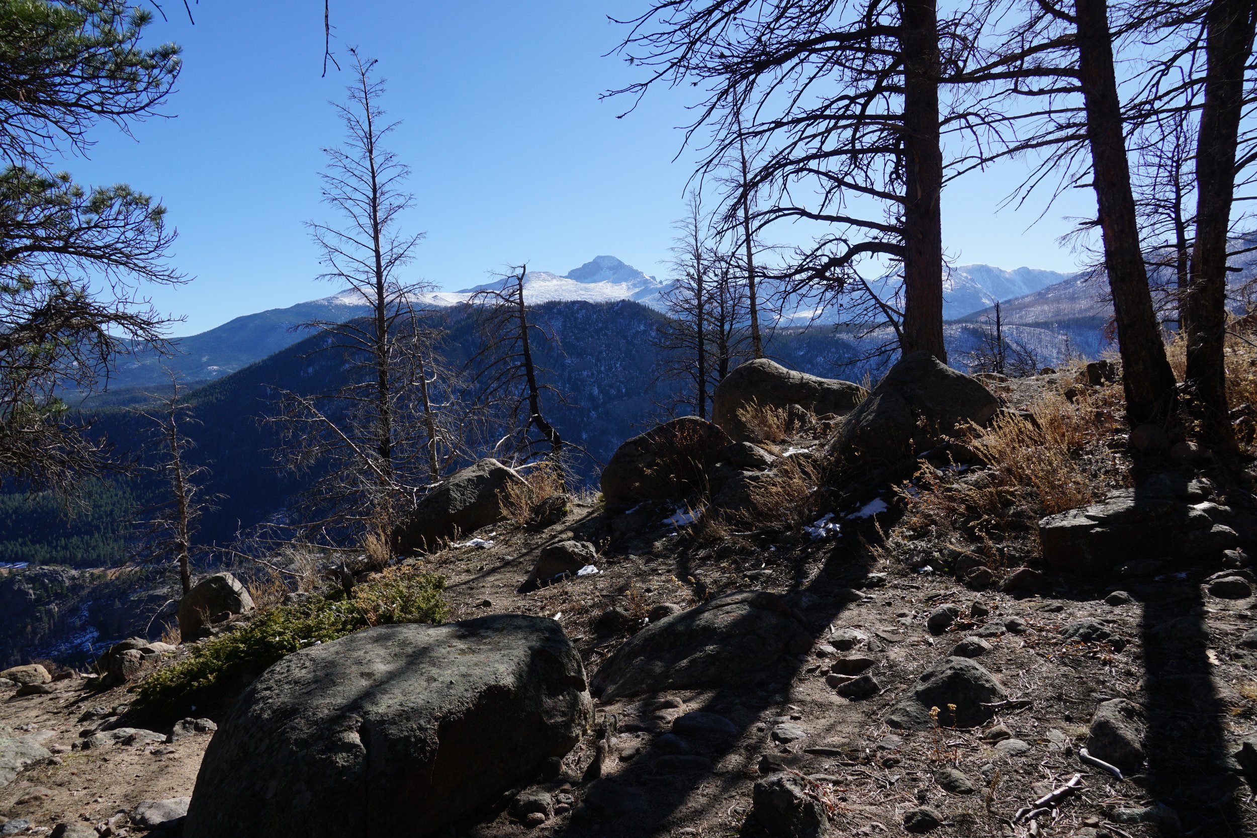
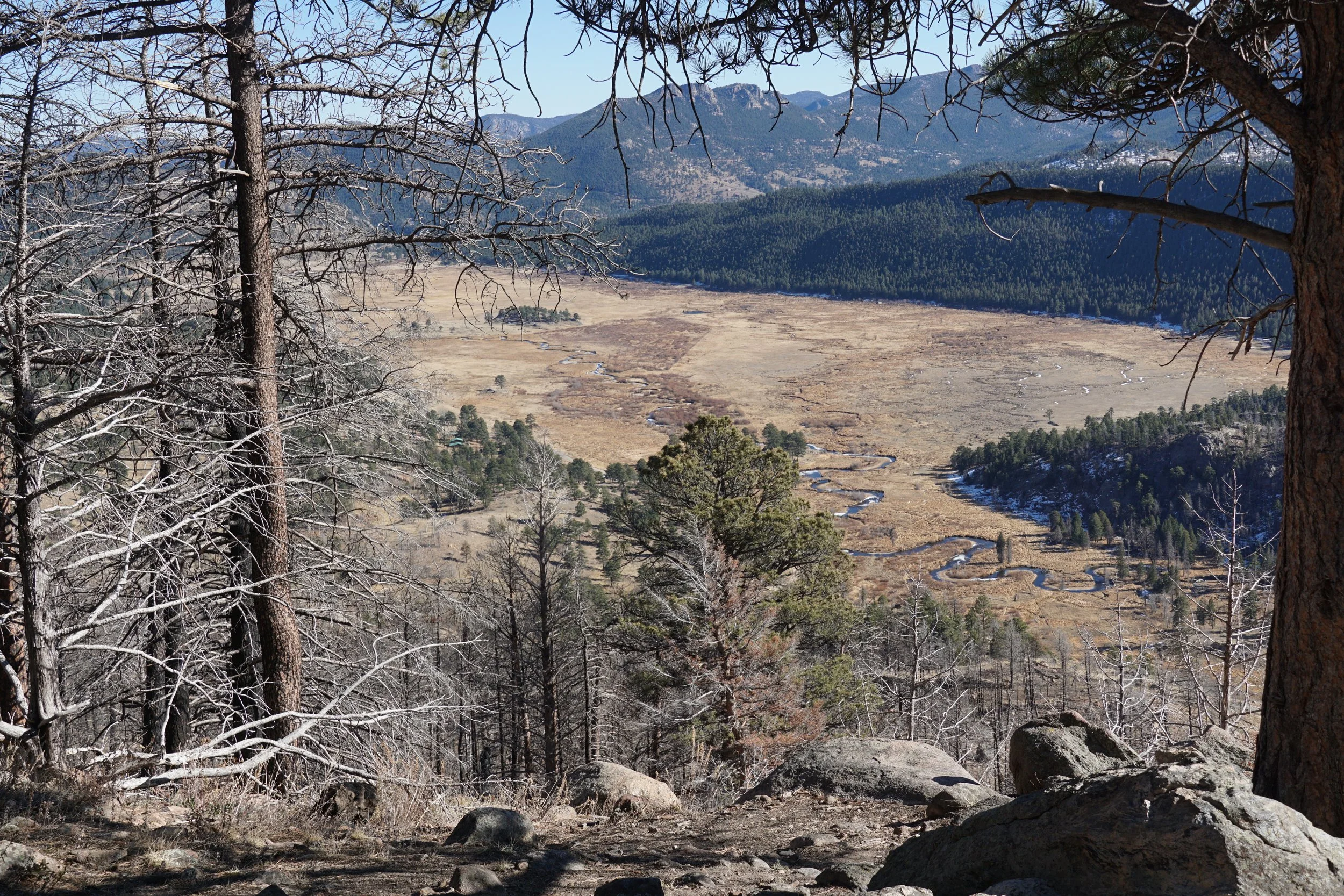
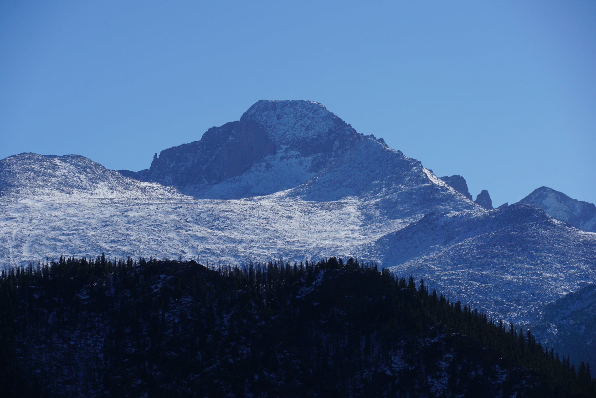
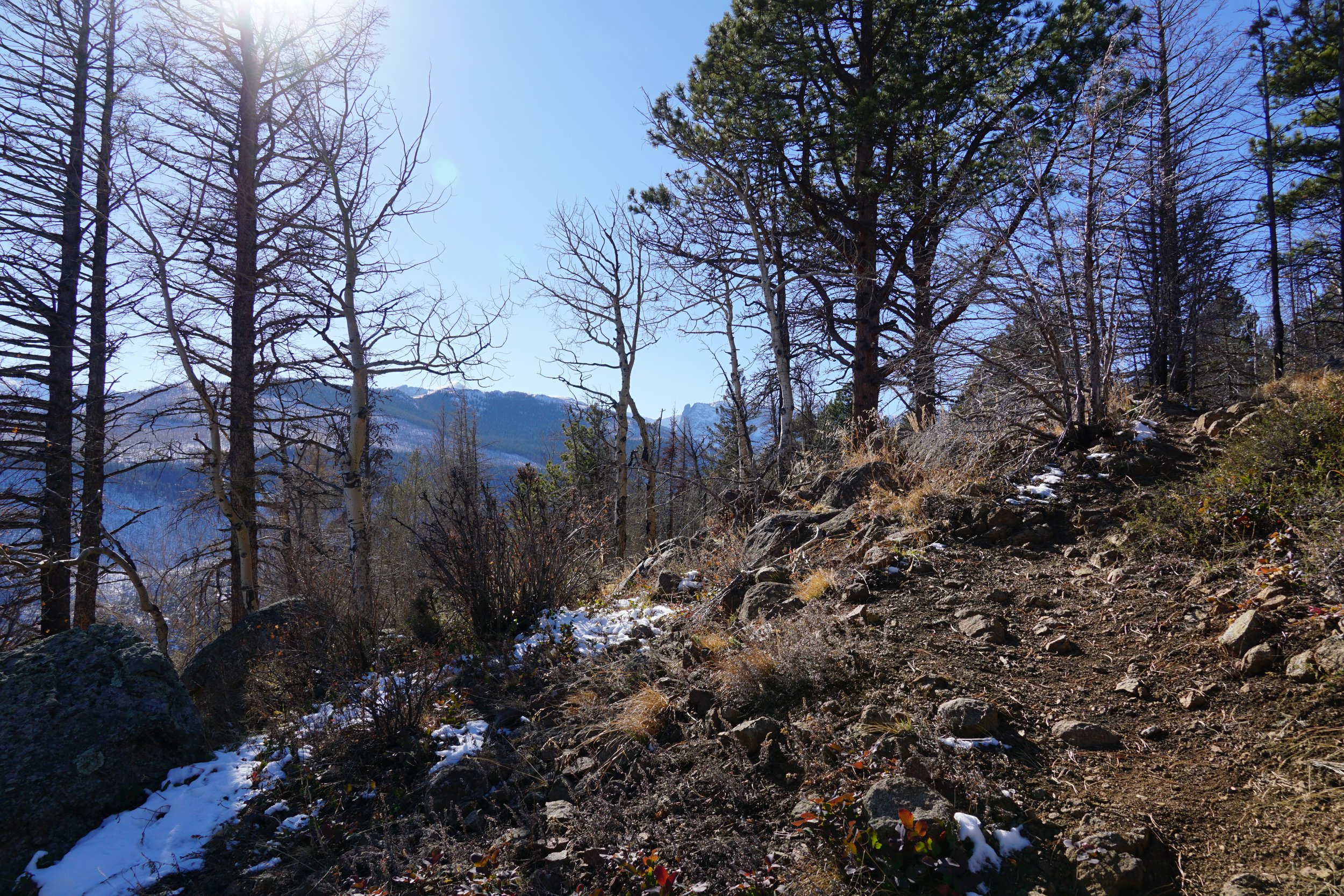
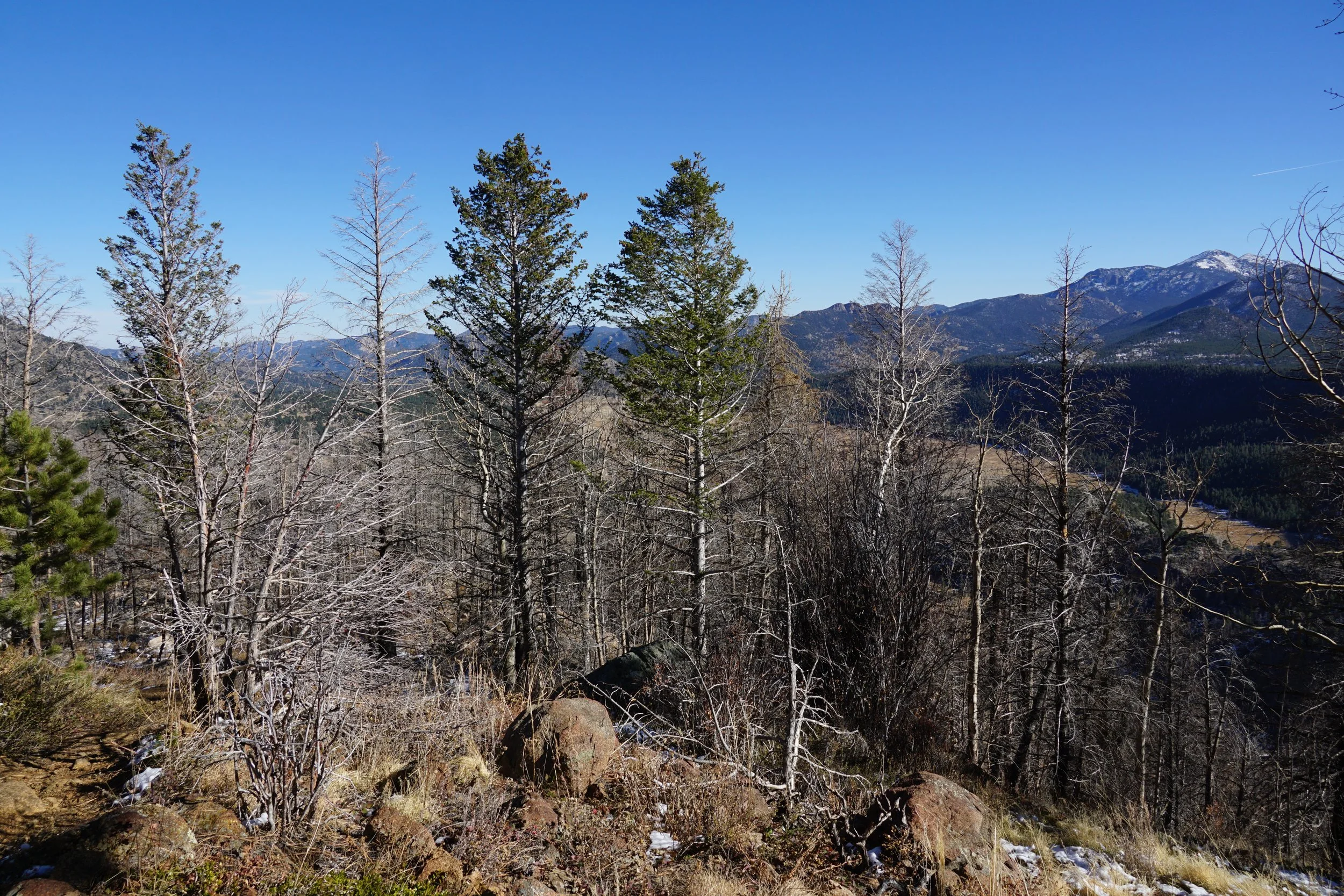
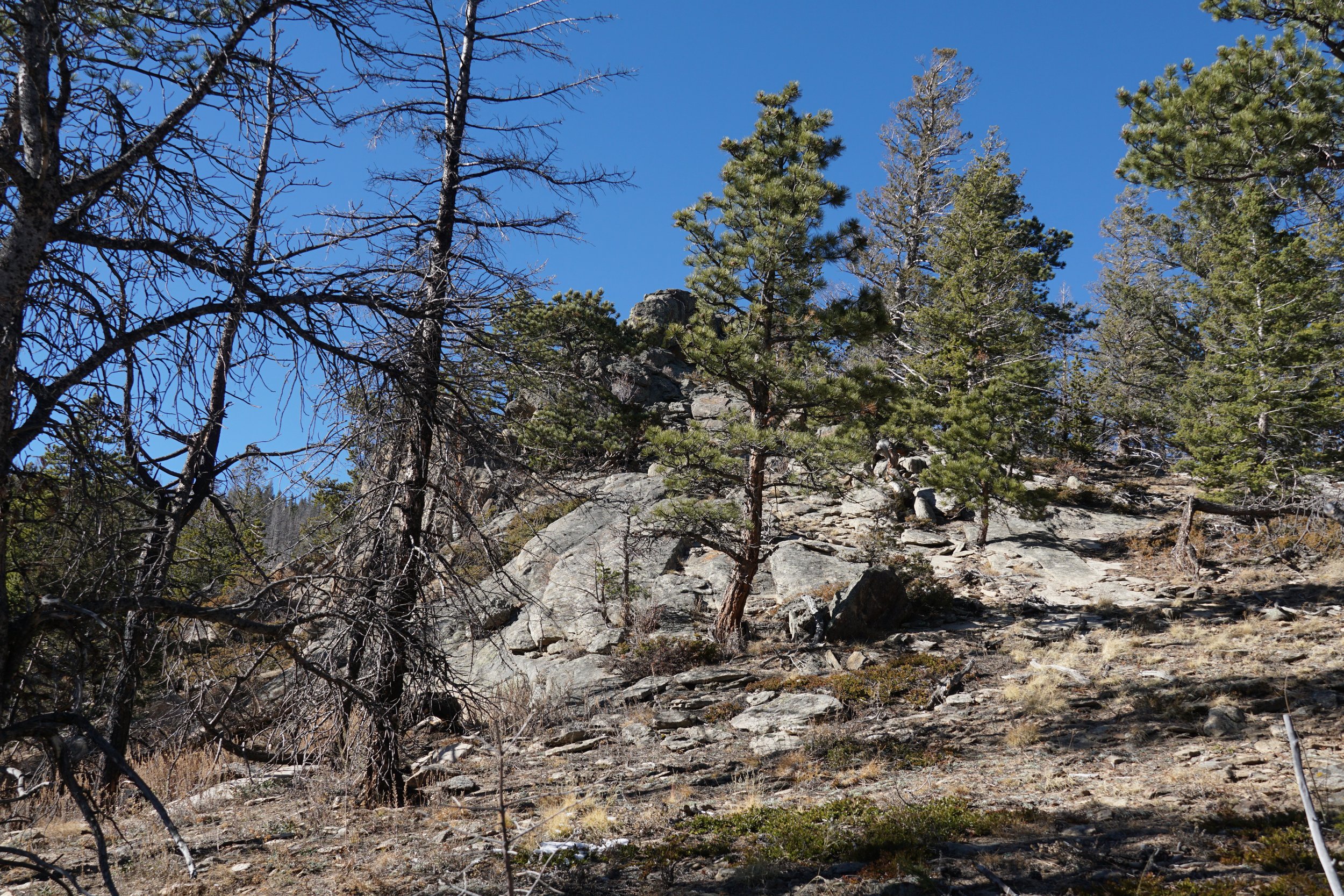
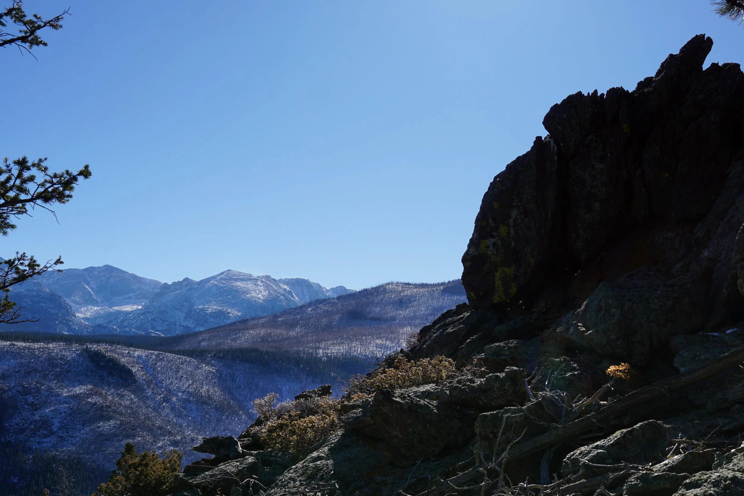
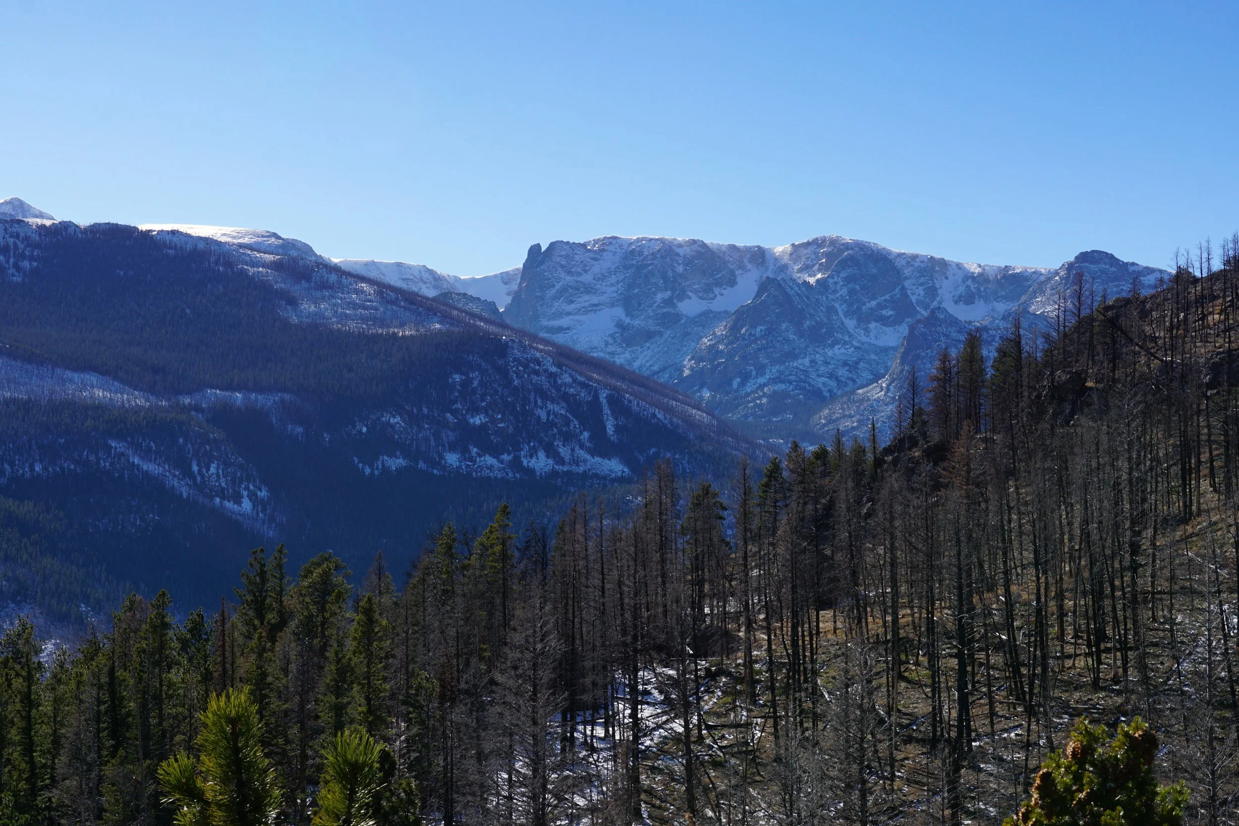
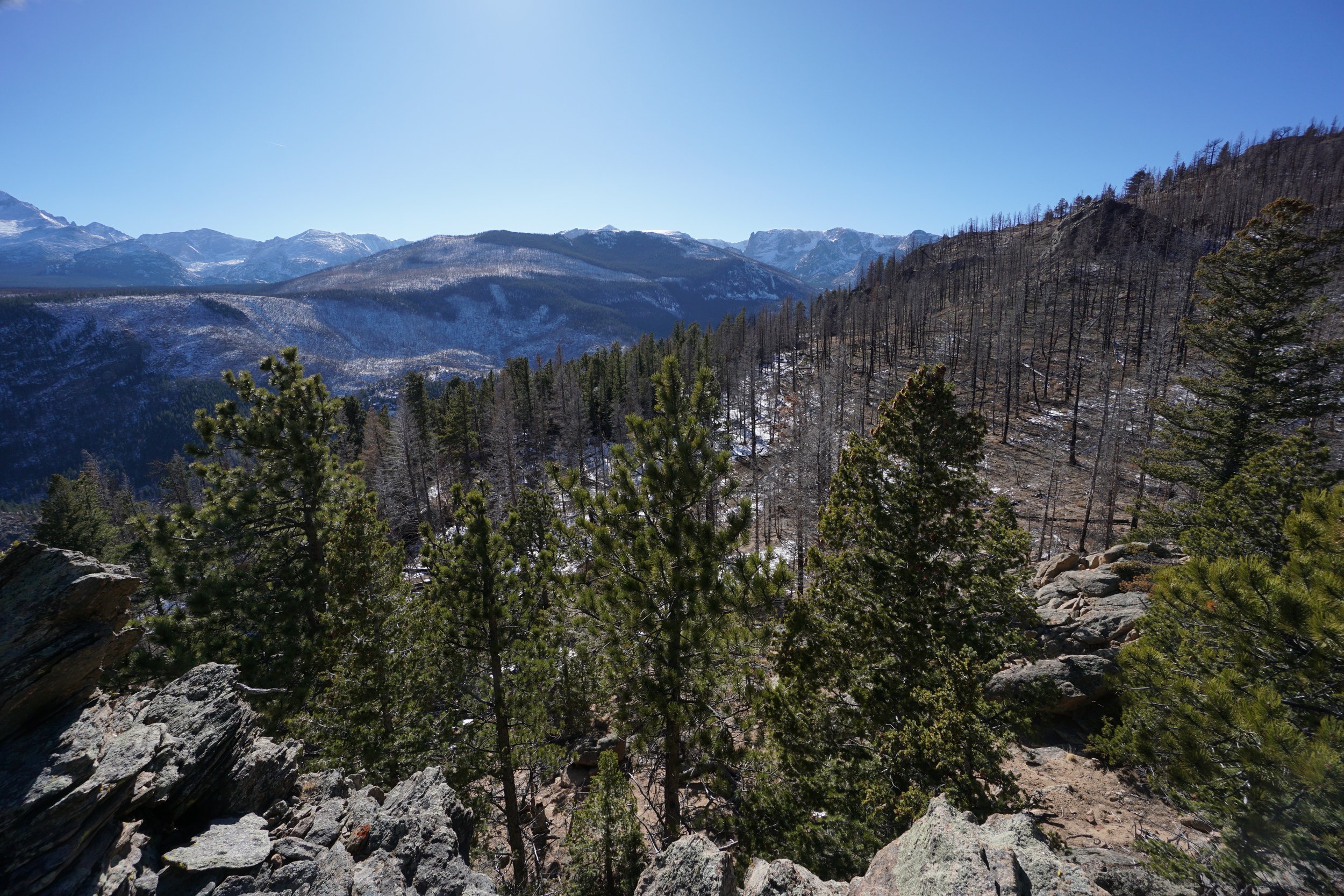
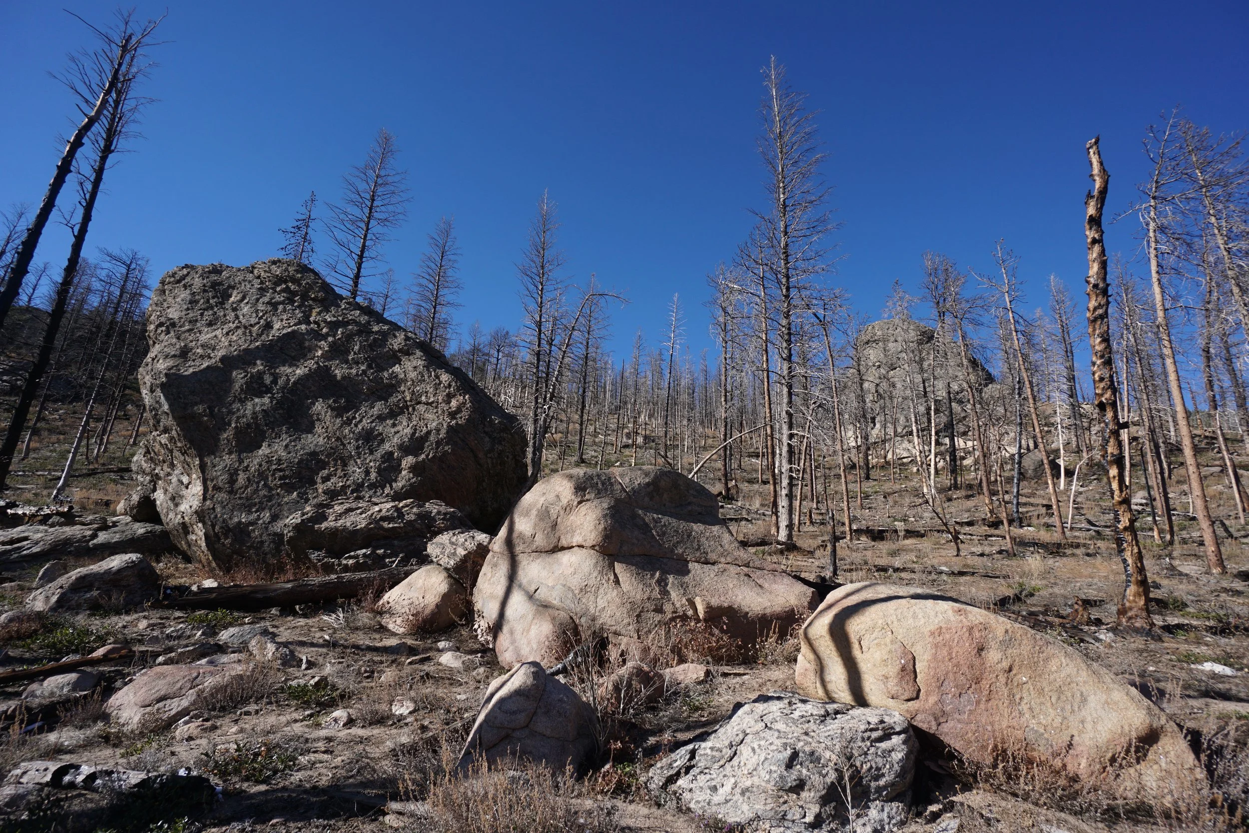
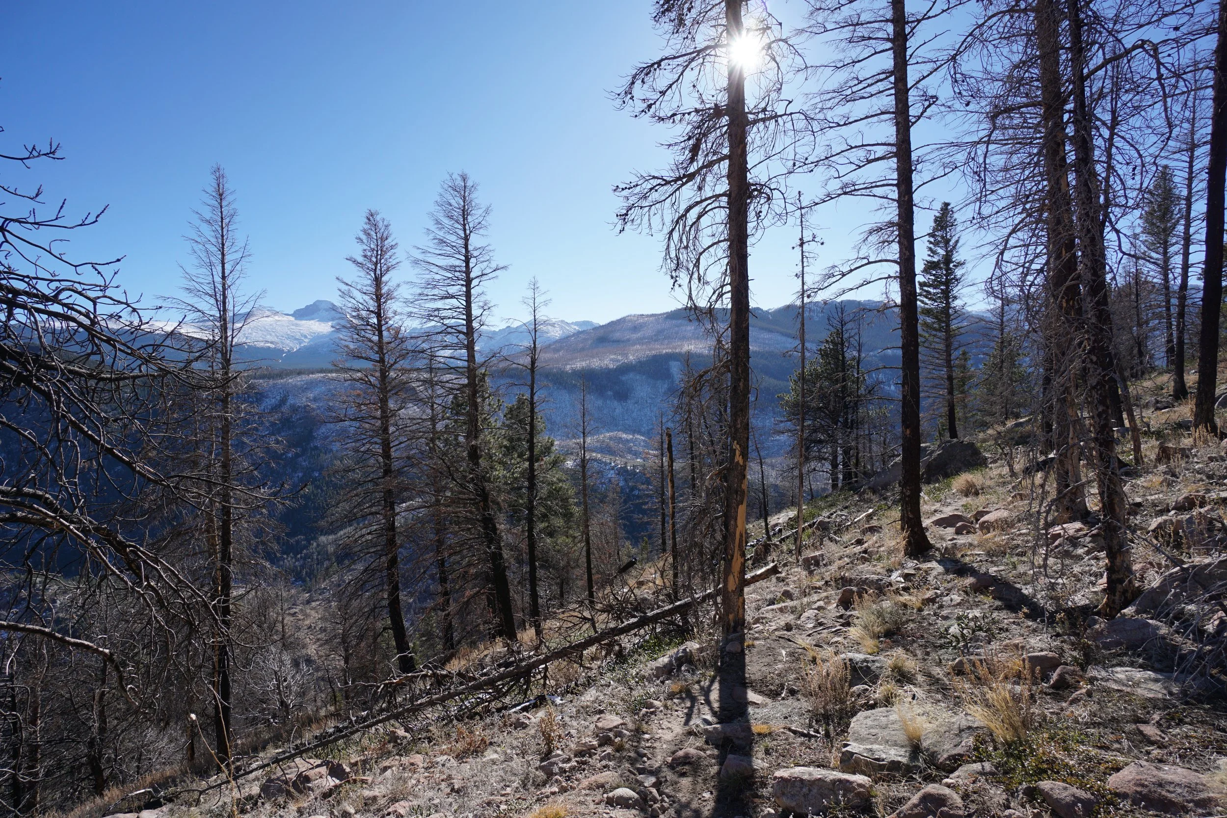
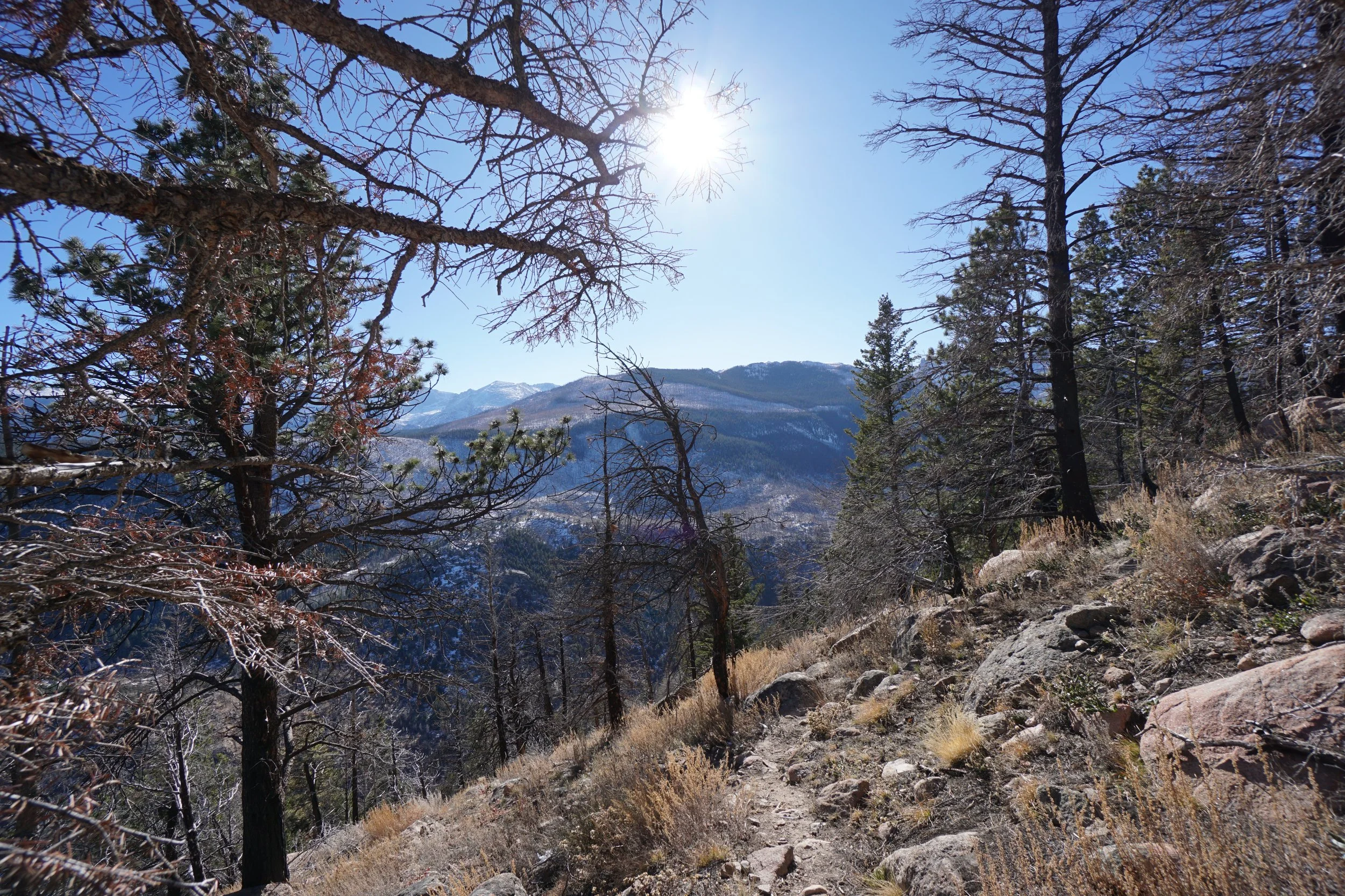
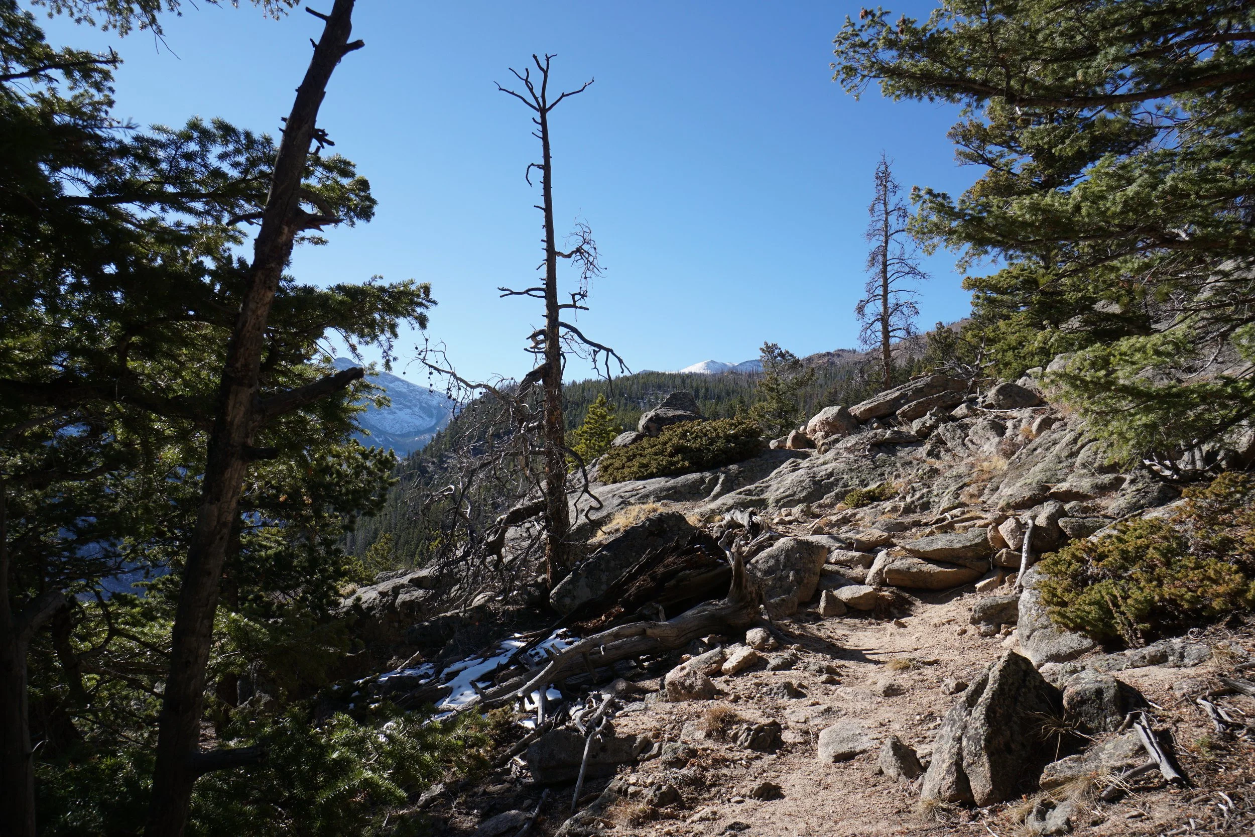
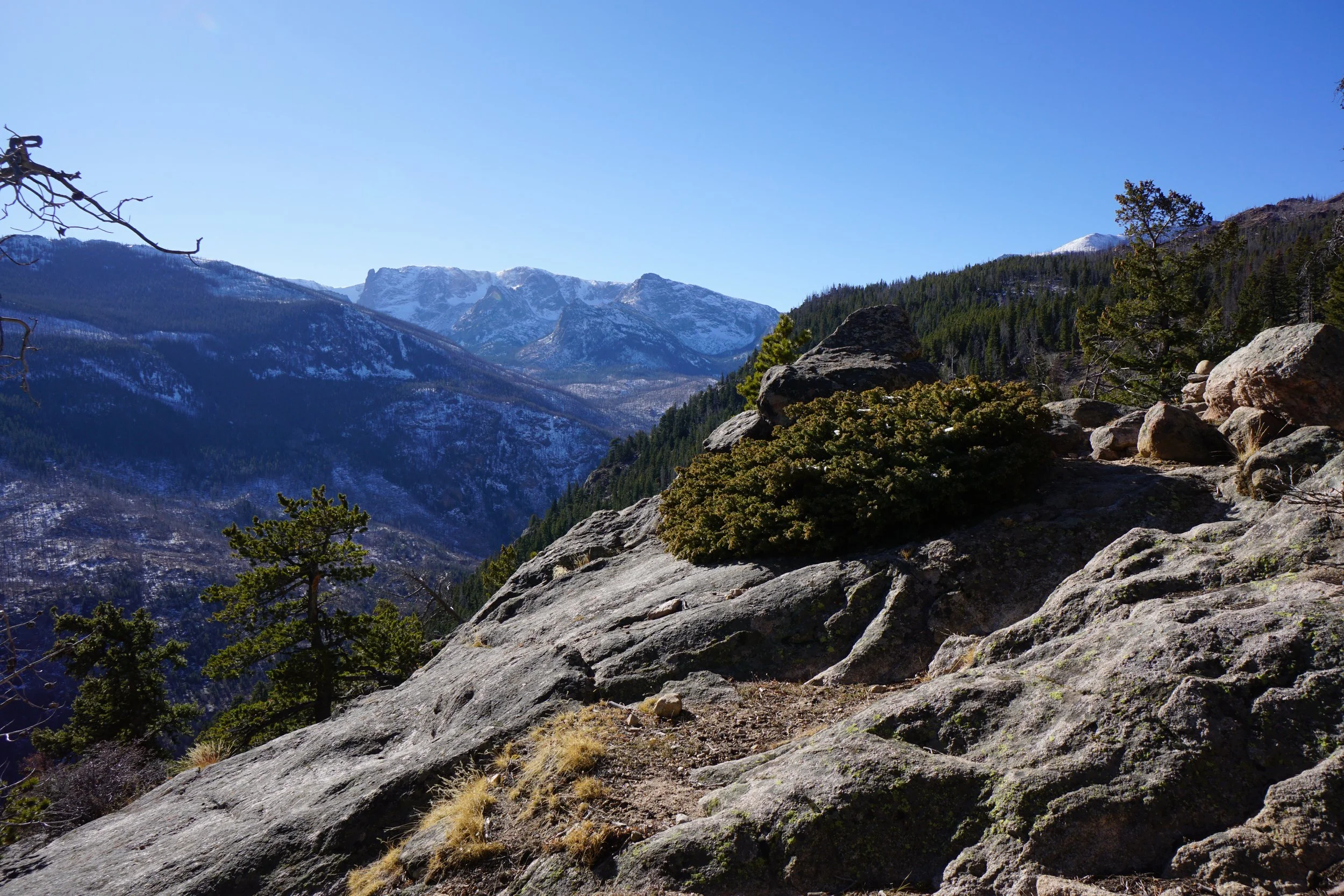
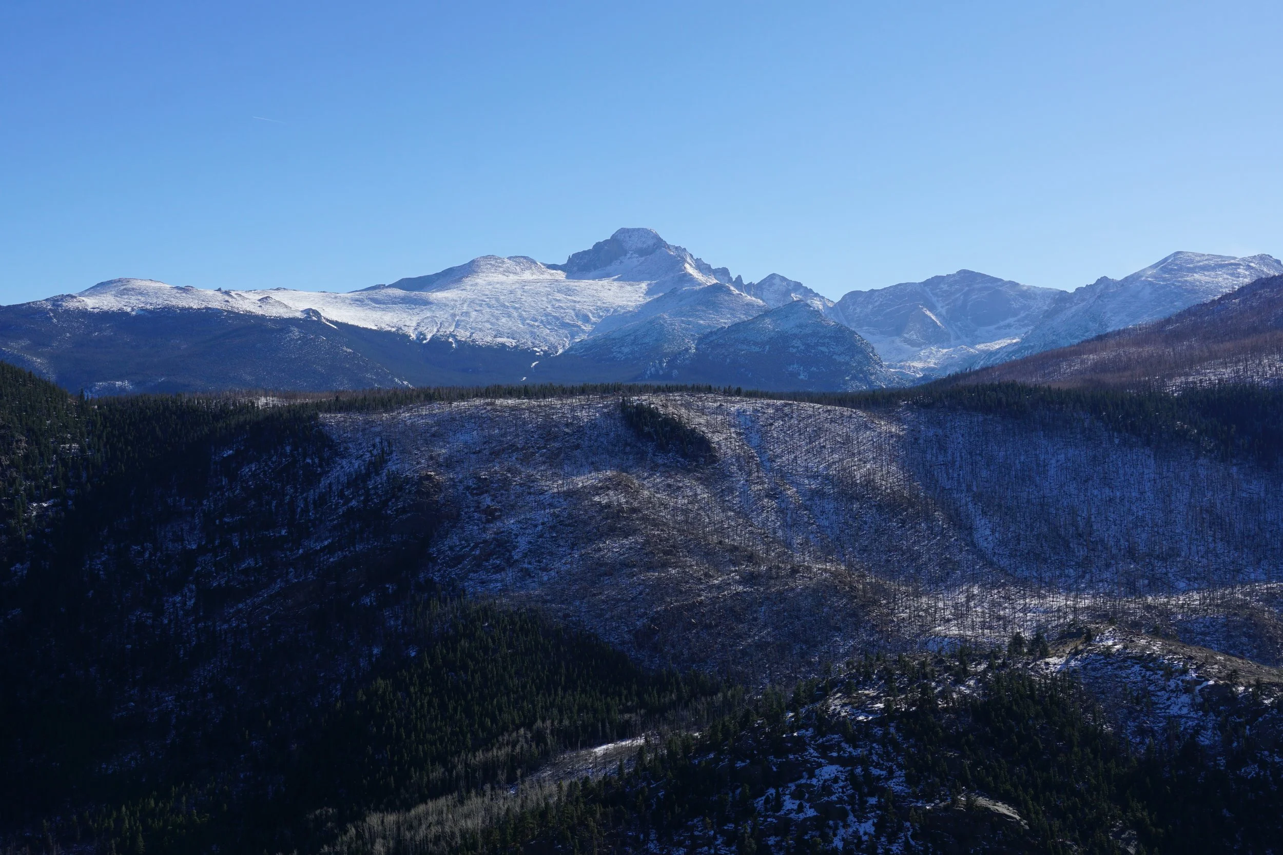
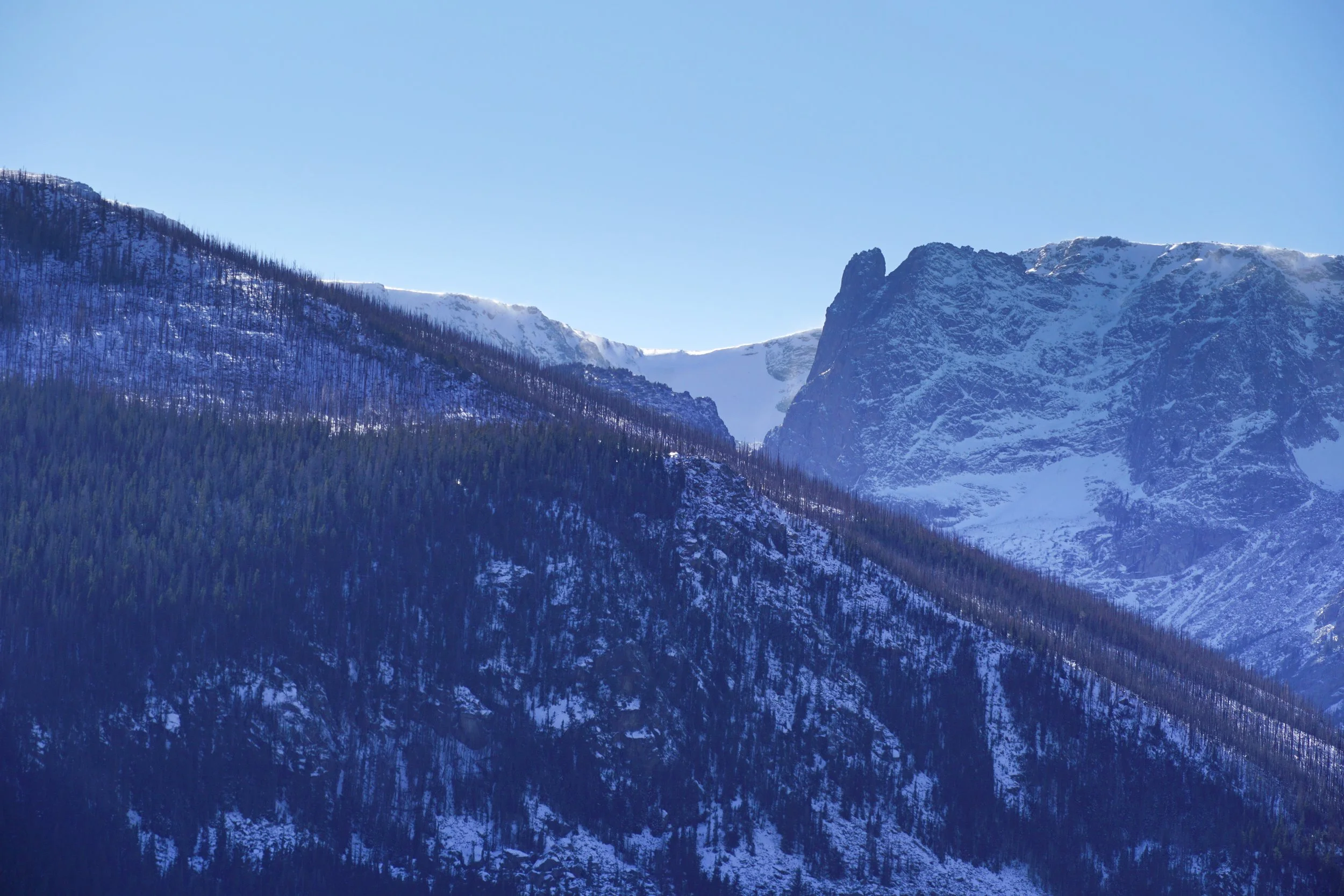
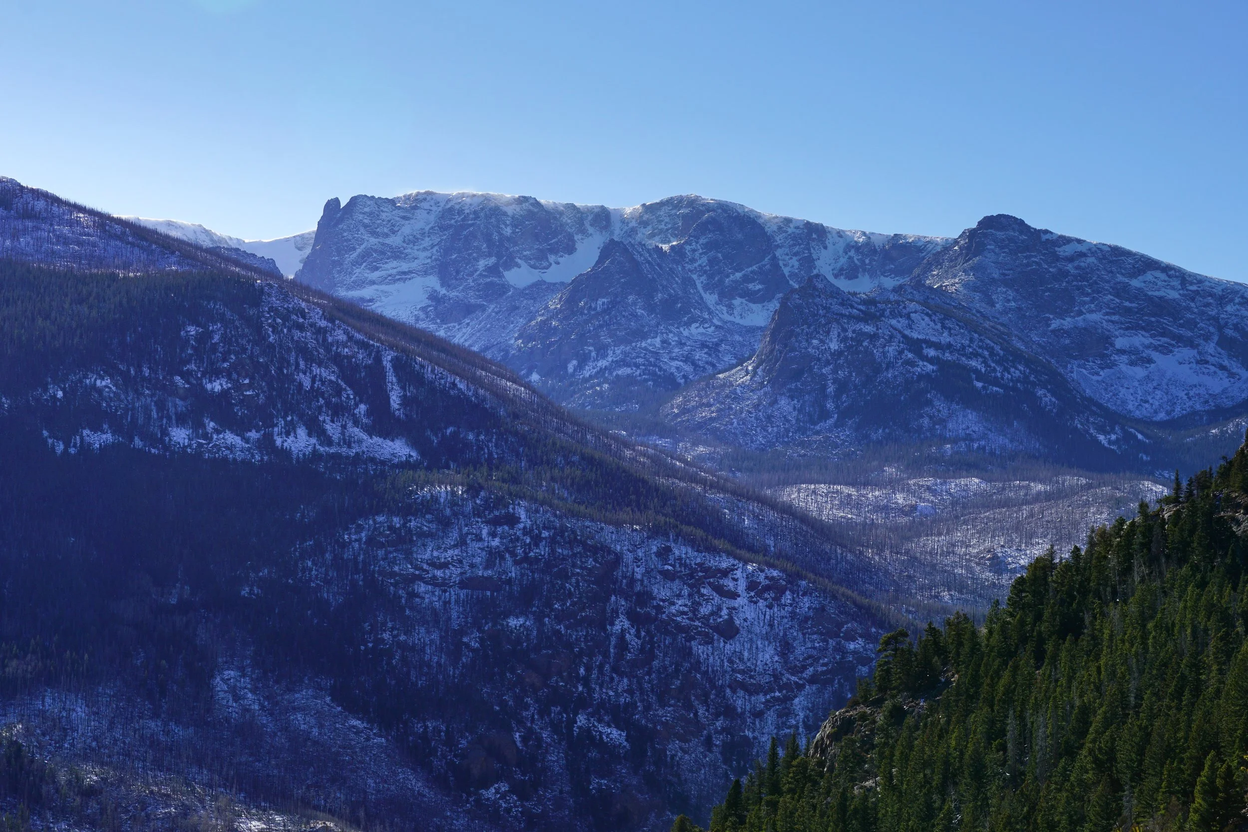
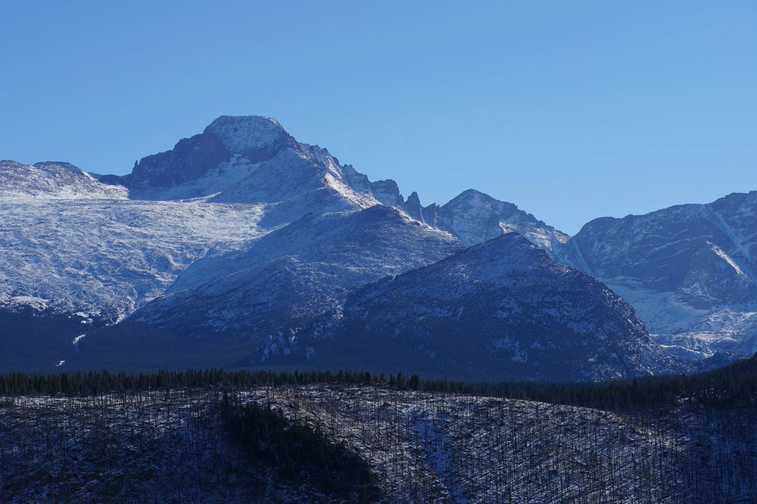
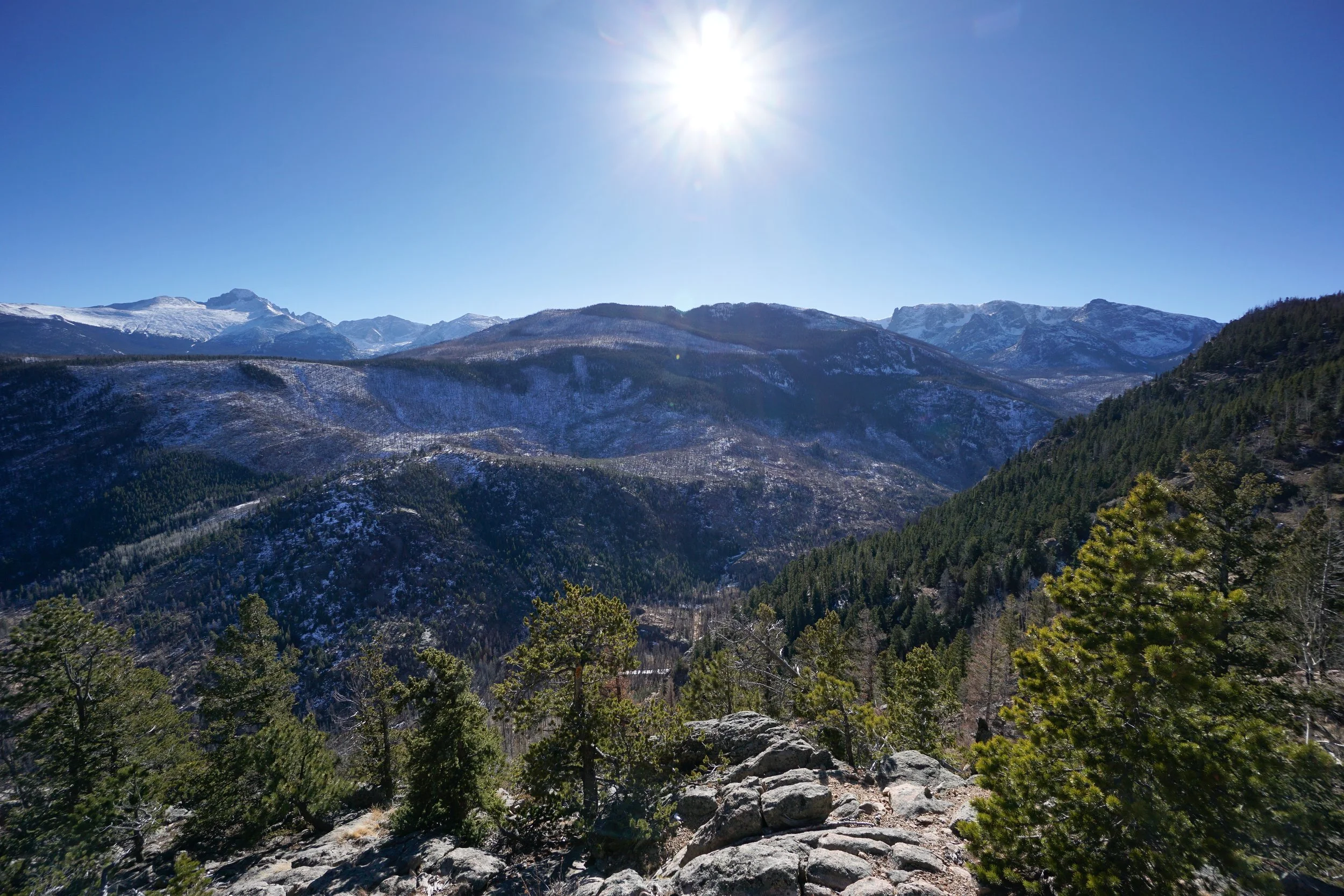
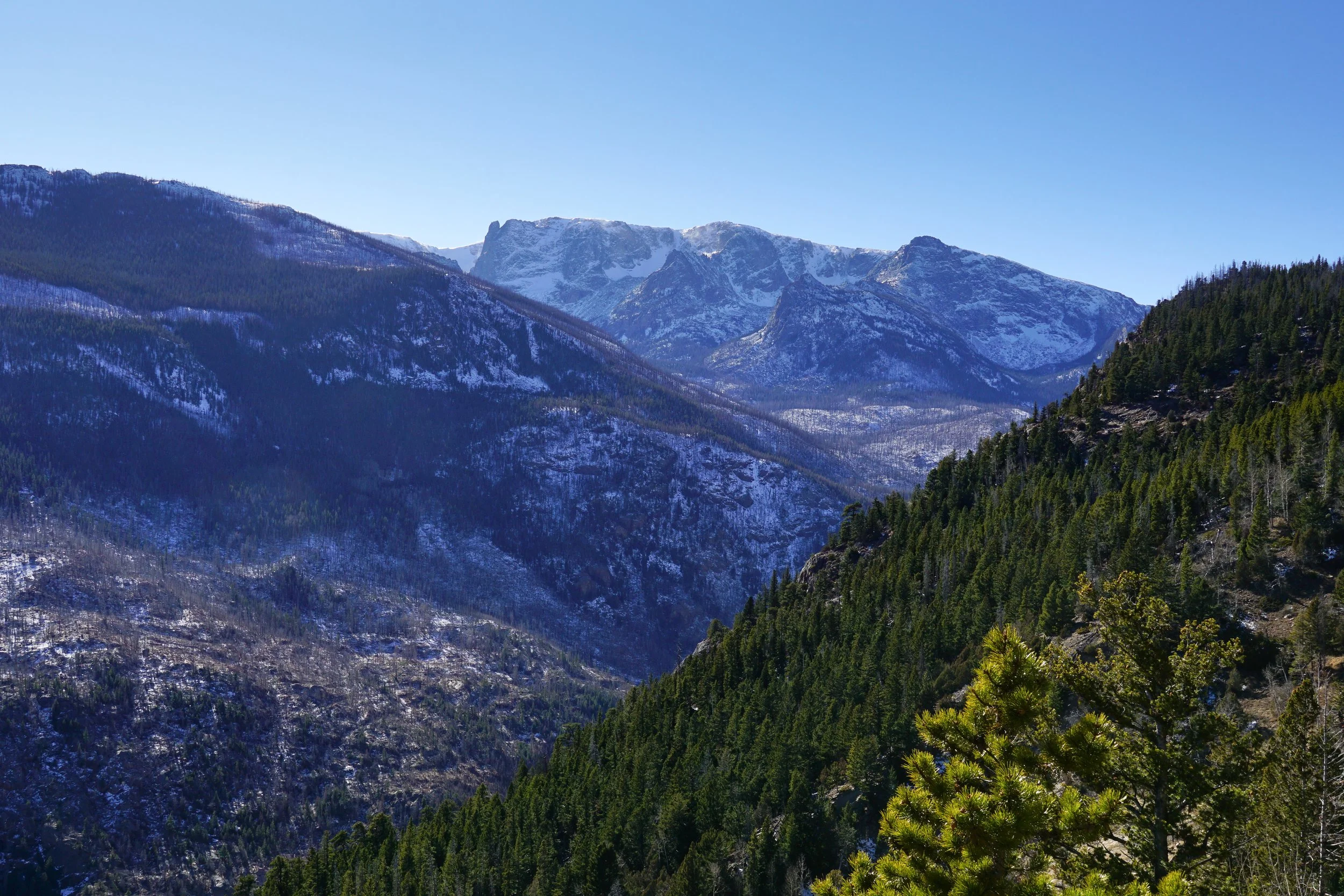
After this junction, things get a bit more remote and primitive. The trail gets steeper as it crosses through a burn area. The trail is very close to the edge of a valley and you get glimpses of the valley as you hike. At the bottom of the valley is the trail that leads to Fern Lake and the iconic mountains beyond, such as Notchtop, Knobtop, and Gabletop…the three tops…you’ll get better views at the hikes turnaround point. As you near the turn around spot, you’ll hike through a mini-canyon with rock formations on both sides. There are some opportunities at the top of the canyon to find easy rock outcroppings to climb for great views, explore as your comfort level permits.
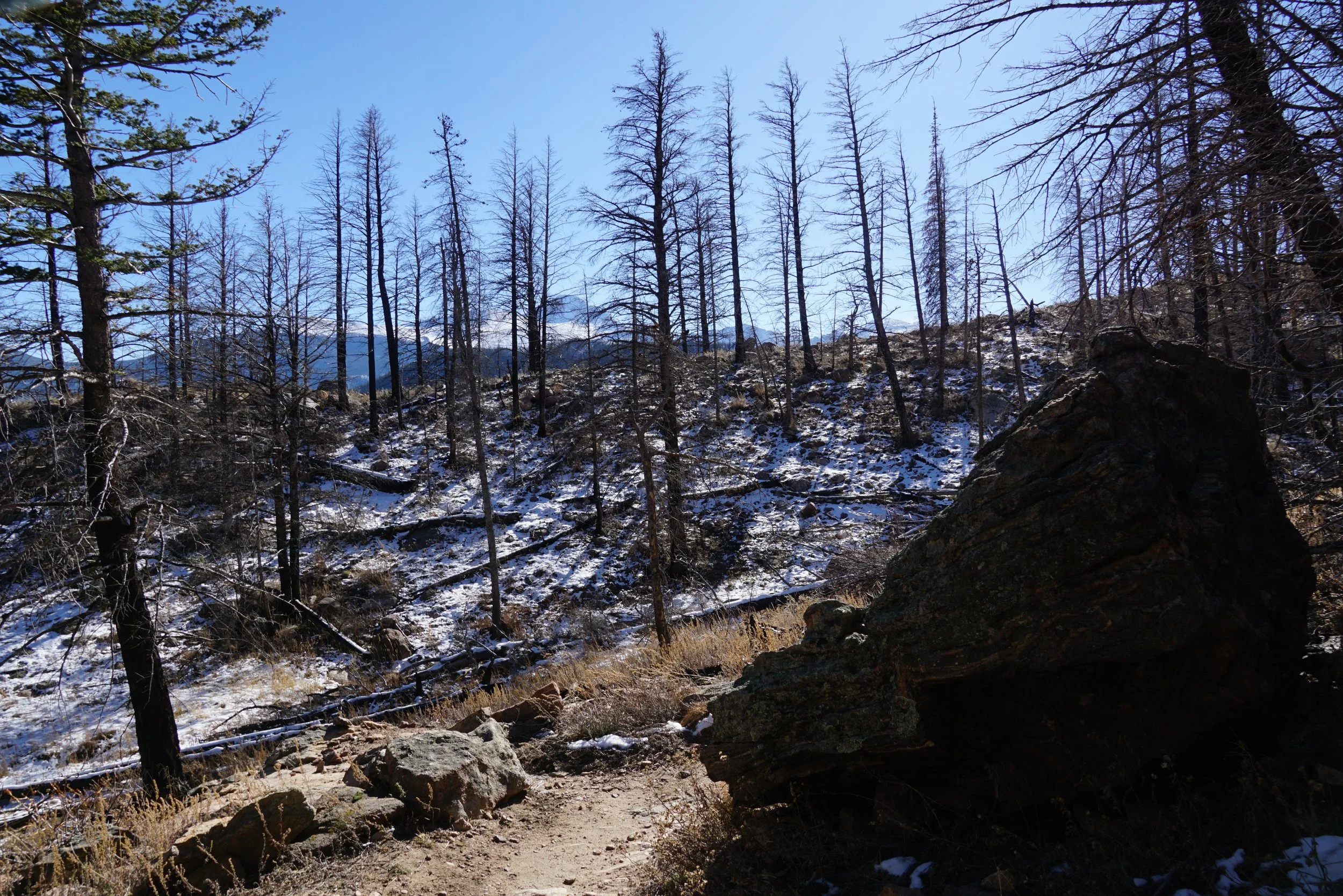
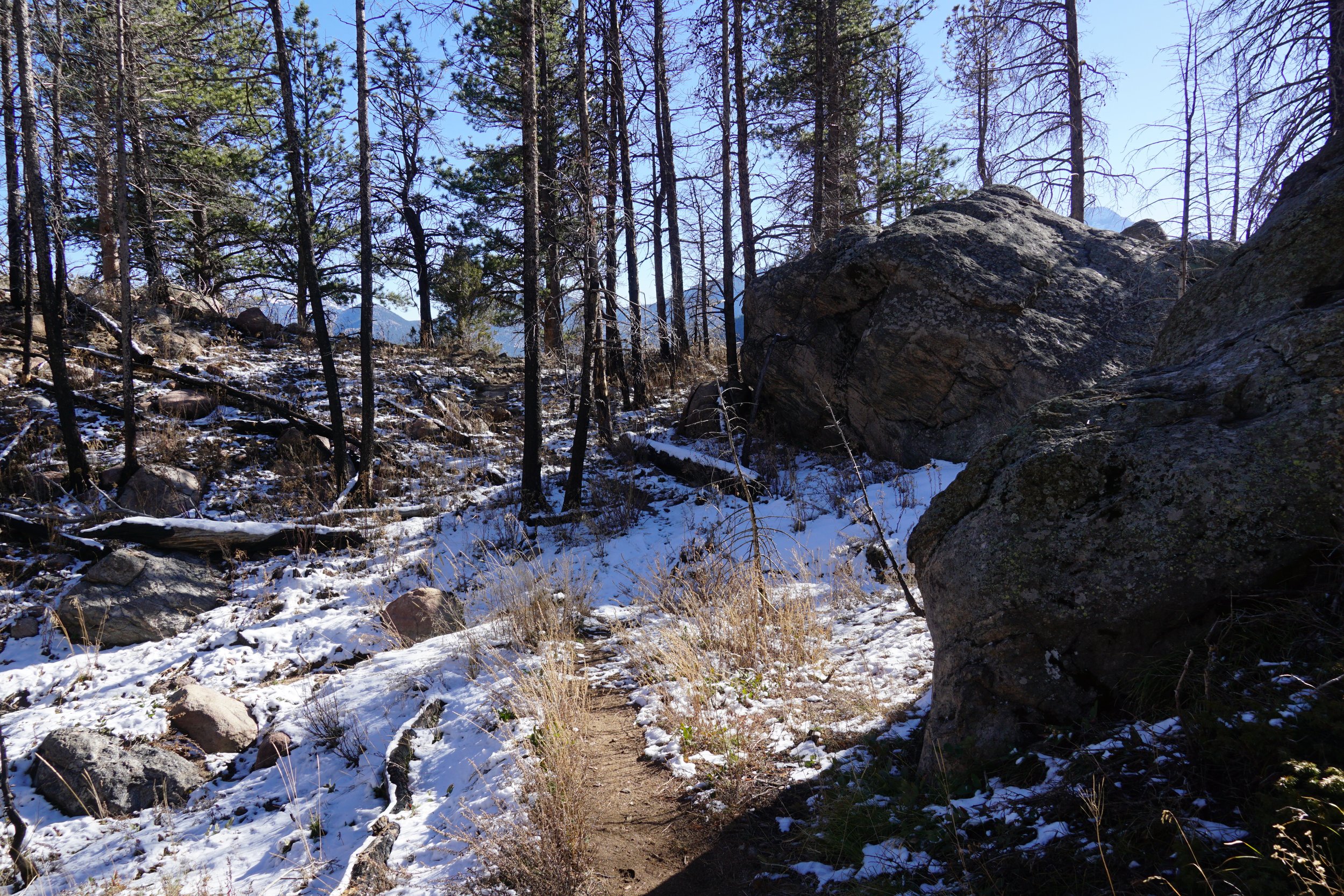
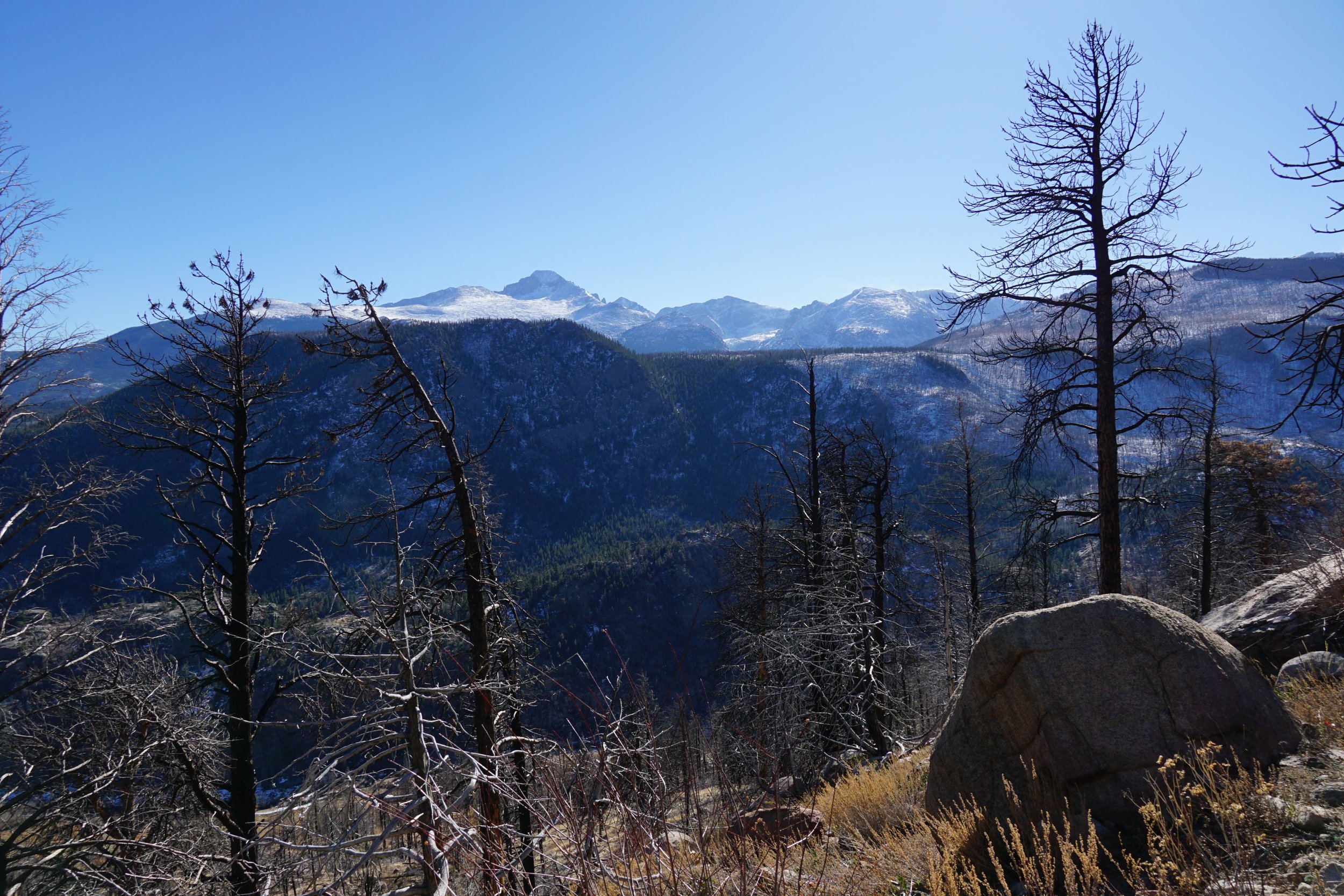
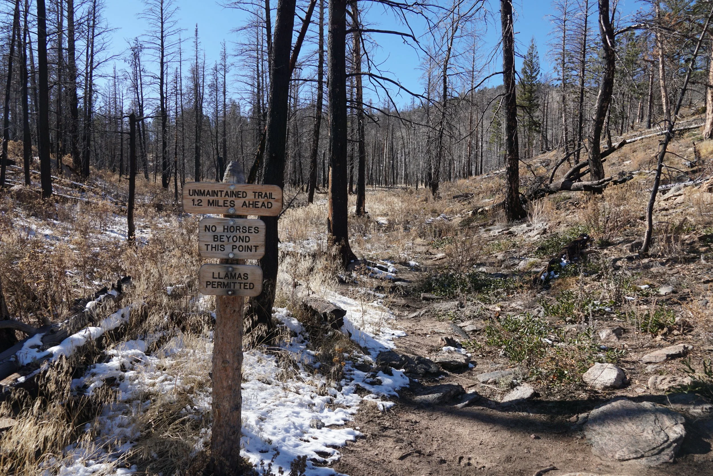
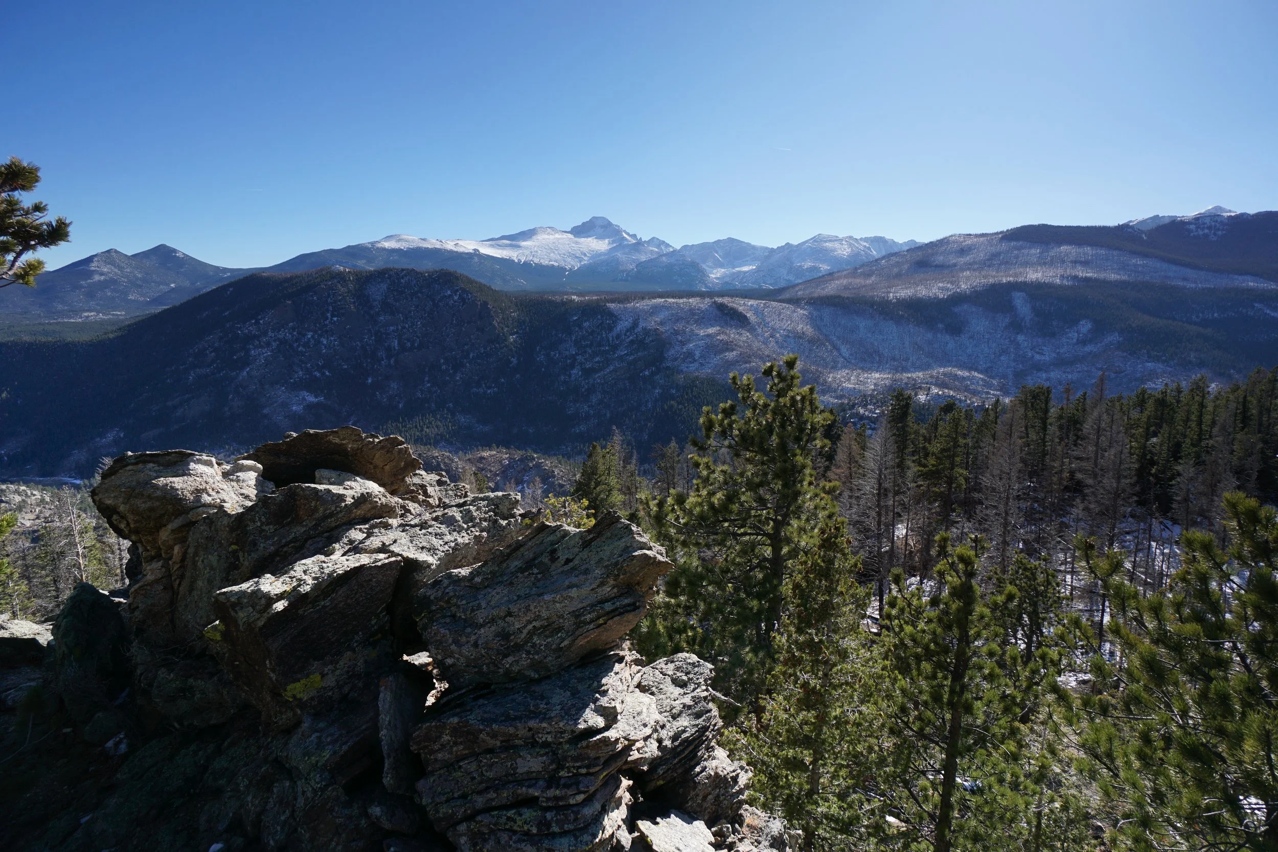
This hike basically ends where the Ute Trail makes a stark turn to the north away from the valley. At this point you’ll come to a fork in the road, the Ute Trail veers off to the right and a sign warns that the trail going straight is an unmaintained trail. At this point I recommend taking the unmaintained trail for a little bit, not too far. As you follow this trail you’ll come to various overlooks and outcroppings. I basically hiked and explored until I found a spot with great views of the high peaks along the Continental Divide. There is nothing official so choose your own destination. Follow the unmaintained trail back to the Ute trail when you are done, and be careful not venture away from the trail too far. The hike back is long but downhill and relatively easy.
The Ute Trail (East) is not the most incredible hike in the park (and that’s a pretty high bar), but it is remote and quiet and crosses some absolutely beautiful scenery. It’s a good taste of remote mountain wilderness without ever getting too far from the trailhead. A great early winter hike.