Beaver Brook Watershed Trail
Beaver Brook Watershed Open Space
Date Hiked: September 21, 2012
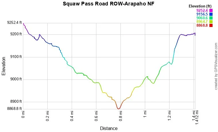
Distance: 1.4 mi (RT)
Elevation Gain: 400ft
Elevation Min/Max: 8,869 to 9,252ft
Trailhead Lat/Long: 39.674351º N; 105.445086º W
Managing Agency: U.S. Forest Service
Fee: None
Directions:
From Evergreen, head west on 103 towards Mt. Evans. Just after you pass Stinton Road, you'll come to a sharp turn in the road and a parking area. In the fall the parking area will be full of cars.
Hike Description:
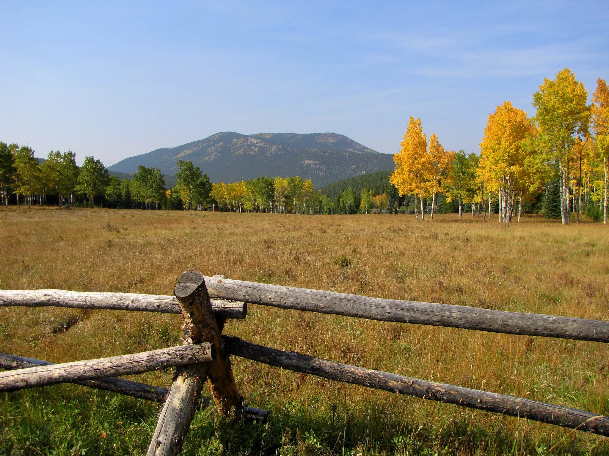
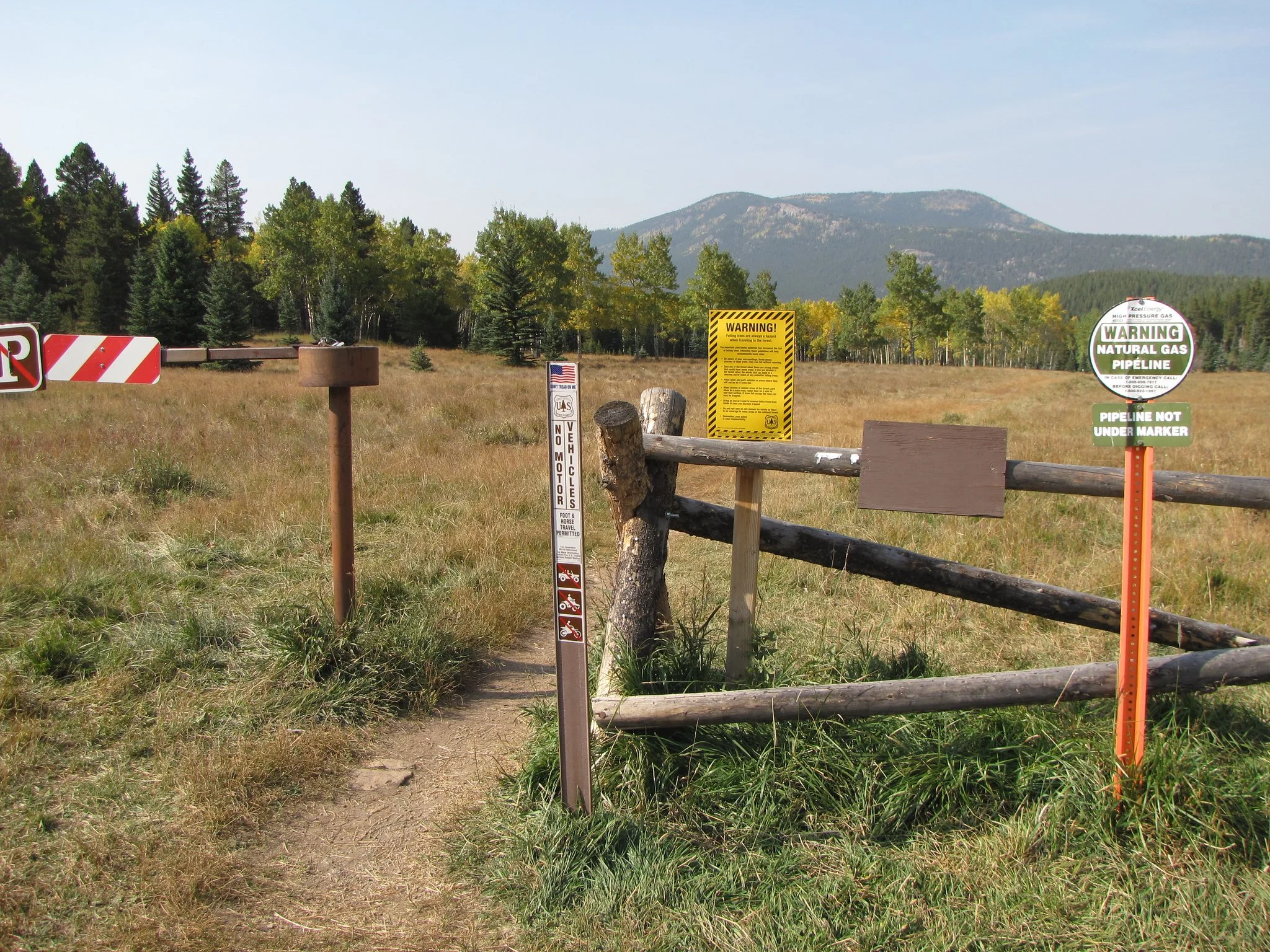
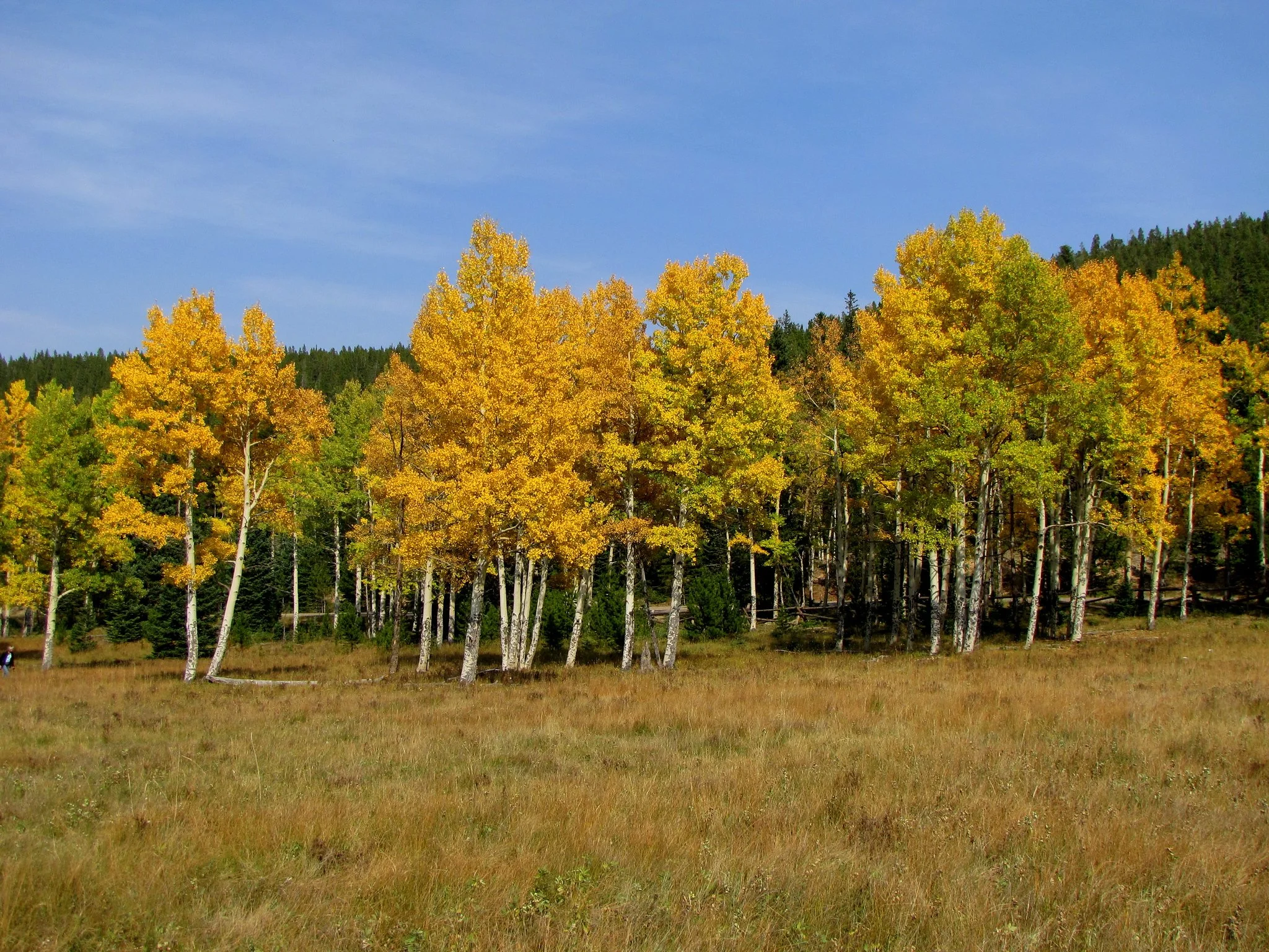
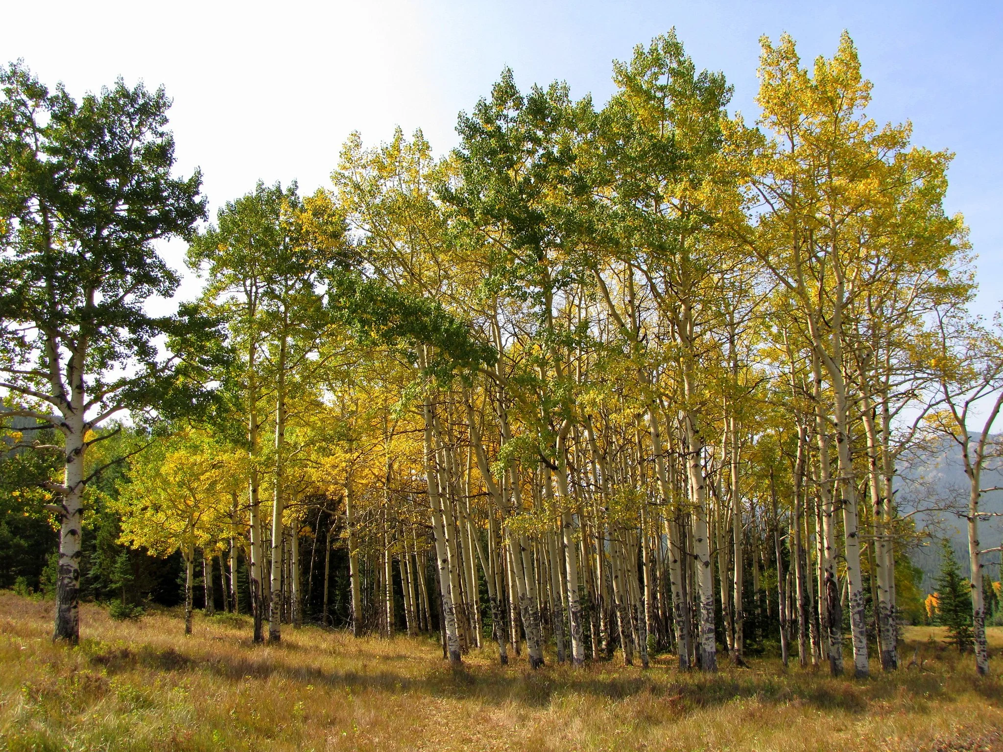
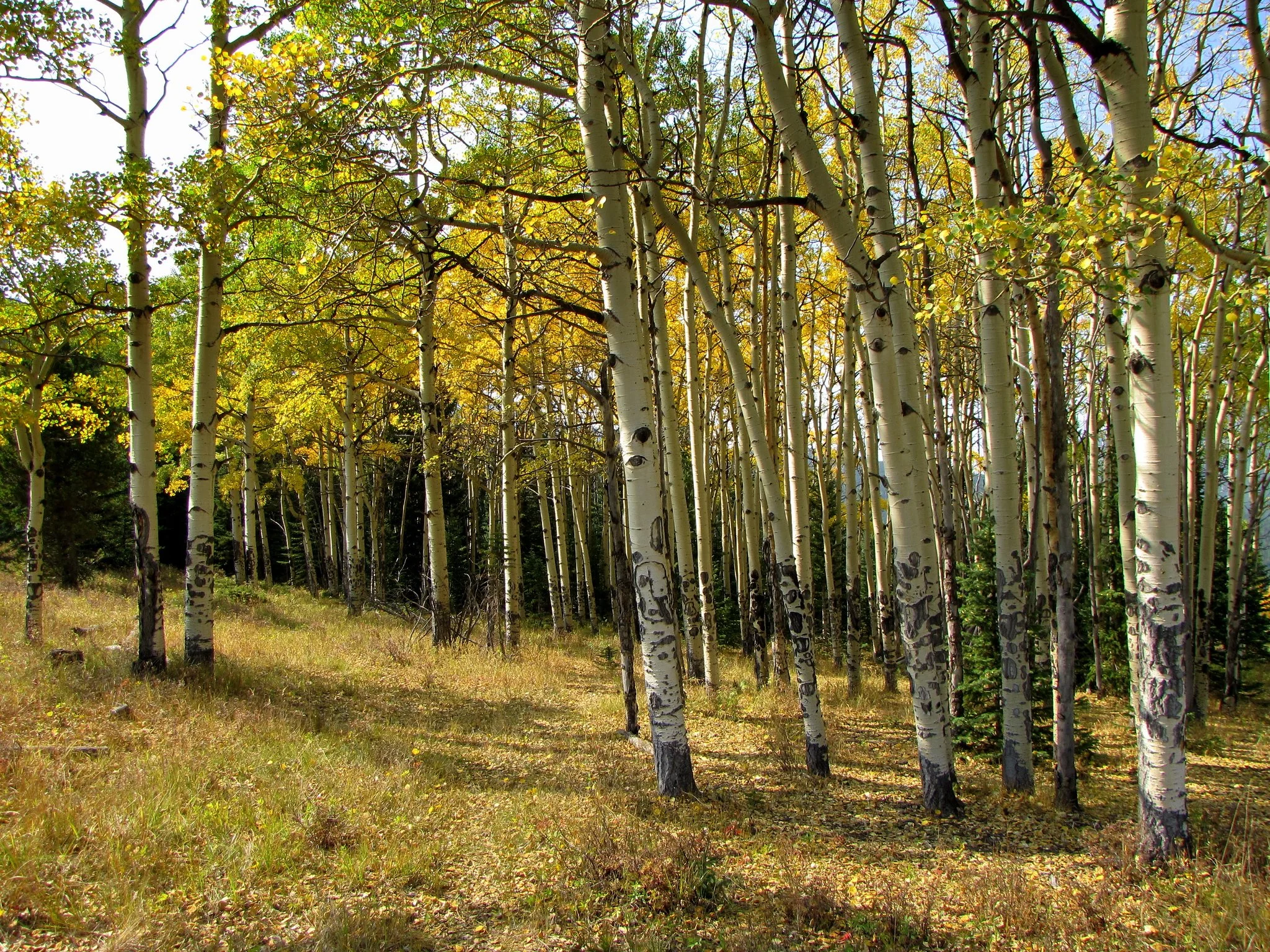
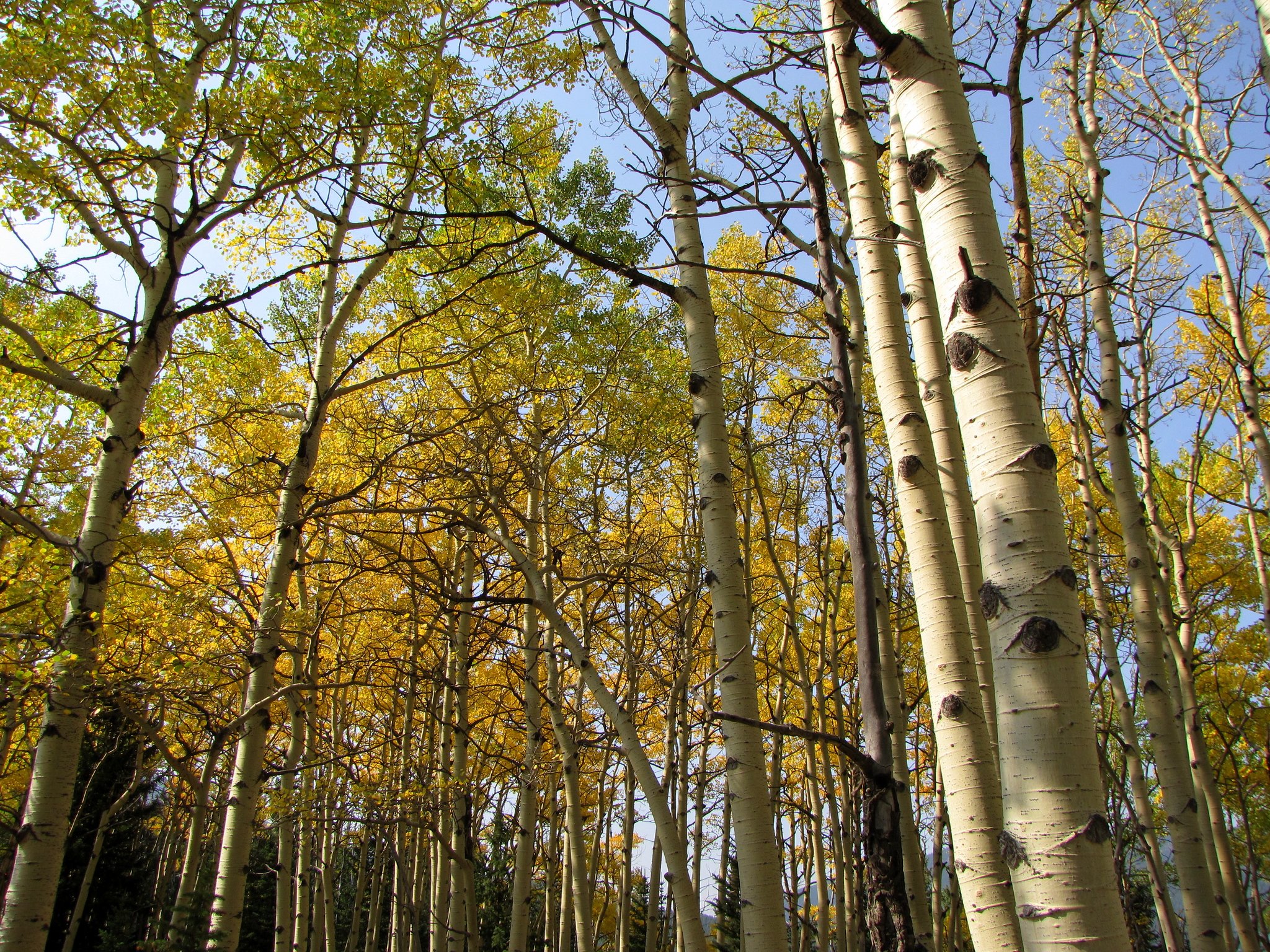
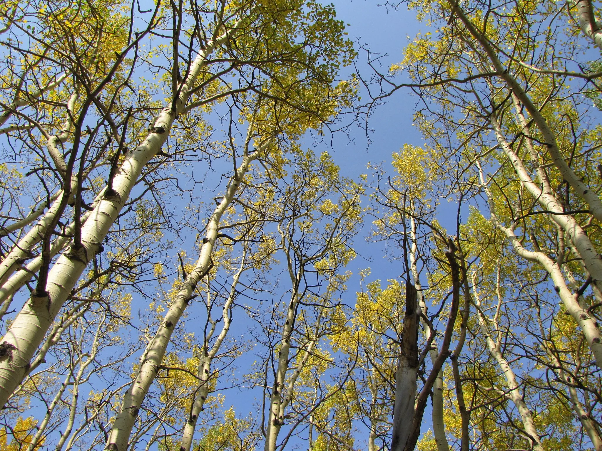
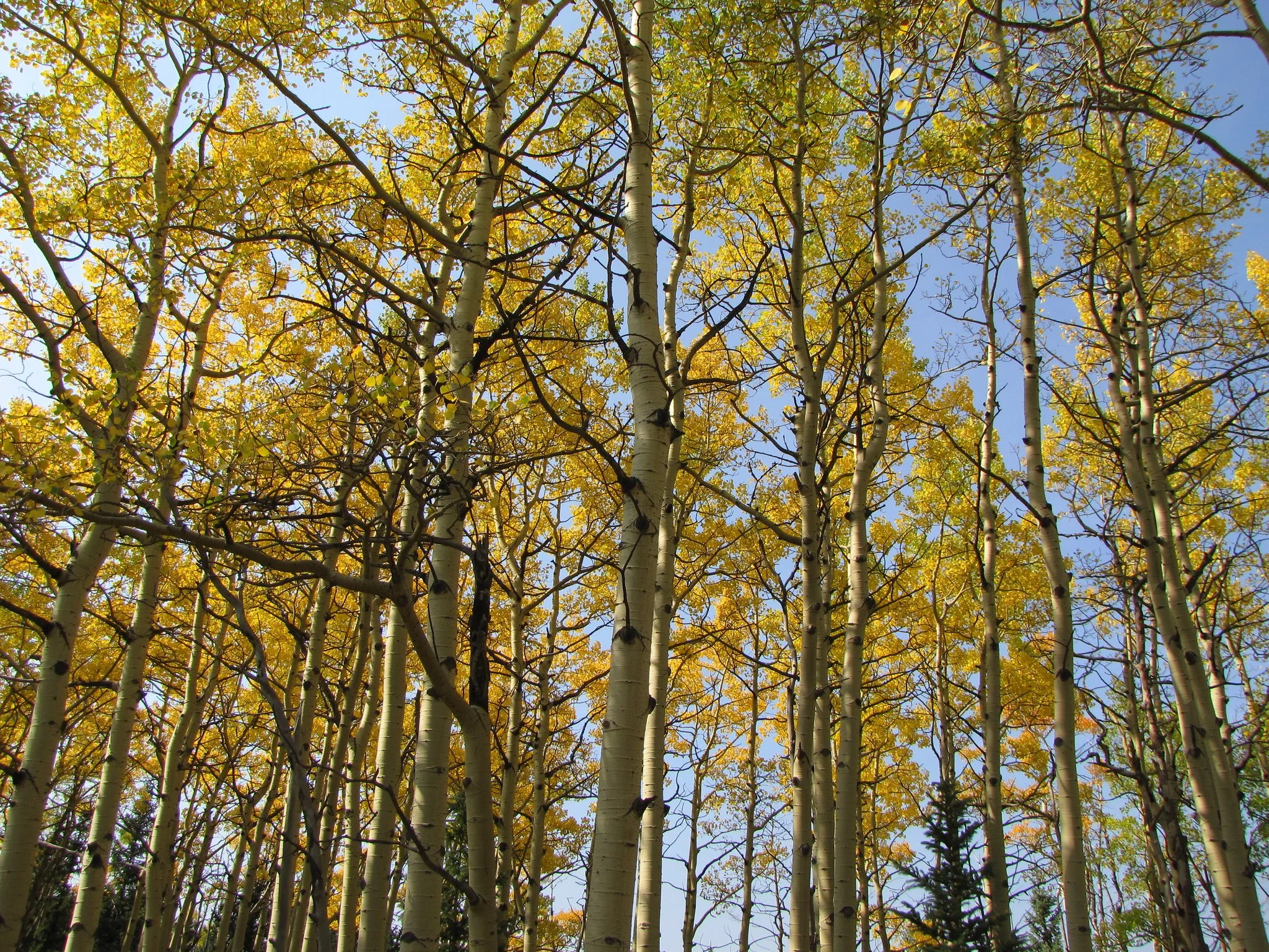
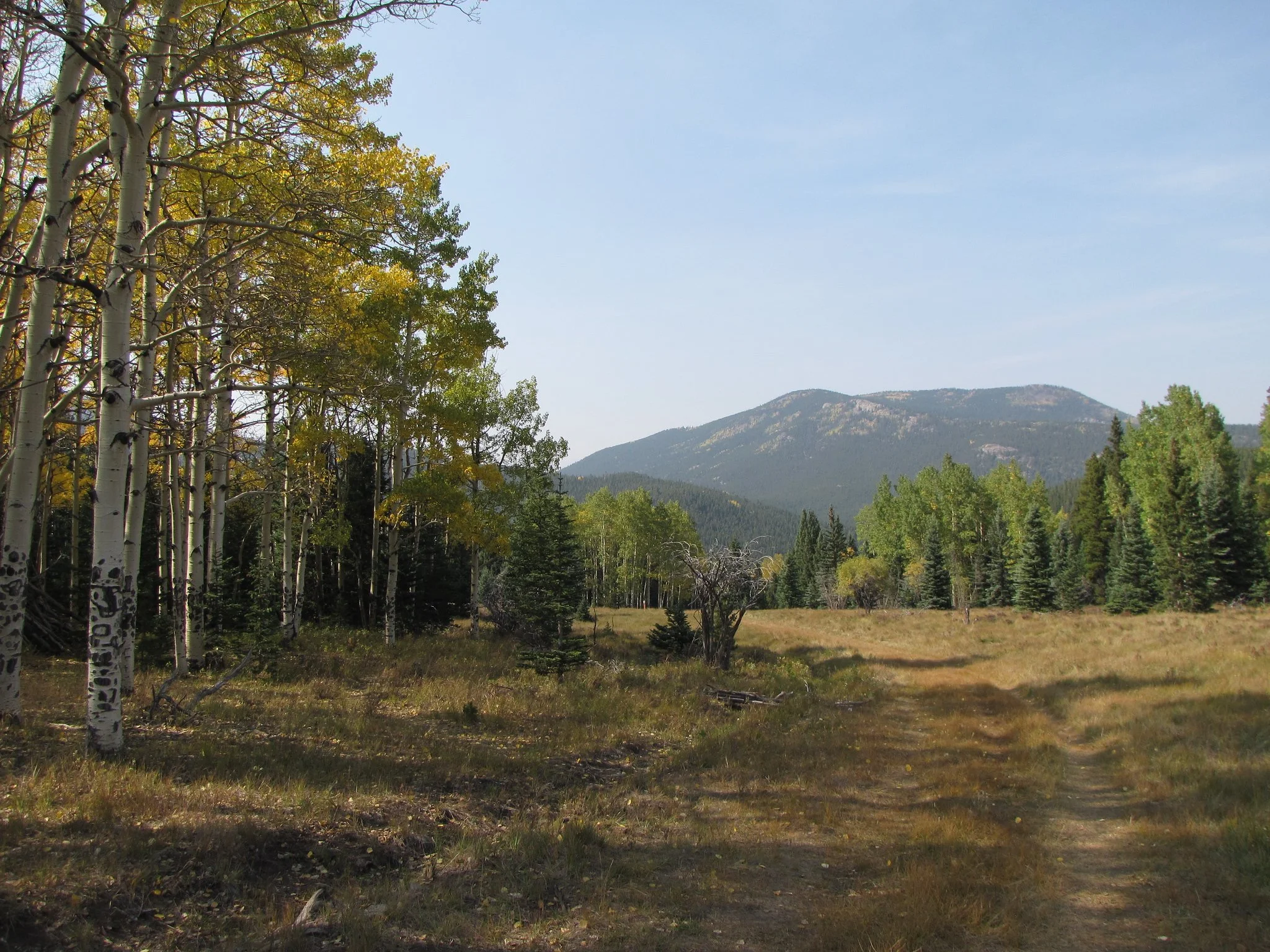
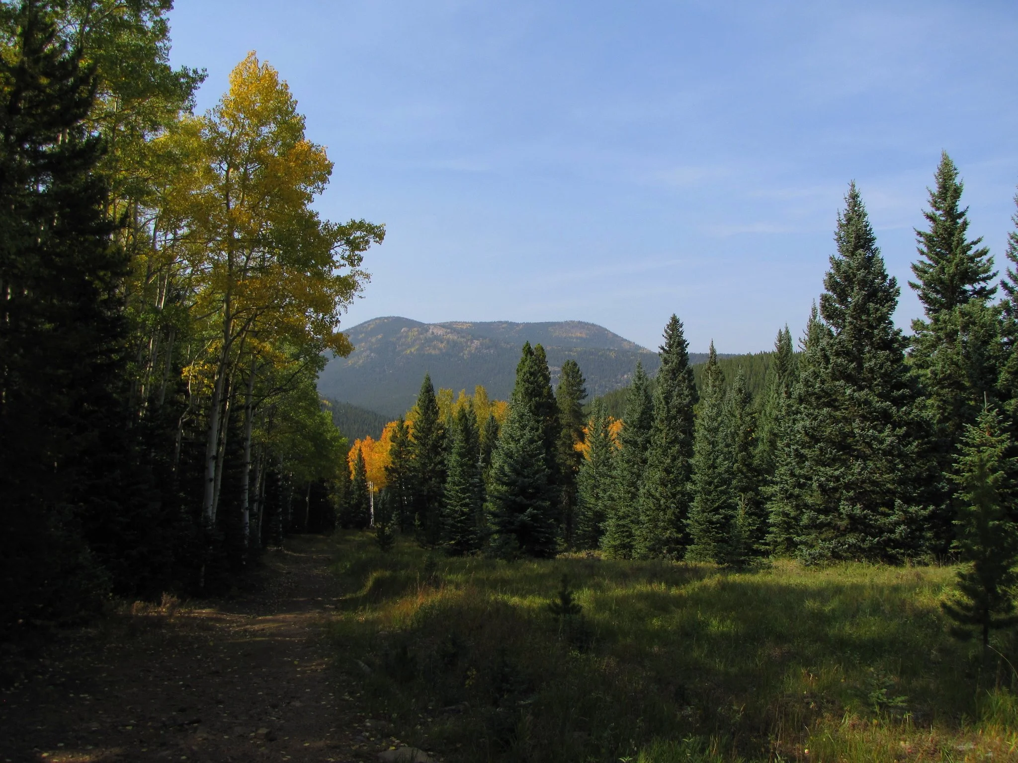
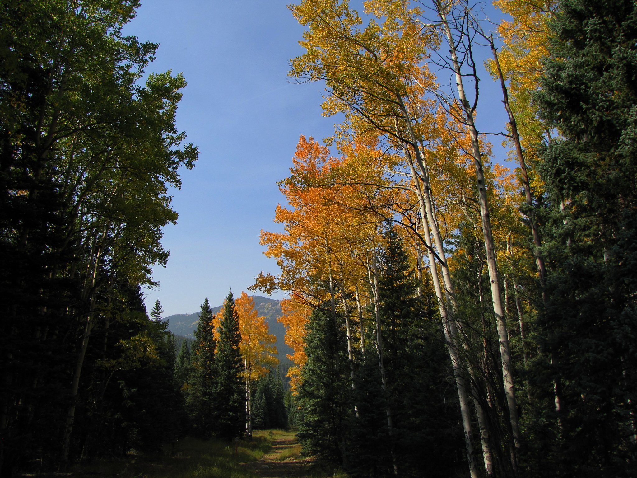
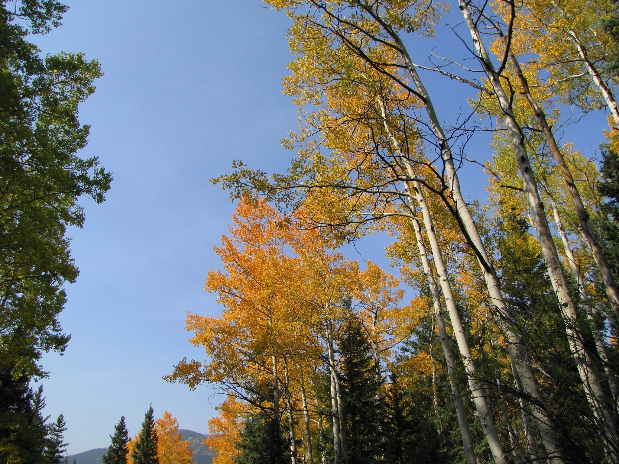
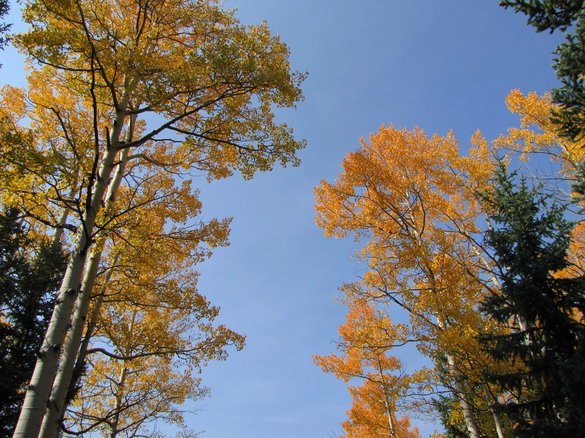
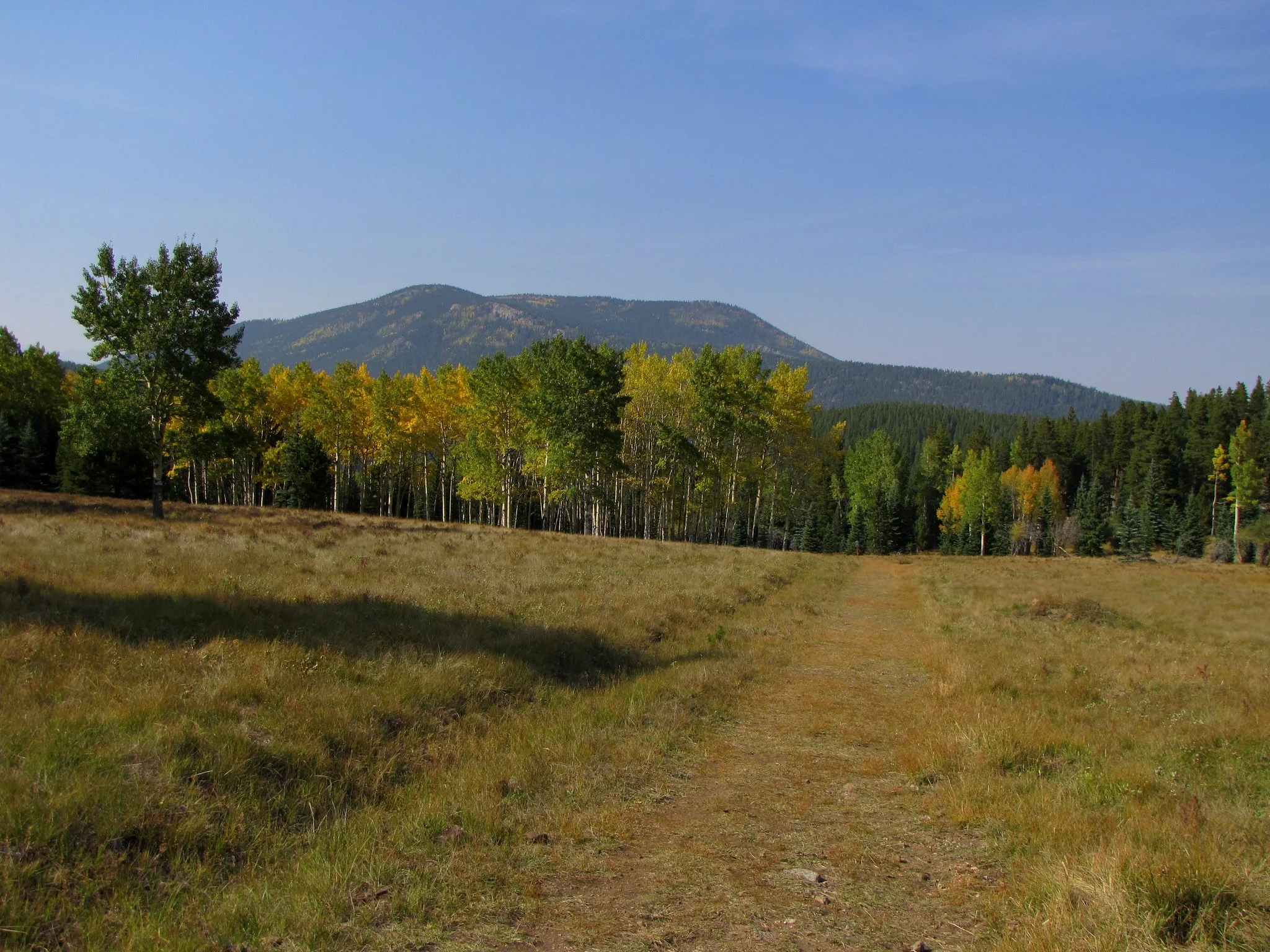
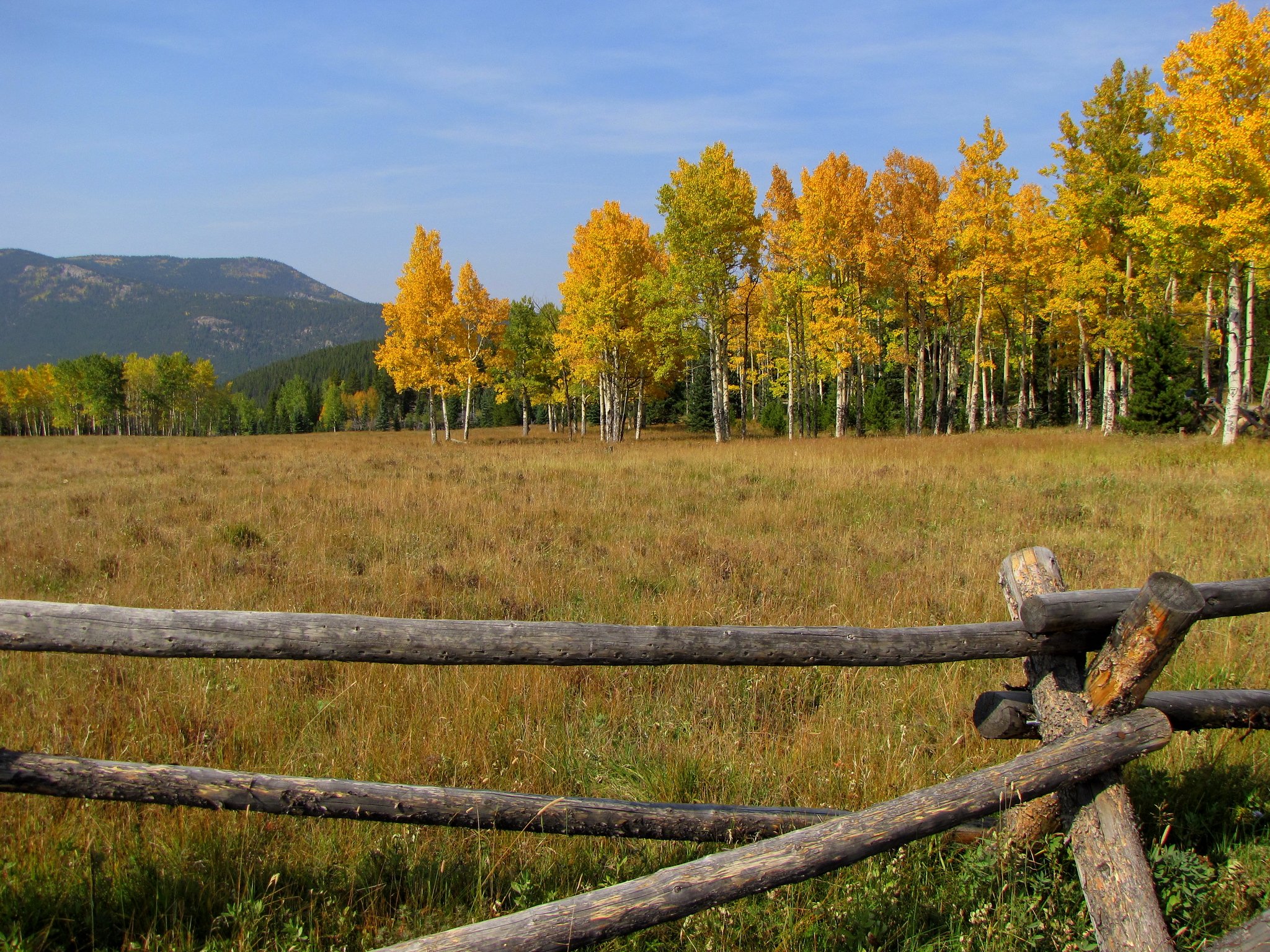
This trail is a popular in the fall as it is a hot spot for golden Aspens groves. The trail itself is unnamed but open to the public. Pass through the opening in the wooden fence and follow the trail as it follows a natural gas right-of-way. It is unclear if this trail is meant to simply provide access for utility companies or if it is also meant for public recreation. Either way, in the fall it makes for a nice and easy fall color hike.
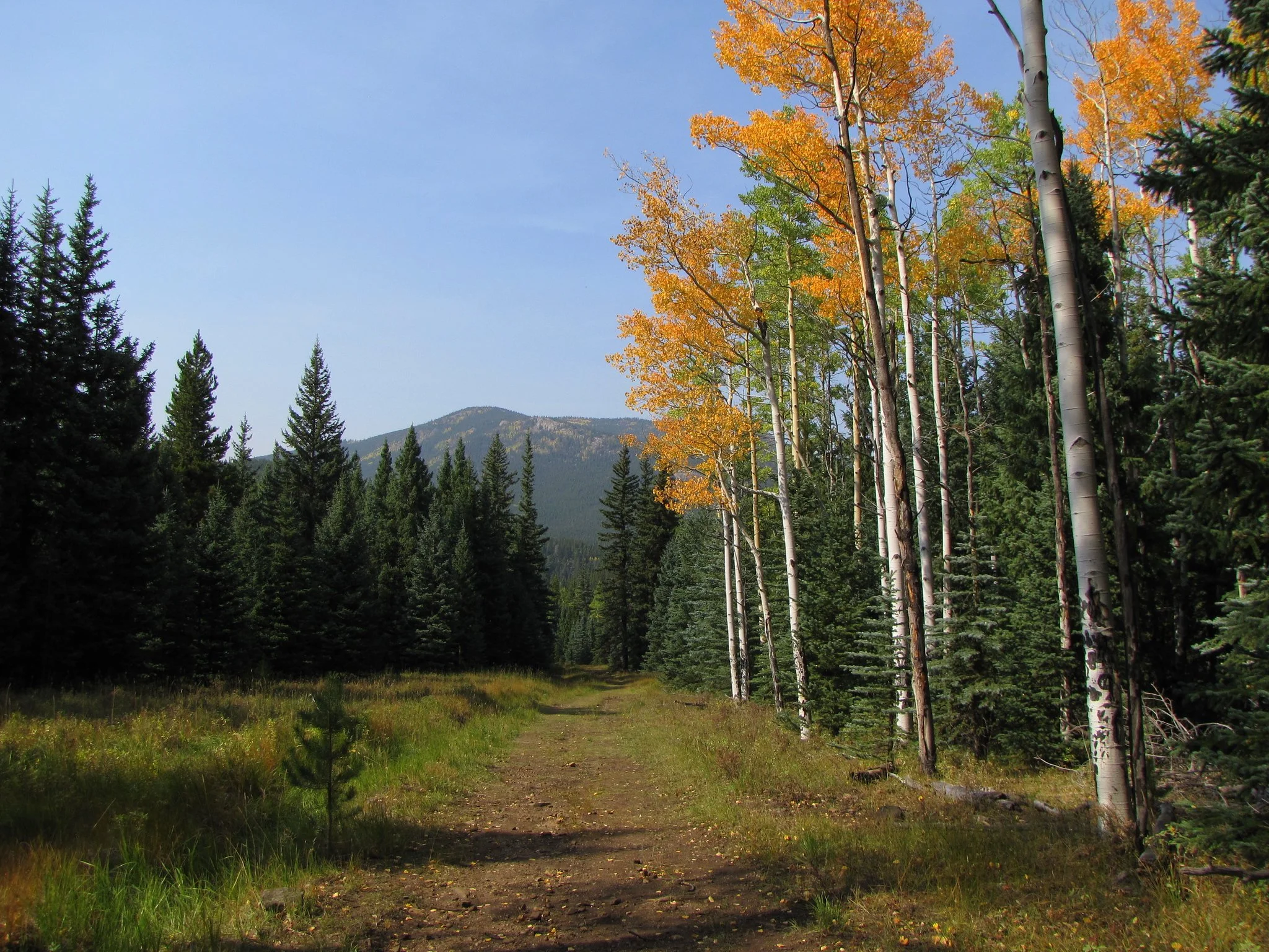
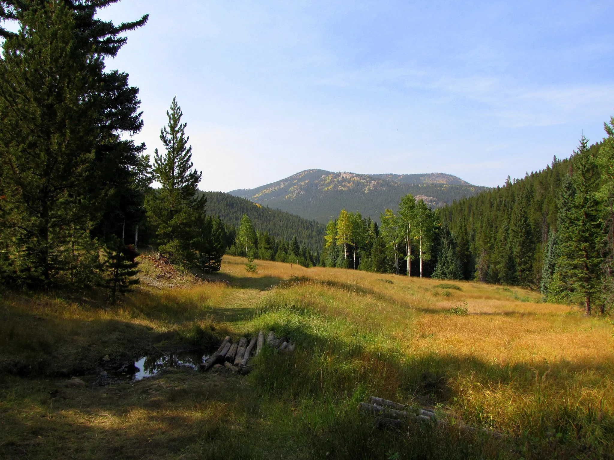
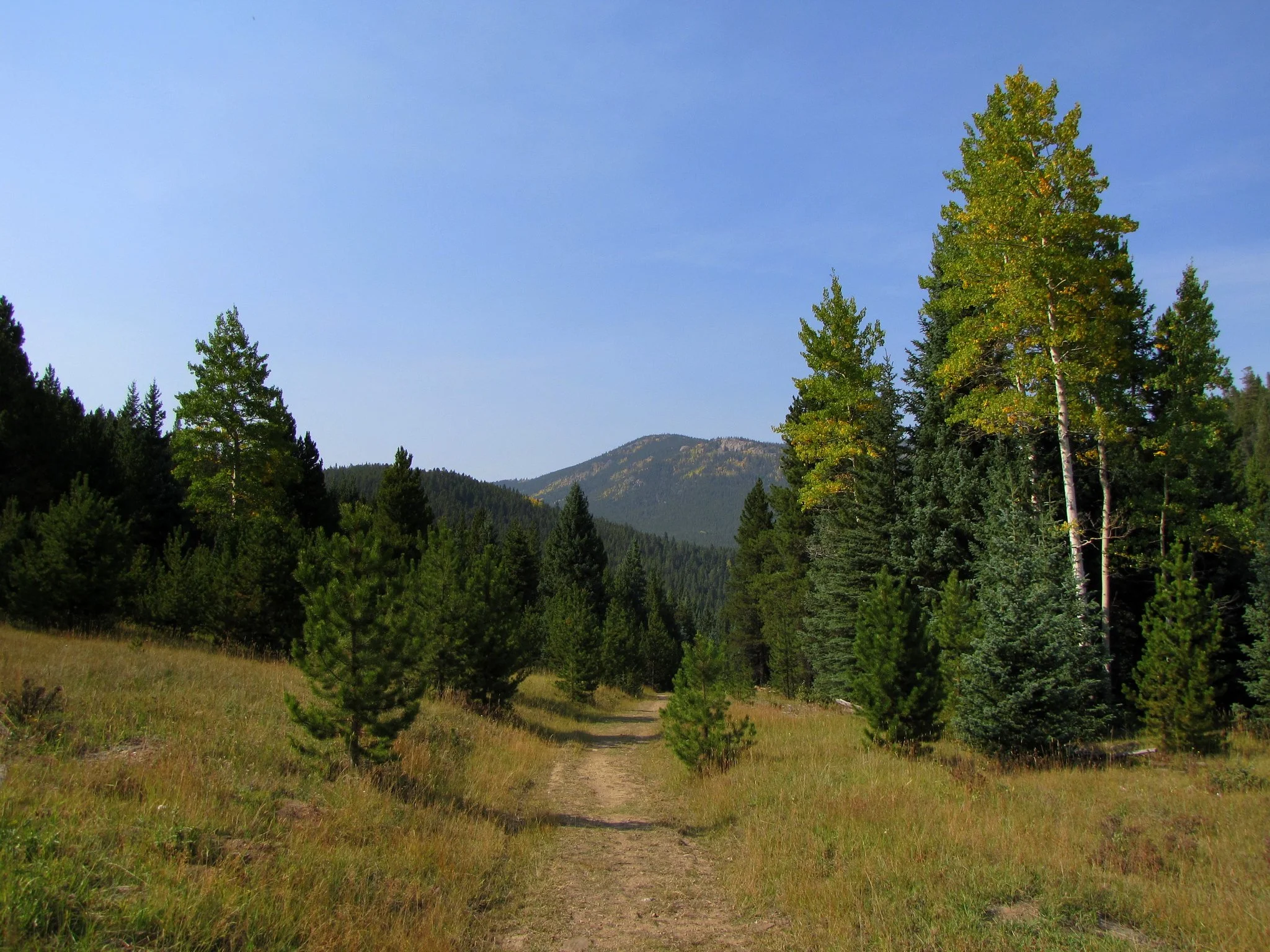
The trail descends through the gulch eventually leading to an open meadow and then on to the Beaver Brook Trail. Although we have not hiked all the way to Beaver Brook Reservoir, maps appear to show that the trail can be followed east into Clear Creek County's Beaver Brook Watershed Open Space, reaching the reservoir in about 2 miles.