Barbour Fork Trail
Arapaho National Forest
Date Hiked: June 28, 2023
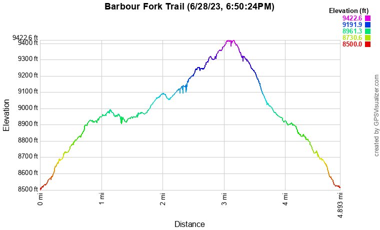
Distance: 4.8 mi (RT)
Elevation Gain: 922 ft
Elevation Min/Max: 8,551 to 9,411 ft
Trailhead Lat/Long: 39.71504, -105.55453
Managing Agency: U.S. Forest Service (USFS)
Fee: None
Directions (From USFS Website):
From I-70, take exit 240 north into Idaho Springs. Follow Miner Street to Soda Creek Road, which goes under the interstate and past Indian Springs Resort. Follow Soda Creek Road for approximately 3 miles to a large turn out.
Hike Description:
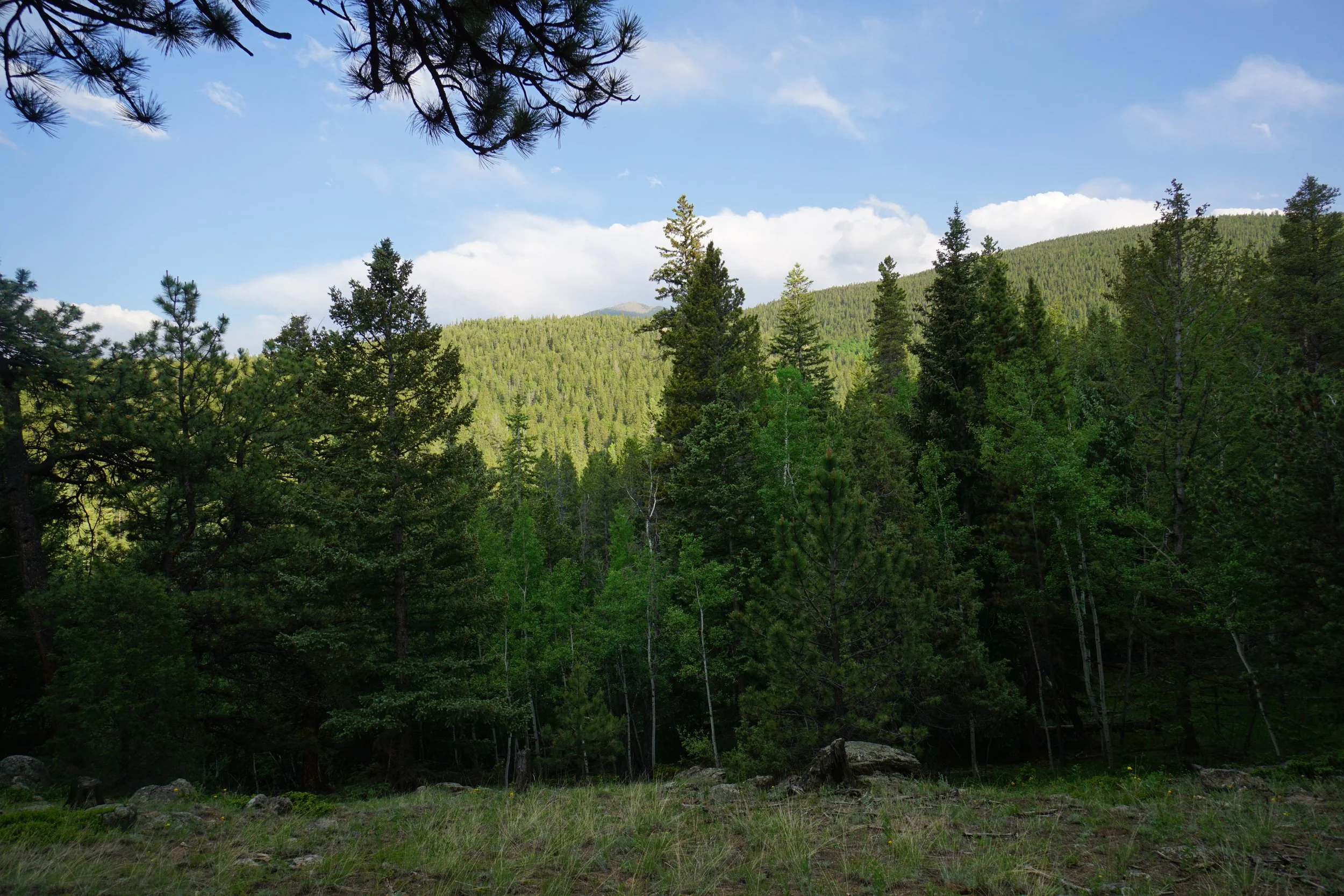
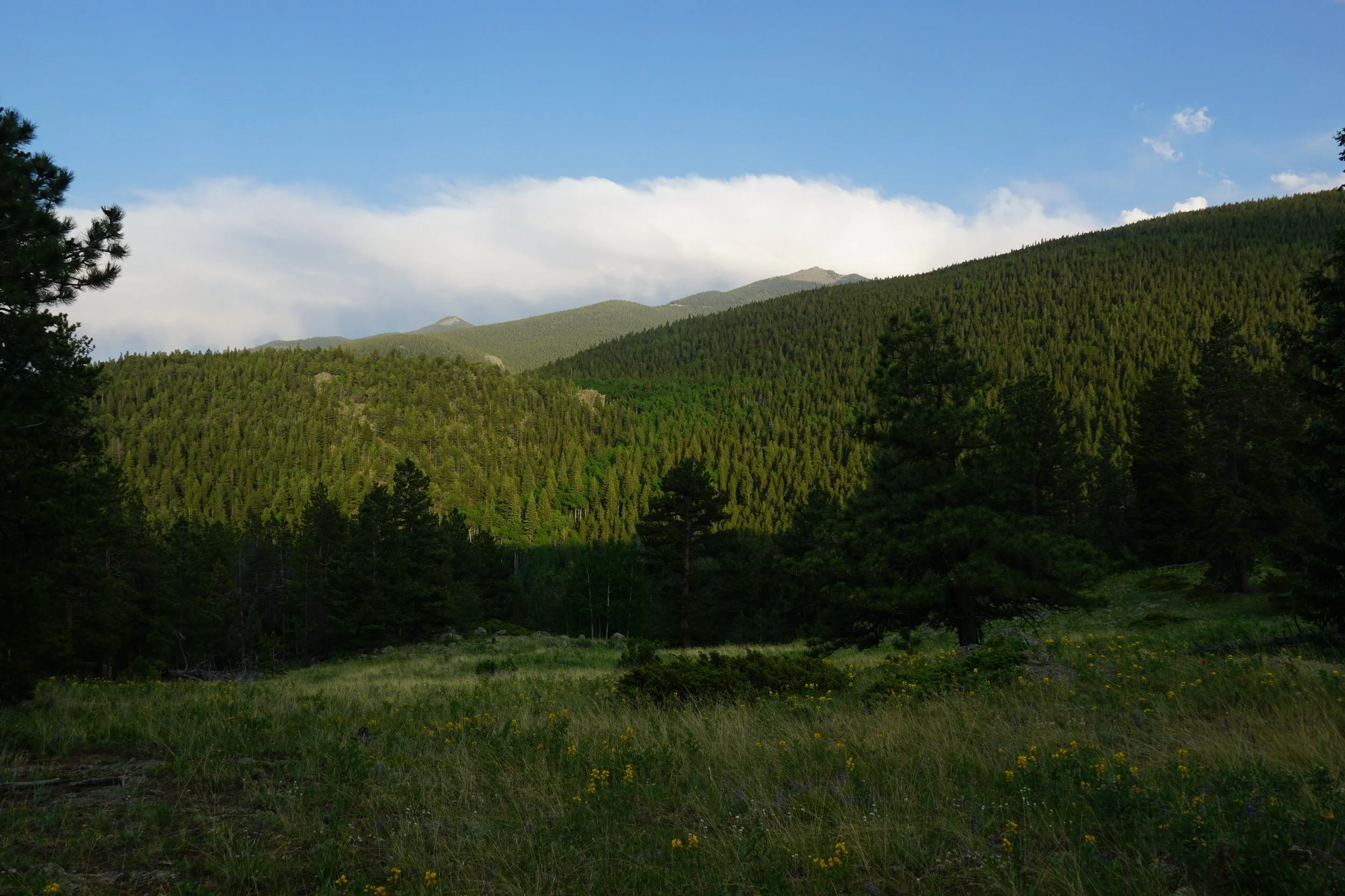
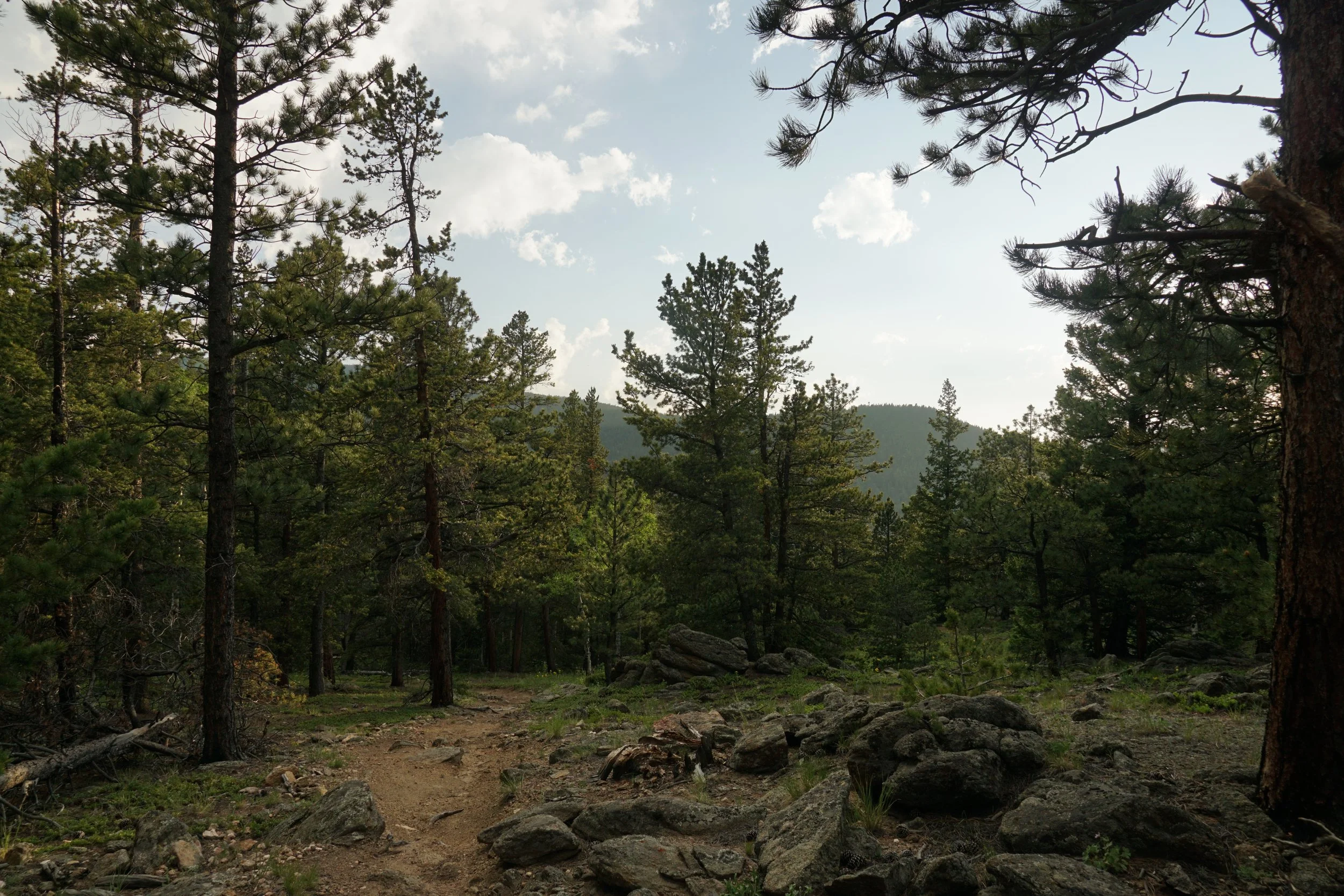
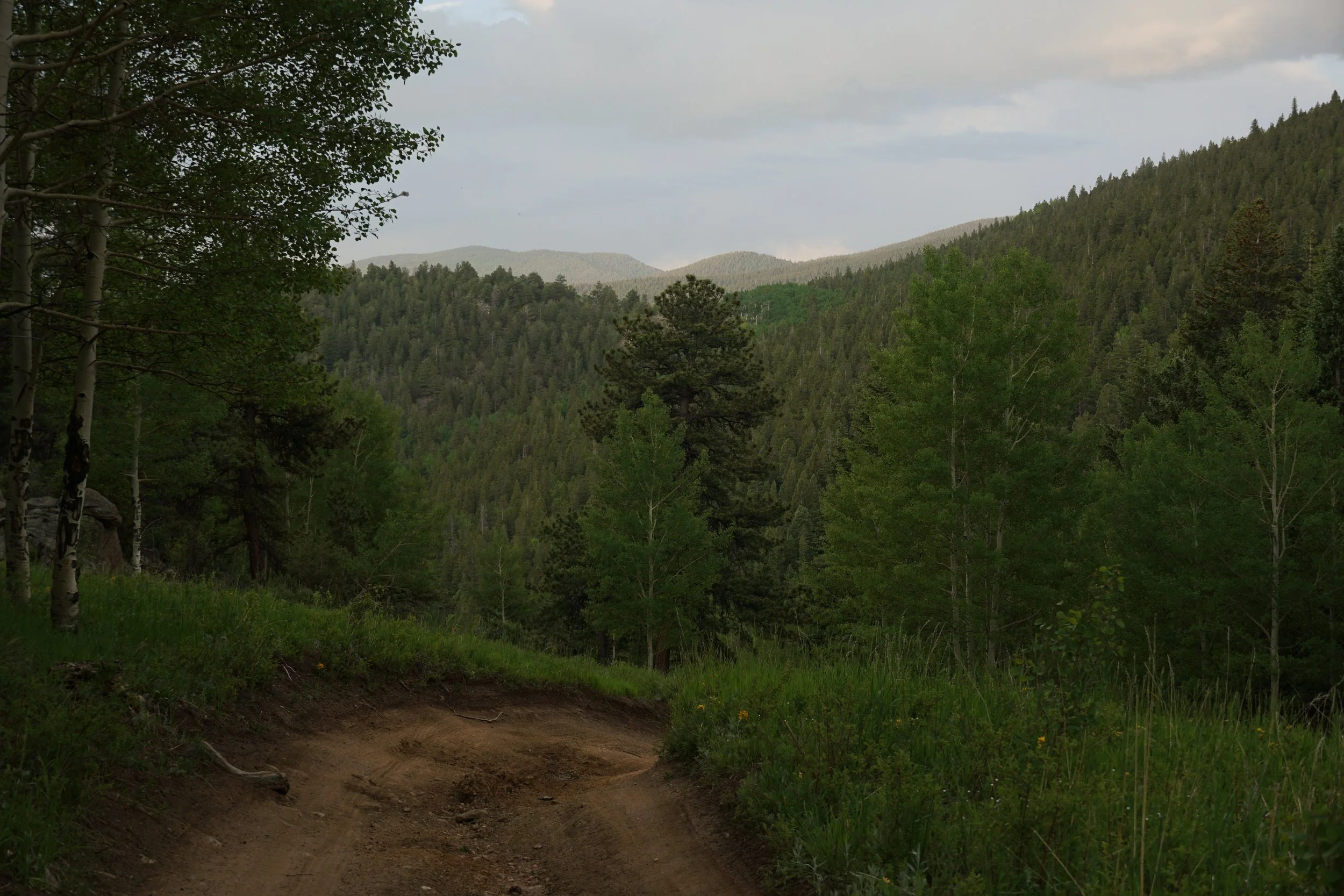
The Barbour Fork Trail is a hidden gem tucked away in dense forest between Chief Mountain and Idaho Springs. The Barbour Fork Road which provides access to the trail, is a popular area for off-road vehicle use. However, don’t let that stop you from exploring this area on foot. The route described here explains how to hike this route with the minimum possible time spent hiking on the road.
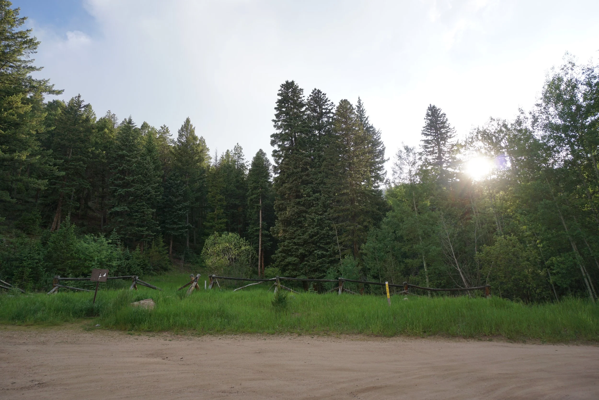
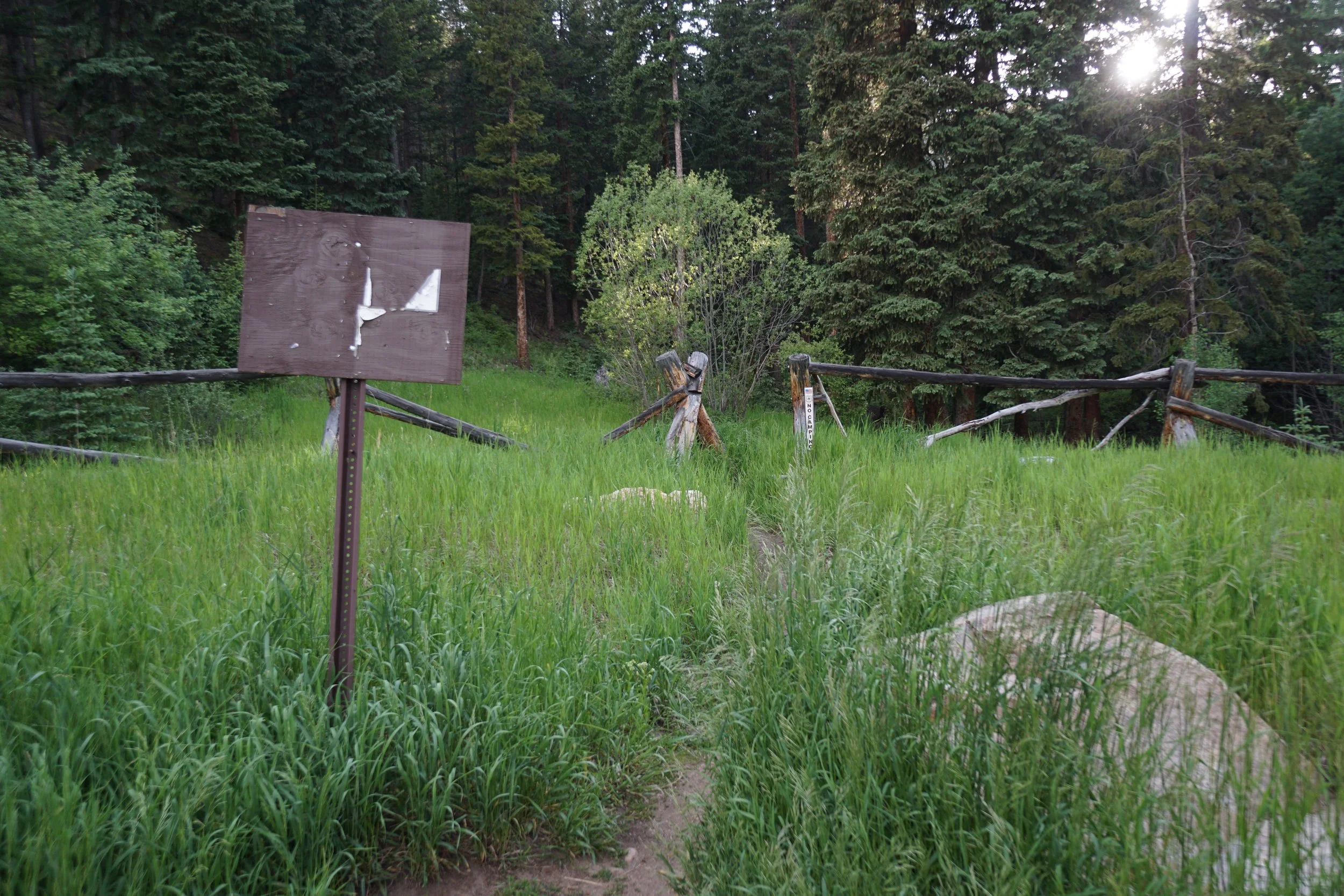
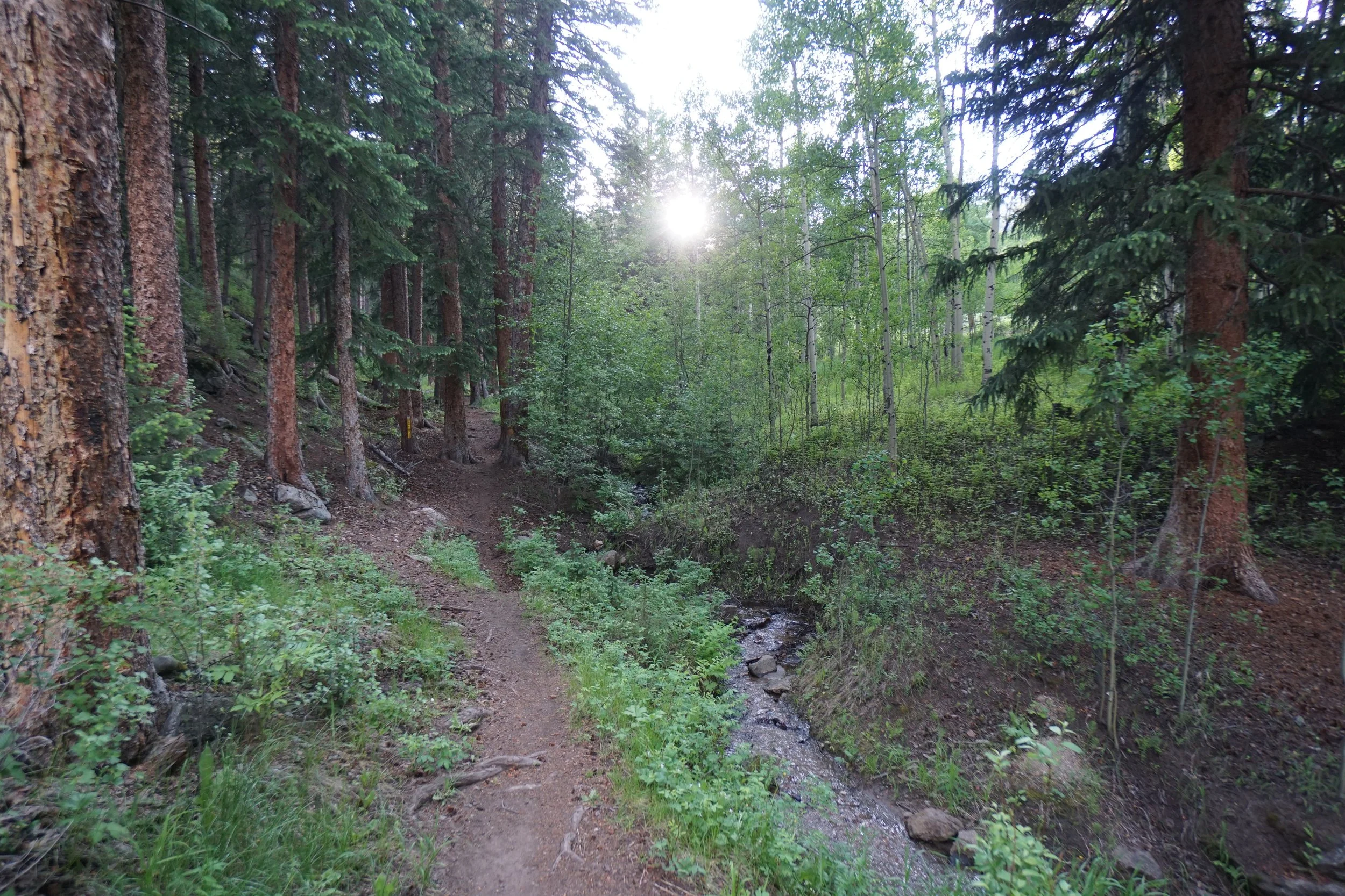
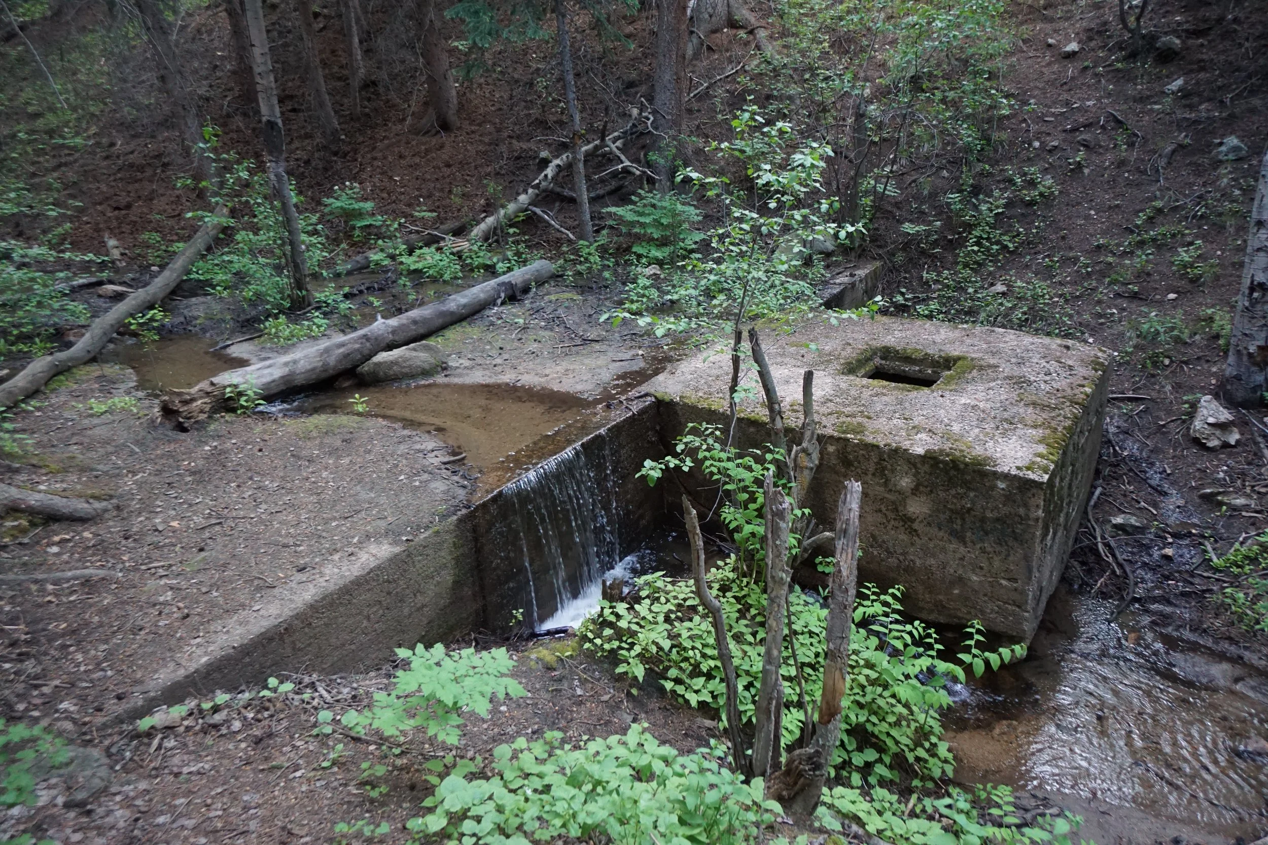
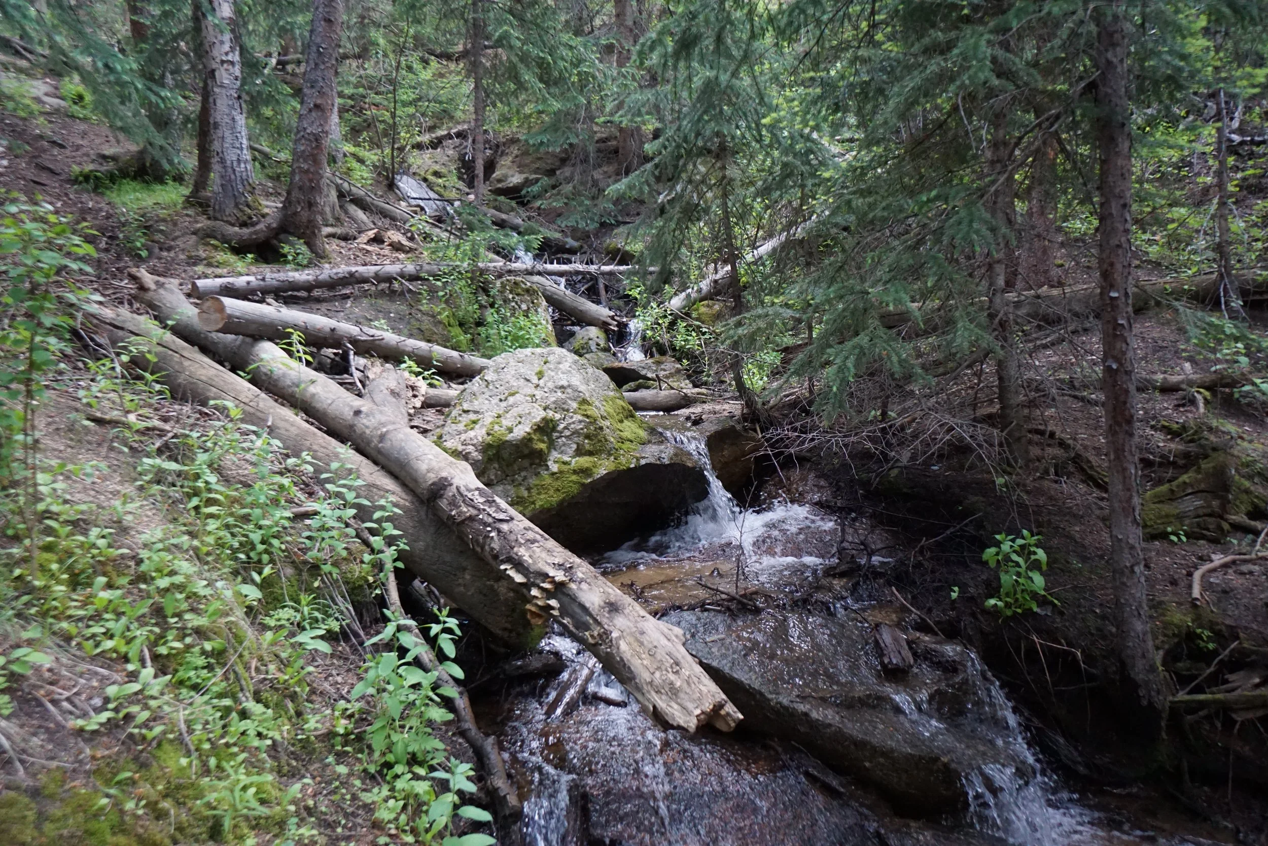
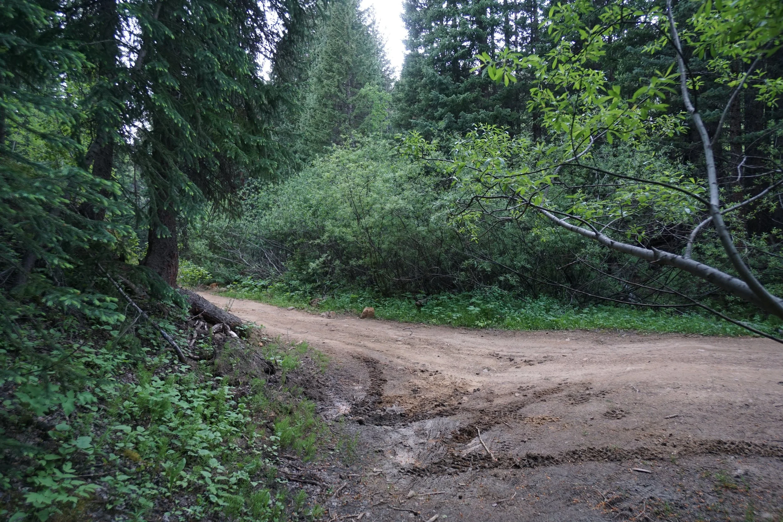
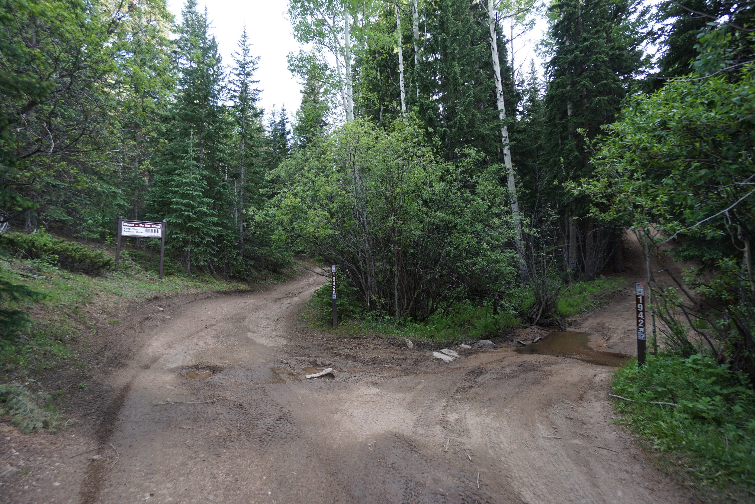
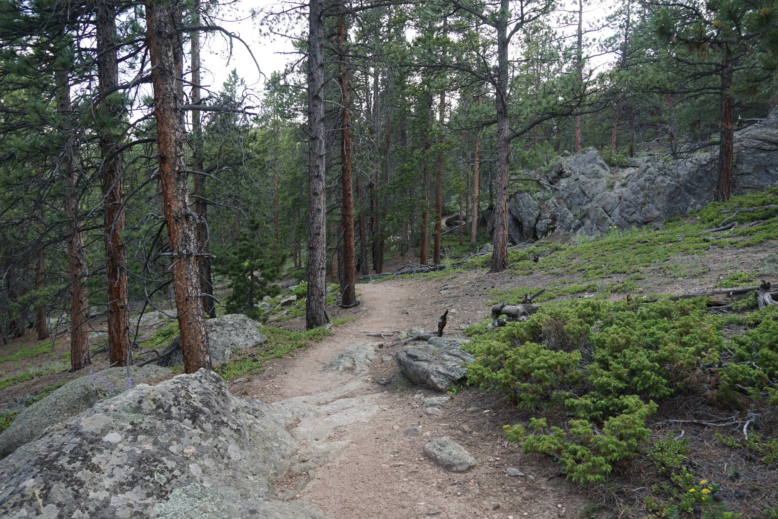
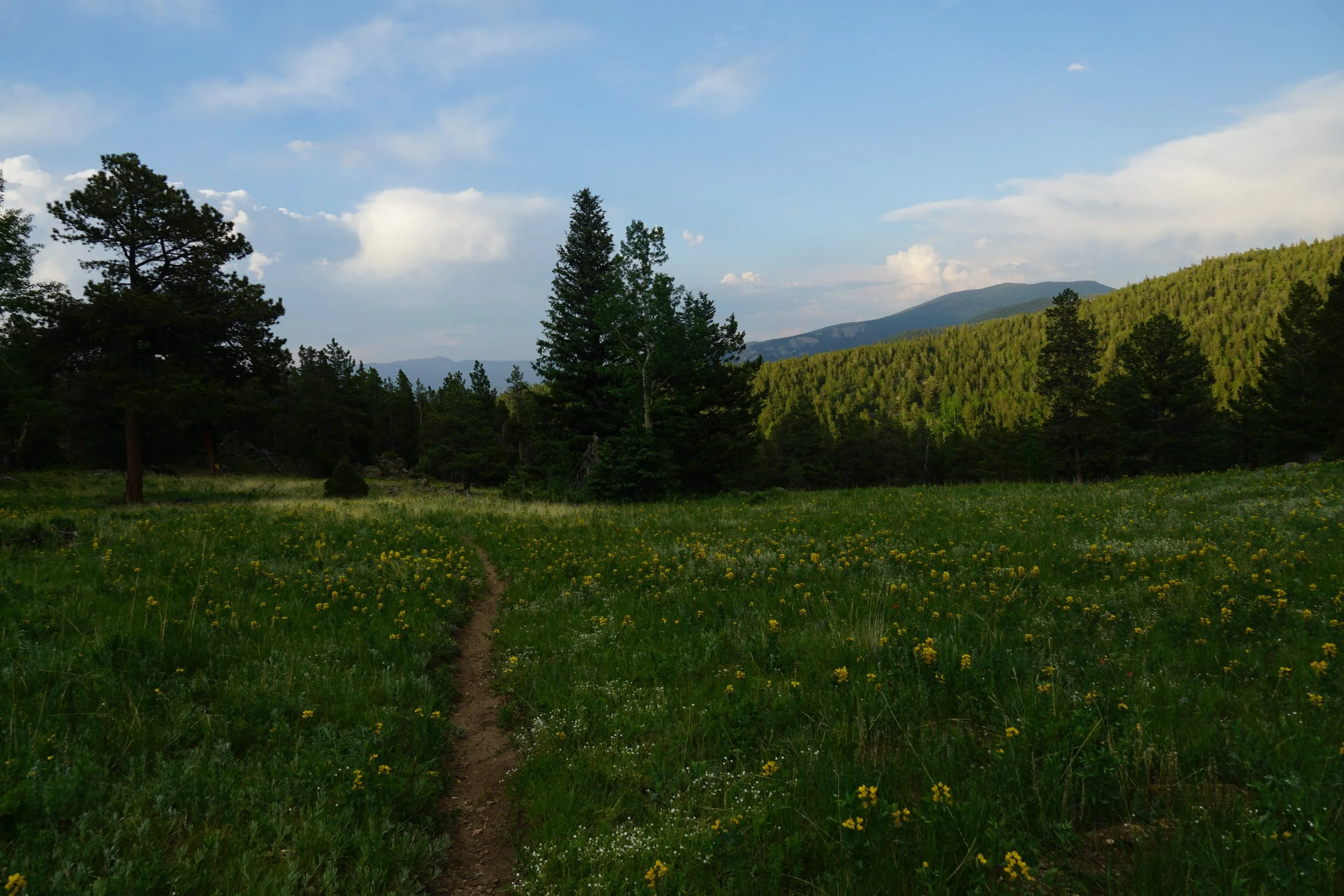
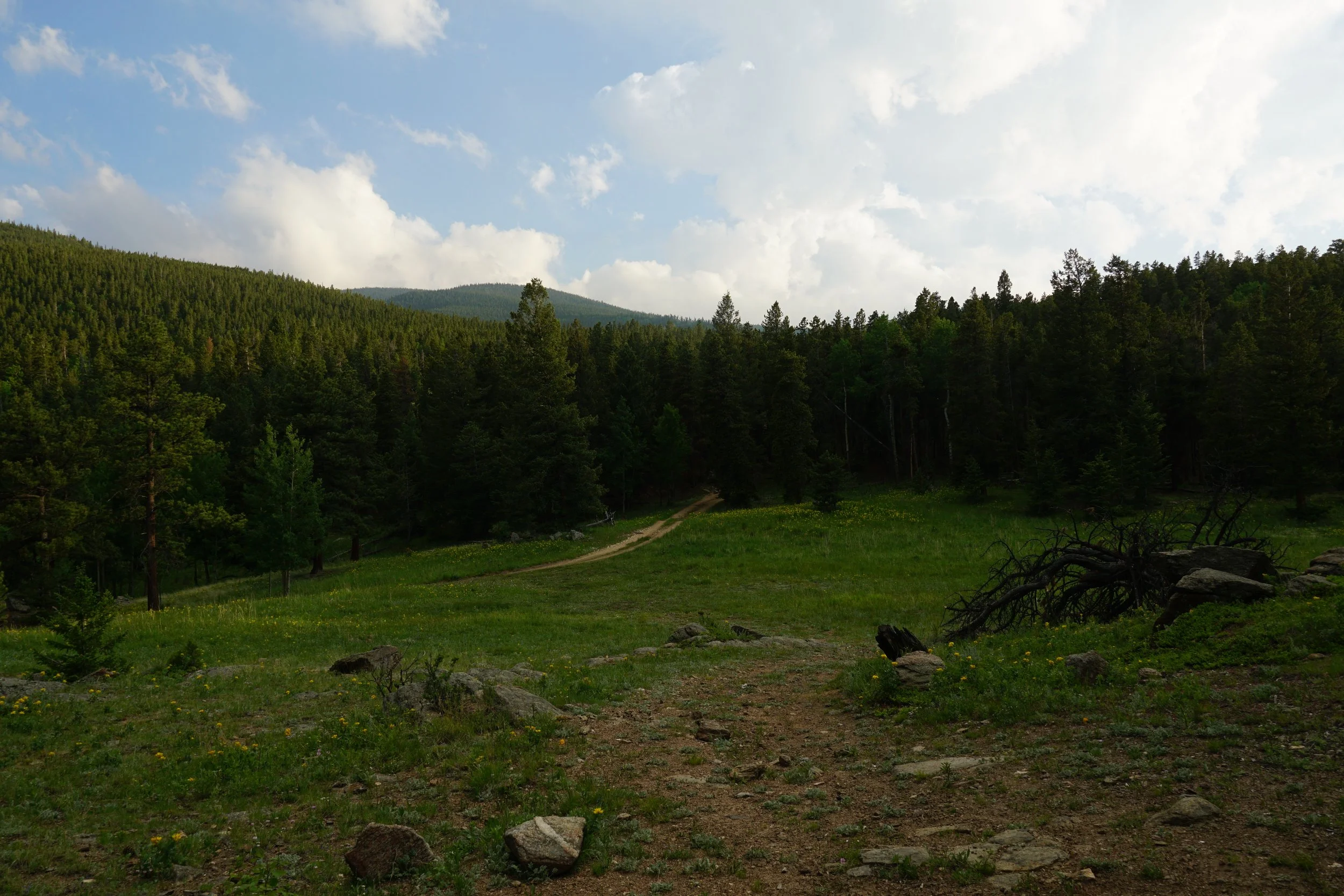
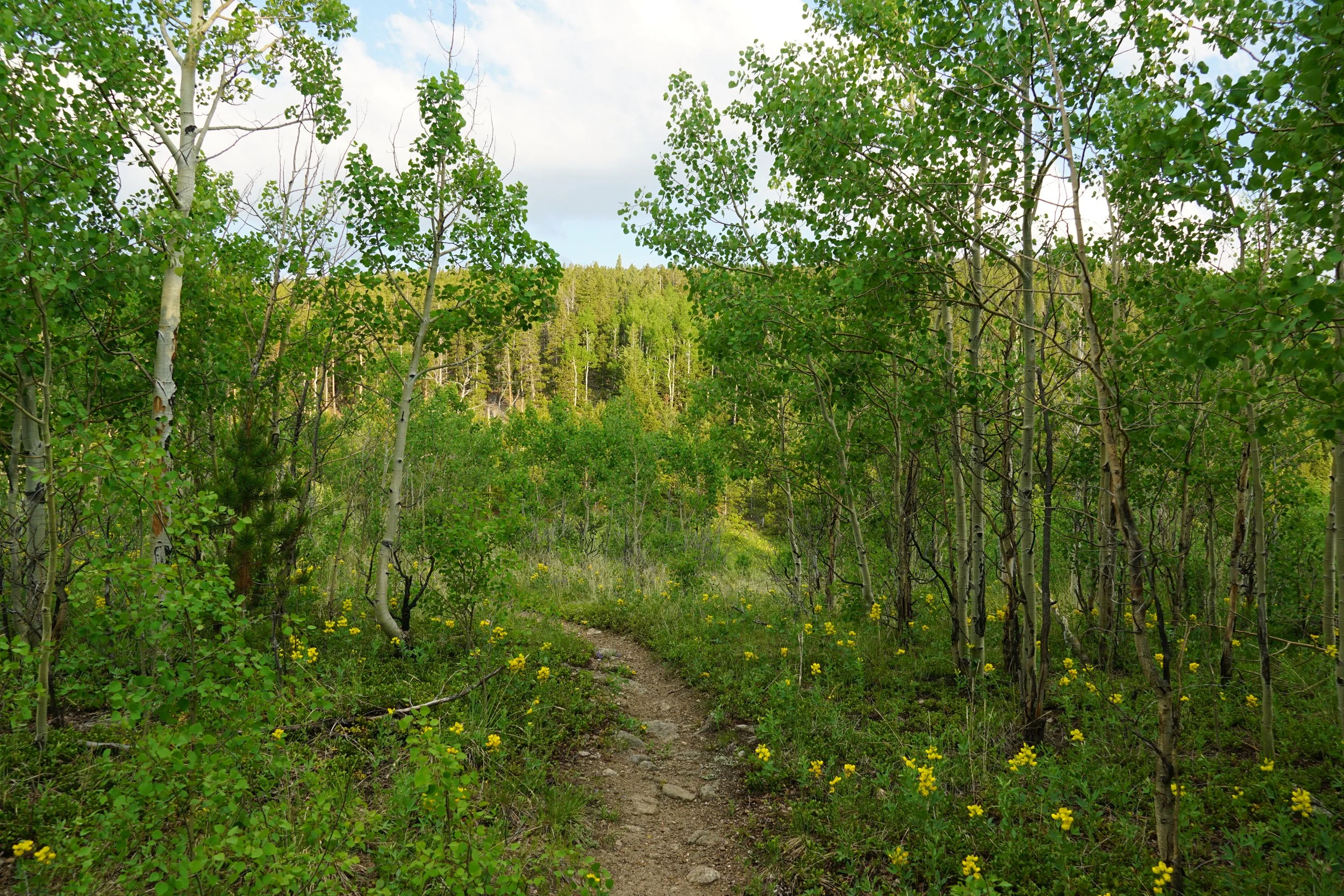
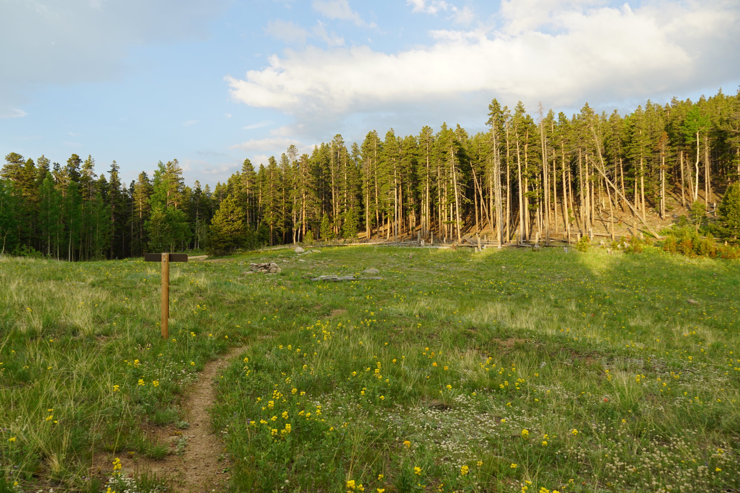
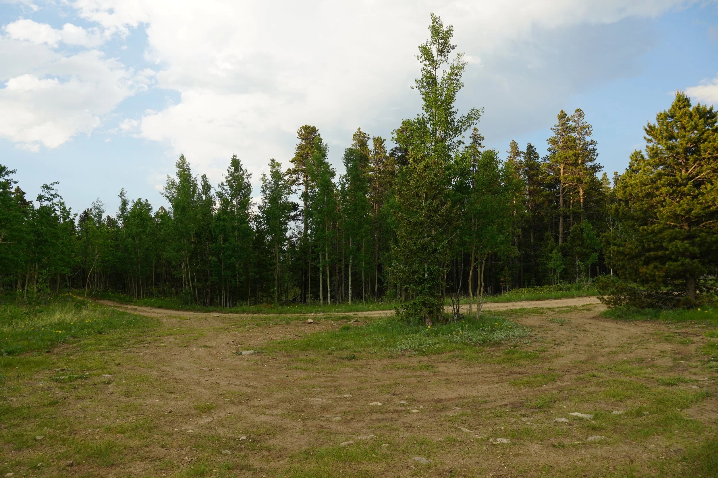
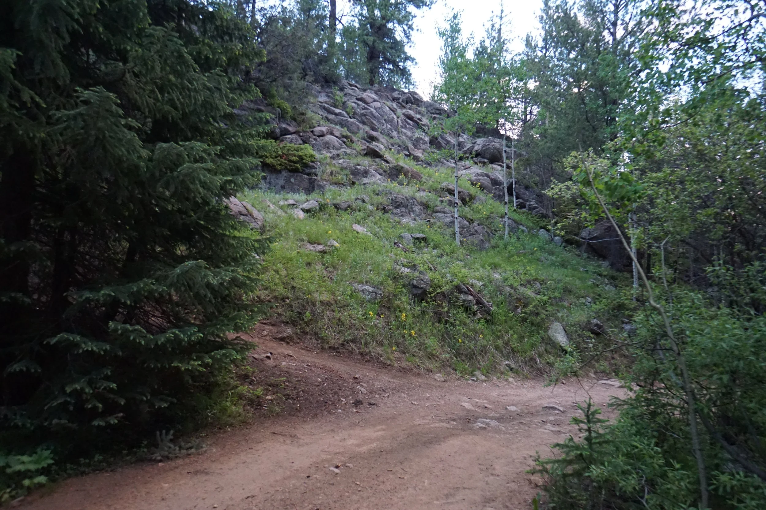
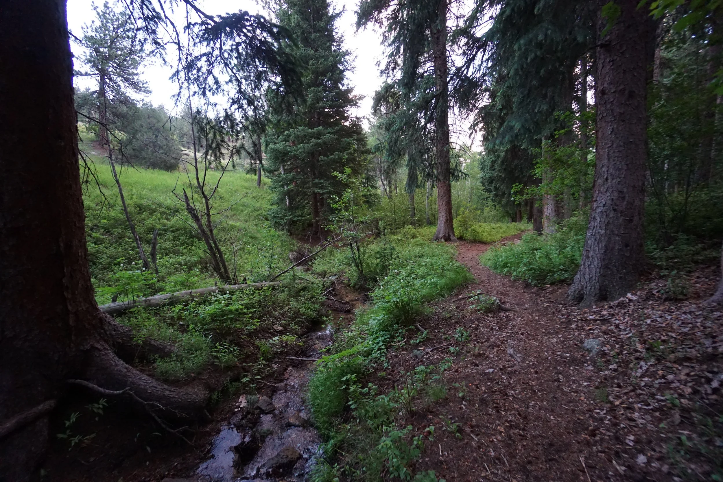
From the parking area, rather than hiking north on the road, look for the opening along the fence next to a bare sign post. This trail takes you through a shaded area along Barbour Fork Creek with a number of cascades in the spring and early summer. After about 3/10ths of a mile, the trail meets the road. Rather than turning left and hiking up the road, turn right and in about 5 feet look for the single track trail off to the left. Follow this trail as it crosses Barbour Fork Creek and parallels the road. This trail runs for a bit less than 1/2 a mile and pops you out along Road 194.2.
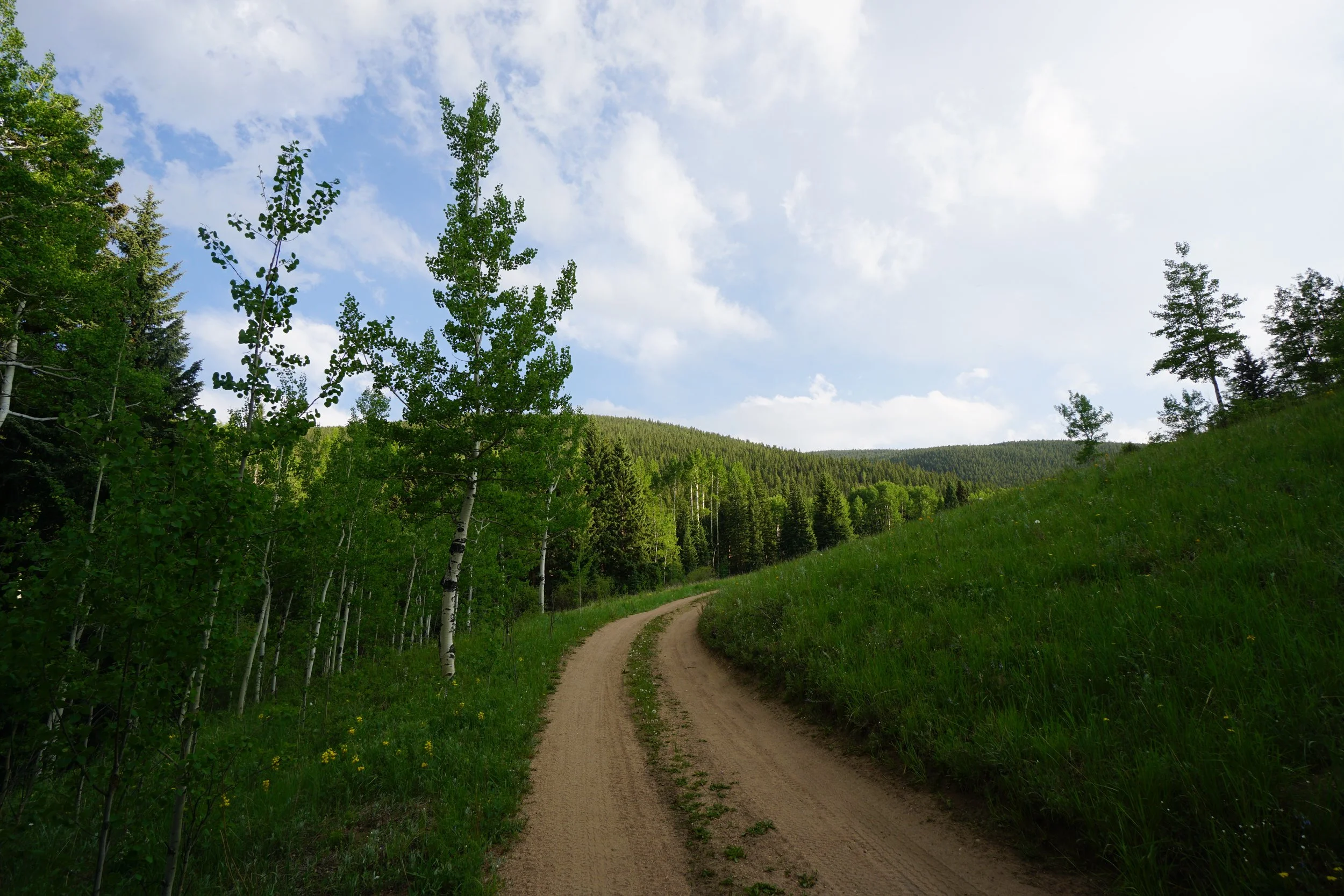
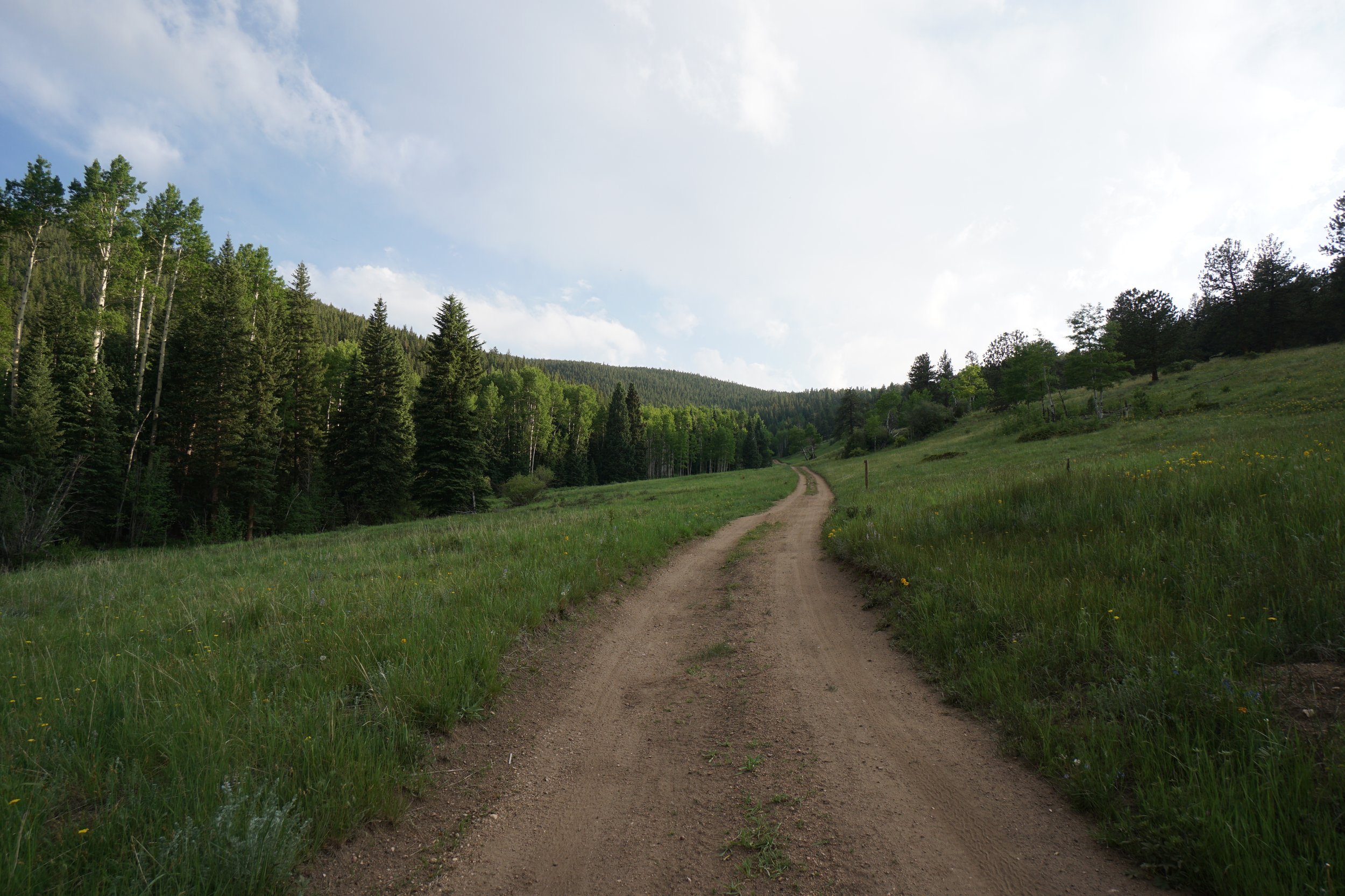
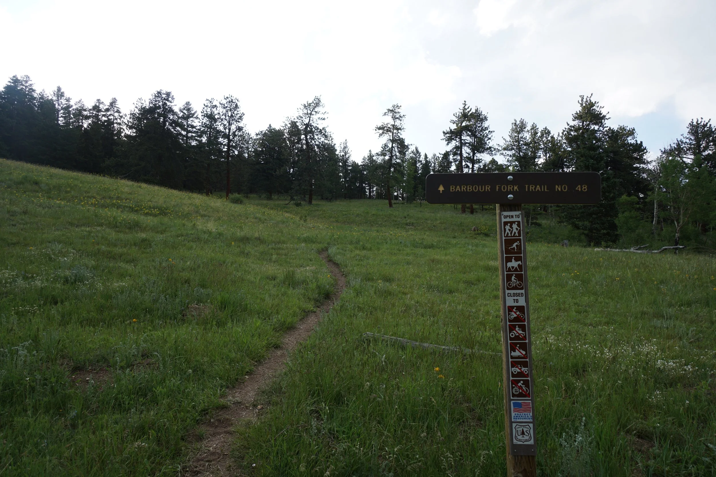
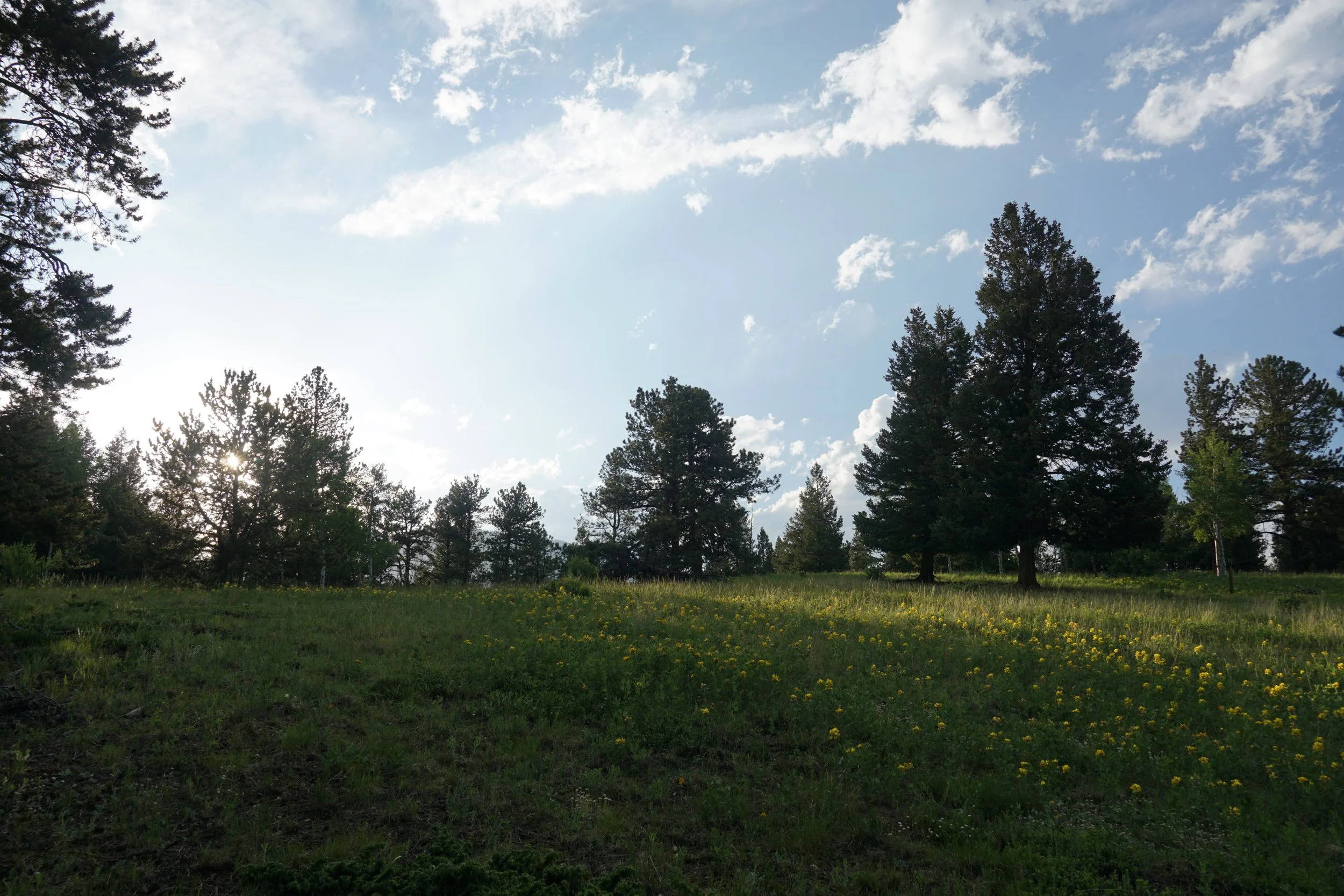
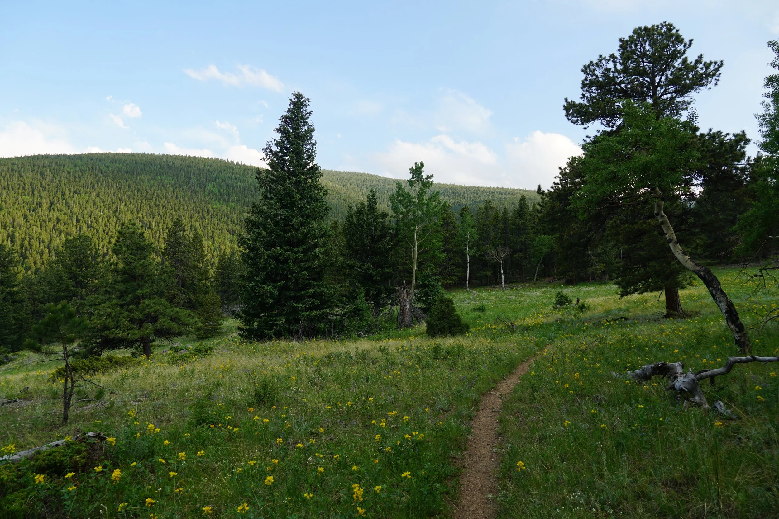
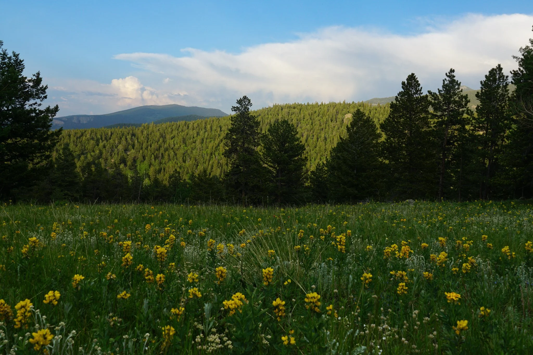
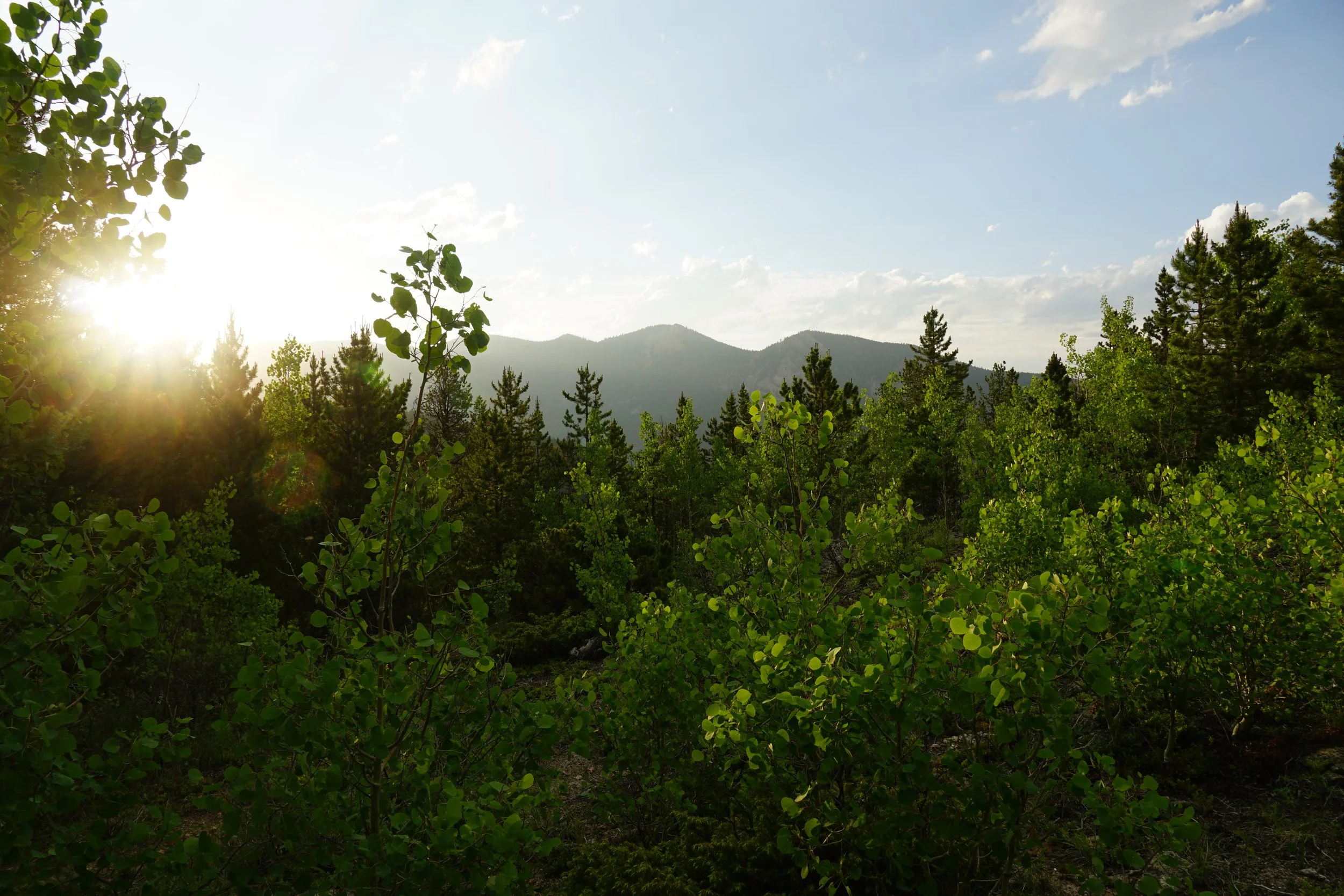
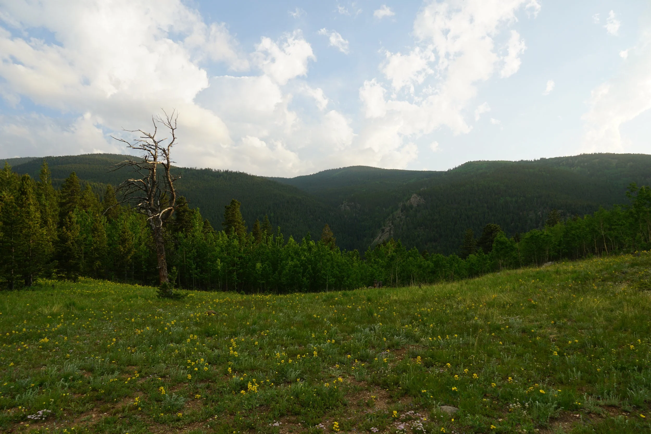
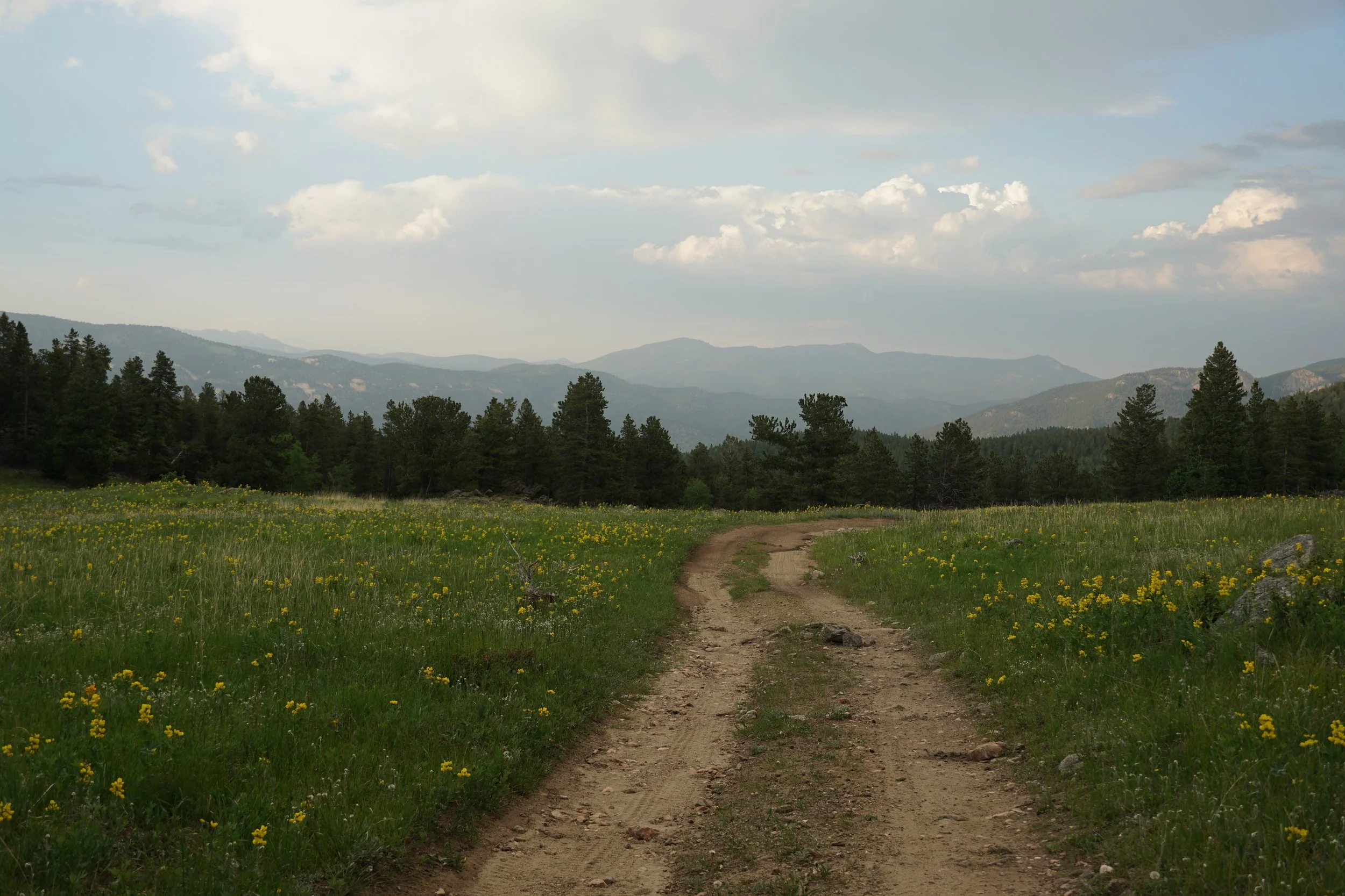
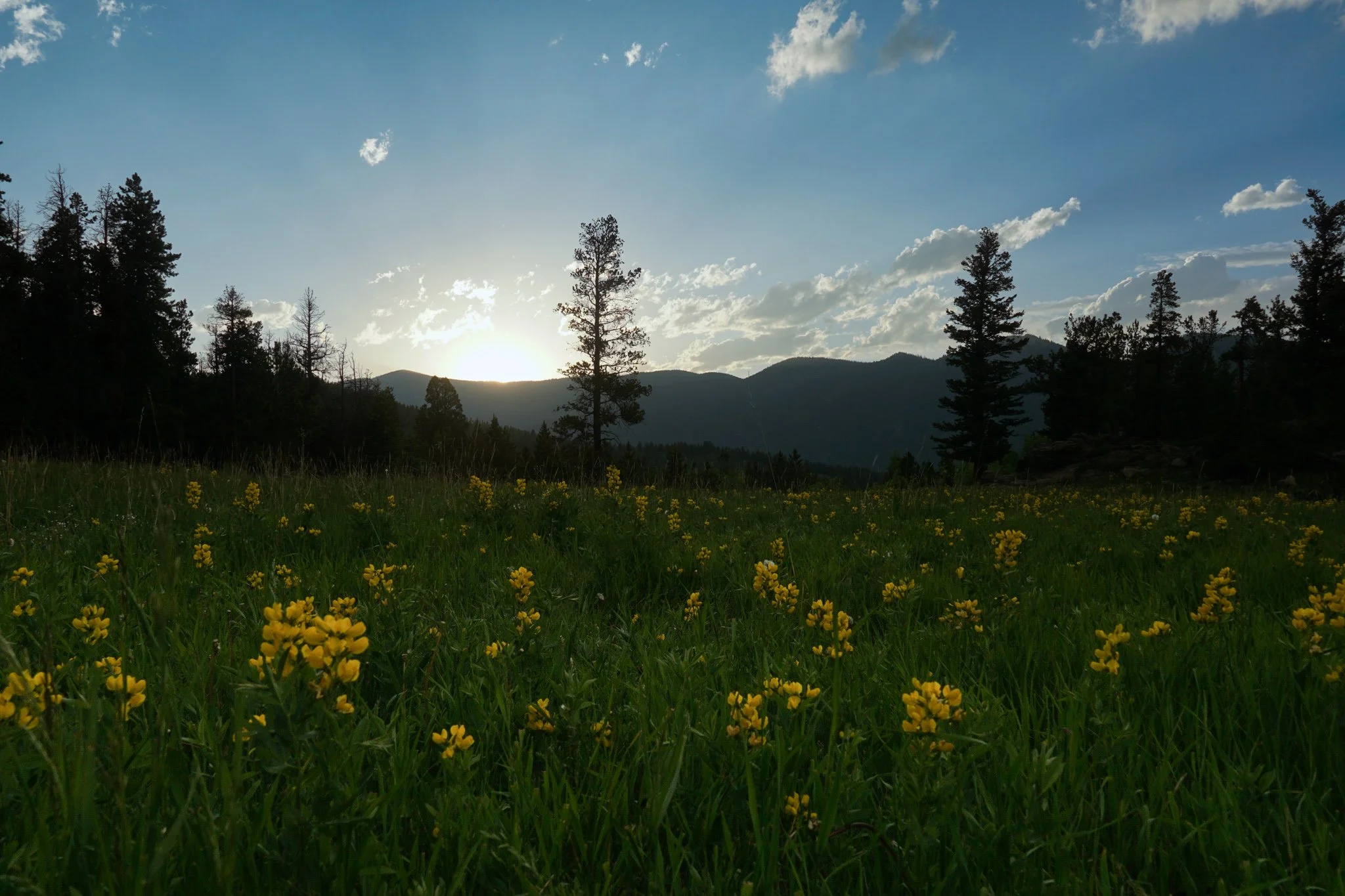
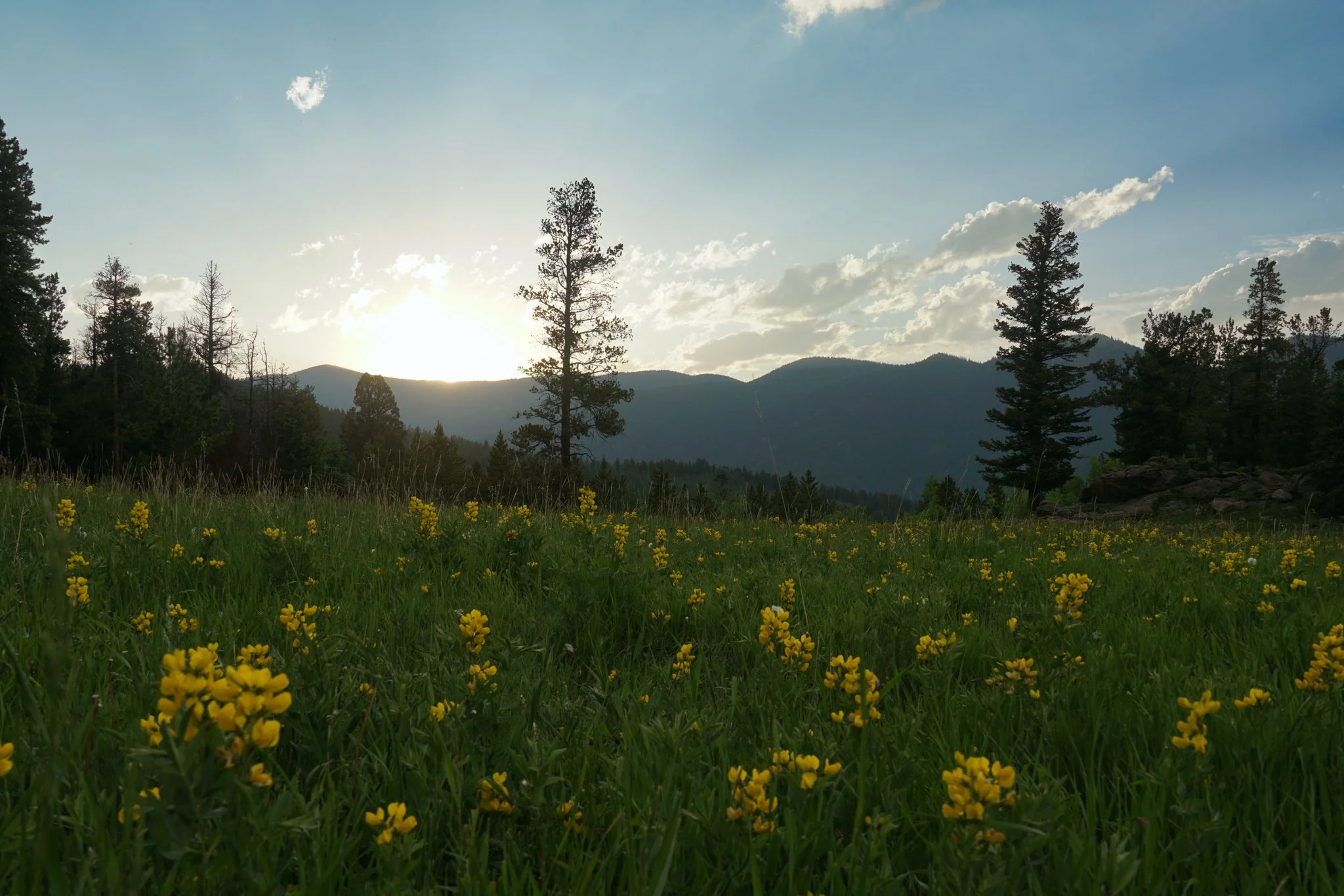
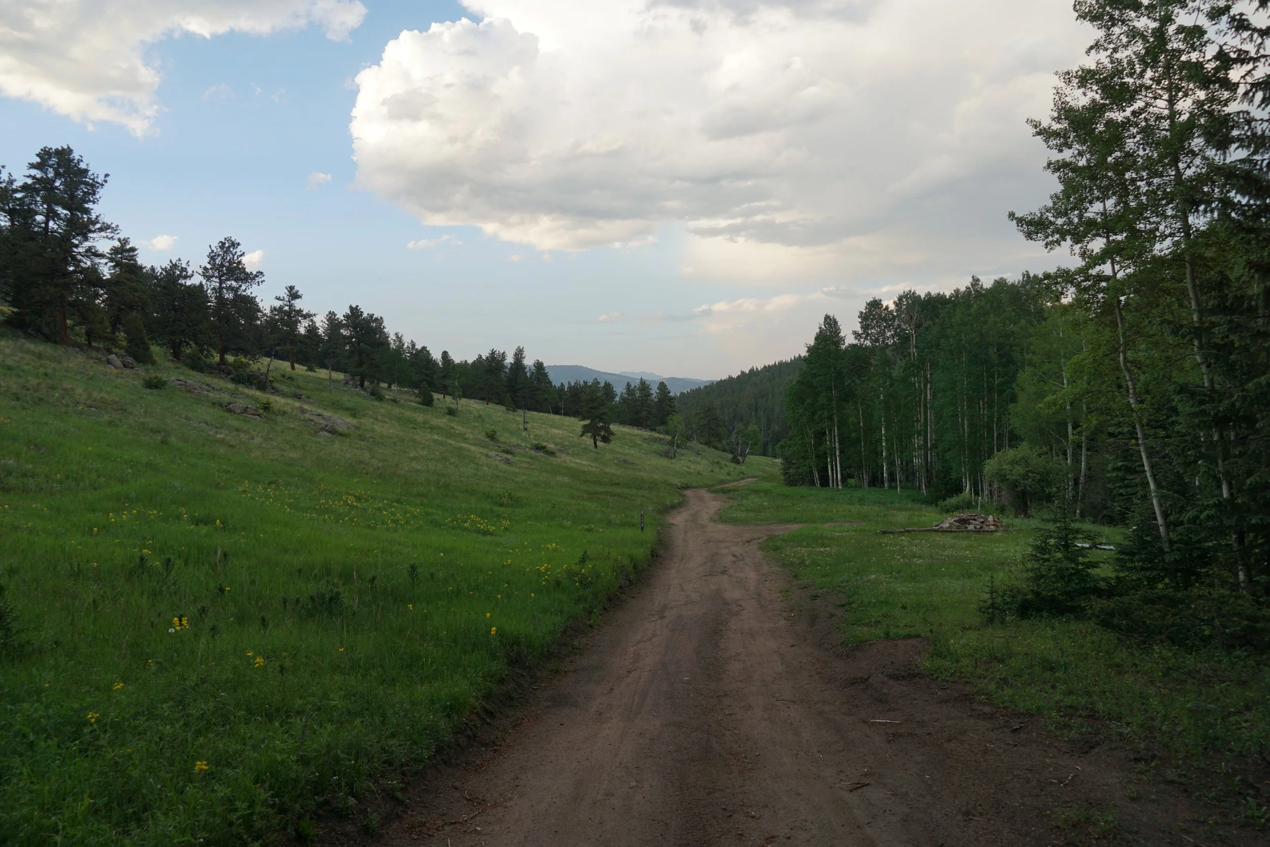
Follow the road for about 1,000 feet to a beautiful meadow with nice views of the surrounding slopes, plentiful aspen trees, and fields of wildflowers. The Barbour Fork Trailhead can be found off to the right.
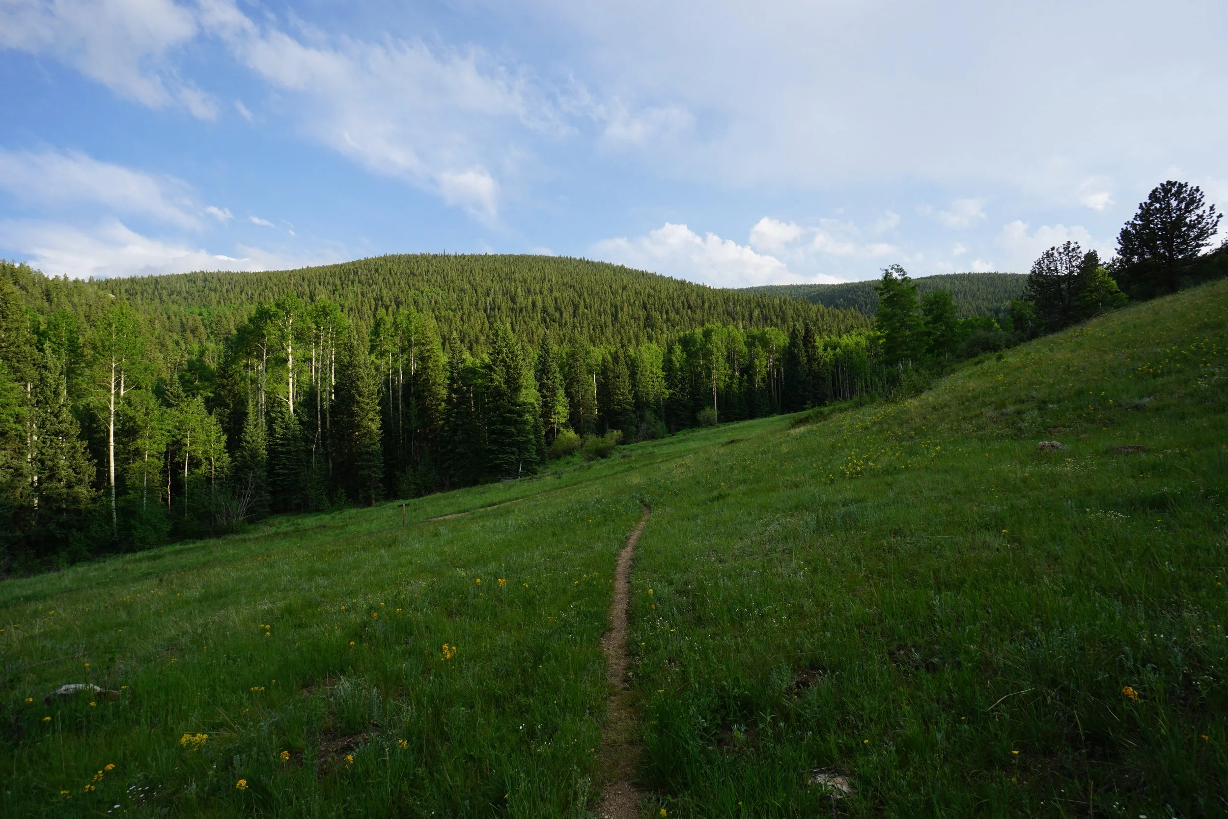
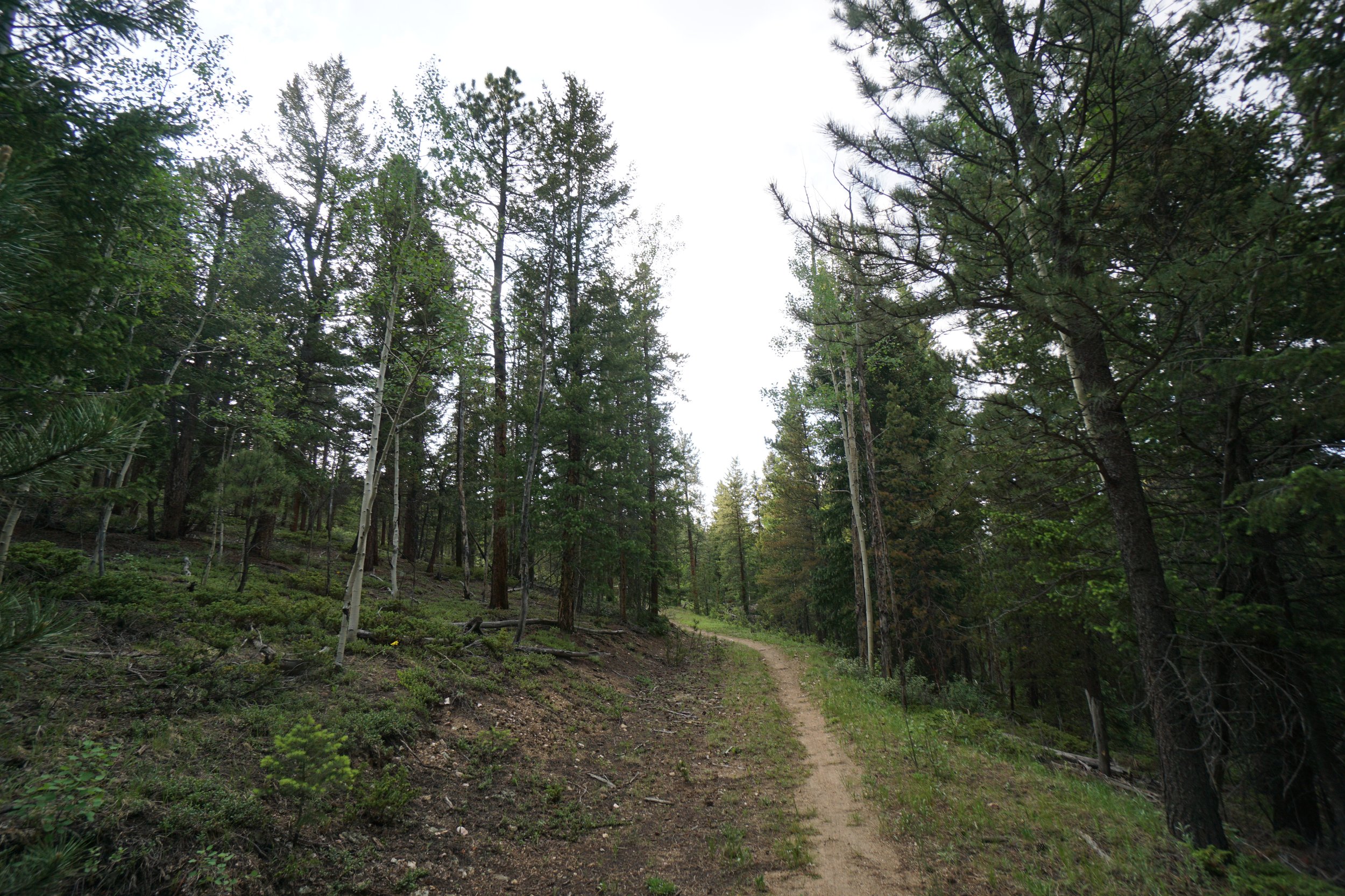
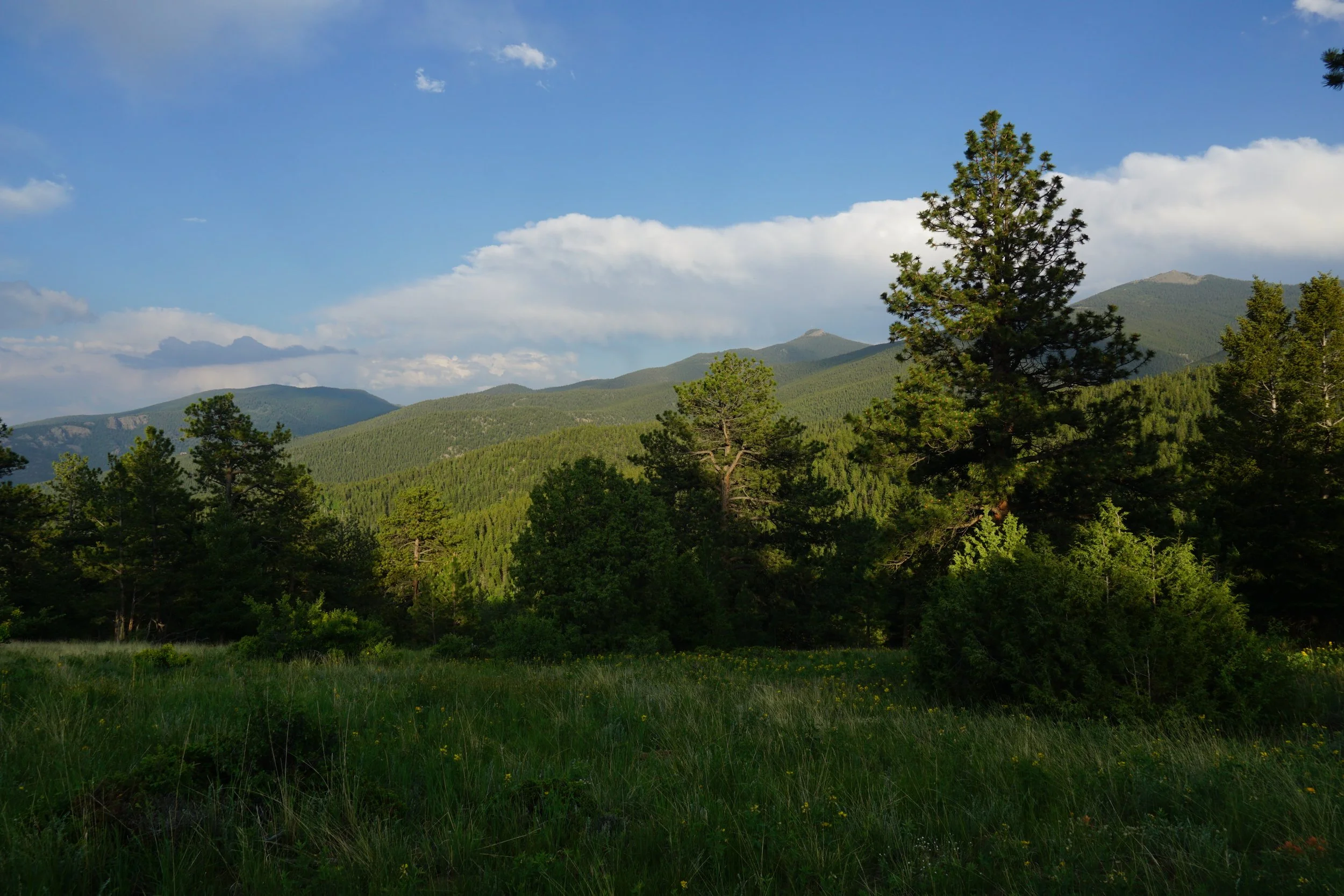
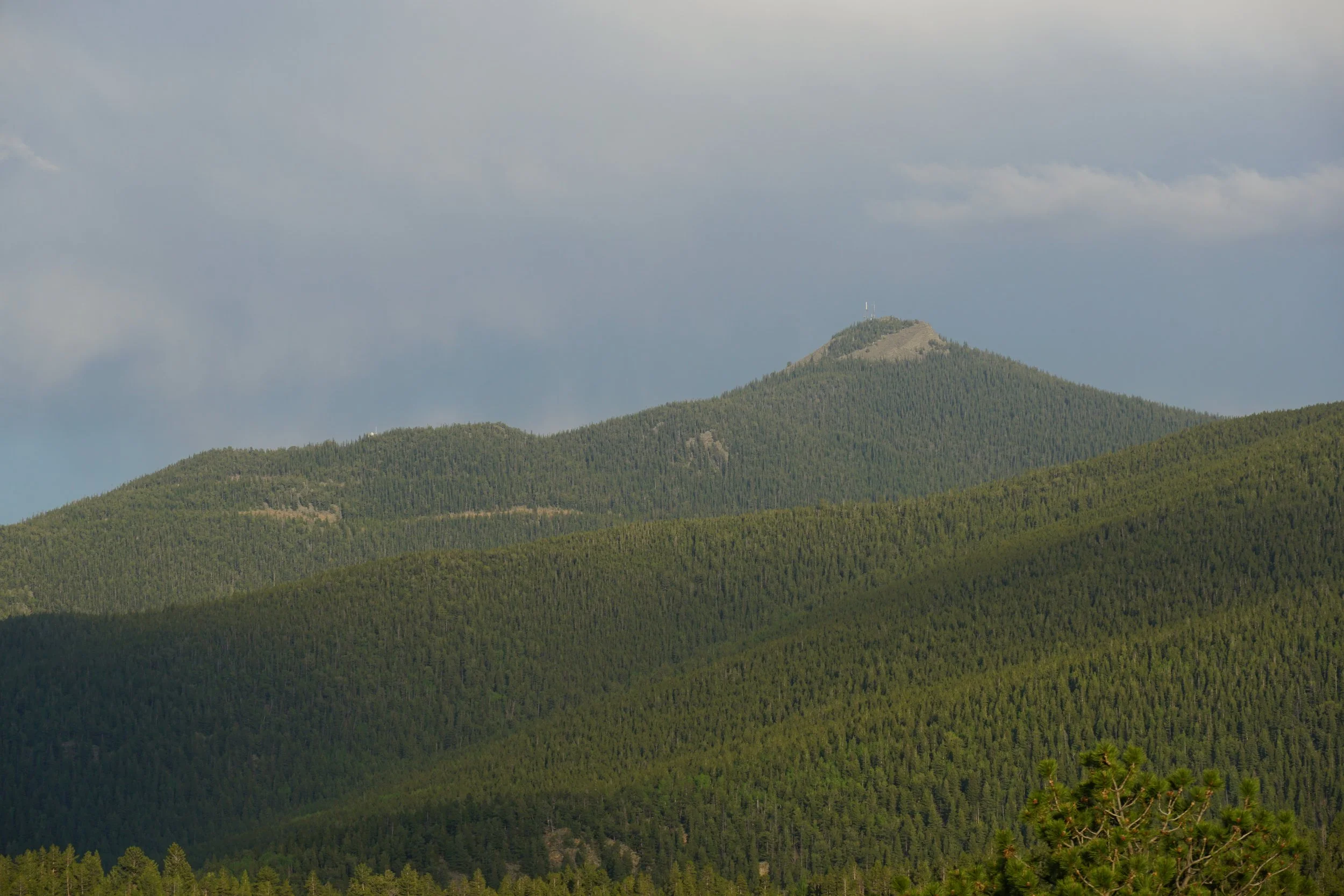
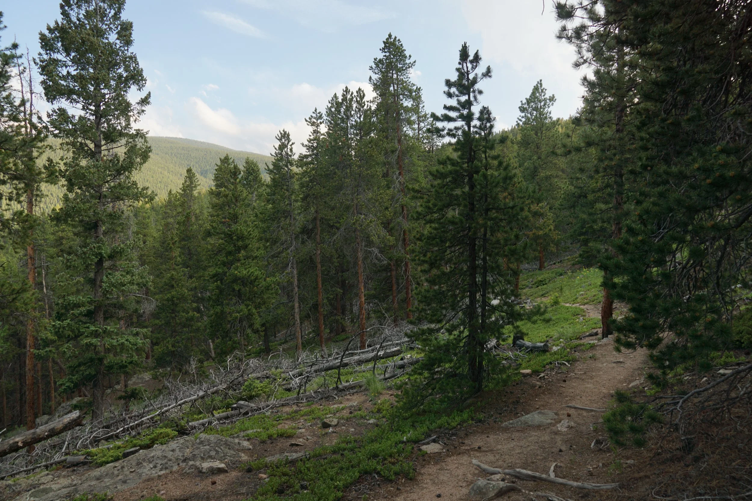
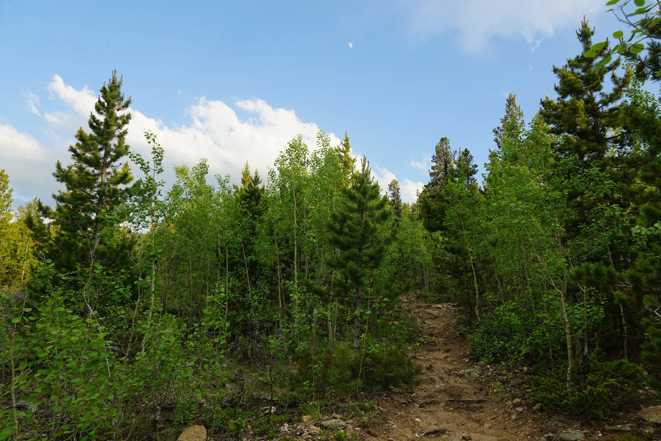
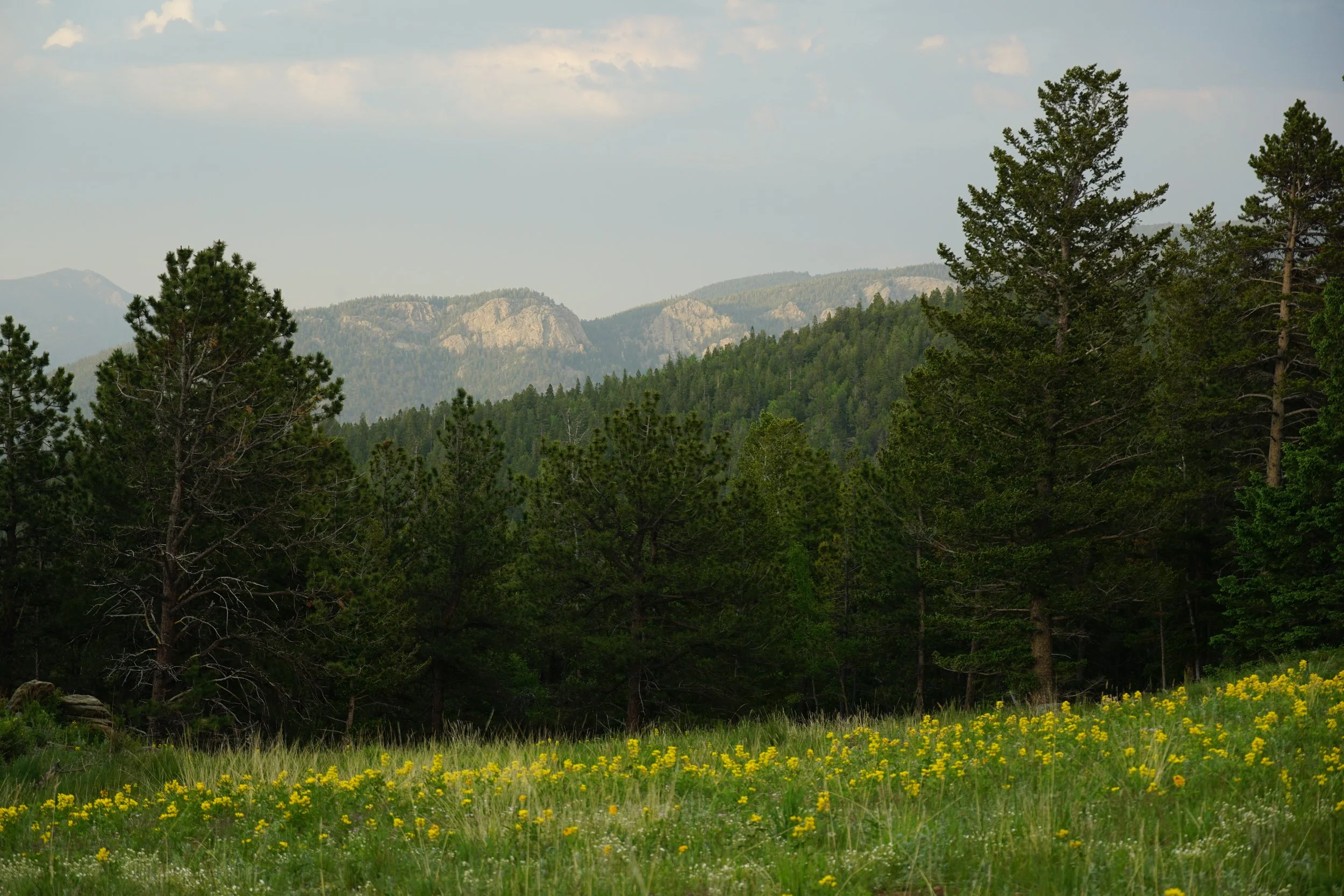
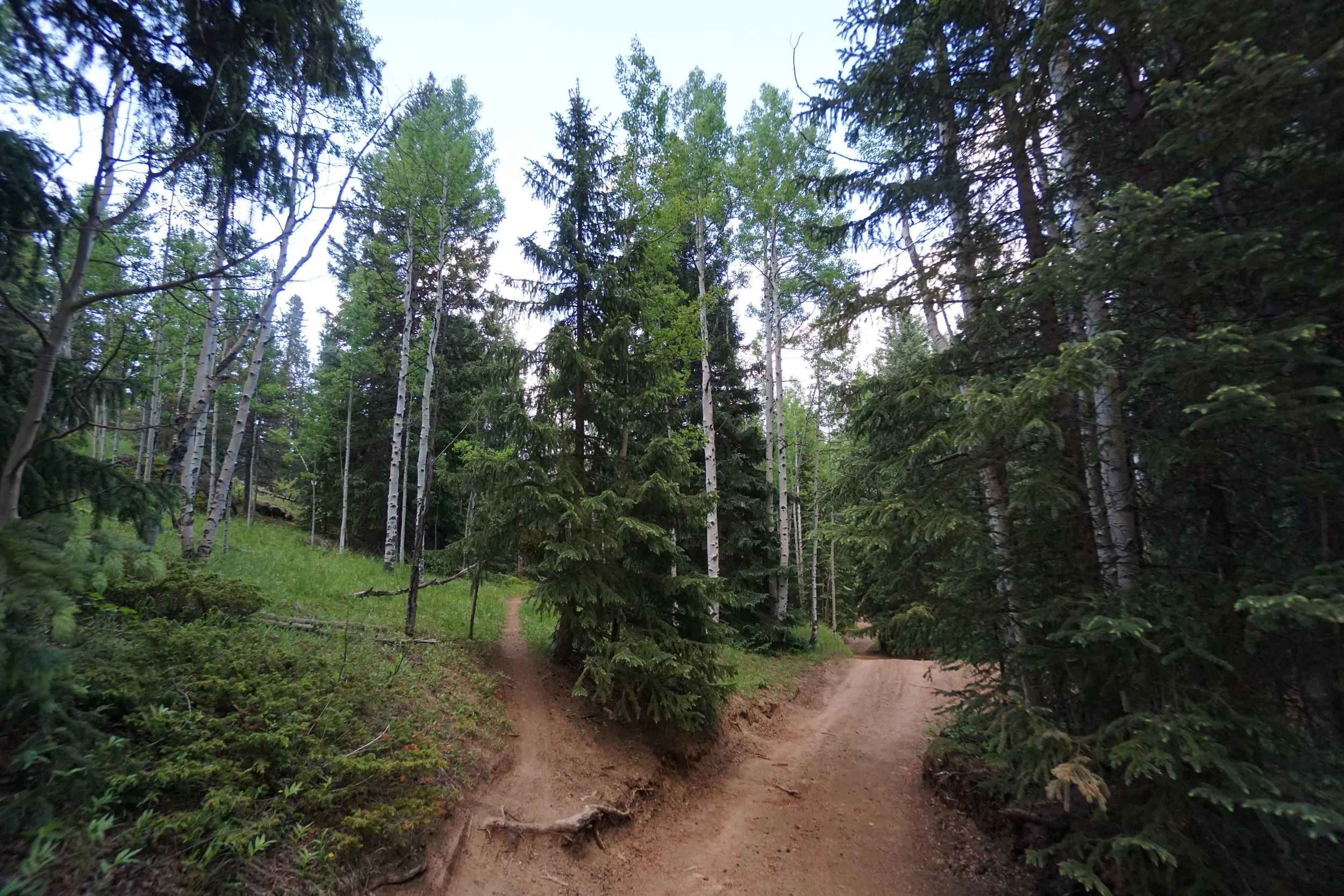
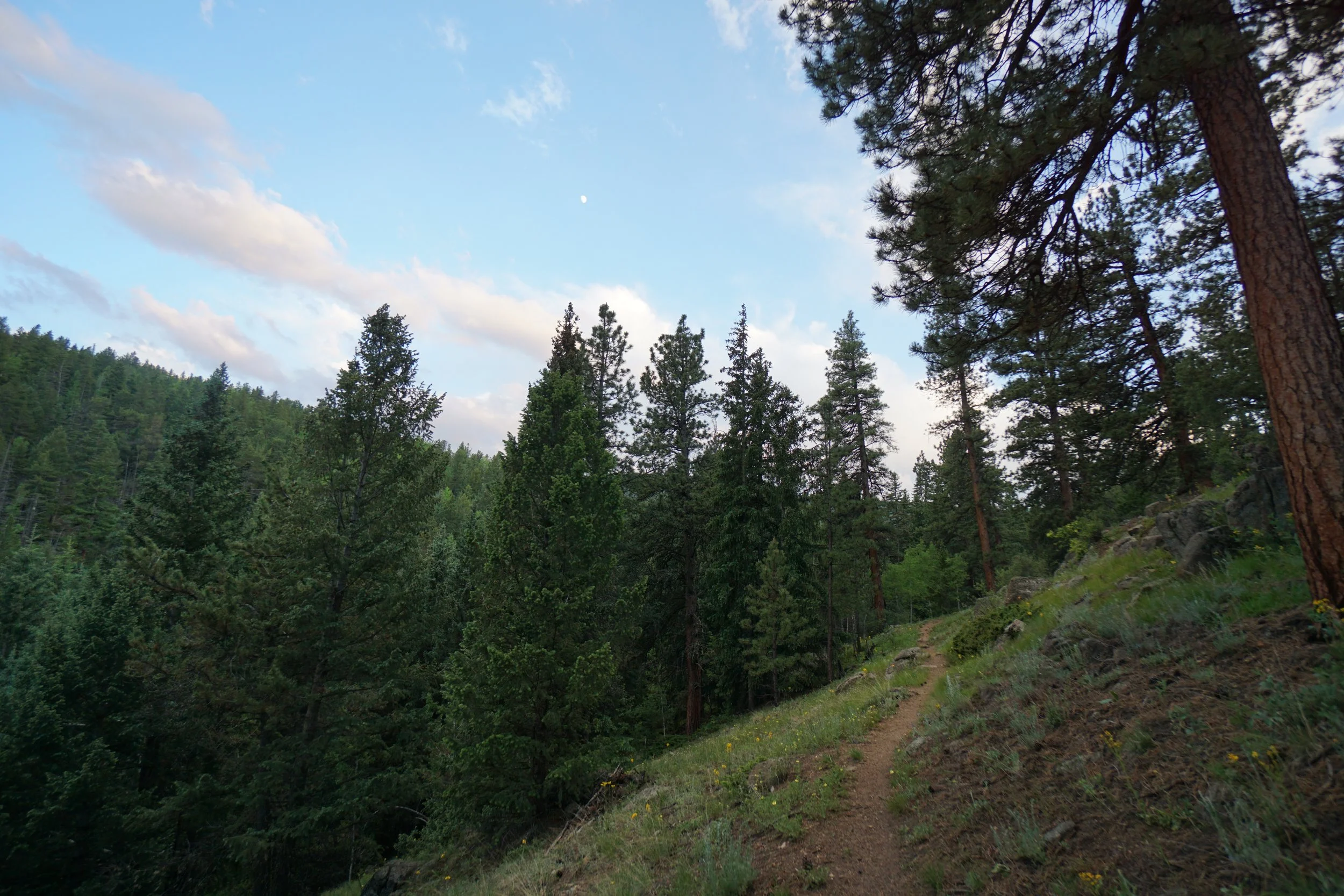
The trail takes you back to the north backtracking for 1/2 a mile through aspen groves and pine forest. As you hike views to the southeast start to open up looking towards Chief Mountain and Mestaa’ėhehe Mountain. The trail then turns back to the south and continues through similar terrain. The single track trail continues south for 1.4 mi until it meets the road again. Follow the road back to the north until you regain the side trails.
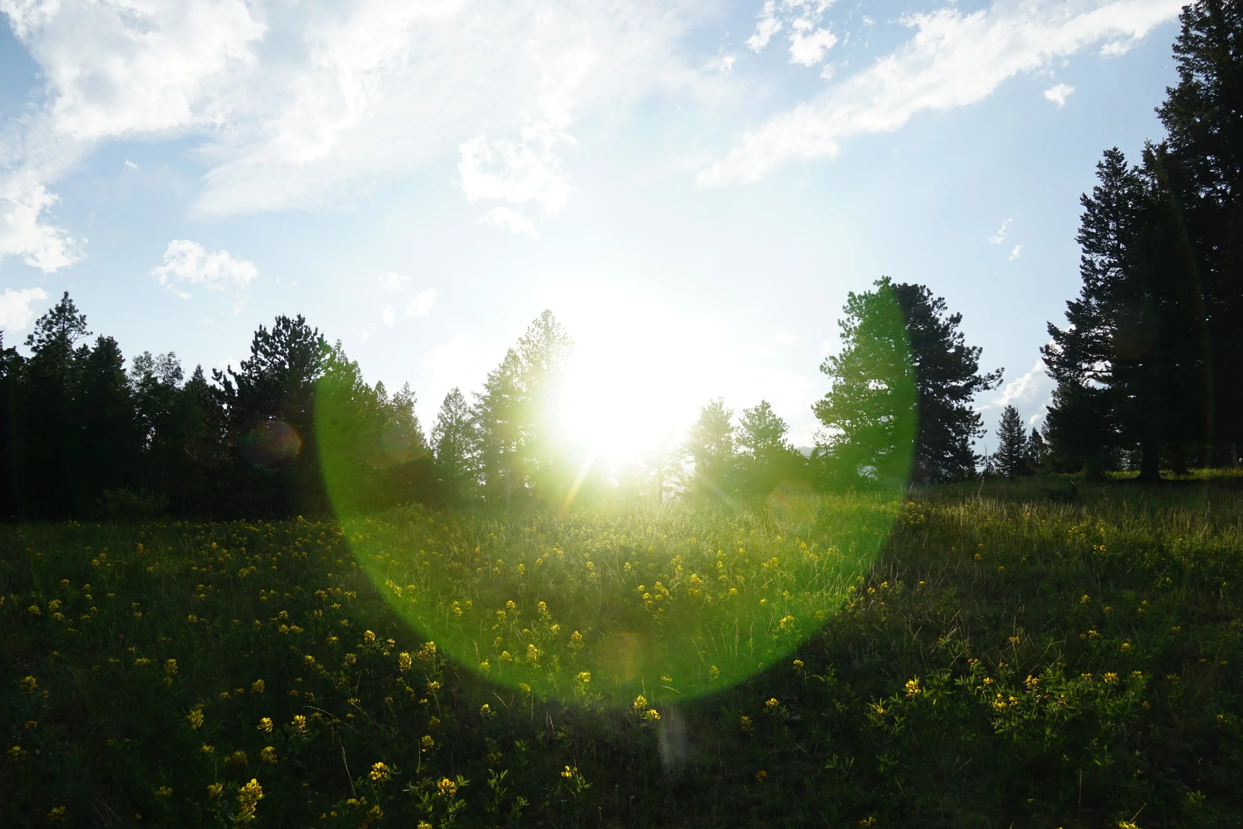
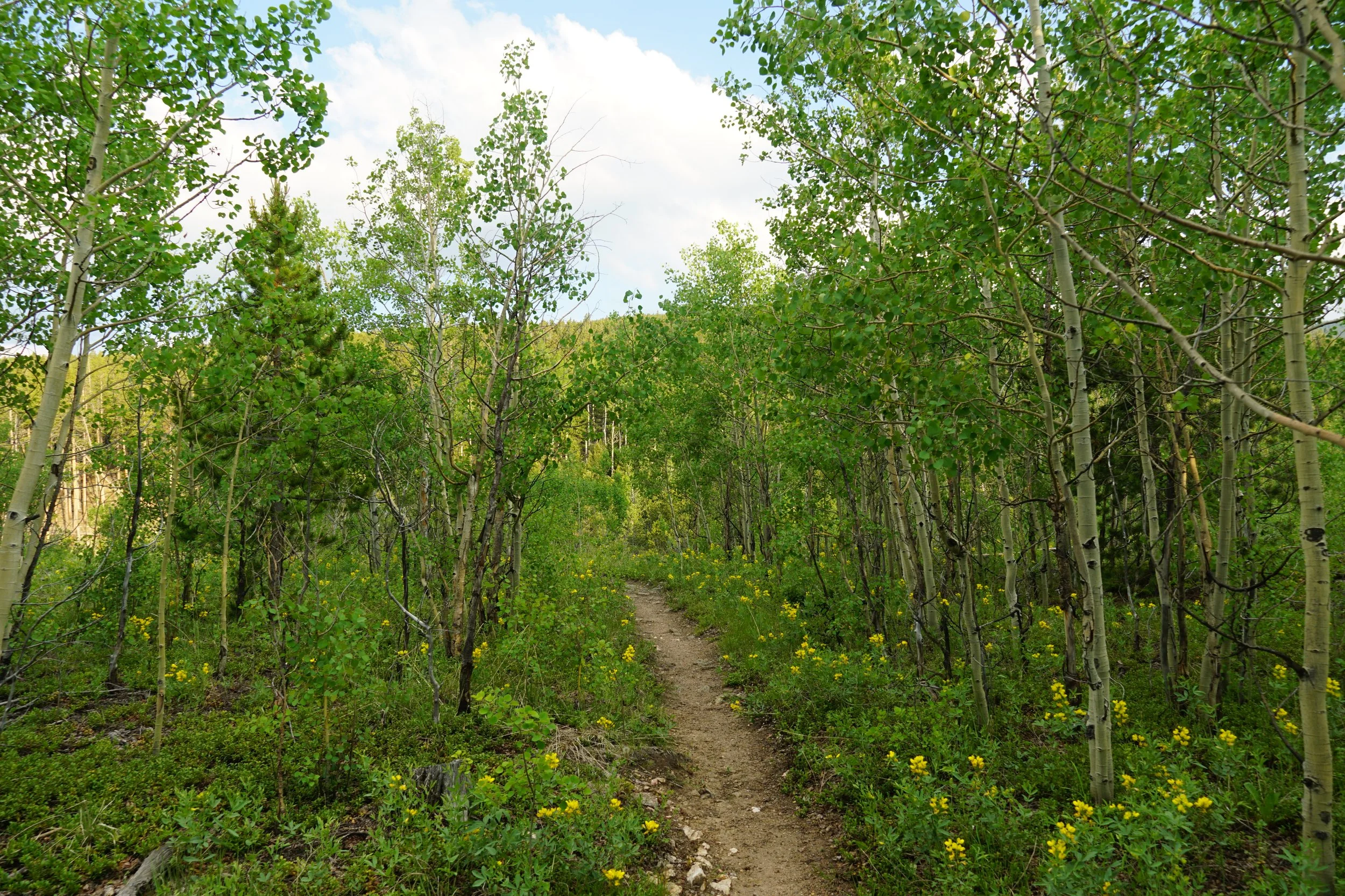
The road back also has some beautiful views and fields of wildflowers.
The best time to hike this trail is June 14th, the day before the gates open to off-road vehicles. That being said, i hiked this trail on a Wednesday evening and had the entire area to myself.