Ancient Palms to Basalt Cap Loop
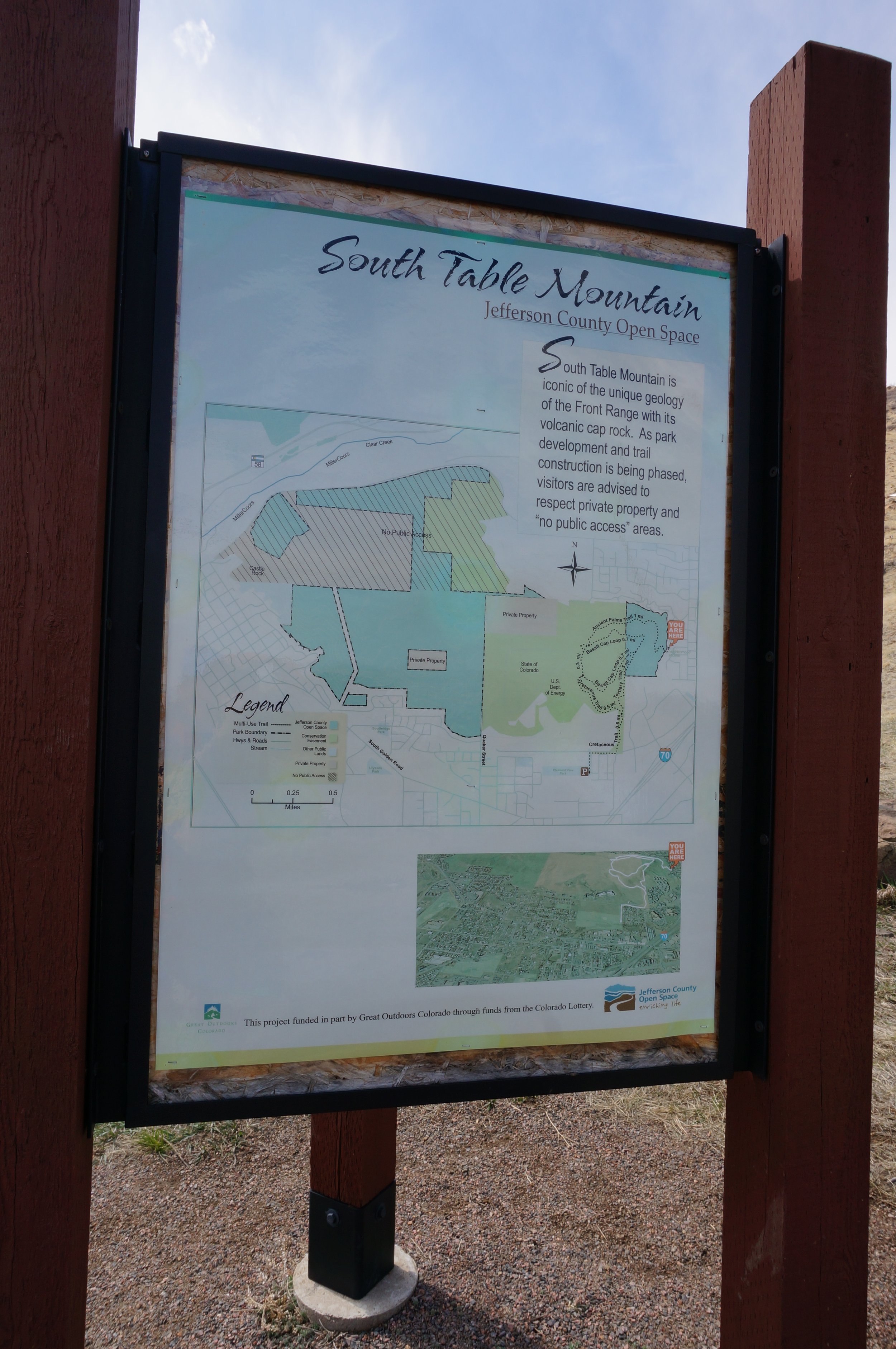
South Table Mountain Park
Date Hiked: March 28, 2013
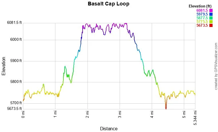
Distance: 5.3 mi (RT)
Elevation Gain: 400ft
Elevation Min/Max: 5,673 to 6,081ft
Managing Agency: Jefferson County Open Space
Fee: None
Directions:
This hike can be accessed in a few different ways, the quickest to to park on the street at the intersection of W. 21st Street and Elderberry. This description starts from W. 26th Ave, just before the Tennis Club. From Denver, take I-70 West to 32nd Ave. Follow 32nd Ave west and make a left (south) on Kendrick St. Kendrick curves and becomes W. 26th. Just before the Tennis Club and the big signs, there is a small parking area and a trailhead.
Hike Description:
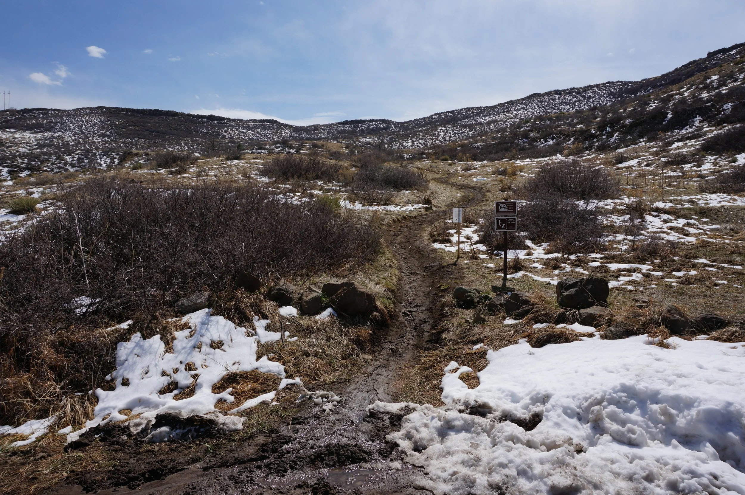
This hike starts off following an irrigation ditch, through private property (make sure you stay on the trail and respect the property owners). As you follow the trail you will soon come to the trail junction with the Ancient Palms trail, there will be an official park sign and map.
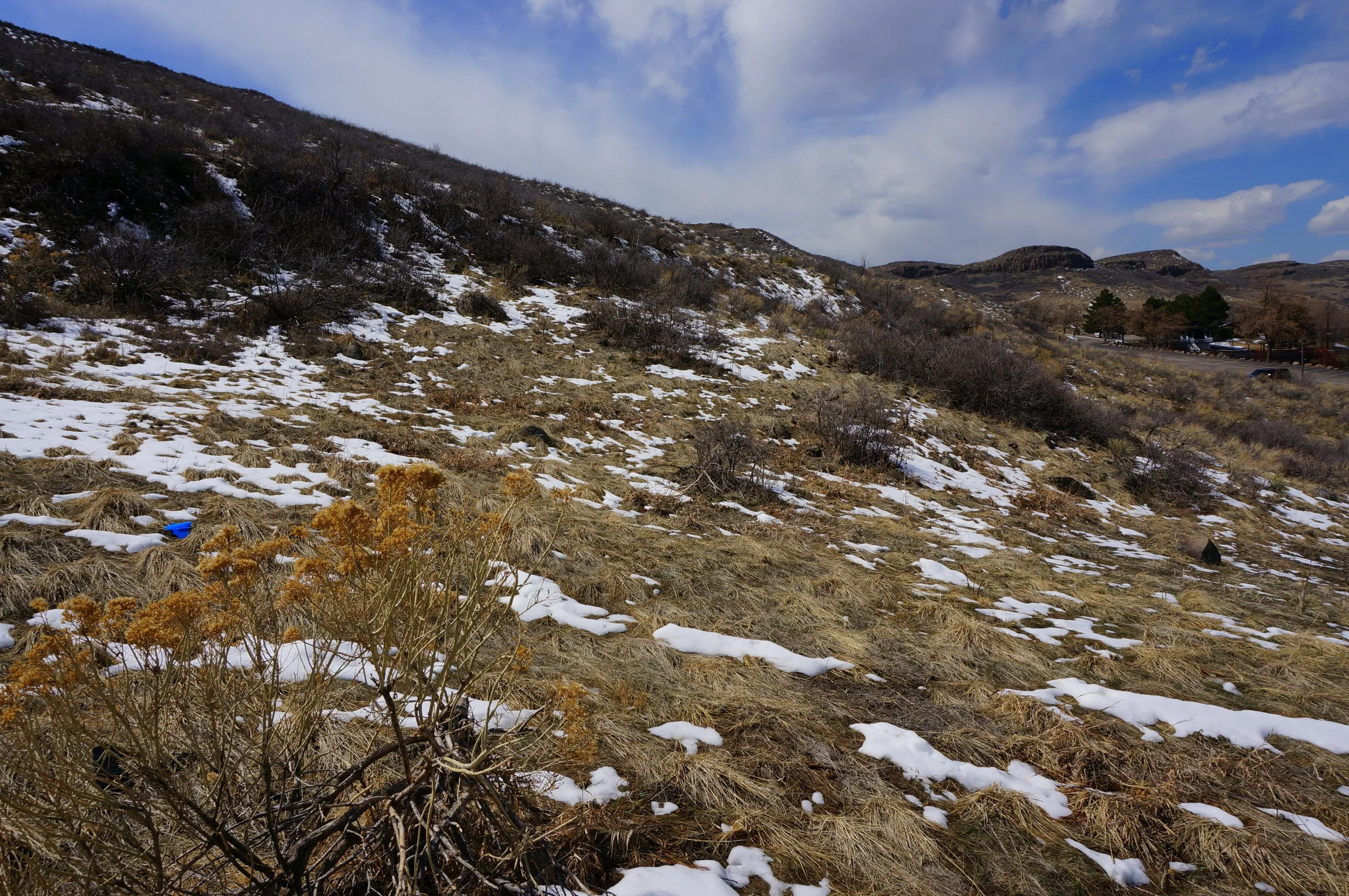
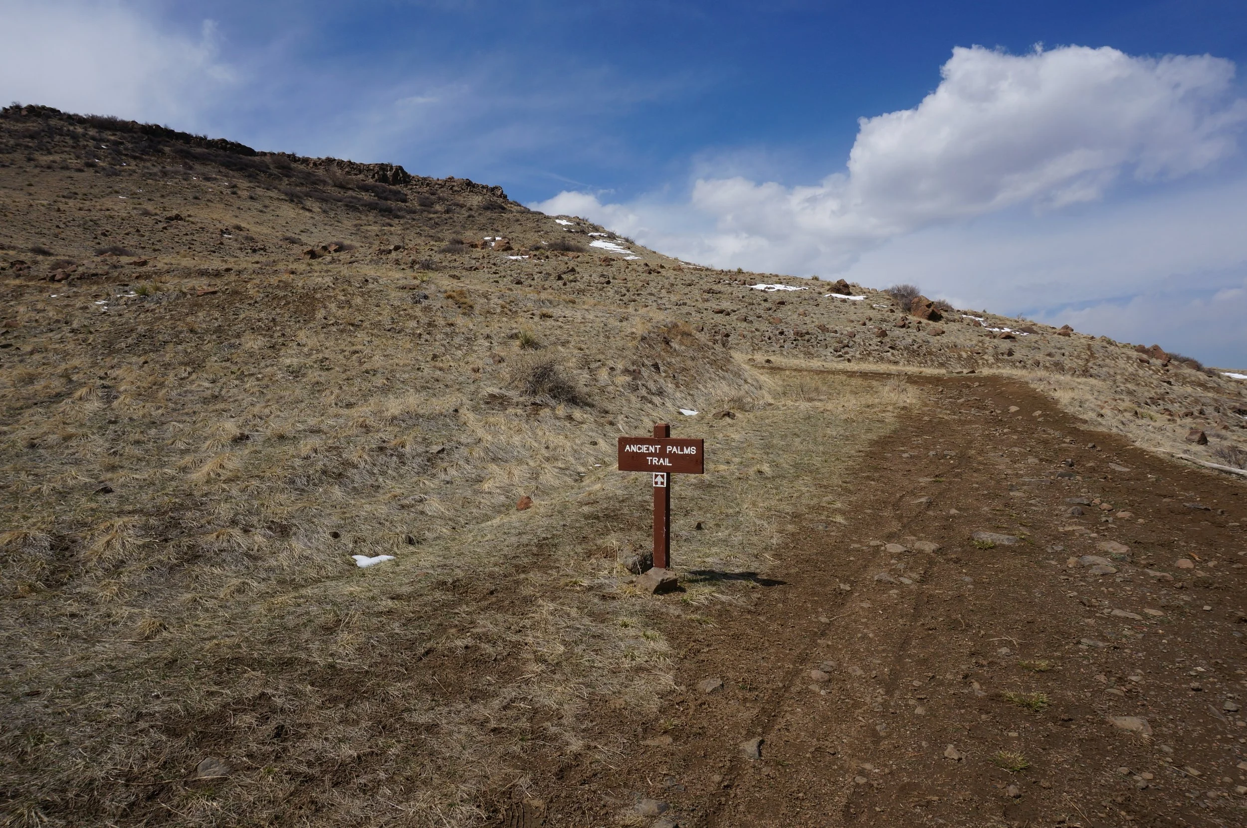
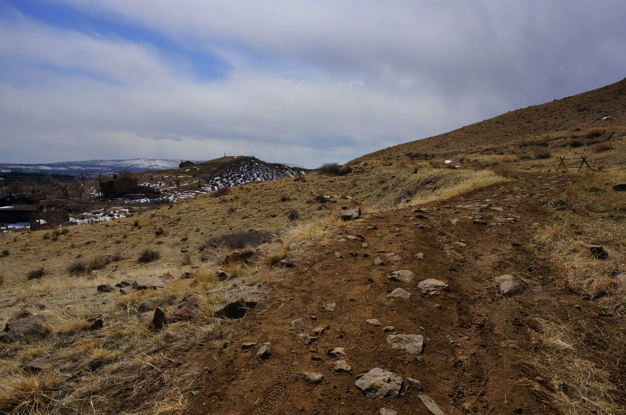
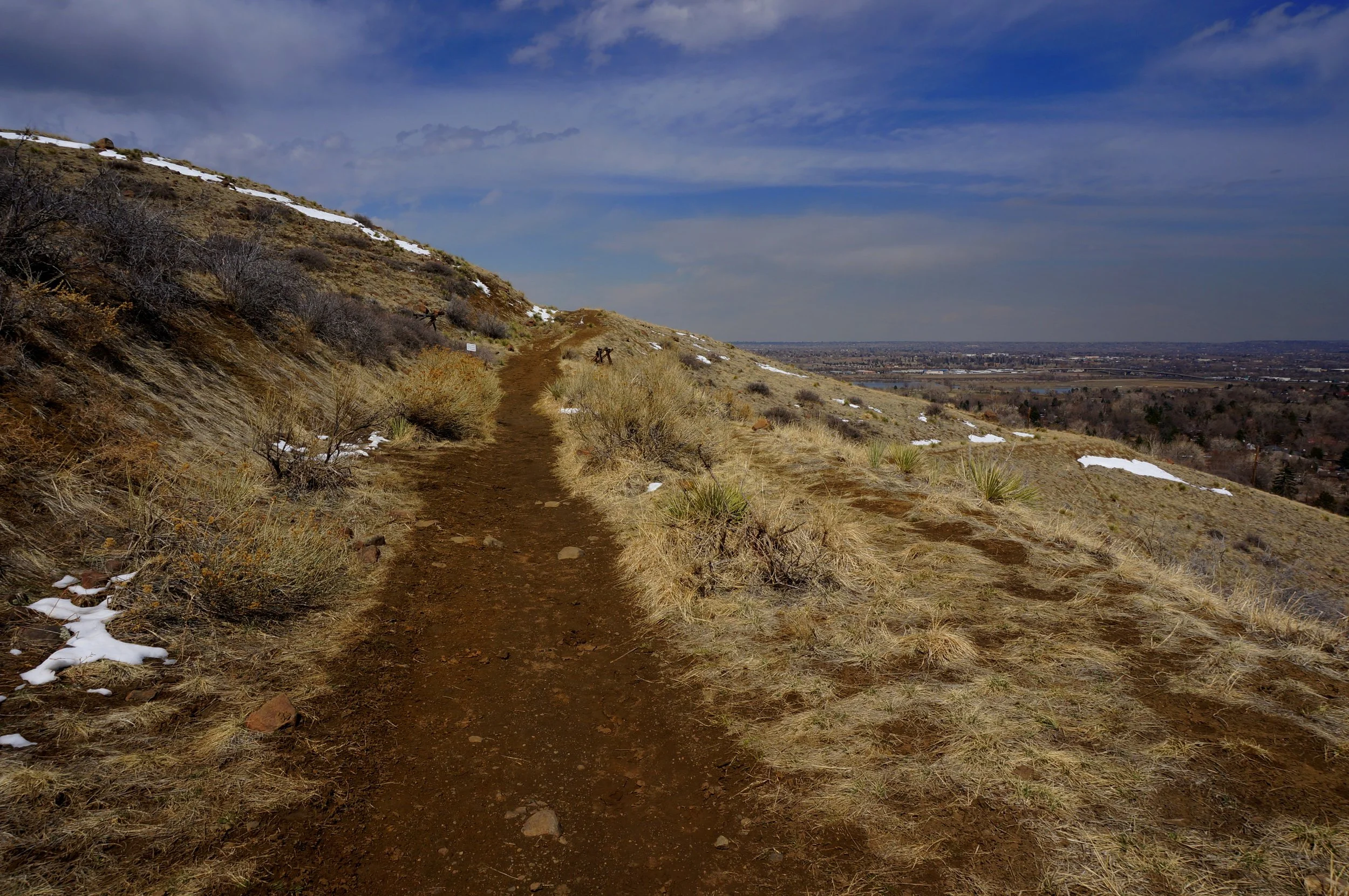
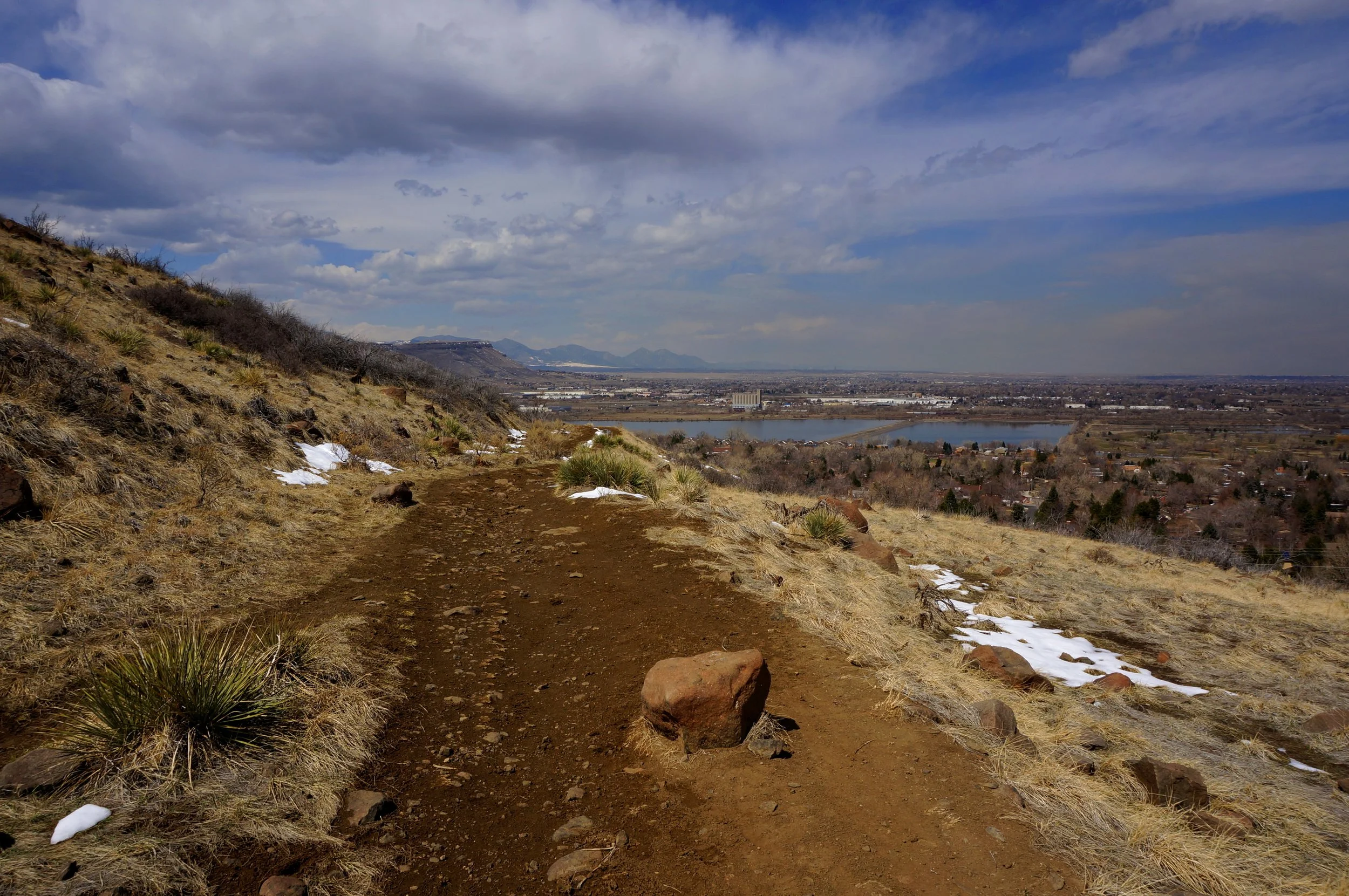
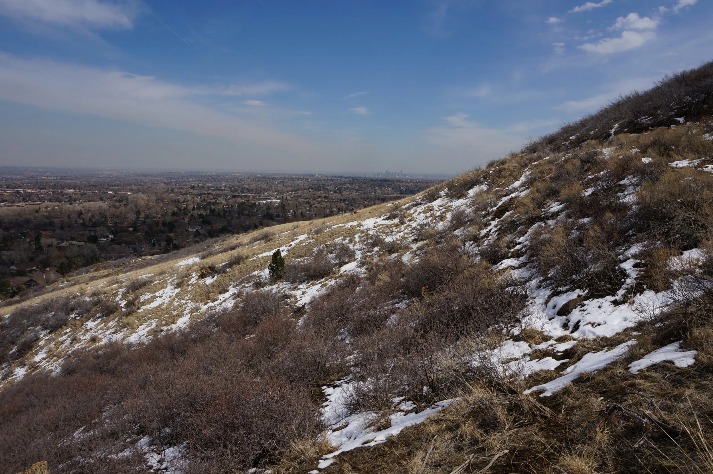
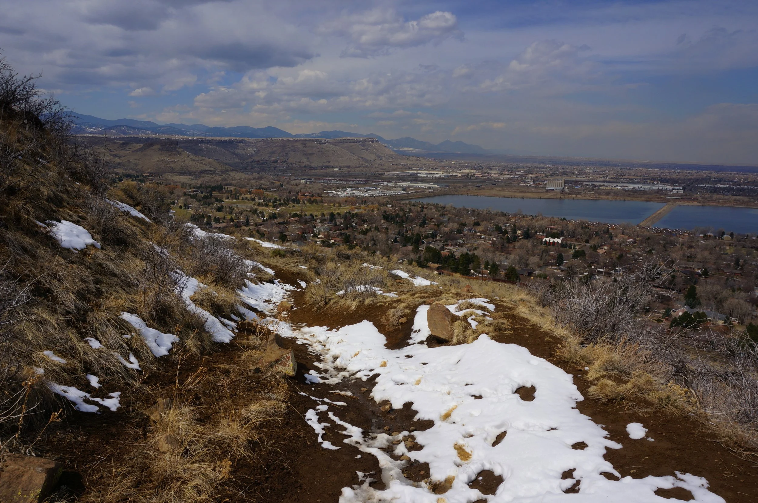
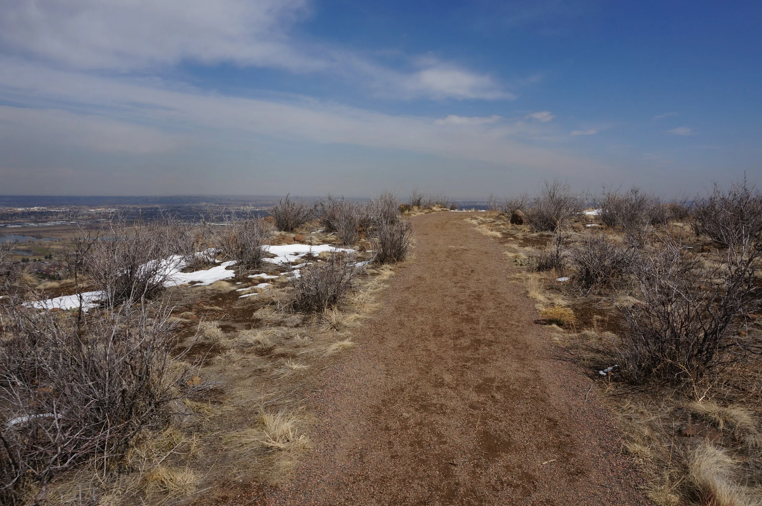
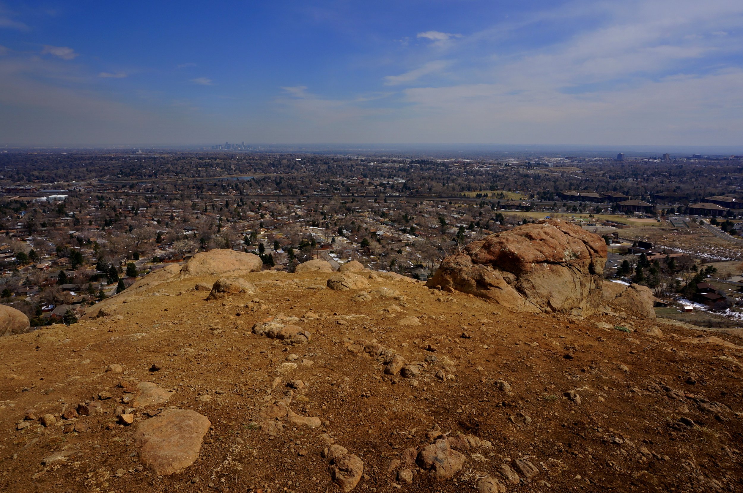
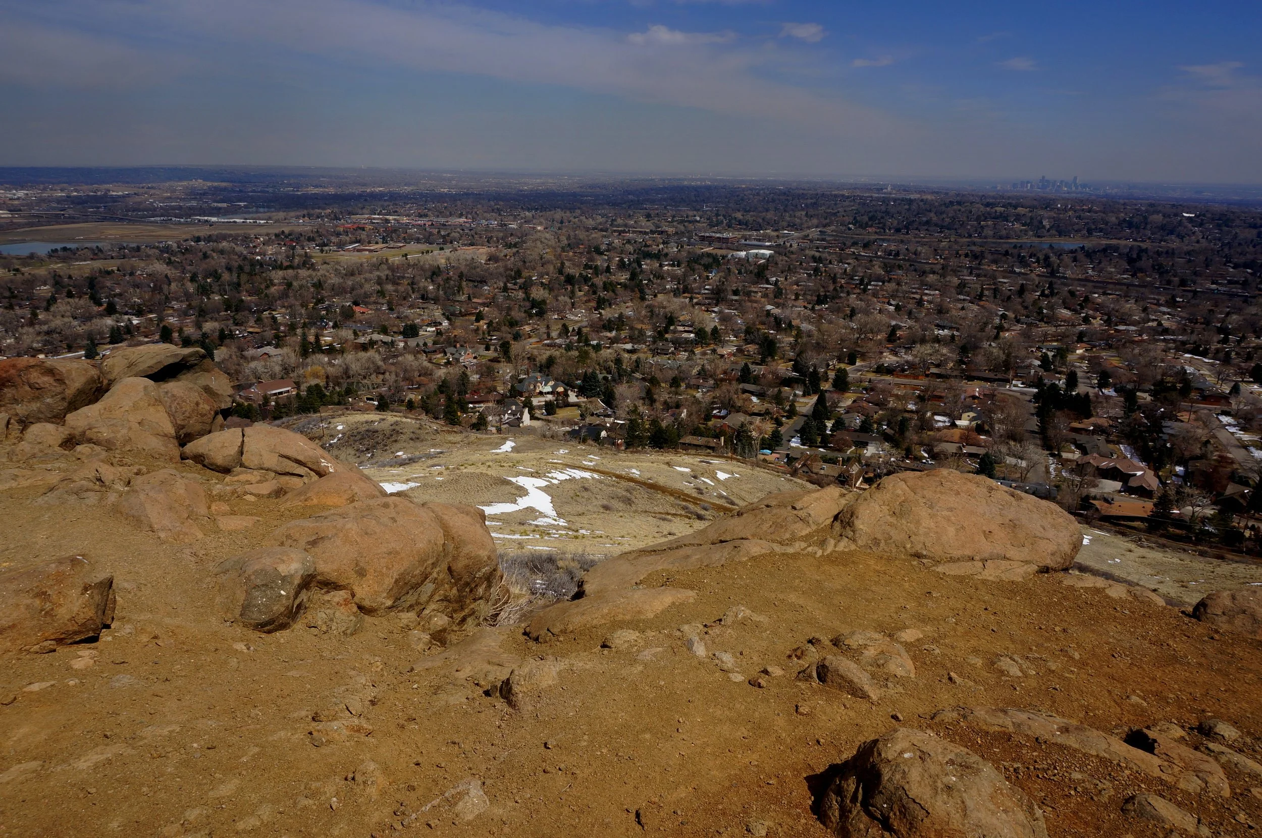
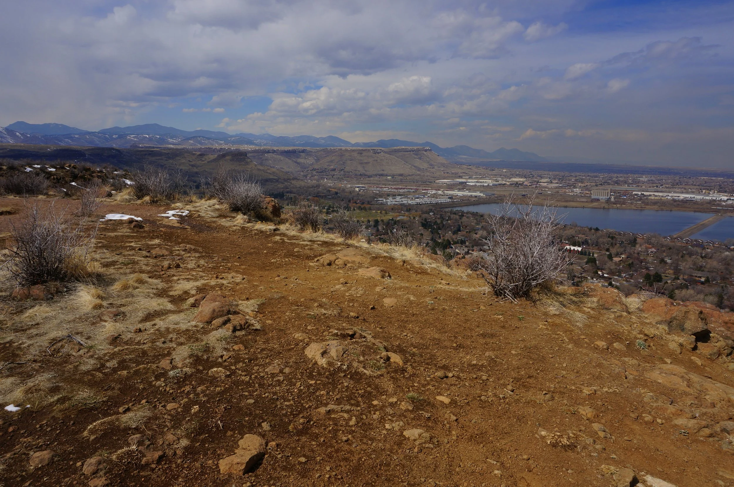
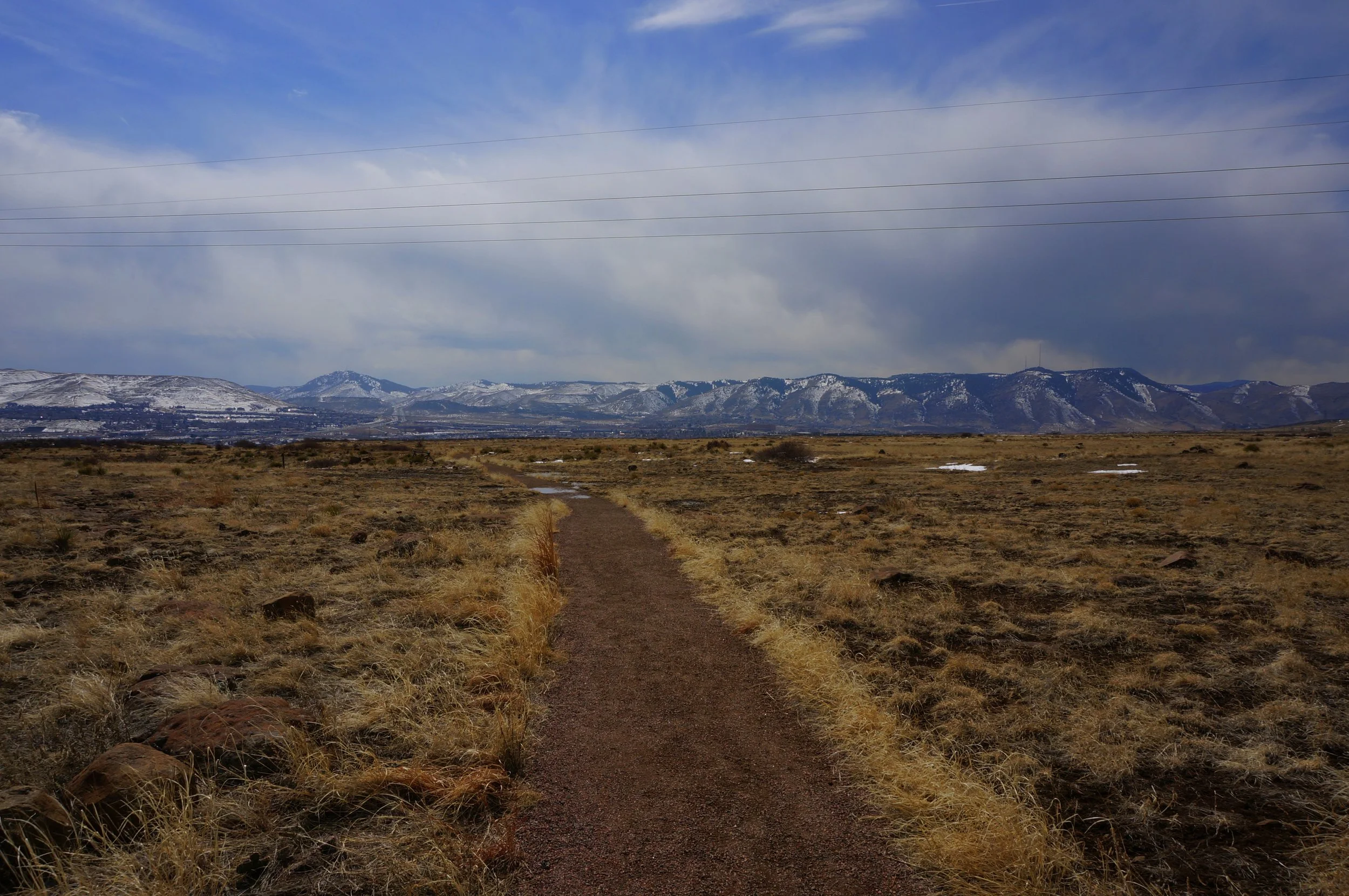
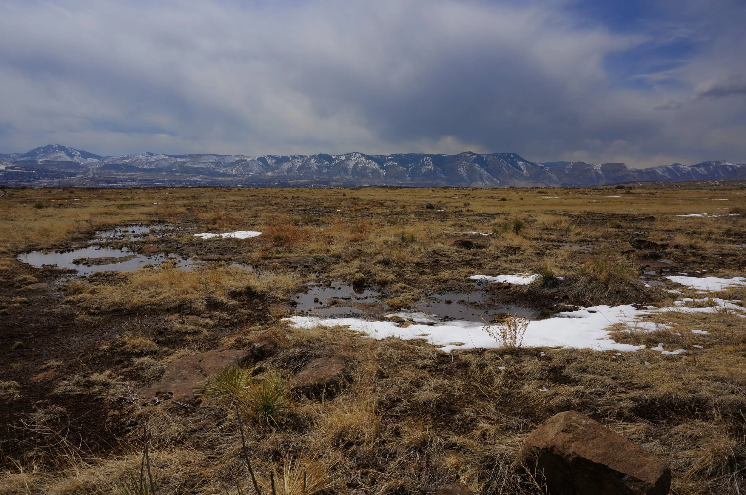
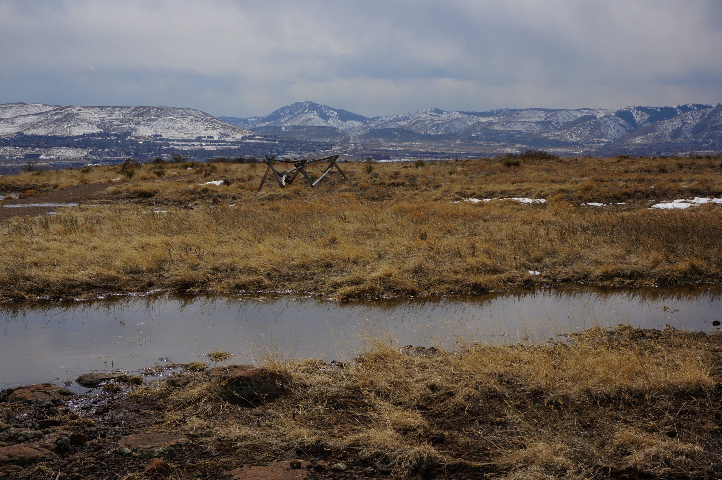
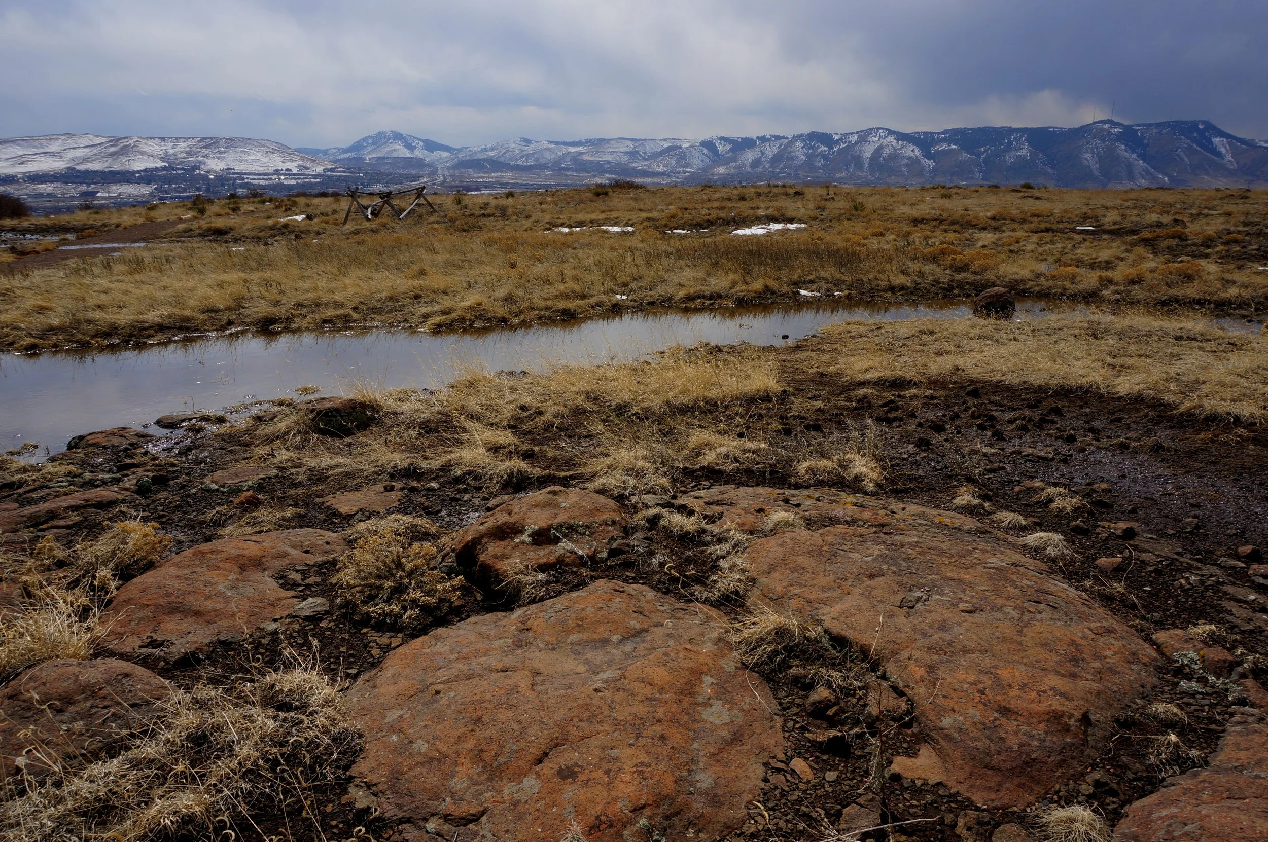
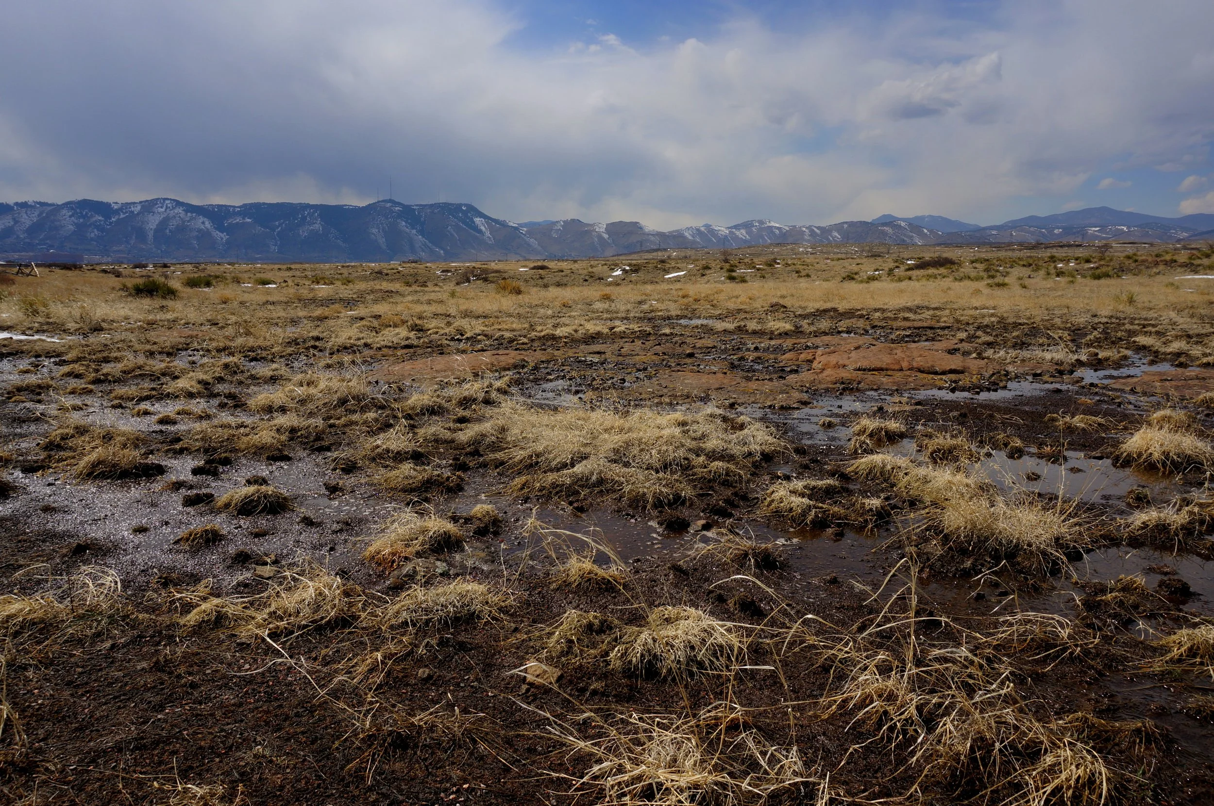
The Ancient Palms trail switchbacks up the east side of the mountain and meanders over the north end, giving you great views of North Table Mountain and the Flatirons beyond. Just before the top of the mesa, the trail will split for the Basalt Cap Loop. Turning left will give you the great views quicker. The Basalt Cap Trail is basically flat and follows the rim of the mesa. You get great views down on Golden, Lakewood, and Denver. Off to the west end of the mesa you'll get nice views of the foothills, Green Mountain, and North Table Mountain. Follow the loop or explore the connecting trails to your heart's delight.
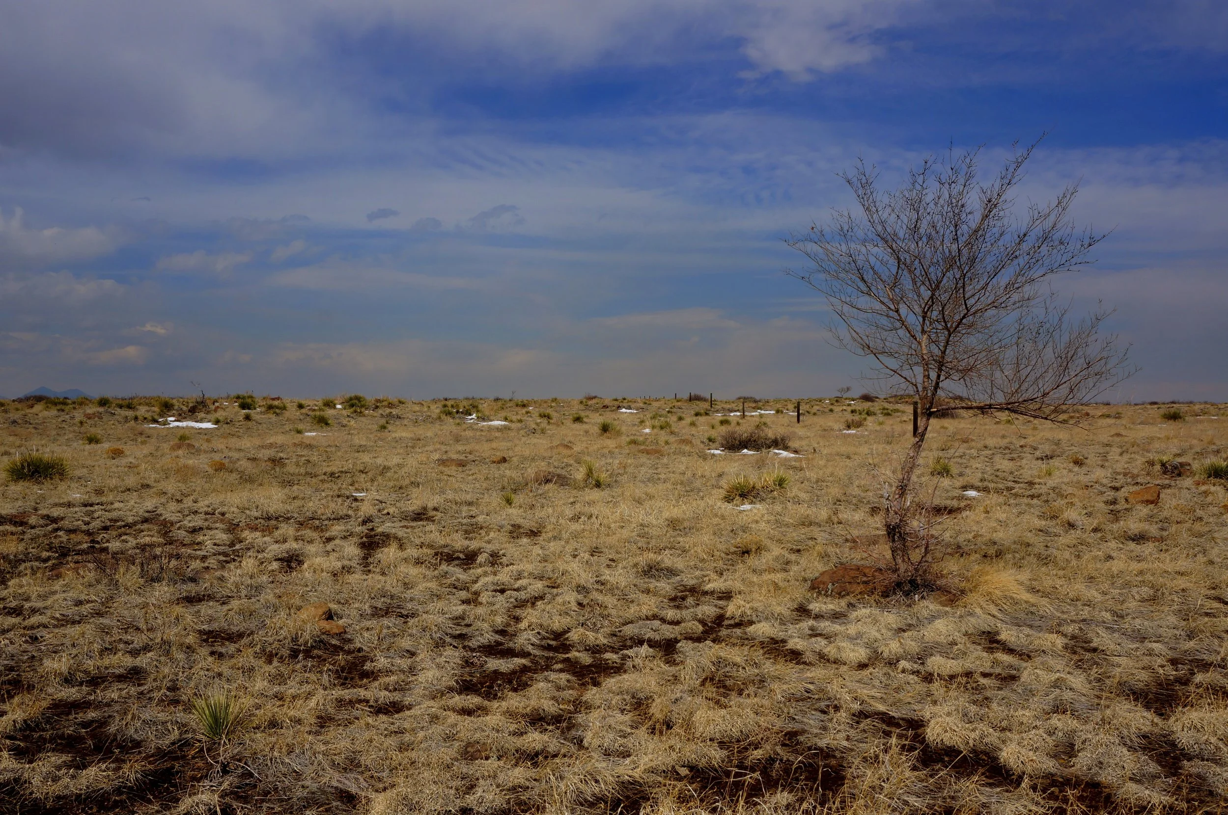
Being on top of the Mesa is always a treat, you'll actually feel like your in some sort of a prairie wilderness area, even though you are just hovering over suburban development, it's a nice illusion...